Detailed Map of Lumberton, Texas
A detailed map of Lumberton, Texas, showing every building in its true location, the roads by name, and shaded topographical relief.
Read More
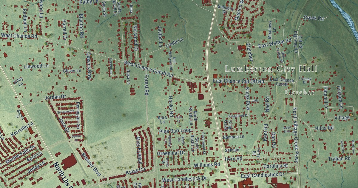
A detailed map of Lumberton, Texas, showing every building in its true location, the roads by name, and shaded topographical relief.
Read More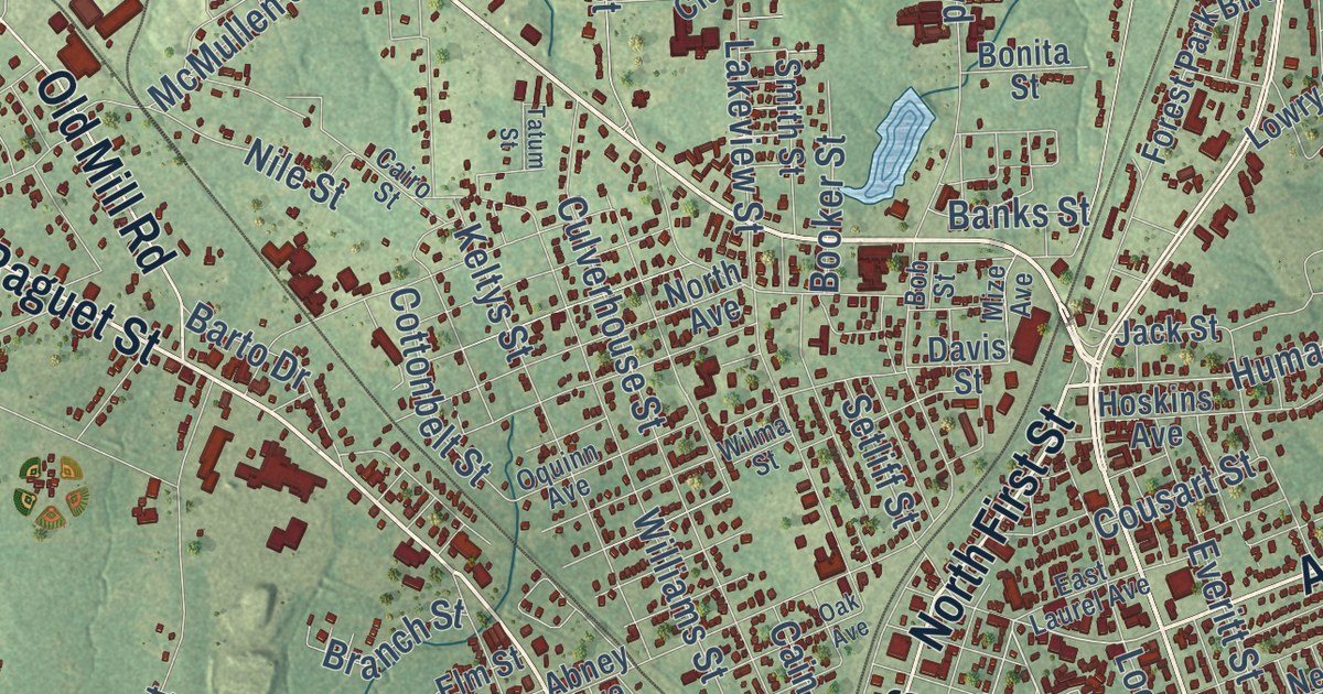
A detailed map of Lufkin, Texas, showing every building in its true location, the roads by name, and shaded topographical relief.
Read More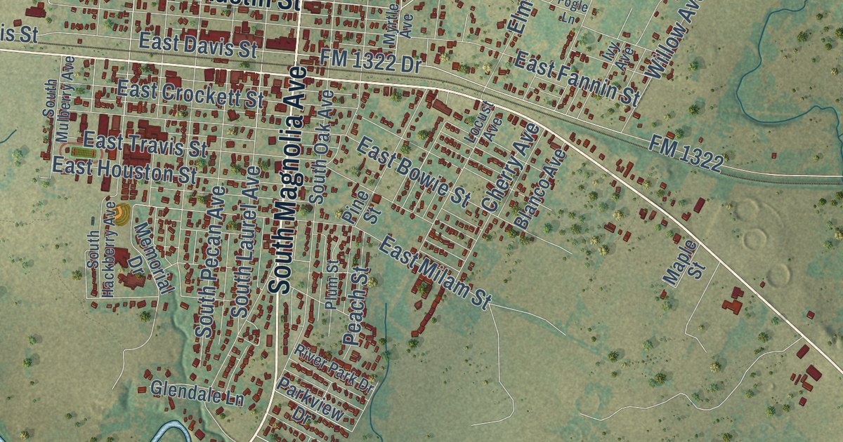
A detailed map of Luling, Texas, showing every building in its true location, the roads by name, and shaded topographical relief.
Read More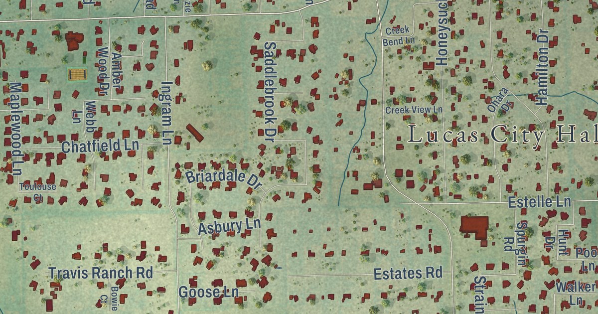
A detailed map of Lucas, Texas, showing every building in its true location, the roads by name, and shaded topographical relief.
Read More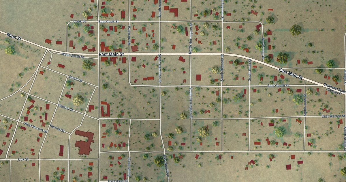
A detailed map of Lueders, Texas, showing every building in its true location, the roads by name, and shaded topographical relief.
Read More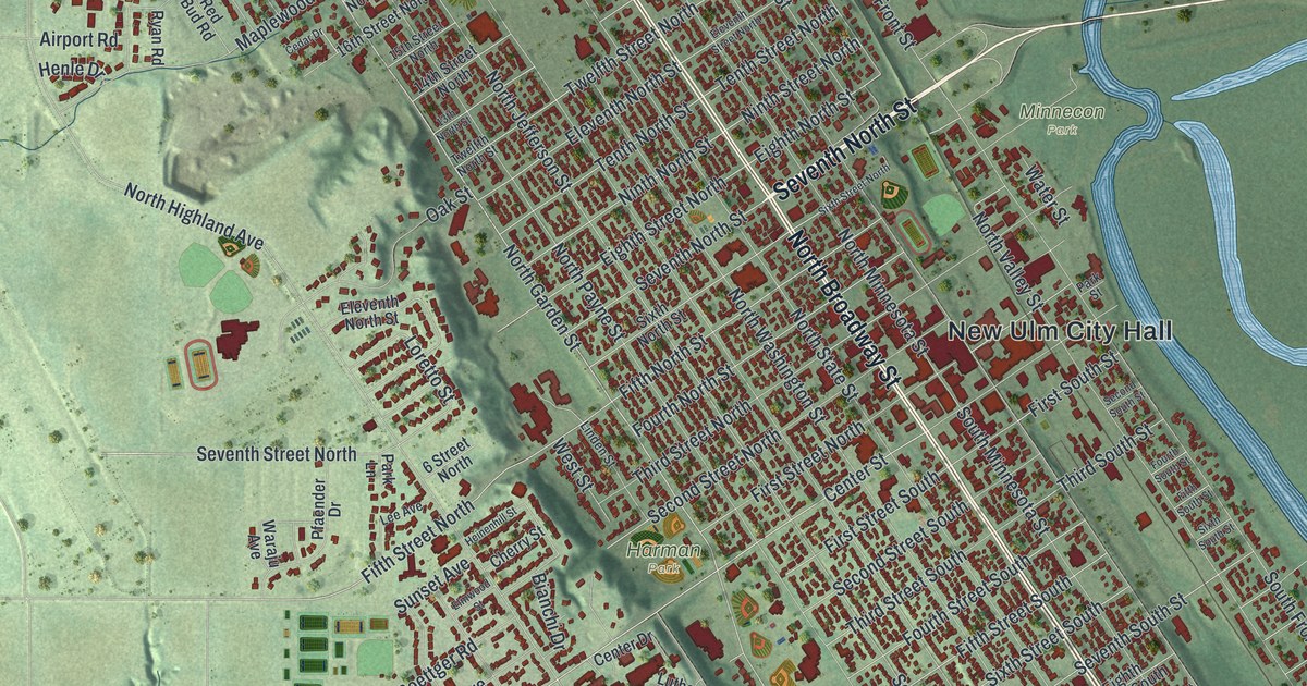
A detailed map of New Ulm, Minnesota, showing every building in its true location, the roads by name, and shaded topographical relief.
Read More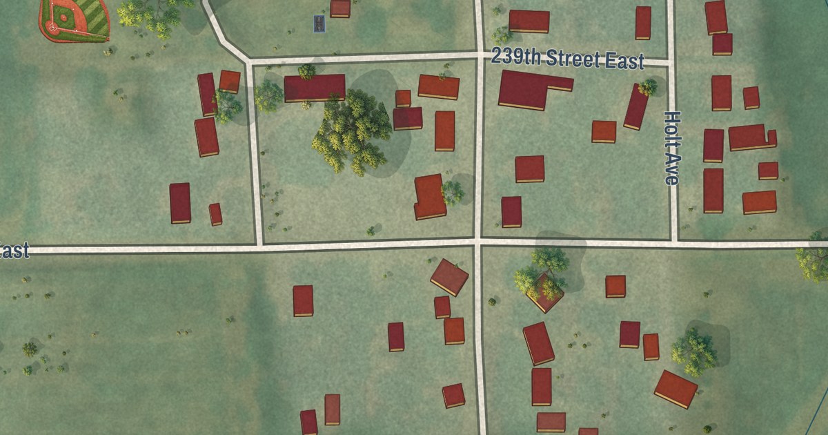
A detailed map of New Trier, Minnesota, showing every building in its true location, the roads by name, and shaded topographical relief.
Read More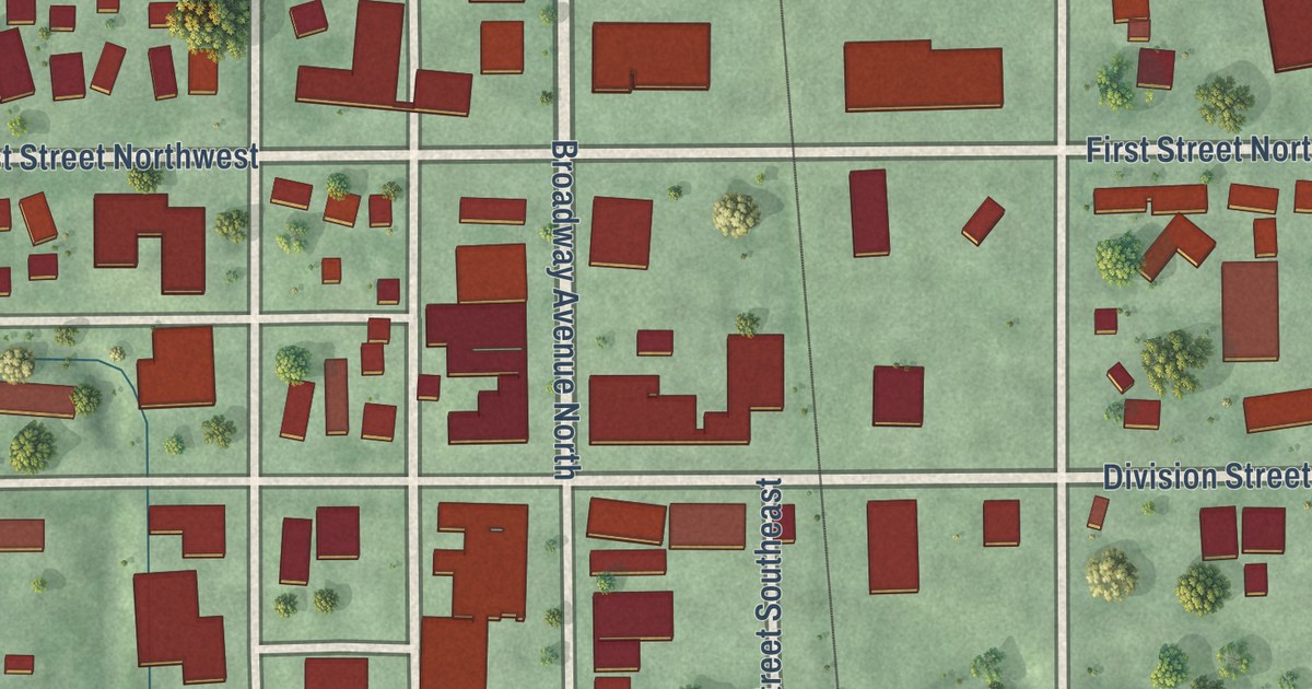
A detailed map of New Richland, Minnesota, showing every building in its true location, the roads by name, and shaded topographical relief.
Read More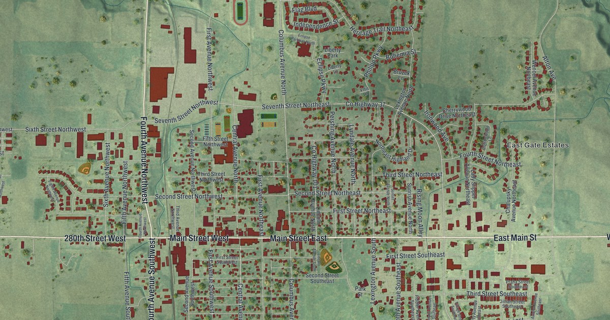
A detailed map of New Prague, Minnesota, showing every building in its true location, the roads by name, and shaded topographical relief.
Read More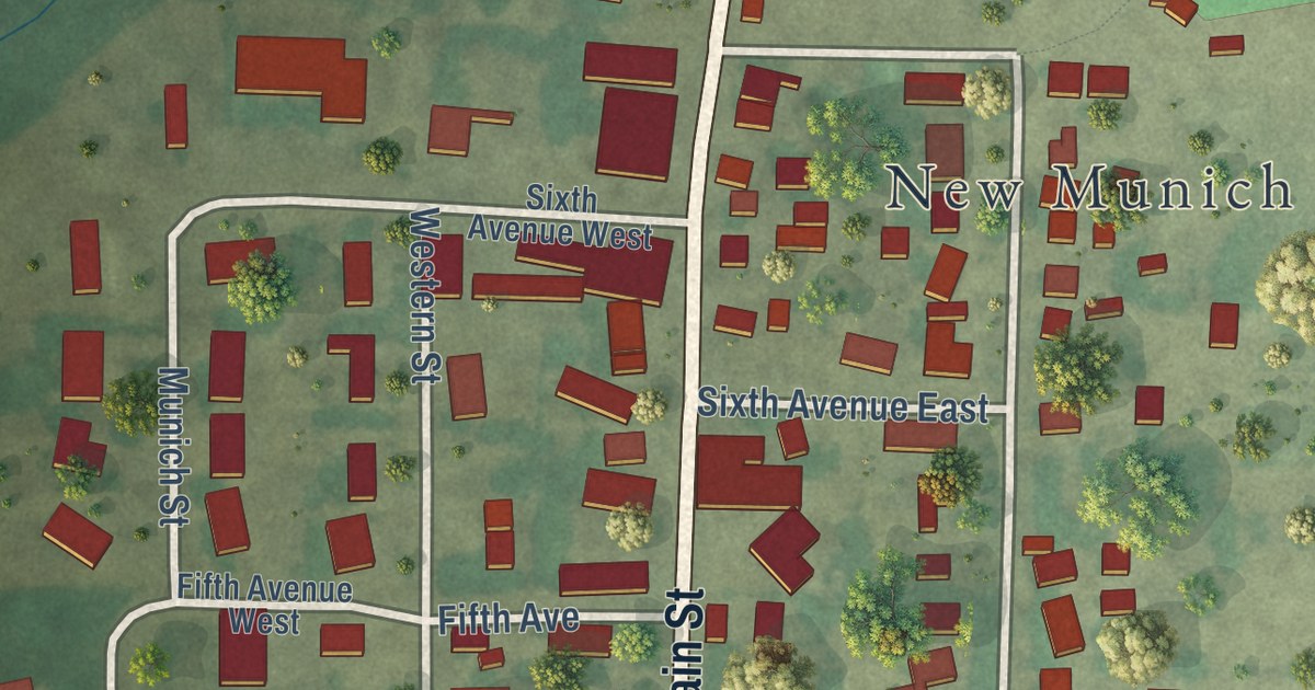
A detailed map of New Munich, Minnesota, showing every building in its true location, the roads by name, and shaded topographical relief.
Read More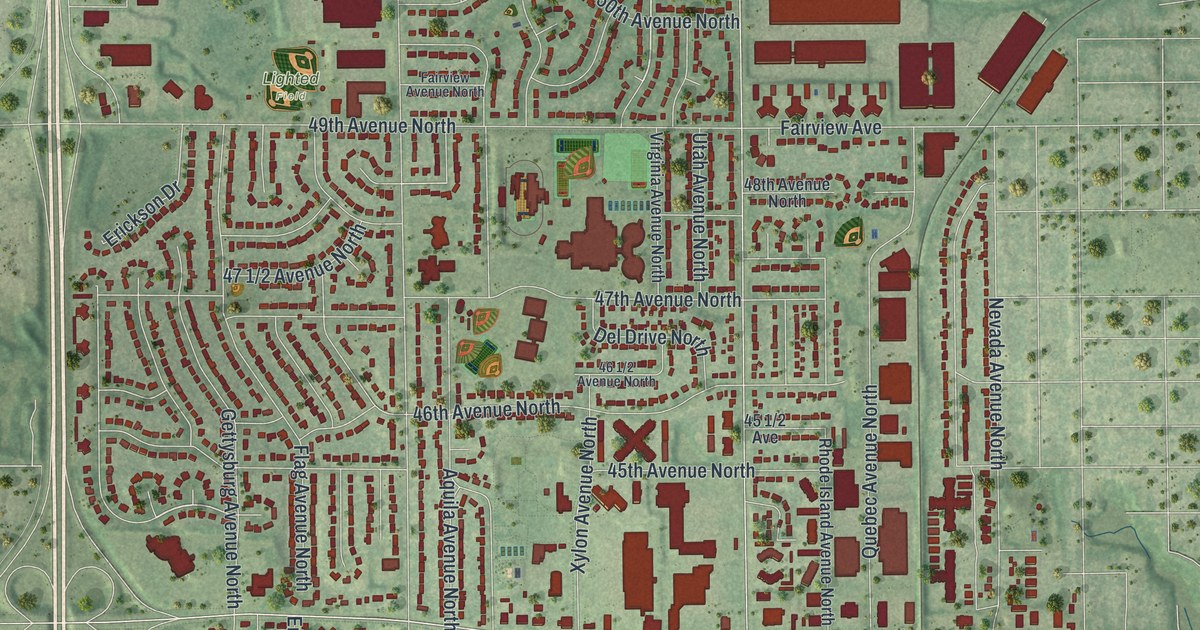
A detailed map of New Hope, Minnesota, showing every building in its true location, the roads by name, and shaded topographical relief.
Read More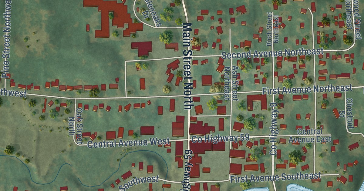
A detailed map of New London, Minnesota, showing every building in its true location, the roads by name, and shaded topographical relief.
Read More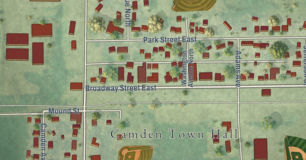
A detailed map of New Germany, Minnesota, showing every building in its true location, the roads by name, and shaded topographical relief.
Read More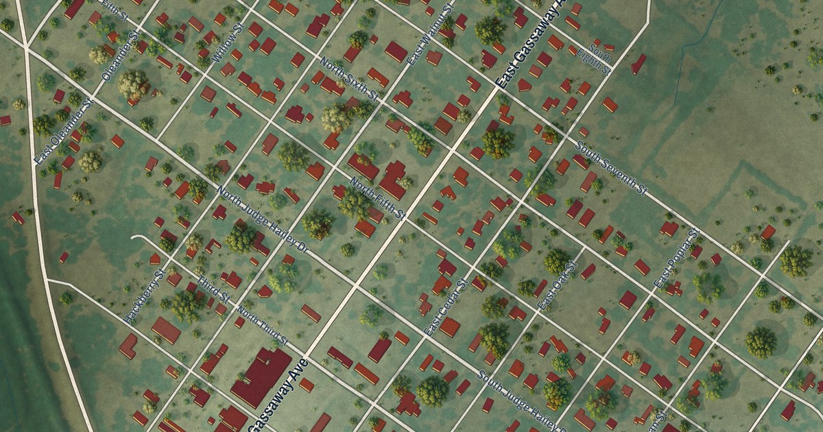
A detailed map of Lott, Texas, showing every building in its true location, the roads by name, and shaded topographical relief.
Read More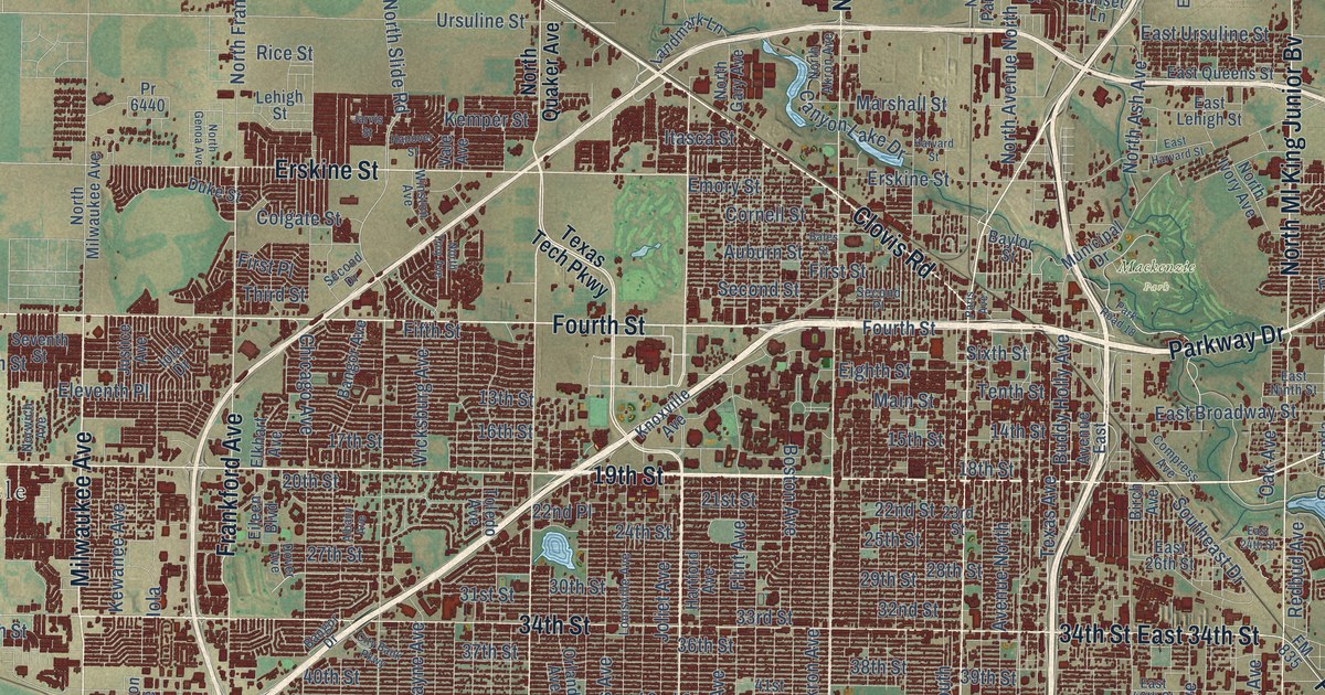
A detailed map of Lubbock, Texas, showing every building in its true location, the roads by name, and shaded topographical relief.
Read More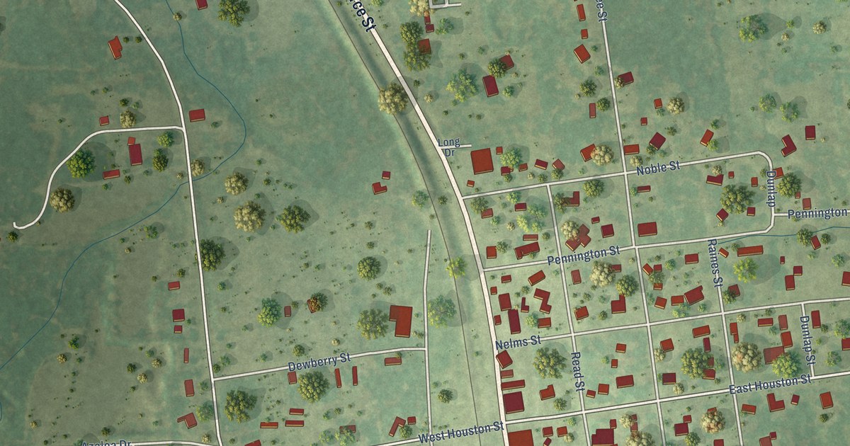
A detailed map of Lovelady, Texas, showing every building in its true location, the roads by name, and shaded topographical relief.
Read More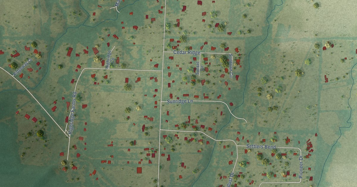
A detailed map of Lowry Crossing, Texas, showing every building in its true location, the roads by name, and shaded topographical relief.
Read More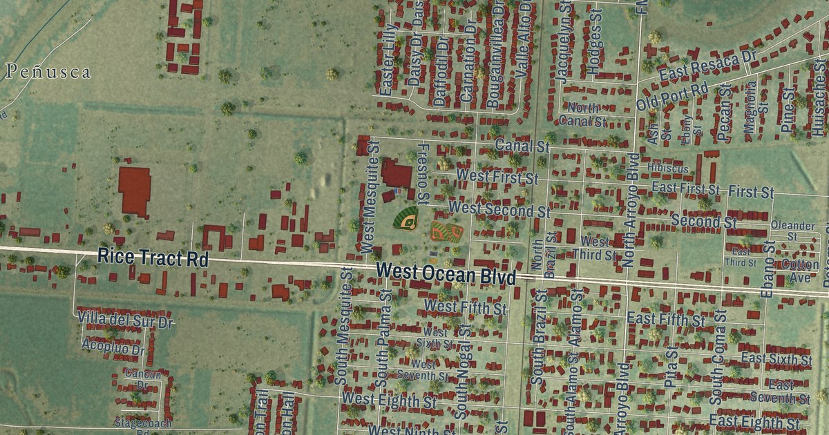
A detailed map of Los Fresnos, Texas, showing every building in its true location, the roads by name, and shaded topographical relief.
Read More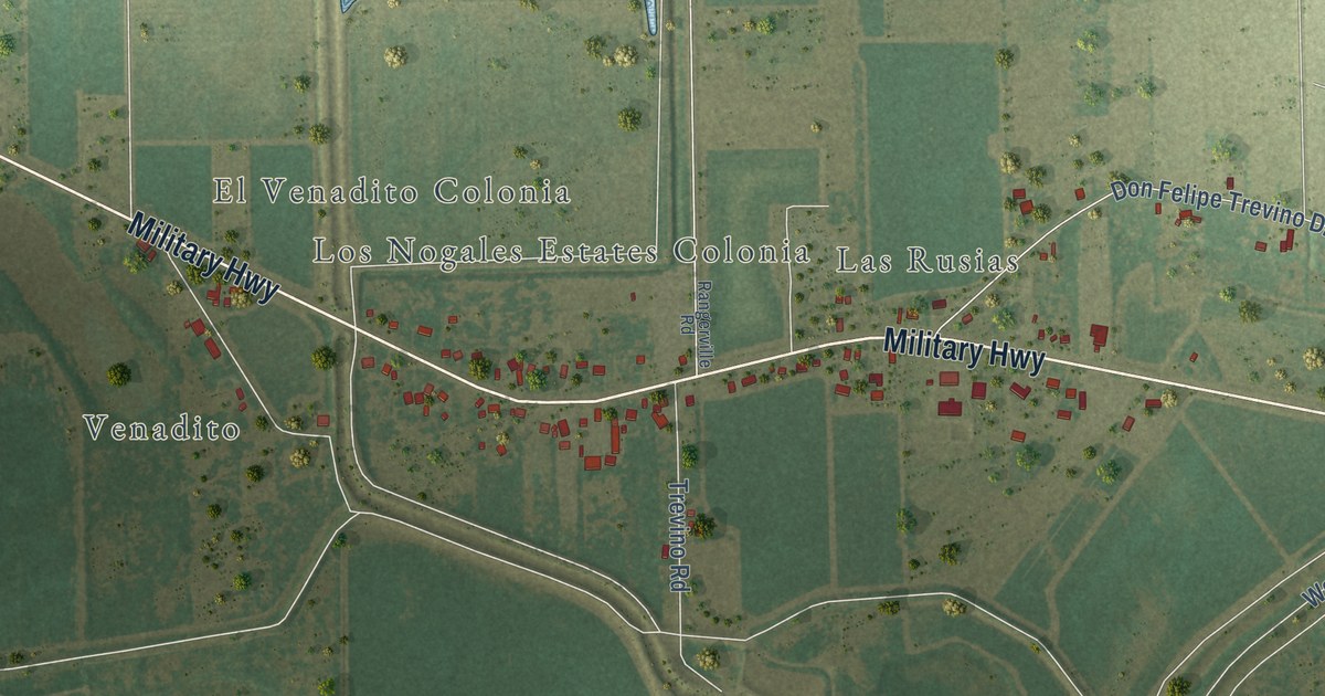
A detailed map of Los Indios, Texas, showing every building in its true location, the roads by name, and shaded topographical relief.
Read More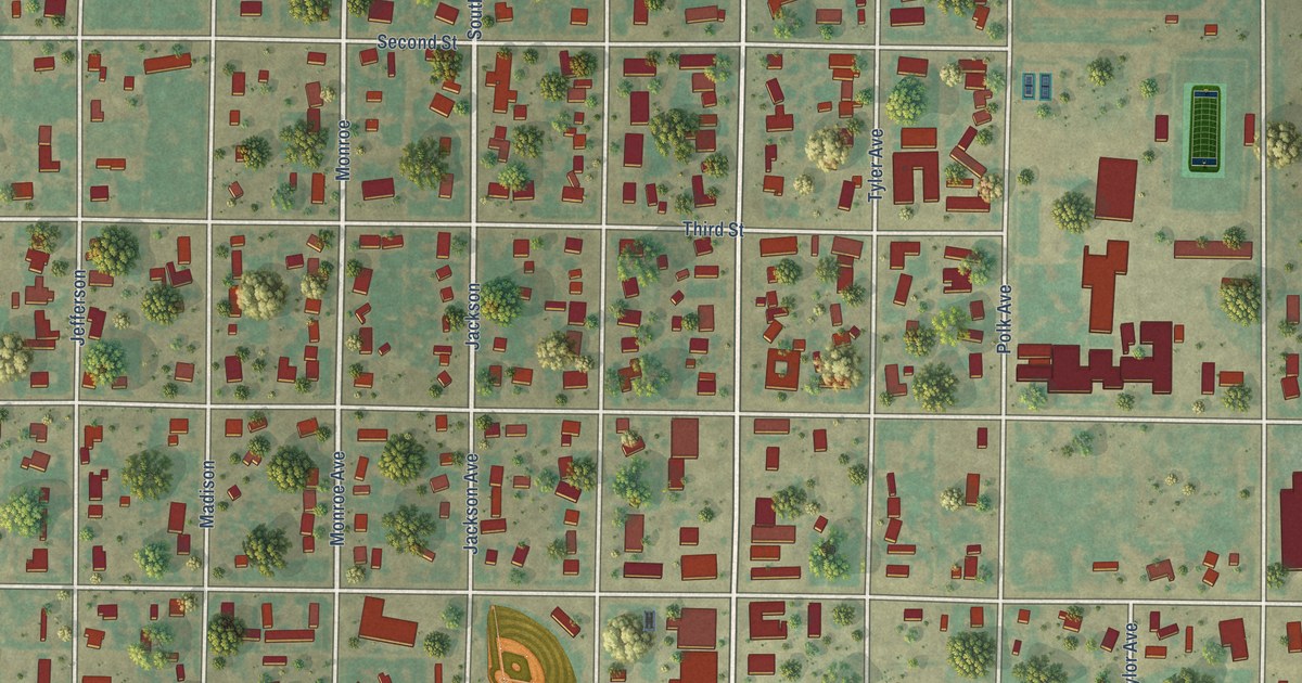
A detailed map of Lorenzo, Texas, showing every building in its true location, the roads by name, and shaded topographical relief.
Read More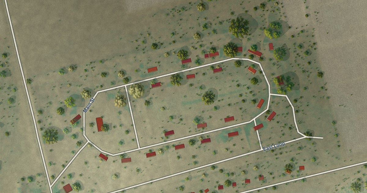
A detailed map of Los Ybanez, Texas, showing every building in its true location, the roads by name, and shaded topographical relief.
Read More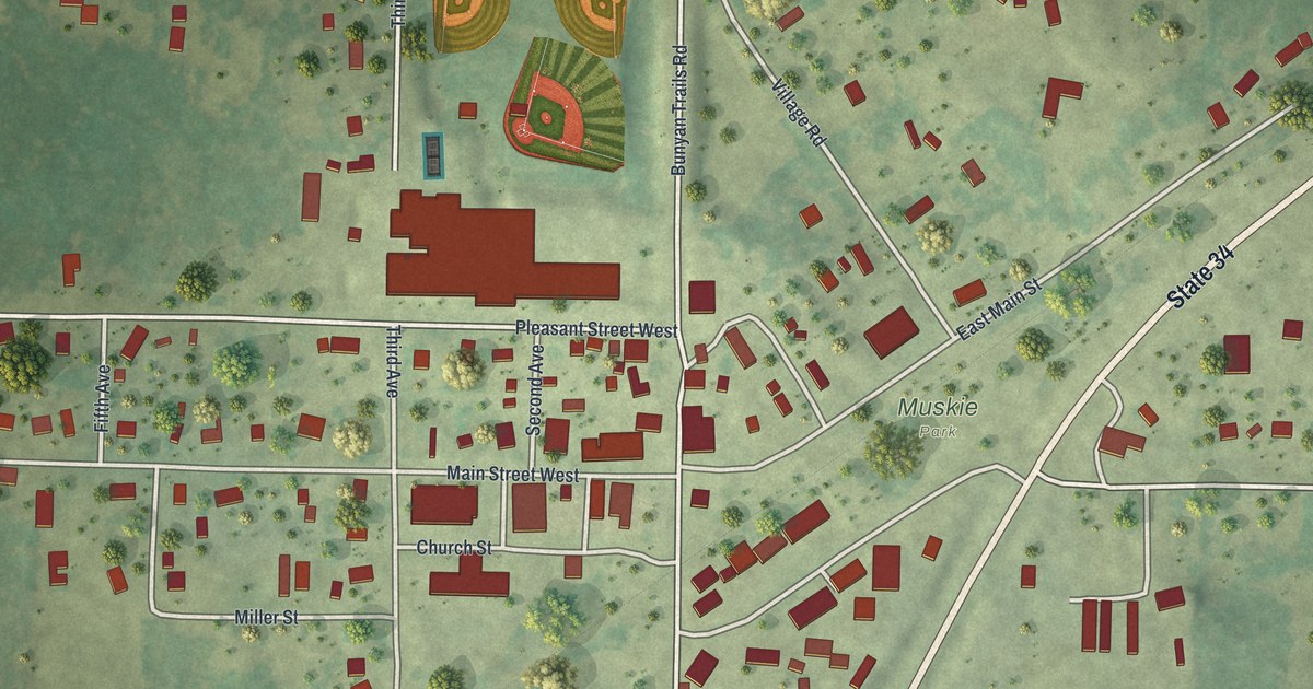
A detailed map of Nevis, Minnesota, showing every building in its true location, the roads by name, and shaded topographical relief.
Read More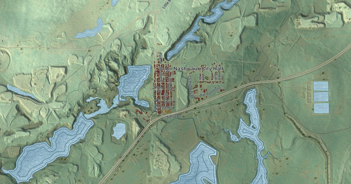
A detailed map of Nashwauk, Minnesota, showing every building in its true location, the roads by name, and shaded topographical relief.
Read More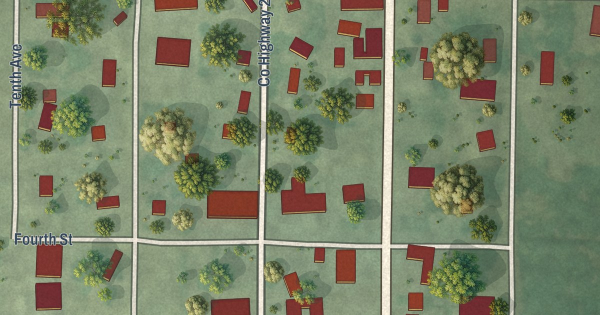
A detailed map of New Auburn, Minnesota, showing every building in its true location, the roads by name, and shaded topographical relief.
Read More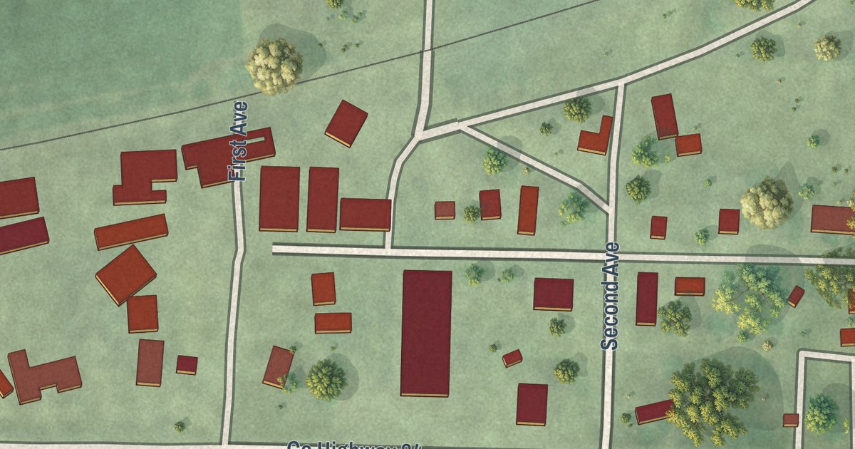
A detailed map of Nassau, Minnesota, showing every building in its true location, the roads by name, and shaded topographical relief.
Read More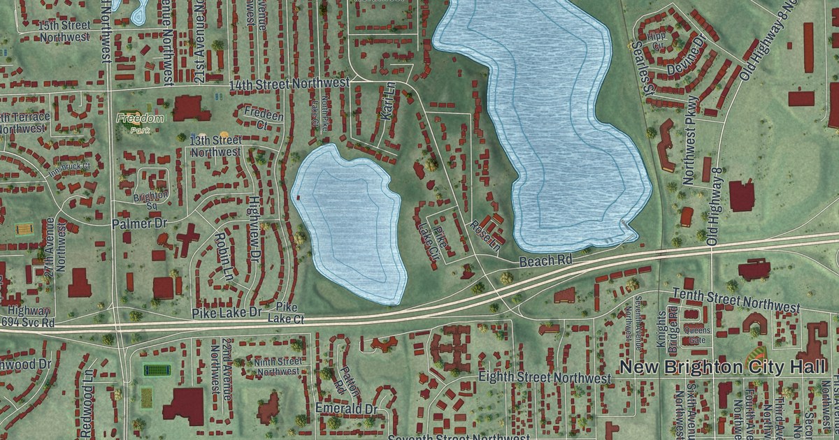
A detailed map of New Brighton, Minnesota, showing every building in its true location, the roads by name, and shaded topographical relief.
Read More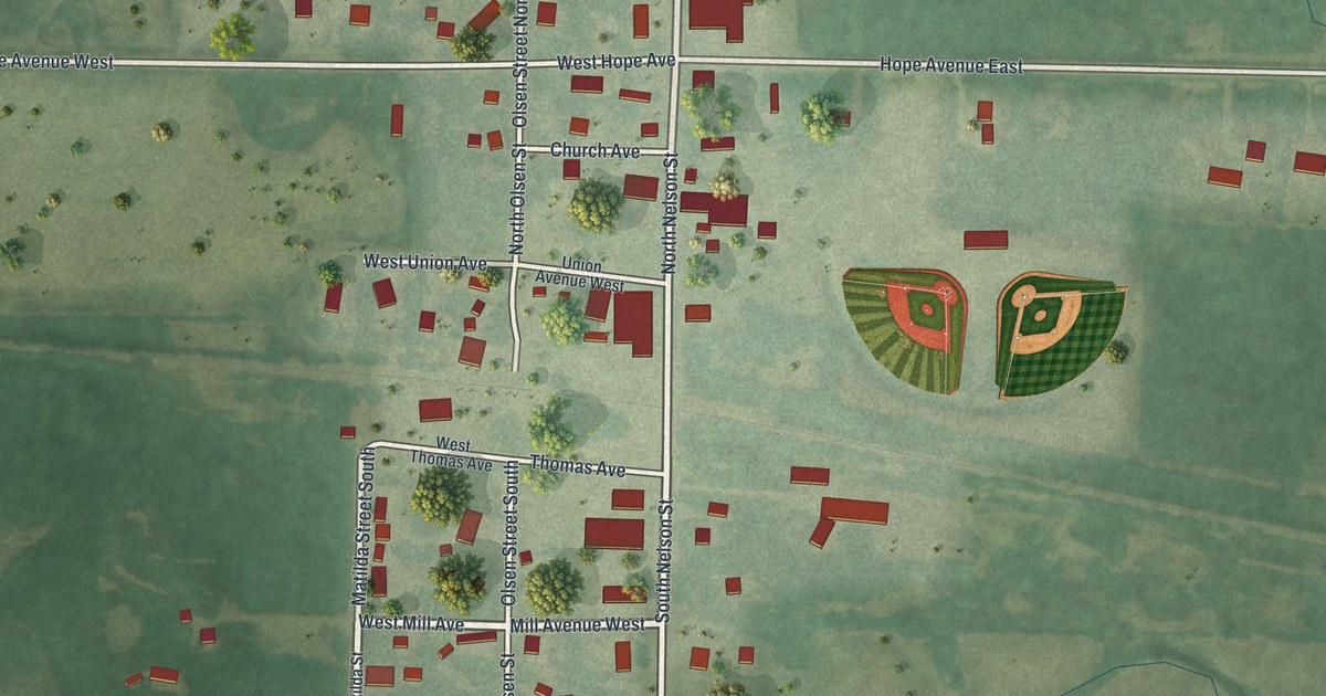
A detailed map of Nelson, Minnesota, showing every building in its true location, the roads by name, and shaded topographical relief.
Read More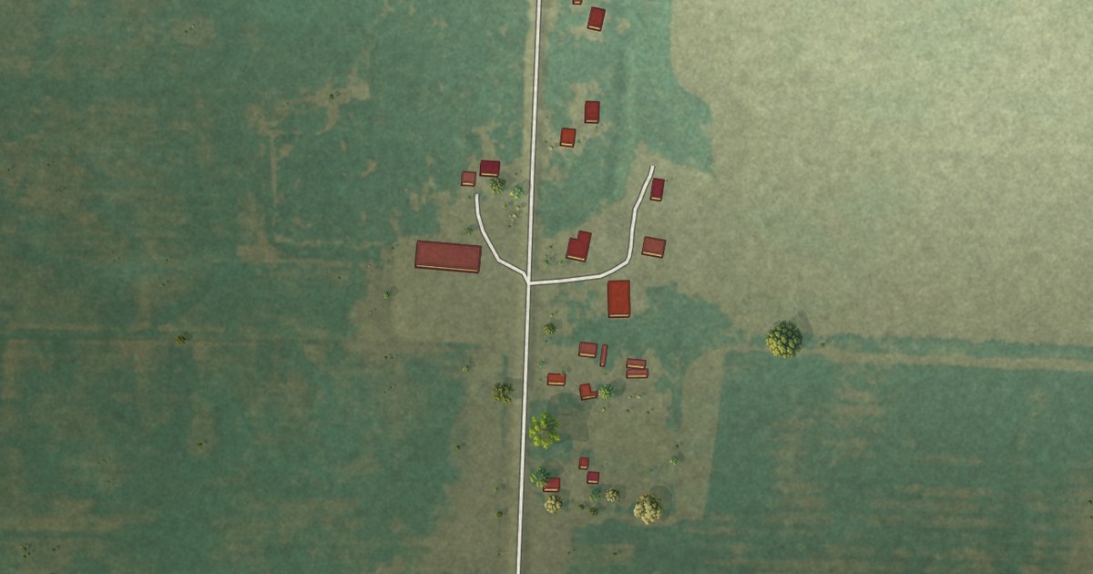
A detailed map of Nashua, Minnesota, showing every building in its true location, the roads by name, and shaded topographical relief.
Read More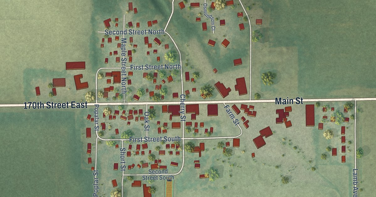
A detailed map of Nerstrand, Minnesota, showing every building in its true location, the roads by name, and shaded topographical relief.
Read More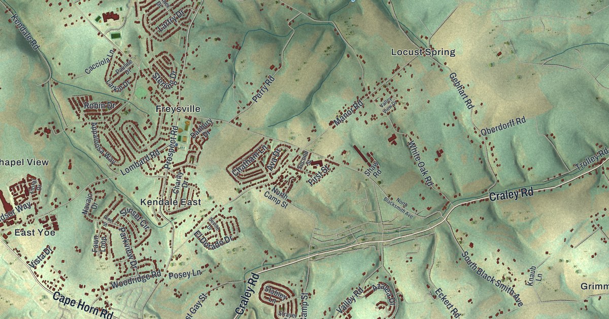
A new aerial map of Windsor Township in York County, Pennsylvania, made in 2026. Find Freysville, Springvale and Cape Horn Road, and read the story of Frysville Church, deeded by Conrad Fry in 1771, with graves in its churchyard from the 1740s.
Read More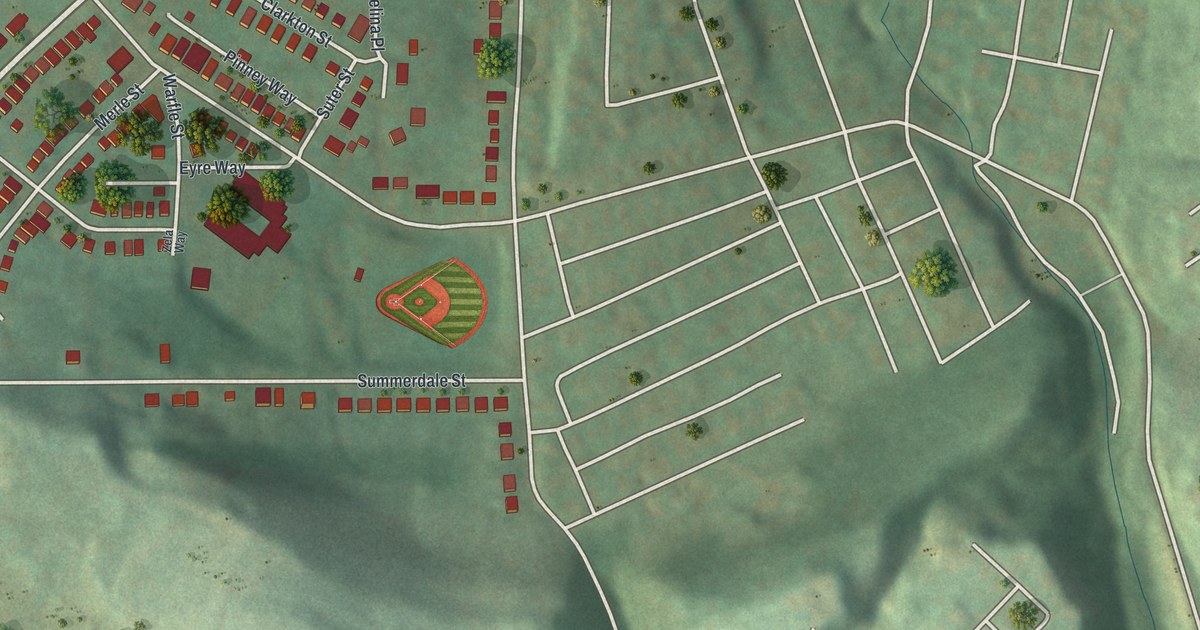
See Windgap Avenue, Middletown Road, and Hollywood Cemetery in a new aerial map. Green hills, red buildings, and familiar streets give this 2026 print its local detail.
Read More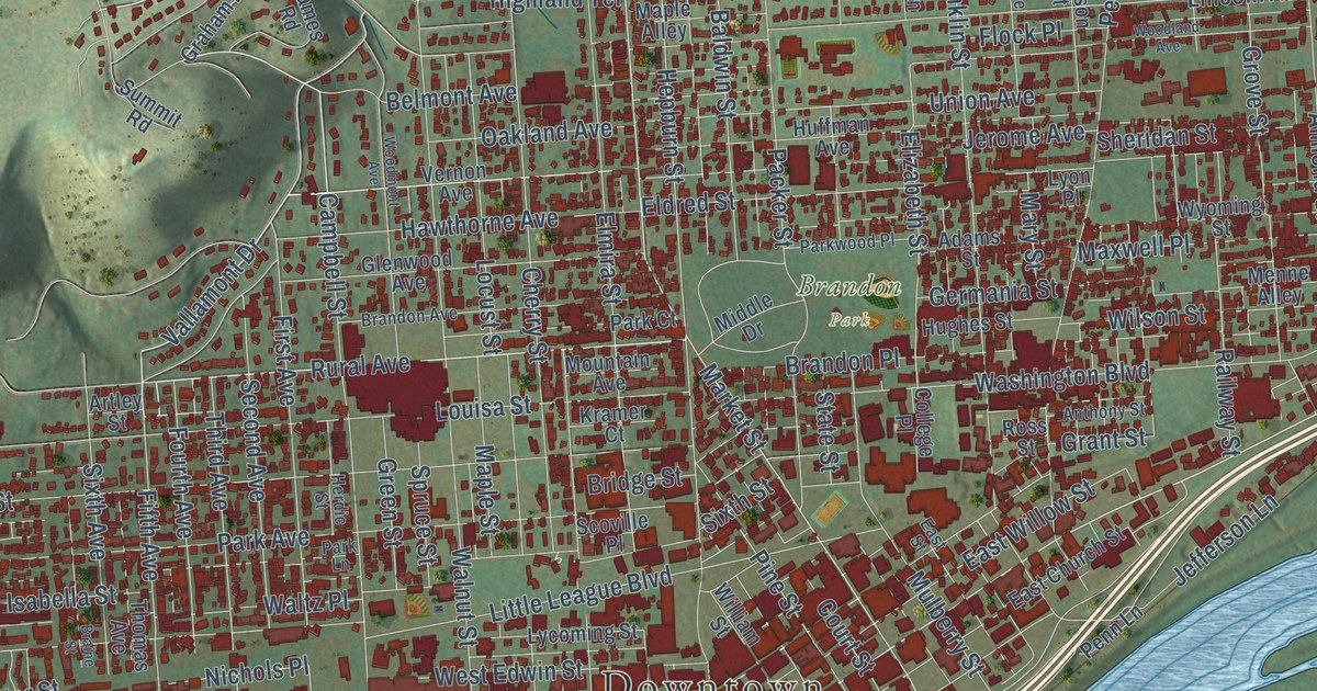
A modern aerial map of Williamsport in Lycoming County, with Bowman Field, Brandon Park, West Fourth Street and thousands of buildings. Plus the story of where Little League Baseball began.
Read More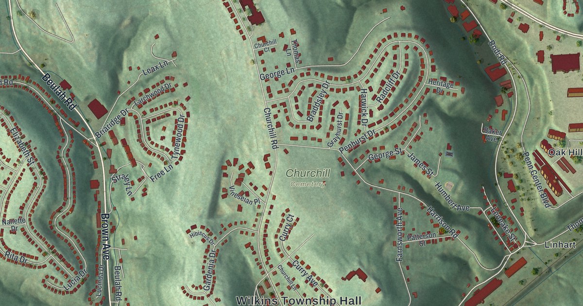
A new aerial map of Wilkins Township in Allegheny County, made in 2026. Find Eastmont, Linhart, Oak Hill and Wilkins Township Hall, and learn how Wilkins was carved from old Pitt Township in 1821.
Read More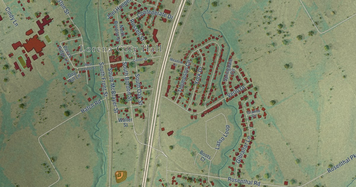
A detailed map of Lorena, Texas, showing every building in its true location, the roads by name, and shaded topographical relief.
Read More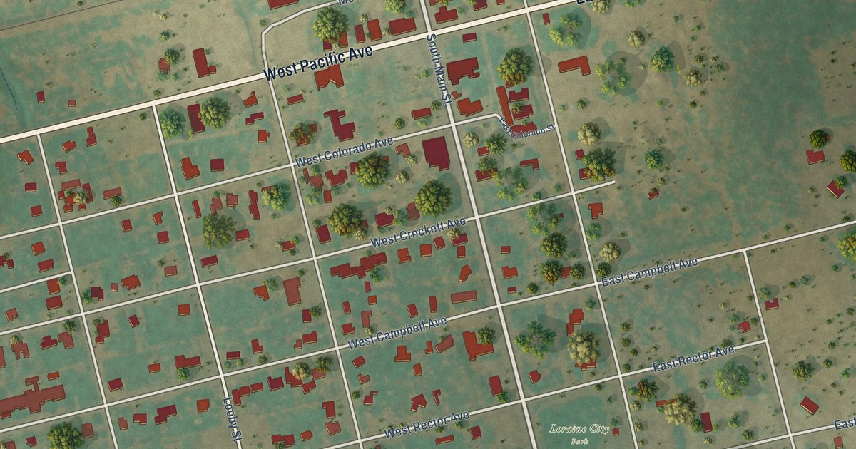
A detailed map of Loraine, Texas, showing every building in its true location, the roads by name, and shaded topographical relief.
Read More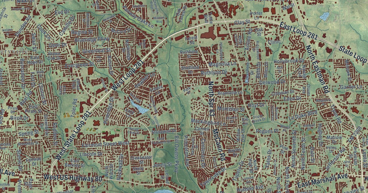
A detailed map of Longview, Texas, showing every building in its true location, the roads by name, and shaded topographical relief.
Read More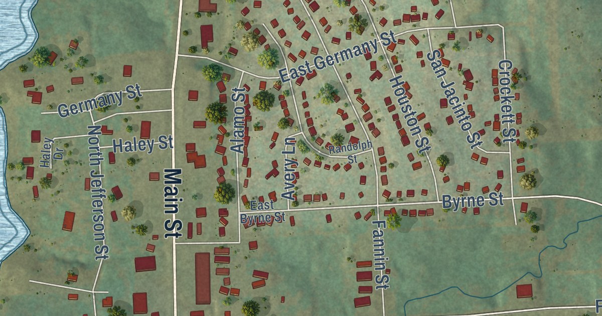
A detailed map of Lone Star, Texas, showing every building in its true location, the roads by name, and shaded topographical relief.
Read More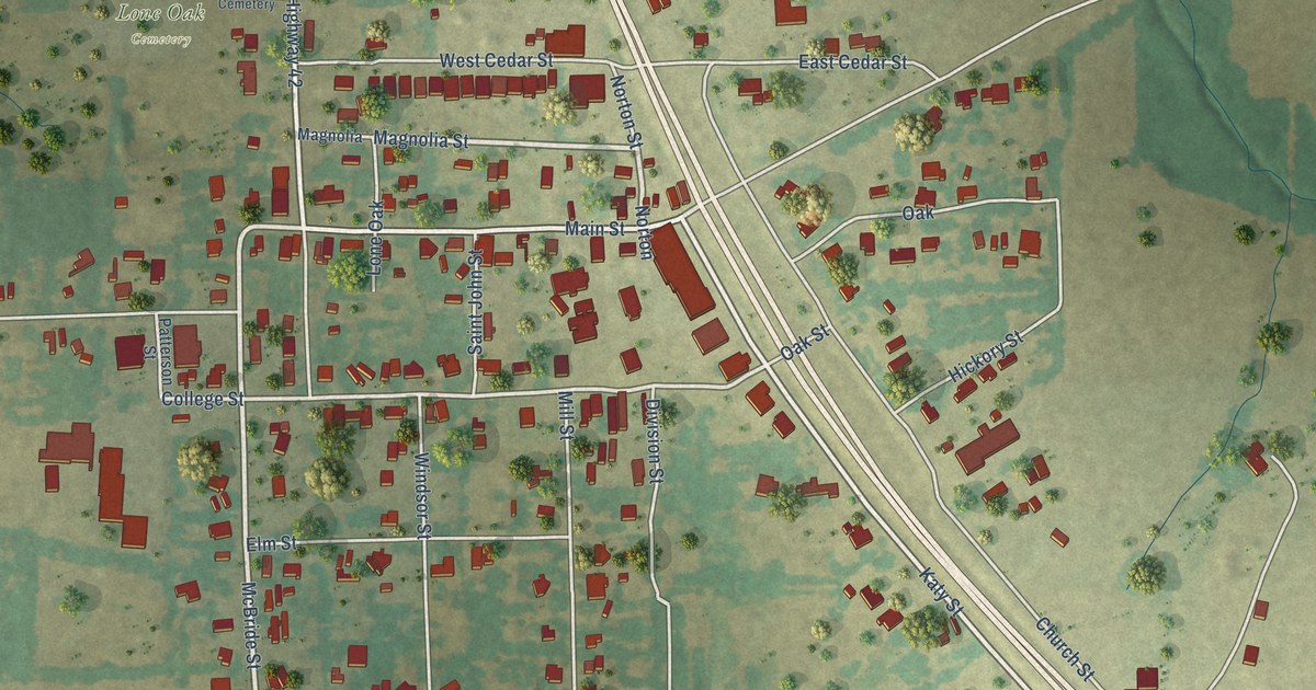
A detailed map of Lone Oak, Texas, showing every building in its true location, the roads by name, and shaded topographical relief.
Read More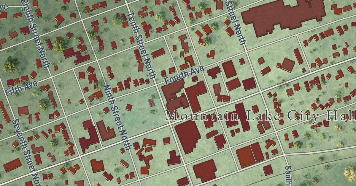
A detailed map of Mountain Lake, Minnesota, showing every building in its true location, the roads by name, and shaded topographical relief.
Read More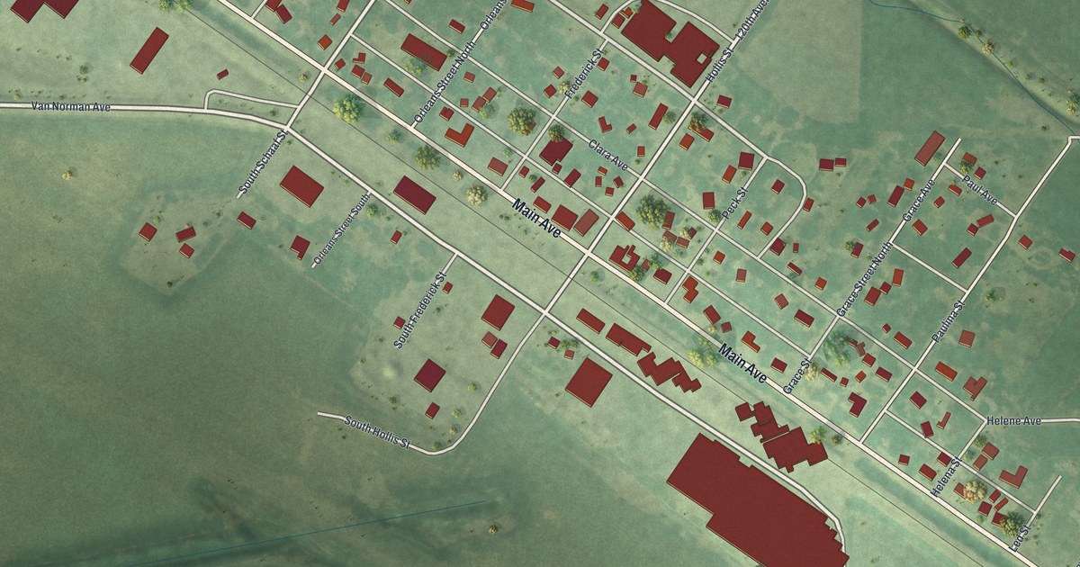
A detailed map of Murdock, Minnesota, showing every building in its true location, the roads by name, and shaded topographical relief.
Read More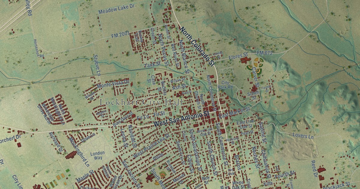
A detailed map of Lockhart, Texas, showing every building in its true location, the roads by name, and shaded topographical relief.
Read More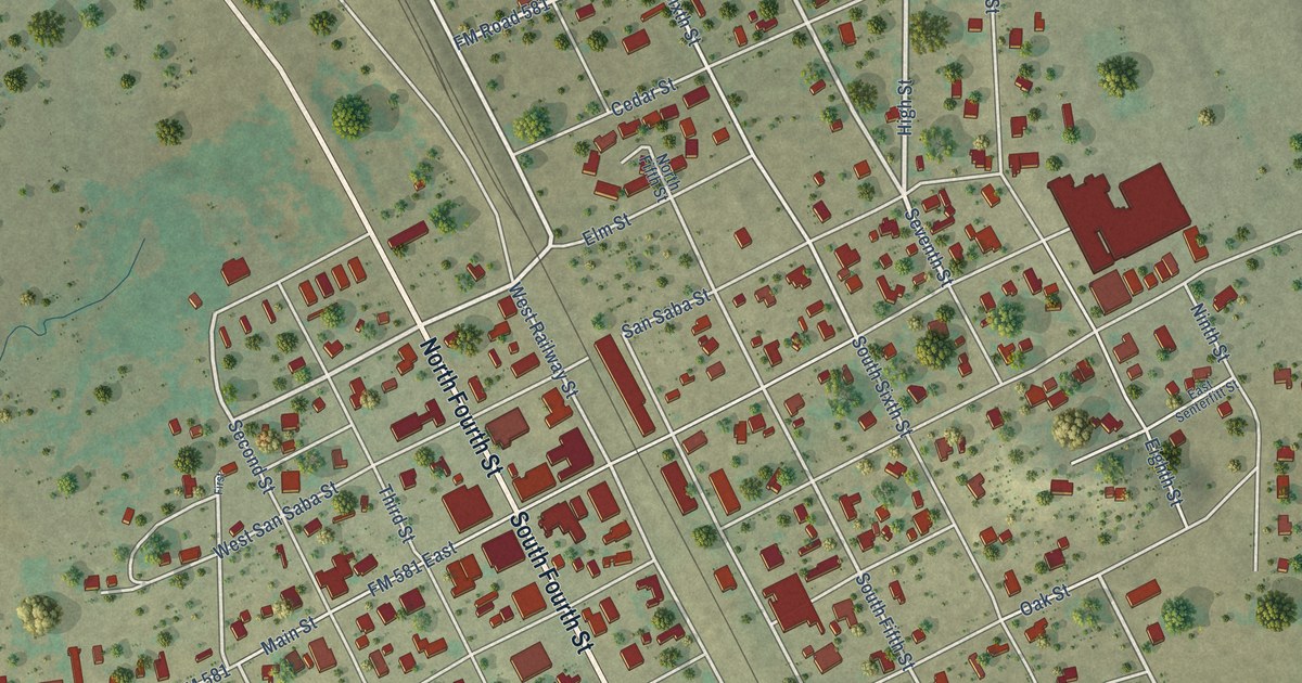
A detailed map of Lometa, Texas, showing every building in its true location, the roads by name, and shaded topographical relief.
Read More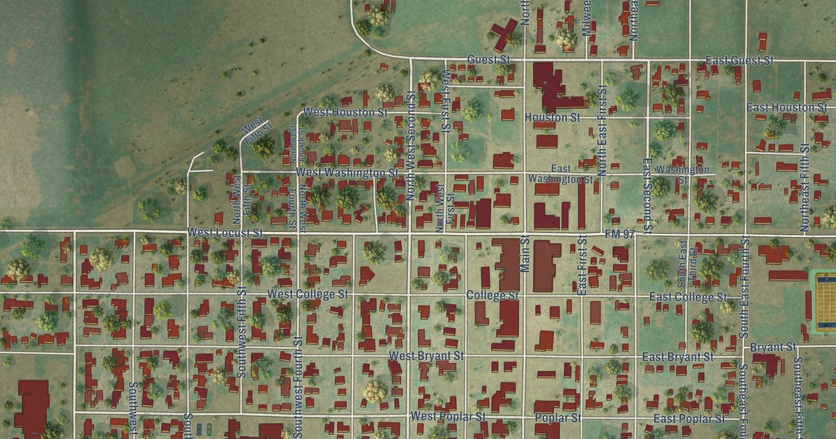
A detailed map of Lockney, Texas, showing every building in its true location, the roads by name, and shaded topographical relief.
Read More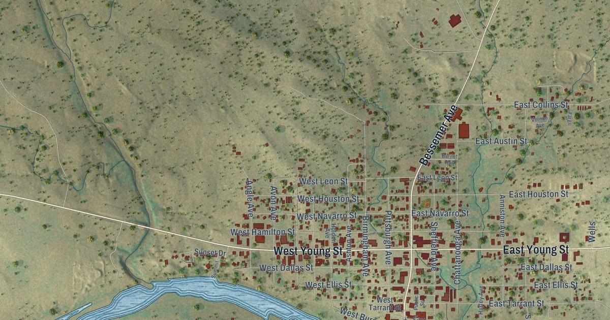
A detailed map of Llano, Texas, showing every building in its true location, the roads by name, and shaded topographical relief.
Read More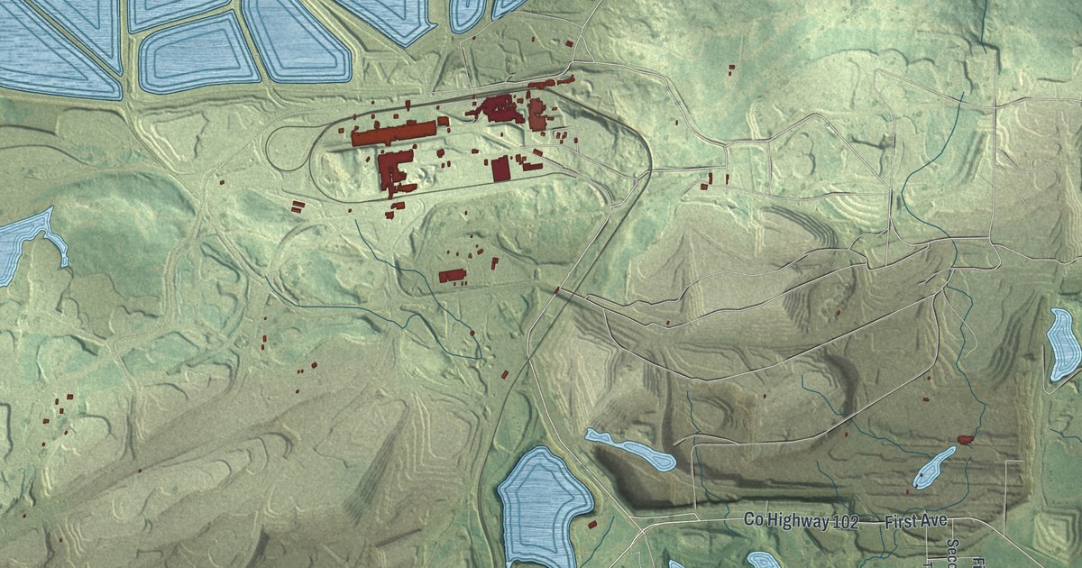
A detailed map of Mountain Iron, Minnesota, showing every building in its true location, the roads by name, and shaded topographical relief.
Read More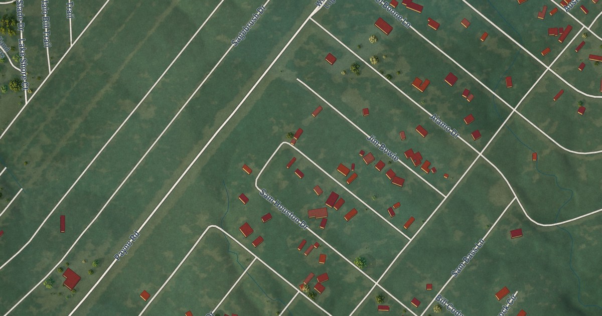
A detailed map of Log Cabin, Texas, showing every building in its true location, the roads by name, and shaded topographical relief.
Read More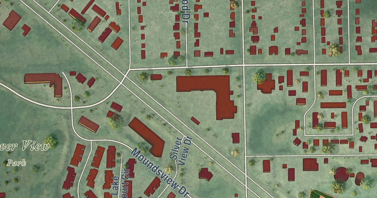
A detailed map of Mounds View, Minnesota, showing every building in its true location, the roads by name, and shaded topographical relief.
Read More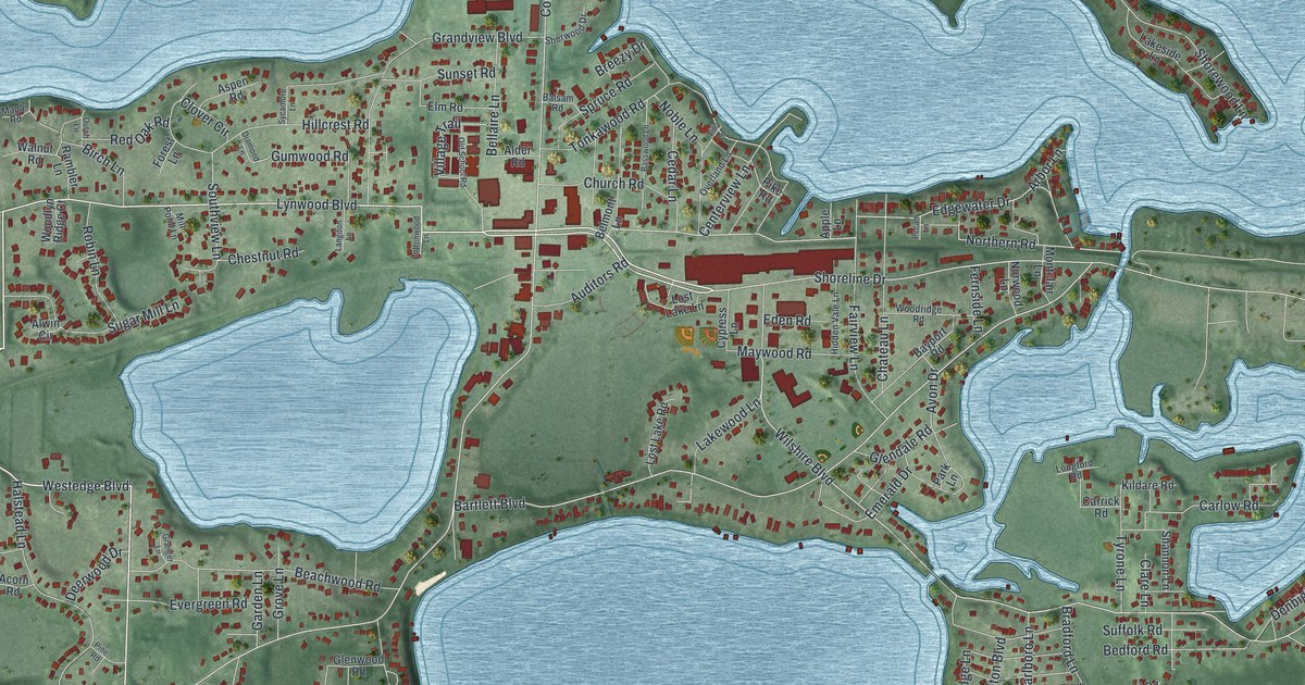
A detailed map of Mound, Minnesota, showing every building in its true location, the roads by name, and shaded topographical relief.
Read More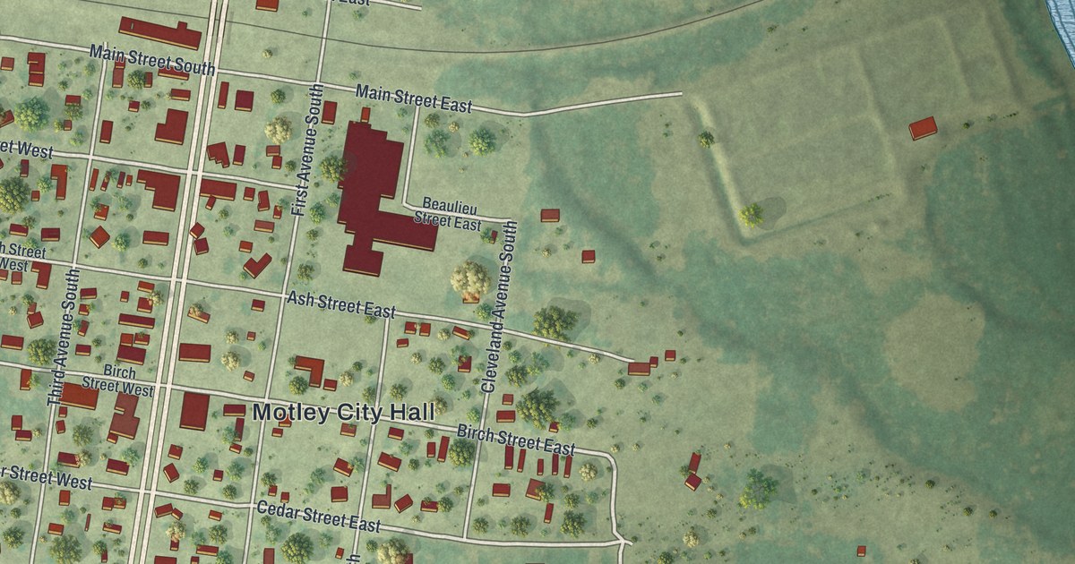
A detailed map of Motley, Minnesota, showing every building in its true location, the roads by name, and shaded topographical relief.
Read More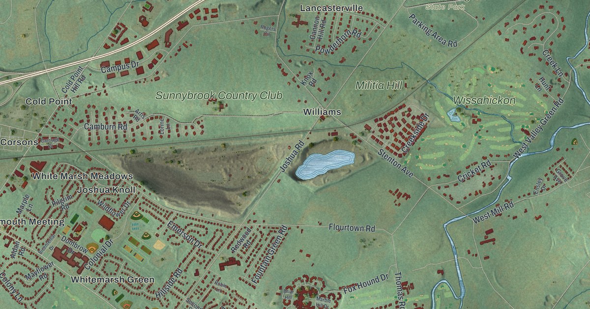
A 2026 aerial map of Whitemarsh Township in Montgomery County, with Barren Hill, Plymouth Meeting and Fort Washington State Park, plus the story of how Lafayette led 2,000 troops out of a British trap at Barren Hill in May 1778.
Read More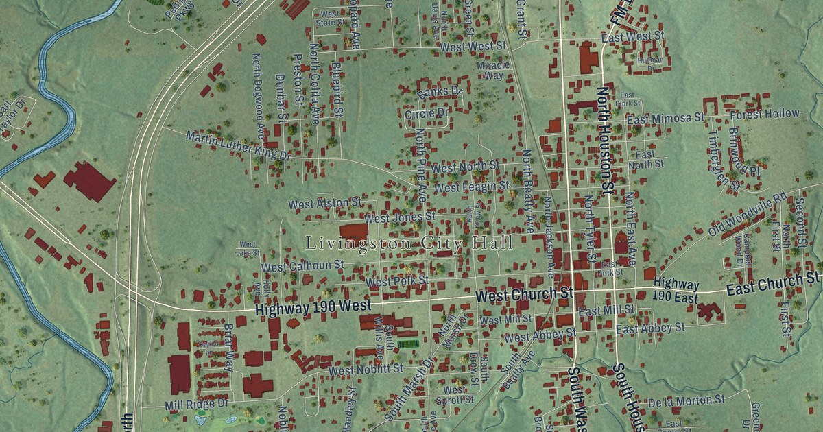
A detailed map of Livingston, Texas, showing every building in its true location, the roads by name, and shaded topographical relief.
Read More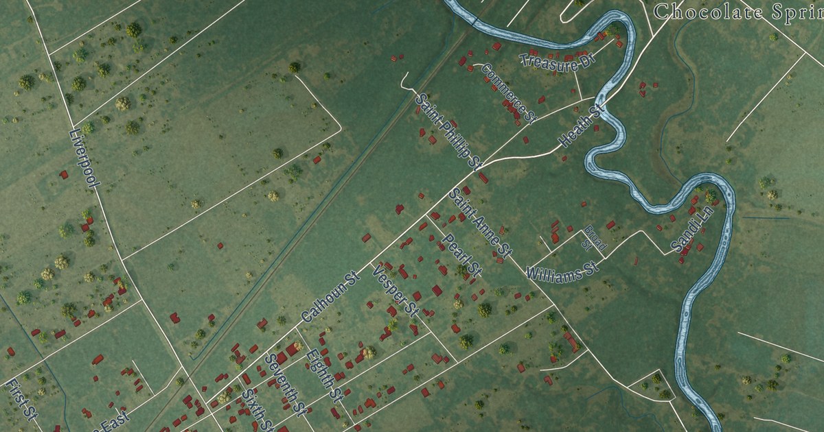
A detailed map of Liverpool, Texas, showing every building in its true location, the roads by name, and shaded topographical relief.
Read More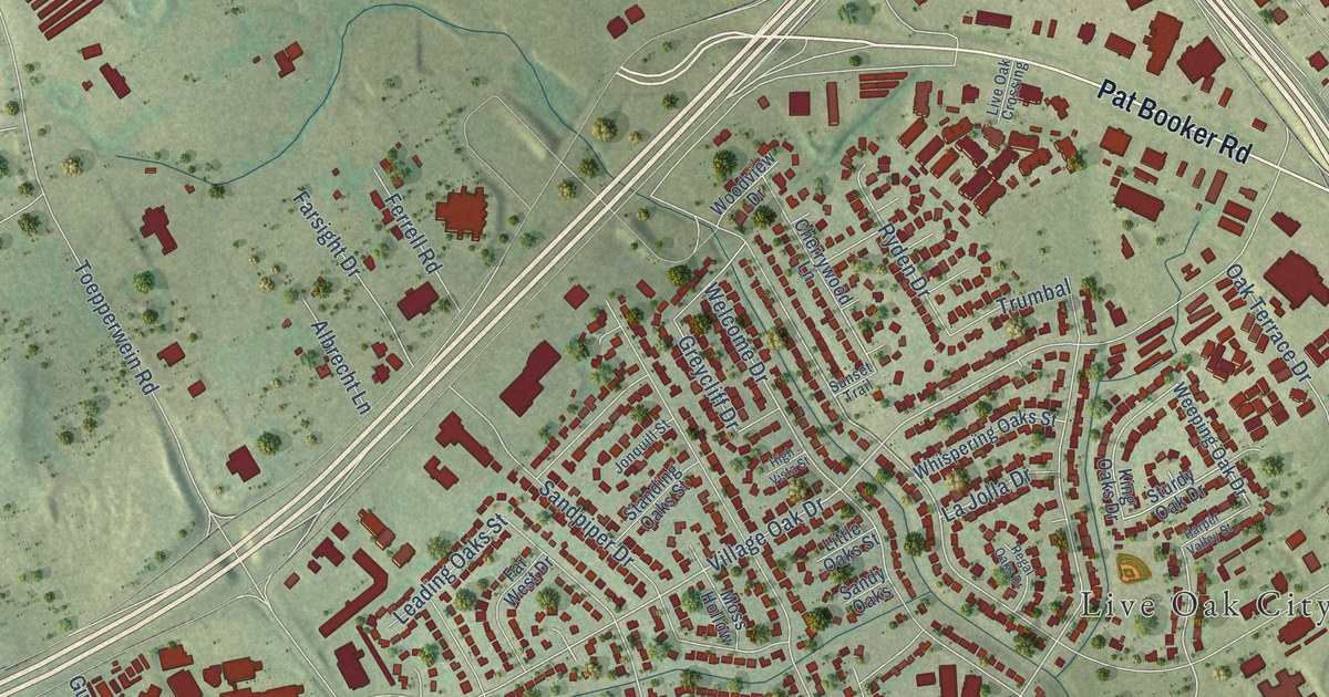
A detailed map of Live Oak, Texas, showing every building in its true location, the roads by name, and shaded topographical relief.
Read More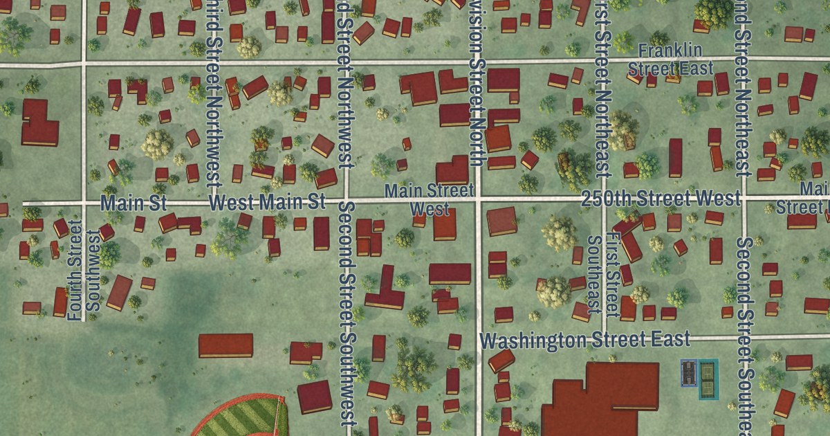
A detailed map of Morristown, Minnesota, showing every building in its true location, the roads by name, and shaded topographical relief.
Read More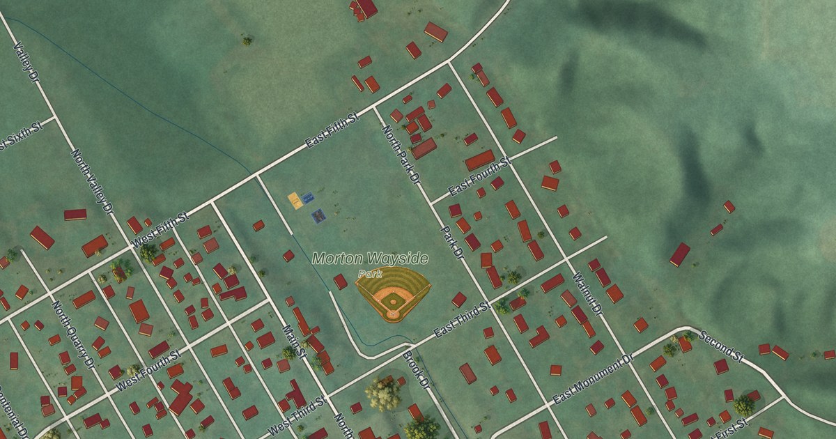
A detailed map of Morton, Minnesota, showing every building in its true location, the roads by name, and shaded topographical relief.
Read More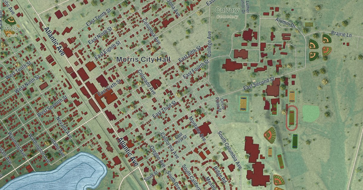
A detailed map of Morris, Minnesota, showing every building in its true location, the roads by name, and shaded topographical relief.
Read More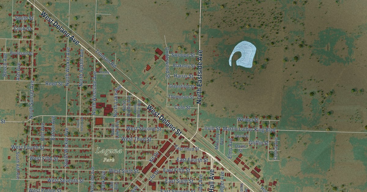
A detailed map of Littlefield, Texas, showing every building in its true location, the roads by name, and shaded topographical relief.
Read More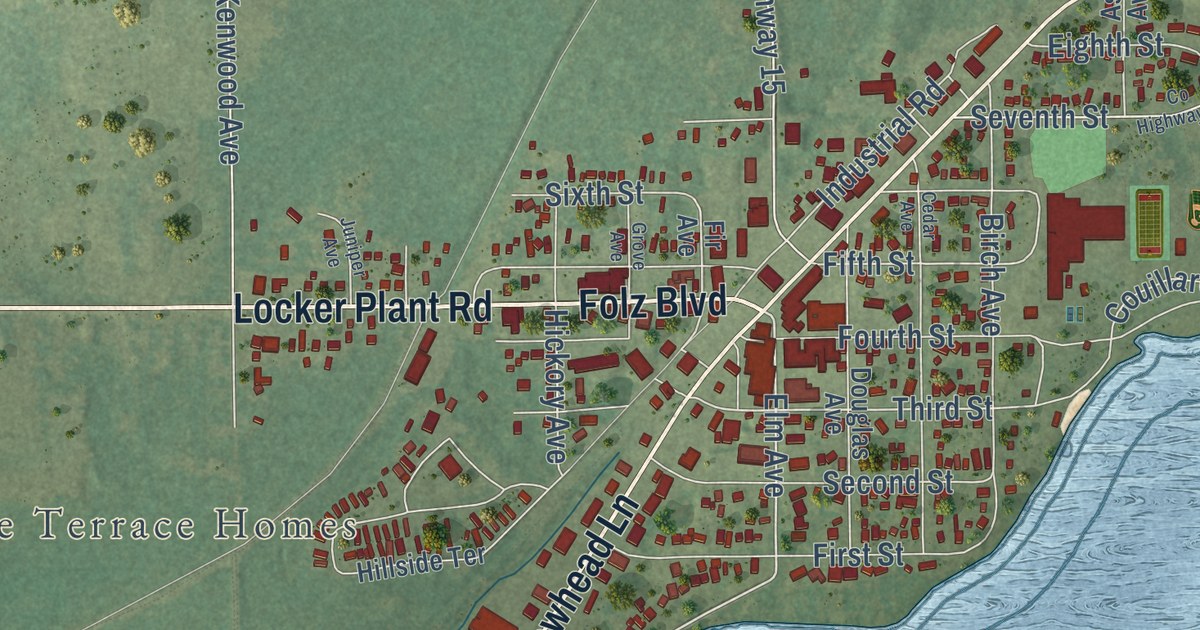
A detailed map of Moose Lake, Minnesota, showing every building in its true location, the roads by name, and shaded topographical relief.
Read More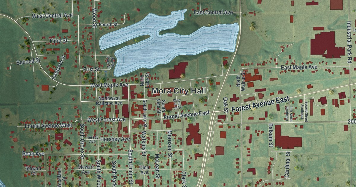
A detailed map of Mora, Minnesota, showing every building in its true location, the roads by name, and shaded topographical relief.
Read More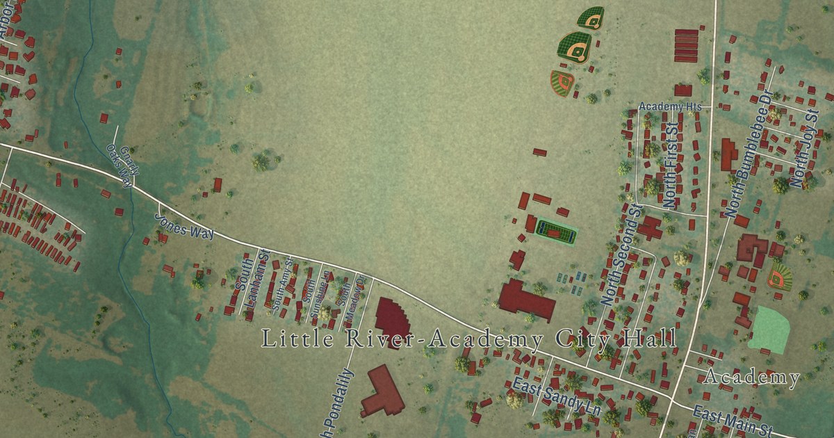
A detailed map of Little River-Academy, Texas, showing every building in its true location, the roads by name, and shaded topographical relief.
Read More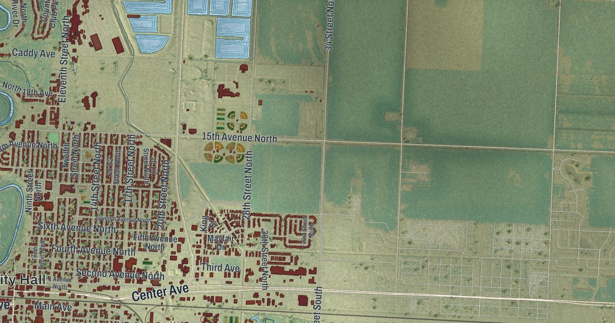
A detailed map of Moorhead, Minnesota, showing every building in its true location, the roads by name, and shaded topographical relief.
Read More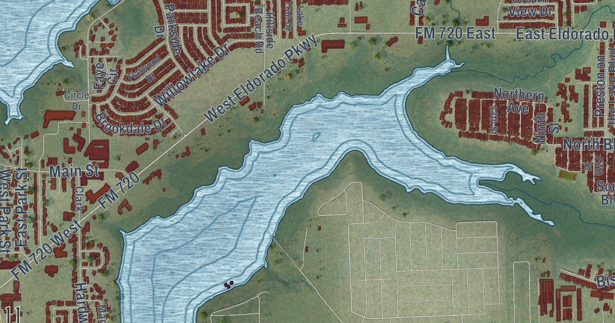
A detailed map of Little Elm, Texas, showing every building in its true location, the roads by name, and shaded topographical relief.
Read More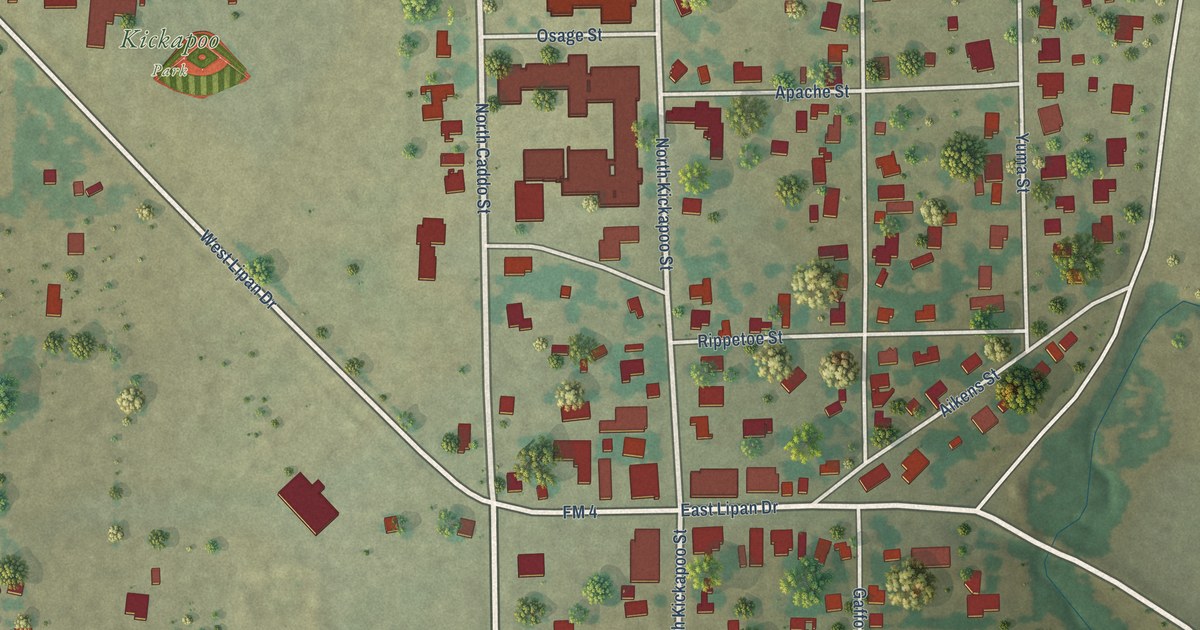
A detailed map of Lipan, Texas, showing every building in its true location, the roads by name, and shaded topographical relief.
Read More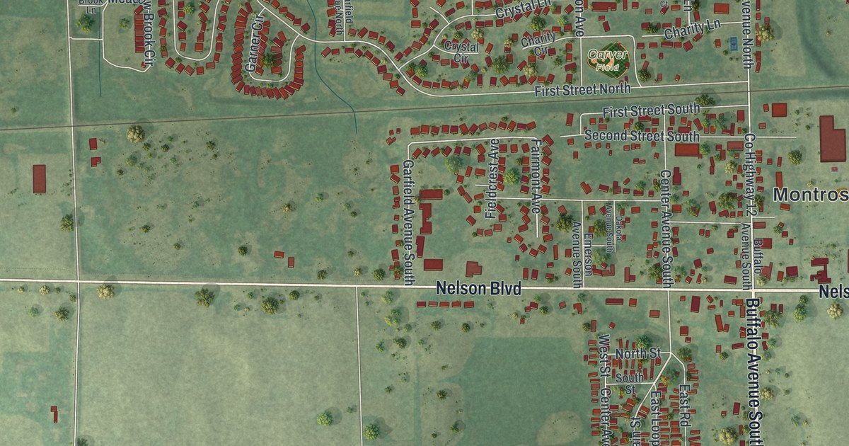
A detailed map of Montrose, Minnesota, showing every building in its true location, the roads by name, and shaded topographical relief.
Read More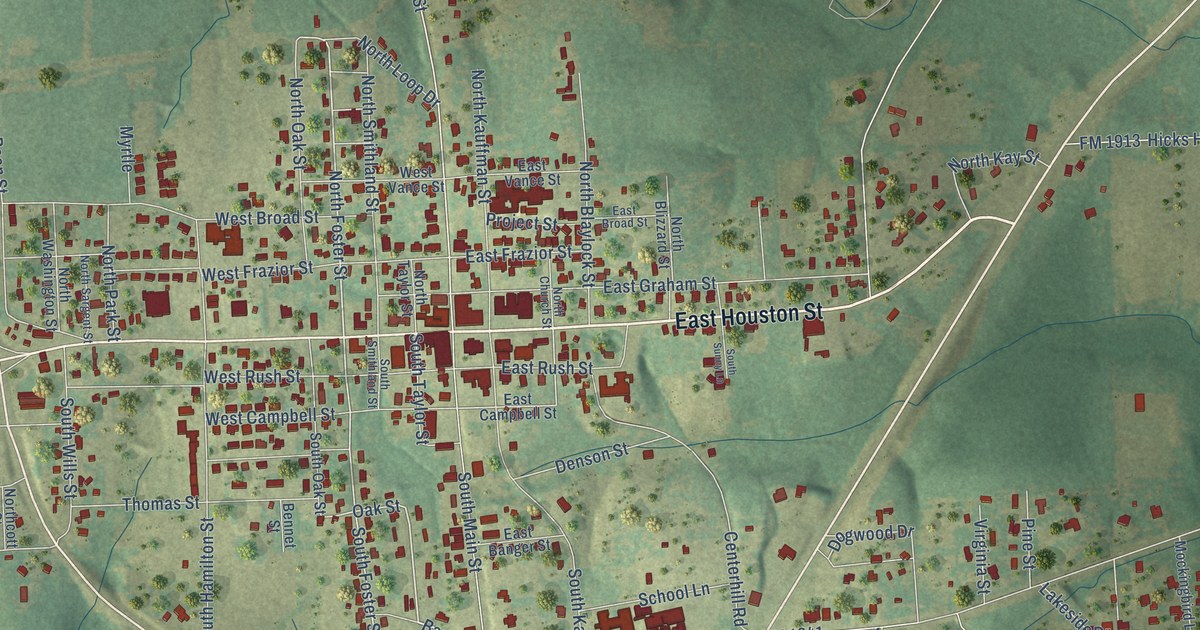
A detailed map of Linden, Texas, showing every building in its true location, the roads by name, and shaded topographical relief.
Read More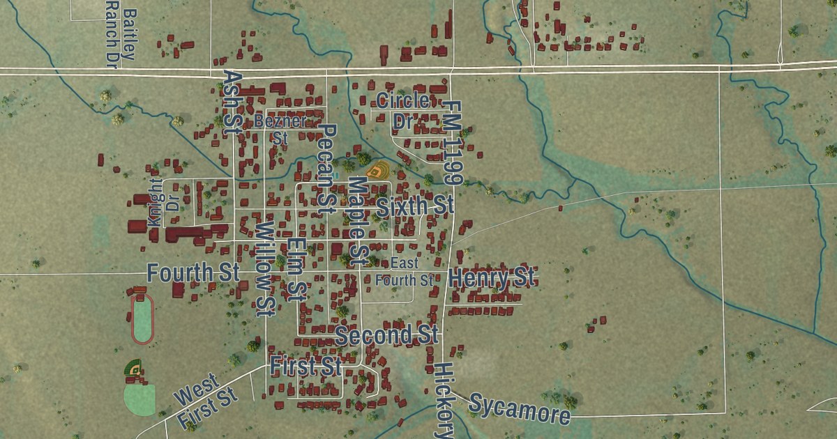
A detailed map of Lindsay, Texas, showing every building in its true location, the roads by name, and shaded topographical relief.
Read More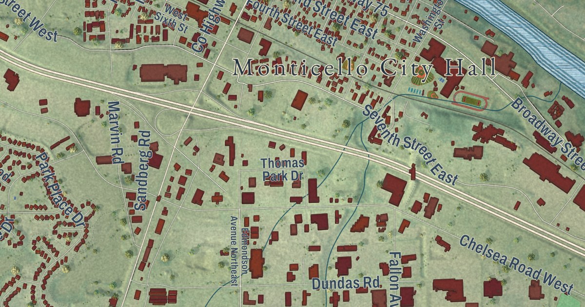
A detailed map of Monticello, Minnesota, showing every building in its true location, the roads by name, and shaded topographical relief.
Read More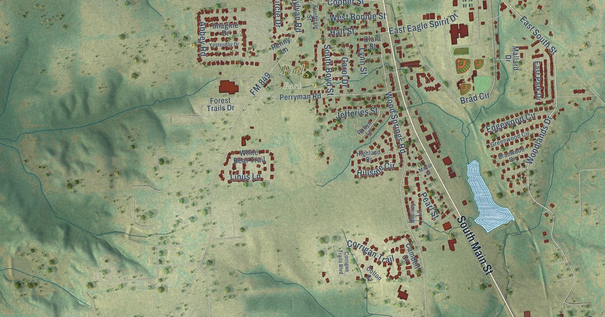
A detailed map of Lindale, Texas, showing every building in its true location, the roads by name, and shaded topographical relief.
Read More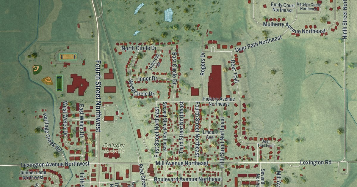
A detailed map of Montgomery, Minnesota, showing every building in its true location, the roads by name, and shaded topographical relief.
Read More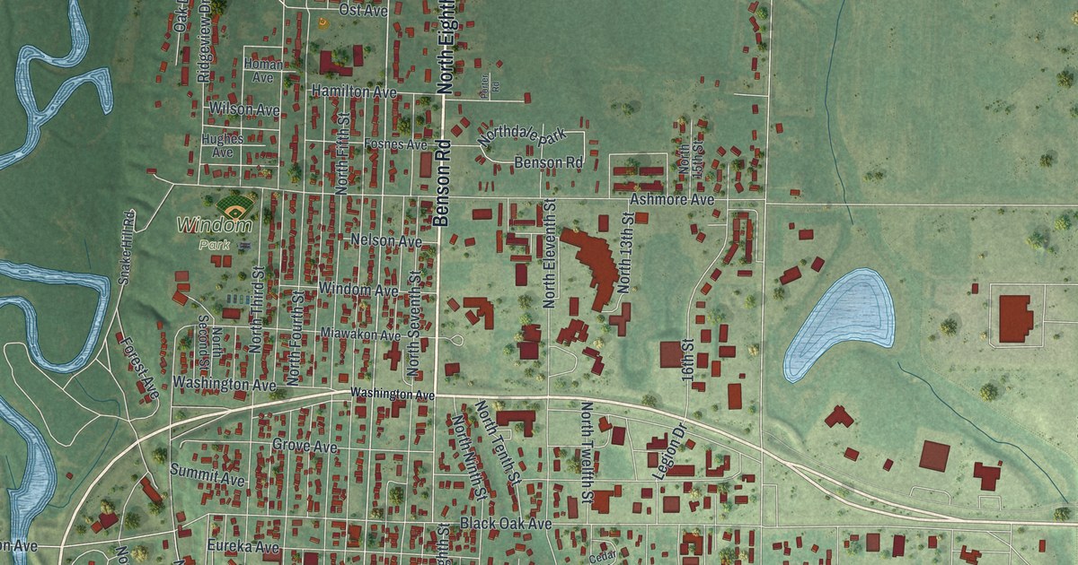
A detailed map of Montevideo, Minnesota, showing every building in its true location, the roads by name, and shaded topographical relief.
Read More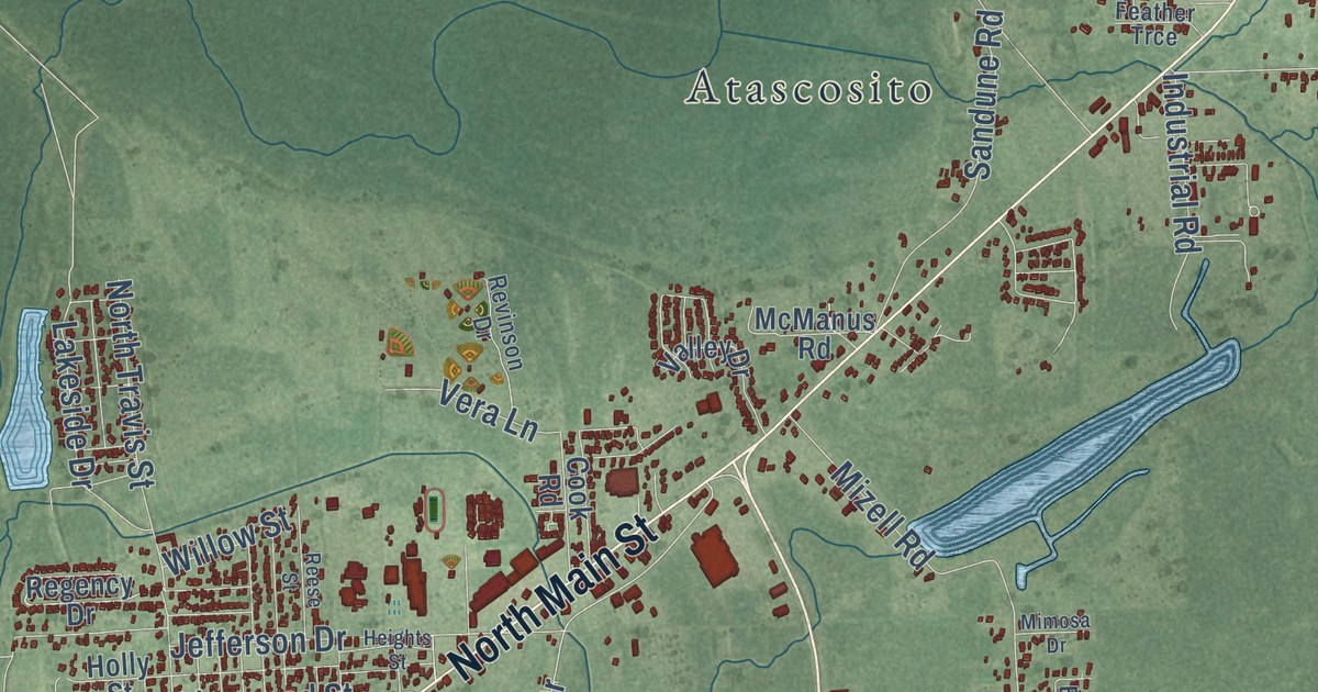
A detailed map of Liberty, Texas, showing every building in its true location, the roads by name, and shaded topographical relief.
Read More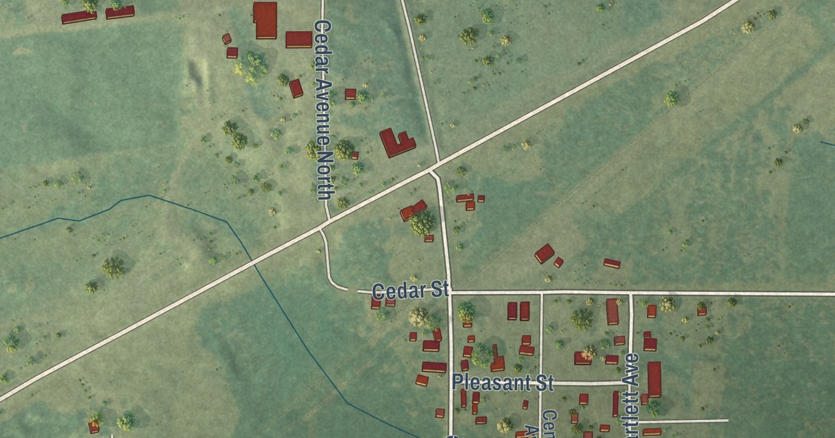
A detailed map of Mizpah, Minnesota, showing every building in its true location, the roads by name, and shaded topographical relief.
Read More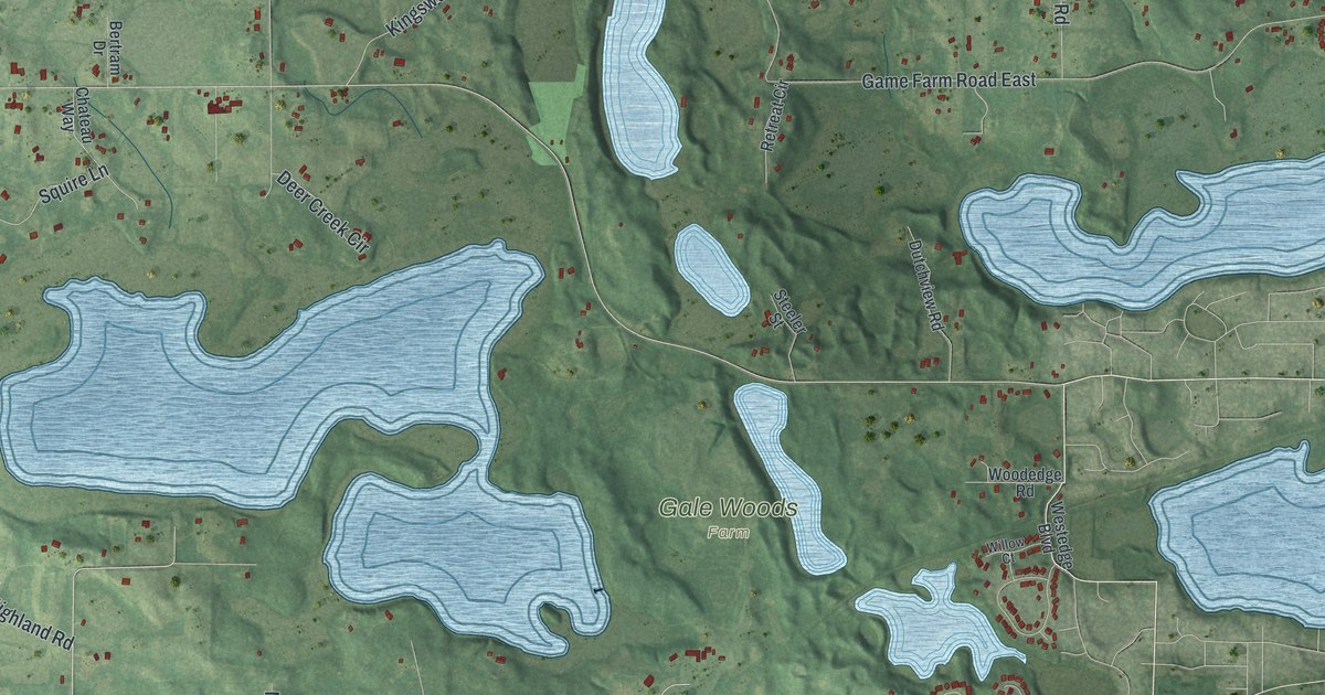
A detailed map of Minnetrista, Minnesota, showing every building in its true location, the roads by name, and shaded topographical relief.
Read More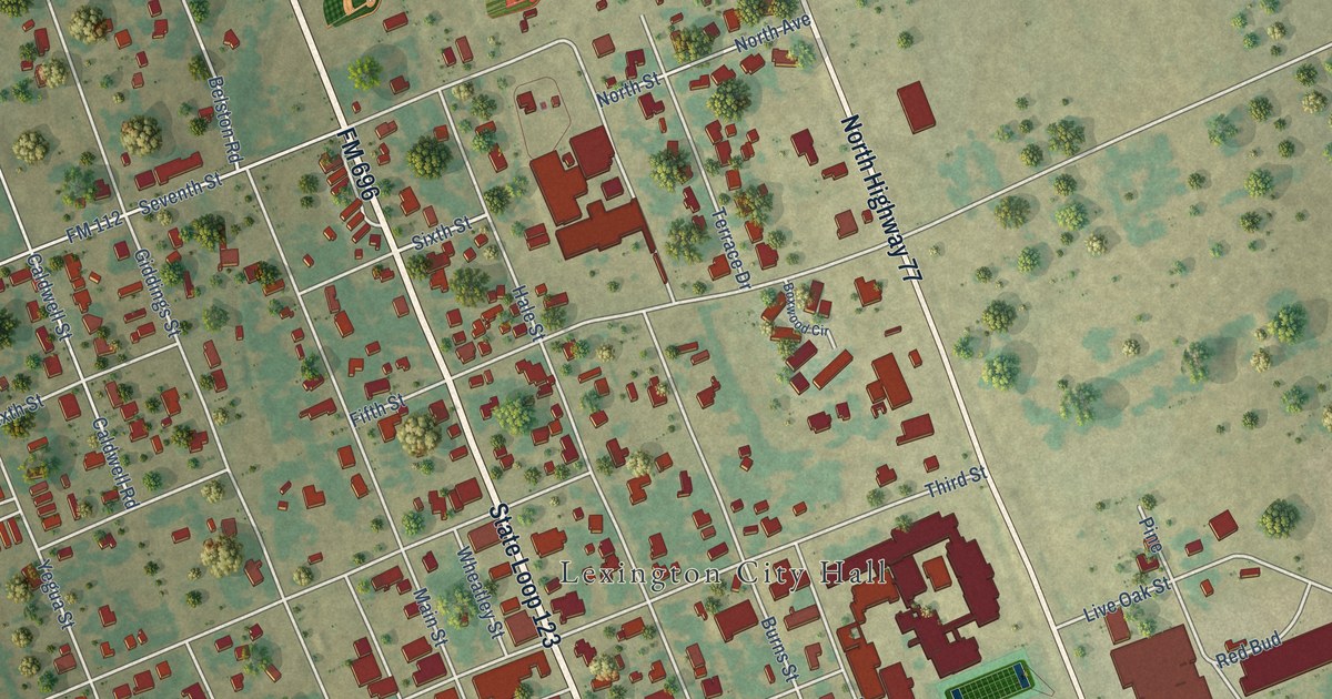
A detailed map of Lexington, Texas, showing every building in its true location, the roads by name, and shaded topographical relief.
Read More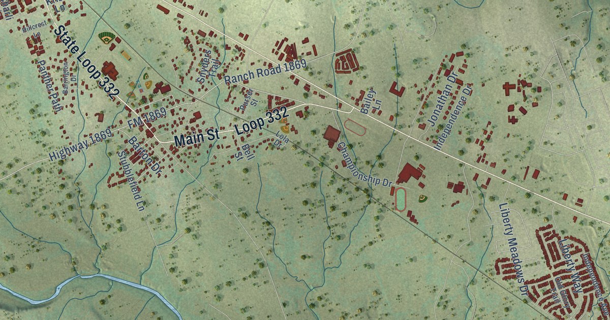
A detailed map of Liberty Hill, Texas, showing every building in its true location, the roads by name, and shaded topographical relief.
Read More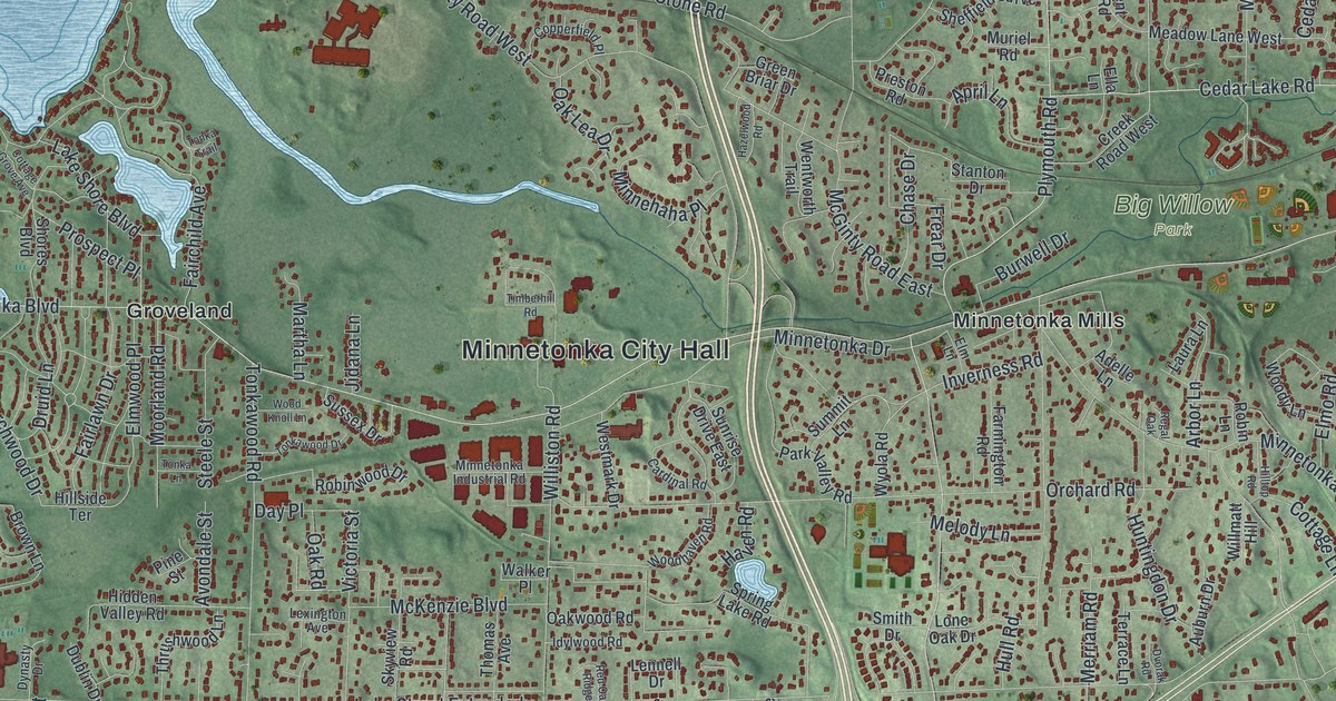
A detailed map of Minnetonka, Minnesota, showing every building in its true location, the roads by name, and shaded topographical relief.
Read More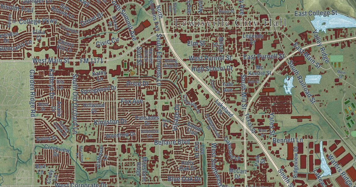
A detailed map of Lewisville, Texas, showing every building in its true location, the roads by name, and shaded topographical relief.
Read More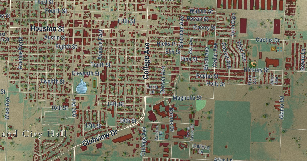
A detailed map of Levelland, Texas, showing every building in its true location, the roads by name, and shaded topographical relief.
Read More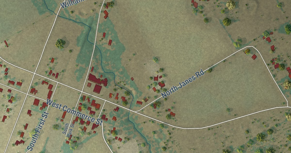
A detailed map of Leroy, Texas, showing every building in its true location, the roads by name, and shaded topographical relief.
Read More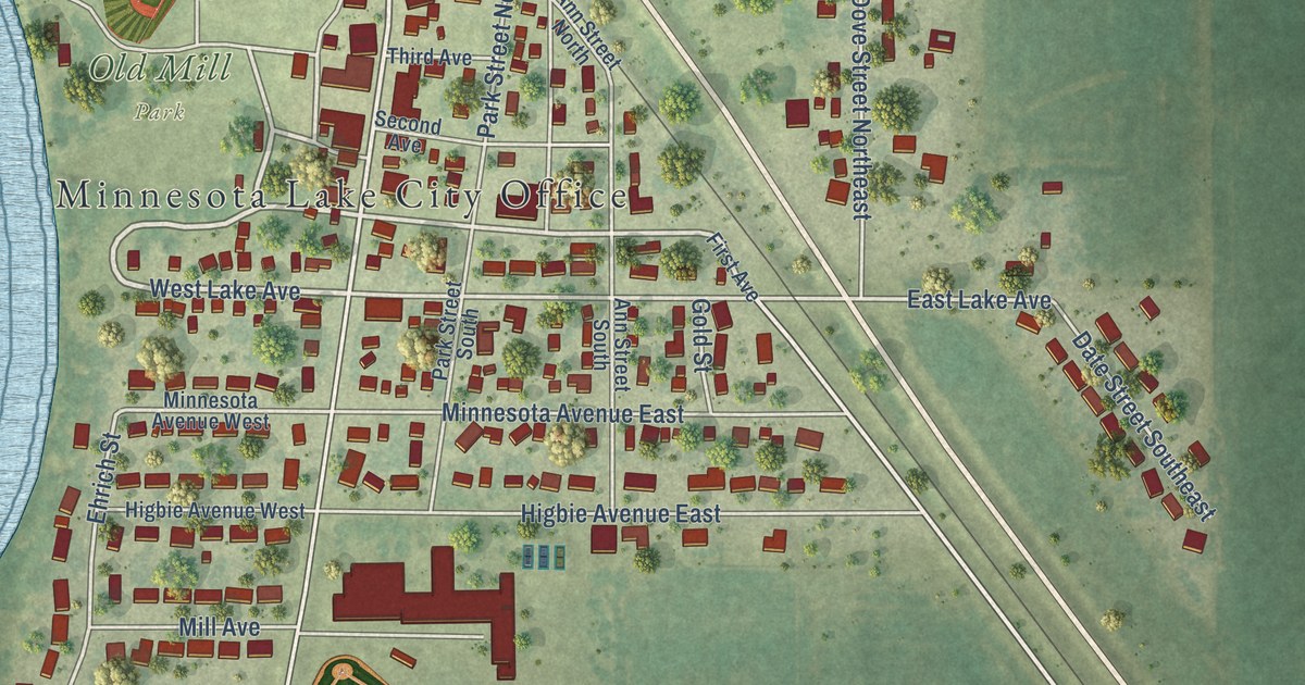
A detailed map of Minnesota Lake, Minnesota, showing every building in its true location, the roads by name, and shaded topographical relief.
Read More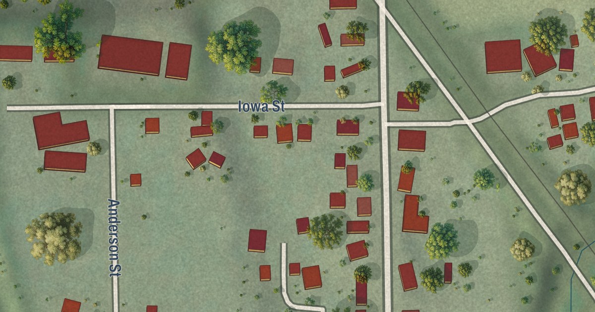
A detailed map of Minnesota City, Minnesota, showing every building in its true location, the roads by name, and shaded topographical relief.
Read More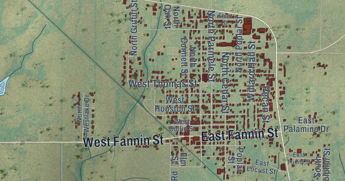
A detailed map of Leonard, Texas, showing every building in its true location, the roads by name, and shaded topographical relief.
Read More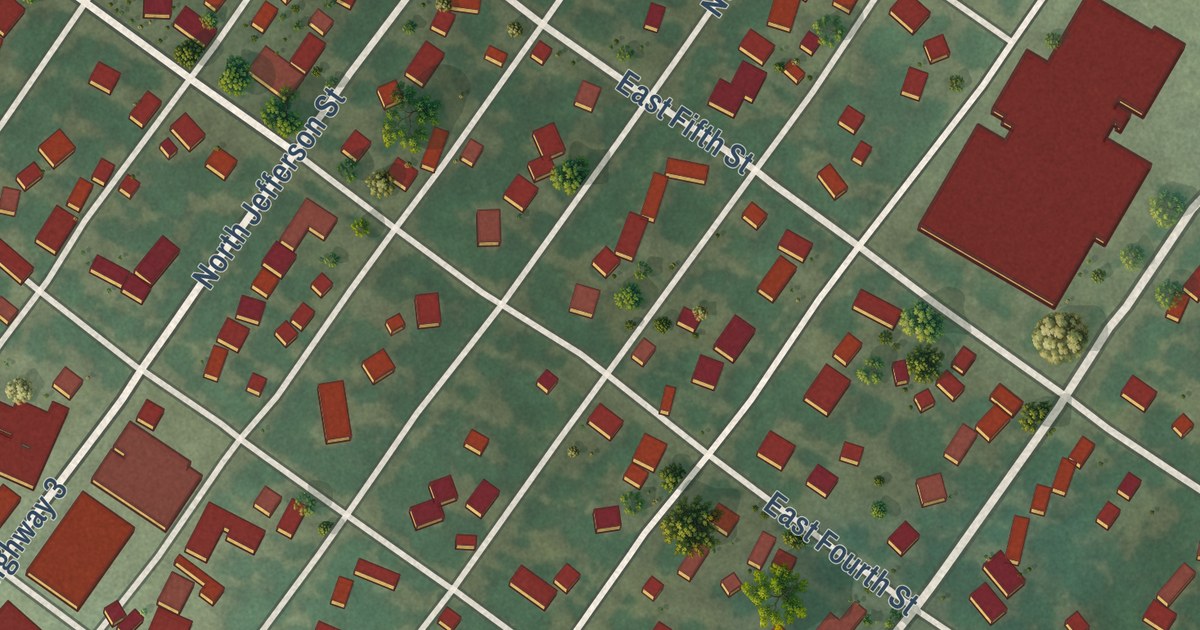
A detailed map of Minneota, Minnesota, showing every building in its true location, the roads by name, and shaded topographical relief.
Read More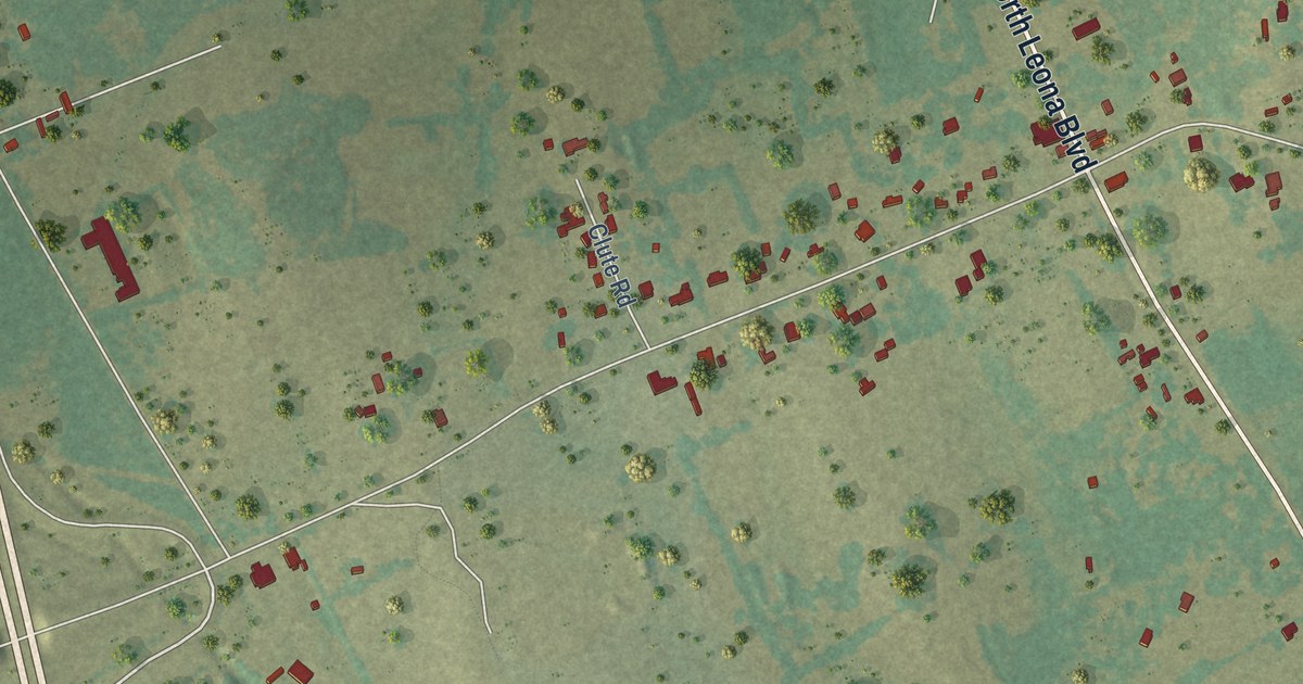
A detailed map of Leona, Texas, showing every building in its true location, the roads by name, and shaded topographical relief.
Read More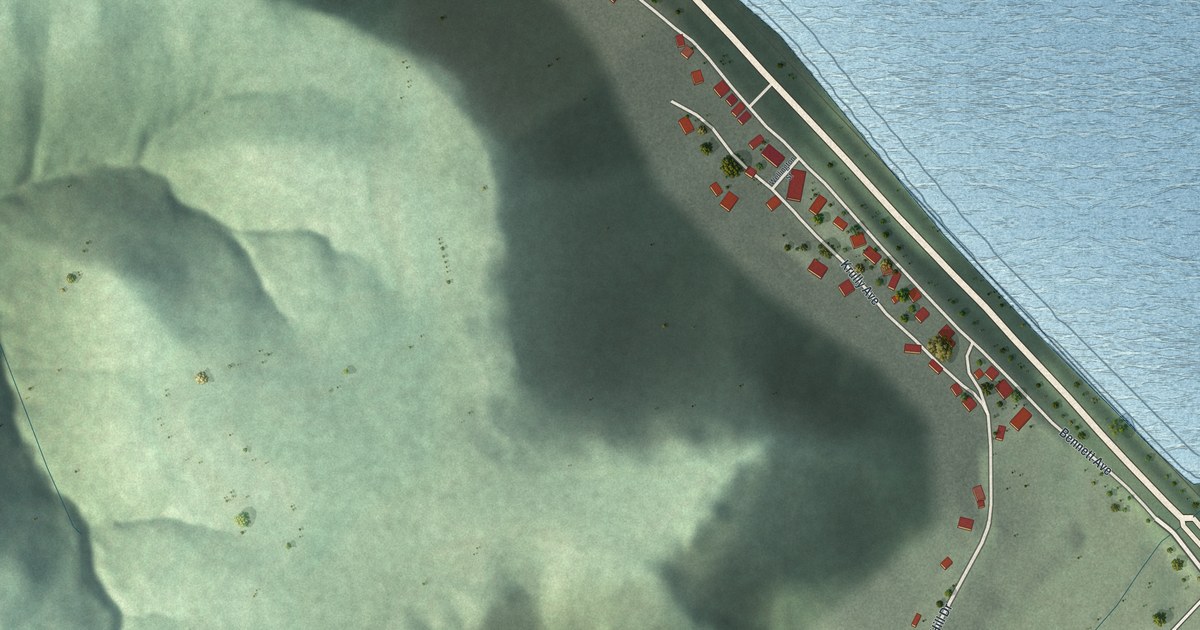
A detailed map of Minneiska, Minnesota, showing every building in its true location, the roads by name, and shaded topographical relief.
Read More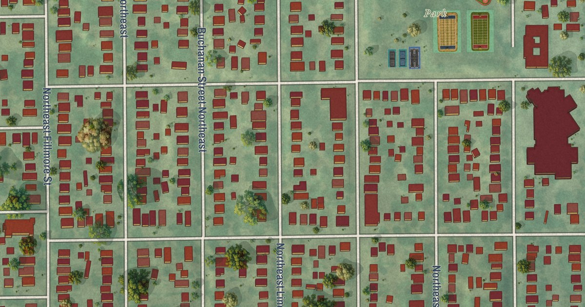
A detailed map of Windom Park, Minnesota, showing every building in its true location, the roads by name, and shaded topographical relief.
Read More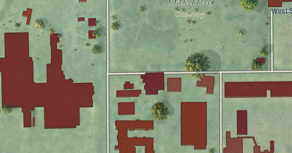
A detailed map of Windom, Minneapolis, Minnesota, showing every building in its true location, the roads by name, and shaded topographical relief.
Read More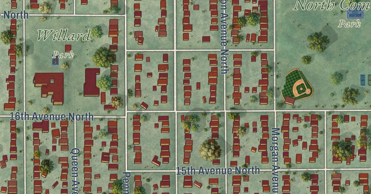
A detailed map of Willard-Hay, Minnesota, showing every building in its true location, the roads by name, and shaded topographical relief.
Read More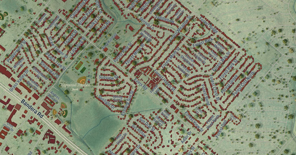
A detailed map of Leon Valley, Texas, showing every building in its true location, the roads by name, and shaded topographical relief.
Read More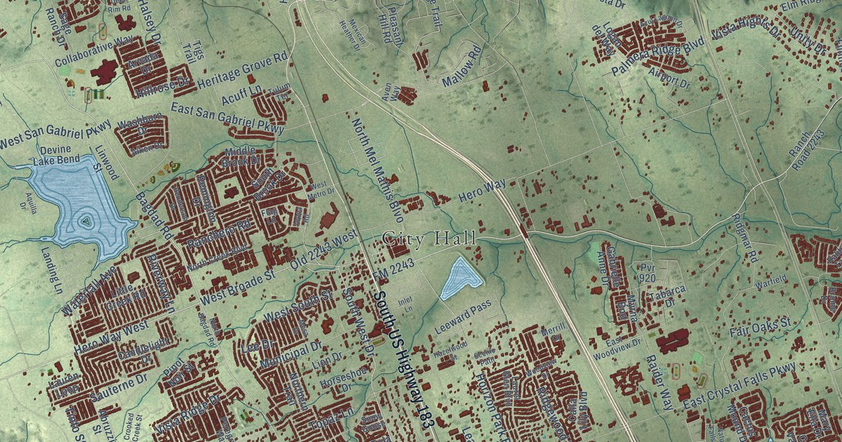
A detailed map of Leander, Texas, showing every building in its true location, the roads by name, and shaded topographical relief.
Read More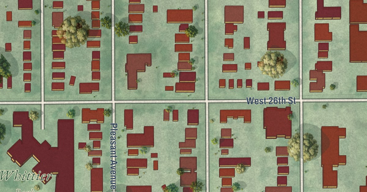
A detailed map of Whittier, Minnesota, showing every building in its true location, the roads by name, and shaded topographical relief.
Read More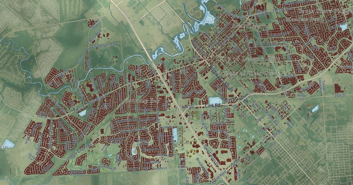
A detailed map of League City, Texas, showing every building in its true location, the roads by name, and shaded topographical relief.
Read More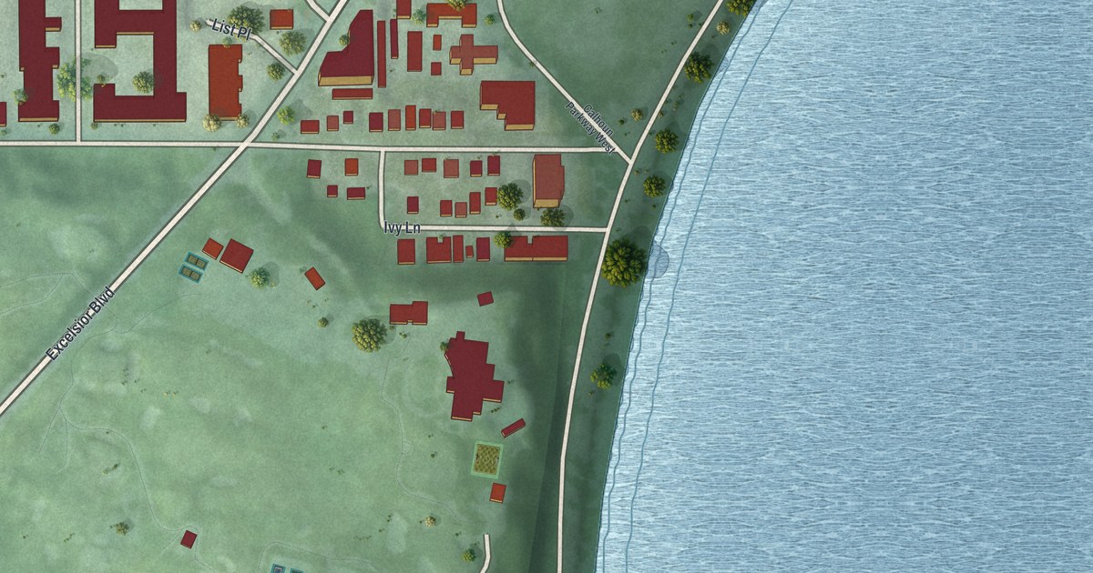
A detailed map of West Maka Ska, Minnesota, showing every building in its true location, the roads by name, and shaded topographical relief.
Read More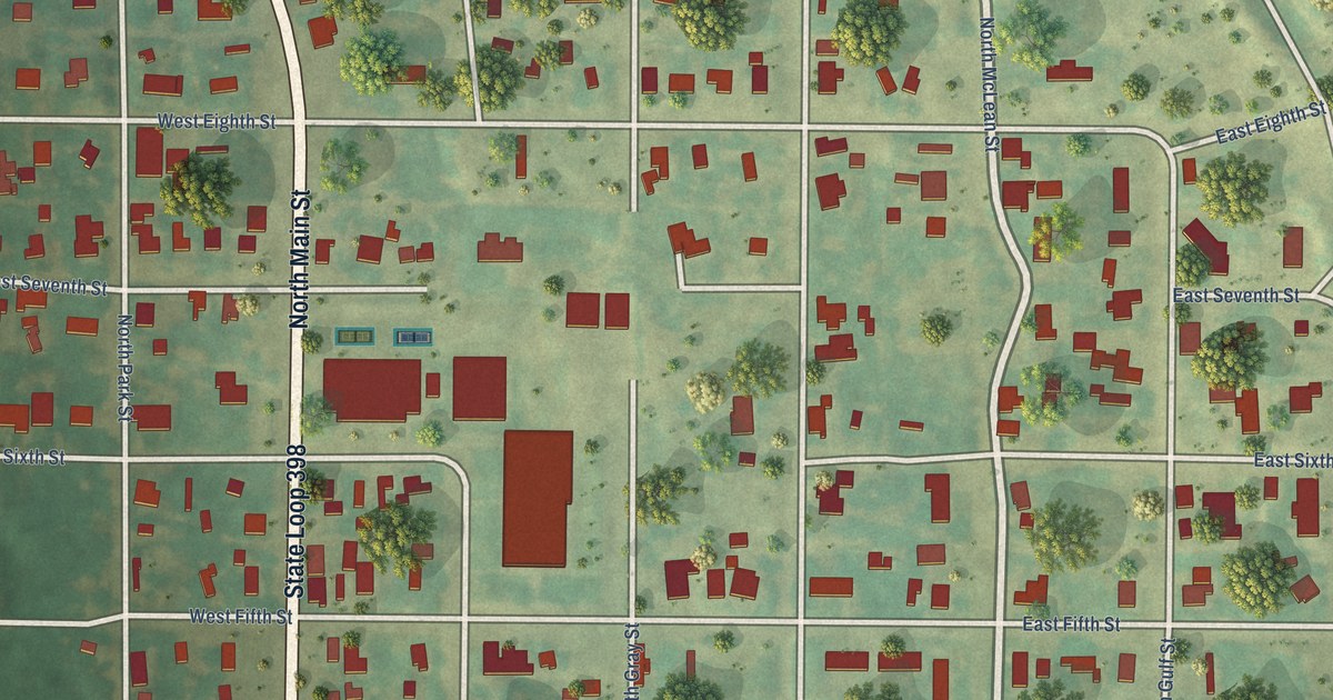
A detailed map of Lefors, Texas, showing every building in its true location, the roads by name, and shaded topographical relief.
Read More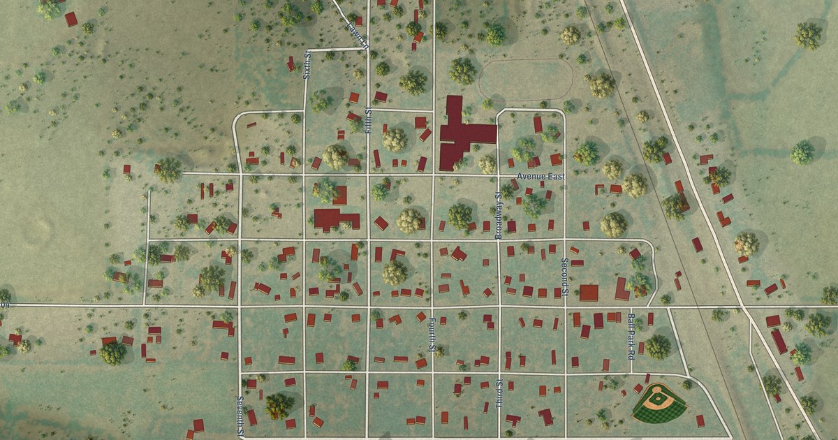
A detailed map of Lawn, Texas, showing every building in its true location, the roads by name, and shaded topographical relief.
Read More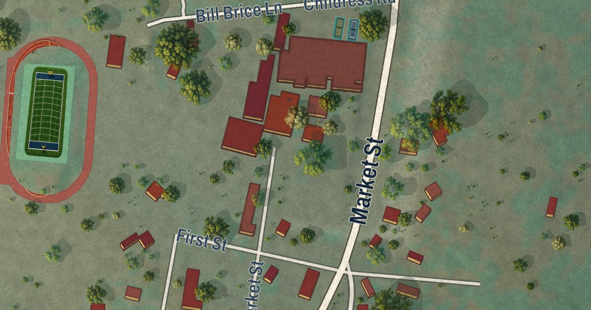
A detailed map of Leakey, Texas, showing every building in its true location, the roads by name, and shaded topographical relief.
Read More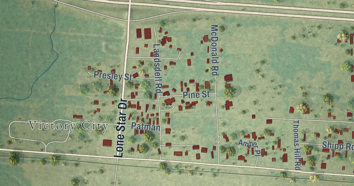
A detailed map of Leary, Texas, showing every building in its true location, the roads by name, and shaded topographical relief.
Read More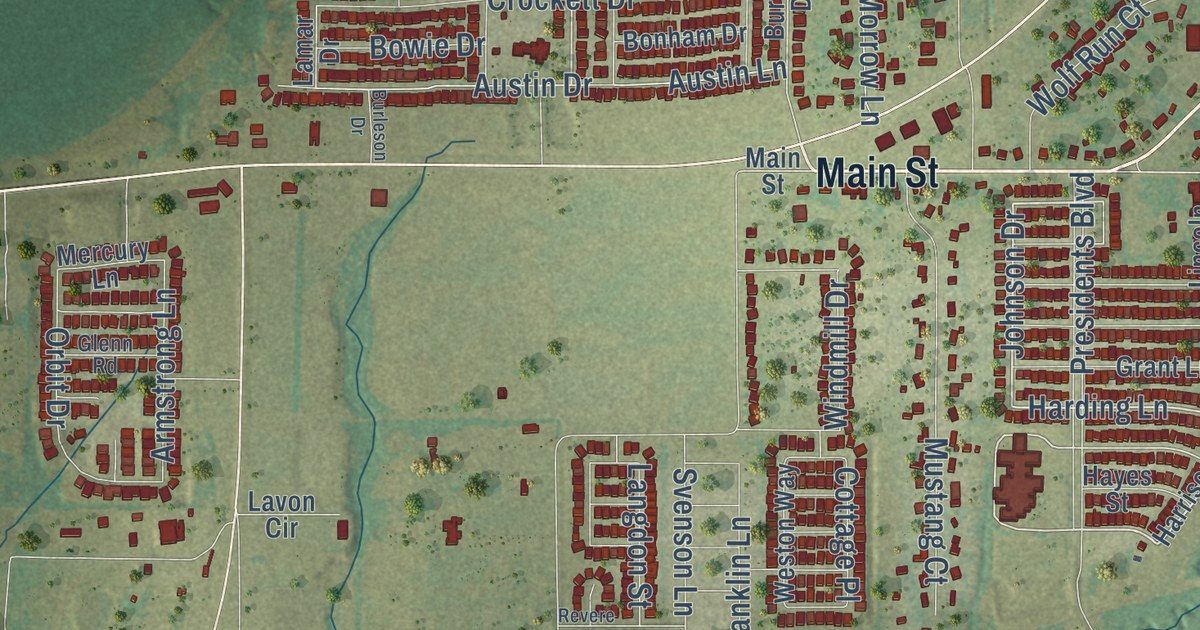
A detailed map of Lavon, Texas, showing every building in its true location, the roads by name, and shaded topographical relief.
Read More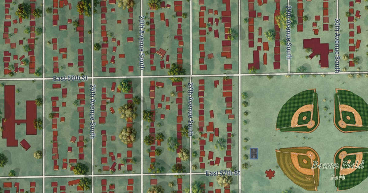
A detailed map of Wenonah, Minnesota, showing every building in its true location, the roads by name, and shaded topographical relief.
Read More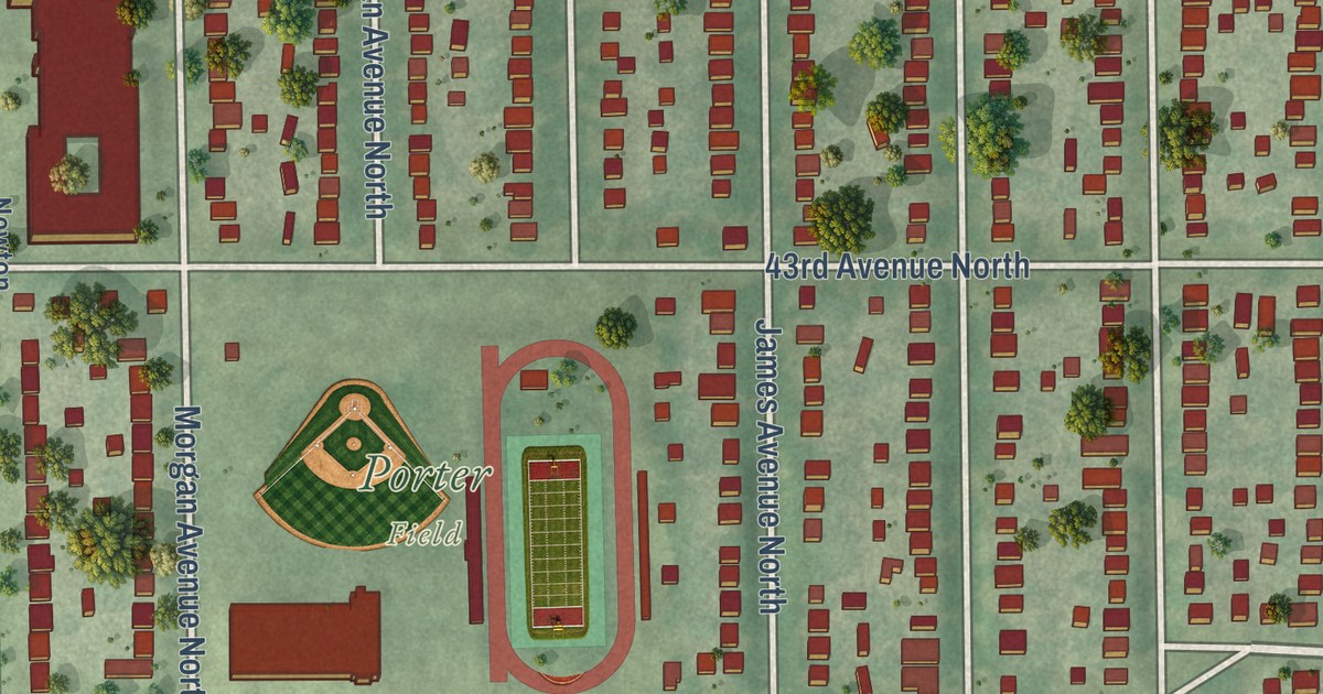
A detailed map of Webber-Camden, Minnesota, showing every building in its true location, the roads by name, and shaded topographical relief.
Read More















