Detailed Map of Waite Park, Minneapolis, Minnesota
A detailed map of Waite Park, Minneapolis, Minnesota, showing every building in its true location, the roads by name, and shaded topographical relief.
Read More
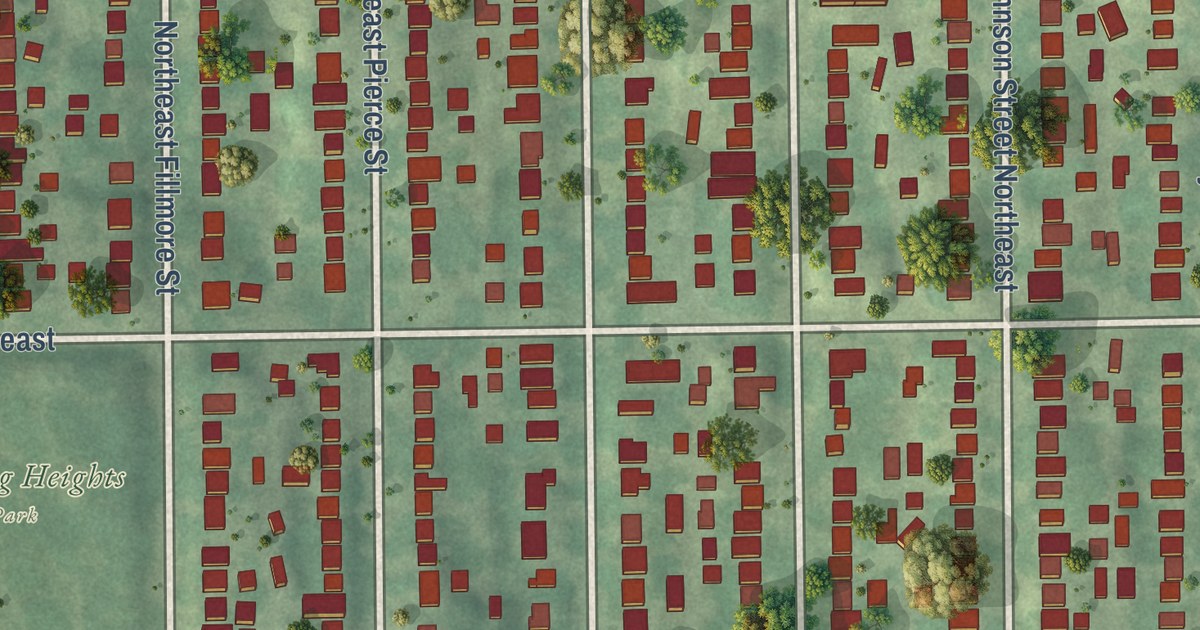
A detailed map of Waite Park, Minneapolis, Minnesota, showing every building in its true location, the roads by name, and shaded topographical relief.
Read More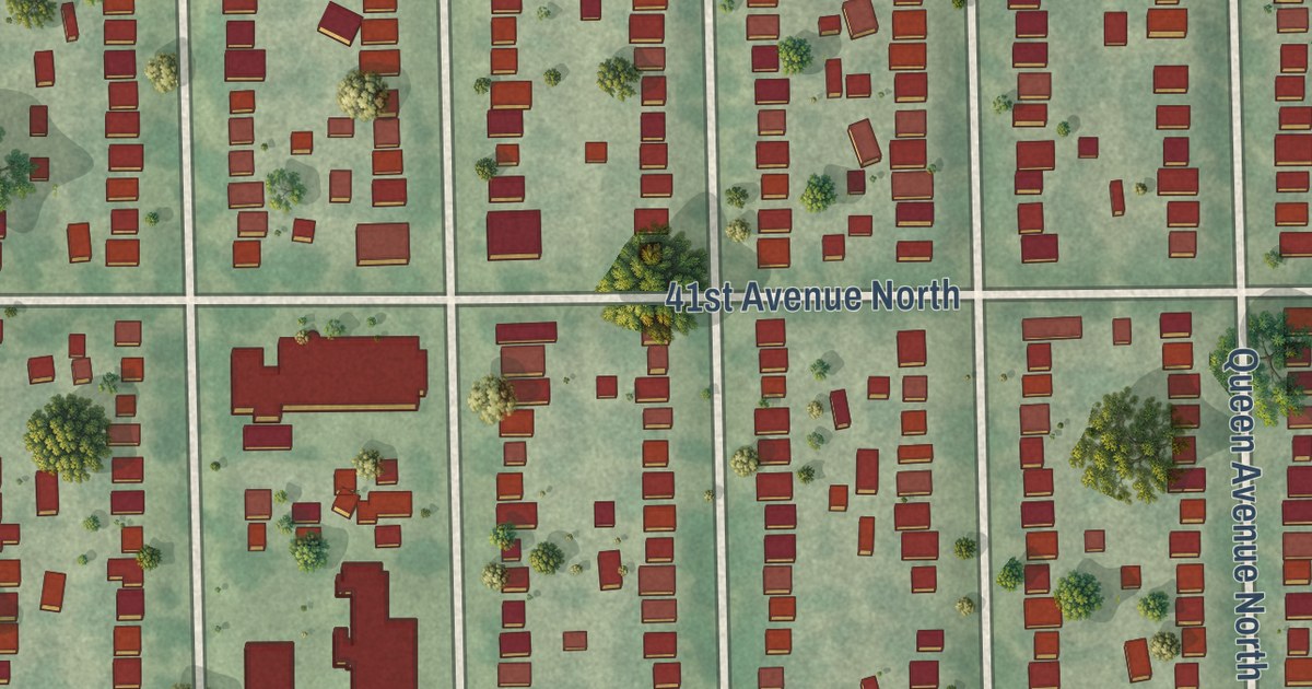
A detailed map of Victory, Minnesota, showing every building in its true location, the roads by name, and shaded topographical relief.
Read More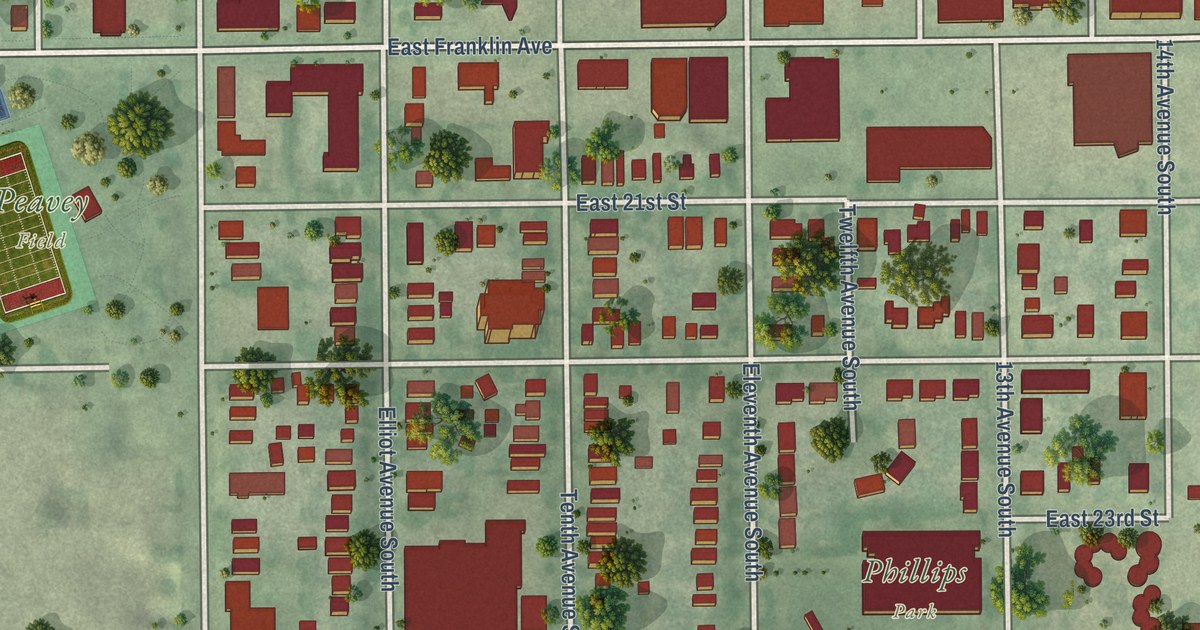
A detailed map of Ventura Village, Minnesota, showing every building in its true location, the roads by name, and shaded topographical relief.
Read More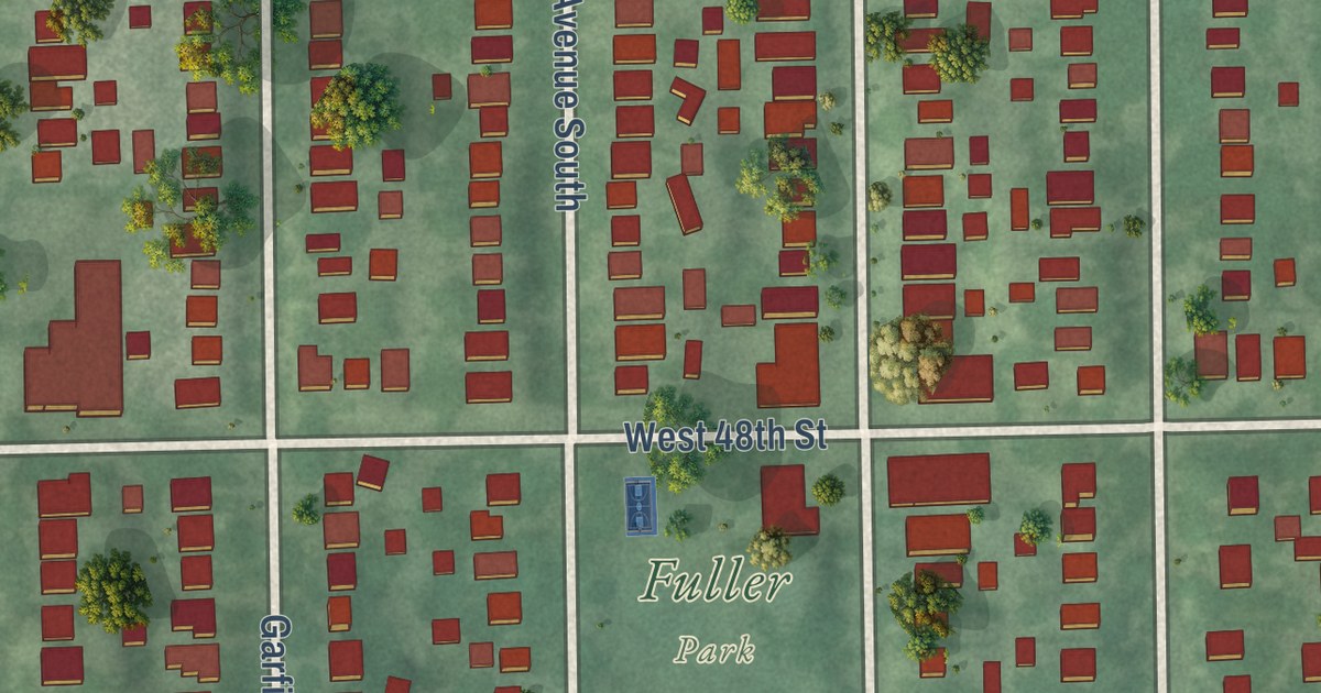
A detailed map of Tangletown, Minnesota, showing every building in its true location, the roads by name, and shaded topographical relief.
Read More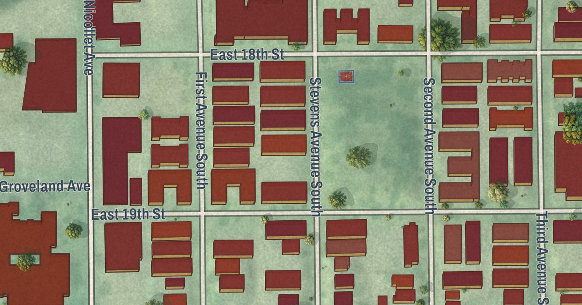
A detailed map of Stevens Square-Loring Heights, Minnesota, showing every building in its true location, the roads by name, and shaded topographical relief.
Read More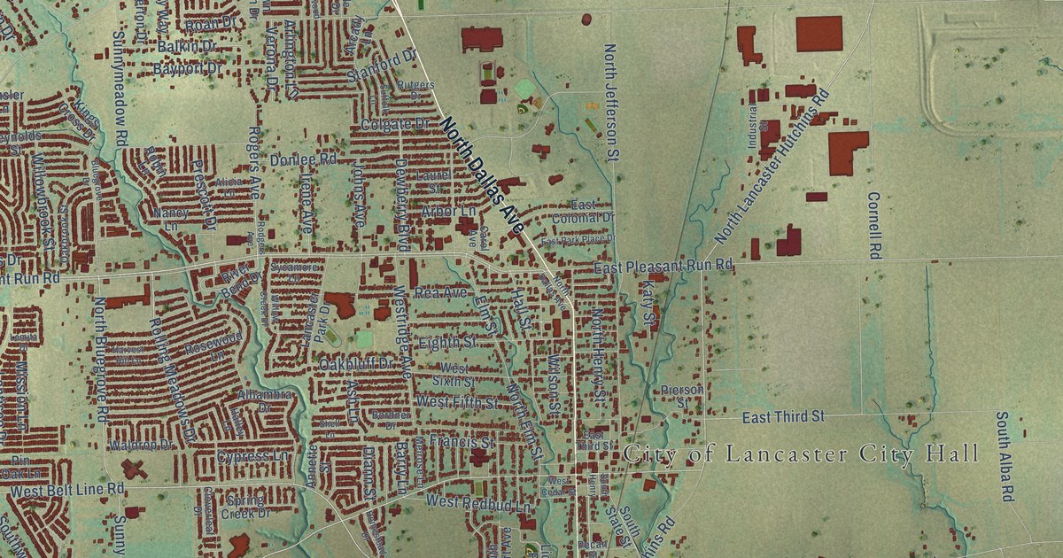
A detailed map of Lancaster, Texas, showing every building in its true location, the roads by name, and shaded topographical relief.
Read More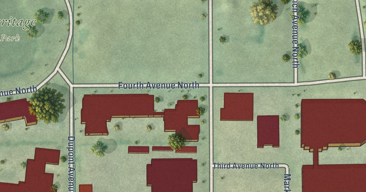
A detailed map of Sumner-Glenwood, Minnesota, showing every building in its true location, the roads by name, and shaded topographical relief.
Read More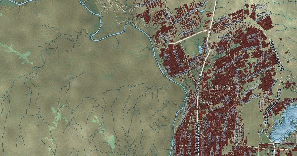
A detailed map of Laredo, Texas, showing every building in its true location, the roads by name, and shaded topographical relief.
Read More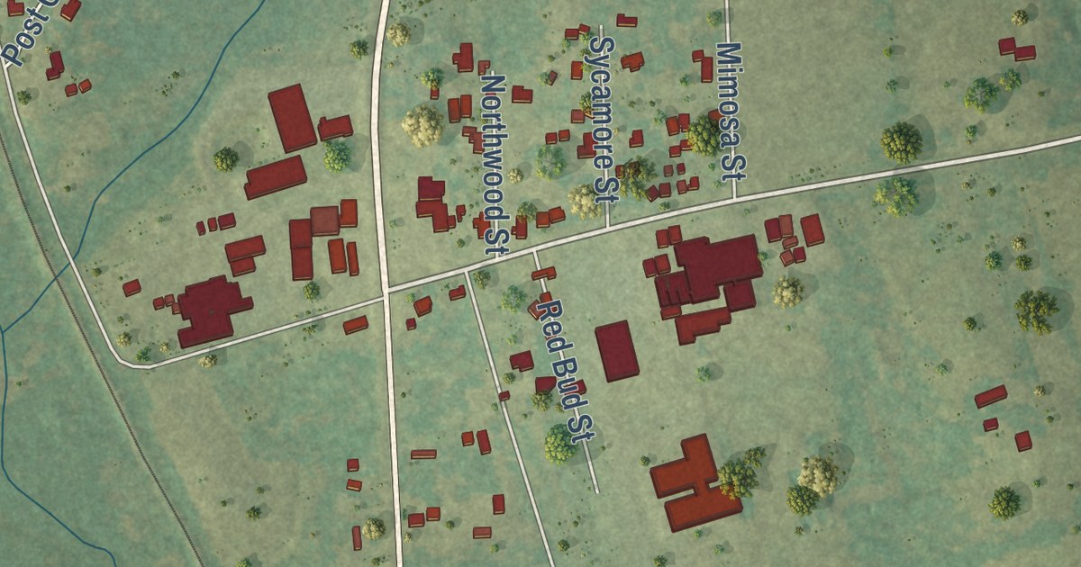
A detailed map of Latexo, Texas, showing every building in its true location, the roads by name, and shaded topographical relief.
Read More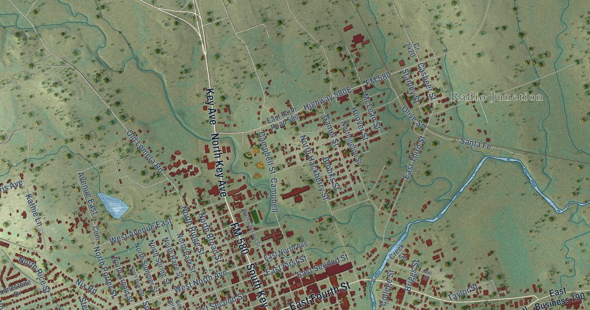
A detailed map of Lampasas, Texas, showing every building in its true location, the roads by name, and shaded topographical relief.
Read More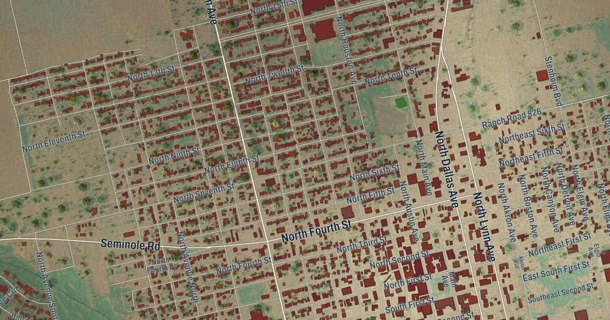
A detailed map of Lamesa, Texas, showing every building in its true location, the roads by name, and shaded topographical relief.
Read More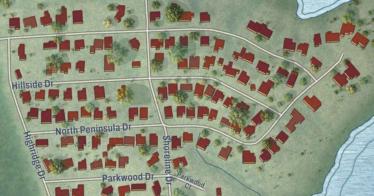
A detailed map of Lakewood Village, Texas, showing every building in its true location, the roads by name, and shaded topographical relief.
Read More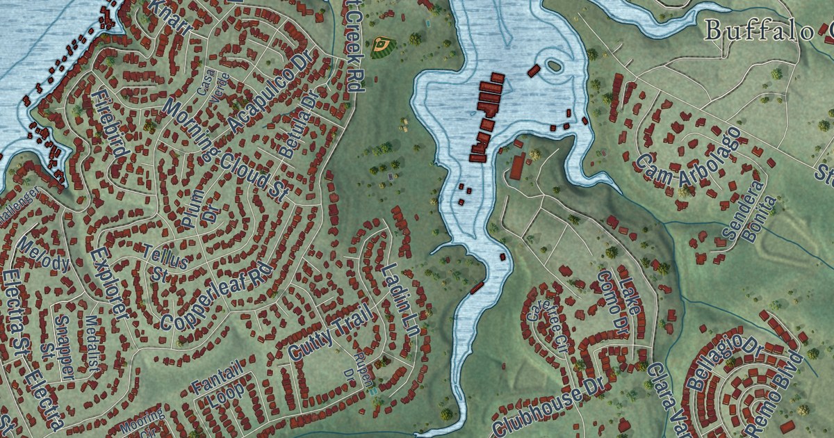
A detailed map of Lakeway, Texas, showing every building in its true location, the roads by name, and shaded topographical relief.
Read More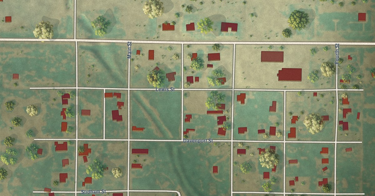
A detailed map of Lakeview, Texas, showing every building in its true location, the roads by name, and shaded topographical relief.
Read More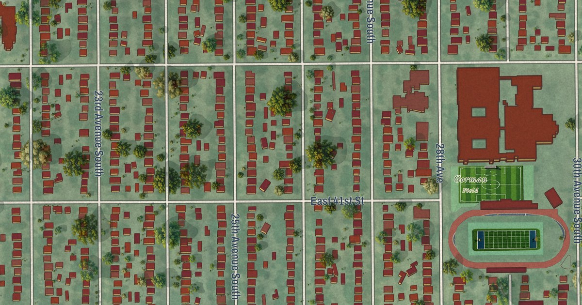
A detailed map of Standish, Minnesota, showing every building in its true location, the roads by name, and shaded topographical relief.
Read More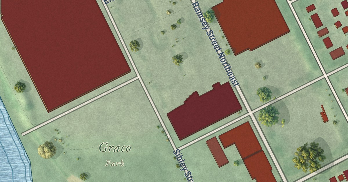
A detailed map of St. Anthony West, Minnesota, showing every building in its true location, the roads by name, and shaded topographical relief.
Read More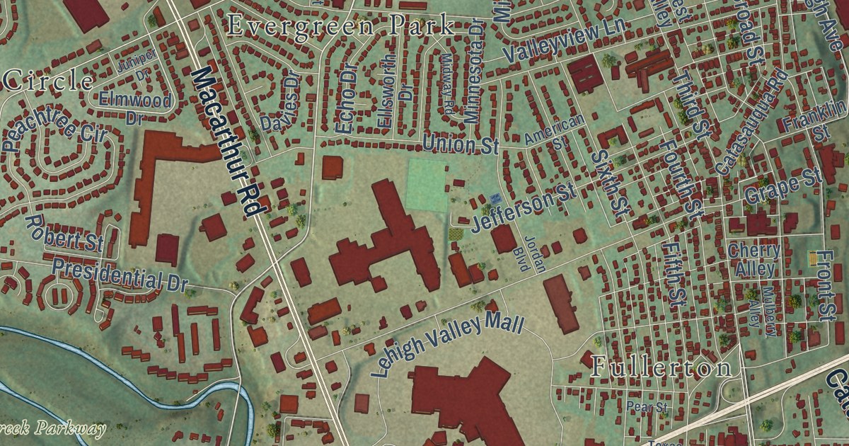
Before it was Whitehall, the locals called this land Egypt, because it grew more corn than its neighbors. This 2026 aerial map of Whitehall Township in Lehigh County shows Egypt, Cementon, Fullerton, MacArthur Road and thousands of red buildings.
Read More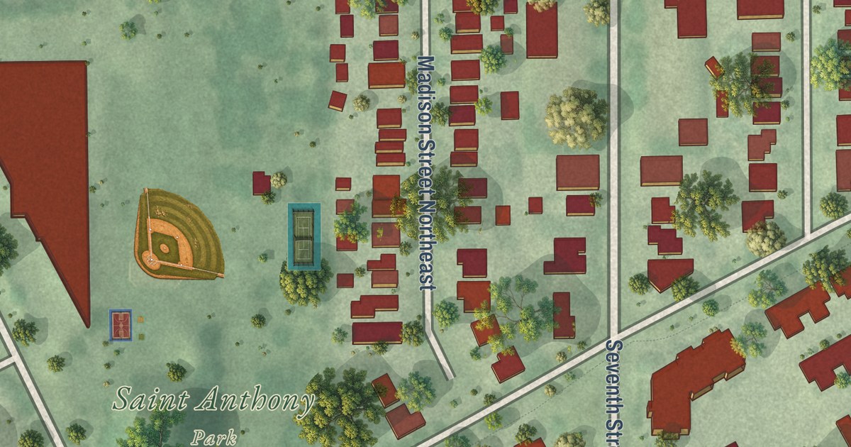
A detailed map of St. Anthony East, Minnesota, showing every building in its true location, the roads by name, and shaded topographical relief.
Read More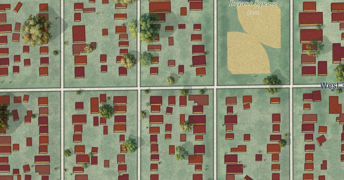
A detailed map of South Uptown, Minnesota, showing every building in its true location, the roads by name, and shaded topographical relief.
Read More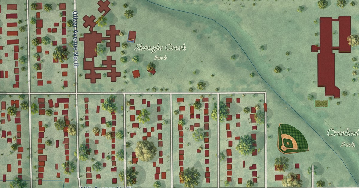
A detailed map of Shingle Creek, Minnesota, showing every building in its true location, the roads by name, and shaded topographical relief.
Read More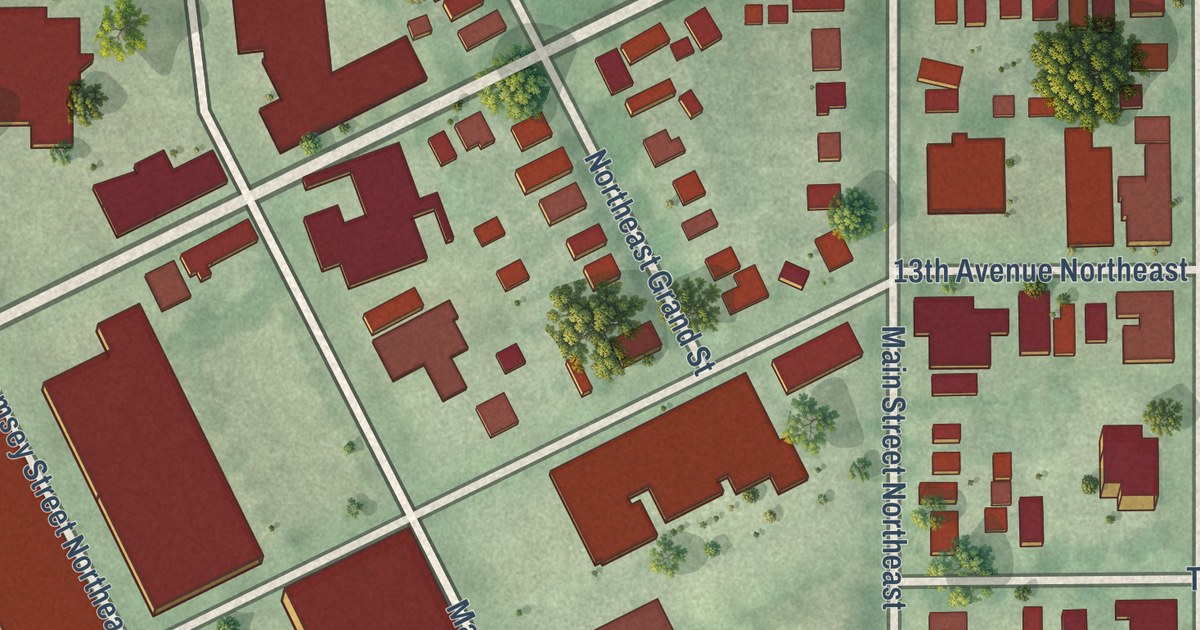
A detailed map of Sheridan, Minnesota, showing every building in its true location, the roads by name, and shaded topographical relief.
Read More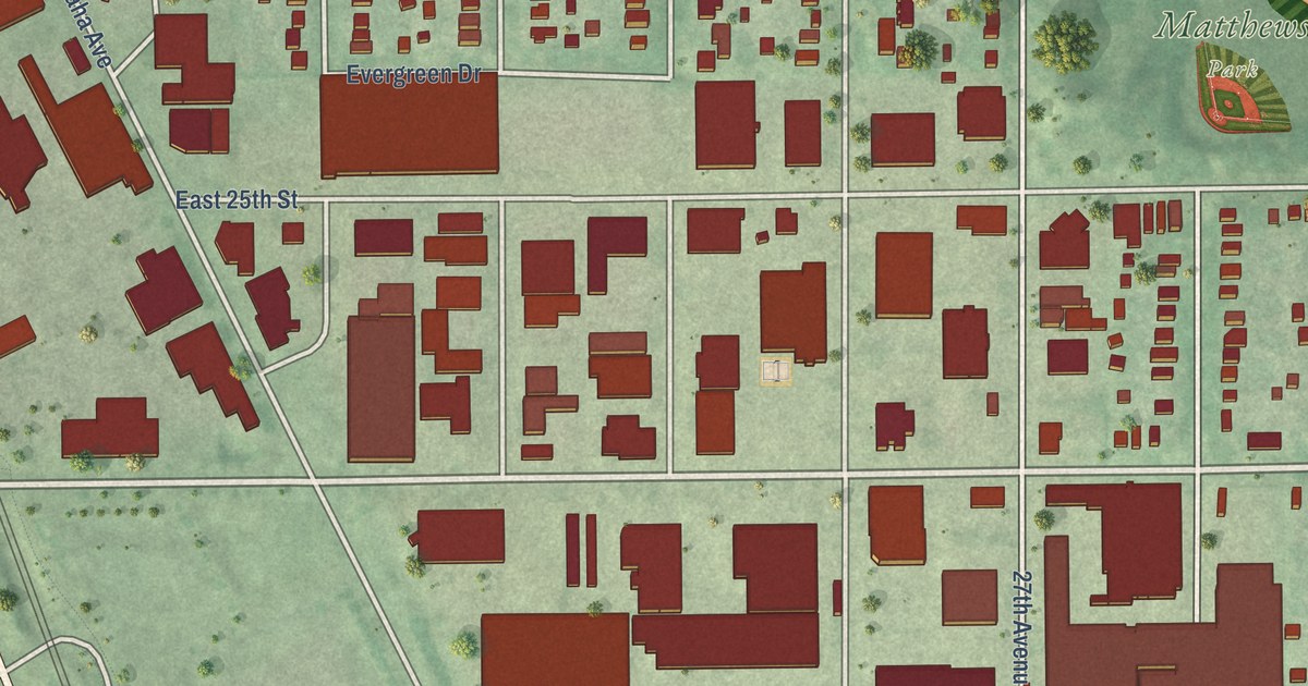
A detailed map of Seward, Minnesota, showing every building in its true location, the roads by name, and shaded topographical relief.
Read More
A detailed map of Regina, Minnesota, showing every building in its true location, the roads by name, and shaded topographical relief.
Read More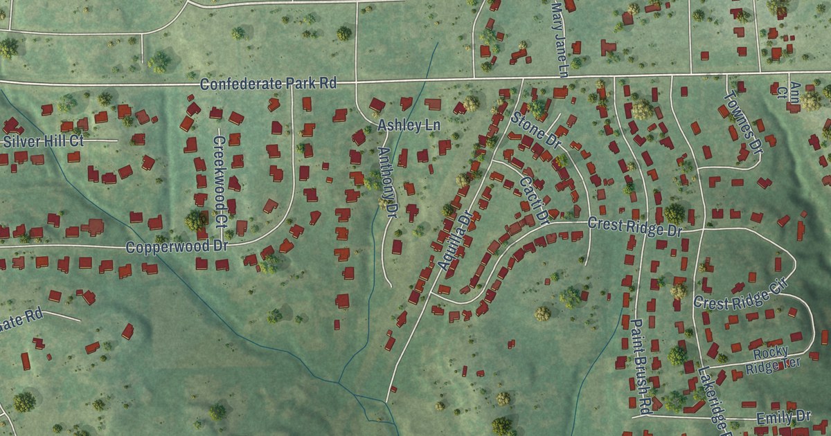
A detailed map of Lakeside, Tarrant County, Texas, showing every building in its true location, the roads by name, and shaded topographical relief.
Read More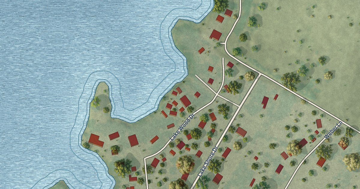
A detailed map of Lakeside, San Patricio County, Texas, showing every building in its true location, the roads by name, and shaded topographical relief.
Read More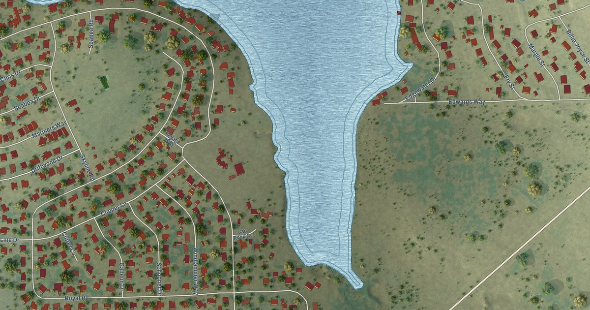
A detailed map of Lakeside City, Texas, showing every building in its true location, the roads by name, and shaded topographical relief.
Read More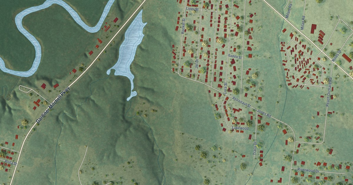
A detailed map of Lakeport, Texas, showing every building in its true location, the roads by name, and shaded topographical relief.
Read More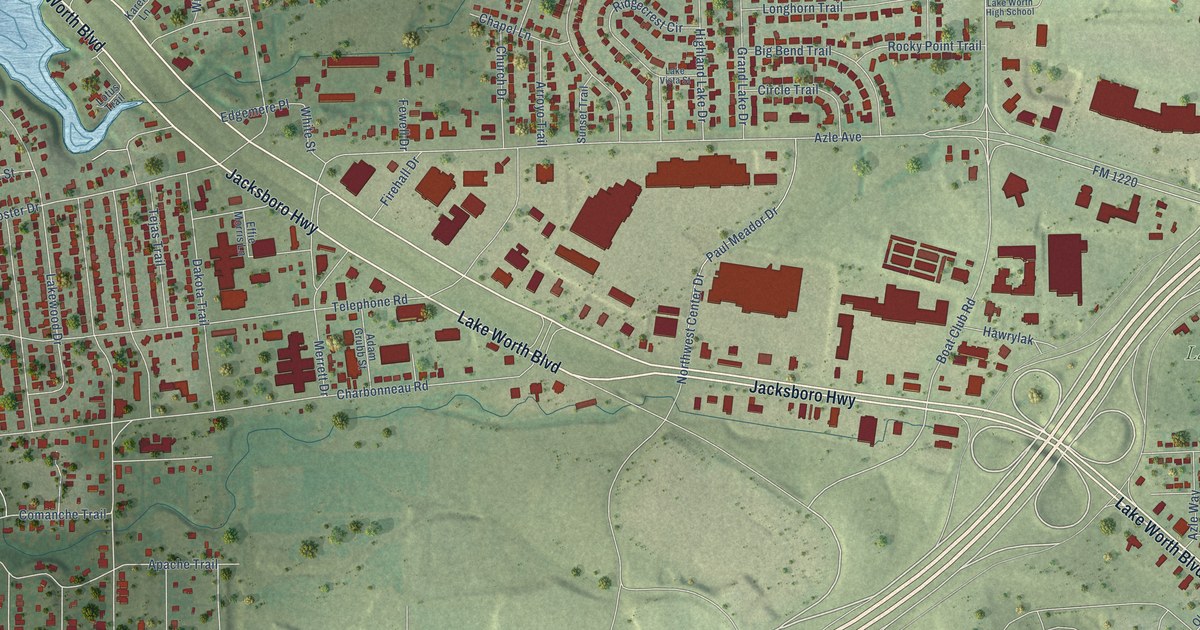
A detailed map of Lake Worth, Texas, showing every building in its true location, the roads by name, and shaded topographical relief.
Read More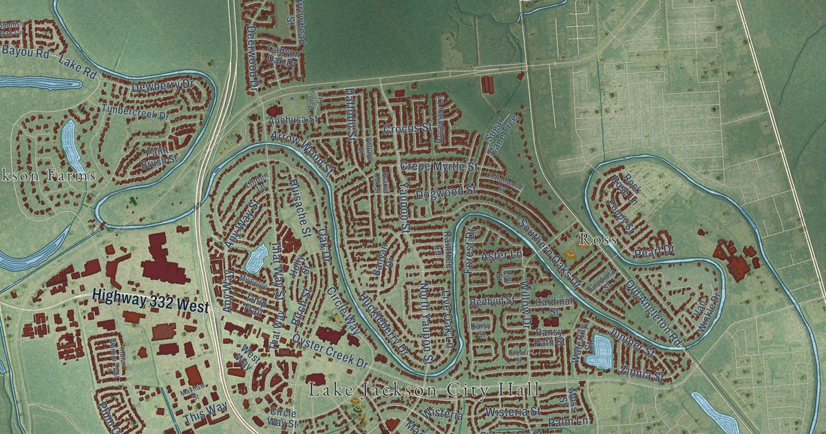
A detailed map of Lake Jackson, Texas, showing every building in its true location, the roads by name, and shaded topographical relief.
Read More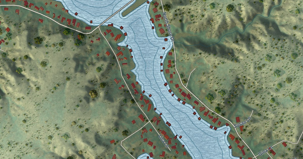
A detailed map of Lake Tanglewood, Texas, showing every building in its true location, the roads by name, and shaded topographical relief.
Read More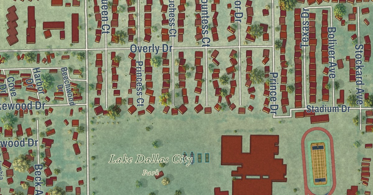
A detailed map of Lake Dallas, Texas, showing every building in its true location, the roads by name, and shaded topographical relief.
Read More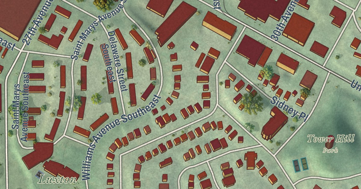
A detailed map of Prospect Park-East River Road, Minnesota, showing every building in its true location, the roads by name, and shaded topographical relief.
Read More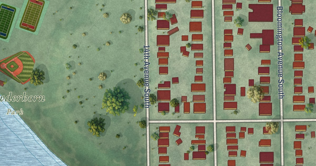
A detailed map of Powderhorn Park, Minnesota, showing every building in its true location, the roads by name, and shaded topographical relief.
Read More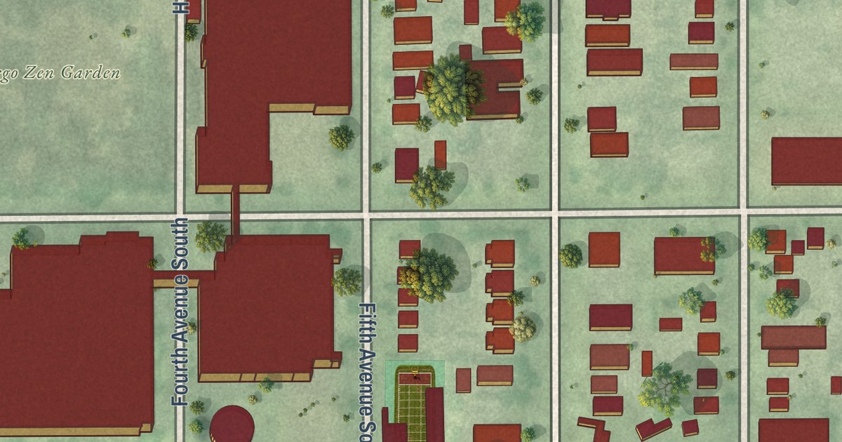
A detailed map of Phillips West, Minnesota, showing every building in its true location, the roads by name, and shaded topographical relief.
Read More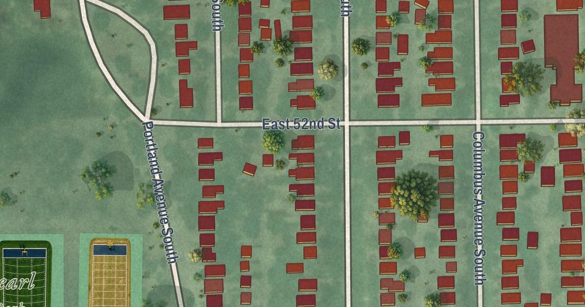
A detailed map of Page, Minnesota, showing every building in its true location, the roads by name, and shaded topographical relief.
Read More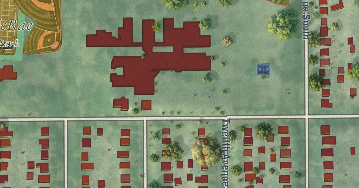
A detailed map of Northrop, Minneapolis, Minnesota, showing every building in its true location, the roads by name, and shaded topographical relief.
Read More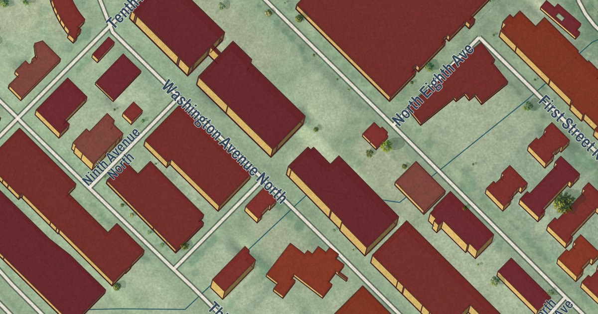
A detailed map of North Loop, Minnesota, showing every building in its true location, the roads by name, and shaded topographical relief.
Read More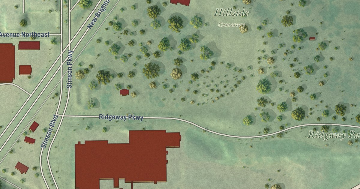
A detailed map of Northeast Park, Minnesota, showing every building in its true location, the roads by name, and shaded topographical relief.
Read More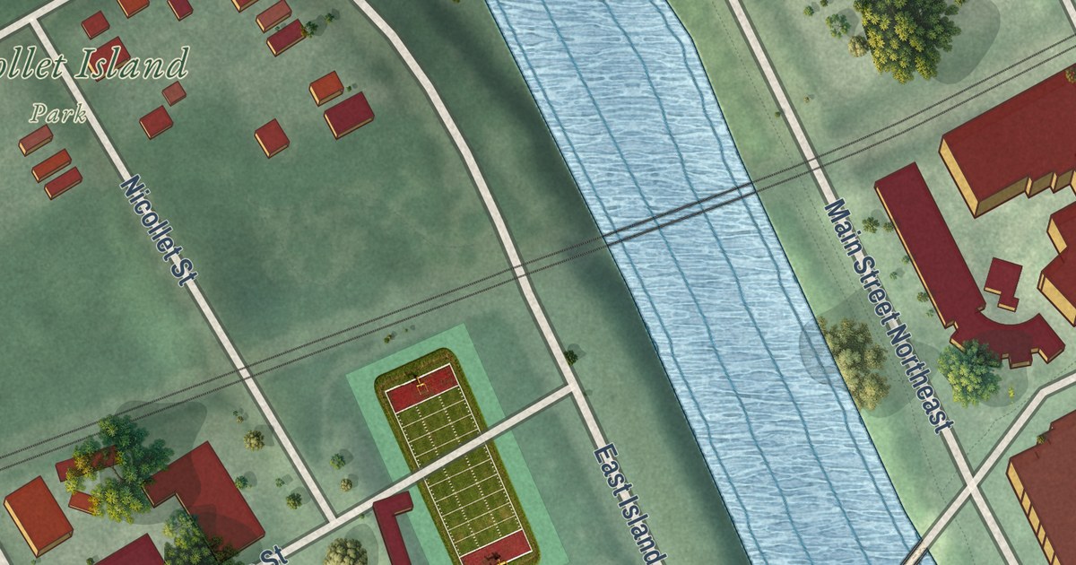
A detailed map of Nicollet Island-East Bank, Minnesota, showing every building in its true location, the roads by name, and shaded topographical relief.
Read More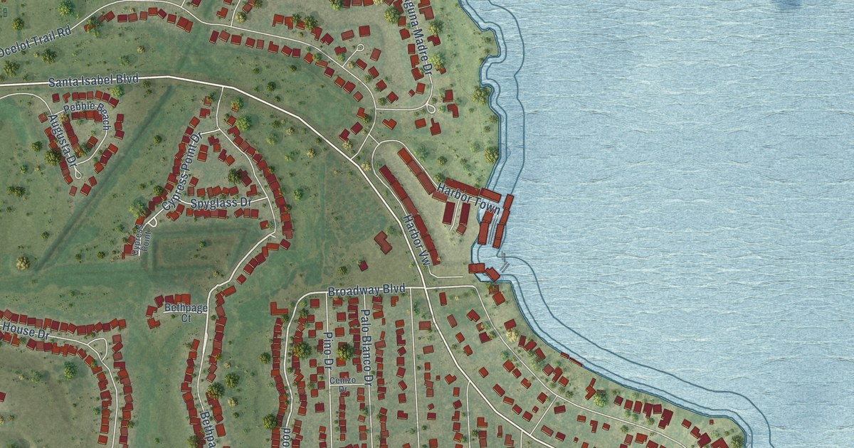
A detailed map of Laguna Vista, Texas, showing every building in its true location, the roads by name, and shaded topographical relief.
Read More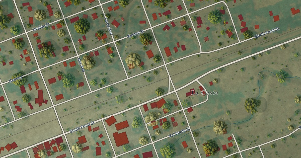
A detailed map of LaCoste, Texas, showing every building in its true location, the roads by name, and shaded topographical relief.
Read More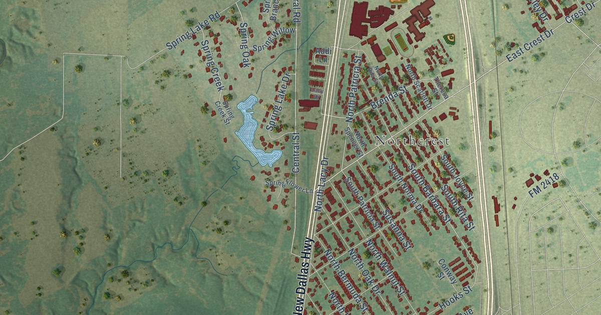
A detailed map of Lacy-Lakeview, Texas, showing every building in its true location, the roads by name, and shaded topographical relief.
Read More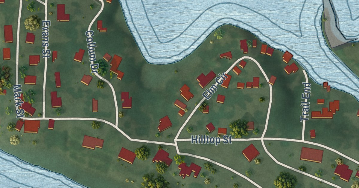
A detailed map of Lake Bridgeport, Texas, showing every building in its true location, the roads by name, and shaded topographical relief.
Read More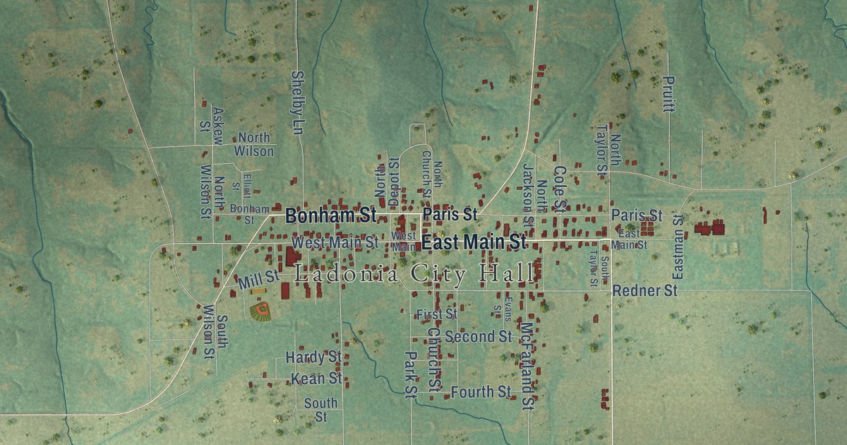
A detailed map of Ladonia, Texas, showing every building in its true location, the roads by name, and shaded topographical relief.
Read More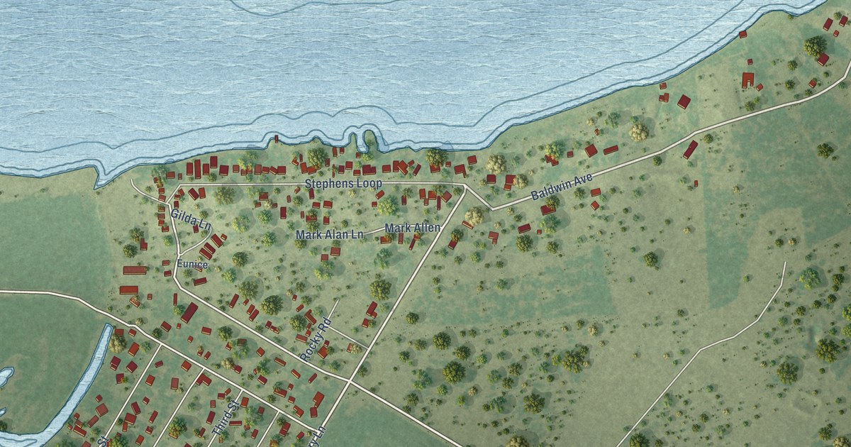
A detailed map of Lake City, Texas, showing every building in its true location, the roads by name, and shaded topographical relief.
Read More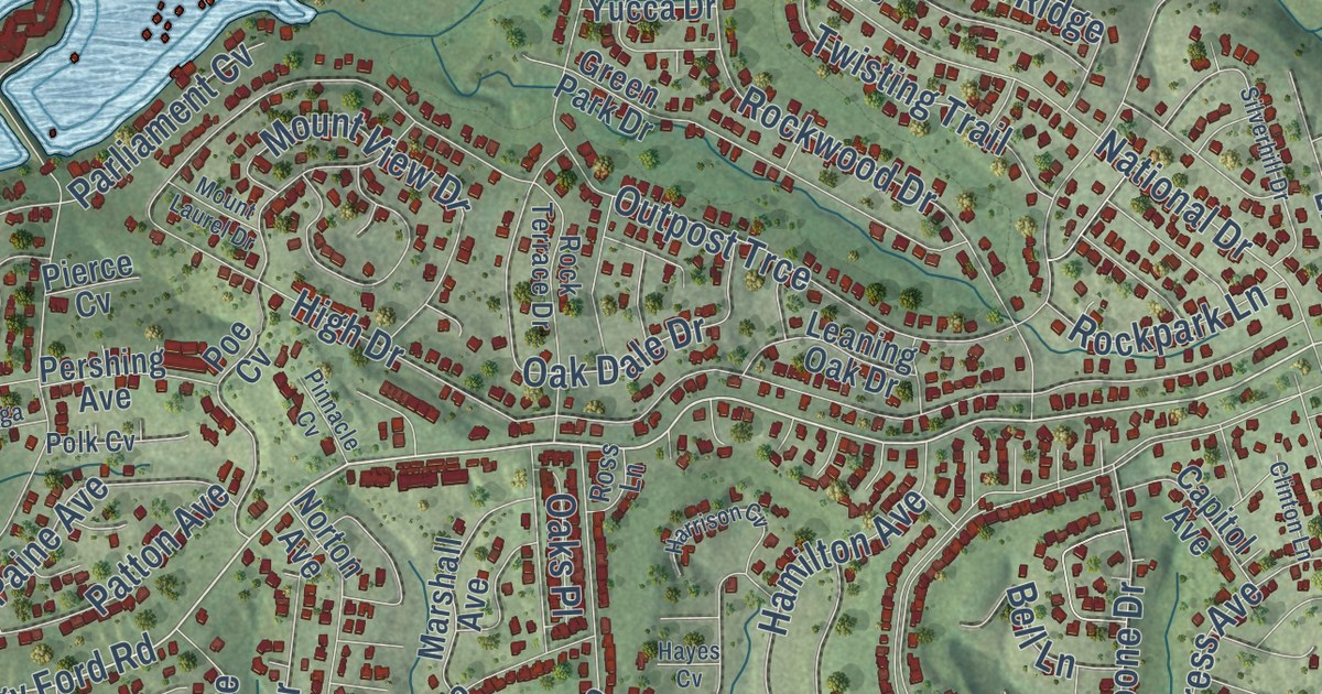
A detailed map of Lago Vista, Texas, showing every building in its true location, the roads by name, and shaded topographical relief.
Read More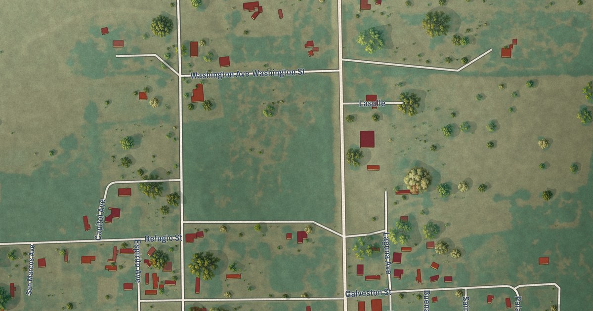
A detailed map of La Ward, Texas, showing every building in its true location, the roads by name, and shaded topographical relief.
Read More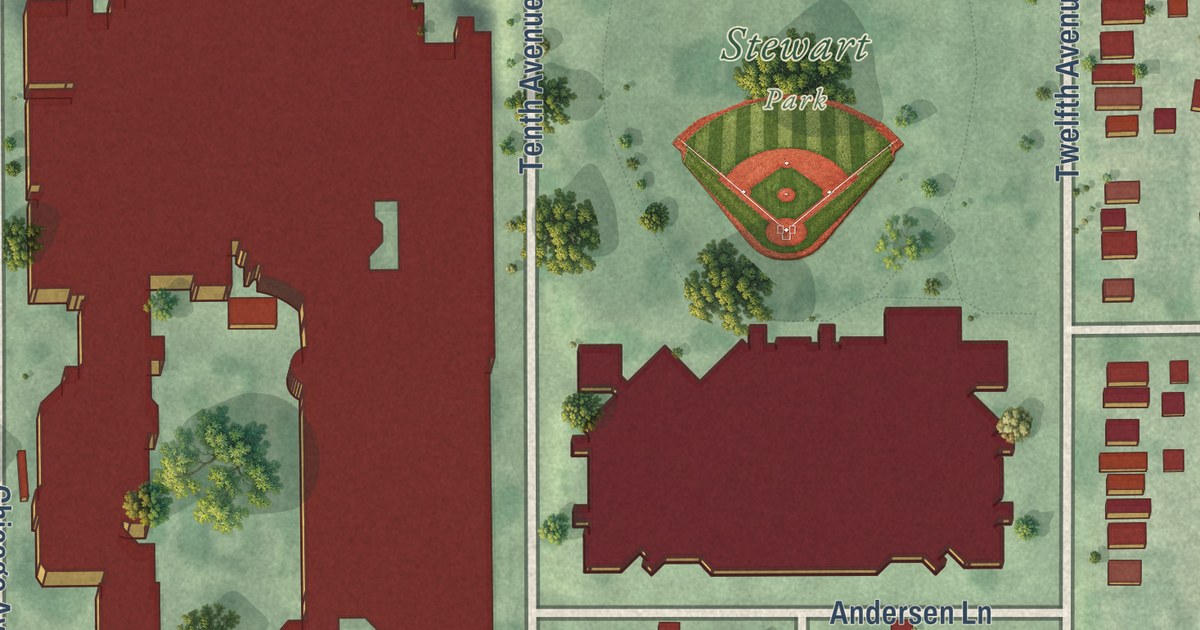
A detailed map of Midtown Phillips, Minnesota, showing every building in its true location, the roads by name, and shaded topographical relief.
Read More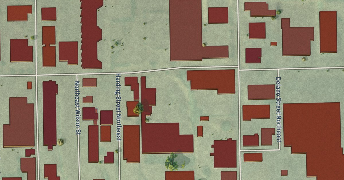
A detailed map of Mid-City Industrial, Minnesota, showing every building in its true location, the roads by name, and shaded topographical relief.
Read More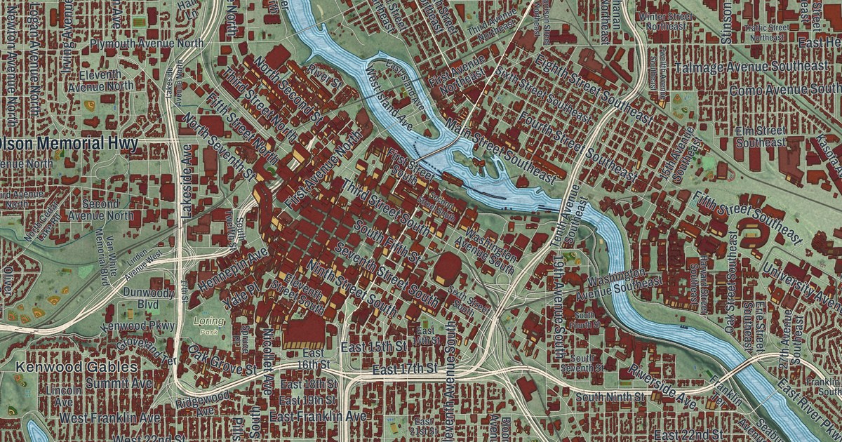
A detailed map of Minneapolis, Minnesota, showing every building in its true location, the roads by name, and shaded topographical relief.
Read More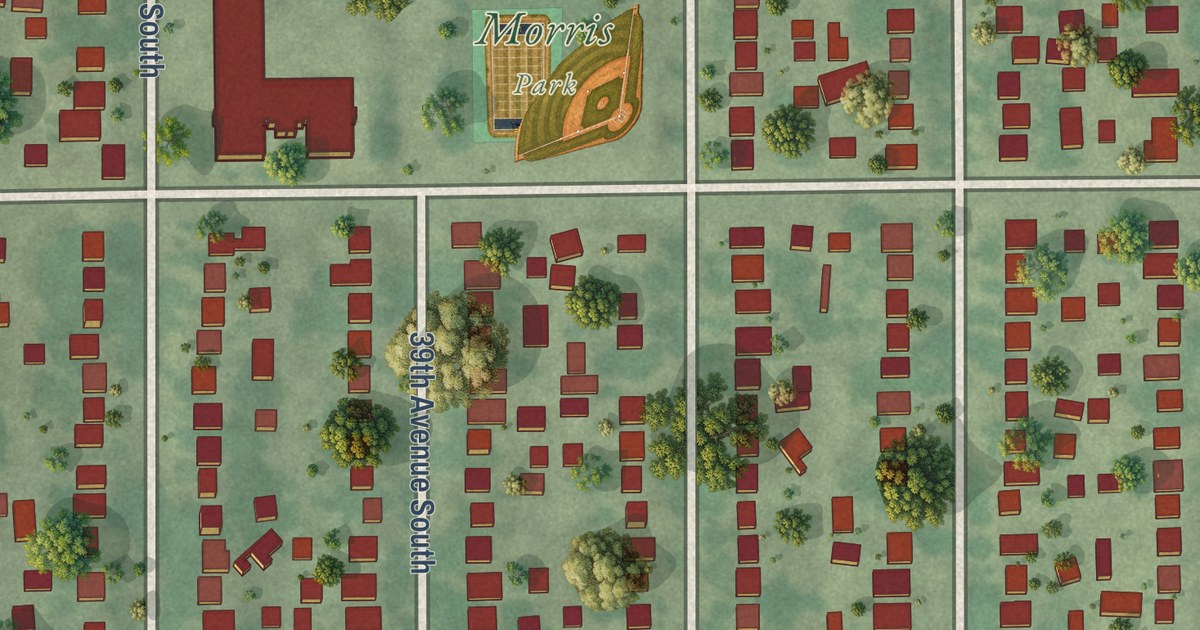
A detailed map of Morris Park, Minnesota, showing every building in its true location, the roads by name, and shaded topographical relief.
Read More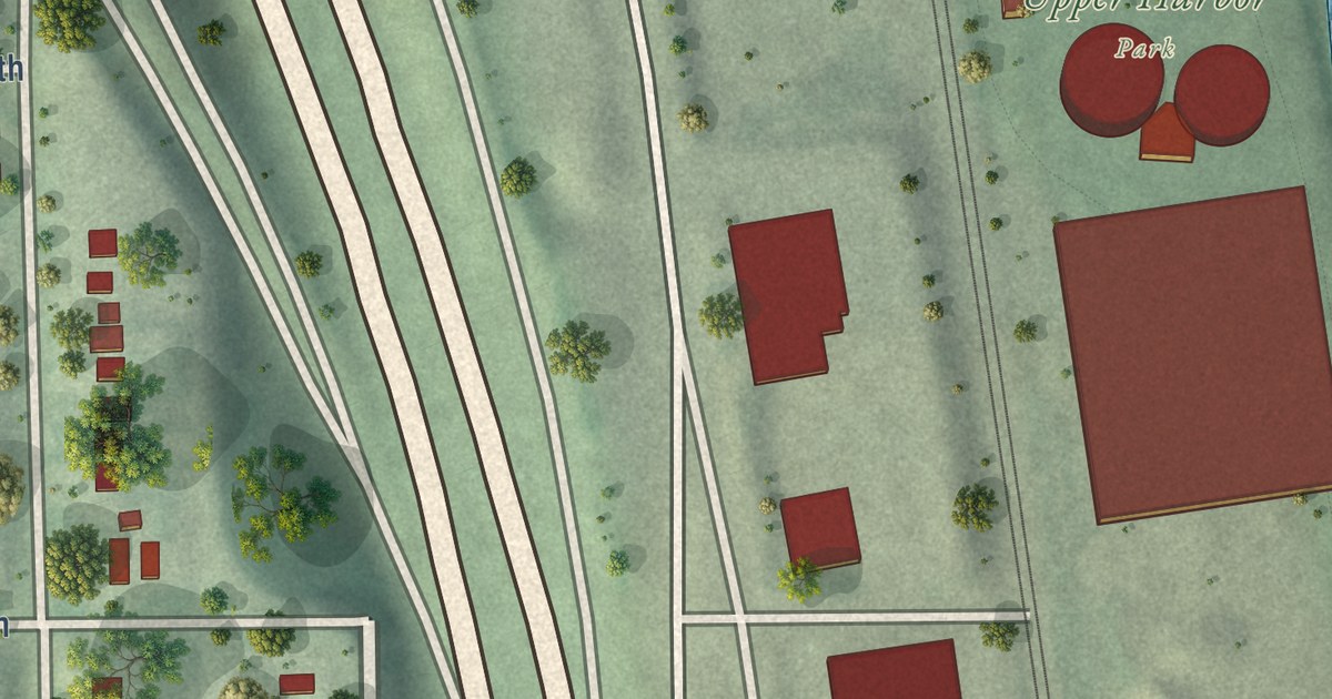
A detailed map of McKinley, Minneapolis, Minnesota, showing every building in its true location, the roads by name, and shaded topographical relief.
Read More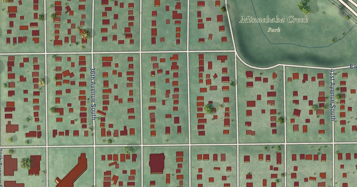
A detailed map of Minnehaha, Minnesota, showing every building in its true location, the roads by name, and shaded topographical relief.
Read More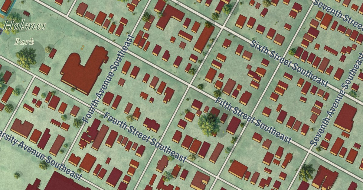
A detailed map of Marcy Holmes, Minnesota, showing every building in its true location, the roads by name, and shaded topographical relief.
Read More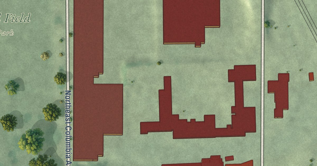
A detailed map of Marshall Terrace, Minnesota, showing every building in its true location, the roads by name, and shaded topographical relief.
Read More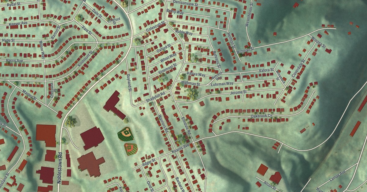
Find familiar Westwood streets in a new aerial map with a vintage feel. Red buildings, green hills and ball diamonds bring the blocks around Noblestown Road and Kearns Avenue into view.
Read More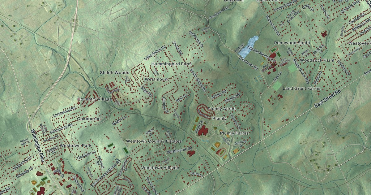
A new aerial map of Westtown Township in Chester County, Pennsylvania. Find Oakbourne Road, Shiloh Road and Pleasant Grove, and learn about Camp Elder, where over 2,000 Union soldiers waited after Gettysburg in 1863.
Read More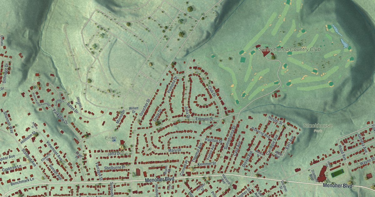
Find Westmont’s streets, red buildings and green hills in a new aerial map. Look for Menoher Boulevard and Stackhouse Park, and read about the borough’s start in 1892.
Read More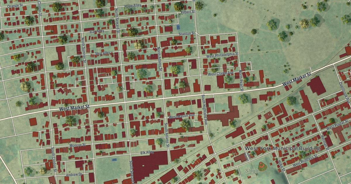
Find West Market Street, Slagle Park and familiar blocks on a new West York map. Read how the nearby York fair traces its start to a charter from 1765.
Read More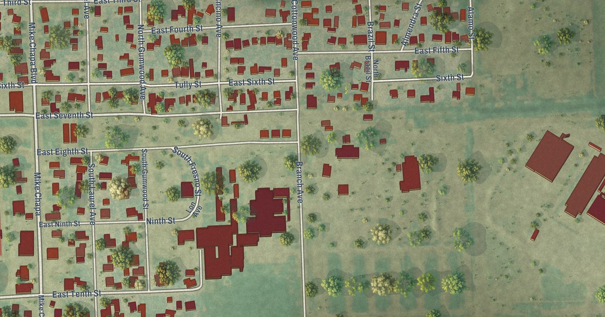
A detailed map of La Villa, Texas, showing every building in its true location, the roads by name, and shaded topographical relief.
Read More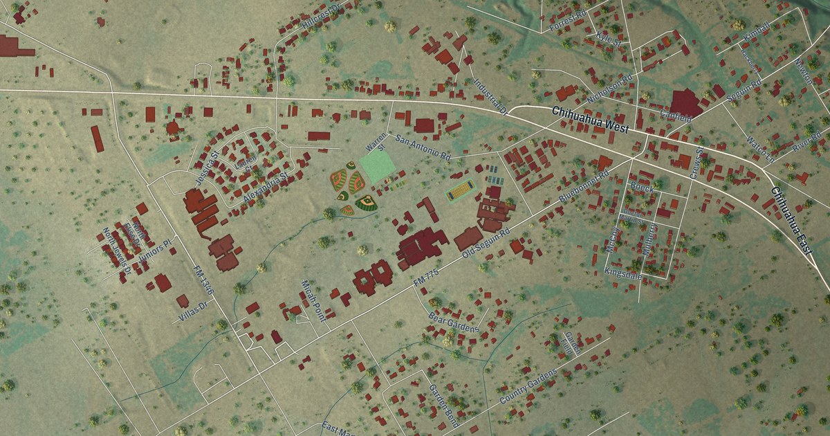
A detailed map of La Vernia, Texas, showing every building in its true location, the roads by name, and shaded topographical relief.
Read More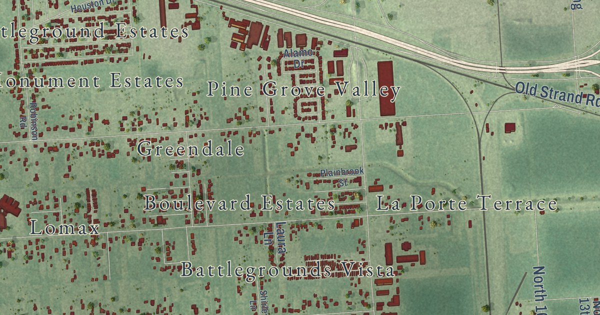
A detailed map of La Porte, Texas, showing every building in its true location, the roads by name, and shaded topographical relief.
Read More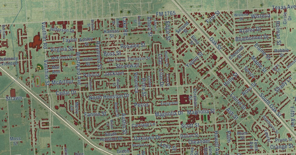
A detailed map of La Marque, Texas, showing every building in its true location, the roads by name, and shaded topographical relief.
Read More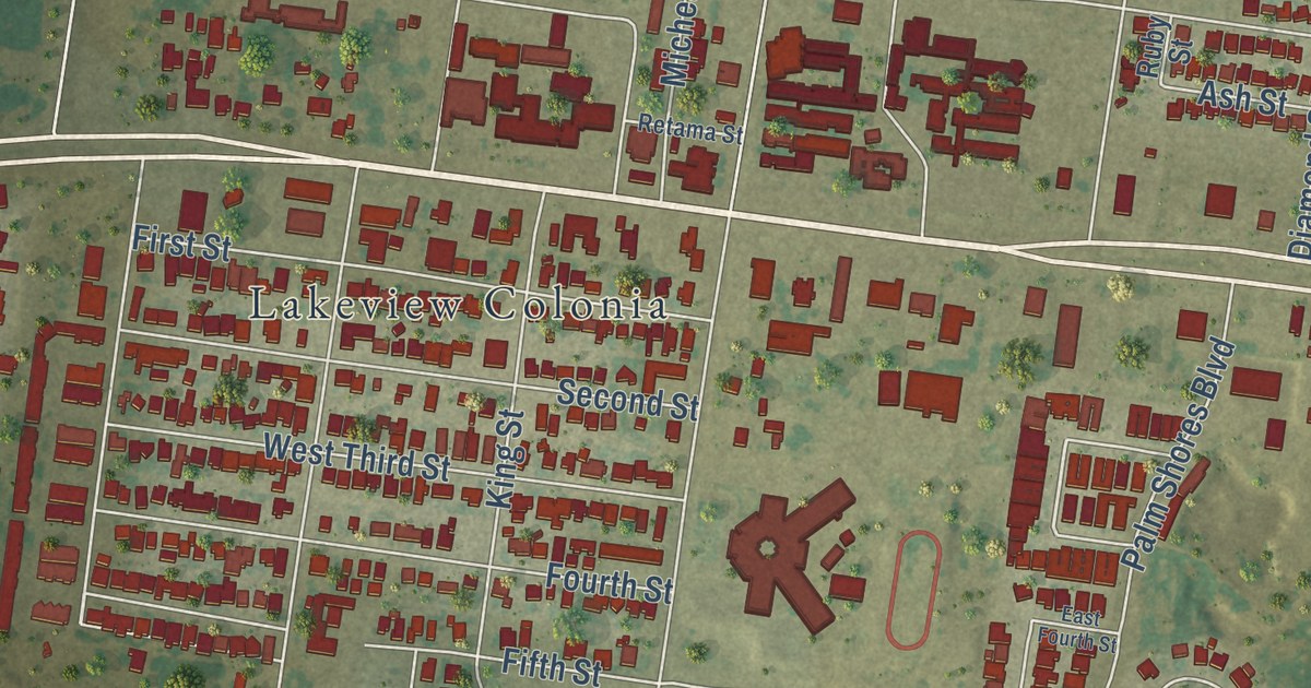
A detailed map of La Joya, Texas, showing every building in its true location, the roads by name, and shaded topographical relief.
Read More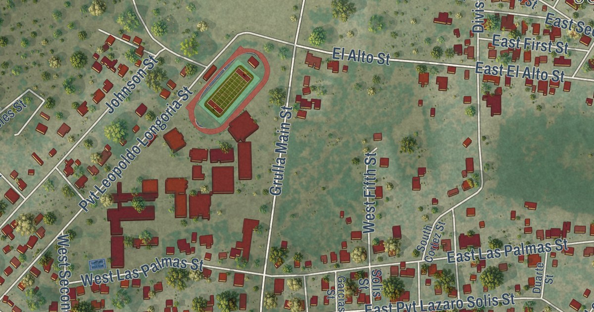
A detailed map of La Grulla, Texas, showing every building in its true location, the roads by name, and shaded topographical relief.
Read More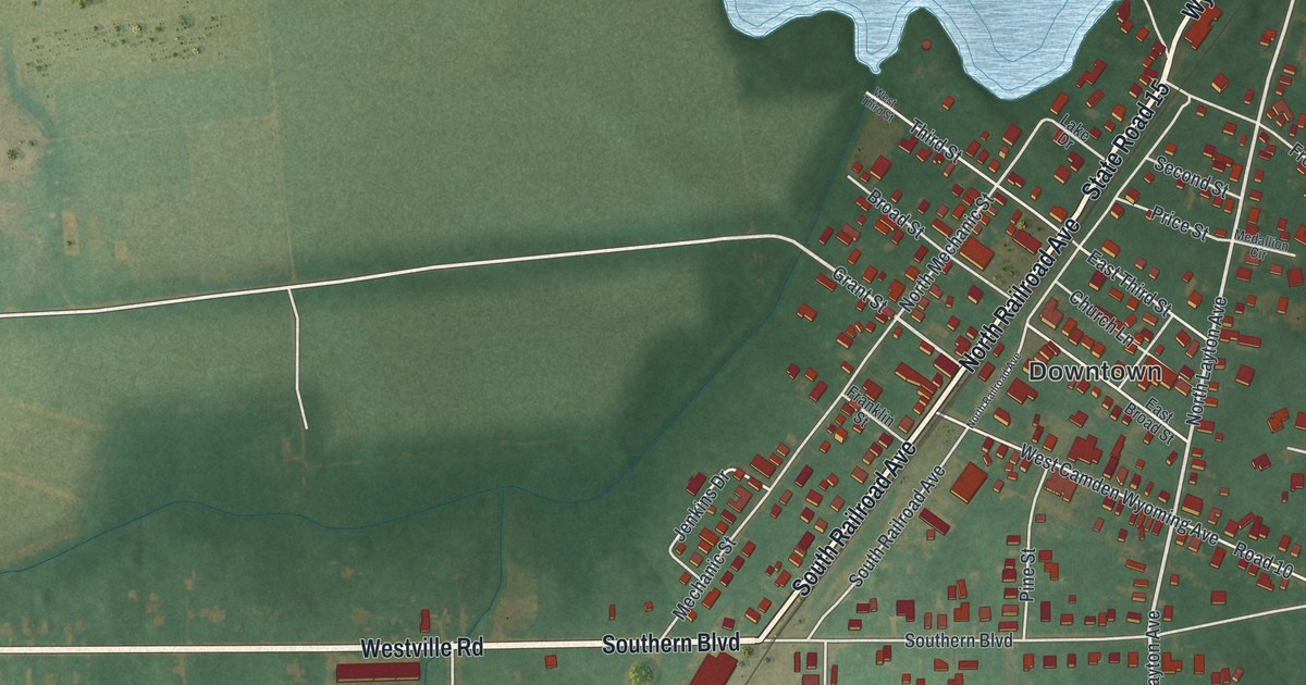
A detailed map of Wyoming, Delaware, showing every building in its true location, the roads by name, and shaded topographical relief.
Read More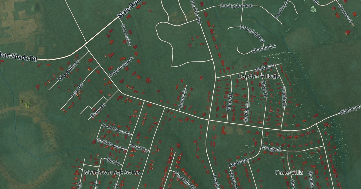
A detailed map of Woodside East, Delaware, showing every building in its true location, the roads by name, and shaded topographical relief.
Read More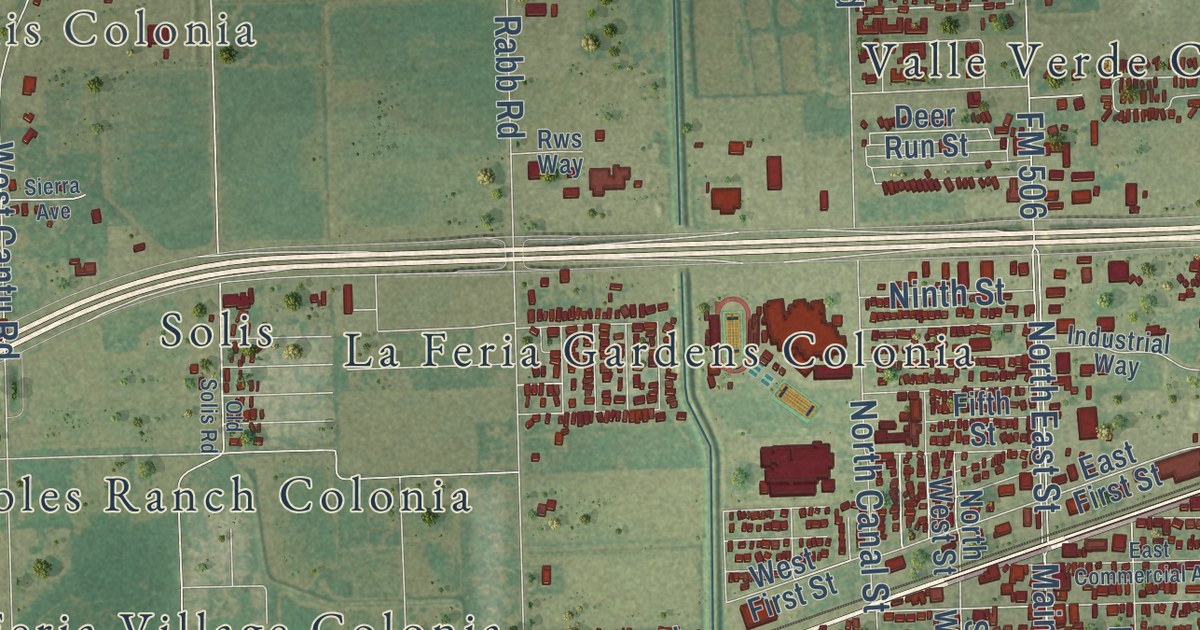
A detailed map of La Feria, Texas, showing every building in its true location, the roads by name, and shaded topographical relief.
Read More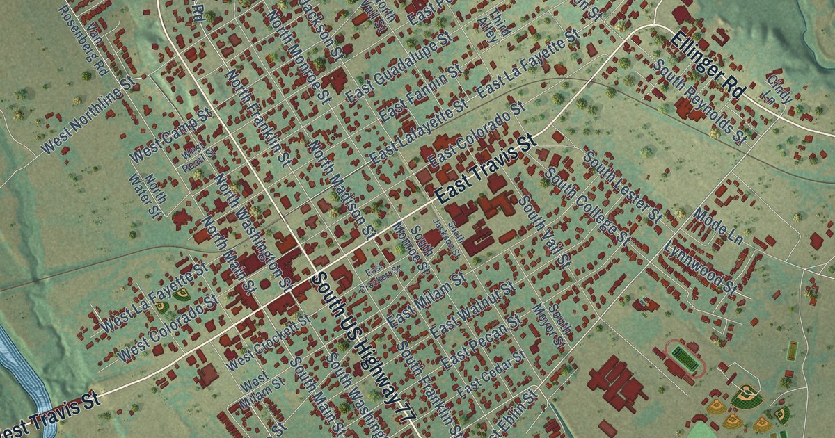
A detailed map of La Grange, Texas, showing every building in its true location, the roads by name, and shaded topographical relief.
Read More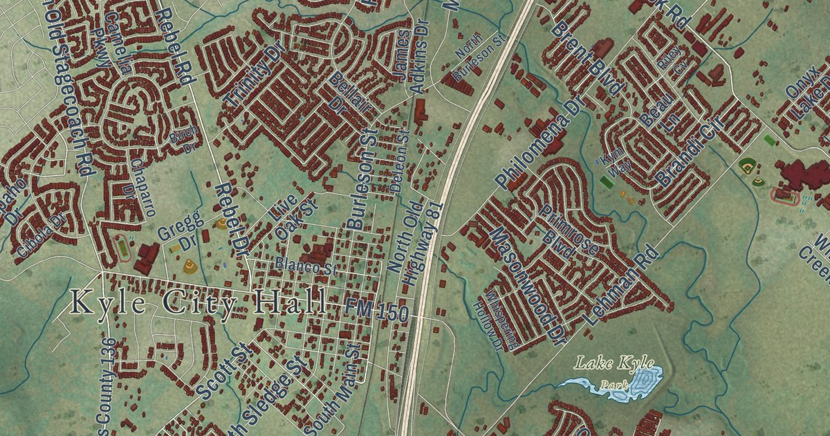
A detailed map of Kyle, Texas, showing every building in its true location, the roads by name, and shaded topographical relief.
Read More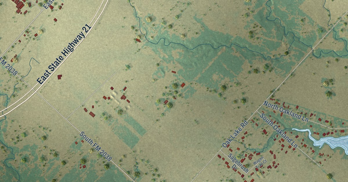
A detailed map of Kurten, Texas, showing every building in its true location, the roads by name, and shaded topographical relief.
Read More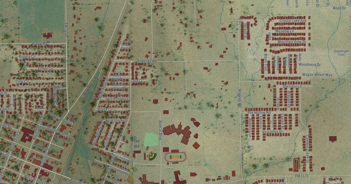
A detailed map of Krum, Texas, showing every building in its true location, the roads by name, and shaded topographical relief.
Read More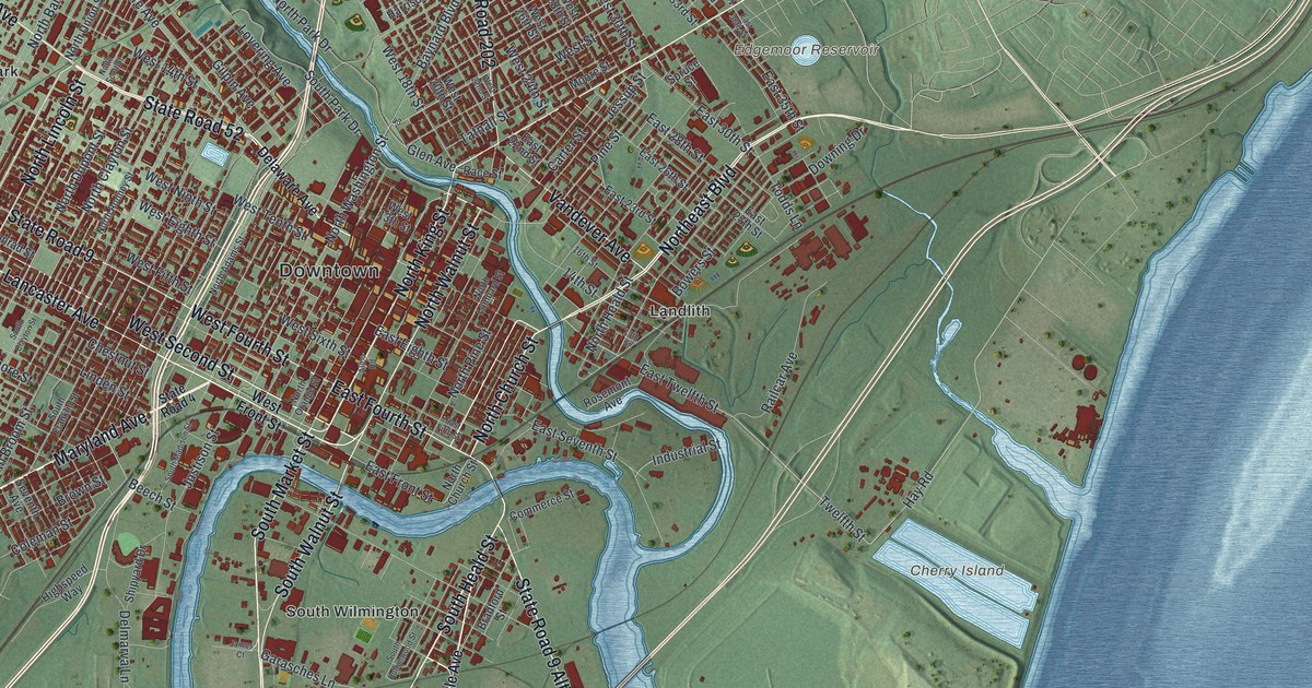
A detailed map of Wilmington, Delaware, showing every building in its true location, the roads by name, and shaded topographical relief.
Read More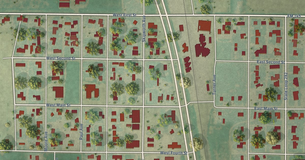
A detailed map of Kress, Texas, showing every building in its true location, the roads by name, and shaded topographical relief.
Read More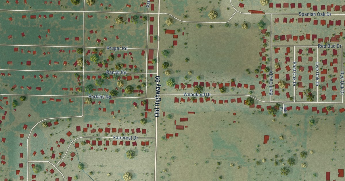
A detailed map of Krugerville, Texas, showing every building in its true location, the roads by name, and shaded topographical relief.
Read More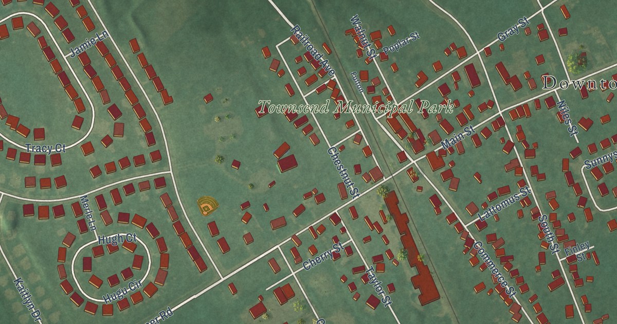
A detailed map of Townsend, Delaware, showing every building in its true location, the roads by name, and shaded topographical relief.
Read More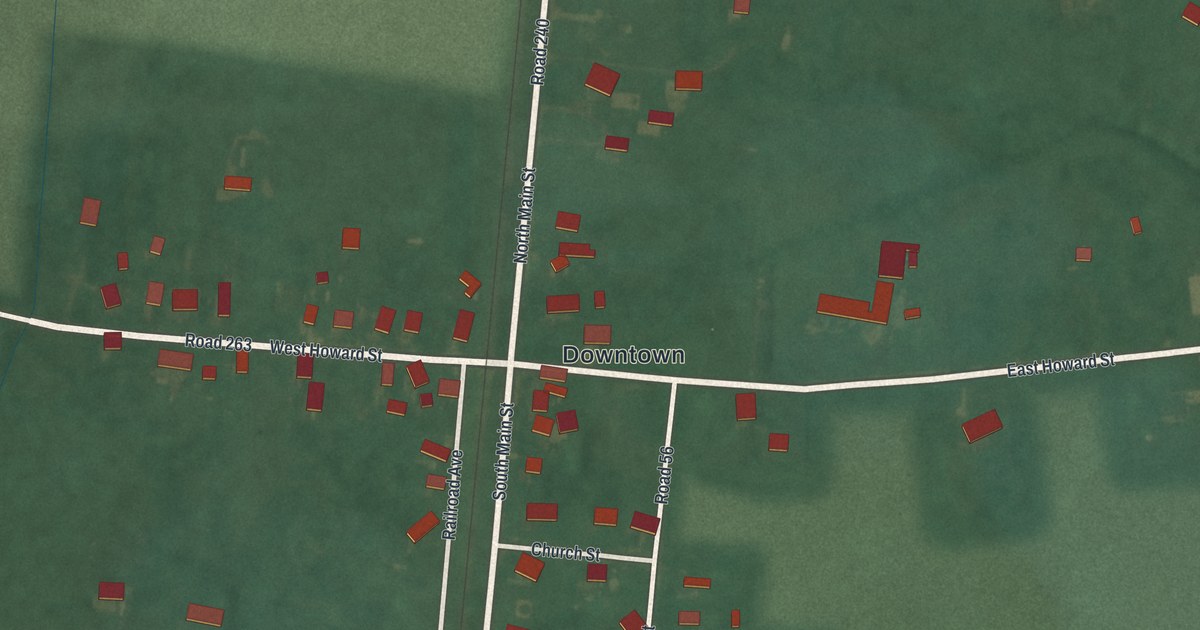
A detailed map of Viola, Delaware, showing every building in its true location, the roads by name, and shaded topographical relief.
Read More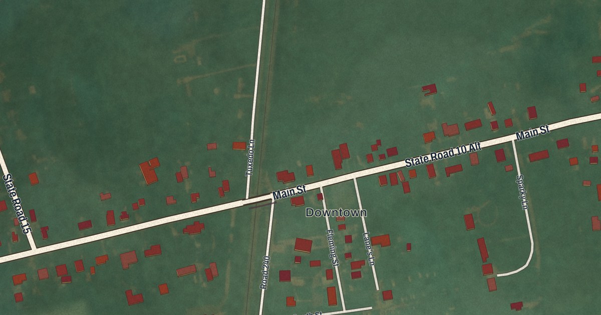
A detailed map of Woodside, Delaware, showing every building in its true location, the roads by name, and shaded topographical relief.
Read More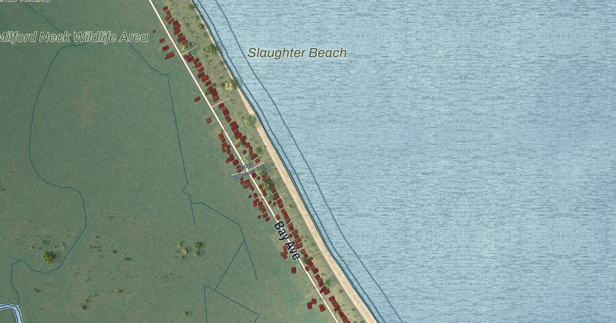
A detailed map of Slaughter Beach, Delaware, showing every building in its true location, the roads by name, and shaded topographical relief.
Read More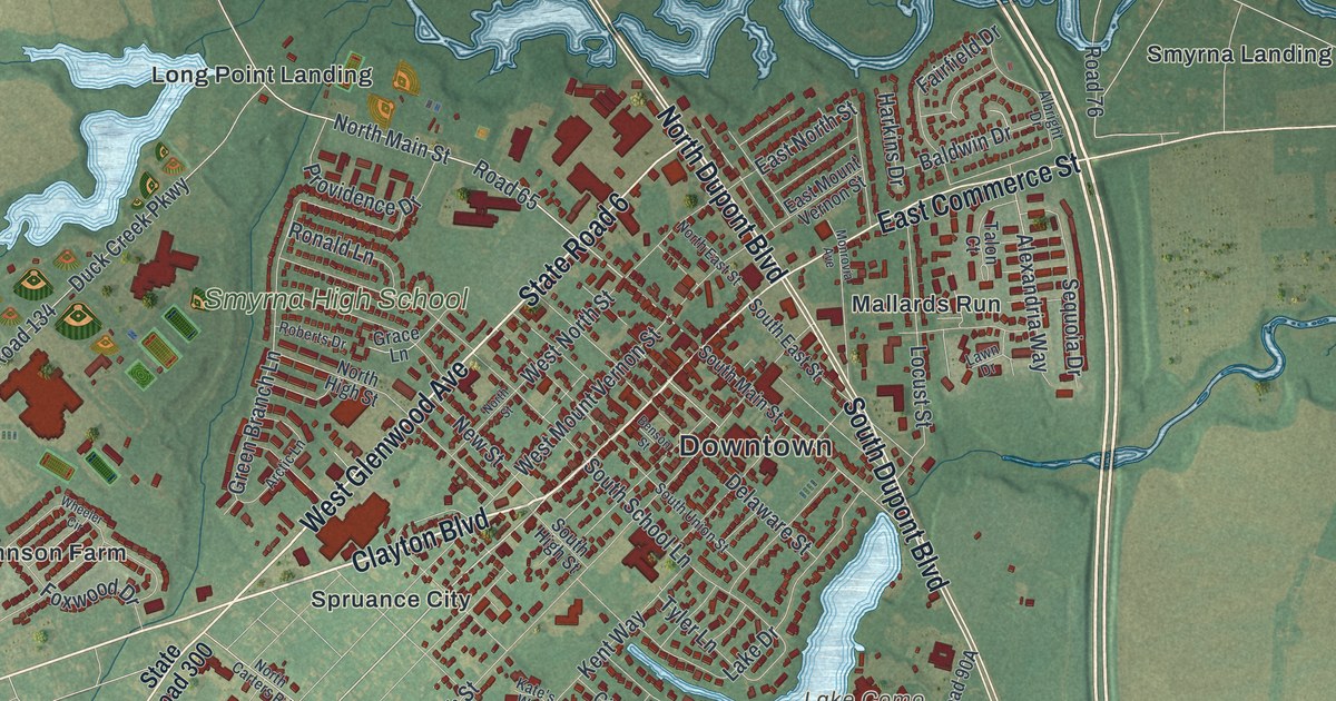
A detailed map of Smyrna, Delaware, showing every building in its true location, the roads by name, and shaded topographical relief.
Read More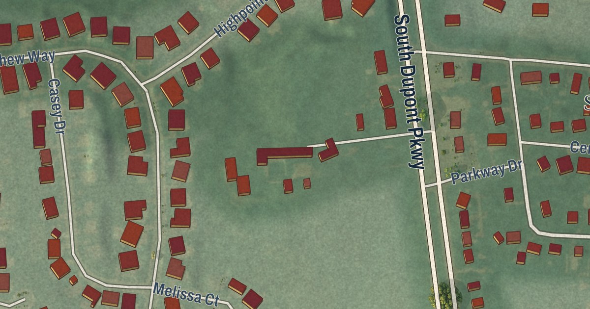
A detailed map of St. Georges, Delaware, showing every building in its true location, the roads by name, and shaded topographical relief.
Read More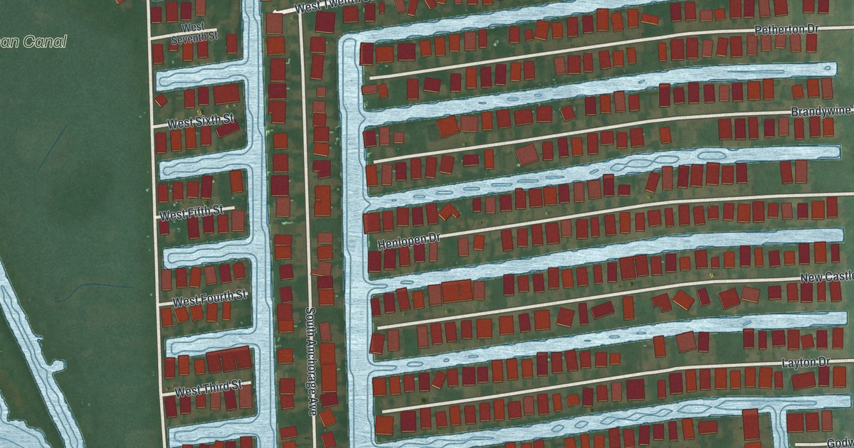
A detailed map of South Bethany, Delaware, showing every building in its true location, the roads by name, and shaded topographical relief.
Read More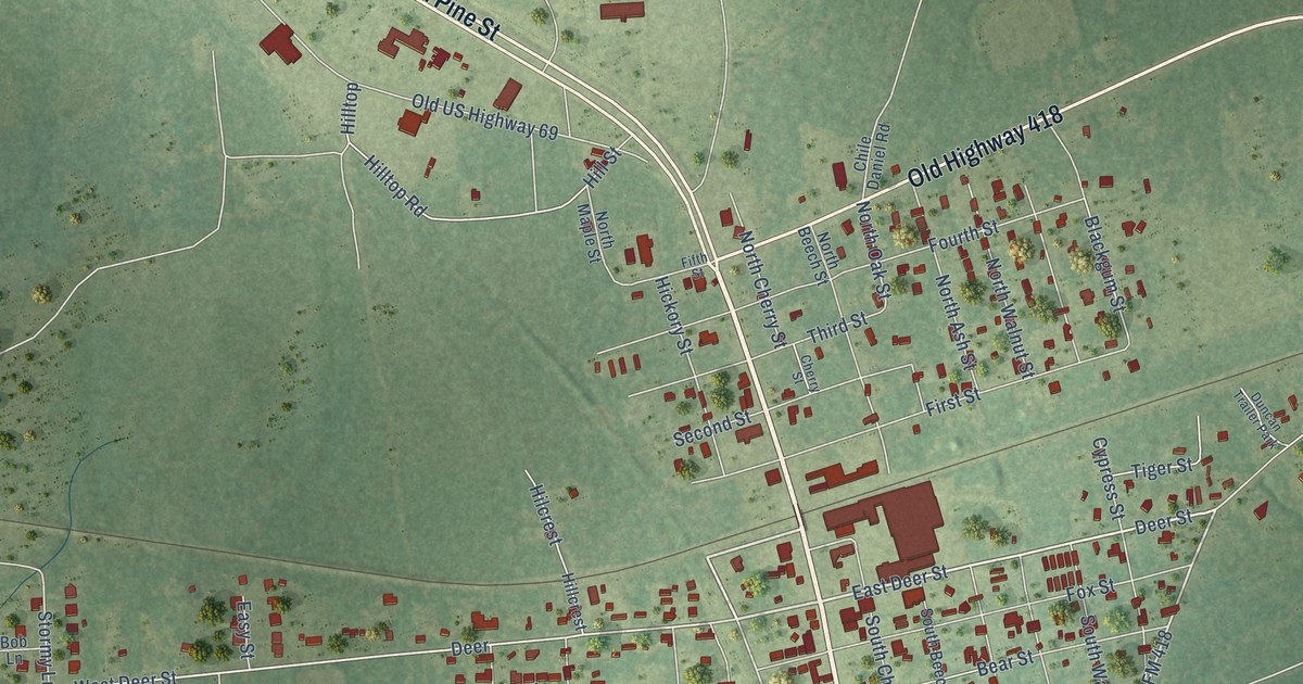
A detailed map of Kountze, Texas, showing every building in its true location, the roads by name, and shaded topographical relief.
Read More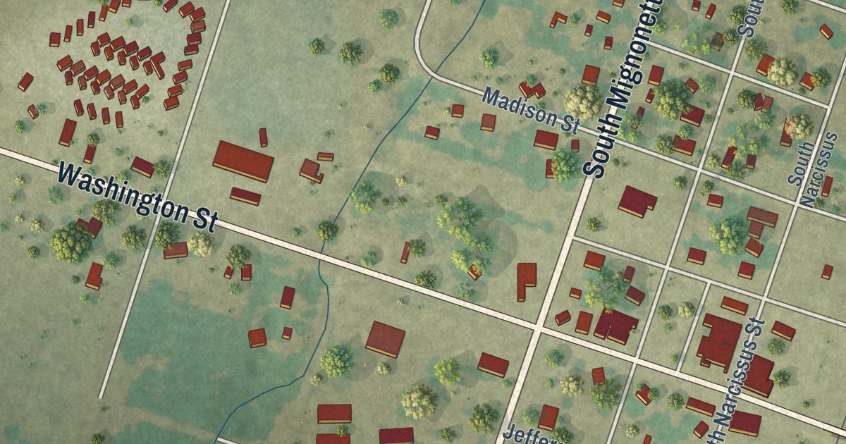
A detailed map of Kosse, Texas, showing every building in its true location, the roads by name, and shaded topographical relief.
Read More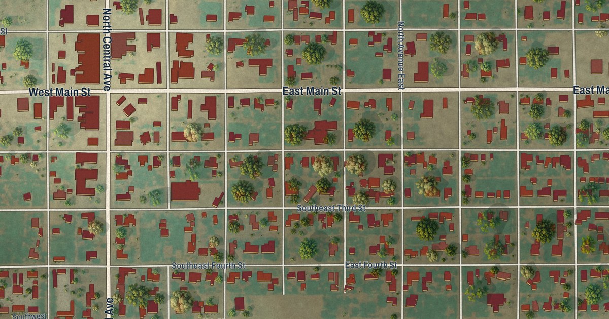
A detailed map of Knox City, Texas, showing every building in its true location, the roads by name, and shaded topographical relief.
Read More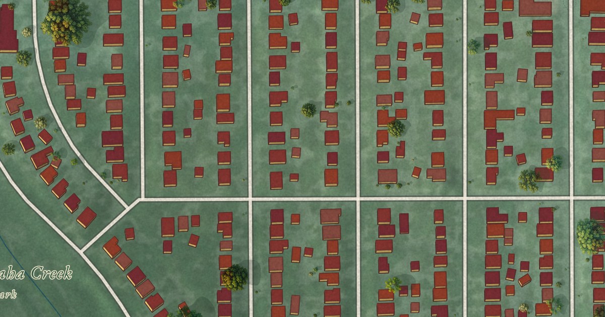
A detailed map of Lynnhurst, Minnesota, showing every building in its true location, the roads by name, and shaded topographical relief.
Read More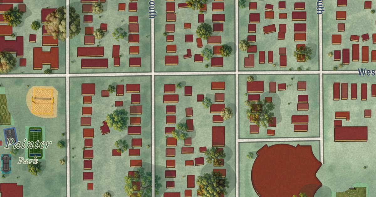
A detailed map of Lyndale, Minnesota, showing every building in its true location, the roads by name, and shaded topographical relief.
Read More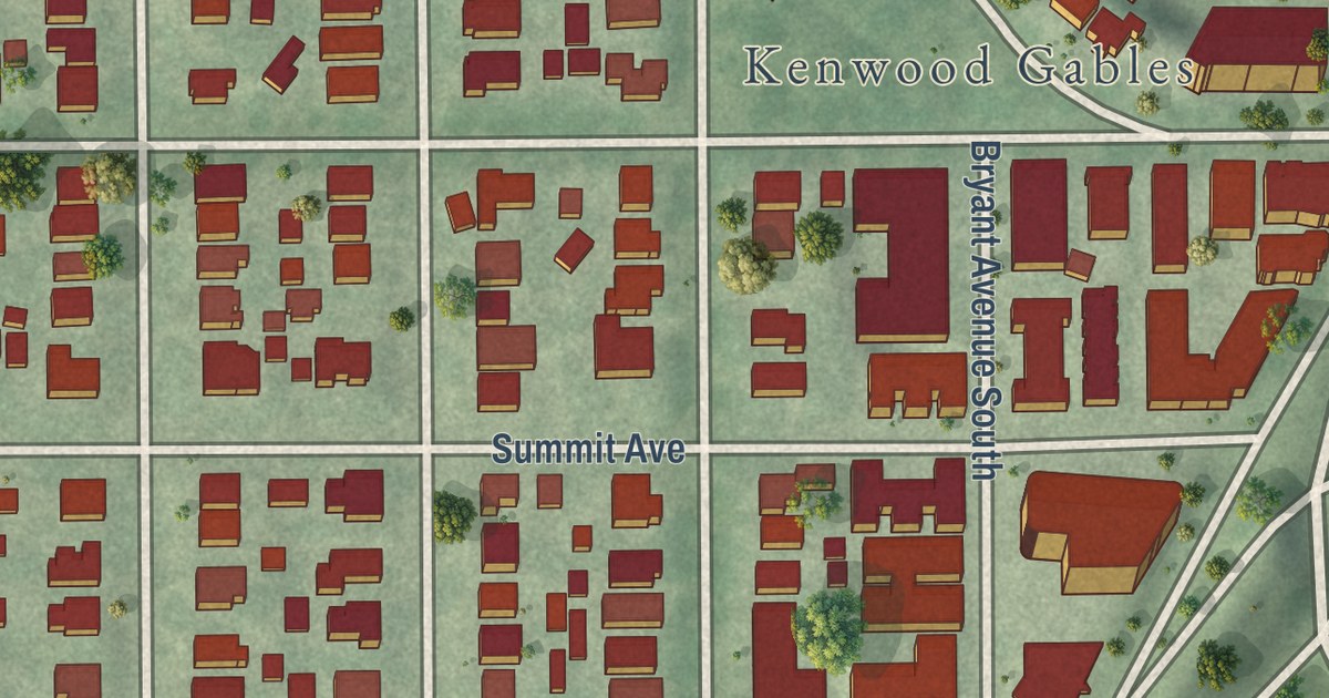
A detailed map of Lowry Hill, Minnesota, showing every building in its true location, the roads by name, and shaded topographical relief.
Read More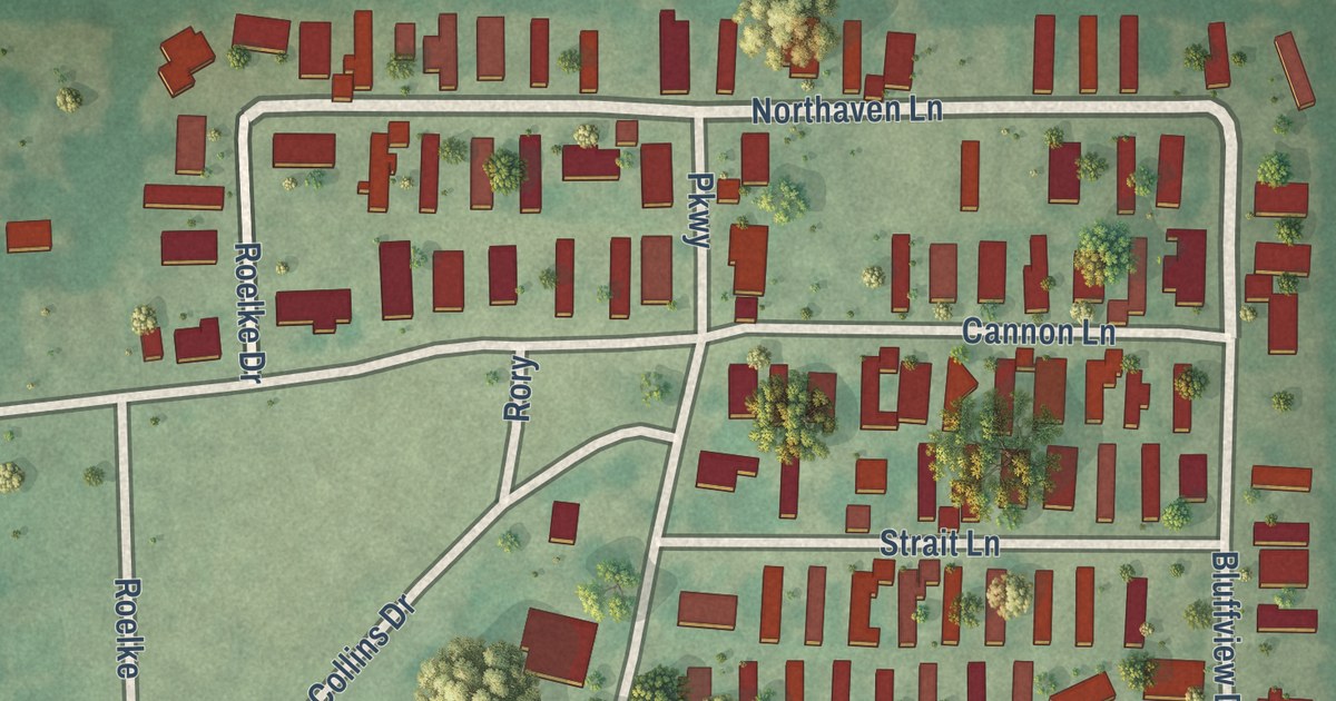
A detailed map of Knollwood, Texas, showing every building in its true location, the roads by name, and shaded topographical relief.
Read More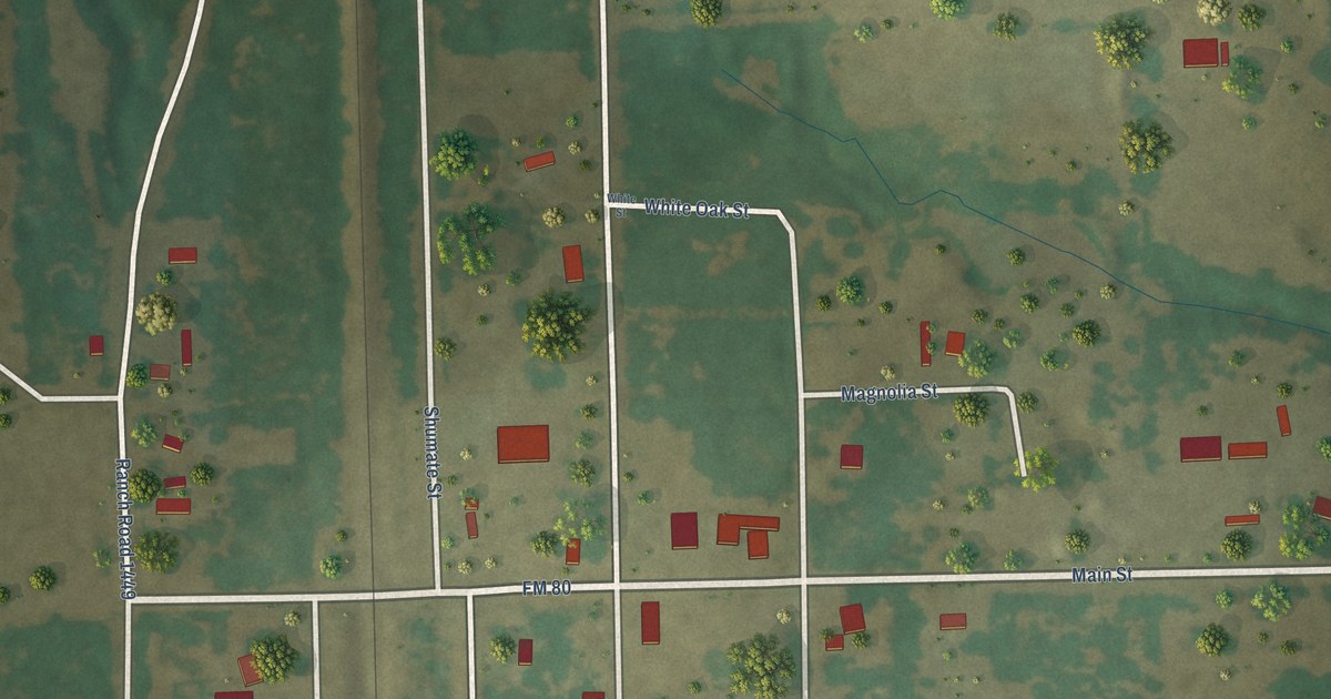
A detailed map of Kirvin, Texas, showing every building in its true location, the roads by name, and shaded topographical relief.
Read More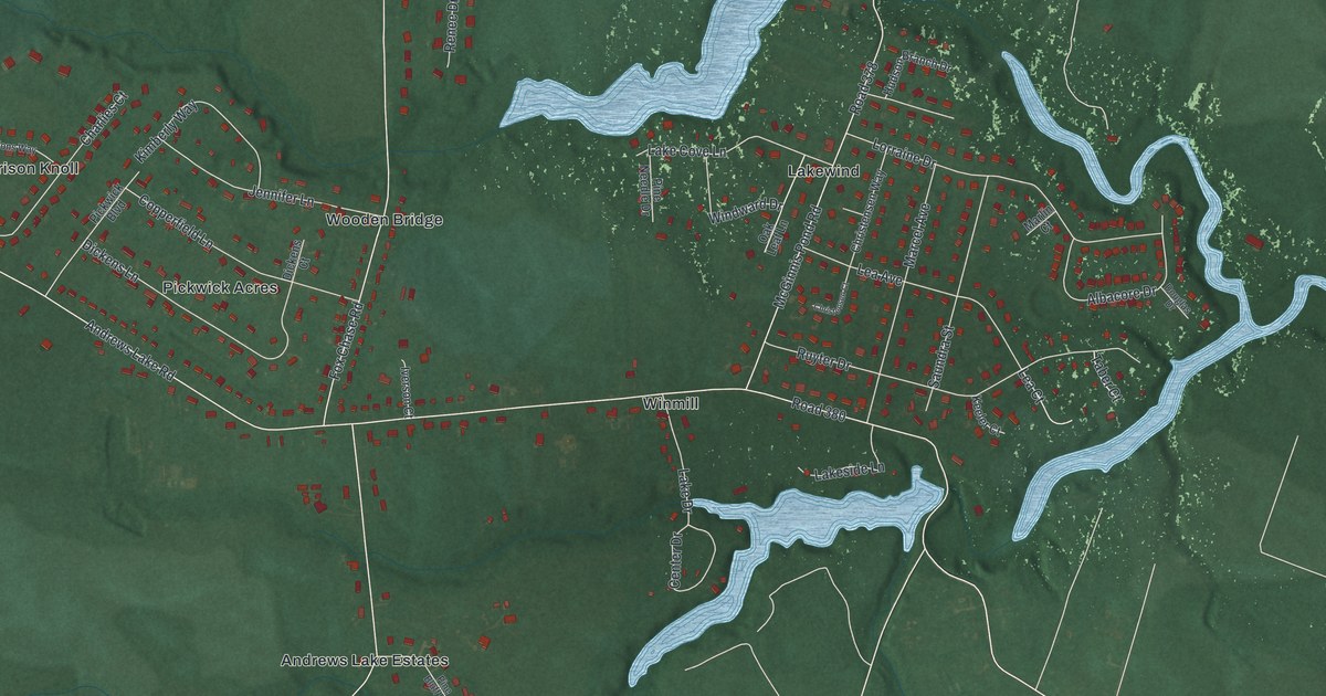
A detailed map of Riverview, Delaware, showing every building in its true location, the roads by name, and shaded topographical relief.
Read More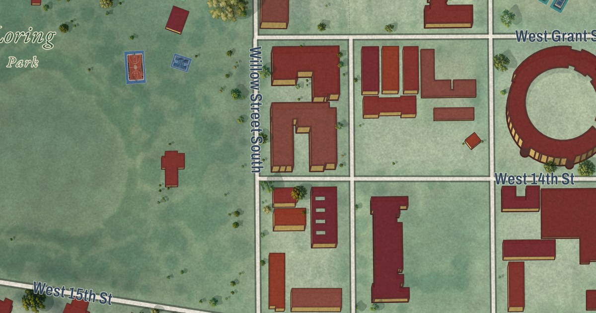
A detailed map of Loring Park, Minnesota, showing every building in its true location, the roads by name, and shaded topographical relief.
Read More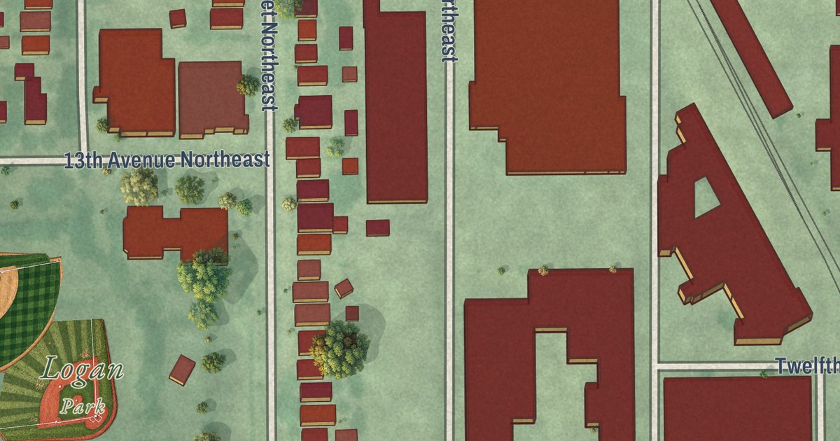
A detailed map of Logan Park, Minnesota, showing every building in its true location, the roads by name, and shaded topographical relief.
Read More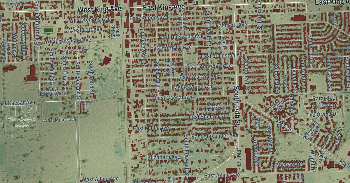
A detailed map of Kingsville, Texas, showing every building in its true location, the roads by name, and shaded topographical relief.
Read More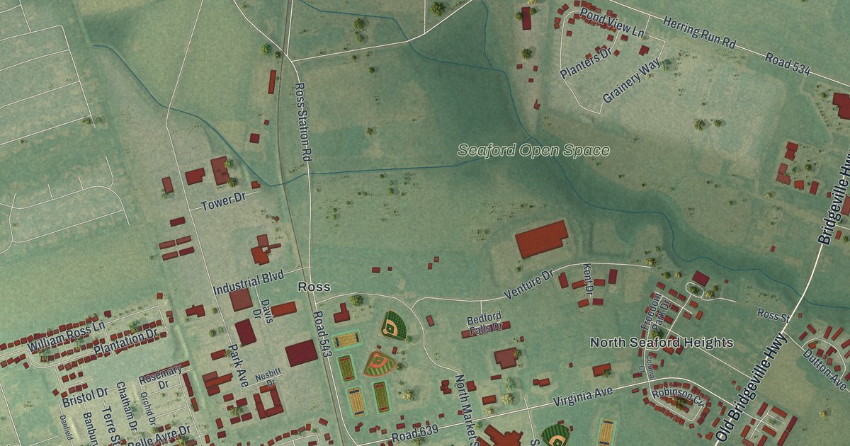
A detailed map of Seaford, Delaware, showing every building in its true location, the roads by name, and shaded topographical relief.
Read More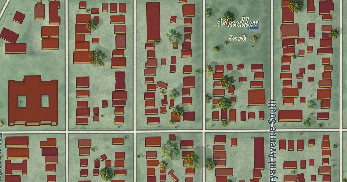
A detailed map of Lowry Hill East, Minnesota, showing every building in its true location, the roads by name, and shaded topographical relief.
Read More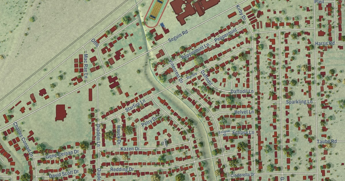
A detailed map of Kirby, Texas, showing every building in its true location, the roads by name, and shaded topographical relief.
Read More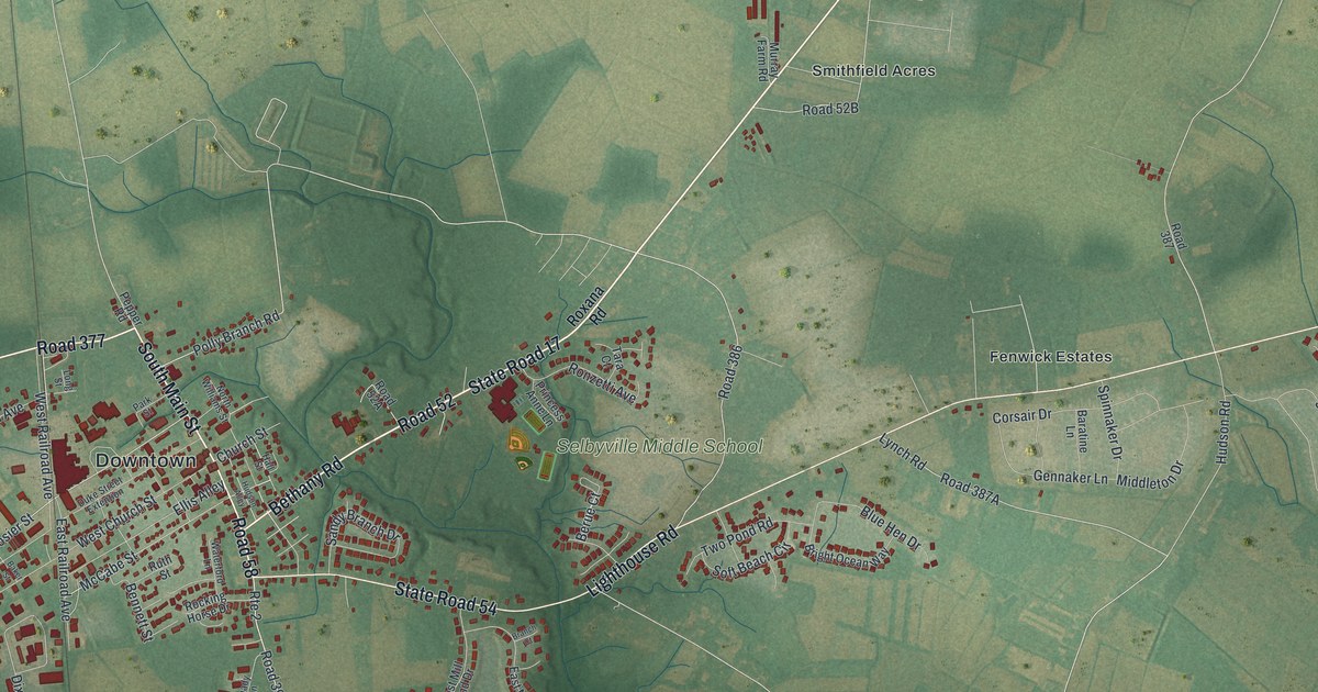
A detailed map of Selbyville, Delaware, showing every building in its true location, the roads by name, and shaded topographical relief.
Read More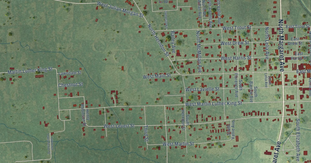
A detailed map of Kirbyville, Texas, showing every building in its true location, the roads by name, and shaded topographical relief.
Read More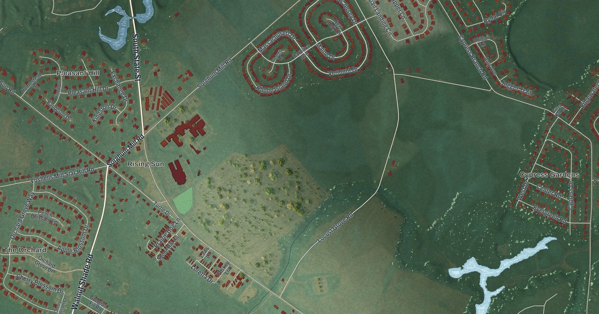
A detailed map of Rising Sun-Lebanon, Delaware, showing every building in its true location, the roads by name, and shaded topographical relief.
Read More















