Detailed Map of Waipio, Hawaii
A detailed map of Waipio, Hawaii, showing every building in its true location, the roads by name, and shaded topographical relief.
Read More
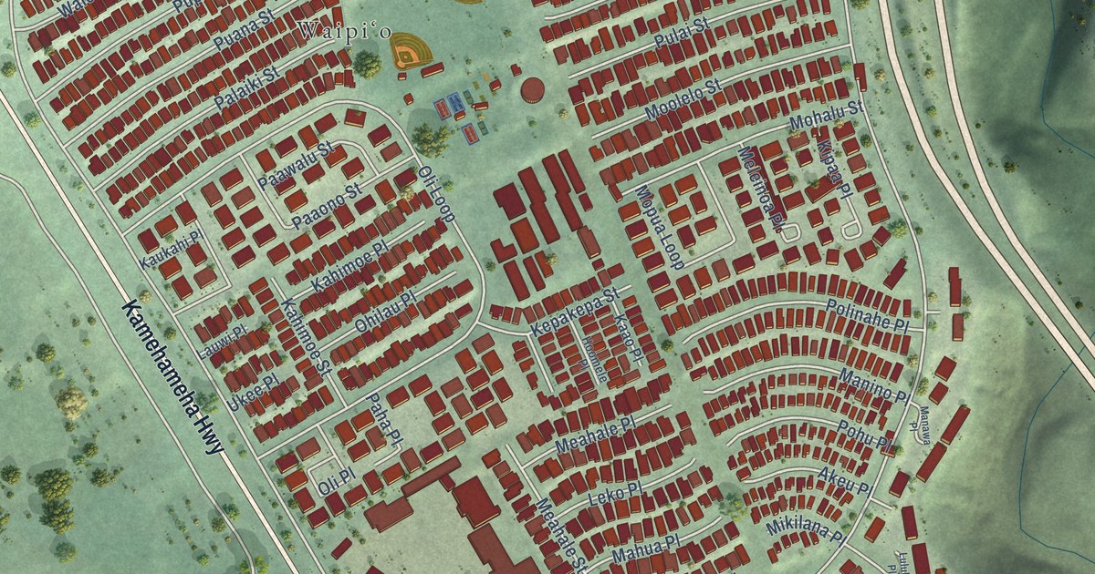
A detailed map of Waipio, Hawaii, showing every building in its true location, the roads by name, and shaded topographical relief.
Read More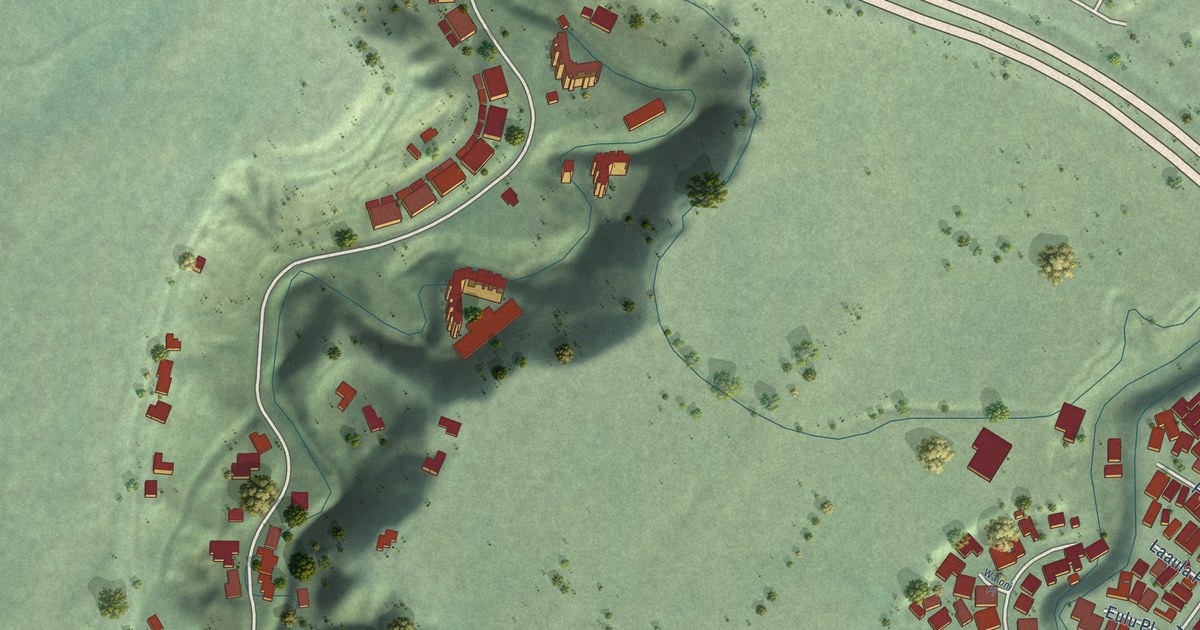
A detailed map of Waipio Acres, Hawaii, showing every building in its true location, the roads by name, and shaded topographical relief.
Read More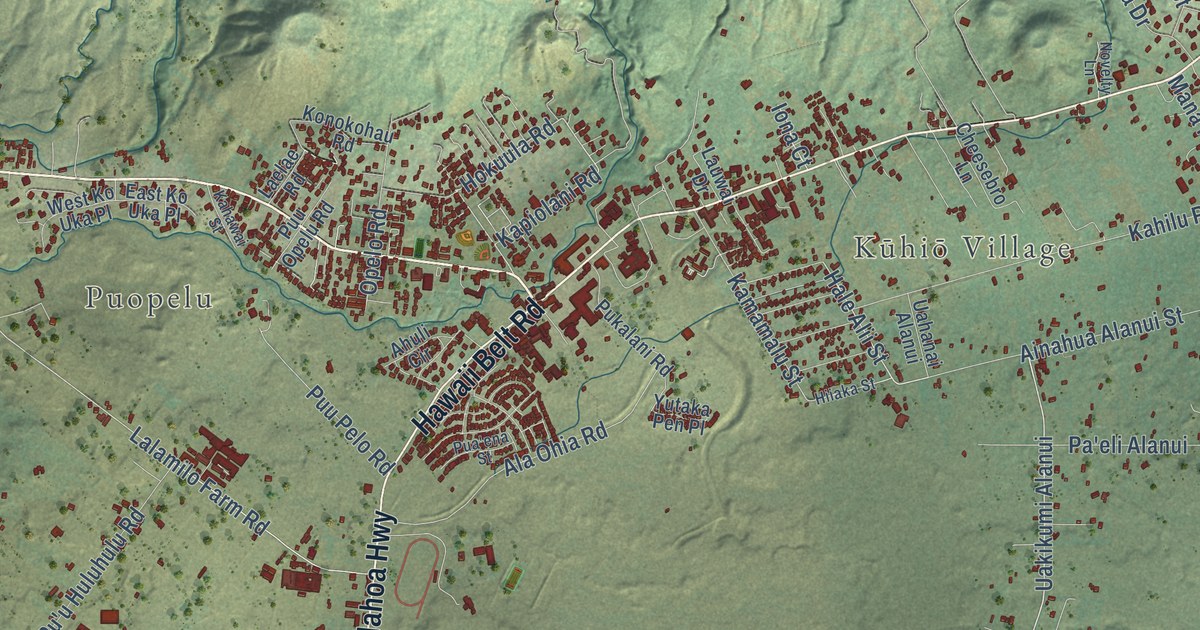
A detailed map of Waimea, Hawaii, showing every building in its true location, the roads by name, and shaded topographical relief.
Read More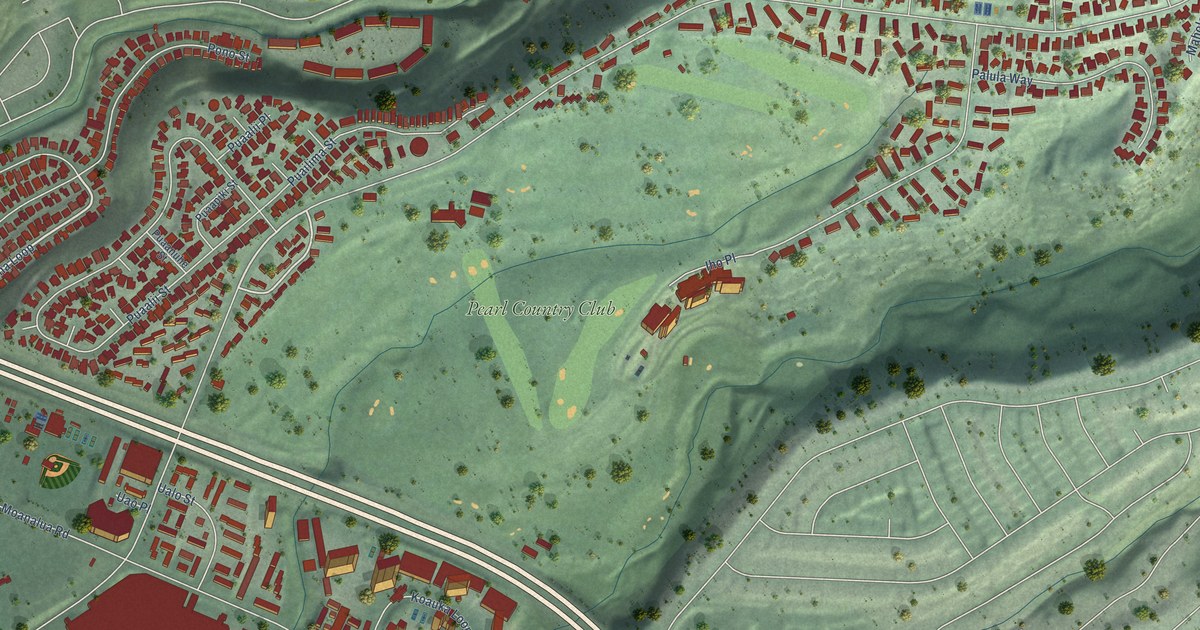
A detailed map of Waimalu, Hawaii, showing every building in its true location, the roads by name, and shaded topographical relief.
Read More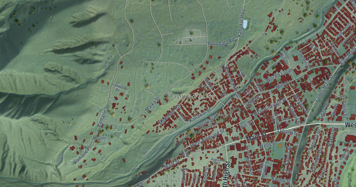
A detailed map of Wailuku, Hawaii, showing every building in its true location, the roads by name, and shaded topographical relief.
Read More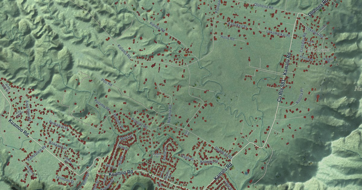
A detailed map of Wailua Homesteads, Hawaii, showing every building in its true location, the roads by name, and shaded topographical relief.
Read More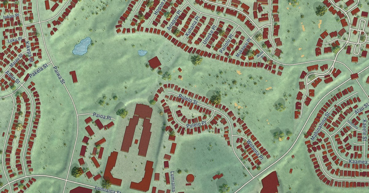
A detailed map of Waikele, Hawaii, showing every building in its true location, the roads by name, and shaded topographical relief.
Read More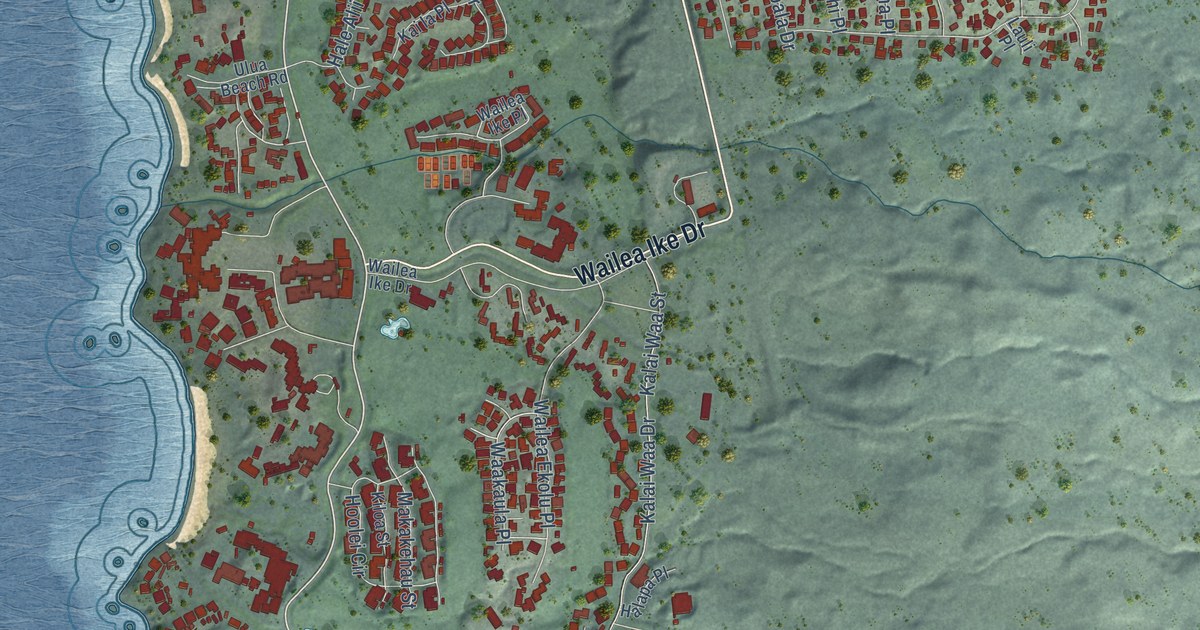
A detailed map of Wailea, Hawaii, showing every building in its true location, the roads by name, and shaded topographical relief.
Read More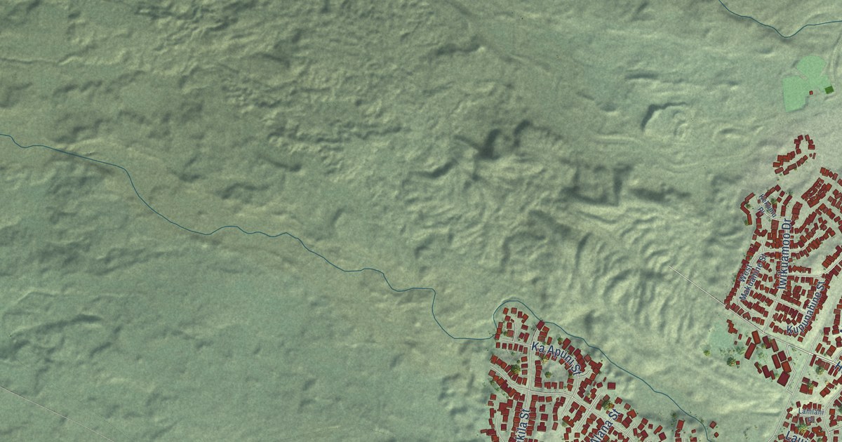
A detailed map of Waikoloa Village, Hawaii, showing every building in its true location, the roads by name, and shaded topographical relief.
Read More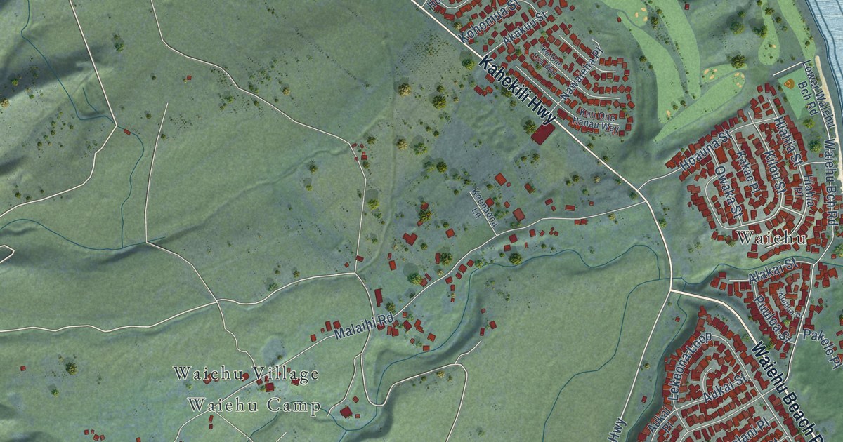
A detailed map of Waihee-Waiehu, Hawaii, showing every building in its true location, the roads by name, and shaded topographical relief.
Read More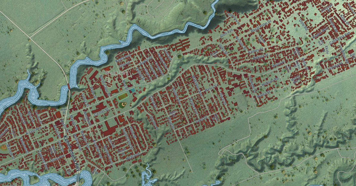
A detailed map of Wahiawa, Hawaii, showing every building in its true location, the roads by name, and shaded topographical relief.
Read More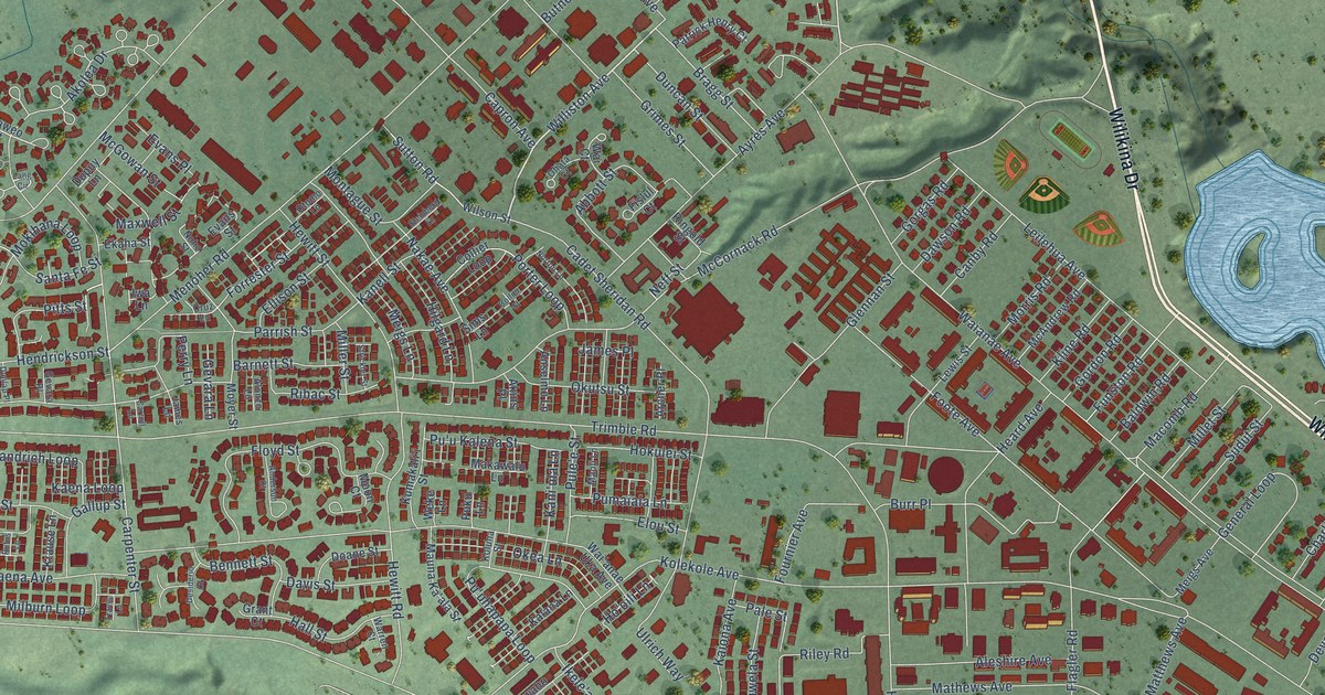
A detailed map of Schofield Barracks, Hawaii, showing every building in its true location, the roads by name, and shaded topographical relief.
Read More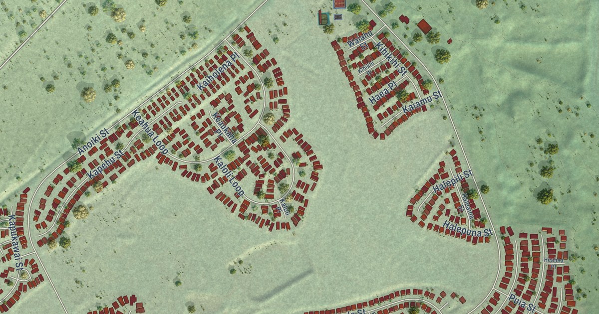
A detailed map of Royal Kunia, Hawaii, showing every building in its true location, the roads by name, and shaded topographical relief.
Read More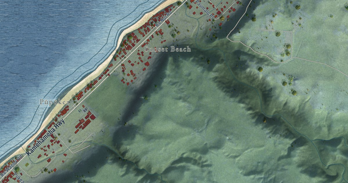
A detailed map of Pupukea, Hawaii, showing every building in its true location, the roads by name, and shaded topographical relief.
Read More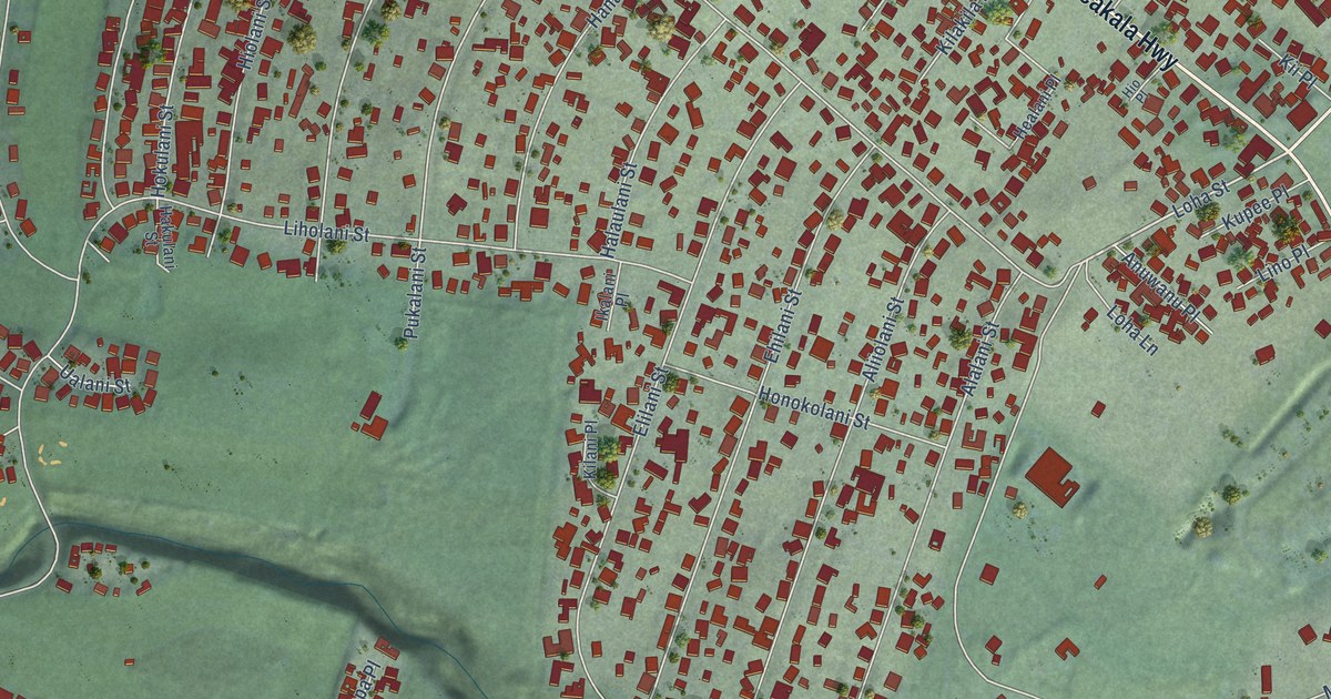
A detailed map of Pukalani, Hawaii, showing every building in its true location, the roads by name, and shaded topographical relief.
Read More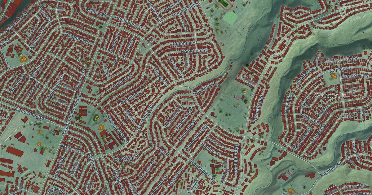
A detailed map of Pearl City, Hawaii, showing every building in its true location, the roads by name, and shaded topographical relief.
Read More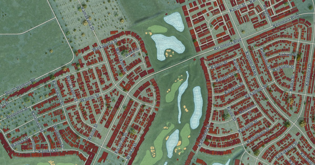
A detailed map of Ocean Pointe, Hawaii, showing every building in its true location, the roads by name, and shaded topographical relief.
Read More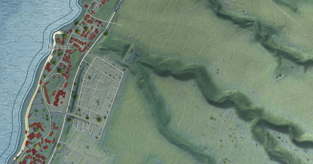
A detailed map of Napili-Honokowai, Hawaii, showing every building in its true location, the roads by name, and shaded topographical relief.
Read More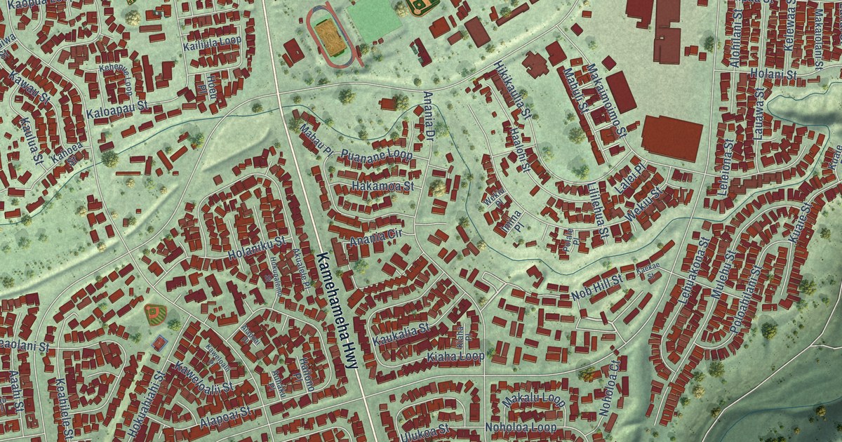
A detailed map of Mililani Town, Hawaii, showing every building in its true location, the roads by name, and shaded topographical relief.
Read More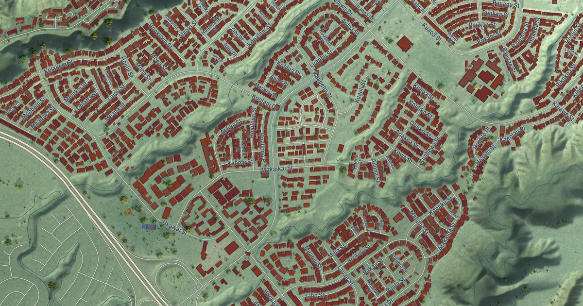
A detailed map of Mililani Mauka, Hawaii, showing every building in its true location, the roads by name, and shaded topographical relief.
Read More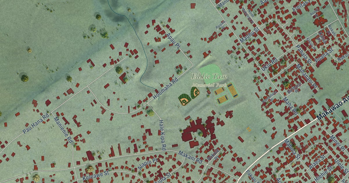
A detailed map of Makawao, Hawaii, showing every building in its true location, the roads by name, and shaded topographical relief.
Read More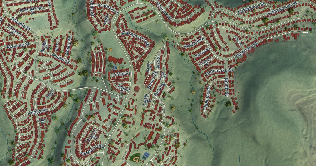
A detailed map of Makakilo, Hawaii, showing every building in its true location, the roads by name, and shaded topographical relief.
Read More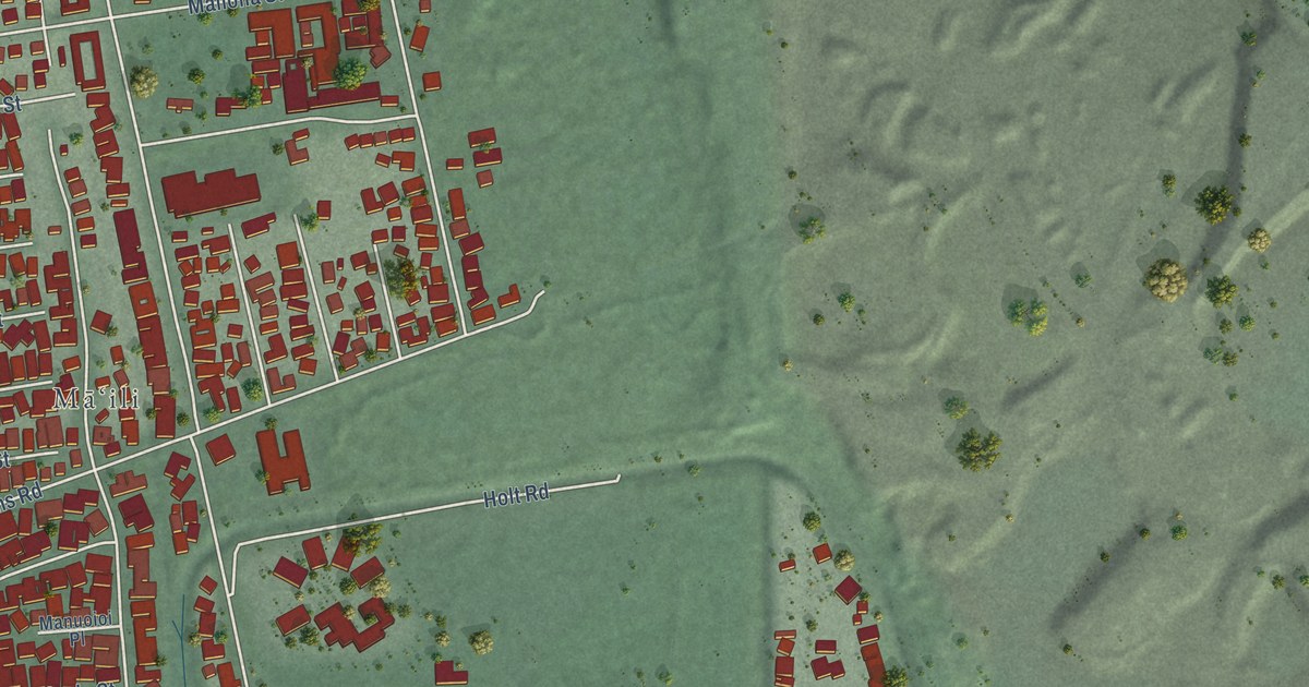
A detailed map of Maili, Hawaii, showing every building in its true location, the roads by name, and shaded topographical relief.
Read More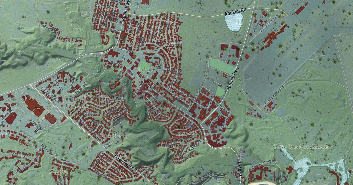
A detailed map of Lihue, Hawaii, showing every building in its true location, the roads by name, and shaded topographical relief.
Read More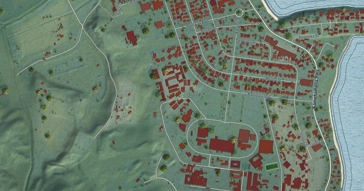
A detailed map of Laie, Hawaii, showing every building in its true location, the roads by name, and shaded topographical relief.
Read More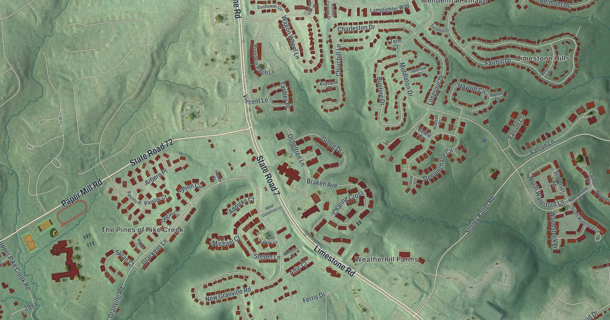
A detailed map of Pike Creek, Delaware, showing every building in its true location, the roads by name, and shaded topographical relief.
Read More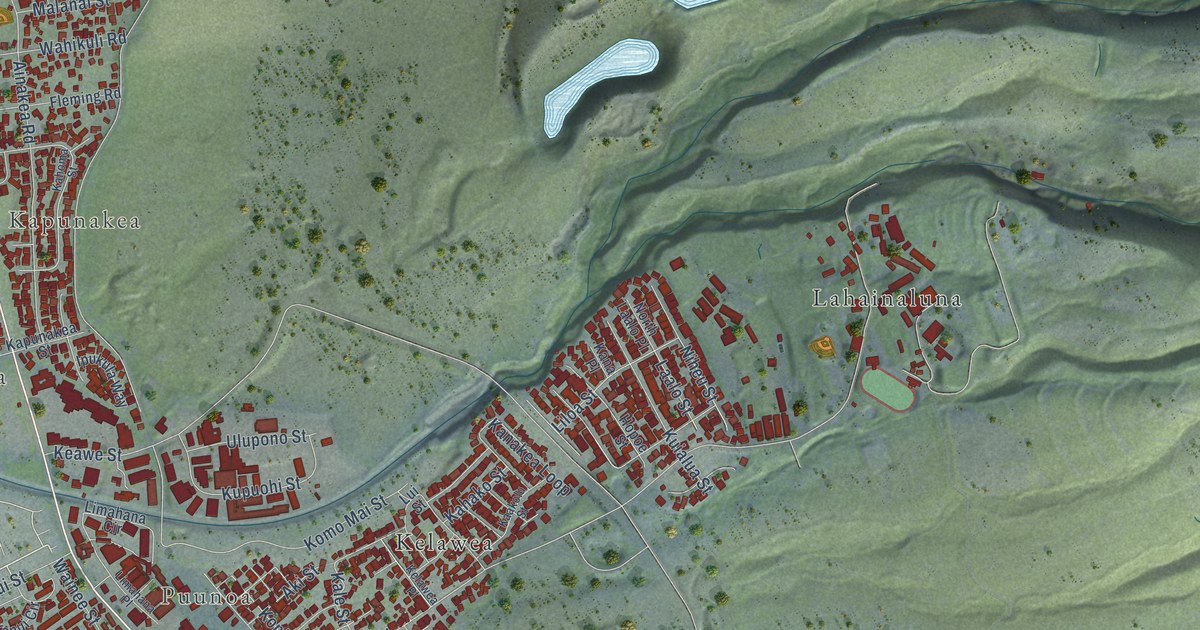
A detailed map of Lahaina, Hawaii, showing every building in its true location, the roads by name, and shaded topographical relief.
Read More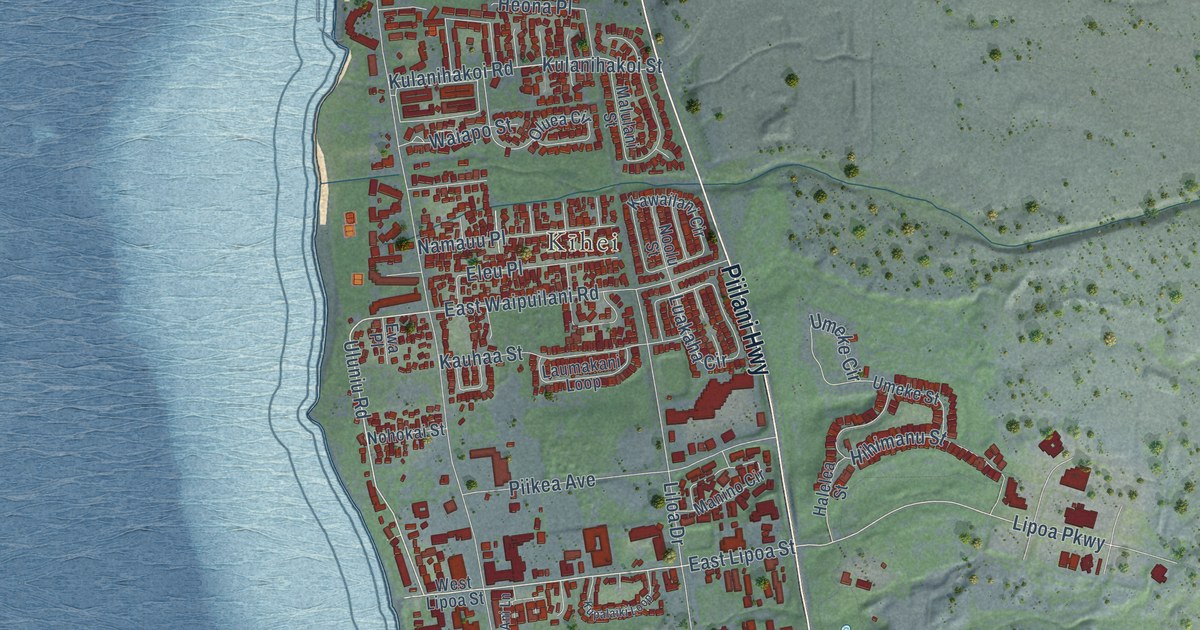
A detailed map of Kihei, Hawaii, showing every building in its true location, the roads by name, and shaded topographical relief.
Read More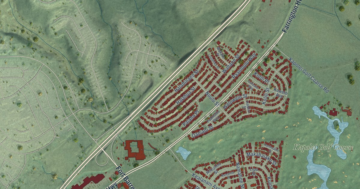
A detailed map of Kapolei, Hawaii, showing every building in its true location, the roads by name, and shaded topographical relief.
Read More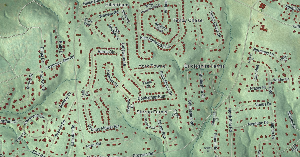
A detailed map of North Star, Delaware, showing every building in its true location, the roads by name, and shaded topographical relief.
Read More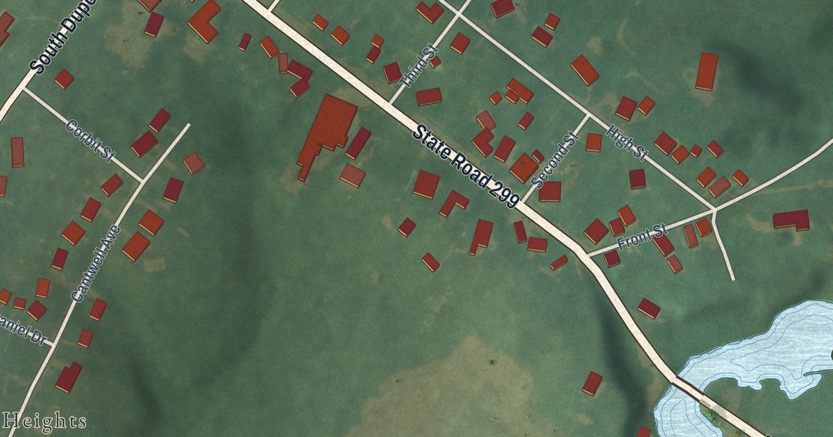
A detailed map of Odessa, Delaware, showing every building in its true location, the roads by name, and shaded topographical relief.
Read More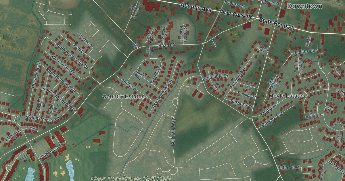
A detailed map of Ocean View, Delaware, showing every building in its true location, the roads by name, and shaded topographical relief.
Read More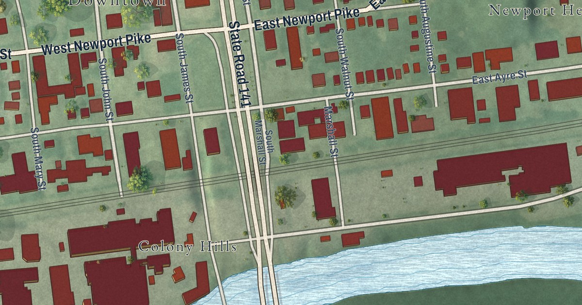
A detailed map of Newport, Delaware, showing every building in its true location, the roads by name, and shaded topographical relief.
Read More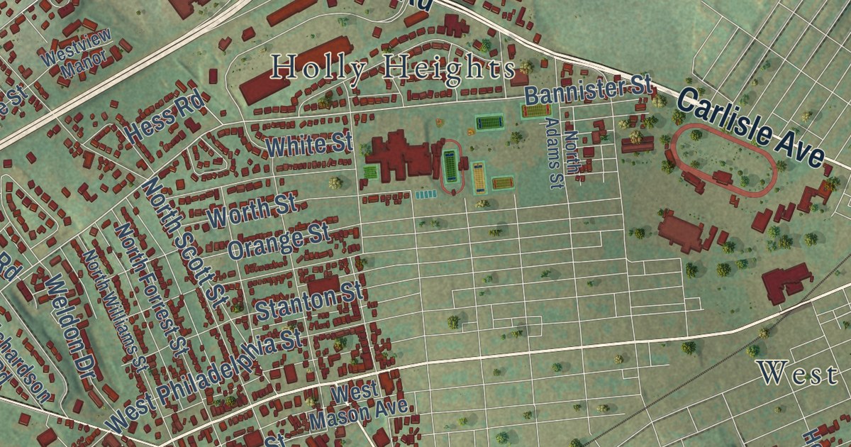
A new aerial-style map of West Manchester Township in York County, made in 2026. Find Carlisle Road, Shiloh, Taxville and Indian Rock Dam, and read how the York Inter-State Fair on West Market Street came to be called America’s oldest agricultural fair.
Read More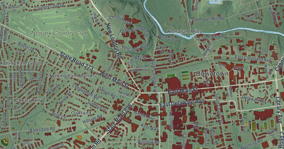
A detailed map of Newark, Delaware, showing every building in its true location, the roads by name, and shaded topographical relief.
Read More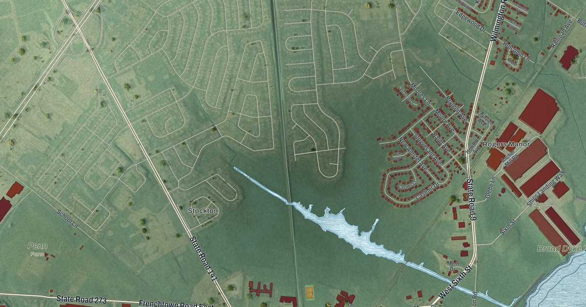
A detailed map of New Castle, Delaware, showing every building in its true location, the roads by name, and shaded topographical relief.
Read More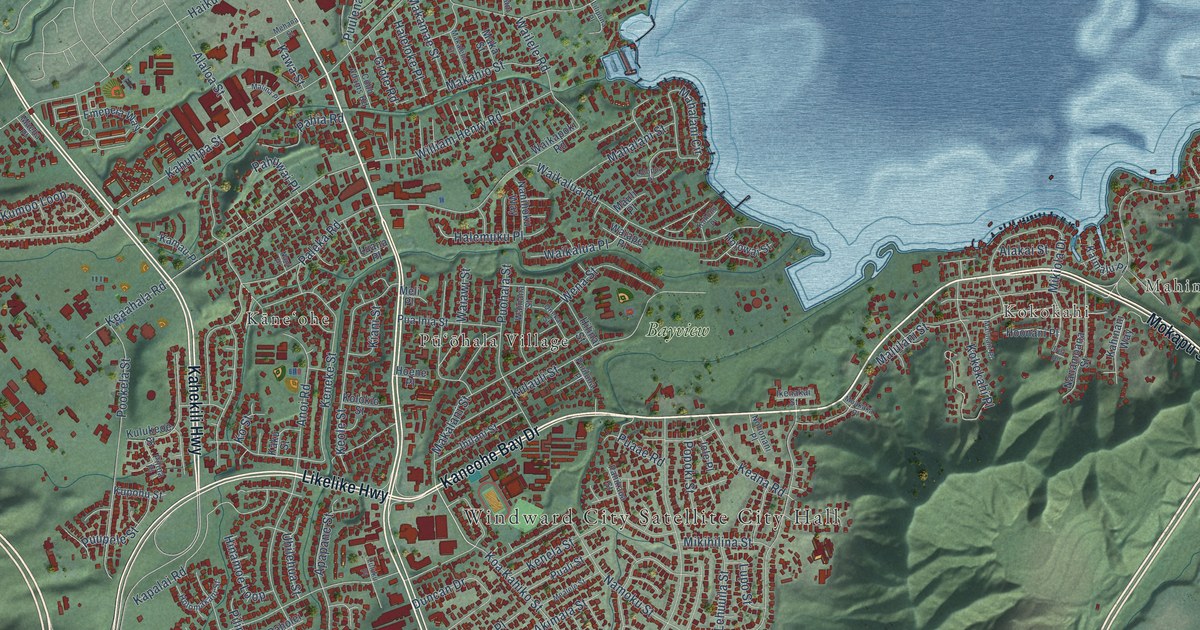
A detailed map of Kaneohe, Hawaii, showing every building in its true location, the roads by name, and shaded topographical relief.
Read More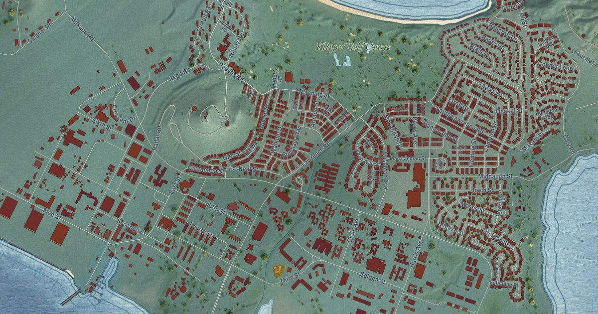
A detailed map of Kaneohe Base, Hawaii, showing every building in its true location, the roads by name, and shaded topographical relief.
Read More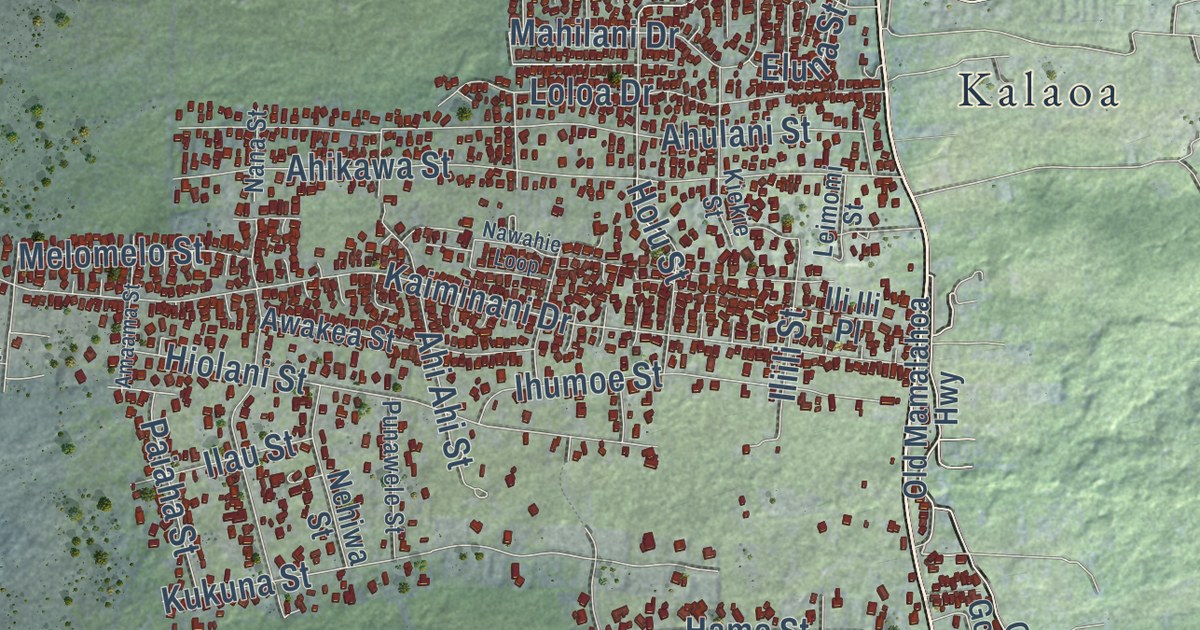
A detailed map of Kaiminani, Hawaii, showing every building in its true location, the roads by name, and shaded topographical relief.
Read More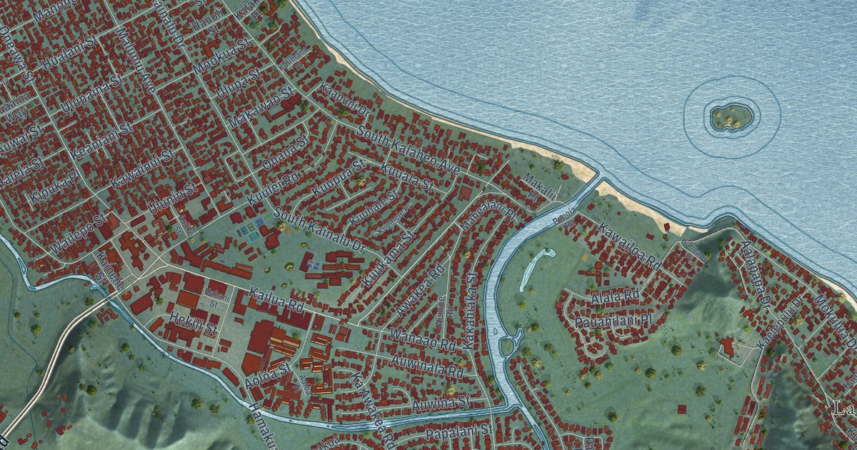
A detailed map of Kailua, Honolulu County, Hawaii, showing every building in its true location, the roads by name, and shaded topographical relief.
Read More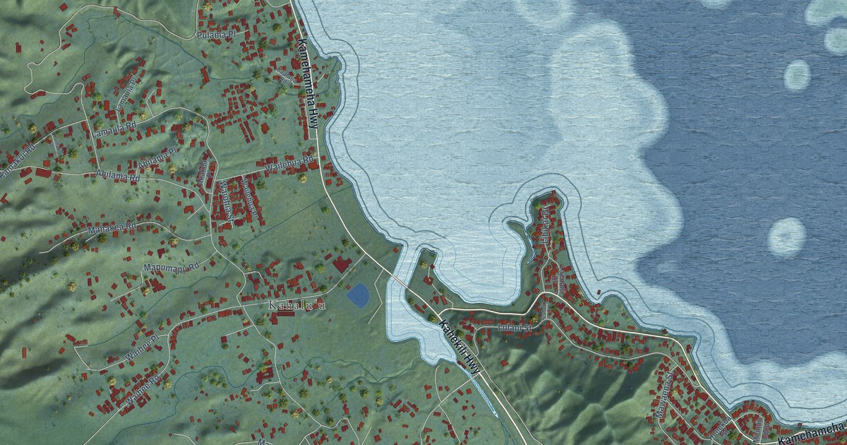
A detailed map of Kahaluu, Hawaii, showing every building in its true location, the roads by name, and shaded topographical relief.
Read More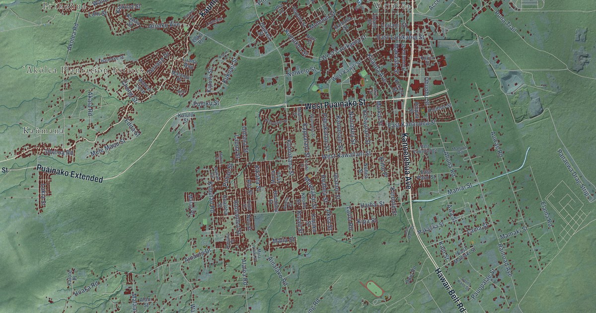
A detailed map of Hilo, Hawaii, showing every building in its true location, the roads by name, and shaded topographical relief.
Read More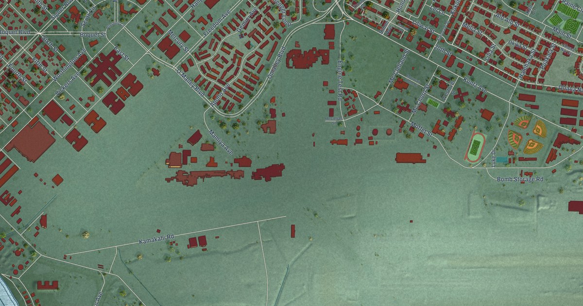
A detailed map of Hickam Housing, Hawaii, showing every building in its true location, the roads by name, and shaded topographical relief.
Read More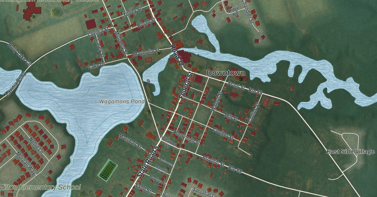
A detailed map of Milton, Delaware, showing every building in its true location, the roads by name, and shaded topographical relief.
Read More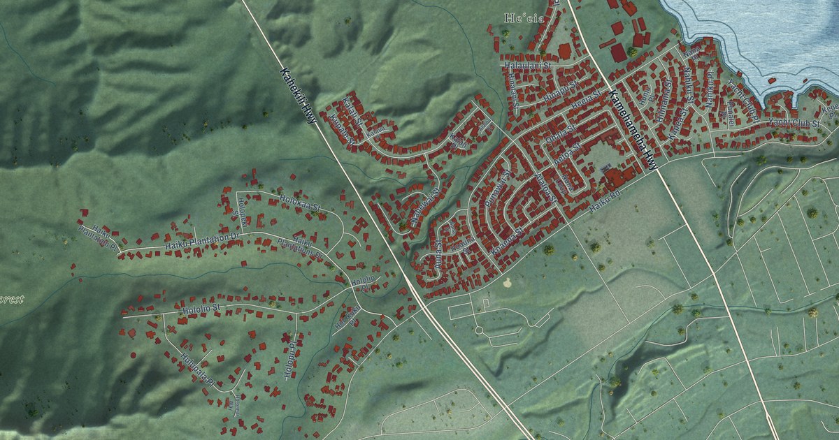
A detailed map of Heeia, Hawaii, showing every building in its true location, the roads by name, and shaded topographical relief.
Read More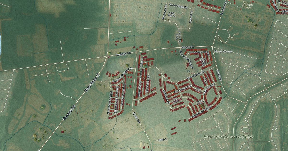
A detailed map of Millville, Delaware, showing every building in its true location, the roads by name, and shaded topographical relief.
Read More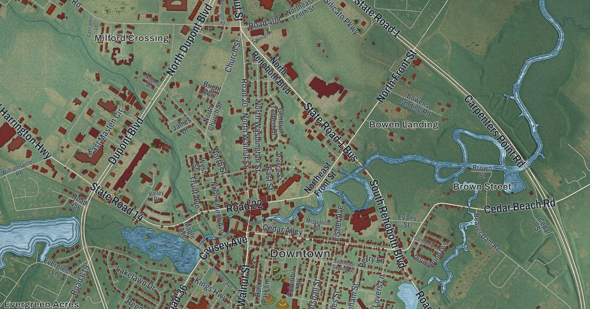
A detailed map of Milford, Delaware, showing every building in its true location, the roads by name, and shaded topographical relief.
Read More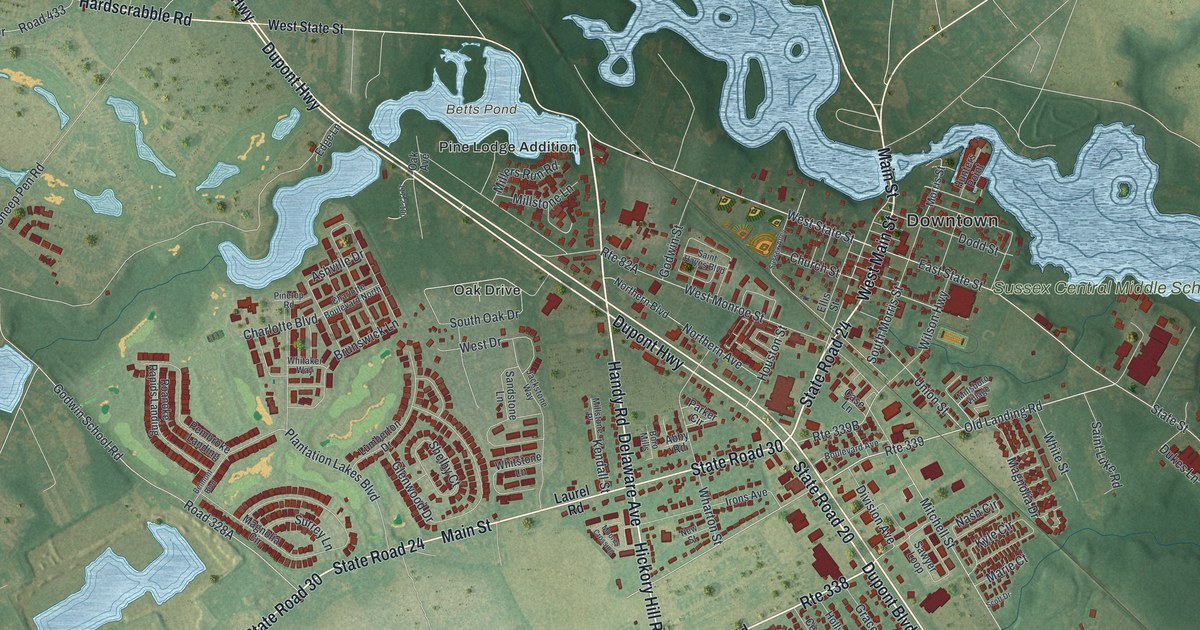
A detailed map of Millsboro, Delaware, showing every building in its true location, the roads by name, and shaded topographical relief.
Read More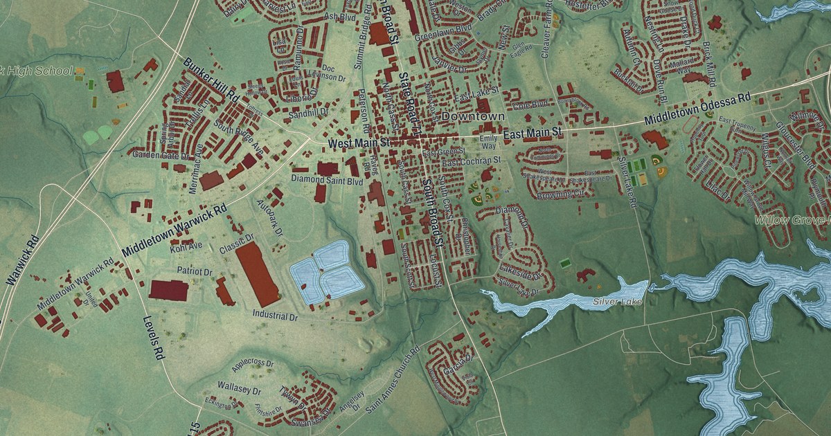
A detailed map of Middletown, Delaware, showing every building in its true location, the roads by name, and shaded topographical relief.
Read More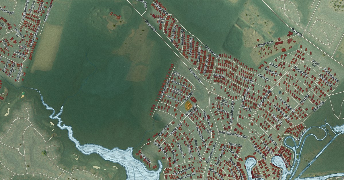
A detailed map of Long Neck, Delaware, showing every building in its true location, the roads by name, and shaded topographical relief.
Read More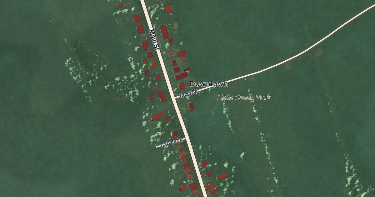
A detailed map of Little Creek, Delaware, showing every building in its true location, the roads by name, and shaded topographical relief.
Read More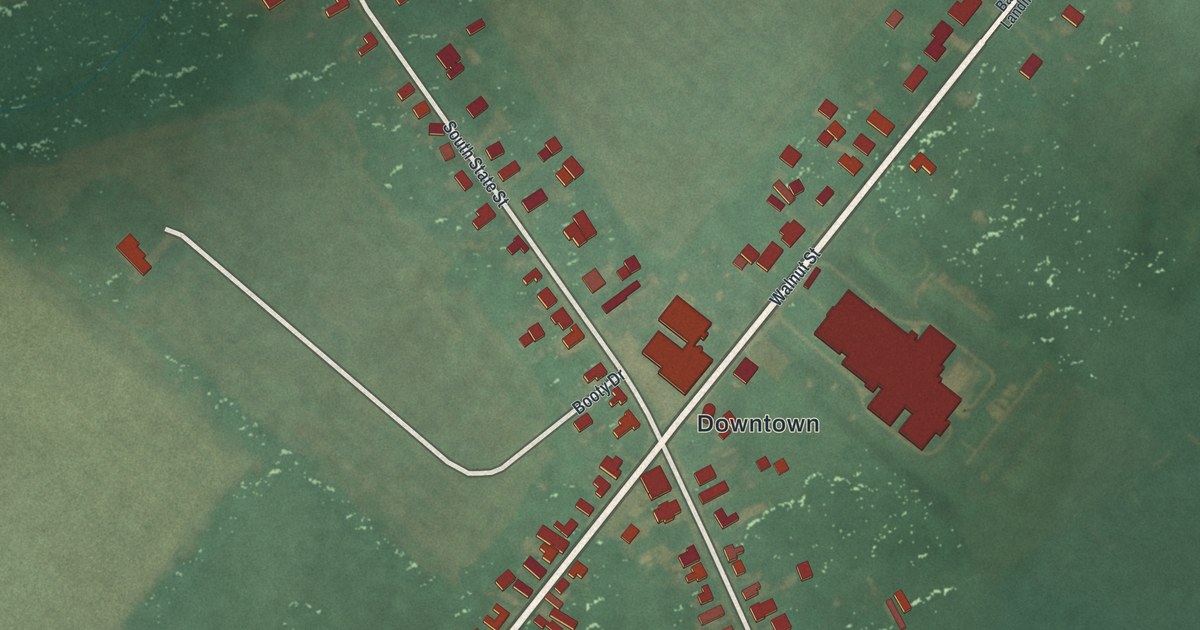
A detailed map of Magnolia, Delaware, showing every building in its true location, the roads by name, and shaded topographical relief.
Read More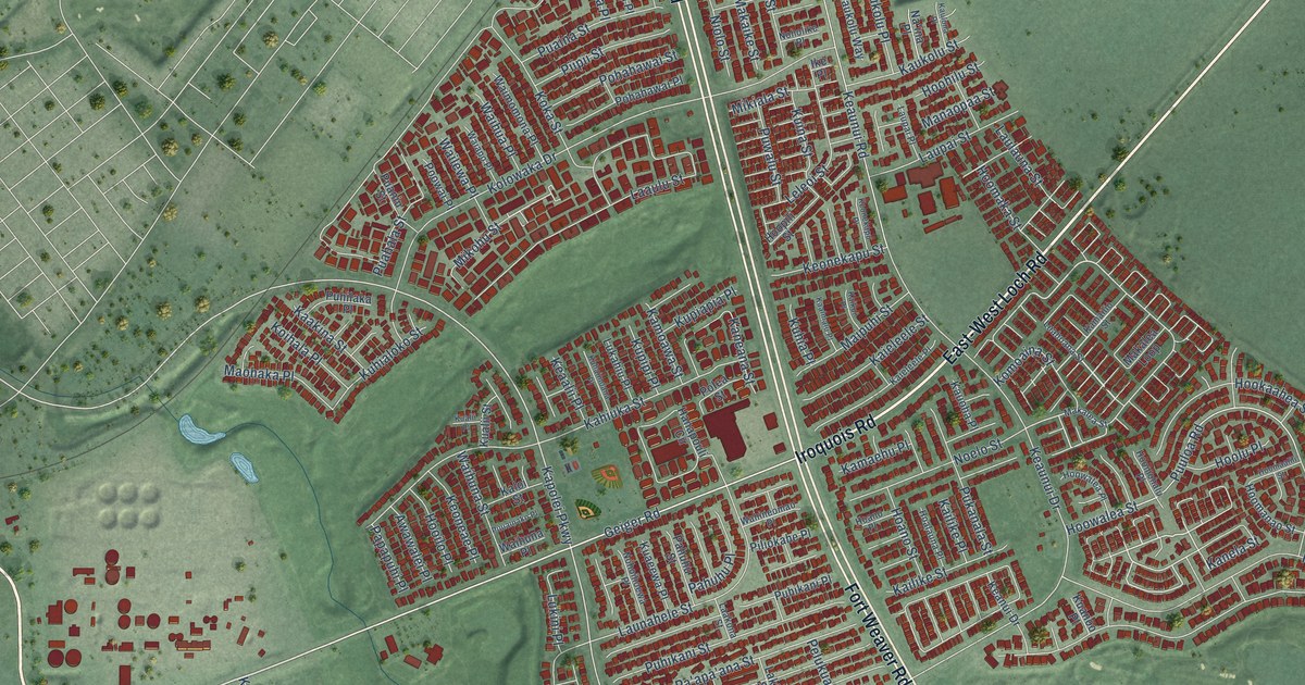
A detailed map of Ewa Gentry, Hawaii, showing every building in its true location, the roads by name, and shaded topographical relief.
Read More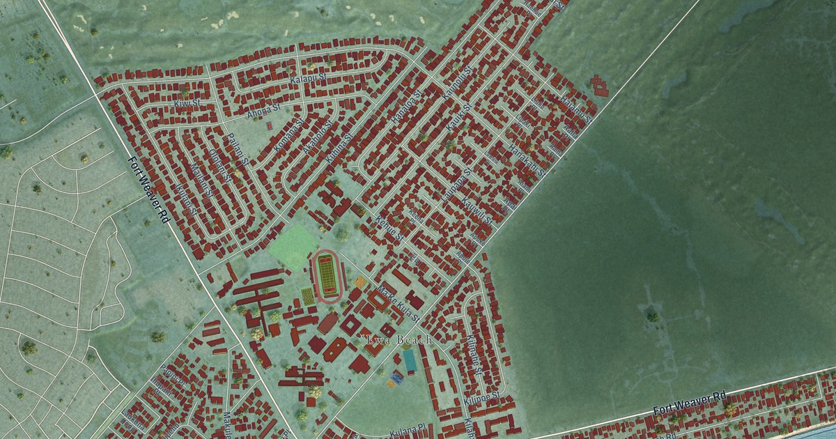
A detailed map of Ewa Beach, Hawaii, showing every building in its true location, the roads by name, and shaded topographical relief.
Read More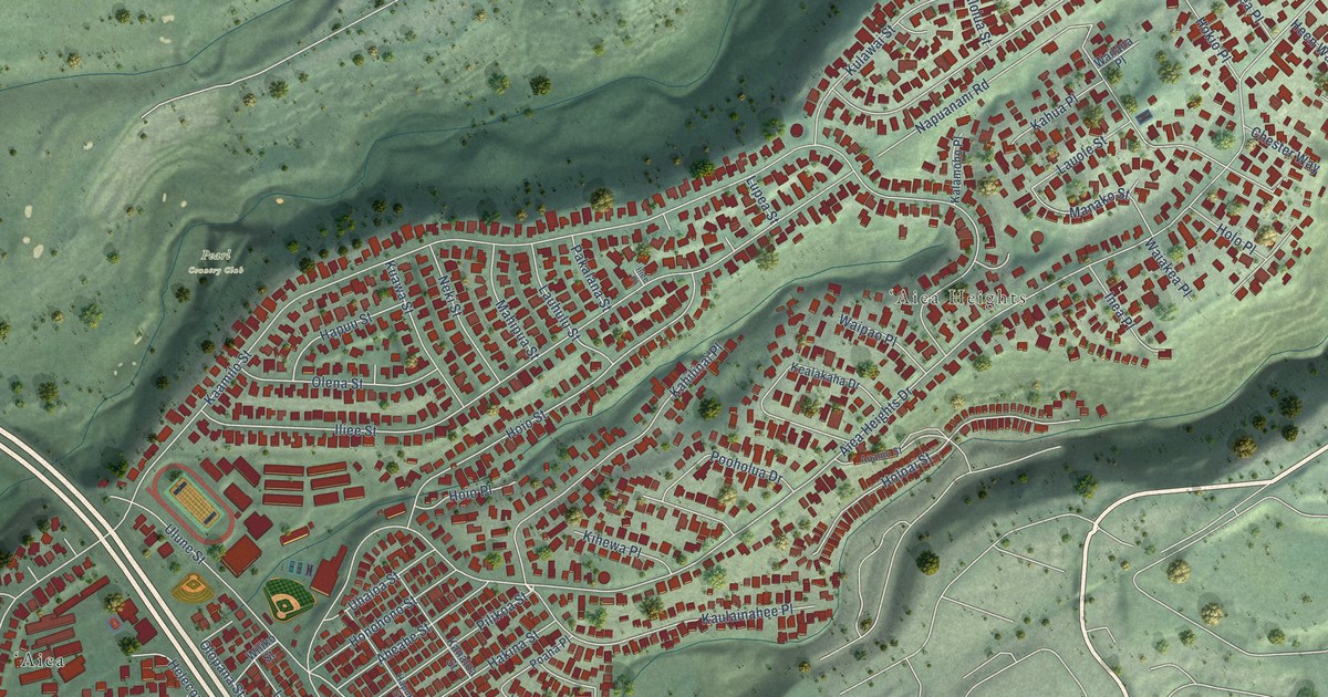
A detailed map of Aiea, Hawaii, showing every building in its true location, the roads by name, and shaded topographical relief.
Read More
A detailed map of Hawaiian Paradise Park, Hawaii, showing every building in its true location, the roads by name, and shaded topographical relief.
Read More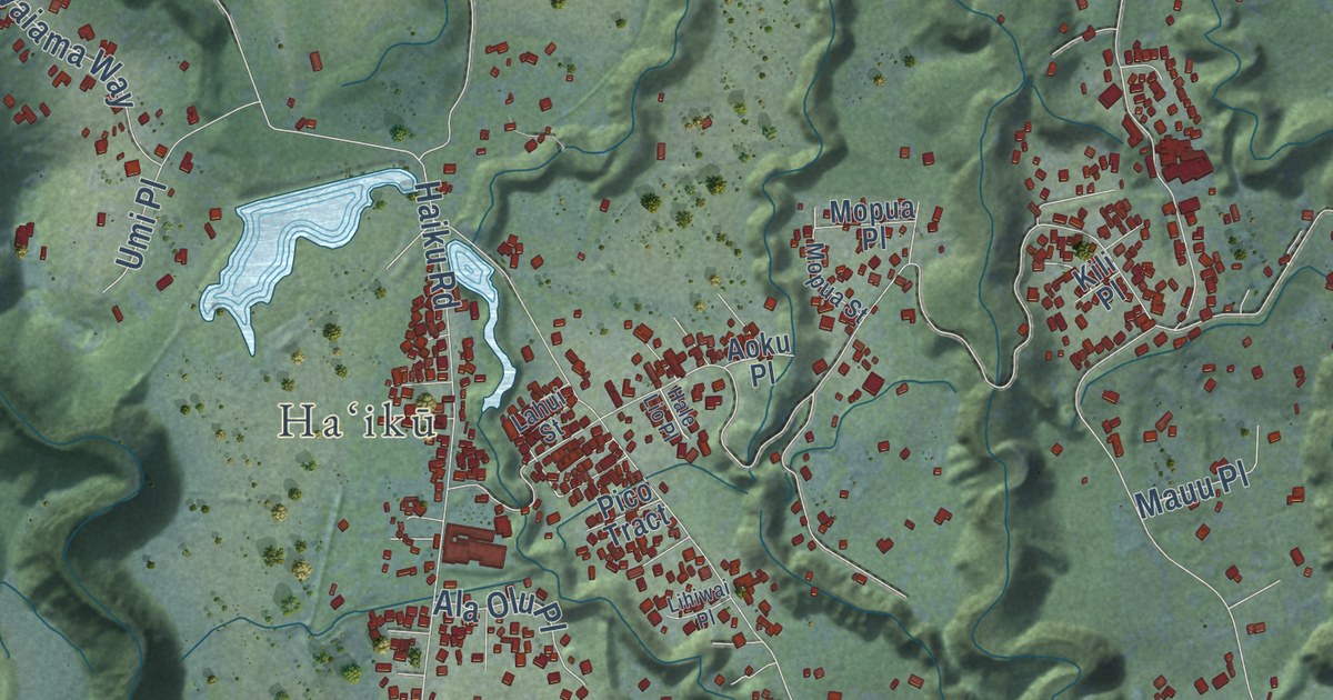
A detailed map of Haiku-Pauwela, Hawaii, showing every building in its true location, the roads by name, and shaded topographical relief.
Read More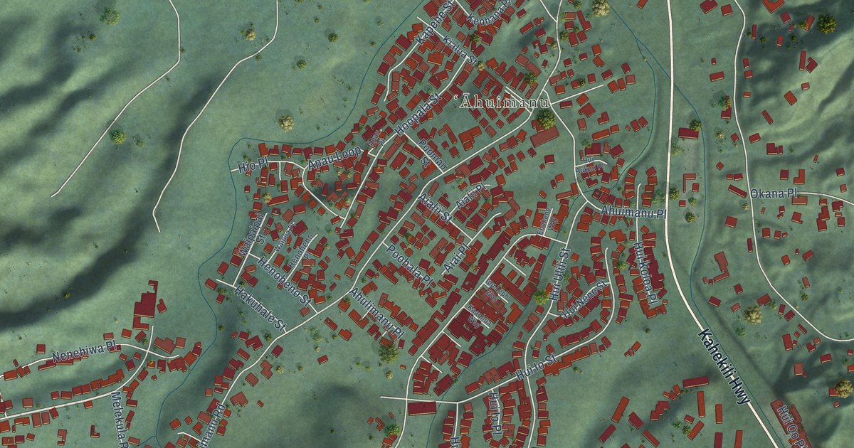
A detailed map of Ahuimanu, Hawaii, showing every building in its true location, the roads by name, and shaded topographical relief.
Read More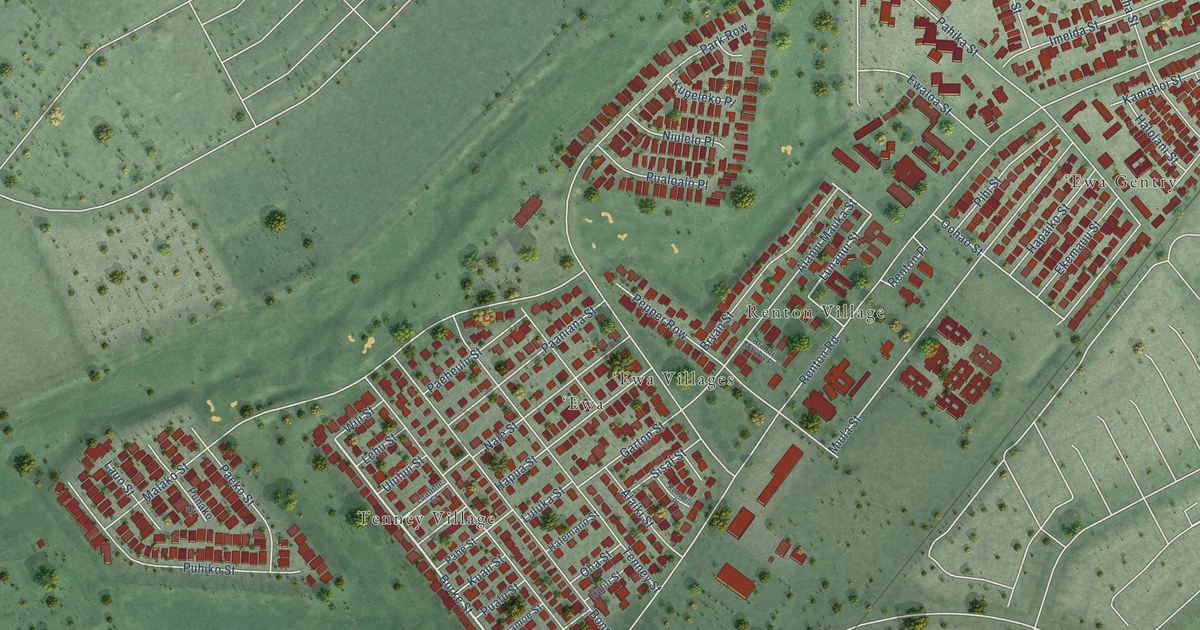
A detailed map of Ewa Villages, Hawaii, showing every building in its true location, the roads by name, and shaded topographical relief.
Read More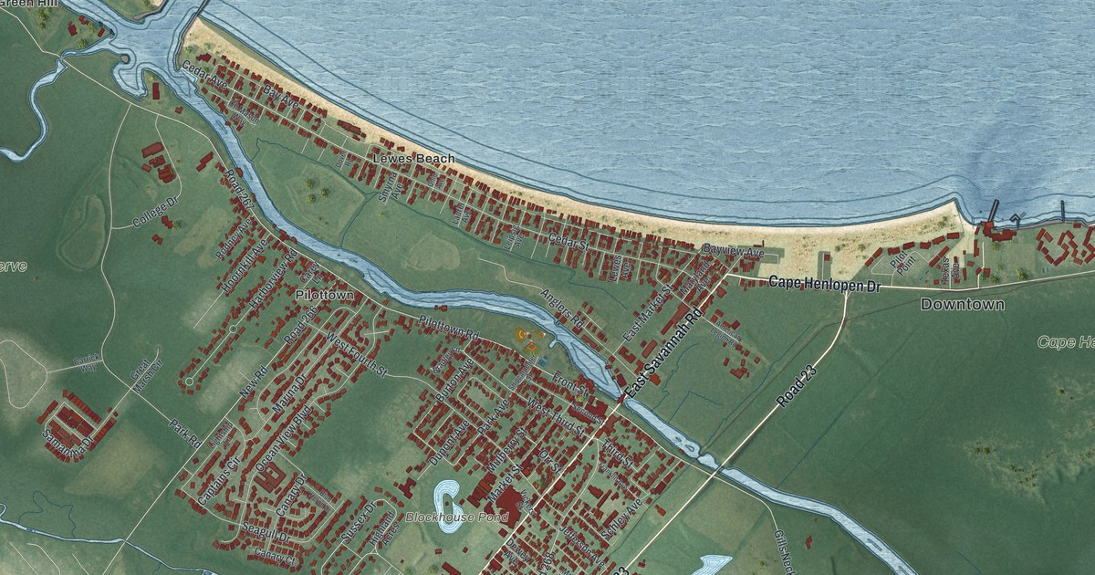
A detailed map of Lewes, Delaware, showing every building in its true location, the roads by name, and shaded topographical relief.
Read More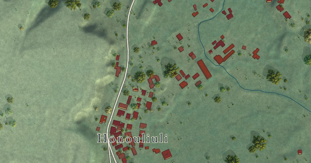
A detailed map of East Kapolei, Hawaii, showing every building in its true location, the roads by name, and shaded topographical relief.
Read More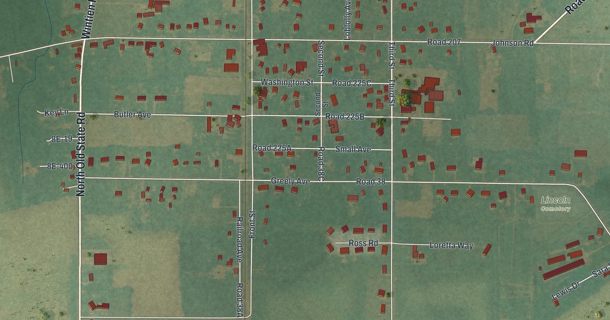
A detailed map of Lincoln, Delaware, showing every building in its true location, the roads by name, and shaded topographical relief.
Read More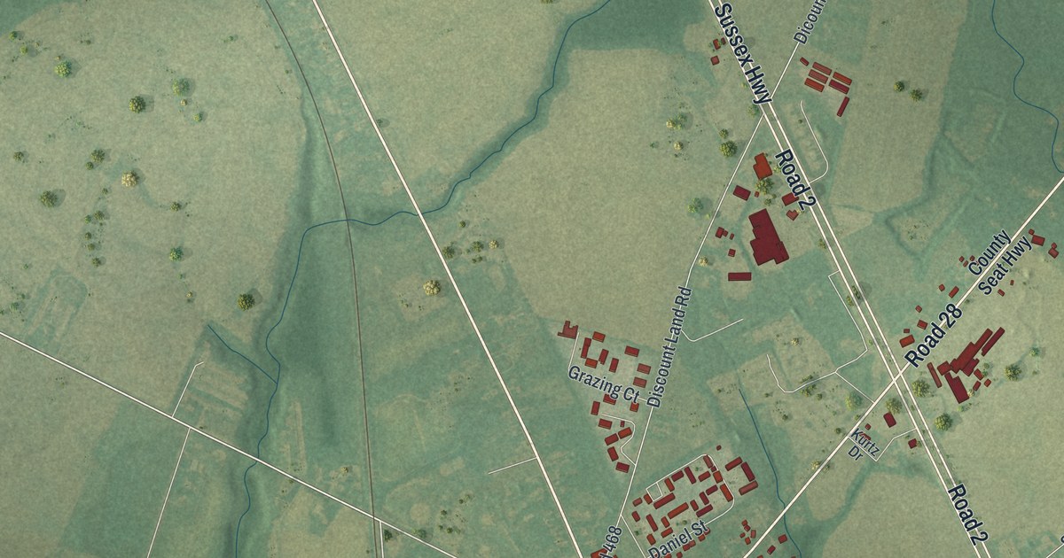
A detailed map of Laurel, Delaware, showing every building in its true location, the roads by name, and shaded topographical relief.
Read More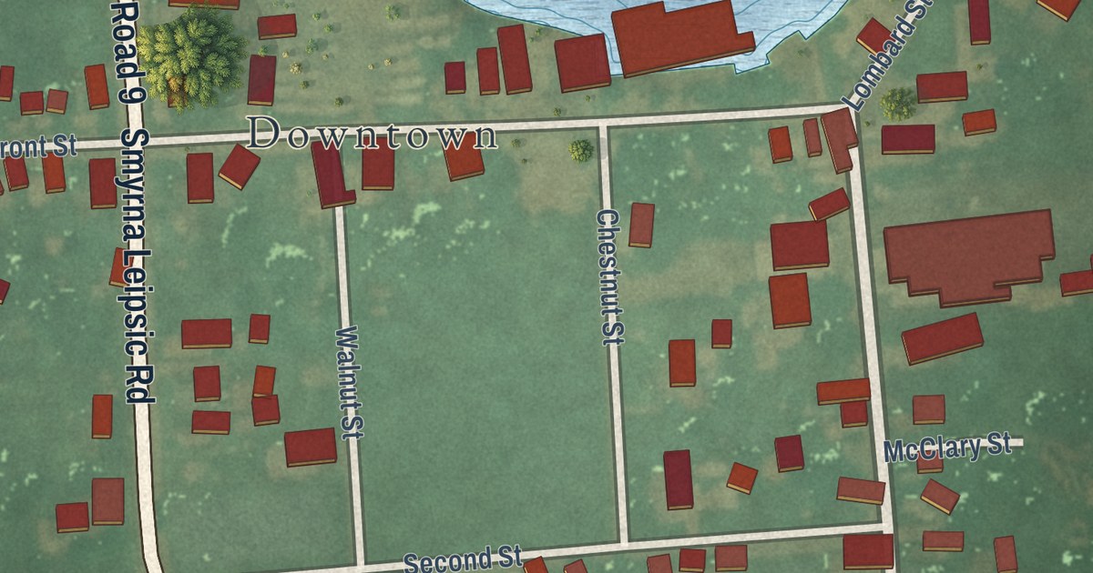
A detailed map of Leipsic, Delaware, showing every building in its true location, the roads by name, and shaded topographical relief.
Read More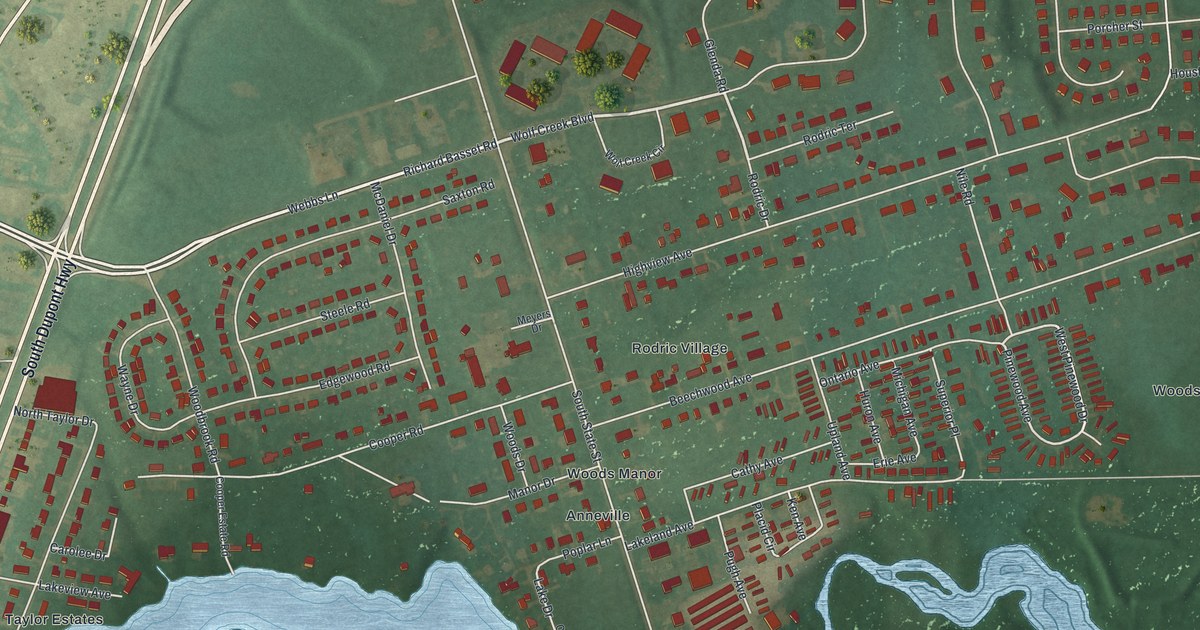
A detailed map of Kent Acres, Delaware, showing every building in its true location, the roads by name, and shaded topographical relief.
Read More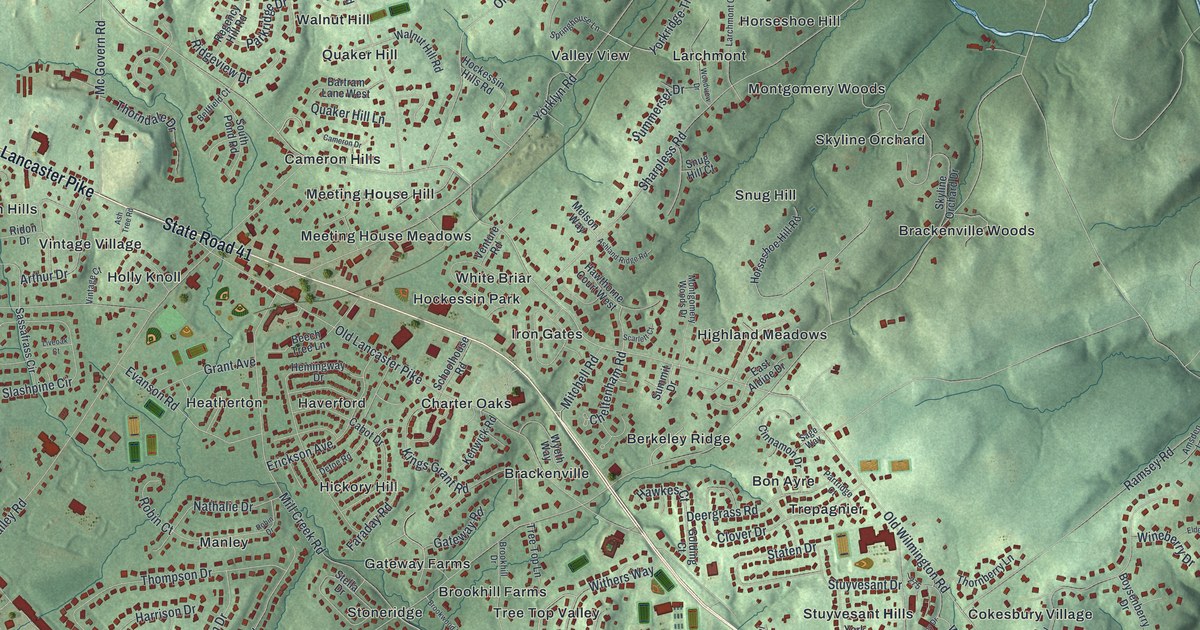
A detailed map of Hockessin, Delaware, showing every building in its true location, the roads by name, and shaded topographical relief.
Read More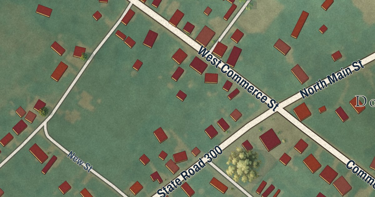
A detailed map of Kenton, Delaware, showing every building in its true location, the roads by name, and shaded topographical relief.
Read More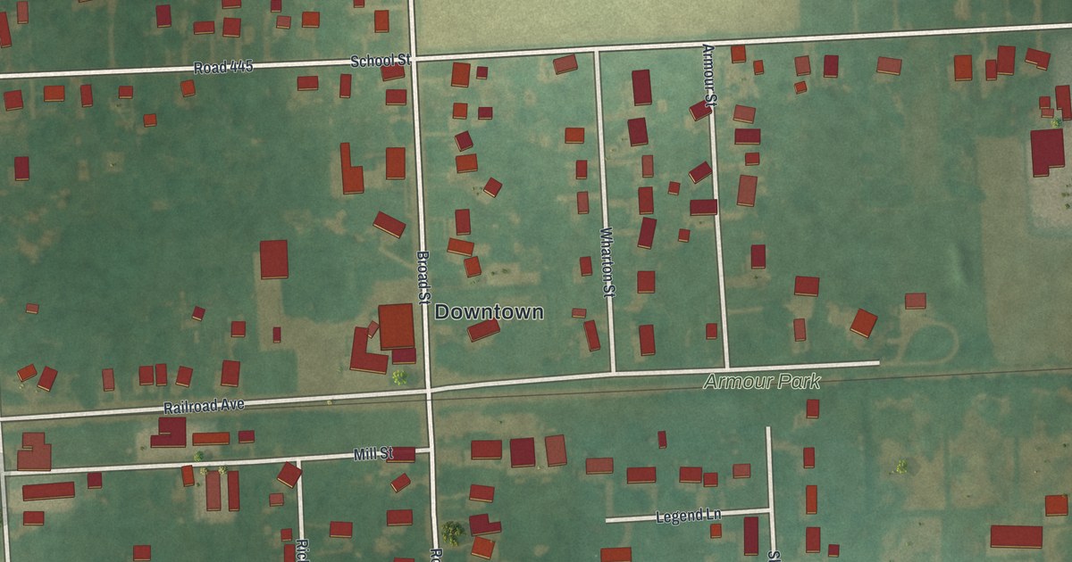
A detailed map of Houston, Delaware, showing every building in its true location, the roads by name, and shaded topographical relief.
Read More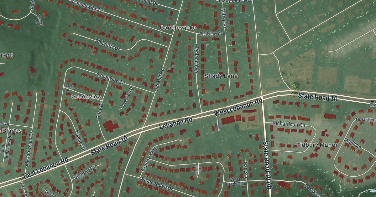
A detailed map of Highland Acres, Delaware, showing every building in its true location, the roads by name, and shaded topographical relief.
Read More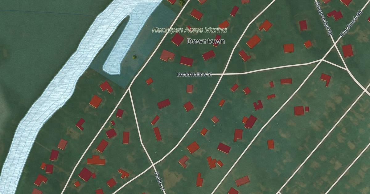
A detailed map of Henlopen Acres, Delaware, showing every building in its true location, the roads by name, and shaded topographical relief.
Read More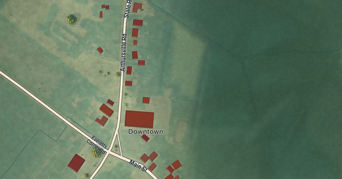
A detailed map of Hartly, Delaware, showing every building in its true location, the roads by name, and shaded topographical relief.
Read More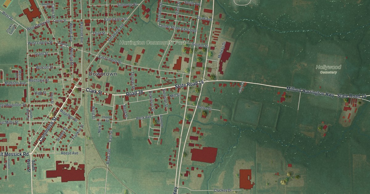
A detailed map of Harrington, Delaware, showing every building in its true location, the roads by name, and shaded topographical relief.
Read More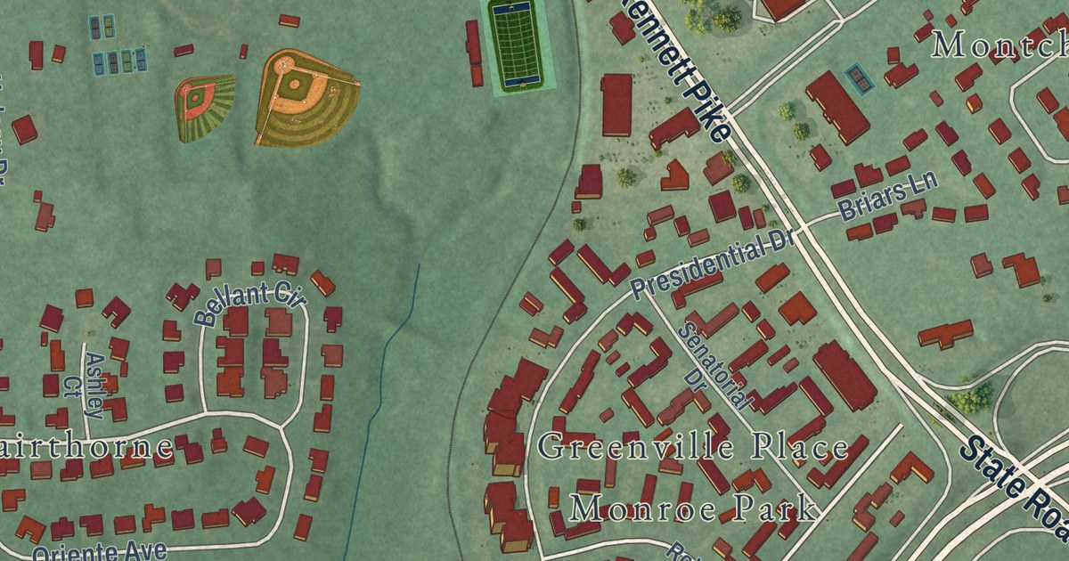
A detailed map of Greenville, Delaware, showing every building in its true location, the roads by name, and shaded topographical relief.
Read More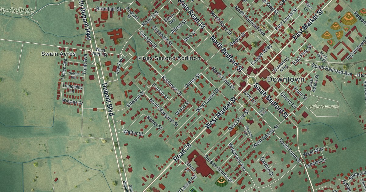
A detailed map of Georgetown, Delaware, showing every building in its true location, the roads by name, and shaded topographical relief.
Read More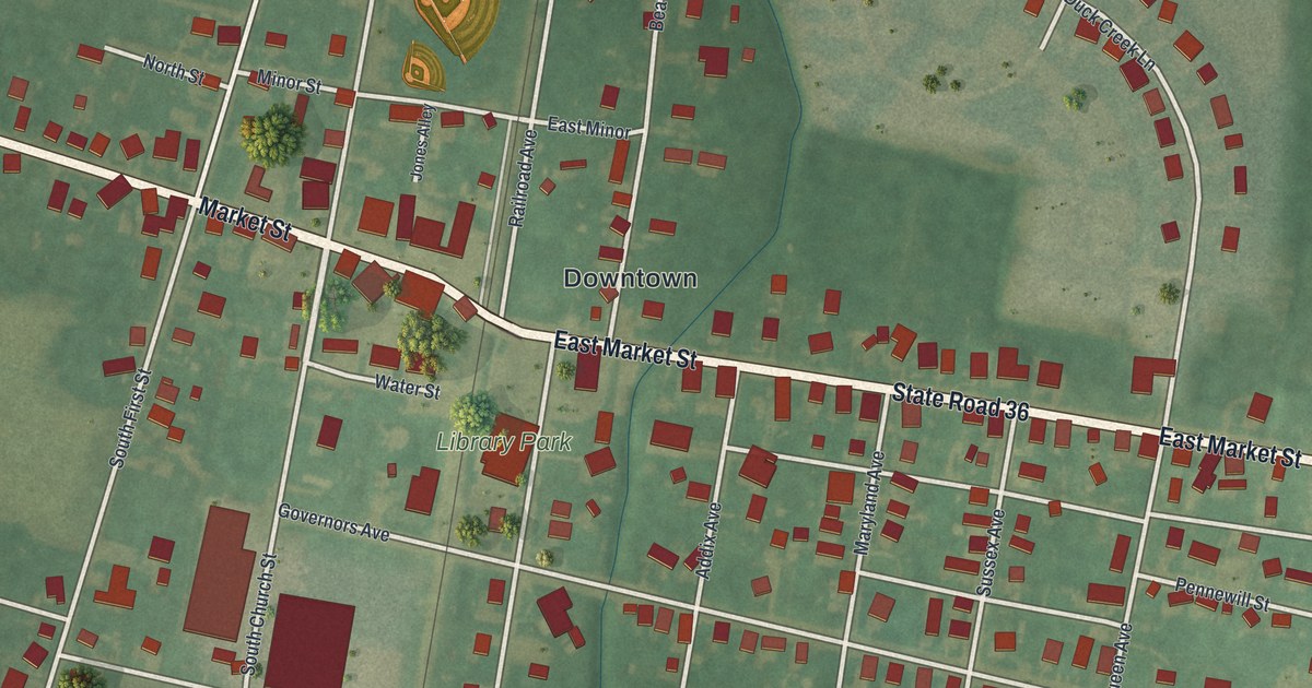
A detailed map of Greenwood, Delaware, showing every building in its true location, the roads by name, and shaded topographical relief.
Read More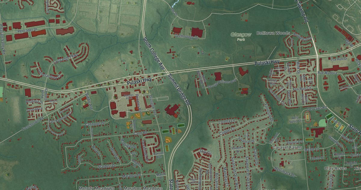
A detailed map of Glasgow, Delaware, showing every building in its true location, the roads by name, and shaded topographical relief.
Read More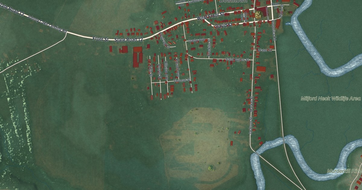
A detailed map of Frederica, Delaware, showing every building in its true location, the roads by name, and shaded topographical relief.
Read More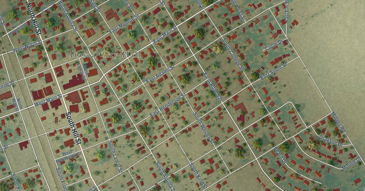
A detailed map of Itasca, Texas, showing every building in its true location, the roads by name, and shaded topographical relief.
Read More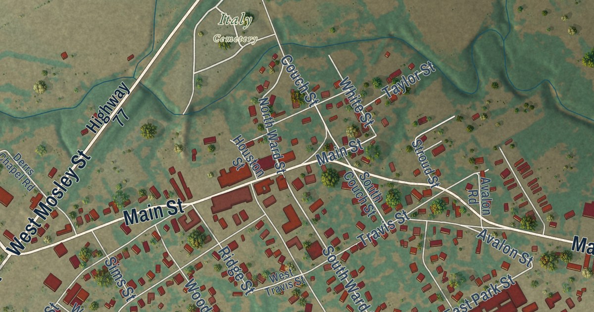
A detailed map of Italy, Texas, showing every building in its true location, the roads by name, and shaded topographical relief.
Read More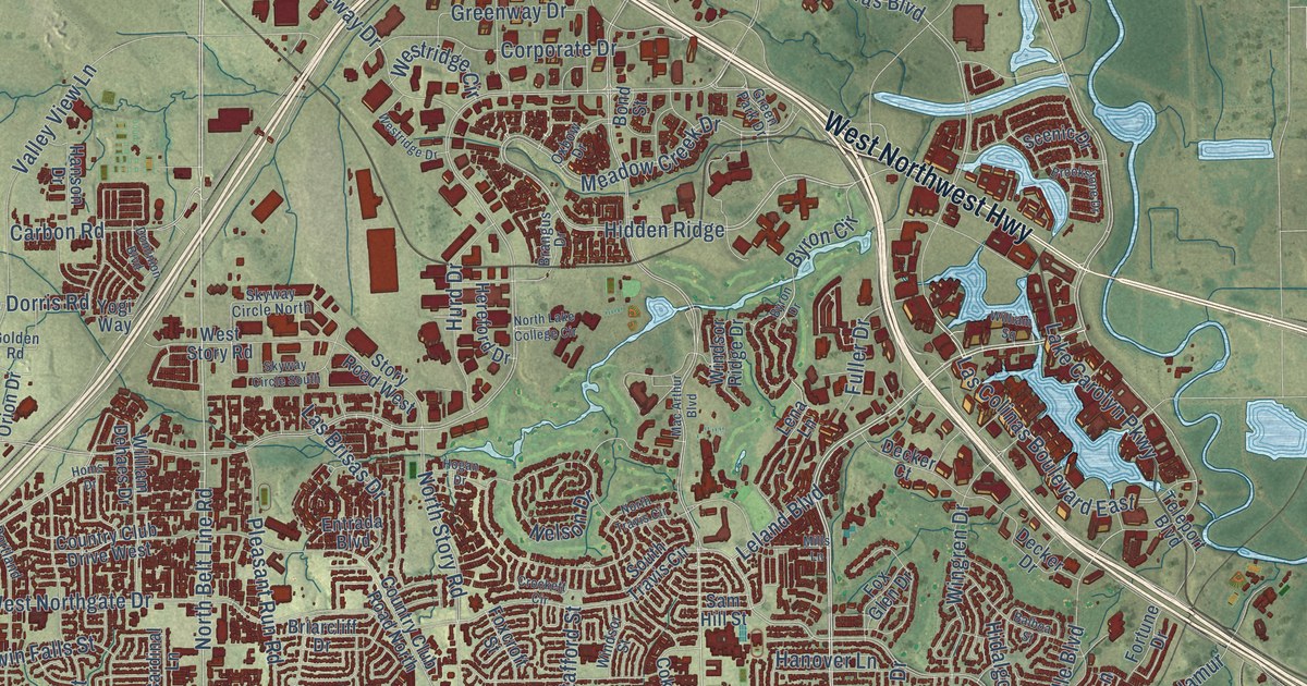
A detailed map of Irving, Texas, showing every building in its true location, the roads by name, and shaded topographical relief.
Read More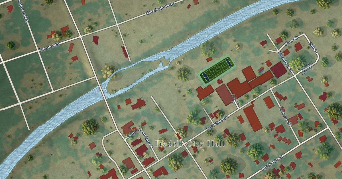
A detailed map of Iredell, Texas, showing every building in its true location, the roads by name, and shaded topographical relief.
Read More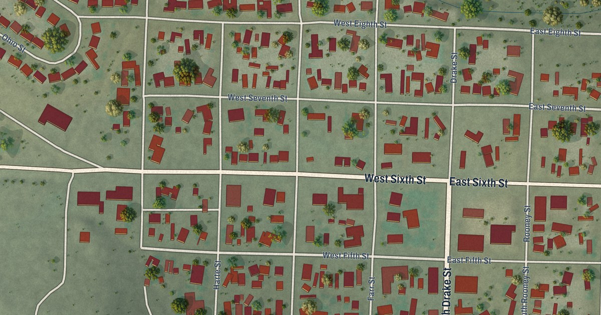
A detailed map of Iraan, Texas, showing every building in its true location, the roads by name, and shaded topographical relief.
Read More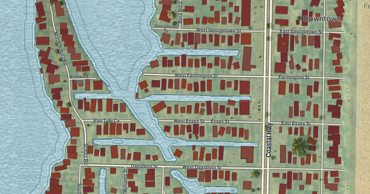
A detailed map of Fenwick Island, Delaware, showing every building in its true location, the roads by name, and shaded topographical relief.
Read More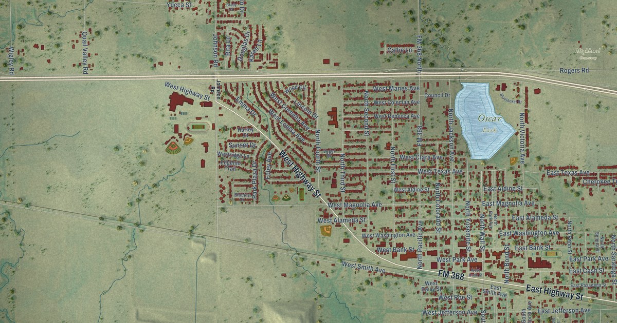
A detailed map of Iowa Park, Texas, showing every building in its true location, the roads by name, and shaded topographical relief.
Read More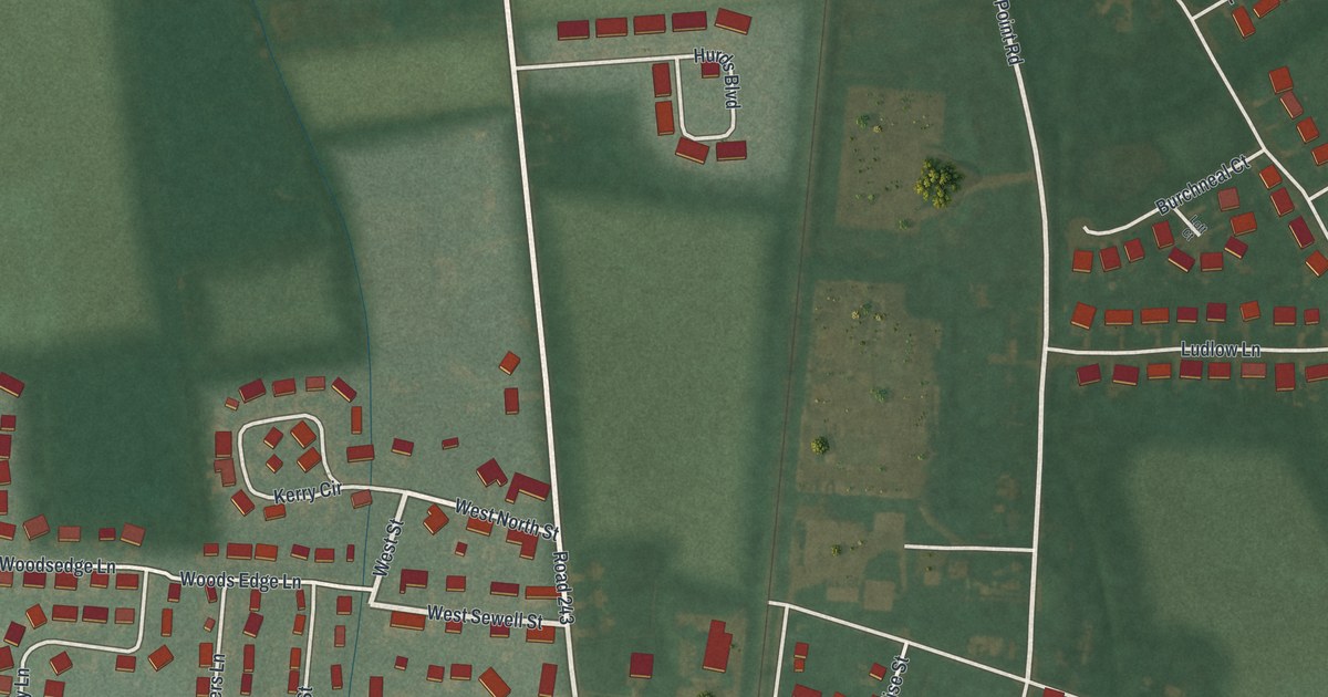
A detailed map of Felton, Delaware, showing every building in its true location, the roads by name, and shaded topographical relief.
Read More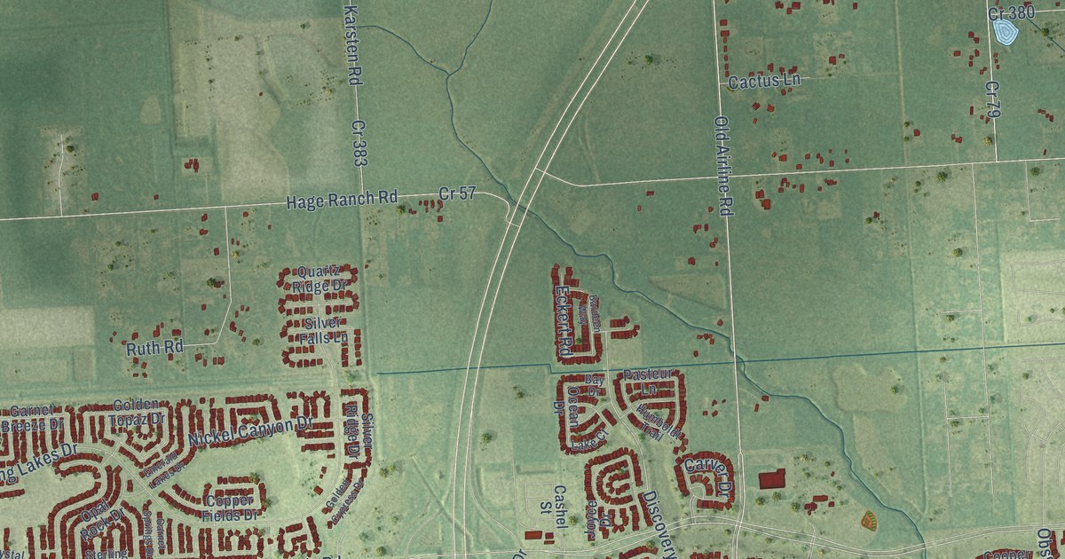
A detailed map of Iowa Colony, Texas, showing every building in its true location, the roads by name, and shaded topographical relief.
Read More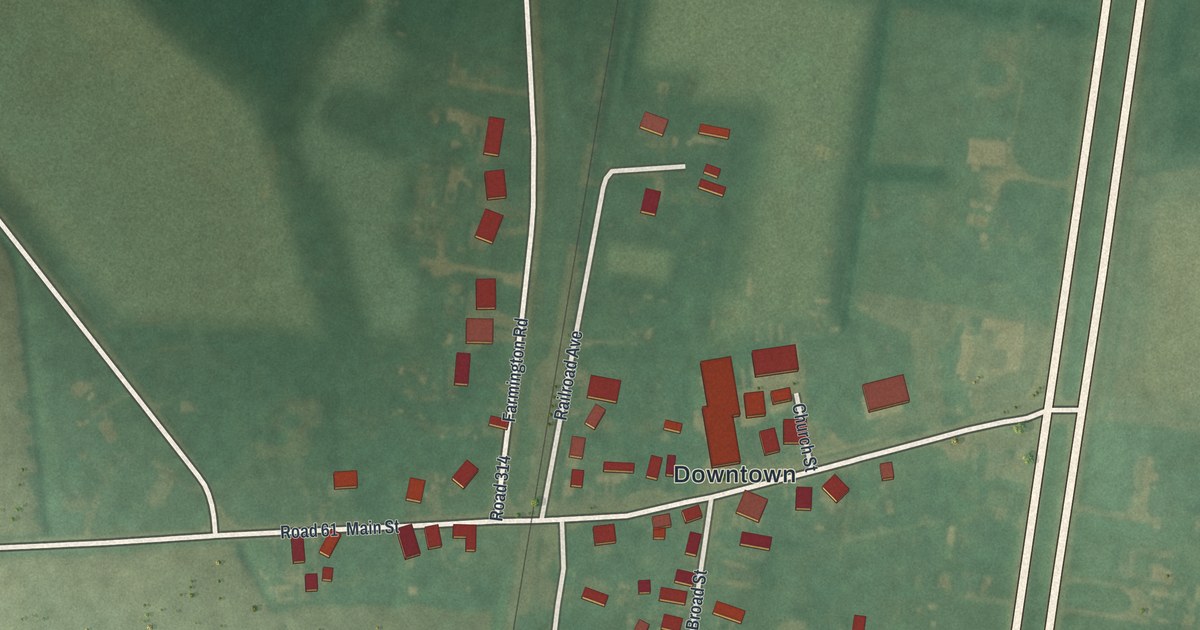
A detailed map of Farmington, Delaware, showing every building in its true location, the roads by name, and shaded topographical relief.
Read More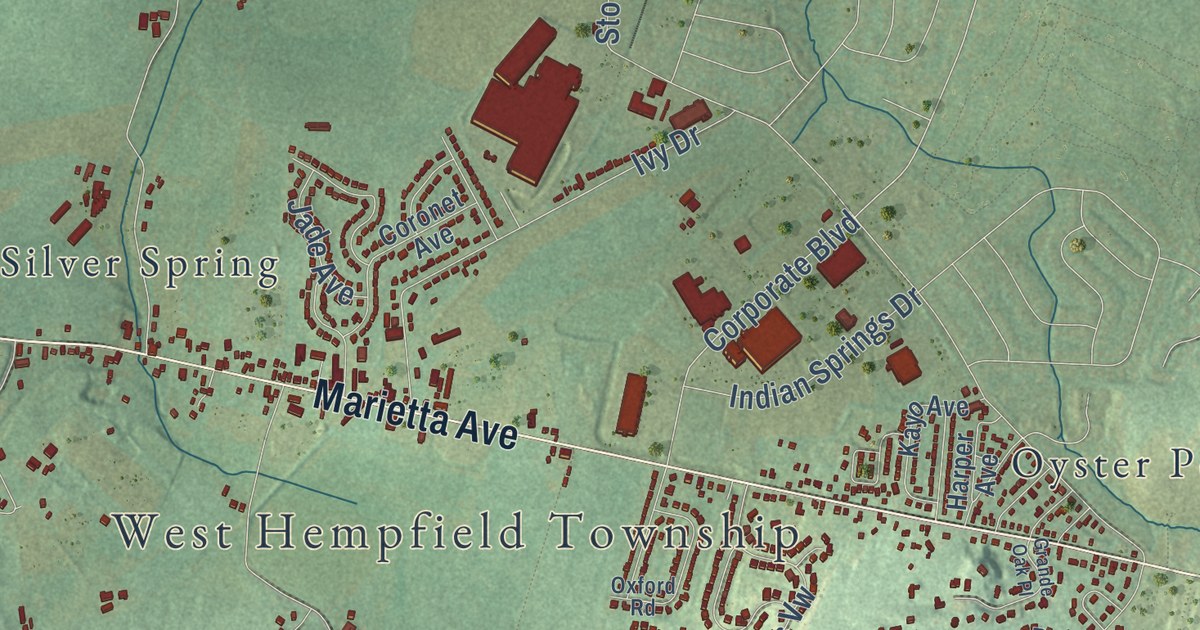
West Hempfield Township in Lancaster County, mapped in 2026 and printed as wall art. Find Chestnut Hill, Ironville, Silver Spring and Marietta Avenue, and learn how the ridge became the Penns’ Hempfield Manor and then an iron town.
Read More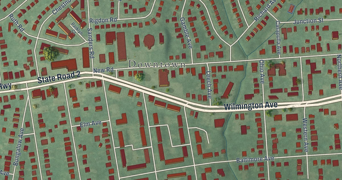
A detailed map of Elsmere, Delaware, showing every building in its true location, the roads by name, and shaded topographical relief.
Read More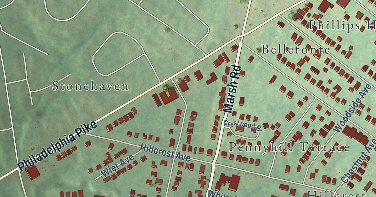
A detailed map of Edgemoor, Delaware, showing every building in its true location, the roads by name, and shaded topographical relief.
Read More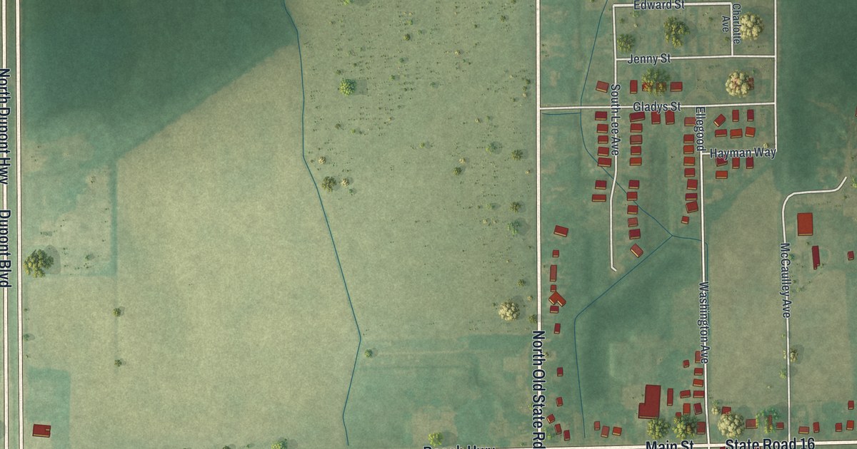
A detailed map of Ellendale, Delaware, showing every building in its true location, the roads by name, and shaded topographical relief.
Read More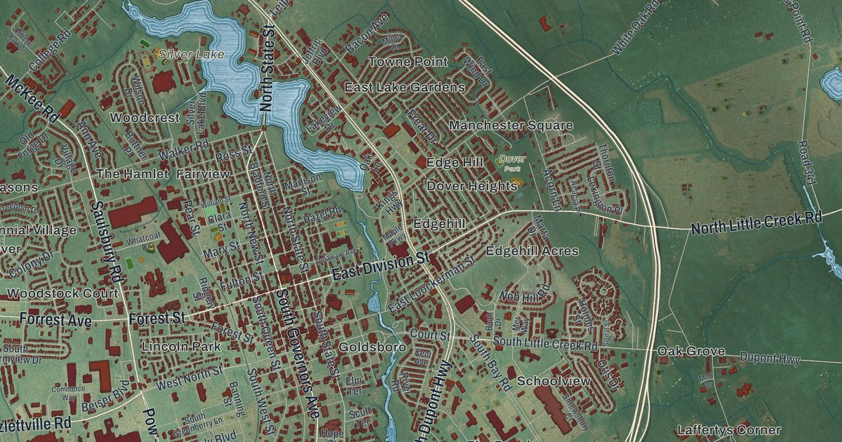
A detailed map of Dover, Delaware, showing every building in its true location, the roads by name, and shaded topographical relief.
Read More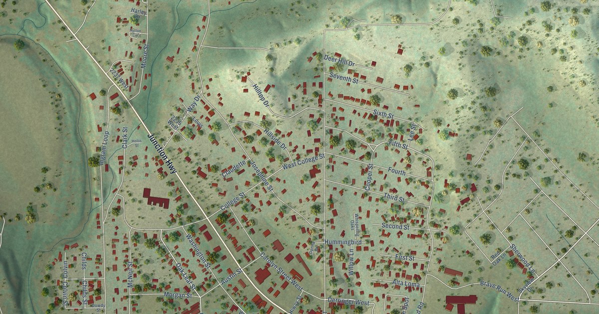
A detailed map of Ingram, Texas, showing every building in its true location, the roads by name, and shaded topographical relief.
Read More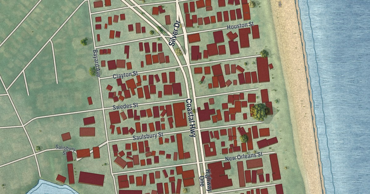
A detailed map of Dewey Beach, Delaware, showing every building in its true location, the roads by name, and shaded topographical relief.
Read More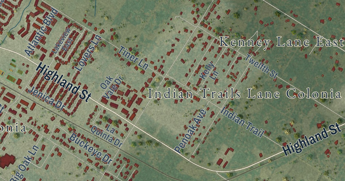
A detailed map of Ingleside, Texas, showing every building in its true location, the roads by name, and shaded topographical relief.
Read More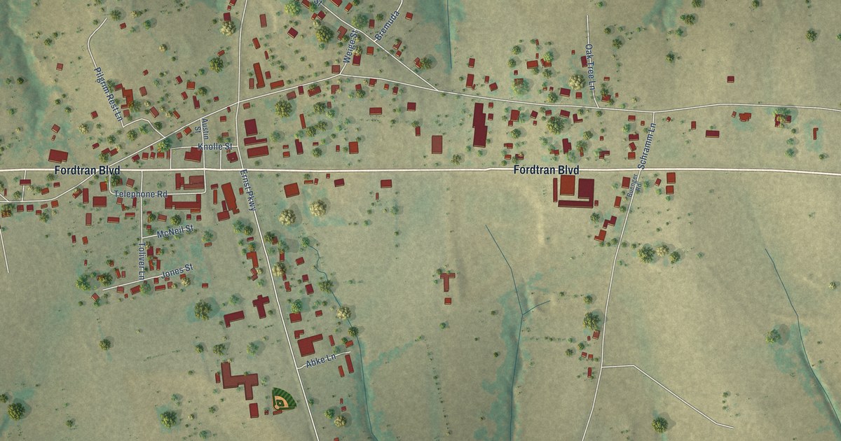
A detailed map of Industry, Texas, showing every building in its true location, the roads by name, and shaded topographical relief.
Read More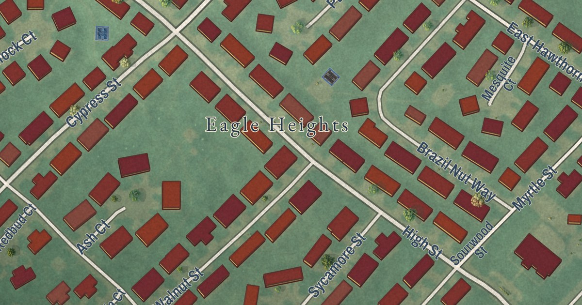
A detailed map of Dover Base Housing, Delaware, showing every building in its true location, the roads by name, and shaded topographical relief.
Read More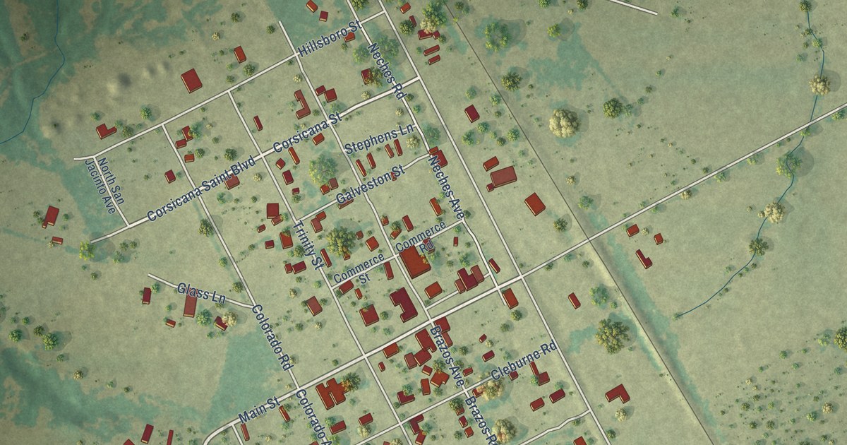
A detailed map of Iola, Texas, showing every building in its true location, the roads by name, and shaded topographical relief.
Read More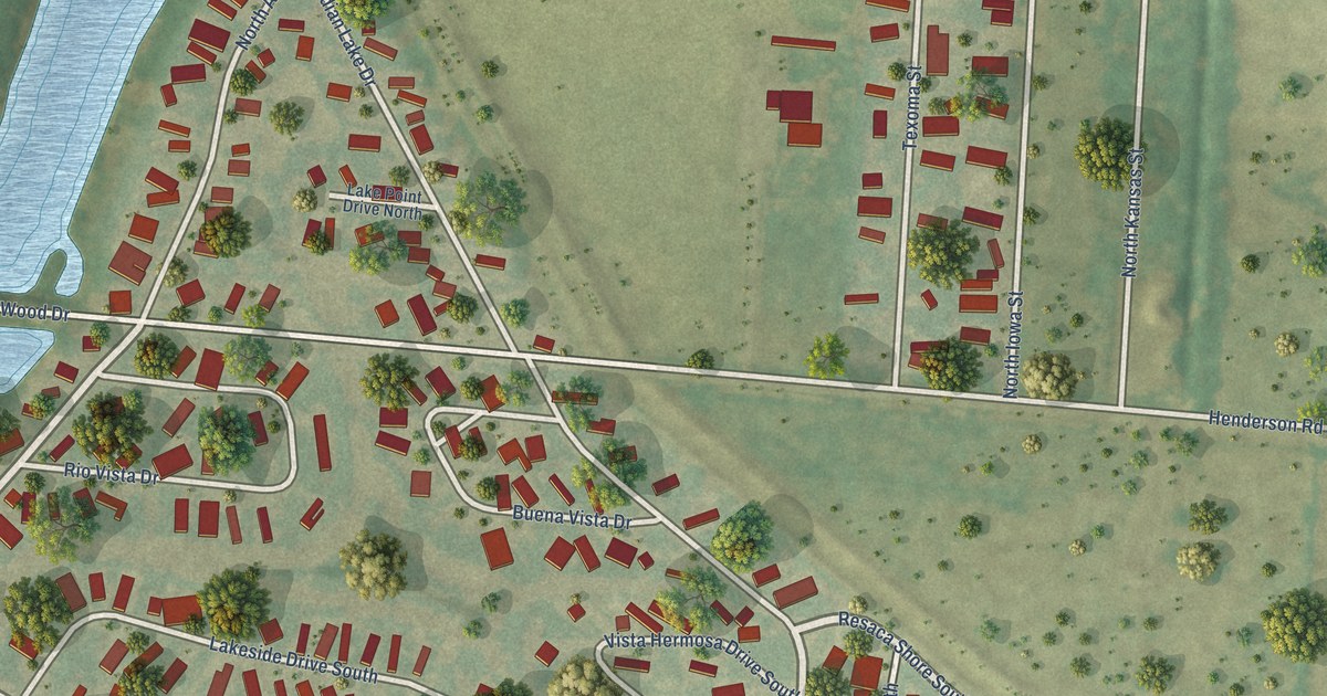
A detailed map of Indian Lake, Texas, showing every building in its true location, the roads by name, and shaded topographical relief.
Read More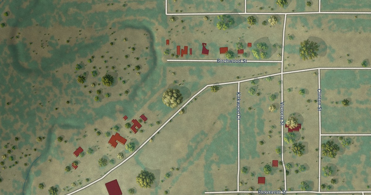
A detailed map of Impact, Texas, showing every building in its true location, the roads by name, and shaded topographical relief.
Read More















