Detailed Map of Villanueva, New Mexico
A detailed map of Villanueva, New Mexico, showing every building in its true location, the roads by name, and shaded topographical relief.
Read More
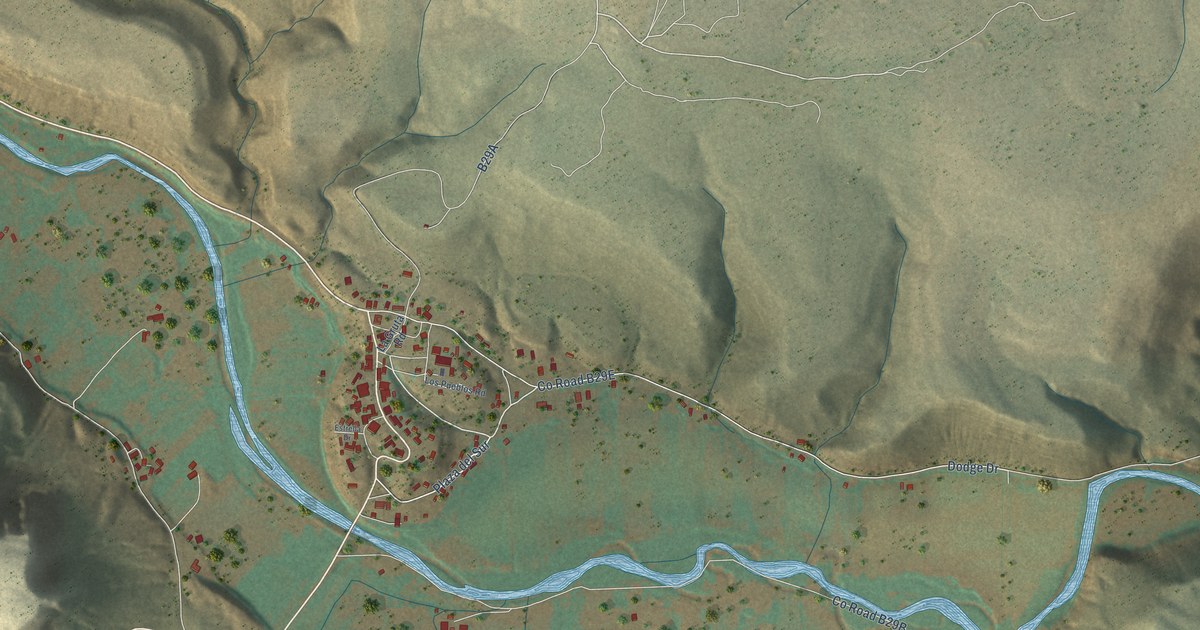
A detailed map of Villanueva, New Mexico, showing every building in its true location, the roads by name, and shaded topographical relief.
Read More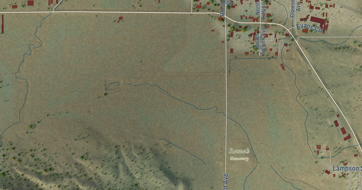
A detailed map of Ramah, New Mexico, showing every building in its true location, the roads by name, and shaded topographical relief.
Read More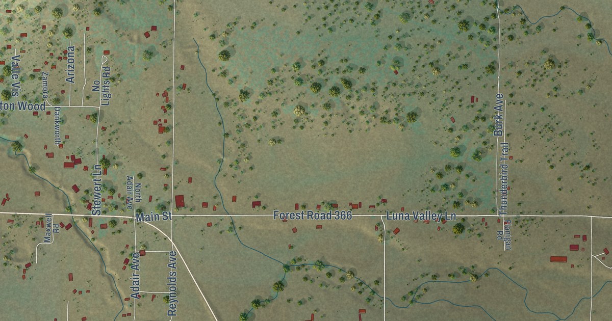
A detailed map of Luna, New Mexico, showing every building in its true location, the roads by name, and shaded topographical relief.
Read More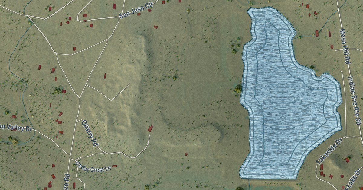
A detailed map of Acomita Lake, New Mexico, showing every building in its true location, the roads by name, and shaded topographical relief.
Read More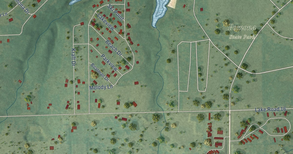
A detailed map of Vassar, Kansas, showing every building in its true location, the roads by name, and shaded topographical relief.
Read More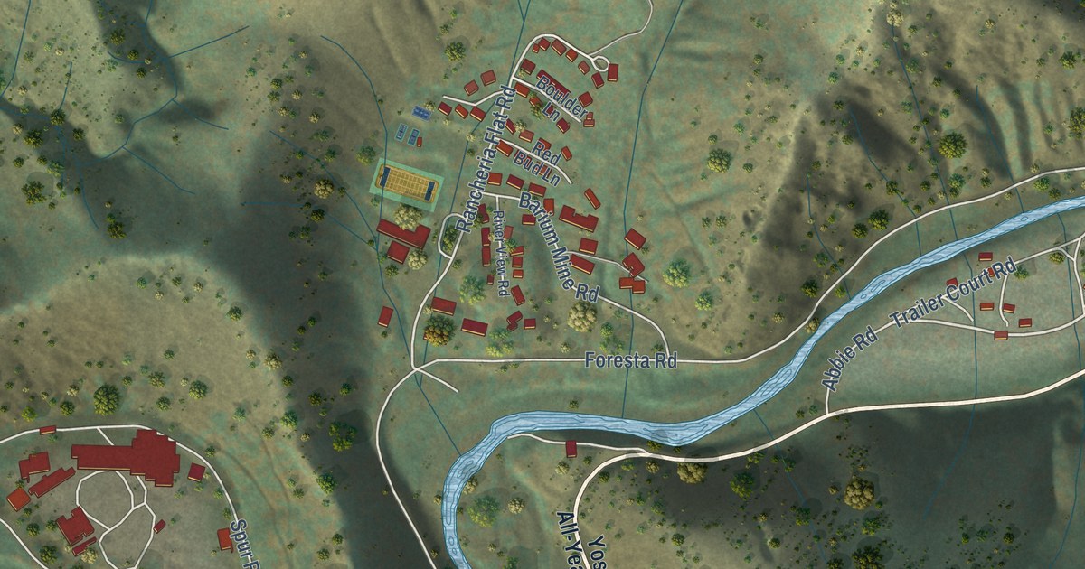
A detailed map of El Portal, California, showing every building in its true location, the roads by name, and shaded topographical relief.
Read More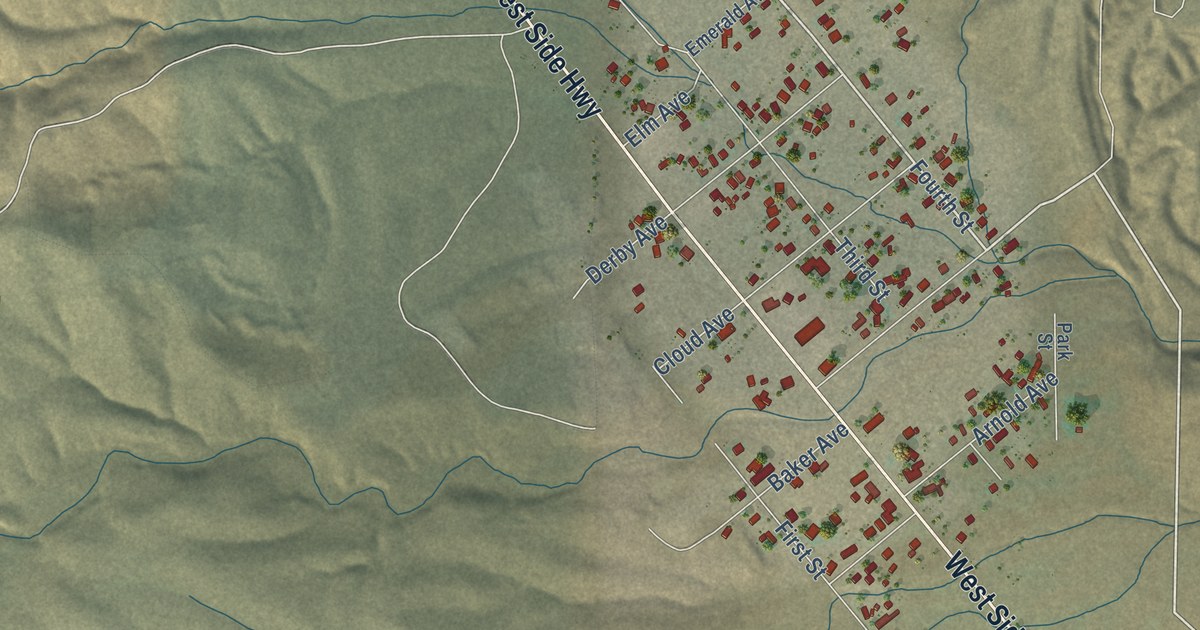
A detailed map of Derby Acres, California, showing every building in its true location, the roads by name, and shaded topographical relief.
Read More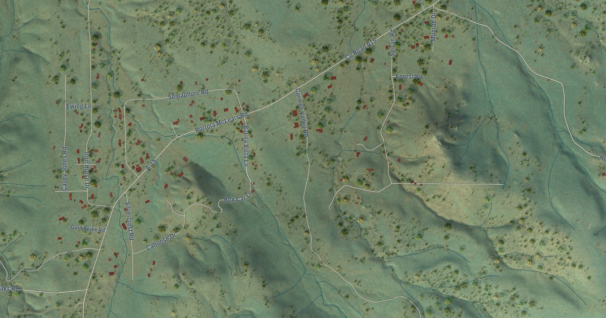
A detailed map of Iron Horse, California, showing every building in its true location, the roads by name, and shaded topographical relief.
Read More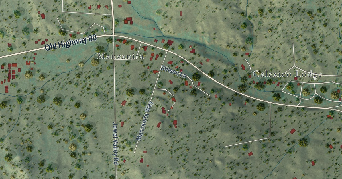
A detailed map of Boulevard, California, showing every building in its true location, the roads by name, and shaded topographical relief.
Read More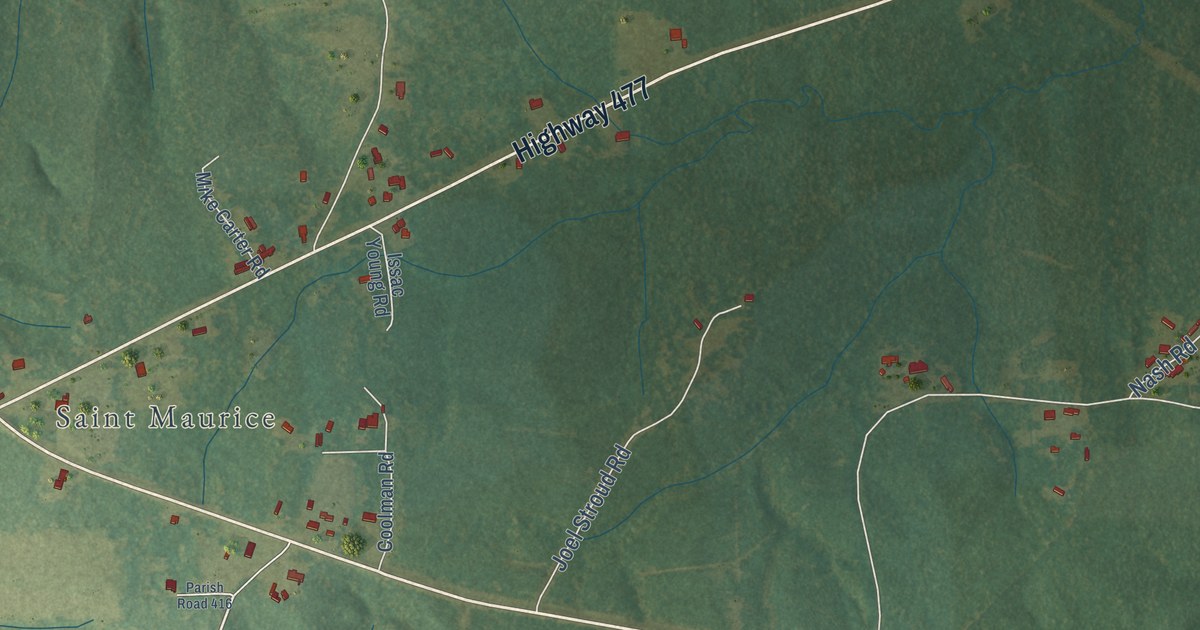
A detailed map of St. Maurice, Louisiana, showing every building in its true location, the roads by name, and shaded topographical relief.
Read More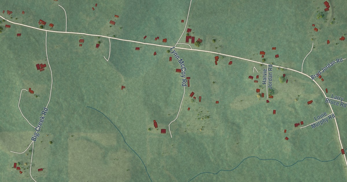
A detailed map of Jordan Hill, Louisiana, showing every building in its true location, the roads by name, and shaded topographical relief.
Read More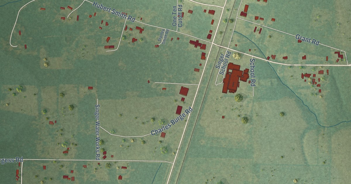
A detailed map of Singer, Louisiana, showing every building in its true location, the roads by name, and shaded topographical relief.
Read More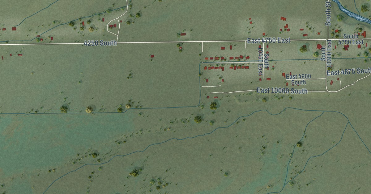
A detailed map of Randlett, Utah, showing every building in its true location, the roads by name, and shaded topographical relief.
Read More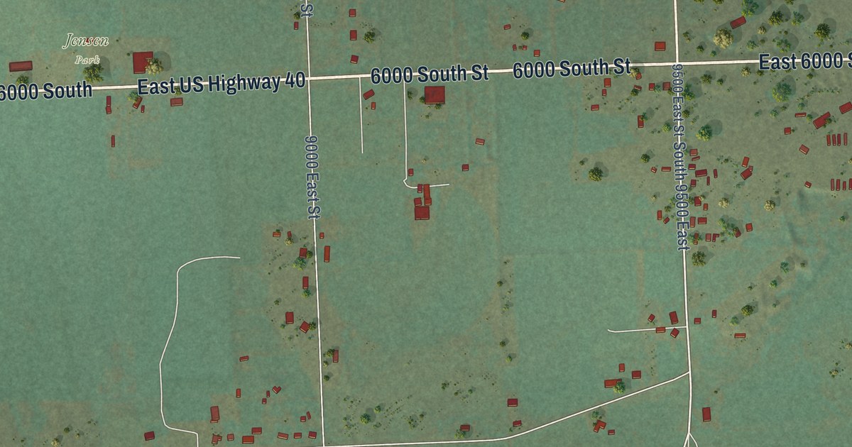
A detailed map of Jensen, Utah, showing every building in its true location, the roads by name, and shaded topographical relief.
Read More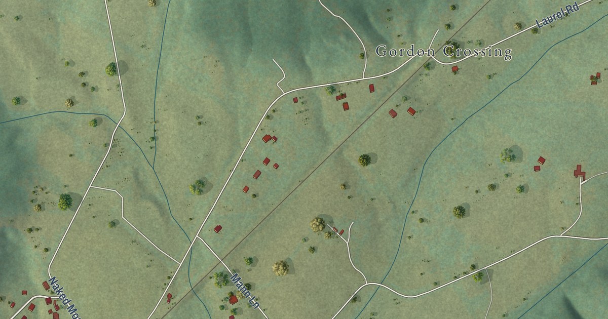
A detailed map of Shipman, Virginia, showing every building in its true location, the roads by name, and shaded topographical relief.
Read More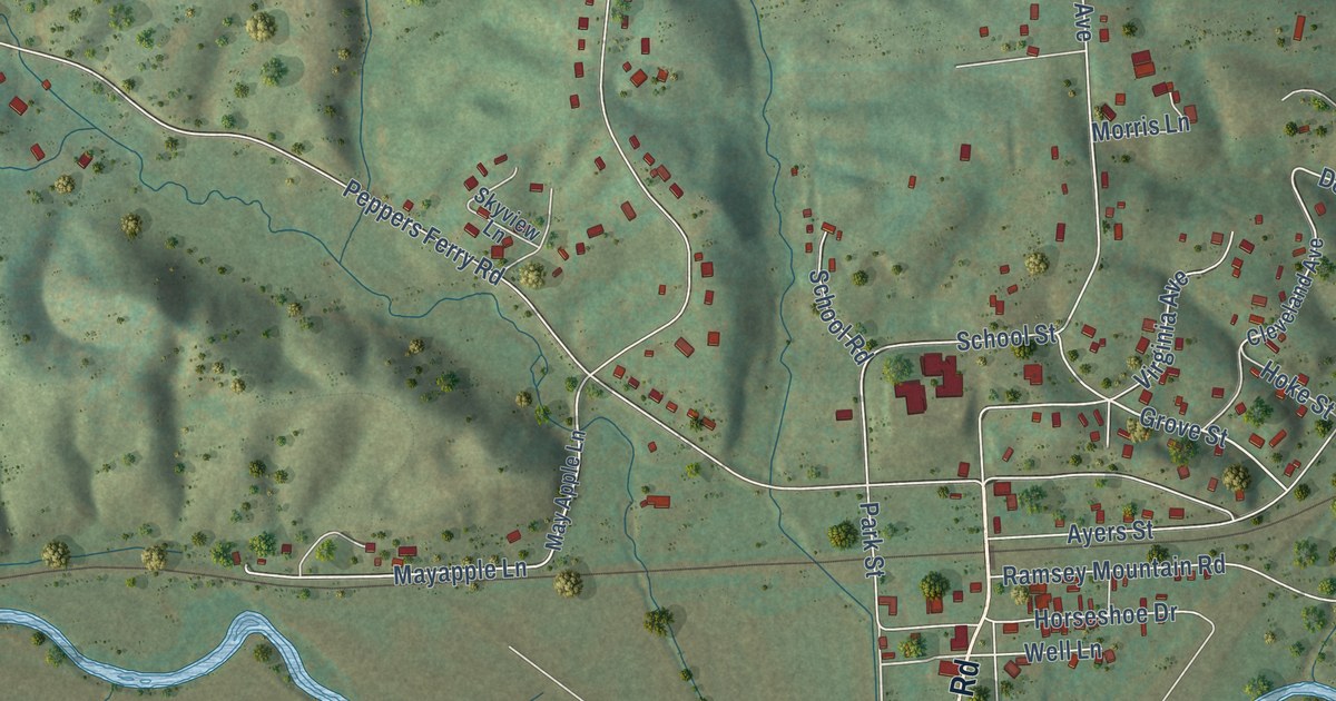
A detailed map of Max Meadows, Virginia, showing every building in its true location, the roads by name, and shaded topographical relief.
Read More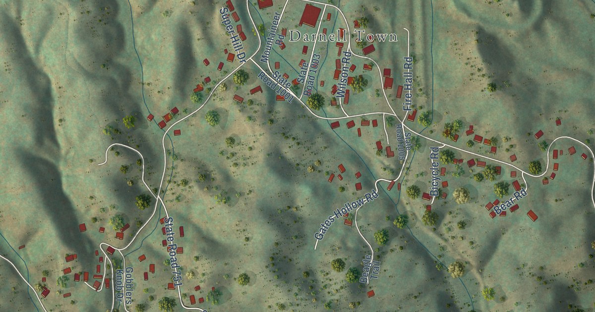
A detailed map of Keokee, Virginia, showing every building in its true location, the roads by name, and shaded topographical relief.
Read More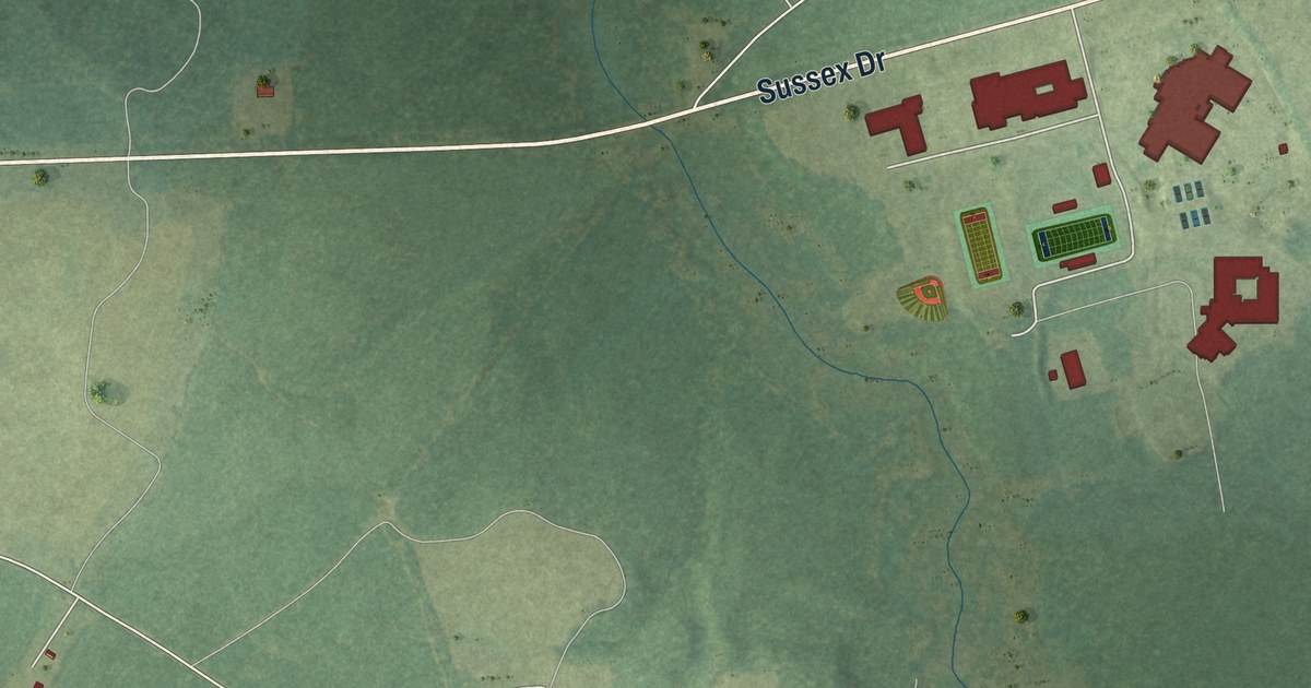
A detailed map of Sussex, Virginia, showing every building in its true location, the roads by name, and shaded topographical relief.
Read More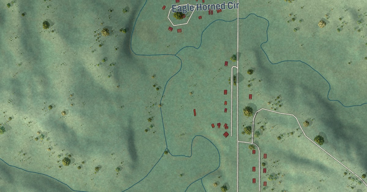
A detailed map of Soldier Creek, South Dakota, showing every building in its true location, the roads by name, and shaded topographical relief.
Read More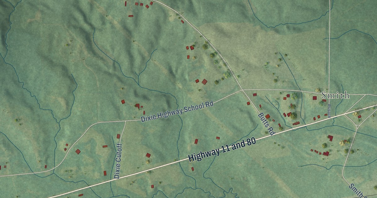
A detailed map of Toomsuba, Mississippi, showing every building in its true location, the roads by name, and shaded topographical relief.
Read More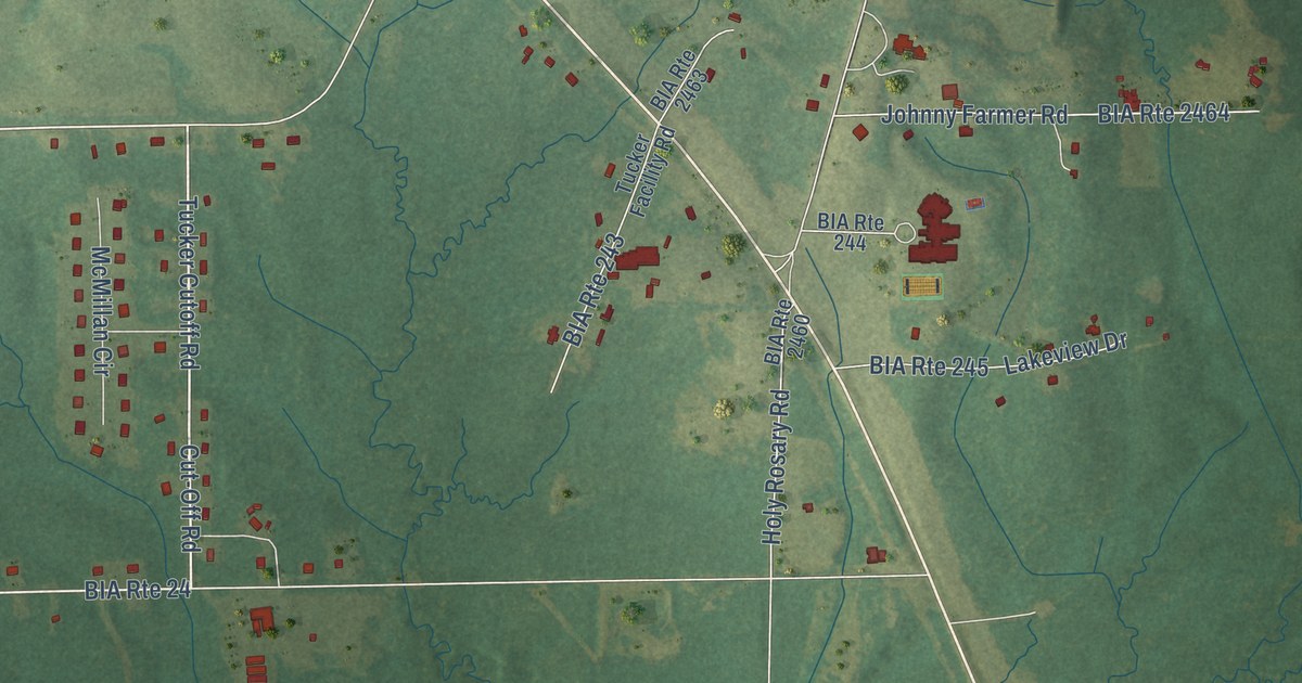
A detailed map of Tucker, Mississippi, showing every building in its true location, the roads by name, and shaded topographical relief.
Read More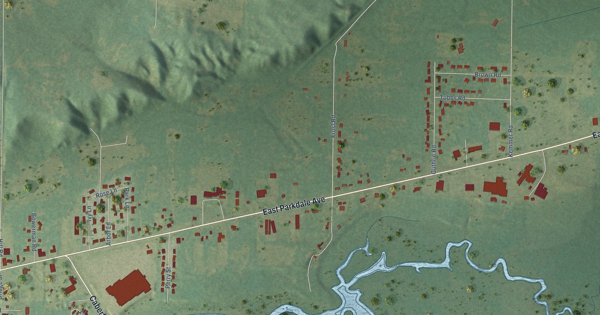
A detailed map of Parkdale, Michigan, showing every building in its true location, the roads by name, and shaded topographical relief.
Read More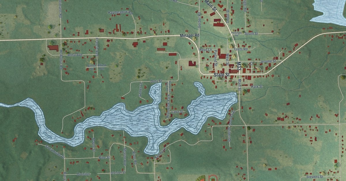
A detailed map of Atlanta, Michigan, showing every building in its true location, the roads by name, and shaded topographical relief.
Read More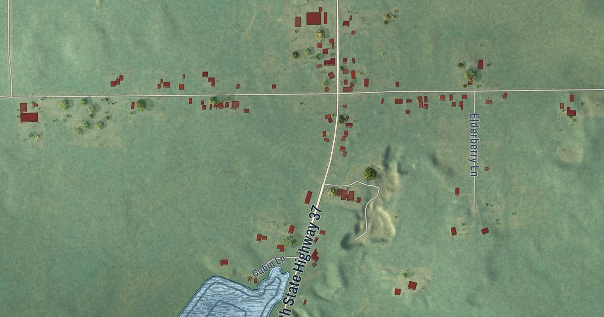
A detailed map of Dowling, Michigan, showing every building in its true location, the roads by name, and shaded topographical relief.
Read More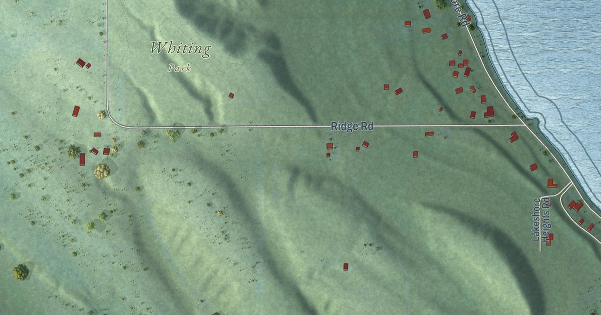
A detailed map of Advance, Michigan, showing every building in its true location, the roads by name, and shaded topographical relief.
Read More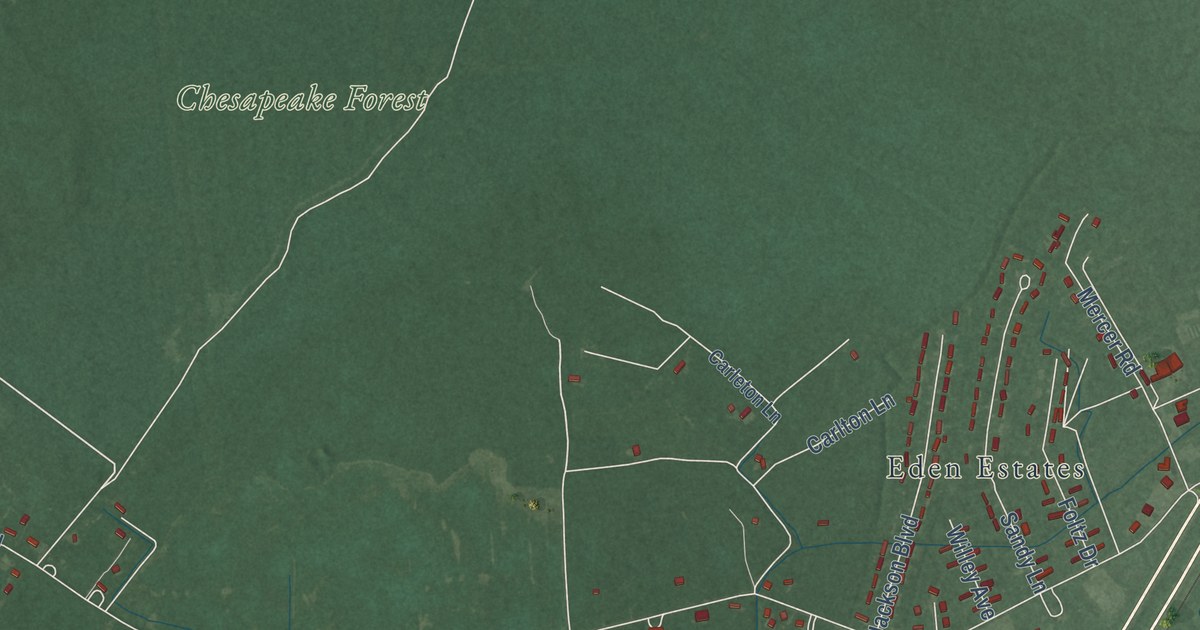
A detailed map of Eden, Maryland, showing every building in its true location, the roads by name, and shaded topographical relief.
Read More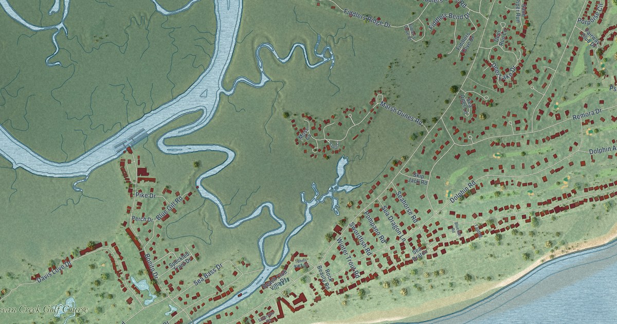
A detailed map of Fripp Island, South Carolina, showing every building in its true location, the roads by name, and shaded topographical relief.
Read More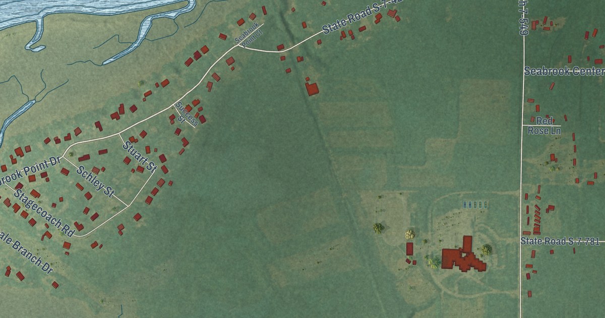
A detailed map of Seabrook, South Carolina, showing every building in its true location, the roads by name, and shaded topographical relief.
Read More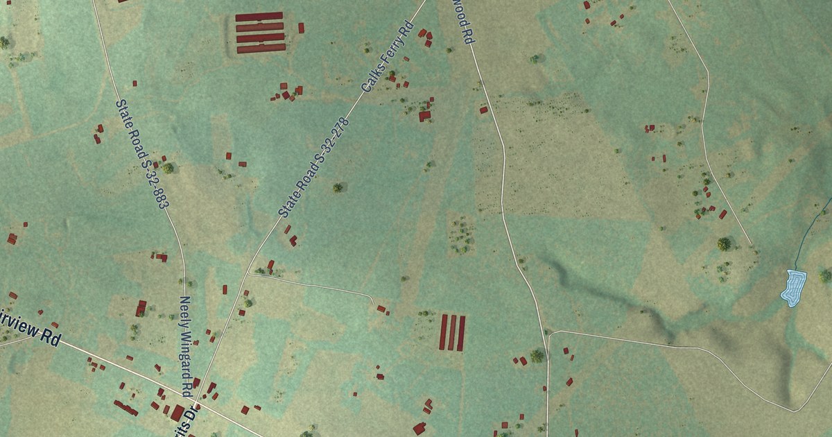
A detailed map of Fairview Crossroads, South Carolina, showing every building in its true location, the roads by name, and shaded topographical relief.
Read More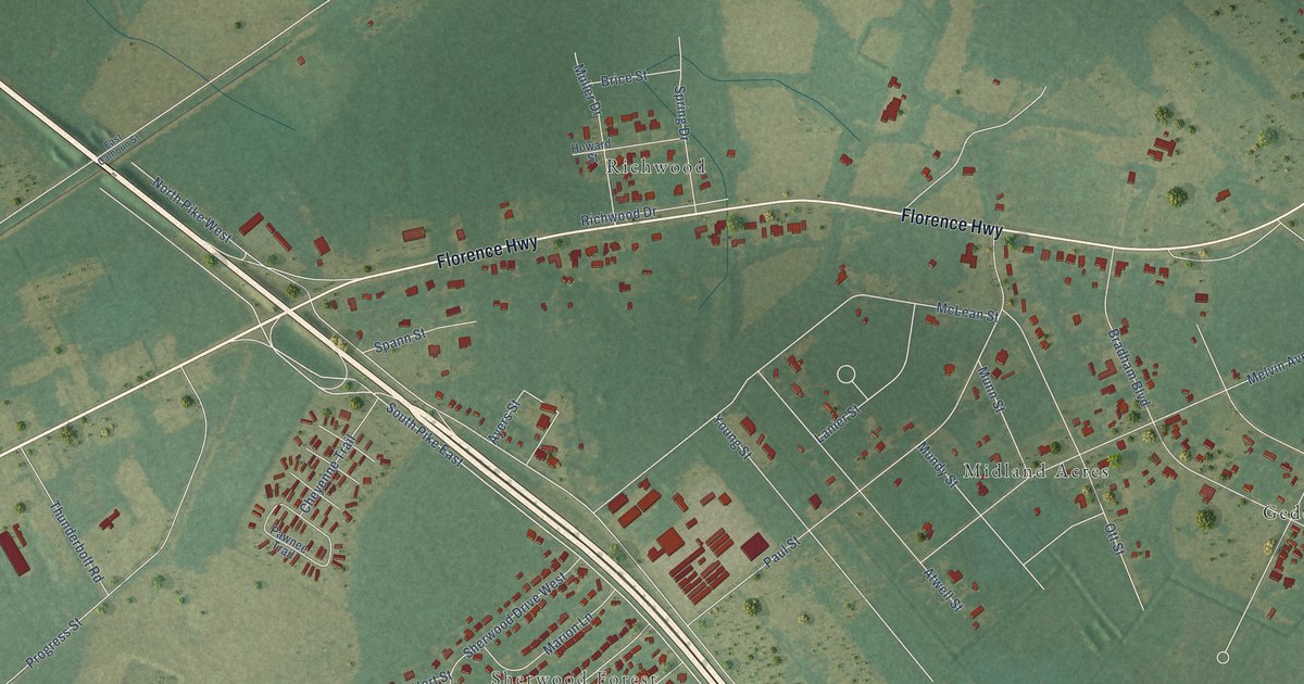
A detailed map of East Sumter, South Carolina, showing every building in its true location, the roads by name, and shaded topographical relief.
Read More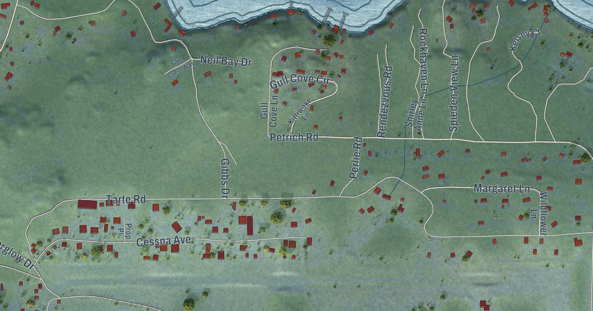
A detailed map of Roche Harbor, Washington, showing every building in its true location, the roads by name, and shaded topographical relief.
Read More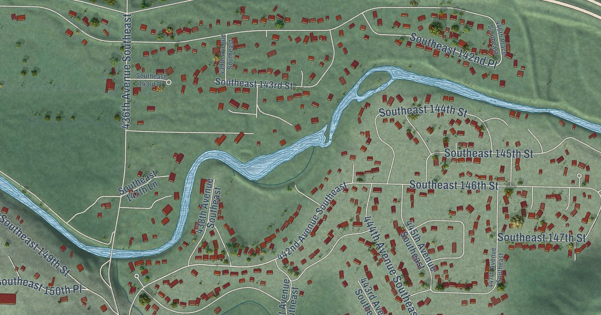
A detailed map of Riverbend, Washington, showing every building in its true location, the roads by name, and shaded topographical relief.
Read More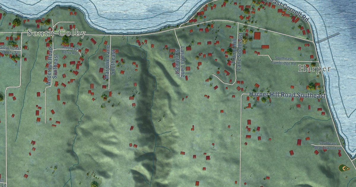
A detailed map of Southworth, Washington, showing every building in its true location, the roads by name, and shaded topographical relief.
Read More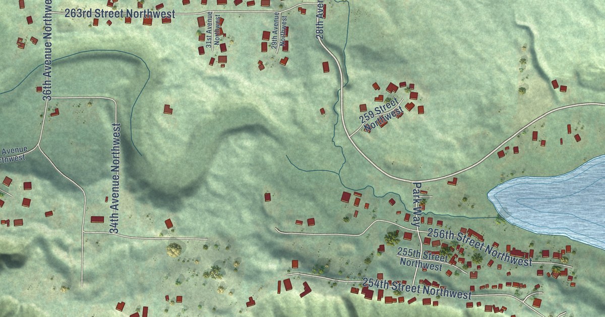
A detailed map of Sunday Lake, Washington, showing every building in its true location, the roads by name, and shaded topographical relief.
Read More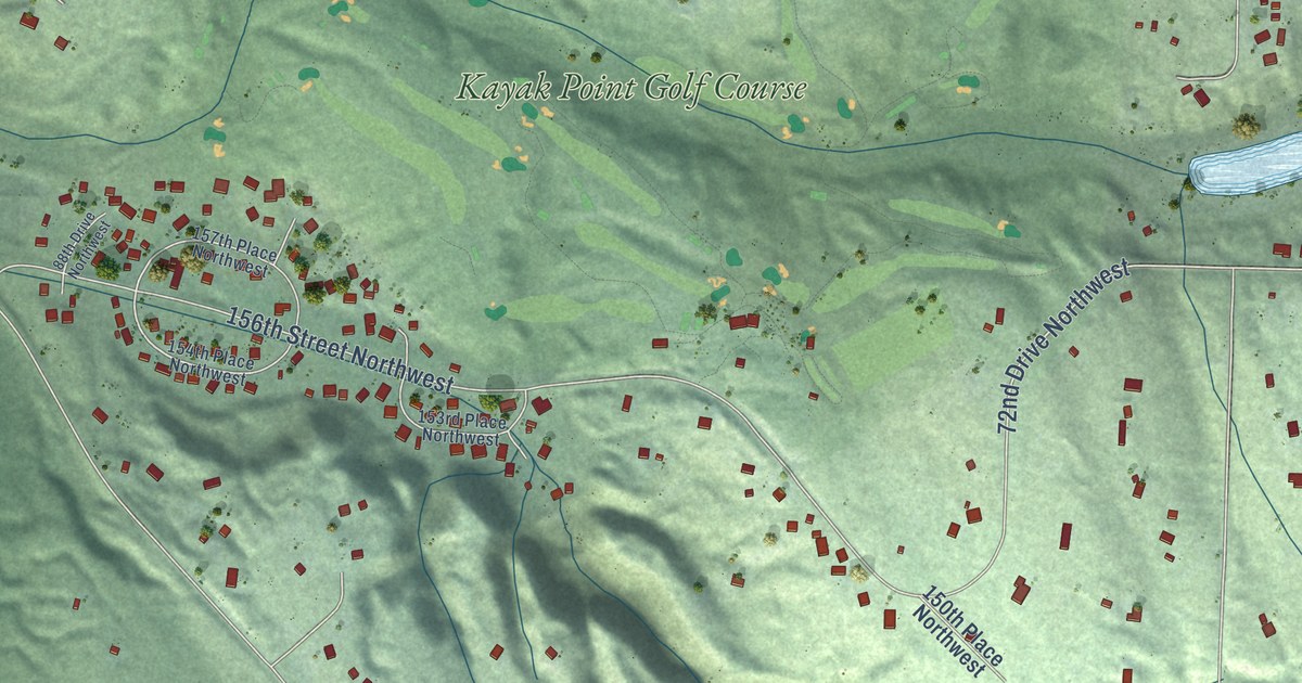
A detailed map of Kayak Point, Washington, showing every building in its true location, the roads by name, and shaded topographical relief.
Read More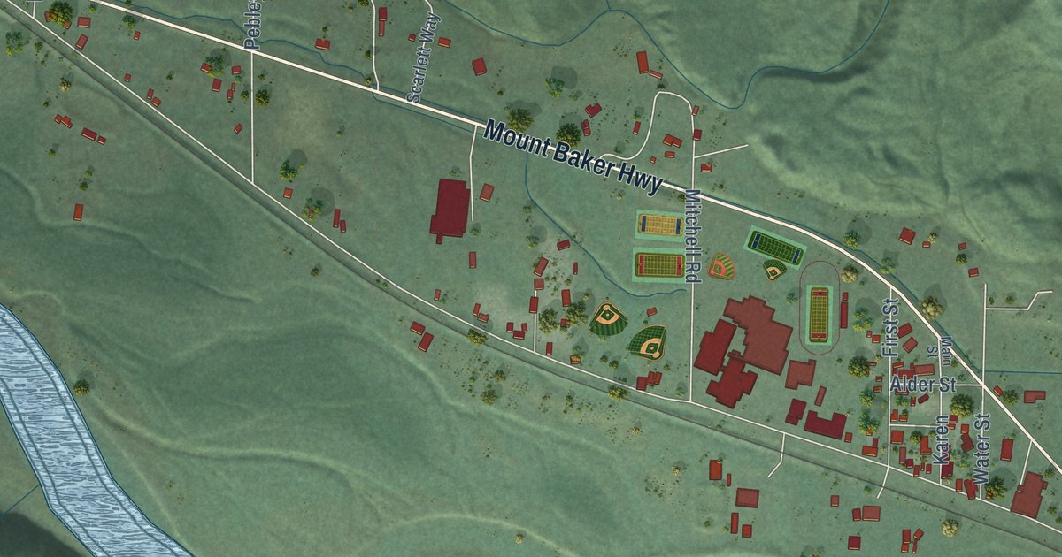
A detailed map of Deming, Washington, showing every building in its true location, the roads by name, and shaded topographical relief.
Read More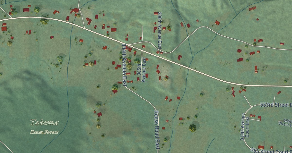
A detailed map of Ashford, Washington, showing every building in its true location, the roads by name, and shaded topographical relief.
Read More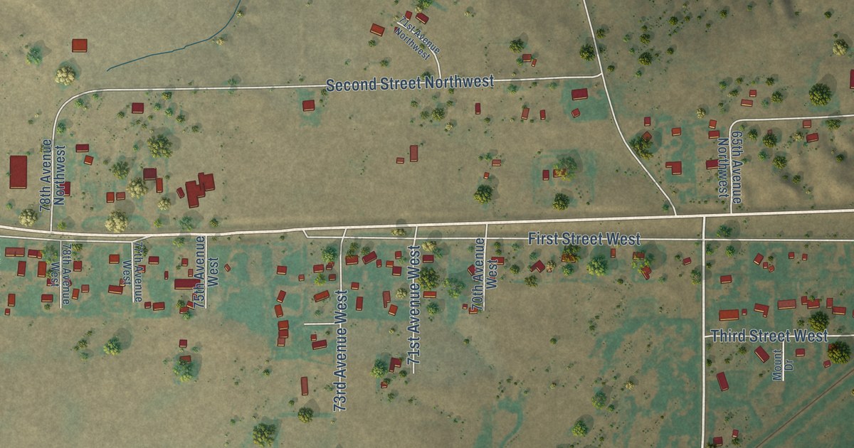
A detailed map of Beaver Creek, Montana, showing every building in its true location, the roads by name, and shaded topographical relief.
Read More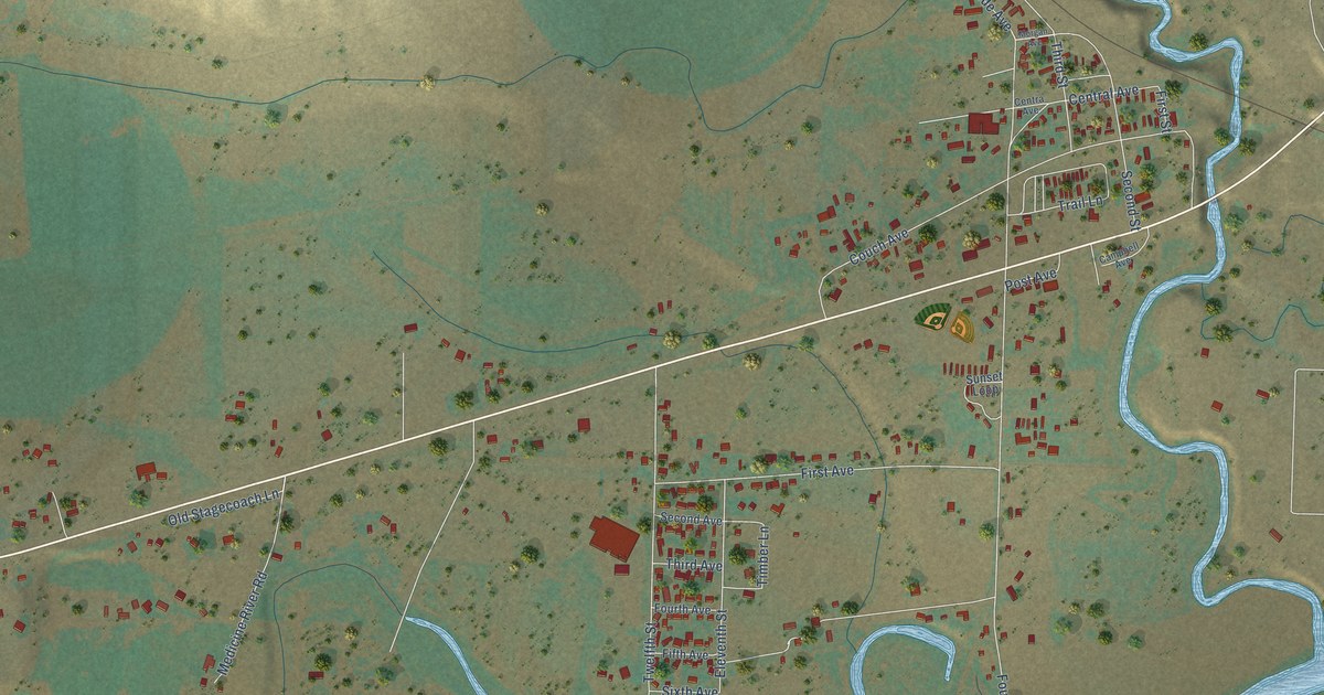
A detailed map of Vaughn, Montana, showing every building in its true location, the roads by name, and shaded topographical relief.
Read More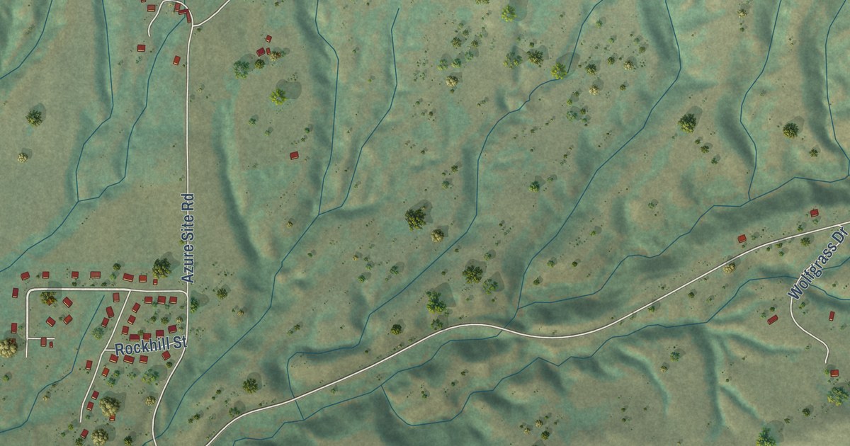
A detailed map of Azure, Montana, showing every building in its true location, the roads by name, and shaded topographical relief.
Read More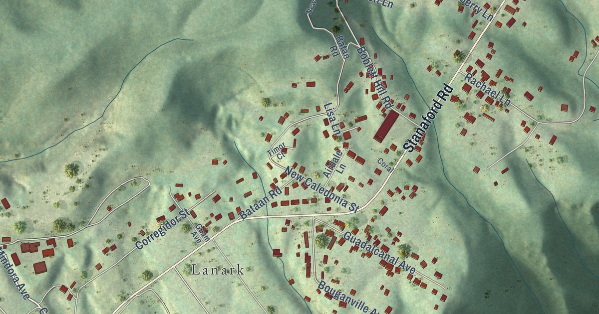
A detailed map of Piney View, West Virginia, showing every building in its true location, the roads by name, and shaded topographical relief.
Read More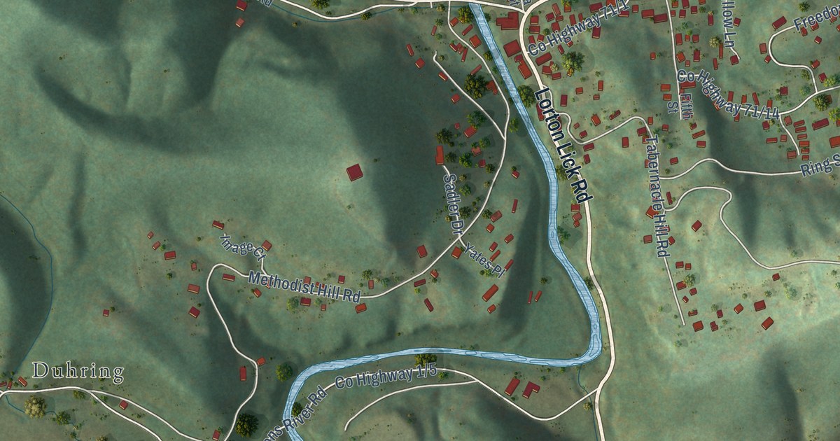
A detailed map of Montcalm, West Virginia, showing every building in its true location, the roads by name, and shaded topographical relief.
Read More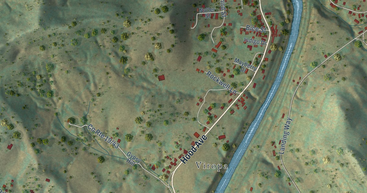
A detailed map of Enterprise, West Virginia, showing every building in its true location, the roads by name, and shaded topographical relief.
Read More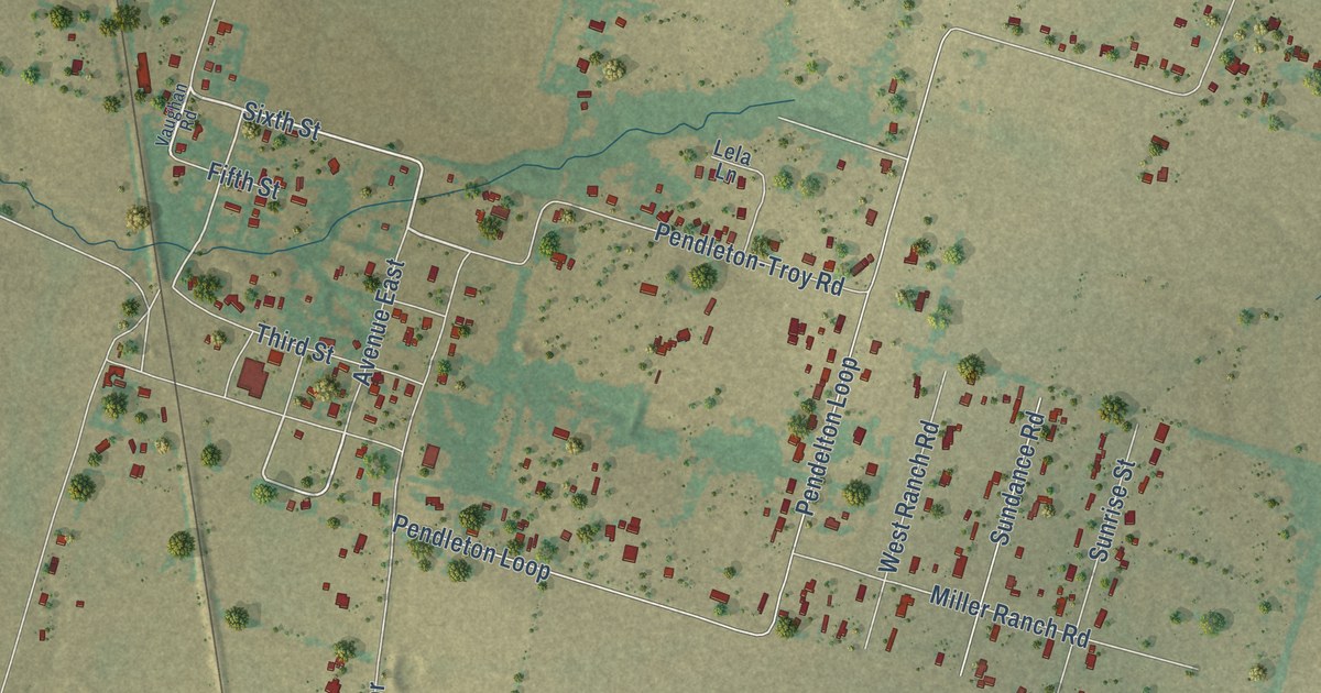
A detailed map of Pendleton, Texas, showing every building in its true location, the roads by name, and shaded topographical relief.
Read More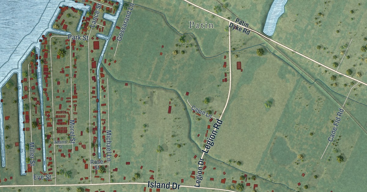
A detailed map of Ventress, Louisiana, showing every building in its true location, the roads by name, and shaded topographical relief.
Read More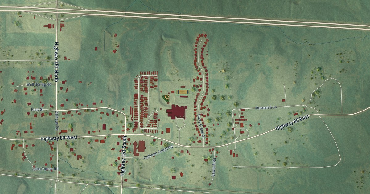
A detailed map of Calhoun, Louisiana, showing every building in its true location, the roads by name, and shaded topographical relief.
Read More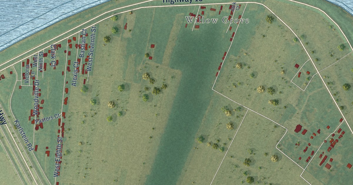
A detailed map of Wallace, Louisiana, showing every building in its true location, the roads by name, and shaded topographical relief.
Read More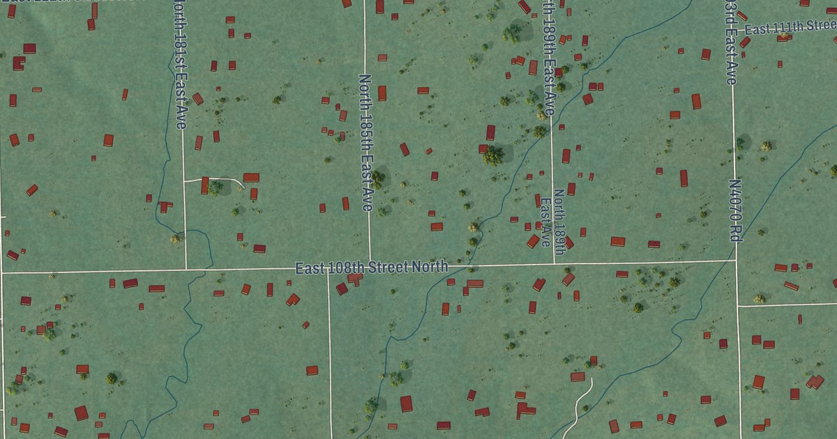
A detailed map of Limestone, Oklahoma, showing every building in its true location, the roads by name, and shaded topographical relief.
Read More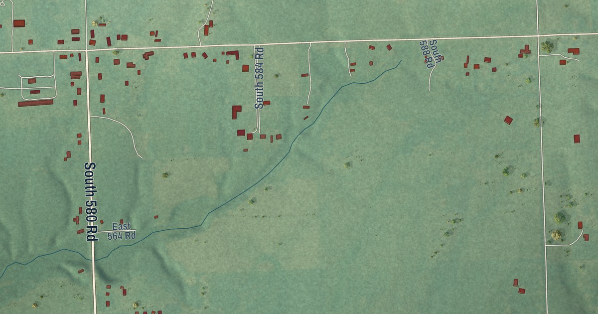
A detailed map of Twin Oaks, Oklahoma, showing every building in its true location, the roads by name, and shaded topographical relief.
Read More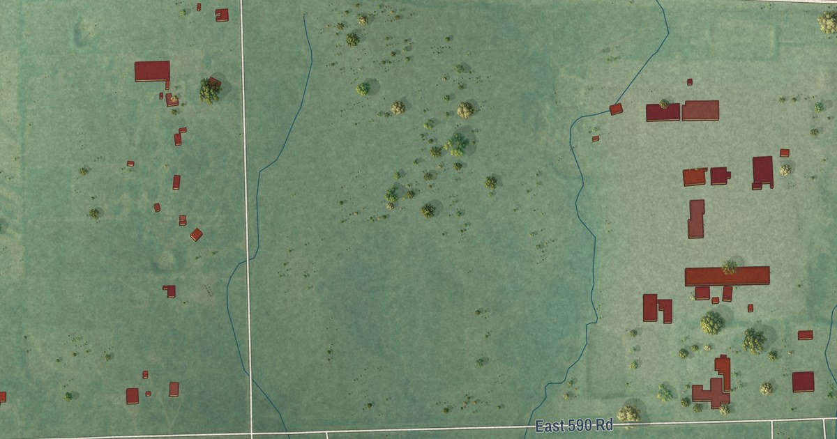
A detailed map of Gregory, Oklahoma, showing every building in its true location, the roads by name, and shaded topographical relief.
Read More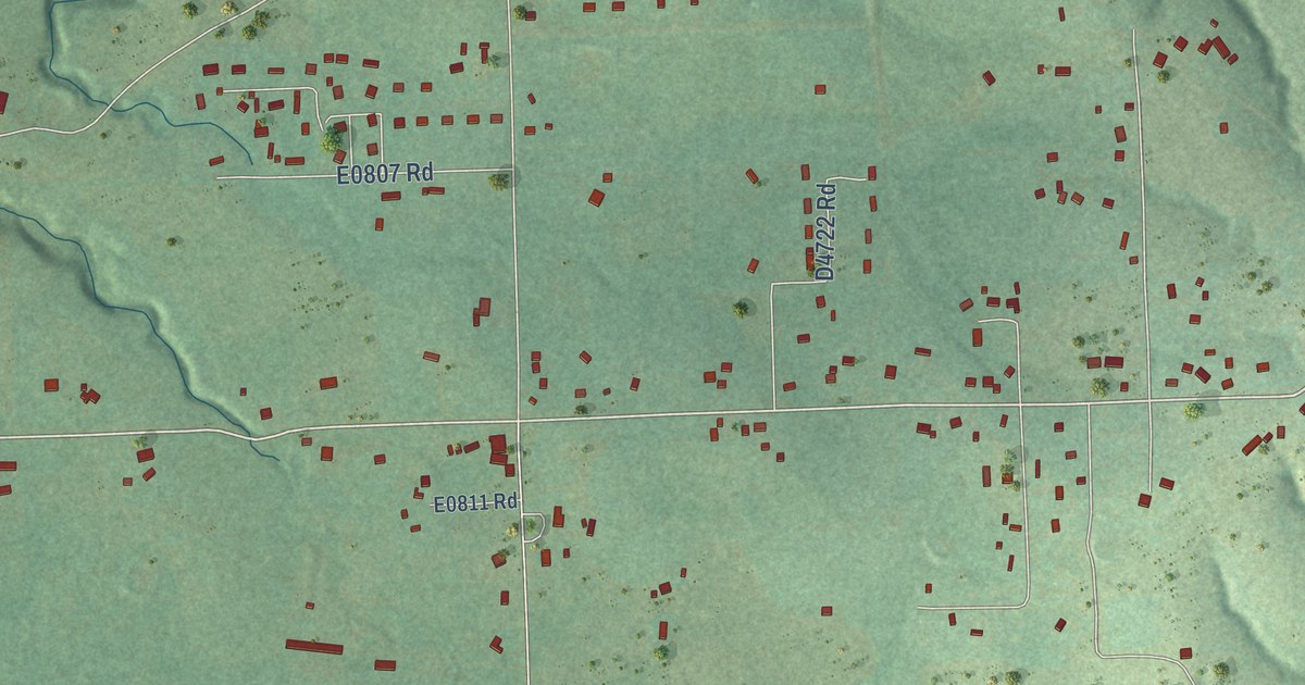
A detailed map of Fairfield, Oklahoma, showing every building in its true location, the roads by name, and shaded topographical relief.
Read More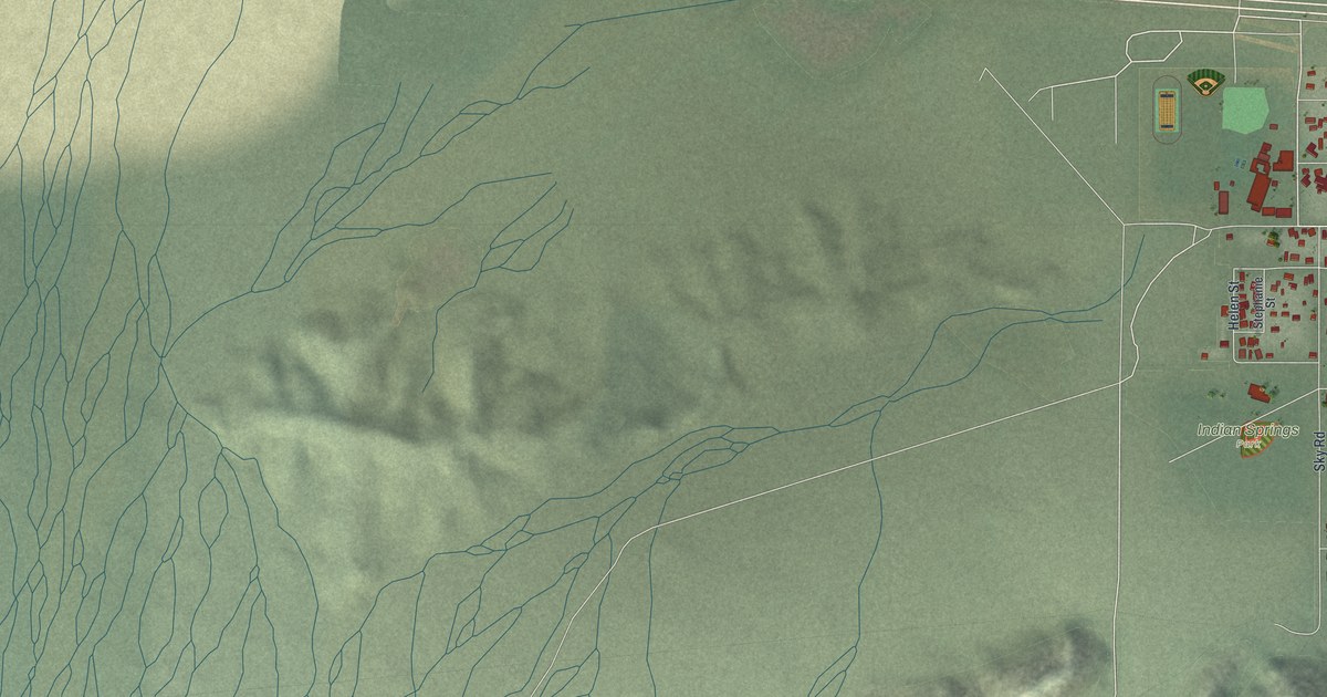
A detailed map of Indian Springs, Nevada, showing every building in its true location, the roads by name, and shaded topographical relief.
Read More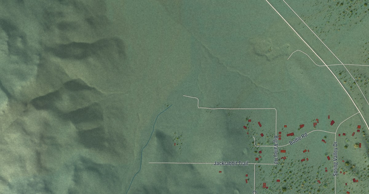
A detailed map of Double Spring, Nevada, showing every building in its true location, the roads by name, and shaded topographical relief.
Read More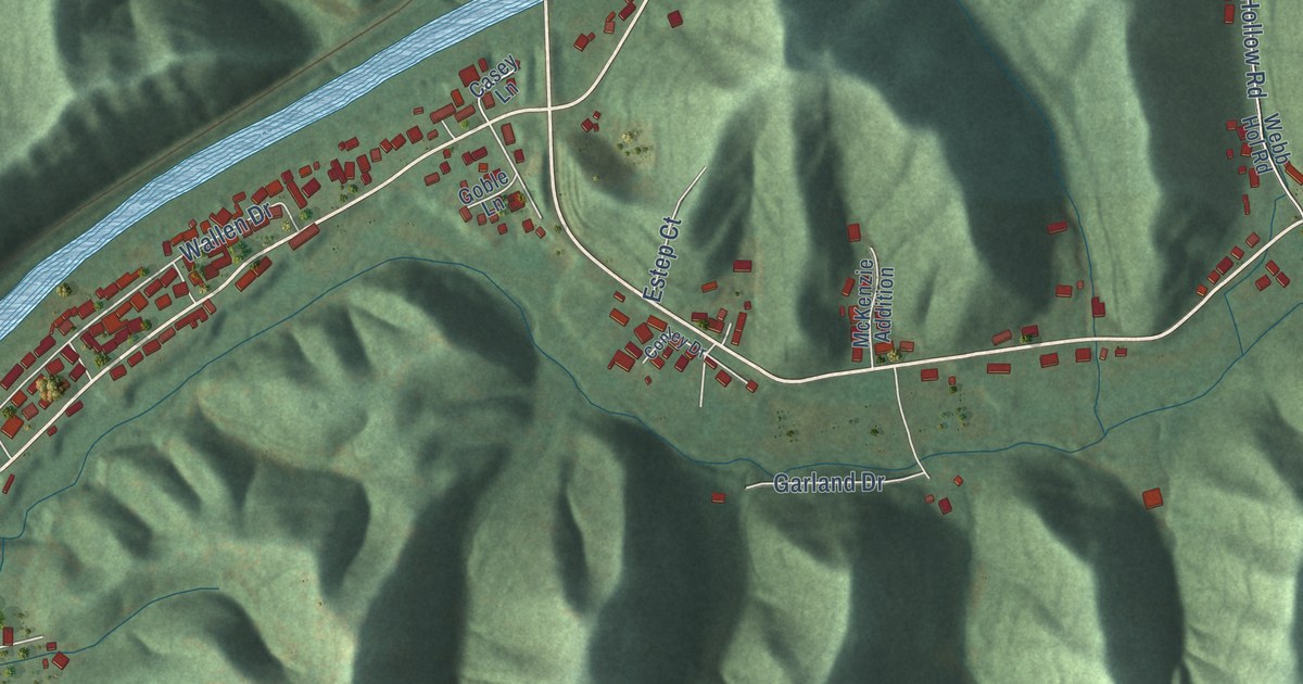
A detailed map of Van Lear, Kentucky, showing every building in its true location, the roads by name, and shaded topographical relief.
Read More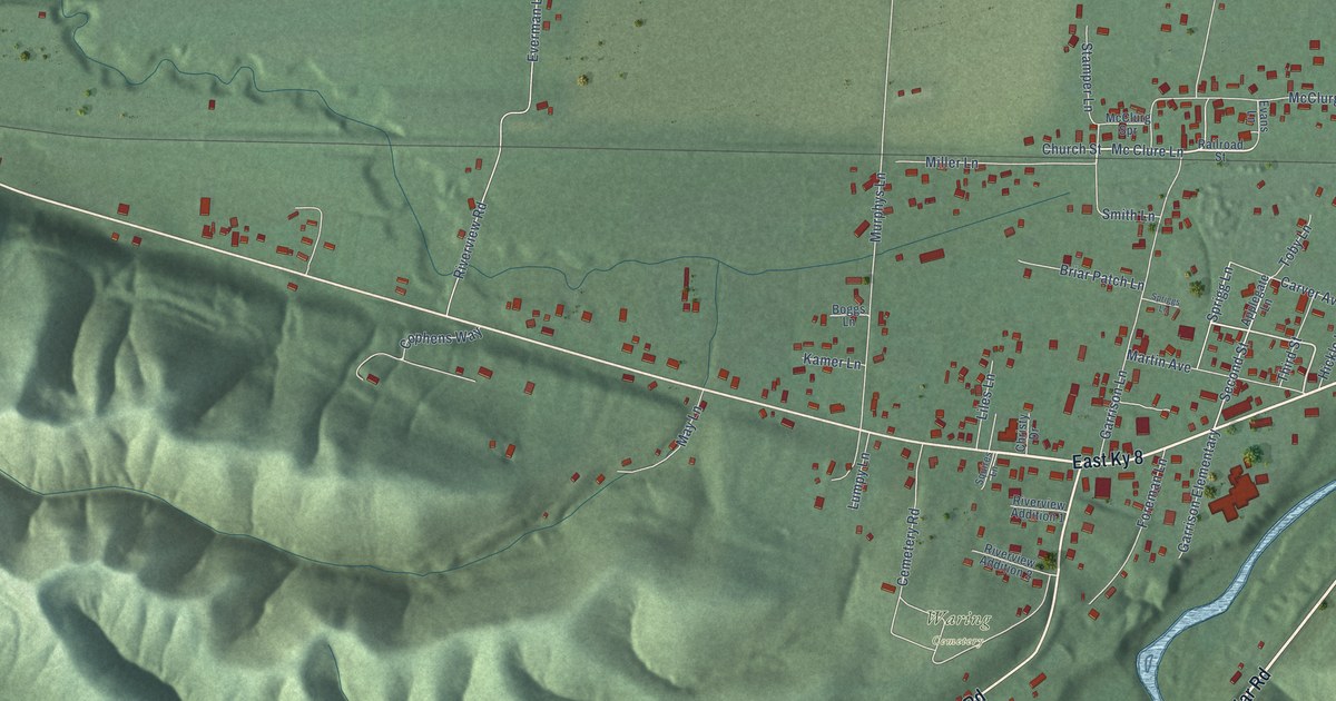
A detailed map of Garrison, Kentucky, showing every building in its true location, the roads by name, and shaded topographical relief.
Read More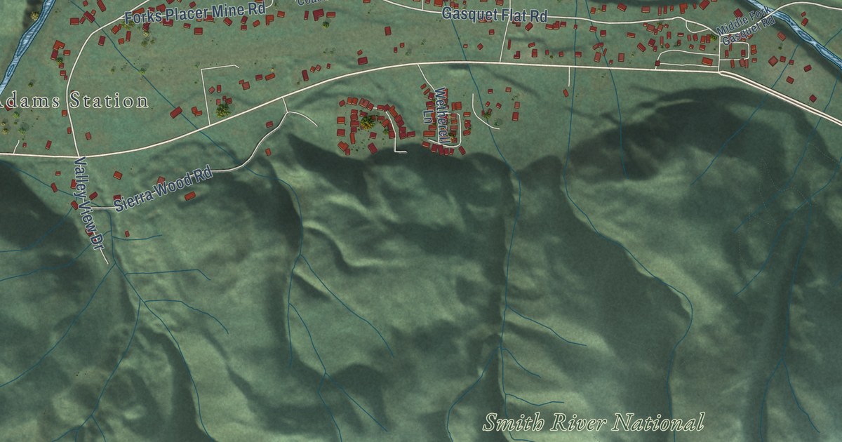
A detailed map of Gasquet, California, showing every building in its true location, the roads by name, and shaded topographical relief.
Read More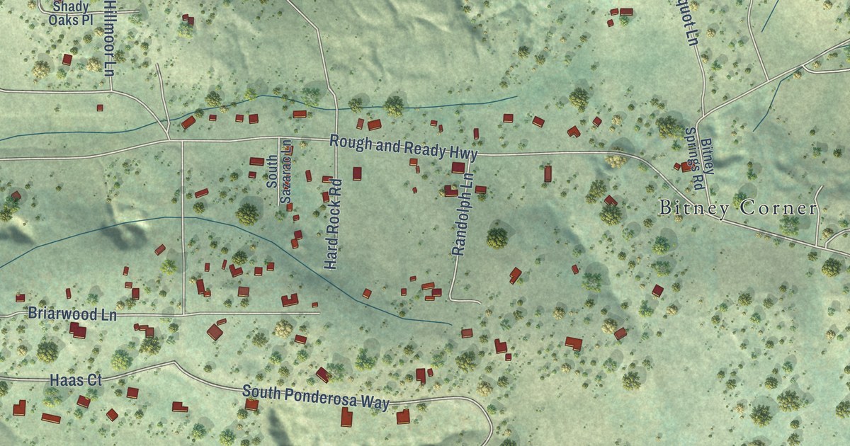
A detailed map of Rough and Ready, California, showing every building in its true location, the roads by name, and shaded topographical relief.
Read More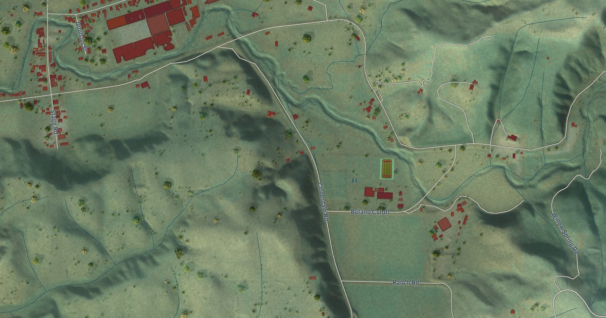
A detailed map of Pescadero, California, showing every building in its true location, the roads by name, and shaded topographical relief.
Read More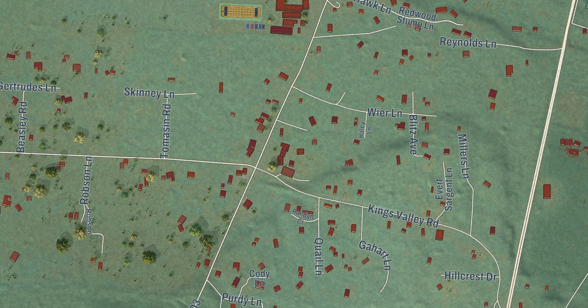
A detailed map of Fort Dick, California, showing every building in its true location, the roads by name, and shaded topographical relief.
Read More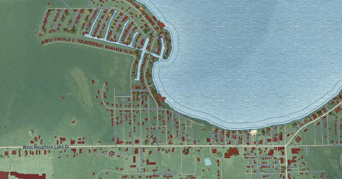
A detailed map of Prudenville, Michigan, showing every building in its true location, the roads by name, and shaded topographical relief.
Read More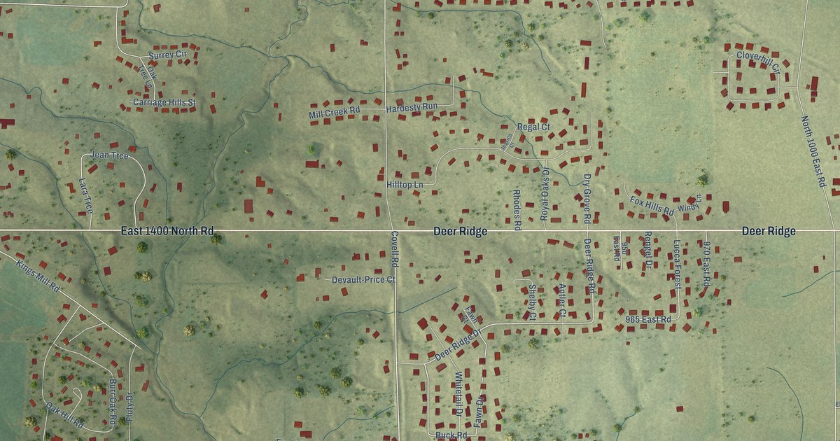
A detailed map of Twin Grove, Illinois, showing every building in its true location, the roads by name, and shaded topographical relief.
Read More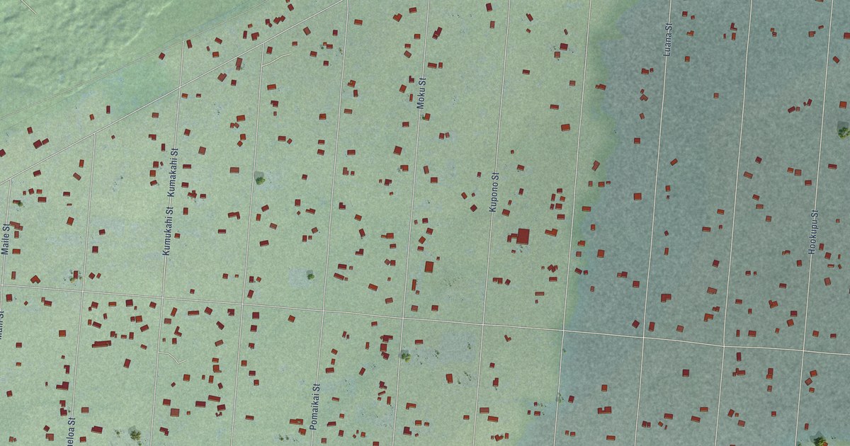
A detailed map of Leilani Estates, Hawaii, showing every building in its true location, the roads by name, and shaded topographical relief.
Read More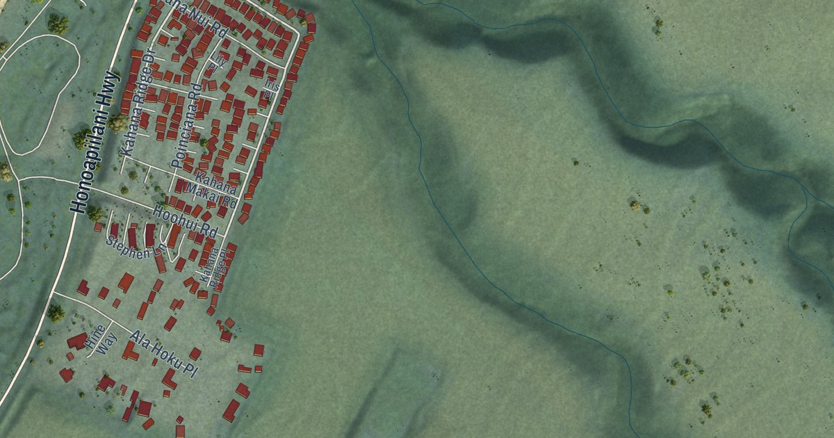
A detailed map of Mahinahina, Hawaii, showing every building in its true location, the roads by name, and shaded topographical relief.
Read More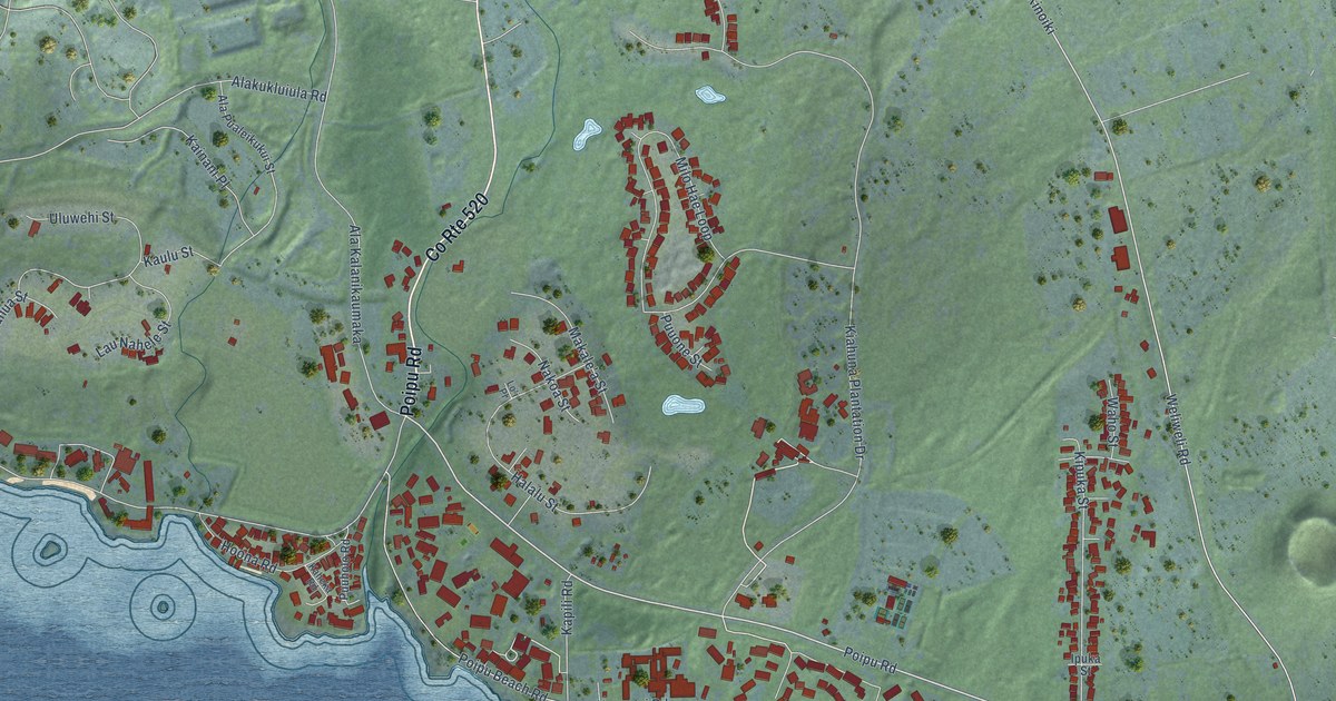
A detailed map of Poipu, Hawaii, showing every building in its true location, the roads by name, and shaded topographical relief.
Read More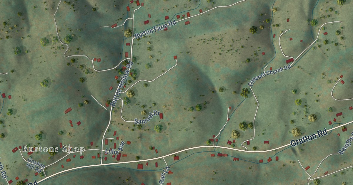
A detailed map of Gratton, Virginia, showing every building in its true location, the roads by name, and shaded topographical relief.
Read More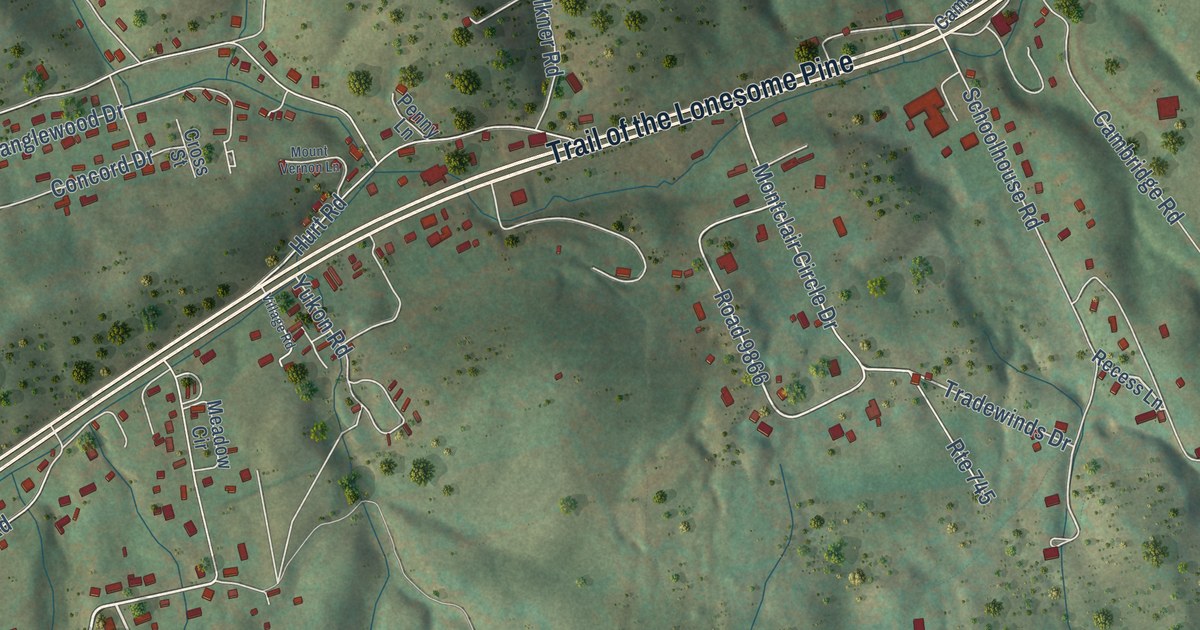
A detailed map of Springville, Virginia, showing every building in its true location, the roads by name, and shaded topographical relief.
Read More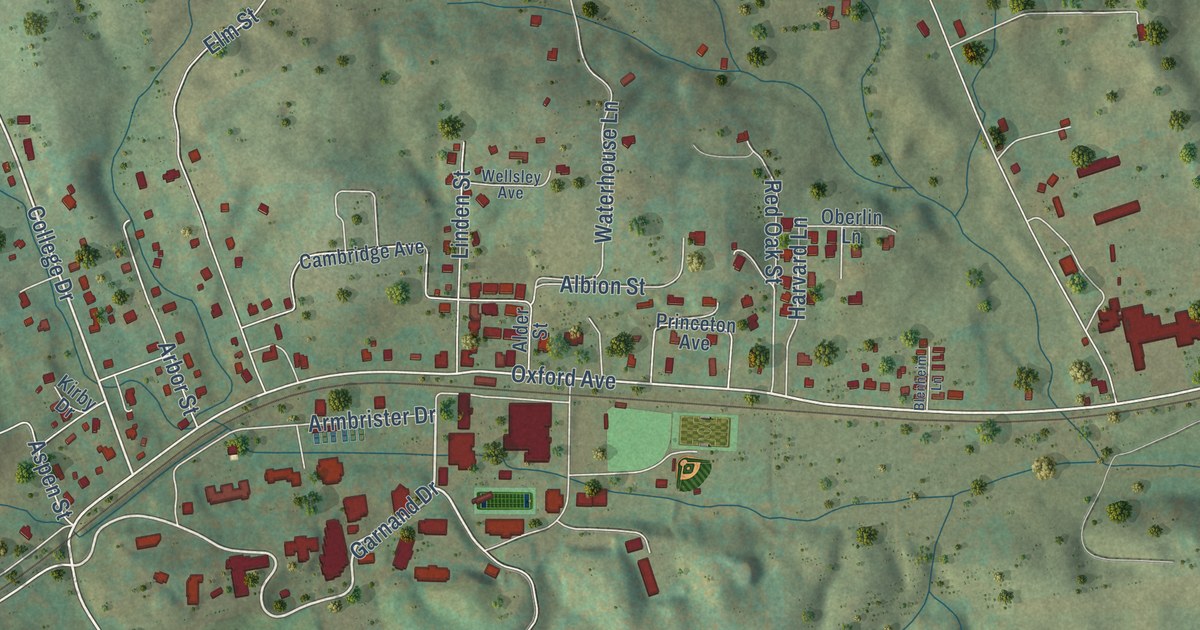
A detailed map of Emory, Virginia, showing every building in its true location, the roads by name, and shaded topographical relief.
Read More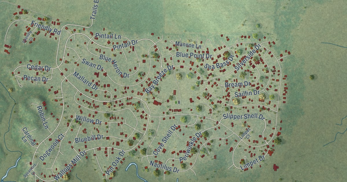
A detailed map of Horntown, Virginia, showing every building in its true location, the roads by name, and shaded topographical relief.
Read More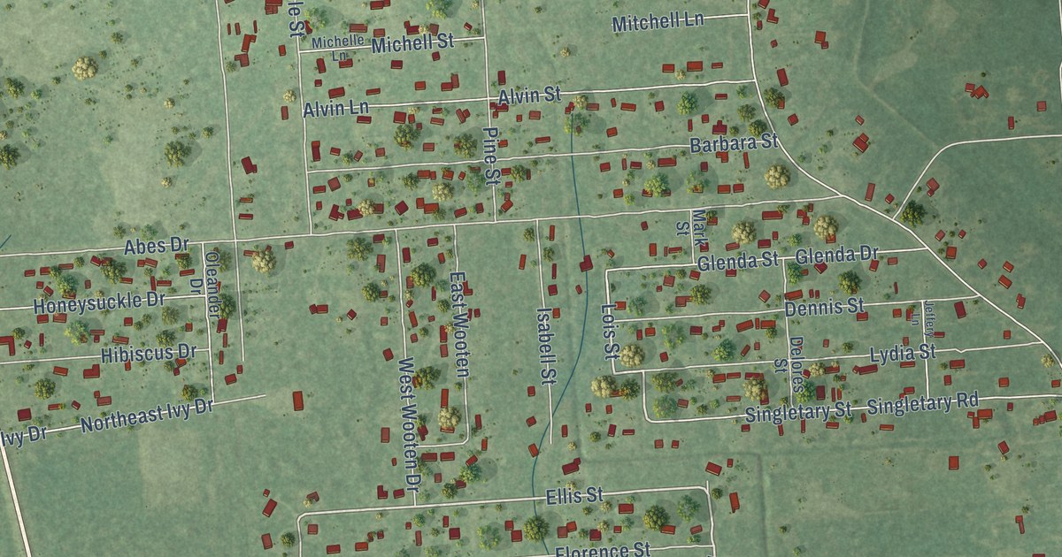
A detailed map of Forest Heights, Texas, showing every building in its true location, the roads by name, and shaded topographical relief.
Read More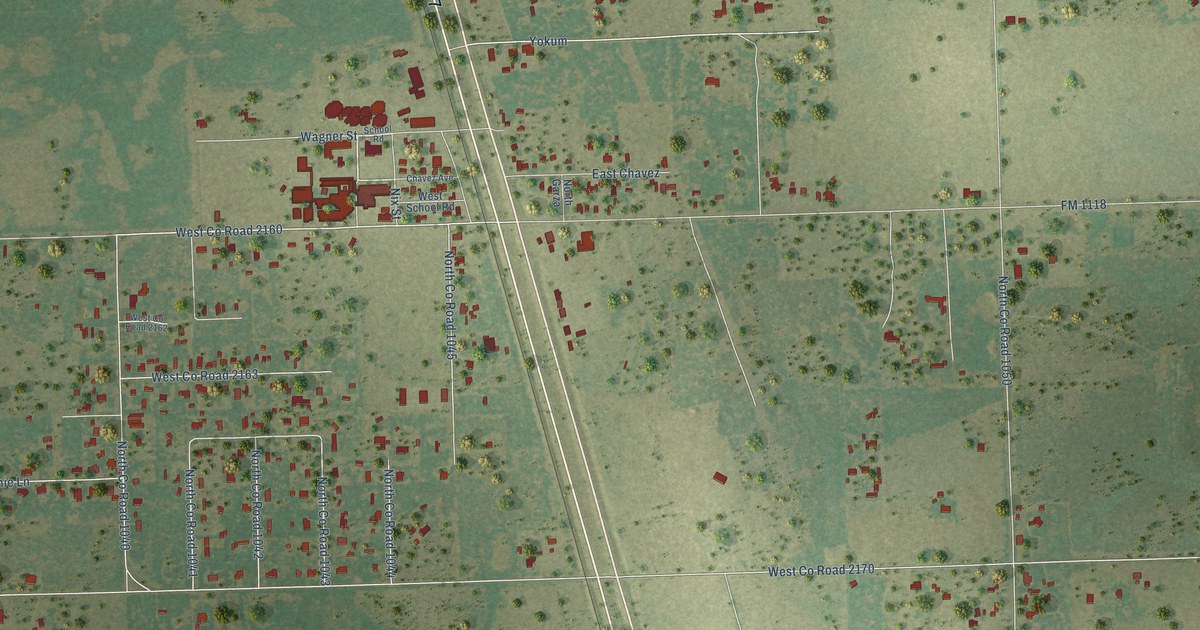
A detailed map of Ricardo, Texas, showing every building in its true location, the roads by name, and shaded topographical relief.
Read More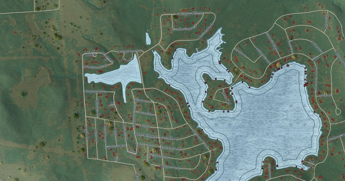
A detailed map of Callender Lake, Texas, showing every building in its true location, the roads by name, and shaded topographical relief.
Read More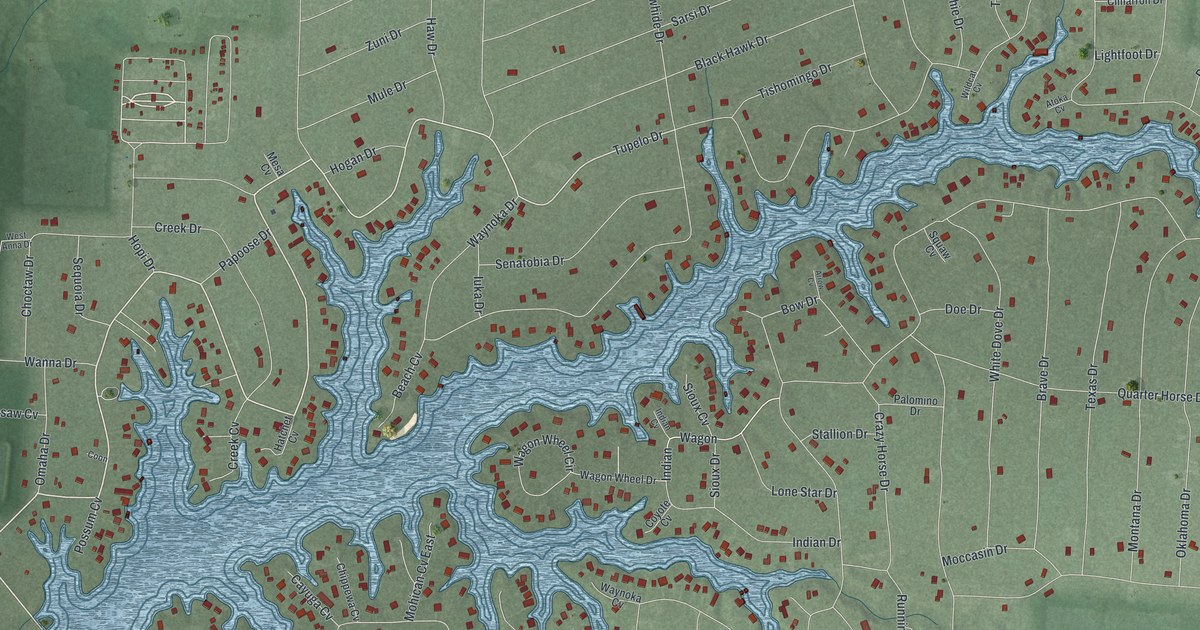
A detailed map of Lake Waynoka, Ohio, showing every building in its true location, the roads by name, and shaded topographical relief.
Read More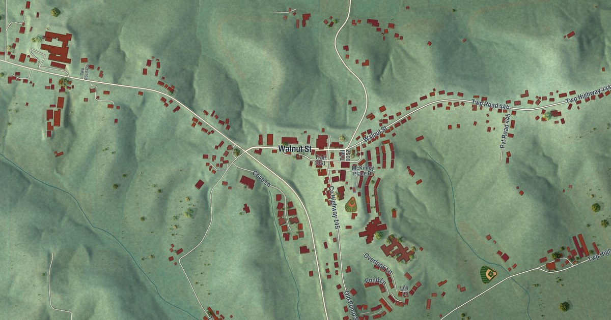
A detailed map of Walnut Creek, Ohio, showing every building in its true location, the roads by name, and shaded topographical relief.
Read More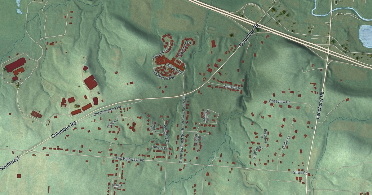
A detailed map of Granville South, Ohio, showing every building in its true location, the roads by name, and shaded topographical relief.
Read More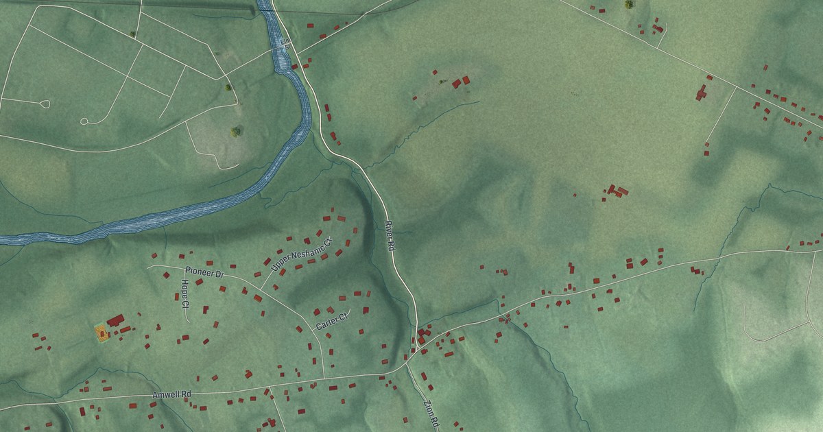
A detailed map of Neshanic, New Jersey, showing every building in its true location, the roads by name, and shaded topographical relief.
Read More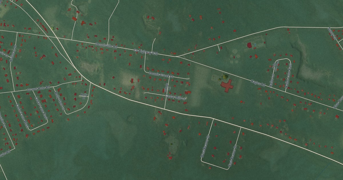
A detailed map of South Dennis, New Jersey, showing every building in its true location, the roads by name, and shaded topographical relief.
Read More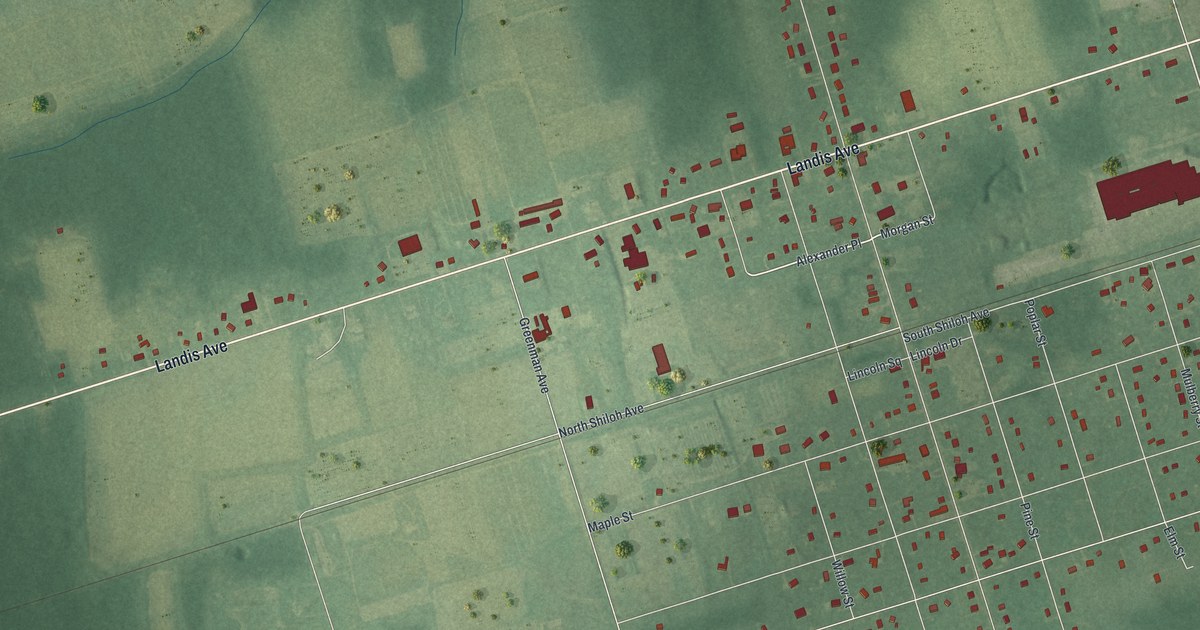
A detailed map of Rosenhayn, New Jersey, showing every building in its true location, the roads by name, and shaded topographical relief.
Read More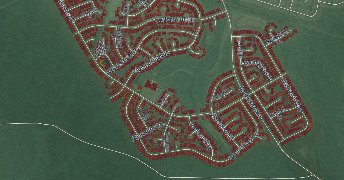
A detailed map of Holiday Heights, New Jersey, showing every building in its true location, the roads by name, and shaded topographical relief.
Read More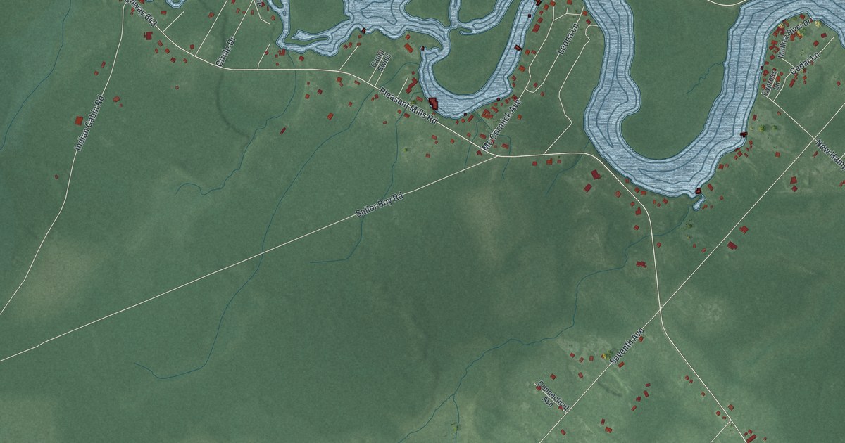
A detailed map of Sweetwater, New Jersey, showing every building in its true location, the roads by name, and shaded topographical relief.
Read More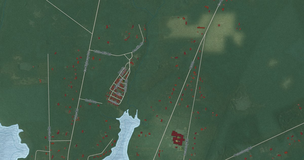
A detailed map of Dennisville, New Jersey, showing every building in its true location, the roads by name, and shaded topographical relief.
Read More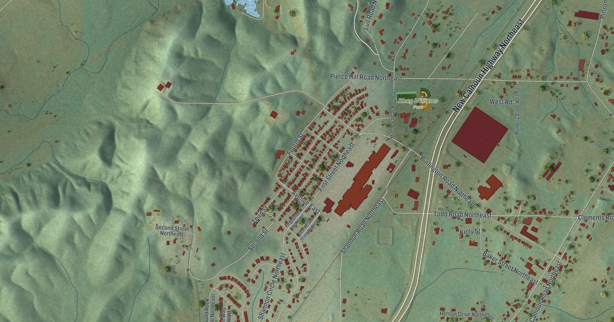
A detailed map of Shannon, Georgia, showing every building in its true location, the roads by name, and shaded topographical relief.
Read More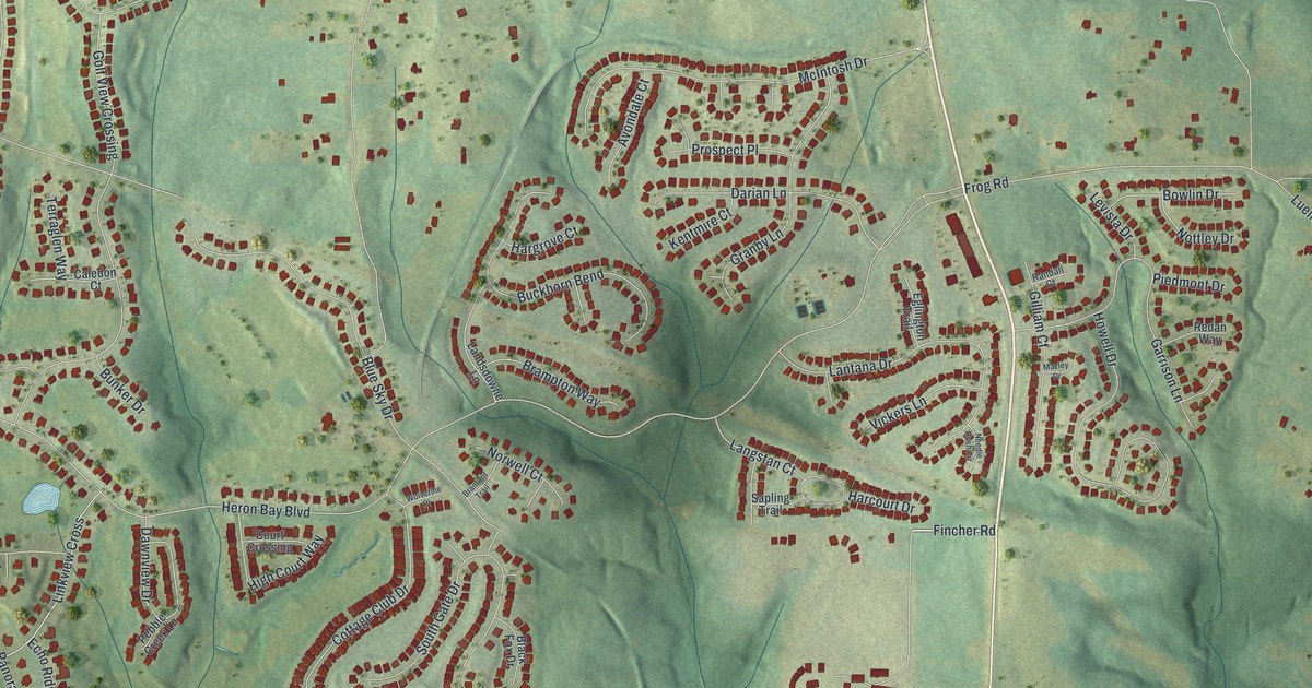
A detailed map of Heron Bay, Georgia, showing every building in its true location, the roads by name, and shaded topographical relief.
Read More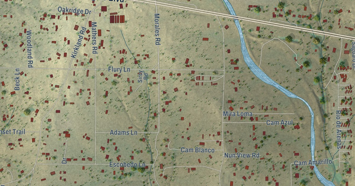
A detailed map of Arenas Valley, New Mexico, showing every building in its true location, the roads by name, and shaded topographical relief.
Read More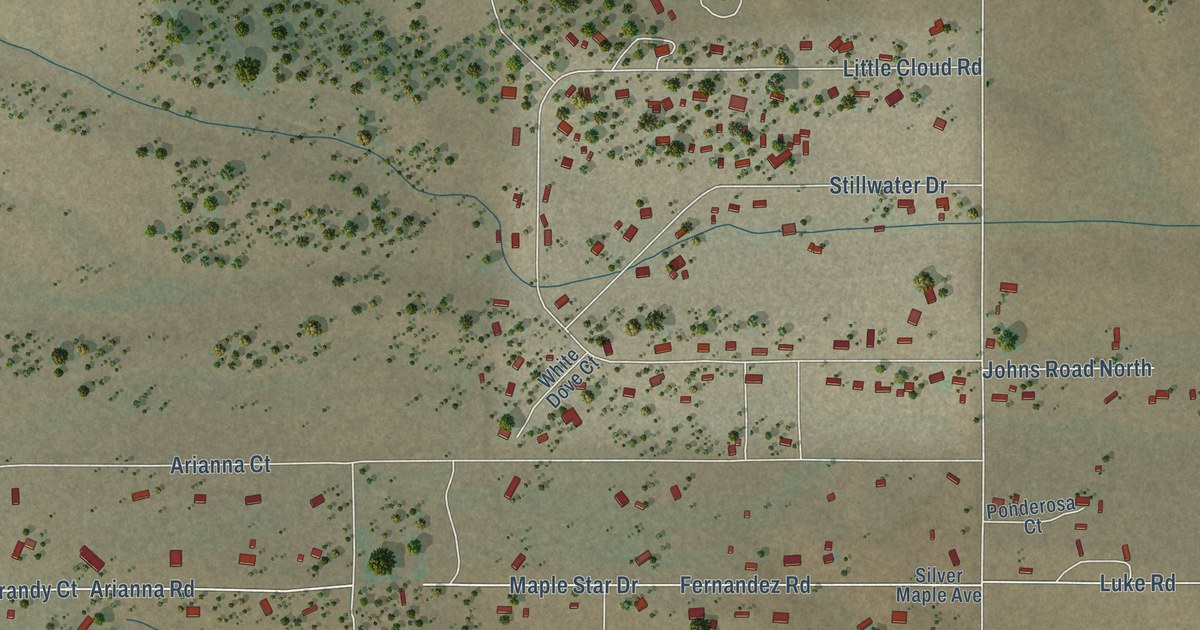
A detailed map of Indian Hills, New Mexico, showing every building in its true location, the roads by name, and shaded topographical relief.
Read More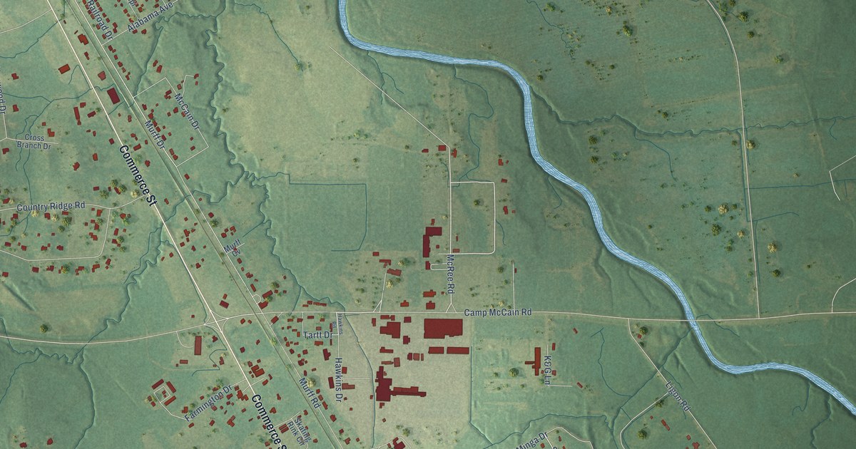
A detailed map of Elliott, Mississippi, showing every building in its true location, the roads by name, and shaded topographical relief.
Read More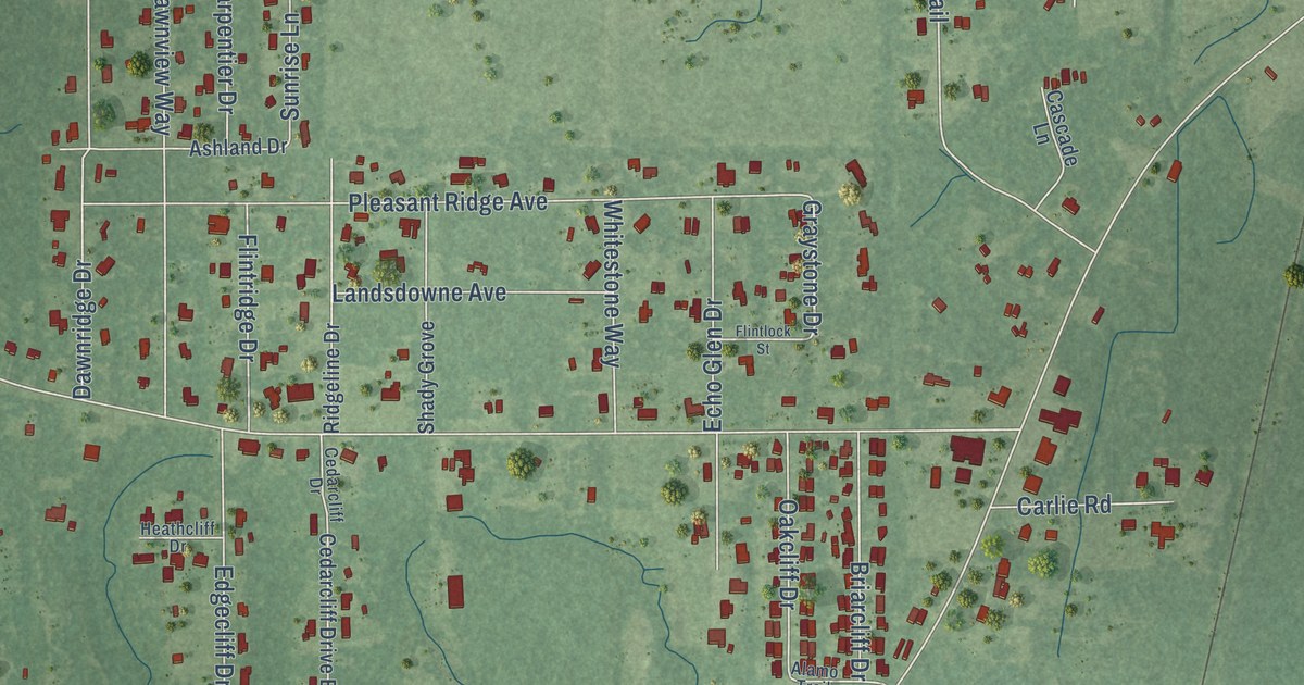
A detailed map of Helena, Mississippi, showing every building in its true location, the roads by name, and shaded topographical relief.
Read More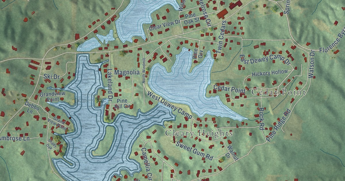
A detailed map of Cleary, Mississippi, showing every building in its true location, the roads by name, and shaded topographical relief.
Read More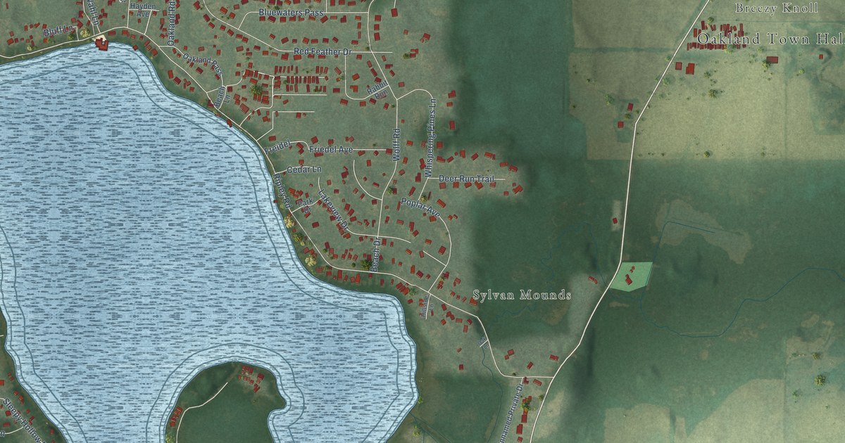
A detailed map of Lake Ripley, Wisconsin, showing every building in its true location, the roads by name, and shaded topographical relief.
Read More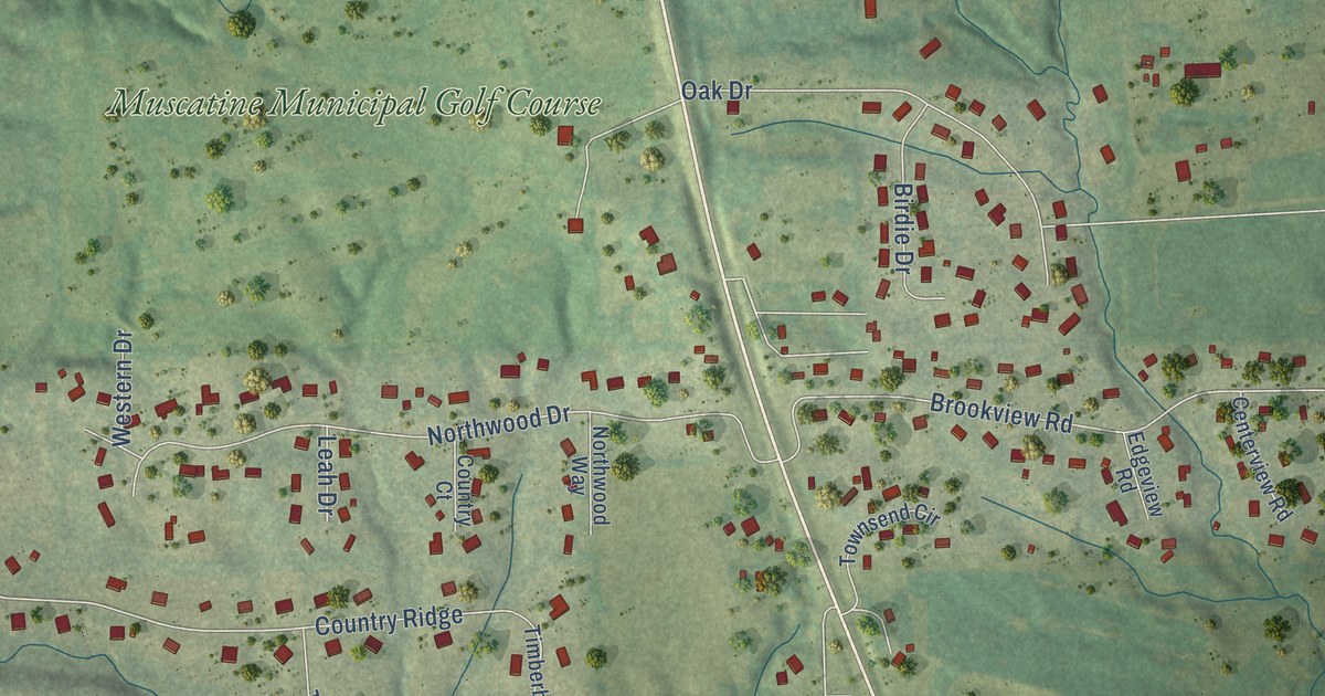
A detailed map of Kent Estates, Iowa, showing every building in its true location, the roads by name, and shaded topographical relief.
Read More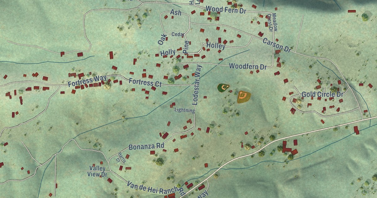
A detailed map of Pioneer, California, showing every building in its true location, the roads by name, and shaded topographical relief.
Read More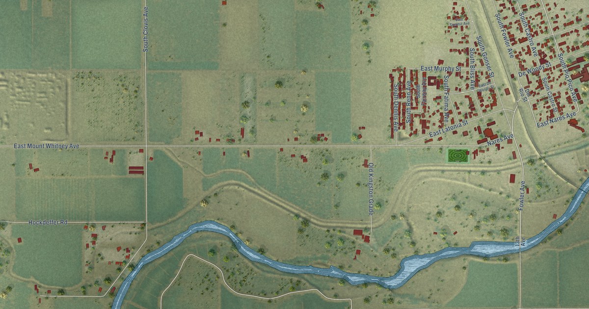
A detailed map of Laton, California, showing every building in its true location, the roads by name, and shaded topographical relief.
Read More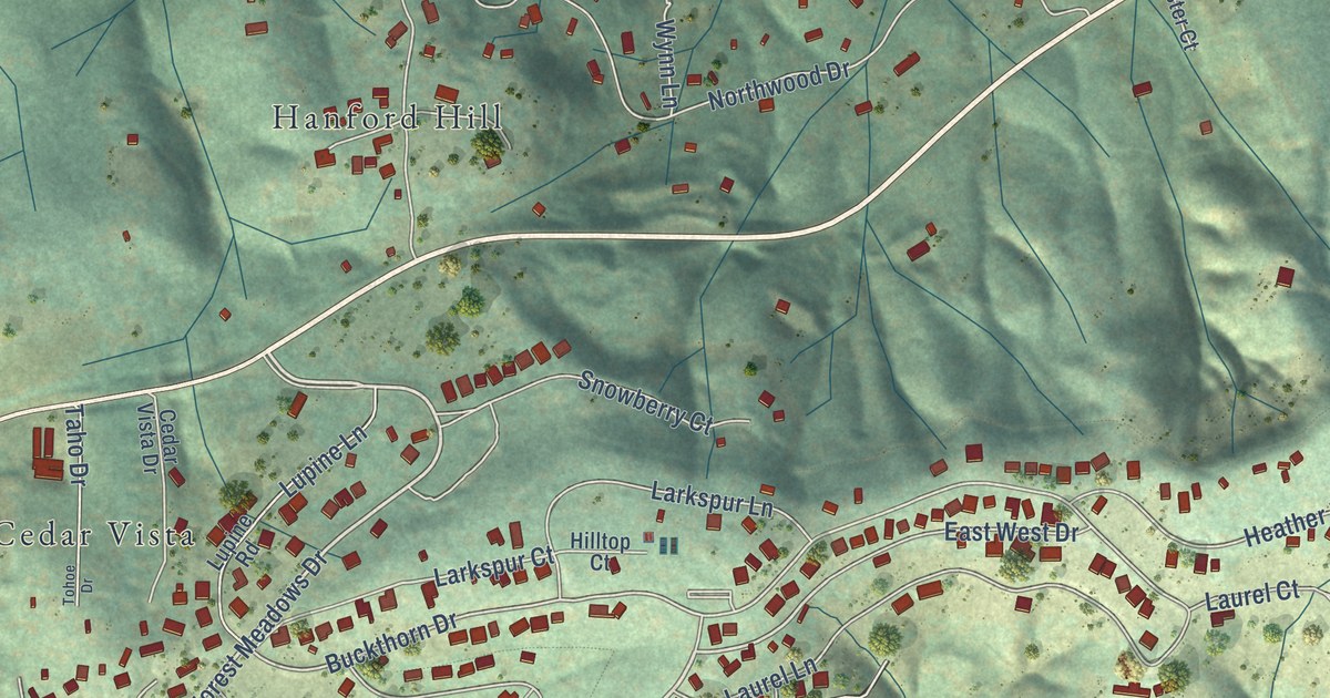
A detailed map of Forest Meadows, California, showing every building in its true location, the roads by name, and shaded topographical relief.
Read More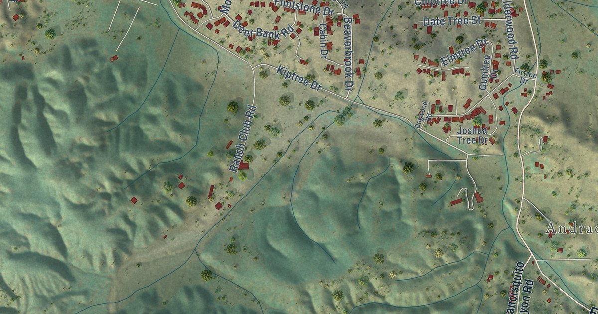
A detailed map of Elizabeth Lake, California, showing every building in its true location, the roads by name, and shaded topographical relief.
Read More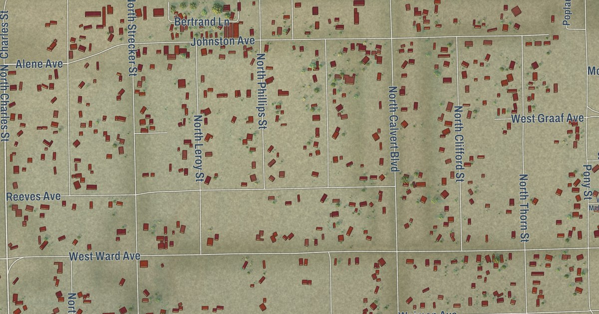
A detailed map of China Lake Acres, California, showing every building in its true location, the roads by name, and shaded topographical relief.
Read More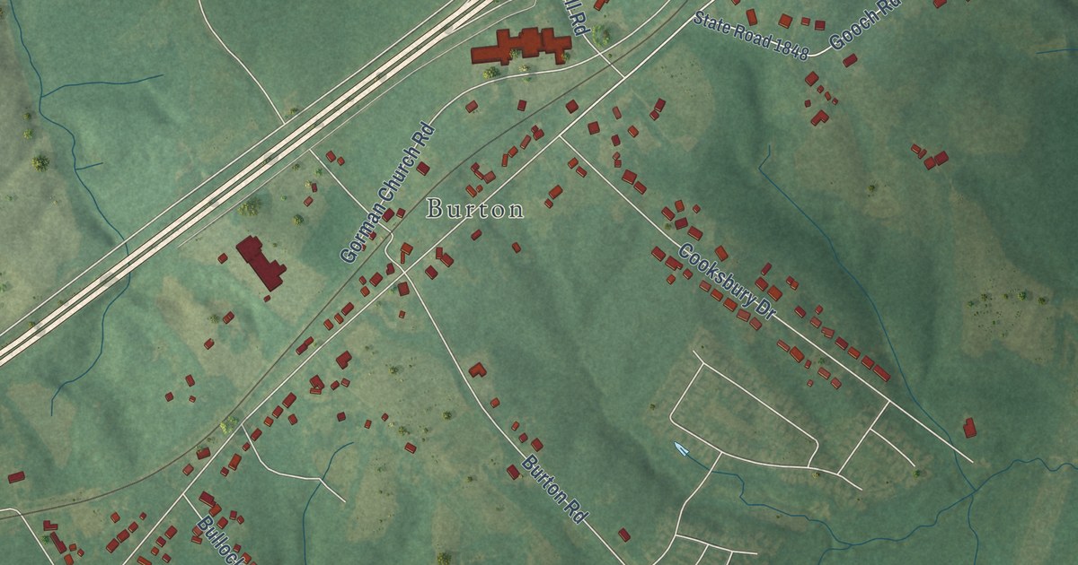
A detailed map of Gorman, North Carolina, showing every building in its true location, the roads by name, and shaded topographical relief.
Read More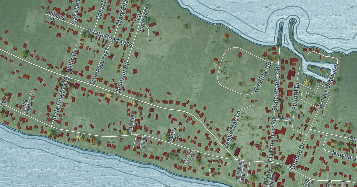
A detailed map of Harkers Island, North Carolina, showing every building in its true location, the roads by name, and shaded topographical relief.
Read More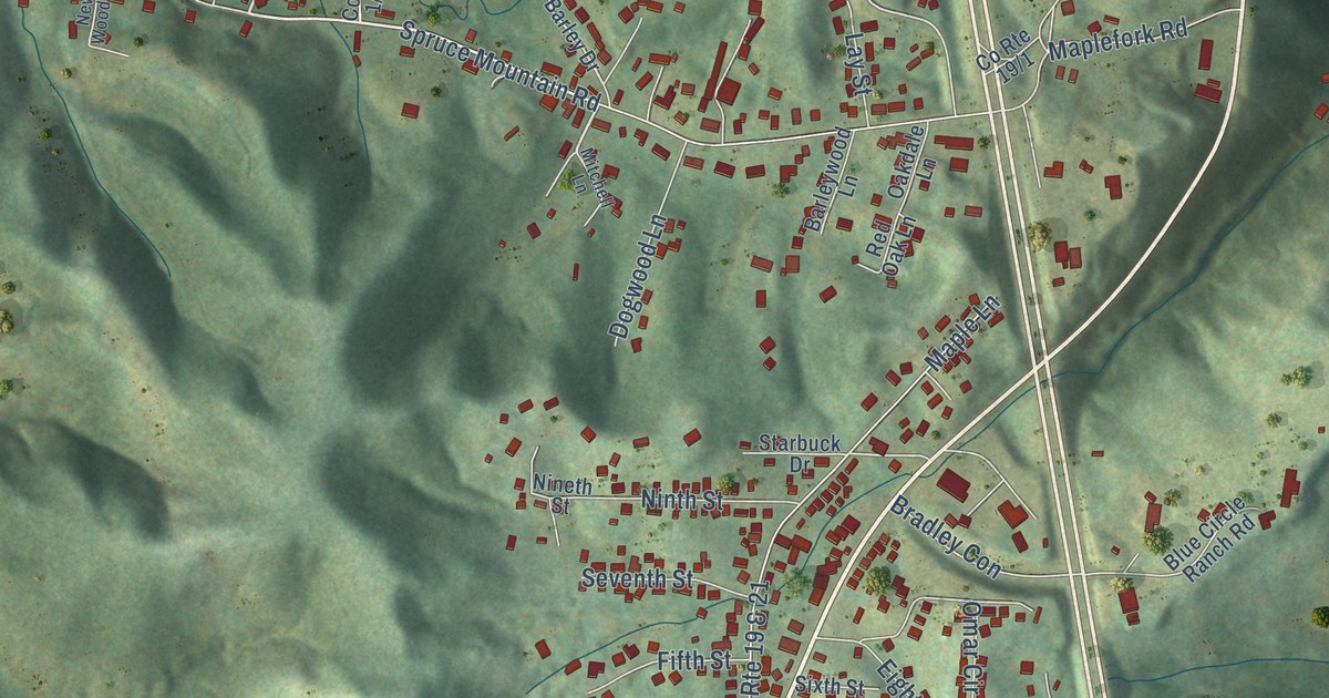
A detailed map of Bradley, West Virginia, showing every building in its true location, the roads by name, and shaded topographical relief.
Read More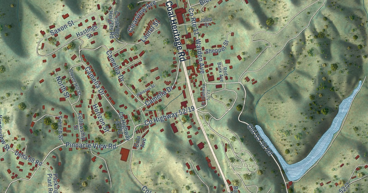
A detailed map of Bluewell, West Virginia, showing every building in its true location, the roads by name, and shaded topographical relief.
Read More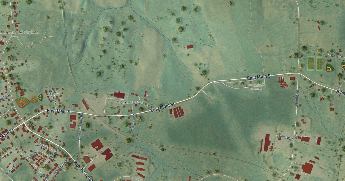
A detailed map of Marshall, Virginia, showing every building in its true location, the roads by name, and shaded topographical relief.
Read More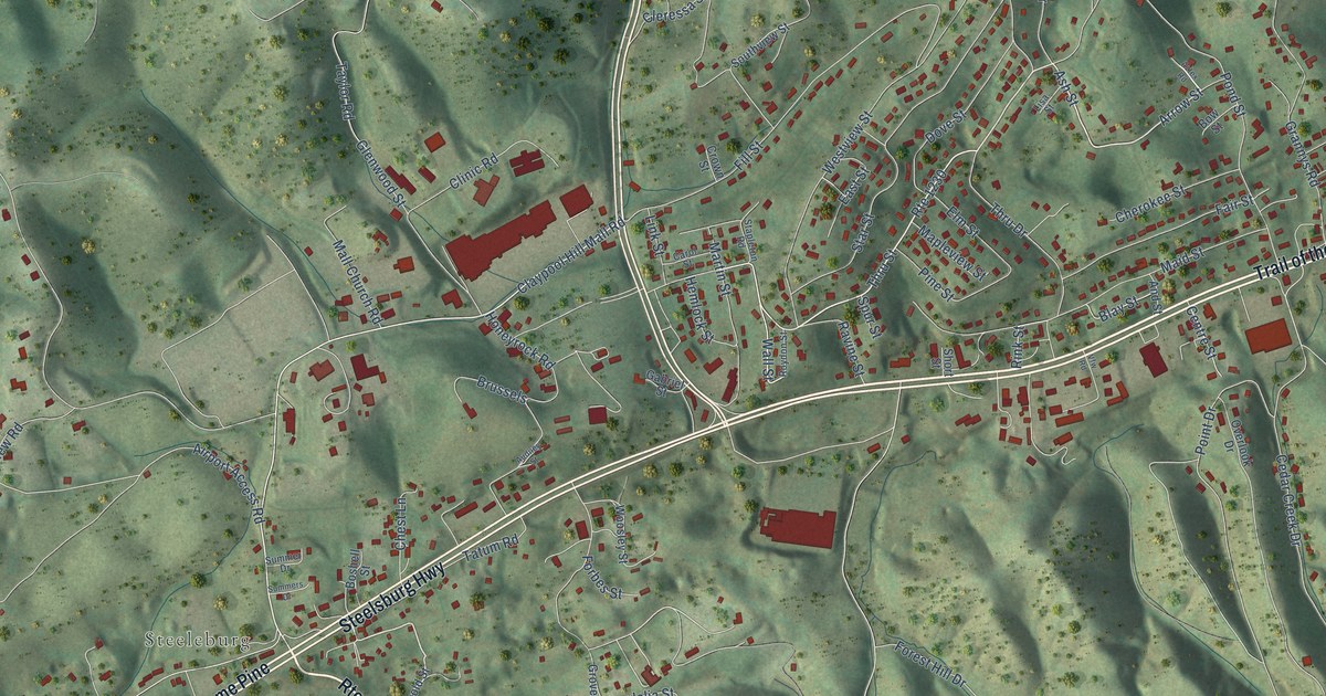
A detailed map of Claypool Hill, Virginia, showing every building in its true location, the roads by name, and shaded topographical relief.
Read More















