Detailed Map of Allen Park, Michigan
A detailed map of Allen Park, Michigan, showing every building in its true location, the roads by name, and shaded topographical relief.
Read More
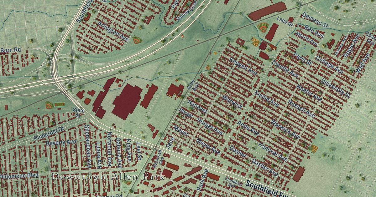
A detailed map of Allen Park, Michigan, showing every building in its true location, the roads by name, and shaded topographical relief.
Read More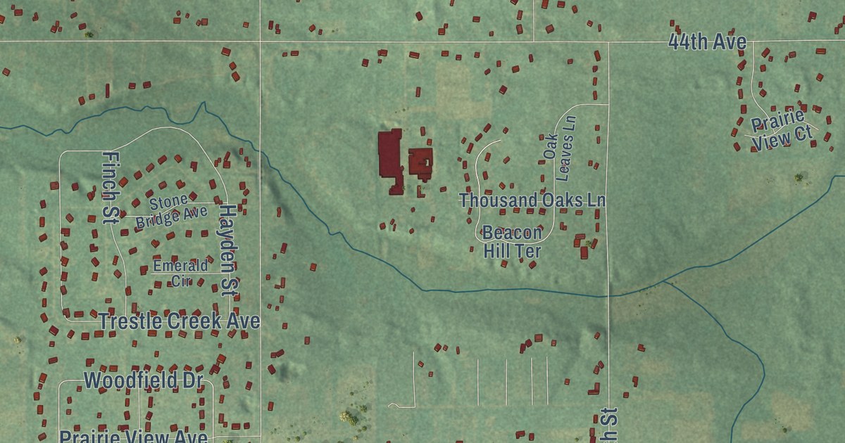
A detailed map of Almena, Michigan, showing every building in its true location, the roads by name, and shaded topographical relief.
Read More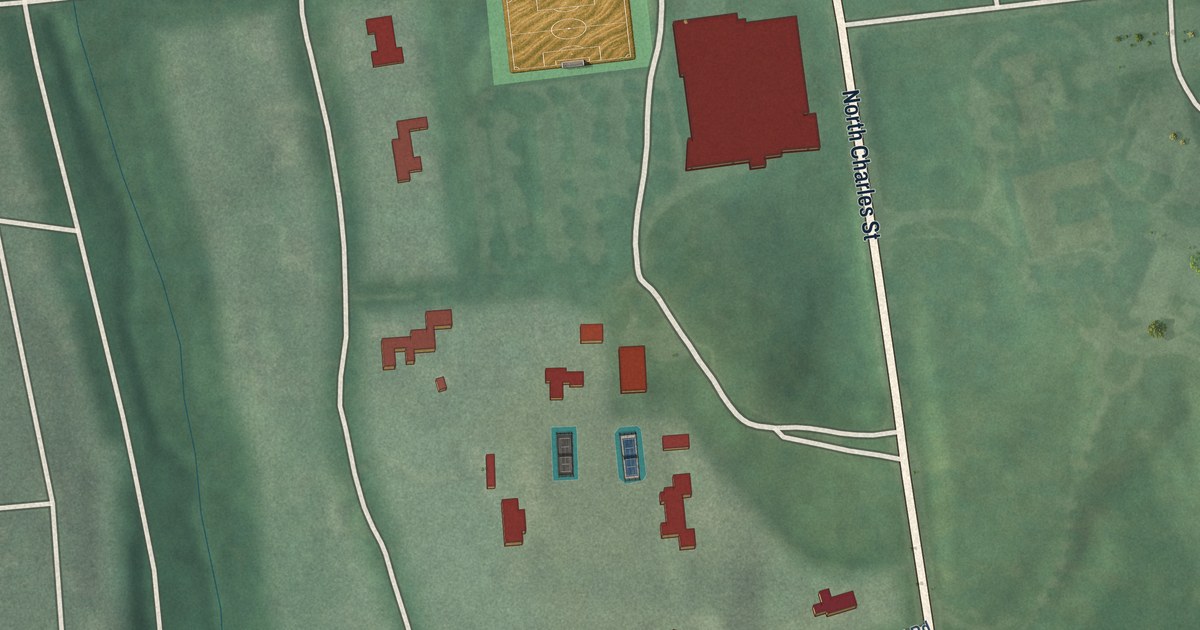
A detailed map of Blythewood, Maryland, showing every building in its true location, the roads by name, and shaded topographical relief.
Read More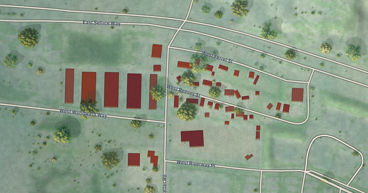
A detailed map of Huetter, Idaho, showing every building in its true location, the roads by name, and shaded topographical relief.
Read More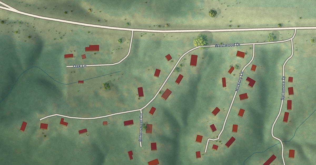
A detailed map of Westwood, Iowa, showing every building in its true location, the roads by name, and shaded topographical relief.
Read More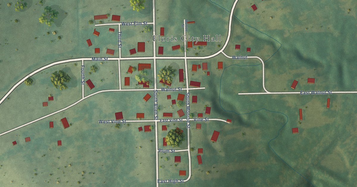
A detailed map of Floris, Iowa, showing every building in its true location, the roads by name, and shaded topographical relief.
Read More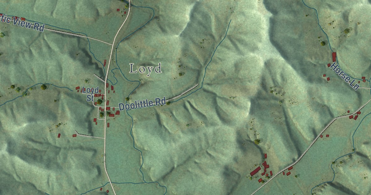
A detailed map of Willow, Wisconsin, showing every building in its true location, the roads by name, and shaded topographical relief.
Read More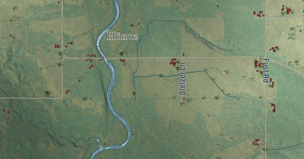
A detailed map of Underhill, Wisconsin, showing every building in its true location, the roads by name, and shaded topographical relief.
Read More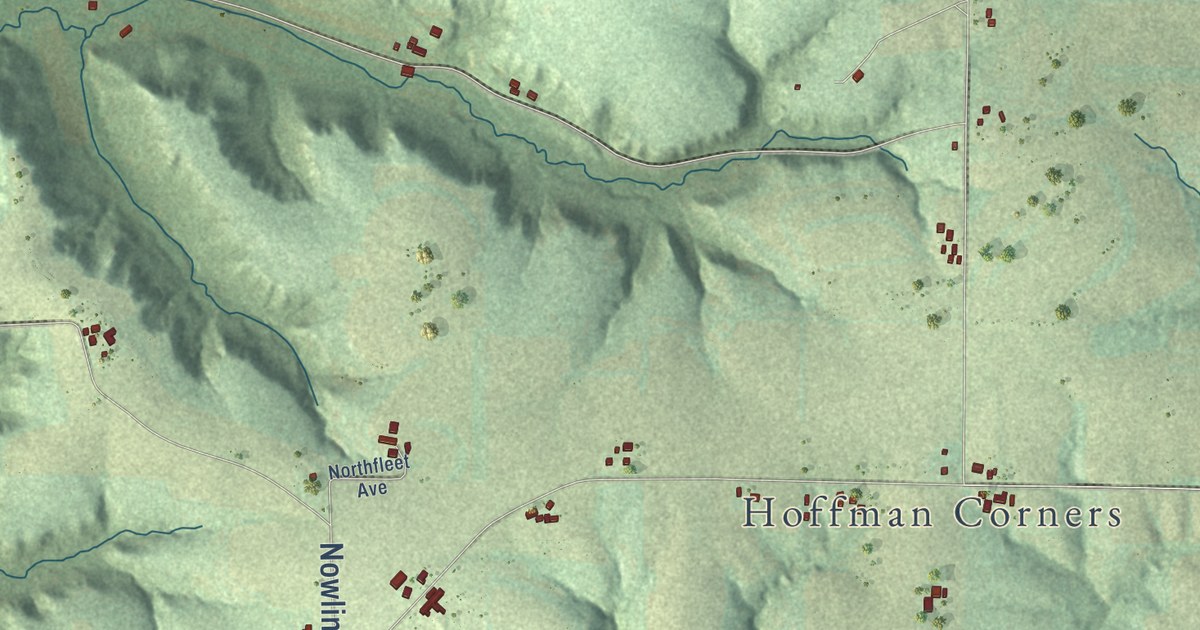
A detailed map of Wellington, Wisconsin, showing every building in its true location, the roads by name, and shaded topographical relief.
Read More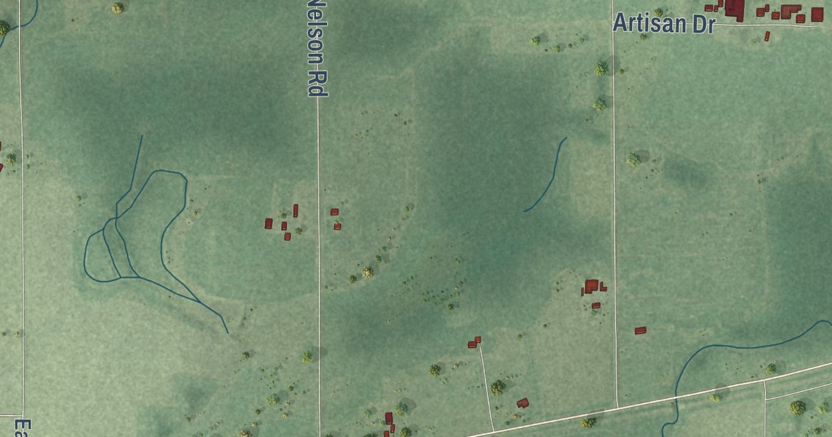
A detailed map of True, Wisconsin, showing every building in its true location, the roads by name, and shaded topographical relief.
Read More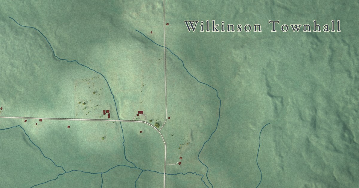
A detailed map of Wilkinson, Wisconsin, showing every building in its true location, the roads by name, and shaded topographical relief.
Read More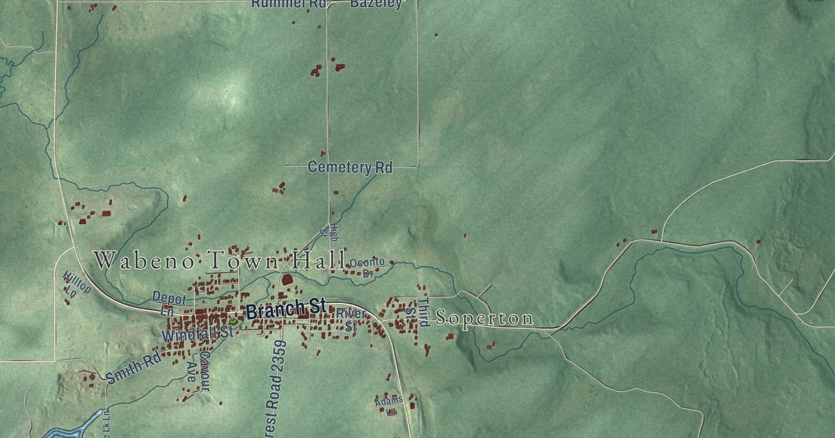
A detailed map of Wabeno, Wisconsin, showing every building in its true location, the roads by name, and shaded topographical relief.
Read More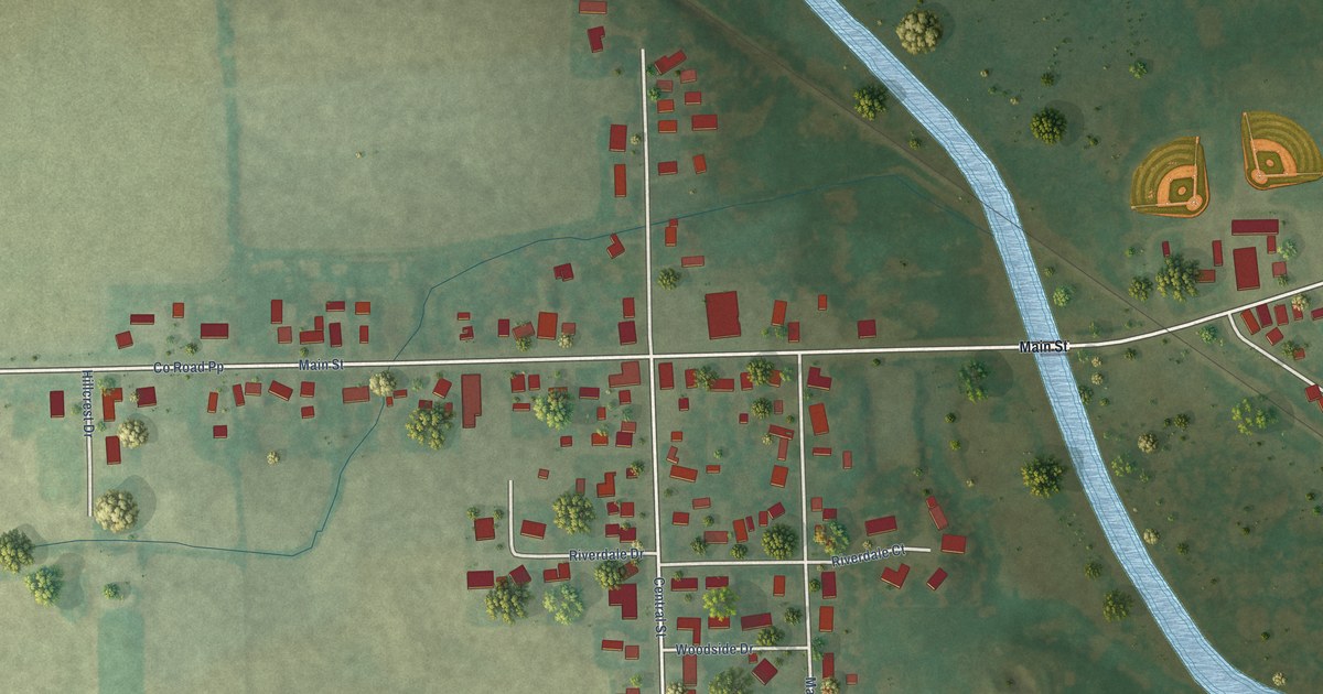
A detailed map of Potter, Wisconsin, showing every building in its true location, the roads by name, and shaded topographical relief.
Read More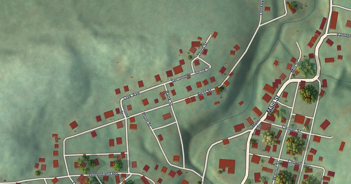
A detailed map of Vanderbilt, Pennsylvania, showing every building in its true location, the roads by name, and shaded topographical relief.
Read More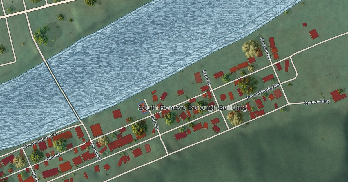
A detailed map of South Renovo, Pennsylvania, showing every building in its true location, the roads by name, and shaded topographical relief.
Read More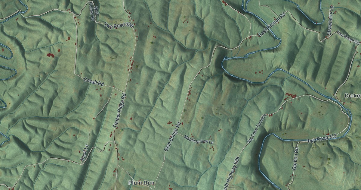
A detailed map of Thompson, Fulton County, Pennsylvania, showing every building in its true location, the roads by name, and shaded topographical relief.
Read More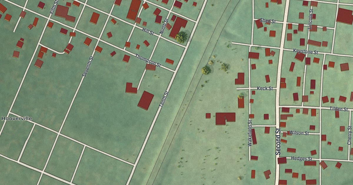
A detailed map of Seward, Pennsylvania, showing every building in its true location, the roads by name, and shaded topographical relief.
Read More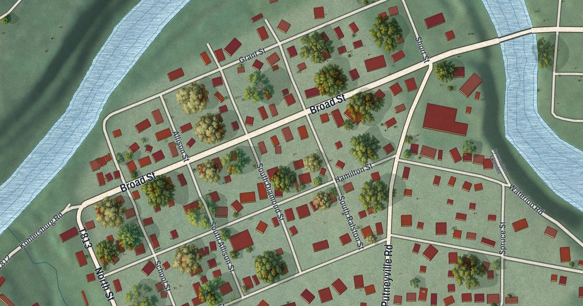
A detailed map of South Bethlehem, Pennsylvania, showing every building in its true location, the roads by name, and shaded topographical relief.
Read More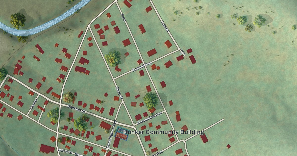
A detailed map of Hunker, Pennsylvania, showing every building in its true location, the roads by name, and shaded topographical relief.
Read More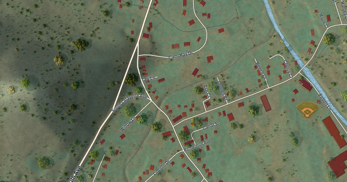
A detailed map of Lewis Run, Pennsylvania, showing every building in its true location, the roads by name, and shaded topographical relief.
Read More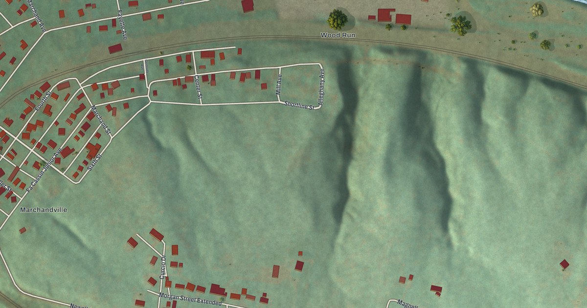
A detailed map of Newell, Pennsylvania, showing every building in its true location, the roads by name, and shaded topographical relief.
Read More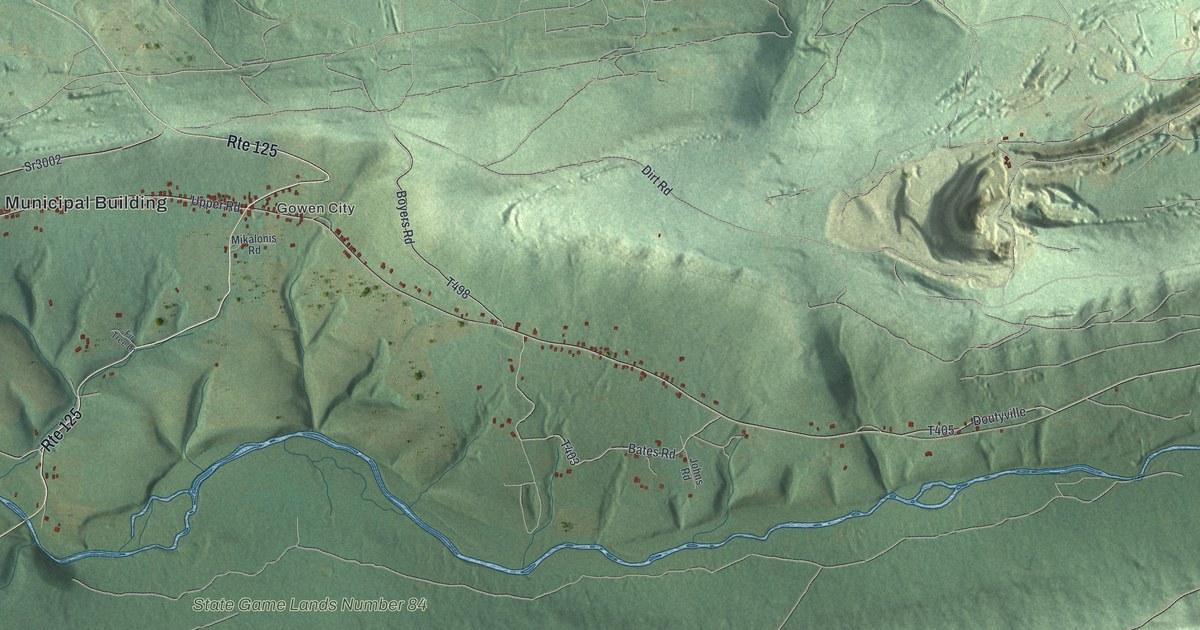
A detailed map of East Cameron, Pennsylvania, showing every building in its true location, the roads by name, and shaded topographical relief.
Read More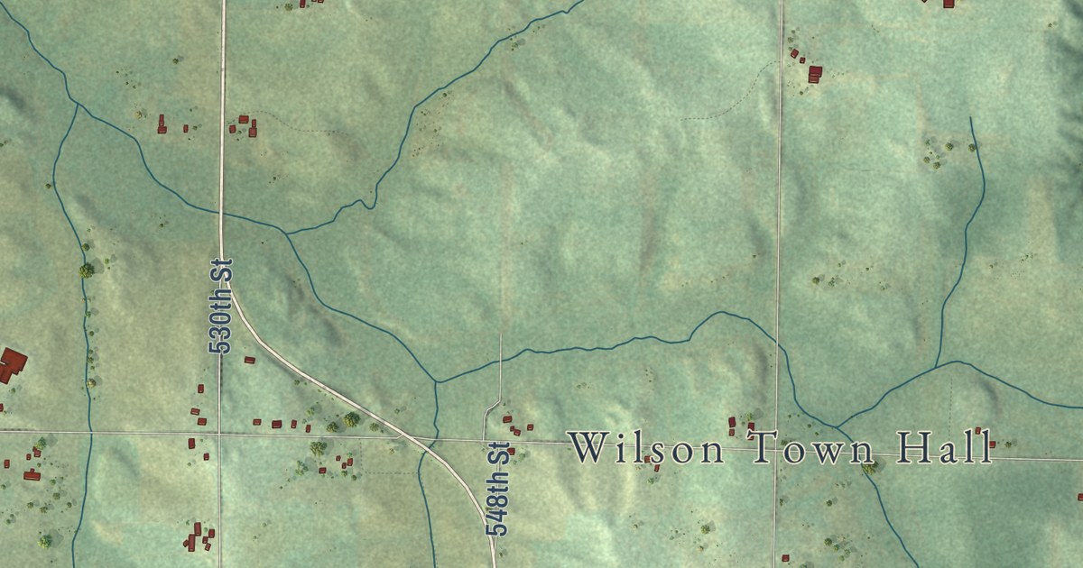
A detailed map of Wilson, Wisconsin, showing every building in its true location, the roads by name, and shaded topographical relief.
Read More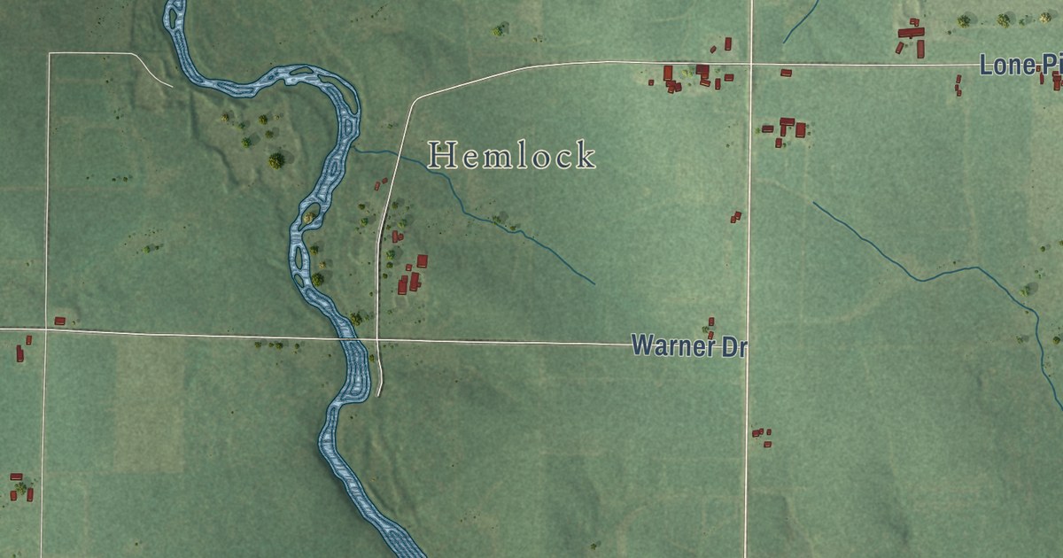
A detailed map of Warner, Wisconsin, showing every building in its true location, the roads by name, and shaded topographical relief.
Read More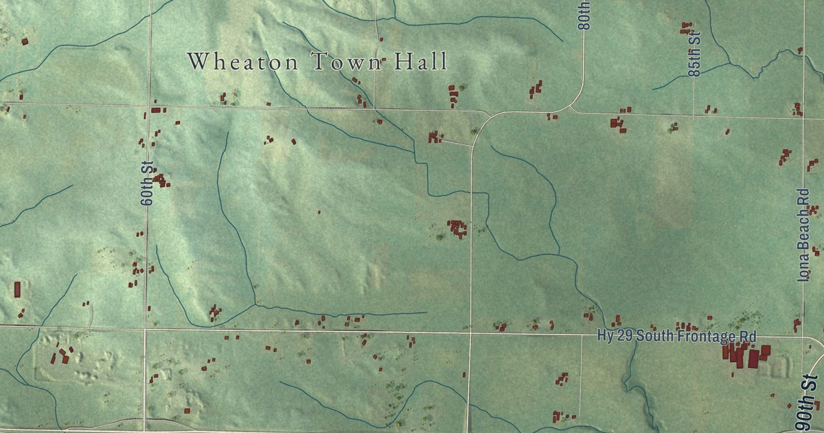
A detailed map of Wheaton, Wisconsin, showing every building in its true location, the roads by name, and shaded topographical relief.
Read More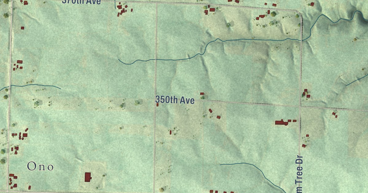
A detailed map of Union, Wisconsin, showing every building in its true location, the roads by name, and shaded topographical relief.
Read More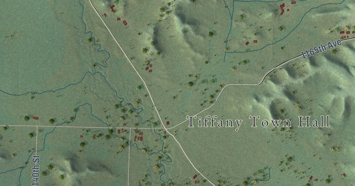
A detailed map of Tiffany, Wisconsin, showing every building in its true location, the roads by name, and shaded topographical relief.
Read More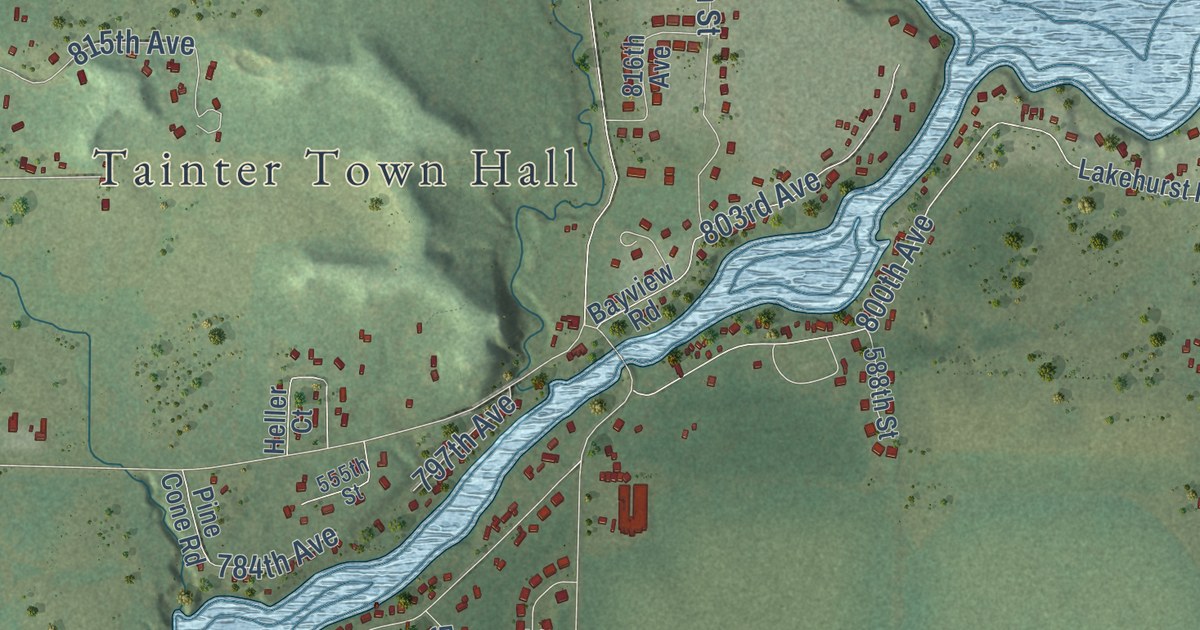
A detailed map of Tainter, Wisconsin, showing every building in its true location, the roads by name, and shaded topographical relief.
Read More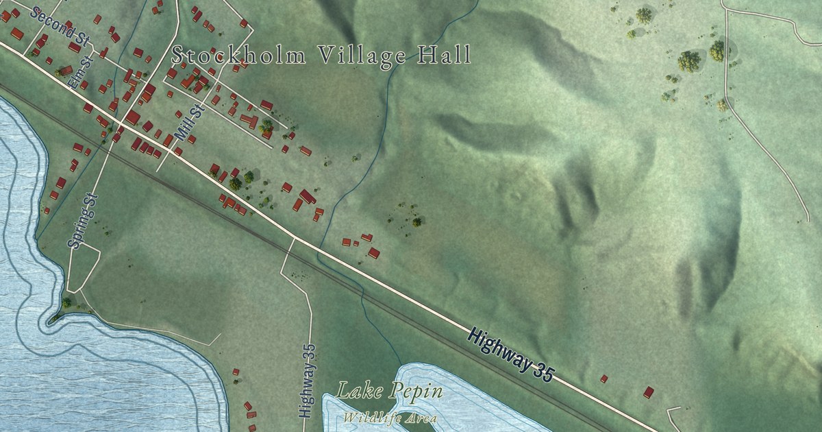
A detailed map of the Village of Stockholm, Wisconsin, showing every building in its true location, the roads by name, and shaded topographical relief.
Read More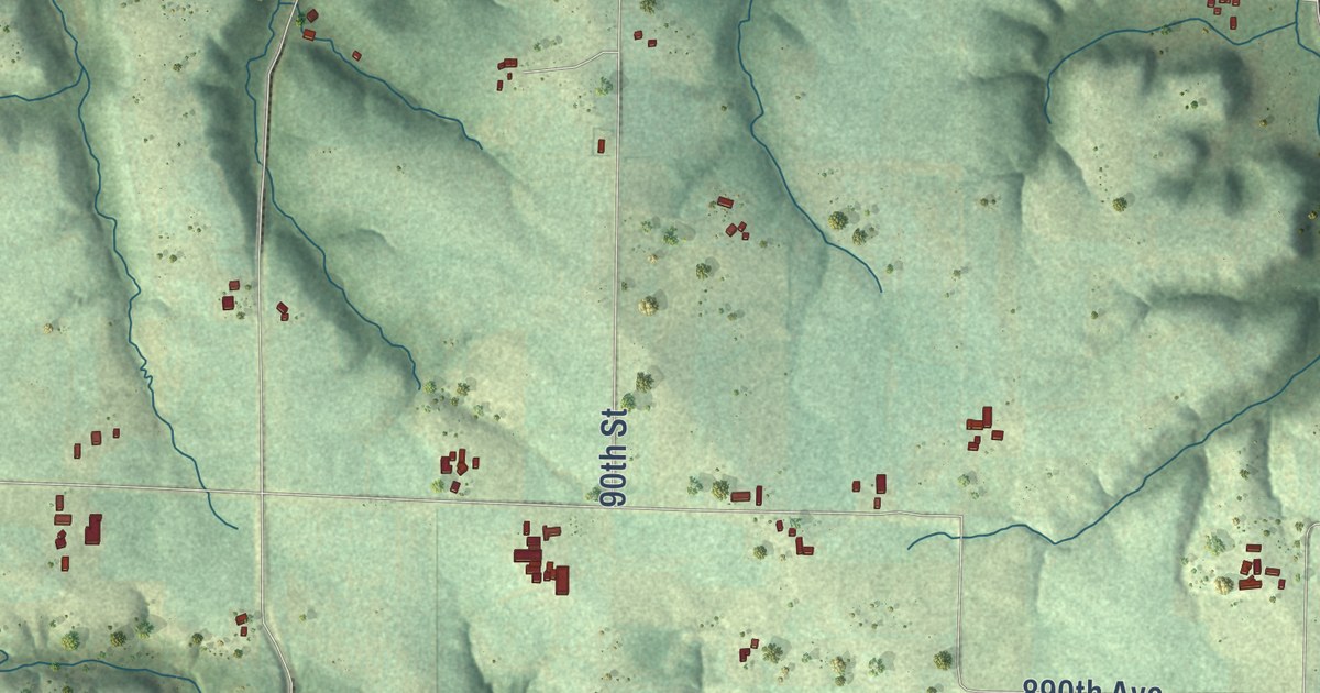
A detailed map of Stanton, Wisconsin, showing every building in its true location, the roads by name, and shaded topographical relief.
Read More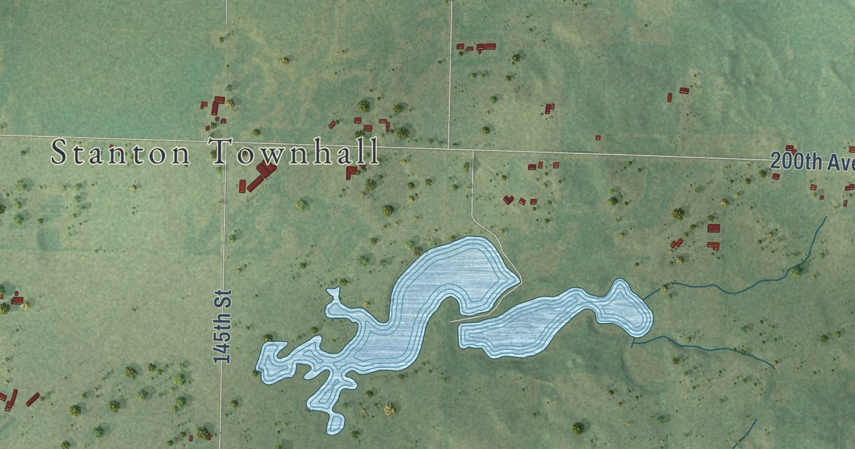
A detailed map of Stanton, Wisconsin, showing every building in its true location, the roads by name, and shaded topographical relief.
Read More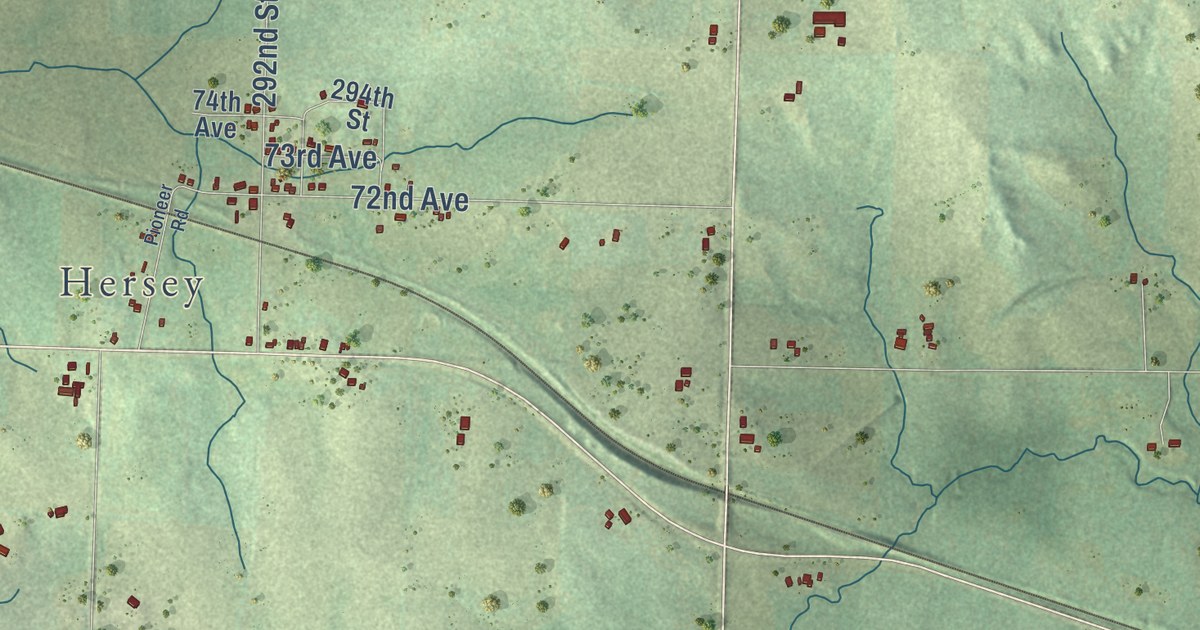
A detailed map of Springfield, Wisconsin, showing every building in its true location, the roads by name, and shaded topographical relief.
Read More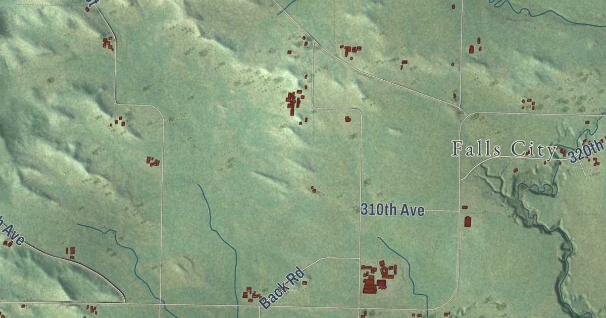
A detailed map of Spring Brook, Wisconsin, showing every building in its true location, the roads by name, and shaded topographical relief.
Read More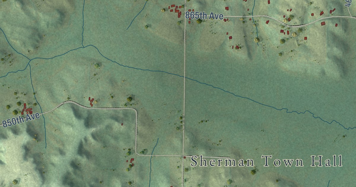
A detailed map of Sherman, Wisconsin, showing every building in its true location, the roads by name, and shaded topographical relief.
Read More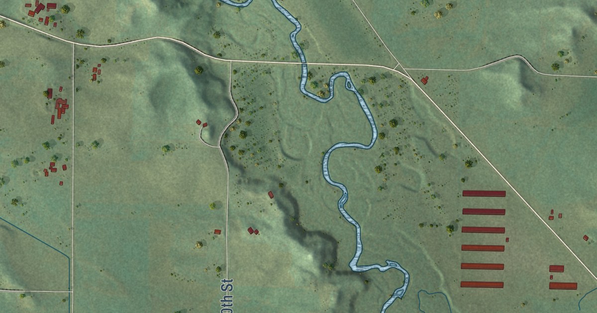
A detailed map of Sheridan, Wisconsin, showing every building in its true location, the roads by name, and shaded topographical relief.
Read More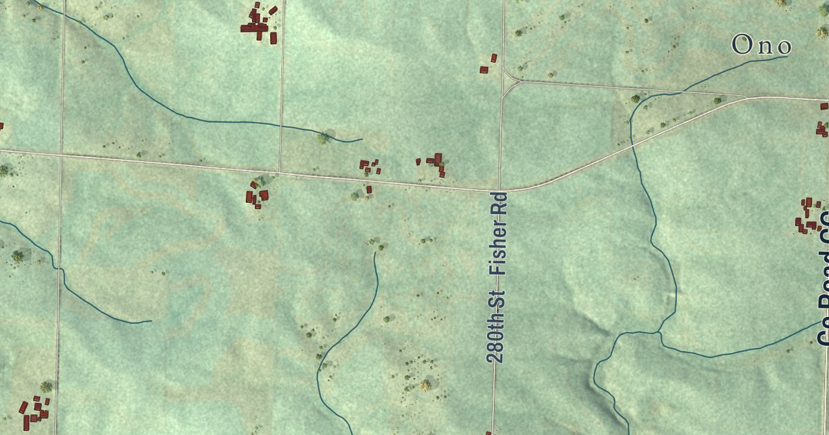
A detailed map of Salem, Wisconsin, showing every building in its true location, the roads by name, and shaded topographical relief.
Read More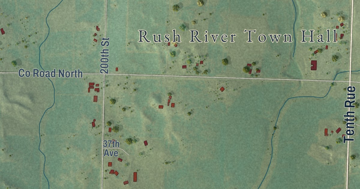
A detailed map of Rush River, Wisconsin, showing every building in its true location, the roads by name, and shaded topographical relief.
Read More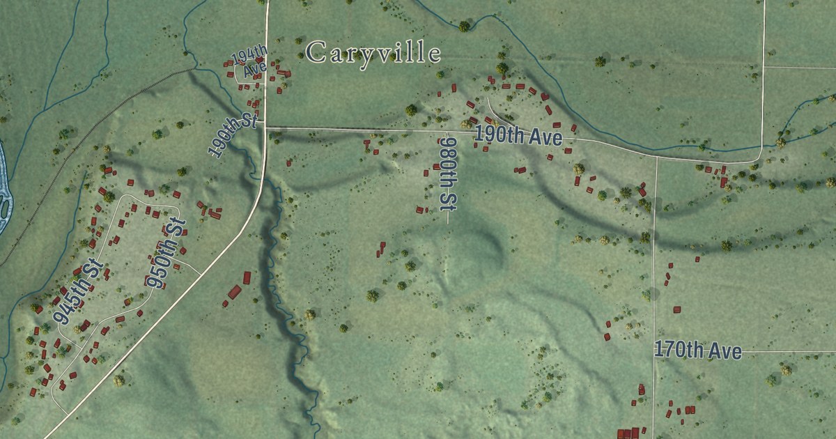
A detailed map of Rock Creek, Wisconsin, showing every building in its true location, the roads by name, and shaded topographical relief.
Read More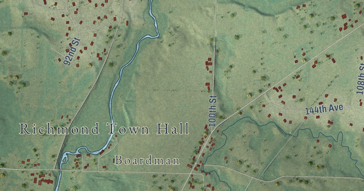
A detailed map of Richmond, Wisconsin, showing every building in its true location, the roads by name, and shaded topographical relief.
Read More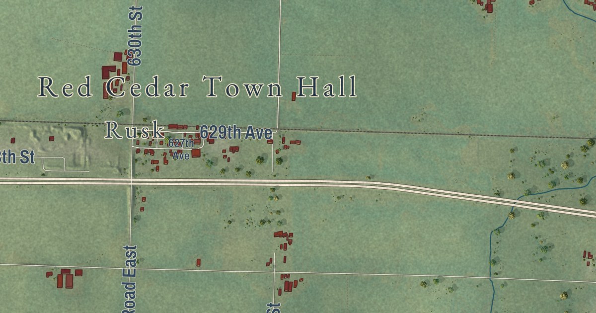
A detailed map of Red Cedar, Wisconsin, showing every building in its true location, the roads by name, and shaded topographical relief.
Read More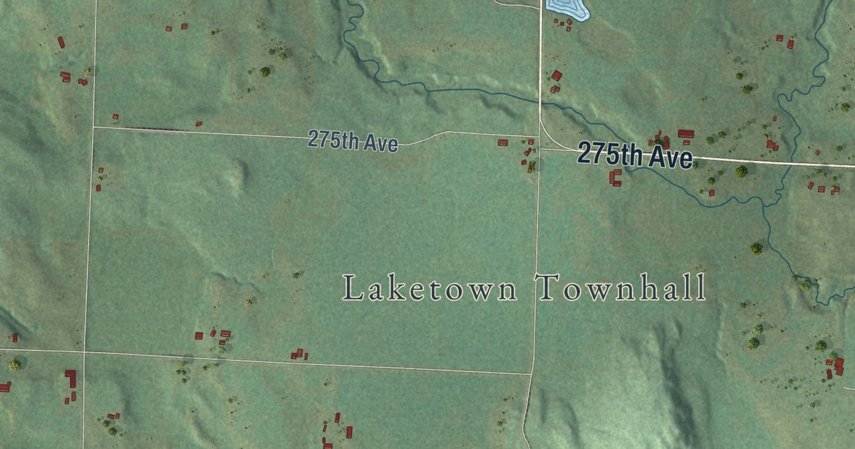
A detailed map of Laketown, Wisconsin, showing every building in its true location, the roads by name, and shaded topographical relief.
Read More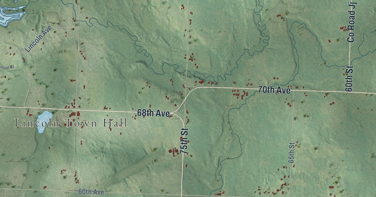
A detailed map of Lincoln, Wisconsin, showing every building in its true location, the roads by name, and shaded topographical relief.
Read More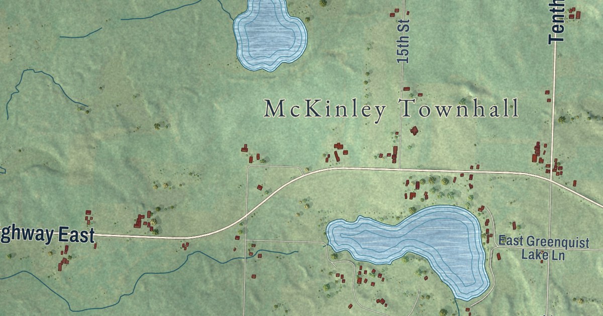
A detailed map of McKinley, Wisconsin, showing every building in its true location, the roads by name, and shaded topographical relief.
Read More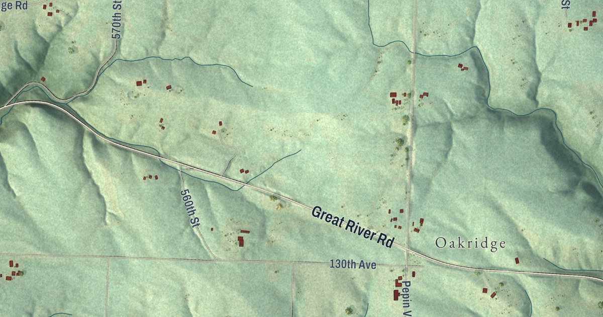
A detailed map of Isabelle, Wisconsin, showing every building in its true location, the roads by name, and shaded topographical relief.
Read More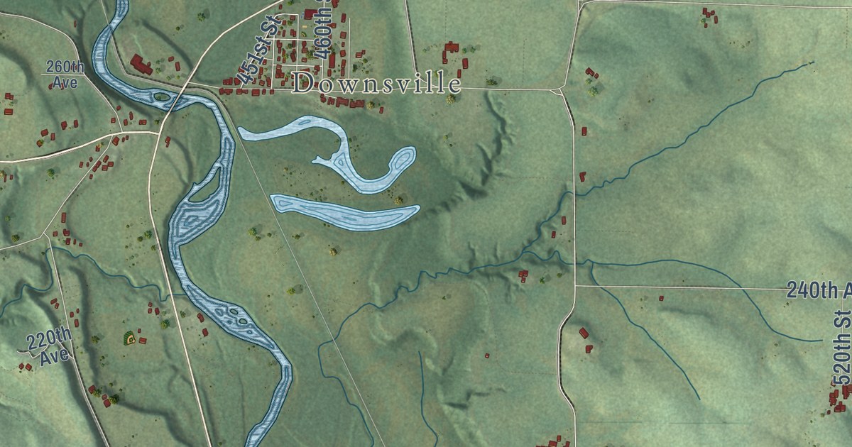
A detailed map of Dunn, Wisconsin, showing every building in its true location, the roads by name, and shaded topographical relief.
Read More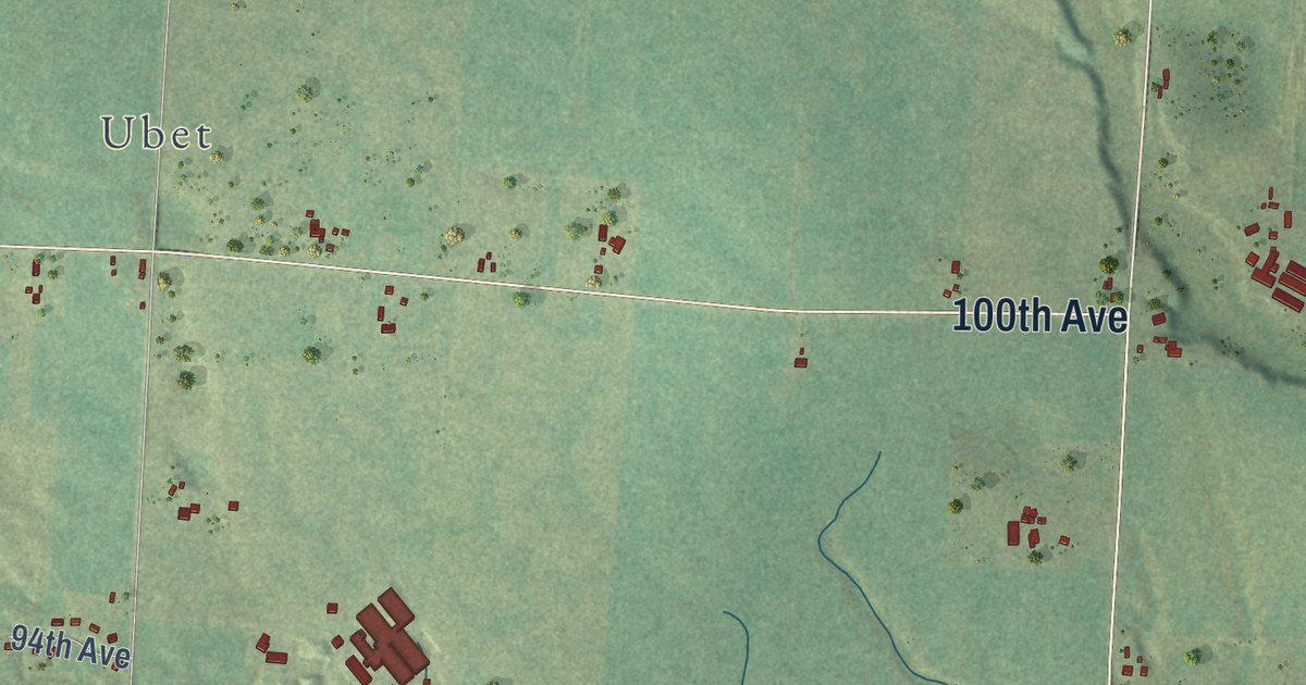
A detailed map of Garfield, Wisconsin, showing every building in its true location, the roads by name, and shaded topographical relief.
Read More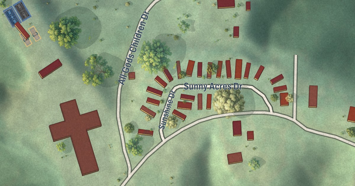
A detailed map of Peaceful Village, Missouri, showing every building in its true location, the roads by name, and shaded topographical relief.
Read More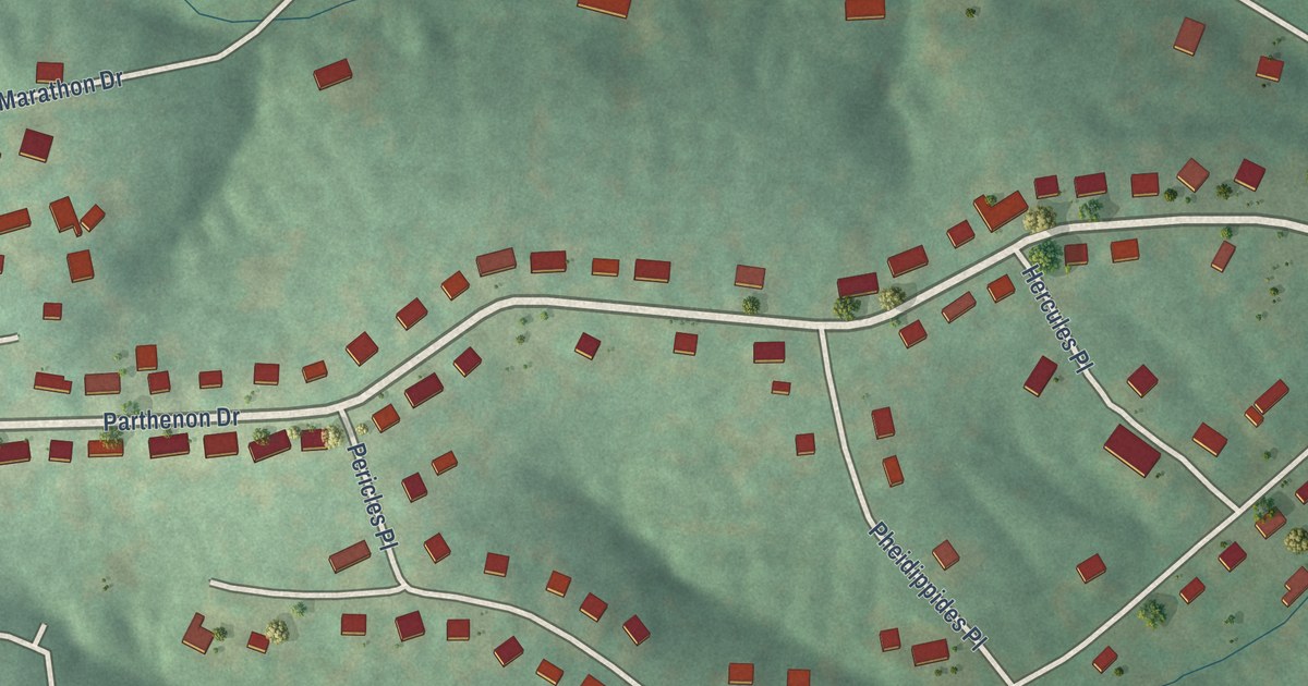
A detailed map of Olympian Village, Missouri, showing every building in its true location, the roads by name, and shaded topographical relief.
Read More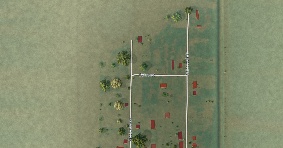
A detailed map of North Lilbourn, Missouri, showing every building in its true location, the roads by name, and shaded topographical relief.
Read More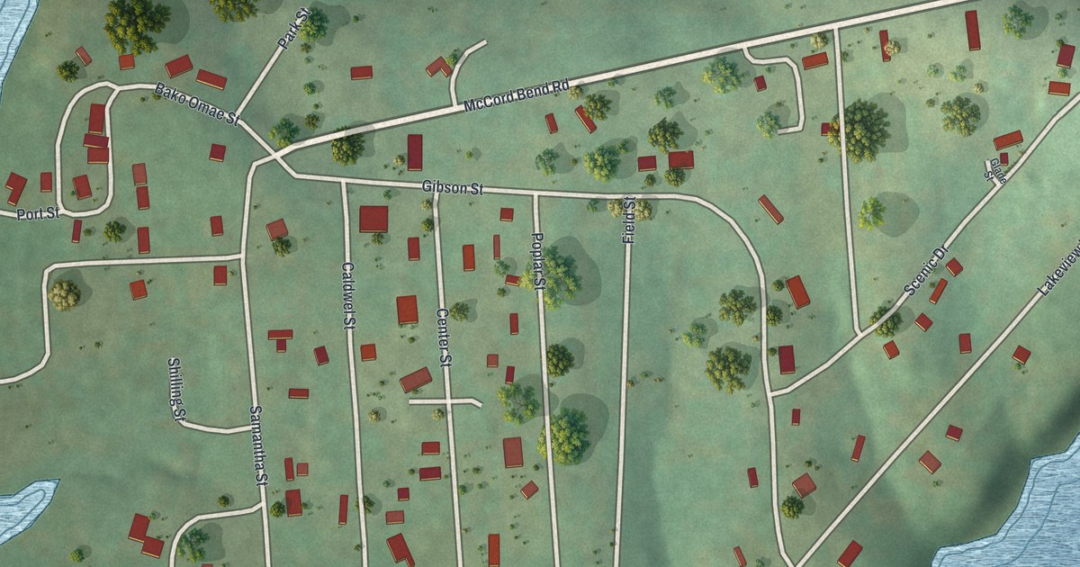
A detailed map of McCord Bend, Missouri, showing every building in its true location, the roads by name, and shaded topographical relief.
Read More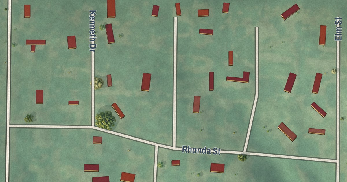
A detailed map of Excelsior Estates, Missouri, showing every building in its true location, the roads by name, and shaded topographical relief.
Read More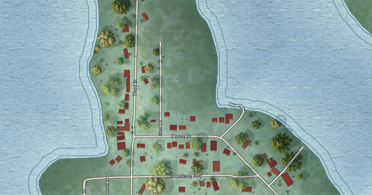
A detailed map of Coney Island, Missouri, showing every building in its true location, the roads by name, and shaded topographical relief.
Read More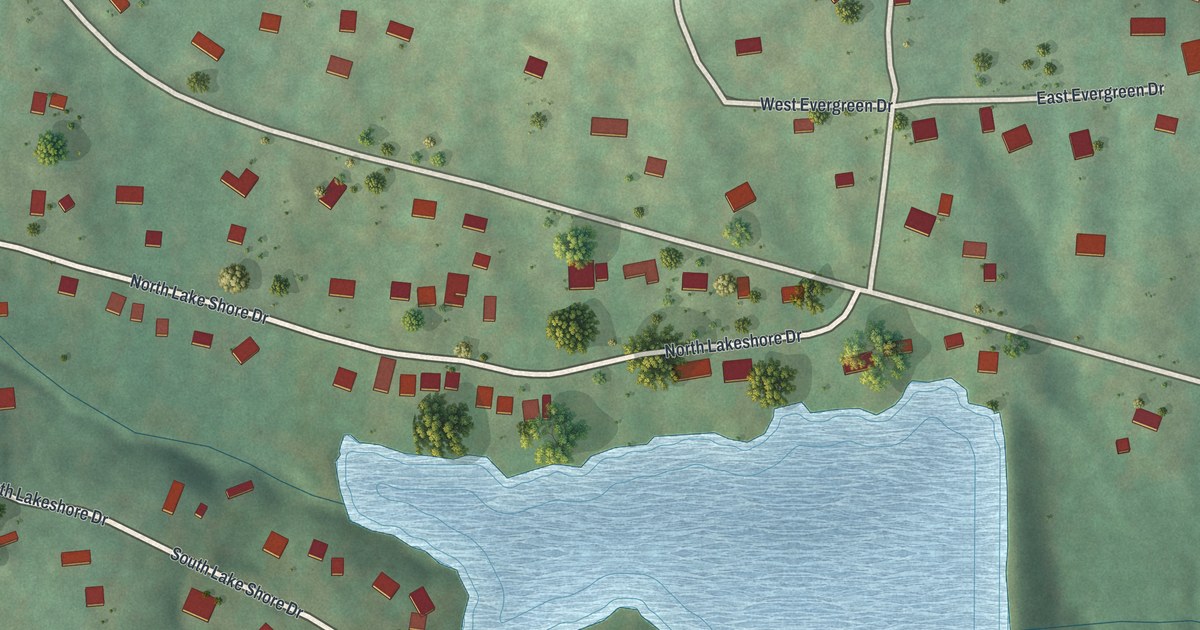
A detailed map of Lake Tekakwitha, Missouri, showing every building in its true location, the roads by name, and shaded topographical relief.
Read More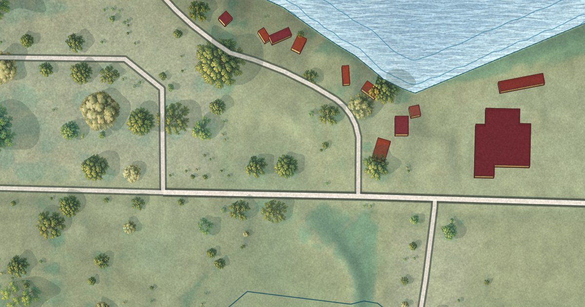
A detailed map of Baldwin Park, Missouri, showing every building in its true location, the roads by name, and shaded topographical relief.
Read More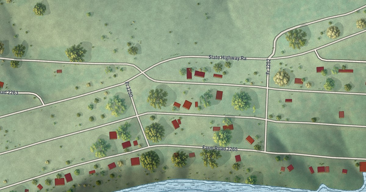
A detailed map of Arrow Point, Missouri, showing every building in its true location, the roads by name, and shaded topographical relief.
Read More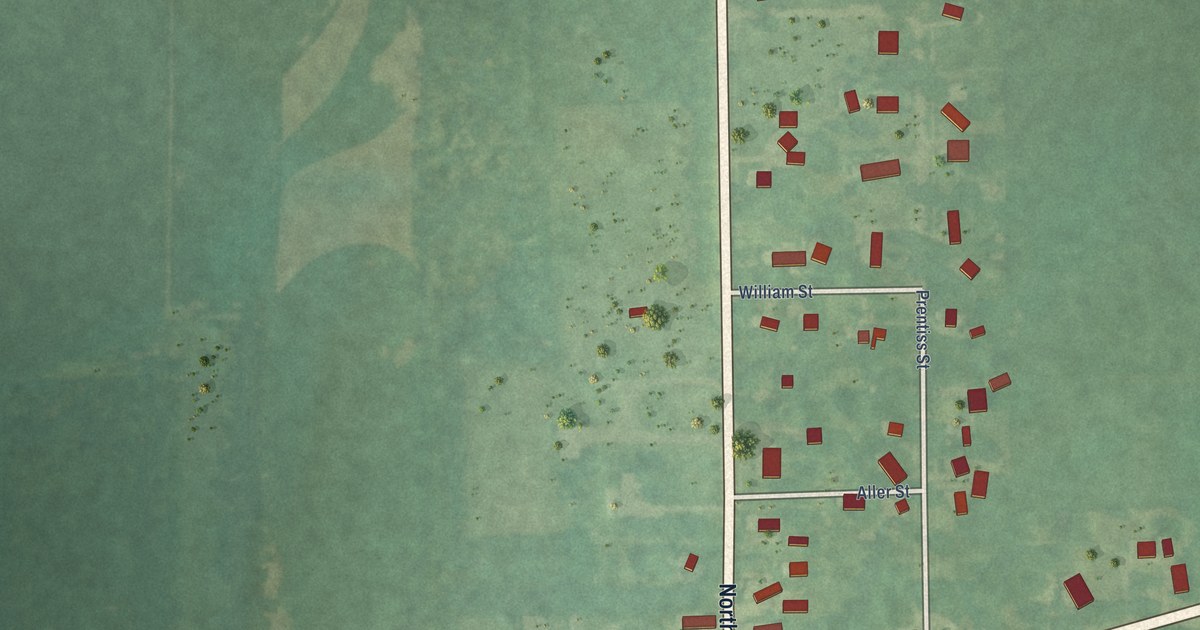
A detailed map of the Village of Allen, Michigan, showing every building in its true location, the roads by name, and shaded topographical relief.
Read More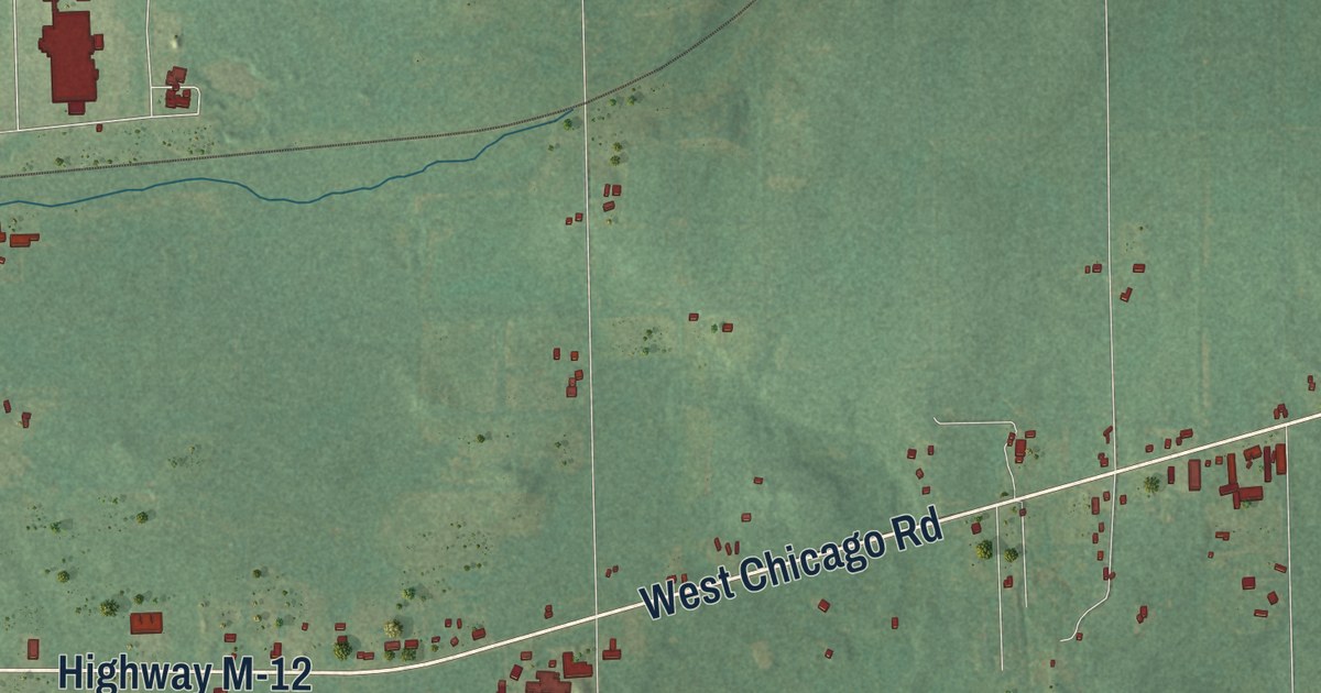
A detailed map of Allen Township, Michigan, showing every building in its true location, the roads by name, and shaded topographical relief.
Read More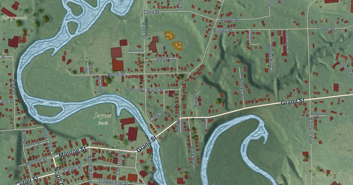
A detailed map of the City of Allegan, Michigan, showing every building in its true location, the roads by name, and shaded topographical relief.
Read More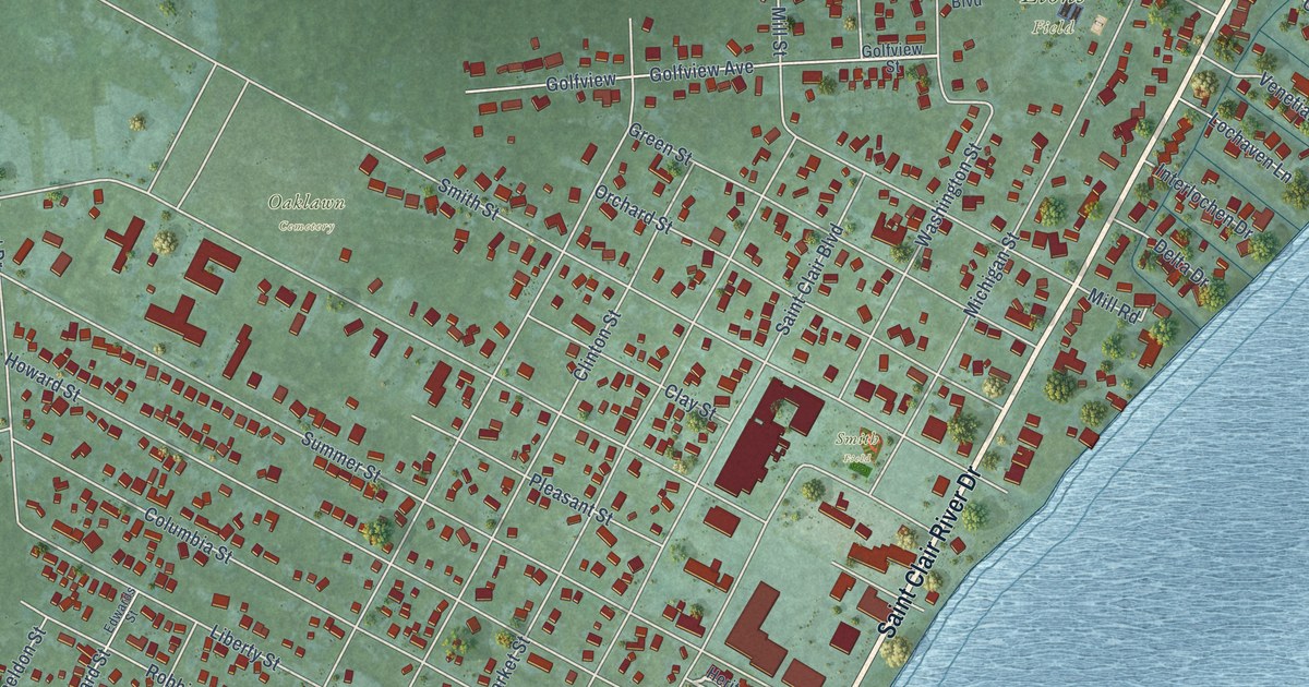
A detailed map of Algonac, Michigan, showing every building in its true location, the roads by name, and shaded topographical relief.
Read More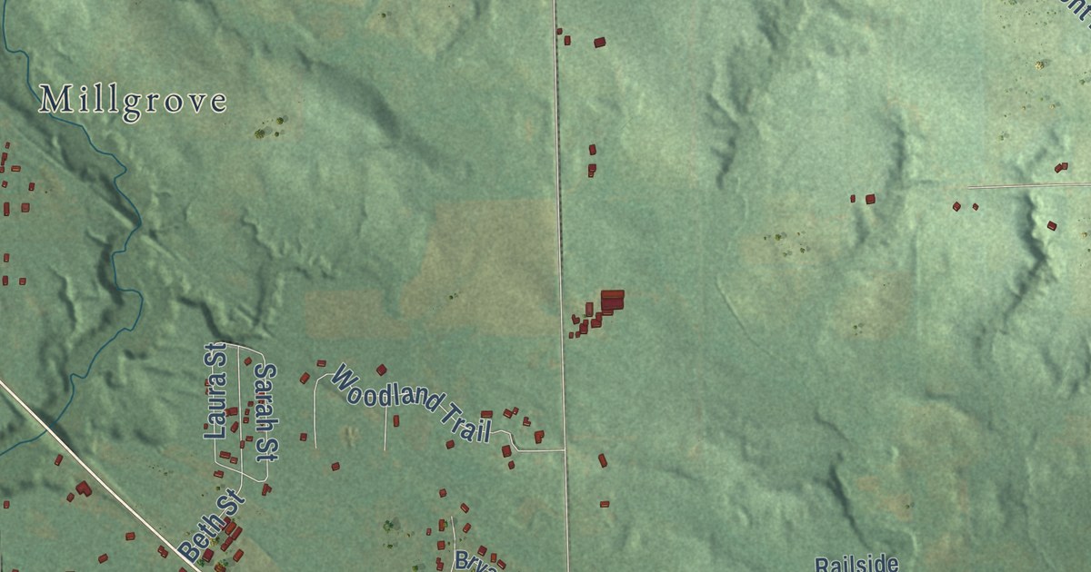
A detailed map of Allegan Township, Michigan, showing every building in its true location, the roads by name, and shaded topographical relief.
Read More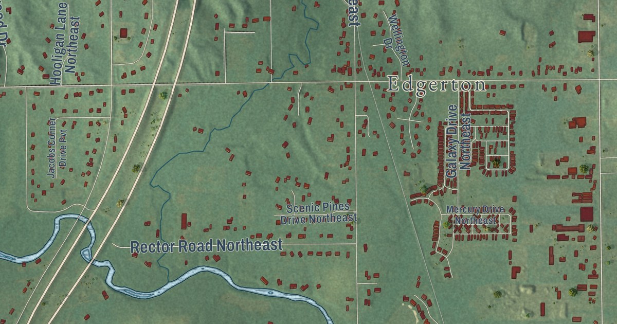
A detailed map of Algoma, Michigan, showing every building in its true location, the roads by name, and shaded topographical relief.
Read More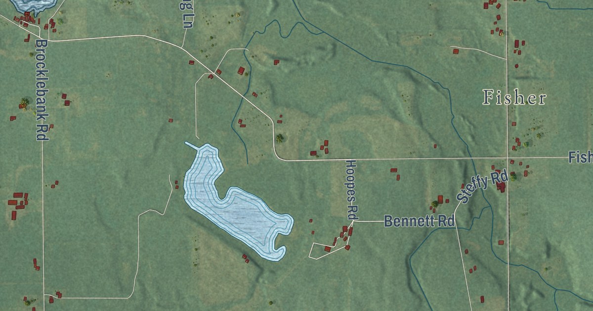
A detailed map of Algansee, Michigan, showing every building in its true location, the roads by name, and shaded topographical relief.
Read More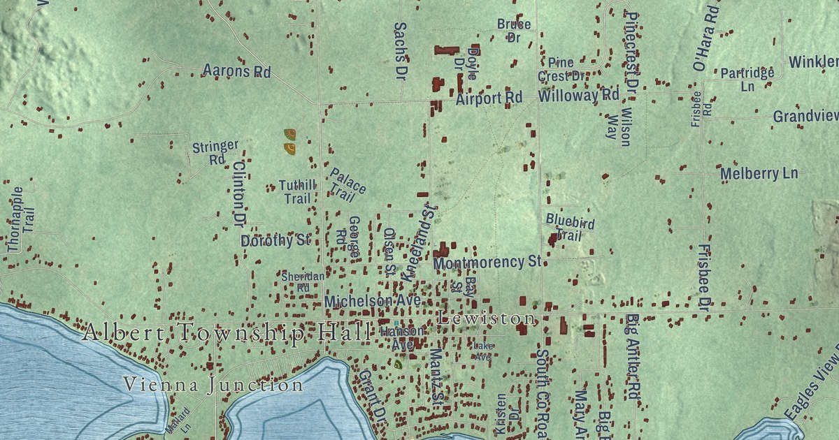
A detailed map of Albert, Michigan, showing every building in its true location, the roads by name, and shaded topographical relief.
Read More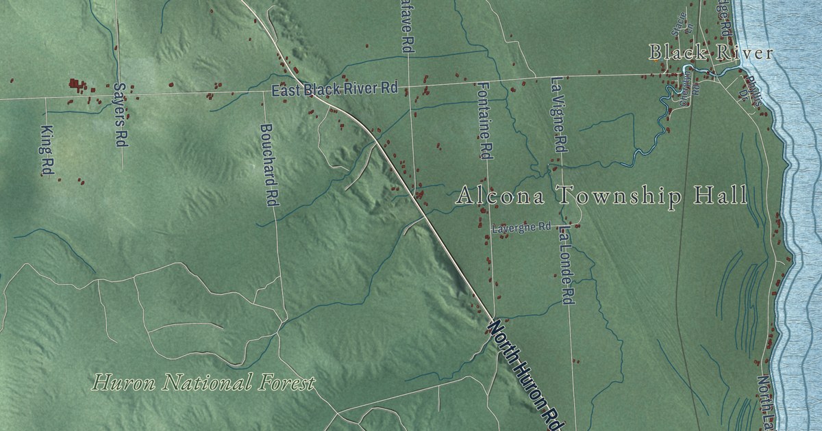
A detailed map of Alcona, Michigan, showing every building in its true location, the roads by name, and shaded topographical relief.
Read More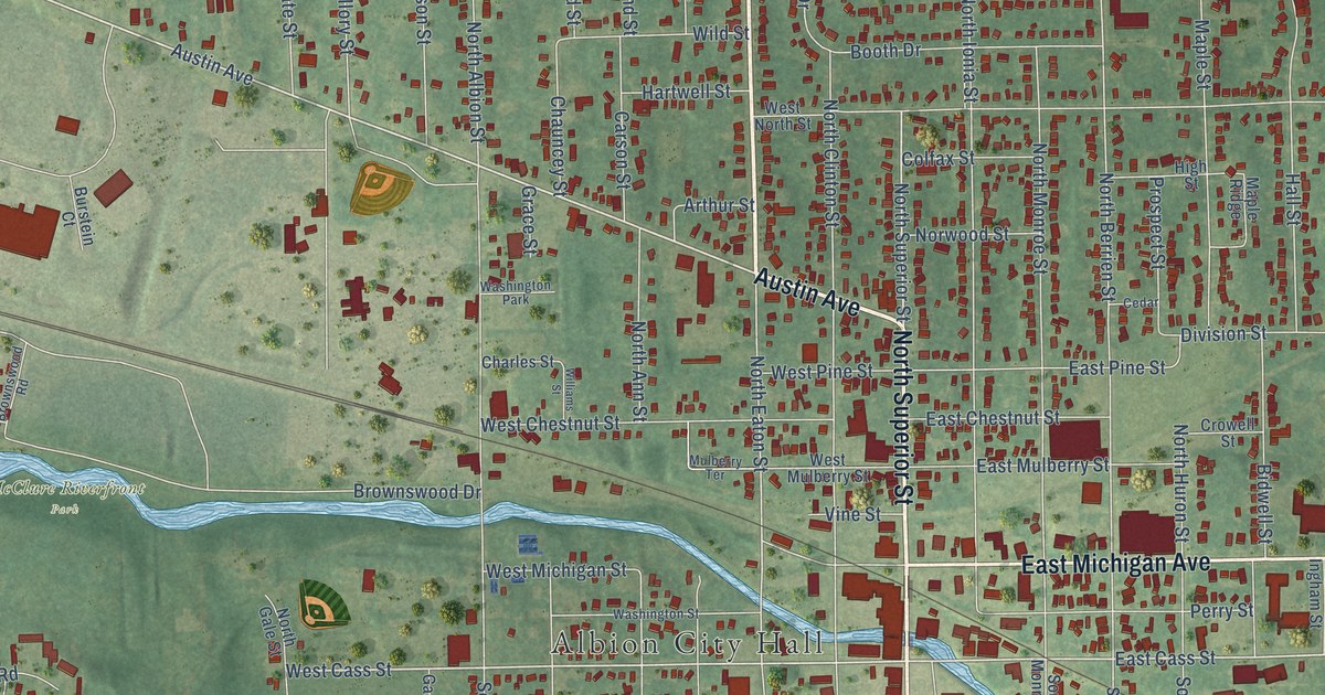
A detailed map of the City of Albion, Michigan, showing every building in its true location, the roads by name, and shaded topographical relief.
Read More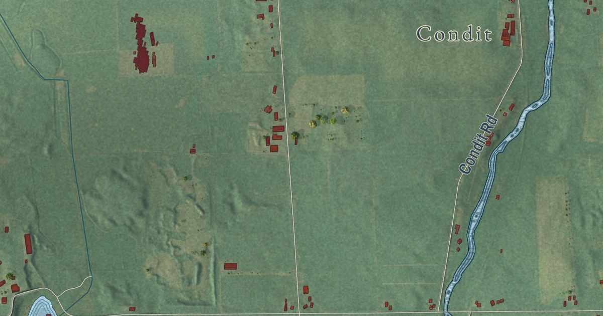
A detailed map of Albion Township, Michigan, showing every building in its true location, the roads by name, and shaded topographical relief.
Read More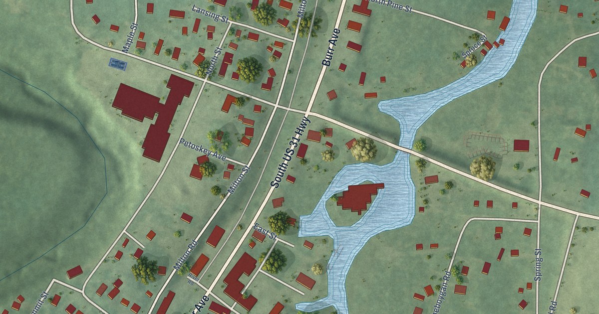
A detailed map of Alanson, Michigan, showing every building in its true location, the roads by name, and shaded topographical relief.
Read More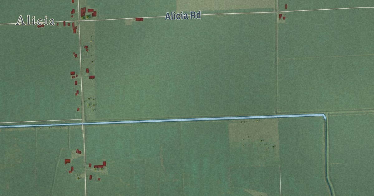
A detailed map of Albee, Michigan, showing every building in its true location, the roads by name, and shaded topographical relief.
Read More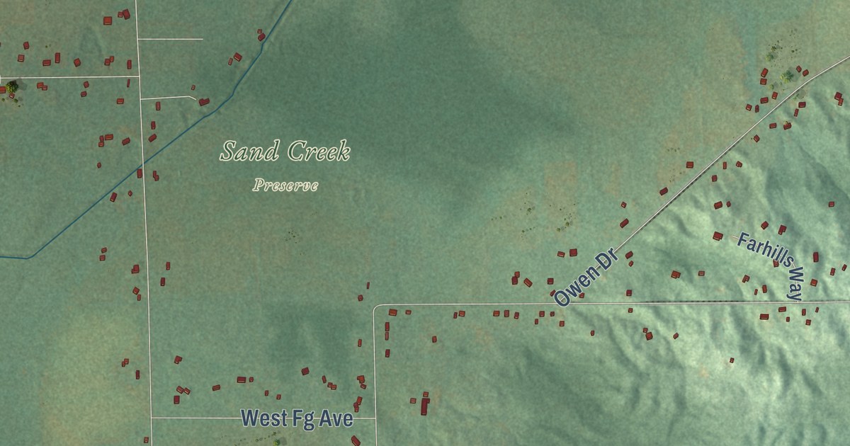
A detailed map of Alamo, Michigan, showing every building in its true location, the roads by name, and shaded topographical relief.
Read More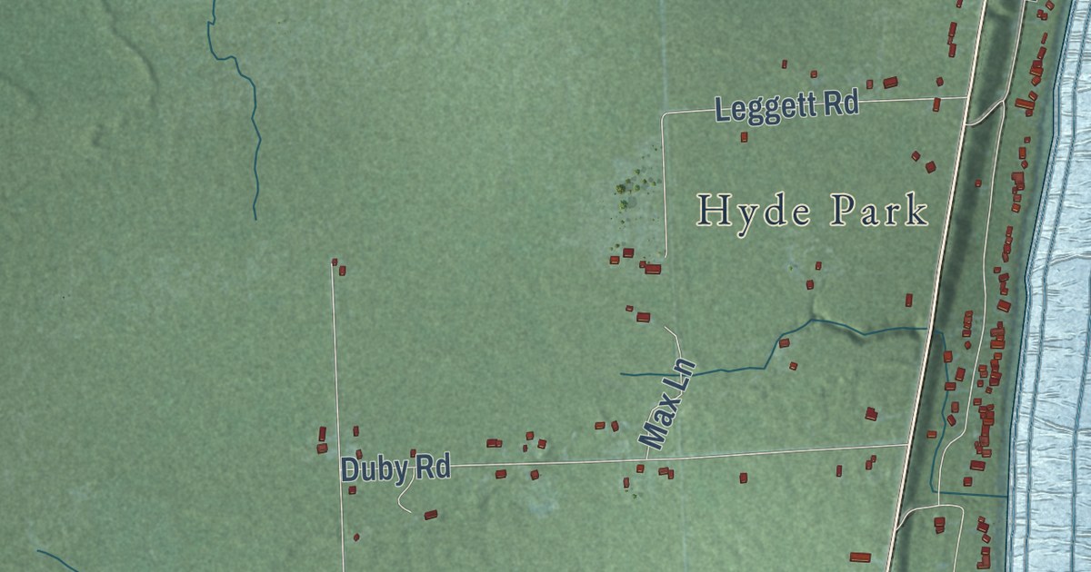
A detailed map of Alabaster, Michigan, showing every building in its true location, the roads by name, and shaded topographical relief.
Read More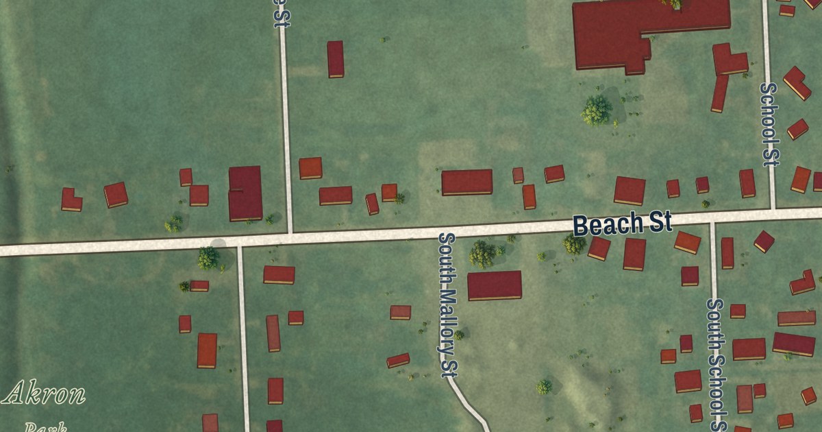
A detailed map of the Village of Akron, Michigan, showing every building in its true location, the roads by name, and shaded topographical relief.
Read More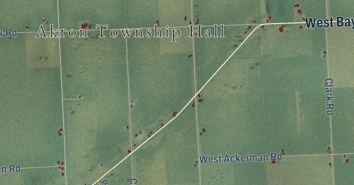
A detailed map of Akron Township, Michigan, showing every building in its true location, the roads by name, and shaded topographical relief.
Read More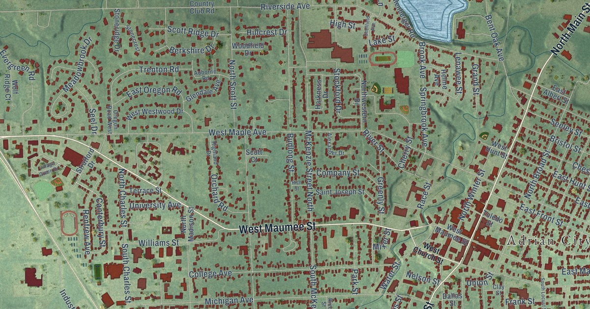
A detailed map of the City of Adrian, Michigan, showing every building in its true location, the roads by name, and shaded topographical relief.
Read More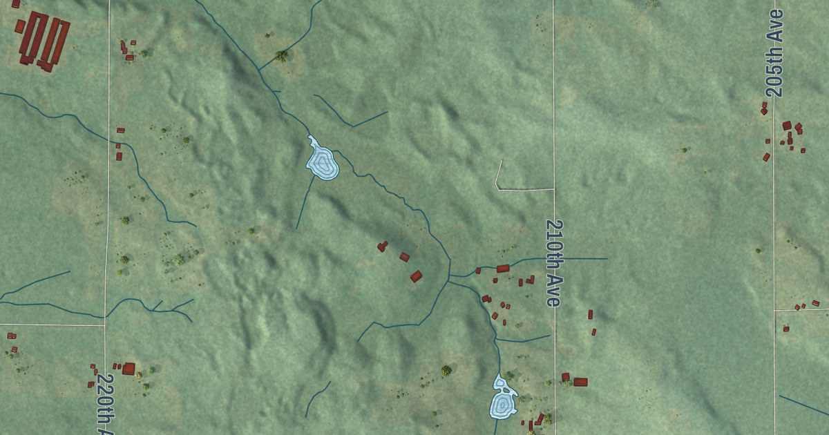
A detailed map of Aetna, Michigan, showing every building in its true location, the roads by name, and shaded topographical relief.
Read More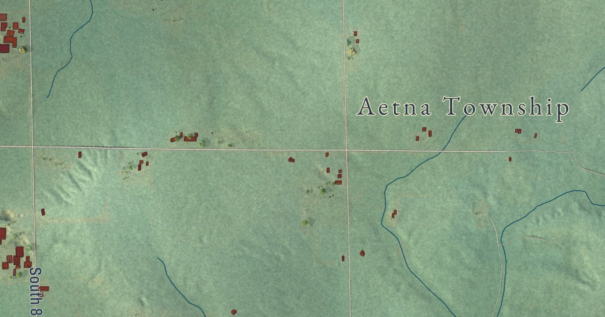
A detailed map of Aetna, Michigan, showing every building in its true location, the roads by name, and shaded topographical relief.
Read More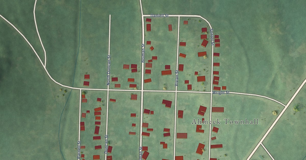
A detailed map of Ahmeek, Michigan, showing every building in its true location, the roads by name, and shaded topographical relief.
Read More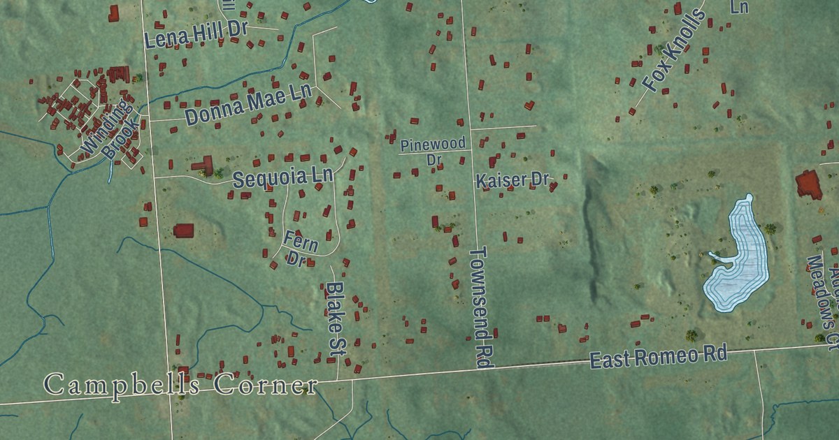
A detailed map of Addison Township, Michigan, showing every building in its true location, the roads by name, and shaded topographical relief.
Read More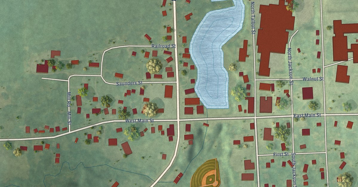
A detailed map of Addison, Michigan, showing every building in its true location, the roads by name, and shaded topographical relief.
Read More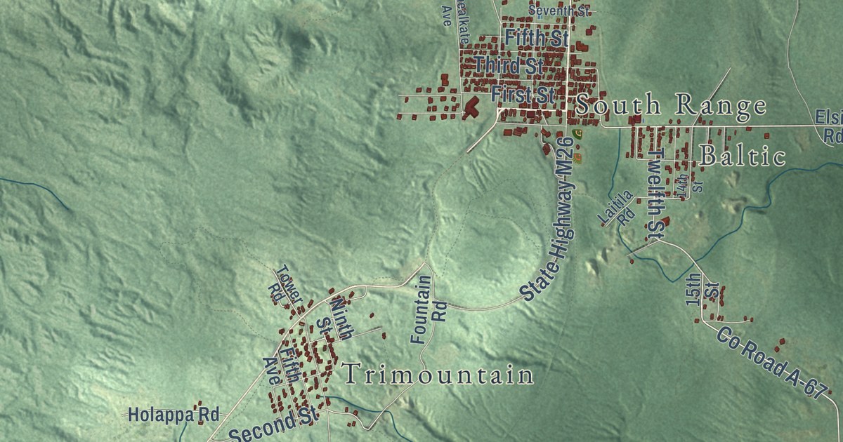
A detailed map of Adams, Michigan, showing every building in its true location, the roads by name, and shaded topographical relief.
Read More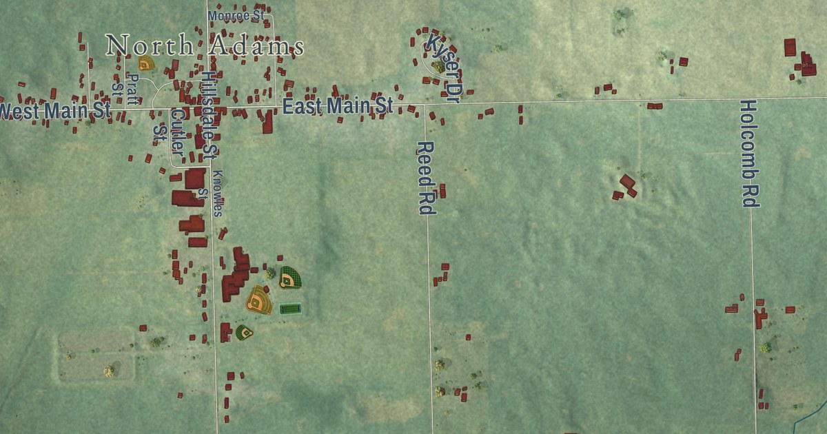
A detailed map of Adams, Michigan, showing every building in its true location, the roads by name, and shaded topographical relief.
Read More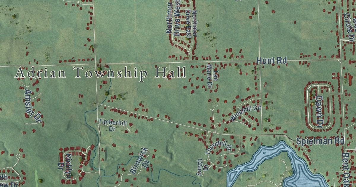
A detailed map of Adrian Township, Michigan, showing every building in its true location, the roads by name, and shaded topographical relief.
Read More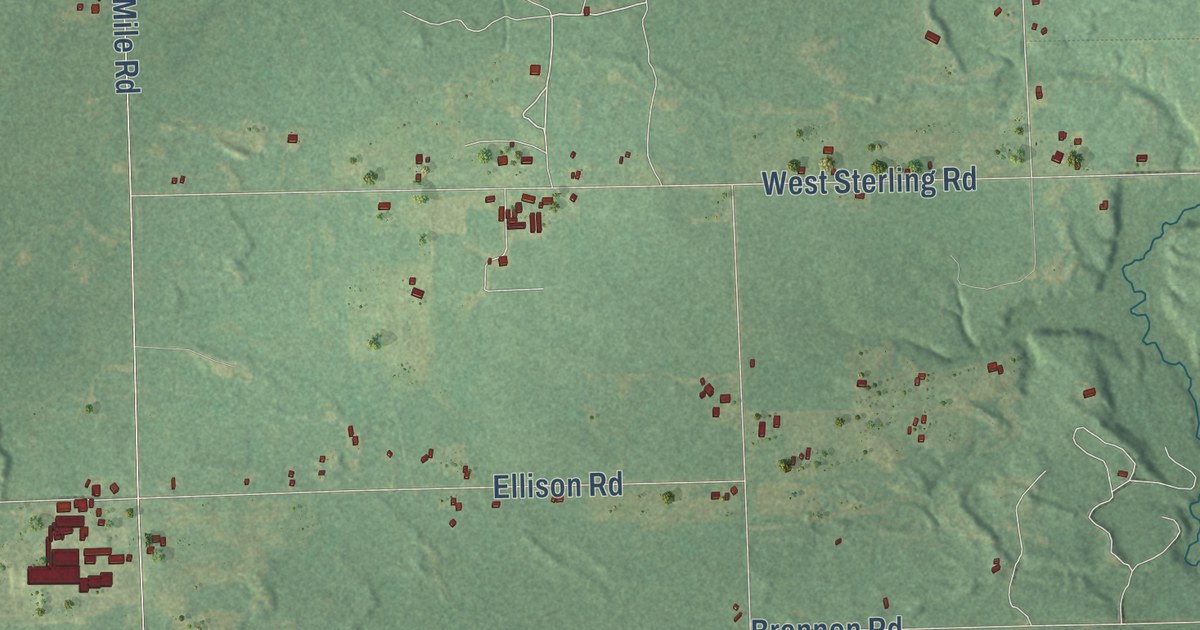
A detailed map of Adams, Michigan, showing every building in its true location, the roads by name, and shaded topographical relief.
Read More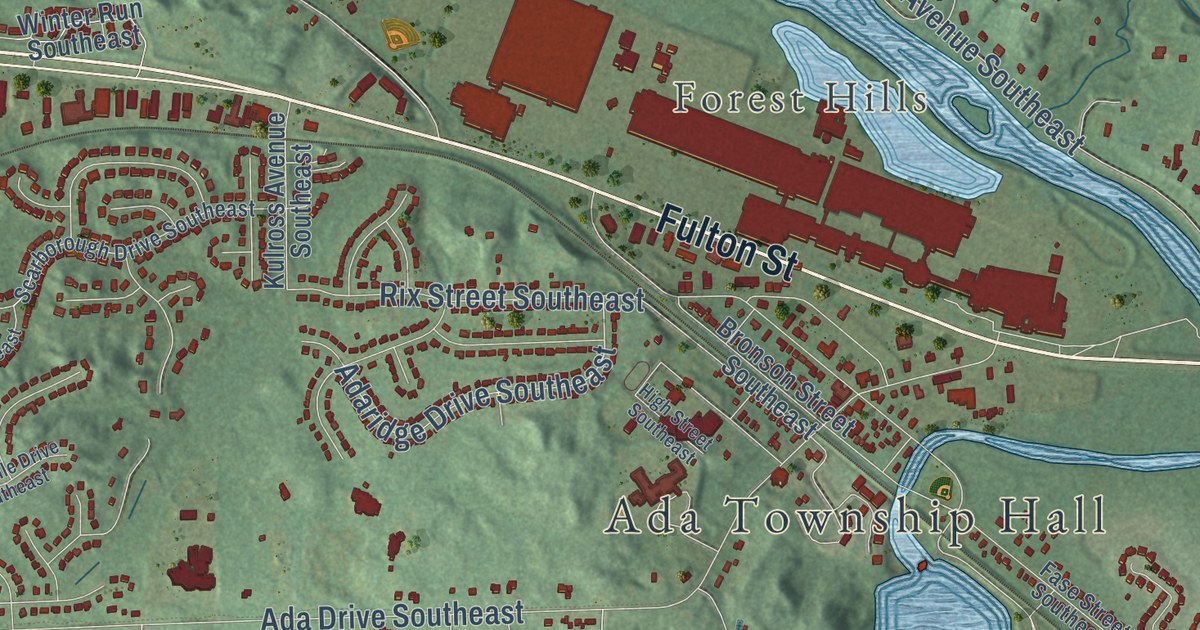
A detailed map of Ada, Michigan, showing every building in its true location, the roads by name, and shaded topographical relief.
Read More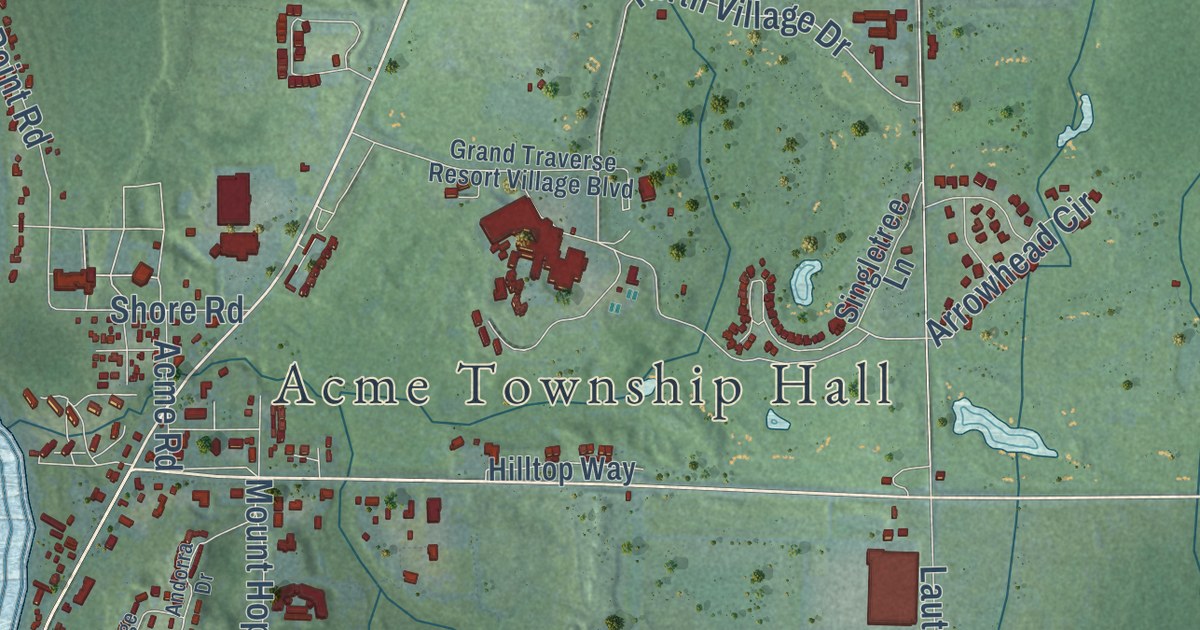
A detailed map of Acme, Michigan, showing every building in its true location, the roads by name, and shaded topographical relief.
Read More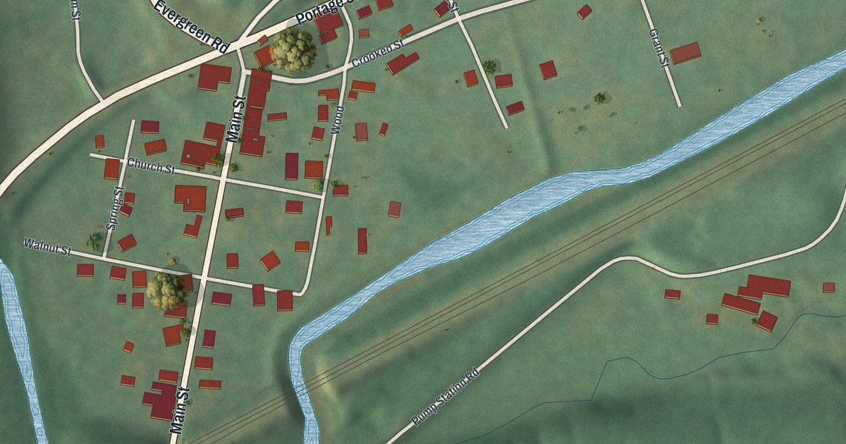
A detailed map of Wilmore, Pennsylvania, showing every building in its true location, the roads by name, and shaded topographical relief.
Read More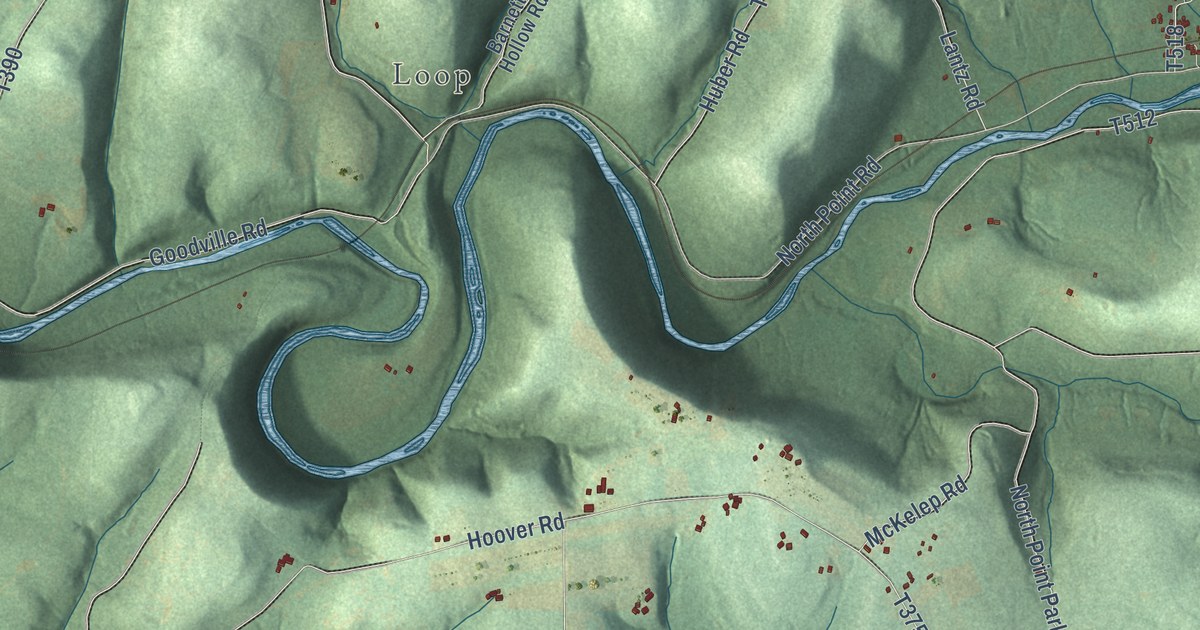
A detailed map of West Mahoning, Pennsylvania, showing every building in its true location, the roads by name, and shaded topographical relief.
Read More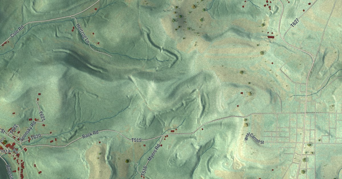
A detailed map of West Carroll, Pennsylvania, showing every building in its true location, the roads by name, and shaded topographical relief.
Read More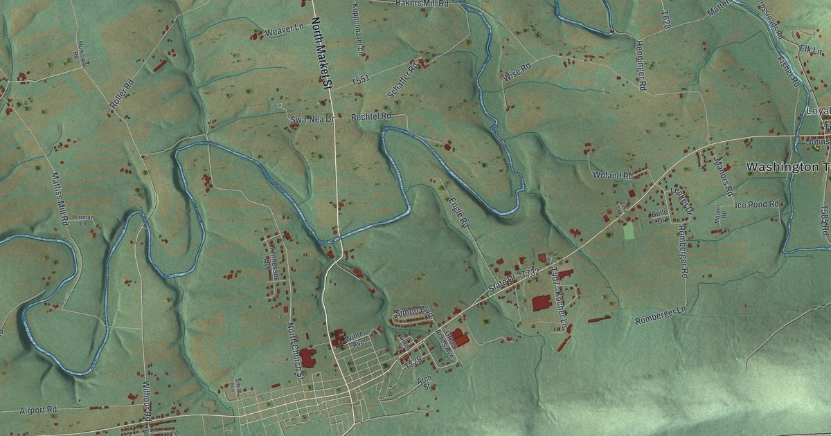
A detailed map of Washington, Dauphin County, Pennsylvania, showing every building in its true location, the roads by name, and shaded topographical relief.
Read More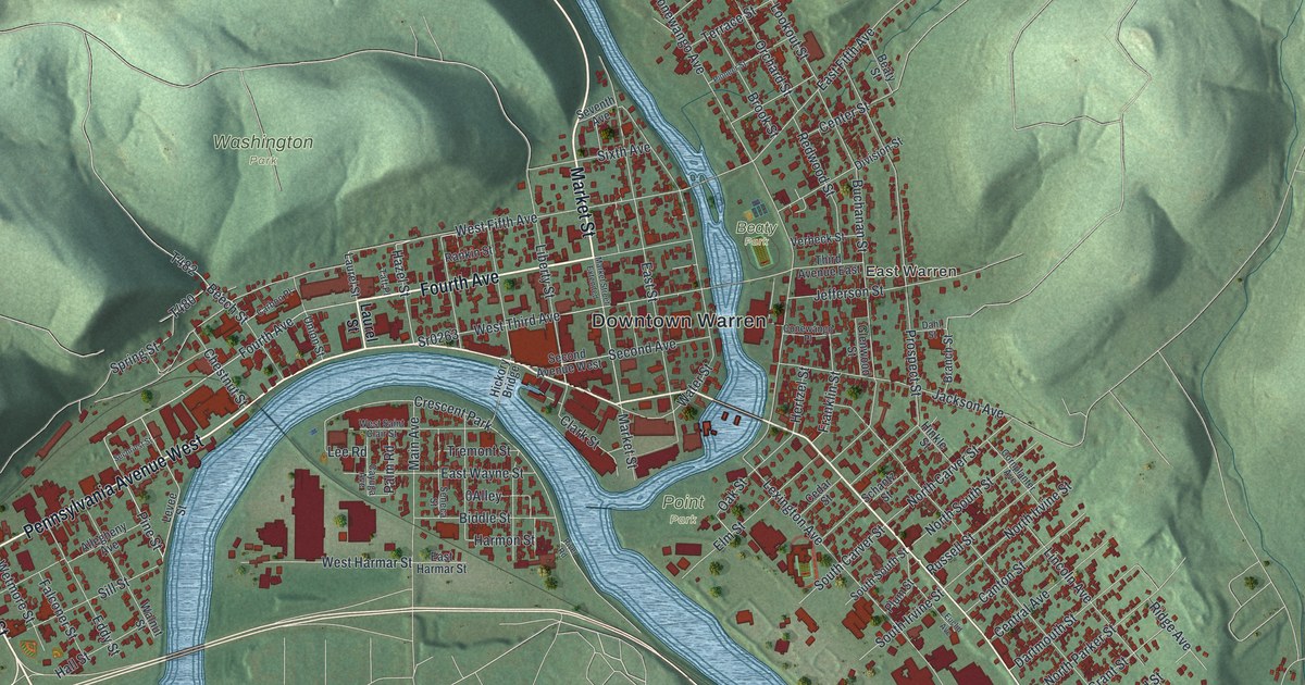
A detailed map of Warren, Warren County, Pennsylvania, showing every building in its true location, the roads by name, and shaded topographical relief.
Read More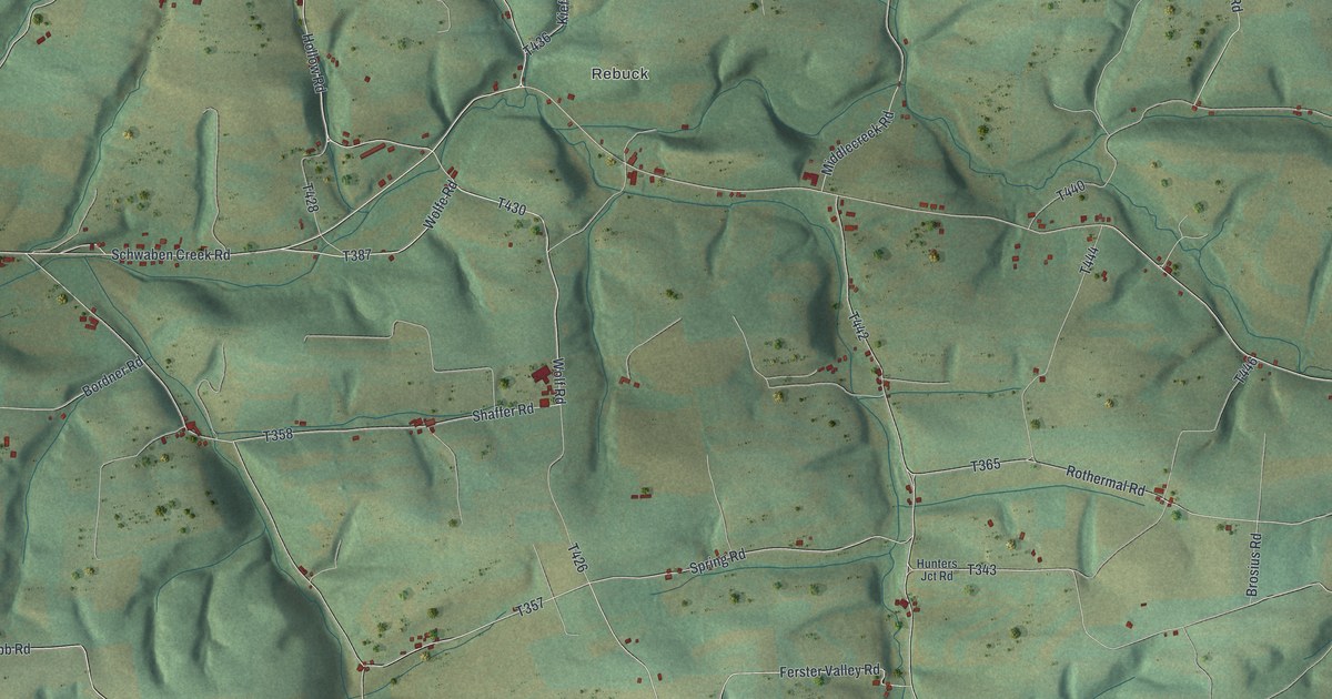
A detailed map of Washington, Northumberland County, Pennsylvania, showing every building in its true location, the roads by name, and shaded topographical relief.
Read More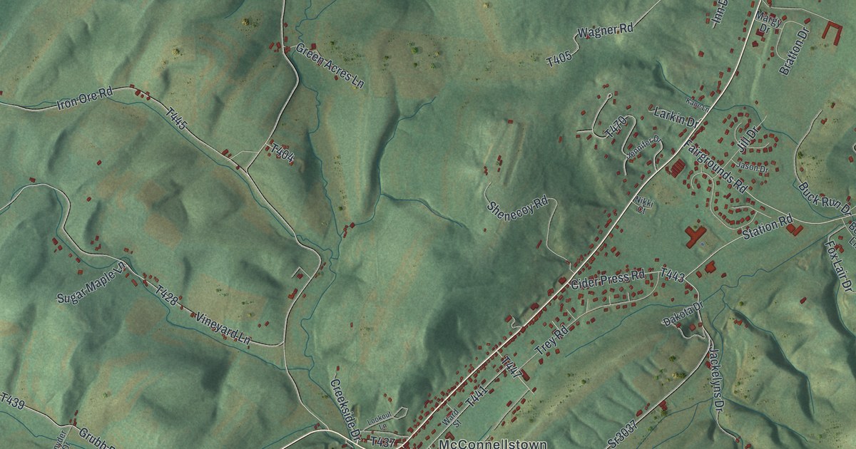
A detailed map of Walker, Huntingdon County, Pennsylvania, showing every building in its true location, the roads by name, and shaded topographical relief.
Read More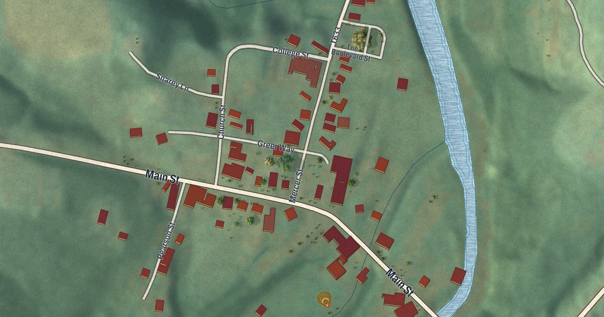
A detailed map of Volant, Pennsylvania, showing every building in its true location, the roads by name, and shaded topographical relief.
Read More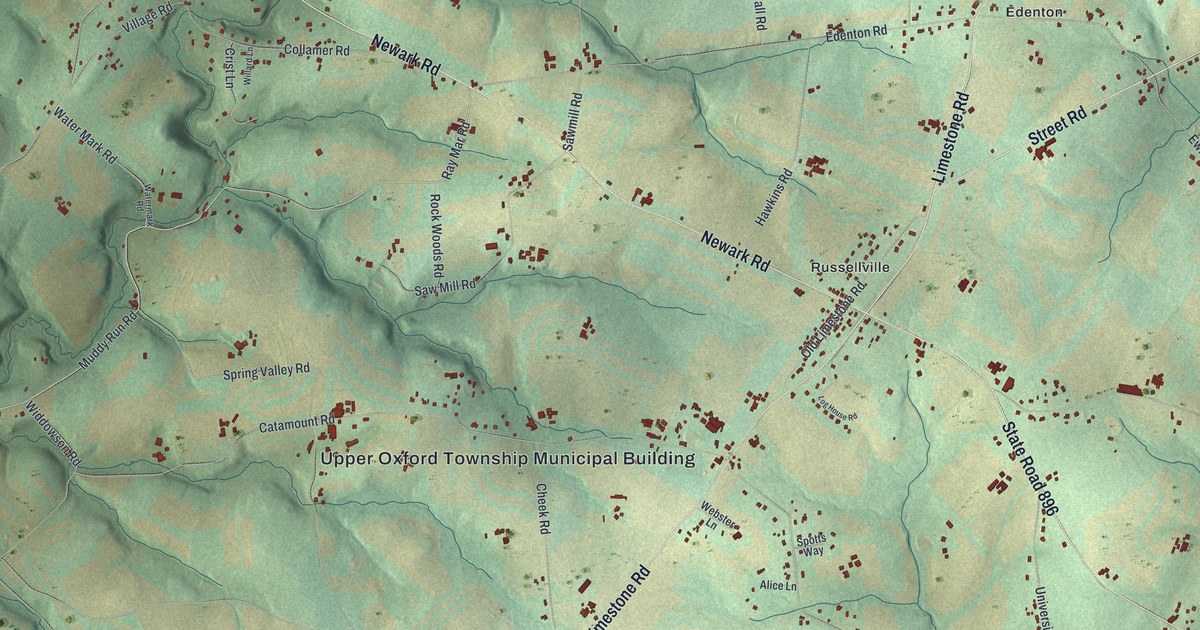
A detailed map of Upper Oxford, Pennsylvania, showing every building in its true location, the roads by name, and shaded topographical relief.
Read More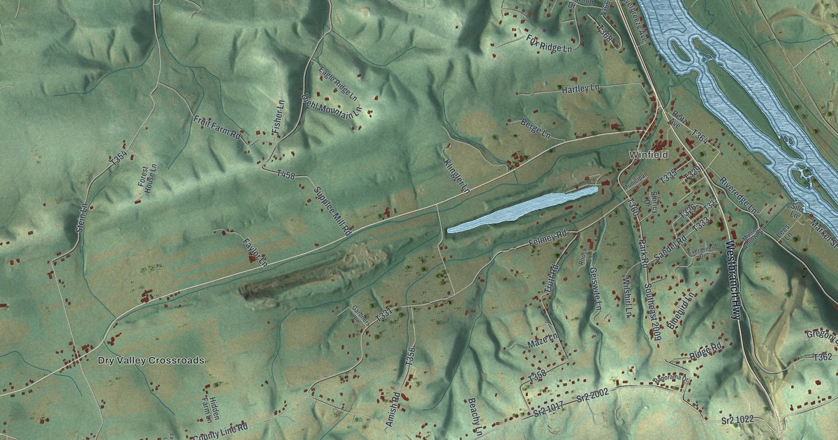
A detailed map of Union, Union County, Pennsylvania, showing every building in its true location, the roads by name, and shaded topographical relief.
Read More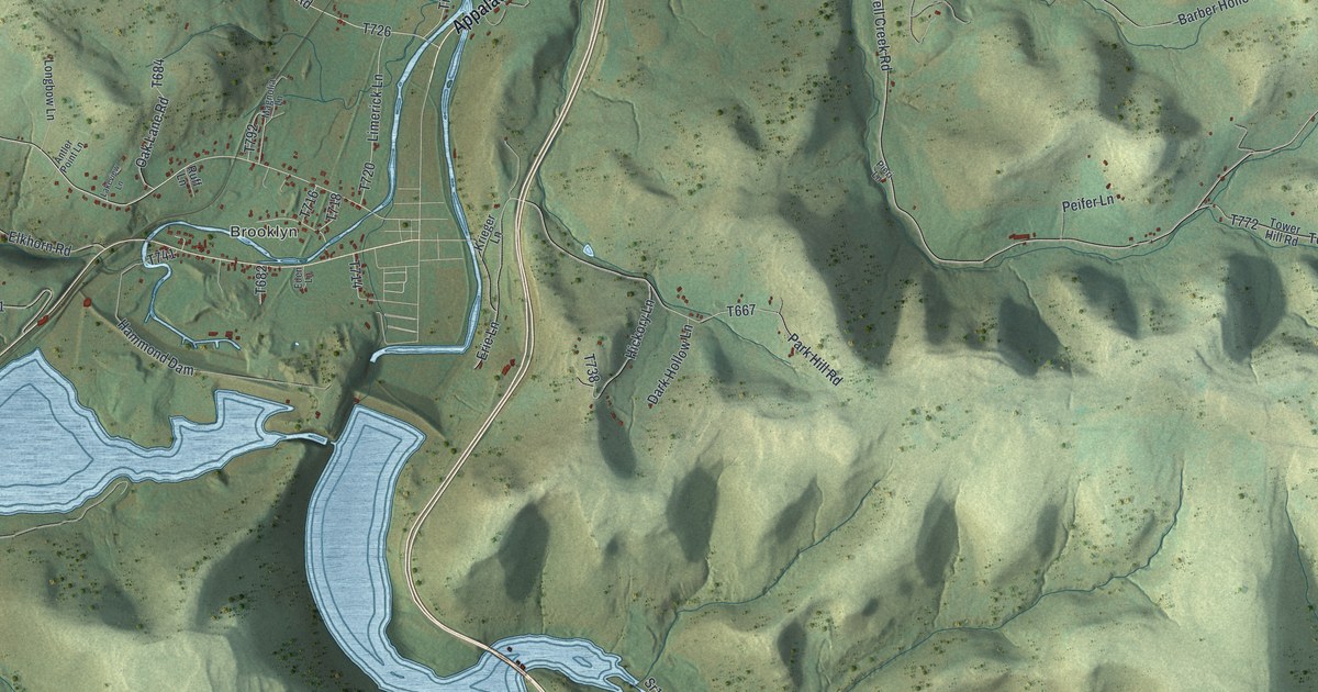
A detailed map of Tioga Township, Pennsylvania, showing every building in its true location, the roads by name, and shaded topographical relief.
Read More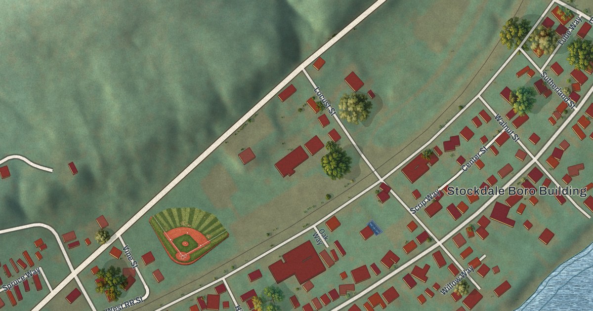
A detailed map of Stockdale, Pennsylvania, showing every building in its true location, the roads by name, and shaded topographical relief.
Read More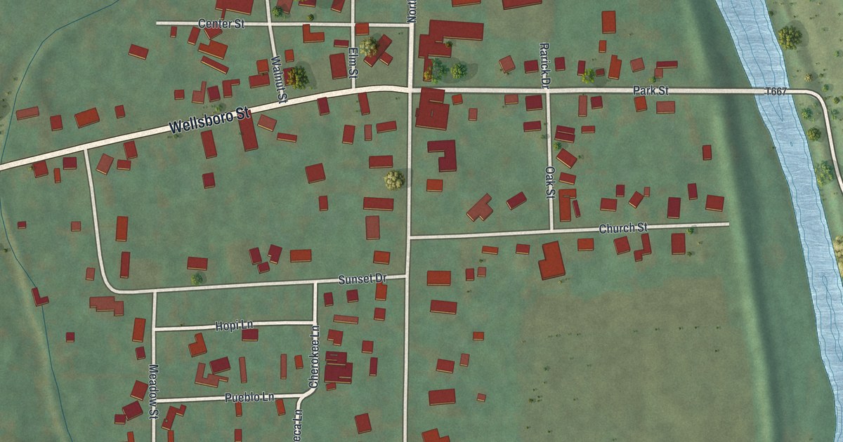
A detailed map of Tioga Borough, Pennsylvania, showing every building in its true location, the roads by name, and shaded topographical relief.
Read More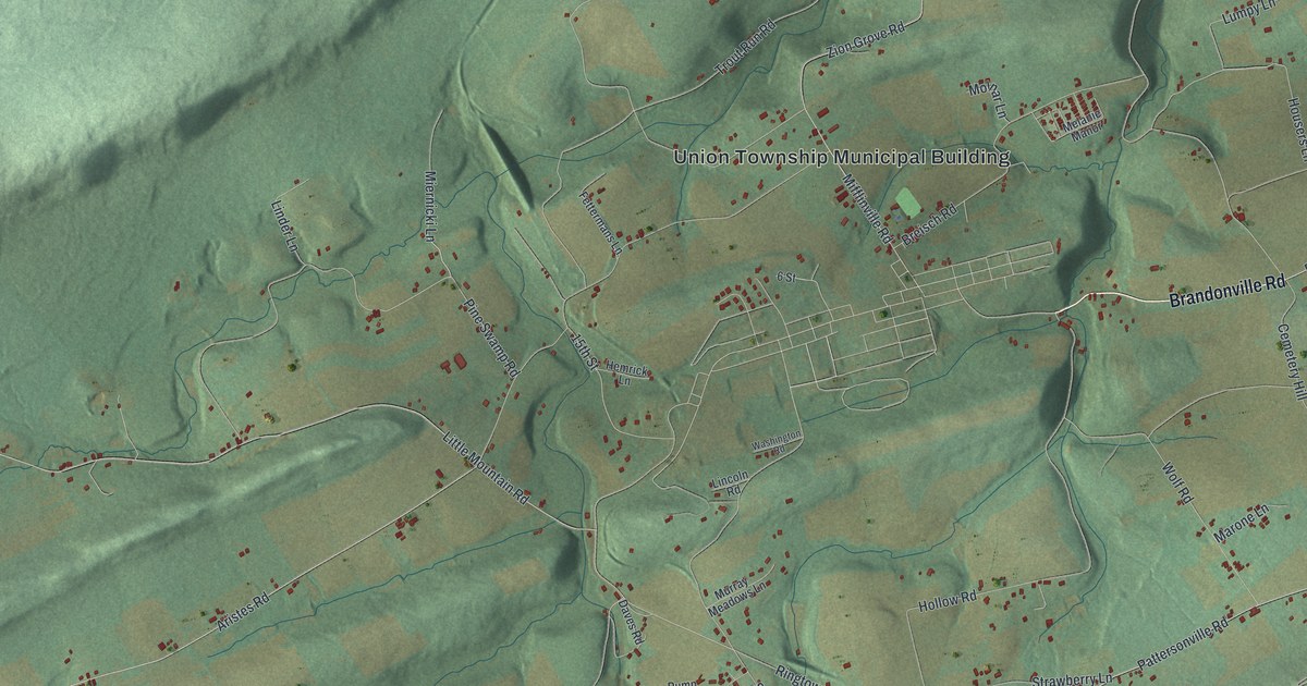
A detailed map of Union, Schuylkill County, Pennsylvania, showing every building in its true location, the roads by name, and shaded topographical relief.
Read More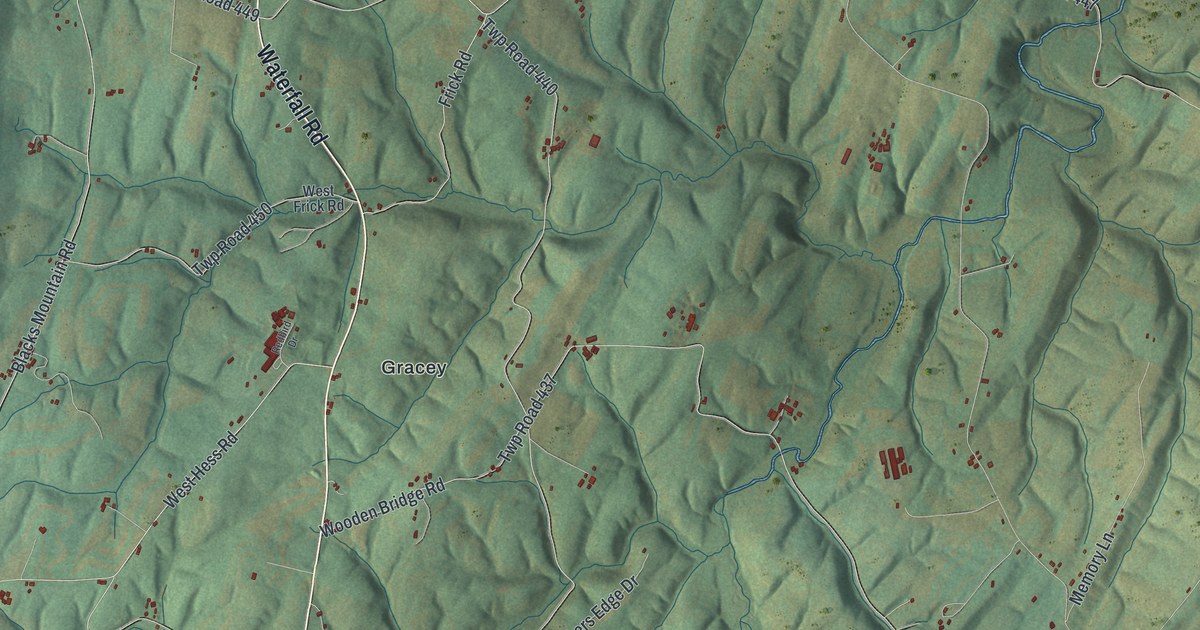
A detailed map of Taylor, Fulton County, Pennsylvania, showing every building in its true location, the roads by name, and shaded topographical relief.
Read More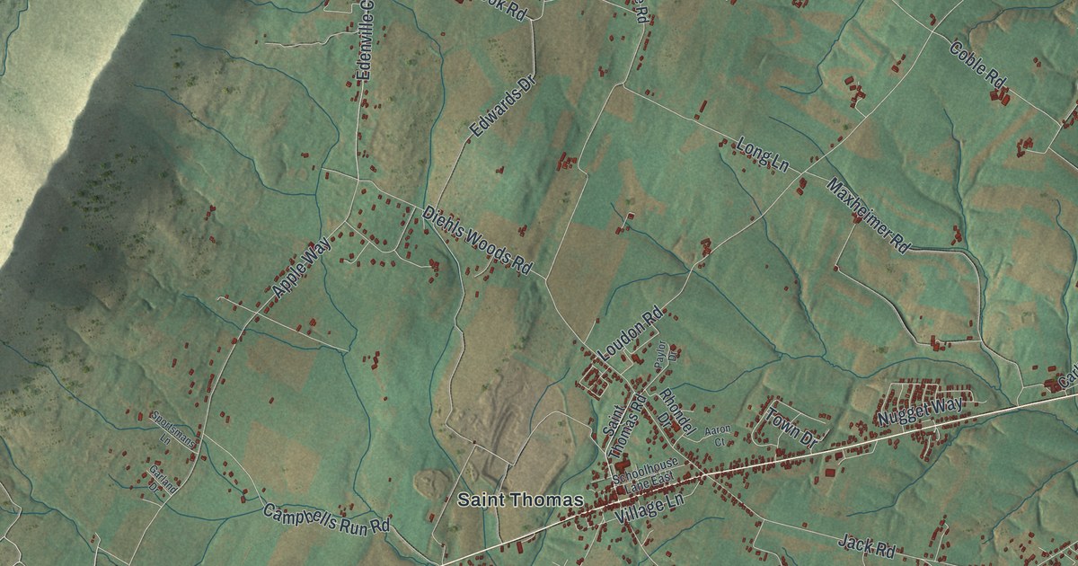
A detailed map of St. Thomas, Pennsylvania, showing every building in its true location, the roads by name, and shaded topographical relief.
Read More















