Detailed Map of Springhill, Fayette County, Pennsylvania
A detailed map of Springhill, Fayette County, Pennsylvania, showing every building in its true location, the roads by name, and shaded topographical relief.
Read More
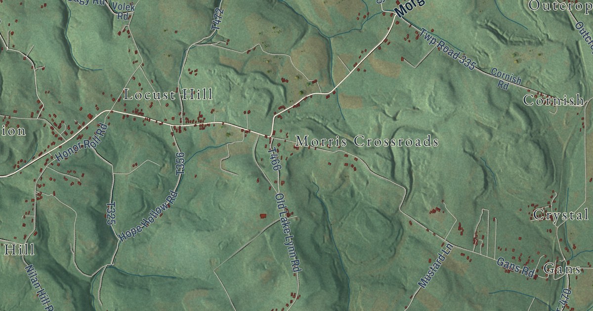
A detailed map of Springhill, Fayette County, Pennsylvania, showing every building in its true location, the roads by name, and shaded topographical relief.
Read More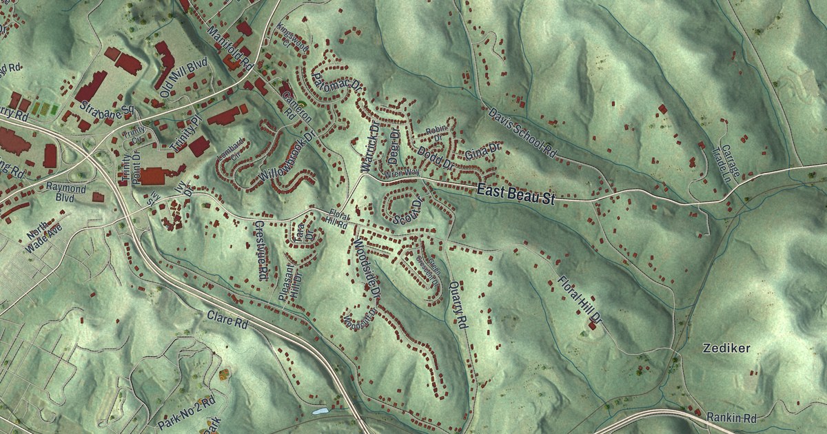
A detailed map of South Strabane, Pennsylvania, showing every building in its true location, the roads by name, and shaded topographical relief.
Read More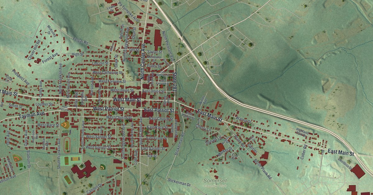
A detailed map of Somerset Borough, Somerset County, Pennsylvania, showing every building in its true location, the roads by name, and shaded topographical relief.
Read More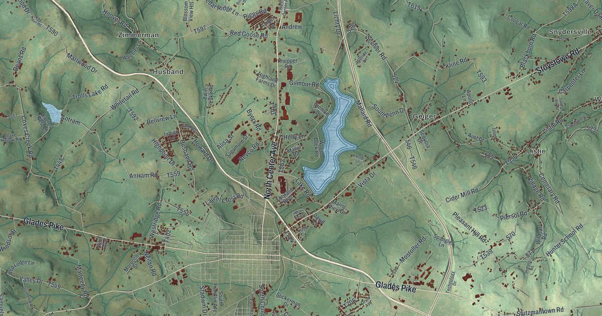
A detailed map of Somerset Township, Somerset County, Pennsylvania, showing every building in its true location, the roads by name, and shaded topographical relief.
Read More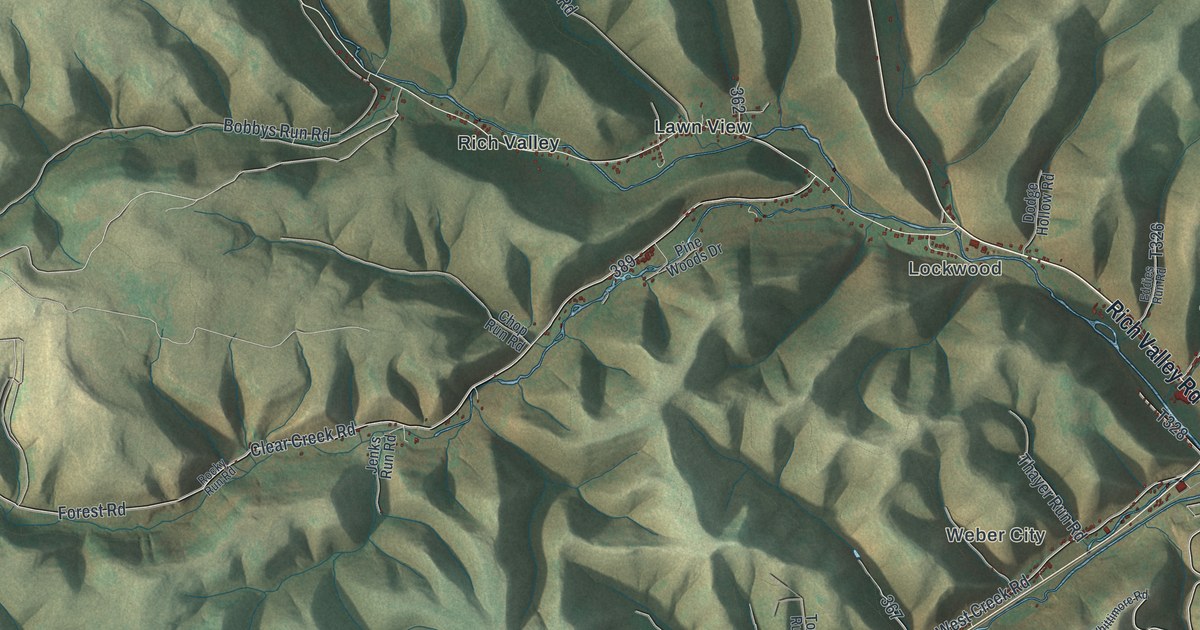
A detailed map of Shippen, Cameron County, Pennsylvania, showing every building in its true location, the roads by name, and shaded topographical relief.
Read More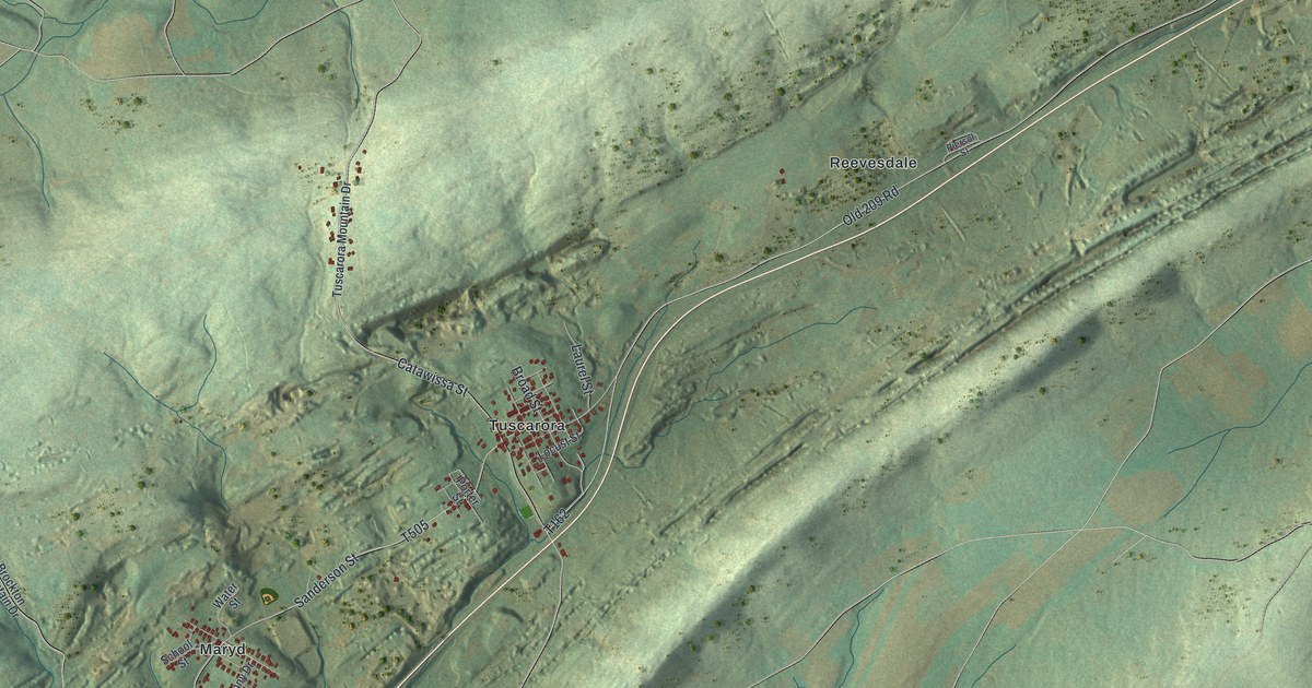
A detailed map of Schuylkill, Schuylkill County, Pennsylvania, showing every building in its true location, the roads by name, and shaded topographical relief.
Read More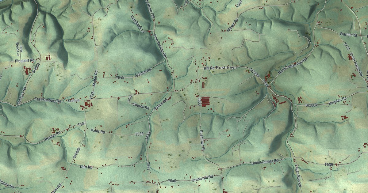
A detailed map of Rush, Northumberland County, Pennsylvania, showing every building in its true location, the roads by name, and shaded topographical relief.
Read More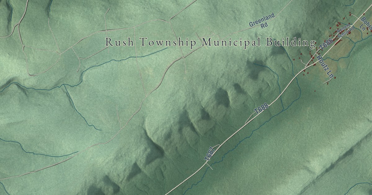
A detailed map of Rush, Dauphin County, Pennsylvania, showing every building in its true location, the roads by name, and shaded topographical relief.
Read More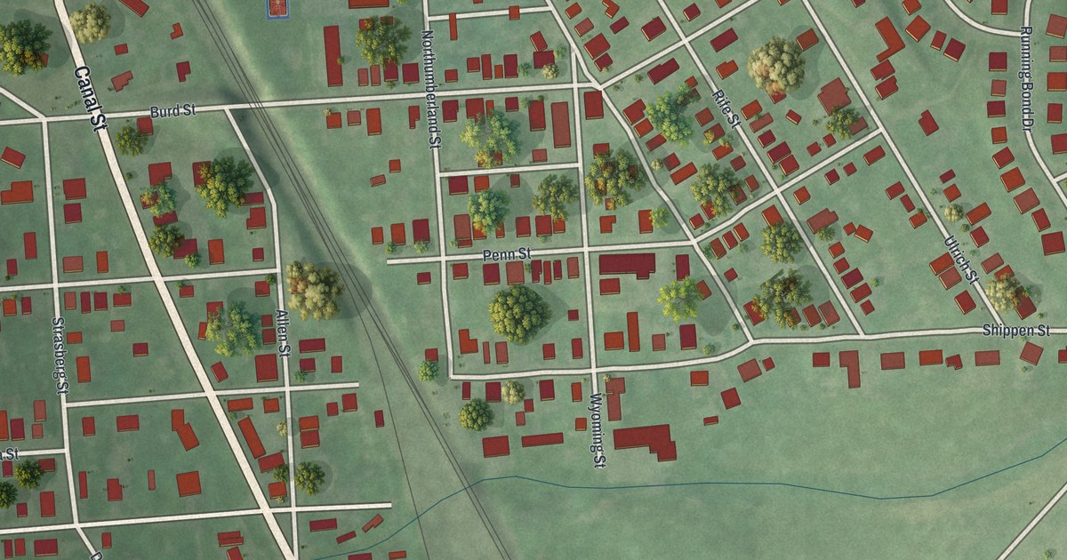
A detailed map of Royalton, Pennsylvania, showing every building in its true location, the roads by name, and shaded topographical relief.
Read More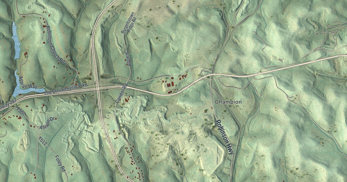
A detailed map of Robinson, Washington County, Pennsylvania, showing every building in its true location, the roads by name, and shaded topographical relief.
Read More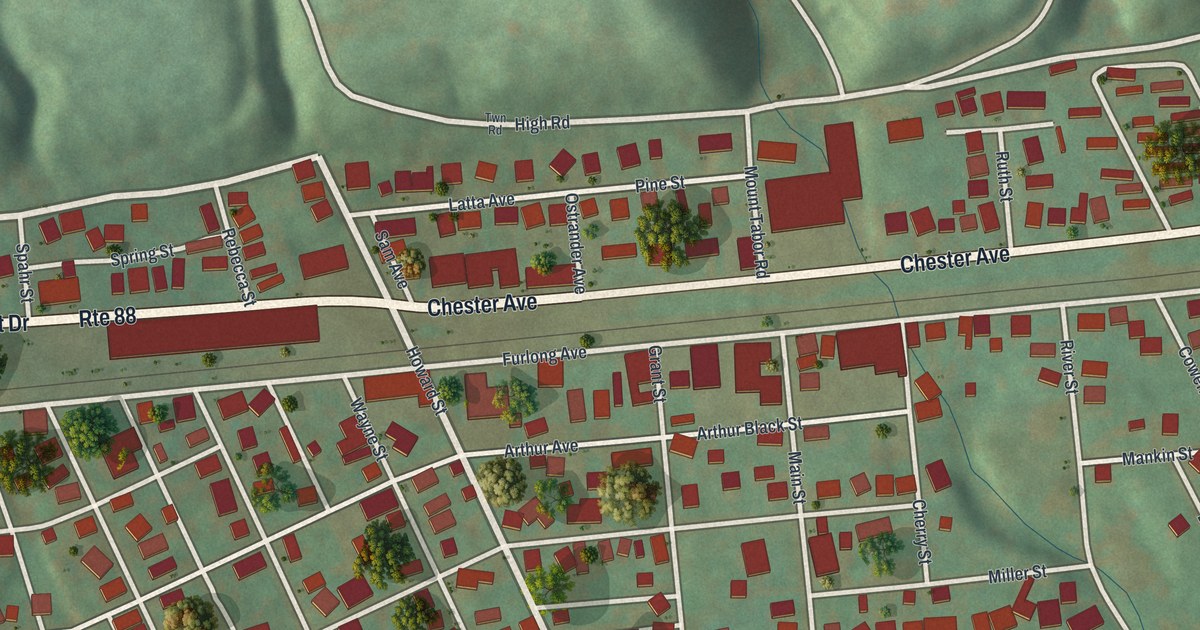
A detailed map of Roscoe, Pennsylvania, showing every building in its true location, the roads by name, and shaded topographical relief.
Read More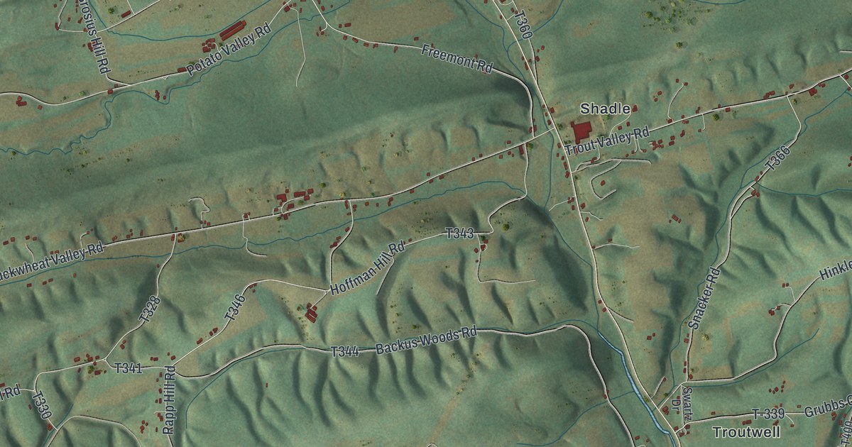
A detailed map of Perry, Snyder County, Pennsylvania, showing every building in its true location, the roads by name, and shaded topographical relief.
Read More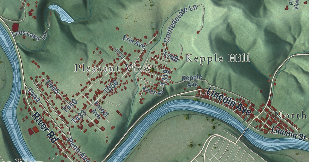
A detailed map of Parks, Pennsylvania, showing every building in its true location, the roads by name, and shaded topographical relief.
Read More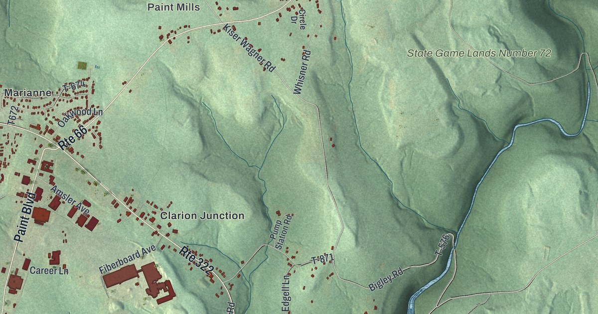
A detailed map of Paint, Clarion County, Pennsylvania, showing every building in its true location, the roads by name, and shaded topographical relief.
Read More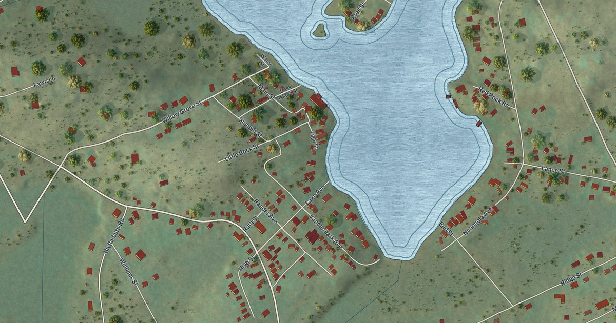
A detailed map of Nuangola, Pennsylvania, showing every building in its true location, the roads by name, and shaded topographical relief.
Read More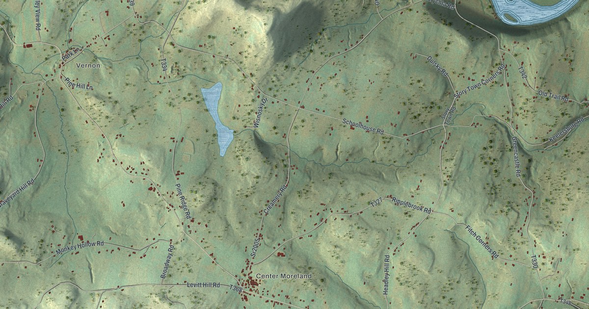
A detailed map of Northmoreland, Pennsylvania, showing every building in its true location, the roads by name, and shaded topographical relief.
Read More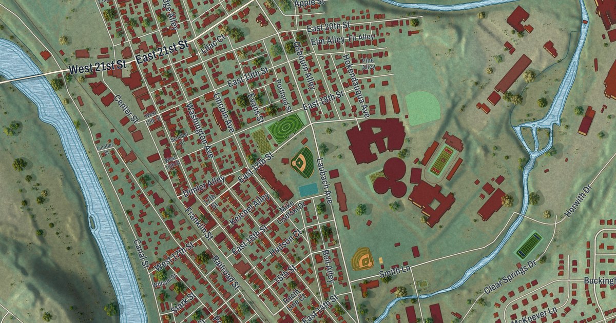
A detailed map of Northampton, Northampton County, Pennsylvania, showing every building in its true location, the roads by name, and shaded topographical relief.
Read More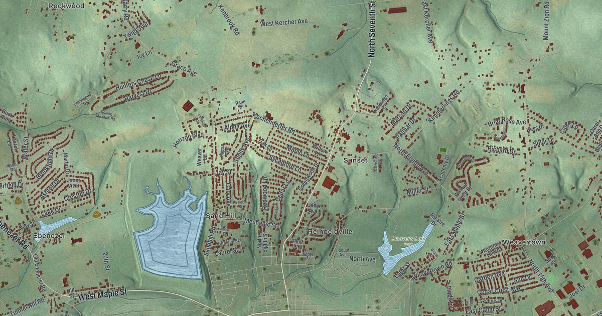
A detailed map of North Lebanon, Pennsylvania, showing every building in its true location, the roads by name, and shaded topographical relief.
Read More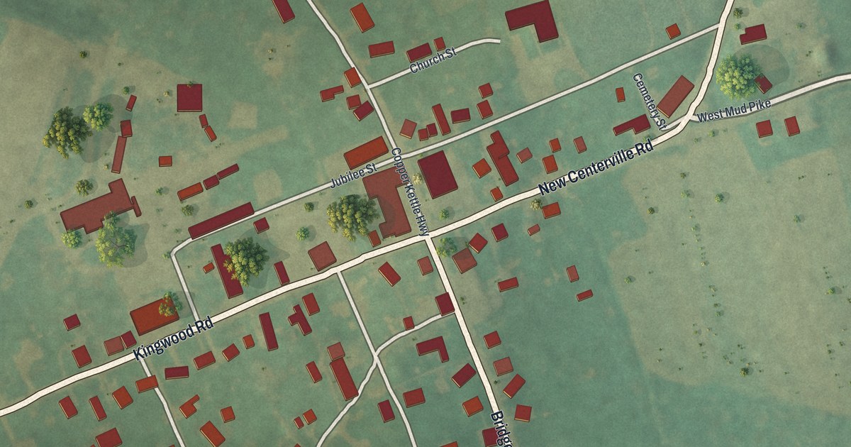
A detailed map of New Centerville, Pennsylvania, showing every building in its true location, the roads by name, and shaded topographical relief.
Read More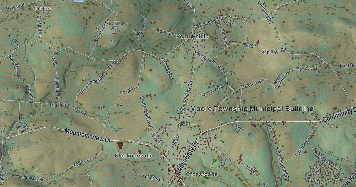
A detailed map of Moore, Pennsylvania, showing every building in its true location, the roads by name, and shaded topographical relief.
Read More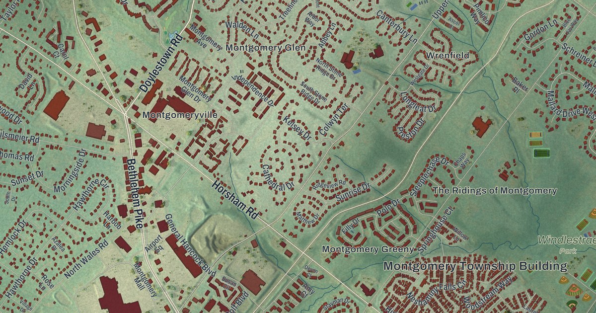
A detailed map of Montgomery, Montgomery County, Pennsylvania, showing every building in its true location, the roads by name, and shaded topographical relief.
Read More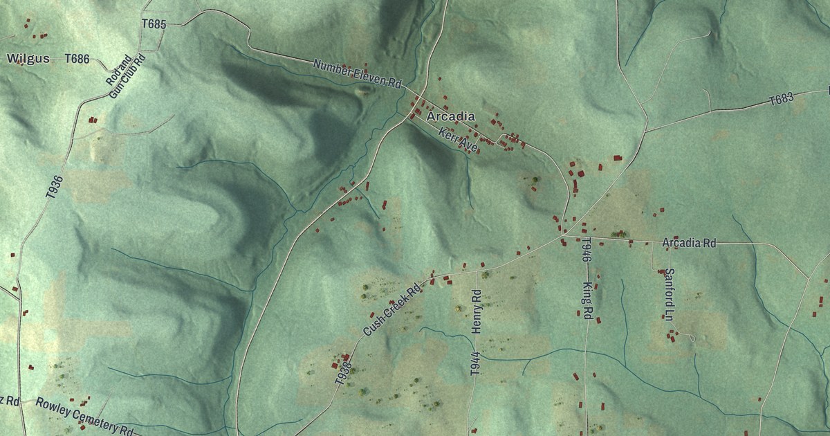
A detailed map of Montgomery, Indiana County, Pennsylvania, showing every building in its true location, the roads by name, and shaded topographical relief.
Read More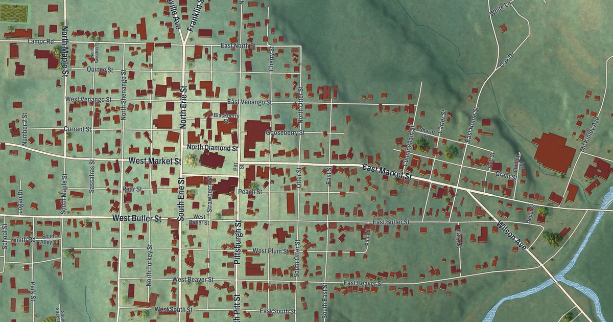
A detailed map of Mercer, Mercer County, Pennsylvania, showing every building in its true location, the roads by name, and shaded topographical relief.
Read More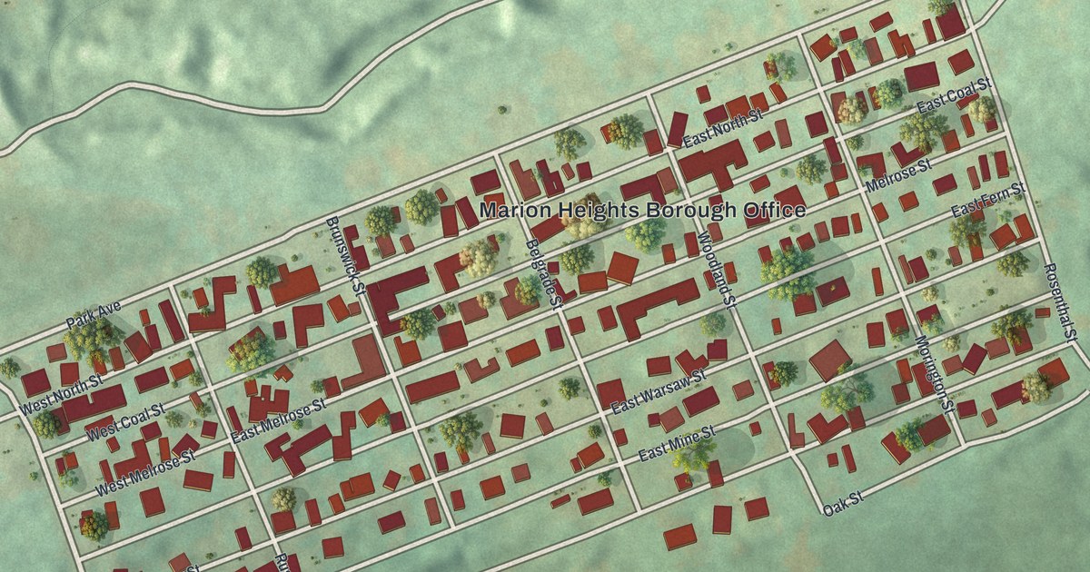
A detailed map of Marion Heights, Pennsylvania, showing every building in its true location, the roads by name, and shaded topographical relief.
Read More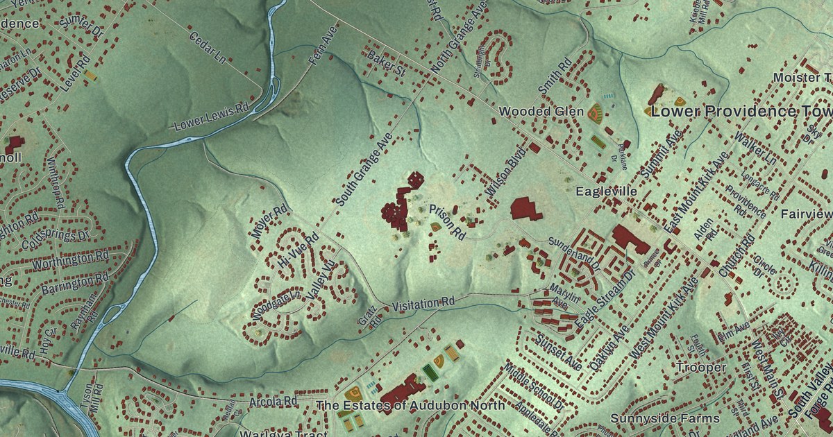
A detailed map of Lower Providence, Pennsylvania, showing every building in its true location, the roads by name, and shaded topographical relief.
Read More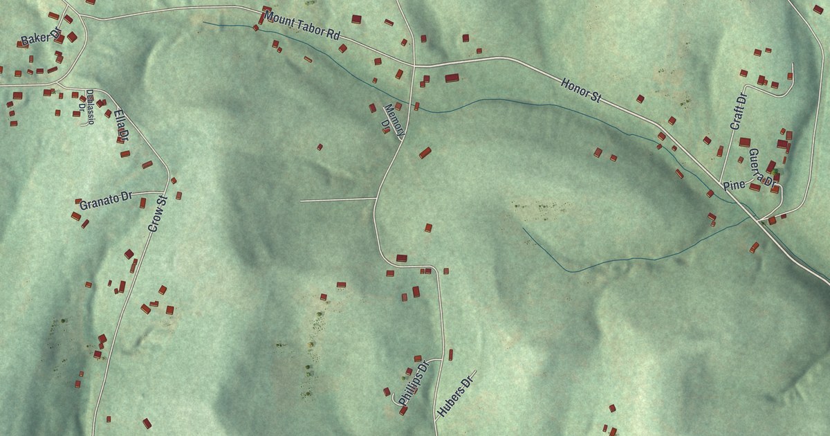
A detailed map of Long Branch, Pennsylvania, showing every building in its true location, the roads by name, and shaded topographical relief.
Read More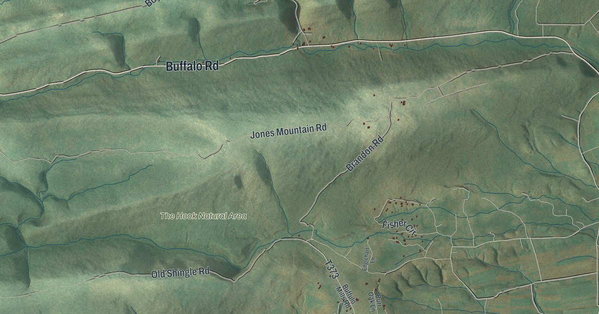
A detailed map of Lewis, Union County, Pennsylvania, showing every building in its true location, the roads by name, and shaded topographical relief.
Read More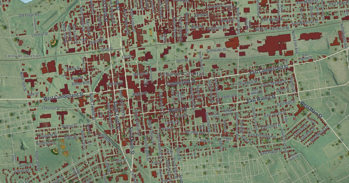
A detailed map of Lebanon, Lebanon County, Pennsylvania, showing every building in its true location, the roads by name, and shaded topographical relief.
Read More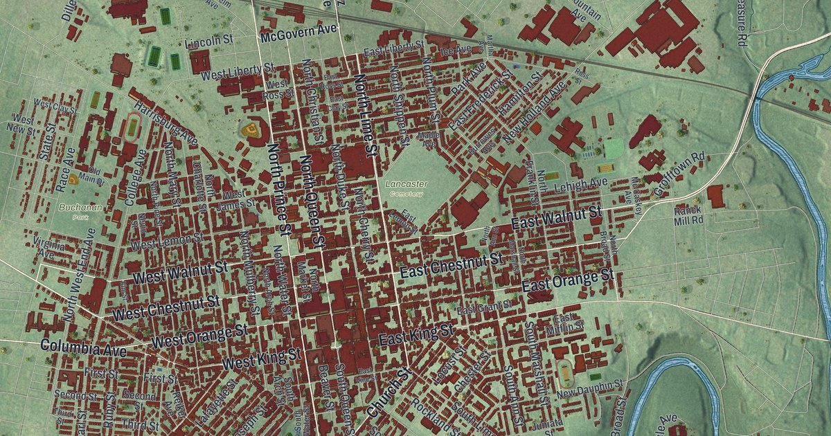
A detailed map of Lancaster City, Lancaster County, Pennsylvania, showing every building in its true location, the roads by name, and shaded topographical relief.
Read More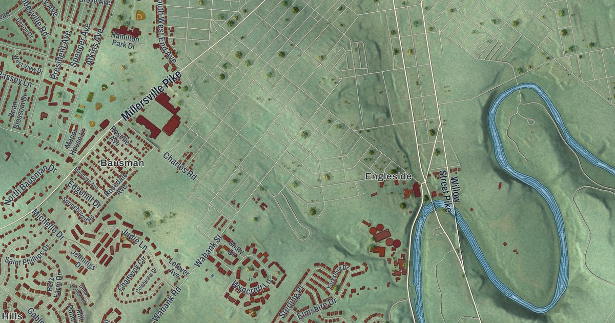
A detailed map of Lancaster Township, Lancaster County, Pennsylvania, showing every building in its true location, the roads by name, and shaded topographical relief.
Read More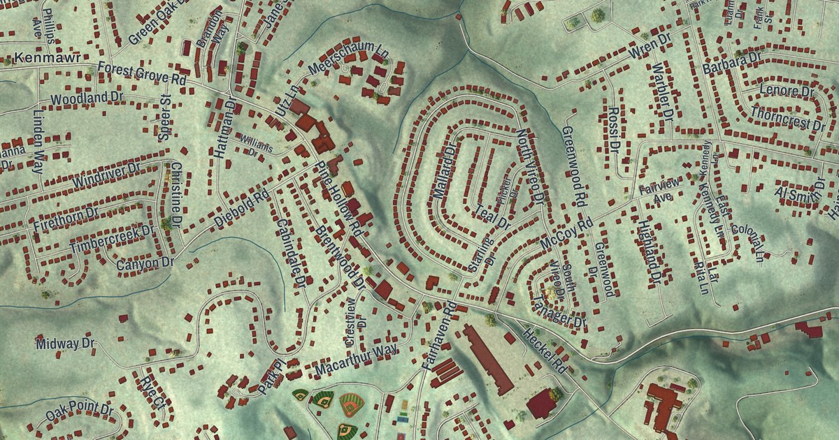
A detailed map of Kennedy, Pennsylvania, showing every building in its true location, the roads by name, and shaded topographical relief.
Read More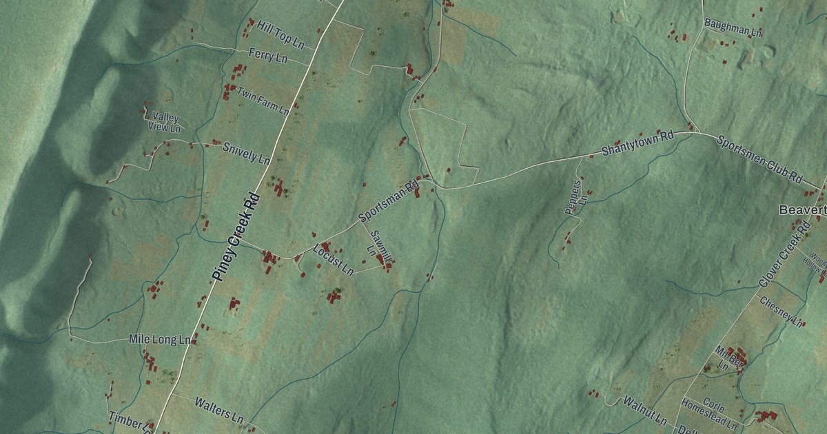
A detailed map of Huston, Blair County, Pennsylvania, showing every building in its true location, the roads by name, and shaded topographical relief.
Read More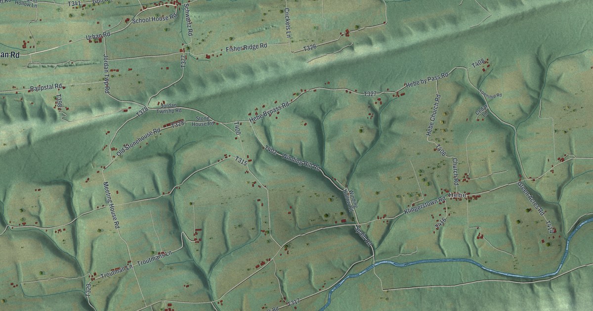
A detailed map of Jordan, Northumberland County, Pennsylvania, showing every building in its true location, the roads by name, and shaded topographical relief.
Read More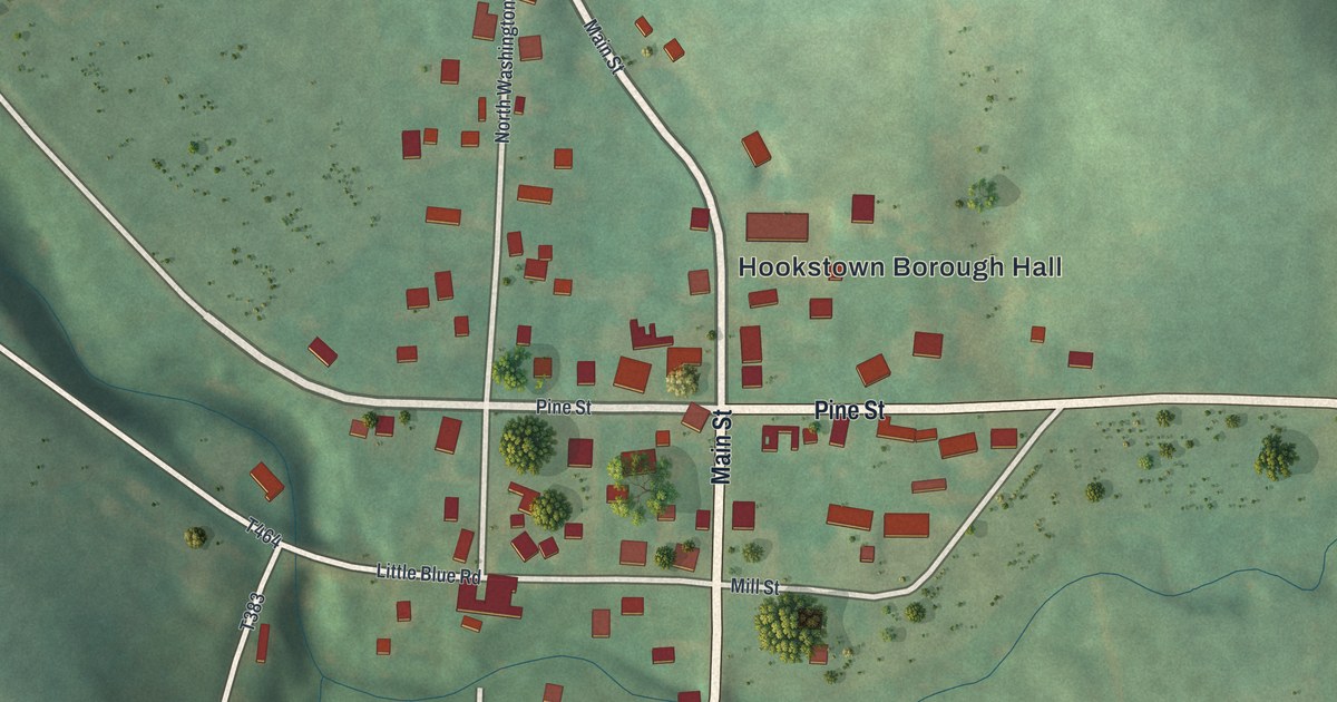
A detailed map of Hookstown, Pennsylvania, showing every building in its true location, the roads by name, and shaded topographical relief.
Read More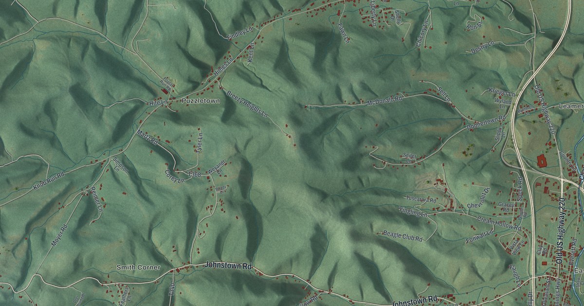
A detailed map of Freedom, Blair County, Pennsylvania, showing every building in its true location, the roads by name, and shaded topographical relief.
Read More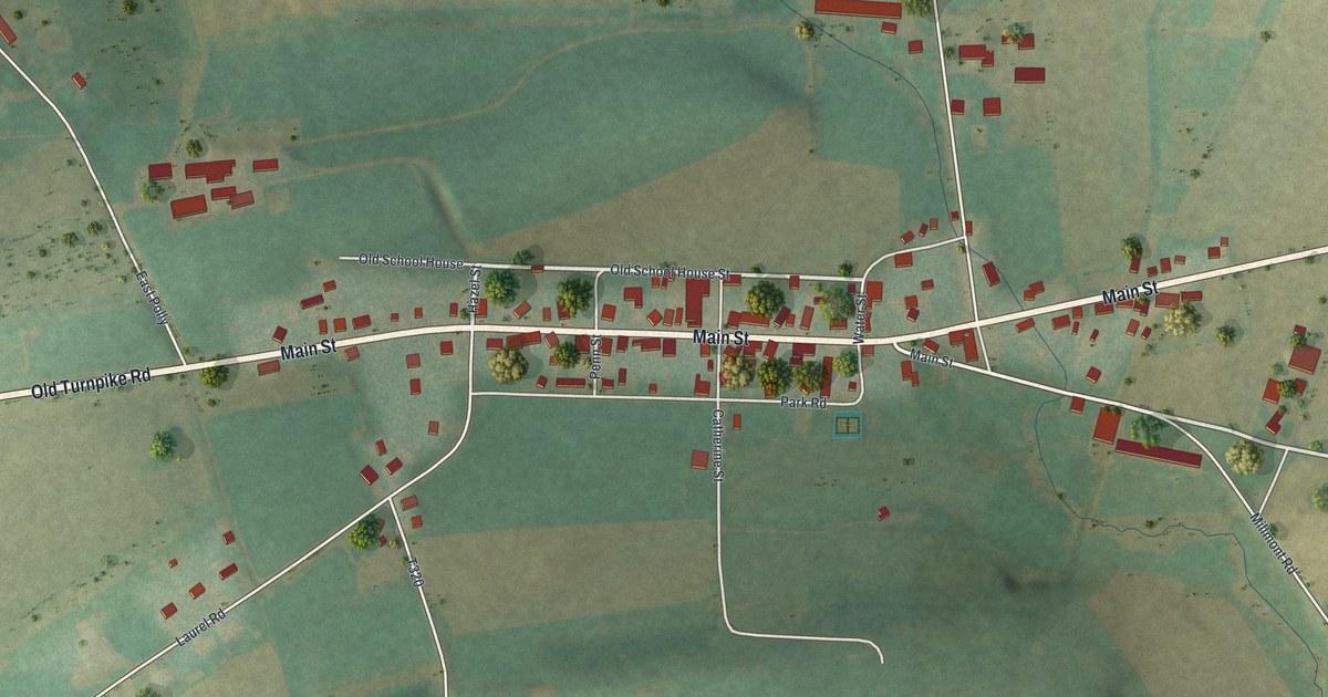
A detailed map of Hartleton, Pennsylvania, showing every building in its true location, the roads by name, and shaded topographical relief.
Read More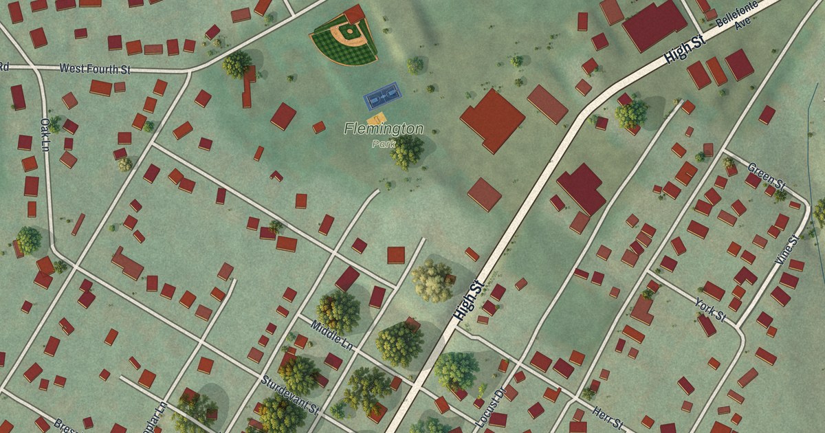
A detailed map of Flemington, Pennsylvania, showing every building in its true location, the roads by name, and shaded topographical relief.
Read More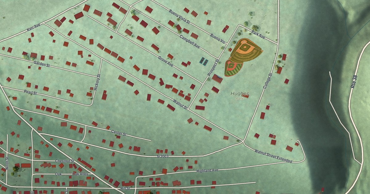
A detailed map of Emlenton, Pennsylvania, showing every building in its true location, the roads by name, and shaded topographical relief.
Read More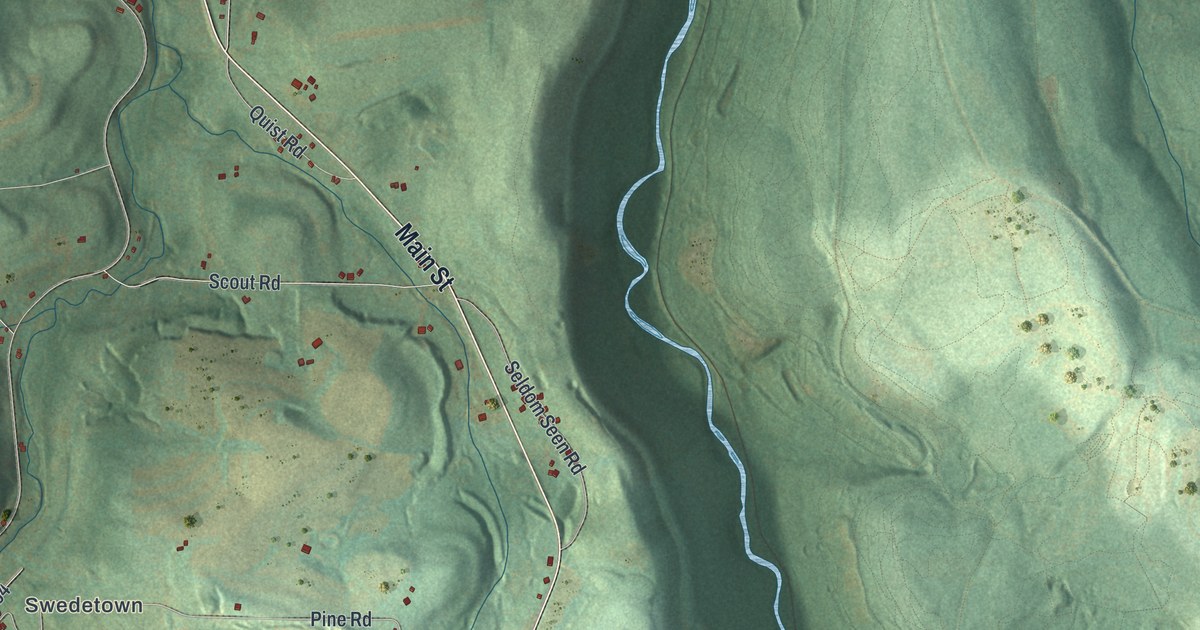
A detailed map of Elder, Pennsylvania, showing every building in its true location, the roads by name, and shaded topographical relief.
Read More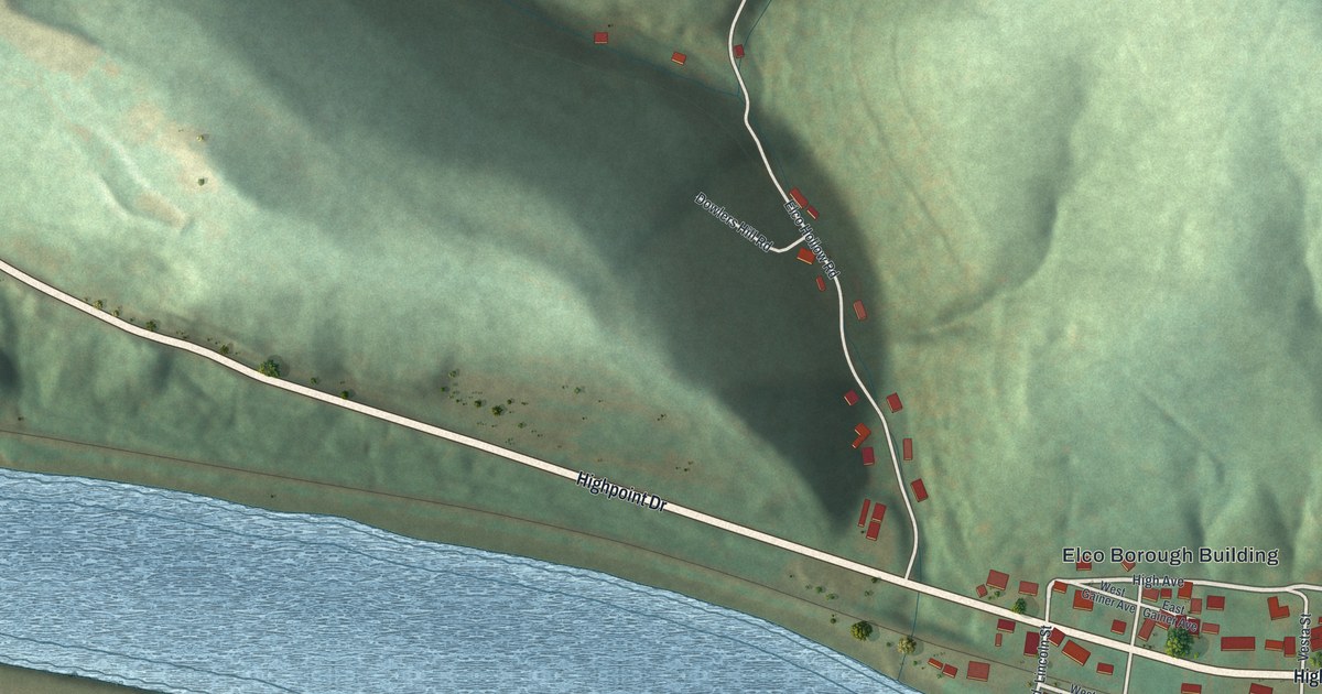
A detailed map of Elco, Pennsylvania, showing every building in its true location, the roads by name, and shaded topographical relief.
Read More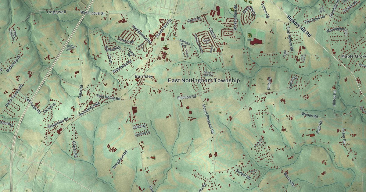
A detailed map of East Nottingham, Pennsylvania, showing every building in its true location, the roads by name, and shaded topographical relief.
Read More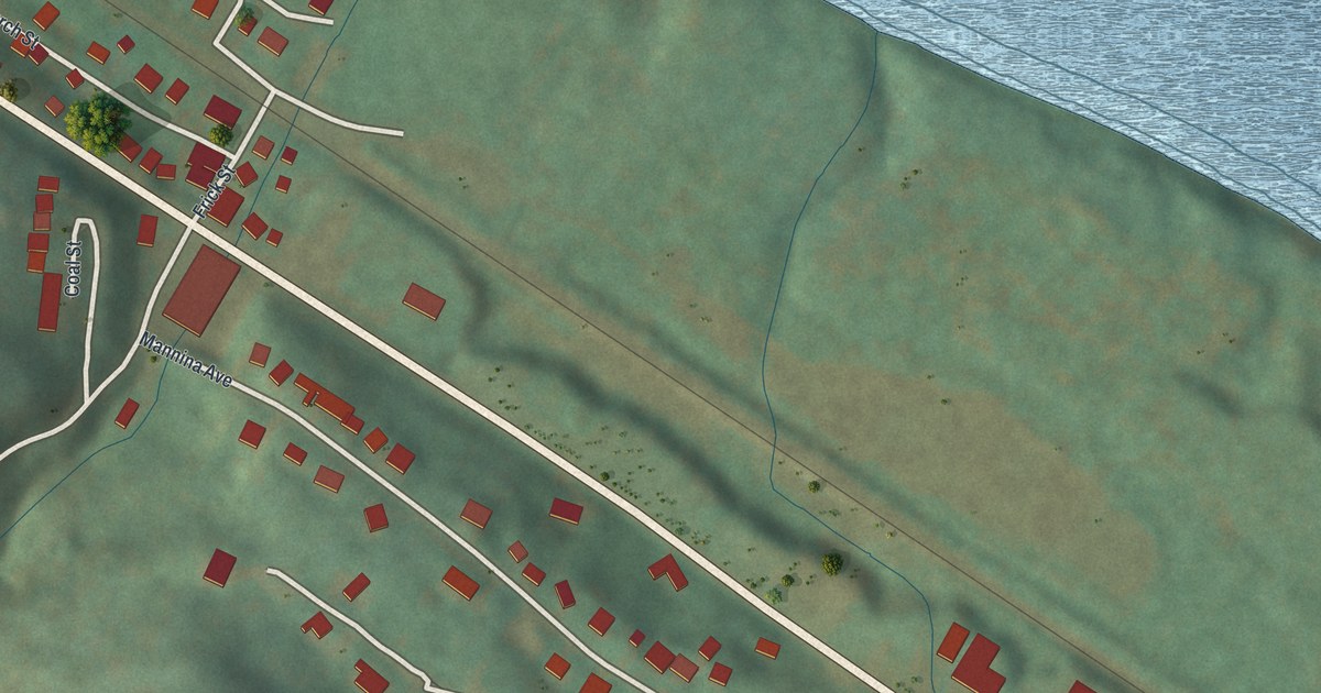
A detailed map of Dunlevy, Pennsylvania, showing every building in its true location, the roads by name, and shaded topographical relief.
Read More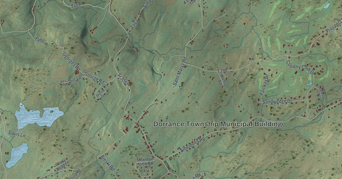
A detailed map of Dorrance, Pennsylvania, showing every building in its true location, the roads by name, and shaded topographical relief.
Read More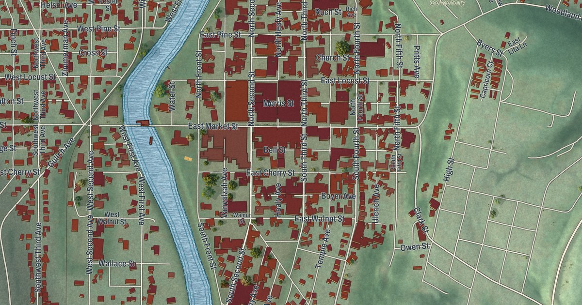
A detailed map of Clearfield, Clearfield County, Pennsylvania, showing every building in its true location, the roads by name, and shaded topographical relief.
Read More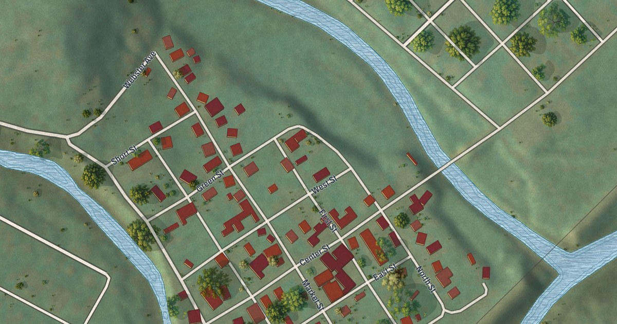
A detailed map of Clarksville, Pennsylvania, showing every building in its true location, the roads by name, and shaded topographical relief.
Read More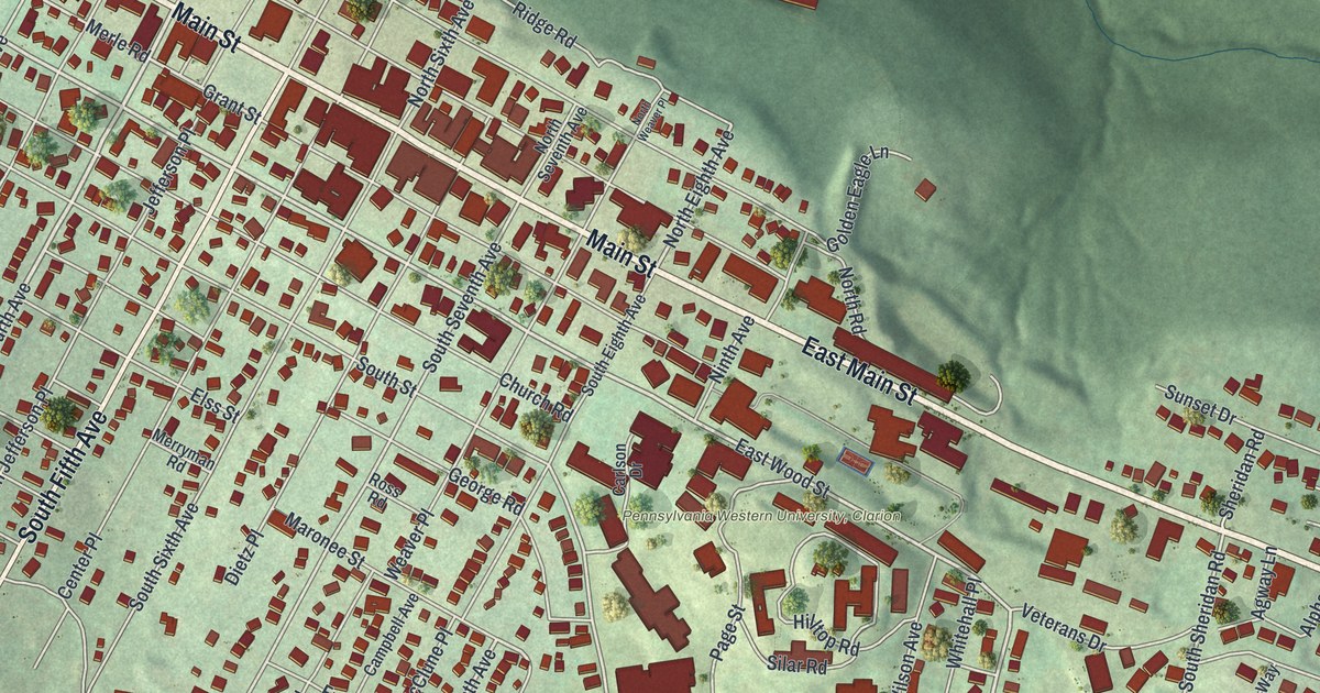
A detailed map of Clarion Borough, Pennsylvania, showing every building in its true location, the roads by name, and shaded topographical relief.
Read More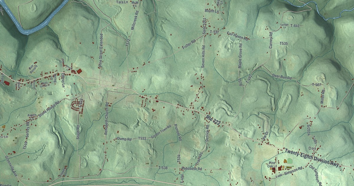
A detailed map of Clarion Township, Pennsylvania, showing every building in its true location, the roads by name, and shaded topographical relief.
Read More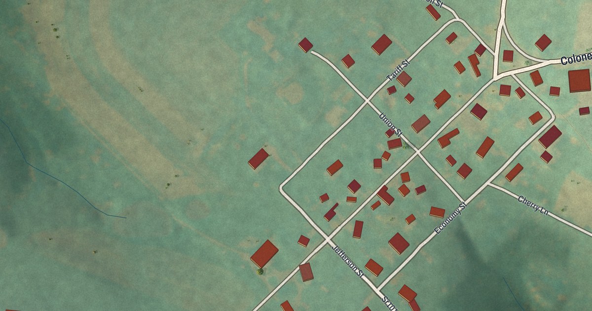
A detailed map of Chest Springs, Pennsylvania, showing every building in its true location, the roads by name, and shaded topographical relief.
Read More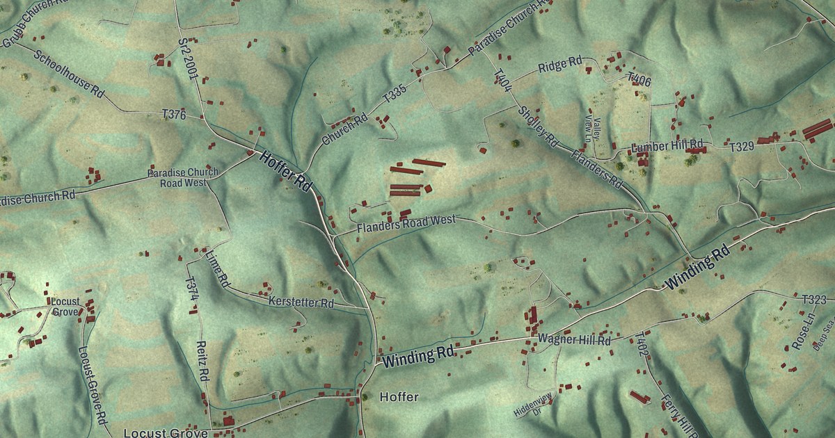
A detailed map of Chapman, Snyder County, Pennsylvania, showing every building in its true location, the roads by name, and shaded topographical relief.
Read More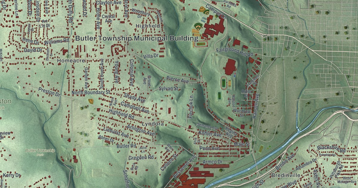
A detailed map of Butler Township, Butler County, Pennsylvania, showing every building in its true location, the roads by name, and shaded topographical relief.
Read More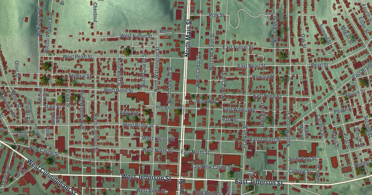
A detailed map of Butler City, Butler County, Pennsylvania, showing every building in its true location, the roads by name, and shaded topographical relief.
Read More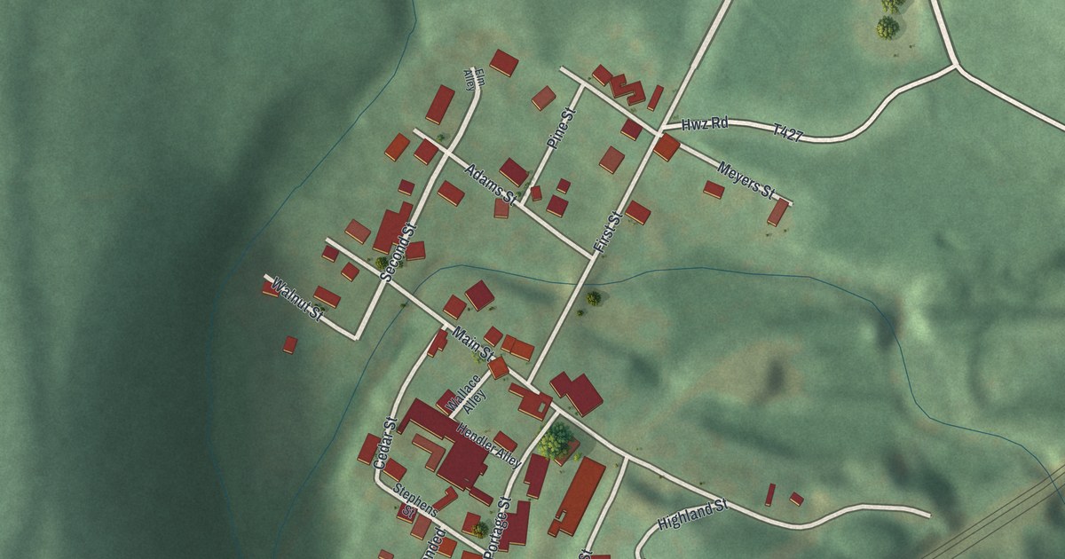
A detailed map of Cassandra, Pennsylvania, showing every building in its true location, the roads by name, and shaded topographical relief.
Read More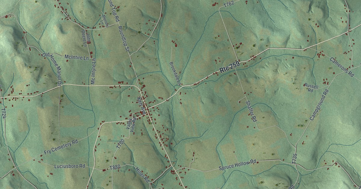
A detailed map of Brush Valley, Pennsylvania, showing every building in its true location, the roads by name, and shaded topographical relief.
Read More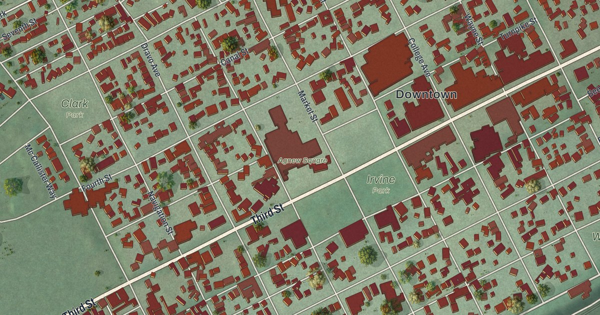
A detailed map of Beaver, Beaver County, Pennsylvania, showing every building in its true location, the roads by name, and shaded topographical relief.
Read More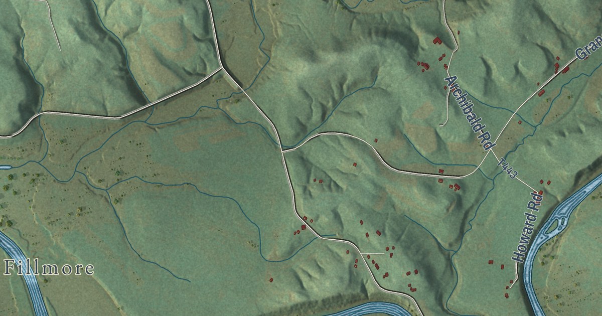
A detailed map of Black Lick, Pennsylvania, showing every building in its true location, the roads by name, and shaded topographical relief.
Read More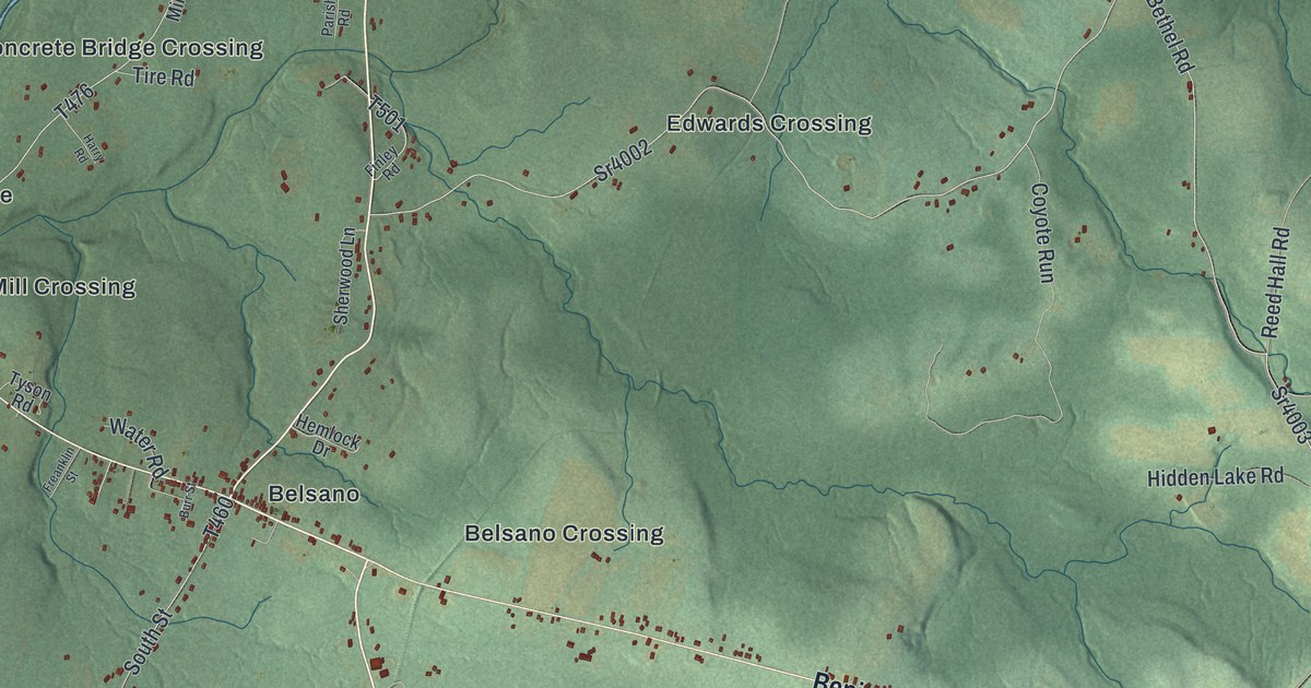
A detailed map of Blacklick, Pennsylvania, showing every building in its true location, the roads by name, and shaded topographical relief.
Read More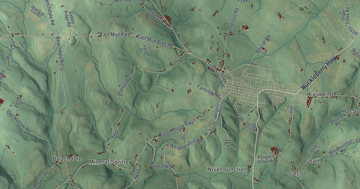
A detailed map of Brothersvalley, Pennsylvania, showing every building in its true location, the roads by name, and shaded topographical relief.
Read More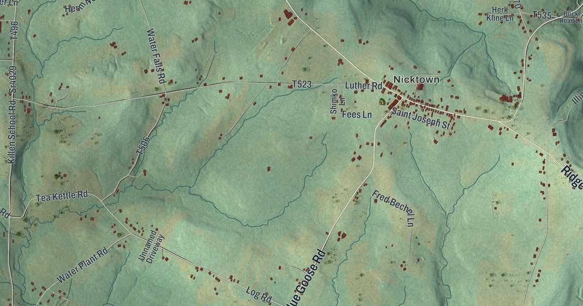
A detailed map of Barr, Pennsylvania, showing every building in its true location, the roads by name, and shaded topographical relief.
Read More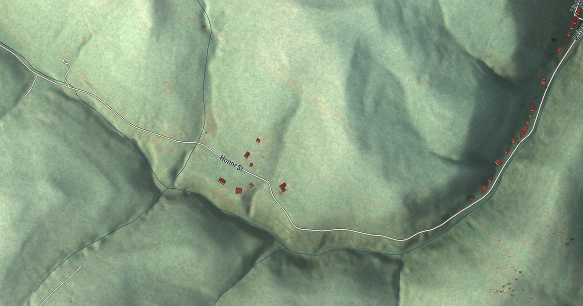
A detailed map of Allenport, Pennsylvania, showing every building in its true location, the roads by name, and shaded topographical relief.
Read More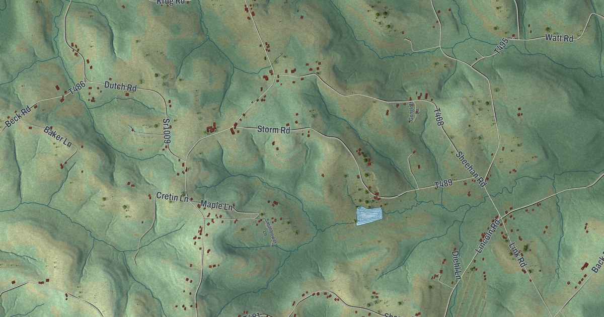
A detailed map of Allegheny, Cambria County, Pennsylvania, showing every building in its true location, the roads by name, and shaded topographical relief.
Read More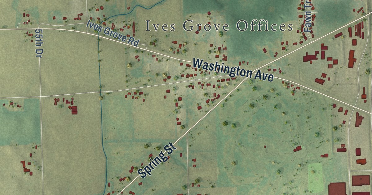
A detailed map of Yorkville, Wisconsin, showing every building in its true location, the roads by name, and shaded topographical relief.
Read More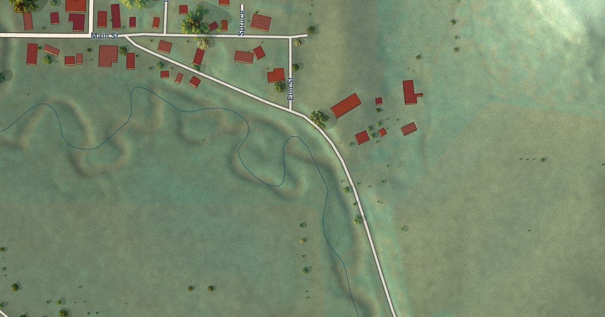
A detailed map of Yuba, Wisconsin, showing every building in its true location, the roads by name, and shaded topographical relief.
Read More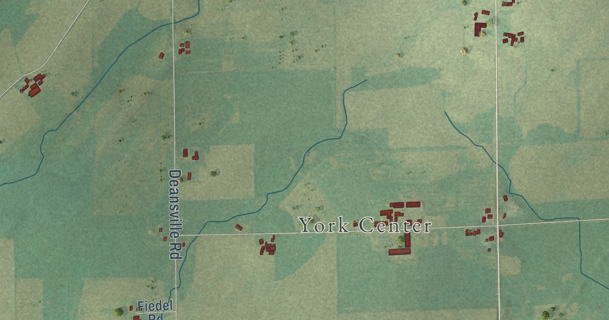
A detailed map of York, Wisconsin, showing every building in its true location, the roads by name, and shaded topographical relief.
Read More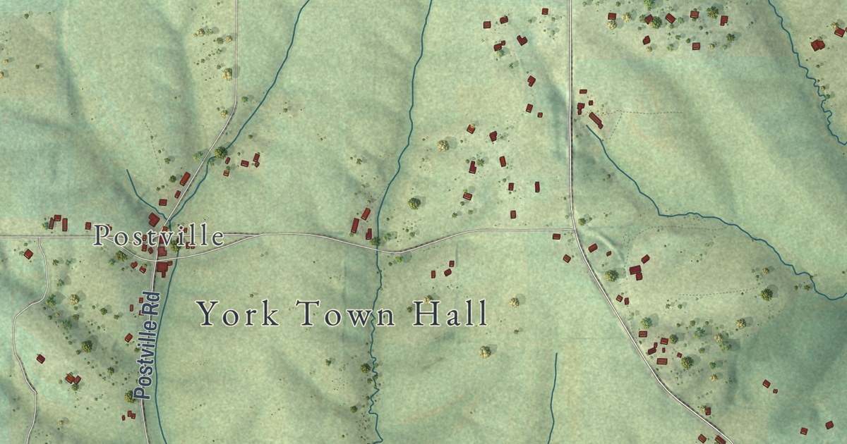
A detailed map of York, Wisconsin, showing every building in its true location, the roads by name, and shaded topographical relief.
Read More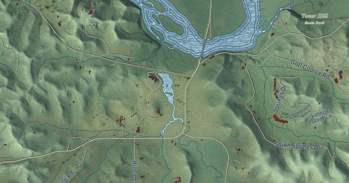
A detailed map of Wyoming, Wisconsin, showing every building in its true location, the roads by name, and shaded topographical relief.
Read More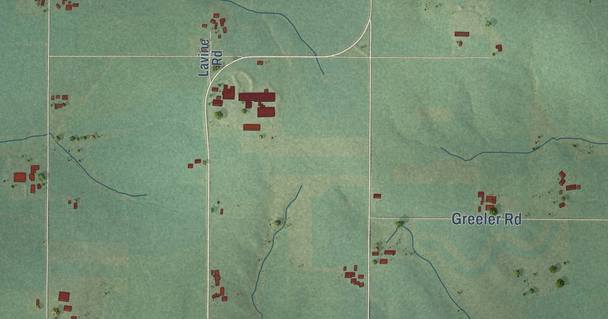
A detailed map of York, Wisconsin, showing every building in its true location, the roads by name, and shaded topographical relief.
Read More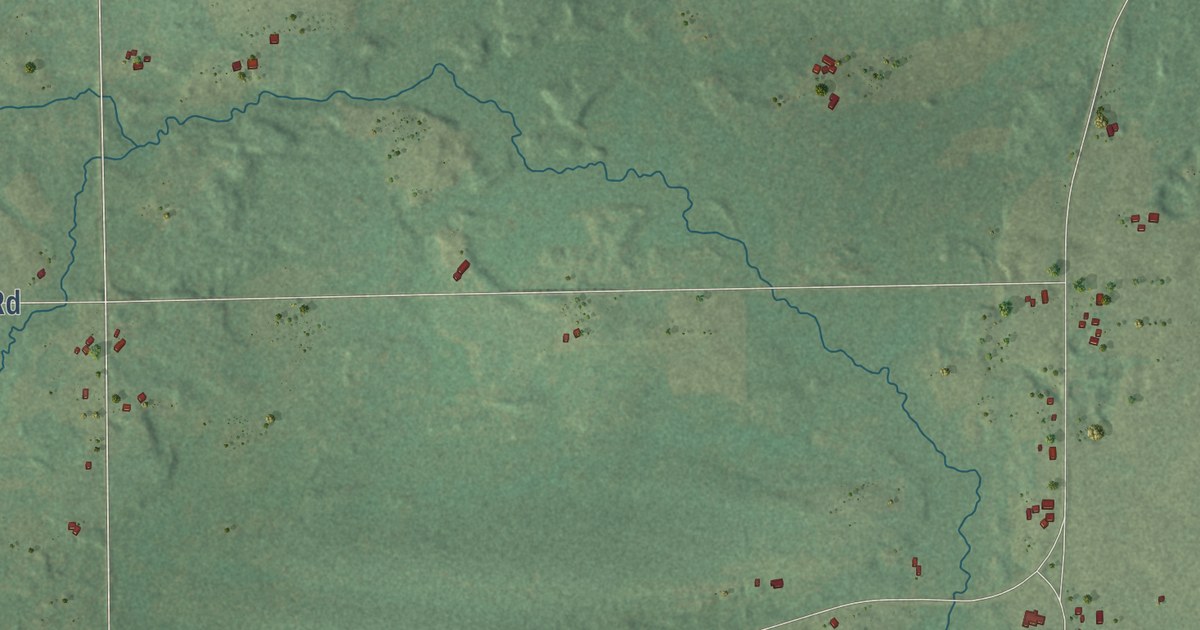
A detailed map of Wyoming, Wisconsin, showing every building in its true location, the roads by name, and shaded topographical relief.
Read More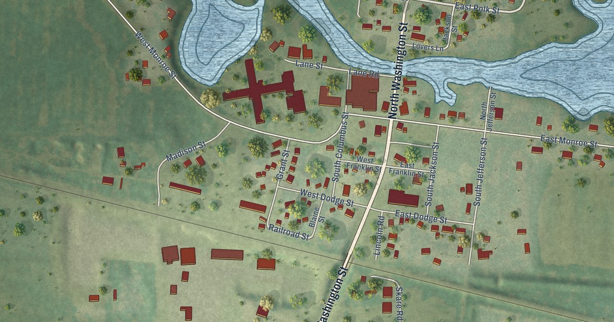
A detailed map of the Village of Wyocena, Wisconsin, showing every building in its true location, the roads by name, and shaded topographical relief.
Read More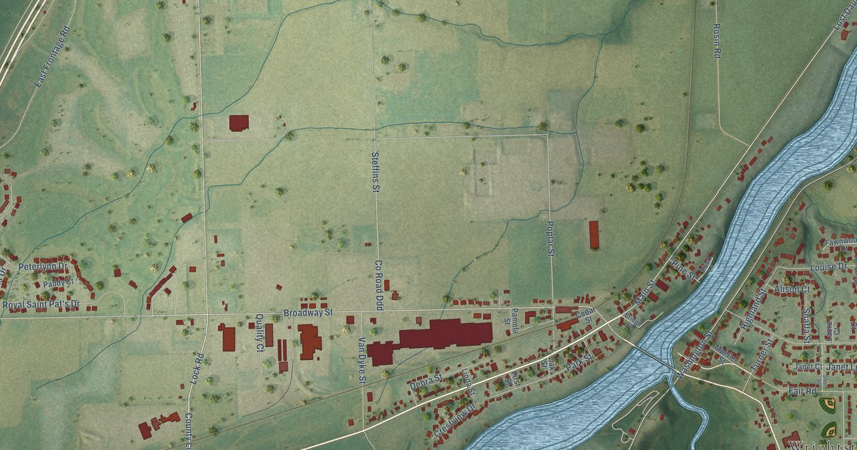
A detailed map of the Village of Wrightstown, Wisconsin, showing every building in its true location, the roads by name, and shaded topographical relief.
Read More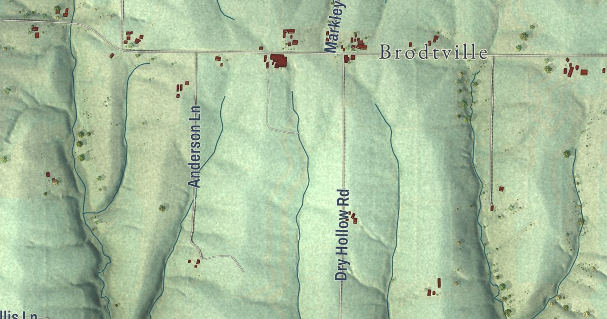
A detailed map of Wyalusing, Wisconsin, showing every building in its true location, the roads by name, and shaded topographical relief.
Read More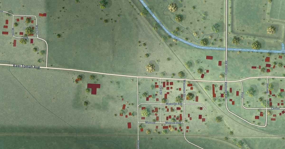
A detailed map of Wyeville, Wisconsin, showing every building in its true location, the roads by name, and shaded topographical relief.
Read More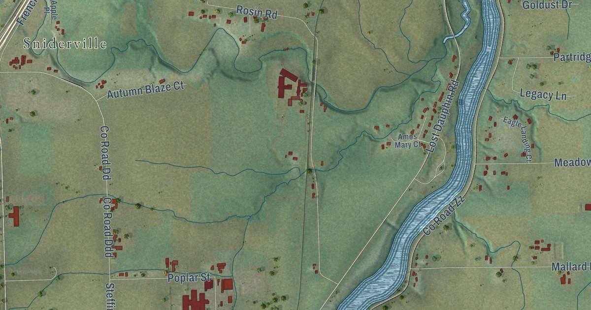
A detailed map of Wrightstown, Wisconsin, showing every building in its true location, the roads by name, and shaded topographical relief.
Read More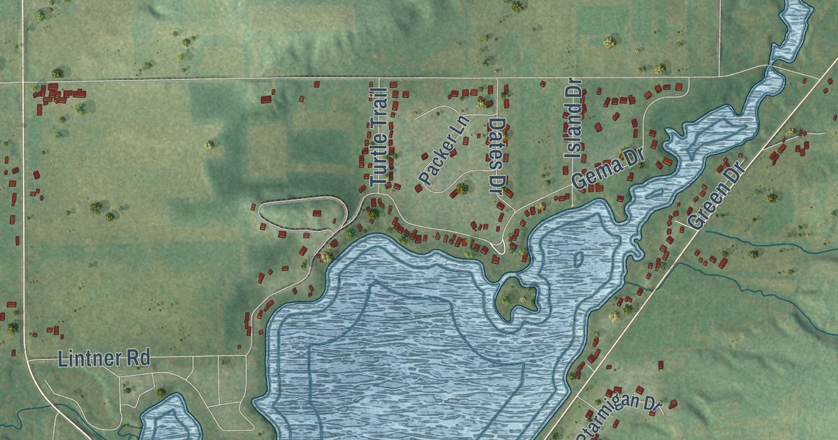
A detailed map of Wyocena, Wisconsin, showing every building in its true location, the roads by name, and shaded topographical relief.
Read More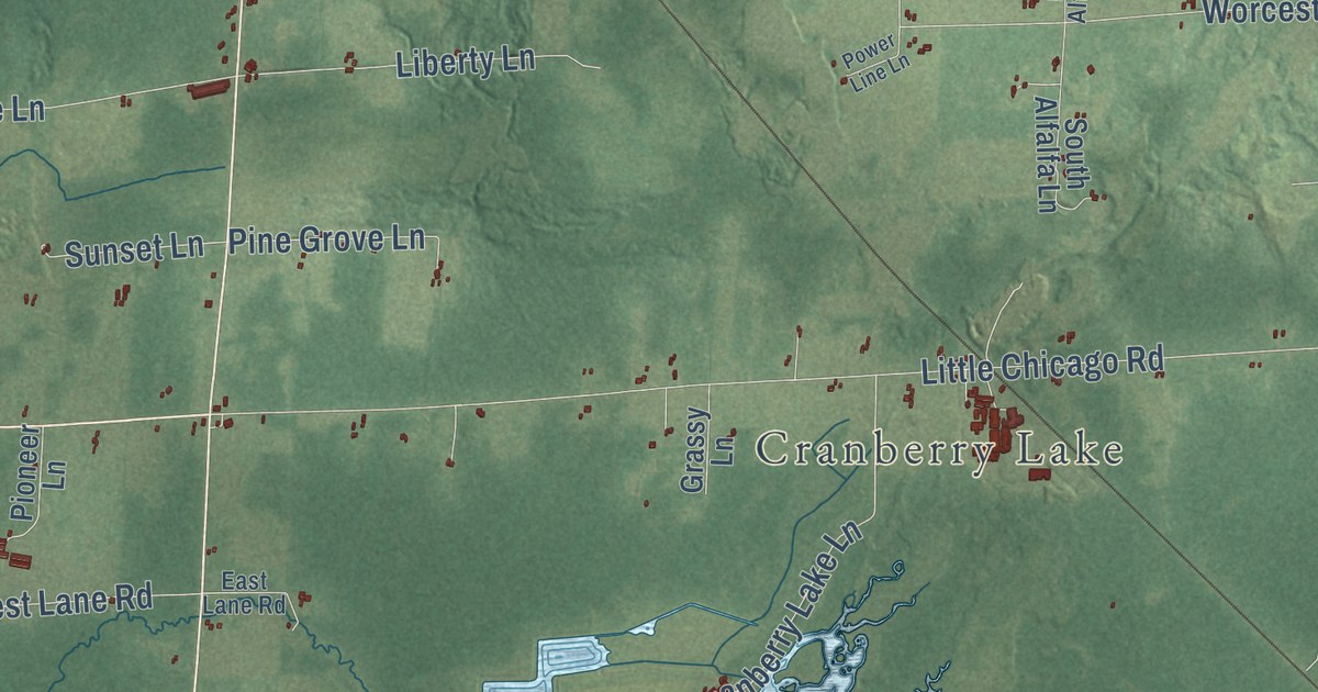
A detailed map of Worcester, Wisconsin, showing every building in its true location, the roads by name, and shaded topographical relief.
Read More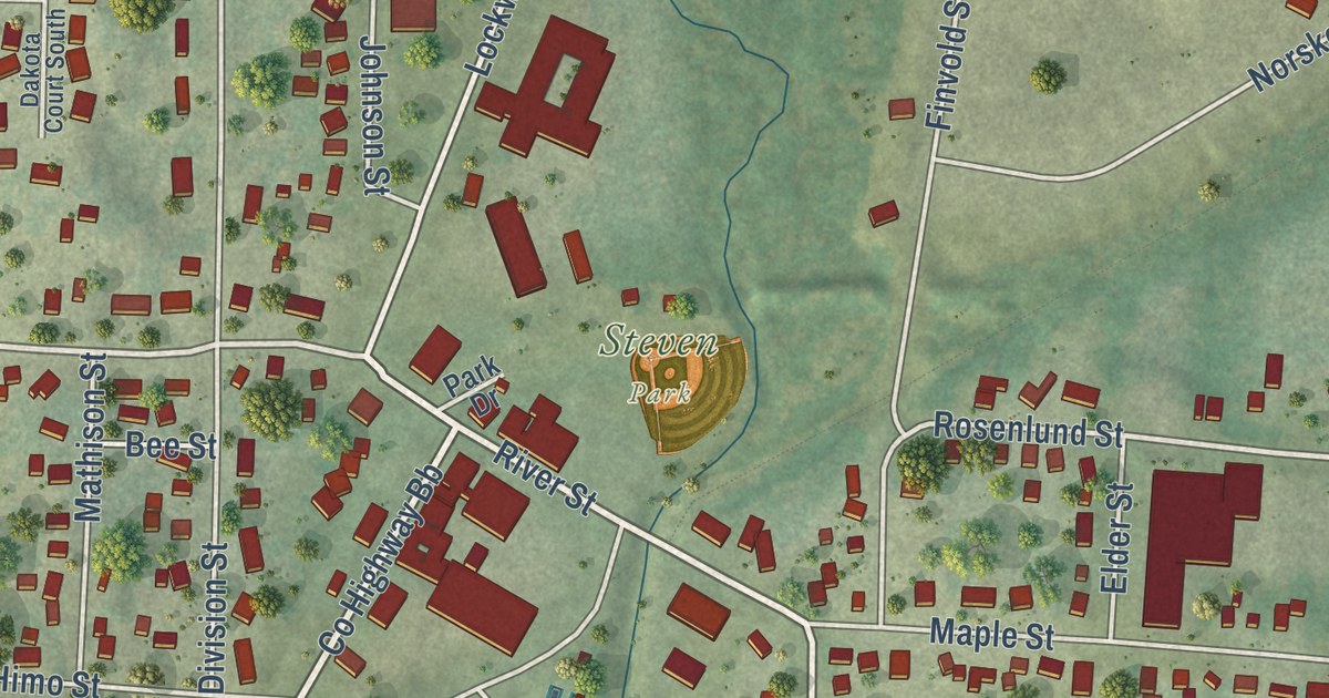
A detailed map of Woodville, Wisconsin, showing every building in its true location, the roads by name, and shaded topographical relief.
Read More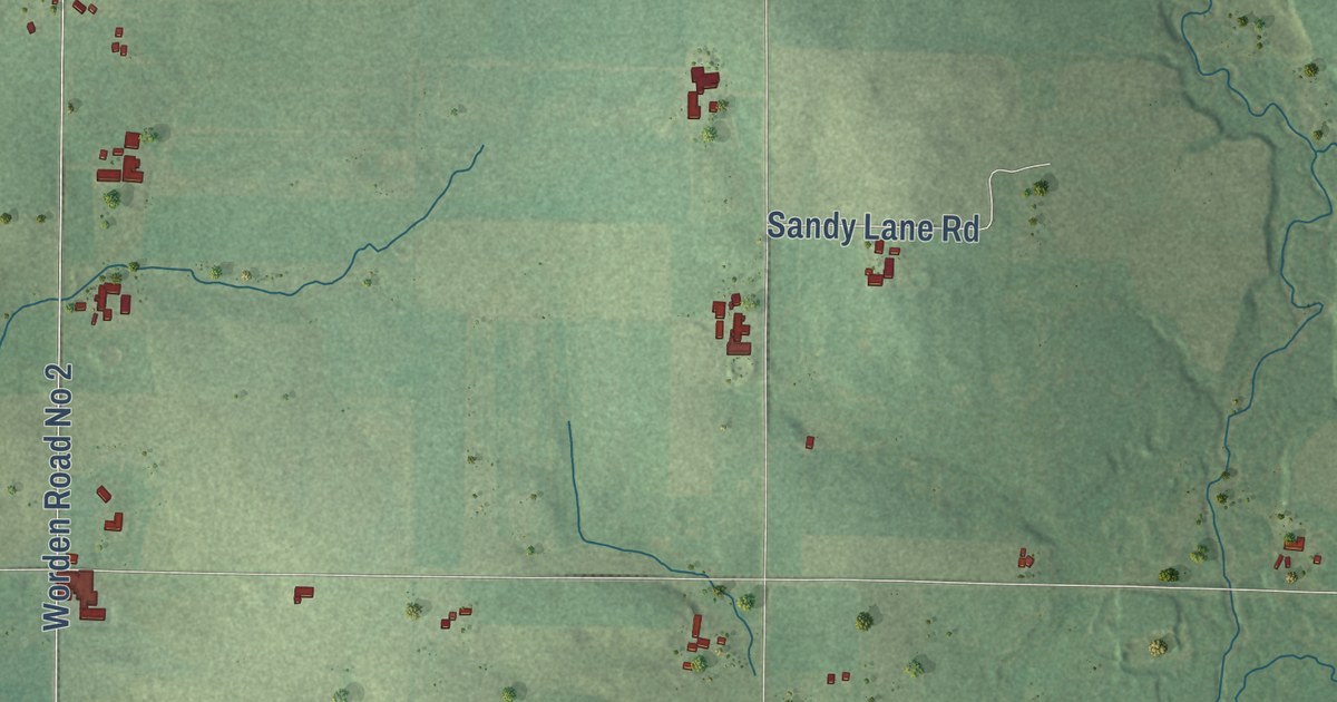
A detailed map of Worden, Wisconsin, showing every building in its true location, the roads by name, and shaded topographical relief.
Read More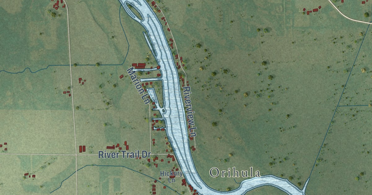
A detailed map of Wolf River, Wisconsin, showing every building in its true location, the roads by name, and shaded topographical relief.
Read More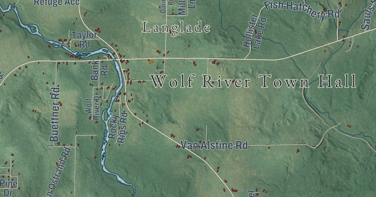
A detailed map of Wolf River, Wisconsin, showing every building in its true location, the roads by name, and shaded topographical relief.
Read More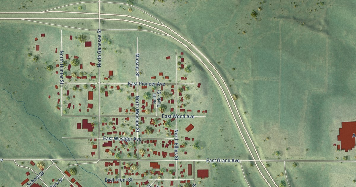
A detailed map of the Village of Wittenberg, Wisconsin, showing every building in its true location, the roads by name, and shaded topographical relief.
Read More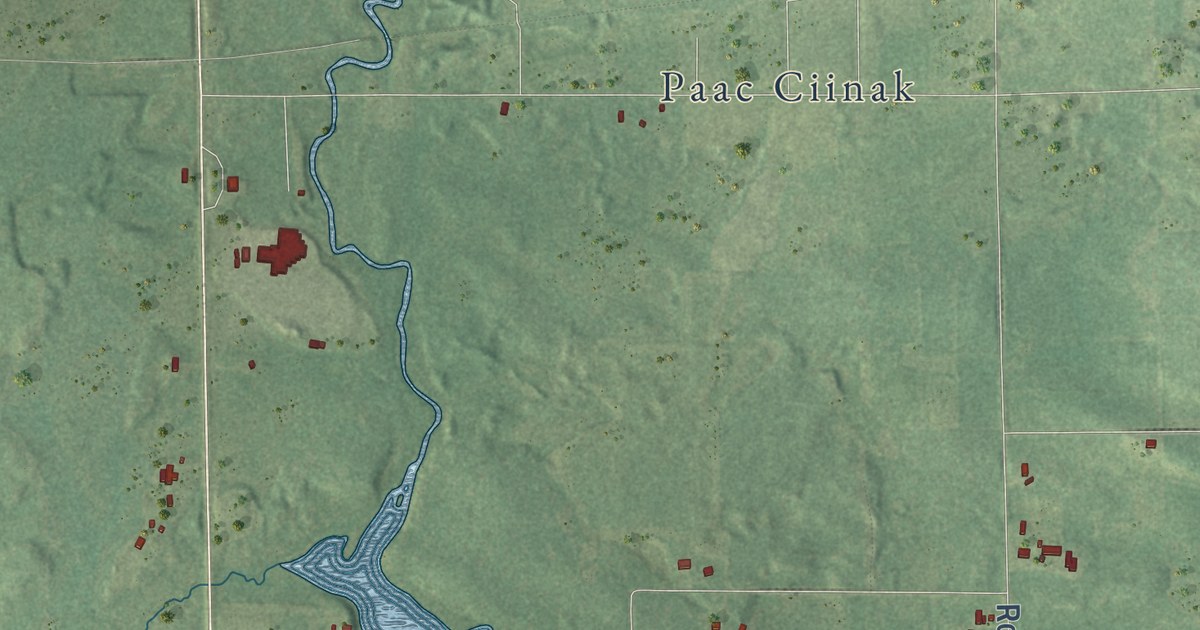
A detailed map of Wittenberg, Wisconsin, showing every building in its true location, the roads by name, and shaded topographical relief.
Read More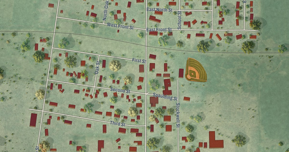
A detailed map of the Village of Withee, Wisconsin, showing every building in its true location, the roads by name, and shaded topographical relief.
Read More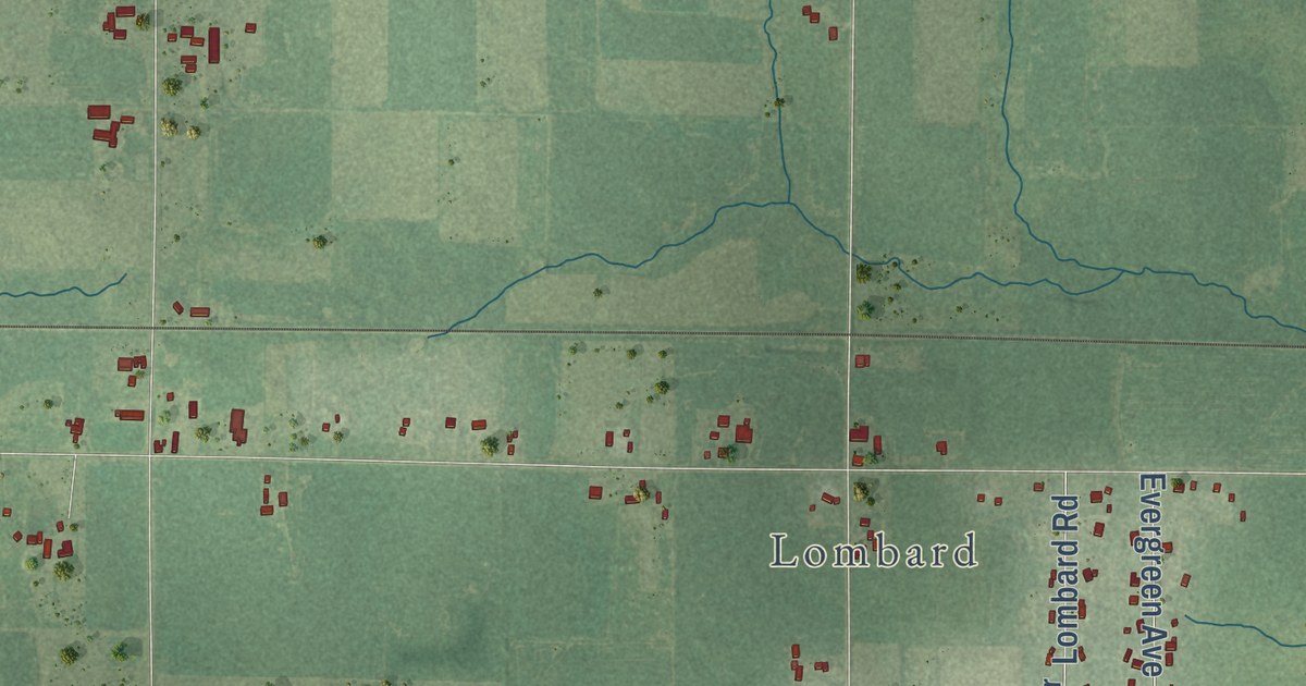
A detailed map of Withee, Wisconsin, showing every building in its true location, the roads by name, and shaded topographical relief.
Read More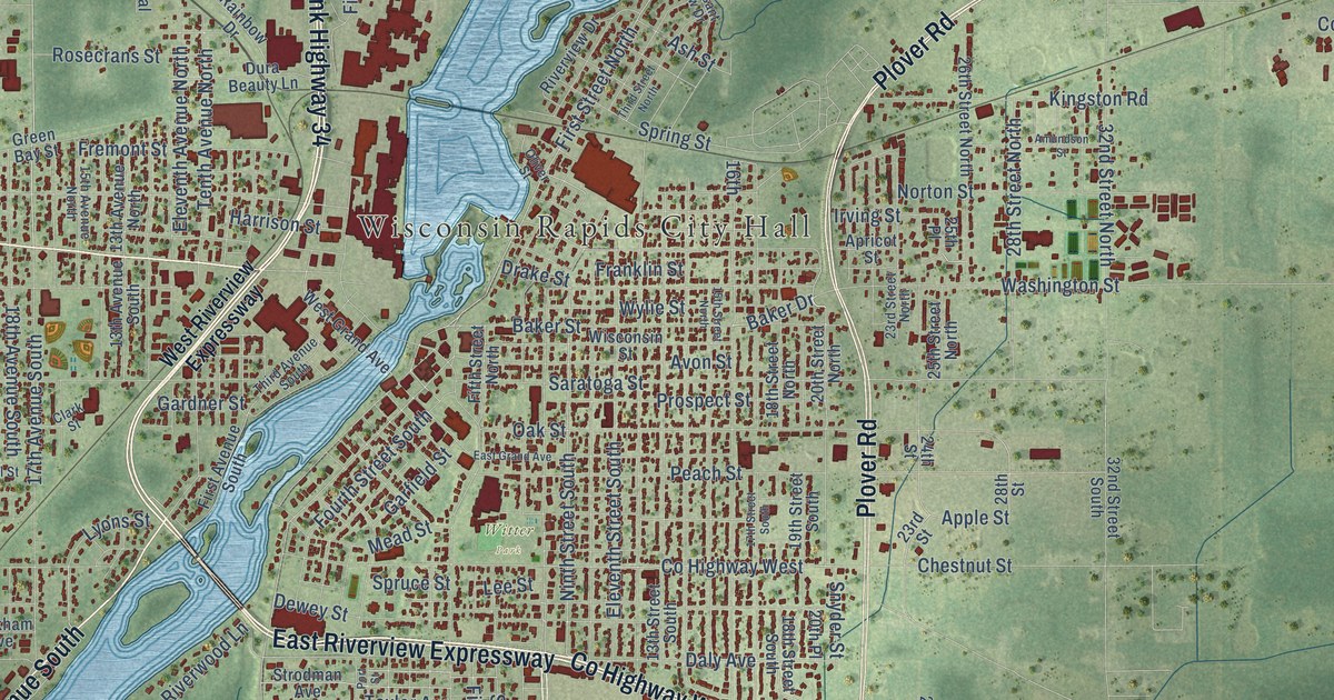
A detailed map of Wisconsin Rapids, Wisconsin, showing every building in its true location, the roads by name, and shaded topographical relief.
Read More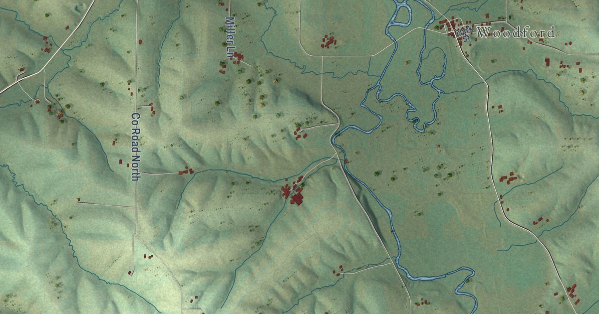
A detailed map of Wiota, Wisconsin, showing every building in its true location, the roads by name, and shaded topographical relief.
Read More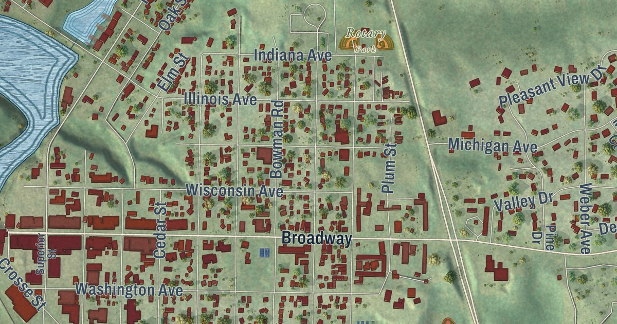
A detailed map of Wisconsin Dells, Wisconsin, showing every building in its true location, the roads by name, and shaded topographical relief.
Read More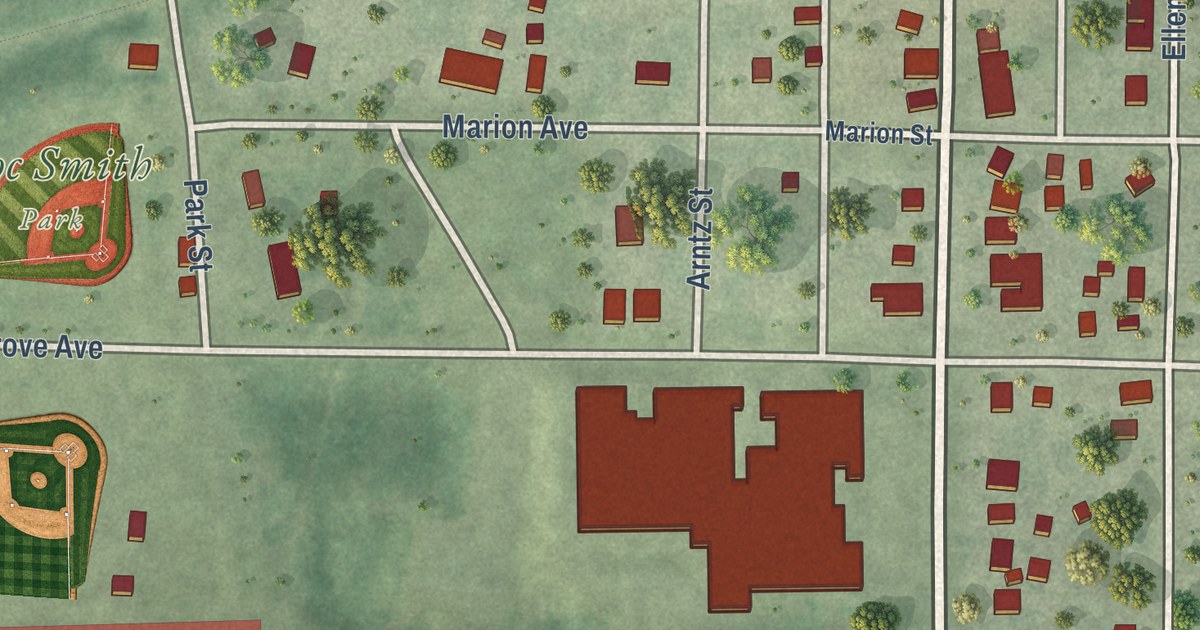
A detailed map of the Village of Winter, Wisconsin, showing every building in its true location, the roads by name, and shaded topographical relief.
Read More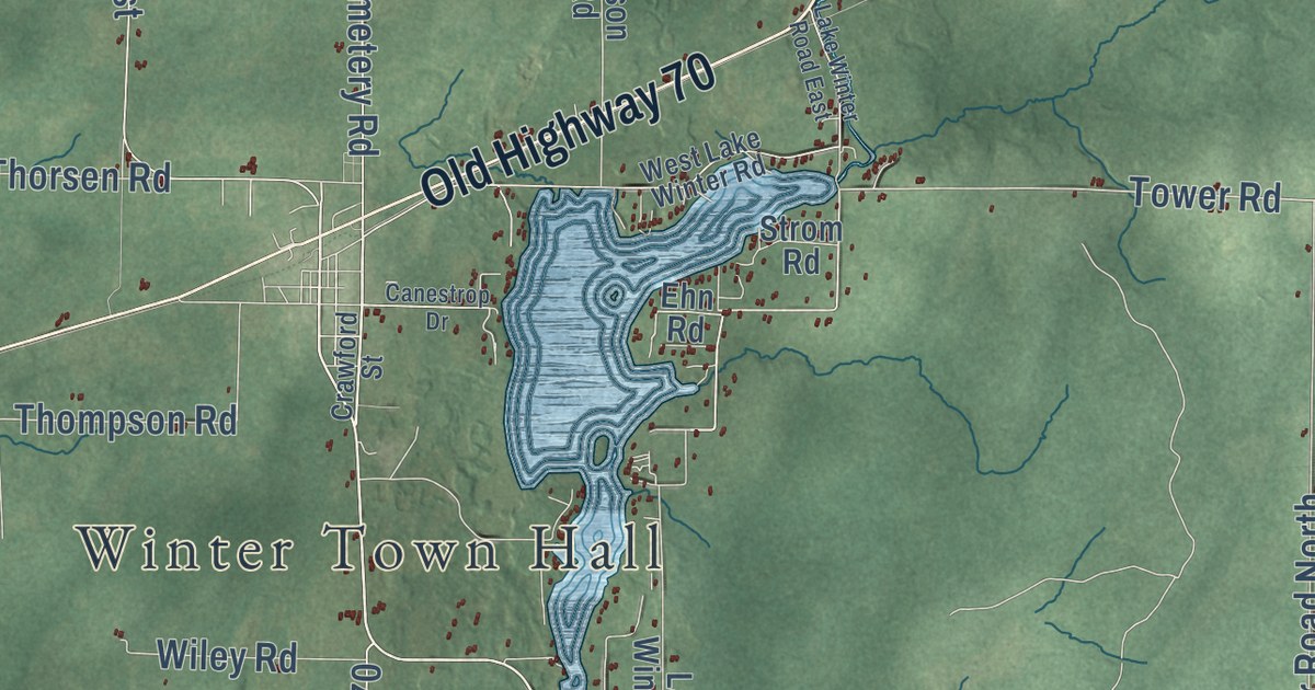
A detailed map of Winter, Wisconsin, showing every building in its true location, the roads by name, and shaded topographical relief.
Read More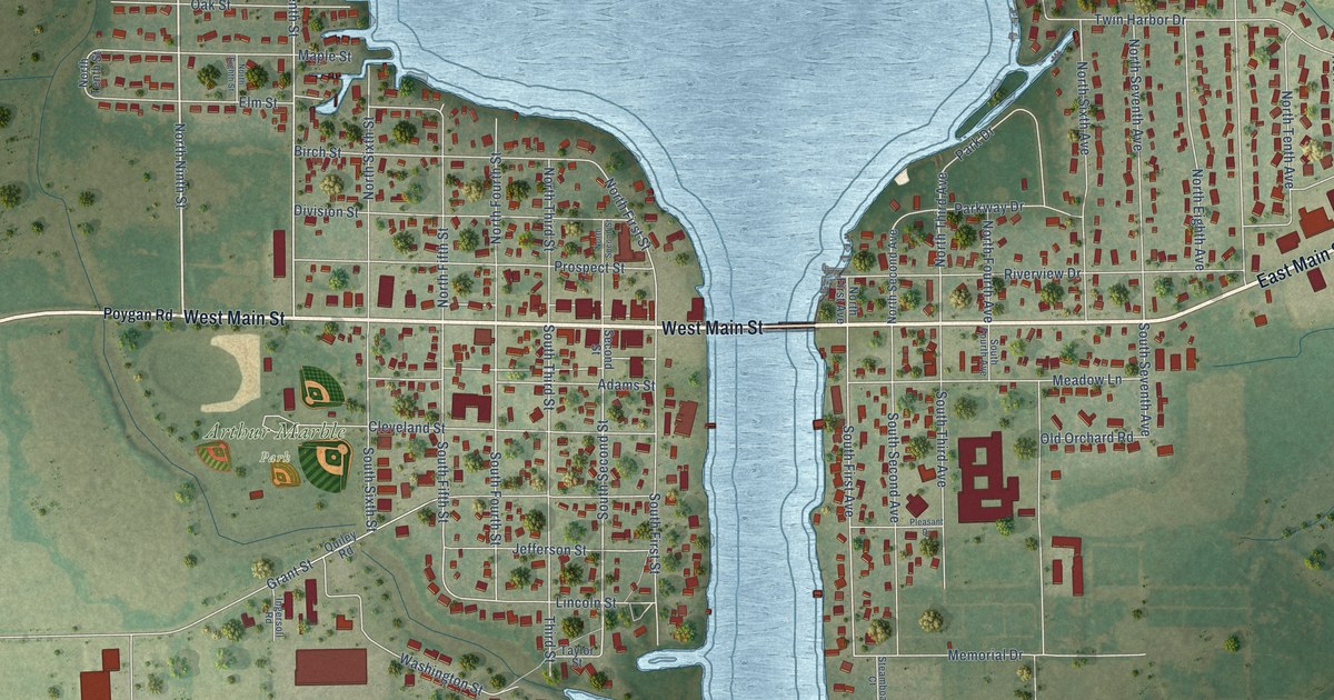
A detailed map of the Village of Winneconne, Wisconsin, showing every building in its true location, the roads by name, and shaded topographical relief.
Read More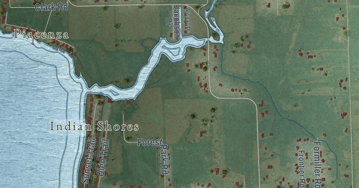
A detailed map of Winneconne, Wisconsin, showing every building in its true location, the roads by name, and shaded topographical relief.
Read More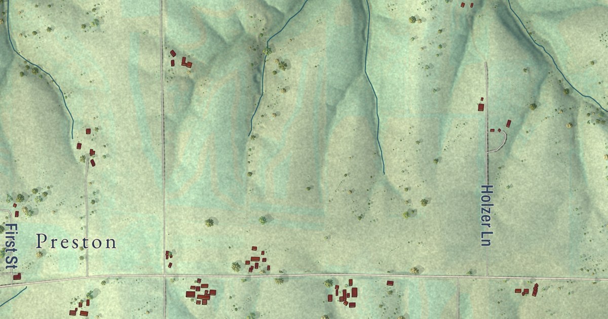
A detailed map of Wingville, Wisconsin, showing every building in its true location, the roads by name, and shaded topographical relief.
Read More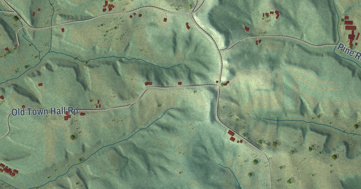
A detailed map of Winfield, Wisconsin, showing every building in its true location, the roads by name, and shaded topographical relief.
Read More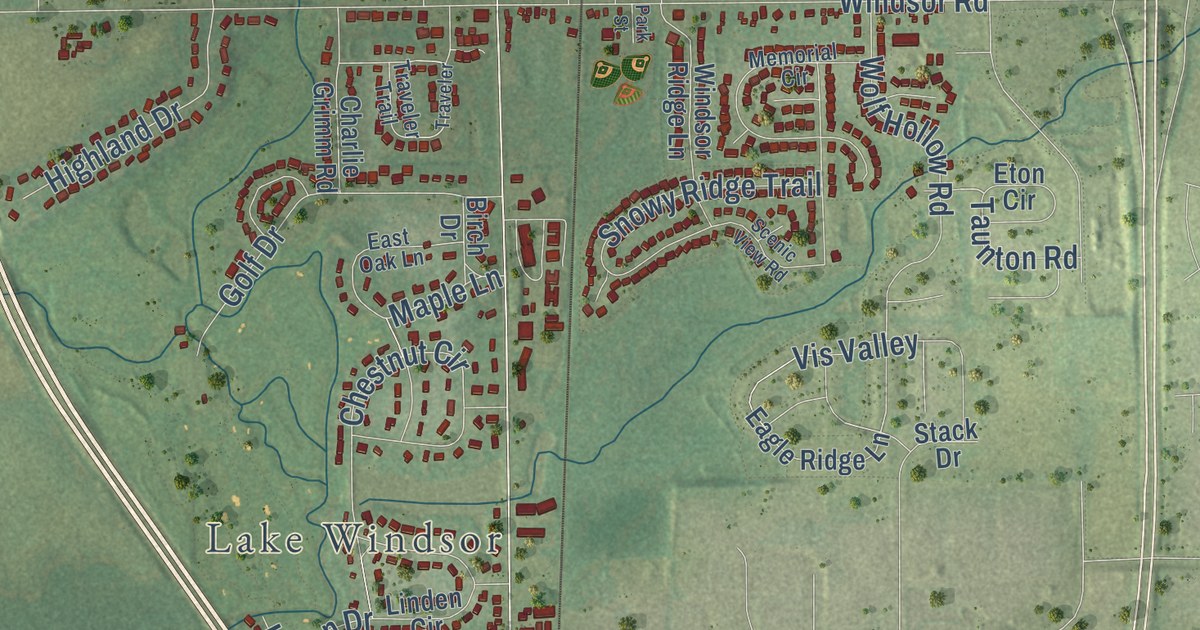
A detailed map of Windsor, Wisconsin, showing every building in its true location, the roads by name, and shaded topographical relief.
Read More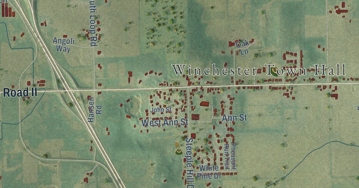
A detailed map of Winchester, Wisconsin, showing every building in its true location, the roads by name, and shaded topographical relief.
Read More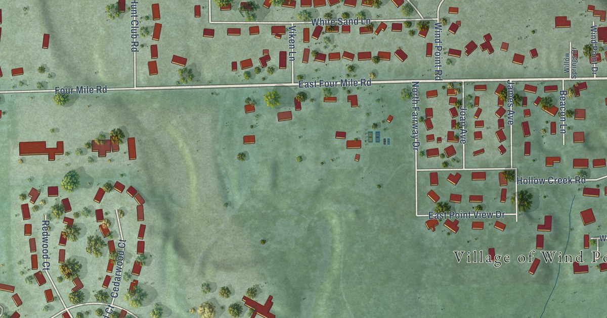
A detailed map of Wind Point, Wisconsin, showing every building in its true location, the roads by name, and shaded topographical relief.
Read More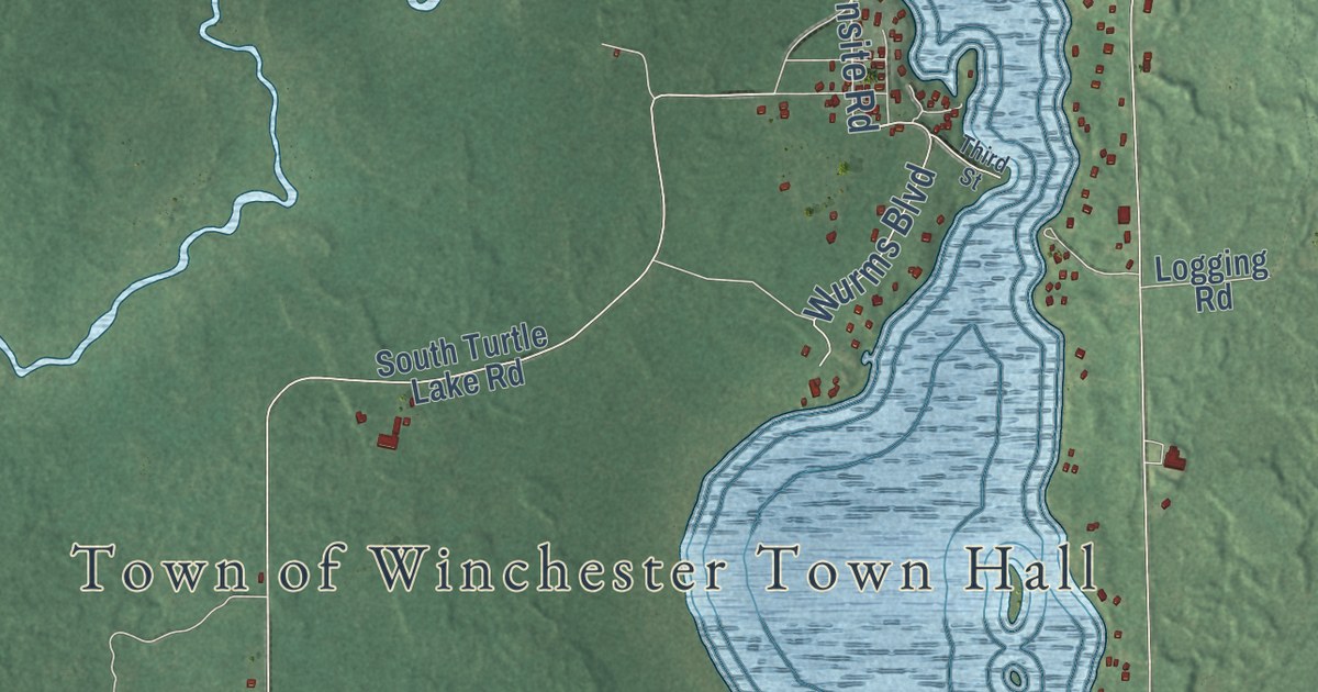
A detailed map of Winchester, Wisconsin, showing every building in its true location, the roads by name, and shaded topographical relief.
Read More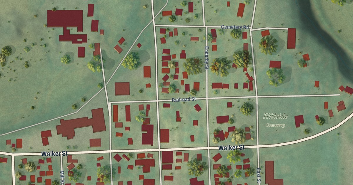
A detailed map of the Village of Wilton, Wisconsin, showing every building in its true location, the roads by name, and shaded topographical relief.
Read More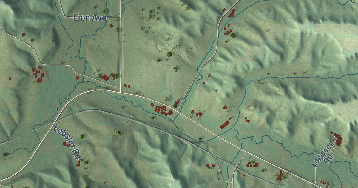
A detailed map of Wilton, Wisconsin, showing every building in its true location, the roads by name, and shaded topographical relief.
Read More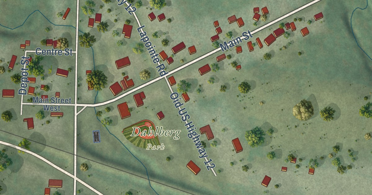
A detailed map of Wilson, Wisconsin, showing every building in its true location, the roads by name, and shaded topographical relief.
Read More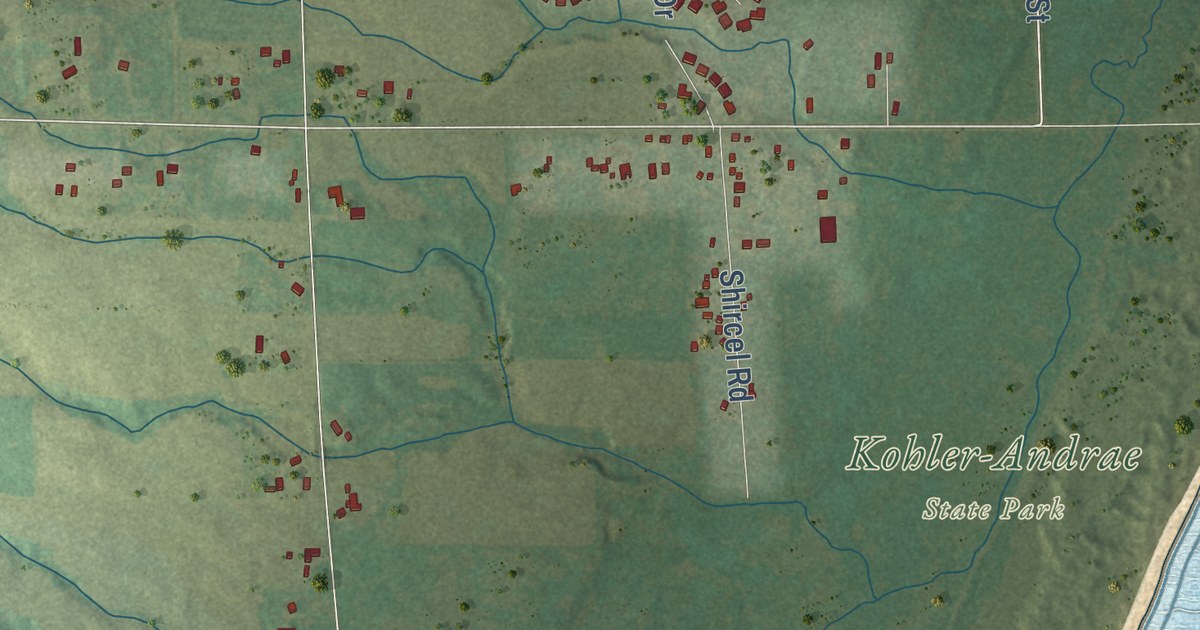
A detailed map of Wilson, Wisconsin, showing every building in its true location, the roads by name, and shaded topographical relief.
Read More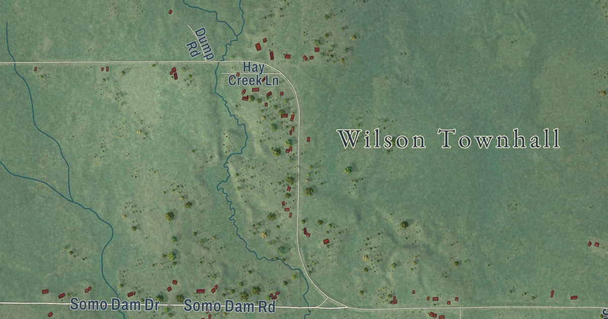
A detailed map of Wilson, Wisconsin, showing every building in its true location, the roads by name, and shaded topographical relief.
Read More















