Detailed Map of Biltmore Forest, North Carolina
A detailed map of Biltmore Forest, North Carolina, showing every building in its true location, the roads by name, and shaded topographical relief.
Read More
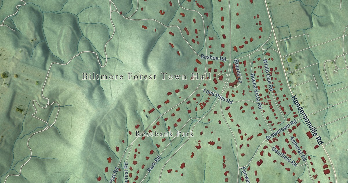
A detailed map of Biltmore Forest, North Carolina, showing every building in its true location, the roads by name, and shaded topographical relief.
Read More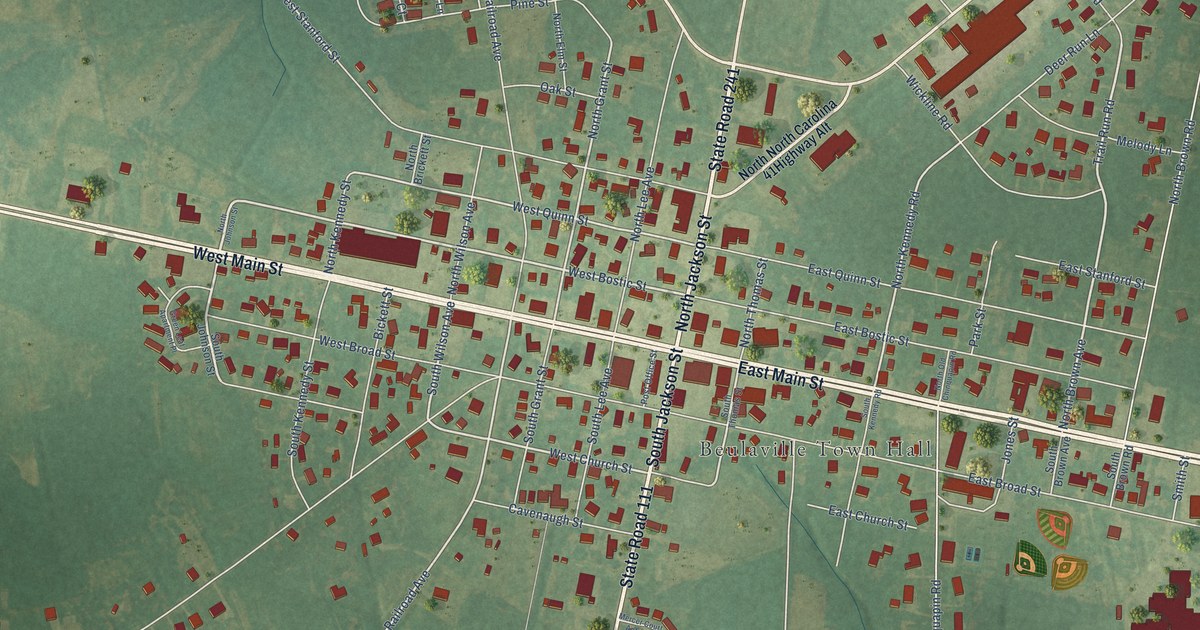
A detailed map of Beulaville, North Carolina, showing every building in its true location, the roads by name, and shaded topographical relief.
Read More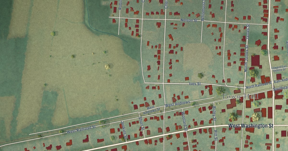
A detailed map of Bethel, North Carolina, showing every building in its true location, the roads by name, and shaded topographical relief.
Read More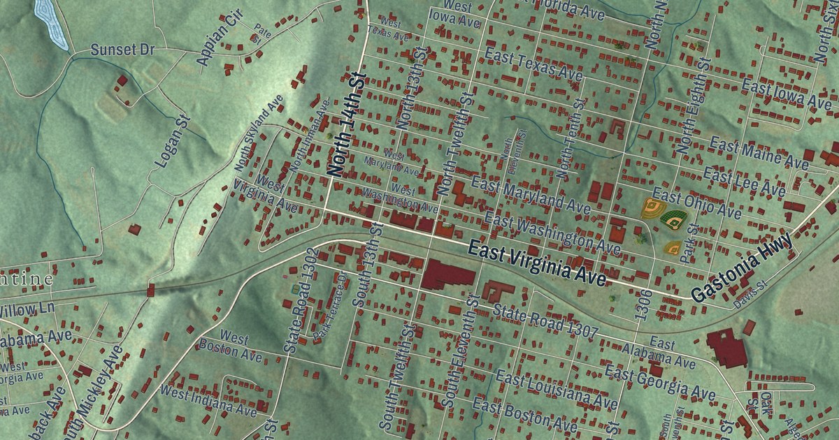
A detailed map of Bessemer City, North Carolina, showing every building in its true location, the roads by name, and shaded topographical relief.
Read More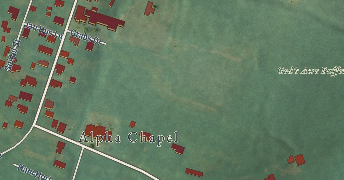
A detailed map of Bethania, North Carolina, showing every building in its true location, the roads by name, and shaded topographical relief.
Read More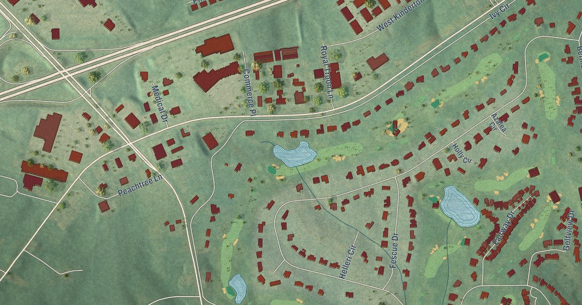
A detailed map of Bermuda Run, North Carolina, showing every building in its true location, the roads by name, and shaded topographical relief.
Read More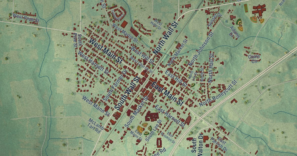
A detailed map of Benson, North Carolina, showing every building in its true location, the roads by name, and shaded topographical relief.
Read More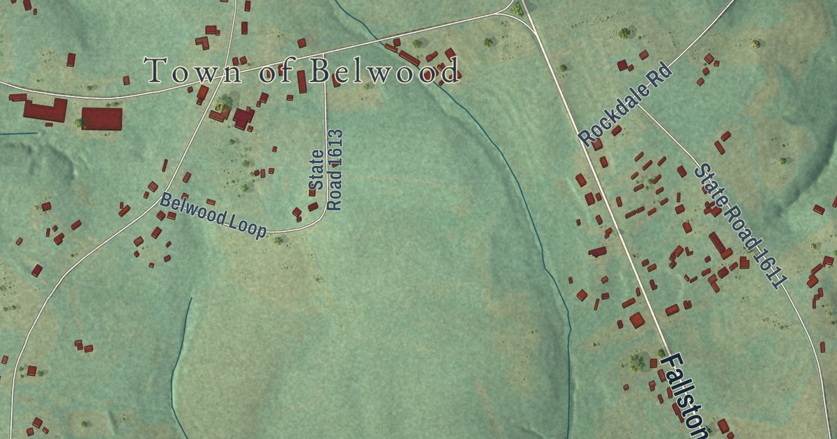
A detailed map of Belwood, North Carolina, showing every building in its true location, the roads by name, and shaded topographical relief.
Read More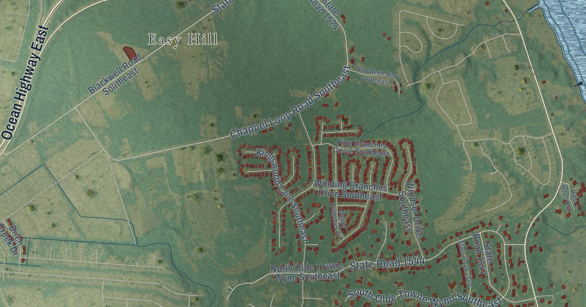
A detailed map of Belville, North Carolina, showing every building in its true location, the roads by name, and shaded topographical relief.
Read More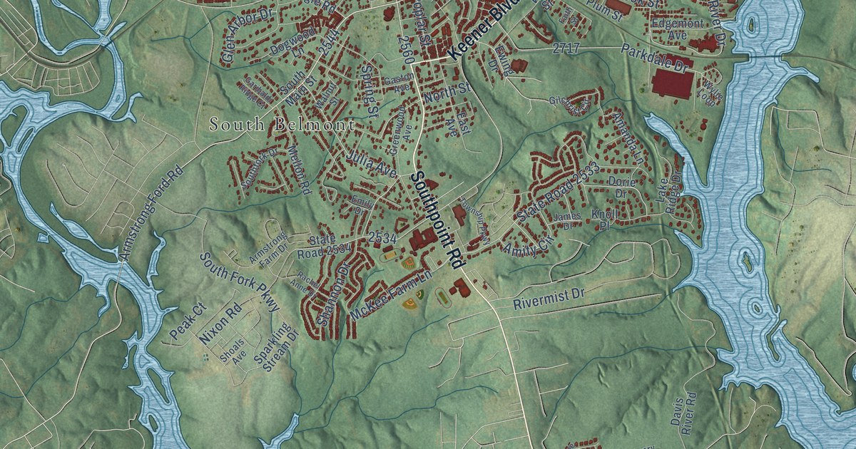
A detailed map of Belmont, North Carolina, showing every building in its true location, the roads by name, and shaded topographical relief.
Read More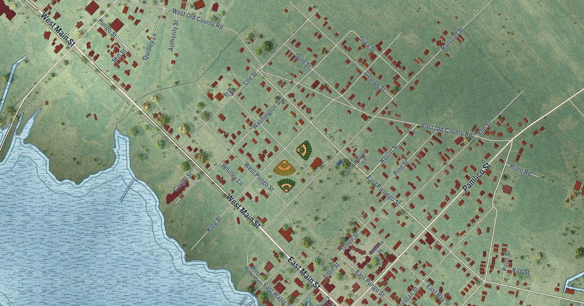
A detailed map of Belhaven, North Carolina, showing every building in its true location, the roads by name, and shaded topographical relief.
Read More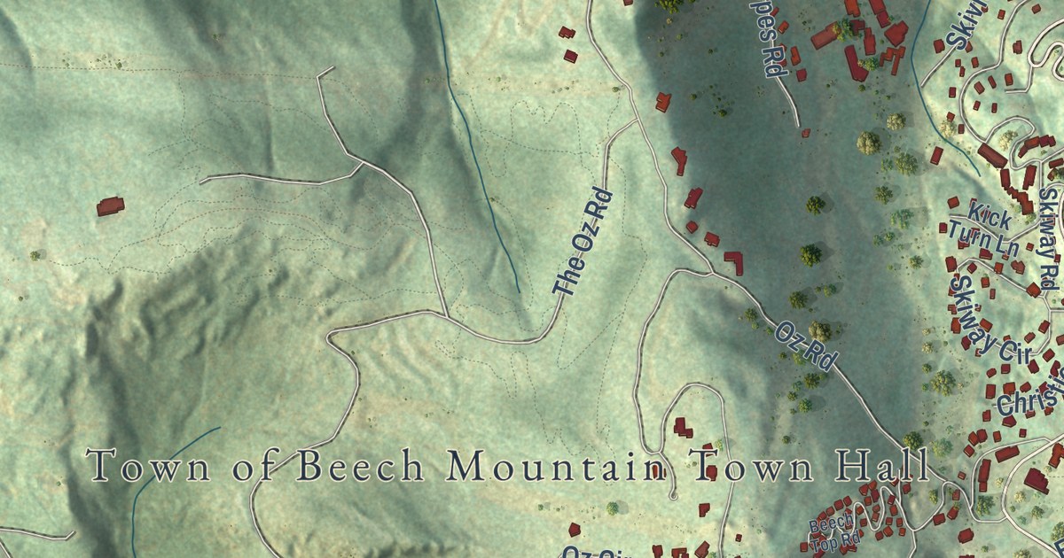
A detailed map of Beech Mountain, North Carolina, showing every building in its true location, the roads by name, and shaded topographical relief.
Read More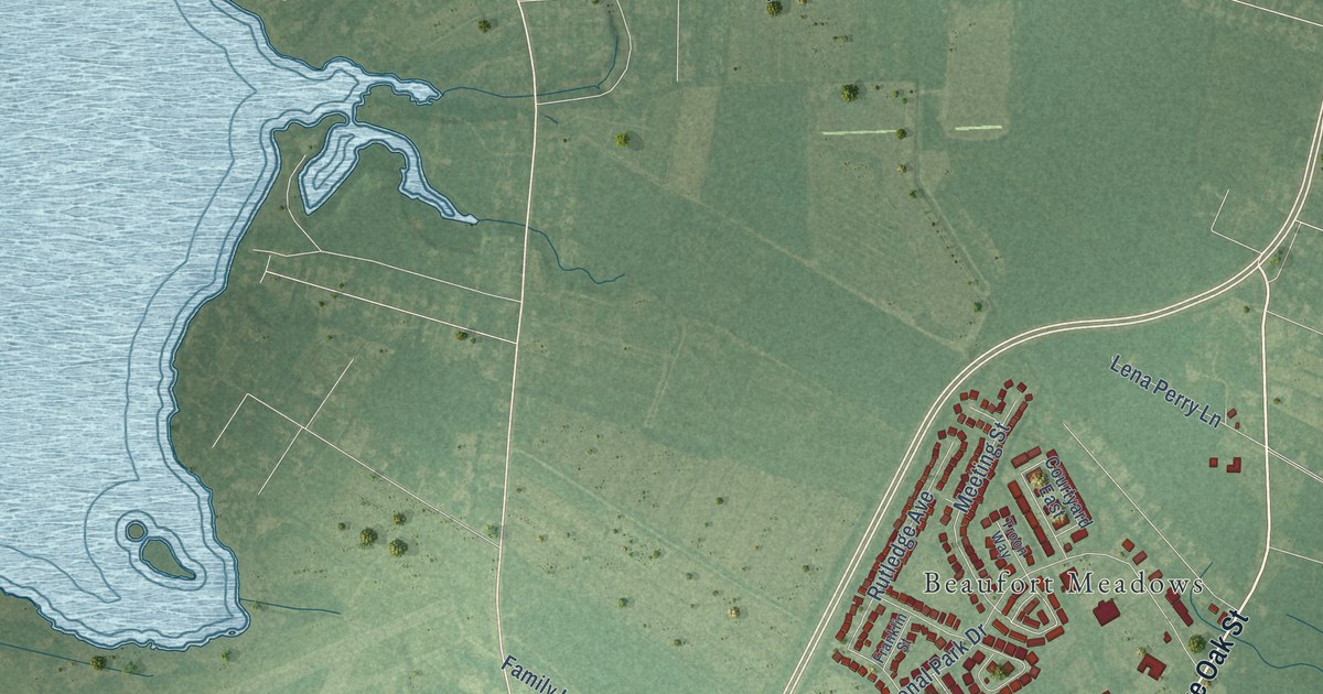
A detailed map of Beaufort, North Carolina, showing every building in its true location, the roads by name, and shaded topographical relief.
Read More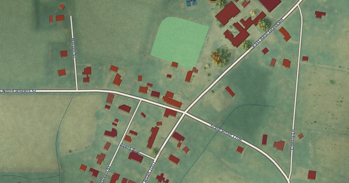
A detailed map of Bear Grass, North Carolina, showing every building in its true location, the roads by name, and shaded topographical relief.
Read More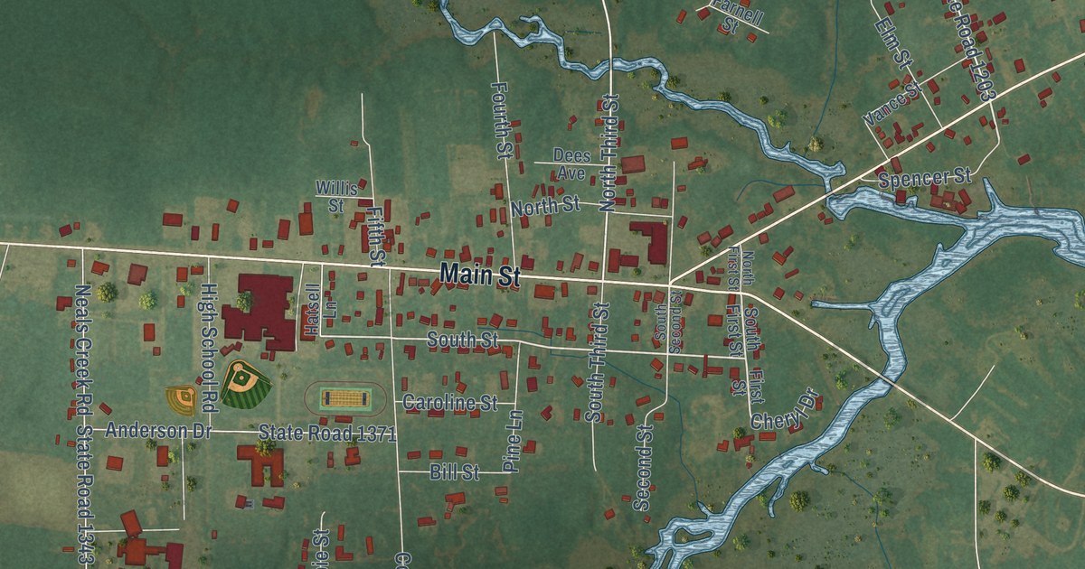
A detailed map of Bayboro, North Carolina, showing every building in its true location, the roads by name, and shaded topographical relief.
Read More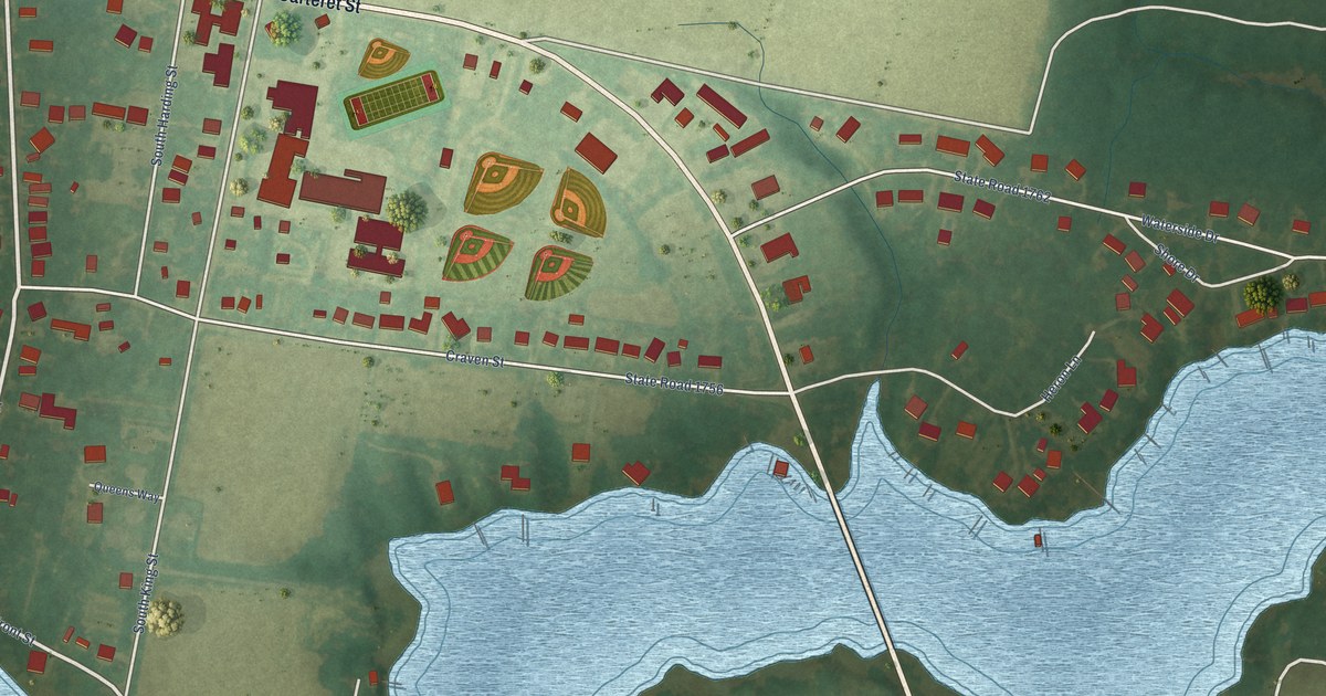
A detailed map of Bath, North Carolina, showing every building in its true location, the roads by name, and shaded topographical relief.
Read More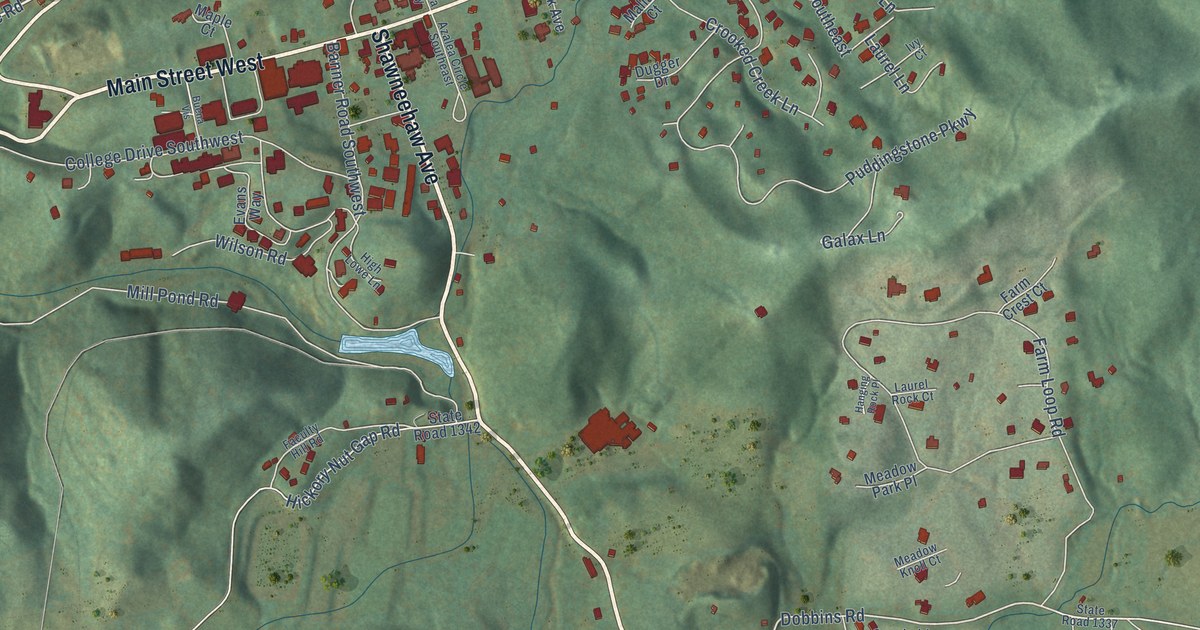
A detailed map of Banner Elk, North Carolina, showing every building in its true location, the roads by name, and shaded topographical relief.
Read More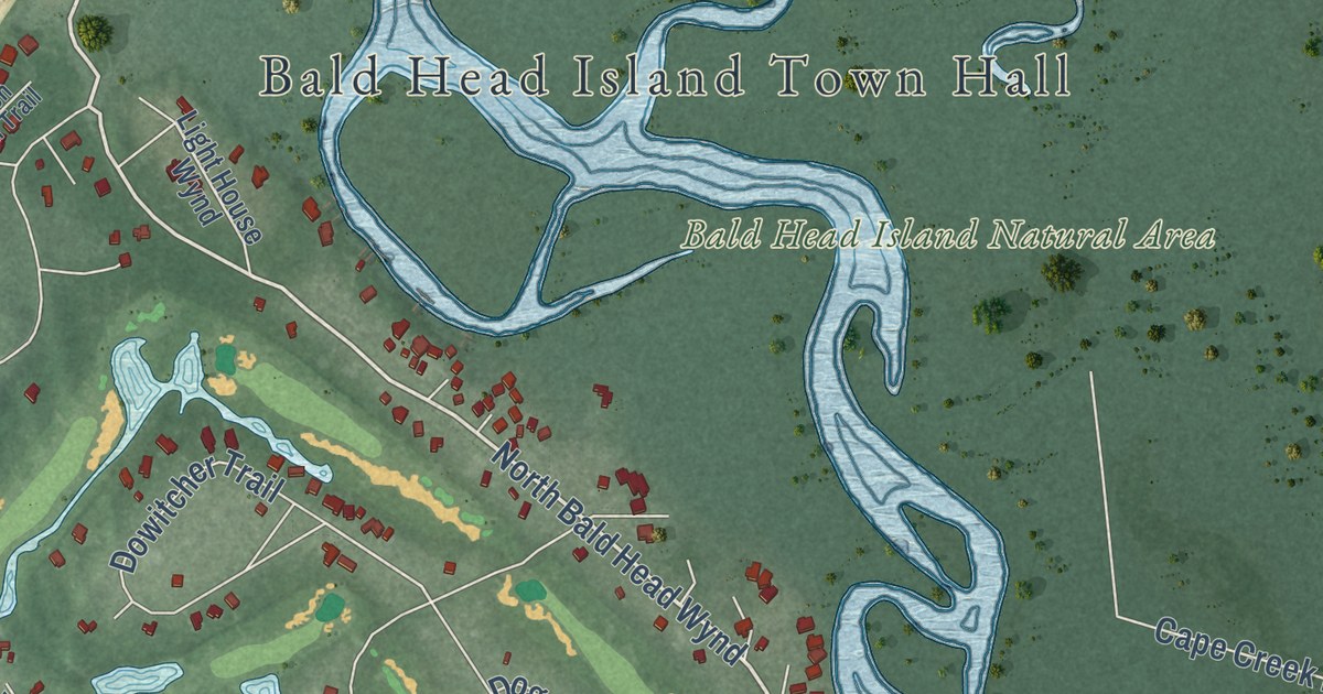
A detailed map of Bald Head Island, North Carolina, showing every building in its true location, the roads by name, and shaded topographical relief.
Read More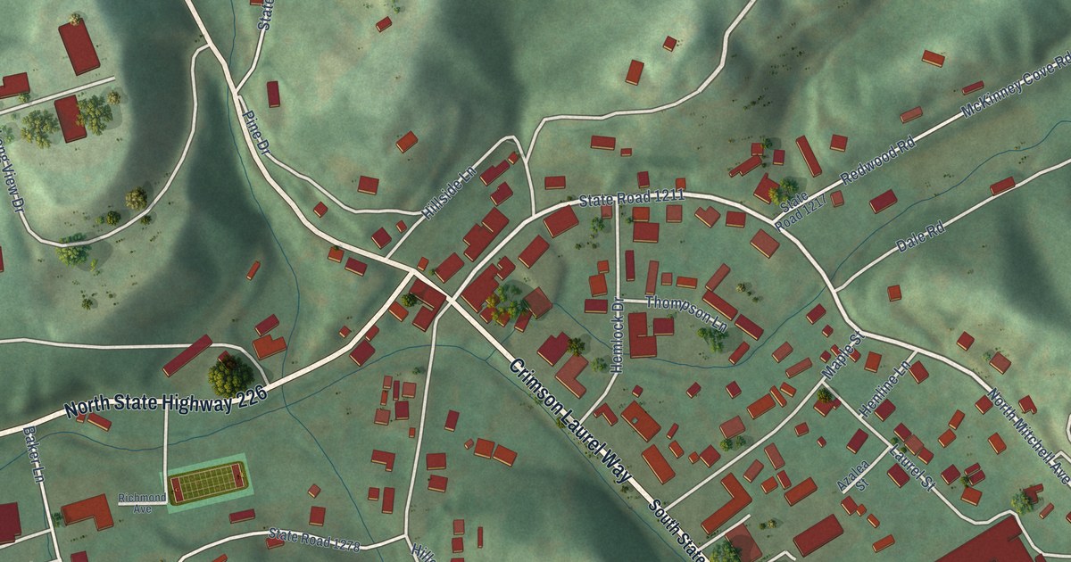
A detailed map of Bakersville, North Carolina, showing every building in its true location, the roads by name, and shaded topographical relief.
Read More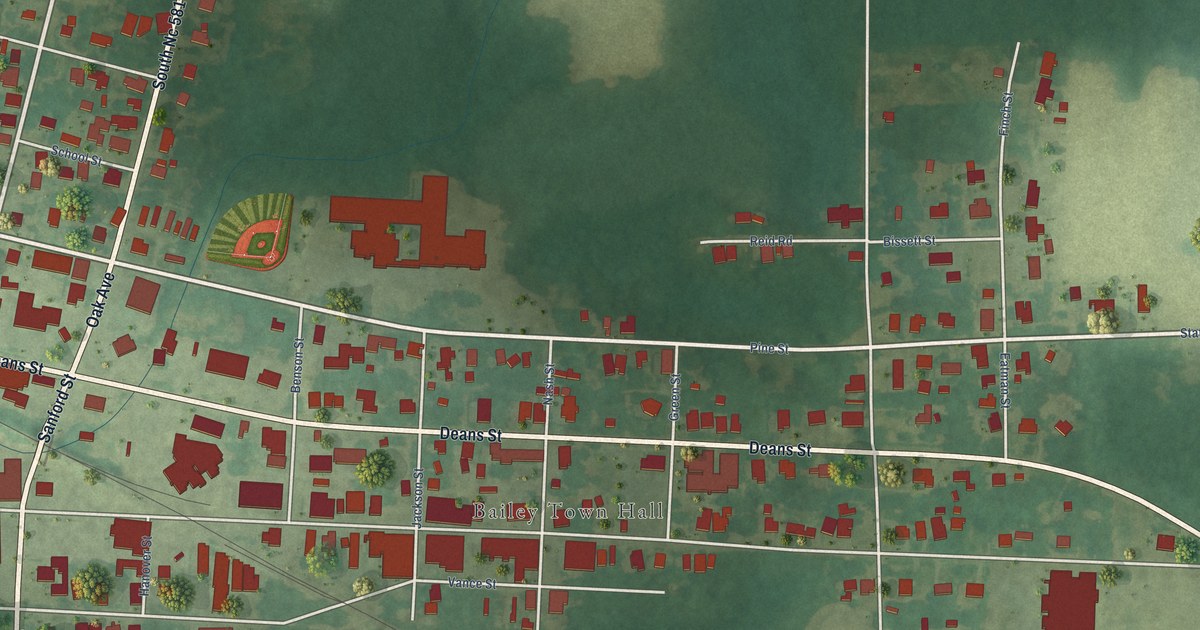
A detailed map of Bailey, North Carolina, showing every building in its true location, the roads by name, and shaded topographical relief.
Read More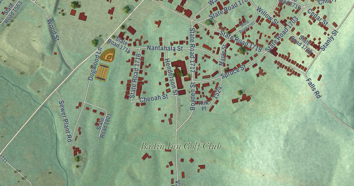
A detailed map of Badin, North Carolina, showing every building in its true location, the roads by name, and shaded topographical relief.
Read More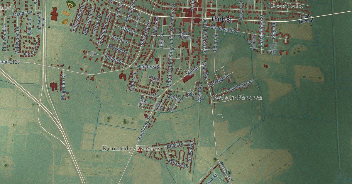
A detailed map of Ayden, North Carolina, showing every building in its true location, the roads by name, and shaded topographical relief.
Read More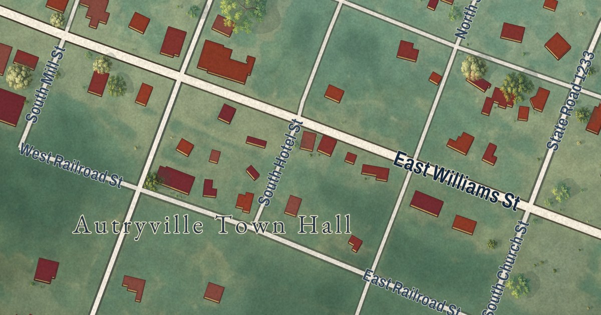
A detailed map of Autryville, North Carolina, showing every building in its true location, the roads by name, and shaded topographical relief.
Read More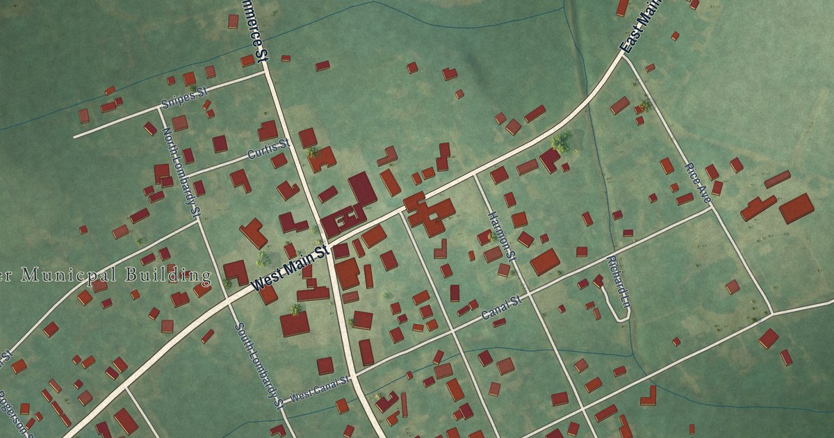
A detailed map of Aulander, North Carolina, showing every building in its true location, the roads by name, and shaded topographical relief.
Read More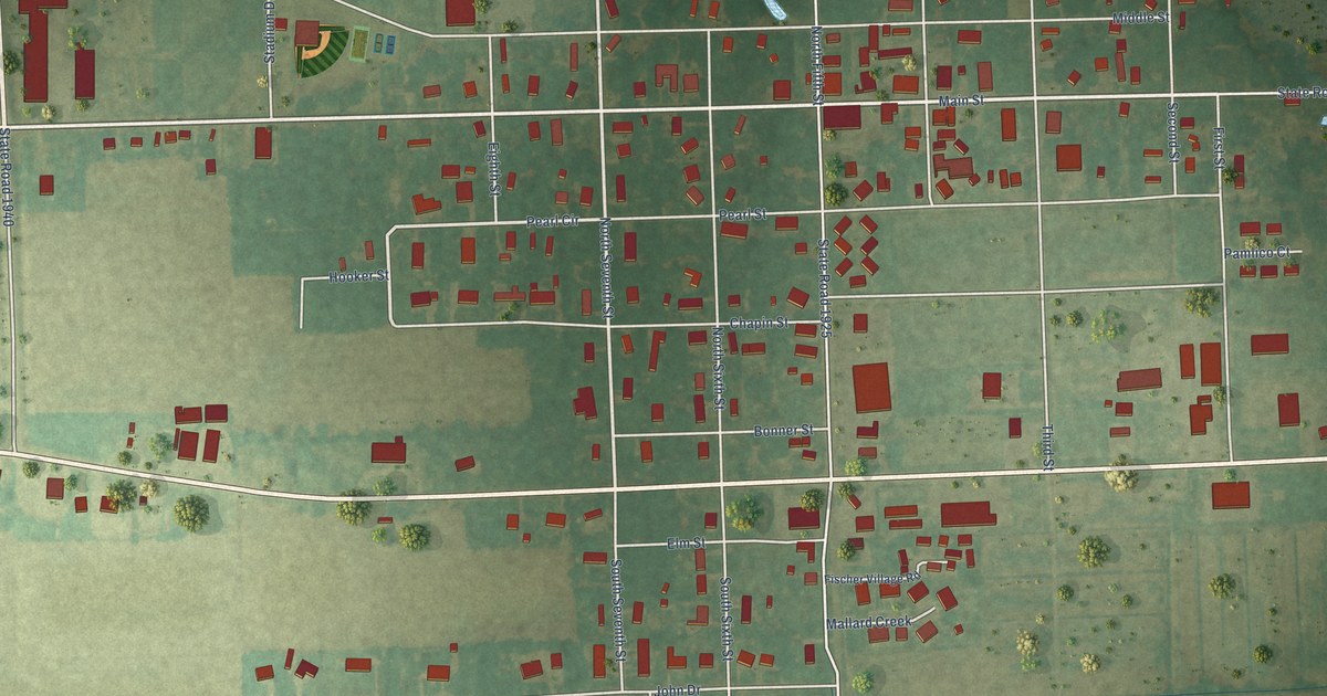
A detailed map of Aurora, North Carolina, showing every building in its true location, the roads by name, and shaded topographical relief.
Read More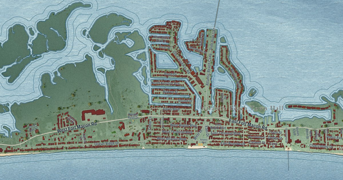
A detailed map of Atlantic Beach, North Carolina, showing every building in its true location, the roads by name, and shaded topographical relief.
Read More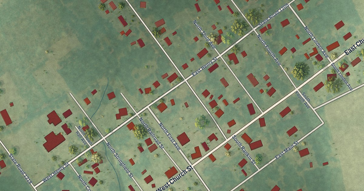
A detailed map of Atkinson, North Carolina, showing every building in its true location, the roads by name, and shaded topographical relief.
Read More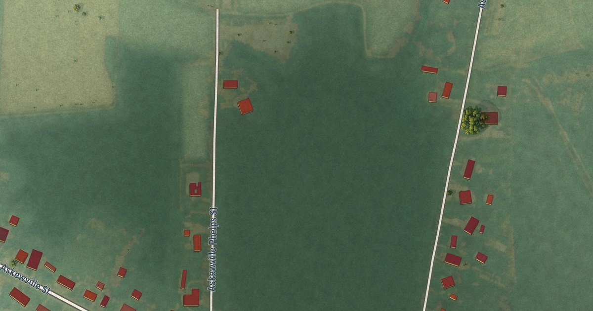
A detailed map of Askewville, North Carolina, showing every building in its true location, the roads by name, and shaded topographical relief.
Read More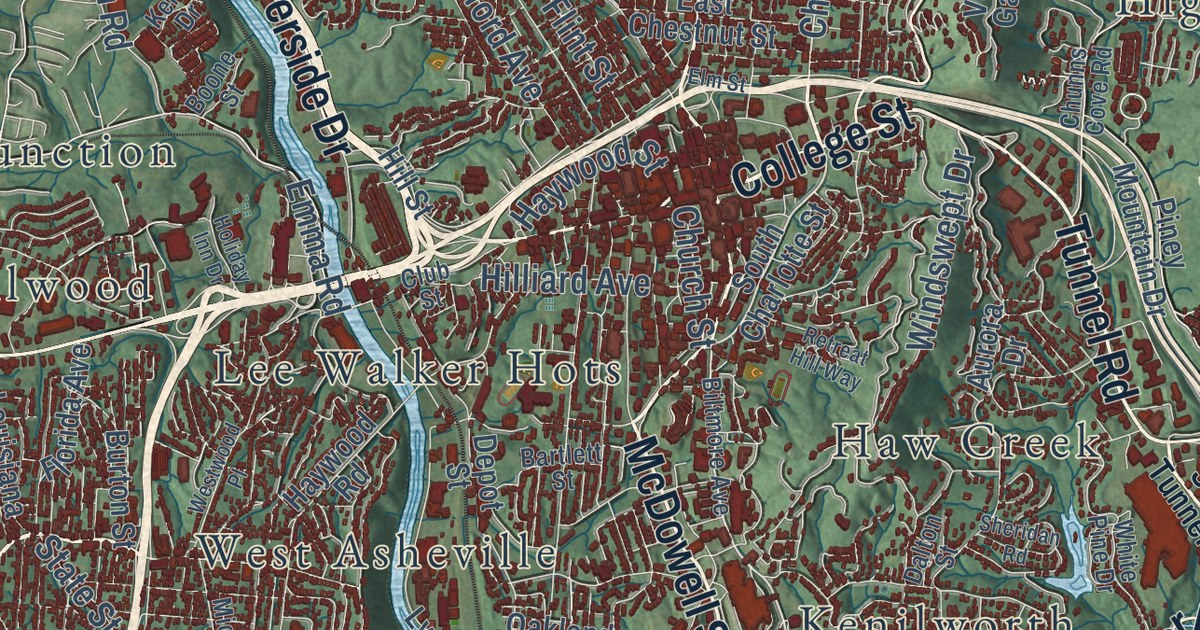
A detailed map of Asheville, North Carolina, showing every building in its true location, the roads by name, and shaded topographical relief.
Read More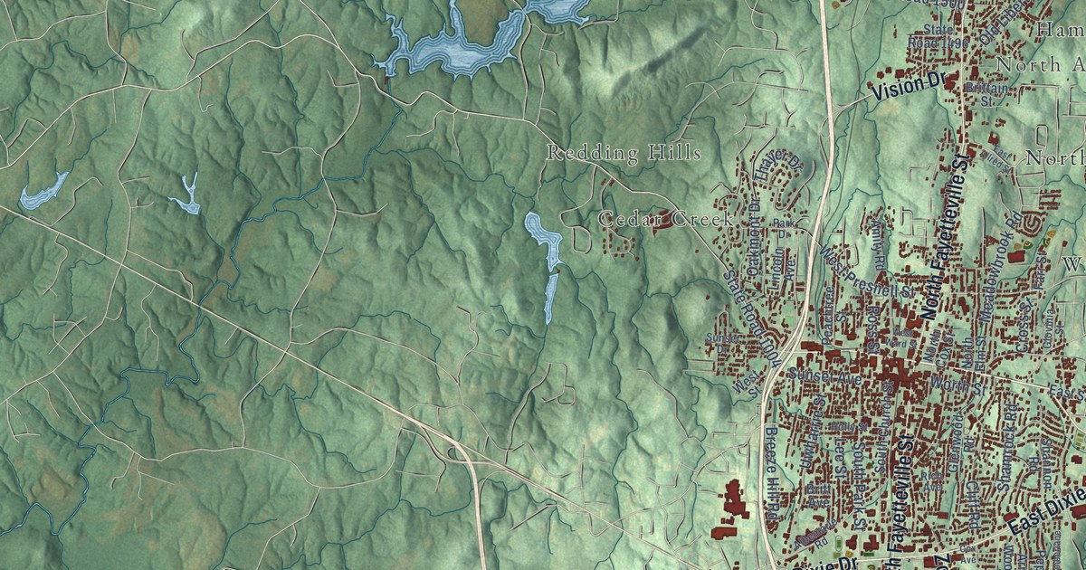
A detailed map of Asheboro, North Carolina, showing every building in its true location, the roads by name, and shaded topographical relief.
Read More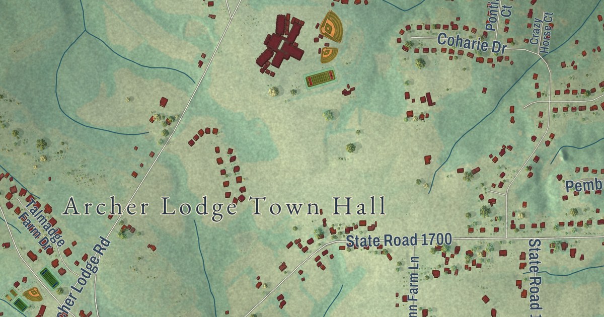
A detailed map of Archer Lodge, North Carolina, showing every building in its true location, the roads by name, and shaded topographical relief.
Read More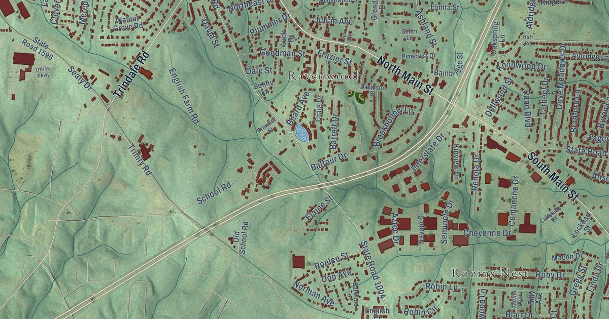
A detailed map of Archdale, North Carolina, showing every building in its true location, the roads by name, and shaded topographical relief.
Read More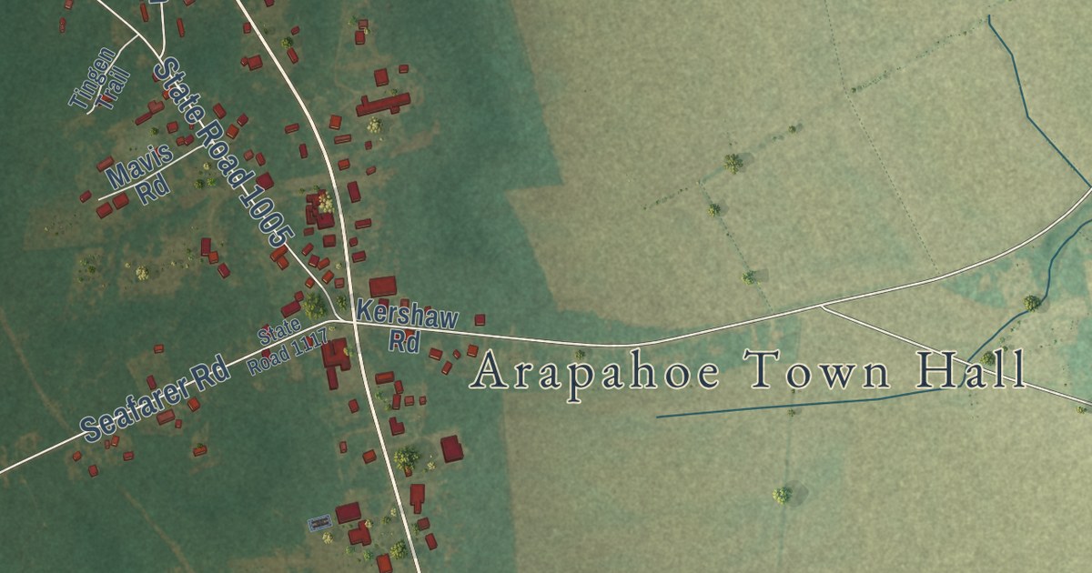
A detailed map of Arapahoe, North Carolina, showing every building in its true location, the roads by name, and shaded topographical relief.
Read More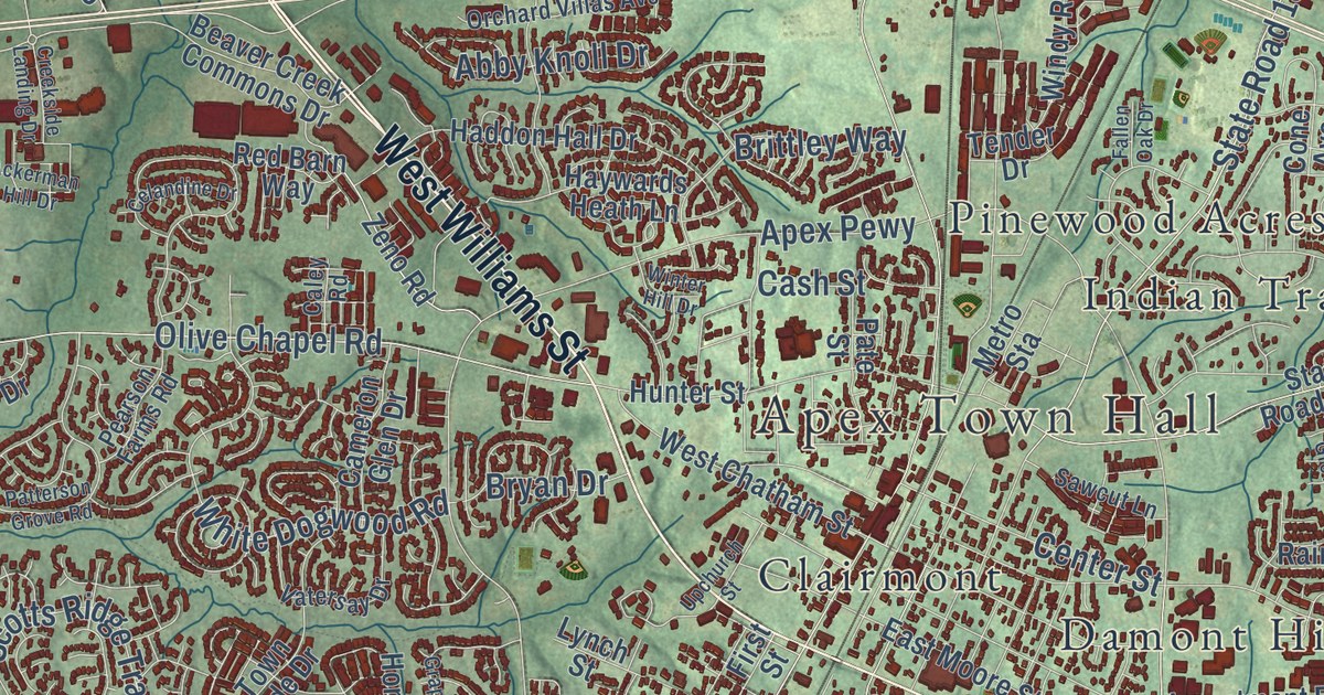
A detailed map of Apex, North Carolina, showing every building in its true location, the roads by name, and shaded topographical relief.
Read More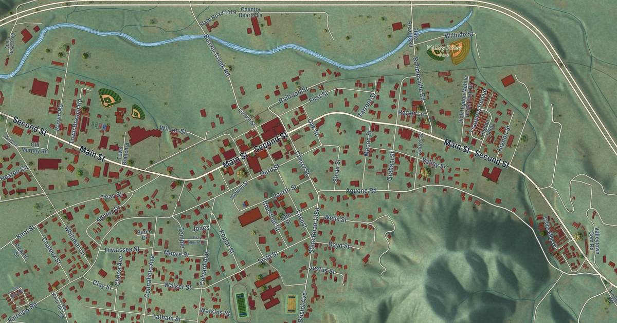
A detailed map of Andrews, North Carolina, showing every building in its true location, the roads by name, and shaded topographical relief.
Read More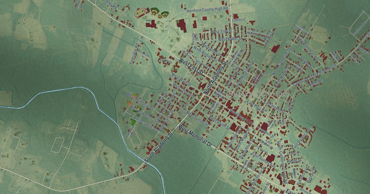
A detailed map of Ahoskie, North Carolina, showing every building in its true location, the roads by name, and shaded topographical relief.
Read More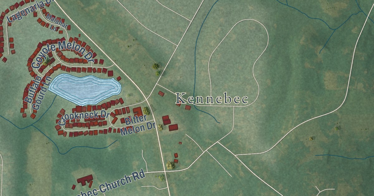
A detailed map of Angier, North Carolina, showing every building in its true location, the roads by name, and shaded topographical relief.
Read More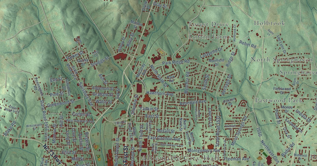
A detailed map of Albemarle, North Carolina, showing every building in its true location, the roads by name, and shaded topographical relief.
Read More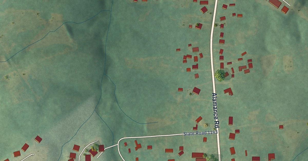
A detailed map of Alamance, North Carolina, showing every building in its true location, the roads by name, and shaded topographical relief.
Read More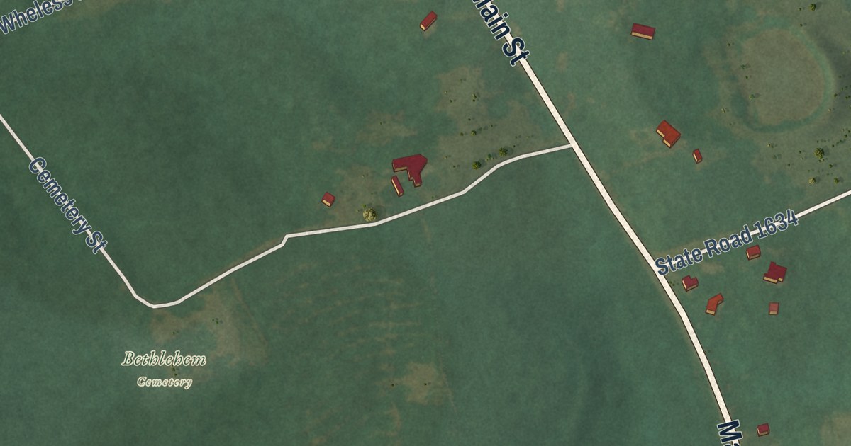
A detailed map of Ansonville, North Carolina, showing every building in its true location, the roads by name, and shaded topographical relief.
Read More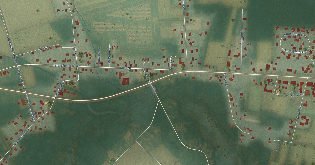
A detailed map of Alliance, North Carolina, showing every building in its true location, the roads by name, and shaded topographical relief.
Read More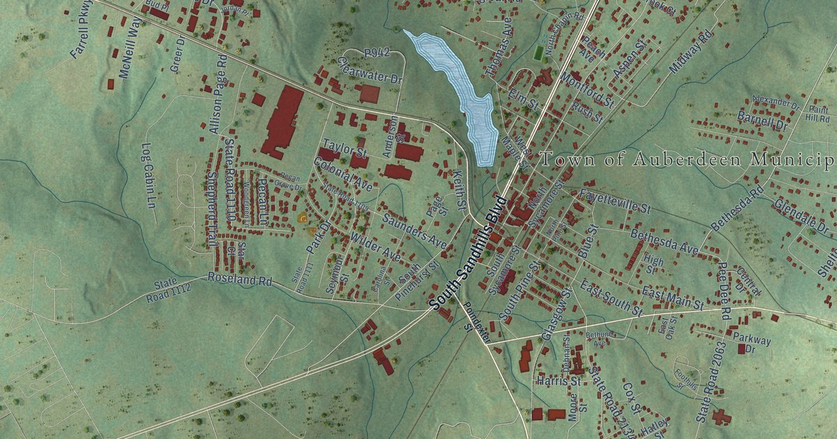
A detailed map of Aberdeen, North Carolina, showing every building in its true location, the roads by name, and shaded topographical relief.
Read More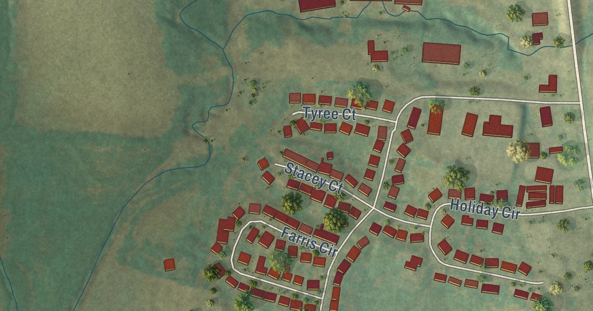
A detailed map of Windsor Place, Missouri, showing every building in its true location, the roads by name, and shaded topographical relief.
Read More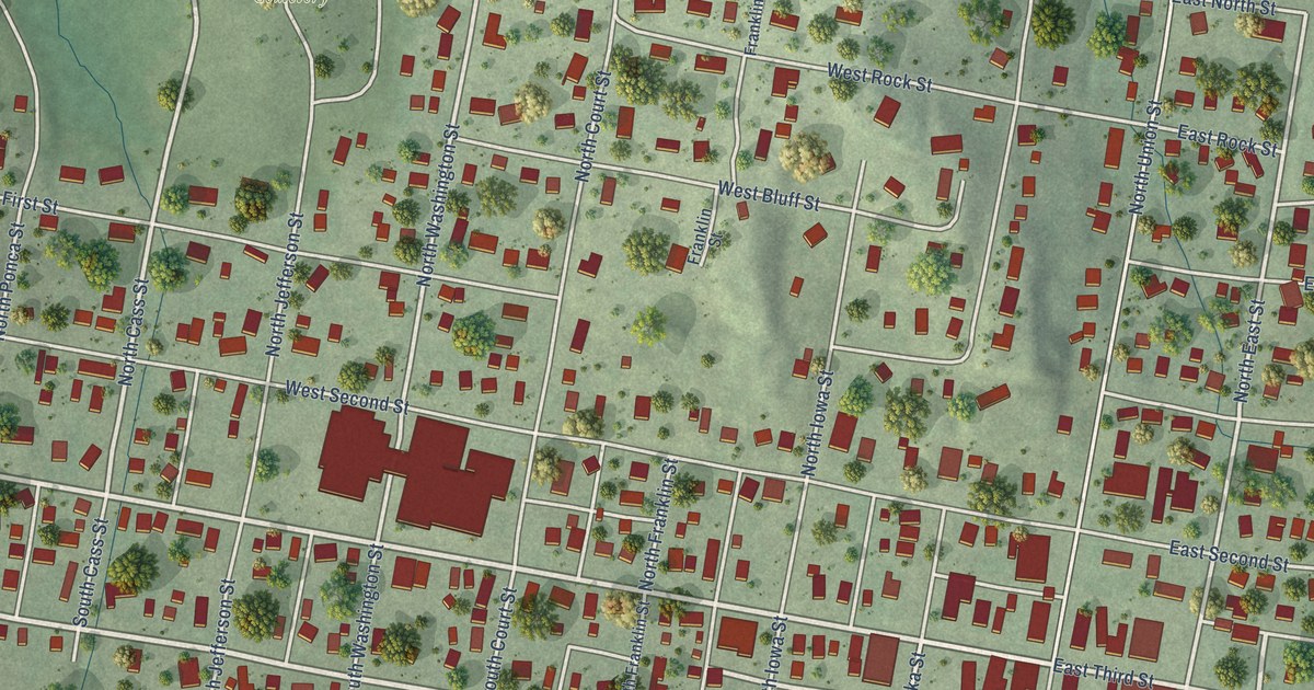
A detailed map of Ponca, Nebraska, showing every building in its true location, the roads by name, and shaded topographical relief.
Read More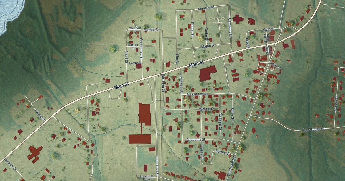
A detailed map of Smithville, Mississippi, showing every building in its true location, the roads by name, and shaded topographical relief.
Read More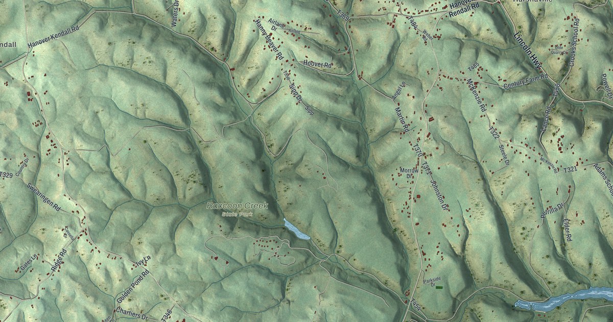
A detailed map of Hanover, Beaver County, Pennsylvania, showing every building in its true location, the roads by name, and shaded topographical relief.
Read More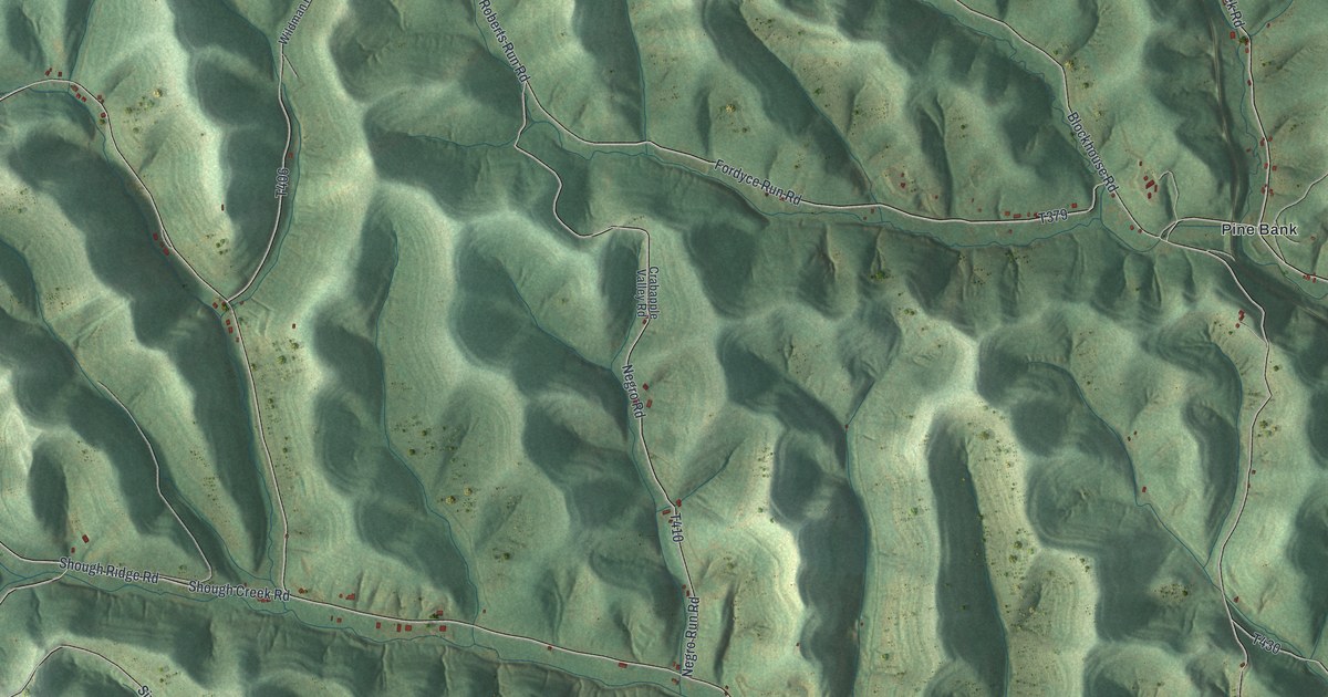
A detailed map of Gilmore, Pennsylvania, showing every building in its true location, the roads by name, and shaded topographical relief.
Read More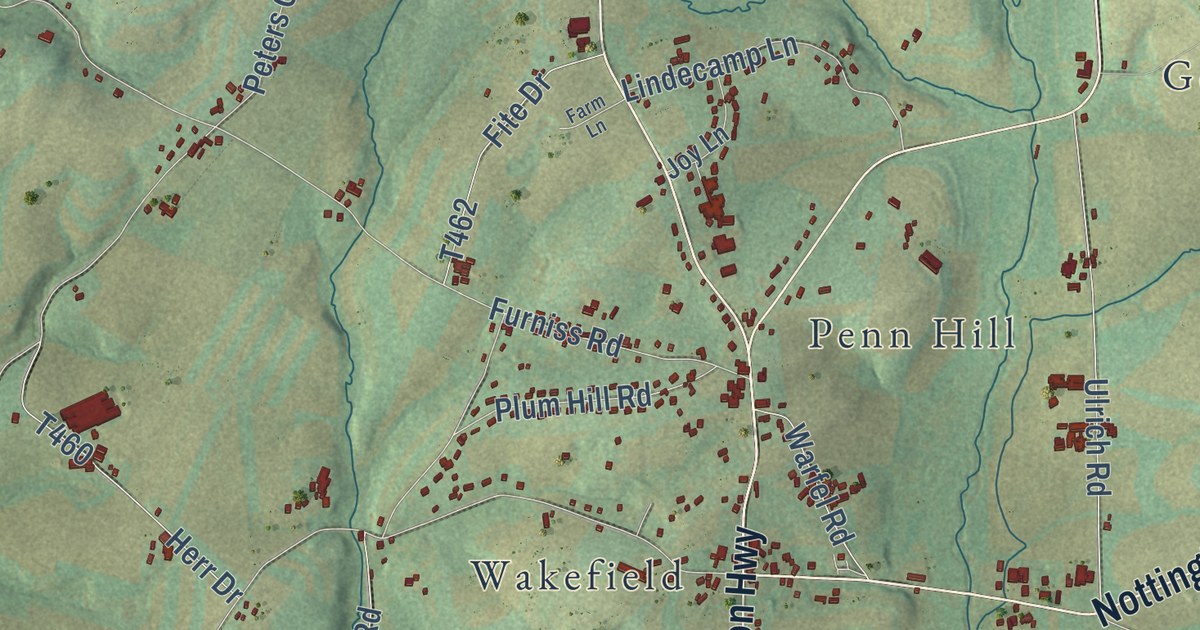
A detailed map of Fulton, Pennsylvania, showing every building in its true location, the roads by name, and shaded topographical relief.
Read More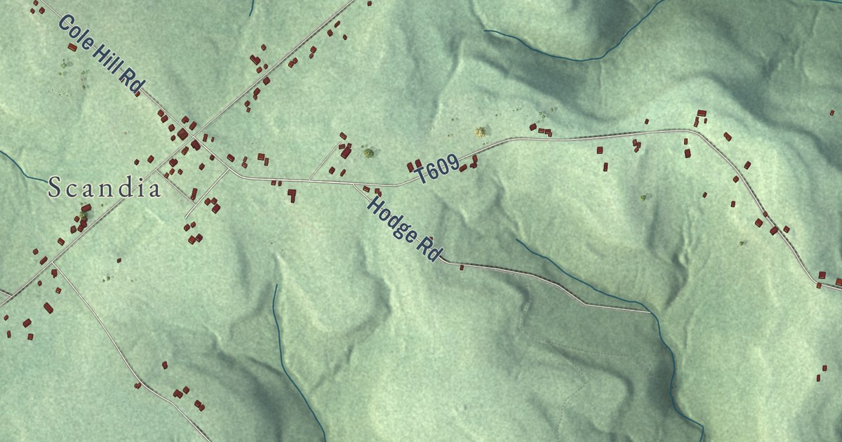
A detailed map of Elk, Warren County, Pennsylvania, showing every building in its true location, the roads by name, and shaded topographical relief.
Read More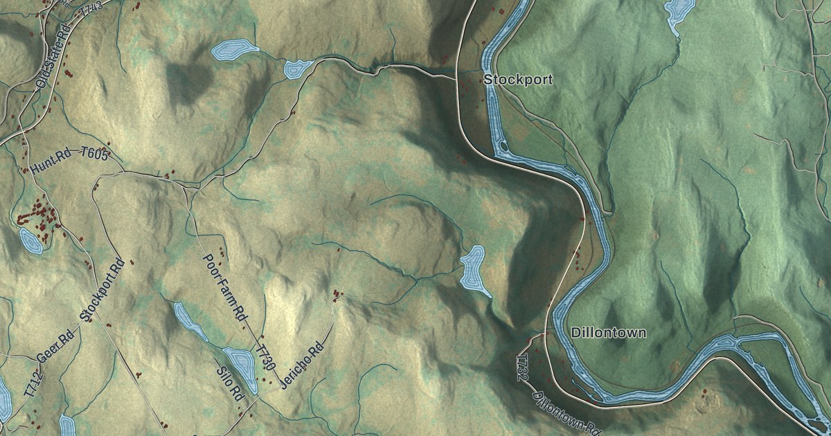
A detailed map of Buckingham, Wayne County, Pennsylvania, showing every building in its true location, the roads by name, and shaded topographical relief.
Read More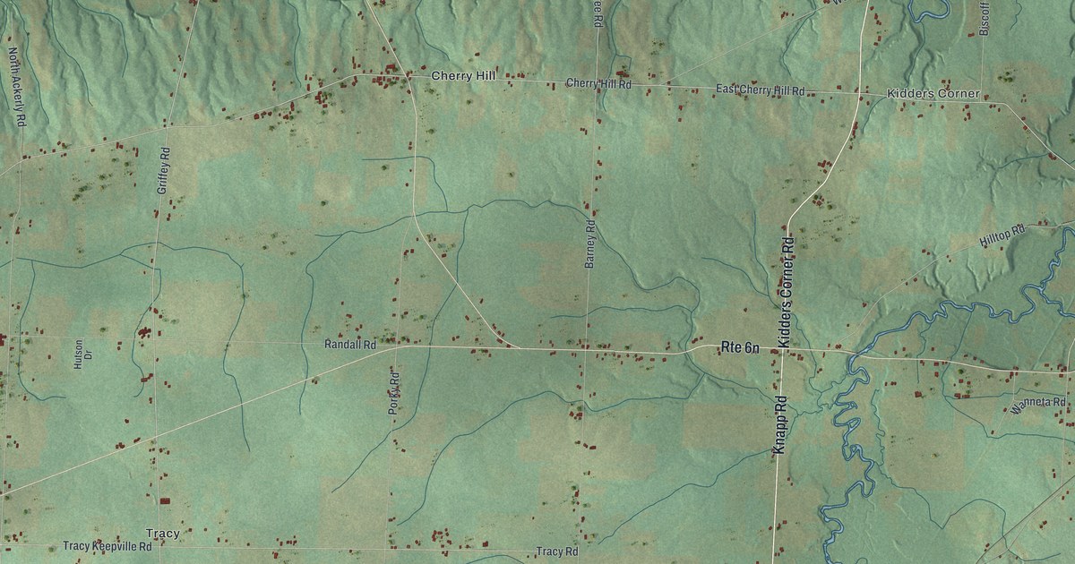
A detailed map of Conneaut, Erie County, Pennsylvania, showing every building in its true location, the roads by name, and shaded topographical relief.
Read More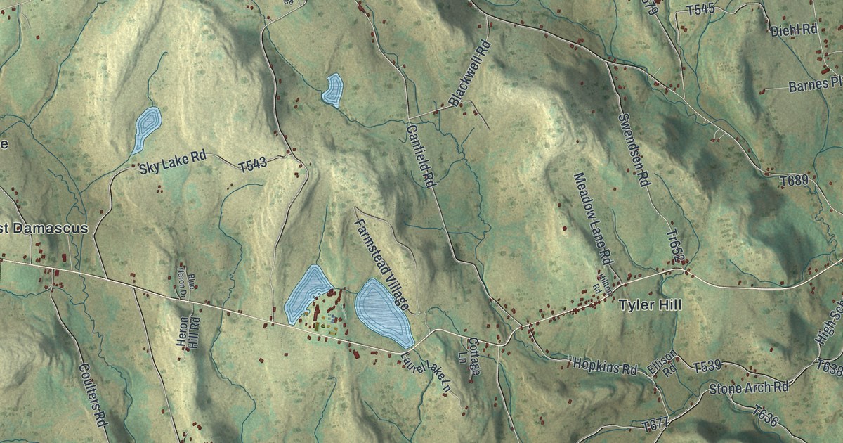
A detailed map of Damascus, Pennsylvania, showing every building in its true location, the roads by name, and shaded topographical relief.
Read More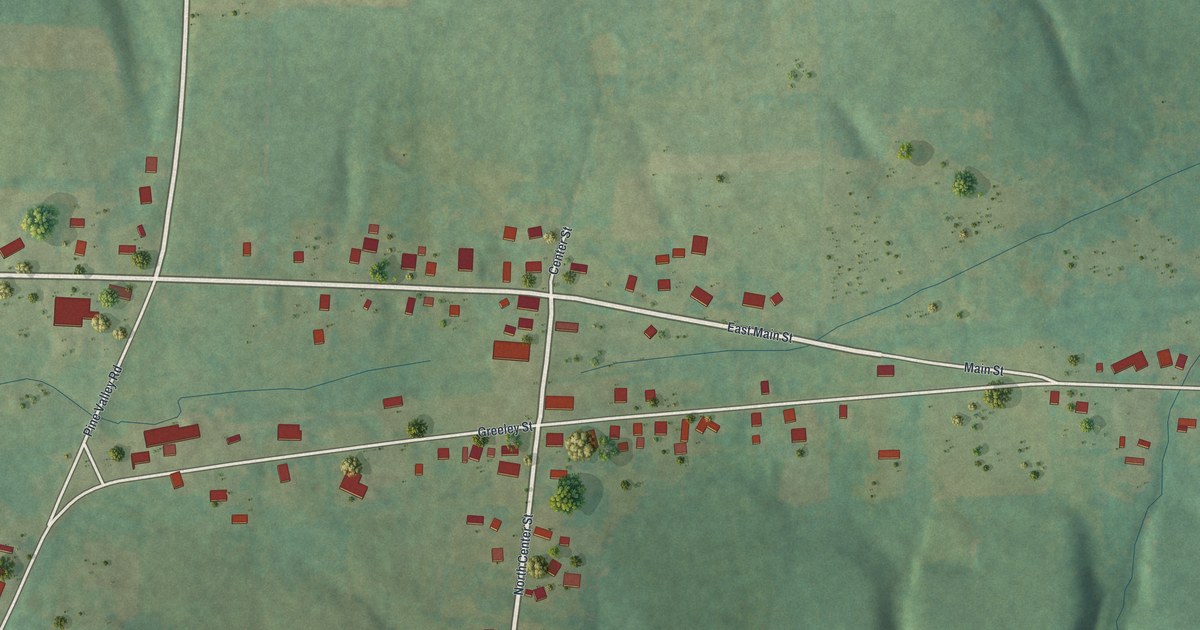
A detailed map of Bear Lake, Pennsylvania, showing every building in its true location, the roads by name, and shaded topographical relief.
Read More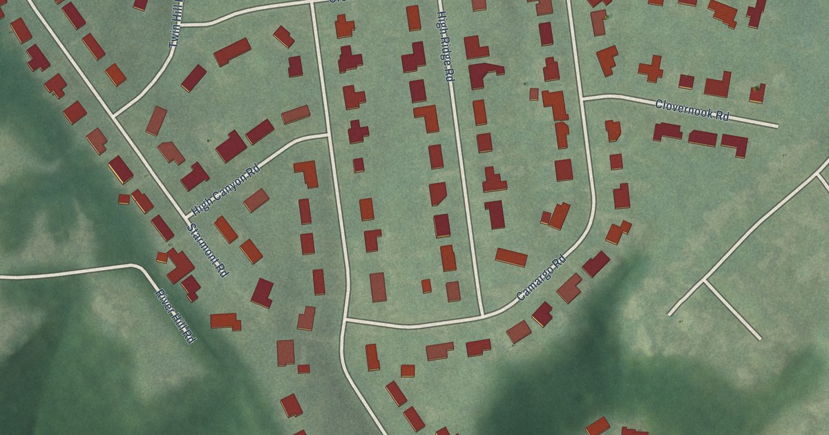
A detailed map of Riverwood, Kentucky, showing every building in its true location, the roads by name, and shaded topographical relief.
Read More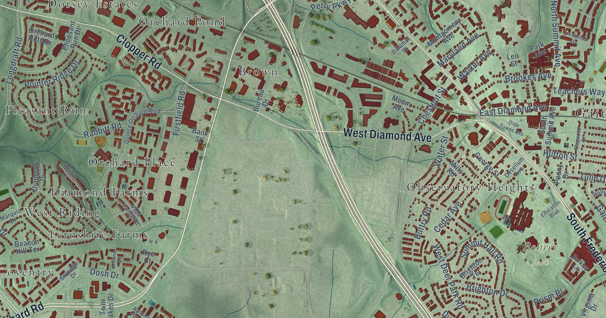
A detailed map of Gaithersburg, Maryland, showing every building in its true location, the roads by name, and shaded topographical relief.
Read More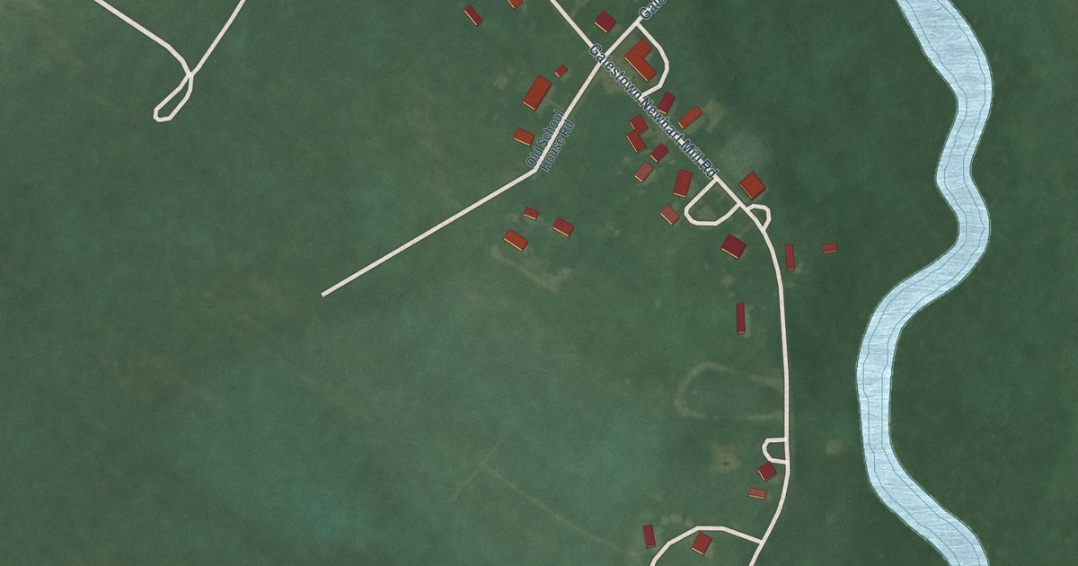
A detailed map of Galestown, Maryland, showing every building in its true location, the roads by name, and shaded topographical relief.
Read More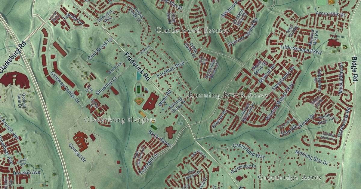
A detailed map of Clarksburg, Maryland, showing every building in its true location, the roads by name, and shaded topographical relief.
Read More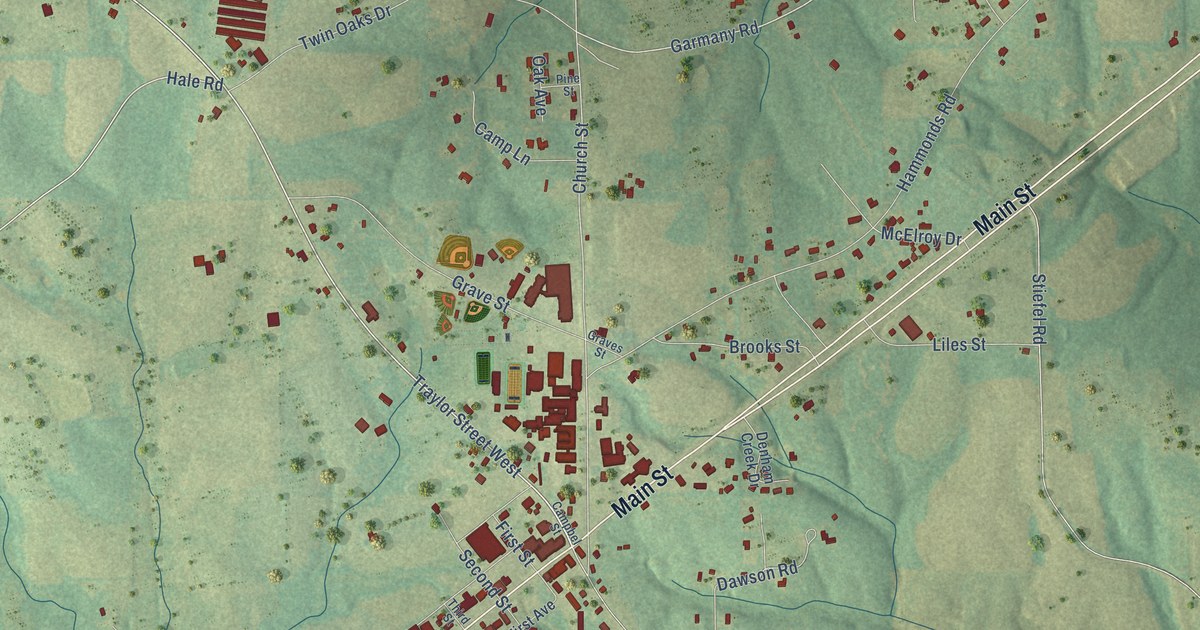
A detailed map of Fyffe, Alabama, showing every building in its true location, the roads by name, and shaded topographical relief.
Read More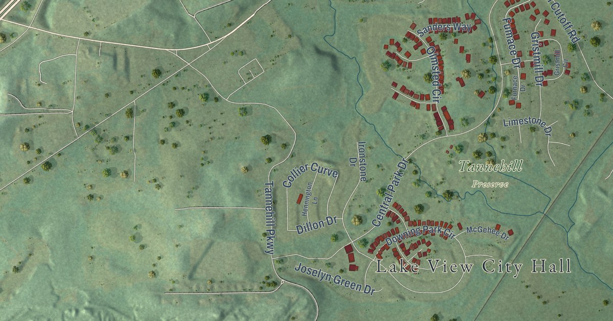
A detailed map of Lake View, Alabama, showing every building in its true location, the roads by name, and shaded topographical relief.
Read More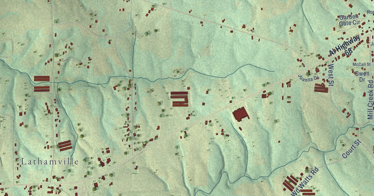
A detailed map of Crossville, Alabama, showing every building in its true location, the roads by name, and shaded topographical relief.
Read More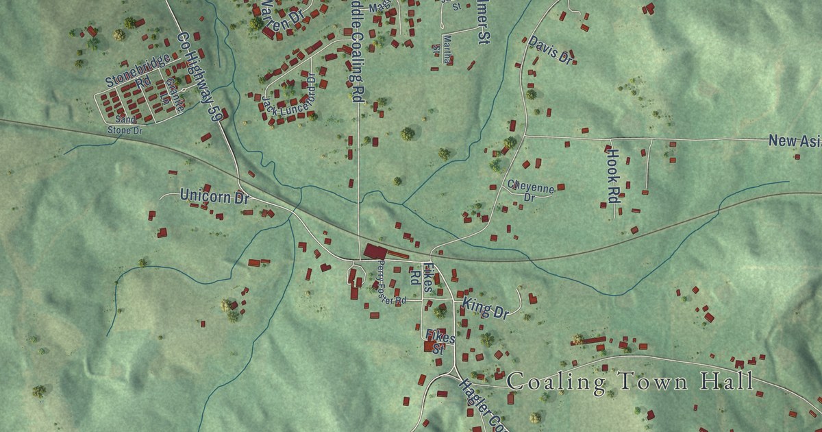
A detailed map of Coaling, Alabama, showing every building in its true location, the roads by name, and shaded topographical relief.
Read More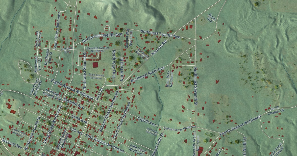
A detailed map of Carbon Hill, Alabama, showing every building in its true location, the roads by name, and shaded topographical relief.
Read More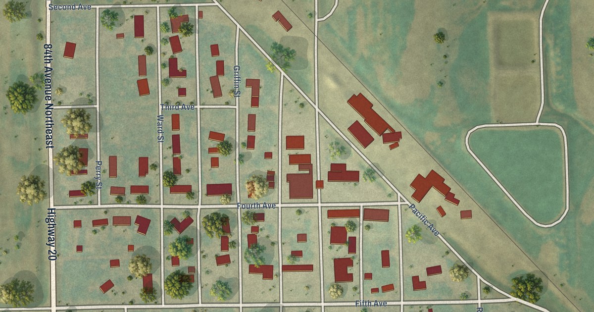
A detailed map of Munich, North Dakota, showing every building in its true location, the roads by name, and shaded topographical relief.
Read More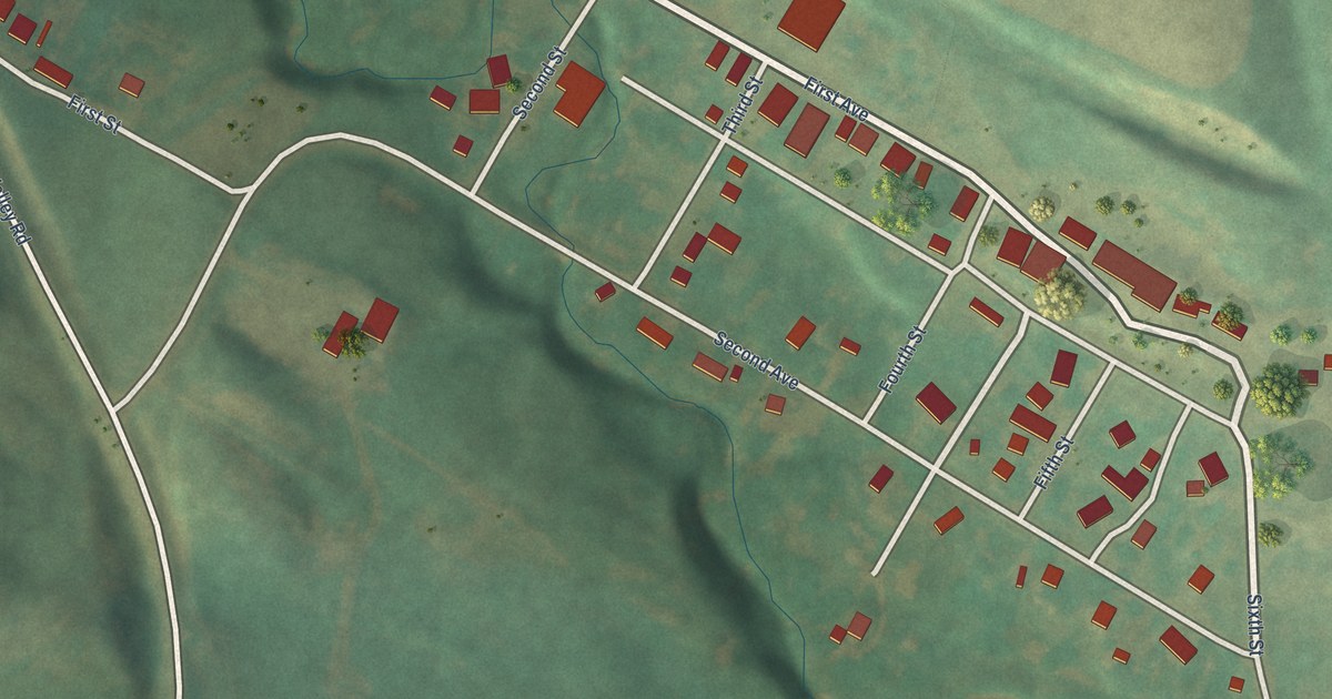
A detailed map of Kathryn, North Dakota, showing every building in its true location, the roads by name, and shaded topographical relief.
Read More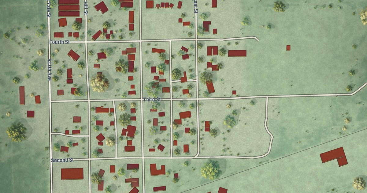
A detailed map of Yale, South Dakota, showing every building in its true location, the roads by name, and shaded topographical relief.
Read More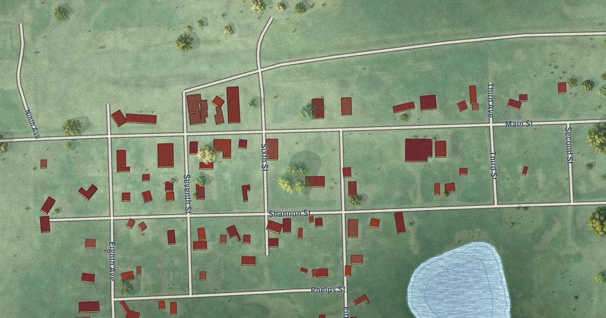
A detailed map of Wallace, South Dakota, showing every building in its true location, the roads by name, and shaded topographical relief.
Read More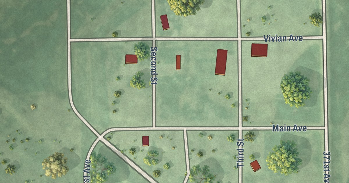
A detailed map of Wetonka, South Dakota, showing every building in its true location, the roads by name, and shaded topographical relief.
Read More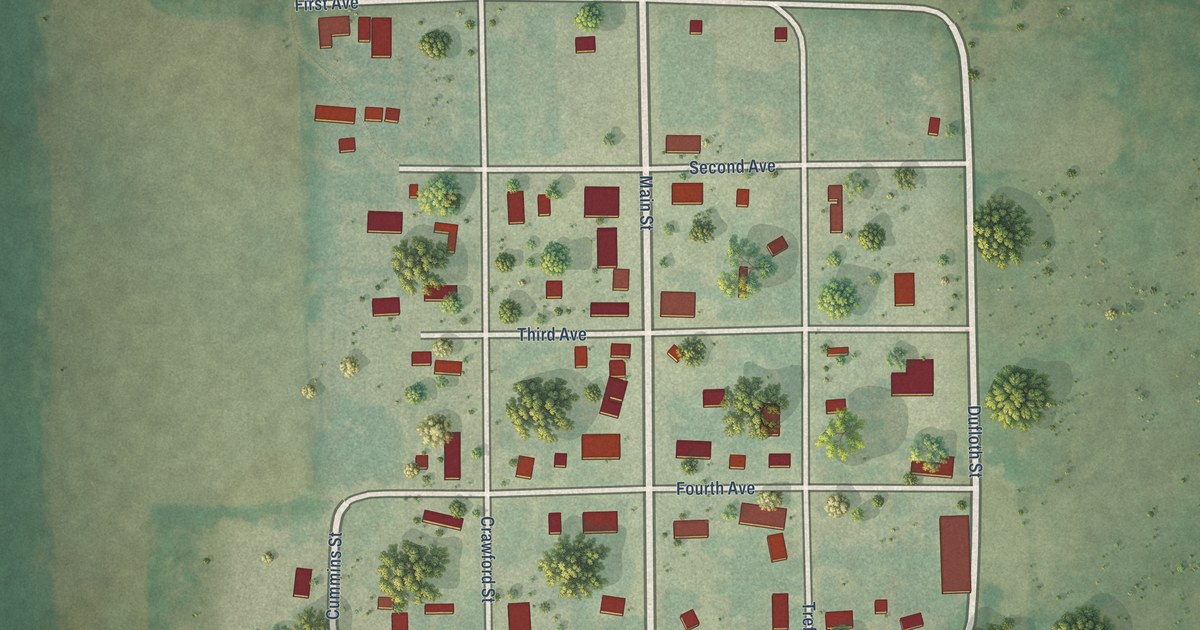
A detailed map of Tolstoy, South Dakota, showing every building in its true location, the roads by name, and shaded topographical relief.
Read More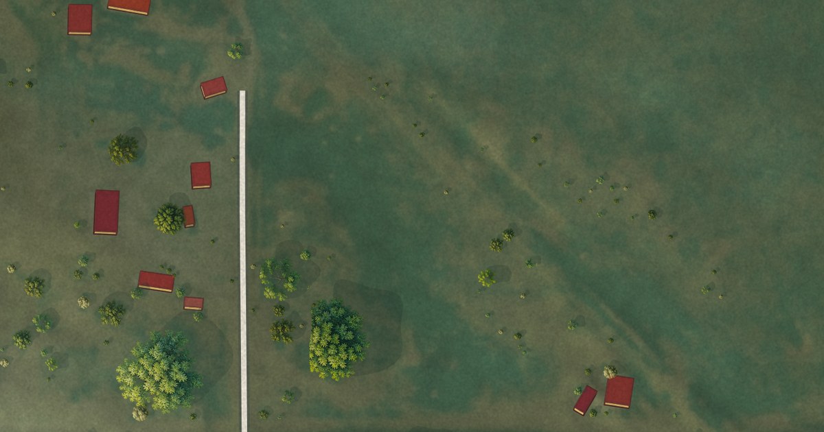
A detailed map of Hillsview, South Dakota, showing every building in its true location, the roads by name, and shaded topographical relief.
Read More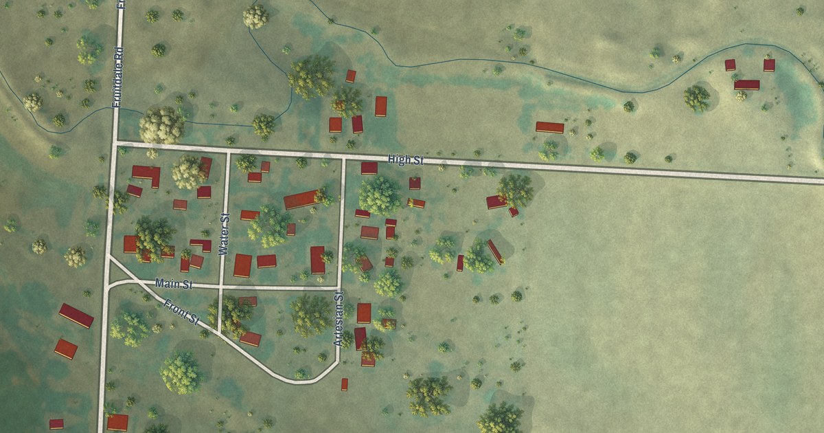
A detailed map of Fruitdale, South Dakota, showing every building in its true location, the roads by name, and shaded topographical relief.
Read More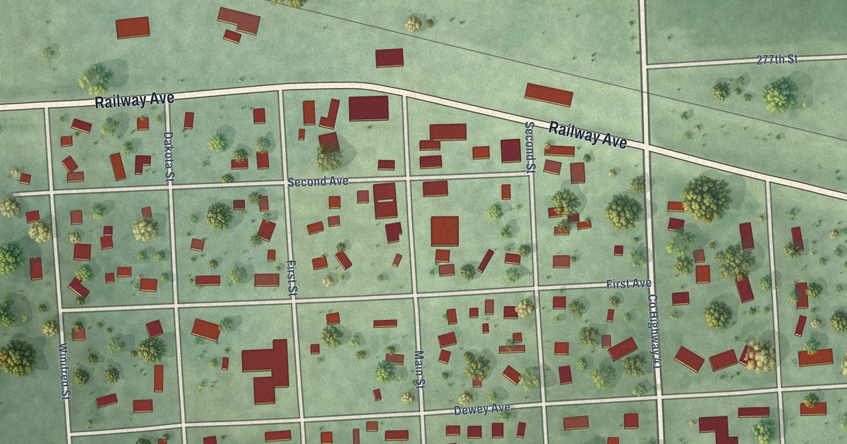
A detailed map of Chancellor, South Dakota, showing every building in its true location, the roads by name, and shaded topographical relief.
Read More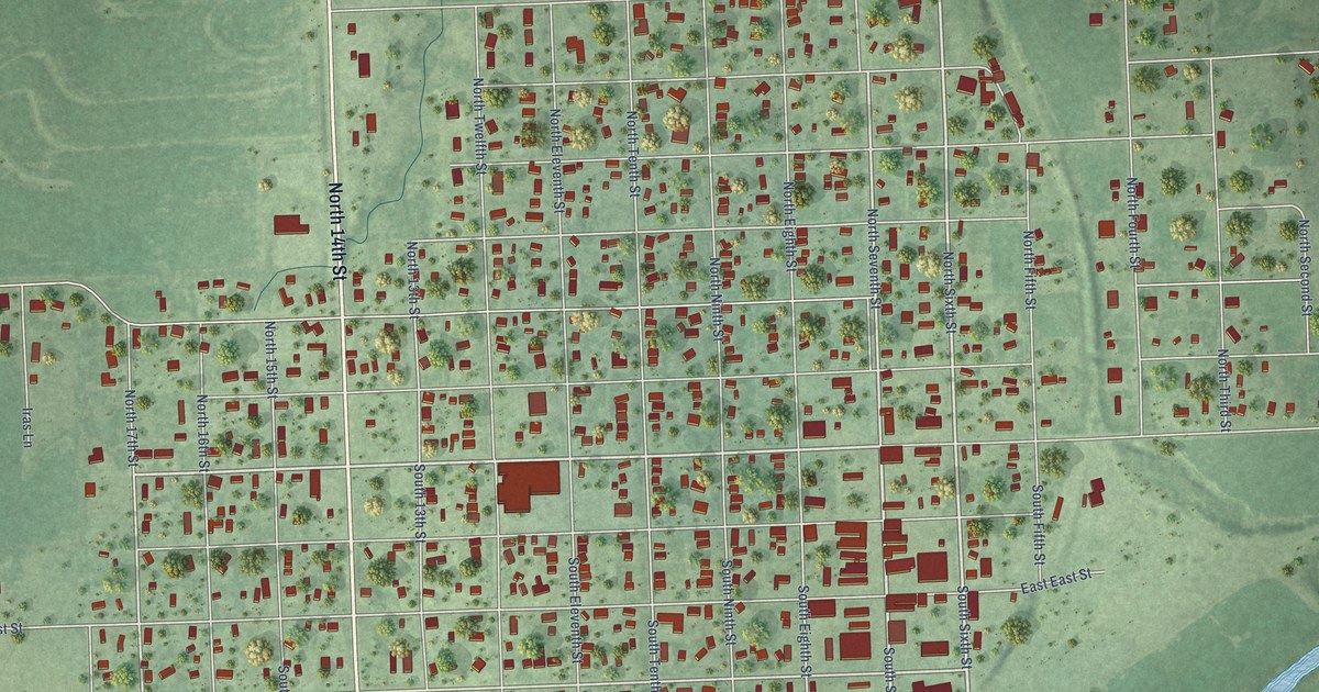
A detailed map of Wymore, Nebraska, showing every building in its true location, the roads by name, and shaded topographical relief.
Read More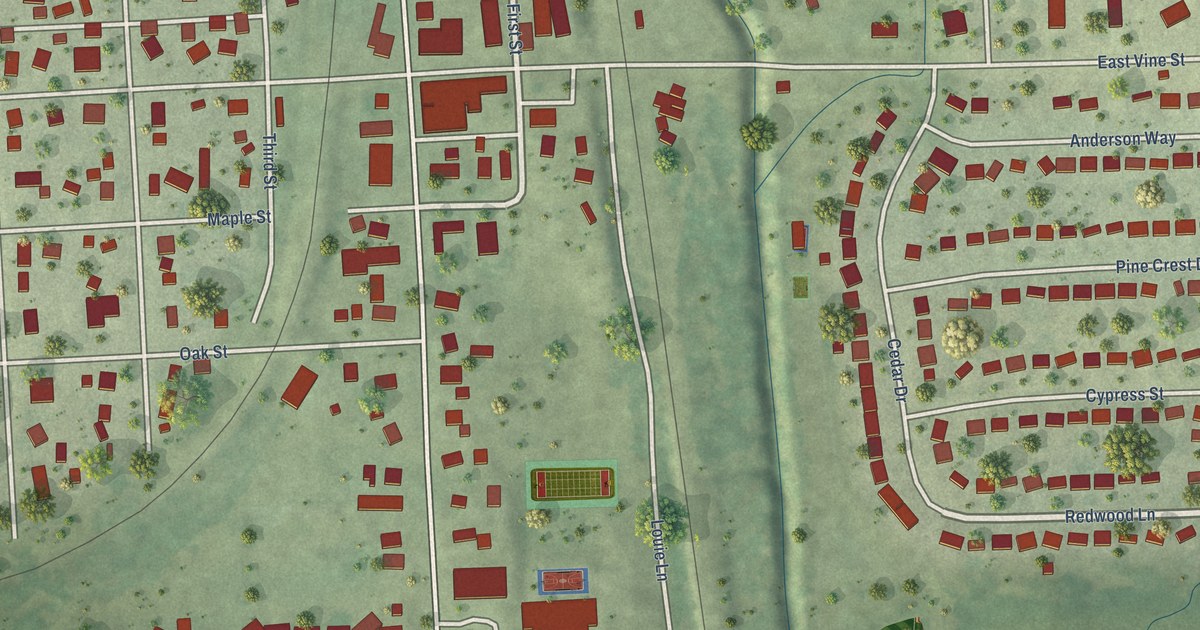
A detailed map of Yutan, Nebraska, showing every building in its true location, the roads by name, and shaded topographical relief.
Read More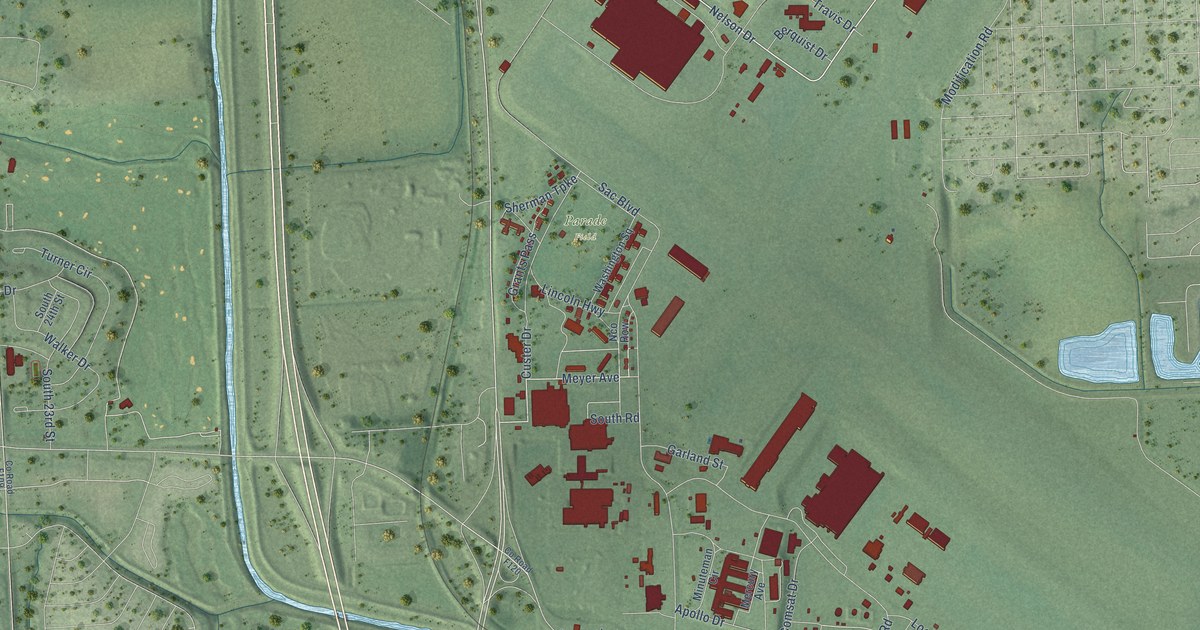
A detailed map of Offutt AFB, Nebraska, showing every building in its true location, the roads by name, and shaded topographical relief.
Read More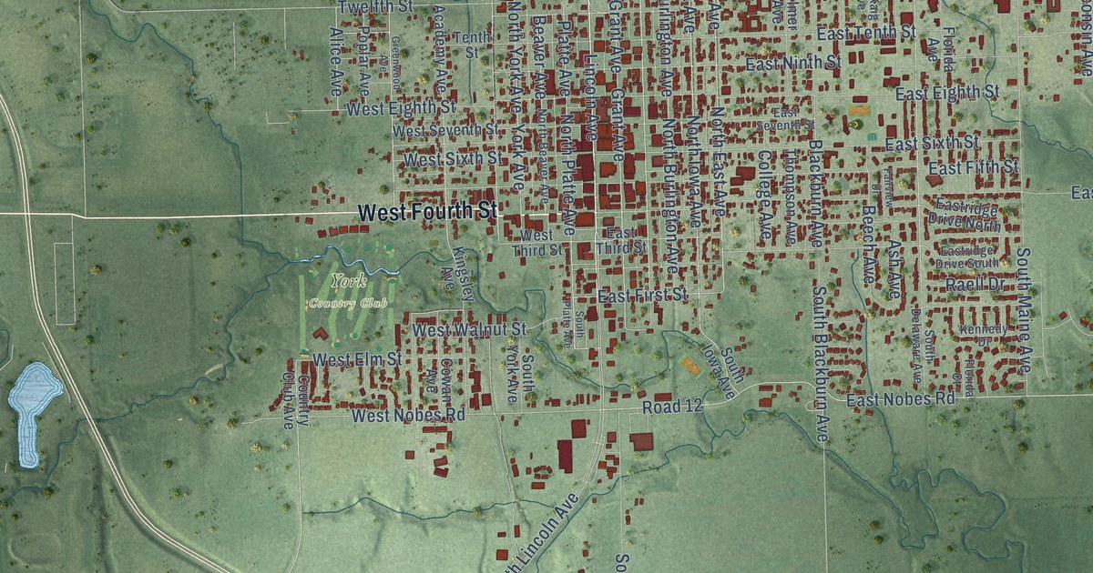
A detailed map of York, Nebraska, showing every building in its true location, the roads by name, and shaded topographical relief.
Read More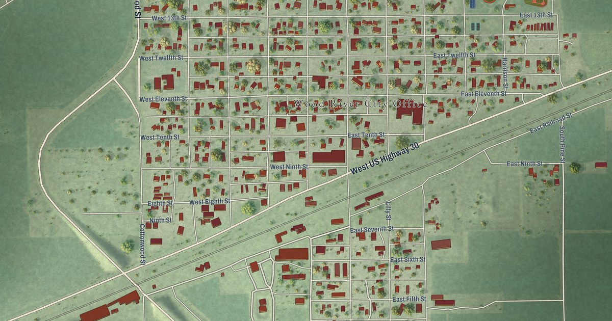
A detailed map of Wood River, Nebraska, showing every building in its true location, the roads by name, and shaded topographical relief.
Read More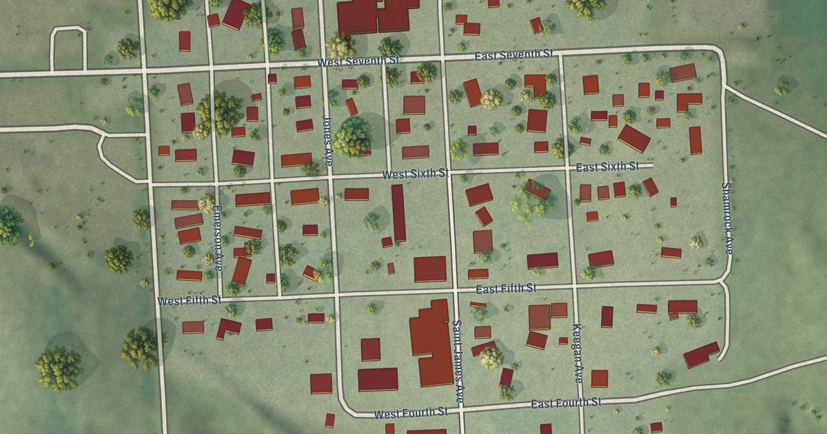
A detailed map of Wynot, Nebraska, showing every building in its true location, the roads by name, and shaded topographical relief.
Read More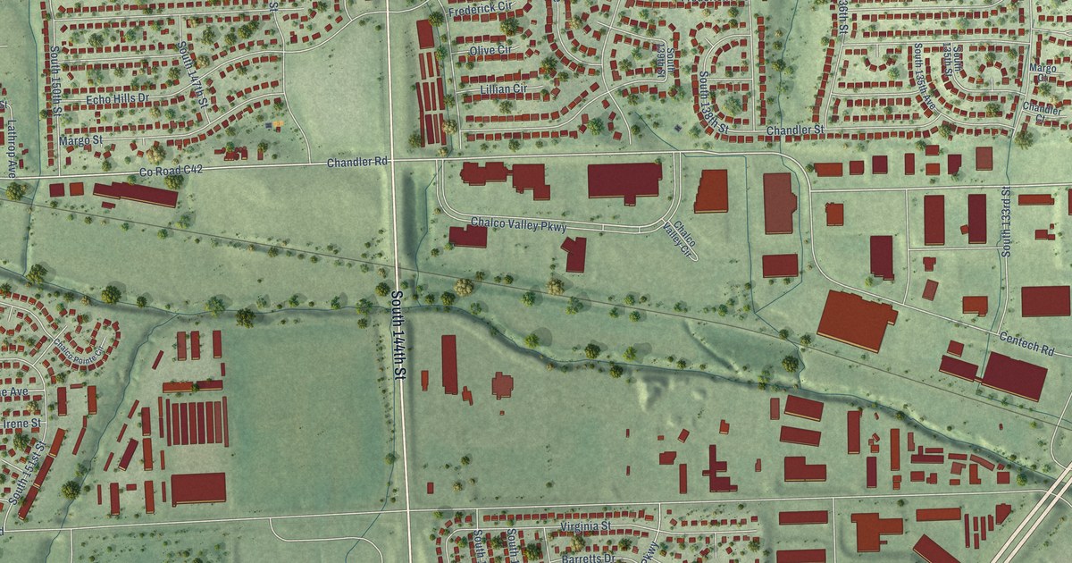
A detailed map of Chalco, Nebraska, showing every building in its true location, the roads by name, and shaded topographical relief.
Read More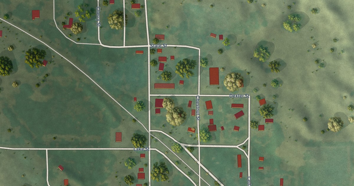
A detailed map of Wood Lake, Nebraska, showing every building in its true location, the roads by name, and shaded topographical relief.
Read More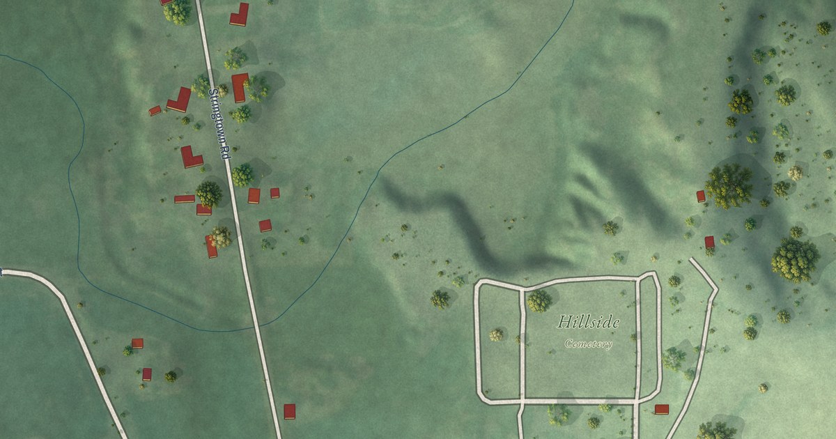
A detailed map of Wolbach, Nebraska, showing every building in its true location, the roads by name, and shaded topographical relief.
Read More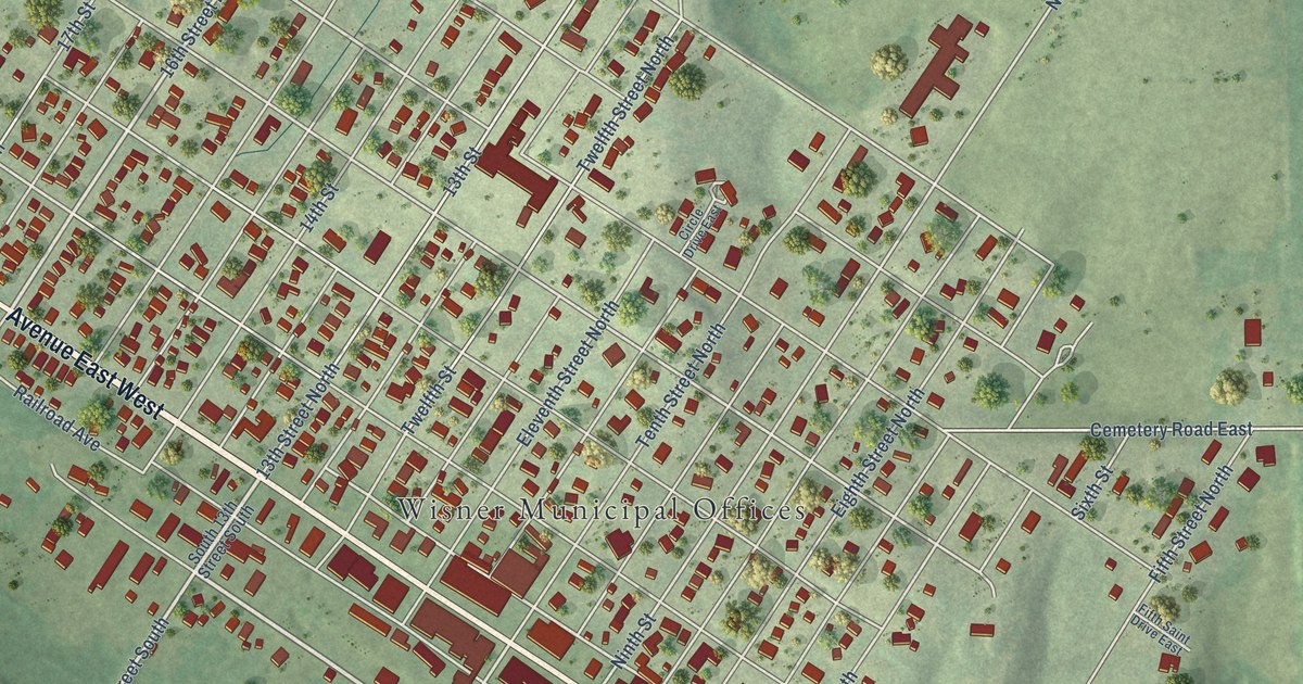
A detailed map of Wisner, Nebraska, showing every building in its true location, the roads by name, and shaded topographical relief.
Read More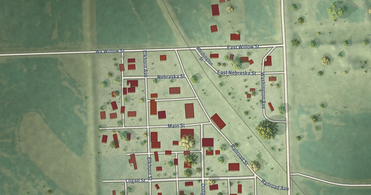
A detailed map of Winslow, Nebraska, showing every building in its true location, the roads by name, and shaded topographical relief.
Read More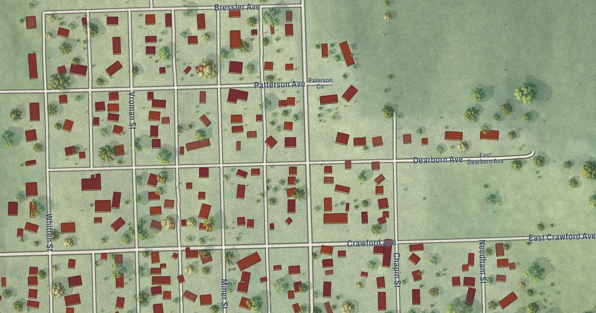
A detailed map of Winside, Nebraska, showing every building in its true location, the roads by name, and shaded topographical relief.
Read More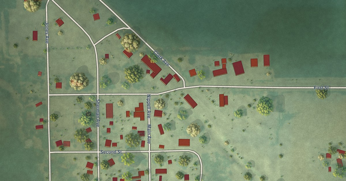
A detailed map of Winnetoon, Nebraska, showing every building in its true location, the roads by name, and shaded topographical relief.
Read More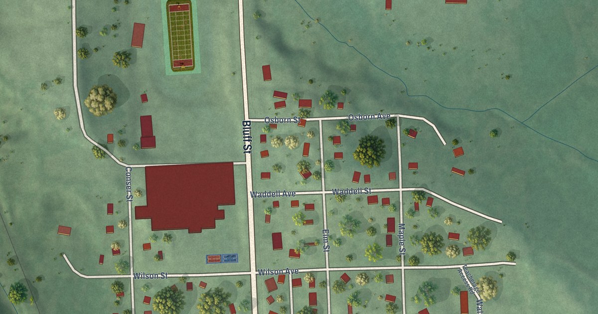
A detailed map of Winnebago, Nebraska, showing every building in its true location, the roads by name, and shaded topographical relief.
Read More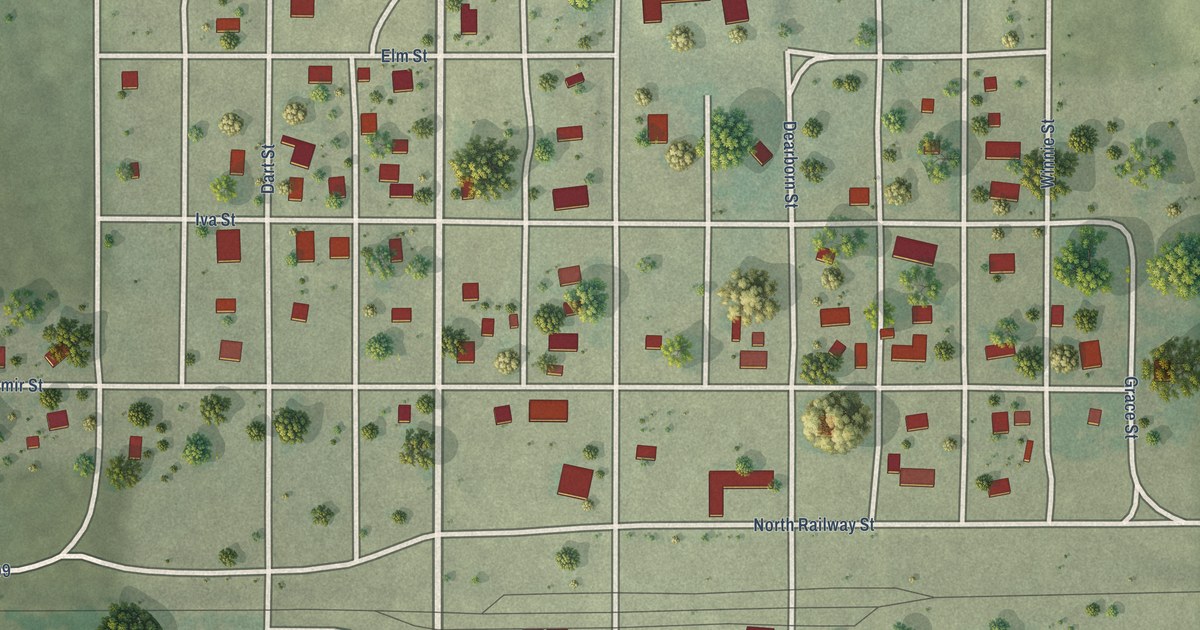
A detailed map of Wilsonville, Nebraska, showing every building in its true location, the roads by name, and shaded topographical relief.
Read More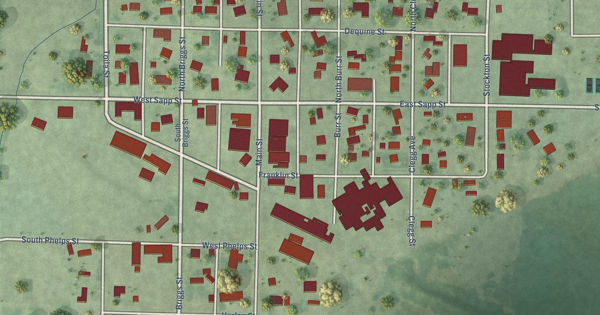
A detailed map of Wilcox, Nebraska, showing every building in its true location, the roads by name, and shaded topographical relief.
Read More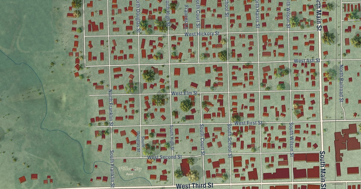
A detailed map of Wilber, Nebraska, showing every building in its true location, the roads by name, and shaded topographical relief.
Read More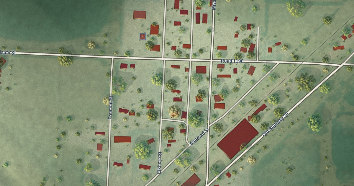
A detailed map of Whitney, Nebraska, showing every building in its true location, the roads by name, and shaded topographical relief.
Read More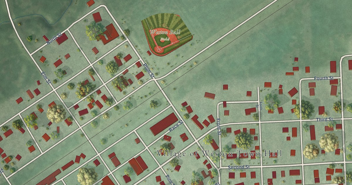
A detailed map of Weston, Nebraska, showing every building in its true location, the roads by name, and shaded topographical relief.
Read More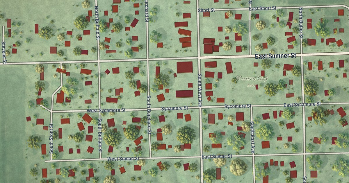
A detailed map of Western, Nebraska, showing every building in its true location, the roads by name, and shaded topographical relief.
Read More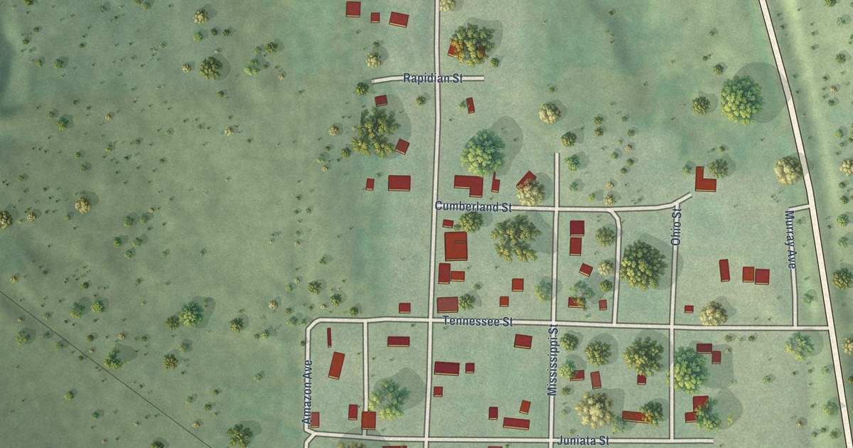
A detailed map of Wellfleet, Nebraska, showing every building in its true location, the roads by name, and shaded topographical relief.
Read More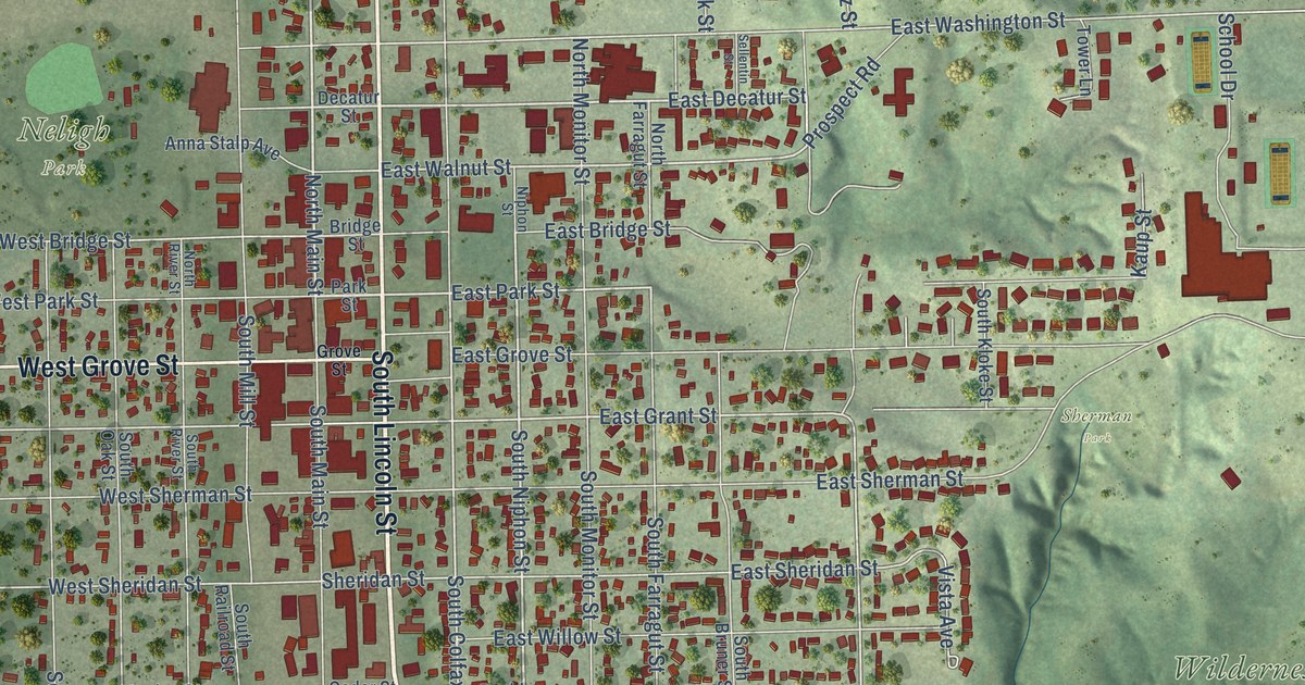
A detailed map of West Point, Nebraska, showing every building in its true location, the roads by name, and shaded topographical relief.
Read More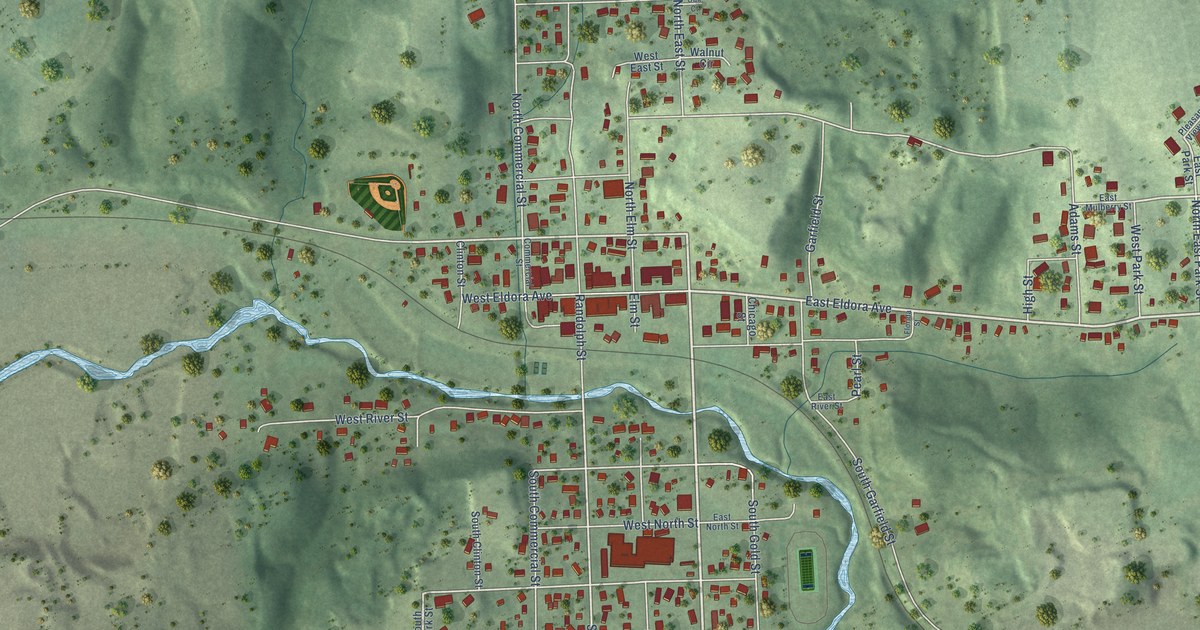
A detailed map of Weeping Water, Nebraska, showing every building in its true location, the roads by name, and shaded topographical relief.
Read More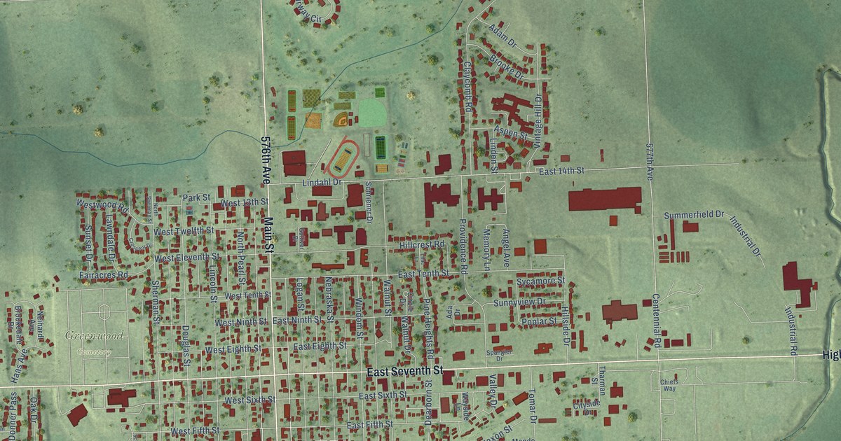
A detailed map of Wayne, Nebraska, showing every building in its true location, the roads by name, and shaded topographical relief.
Read More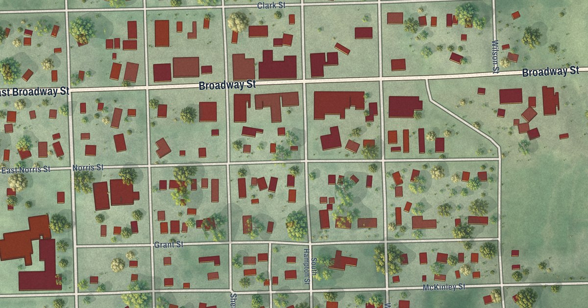
A detailed map of Wausa, Nebraska, showing every building in its true location, the roads by name, and shaded topographical relief.
Read More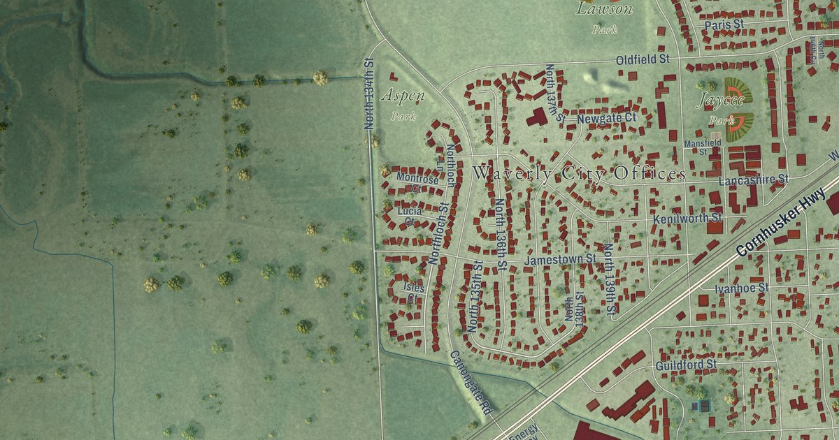
A detailed map of Waverly, Nebraska, showing every building in its true location, the roads by name, and shaded topographical relief.
Read More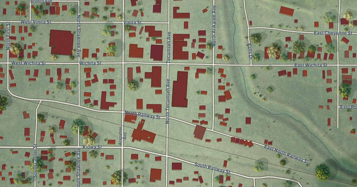
A detailed map of Wauneta, Nebraska, showing every building in its true location, the roads by name, and shaded topographical relief.
Read More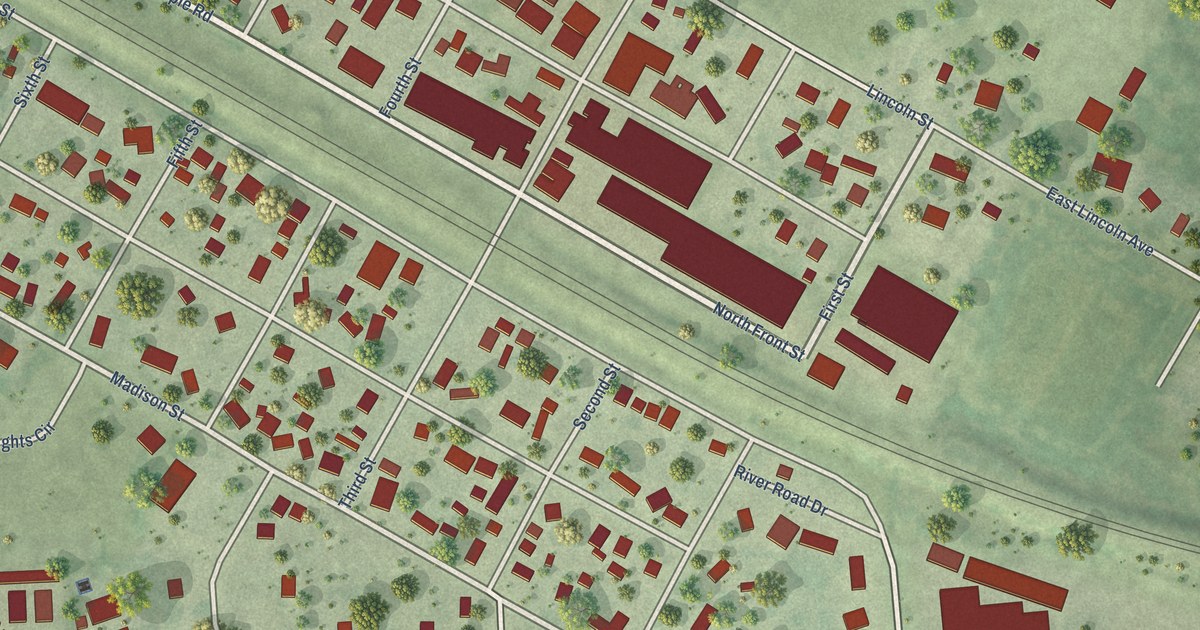
A detailed map of Waterloo, Nebraska, showing every building in its true location, the roads by name, and shaded topographical relief.
Read More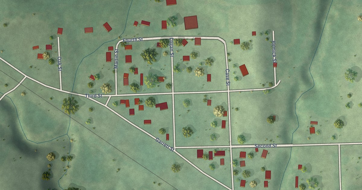
A detailed map of Waterbury, Nebraska, showing every building in its true location, the roads by name, and shaded topographical relief.
Read More















