Detailed Map of Henrietta, Texas
A detailed map of Henrietta, Texas, showing every building in its true location, the roads by name, and shaded topographical relief.
Read More
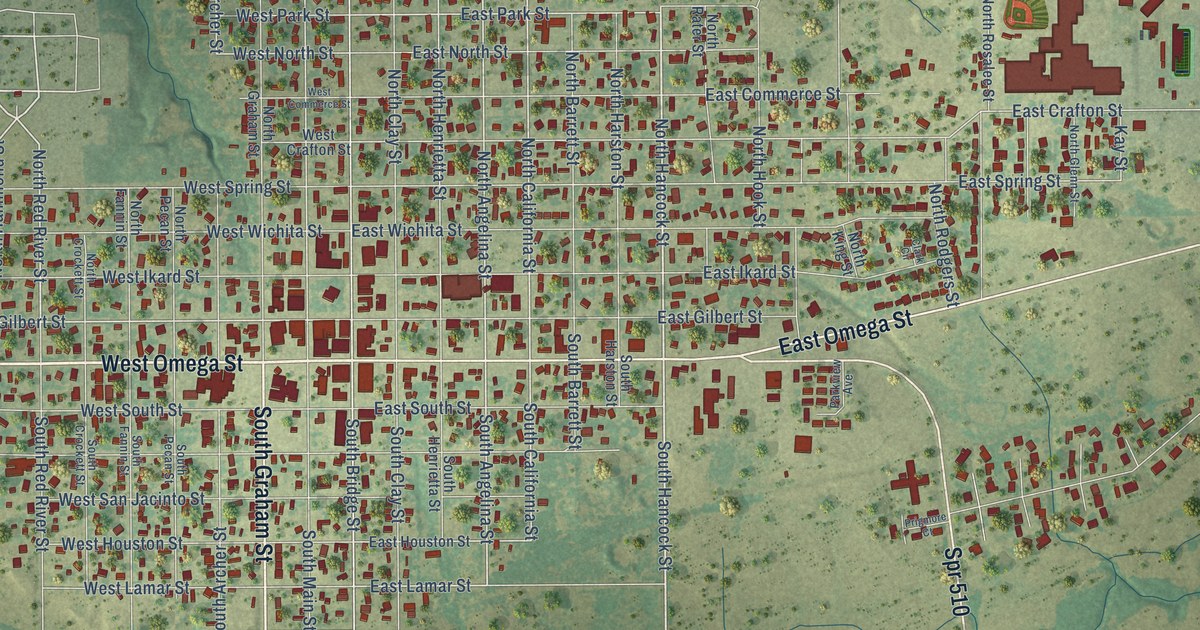
A detailed map of Henrietta, Texas, showing every building in its true location, the roads by name, and shaded topographical relief.
Read More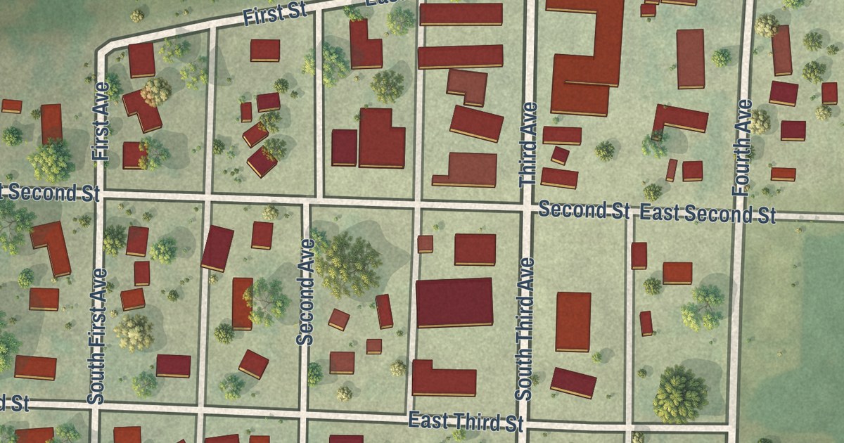
A detailed map of Lismore, Minnesota, showing every building in its true location, the roads by name, and shaded topographical relief.
Read More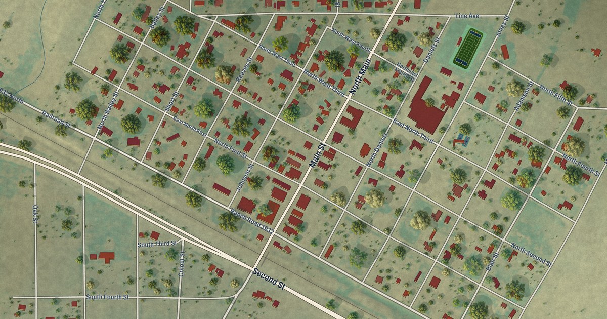
A detailed map of Hedley, Texas, showing every building in its true location, the roads by name, and shaded topographical relief.
Read More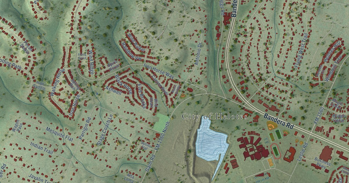
A detailed map of Helotes, Texas, showing every building in its true location, the roads by name, and shaded topographical relief.
Read More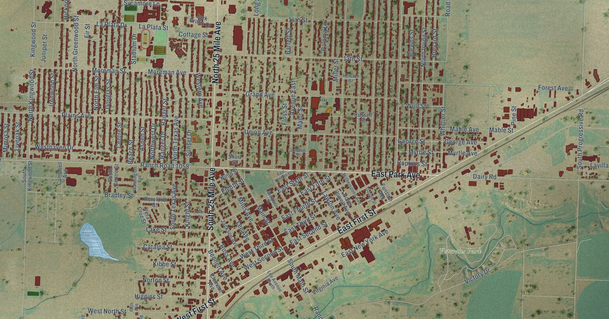
A detailed map of Hereford, Texas, showing every building in its true location, the roads by name, and shaded topographical relief.
Read More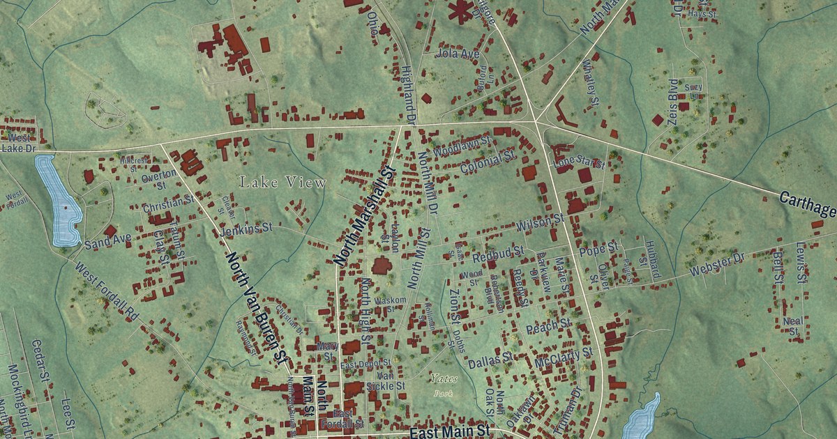
A detailed map of Henderson, Texas, showing every building in its true location, the roads by name, and shaded topographical relief.
Read More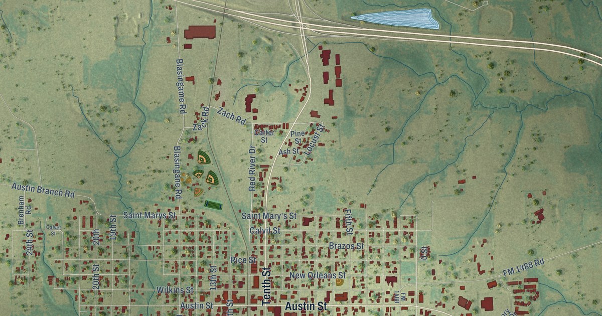
A detailed map of Hempstead, Texas, showing every building in its true location, the roads by name, and shaded topographical relief.
Read More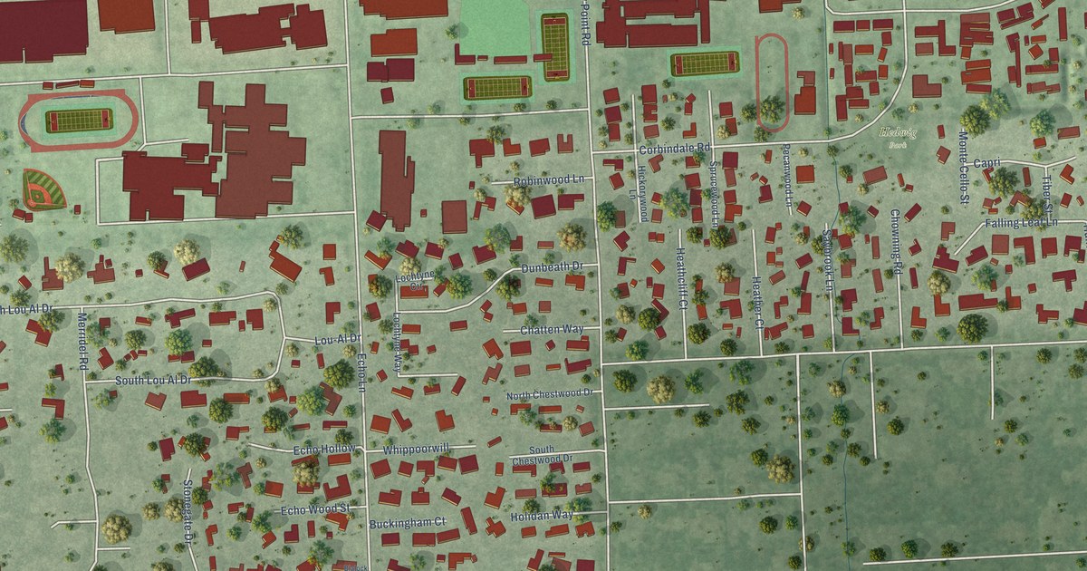
A detailed map of Hedwig Village, Texas, showing every building in its true location, the roads by name, and shaded topographical relief.
Read More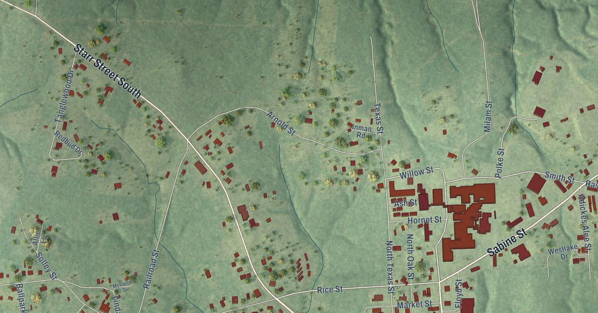
A detailed map of Hemphill, Texas, showing every building in its true location, the roads by name, and shaded topographical relief.
Read More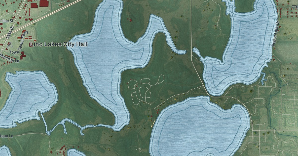
A detailed map of Lino Lakes, Minnesota, showing every building in its true location, the roads by name, and shaded topographical relief.
Read More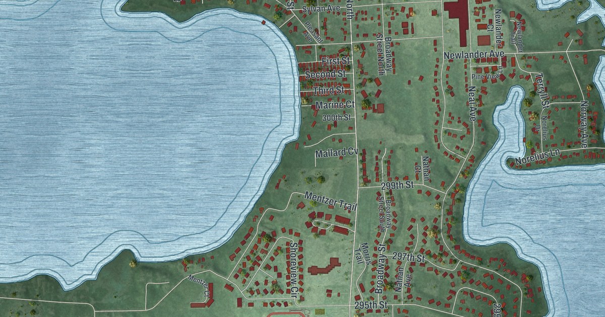
A detailed map of Lindstrom, Minnesota, showing every building in its true location, the roads by name, and shaded topographical relief.
Read More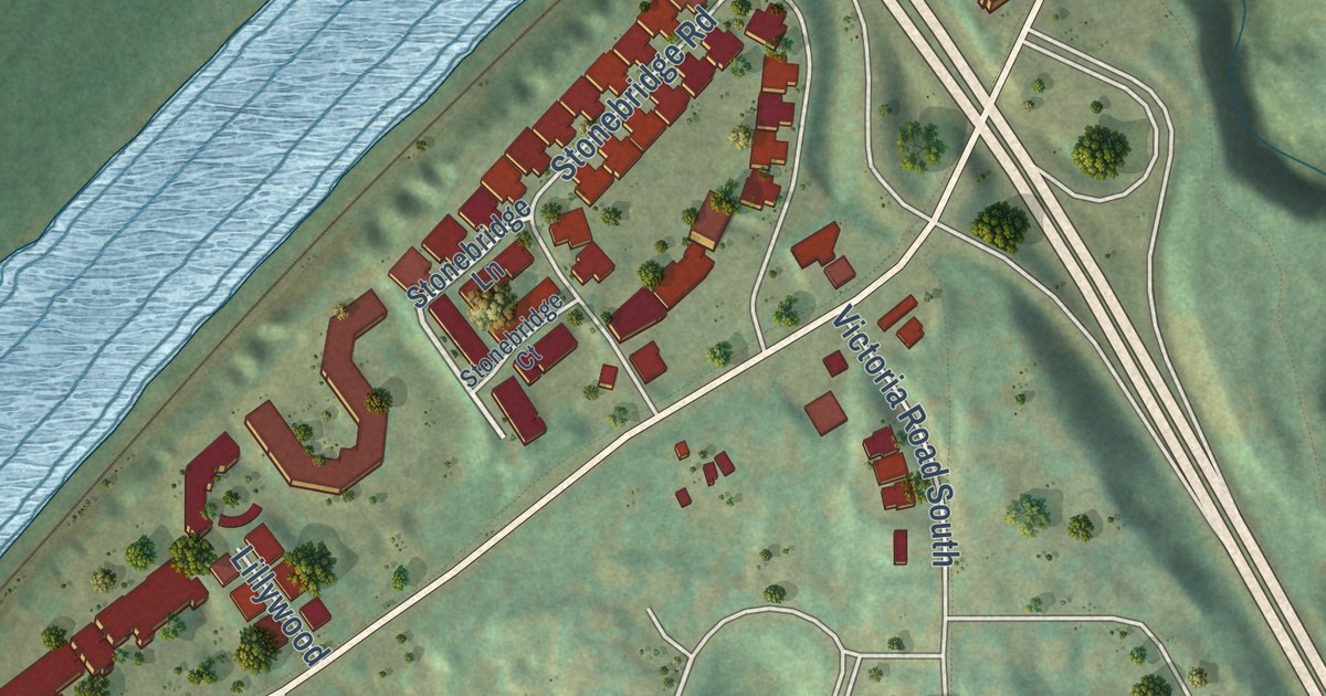
A detailed map of Lilydale, Minnesota, showing every building in its true location, the roads by name, and shaded topographical relief.
Read More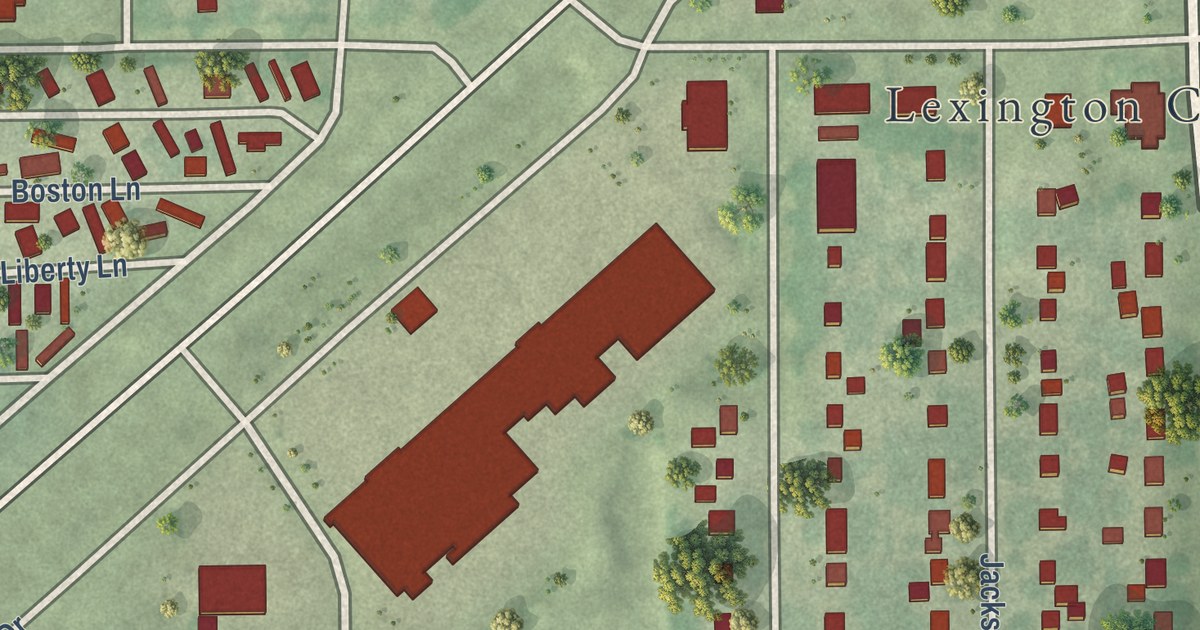
A detailed map of Lexington, Minnesota, showing every building in its true location, the roads by name, and shaded topographical relief.
Read More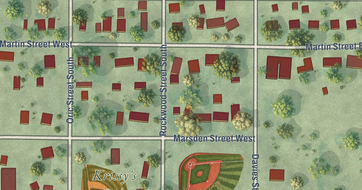
A detailed map of Lewisville, Minnesota, showing every building in its true location, the roads by name, and shaded topographical relief.
Read More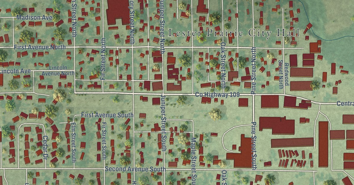
A detailed map of Lester Prairie, Minnesota, showing every building in its true location, the roads by name, and shaded topographical relief.
Read More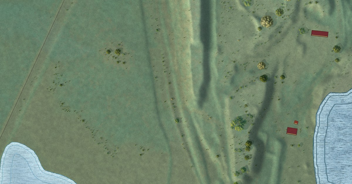
A detailed map of Leonidas, Minnesota, showing every building in its true location, the roads by name, and shaded topographical relief.
Read More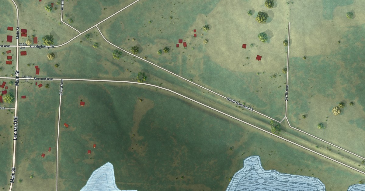
A detailed map of Leonard, Minnesota, showing every building in its true location, the roads by name, and shaded topographical relief.
Read More
A detailed map of Lauderdale, Minnesota, showing every building in its true location, the roads by name, and shaded topographical relief.
Read More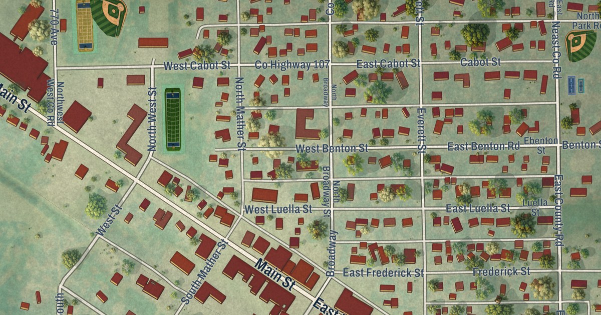
A detailed map of Le Roy, Minnesota, showing every building in its true location, the roads by name, and shaded topographical relief.
Read More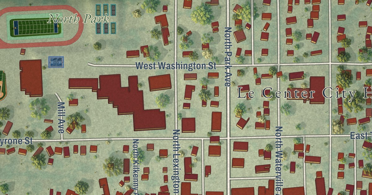
A detailed map of Le Center, Minnesota, showing every building in its true location, the roads by name, and shaded topographical relief.
Read More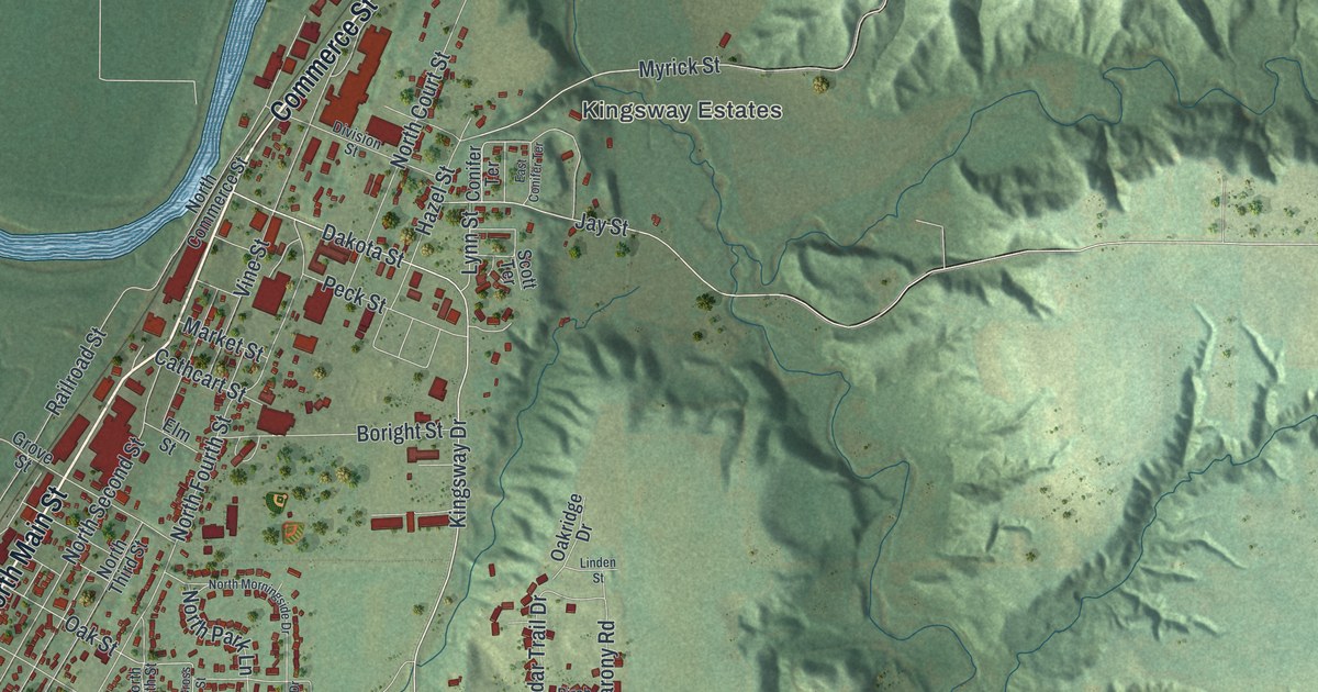
A detailed map of Le Sueur, Minnesota, showing every building in its true location, the roads by name, and shaded topographical relief.
Read More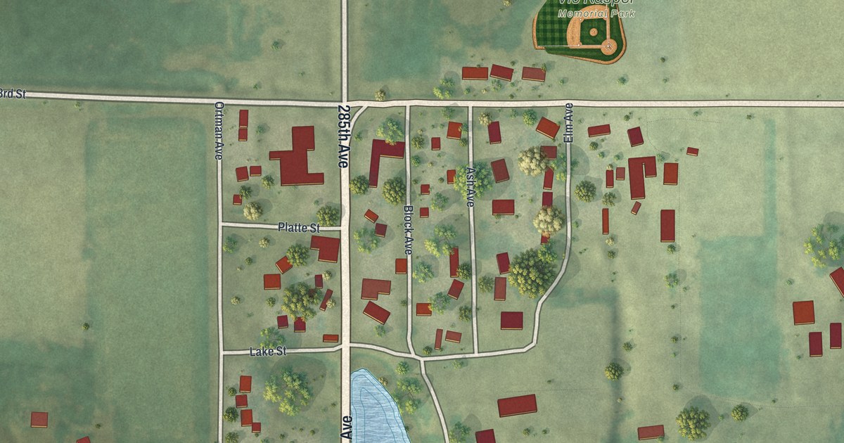
A detailed map of Lastrup, Minnesota, showing every building in its true location, the roads by name, and shaded topographical relief.
Read More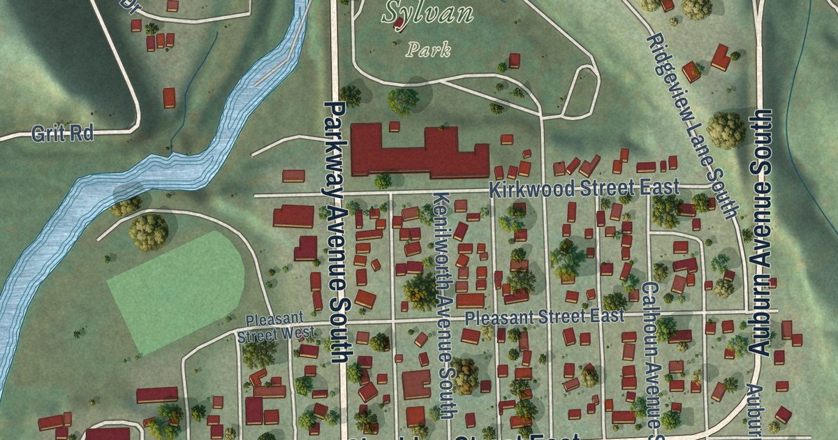
A detailed map of Lanesboro, Minnesota, showing every building in its true location, the roads by name, and shaded topographical relief.
Read More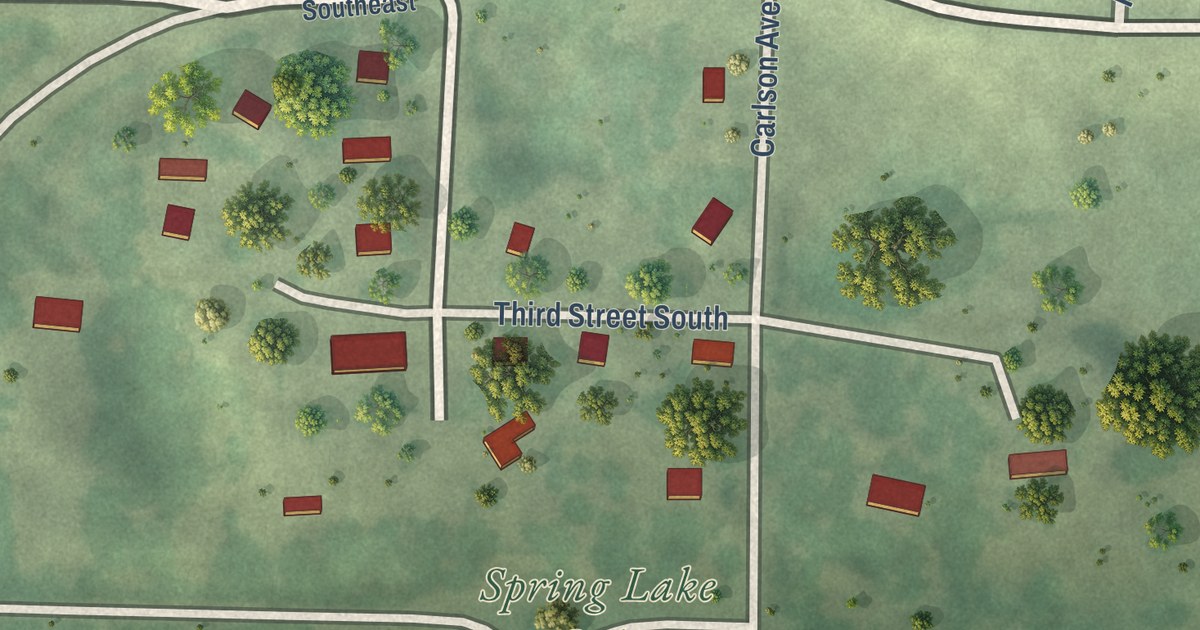
A detailed map of Lengby, Minnesota, showing every building in its true location, the roads by name, and shaded topographical relief.
Read More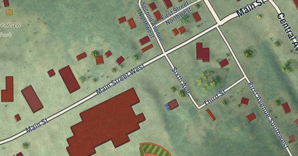
A detailed map of Laporte, Minnesota, showing every building in its true location, the roads by name, and shaded topographical relief.
Read More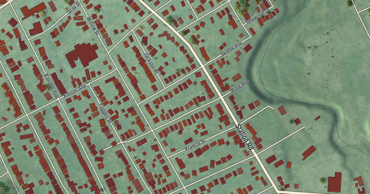
Wesleyville grew from John Shadduck’s mills on Four Mile Creek and was named for John Wesley in 1828. This 2026 aerial map shows Buffalo Road, Station Road, Wesleyville Borough Hall and the town’s buildings in red.
Read More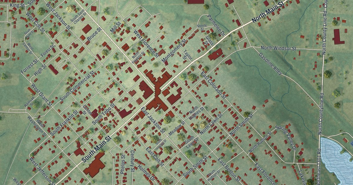
See Windsor’s streets, red buildings and green surroundings in a new aerial map. Look for your block and read about Thomas Anderson, Henry County’s first blacksmith.
Read More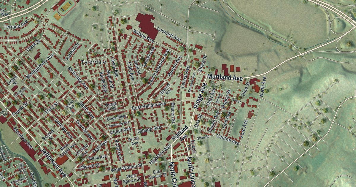
Find familiar Washington streets, Tylerdale, and Washington Park on a new aerial map with a vintage feel. College and Beau streets connect the view to Charles F. West’s 1922 Rose Bowl milestone.
Read More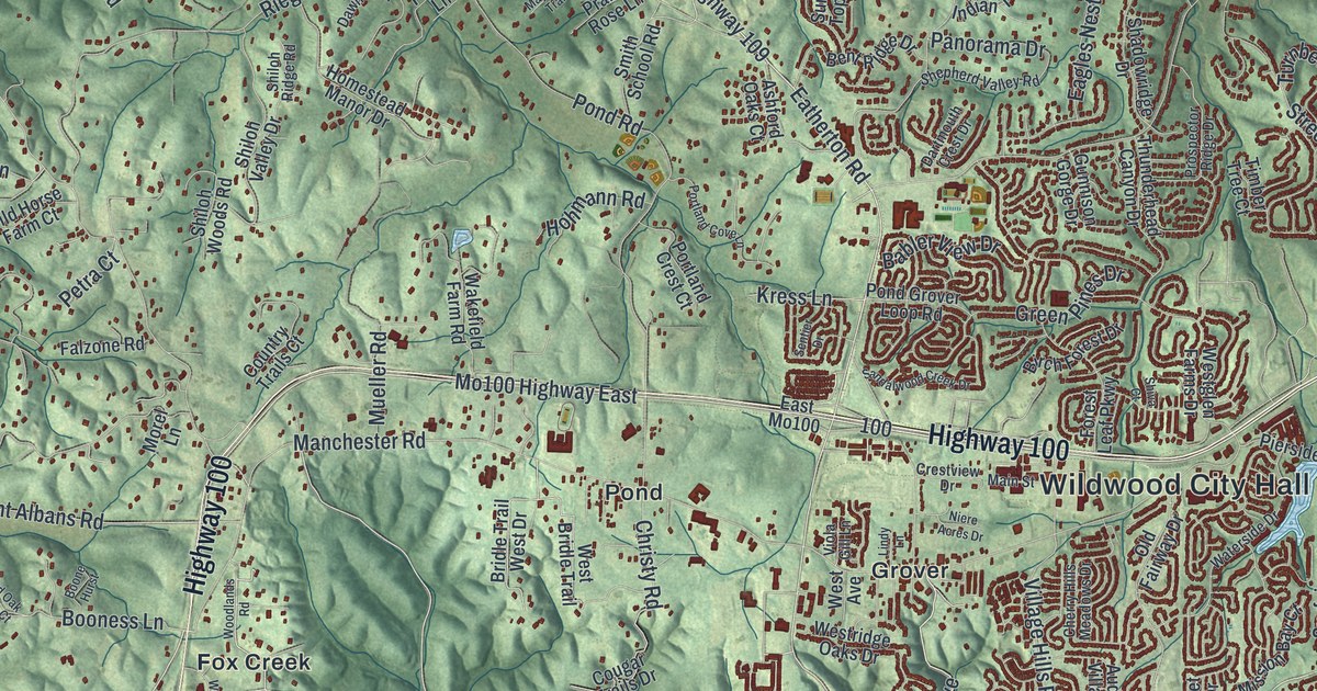
Explore Wildwood’s green hills, winding streets and familiar names, from Melrose and Pond to Grover. This new aerial map pairs modern data with a vintage feel.
Read More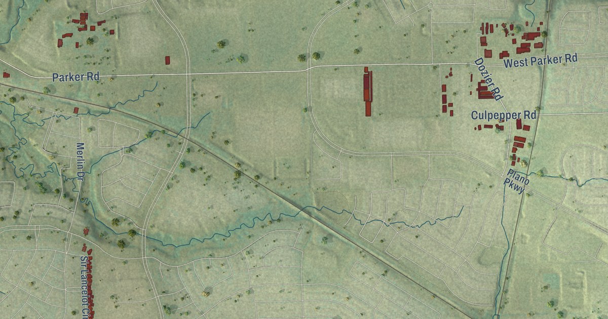
A detailed map of Hebron, Texas, showing every building in its true location, the roads by name, and shaded topographical relief.
Read More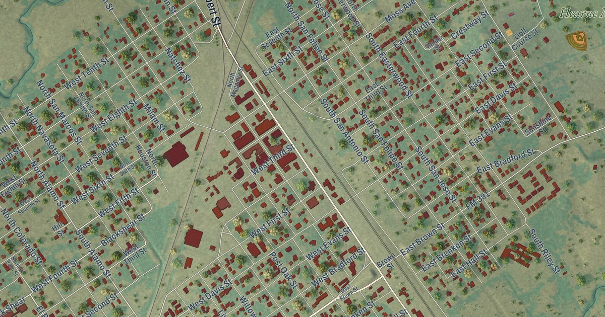
A detailed map of Hearne, Texas, showing every building in its true location, the roads by name, and shaded topographical relief.
Read More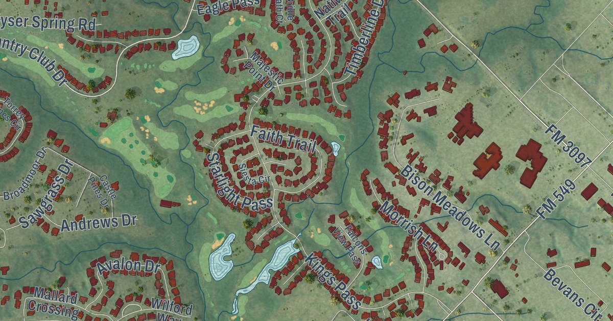
A detailed map of Heath, Texas, showing every building in its true location, the roads by name, and shaded topographical relief.
Read More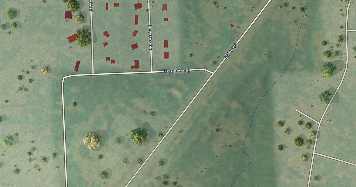
A detailed map of Hays, Texas, showing every building in its true location, the roads by name, and shaded topographical relief.
Read More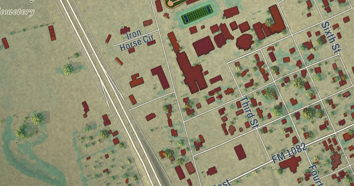
A detailed map of Hawley, Texas, showing every building in its true location, the roads by name, and shaded topographical relief.
Read More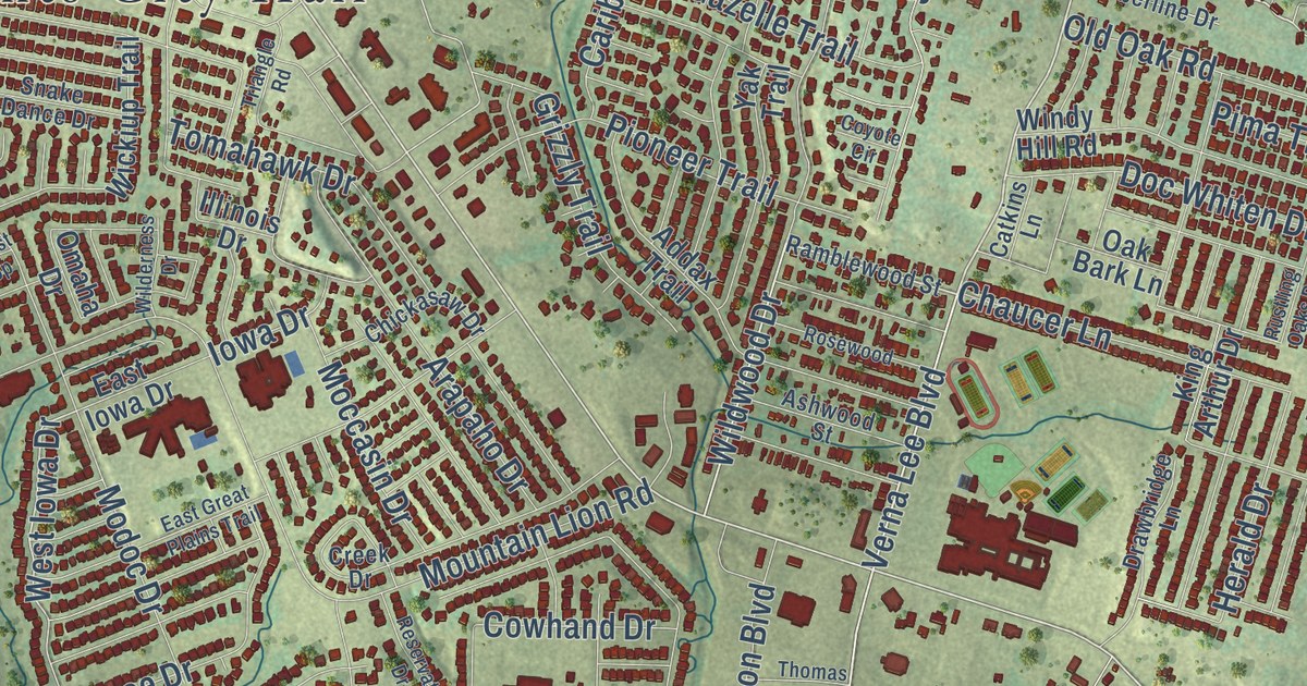
A detailed map of Harker Heights, Texas, showing every building in its true location, the roads by name, and shaded topographical relief.
Read More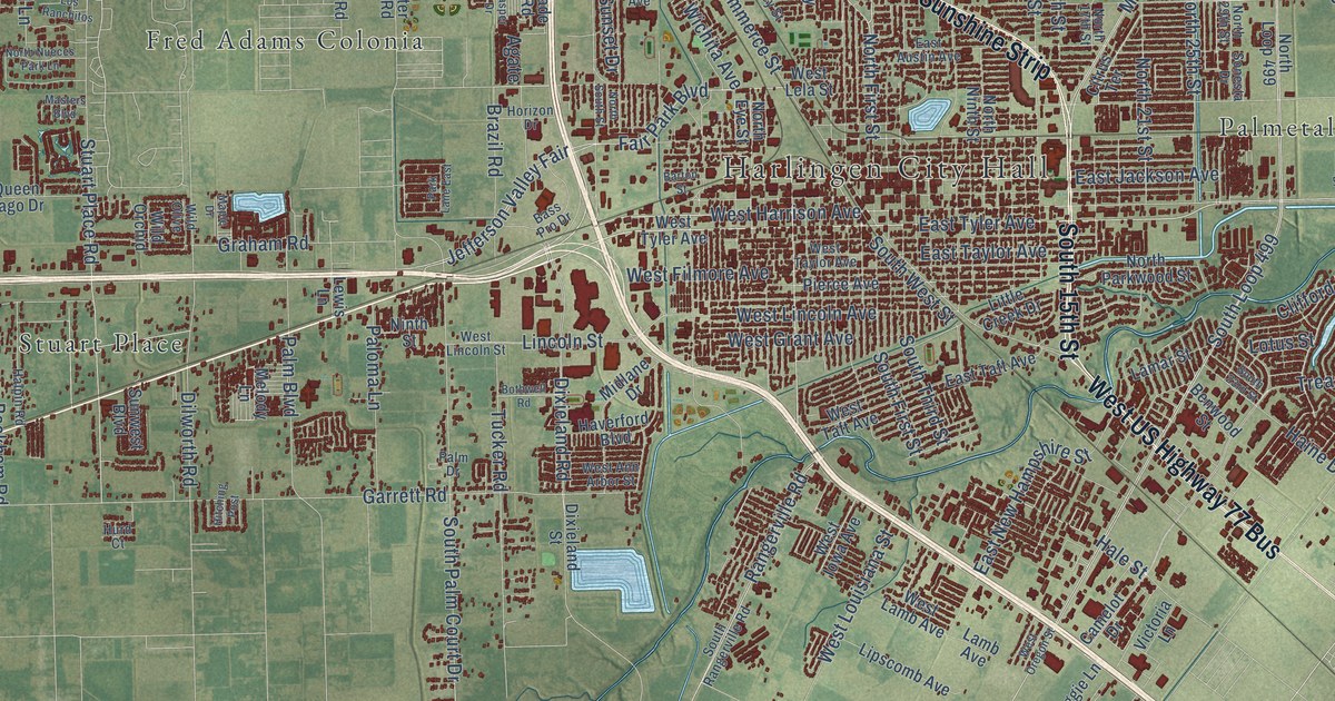
A detailed map of Harlingen, Texas, showing every building in its true location, the roads by name, and shaded topographical relief.
Read More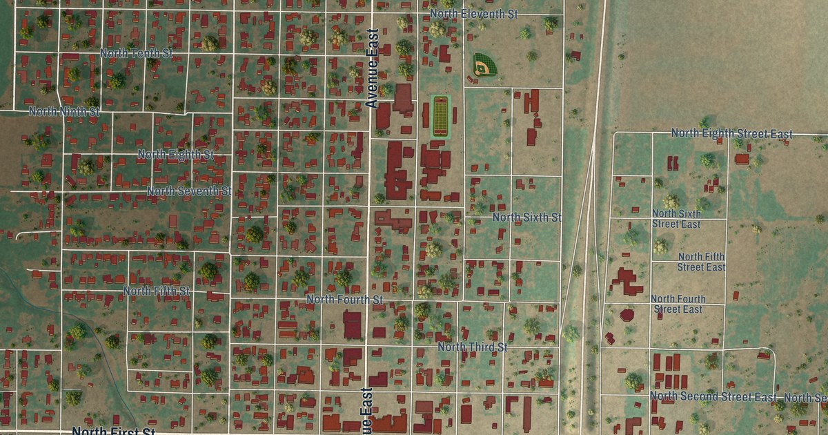
A detailed map of Haskell, Texas, showing every building in its true location, the roads by name, and shaded topographical relief.
Read More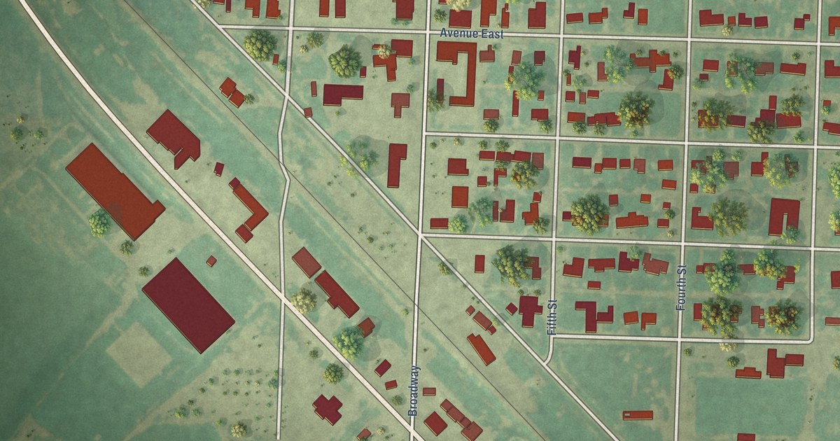
A detailed map of Hart, Texas, showing every building in its true location, the roads by name, and shaded topographical relief.
Read More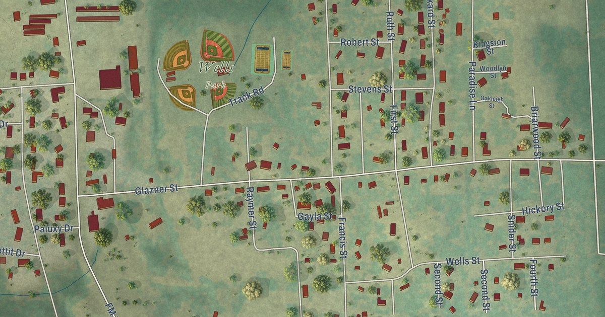
A detailed map of Hawkins, Texas, showing every building in its true location, the roads by name, and shaded topographical relief.
Read More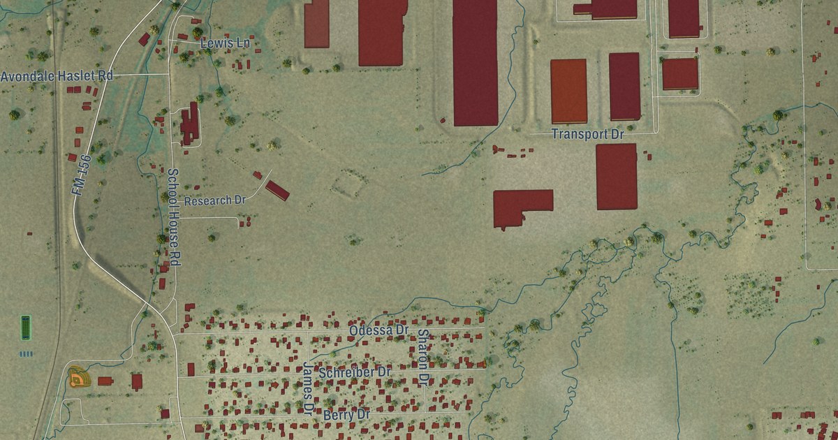
A detailed map of Haslet, Texas, showing every building in its true location, the roads by name, and shaded topographical relief.
Read More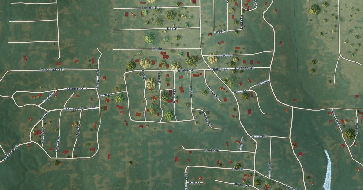
A detailed map of Hawk Cove, Texas, showing every building in its true location, the roads by name, and shaded topographical relief.
Read More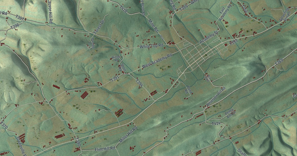
See Washington Township in Snyder County through its green hills, open valleys and familiar roads. This 2026 map includes Pallas, Kantz and Flint Valley Road.
Read More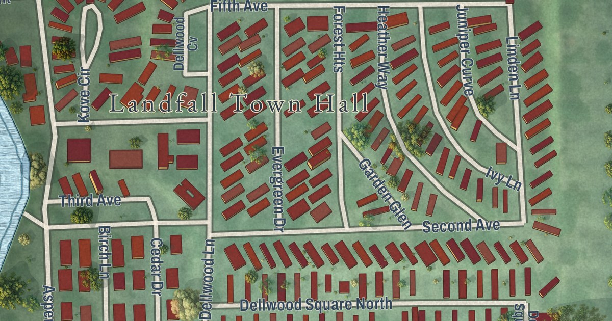
A detailed map of Landfall, Minnesota, showing every building in its true location, the roads by name, and shaded topographical relief.
Read More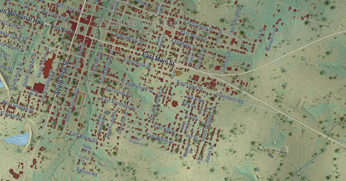
A detailed map of Hamilton, Texas, showing every building in its true location, the roads by name, and shaded topographical relief.
Read More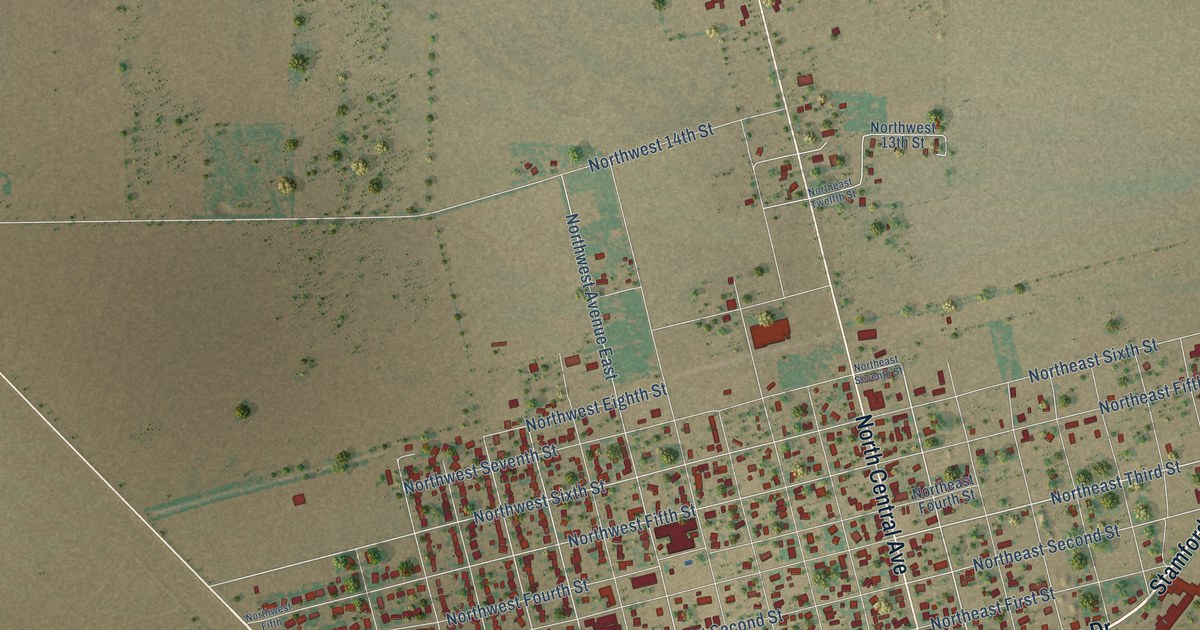
A detailed map of Hamlin, Texas, showing every building in its true location, the roads by name, and shaded topographical relief.
Read More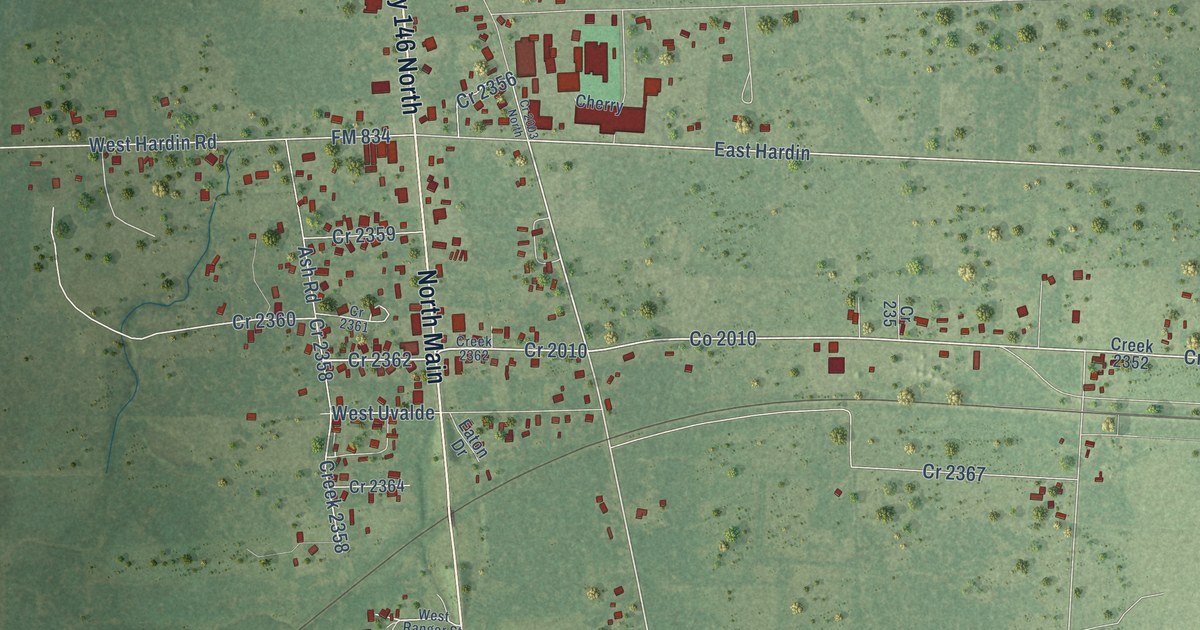
A detailed map of Hardin, Texas, showing every building in its true location, the roads by name, and shaded topographical relief.
Read More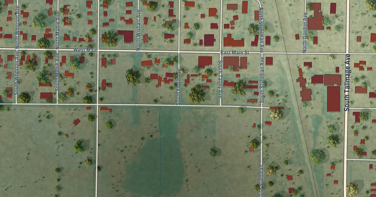
A detailed map of Happy, Texas, showing every building in its true location, the roads by name, and shaded topographical relief.
Read More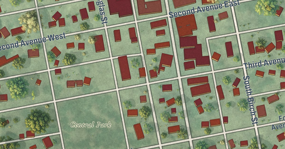
A detailed map of Lamberton, Minnesota, showing every building in its true location, the roads by name, and shaded topographical relief.
Read More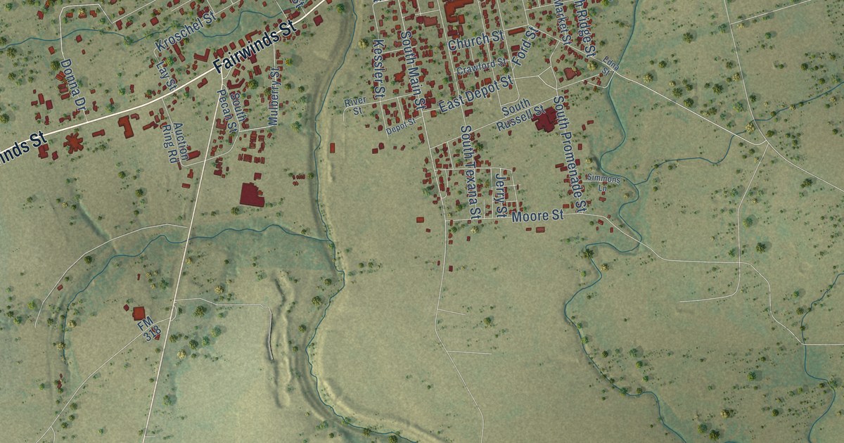
A detailed map of Hallettsville, Texas, showing every building in its true location, the roads by name, and shaded topographical relief.
Read More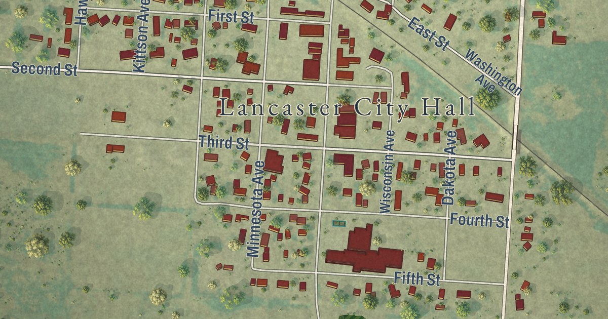
A detailed map of Lancaster, Minnesota, showing every building in its true location, the roads by name, and shaded topographical relief.
Read More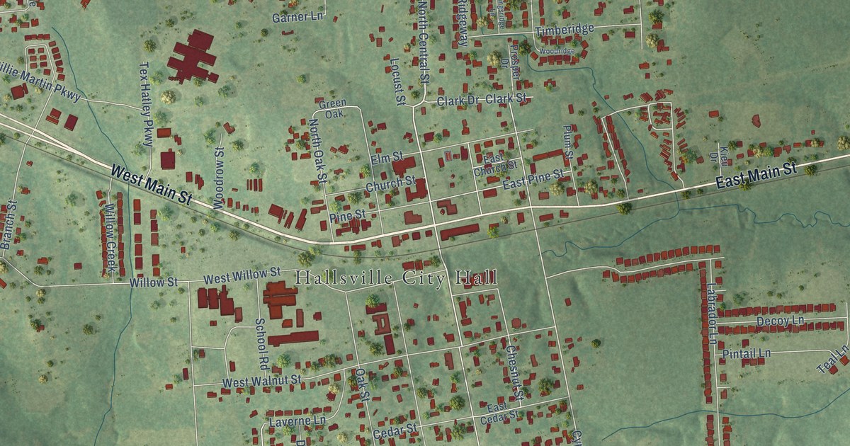
A detailed map of Hallsville, Texas, showing every building in its true location, the roads by name, and shaded topographical relief.
Read More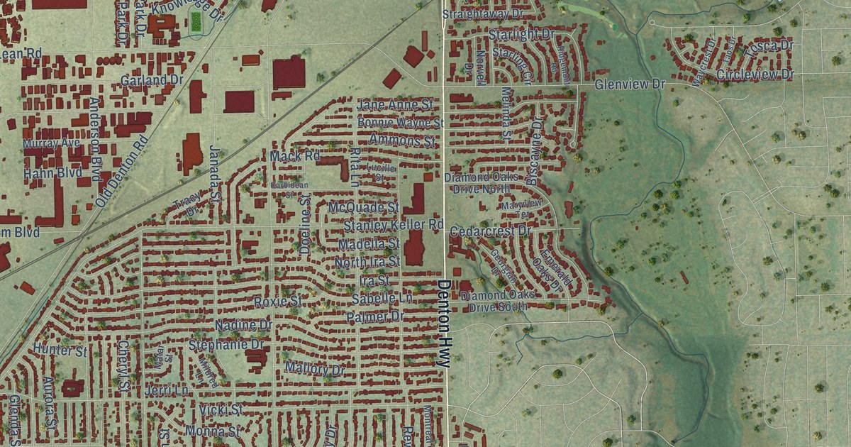
A detailed map of Haltom City, Texas, showing every building in its true location, the roads by name, and shaded topographical relief.
Read More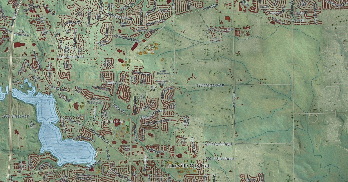
A detailed map of Lakeville, Minnesota, showing every building in its true location, the roads by name, and shaded topographical relief.
Read More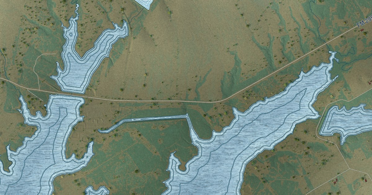
A detailed map of Hallsburg, Texas, showing every building in its true location, the roads by name, and shaded topographical relief.
Read More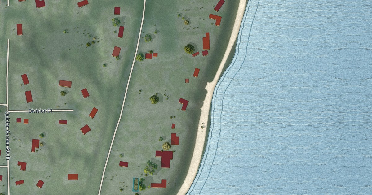
A detailed map of Lakeland Shores, Minnesota, showing every building in its true location, the roads by name, and shaded topographical relief.
Read More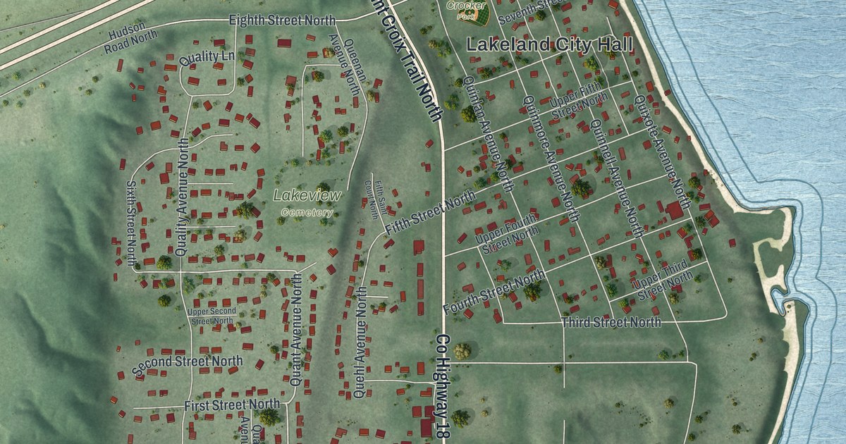
A detailed map of Lakeland, Minnesota, showing every building in its true location, the roads by name, and shaded topographical relief.
Read More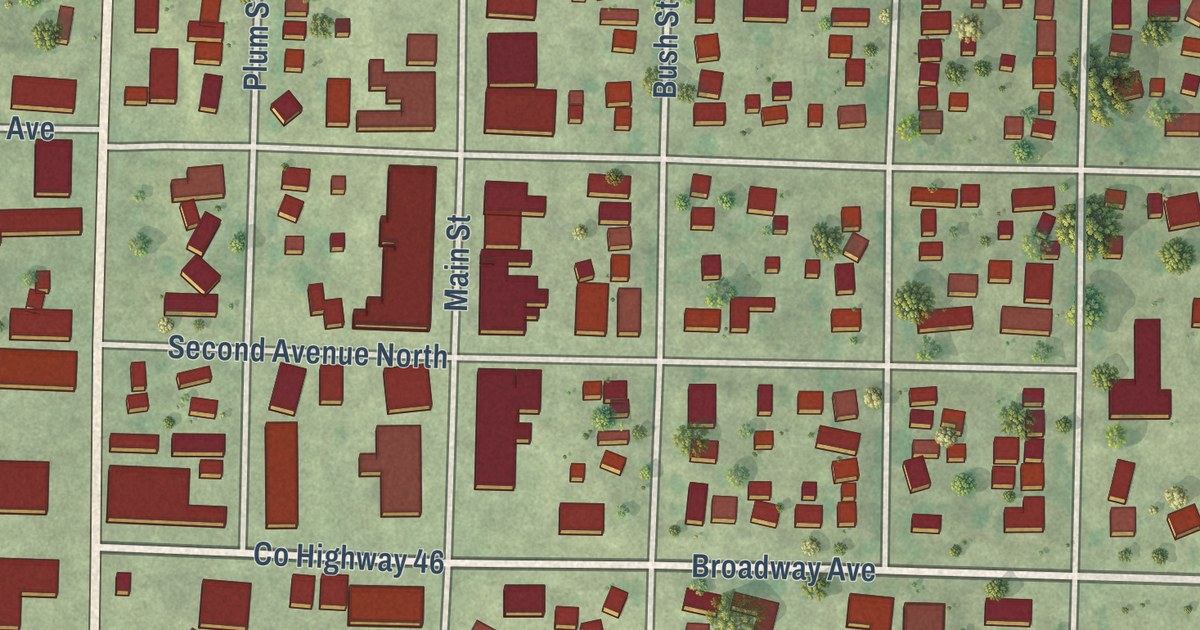
A detailed map of Lakefield, Minnesota, showing every building in its true location, the roads by name, and shaded topographical relief.
Read More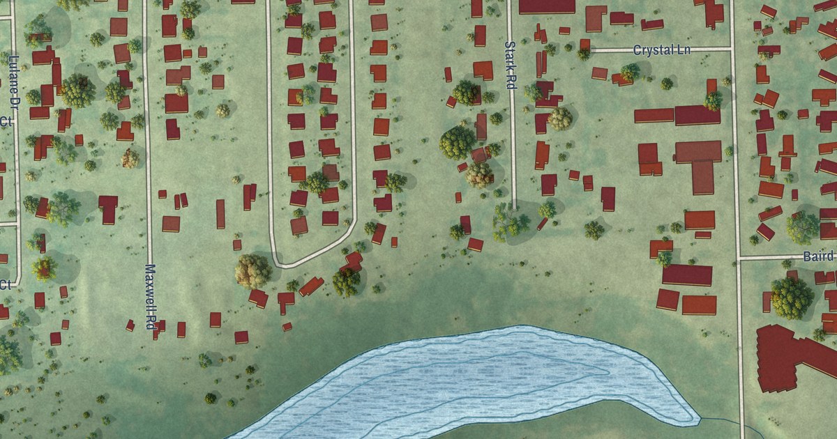
A detailed map of Hackberry, Texas, showing every building in its true location, the roads by name, and shaded topographical relief.
Read More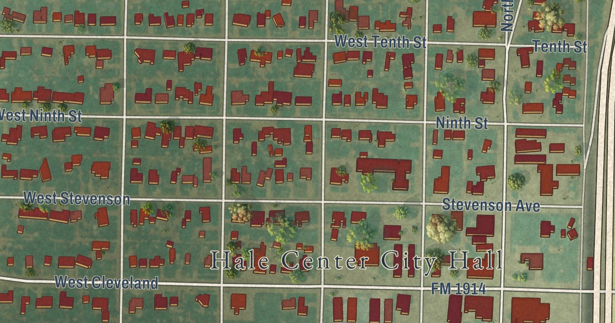
A detailed map of Hale Center, Texas, showing every building in its true location, the roads by name, and shaded topographical relief.
Read More
A detailed map of Lake St. Croix Beach, Minnesota, showing every building in its true location, the roads by name, and shaded topographical relief.
Read More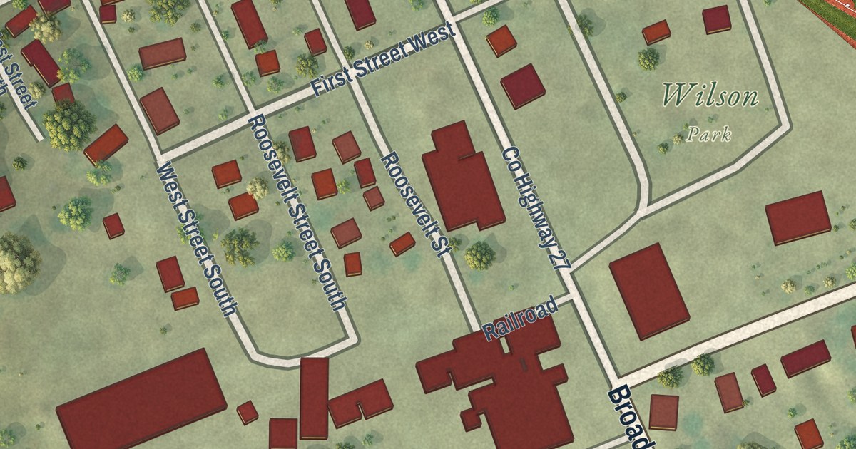
A detailed map of Lake Wilson, Minnesota, showing every building in its true location, the roads by name, and shaded topographical relief.
Read More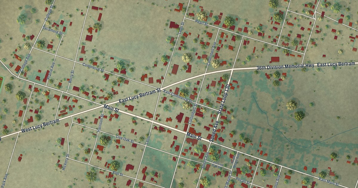
A detailed map of Gustine, Texas, showing every building in its true location, the roads by name, and shaded topographical relief.
Read More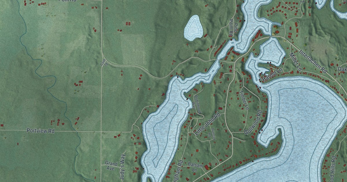
A detailed map of Lake Shore, Minnesota, showing every building in its true location, the roads by name, and shaded topographical relief.
Read More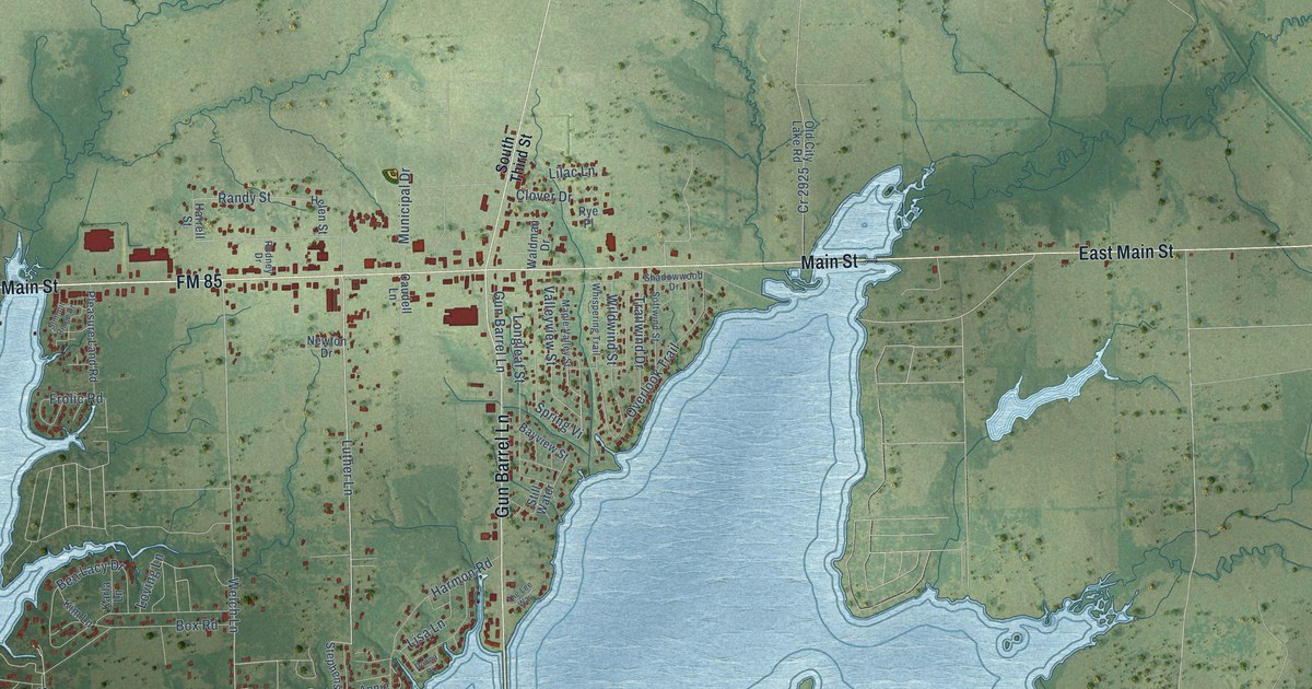
A detailed map of Gun Barrel City, Texas, showing every building in its true location, the roads by name, and shaded topographical relief.
Read More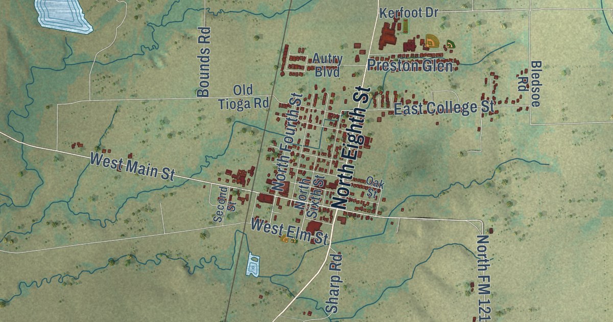
A detailed map of Gunter, Texas, showing every building in its true location, the roads by name, and shaded topographical relief.
Read More
A detailed map of Lake Park, Minnesota, showing every building in its true location, the roads by name, and shaded topographical relief.
Read More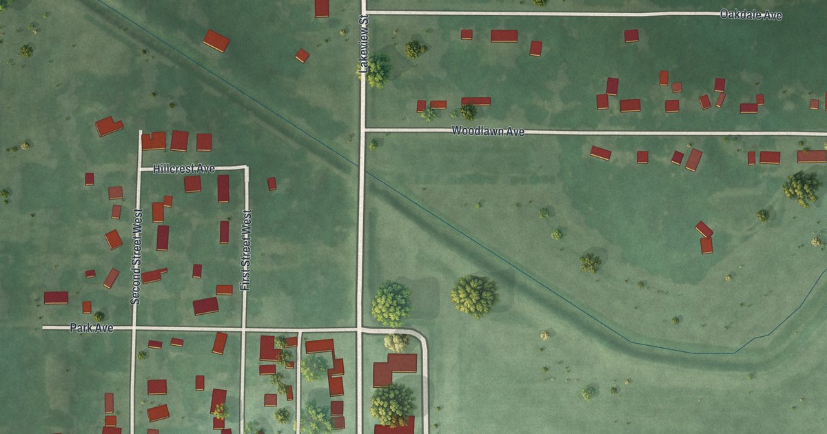
A detailed map of Lake Lillian, Minnesota, showing every building in its true location, the roads by name, and shaded topographical relief.
Read More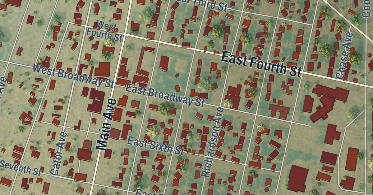
A detailed map of Gruver, Texas, showing every building in its true location, the roads by name, and shaded topographical relief.
Read More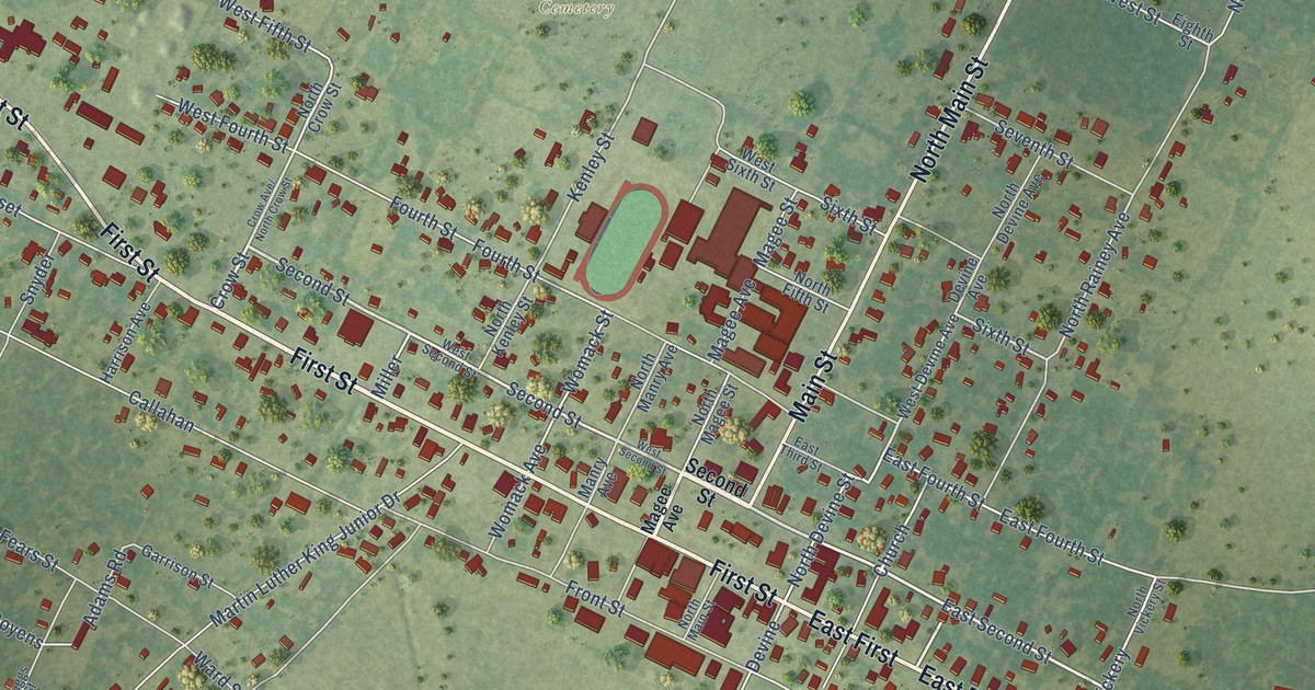
A detailed map of Groveton, Texas, showing every building in its true location, the roads by name, and shaded topographical relief.
Read More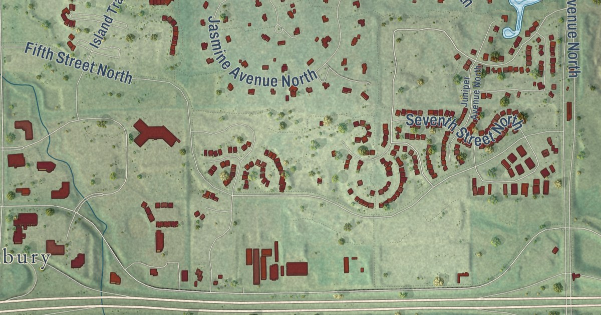
A detailed map of Lake Elmo, Minnesota, showing every building in its true location, the roads by name, and shaded topographical relief.
Read More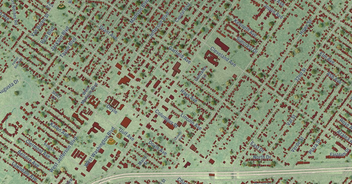
A detailed map of Groves, Texas, showing every building in its true location, the roads by name, and shaded topographical relief.
Read More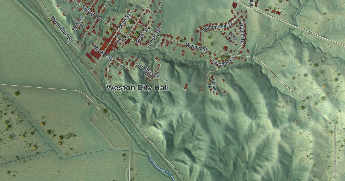
See Weston, Missouri from above: Main Street, Weston City Hall, green Platte County hills and a wide river bend. Read how Weston merchants built a lasting trade in the rush to California, and learn about the town’s two National Register places.
Read More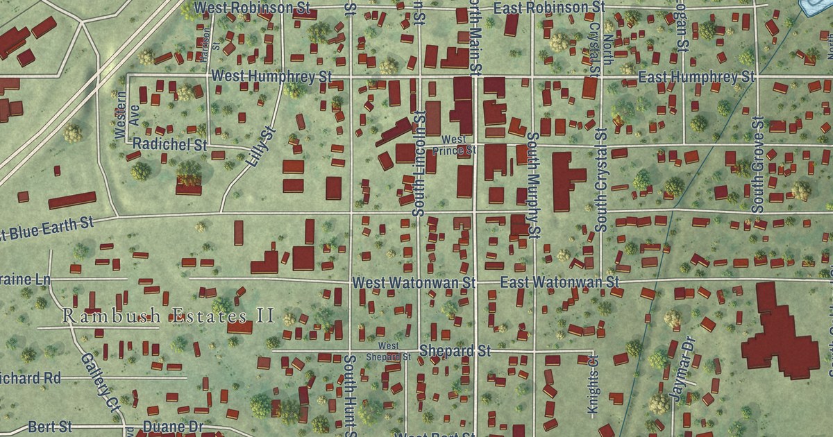
A detailed map of Lake Crystal, Minnesota, showing every building in its true location, the roads by name, and shaded topographical relief.
Read More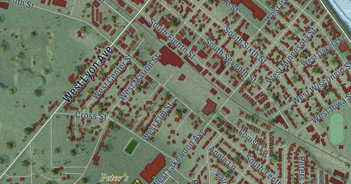
A detailed map of Lake City, Minnesota, showing every building in its true location, the roads by name, and shaded topographical relief.
Read More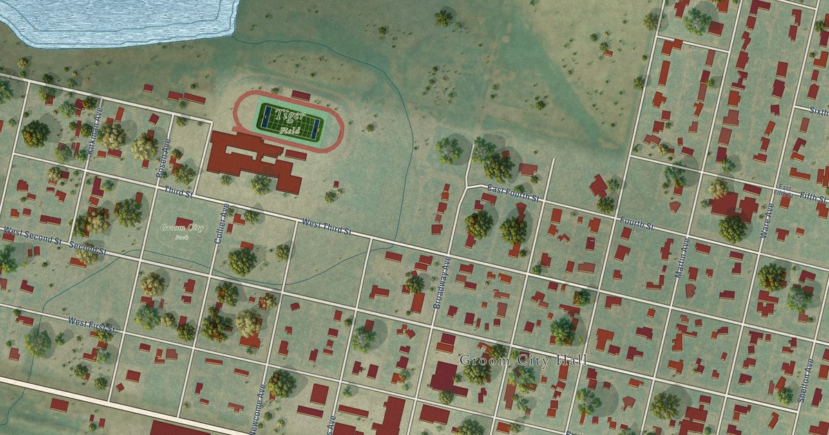
A detailed map of Groom, Texas, showing every building in its true location, the roads by name, and shaded topographical relief.
Read More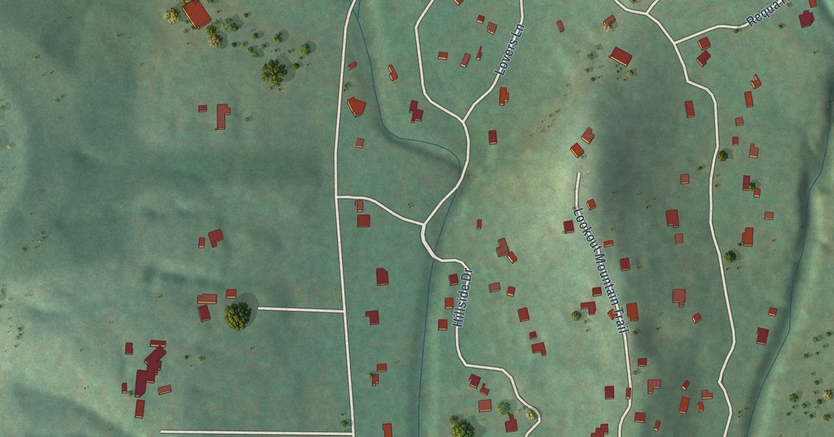
A detailed map of Grey Forest, Texas, showing every building in its true location, the roads by name, and shaded topographical relief.
Read More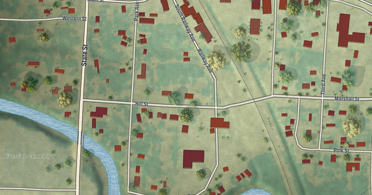
A detailed map of Lake Bronson, Minnesota, showing every building in its true location, the roads by name, and shaded topographical relief.
Read More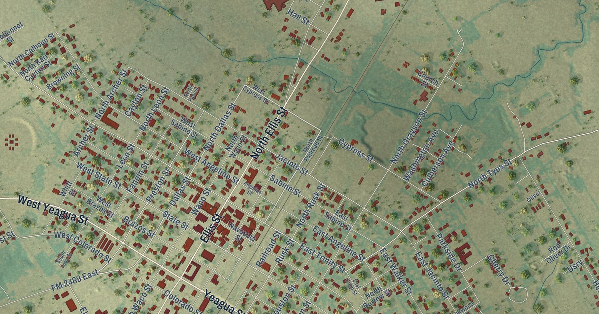
A detailed map of Groesbeck, Texas, showing every building in its true location, the roads by name, and shaded topographical relief.
Read More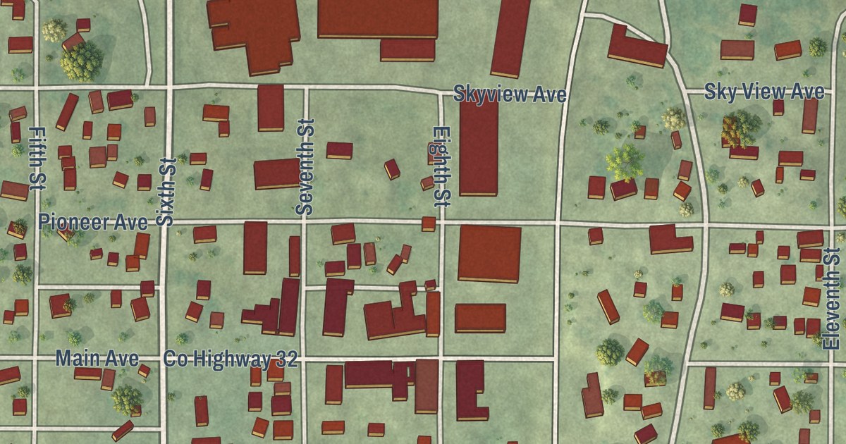
A detailed map of Lafayette, Minnesota, showing every building in its true location, the roads by name, and shaded topographical relief.
Read More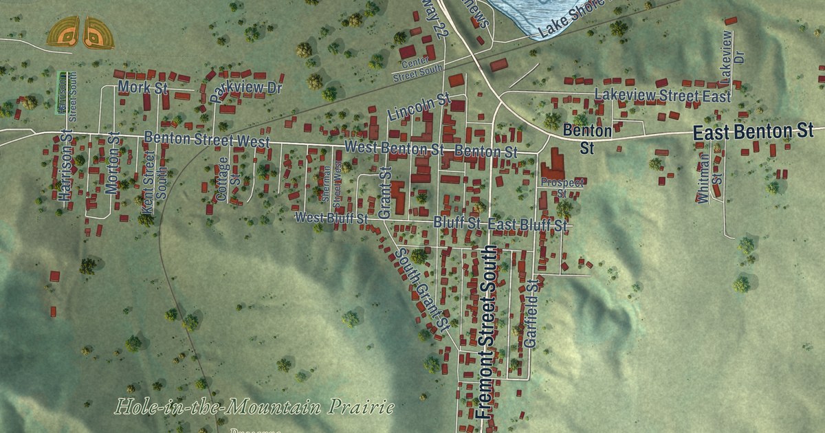
A detailed map of Lake Benton, Minnesota, showing every building in its true location, the roads by name, and shaded topographical relief.
Read More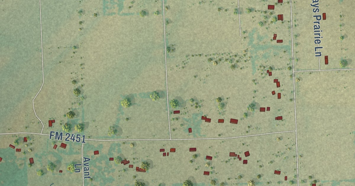
A detailed map of Grays Prairie, Texas, showing every building in its true location, the roads by name, and shaded topographical relief.
Read More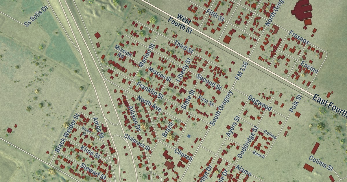
A detailed map of Gregory, Texas, showing every building in its true location, the roads by name, and shaded topographical relief.
Read More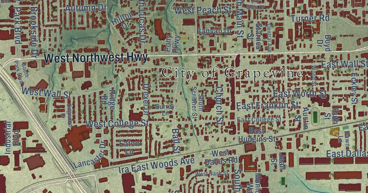
A detailed map of Grapevine, Texas, showing every building in its true location, the roads by name, and shaded topographical relief.
Read More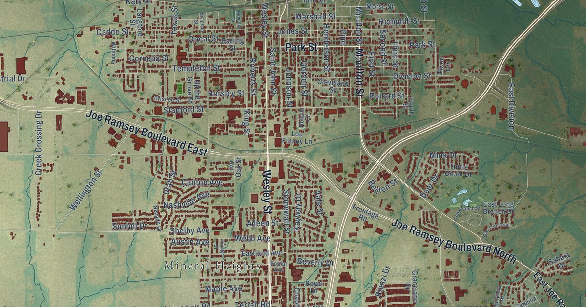
A detailed map of Greenville, Texas, showing every building in its true location, the roads by name, and shaded topographical relief.
Read More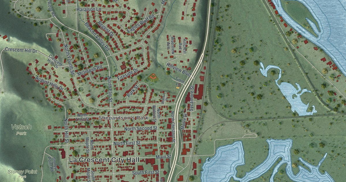
A detailed map of La Crescent, Minnesota, showing every building in its true location, the roads by name, and shaded topographical relief.
Read More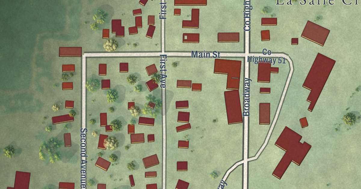
A detailed map of La Salle, Minnesota, showing every building in its true location, the roads by name, and shaded topographical relief.
Read More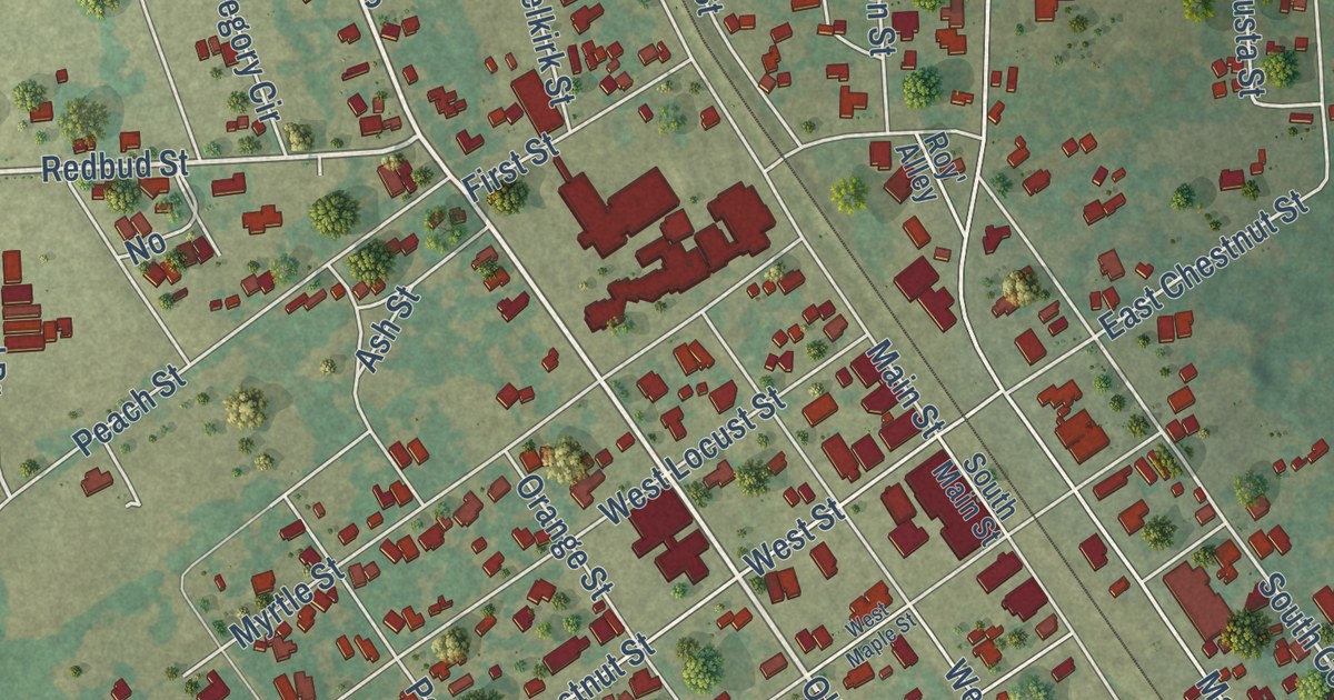
A detailed map of Grapeland, Texas, showing every building in its true location, the roads by name, and shaded topographical relief.
Read More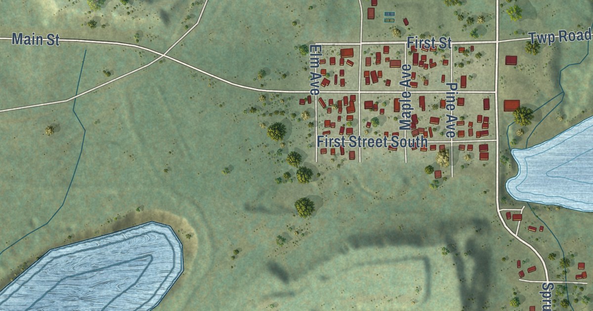
A detailed map of Kinney, Minnesota, showing every building in its true location, the roads by name, and shaded topographical relief.
Read More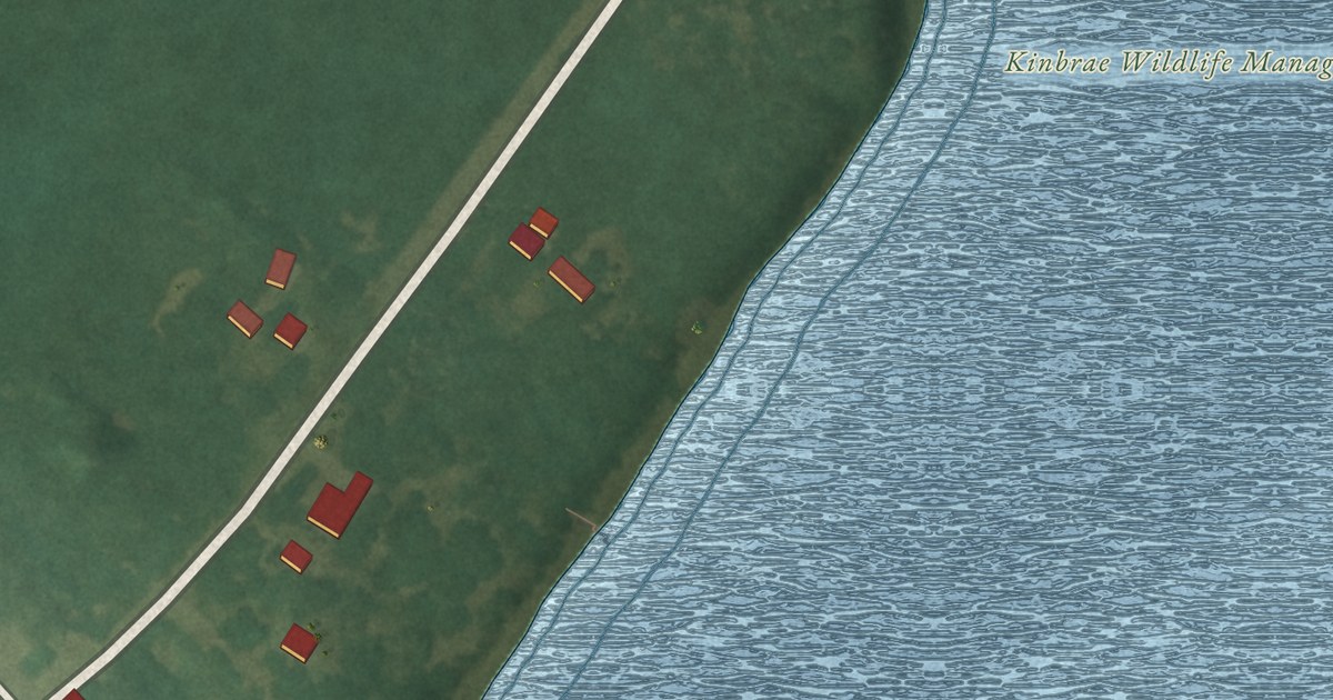
A detailed map of Kinbrae, Minnesota, showing every building in its true location, the roads by name, and shaded topographical relief.
Read More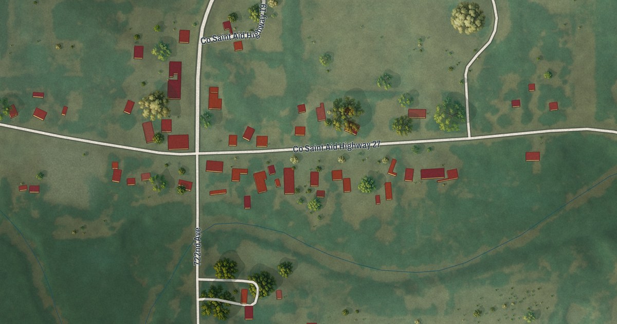
A detailed map of Kingston, Minnesota, showing every building in its true location, the roads by name, and shaded topographical relief.
Read More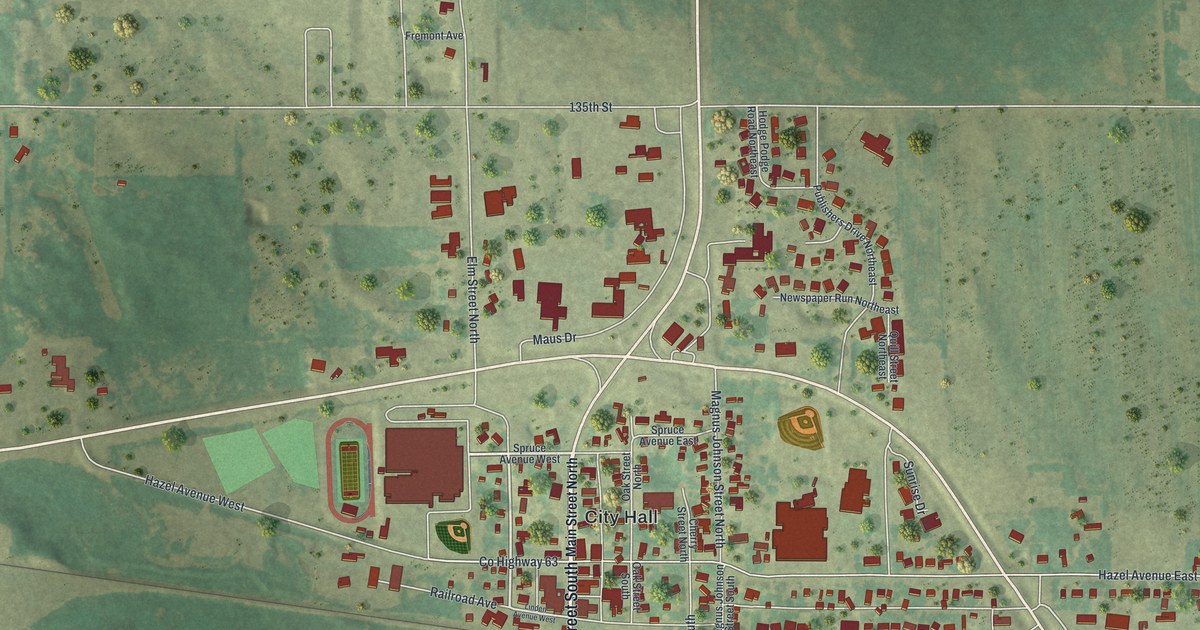
A detailed map of Kimball, Minnesota, showing every building in its true location, the roads by name, and shaded topographical relief.
Read More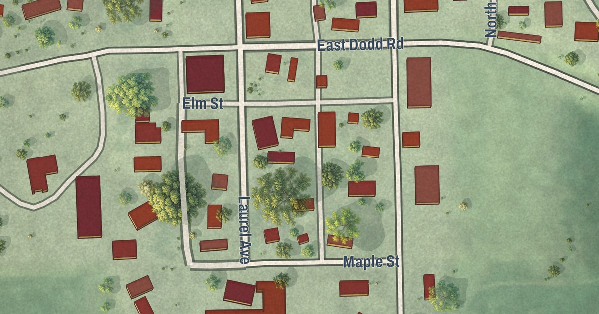
A detailed map of Kilkenny, Minnesota, showing every building in its true location, the roads by name, and shaded topographical relief.
Read More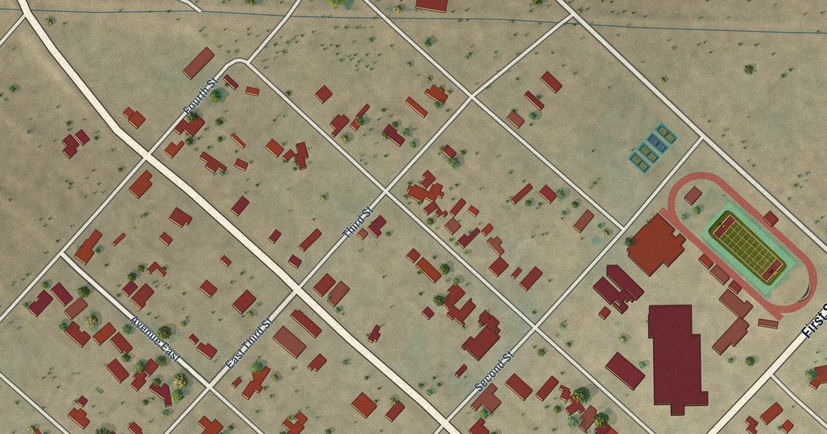
A detailed map of Grandfalls, Texas, showing every building in its true location, the roads by name, and shaded topographical relief.
Read More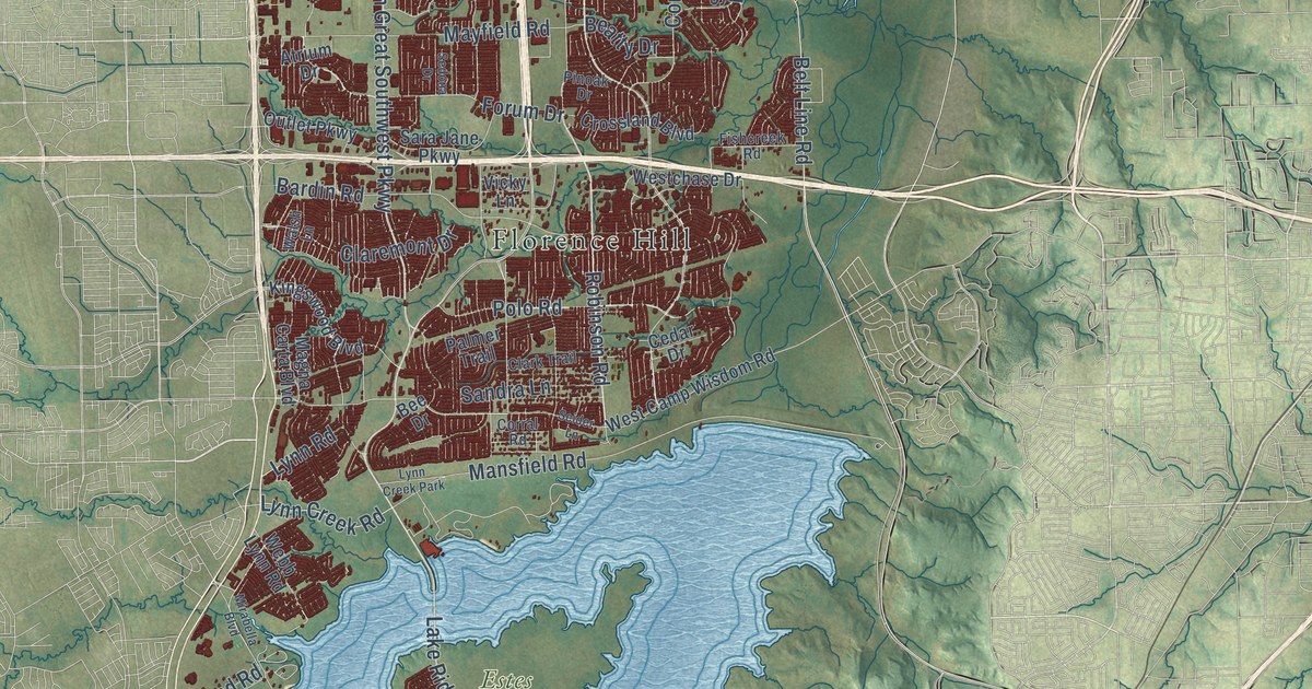
A detailed map of Grand Prairie, Texas, showing every building in its true location, the roads by name, and shaded topographical relief.
Read More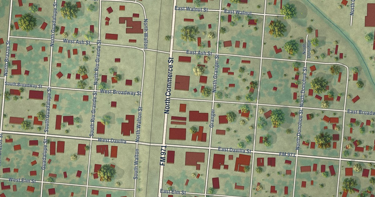
A detailed map of Granger, Texas, showing every building in its true location, the roads by name, and shaded topographical relief.
Read More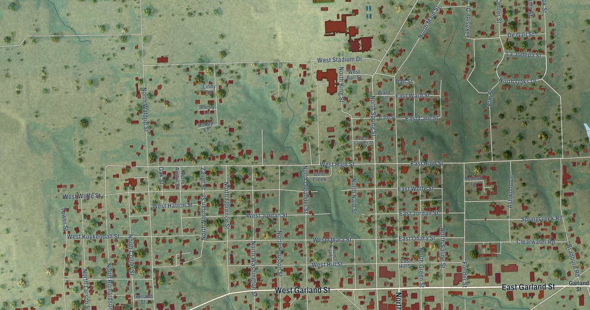
A detailed map of Grand Saline, Texas, showing every building in its true location, the roads by name, and shaded topographical relief.
Read More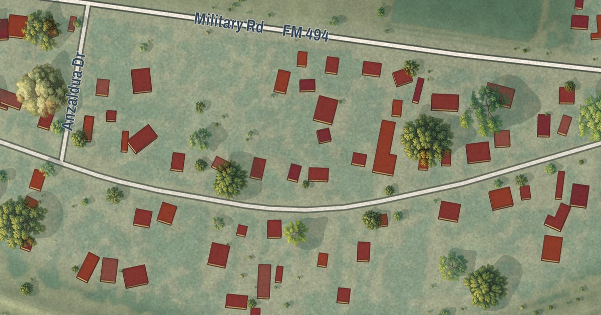
A detailed map of Granjeno, Texas, showing every building in its true location, the roads by name, and shaded topographical relief.
Read More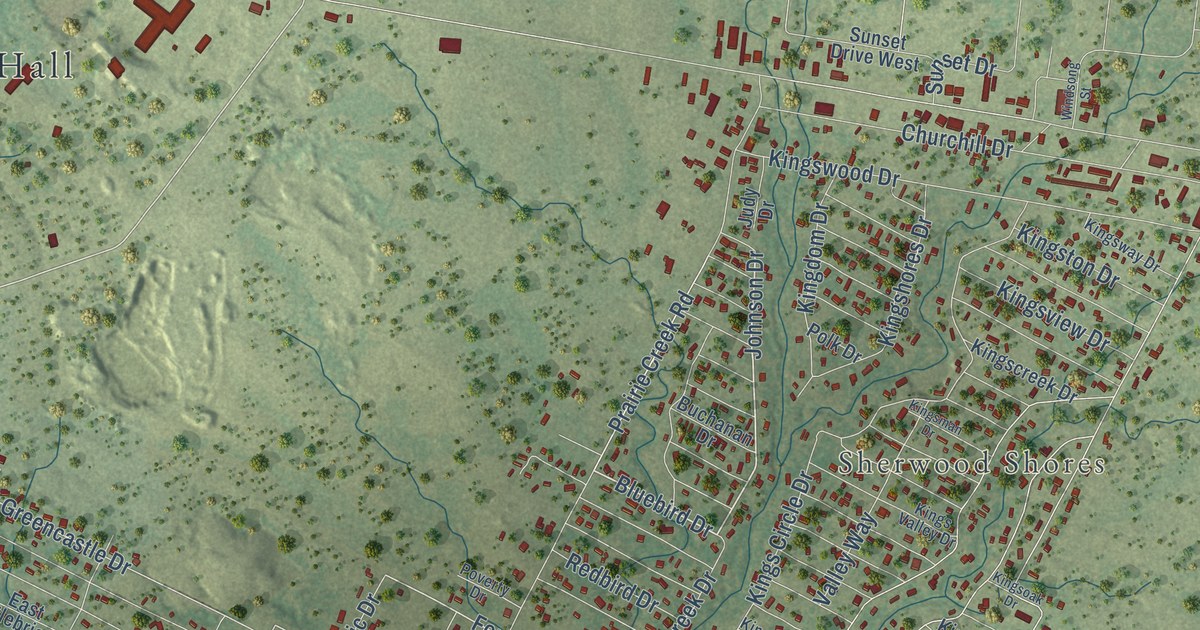
A detailed map of Granite Shoals, Texas, showing every building in its true location, the roads by name, and shaded topographical relief.
Read More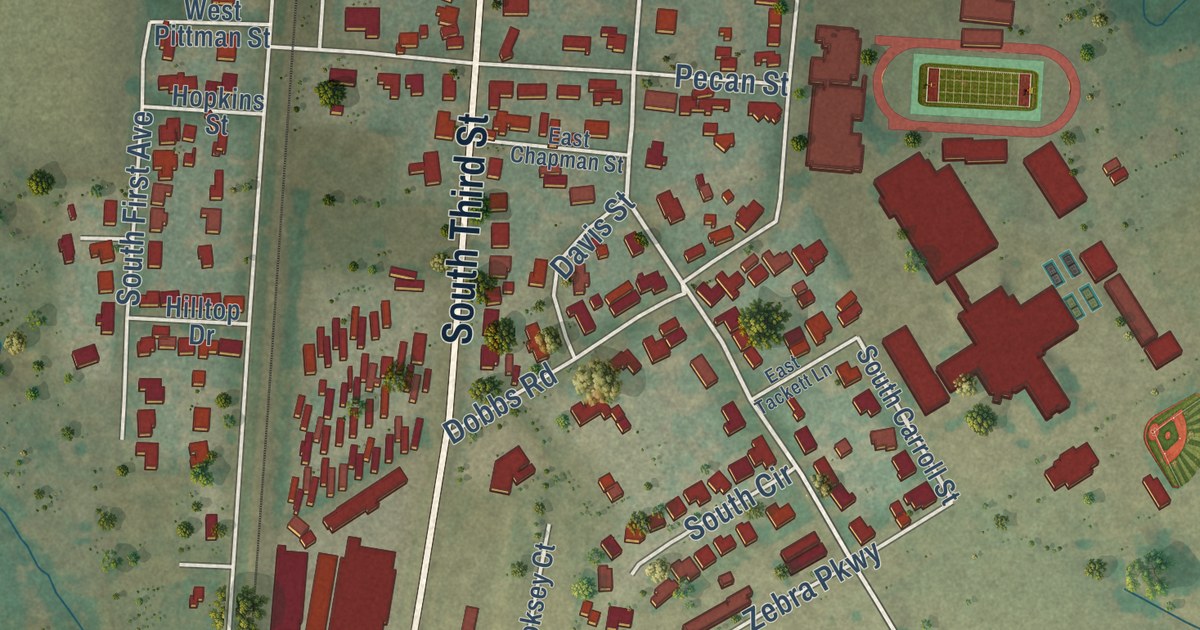
A detailed map of Grandview, Texas, showing every building in its true location, the roads by name, and shaded topographical relief.
Read More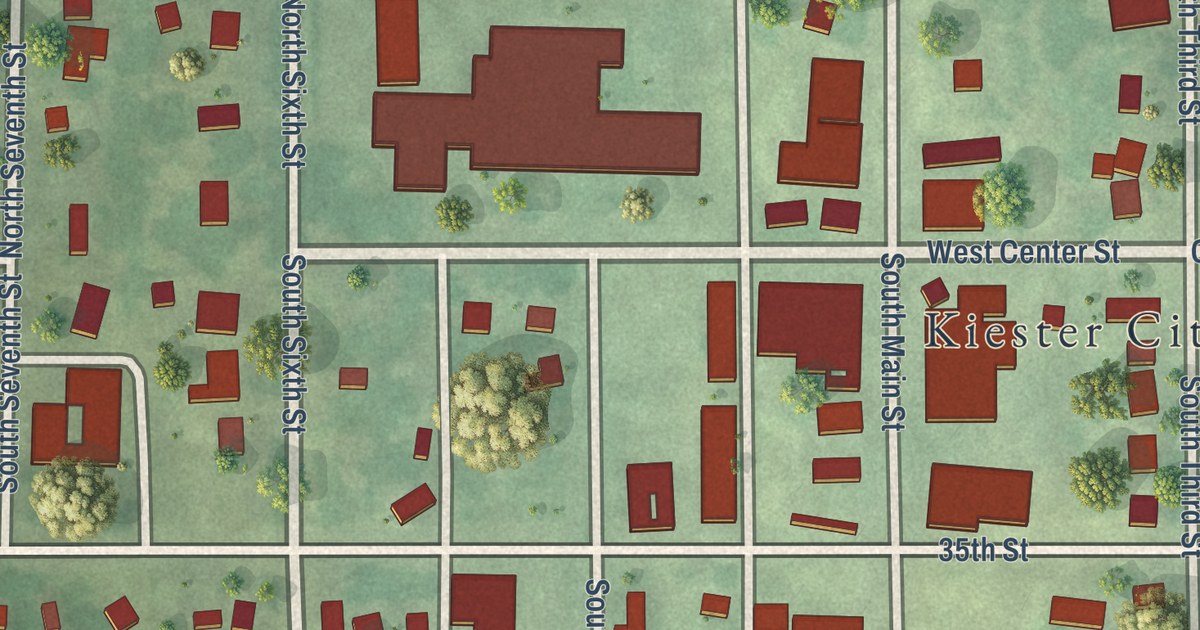
A detailed map of Kiester, Minnesota, showing every building in its true location, the roads by name, and shaded topographical relief.
Read More















