Detailed Map of Kettle River, Minnesota
A detailed map of Kettle River, Minnesota, showing every building in its true location, the roads by name, and shaded topographical relief.
Read More
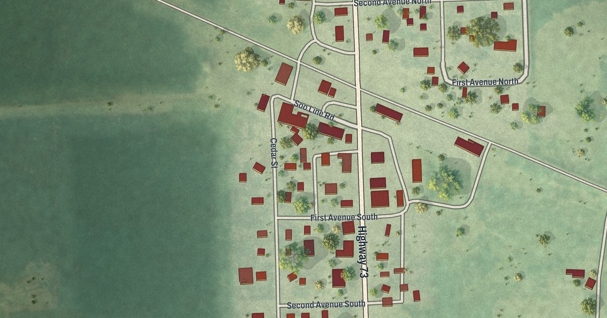
A detailed map of Kettle River, Minnesota, showing every building in its true location, the roads by name, and shaded topographical relief.
Read More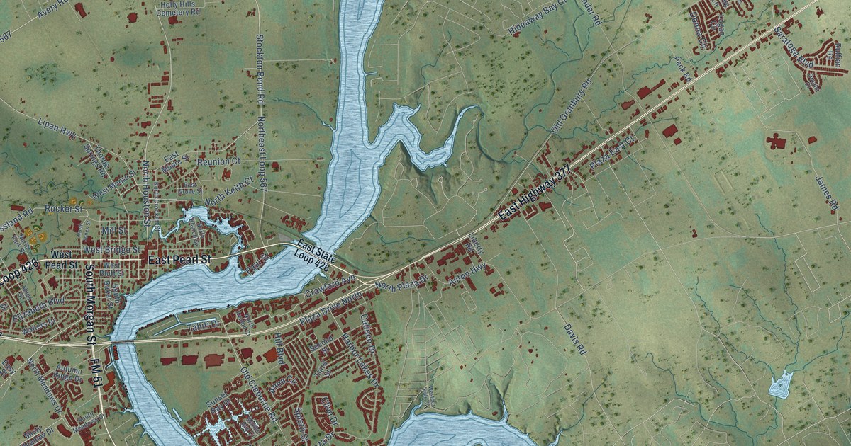
A detailed map of Granbury, Texas, showing every building in its true location, the roads by name, and shaded topographical relief.
Read More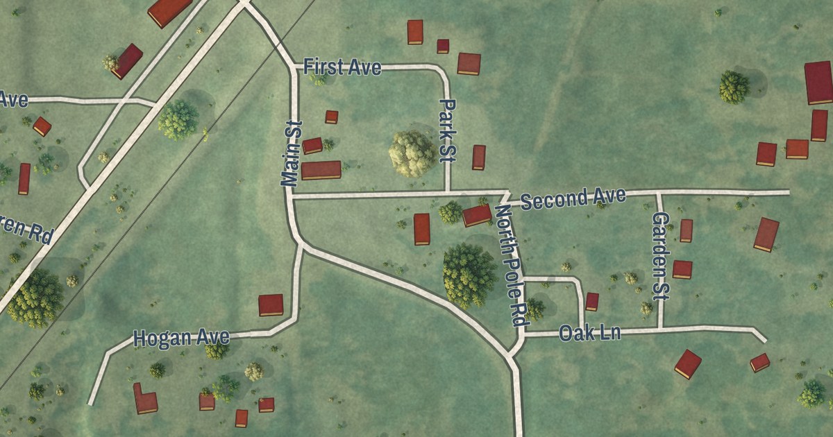
A detailed map of Kerrick, Minnesota, showing every building in its true location, the roads by name, and shaded topographical relief.
Read More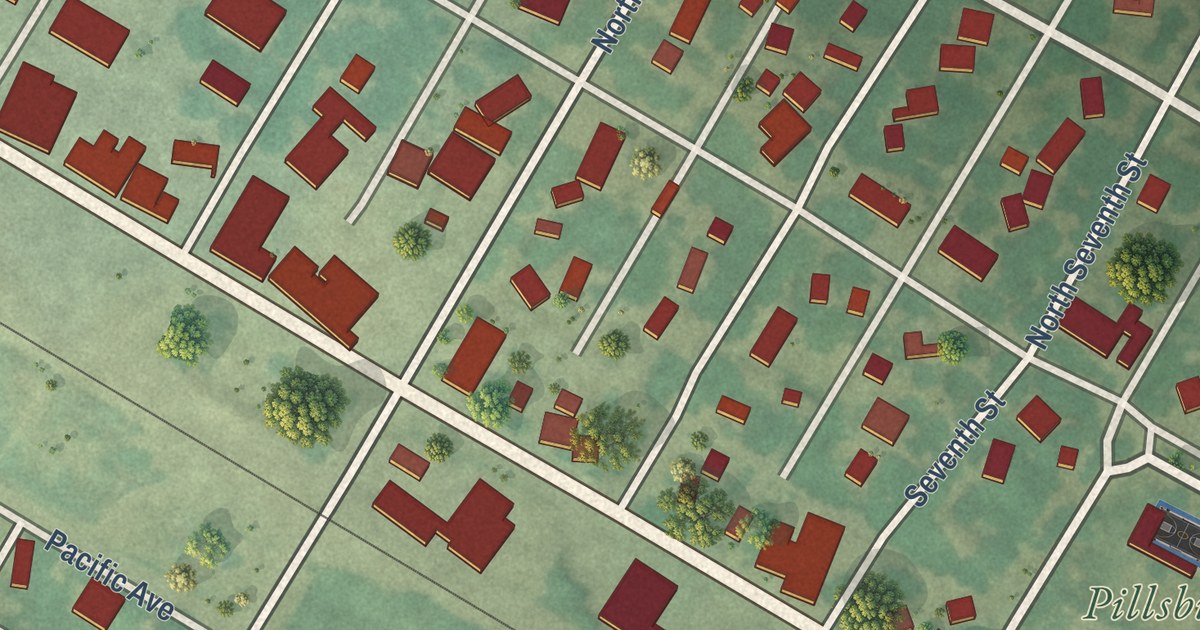
A detailed map of Kerkhoven, Minnesota, showing every building in its true location, the roads by name, and shaded topographical relief.
Read More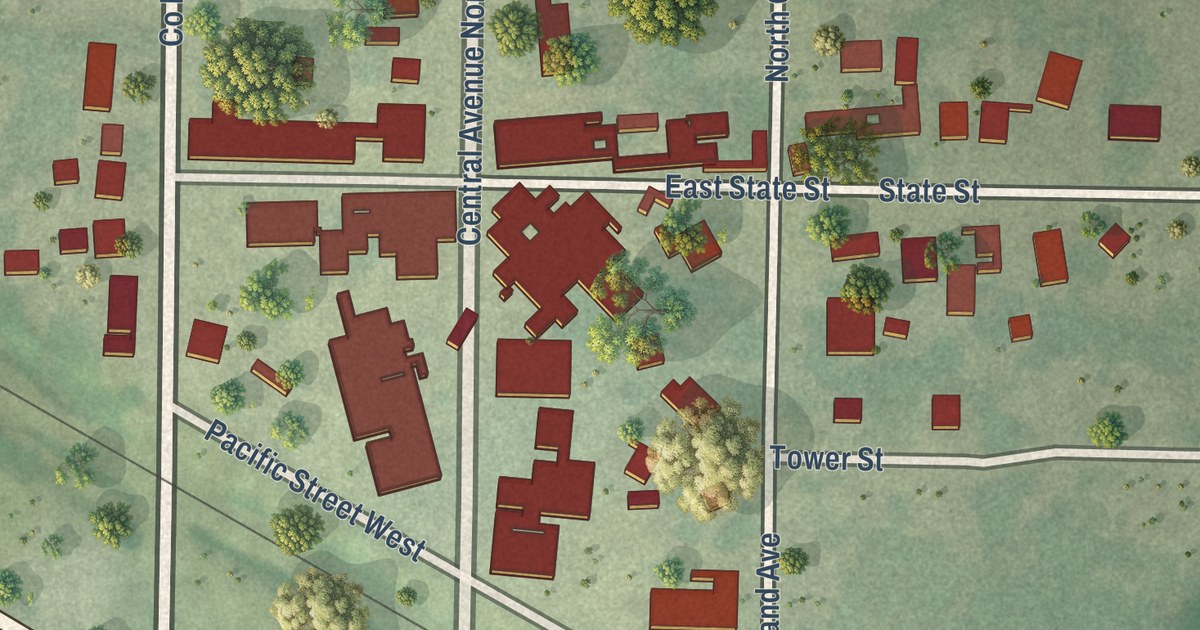
A detailed map of Kensington, Minnesota, showing every building in its true location, the roads by name, and shaded topographical relief.
Read More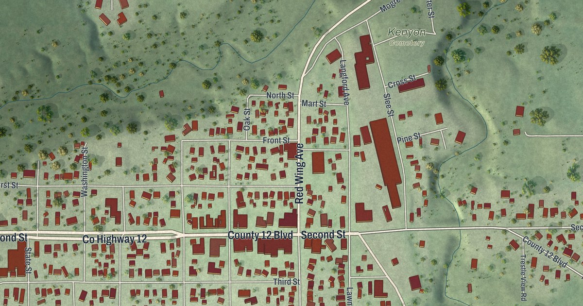
A detailed map of Kenyon, Minnesota, showing every building in its true location, the roads by name, and shaded topographical relief.
Read More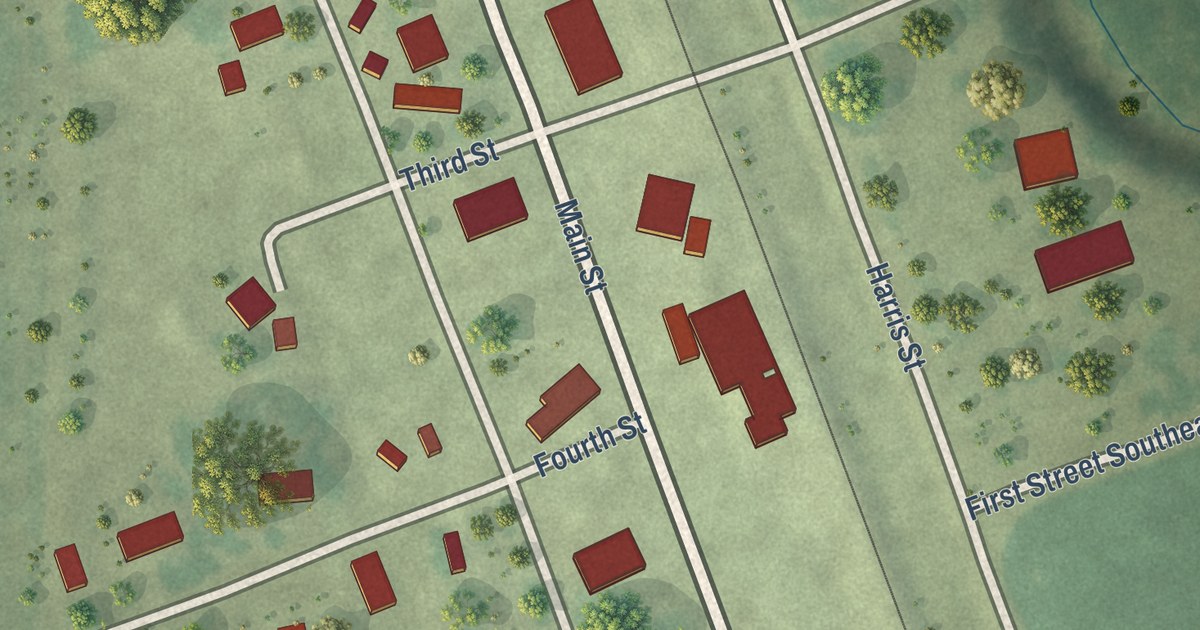
A detailed map of Kent, Minnesota, showing every building in its true location, the roads by name, and shaded topographical relief.
Read More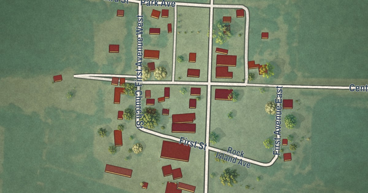
A detailed map of Kenneth, Minnesota, showing every building in its true location, the roads by name, and shaded topographical relief.
Read More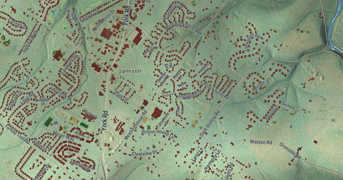
A 2026 aerial map of Warwick Township in Bucks County, Pennsylvania, with Jamison, Hartsville and Bridge Valley. Plus the story of the Moland House on Old York Road, where Washington kept his headquarters in August 1777.
Read More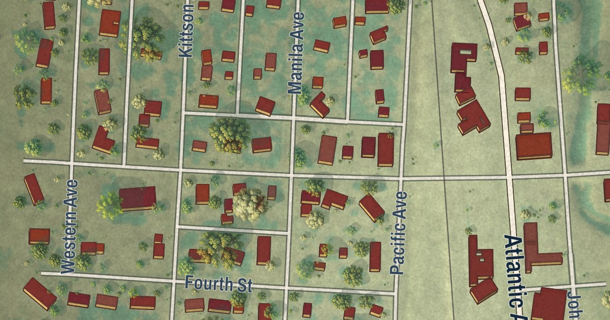
A detailed map of Kennedy, Minnesota, showing every building in its true location, the roads by name, and shaded topographical relief.
Read More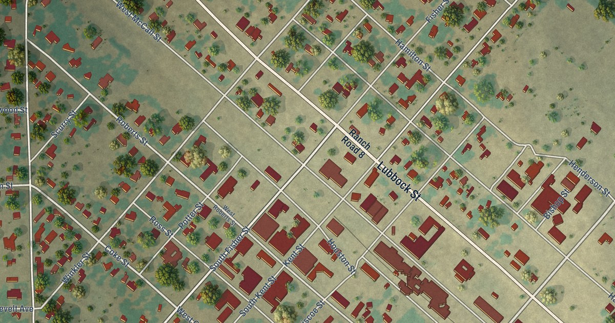
A detailed map of Gorman, Texas, showing every building in its true location, the roads by name, and shaded topographical relief.
Read More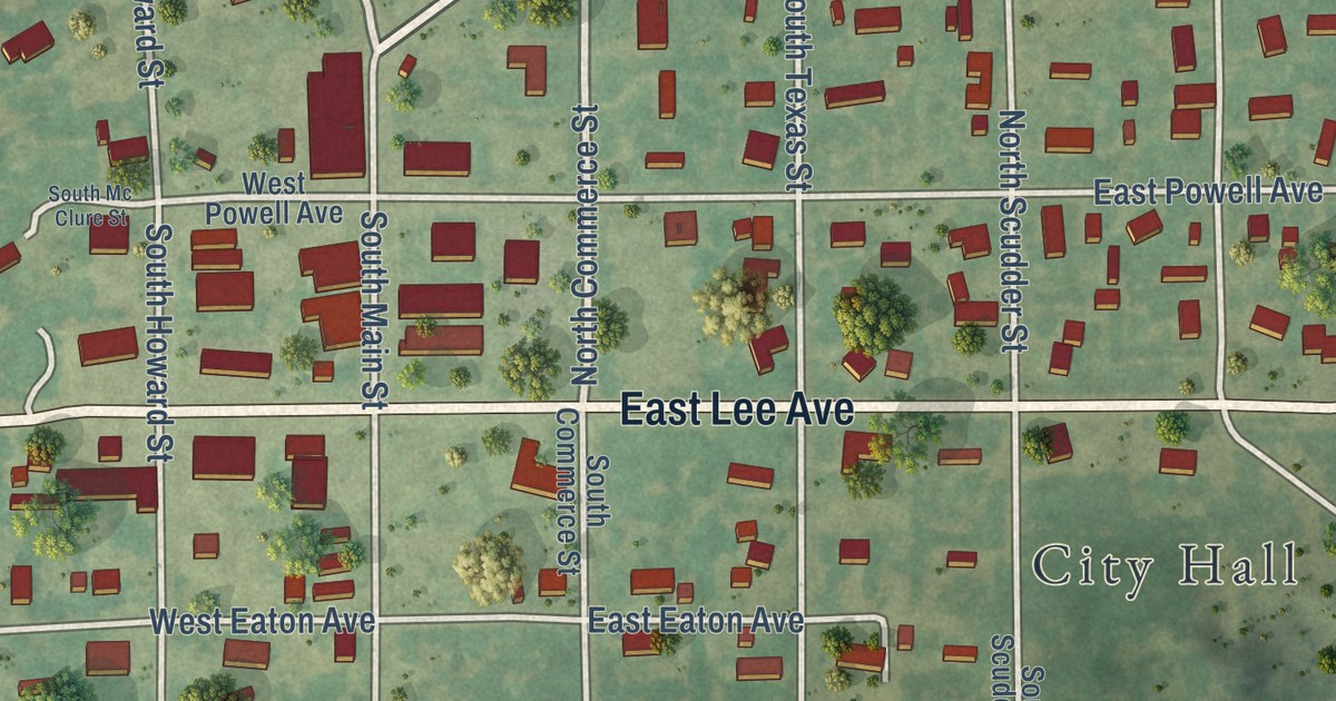
A detailed map of Graford, Texas, showing every building in its true location, the roads by name, and shaded topographical relief.
Read More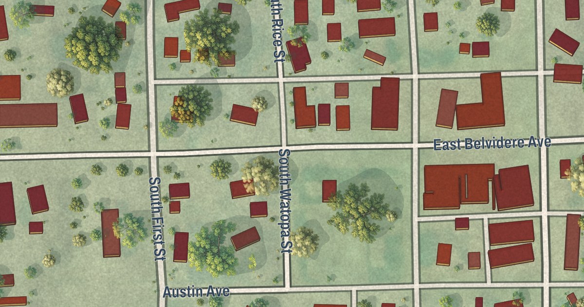
A detailed map of Kellogg, Minnesota, showing every building in its true location, the roads by name, and shaded topographical relief.
Read More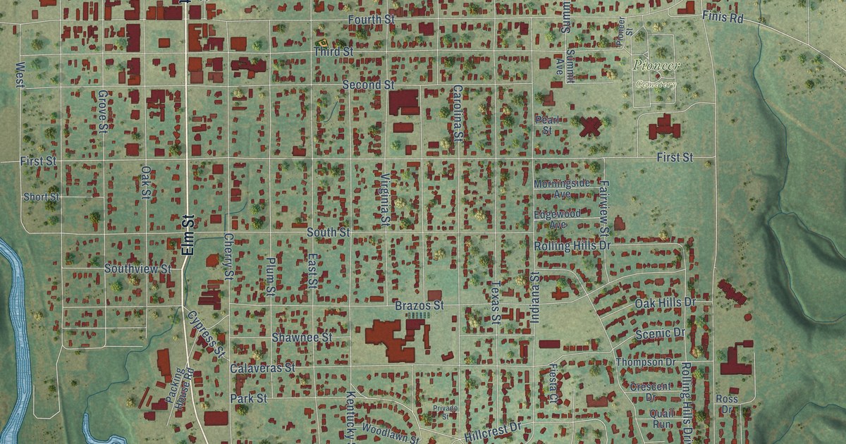
A detailed map of Graham, Texas, showing every building in its true location, the roads by name, and shaded topographical relief.
Read More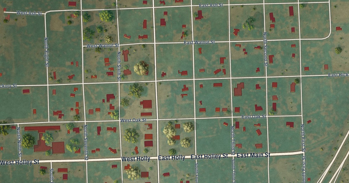
A detailed map of Goree, Texas, showing every building in its true location, the roads by name, and shaded topographical relief.
Read More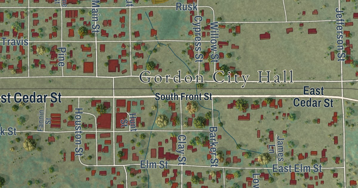
A detailed map of Gordon, Texas, showing every building in its true location, the roads by name, and shaded topographical relief.
Read More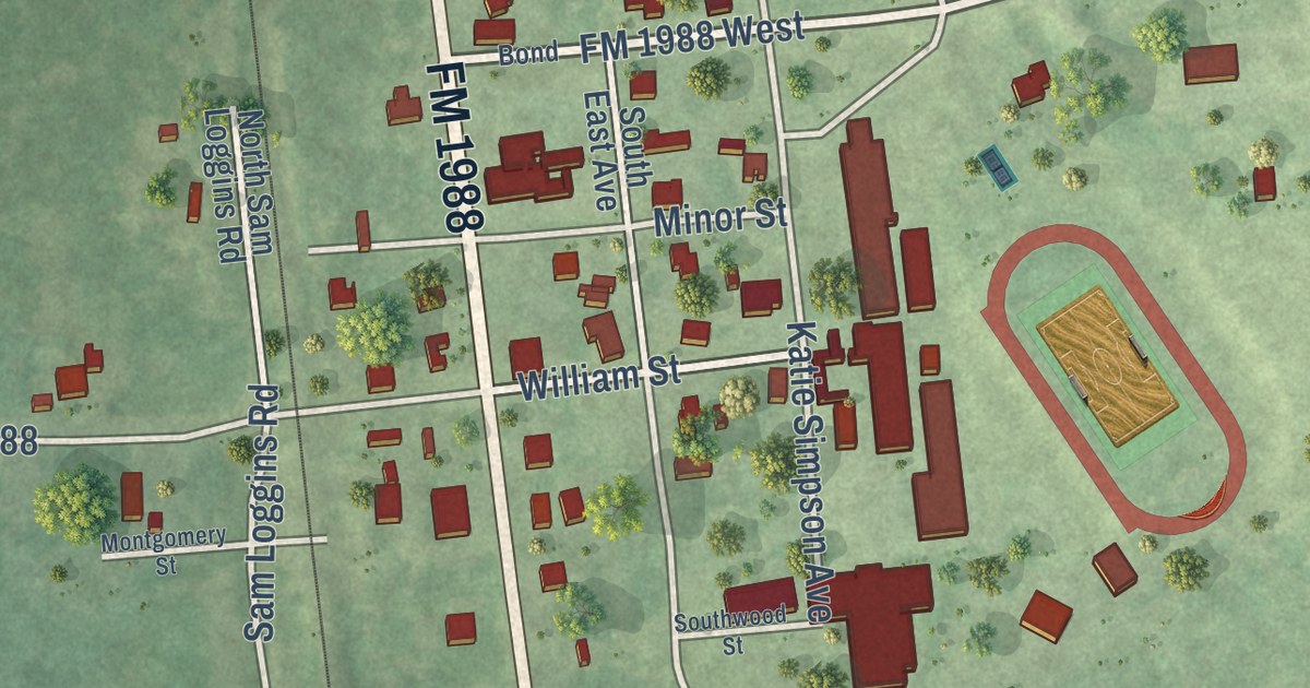
A detailed map of Goodrich, Texas, showing every building in its true location, the roads by name, and shaded topographical relief.
Read More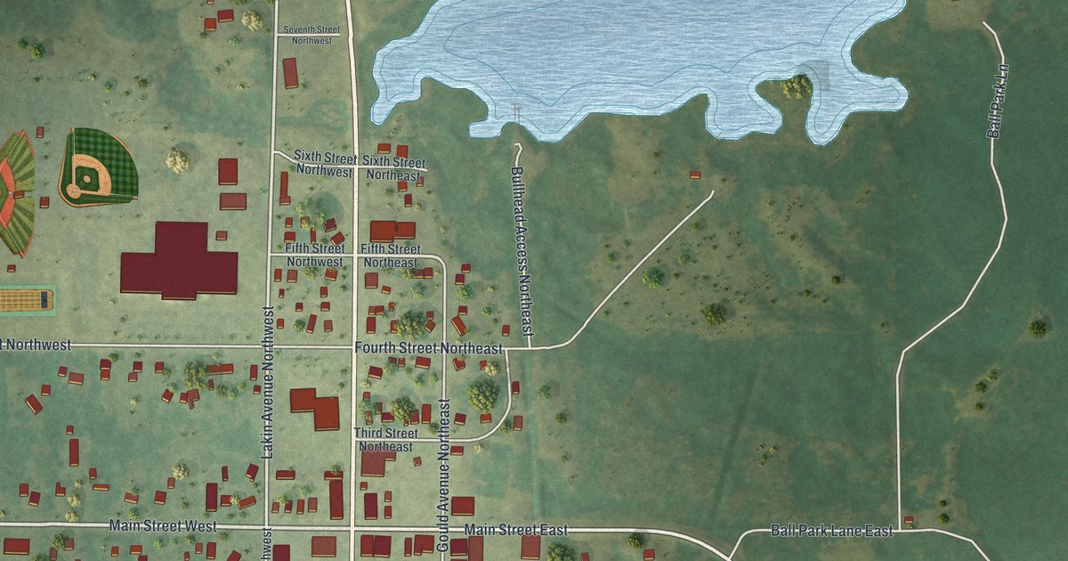
A detailed map of Kelliher, Minnesota, showing every building in its true location, the roads by name, and shaded topographical relief.
Read More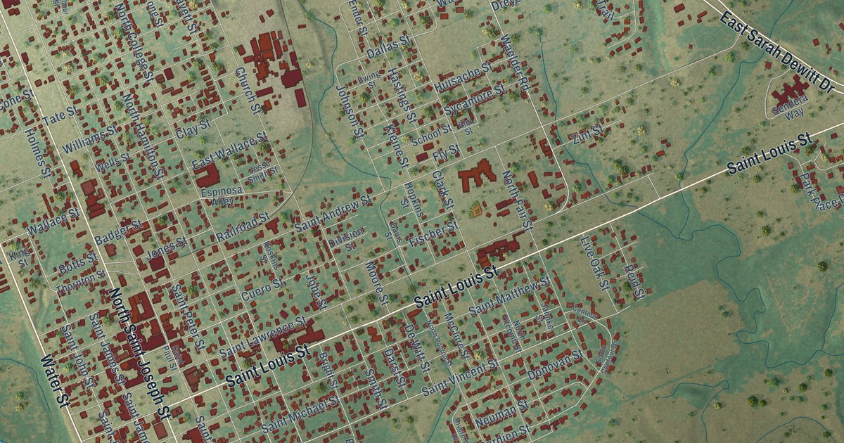
A detailed map of Gonzales, Texas, showing every building in its true location, the roads by name, and shaded topographical relief.
Read More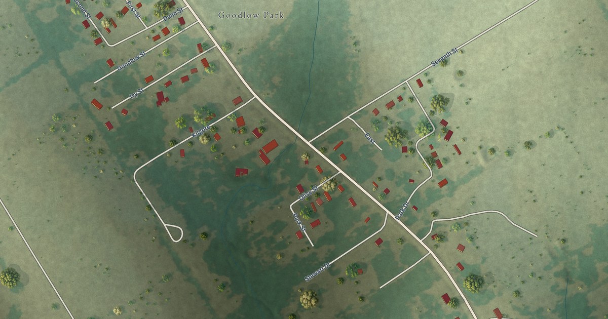
A detailed map of Goodlow, Texas, showing every building in its true location, the roads by name, and shaded topographical relief.
Read More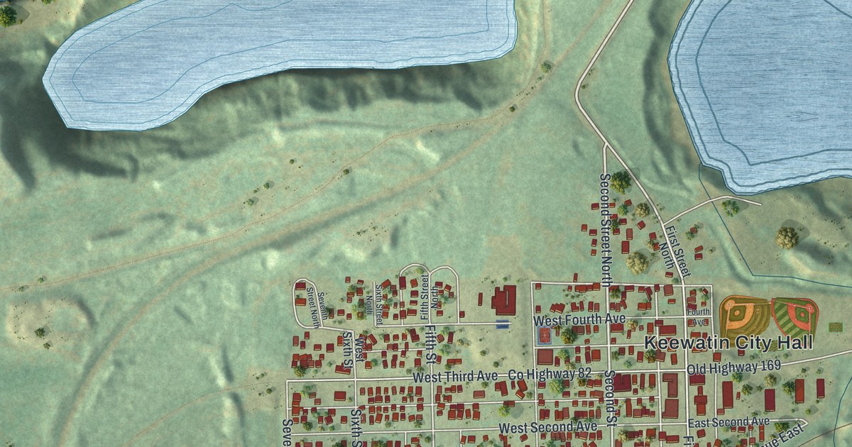
A detailed map of Keewatin, Minnesota, showing every building in its true location, the roads by name, and shaded topographical relief.
Read More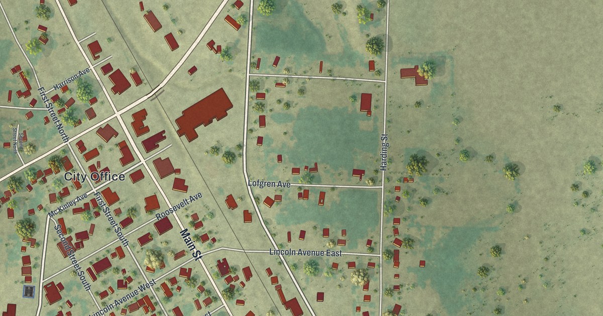
A detailed map of Karlstad, Minnesota, showing every building in its true location, the roads by name, and shaded topographical relief.
Read More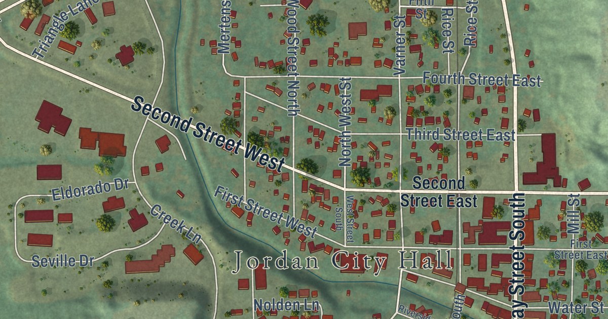
A detailed map of Jordan, Minnesota, showing every building in its true location, the roads by name, and shaded topographical relief.
Read More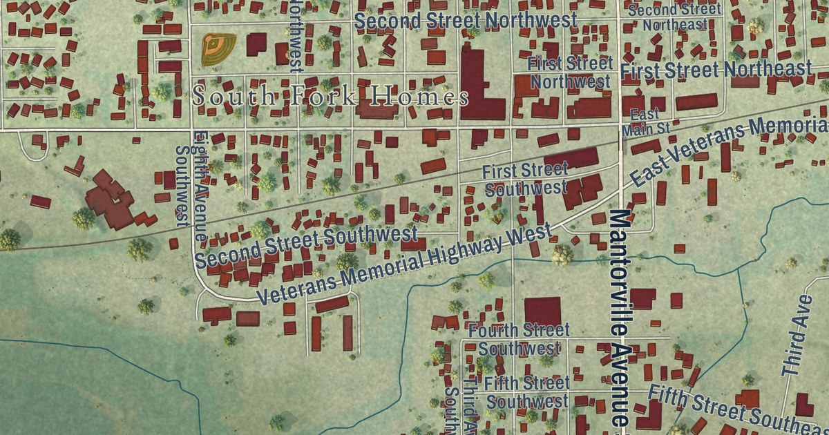
A detailed map of Kasson, Minnesota, showing every building in its true location, the roads by name, and shaded topographical relief.
Read More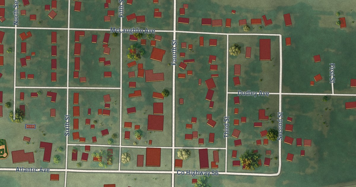
A detailed map of Kandiyohi, Minnesota, showing every building in its true location, the roads by name, and shaded topographical relief.
Read More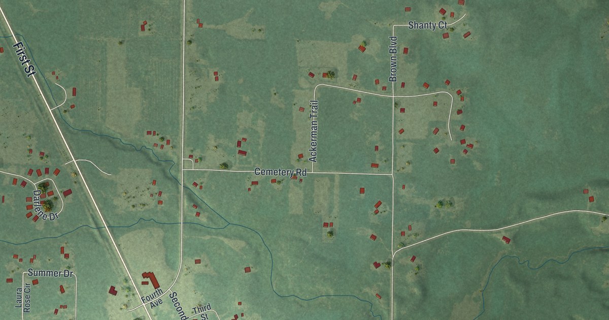
A detailed map of Jenkins, Minnesota, showing every building in its true location, the roads by name, and shaded topographical relief.
Read More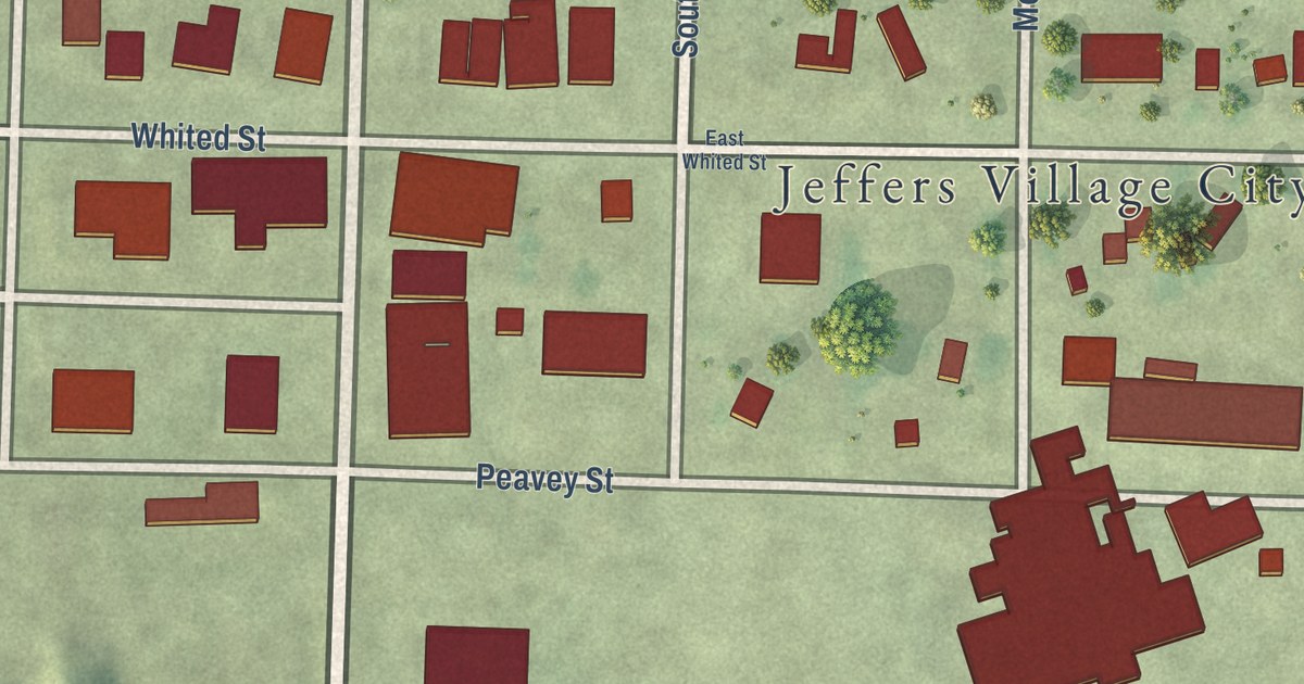
A detailed map of Jeffers, Minnesota, showing every building in its true location, the roads by name, and shaded topographical relief.
Read More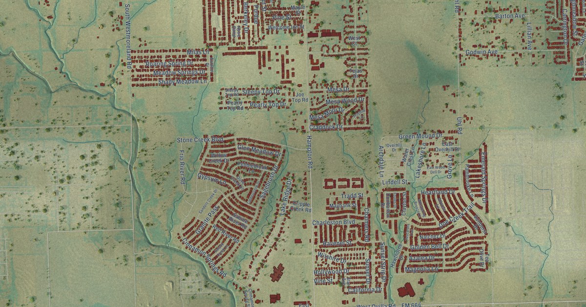
A detailed map of Glenn Heights, Texas, showing every building in its true location, the roads by name, and shaded topographical relief.
Read More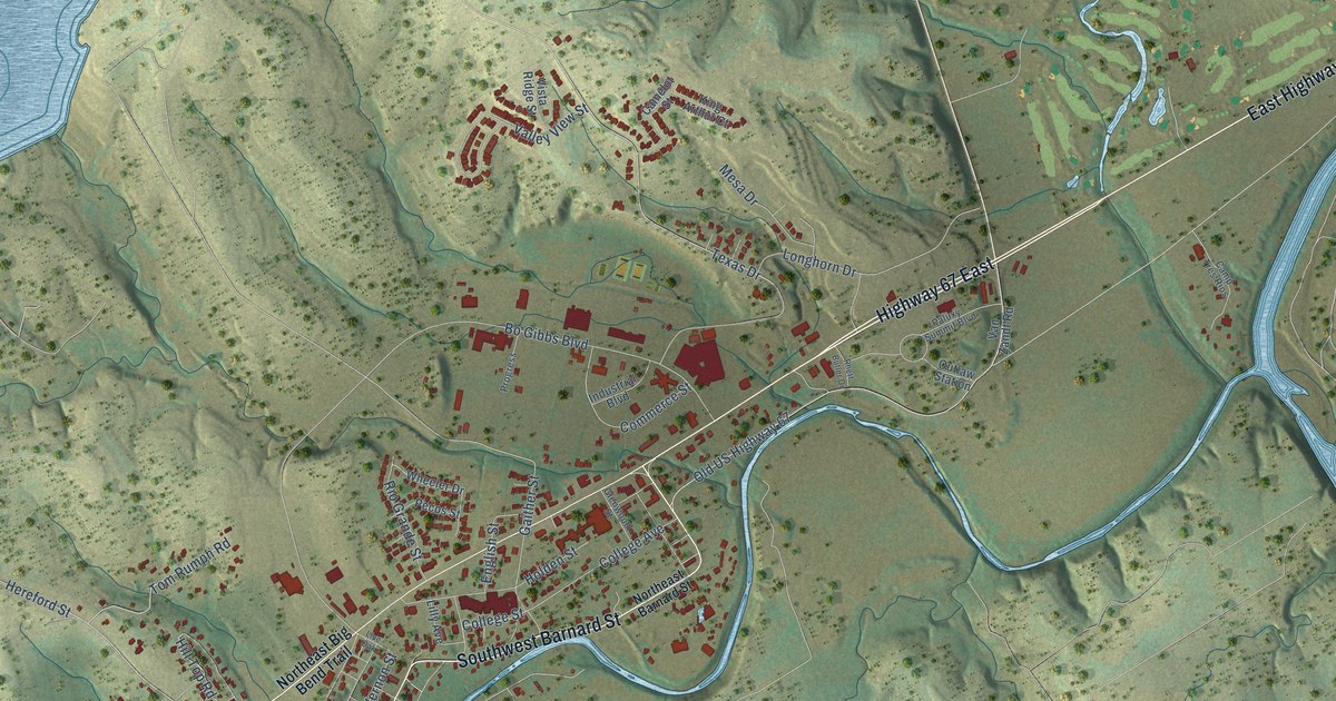
A detailed map of Glen Rose, Texas, showing every building in its true location, the roads by name, and shaded topographical relief.
Read More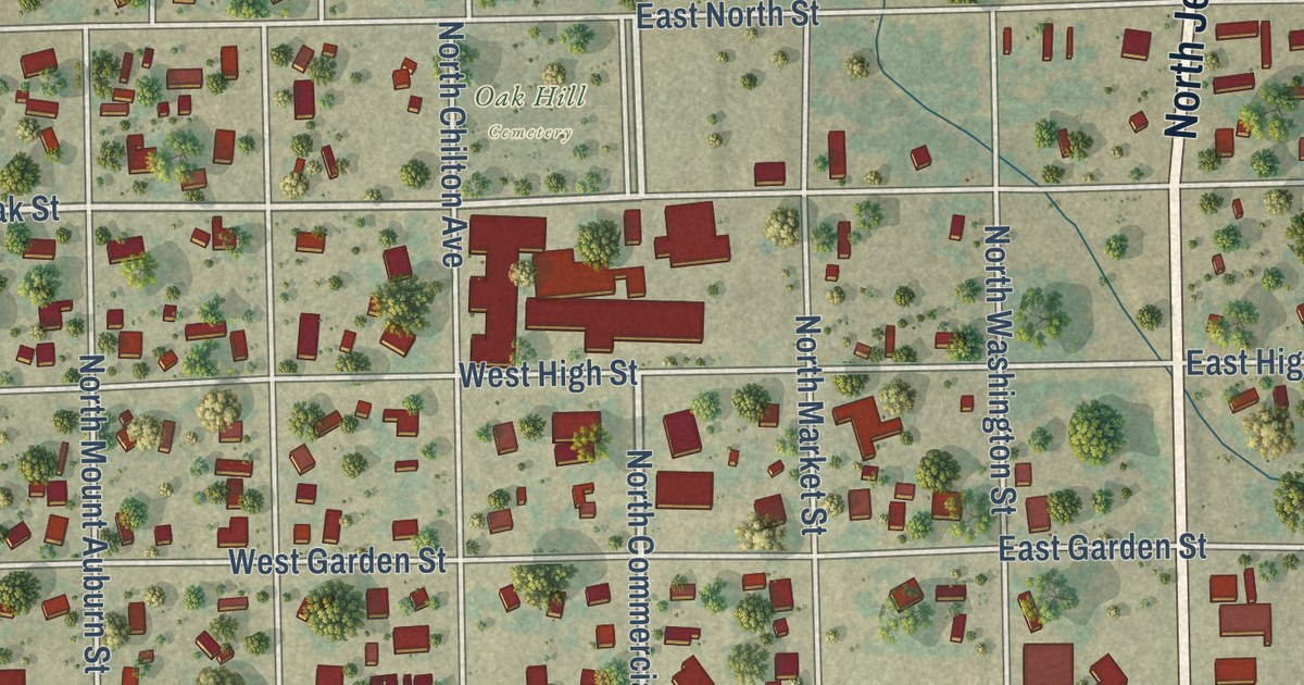
A detailed map of Goliad, Texas, showing every building in its true location, the roads by name, and shaded topographical relief.
Read More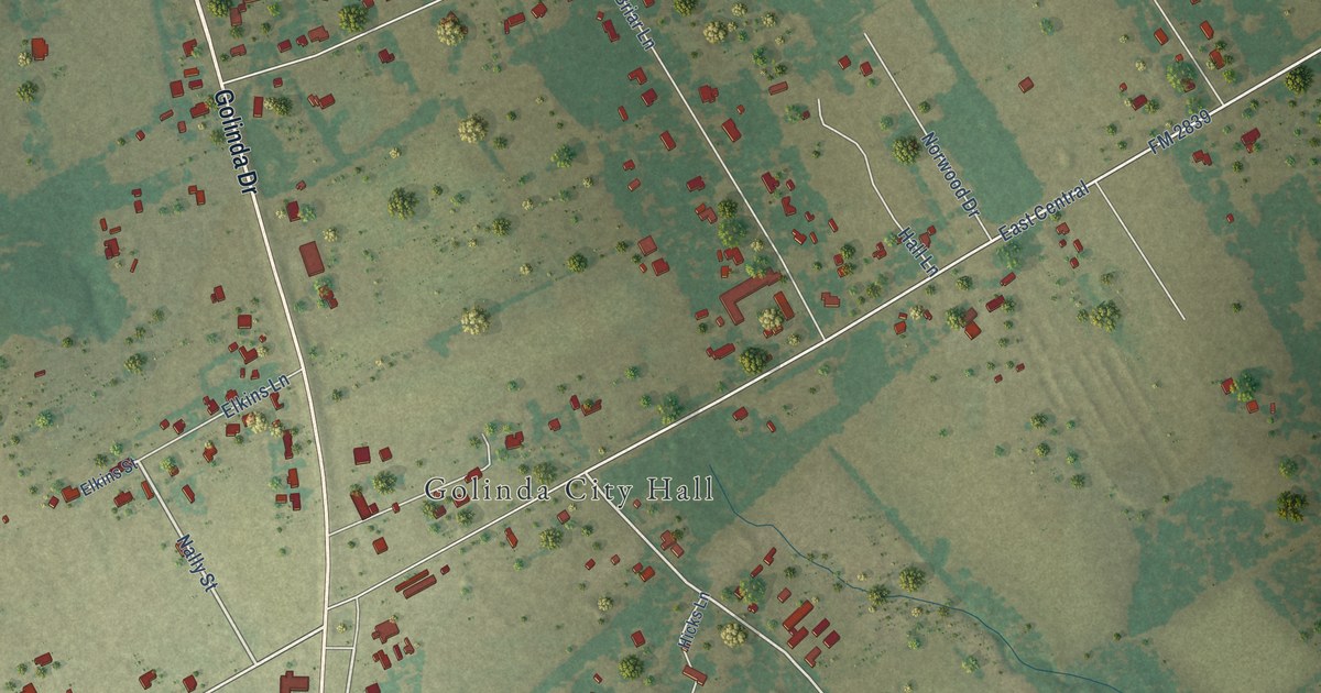
A detailed map of Golinda, Texas, showing every building in its true location, the roads by name, and shaded topographical relief.
Read More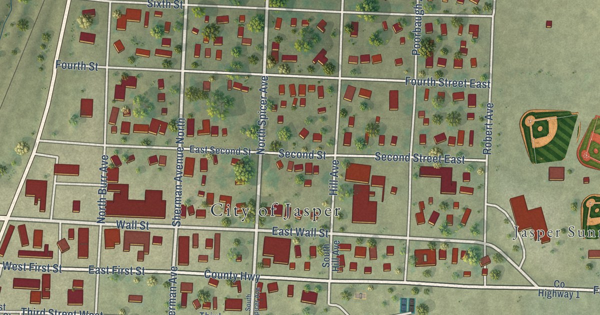
A detailed map of Jasper, Minnesota, showing every building in its true location, the roads by name, and shaded topographical relief.
Read More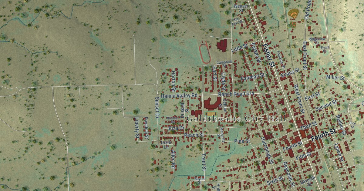
A detailed map of Goldthwaite, Texas, showing every building in its true location, the roads by name, and shaded topographical relief.
Read More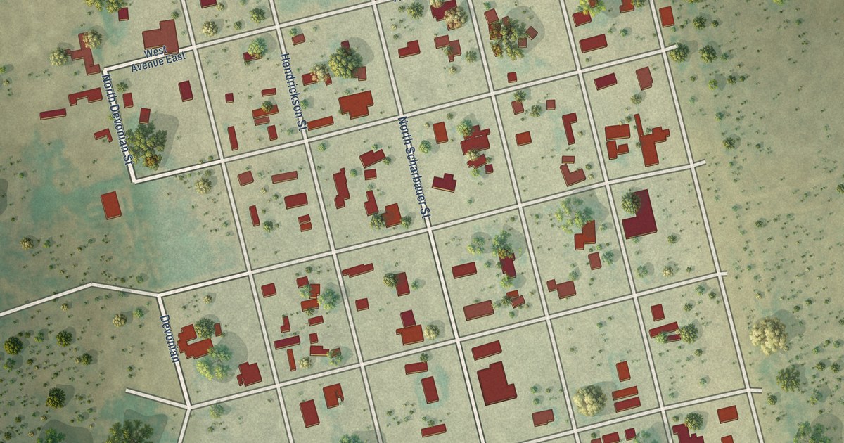
A detailed map of Goldsmith, Texas, showing every building in its true location, the roads by name, and shaded topographical relief.
Read More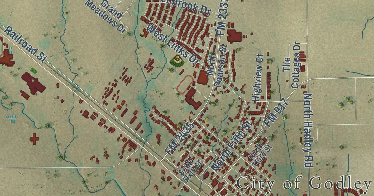
A detailed map of Godley, Texas, showing every building in its true location, the roads by name, and shaded topographical relief.
Read More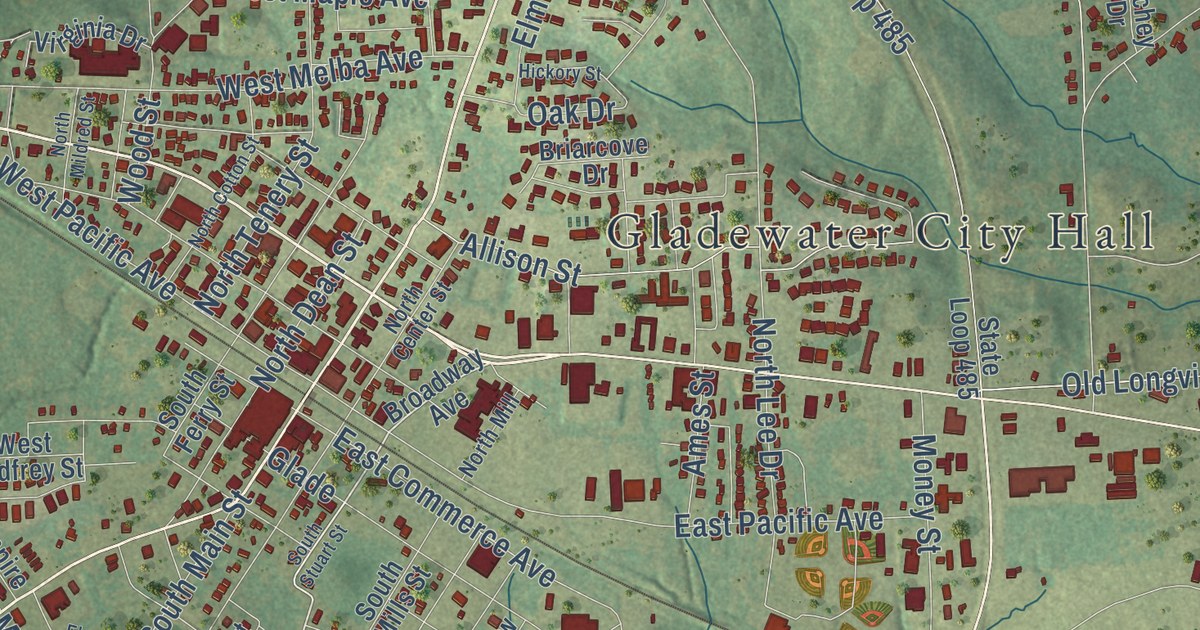
A detailed map of Gladewater, Texas, showing every building in its true location, the roads by name, and shaded topographical relief.
Read More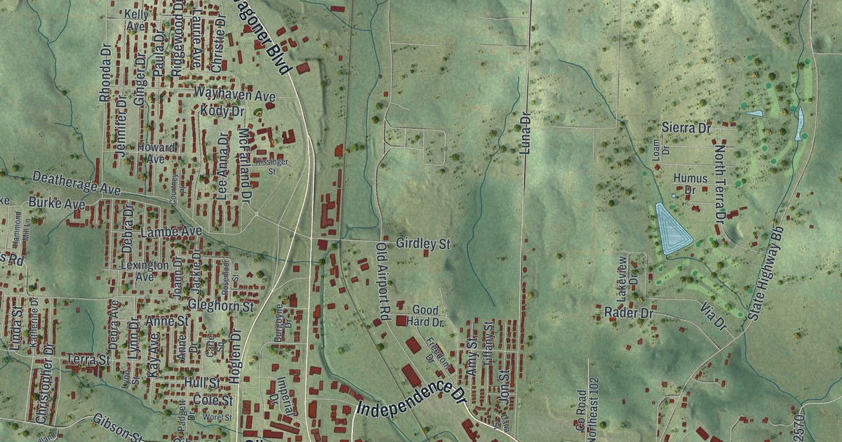
A new aerial map of West Plains in Howell County, Missouri, made in 2026. Find Washington Avenue, East Main Street and Jan Howard Expressway, and learn about the five West Plains buildings on the National Register.
Read More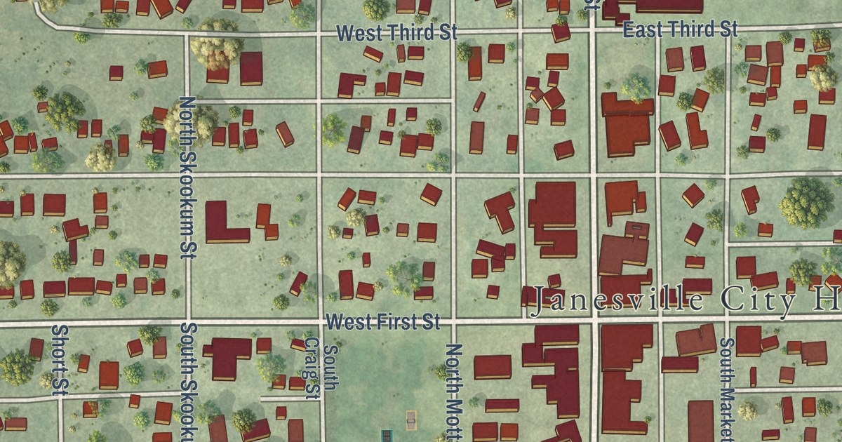
A detailed map of Janesville, Minnesota, showing every building in its true location, the roads by name, and shaded topographical relief.
Read More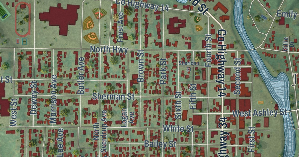
A detailed map of Jackson, Minnesota, showing every building in its true location, the roads by name, and shaded topographical relief.
Read More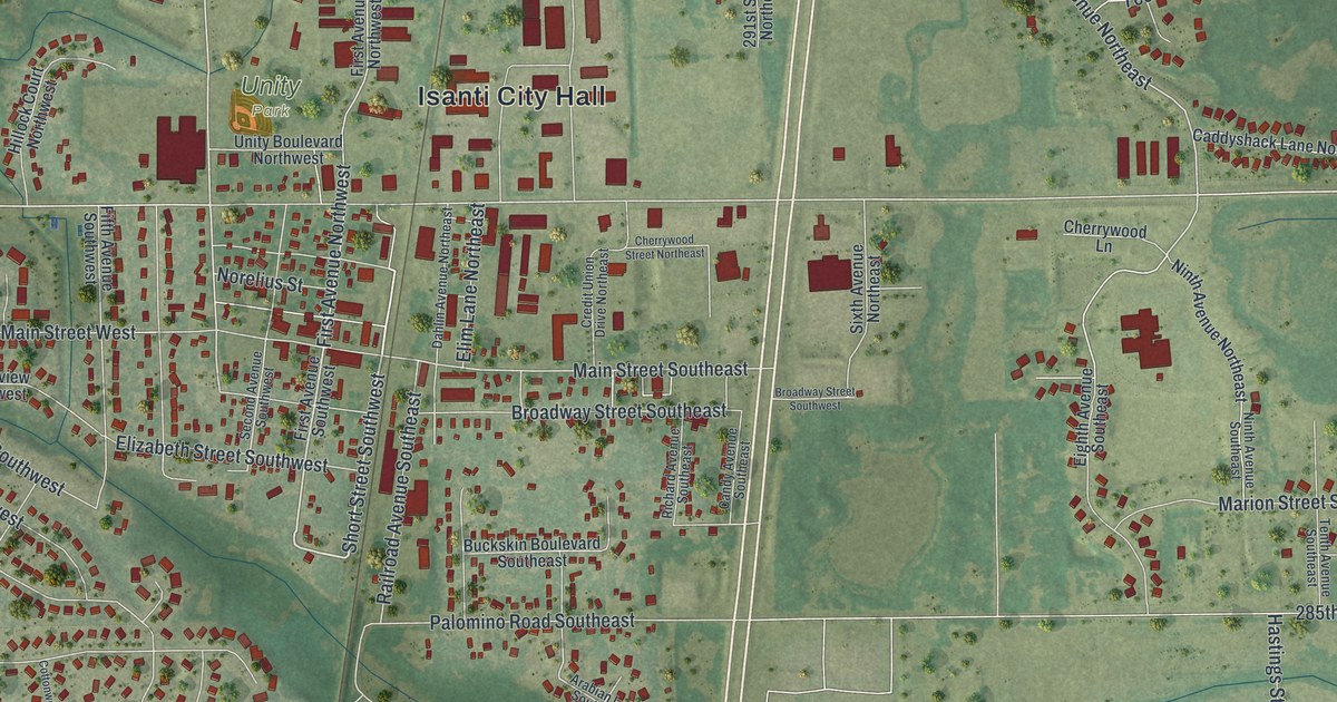
A detailed map of Isanti, Minnesota, showing every building in its true location, the roads by name, and shaded topographical relief.
Read More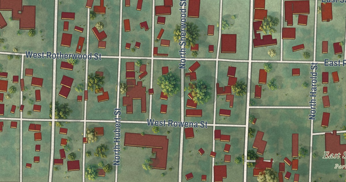
A detailed map of Ivanhoe, Minnesota, showing every building in its true location, the roads by name, and shaded topographical relief.
Read More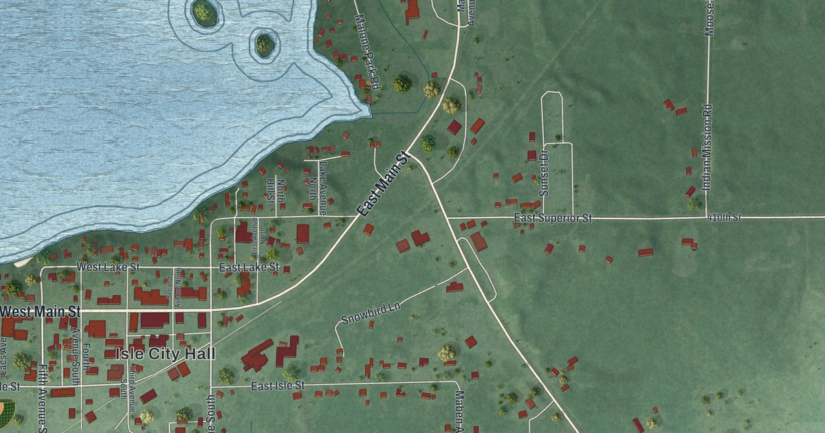
A detailed map of Isle, Minnesota, showing every building in its true location, the roads by name, and shaded topographical relief.
Read More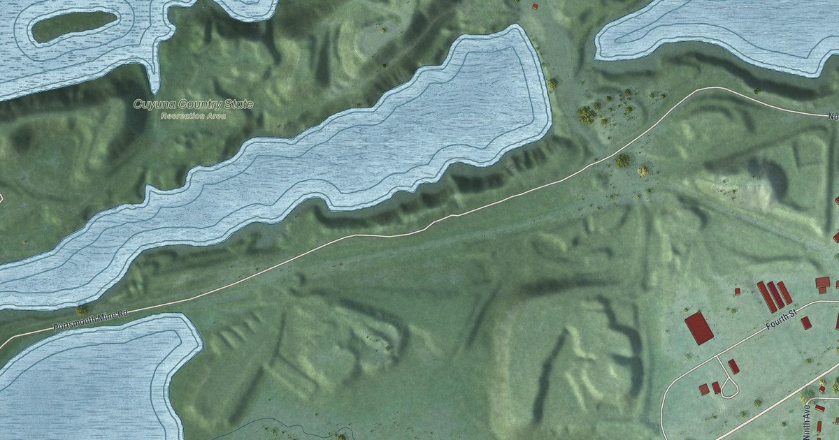
A detailed map of Ironton, Minnesota, showing every building in its true location, the roads by name, and shaded topographical relief.
Read More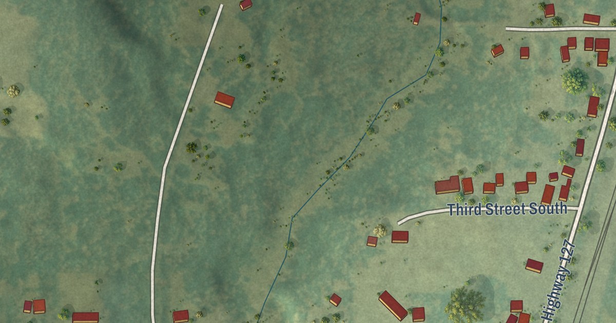
A detailed map of Iron Junction, Minnesota, showing every building in its true location, the roads by name, and shaded topographical relief.
Read More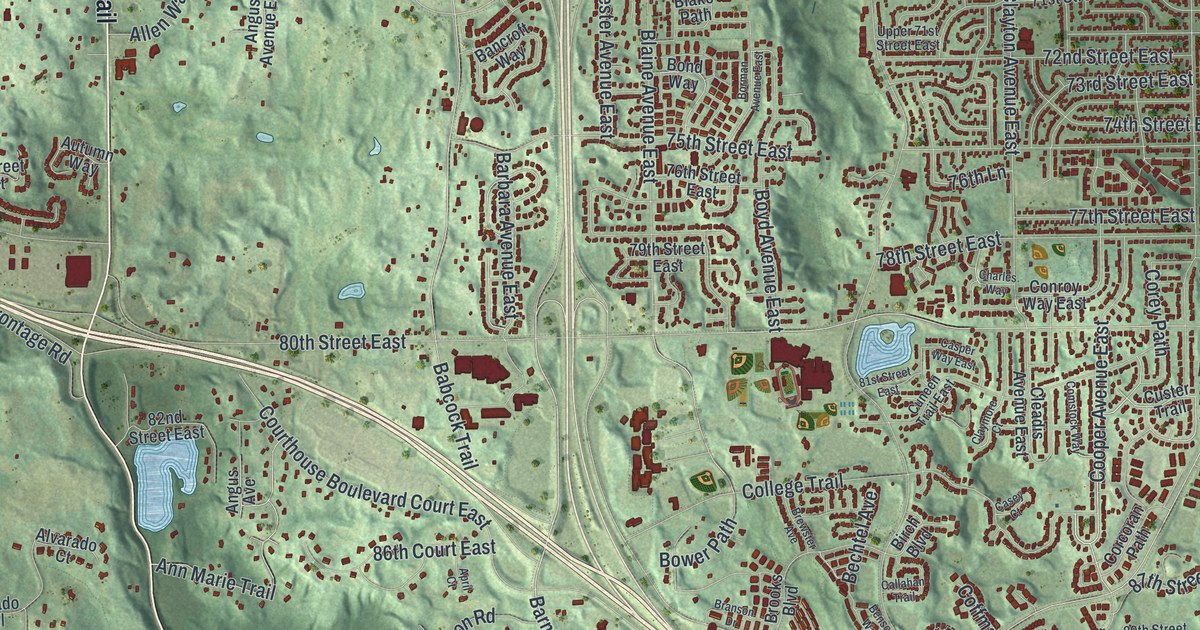
A detailed map of Inver Grove Heights, Minnesota, showing every building in its true location, the roads by name, and shaded topographical relief.
Read More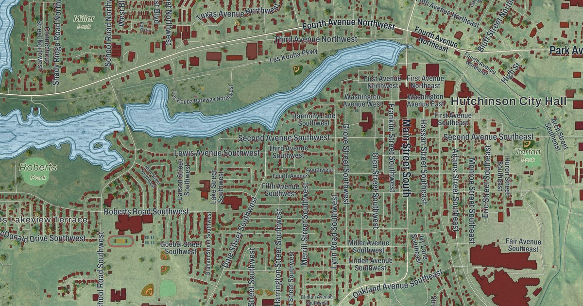
A detailed map of Hutchinson, Minnesota, showing every building in its true location, the roads by name, and shaded topographical relief.
Read More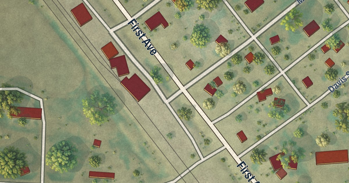
A detailed map of Humboldt, Minnesota, showing every building in its true location, the roads by name, and shaded topographical relief.
Read More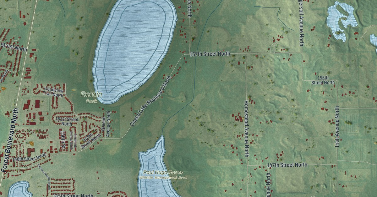
A detailed map of Hugo, Minnesota, showing every building in its true location, the roads by name, and shaded topographical relief.
Read More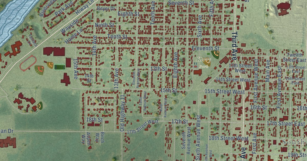
A detailed map of International Falls, Minnesota, showing every building in its true location, the roads by name, and shaded topographical relief.
Read More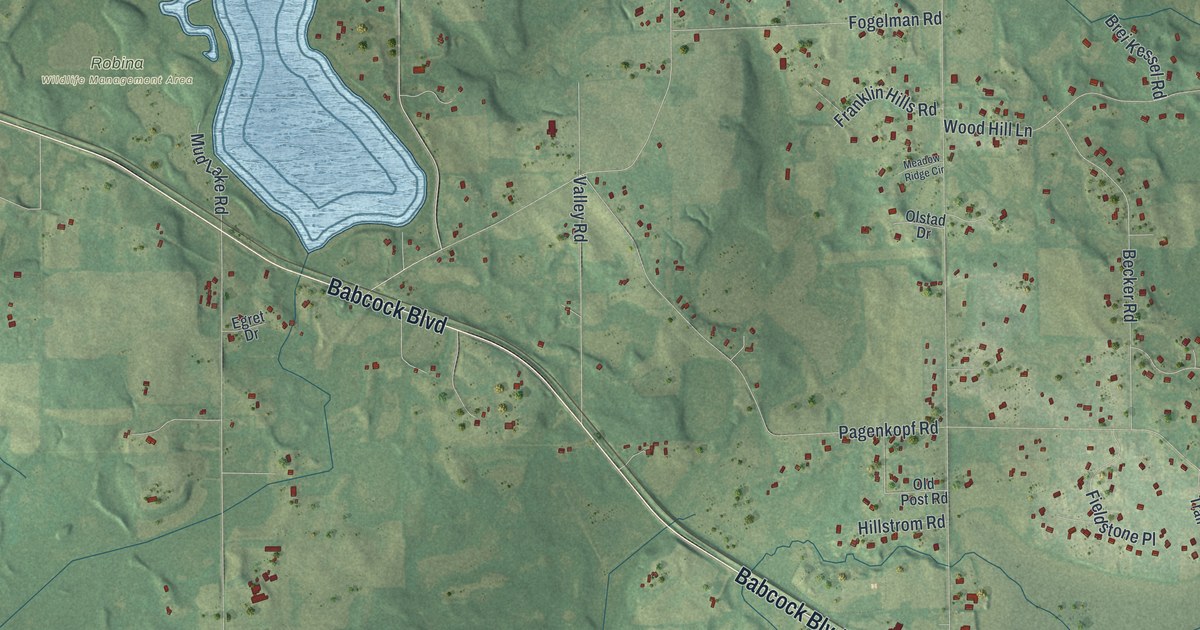
A detailed map of Independence, Minnesota, showing every building in its true location, the roads by name, and shaded topographical relief.
Read More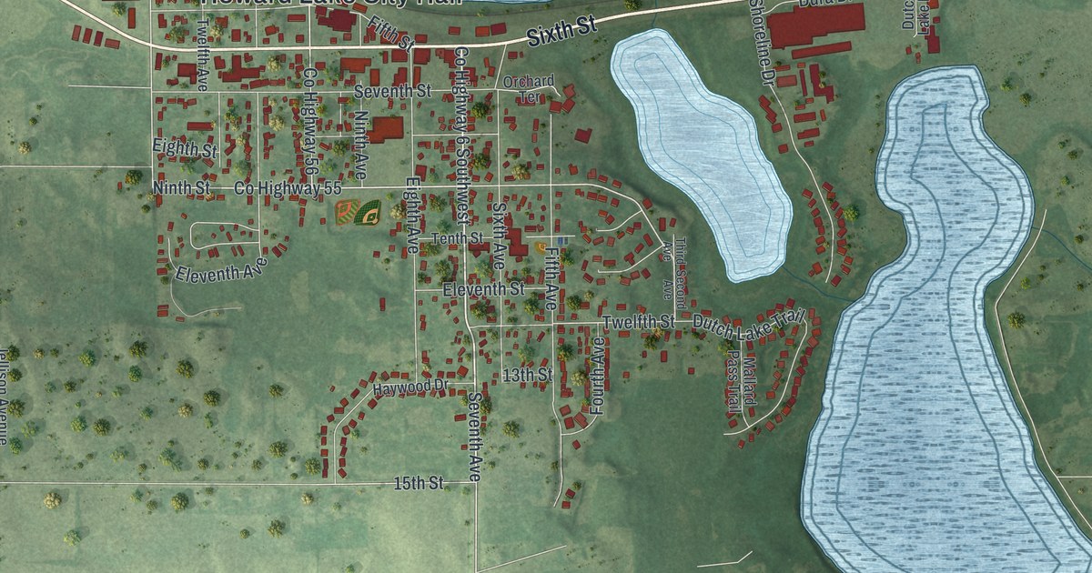
A detailed map of Howard Lake, Minnesota, showing every building in its true location, the roads by name, and shaded topographical relief.
Read More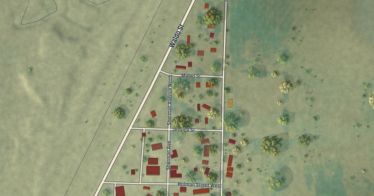
A detailed map of Ihlen, Minnesota, showing every building in its true location, the roads by name, and shaded topographical relief.
Read More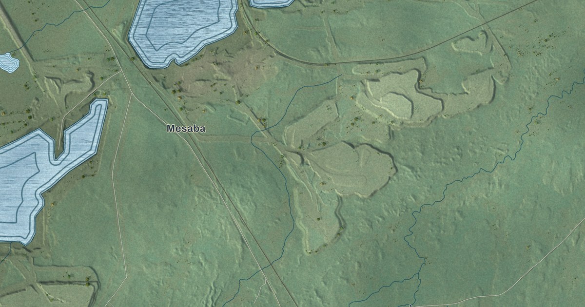
A detailed map of Hoyt Lakes, Minnesota, showing every building in its true location, the roads by name, and shaded topographical relief.
Read More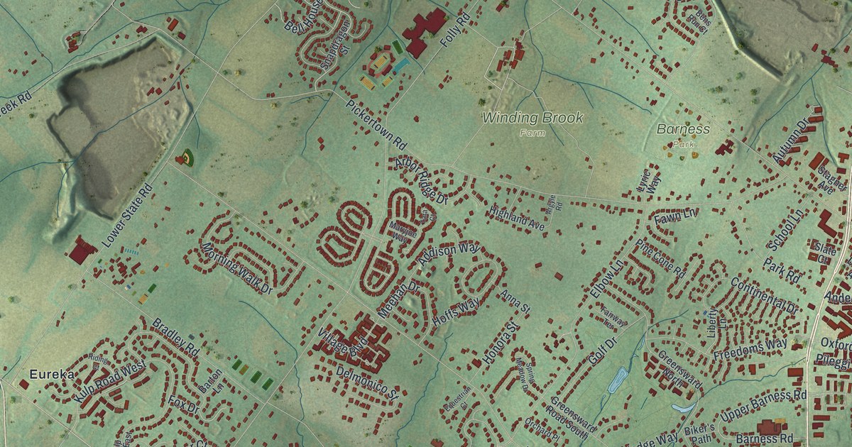
A new aerial map of Warrington in Bucks County, with Easton Road, Barness Park, Turk Park and thousands of buildings. Read the story of Holbert Racing on Easton Road and how the township got its name in 1734.
Read More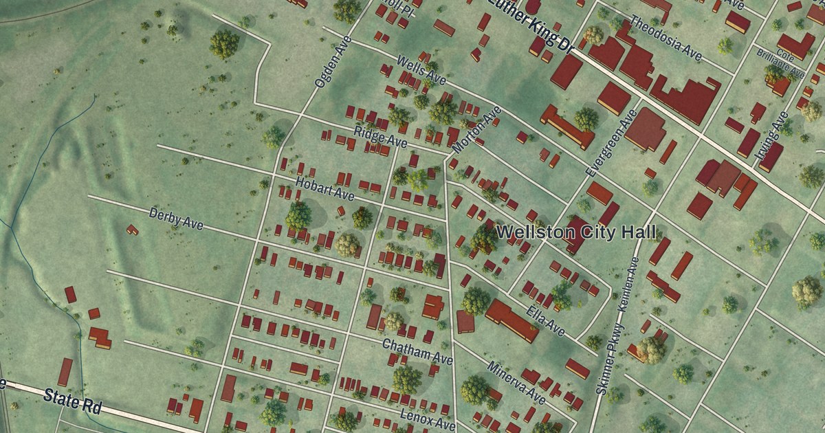
A modern aerial map of Wellston in St. Louis County, Missouri, with a vintage feel. Find Wellston City Hall, Page Avenue and Trojan Park, and learn how the town got its name from streetcar builder Erastus Wells.
Read More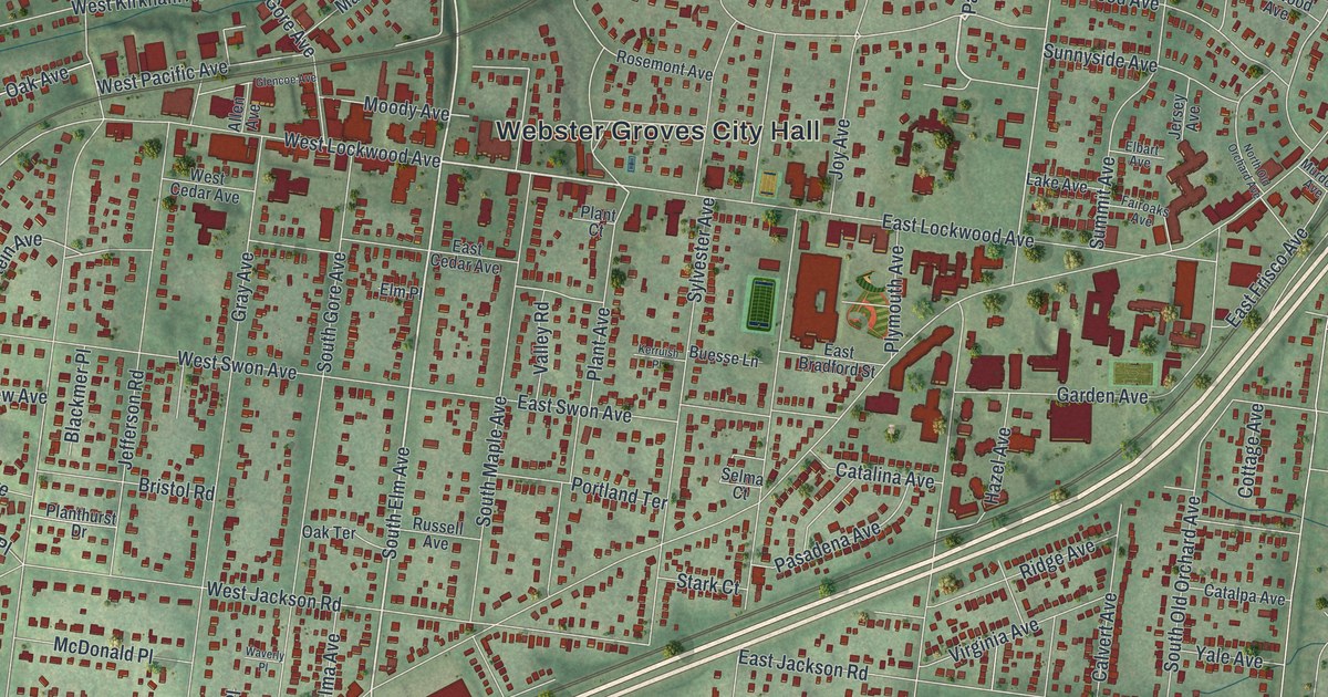
A new aerial-style map of Webster Groves in St. Louis County, Missouri. Find Webster Groves City Hall, Blackburn Park, East Lockwood Avenue and your own street, plus the story of how Webster College gave the town its name.
Read More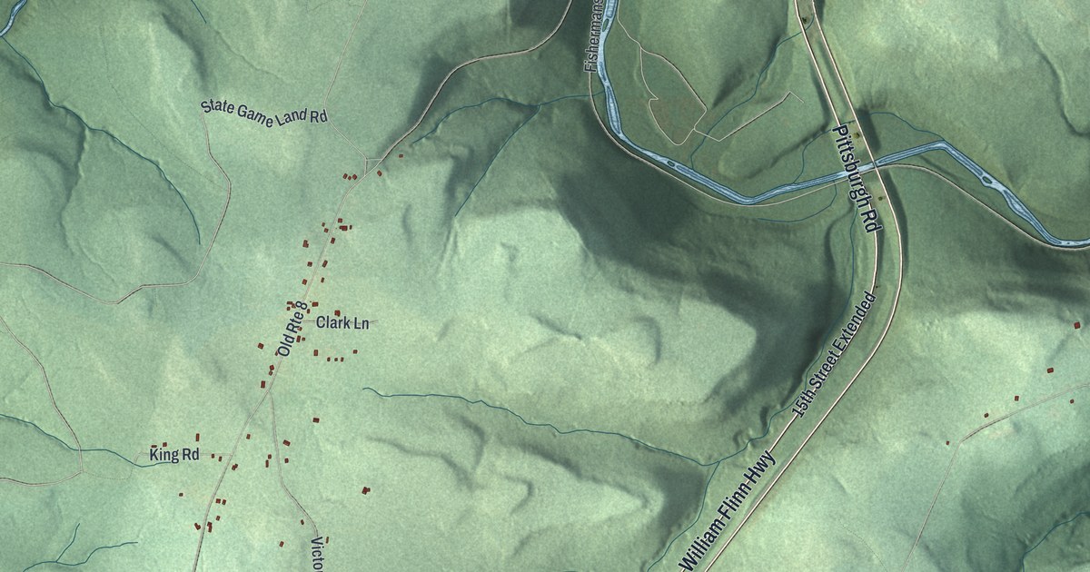
Explore Victory’s green hills, Pearl, and Five Points on a new aerial map. Learn about the Pearl hotel that burned and was rebuilt three times.
Read More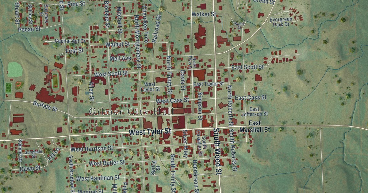
A detailed map of Gilmer, Texas, showing every building in its true location, the roads by name, and shaded topographical relief.
Read More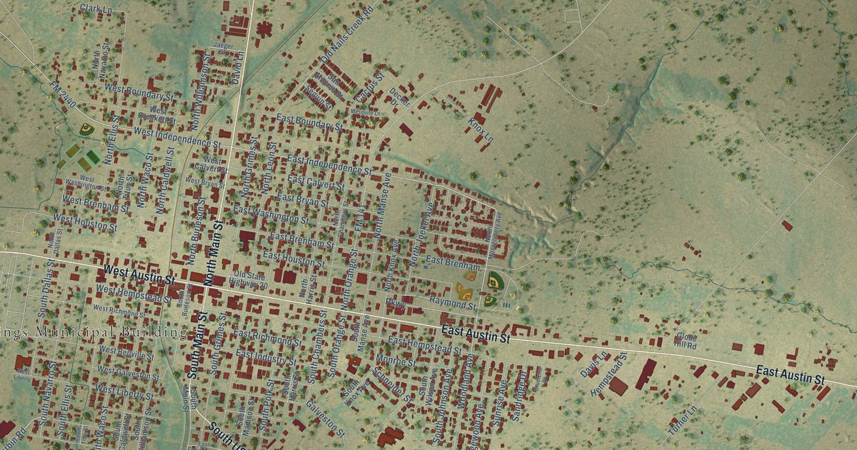
A detailed map of Giddings, Texas, showing every building in its true location, the roads by name, and shaded topographical relief.
Read More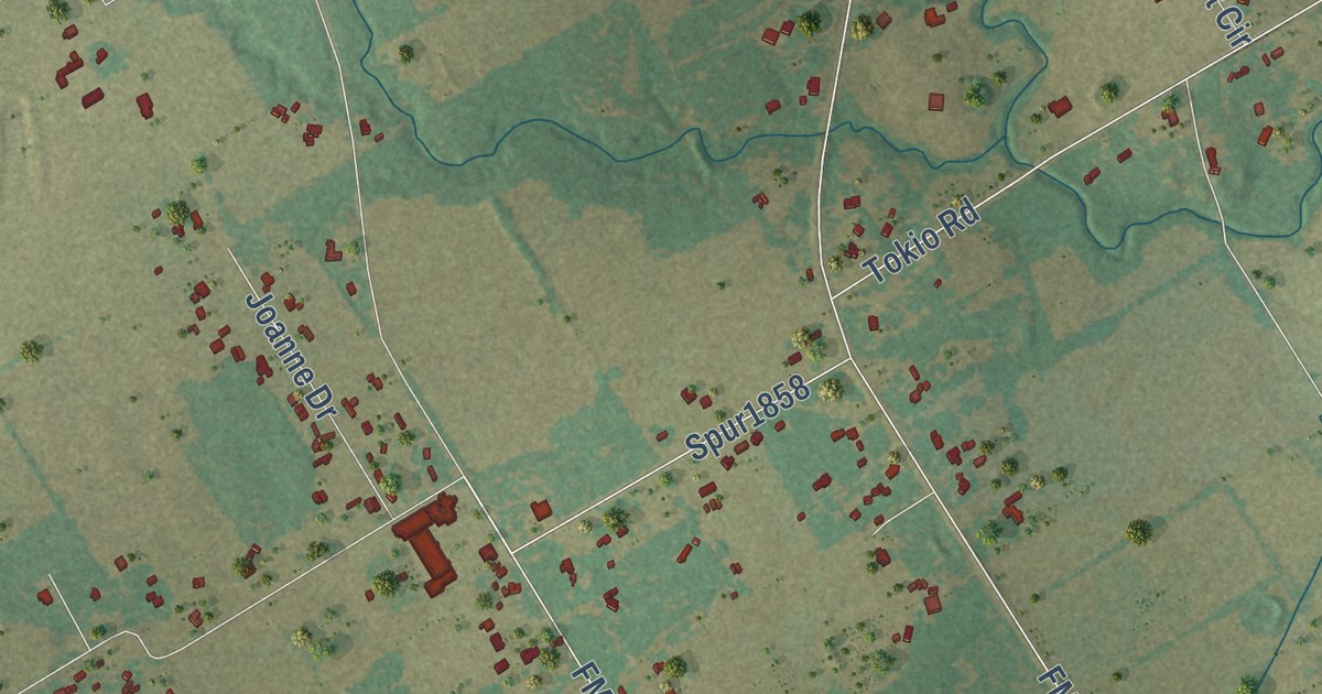
A detailed map of Gholson, Texas, showing every building in its true location, the roads by name, and shaded topographical relief.
Read More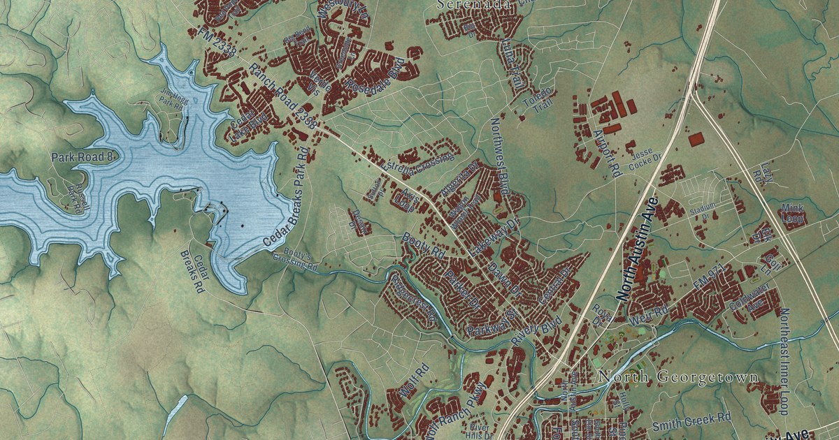
A detailed map of Georgetown, Texas, showing every building in its true location, the roads by name, and shaded topographical relief.
Read More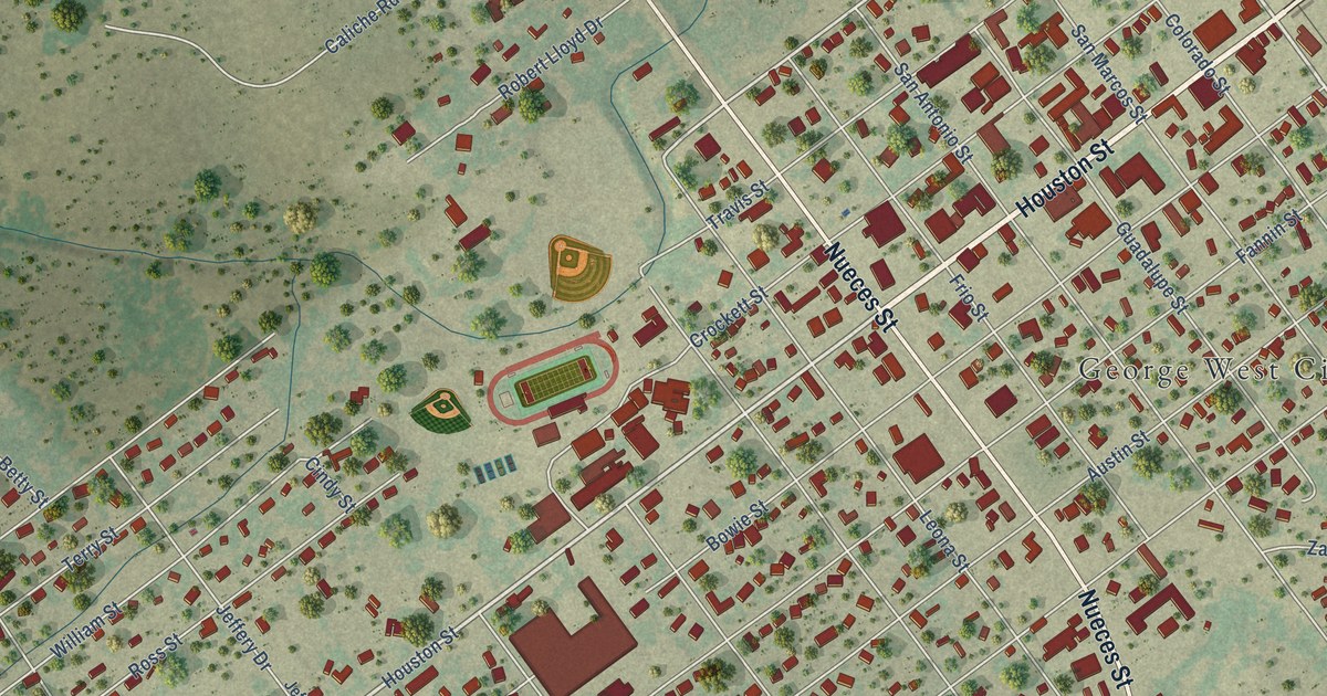
A detailed map of George West, Texas, showing every building in its true location, the roads by name, and shaded topographical relief.
Read More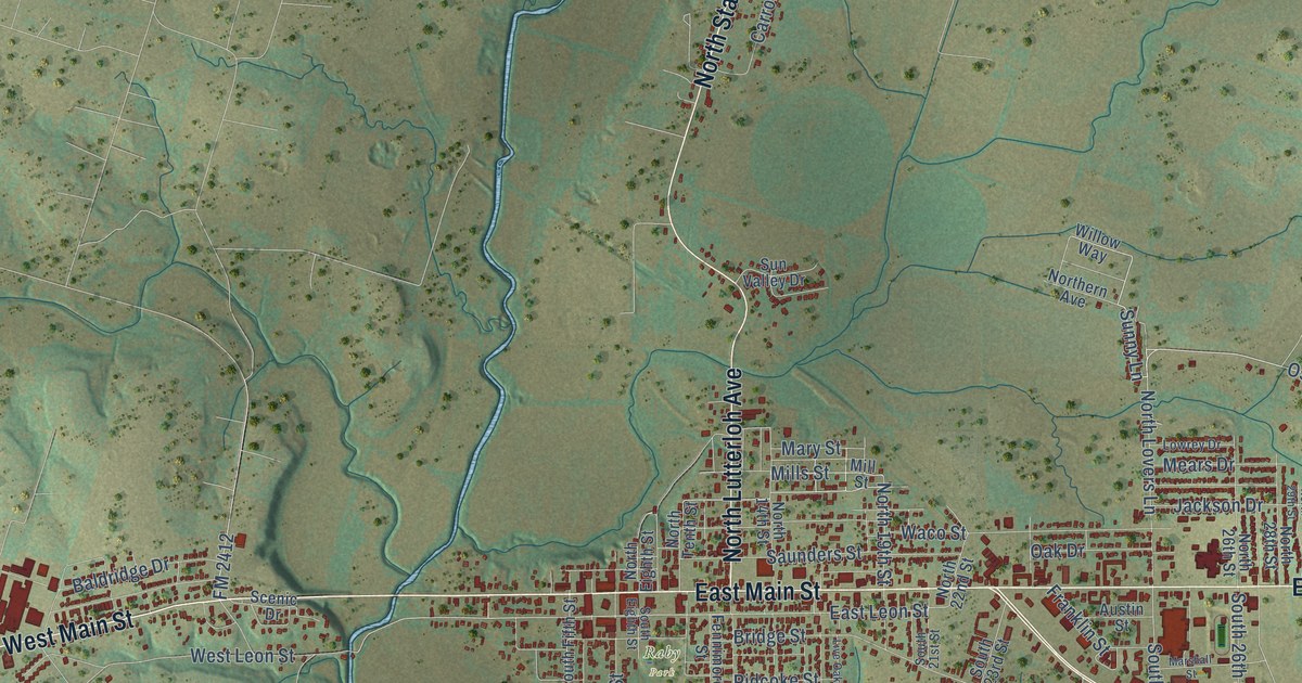
A detailed map of Gatesville, Texas, showing every building in its true location, the roads by name, and shaded topographical relief.
Read More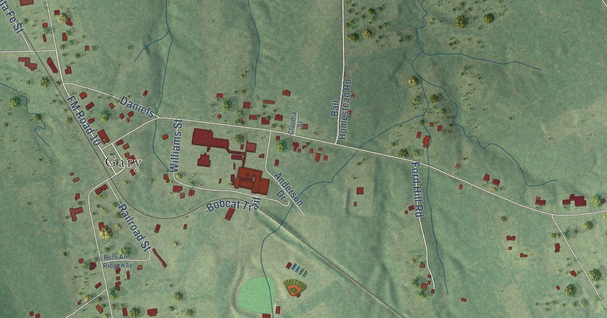
A detailed map of Gary City, Texas, showing every building in its true location, the roads by name, and shaded topographical relief.
Read More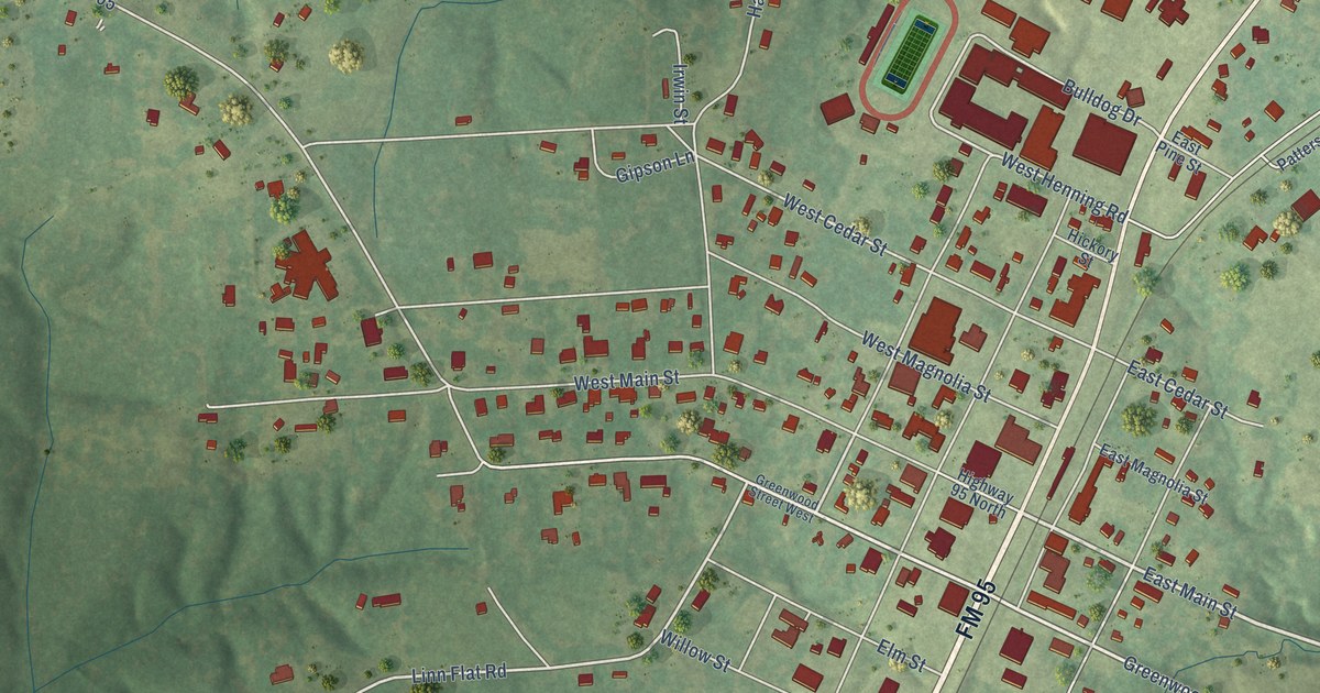
A detailed map of Garrison, Texas, showing every building in its true location, the roads by name, and shaded topographical relief.
Read More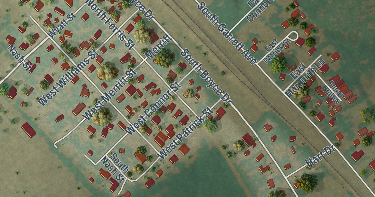
A detailed map of Garrett, Texas, showing every building in its true location, the roads by name, and shaded topographical relief.
Read More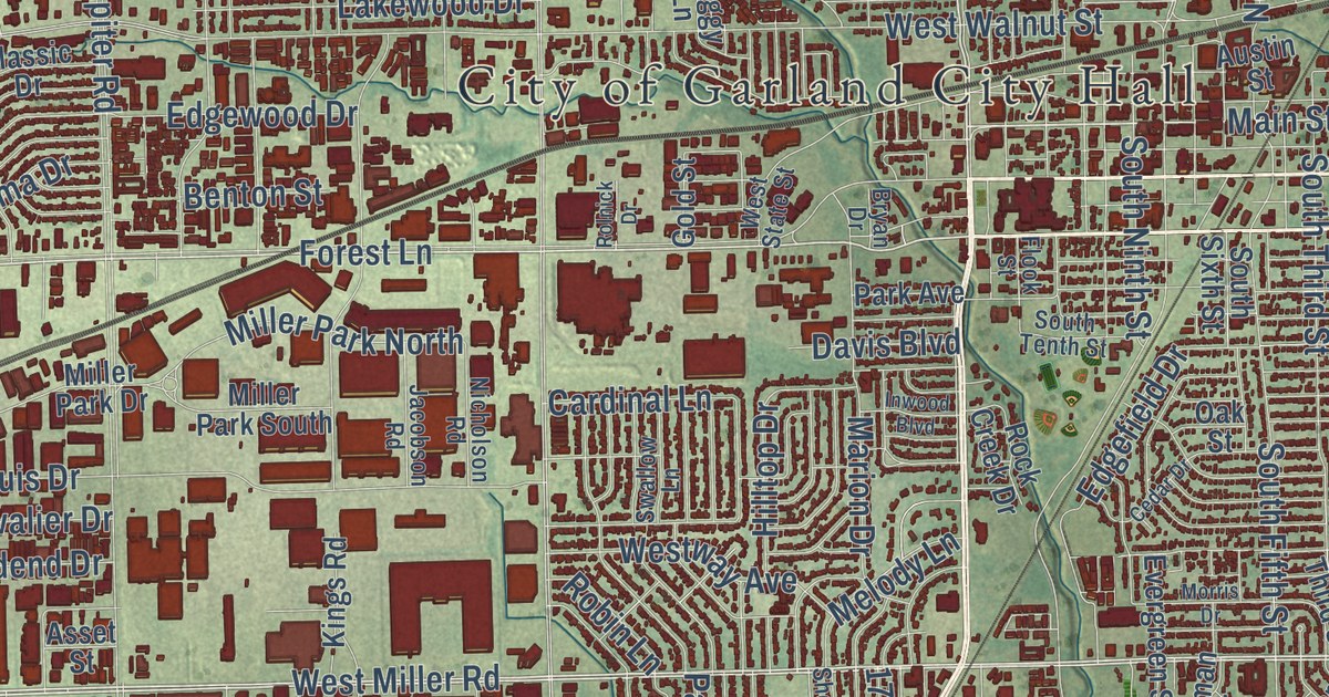
A detailed map of Garland, Texas, showing every building in its true location, the roads by name, and shaded topographical relief.
Read More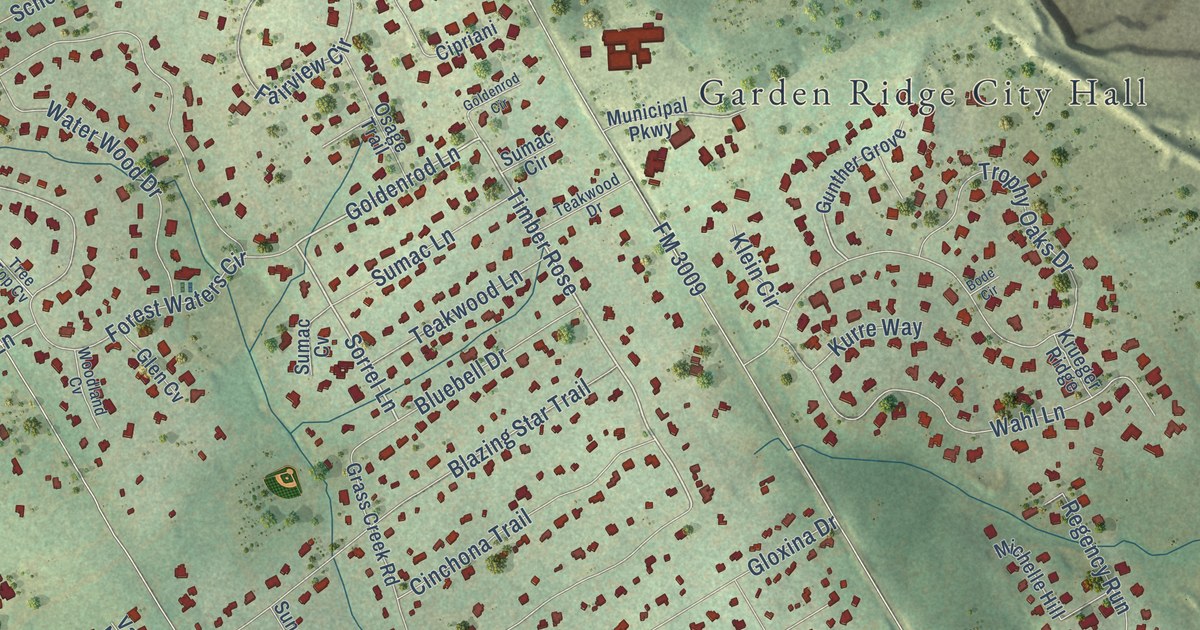
A detailed map of Garden Ridge, Texas, showing every building in its true location, the roads by name, and shaded topographical relief.
Read More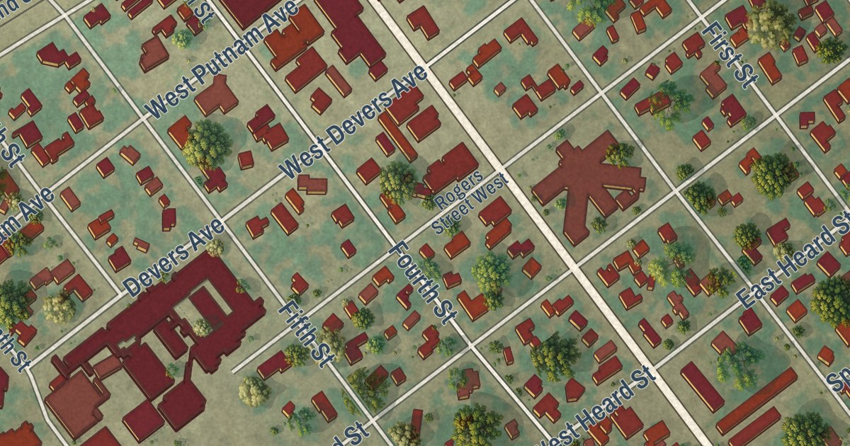
A detailed map of Ganado, Texas, showing every building in its true location, the roads by name, and shaded topographical relief.
Read More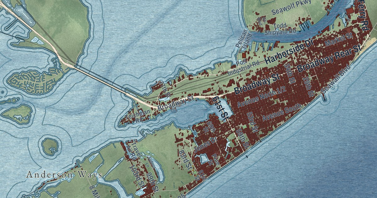
A detailed map of Galveston, Texas, showing every building in its true location, the roads by name, and shaded topographical relief.
Read More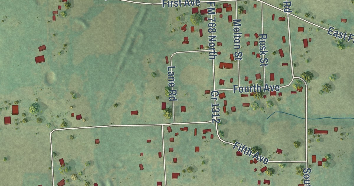
A detailed map of Gallatin, Texas, showing every building in its true location, the roads by name, and shaded topographical relief.
Read More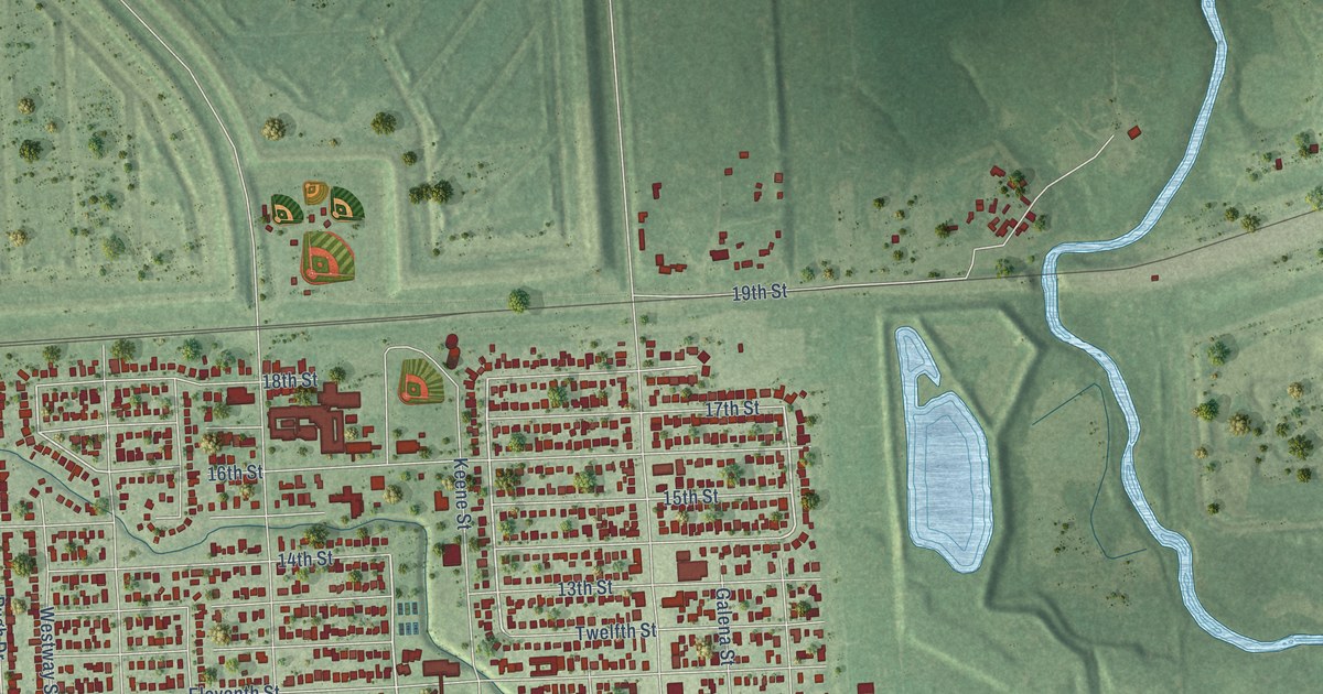
A detailed map of Galena Park, Texas, showing every building in its true location, the roads by name, and shaded topographical relief.
Read More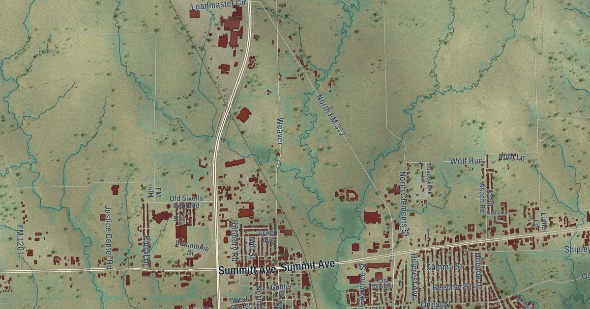
A detailed map of Gainesville, Texas, showing every building in its true location, the roads by name, and shaded topographical relief.
Read More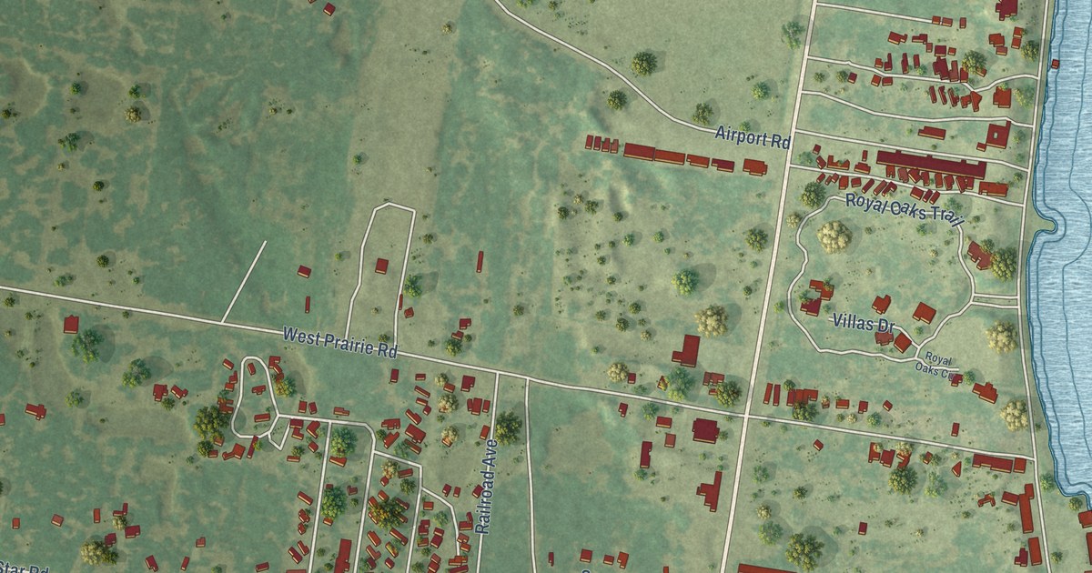
A detailed map of Fulton, Texas, showing every building in its true location, the roads by name, and shaded topographical relief.
Read More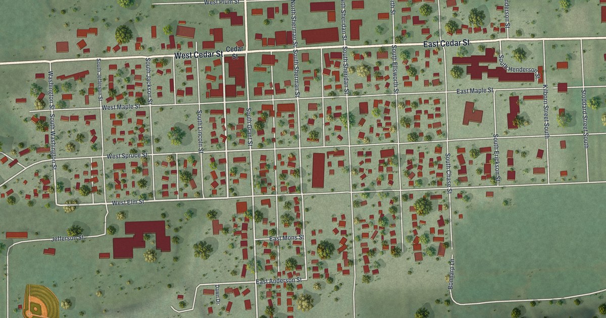
A detailed map of Houston, Minnesota, showing every building in its true location, the roads by name, and shaded topographical relief.
Read More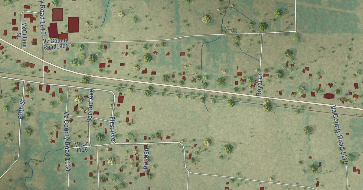
A detailed map of Fruitvale, Texas, showing every building in its true location, the roads by name, and shaded topographical relief.
Read More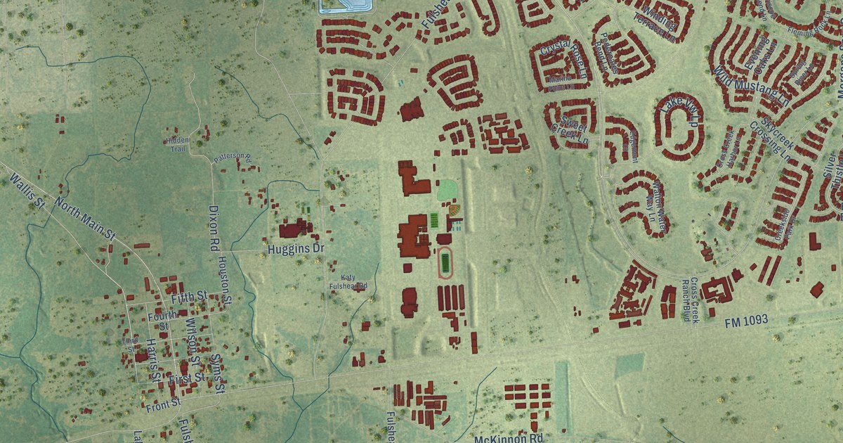
A detailed map of Fulshear, Texas, showing every building in its true location, the roads by name, and shaded topographical relief.
Read More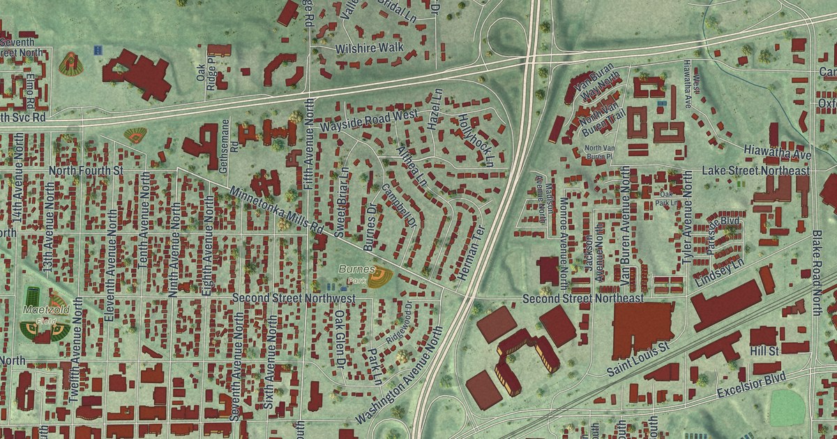
A detailed map of Hopkins, Minnesota, showing every building in its true location, the roads by name, and shaded topographical relief.
Read More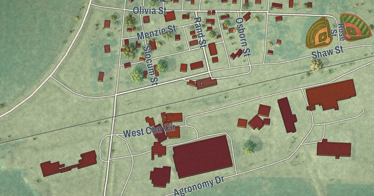
A detailed map of Holloway, Minnesota, showing every building in its true location, the roads by name, and shaded topographical relief.
Read More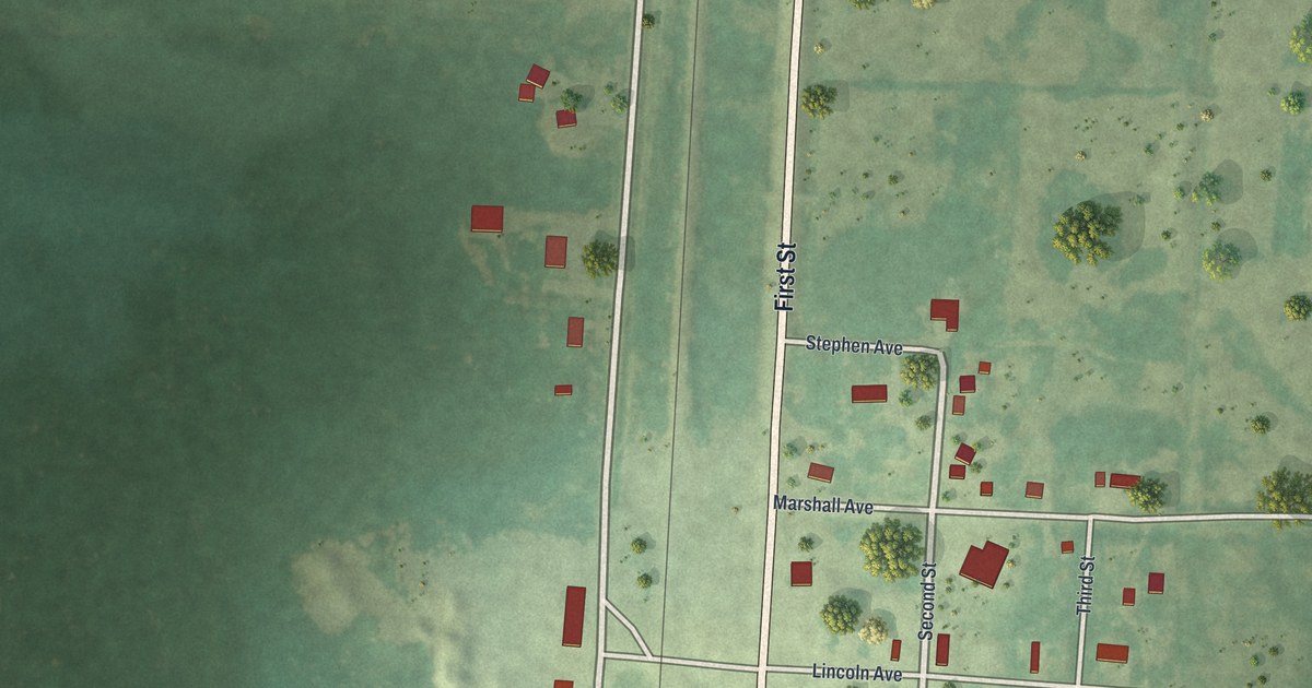
A detailed map of Holt, Minnesota, showing every building in its true location, the roads by name, and shaded topographical relief.
Read More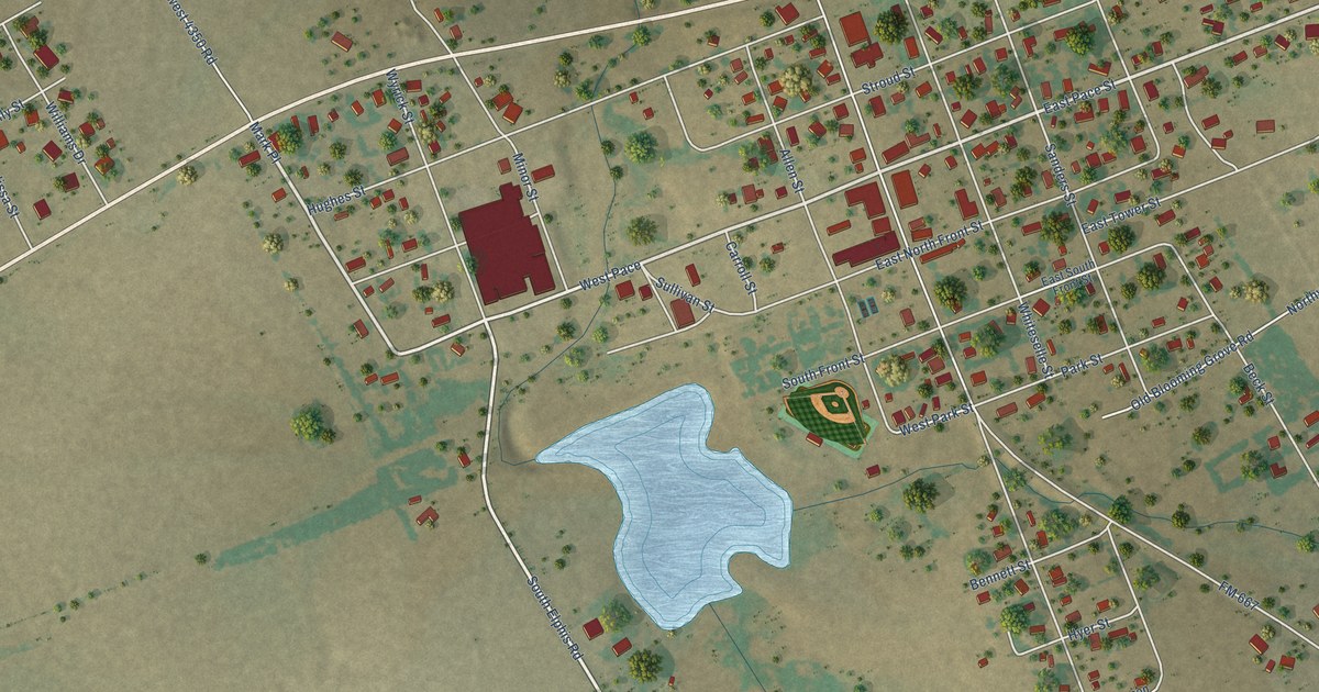
A detailed map of Frost, Texas, showing every building in its true location, the roads by name, and shaded topographical relief.
Read More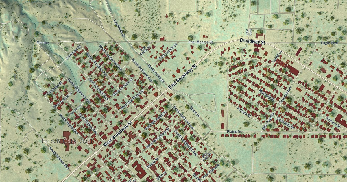
A detailed map of Fritch, Texas, showing every building in its true location, the roads by name, and shaded topographical relief.
Read More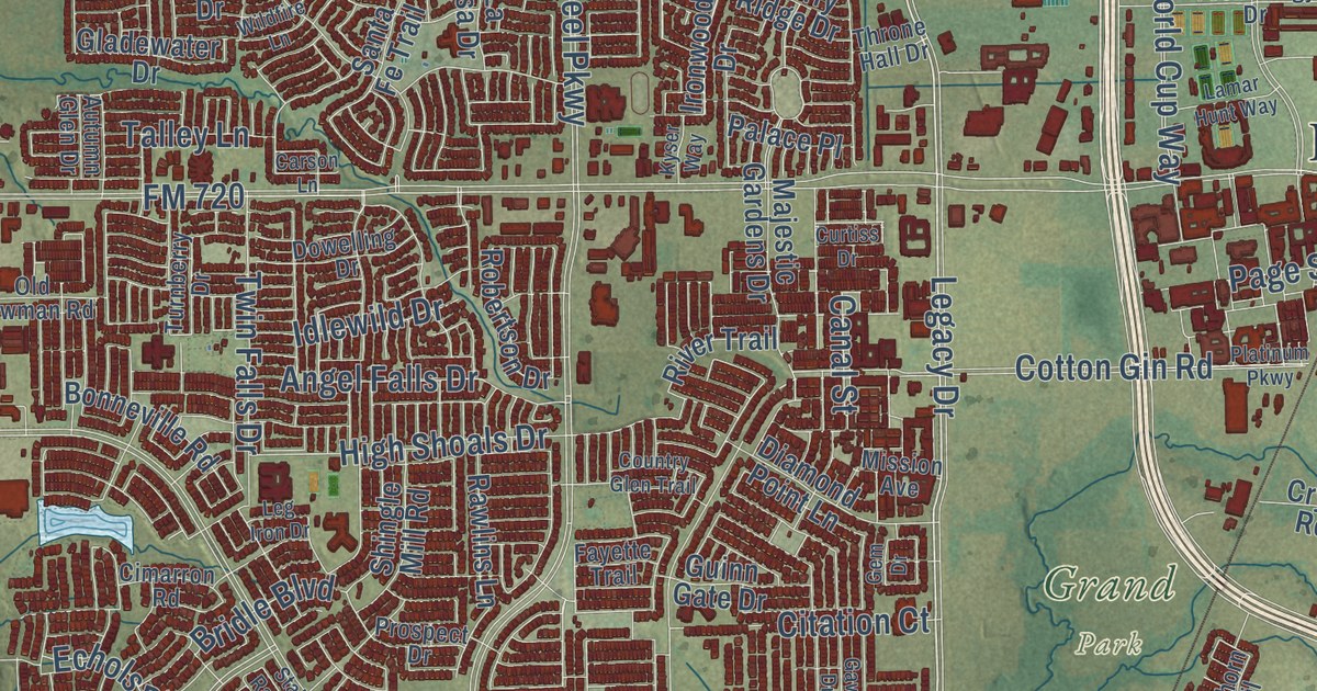
A detailed map of Frisco, Texas, showing every building in its true location, the roads by name, and shaded topographical relief.
Read More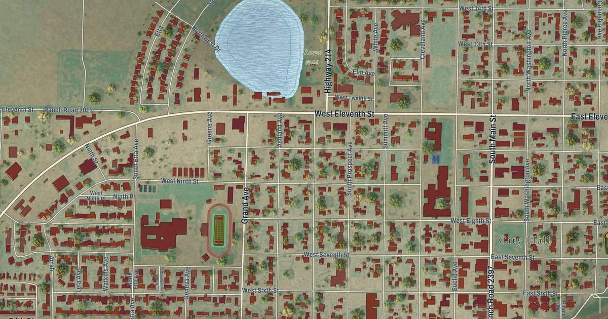
A detailed map of Friona, Texas, showing every building in its true location, the roads by name, and shaded topographical relief.
Read More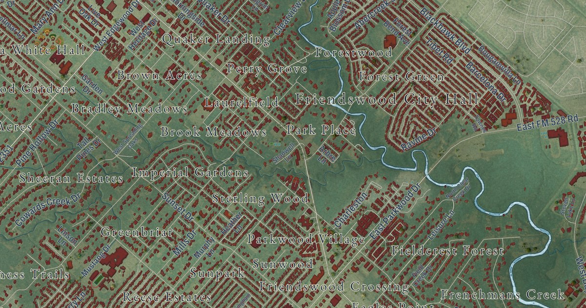
A detailed map of Friendswood, Texas, showing every building in its true location, the roads by name, and shaded topographical relief.
Read More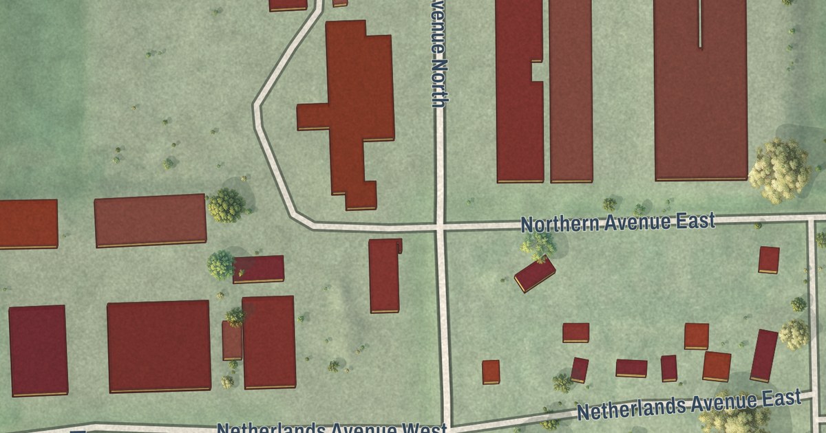
A detailed map of Hollandale, Minnesota, showing every building in its true location, the roads by name, and shaded topographical relief.
Read More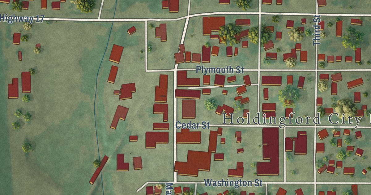
A detailed map of Holdingford, Minnesota, showing every building in its true location, the roads by name, and shaded topographical relief.
Read More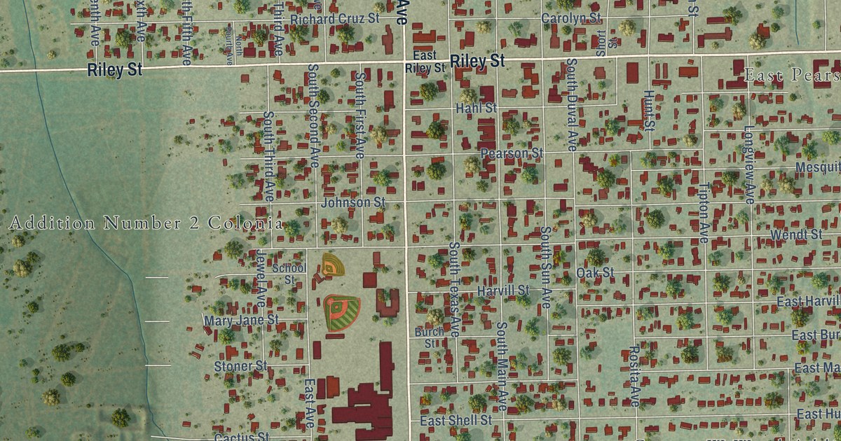
A detailed map of Freer, Texas, showing every building in its true location, the roads by name, and shaded topographical relief.
Read More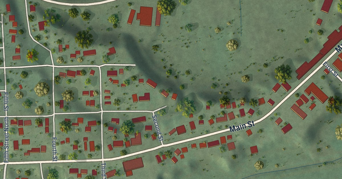
A detailed map of Hokah, Minnesota, showing every building in its true location, the roads by name, and shaded topographical relief.
Read More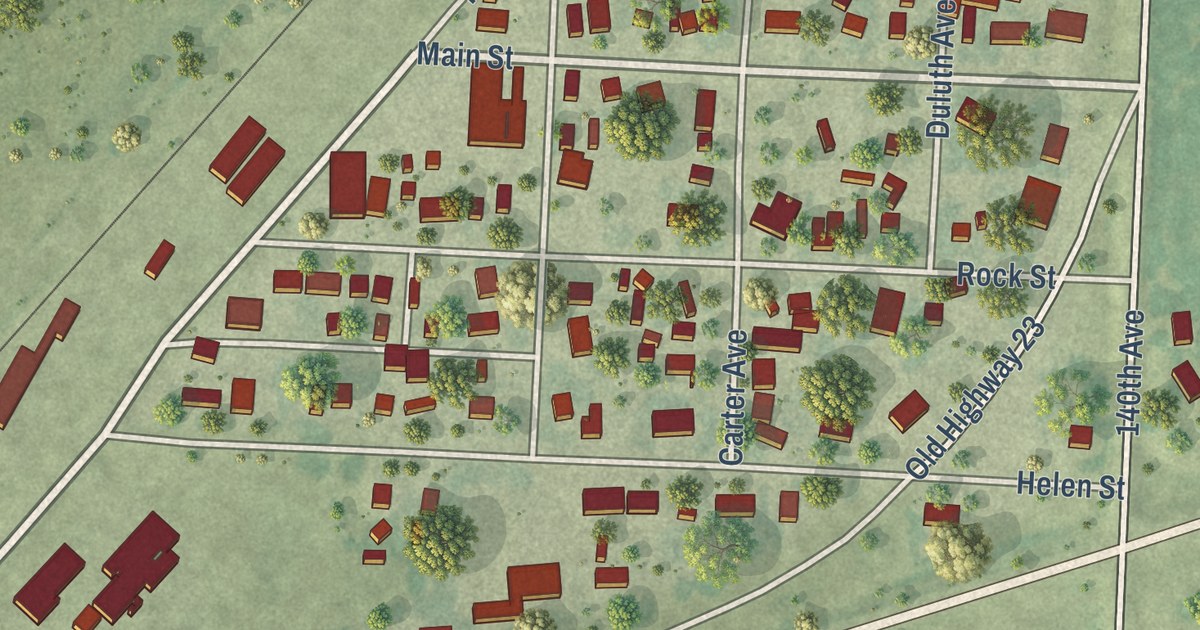
A detailed map of Holland, Minnesota, showing every building in its true location, the roads by name, and shaded topographical relief.
Read More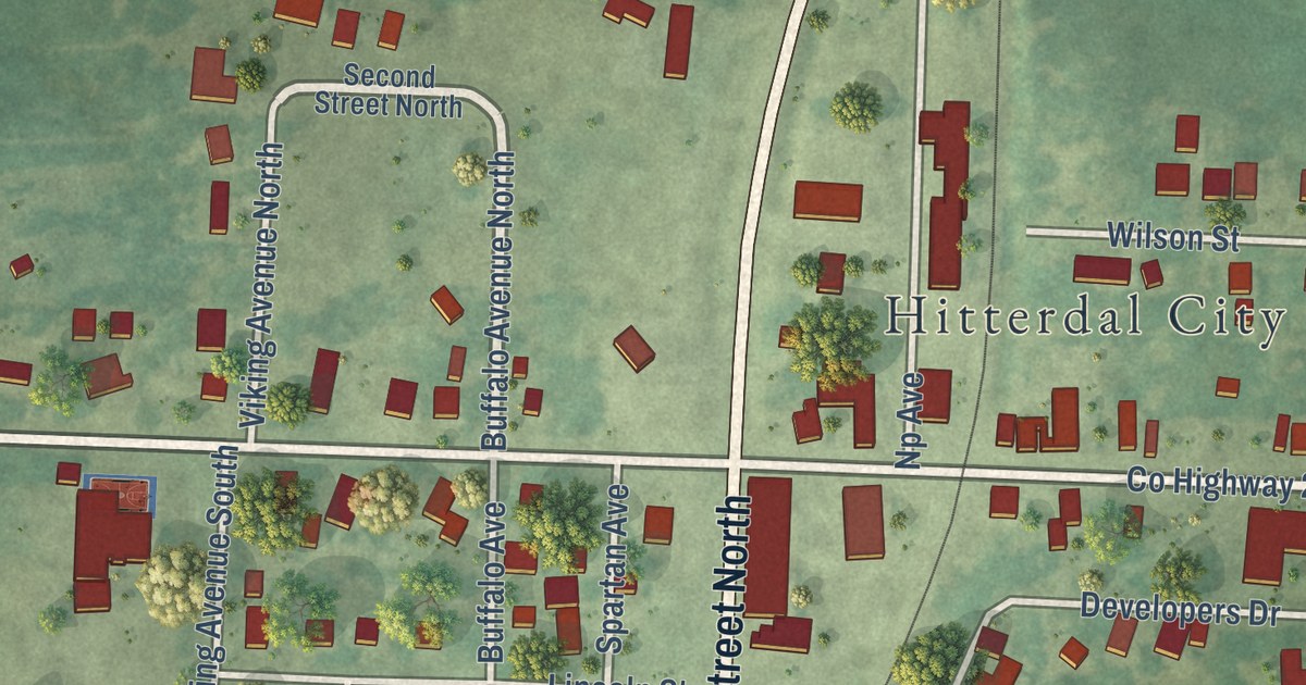
A detailed map of Hitterdal, Minnesota, showing every building in its true location, the roads by name, and shaded topographical relief.
Read More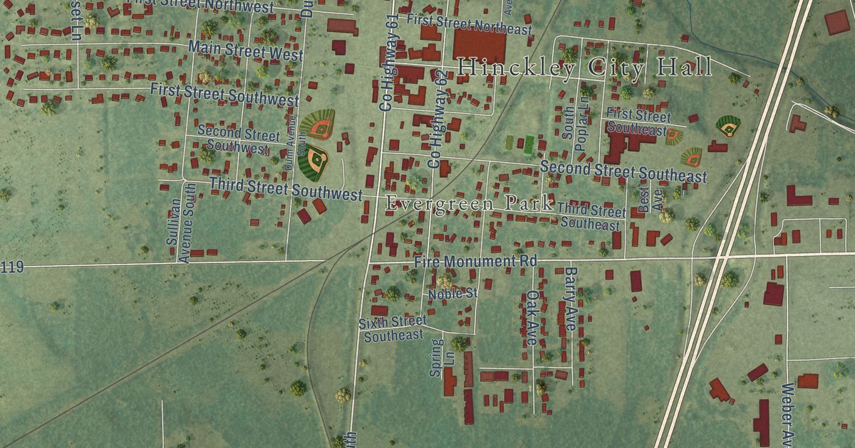
A detailed map of Hinckley, Minnesota, showing every building in its true location, the roads by name, and shaded topographical relief.
Read More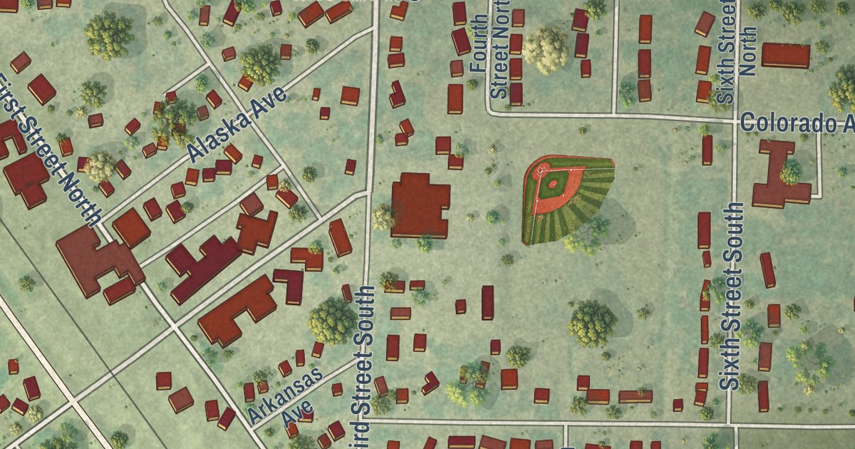
A detailed map of Hoffman, Minnesota, showing every building in its true location, the roads by name, and shaded topographical relief.
Read More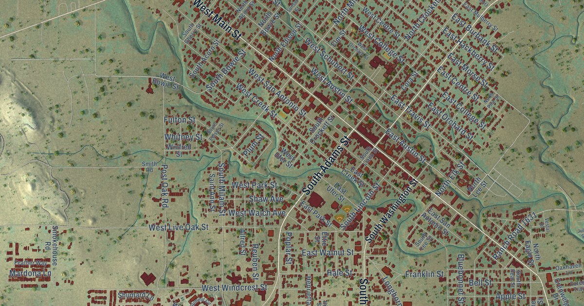
A detailed map of Fredericksburg, Texas, showing every building in its true location, the roads by name, and shaded topographical relief.
Read More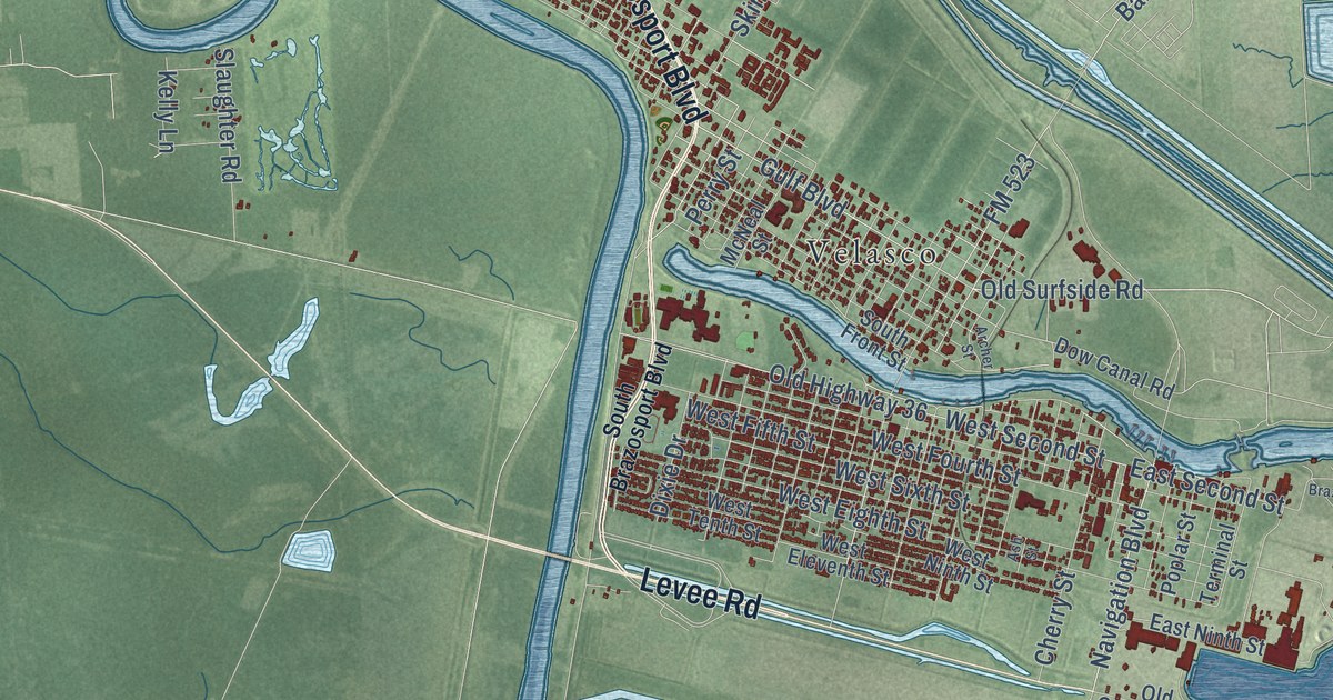
A detailed map of Freeport, Texas, showing every building in its true location, the roads by name, and shaded topographical relief.
Read More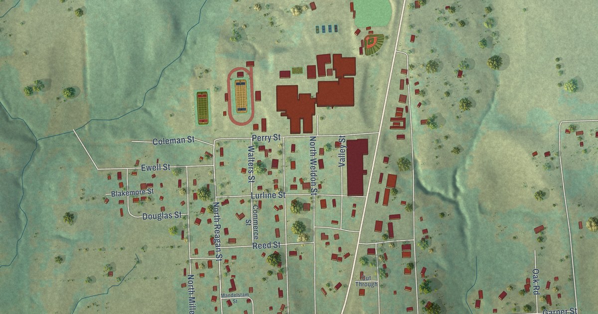
A detailed map of Frankston, Texas, showing every building in its true location, the roads by name, and shaded topographical relief.
Read More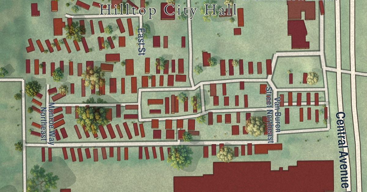
A detailed map of Hilltop, Minnesota, showing every building in its true location, the roads by name, and shaded topographical relief.
Read More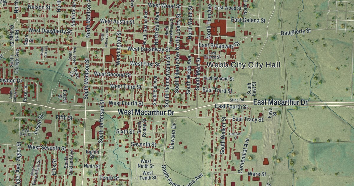
A modern aerial map of Webb City in Jasper County, Missouri, with almost 8,000 buildings in red. Find King Jack Park, Main Street and Mount Hope Cemetery, and read how the town got its name and about the Middle West Hotel.
Read More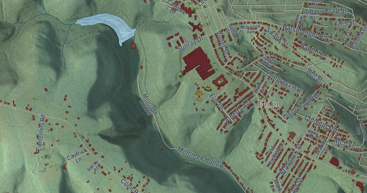
See Upper Yoder’s wooded ridges, red building shapes and streets around Elim in a new aerial map. A short look at its changing borders reaches back to Grubbtown’s departure in 1882.
Read More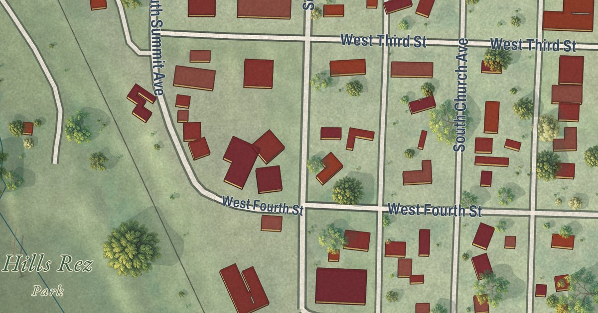
A detailed map of Hills, Minnesota, showing every building in its true location, the roads by name, and shaded topographical relief.
Read More















