Detailed Map of Hill City, Minnesota
A detailed map of Hill City, Minnesota, showing every building in its true location, the roads by name, and shaded topographical relief.
Read More
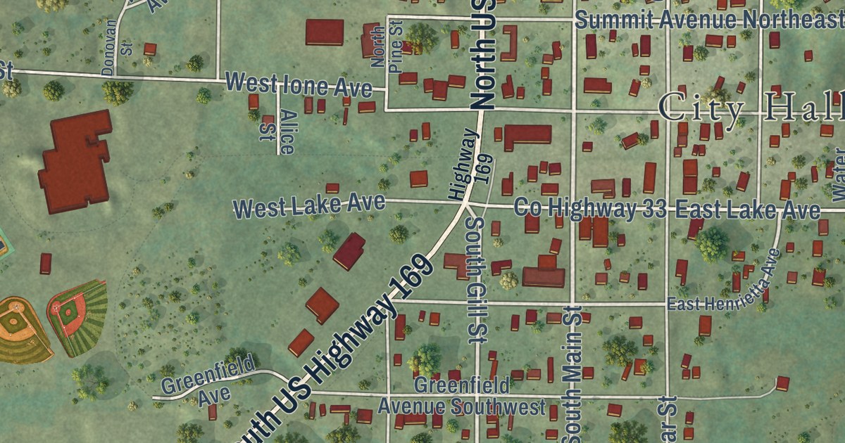
A detailed map of Hill City, Minnesota, showing every building in its true location, the roads by name, and shaded topographical relief.
Read More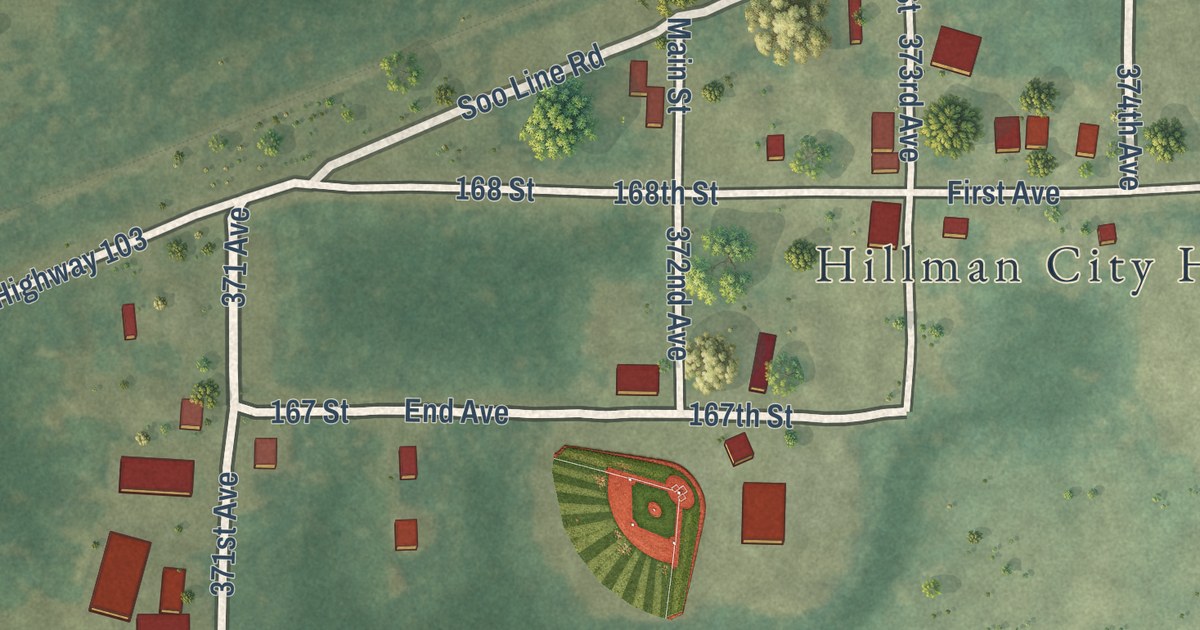
A detailed map of Hillman, Minnesota, showing every building in its true location, the roads by name, and shaded topographical relief.
Read More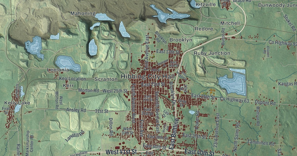
A detailed map of Hibbing, Minnesota, showing every building in its true location, the roads by name, and shaded topographical relief.
Read More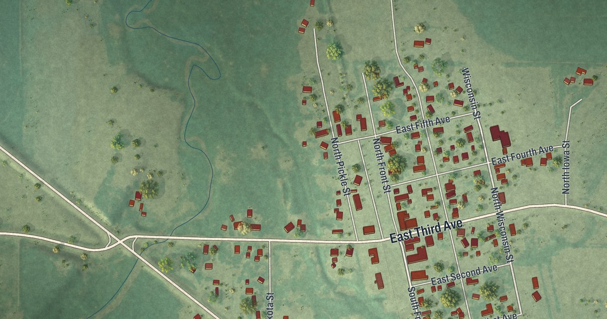
A detailed map of Hewitt, Minnesota, showing every building in its true location, the roads by name, and shaded topographical relief.
Read More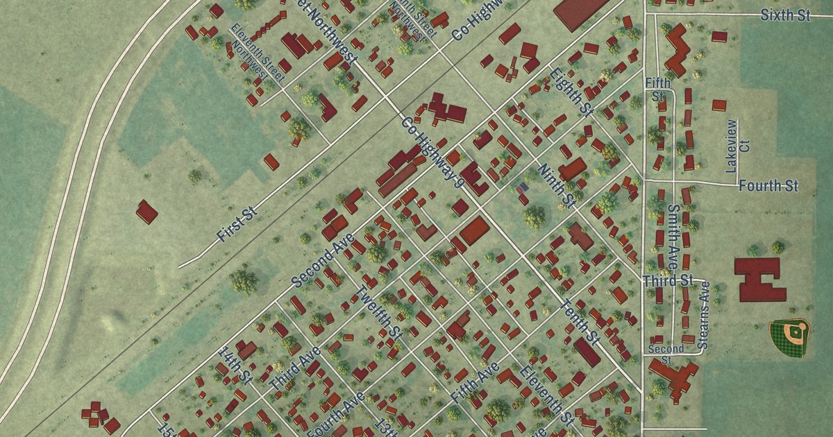
A detailed map of Heron Lake, Minnesota, showing every building in its true location, the roads by name, and shaded topographical relief.
Read More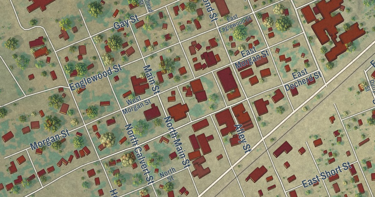
A detailed map of Franklin, Texas, showing every building in its true location, the roads by name, and shaded topographical relief.
Read More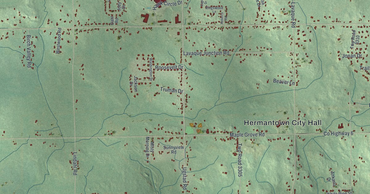
A detailed map of Hermantown, Minnesota, showing every building in its true location, the roads by name, and shaded topographical relief.
Read More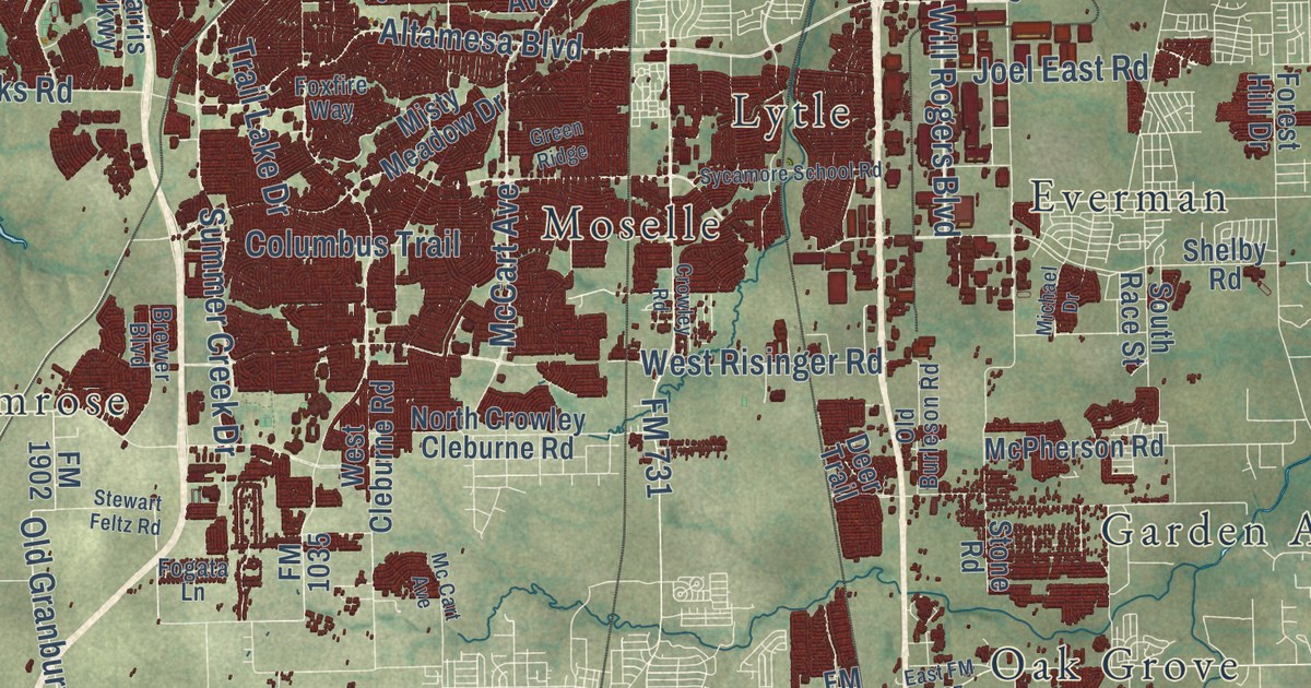
A detailed map of Fort Worth, Texas, showing every building in its true location, the roads by name, and shaded topographical relief.
Read More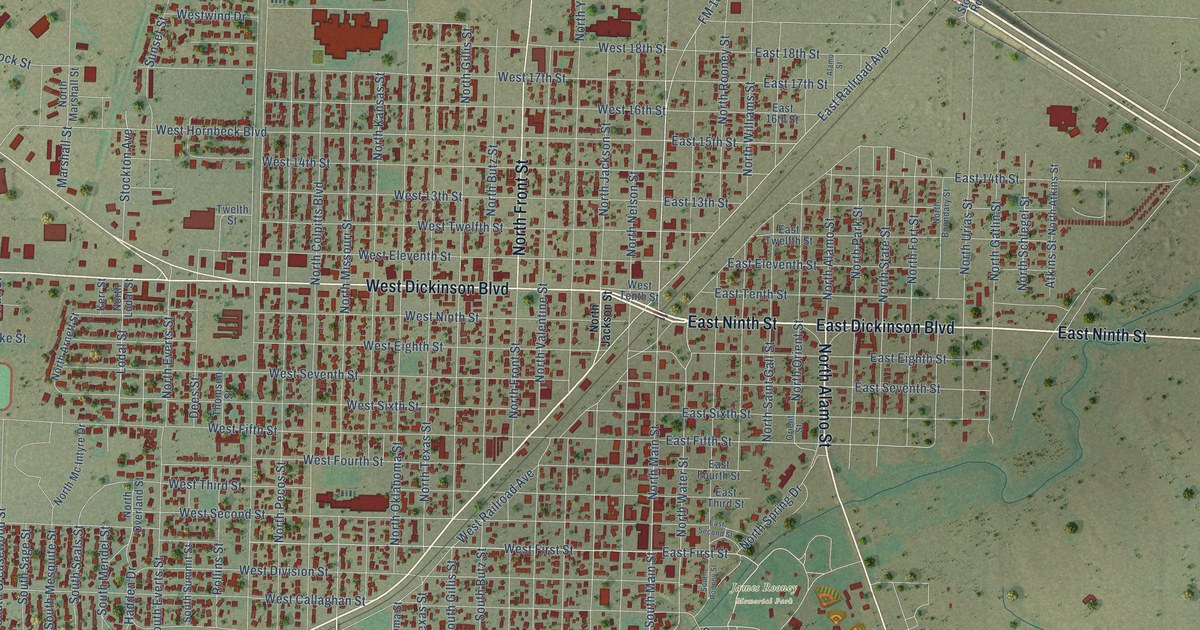
A detailed map of Fort Stockton, Texas, showing every building in its true location, the roads by name, and shaded topographical relief.
Read More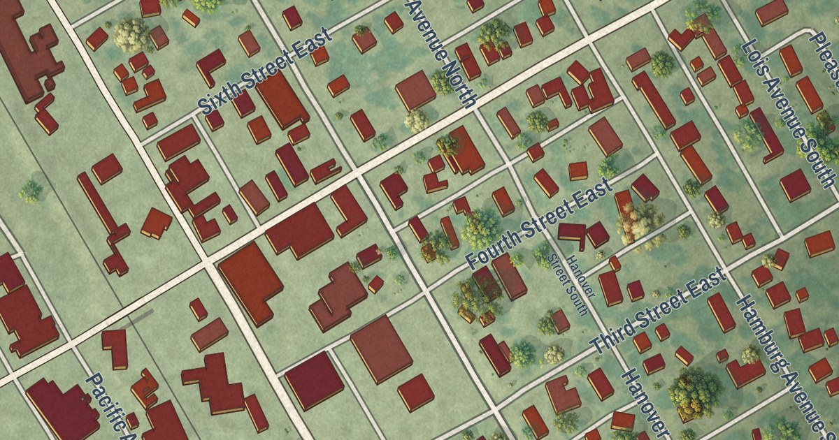
A detailed map of Herman, Minnesota, showing every building in its true location, the roads by name, and shaded topographical relief.
Read More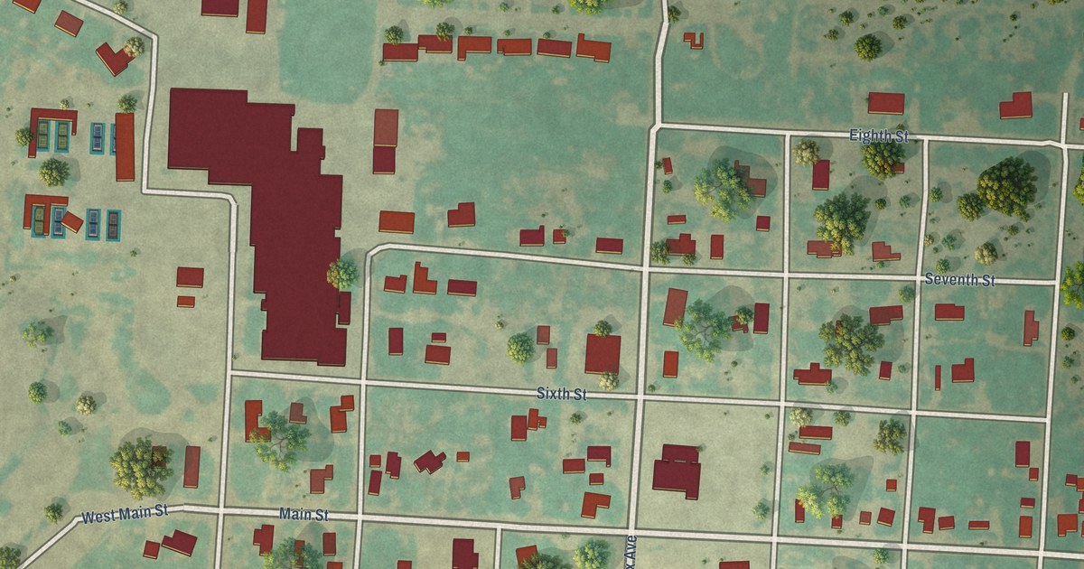
A detailed map of Forsan, Texas, showing every building in its true location, the roads by name, and shaded topographical relief.
Read More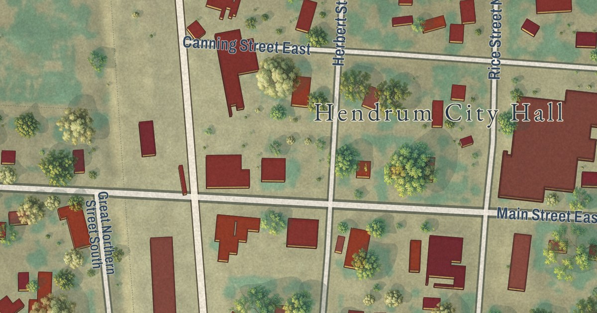
A detailed map of Hendrum, Minnesota, showing every building in its true location, the roads by name, and shaded topographical relief.
Read More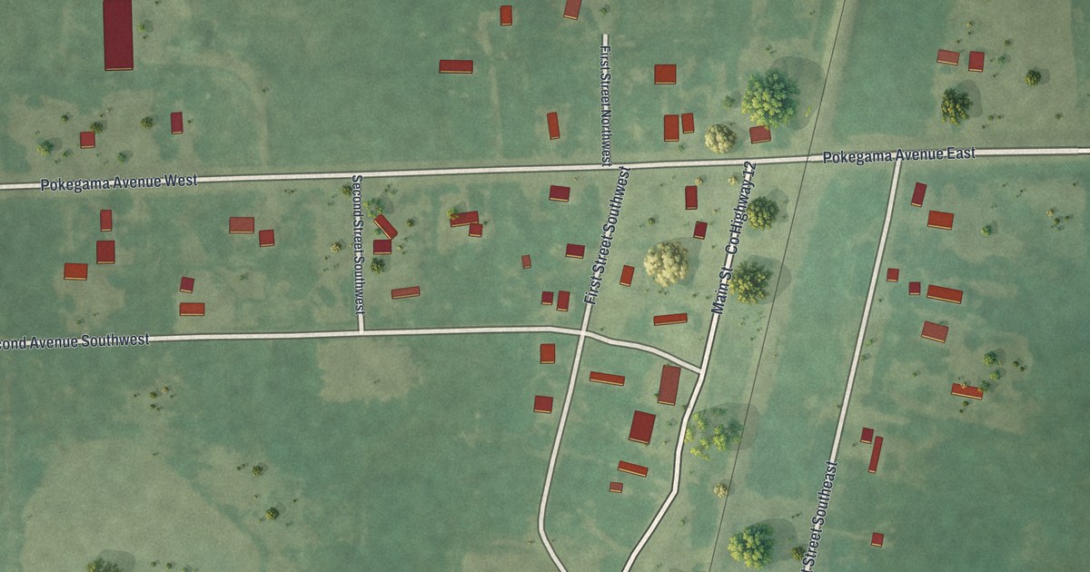
A detailed map of Henriette, Minnesota, showing every building in its true location, the roads by name, and shaded topographical relief.
Read More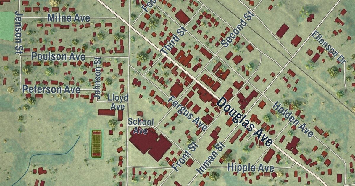
A detailed map of Henning, Minnesota, showing every building in its true location, the roads by name, and shaded topographical relief.
Read More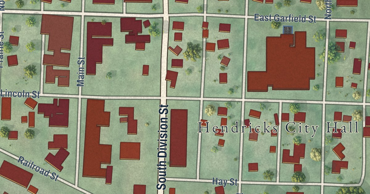
A detailed map of Hendricks, Minnesota, showing every building in its true location, the roads by name, and shaded topographical relief.
Read More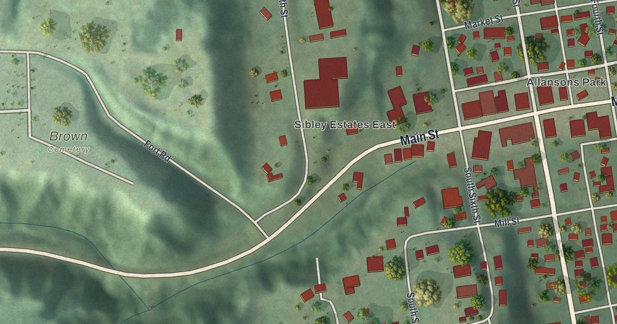
A detailed map of Henderson, Minnesota, showing every building in its true location, the roads by name, and shaded topographical relief.
Read More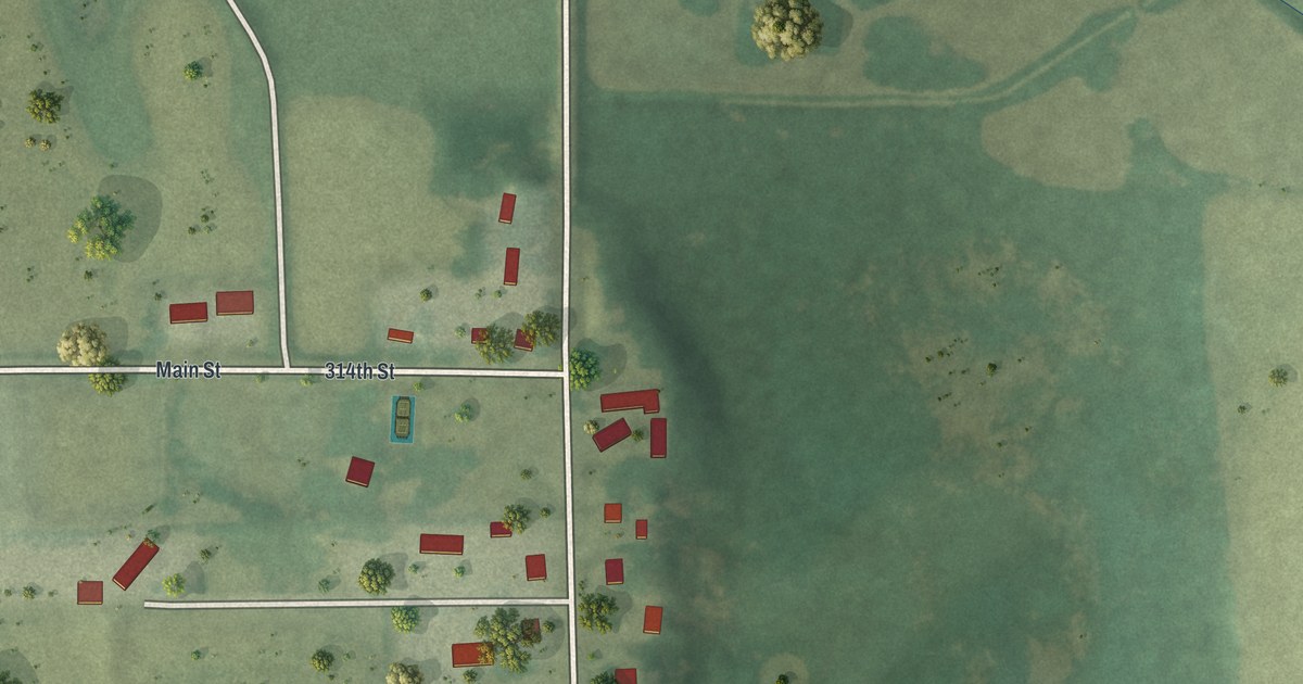
A detailed map of Heidelberg, Minnesota, showing every building in its true location, the roads by name, and shaded topographical relief.
Read More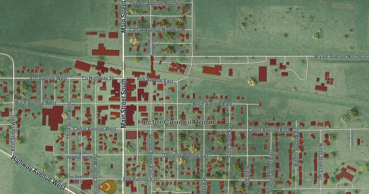
A detailed map of Hector, Minnesota, showing every building in its true location, the roads by name, and shaded topographical relief.
Read More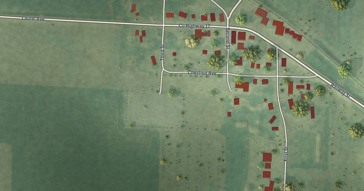
A detailed map of Hazel Run, Minnesota, showing every building in its true location, the roads by name, and shaded topographical relief.
Read More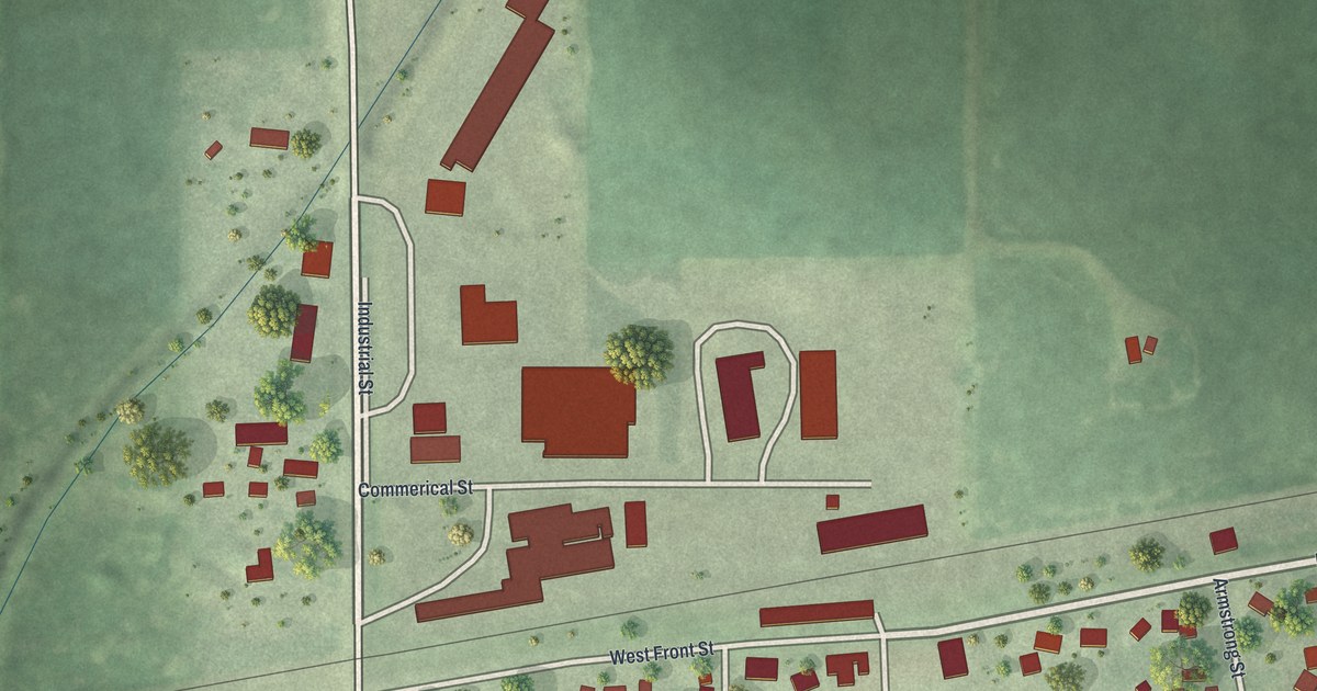
A detailed map of Hayward, Minnesota, showing every building in its true location, the roads by name, and shaded topographical relief.
Read More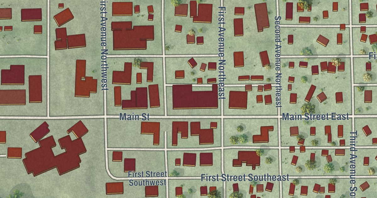
A detailed map of Hayfield, Minnesota, showing every building in its true location, the roads by name, and shaded topographical relief.
Read More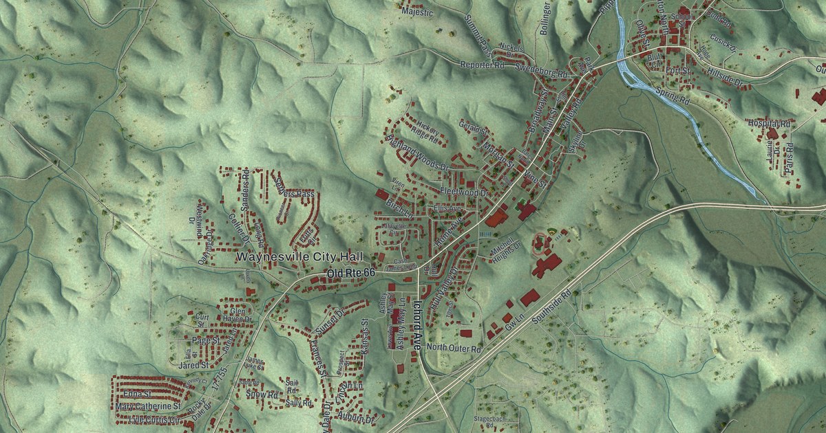
Waynesville, Missouri, in Pulaski County, as a modern aerial view with a vintage feel. Find Old Rte 66, Ichord Avenue and Waynesville City Hall, and learn how the town got its name from General Anthony Wayne.
Read More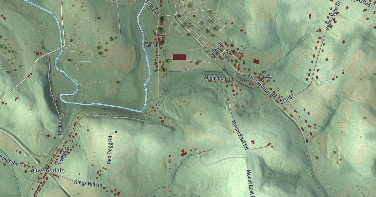
Find Owensdale, Kingview, and Broad Ford on a new Upper Tyrone map. Green hills, blue waterways, and red buildings bring familiar roads into view.
Read More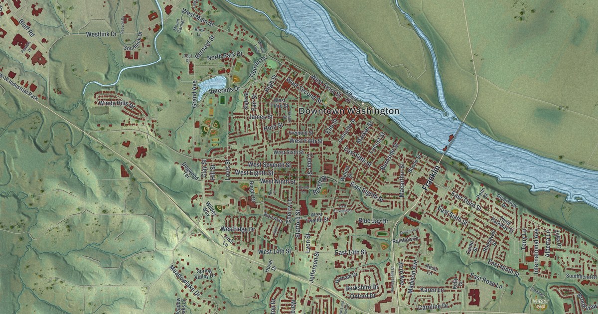
Washington, Missouri had a boat landing as early as 1822. This 2026 aerial map shows Downtown Washington by the river, the old streets of the Tibbe Historic District, and newer neighborhoods in the hills of Franklin County.
Read More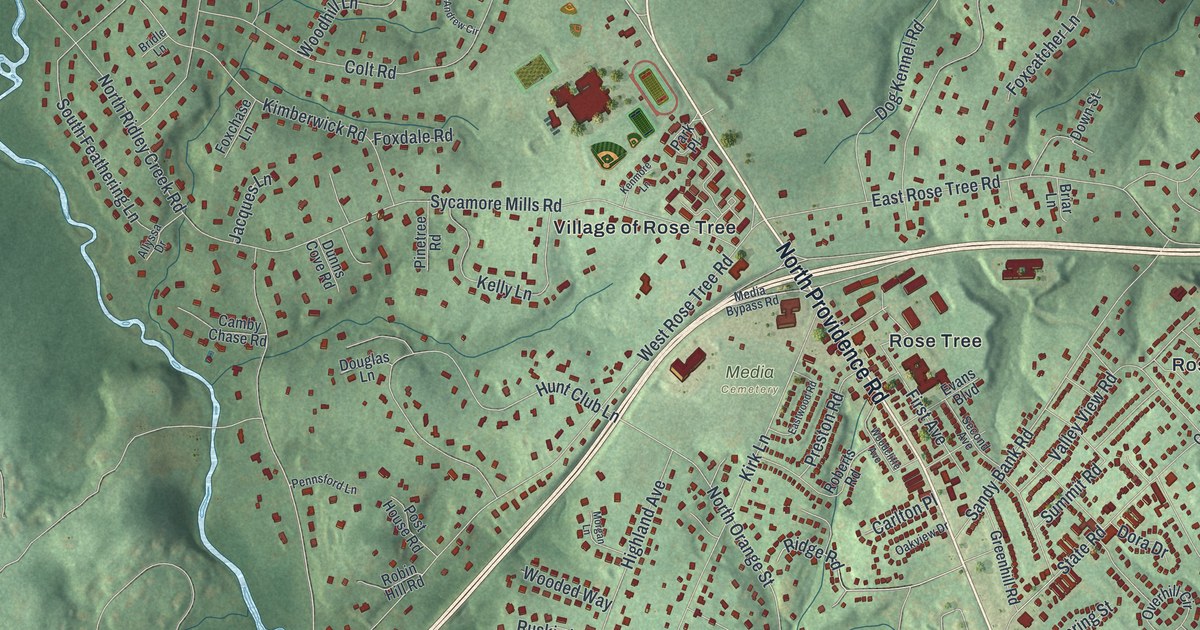
A new aerial map of Upper Providence Township in Delaware County, Pennsylvania. Find Sycamore Mills, Rose Tree, Blue Hill and Moylan, and read about John Worrell’s 1739 land patent.
Read More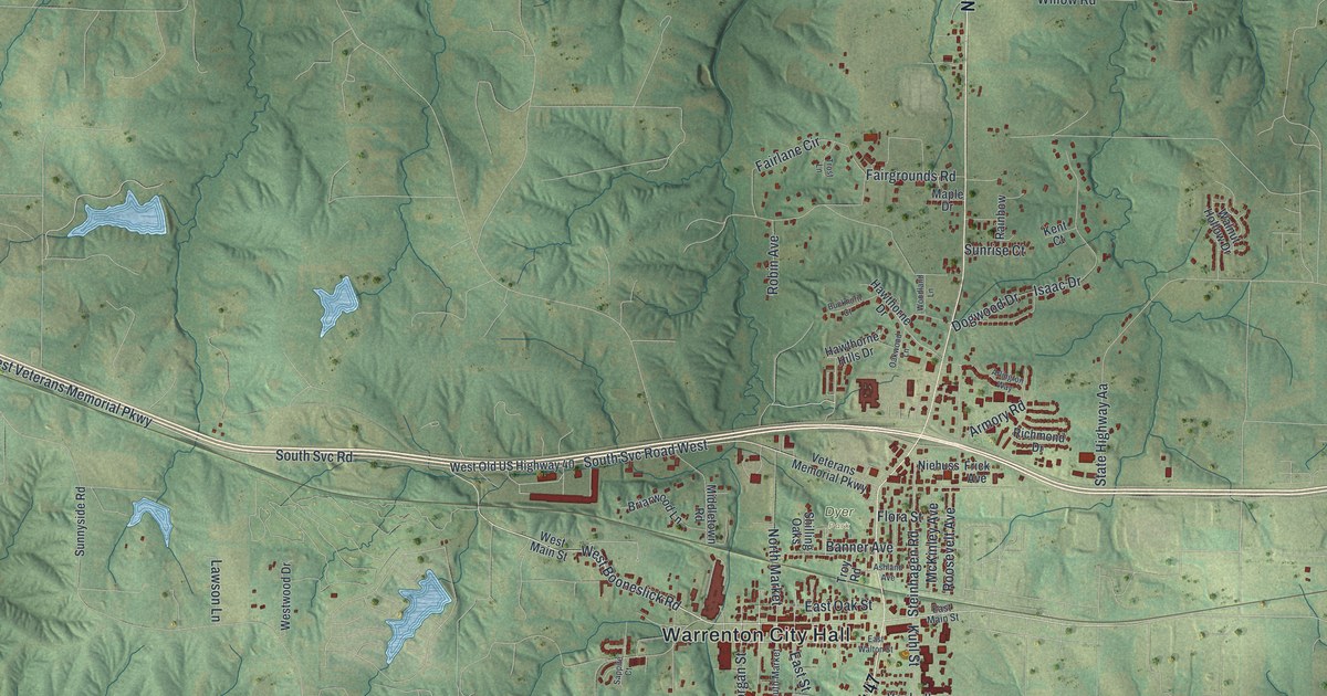
A new aerial-style map of Warrenton in Warren County, Missouri, made in 2026. Find Main Street, Highway 47, Dyer Park and City Hall, and read how the town’s first settlement dates back to 1814 or 1818.
Read More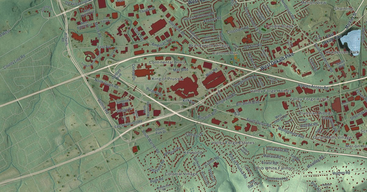
A modern aerial map of Upper Merion Township with King of Prussia, Gulph Mills and Swedesburg printed by name, and the story of the Continental Army’s December 1777 camp on the Gulph Mills hills before Valley Forge.
Read More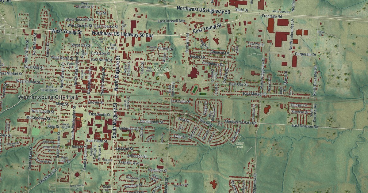
Warrensburg was laid out in 1836 and named for Martin Warren, who came from Kentucky in 1833. This new 2026 map shows Warren Street, Grover Park, Holden Street and thousands of buildings across the green hills of Johnson County.
Read More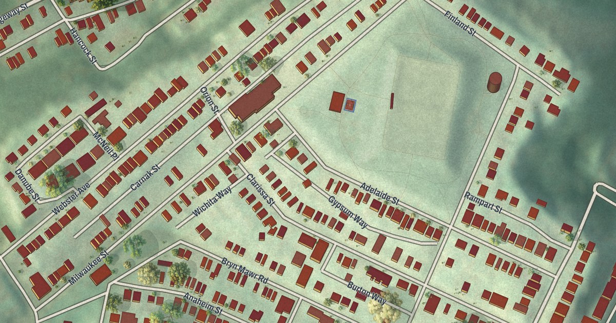
Explore Upper Hill’s hillside blocks and the streets of Schenley Heights. This new map pairs red buildings with green slopes, with a local history stop at Madison Elementary School.
Read More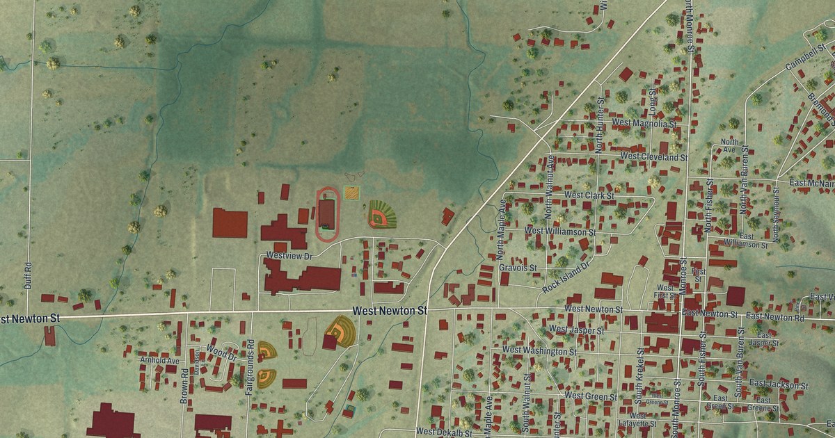
A new aerial map of Versailles, the Morgan County seat since 1834. Find Monroe Street, Newton Street, Dunham Park and the red shape of your own home.
Read More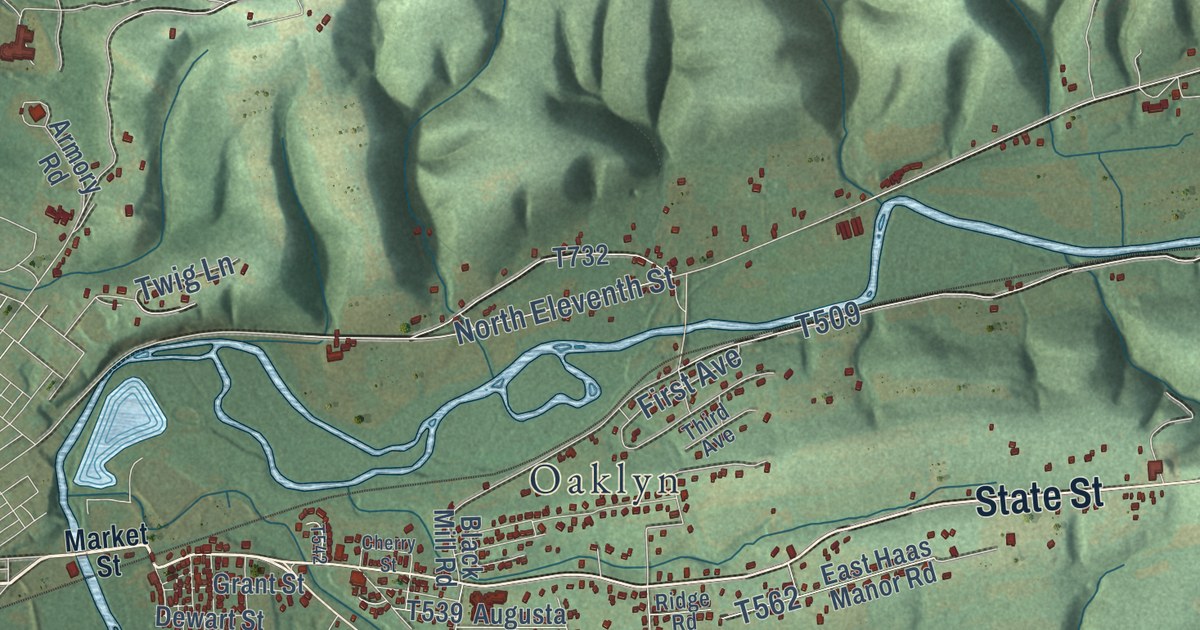
Explore Upper Augusta’s green hills, blue waterways and familiar roads in a new aerial map. Find Hamilton, Oaklyn, Keefers and the places you know by name.
Read More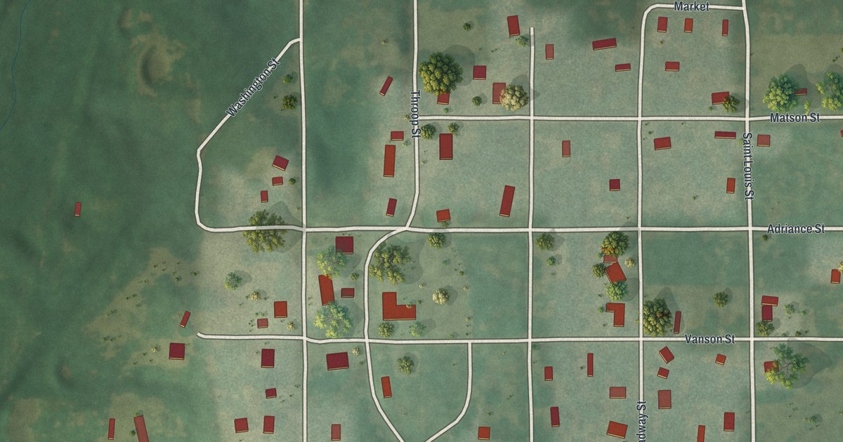
Find Saint Louis Street, Broadway Street, and Utica’s village blocks on a new aerial map. Red buildings and soft green land give this Missouri wall art a vintage feel.
Read More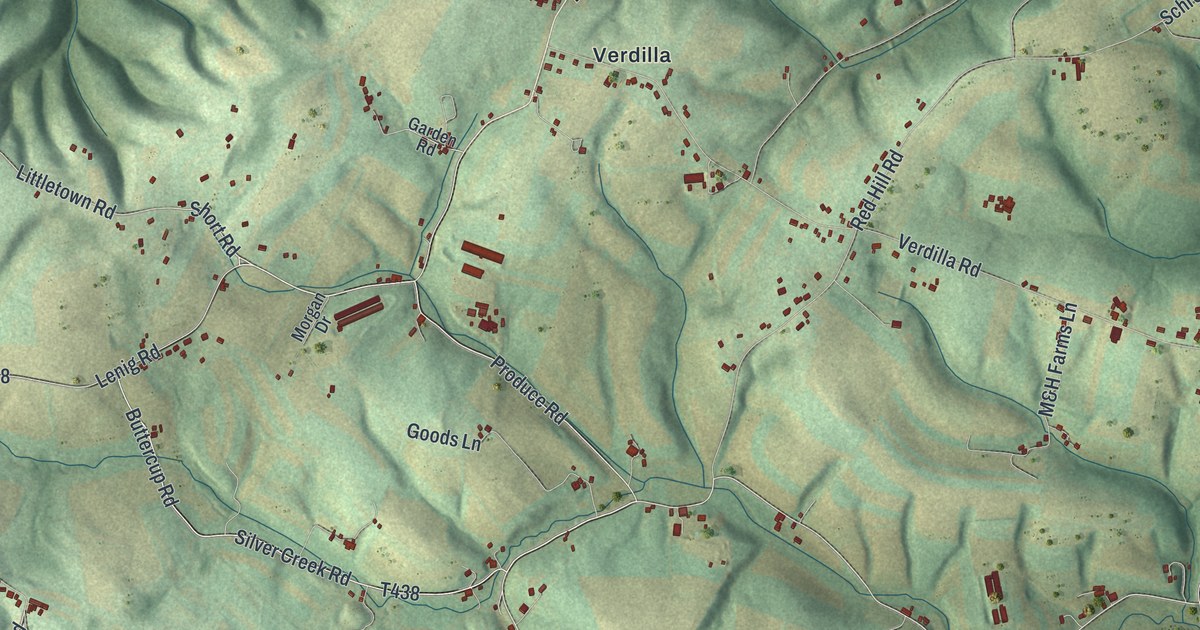
Explore Union in Snyder County through a new aerial map with a vintage feel. Find Port Trevorton, Verdilla, and Dundore, then learn how coal trains once met canal boats at the river.
Read More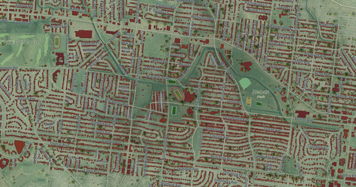
A new aerial map of University City in St. Louis County, made in 2026. Find Delmar Boulevard, Olive Boulevard, Heman Park and Millar Park, and learn about University City Plaza, the historic district listed on the National Register in 1975.
Read More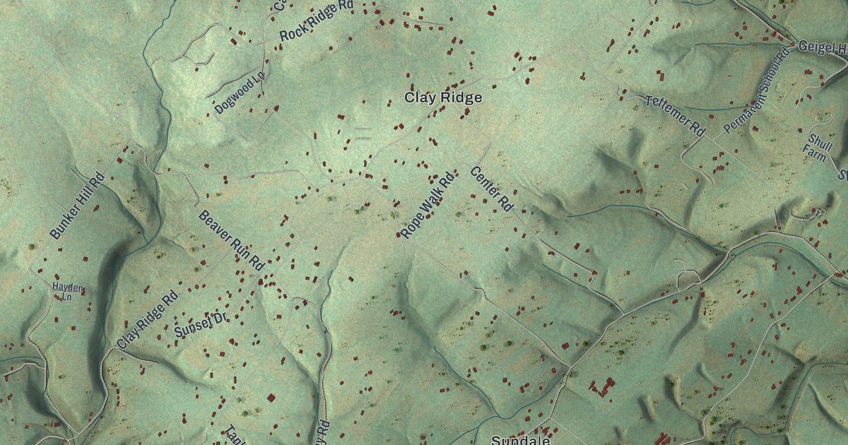
Explore Tinicum’s villages and green hills in a new map print. Find Uhlerstown and Erwinna, then meet the canal boat builder behind Uhlerstown’s name.
Read More
Find familiar Union Star streets in a new aerial map, then meet David Miller, who settled the town site around 1844.
Read More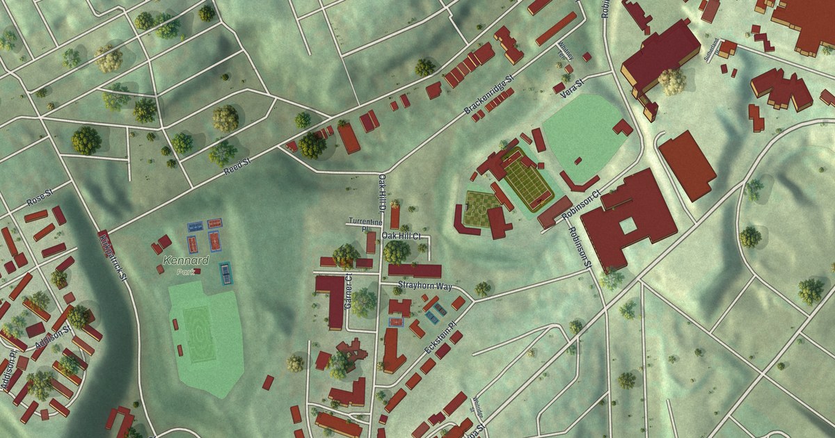
Explore Terrace Village’s streets and Kennard Park in a new aerial map, with a story of the Salk vaccine research tied to Terrace Street.
Read More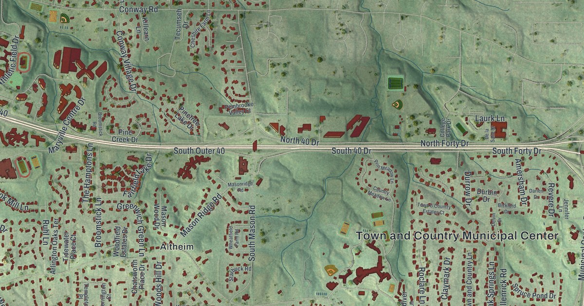
A new aerial view map of Town and Country in St. Louis County, Missouri. Find Mason Road, Clayton Road, Bellerive Country Club and Crystal Lake Park, plus the street where the Pappas House stands, listed on the National Register in 1979.
Read More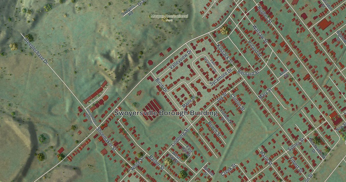
See Swoyersville’s streets beneath green hills in a new aerial map. Find Main Street, Dickville, Morgan Recreational Park and the block you call home.
Read More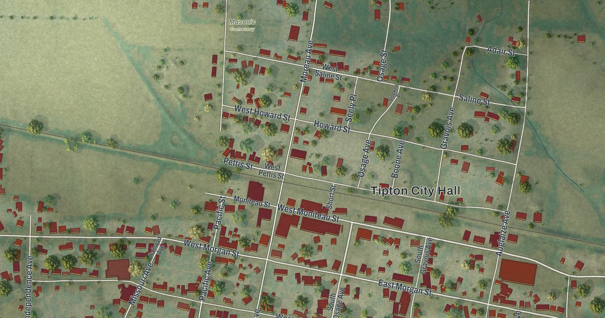
A new 2026 aerial view of Tipton in Moniteau County, Missouri. Find West Morgan Street, Howard Street and Tipton City Park, and learn how the town got its name when it was surveyed in 1858.
Read More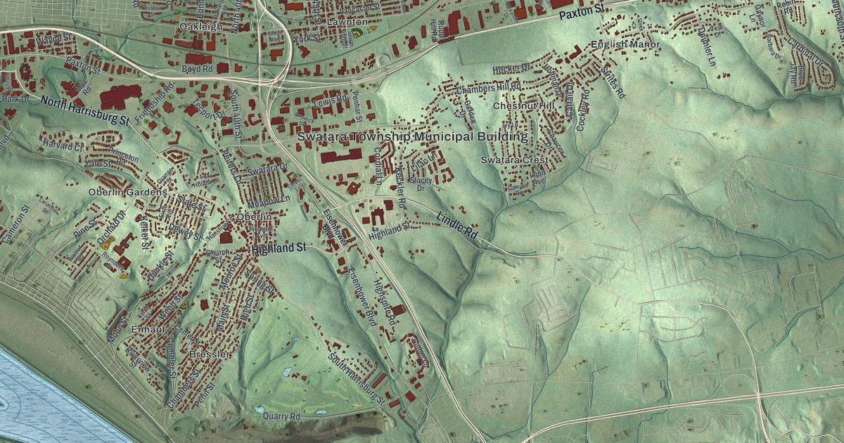
In 1799 a court split Lower Paxtang in two and named the southern half Swatara. This new aerial map shows Swatara Township in Dauphin County today, from Oberlin and Enhaut to Lawnton and Chambers Hill Road.
Read More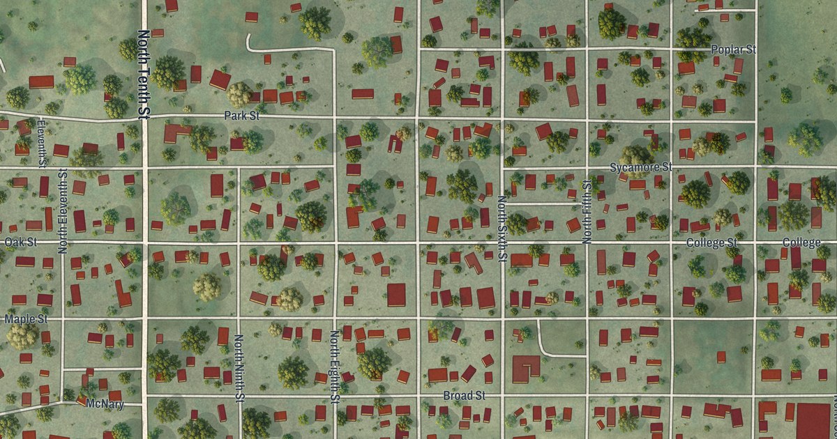
Follow North Tenth Street and Main Street across this Tarkio, Missouri map, then find Rankin Hall and the Mule Barn Theatre, two National Register landmarks on its west side.
Read More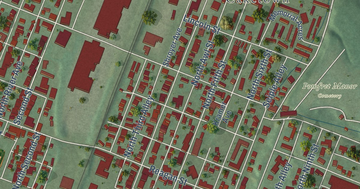
Explore Sunbury’s streets, red buildings, and green hills on a new map. Learn how Thomas Edison helped bring three-wire electric lighting to the City Hotel in 1883.
Read More
Sullivan, Missouri was first called Mount Helicon, with a post office from 1856 to 1860. This new 2026 map shows the town in Franklin County from above, with its green hills, Main Street, Sullivan City Hall and more than 5,000 buildings.
Read More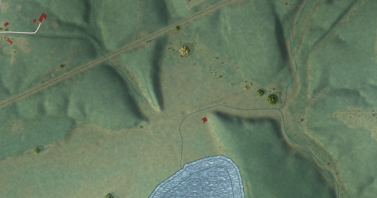
Stoutsville was laid out along the railroad in 1871. Explore a new aerial map with village streets, red building shapes and the blue water nearby.
Read More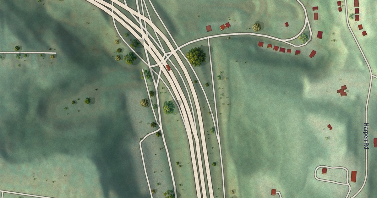
See Summer Hill’s streets and green hills in a new aerial map. Find Ivory Avenue, McKnight Road and rows of red buildings in this 2026 print with a vintage feel.
Read More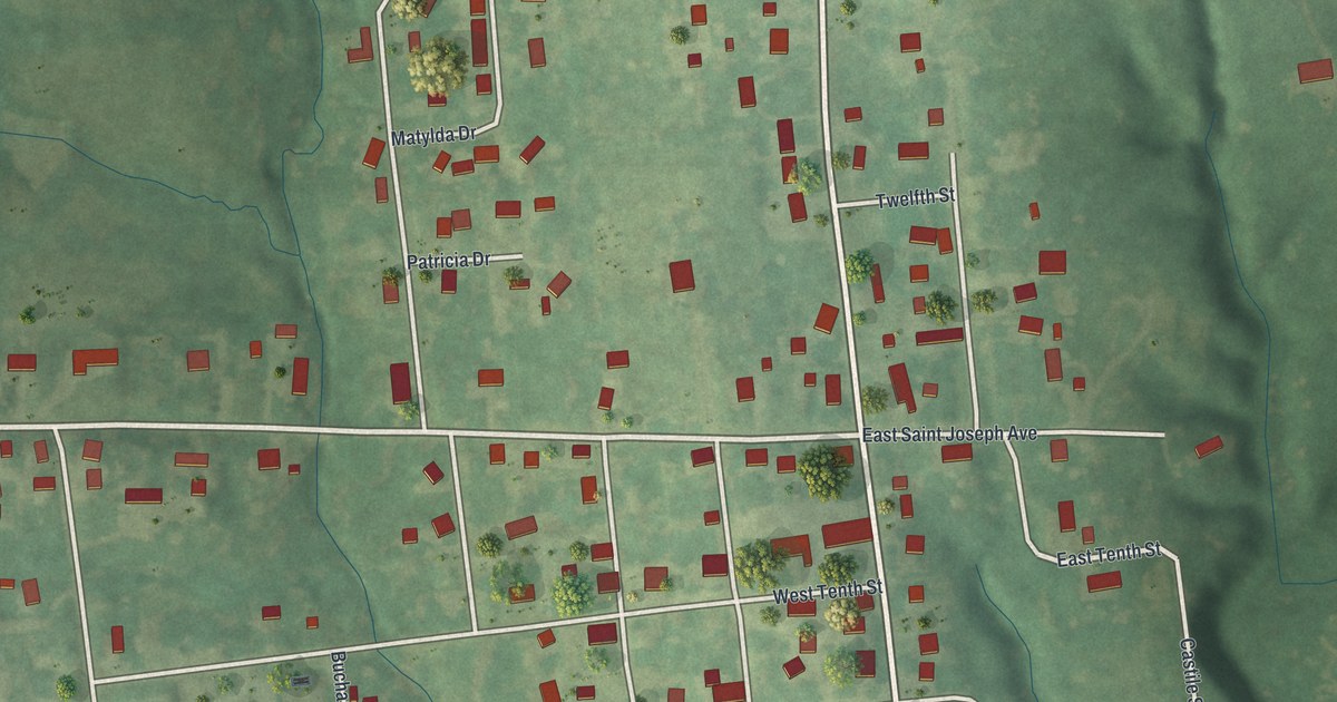
See Stewartsville’s streets, red buildings, and green hills in a new map with a vintage feel. Explore familiar blocks and the 1861 entry Goodspeed’s county history gives Stewartsville.
Read More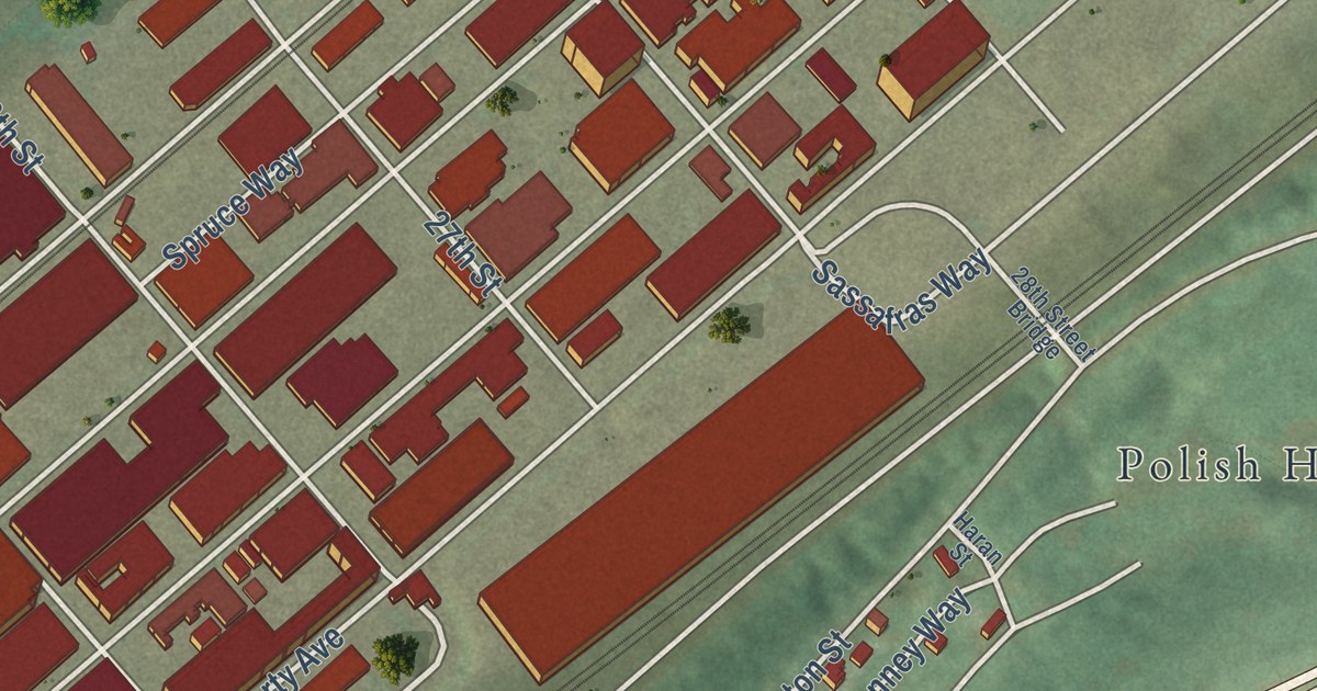
A 2026 aerial map of Pittsburgh’s Strip District in Allegheny County, from Penn Avenue and Smallman Street to the 16th Street Bridge and Polish Hill, plus the corner of 32nd and Smallman where a state marker says Charles Martin Hall’s aluminum process was developed.
Read More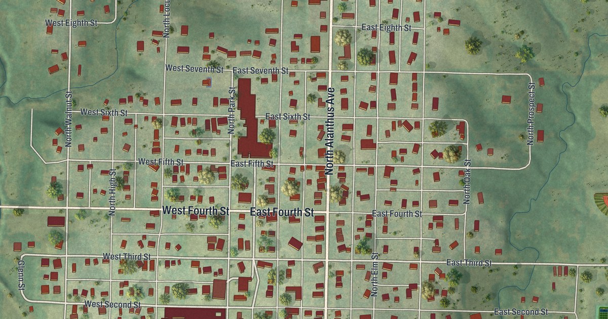
A modern aerial view of Stanberry in Gentry County, Missouri, with a vintage look. Find North Alanthus Avenue, City Park and the numbered streets, plus what a 1922 county history said about the town’s stores and the Advent Publishing House.
Read More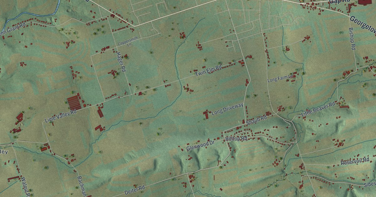
A new aerial-style map of Strasburg Township in Lancaster County, made in 2026. Find Gap Road, Refton, Hessdale and Lime Valley, and read how the Strasburg Rail Road started in 1832 and was saved by local rail fans in 1958.
Read More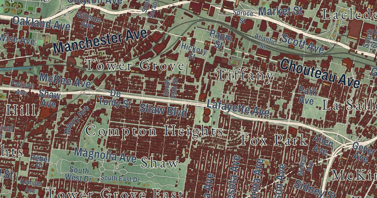
A modern aerial map of St. Louis with more than 60 neighborhoods printed by name. Plus the story of the Baby Tooth Survey, when St. Louis kids gave their baby teeth so scientists could measure fallout from bomb tests.
Read More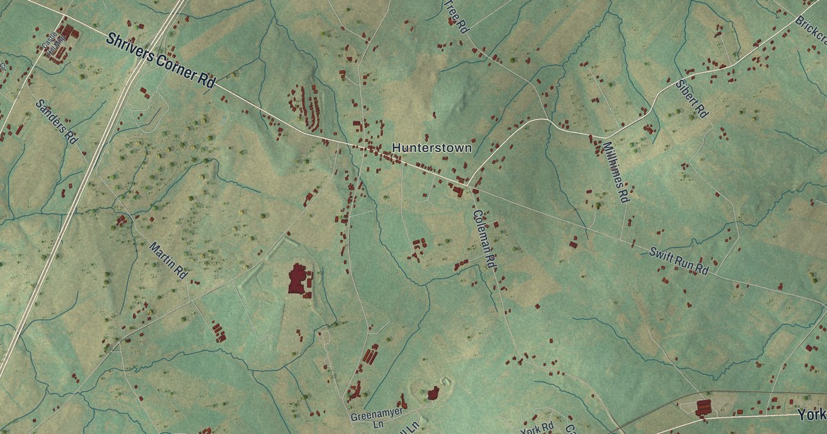
A modern aerial map of Straban Township in Adams County, Pennsylvania, with Hunterstown, Guldens, York Road and Hanover Road, plus the story of the two cavalry fights fought here in July 1863.
Read More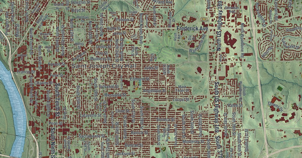
A modern aerial map of St. Joseph in Buchanan County, Missouri, with a vintage feel. Find Frederick Avenue, Penn Street and Corby Grove among more than 31,000 red buildings, plus the Pony Express Stables and how the town got its name.
Read More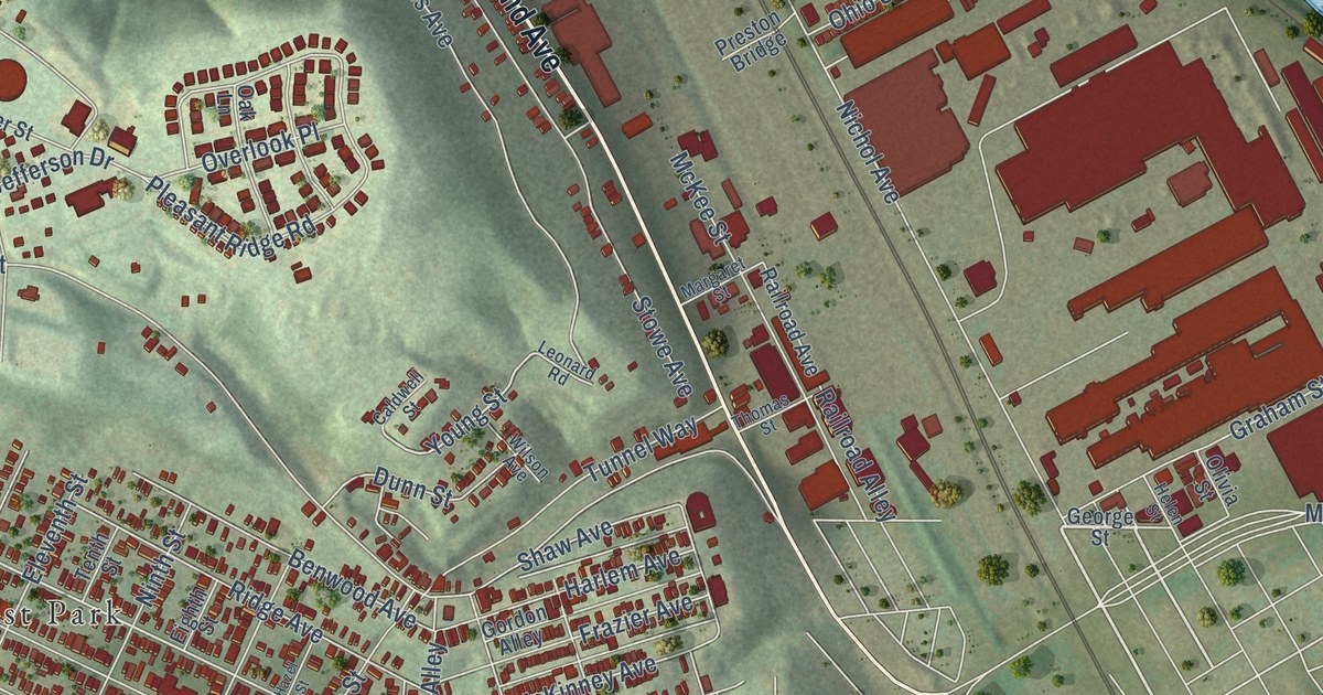
A new aerial map of Stowe Township in Allegheny County, made in 2026. Find Island Avenue, Pittock, West Park and the streets of Presston, the company town at the heart of the 1909 Pressed Steel Car strike.
Read More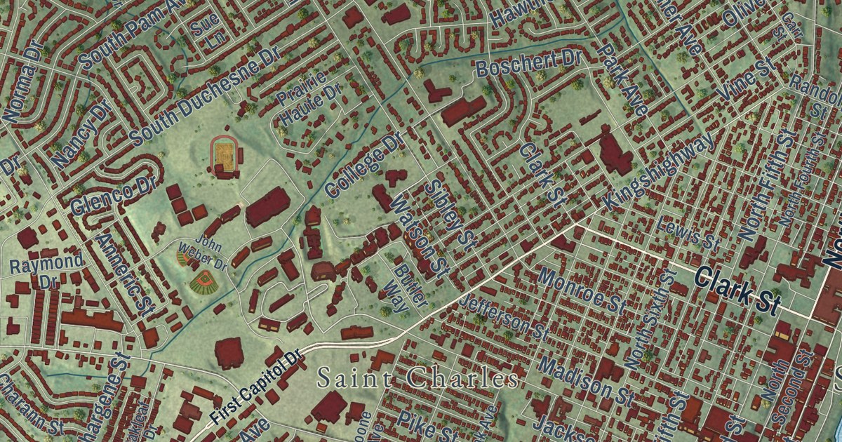
St. Charles was founded about 1769, and it’s called the oldest settlement in the St. Louis District. This new 2026 map shows nearly 33,000 buildings, from the Register-listed blocks of Main Street by the river to Elm Point, Boschertown and the neighborhoods out west.
Read More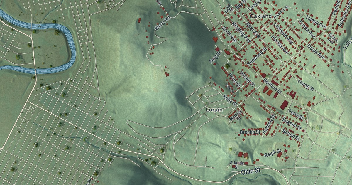
Stonycreek Township in Cambria County took its name from the Stonycreek River, named in colonial days for being rocky. This 2026 aerial view shows Oakland, Belmont, Riverside, Ohio Street and thousands of buildings on the hills.
Read More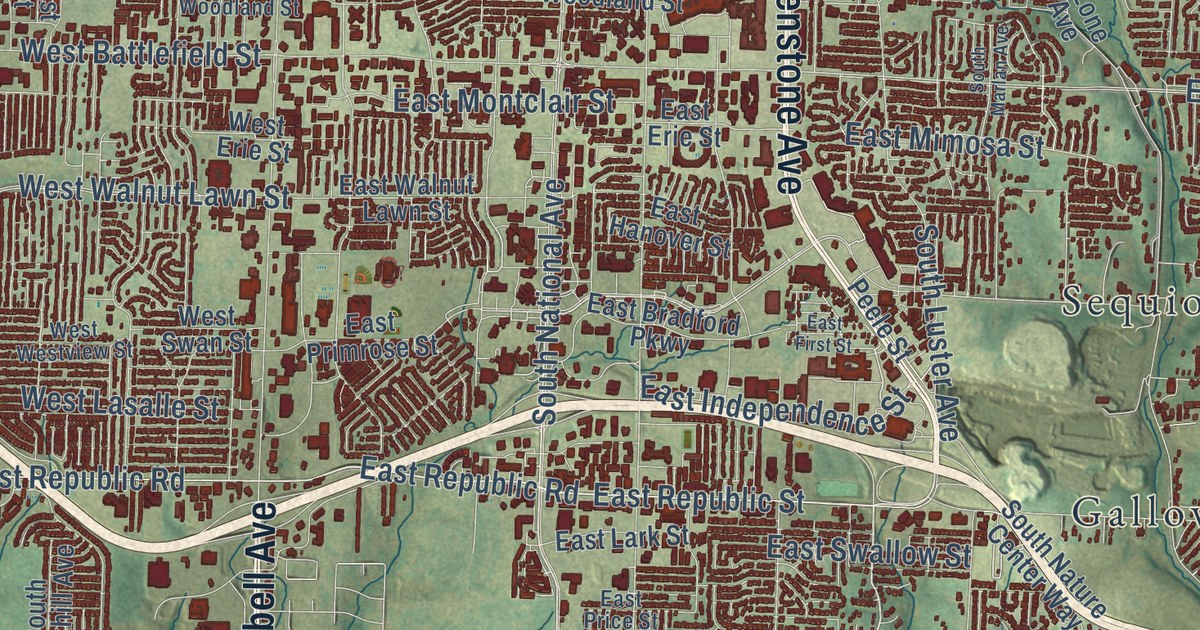
A modern aerial map of Springfield in Greene County, Missouri, with a vintage feel. Find Glenstone, Sunshine, Galloway and Sequiota, and read how Junius T. Campbell opened the first store in Springfield.
Read More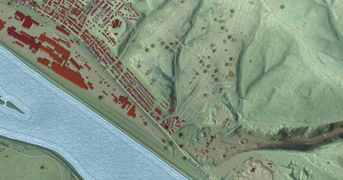
Steelton shows up all through the 1883 county history, from its own newspaper to its own rail branch. This 2026 aerial map shows South Front Street, Cibort Park, Bessemer Street, South Fourth Street and the homes and long work buildings in between.
Read More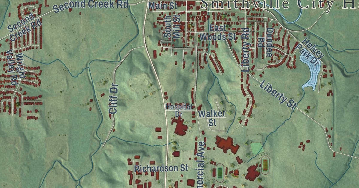
Humphrey Smith settled here in 1822 and built a mill two years later. This 2026 aerial map of Smithville, Missouri shows City Hall, East Main Street, Smith’s Mill Road, the hills and creeks around town, and a wide blue lake to the east.
Read More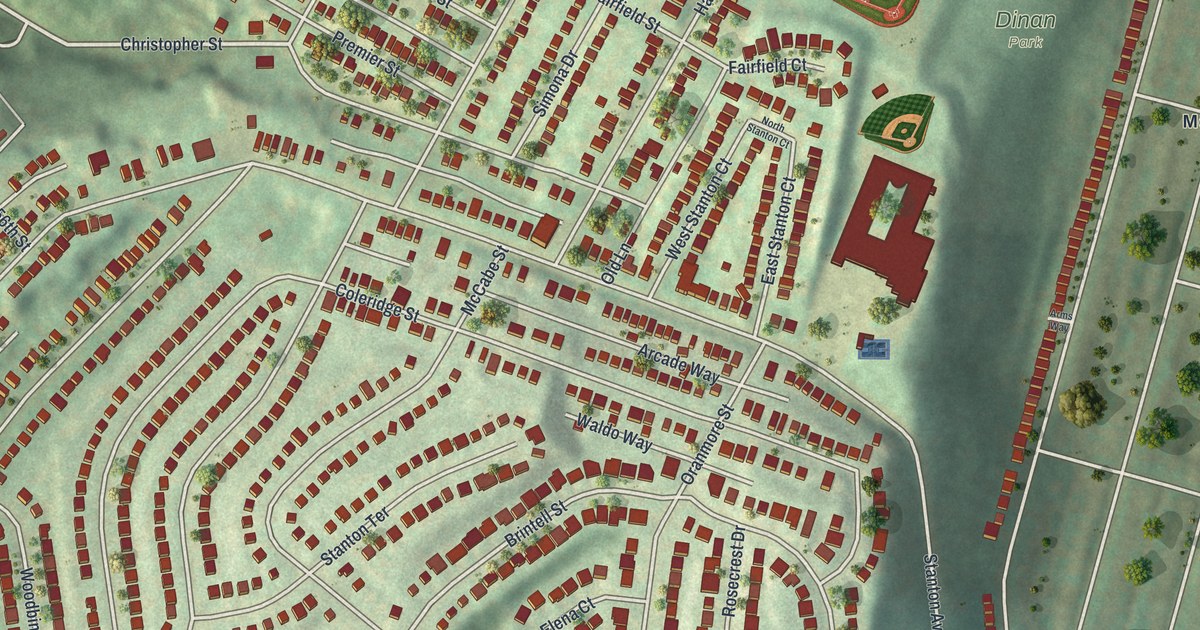
A modern aerial map of Stanton Heights in Allegheny County, with its curving hilltop streets, Dinan Park and Butler Street by the river. Plus two spots on the National Register: the James Scott House on Stanton Avenue and the Hunter Saw & Machine Company on Butler Street.
Read More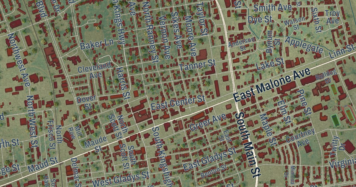
A new aerial map of Sikeston, Missouri, made in 2026. Find East Malone Avenue, North Main Street and Westgate Street, and learn about the Marshall Hotel, the old Iron Mountain depot and Lincoln School, all on the National Register.
Read More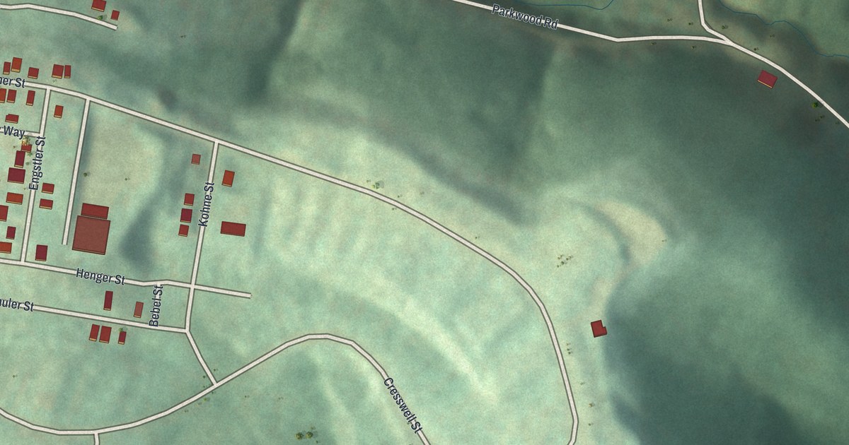
St. Clair’s hilltop streets in a new 2026 aerial map, from Fisher Street and Henger Street to Hilltop Urban Farm, plus the story of Gen. Arthur St. Clair, whose name the old township carried.
Read More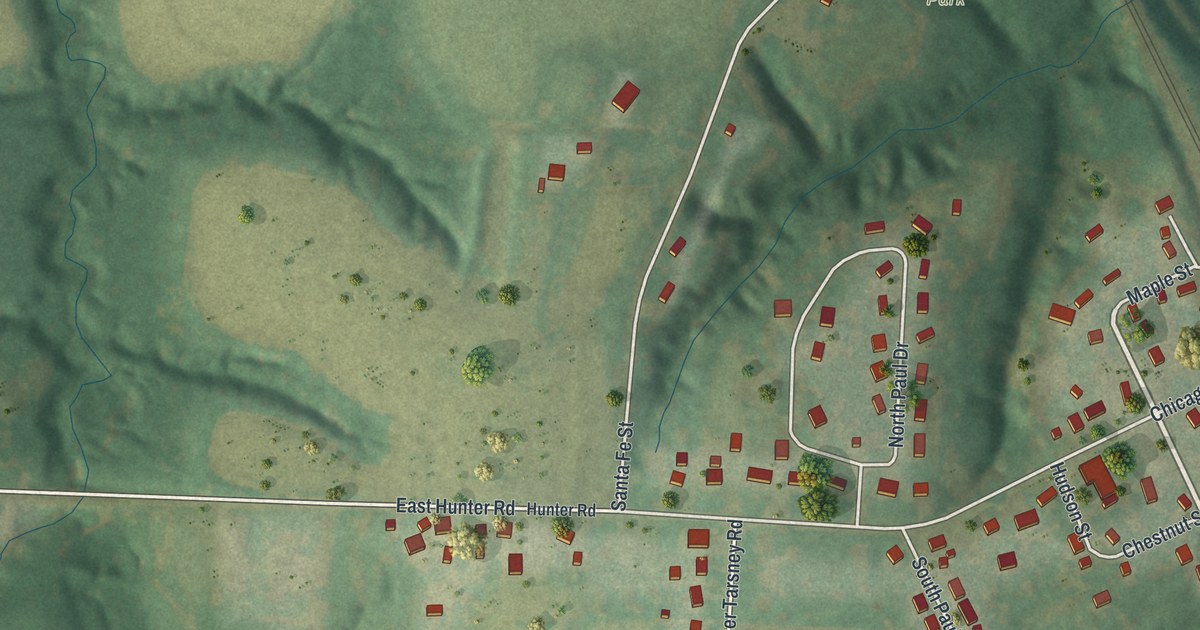
Sibley grew from Fort Osage, the first settlement in Jackson County. This new 2026 map of Sibley, Missouri shows the river, the bluffs, Hayes Park, Sibley Cemetery and the village streets.
Read More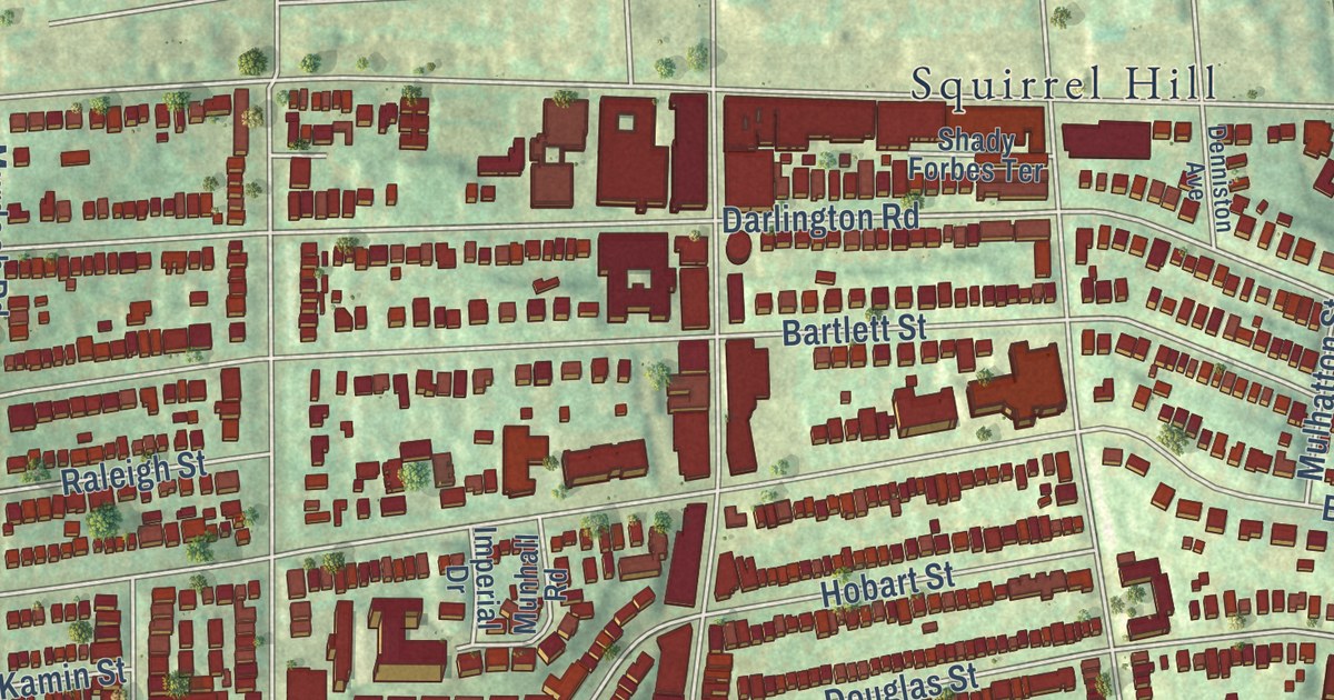
A new aerial map of Squirrel Hill South in Pittsburgh, made in 2026. Find Shady Avenue, Murray Avenue, Frick Park and Schenley Park, plus the story of Taylor Allderdice High School and Colfax Elementary, both on the National Register since 1986.
Read More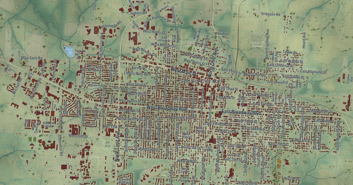
A modern aerial map of Sedalia in Pettis County, Missouri, with a vintage look. Find West Broadway Boulevard, Sedalia City Hall, the Missouri State Fairground and more than 12,000 buildings, plus the story of the town’s 1864 charter.
Read More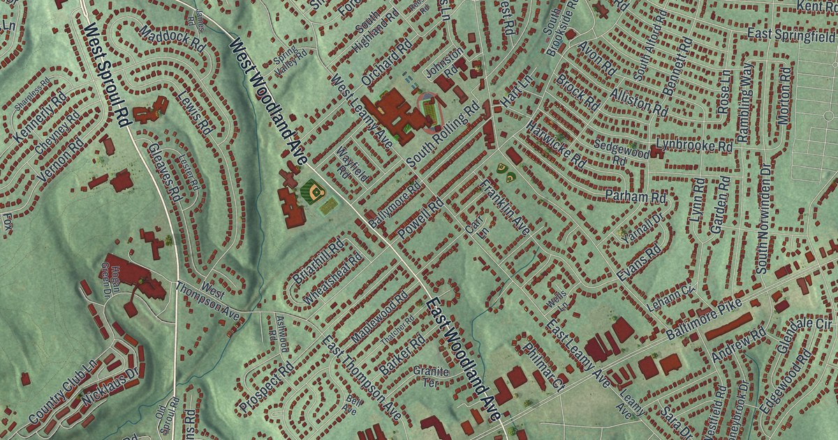
Find Saxer Avenue, Baltimore Pike, and Rolling Green Golf Club on a new Springfield map. Read about the local Friends Meeting that artist Benjamin West attended as a boy.
Read More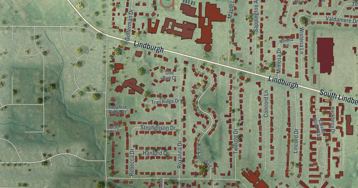
Sappington was named for a family of pioneers, and that name still runs down Sappington Road. This new 2026 map of Sappington, Missouri shows Gravois Road, Tesson Ferry Road, South Lindbergh Boulevard and every block in between, with buildings in red over green hills.
Read More
A new aerial map of Rutledge in Scotland County, Missouri. Find Main Street, Second Street, Cemetery Road and the rail line, plus the story of the Rutledge School, listed on the National Register in 2017.
Read More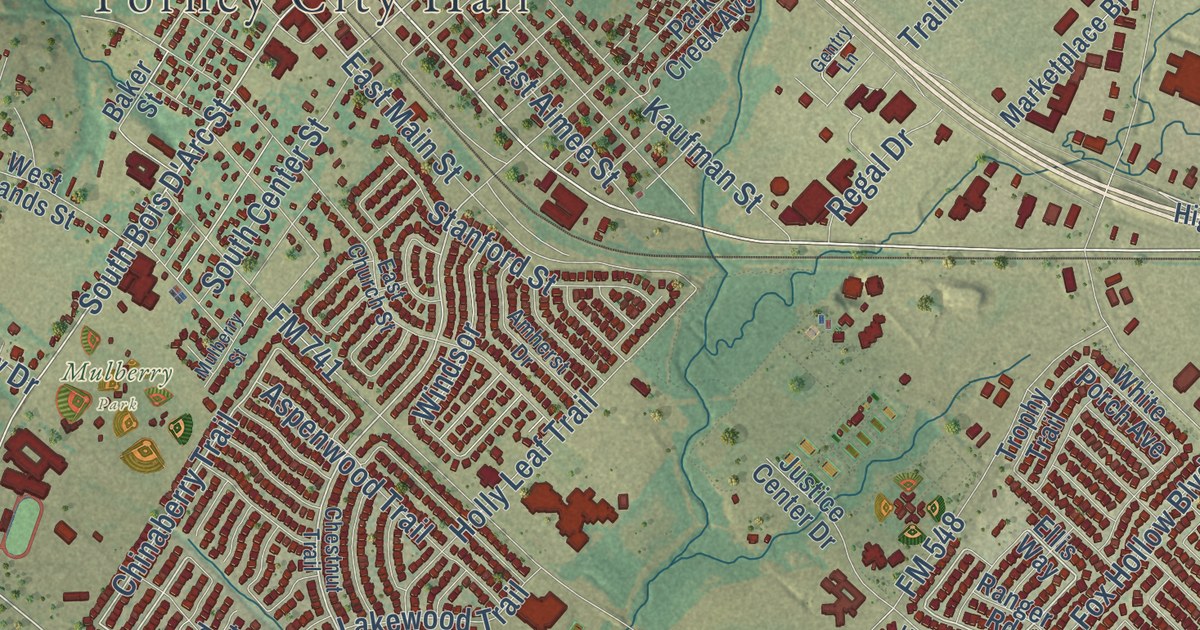
A detailed map of Forney, Texas, showing every building in its true location, the roads by name, and shaded topographical relief.
Read More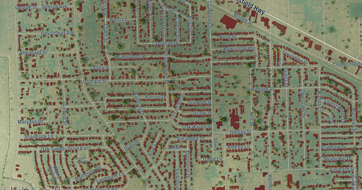
A detailed map of Forest Hill, Texas, showing every building in its true location, the roads by name, and shaded topographical relief.
Read More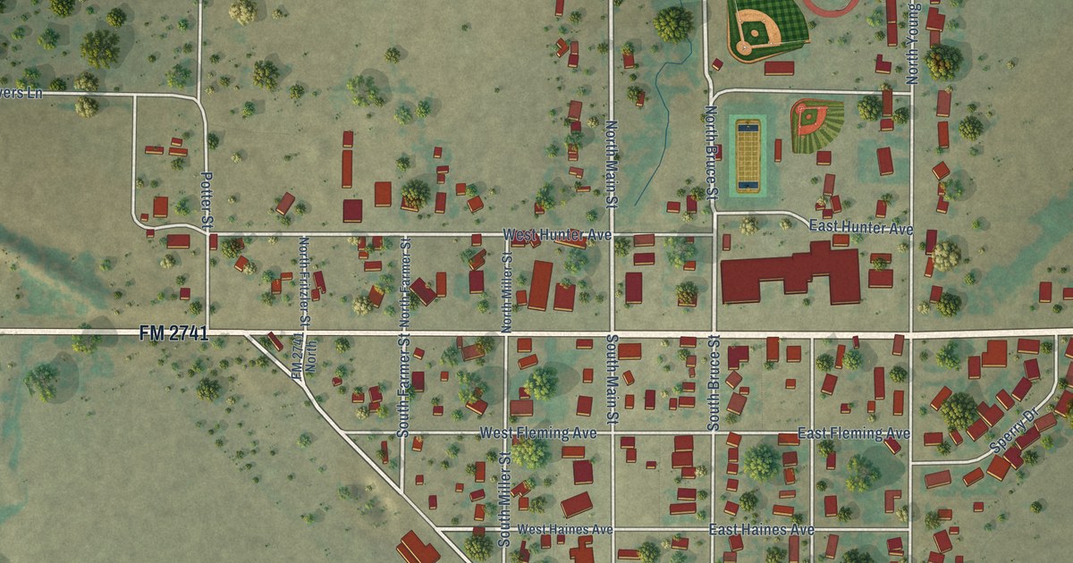
A detailed map of Follett, Texas, showing every building in its true location, the roads by name, and shaded topographical relief.
Read More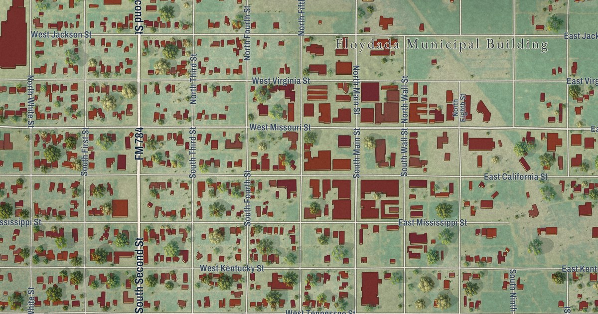
A detailed map of Floydada, Texas, showing every building in its true location, the roads by name, and shaded topographical relief.
Read More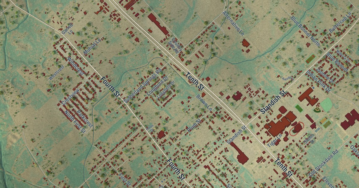
A detailed map of Floresville, Texas, showing every building in its true location, the roads by name, and shaded topographical relief.
Read More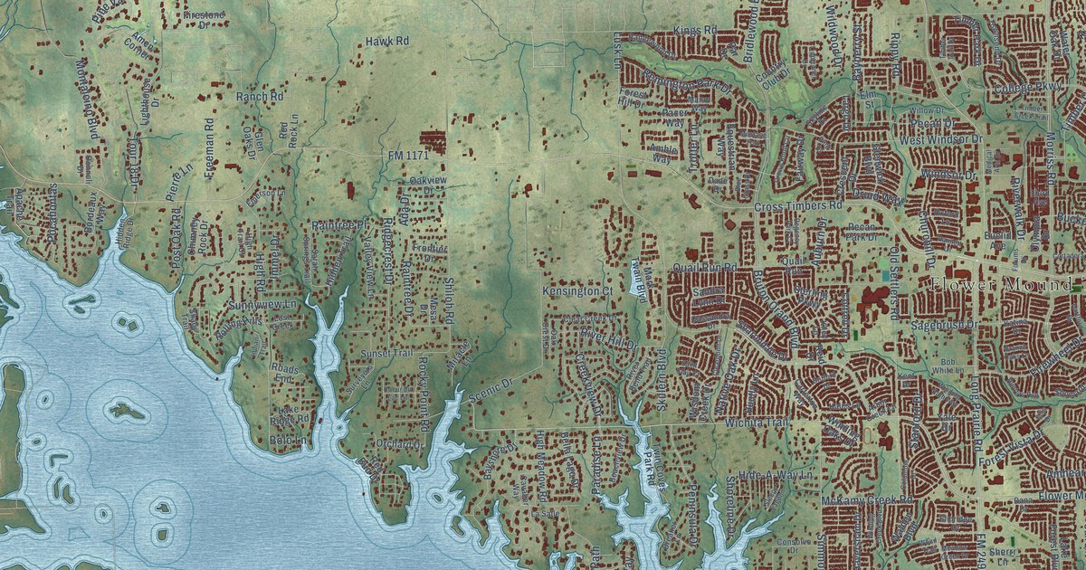
A detailed map of Flower Mound, Texas, showing every building in its true location, the roads by name, and shaded topographical relief.
Read More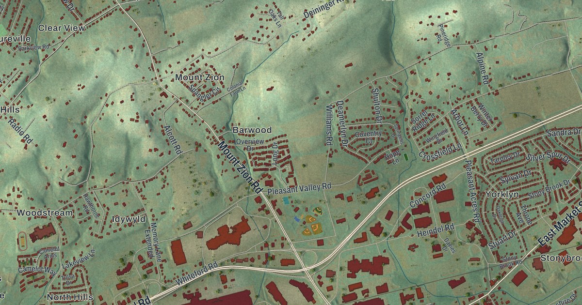
A 2026 aerial view of Springettsbury Township in York County, with East Market Street, Haines Acres and Rocky Ridge County Park. Plus the story of Camp Security, where British prisoners were held from 1781 to 1783.
Read More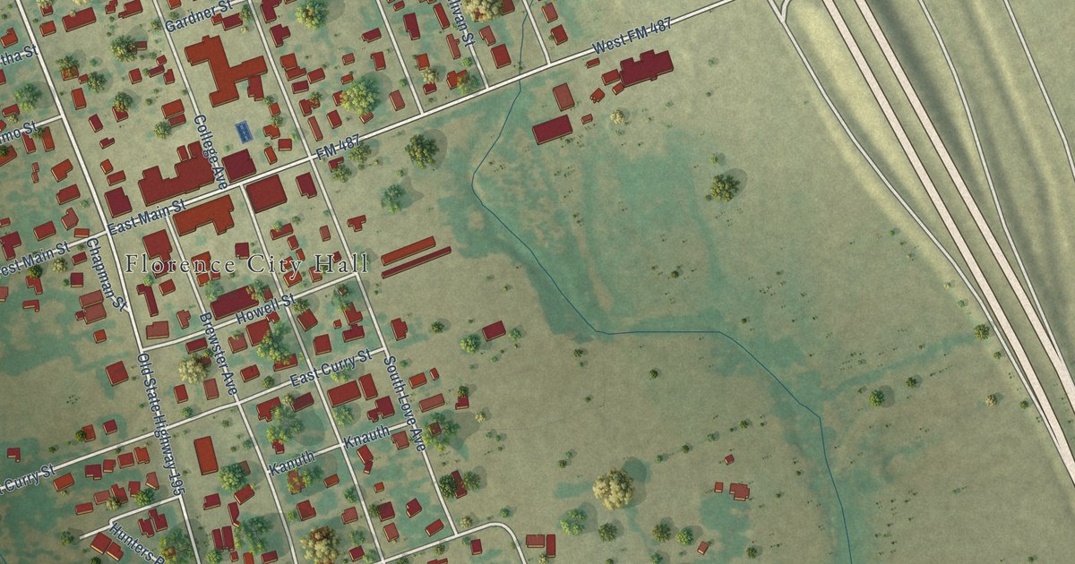
A detailed map of Florence, Texas, showing every building in its true location, the roads by name, and shaded topographical relief.
Read More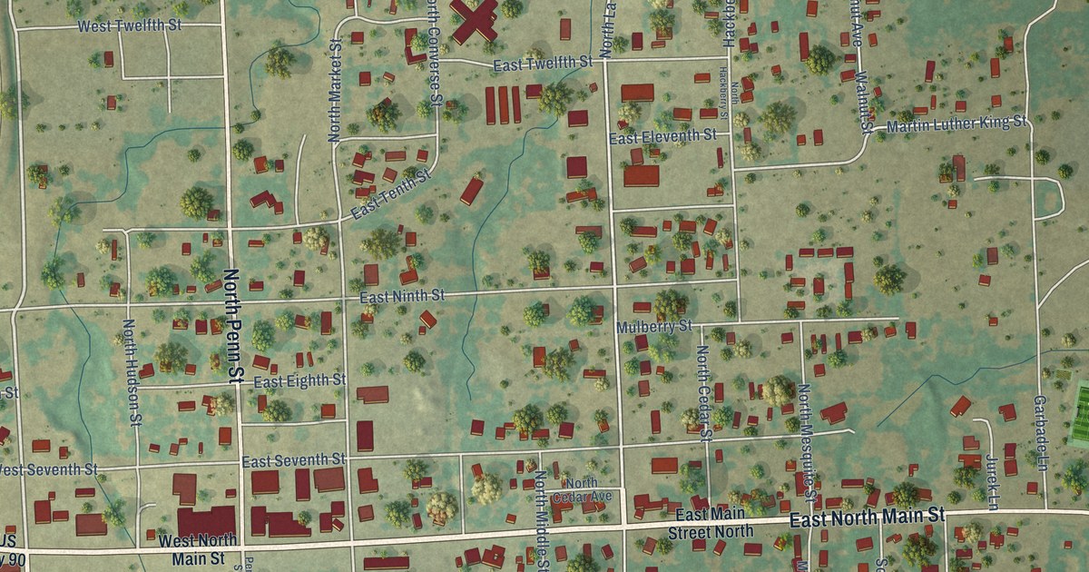
A detailed map of Flatonia, Texas, showing every building in its true location, the roads by name, and shaded topographical relief.
Read More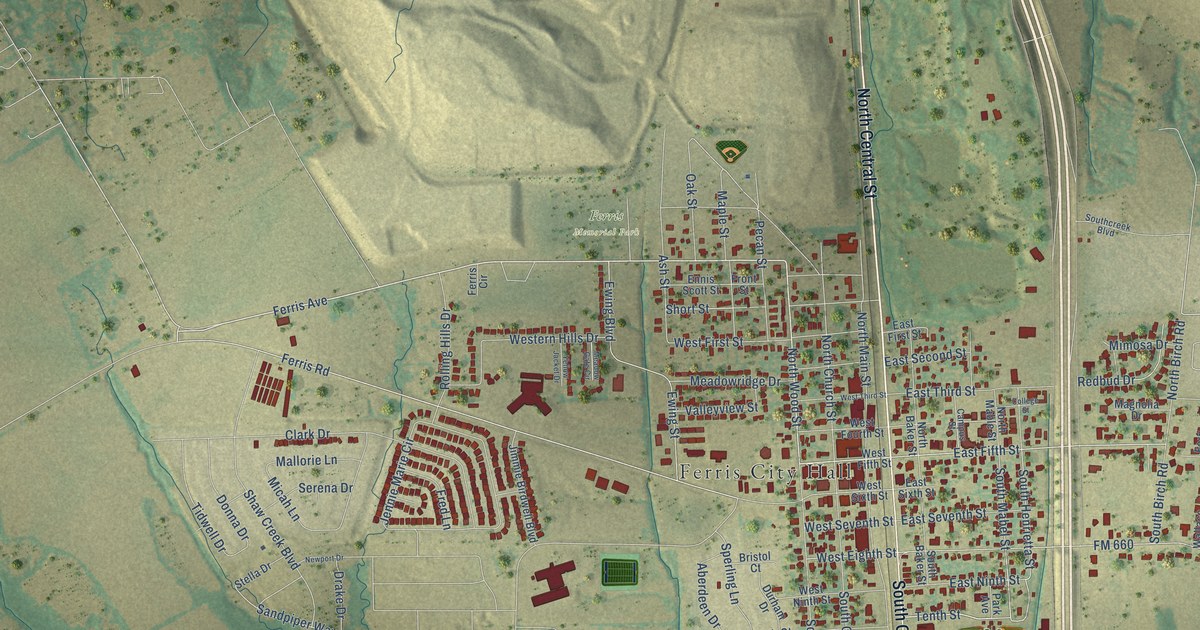
A detailed map of Ferris, Texas, showing every building in its true location, the roads by name, and shaded topographical relief.
Read More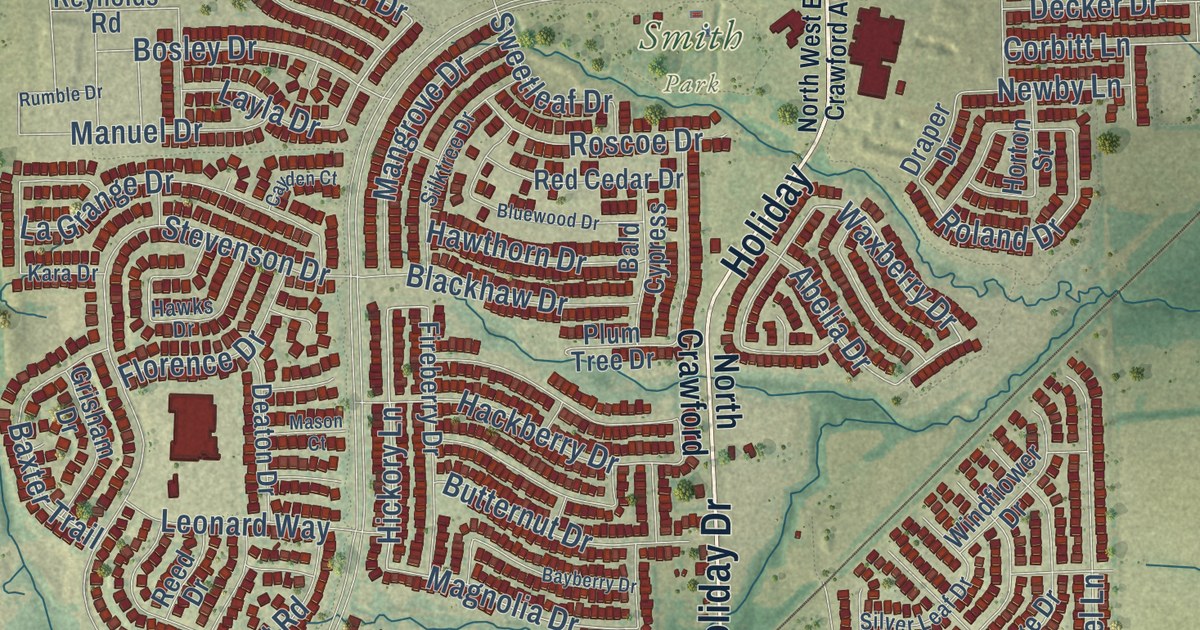
A detailed map of Fate, Texas, showing every building in its true location, the roads by name, and shaded topographical relief.
Read More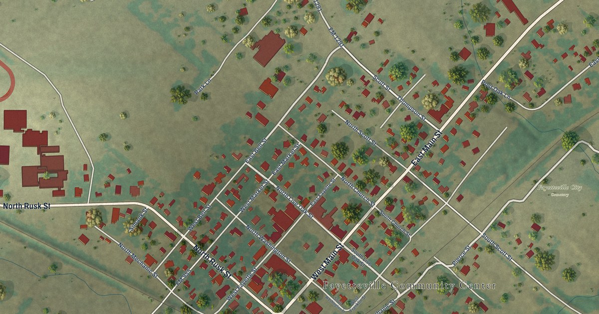
A detailed map of Fayetteville, Texas, showing every building in its true location, the roads by name, and shaded topographical relief.
Read More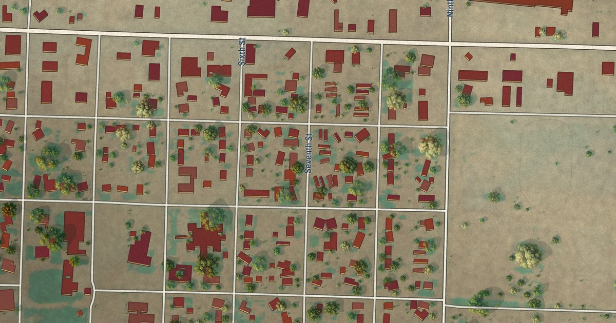
A detailed map of Farwell, Texas, showing every building in its true location, the roads by name, and shaded topographical relief.
Read More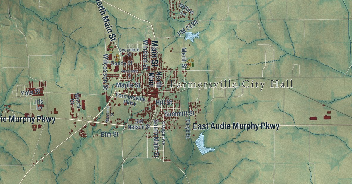
A detailed map of Farmersville, Texas, showing every building in its true location, the roads by name, and shaded topographical relief.
Read More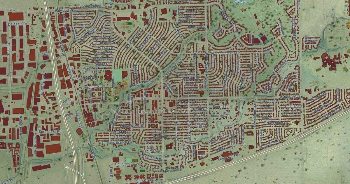
A detailed map of Farmers Branch, Texas, showing every building in its true location, the roads by name, and shaded topographical relief.
Read More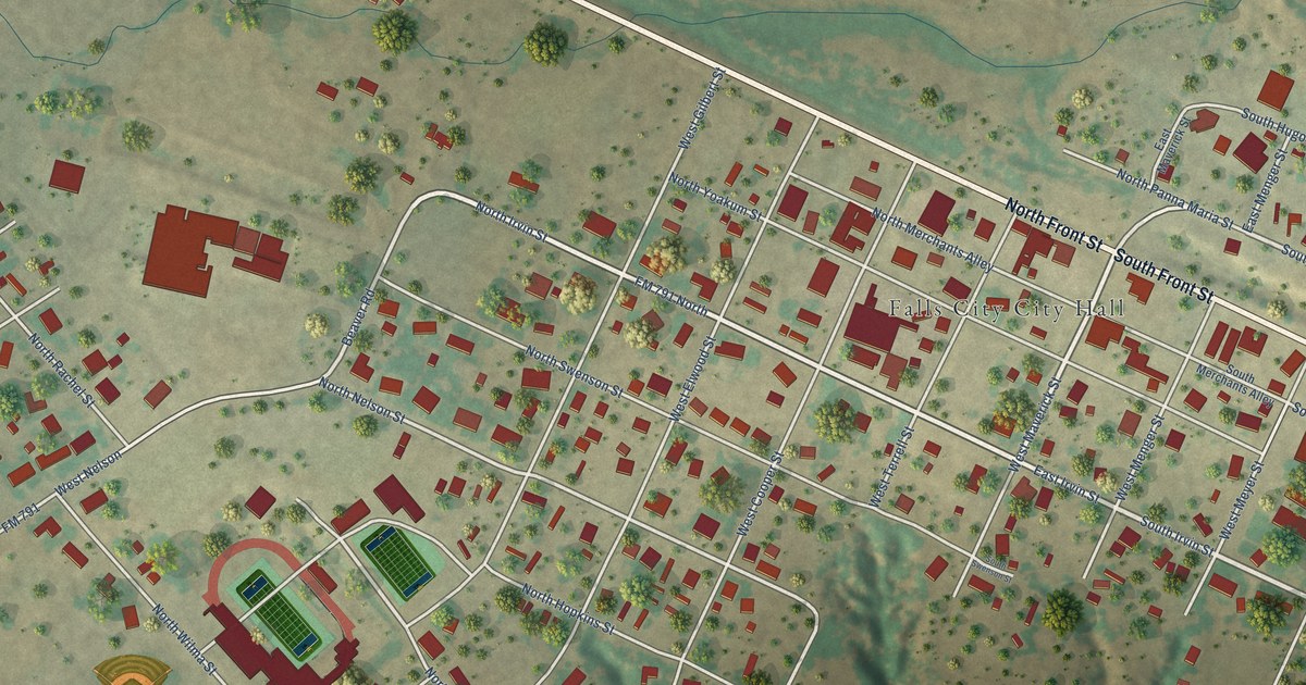
A detailed map of Falls City, Texas, showing every building in its true location, the roads by name, and shaded topographical relief.
Read More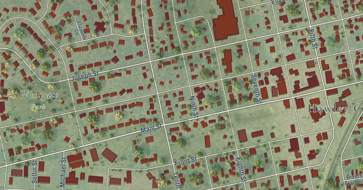
A detailed map of Hawley, Minnesota, showing every building in its true location, the roads by name, and shaded topographical relief.
Read More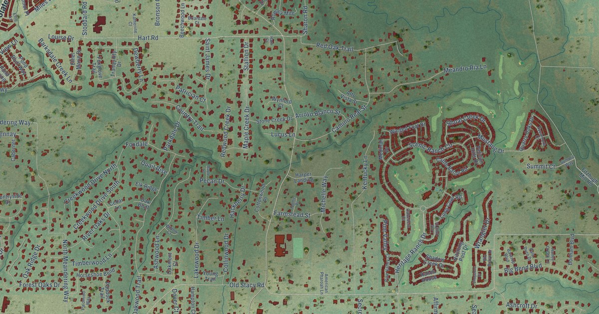
A detailed map of Fairview, Texas, showing every building in its true location, the roads by name, and shaded topographical relief.
Read More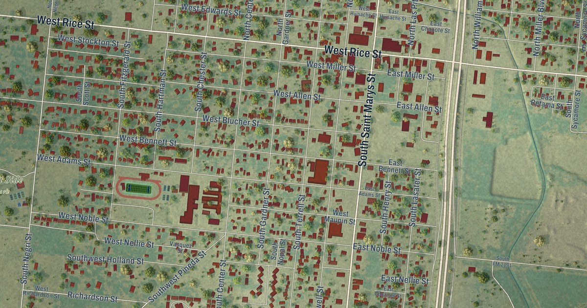
A detailed map of Falfurrias, Texas, showing every building in its true location, the roads by name, and shaded topographical relief.
Read More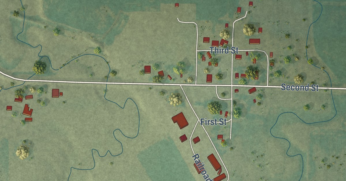
A detailed map of Hatfield, Minnesota, showing every building in its true location, the roads by name, and shaded topographical relief.
Read More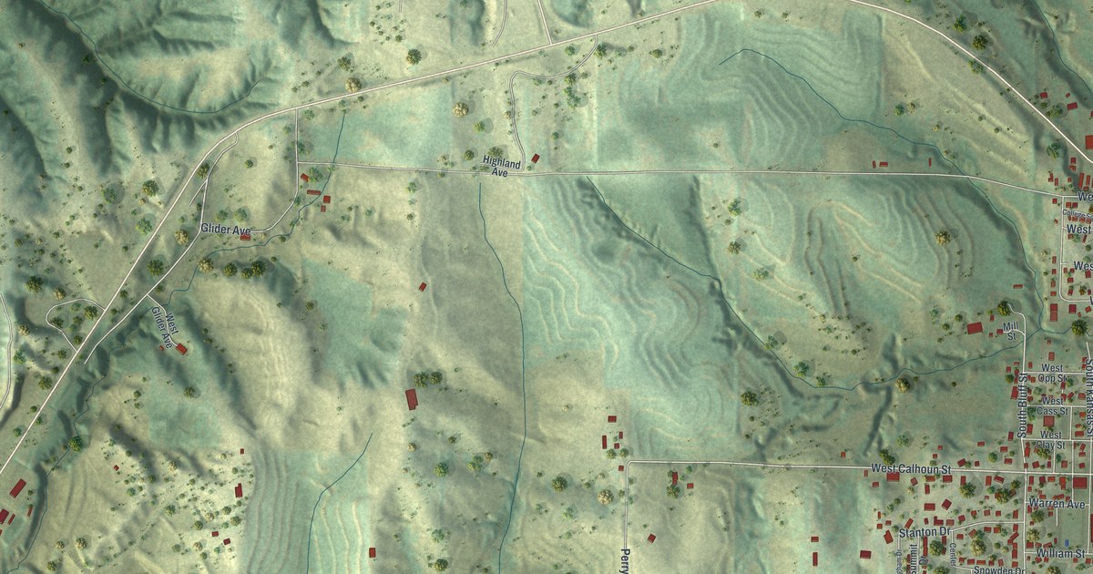
A new aerial-style map of Rock Port in Atchison County, Missouri. Find Main Street, Mill Street and Elmwood Cemetery, and learn how Nathan Meeks built a grist mill on Rock Creek in 1843, right where the town stands today.
Read More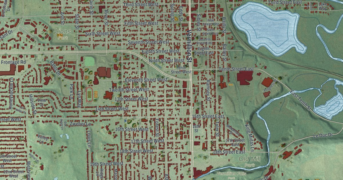
A detailed map of Hastings, Minnesota, showing every building in its true location, the roads by name, and shaded topographical relief.
Read More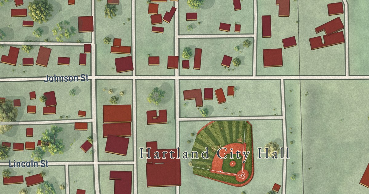
A detailed map of Hartland, Minnesota, showing every building in its true location, the roads by name, and shaded topographical relief.
Read More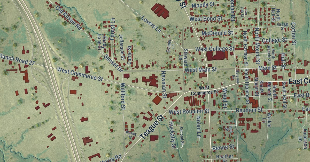
A detailed map of Fairfield, Texas, showing every building in its true location, the roads by name, and shaded topographical relief.
Read More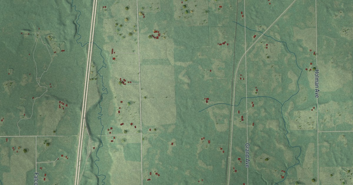
A detailed map of Harris, Minnesota, showing every building in its true location, the roads by name, and shaded topographical relief.
Read More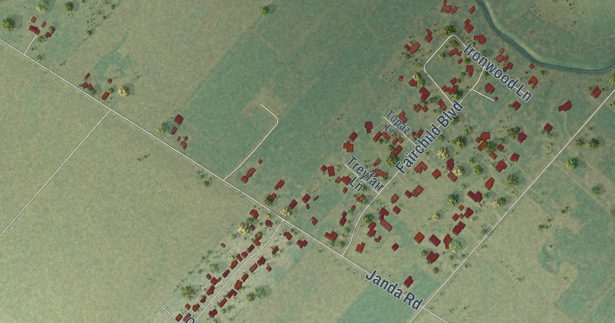
A detailed map of Fairchilds, Texas, showing every building in its true location, the roads by name, and shaded topographical relief.
Read More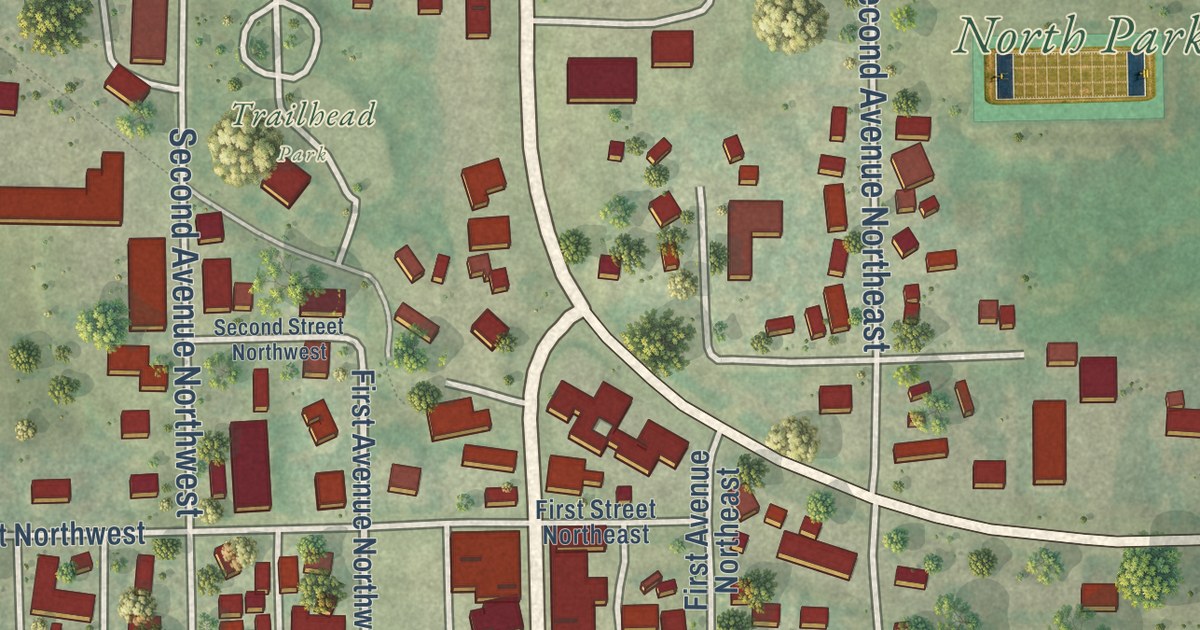
A detailed map of Harmony, Minnesota, showing every building in its true location, the roads by name, and shaded topographical relief.
Read More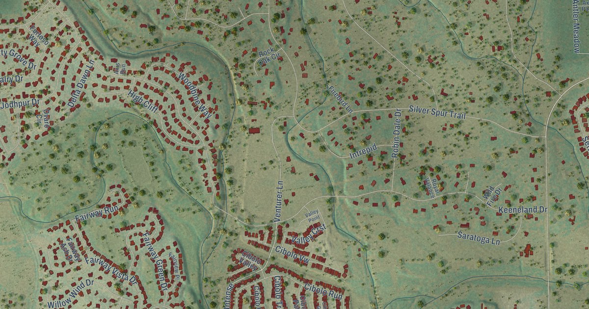
A detailed map of Fair Oaks Ranch, Texas, showing every building in its true location, the roads by name, and shaded topographical relief.
Read More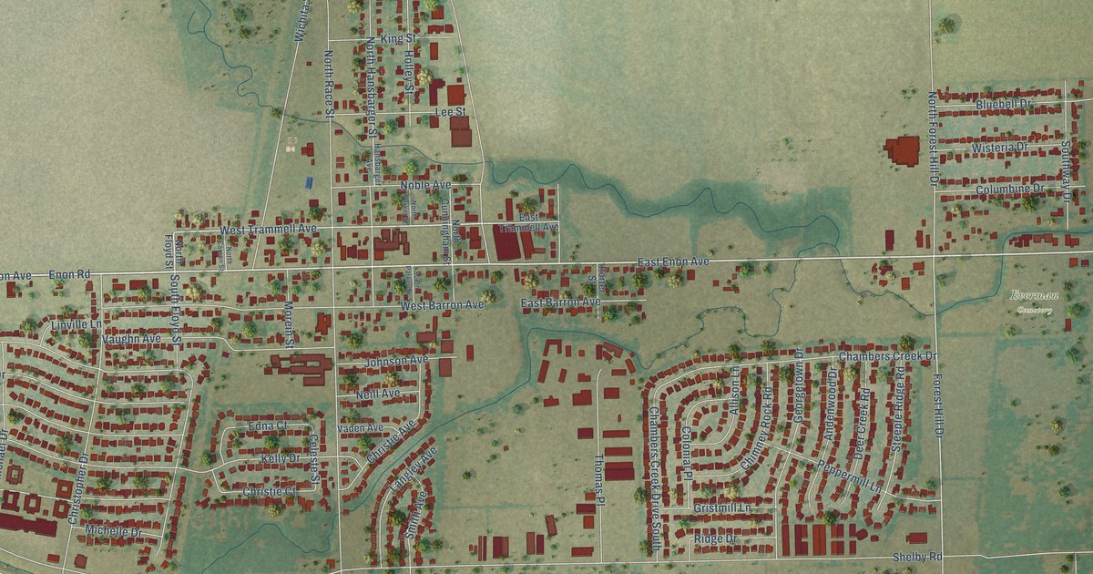
A detailed map of Everman, Texas, showing every building in its true location, the roads by name, and shaded topographical relief.
Read More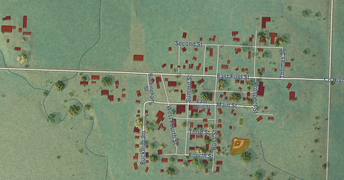
A detailed map of Hardwick, Minnesota, showing every building in its true location, the roads by name, and shaded topographical relief.
Read More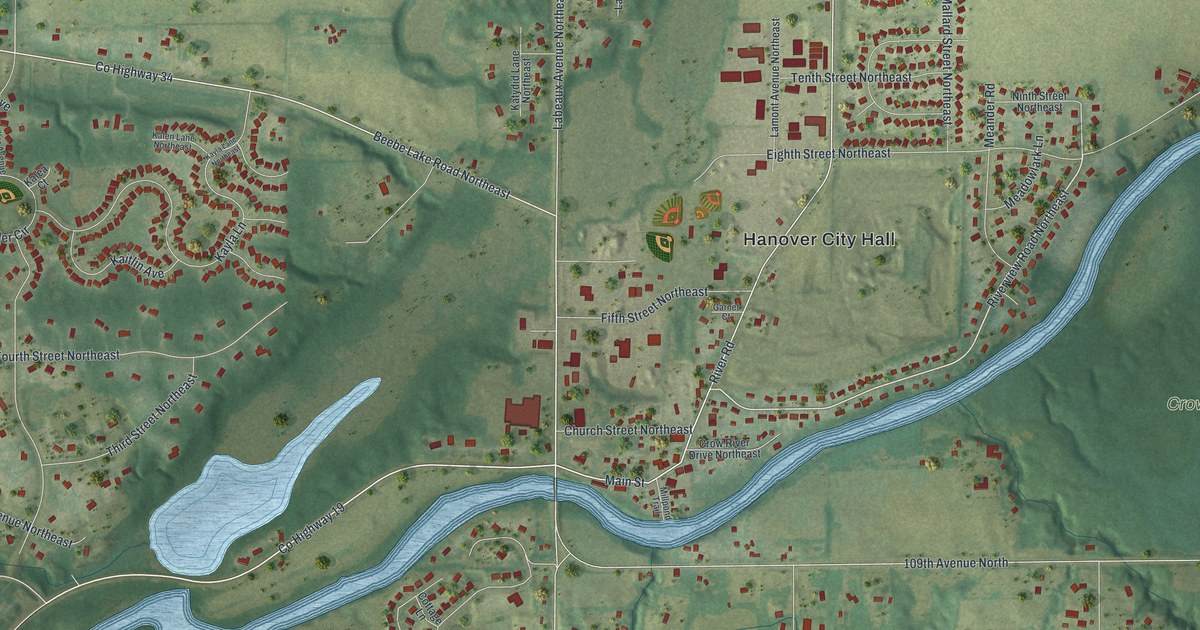
A detailed map of Hanover, Minnesota, showing every building in its true location, the roads by name, and shaded topographical relief.
Read More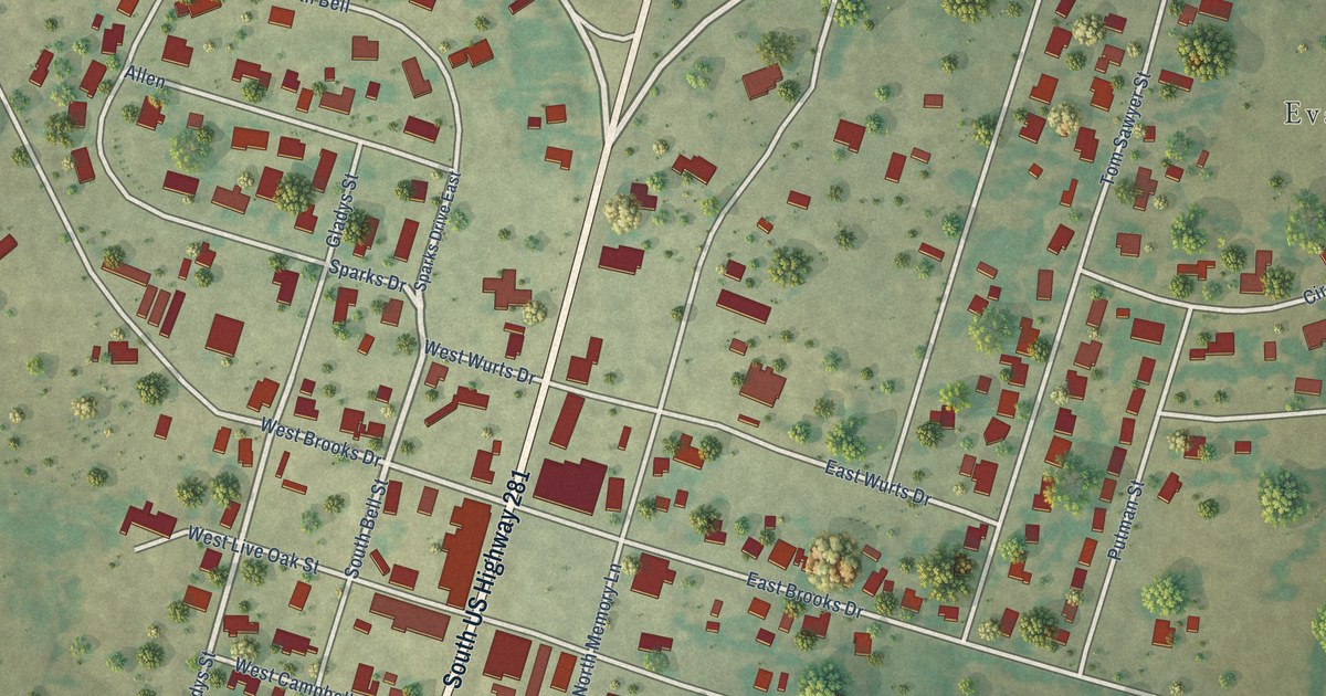
A detailed map of Evant, Texas, showing every building in its true location, the roads by name, and shaded topographical relief.
Read More















