Detailed Map of Hanska, Minnesota
A detailed map of Hanska, Minnesota, showing every building in its true location, the roads by name, and shaded topographical relief.
Read More
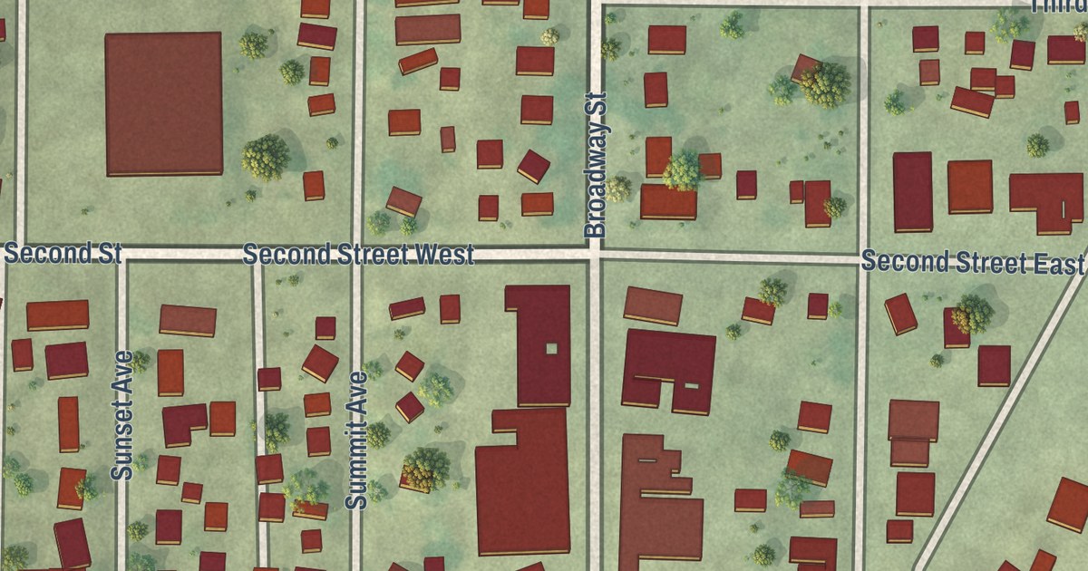
A detailed map of Hanska, Minnesota, showing every building in its true location, the roads by name, and shaded topographical relief.
Read More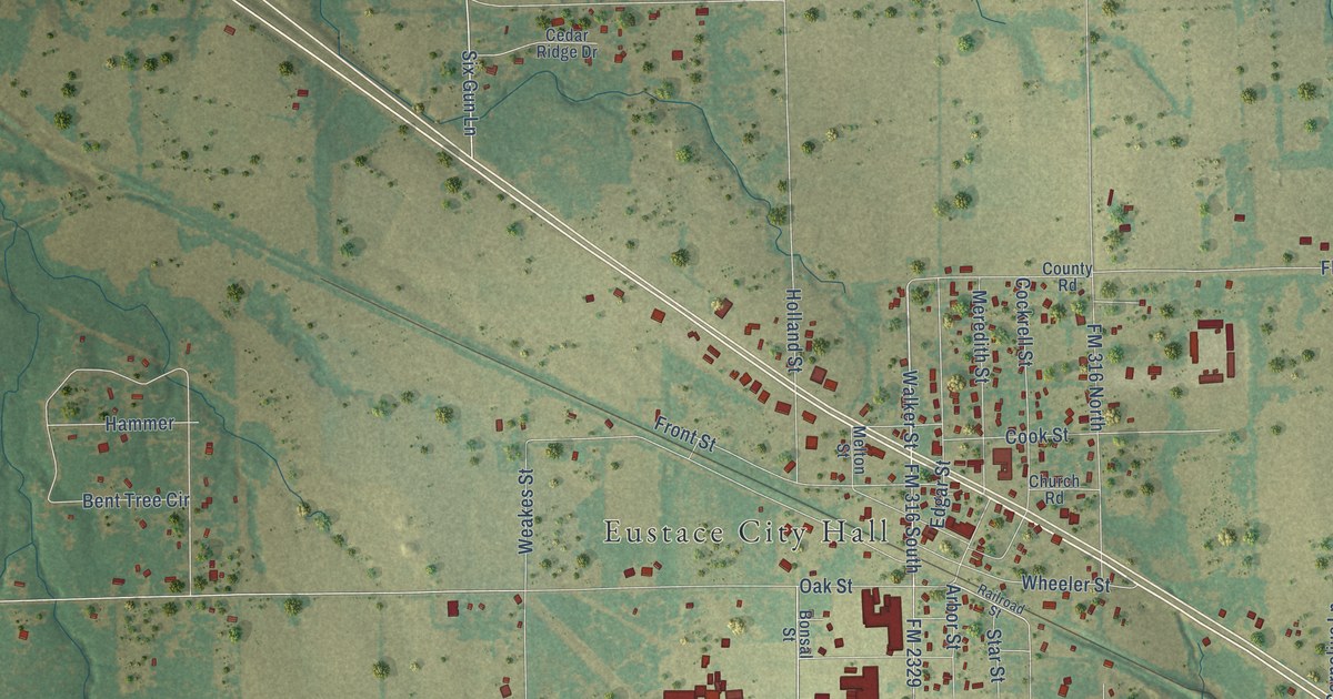
A detailed map of Eustace, Texas, showing every building in its true location, the roads by name, and shaded topographical relief.
Read More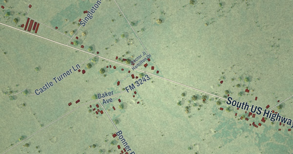
A detailed map of Eureka, Texas, showing every building in its true location, the roads by name, and shaded topographical relief.
Read More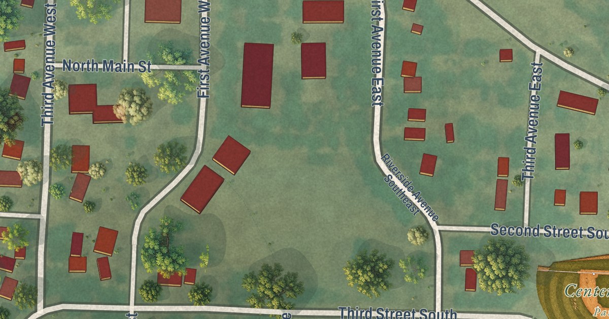
A detailed map of Hanley Falls, Minnesota, showing every building in its true location, the roads by name, and shaded topographical relief.
Read More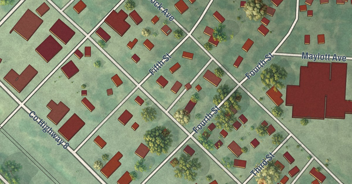
A detailed map of Hancock, Minnesota, showing every building in its true location, the roads by name, and shaded topographical relief.
Read More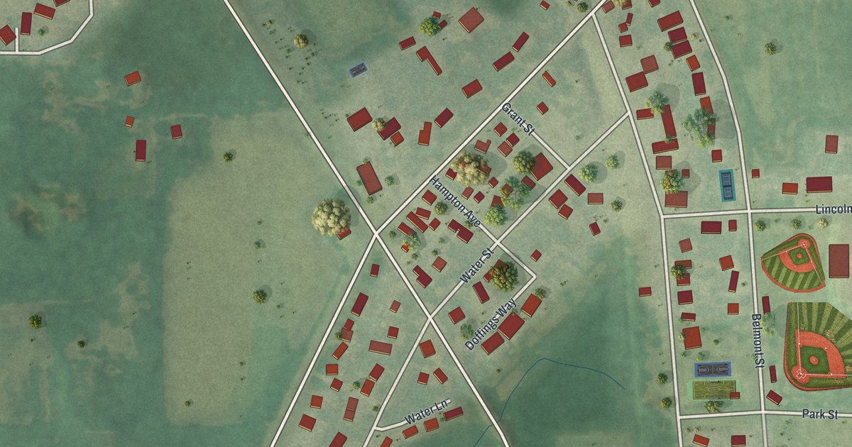
A detailed map of Hampton, Minnesota, showing every building in its true location, the roads by name, and shaded topographical relief.
Read More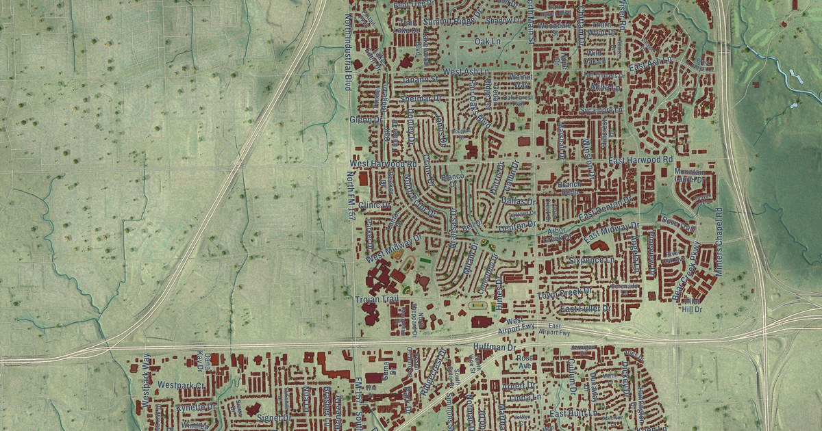
A detailed map of Euless, Texas, showing every building in its true location, the roads by name, and shaded topographical relief.
Read More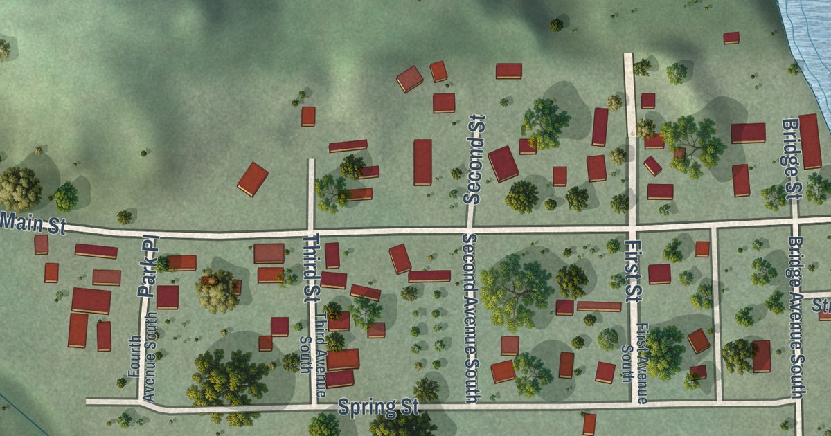
A detailed map of Hammond, Minnesota, showing every building in its true location, the roads by name, and shaded topographical relief.
Read More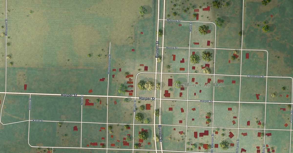
A detailed map of Estelline, Texas, showing every building in its true location, the roads by name, and shaded topographical relief.
Read More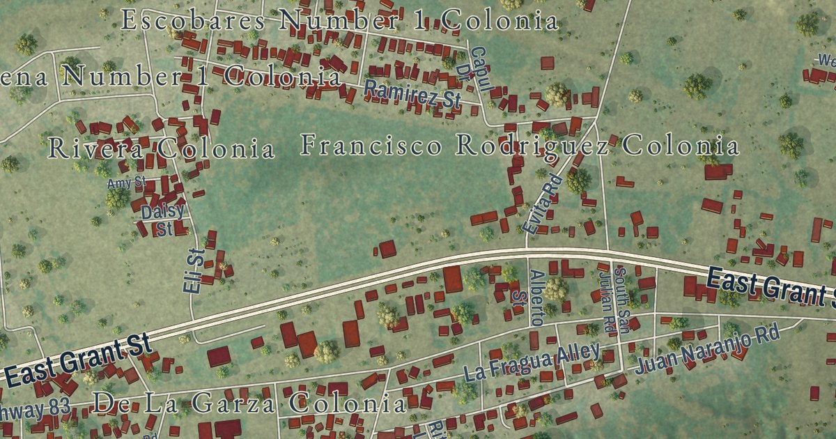
A detailed map of Escobares, Texas, showing every building in its true location, the roads by name, and shaded topographical relief.
Read More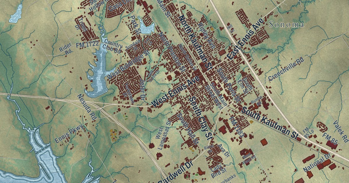
A detailed map of Ennis, Texas, showing every building in its true location, the roads by name, and shaded topographical relief.
Read More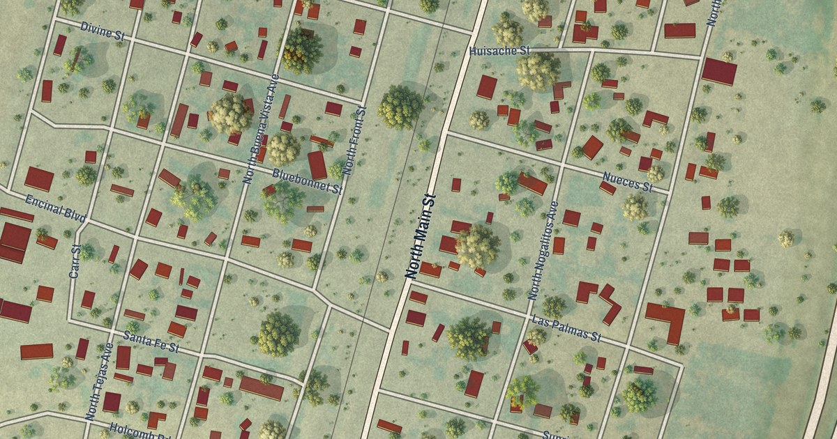
A detailed map of Encinal, Texas, showing every building in its true location, the roads by name, and shaded topographical relief.
Read More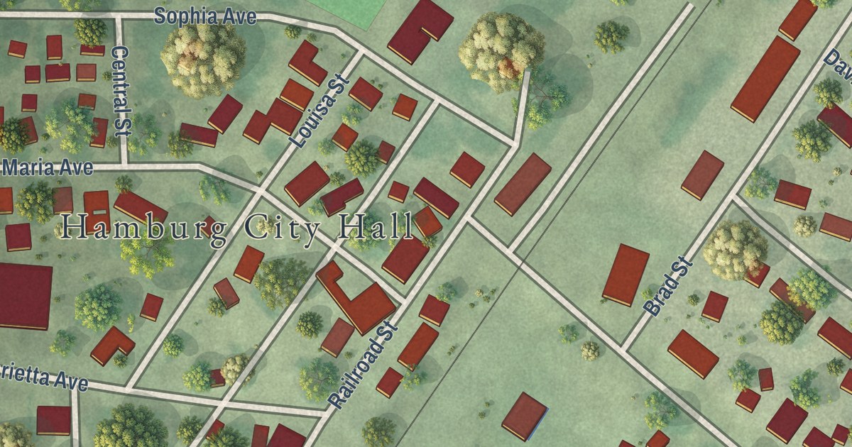
A detailed map of Hamburg, Minnesota, showing every building in its true location, the roads by name, and shaded topographical relief.
Read More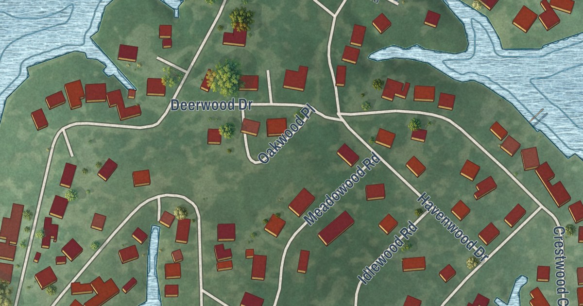
A detailed map of Enchanted Oaks, Texas, showing every building in its true location, the roads by name, and shaded topographical relief.
Read More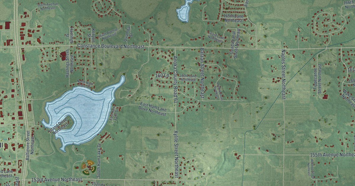
A detailed map of Ham Lake, Minnesota, showing every building in its true location, the roads by name, and shaded topographical relief.
Read More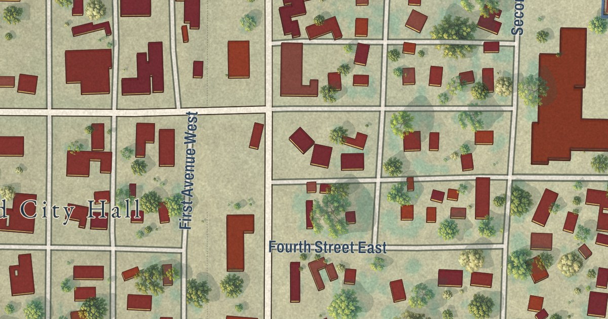
A detailed map of Halstad, Minnesota, showing every building in its true location, the roads by name, and shaded topographical relief.
Read More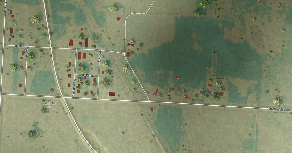
A detailed map of Halma, Minnesota, showing every building in its true location, the roads by name, and shaded topographical relief.
Read More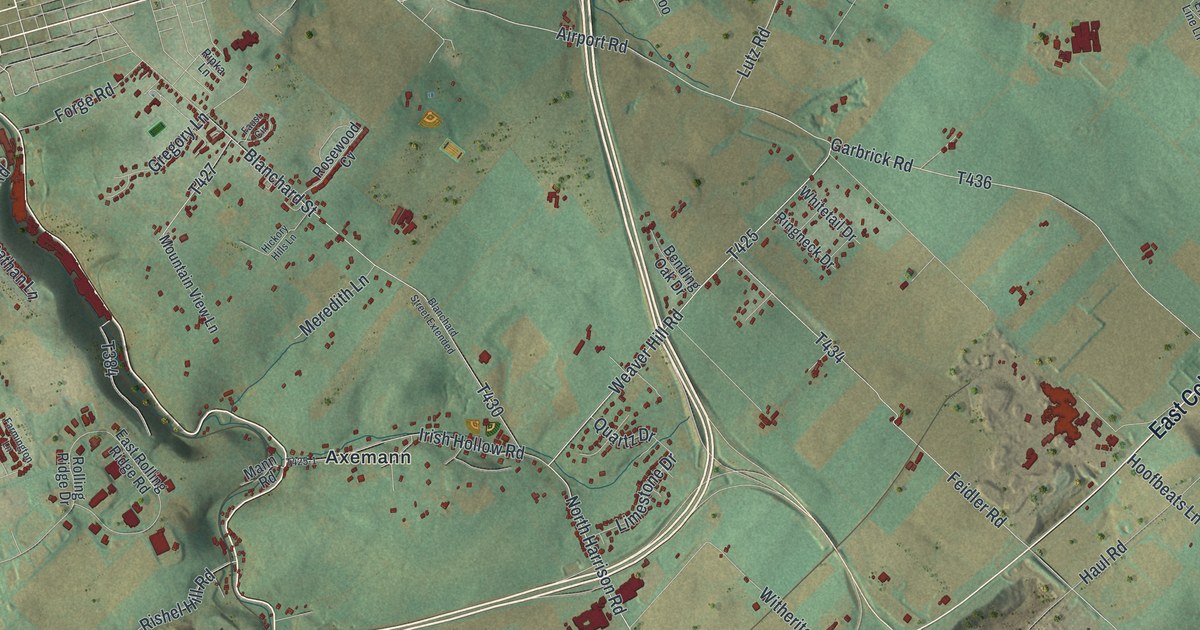
See Pleasant Gap, Axemann, and the green ridges of Spring Township on a new aerial map. Printed roads and red building shapes bring familiar parts of Centre County into view.
Read More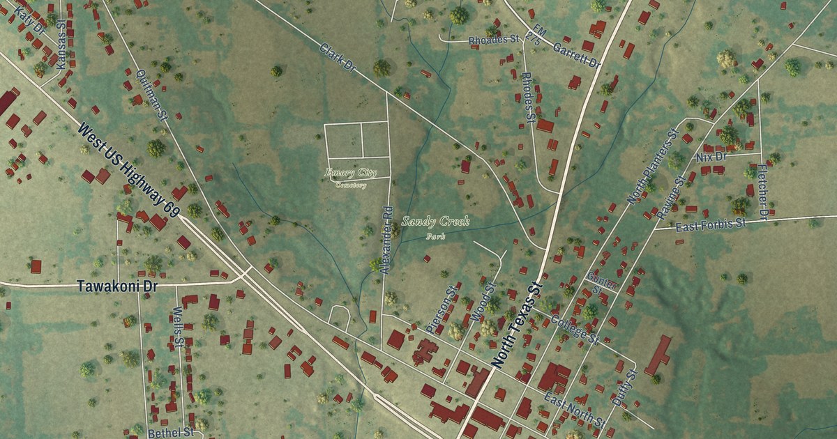
A detailed map of Emory, Texas, showing every building in its true location, the roads by name, and shaded topographical relief.
Read More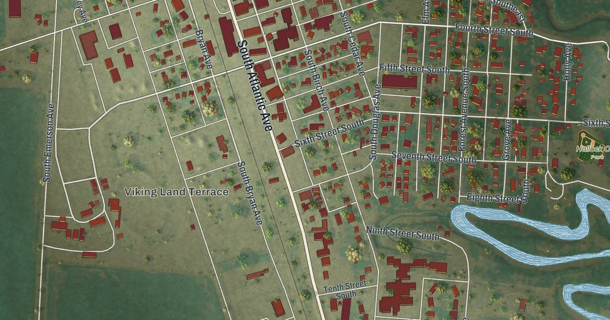
A detailed map of Hallock, Minnesota, showing every building in its true location, the roads by name, and shaded topographical relief.
Read More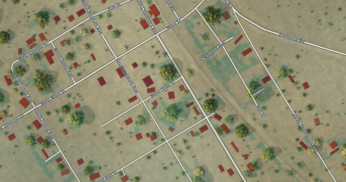
A detailed map of Emhouse, Texas, showing every building in its true location, the roads by name, and shaded topographical relief.
Read More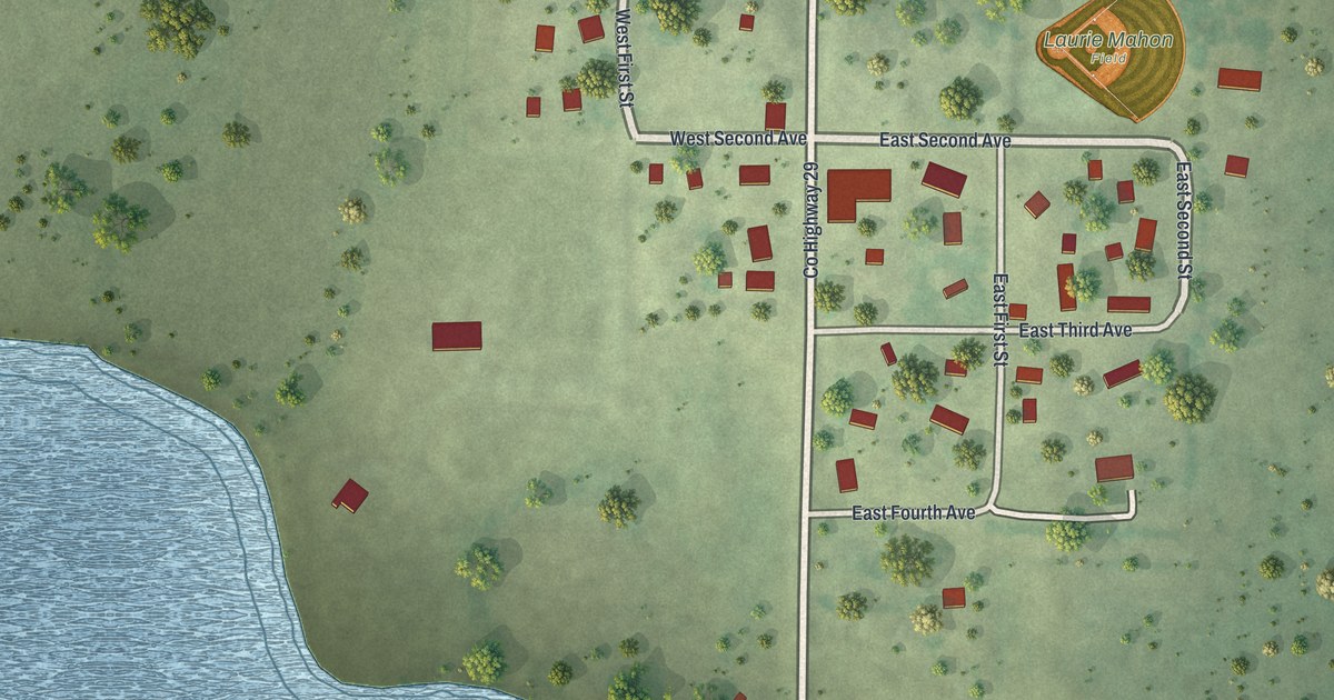
A detailed map of Hadley, Minnesota, showing every building in its true location, the roads by name, and shaded topographical relief.
Read More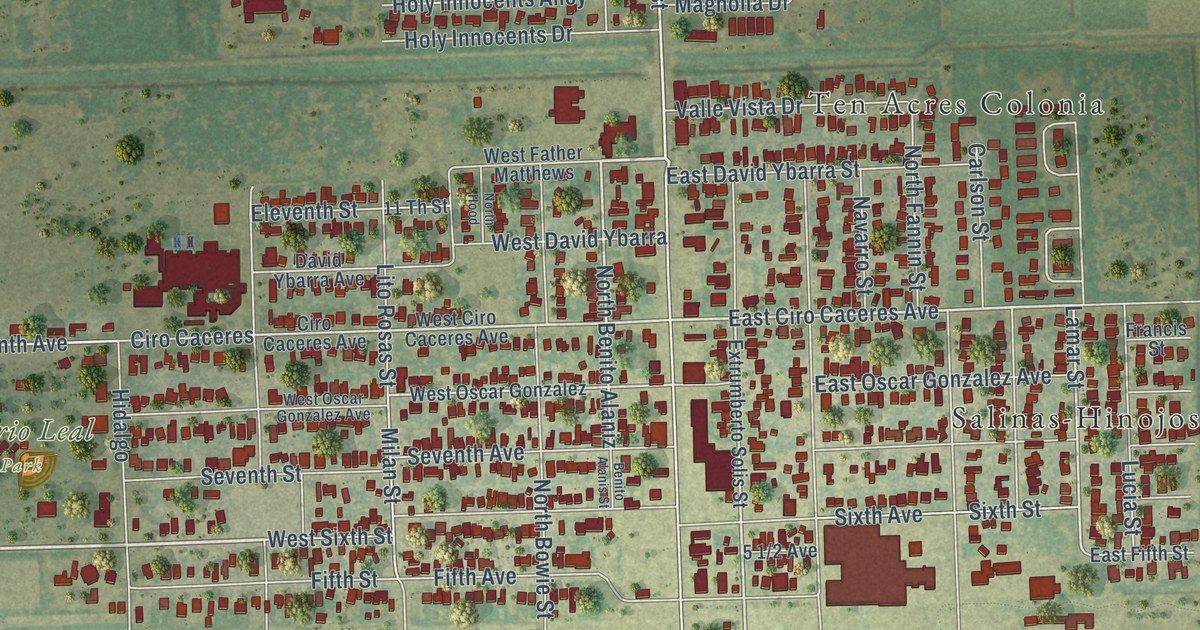
A detailed map of Elsa, Texas, showing every building in its true location, the roads by name, and shaded topographical relief.
Read More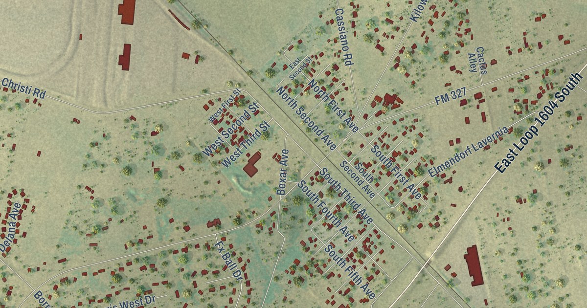
A detailed map of Elmendorf, Texas, showing every building in its true location, the roads by name, and shaded topographical relief.
Read More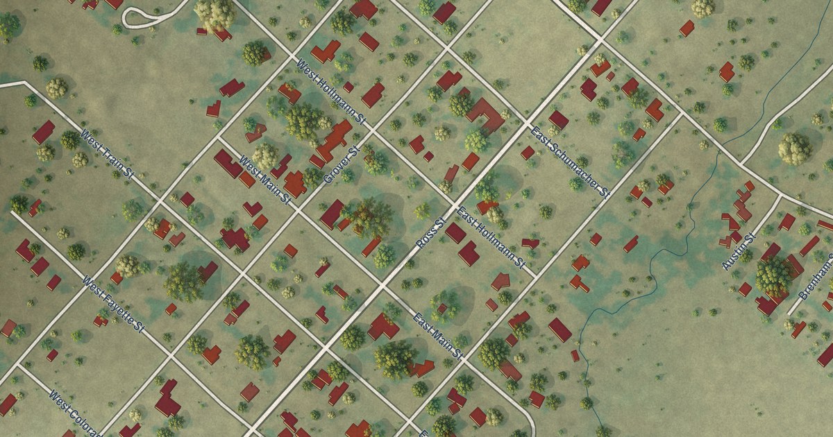
A detailed map of Ellinger, Texas, showing every building in its true location, the roads by name, and shaded topographical relief.
Read More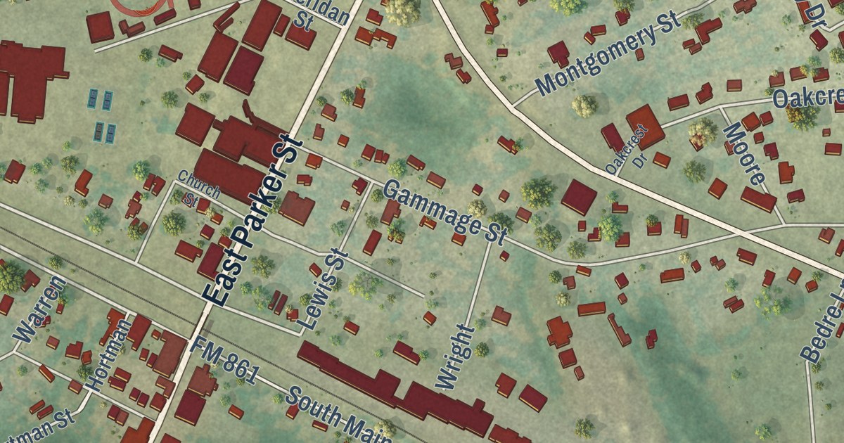
A detailed map of Elkhart, Texas, showing every building in its true location, the roads by name, and shaded topographical relief.
Read More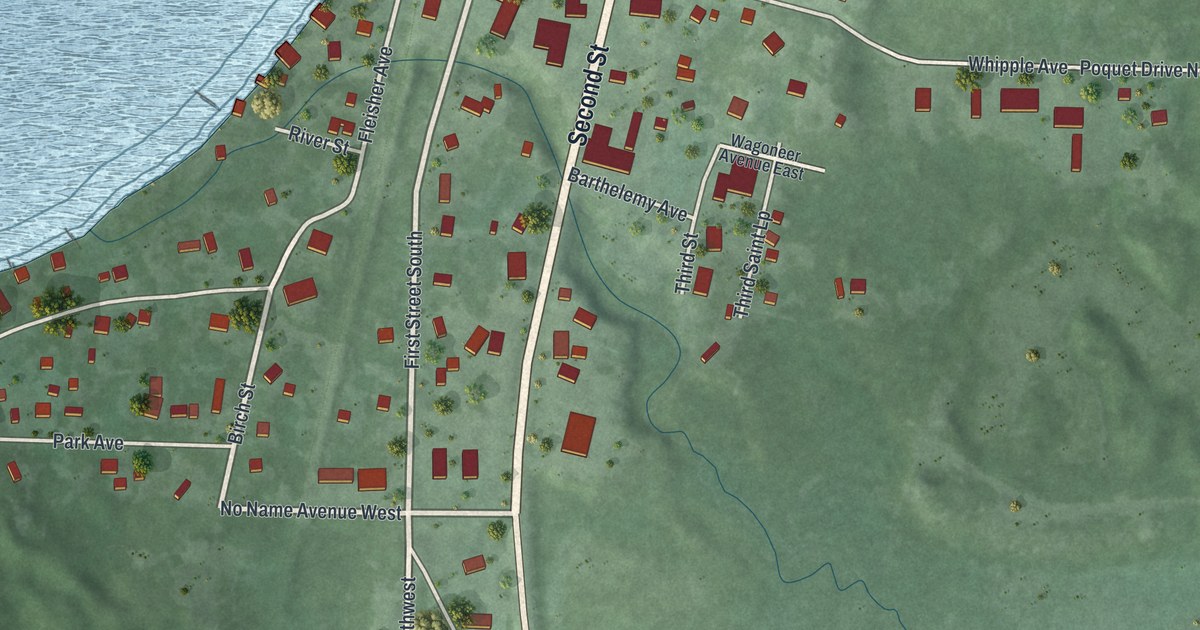
A detailed map of Hackensack, Minnesota, showing every building in its true location, the roads by name, and shaded topographical relief.
Read More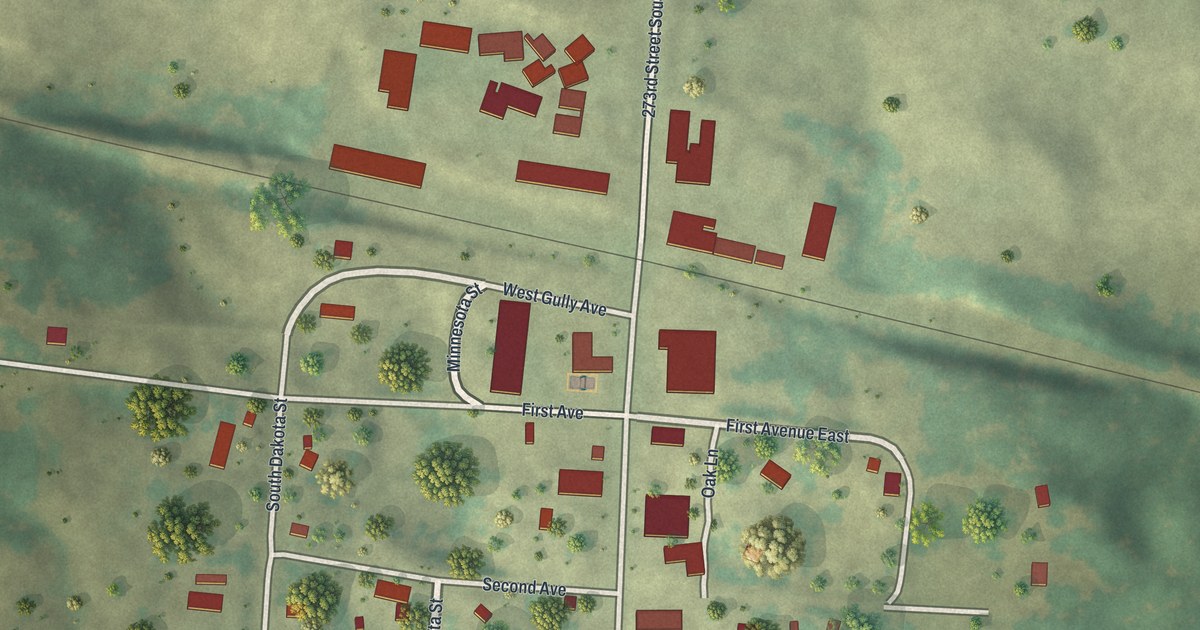
A detailed map of Gully, Minnesota, showing every building in its true location, the roads by name, and shaded topographical relief.
Read More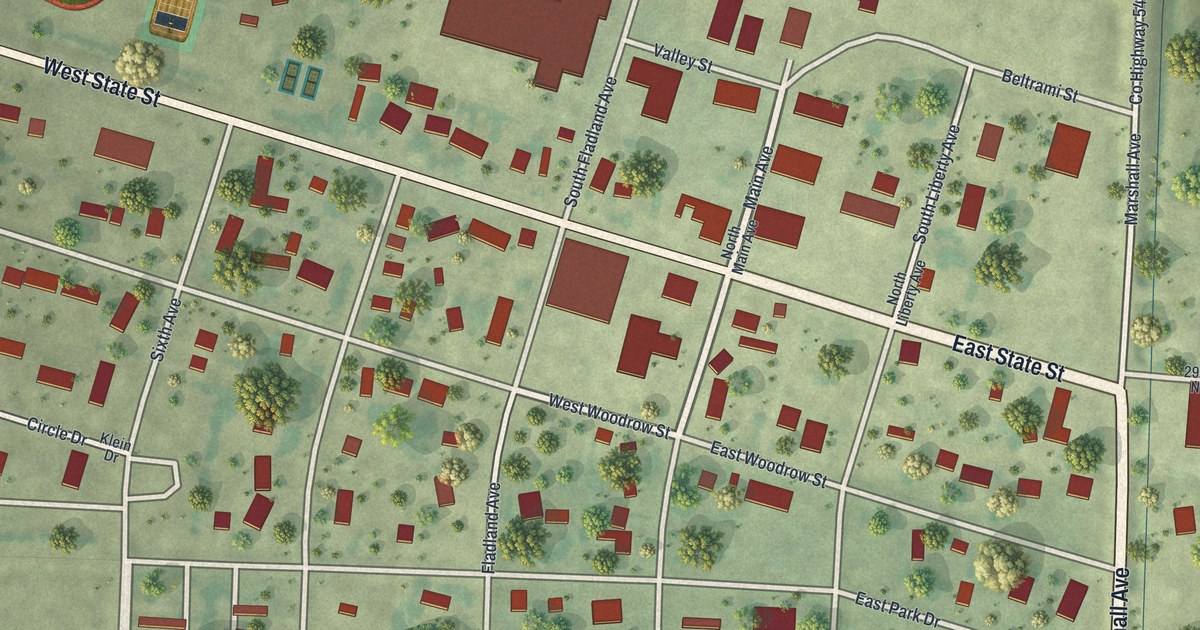
A detailed map of Grygla, Minnesota, showing every building in its true location, the roads by name, and shaded topographical relief.
Read More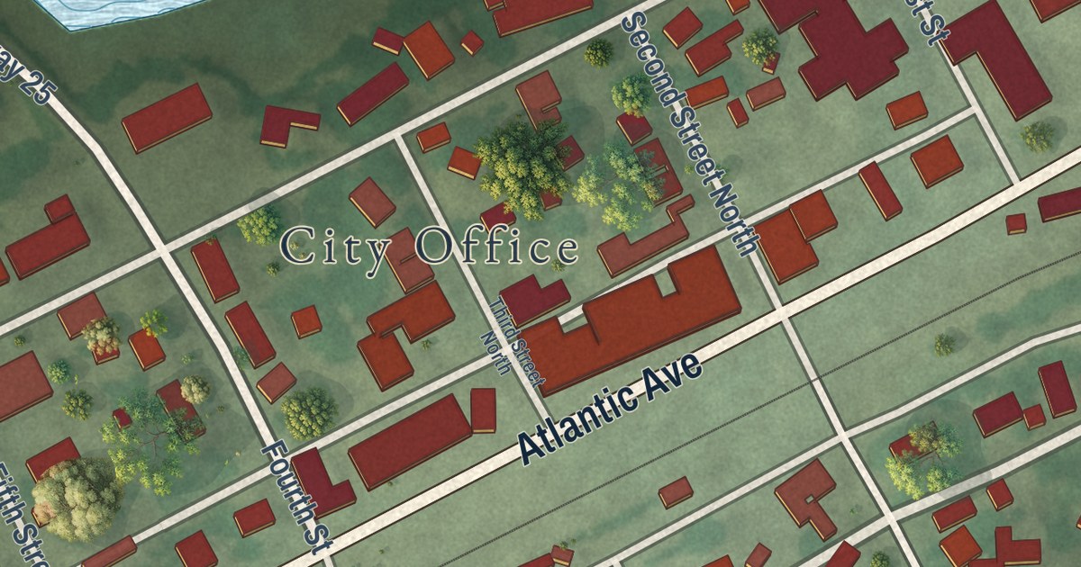
A detailed map of Grove City, Minnesota, showing every building in its true location, the roads by name, and shaded topographical relief.
Read More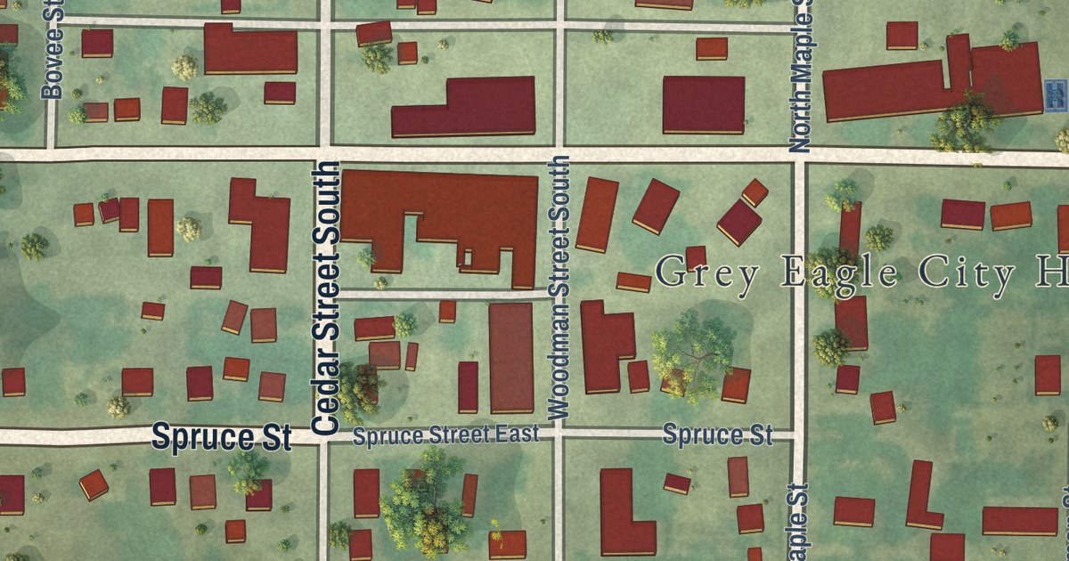
A detailed map of Grey Eagle, Minnesota, showing every building in its true location, the roads by name, and shaded topographical relief.
Read More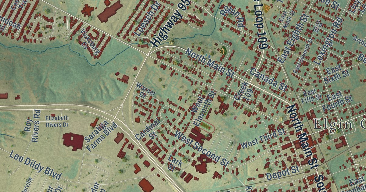
A detailed map of Elgin, Texas, showing every building in its true location, the roads by name, and shaded topographical relief.
Read More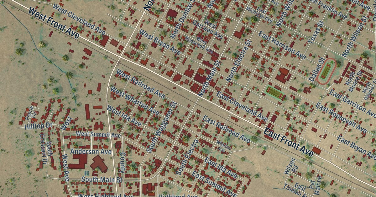
A detailed map of Electra, Texas, showing every building in its true location, the roads by name, and shaded topographical relief.
Read More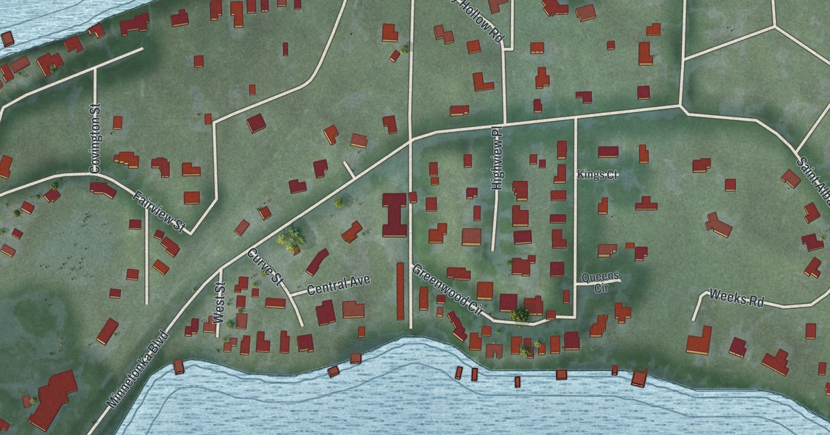
A detailed map of Greenwood, Minnesota, showing every building in its true location, the roads by name, and shaded topographical relief.
Read More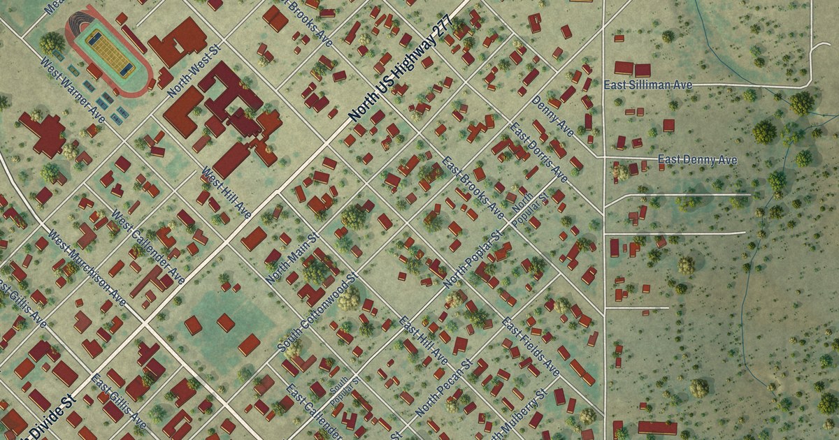
A detailed map of Eldorado, Texas, showing every building in its true location, the roads by name, and shaded topographical relief.
Read More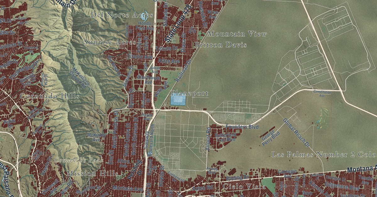
A detailed map of El Paso, Texas, showing every building in its true location, the roads by name, and shaded topographical relief.
Read More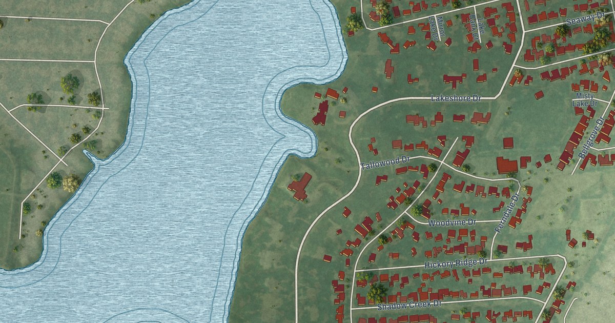
A detailed map of El Lago, Texas, showing every building in its true location, the roads by name, and shaded topographical relief.
Read More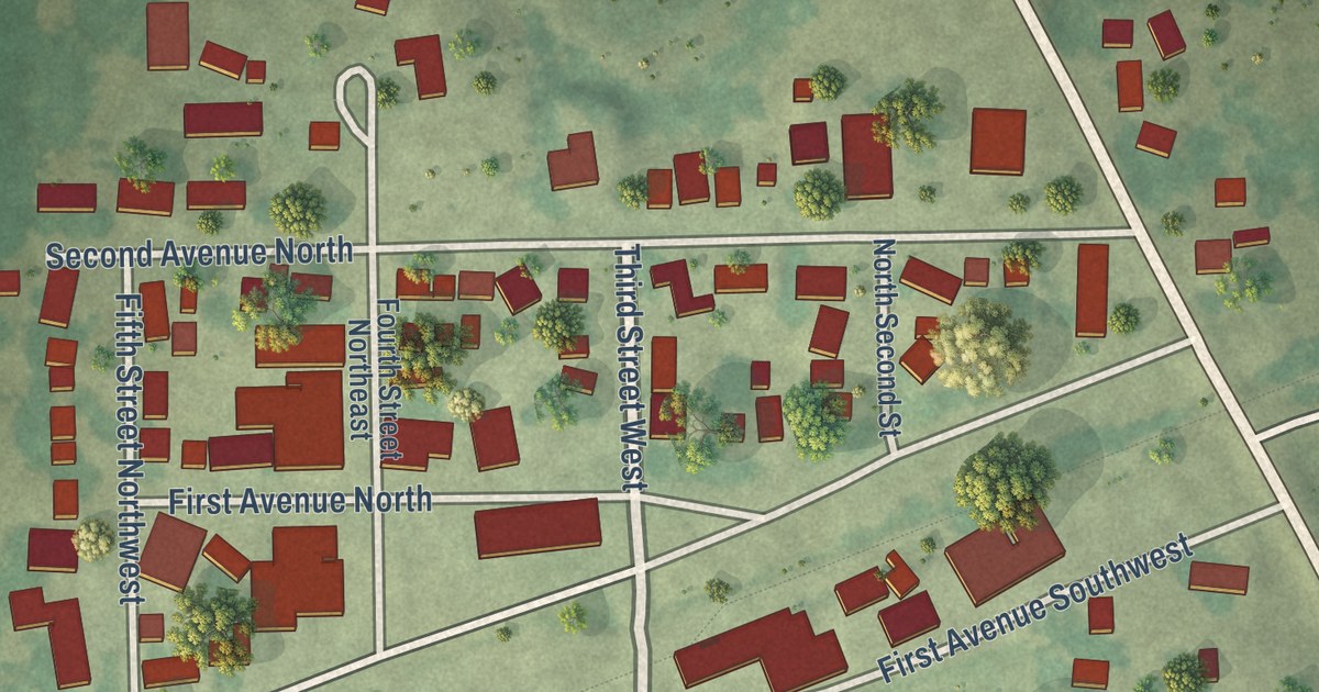
A detailed map of Greenwald, Minnesota, showing every building in its true location, the roads by name, and shaded topographical relief.
Read More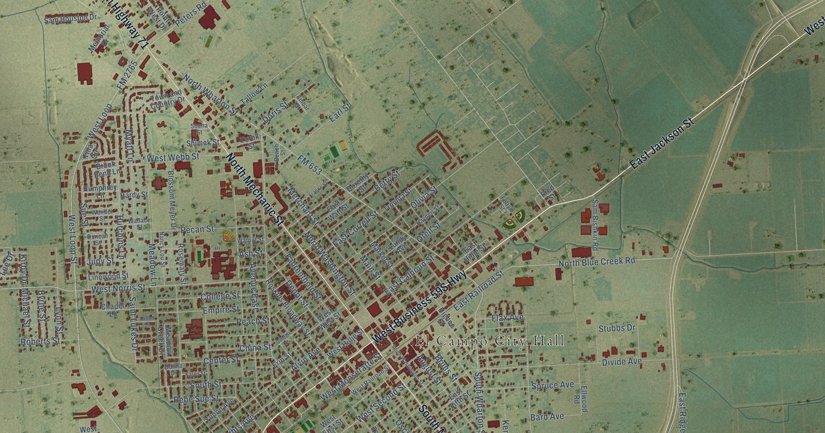
A detailed map of El Campo, Texas, showing every building in its true location, the roads by name, and shaded topographical relief.
Read More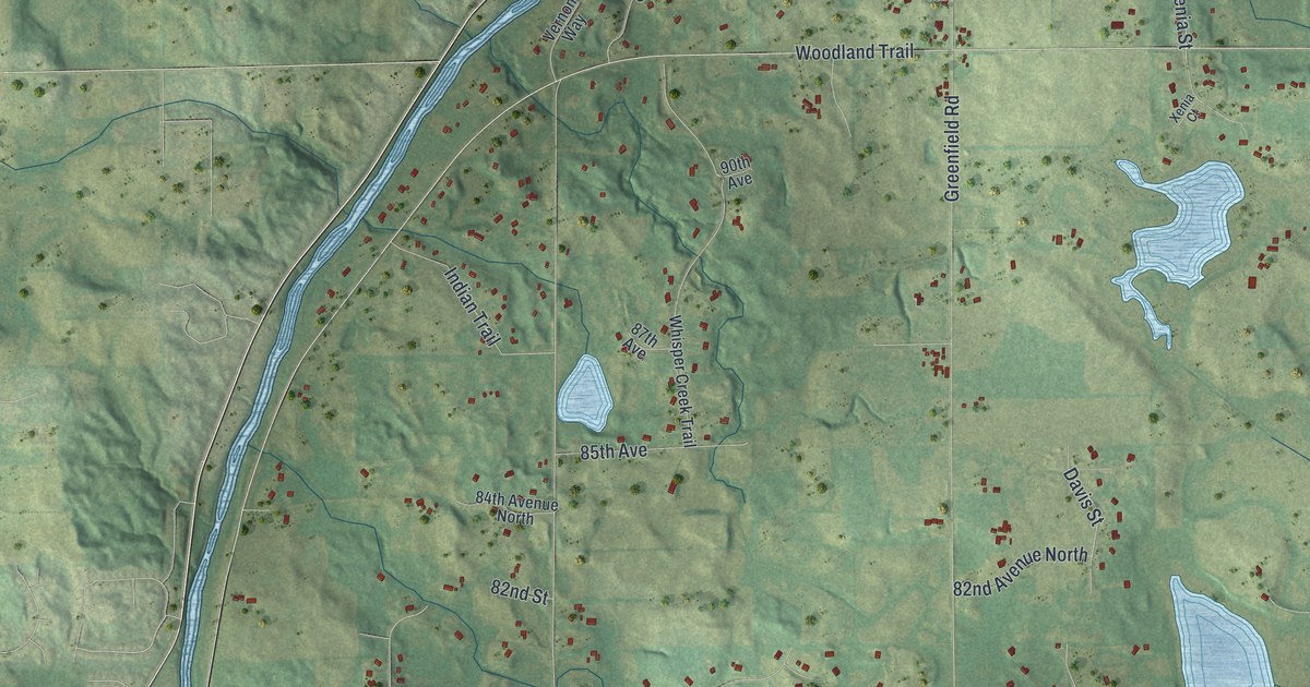
A detailed map of Greenfield, Minnesota, showing every building in its true location, the roads by name, and shaded topographical relief.
Read More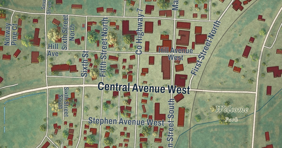
A detailed map of Greenbush, Minnesota, showing every building in its true location, the roads by name, and shaded topographical relief.
Read More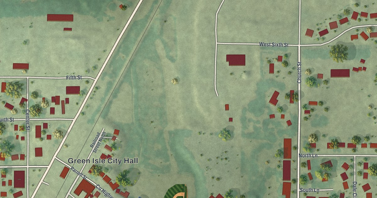
A detailed map of Green Isle, Minnesota, showing every building in its true location, the roads by name, and shaded topographical relief.
Read More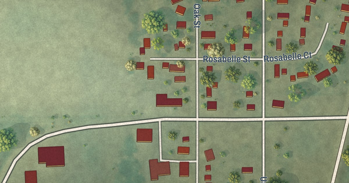
A detailed map of Grasston, Minnesota, showing every building in its true location, the roads by name, and shaded topographical relief.
Read More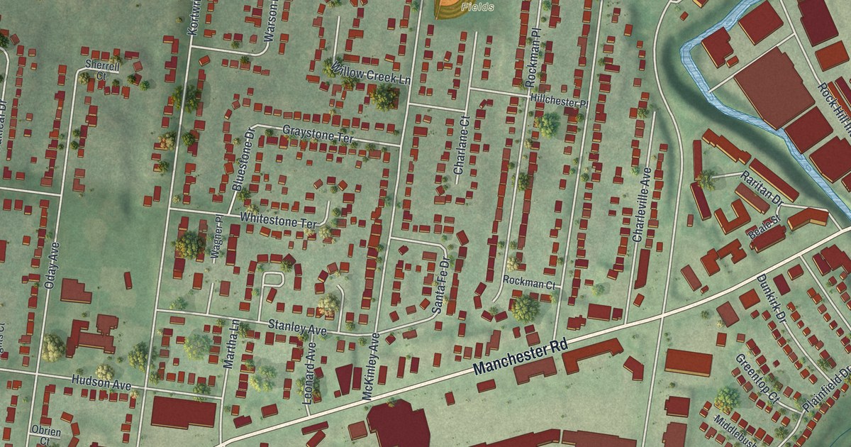
A new aerial-style map of Rock Hill in St. Louis County, Missouri. Find Manchester Road, Stroup Fields, Oakhaven Park and Rock Hill City Hall, and read about the town’s old post office and Fairfax House.
Read More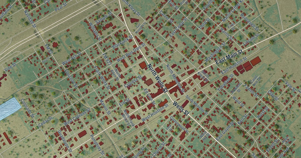
A detailed map of Edna, Texas, showing every building in its true location, the roads by name, and shaded topographical relief.
Read More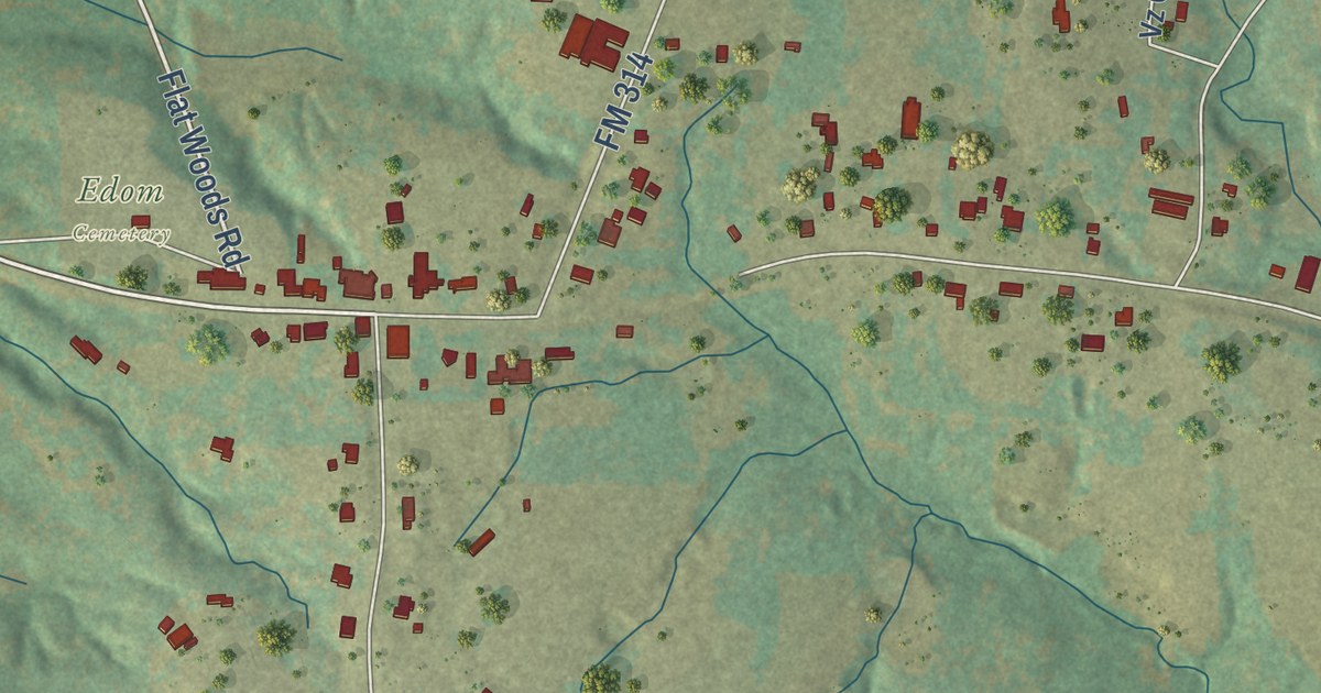
A detailed map of Edom, Texas, showing every building in its true location, the roads by name, and shaded topographical relief.
Read More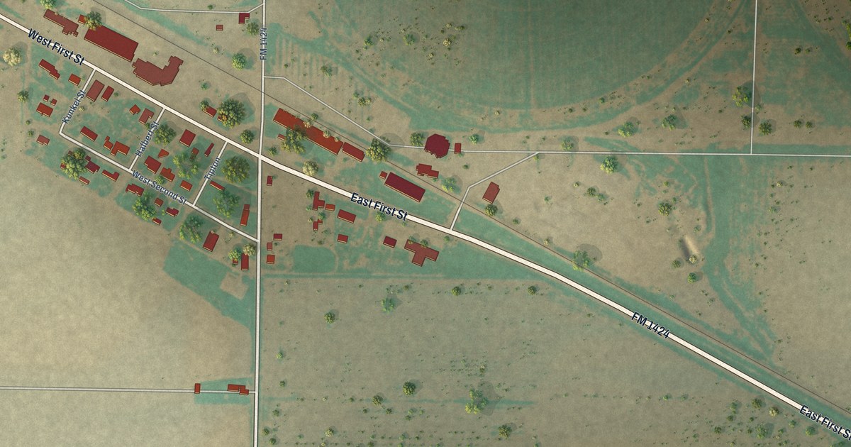
A detailed map of Edmonson, Texas, showing every building in its true location, the roads by name, and shaded topographical relief.
Read More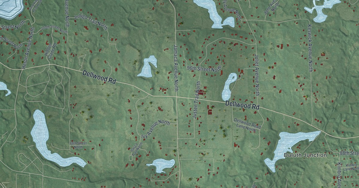
A detailed map of Grant, Minnesota, showing every building in its true location, the roads by name, and shaded topographical relief.
Read More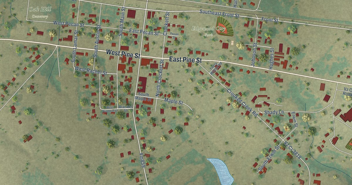
A detailed map of Edgewood, Texas, showing every building in its true location, the roads by name, and shaded topographical relief.
Read More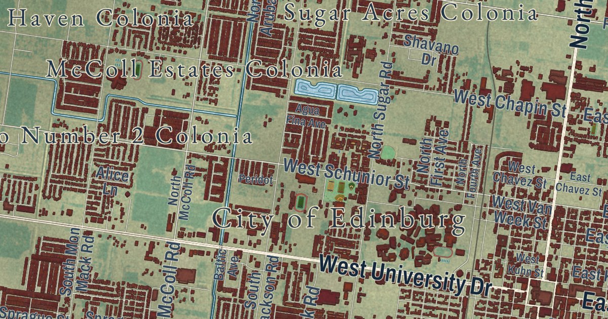
A detailed map of Edinburg, Texas, showing every building in its true location, the roads by name, and shaded topographical relief.
Read More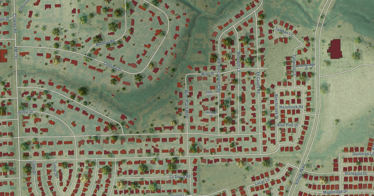
A detailed map of Edgecliff Village, Texas, showing every building in its true location, the roads by name, and shaded topographical relief.
Read More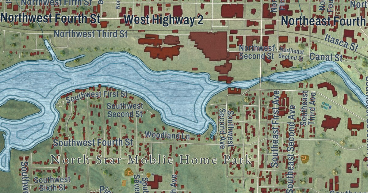
A detailed map of Grand Rapids, Minnesota, showing every building in its true location, the roads by name, and shaded topographical relief.
Read More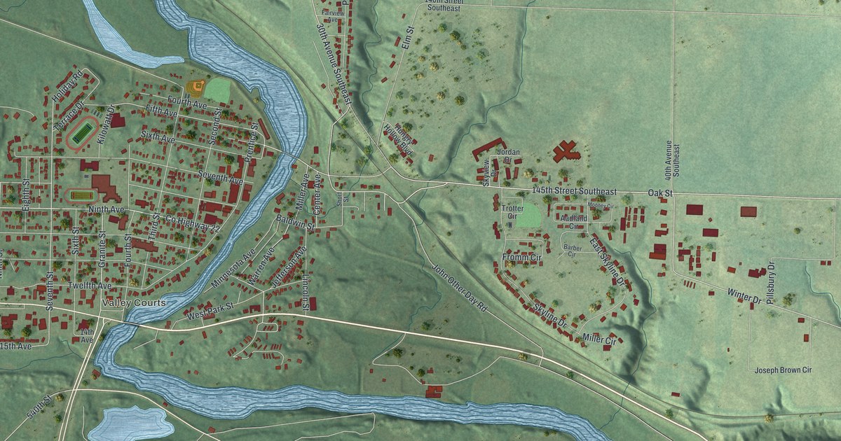
A detailed map of Granite Falls, Minnesota, showing every building in its true location, the roads by name, and shaded topographical relief.
Read More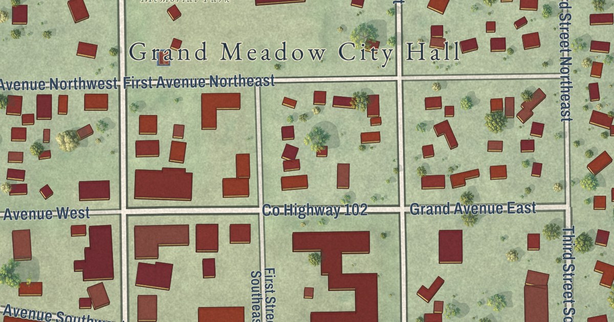
A detailed map of Grand Meadow, Minnesota, showing every building in its true location, the roads by name, and shaded topographical relief.
Read More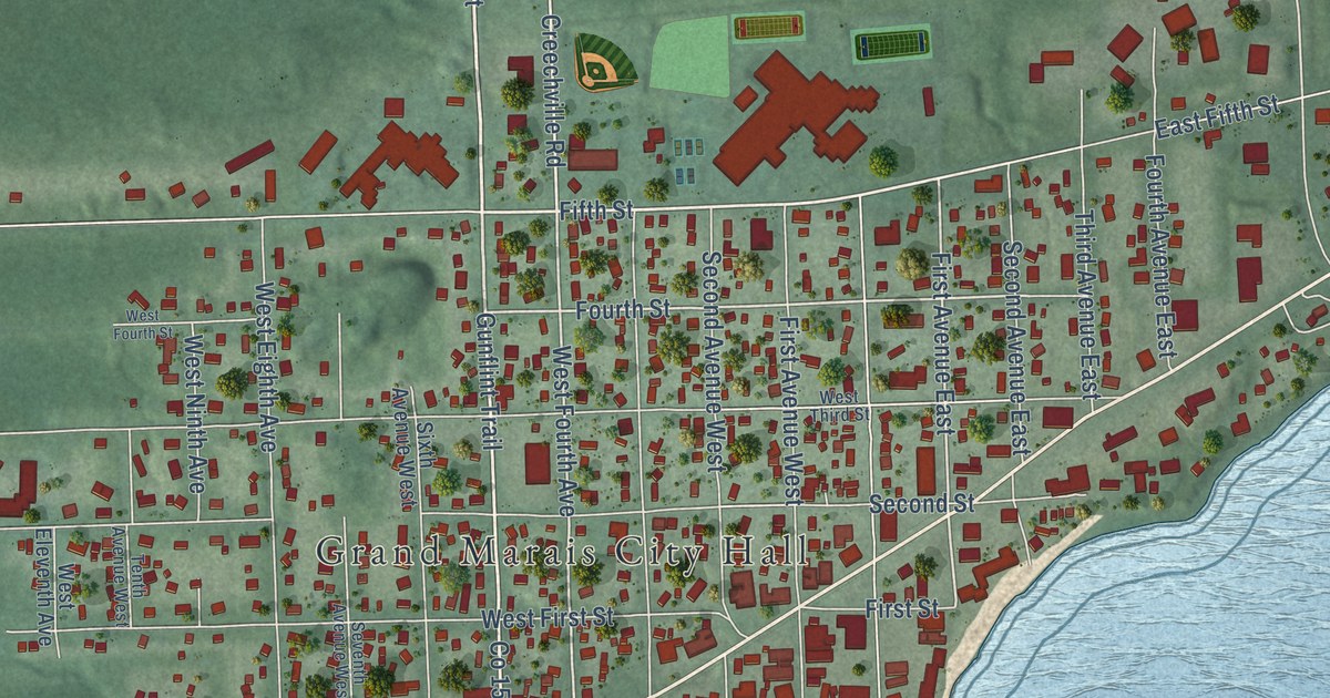
A detailed map of Grand Marais, Minnesota, showing every building in its true location, the roads by name, and shaded topographical relief.
Read More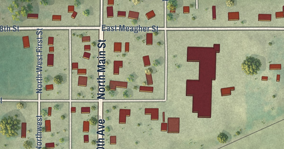
A detailed map of Granada, Minnesota, showing every building in its true location, the roads by name, and shaded topographical relief.
Read More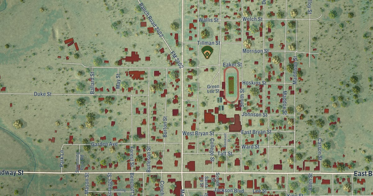
A detailed map of Eden, Texas, showing every building in its true location, the roads by name, and shaded topographical relief.
Read More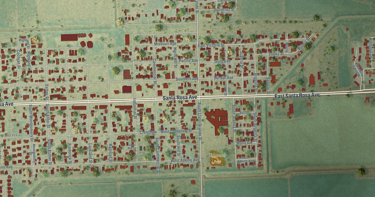
A detailed map of Edcouch, Texas, showing every building in its true location, the roads by name, and shaded topographical relief.
Read More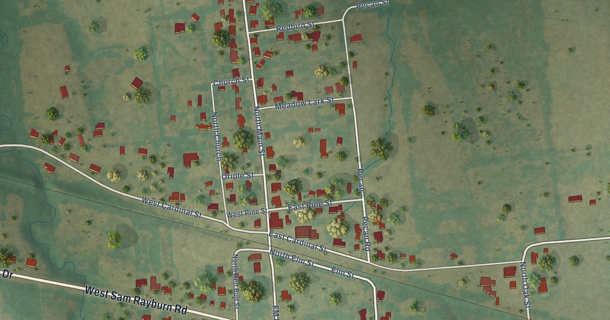
A detailed map of Ector, Texas, showing every building in its true location, the roads by name, and shaded topographical relief.
Read More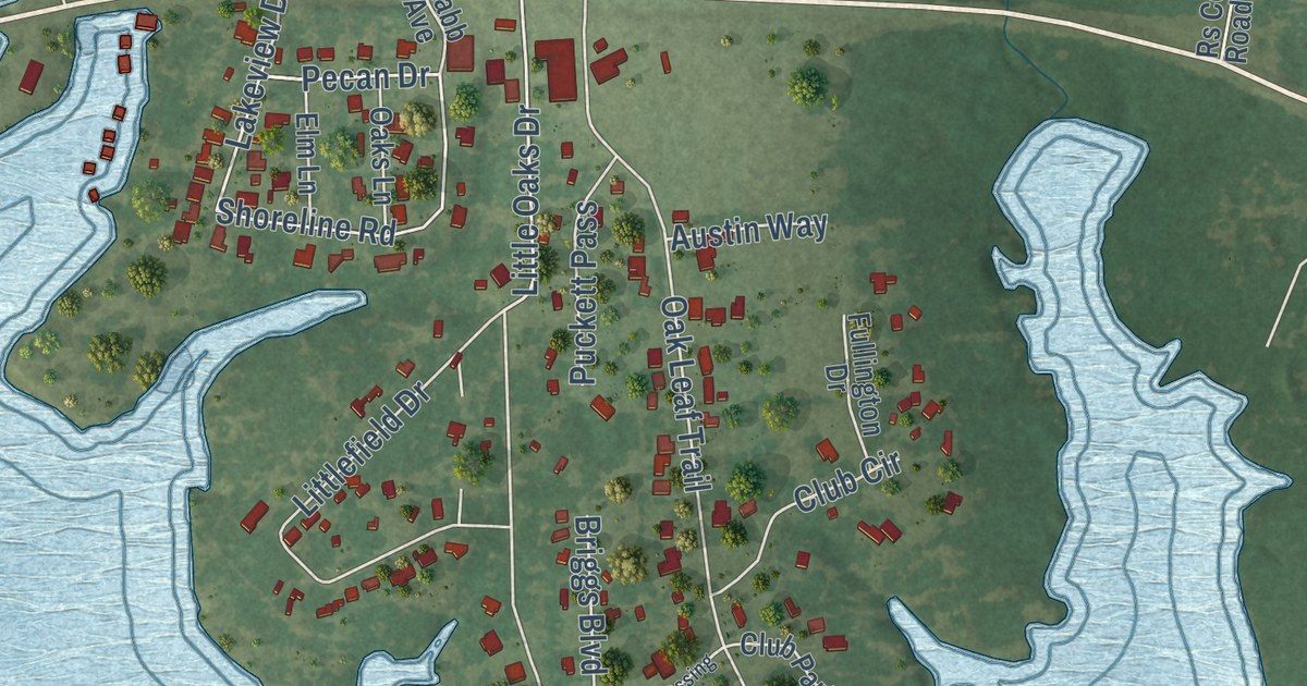
A detailed map of East Tawakoni, Texas, showing every building in its true location, the roads by name, and shaded topographical relief.
Read More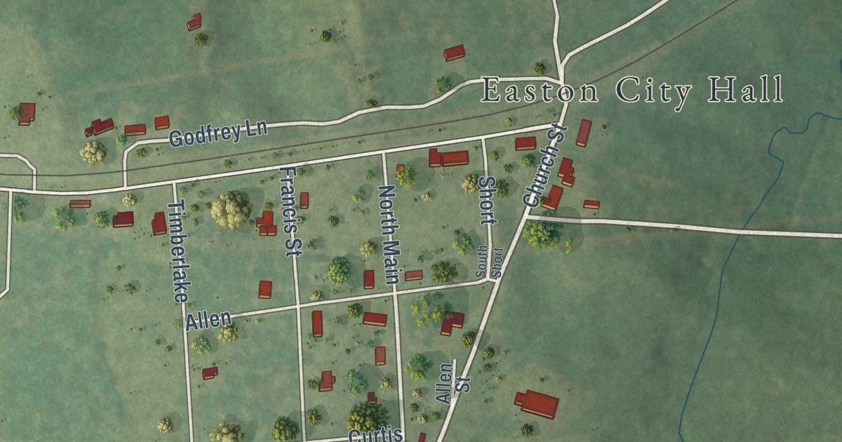
A detailed map of Easton, Texas, showing every building in its true location, the roads by name, and shaded topographical relief.
Read More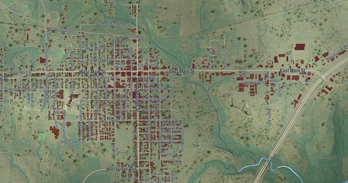
A detailed map of Eastland, Texas, showing every building in its true location, the roads by name, and shaded topographical relief.
Read More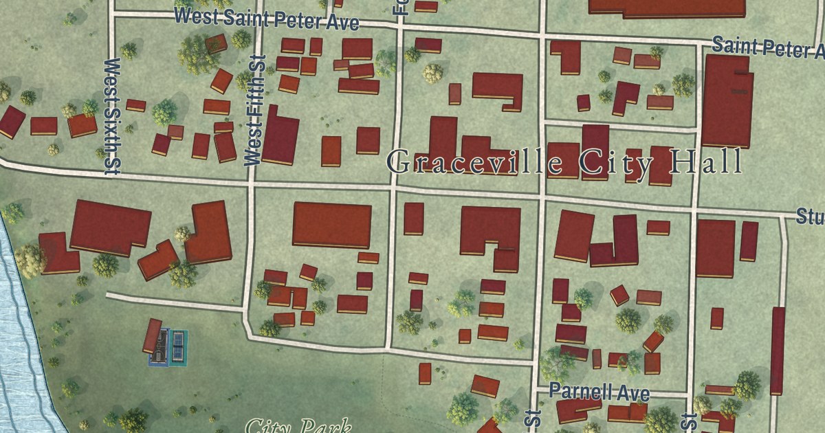
A detailed map of Graceville, Minnesota, showing every building in its true location, the roads by name, and shaded topographical relief.
Read More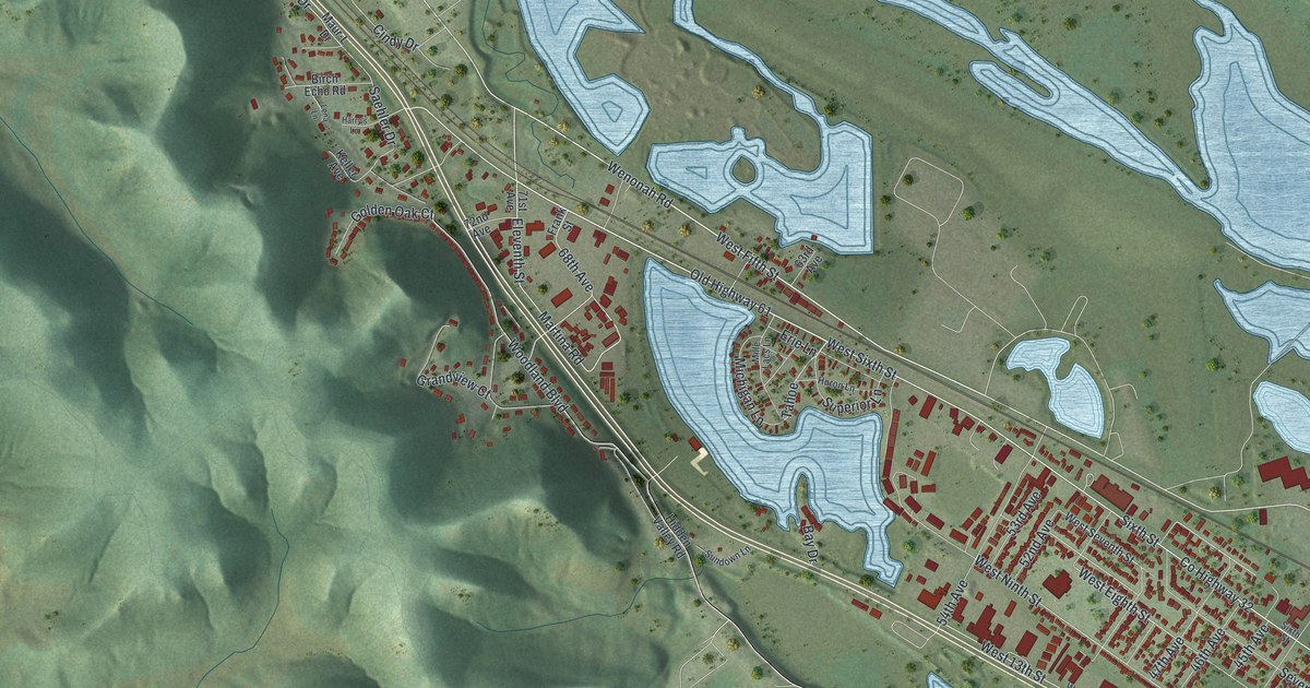
A detailed map of Goodview, Minnesota, showing every building in its true location, the roads by name, and shaded topographical relief.
Read More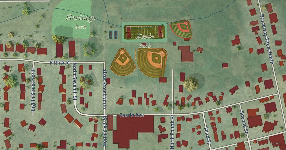
A detailed map of Goodhue, Minnesota, showing every building in its true location, the roads by name, and shaded topographical relief.
Read More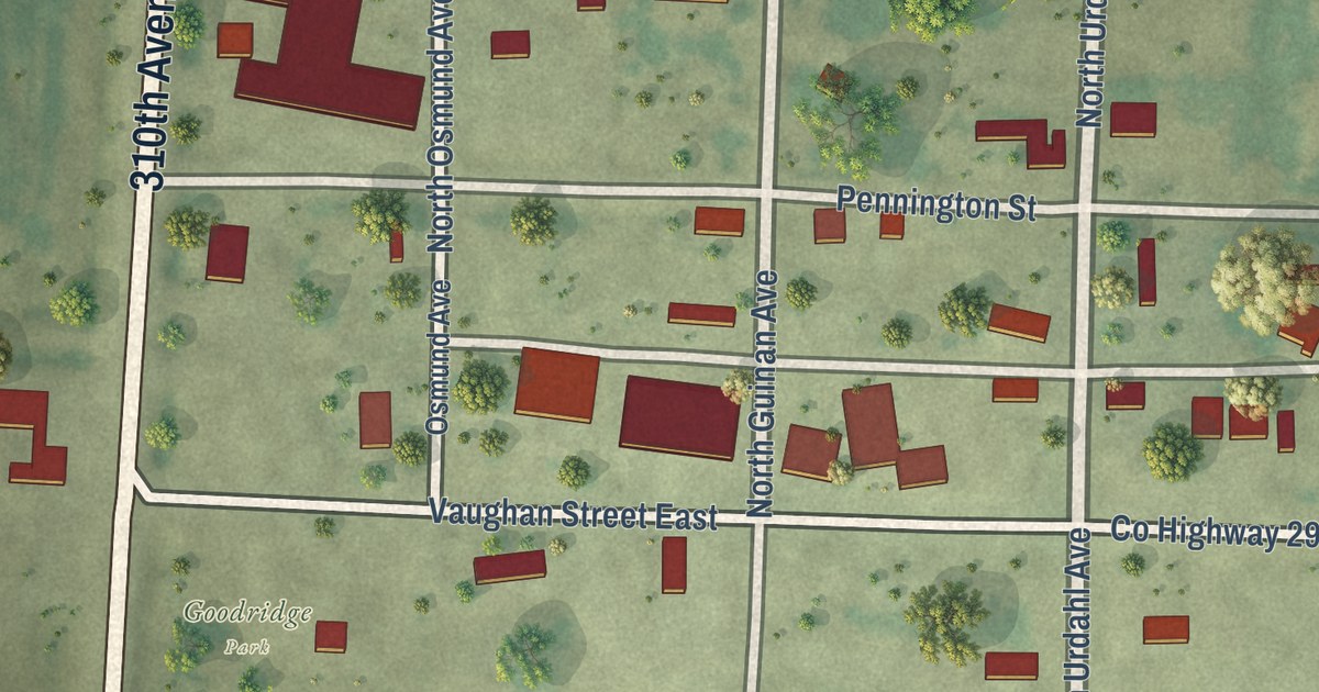
A detailed map of Goodridge, Minnesota, showing every building in its true location, the roads by name, and shaded topographical relief.
Read More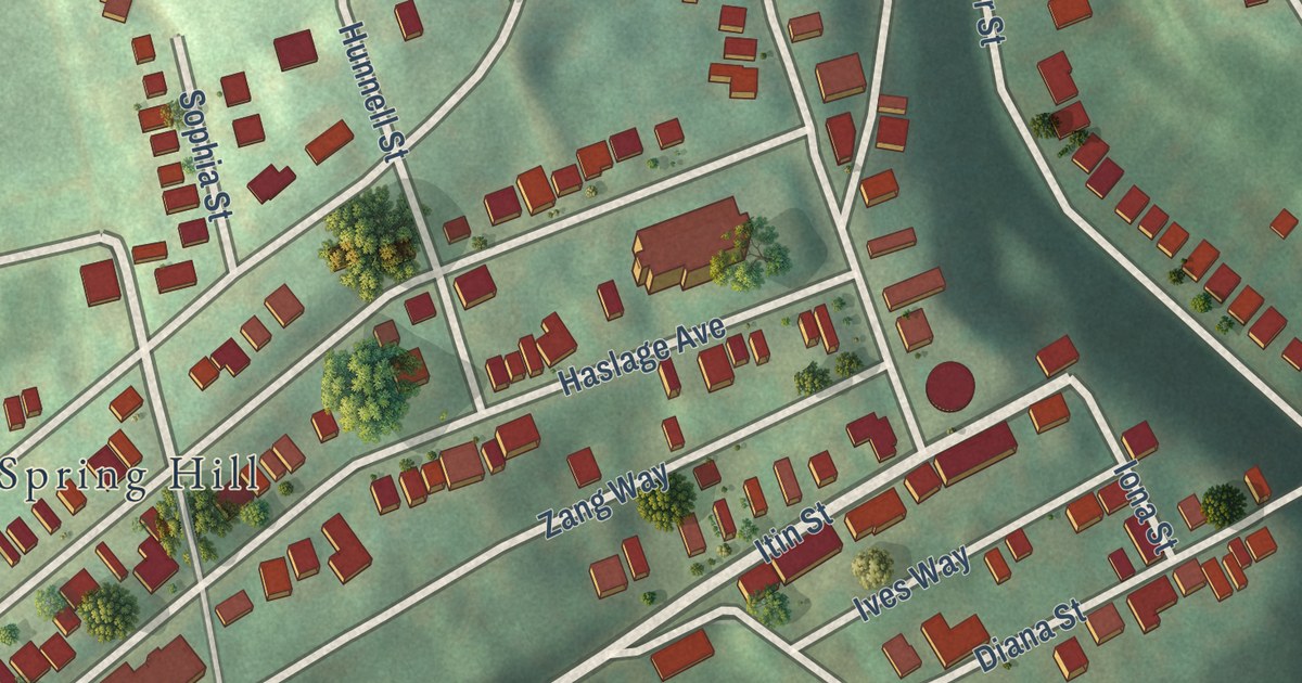
A new 2026 map of Spring Hill-City View in Allegheny County, Pennsylvania. It shows more than 1,700 buildings on the hill, with Rhine Street, Haslage Avenue and East Street, plus St. Boniface Roman Catholic Church, listed on the National Register in 1981.
Read More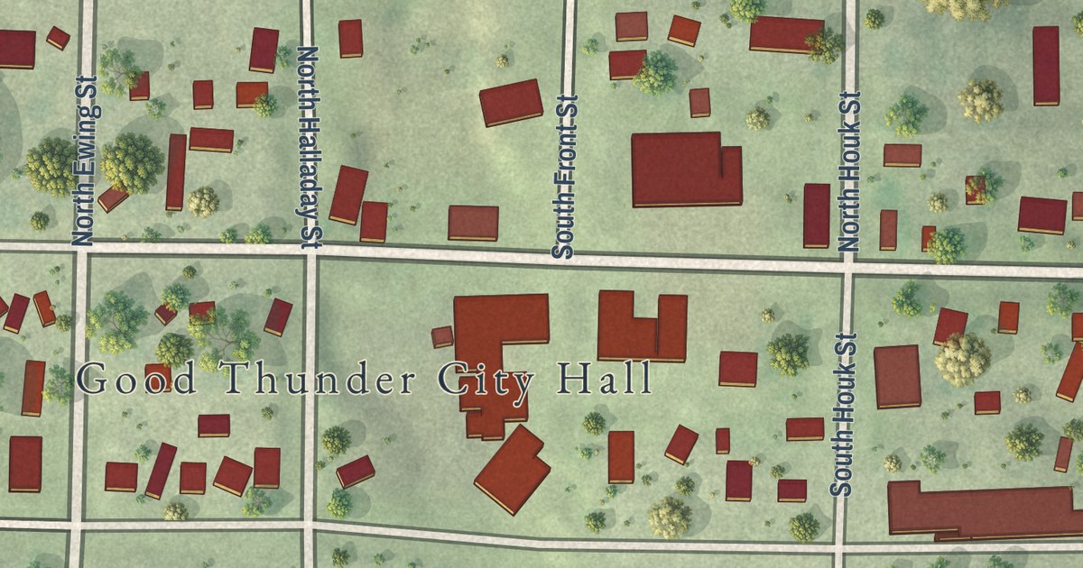
A detailed map of Good Thunder, Minnesota, showing every building in its true location, the roads by name, and shaded topographical relief.
Read More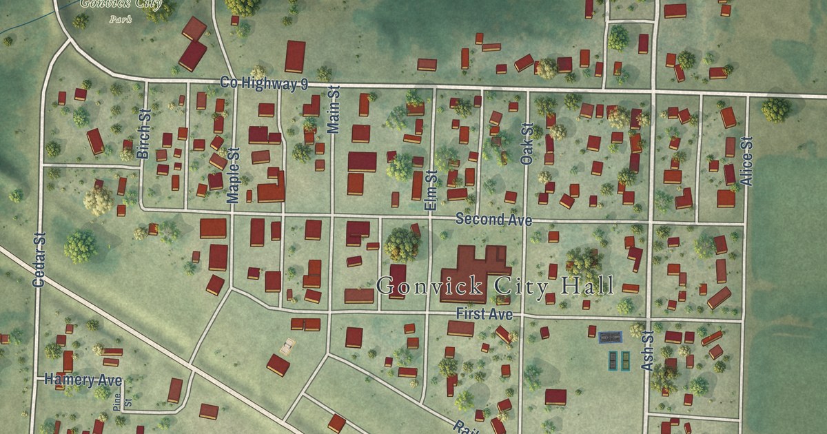
A detailed map of Gonvick, Minnesota, showing every building in its true location, the roads by name, and shaded topographical relief.
Read More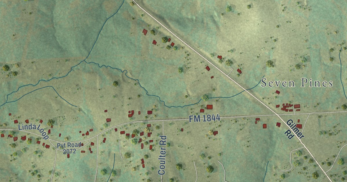
A detailed map of East Mountain, Texas, showing every building in its true location, the roads by name, and shaded topographical relief.
Read More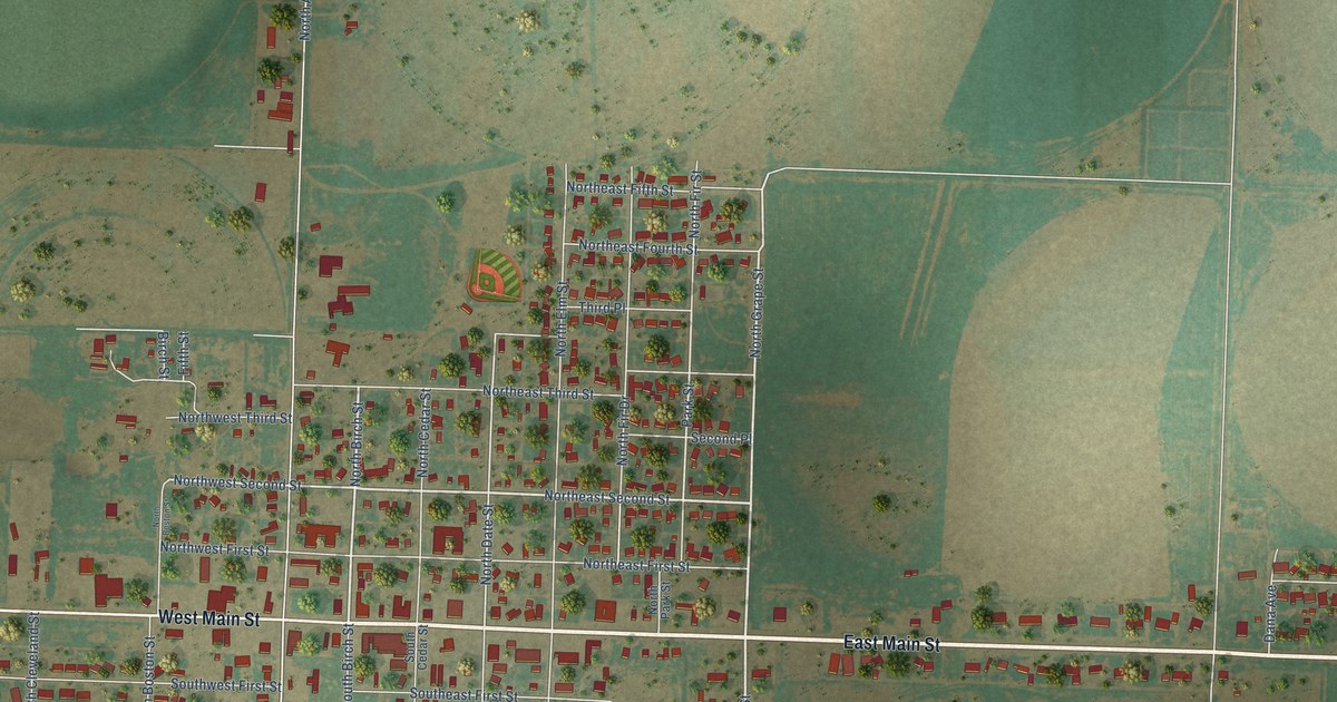
A detailed map of Earth, Texas, showing every building in its true location, the roads by name, and shaded topographical relief.
Read More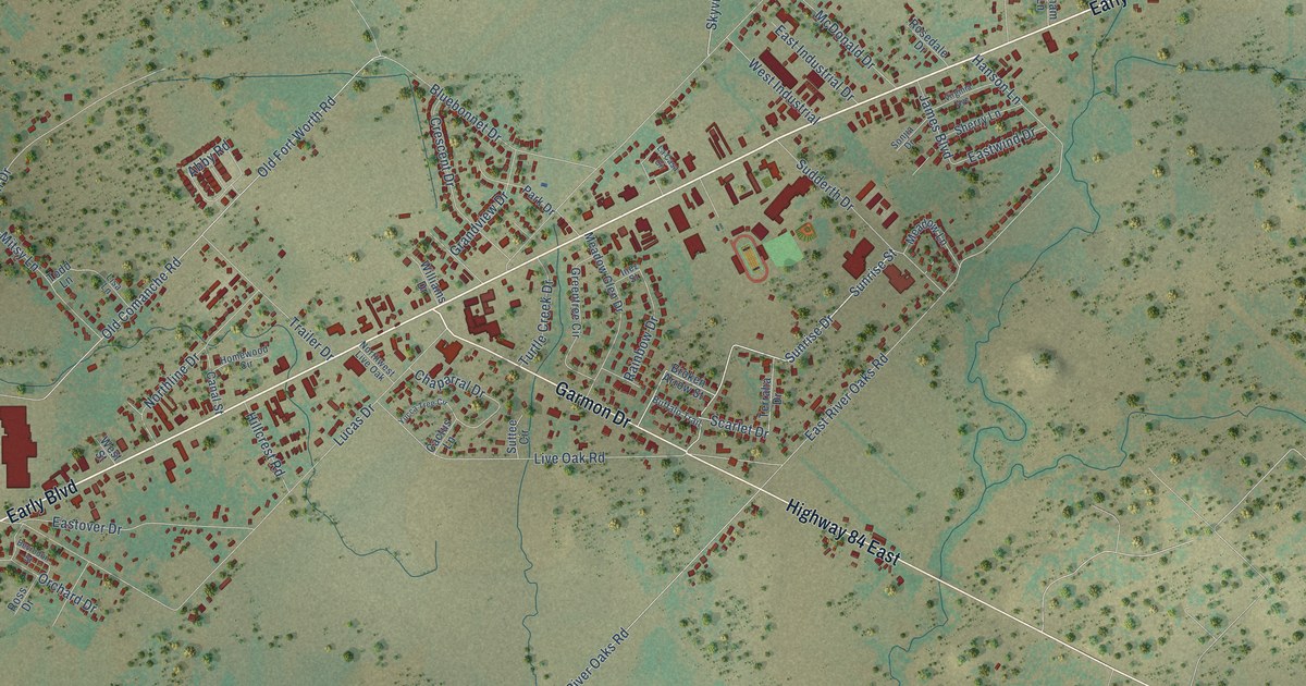
A detailed map of Early, Texas, showing every building in its true location, the roads by name, and shaded topographical relief.
Read More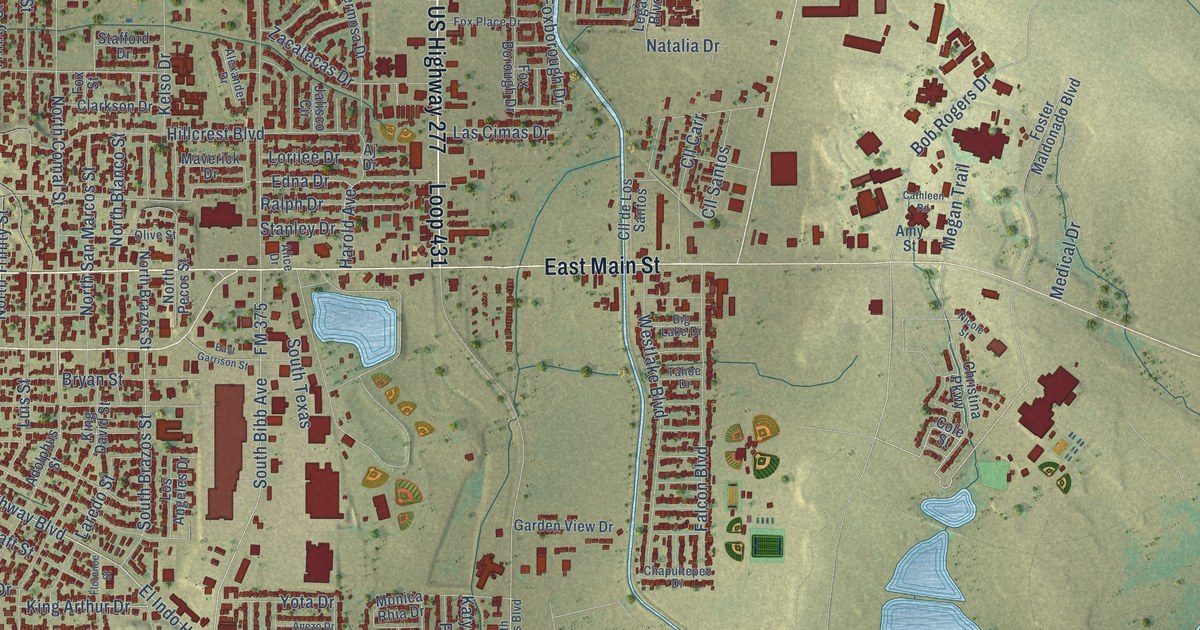
A detailed map of Eagle Pass, Texas, showing every building in its true location, the roads by name, and shaded topographical relief.
Read More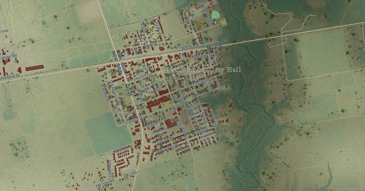
A detailed map of East Bernard, Texas, showing every building in its true location, the roads by name, and shaded topographical relief.
Read More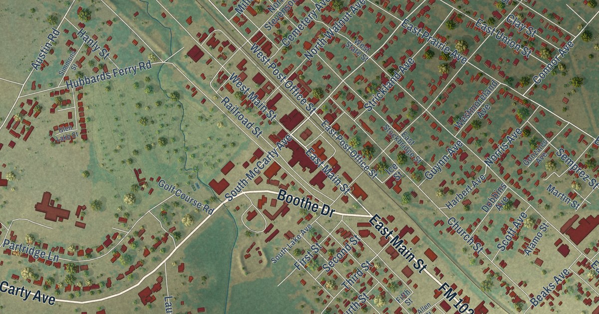
A detailed map of Eagle Lake, Texas, showing every building in its true location, the roads by name, and shaded topographical relief.
Read More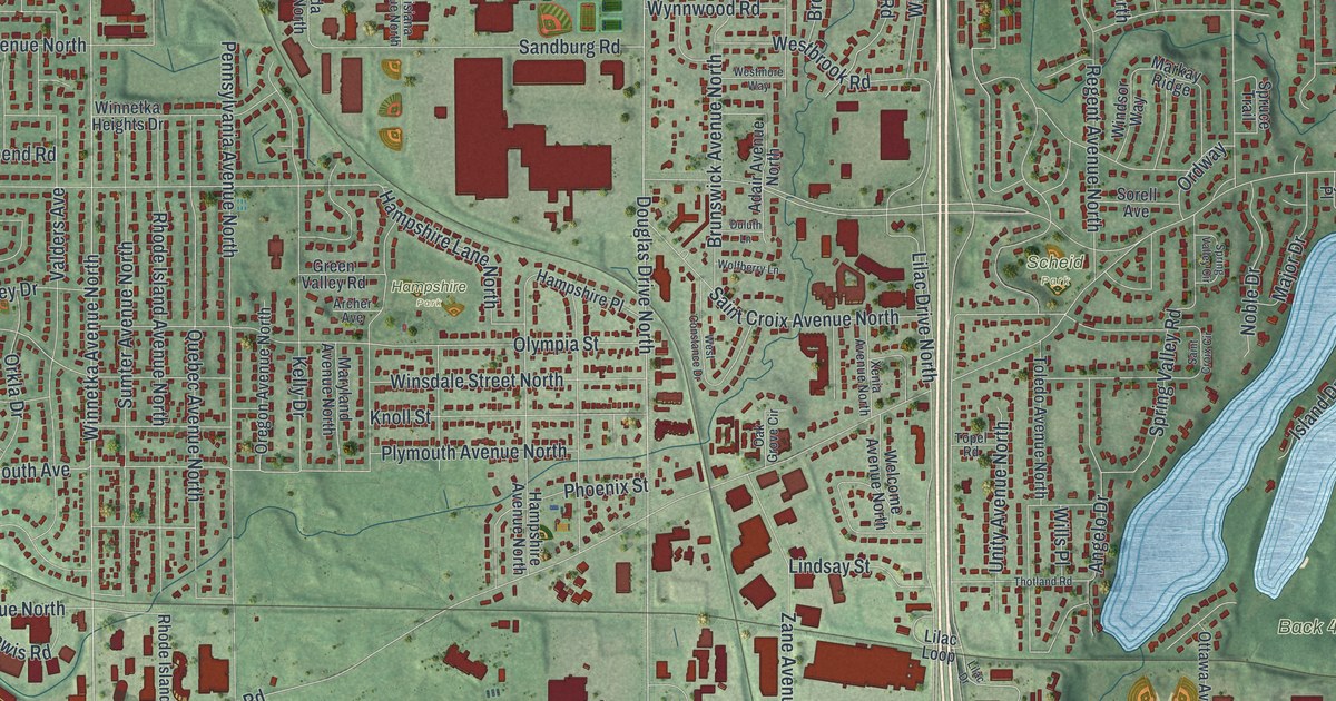
A detailed map of Golden Valley, Minnesota, showing every building in its true location, the roads by name, and shaded topographical relief.
Read More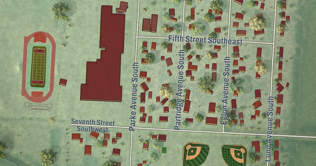
A detailed map of Glyndon, Minnesota, showing every building in its true location, the roads by name, and shaded topographical relief.
Read More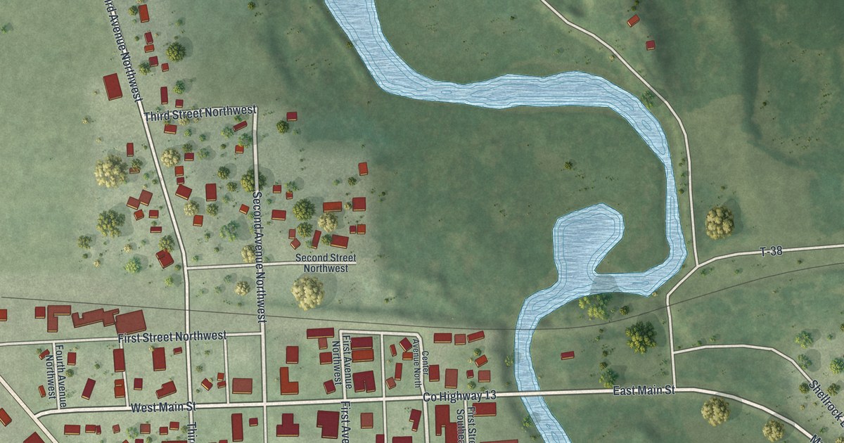
A detailed map of Glenville, Minnesota, showing every building in its true location, the roads by name, and shaded topographical relief.
Read More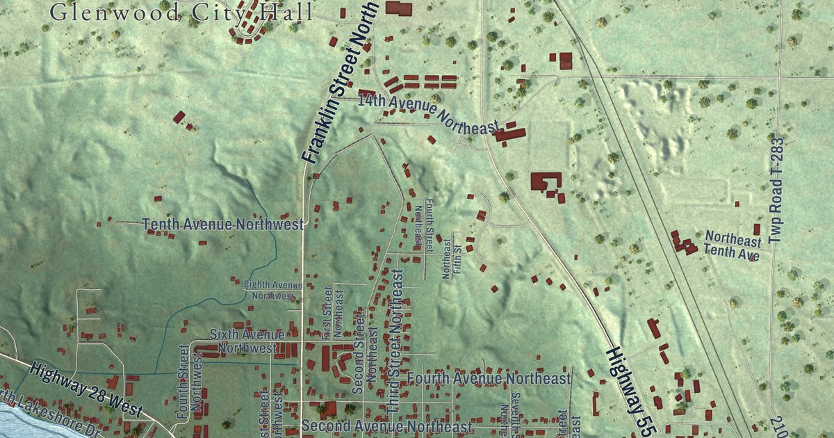
A detailed map of Glenwood, Minnesota, showing every building in its true location, the roads by name, and shaded topographical relief.
Read More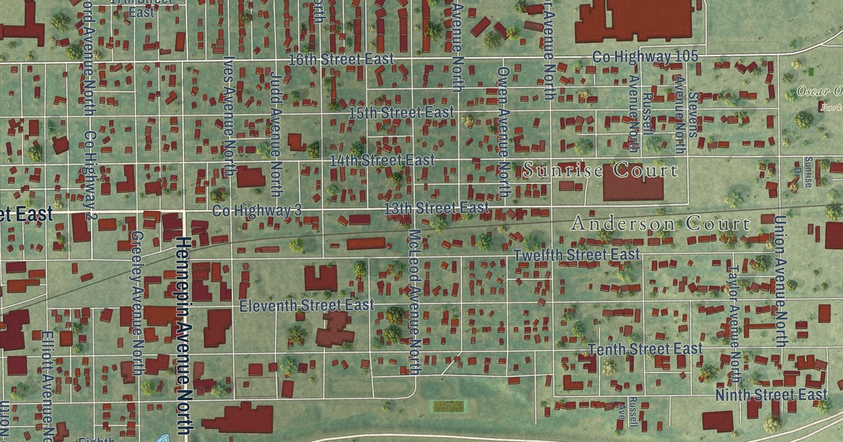
A detailed map of Glencoe, Minnesota, showing every building in its true location, the roads by name, and shaded topographical relief.
Read More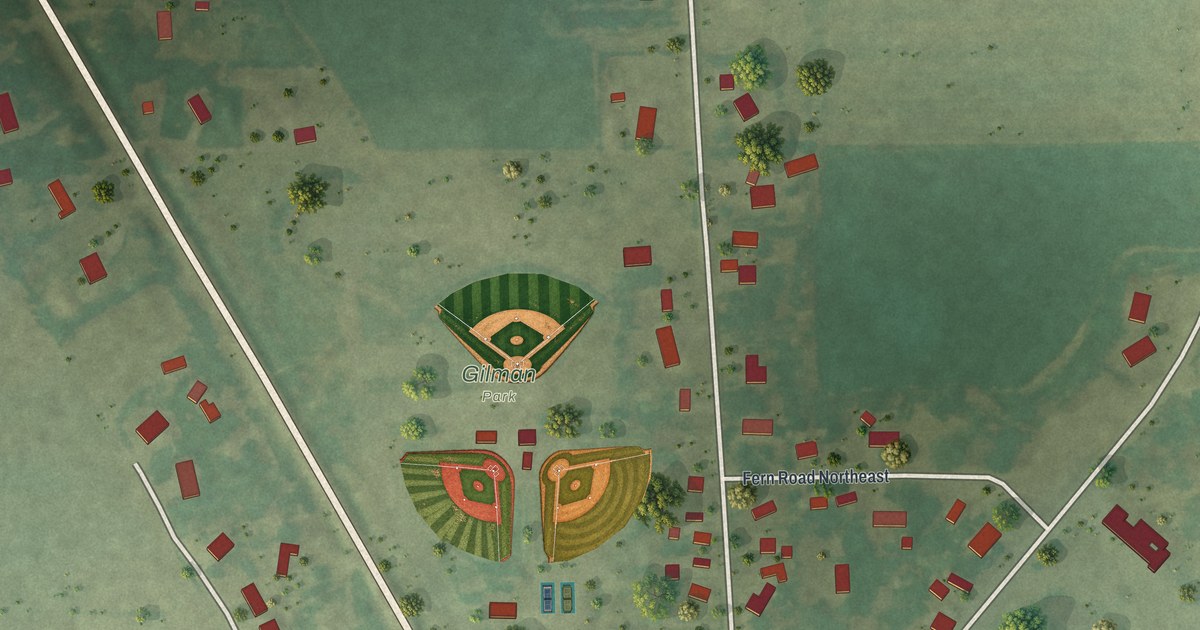
A detailed map of Gilman, Minnesota, showing every building in its true location, the roads by name, and shaded topographical relief.
Read More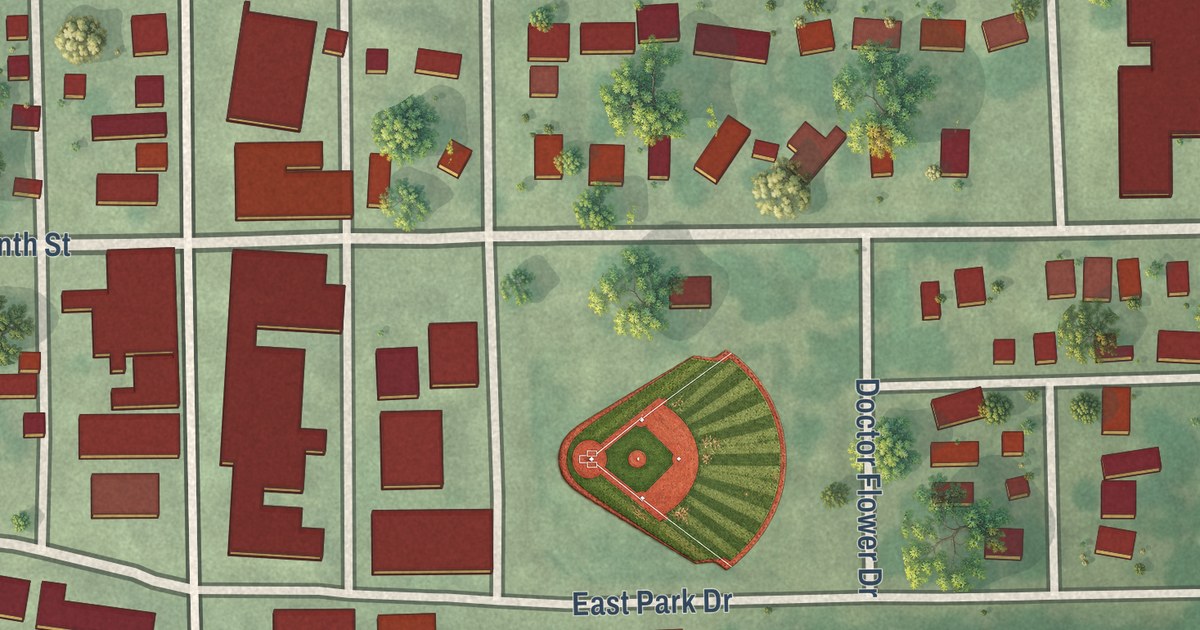
A detailed map of Gibbon, Minnesota, showing every building in its true location, the roads by name, and shaded topographical relief.
Read More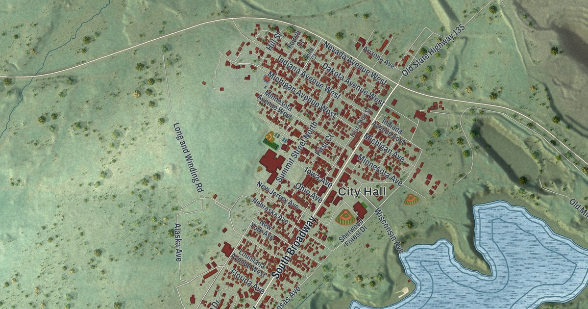
A detailed map of Gilbert, Minnesota, showing every building in its true location, the roads by name, and shaded topographical relief.
Read More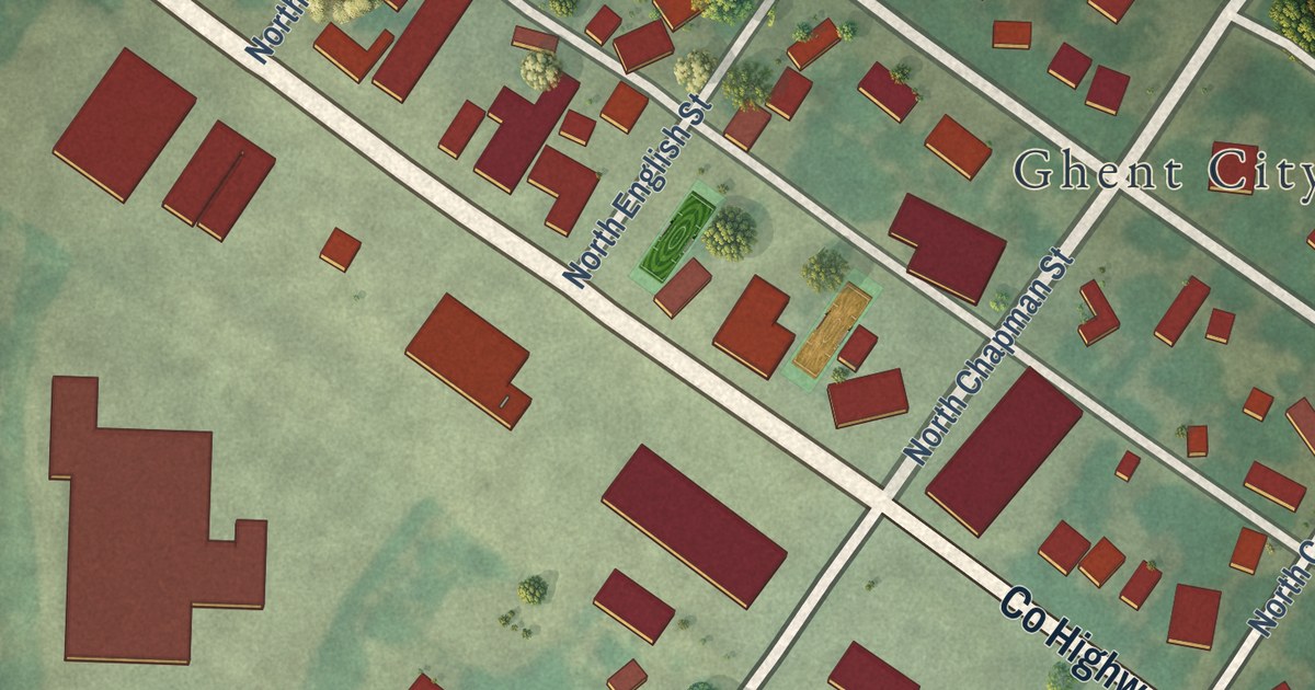
A detailed map of Ghent, Minnesota, showing every building in its true location, the roads by name, and shaded topographical relief.
Read More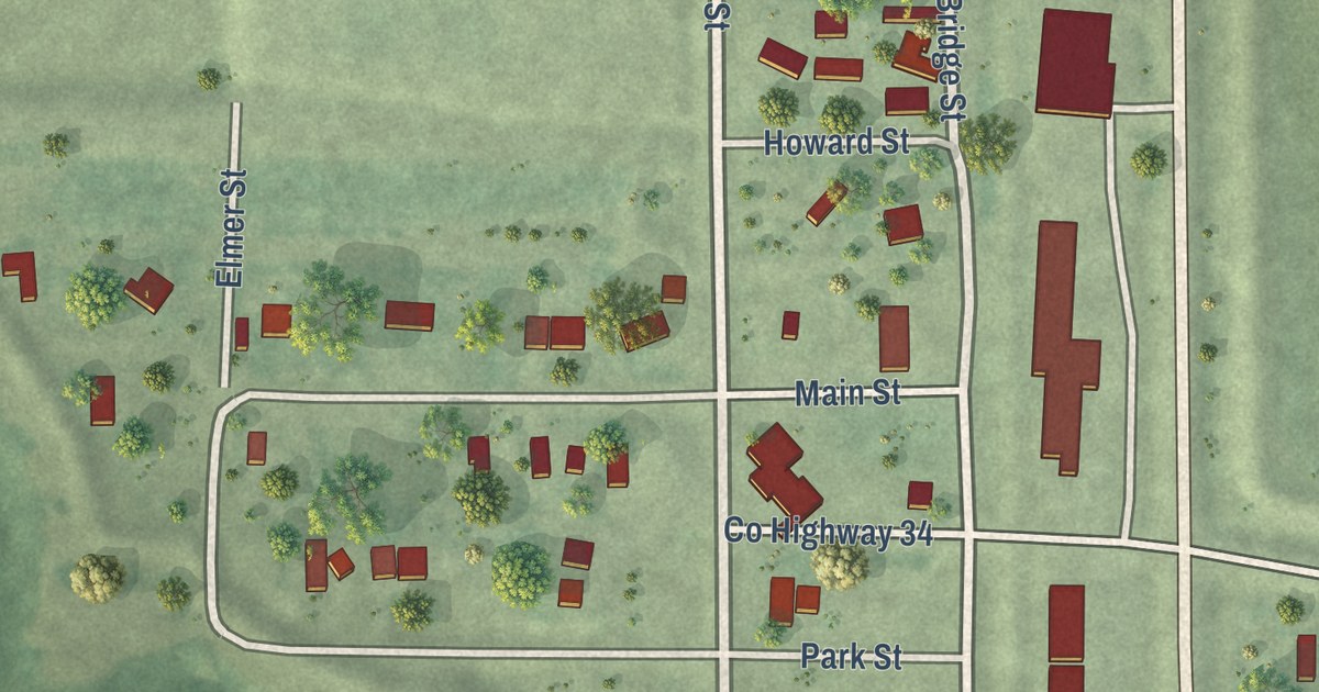
A detailed map of Georgetown, Minnesota, showing every building in its true location, the roads by name, and shaded topographical relief.
Read More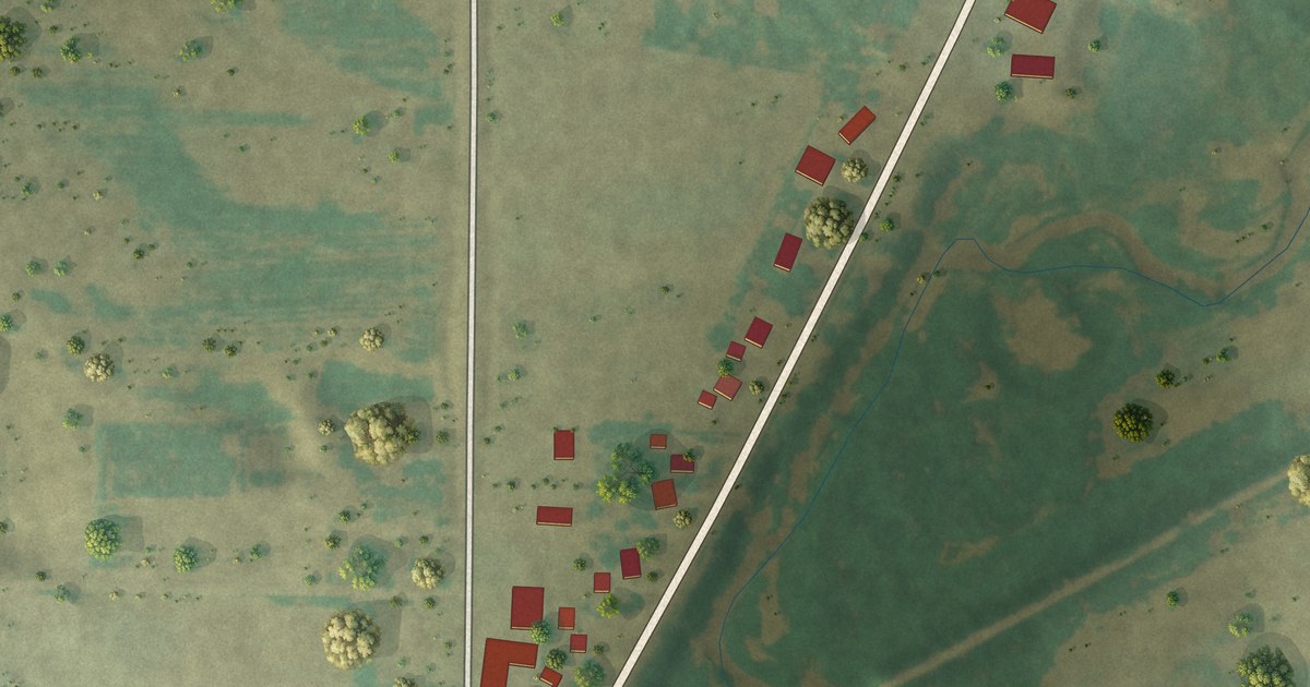
A detailed map of Genola, Minnesota, showing every building in its true location, the roads by name, and shaded topographical relief.
Read More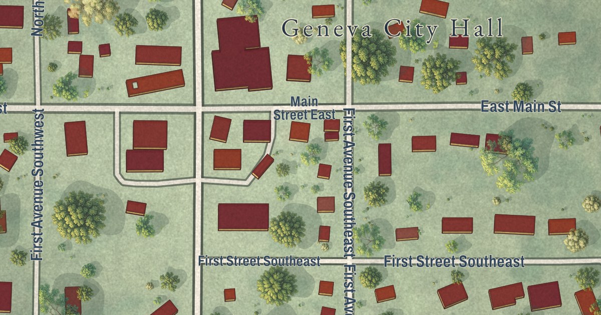
A detailed map of Geneva, Minnesota, showing every building in its true location, the roads by name, and shaded topographical relief.
Read More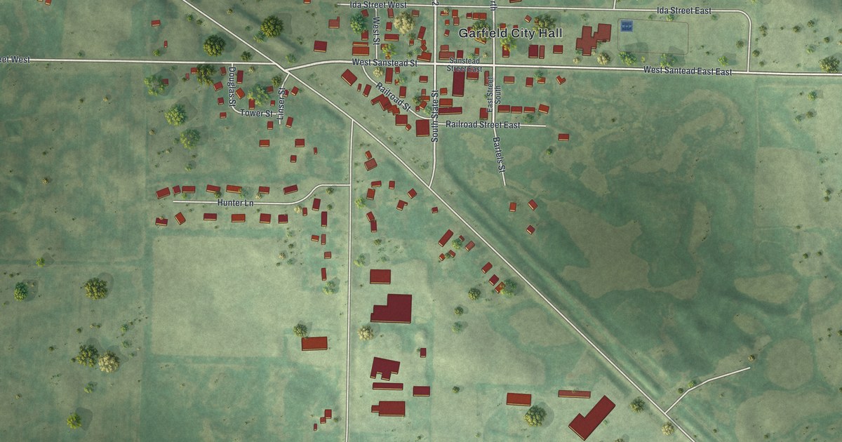
A detailed map of Garfield, Minnesota, showing every building in its true location, the roads by name, and shaded topographical relief.
Read More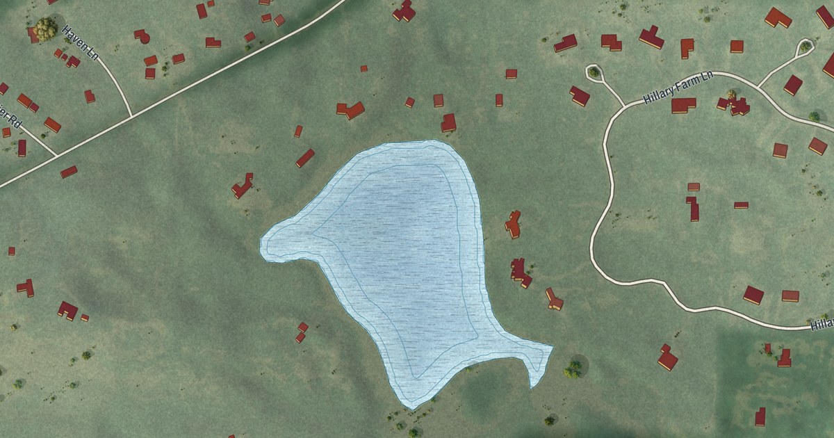
A detailed map of Gem Lake, Minnesota, showing every building in its true location, the roads by name, and shaded topographical relief.
Read More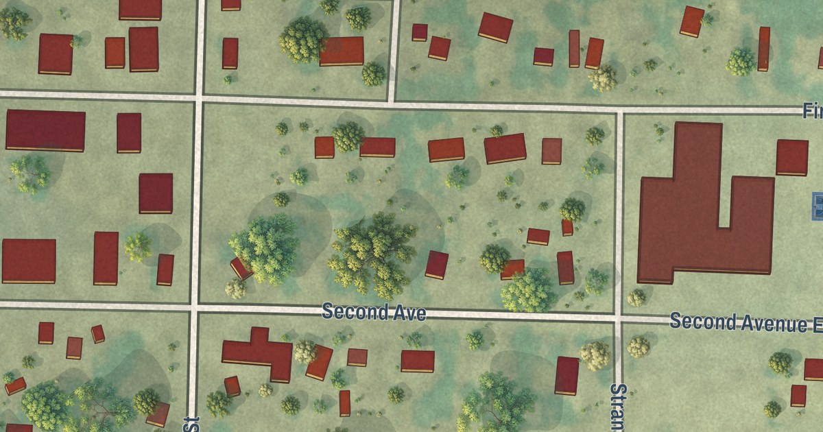
A detailed map of Gary, Minnesota, showing every building in its true location, the roads by name, and shaded topographical relief.
Read More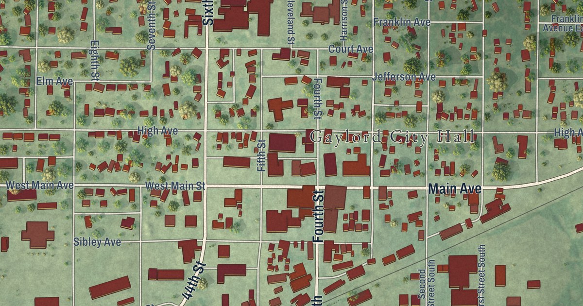
A detailed map of Gaylord, Minnesota, showing every building in its true location, the roads by name, and shaded topographical relief.
Read More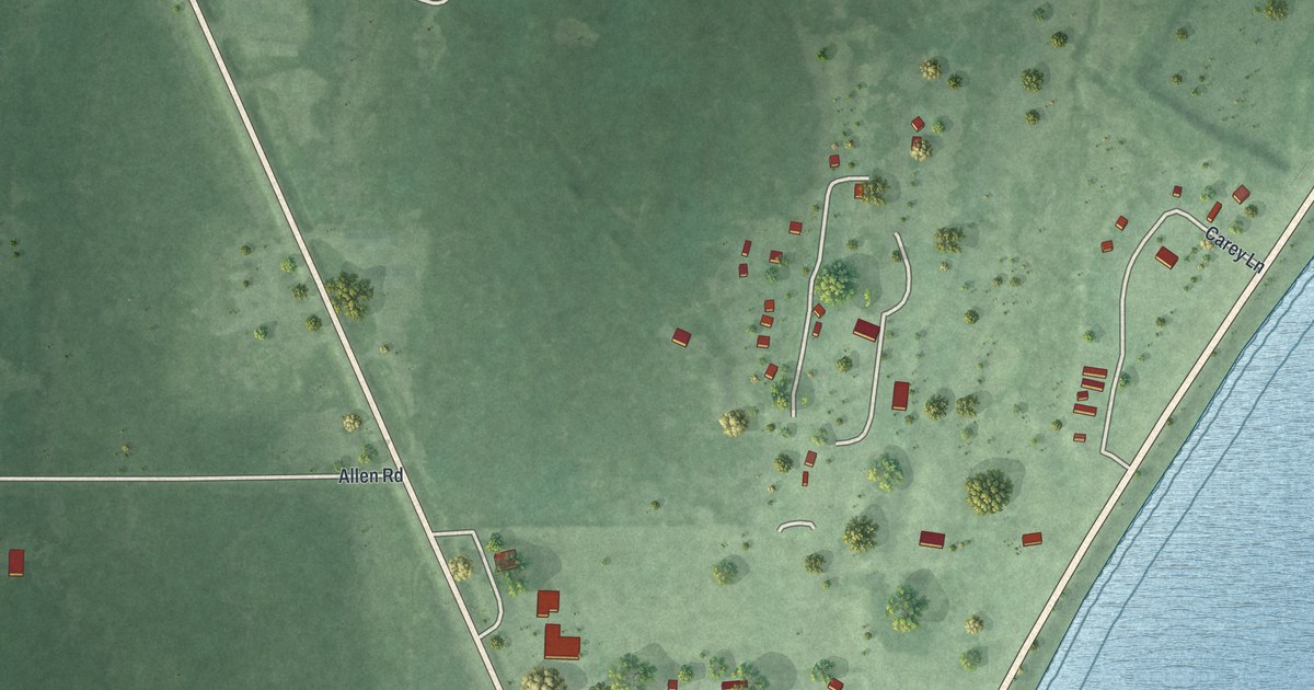
A detailed map of Garrison, Minnesota, showing every building in its true location, the roads by name, and shaded topographical relief.
Read More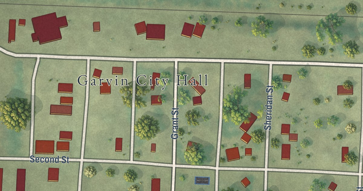
A detailed map of Garvin, Minnesota, showing every building in its true location, the roads by name, and shaded topographical relief.
Read More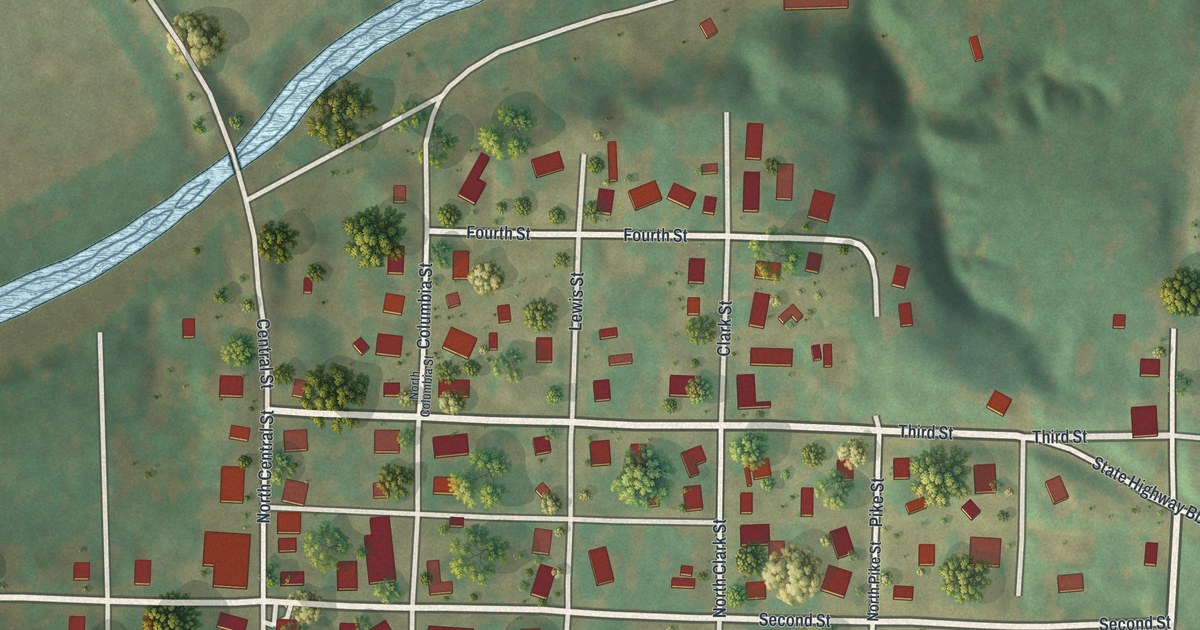
A modern aerial map of Rocheport in Boone County, Missouri, with its grid of streets, the creek, the hills and the wide river. Read about the town’s early ferry and warehouse and its first brick house.
Read More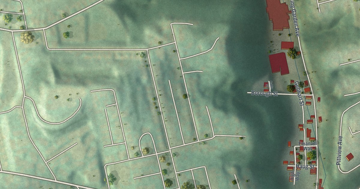
A new aerial-style map of Spring Garden in Pittsburgh, made in 2026. Find Spring Garden Avenue, Voskamp Street and Mount Troy Road, and read about the 1874 flood that came down Spring Garden run.
Read More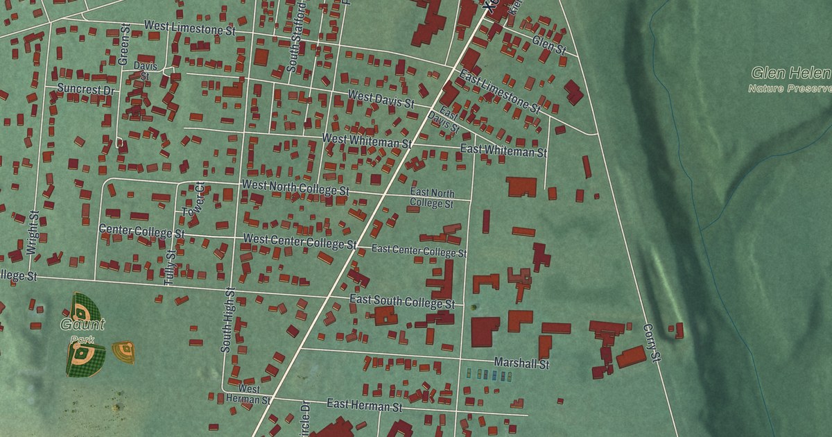
A modern aerial map of Yellow Springs in Greene County, Ohio, made in 2026. Find Xenia Avenue, Gaunt Park and Glen Helen, and read how Antioch College opened here with Horace Mann as its first president.
Read More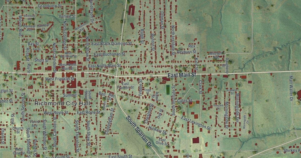
Richmond, Missouri was laid out in 1828 and named by settlers from Virginia for their home capital. This 2026 aerial map of Richmond in Ray County shows East Main Street, Richmond City Hall, Shirkey Golf Course and thousands of buildings.
Read More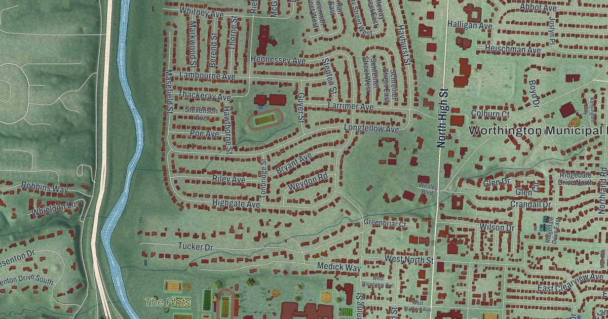
Follow North High Street across a new map of Worthington, Ohio. Then learn how 38 New England settlers planned the town around a village green in 1803, the same year Ohio became a state.
Read More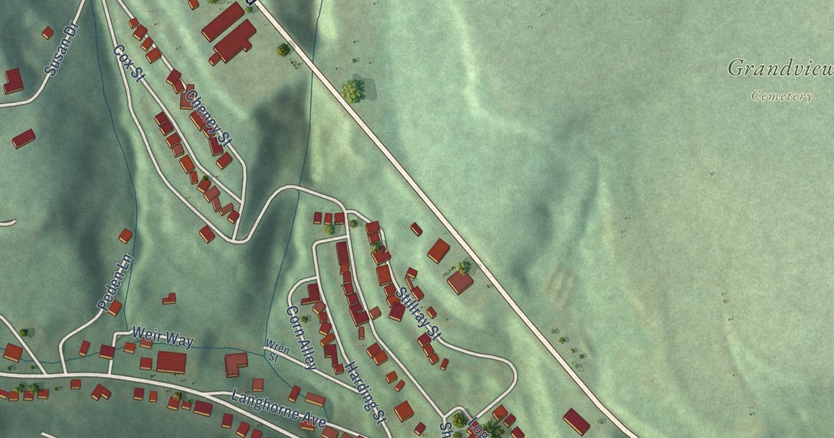
Southmont, Pennsylvania, seen from above in a new 2026 map. Find Menoher Boulevard, Grandview Cemetery and alleys named Carrot, Lettuce and Tomato, plus the 1889 story of Clara Barton’s Red Cross relief in Johnstown.
Read More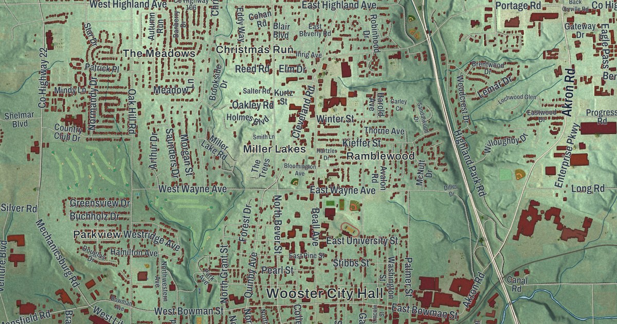
Charles Follis grew up in Wooster, and in 1904 he became the first African American pro football player. Find Oldman Road, Wooster Cemetery, Christmas Run and Madisonburg on this new map of Wooster in Wayne County, Ohio.
Read More















