Author: TheKnowOwl

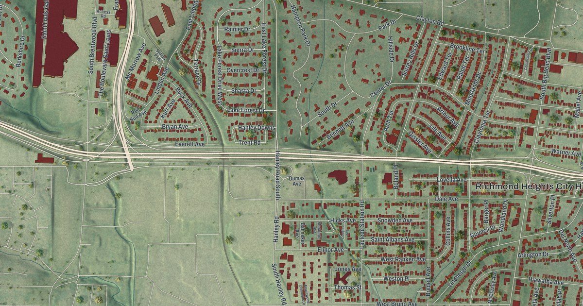
Detailed Map of Richmond Heights, Missouri

A modern aerial map of Richmond Heights in St. Louis County, Missouri, made in 2026. Find Clayton Road, Big Bend, Bellevue Avenue and City Hall, and learn how the town’s name came from Richmond, Virginia, and the high ground it sits on.

Read More
Detailed Map of Woodville, Ohio

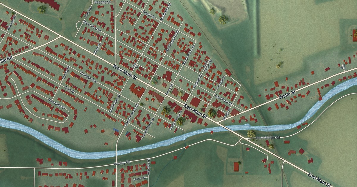
Explore Woodville’s streets, red building shapes, and blue river in a new aerial map. Learn how a muddy path through the Black Swamp became a toll road, with a local marker on West Main Street.

Read More
Detailed Map of Raytown, Missouri

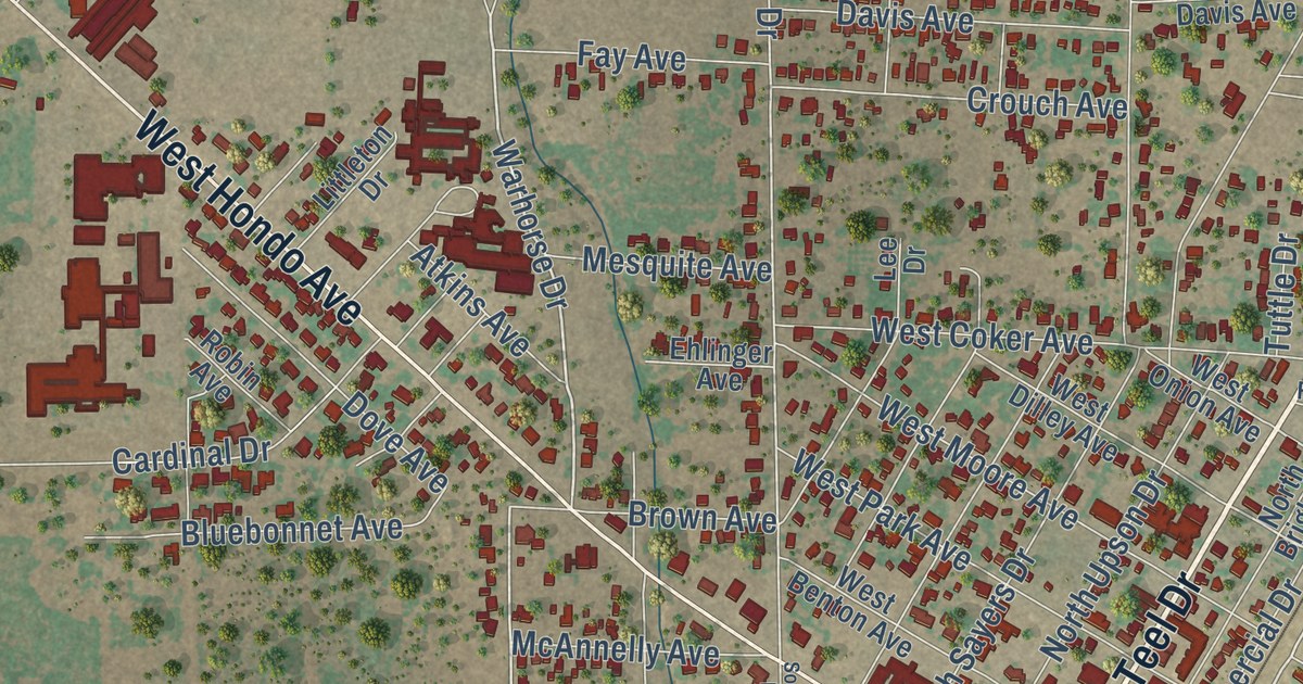
A 2026 aerial map of Raytown in Jackson County, Missouri. Find Raytown Road, Blue Ridge Boulevard, Kenagy Park and thousands of red buildings, plus one old account that says the town was named for the many roads that met there.

Read More
Detailed Map of Woodstock, Ohio

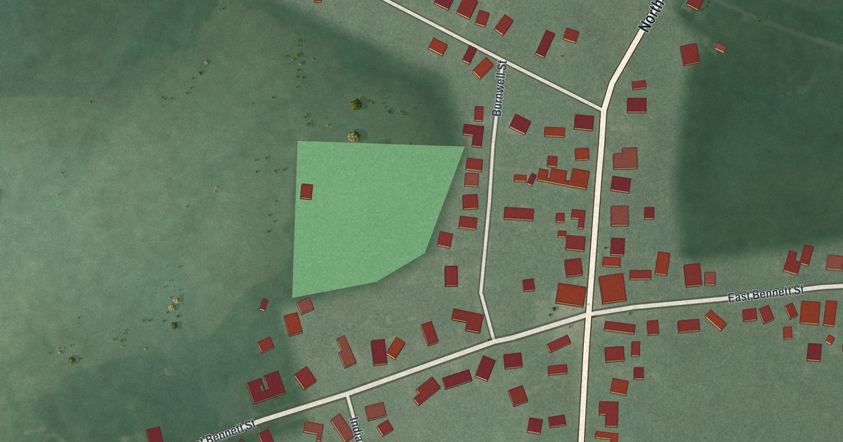
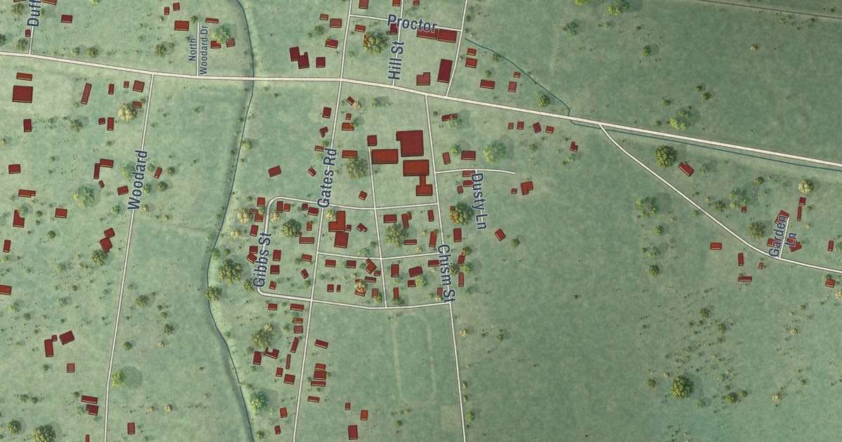
Woodstock, Ohio, seen from above on a new 2026 map. Find Main Street and Bennett Street, and read about the Universalist Church and the night Lincoln’s funeral train stopped in the village.

Read More
Detailed Map of Purdin, Missouri

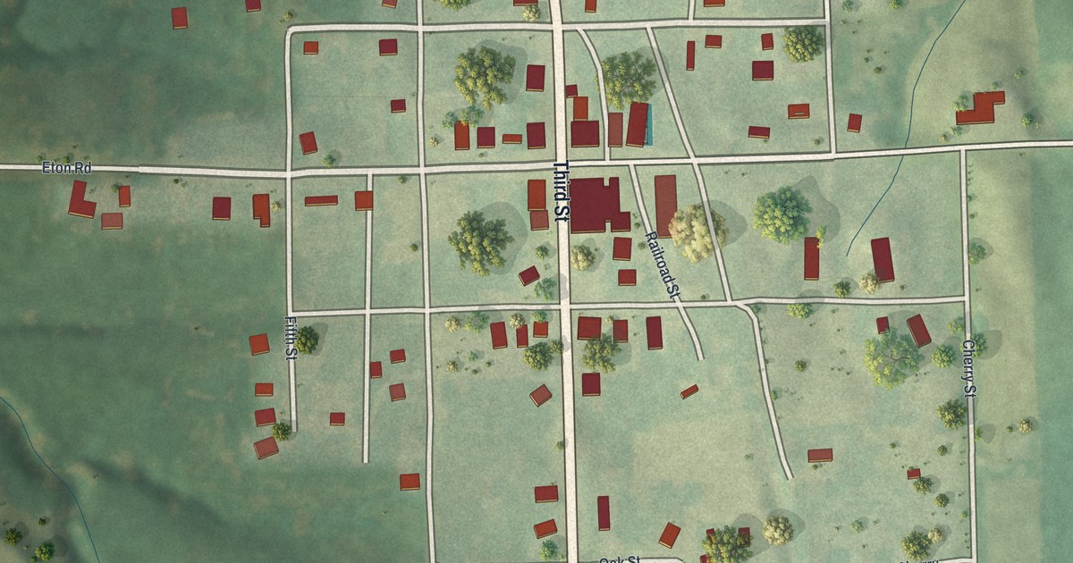
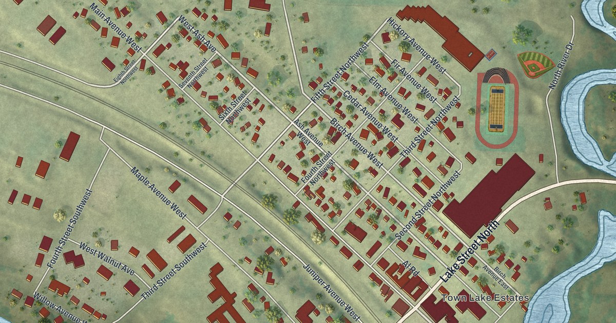
A modern aerial map of Purdin in Linn County, Missouri. Find Third Street, Main Street, Purdin Cemetery and every block of town, plus the story of John I. Purdin, the 1887 hotel, the 1894 bank and the school the town was proud of in 1912.

Read More
Detailed Map of Woodsfield, Ohio

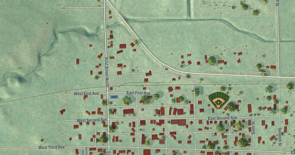
A new aerial map of Woodsfield, the Monroe County seat, made in 2026. Find Main Street, Eastern Avenue and more than 1,600 buildings, and read about the town’s 1815 founding and its big-league pitcher, Sad Sam Jones.

Read More