Detailed Map of Erskine, Minnesota
A detailed map of Erskine, Minnesota, showing every building in its true location, the roads by name, and shaded topographical relief.
Read More
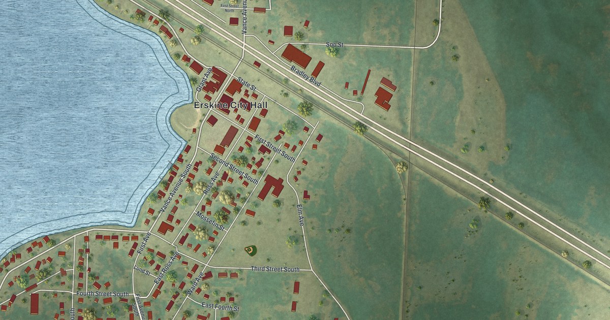
A detailed map of Erskine, Minnesota, showing every building in its true location, the roads by name, and shaded topographical relief.
Read More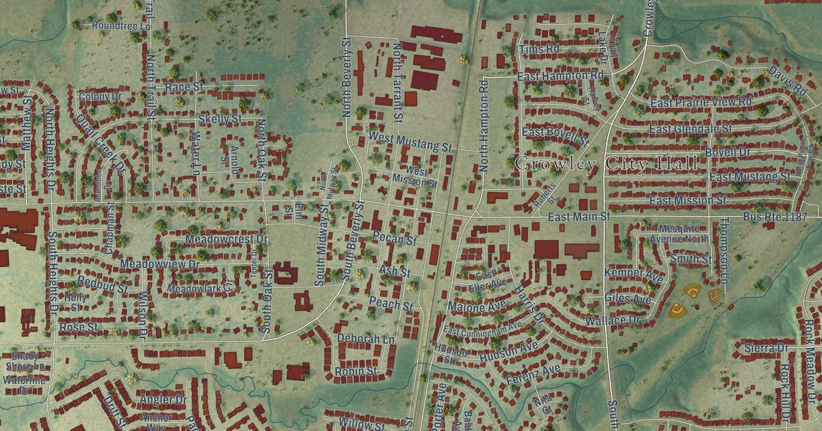
A detailed map of Crowley, Texas, showing every building in its true location, the roads by name, and shaded topographical relief.
Read More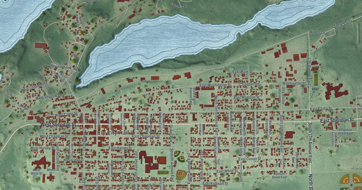
A detailed map of Ely, Minnesota, showing every building in its true location, the roads by name, and shaded topographical relief.
Read More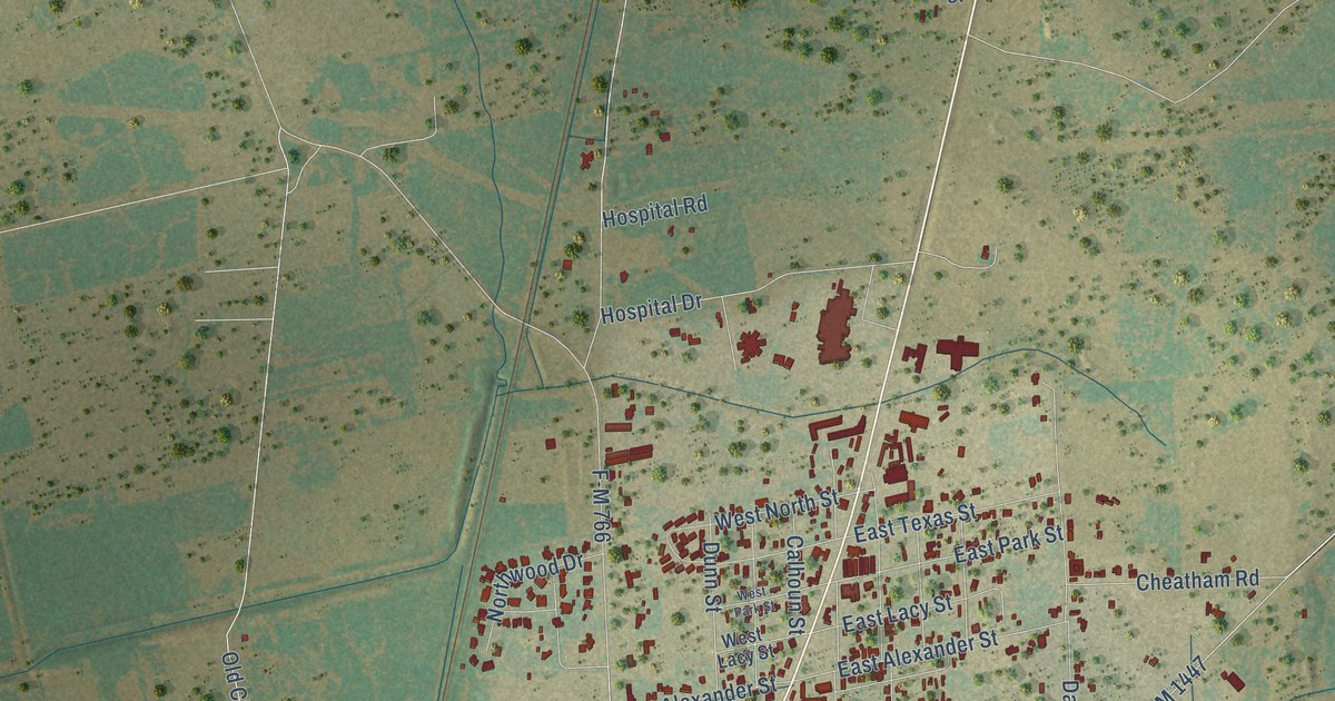
A detailed map of Cuero, Texas, showing every building in its true location, the roads by name, and shaded topographical relief.
Read More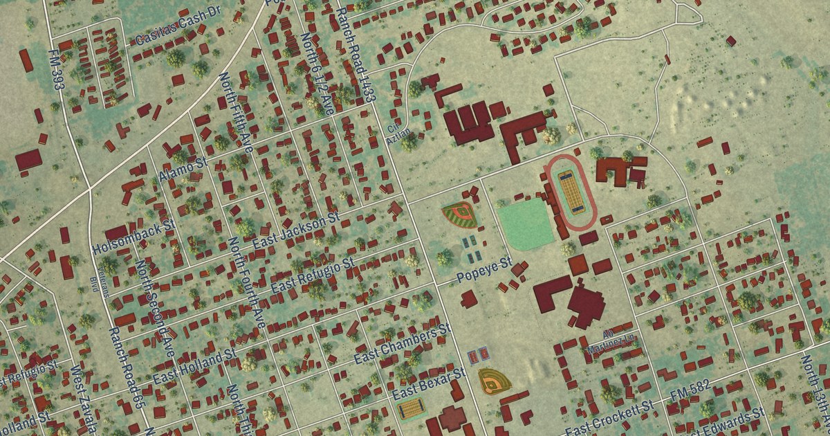
A detailed map of Crystal City, Texas, showing every building in its true location, the roads by name, and shaded topographical relief.
Read More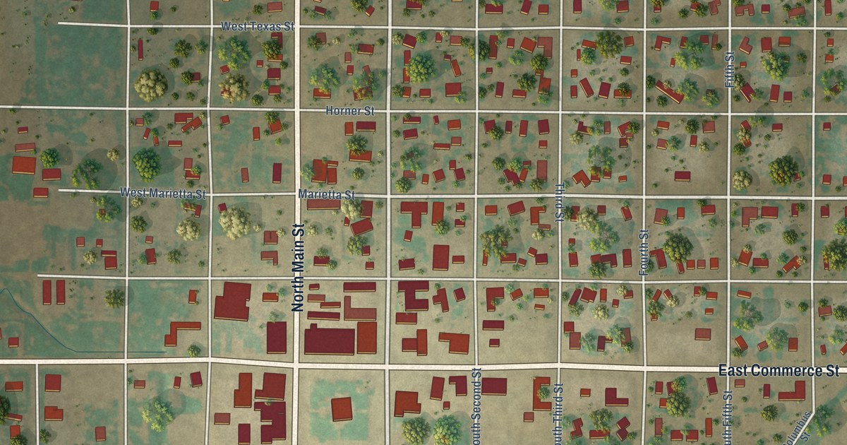
A detailed map of Crowell, Texas, showing every building in its true location, the roads by name, and shaded topographical relief.
Read More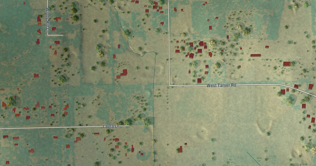
A detailed map of Cross Timber, Texas, showing every building in its true location, the roads by name, and shaded topographical relief.
Read More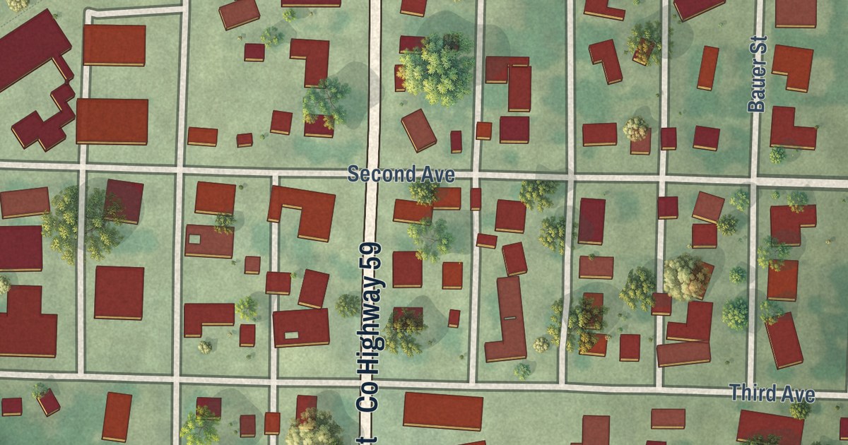
A detailed map of Elrosa, Minnesota, showing every building in its true location, the roads by name, and shaded topographical relief.
Read More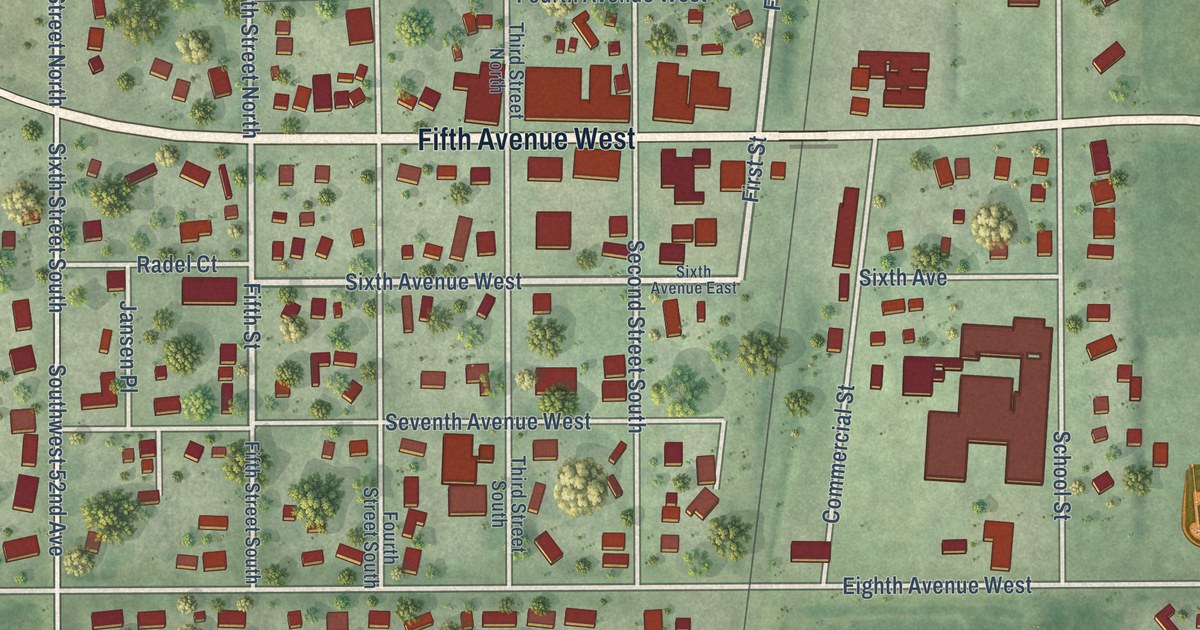
A detailed map of Ellendale, Minnesota, showing every building in its true location, the roads by name, and shaded topographical relief.
Read More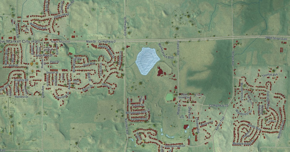
A detailed map of Elko New Market, Minnesota, showing every building in its true location, the roads by name, and shaded topographical relief.
Read More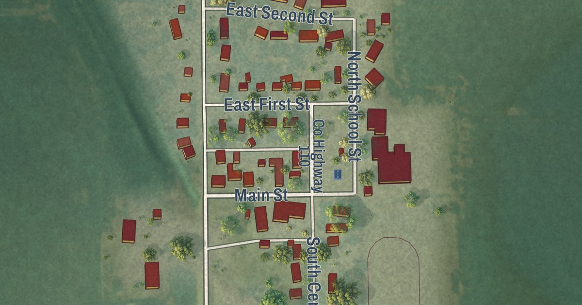
A detailed map of Elkton, Minnesota, showing every building in its true location, the roads by name, and shaded topographical relief.
Read More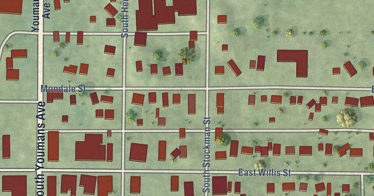
A detailed map of Elmore, Minnesota, showing every building in its true location, the roads by name, and shaded topographical relief.
Read More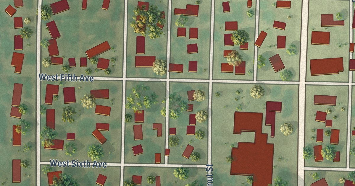
A detailed map of Ellsworth, Minnesota, showing every building in its true location, the roads by name, and shaded topographical relief.
Read More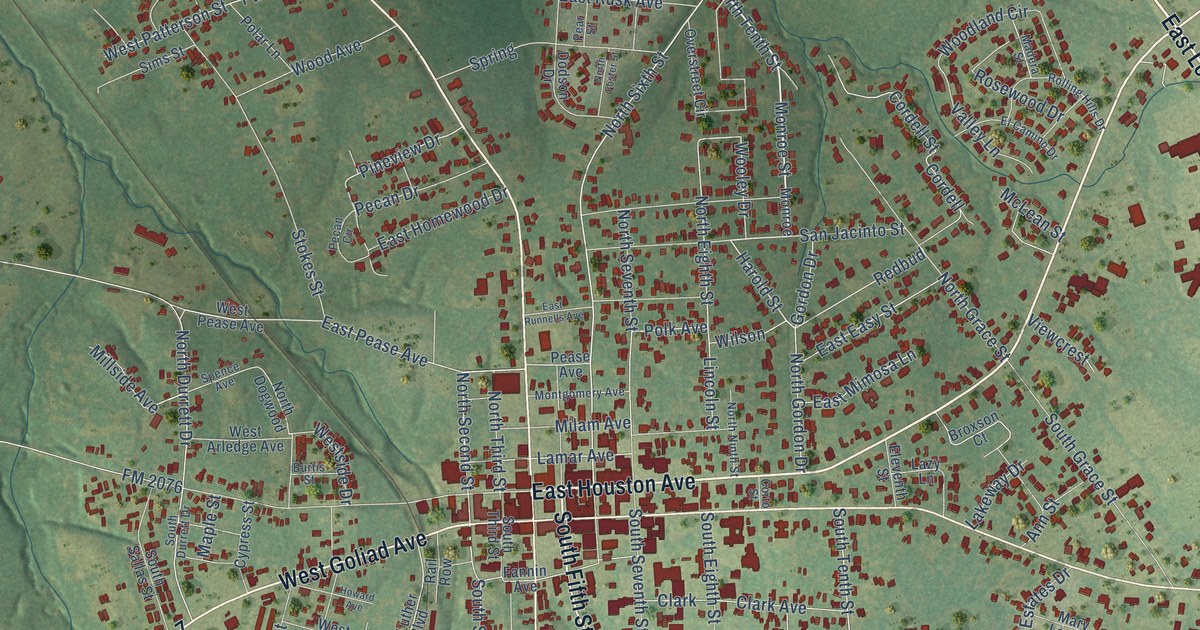
A detailed map of Crockett, Texas, showing every building in its true location, the roads by name, and shaded topographical relief.
Read More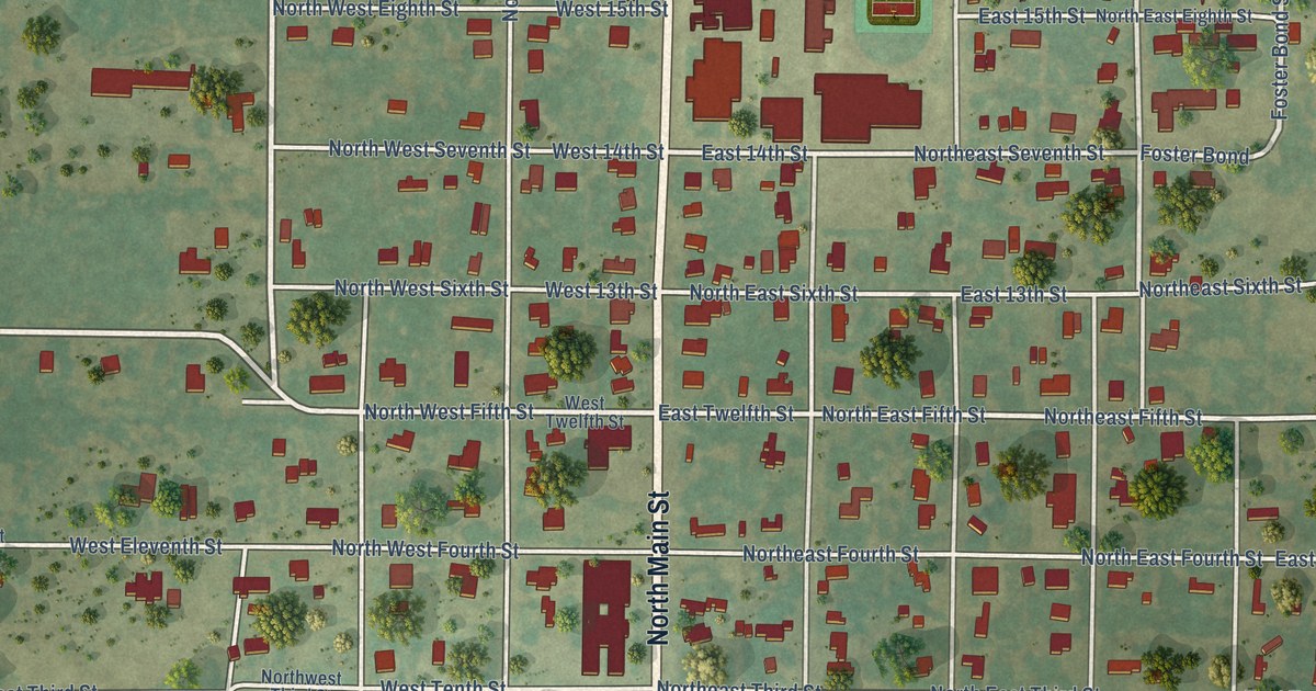
A detailed map of Cross Plains, Texas, showing every building in its true location, the roads by name, and shaded topographical relief.
Read More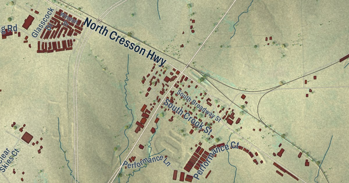
A detailed map of Cresson, Texas, showing every building in its true location, the roads by name, and shaded topographical relief.
Read More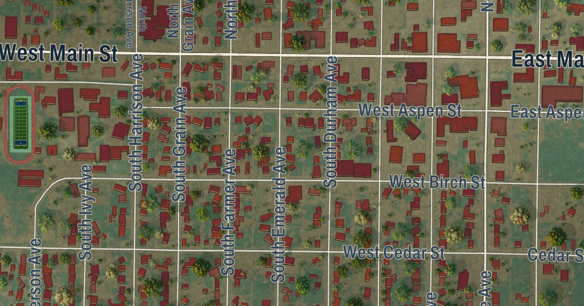
A detailed map of Crosbyton, Texas, showing every building in its true location, the roads by name, and shaded topographical relief.
Read More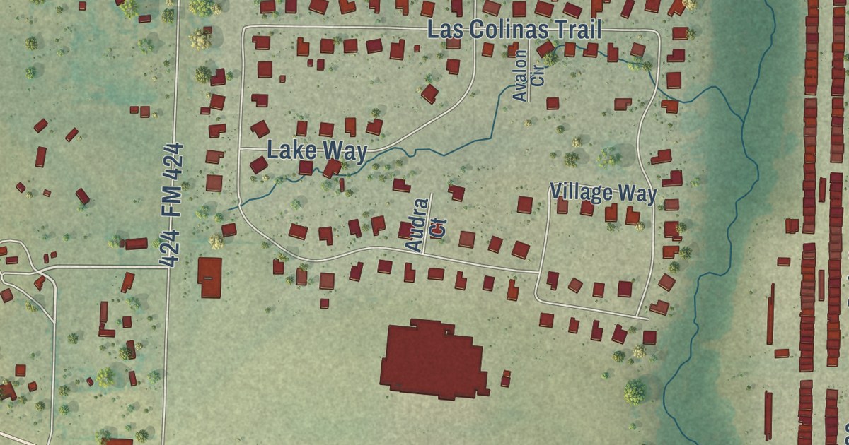
A detailed map of Cross Roads, Texas, showing every building in its true location, the roads by name, and shaded topographical relief.
Read More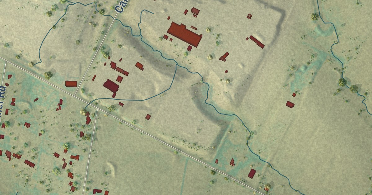
A detailed map of Creedmoor, Texas, showing every building in its true location, the roads by name, and shaded topographical relief.
Read More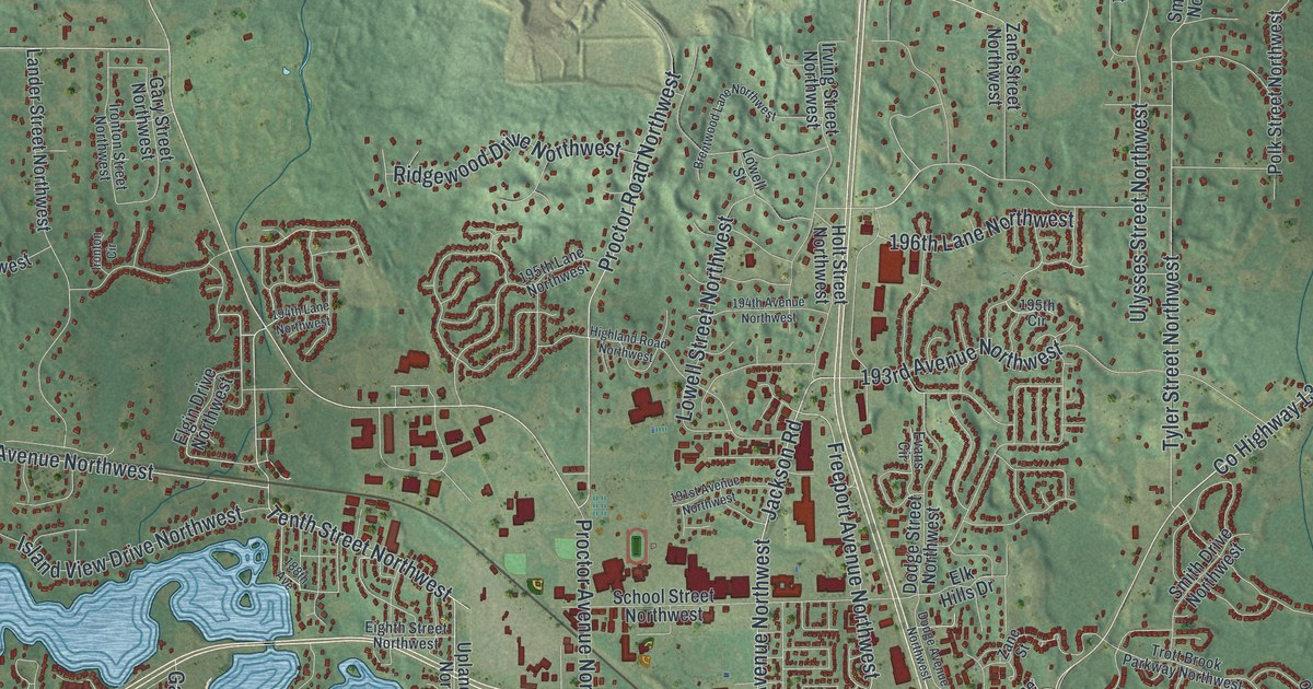
A detailed map of Elk River, Minnesota, showing every building in its true location, the roads by name, and shaded topographical relief.
Read More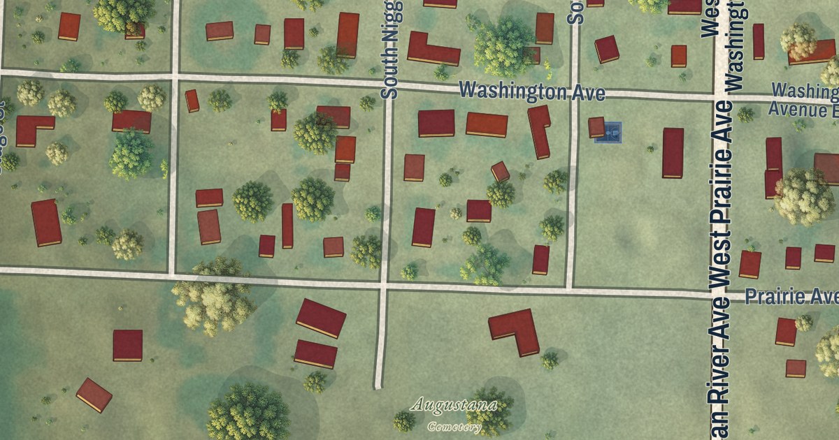
A detailed map of Elizabeth, Minnesota, showing every building in its true location, the roads by name, and shaded topographical relief.
Read More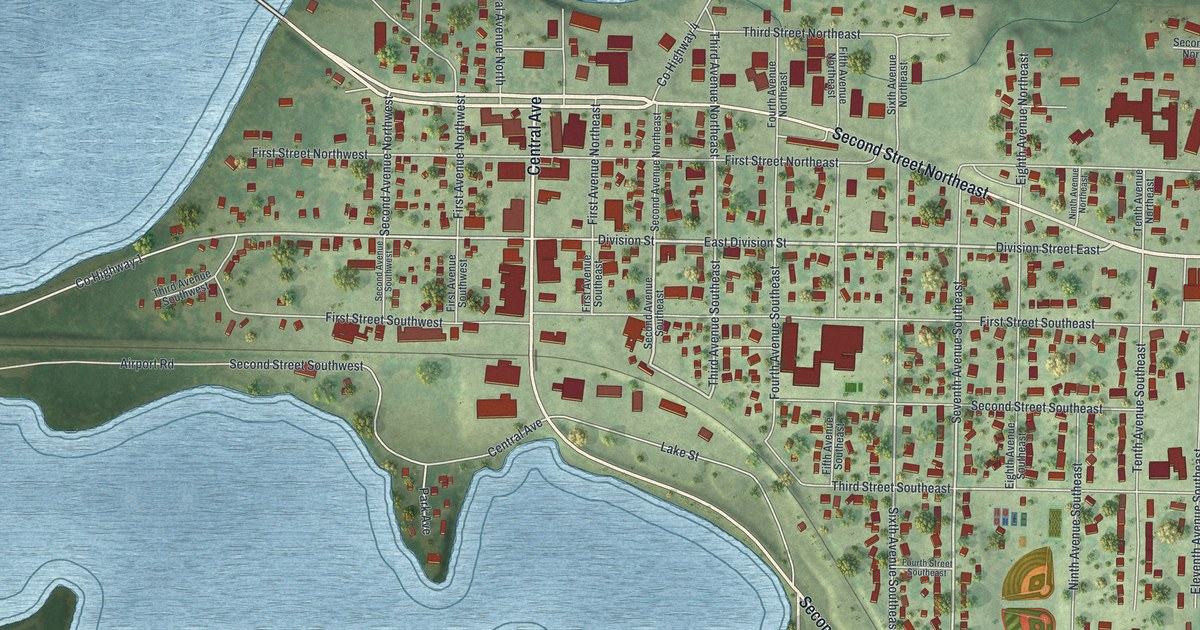
A detailed map of Elbow Lake, Minnesota, showing every building in its true location, the roads by name, and shaded topographical relief.
Read More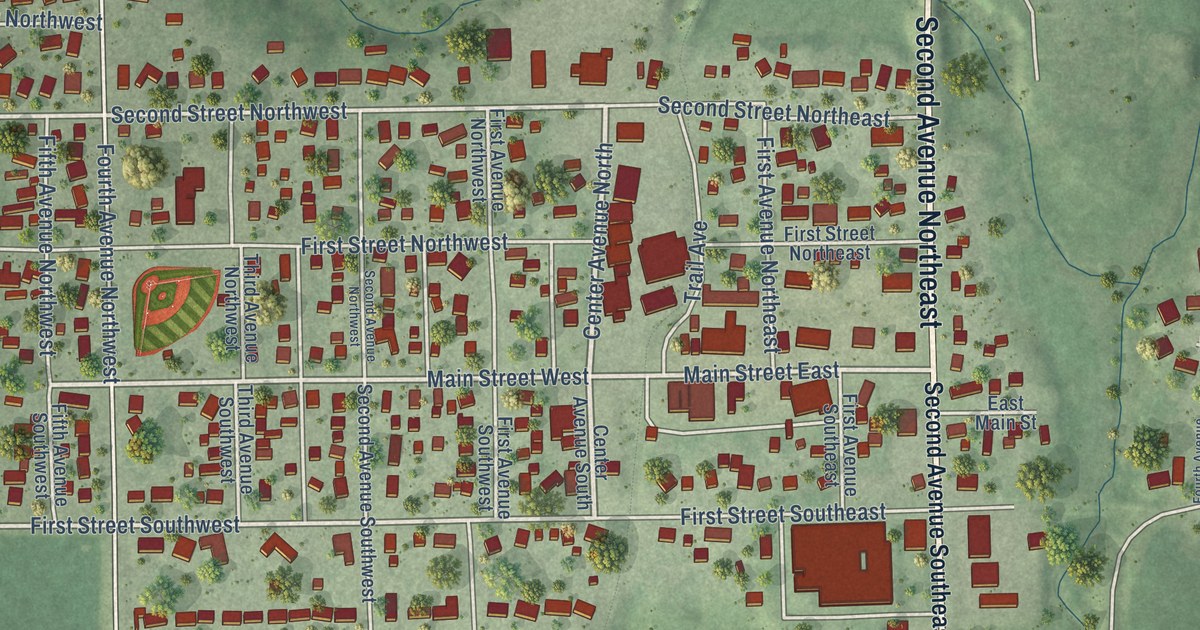
A detailed map of Elgin, Minnesota, showing every building in its true location, the roads by name, and shaded topographical relief.
Read More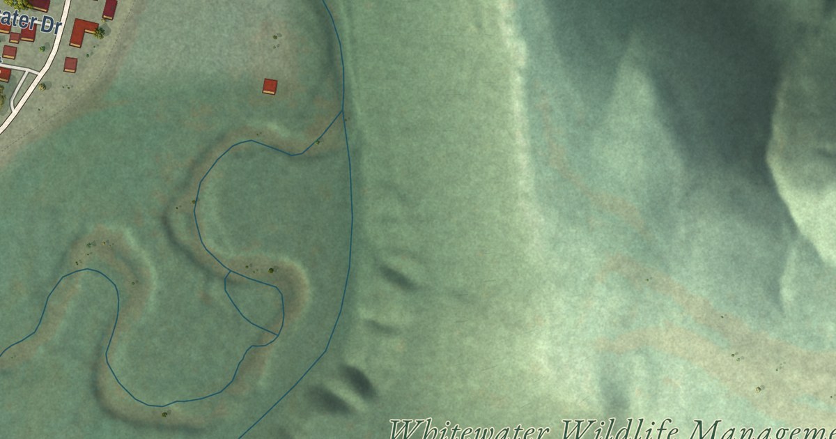
A detailed map of Elba, Minnesota, showing every building in its true location, the roads by name, and shaded topographical relief.
Read More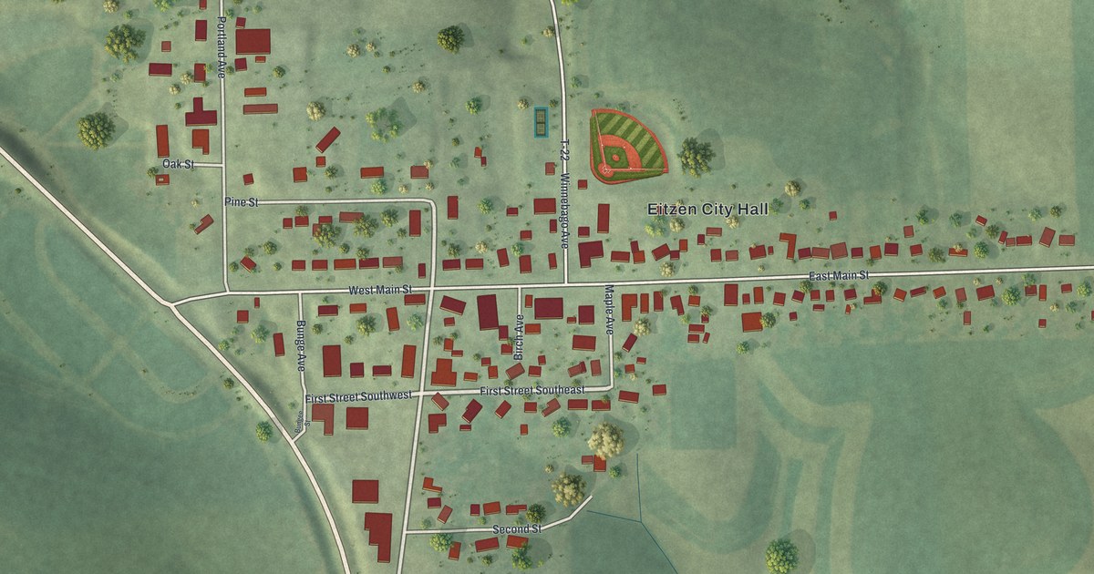
A detailed map of Eitzen, Minnesota, showing every building in its true location, the roads by name, and shaded topographical relief.
Read More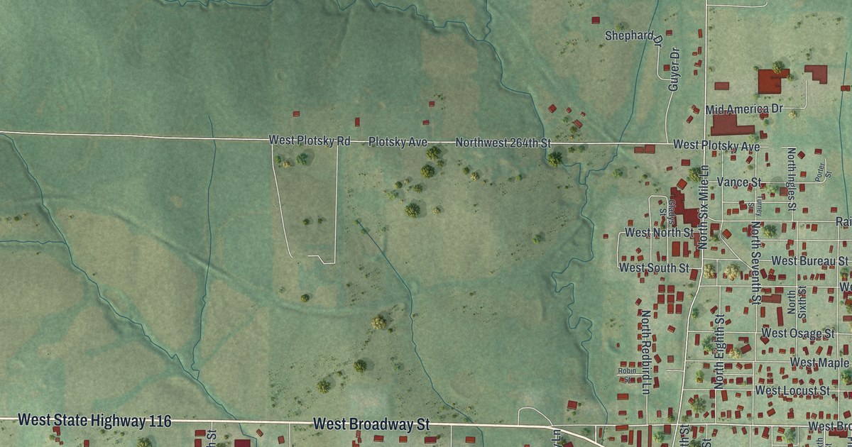
Plattsburg’s first house went up soon after John Livingston arrived from Kentucky in 1833, when the town was called Concord. Find West Clay Avenue, Plattsburg City Hall, Perkins Park, Lexington Lane and Bunker Hill Drive on this new map.
Read More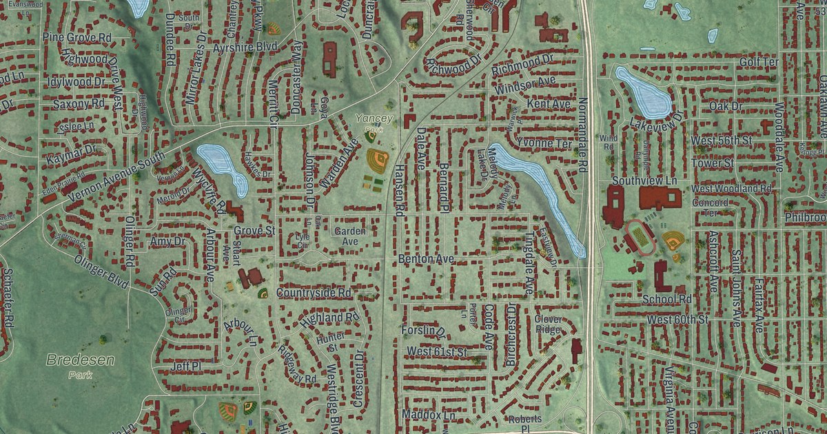
A detailed map of Edina, Minnesota, showing every building in its true location, the roads by name, and shaded topographical relief.
Read More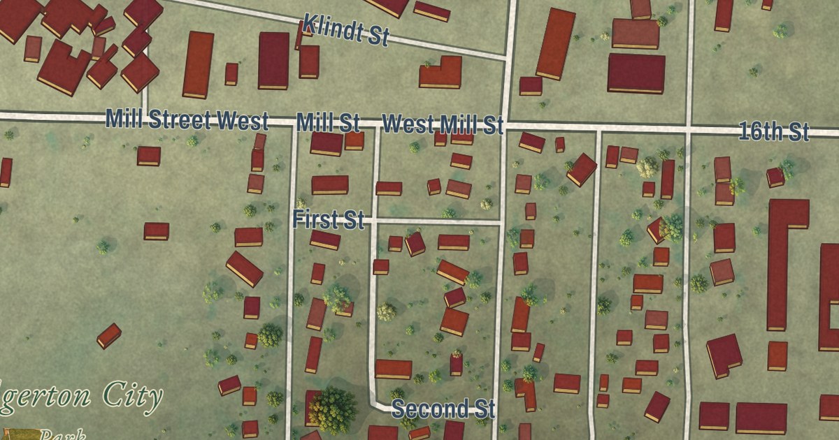
A detailed map of Edgerton, Minnesota, showing every building in its true location, the roads by name, and shaded topographical relief.
Read More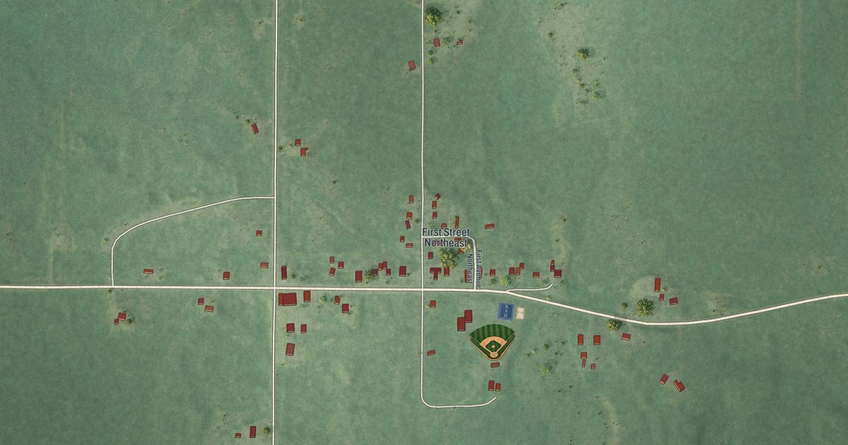
A detailed map of Effie, Minnesota, showing every building in its true location, the roads by name, and shaded topographical relief.
Read More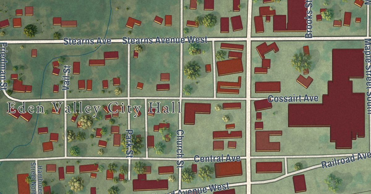
A detailed map of Eden Valley, Minnesota, showing every building in its true location, the roads by name, and shaded topographical relief.
Read More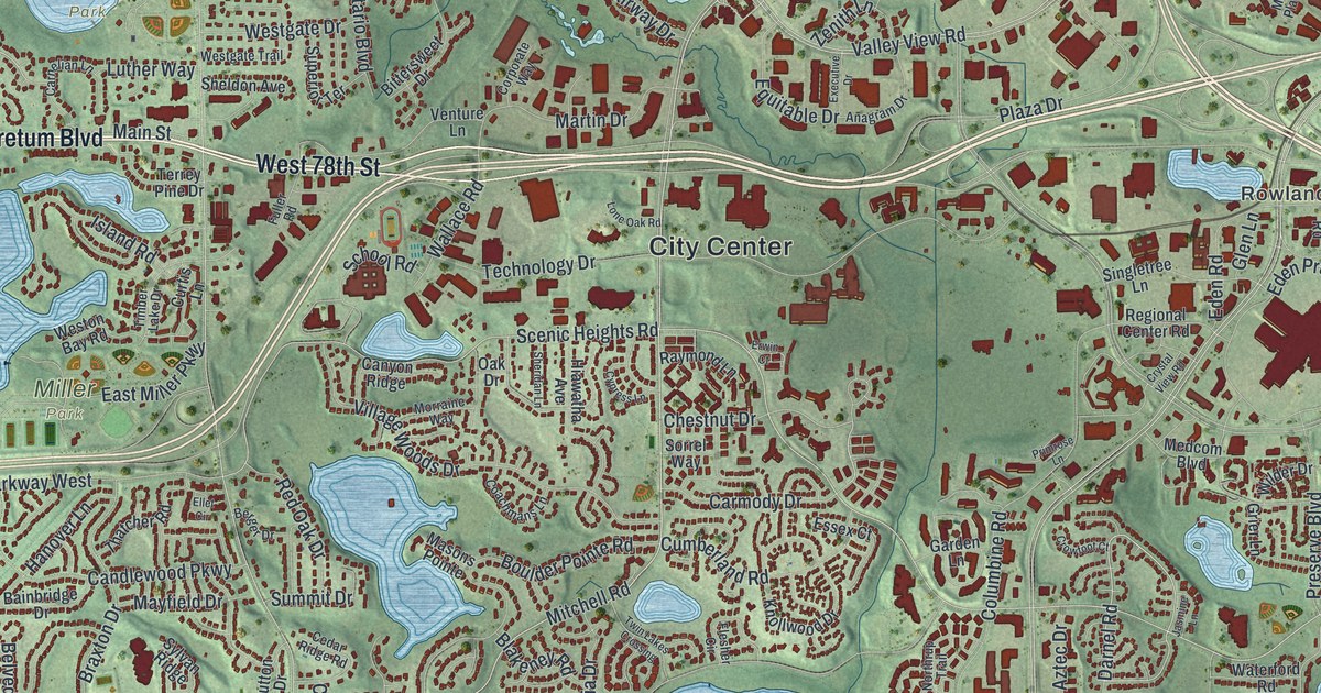
A detailed map of Eden Prairie, Minnesota, showing every building in its true location, the roads by name, and shaded topographical relief.
Read More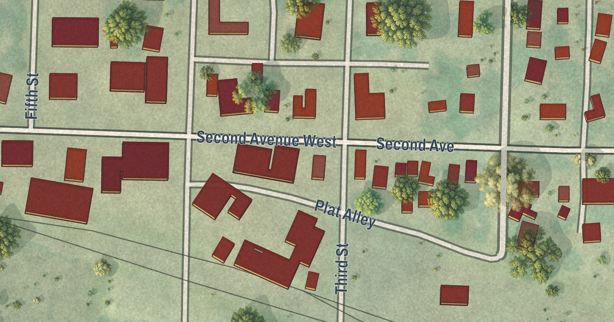
A detailed map of Echo, Minnesota, showing every building in its true location, the roads by name, and shaded topographical relief.
Read More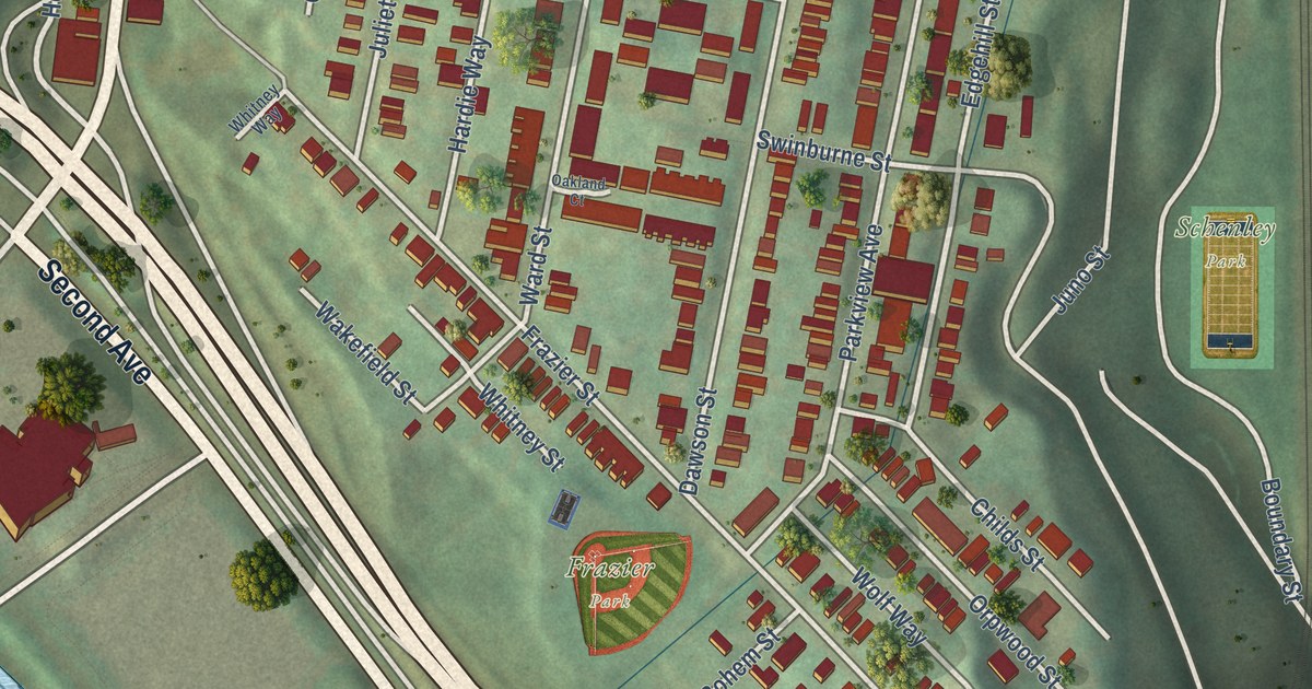
A modern aerial map of South Oakland in Allegheny County, with rows of red homes between Boulevard of the Allies and Second Avenue, Frazier Park, Schenley Park and the Oakland Public School on Dawson Street.
Read More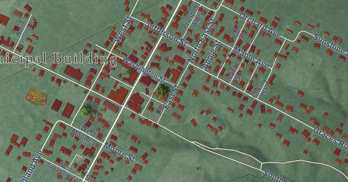
Winchester in Adams County, Ohio, was started in 1815 and named for a town in Virginia. This new aerial map shows Main Street, Memorial Park, Winchester Union Cemetery and hundreds of red buildings set in green hills.
Read More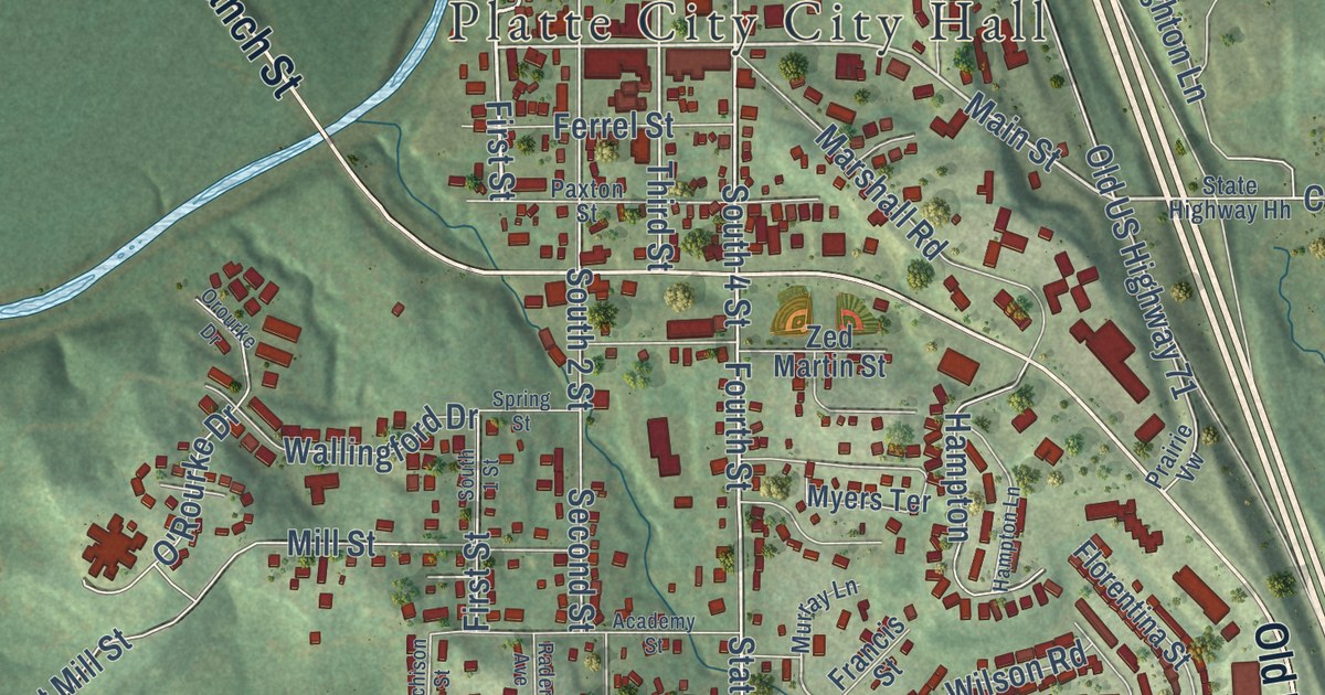
A modern aerial map of Platte City in Platte County, Missouri, with a vintage feel. Find Main Street, Third Street and City Hall, and learn about the courthouse and the Krause Mansion, both on the National Register.
Read More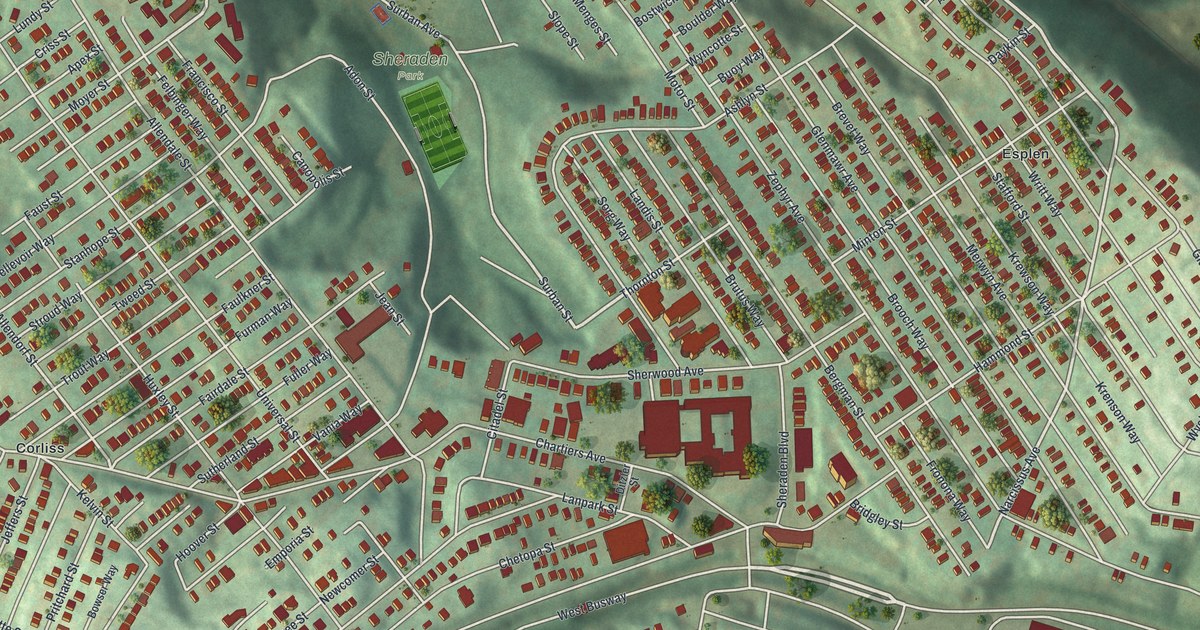
This new aerial map of Sheraden, Pennsylvania shows Sheraden Park, Chartiers Avenue, Sheraden Boulevard and rows of red-roofed homes on the hills, with a vintage feel. Langley High School is on the National Register.
Read More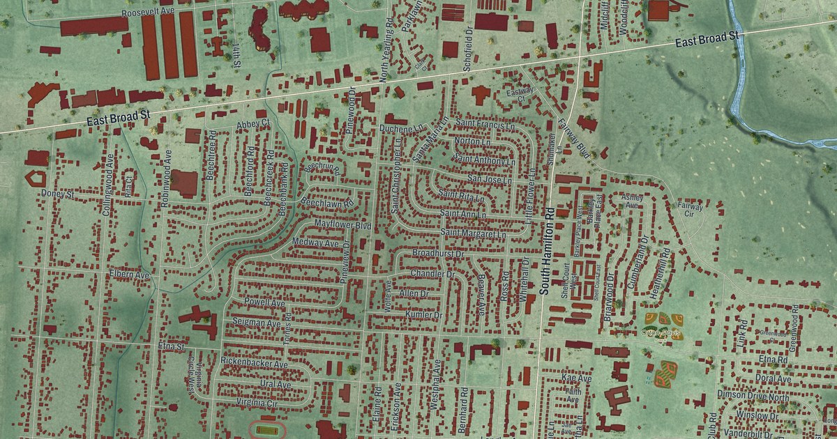
A new aerial map of Whitehall, Ohio, made in 2026. Find East Broad Street, South Hamilton Road and Lamby Park, and learn how Norton Field became the first airport in central Ohio.
Read More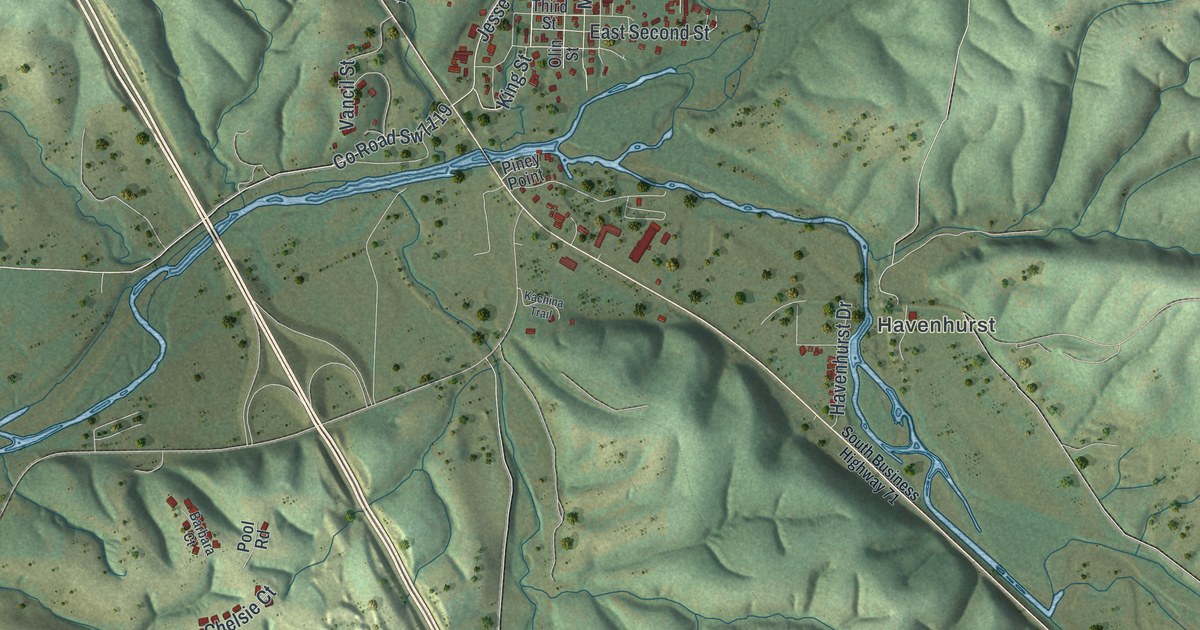
A new aerial map of Pineville, Missouri, the McDonald County seat since 1857. See Main Street, Third Street, Big Sugar Road and the spot where Big Sugar and Little Sugar creeks join to form the Elk River.
Read More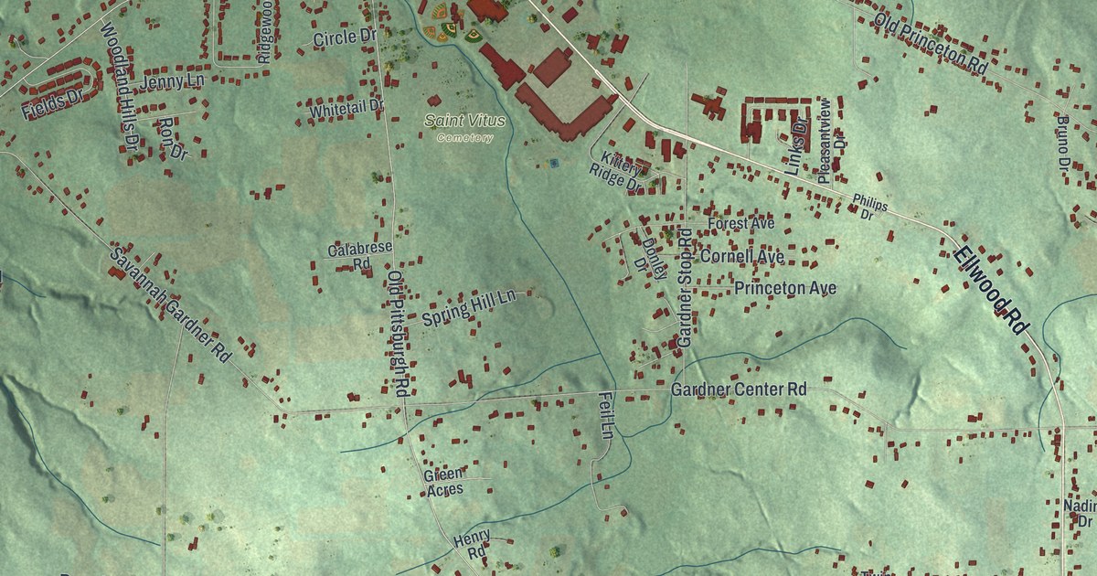
Explore Shenango in Lawrence County through a new aerial map with a vintage feel. Find Ellwood Road, Castlewood, Energy and the streets around Frank Avenue.
Read More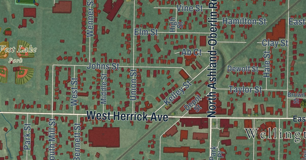
A modern aerial map of Wellington in Lorain County, Ohio, with a vintage feel. Find North Main Street, West Herrick Avenue, Greenwood Cemetery and West Lake Park, and read how settlers from Massachusetts arrived in 1818.
Read More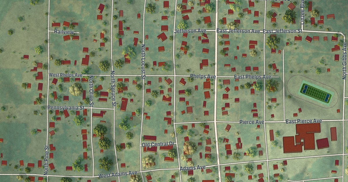
A new aerial map of Pierce City in Lawrence County, Missouri. The town was named for Andrew Peirce, a Frisco Railroad president, and the rail line still crosses the print beside Front Street and Commercial Street.
Read More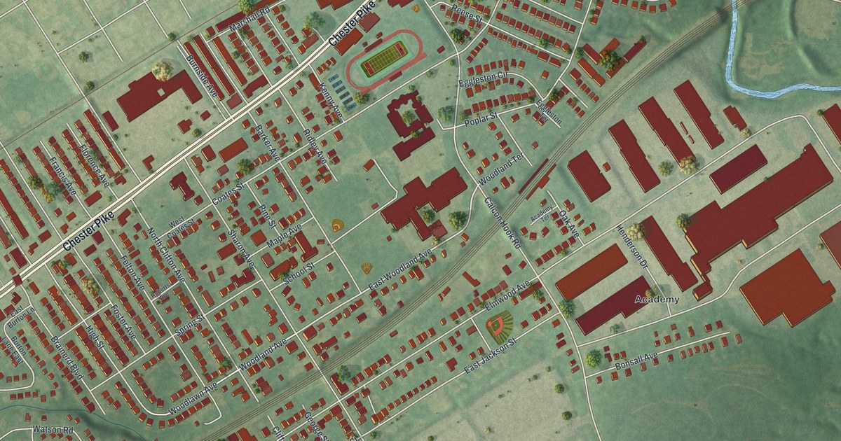
A modern aerial map of Sharon Hill in Delaware County, with Chester Pike, the Academy neighborhood and the rail line through town. Plus the story of Sharon Hill Academy, a girls’ boarding school that opened about 1835.
Read More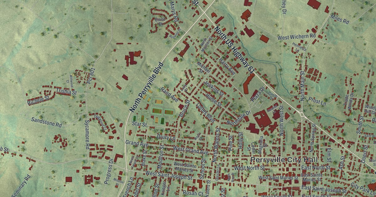
A modern aerial map of Perryville in Perry County, Missouri, made in 2026. Find North Kingshighway Street, Saint Joseph Street and Cinque Hommes Drive, and read how the town began between two creeks in 1801.
Read More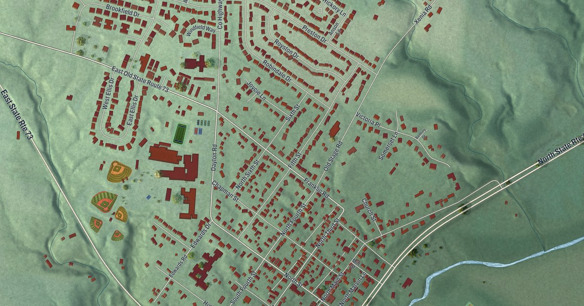
A modern aerial map of Waynesville in Warren County, Ohio, with North Main Street, Chapman Street and Bowman Park. Read how Dr. John Evans lived as a young man in an 1836 house on North Main Street and went on to help found Northwestern University.
Read More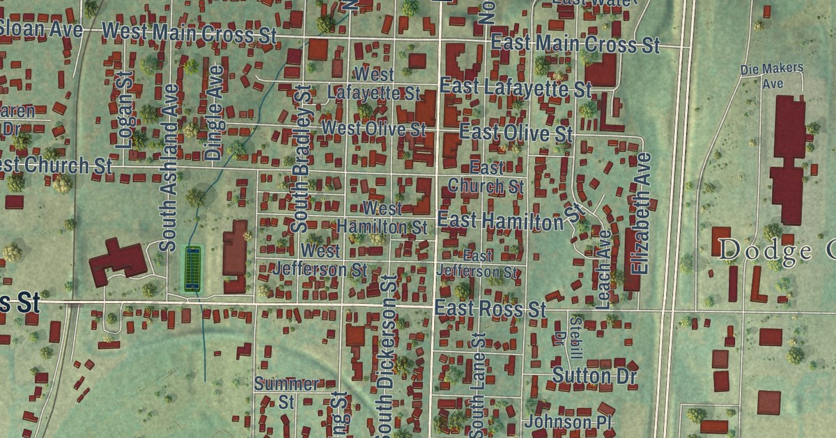
A new aerial map of Palmyra in Marion County, Missouri, made in 2026. Find North Main Street, West Ross Street, Greenwood Cemetery and Flower City Park, and learn why Palmyra is called the first settlement in Liberty Township.
Read More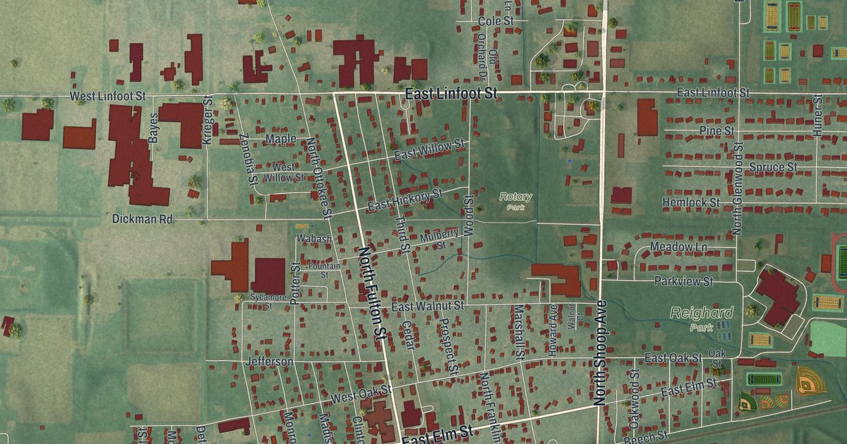
See Wauseon’s streets, red buildings, and green parks in a new aerial map. Find Homecoming Park and Wauseon Town Hall, then read how the county seat moved from Ottokee.
Read More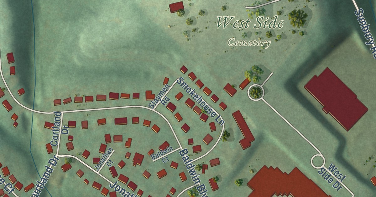
A new aerial map of Shamokin Dam in Snyder County, with its numbered avenues, North Susquehanna Trail and the wide river beside it. Plus the state markers that tell of old Shamokin, Shikellamy and Fort Augusta just across the river.
Read More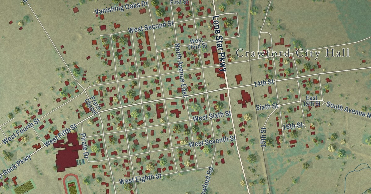
A detailed map of Crawford, Texas, showing every building in its true location, the roads by name, and shaded topographical relief.
Read More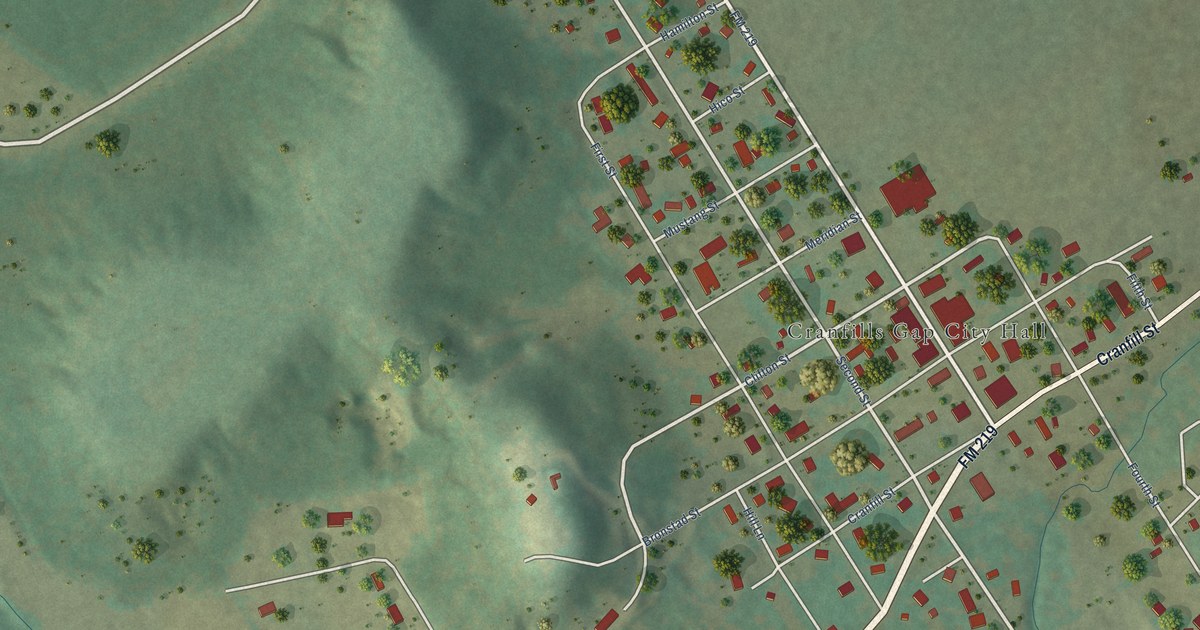
A detailed map of Cranfills Gap, Texas, showing every building in its true location, the roads by name, and shaded topographical relief.
Read More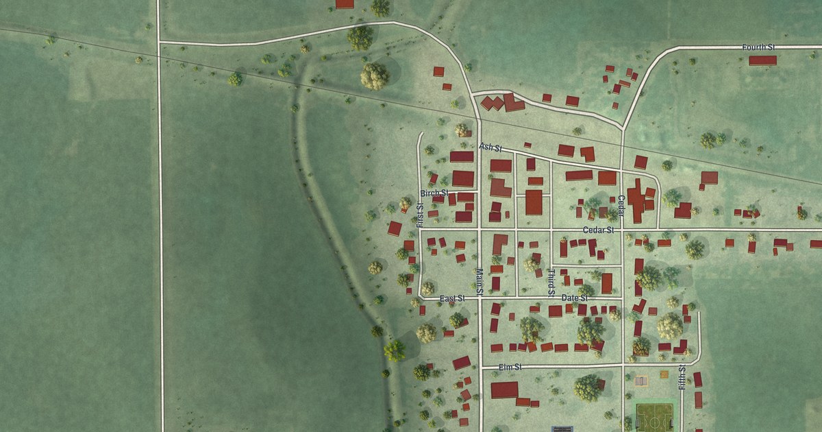
A detailed map of Easton, Minnesota, showing every building in its true location, the roads by name, and shaded topographical relief.
Read More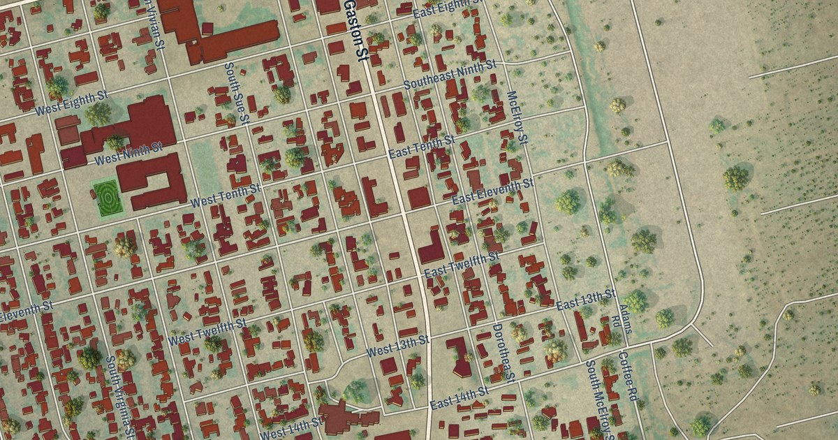
A detailed map of Crane, Texas, showing every building in its true location, the roads by name, and shaded topographical relief.
Read More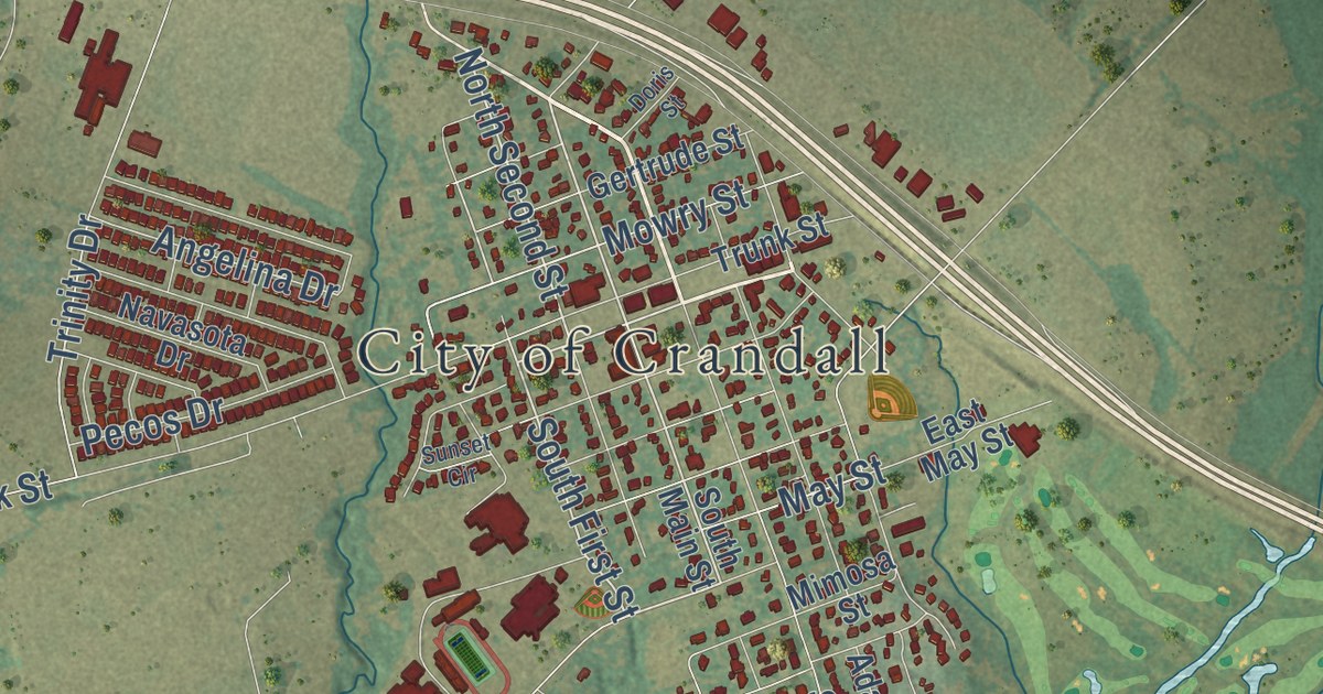
A detailed map of Crandall, Texas, showing every building in its true location, the roads by name, and shaded topographical relief.
Read More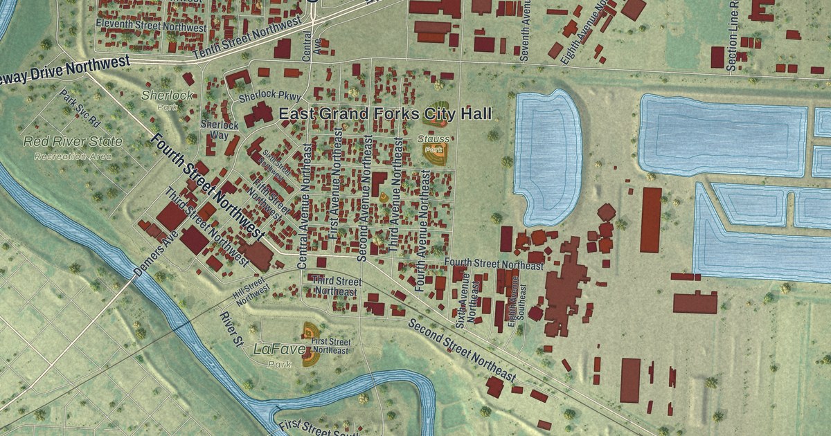
A detailed map of East Grand Forks, Minnesota, showing every building in its true location, the roads by name, and shaded topographical relief.
Read More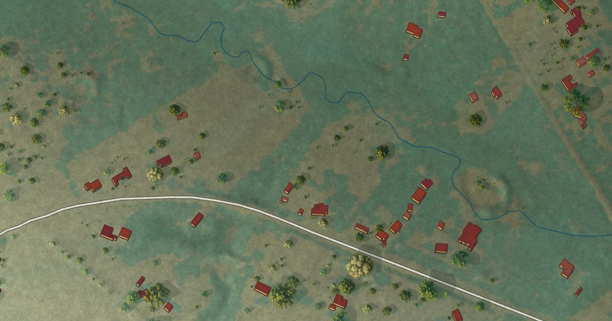
A detailed map of Coyote Flats, Texas, showing every building in its true location, the roads by name, and shaded topographical relief.
Read More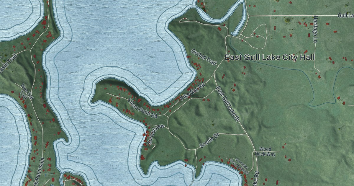
A detailed map of East Gull Lake, Minnesota, showing every building in its true location, the roads by name, and shaded topographical relief.
Read More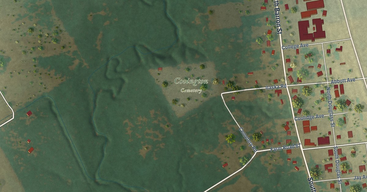
A detailed map of Covington, Texas, showing every building in its true location, the roads by name, and shaded topographical relief.
Read More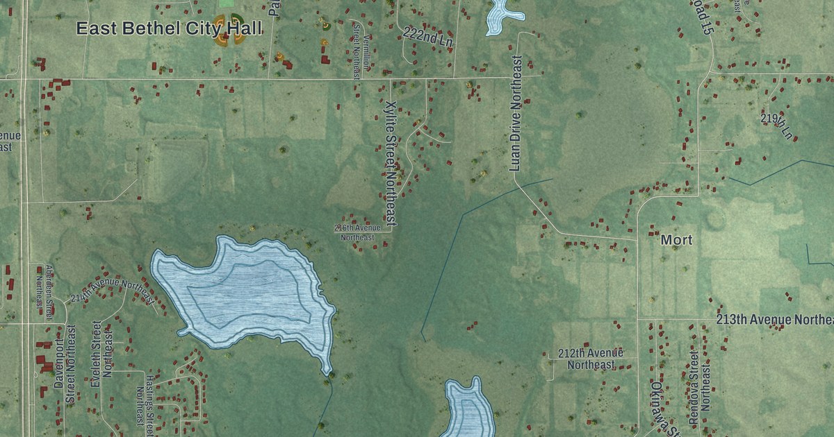
A detailed map of East Bethel, Minnesota, showing every building in its true location, the roads by name, and shaded topographical relief.
Read More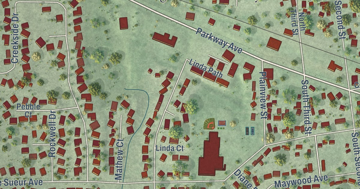
A detailed map of Eagle Lake, Minnesota, showing every building in its true location, the roads by name, and shaded topographical relief.
Read More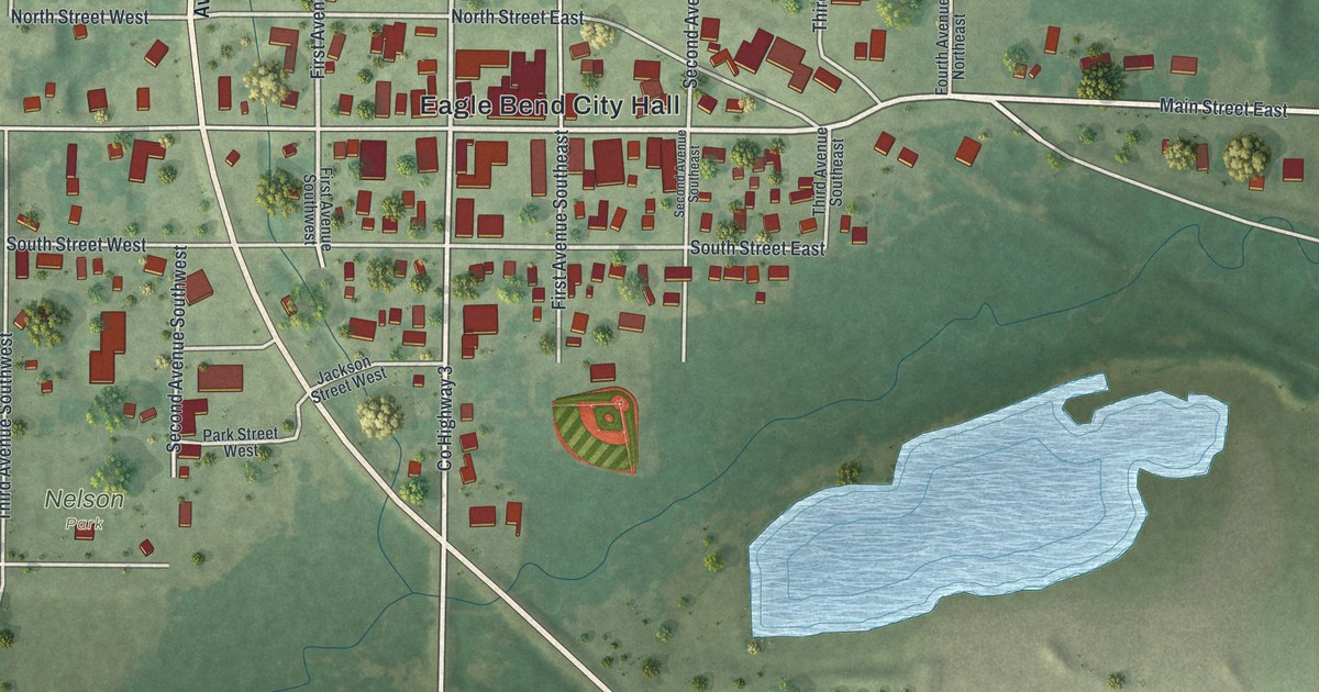
A detailed map of Eagle Bend, Minnesota, showing every building in its true location, the roads by name, and shaded topographical relief.
Read More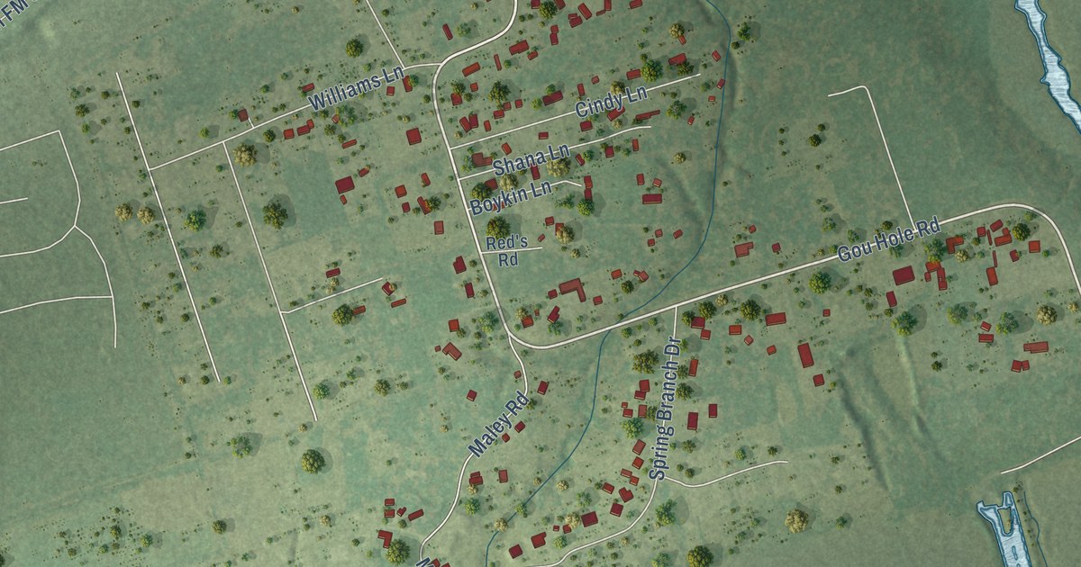
A detailed map of Cove, Texas, showing every building in its true location, the roads by name, and shaded topographical relief.
Read More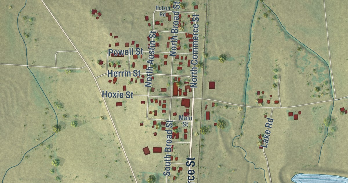
A detailed map of Coupland, Texas, showing every building in its true location, the roads by name, and shaded topographical relief.
Read More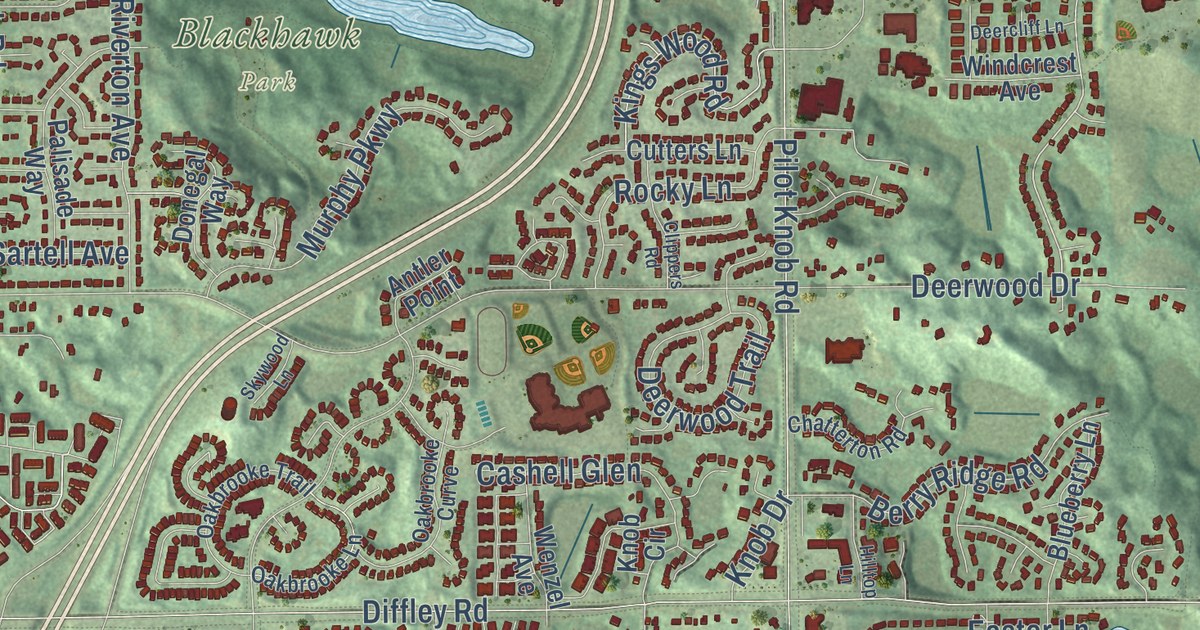
A detailed map of Eagan, Minnesota, showing every building in its true location, the roads by name, and shaded topographical relief.
Read More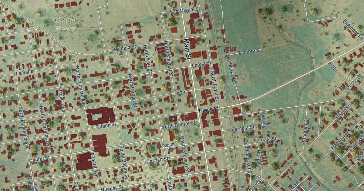
A detailed map of Cotulla, Texas, showing every building in its true location, the roads by name, and shaded topographical relief.
Read More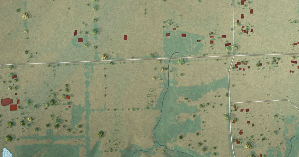
A detailed map of Cottonwood, Texas, showing every building in its true location, the roads by name, and shaded topographical relief.
Read More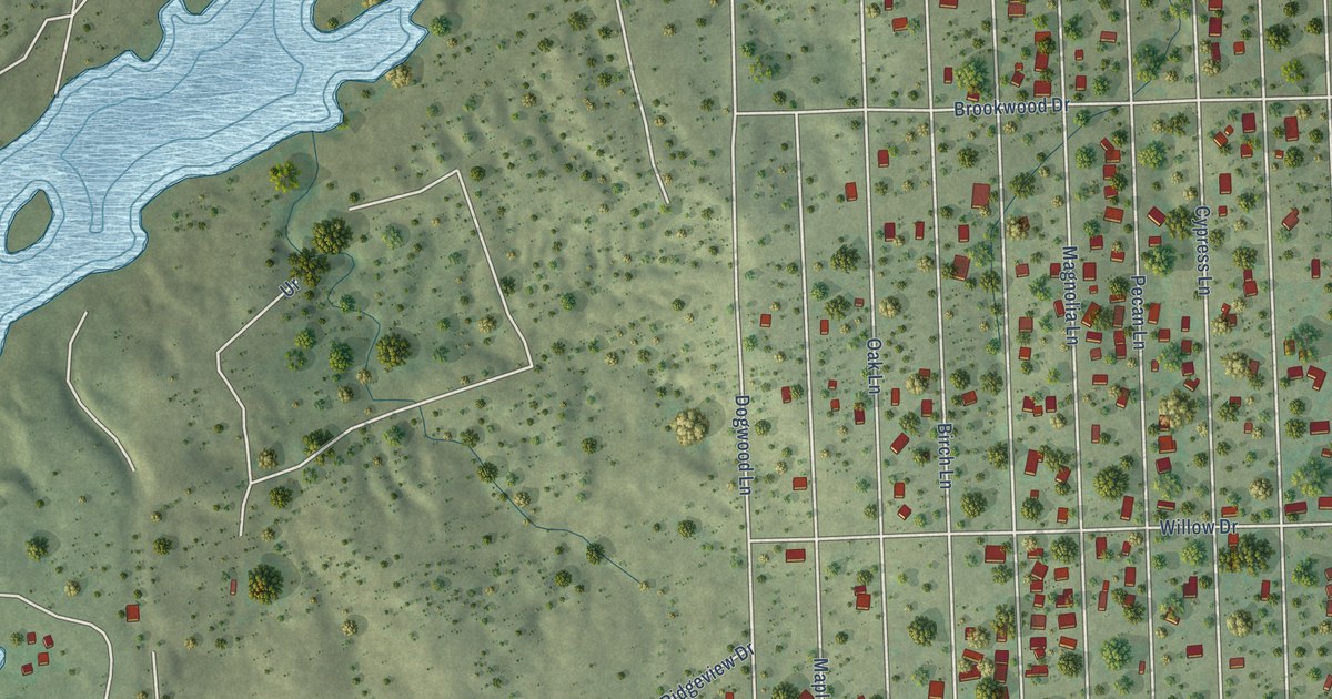
A detailed map of Cottonwood Shores, Texas, showing every building in its true location, the roads by name, and shaded topographical relief.
Read More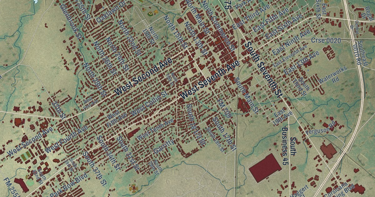
A detailed map of Corsicana, Texas, showing every building in its true location, the roads by name, and shaded topographical relief.
Read More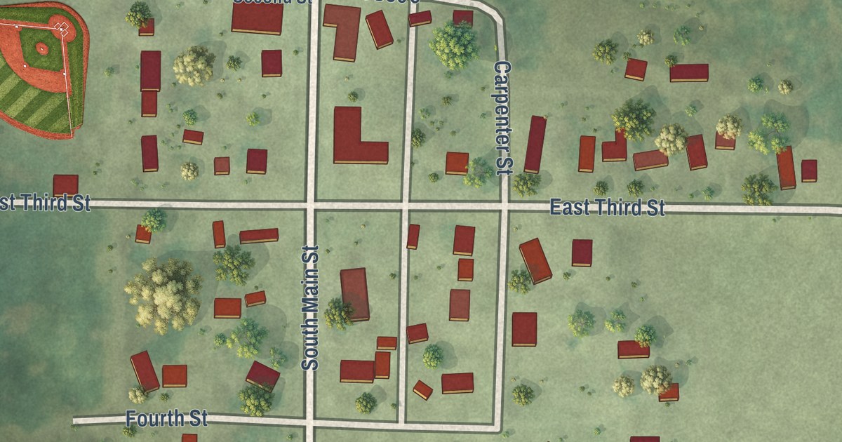
A detailed map of Dundee, Minnesota, showing every building in its true location, the roads by name, and shaded topographical relief.
Read More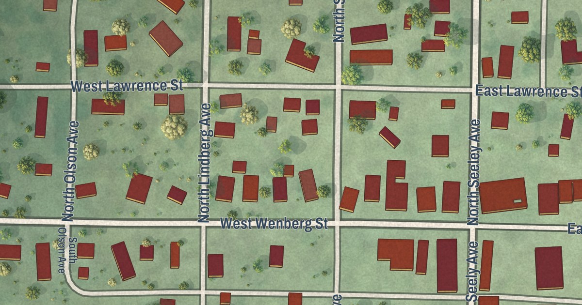
A detailed map of Dunnell, Minnesota, showing every building in its true location, the roads by name, and shaded topographical relief.
Read More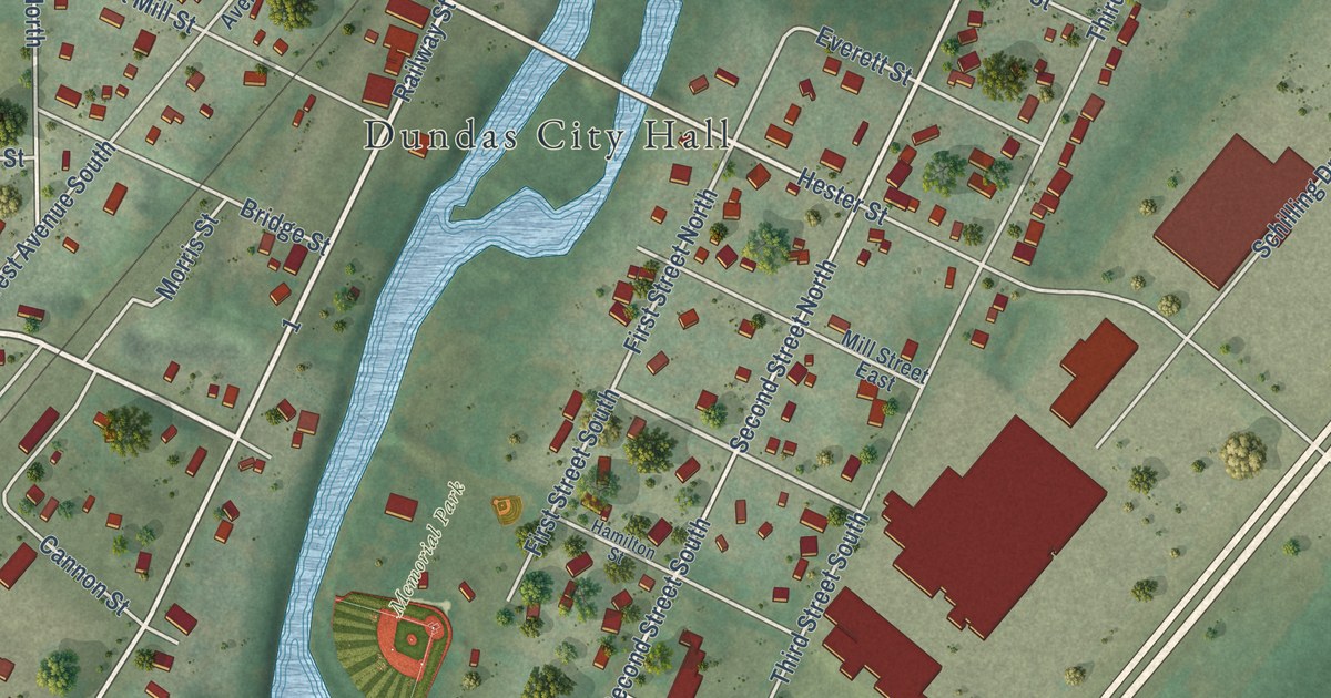
A detailed map of Dundas, Minnesota, showing every building in its true location, the roads by name, and shaded topographical relief.
Read More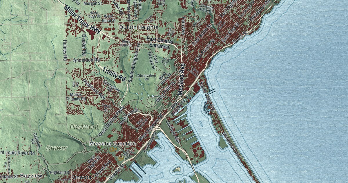
A detailed map of Duluth, Minnesota, showing every building in its true location, the roads by name, and shaded topographical relief.
Read More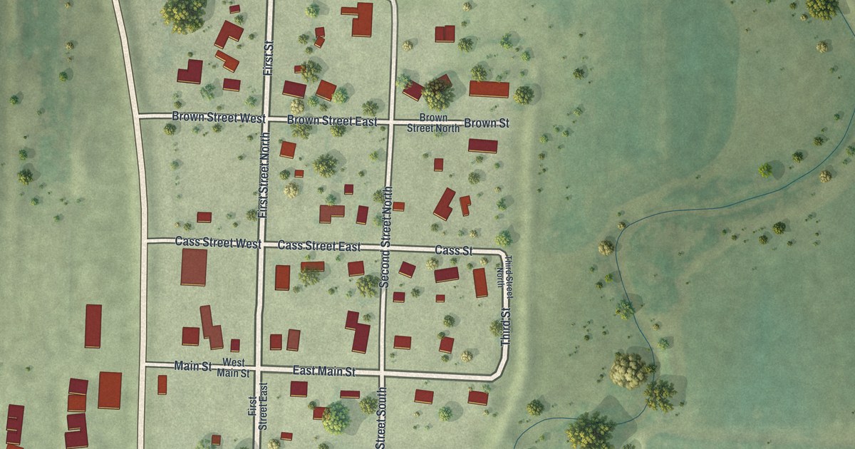
A detailed map of Dumont, Minnesota, showing every building in its true location, the roads by name, and shaded topographical relief.
Read More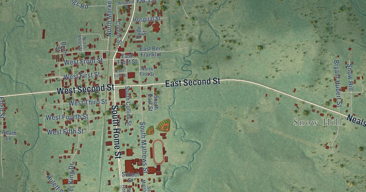
A detailed map of Corrigan, Texas, showing every building in its true location, the roads by name, and shaded topographical relief.
Read More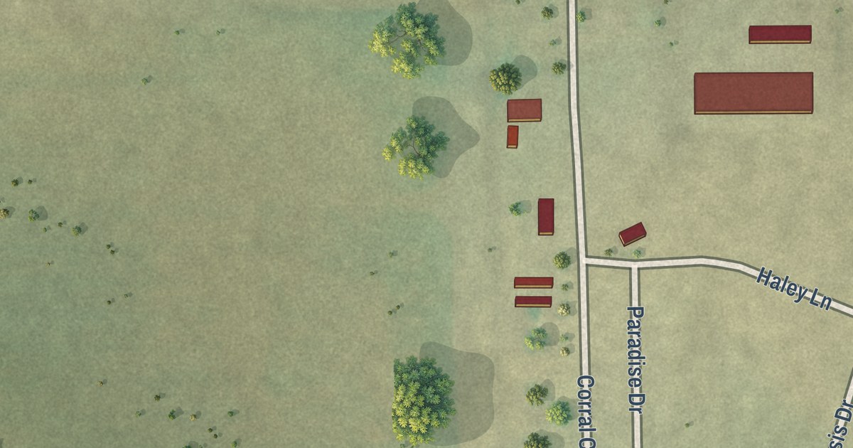
A detailed map of Corral City, Texas, showing every building in its true location, the roads by name, and shaded topographical relief.
Read More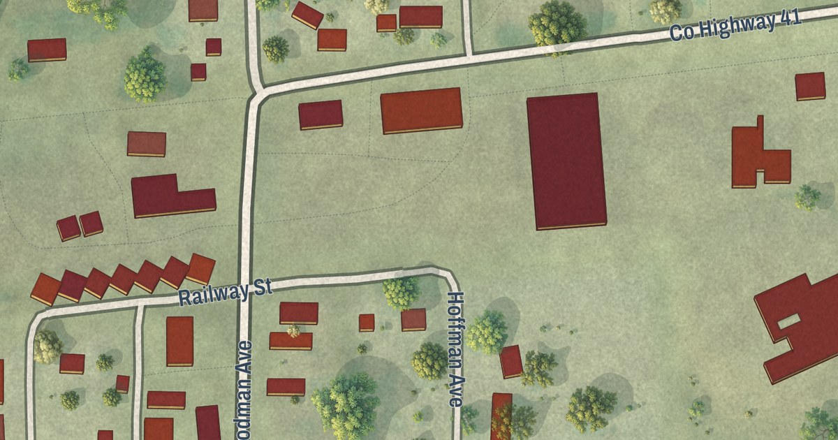
A detailed map of Dovray, Minnesota, showing every building in its true location, the roads by name, and shaded topographical relief.
Read More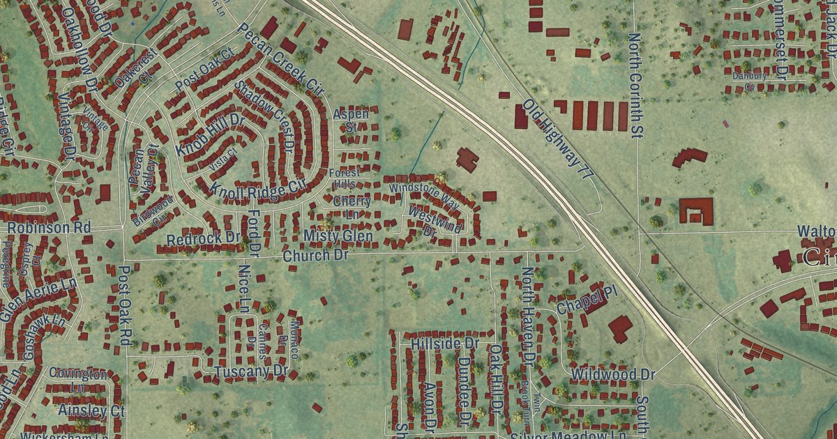
A detailed map of Corinth, Texas, showing every building in its true location, the roads by name, and shaded topographical relief.
Read More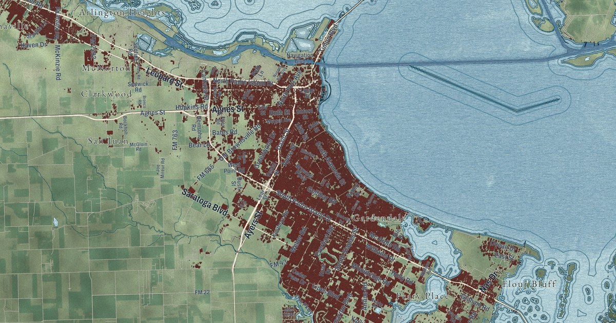
A detailed map of Corpus Christi, Texas, showing every building in its true location, the roads by name, and shaded topographical relief.
Read More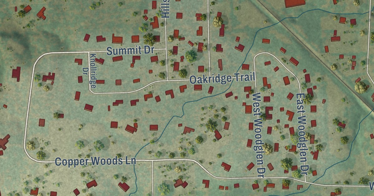
A detailed map of Copper Canyon, Texas, showing every building in its true location, the roads by name, and shaded topographical relief.
Read More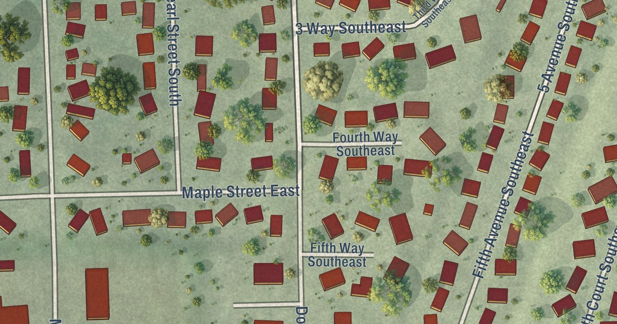
A detailed map of Dover, Minnesota, showing every building in its true location, the roads by name, and shaded topographical relief.
Read More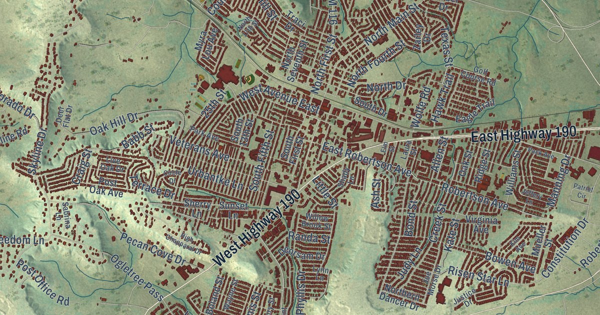
A detailed map of Copperas Cove, Texas, showing every building in its true location, the roads by name, and shaded topographical relief.
Read More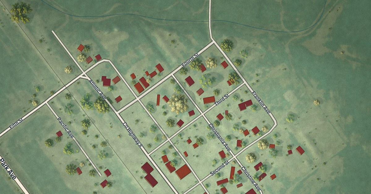
A detailed map of Doran, Minnesota, showing every building in its true location, the roads by name, and shaded topographical relief.
Read More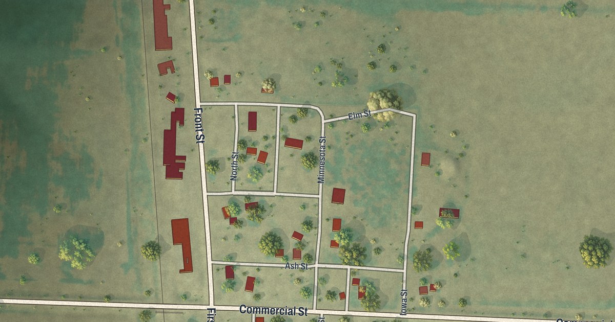
A detailed map of Donaldson, Minnesota, showing every building in its true location, the roads by name, and shaded topographical relief.
Read More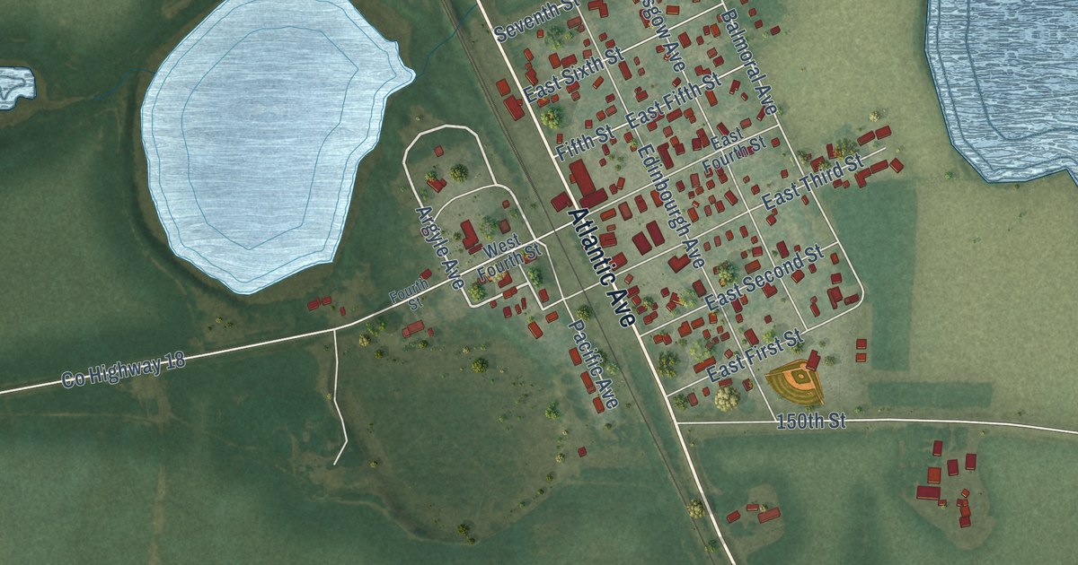
A detailed map of Donnelly, Minnesota, showing every building in its true location, the roads by name, and shaded topographical relief.
Read More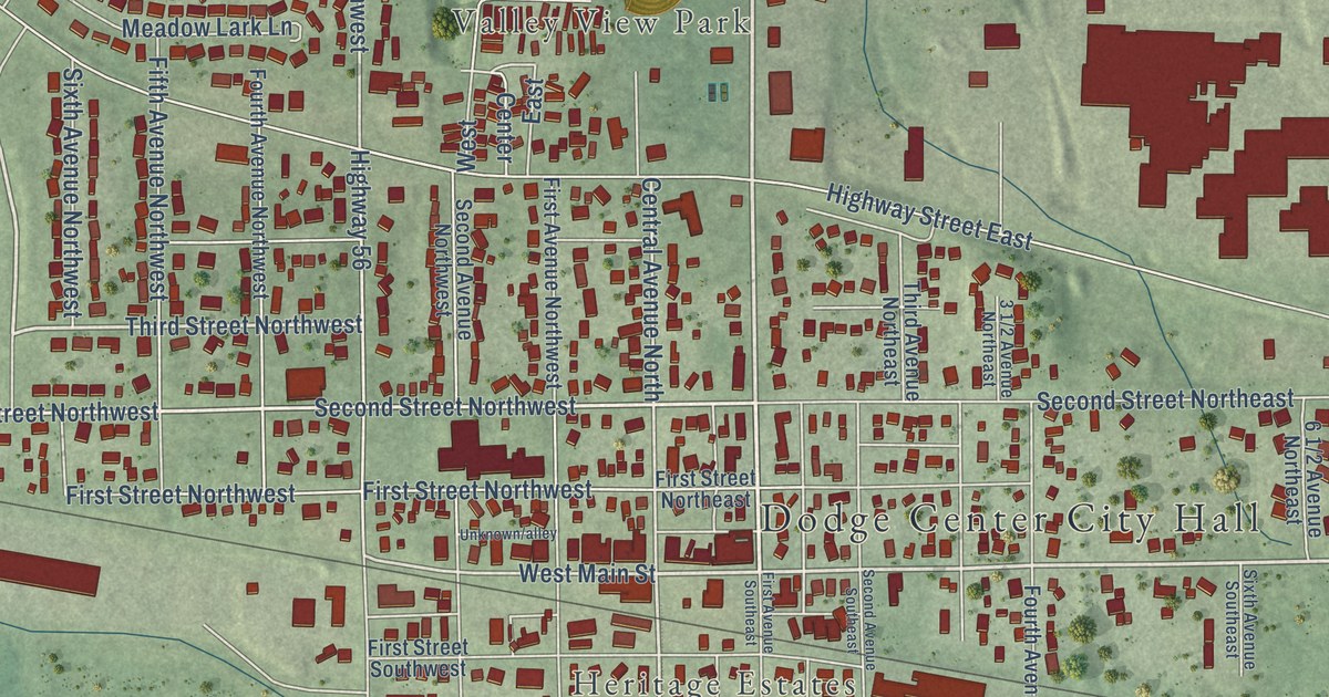
A detailed map of Dodge Center, Minnesota, showing every building in its true location, the roads by name, and shaded topographical relief.
Read More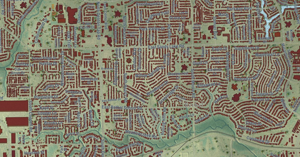
A detailed map of Coppell, Texas, showing every building in its true location, the roads by name, and shaded topographical relief.
Read More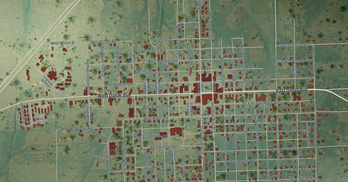
A detailed map of Cooper, Texas, showing every building in its true location, the roads by name, and shaded topographical relief.
Read More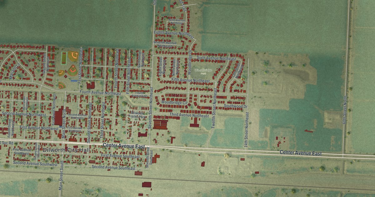
A detailed map of Dilworth, Minnesota, showing every building in its true location, the roads by name, and shaded topographical relief.
Read More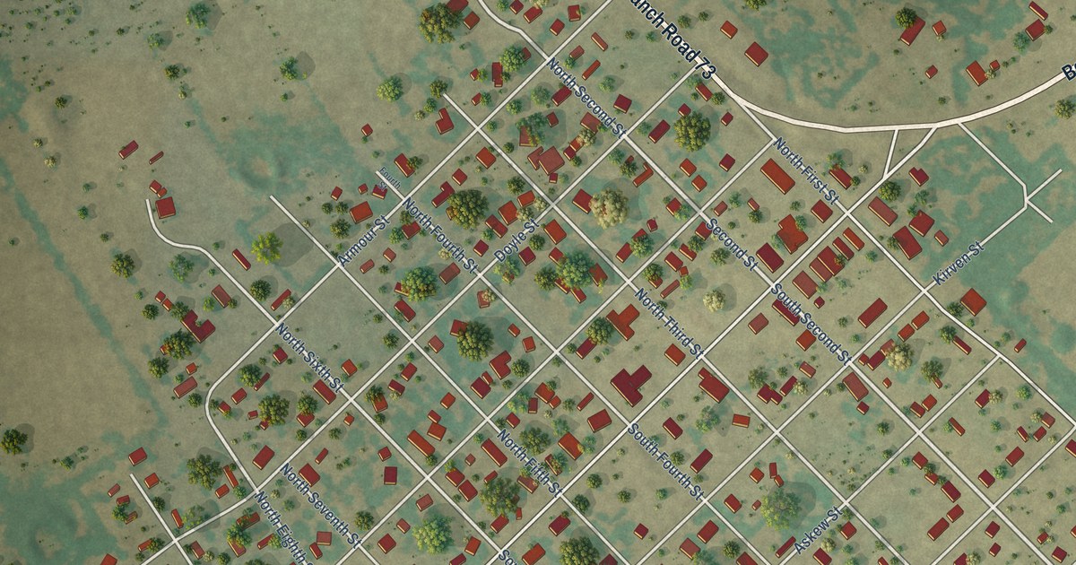
A detailed map of Coolidge, Texas, showing every building in its true location, the roads by name, and shaded topographical relief.
Read More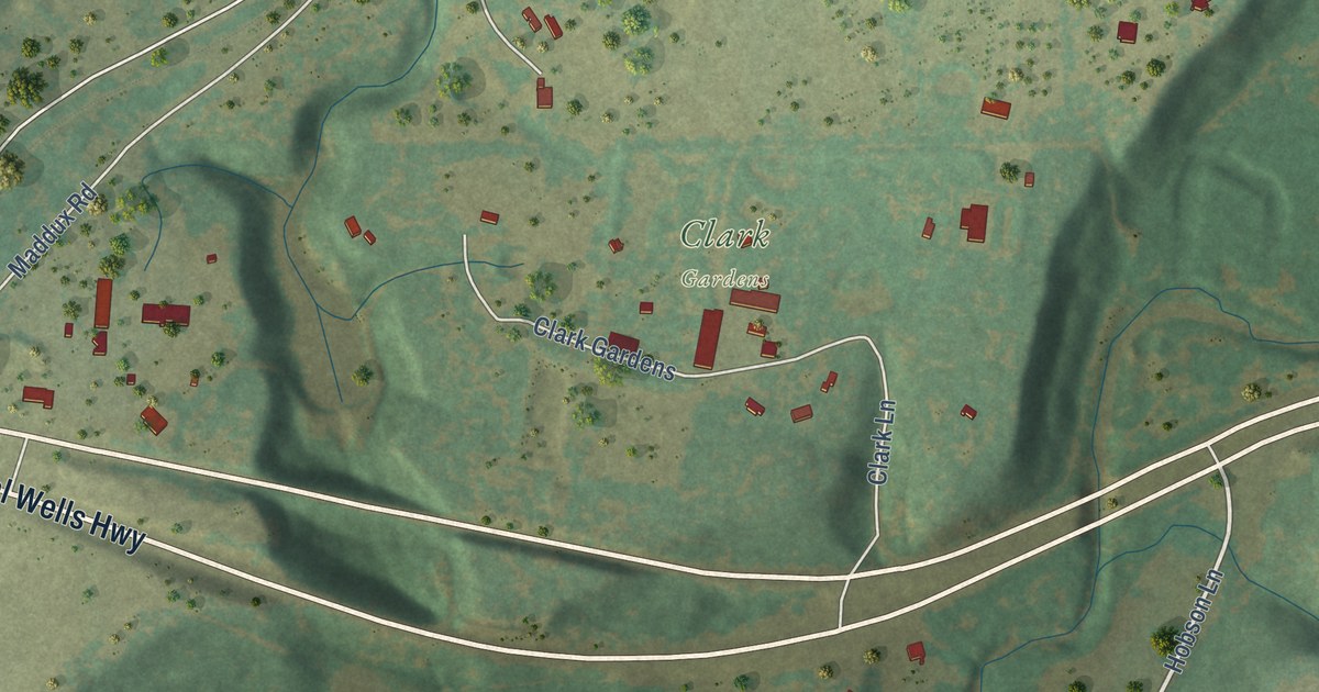
A detailed map of Cool, Texas, showing every building in its true location, the roads by name, and shaded topographical relief.
Read More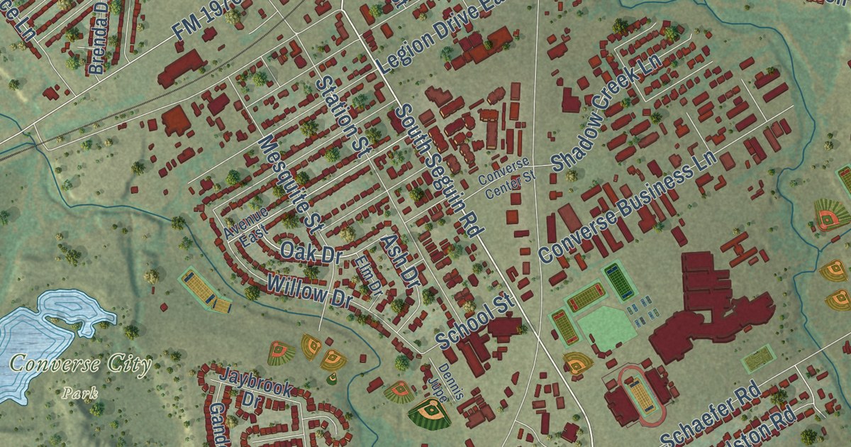
A detailed map of Converse, Texas, showing every building in its true location, the roads by name, and shaded topographical relief.
Read More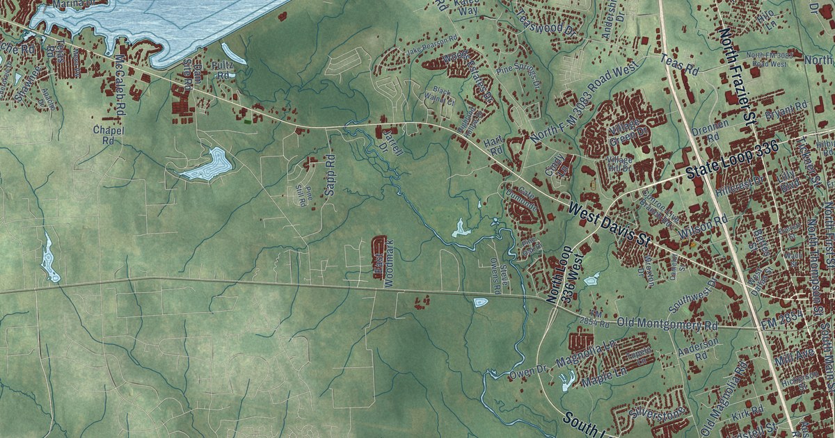
A detailed map of Conroe, Texas, showing every building in its true location, the roads by name, and shaded topographical relief.
Read More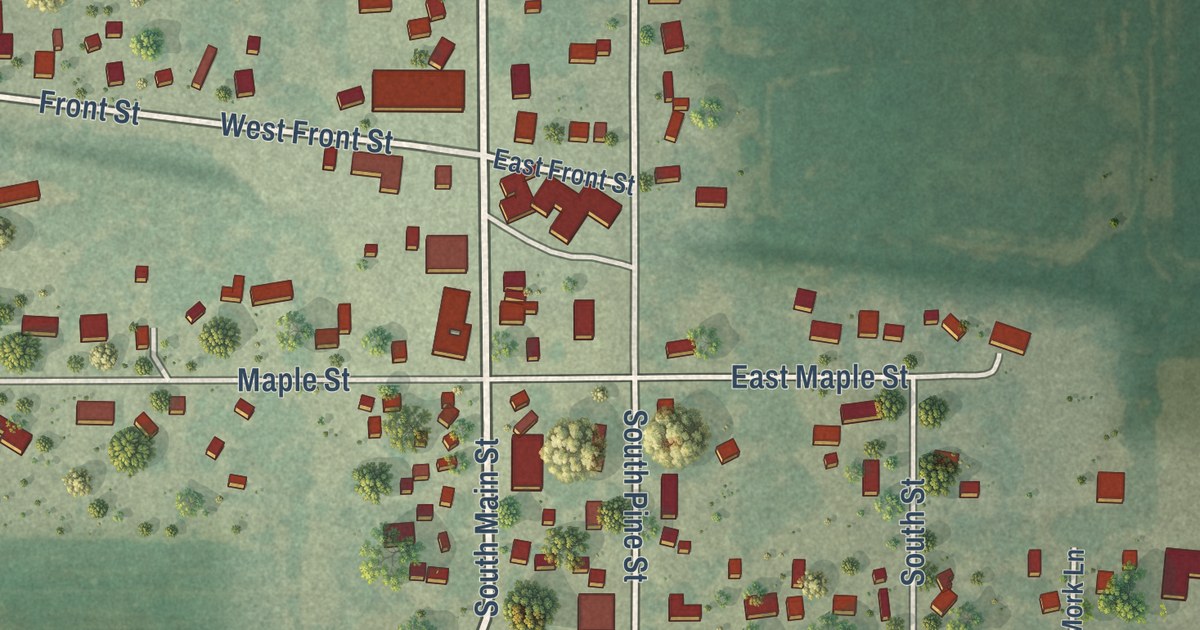
A detailed map of Dexter, Minnesota, showing every building in its true location, the roads by name, and shaded topographical relief.
Read More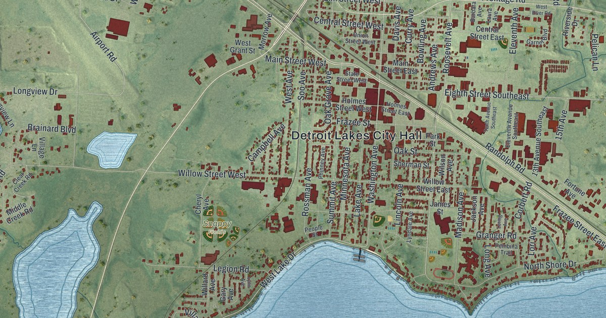
A detailed map of Detroit Lakes, Minnesota, showing every building in its true location, the roads by name, and shaded topographical relief.
Read More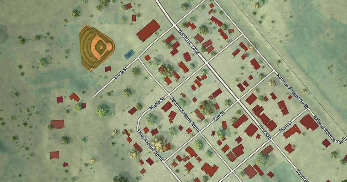
A detailed map of Dent, Minnesota, showing every building in its true location, the roads by name, and shaded topographical relief.
Read More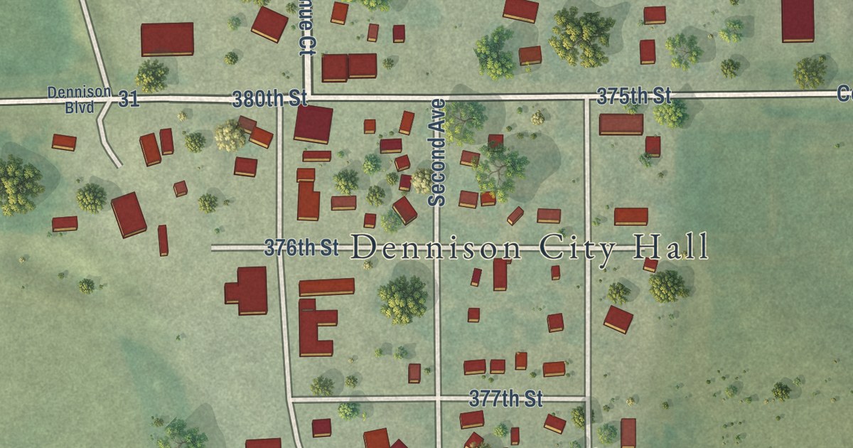
A detailed map of Dennison, Minnesota, showing every building in its true location, the roads by name, and shaded topographical relief.
Read More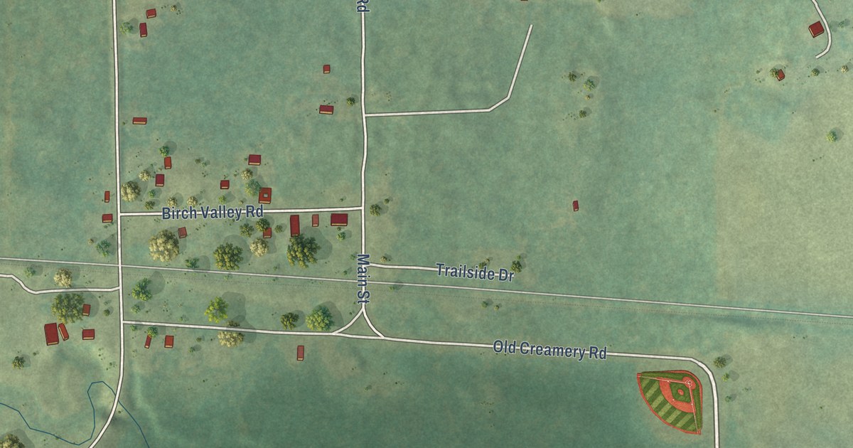
A detailed map of Denham, Minnesota, showing every building in its true location, the roads by name, and shaded topographical relief.
Read More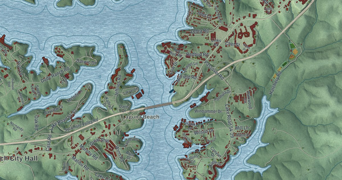
Osage Beach sits on the eastern shore of the Lake of the Ozarks and was named for the Osage River. This 2026 aerial map shows the town’s coves, hills and streets, including Damsel and Laguna Beach, with buildings shown in red.
Read More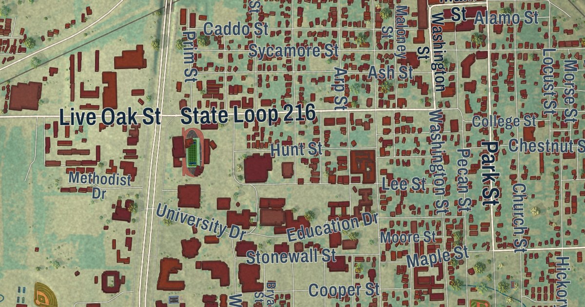
A detailed map of Commerce, Texas, showing every building in its true location, the roads by name, and shaded topographical relief.
Read More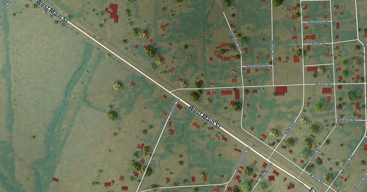
A detailed map of Como, Texas, showing every building in its true location, the roads by name, and shaded topographical relief.
Read More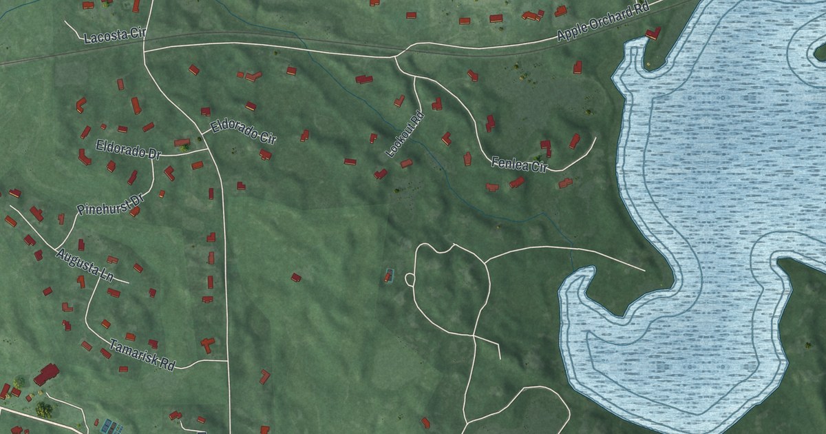
A detailed map of Dellwood, Minnesota, showing every building in its true location, the roads by name, and shaded topographical relief.
Read More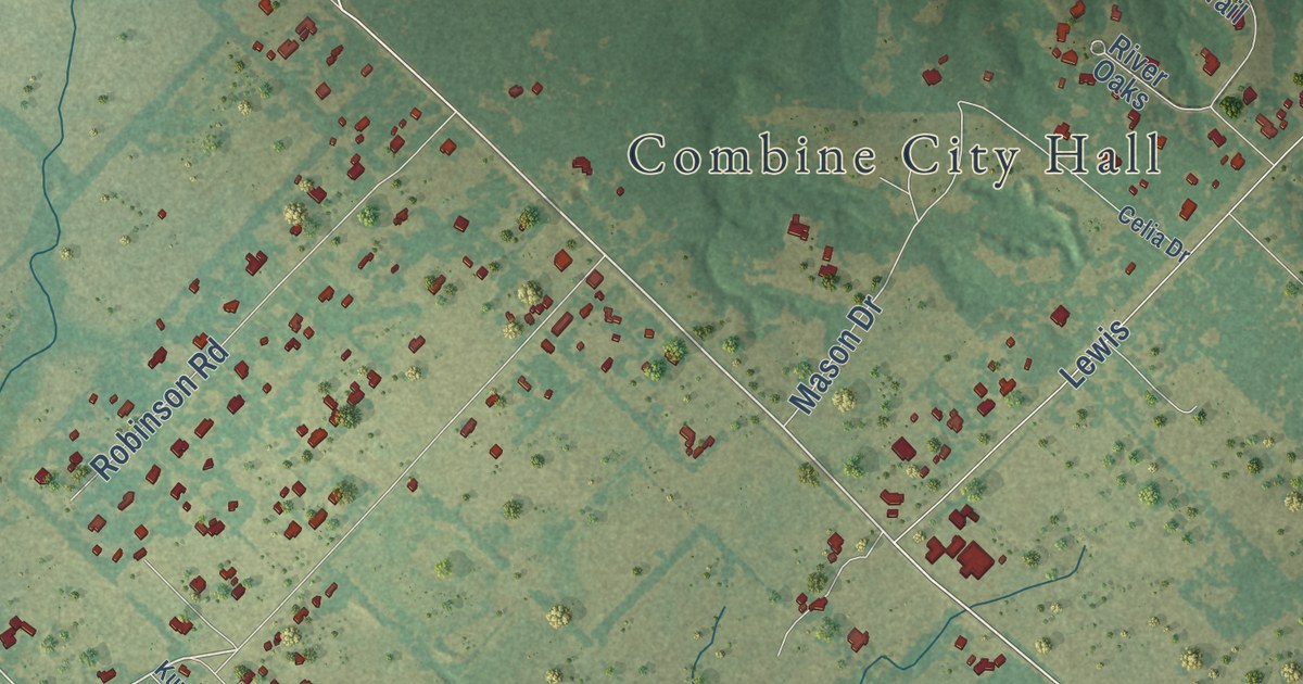
A detailed map of Combine, Texas, showing every building in its true location, the roads by name, and shaded topographical relief.
Read More















