Detailed Map of Combes, Texas
A detailed map of Combes, Texas, showing every building in its true location, the roads by name, and shaded topographical relief.
Read More
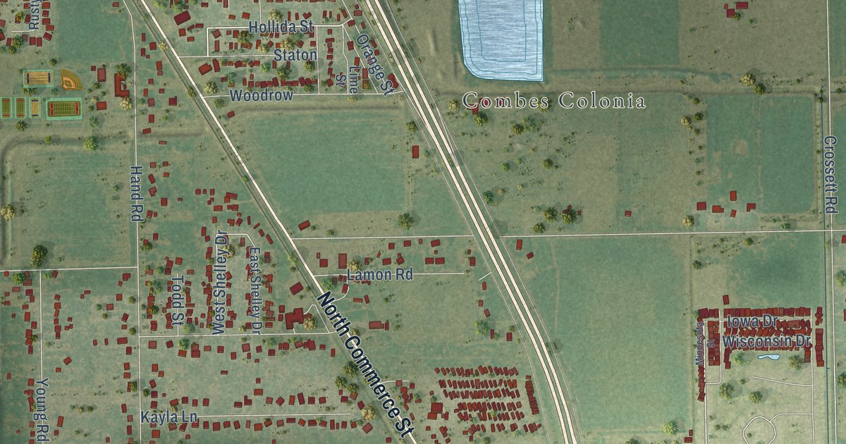
A detailed map of Combes, Texas, showing every building in its true location, the roads by name, and shaded topographical relief.
Read More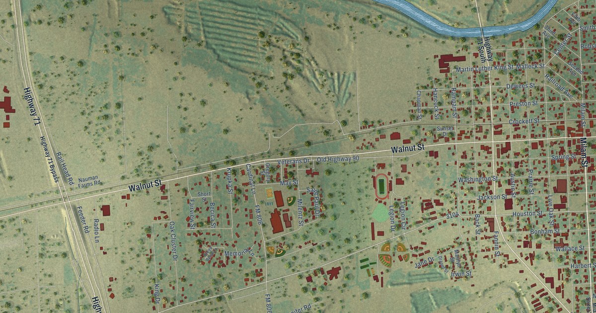
A detailed map of Columbus, Texas, showing every building in its true location, the roads by name, and shaded topographical relief.
Read More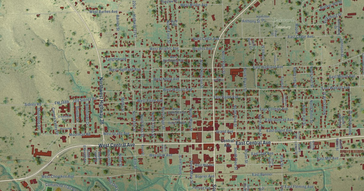
A detailed map of Comanche, Texas, showing every building in its true location, the roads by name, and shaded topographical relief.
Read More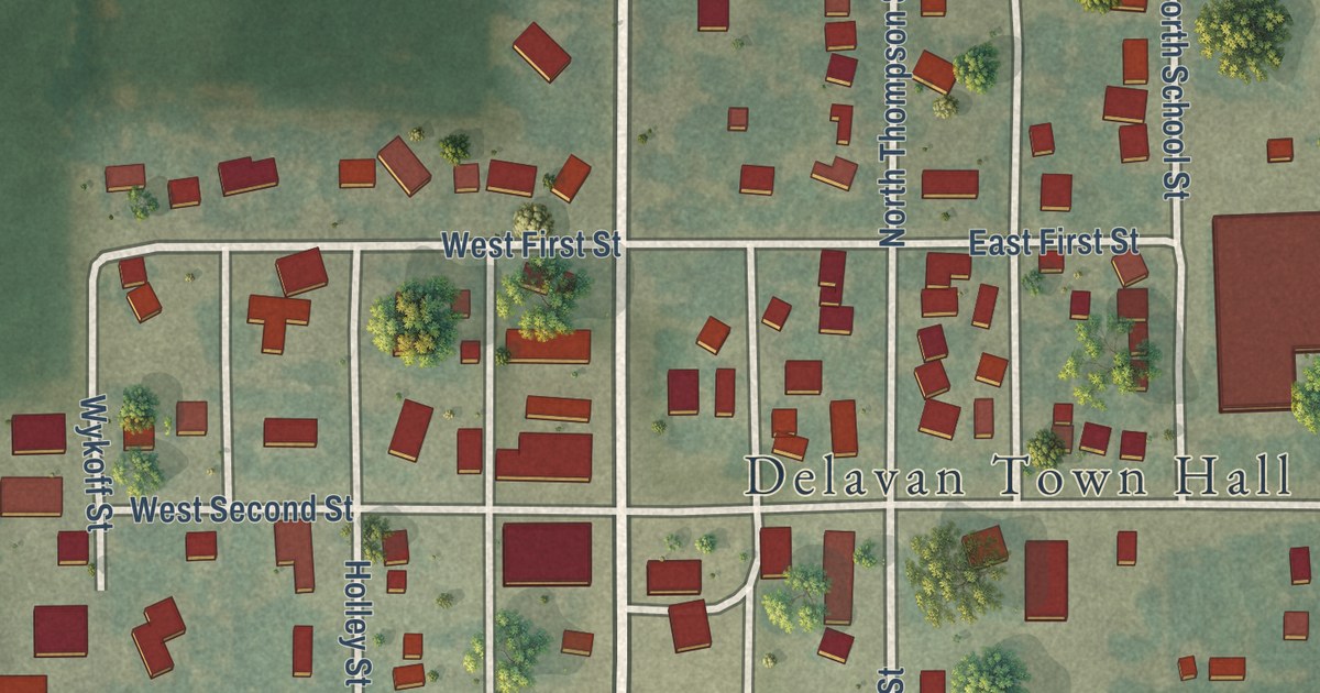
A detailed map of Delavan, Minnesota, showing every building in its true location, the roads by name, and shaded topographical relief.
Read More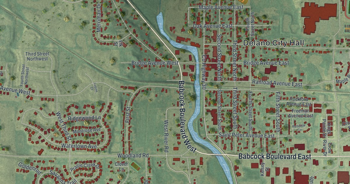
A detailed map of Delano, Minnesota, showing every building in its true location, the roads by name, and shaded topographical relief.
Read More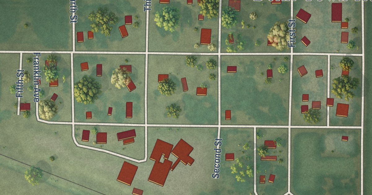
A detailed map of Delhi, Minnesota, showing every building in its true location, the roads by name, and shaded topographical relief.
Read More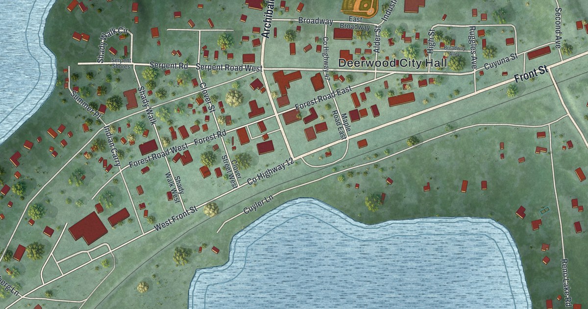
A detailed map of Deerwood, Minnesota, showing every building in its true location, the roads by name, and shaded topographical relief.
Read More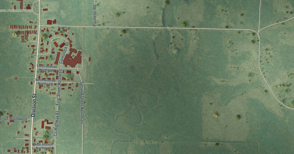
A detailed map of Deer River, Minnesota, showing every building in its true location, the roads by name, and shaded topographical relief.
Read More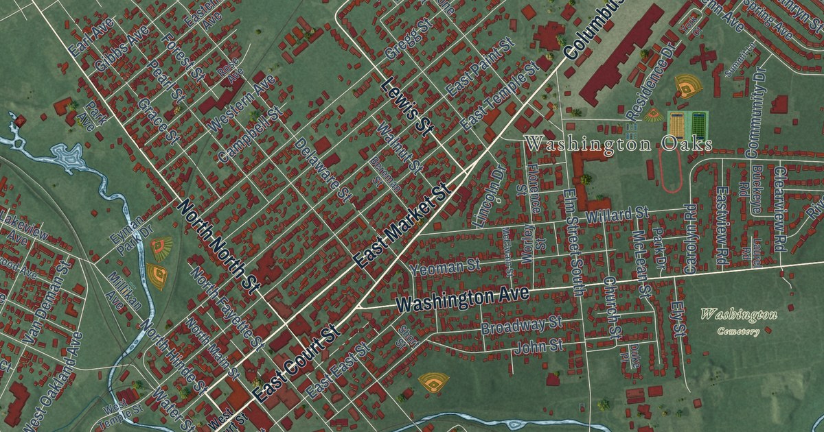
An artist hid his name in a mural at the Fayette County Courthouse, and it took nearly 75 years to confirm it. This map of Washington Court House in Fayette County shows Court Street, Columbus Avenue, Washington Cemetery and more than 7,000 buildings.
Read More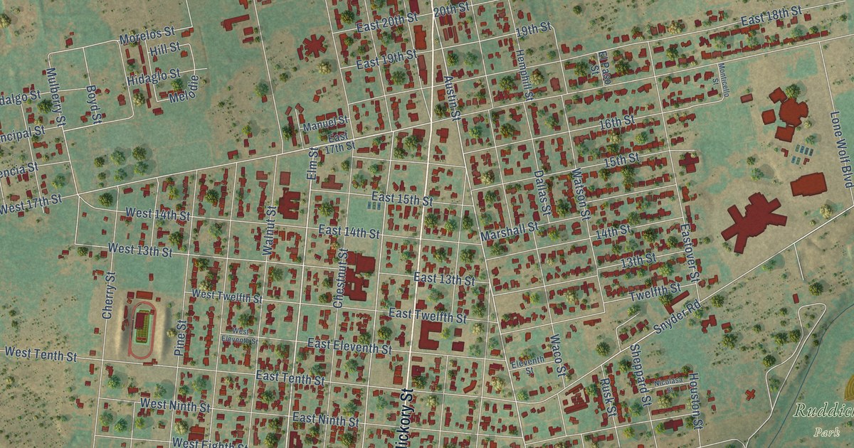
A detailed map of Colorado City, Texas, showing every building in its true location, the roads by name, and shaded topographical relief.
Read More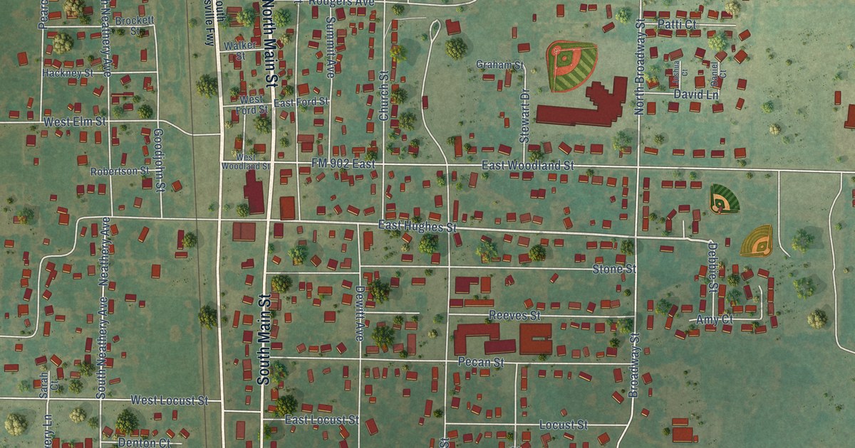
A detailed map of Collinsville, Texas, showing every building in its true location, the roads by name, and shaded topographical relief.
Read More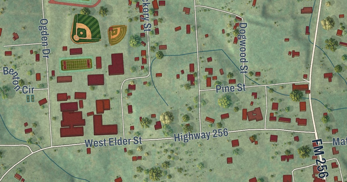
A detailed map of Colmesneil, Texas, showing every building in its true location, the roads by name, and shaded topographical relief.
Read More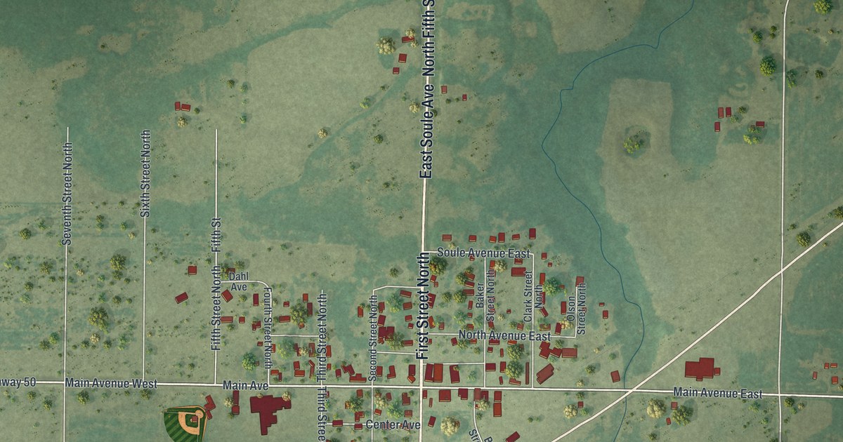
A detailed map of Deer Creek, Minnesota, showing every building in its true location, the roads by name, and shaded topographical relief.
Read More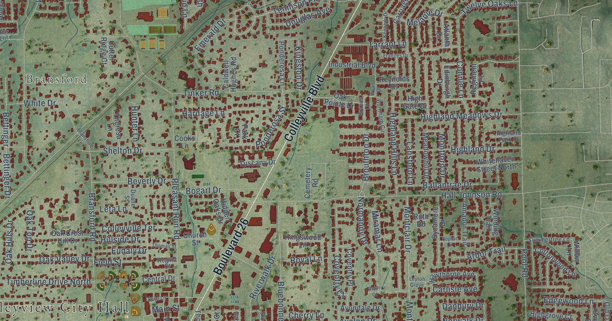
A detailed map of Colleyville, Texas, showing every building in its true location, the roads by name, and shaded topographical relief.
Read More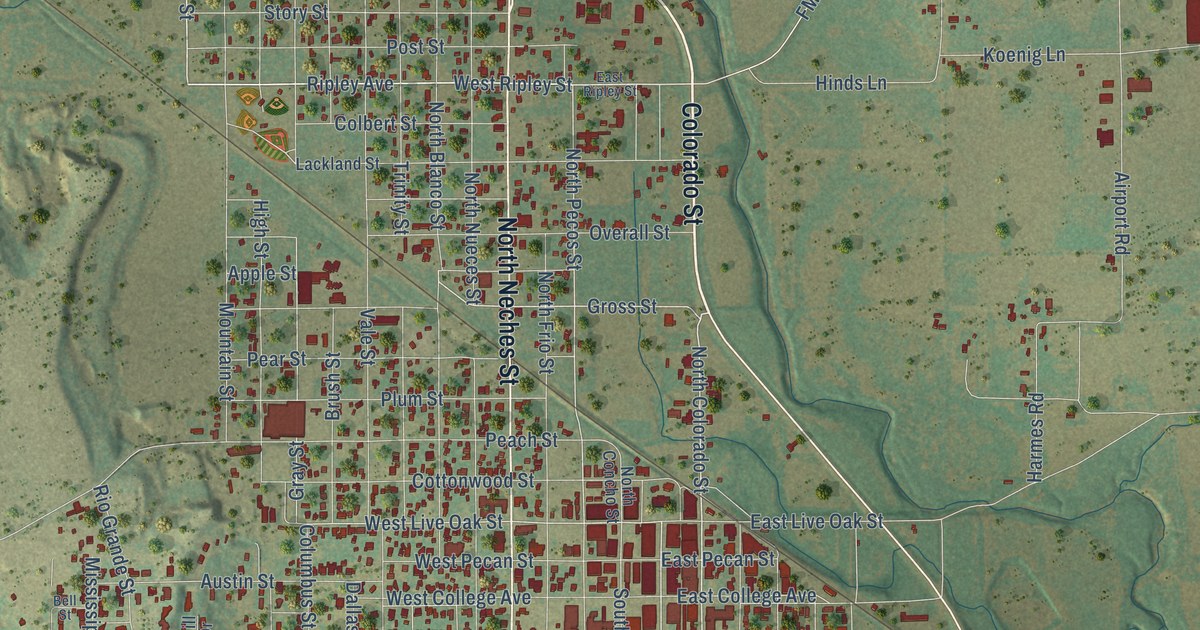
A detailed map of Coleman, Texas, showing every building in its true location, the roads by name, and shaded topographical relief.
Read More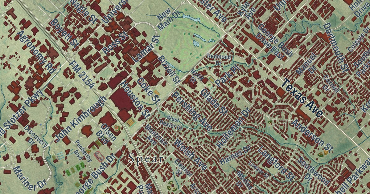
A detailed map of College Station, Texas, showing every building in its true location, the roads by name, and shaded topographical relief.
Read More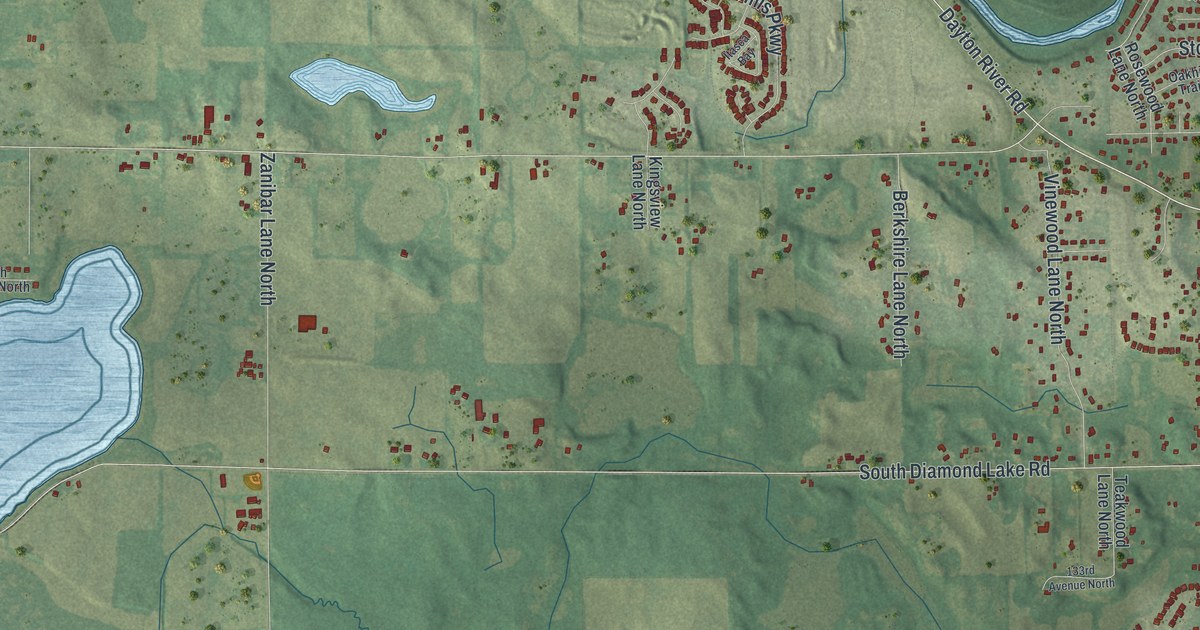
A detailed map of Dayton, Minnesota, showing every building in its true location, the roads by name, and shaded topographical relief.
Read More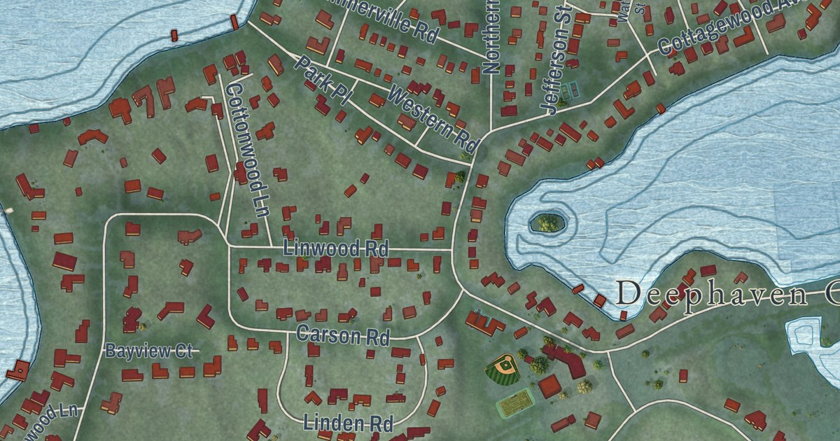
A detailed map of Deephaven, Minnesota, showing every building in its true location, the roads by name, and shaded topographical relief.
Read More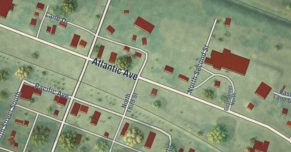
A detailed map of De Graff, Minnesota, showing every building in its true location, the roads by name, and shaded topographical relief.
Read More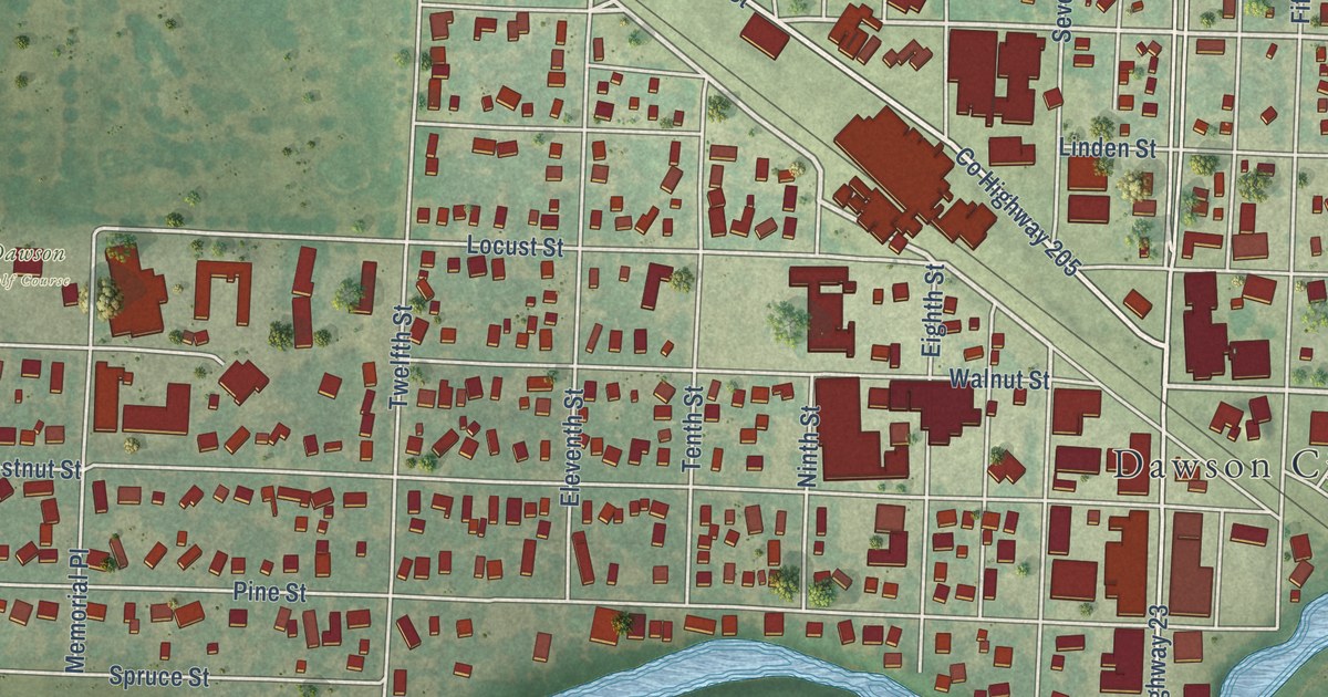
A detailed map of Dawson, Minnesota, showing every building in its true location, the roads by name, and shaded topographical relief.
Read More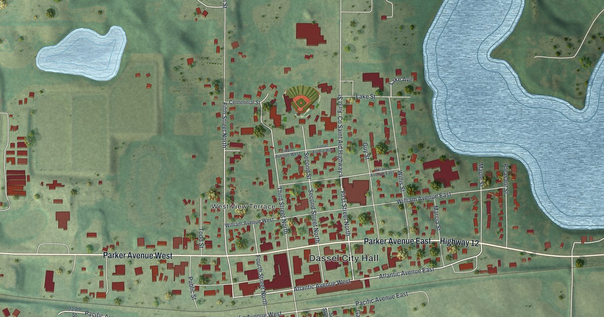
A detailed map of Dassel, Minnesota, showing every building in its true location, the roads by name, and shaded topographical relief.
Read More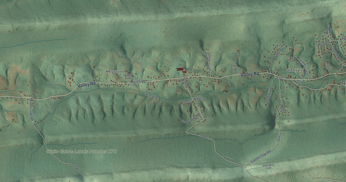
See Rye’s wooded ridges, red buildings, and familiar roads in a new aerial map with a vintage feel. Find Grier Point, Keystone, and Glenvale in this wide view of home.
Read More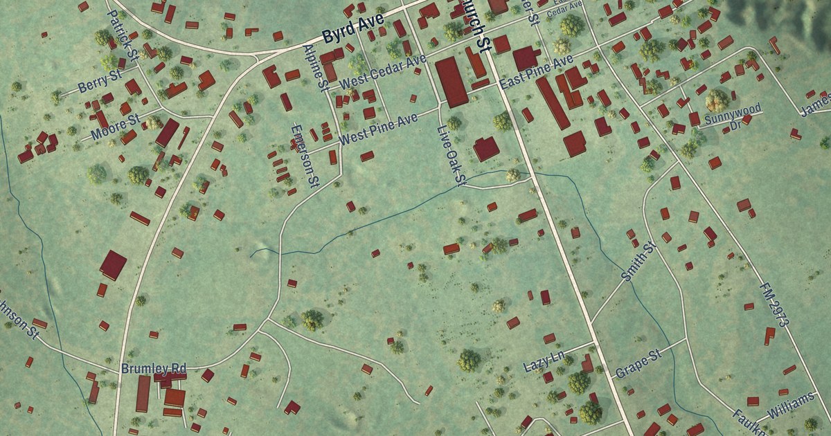
A detailed map of Coldspring, Texas, showing every building in its true location, the roads by name, and shaded topographical relief.
Read More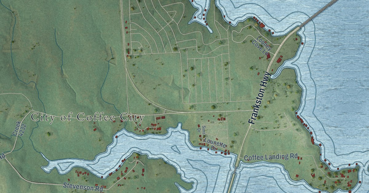
A detailed map of Coffee City, Texas, showing every building in its true location, the roads by name, and shaded topographical relief.
Read More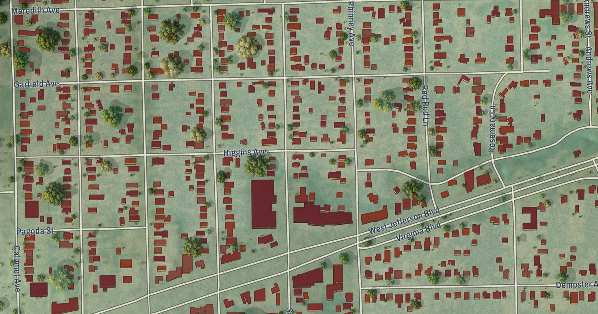
A detailed map of Cockrell Hill, Texas, showing every building in its true location, the roads by name, and shaded topographical relief.
Read More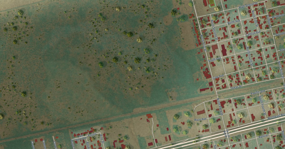
A detailed map of Coahoma, Texas, showing every building in its true location, the roads by name, and shaded topographical relief.
Read More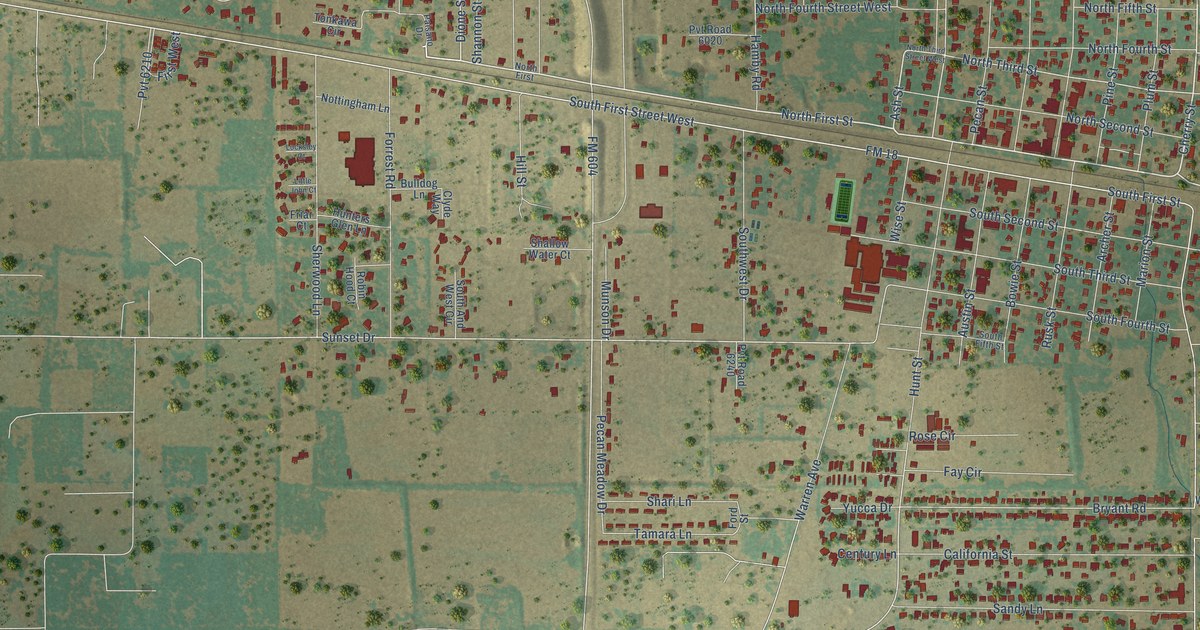
A detailed map of Clyde, Texas, showing every building in its true location, the roads by name, and shaded topographical relief.
Read More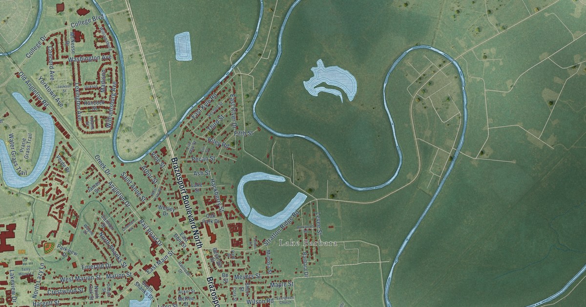
A detailed map of Clute, Texas, showing every building in its true location, the roads by name, and shaded topographical relief.
Read More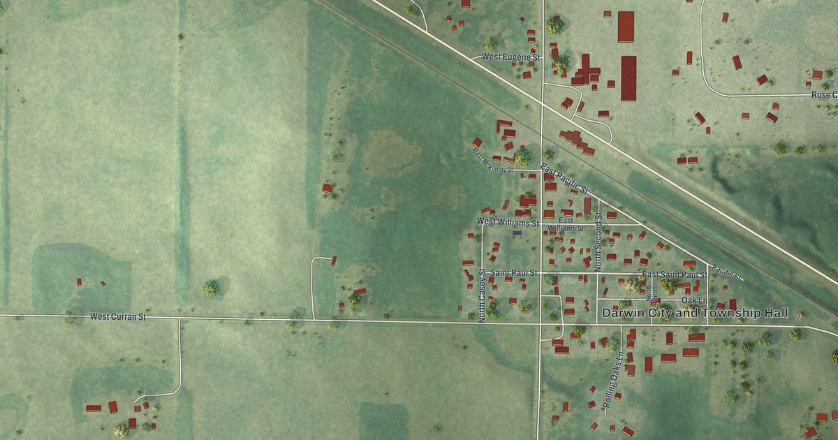
A detailed map of Darwin, Minnesota, showing every building in its true location, the roads by name, and shaded topographical relief.
Read More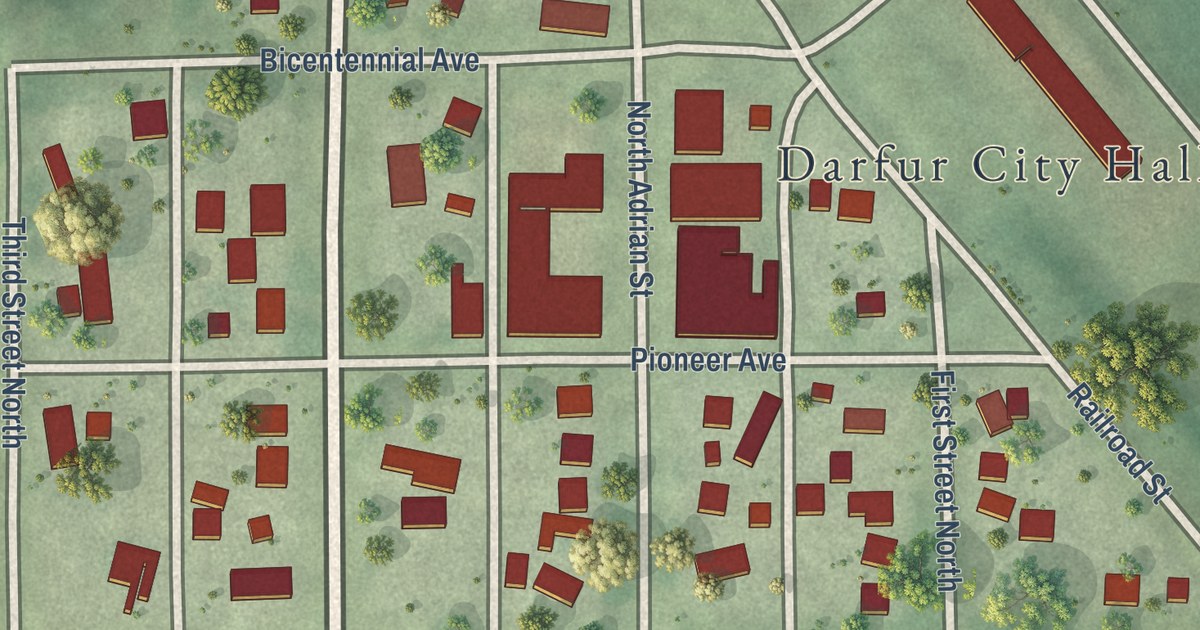
A detailed map of Darfur, Minnesota, showing every building in its true location, the roads by name, and shaded topographical relief.
Read More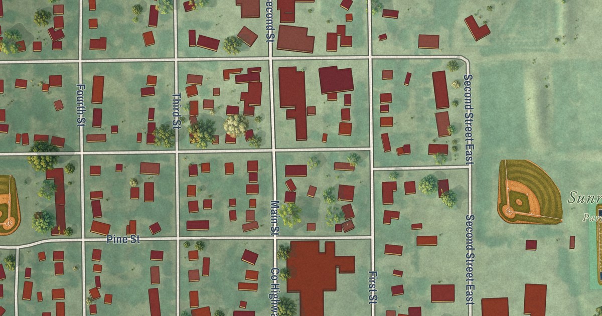
A detailed map of Danube, Minnesota, showing every building in its true location, the roads by name, and shaded topographical relief.
Read More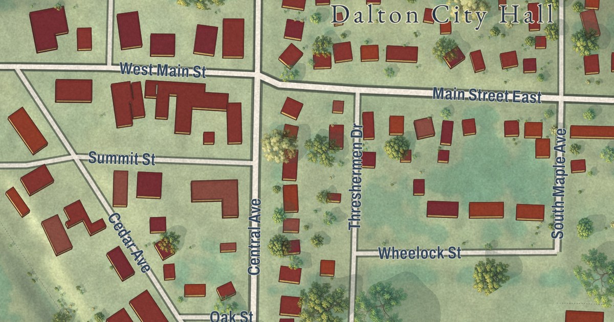
A detailed map of Dalton, Minnesota, showing every building in its true location, the roads by name, and shaded topographical relief.
Read More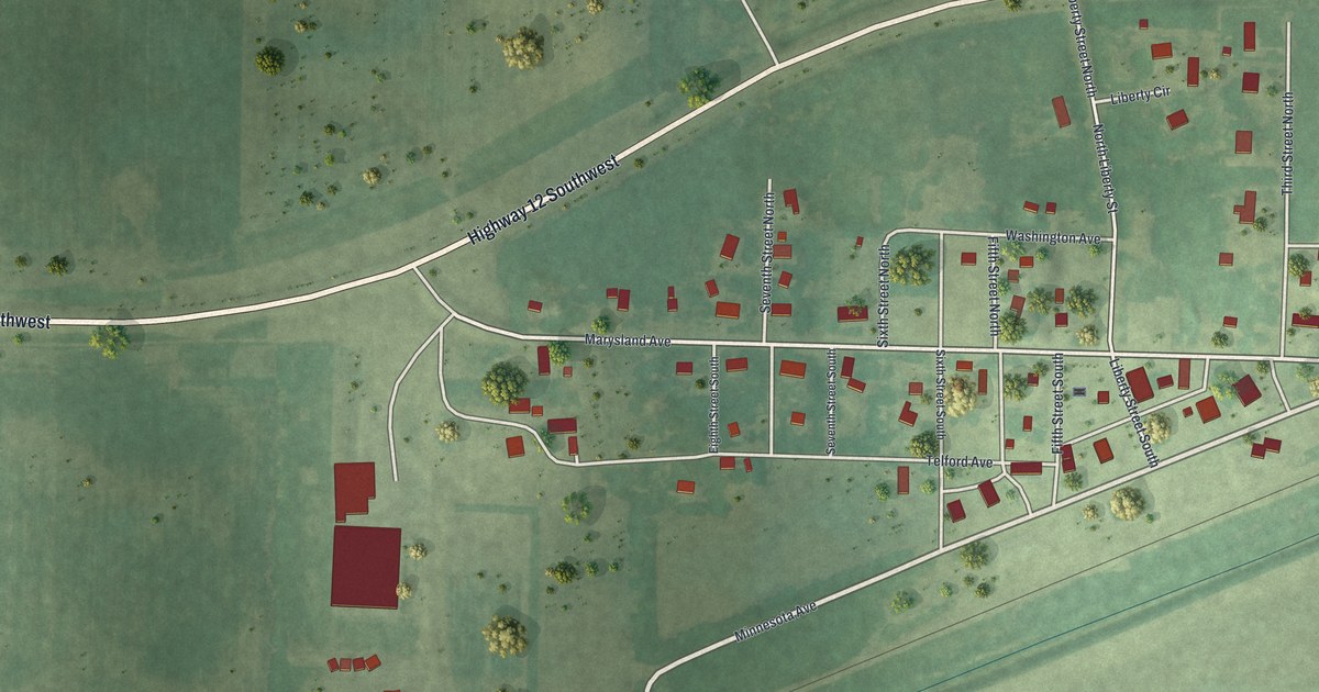
A detailed map of Danvers, Minnesota, showing every building in its true location, the roads by name, and shaded topographical relief.
Read More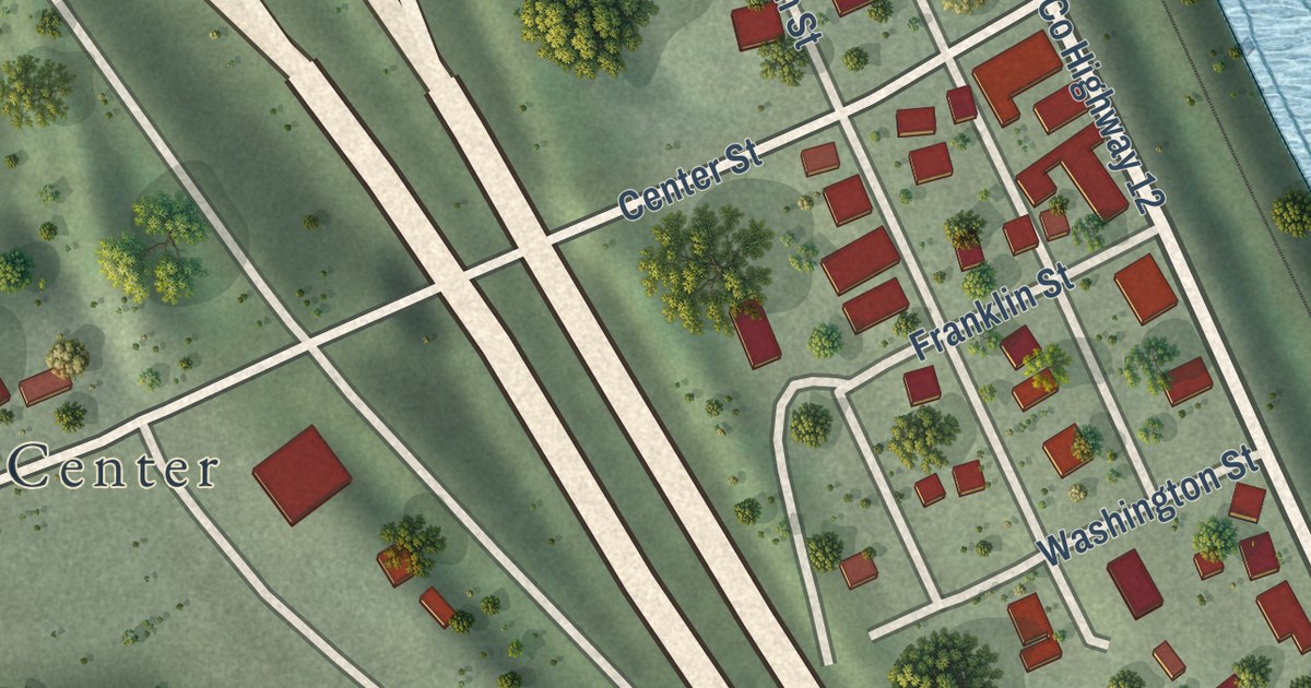
A detailed map of Dakota, Minnesota, showing every building in its true location, the roads by name, and shaded topographical relief.
Read More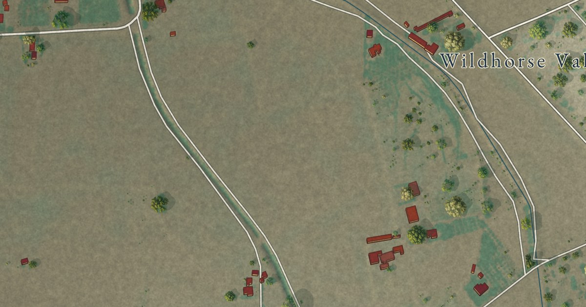
A detailed map of Clint, Texas, showing every building in its true location, the roads by name, and shaded topographical relief.
Read More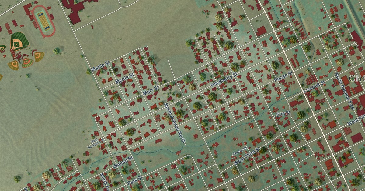
A detailed map of Clifton, Texas, showing every building in its true location, the roads by name, and shaded topographical relief.
Read More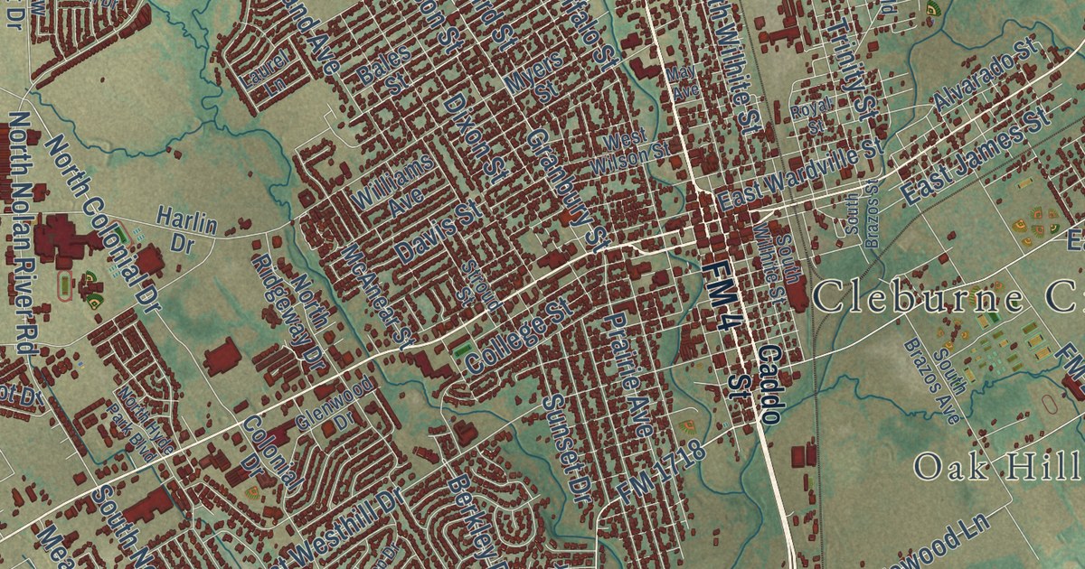
A detailed map of Cleburne, Texas, showing every building in its true location, the roads by name, and shaded topographical relief.
Read More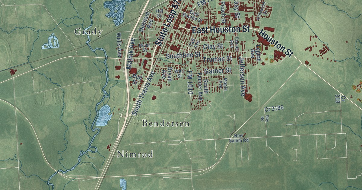
A detailed map of Cleveland, Texas, showing every building in its true location, the roads by name, and shaded topographical relief.
Read More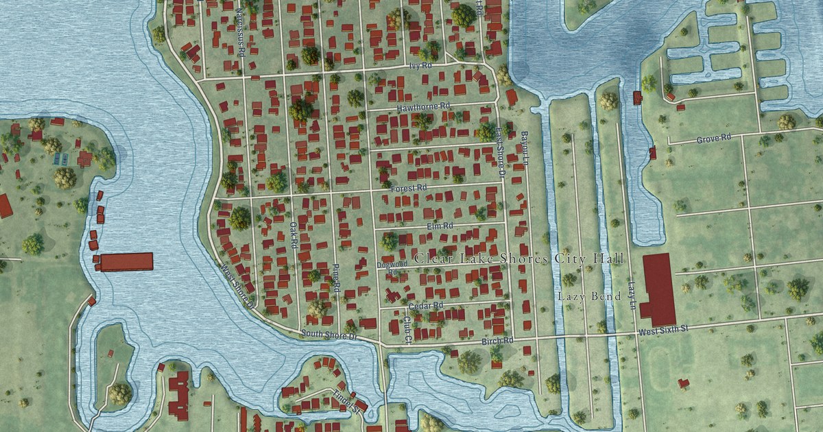
A detailed map of Clear Lake Shores, Texas, showing every building in its true location, the roads by name, and shaded topographical relief.
Read More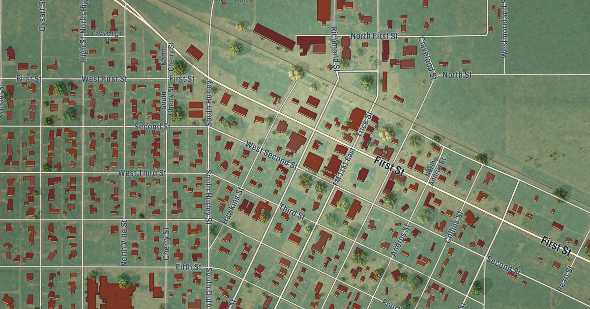
A detailed map of Claude, Texas, showing every building in its true location, the roads by name, and shaded topographical relief.
Read More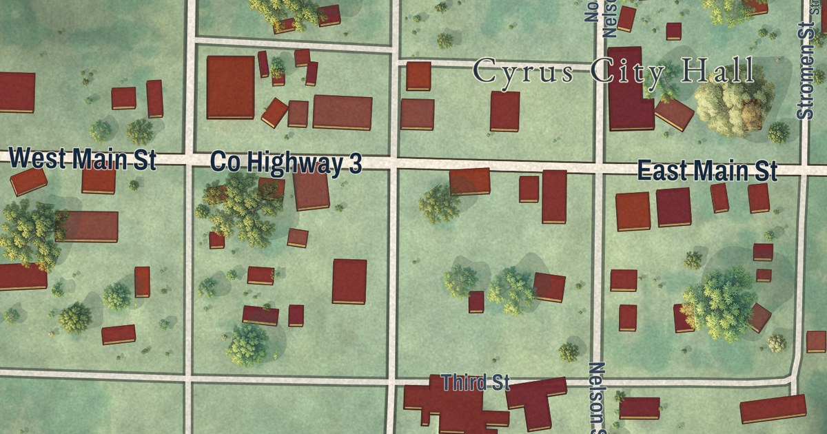
A detailed map of Cyrus, Minnesota, showing every building in its true location, the roads by name, and shaded topographical relief.
Read More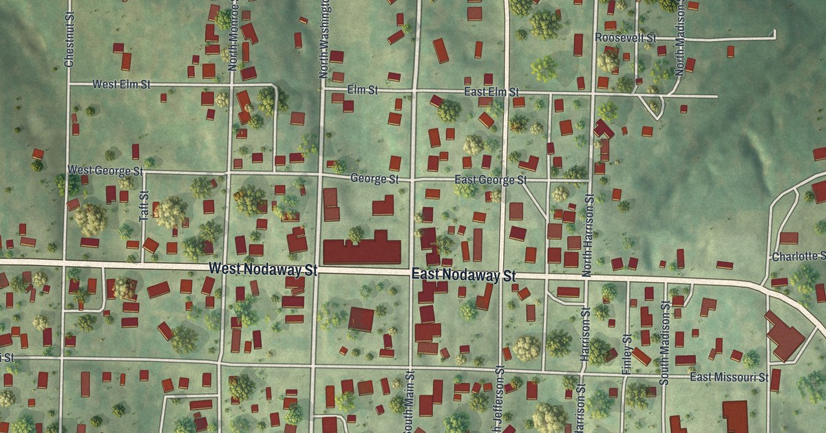
A modern aerial map of Oregon in Holt County, Missouri, with a vintage feel. Find Nodaway Street, Main Street and Oregon Cemetery, and read how the land under the town came to belong to the county.
Read More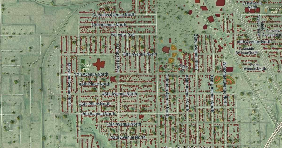
A detailed map of Crystal, Minnesota, showing every building in its true location, the roads by name, and shaded topographical relief.
Read More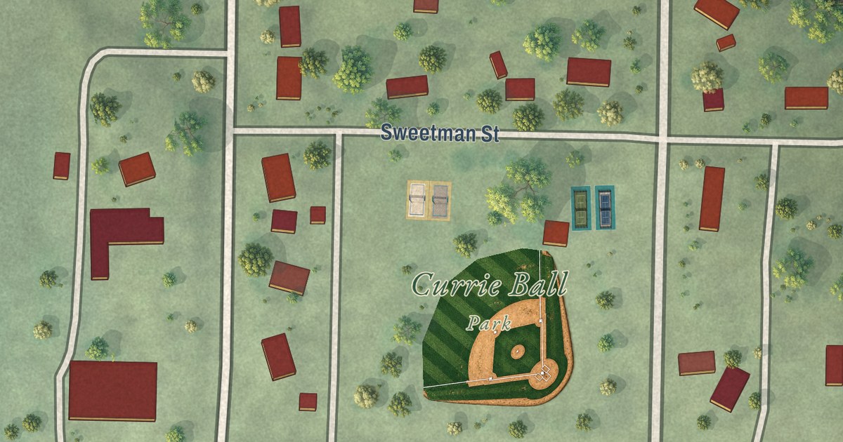
A detailed map of Currie, Minnesota, showing every building in its true location, the roads by name, and shaded topographical relief.
Read More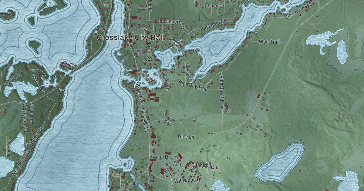
A detailed map of Crosslake, Minnesota, showing every building in its true location, the roads by name, and shaded topographical relief.
Read More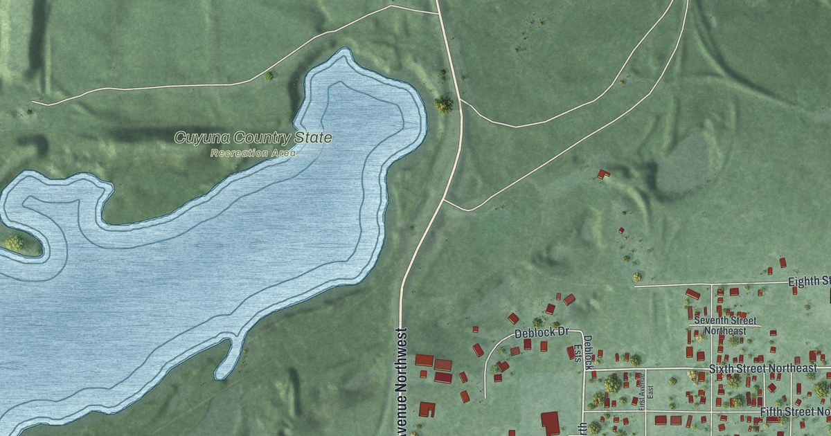
A detailed map of Crosby, Minnesota, showing every building in its true location, the roads by name, and shaded topographical relief.
Read More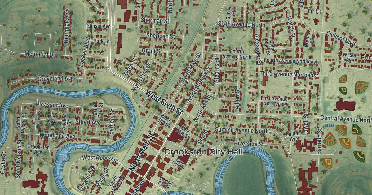
A detailed map of Crookston, Minnesota, showing every building in its true location, the roads by name, and shaded topographical relief.
Read More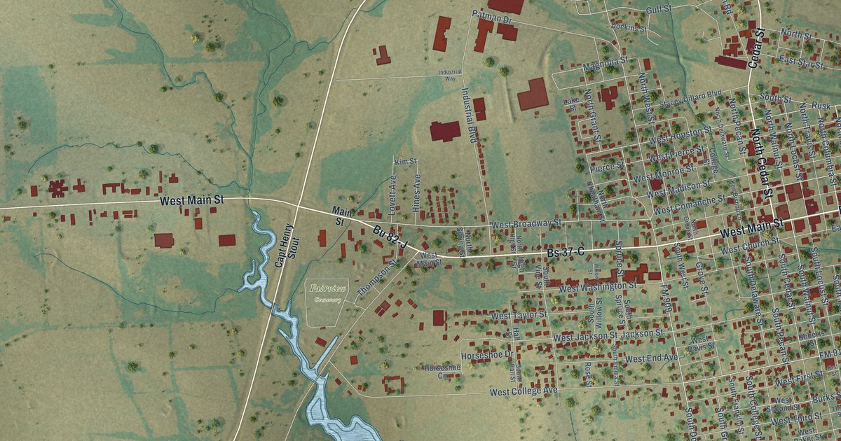
A detailed map of Clarksville, Texas, showing every building in its true location, the roads by name, and shaded topographical relief.
Read More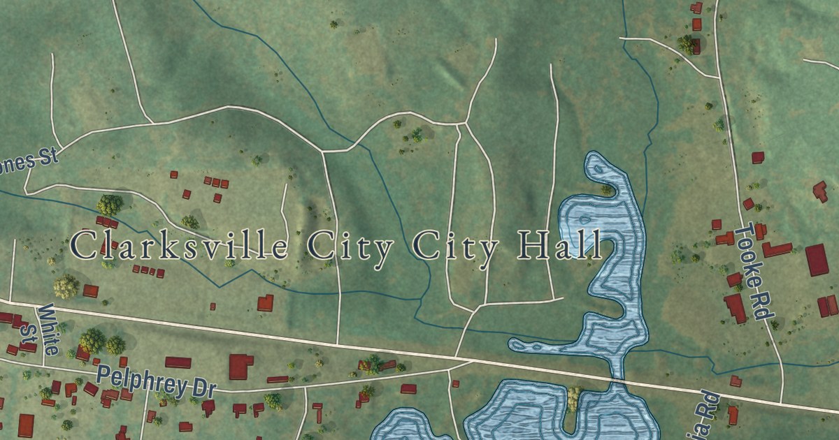
A detailed map of Clarksville City, Texas, showing every building in its true location, the roads by name, and shaded topographical relief.
Read More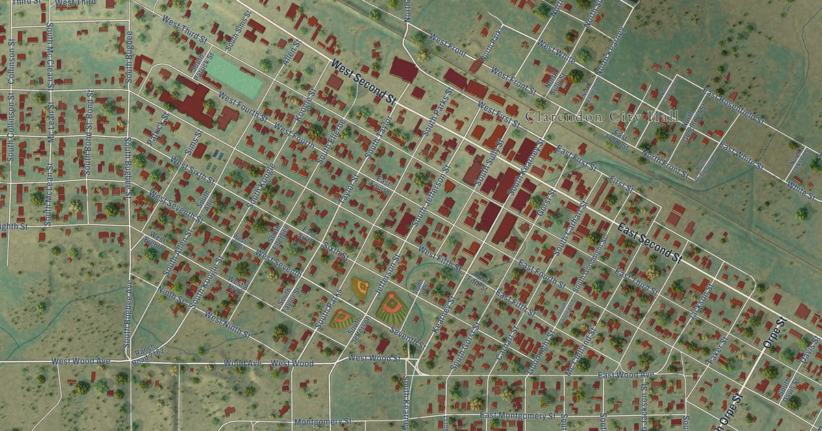
A detailed map of Clarendon, Texas, showing every building in its true location, the roads by name, and shaded topographical relief.
Read More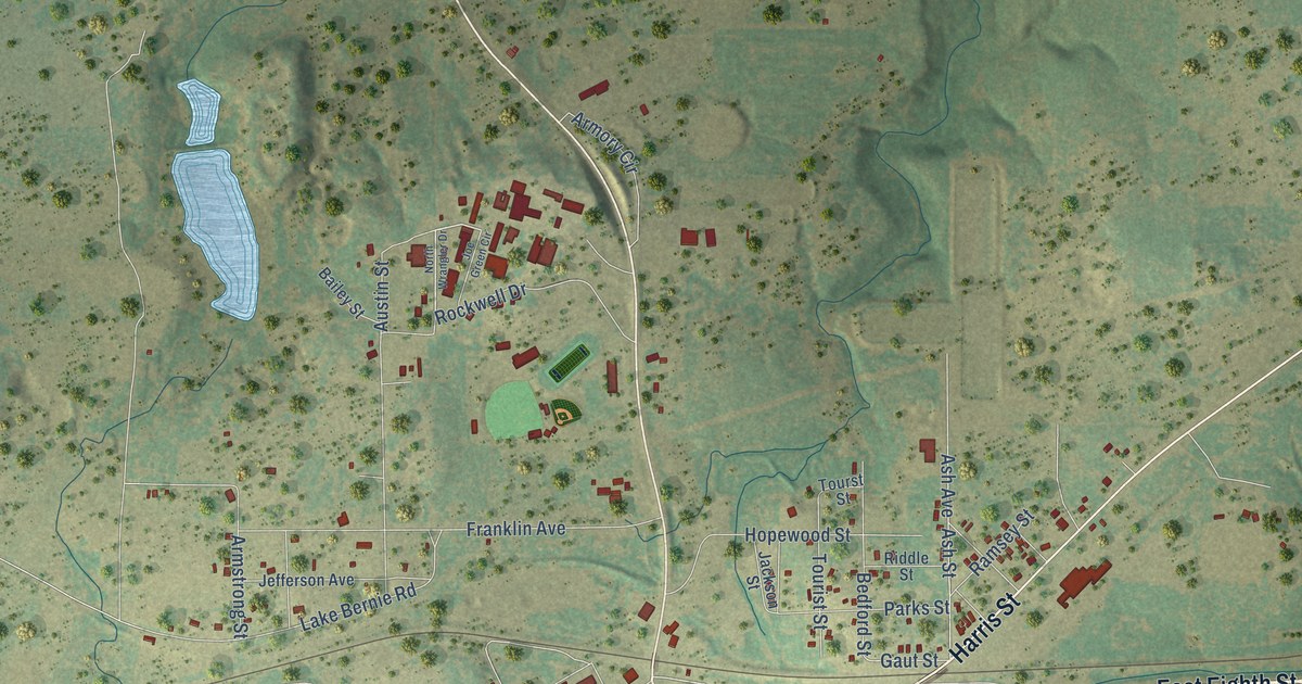
A detailed map of Cisco, Texas, showing every building in its true location, the roads by name, and shaded topographical relief.
Read More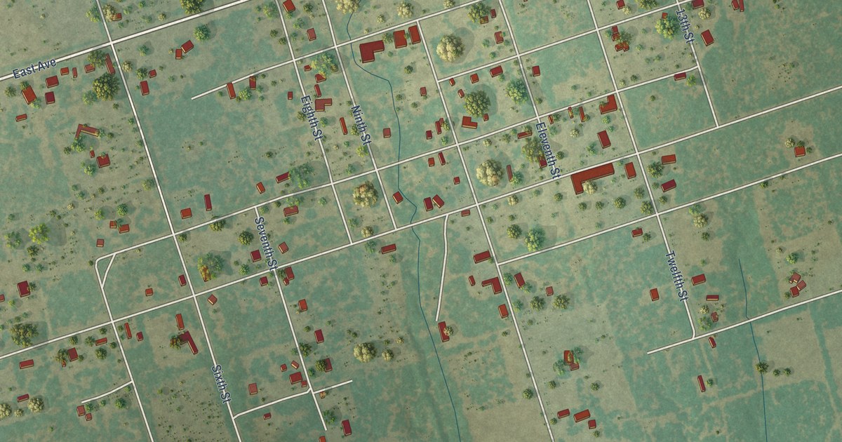
A detailed map of Christine, Texas, showing every building in its true location, the roads by name, and shaded topographical relief.
Read More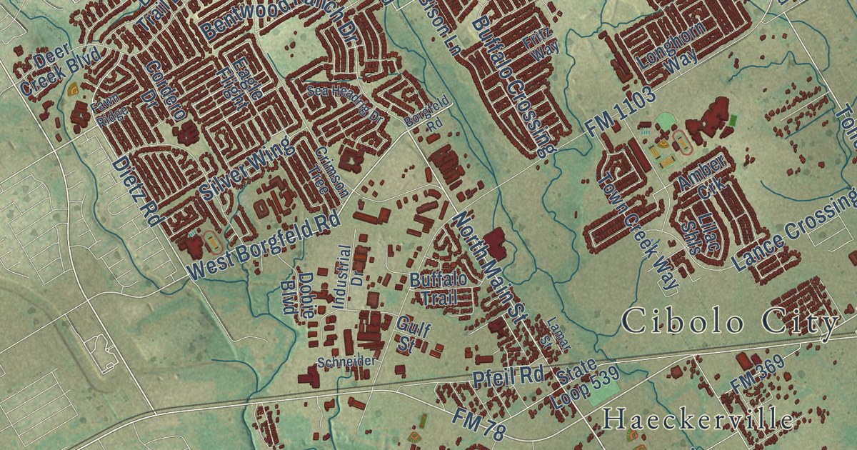
A detailed map of Cibolo, Texas, showing every building in its true location, the roads by name, and shaded topographical relief.
Read More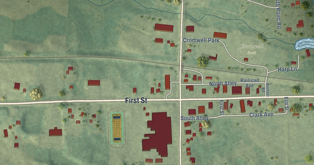
A detailed map of Cromwell, Minnesota, showing every building in its true location, the roads by name, and shaded topographical relief.
Read More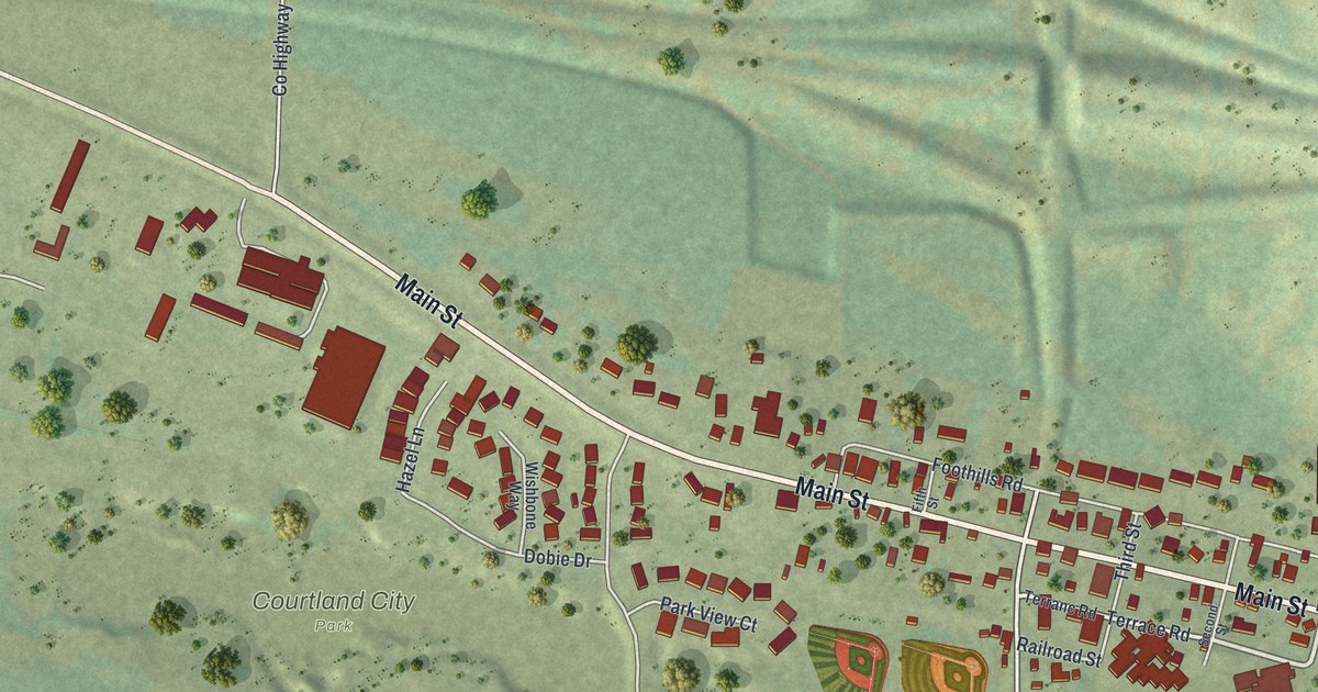
A detailed map of Courtland, Minnesota, showing every building in its true location, the roads by name, and shaded topographical relief.
Read More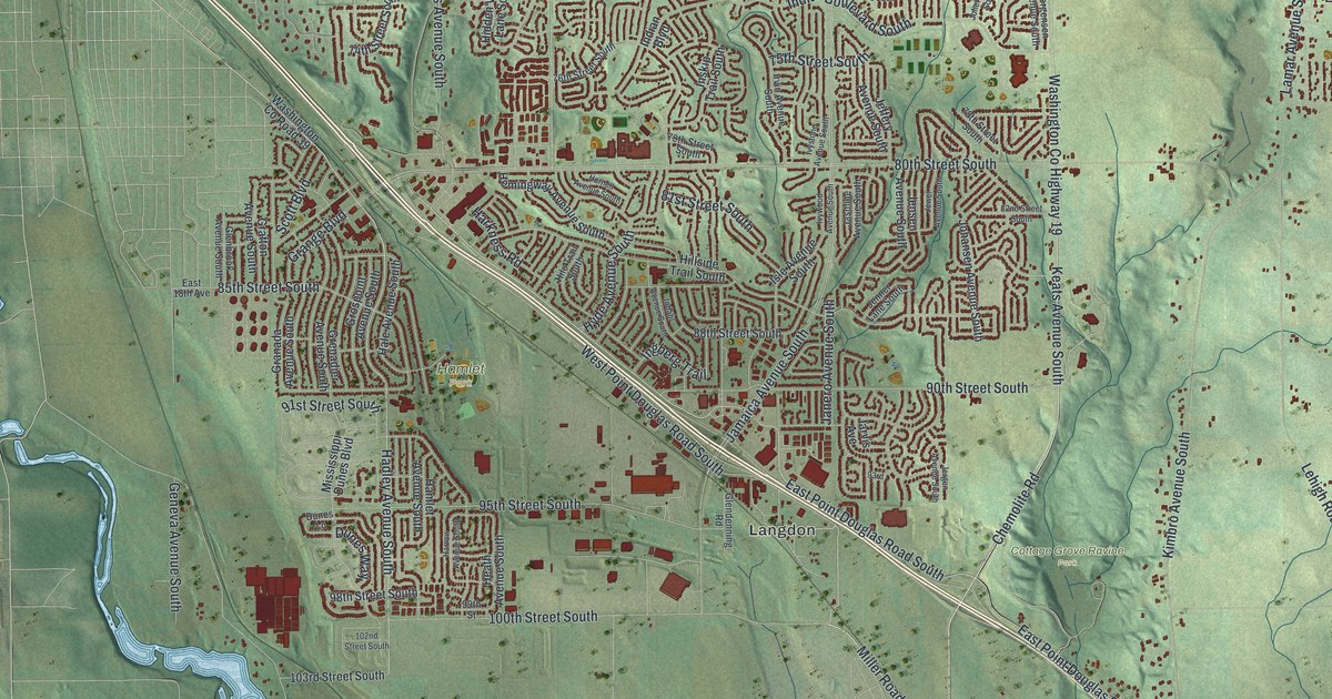
A detailed map of Cottage Grove, Minnesota, showing every building in its true location, the roads by name, and shaded topographical relief.
Read More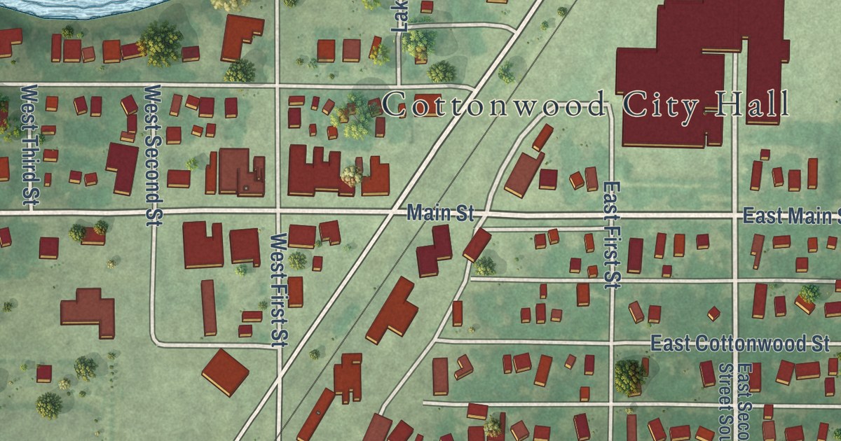
A detailed map of Cottonwood, Minnesota, showing every building in its true location, the roads by name, and shaded topographical relief.
Read More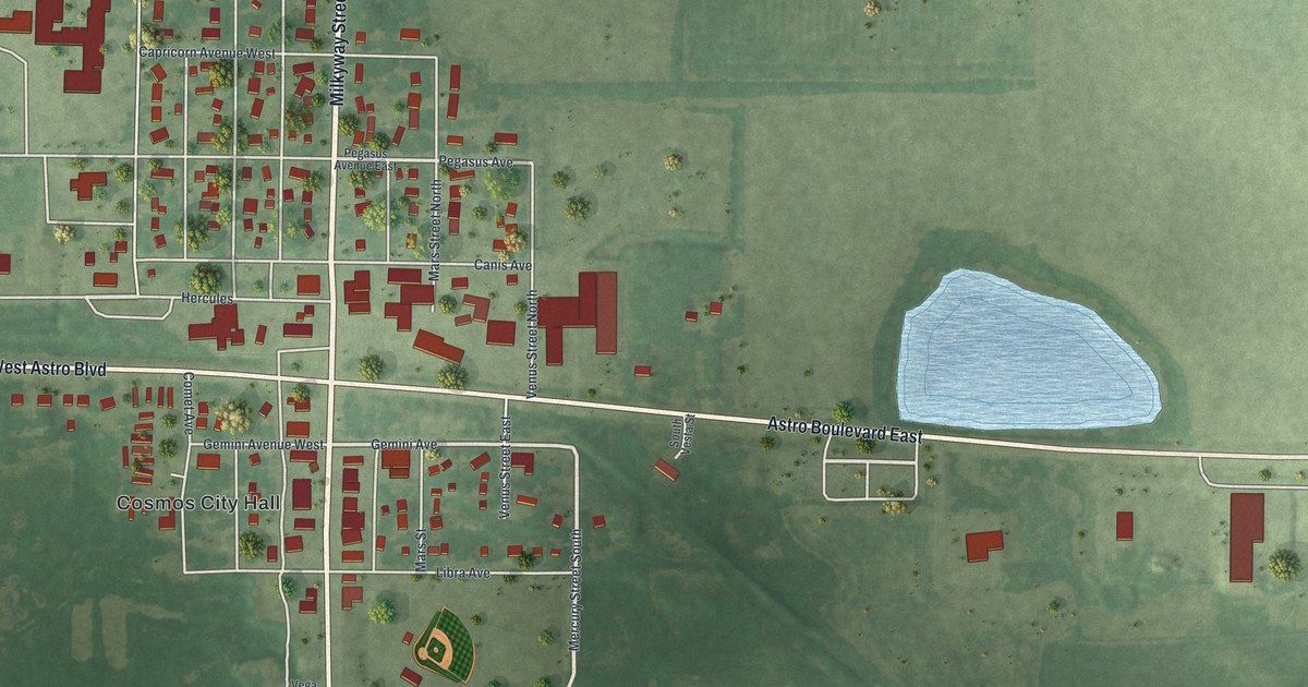
A detailed map of Cosmos, Minnesota, showing every building in its true location, the roads by name, and shaded topographical relief.
Read More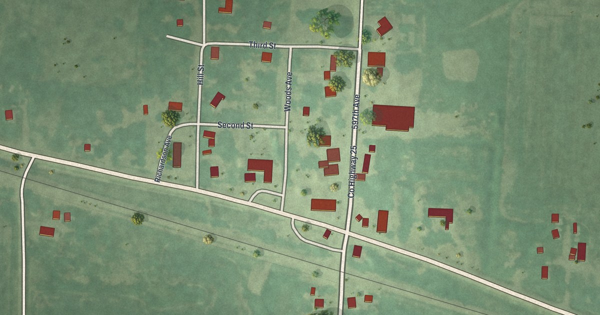
A detailed map of Correll, Minnesota, showing every building in its true location, the roads by name, and shaded topographical relief.
Read More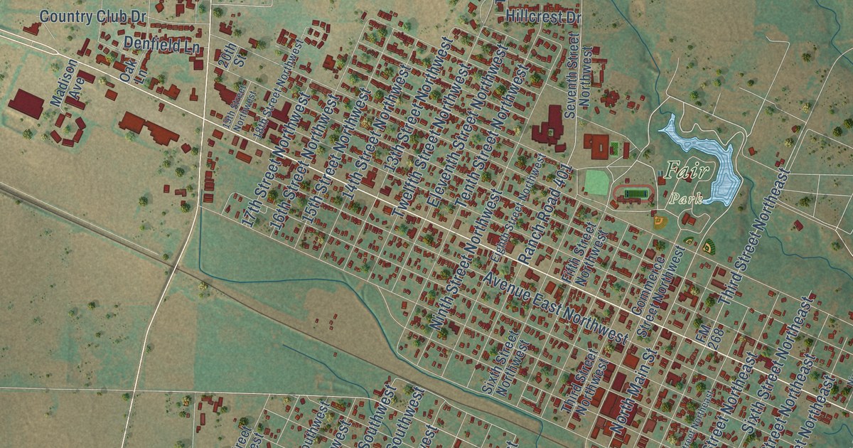
A detailed map of Childress, Texas, showing every building in its true location, the roads by name, and shaded topographical relief.
Read More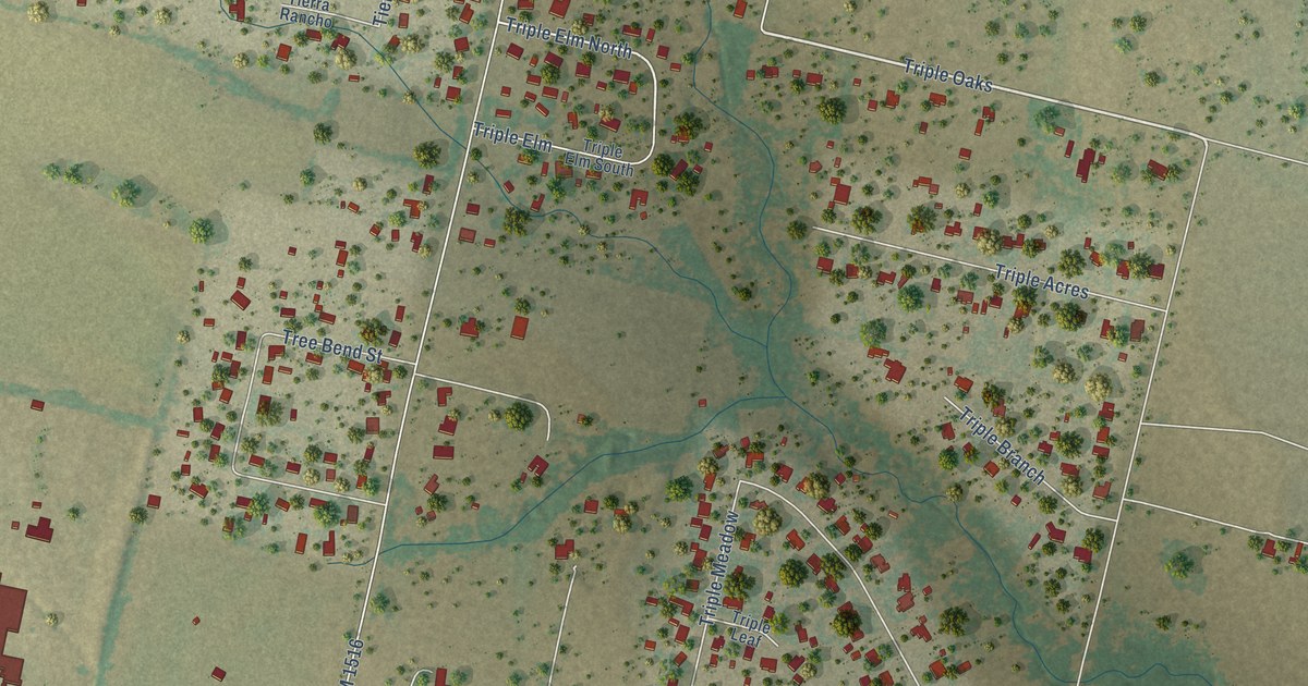
A detailed map of China Grove, Texas, showing every building in its true location, the roads by name, and shaded topographical relief.
Read More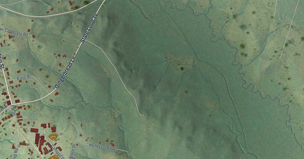
A detailed map of Chireno, Texas, showing every building in its true location, the roads by name, and shaded topographical relief.
Read More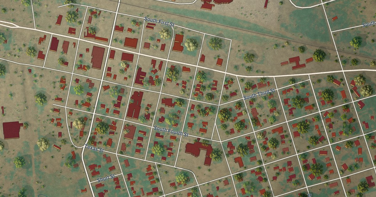
A detailed map of Chillicothe, Texas, showing every building in its true location, the roads by name, and shaded topographical relief.
Read More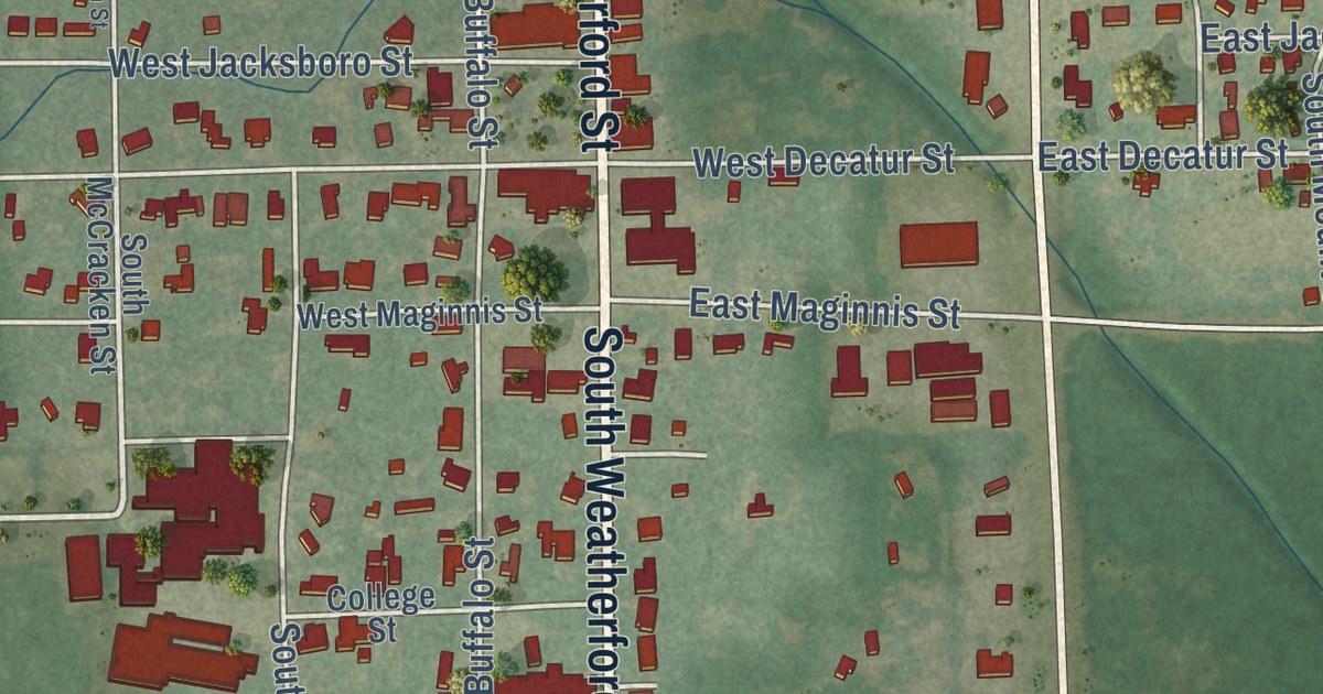
A detailed map of Chico, Texas, showing every building in its true location, the roads by name, and shaded topographical relief.
Read More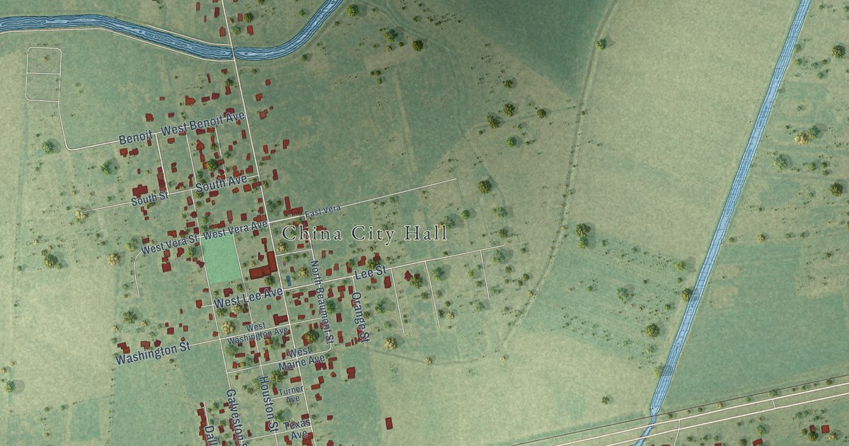
A detailed map of China, Texas, showing every building in its true location, the roads by name, and shaded topographical relief.
Read More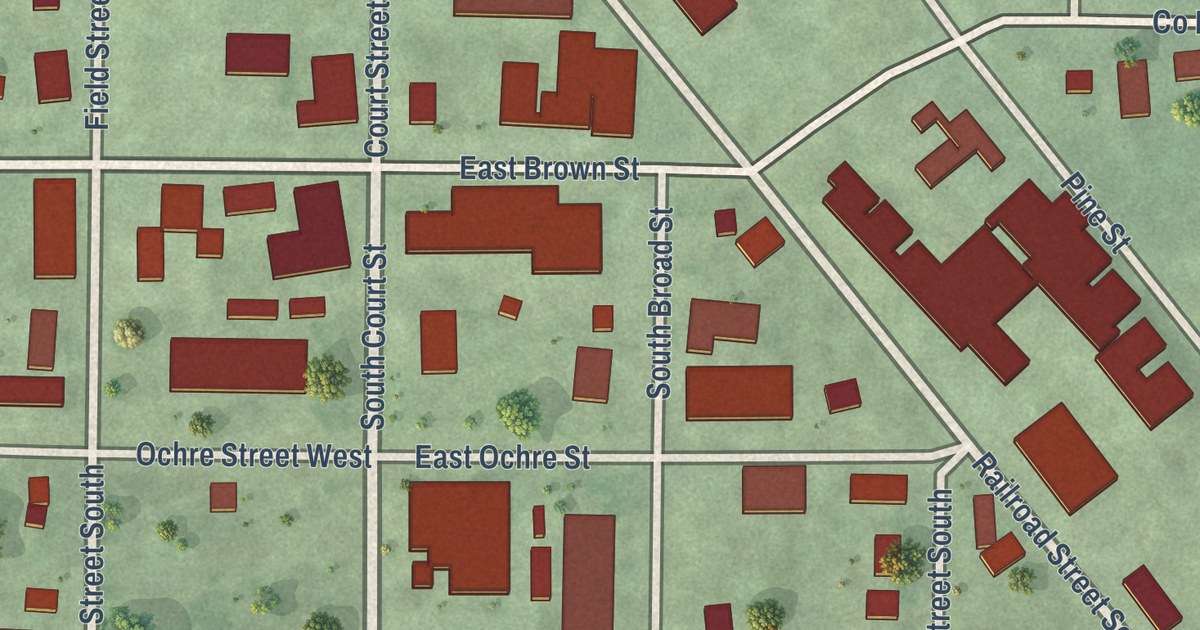
A detailed map of Comfrey, Minnesota, showing every building in its true location, the roads by name, and shaded topographical relief.
Read More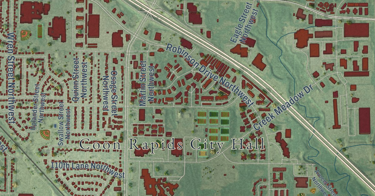
A detailed map of Coon Rapids, Minnesota, showing every building in its true location, the roads by name, and shaded topographical relief.
Read More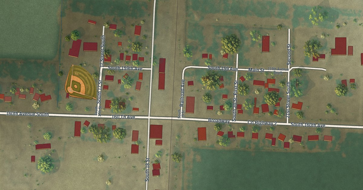
A detailed map of Comstock, Minnesota, showing every building in its true location, the roads by name, and shaded topographical relief.
Read More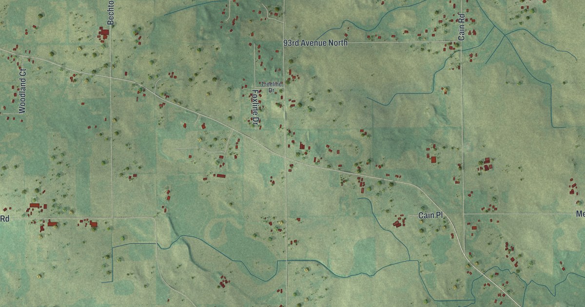
A detailed map of Corcoran, Minnesota, showing every building in its true location, the roads by name, and shaded topographical relief.
Read More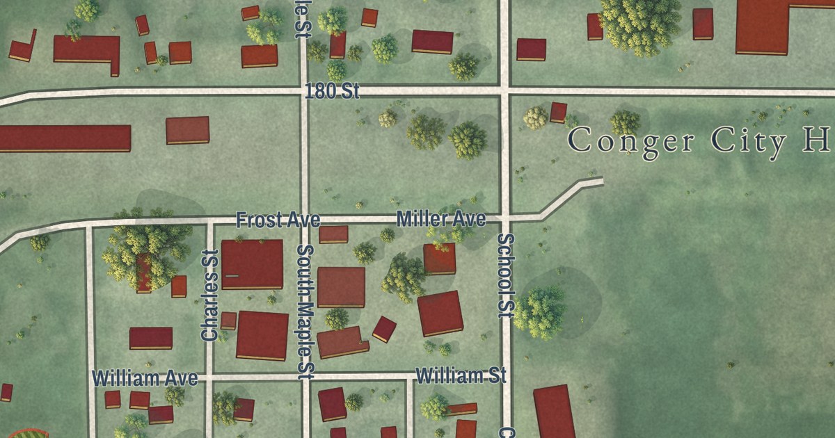
A detailed map of Conger, Minnesota, showing every building in its true location, the roads by name, and shaded topographical relief.
Read More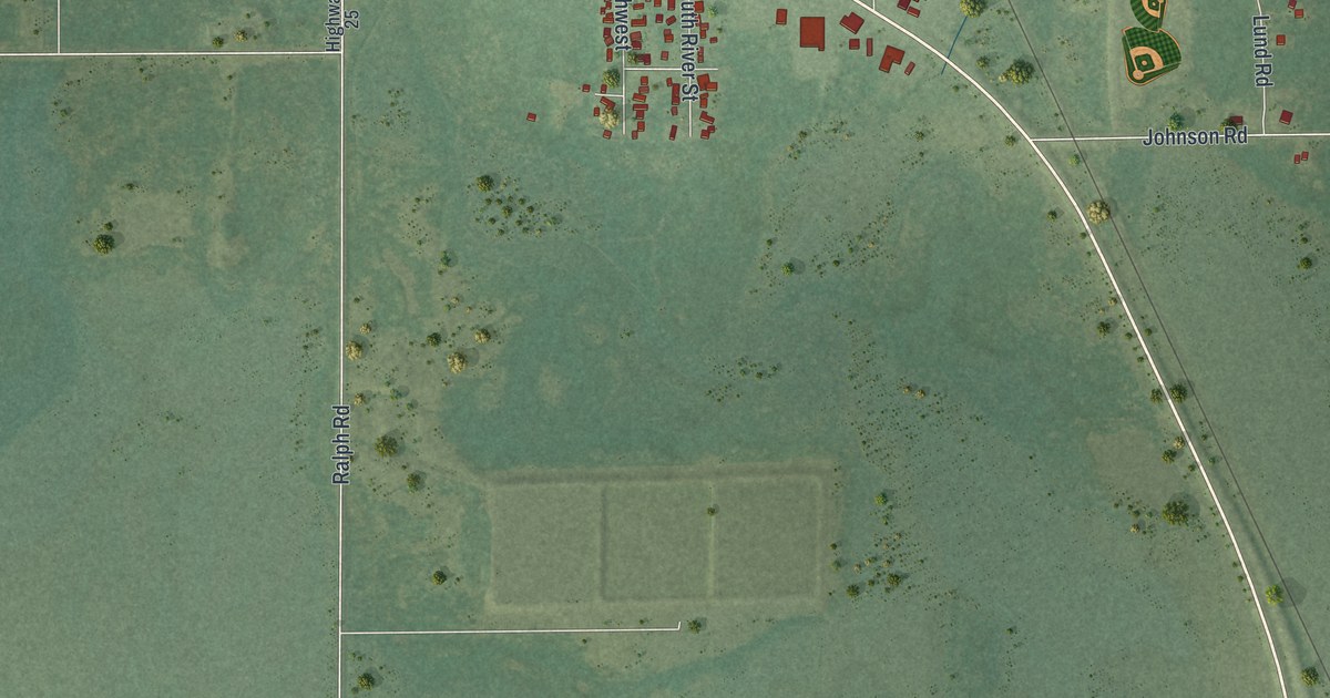
A detailed map of Cook, Minnesota, showing every building in its true location, the roads by name, and shaded topographical relief.
Read More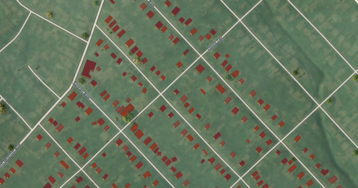
Find Rutledge Avenue, Swarthmore Avenue and the borough’s three terraces on a new aerial map. Red buildings and pale streets show the blocks in a vintage style.
Read More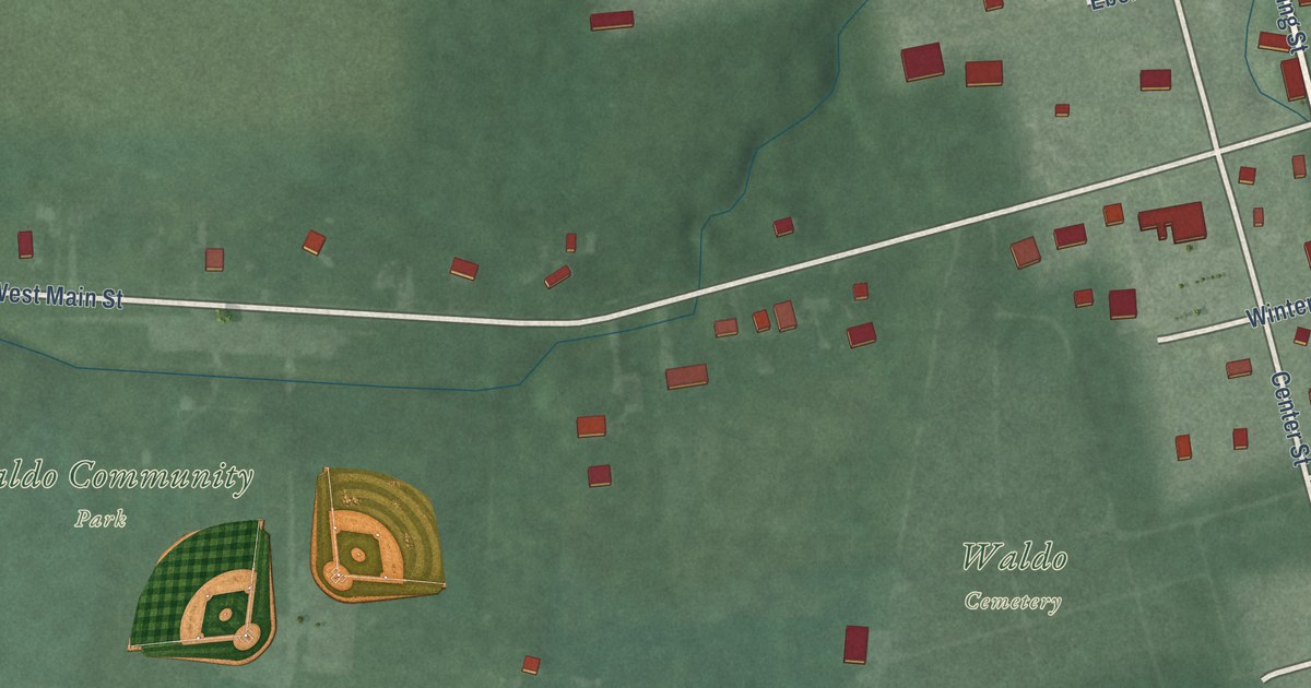
Find Waldo’s streets, ball fields and red building shapes in a new aerial map. Then read the story of Harrison’s military road, told by the historical marker on North Marion Street.
Read More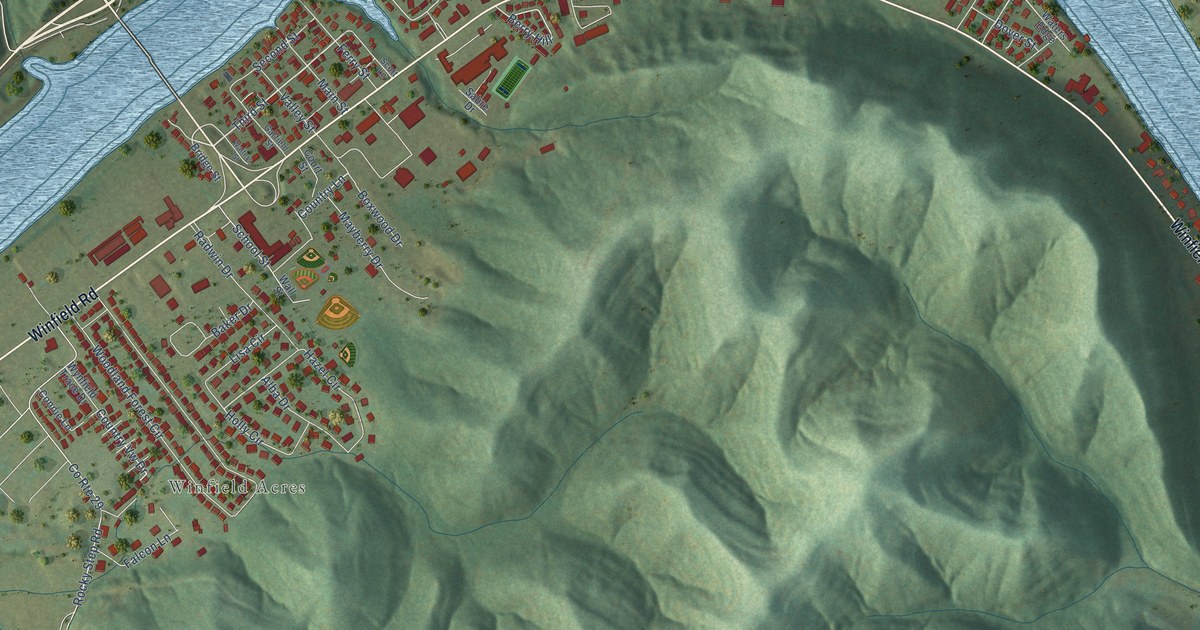
A detailed map of Winfield, West Virginia, showing every building in its true location, the roads by name, and shaded topographical relief.
Read More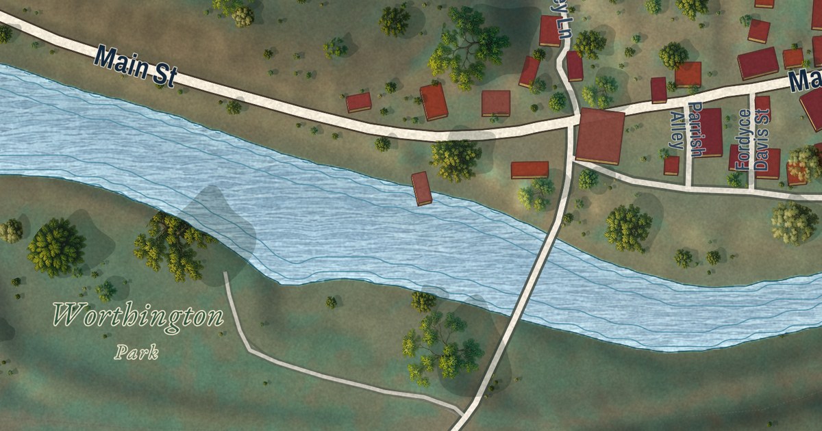
A detailed map of Worthington, West Virginia, showing every building in its true location, the roads by name, and shaded topographical relief.
Read More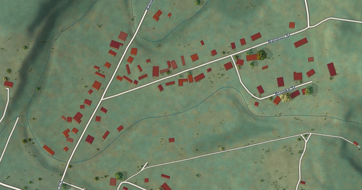
A detailed map of Coalton, West Virginia, showing every building in its true location, the roads by name, and shaded topographical relief.
Read More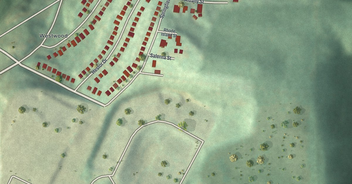
Find Ridgemont Drive, Greentree Road and Westwood on a new aerial map. Red buildings and green hills show the curved blocks and open land around them.
Read More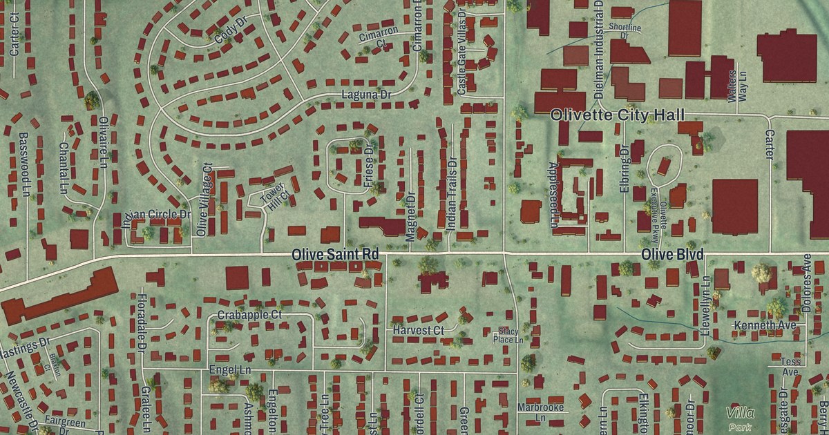
A new aerial map of Olivette, Missouri, made in 2026. Find Olive Boulevard, Olivette City Hall, Stacy Park and Dielman Rock Island Industrial Drive, which shares its name with the railroad that once had an Olivette post office.
Read More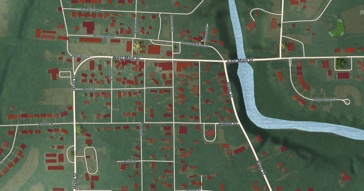
Explore Wakeman’s streets, red buildings, and winding blue river. The Red Caps played under lights in 1935, on a field bounded by four streets you can find on this new map.
Read More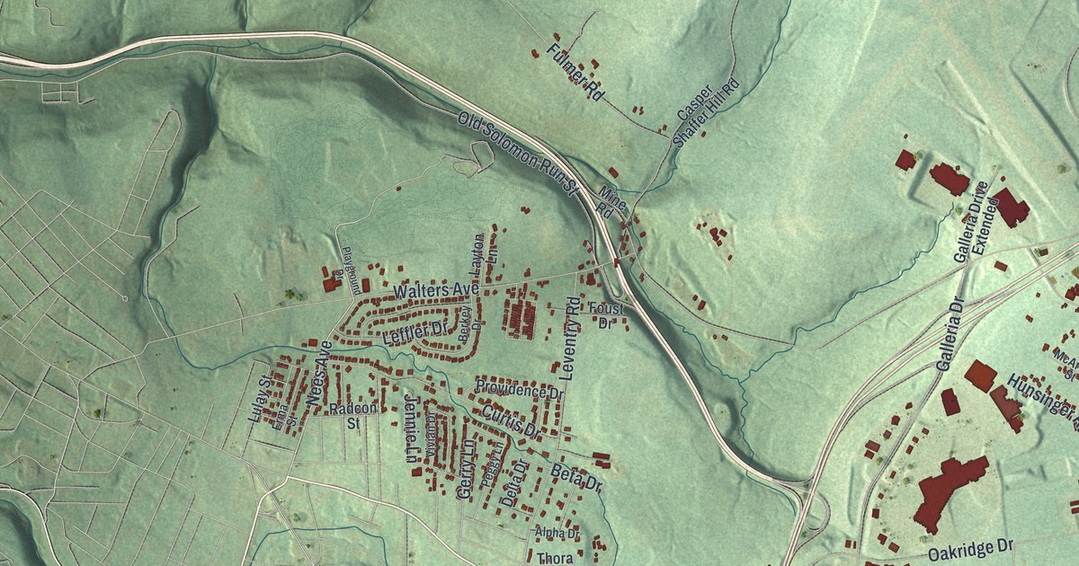
See Richland’s familiar streets among green hills and shaded hollows. This 2026 map of Cambria County’s Richland includes Belmont, Krings and Number Thirty-Seven.
Read More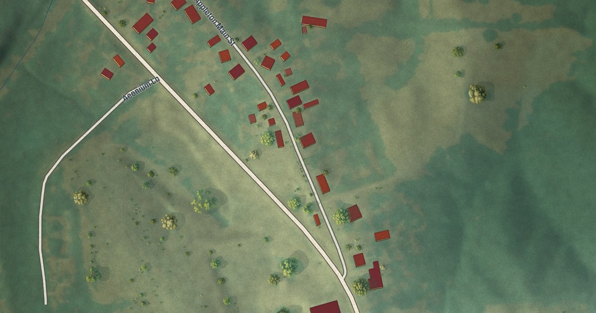
See Old Appleton’s red buildings, green fields and winding creek in a new aerial map. Find Appleton Main Street, plus a post office record from before 1876 and the Old Appleton Bridge, listed on the National Register.
Read More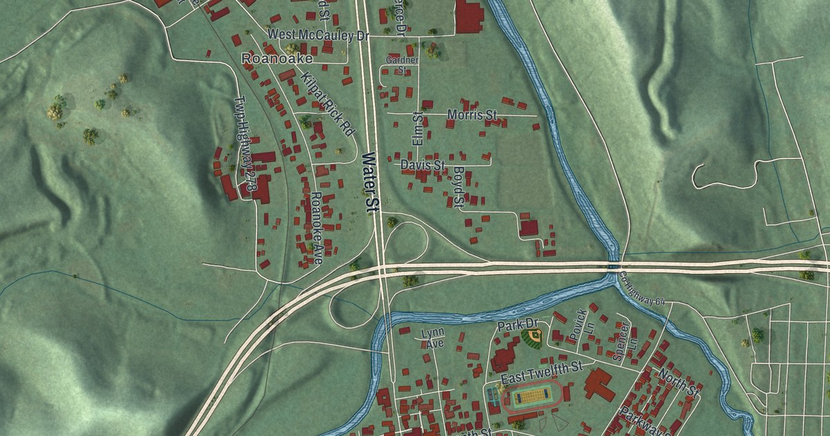
Find familiar Uhrichsville streets among red buildings, blue water, and green hills. Learn how the four wheels of Uhrich’s Mill served the Stillwater Valley.
Read More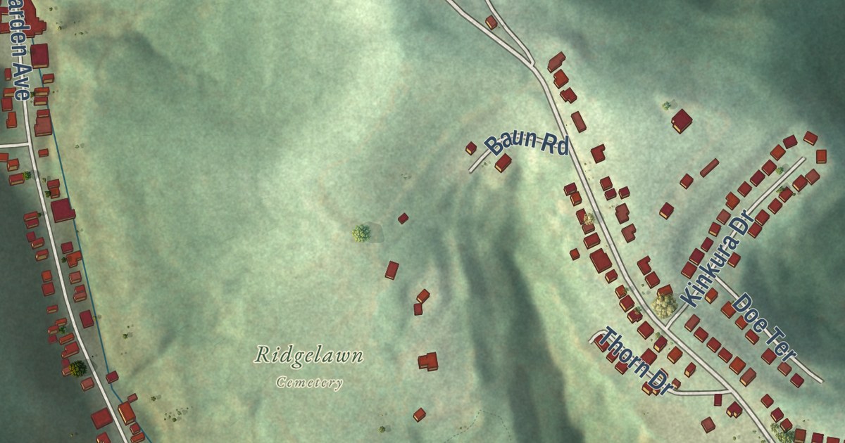
Follow Mount Troy Road and Spring Garden Avenue across Reserve’s shaded hills. Find Girty’s Woods, Ridgelawn Cemetery and the Edison, Volta, Ohm and Tesla street names on this 2026 map.
Read More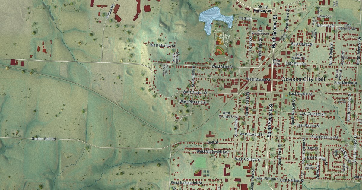
A modern aerial map of Odessa in Lafayette County, Missouri. Find Odessa City Hall, Dyer Park, Old US Highway 40 and West Dryden Street, home of the Odessa Ice Cream Company Building.
Read More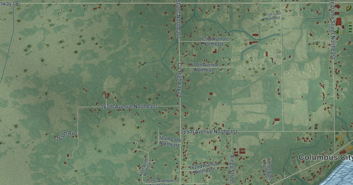
A detailed map of Columbus, Minnesota, showing every building in its true location, the roads by name, and shaded topographical relief.
Read More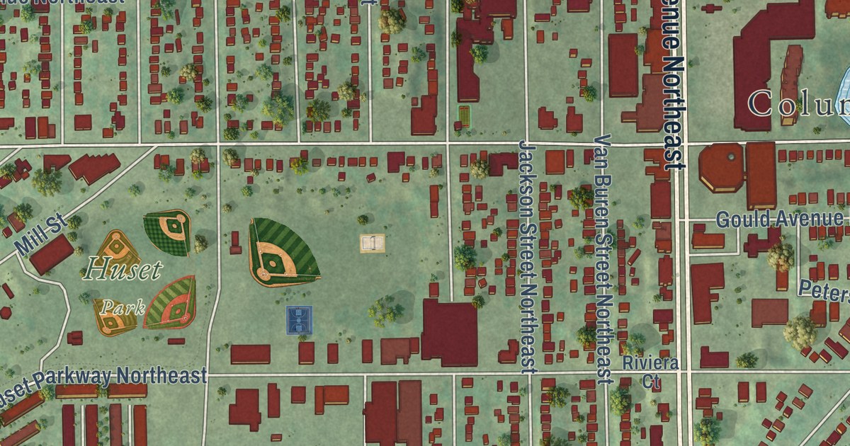
A detailed map of Columbia Heights, Minnesota, showing every building in its true location, the roads by name, and shaded topographical relief.
Read More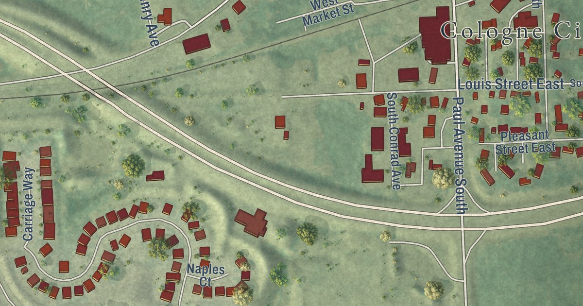
A detailed map of Cologne, Minnesota, showing every building in its true location, the roads by name, and shaded topographical relief.
Read More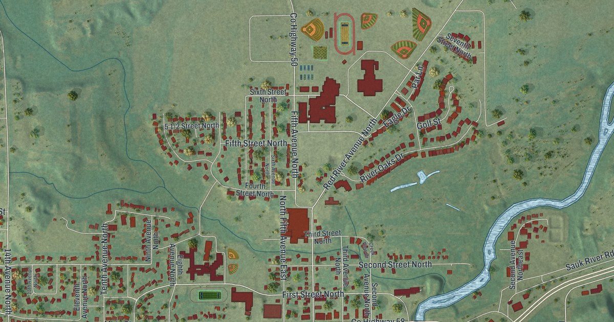
A detailed map of Cold Spring, Minnesota, showing every building in its true location, the roads by name, and shaded topographical relief.
Read More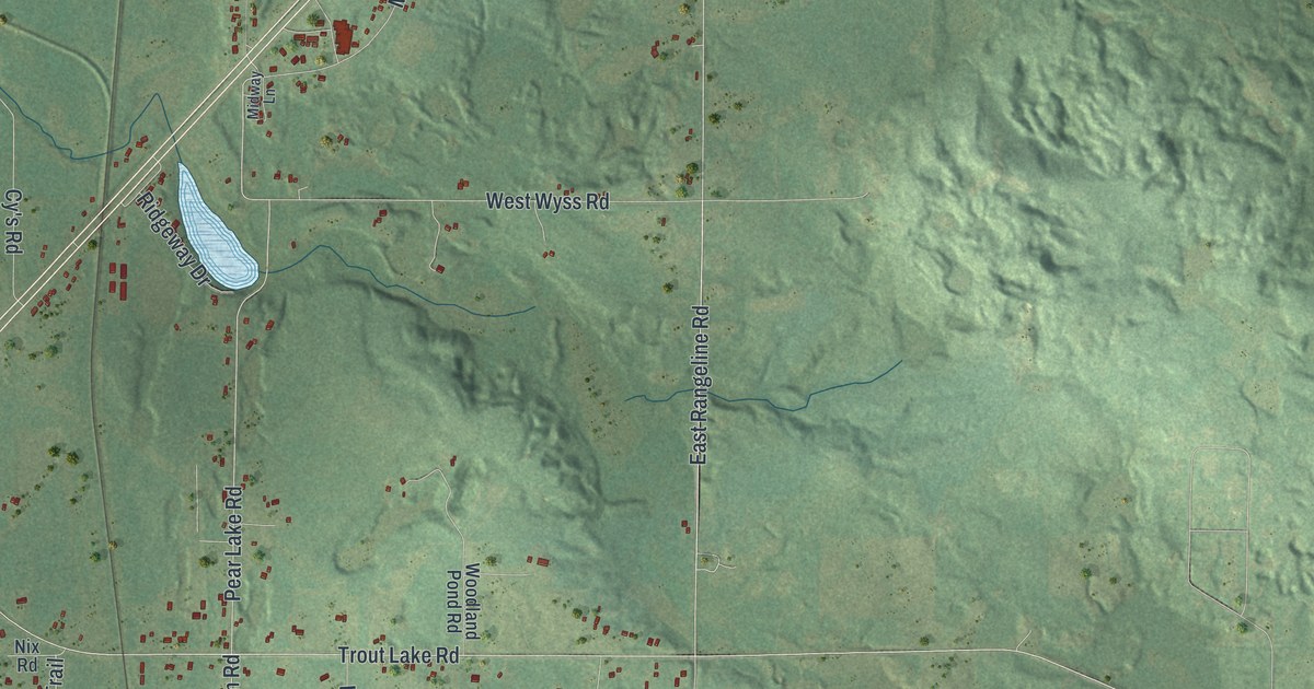
A detailed map of Coleraine, Minnesota, showing every building in its true location, the roads by name, and shaded topographical relief.
Read More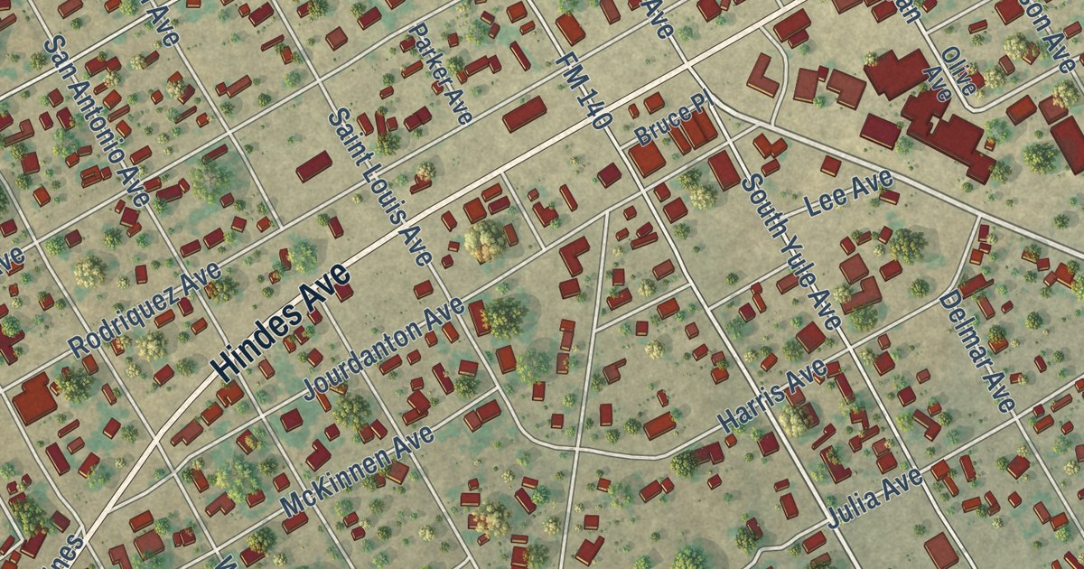
A detailed map of Charlotte, Texas, showing every building in its true location, the roads by name, and shaded topographical relief.
Read More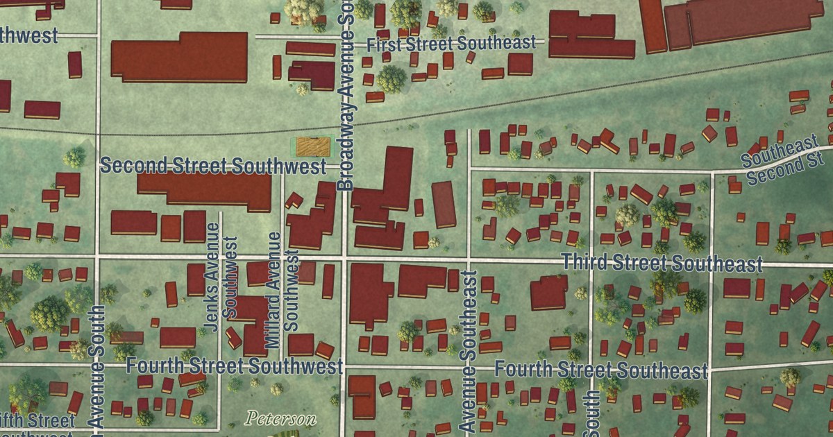
A detailed map of Cokato, Minnesota, showing every building in its true location, the roads by name, and shaded topographical relief.
Read More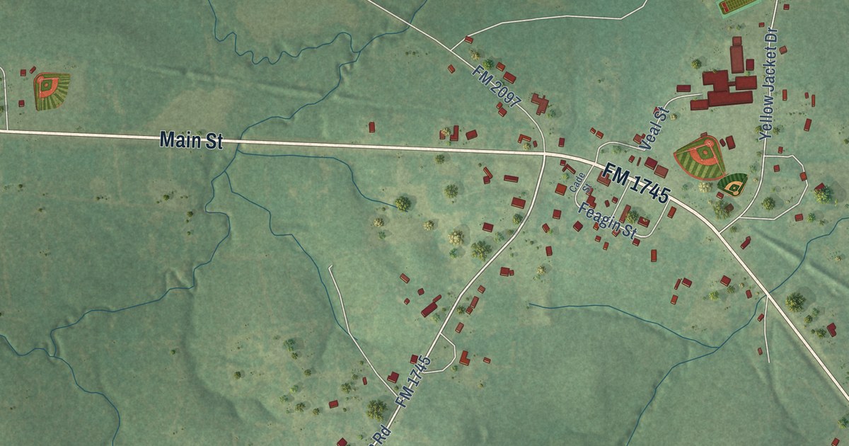
A detailed map of Chester, Texas, showing every building in its true location, the roads by name, and shaded topographical relief.
Read More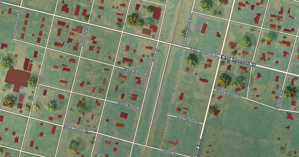
A detailed map of Channing, Texas, showing every building in its true location, the roads by name, and shaded topographical relief.
Read More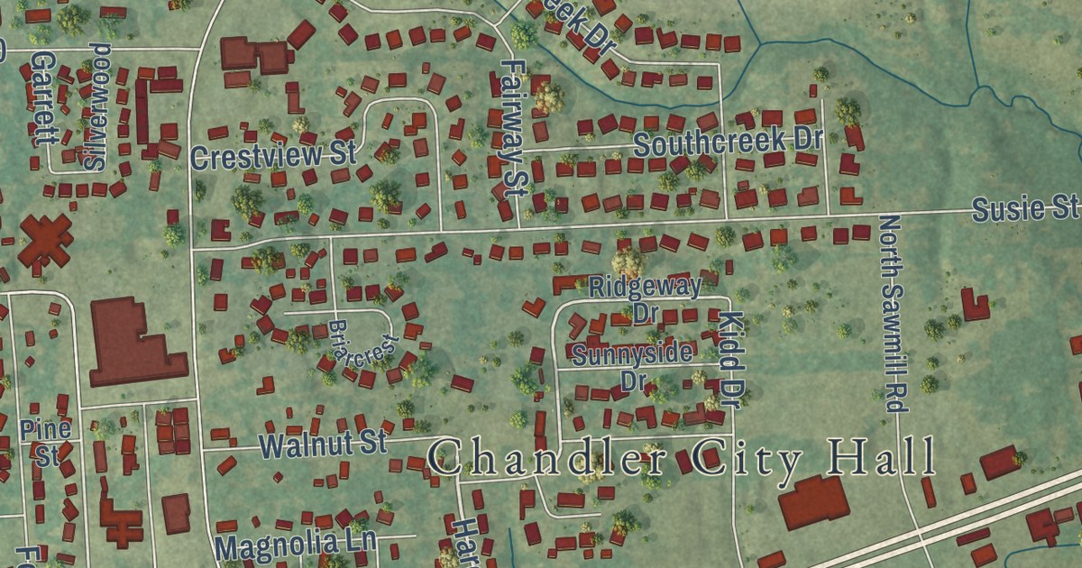
A detailed map of Chandler, Texas, showing every building in its true location, the roads by name, and shaded topographical relief.
Read More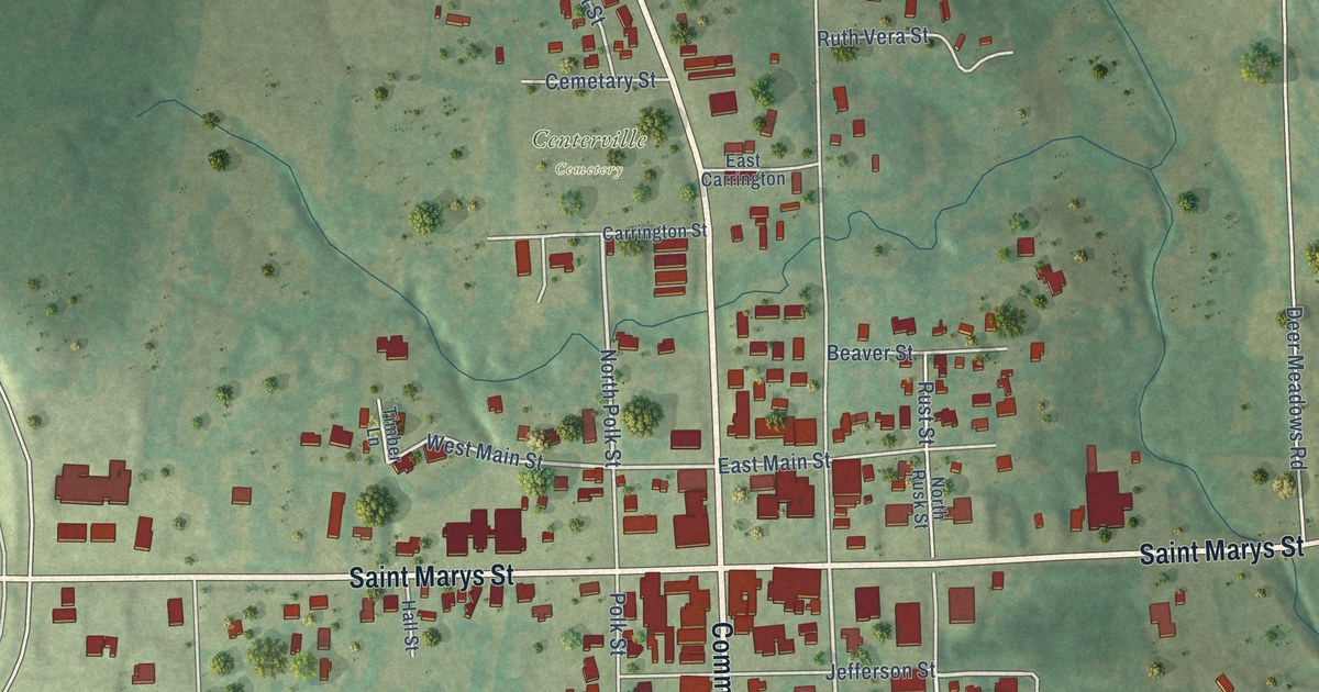
A detailed map of Centerville, Texas, showing every building in its true location, the roads by name, and shaded topographical relief.
Read More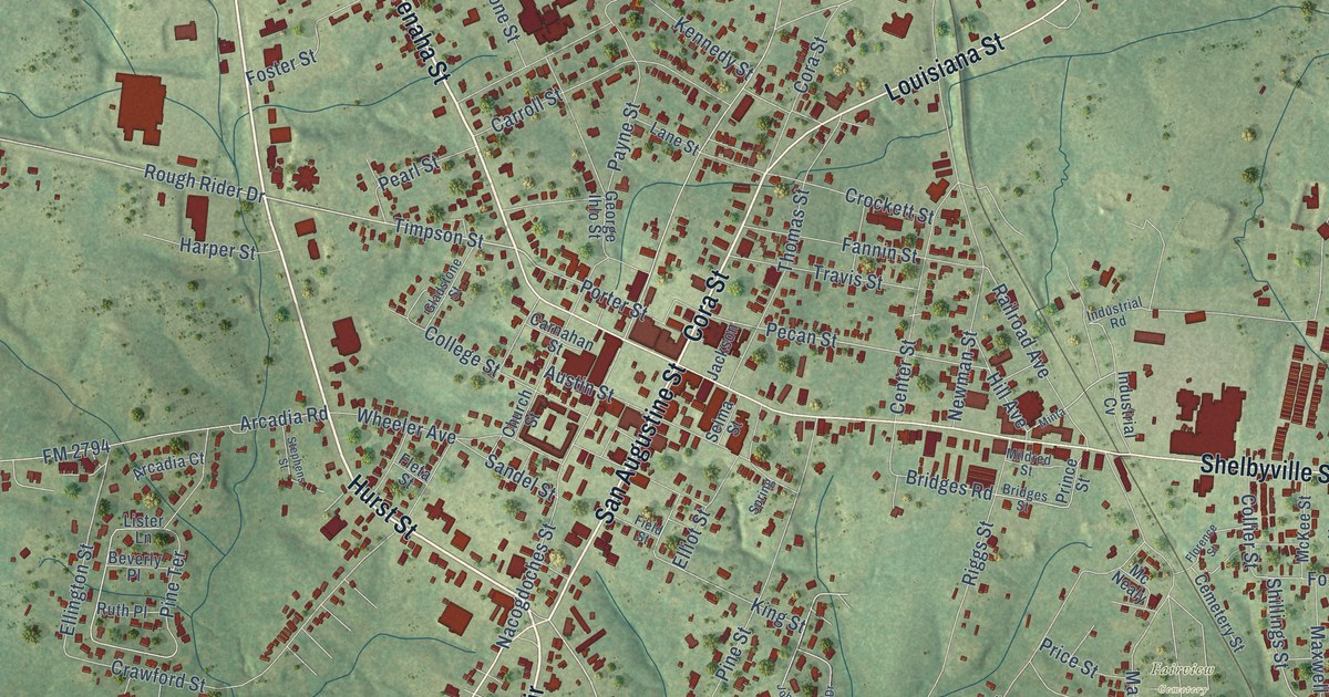
A detailed map of Center, Texas, showing every building in its true location, the roads by name, and shaded topographical relief.
Read More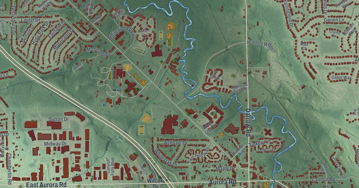
A new aerial view map of Twinsburg, Ohio in Summit County, made in 2026. Find Darrow Road, Center Valley Park and Killingworth Lane, and learn how settlers from Killingworth, Connecticut built the First Congregational Church in 1848.
Read More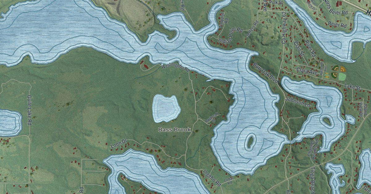
A detailed map of Cohasset, Minnesota, showing every building in its true location, the roads by name, and shaded topographical relief.
Read More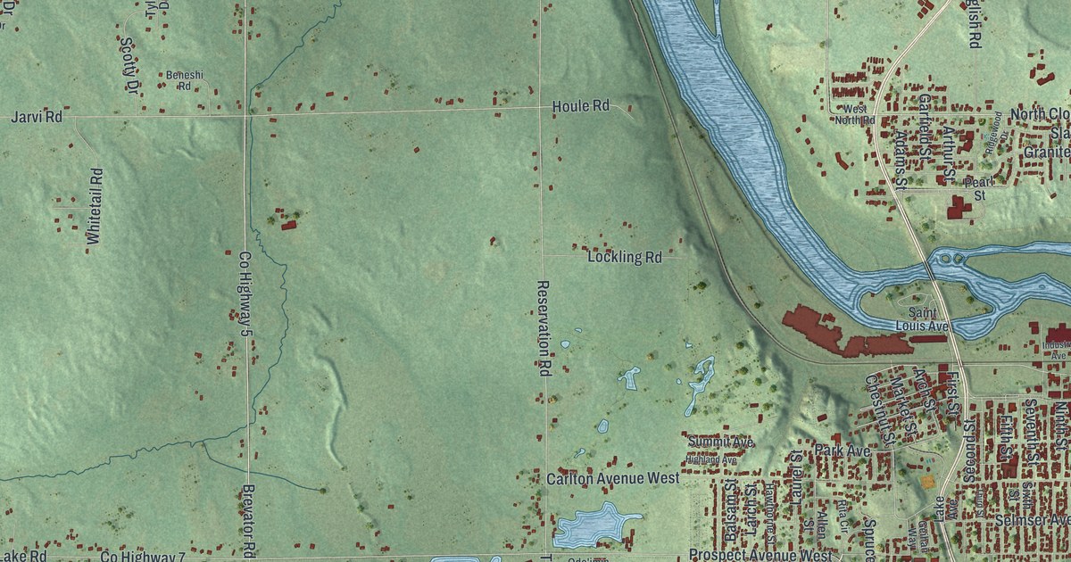
A detailed map of Cloquet, Minnesota, showing every building in its true location, the roads by name, and shaded topographical relief.
Read More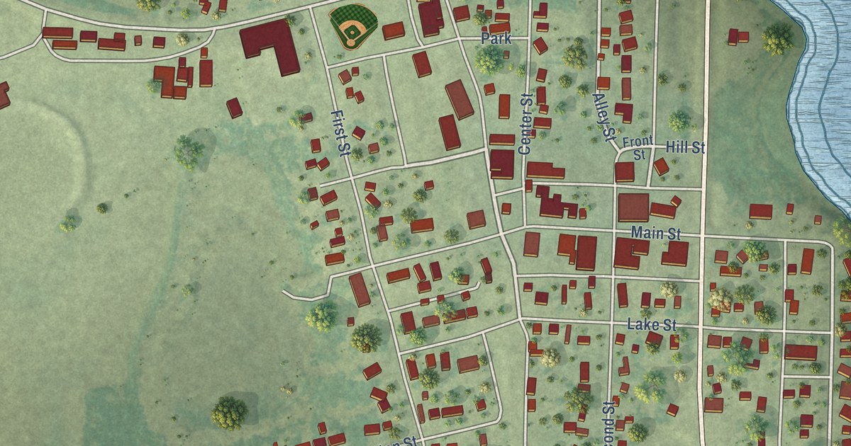
A detailed map of Clinton, Minnesota, showing every building in its true location, the roads by name, and shaded topographical relief.
Read More















