Detailed Map of Climax, Minnesota
A detailed map of Climax, Minnesota, showing every building in its true location, the roads by name, and shaded topographical relief.
Read More
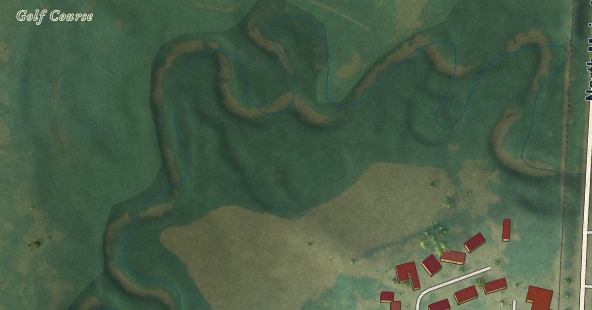
A detailed map of Climax, Minnesota, showing every building in its true location, the roads by name, and shaded topographical relief.
Read More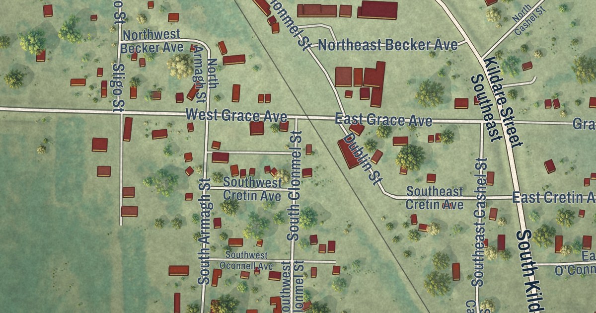
A detailed map of Clontarf, Minnesota, showing every building in its true location, the roads by name, and shaded topographical relief.
Read More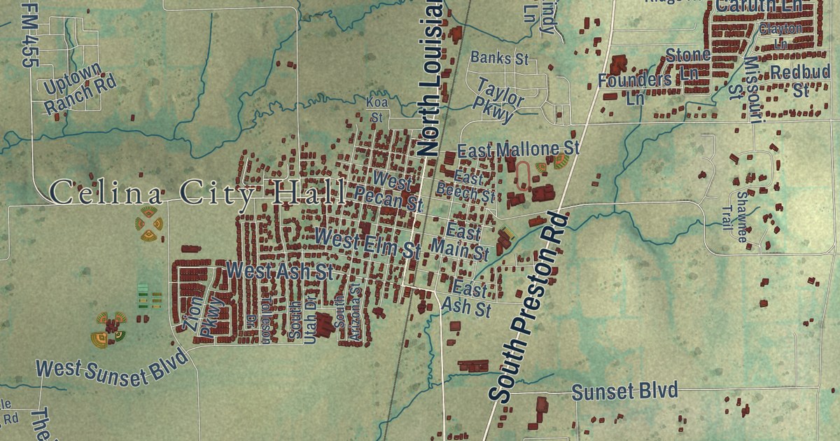
A detailed map of Celina, Texas, showing every building in its true location, the roads by name, and shaded topographical relief.
Read More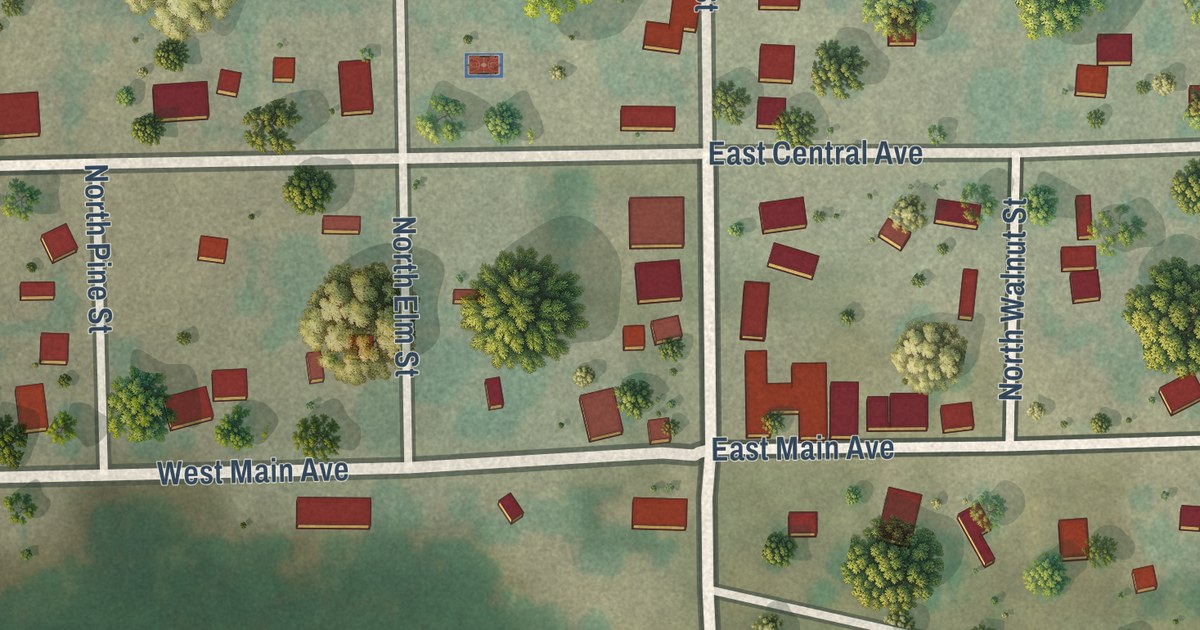
A detailed map of Clitherall, Minnesota, showing every building in its true location, the roads by name, and shaded topographical relief.
Read More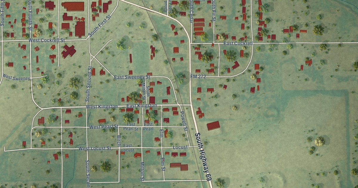
A detailed map of Celeste, Texas, showing every building in its true location, the roads by name, and shaded topographical relief.
Read More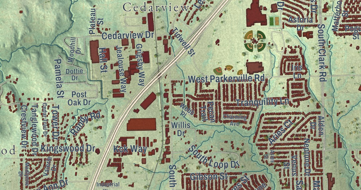
A detailed map of Cedar Hill, Texas, showing every building in its true location, the roads by name, and shaded topographical relief.
Read More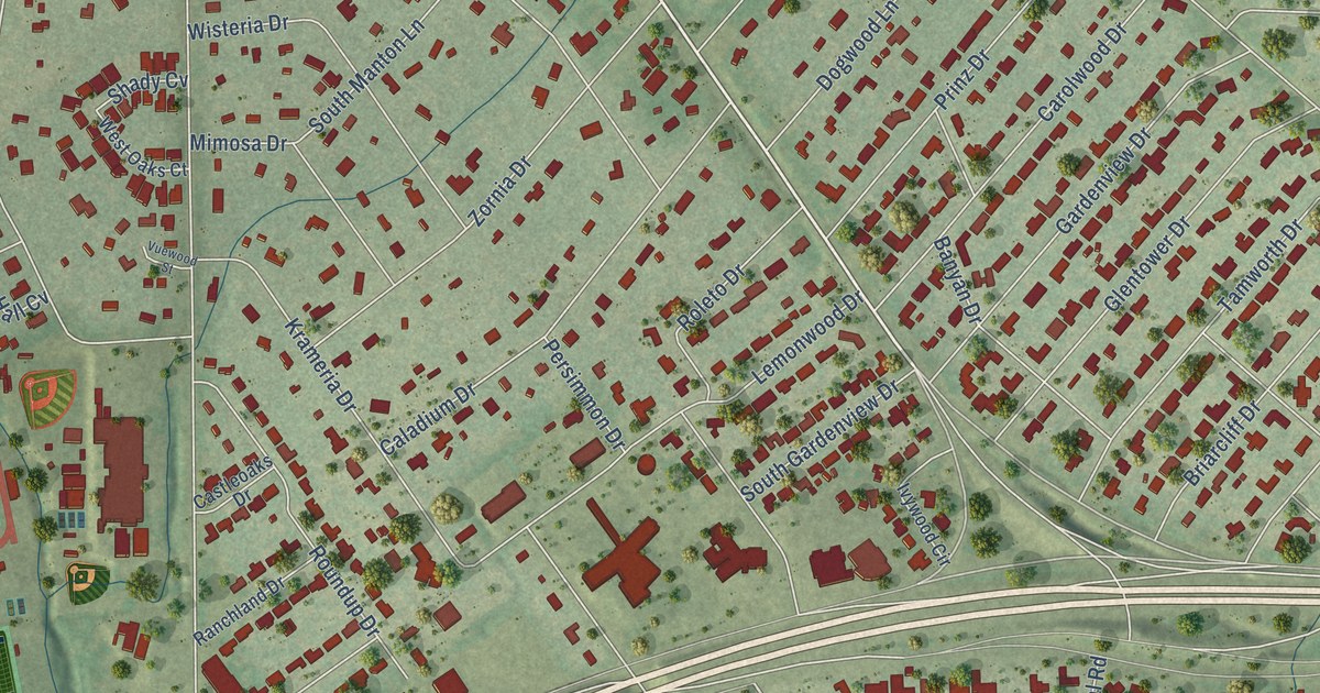
A detailed map of Castle Hills, Texas, showing every building in its true location, the roads by name, and shaded topographical relief.
Read More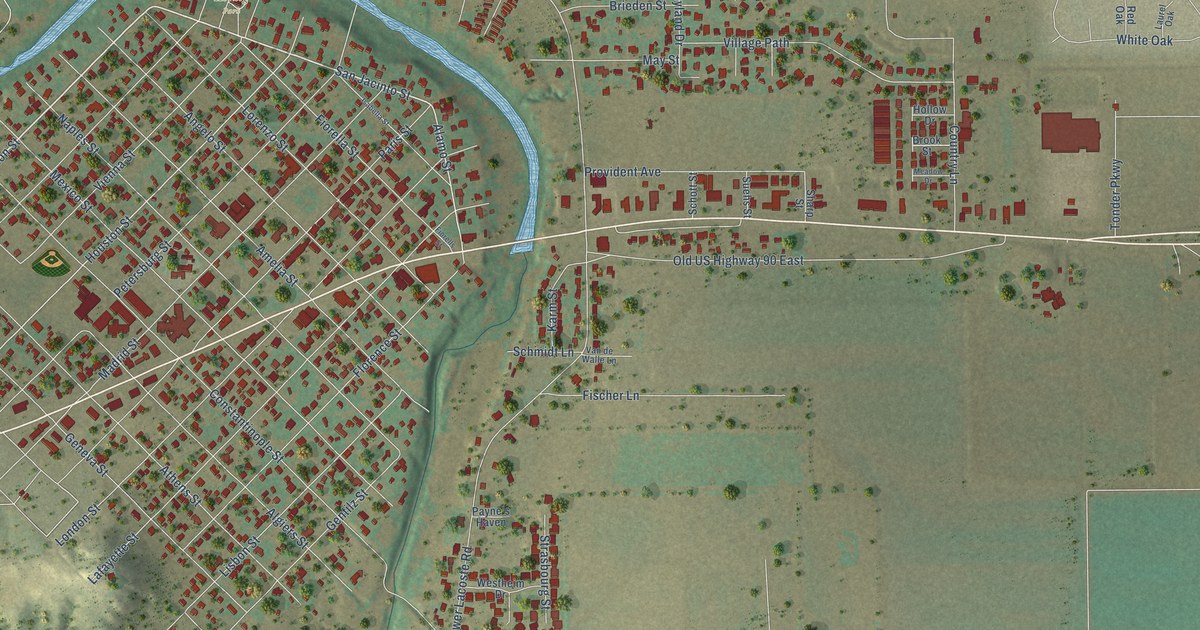
A detailed map of Castroville, Texas, showing every building in its true location, the roads by name, and shaded topographical relief.
Read More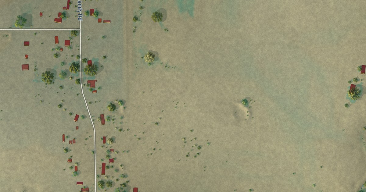
A detailed map of Cashion Community, Texas, showing every building in its true location, the roads by name, and shaded topographical relief.
Read More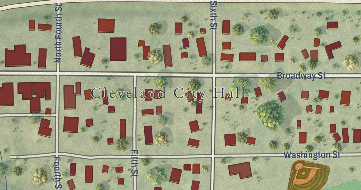
A detailed map of Cleveland, Minnesota, showing every building in its true location, the roads by name, and shaded topographical relief.
Read More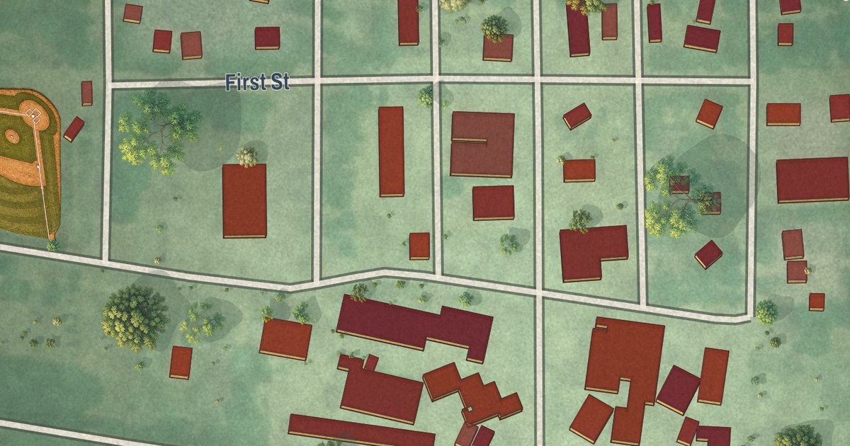
A detailed map of Clements, Minnesota, showing every building in its true location, the roads by name, and shaded topographical relief.
Read More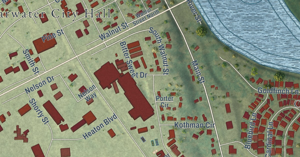
A detailed map of Clearwater, Minnesota, showing every building in its true location, the roads by name, and shaded topographical relief.
Read More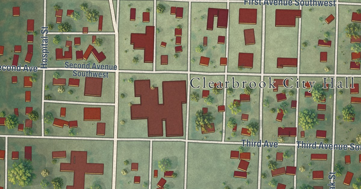
A detailed map of Clearbrook, Minnesota, showing every building in its true location, the roads by name, and shaded topographical relief.
Read More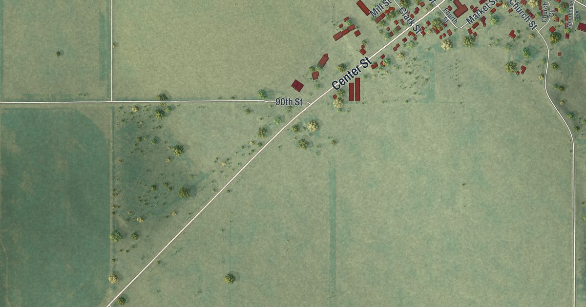
A detailed map of Clear Lake, Minnesota, showing every building in its true location, the roads by name, and shaded topographical relief.
Read More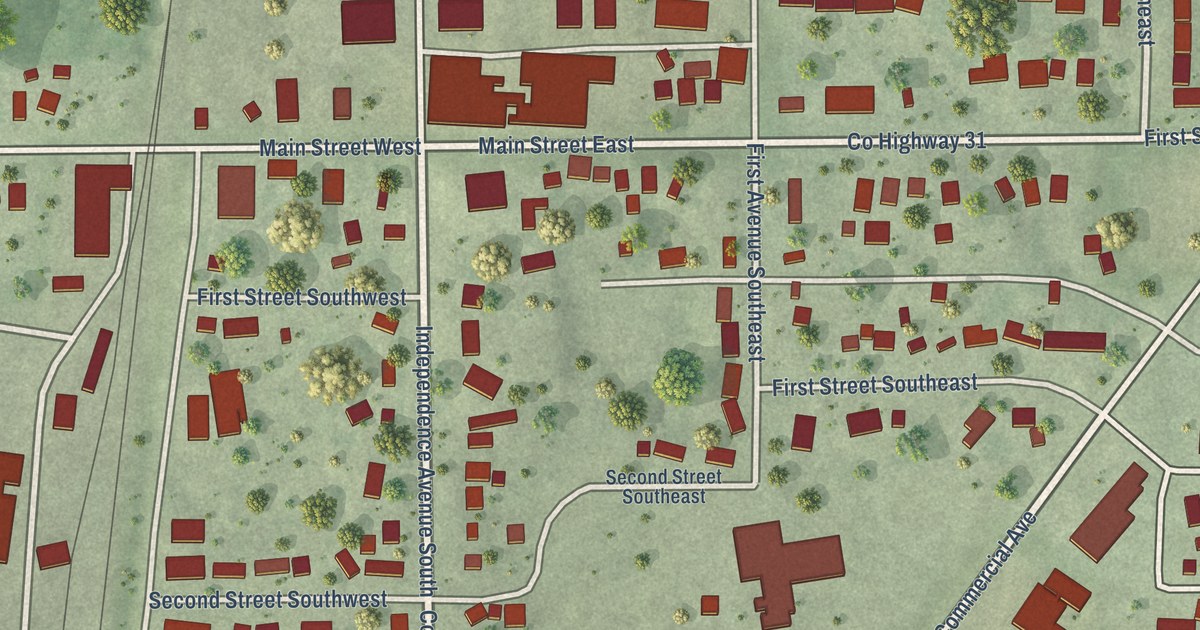
A detailed map of Clarks Grove, Minnesota, showing every building in its true location, the roads by name, and shaded topographical relief.
Read More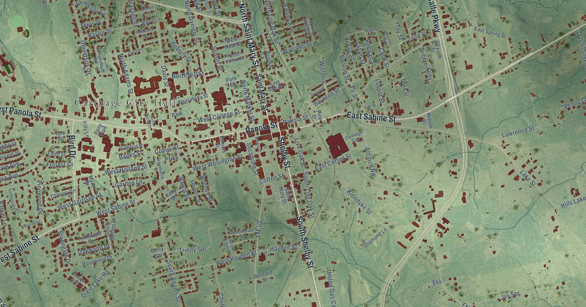
A detailed map of Carthage, Texas, showing every building in its true location, the roads by name, and shaded topographical relief.
Read More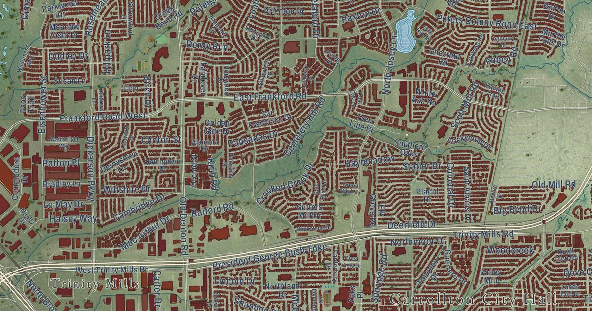
A detailed map of Carrollton, Texas, showing every building in its true location, the roads by name, and shaded topographical relief.
Read More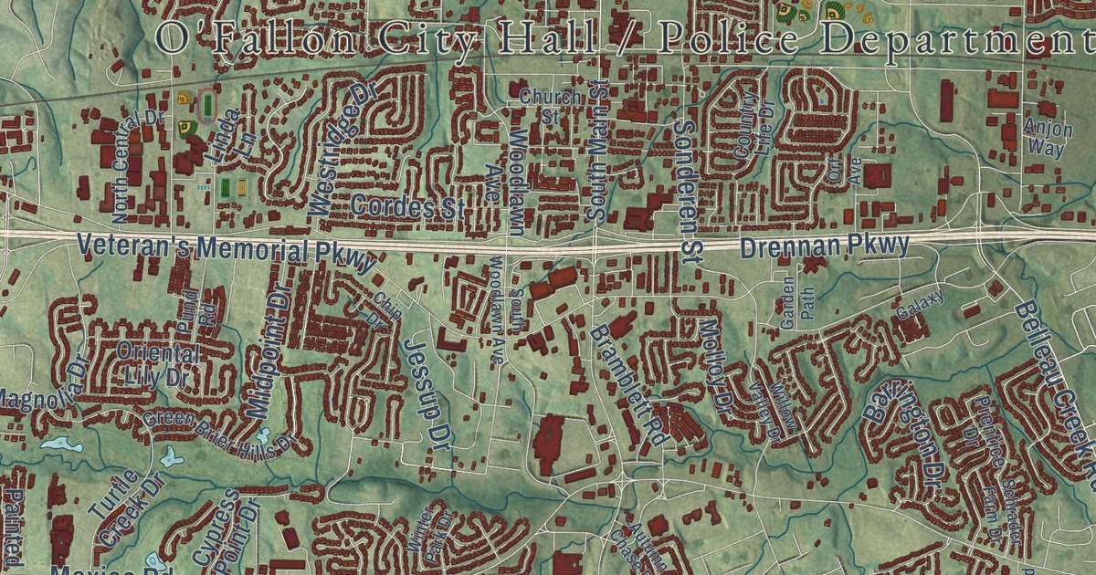
O’Fallon, Missouri, was surveyed in 1857 and named for Colonel John O’Fallon, a director in the North Missouri Railroad. This 2026 aerial map shows its hills, lakes and streets, from South Main Street to Winghaven Boulevard.
Read More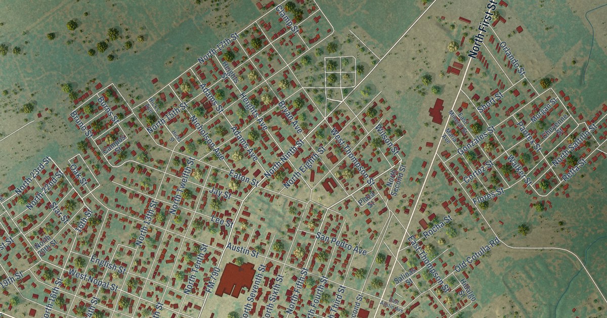
A detailed map of Carrizo Springs, Texas, showing every building in its true location, the roads by name, and shaded topographical relief.
Read More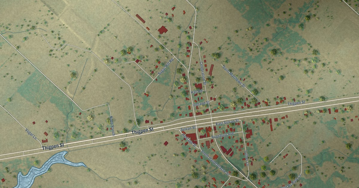
A detailed map of Carmine, Texas, showing every building in its true location, the roads by name, and shaded topographical relief.
Read More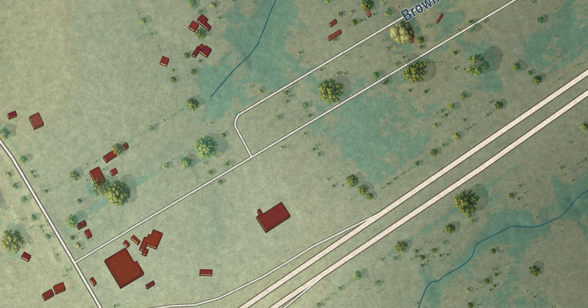
A detailed map of Carl’s Corner, Texas, showing every building in its true location, the roads by name, and shaded topographical relief.
Read More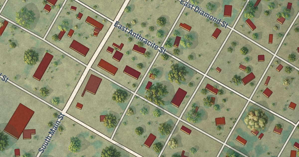
A detailed map of Carbon, Texas, showing every building in its true location, the roads by name, and shaded topographical relief.
Read More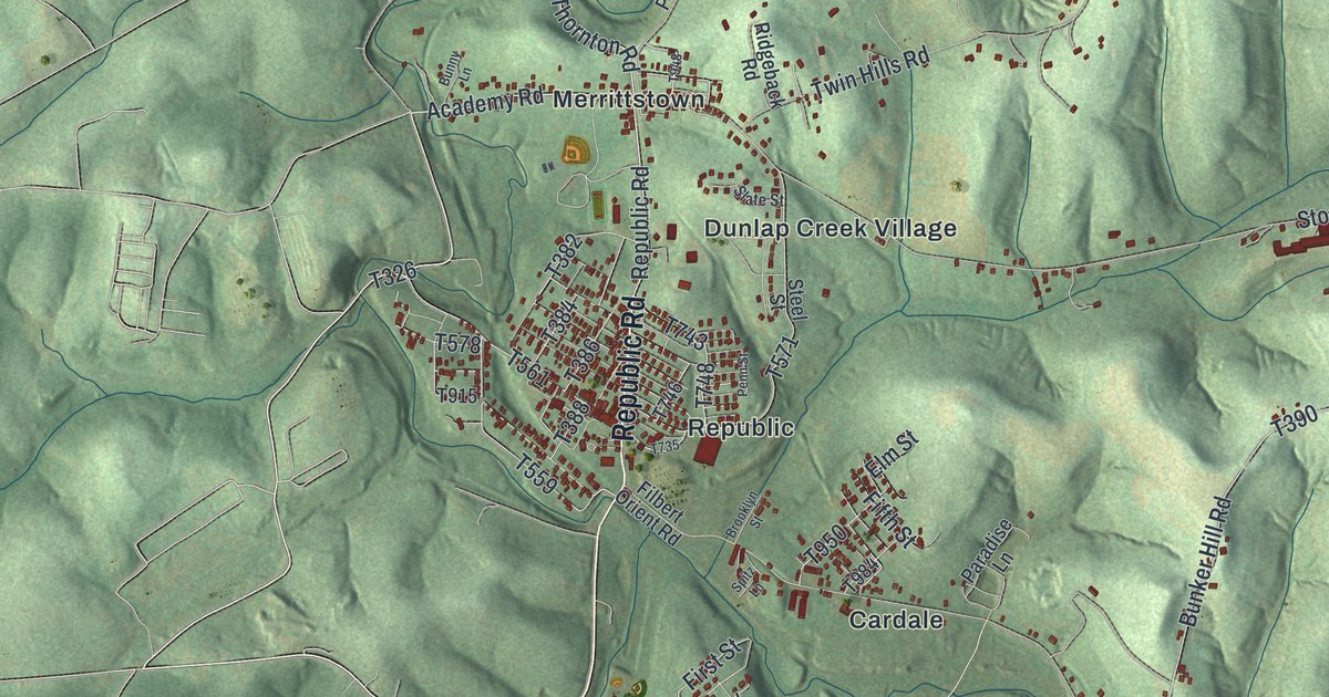
Follow Stone Church Road from Merrittstown to the National Pike on this Redstone Township map, and read what the 1882 county history said about Kroft’s apple tree.
Read More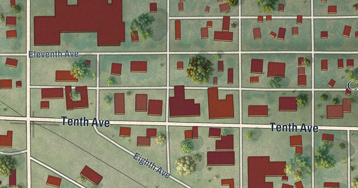
A detailed map of Clarkfield, Minnesota, showing every building in its true location, the roads by name, and shaded topographical relief.
Read More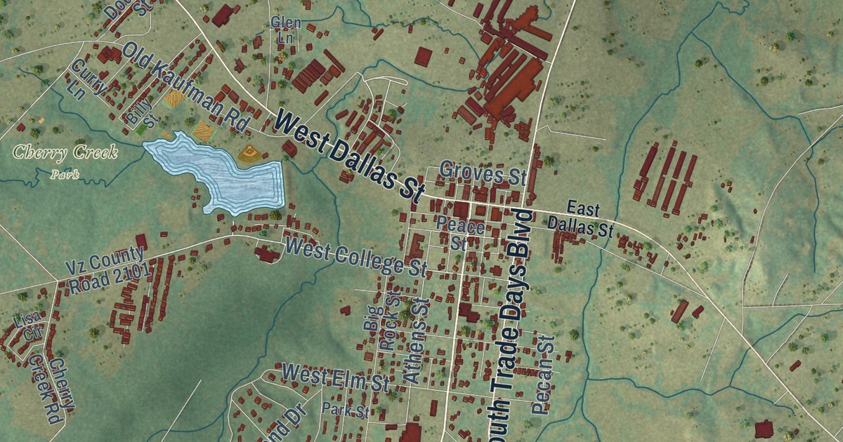
A detailed map of Canton, Texas, showing every building in its true location, the roads by name, and shaded topographical relief.
Read More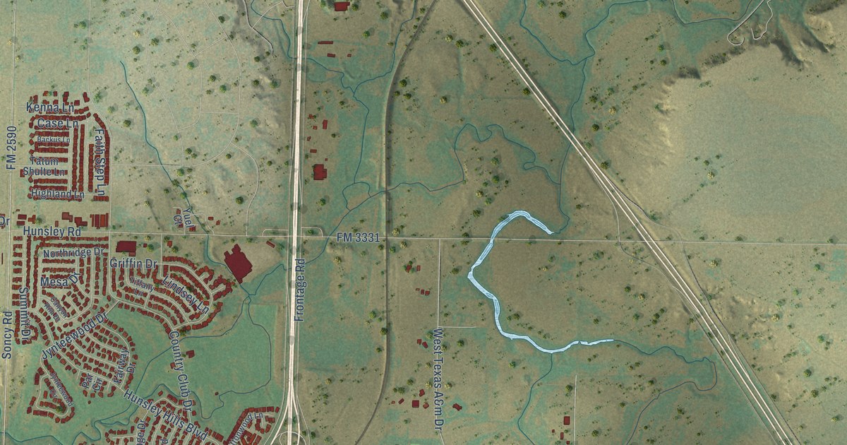
A detailed map of Canyon, Texas, showing every building in its true location, the roads by name, and shaded topographical relief.
Read More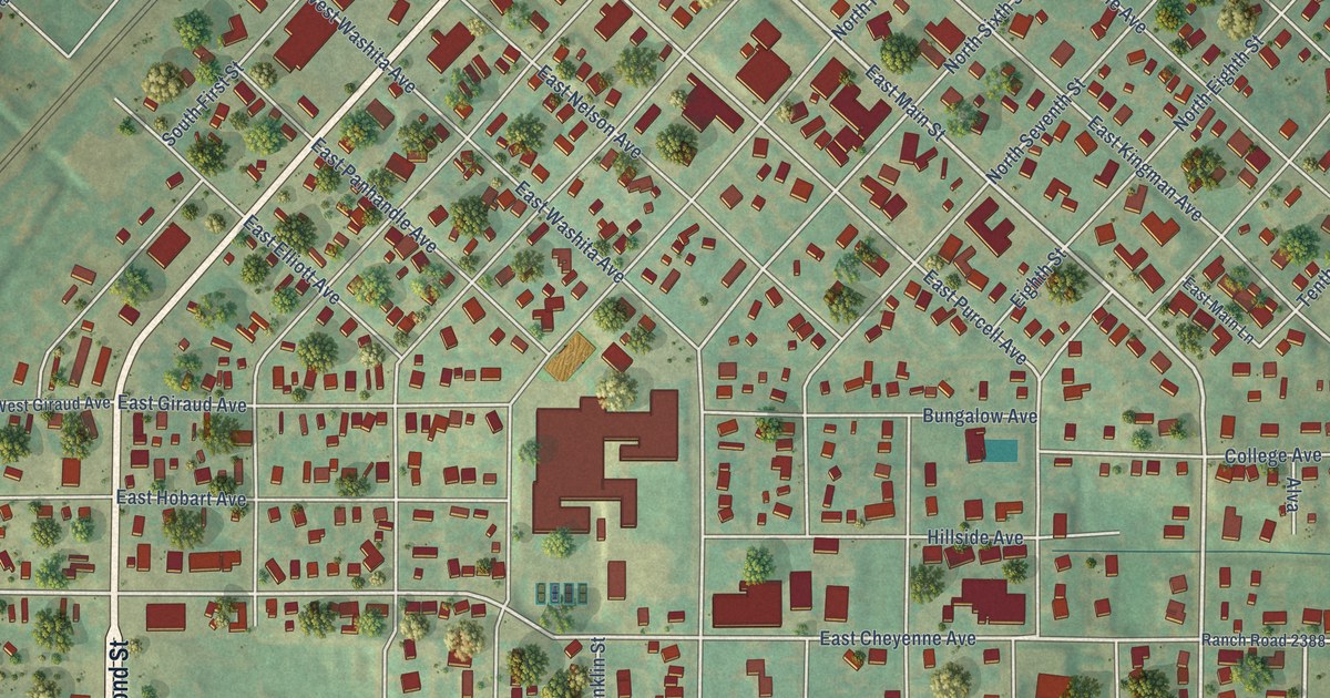
A detailed map of Canadian, Texas, showing every building in its true location, the roads by name, and shaded topographical relief.
Read More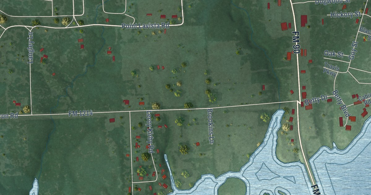
A detailed map of Caney City, Texas, showing every building in its true location, the roads by name, and shaded topographical relief.
Read More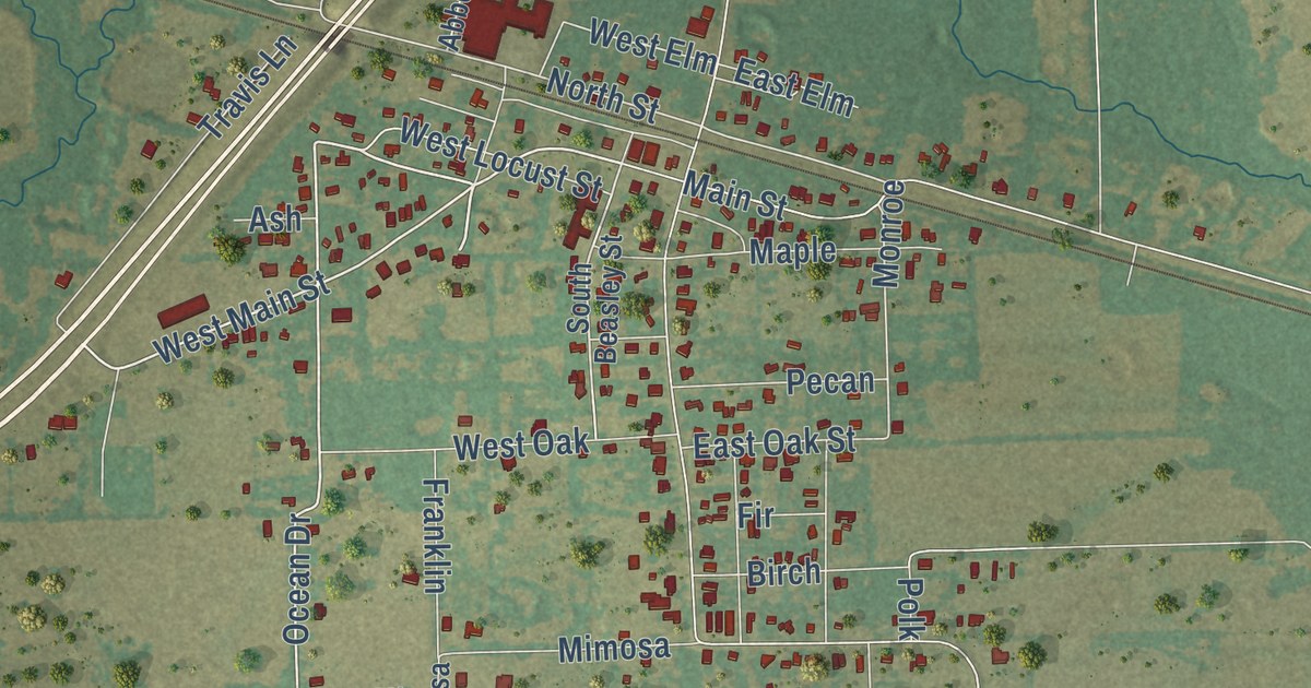
A detailed map of Campbell, Texas, showing every building in its true location, the roads by name, and shaded topographical relief.
Read More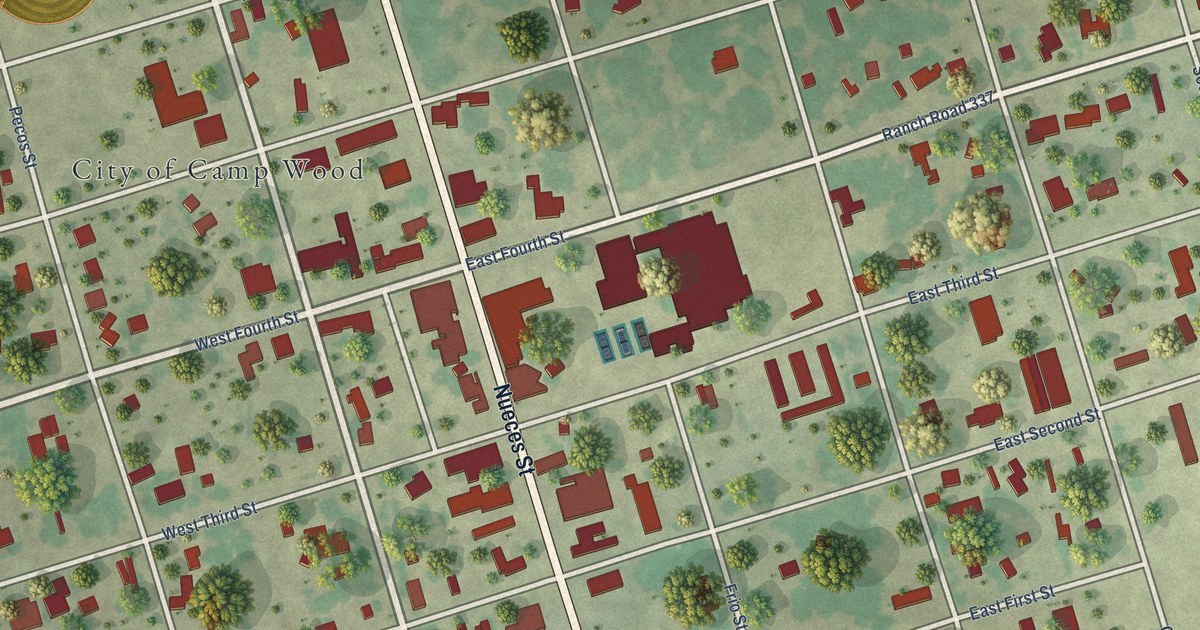
A detailed map of Camp Wood, Texas, showing every building in its true location, the roads by name, and shaded topographical relief.
Read More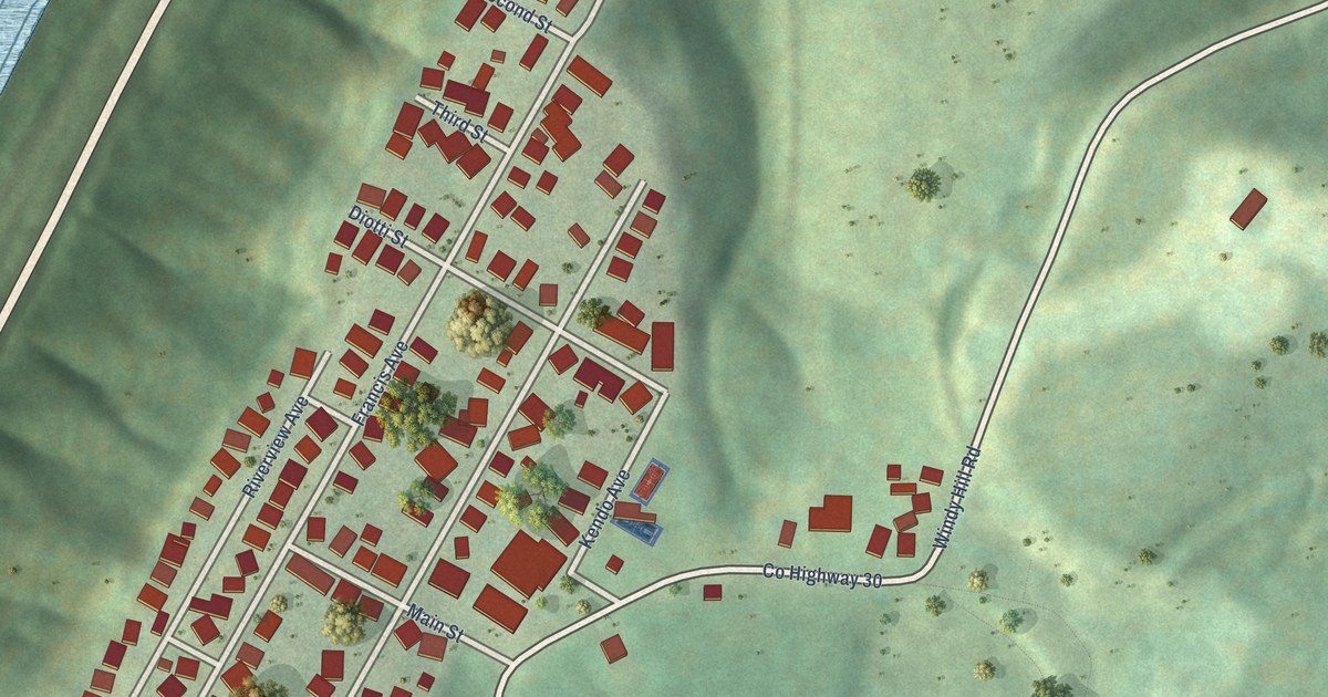
A detailed map of Windsor Heights, West Virginia, showing every building in its true location, the roads by name, and shaded topographical relief.
Read More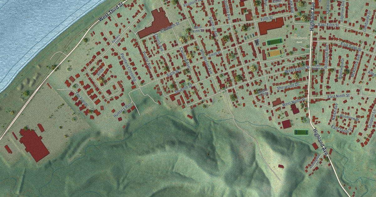
A detailed map of Williamstown, West Virginia, showing every building in its true location, the roads by name, and shaded topographical relief.
Read More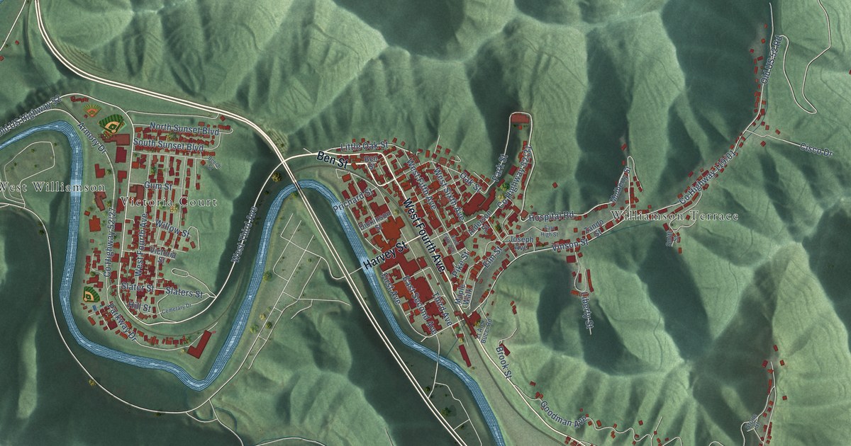
A detailed map of Williamson, West Virginia, showing every building in its true location, the roads by name, and shaded topographical relief.
Read More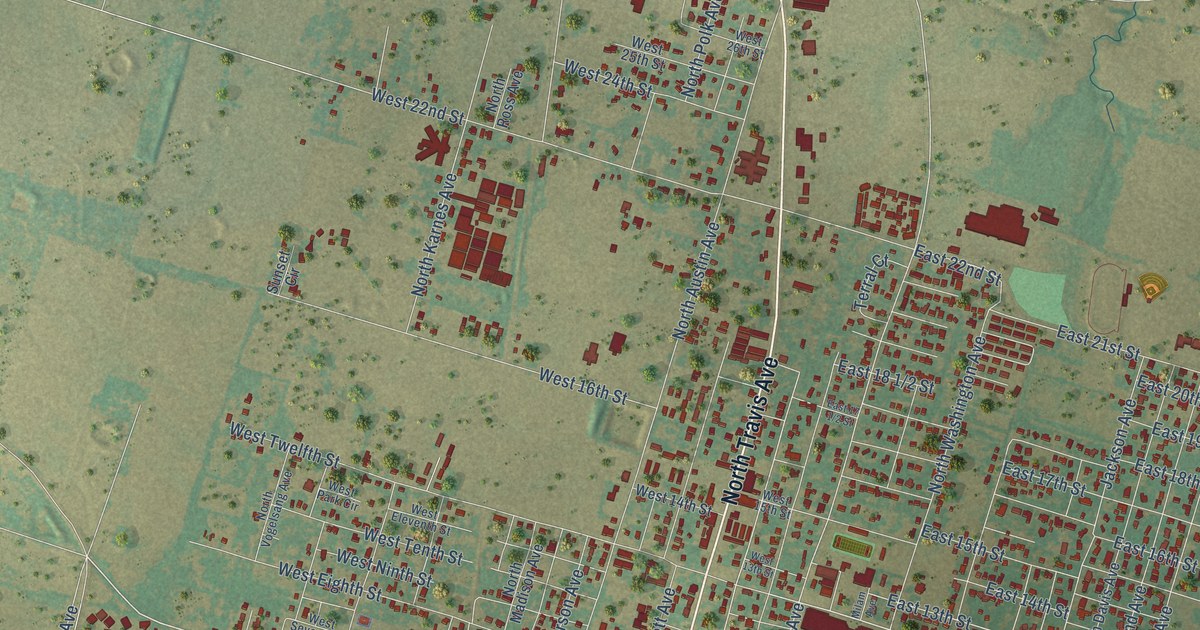
A detailed map of Cameron, Texas, showing every building in its true location, the roads by name, and shaded topographical relief.
Read More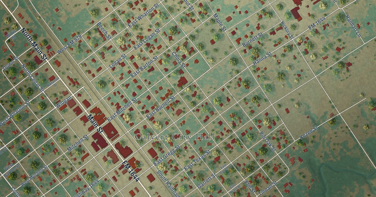
A detailed map of Calvert, Texas, showing every building in its true location, the roads by name, and shaded topographical relief.
Read More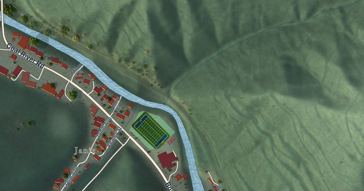
A detailed map of Whitesville, West Virginia, showing every building in its true location, the roads by name, and shaded topographical relief.
Read More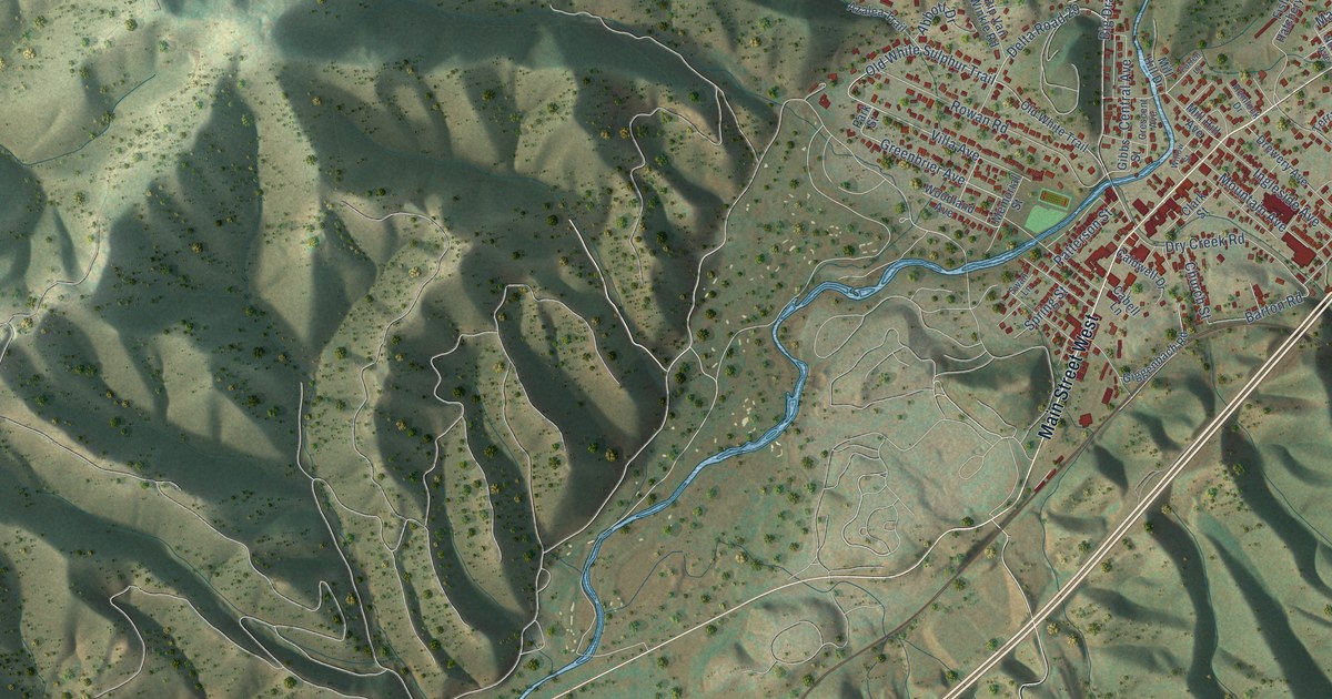
A detailed map of White Sulphur Springs, West Virginia, showing every building in its true location, the roads by name, and shaded topographical relief.
Read More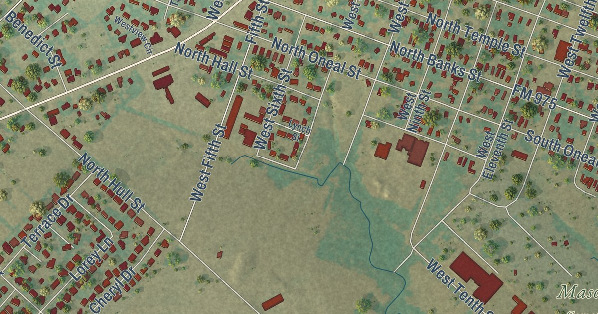
A detailed map of Caldwell, Texas, showing every building in its true location, the roads by name, and shaded topographical relief.
Read More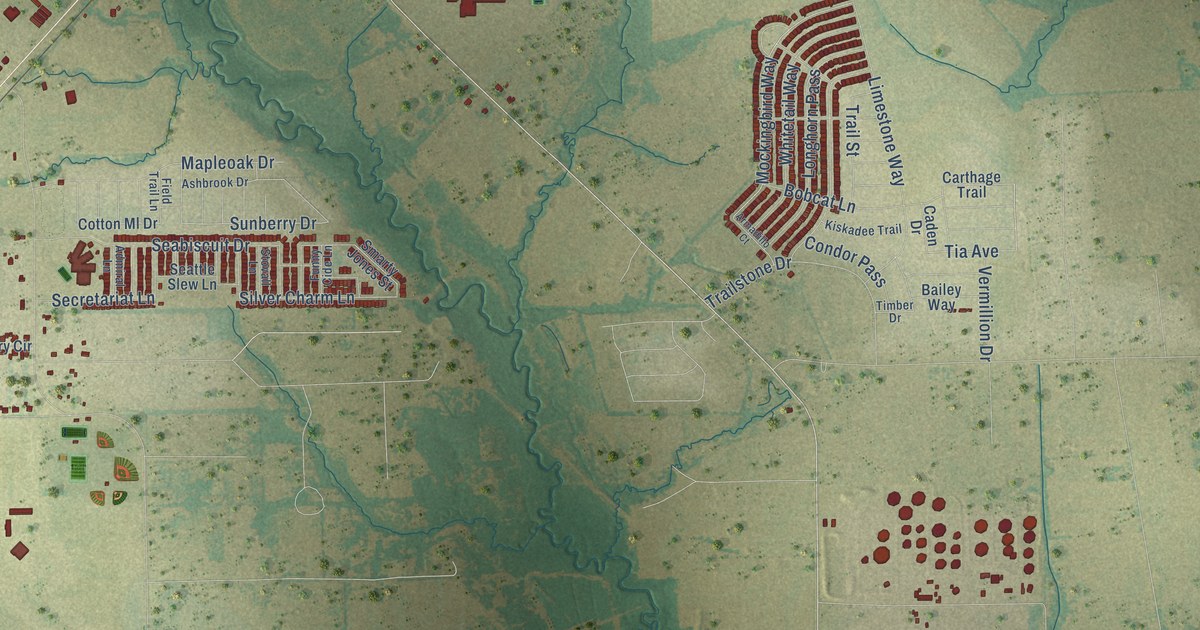
A detailed map of Caddo Mills, Texas, showing every building in its true location, the roads by name, and shaded topographical relief.
Read More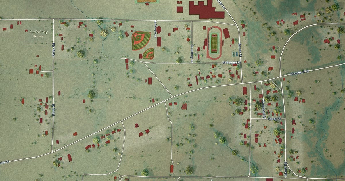
A detailed map of Callisburg, Texas, showing every building in its true location, the roads by name, and shaded topographical relief.
Read More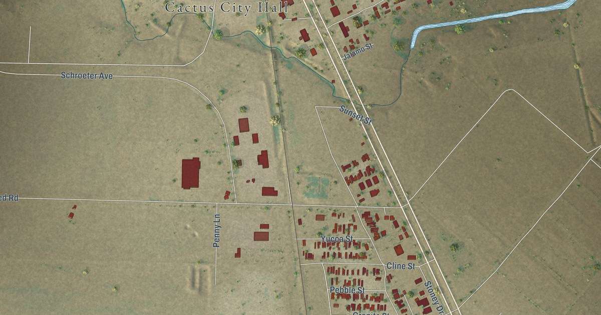
A detailed map of Cactus, Texas, showing every building in its true location, the roads by name, and shaded topographical relief.
Read More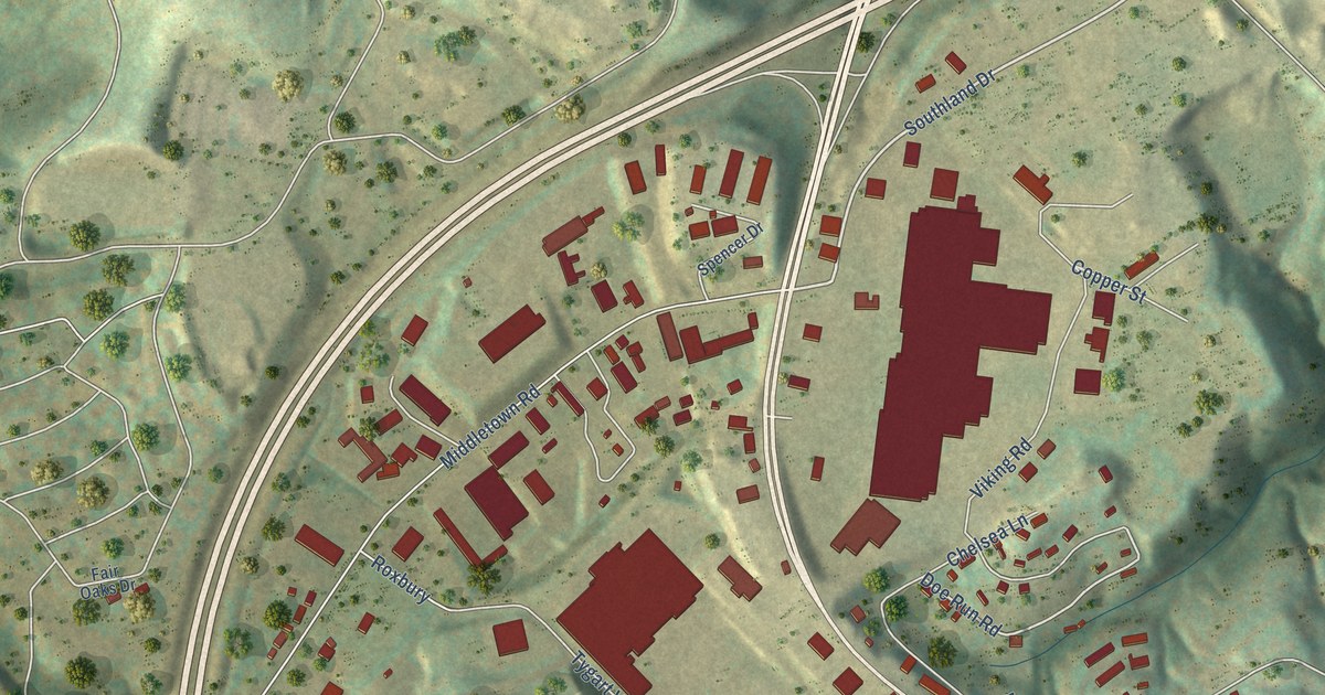
A detailed map of White Hall, West Virginia, showing every building in its true location, the roads by name, and shaded topographical relief.
Read More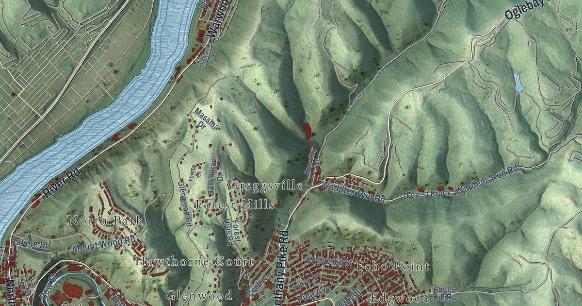
A detailed map of Wheeling, West Virginia, showing every building in its true location, the roads by name, and shaded topographical relief.
Read More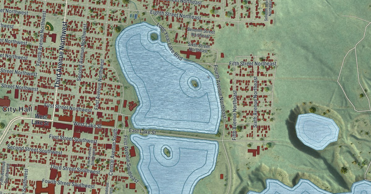
A detailed map of Chisholm, Minnesota, showing every building in its true location, the roads by name, and shaded topographical relief.
Read More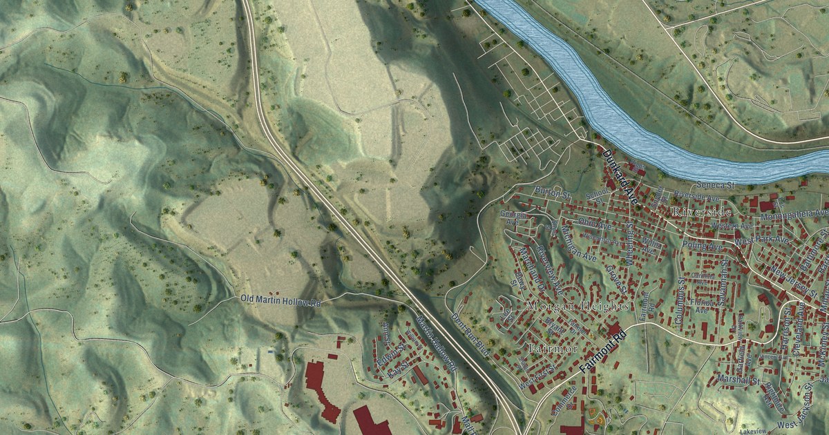
A detailed map of Westover, West Virginia, showing every building in its true location, the roads by name, and shaded topographical relief.
Read More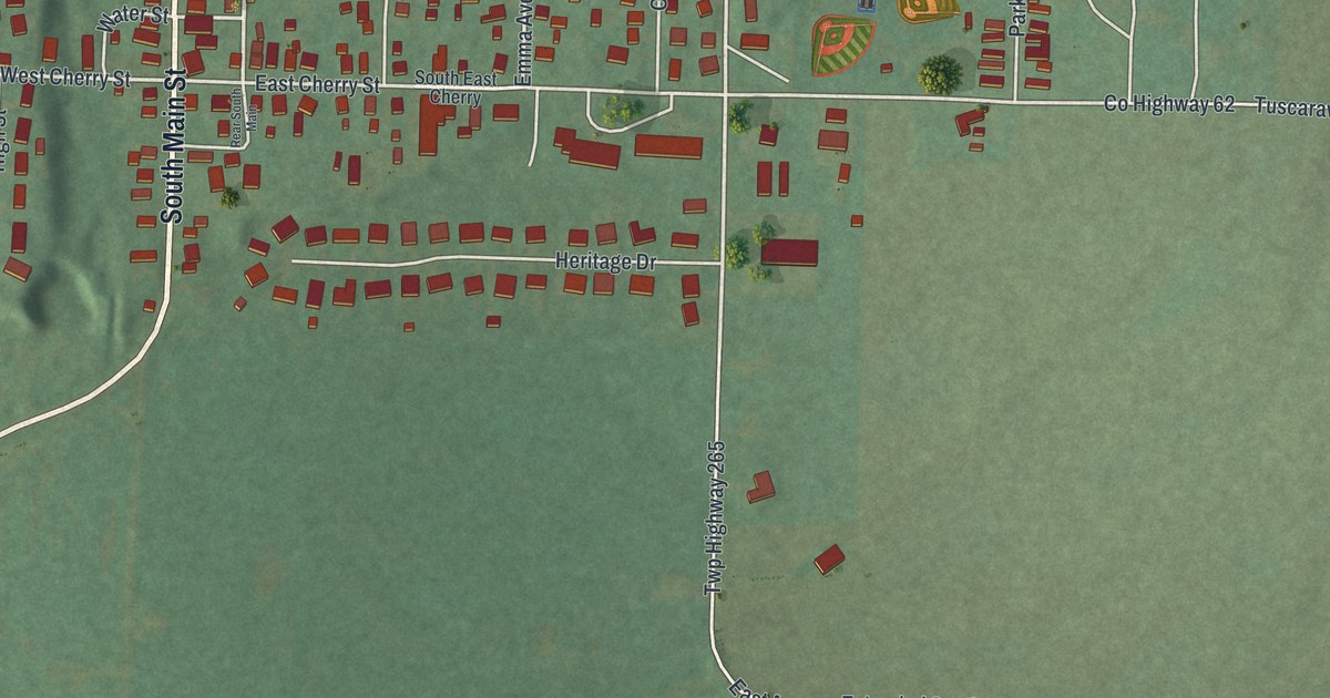
See Tuscarawas in a new aerial map with a vintage feel. Find familiar streets, red buildings and Riverside Park, then learn why two canal locks carried the village’s old name of Trenton.
Read More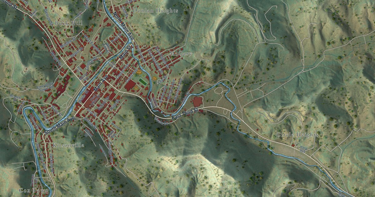
A detailed map of Weston, West Virginia, showing every building in its true location, the roads by name, and shaded topographical relief.
Read More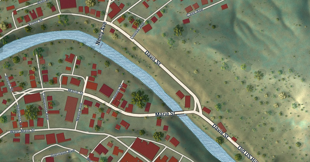
A detailed map of West Union, West Virginia, showing every building in its true location, the roads by name, and shaded topographical relief.
Read More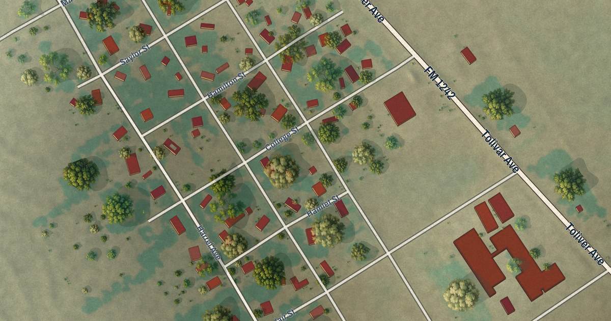
A detailed map of Bynum, Texas, showing every building in its true location, the roads by name, and shaded topographical relief.
Read More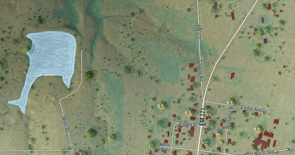
A detailed map of Byers, Texas, showing every building in its true location, the roads by name, and shaded topographical relief.
Read More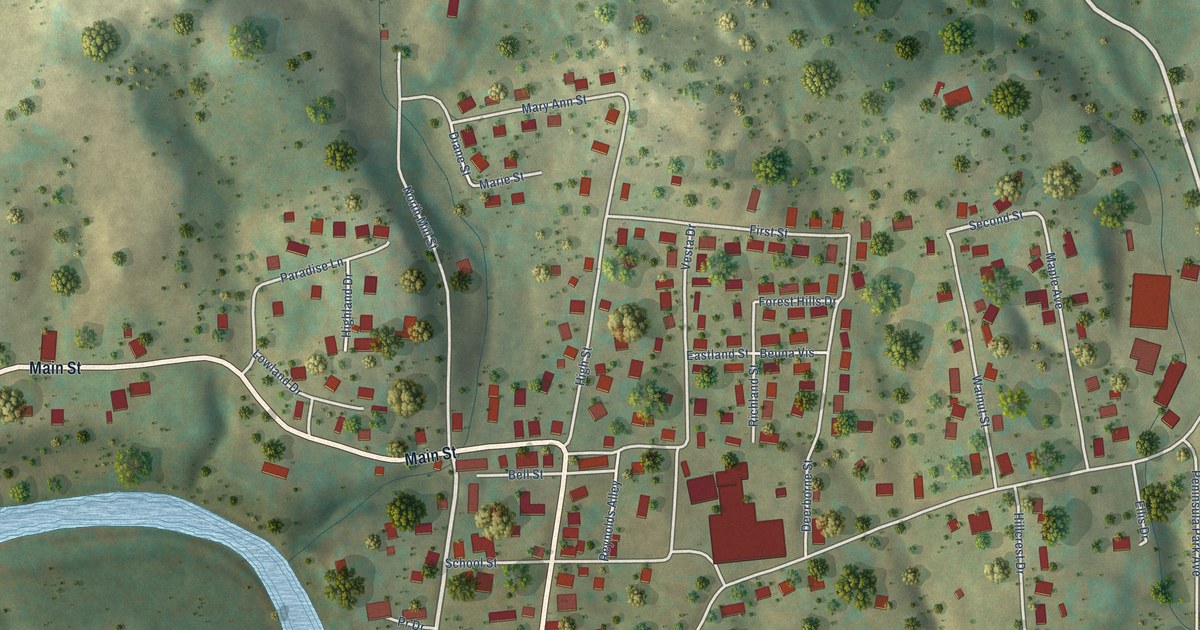
A detailed map of West Milford, West Virginia, showing every building in its true location, the roads by name, and shaded topographical relief.
Read More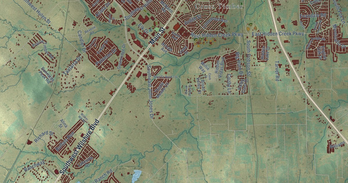
A detailed map of Burleson, Texas, showing every building in its true location, the roads by name, and shaded topographical relief.
Read More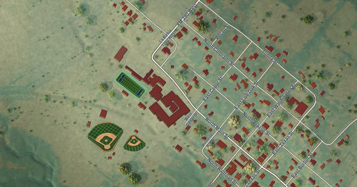
A detailed map of Burton, Texas, showing every building in its true location, the roads by name, and shaded topographical relief.
Read More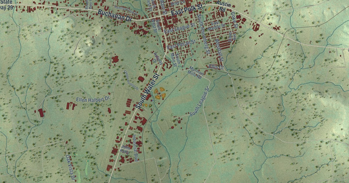
A detailed map of Burnet, Texas, showing every building in its true location, the roads by name, and shaded topographical relief.
Read More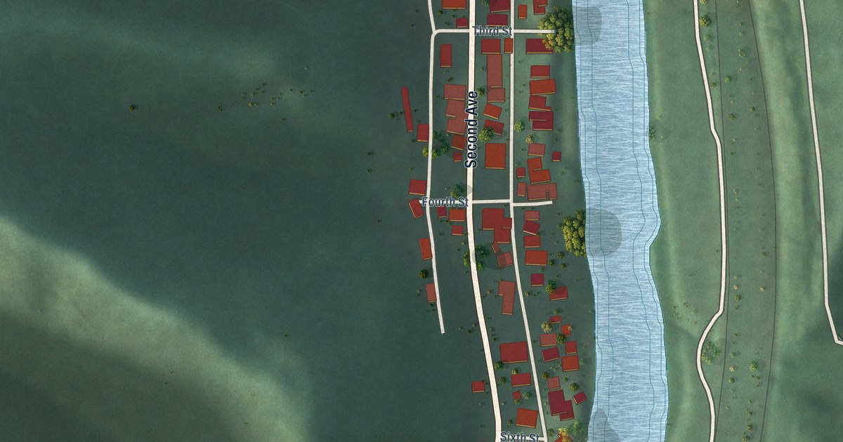
A detailed map of West Logan, West Virginia, showing every building in its true location, the roads by name, and shaded topographical relief.
Read More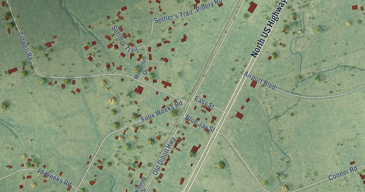
A detailed map of Burke, Texas, showing every building in its true location, the roads by name, and shaded topographical relief.
Read More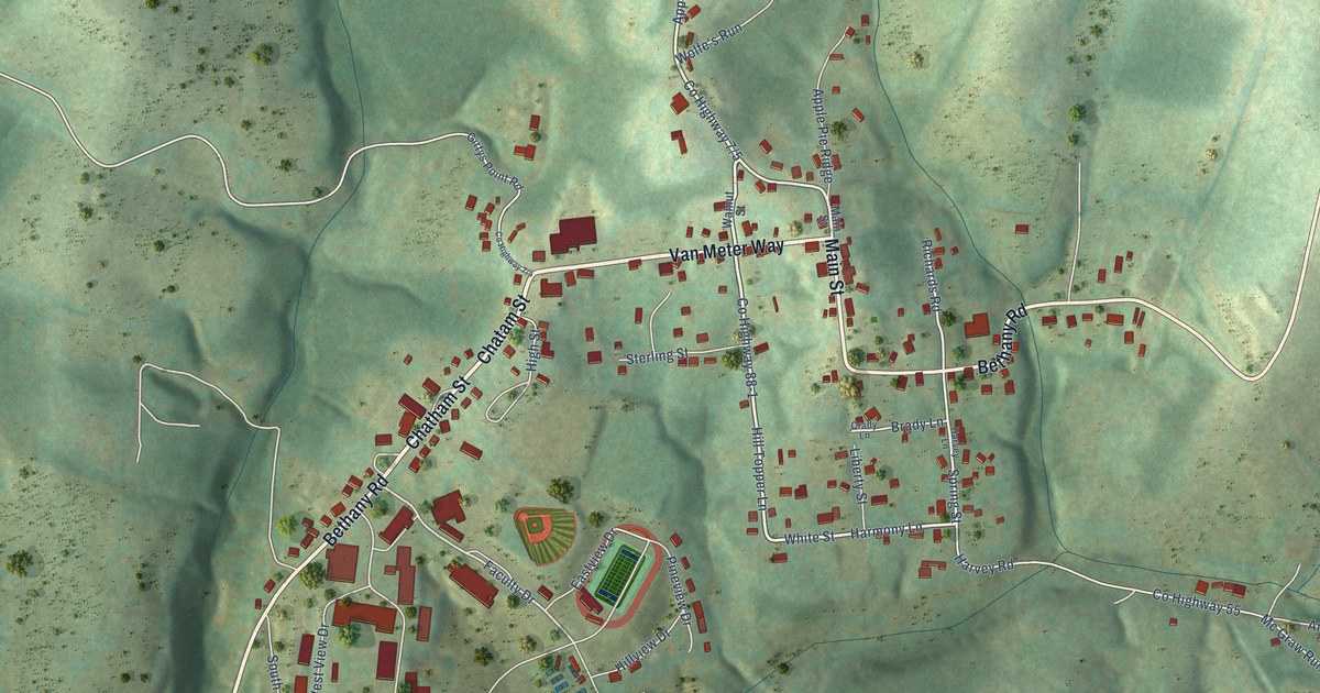
A detailed map of West Liberty, West Virginia, showing every building in its true location, the roads by name, and shaded topographical relief.
Read More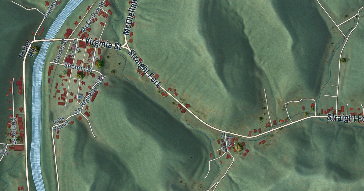
A detailed map of West Hamlin, West Virginia, showing every building in its true location, the roads by name, and shaded topographical relief.
Read More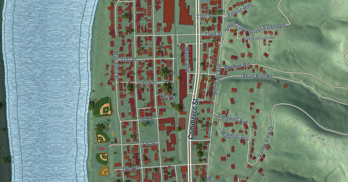
A detailed map of Wellsburg, West Virginia, showing every building in its true location, the roads by name, and shaded topographical relief.
Read More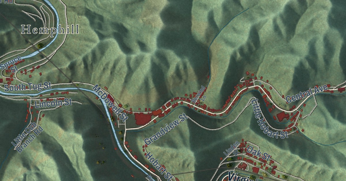
A detailed map of Welch, West Virginia, showing every building in its true location, the roads by name, and shaded topographical relief.
Read More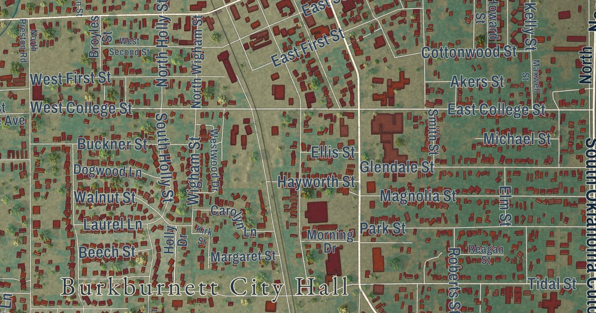
A detailed map of Burkburnett, Texas, showing every building in its true location, the roads by name, and shaded topographical relief.
Read More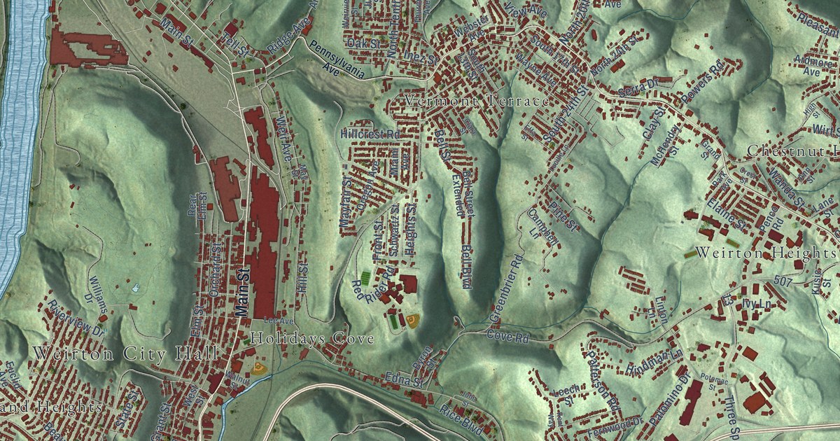
A detailed map of Weirton, West Virginia, showing every building in its true location, the roads by name, and shaded topographical relief.
Read More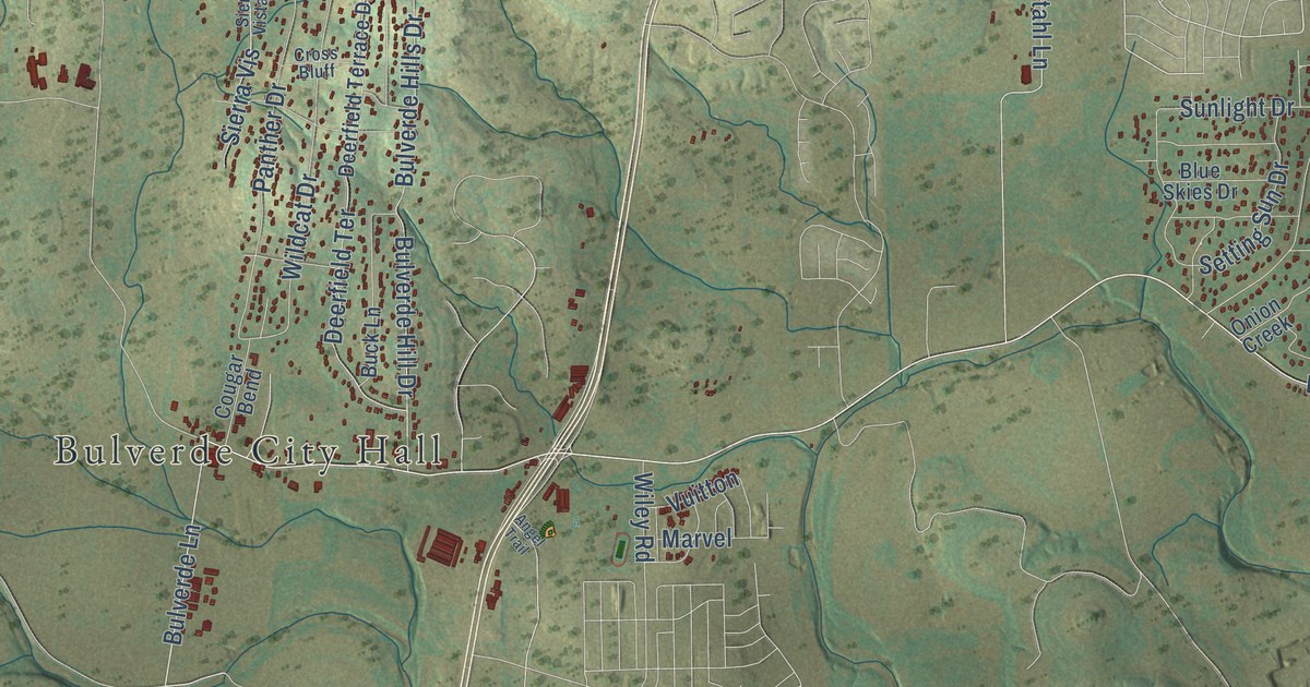
A detailed map of Bulverde, Texas, showing every building in its true location, the roads by name, and shaded topographical relief.
Read More
A detailed map of Bunker Hill Village, Texas, showing every building in its true location, the roads by name, and shaded topographical relief.
Read More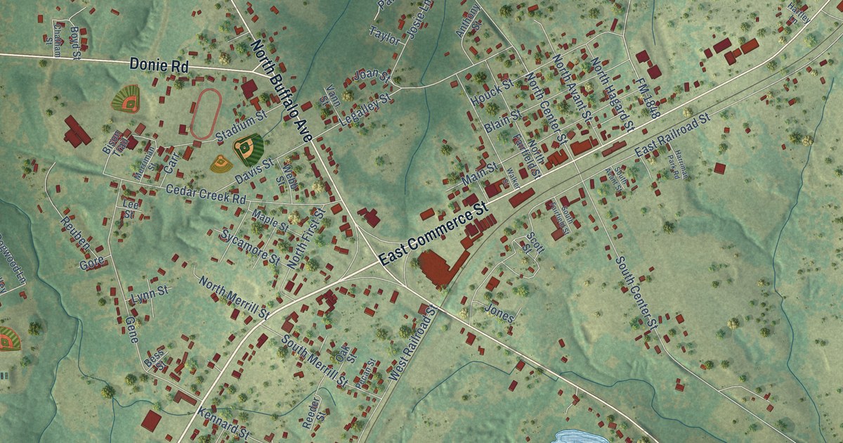
A detailed map of Buffalo, Texas, showing every building in its true location, the roads by name, and shaded topographical relief.
Read More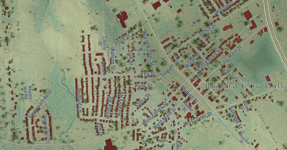
A detailed map of Bullard, Texas, showing every building in its true location, the roads by name, and shaded topographical relief.
Read More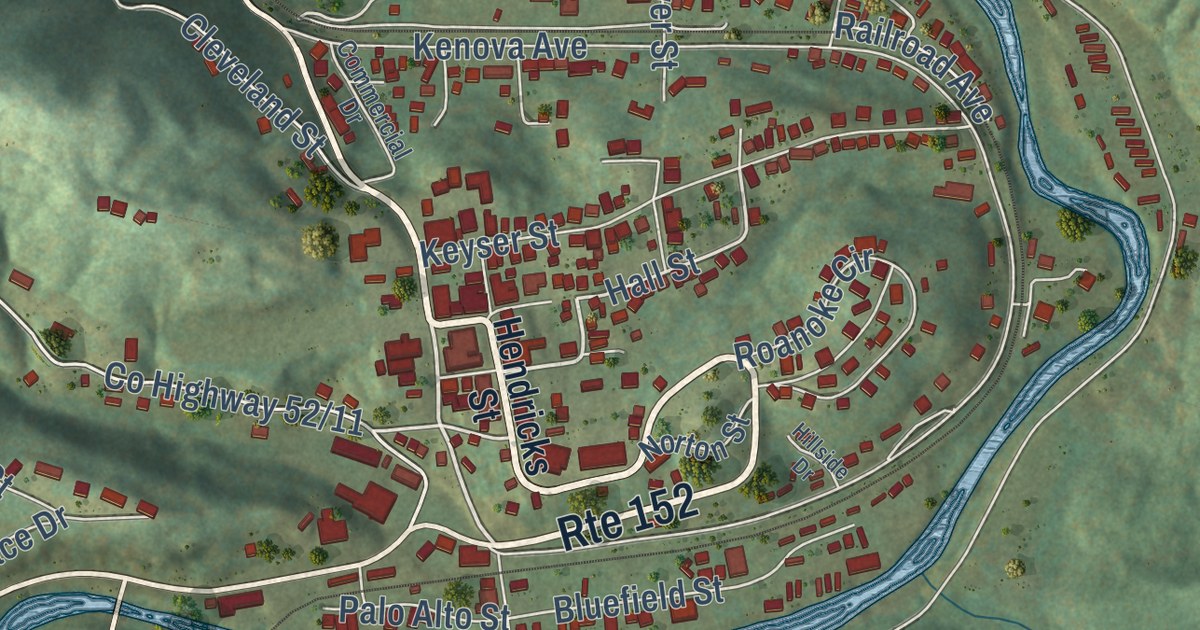
A detailed map of Wayne, West Virginia, showing every building in its true location, the roads by name, and shaded topographical relief.
Read More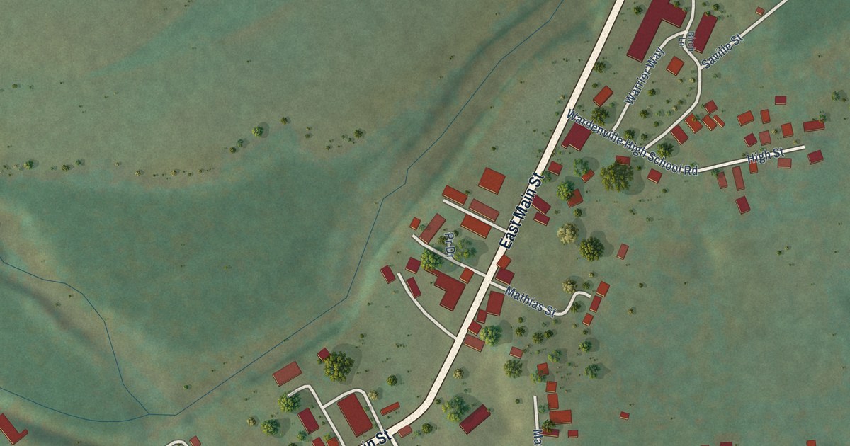
A detailed map of Wardensville, West Virginia, showing every building in its true location, the roads by name, and shaded topographical relief.
Read More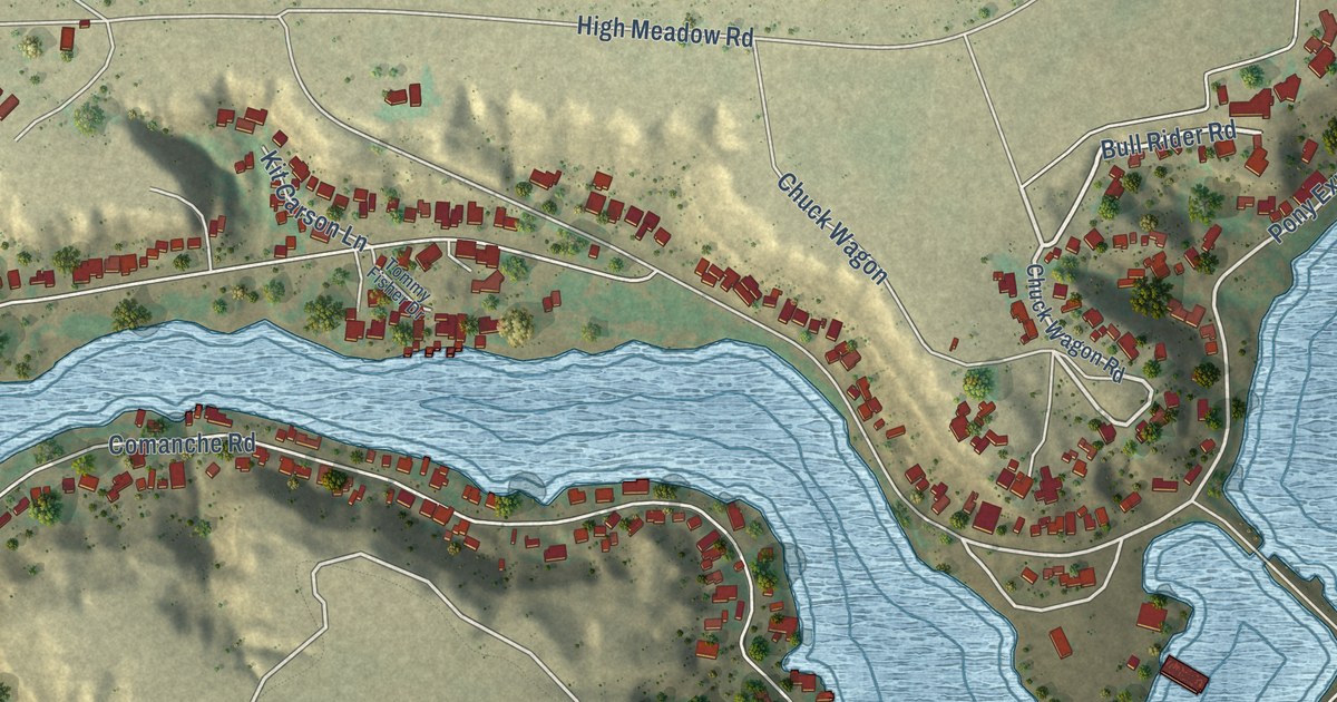
A detailed map of Buffalo Springs Lake, Texas, showing every building in its true location, the roads by name, and shaded topographical relief.
Read More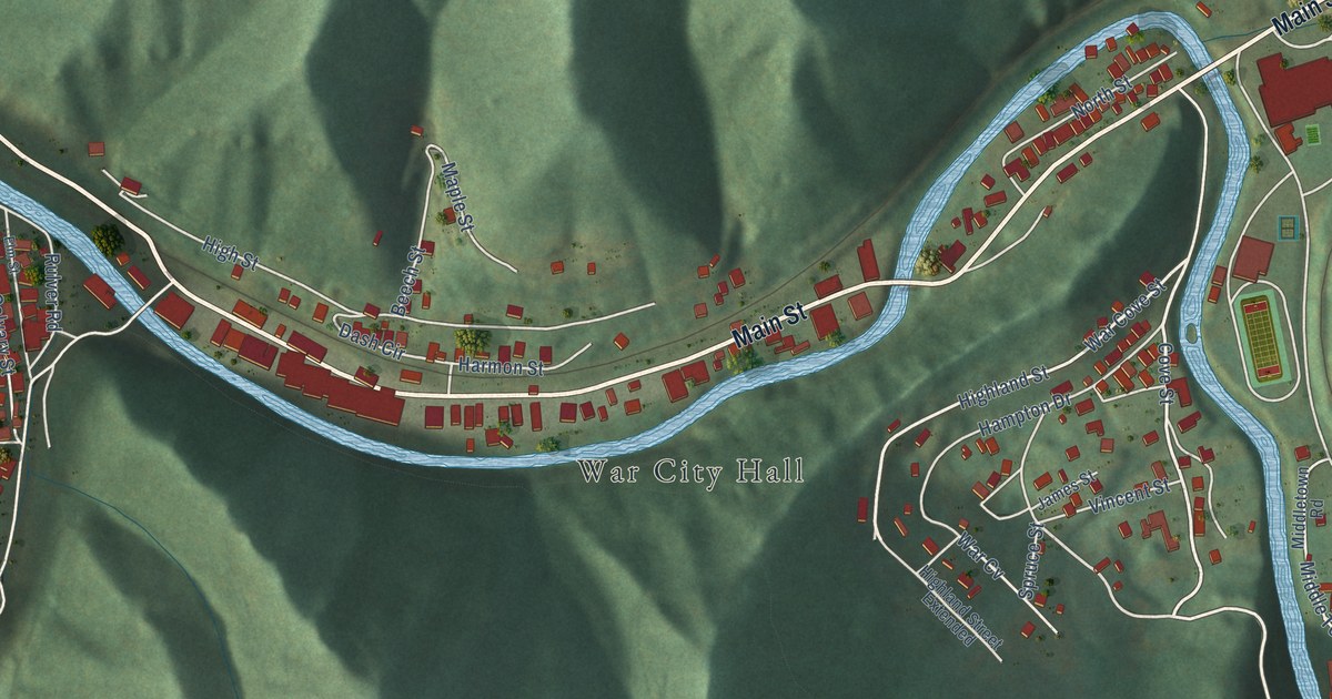
A detailed map of War, West Virginia, showing every building in its true location, the roads by name, and shaded topographical relief.
Read More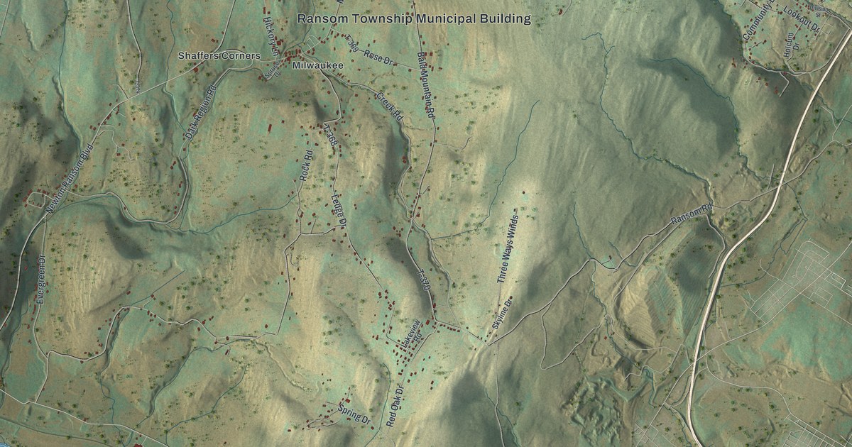
Follow Milwaukee Road, Newton Ransom Boulevard and the river roads on a new map of Ransom Township in Lackawanna County, and read about its early settlers from Connecticut.
Read More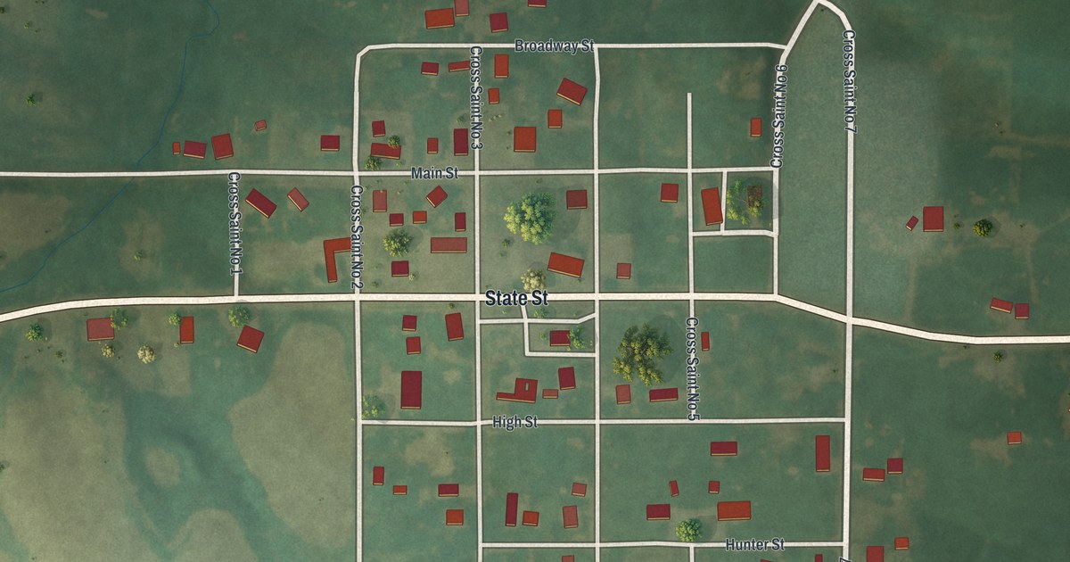
A modern aerial map of Novelty in Knox County, Missouri. See Main Street, State Street and the small town grid, and learn how forty farmers started the Novelty Creamery in 1884.
Read More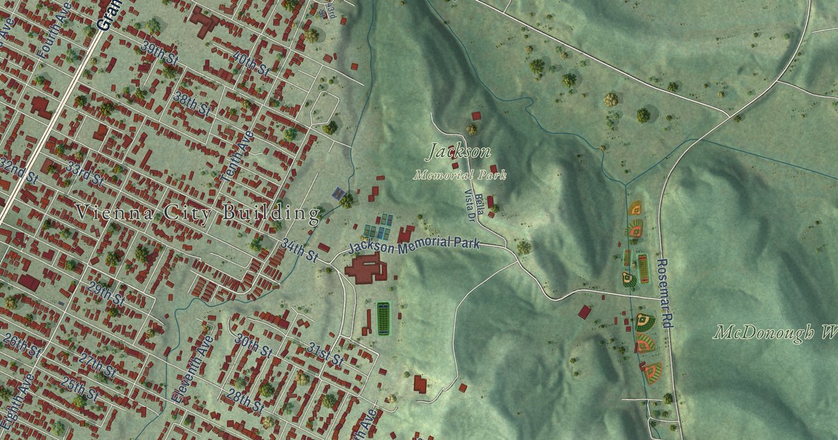
A detailed map of Vienna, West Virginia, showing every building in its true location, the roads by name, and shaded topographical relief.
Read More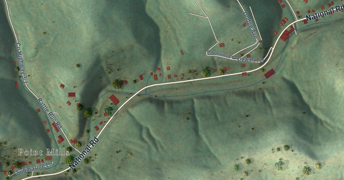
A detailed map of Valley Grove, West Virginia, showing every building in its true location, the roads by name, and shaded topographical relief.
Read More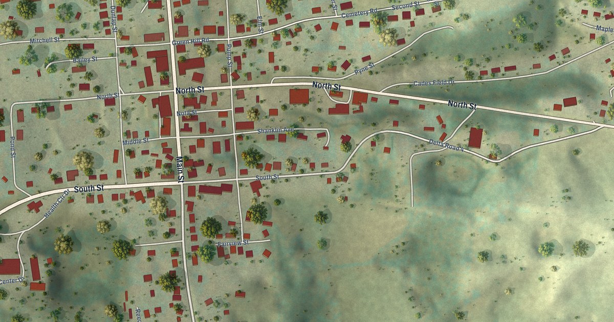
A detailed map of Union, West Virginia, showing every building in its true location, the roads by name, and shaded topographical relief.
Read More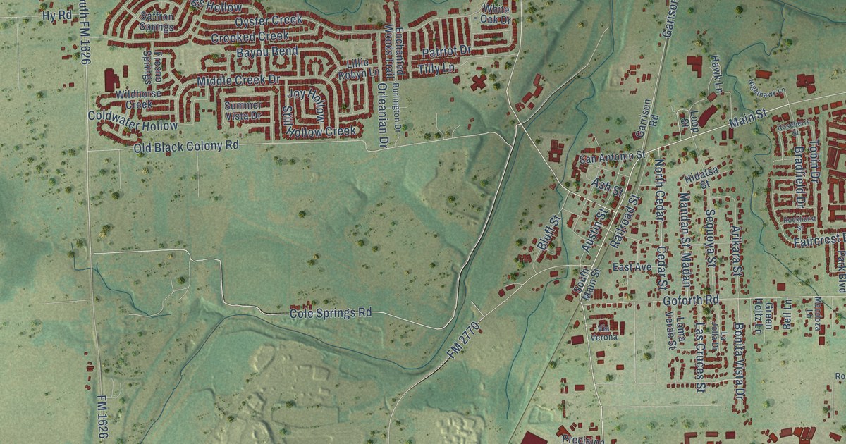
A detailed map of Buda, Texas, showing every building in its true location, the roads by name, and shaded topographical relief.
Read More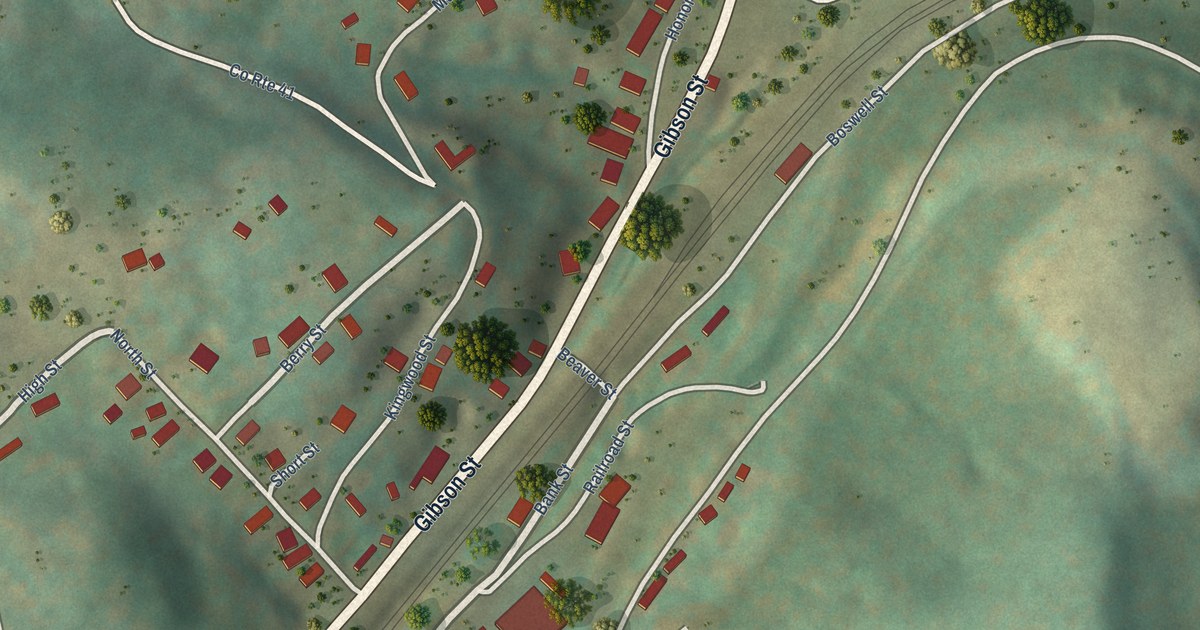
A detailed map of Tunnelton, West Virginia, showing every building in its true location, the roads by name, and shaded topographical relief.
Read More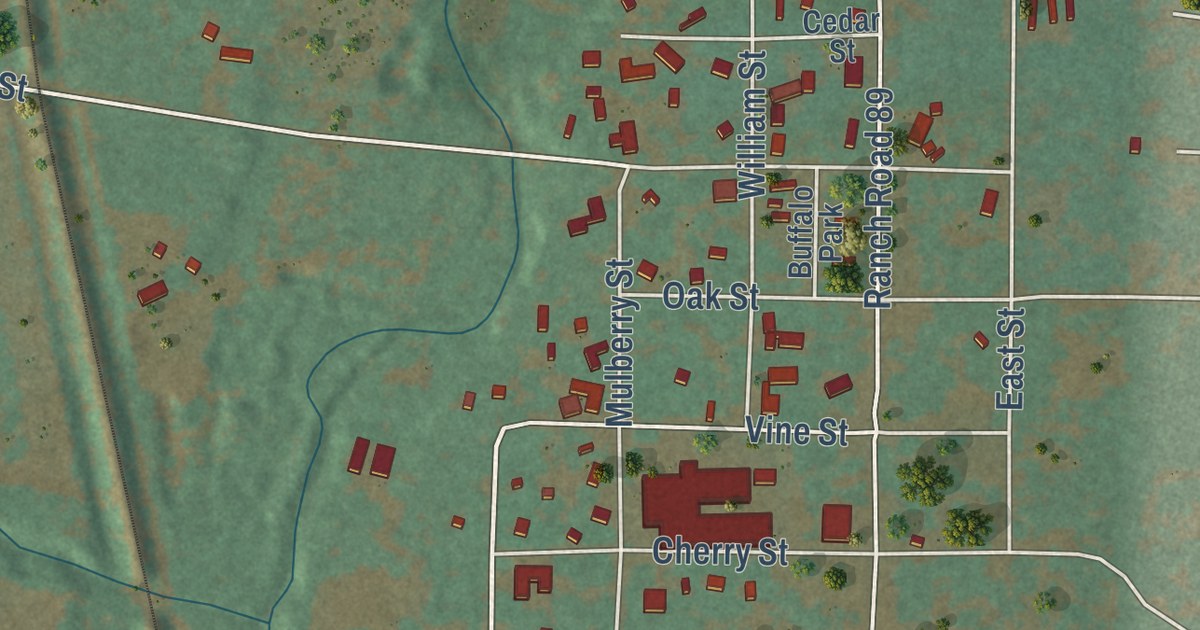
A detailed map of Buffalo Gap, Texas, showing every building in its true location, the roads by name, and shaded topographical relief.
Read More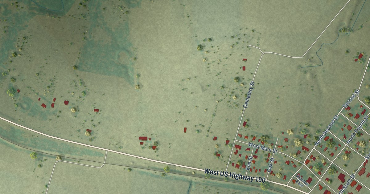
A detailed map of Buckholts, Texas, showing every building in its true location, the roads by name, and shaded topographical relief.
Read More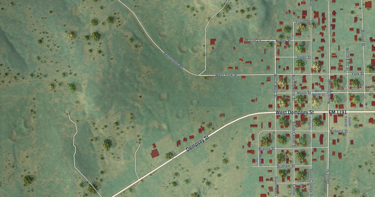
A detailed map of Bryson, Texas, showing every building in its true location, the roads by name, and shaded topographical relief.
Read More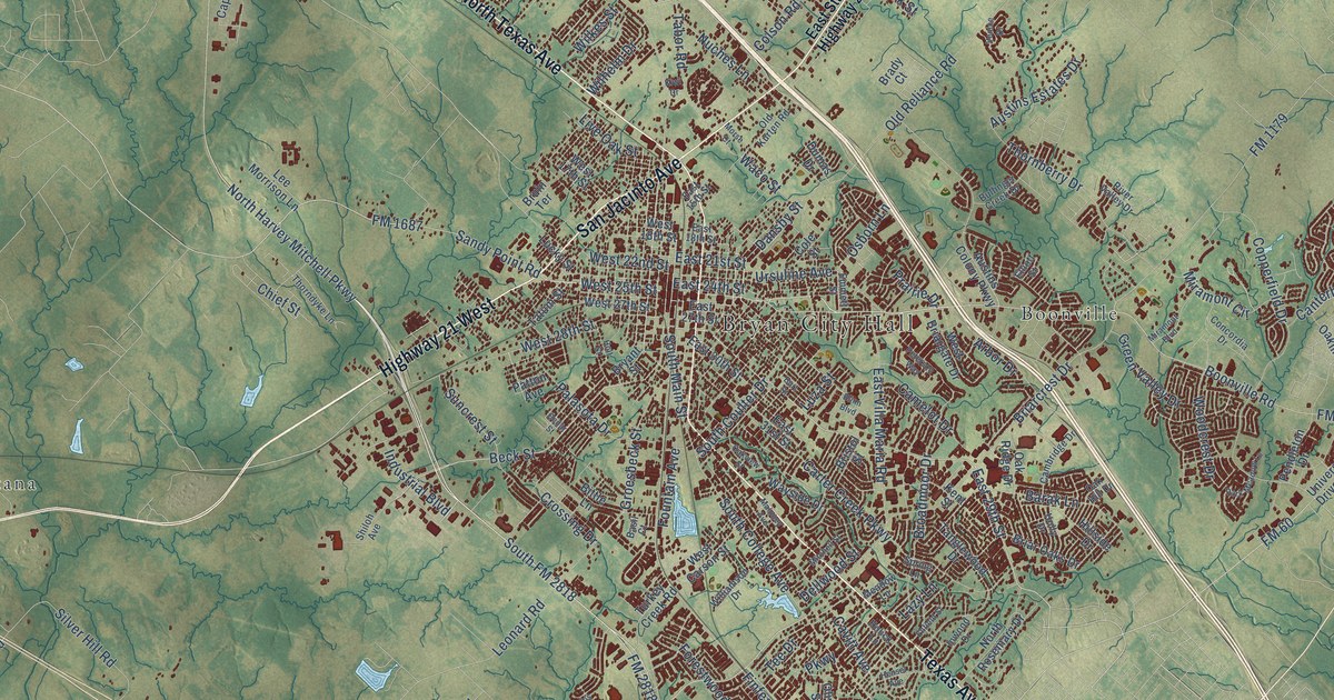
A detailed map of Bryan, Texas, showing every building in its true location, the roads by name, and shaded topographical relief.
Read More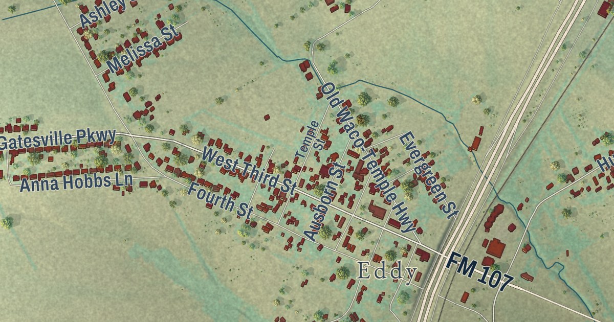
A detailed map of Bruceville-Eddy, Texas, showing every building in its true location, the roads by name, and shaded topographical relief.
Read More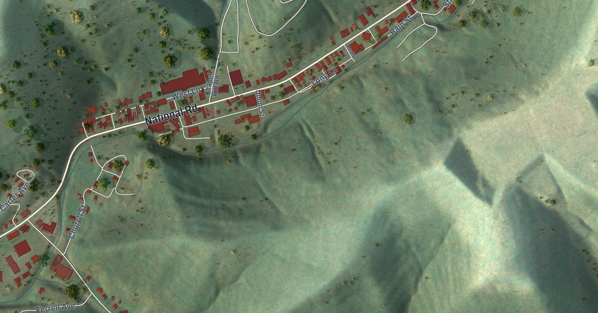
A detailed map of Triadelphia, West Virginia, showing every building in its true location, the roads by name, and shaded topographical relief.
Read More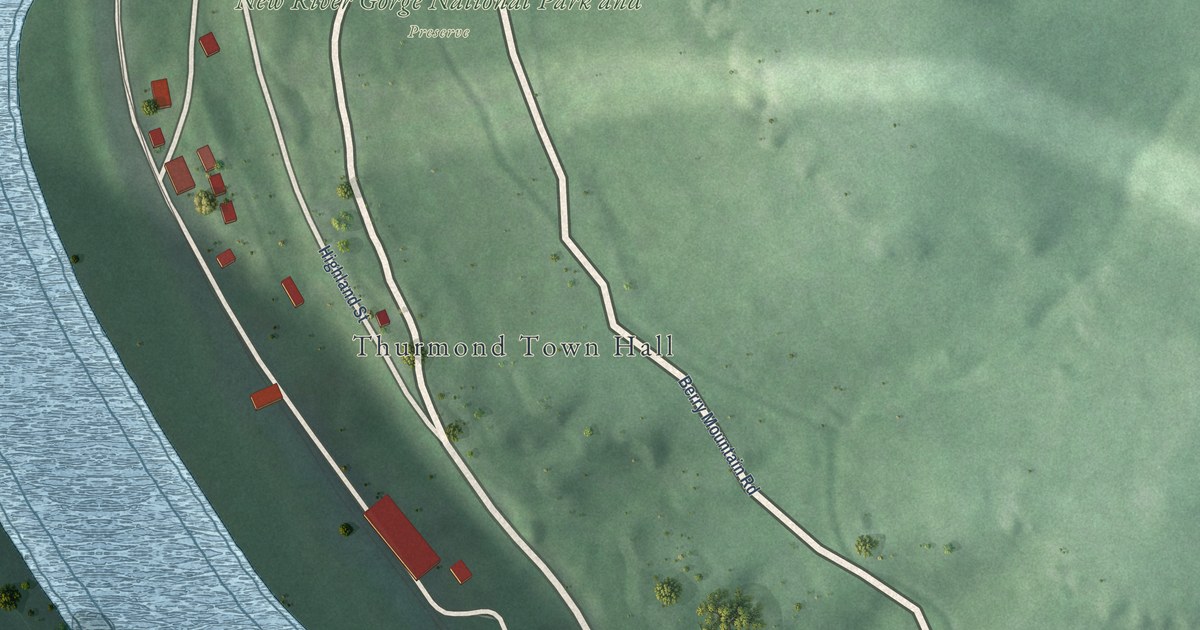
A detailed map of Thurmond, West Virginia, showing every building in its true location, the roads by name, and shaded topographical relief.
Read More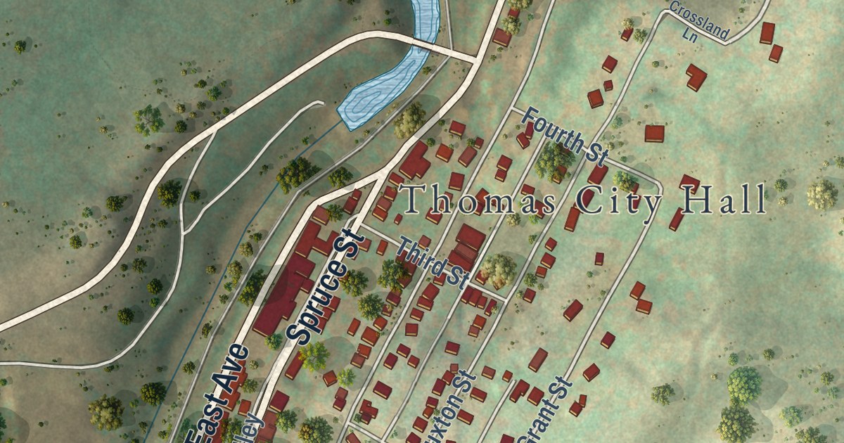
A detailed map of Thomas, West Virginia, showing every building in its true location, the roads by name, and shaded topographical relief.
Read More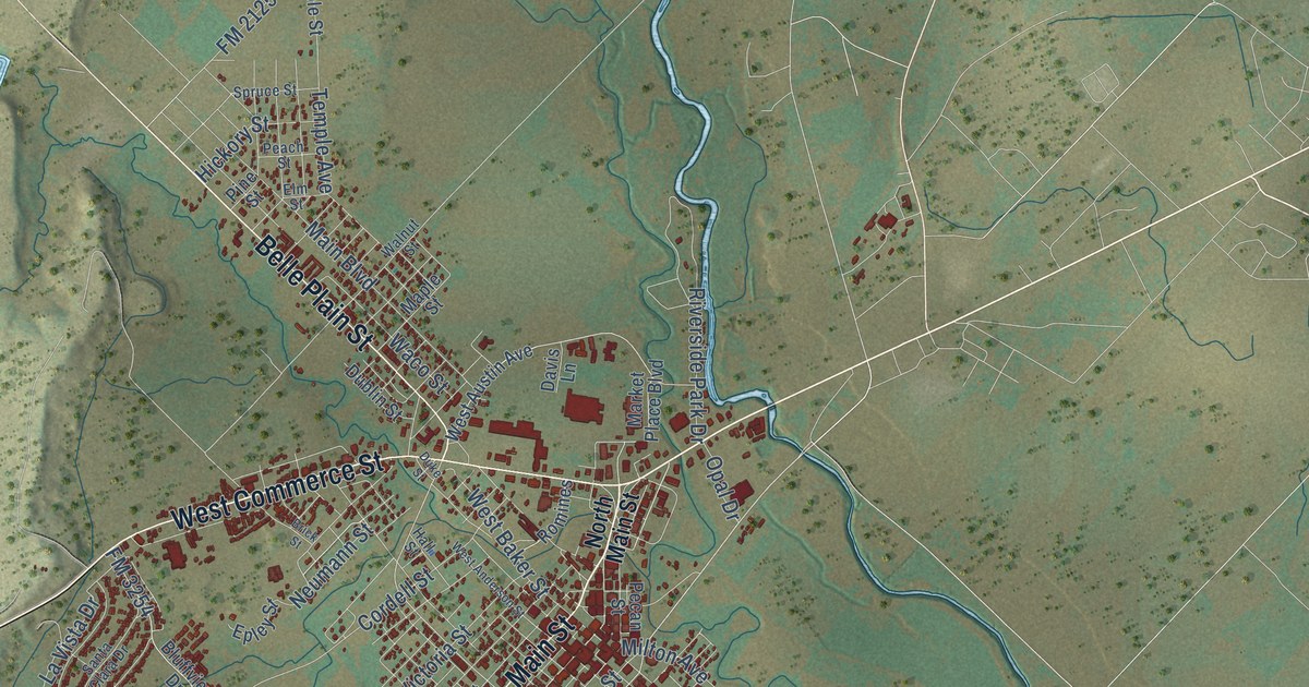
A detailed map of Brownwood, Texas, showing every building in its true location, the roads by name, and shaded topographical relief.
Read More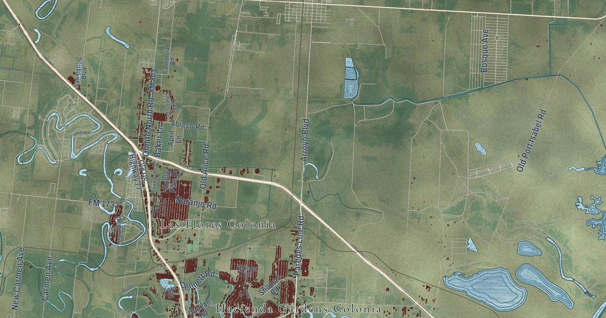
A detailed map of Brownsville, Texas, showing every building in its true location, the roads by name, and shaded topographical relief.
Read More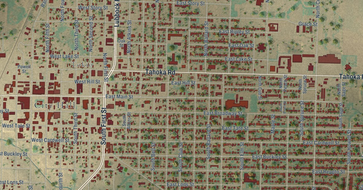
A detailed map of Brownfield, Texas, showing every building in its true location, the roads by name, and shaded topographical relief.
Read More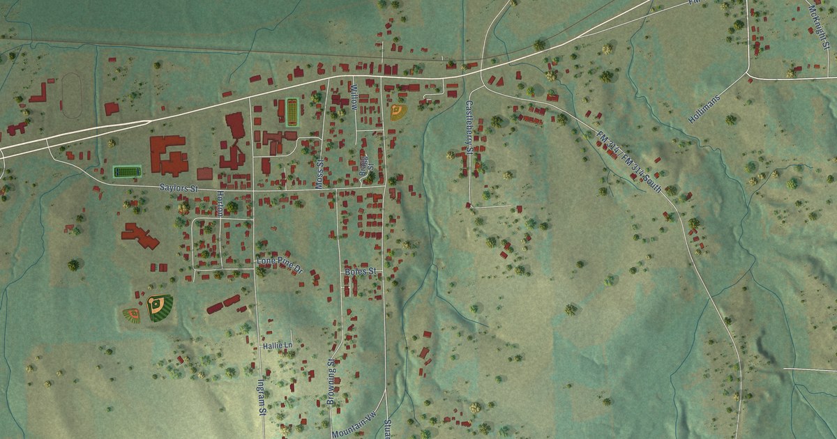
A detailed map of Brownsboro, Texas, showing every building in its true location, the roads by name, and shaded topographical relief.
Read More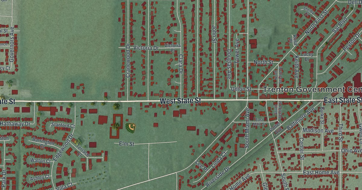
Trenton, Ohio started as Bloomfield and took its name from New Jersey in 1820. This 2026 aerial map shows State Street, Miltonville, the Miami streets and red building shapes, with farm fields and a blue river around the edges.
Read More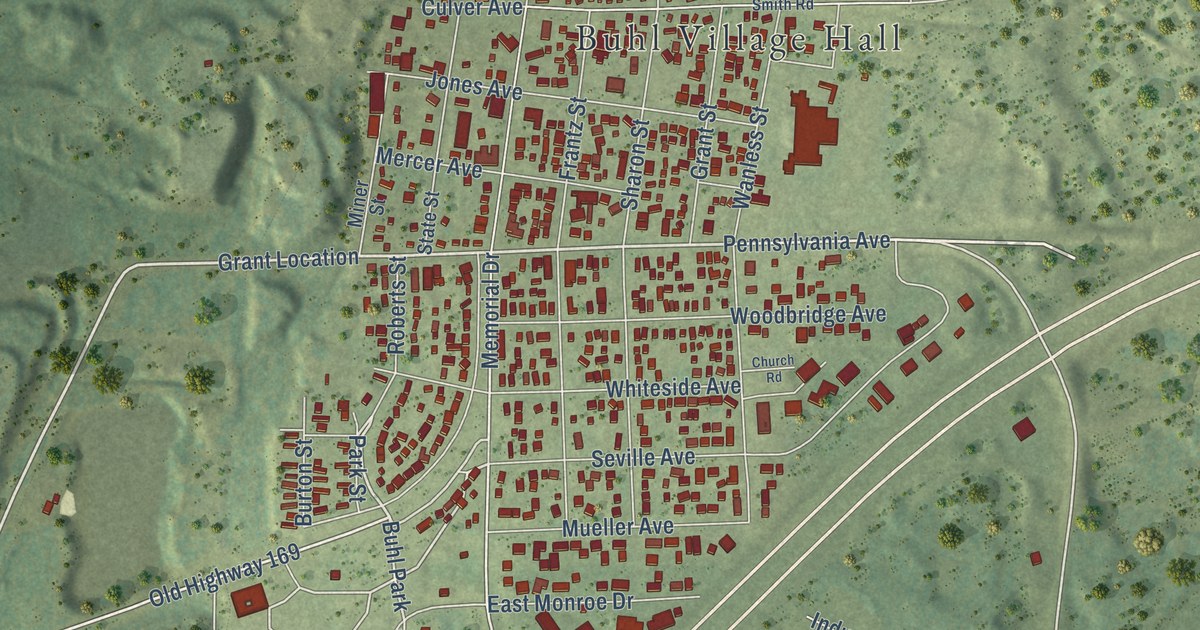
A detailed map of Buhl, Minnesota, showing every building in its true location, the roads by name, and shaded topographical relief.
Read More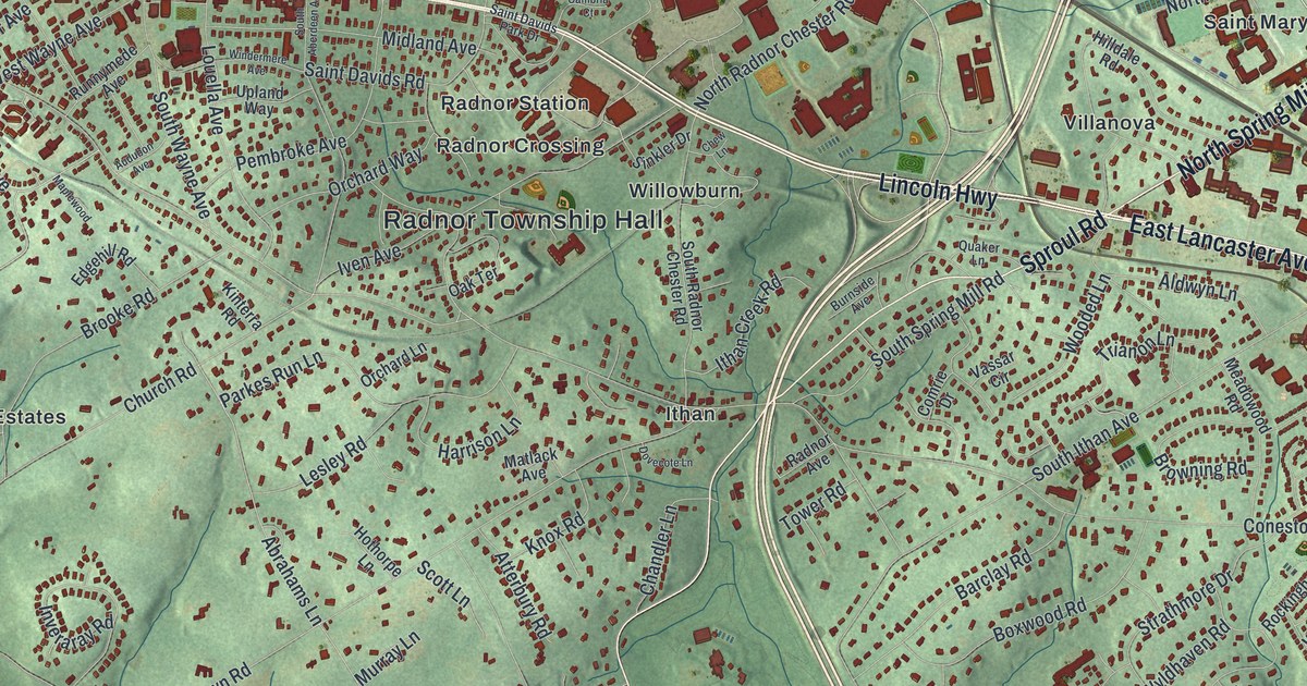
See Radnor Township in Delaware County, from Wayne and Saint Davids to Ithan and Fox Fields. Learn about the 500-by-100-foot Wayne Natatorium that opened in 1895.
Read More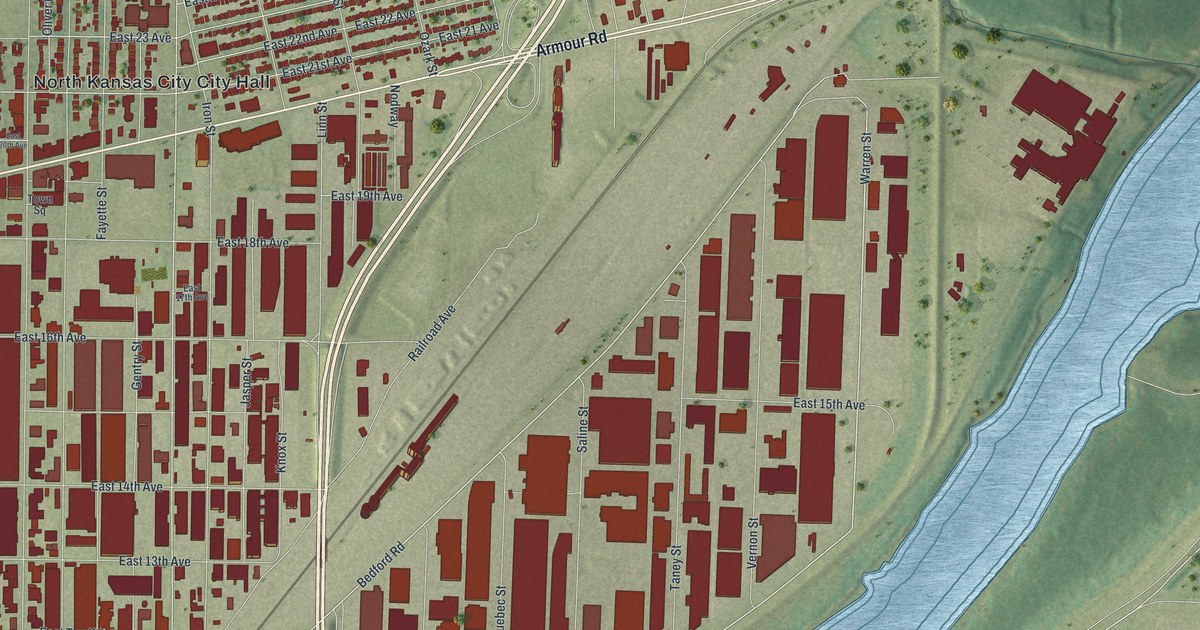
North Kansas City, Missouri, in a new 2026 aerial map. Find Armour Road, Burlington Street, Macken Park and City Hall, and read how Howard Cowden’s farm co-op set up its headquarters here.
Read More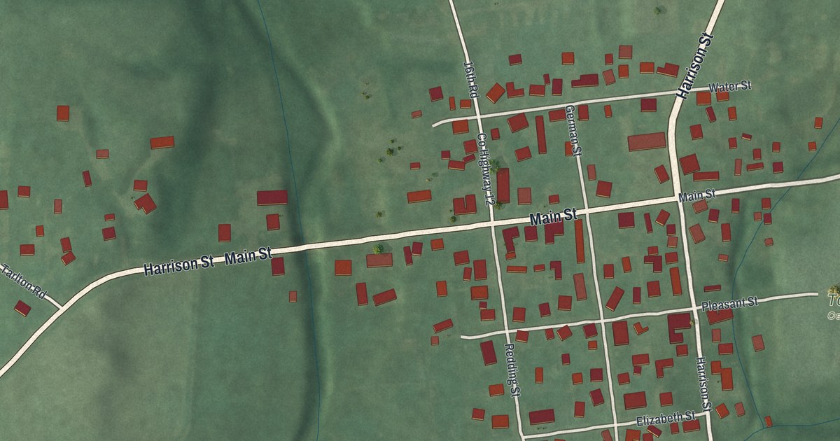
Explore Tarlton’s streets and green hills on a new map made in 2026. Read about William Sooy Smith, born here in 1830, whose Main Street marker tells his story.
Read More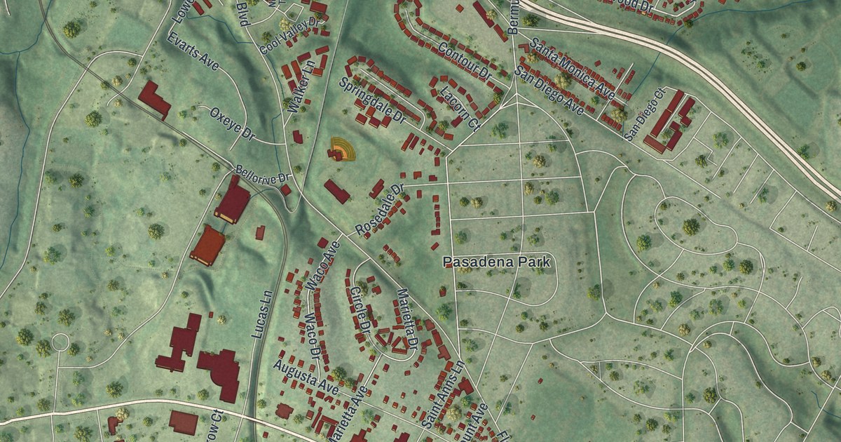
Normandy, Missouri, was evidently named for Normandy, France. This new 2026 aerial map of the St. Louis County city shows Natural Bridge Road, Glen Echo Park, Berdell Hills, Saint Vincent County Park and thousands of red buildings over rolling green ground.
Read More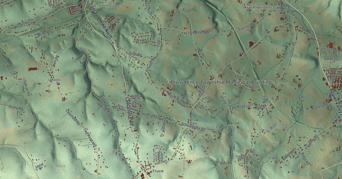
Find New Providence, Smithville, Union and Truce on a modern aerial map of Providence Township. Green hills, blue streams and red buildings give familiar roads a vintage feel.
Read More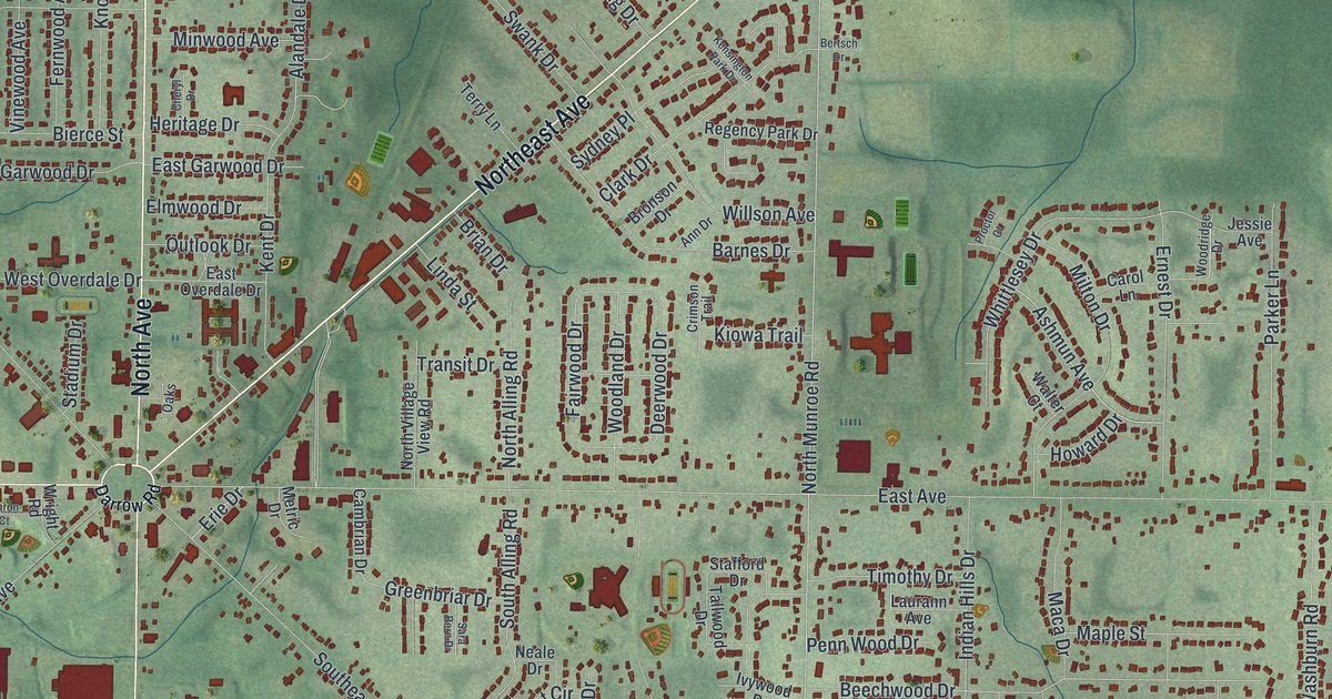
A new aerial map of Tallmadge, Ohio, where eight avenues named for the compass meet at the town square. Read how David Bacon started the town in 1807, and why its 1825 church is the oldest in Ohio still used for worship.
Read More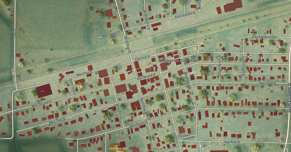
See Norborne’s streets, red buildings, and green fields in a new aerial map. Learn how the railroad’s section house hosted the town’s first religious service.
Read More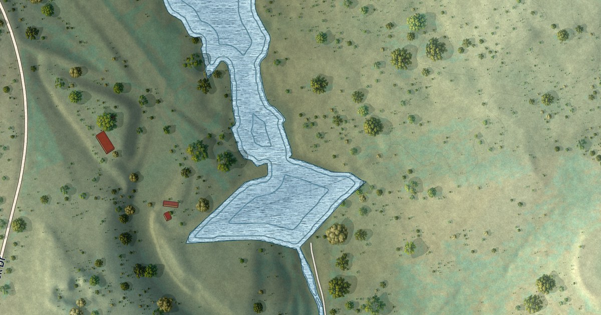
Find Prompton State Park and familiar roads on this new aerial map. Blue waterways recall the streams that once powered Prompton’s tool factory and other shops.
Read More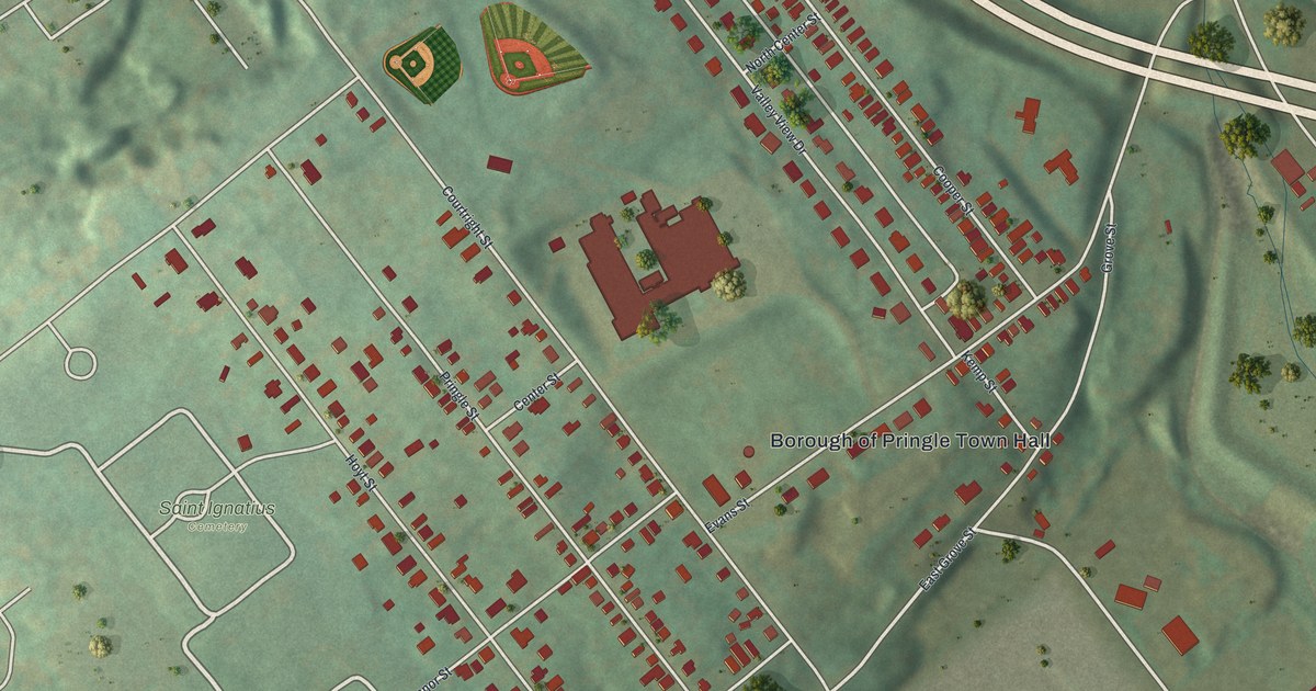
See Pringle’s streets, town hall and Saint Ignatius Cemetery in a modern aerial map with a vintage feel. Green hills and red buildings give the view its shape.
Read More















