Author: TheKnowOwl

Detailed Map of Noel, Missouri

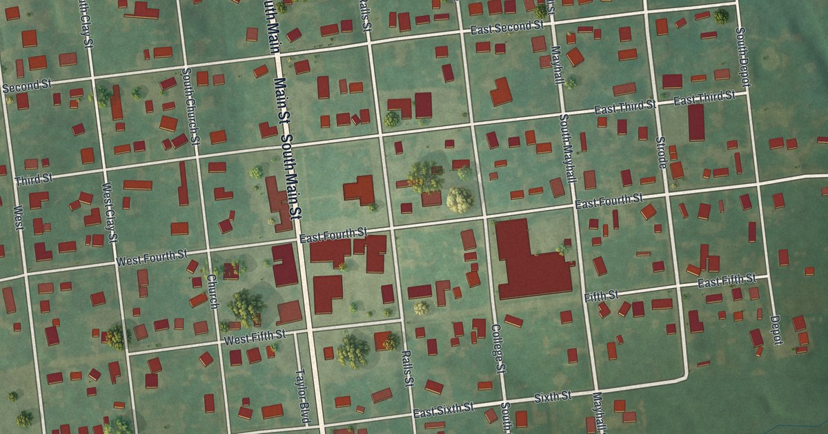
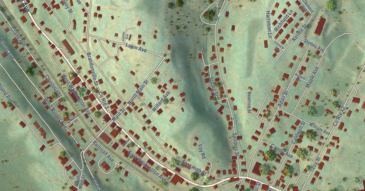
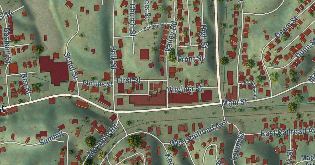
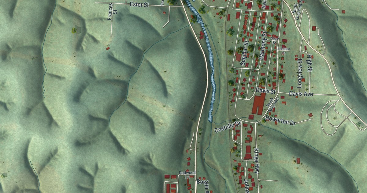
A new aerial map of Noel, Missouri, made in 2026. See Main Street, Railroad Street, Spring Valley and the green hills of McDonald County, and read how Marshall moved his farm store to Noel when the railroad came.

Read More
Detailed Map of Stryker, Ohio

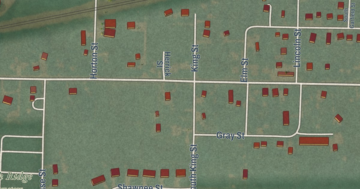
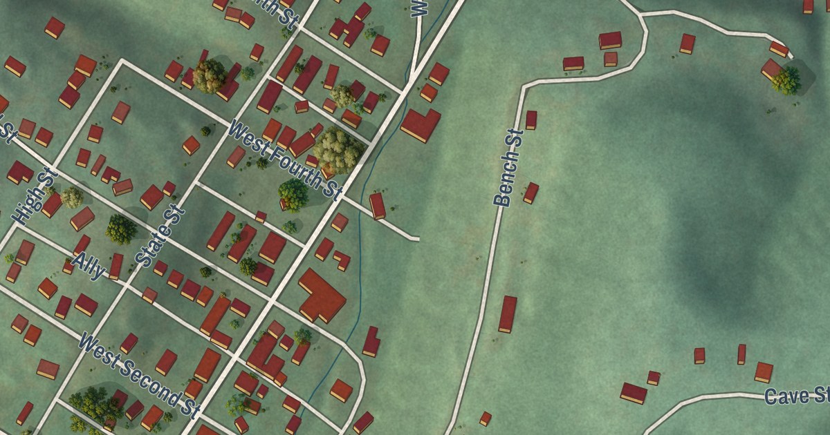
Stryker was laid out beside the railroad in 1853 and named for railroad man John Stryker. This new aerial map of the Williams County village shows Defiance Street, Depot Street, the rail line and the red buildings on every block.

Read More

Detailed Map of Strongsville, Ohio

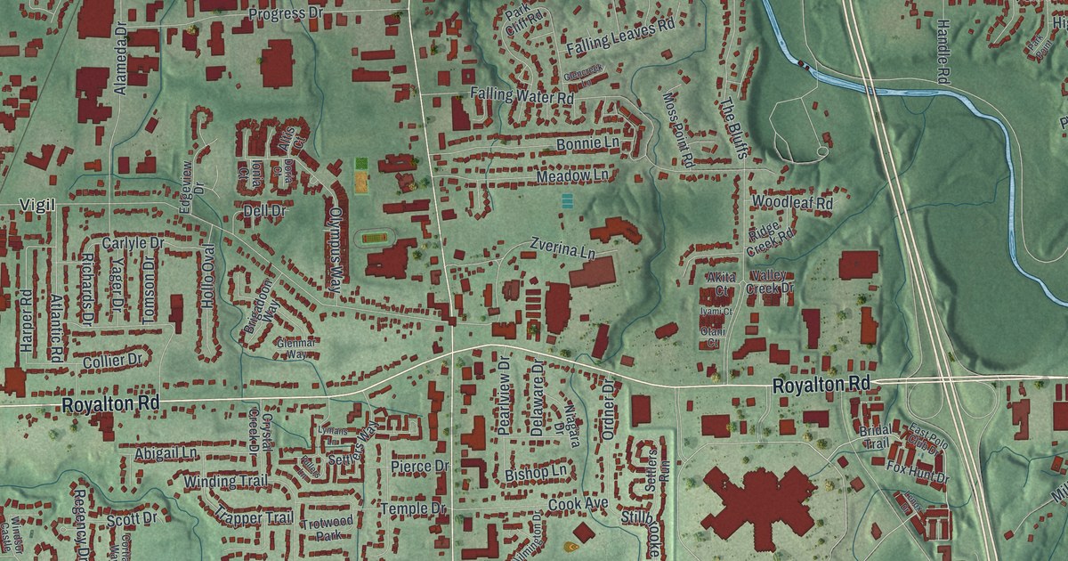
A modern aerial map of Strongsville, Ohio, with Pearl Road, Royalton Road and Mill Stream Run Reservation. Read the story of the Pomeroy House, where Pomeroy Hospitality began and, by oral tradition, people escaping slavery hid on the way to Canada.

Read More

Detailed Map of Stow, Ohio

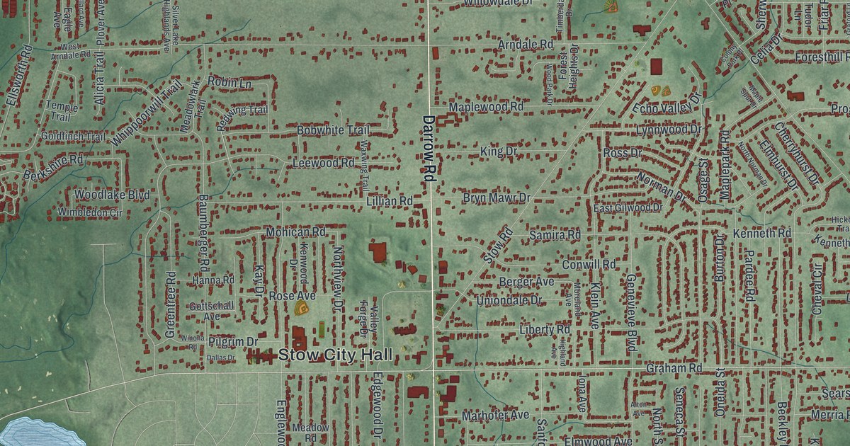
A new aerial map of Stow in Summit County, Ohio, made in 2026. Find Darrow Road, Stow City Hall and Silver Springs Park, and read Henry Howe’s story of the surveyor named Stow and the rattlesnakes of 1796.

Read More

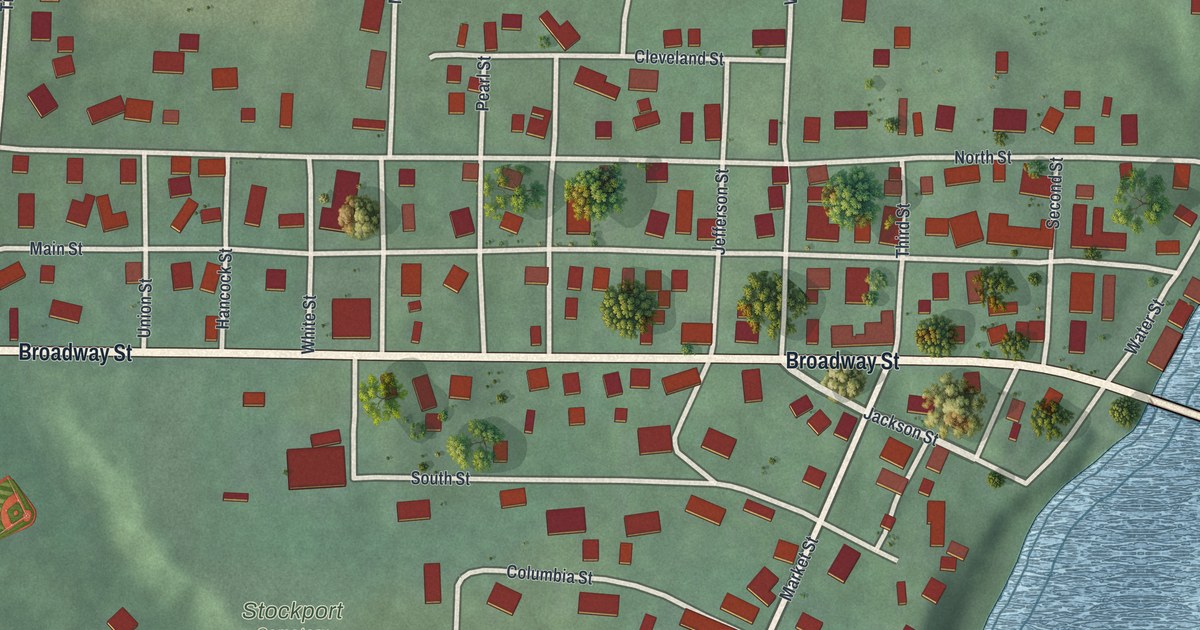
Detailed Map of Stockport, Ohio

A new aerial map of Stockport in Morgan County, Ohio. Find Broadway Street, Water Street and Stockport Cemetery, and read how the 1906 Stockport Mill used river power to make flour and electricity for the town.

Read More

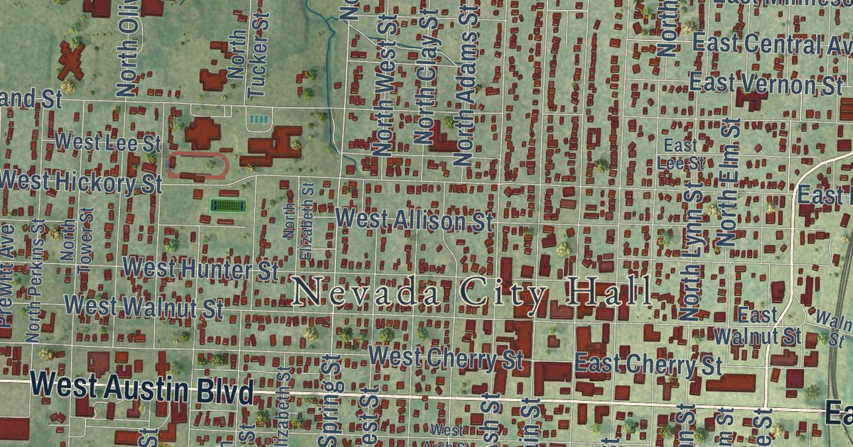
Detailed Map of Nevada, Missouri

A new aerial-style map of Nevada in Vernon County, Missouri. Find Main Street, Austin Boulevard, Walton Park and Twin Lakes Park, plus the streets around the Vernon County Courthouse, listed on the National Register in 1997.

Read More

Detailed Map of Somerset, Ohio

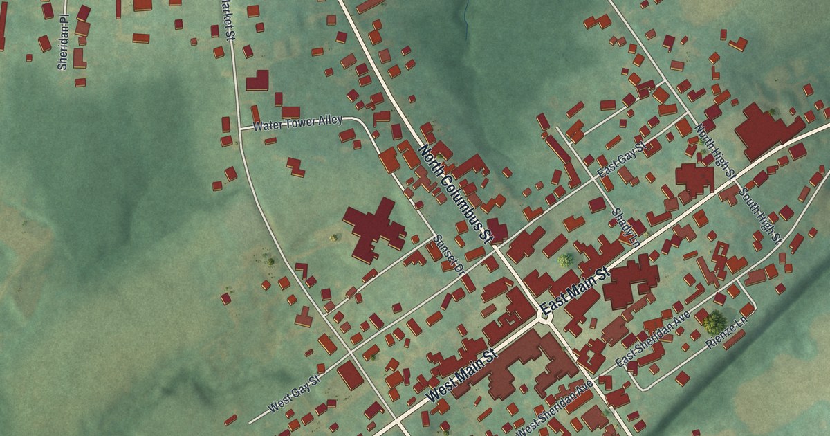
Somerset, Ohio, is where General Philip Sheridan grew up. This new 2026 aerial map shows West Main Street, North Columbus Street, Holy Trinity Cemetery and the green hills around the village, with its buildings drawn in red.

Read More

Detailed Map of Solon, Ohio

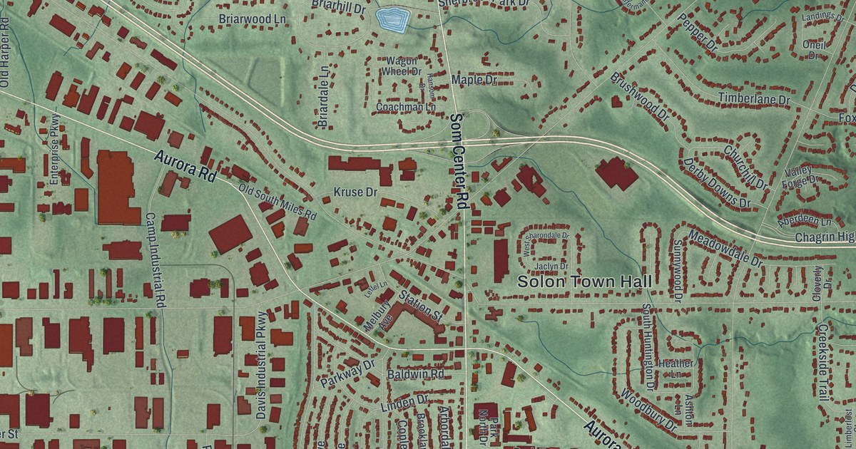
A modern aerial map of Solon in Cuyahoga County, Ohio, with more than 14,000 buildings, Aurora Road, Som Center Road and Solon Town Hall. Plus the story of the Bainbridge Road church where a young James A. Garfield preached in 1860.

Read More

Detailed Map of Morrisville, Missouri

A modern aerial map of Morrisville in Polk County, Missouri, with a vintage look. Find Main Avenue, Maple Street and College Street, and read how the chapel of Morrisville College gave a church a home after an 1880 fire.

Read More
Detailed Map of Shelby, Ohio

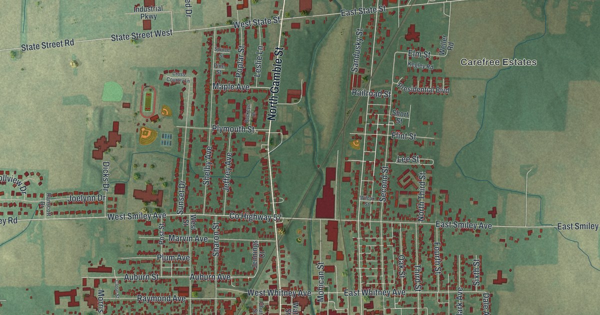
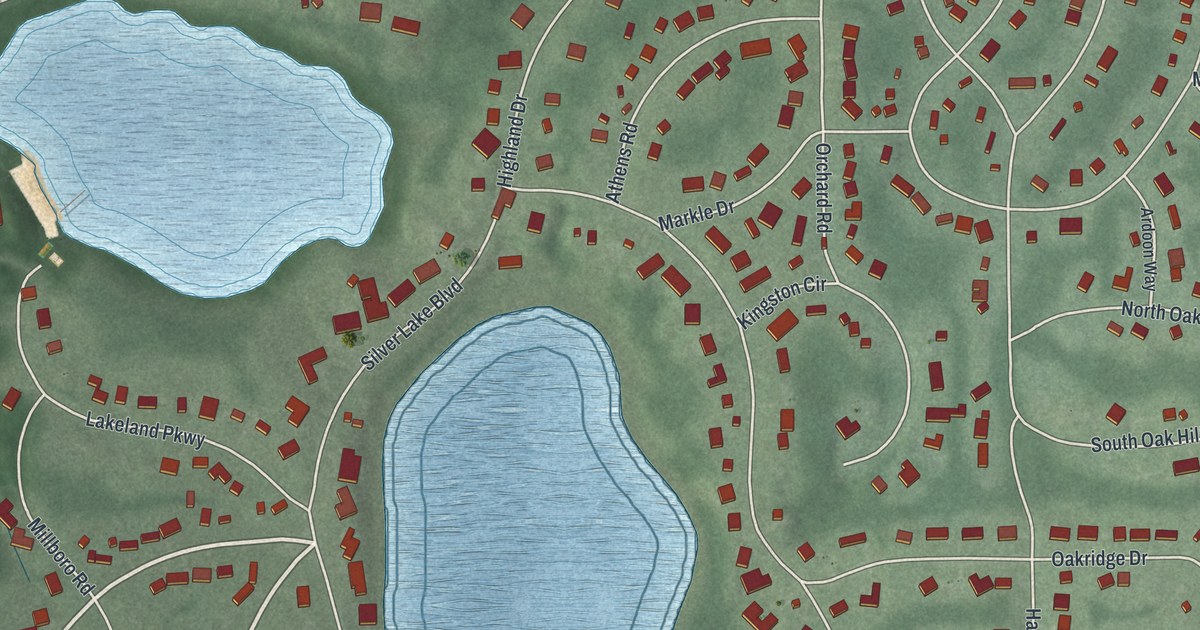
A modern aerial map of Shelby in Richland County, Ohio, made in 2026. Find Gamble Street, Main Street and Shelby-Oakland Cemetery, read about Rice of Shelby and Perry’s victory on Lake Erie, and see where the Marvin Memorial Library stands.

Read More
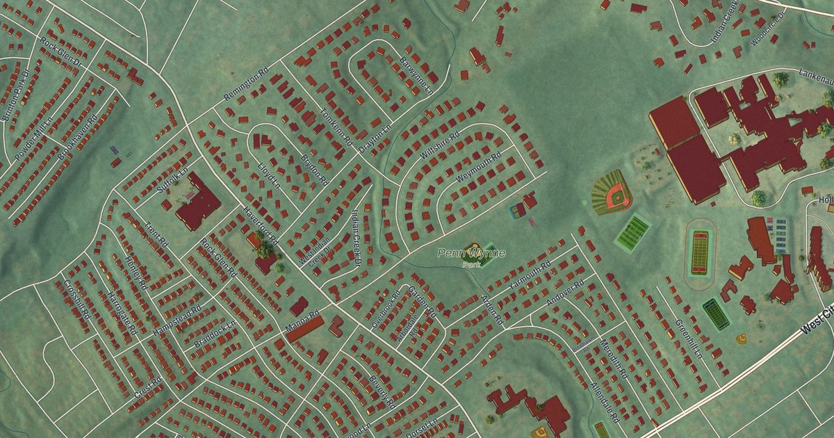
Detailed Map of Sheffield, Ohio

A new aerial map of Sheffield in Lorain County, Ohio, made in 2026. Find Detroit Road, Abbe Road and East River Road, where the Burrell Homestead was a major Underground Railroad stop until the Civil War.

Read More
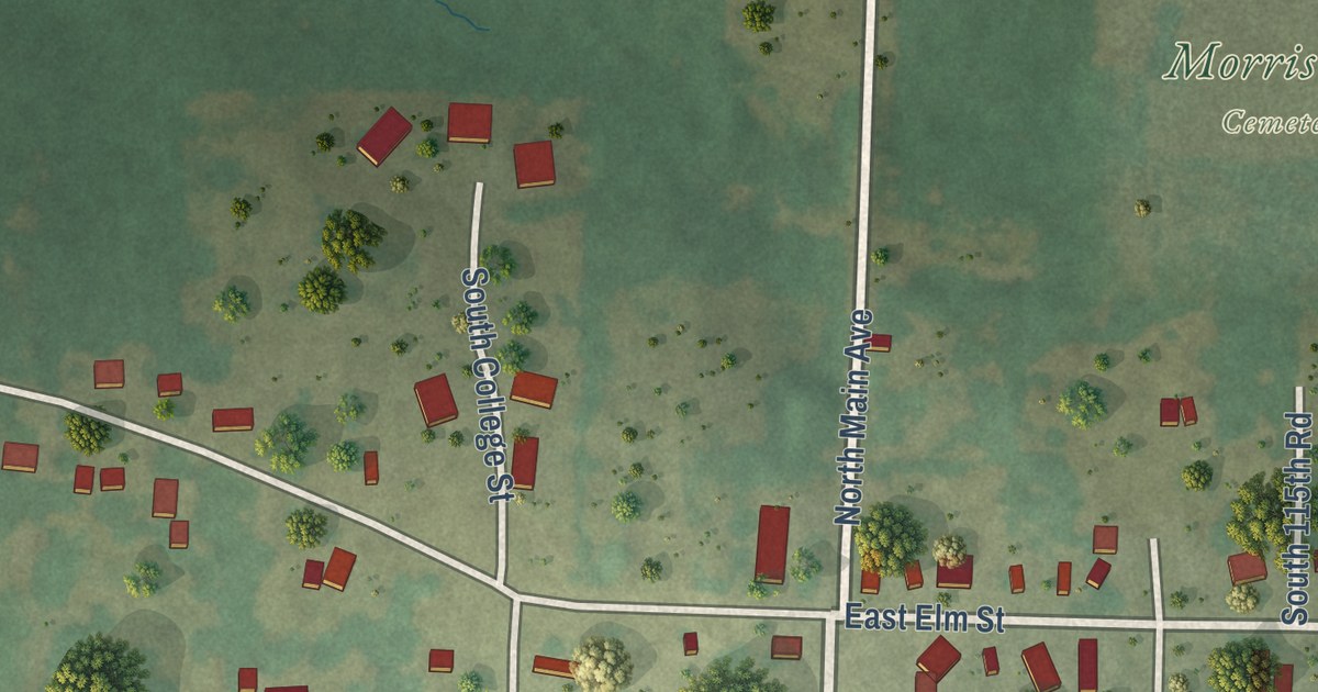
Detailed Map of Rossford, Ohio

A new aerial map of Rossford in Wood County, Ohio, from Eagle Point Colony and Dixie Highway down to Fremont Pike. It’s where Edward Ford opened his plate glass company on the Maumee River in 1899.

Read More