Detailed Map of Canton, Minnesota
A detailed map of Canton, Minnesota, showing every building in its true location, the roads by name, and shaded topographical relief.
Read More
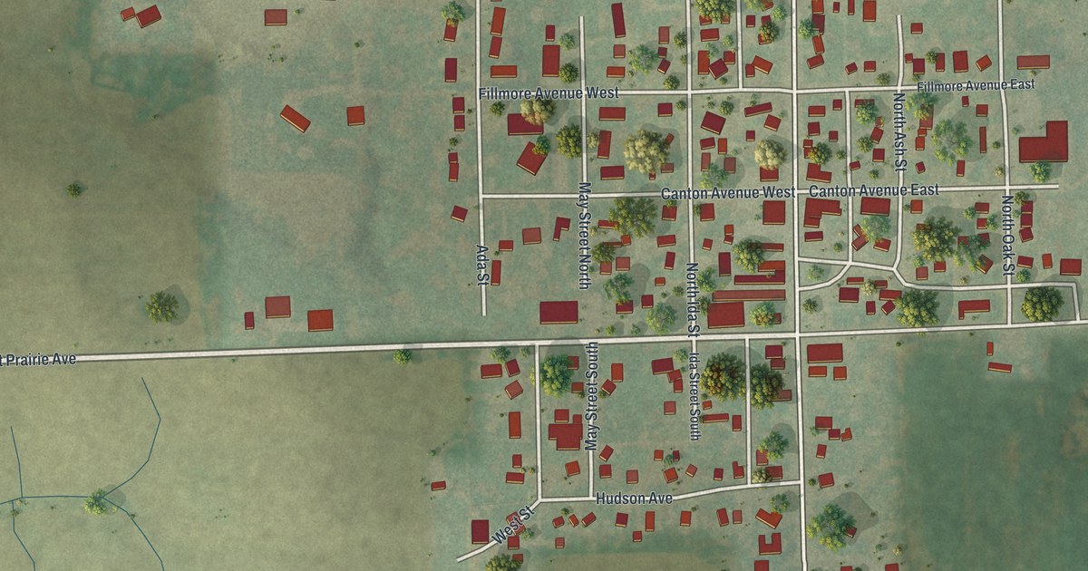
A detailed map of Canton, Minnesota, showing every building in its true location, the roads by name, and shaded topographical relief.
Read More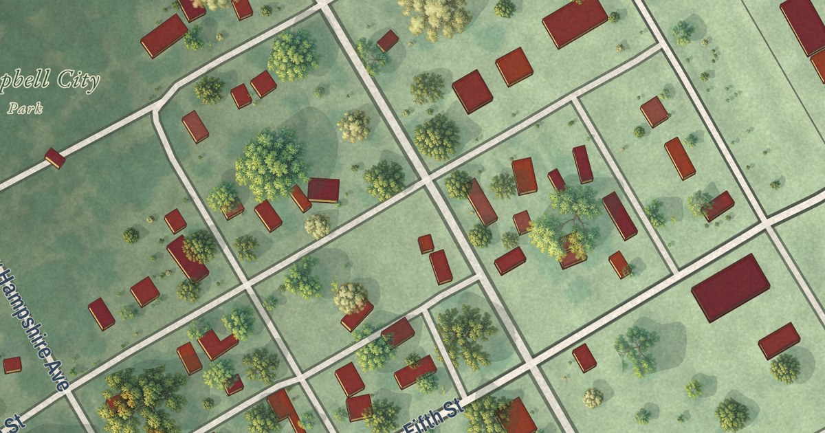
A detailed map of Campbell, Minnesota, showing every building in its true location, the roads by name, and shaded topographical relief.
Read More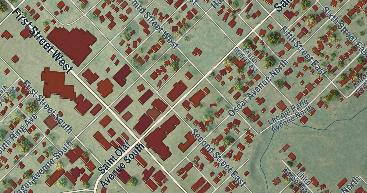
A detailed map of Canby, Minnesota, showing every building in its true location, the roads by name, and shaded topographical relief.
Read More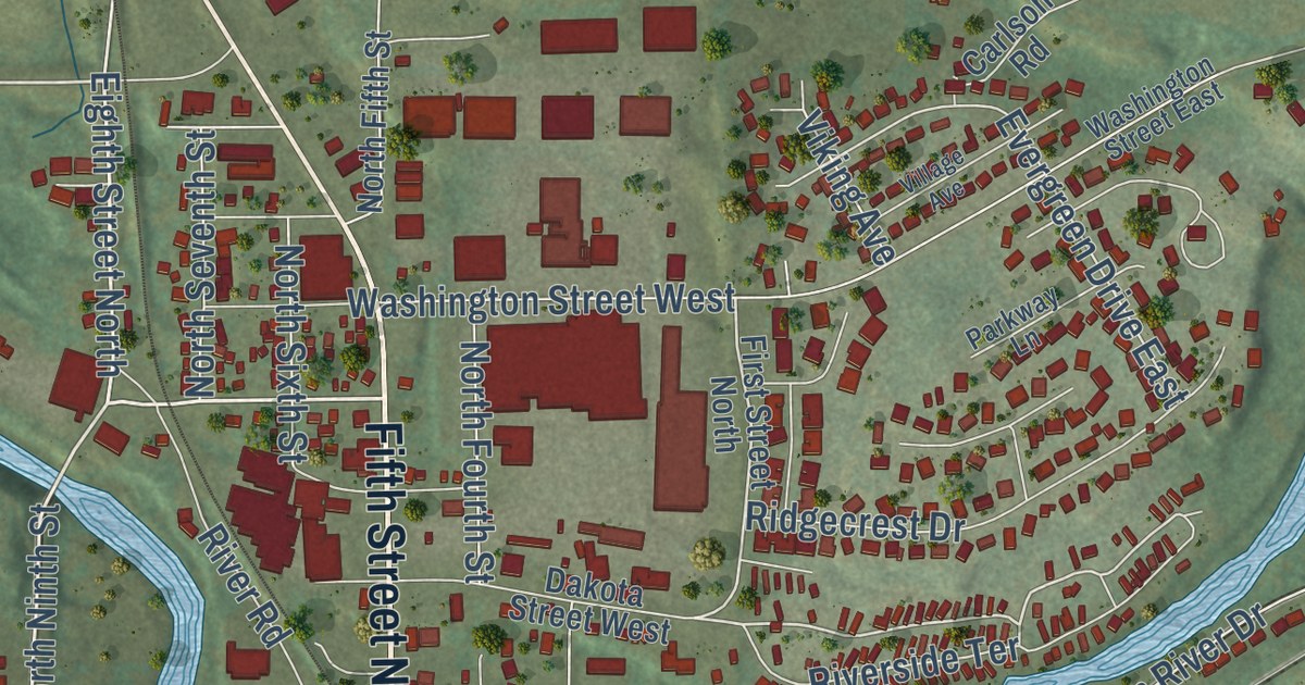
A detailed map of Cannon Falls, Minnesota, showing every building in its true location, the roads by name, and shaded topographical relief.
Read More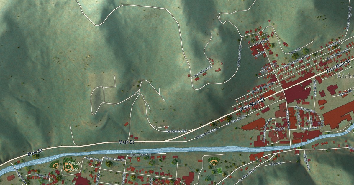
A detailed map of Richwood, West Virginia, showing every building in its true location, the roads by name, and shaded topographical relief.
Read More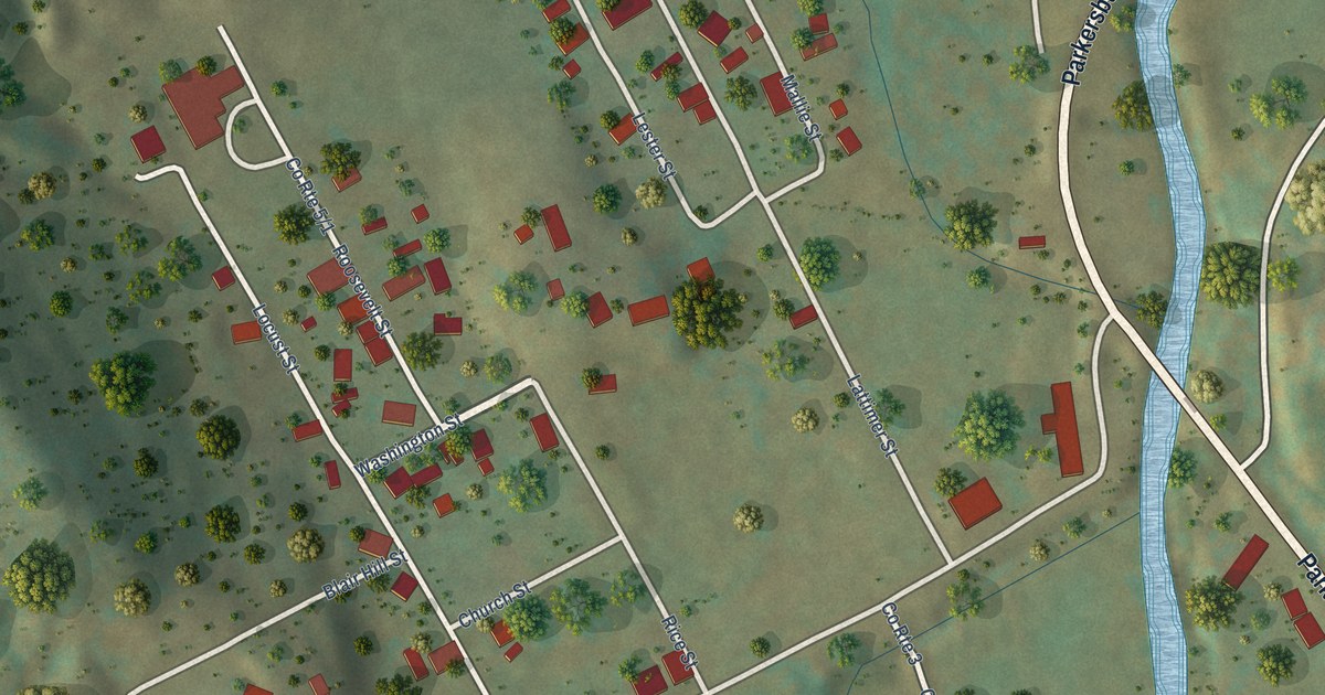
A detailed map of Reedy, West Virginia, showing every building in its true location, the roads by name, and shaded topographical relief.
Read More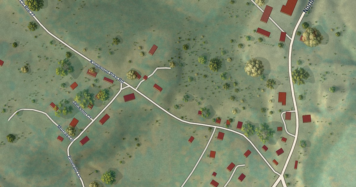
A detailed map of Reedsville, West Virginia, showing every building in its true location, the roads by name, and shaded topographical relief.
Read More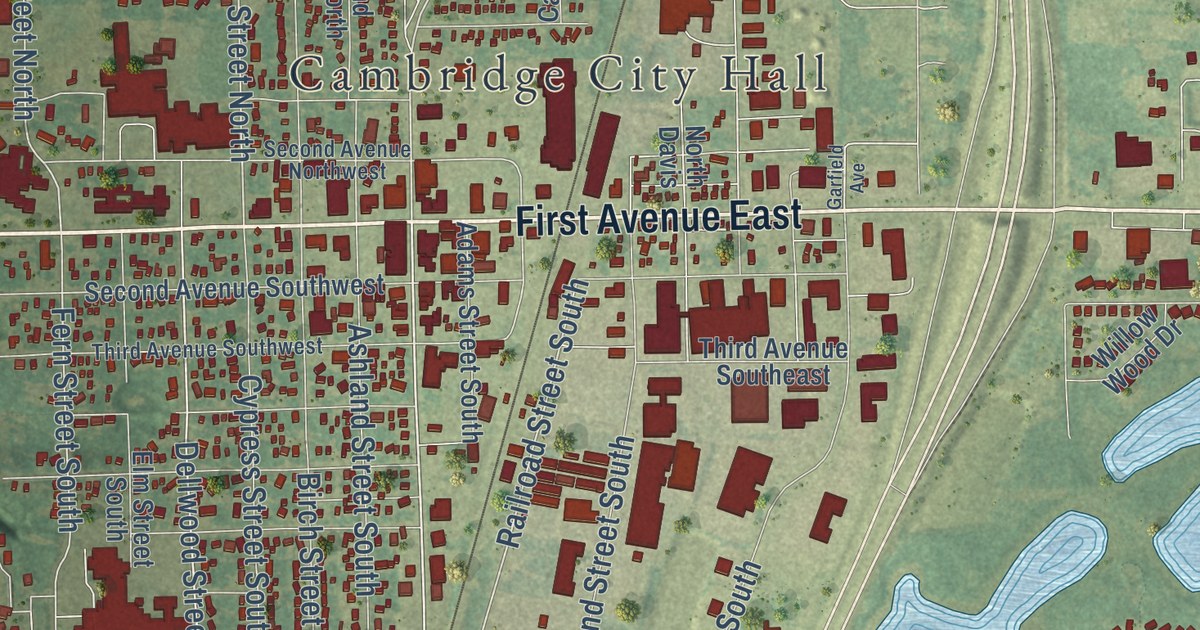
A detailed map of Cambridge, Minnesota, showing every building in its true location, the roads by name, and shaded topographical relief.
Read More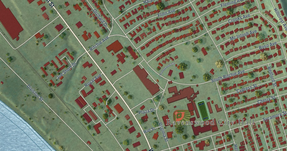
A detailed map of Ravenswood, West Virginia, showing every building in its true location, the roads by name, and shaded topographical relief.
Read More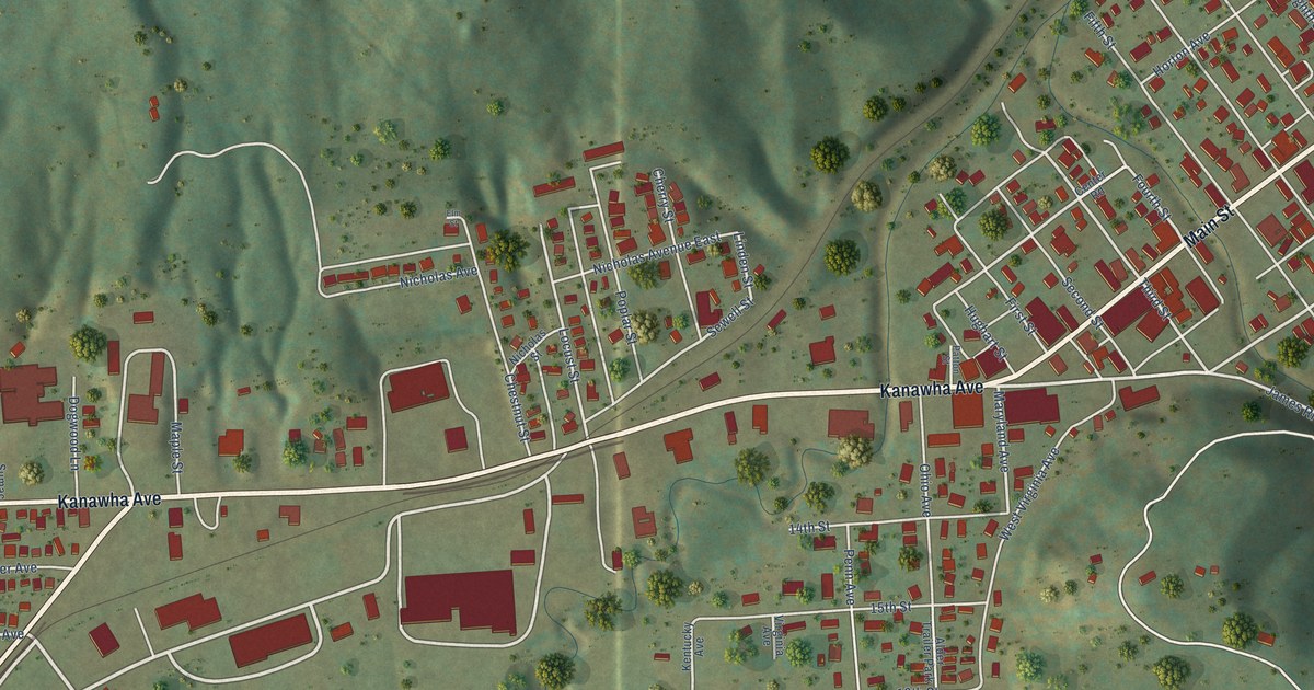
A detailed map of Rainelle, West Virginia, showing every building in its true location, the roads by name, and shaded topographical relief.
Read More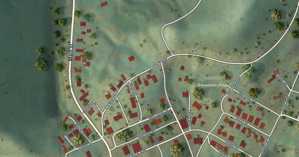
A detailed map of Quinwood, West Virginia, showing every building in its true location, the roads by name, and shaded topographical relief.
Read More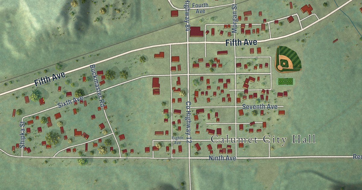
A detailed map of Calumet, Minnesota, showing every building in its true location, the roads by name, and shaded topographical relief.
Read More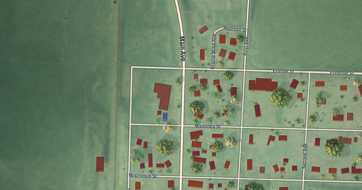
A detailed map of Callaway, Minnesota, showing every building in its true location, the roads by name, and shaded topographical relief.
Read More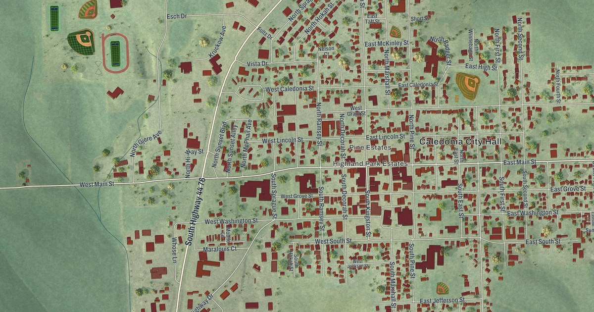
A detailed map of Caledonia, Minnesota, showing every building in its true location, the roads by name, and shaded topographical relief.
Read More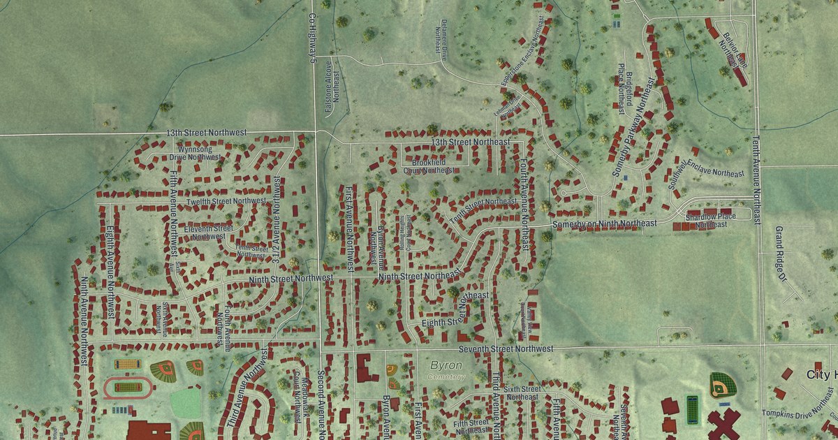
A detailed map of Byron, Minnesota, showing every building in its true location, the roads by name, and shaded topographical relief.
Read More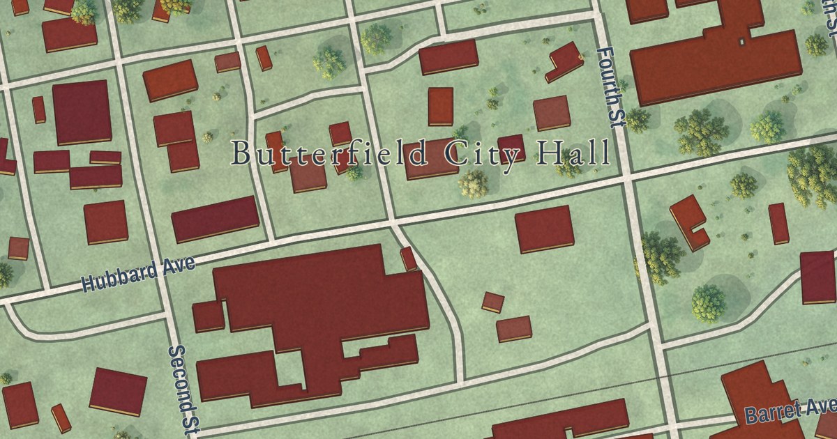
A detailed map of Butterfield, Minnesota, showing every building in its true location, the roads by name, and shaded topographical relief.
Read More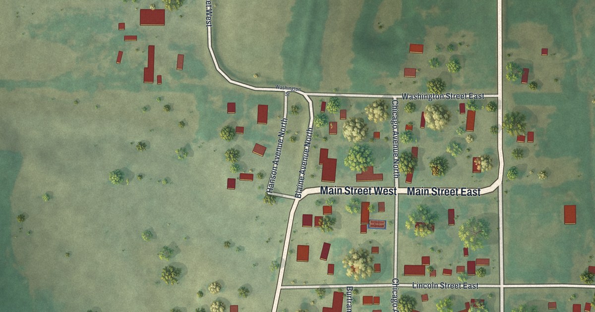
A detailed map of Burtrum, Minnesota, showing every building in its true location, the roads by name, and shaded topographical relief.
Read More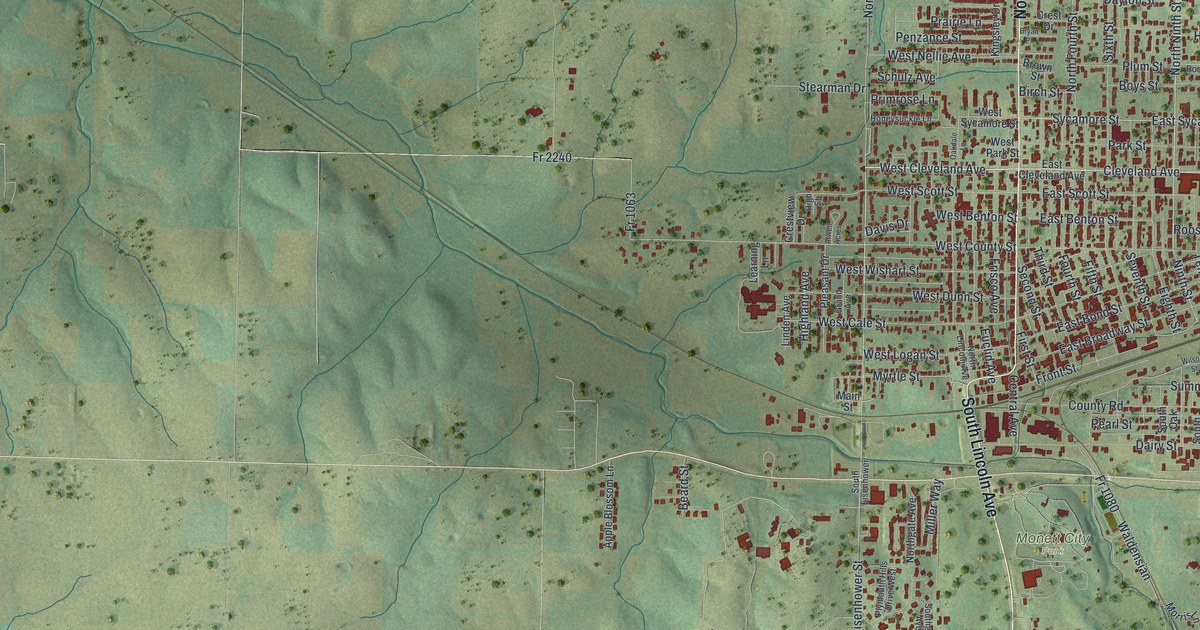
A modern aerial view of Monett in Barry County, Missouri, with a vintage feel. Find North Central Avenue, East Broadway Street, North Park and your own block, and learn how a railroad passenger agent gave the town its name.
Read More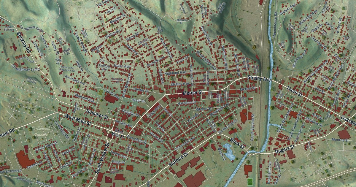
A detailed map of Princeton, West Virginia, showing every building in its true location, the roads by name, and shaded topographical relief.
Read More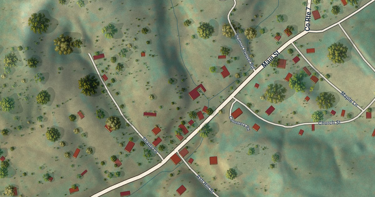
A detailed map of Pullman, West Virginia, showing every building in its true location, the roads by name, and shaded topographical relief.
Read More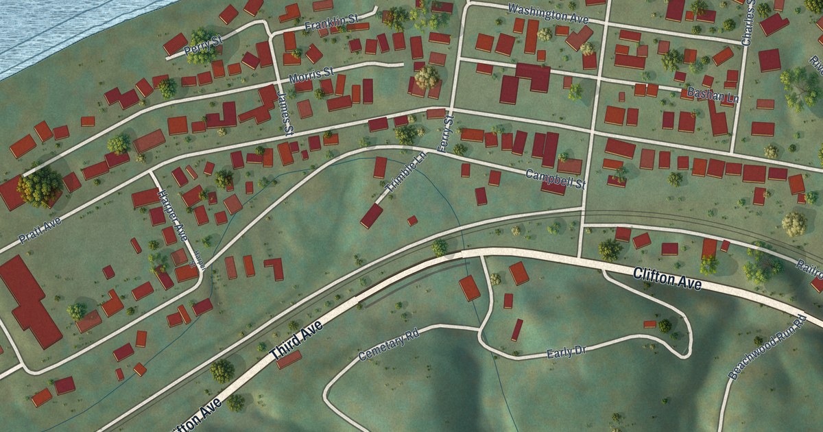
A detailed map of Pratt, West Virginia, showing every building in its true location, the roads by name, and shaded topographical relief.
Read More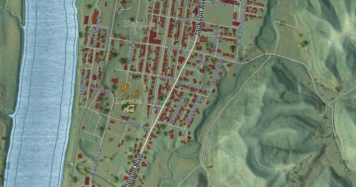
A detailed map of Point Pleasant, West Virginia, showing every building in its true location, the roads by name, and shaded topographical relief.
Read More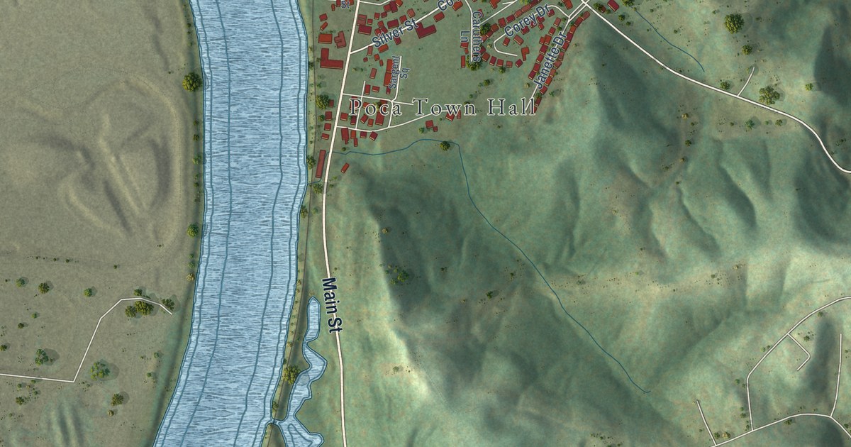
A detailed map of Poca, West Virginia, showing every building in its true location, the roads by name, and shaded topographical relief.
Read More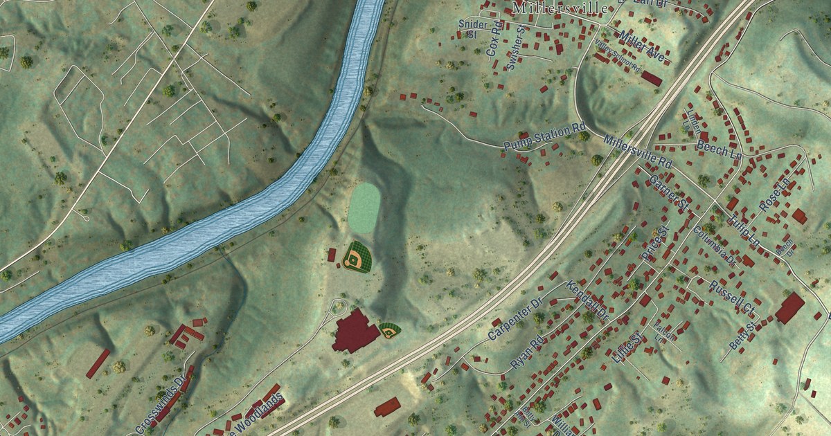
A detailed map of Pleasant Valley, West Virginia, showing every building in its true location, the roads by name, and shaded topographical relief.
Read More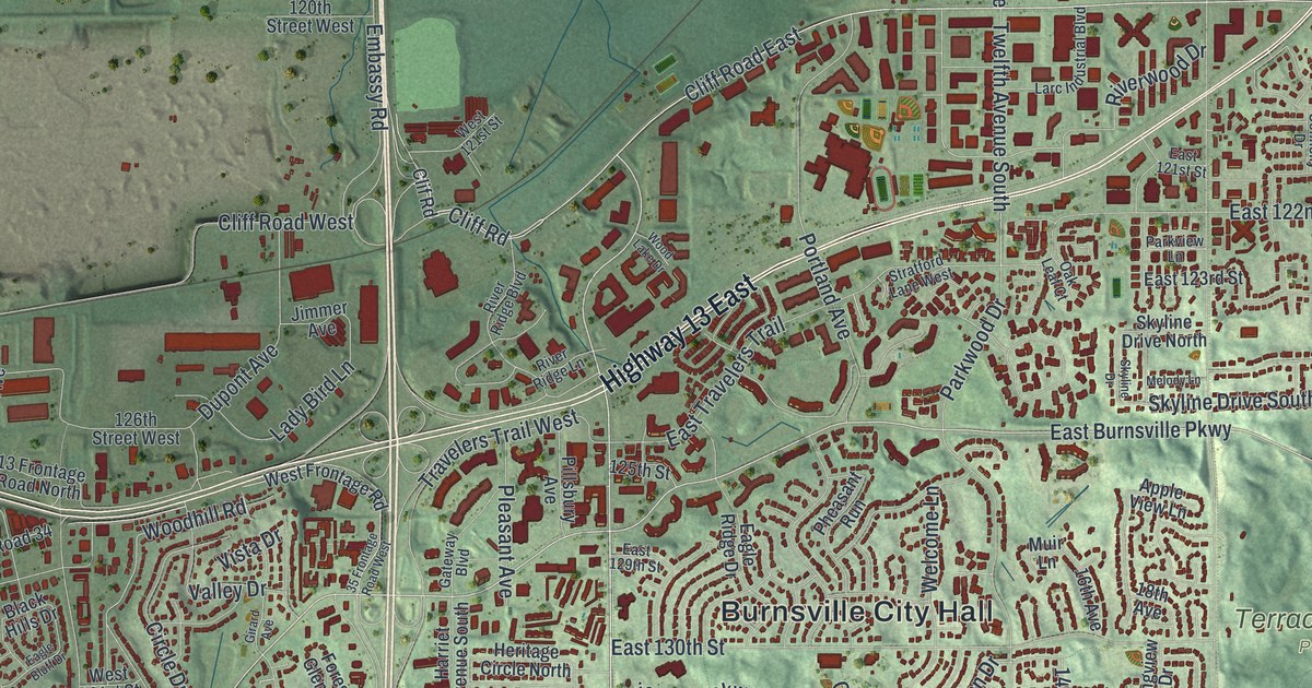
A detailed map of Burnsville, Minnesota, showing every building in its true location, the roads by name, and shaded topographical relief.
Read More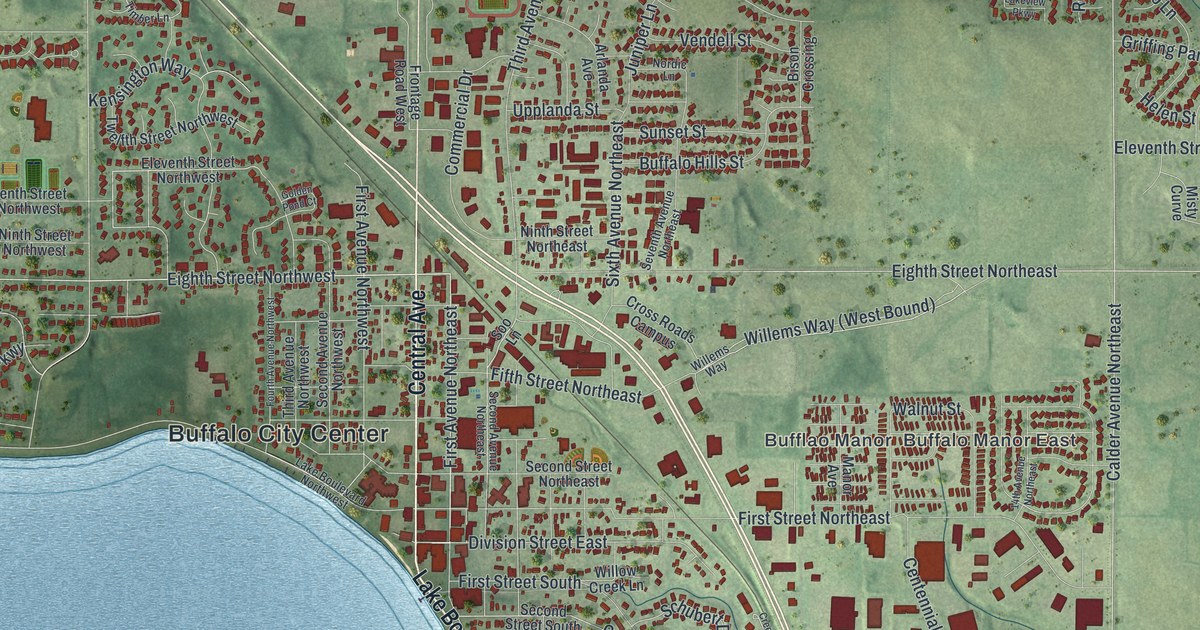
A detailed map of Buffalo, Minnesota, showing every building in its true location, the roads by name, and shaded topographical relief.
Read More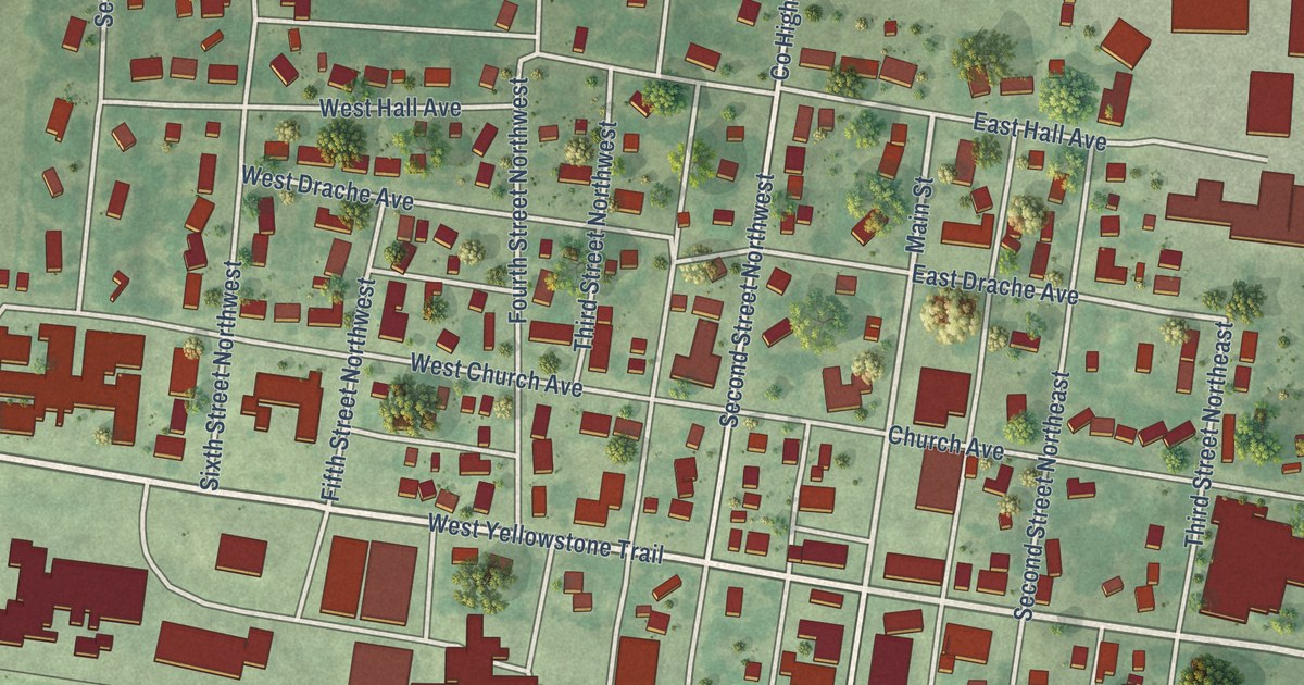
A detailed map of Buffalo Lake, Minnesota, showing every building in its true location, the roads by name, and shaded topographical relief.
Read More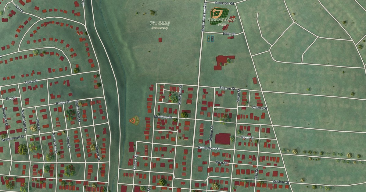
Find Derry Street, Saussaman Park, and familiar blocks on this new Paxtang map. Learn how Paxton Church’s story reaches back to its first pastor in 1732.
Read More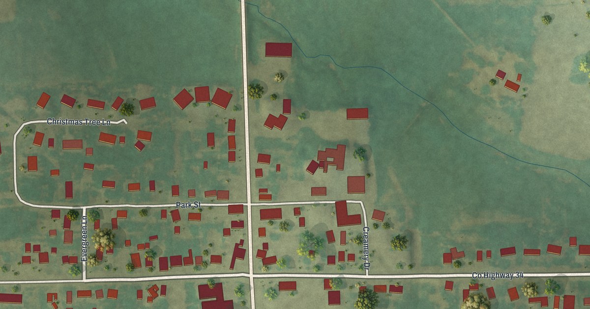
A detailed map of Buckman, Minnesota, showing every building in its true location, the roads by name, and shaded topographical relief.
Read More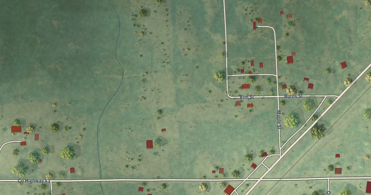
A detailed map of Bruno, Minnesota, showing every building in its true location, the roads by name, and shaded topographical relief.
Read More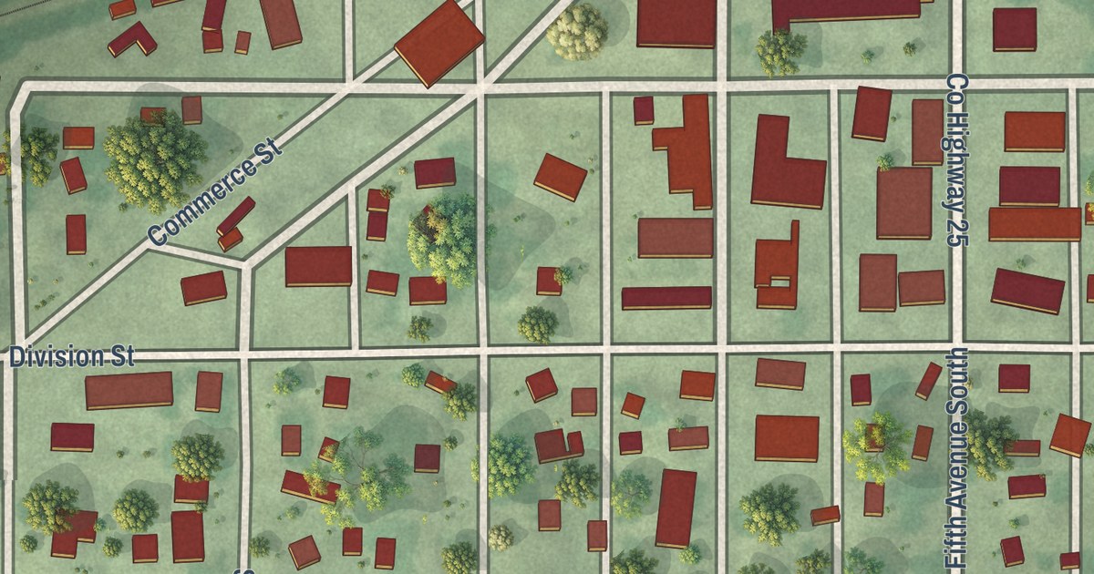
A detailed map of Brownton, Minnesota, showing every building in its true location, the roads by name, and shaded topographical relief.
Read More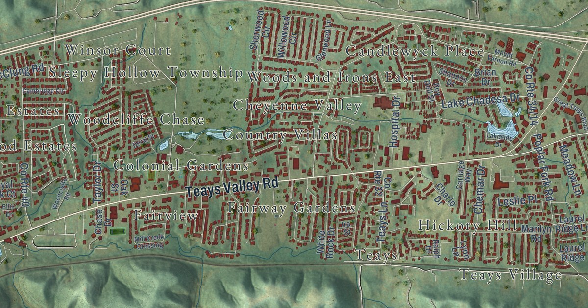
A detailed map of Teays Valley, West Virginia, showing every building in its true location, the roads by name, and shaded topographical relief.
Read More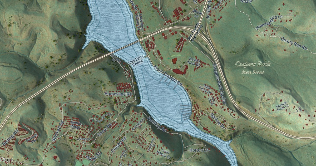
A detailed map of Cheat Lake, West Virginia, showing every building in its true location, the roads by name, and shaded topographical relief.
Read More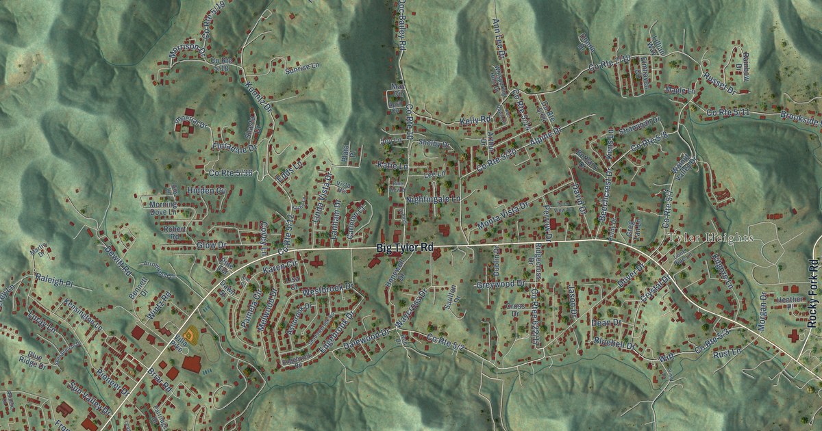
A detailed map of Cross Lanes, West Virginia, showing every building in its true location, the roads by name, and shaded topographical relief.
Read More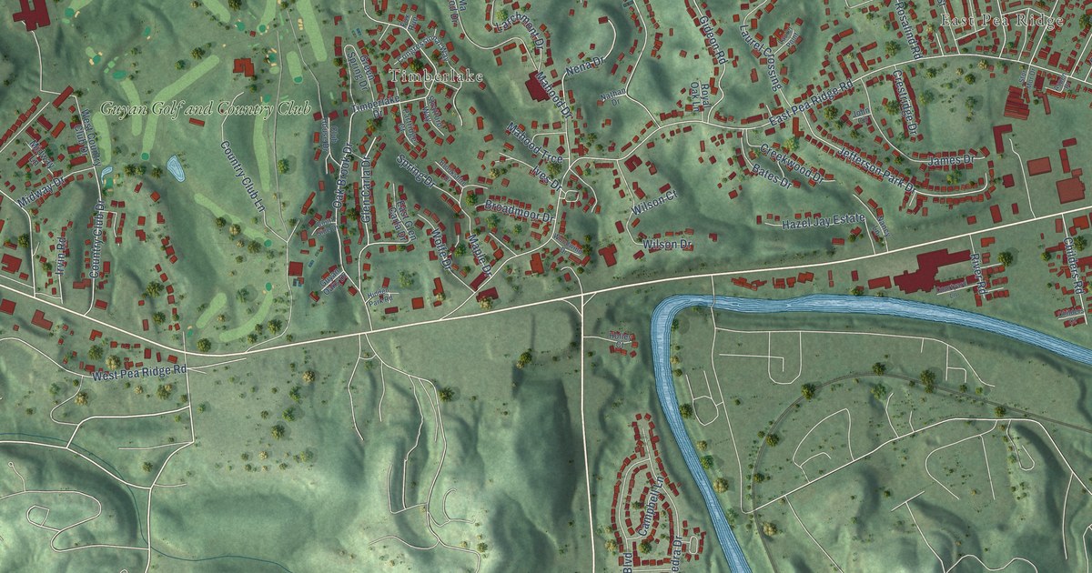
A detailed map of Pea Ridge, West Virginia, showing every building in its true location, the roads by name, and shaded topographical relief.
Read More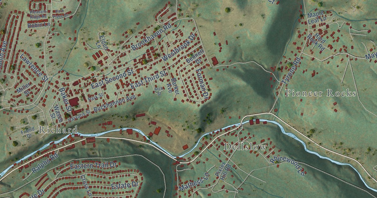
A detailed map of Brookhaven, West Virginia, showing every building in its true location, the roads by name, and shaded topographical relief.
Read More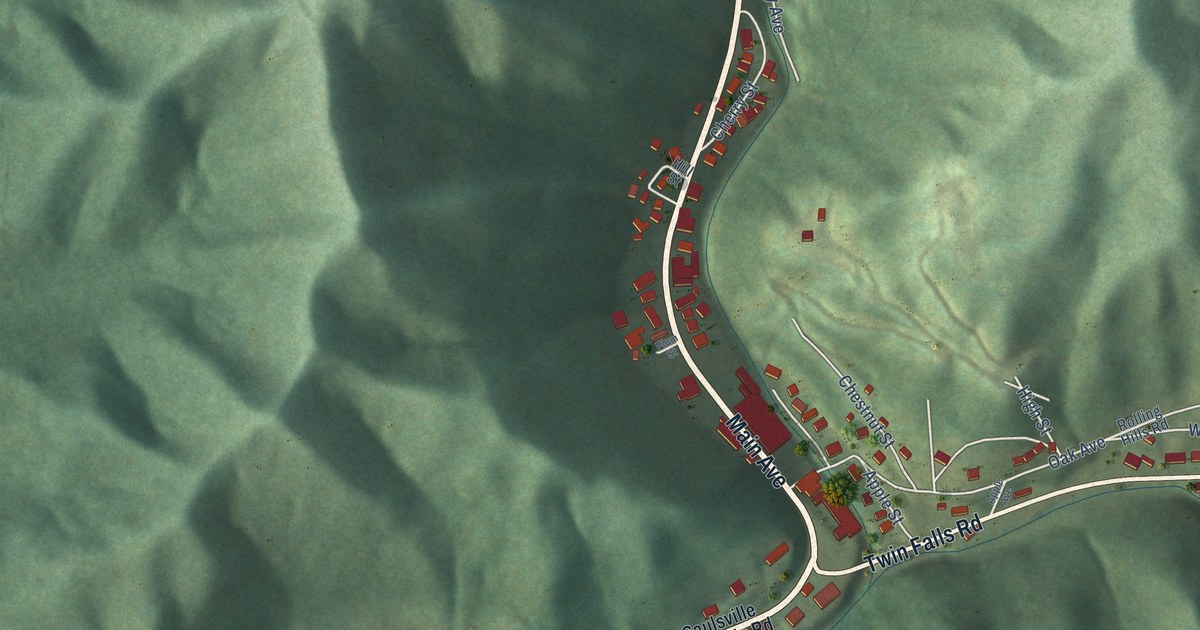
A detailed map of Pineville, West Virginia, showing every building in its true location, the roads by name, and shaded topographical relief.
Read More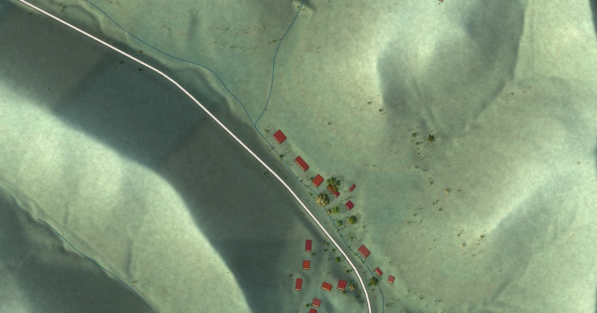
A detailed map of Brownsville, Minnesota, showing every building in its true location, the roads by name, and shaded topographical relief.
Read More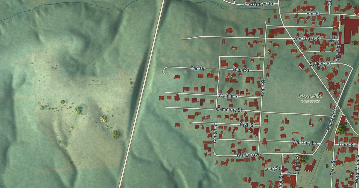
Roseville’s streets, red buildings, and green hills fill this modern aerial map. Look for Main Street and Roseville Cemetery, then read about the shared church house on cemetery hill.
Read More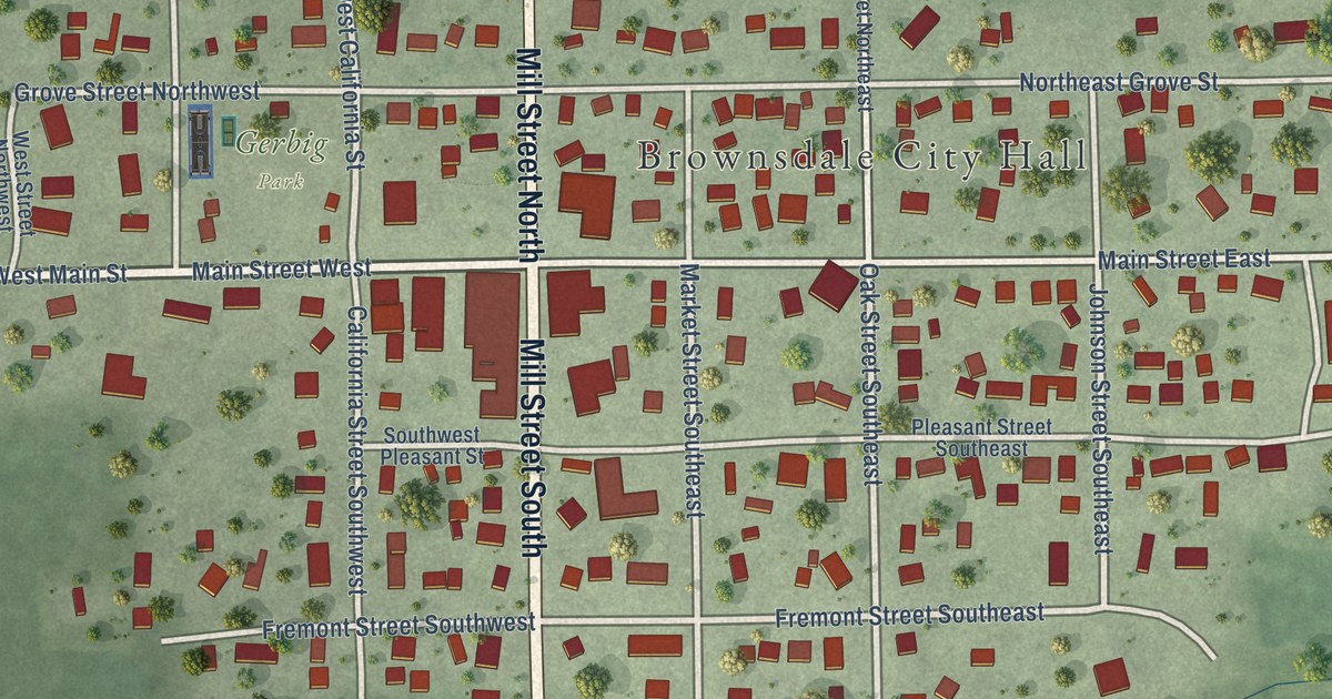
A detailed map of Brownsdale, Minnesota, showing every building in its true location, the roads by name, and shaded topographical relief.
Read More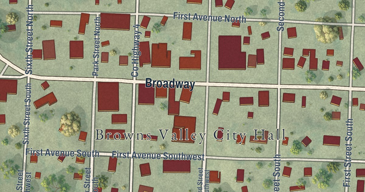
A detailed map of Browns Valley, Minnesota, showing every building in its true location, the roads by name, and shaded topographical relief.
Read More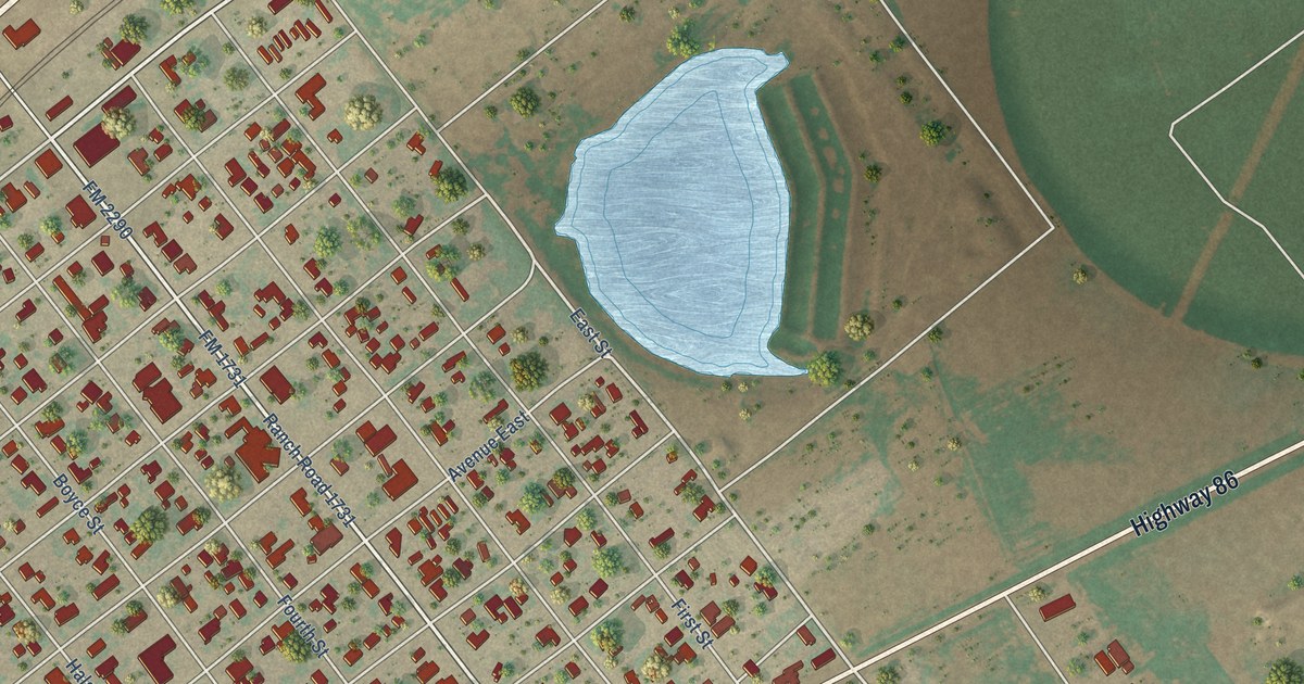
A detailed map of Bovina, Texas, showing every building in its true location, the roads by name, and shaded topographical relief.
Read More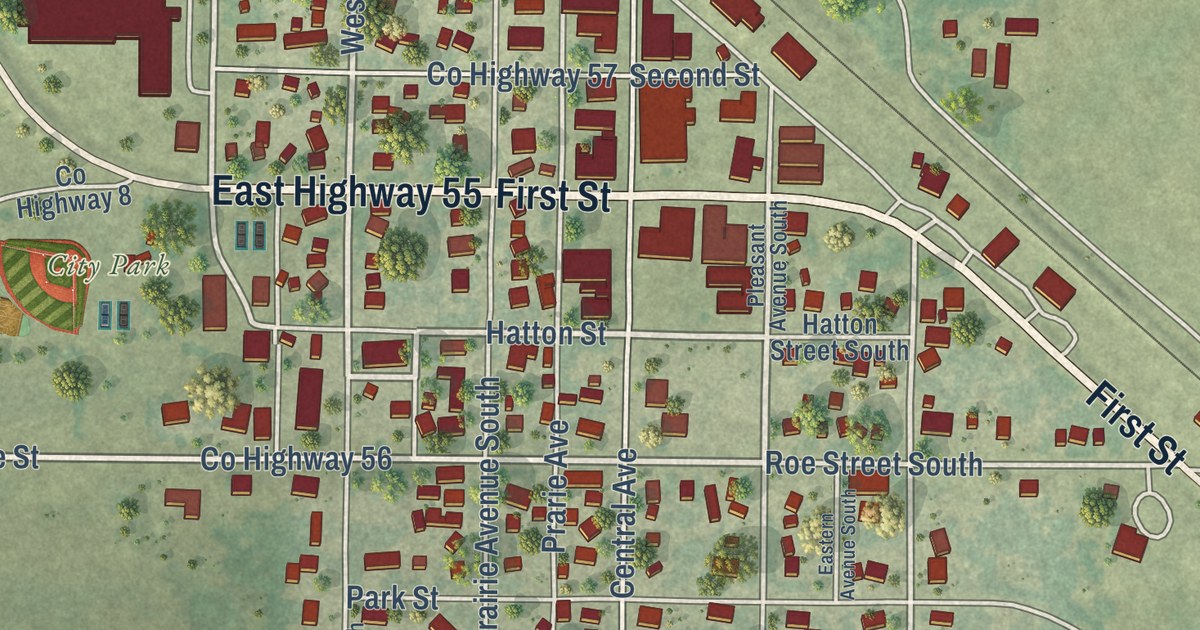
A detailed map of Brooten, Minnesota, showing every building in its true location, the roads by name, and shaded topographical relief.
Read More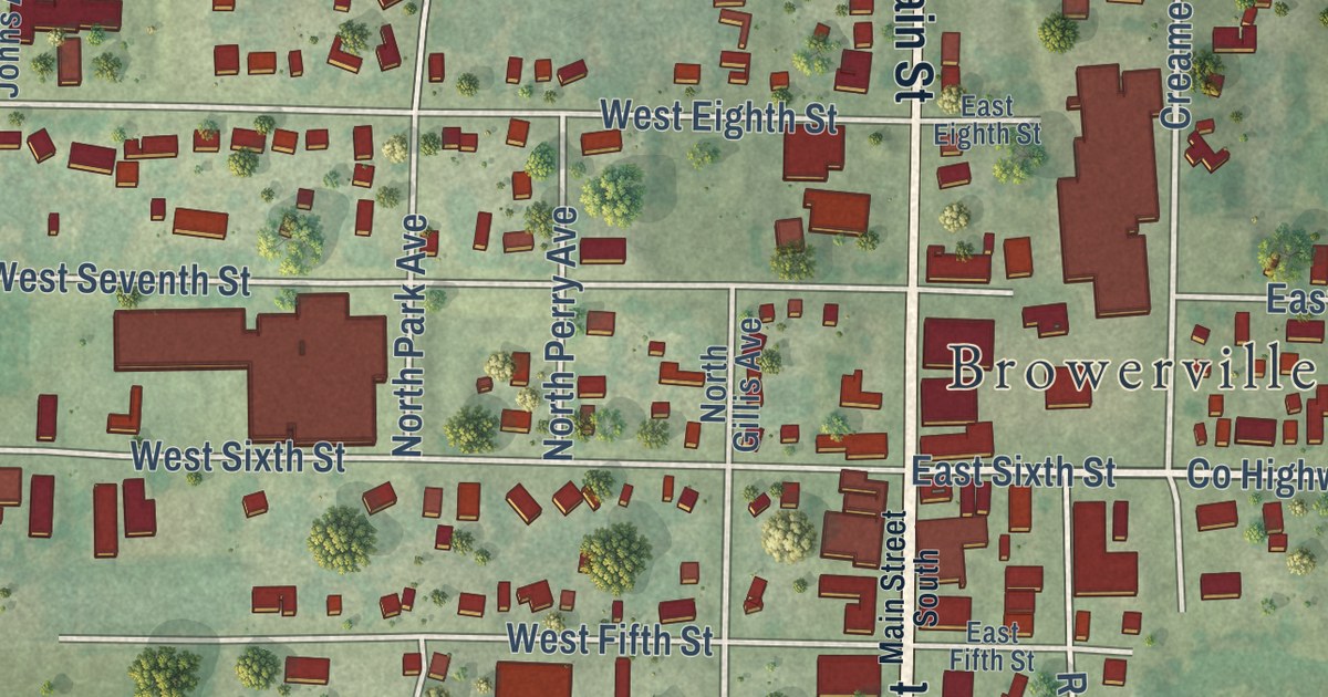
A detailed map of Browerville, Minnesota, showing every building in its true location, the roads by name, and shaded topographical relief.
Read More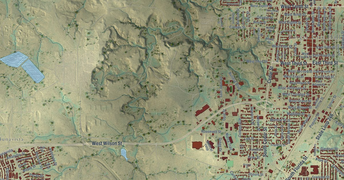
A detailed map of Borger, Texas, showing every building in its true location, the roads by name, and shaded topographical relief.
Read More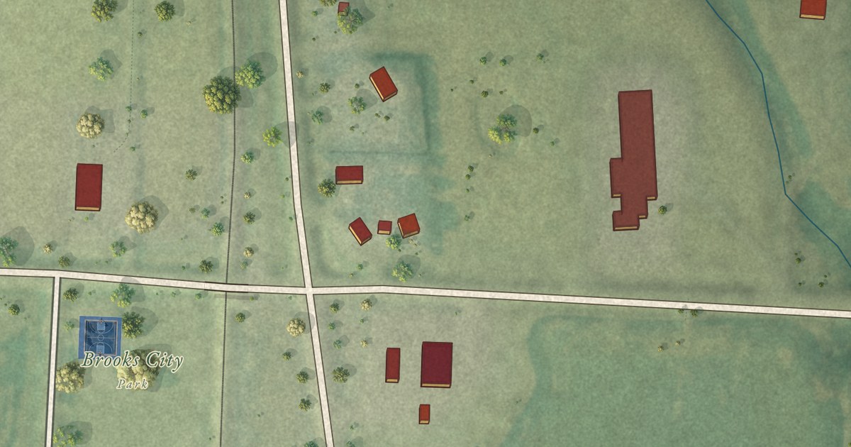
A detailed map of Brooks, Minnesota, showing every building in its true location, the roads by name, and shaded topographical relief.
Read More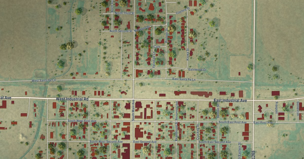
A detailed map of Booker, Texas, showing every building in its true location, the roads by name, and shaded topographical relief.
Read More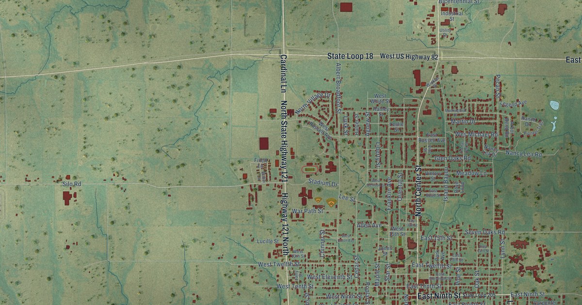
A detailed map of Bonham, Texas, showing every building in its true location, the roads by name, and shaded topographical relief.
Read More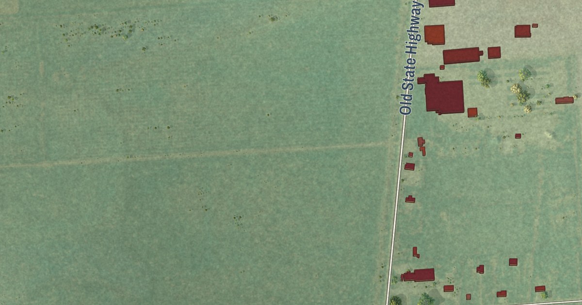
A detailed map of Bonney, Texas, showing every building in its true location, the roads by name, and shaded topographical relief.
Read More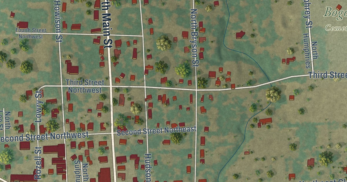
A detailed map of Bogata, Texas, showing every building in its true location, the roads by name, and shaded topographical relief.
Read More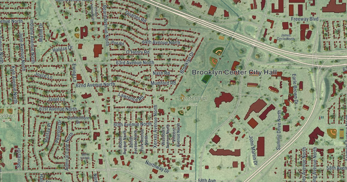
A detailed map of Brooklyn Center, Minnesota, showing every building in its true location, the roads by name, and shaded topographical relief.
Read More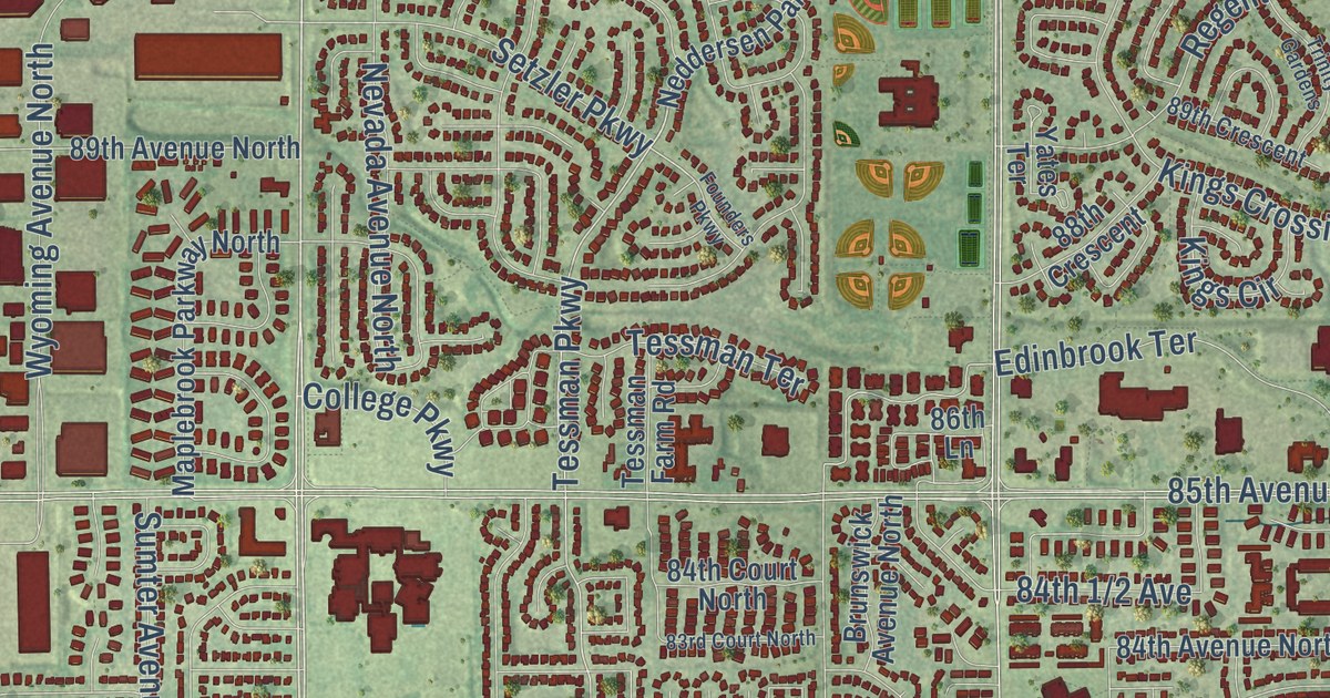
A detailed map of Brooklyn Park, Minnesota, showing every building in its true location, the roads by name, and shaded topographical relief.
Read More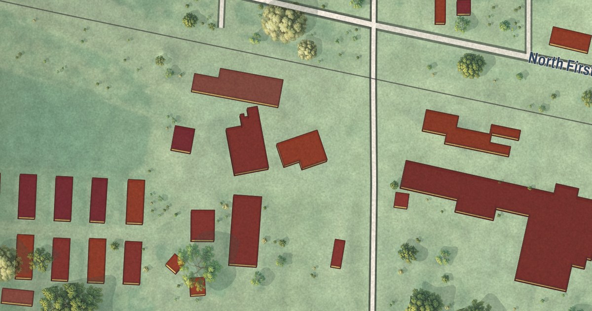
A detailed map of Bricelyn, Minnesota, showing every building in its true location, the roads by name, and shaded topographical relief.
Read More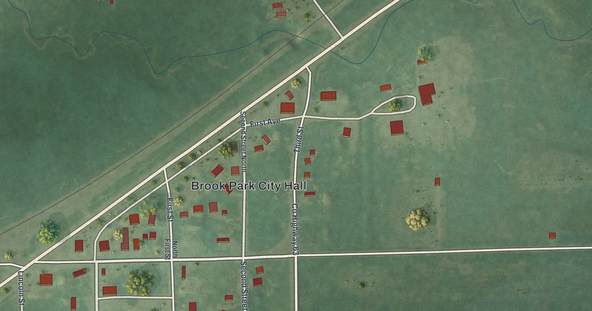
A detailed map of Brook Park, Minnesota, showing every building in its true location, the roads by name, and shaded topographical relief.
Read More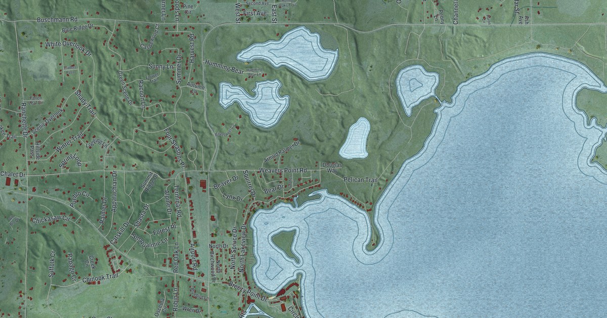
A detailed map of Breezy Point, Minnesota, showing every building in its true location, the roads by name, and shaded topographical relief.
Read More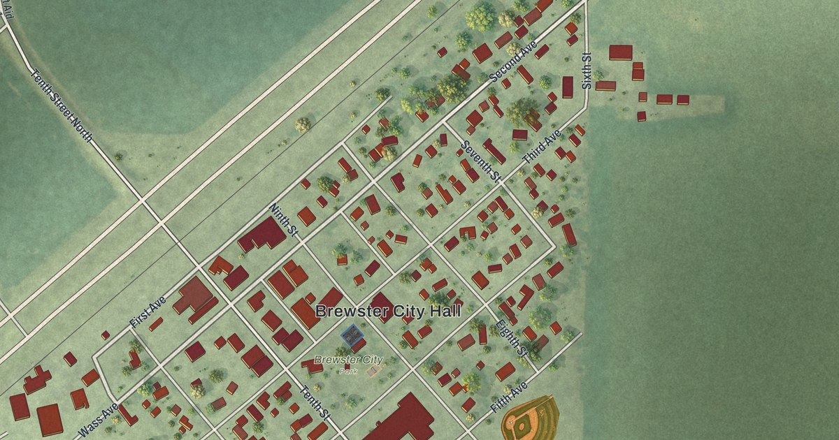
A detailed map of Brewster, Minnesota, showing every building in its true location, the roads by name, and shaded topographical relief.
Read More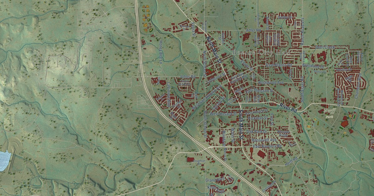
A detailed map of Boerne, Texas, showing every building in its true location, the roads by name, and shaded topographical relief.
Read More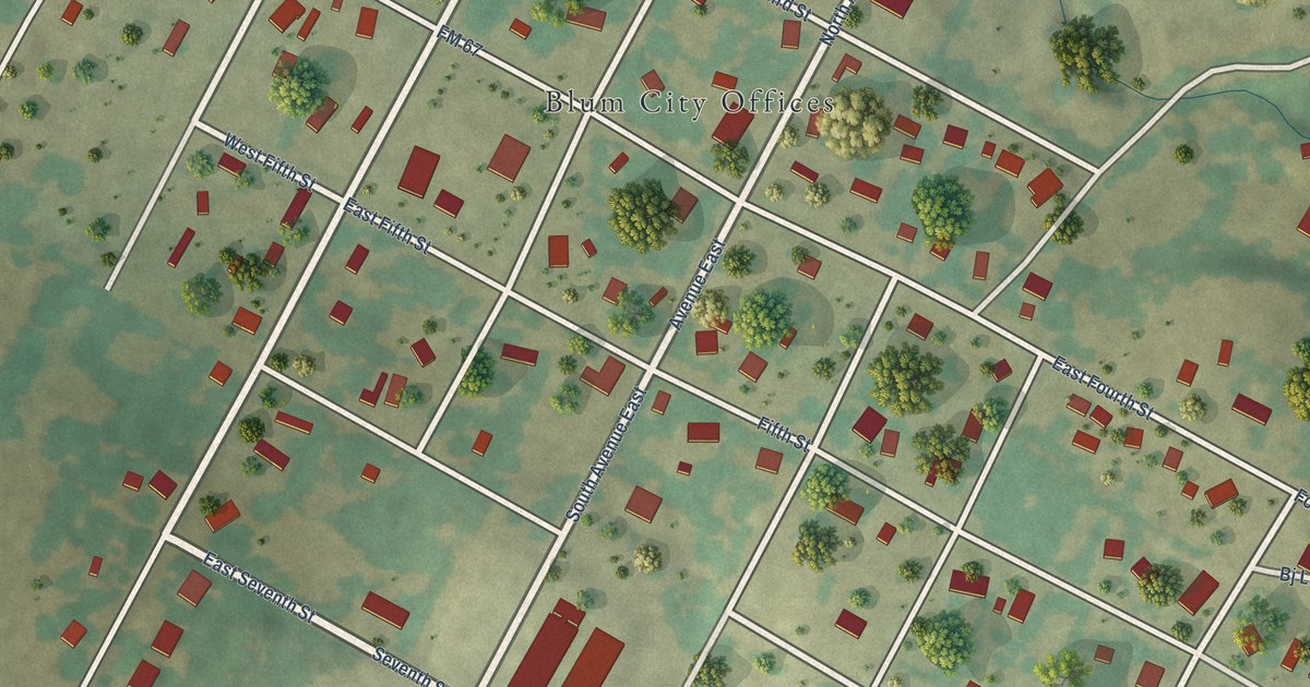
A detailed map of Blum, Texas, showing every building in its true location, the roads by name, and shaded topographical relief.
Read More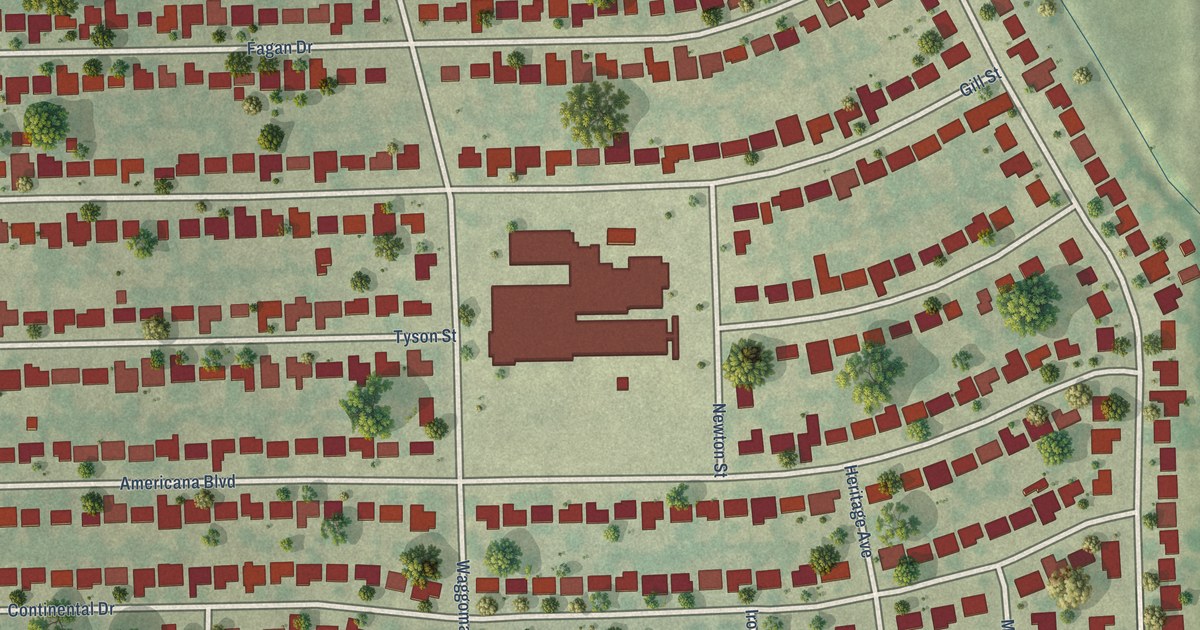
A detailed map of Blue Mound, Texas, showing every building in its true location, the roads by name, and shaded topographical relief.
Read More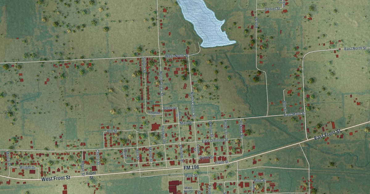
A detailed map of Blossom, Texas, showing every building in its true location, the roads by name, and shaded topographical relief.
Read More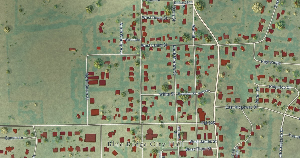
A detailed map of Blue Ridge, Texas, showing every building in its true location, the roads by name, and shaded topographical relief.
Read More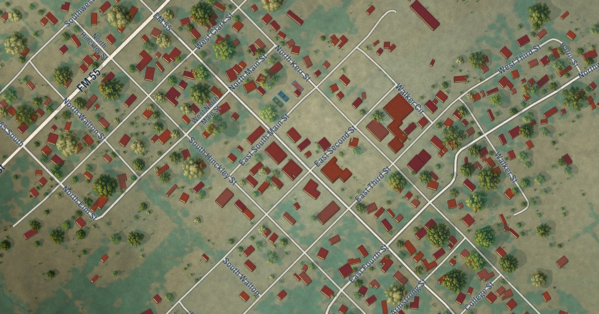
A detailed map of Blooming Grove, Texas, showing every building in its true location, the roads by name, and shaded topographical relief.
Read More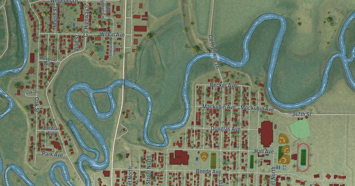
A detailed map of Breckenridge, Minnesota, showing every building in its true location, the roads by name, and shaded topographical relief.
Read More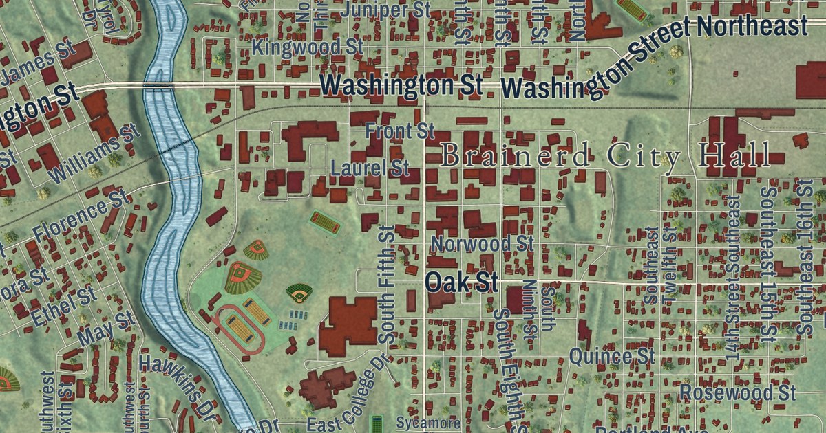
A detailed map of Brainerd, Minnesota, showing every building in its true location, the roads by name, and shaded topographical relief.
Read More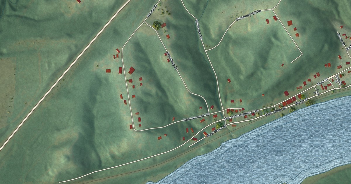
A modern aerial view of Missouri City in Clay County, Missouri. See the wooded hills, the wide river, Main Street, Water Street and the block where the old Savings Bank Building and Meeting Hall stands.
Read More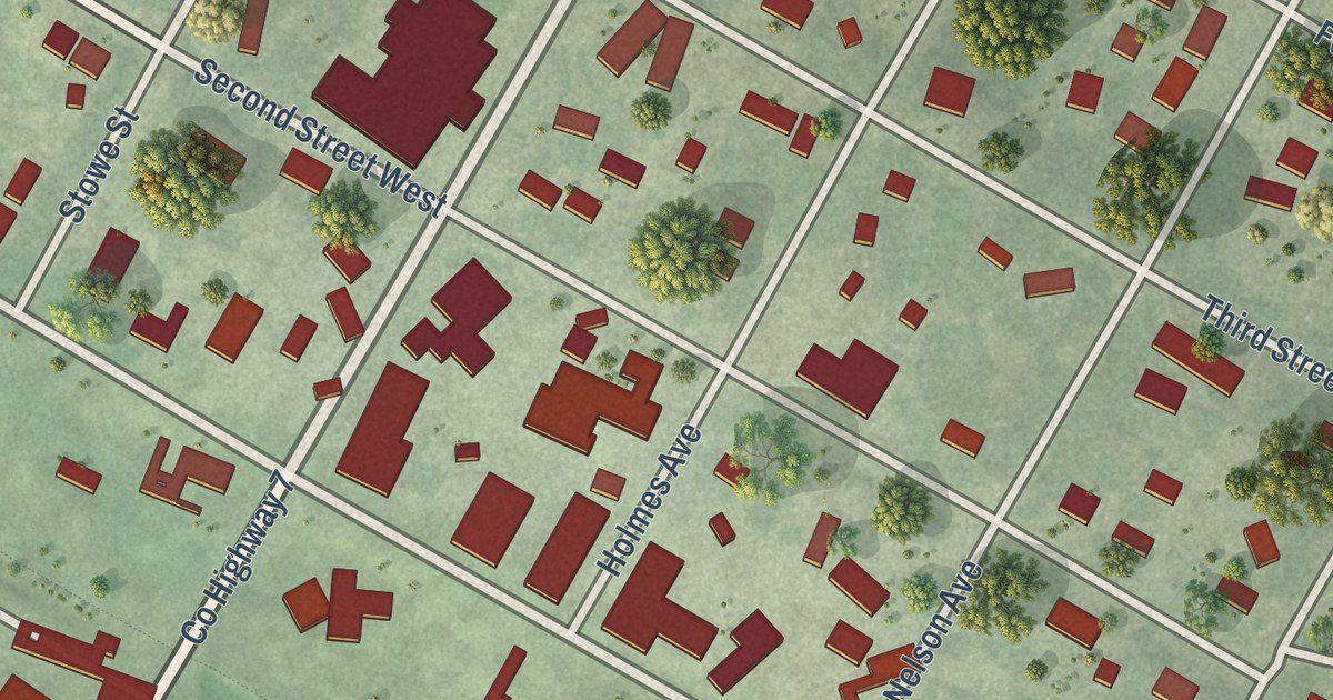
A detailed map of Brandon, Minnesota, showing every building in its true location, the roads by name, and shaded topographical relief.
Read More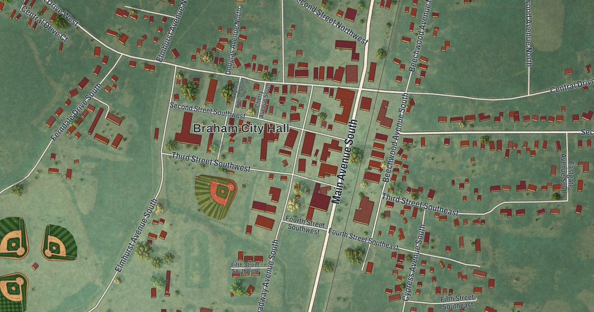
A detailed map of Braham, Minnesota, showing every building in its true location, the roads by name, and shaded topographical relief.
Read More
A detailed map of Boy River, Minnesota, showing every building in its true location, the roads by name, and shaded topographical relief.
Read More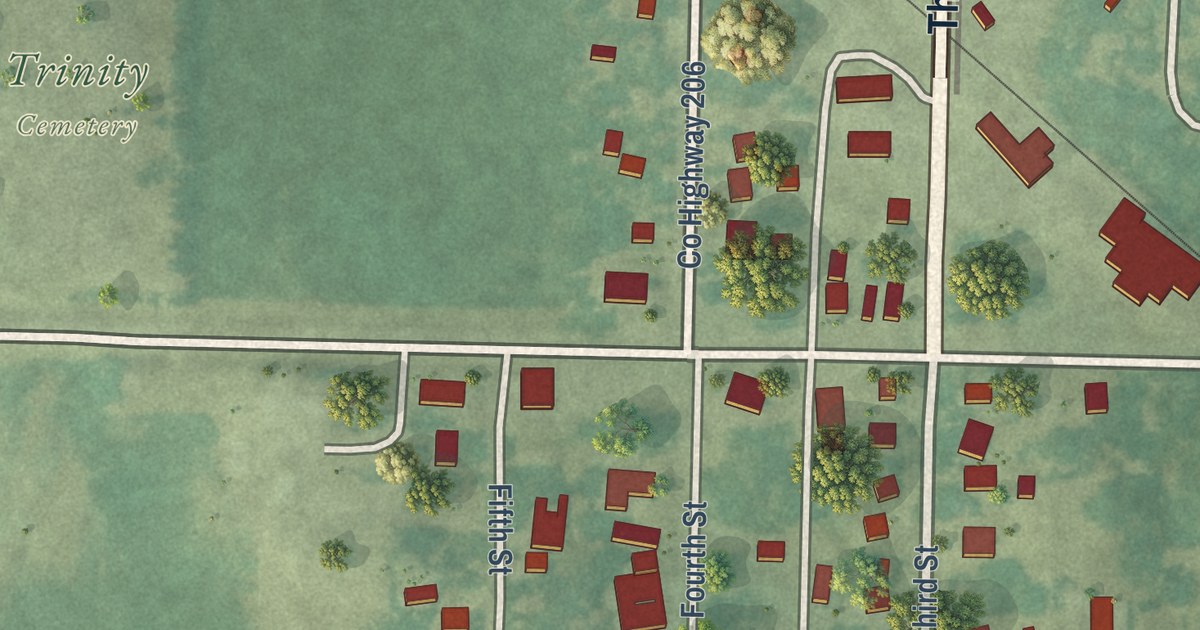
A detailed map of Boyd, Minnesota, showing every building in its true location, the roads by name, and shaded topographical relief.
Read More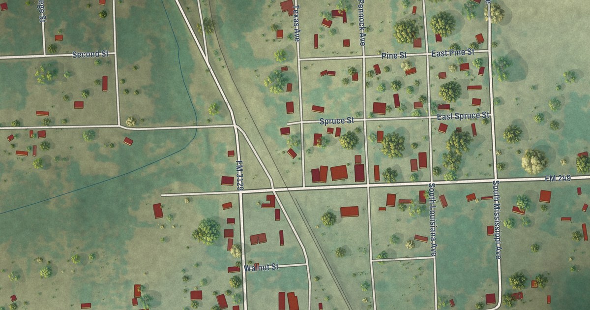
A detailed map of Bloomburg, Texas, showing every building in its true location, the roads by name, and shaded topographical relief.
Read More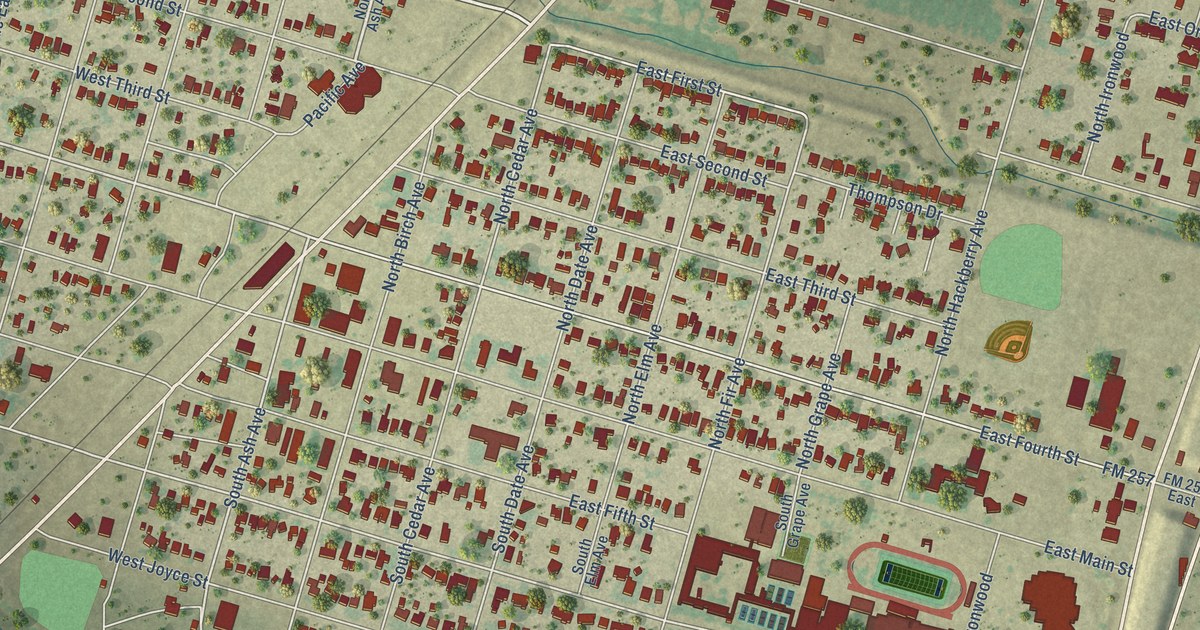
A detailed map of Bishop, Texas, showing every building in its true location, the roads by name, and shaded topographical relief.
Read More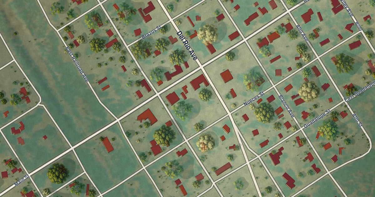
A detailed map of Blackwell, Texas, showing every building in its true location, the roads by name, and shaded topographical relief.
Read More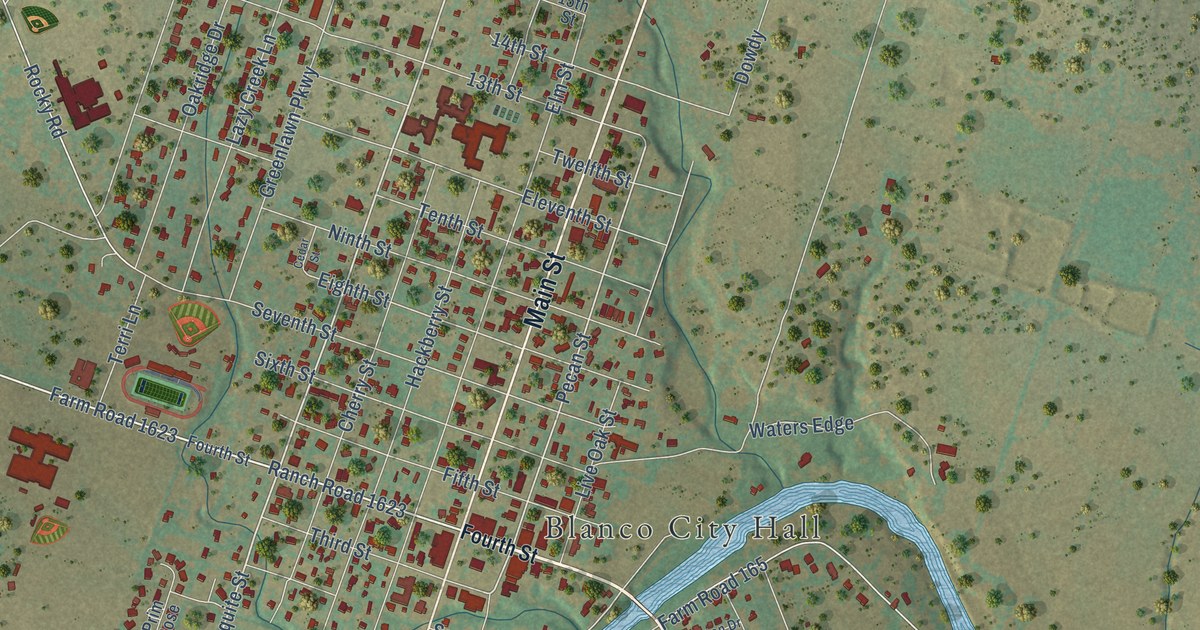
A detailed map of Blanco, Texas, showing every building in its true location, the roads by name, and shaded topographical relief.
Read More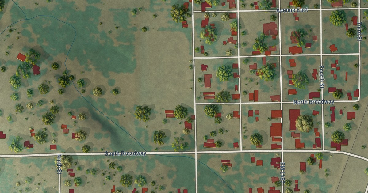
A detailed map of Blanket, Texas, showing every building in its true location, the roads by name, and shaded topographical relief.
Read More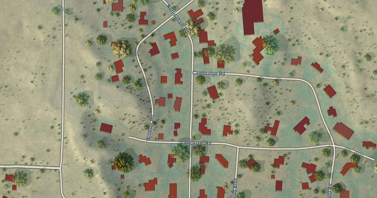
A detailed map of Bishop Hills, Texas, showing every building in its true location, the roads by name, and shaded topographical relief.
Read More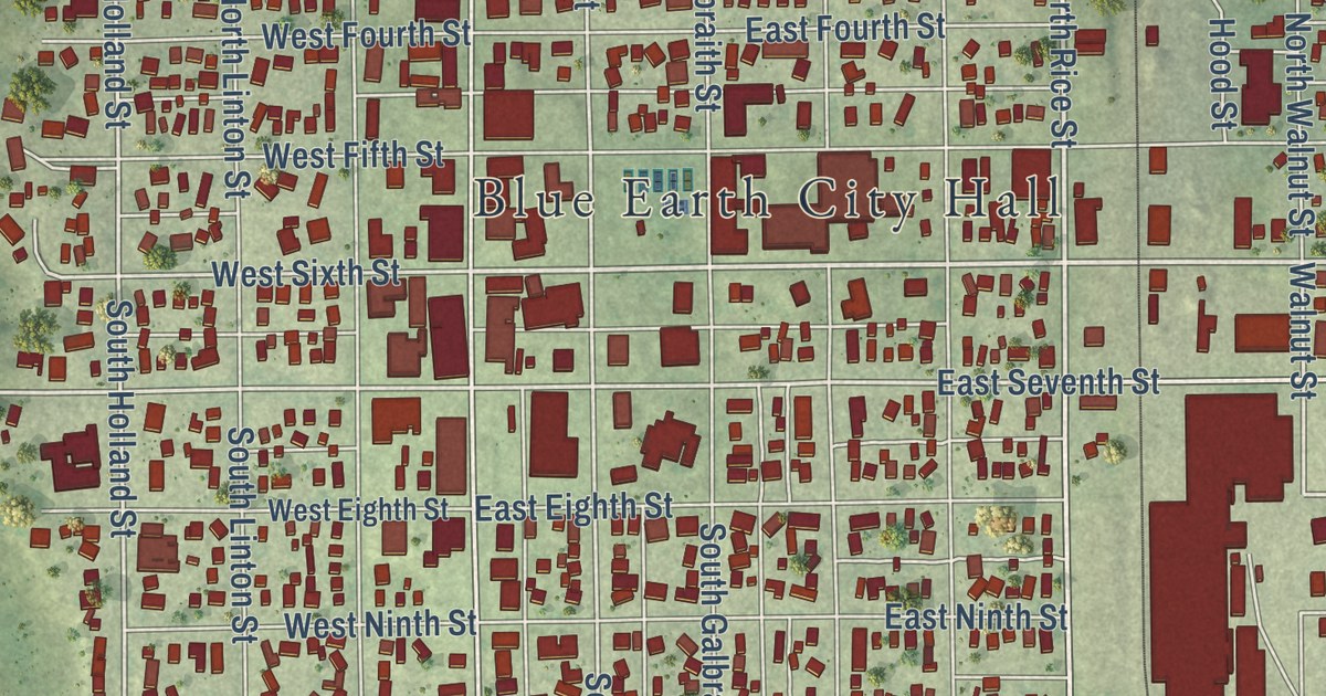
A detailed map of Blue Earth, Minnesota, showing every building in its true location, the roads by name, and shaded topographical relief.
Read More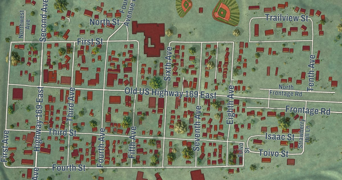
A detailed map of Bovey, Minnesota, showing every building in its true location, the roads by name, and shaded topographical relief.
Read More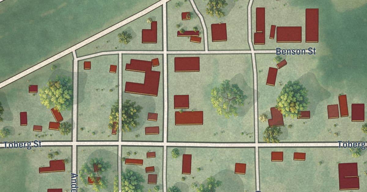
A detailed map of Bock, Minnesota, showing every building in its true location, the roads by name, and shaded topographical relief.
Read More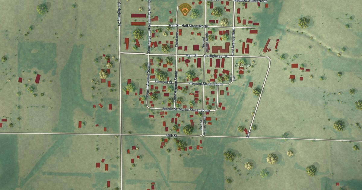
A detailed map of Bowlus, Minnesota, showing every building in its true location, the roads by name, and shaded topographical relief.
Read More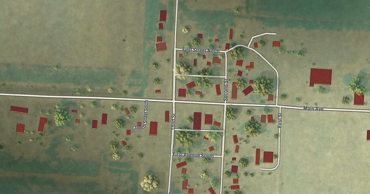
A detailed map of Borup, Minnesota, showing every building in its true location, the roads by name, and shaded topographical relief.
Read More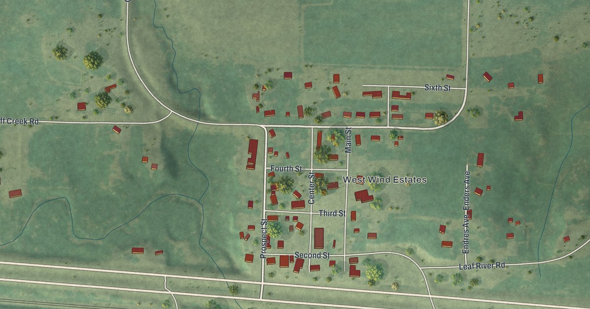
A detailed map of Bluffton, Minnesota, showing every building in its true location, the roads by name, and shaded topographical relief.
Read More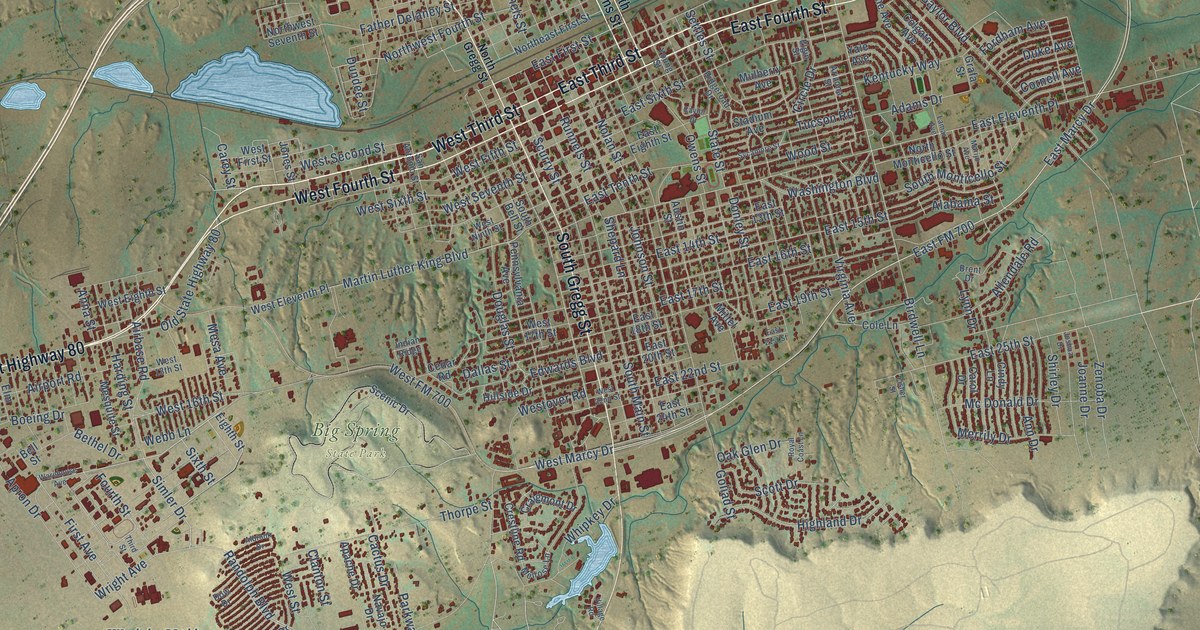
A detailed map of Big Spring, Texas, showing every building in its true location, the roads by name, and shaded topographical relief.
Read More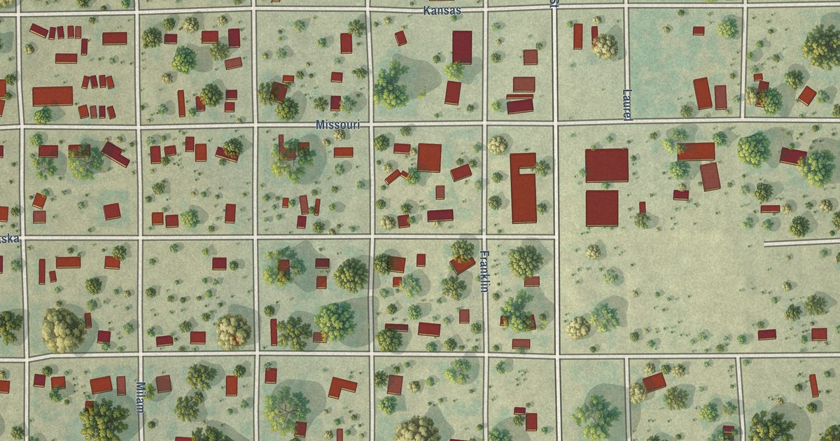
A detailed map of Big Wells, Texas, showing every building in its true location, the roads by name, and shaded topographical relief.
Read More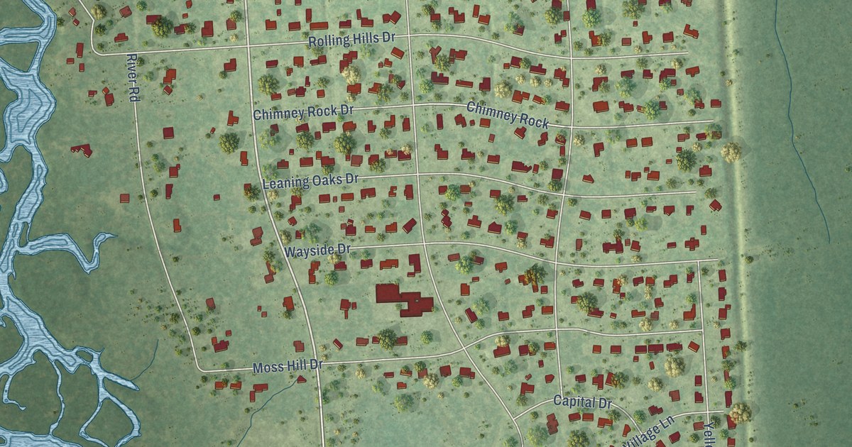
A detailed map of Bevil Oaks, Texas, showing every building in its true location, the roads by name, and shaded topographical relief.
Read More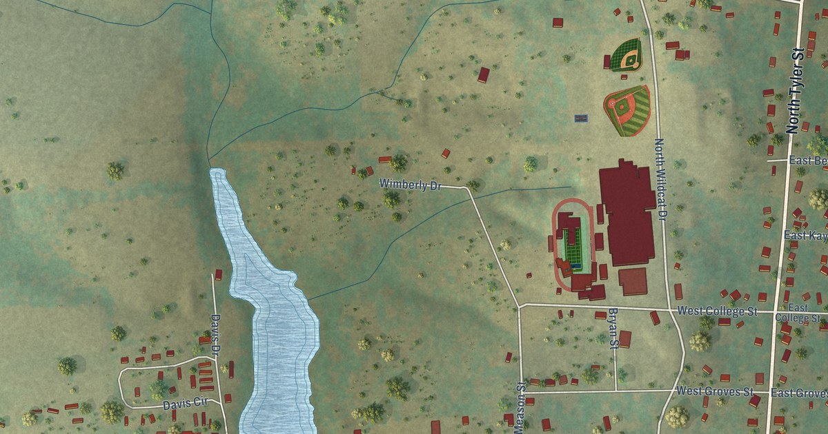
A detailed map of Big Sandy, Texas, showing every building in its true location, the roads by name, and shaded topographical relief.
Read More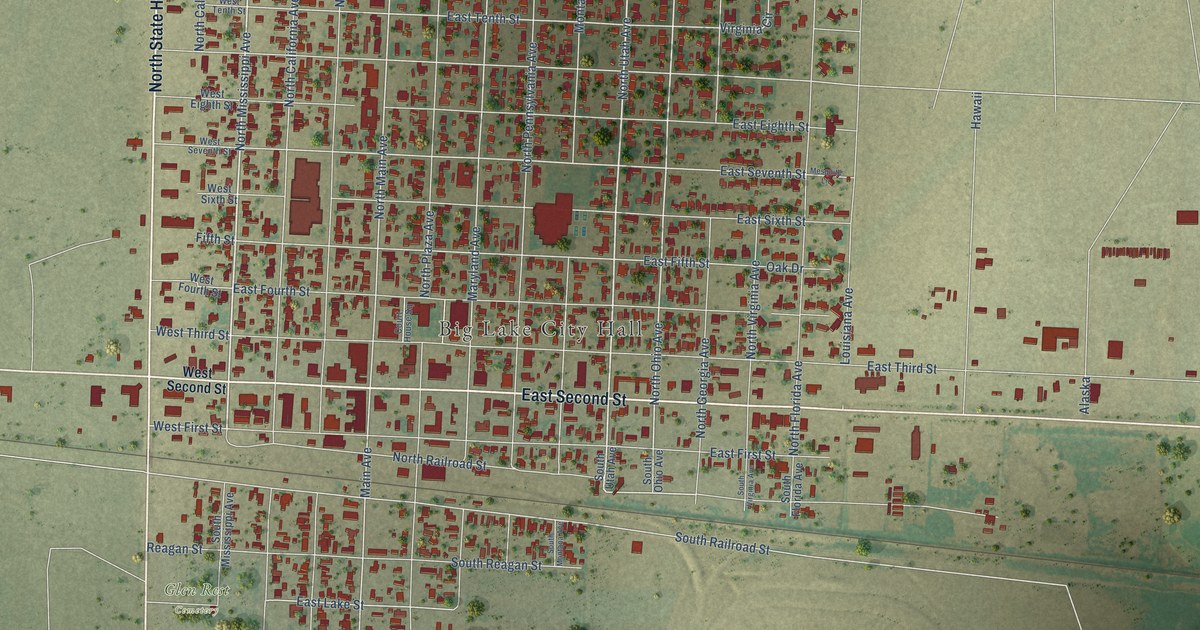
A detailed map of Big Lake, Texas, showing every building in its true location, the roads by name, and shaded topographical relief.
Read More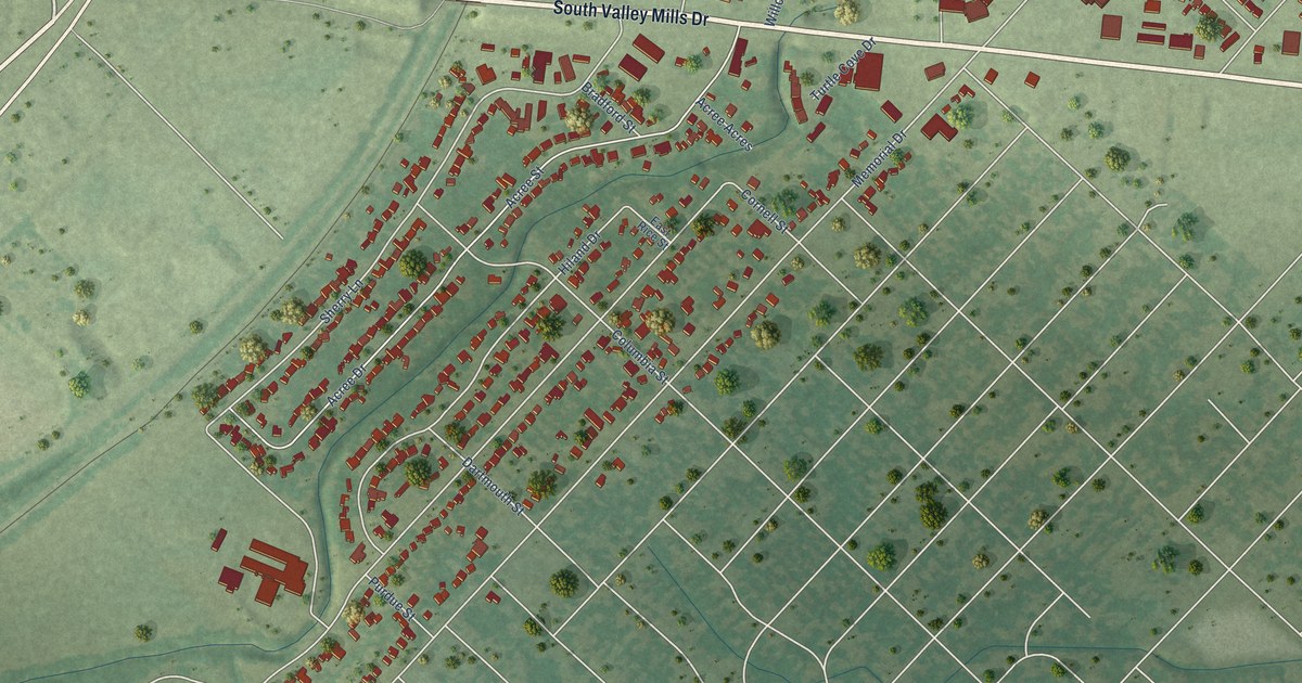
A detailed map of Beverly Hills, Texas, showing every building in its true location, the roads by name, and shaded topographical relief.
Read More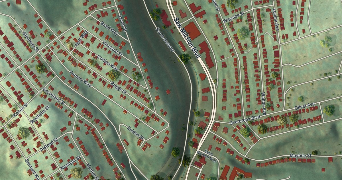
See Overbrook’s streets and green hills in a new aerial map. Find Overbrook Boulevard, Fairhaven Greenway, and rows of homes on a print with a vintage feel.
Read More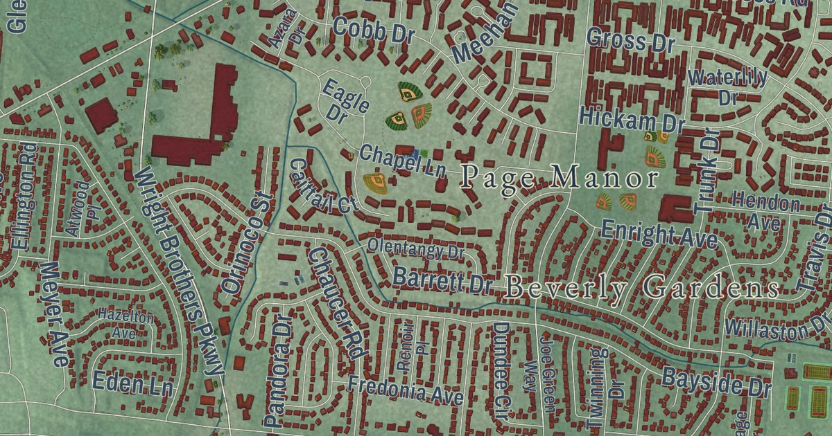
A new aerial map of Riverside in Montgomery County, Ohio. Find Brandt Pike, Springfield Street and Page Manor, and read about Wright Field, named for the Wright brothers, and the Kemp family, who settled on Burkhardt Road around 1806.
Read More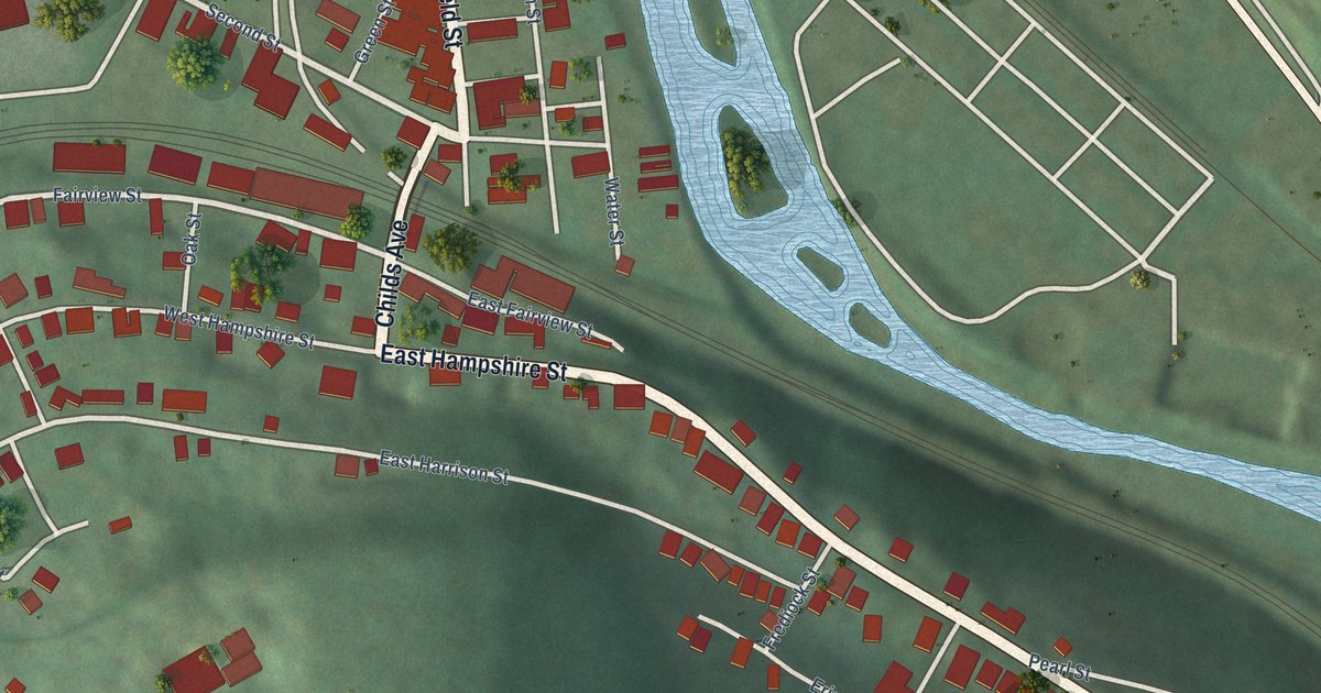
A detailed map of Piedmont, West Virginia, showing every building in its true location, the roads by name, and shaded topographical relief.
Read More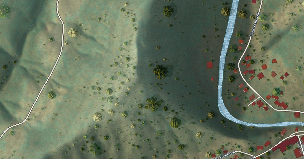
A detailed map of Pine Grove, West Virginia, showing every building in its true location, the roads by name, and shaded topographical relief.
Read More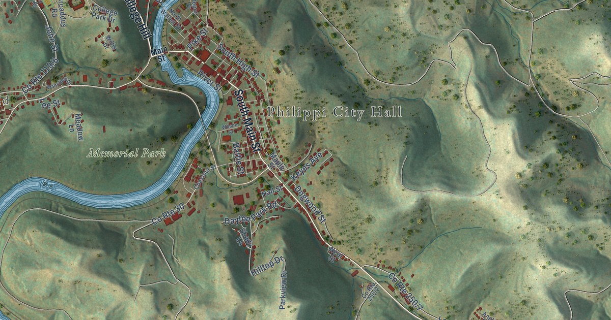
A detailed map of Philippi, West Virginia, showing every building in its true location, the roads by name, and shaded topographical relief.
Read More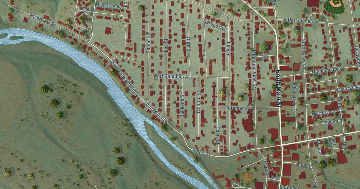
A detailed map of Petersburg, West Virginia, showing every building in its true location, the roads by name, and shaded topographical relief.
Read More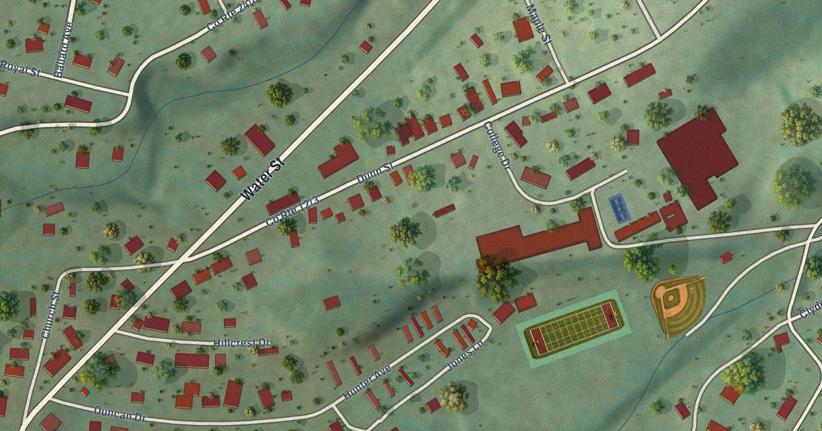
A detailed map of Peterstown, West Virginia, showing every building in its true location, the roads by name, and shaded topographical relief.
Read More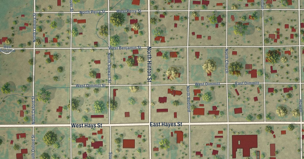
A detailed map of Benjamin, Texas, showing every building in its true location, the roads by name, and shaded topographical relief.
Read More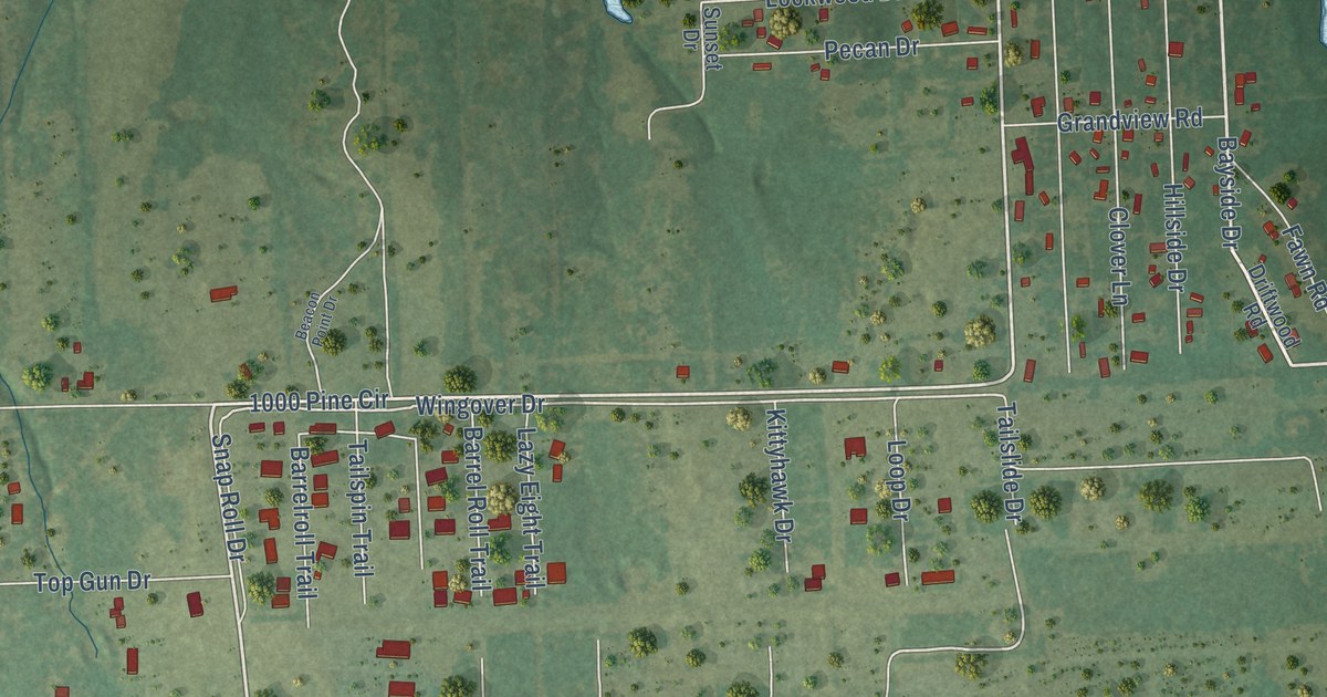
A detailed map of Berryville, Texas, showing every building in its true location, the roads by name, and shaded topographical relief.
Read More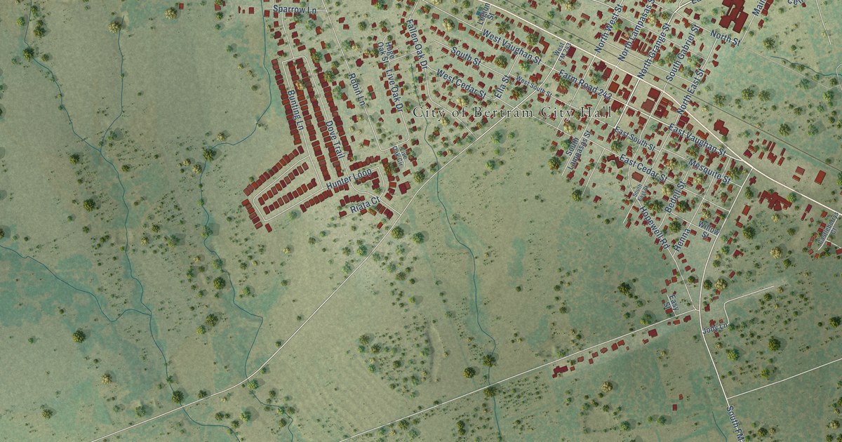
A detailed map of Bertram, Texas, showing every building in its true location, the roads by name, and shaded topographical relief.
Read More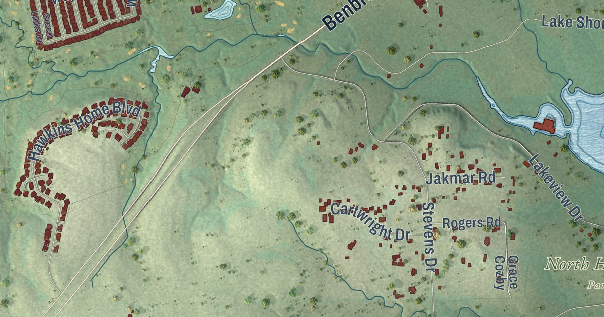
A detailed map of Benbrook, Texas, showing every building in its true location, the roads by name, and shaded topographical relief.
Read More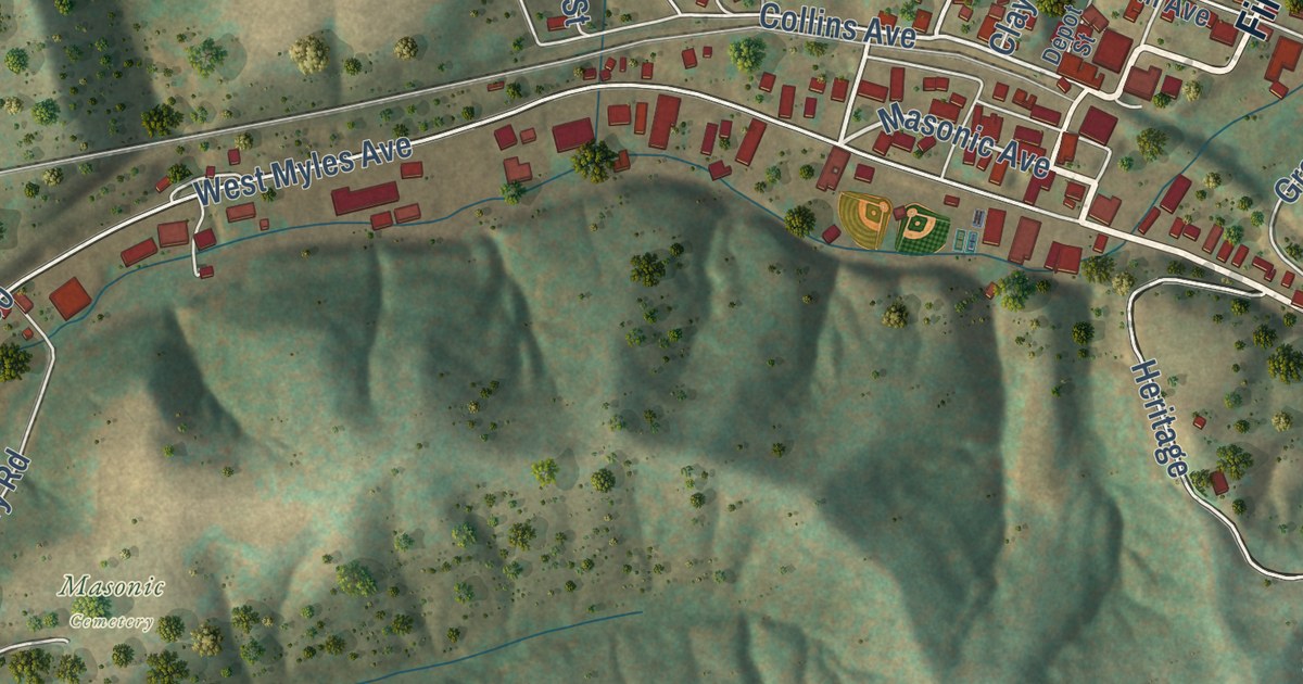
A detailed map of Pennsboro, West Virginia, showing every building in its true location, the roads by name, and shaded topographical relief.
Read More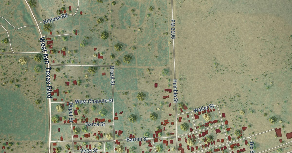
A detailed map of Benavides, Texas, showing every building in its true location, the roads by name, and shaded topographical relief.
Read More















