Detailed Map of Belton, Texas
A detailed map of Belton, Texas, showing every building in its true location, the roads by name, and shaded topographical relief.
Read More
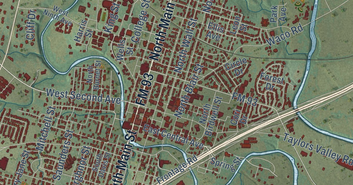
A detailed map of Belton, Texas, showing every building in its true location, the roads by name, and shaded topographical relief.
Read More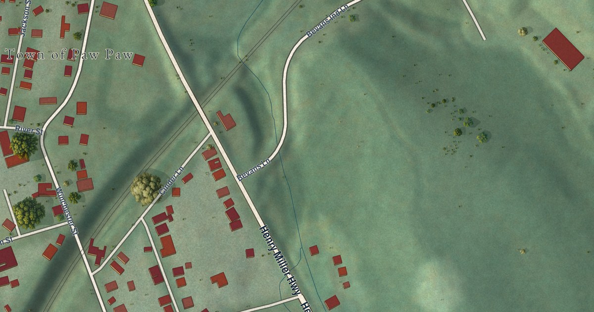
A detailed map of Paw Paw, West Virginia, showing every building in its true location, the roads by name, and shaded topographical relief.
Read More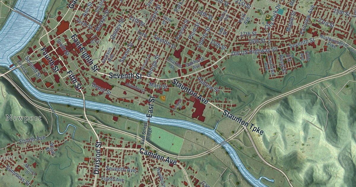
A detailed map of Parkersburg, West Virginia, showing every building in its true location, the roads by name, and shaded topographical relief.
Read More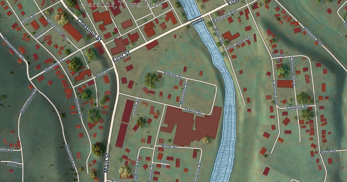
A detailed map of Parsons, West Virginia, showing every building in its true location, the roads by name, and shaded topographical relief.
Read More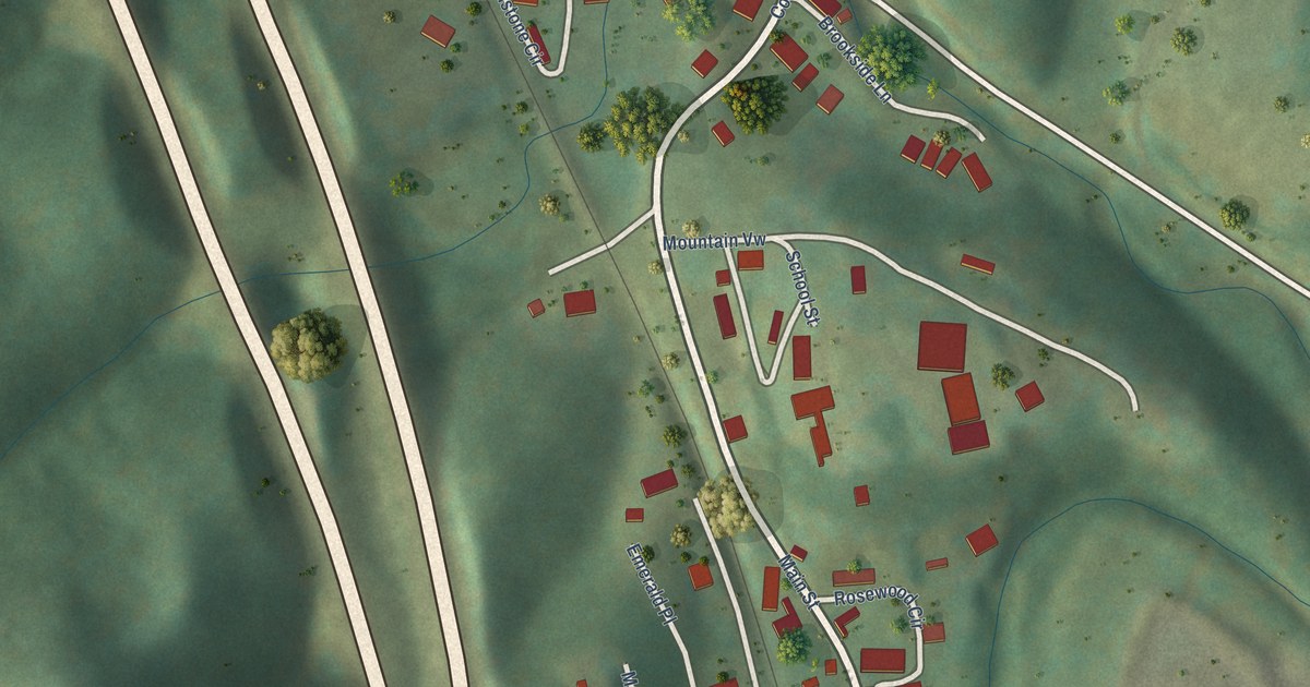
A detailed map of Pax, West Virginia, showing every building in its true location, the roads by name, and shaded topographical relief.
Read More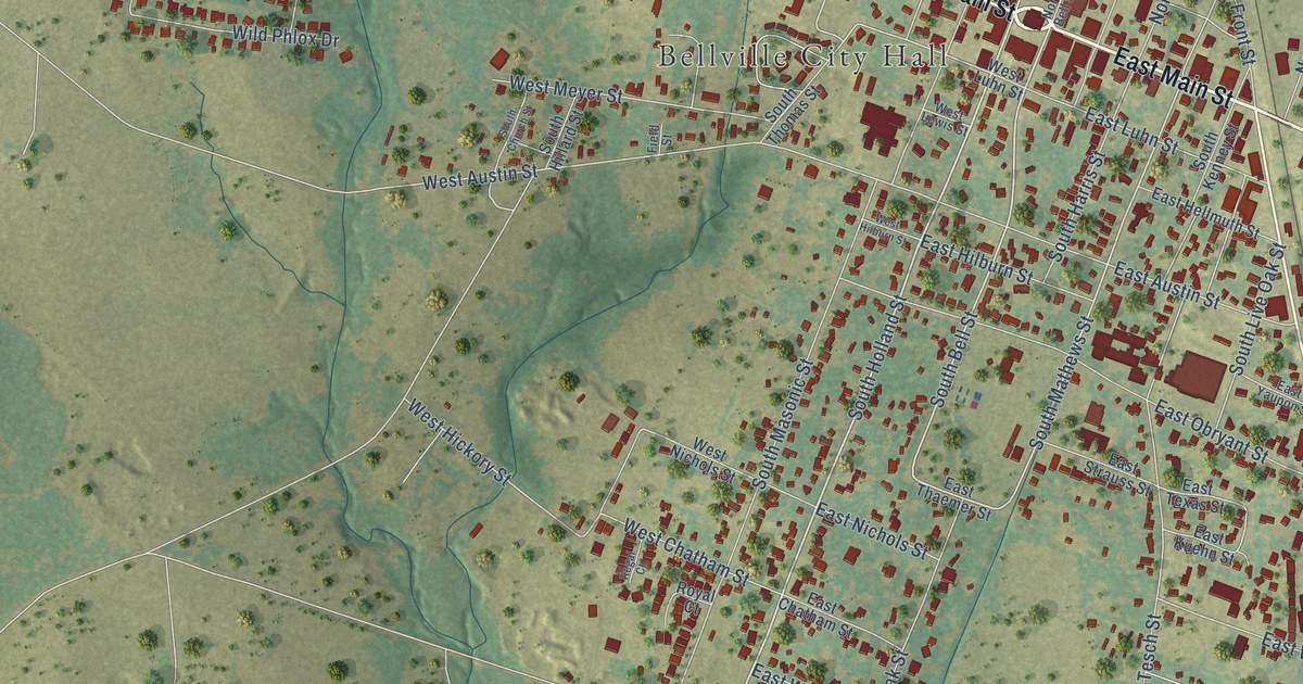
A detailed map of Bellville, Texas, showing every building in its true location, the roads by name, and shaded topographical relief.
Read More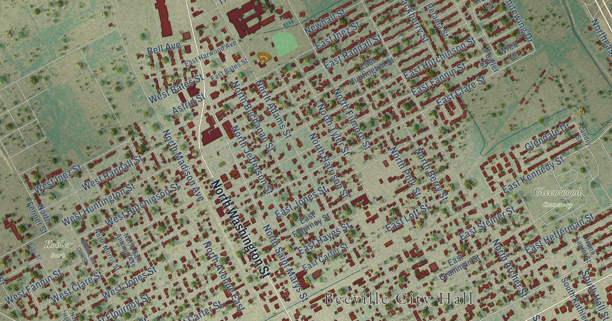
A detailed map of Beeville, Texas, showing every building in its true location, the roads by name, and shaded topographical relief.
Read More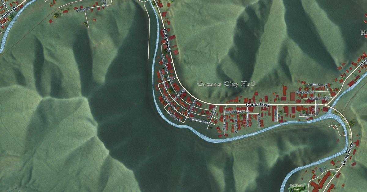
A detailed map of Oceana, West Virginia, showing every building in its true location, the roads by name, and shaded topographical relief.
Read More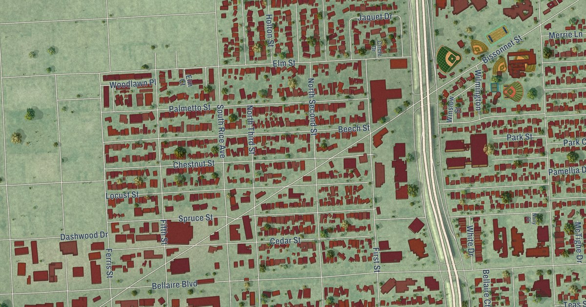
A detailed map of Bellaire, Texas, showing every building in its true location, the roads by name, and shaded topographical relief.
Read More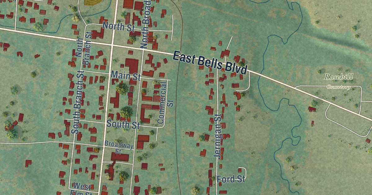
A detailed map of Bells, Texas, showing every building in its true location, the roads by name, and shaded topographical relief.
Read More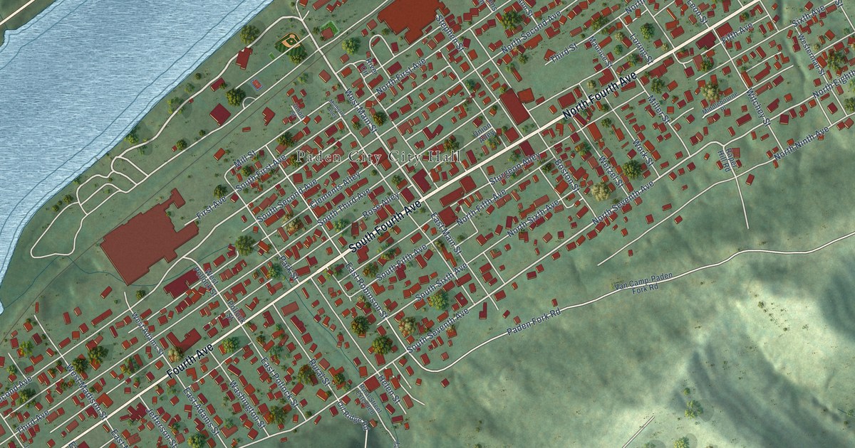
A detailed map of Paden City, West Virginia, showing every building in its true location, the roads by name, and shaded topographical relief.
Read More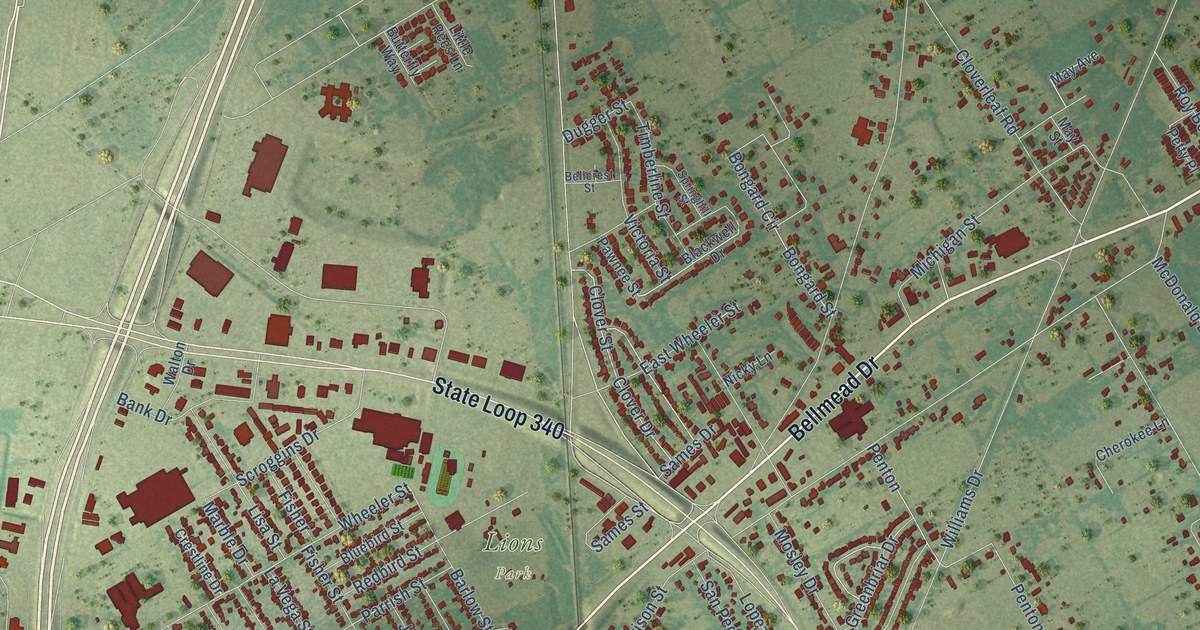
A detailed map of Bellmead, Texas, showing every building in its true location, the roads by name, and shaded topographical relief.
Read More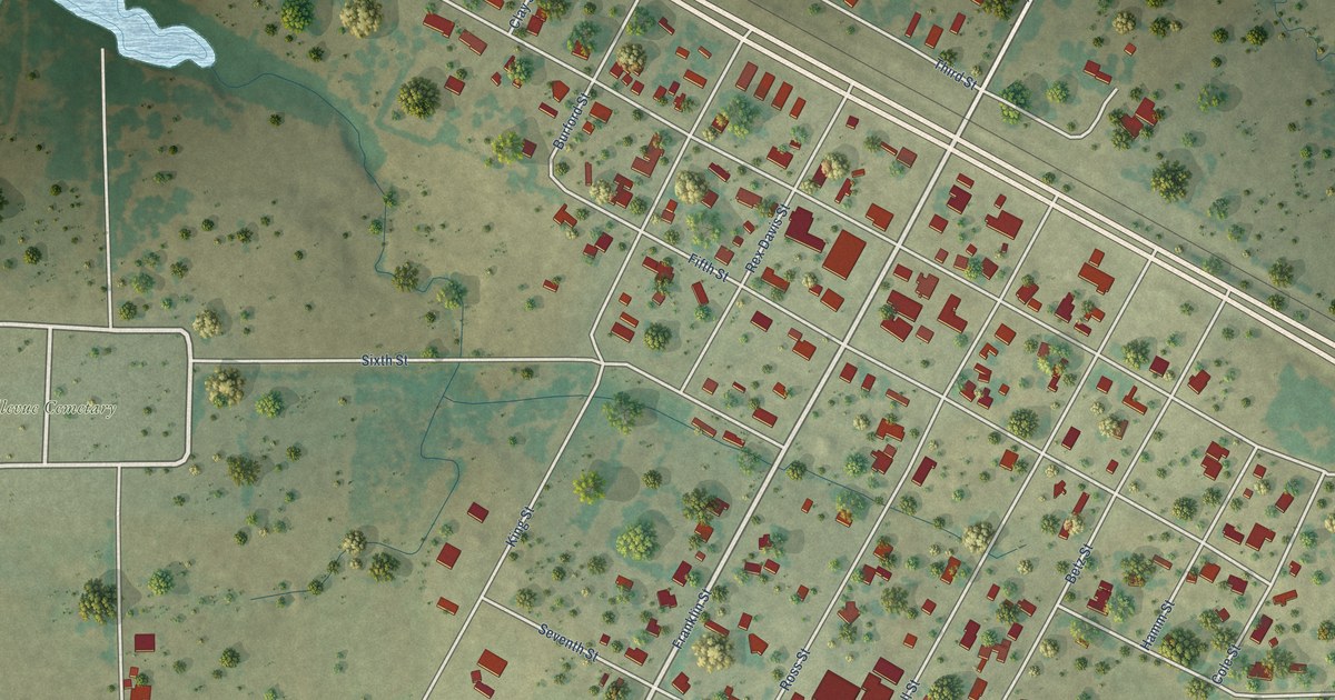
A detailed map of Bellevue, Texas, showing every building in its true location, the roads by name, and shaded topographical relief.
Read More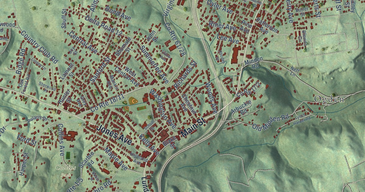
A detailed map of Oak Hill, West Virginia, showing every building in its true location, the roads by name, and shaded topographical relief.
Read More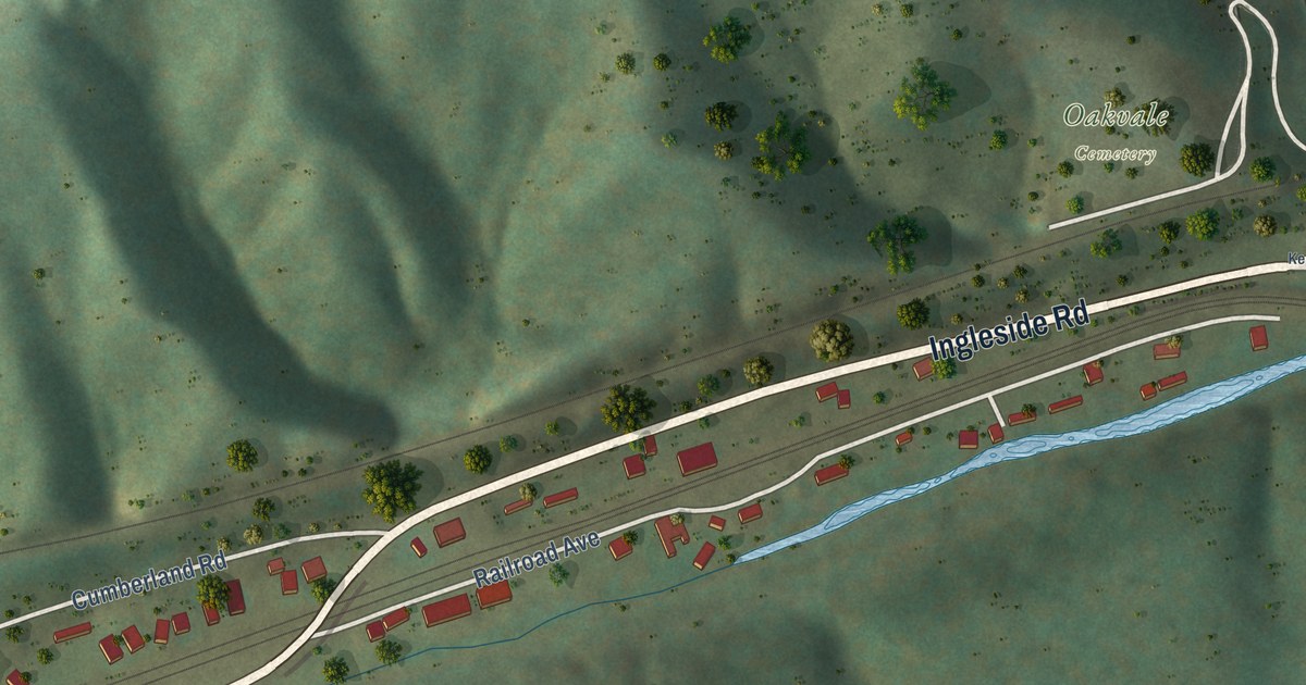
A detailed map of Oakvale, West Virginia, showing every building in its true location, the roads by name, and shaded topographical relief.
Read More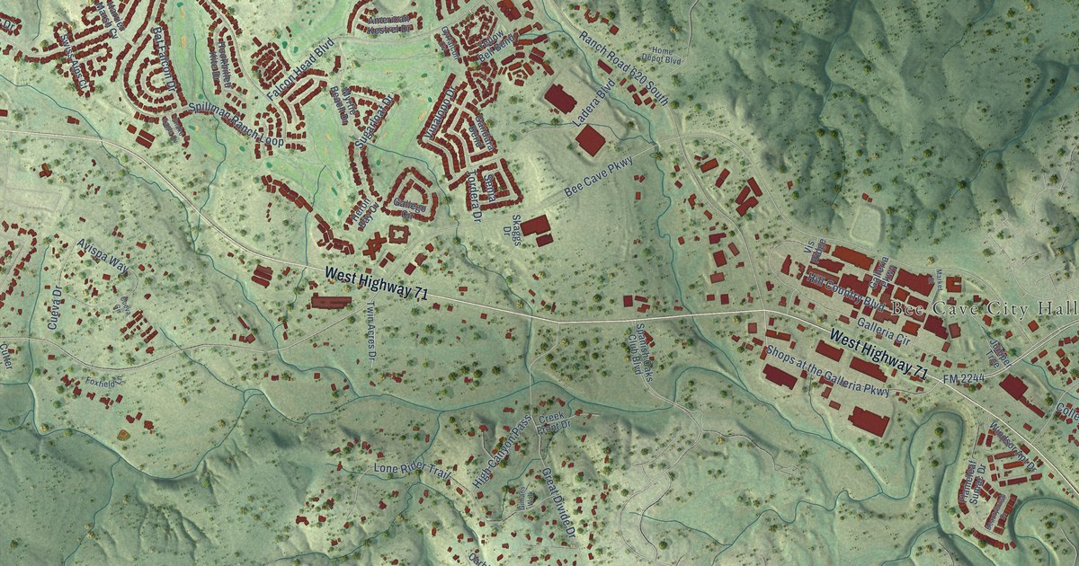
A detailed map of Bee Cave, Texas, showing every building in its true location, the roads by name, and shaded topographical relief.
Read More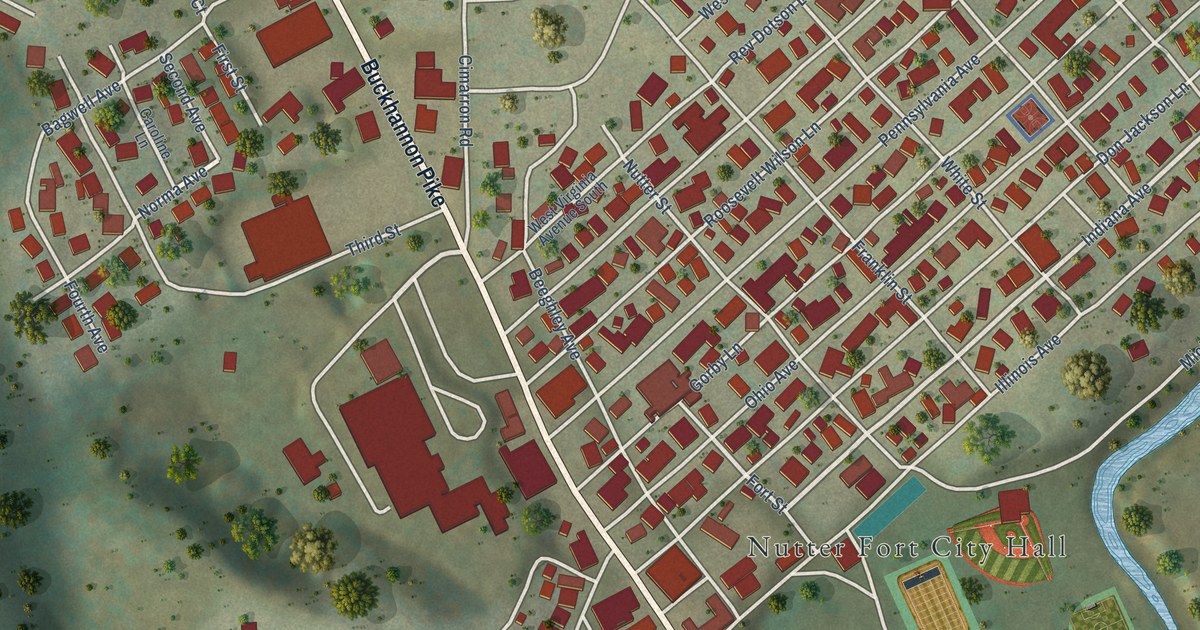
A detailed map of Nutter Fort, West Virginia, showing every building in its true location, the roads by name, and shaded topographical relief.
Read More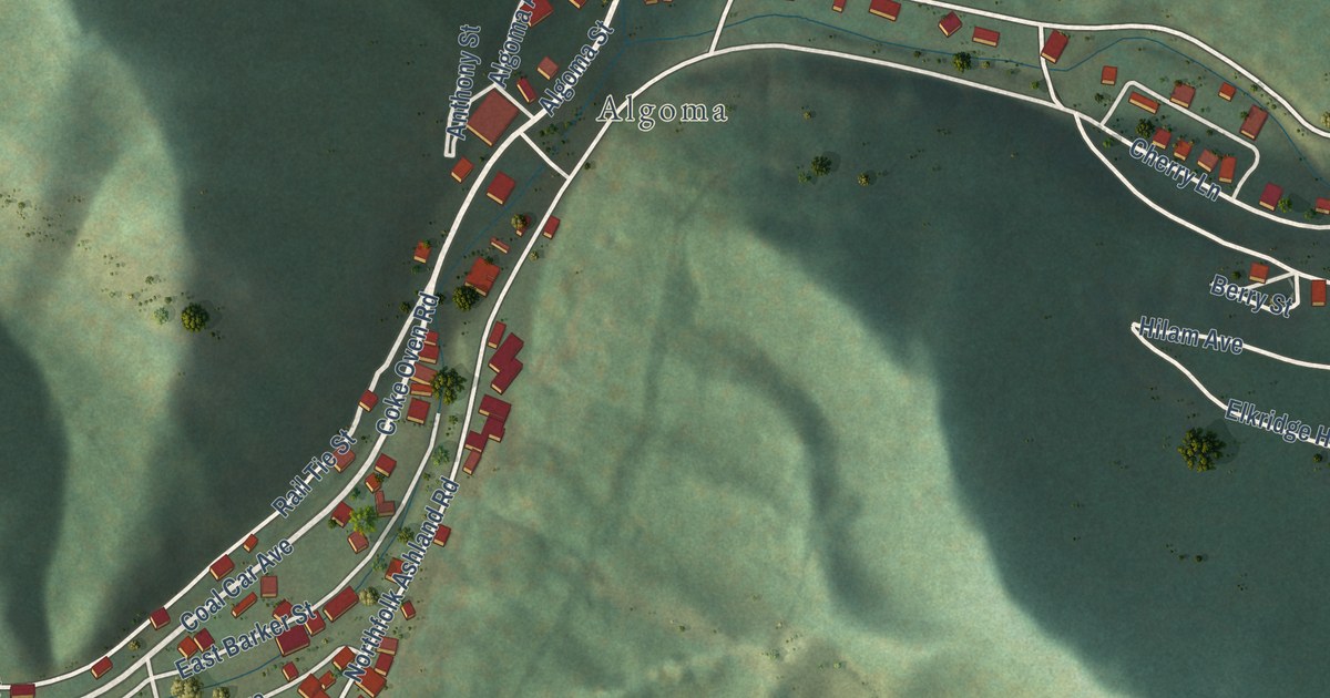
A detailed map of Northfork, West Virginia, showing every building in its true location, the roads by name, and shaded topographical relief.
Read More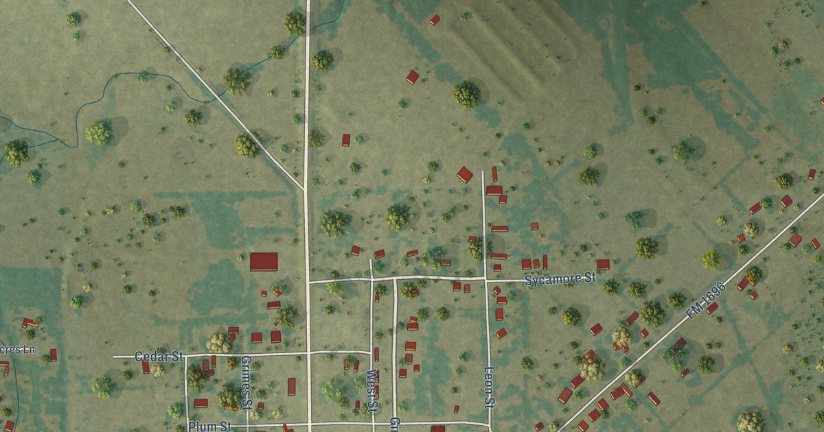
A detailed map of Bedias, Texas, showing every building in its true location, the roads by name, and shaded topographical relief.
Read More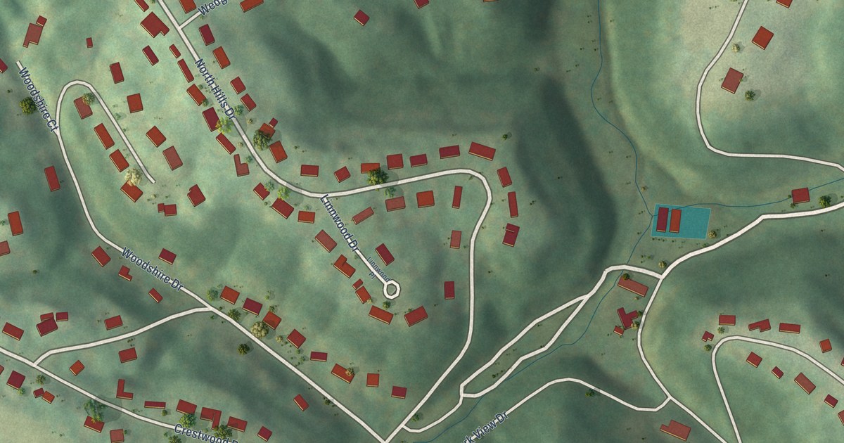
A detailed map of North Hills, West Virginia, showing every building in its true location, the roads by name, and shaded topographical relief.
Read More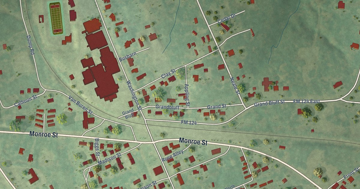
A detailed map of Beckville, Texas, showing every building in its true location, the roads by name, and shaded topographical relief.
Read More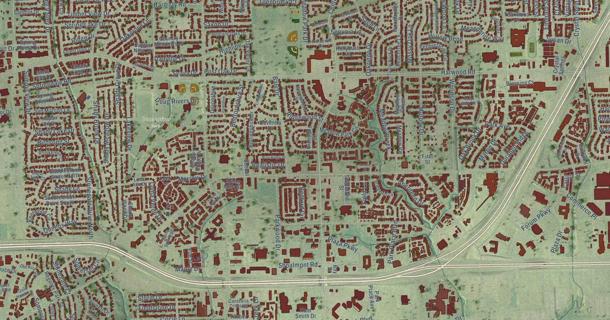
A detailed map of Bedford, Texas, showing every building in its true location, the roads by name, and shaded topographical relief.
Read More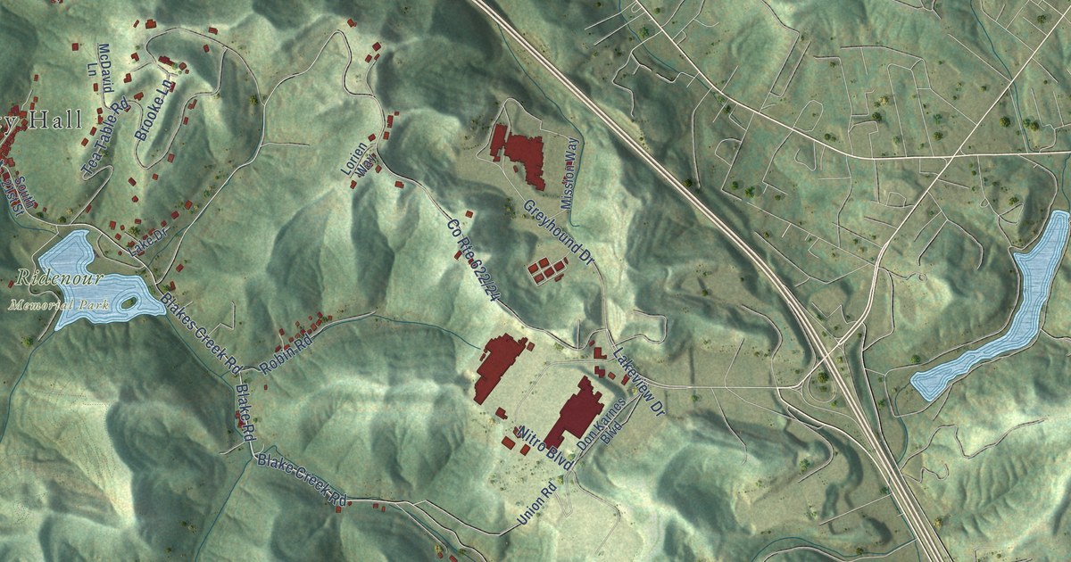
A detailed map of Nitro, West Virginia, showing every building in its true location, the roads by name, and shaded topographical relief.
Read More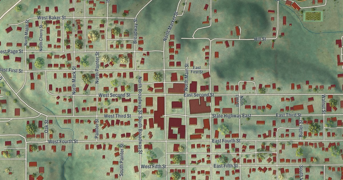
A modern aerial map of Milan, the county seat of Sullivan County, Missouri, with a vintage feel. Find North Main Street, North Water Street and American Legion Park, and read how Milan got its Pharsalia post office in 1846.
Read More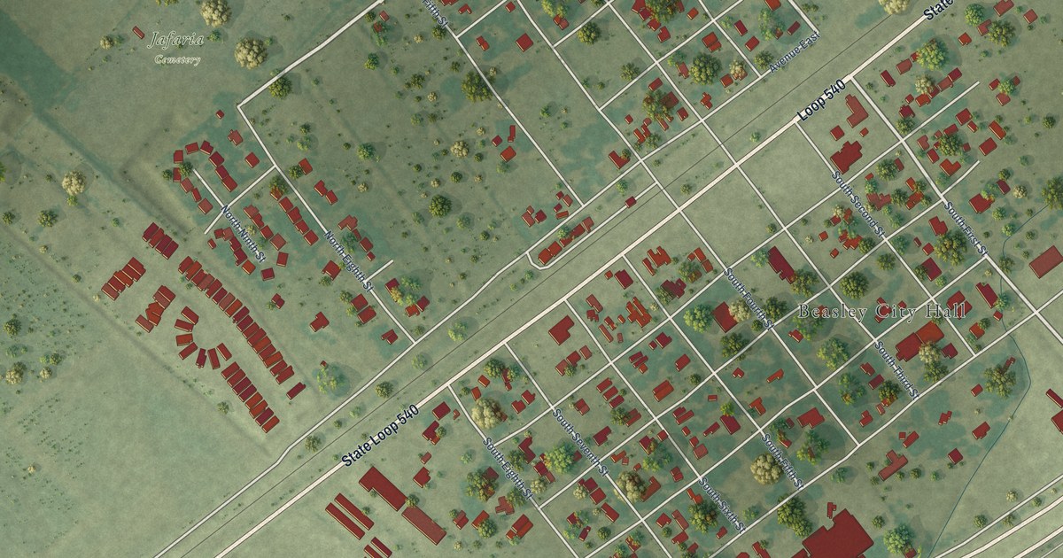
A detailed map of Beasley, Texas, showing every building in its true location, the roads by name, and shaded topographical relief.
Read More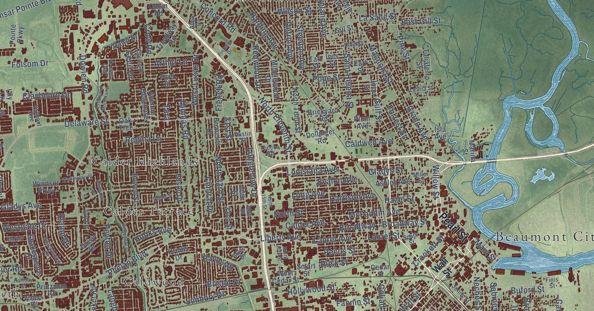
A detailed map of Beaumont, Texas, showing every building in its true location, the roads by name, and shaded topographical relief.
Read More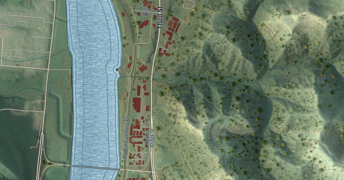
A detailed map of New Martinsville, West Virginia, showing every building in its true location, the roads by name, and shaded topographical relief.
Read More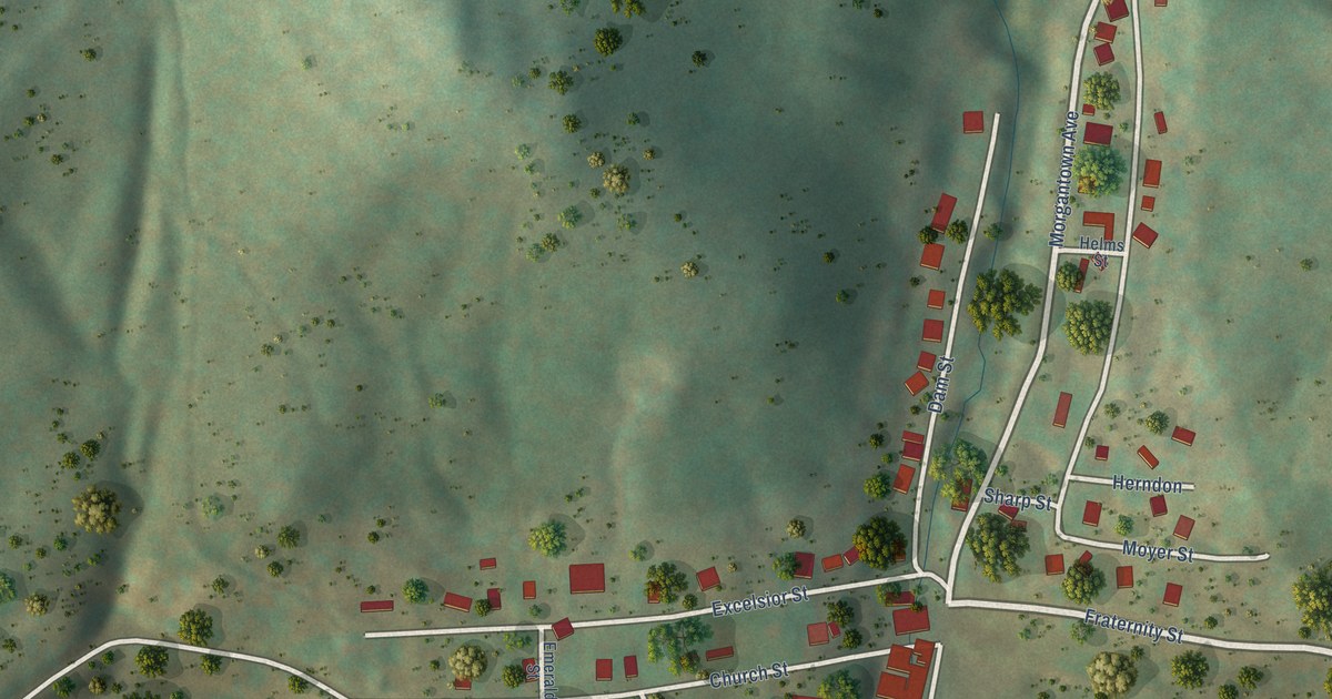
A detailed map of Newburg, West Virginia, showing every building in its true location, the roads by name, and shaded topographical relief.
Read More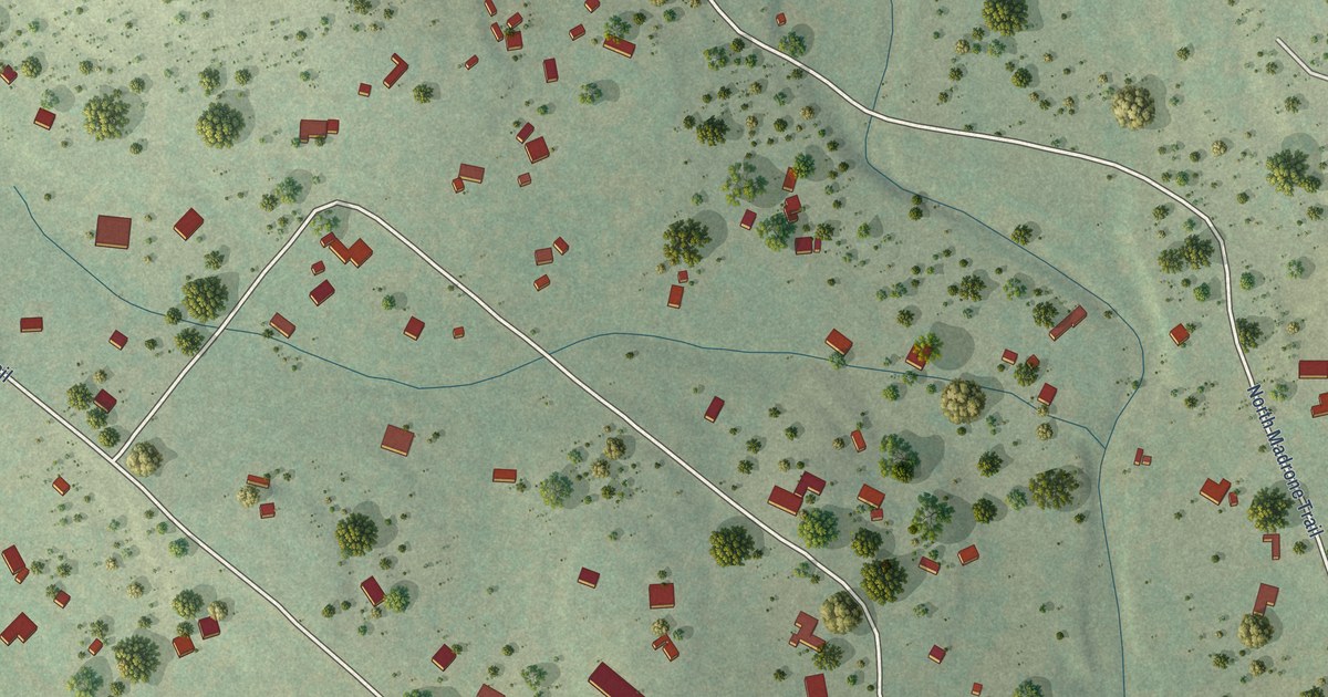
A detailed map of Bear Creek, Texas, showing every building in its true location, the roads by name, and shaded topographical relief.
Read More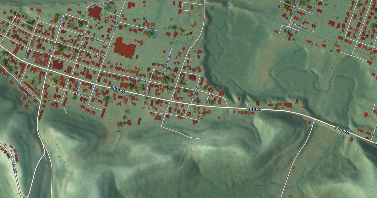
A detailed map of New Haven, West Virginia, showing every building in its true location, the roads by name, and shaded topographical relief.
Read More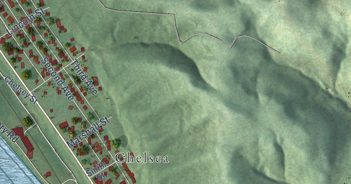
A detailed map of New Cumberland, West Virginia, showing every building in its true location, the roads by name, and shaded topographical relief.
Read More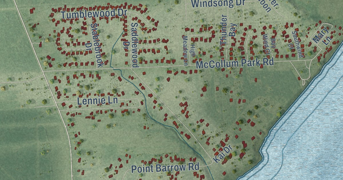
A detailed map of Beach City, Texas, showing every building in its true location, the roads by name, and shaded topographical relief.
Read More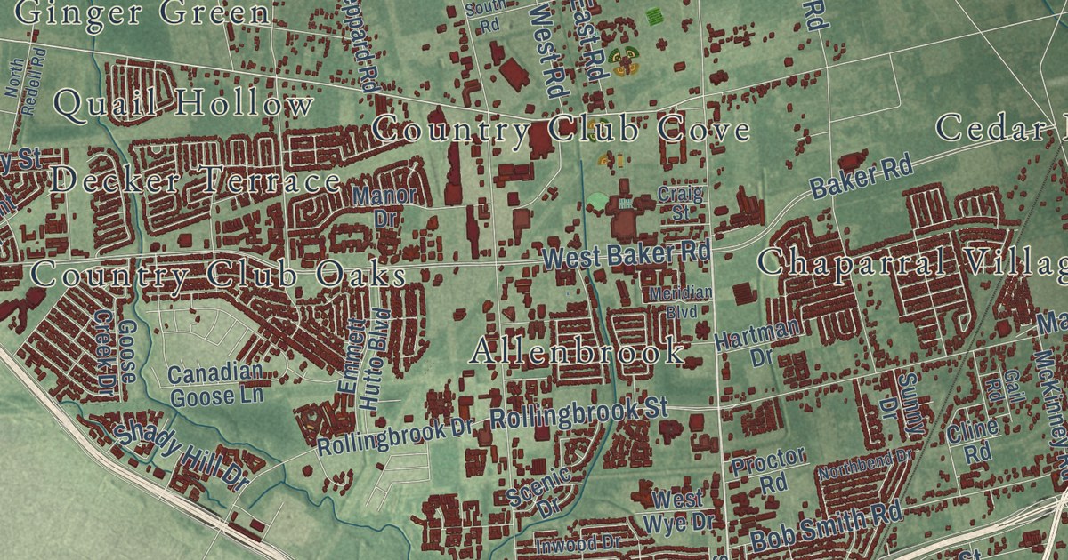
A detailed map of Baytown, Texas, showing every building in its true location, the roads by name, and shaded topographical relief.
Read More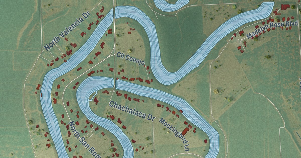
A detailed map of Bayview, Texas, showing every building in its true location, the roads by name, and shaded topographical relief.
Read More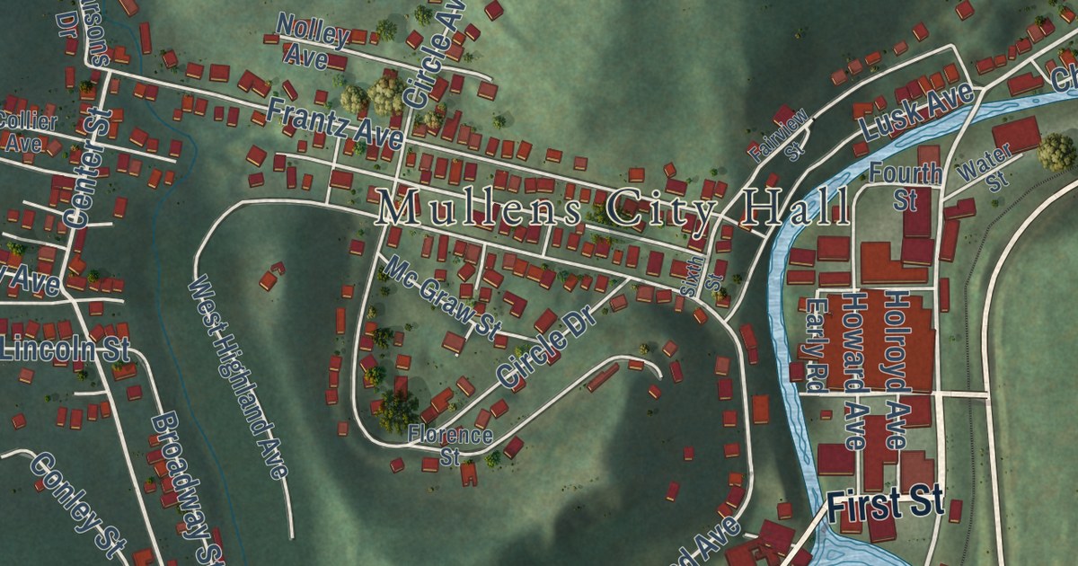
A detailed map of Mullens, West Virginia, showing every building in its true location, the roads by name, and shaded topographical relief.
Read More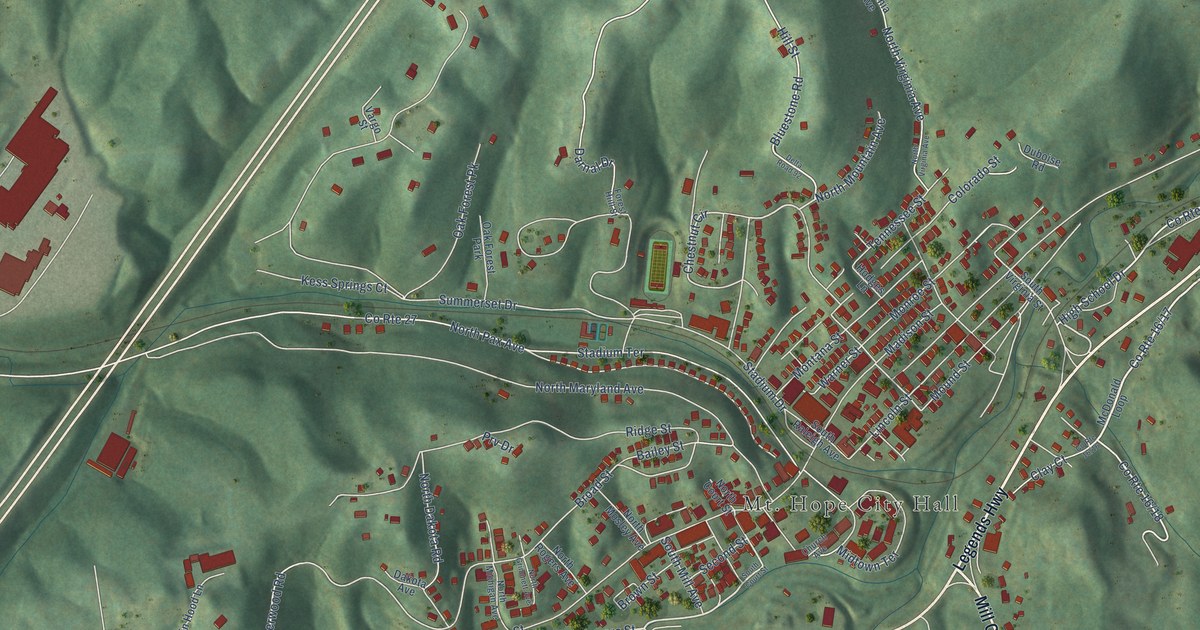
A detailed map of Mount Hope, West Virginia, showing every building in its true location, the roads by name, and shaded topographical relief.
Read More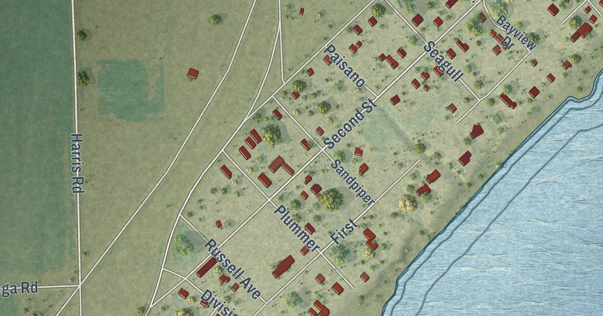
A detailed map of Bayside, Texas, showing every building in its true location, the roads by name, and shaded topographical relief.
Read More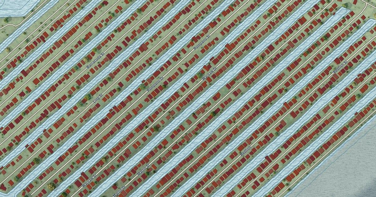
A detailed map of Bayou Vista, Texas, showing every building in its true location, the roads by name, and shaded topographical relief.
Read More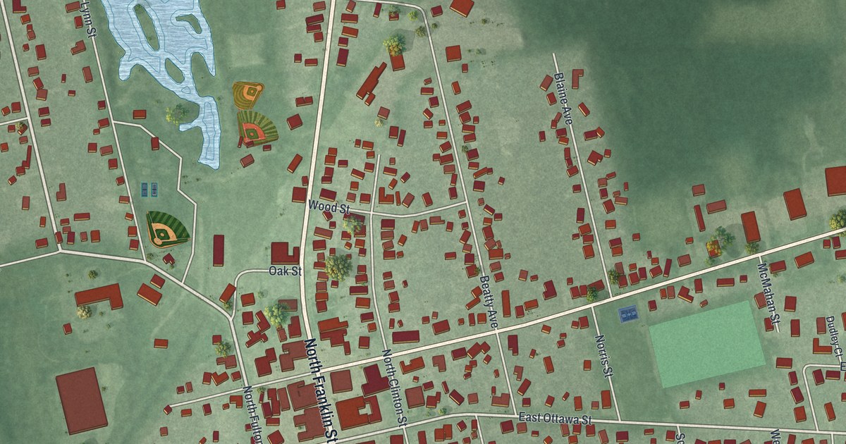
A new aerial view of Richwood in Union County, Ohio. Find Franklin Street, the Ottawa streets and the Richwood Fairgrounds, and read about the 1890 Opera House and Town Hall that held the council, the fire department, the jail and the stage.
Read More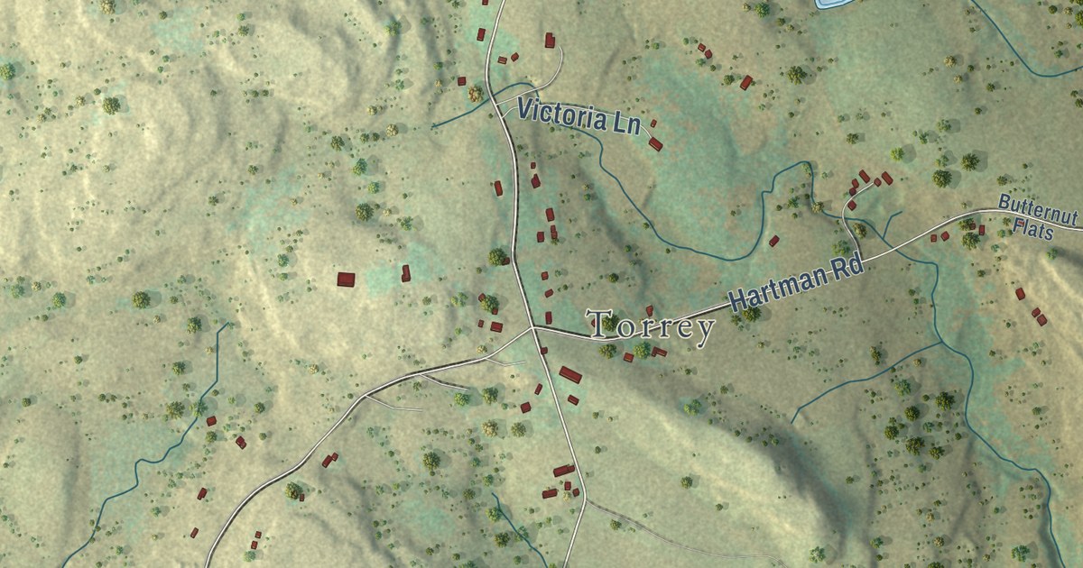
Find Carley Brook, Torrey, and Siko on a new aerial map of Oregon, Pennsylvania. Learn how a hard trip to vote led residents to ask for their own township in 1846.
Read More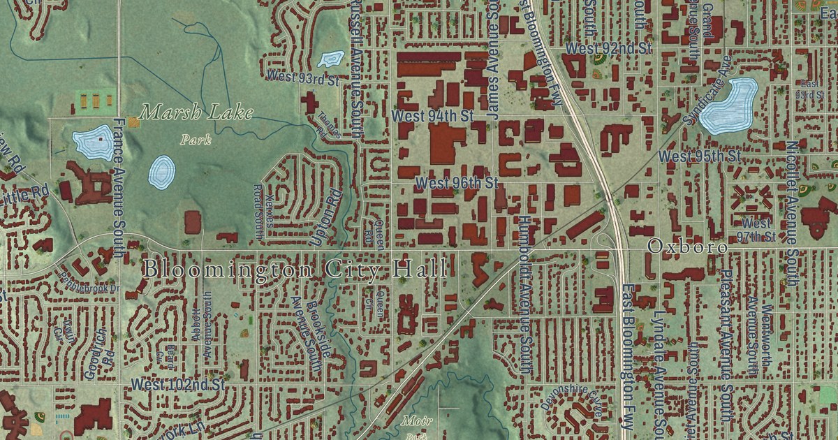
A detailed map of Bloomington, Minnesota, showing every building in its true location, the roads by name, and shaded topographical relief.
Read More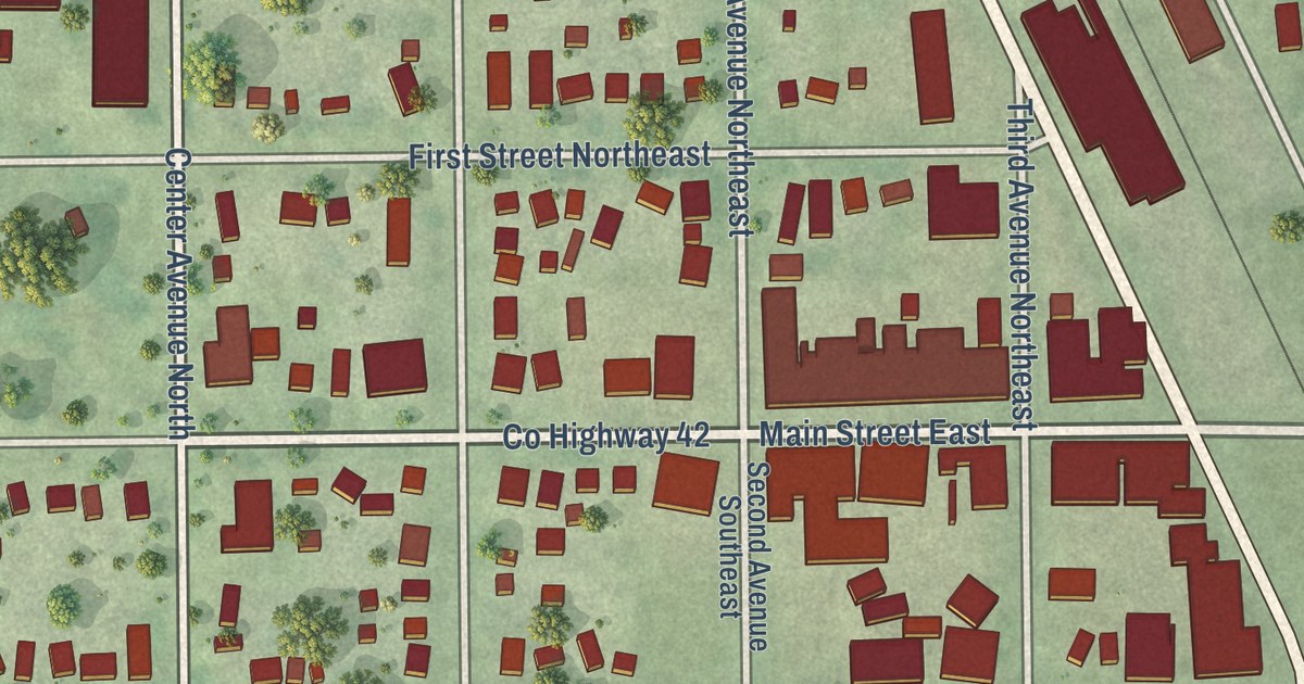
A detailed map of Blooming Prairie, Minnesota, showing every building in its true location, the roads by name, and shaded topographical relief.
Read More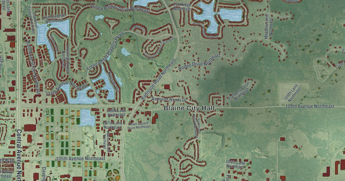
A detailed map of Blaine, Minnesota, showing every building in its true location, the roads by name, and shaded topographical relief.
Read More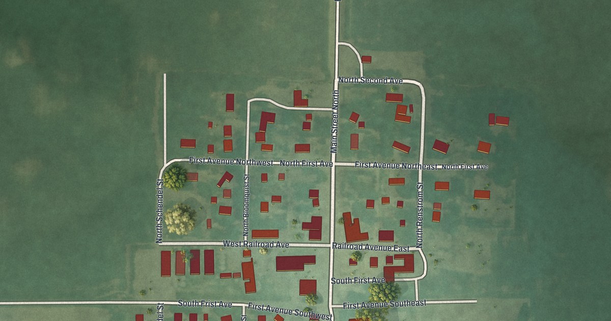
A detailed map of Blomkest, Minnesota, showing every building in its true location, the roads by name, and shaded topographical relief.
Read More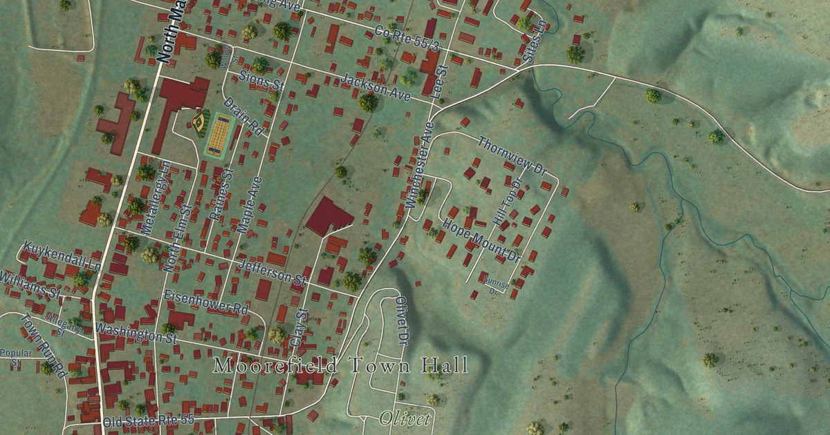
A detailed map of Moorefield, West Virginia, showing every building in its true location, the roads by name, and shaded topographical relief.
Read More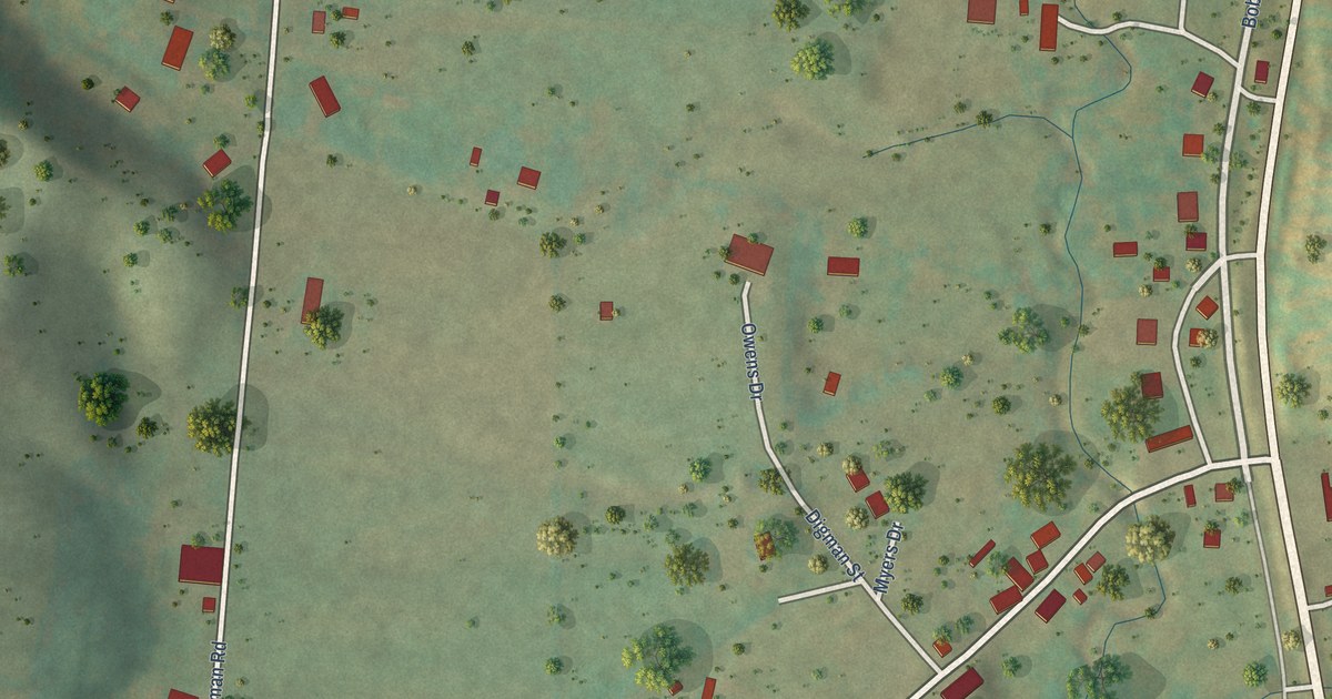
A detailed map of Montrose, West Virginia, showing every building in its true location, the roads by name, and shaded topographical relief.
Read More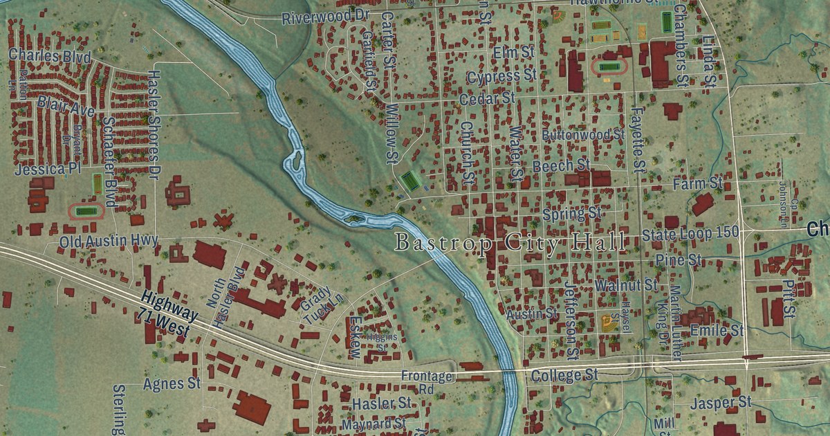
A detailed map of Bastrop, Texas, showing every building in its true location, the roads by name, and shaded topographical relief.
Read More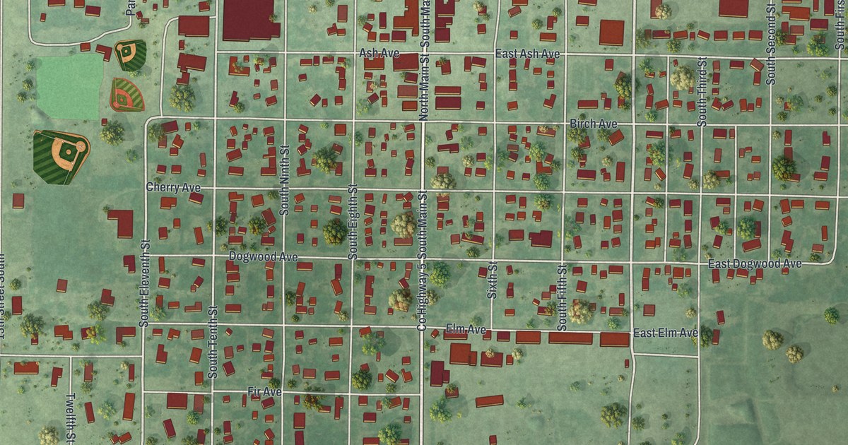
A detailed map of Bird Island, Minnesota, showing every building in its true location, the roads by name, and shaded topographical relief.
Read More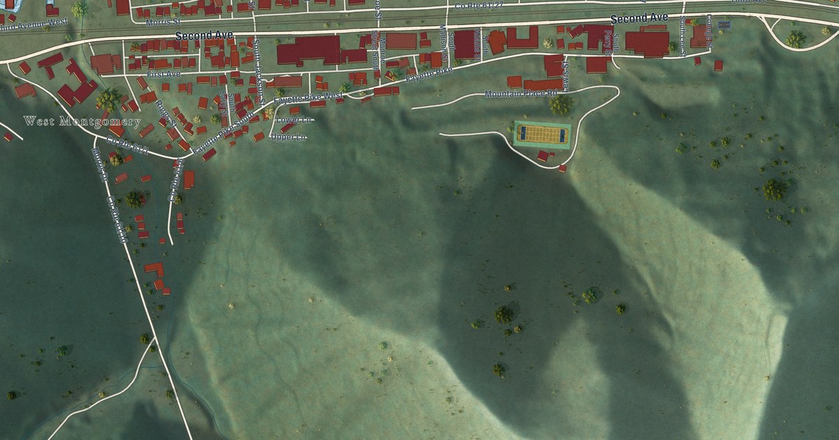
A detailed map of Montgomery, West Virginia, showing every building in its true location, the roads by name, and shaded topographical relief.
Read More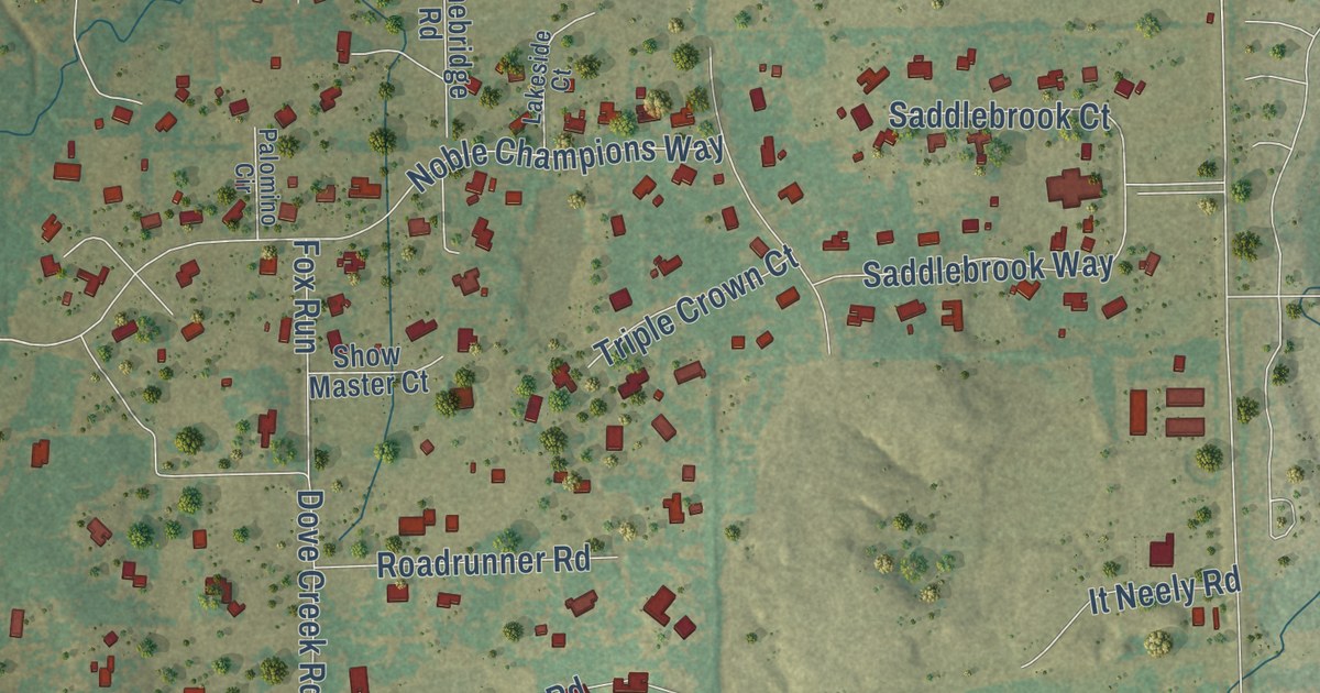
A detailed map of Bartonville, Texas, showing every building in its true location, the roads by name, and shaded topographical relief.
Read More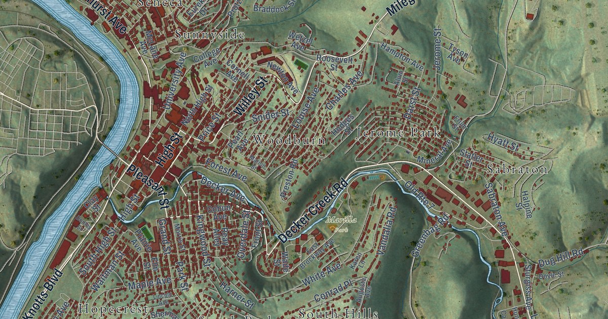
A detailed map of Morgantown, West Virginia, showing every building in its true location, the roads by name, and shaded topographical relief.
Read More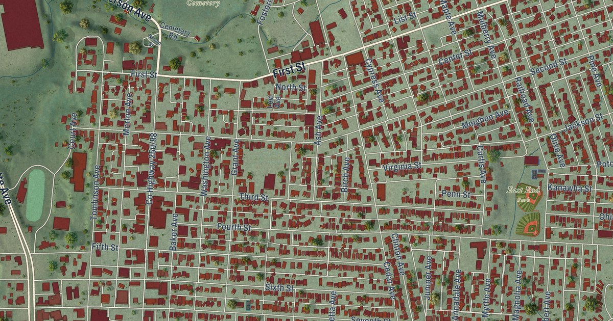
A detailed map of Moundsville, West Virginia, showing every building in its true location, the roads by name, and shaded topographical relief.
Read More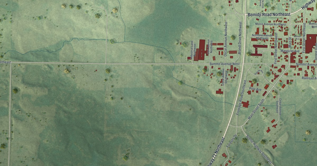
A detailed map of Blackduck, Minnesota, showing every building in its true location, the roads by name, and shaded topographical relief.
Read More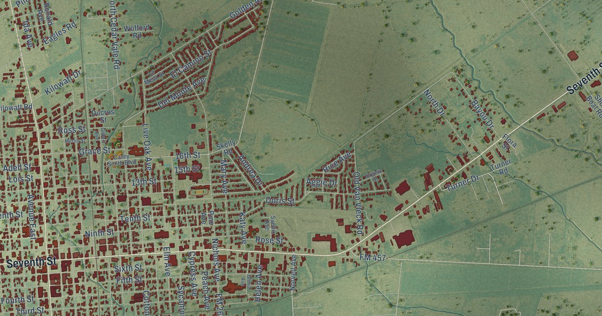
A detailed map of Bay City, Texas, showing every building in its true location, the roads by name, and shaded topographical relief.
Read More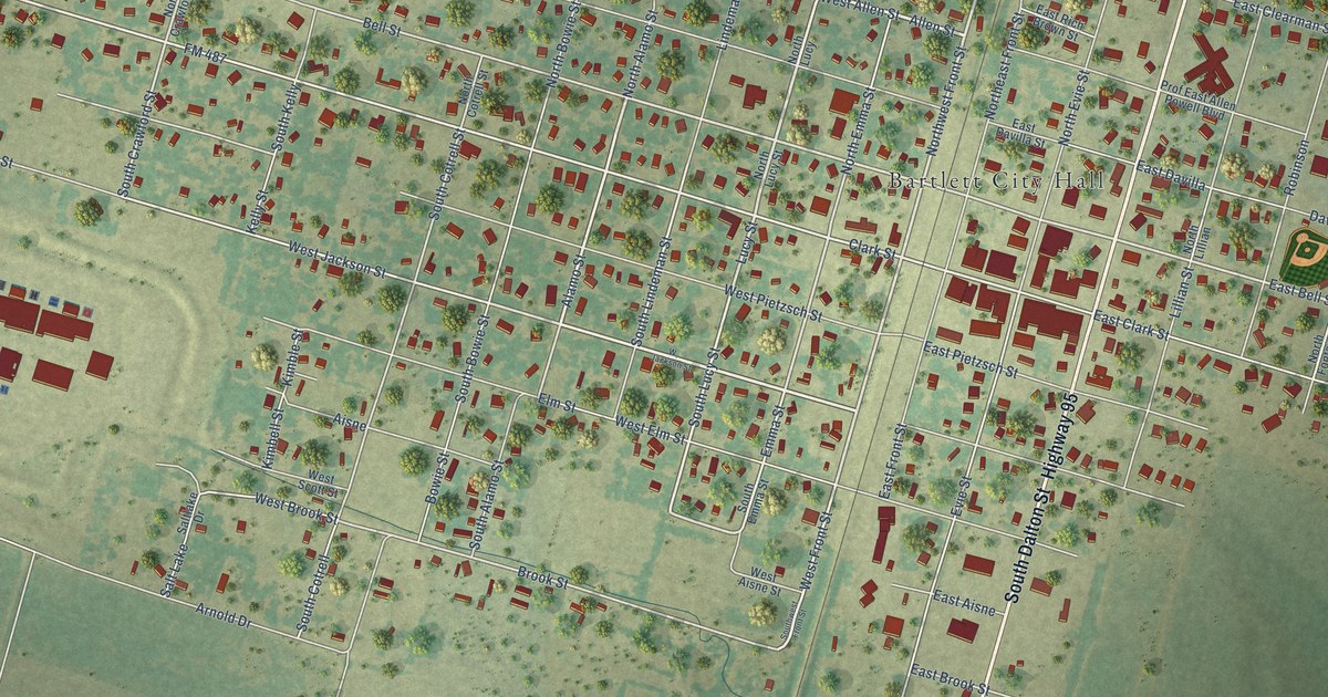
A detailed map of Bartlett, Texas, showing every building in its true location, the roads by name, and shaded topographical relief.
Read More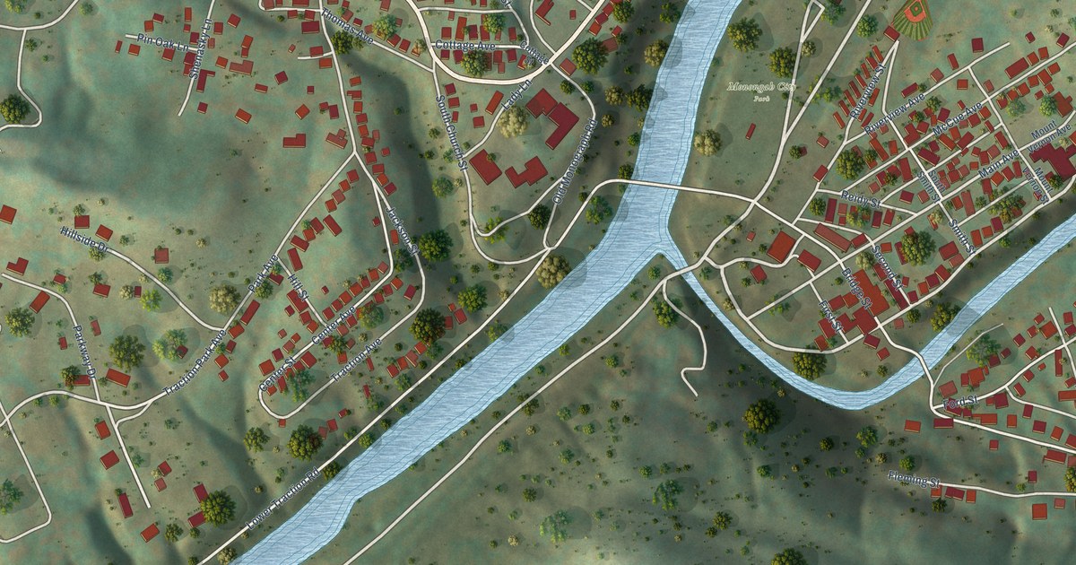
A detailed map of Monongah, West Virginia, showing every building in its true location, the roads by name, and shaded topographical relief.
Read More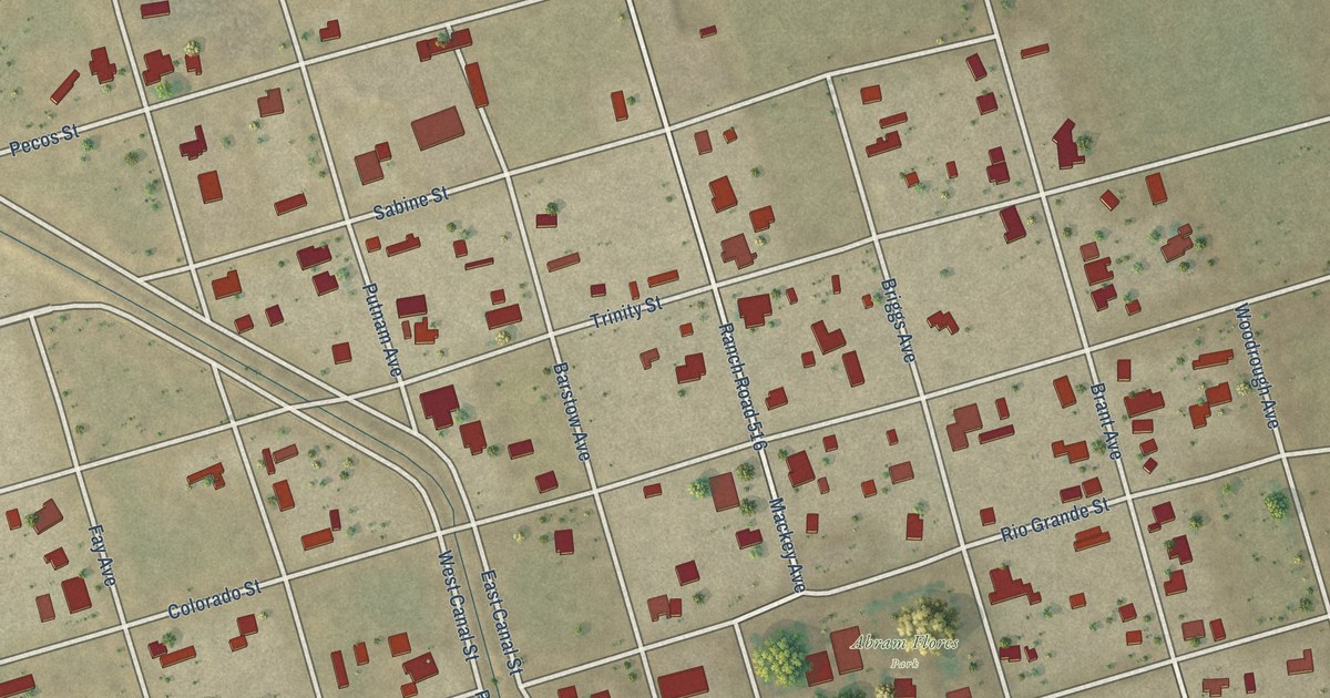
A detailed map of Barstow, Texas, showing every building in its true location, the roads by name, and shaded topographical relief.
Read More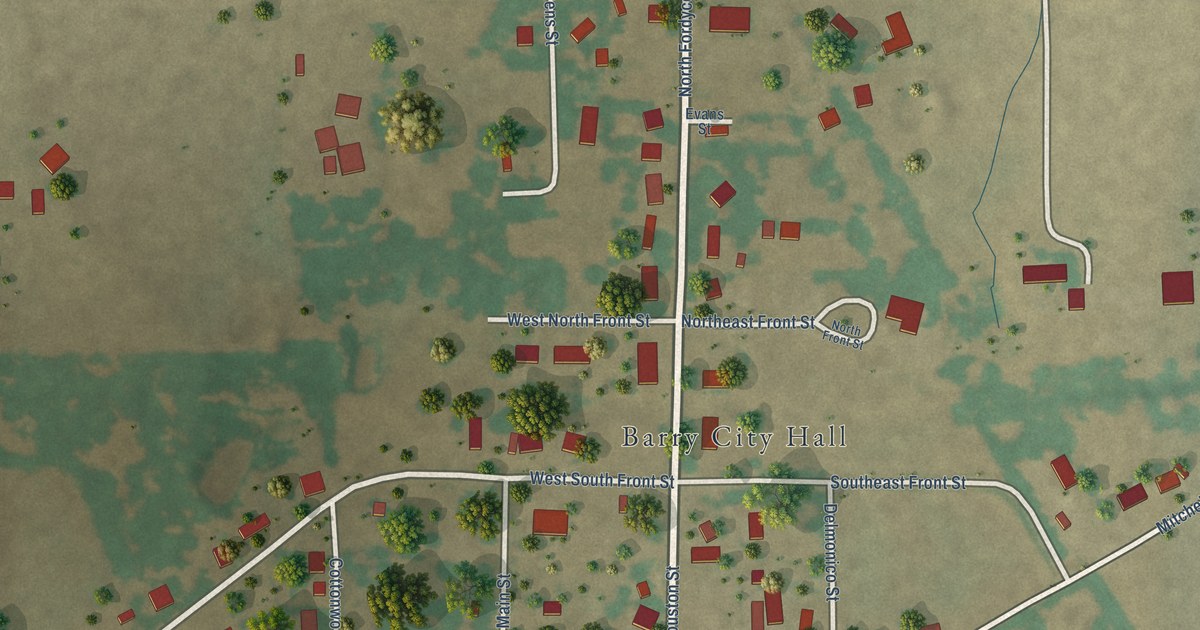
A detailed map of Barry, Texas, showing every building in its true location, the roads by name, and shaded topographical relief.
Read More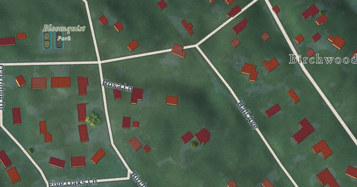
A detailed map of Birchwood Village, Minnesota, showing every building in its true location, the roads by name, and shaded topographical relief.
Read More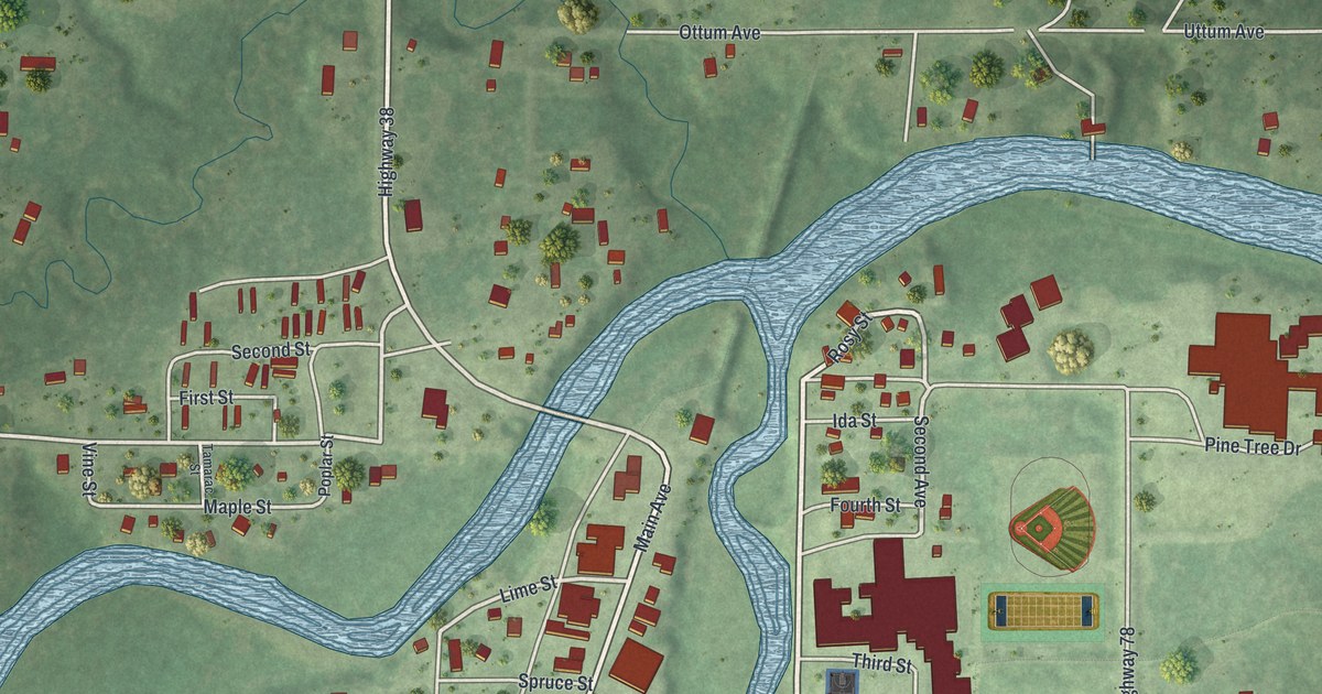
A detailed map of Bigfork, Minnesota, showing every building in its true location, the roads by name, and shaded topographical relief.
Read More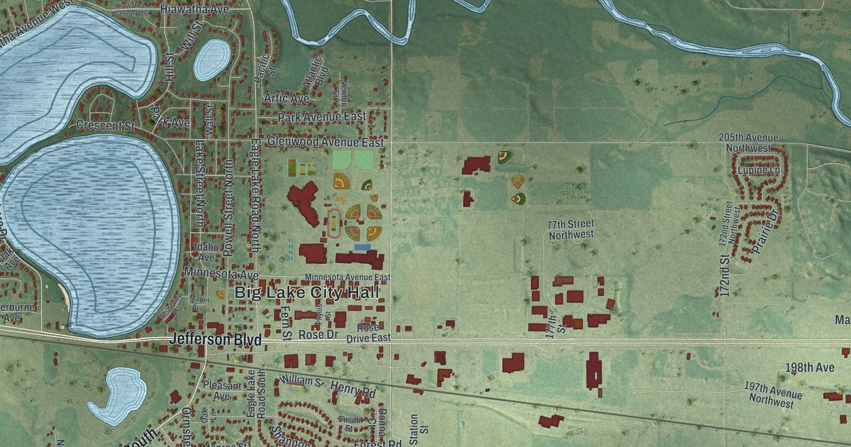
A detailed map of Big Lake, Minnesota, showing every building in its true location, the roads by name, and shaded topographical relief.
Read More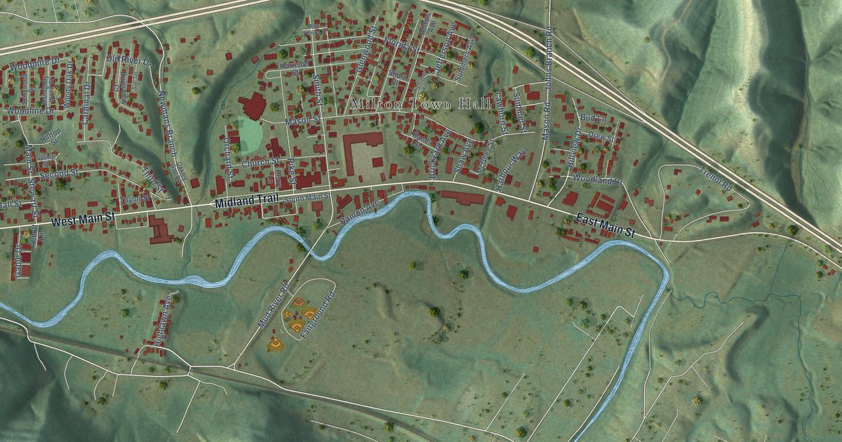
A detailed map of Milton, West Virginia, showing every building in its true location, the roads by name, and shaded topographical relief.
Read More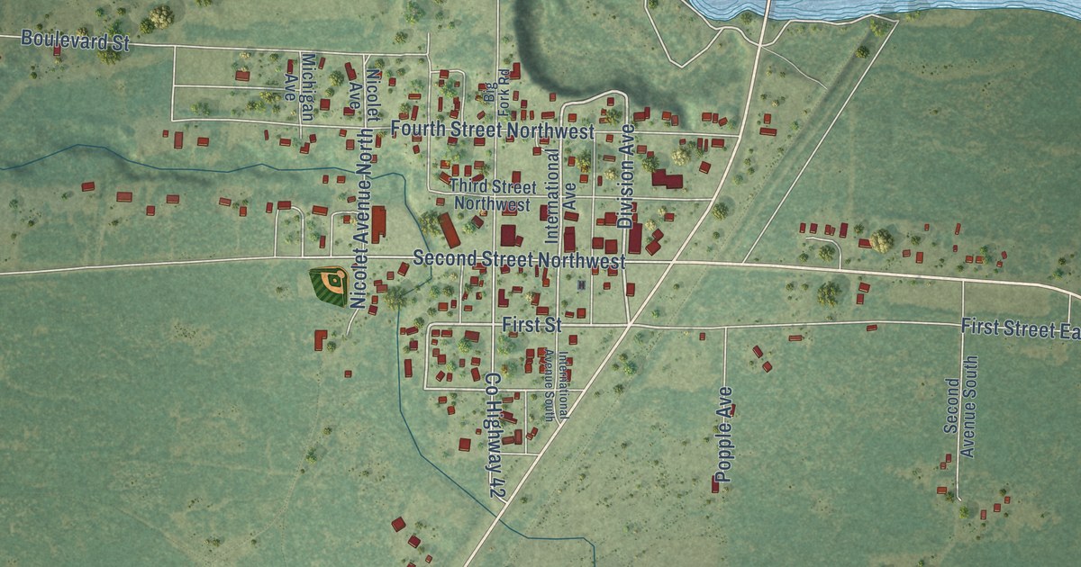
A detailed map of Big Falls, Minnesota, showing every building in its true location, the roads by name, and shaded topographical relief.
Read More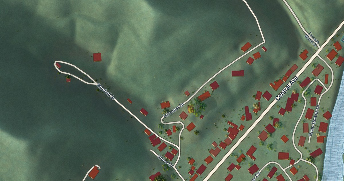
A detailed map of Mitchell Heights, West Virginia, showing every building in its true location, the roads by name, and shaded topographical relief.
Read More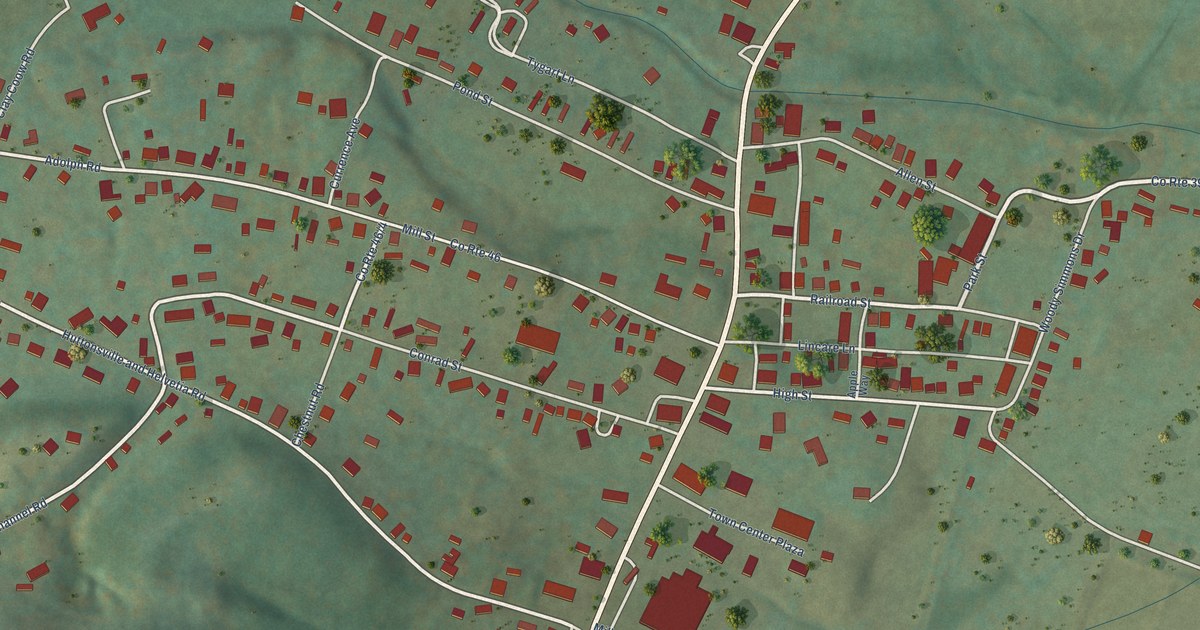
A detailed map of Mill Creek, West Virginia, showing every building in its true location, the roads by name, and shaded topographical relief.
Read More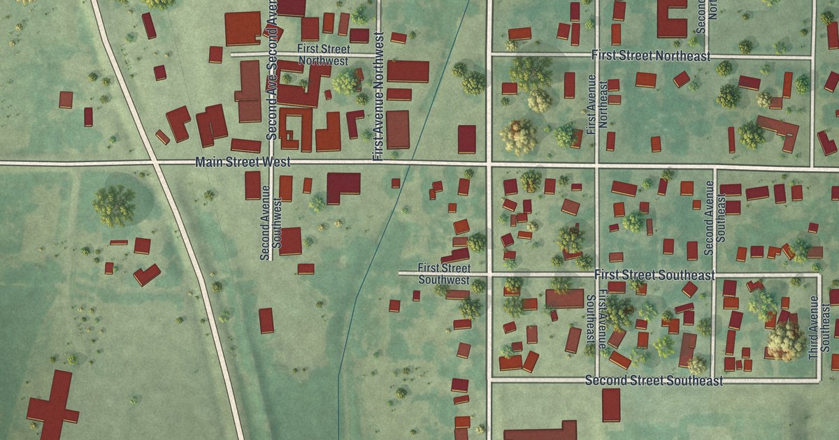
A detailed map of Bertha, Minnesota, showing every building in its true location, the roads by name, and shaded topographical relief.
Read More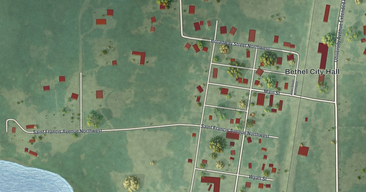
A detailed map of Bethel, Minnesota, showing every building in its true location, the roads by name, and shaded topographical relief.
Read More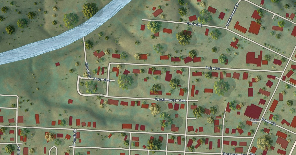
A detailed map of Middlebourne, West Virginia, showing every building in its true location, the roads by name, and shaded topographical relief.
Read More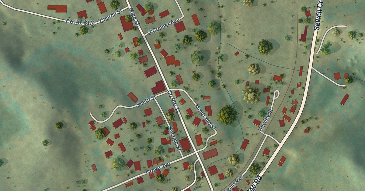
A detailed map of Meadow Bridge, West Virginia, showing every building in its true location, the roads by name, and shaded topographical relief.
Read More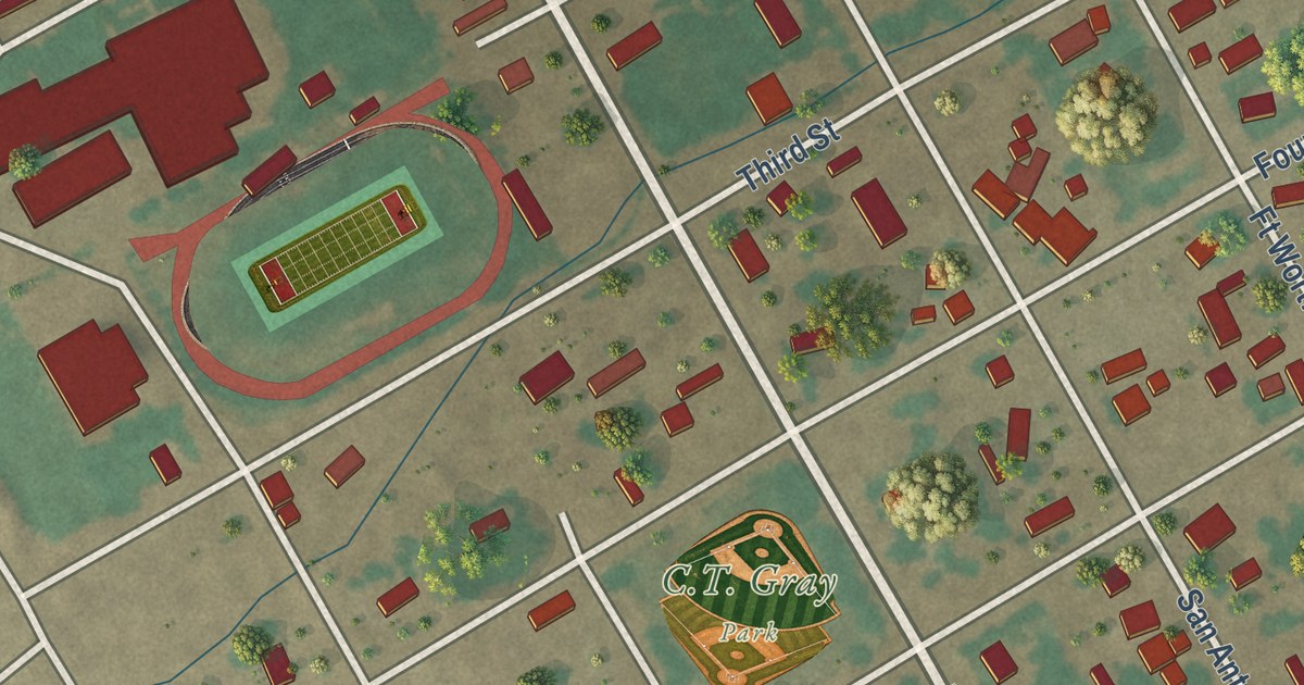
A detailed map of Balmorhea, Texas, showing every building in its true location, the roads by name, and shaded topographical relief.
Read More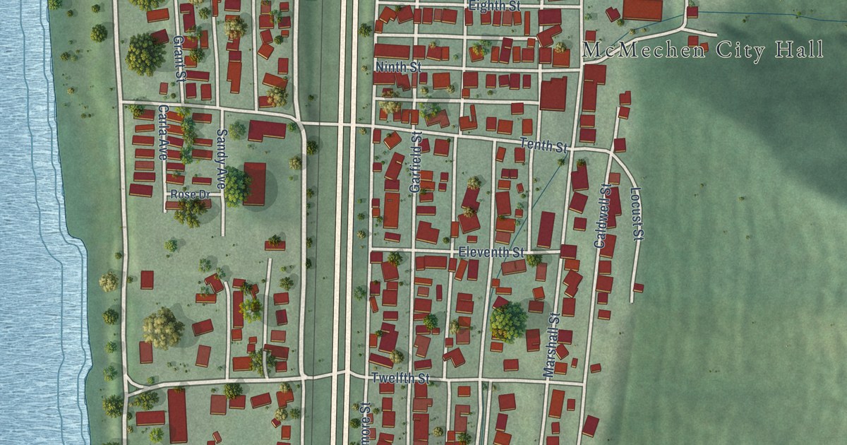
A detailed map of McMechen, West Virginia, showing every building in its true location, the roads by name, and shaded topographical relief.
Read More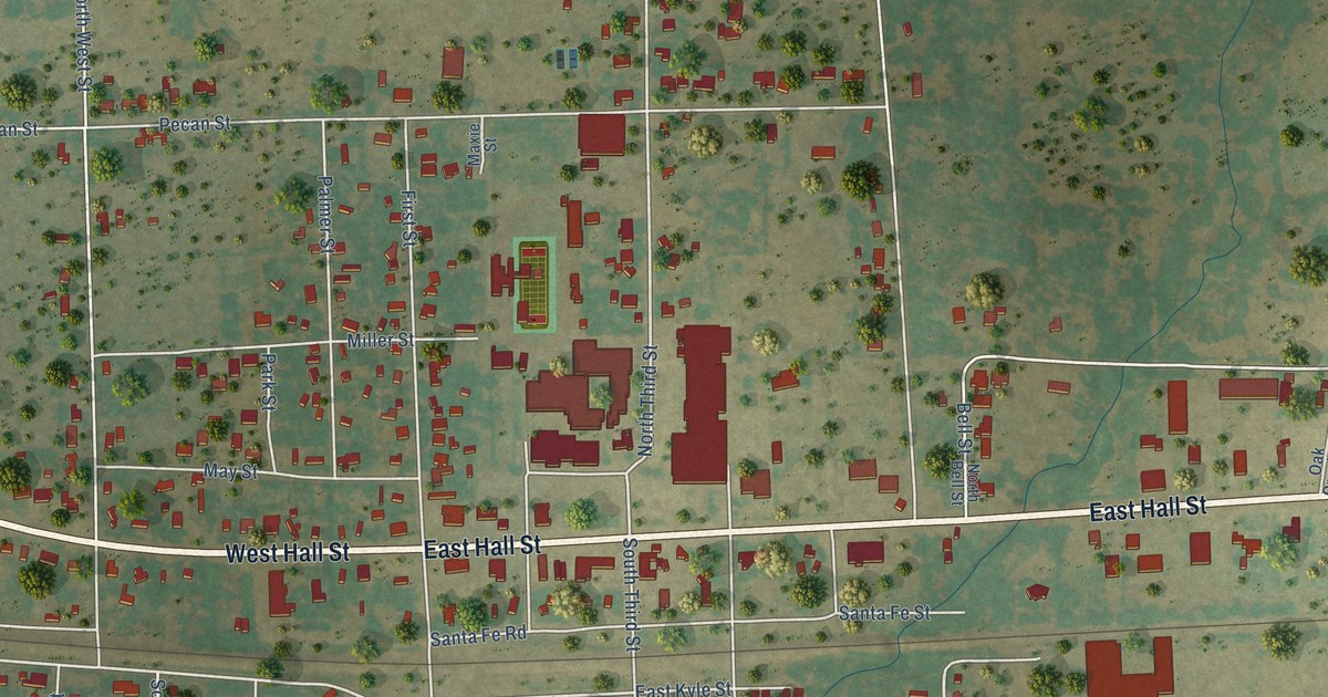
A detailed map of Bangs, Texas, showing every building in its true location, the roads by name, and shaded topographical relief.
Read More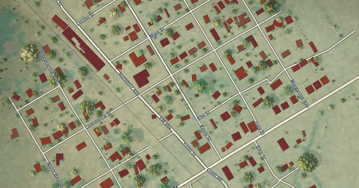
A detailed map of Bardwell, Texas, showing every building in its true location, the roads by name, and shaded topographical relief.
Read More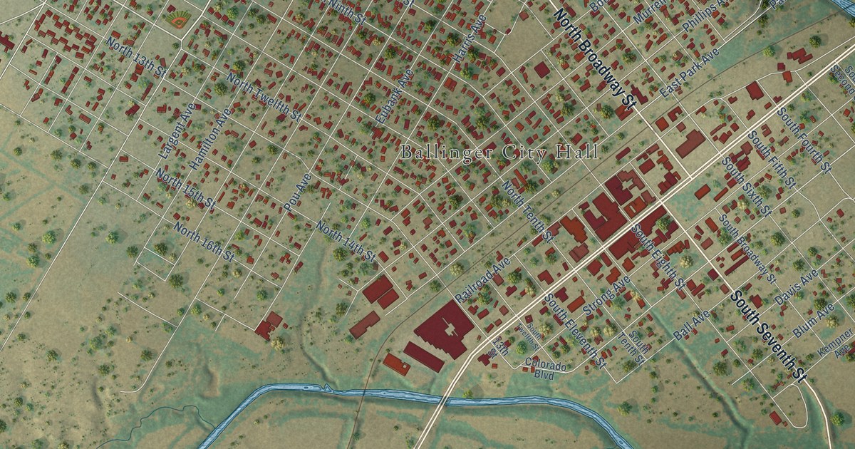
A detailed map of Ballinger, Texas, showing every building in its true location, the roads by name, and shaded topographical relief.
Read More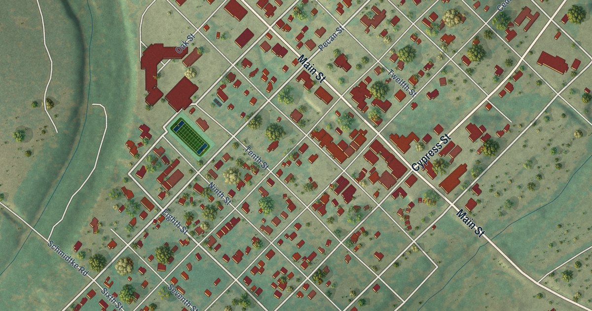
A detailed map of Bandera, Texas, showing every building in its true location, the roads by name, and shaded topographical relief.
Read More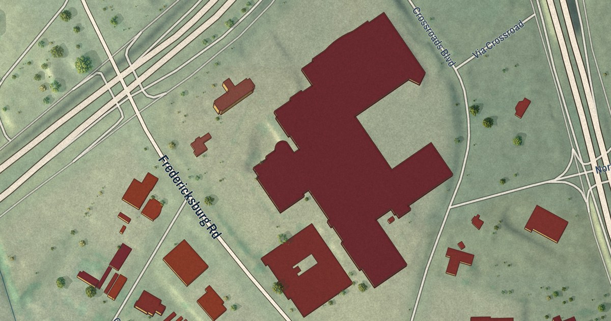
A detailed map of Balcones Heights, Texas, showing every building in its true location, the roads by name, and shaded topographical relief.
Read More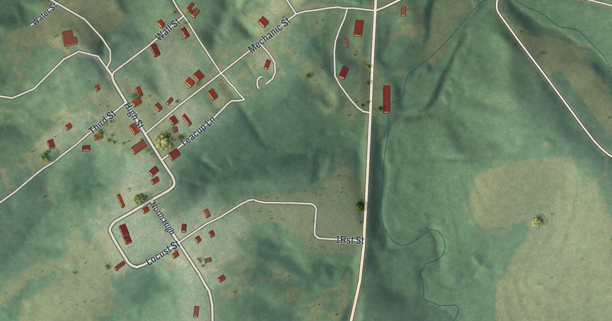
Miami is one of the oldest towns in Saline County, set on hills above a wide river. This new 2026 aerial map shows Main Street, Mechanic Street, Huron Trail and the town’s buildings in red, plus the story of Jesse J. Ferrill’s rain records.
Read More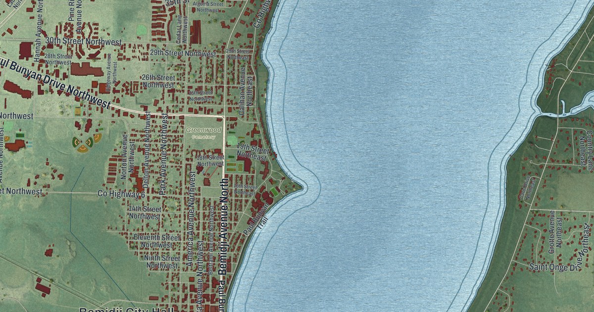
A detailed map of Bemidji, Minnesota, showing every building in its true location, the roads by name, and shaded topographical relief.
Read More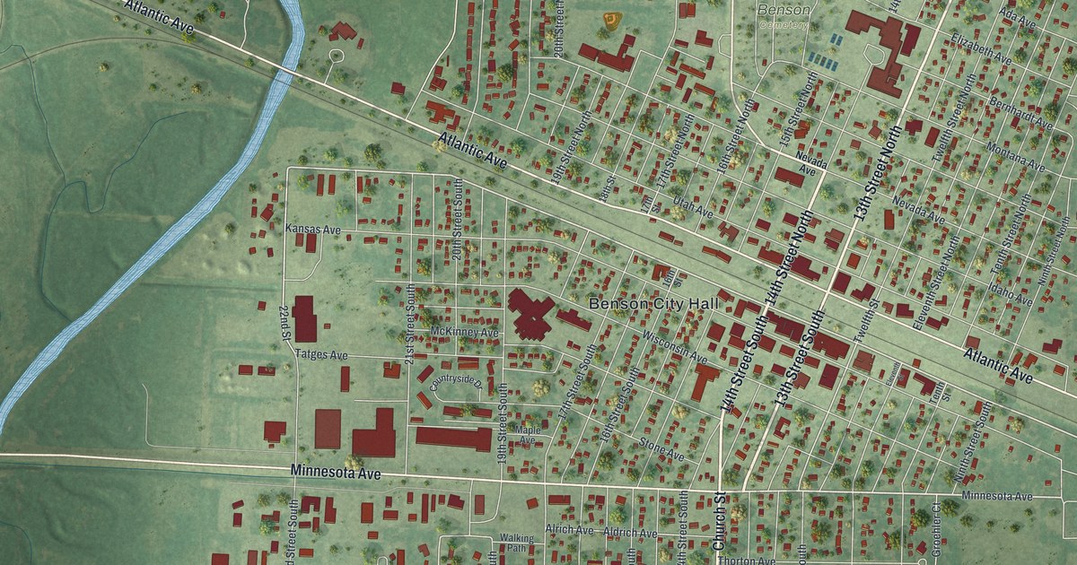
A detailed map of Benson, Minnesota, showing every building in its true location, the roads by name, and shaded topographical relief.
Read More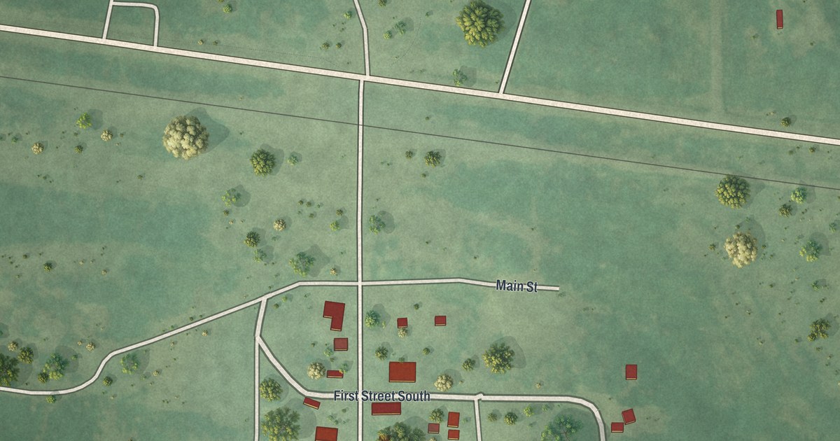
A detailed map of Bena, Minnesota, showing every building in its true location, the roads by name, and shaded topographical relief.
Read More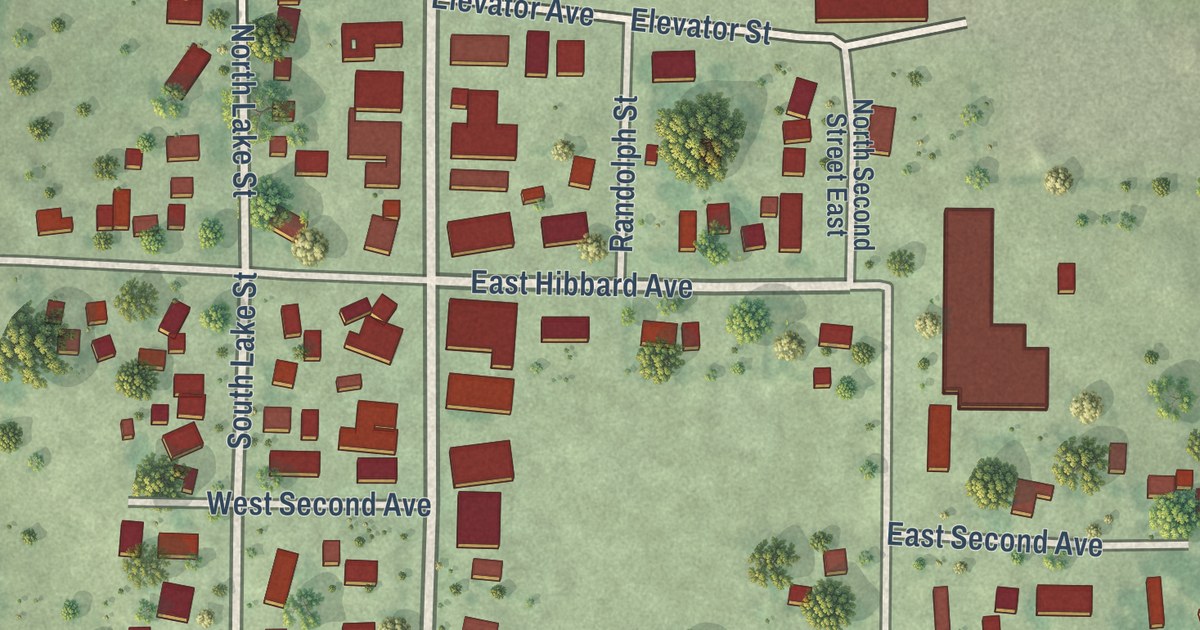
A detailed map of Belview, Minnesota, showing every building in its true location, the roads by name, and shaded topographical relief.
Read More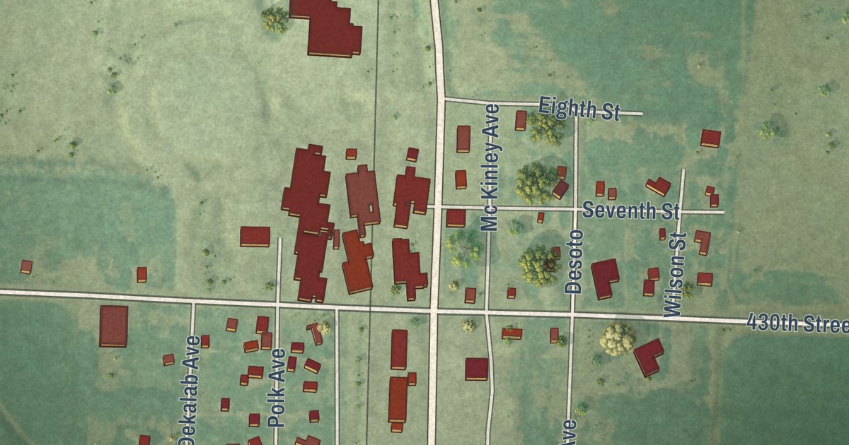
A detailed map of Beltrami, Minnesota, showing every building in its true location, the roads by name, and shaded topographical relief.
Read More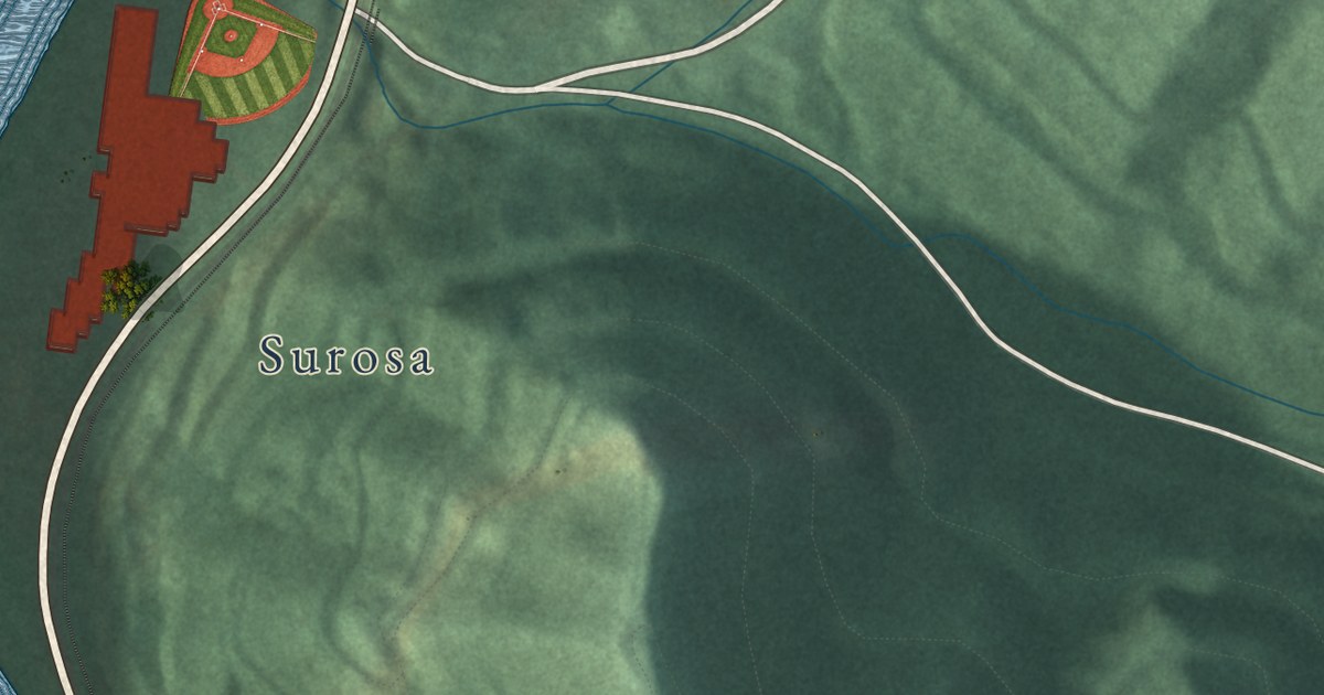
A detailed map of Matewan, West Virginia, showing every building in its true location, the roads by name, and shaded topographical relief.
Read More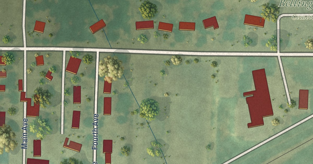
A detailed map of Bellingham, Minnesota, showing every building in its true location, the roads by name, and shaded topographical relief.
Read More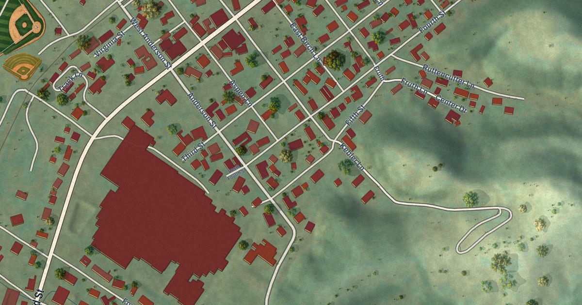
A detailed map of Mason, West Virginia, showing every building in its true location, the roads by name, and shaded topographical relief.
Read More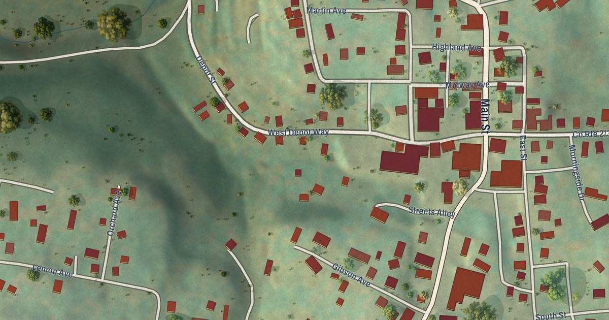
A detailed map of Masontown, West Virginia, showing every building in its true location, the roads by name, and shaded topographical relief.
Read More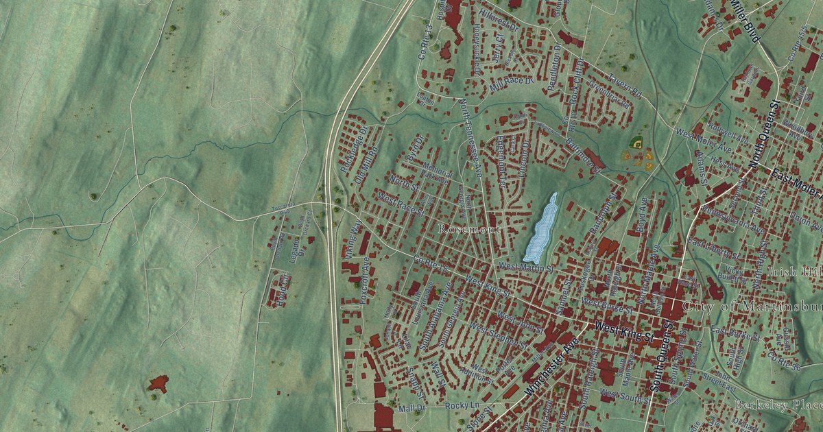
A detailed map of Martinsburg, West Virginia, showing every building in its true location, the roads by name, and shaded topographical relief.
Read More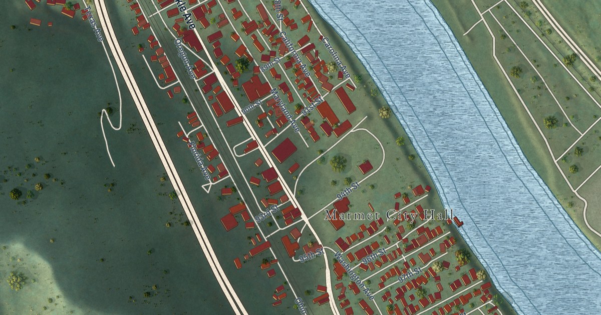
A detailed map of Marmet, West Virginia, showing every building in its true location, the roads by name, and shaded topographical relief.
Read More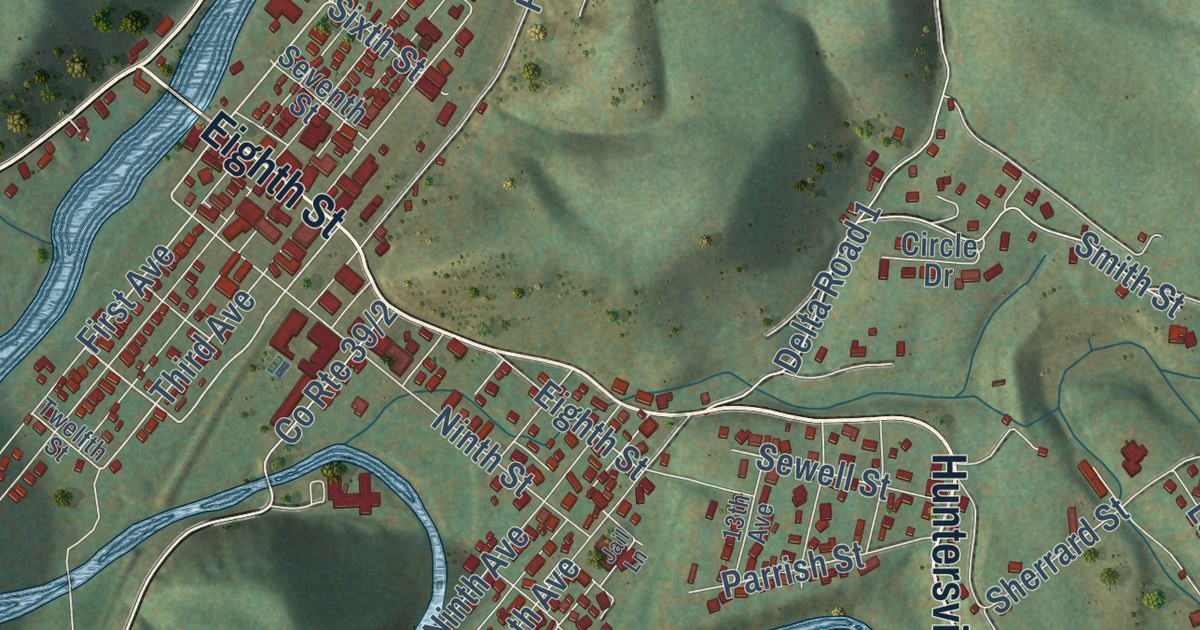
A detailed map of Marlinton, West Virginia, showing every building in its true location, the roads by name, and shaded topographical relief.
Read More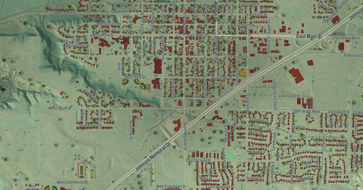
A detailed map of Belle Plaine, Minnesota, showing every building in its true location, the roads by name, and shaded topographical relief.
Read More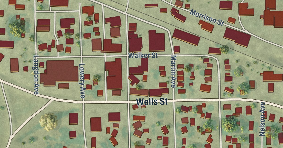
A detailed map of Belgrade, Minnesota, showing every building in its true location, the roads by name, and shaded topographical relief.
Read More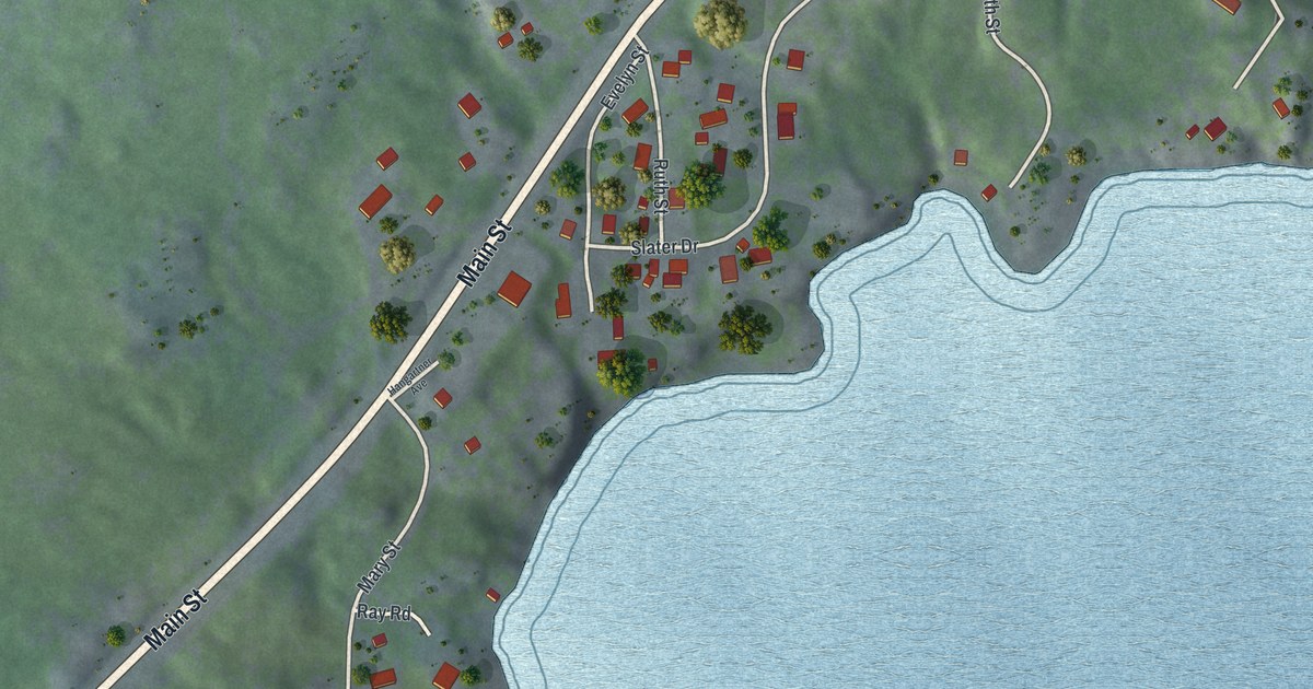
A detailed map of Beaver Bay, Minnesota, showing every building in its true location, the roads by name, and shaded topographical relief.
Read More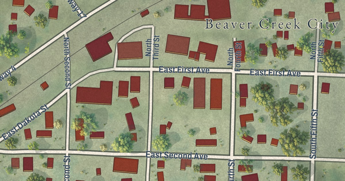
A detailed map of Beaver Creek, Minnesota, showing every building in its true location, the roads by name, and shaded topographical relief.
Read More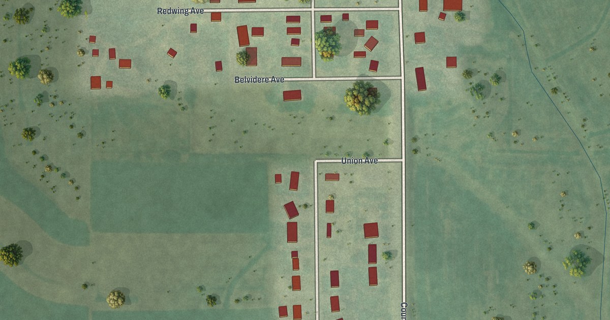
A detailed map of Bellechester, Minnesota, showing every building in its true location, the roads by name, and shaded topographical relief.
Read More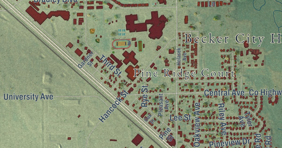
A detailed map of Becker, Minnesota, showing every building in its true location, the roads by name, and shaded topographical relief.
Read More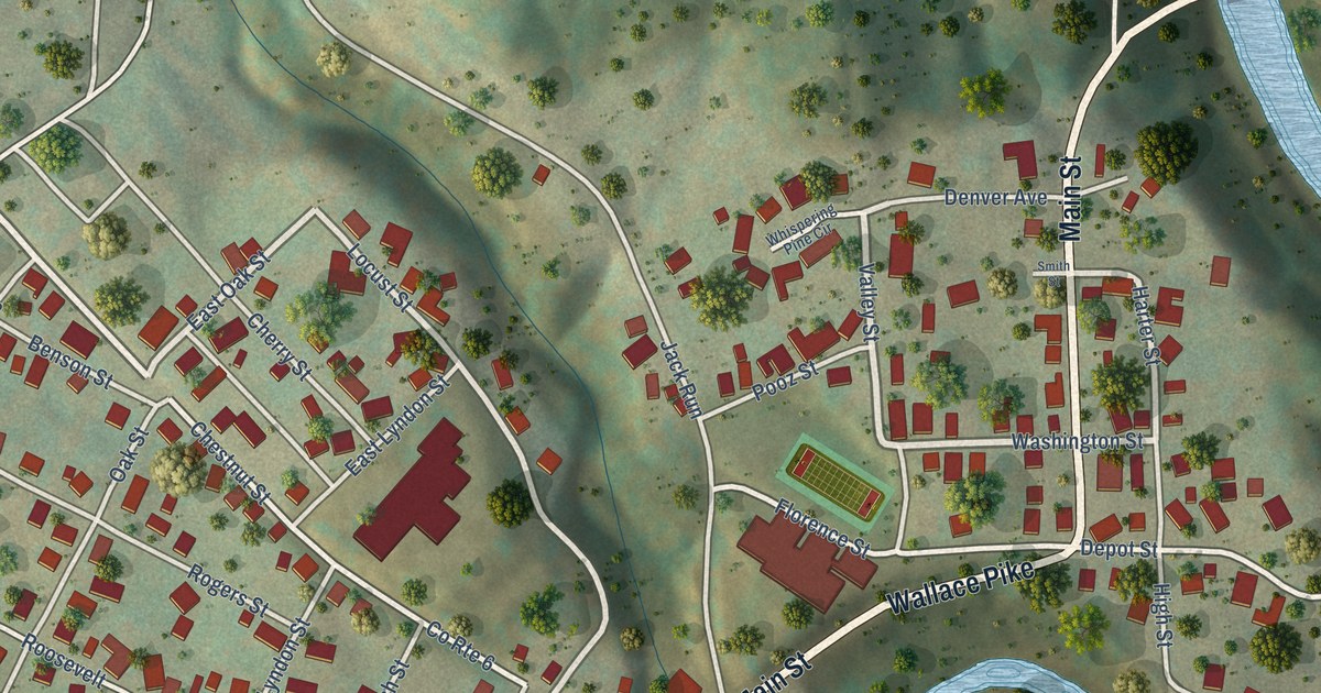
A detailed map of Lumberport, West Virginia, showing every building in its true location, the roads by name, and shaded topographical relief.
Read More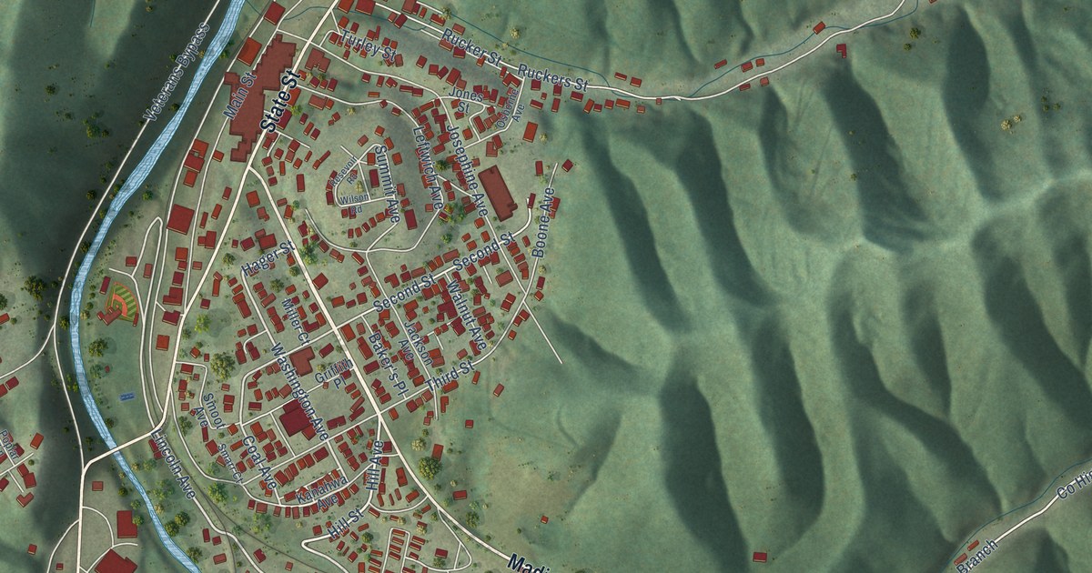
A detailed map of Madison, West Virginia, showing every building in its true location, the roads by name, and shaded topographical relief.
Read More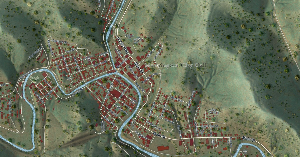
A detailed map of Mannington, West Virginia, showing every building in its true location, the roads by name, and shaded topographical relief.
Read More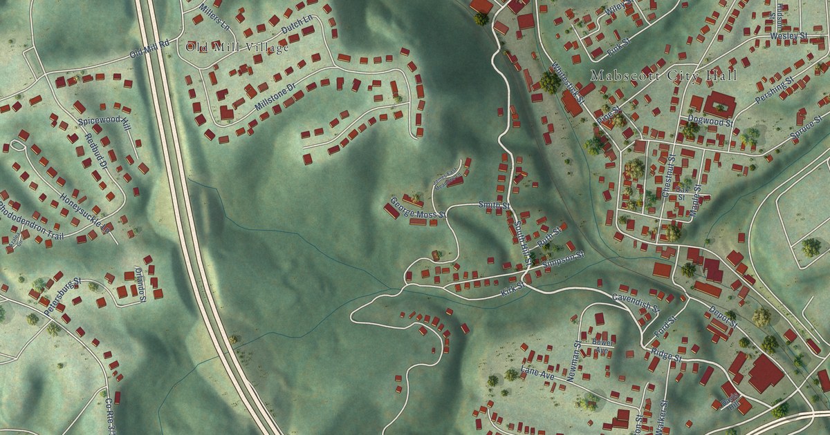
A detailed map of Mabscott, West Virginia, showing every building in its true location, the roads by name, and shaded topographical relief.
Read More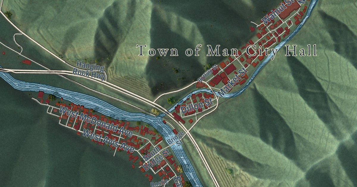
A detailed map of Man, West Virginia, showing every building in its true location, the roads by name, and shaded topographical relief.
Read More















