Detailed Map of Lost Creek, West Virginia
A detailed map of Lost Creek, West Virginia, showing every building in its true location, the roads by name, and shaded topographical relief.
Read More
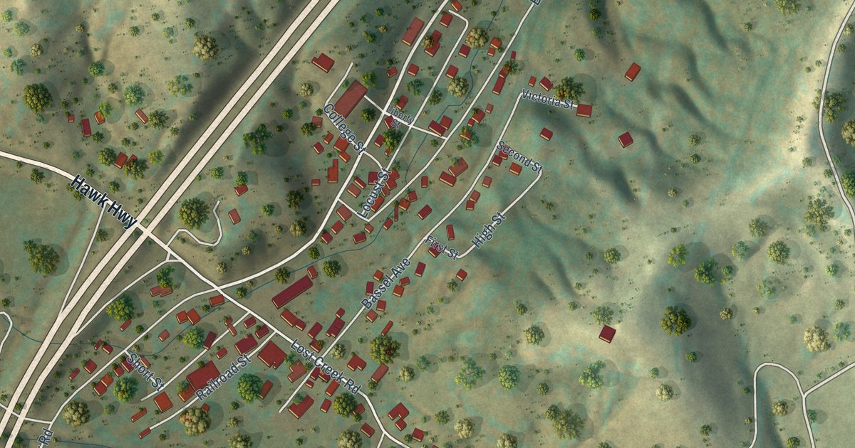
A detailed map of Lost Creek, West Virginia, showing every building in its true location, the roads by name, and shaded topographical relief.
Read More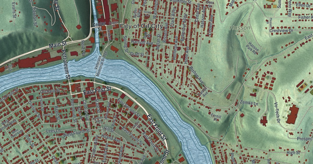
See Oil City’s river bends, hillside streets, and red building shapes in a new aerial map. Explore the story of the Oil Well Supply Company, whose machinery served oil fields around the world.
Read More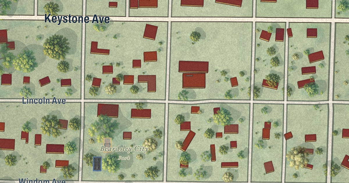
A detailed map of Beardsley, Minnesota, showing every building in its true location, the roads by name, and shaded topographical relief.
Read More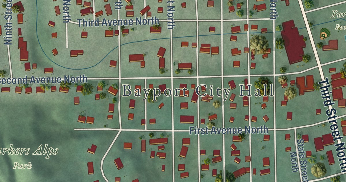
A detailed map of Bayport, Minnesota, showing every building in its true location, the roads by name, and shaded topographical relief.
Read More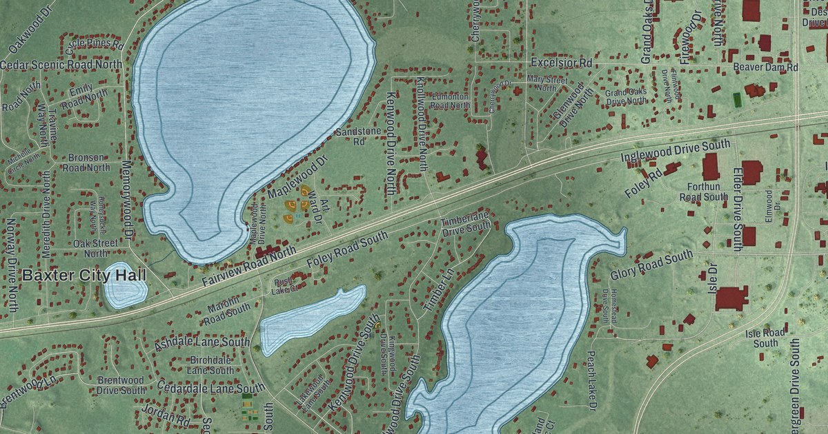
A detailed map of Baxter, Minnesota, showing every building in its true location, the roads by name, and shaded topographical relief.
Read More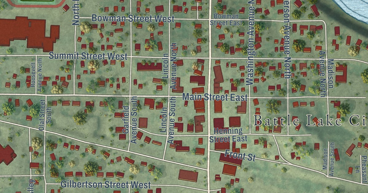
A detailed map of Battle Lake, Minnesota, showing every building in its true location, the roads by name, and shaded topographical relief.
Read More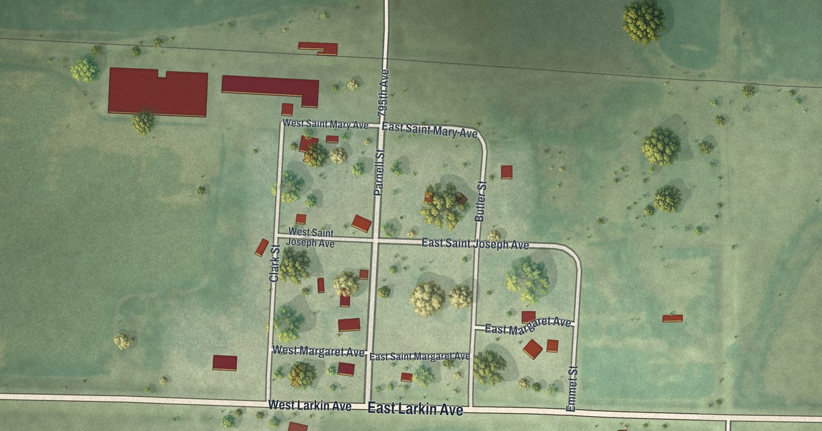
A detailed map of Barry, Minnesota, showing every building in its true location, the roads by name, and shaded topographical relief.
Read More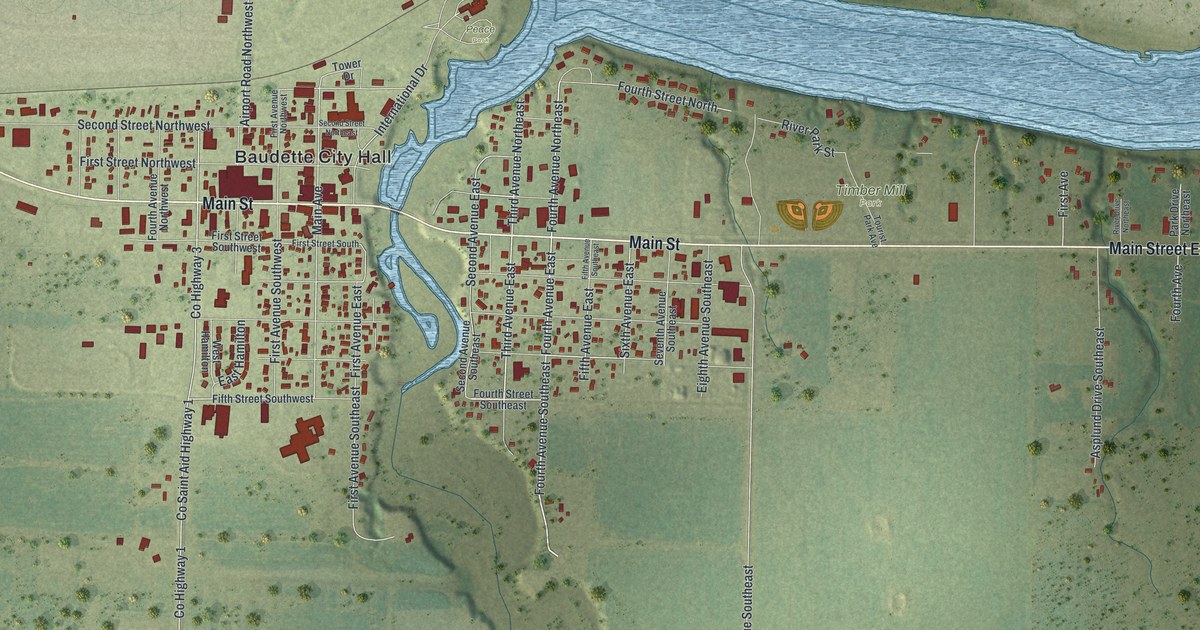
A detailed map of Baudette, Minnesota, showing every building in its true location, the roads by name, and shaded topographical relief.
Read More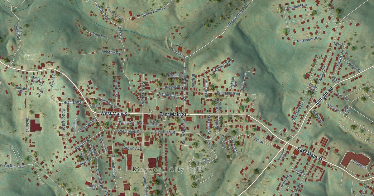
A detailed map of Kingwood, West Virginia, showing every building in its true location, the roads by name, and shaded topographical relief.
Read More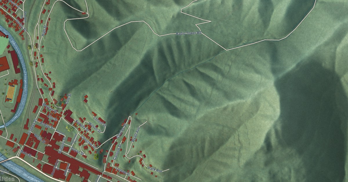
A detailed map of Logan, West Virginia, showing every building in its true location, the roads by name, and shaded topographical relief.
Read More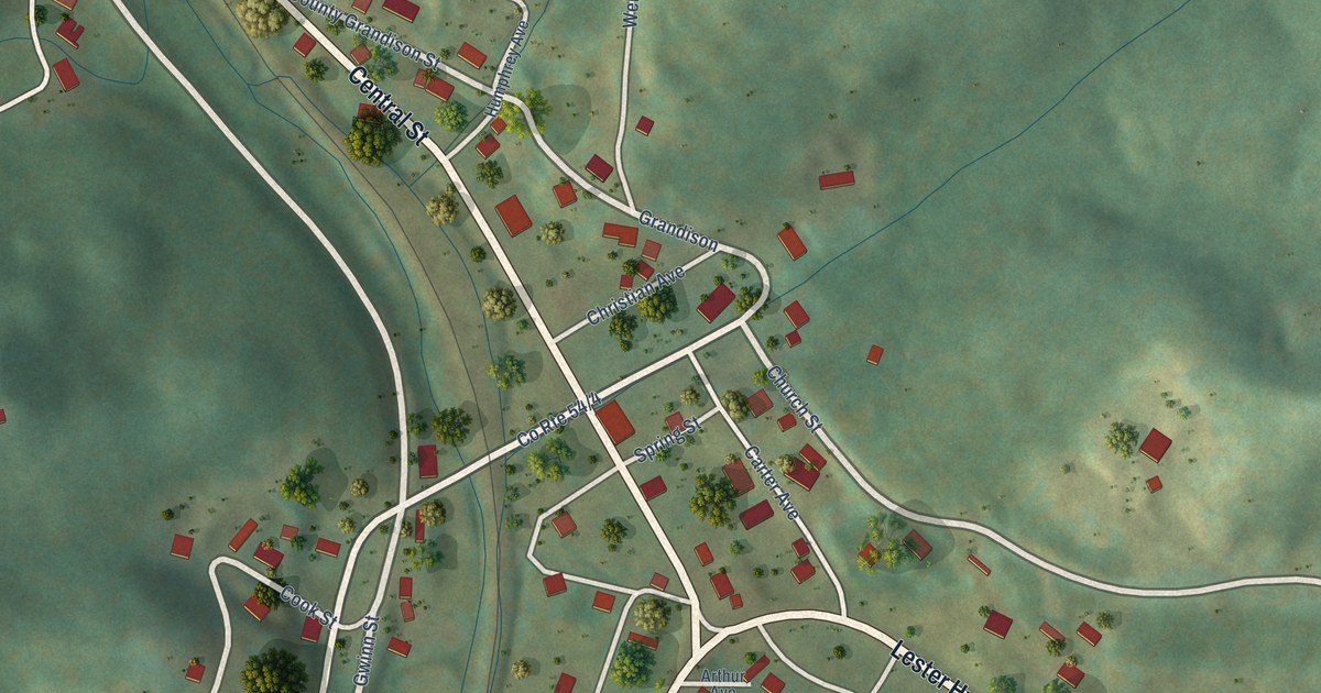
A detailed map of Lester, West Virginia, showing every building in its true location, the roads by name, and shaded topographical relief.
Read More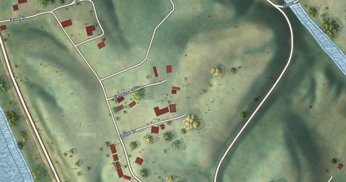
A detailed map of Leon, West Virginia, showing every building in its true location, the roads by name, and shaded topographical relief.
Read More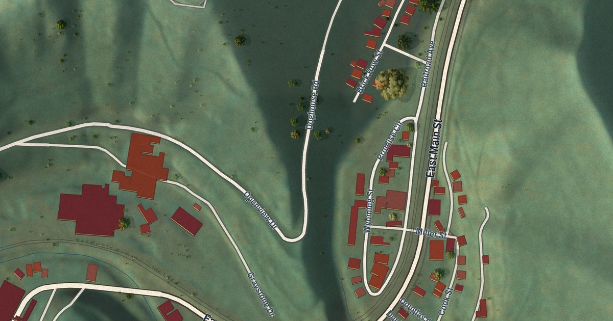
A detailed map of Keystone, West Virginia, showing every building in its true location, the roads by name, and shaded topographical relief.
Read More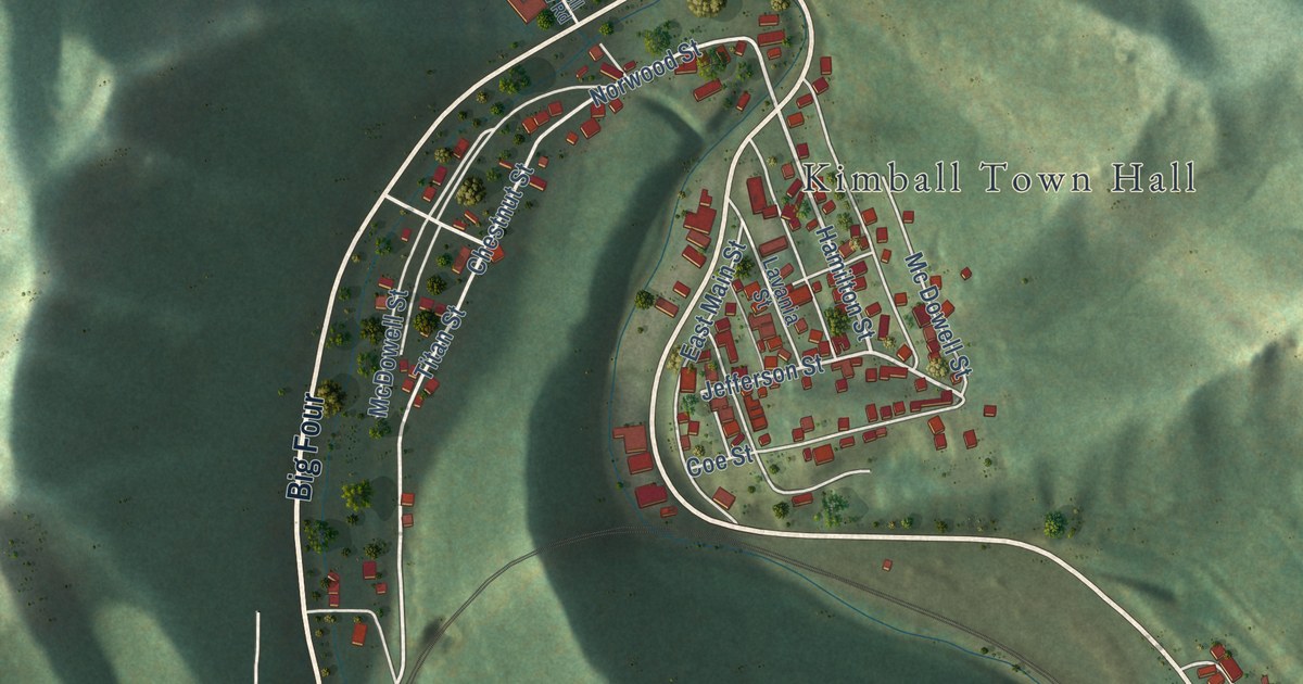
A detailed map of Kimball, West Virginia, showing every building in its true location, the roads by name, and shaded topographical relief.
Read More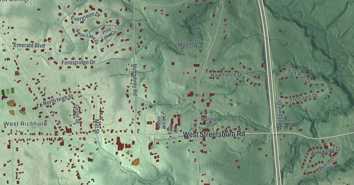
See Richfield’s familiar roads and green hills in a new aerial map. Broadview Road also holds the story of Ohio’s first Sikh Gurdwara and its move to Richfield in 1991.
Read More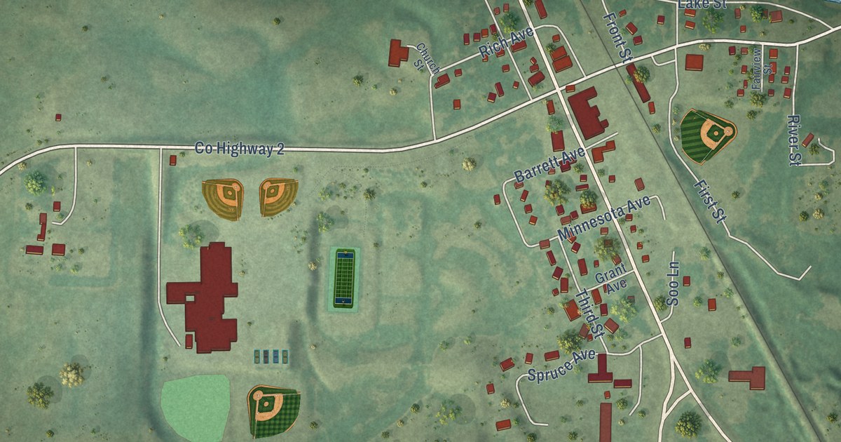
A detailed map of Barrett, Minnesota, showing every building in its true location, the roads by name, and shaded topographical relief.
Read More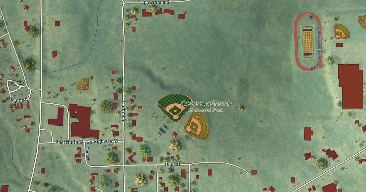
A detailed map of Barnum, Minnesota, showing every building in its true location, the roads by name, and shaded topographical relief.
Read More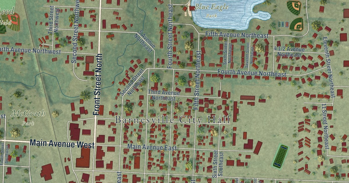
A detailed map of Barnesville, Minnesota, showing every building in its true location, the roads by name, and shaded topographical relief.
Read More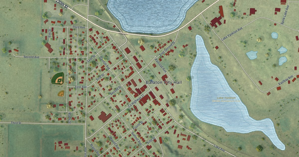
A detailed map of Balaton, Minnesota, showing every building in its true location, the roads by name, and shaded topographical relief.
Read More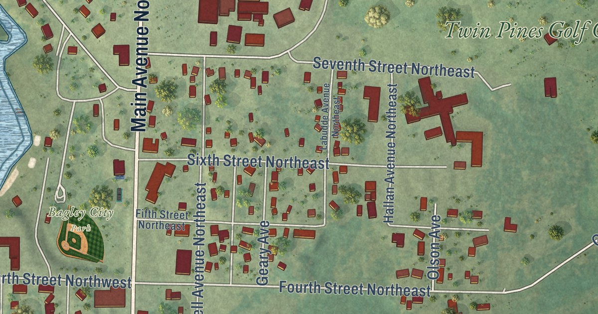
A detailed map of Bagley, Minnesota, showing every building in its true location, the roads by name, and shaded topographical relief.
Read More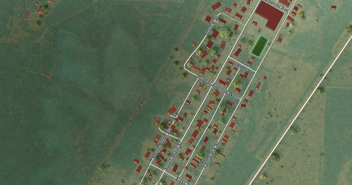
A detailed map of Badger, Minnesota, showing every building in its true location, the roads by name, and shaded topographical relief.
Read More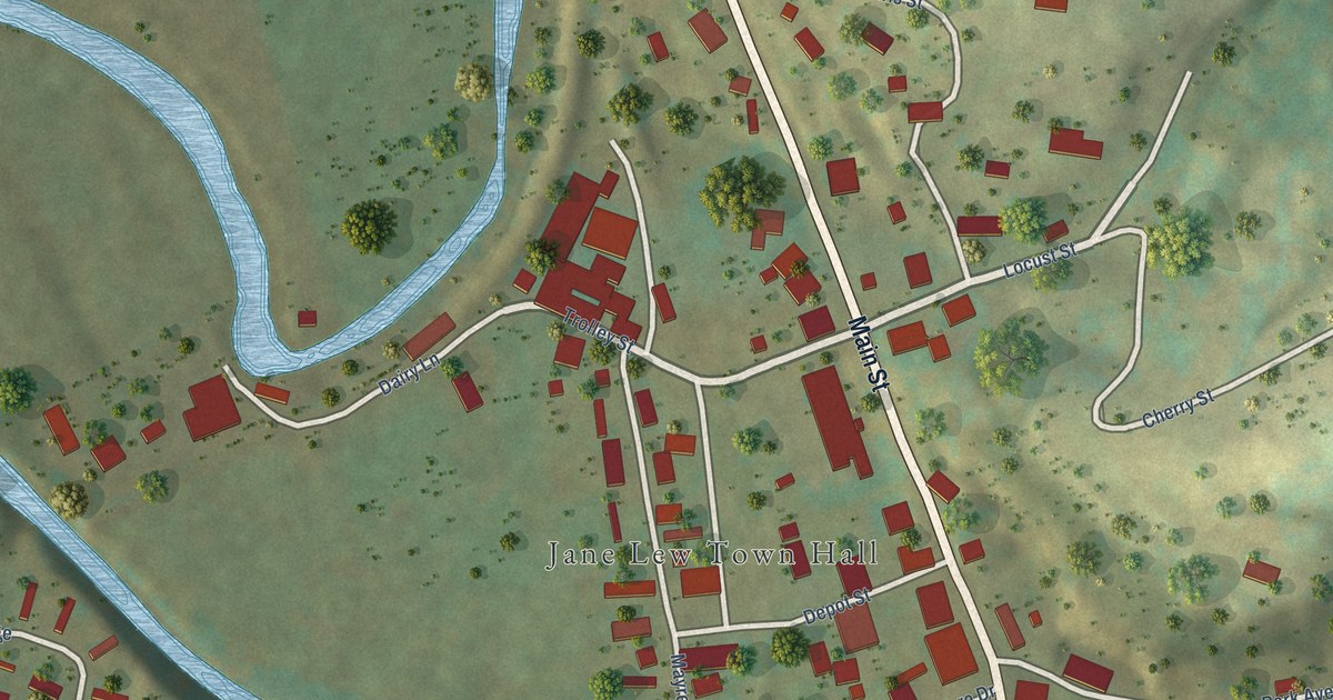
A detailed map of Jane Lew, West Virginia, showing every building in its true location, the roads by name, and shaded topographical relief.
Read More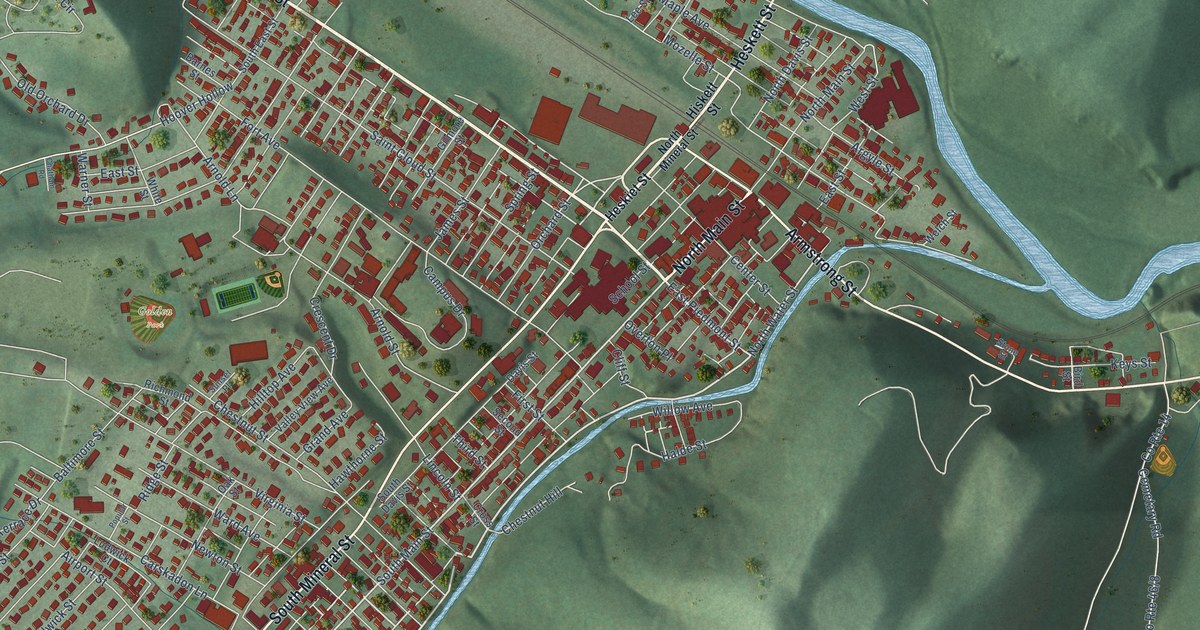
A detailed map of Keyser, West Virginia, showing every building in its true location, the roads by name, and shaded topographical relief.
Read More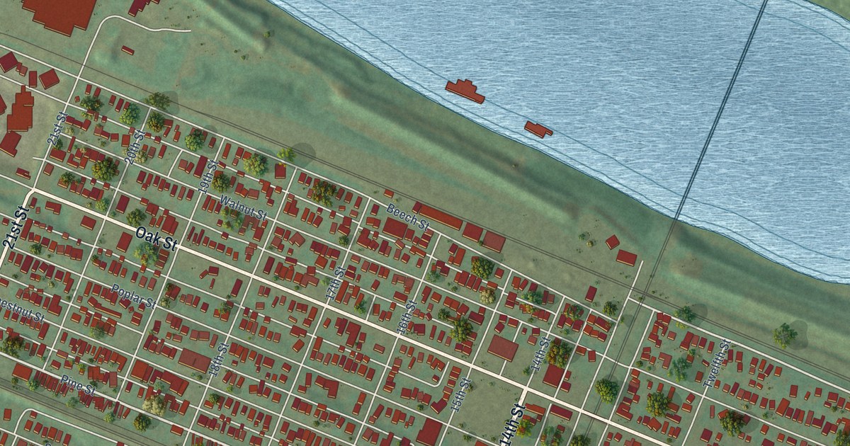
A detailed map of Kenova, West Virginia, showing every building in its true location, the roads by name, and shaded topographical relief.
Read More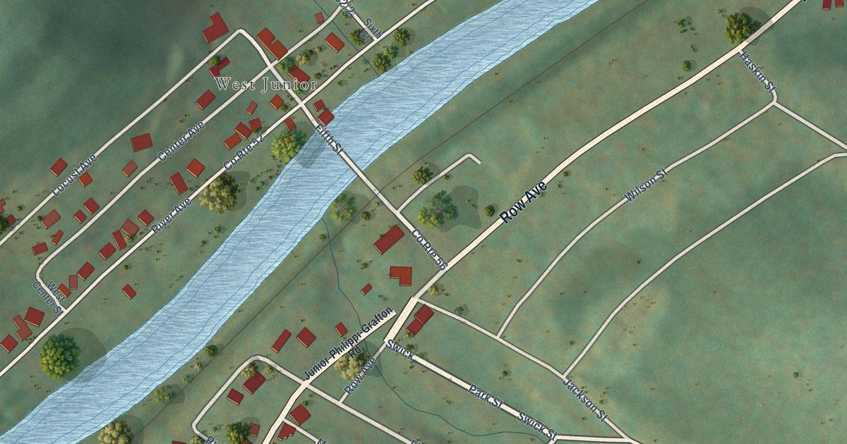
A detailed map of Junior, West Virginia, showing every building in its true location, the roads by name, and shaded topographical relief.
Read More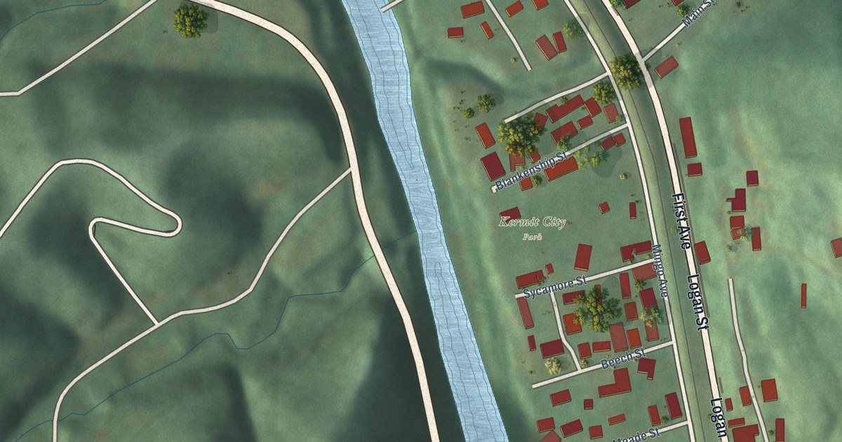
A detailed map of Kermit, West Virginia, showing every building in its true location, the roads by name, and shaded topographical relief.
Read More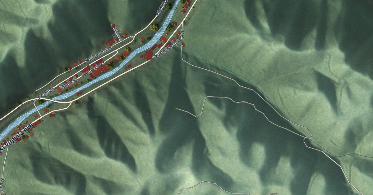
A detailed map of Iaeger, West Virginia, showing every building in its true location, the roads by name, and shaded topographical relief.
Read More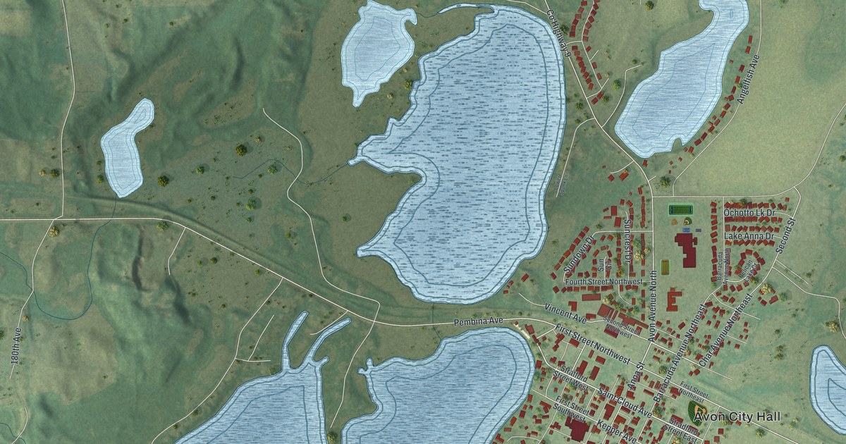
A detailed map of Avon, Minnesota, showing every building in its true location, the roads by name, and shaded topographical relief.
Read More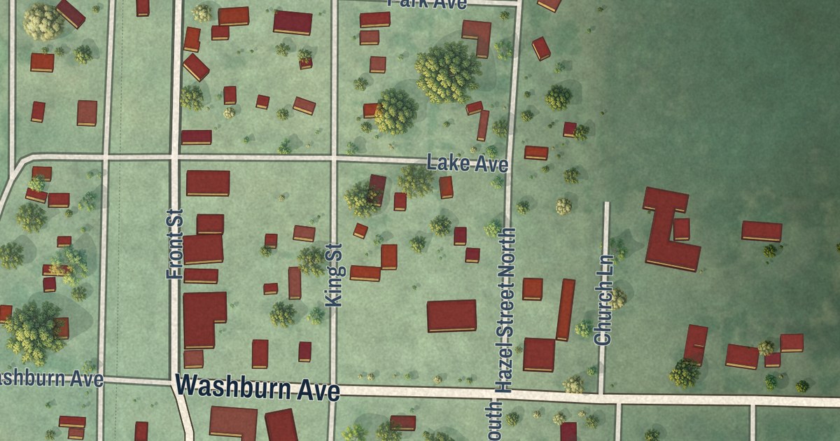
A detailed map of Backus, Minnesota, showing every building in its true location, the roads by name, and shaded topographical relief.
Read More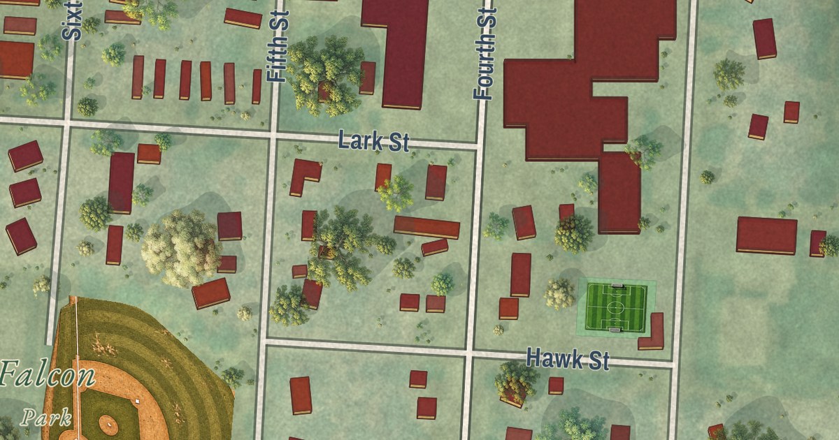
A detailed map of Audubon, Minnesota, showing every building in its true location, the roads by name, and shaded topographical relief.
Read More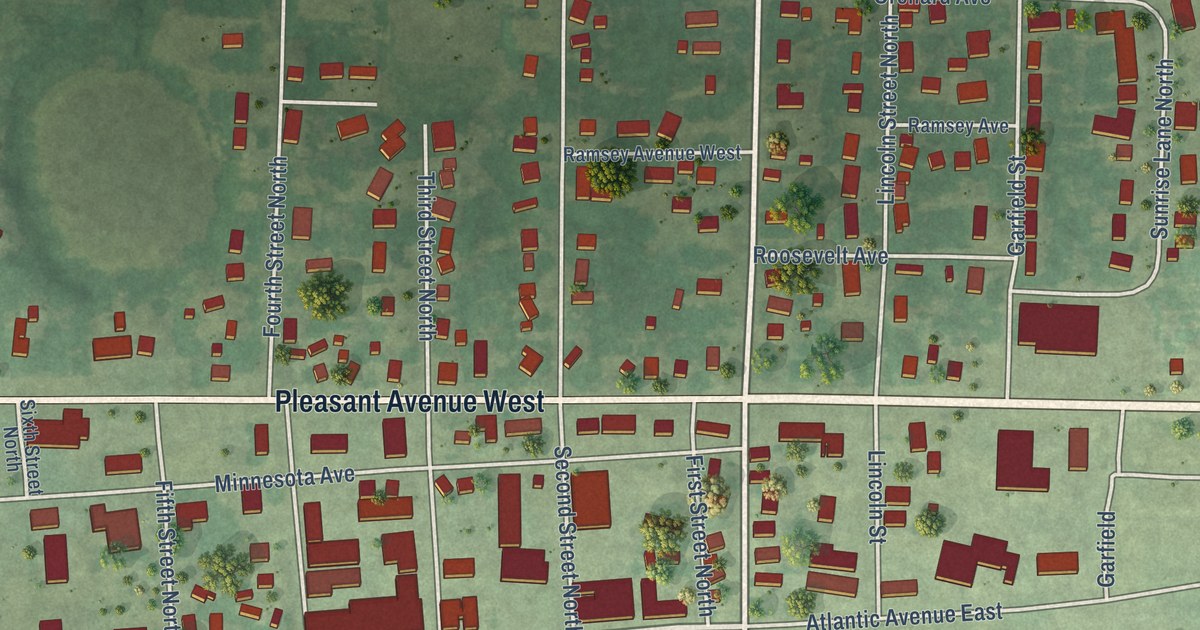
A detailed map of Atwater, Minnesota, showing every building in its true location, the roads by name, and shaded topographical relief.
Read More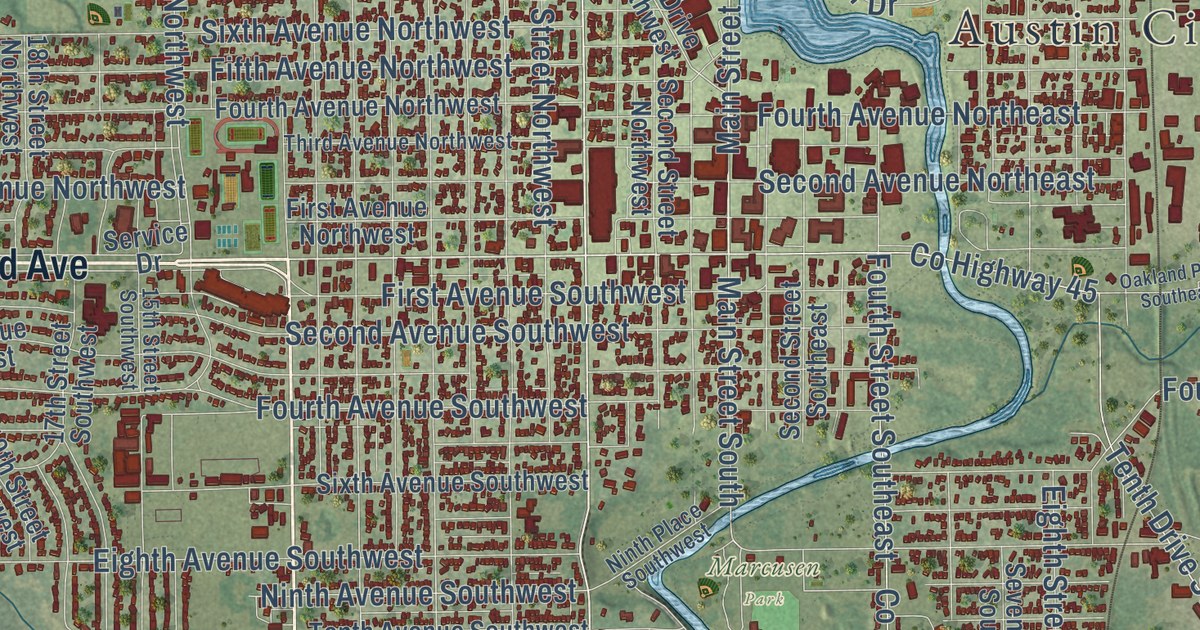
A detailed map of Austin, Minnesota, showing every building in its true location, the roads by name, and shaded topographical relief.
Read More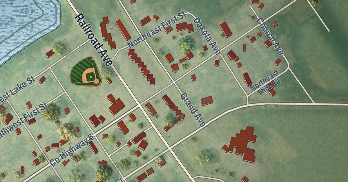
A detailed map of Avoca, Minnesota, showing every building in its true location, the roads by name, and shaded topographical relief.
Read More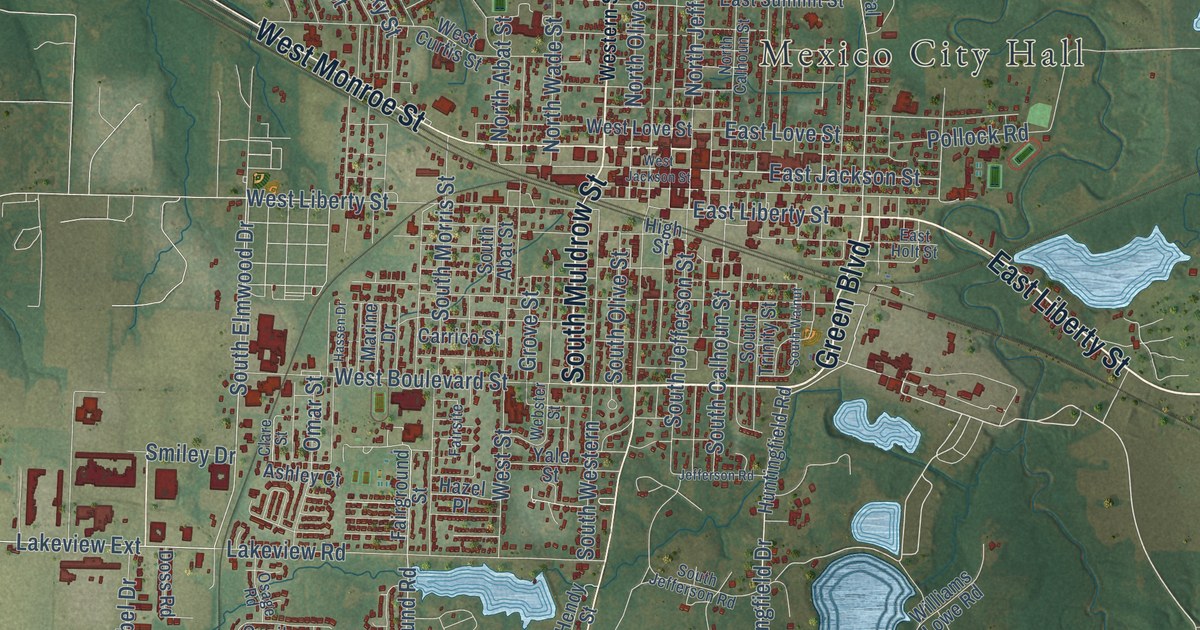
Find Mexico City Hall, Plunkett Park and familiar streets in this new aerial map. Green fields and blue ponds surround the town, whose name links it to the country of Mexico.
Read More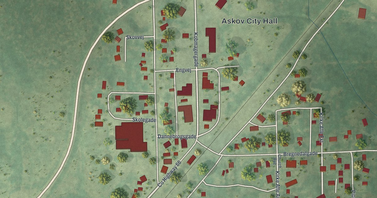
A detailed map of Askov, Minnesota, showing every building in its true location, the roads by name, and shaded topographical relief.
Read More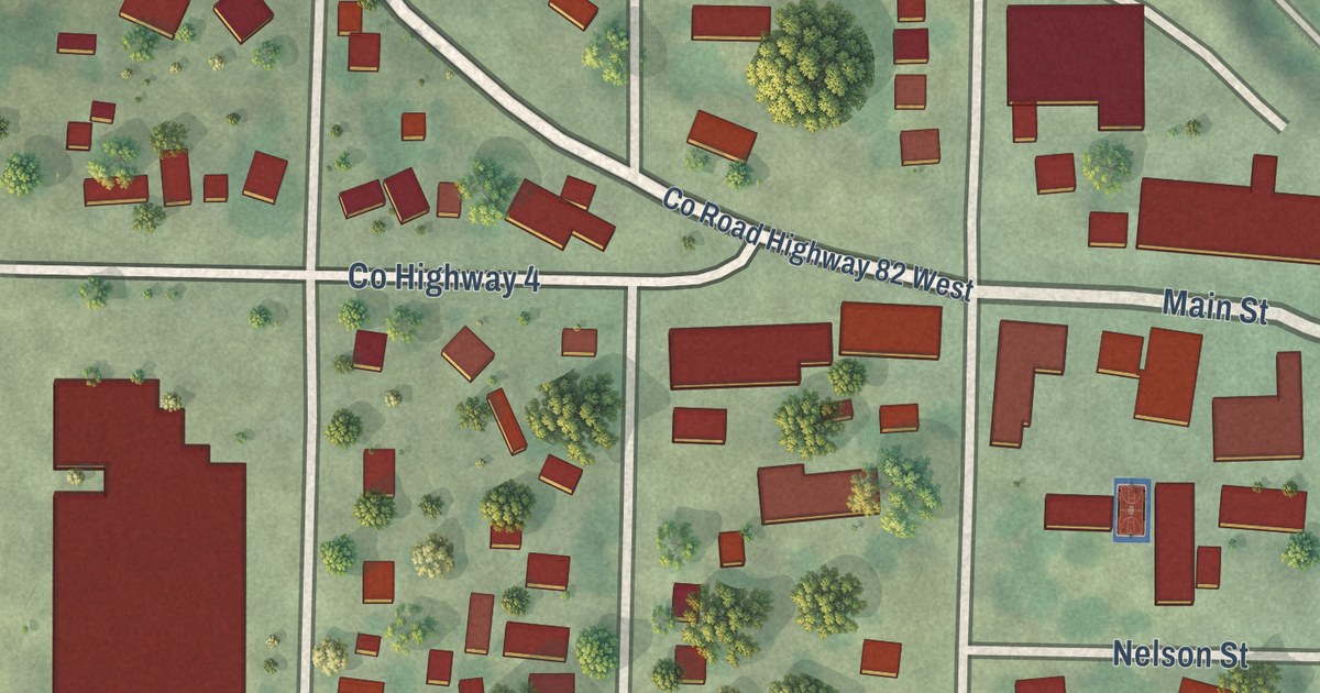
A detailed map of Ashby, Minnesota, showing every building in its true location, the roads by name, and shaded topographical relief.
Read More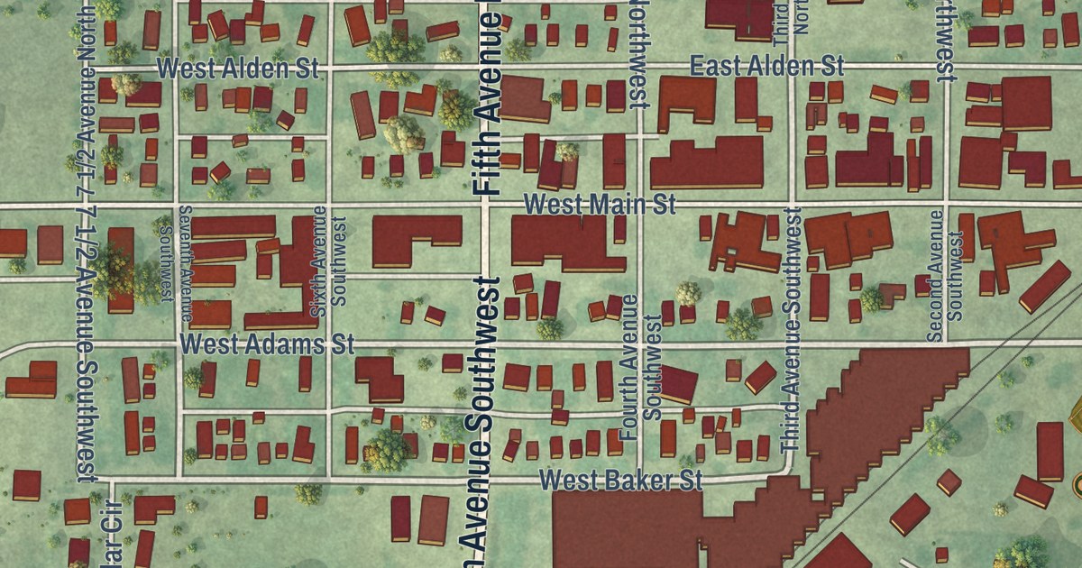
A detailed map of Arlington, Minnesota, showing every building in its true location, the roads by name, and shaded topographical relief.
Read More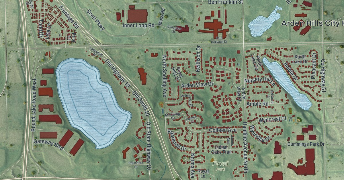
A detailed map of Arden Hills, Minnesota, showing every building in its true location, the roads by name, and shaded topographical relief.
Read More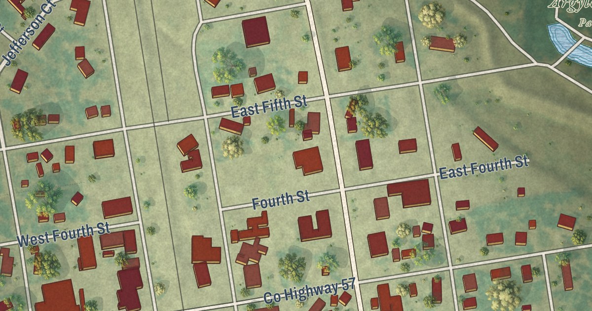
A detailed map of Argyle, Minnesota, showing every building in its true location, the roads by name, and shaded topographical relief.
Read More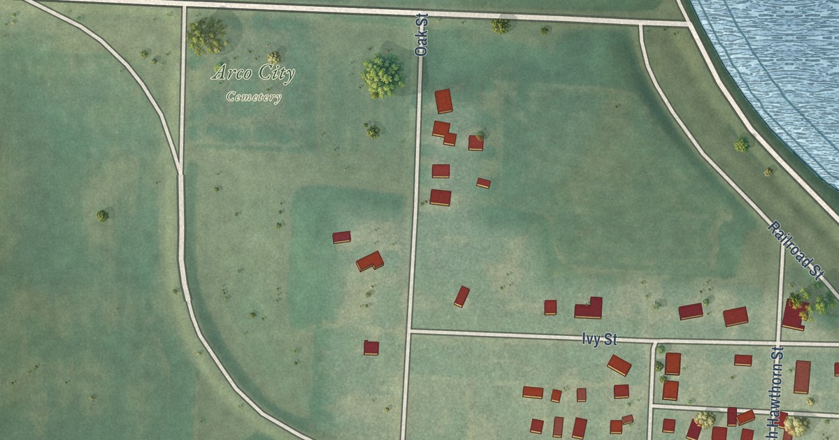
A detailed map of Arco, Minnesota, showing every building in its true location, the roads by name, and shaded topographical relief.
Read More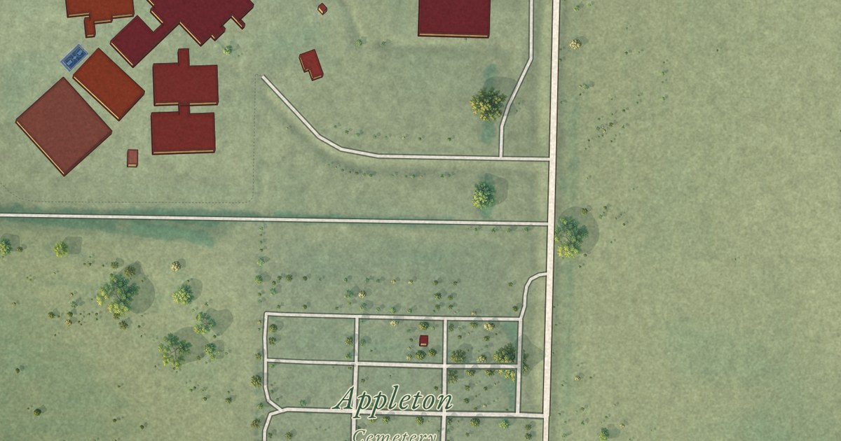
A detailed map of Appleton, Minnesota, showing every building in its true location, the roads by name, and shaded topographical relief.
Read More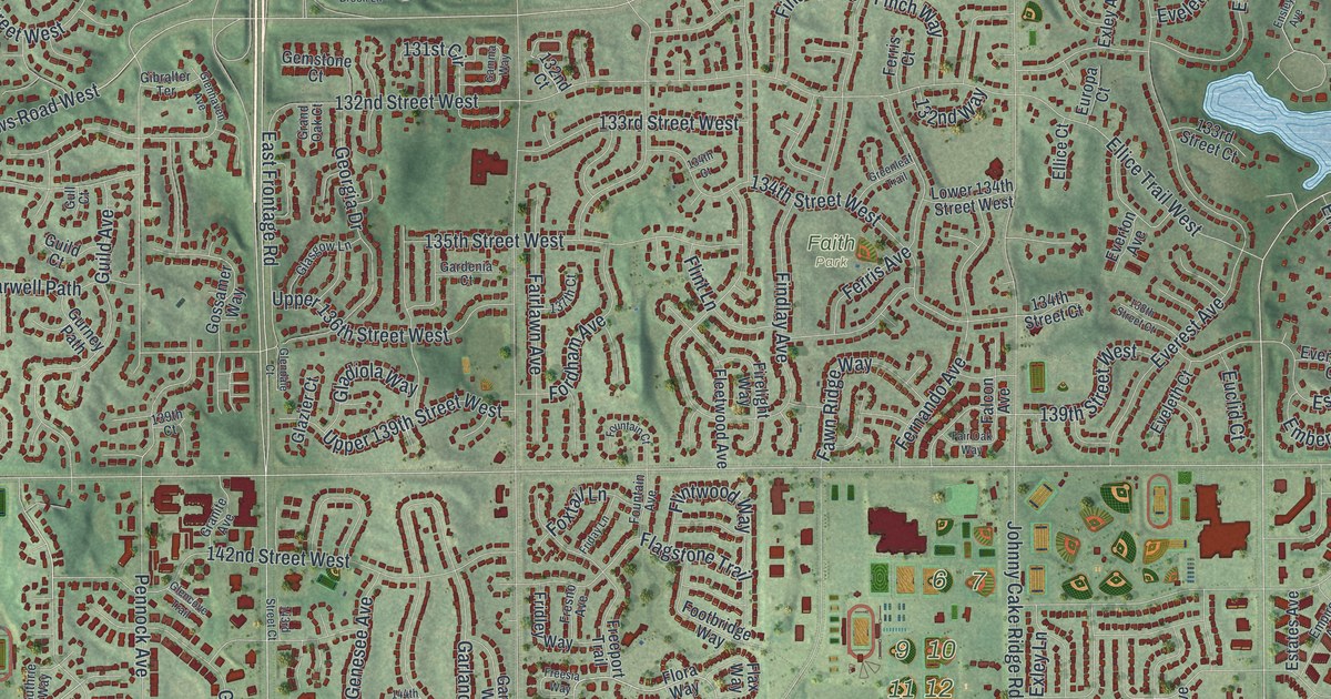
A detailed map of Apple Valley, Minnesota, showing every building in its true location, the roads by name, and shaded topographical relief.
Read More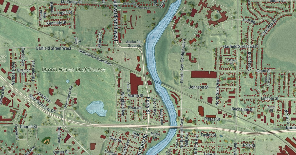
A detailed map of Anoka, Minnesota, showing every building in its true location, the roads by name, and shaded topographical relief.
Read More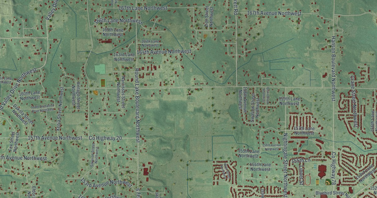
A detailed map of Andover, Minnesota, showing every building in its true location, the roads by name, and shaded topographical relief.
Read More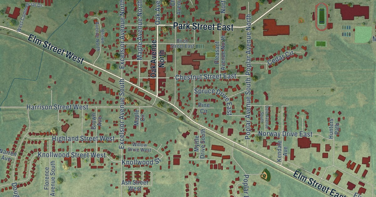
A detailed map of Annandale, Minnesota, showing every building in its true location, the roads by name, and shaded topographical relief.
Read More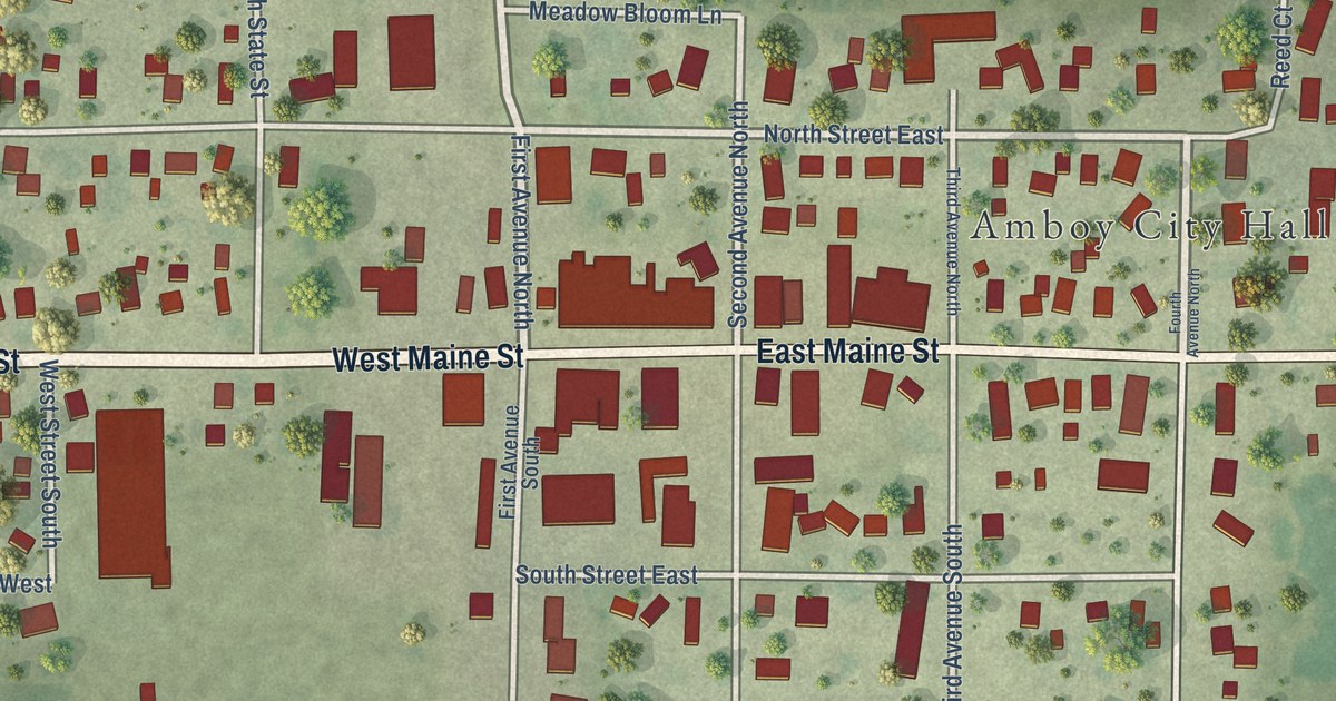
A detailed map of Amboy, Minnesota, showing every building in its true location, the roads by name, and shaded topographical relief.
Read More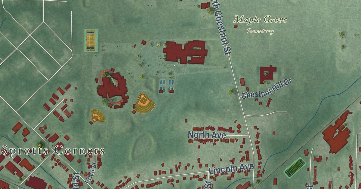
Benjamin Tappan laid out Ravenna in 1808, and it became the Portage County seat that same year. This 2026 aerial map shows Main Street, Chestnut Street, Maple Grove Cemetery, Havres Woods Park and thousands of buildings.
Read More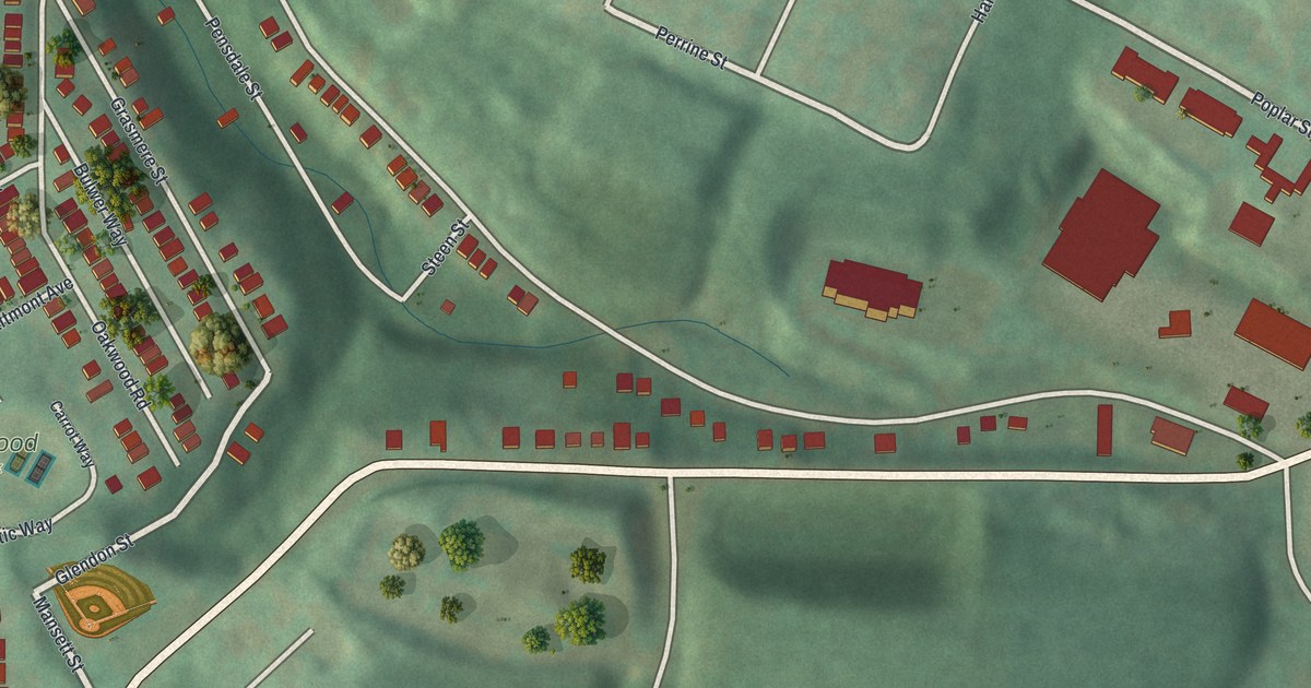
Explore Oakwood Park, familiar streets and green hills on a new aerial map of Oakwood, Pennsylvania. Made in 2026 with a vintage feel and red building shapes.
Read More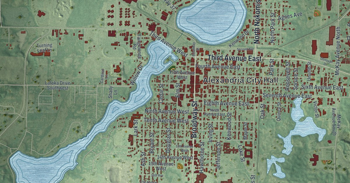
A detailed map of Alexandria, Minnesota, showing every building in its true location, the roads by name, and shaded topographical relief.
Read More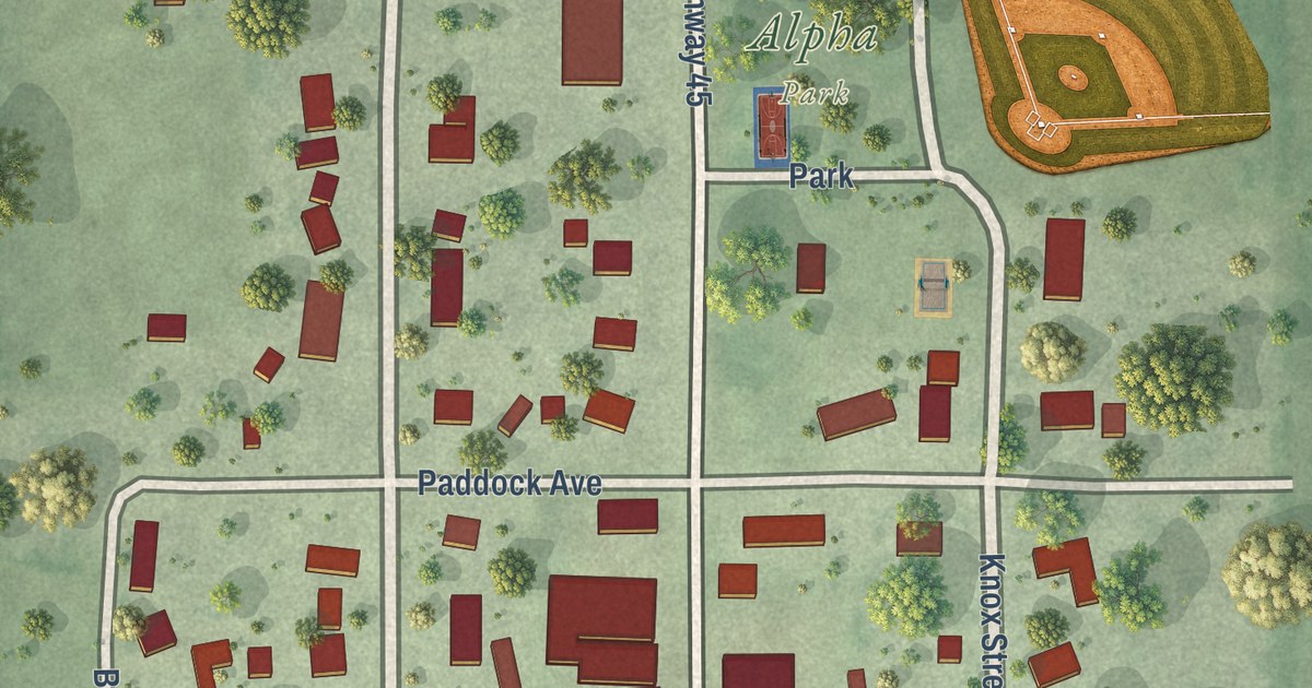
A detailed map of Alpha, Minnesota, showing every building in its true location, the roads by name, and shaded topographical relief.
Read More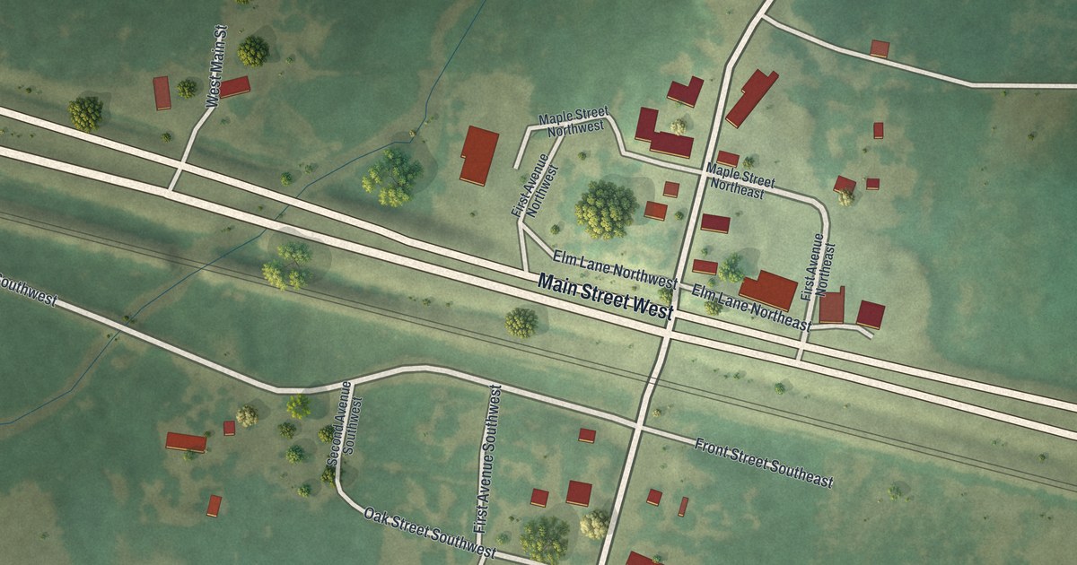
A detailed map of Aldrich, Minnesota, showing every building in its true location, the roads by name, and shaded topographical relief.
Read More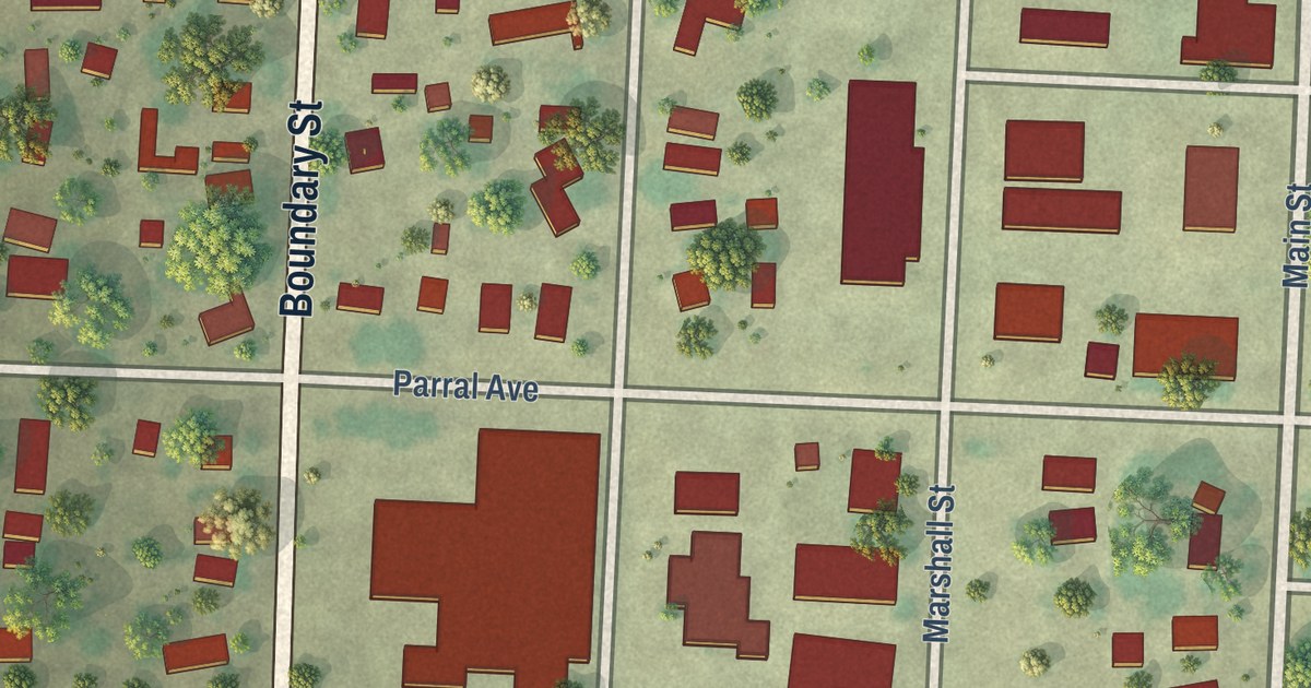
A detailed map of Alvarado, Minnesota, showing every building in its true location, the roads by name, and shaded topographical relief.
Read More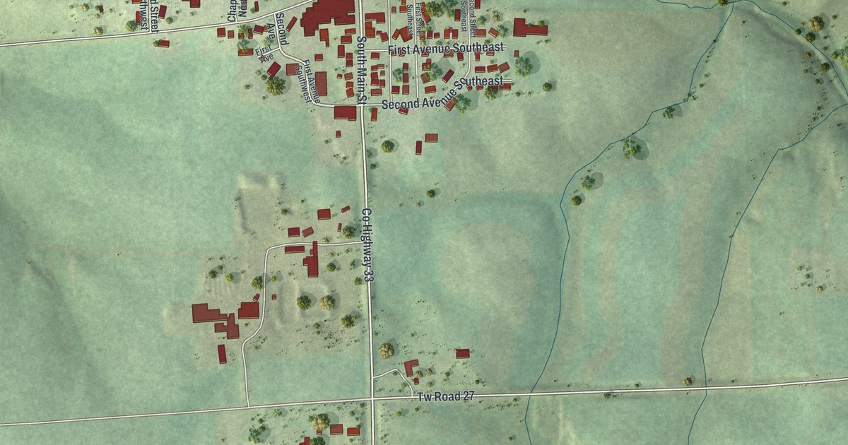
A detailed map of Altura, Minnesota, showing every building in its true location, the roads by name, and shaded topographical relief.
Read More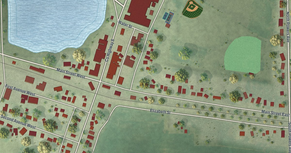
A detailed map of Alden, Minnesota, showing every building in its true location, the roads by name, and shaded topographical relief.
Read More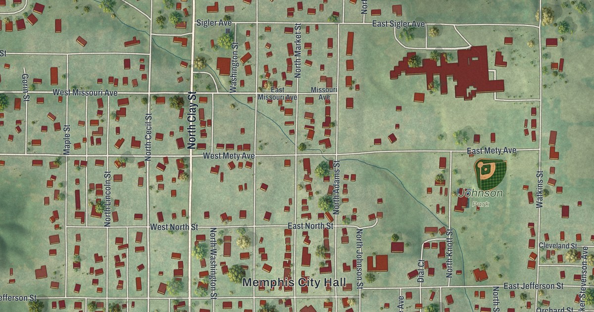
A modern aerial map of Memphis in Scotland County, Missouri, made in 2026. Find North Clay Street, Grand Avenue and Memphis City Hall, and read about the 196-foot well dug on the courthouse square in 1846.
Read More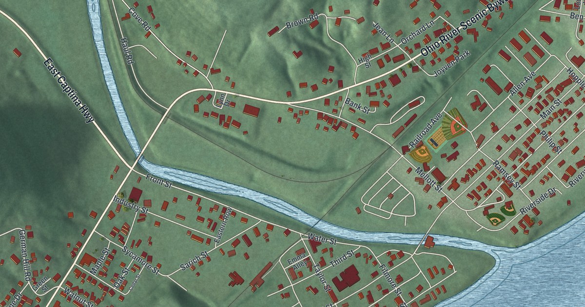
Powhatan Point sits where Captina Creek meets the Ohio River. This new aerial map of the Belmont County village shows its streets, hills and river, and tells the story of its old boat landings and the Powhatan No. 1 mine.
Read More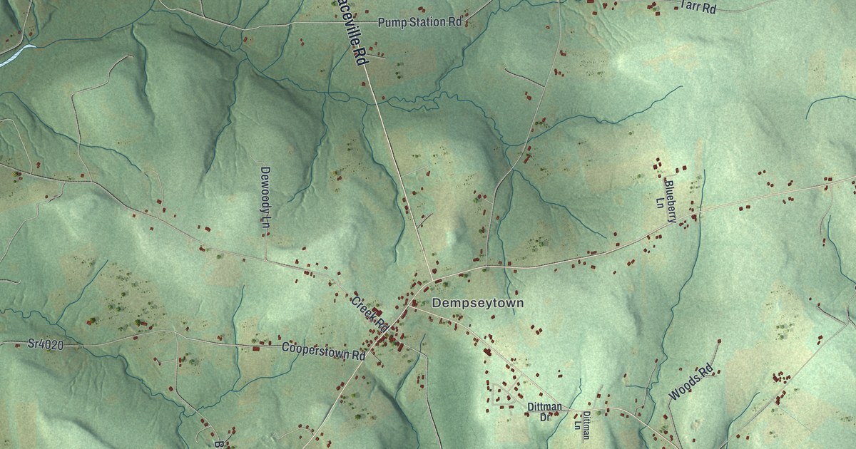
Explore Oakland’s hills and familiar roads around Dempseytown, Haslets Corner, and Fosters Corner. Learn about the orchard Lawrence Dempsey planted in 1797.
Read More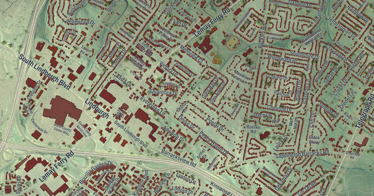
Find Lemay Ferry Road, Telegraph Road and Mattese on this new Mehlville map. Red buildings and green terrain show the streets of home, with a brief look at an old Carondelet Township post office.
Read More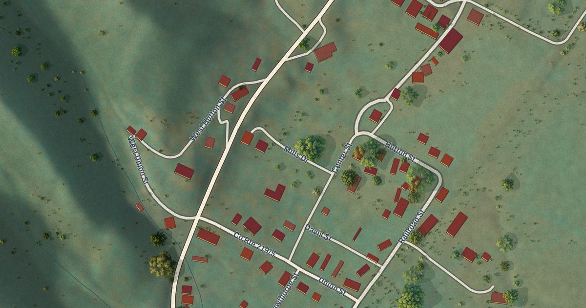
A detailed map of Huttonsville, West Virginia, showing every building in its true location, the roads by name, and shaded topographical relief.
Read More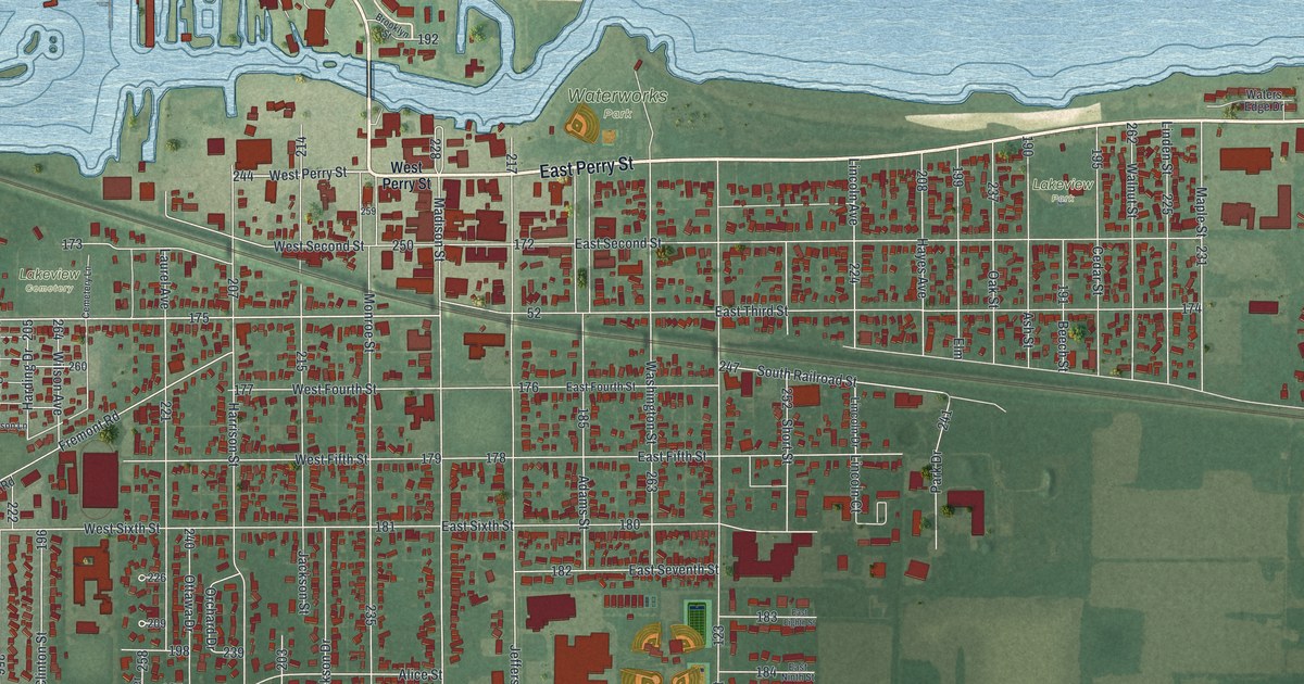
A new aerial map of Port Clinton in Ottawa County, Ohio, made in 2026. Find East Perry Street, Madison Street and Waterworks Park, plus the story of the 1901 courthouse and its murals of farming, fishing, fruit growing and quarrying.
Read More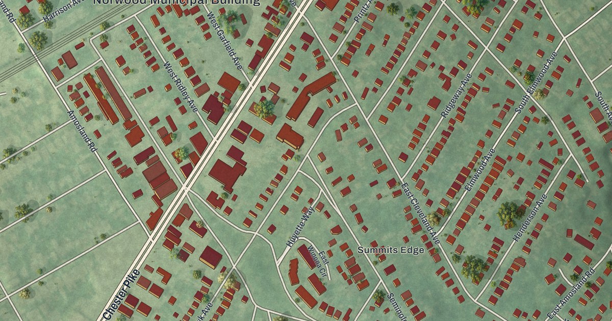
A new aerial-style map of Norwood in Delaware County, made in 2026. Find Chester Pike, Norwood Park and your own street, plus the story of the Morton family house, built about 1750 by the great-grandson of a Swedish settler.
Read More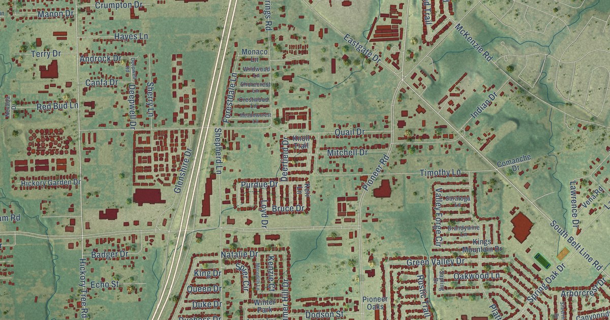
A detailed map of Balch Springs, Texas, showing every building in its true location, the roads by name, and shaded topographical relief.
Read More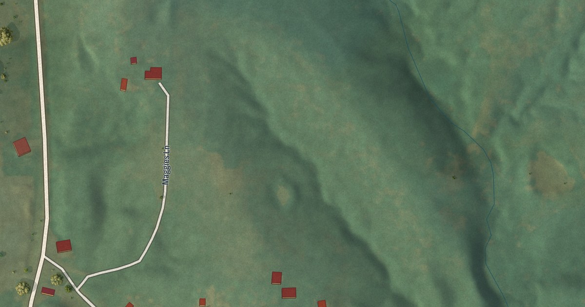
Explore McKittrick’s streets and green hills in a new aerial map. See Main Street and Walnut Street, and learn how the town’s name connects to a St. Louis dry goods firm.
Read More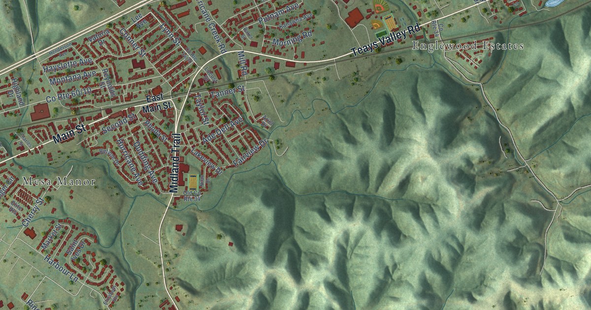
A detailed map of Hurricane, West Virginia, showing every building in its true location, the roads by name, and shaded topographical relief.
Read More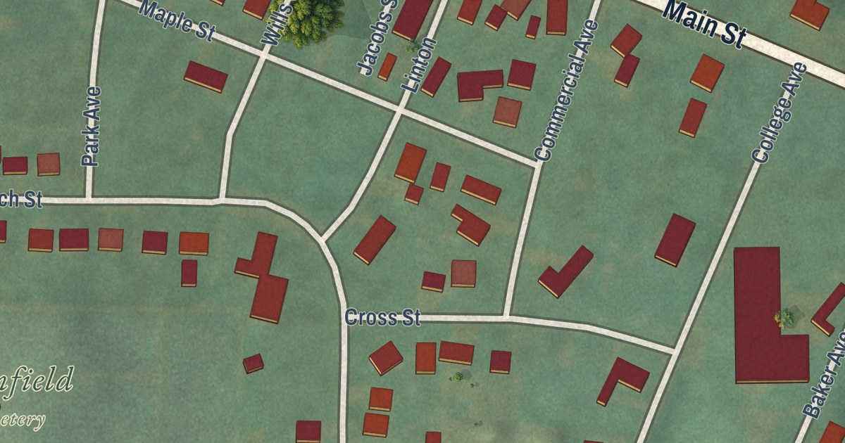
A modern aerial map of Plainfield in Coshocton County, Ohio. Find Main Street, Church Street and Plainfield Cemetery, where 89 Civil War soldiers rest, and read how George Crile got his start as principal of Plainfield School.
Read More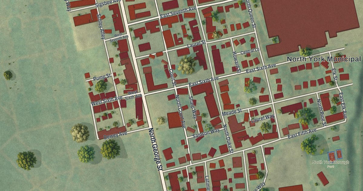
A new aerial map of North York in York County, Pennsylvania, made in 2026. Find North George Street, Lebanon Cemetery and North York Borough Park, plus the story of Philip Livingston, a signer of the Declaration of Independence honored by a marker on North George Street.
Read More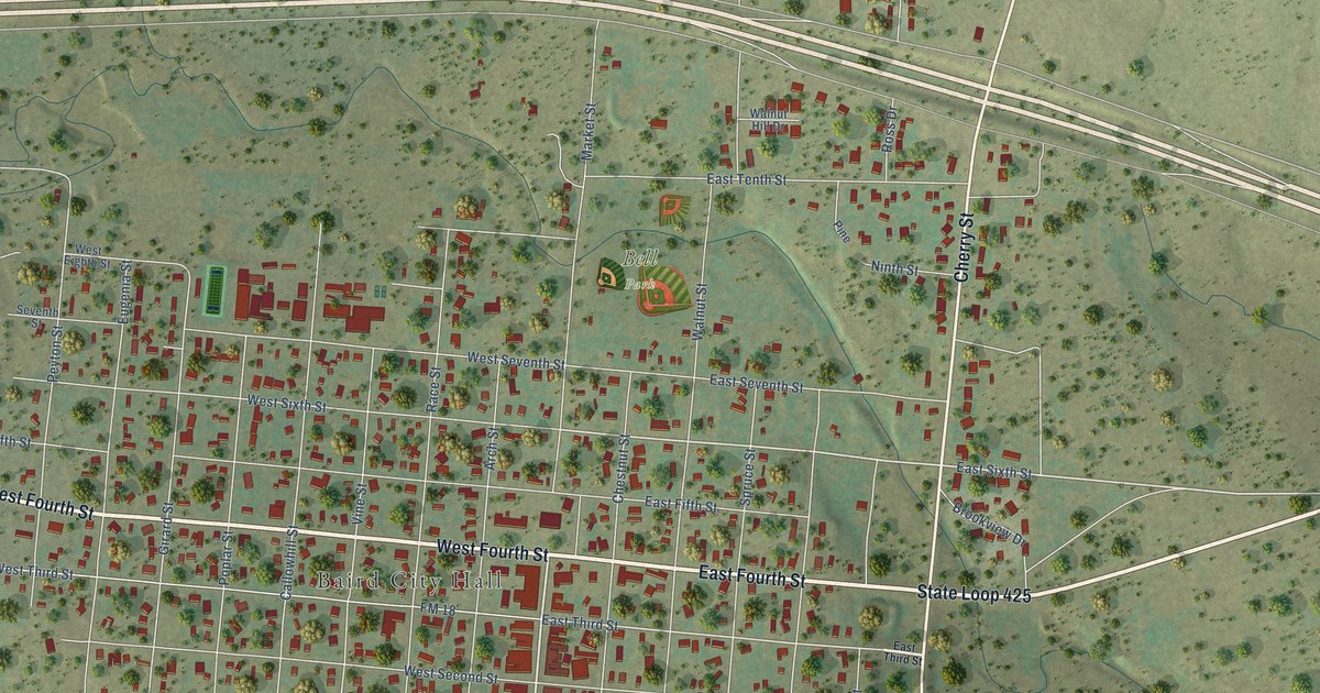
A detailed map of Baird, Texas, showing every building in its true location, the roads by name, and shaded topographical relief.
Read More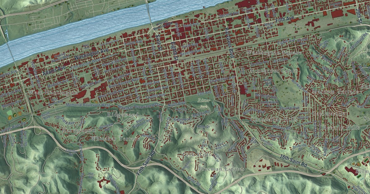
A detailed map of Huntington, West Virginia, showing every building in its true location, the roads by name, and shaded topographical relief.
Read More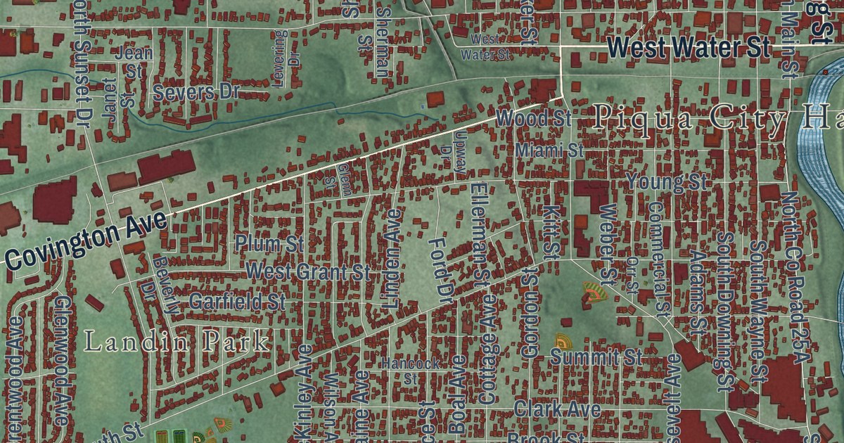
Follow Broadway Street and Park Avenue across Piqua, find Landin Park and Whitackers Court, then read how Huntersville joined the city in 1893 and why Piqua once called itself The Atomic City.
Read More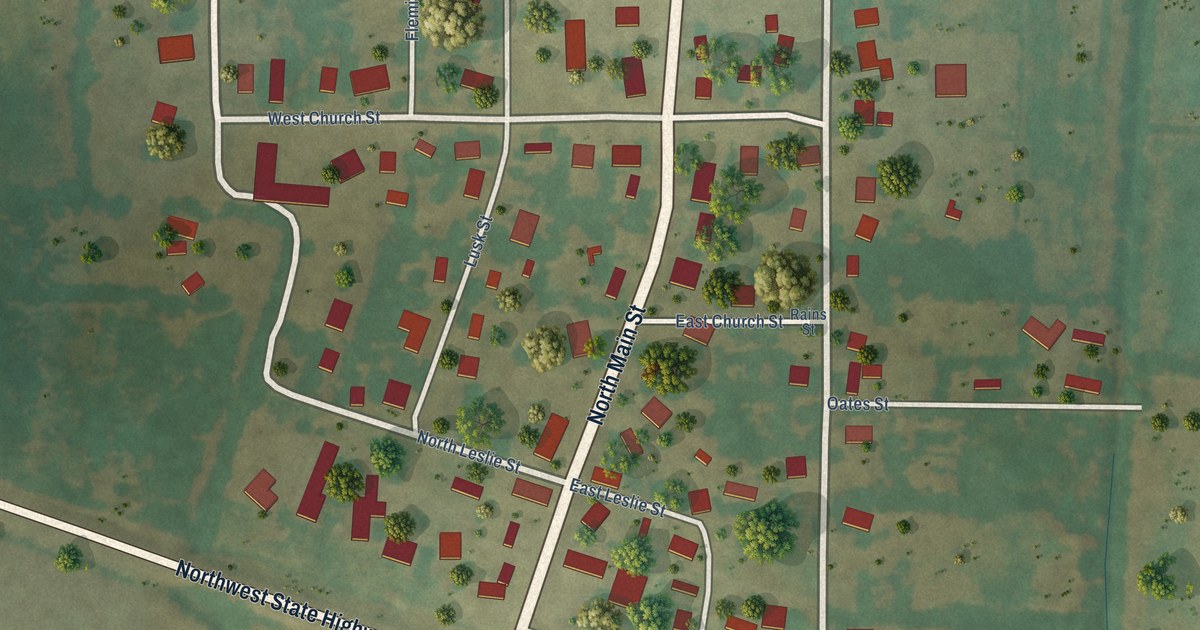
A detailed map of Bailey, Texas, showing every building in its true location, the roads by name, and shaded topographical relief.
Read More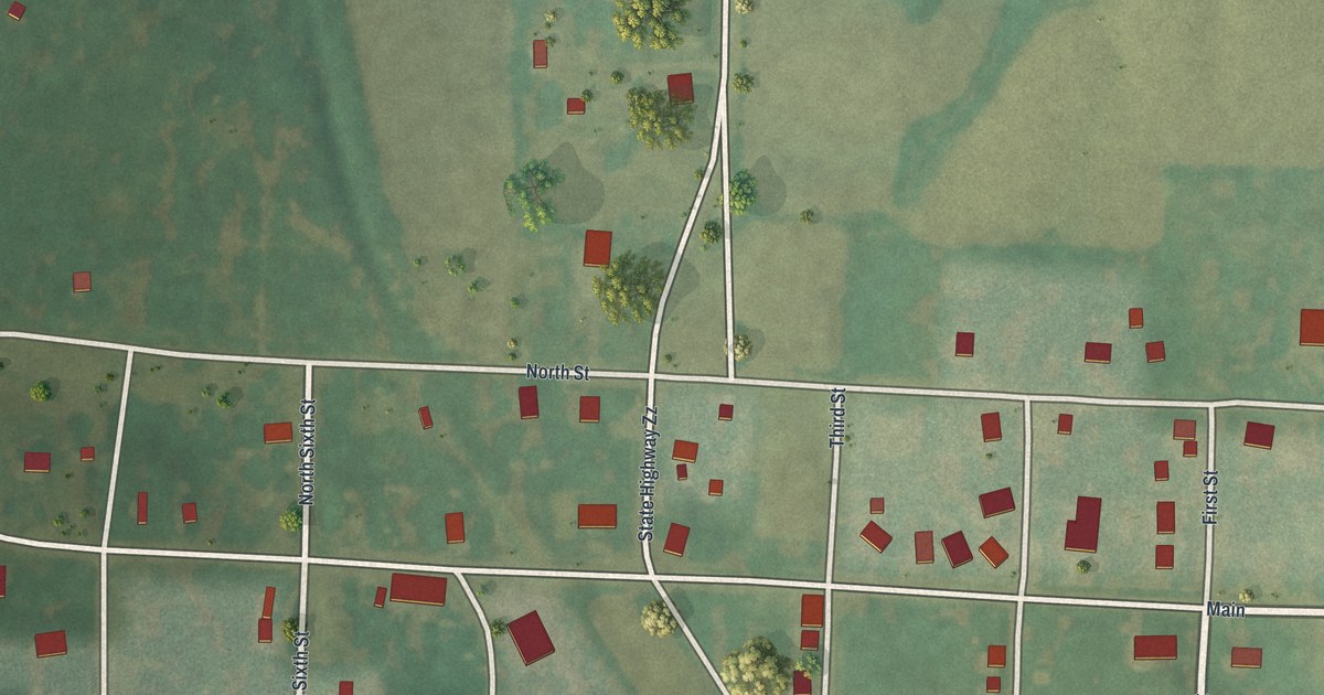
A new aerial map of McFall in Gentry County, Missouri, made in 2026. Find Main Street, White Street and Lawrence Street, and read how Theron Sweat of McFall took first place for the best boar at a stock show.
Read More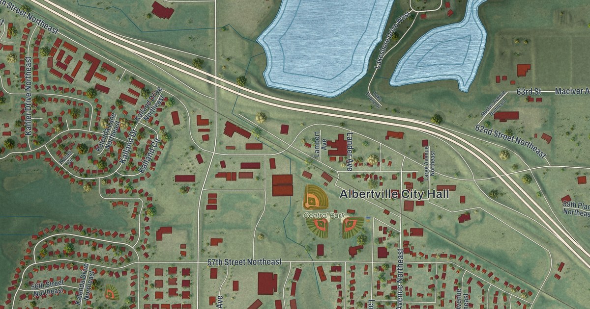
A detailed map of Albertville, Minnesota, showing every building in its true location, the roads by name, and shaded topographical relief.
Read More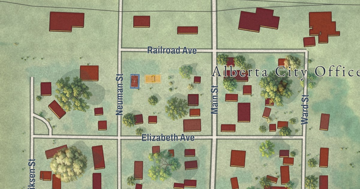
A detailed map of Alberta, Minnesota, showing every building in its true location, the roads by name, and shaded topographical relief.
Read More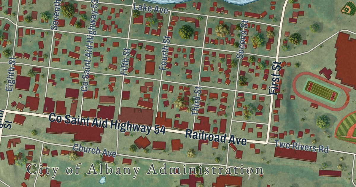
A detailed map of Albany, Minnesota, showing every building in its true location, the roads by name, and shaded topographical relief.
Read More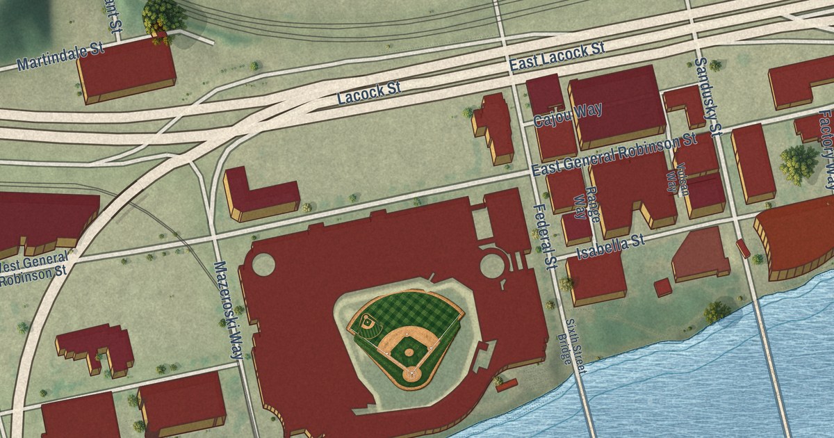
A modern aerial map of Pittsburgh’s North Shore in Allegheny County, made in 2026. See North Shore Drive, Federal Street and three river bridges, and read how the first modern World Series and Three Rivers Stadium put this riverbank on the sports map.
Read More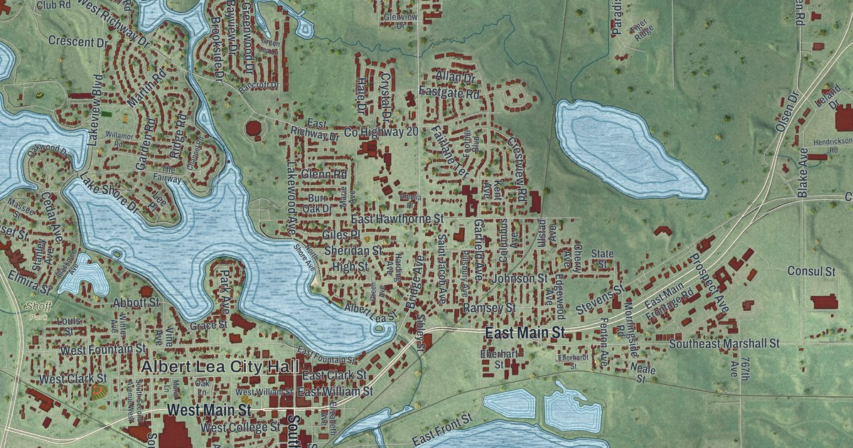
A detailed map of Albert Lea, Minnesota, showing every building in its true location, the roads by name, and shaded topographical relief.
Read More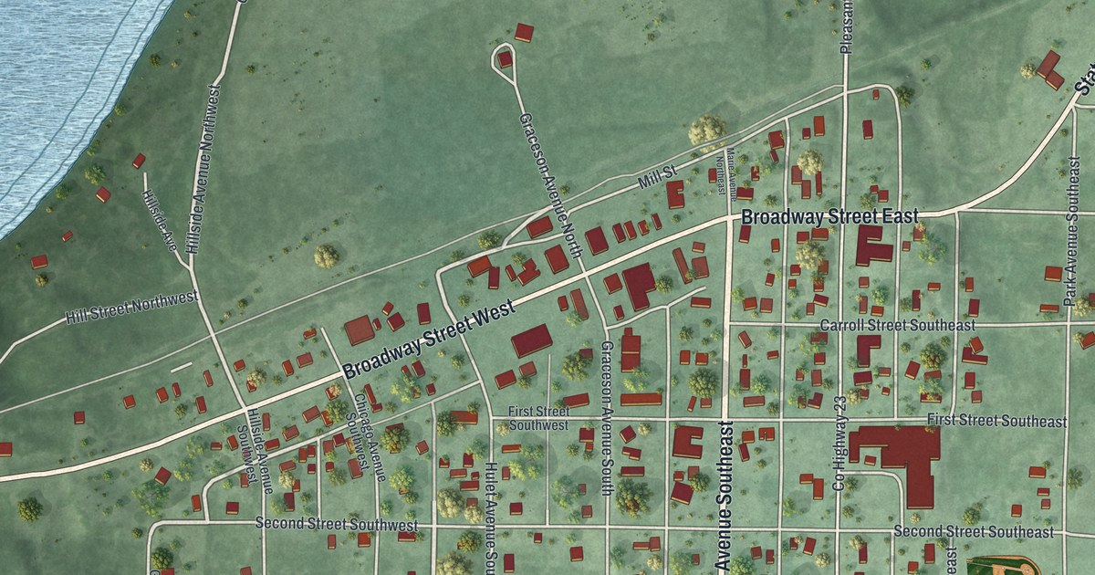
A detailed map of Akeley, Minnesota, showing every building in its true location, the roads by name, and shaded topographical relief.
Read More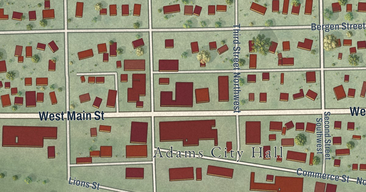
A detailed map of Adams, Minnesota, showing every building in its true location, the roads by name, and shaded topographical relief.
Read More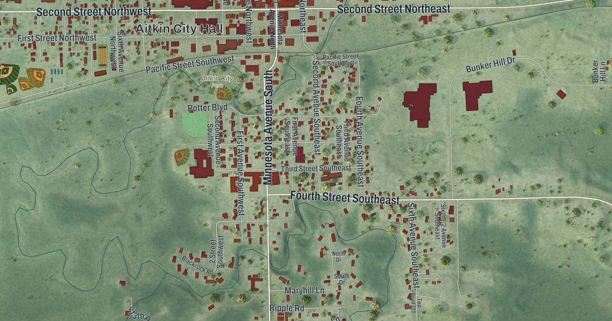
A detailed map of Aitkin, Minnesota, showing every building in its true location, the roads by name, and shaded topographical relief.
Read More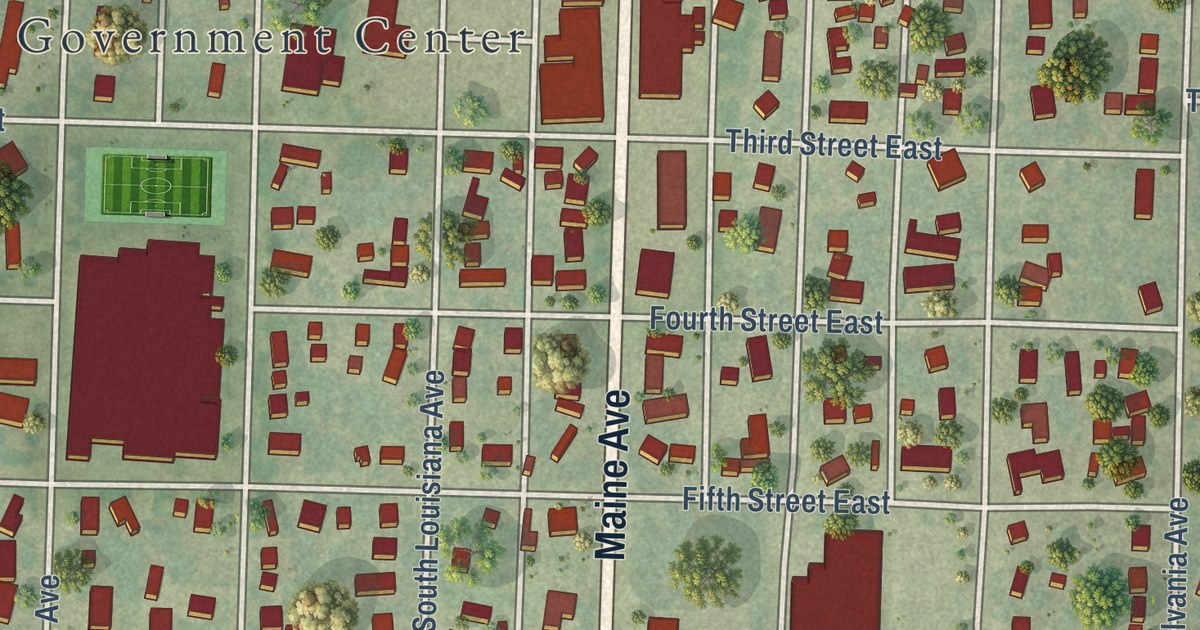
A detailed map of Adrian, Minnesota, showing every building in its true location, the roads by name, and shaded topographical relief.
Read More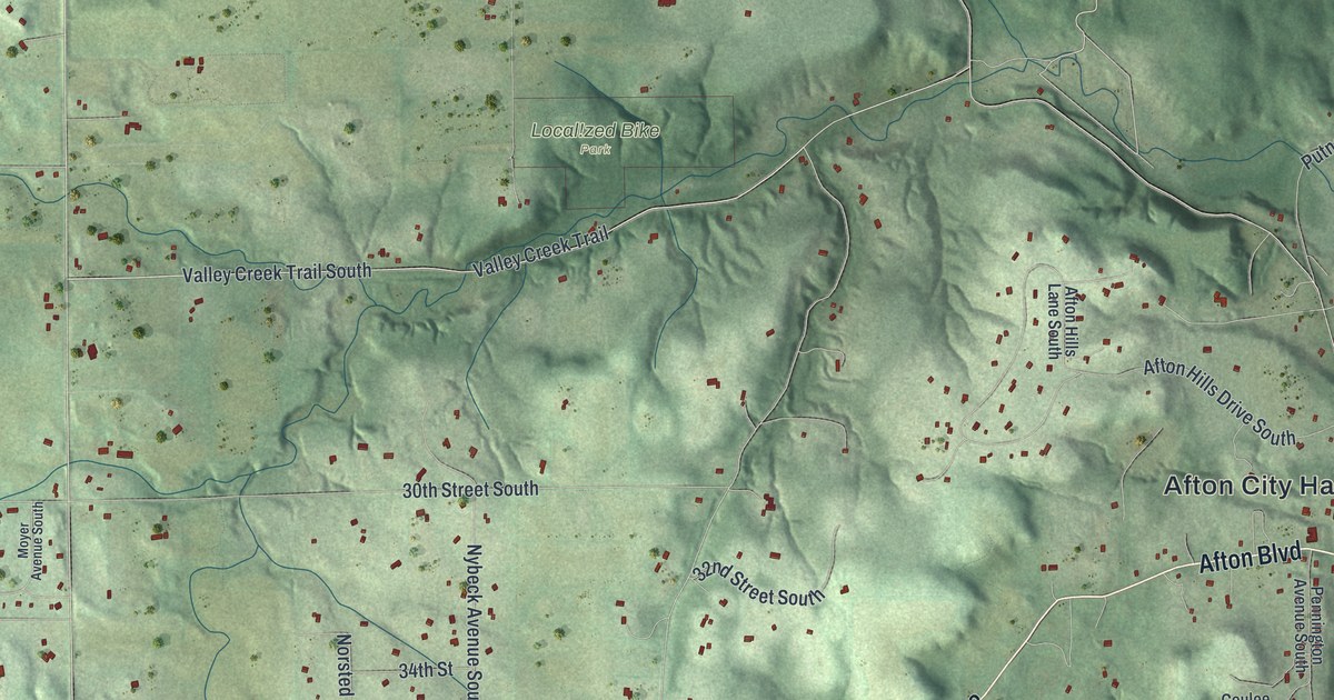
A detailed map of Afton, Minnesota, showing every building in its true location, the roads by name, and shaded topographical relief.
Read More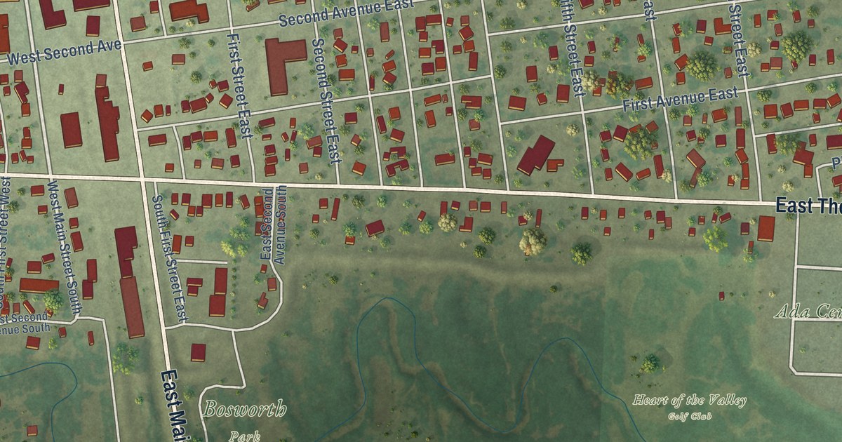
A detailed map of Ada, Minnesota, showing every building in its true location, the roads by name, and shaded topographical relief.
Read More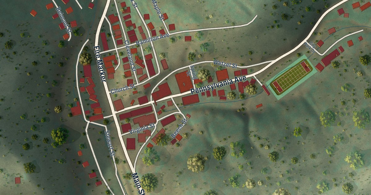
A detailed map of Hundred, West Virginia, showing every building in its true location, the roads by name, and shaded topographical relief.
Read More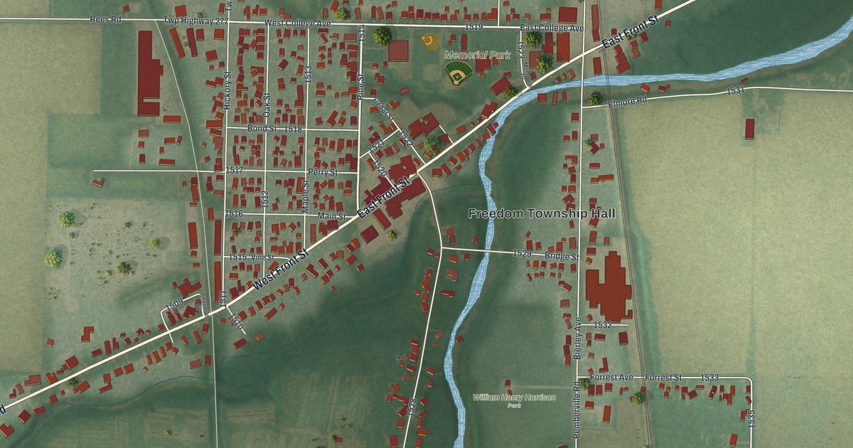
A new aerial map of Pemberville in Wood County, Ohio. Find Main Street, Front Street, Memorial Park and William Henry Harrison Park, and read about the 1892 Opera House and Harrison’s 1813 winter camp.
Read More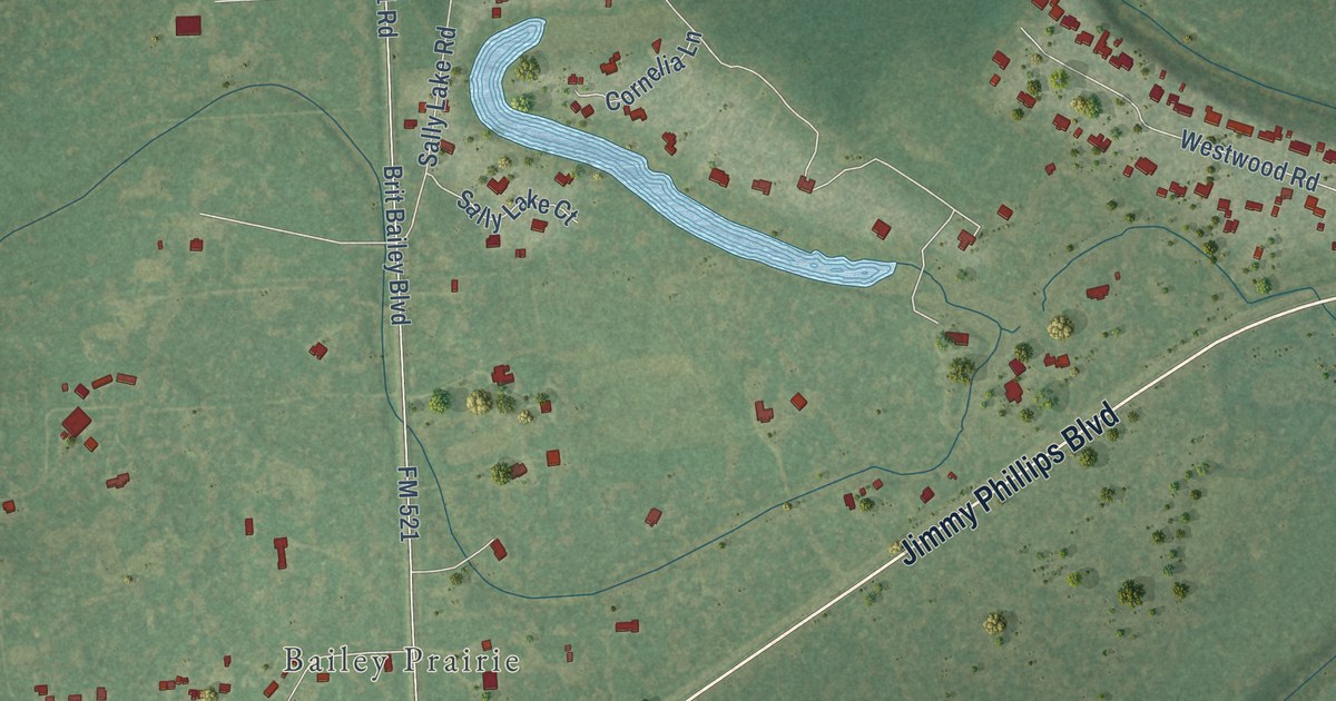
A detailed map of Bailey’s Prairie, Texas, showing every building in its true location, the roads by name, and shaded topographical relief.
Read More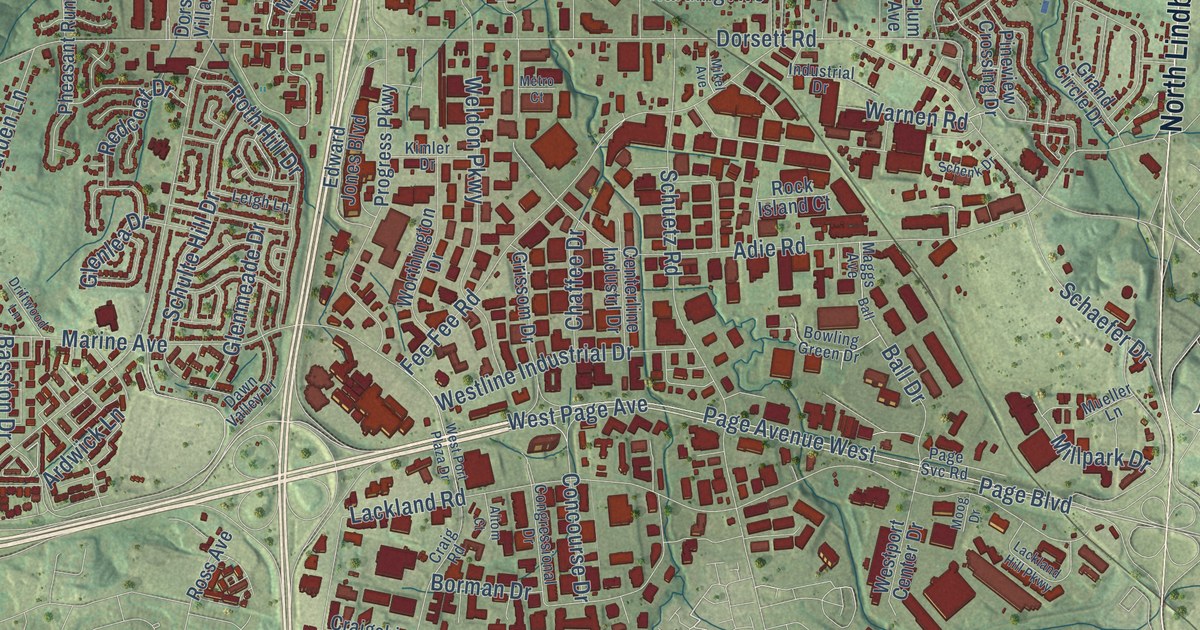
Explore Maryland Heights through Dorsett Road, McKelvey Road, and rows of red buildings. This new map pairs a modern aerial view with a vintage feel.
Read More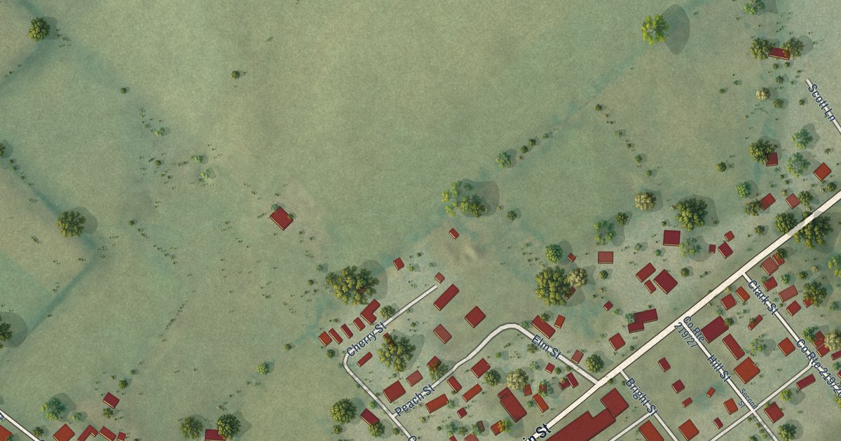
A detailed map of Hillsboro, West Virginia, showing every building in its true location, the roads by name, and shaded topographical relief.
Read More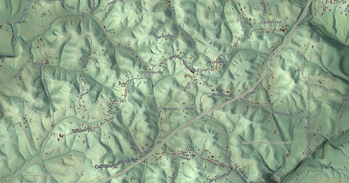
A 2026 aerial view of North Buffalo Township in Armstrong County, with Center Hill, McHaddon, Sistersville and West Ford City. Plus the story of Williamsburgh, the town William Green laid out on Glade Run in 1802.
Read More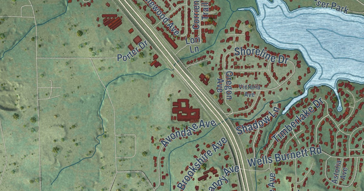
A detailed map of Azle, Texas, showing every building in its true location, the roads by name, and shaded topographical relief.
Read More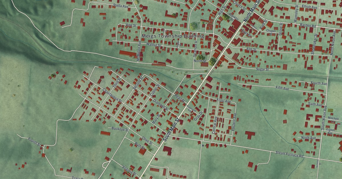
Peebles was laid out in 1881 where Zane’s Trace met the Cincinnati and Eastern Railway. This 2026 map shows Main Street, Nixon Avenue, Chautauqua Street and the homes of the village, set in the green hills of Adams County.
Read More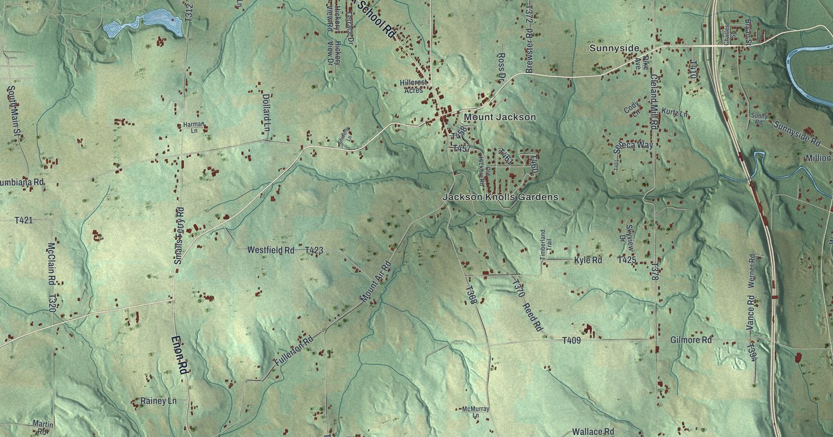
A new aerial map of North Beaver Township in Lawrence County, Pennsylvania. Find Mount Jackson, Moravia, Mohawk School Road and your own road, and read the story of Friedensstadt, the city of Peace founded near Moravia in 1770.
Read More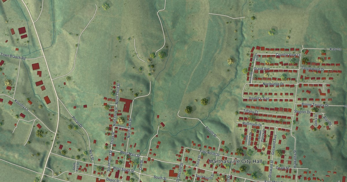
A 2026 aerial map of Marthasville in Warren County, Missouri. Find Depot Street, Marthasville City Hall and Wessel Park, and read about two Depot Street buildings on the National Register of Historic Places.
Read More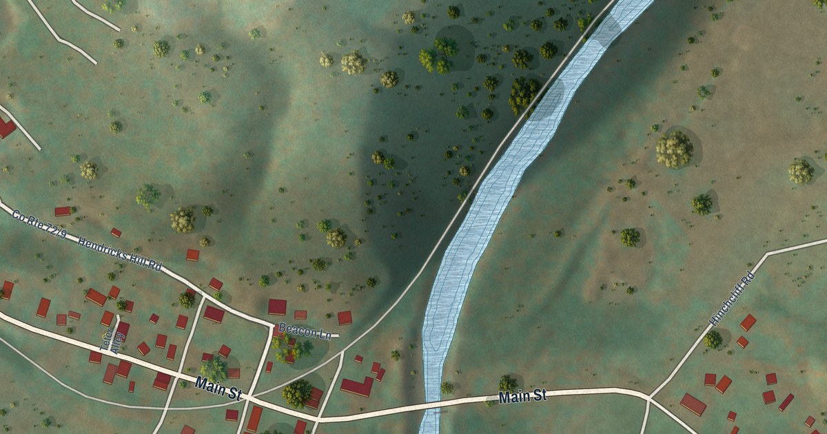
A detailed map of Hendricks, West Virginia, showing every building in its true location, the roads by name, and shaded topographical relief.
Read More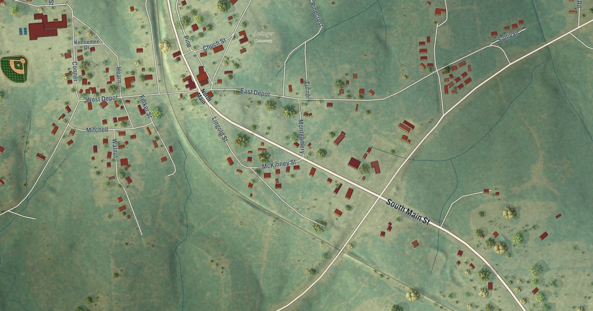
A detailed map of Avinger, Texas, showing every building in its true location, the roads by name, and shaded topographical relief.
Read More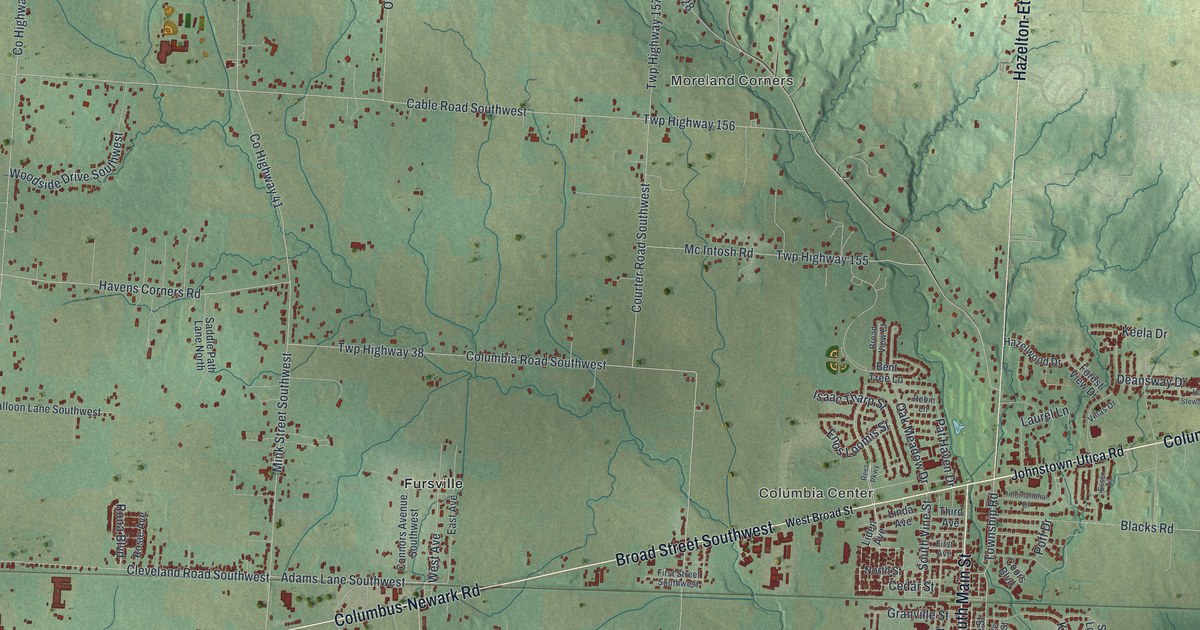
A new aerial map of Pataskala in Licking County, Ohio, made in 2026. Find Broad Street, South Main Street and Summit Station, and learn how Richard and Sarah Conine’s “Conine Town” became Pataskala.
Read More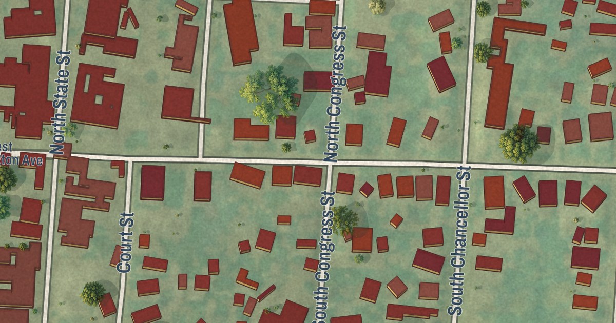
A modern aerial map of the Borough of Newtown in Bucks County, with Penn Street, State Street and Newtown Borough Hall. Edward Hicks, who painted The Peaceable Kingdom, lived on Penn Street from 1821 to 1849.
Read More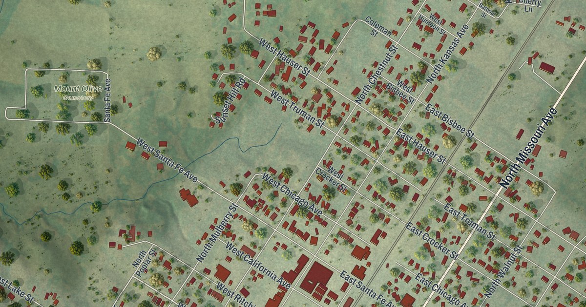
A modern aerial map of Marceline in Linn County, Missouri, made in 2026. Find North Kansas Avenue, Ripley Park and the Disney Complex, and learn how Marceline’s schools grew from 306 pupils in 1888 to 1,267 by 1912.
Read More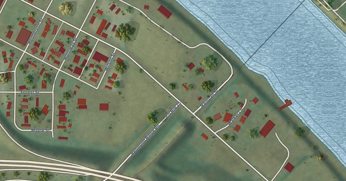
A detailed map of Henderson, West Virginia, showing every building in its true location, the roads by name, and shaded topographical relief.
Read More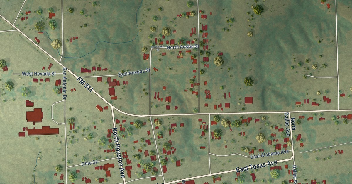
A detailed map of Avery, Texas, showing every building in its true location, the roads by name, and shaded topographical relief.
Read More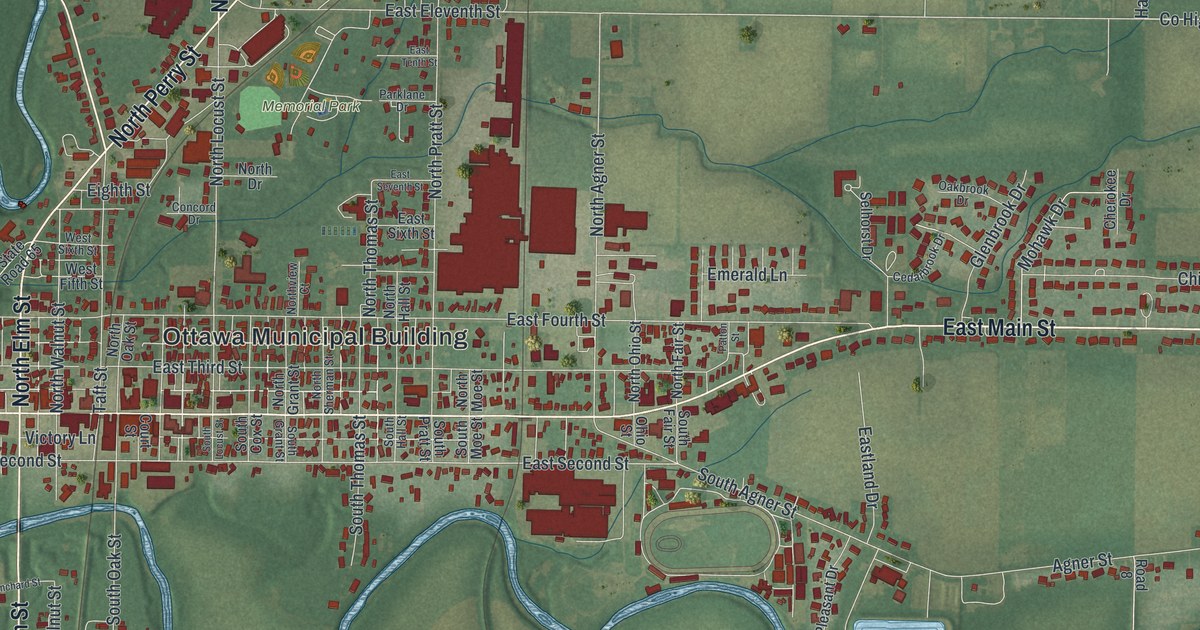
A modern aerial map of Ottawa in Putnam County, Ohio, with a vintage feel. Find Main Street and Memorial Park, see the river bends, and learn about the Ottawa villages that stood along the Blanchard River in the 1790s.
Read More















