Detailed Map of Marble Hill, Missouri
Explore Marble Hill’s streets, Lutesville, and the green hills around town on a new aerial map. Learn why an old belief about the hill gave Marble Hill its name.
Read More
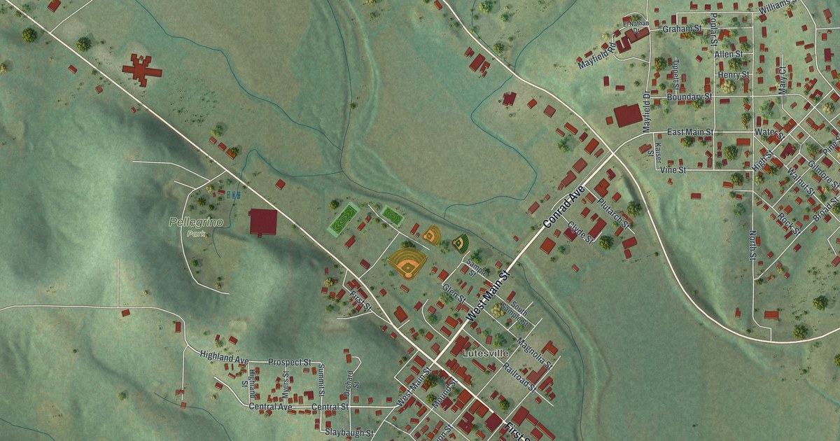
Explore Marble Hill’s streets, Lutesville, and the green hills around town on a new aerial map. Learn why an old belief about the hill gave Marble Hill its name.
Read More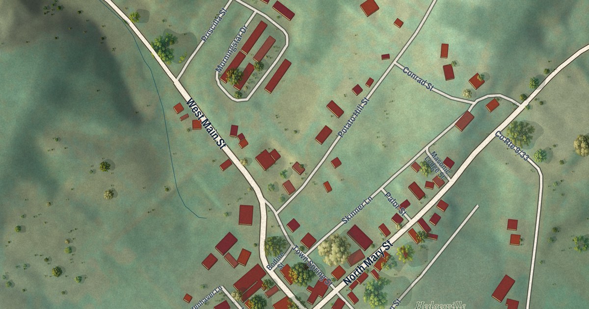
A detailed map of Hedgesville, West Virginia, showing every building in its true location, the roads by name, and shaded topographical relief.
Read More
A new aerial map of New Castle Township in Schuylkill County, Pennsylvania. Find Wadesville, Mount Laffee and Arnots Addition, and learn how Wadesville was named for Captain John Wade, a coal operator, about 1830.
Read More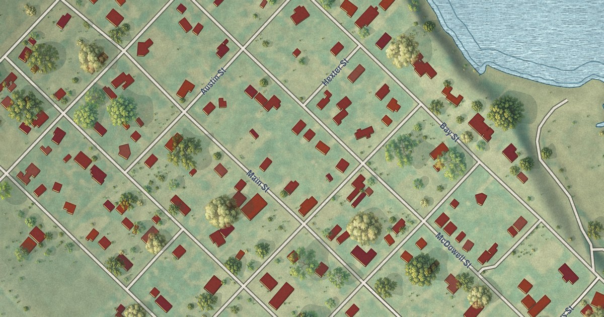
A detailed map of Austwell, Texas, showing every building in its true location, the roads by name, and shaded topographical relief.
Read More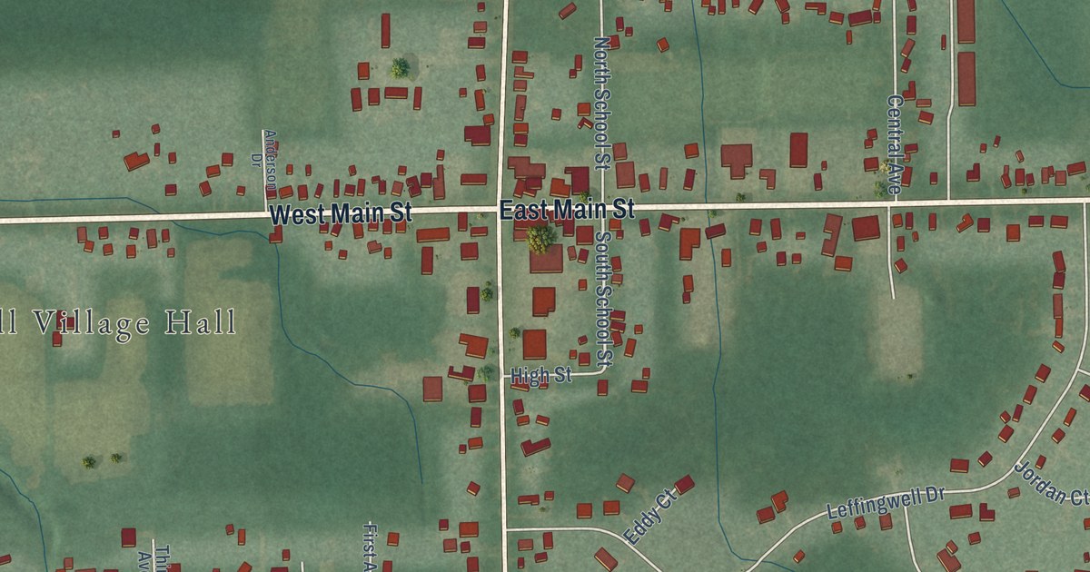
A new aerial map of Orwell in Ashtabula County, Ohio. Find East Main Street, North Maple Street, Asbury Park and the Orwell Village Hall, and read about Adna R. Chaffee, the Orwell farm boy who became Chief of Staff of the U.S. Army.
Read More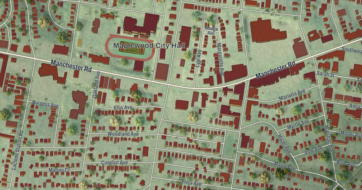
A new aerial map of Maplewood in St. Louis County, Missouri, made in 2026. Find Manchester Road, Sutton Boulevard, Ryan Hummert Memorial Park and the old business corner listed on the National Register.
Read More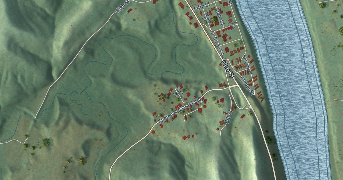
A detailed map of Hartford City, West Virginia, showing every building in its true location, the roads by name, and shaded topographical relief.
Read More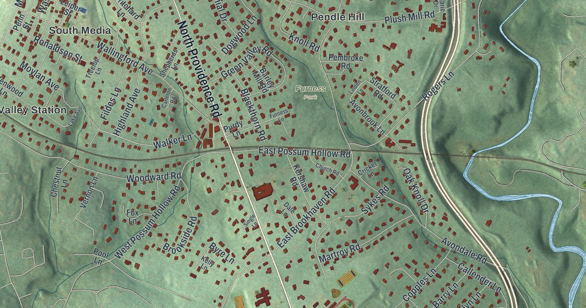
A new map of Nether Providence Township in Delaware County, from Pine Ridge to Garden City, plus the story of the Leiper Railway of 1809, called the first railway in Pennsylvania.
Read More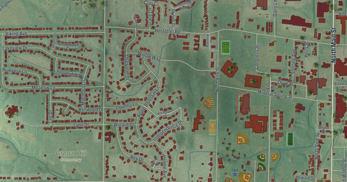
A new aerial map of Orrville in Wayne County, Ohio. Find North Main Street, Orrville City Hall and Crown Hill Cemetery, and learn how Judge Smith Orr built the town around a railroad crossing in 1852.
Read More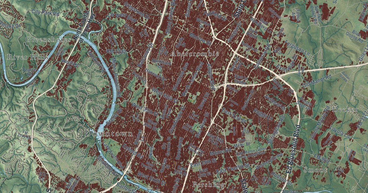
A detailed map of Austin, Texas, showing every building in its true location, the roads by name, and shaded topographical relief.
Read More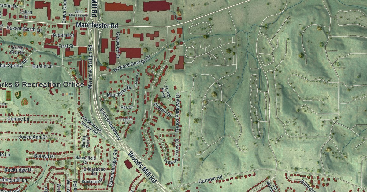
A modern aerial map of Manchester in St. Louis County, Missouri, with a vintage look. Find Manchester Road, Woods Mill Road, Big Bend Road and your own street, plus the story of Bryson O’Hara, the first permanent settler in 1800.
Read More
A modern aerial map of Nazareth, Pennsylvania, made in 2026. Find South Broad Street, Center Square and Nazareth Boro Park, and read how C.F. Martin built a small guitar shop on West North Street in 1859.
Read More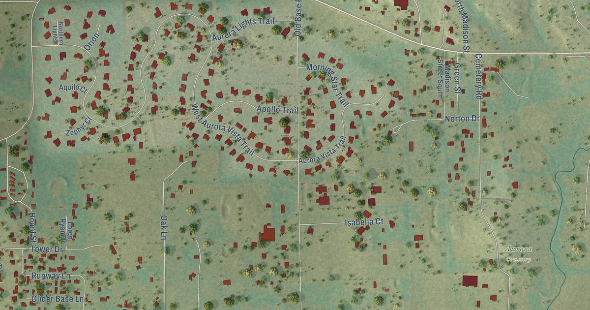
A detailed map of Aurora, Texas, showing every building in its true location, the roads by name, and shaded topographical relief.
Read More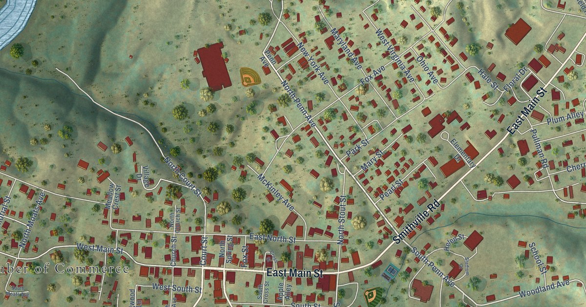
A detailed map of Harrisville, West Virginia, showing every building in its true location, the roads by name, and shaded topographical relief.
Read More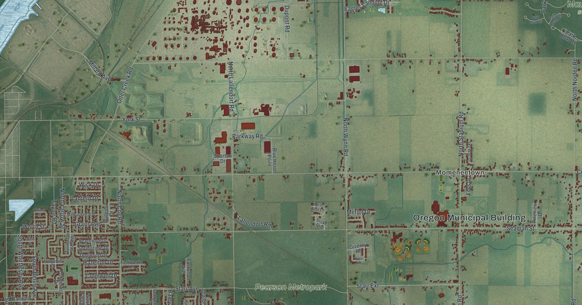
A new aerial map of Oregon, Ohio, in Lucas County. Find Navarre Avenue, Seaman Street, Pearson Metropark and Maumee Bay State Park, plus the corner where the Oregon fire department first met in 1936.
Read More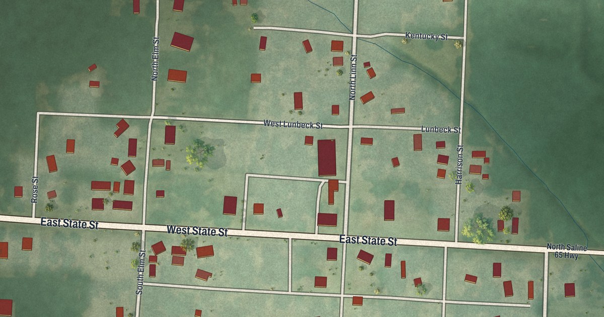
A new aerial map of Malta Bend in Saline County, Missouri. Find East State Street, North Linn Street and West Agnes Street, and read how the town’s first carpenter came in 1868 and how Vanmeter built its first house and first church.
Read More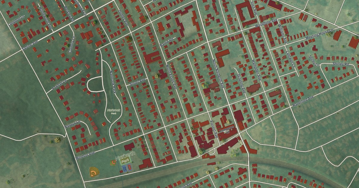
A new aerial map of Narberth in Montgomery County, made in 2026. Find Haverford Avenue, Narberth Park and Narbrook Park, and learn how NFL Commissioner Bert Bell talked sports with local people at Davis’s store on Haverford Avenue.
Read More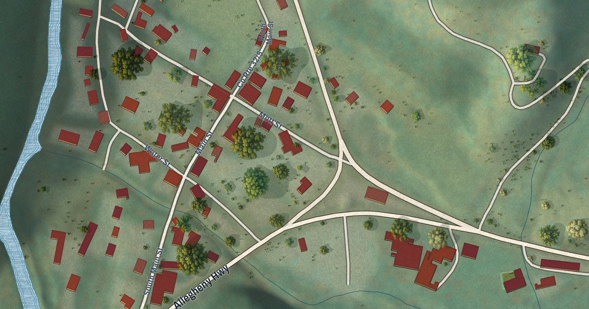
A detailed map of Harman, West Virginia, showing every building in its true location, the roads by name, and shaded topographical relief.
Read More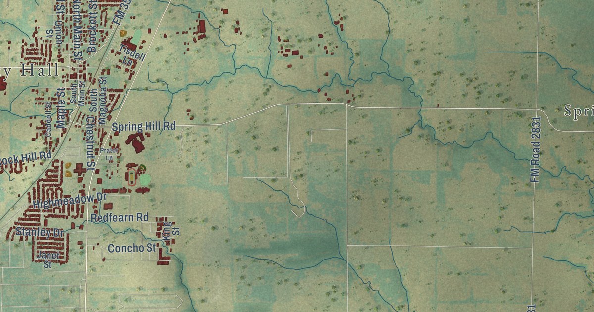
A detailed map of Aubrey, Texas, showing every building in its true location, the roads by name, and shaded topographical relief.
Read More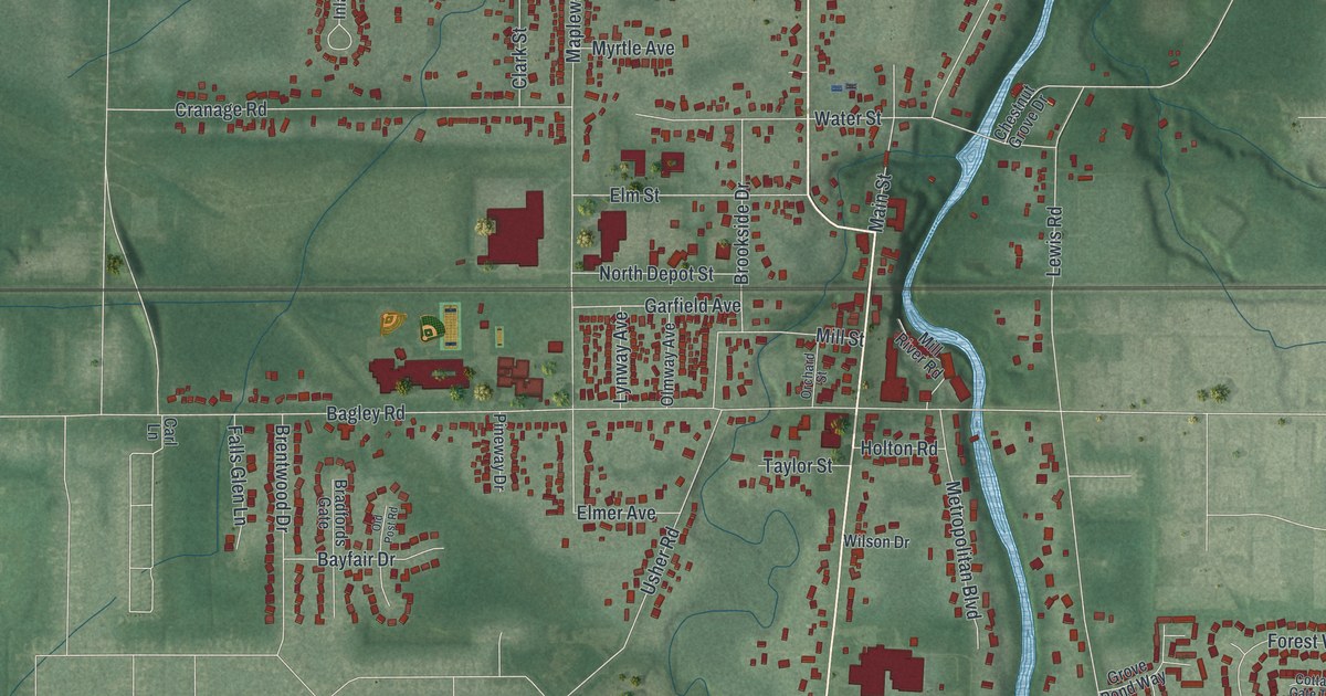
A new aerial map of Olmsted Falls, Ohio, made in 2026. Find Columbia Road, Mapleway Drive and your own street, and learn how the 1876 depot was pulled on rollers by a locomotive to the heart of the village.
Read More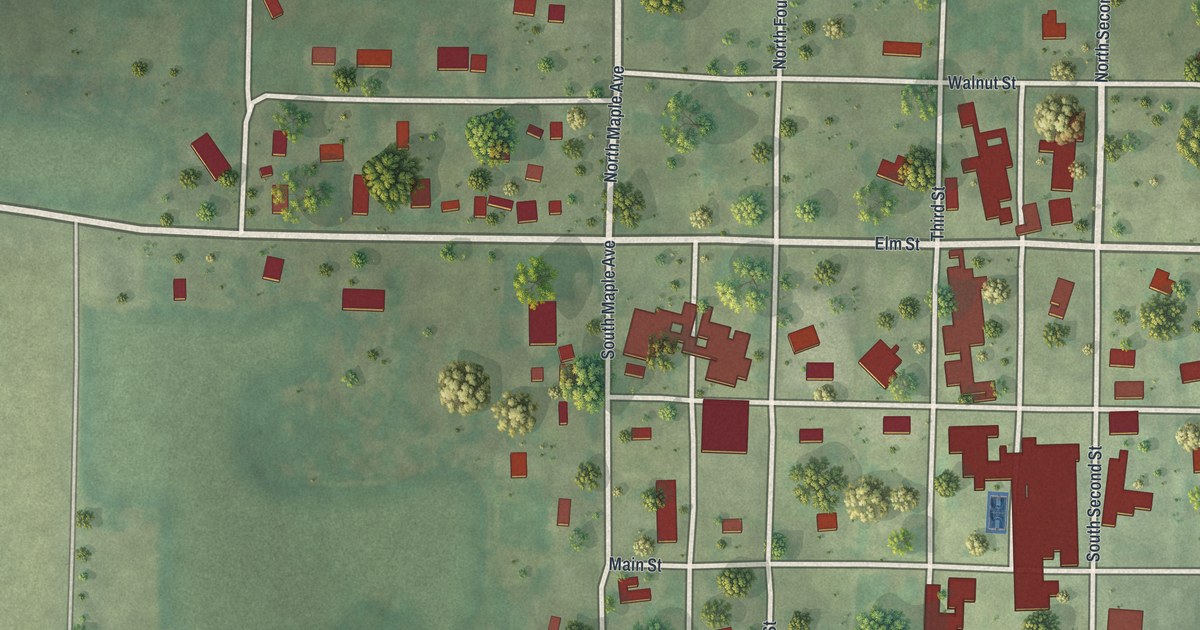
A new aerial map of Maitland in Holt County, Missouri, made in 2026. Find Main Street, Elm Street and your own block, and read how the Maitland Fair of 1882 had a half-mile track said to be one of the best in the west.
Read More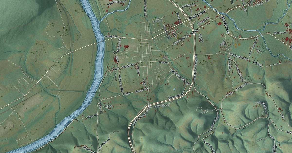
Muncy Creek Township in Lycoming County, printed as a modern aerial map with a vintage feel. See Clarkstown, Lime Bluff, the big river bend and the wooded hills, and read how Port Penn thrived on the old canal.
Read More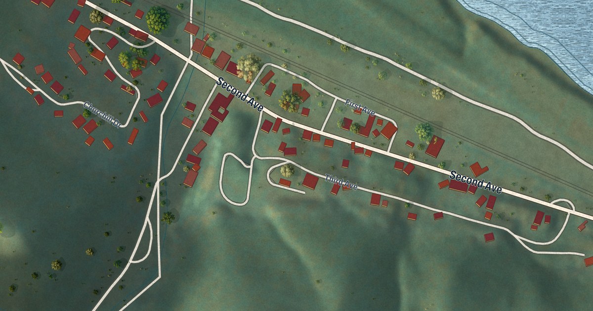
A detailed map of Handley, West Virginia, showing every building in its true location, the roads by name, and shaded topographical relief.
Read More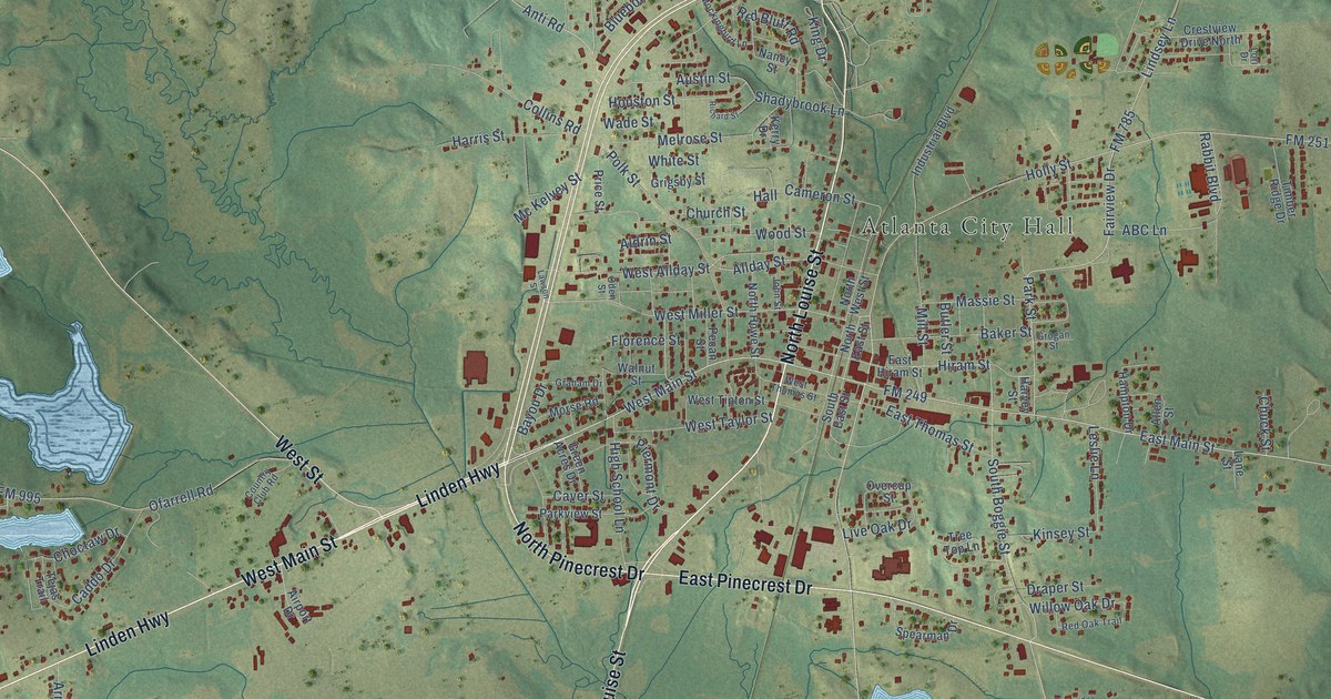
A detailed map of Atlanta, Texas, showing every building in its true location, the roads by name, and shaded topographical relief.
Read More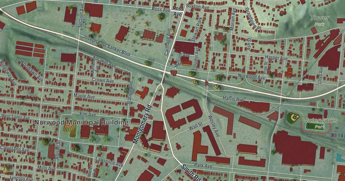
A new aerial map of Norwood in Hamilton County, Ohio, made in 2026. Find Montgomery Road, Sherman Avenue and Millcrest Park, and read how Norwood High School rose on an old orchard in 1914.
Read More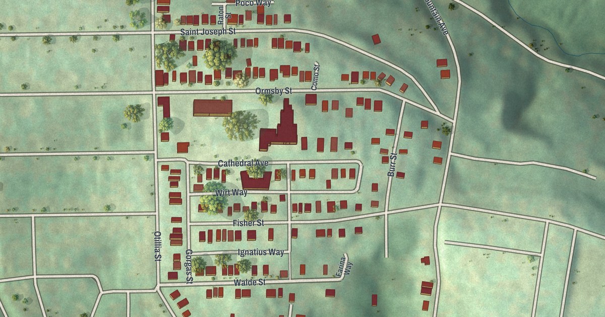
Mt. Oliver’s hilltop streets, from Ormsby Street to Saint Joseph Street, on a new aerial map made in 2026.
Read More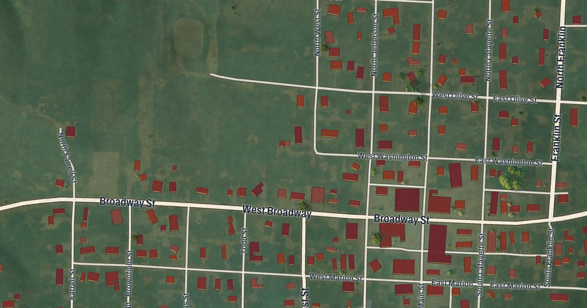
Madison in Monroe County, Missouri, seen from above on a new 2026 map. Find Broadway Street, Main Street and Franklin Street, and read what the 1884 county history says about the Masonic lodge at Madison.
Read More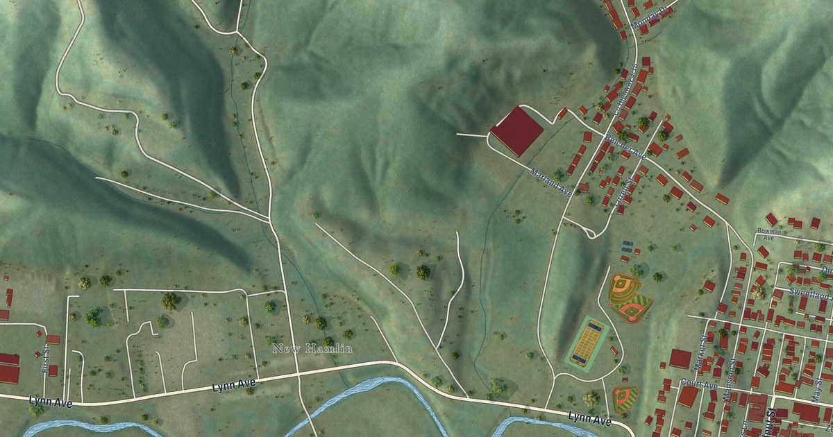
A detailed map of Hamlin, West Virginia, showing every building in its true location, the roads by name, and shaded topographical relief.
Read More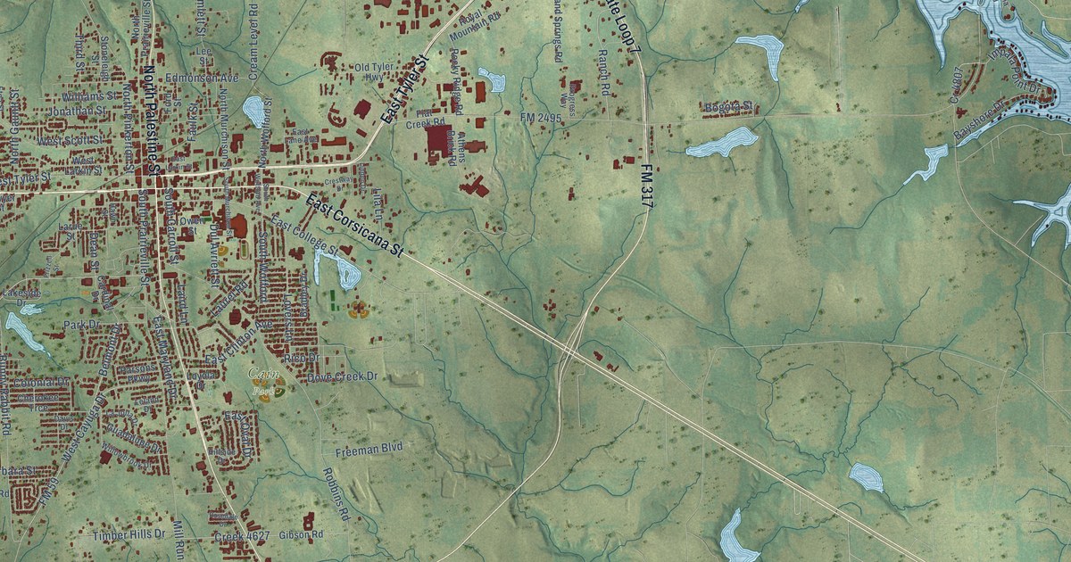
A detailed map of Athens, Texas, showing every building in its true location, the roads by name, and shaded topographical relief.
Read More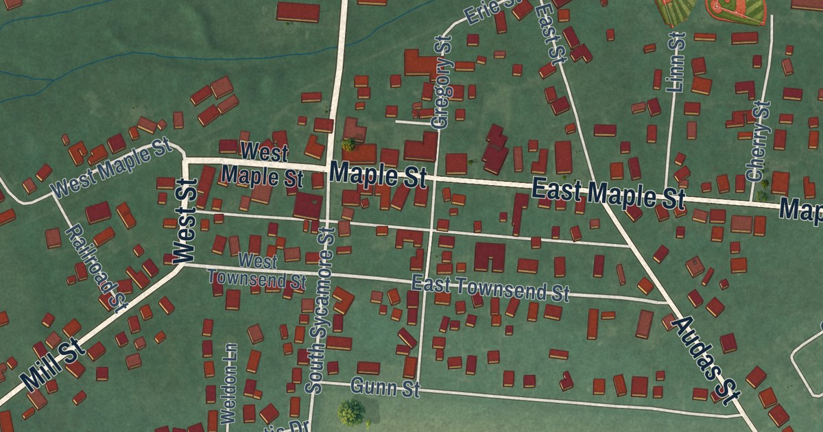
A modern aerial map of North Lewisburg in Champaign County, Ohio, with a vintage feel. Find Maple Street, Winder Street and your own block, and learn how Quaker settlers built a meeting house at Winder and West Elm in 1842.
Read More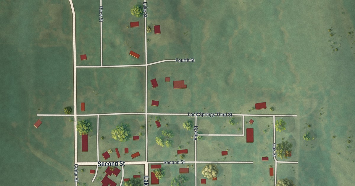
In 1882, Lock Springs was a railroad station town with a drug store, a grocery, a blacksmith and a postmaster who was also the railroad agent. This new 2026 aerial map of the Daviess County village shows Front Street, Lake Street and the buildings of town.
Read More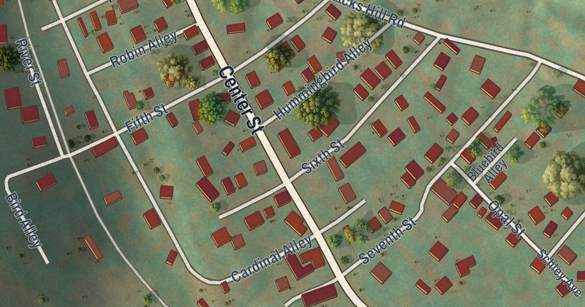
A detailed map of Hambleton, West Virginia, showing every building in its true location, the roads by name, and shaded topographical relief.
Read More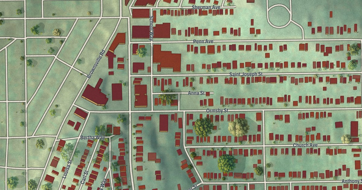
A 2026 aerial map of Mount Oliver in Allegheny County, with Brownsville Road, Saint Joseph Street and Saint Pauls Cemetery, plus the story of St. Joseph’s German Catholic Church, dedicated in 1870.
Read More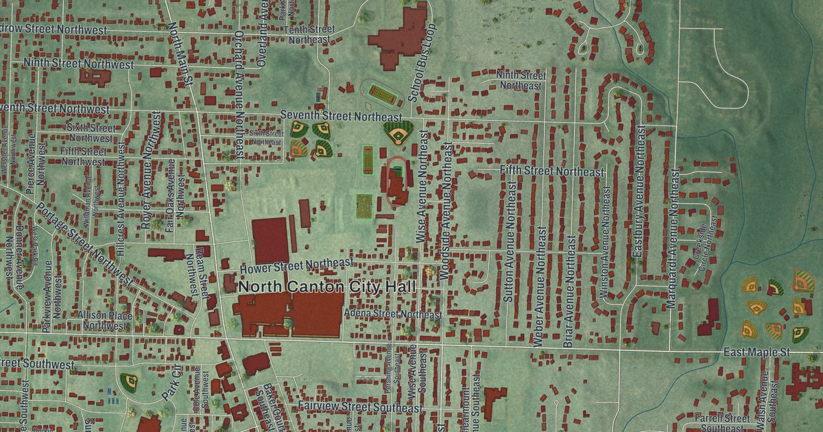
Find familiar streets and parks on this 2026 North Canton map. Read how Hoover began making electric sweepers in a corner of a leather goods factory in 1908.
Read More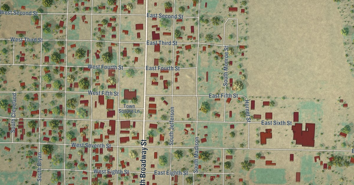
A detailed map of Aspermont, Texas, showing every building in its true location, the roads by name, and shaded topographical relief.
Read More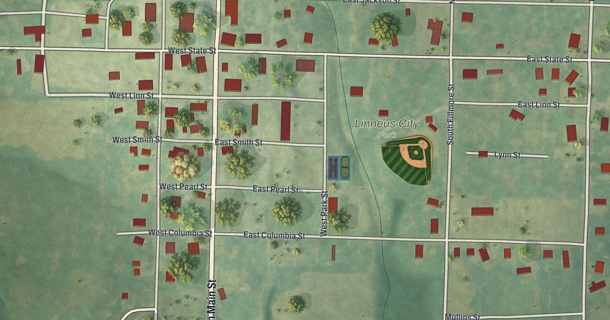
Find Highway 5, Main Street and Linneus City Park on a new map of Linneus, Missouri, then read about the land gift made on the understanding that Linneus would be the permanent county seat.
Read More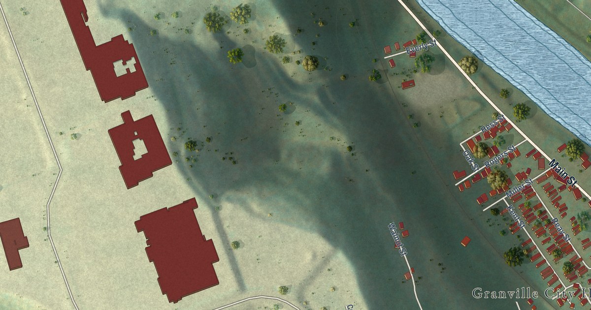
A detailed map of Granville, West Virginia, showing every building in its true location, the roads by name, and shaded topographical relief.
Read More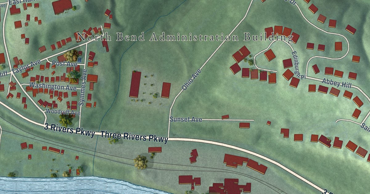
North Bend, Ohio, was home to President William Henry Harrison. This new 2026 aerial map of the Hamilton County village shows Three Rivers Parkway, Miami Avenue, Congress Green Road and the green hills above a wide blue river.
Read More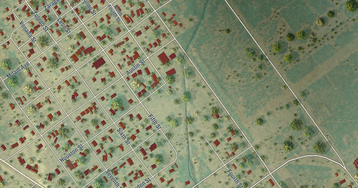
A detailed map of Asherton, Texas, showing every building in its true location, the roads by name, and shaded topographical relief.
Read More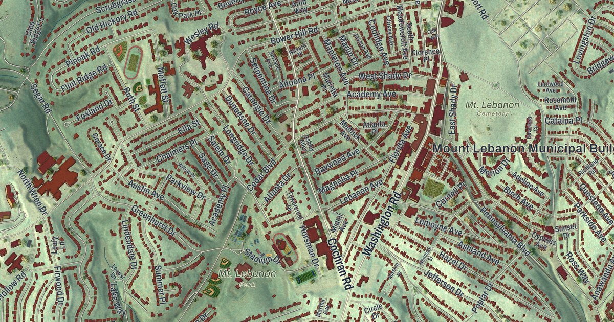
A new aerial map of Mount Lebanon in Allegheny County, made in 2026 with a vintage feel. See Washington Road, Mt. Lebanon Park, Bird Park, McNeilly Park and the curving hillside streets, then look for your own home.
Read More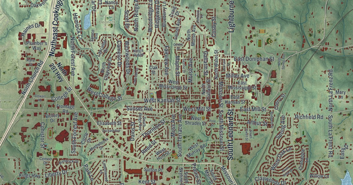
A modern aerial map of Liberty in Clay County, Missouri, with Lightburne Street, Bennett Park, South Liberty and thousands of red buildings. Plus the eleven Liberty places on the National Register, from Jewell Hall to the old courthouse square.
Read More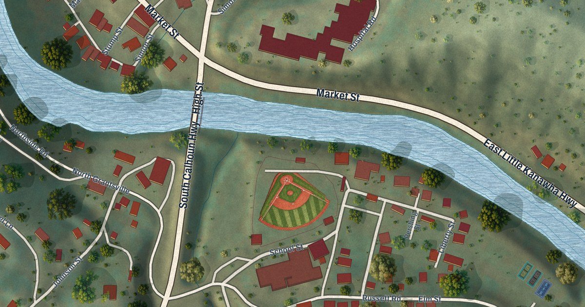
A detailed map of Grantsville, West Virginia, showing every building in its true location, the roads by name, and shaded topographical relief.
Read More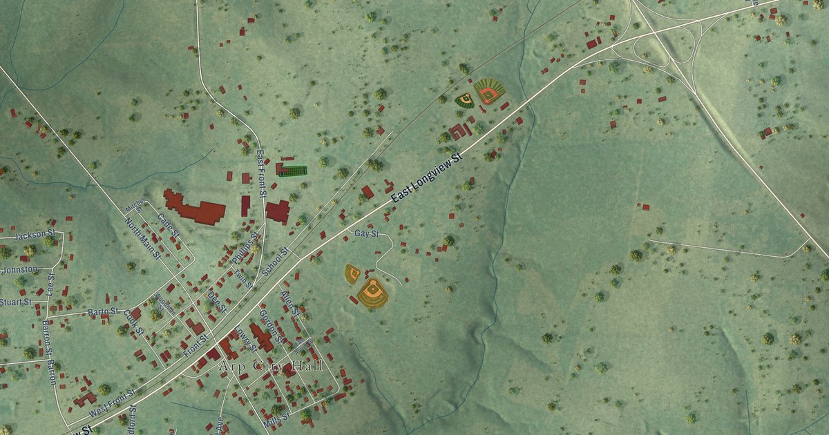
A detailed map of Arp, Texas, showing every building in its true location, the roads by name, and shaded topographical relief.
Read More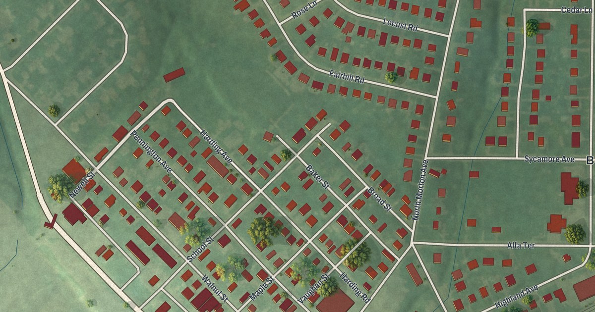
A modern aerial map of Morton in Delaware County, Pennsylvania, with a vintage feel. Find Woodland Avenue, Kedron Avenue, Baltimore Pike and the Borough of Morton Municipal Building, plus the story of John Morton’s 1776 vote.
Read More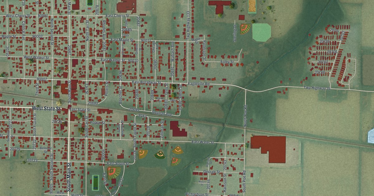
North Baltimore began in 1860 as New Baltimore, grew with the Baltimore and Ohio Railroad, and boomed with oil and gas in 1886. This 2026 aerial map shows Main Street, Broadway, Tiger Drive, the rail line and the streets around them.
Read More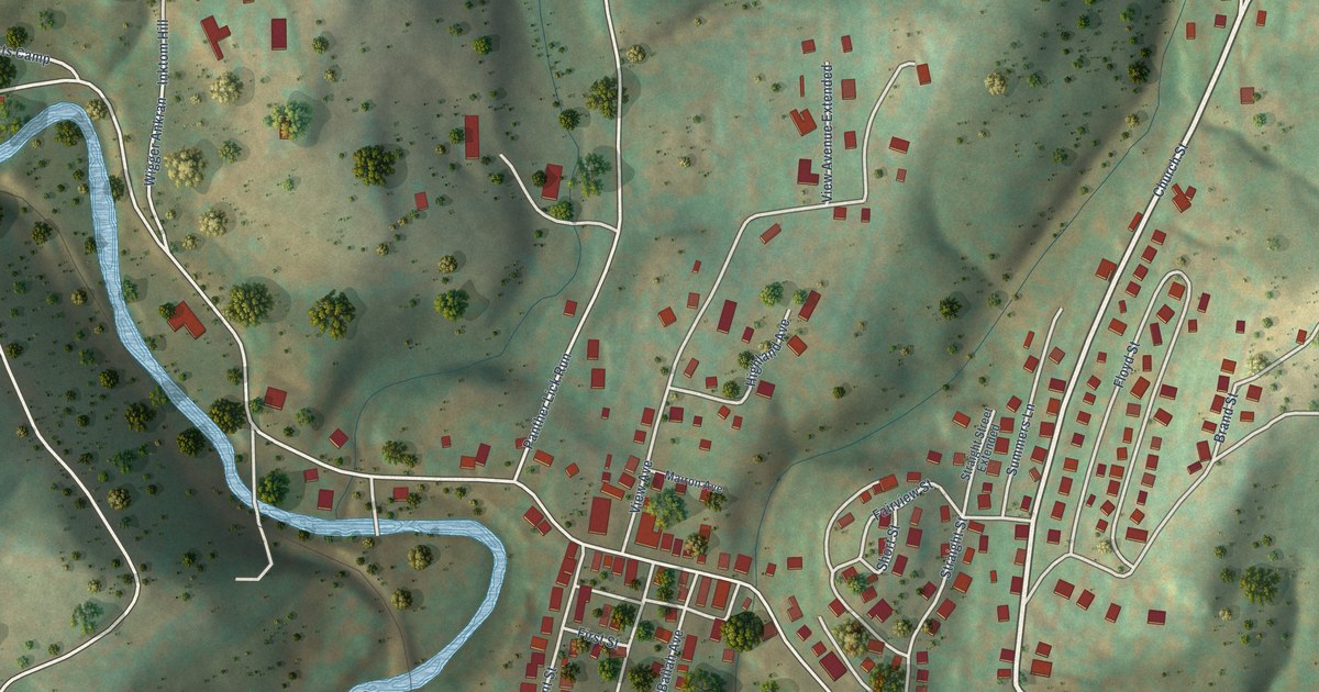
A detailed map of Grant Town, West Virginia, showing every building in its true location, the roads by name, and shaded topographical relief.
Read More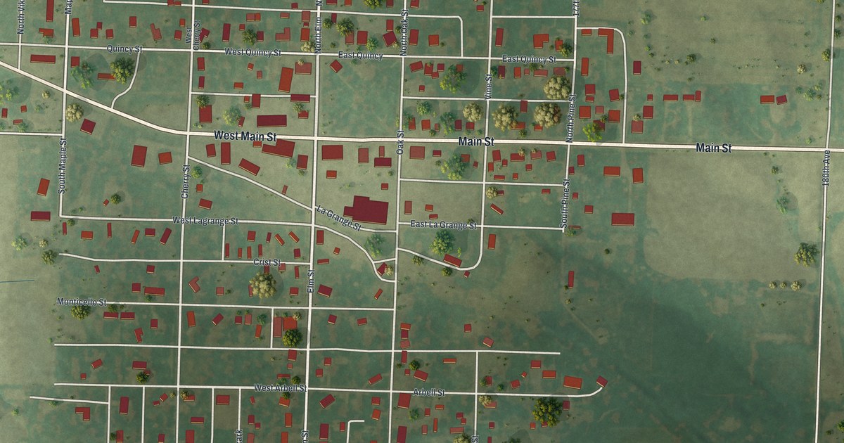
Lewistown was laid out by the railroad in 1871 as a shipping center and named for Lewis County. This 2026 aerial map shows its neat grid of streets, from Main Street to Canton Street, with its buildings in red and farm fields all around.
Read More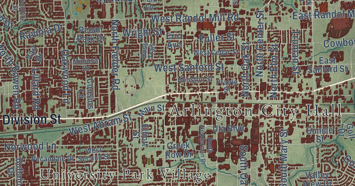
A detailed map of Arlington, Texas, showing every building in its true location, the roads by name, and shaded topographical relief.
Read More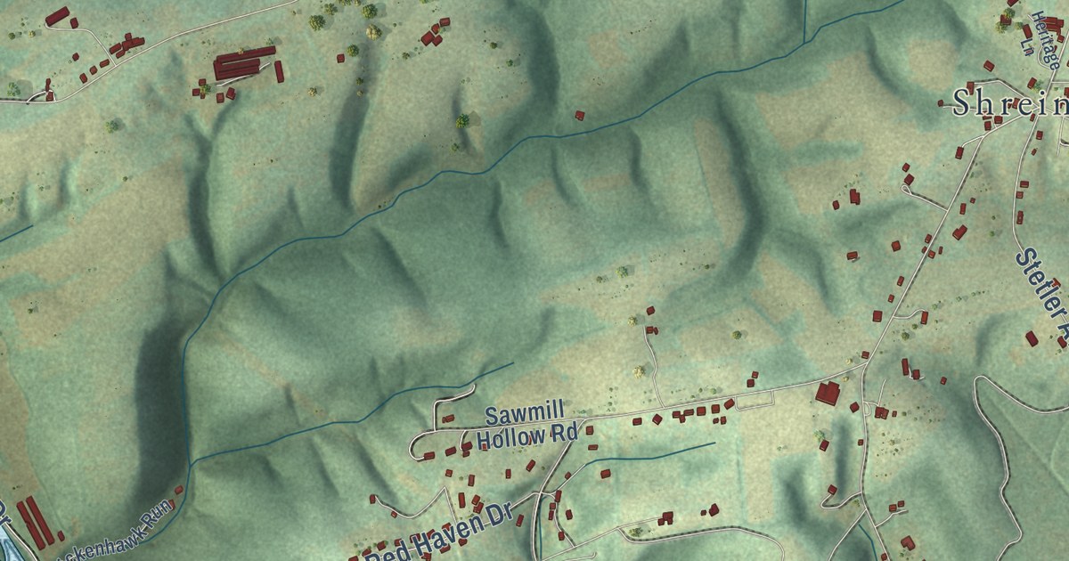
A new aerial map of Monroe Township in Snyder County, Pennsylvania. Find Hummels Wharf, Shreiners and North Susquehanna Trail, and learn the story of the Penns Creek Massacre of 1755, still marked along the roads today.
Read More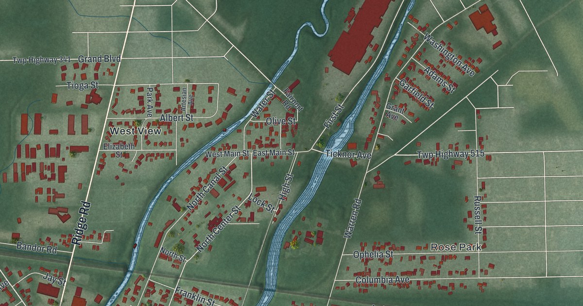
A new aerial view of Newton Falls in Trumbull County, Ohio. Find Broad Street, City Hall and River Street, where the covered bridge has stood since about 1831. It’s the only covered bridge in Ohio with a covered crosswalk.
Read More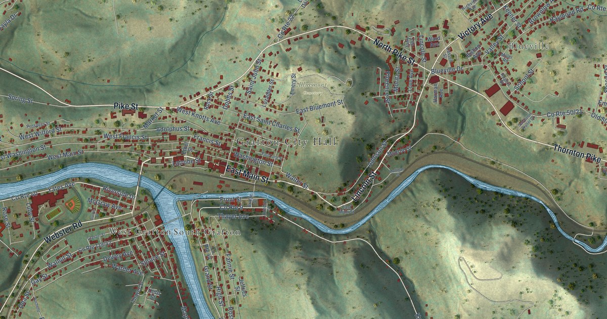
A detailed map of Grafton, West Virginia, showing every building in its true location, the roads by name, and shaded topographical relief.
Read More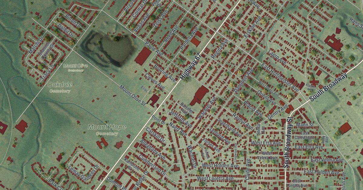
Lemay was named for Francis LeMais, Sr. and Jr., who ran a ferry across the Meramec River. This 2026 aerial map of Lemay, Missouri shows Lemay Ferry Road, South Broadway, Lemay Park and thousands of red buildings.
Read More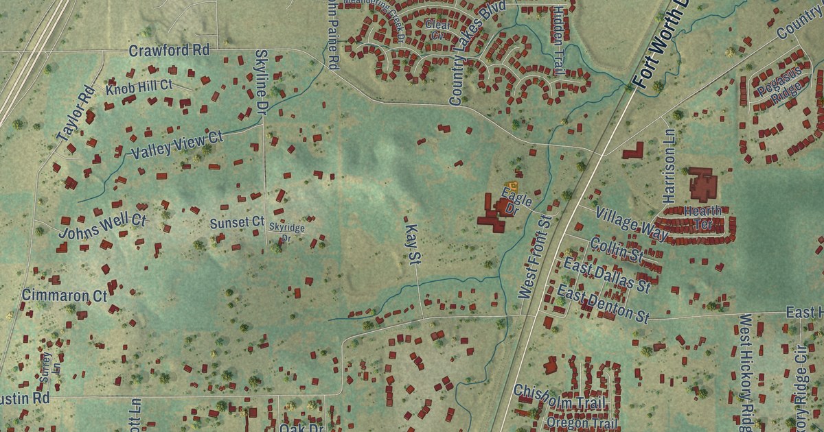
A detailed map of Argyle, Texas, showing every building in its true location, the roads by name, and shaded topographical relief.
Read More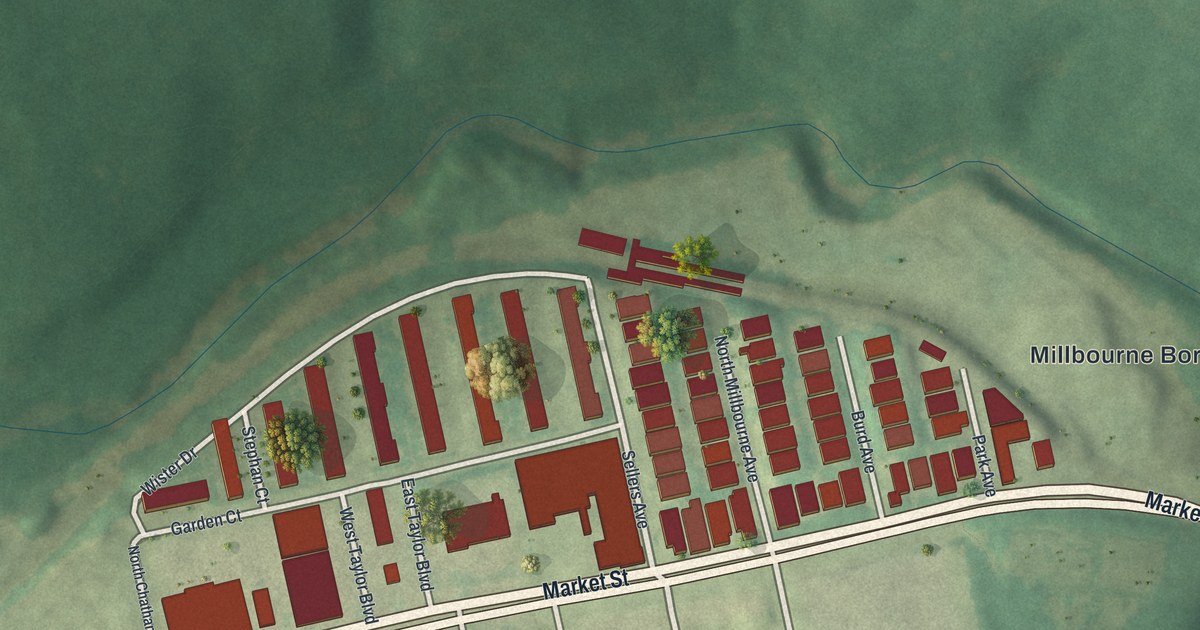
A 2026 aerial map of Millbourne in Delaware County, with Market Street, Sellers Avenue and Borough Hall, plus the story of the Sellers family’s 1814 flour mill on Cobb’s Creek.
Read More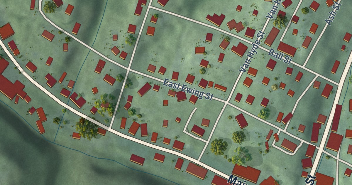
A modern aerial map of New Straitsville in Perry County, Ohio, with its hills, Main Street and Clark Street. Plus the story of the 1884 mine fire set during the Hocking Valley Coal Strike.
Read More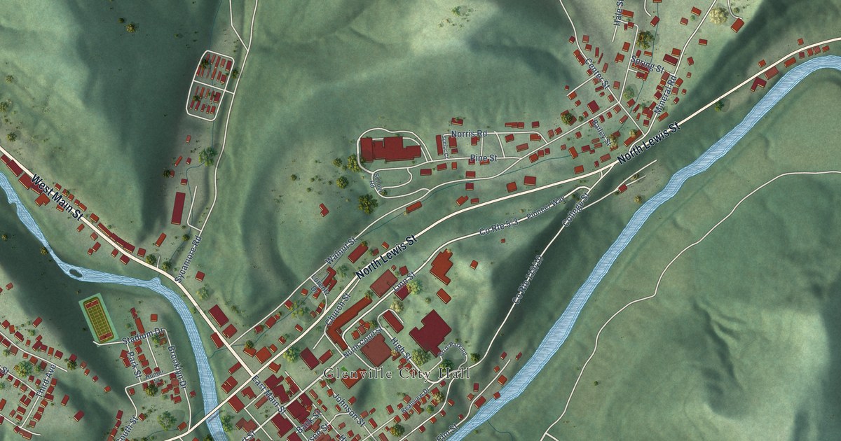
A detailed map of Glenville, West Virginia, showing every building in its true location, the roads by name, and shaded topographical relief.
Read More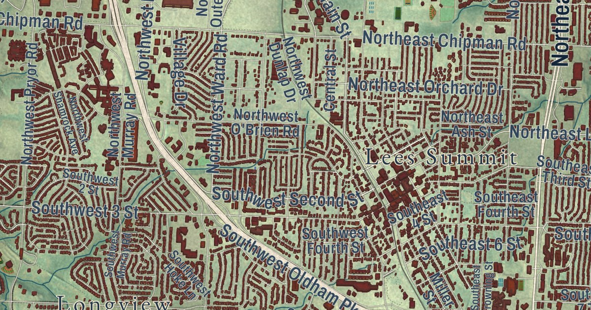
A modern aerial map of Lee’s Summit in Jackson County, Missouri, made by KNOWOL in 2026. Find City Hall, Third Street, Market Street and Longview Lake Park, plus the story of the old downtown blocks on the National Register.
Read More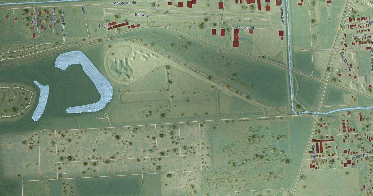
A detailed map of Arcola, Texas, showing every building in its true location, the roads by name, and shaded topographical relief.
Read More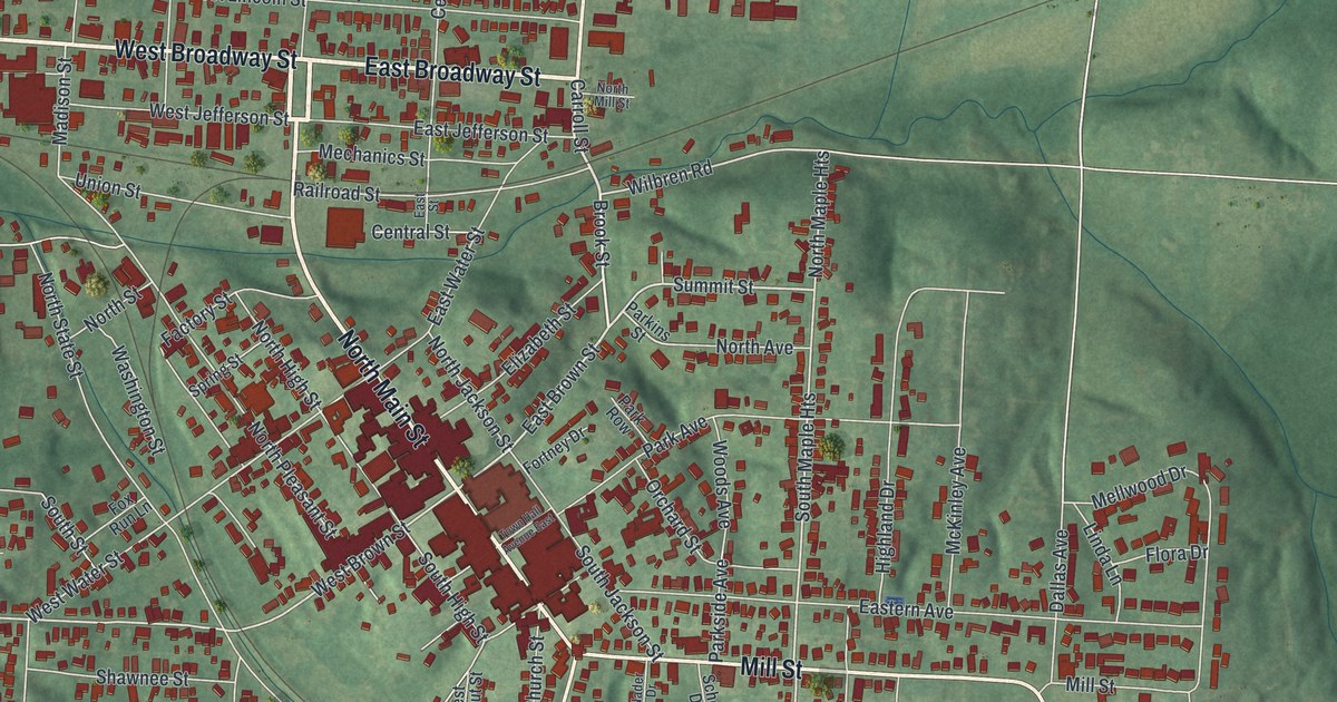
A new aerial map of New Lexington in Perry County, Ohio. Find Main Street, East Brown Street, Broadway, Mill Street and Artheusa Springs Park, and read about Mariah Storts Allen, Ohio’s last Real Daughter of a Revolutionary War soldier.
Read More
A detailed map of Glen Dale, West Virginia, showing every building in its true location, the roads by name, and shaded topographical relief.
Read More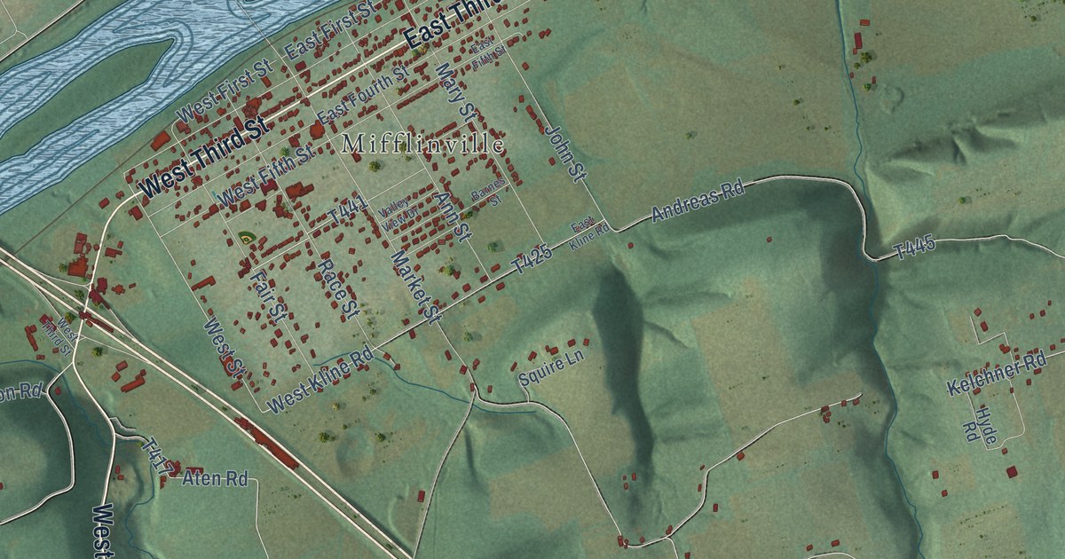
Mifflin Township in Columbia County, Pennsylvania, as a modern aerial map with a vintage feel. See the 1794 street plan around Mifflinville, the hill roads near Hetlerville and State Game Lands Number 58.
Read More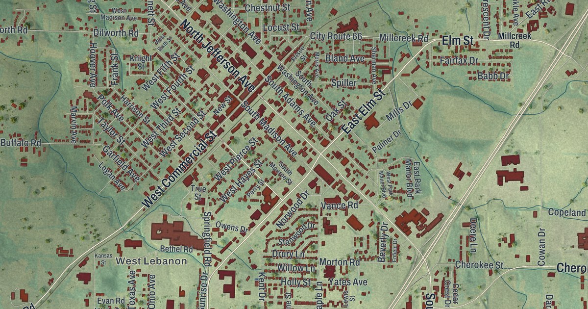
Lebanon, Missouri took its name from Lebanon, Tennessee, where many first settlers came from. This 2026 aerial map shows West Commercial Street, Nelson Park, Harwood Avenue and red buildings across Lebanon, in Laclede County.
Read More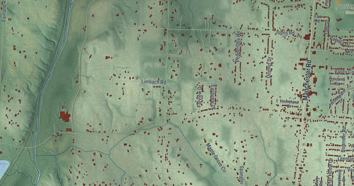
New Franklin in Summit County, Ohio, as a modern aerial view with a vintage feel. Find Manchester Road, Portage Lakes State Park and the story of the Zimmerly House.
Read More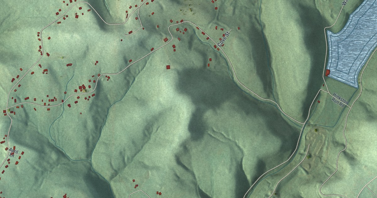
Middle Taylor Township in Cambria County is a place of green ridges and deep hollows. This 2026 aerial map shows Pleasant Hill, Gallitzin State Forest, Benshoff Hill Road and the homes along the high ground.
Read More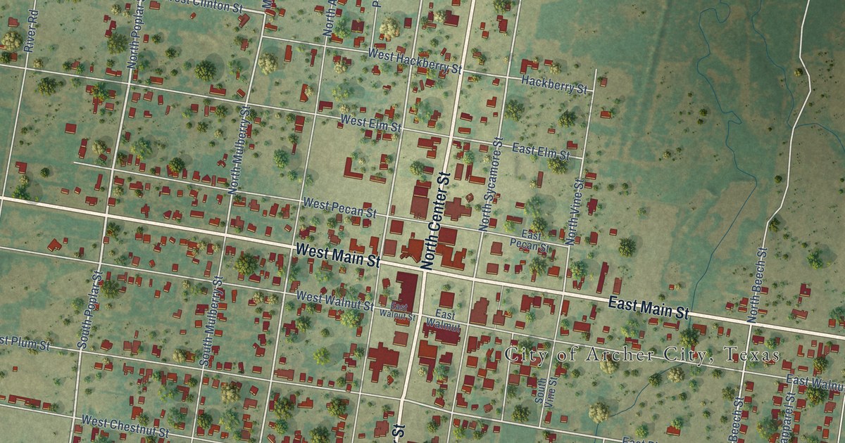
A detailed map of Archer City, Texas, showing every building in its true location, the roads by name, and shaded topographical relief.
Read More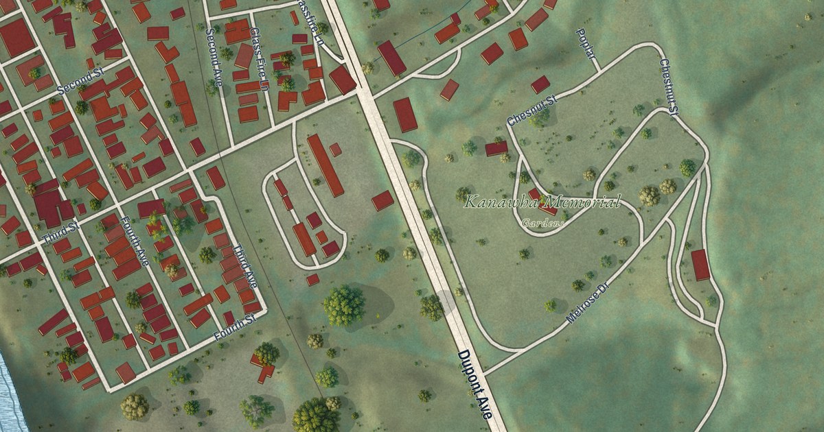
A detailed map of Glasgow, West Virginia, showing every building in its true location, the roads by name, and shaded topographical relief.
Read More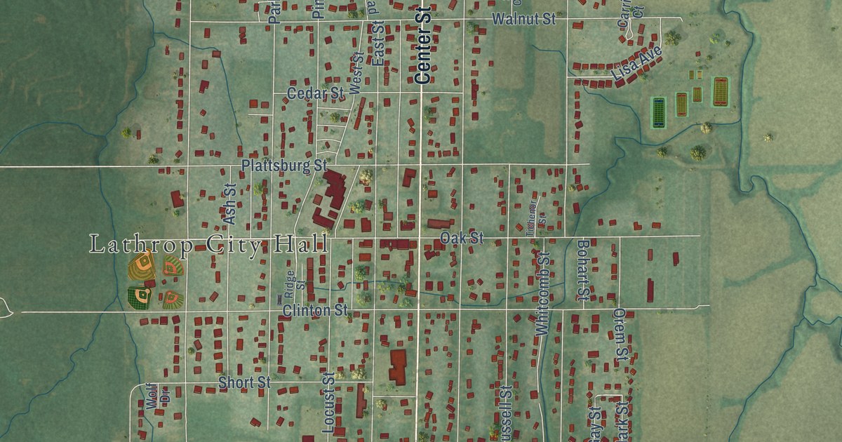
A new aerial map of Lathrop in Clinton County, Missouri, made in 2026. Find Center Street, Lathrop City Hall and Breckenridge Road, and learn about James Leake’s first farm near the town site in 1857.
Read More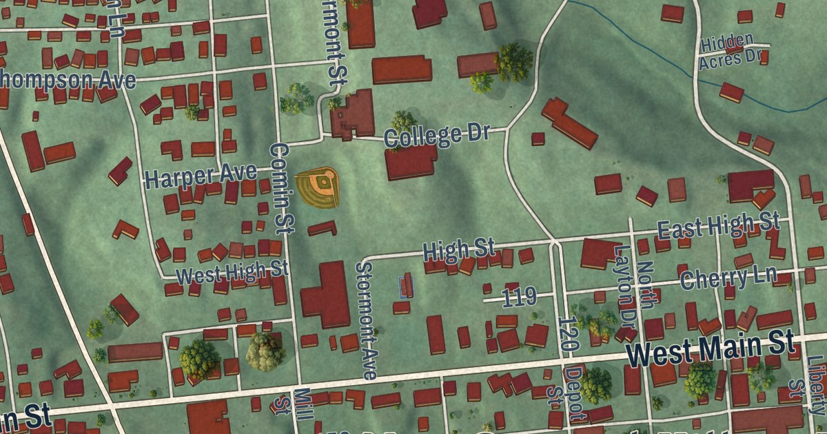
New Concord is John Glenn’s hometown. This 2026 aerial map of the Muskingum County village shows West Main Street, Friendship Drive, John Glenn School Road and the red buildings on its green hills.
Read More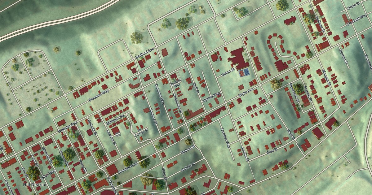
Middle Hill in Pittsburgh’s Hill District, seen from above on a new 2026 map. Find Wylie Avenue, Bedford Avenue and Chauncey Street, and read about Crawford Grill No. 2, where Art Blakey, Mary Lou Williams and John Coltrane played.
Read More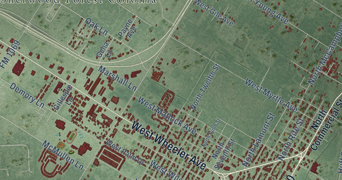
A detailed map of Aransas Pass, Texas, showing every building in its true location, the roads by name, and shaded topographical relief.
Read More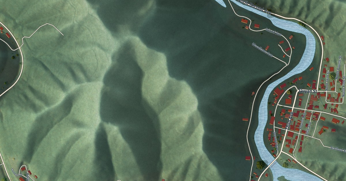
A detailed map of Gilbert, West Virginia, showing every building in its true location, the roads by name, and shaded topographical relief.
Read More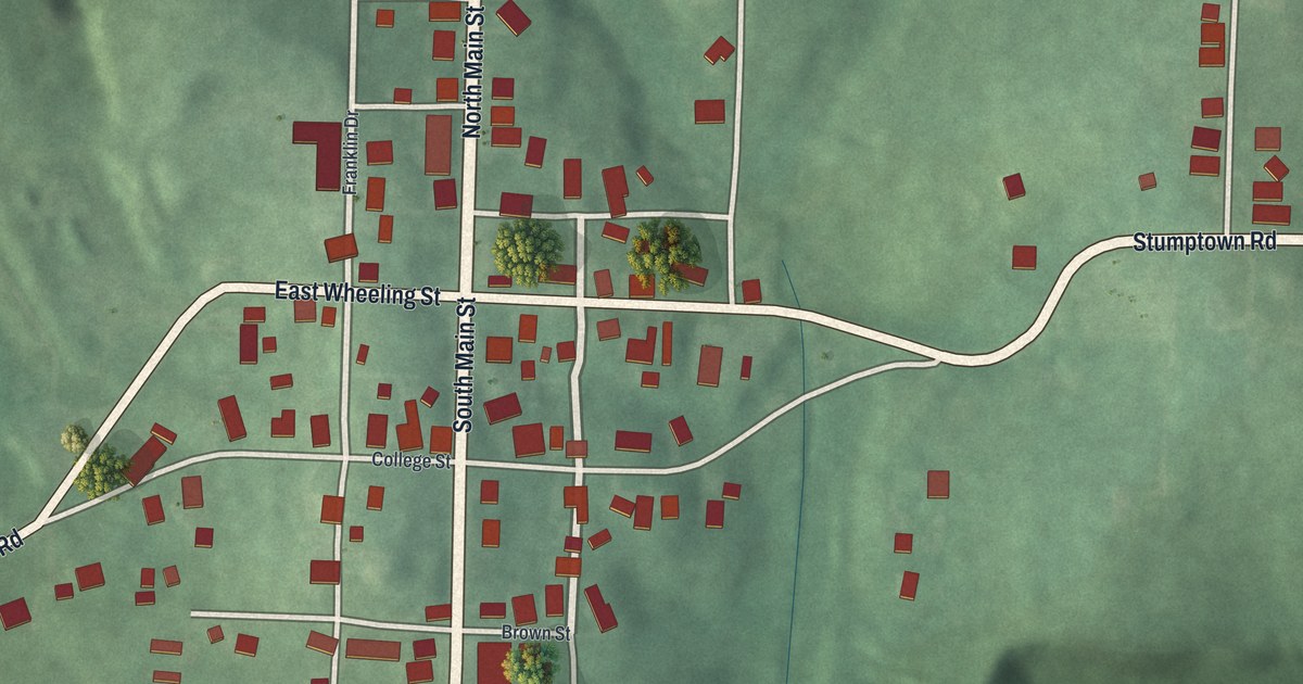
New Athens in Harrison County was home to Franklin College, one of Ohio’s earliest colleges. This new 2026 aerial map shows North Main Street, East Wheeling Street, Longview Cemetery and the village’s buildings in red.
Read More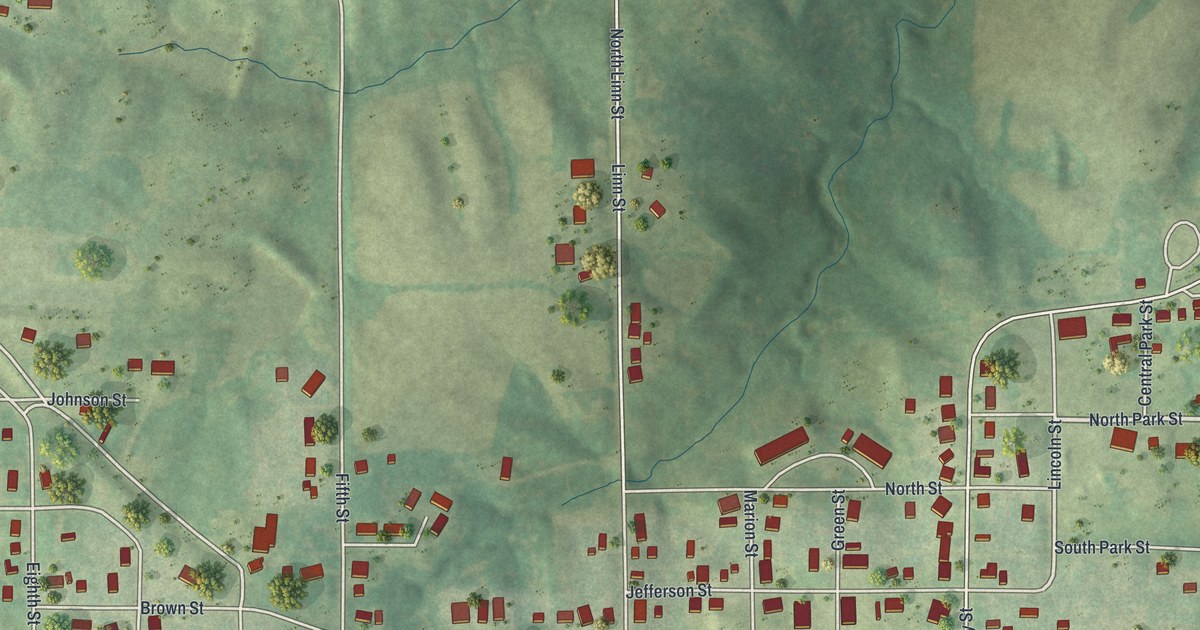
A new aerial map of Lancaster in Schuyler County, Missouri, made in 2026. Find Washington Street, Jaycee Park and your own block, and read how the county court held its first Lancaster term at James Cochrane’s house in 1845.
Read More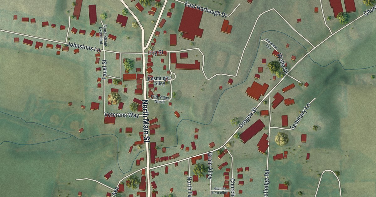
A modern aerial map of Mercersburg in Franklin County. Find North Main Street, where James Buchanan lived as a boy and Harriet Lane was born, and Bennett Avenue, where 13 soldiers of the 54th Massachusetts rest.
Read More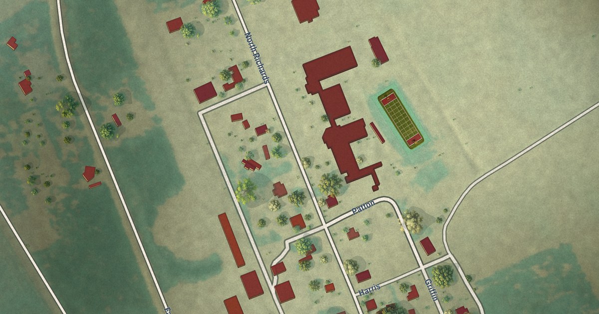
A detailed map of Aquilla, Texas, showing every building in its true location, the roads by name, and shaded topographical relief.
Read More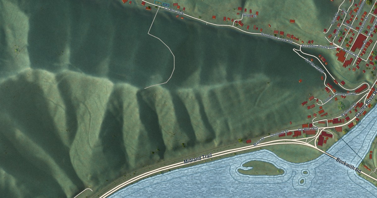
A detailed map of Gauley Bridge, West Virginia, showing every building in its true location, the roads by name, and shaded topographical relief.
Read More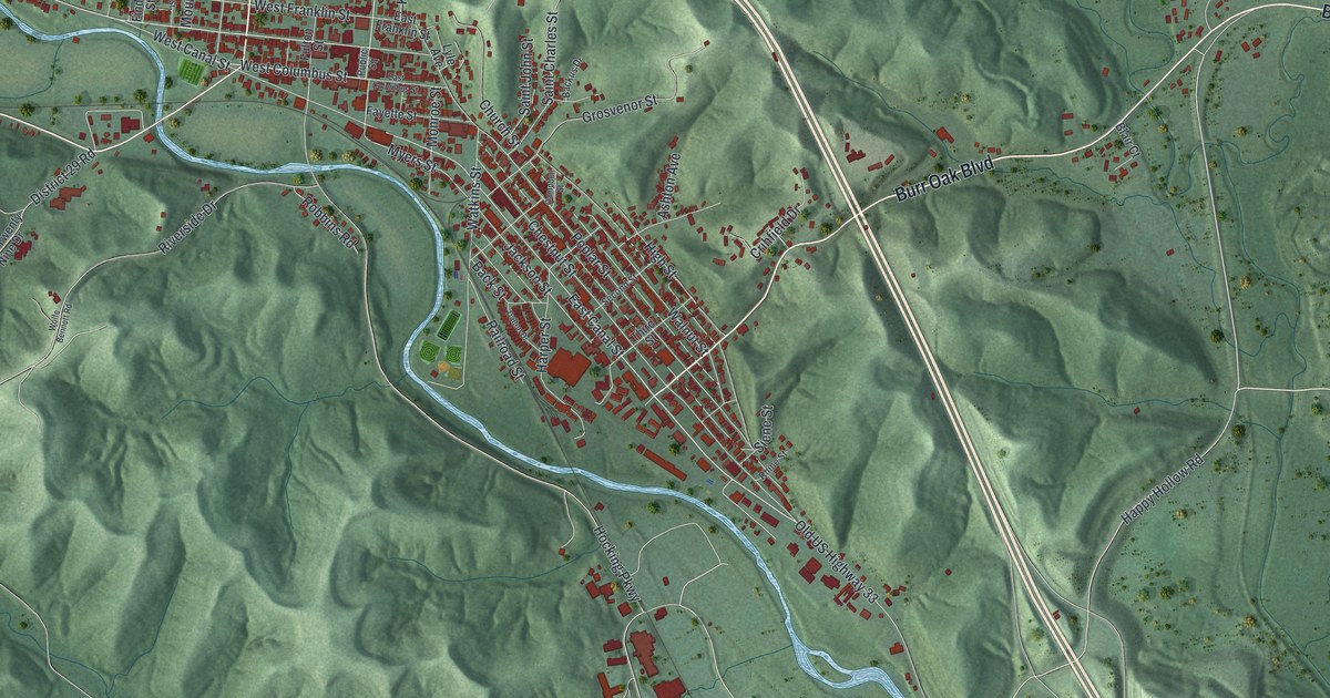
Nelsonville, Ohio, in a new 2026 aerial map with green hills, a winding river and red building shapes. Find Public Square and Canal Street, and read how the 1869 railroad made the town a major coal shipping point.
Read More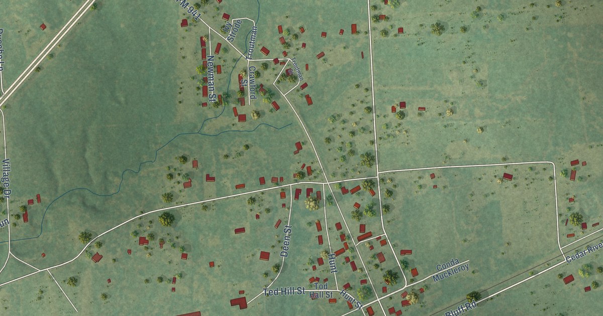
A detailed map of Appleby, Texas, showing every building in its true location, the roads by name, and shaded topographical relief.
Read More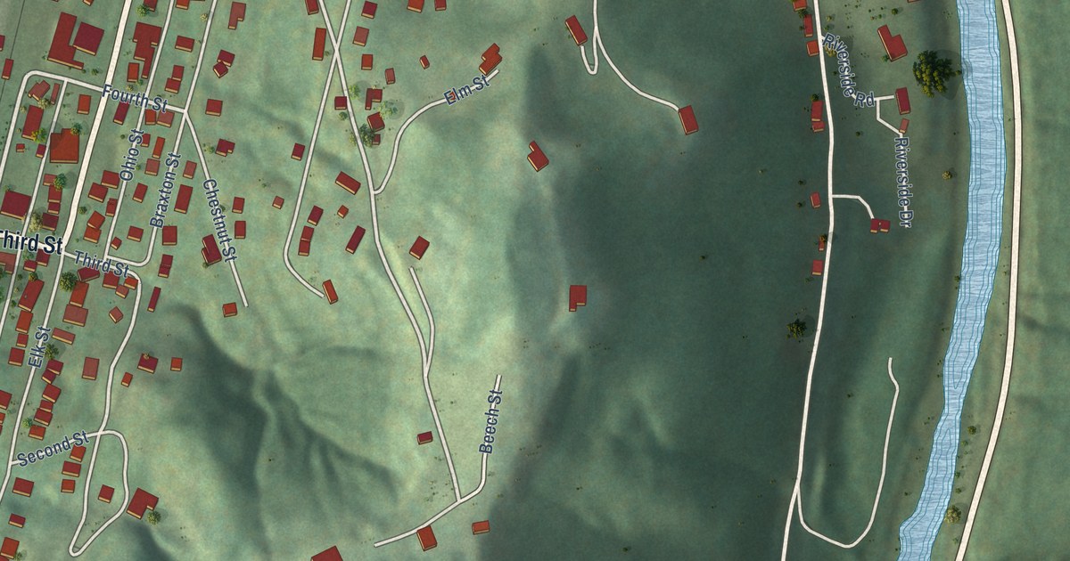
A detailed map of Gassaway, West Virginia, showing every building in its true location, the roads by name, and shaded topographical relief.
Read More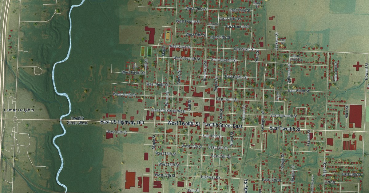
A new aerial map of Lamar in Barton County, Missouri, made in 2026. Find Broadway Street, Truman Street and Lamar Heights, and learn about the Harry Truman Birthplace Memorial, listed on the National Register in 1969.
Read More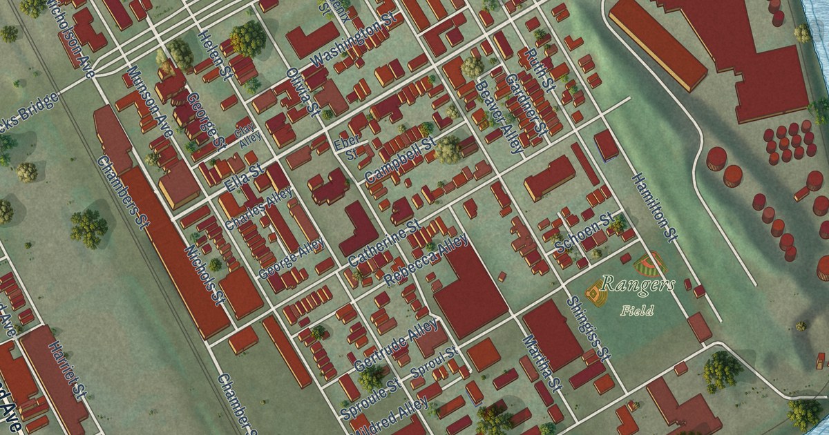
A new aerial map of McKees Rocks in Allegheny County, from Chartiers Avenue to Rangers Field in the Bottoms, plus the story of the McKees Rocks Mound, the largest Native American burial mound in western Pennsylvania.
Read More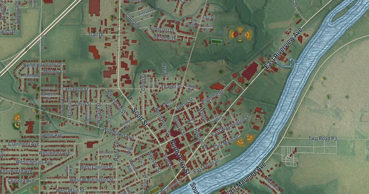
Napoleon, Ohio, made in 2026 as a modern aerial view with a vintage feel. Find Perry Street and Riverview Avenue, and learn how the Miami and Erie Canal made the Henry County seat boom.
Read More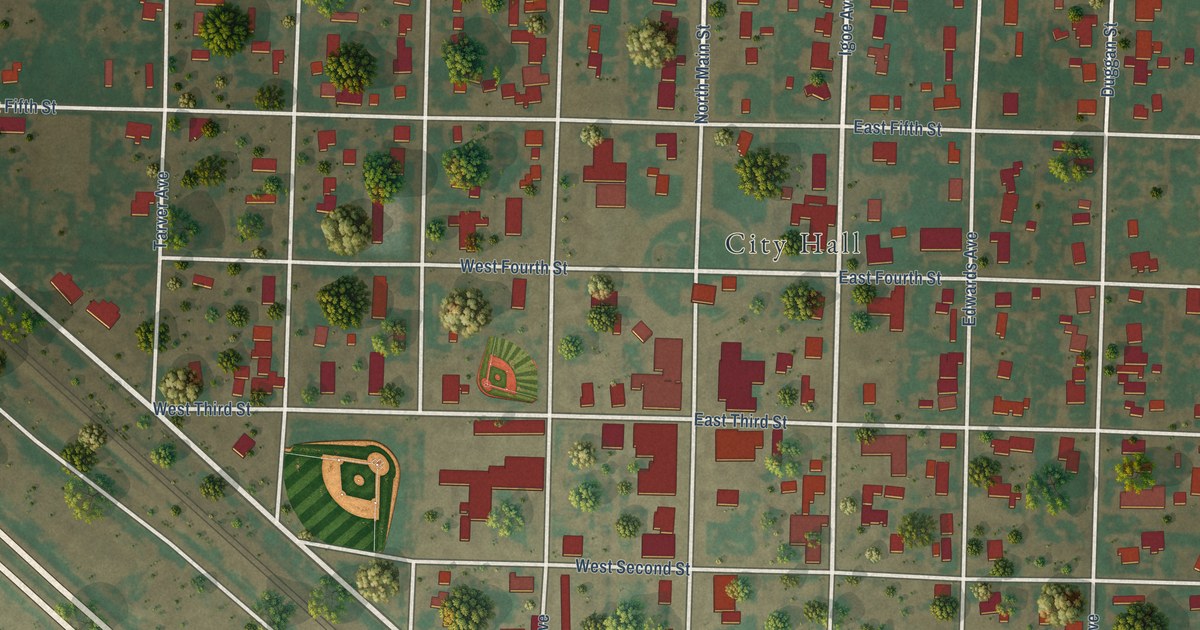
A detailed map of Anton, Texas, showing every building in its true location, the roads by name, and shaded topographical relief.
Read More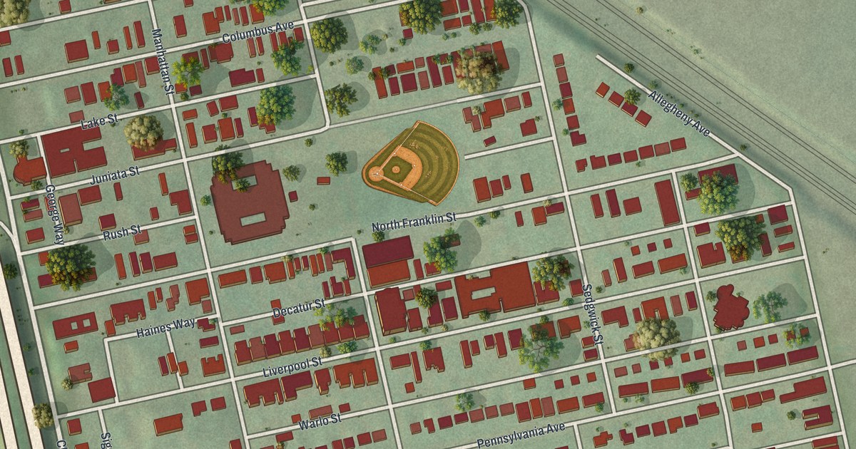
A modern aerial map of Manchester in Allegheny County, Pennsylvania, made in 2026. Find Manchester Park, Liverpool Street and West North Avenue, plus two National Register buildings on Allegheny Avenue and West North Avenue.
Read More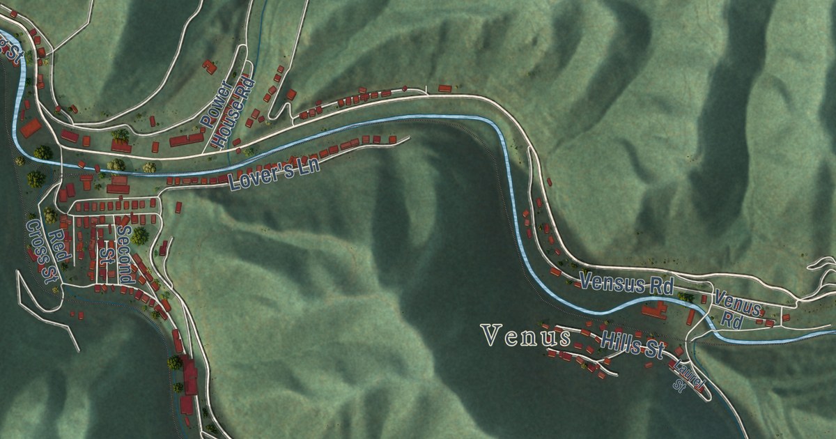
A detailed map of Gary, West Virginia, showing every building in its true location, the roads by name, and shaded topographical relief.
Read More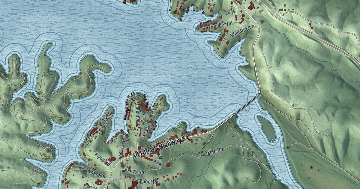
Explore Lake Ozark’s coves, hills and streets in a new aerial map. Learn how its first postmaster chose the post office’s name in 1932.
Read More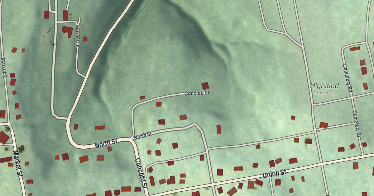
Mount Pleasant, Ohio from above: green hills, Union Street, Market Street and Highland Cemetery. It’s also where Benjamin Lundy began his anti-slavery newspaper in 1821.
Read More
A detailed map of Anthony, Texas, showing every building in its true location, the roads by name, and shaded topographical relief.
Read More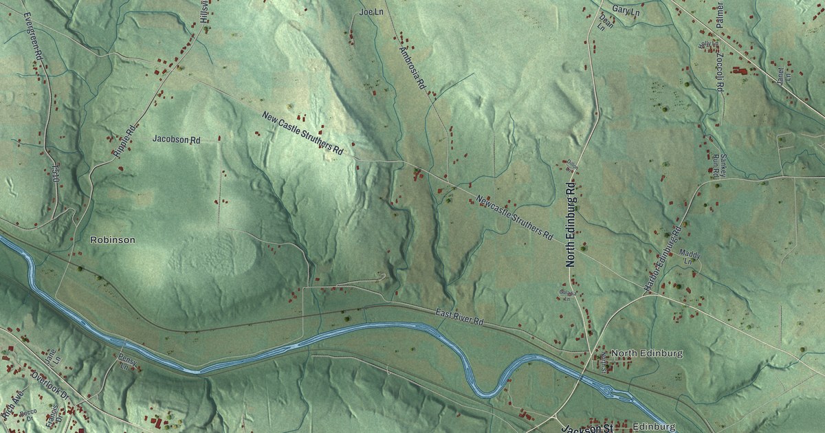
A new aerial map of Mahoning Township in Lawrence County, Pennsylvania. Find Edinburg, Hillsville, Erie Street and Quaker Falls, and learn about Ira D. Sankey, the singing evangelist born at Edinburg in 1840.
Read More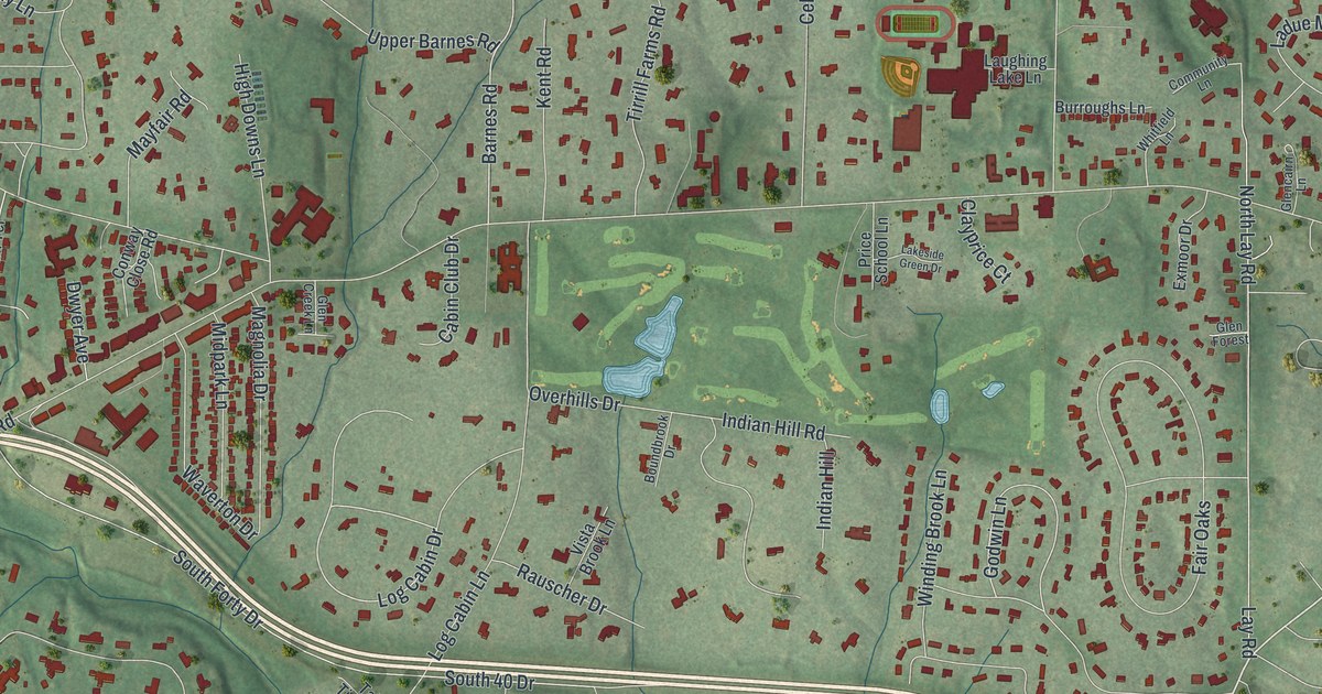
Explore Ladue’s winding streets, red buildings and green golf courses in a new aerial map. Find Ladue Road, Tilles Park and familiar lanes on this 2026 print.
Read More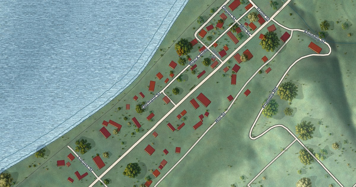
A detailed map of Friendly, West Virginia, showing every building in its true location, the roads by name, and shaded topographical relief.
Read More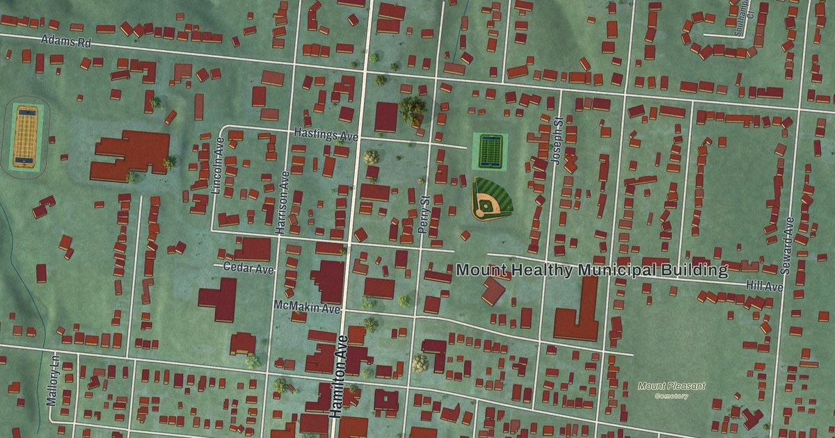
A new aerial map of Mount Healthy in Hamilton County, Ohio. Find Hamilton Avenue, Compton Road, Heritage Park and your own street, and read how a Native American foot trail between two forts became known as Hamilton Road, according to the National Register papers for the Main Theatre.
Read More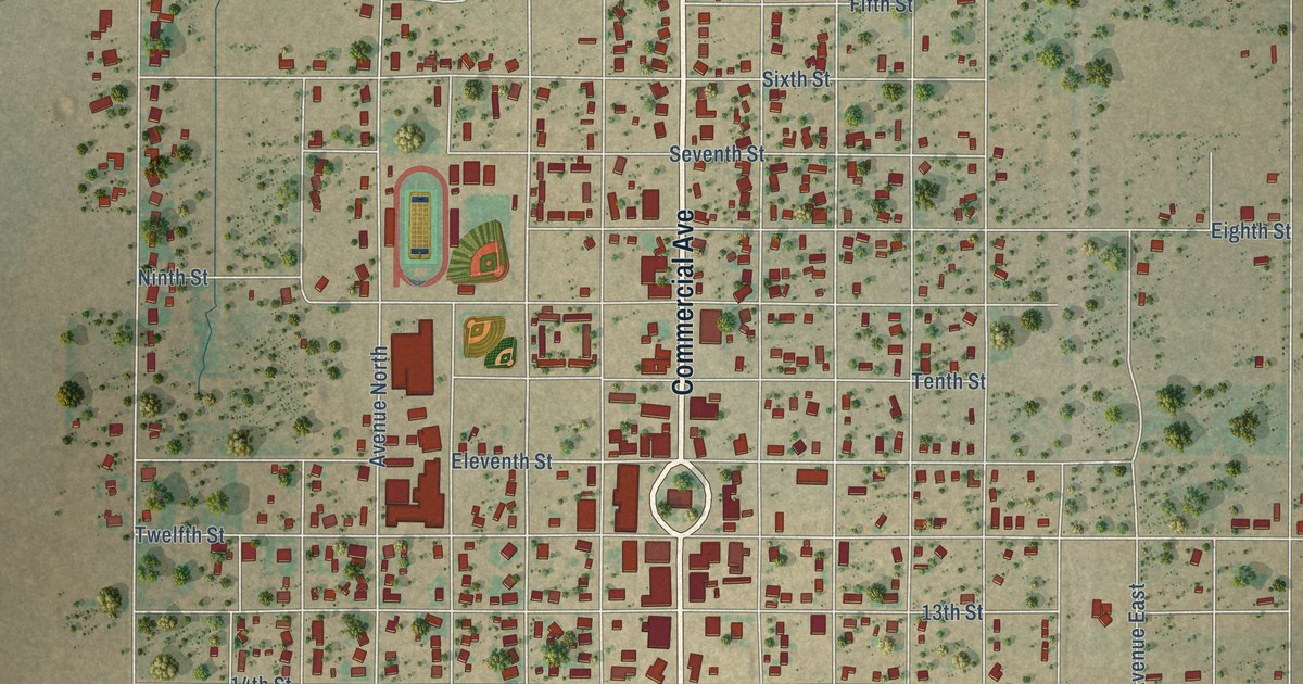
A detailed map of Anson, Texas, showing every building in its true location, the roads by name, and shaded topographical relief.
Read More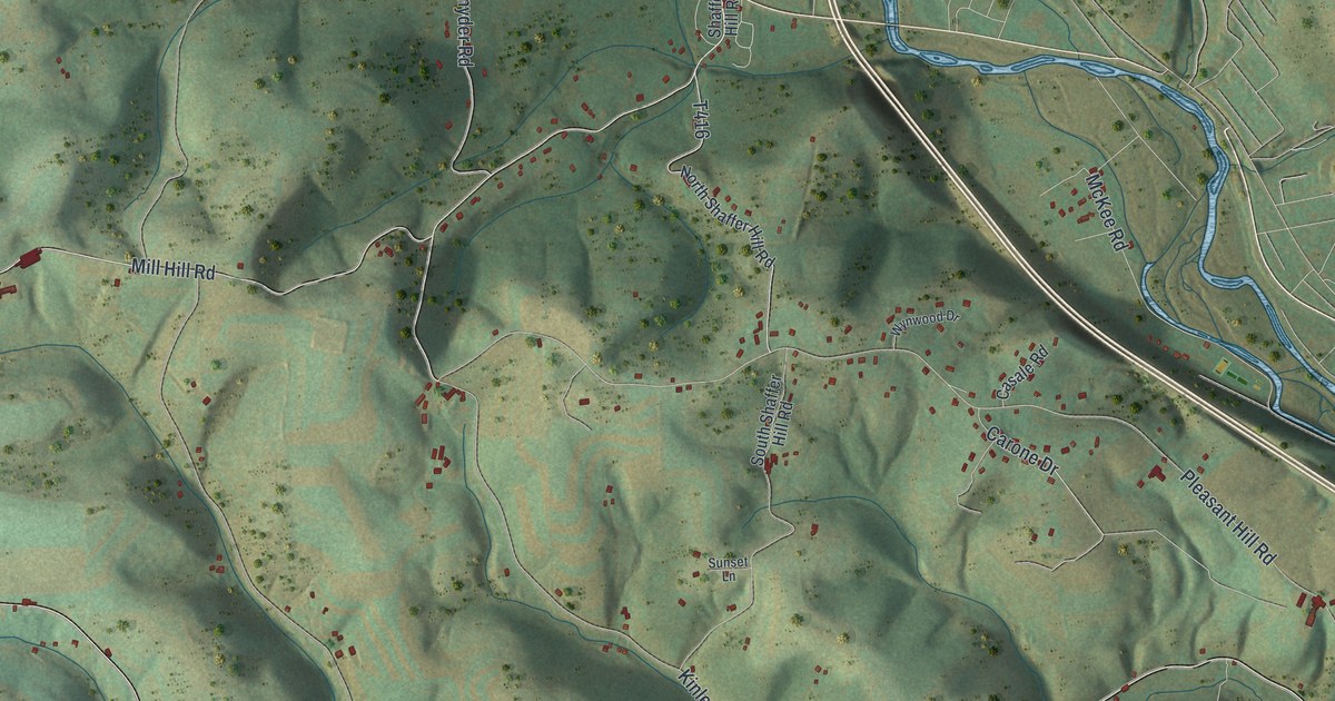
Follow Lycoming Creek Road from Perryville to Fairlawn and Woodland Park. Read how a 124-to-74 vote formed Lycoming Township in 1858, and where local farms once had iron ore mines.
Read More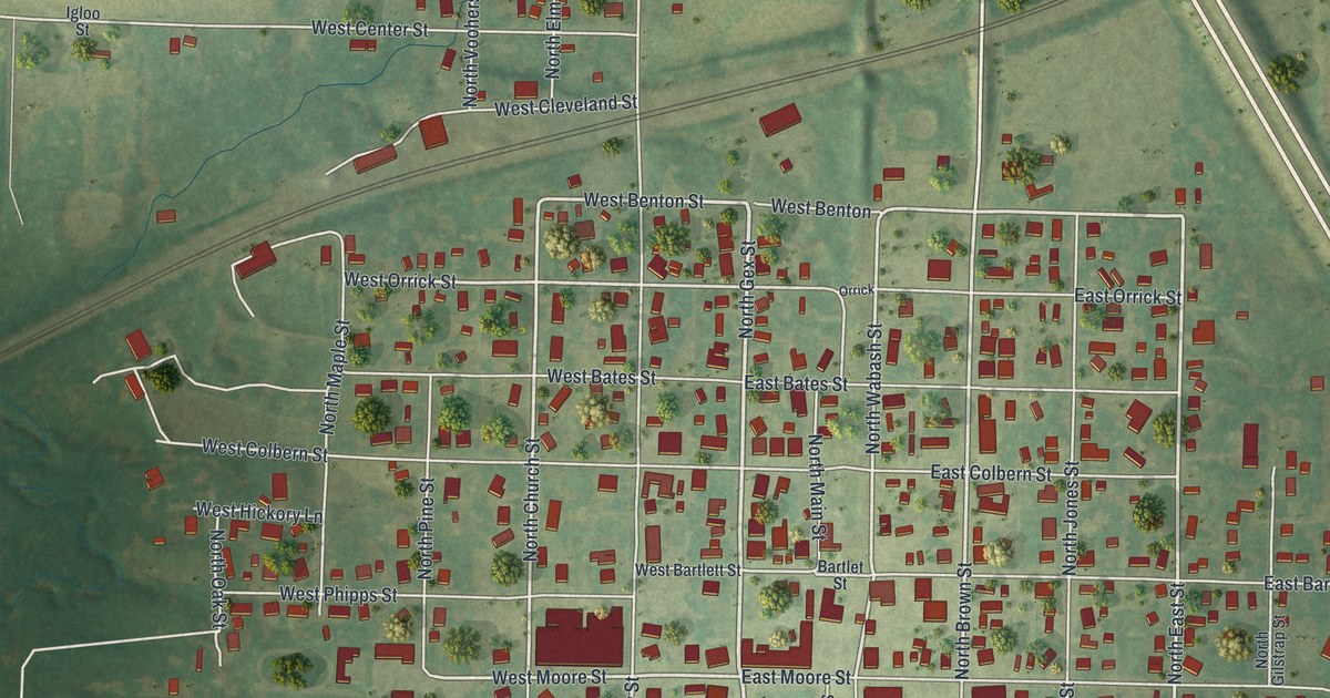
A new aerial map of La Plata in Macon County, Missouri, made in 2026. Find West Clark Street, North Gex Street and the town that Lewis Gex and Thomas Saunders laid out in 1855.
Read More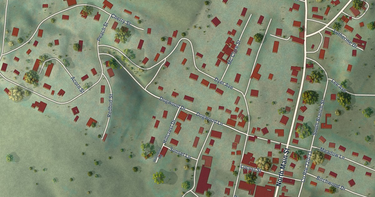
A detailed map of Franklin, West Virginia, showing every building in its true location, the roads by name, and shaded topographical relief.
Read More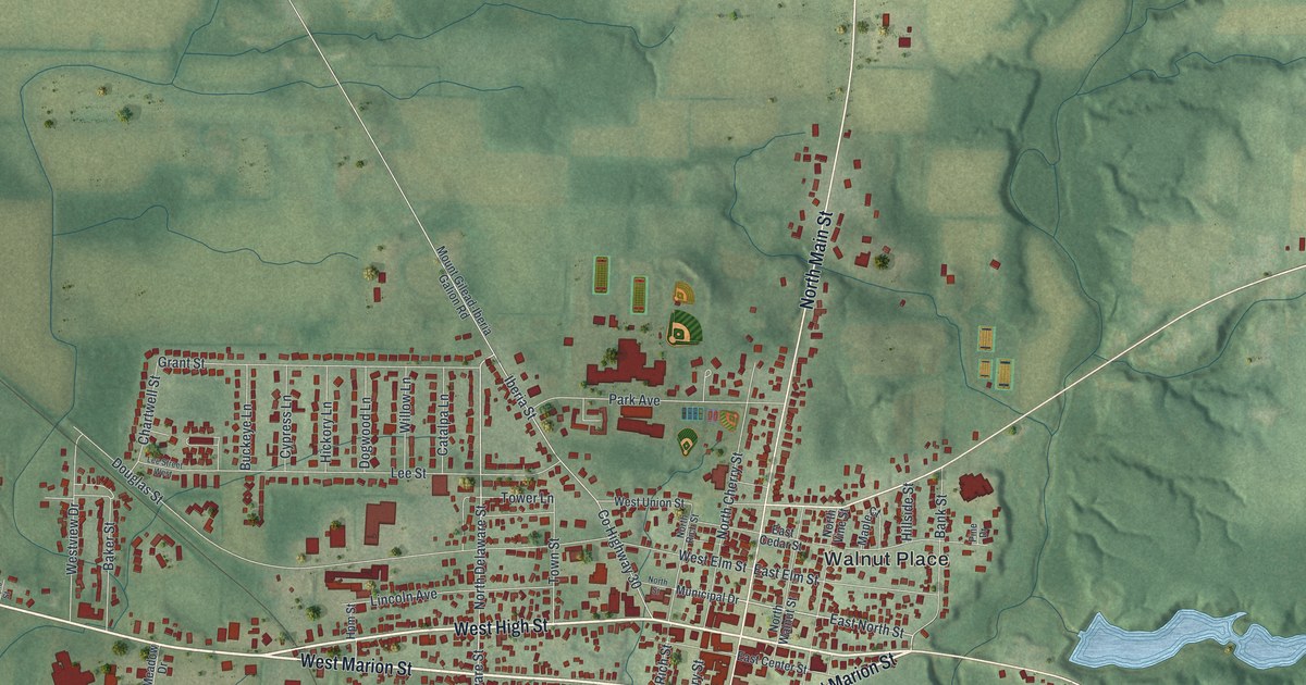
A new aerial map of Mount Gilead, Ohio, made in 2026. Find Main Street, West High Street and Pine Lakes Golf Club, and read how Morrow County won the Victory Shaft that stands on the village square.
Read More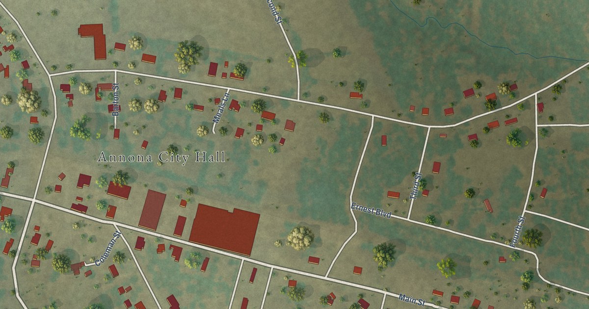
A detailed map of Annona, Texas, showing every building in its true location, the roads by name, and shaded topographical relief.
Read More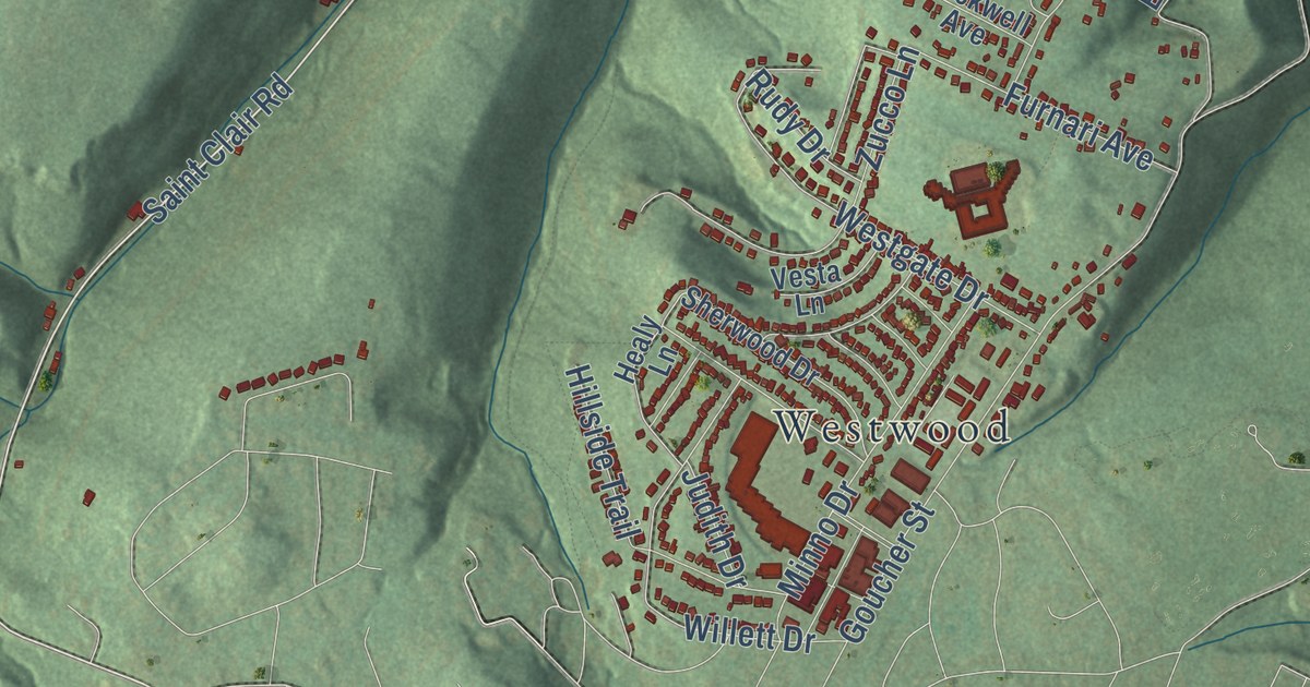
A new aerial map of Lower Yoder in Cambria County, Pennsylvania, made in 2026. Find Westwood, Stackhouse Park, Haws Pike and Cambria City, and learn how the township got its name from David Yoder, a farmer.
Read More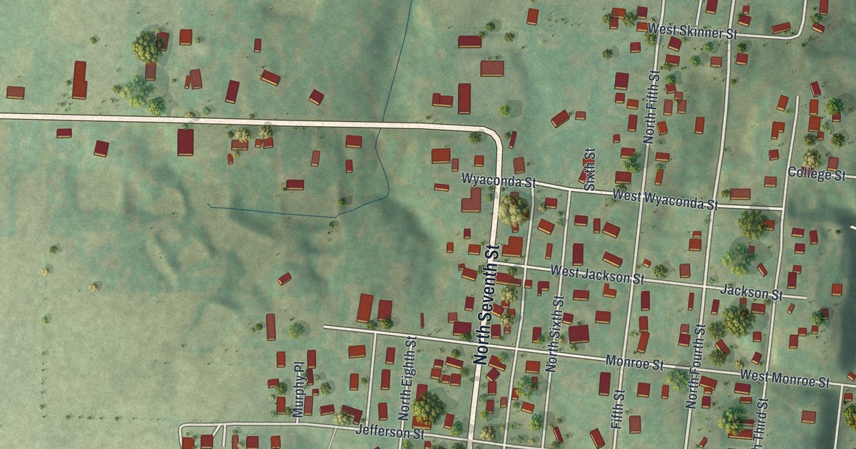
La Grange was started in 1832, just below a mill that backwater washed away. This new 2026 aerial map of the Lewis County town shows North Main Street, Washington Street, Riverview Cemetery and 597 buildings set between green hills and a wide river.
Read More















