Detailed Map of Fort Gay, West Virginia
A detailed map of Fort Gay, West Virginia, showing every building in its true location, the roads by name, and shaded topographical relief.
Read More
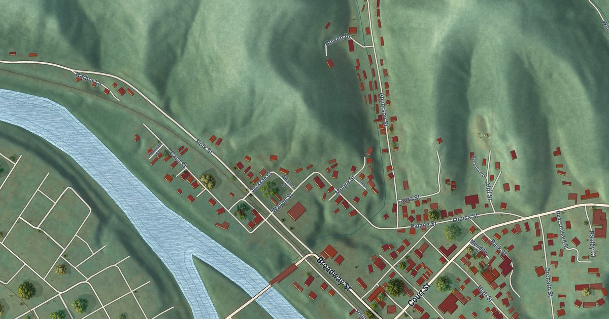
A detailed map of Fort Gay, West Virginia, showing every building in its true location, the roads by name, and shaded topographical relief.
Read More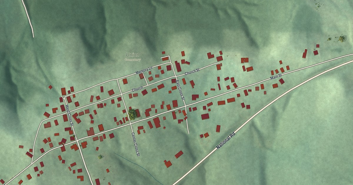
Morristown was laid out in 1802, which makes it older than Ohio itself. This new aerial map of the Belmont County village shows Main Street, Old National Road, Union Cemetery and the ball fields at Lynn-Hunkler Memorial Park.
Read More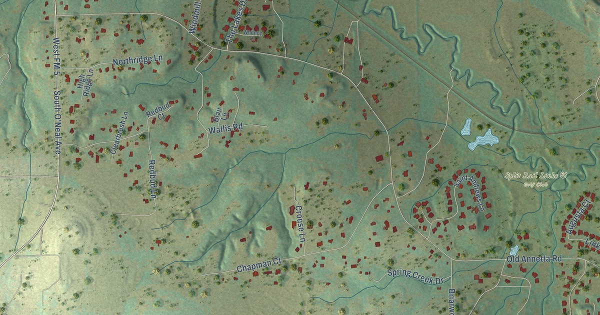
A detailed map of Annetta, Texas, showing every building in its true location, the roads by name, and shaded topographical relief.
Read More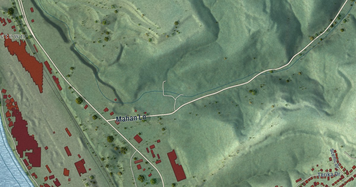
A detailed map of Follansbee, West Virginia, showing every building in its true location, the roads by name, and shaded topographical relief.
Read More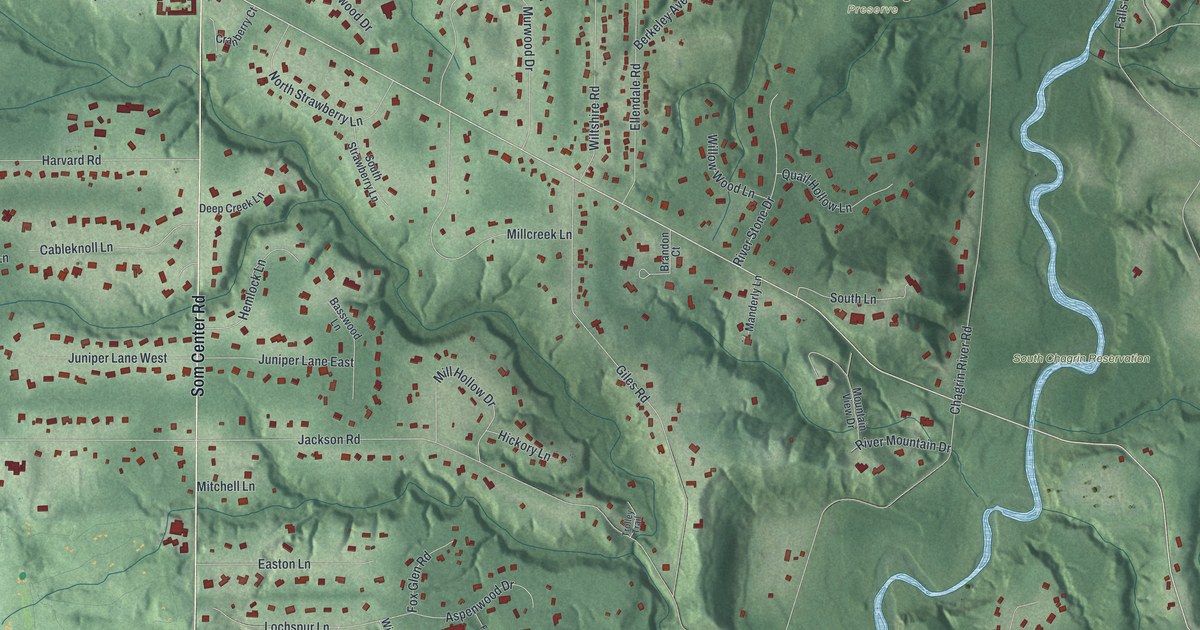
A modern aerial map of Moreland Hills in Cuyahoga County, Ohio, with Som Center Road, South Chagrin Reservation and the Polo Field. Read how James A. Garfield was born here in 1831, and how the Polo Field hosted North America’s first show jumping grand prix in 1965.
Read More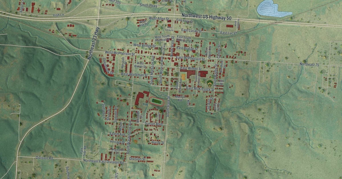
A new aerial view of Knob Noster in Johnson County, Missouri, made in 2026. Find State Street, McPherson Street and Highway 50, read how the town was laid out in 1856, and learn about the Montserrat sites on the National Register near town.
Read More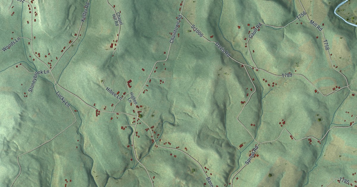
A 2026 aerial map of Lower Tyrone Township in Fayette County, Pennsylvania, with Hulltown, Raineytown and the green hills above the river, plus the story of how old Tyrone was split in two.
Read More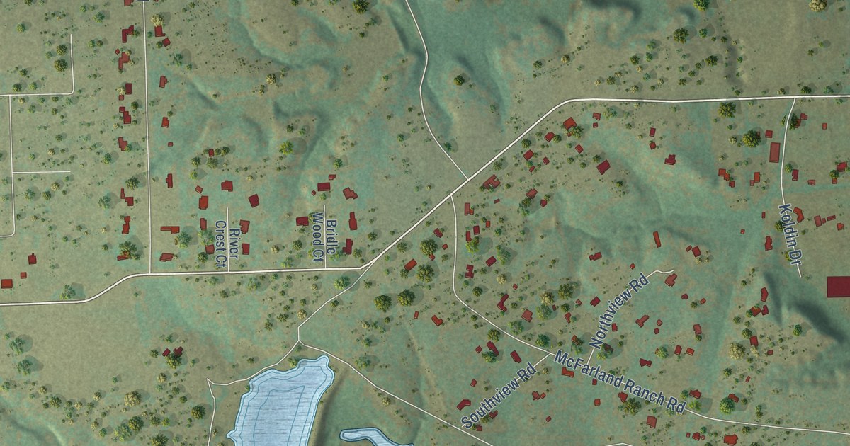
A detailed map of Annetta South, Texas, showing every building in its true location, the roads by name, and shaded topographical relief.
Read More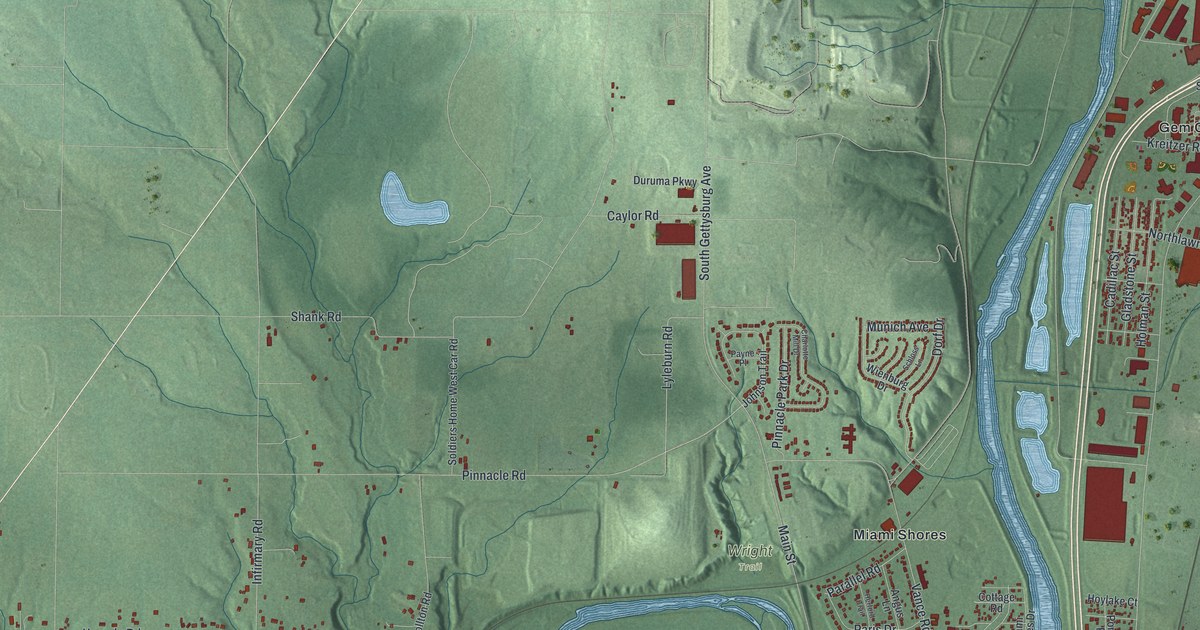
Moraine, Ohio as a modern aerial map with a vintage feel. Find Springboro Pike, Miami Shores and Berkley Heights, plus the story of the Wright Flyer III at Carillon Park and Orville Wright’s seaplane flights on the Great Miami River.
Read More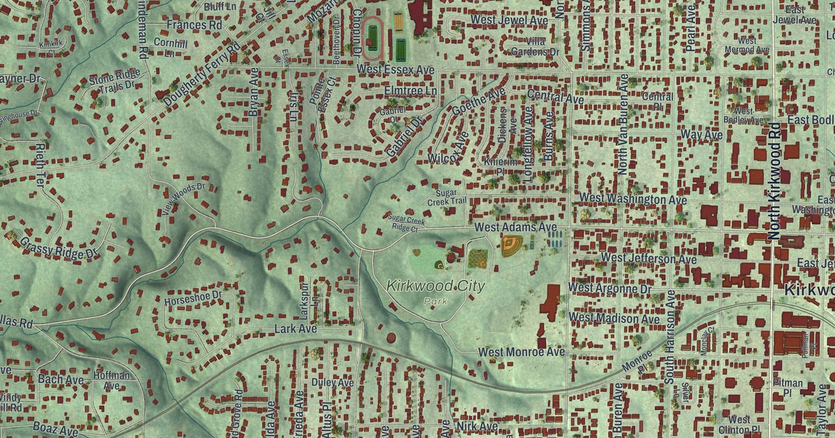
A modern aerial view of Kirkwood in St. Louis County, Missouri, with a vintage feel. Find Manchester Road, Kirkwood City Hall, Meacham Park and West Argonne Drive, in a town named for a Missouri Pacific engineer.
Read More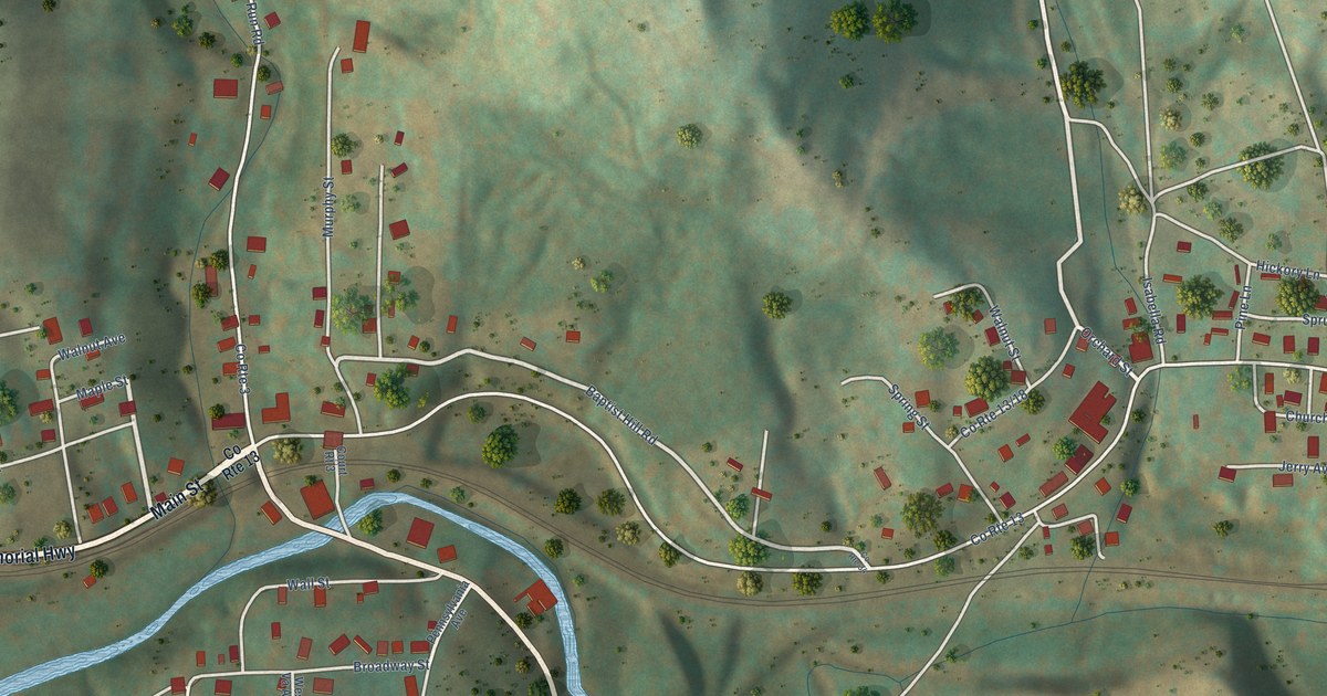
A detailed map of Flemington, West Virginia, showing every building in its true location, the roads by name, and shaded topographical relief.
Read More
A detailed map of Annetta North, Texas, showing every building in its true location, the roads by name, and shaded topographical relief.
Read More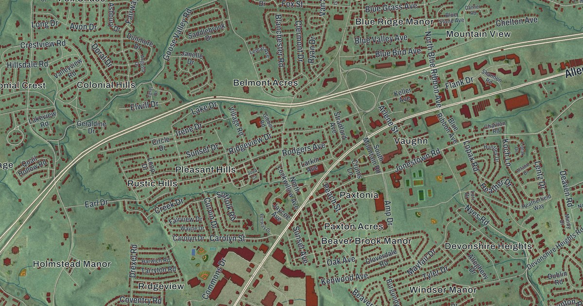
A new aerial-style map of Lower Paxton Township in Dauphin County, from Linglestown to Twin Lakes. Find your street, then read about Patton’s Fort and the Paxton Rangers, who guarded the Blue Mountain farms from 1756 to 1763.
Read More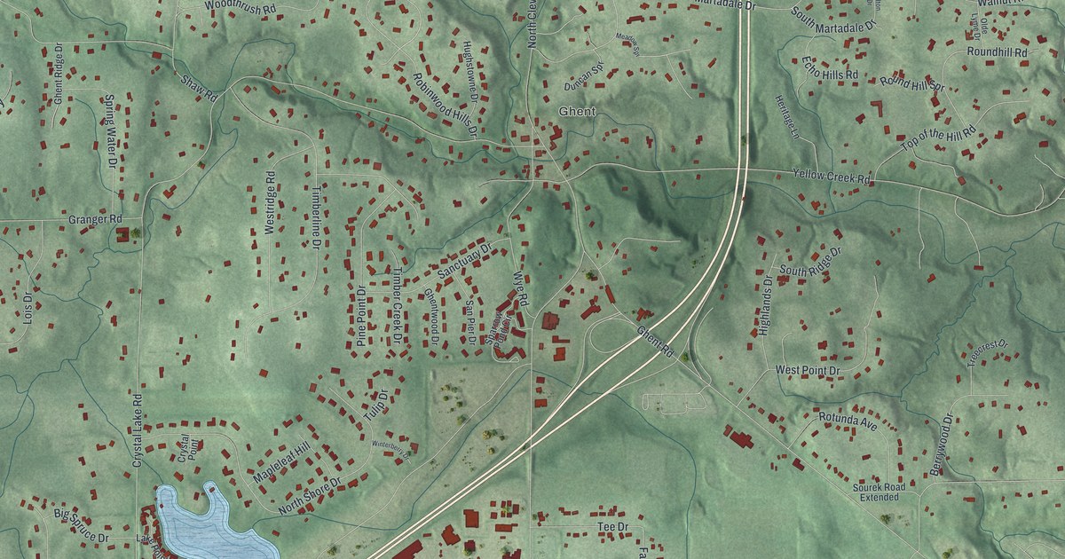
A new aerial map of Montrose-Ghent in Summit County, Ohio, with Bath Center, Ghent and Montrose. Find your street, then read about the Ghent Woolen Mill on Granger Road, built in 1832 and now the oldest known woolen mill still standing in Ohio.
Read More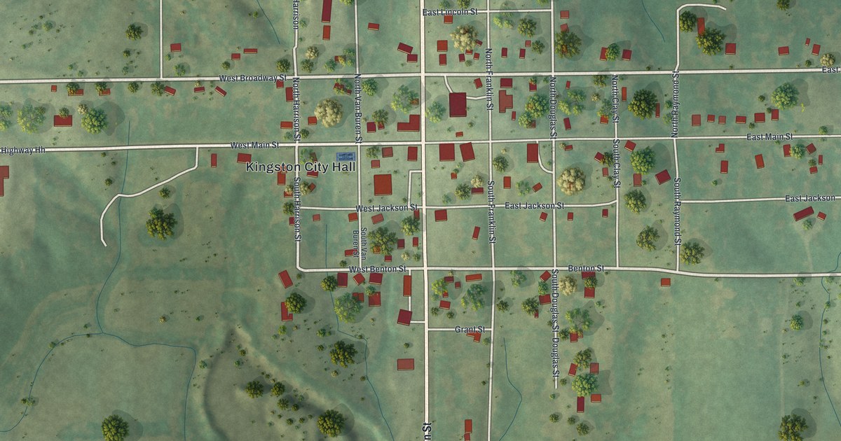
A modern aerial map of Kingston in Caldwell County, Missouri, made in 2026 with a vintage feel. See Washington, Main and Broadway streets, Kingston City Hall, and the story of the regimental musters once held here.
Read More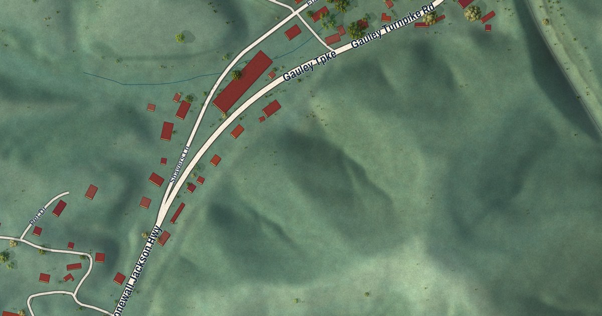
A detailed map of Flatwoods, West Virginia, showing every building in its true location, the roads by name, and shaded topographical relief.
Read More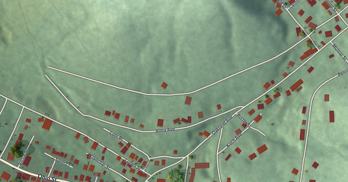
A new aerial-style map of Lorain in Cambria County, Pennsylvania, made in 2026. Find Ohio Street, Ruby Street and the Veterans Memorial Park, plus the Lorain Steel Company’s place in the 1907 county history of the 1889 flood.
Read More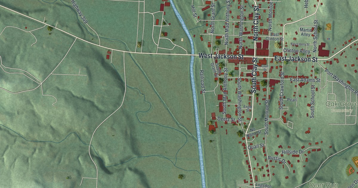
A new aerial map of Millersburg in Holmes County, Ohio. Find North Clay Street, West Jackson Street and Oak Grove Cemetery, and learn about the Millersburg Gazette, the county’s first newspaper, printed here in 1828.
Read More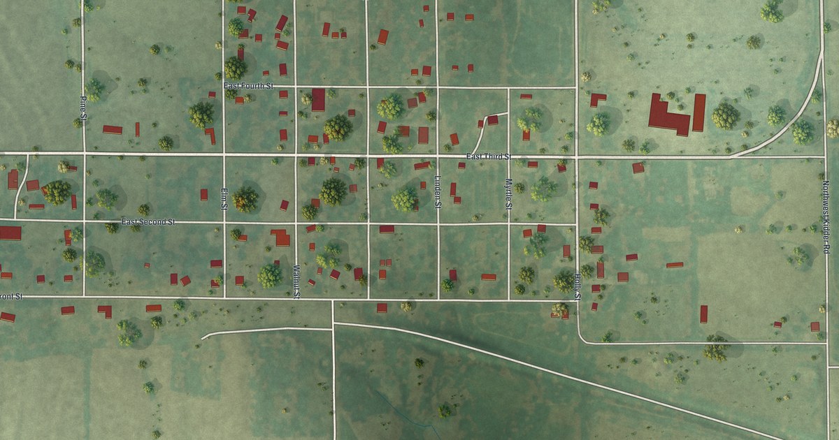
Explore Kidder, Missouri, through Holly Street, East Front Street and the tree-named streets on this 2026 map. More than 200 buildings appear in red among green fields. A county history traces the separate story of Kidder township to its organization in May 1867.
Read More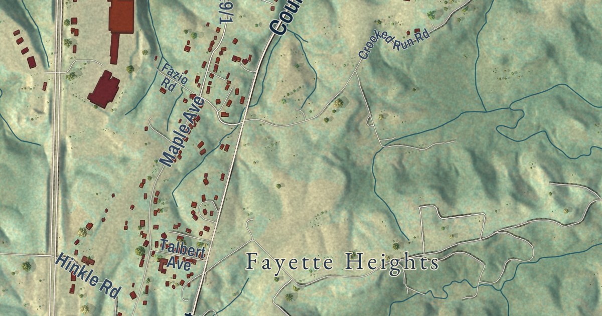
A detailed map of Fayetteville, West Virginia, showing every building in its true location, the roads by name, and shaded topographical relief.
Read More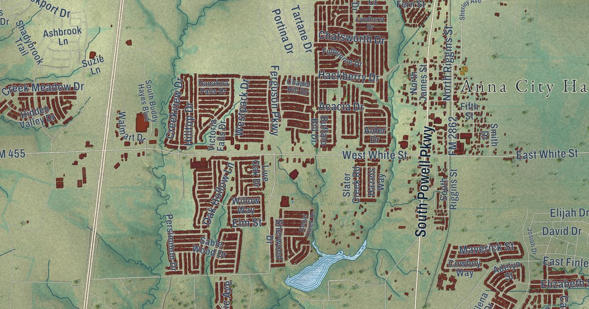
A detailed map of Anna, Texas, showing every building in its true location, the roads by name, and shaded topographical relief.
Read More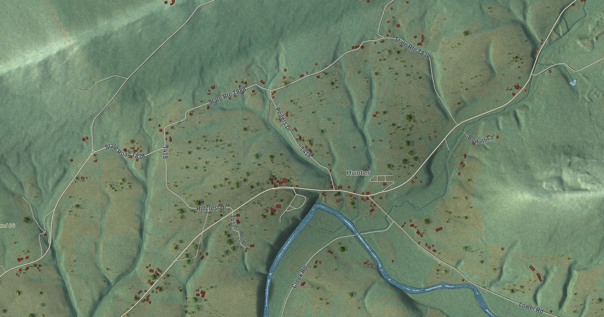
See Hunter, Dornsife and Dunkelbergers among Little Mahanoy’s green ridges. This new map pairs a modern aerial view with a vintage feel, while the township’s story reaches back to 1813.
Read More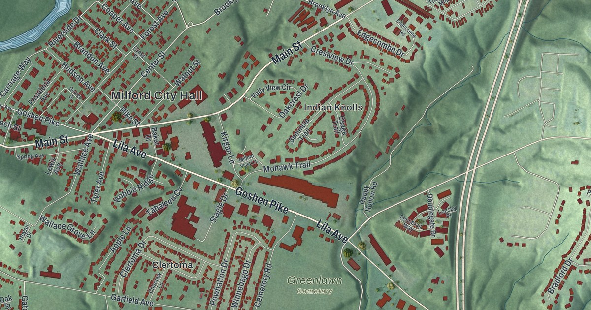
A new aerial map of Milford in Clermont County, Ohio. Find Main Street, Water Street, Finley Ray Park and Greenlawn Cemetery, and learn how Ohio’s oldest Methodist church was founded in a log cabin here in 1797.
Read More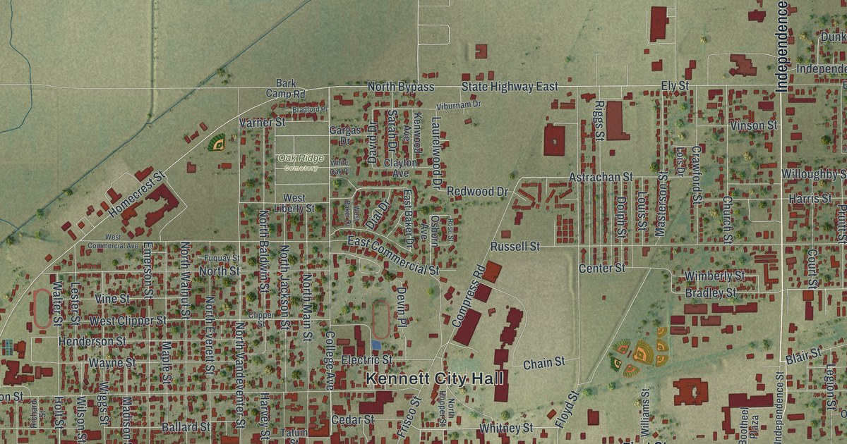
Find familiar streets on this new Kennett map, from First Street to College Avenue. Red buildings, green fields, and a vintage feel bring a modern view of home to your wall.
Read More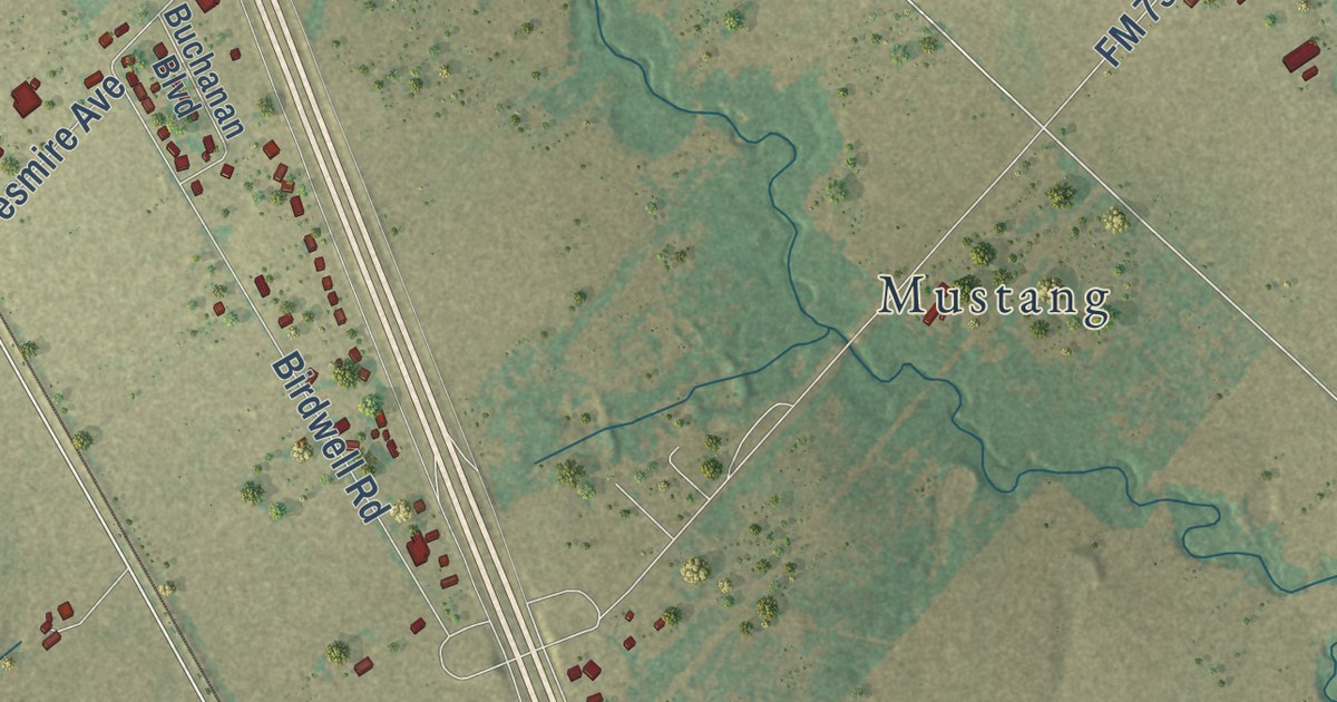
A detailed map of Angus, Texas, showing every building in its true location, the roads by name, and shaded topographical relief.
Read More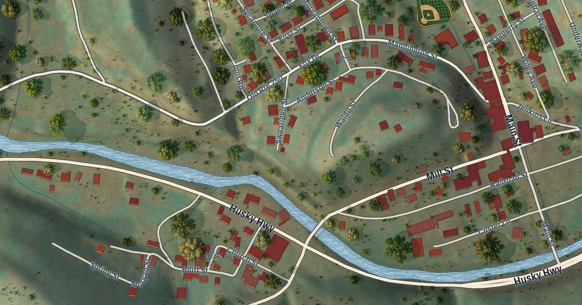
A detailed map of Farmington, West Virginia, showing every building in its true location, the roads by name, and shaded topographical relief.
Read More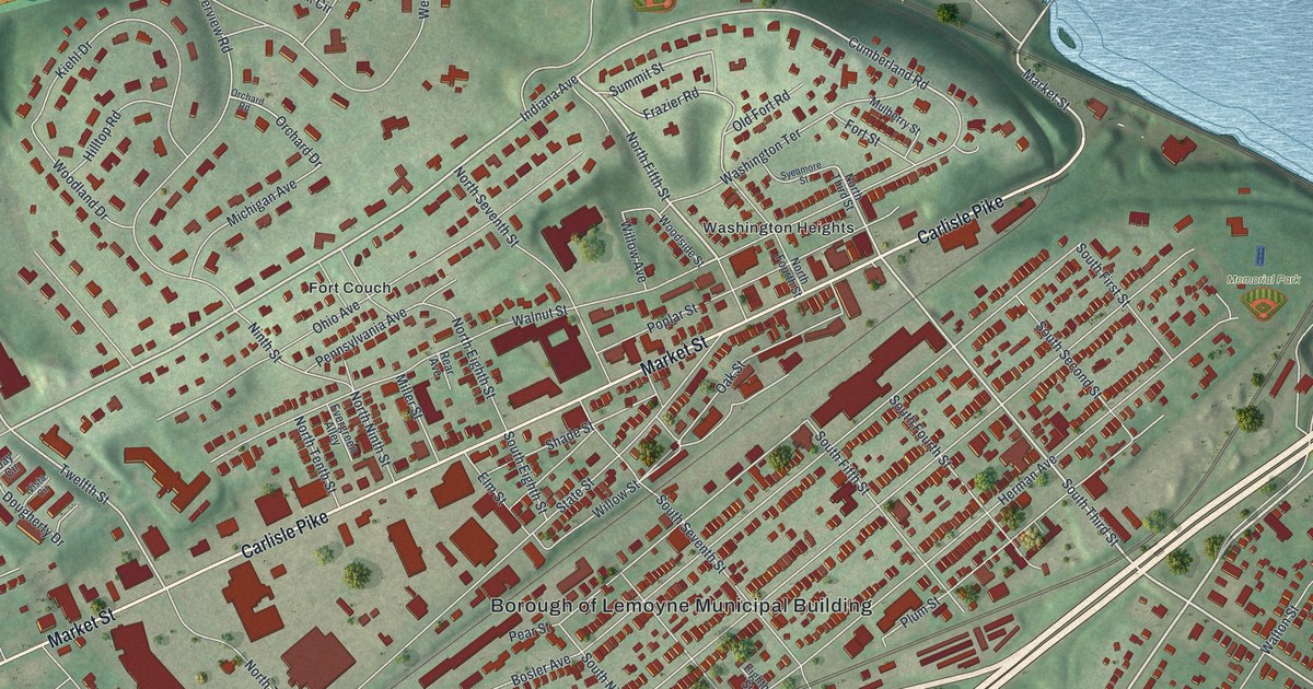
Find Lemoyne’s streets, parks, and hillside blocks in a new aerial map. The printed Fort Couch name recalls defenses built before the battle of Gettysburg.
Read More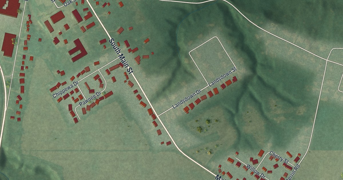
Milan, Ohio is where Thomas Edison was born in 1847, and where the Milan Canal once made the village a busy Great Lakes port. This new 2026 aerial map shows Edison Drive, Church Street, Main Street and the green hills around town.
Read More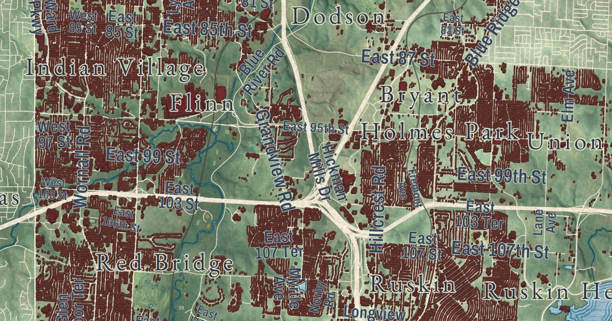
Kansas City was once called the City of Kansas. This new 2026 map shows the whole city in green hills, blue rivers and dark red buildings, with Troost Avenue, The Paseo, Ward Parkway, Westport and Waldo printed by name.
Read More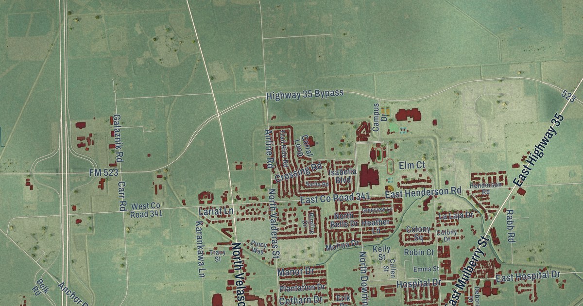
A detailed map of Angleton, Texas, showing every building in its true location, the roads by name, and shaded topographical relief.
Read More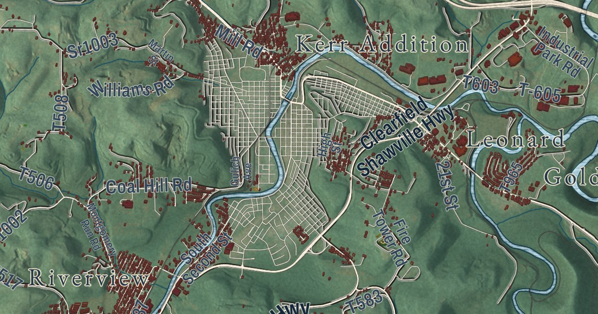
A new aerial map of Lawrence Township in Clearfield County, from Moshannon State Forest to Glen Richey. Find your road, and read about Chinklacamoose, the Indian town that stood here long before the township did.
Read More
A detailed map of Falling Spring, West Virginia, showing every building in its true location, the roads by name, and shaded topographical relief.
Read More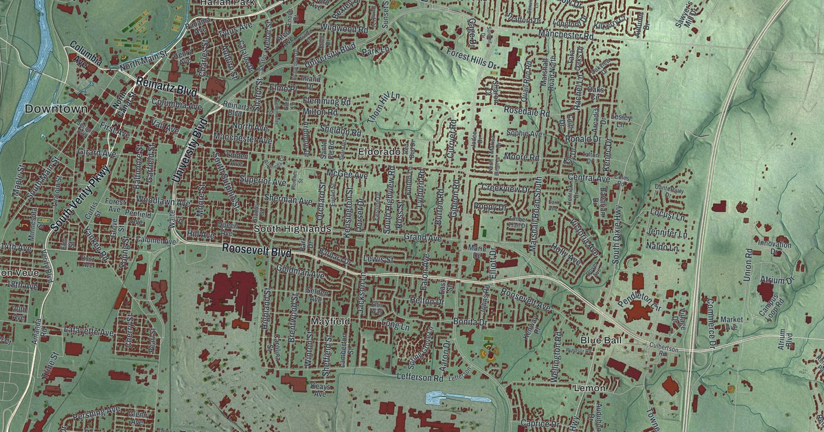
Trace Middletown from Downtown to Blue Ball, then learn how work on the Miami-Erie Canal began here and why its old bed became Verity Parkway.
Read More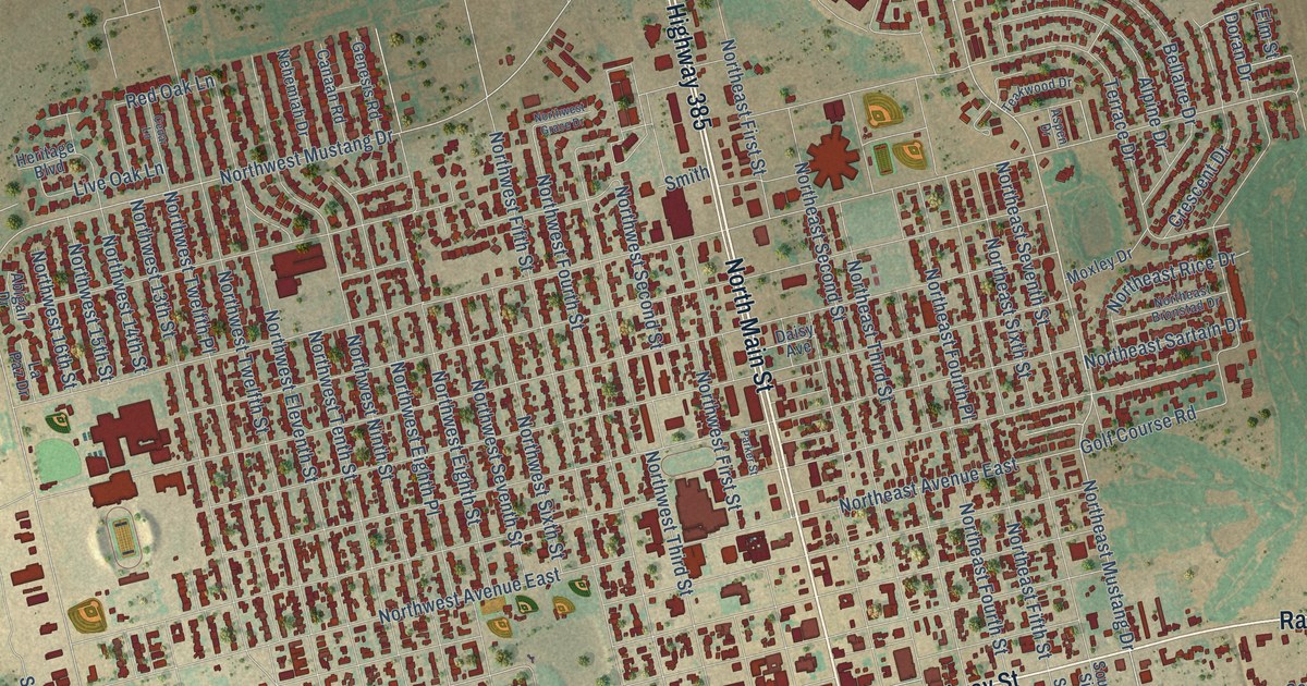
A detailed map of Andrews, Texas, showing every building in its true location, the roads by name, and shaded topographical relief.
Read More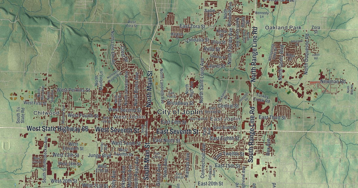
A new aerial view map of Joplin, Missouri, made in 2026. Find South Main Street, North Range Line Road and Redings Mill, and learn how the city’s name goes back to a Methodist minister and his cabin on a creek in 1840.
Read More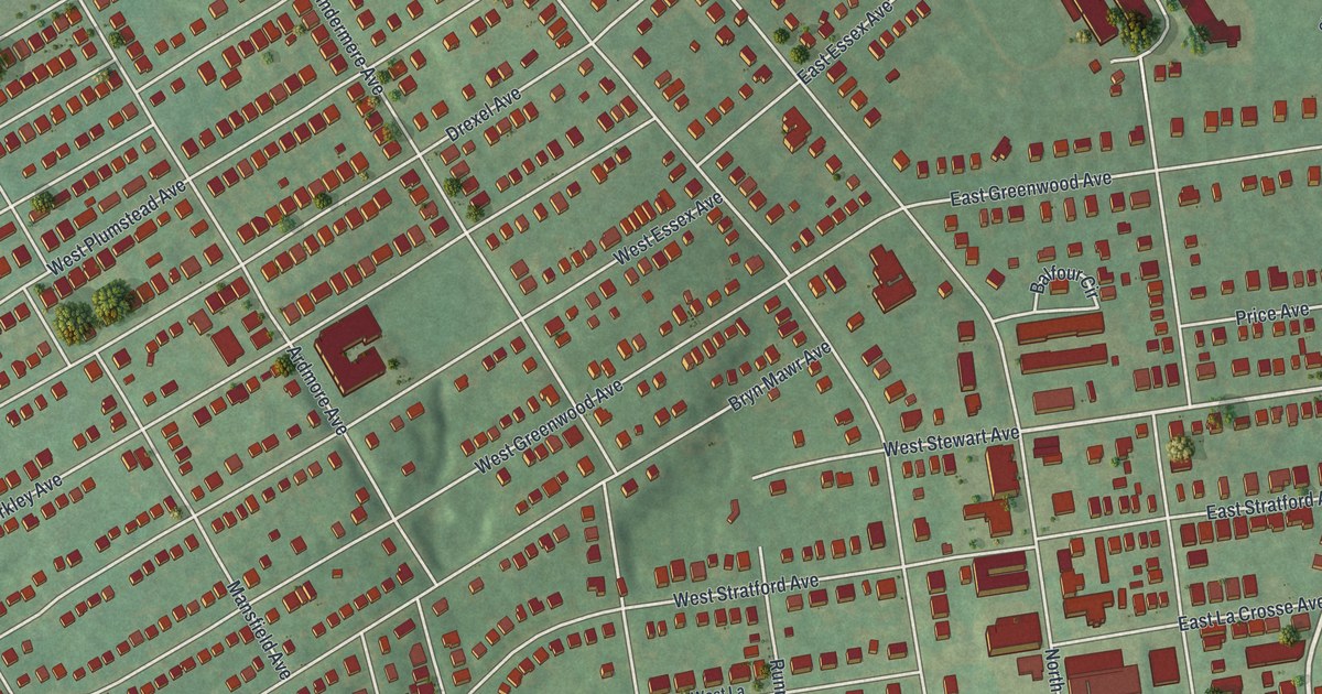
Find familiar Lansdowne streets, parks and red buildings in this modern aerial map. Fairview Avenue links the town to a scholar who changed how the world understood Mayan writing.
Read More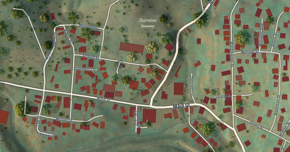
A detailed map of Fairview, West Virginia, showing every building in its true location, the roads by name, and shaded topographical relief.
Read More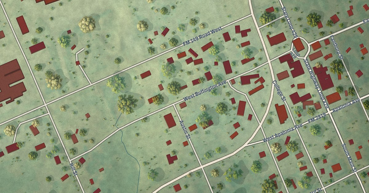
A detailed map of Anderson, Texas, showing every building in its true location, the roads by name, and shaded topographical relief.
Read More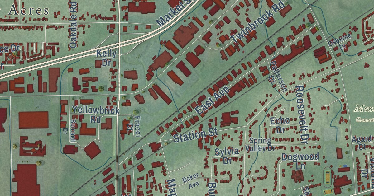
Explore Mentor’s streets and lakeshore on a new aerial map with a vintage feel. Discover the rose growers who once raised about five million plants a year.
Read More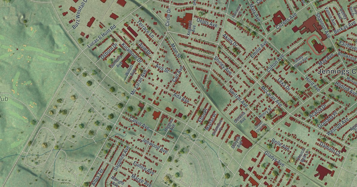
A new aerial map of Jennings in St. Louis County, Missouri, made in 2026. Find West Florissant Avenue, Hord Avenue and Jennings City Hall, and learn about the old Jennings post office and the Seed Carriage House.
Read More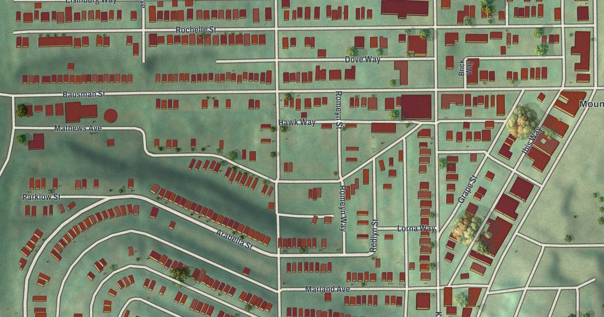
Explore Knoxville’s close-set streets in a new aerial map with a vintage feel. Find Knox Avenue, Mount Oliver and the blocks around Charles Street and Grimes Avenue.
Read More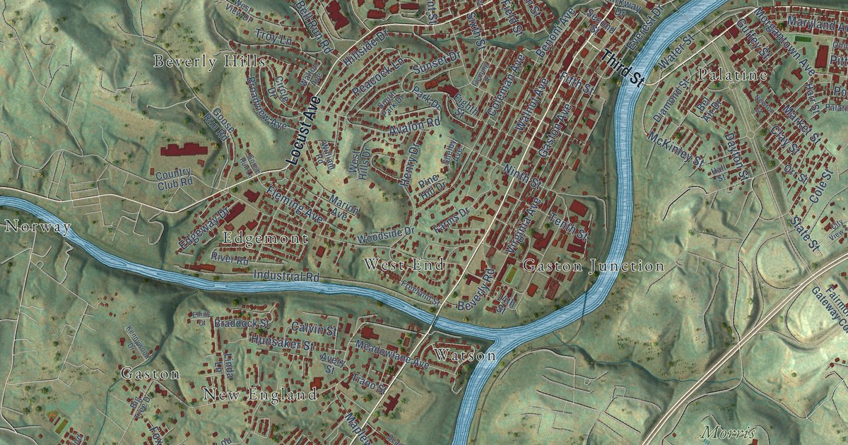
A detailed map of Fairmont, West Virginia, showing every building in its true location, the roads by name, and shaded topographical relief.
Read More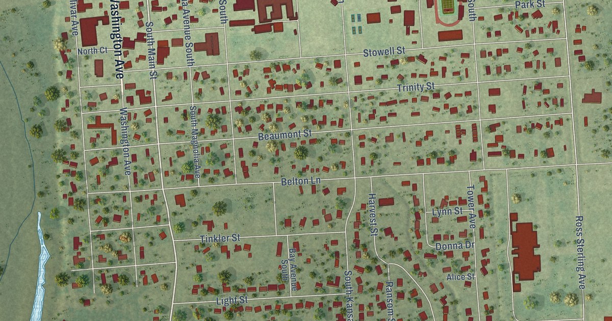
A detailed map of Anahuac, Texas, showing every building in its true location, the roads by name, and shaded topographical relief.
Read More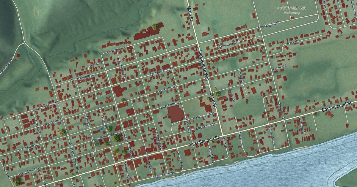
Manchester was founded in 1791 as Massie’s Station, the fourth oldest settlement in Ohio. This new aerial map shows the river town today, from Front Street and Second Street up to Odd Fellows Cemetery and the hills above.
Read More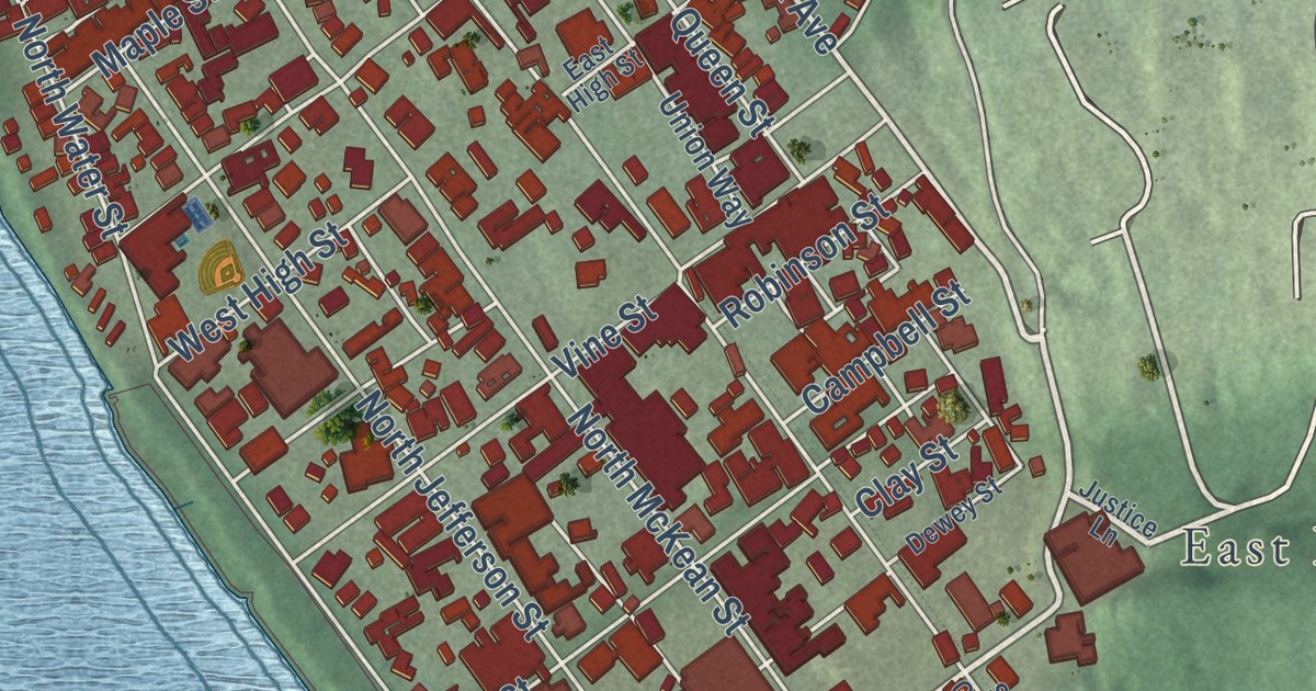
A 2026 aerial map of Kittanning in Armstrong County, Pennsylvania. See Market Street, Wick City and Community Park, and learn how the town’s name comes from the Delaware word for the main stream.
Read More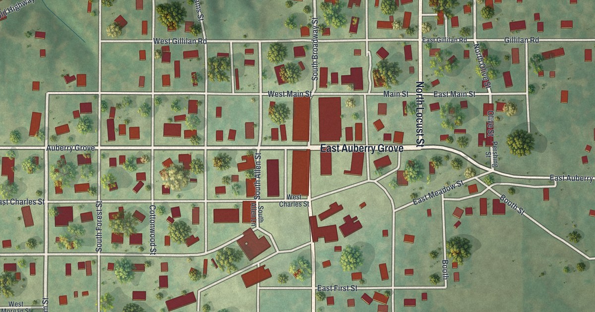
Find Auberry Grove, Main Street and South Broadway Street on a 2026 map of Jamesport, Missouri, and learn about the first school taught in a log cabin on Auberry’s farm.
Read More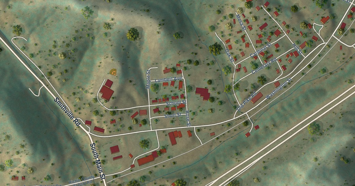
A detailed map of Ellenboro, West Virginia, showing every building in its true location, the roads by name, and shaded topographical relief.
Read More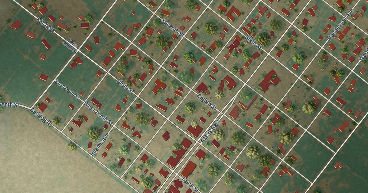
A detailed map of Amherst, Texas, showing every building in its true location, the roads by name, and shaded topographical relief.
Read More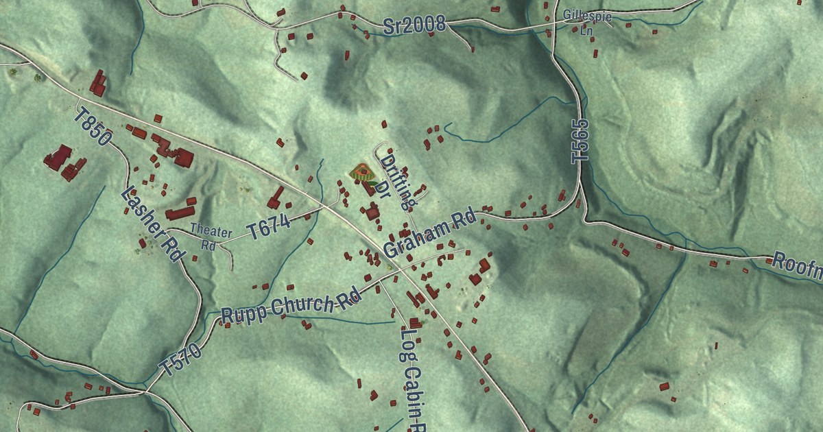
Kittanning Township’s ridges and hollows in a new 2026 aerial map. Find Blanket Hill, McNees, Rockville and Pyrra, and learn how Blanket Hill got its name from the blankets Armstrong’s troops left there in 1756.
Read More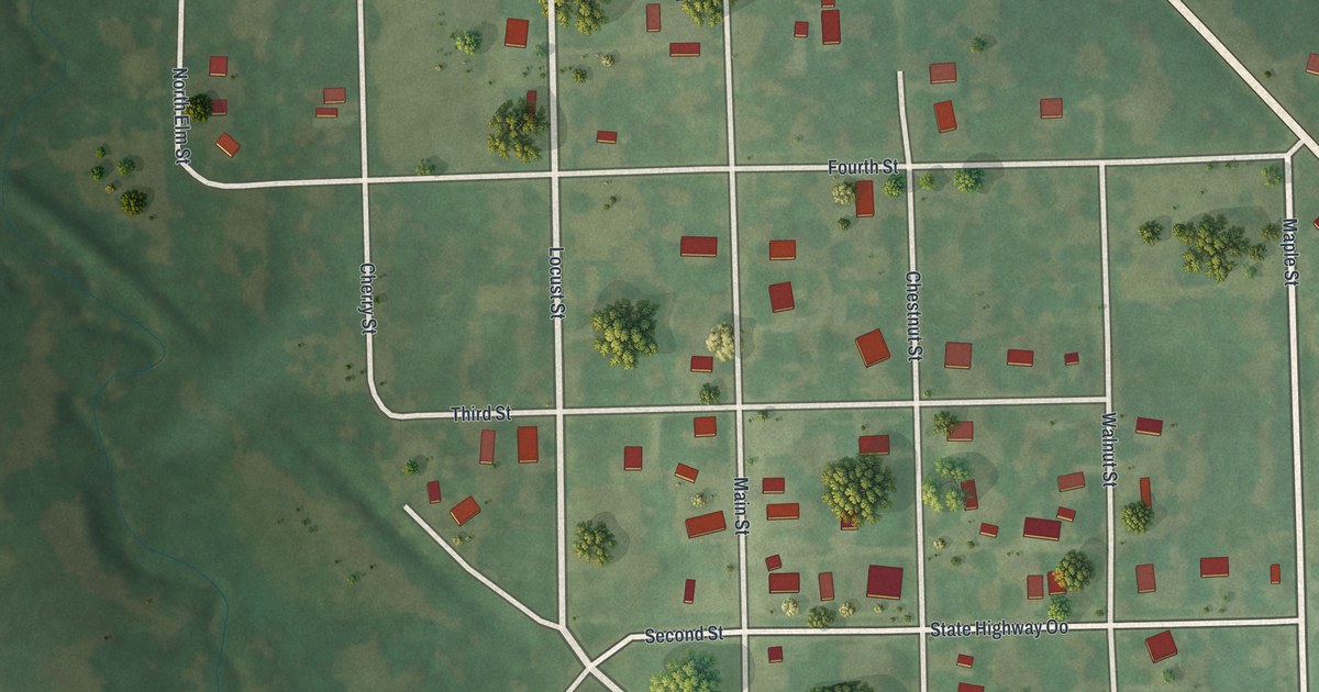
Find Kodiak Road, Locust Street and State Highway OO on this map of Jameson in Daviess County, Missouri, and learn how the railroad reached town in June 1871.
Read More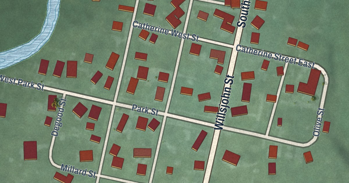
A new aerial map of Magnetic Springs in Union County, Ohio, made in 2026. Find Main Street, Willsjohn Street and Leesburg Township Hall, and learn about the magnetic spring J.E. Newhouse found in 1879.
Read More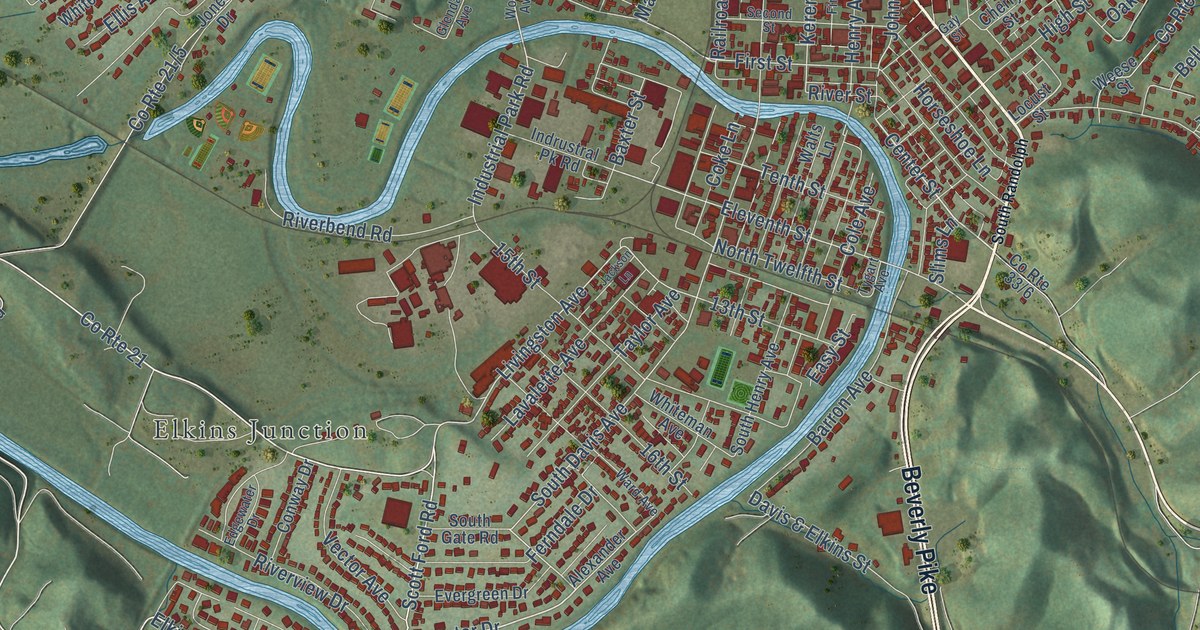
A detailed map of Elkins, West Virginia, showing every building in its true location, the roads by name, and shaded topographical relief.
Read More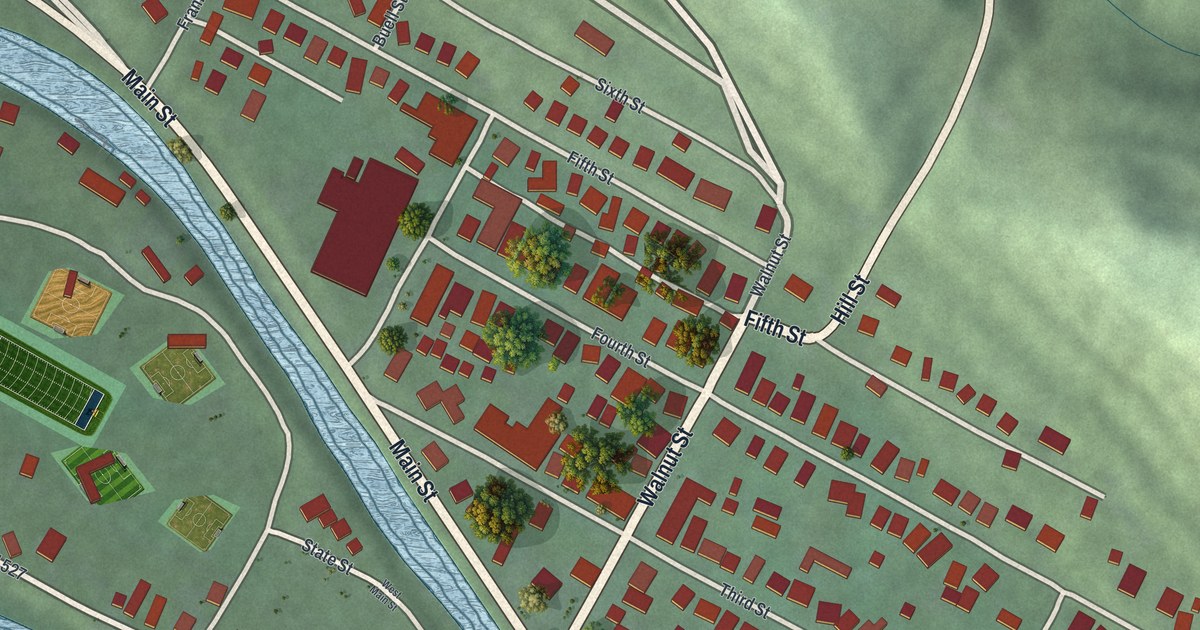
See Lowell’s streets, red buildings and green hills in a new aerial map. Learn how its 1881 covered bridge linked the village to the railroad across the Muskingum.
Read More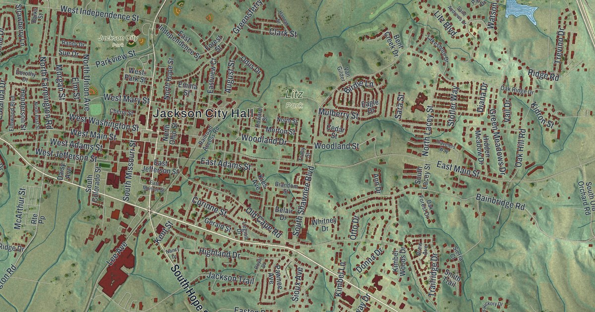
Jackson, Missouri was started in 1815 and named for Andrew Jackson. This new aerial map shows the hills, creeks and red buildings of the town, with East Main Street, Jackson City Hall, Jackson City Park and Litz Park printed by name.
Read More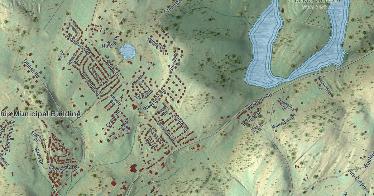
Find Shavertown, Trucksville, and Frances Slocum State Park on a new aerial map of Kingston Township. Green hills, blue water, and red buildings give this 2026 print a vintage feel.
Read More
A detailed map of Ames, Texas, showing every building in its true location, the roads by name, and shaded topographical relief.
Read More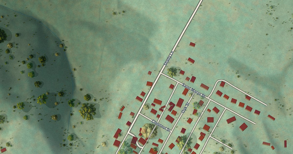
A detailed map of Elk Garden, West Virginia, showing every building in its true location, the roads by name, and shaded topographical relief.
Read More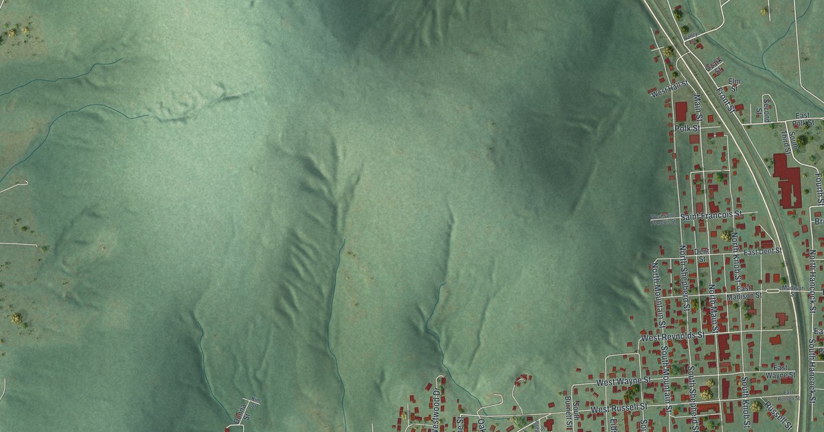
A new aerial map of Ironton, Missouri, made in 2026. See the valley streets, the hills around town and the blue lake by Shepherd Mountain Lake Road. Ironton was settled in 1853 and became the Iron County seat in 1857.
Read More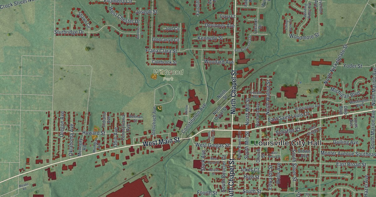
An aerial view of Louisville in Stark County, Ohio, made in 2026. Find East Main Street, Wildwood Park and Louisville City Hall, and read how a 1952 gathering here started a Constitution Day tradition that has been kept every year since.
Read More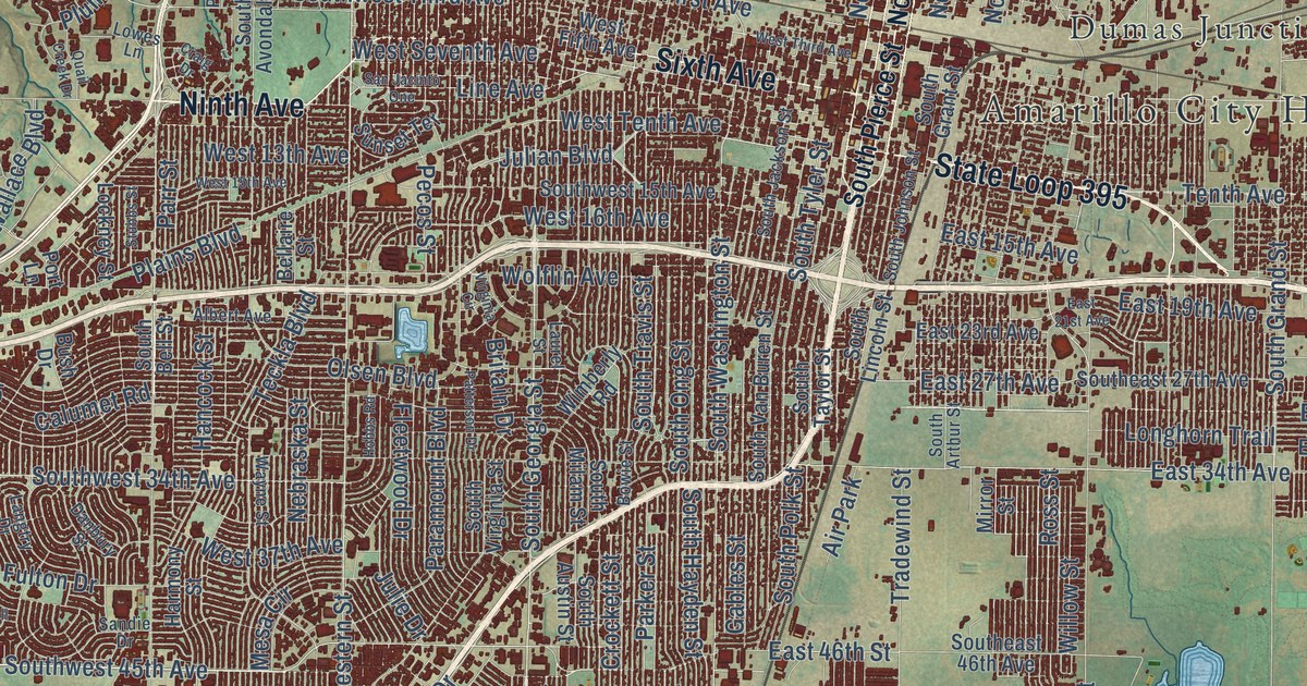
A detailed map of Amarillo, Texas, showing every building in its true location, the roads by name, and shaded topographical relief.
Read More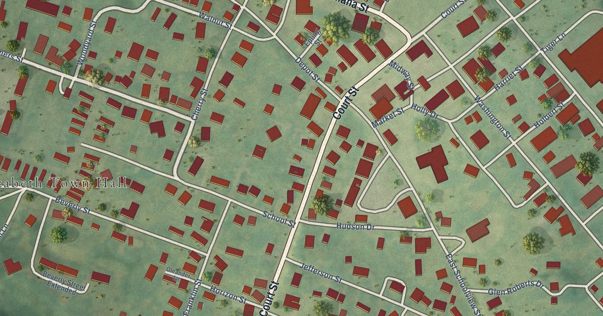
A detailed map of Elizabeth, West Virginia, showing every building in its true location, the roads by name, and shaded topographical relief.
Read More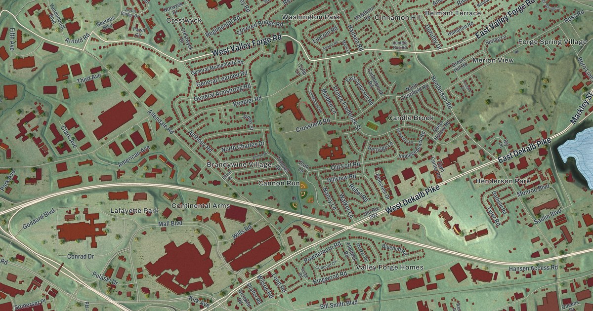
Find familiar King of Prussia streets in a new aerial map with a vintage feel. South Henderson Road also connects to Anna Morris Holstein’s work to preserve Washington’s Headquarters at Valley Forge.
Read More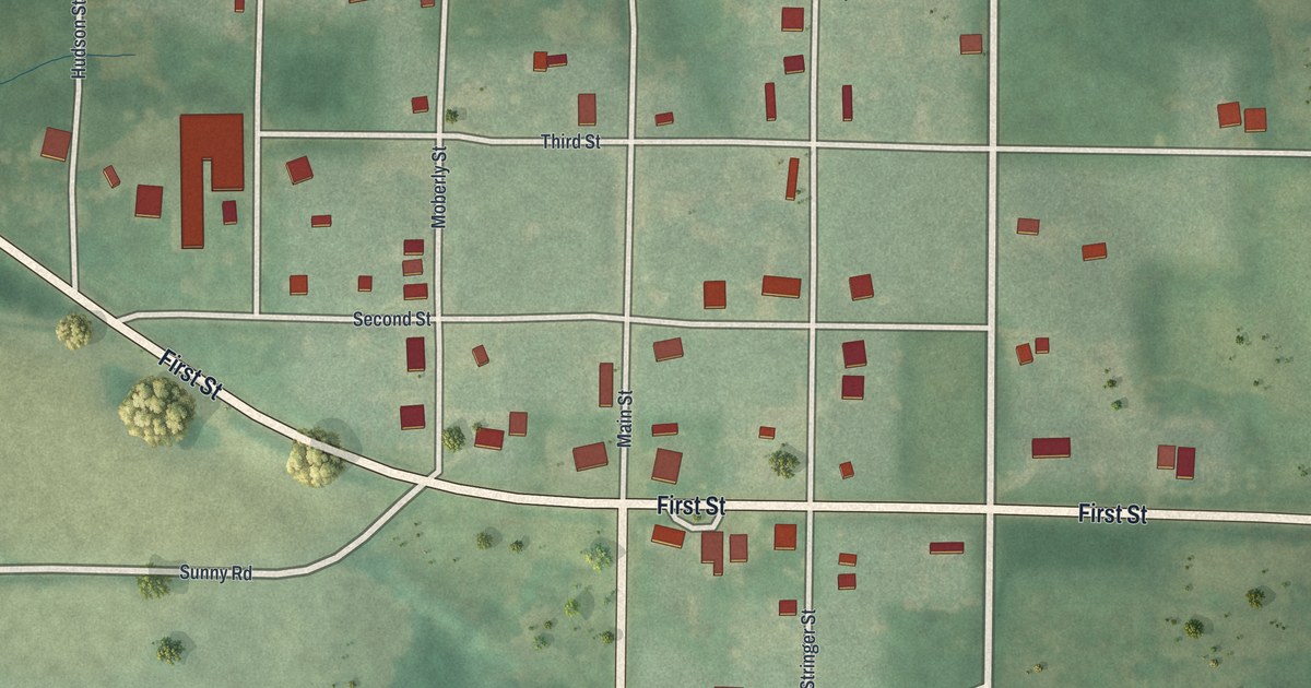
A new aerial view map of Humphreys in Sullivan County, Missouri. Find Main Street, First Street and the village grid, and read how a four months’ school term was taught in the college building in the winter of 1884 and 1885.
Read More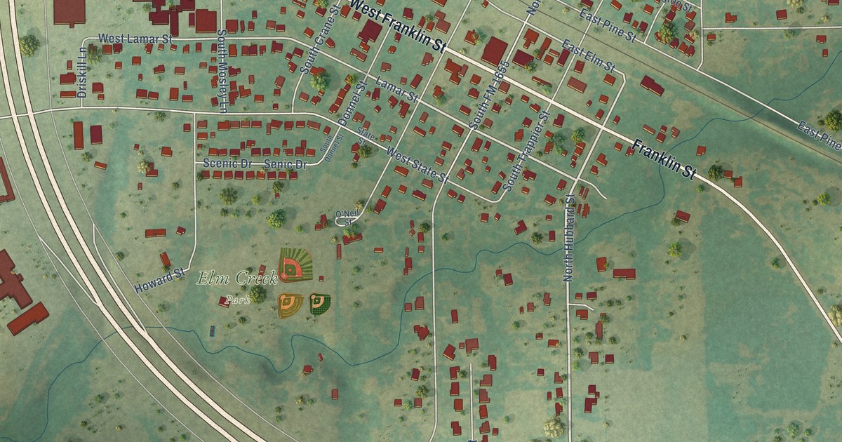
A detailed map of Alvord, Texas, showing every building in its true location, the roads by name, and shaded topographical relief.
Read More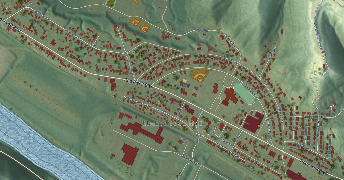
A detailed map of Eleanor, West Virginia, showing every building in its true location, the roads by name, and shaded topographical relief.
Read More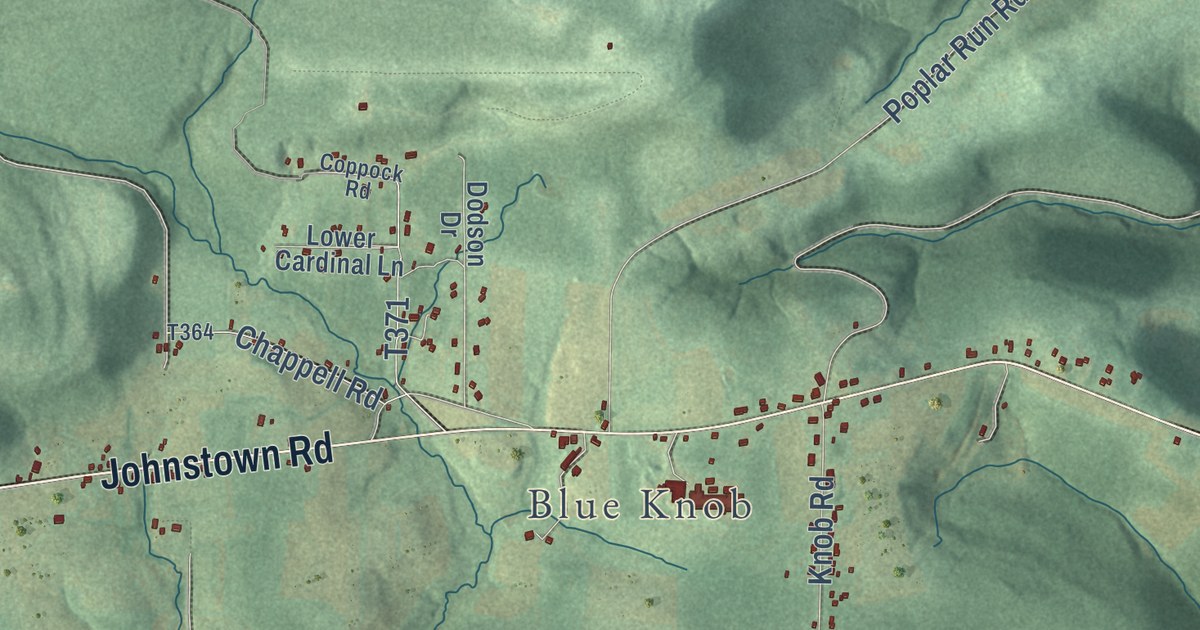
Juniata Township in Blair County, shown as a modern aerial map with a vintage feel. Find Johnstown Road, Old Rte 22 and Blue Knob, and learn about Plane No. 6 of the Portage Railroad and Gallitzin Spring.
Read More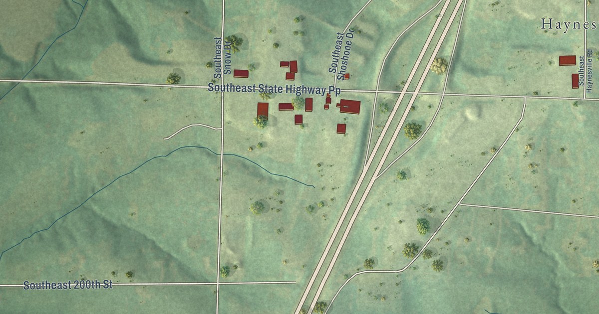
Holt was laid out in 1867 on land owned by Uncle Jerry Holt. This new aerial map of Holt in Clay County, Missouri shows Main Street, Cleveland Street, Haynesville and the green hills all around.
Read More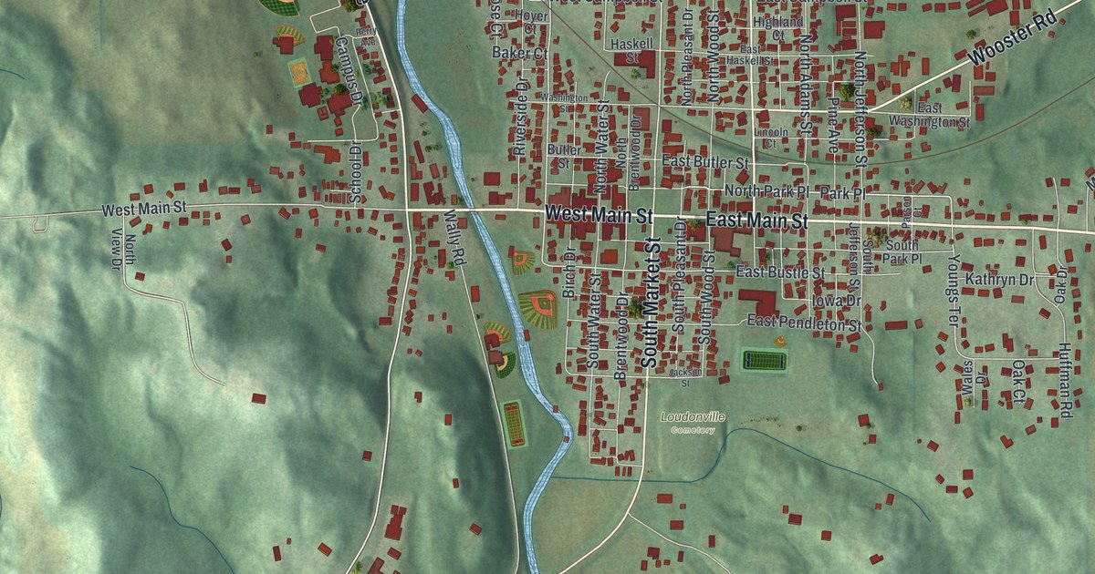
See Loudonville’s streets, red buildings, and green hills in a new aerial map. Read about the mill built in 1818, then find East Main Street and Mohican Memorial State Forest in the preview.
Read More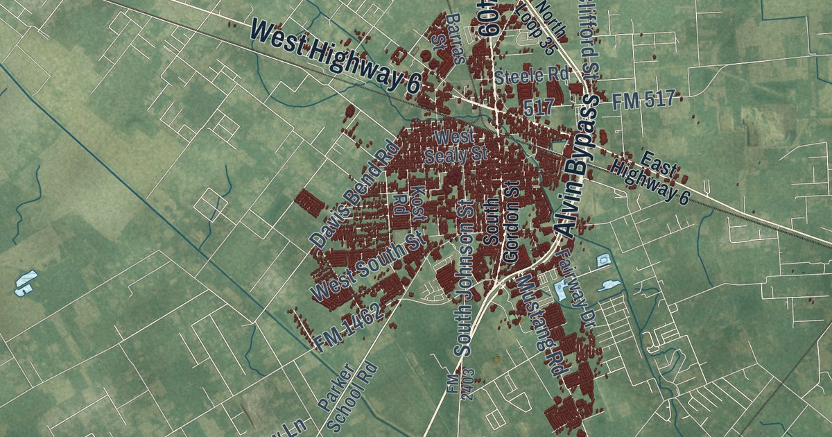
A detailed map of Alvin, Texas, showing every building in its true location, the roads by name, and shaded topographical relief.
Read More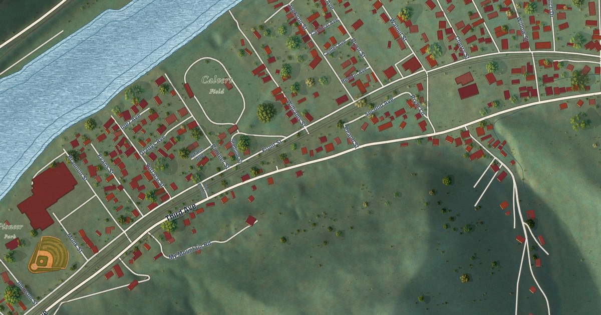
A detailed map of East Bank, West Virginia, showing every building in its true location, the roads by name, and shaded topographical relief.
Read More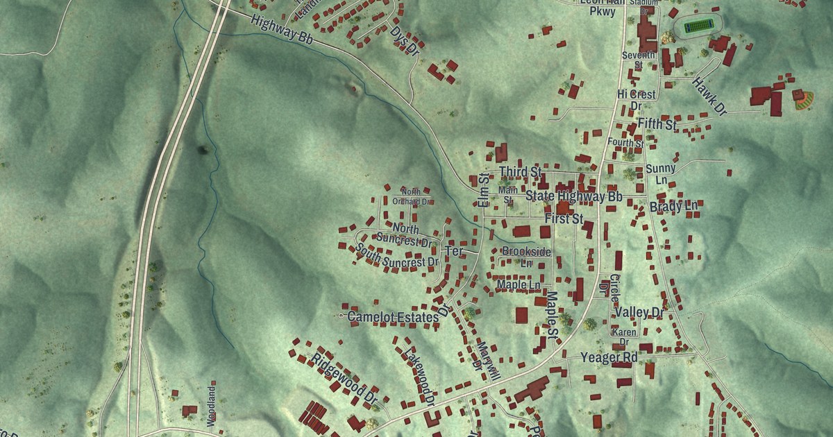
Hillsboro was first called Menticello, then renamed for the hill just south of town. This new 2026 map shows those hills in shaded relief, with Main Street, Elm Street, Old Highway 21 and the town’s buildings in red.
Read More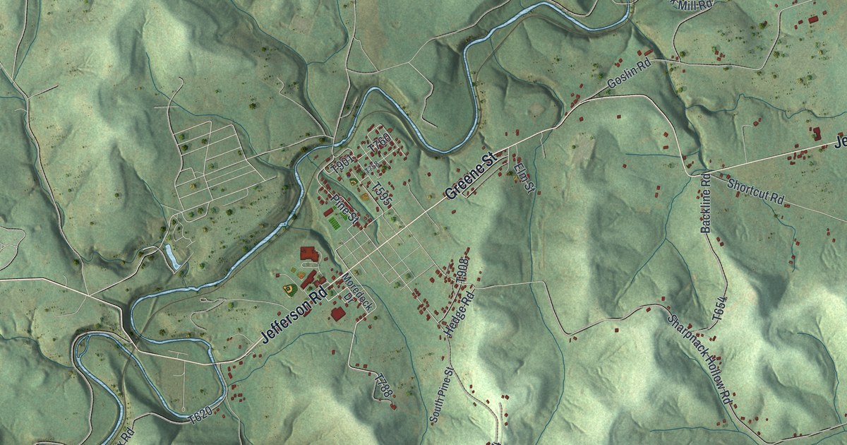
Explore Jefferson Township’s green hills, winding streams, and familiar roads on a new map. Find Dry Tavern and Pitt Gas, then read about the early homes and mill at Jefferson.
Read More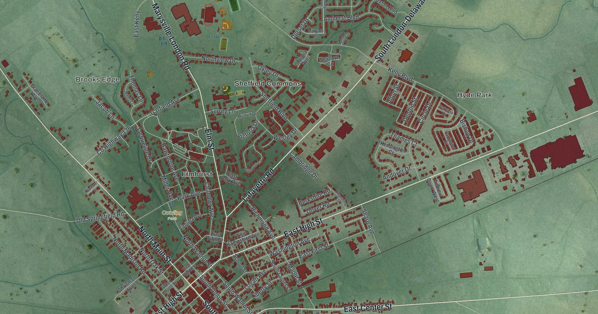
See London’s streets and neighborhoods in a new aerial map with a vintage feel. Find familiar blocks and read about the county seat’s early court session in 1811.
Read More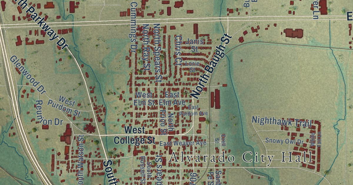
A detailed map of Alvarado, Texas, showing every building in its true location, the roads by name, and shaded topographical relief.
Read More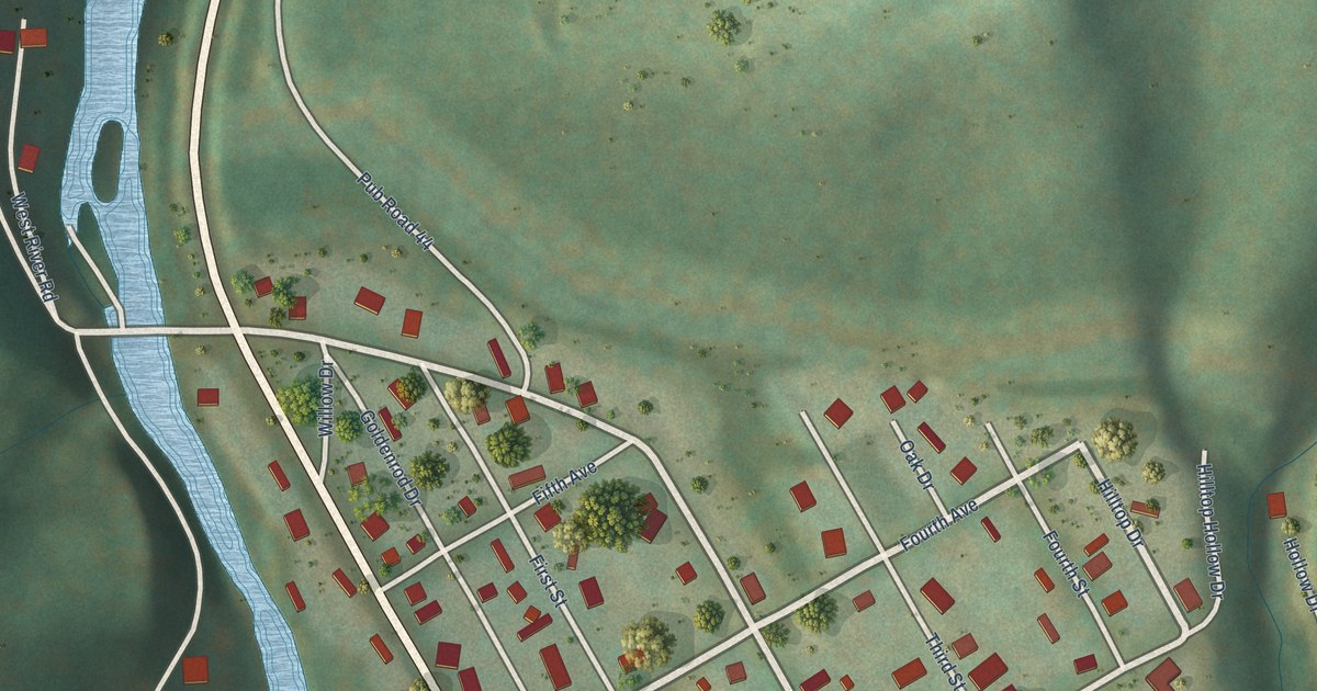
A detailed map of Durbin, West Virginia, showing every building in its true location, the roads by name, and shaded topographical relief.
Read More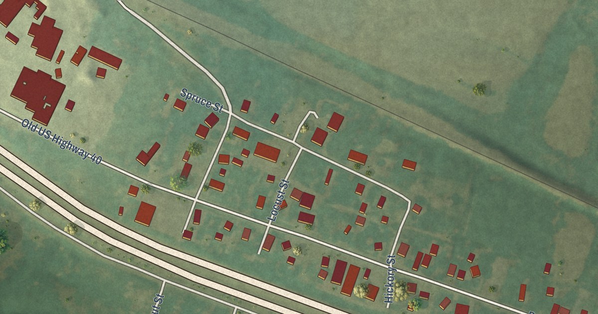
High Hill’s name came with a post office moved in 1853. Explore its story and a new aerial map showing Booneslick Road, familiar streets, and the green land around town.
Read More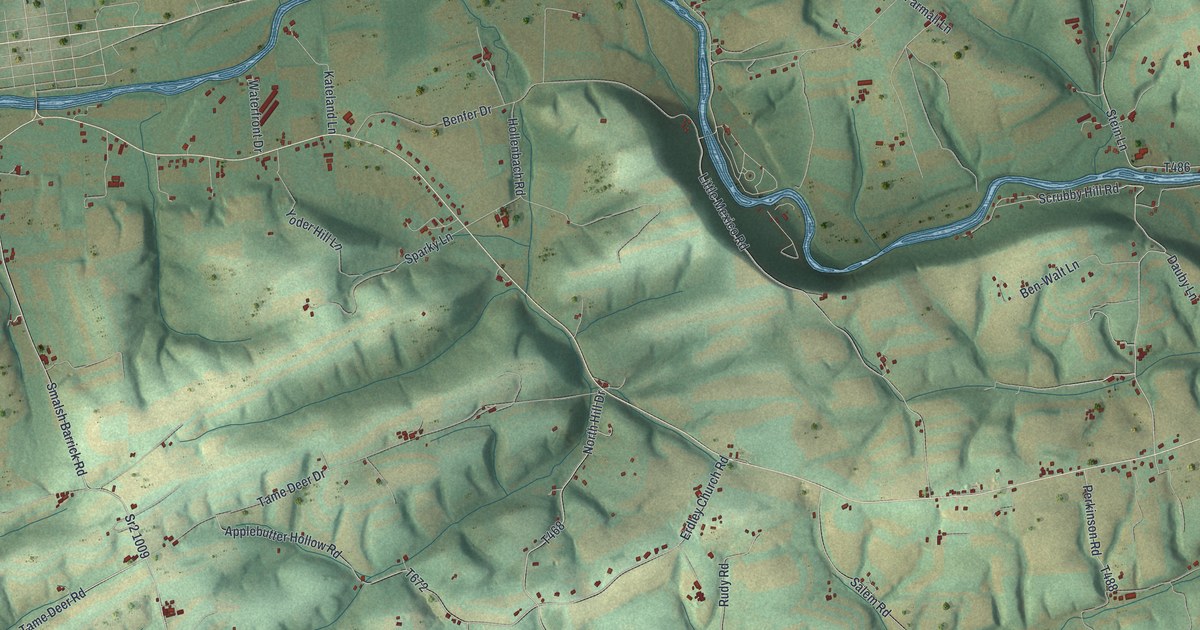
See Jackson Township in Snyder County through its green hills, blue waterways, and familiar roads. Find Kratzerville and learn about a village doctor recorded in the 1886 county history.
Read More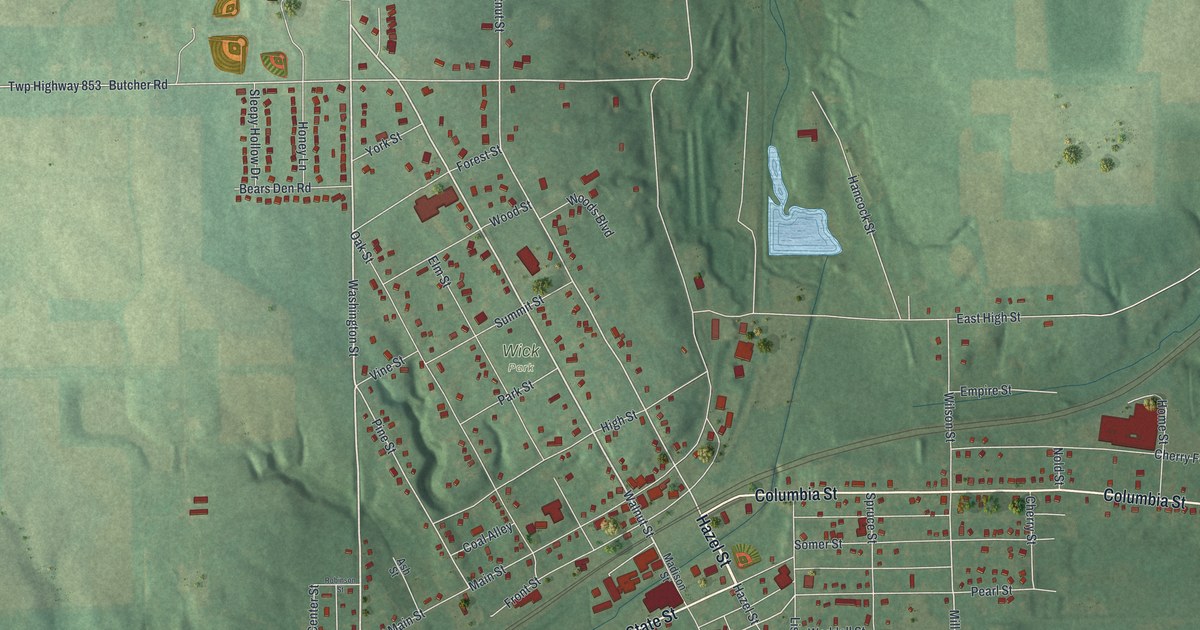
Find familiar Leetonia streets on a new aerial map with a vintage feel. Read how 200 beehive ovens turned coal into fuel for the town’s iron furnaces.
Read More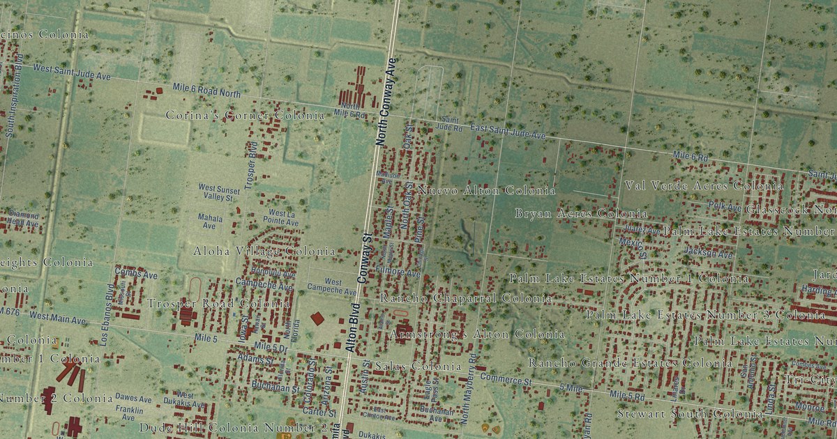
A detailed map of Alton, Texas, showing every building in its true location, the roads by name, and shaded topographical relief.
Read More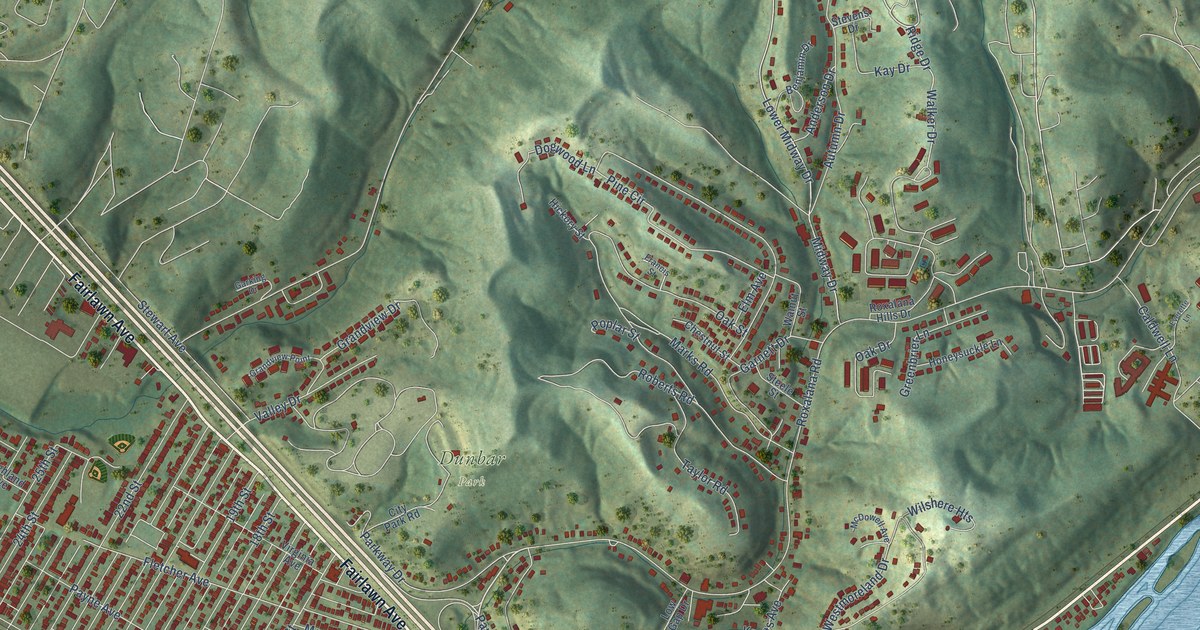
A detailed map of Dunbar, West Virginia, showing every building in its true location, the roads by name, and shaded topographical relief.
Read More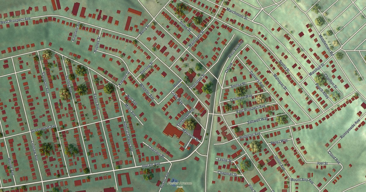
Find Ingram Avenue, Steuben Street, and Foster Avenue park on a new aerial map of Ingram. Red buildings and green hills bring the town’s blocks into one view.
Read More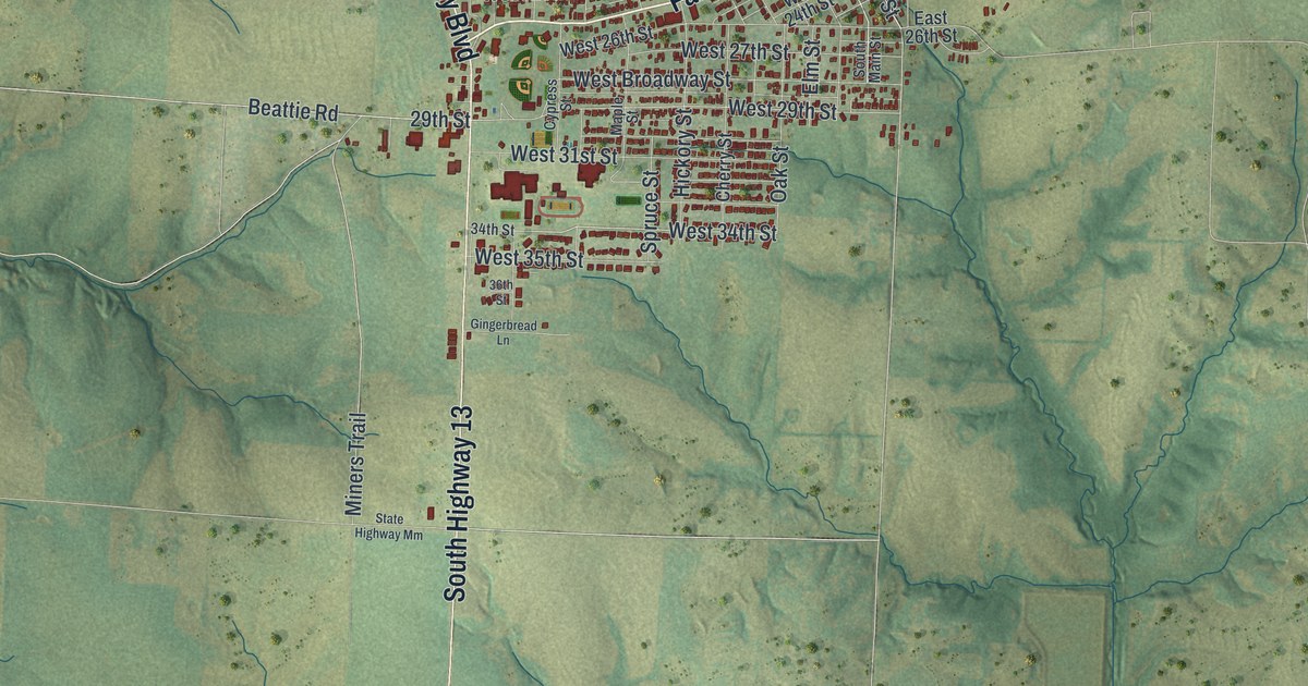
Find Higginsville’s familiar streets in a modern aerial map with a vintage feel, then meet a small piece of its past: one contractor built the town’s first two churches.
Read More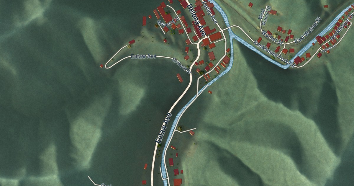
A detailed map of Delbarton, West Virginia, showing every building in its true location, the roads by name, and shaded topographical relief.
Read More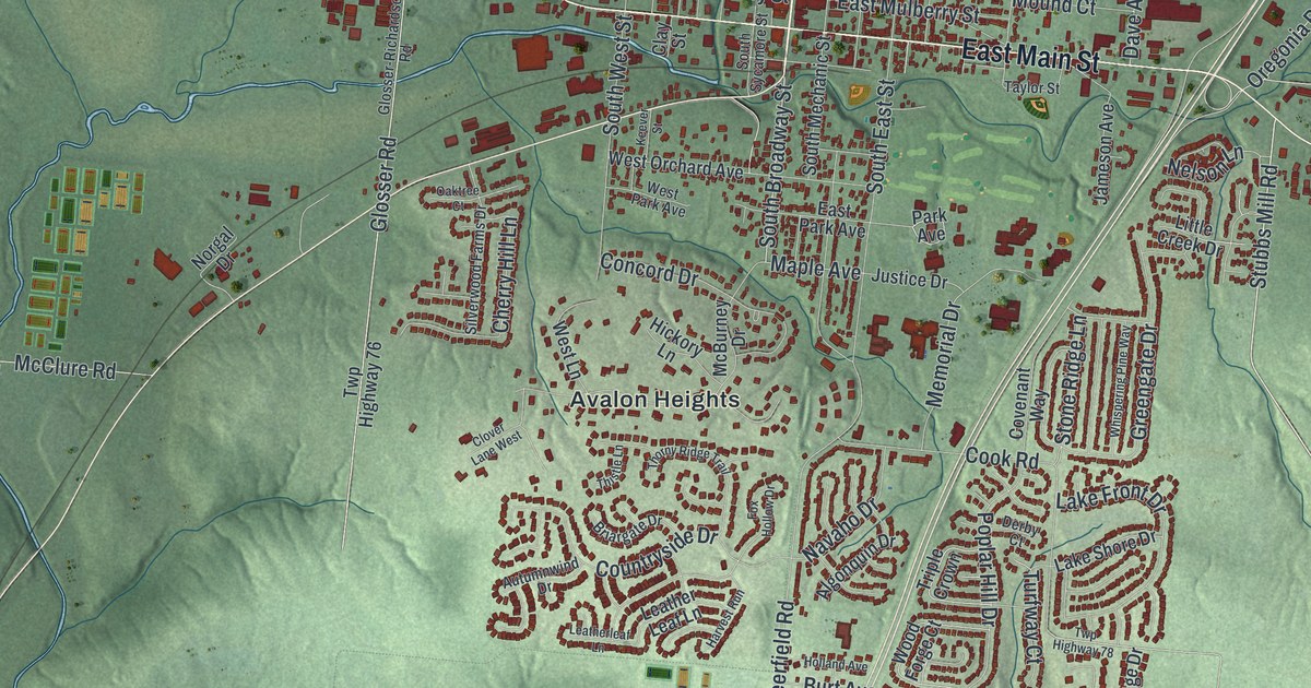
See Lebanon’s familiar streets, red buildings, and green hills in a new aerial map. West Main Street connects the view to Tom Corwin, Ohio’s Wagon Boy governor.
Read More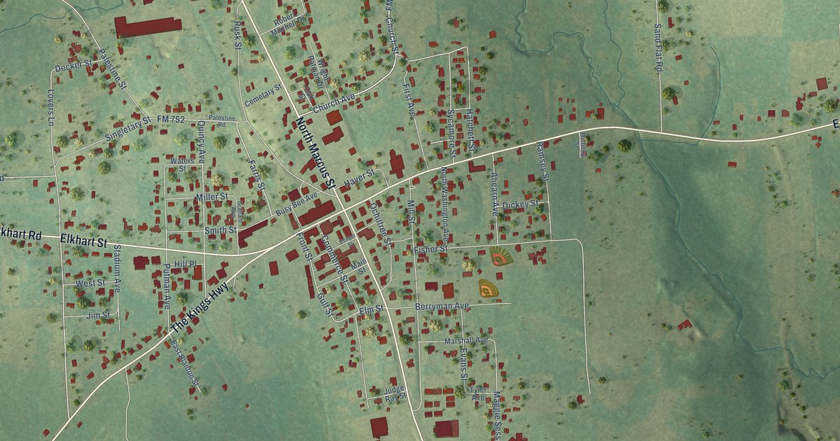
A detailed map of Alto, Texas, showing every building in its true location, the roads by name, and shaded topographical relief.
Read More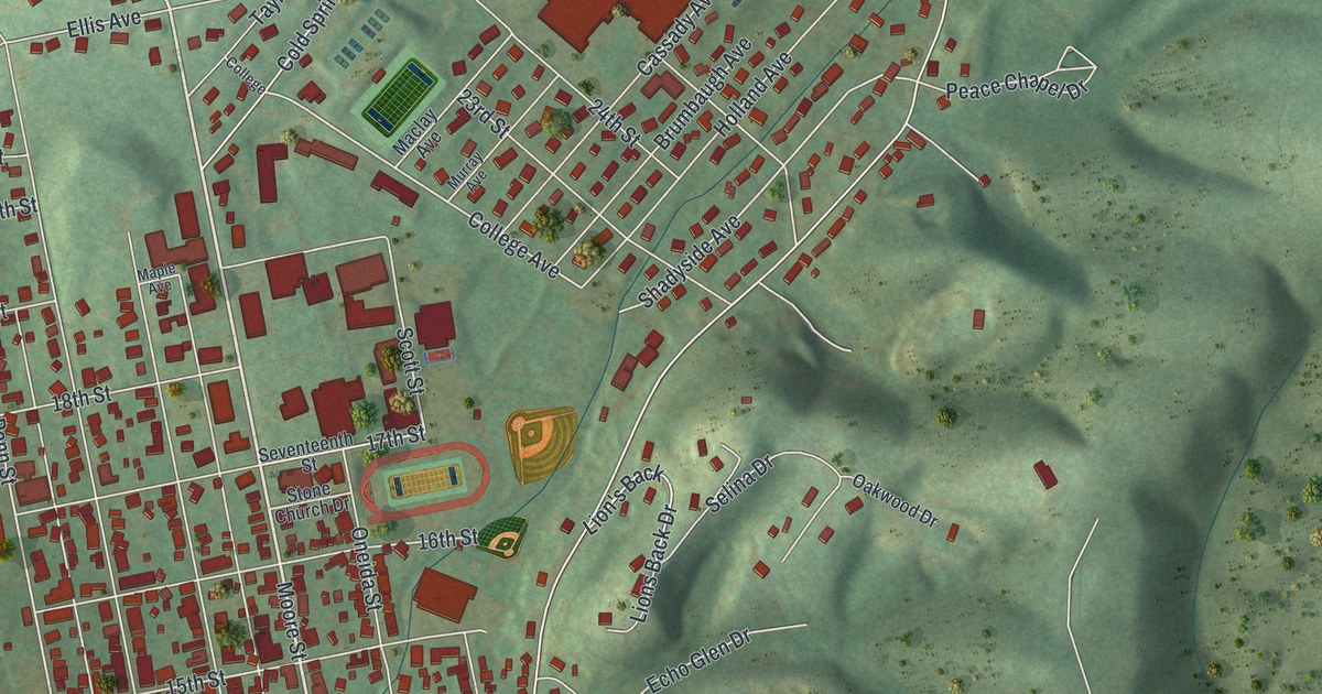
Find familiar Huntingdon streets in a modern aerial map with a vintage feel. The Standing Stone name appears in a 1760 land deed and still shows on the map.
Read More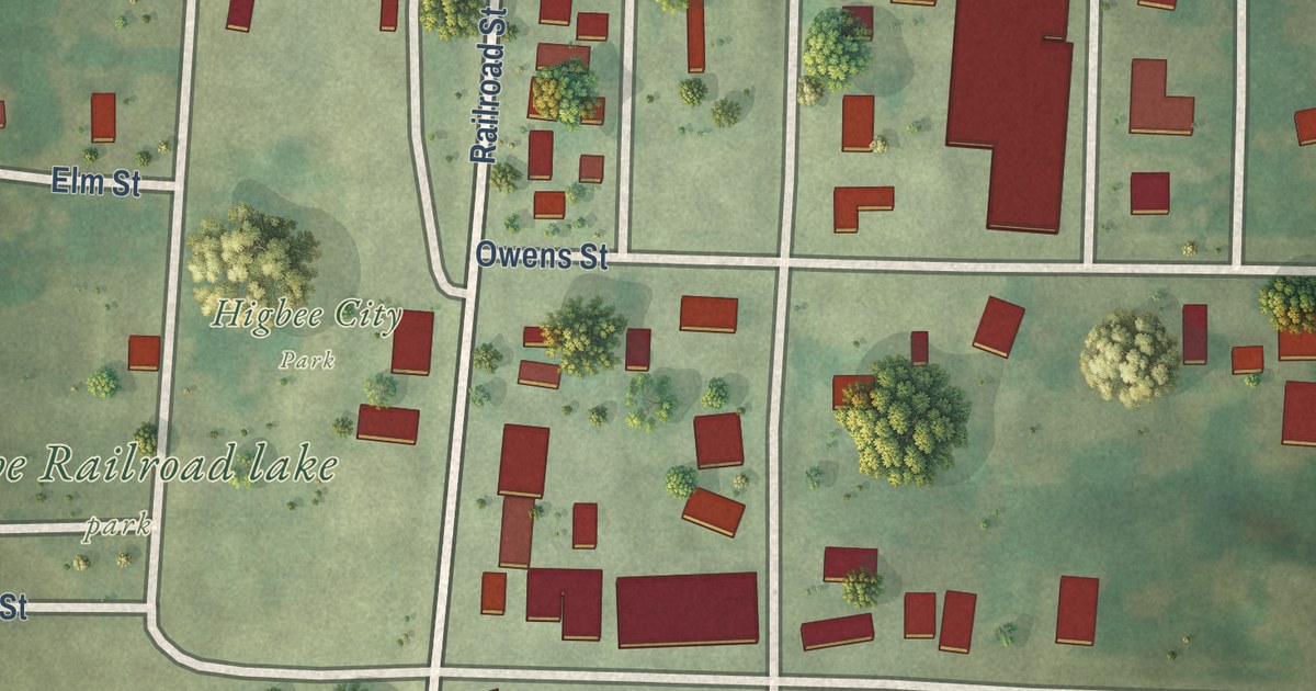
Higbee, Missouri began as a railroad depot on Edward Owens’ land. This 2026 aerial map of the Randolph County town shows Owens Street, Burton Street, Higbee City Park and the blocks around them.
Read More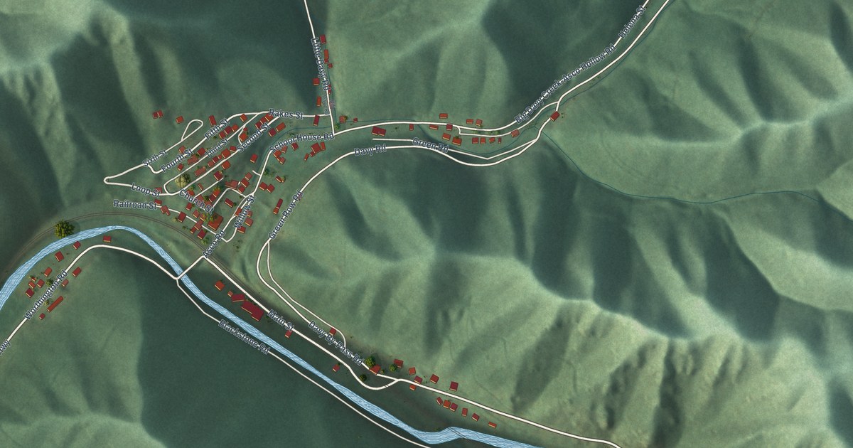
A detailed map of Davy, West Virginia, showing every building in its true location, the roads by name, and shaded topographical relief.
Read More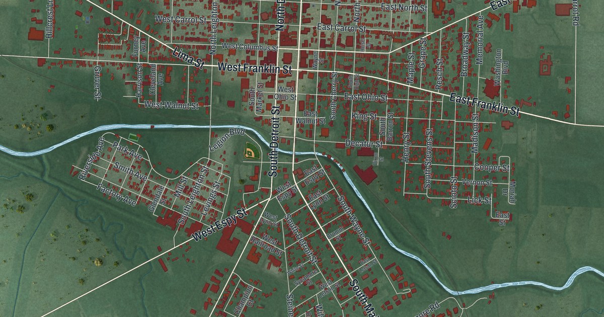
A new 2026 aerial view map of Kenton in Hardin County, Ohio. Find North Main Street, West Espy Street and Saulisberry Park, and read how Kenton Hardware became one of the world’s largest cast iron toy factories.
Read More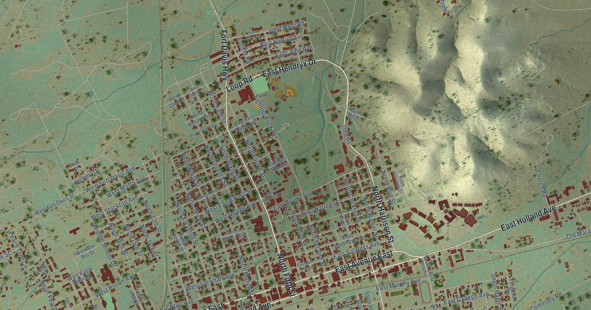
A detailed map of Alpine, Texas, showing every building in its true location, the roads by name, and shaded topographical relief.
Read More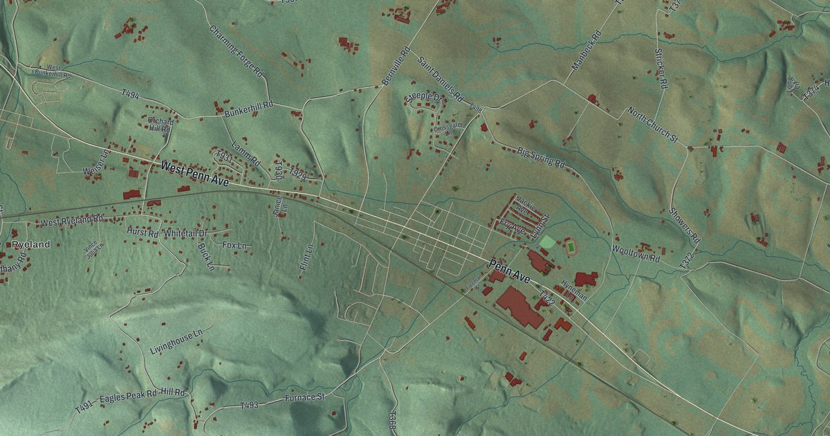
Explore Heidelberg in Berks County through a new aerial map with a vintage feel. Find Ryeland, Charming Forge and familiar roads, then learn about Conrad Weiser’s home and grave.
Read More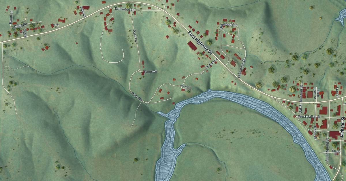
A new aerial map of Hermitage in Hickory County, Missouri. Find Jackson Street, East Highway 54 and West Dallas Street, and learn how the county’s first seat of justice was a tree stump in Hermitage.
Read More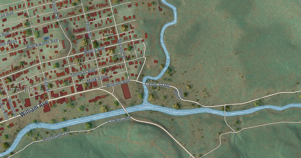
A detailed map of Davis, West Virginia, showing every building in its true location, the roads by name, and shaded topographical relief.
Read More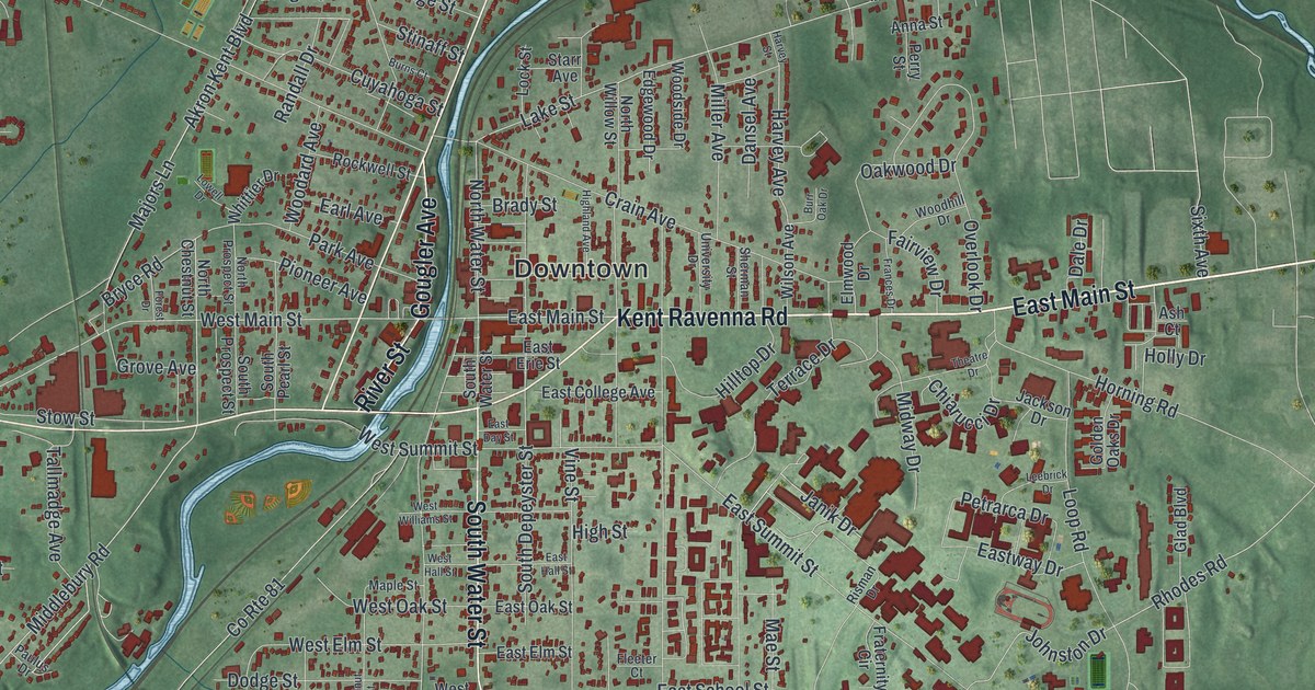
A modern aerial map of Kent in Portage County, Ohio, with a vintage look. Find Downtown, East Main Street and Midway Drive, read the story told on the Kent State marker from May 1970, and see the old buildings of Main Street and Gougler Avenue.
Read More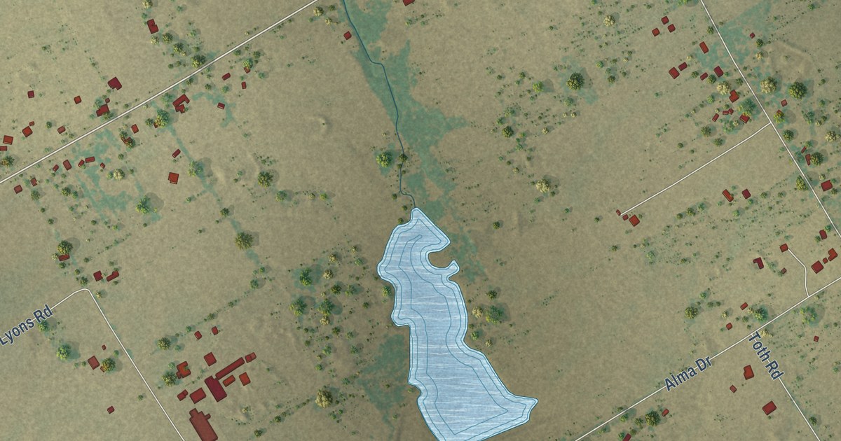
A detailed map of Alma, Texas, showing every building in its true location, the roads by name, and shaded topographical relief.
Read More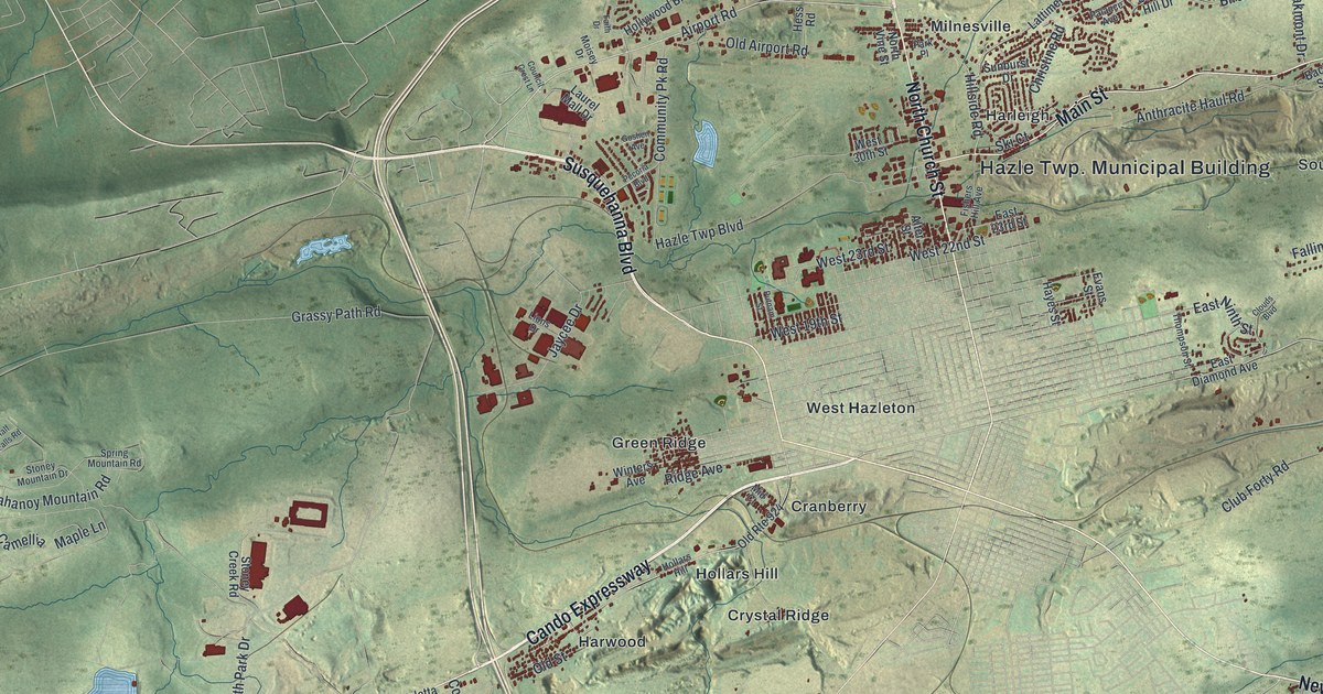
Hazle Township’s coal villages, from Drifton and Japan to Jeansville and Beaver Brook, on a modern aerial map with a vintage feel. Find your street and learn the story of the 1897 march from Harwood to Lattimer.
Read More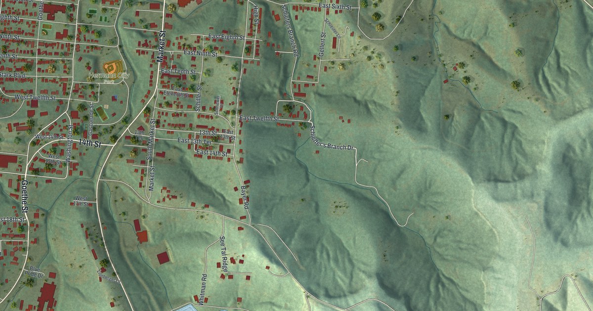
See Hermann’s river, hills, and familiar streets in a new aerial map with a vintage feel. Learn how a German settlement group chose the town’s name.
Read More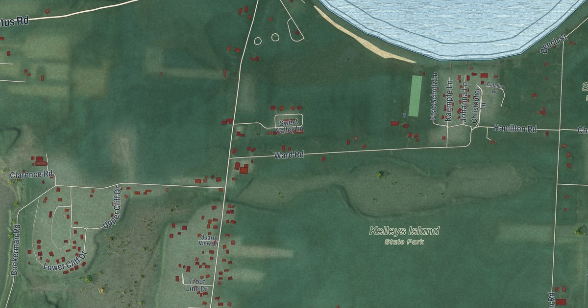
A new aerial view of Kelleys Island in Erie County, Ohio. Find Division Street, West Lakeshore Drive and Kelleys Island State Park, and learn about the Island House, a 102-room hotel built in 1873 on the spot where Datus and Sara Kelley built their home in 1843.
Read More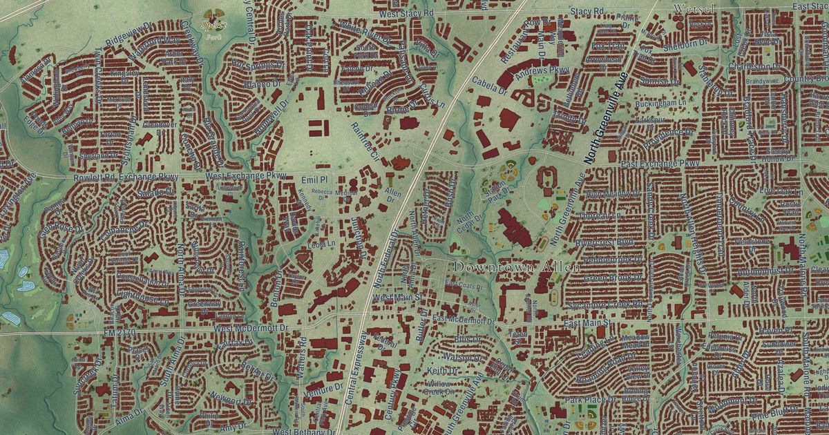
A detailed map of Allen, Texas, showing every building in its true location, the roads by name, and shaded topographical relief.
Read More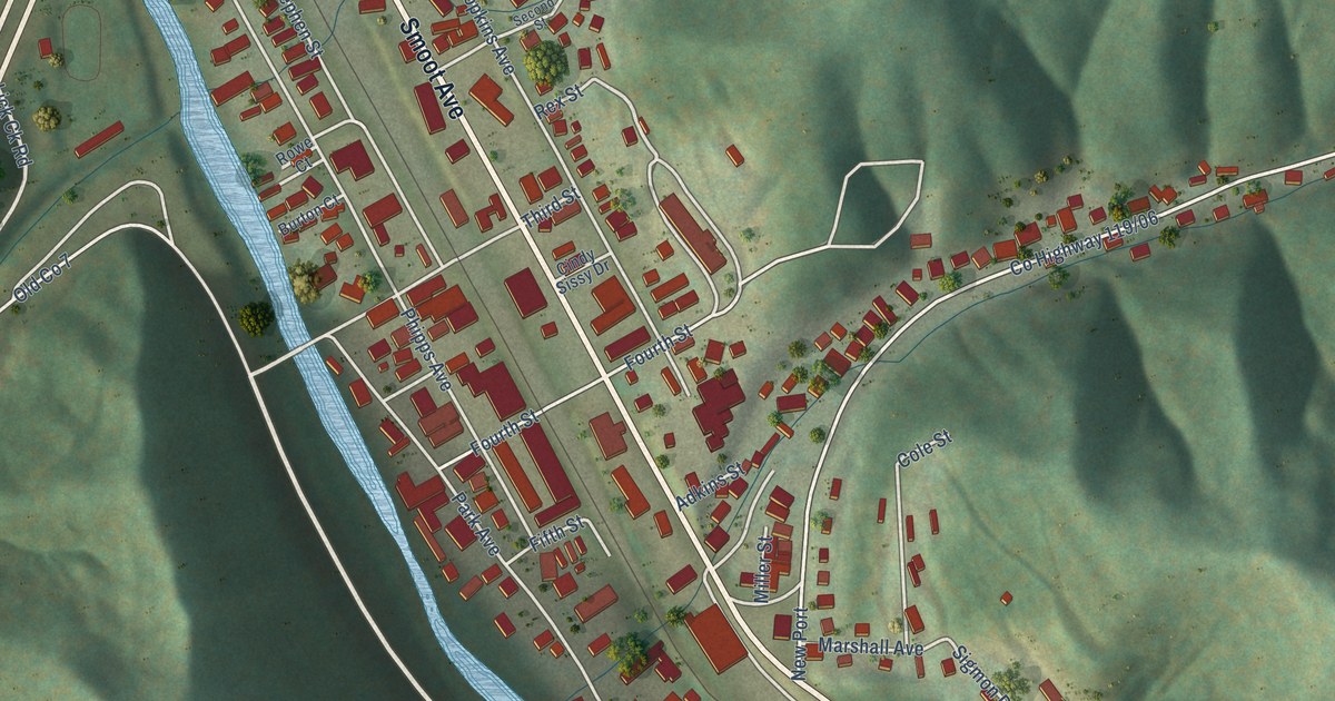
A detailed map of Danville, West Virginia, showing every building in its true location, the roads by name, and shaded topographical relief.
Read More















