Detailed Map of Hays, Pennsylvania
Explore Hays Woods, Glenwood Bridge, and the streets between green hills on a new aerial map of Hays, Pennsylvania, with a vintage feel.
Read More
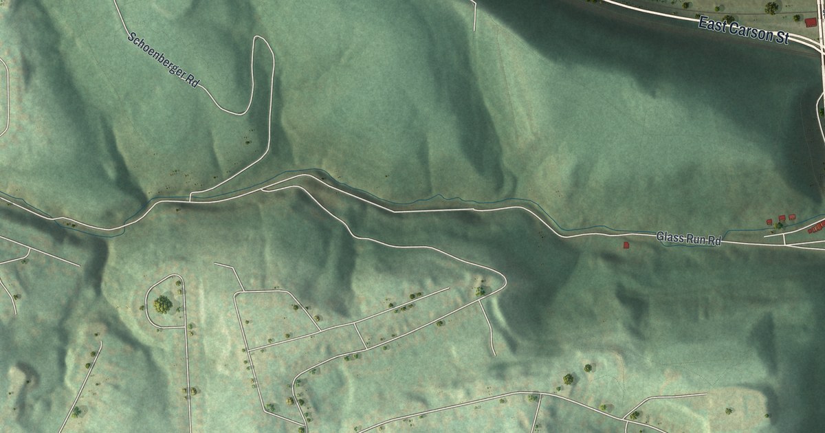
Explore Hays Woods, Glenwood Bridge, and the streets between green hills on a new aerial map of Hays, Pennsylvania, with a vintage feel.
Read More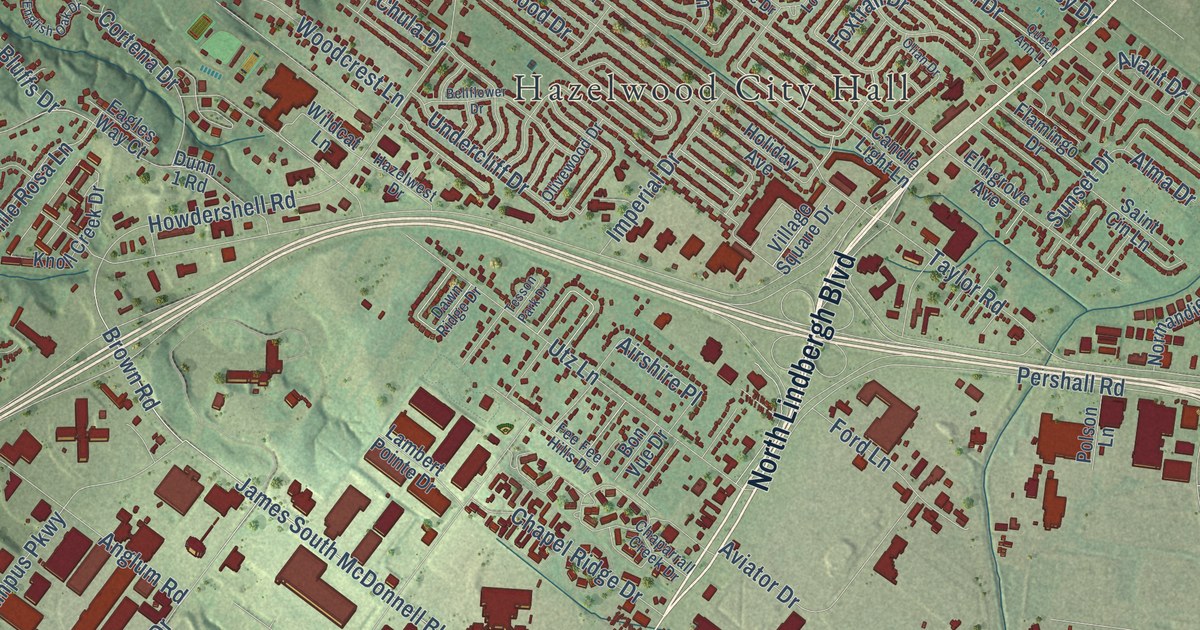
Find familiar Hazelwood streets in a modern aerial view with a vintage feel. Red buildings, green land and a broad blue river share the print with Hazelwood City Hall and Robertson.
Read More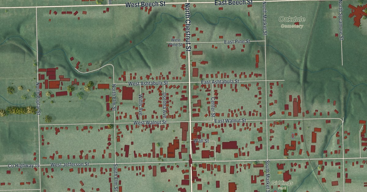
A modern aerial map of Jefferson in Ashtabula County, Ohio, with a vintage feel. Find Chestnut Street, Giddings Park and Oakdale Cemetery, and read about Joshua Reed Giddings, the anti-slavery congressman whose law office sits on East Jefferson Street.
Read More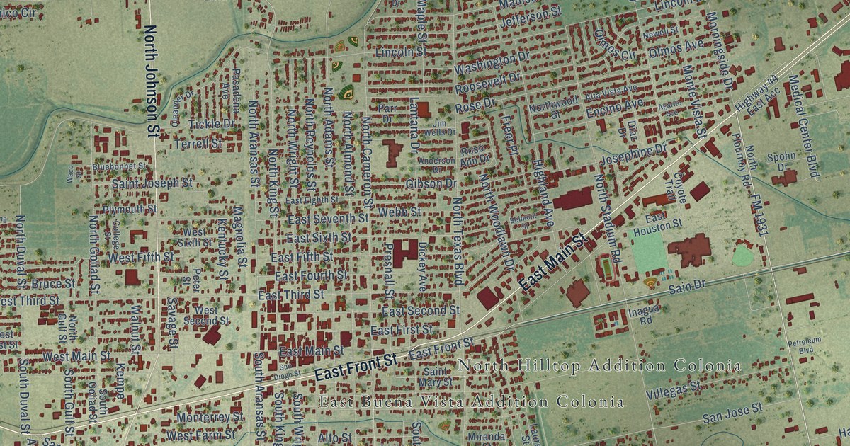
A detailed map of Alice, Texas, showing every building in its true location, the roads by name, and shaded topographical relief.
Read More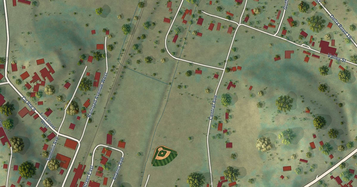
A detailed map of Cowen, West Virginia, showing every building in its true location, the roads by name, and shaded topographical relief.
Read More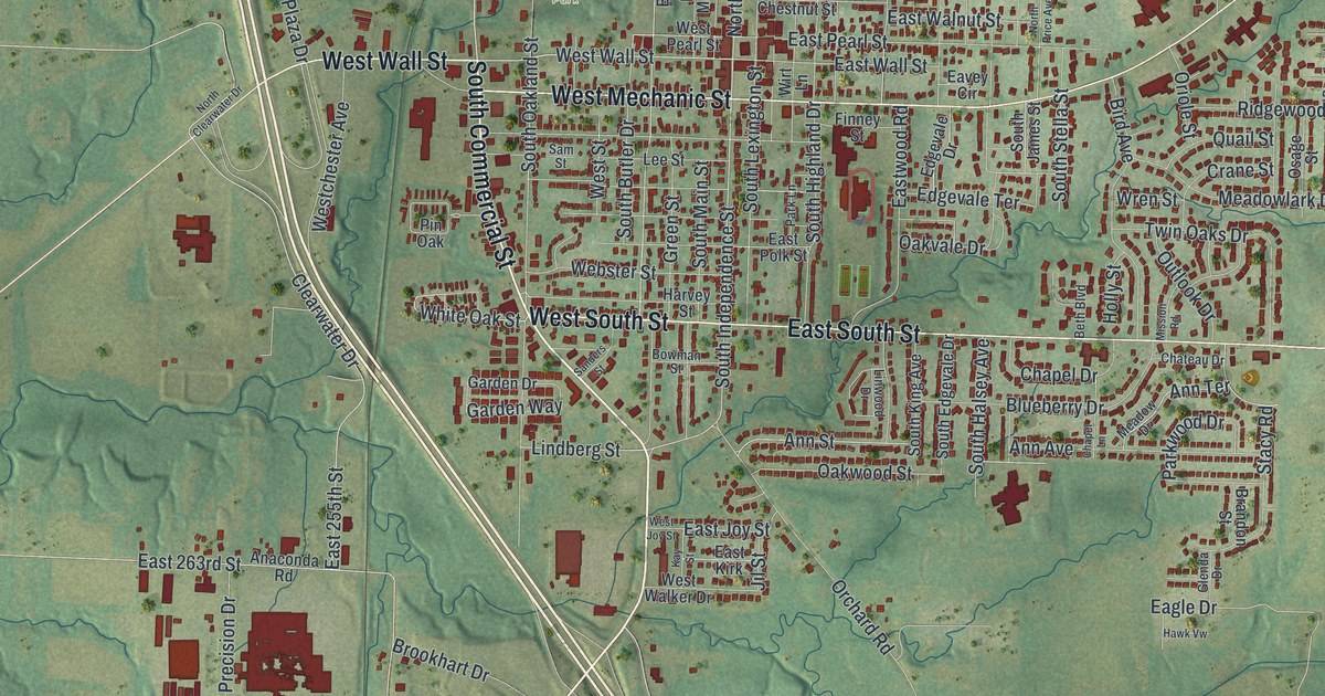
Find familiar Harrisonville streets, City Hall and North Park in this new aerial map. Read how the Democrat office at Harrisonville printed the Herald for months after its plant burned in 1904.
Read More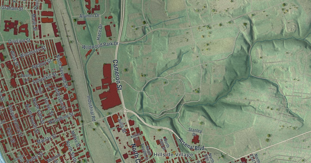
A new aerial map of Harrisburg in Dauphin County, made in 2026. Find the State Capitol, City Island, Derry Street and your own block, and read how Harris’ Ferry became Pennsylvania’s capital.
Read More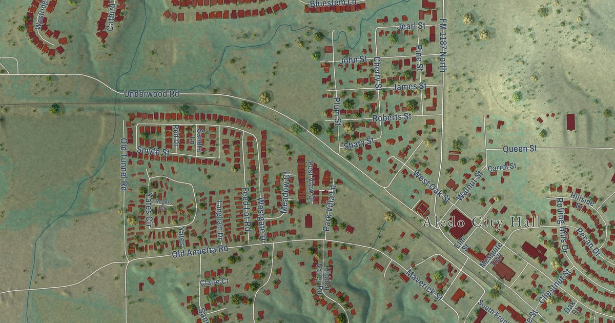
A detailed map of Aledo, Texas, showing every building in its true location, the roads by name, and shaded topographical relief.
Read More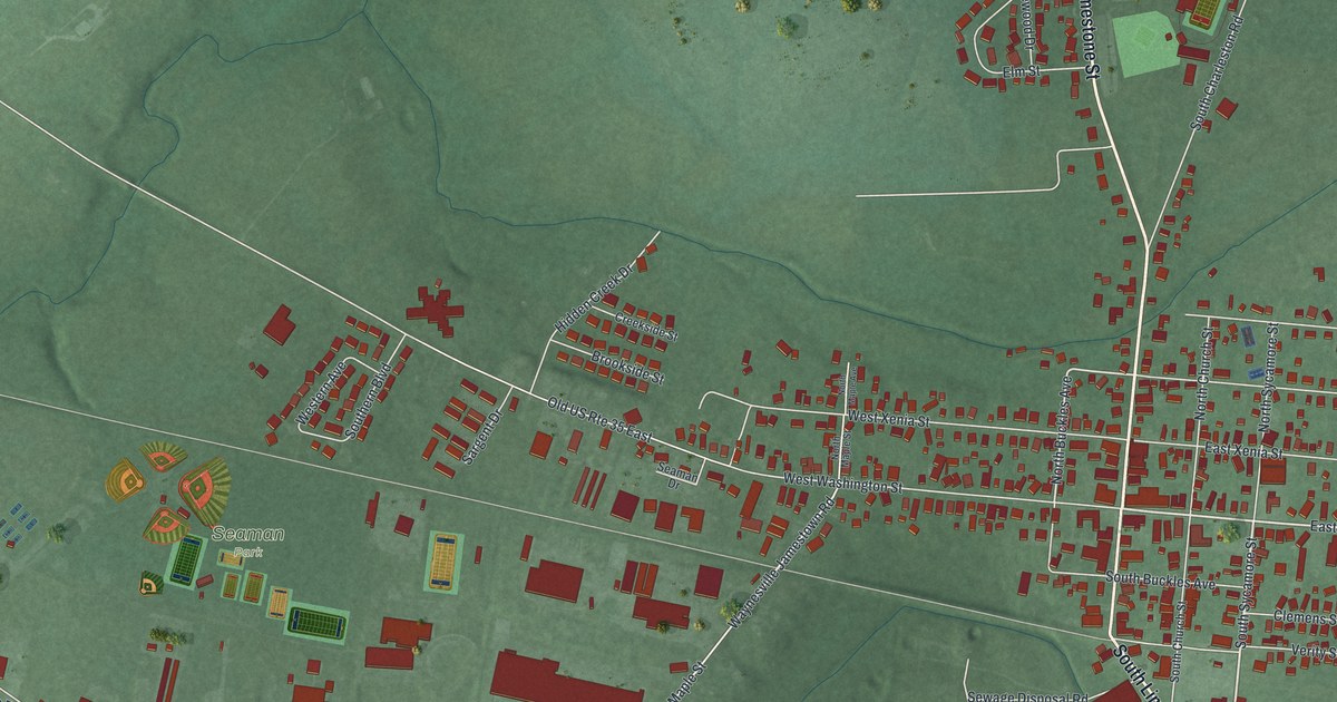
Find Jamestown’s streets and Seaman Park in a modern aerial map with a vintage feel. Read the story of the 1884 cyclone that left nearly one hundred families without homes.
Read More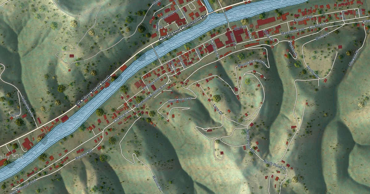
A detailed map of Clendenin, West Virginia, showing every building in its true location, the roads by name, and shaded topographical relief.
Read More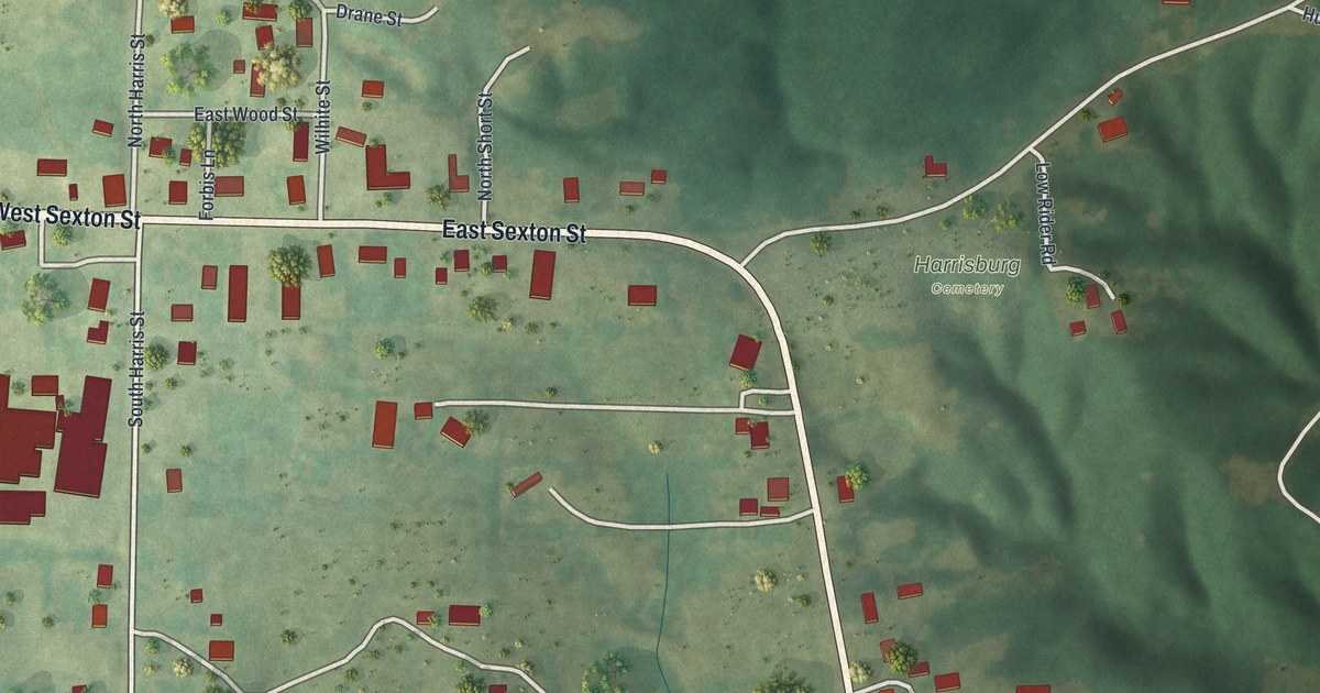
A modern aerial map of Harrisburg in Boone County, Missouri, made in 2026. Find West Sexton Street, South Harris Street and Harrisburg Cemetery, plus the story of the town’s historic school and lodge building and a railroad that was never finished.
Read More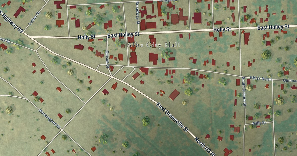
A detailed map of Alba, Texas, showing every building in its true location, the roads by name, and shaded topographical relief.
Read More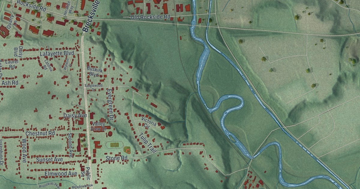
See Independence’s streets, City Hall, and Elmwood Park in a new aerial map. Willow’s 1940 cloverleaf gives two familiar roads a place in early highway history.
Read More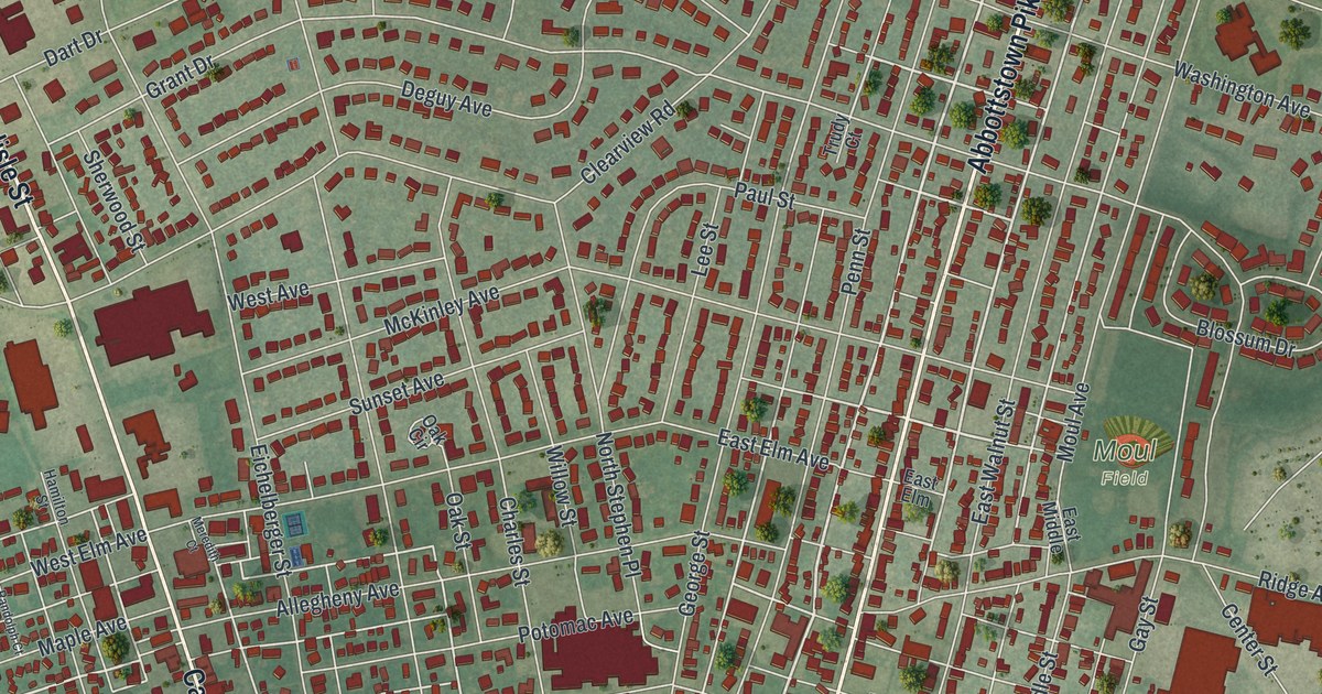
A new aerial-style map of Hanover in York County, Pennsylvania. Find Carlisle Street, Broadway, Center Square and Moul Field, and learn about the Battle of Hanover on June 30, 1863, when Stuart’s cavalry held the town for a while.
Read More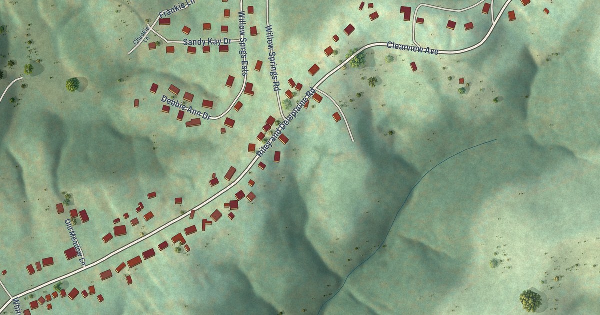
A detailed map of Clearview, West Virginia, showing every building in its true location, the roads by name, and shaded topographical relief.
Read More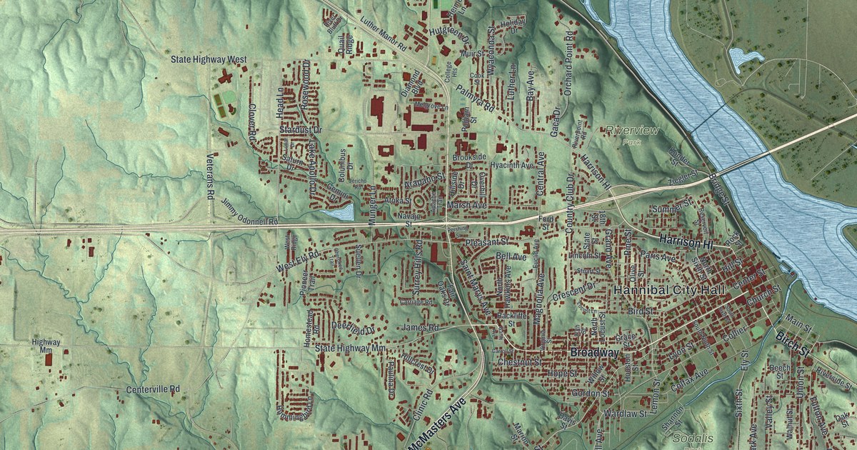
A new aerial map of Hannibal, Missouri, made in 2026. Find Broadway, Main Street and Hill Street, home of the Mark Twain Boyhood Home, plus Riverview Park, Oakwood and Cave City, with each building shown in red.
Read More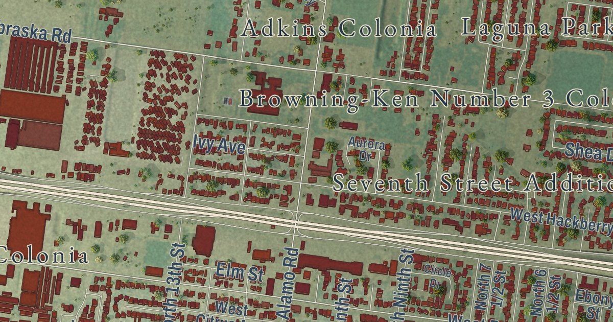
A detailed map of Alamo, Texas, showing every building in its true location, the roads by name, and shaded topographical relief.
Read More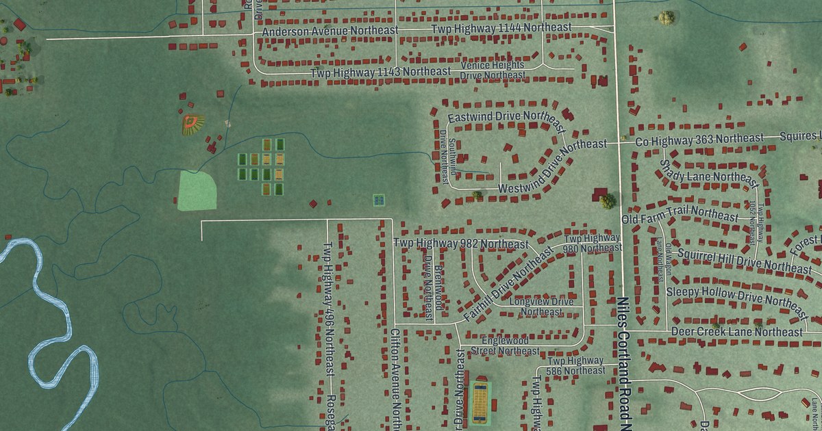
Find familiar streets on a new map of Howland Center, Ohio. Howland Springs Road Southeast recalls a health spa and a hotel with a dance hall and bowling alley.
Read More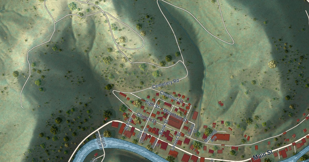
A detailed map of Clay, West Virginia, showing every building in its true location, the roads by name, and shaded topographical relief.
Read More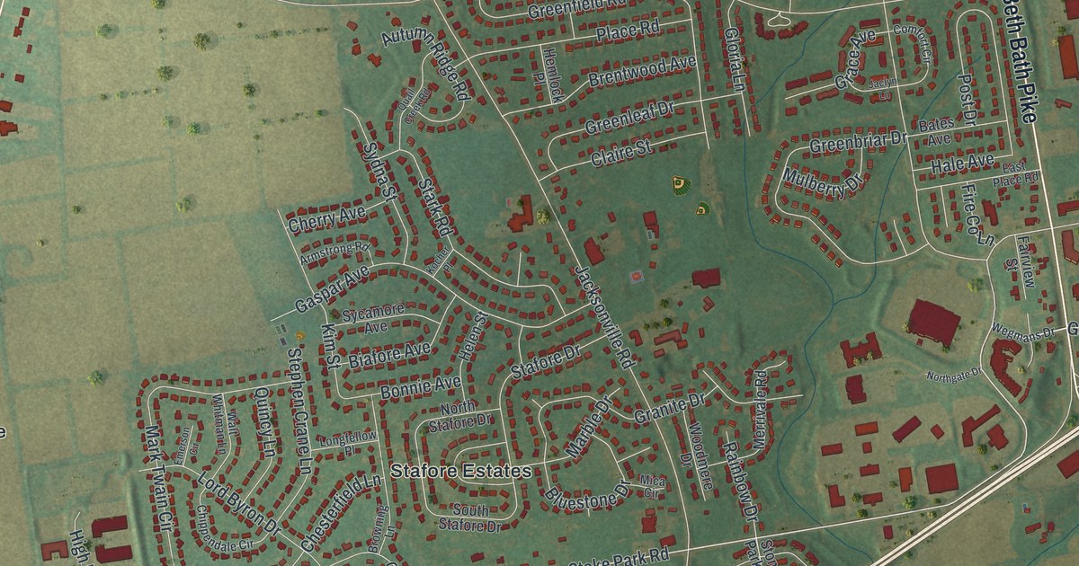
A new aerial map of Hanover Township in Northampton County, made in 2026. Find Schoenersville, Stafore Estates, Crawford Park and Beth Bath Pike, and read about David Tannenberg, the organ builder who learned his trade on Schoenersville Road.
Read More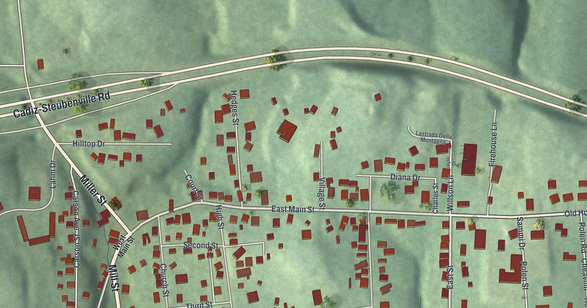
Find Hopedale’s streets and red buildings among green hills. Learn how the village helped people fleeing slavery through the Underground Railroad.
Read More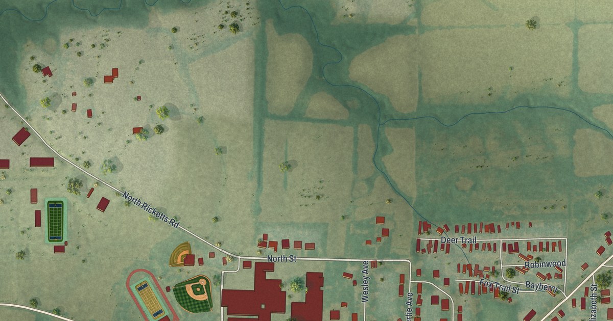
A new aerial map of Hallsville in Boone County, Missouri. Find North Street, Tribble Park and the Hallsville Fairgrounds, and learn how Hallsville kept going when the railroad built its depot town of Hickman half a mile south.
Read More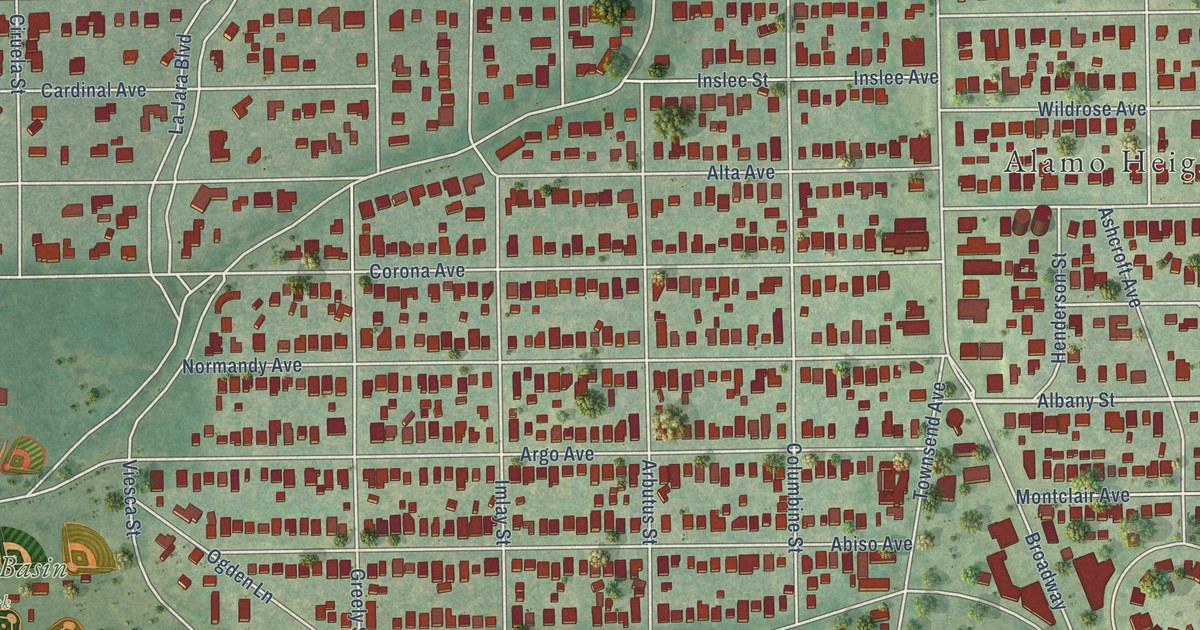
A detailed map of Alamo Heights, Texas, showing every building in its true location, the roads by name, and shaded topographical relief.
Read More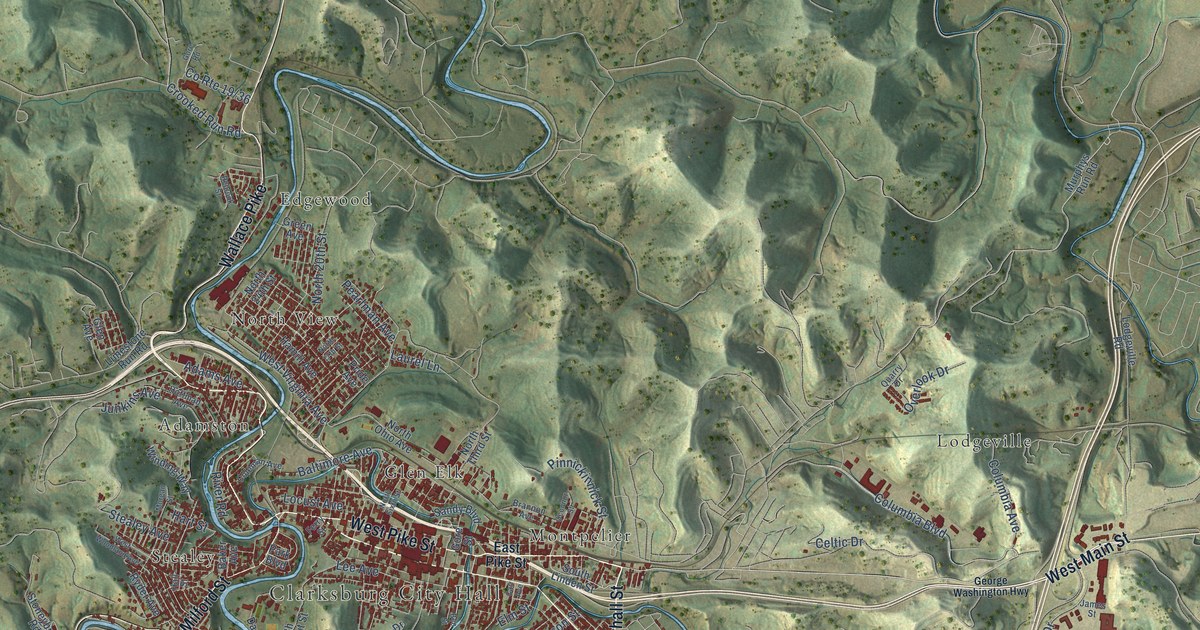
A detailed map of Clarksburg, West Virginia, showing every building in its true location, the roads by name, and shaded topographical relief.
Read More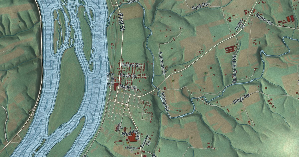
Halifax Township in Dauphin County was laid out between two mountains in 1803 and 1804. This new aerial map shows the Susquehanna River, Matamoras, Powells Valley, Camp Hebron and the country roads between them.
Read More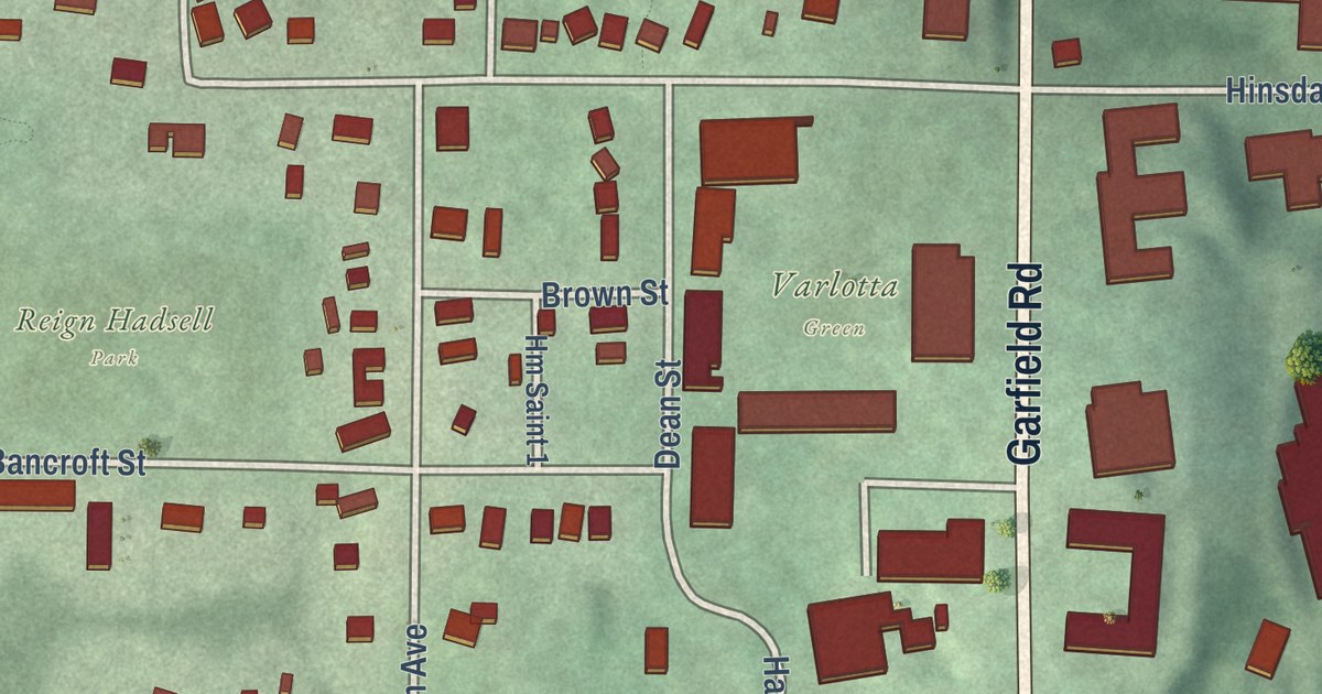
A new aerial map of Hiram in Portage County, Ohio. Find Garfield Road, Hinsdale Street and Varlotta Green, and read how Hiram College began in 1850 with James A. Garfield as one of its early leaders.
Read More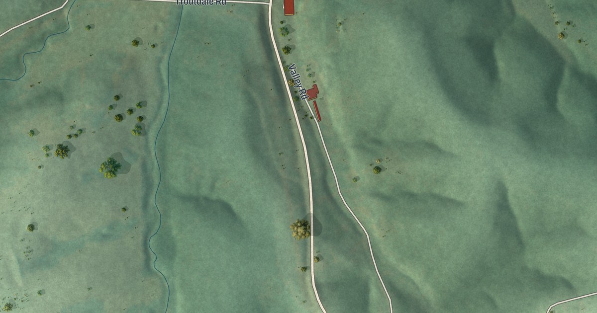
A new aerial map of Gravois Mills in Morgan County, Missouri. It shows the wooded hills, the blue water and the roads of a town an old state file calls likely the first settlement in the county.
Read More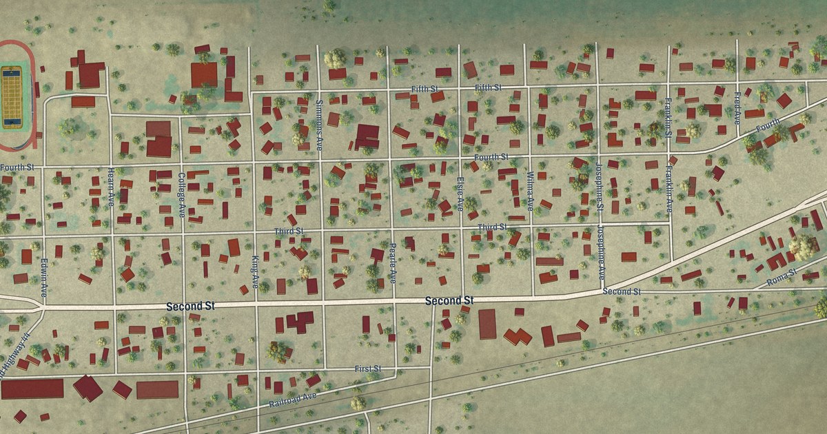
A detailed map of Agua Dulce, Texas, showing every building in its true location, the roads by name, and shaded topographical relief.
Read More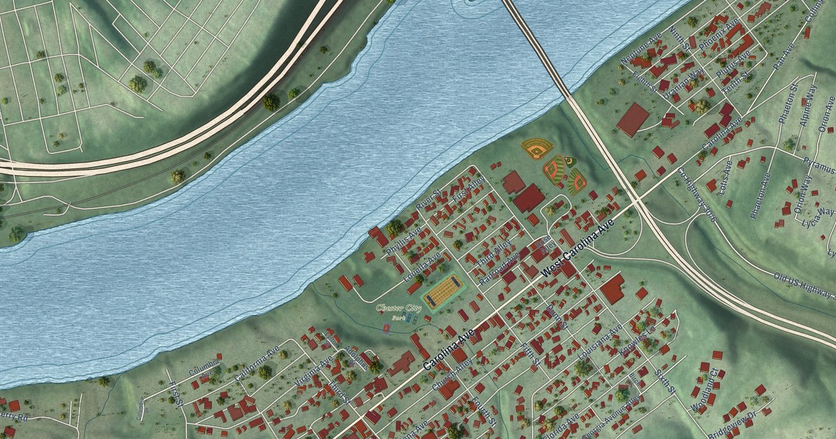
A detailed map of Chester, West Virginia, showing every building in its true location, the roads by name, and shaded topographical relief.
Read More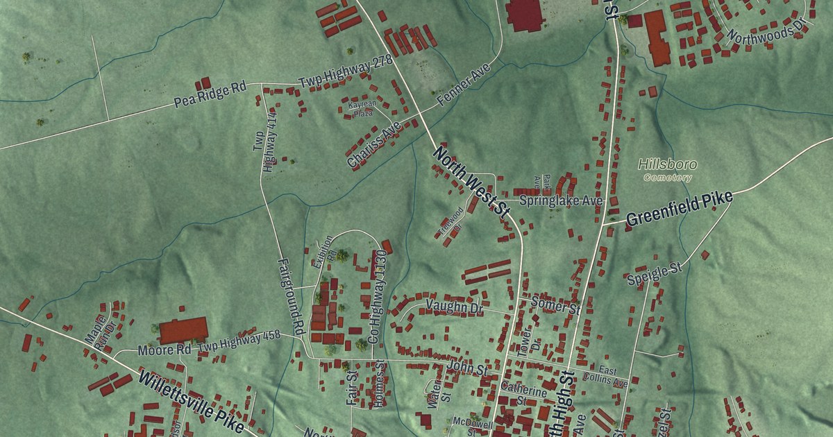
A modern aerial map of Hillsboro in Highland County, Ohio, with a vintage feel. Find Main Street, High Street and Shaffer Park, and learn about the Lincoln School and the town where cartoonist Milton Caniff was born.
Read More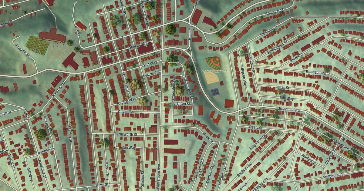
A 2026 aerial map of Greenfield in Pittsburgh, Allegheny County. Find Greenfield Avenue, Magee Playground and Beechwood Boulevard, plus the stories of Greenfield Elementary School and the Simon Girty marker.
Read More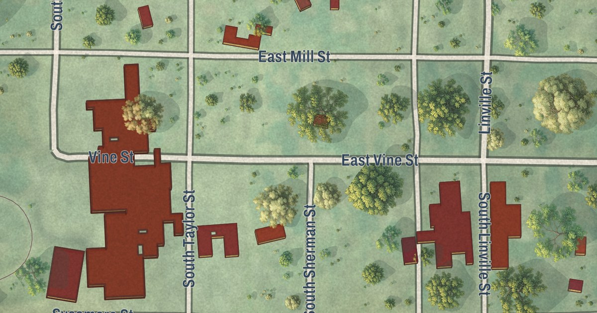
A new aerial map of Graham in Nodaway County, Missouri, made in 2026. Find Main Street, East Jackson Street and your own block, and read how a lame horse led Isaac Hogan to settle just south of town in 1839.
Read More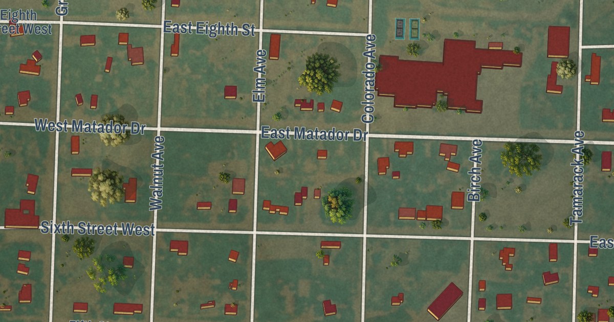
A detailed map of Adrian, Texas, showing every building in its true location, the roads by name, and shaded topographical relief.
Read More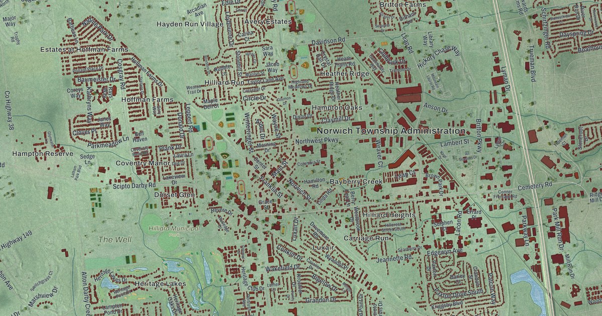
In 1880 a county history called it Hilliard’s station, a stop on the railroad. This 2026 aerial map of Hilliard in Franklin County, Ohio shows Main Street, Center Street, Heritage Lakes, Hoffman Farms and more than 25,000 buildings in red.
Read More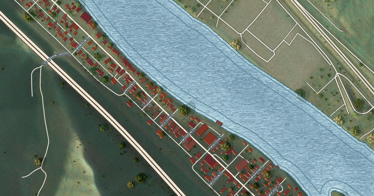
A detailed map of Chesapeake, West Virginia, showing every building in its true location, the roads by name, and shaded topographical relief.
Read More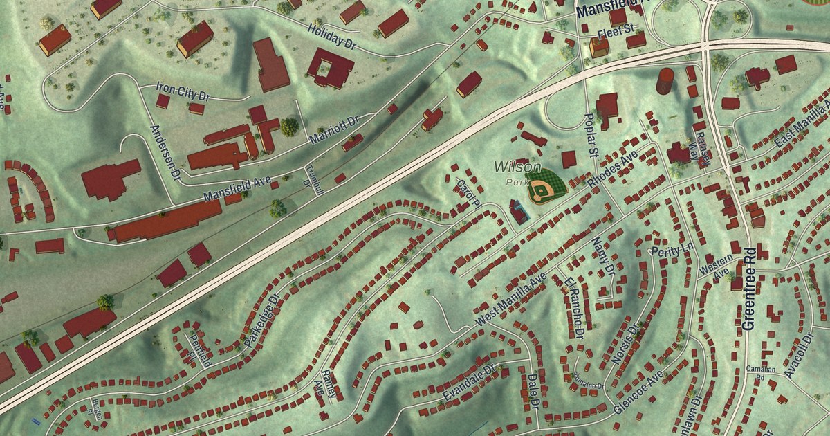
Green Tree took its name from an old hotel and became its own borough in 1885. This new 2026 aerial map of the Allegheny County borough shows Greentree Road, Green Tree Park, Wilson Park and the homes on the hills around them.
Read More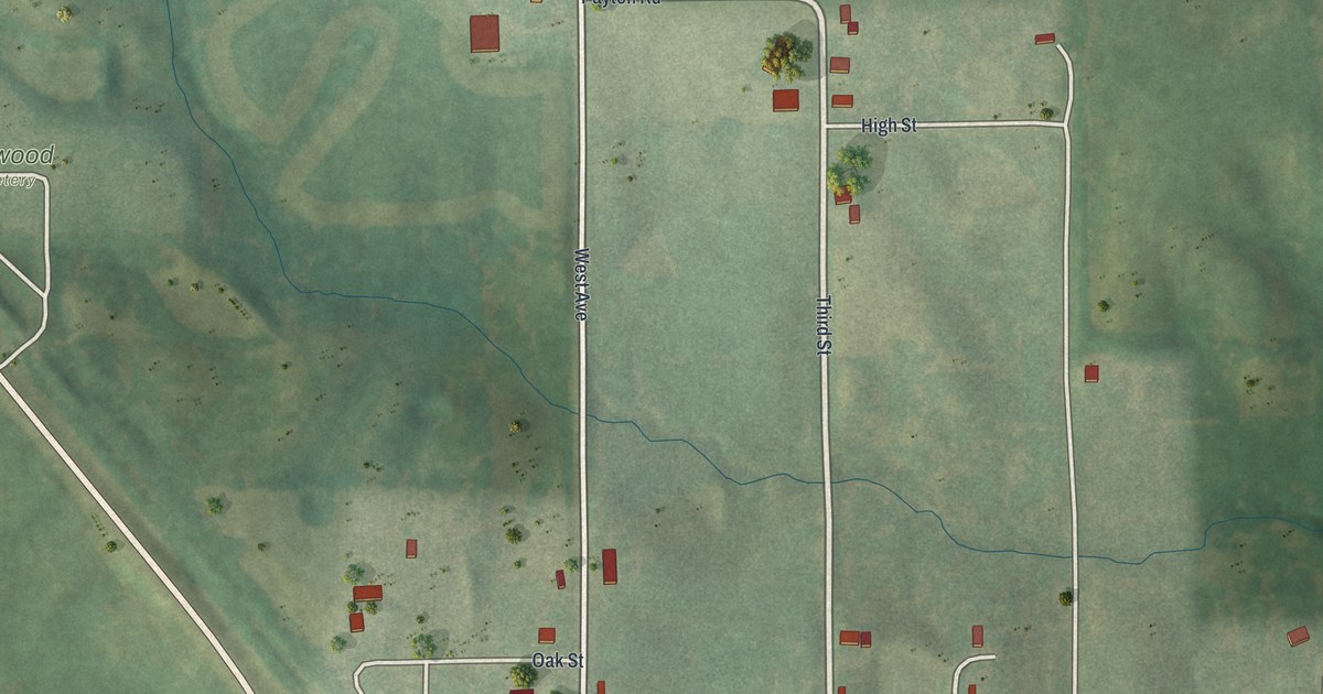
A new aerial-style map of Glenwood in Schuyler County, Missouri, made in 2026. Find Main Street, South Avenue and Glenwood Junction, and read how the village built a brick church about 1870.
Read More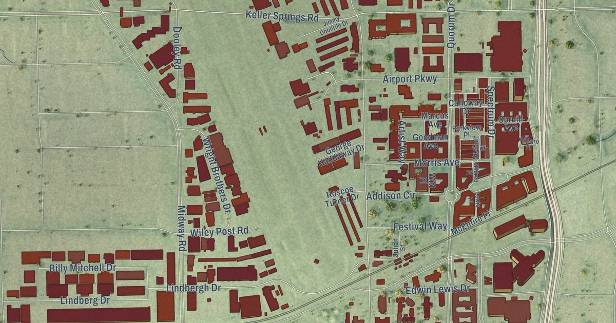
A detailed map of Addison, Texas, showing every building in its true location, the roads by name, and shaded topographical relief.
Read More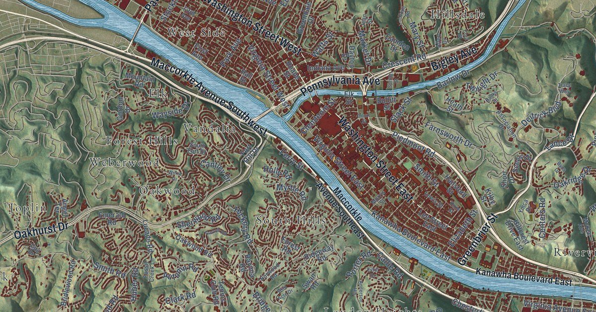
A detailed map of Charleston, West Virginia, showing every building in its true location, the roads by name, and shaded topographical relief.
Read More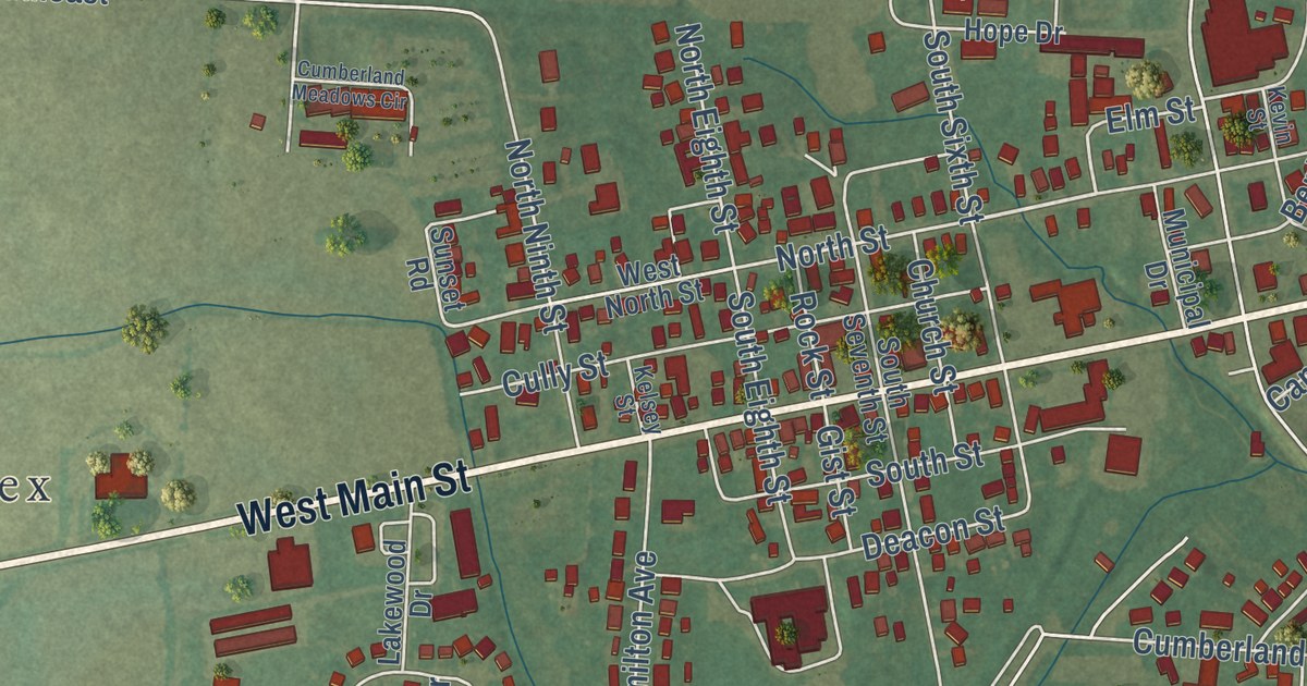
See Hebron’s streets, parks and red building shapes in a new aerial map. Learn how the Ohio and Erie Canal and the National Road helped make the town a center for trade.
Read More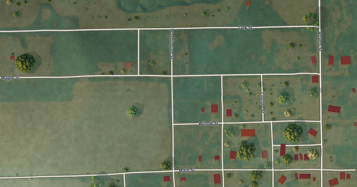
Follow Main Street and Adams Street across this map of Gentry, Missouri, a village of 56 people, and learn where Gentry County’s first court met in 1845.
Read More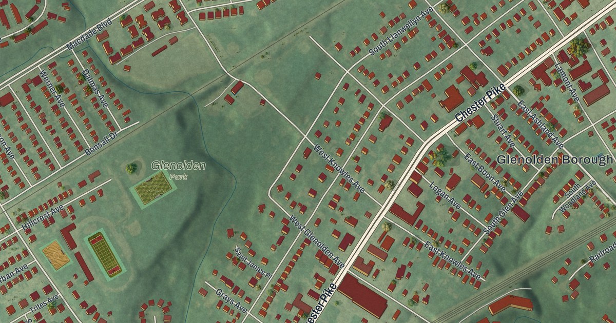
A new aerial map of Glenolden in Delaware County, made in 2026. Find Chester Pike, Glenolden Borough Hall, Glenolden Park and your own street, plus the 1781 story of the armies that moved along the old King’s Highway.
Read More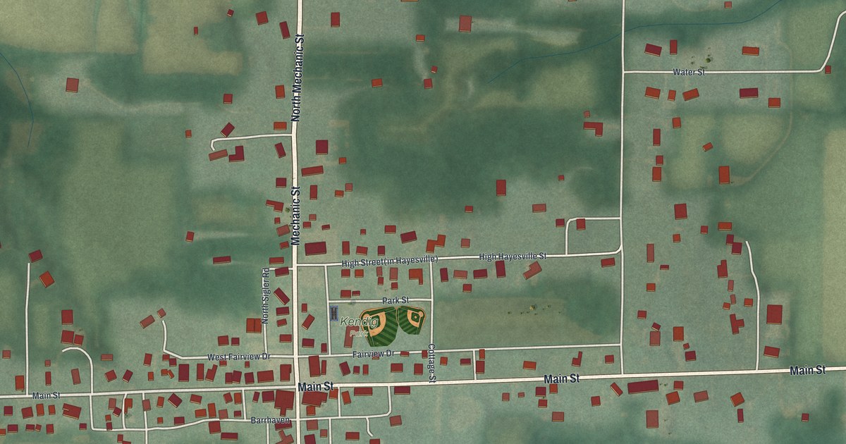
See Hayesville’s streets and green fields in a new aerial map. Explore the story of its town hall and opera house, where Buffalo Bill signed a backstage wall in 1888.
Read More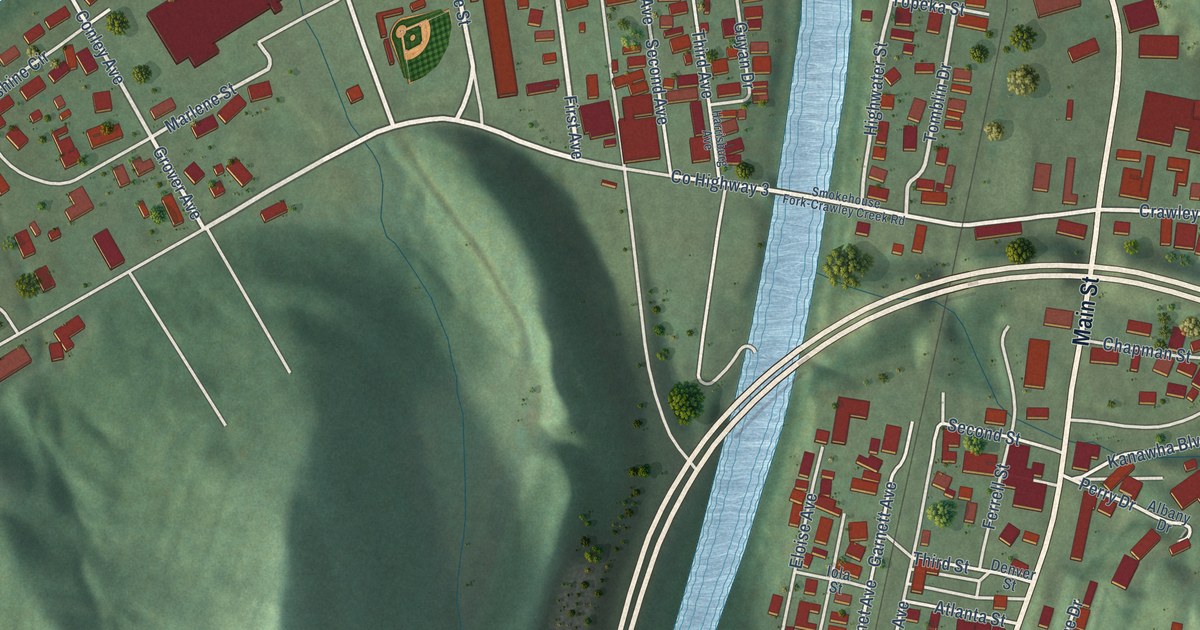
A detailed map of Chapmanville, West Virginia, showing every building in its true location, the roads by name, and shaded topographical relief.
Read More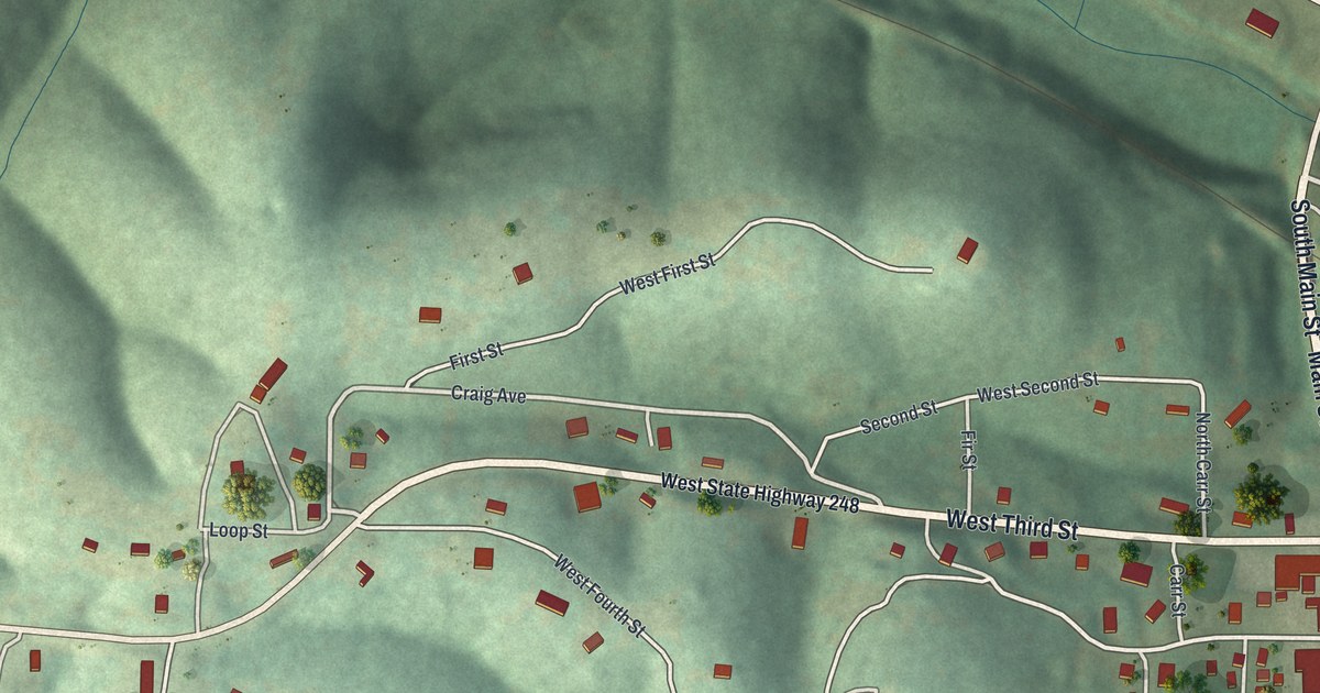
Explore Galena’s streets, green hills and blue water in a new map with a vintage feel. Find Main Street and learn how nearby lead mines gave the town its name.
Read More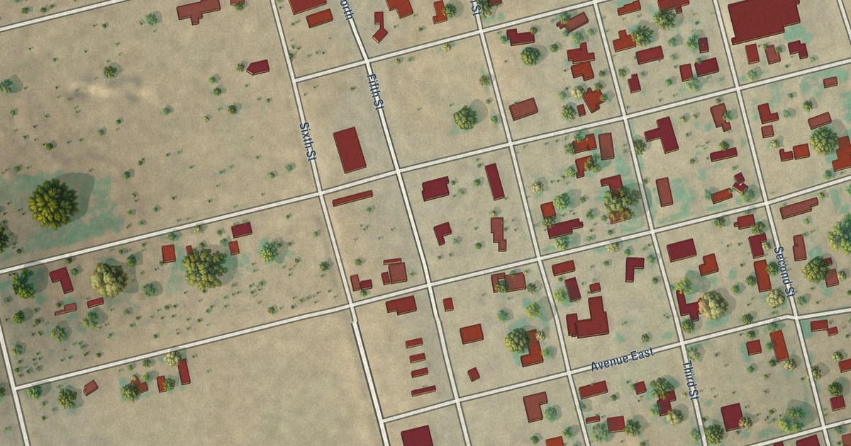
A detailed map of Ackerly, Texas, showing every building in its true location, the roads by name, and shaded topographical relief.
Read More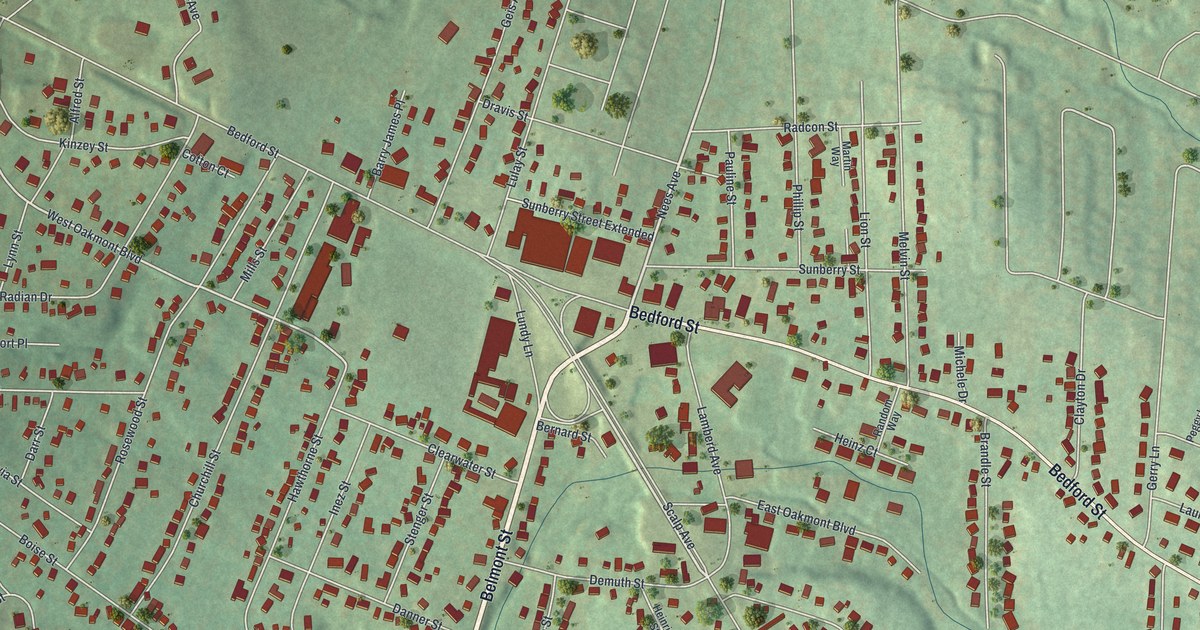
A new aerial map of Geistown in Cambria County, with Bedford Street, Lamberd Avenue and Saint Anthony Cemetery. Plus the story of Patrick and Abraham, two brothers who escaped slavery in 1837 and found help at a farm on the Underground Railroad.
Read More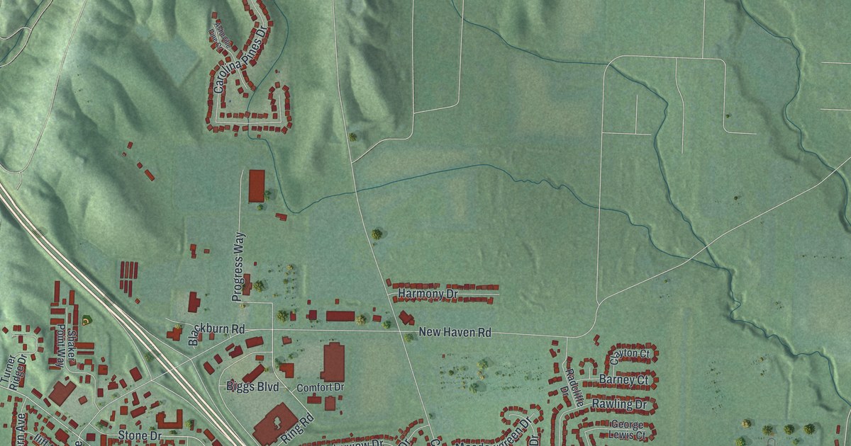
A new aerial map of Harrison in Hamilton County, Ohio, made in 2026. Find Harrison Avenue, Kilby Road, Stone Drive and Othneil Looker Park, plus the story of six old Harrison-area buildings listed on the National Register in 1975 and 1976.
Read More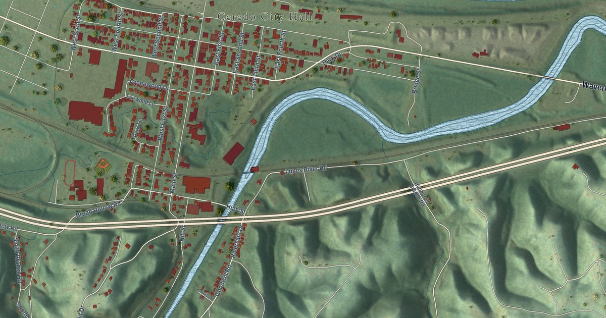
A detailed map of Ceredo, West Virginia, showing every building in its true location, the roads by name, and shaded topographical relief.
Read More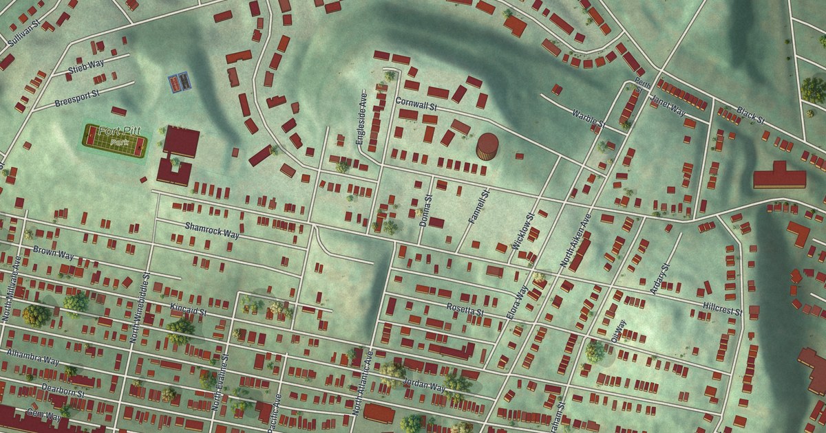
A modern aerial map of Garfield in Pittsburgh, with its buildings in red on its green hill. Find Broad Street, Hillcrest Street, Fort Pitt Park and Fort Pitt Elementary School, listed on the National Register in 1986.
Read More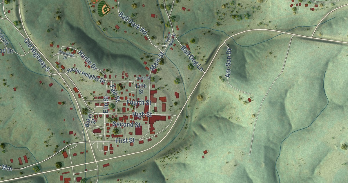
See Gainesville’s Main Street, red buildings and green hills in a new aerial map. Learn how this Ozark County seat got its name from a town in Georgia.
Read More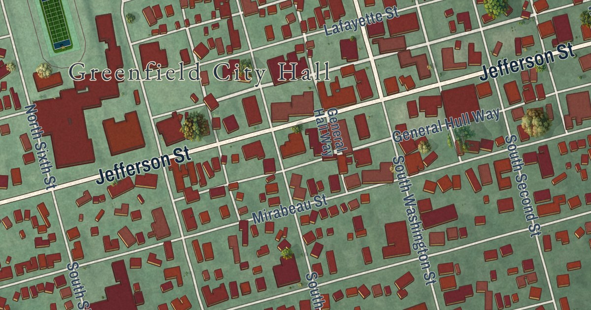
A new aerial map of Greenfield in Highland County, Ohio, made in 2026. Find Jefferson Street, Greenfield Cemetery and Mitchell Park, and learn how the 1821 Smith Tannery became a stop on the Underground Railroad.
Read More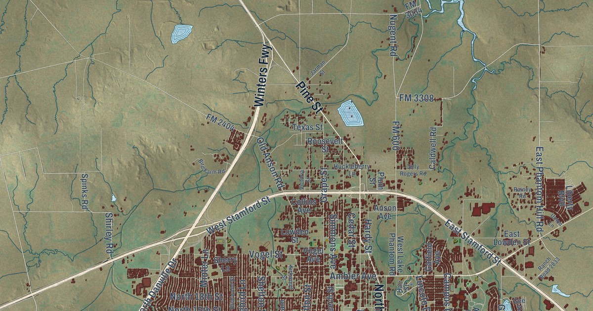
A detailed map of Abilene, Texas, showing every building in its true location, the roads by name, and shaded topographical relief.
Read More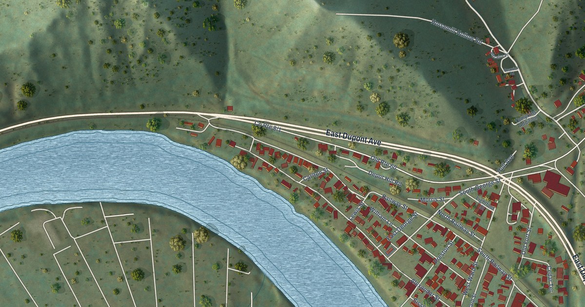
A detailed map of Cedar Grove, West Virginia, showing every building in its true location, the roads by name, and shaded topographical relief.
Read More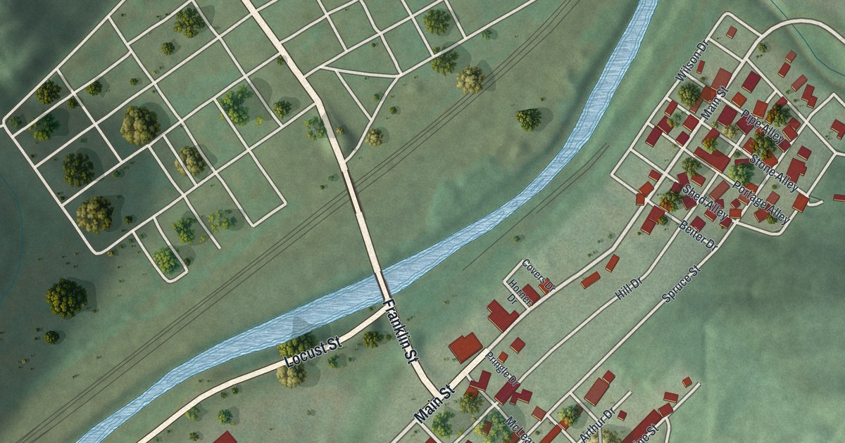
A new aerial map of Franklin in Cambria County, Pennsylvania, with Main Street, Locust Street and the river bridge. Franklin is where Sgt. Michael Strank grew up, one of the six men in the Iwo Jima flag raising.
Read More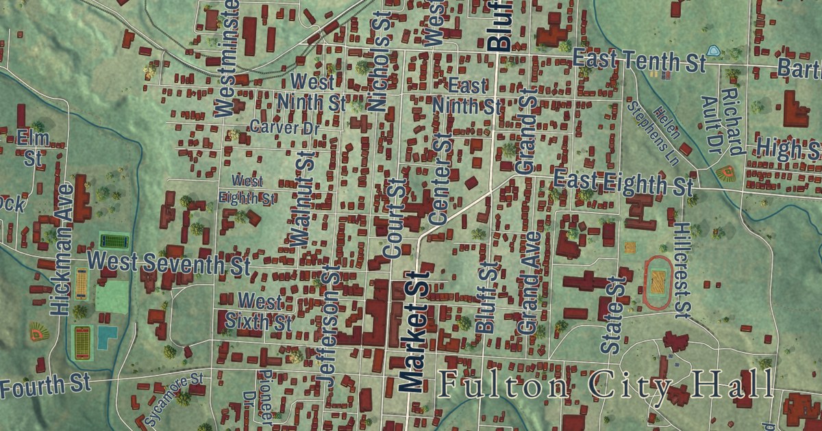
A modern aerial view map of Fulton in Callaway County, Missouri. Find Market Street, Bluff Street and Fulton City Hall, and learn how the town got its name from Robert Fulton, the steamboat builder.
Read More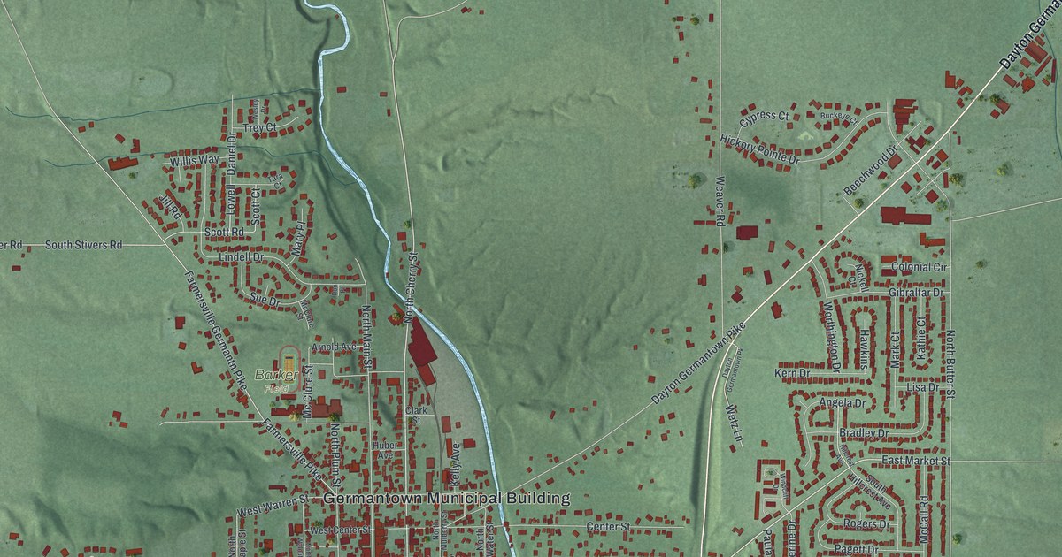
A new aerial view of Germantown in Montgomery County, Ohio. Find Market Street, Center Street and the Germantown Municipal Building, and learn about the town’s rare covered bridge on Little Twin Creek.
Read More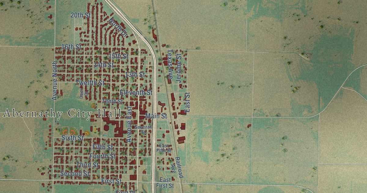
A detailed map of Abernathy, Texas, showing every building in its true location, the roads by name, and shaded topographical relief.
Read More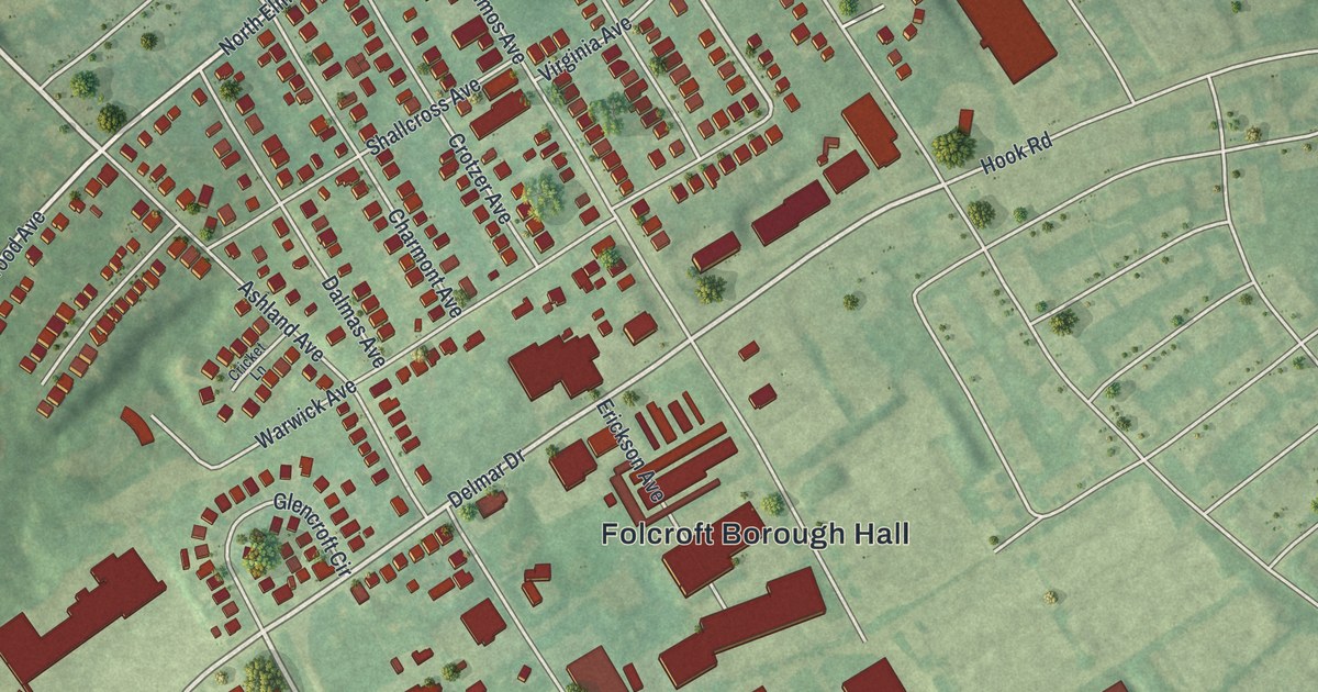
A new aerial map of Folcroft in Delaware County, made in 2026. Find Chester Pike, Folcroft Borough Hall, Montgomery Park and the marsh of the John Heinz National Wildlife Refuge, plus the New Sweden story told on state markers nearby.
Read More
A detailed map of Carpendale, West Virginia, showing every building in its true location, the roads by name, and shaded topographical relief.
Read More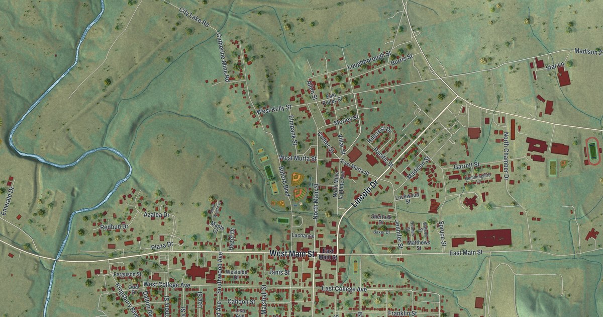
See Fredericktown, Missouri from above, from West Main Street to Villar Street. Learn how the town got its name, and read about the courthouse, post office and two railroad depots on the National Register.
Read More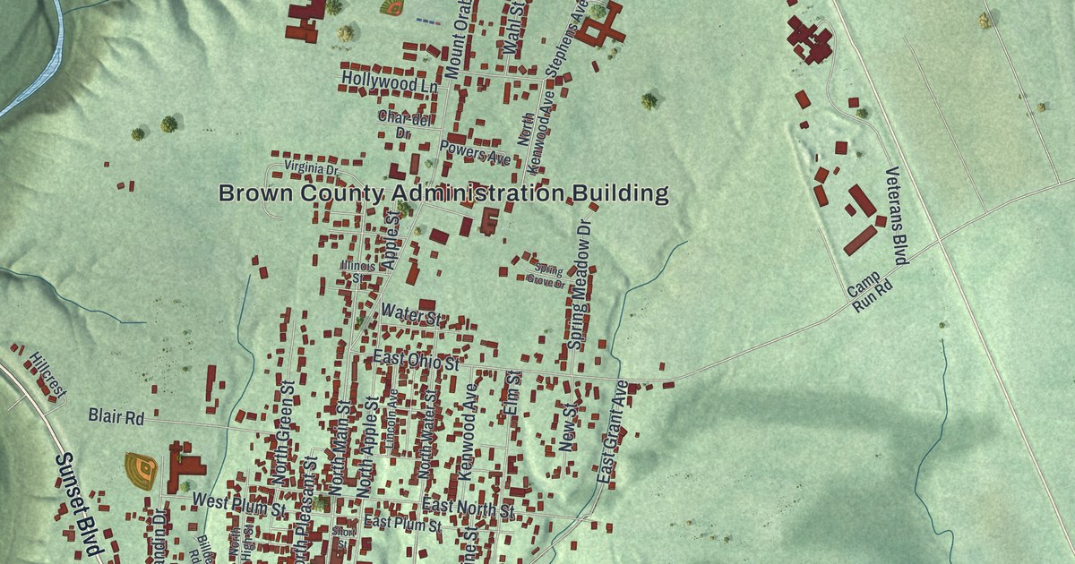
Georgetown, Ohio is where Ulysses S. Grant grew up. This new 2026 aerial map of the Brown County village shows Main Street, Grant Avenue, Water Street and red buildings over shaded green hills.
Read More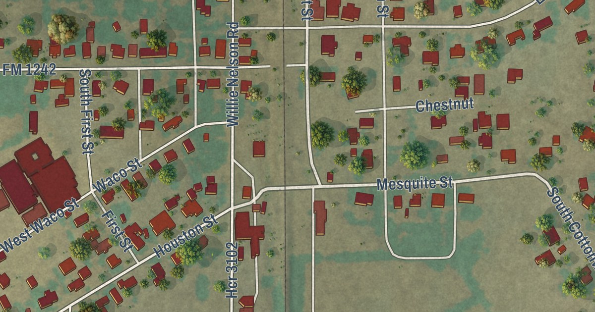
A detailed map of Abbott, Texas, showing every building in its true location, the roads by name, and shaded topographical relief.
Read More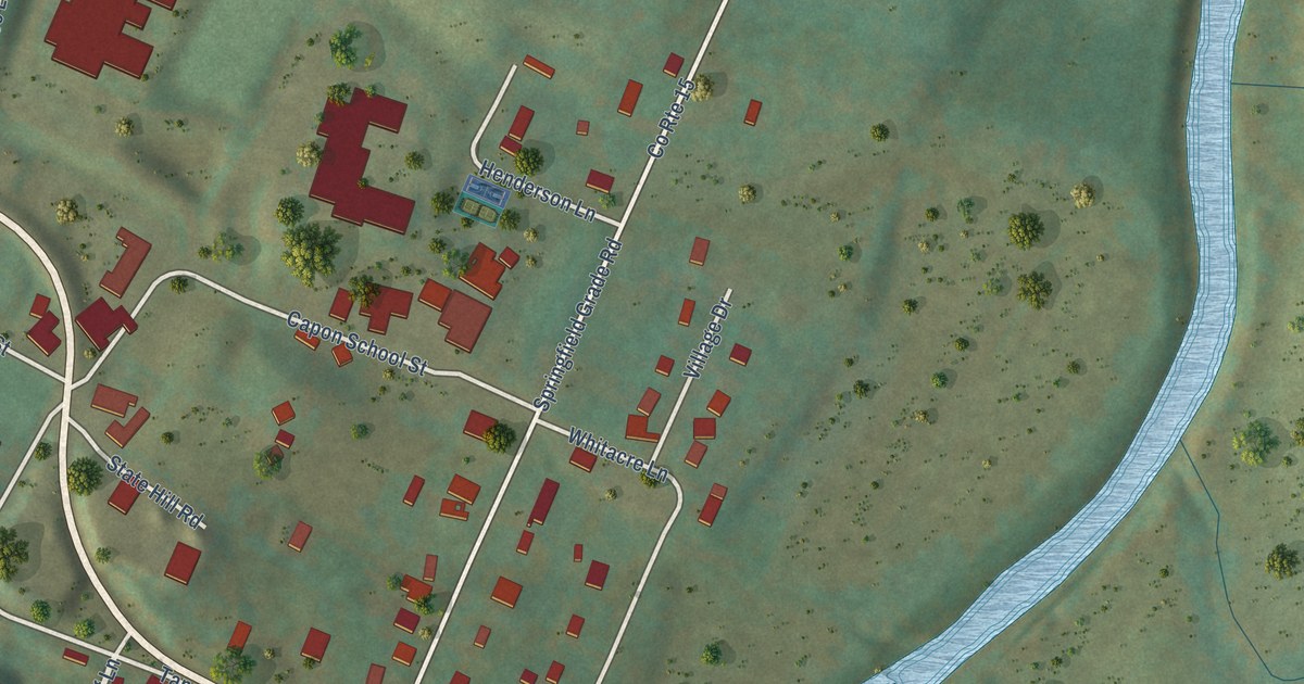
A detailed map of Capon Bridge, West Virginia, showing every building in its true location, the roads by name, and shaded topographical relief.
Read More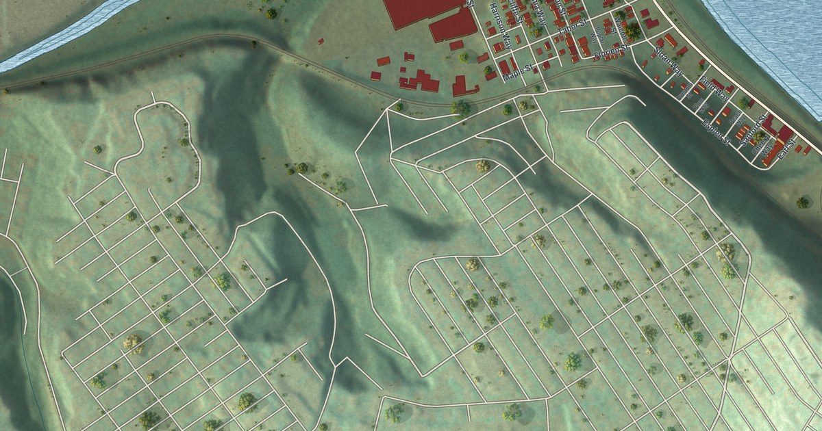
A modern aerial map of Esplen in Allegheny County, Pennsylvania, with a vintage feel. Find West Carson Street, Esplen Street and the Wind Gap Bridge, plus the tight rows of buildings between a winding creek and a wide river.
Read More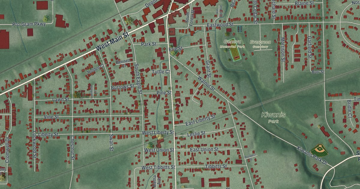
Find Geneva’s Main Street, Broadway streets, and parks on a new aerial map. Then meet Ransom E. Olds, born on West Main Street before his work helped shape the American car.
Read More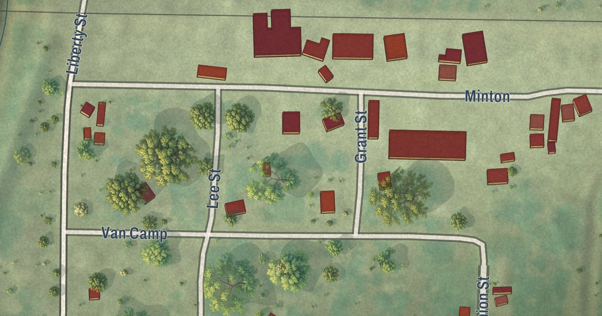
A modern aerial map of Fortescue in Holt County, Missouri, made in 2026. Find Minton, Grant Street and Van Camp, and learn how Jacob Book laid out the town beside the railroad in April 1890.
Read More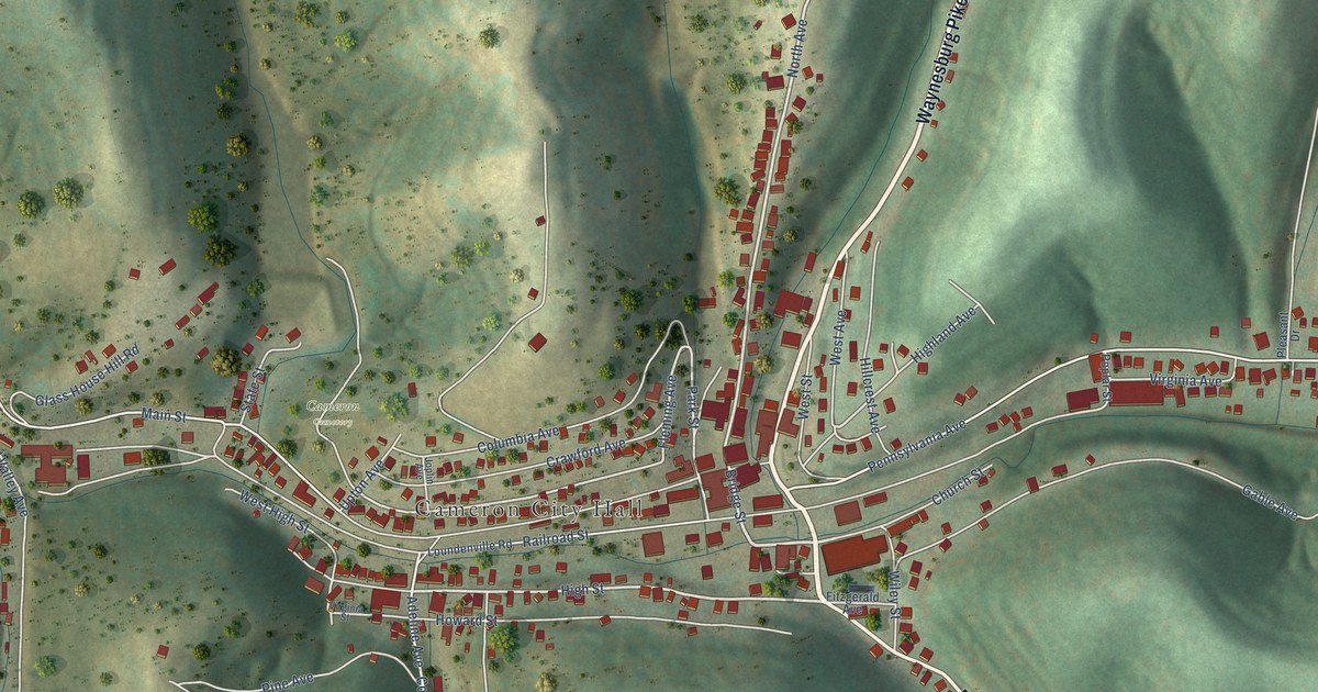
A detailed map of Cameron, West Virginia, showing every building in its true location, the roads by name, and shaded topographical relief.
Read More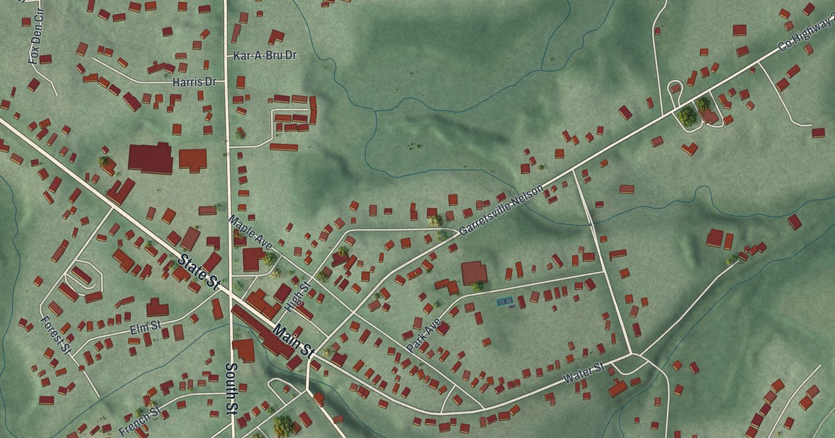
A modern aerial map of Garrettsville in Portage County, Ohio, made in 2026. See Main Street, Freedom Street and Tom Hardesty Park, and learn how the village was the center of Ohio’s maple industry and saw the 1935 Karpis train heist.
Read More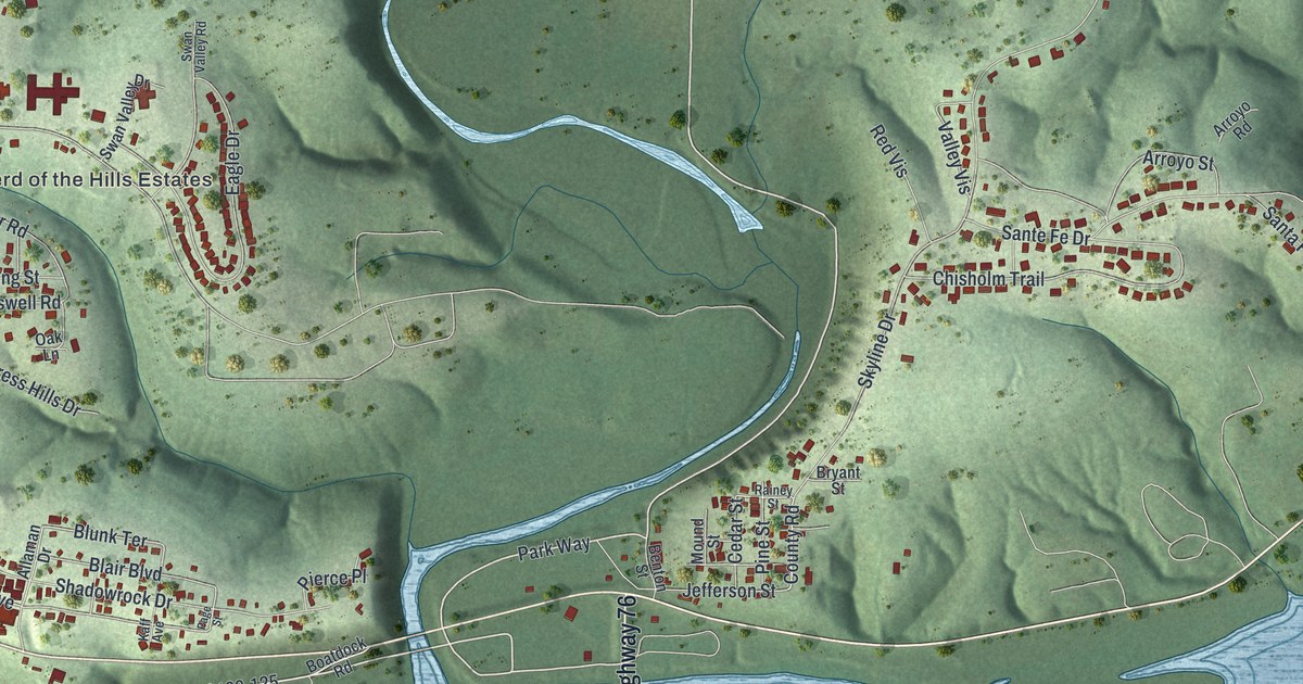
See Forsyth’s streets, green hills, and blue waterways in a new aerial map with a vintage feel. Find Coy Boulevard and learn about the John Forsyth behind the town’s name.
Read More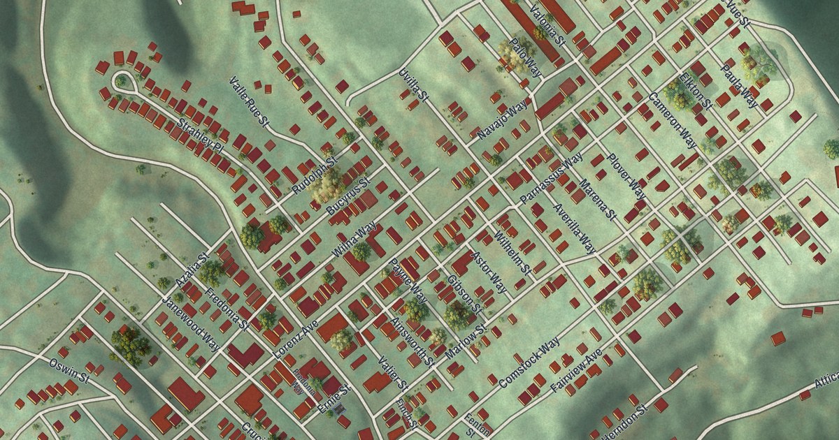
A modern aerial map of Elliott in Allegheny County, Pennsylvania. See Saint Martins Cemetery, the ball fields at Herschel Park, West Carson Street by the river and the red buildings packed on the hill.
Read More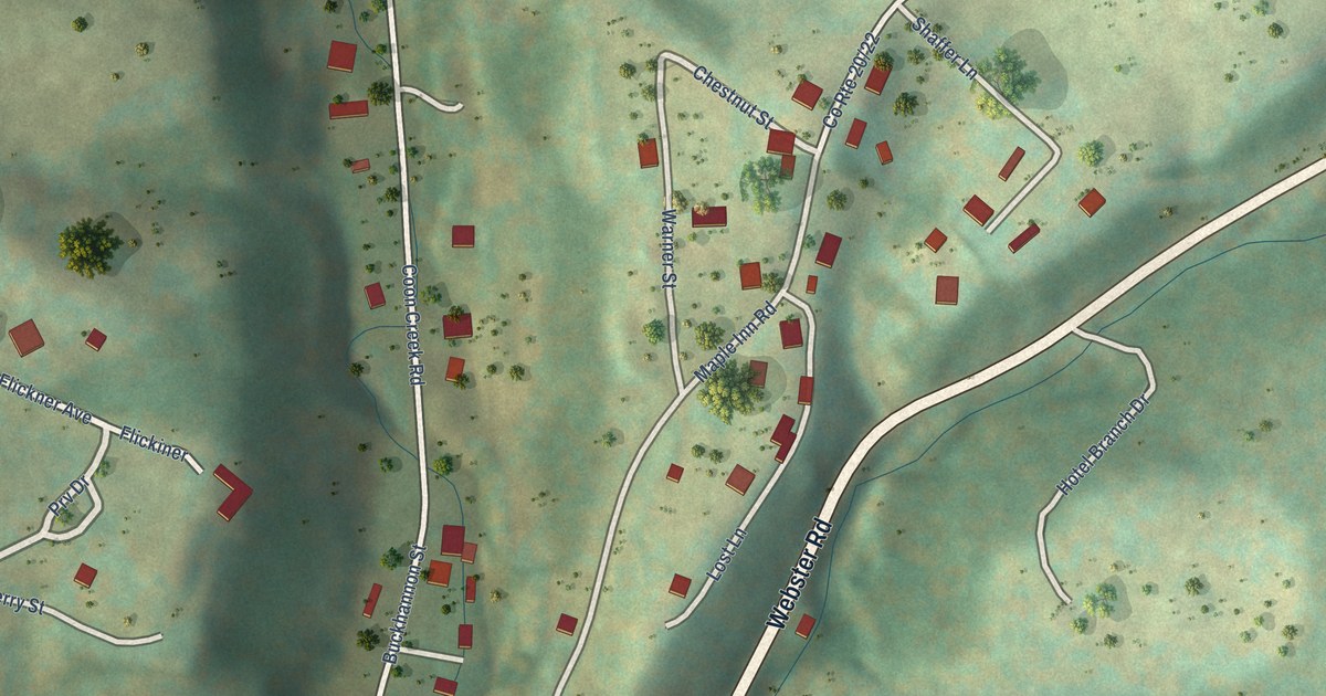
A detailed map of Camden-on-Gauley, West Virginia, showing every building in its true location, the roads by name, and shaded topographical relief.
Read More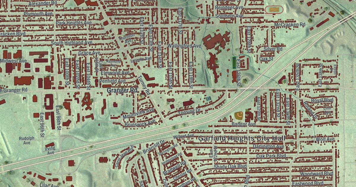
A new aerial map of Garfield Heights, Ohio, made in 2026. Find your street among the red homes, and learn about German Corners, the old farm crossroads at Turney Road and Granger Road.
Read More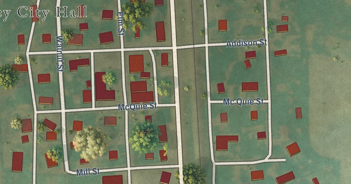
Foley, Missouri began in 1879 with a railroad depot deal and was named for Miss Addie Foley. This 2026 aerial map shows Foley City Hall, Railroad Avenue, Downing Street, Mill Street and the hills and fields around town.
Read More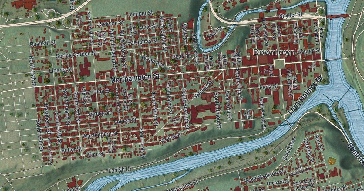
A modern aerial map of Easton in Northampton County, made in 2026 with a vintage feel. Find Northampton Street, South Easton and College Avenue, and learn why the Forks of the Delaware made Easton a meeting place.
Read More
A detailed map of Cairo, West Virginia, showing every building in its true location, the roads by name, and shaded topographical relief.
Read More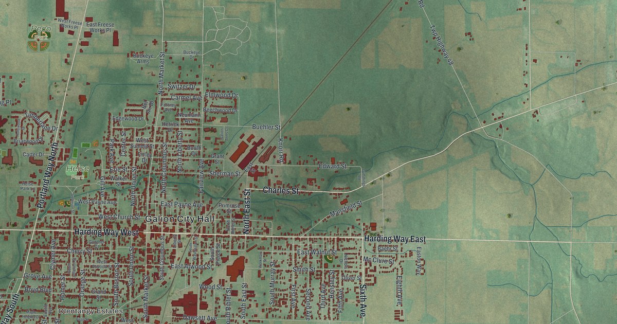
A new aerial map of Galion in Crawford County, Ohio. Find Harding Way East, Portland Way North and Heise Park, then read how the Big Four Depot once saw 32 trains stop here each day.
Read More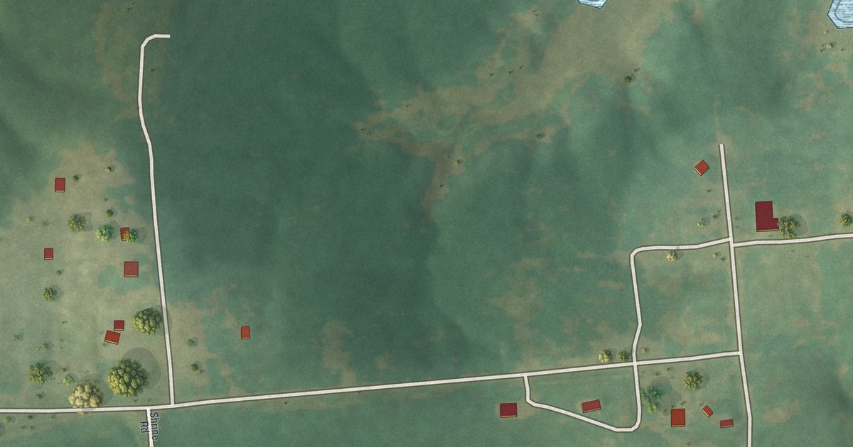
A modern aerial view of Florida in Monroe County, Missouri, with a vintage feel. Find Shrine Road and the village homes, and read how Nesbit’s father hewed the logs for the first house in Florida and helped build its first mill.
Read More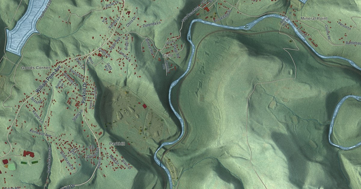
A modern aerial map of East Taylor Township in Cambria County, made in 2026. Find Mineral Point, Parkhill and Echo, and read about the Staple Bend Tunnel, which a state marker calls the first railroad tunnel built in the U.S.
Read More
A detailed map of Burnsville, West Virginia, showing every building in its true location, the roads by name, and shaded topographical relief.
Read More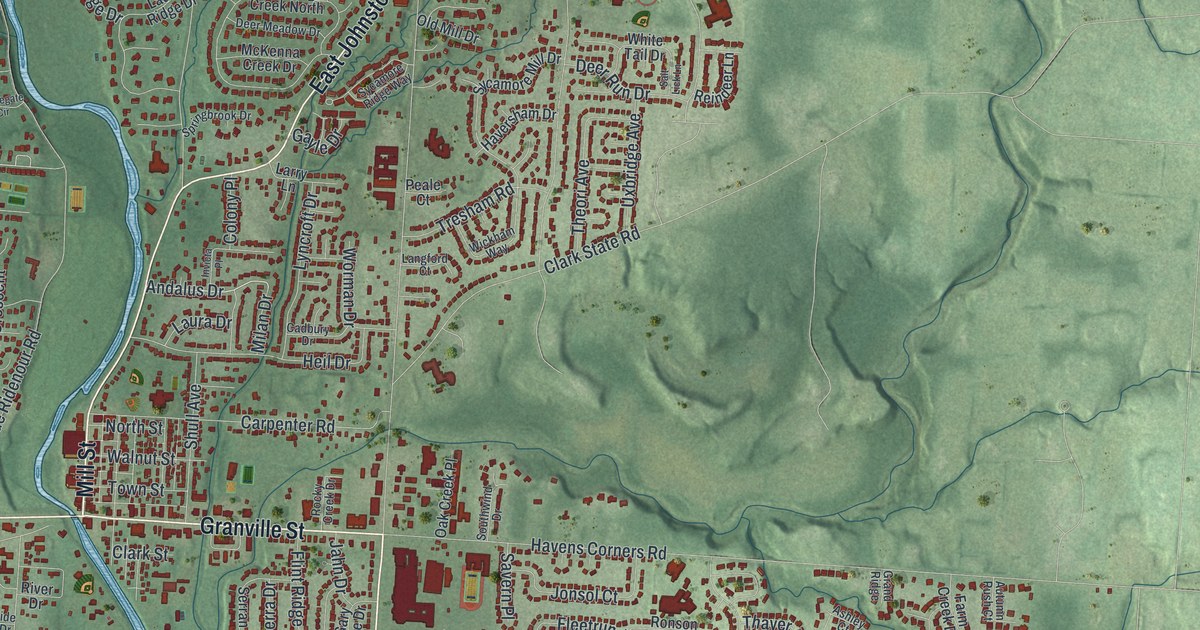
A modern aerial map of Gahanna in Franklin County, Ohio, with about 20,000 buildings, Mill Street and Headley Park. Plus the story of the Big Walnut Country Club, one of the first Black country clubs in the United States, and how its land became Friendship Park.
Read More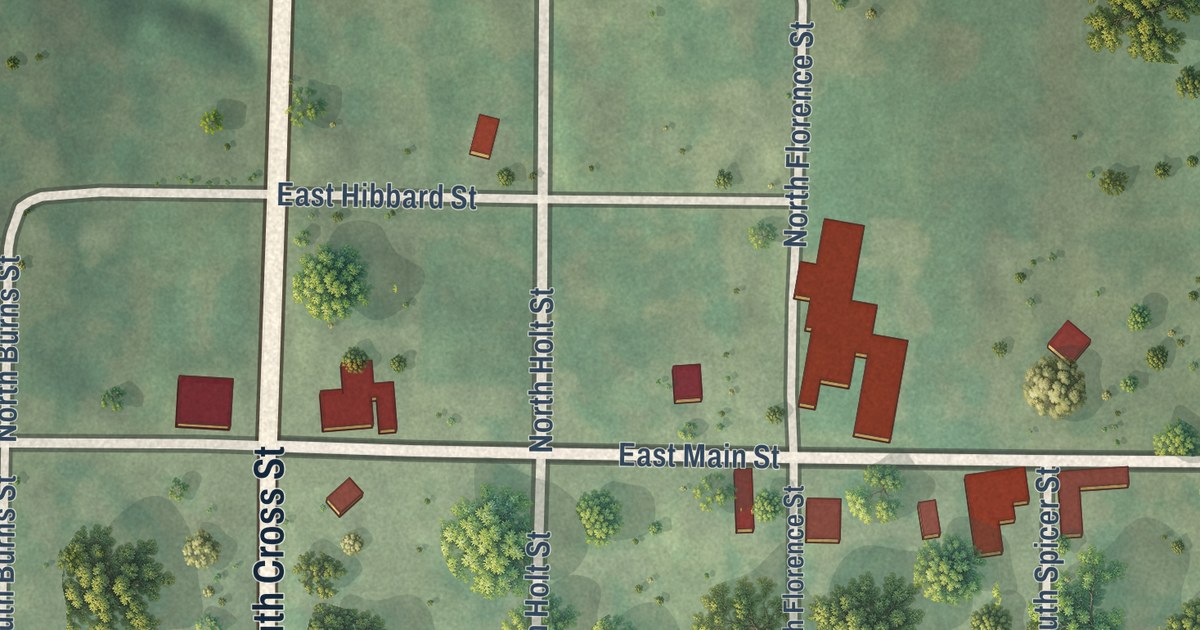
Fillmore’s first hotel stood on the corner of Main and Cross Streets, says an 1888 county history. Find that corner, East Main Street and the Kenyon Streets on this 2026 map of Fillmore, Missouri.
Read More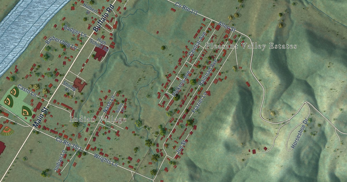
A detailed map of Buffalo, West Virginia, showing every building in its true location, the roads by name, and shaded topographical relief.
Read More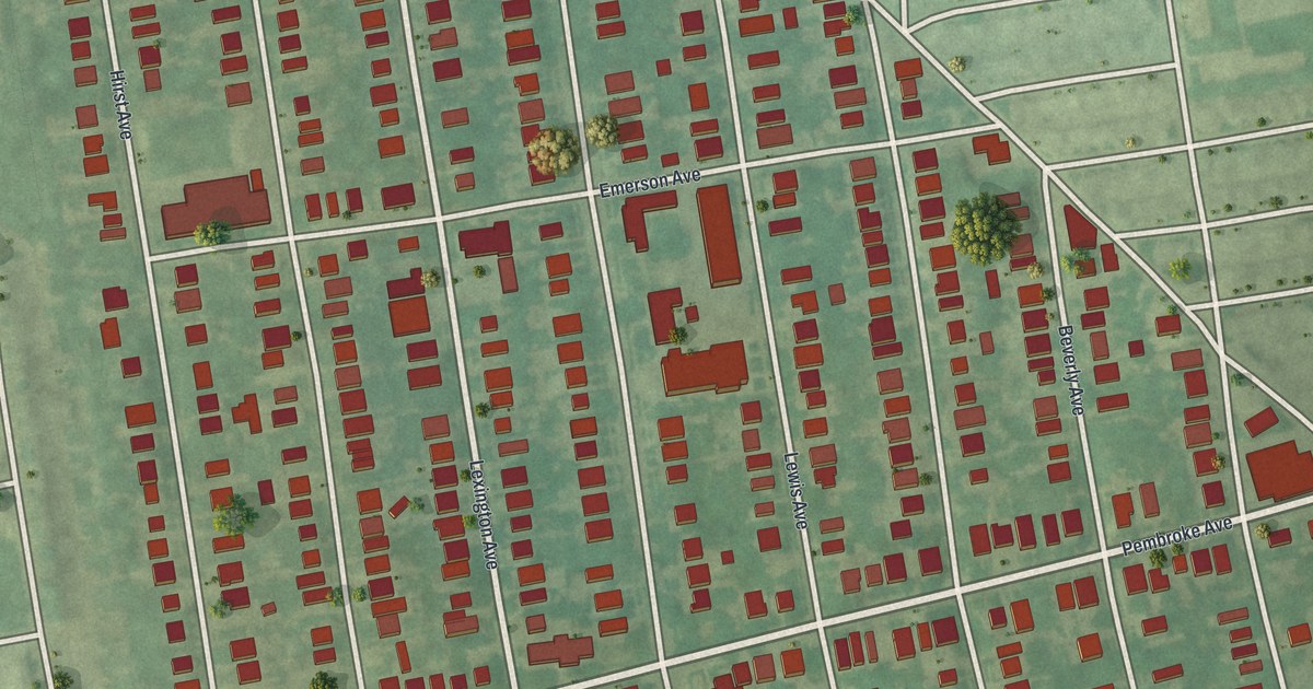
A 2026 aerial map of East Lansdowne in Delaware County, Pennsylvania. More than 1,700 buildings in red, packed along Lexington Avenue, Hirst Avenue, Pembroke Avenue and the other short streets between Glenwood Avenue and East Baltimore Avenue.
Read More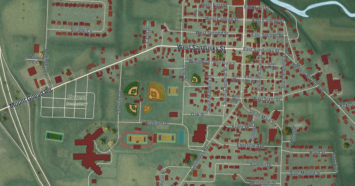
Fredericktown, Ohio is the home of the blue FFA jacket. This new aerial map from 2026 shows North Main Street, West Sandusky Street, Stadium Drive, Forest Cemetery and more than 1,700 buildings in Knox County.
Read More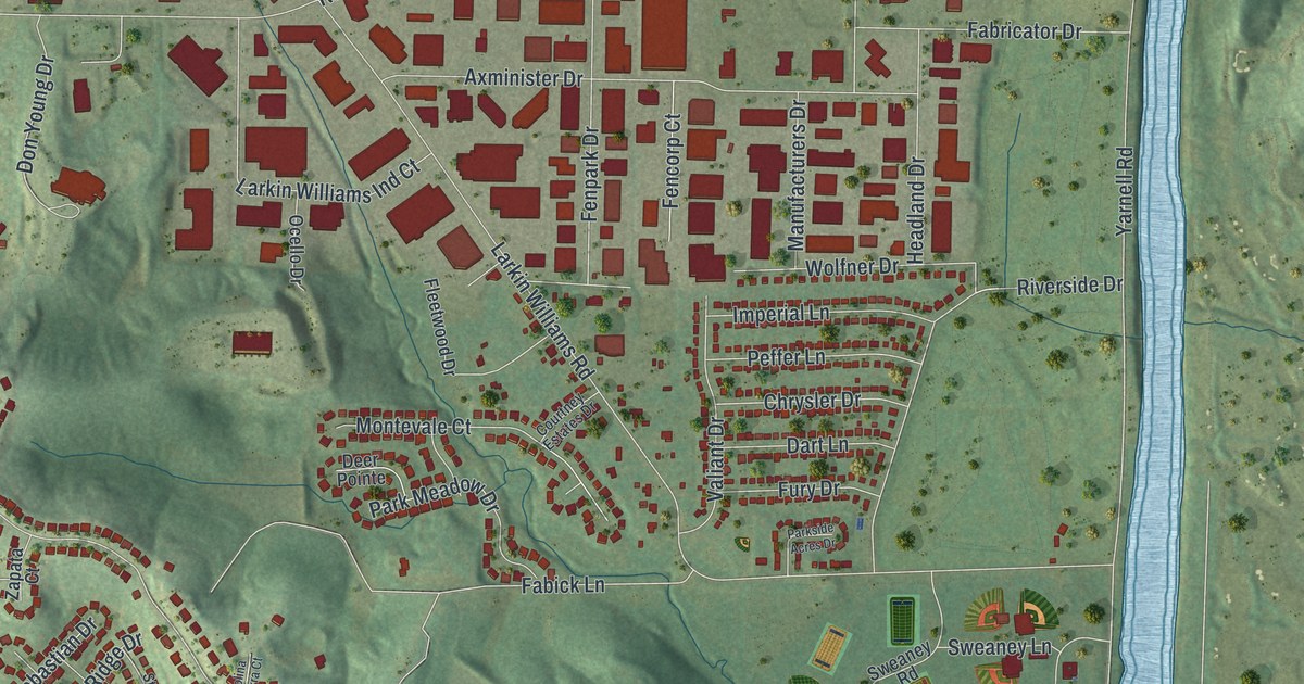
Find familiar Fenton streets, red buildings, and green hills on a new aerial map. See where Fenton’s name comes from, according to the State Historical Society of Missouri, and take a closer look at home.
Read More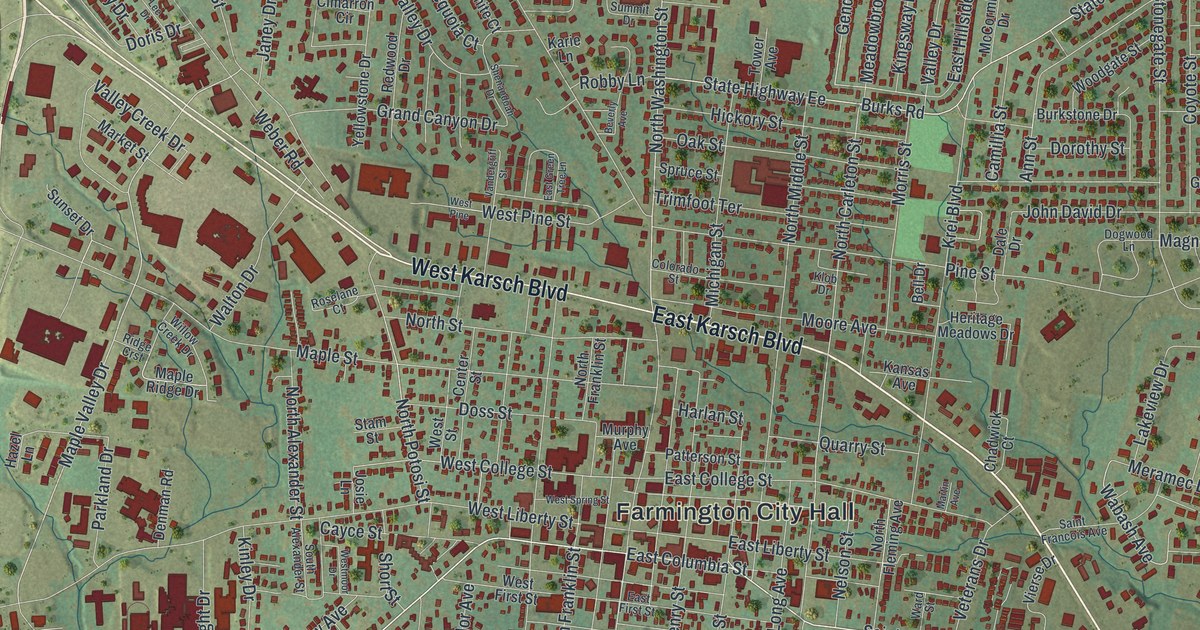
Farmington was laid out in 1822 on land given by David Murphy. This new 2026 aerial map of Farmington in St. Francois County, Missouri shows Karsch Boulevard, Columbia Street, Farmington City Hall and thousands of buildings in the green hills.
Read More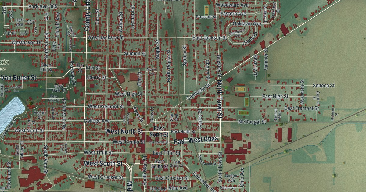
A new aerial map of Fostoria in Seneca County, Ohio, made in 2026. Find North Main Street, Sandusky Street and Fountain Cemetery, and read how natural gas made Fostoria a glass town in the 1880s.
Read More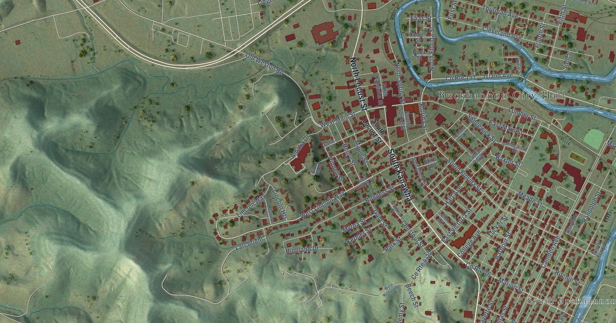
A detailed map of Buckhannon, West Virginia, showing every building in its true location, the roads by name, and shaded topographical relief.
Read More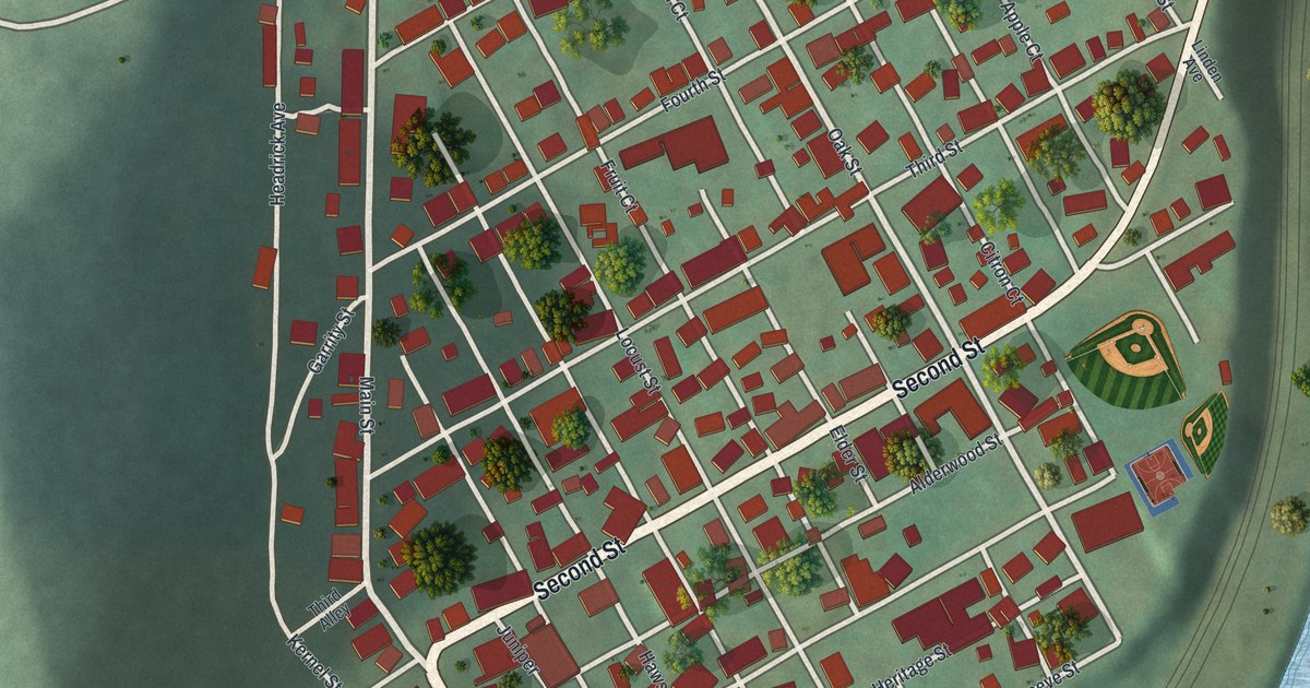
East Conemaugh in Cambria County became a borough in 1868. This new 2026 aerial view map shows Main Street, Second Street, the fruit-named courts and the red roofs of town, framed by green hills and a curving blue river.
Read More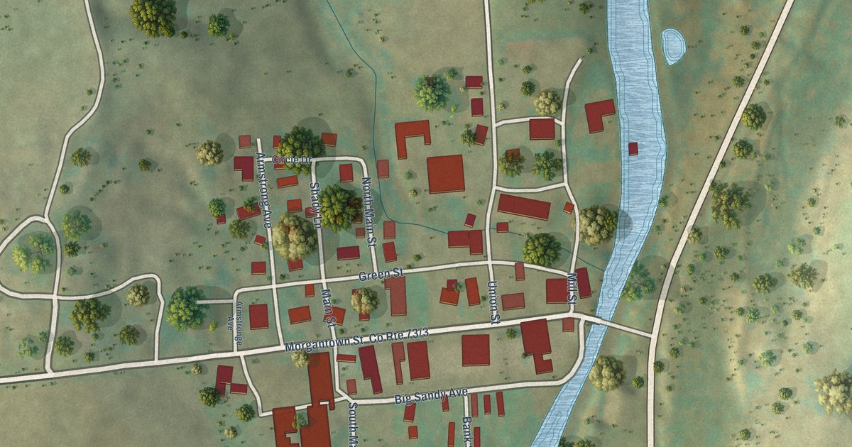
A detailed map of Bruceton Mills, West Virginia, showing every building in its true location, the roads by name, and shaded topographical relief.
Read More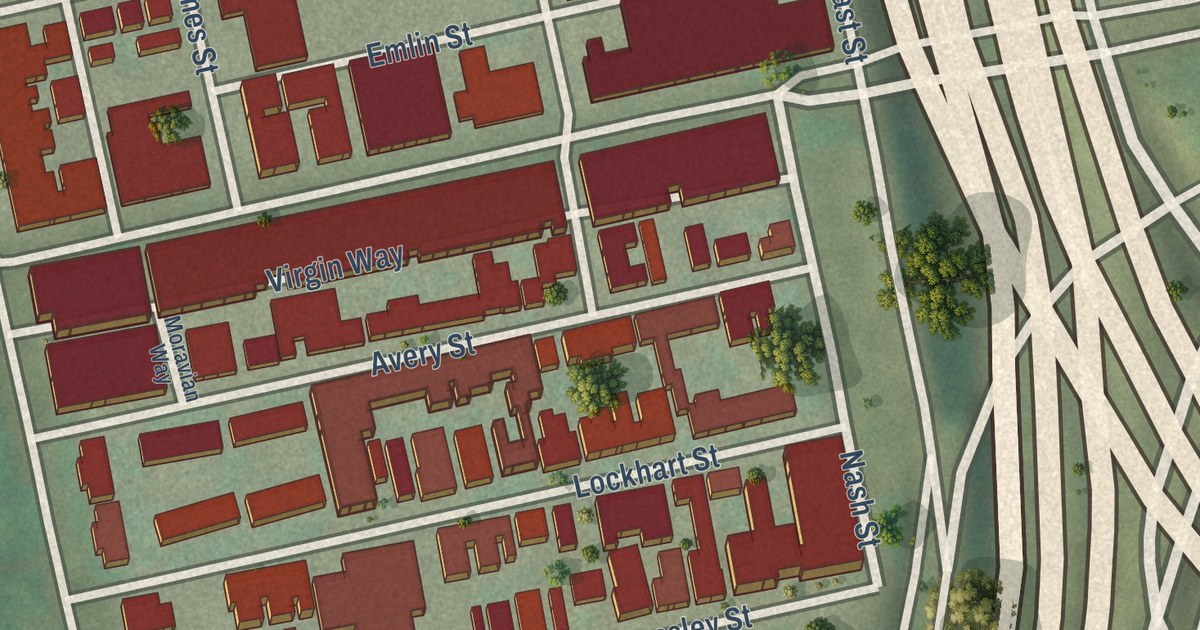
A new aerial map of East Allegheny on Pittsburgh’s North Side, with East Ohio Street, Madison Avenue and Lockhart Street printed by name, plus the story of Avery College, started in 1849 at Nash and Avery Streets.
Read More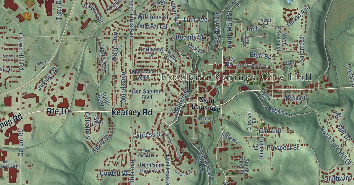
Follow Isley Boulevard, Saint Louis Avenue and Rainbow Boulevard across this 2026 map of Excelsior Springs, then learn why the town’s post office was called Yiginti for its first two years.
Read More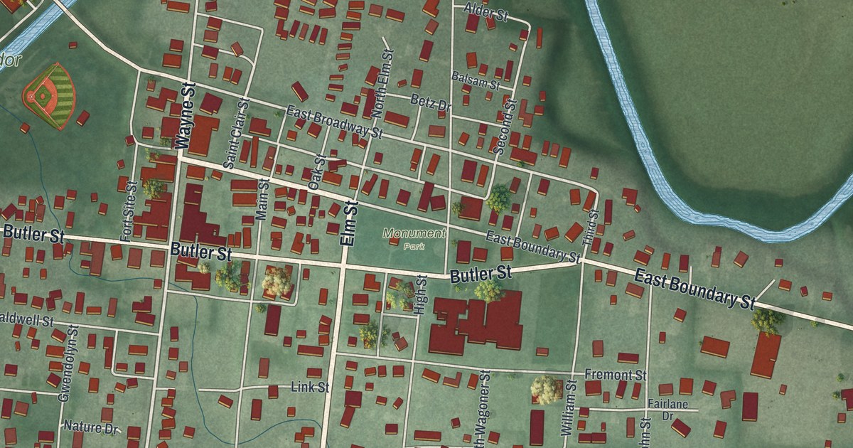
A new aerial map of Fort Recovery in Mercer County, Ohio, made in 2026. Find Fort Site Street, Wayne Street and Blue Jacket Drive, and read how the village got its name from a fort built on the ground of St. Clair’s Defeat.
Read More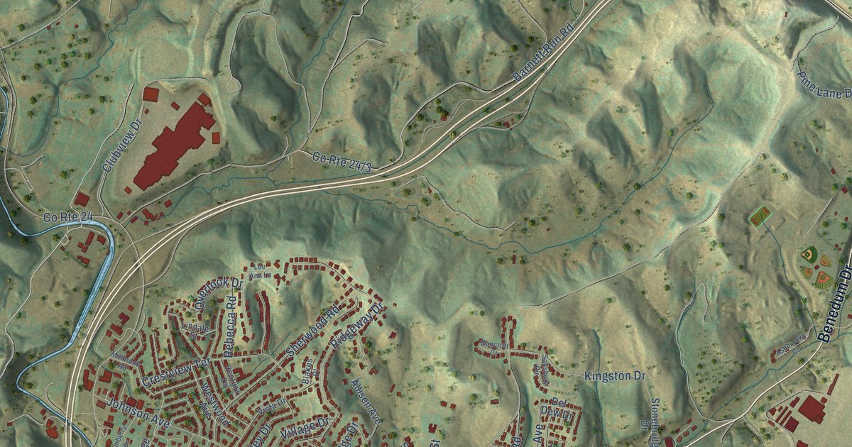
A detailed map of Bridgeport, West Virginia, showing every building in its true location, the roads by name, and shaded topographical relief.
Read More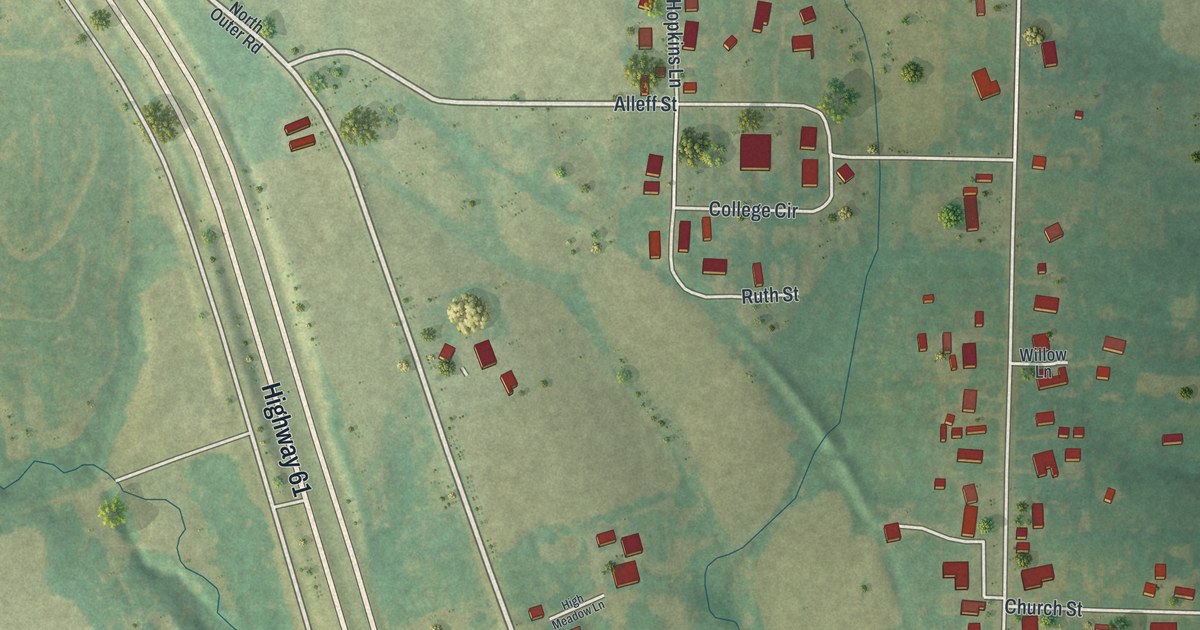
Find Eolia’s familiar streets in a new aerial map with a vintage feel. Learn how a windy survey day gave the town its name.
Read More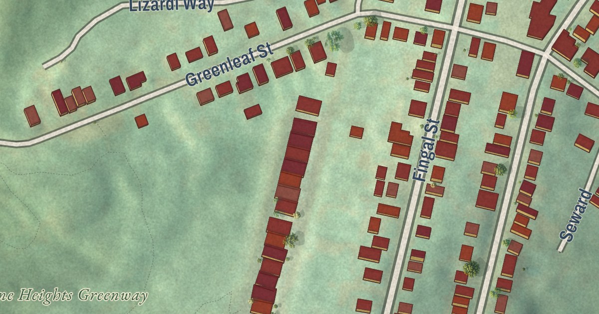
A new aerial map of Duquesne Heights in Allegheny County, made in 2026. Find Grandview Avenue, Republic Street and the Duquesne Heights Greenway, and read about the Duquesne Incline and the 1797 glass works that stood at its foot.
Read More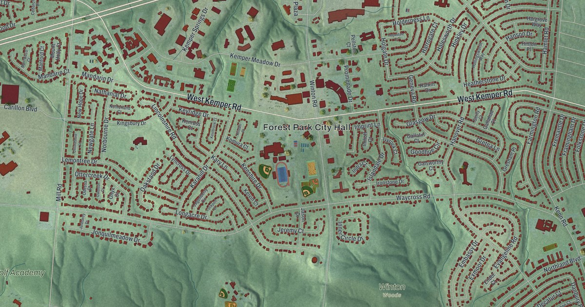
Find familiar Forest Park streets in a modern aerial map with a vintage feel. West Kemper Road holds the story of a school site used since the late 1840s, from Newell School to Forest Park High School.
Read More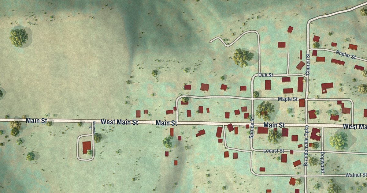
A detailed map of Brandonville, West Virginia, showing every building in its true location, the roads by name, and shaded topographical relief.
Read More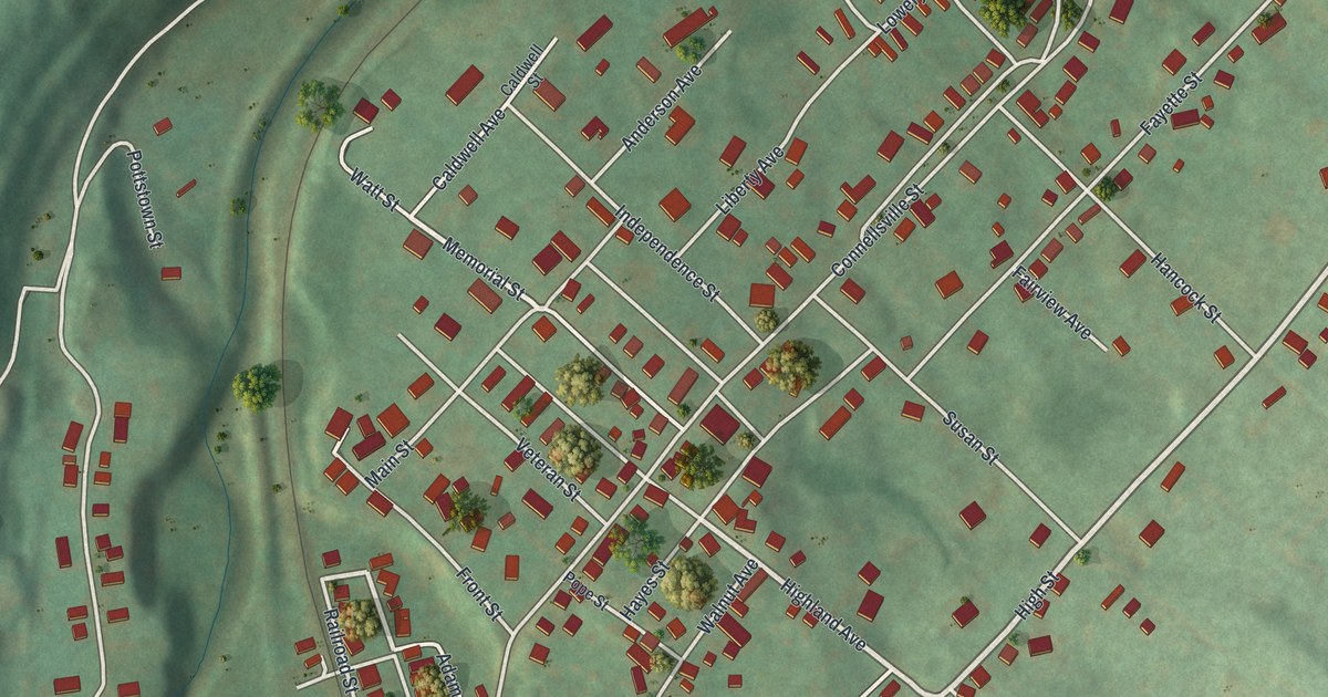
A 2026 aerial view of the Borough of Dunbar in Fayette County, Pennsylvania. Find Main Street, Furnace Avenue and Mahoning, and read about Col. Thomas Dunbar’s part in Braddock’s march of 1755 and the pioneer ironmaster Isaac Meason.
Read More















