Author: TheKnowOwl

Detailed Map of Fairview Park, Ohio

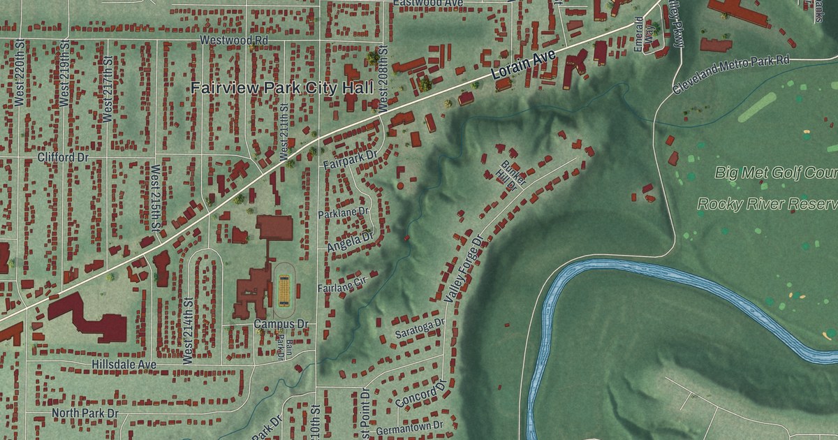
A new aerial map of Fairview Park in Cuyahoga County, Ohio, from Lorain Avenue to Rocky River Reservation. Read how the town rebuilt its WPA cabin after a 1937 fire, and how launches were run from a NASA building on Brookpark Road.

Read More
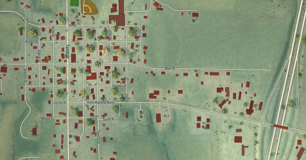
Detailed Map of Eagleville, Missouri

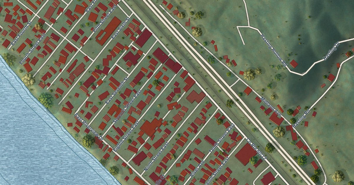
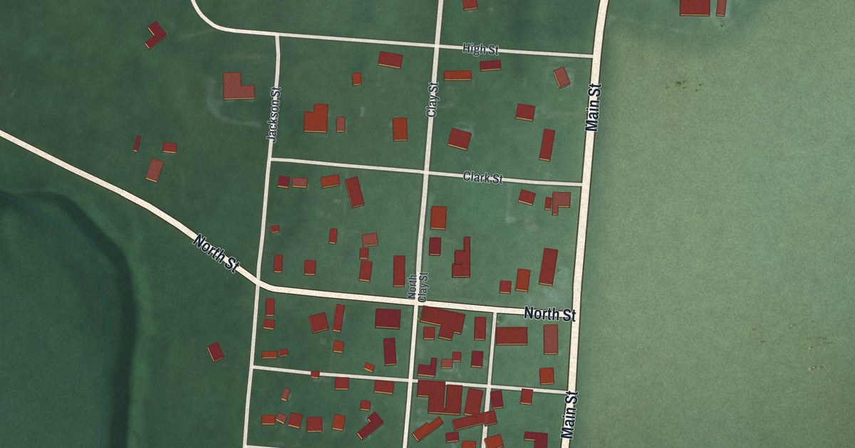
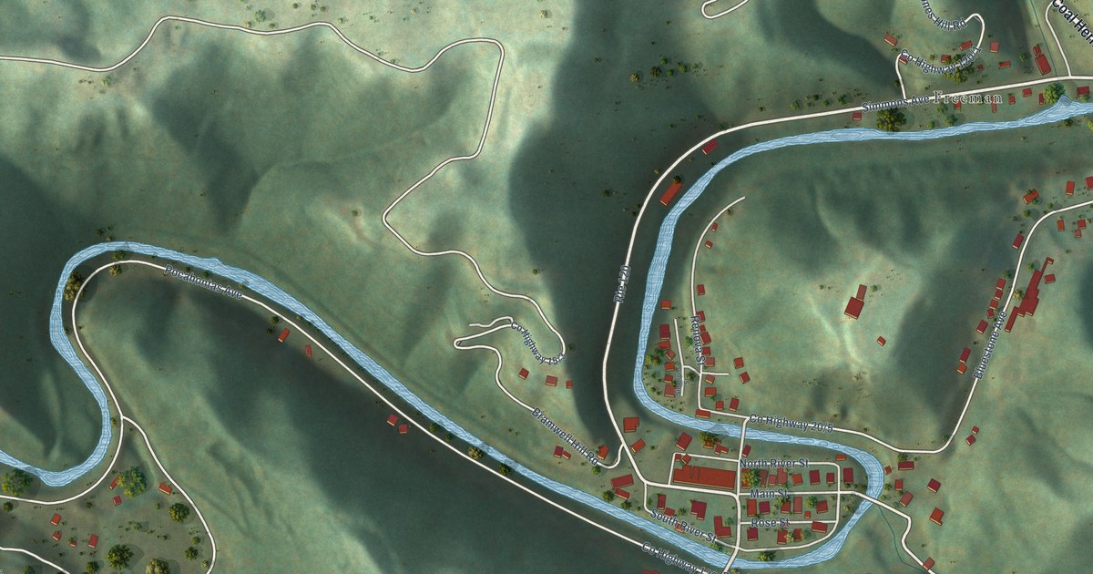
Eagleville wasn’t on a railroad, but a 1921 county history said it kept an important place for trade. This new 2026 map shows Main Street, Tenth Street and the red shapes of the town’s buildings among green farm hills.

Read More

Detailed Map of Edgerton, Ohio

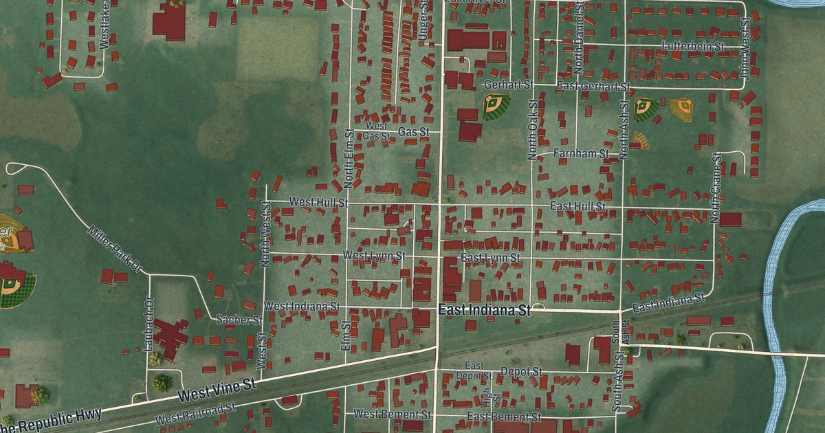
A new aerial map of Edgerton in Williams County, Ohio, made in 2026. Find Michigan Avenue, Indiana Street, Miller Park and Maple Grove Cemetery, and read how the village got its name and its 1884 town hall and opera house.

Read More

Detailed Map of Dublin, Ohio

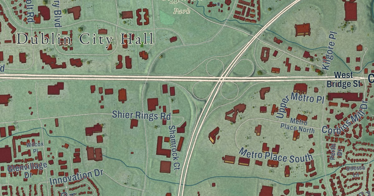
A new aerial map of Dublin in Franklin County, Ohio, made in 2026. Find Coffman Park, Scioto Park, West Bridge Street and your own street, and read how the Sells family made the first settlement here in 1801 or 1802.

Read More

Detailed Map of Corning, Missouri

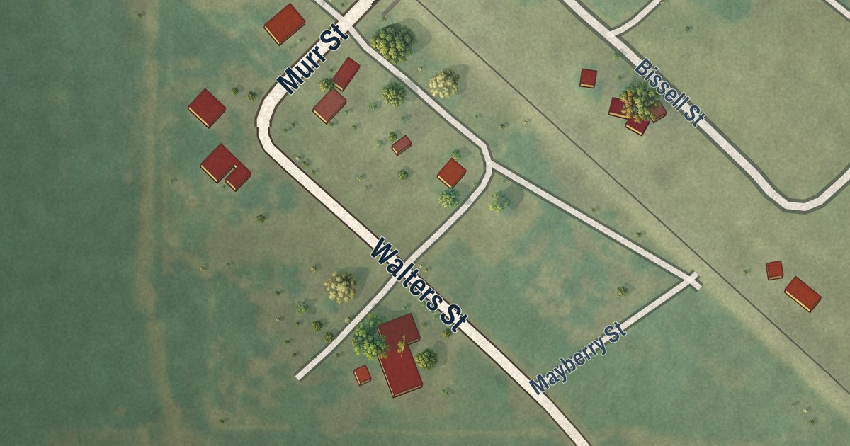
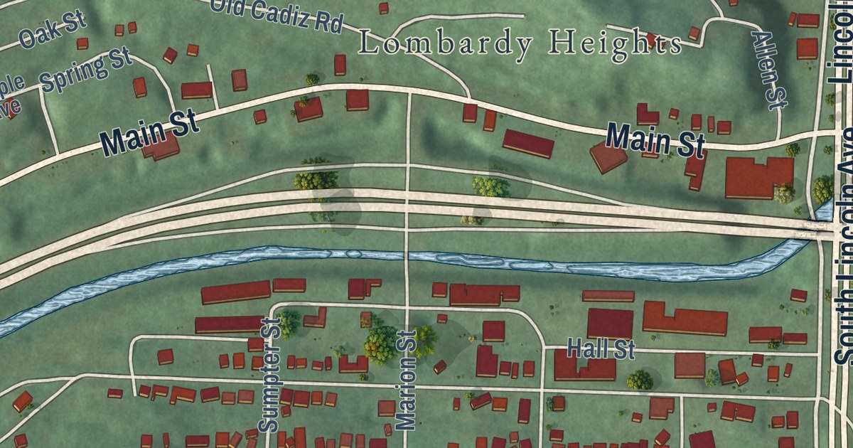
Corning was a Burlington railroad stop where the Tarkio Valley Branch left the main line. This 2026 aerial map of the Holt County town prints Bissell Street, Walters Street, River Road and more, with the rail line and farm fields all around.

Read More
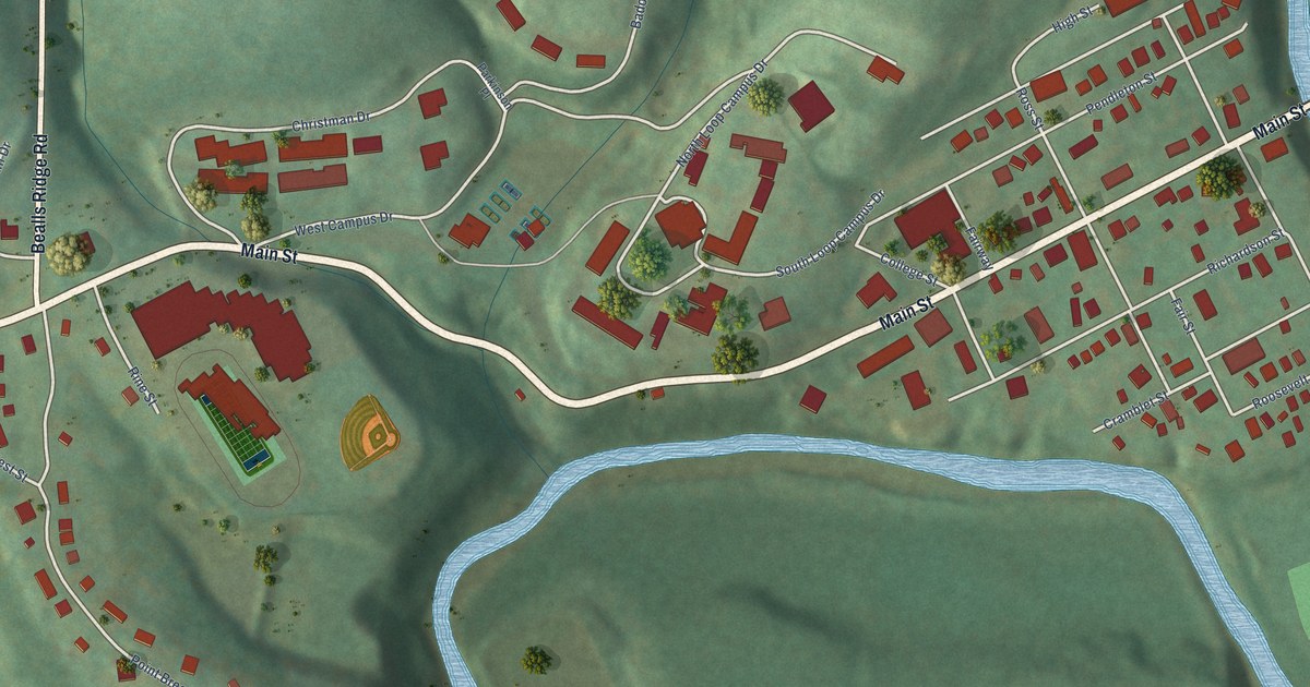
Detailed Map of Delta, Ohio

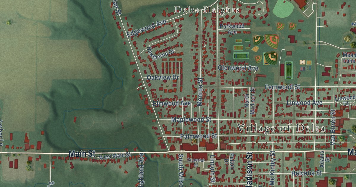
Explore Delta’s streets, fields, and rail lines in a new aerial map. Find Main Street and West Delta, then learn about the town that once made wood dishes, wagons, washing machines, and brooms.

Read More
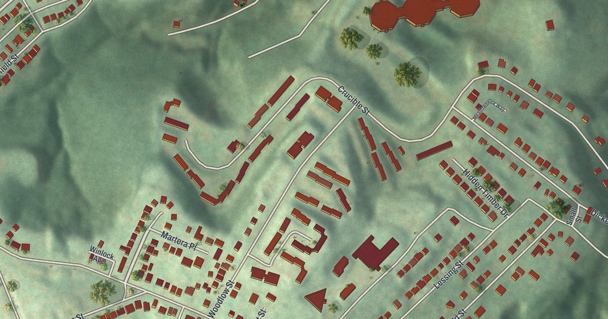
Detailed Map of Crestline, Ohio

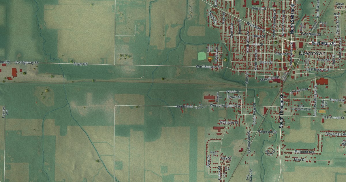
A new aerial map of Crestline, Ohio, in Crawford County. Find East Main Street, North Seltzer Street and Union Street, and learn how Crestline volunteers met as many as 25 trains a day with free food for troops during World War II.

Read More
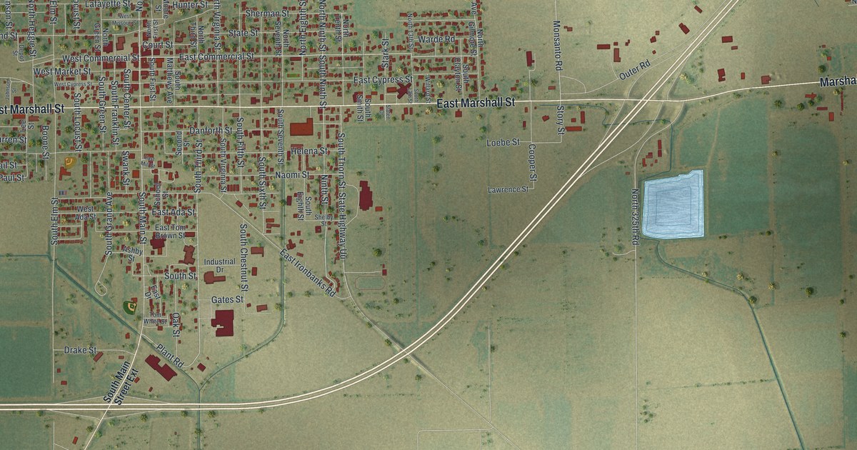
Detailed Map of Clarksdale, Missouri

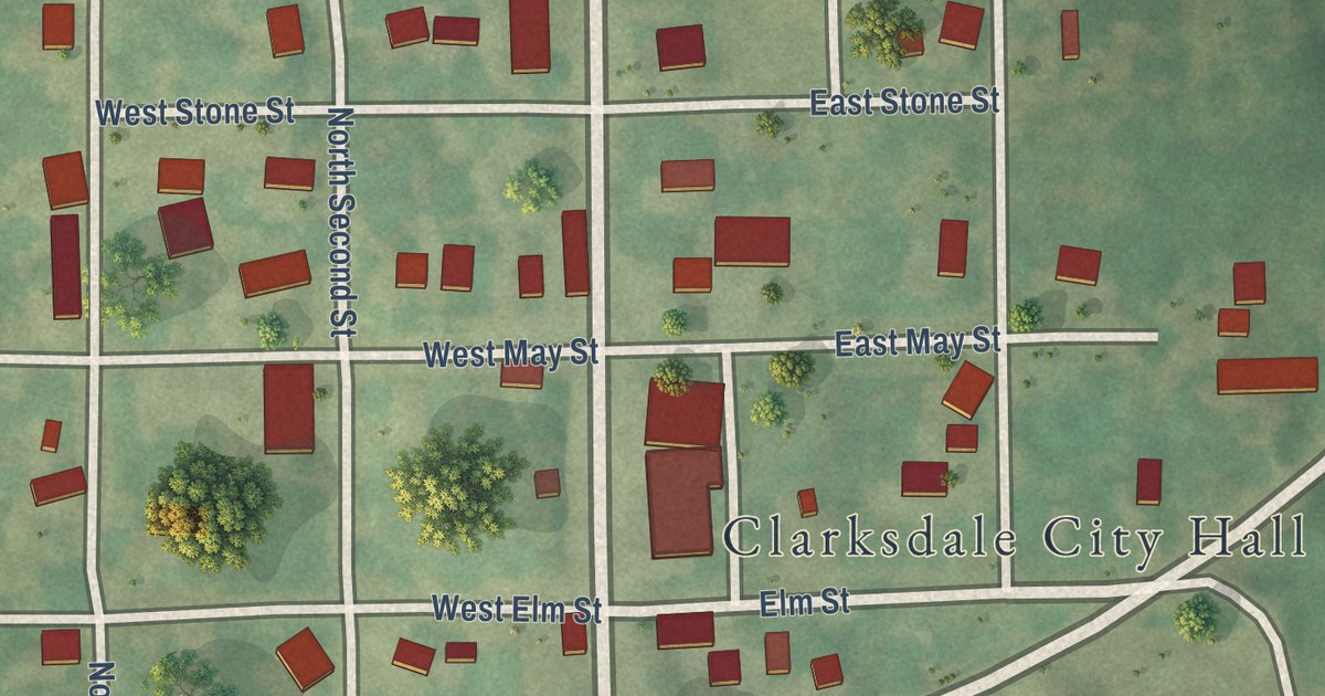
A modern aerial map of Clarksdale in DeKalb County, Missouri, made in 2026 with a vintage feel. See North Main Street, City Hall and the red buildings of town, plus the story of the Christian Church started there in 1886.

Read More
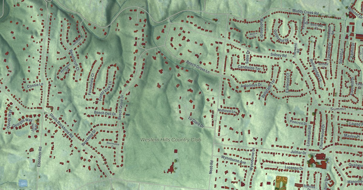
Detailed Map of Charleston, Missouri

A new aerial map of Charleston in Mississippi County, Missouri. Find North Main Street, East Marshall Street and East Commercial Street, home of the McCutchen Theatre and the Russell Hotel, plus how the town borrowed its name from Charleston, South Carolina.

Read More
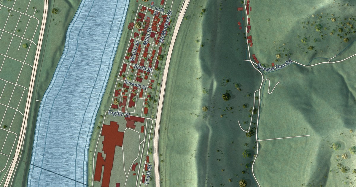
Detailed Map of Covedale, Ohio

See Covedale’s green hills, red building shapes and familiar streets on a new map made in 2026. Learn how cars shaped family life in the story told by the Bappert House nomination.

Read More
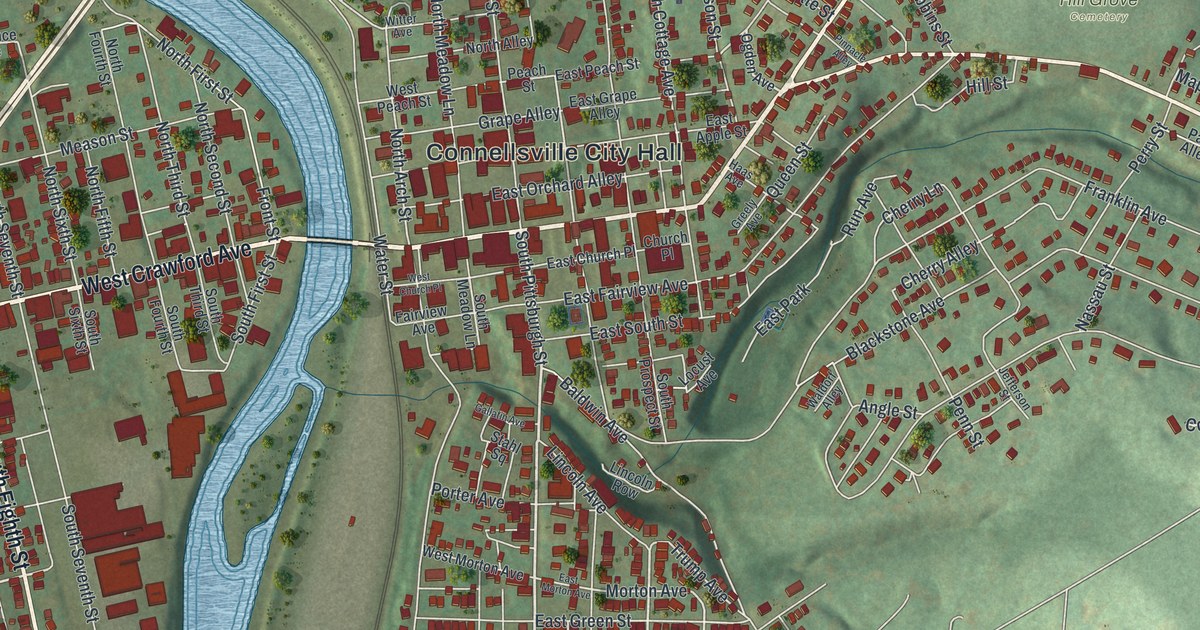
Detailed Map of Corwin, Ohio

A modern aerial map of Corwin in Warren County, Ohio, with a vintage feel. Find North Main Street, Pigeon Street, Anvil Drive, Clint Fultz River Park and the older village streets near the river.

Read More
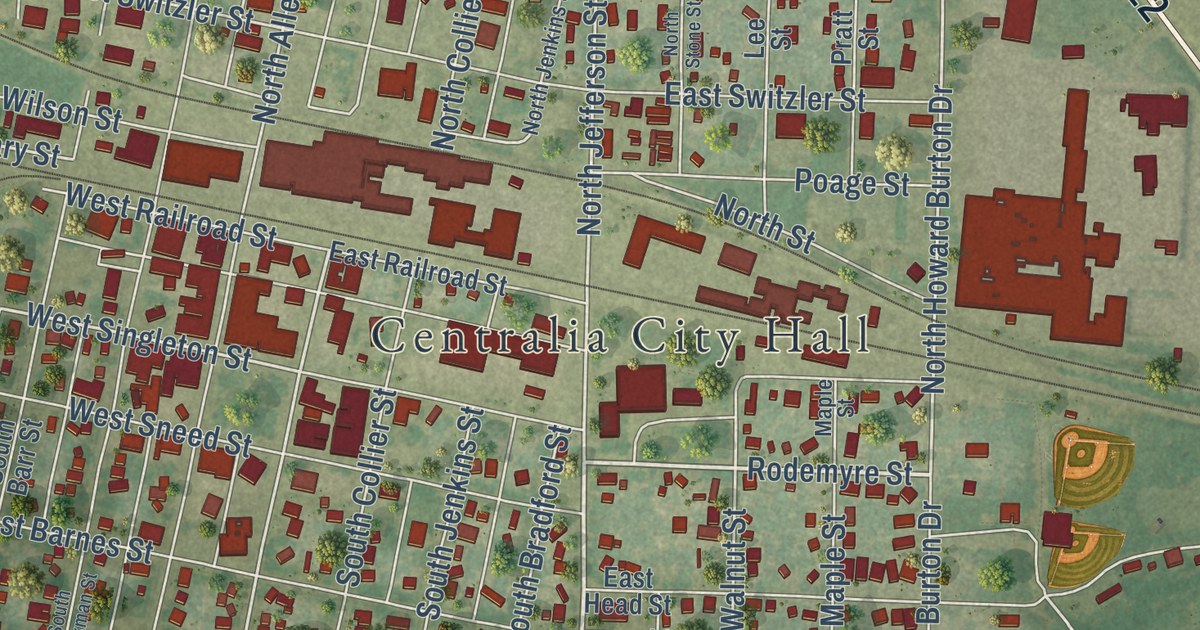
Detailed Map of Conneaut, Ohio

Moses Cleaveland’s survey party landed at the mouth of Conneaut Creek on July 4, 1796. This new 2026 map of Conneaut, Ohio shows State Street, Broad Street, Harbor Street and Lake Erie.

Read More
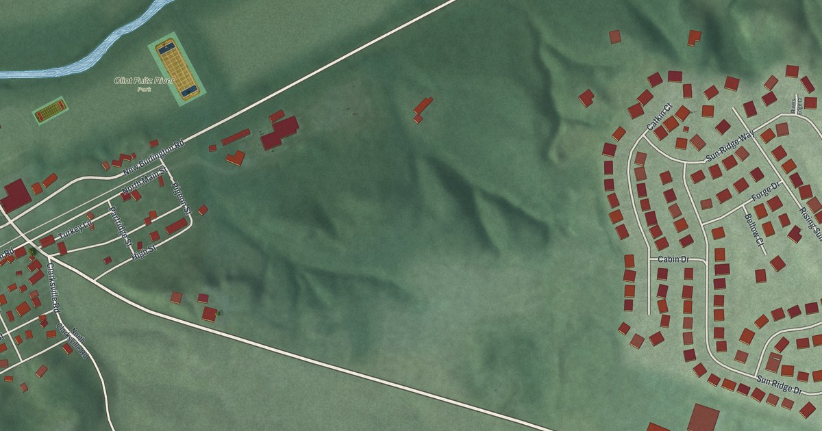
Detailed Map of Clifton, Ohio

Clifton’s mills once supplied flour and woolen material for American troops. This new map pairs the village’s familiar streets with red buildings, green terrain and blue water.

Read More
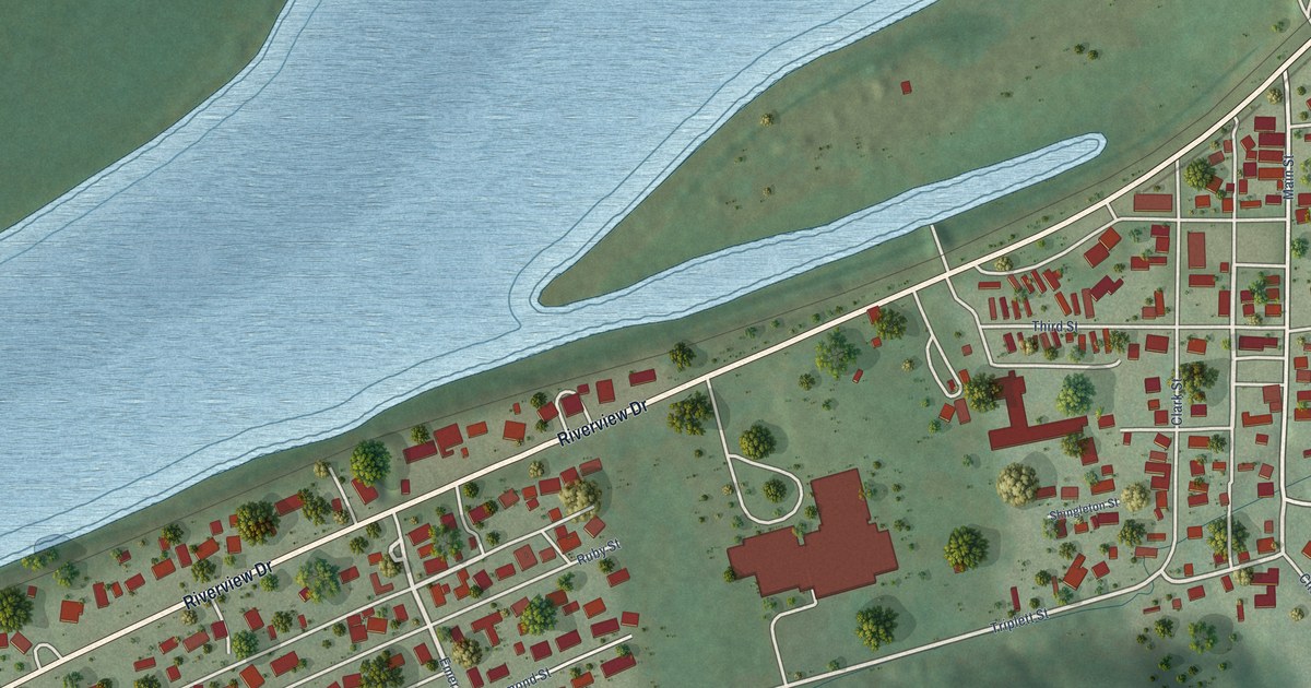
Detailed Map of Chesterville, Ohio

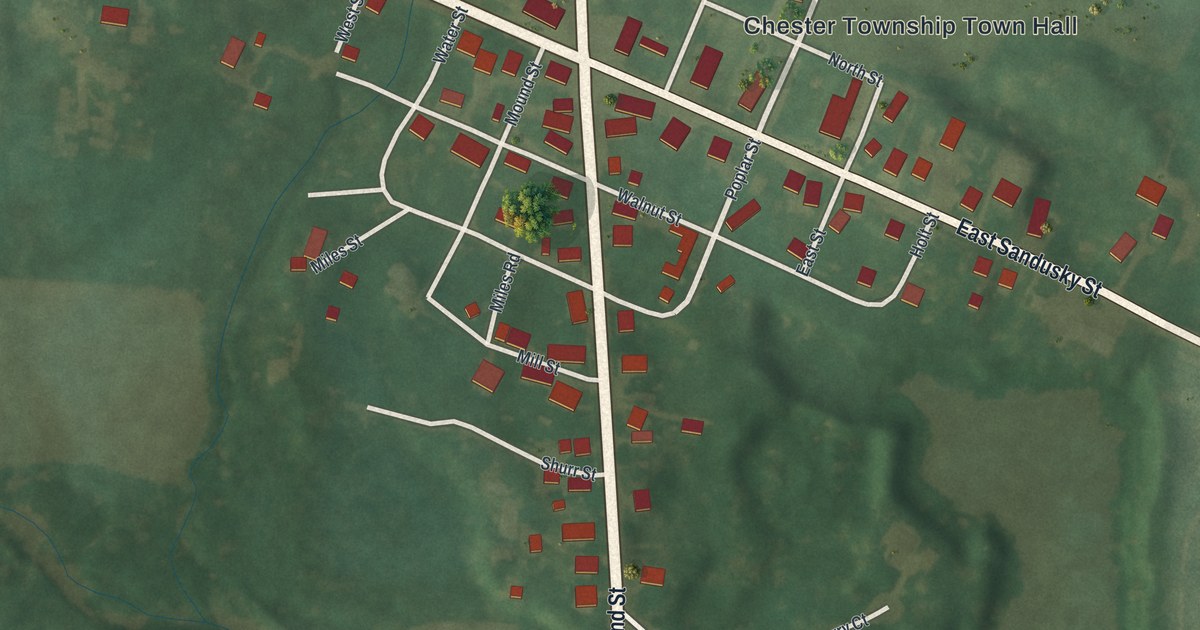
A new aerial map of Chesterville in Morrow County, Ohio. It shows the Portland and Sandusky crossroads, once called Miles’ Cross Roads, where nine buildings joined the National Register in 1979.

Read More
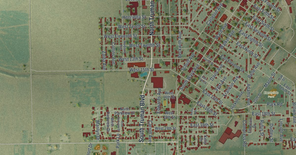
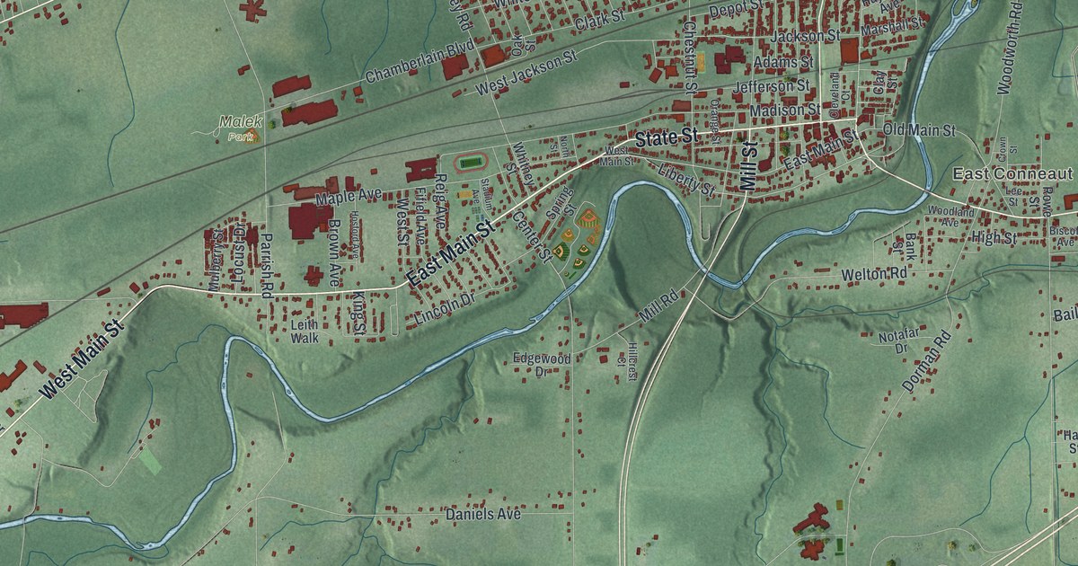
Detailed Map of Collingdale, Pennsylvania

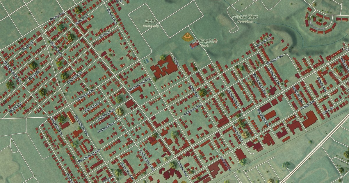
A new aerial map of Collingdale in Delaware County, made in 2026. Find Chester Pike, Woodlawn Avenue and Collingdale Park, read about St. Joseph’s Parish on the National Register, and see the two avenues that share names with people buried in Darby.
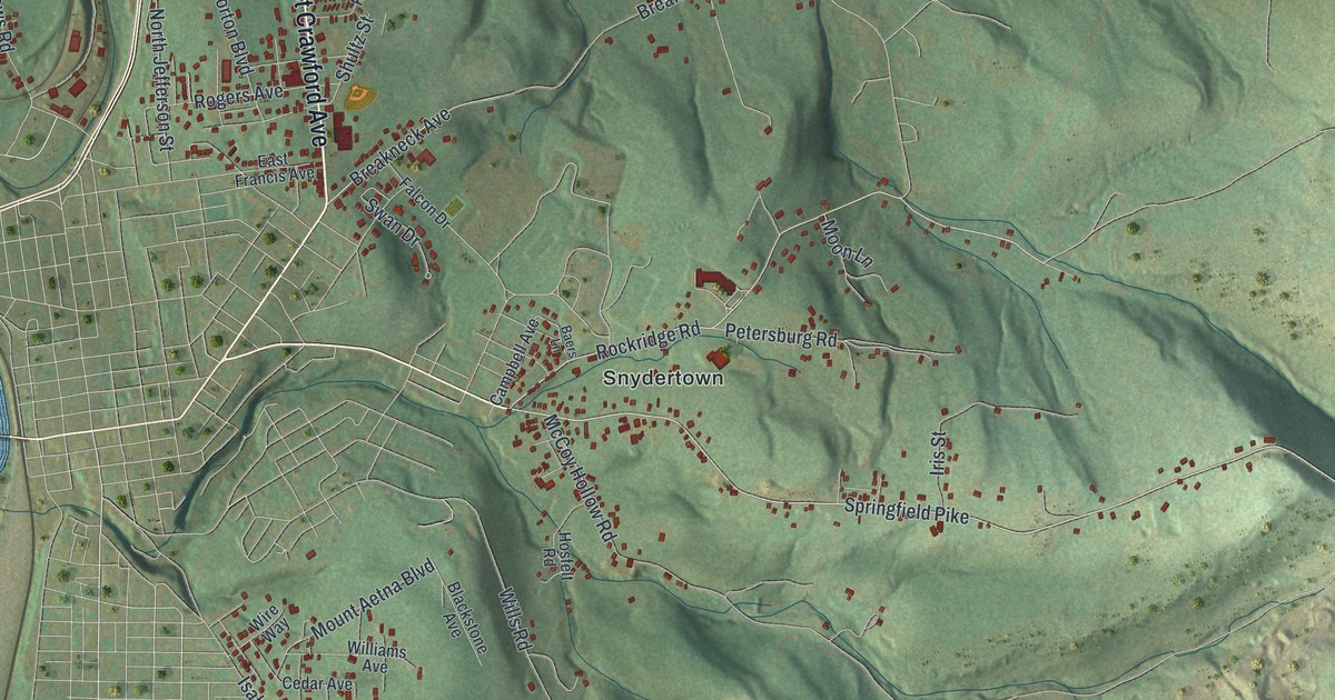
Read More

Detailed Map of Celina, Ohio

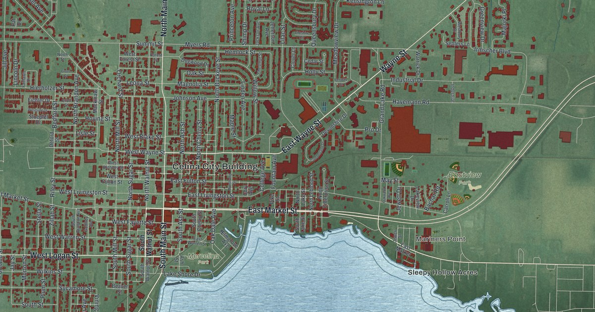
See Celina’s streets, red buildings and blue shoreline in a new aerial map with a vintage feel. Read how the Riley family helped lay out the town, with a story tied to East Market Street.

Read More

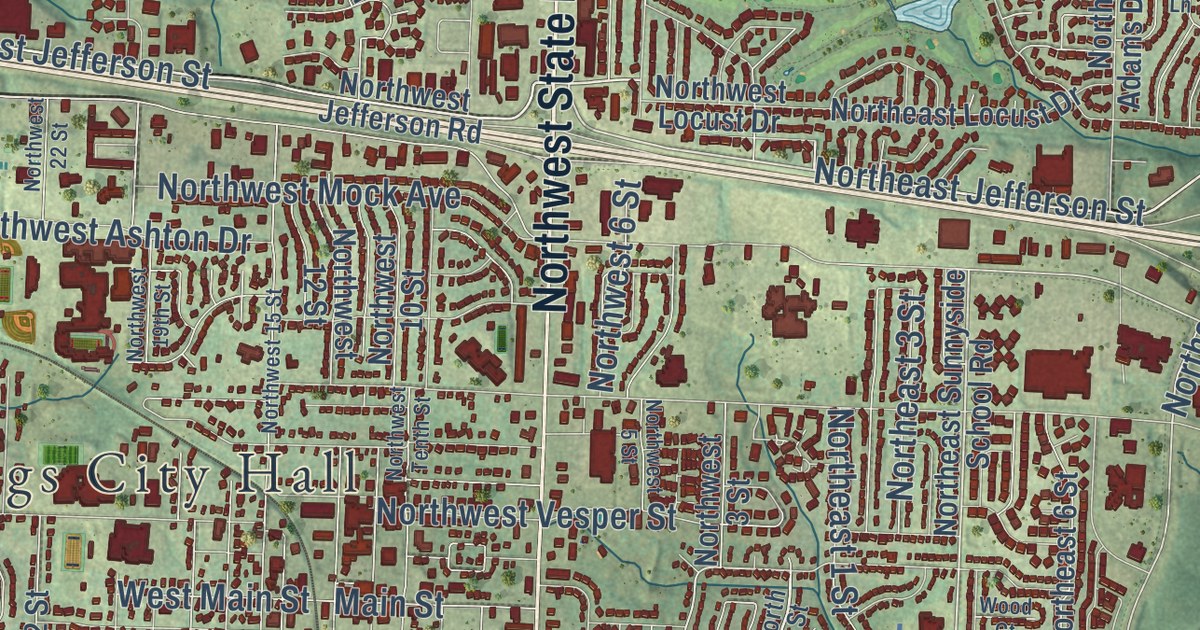
Detailed Map of Cameron, Missouri

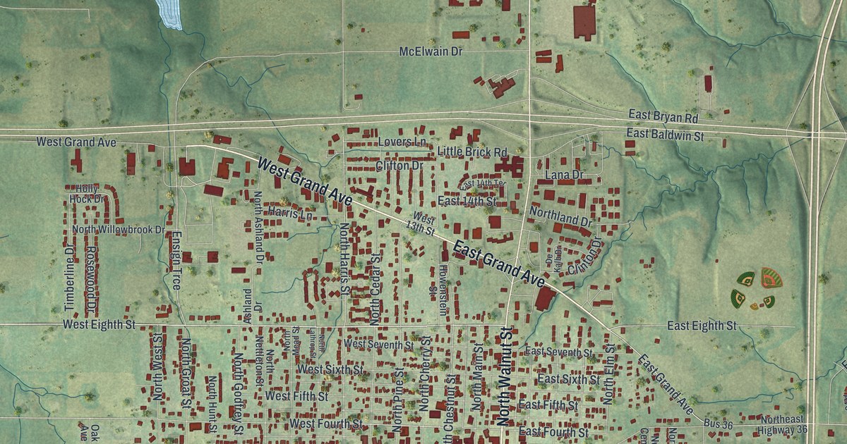
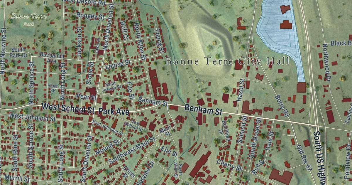
A modern aerial map of Cameron in Clinton County, Missouri, with Cameron City Hall, Grand Avenue, Walnut Street and thousands of buildings. Plus the story of the town’s first carpenters and Obadiah Smith’s first blacksmith and wagon shop in 1857.

Read More

Detailed Map of Clara, Pennsylvania

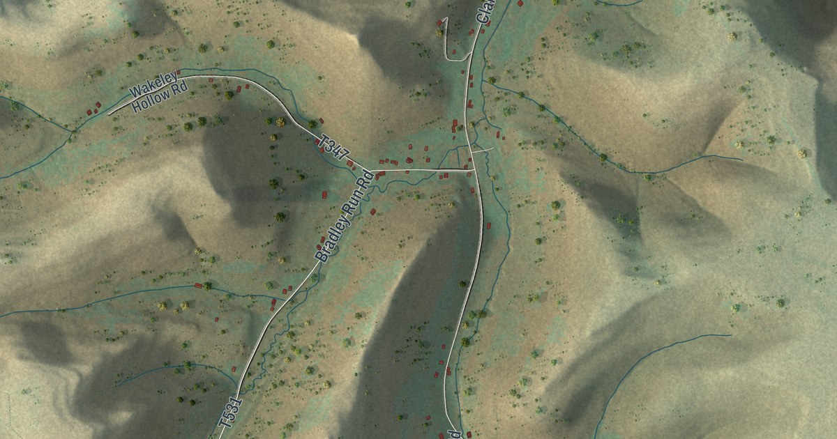
When Reuben Clark helped raise Shelden Bradley’s house in the 1830s, he stayed the night and caught his breakfast in the stream later called Bradley Run. This map of Clara Township follows Clara Road, Bradley Run Road and Fisk Hollow Road down to Durward.

Read More
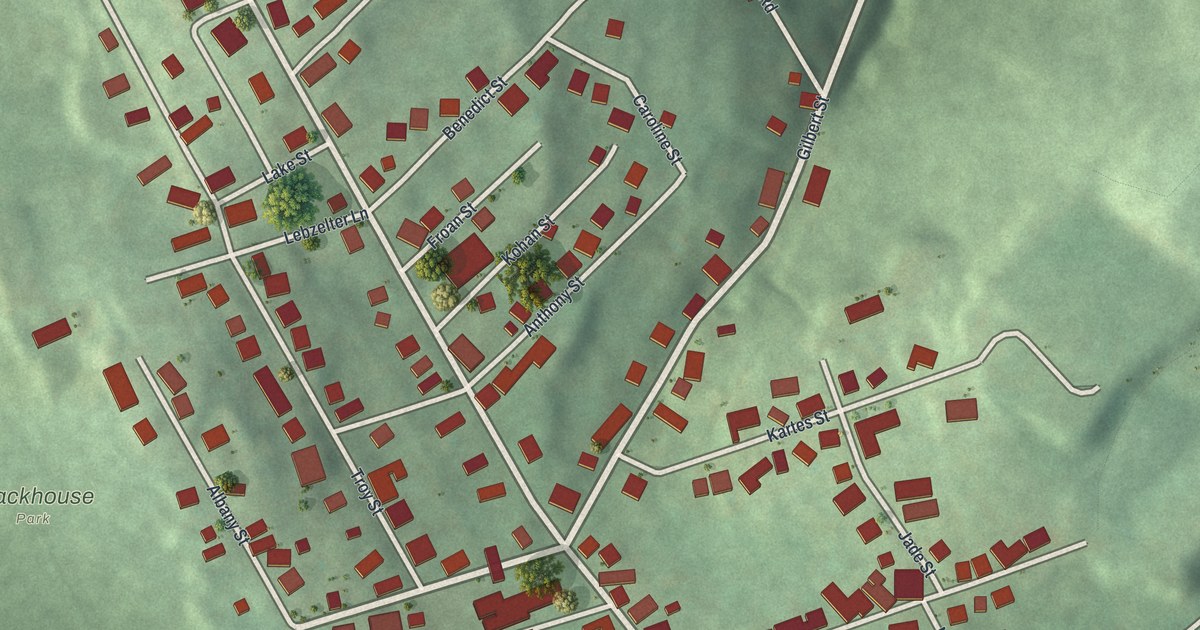
Detailed Map of Carlisle, Ohio

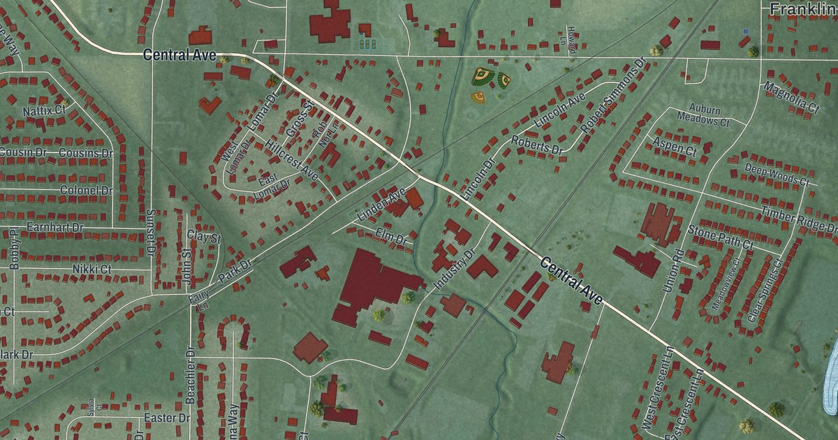
Carlisle began as the Jersey Settlement and became Carlisle Station in 1856, when railroad man George Carlisle and his wife Sarah gave the town a lot. This new 2026 map of Carlisle, Ohio shows Central Avenue, Park Drive, Chautauqua and thousands of buildings.

Read More
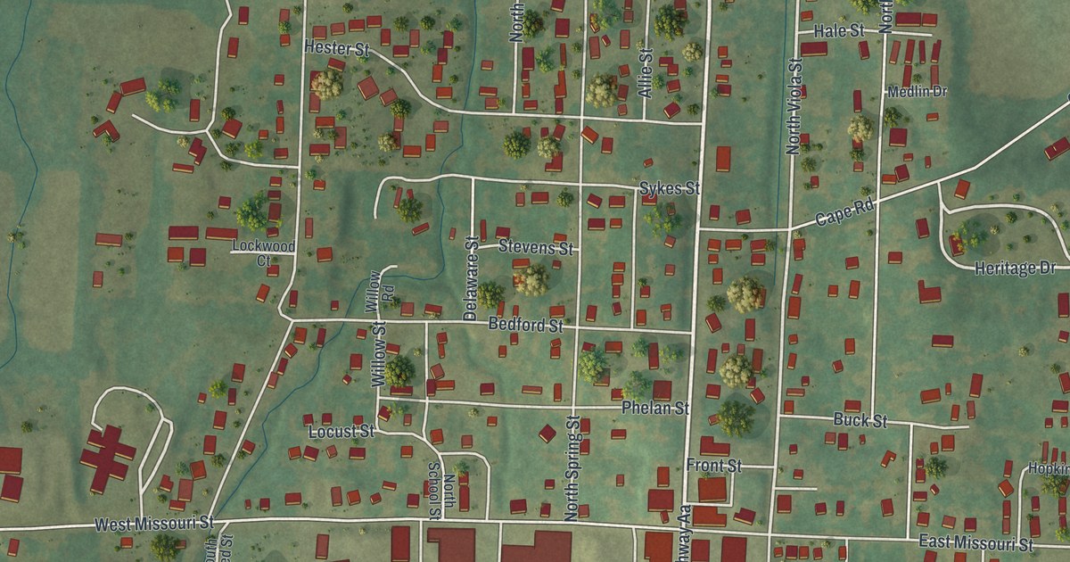
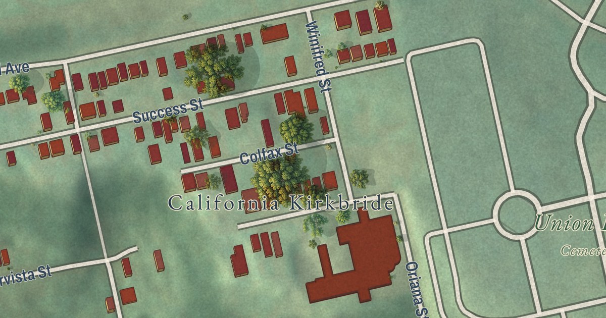
Detailed Map of California, Missouri

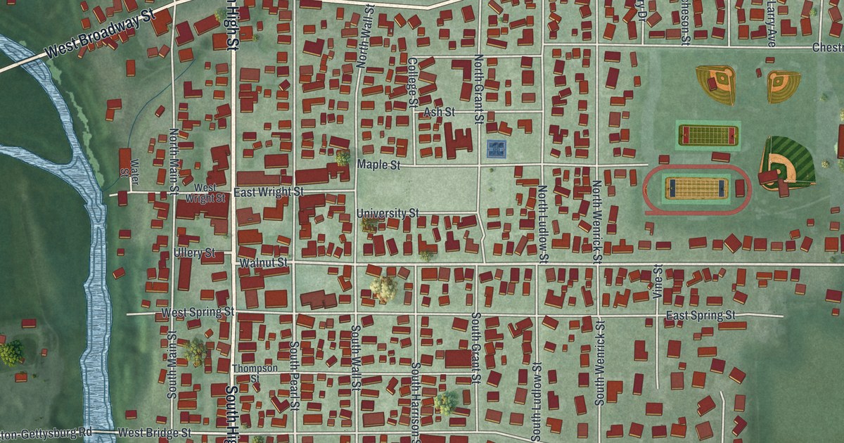
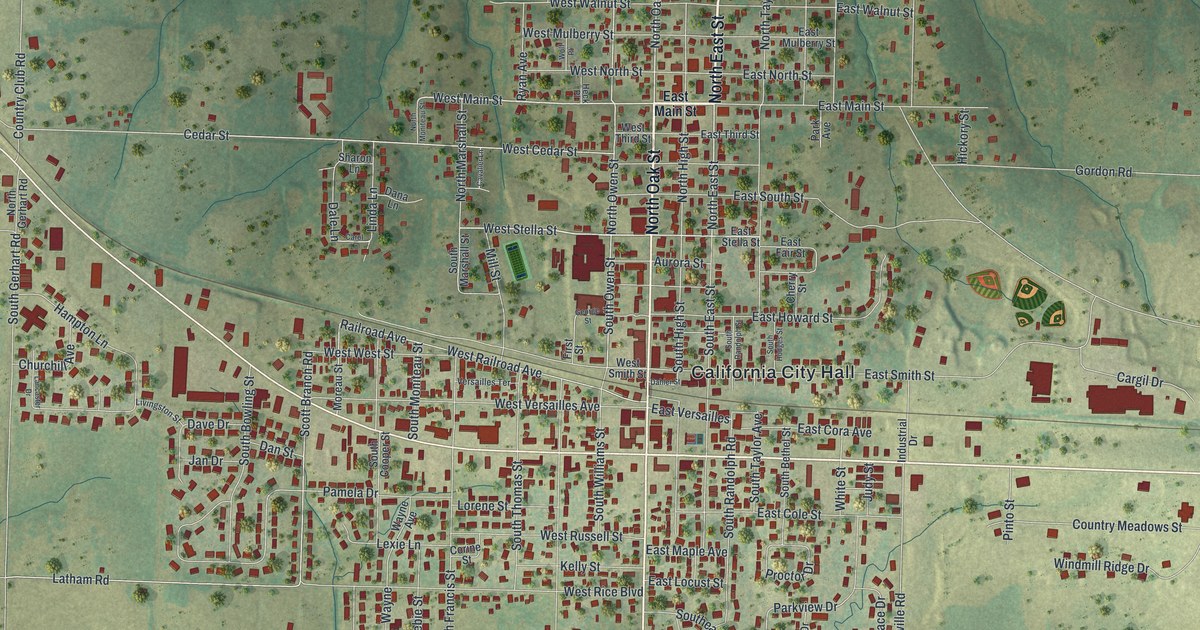
A modern aerial map of California in Moniteau County, Missouri, with North High Street, Proctor Park and about 2,400 buildings. Read about Walter Garner’s 1835 blacksmith shop and the five National Register places downtown.

Read More
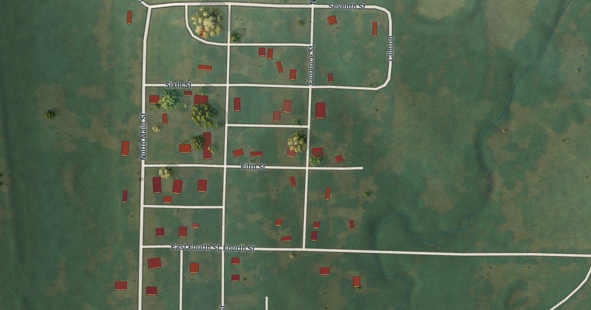
Detailed Map of Camden, Ohio

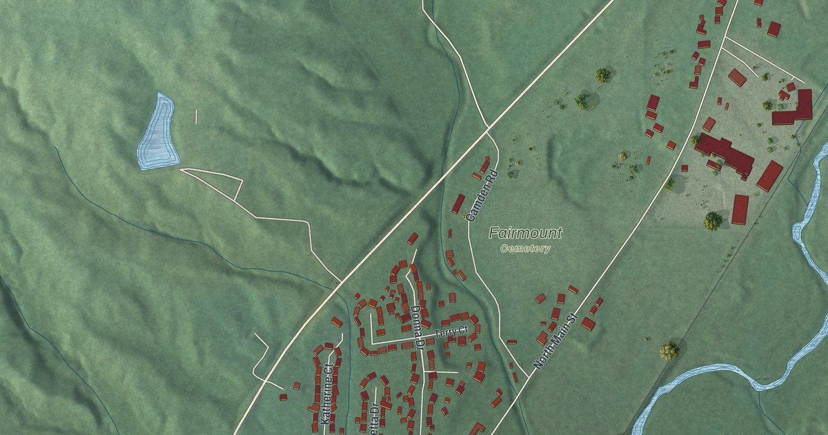
A new aerial view map of Camden in Preble County, Ohio, made in 2026. Find Central Avenue, Hendricks Street and Fairmount Cemetery, and learn how Orchard Hill Cemetery began with a gift of land from co-founder James Moore Sr. in 1817.

Read More
Detailed Map of Cambridge, Ohio

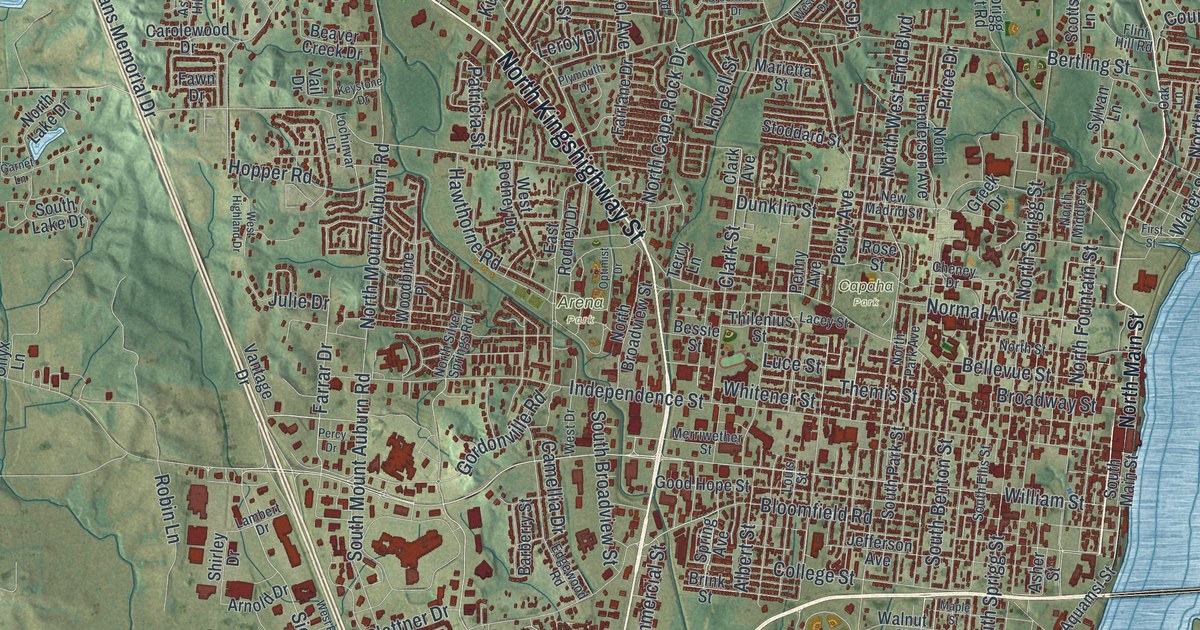
A new aerial map of Cambridge, Ohio, in Guernsey County. Find Wheeling Avenue, Northside Park and your own street, and read how families from the isle of Guernsey bought land here in 1806.

Read More
Detailed Map of Brentwood, Missouri

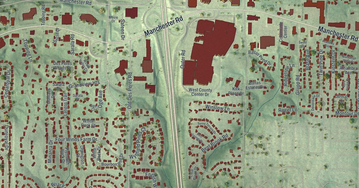
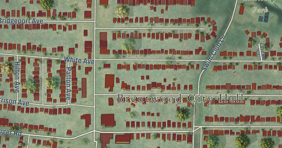
Brentwood, Missouri was named for Mr. Brent, who laid out the town. This new 2026 aerial map shows Brentwood City Hall, Memorial Park and Manchester Road, with each building drawn as a red shape and a vintage feel.

Read More
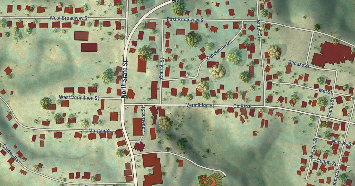
Detailed Map of Caldwell, Ohio

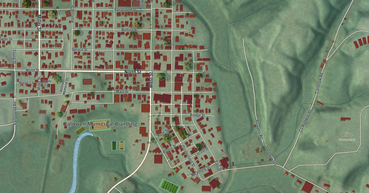
Caldwell is the county seat of Noble County, the last of Ohio’s 88 counties. This new aerial map shows its streets, its brick downtown and the green hills around it, plus the story of how Samuel Caldwell’s gift of land gave the town its name.

Read More
Detailed Map of Bucyrus, Ohio

A new aerial map of Bucyrus in Crawford County, Ohio, with about 6,600 buildings, Sandusky Avenue, Aumiller Park and Norton Way. Plus the story of the Nortons, the first settlers of Bucyrus, and ox team trips to the lake that took up to two weeks.

Read More
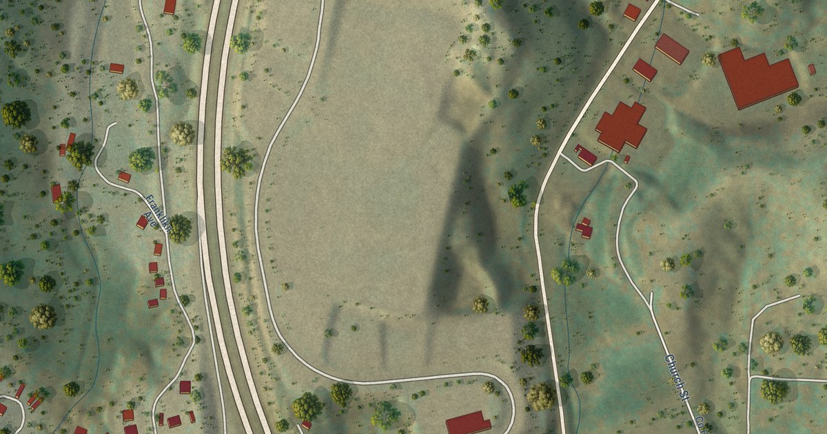
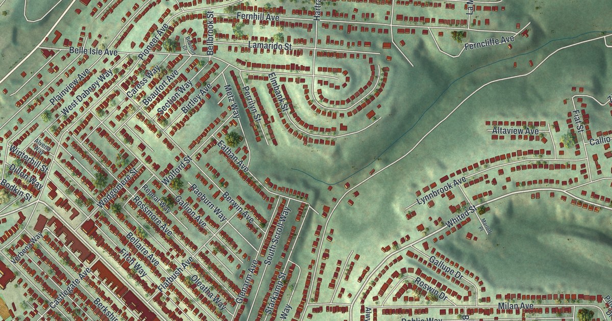
Detailed Map of Carrick, Pennsylvania

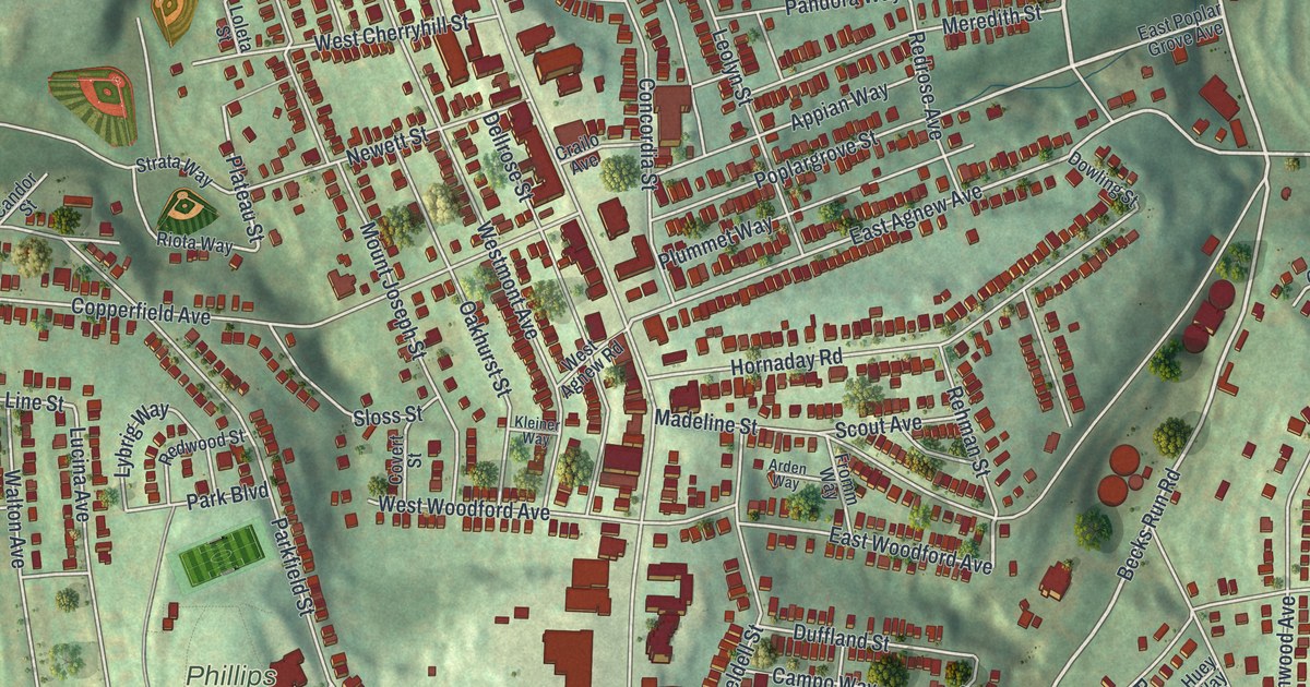
A new aerial map of Carrick in Allegheny County, made in 2026. Find Brownsville Road, Phillips Park and Birmingham Cemetery, and learn how the Carrick post office opened in 1853 and read that the village was sometimes called Engleartville.

Read More
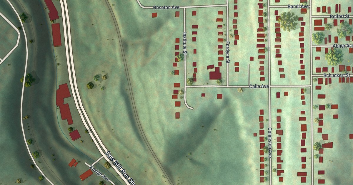
Detailed Map of Blythedale, Missouri

A new aerial view map of Blythedale in Harrison County, Missouri. Find Main Street, Walnut Street and Cherry Street, and learn how the town started three churches in three years in the 1880s and was known for its public schools.

Read More
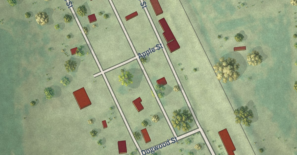
Detailed Map of Bryan, Ohio

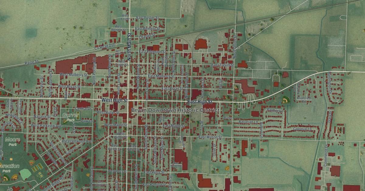
A modern aerial map of Bryan in Williams County, Ohio, with North Main Street, the downtown historic district, Garver, Moore and Recreation parks, and the straight rail line where a jet-powered car set a speed record in 1966.
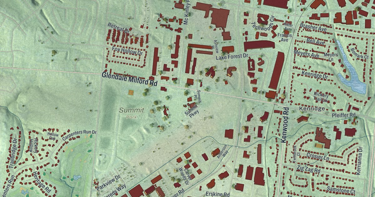

Read More

Detailed Map of Cambridge, Pennsylvania

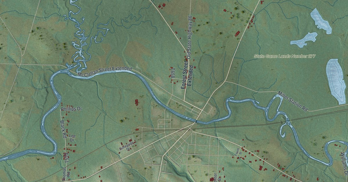
A new aerial map of Cambridge Township in Crawford County, Pennsylvania. Find Drakes Mills, Humes Hill Road and State Game Lands Number 277, and read how Robert Humes, James Blair and other first settlers picked their farms along French Creek.

Read More

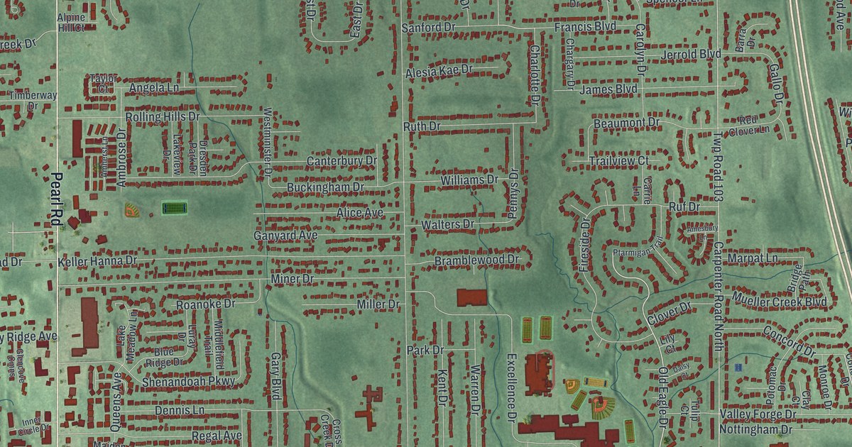
Detailed Map of Brunswick, Ohio

A new aerial view map of Brunswick, Ohio in Medina County, made in 2026. Find Pearl Road, Center Road, Hopkins Park and your own block, plus the story of the church 13 neighbors started in 1817.

Read More

Detailed Map of Bridgeport, Ohio

A new aerial map of Bridgeport, Ohio, made in 2026. It shows Main Street, Lincoln Avenue, Gould Park and the homes of Aetnaville and West Wheeling. Read how the old village of Canton became Bridgeport, Ohio’s Gateway to the West.

Read More

Detailed Map of Bloomfield, Missouri

Bloomfield, Missouri was named for a large field of flowers found there in 1835. This new 2026 aerial map of the Stoddard County town shows Prairie Street, Cape Road, East Court Street and more than 1,000 buildings.

Read More

Detailed Map of Blairstown, Missouri

A railroad company laid out Blairstown in Henry County, Missouri, and named it for John I. Blair. This new 2026 map shows the town from above, with Main Street, Wall Street, the numbered streets and small red building shapes.

Read More

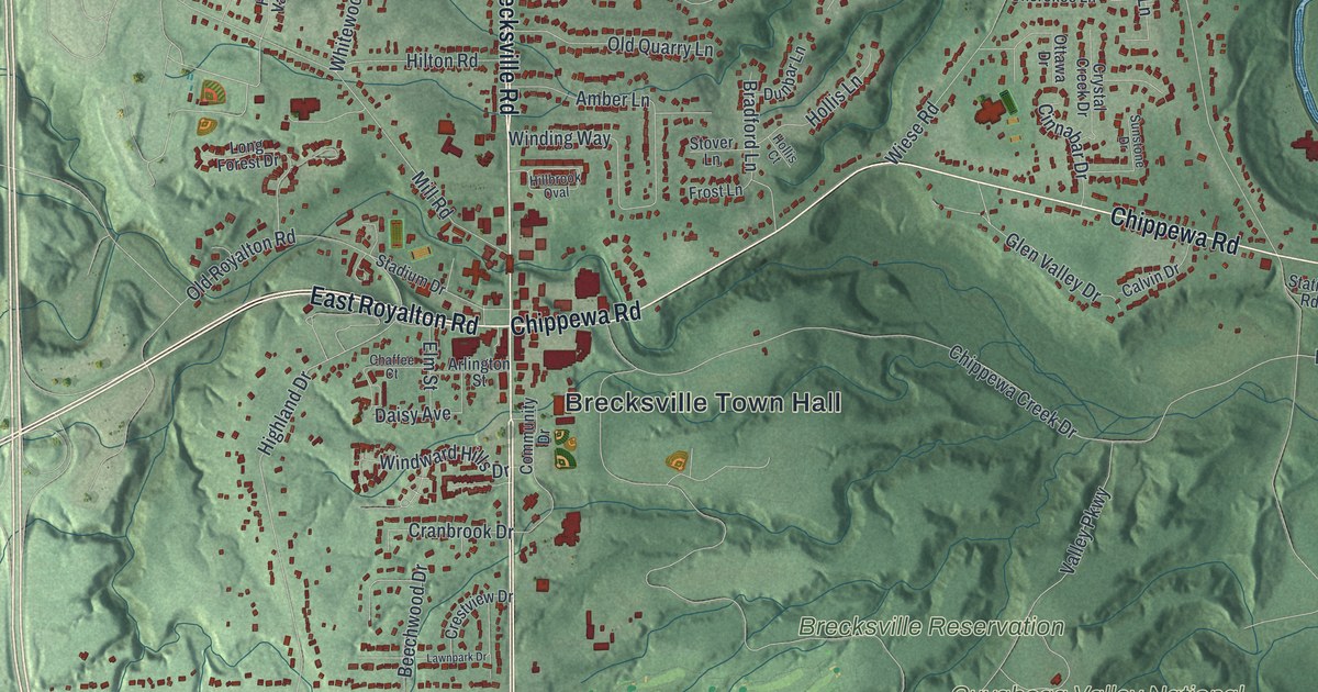
Detailed Map of Brecksville, Ohio

A modern aerial map of Brecksville in Cuyahoga County, Ohio, with Brecksville Road, the town hall, Brecksville Reservation and deep green valleys. Plus the story of the 1882 Station Road Bridge.

Read More

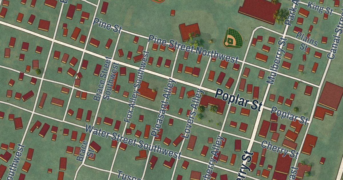
Detailed Map of Bolivar, Ohio

A new aerial map of Bolivar in Tuscarawas County, Ohio, made in 2026. Find Poplar Street and Park Avenue, and read the story of Fort Laurens, the only Continental military fort in what would later be Ohio.

Read More

Detailed Map of Bigelow, Missouri

Bigelow in Holt County, Missouri, was where the Nodaway Valley Branch met the main rail line in 1880. This new 2026 aerial map shows Rulo Street, Poplar Street, Apple Street and the small blocks beside the tracks.

Read More

Detailed Map of Blue Ash, Ohio

A modern aerial map of Blue Ash in Hamilton County, Ohio, with a vintage feel. Find Kenwood Road, Summit Park and Hazelwood, the neighborhood that started in 1888 and worked hard to build itself up.

Read More