Detailed Map of Anawalt, West Virginia
A detailed map of Anawalt, West Virginia, showing every building in its true location, the roads by name, and shaded topographical relief.
Read More
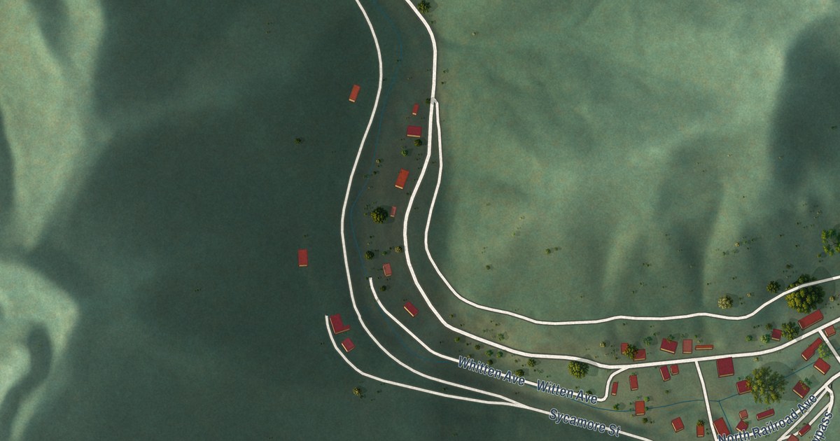
A detailed map of Anawalt, West Virginia, showing every building in its true location, the roads by name, and shaded topographical relief.
Read More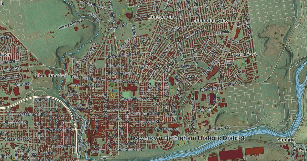
A new aerial map of Bethlehem City, Lehigh County, Pennsylvania, made in 2026. Find Main Street, Broadway, South Bethlehem and your own street, and read how a Christmas Eve love feast in 1741 named the town and how Bethlehem Steel made rails, armor and skyscraper steel for more than a hundred years.
Read More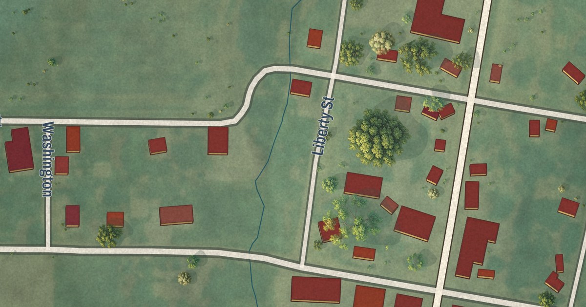
A modern aerial map of Bethel in Shelby County, Missouri, with Main Street, the numbered streets and the town’s buildings in red. Read how a German colony laid out the town, and how Peter Stice built a water mill here in 1836.
Read More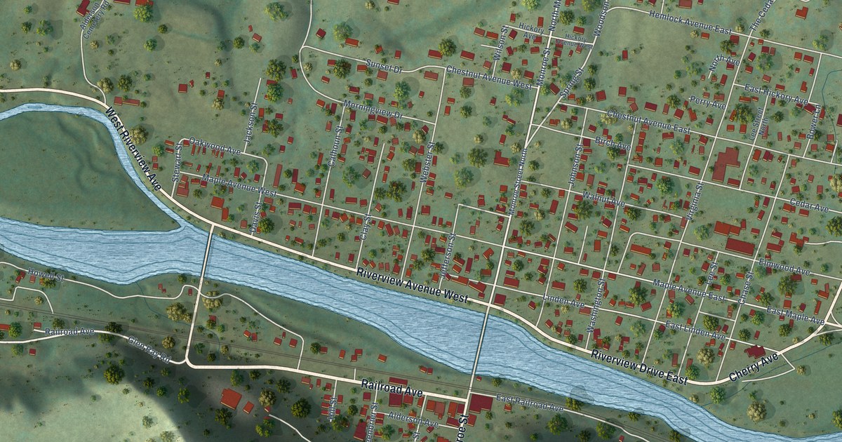
A detailed map of Alderson, West Virginia, showing every building in its true location, the roads by name, and shaded topographical relief.
Read More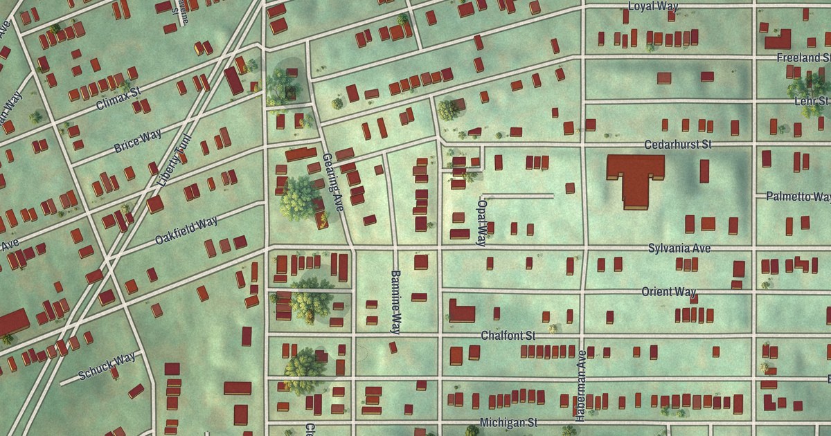
A modern aerial map of Beltzhoover in Allegheny County, made in 2026. Find Climax Street, McKinley Park and the Warrington Recreation Center, and read how an 1889 history said this borough was ready to drop into the city’s arms.
Read More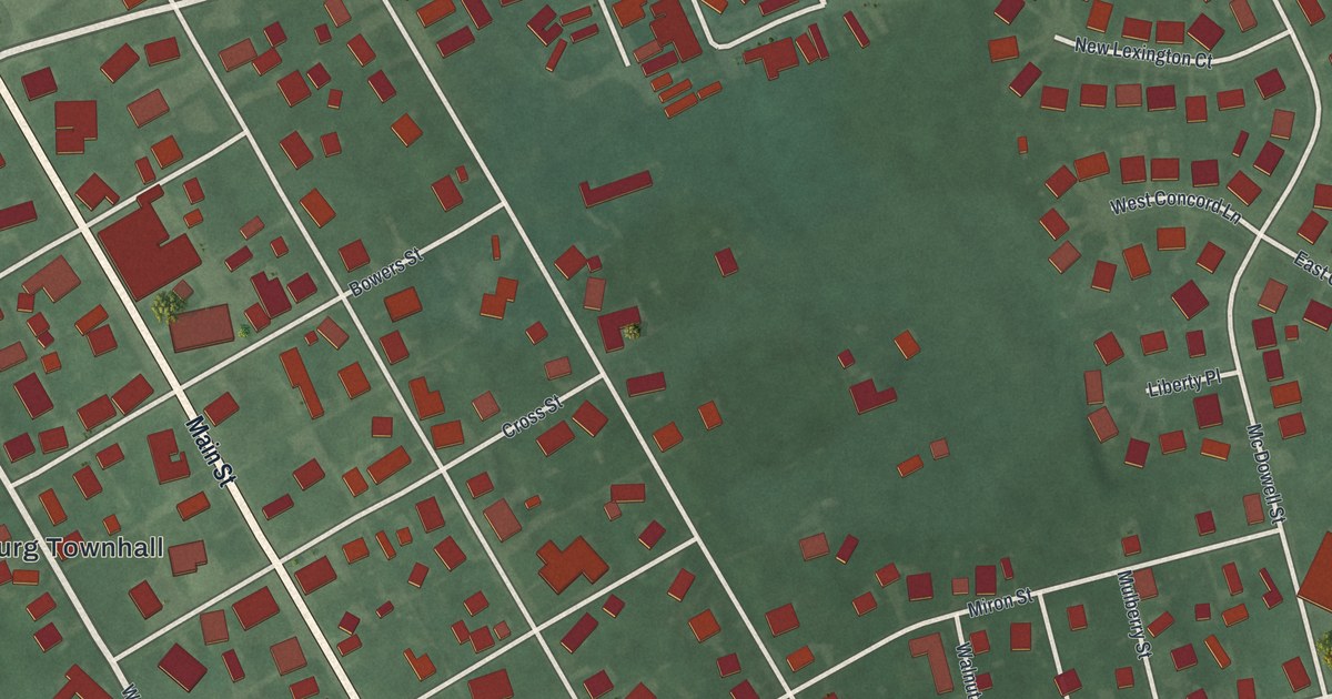
Find Main Street and Bloomingburg Cemetery on this new aerial map. The cemetery’s story recalls the village’s work as an Underground Railroad center, helping people escape slavery and reach freedom.
Read More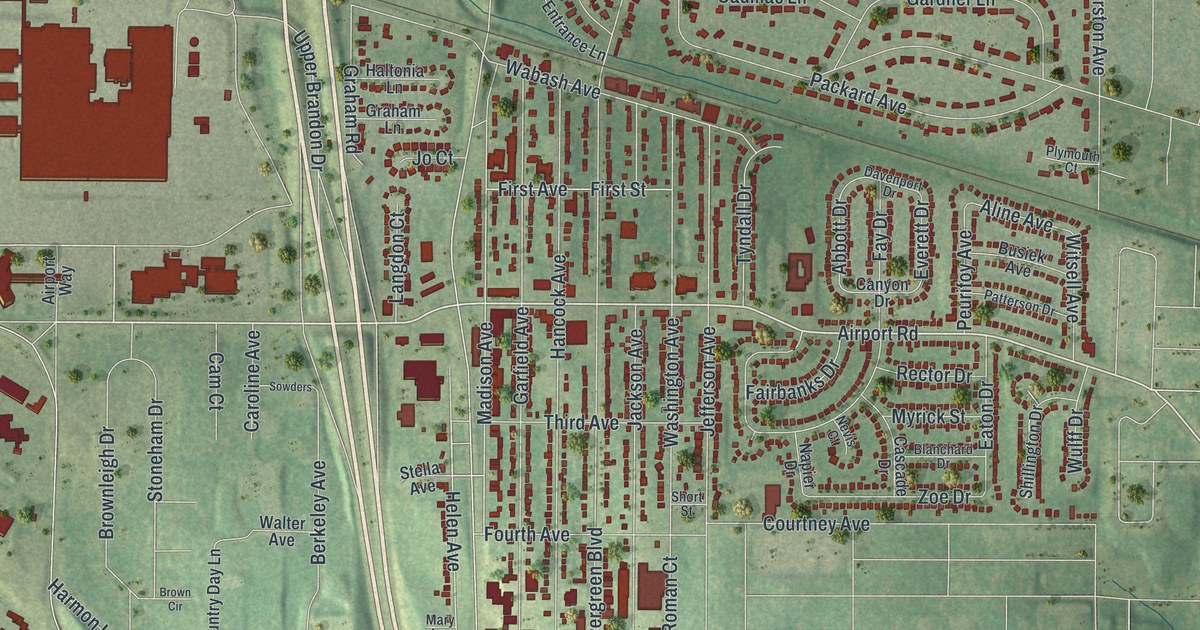
A new aerial map of Berkeley in St. Louis County, Missouri, made in 2026. Find Natural Bridge Road, Wabash Avenue and your own block, and learn how the town was first known as Kinlock, a post office on the Wabash Railroad.
Read More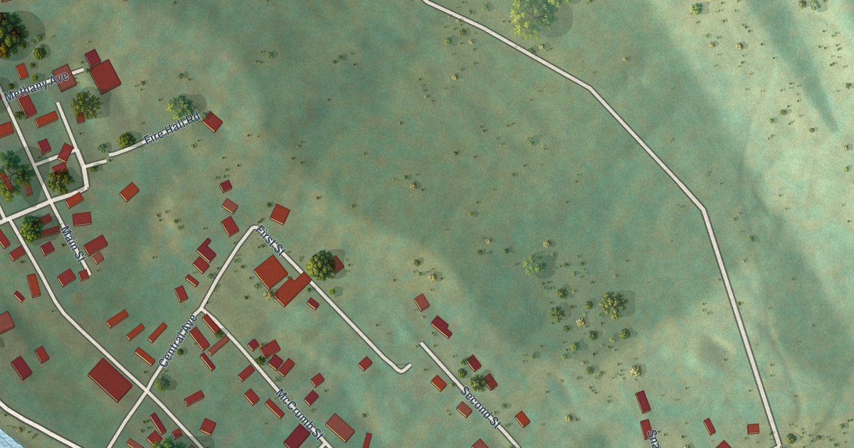
A detailed map of Albright, West Virginia, showing every building in its true location, the roads by name, and shaded topographical relief.
Read More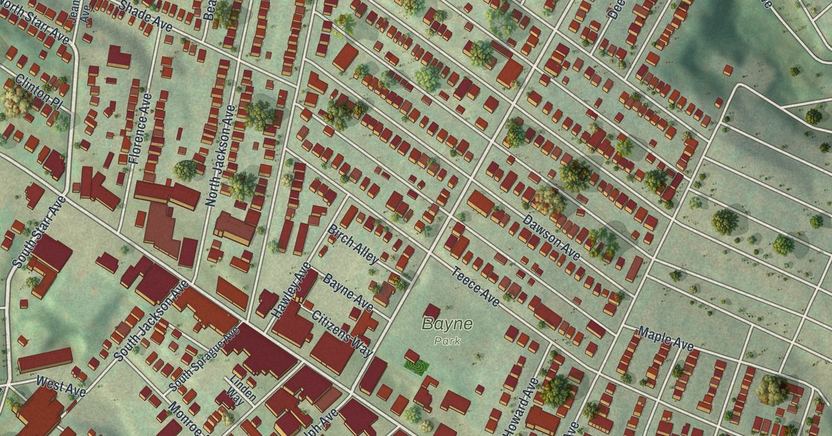
A modern aerial map of Bellevue in Allegheny County, with Lincoln Avenue, Bayne Park and Ohio River Boulevard. Read about the Miller House on the National Register and the first lock and dam on the Ohio River.
Read More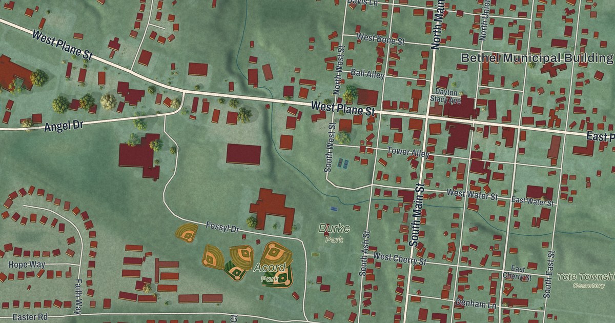
Find Bethel’s familiar streets, Burke Park, and Acord Park in a modern aerial map with a vintage feel. Learn about founder Obed Denham and the town’s early fight against slavery.
Read More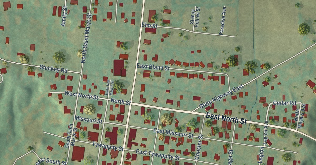
Explore Benton’s streets and green hills in a new aerial map with a vintage feel. Find familiar roads and learn about the Missouri senator behind the town’s name.
Read More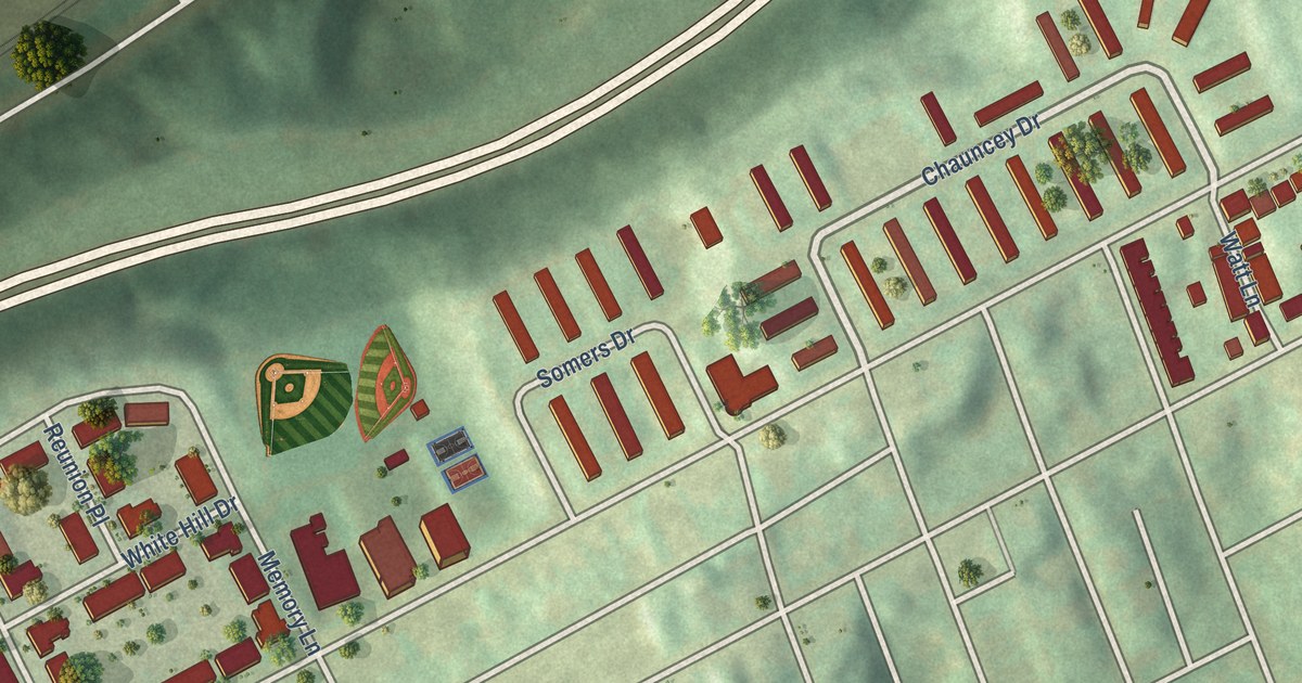
A modern aerial map of Bedford Dwellings in Pittsburgh, made in 2026. Find Bedford Avenue, Chauncey Drive and Bigelow Boulevard, and learn about Greenlee Field, the Negro Leagues ballpark on Bedford Avenue from 1932 to 1938.
Read More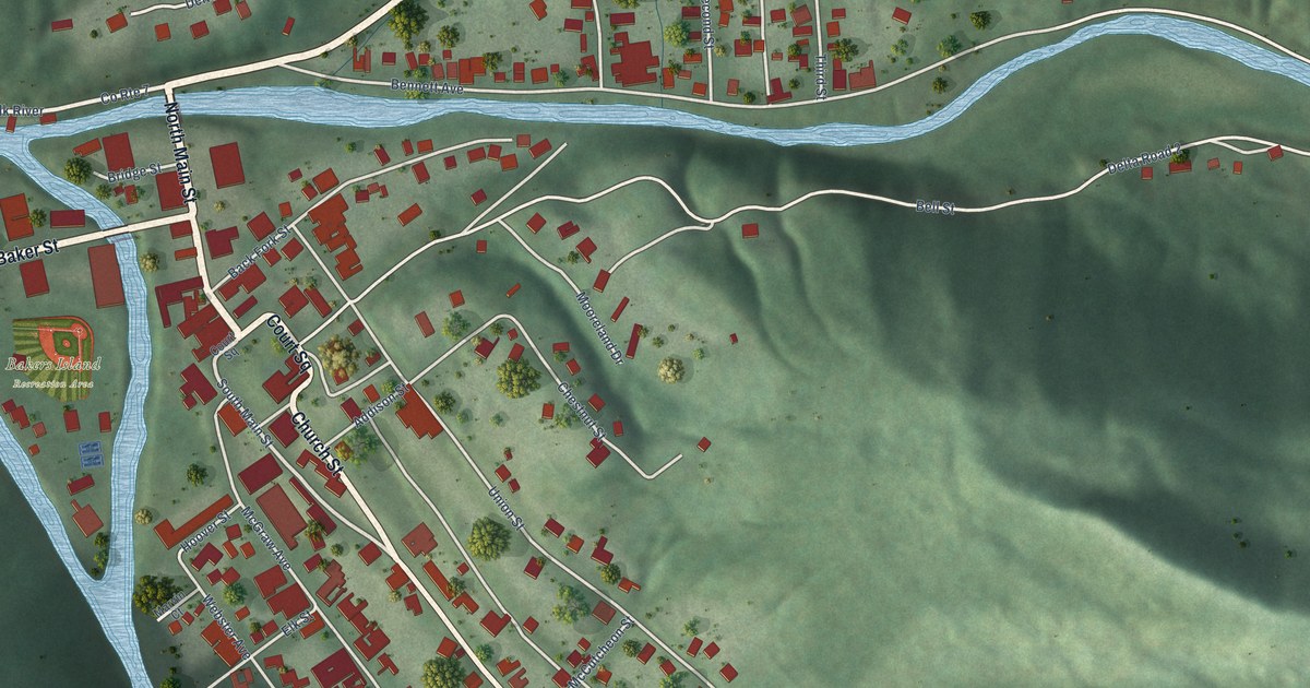
A detailed map of Webster Springs, West Virginia, showing every building in its true location, the roads by name, and shaded topographical relief.
Read More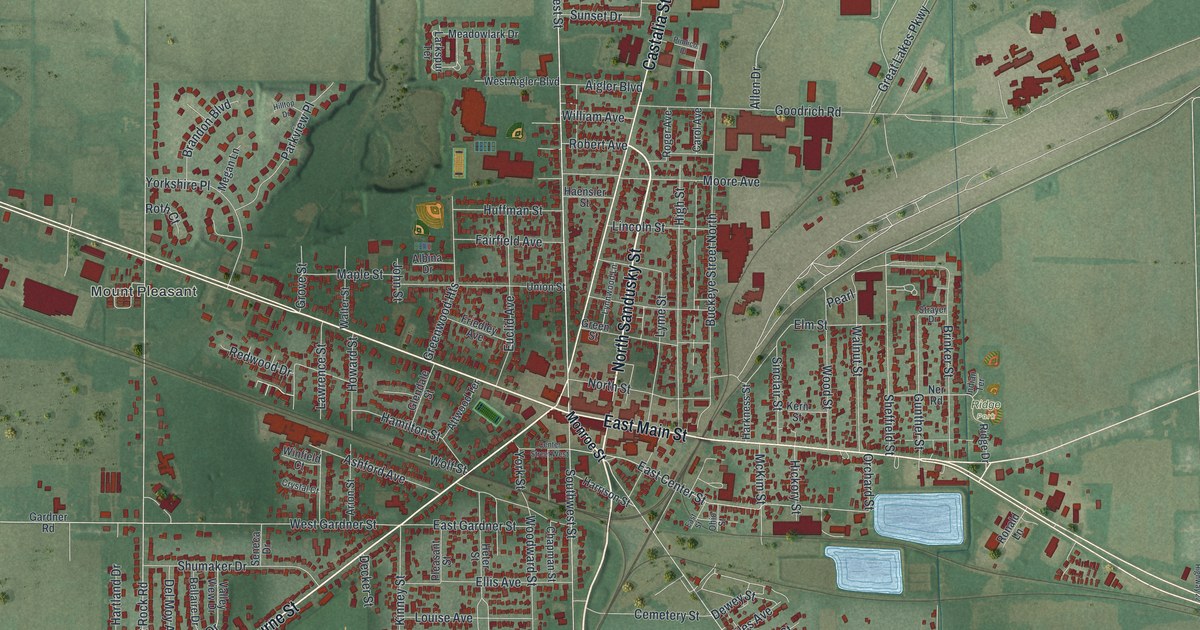
A new aerial map of Bellevue, Ohio, made in 2026. Find East Main Street, Southwest Street and Mill Pond Park, and learn how Henry Flagler started his business career here in 1844, long before he helped form Standard Oil.
Read More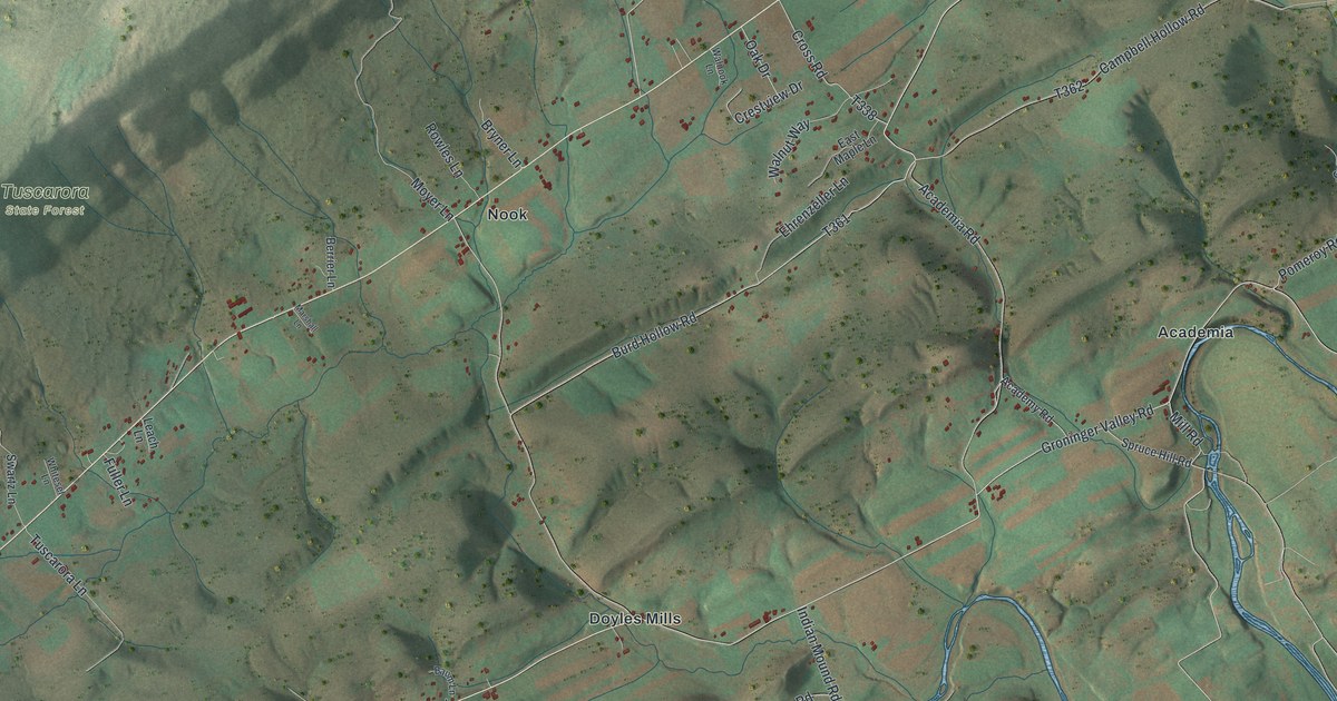
A new aerial map of Beale Township in Juniata County, with Walnut, Nook, Doyles Mills and Academia. Read how the Quaker Beale family came to Academia, and how Tuscarora Academy taught students from 1836 to 1912.
Read More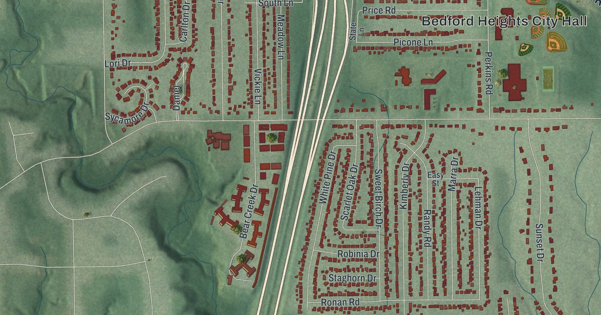
Explore Bedford Heights through its familiar streets, red buildings, and green hills. Learn about the Holocaust survivors who dedicated the Kol Israel Foundation memorial on Northfield Road in 1961.
Read More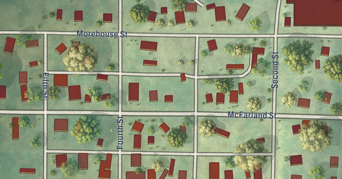
Explore Barnard’s streets in a modern aerial map with a vintage feel. Meet Valentine Korell, the town’s first blacksmith, who was also its mayor by 1882.
Read More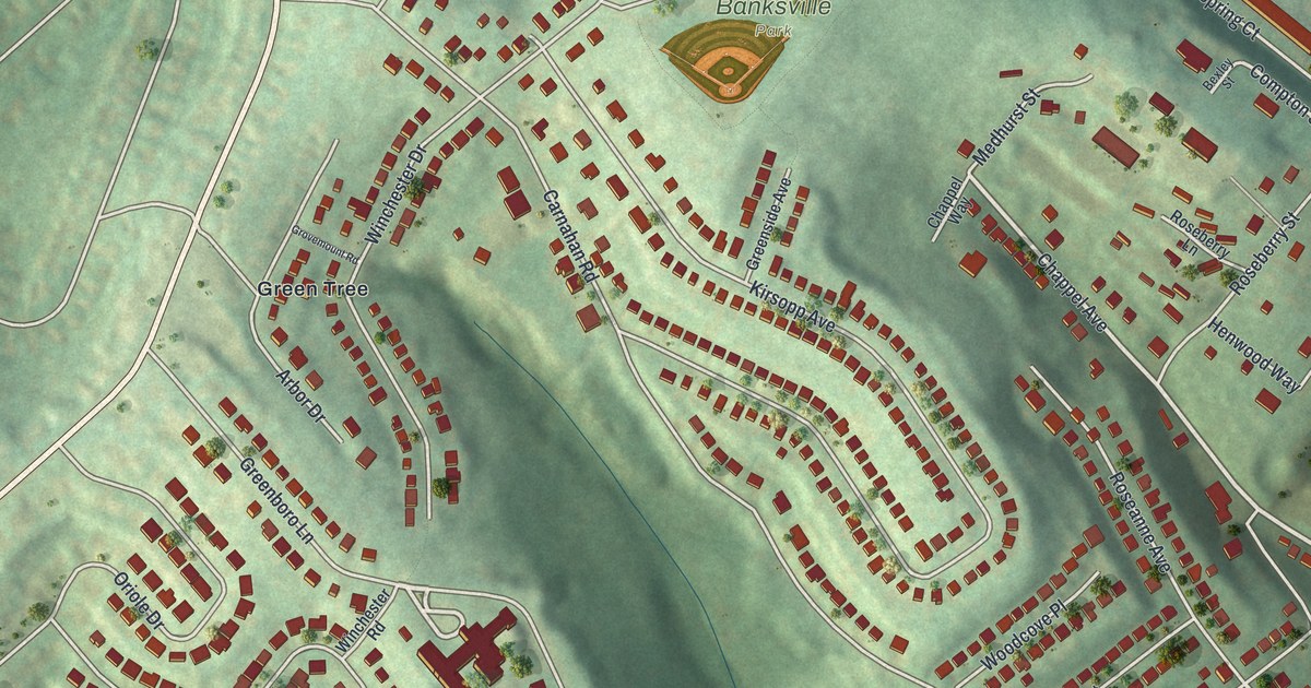
A modern aerial map of Banksville in Allegheny County, Pennsylvania, made in 2026. Find Banksville Park, Banksville Road, Oakville Drive, the oak-named streets and your own house on the hills, plus how Pittsburgh got its name.
Read More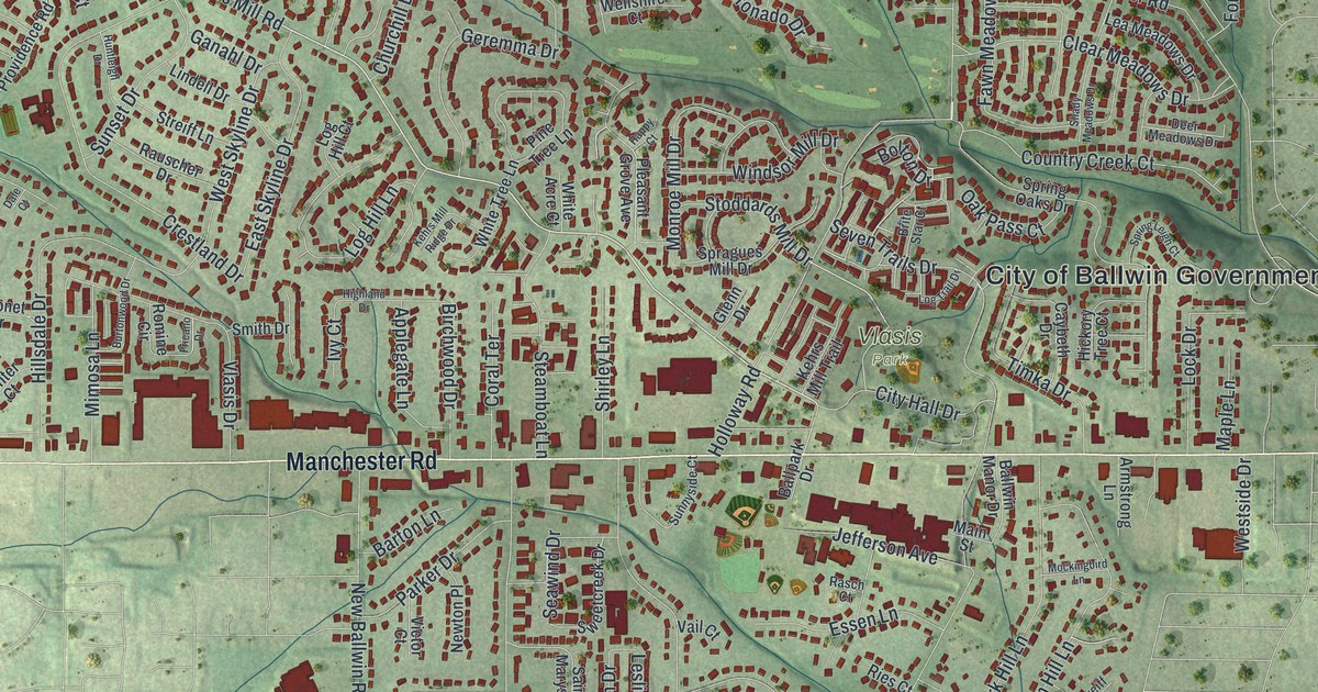
A new aerial map of Ballwin in St. Louis County, Missouri. Find Manchester Road, Vlasis Park, Old Ballwin Road and your own street, and learn how John Ball’s 1804 farm gave the city its name.
Read More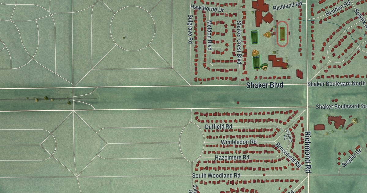
See Beachwood’s streets and Canterbury Golf Club in a new aerial map. Learn how Shaarey Tikvah, founded by Jewish refugees, found a home here in 1986.
Read More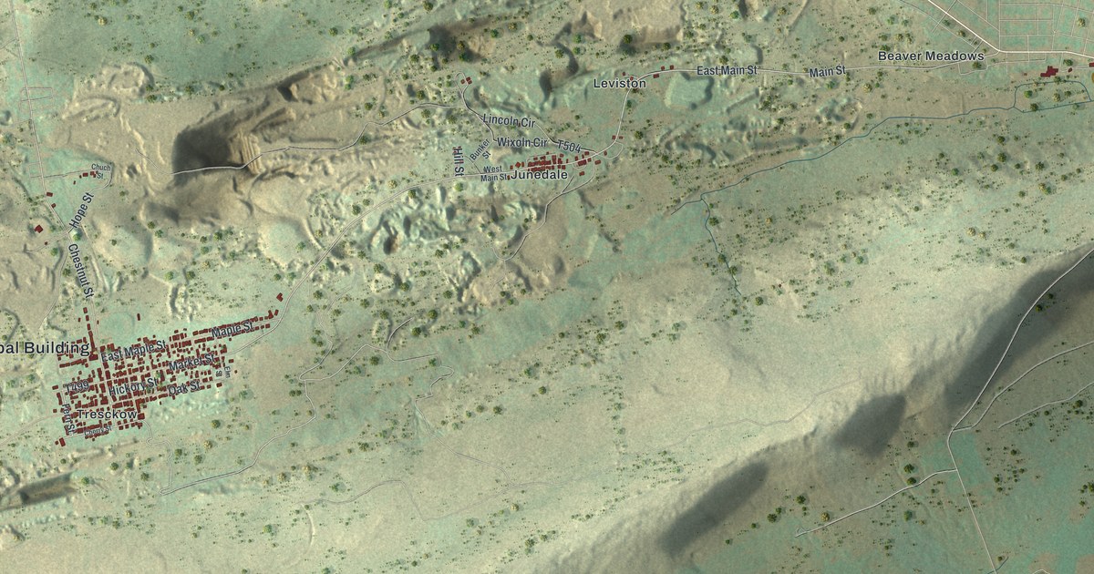
Nathan Beach found coal near Leviston in 1812, and Banks Township in Carbon County grew up around it. This new aerial map shows Tresckow, Junedale, Beaver Meadows and the mining hills between them.
Read More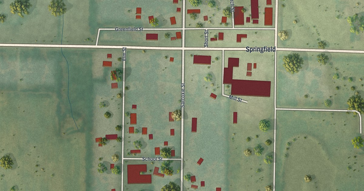
See Avilla’s streets, red building shapes and green fields in a new aerial map. Read about the town’s early Odd Fellows lodge and a parade that drew more than 400 members.
Read More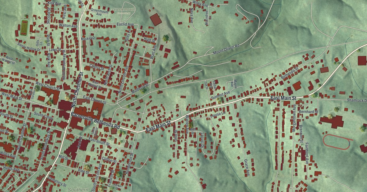
A new aerial map of Barnesville in Belmont County, Ohio, made in 2026. Find your street, then read how the Barnesville strawberry got famous and how the Watt car wheel works grew on Watt Avenue.
Read More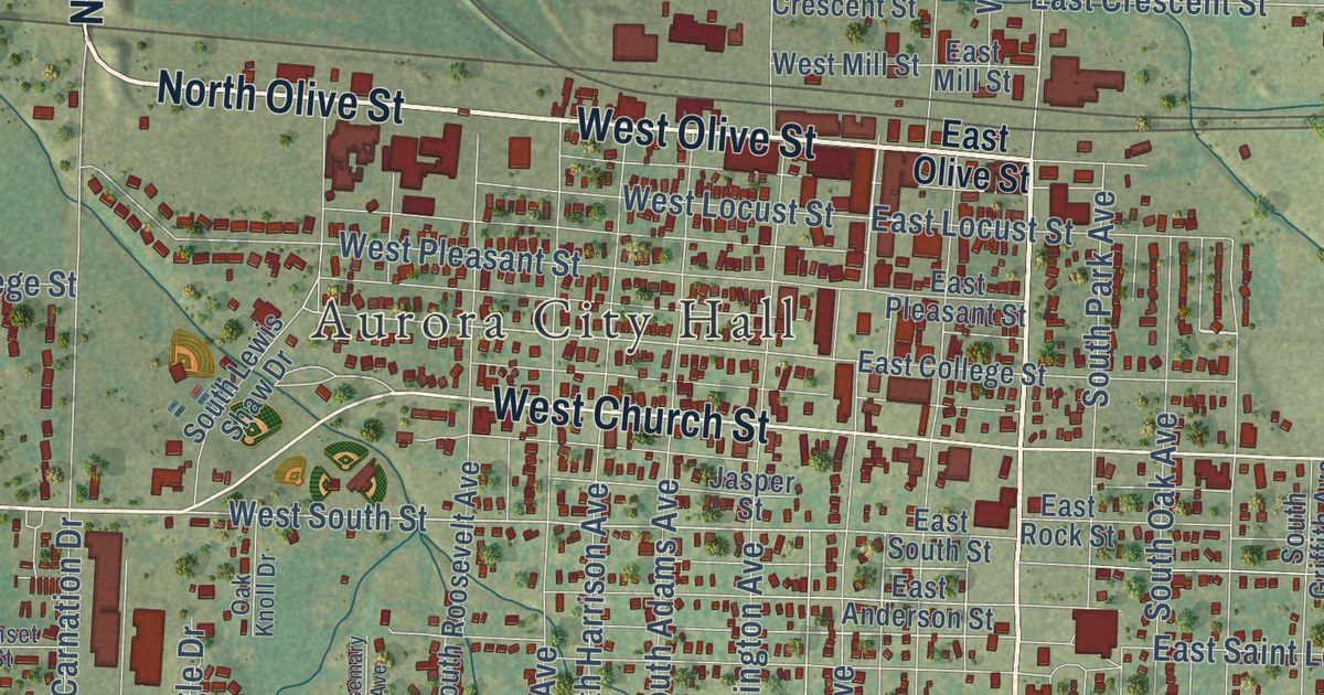
See Aurora’s named streets, red buildings, and green fields in a new aerial map with a vintage feel. Find City Hall and learn the date recorded for the town’s 1870 layout.
Read More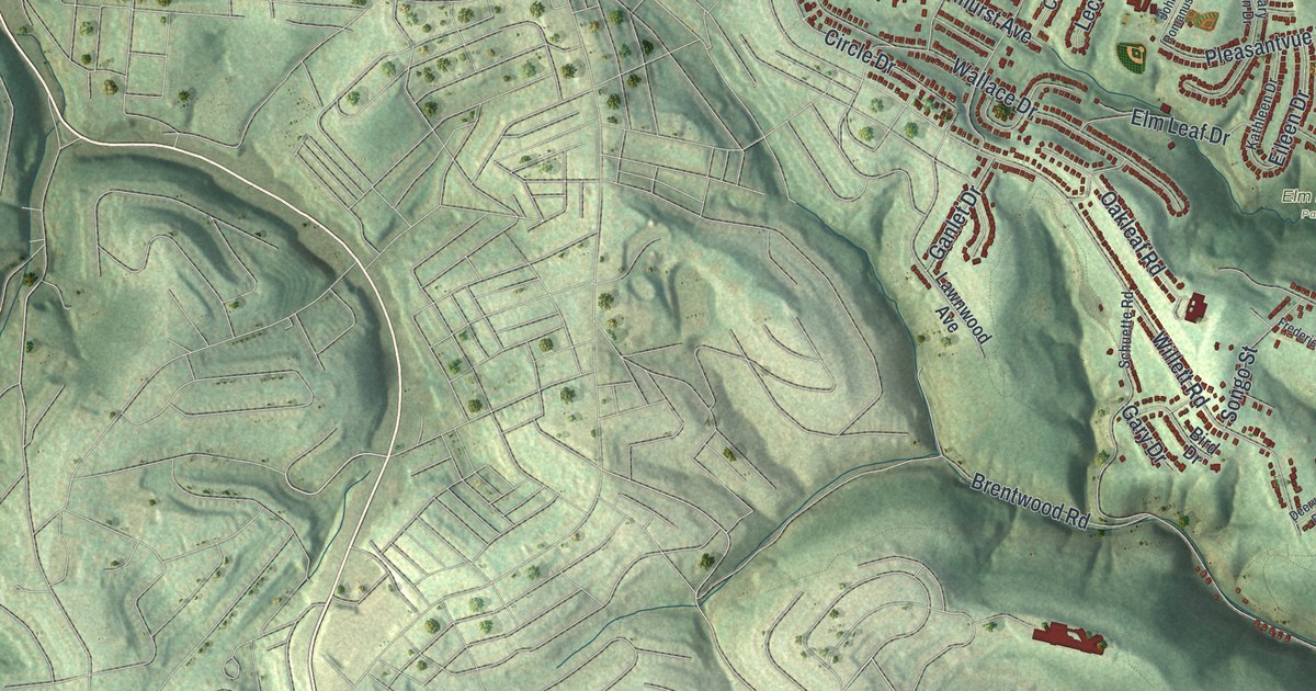
Baldwin Borough in Allegheny County as a new aerial map with a vintage feel. Find Brownsville Road, Streets Run Road, Willock and Horning.
Read More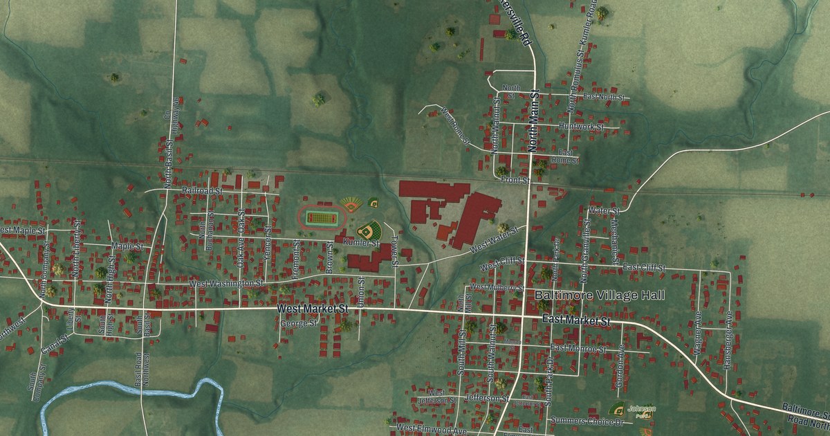
Find familiar streets on a new aerial map of Baltimore, Ohio. Read how the canal divided Basil and Baltimore before the two towns joined in 1947.
Read More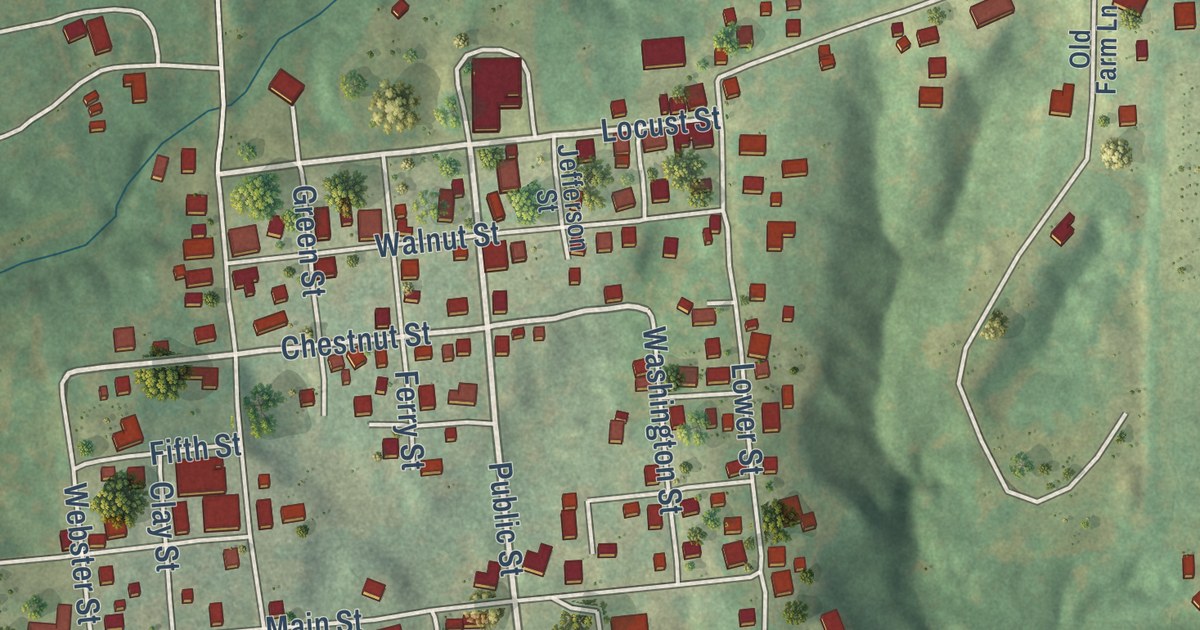
Explore Augusta’s streets and green hills in a modern aerial map with a vintage feel. Find Main Street, Locust Street, and the story behind the town’s name.
Read More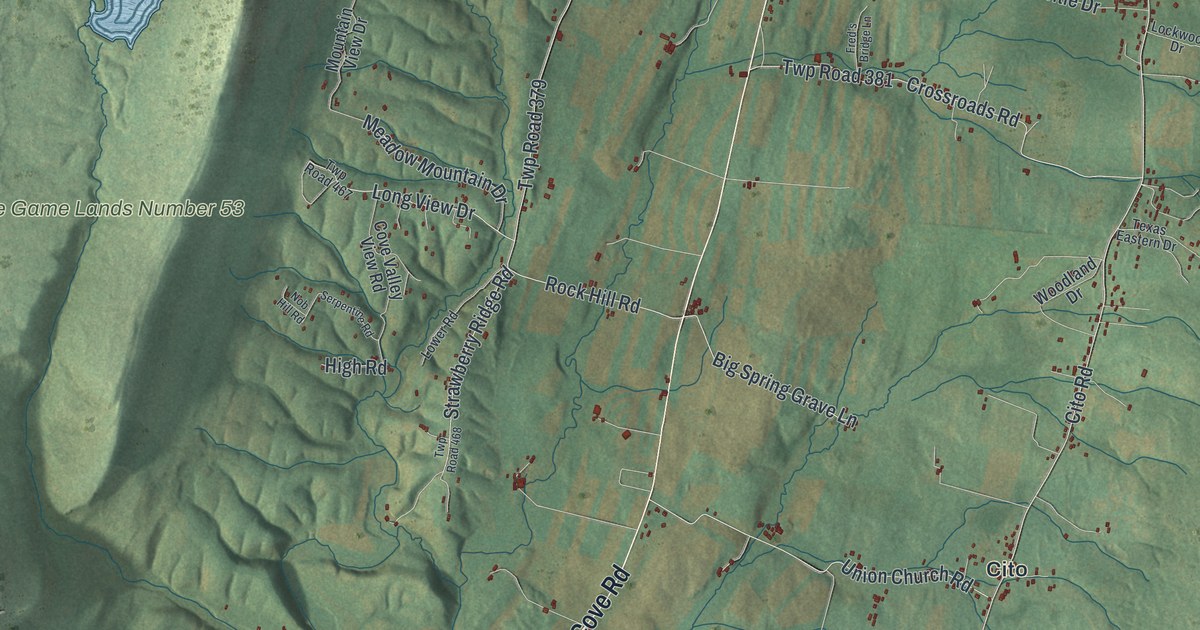
A new aerial-style map of Ayr Township in Fulton County, Pennsylvania. Find Great Cove Road, Websters Mill and Buchanan Trail, where the first Confederate soldiers killed in battle on Pennsylvania soil fell in June 1863.
Read More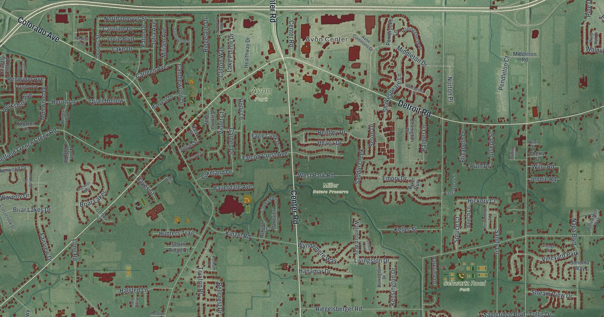
A modern aerial map of Avon in Lorain County, Ohio, made in 2026. Find Detroit Road, Avon Center and Miller Nature Preserve, and read how Norton S. Townshend helped Avon’s farms grow and helped found Ohio State.
Read More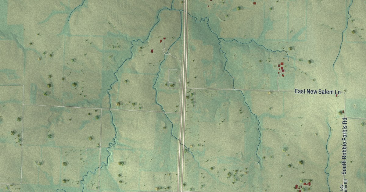
A new aerial map of Ashland in Boone County, Missouri. Find Main Street, Broadway and Henry Clay Boulevard, plus the 1882 plan to gravel a road from Columbia to Claysville by way of Ashland.
Read More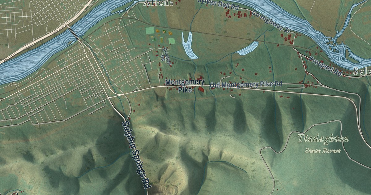
A 2026 aerial map of Armstrong Township in Lycoming County, Pennsylvania. Find Mosquito Valley Road, Sylvan Dell and French Settlement, plus the story of the Susquehanna Log Boom and the spring log drives on the West Branch.
Read More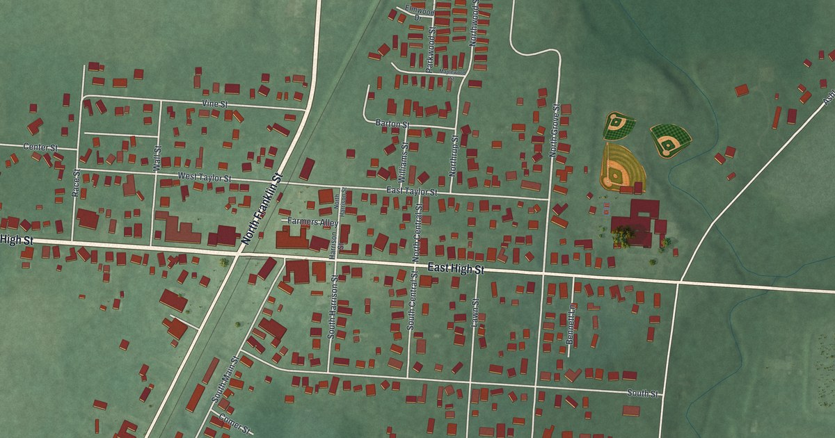
A new aerial map of Ashley in Delaware County, Ohio, with West High Street, North Franklin Street and about 800 buildings. In 1891 Ashley was a railroad village with four churches, The Ashley Times, two regalia factories and a flour mill.
Read More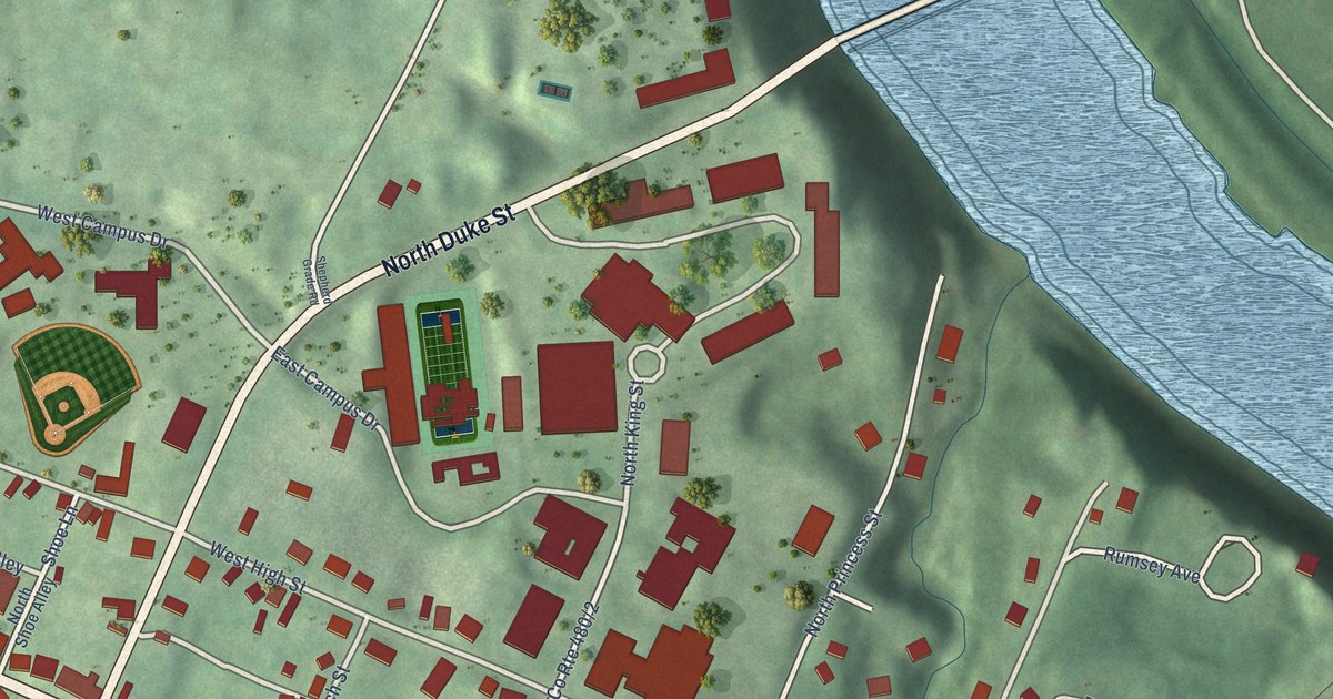
Find East German Street and Rumsey Avenue on this new Shepherdstown map. Red buildings, green land and a blue river bend fill a view with a vintage feel.
Read More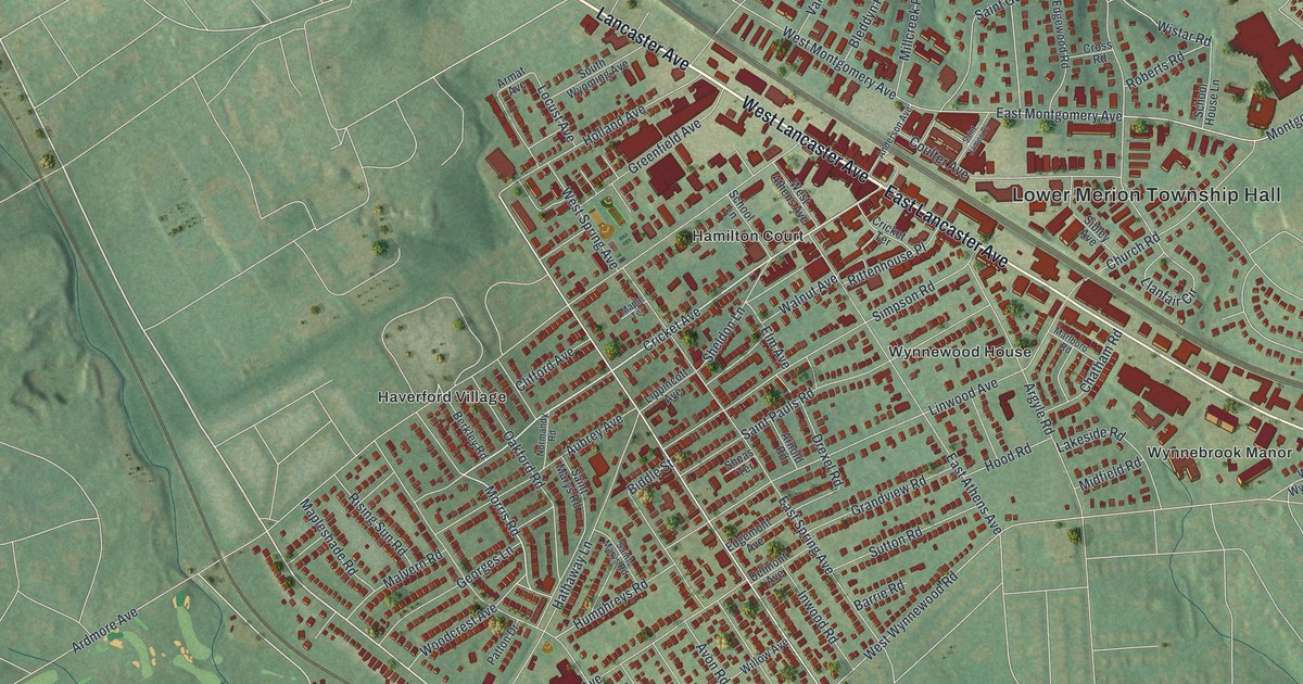
A modern aerial map of Ardmore in Montgomery County, made in 2026. Find Lancaster Avenue, Ardmore Park and your street, and read how the village was once called Athensville, when wagon teams stopped overnight at the Red Lion tavern.
Read More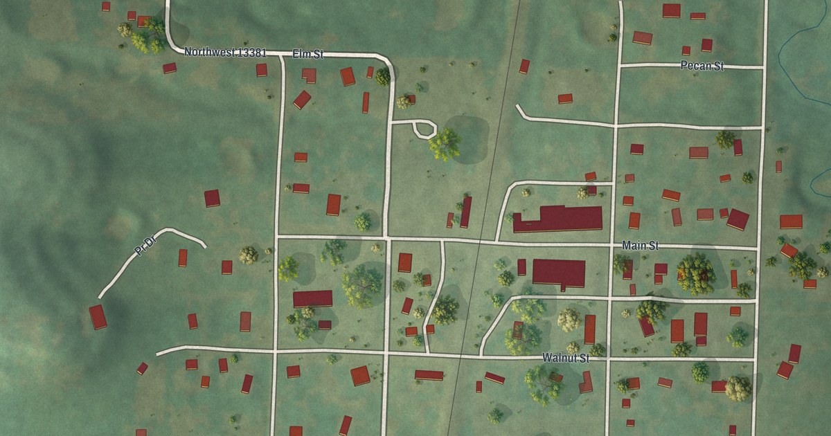
Follow Main Street and Walnut Street across the rail line in Amsterdam, Missouri, then read how the town was laid out on the railroad in 1891, when its post office was first called Burrows.
Read More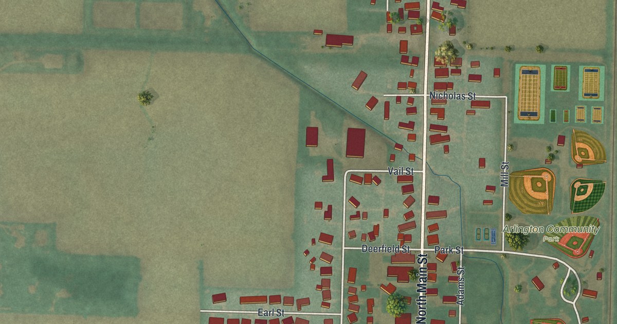
Arlington began as Hurdtown before taking its name in 1844. This new map brings its main streets, Arlington Community Park, and surrounding fields into one view.
Read More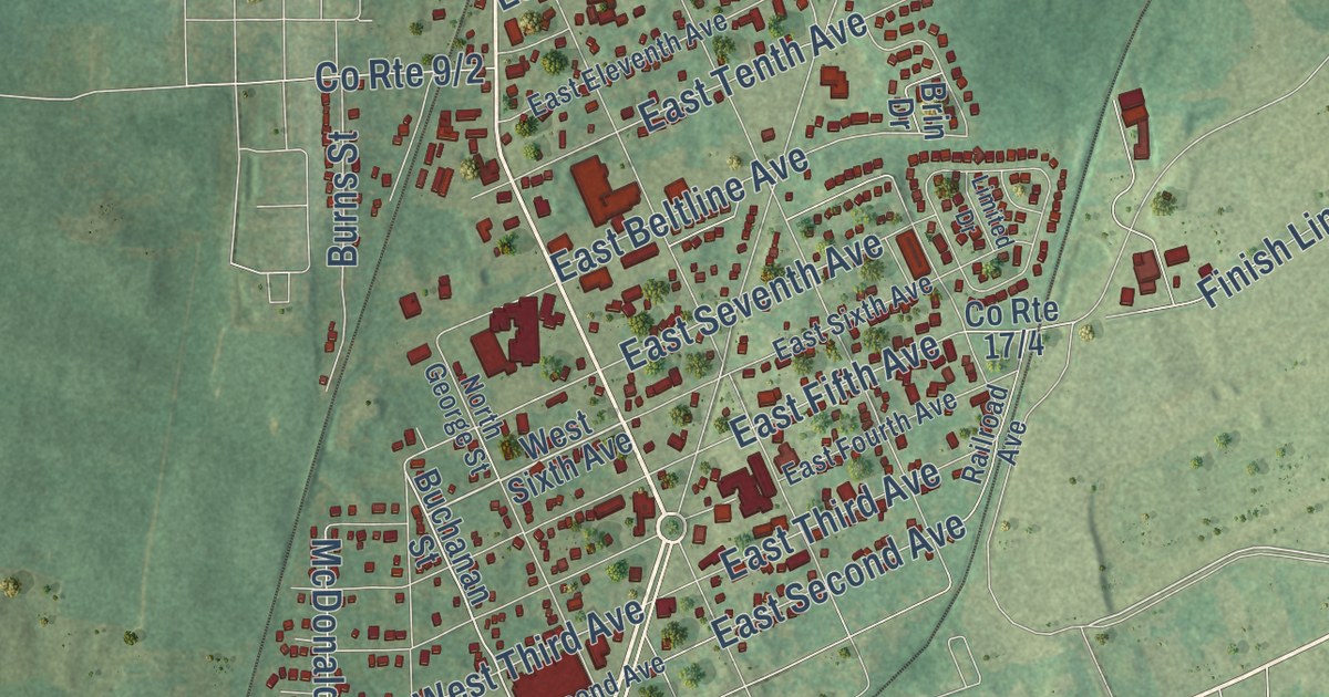
Find Ranson’s streets, red buildings and green land in a new aerial map. Read about its 1910 start as Jefferson County’s industrial hub, then look for a familiar block.
Read More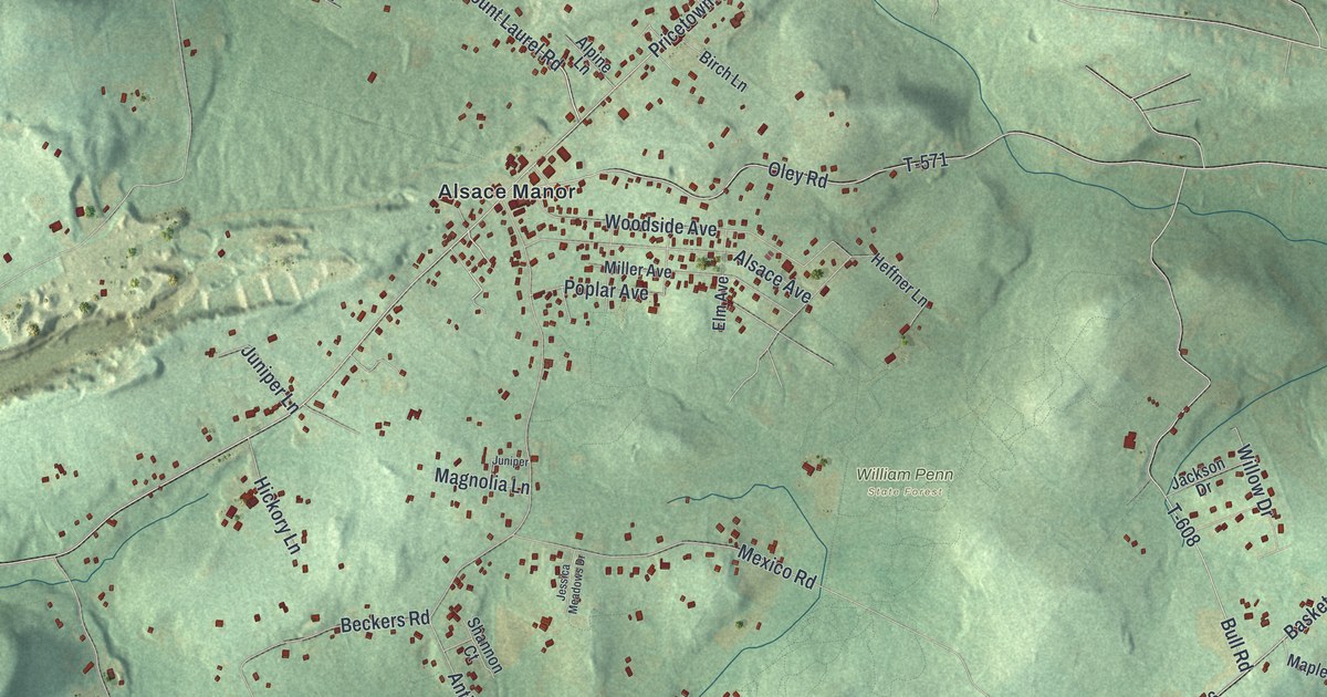
Explore Alsace Manor, Basket, and familiar roads on a new aerial map of Alsace, Pennsylvania. Green hills and red buildings give this 2026 print its vintage feel.
Read More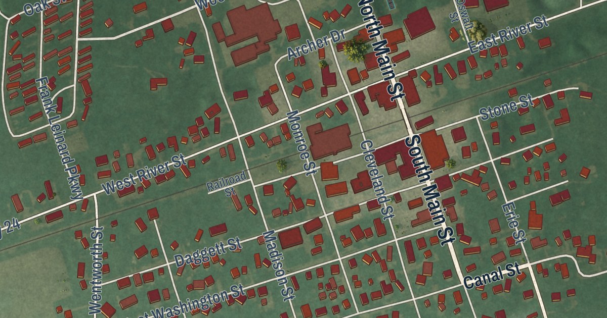
Explore Antwerp’s streets, Riverside Park and red building shapes on a new map. Read how a canal brought settlers in 1843 and the town got its name from Antwerp, Belgium.
Read More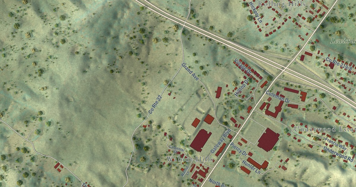
Find Lewisburg’s streets among green hills and red buildings on this new map. Read about the Battle of Lewisburg and the Old Stone Church’s use as a hospital.
Read More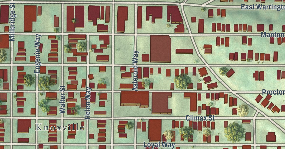
A 2026 aerial map of Allentown in Allegheny County, Pennsylvania, with East Warrington Avenue, Arlington Avenue and Emerald View Park. Plus the story of the old Allentown borough, which once took in the land that became Beltzhoover.
Read More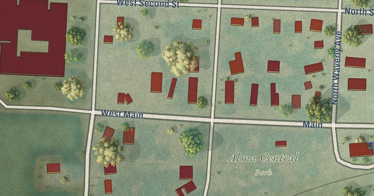
Follow Main, Waverly Avenue and West Fourth Street across this map of Alma in Lafayette County, Missouri, from Alma Central Park to the Lions Club ball diamond, and see how a 1910 county history listed the town.
Read More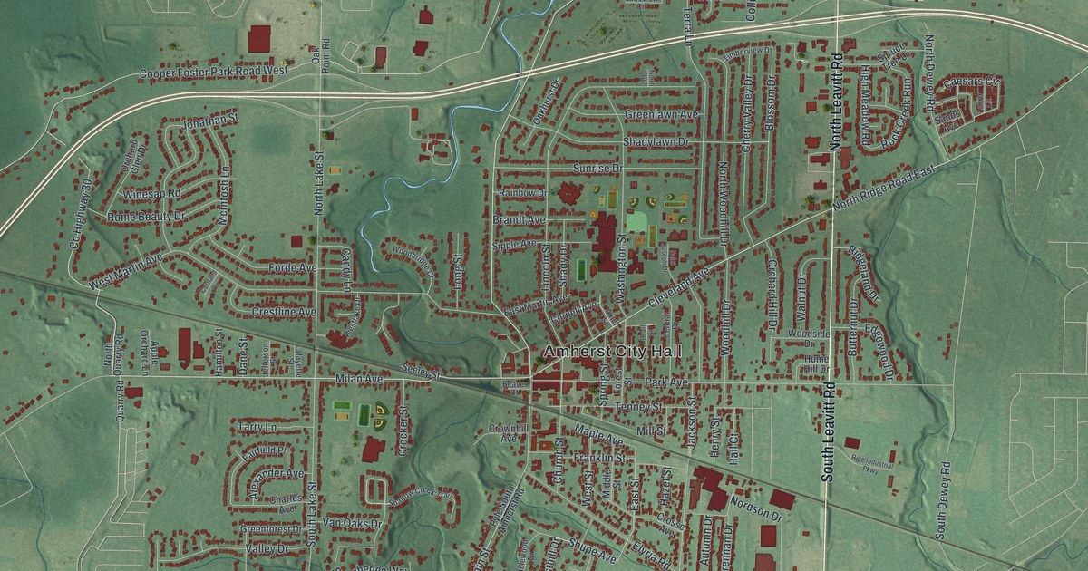
Amherst, Ohio grew up around its sandstone quarries. This 2026 aerial map of the Lorain County city shows Amherst City Hall, Main Street, Quarry Road and more than 12,000 buildings with a vintage feel.
Read More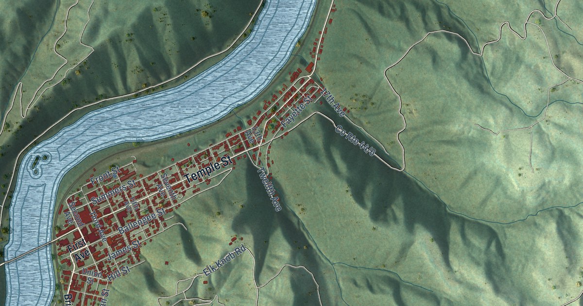
Explore Hinton’s streets, red buildings, and green hills in a new aerial map. Find Bellepoint, Avis, and Barksdale, then read about the C&O’s 1871 land purchase.
Read More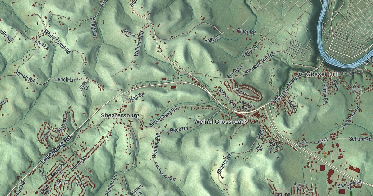
Explore Allegheny Township in Westmoreland County through green hills, blue river bends and familiar roads. This 2026 map includes Garvers Ferry, Markle and Northmoreland Park.
Read More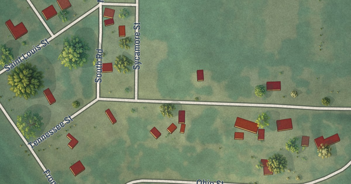
Follow Sycamore Street and Commercial Street through Aldrich, a Polk County village of 76 people, then find Tennessee Street, Ohio Street and Front Street on a new map of Aldrich, Missouri.
Read More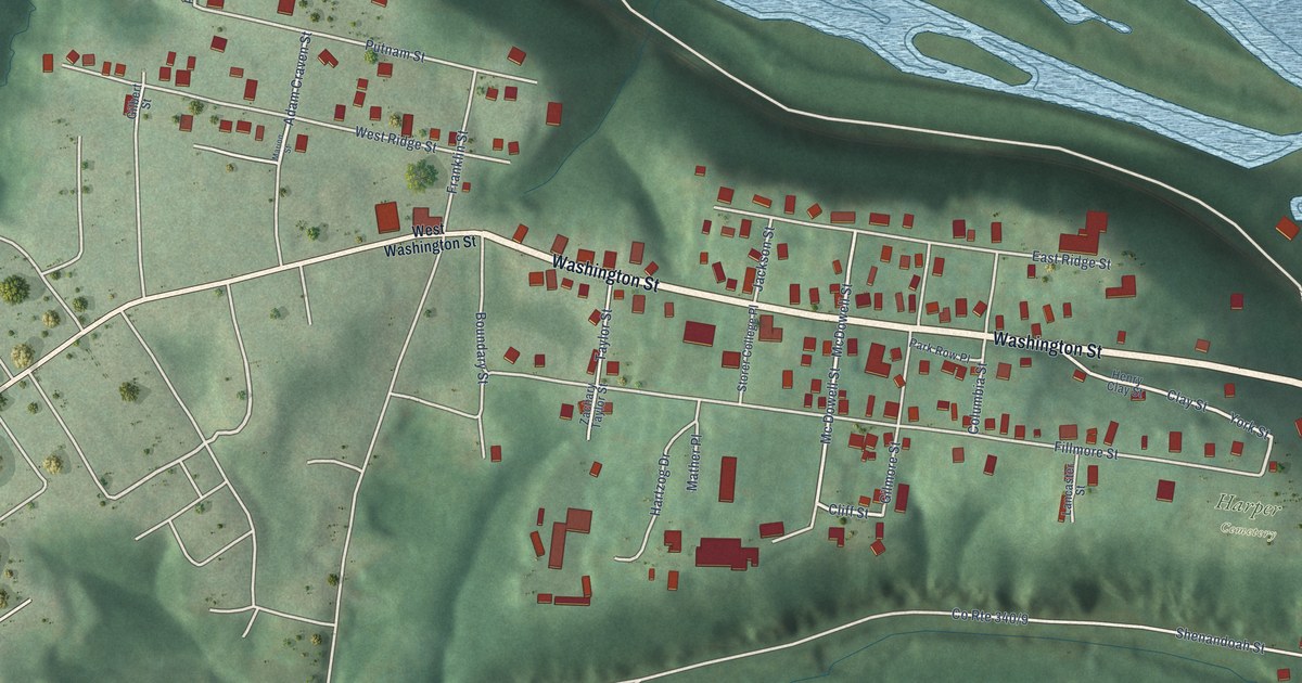
See Harpers Ferry’s streets, red buildings, green hills, and blue water in a new aerial map. Read about John Brown’s Fort and its journey from Harpers Ferry to Chicago and back.
Read More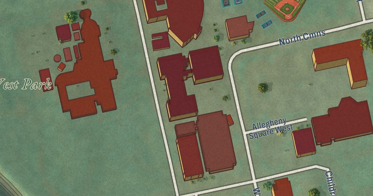
A modern aerial map of Allegheny Center on Pittsburgh’s North Side, with West Park, North Park, Federal Street and the Commons. Plus the first CIO convention near North Commons in 1938 and two women remembered by state markers on Federal and Arch Streets.
Read More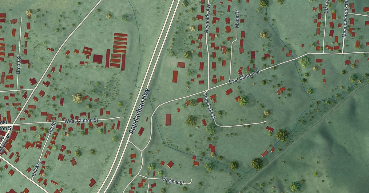
A new aerial-style map of Albany in Athens County, Ohio. Find West Clinton Street, State Street and your own block, and learn how Albany’s academies, including the Enterprise Academy, drew families who valued school.
Read More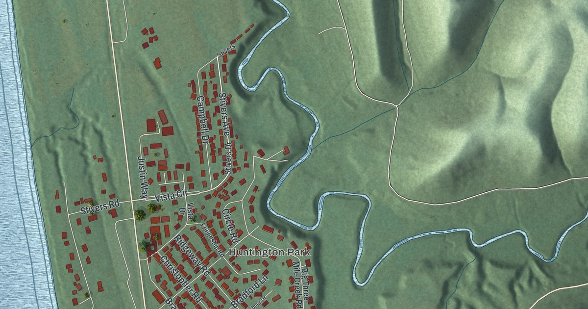
Find Aberdeen’s riverfront streets and Huntington Park on this new map. Learn about the ferry that linked the village to Maysville across the Ohio.
Read More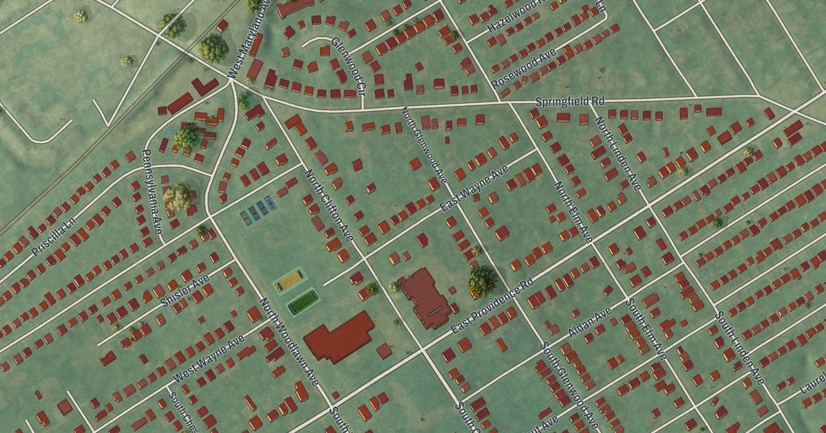
A new aerial map of Aldan in Delaware County, Pennsylvania, with every building in red. Find Oak Avenue, Magnolia Avenue and the other tree-named streets, and read the Slinky story from the state marker at Springfield Road in nearby Clifton Heights.
Read More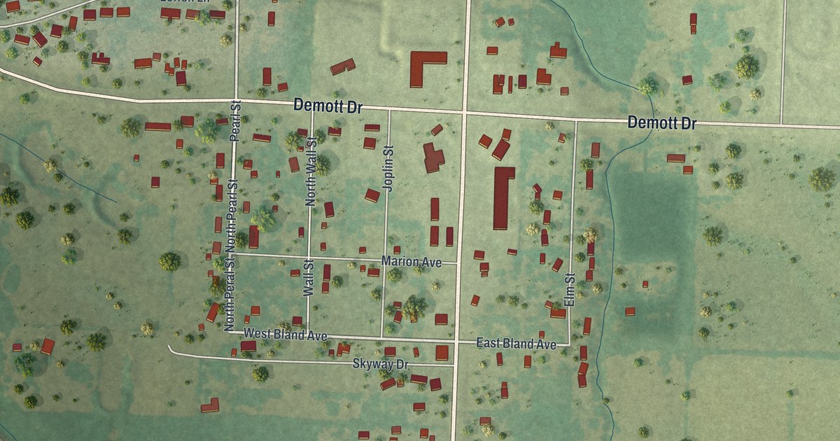
Follow North Main Street Road and Demott Drive across a modern aerial map of Airport Drive, Missouri, with two tight clusters of homes, the Tuckahoe label and more than 1,100 buildings in red.
Read More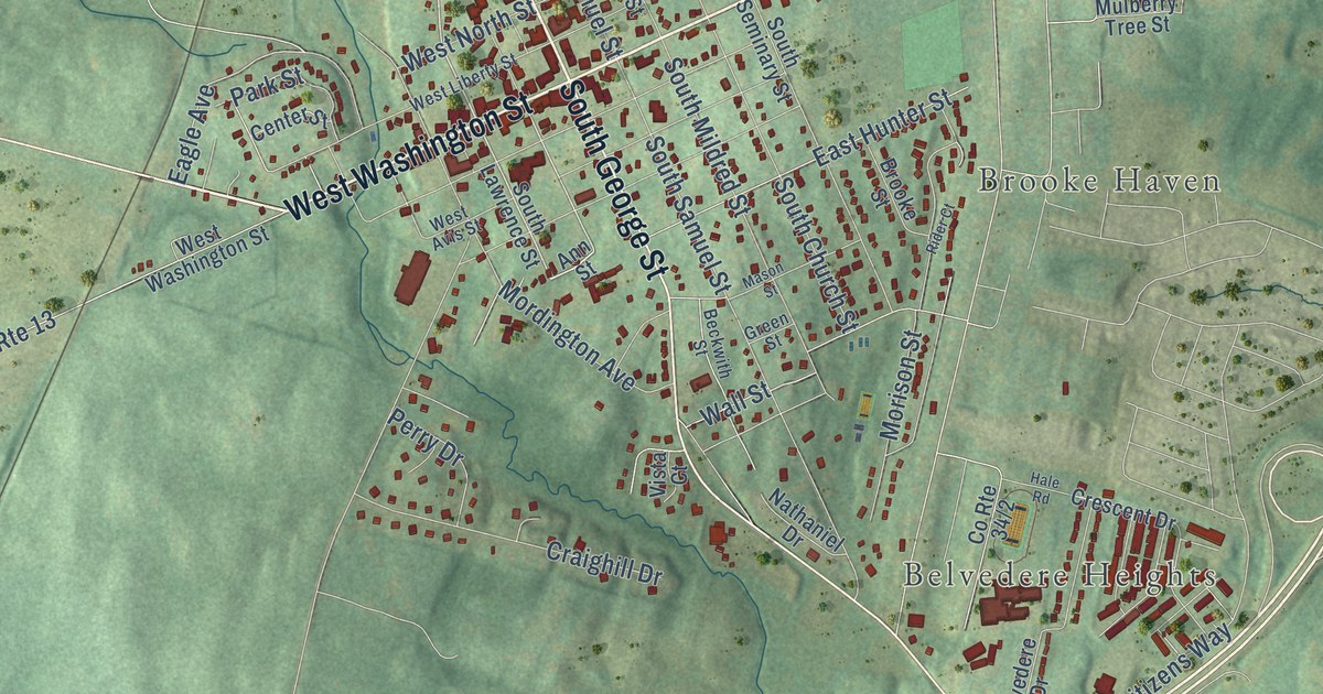
Find East Washington Street, Brooke Haven, and Belvedere Heights on this new Charles Town map. Read about John Brown’s trial, then explore the red buildings and soft green land in the preview.
Read More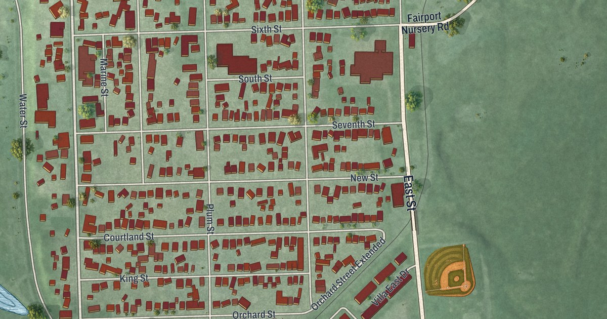
Find familiar Fairport Harbor streets in a new aerial map with a vintage feel. Explore the water around town and the story of La Salle’s 1669 trip from the Grand River’s mouth.
Read More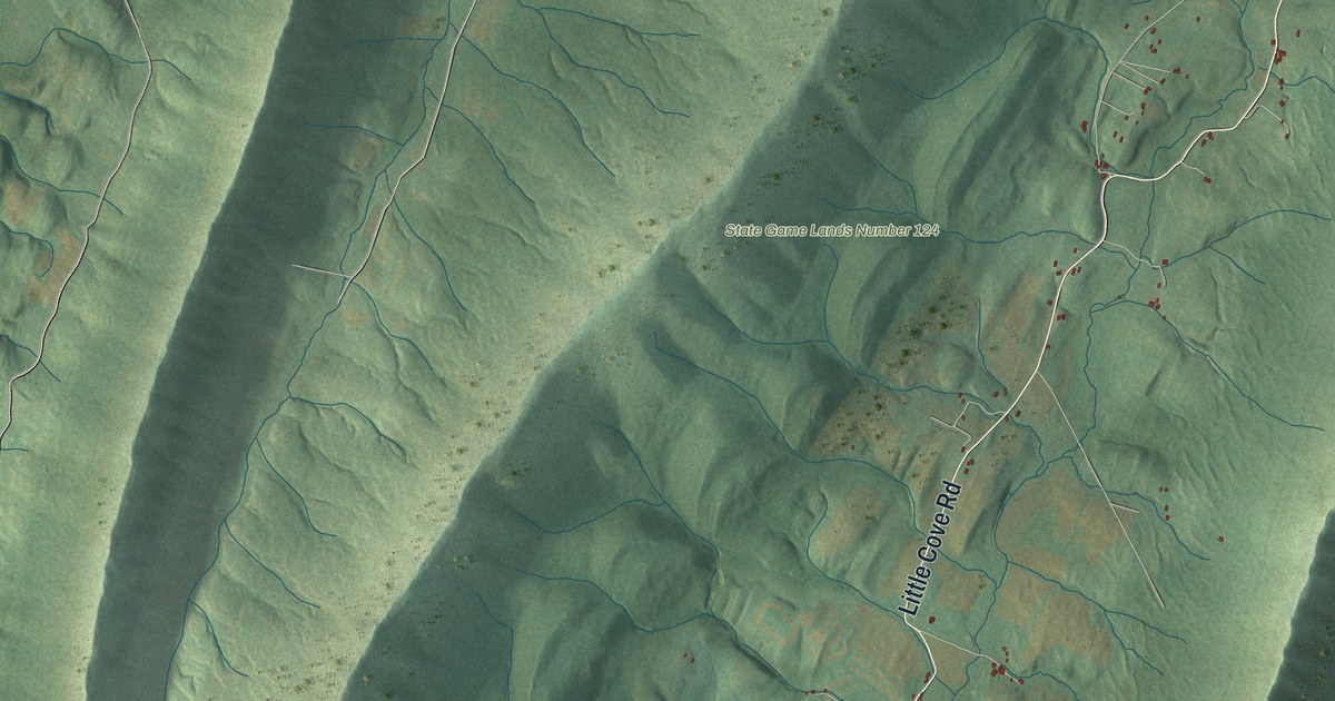
Explore Warren’s green ridges, Sylvan and Yeakle Mill on a new map made in 2026. Read how a log gristmill near Sylvan gave way to a three-story stone mill in 1838.
Read More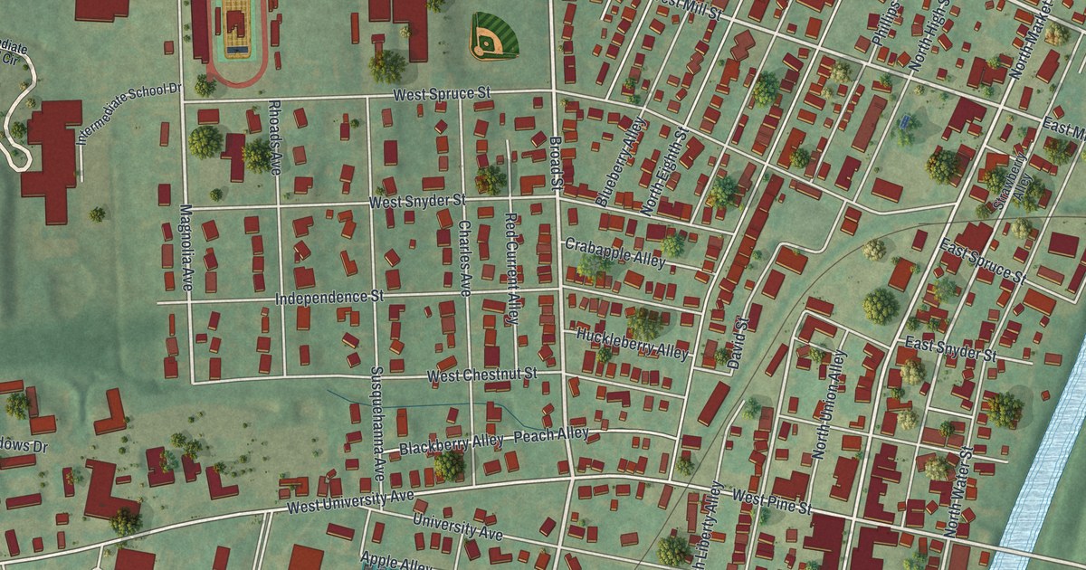
See Selinsgrove’s streets, red buildings and blue waterways in a new aerial map. Find University Avenue and explore Susquehanna University’s beginnings in 1858.
Read More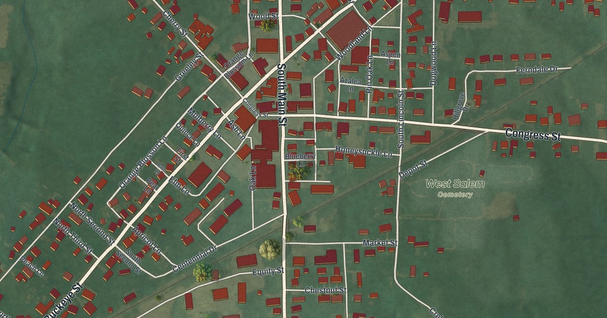
Find familiar streets on this new West Salem map, then meet the City Hall that housed a fire station, jail, and upstairs opera house in 1899.
Read More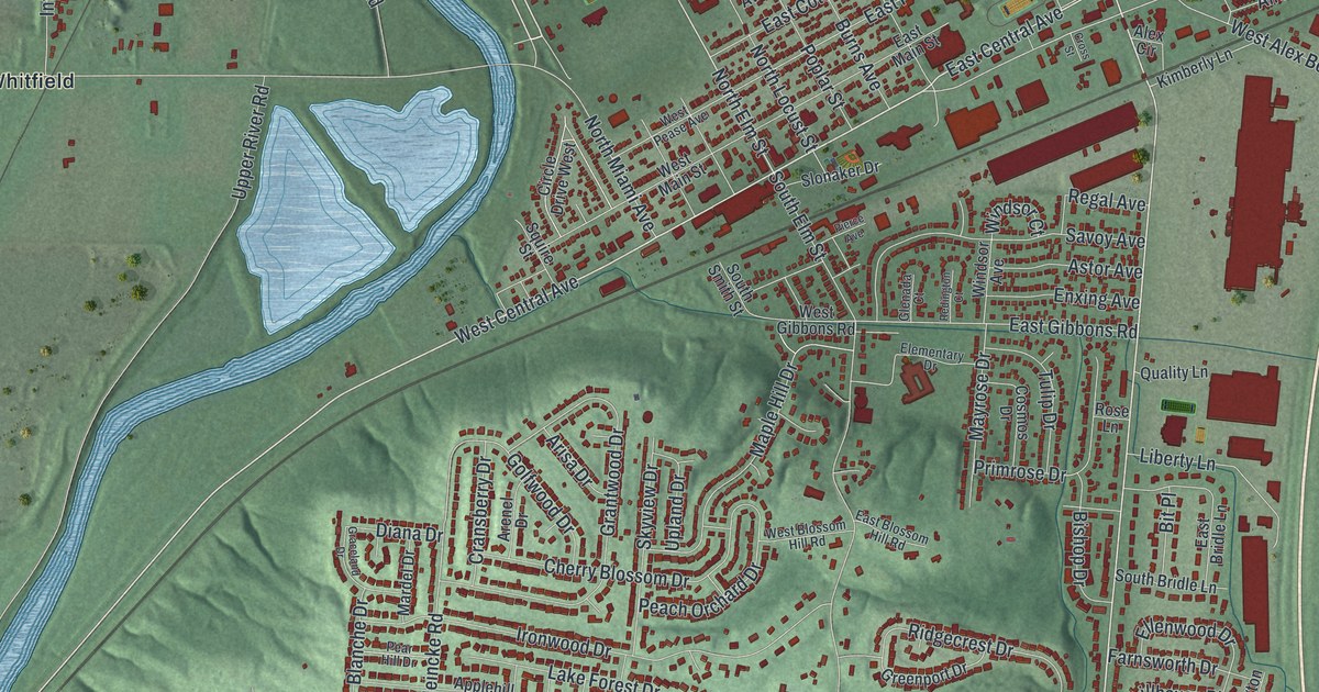
Find familiar West Carrollton streets in a new aerial map with a vintage feel. Read how Woody’s Market grew from a produce stand into a 24-hour shopping center on East Dixie Drive.
Read More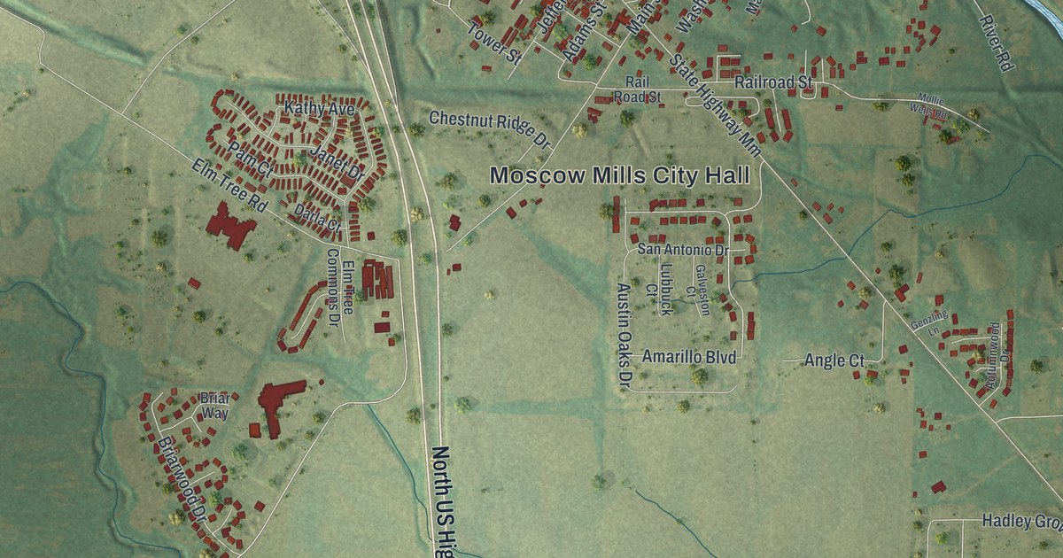
Explore Moscow Mills through familiar streets, red building shapes, and a winding blue river. Learn how a post office name helped give the town the name printed beneath this modern aerial view.
Read More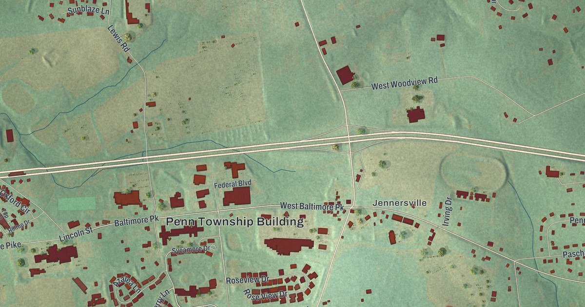
Find Jennersville, Kelton and Elkview on this new Penn Township map. South Jennersville Road also connects the print to Sunset Park’s country music story.
Read More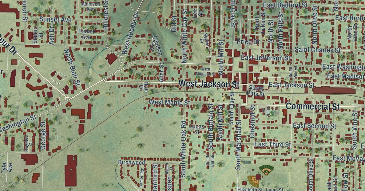
Marshfield, Missouri was named for Daniel Webster’s home in Massachusetts. This new 2026 aerial map shows the town in Webster County, from Commercial Street and West Jackson Street to East Hubble Drive, with its buildings in red over soft green hills.
Read More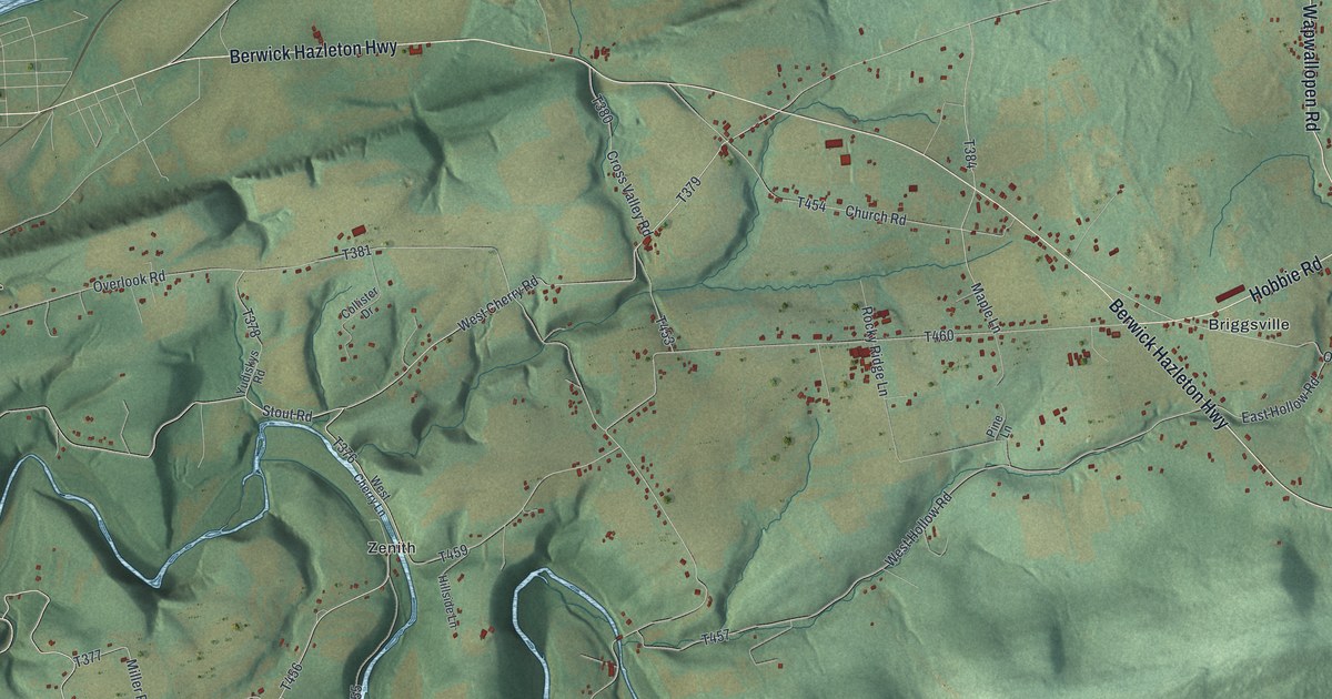
A new aerial map of Nescopeck Township in Luzerne County, Pennsylvania, with Briggsville, Zenith and the Berwick Hazleton Highway, plus the story of the mills and forge that once ran on Nescopeck Creek.
Read More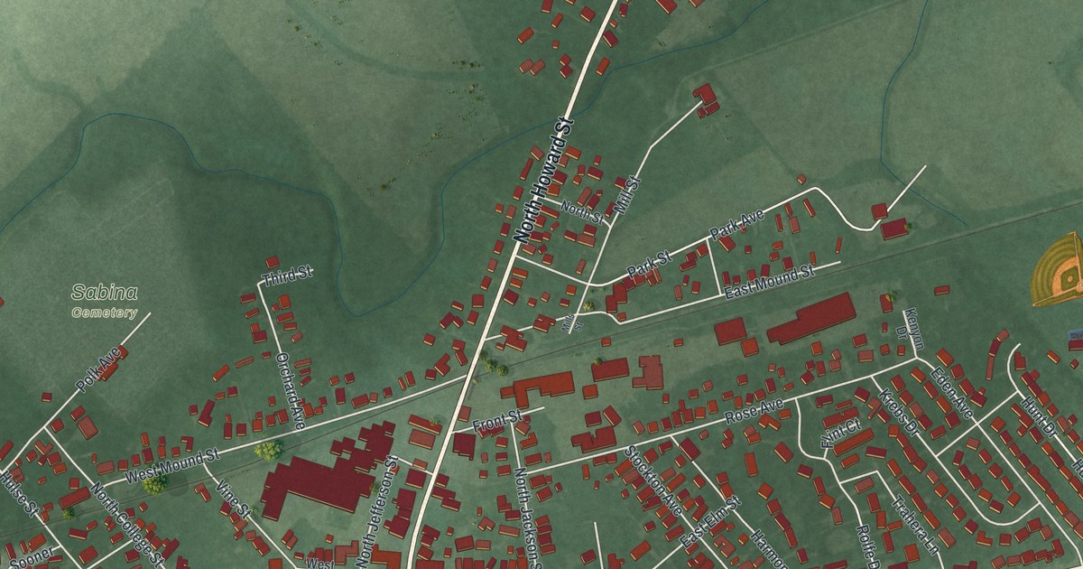
A modern aerial map of Sabina in Clinton County, Ohio, made in 2026. Find Washington Street, the Sabina Municipal Building and Sabina Cemetery, and read how the old Chillicothe Trace and two railroads helped the village grow.
Read More
A new aerial map of Iberia in Miller County, Missouri, made in 2026. Find Main Street, School Road and Iberia Cemetery, and read the old story about how the town got its name.
Read More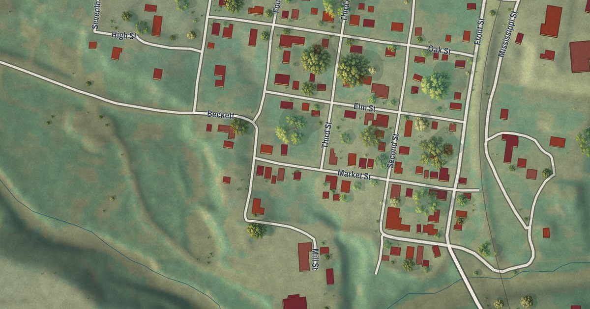
Kimmswick was laid out in October 1859 by Theodore Kimm and named for him. This new 2026 aerial map of the Jefferson County town shows Front Street, Market Street, the numbered streets, the green hills to the west and its buildings as small red shapes.
Read More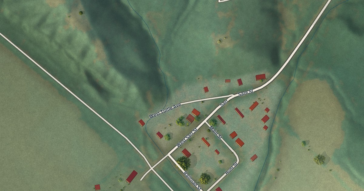
Huntsdale was laid out on August 1, 1892, and named for William Bunch Hunt. This new aerial map shows Main Street, Hunt Street and the Katy Trail, with green hills above town and wide fields below.
Read More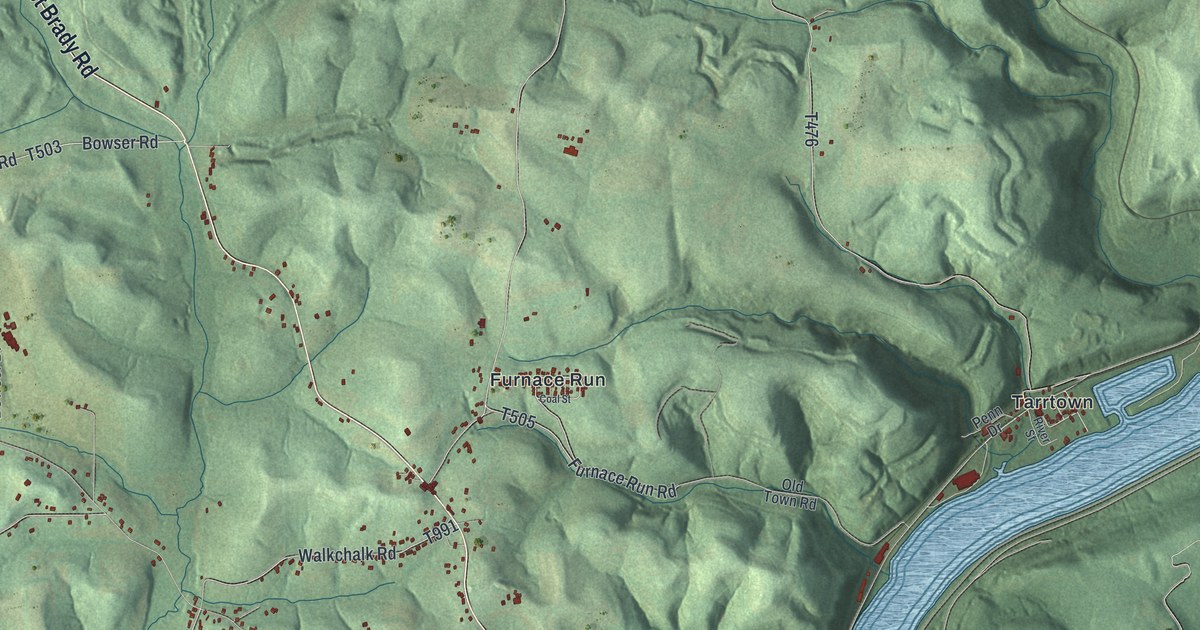
A 2026 aerial map of East Franklin Township in Armstrong County. Find West Hills, Walkchalk, Cowansville and Franklin Hill Road, plus roads that share names with the men chosen at the township’s first election in 1868.
Read More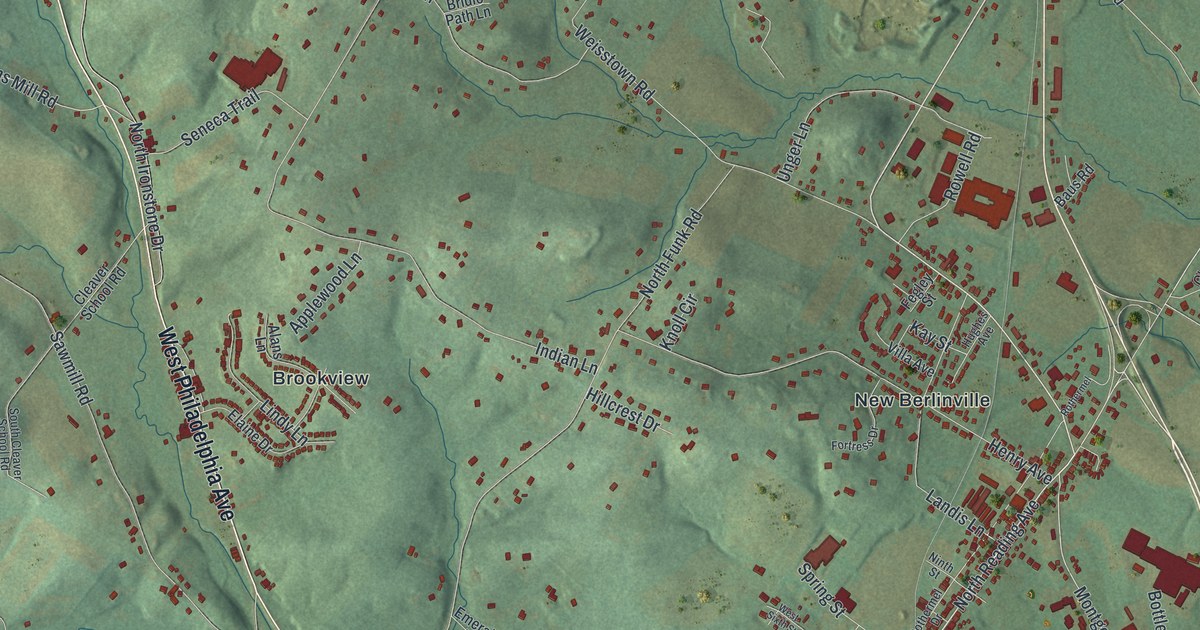
Colebrookdale Furnace, built around 1720, is thought to be Pennsylvania’s first blast furnace. This new 2026 aerial map of Colebrookdale Township in Berks County prints New Berlinville, Morysville, Englesville, Ironstone Drive and more.
Read More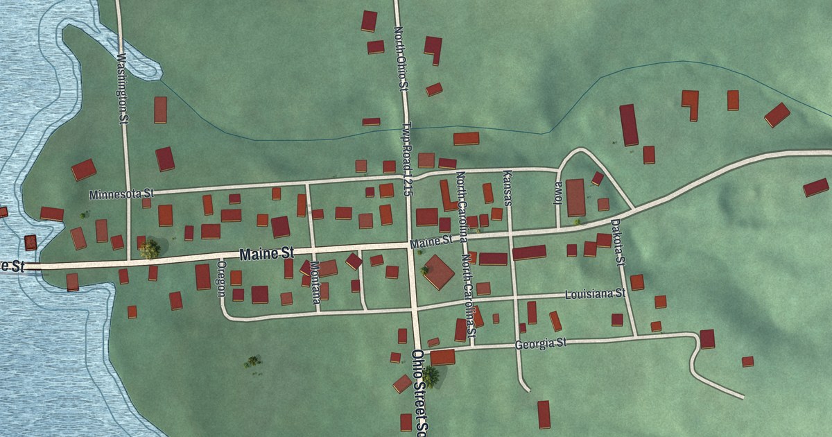
See Mifflin’s streets, red buildings, green hills, and blue water on a new aerial map. Learn how its crossroad watering trough served stagecoaches before the Lincoln Highway came through.
Read More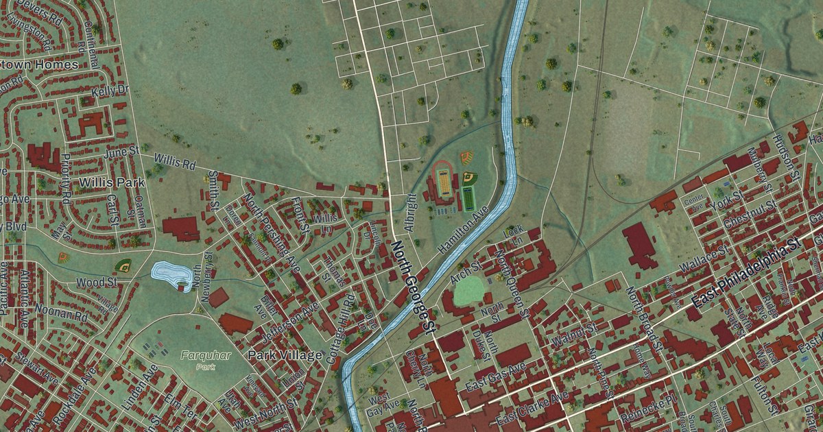
Find York’s streets and parks on a new aerial map with a vintage feel. Read how a local shop built The York, the first coal-burning locomotive steam engine in the United States.
Read More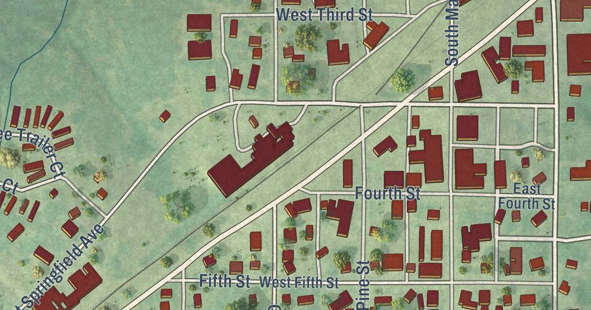
Find familiar Gerald streets in a modern aerial map with a vintage feel. West Fitzgerald Avenue shares the family name behind the town’s own name.
Read More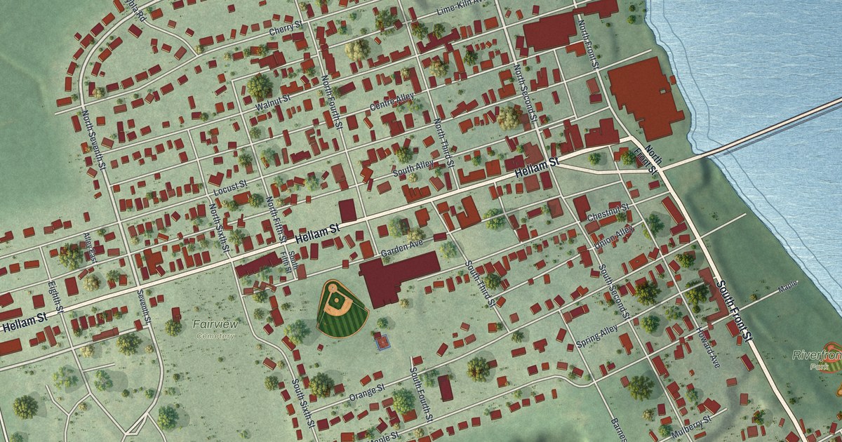
Find Hellam Street, Riverfront Park, and familiar blocks on this new Wrightsville map. Learn how the 1863 bridge fire stopped a Confederate advance at the river.
Read More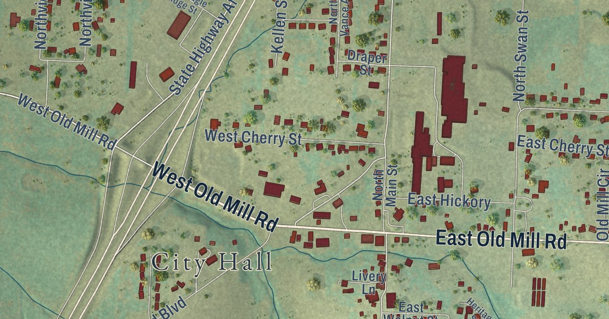
Fair Grove began with a log school house in 1846. Explore its streets, red buildings, and green hills on a new aerial map made in 2026 with a vintage feel.
Read More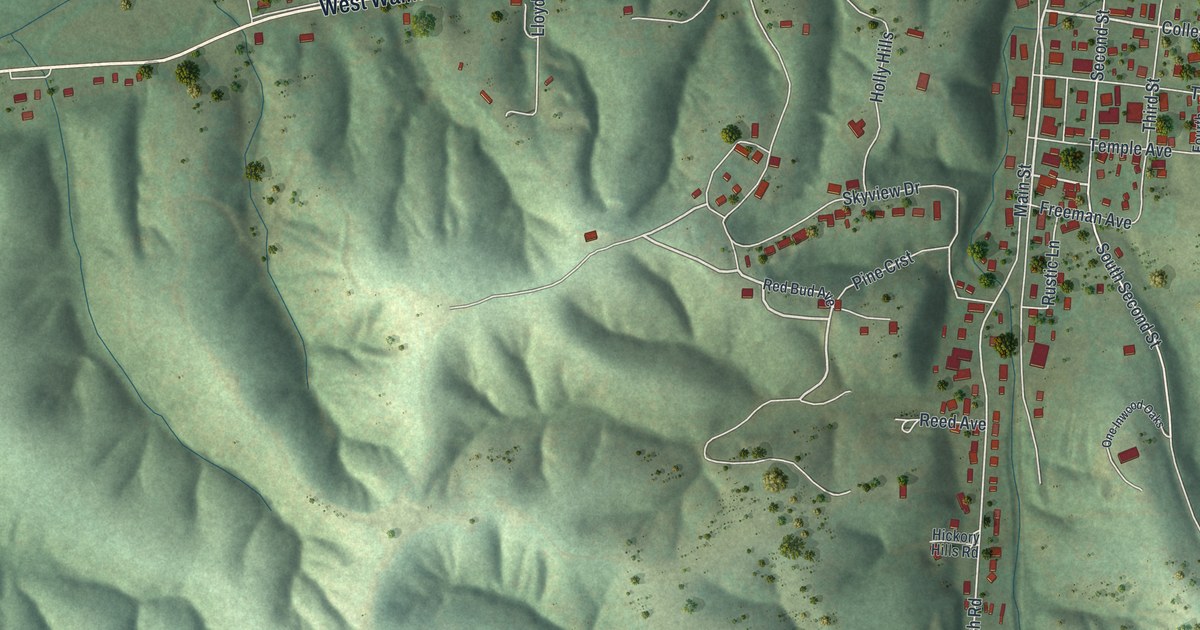
Find Walnut Street, Main Street and Ellington Hollow on a new aerial map of Ellington, Missouri. Green hills, pale roads and red buildings give this 2026 print its vintage feel.
Read More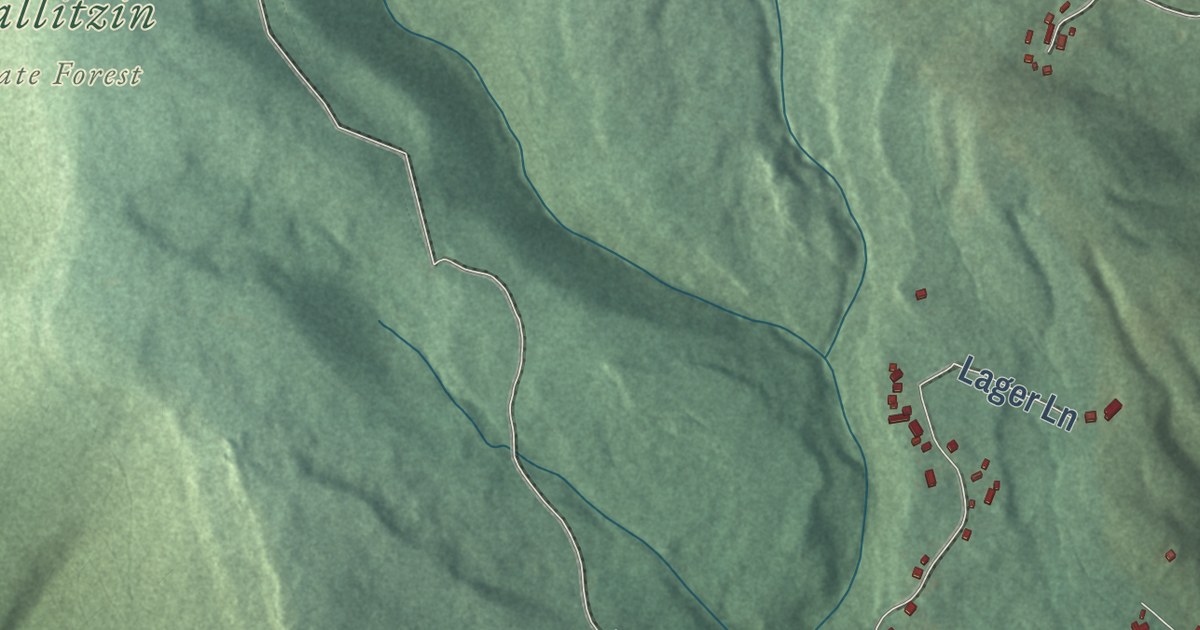
Explore West Taylor’s wooded hills, red buildings and familiar roads in a new aerial map. Learn how the township got its start on June 2, 1884.
Read More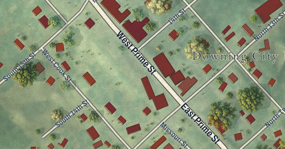
Explore Downing’s streets and green surroundings in a new aerial map. Learn about the cabin school near town where Schuyler County’s first classes began in 1841.
Read More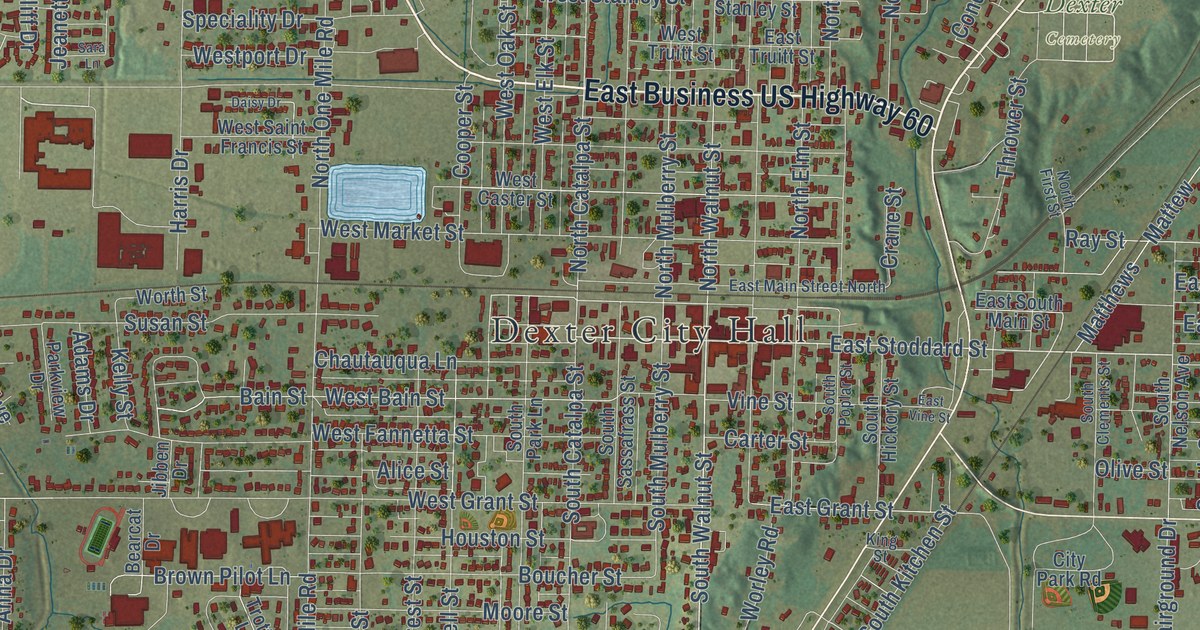
Find Dexter City Hall, East Park and familiar streets in a new aerial map of Dexter, Missouri. Read the historic account of the racehorse behind the town’s name.
Read More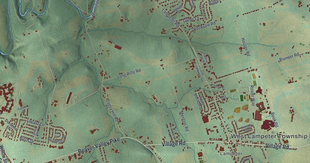
Find Willow Street, Lampeter and the roads between them on this new West Lampeter map. Hans Herr Drive links the view to the story of a stone house built in 1719.
Read More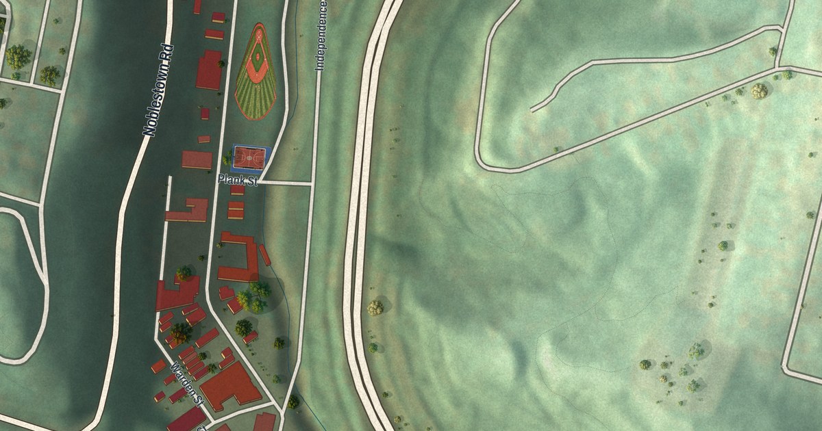
See West End’s valley and green hills in a new aerial map. Find South Main Street, Saw Mill Run Boulevard and the familiar blocks shown in red.
Read More
Find your Watsontown block in a new aerial map with a vintage feel. Main Street and the First Street names connect today’s town to John Watson’s original two-street plan.
Read More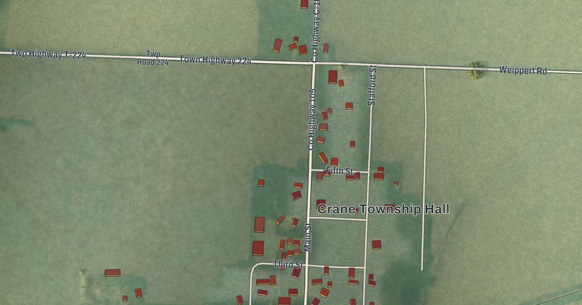
Find Cecil’s streets, red buildings and green fields on a new aerial map. Railroad Street offers a link to the story of the county’s first railroad, built between Cecil and Paulding.
Read More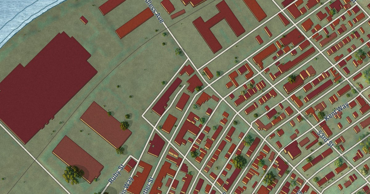
See Upper Lawrenceville’s streets, red buildings and green hills in a new aerial map. Find Butler Street and the corner where McCleary School entered the National Register in 1986.
Read More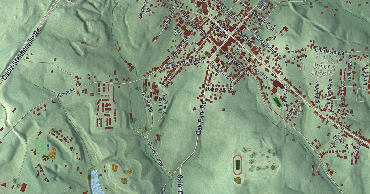
Find familiar Cadiz streets among green hills and red building shapes. Then read about the town’s first July Fourth feast in 1806, when neighbors shared wild turkey, venison and bear meat.
Read More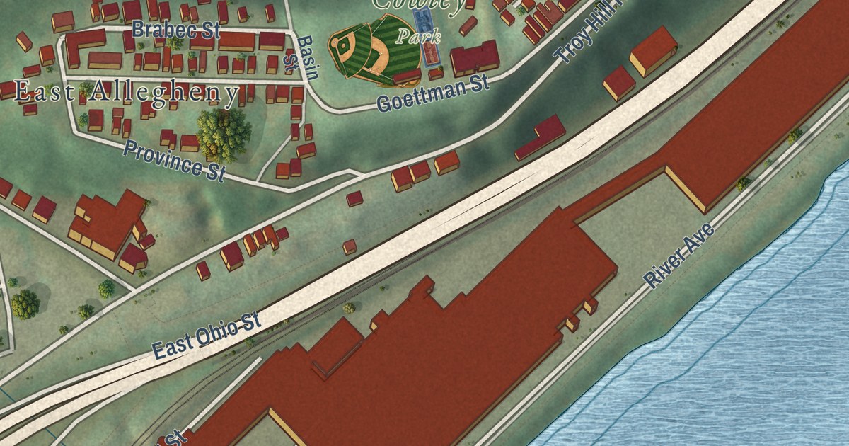
See Troy Hill’s hillside blocks, Lowrie Street and Cowley Park in a new aerial map. Read the story of America’s first Croatian Catholic parish near East Ohio Street.
Read More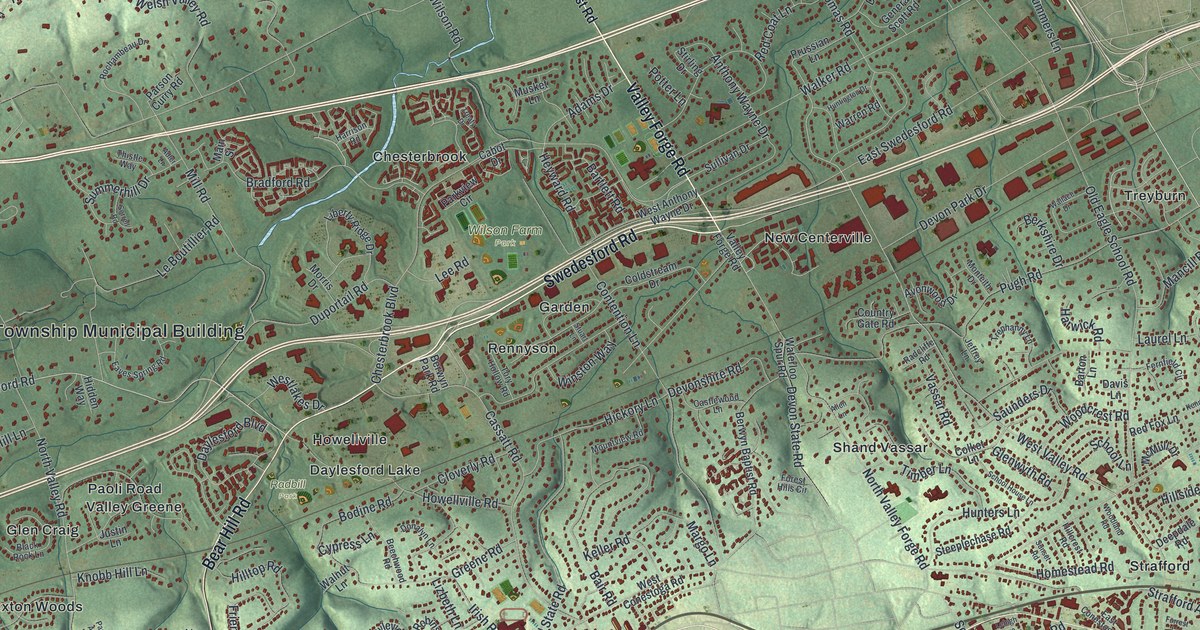
Find Chesterbrook, Paoli and familiar Tredyffrin roads on a new aerial map. Then meet the Welsh families who started the Great Valley church in 1711.
Read More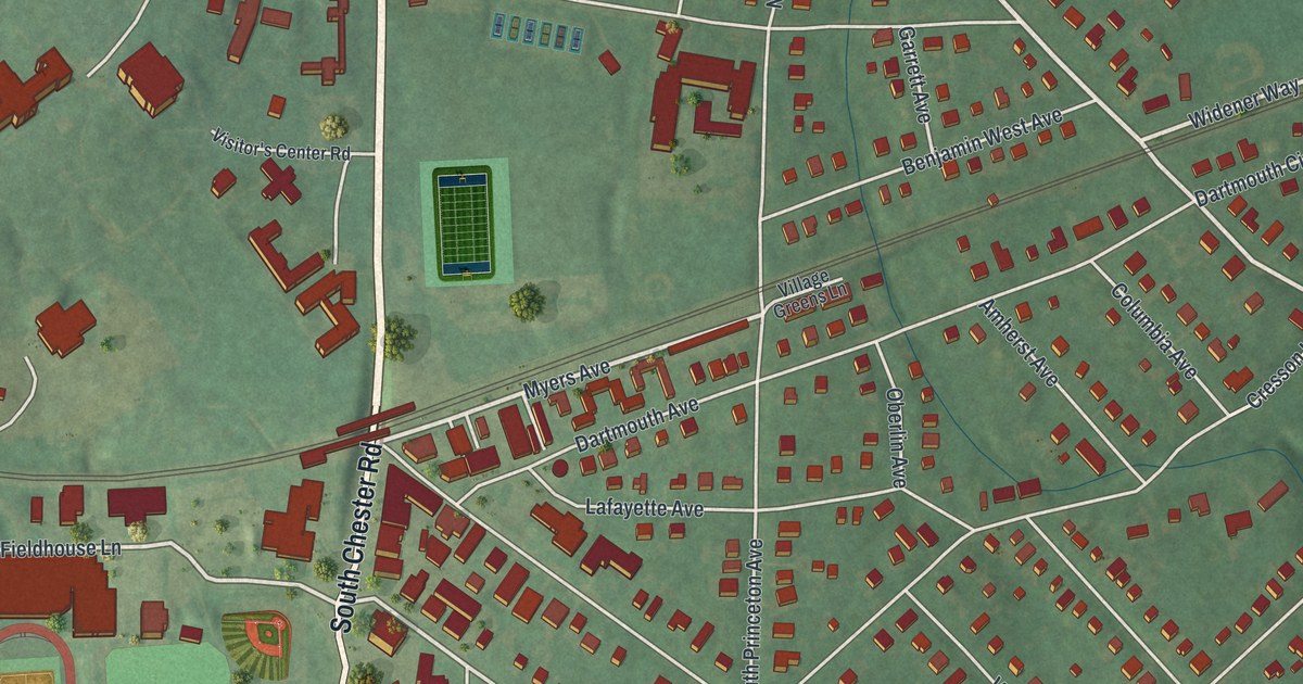
Find Swarthmore’s familiar streets, Crum Woods, and Clothier Fields on a new aerial map. Read about artist Benjamin West’s birthplace, then look for your own block.
Read More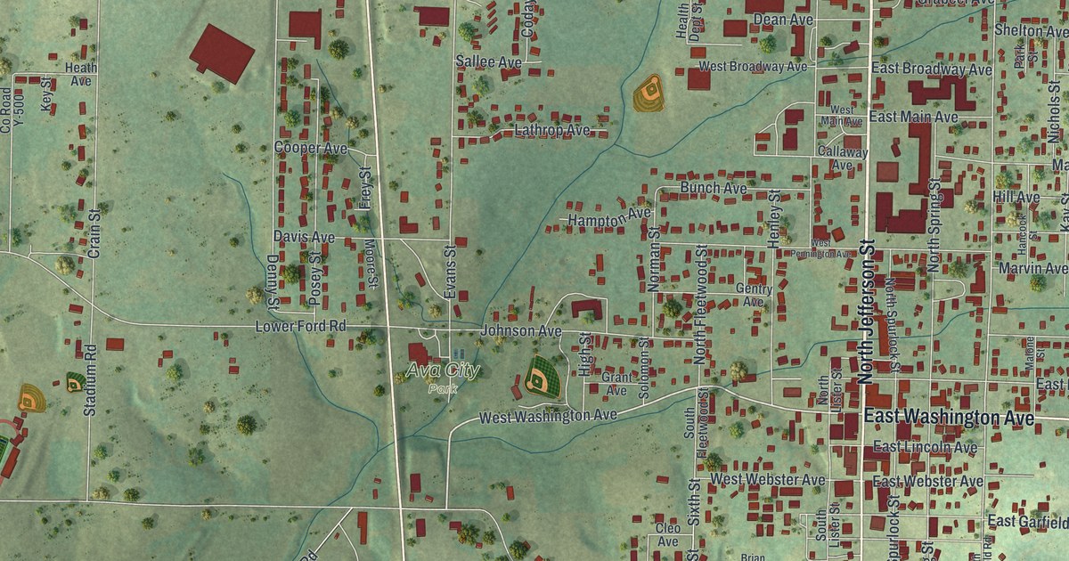
Explore Ava’s streets and green hills in a new aerial map. Find Springfield Road, North Jefferson Street and more, then learn about the Bible verse behind the town’s name.
Read More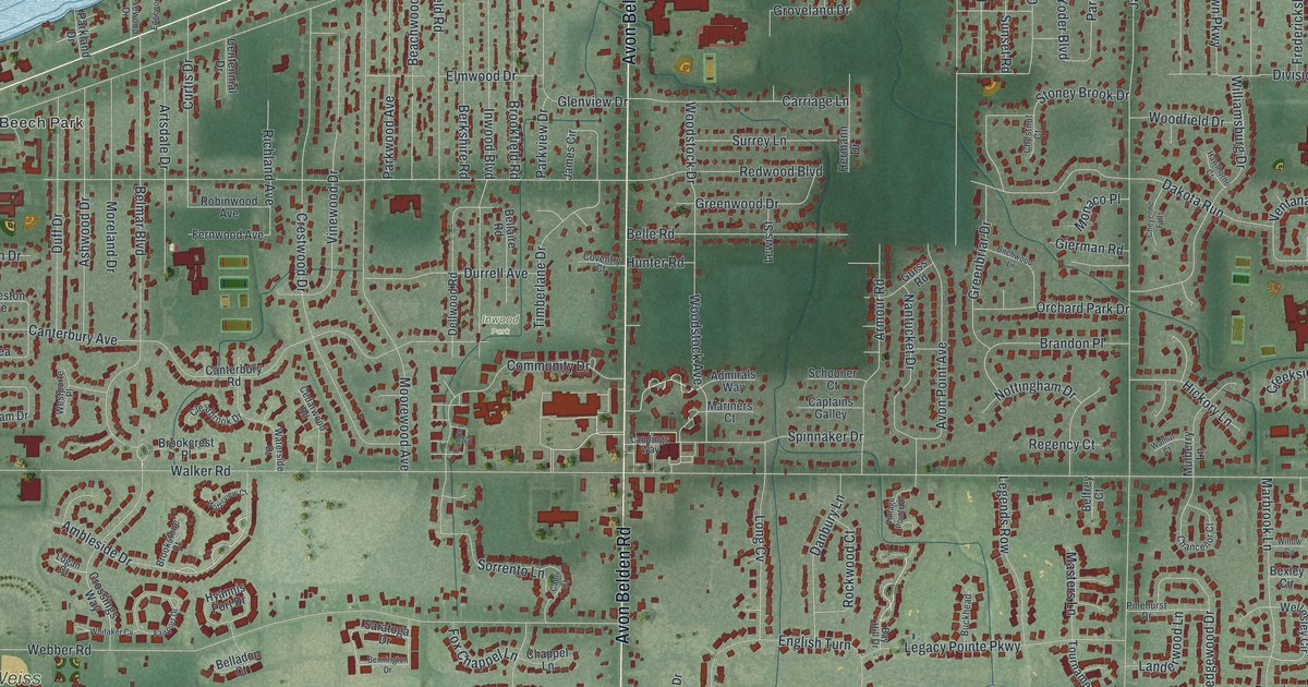
Explore Avon Lake’s printed streets and shoreline, then learn how Beach Park Station’s electric railway brought power and water that helped the town grow.
Read More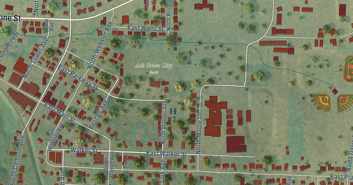
Explore Ash Grove’s streets in a new aerial map with a vintage feel. Find familiar blocks and learn how a grove of ash trees gave the town its name.
Read More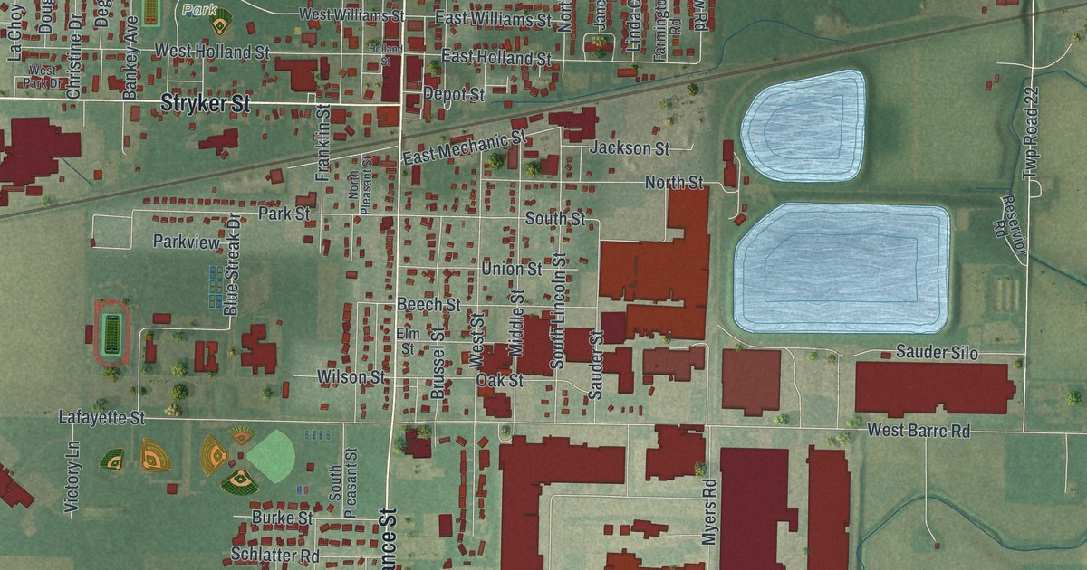
A modern aerial map of Archbold in Fulton County, Ohio, with Sauder Village, Ruihley Park and North Defiance Street. Read how Erie J. Sauder’s barn woodshop grew, and how The Ohio Art Company began downtown.
Read More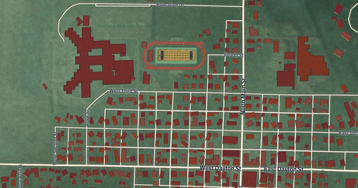
A new aerial map of West Alexandria in Preble County, Ohio. Find Main Street, Dayton Street and Peace Park, and read why Henry Howe called this village the heart of the Twin Valley in 1891.
Read More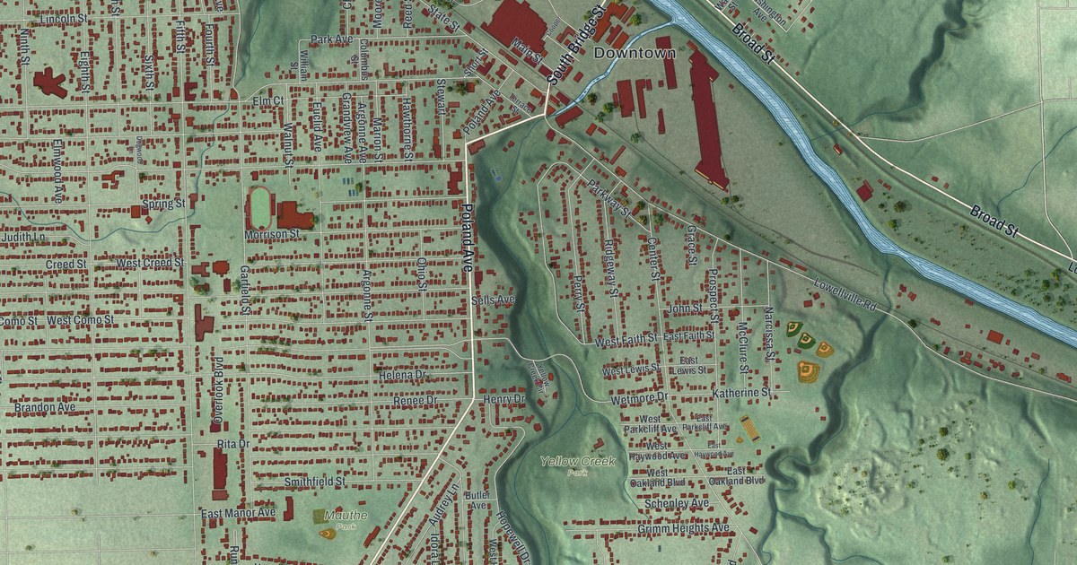
A new aerial map of Struthers in Mahoning County, Ohio. Find Poland Avenue, Downtown, Yellow Creek Park and your own street, and learn how Ohio’s first blast furnace was built here in 1802 by the Eaton brothers.
Read More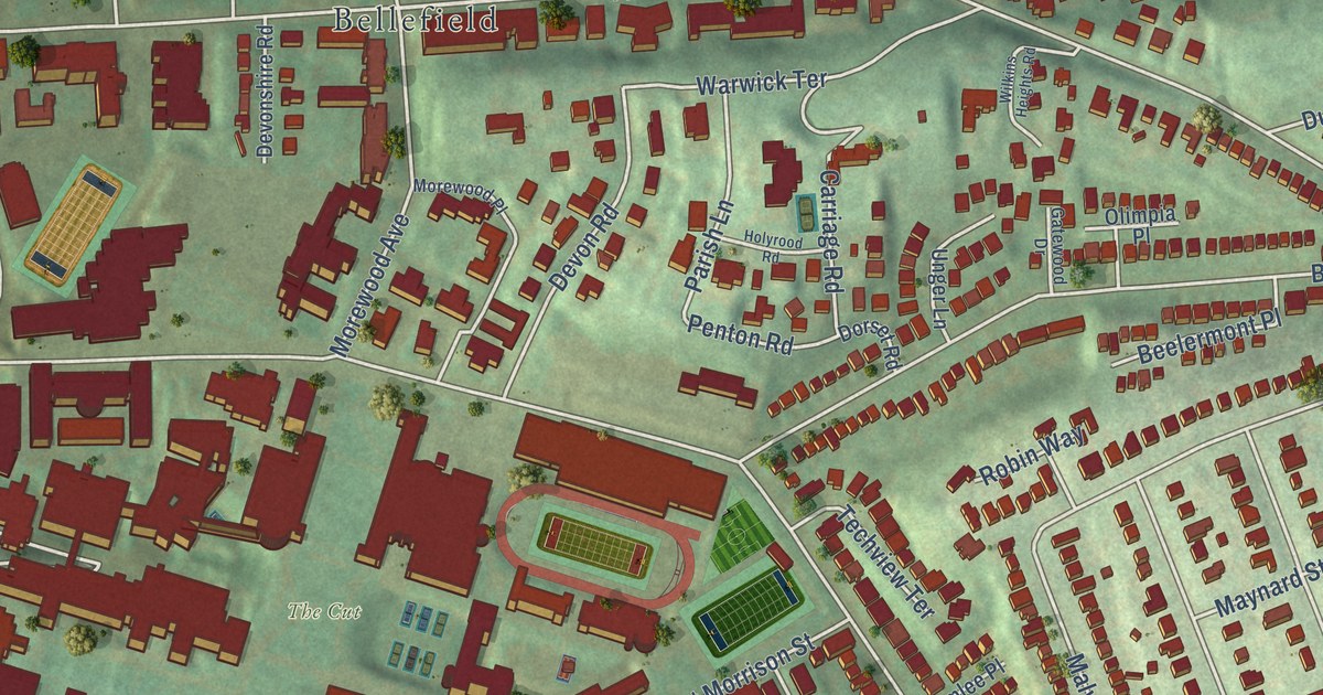
A modern aerial map of Squirrel Hill North in Allegheny County, printed with a vintage feel. Find Forbes Avenue, Murray Avenue, Wightman Park and your own street, and learn about Wightman School on Solway Street, on the National Register since 1986.
Read More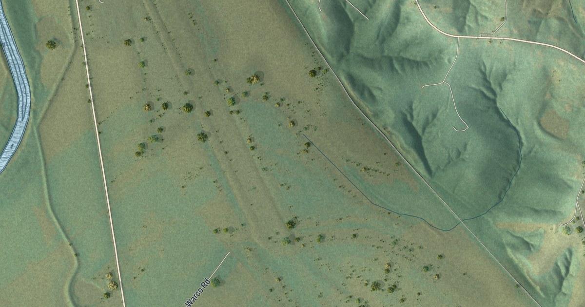
Three Creeks is a Warren County village of 8 people, set among open fields below wooded hills. This 2026 aerial map shows Warco Road, Three Creeks Village, the creek channels on the left and a wide river at the bottom.
Read More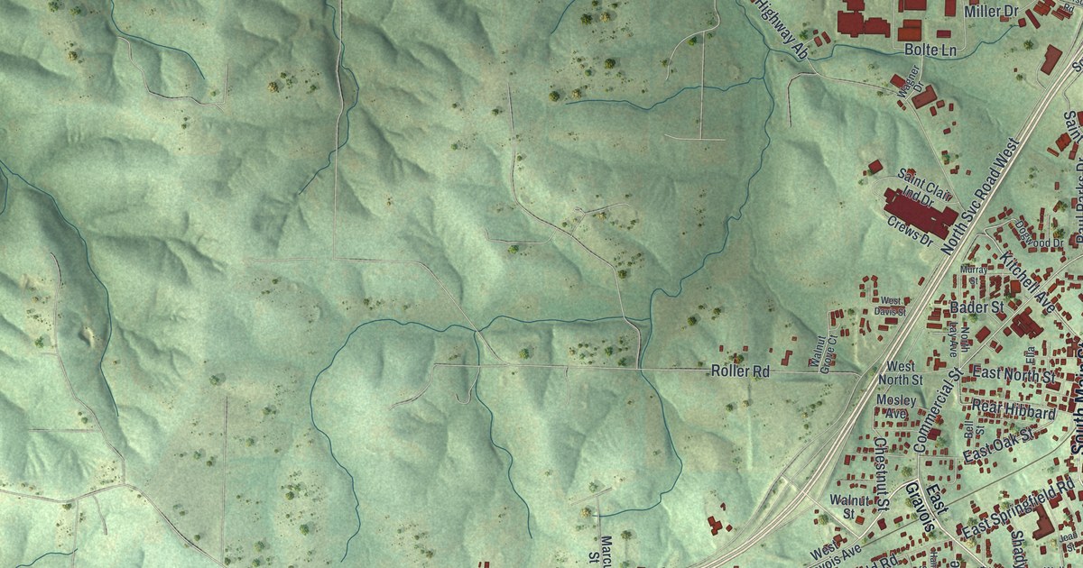
St. Clair, Missouri, as a modern aerial map with a vintage feel. See the green Franklin County hills, North Main Street and Old State Highway 66, and read the old story of a wayside inn called Traveler’s Repose.
Read More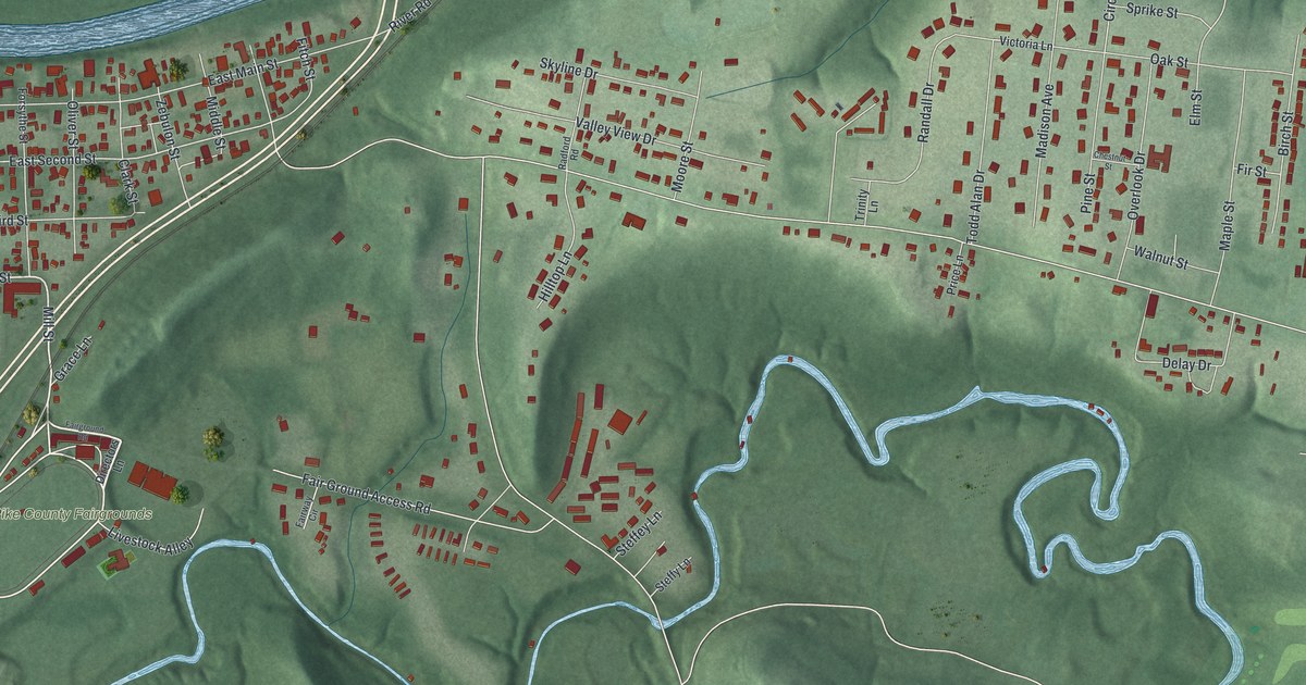
Piketon began as Pike County’s first county seat, laid out on 40 acres from Elisha Fitch. This 2026 aerial map shows East Main Street, Zebulon Street, Fitch Street, the Pike County Fairgrounds and the blocks in between.
Read More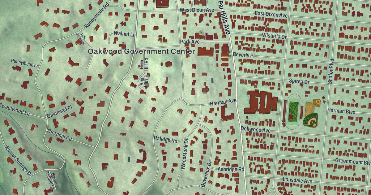
A new aerial map of Oakwood in Montgomery County, Ohio, with Far Hills Avenue, Houk Stream Park and more than 7,000 buildings. Plus the story of Hawthorn Hill, Orville Wright’s home near Harman and Park Avenues.
Read More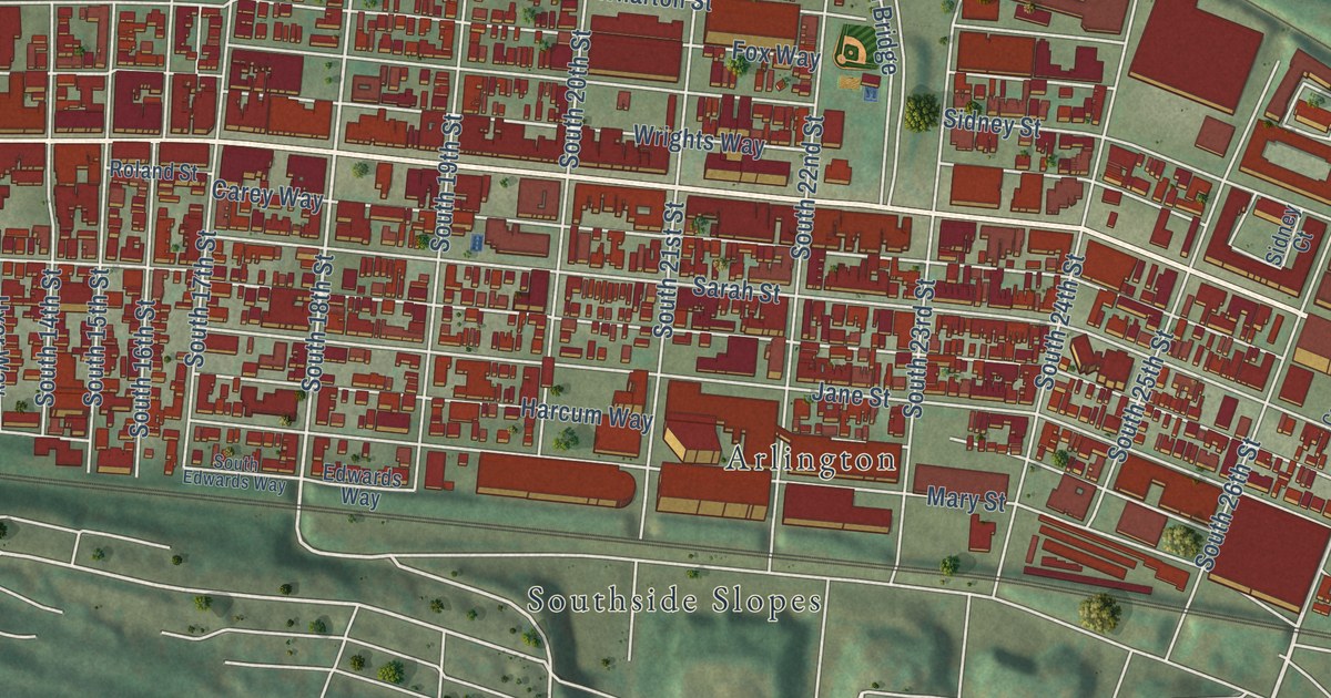
A new aerial map of South Side Flats in Allegheny County, made in 2026. Find East Carson Street, Bingham Street and the Birmingham Bridge, and read how a 1917 speech on South 18th Street began the drive to raise a Polish army.
Read More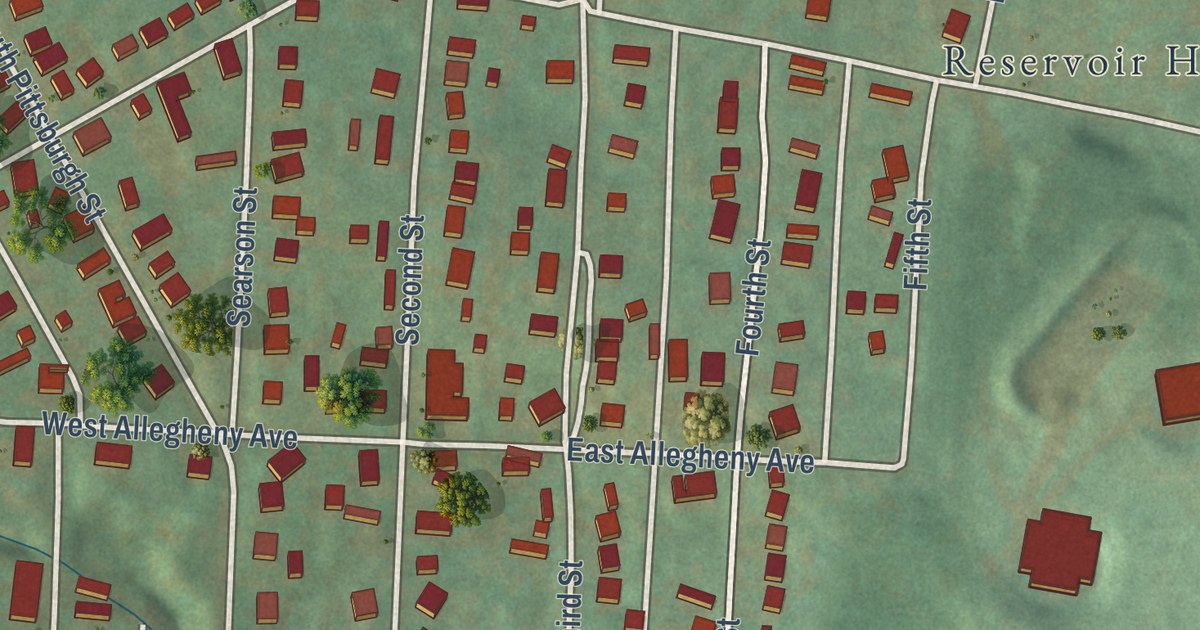
A new aerial map of South Connellsville in Fayette County, Pennsylvania, with South Pittsburgh Street, Reservoir Hill and more than 1,600 buildings, plus the story of Col. William Crawford, whose 1765 cabin stood on the Youghiogheny.
Read More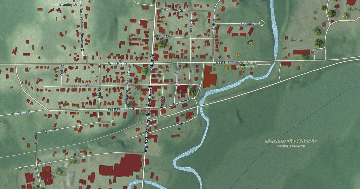
A modern aerial map of Mantua in Portage County, Ohio, with Main Street, West Prospect Street, a winding river and the old Mantua Station brick blocks downtown. Made by KNOWOL in 2026.
Read More















