Author: TheKnowOwl

Detailed Map of Belmont, Ohio

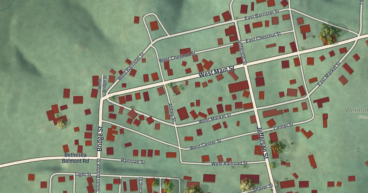
See Belmont’s streets and green hills in a new aerial map. Learn about Harley Warrick, the last Mail Pouch barn painter, whose marker stands near Brown Street and Third Street.

Read More

Detailed Map of Rendville, Ohio

Explore Rendville’s streets and green hills on a new 2026 map. Learn about Dr. Isaiah Tuppins, Ohio’s first elected African American mayor, and find Main Street among the red buildings.

Read More

Detailed Map of Kalida, Ohio

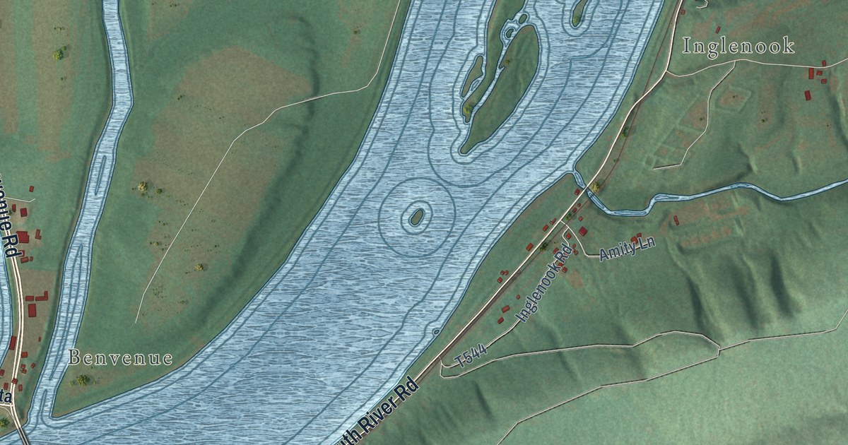
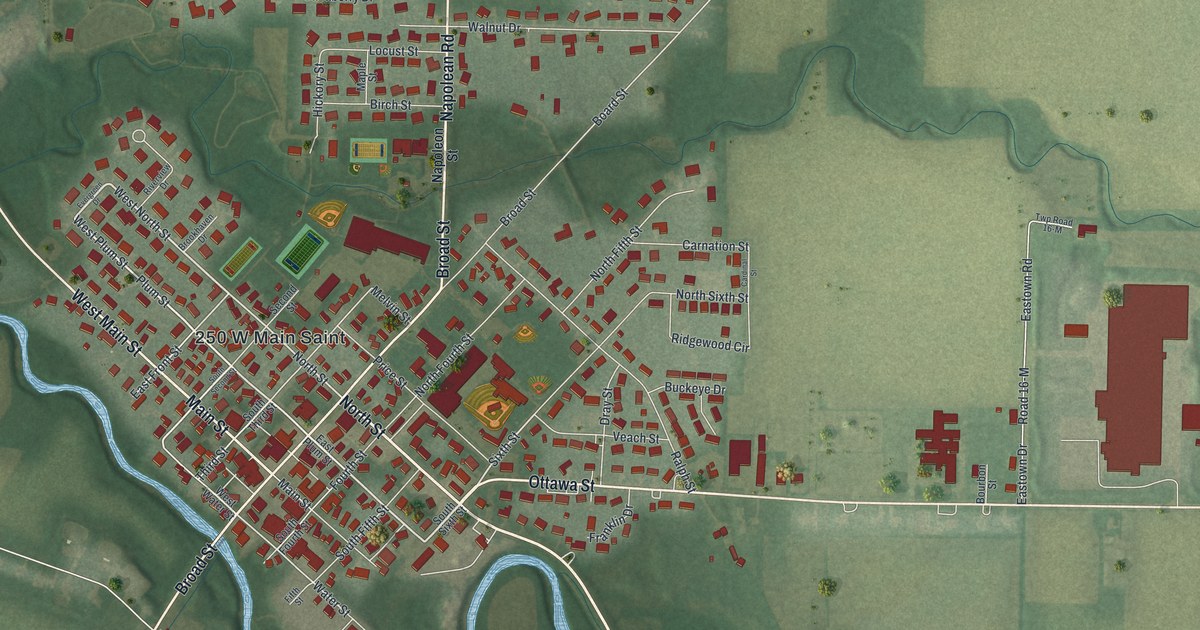
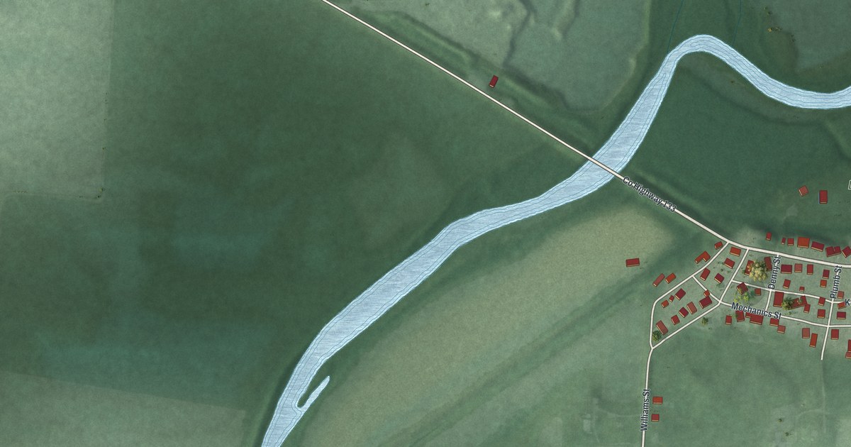
A modern aerial map of Kalida in Putnam County, Ohio, with Main Street, Broad Street and a winding river. Plus the story of Pioneer Days, which began with a meeting in Kalida in 1873.

Read More

Detailed Map of Affton, Missouri

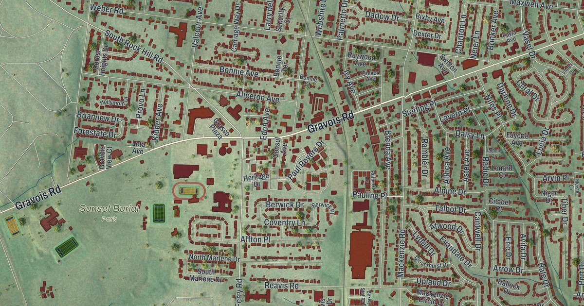
A new aerial map of Affton in St. Louis County, Missouri, with thousands of red buildings along Gravois Road, Watson Road and Mackenzie Road. Affton takes its name from Johann George Aff, a farmer and merchant who came to St. Louis in 1858.

Read More

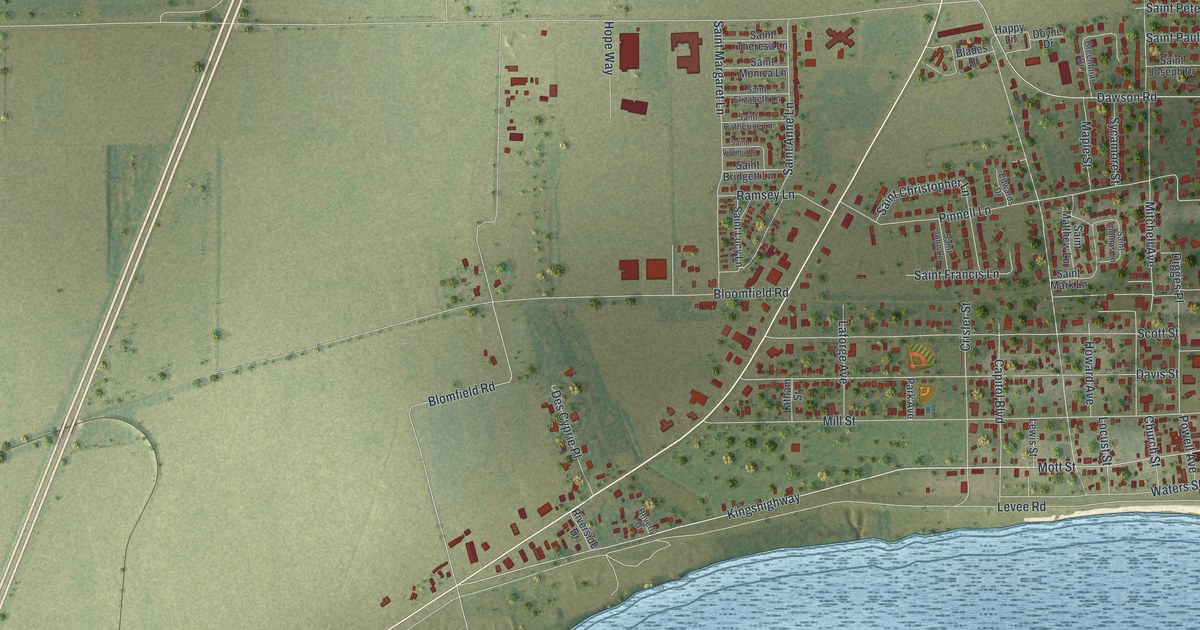
Detailed Map of Harveysburg, Ohio

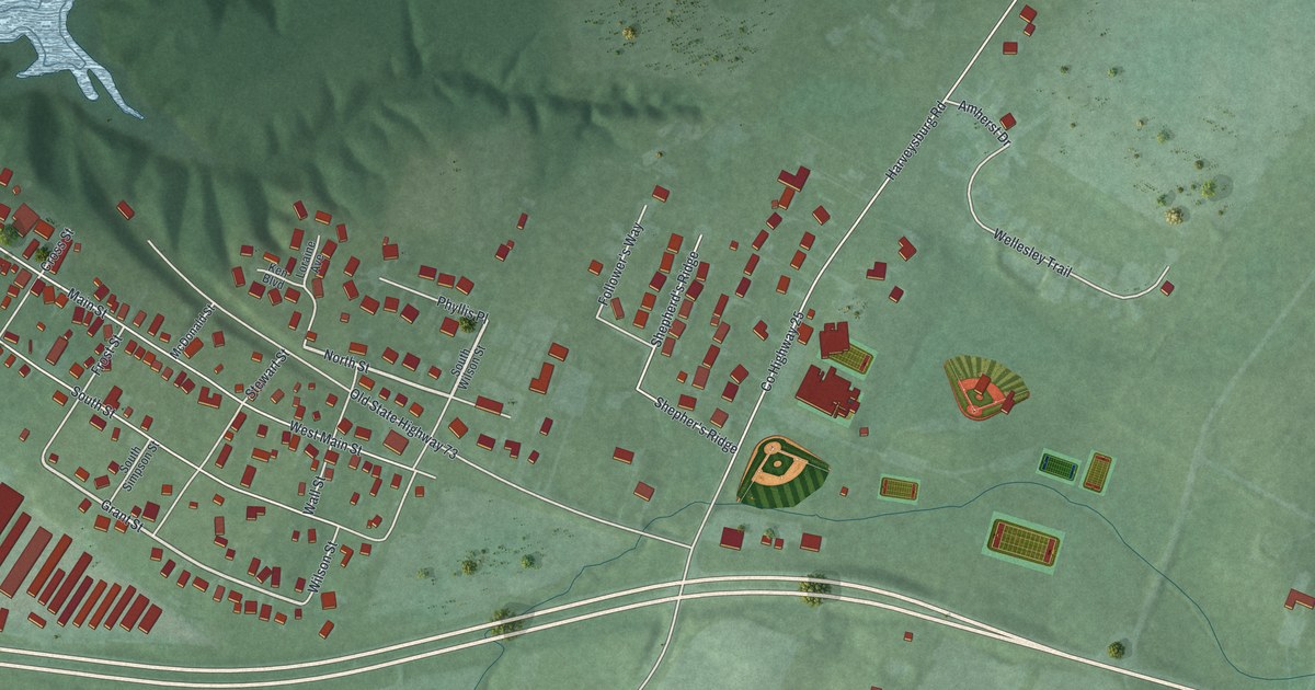
Harveysburg began as a Quaker village with 47 lots laid out by William Harvey. This 2026 aerial map of the Warren County village shows Main Street, North Street, the wooded hills and the wide lake beside town.

Read More

Detailed Map of Caledonia, Ohio

Warren G. Harding learned the printing trade as a boy in Caledonia, Ohio. This new 2026 aerial map of the Marion County village shows South Main Street, Anselment Park, Harding Highway East and nearly 500 buildings in red.

Read More
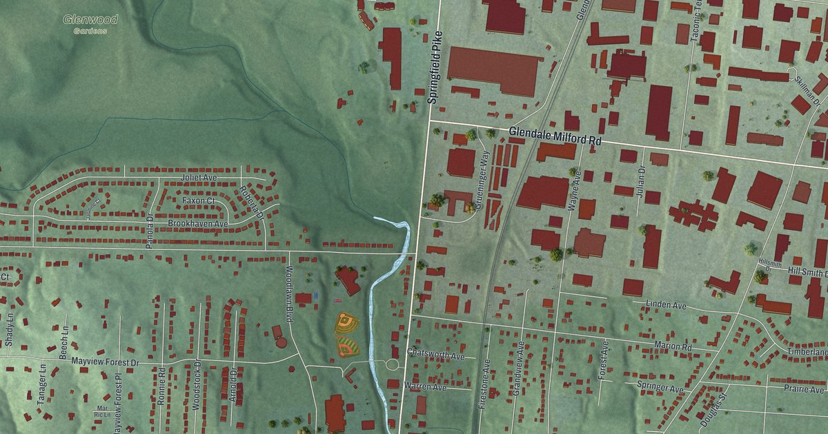
Detailed Map of Woodlawn, Ohio

A modern aerial map of Woodlawn in Hamilton County, Ohio, made in 2026. Find Springfield Pike, Glendale Milford Road and Leacrest Road, home of the Rauh House, called the first fully developed International Style design in the Cincinnati area.

Read More
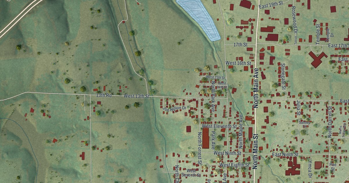
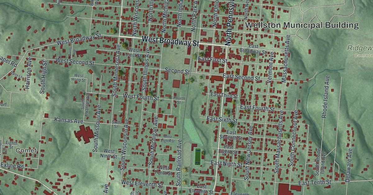
Detailed Map of Wellston, Ohio

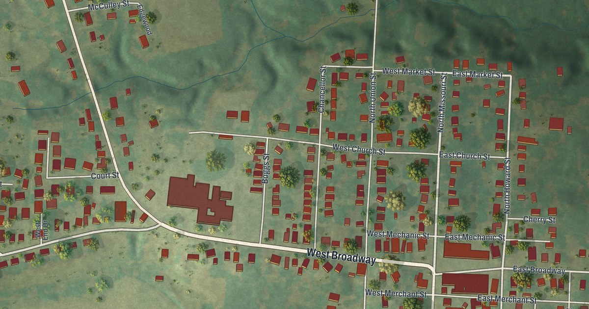
Wellston, Ohio, was laid out in 1873 after good coal was found nearby, and it was named for Harvey Wells. This new 2026 aerial map shows its state-named avenues, West Broadway Street, Ridgewood Cemetery and the green hills of Jackson County.

Read More
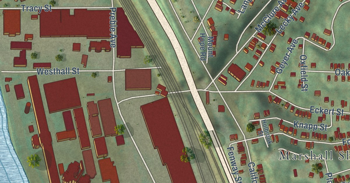
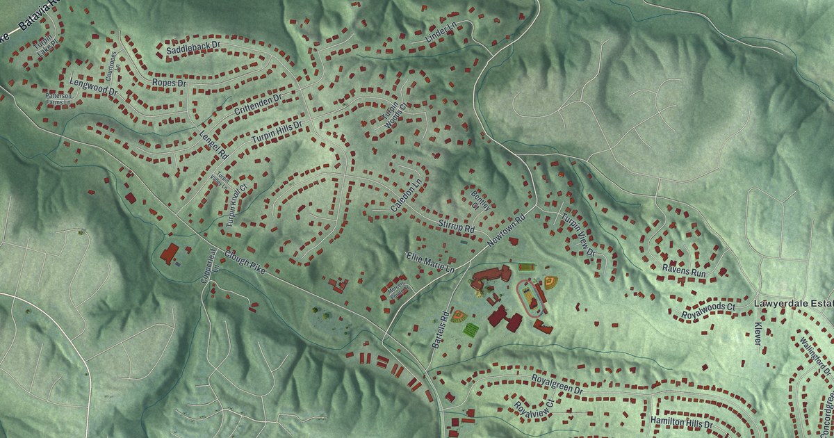
Detailed Map of Turpin Hills, Ohio

Turpin Hills, Ohio, gets a new aerial map for 2026. Find Clough Pike, Turpin Hills Drive and Lawyerdale Estates, and read about the Clark Stone House, built around 1801 by a drummer from the Battle of Yorktown.

Read More
Detailed Map of Reading, Ohio

Find Reading Road and familiar blocks in a modern aerial view with a vintage feel. Learn how Voorhees Town became Reading, named for a family’s former home in Pennsylvania.

Read More
Detailed Map of Hollister, Missouri

A new aerial map of Hollister in Taney County, Missouri. See the green hills, the winding river and the streets around Hollister City Hall, plus the story of how a Missouri Pacific railroad official gave the town its name.

Read More
Detailed Map of Shawnee, Ohio

See Shawnee’s streets and green hills on a new map with a vintage feel. Read how its coal miners built a labor movement, taught free night classes, and helped form the United Mine Workers.

Read More
Detailed Map of Silex, Missouri

Silex began when the railroad came through and George P. Smith moved his store from Cave City. This 2026 map of Silex, Missouri shows Main Street, Cuivre Street, the rolling hills around town and red building shapes you can zoom in on.

Read More
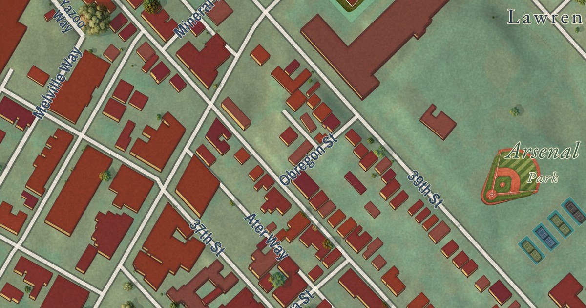
Detailed Map of Mercer, Missouri

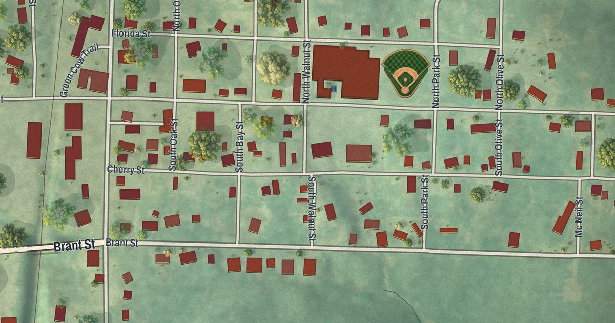
Mercer, Missouri, is a town of 263 people in Mercer County. This new 2026 aerial map shows Main Street, Bison Street, Green Cow Trail and more than 300 buildings drawn in red, set among green rolling hills.

Read More
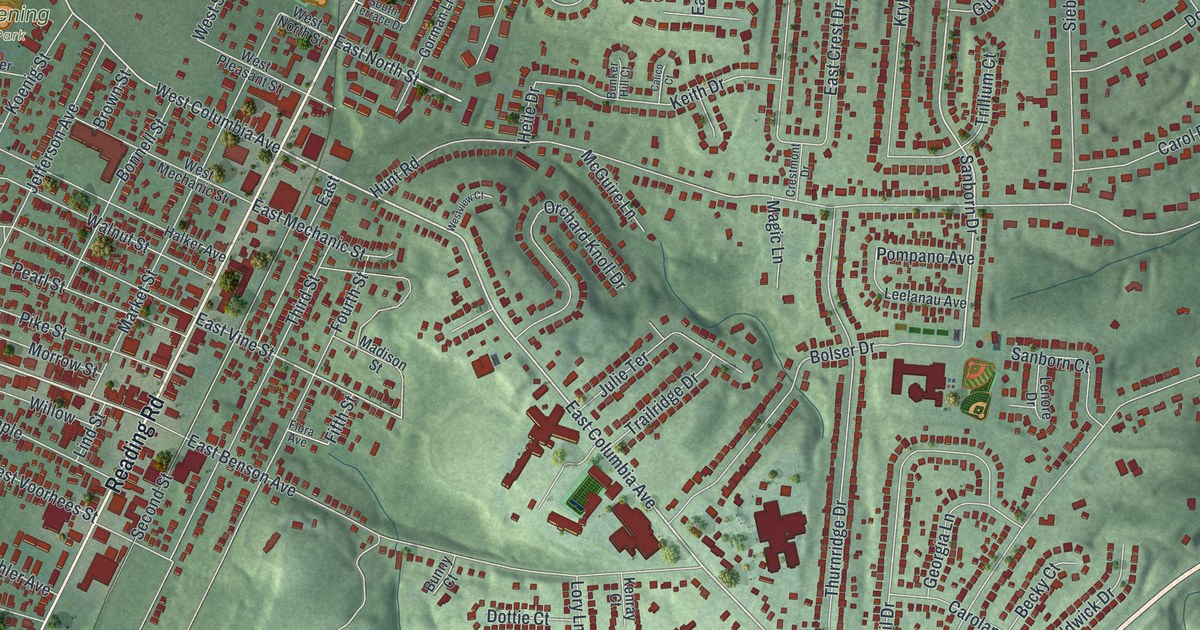
Detailed Map of Luray, Missouri

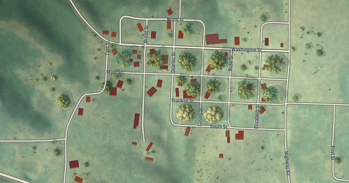
Luray is a small Clark County village with a tight grid of streets. This 2026 aerial map shows Main Street, Washington Street and the farm country that an 1887 history said made Luray a shipping point on the Keokuk & Western Railroad.

Read More
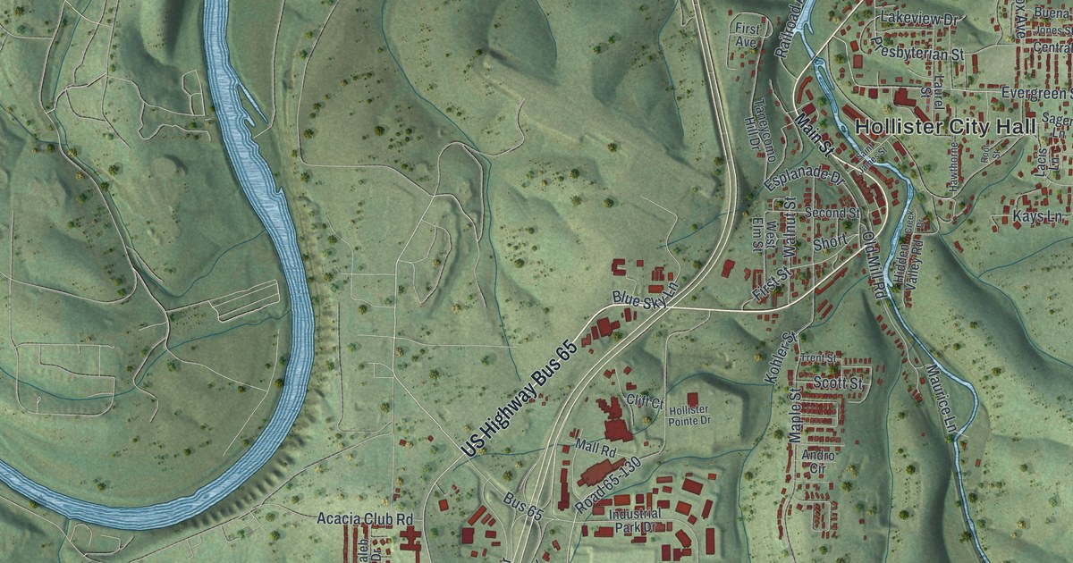
Detailed Map of Hunnewell, Missouri

Hunnewell sits in Shelby County, Missouri, on a neat grid of streets named for trees. This new 2026 aerial map shows Birch, Maple, Walnut and Center Streets, and it tells the story of the town’s big public meeting in April 1861.

Read More
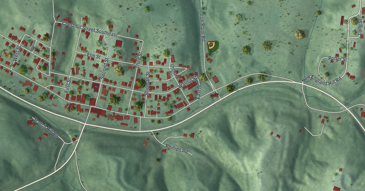
Detailed Map of Springboro, Ohio

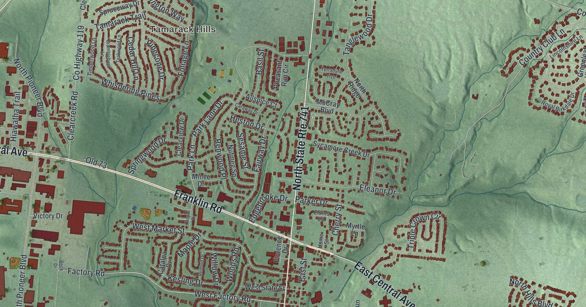
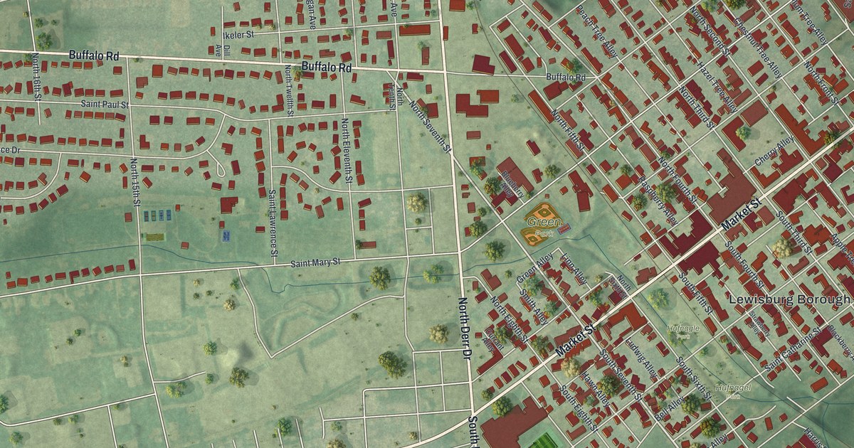
Springboro was named for its many springs by Jonathan Wright in 1814. This new 2026 map of Springboro, Ohio shows Main Street, Central Avenue, Clearcreek Park, Tamarack Hills and the Wright family’s West State Street.
Read More

Detailed Map of Salem, Ohio

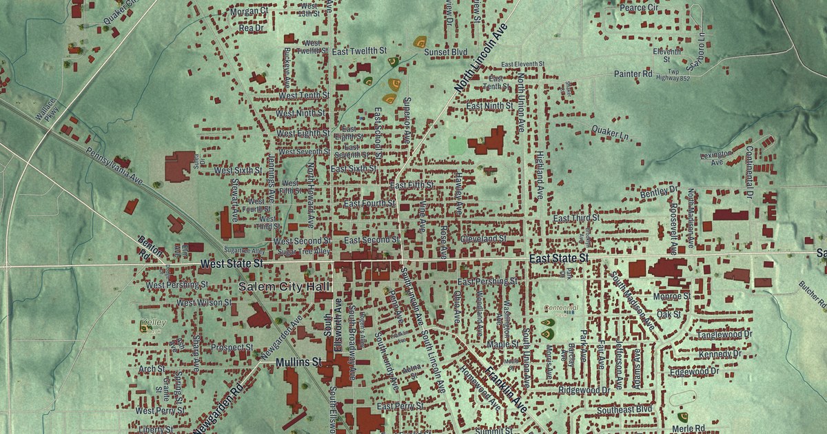
A new aerial map of Salem in Columbiana County, Ohio, with East State Street, Kelley Park and thousands of buildings. Plus the story of Unserheim, a Quaker home on Franklin Avenue that sheltered people on the Underground Railroad.

Read More
Detailed Map of Paulding, Ohio

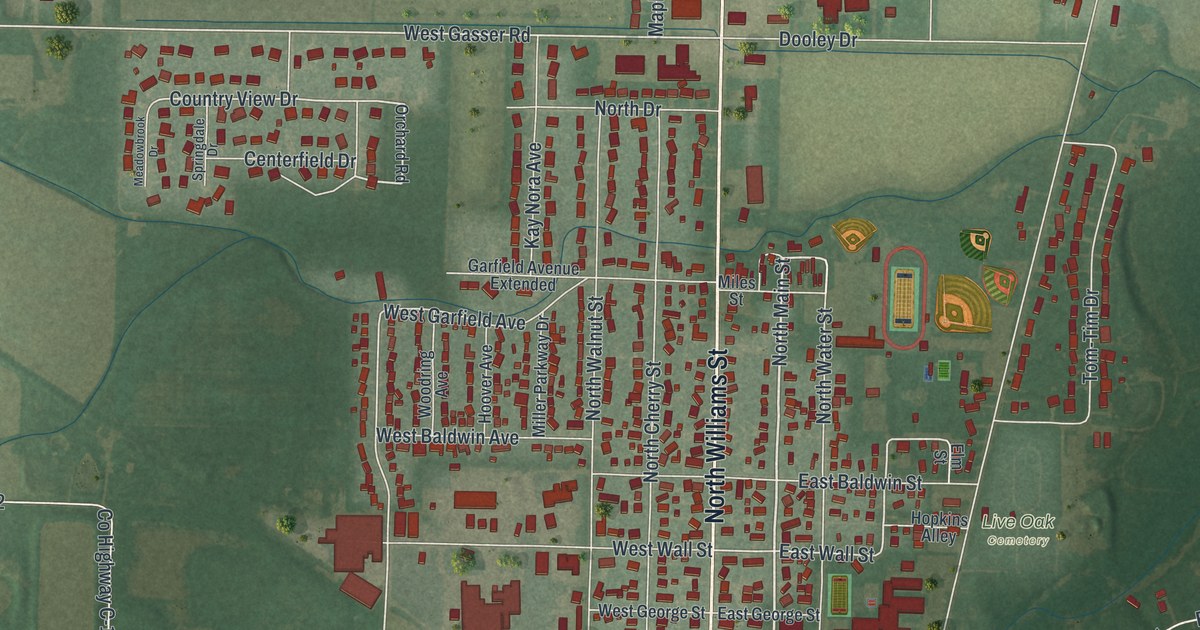
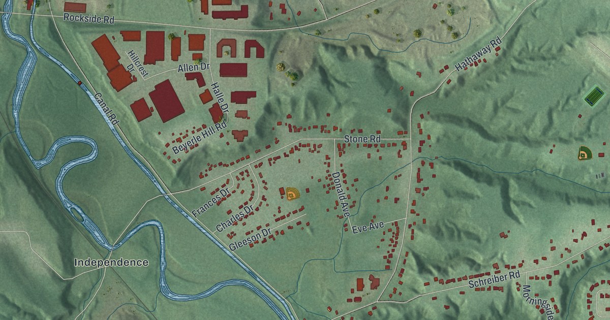
Paulding is home to the first county Carnegie library in the United States. This new 2026 map shows the village from above, with North Williams Street, South Main Street, the Paulding County Fairgrounds and the blocks in between.

Read More
Detailed Map of Mason, Ohio

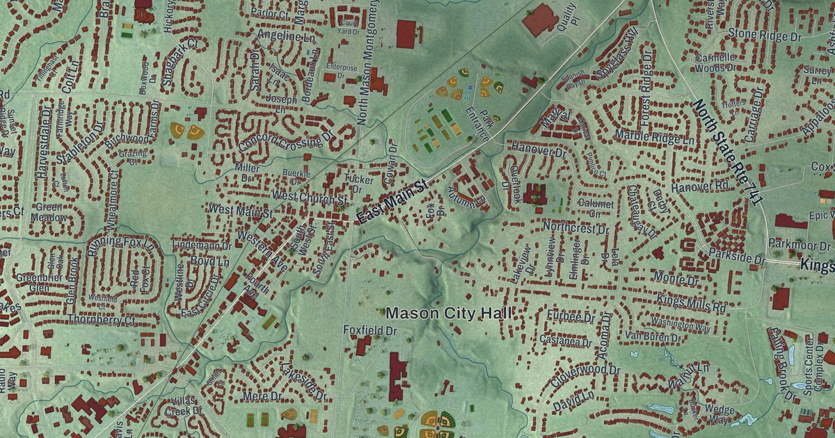
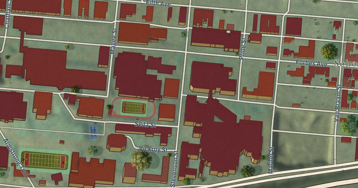
A new aerial map of Mason in Warren County, Ohio, with about 21,000 buildings, Mason City Hall and Tylersville Road, where the WLW marker tells how The Nation’s Station broadcast at 500,000 watts in 1934.

Read More
Detailed Map of Lockbourne, Ohio

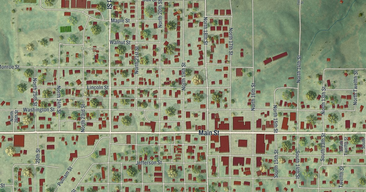
Lockbourne was named for its canal locks and for Colonel James Kilbourne, who laid it out in 1831. This new aerial map shows Commerce Street, Lock Street, Kilbourne Lane and Lock Meadows Park, where Lock 30 still remains.

Read More
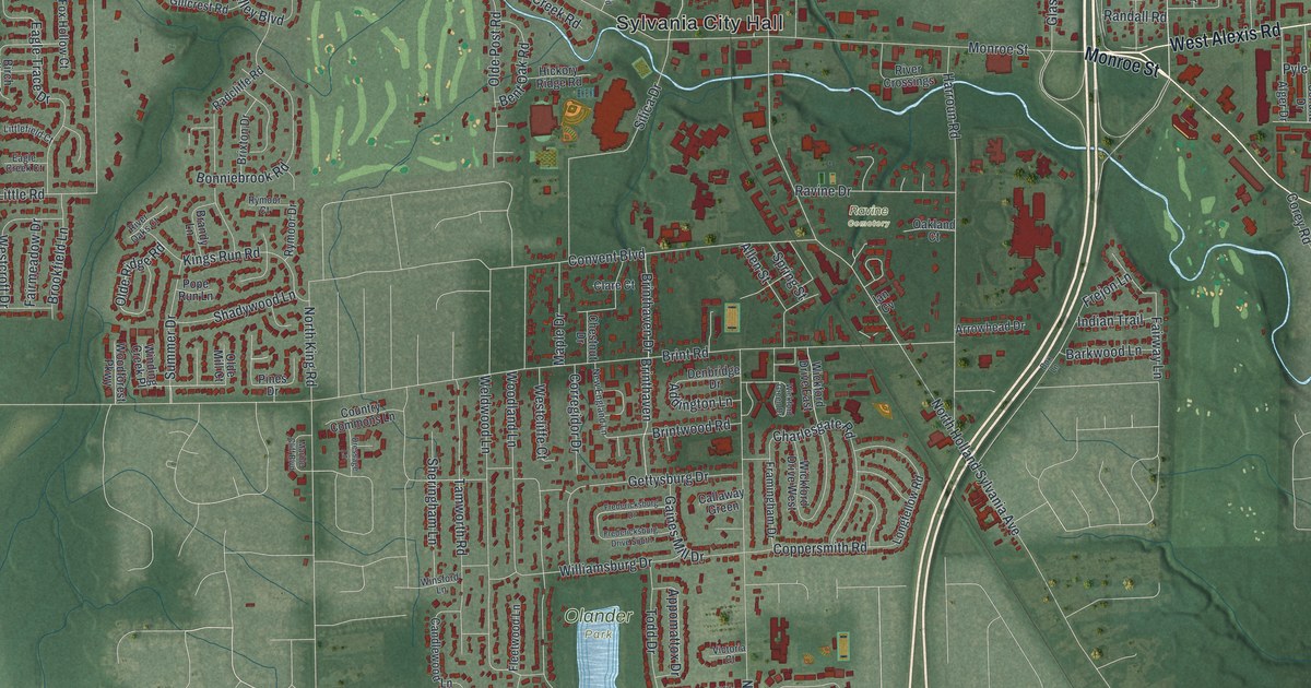
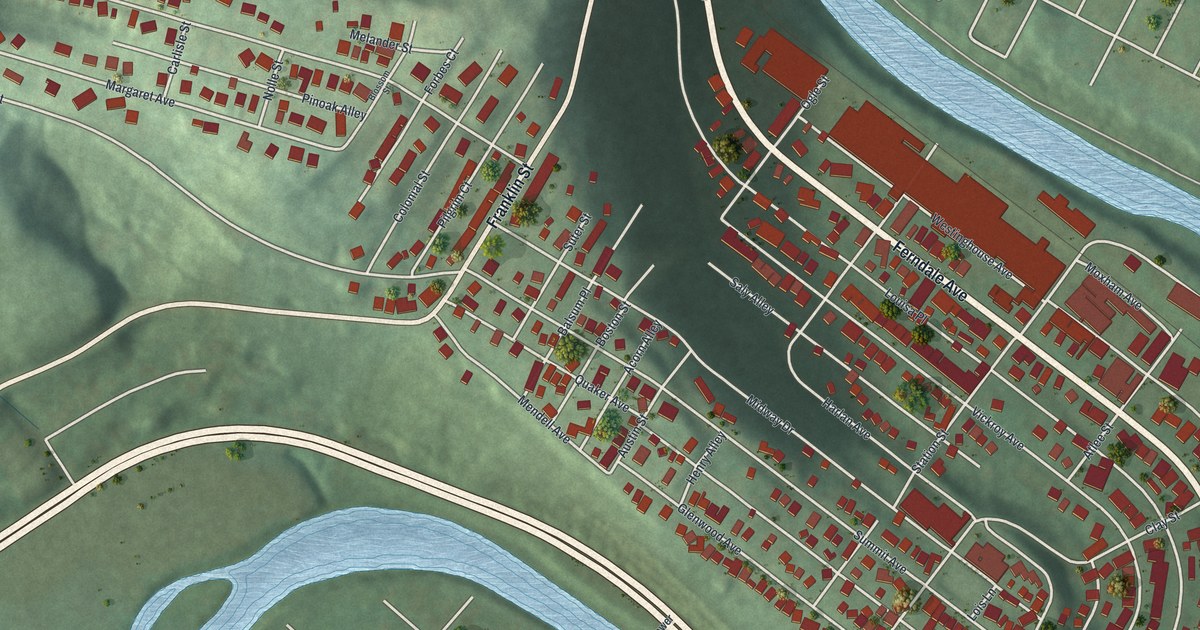
Detailed Map of East Cleveland, Ohio

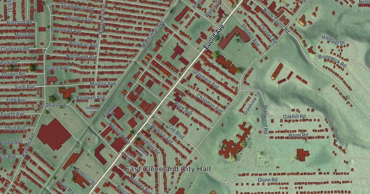
A modern aerial map of East Cleveland in Cuyahoga County, with Euclid Avenue, Nela Park, Forest Hill Park and thousands of red buildings. Plus the story of the city’s Carnegie library, which opened on Euclid Avenue in 1916.

Read More
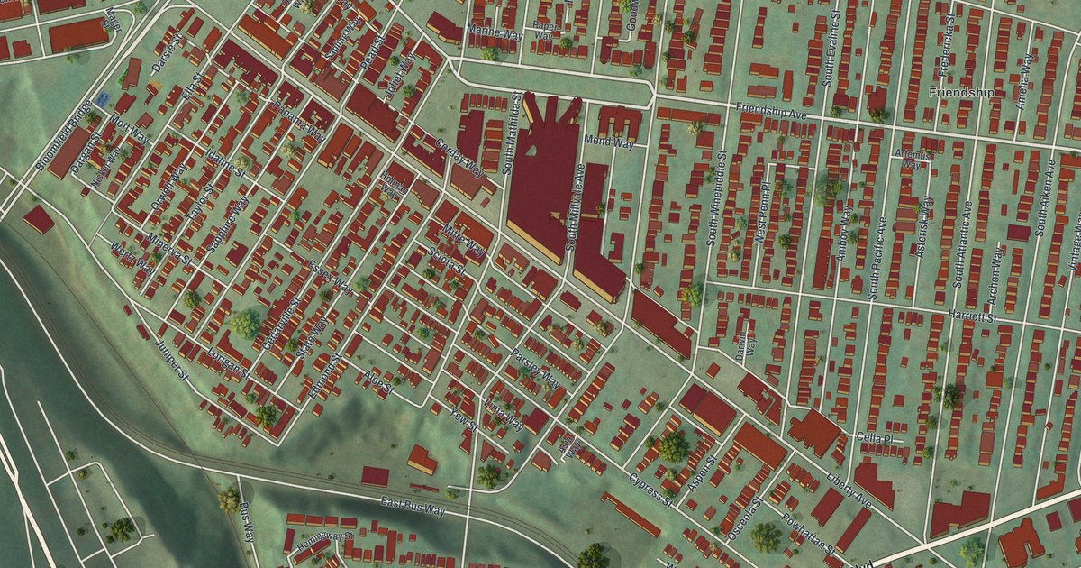
Detailed Map of Columbiana, Ohio

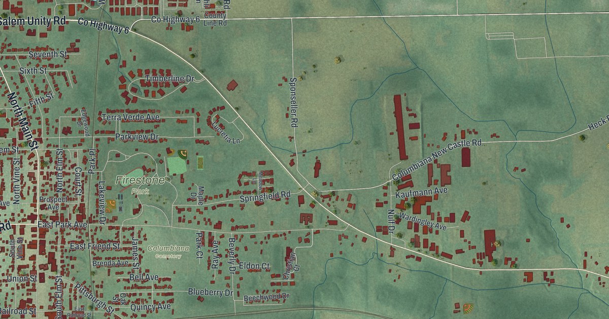
A new aerial map of Columbiana, Ohio, made in 2026. Find Firestone Park, Columbiana Cemetery and your own street, and read how Harvey S. Firestone, born on a farm near town, left Columbiana its park.

Read More
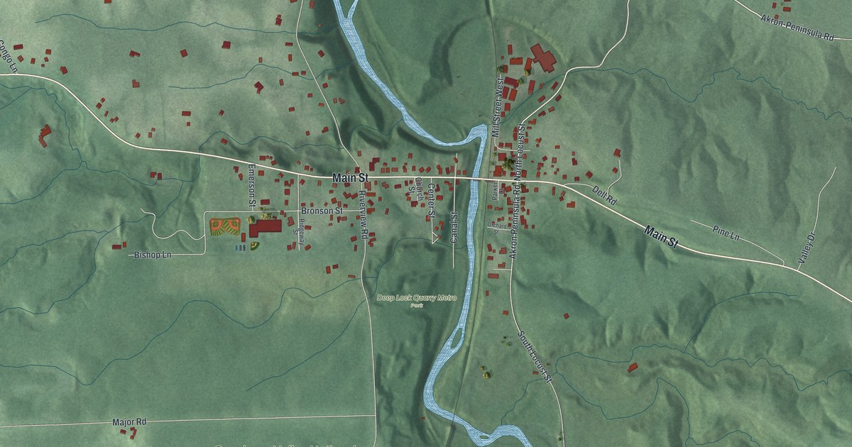
Detailed Map of Clinton, Ohio

A new aerial view of Clinton in Summit County, Ohio. It shows Main Street, Warwick, Clinton Cemetery and more than 1,000 buildings, plus the railroad story of the Massillon Branch and the ten National Register places in the village.

Read More
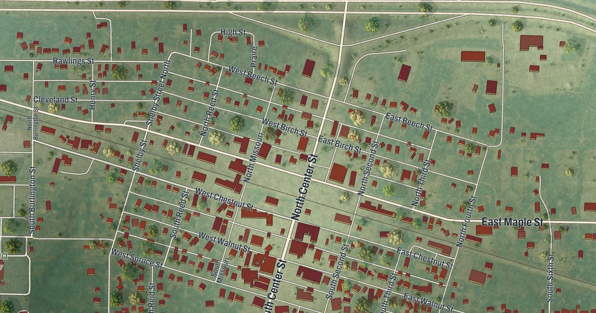
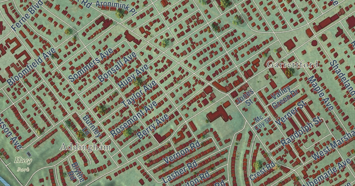
Detailed Map of Drexel Hill, Pennsylvania

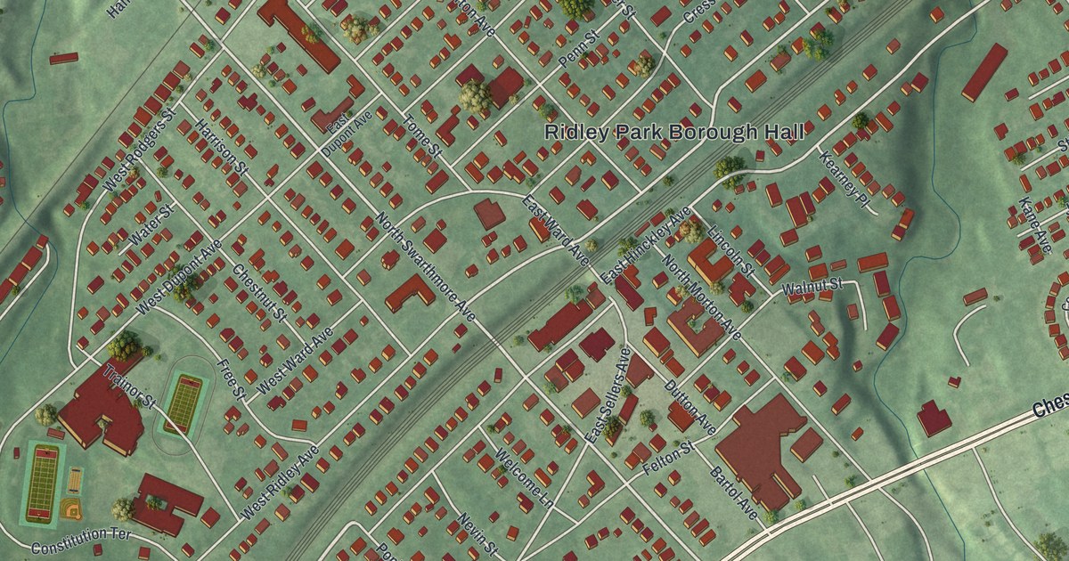
A 2026 aerial map of Drexel Hill in Delaware County, with more than 17,000 buildings in red. Find Garrett Road, State Road and Dermond Field, and read about Thomas Garrett, the Quaker who helped 2,700 freedom seekers, and Dr. George Smith of Collen Brook Farm.

Read More
Detailed Map of Ashland, Ohio

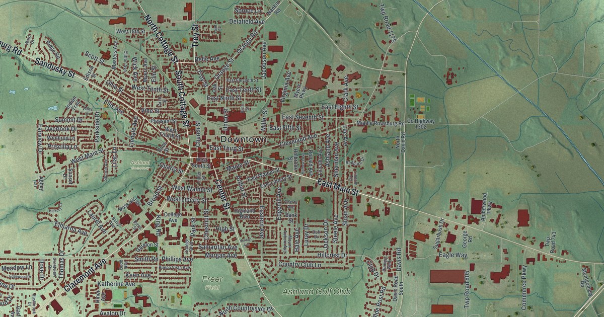
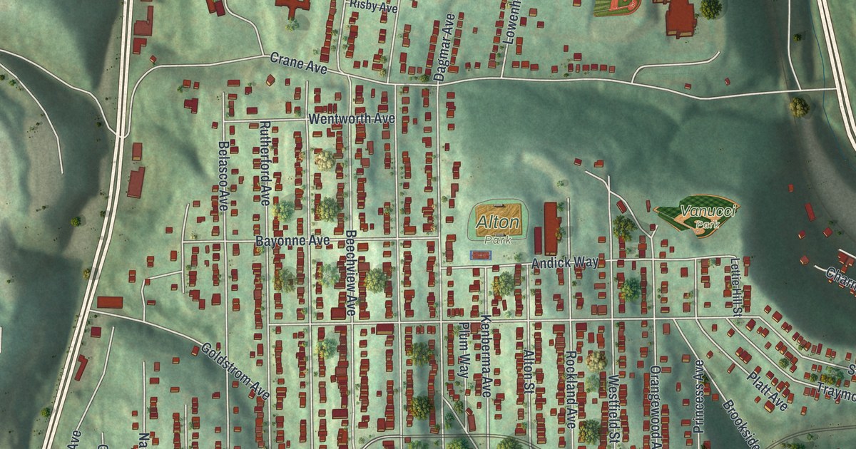
A new aerial map of Ashland, Ohio, made in 2026. Find Downtown, Claremont Avenue, Freer Field and your own street, and read how Ashland College opened in 1879 with two buildings and 60 students.

Read More
Detailed Map of Granger, Missouri

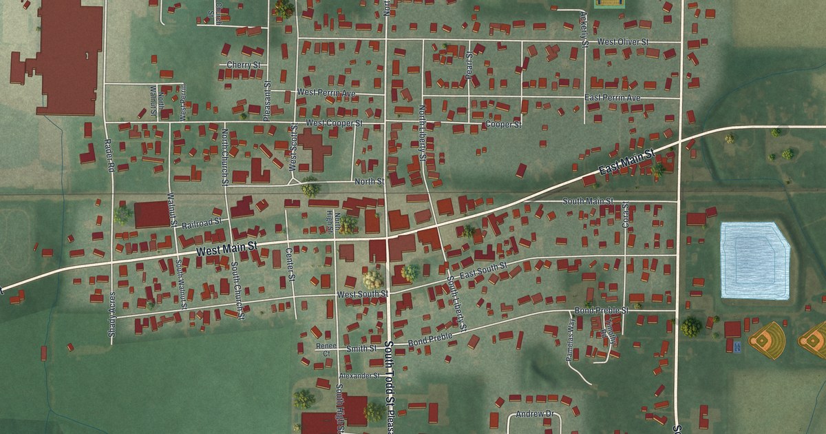
A modern aerial map of Granger in Scotland County, Missouri, with Main Street, Johnson Street, Evans Street and the farm fields around them. An 1887 county history placed Granger on the Keokuk & Western Railroad.

Read More
Detailed Map of Pomeroy, Ohio

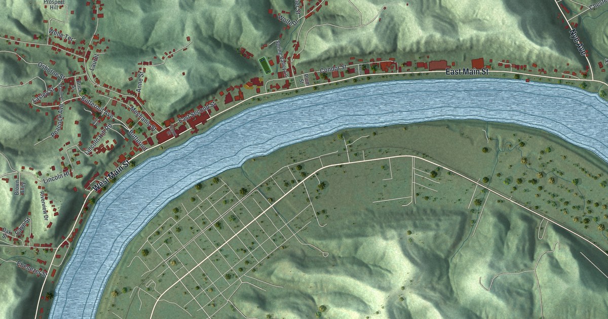
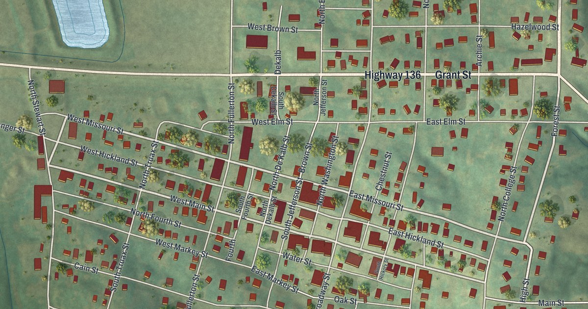
A modern aerial map of Pomeroy in Meigs County, Ohio, with its river bend, steep hills and streets like East Main Street and Condor Street. Read how Valentine B. Horton built the first coal barges here, and find your own block.

Read More
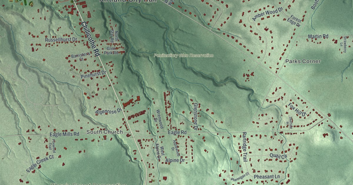
Detailed Map of Kirtland, Ohio

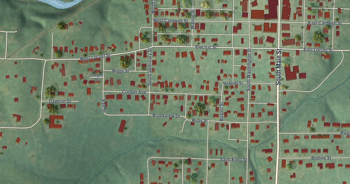
A new aerial view of Kirtland in Lake County, Ohio, made in 2026. Find Chillicothe Road, Chapin Forest and Holden Arboretum, and learn the story of the Kirtland Temple, dedicated on March 27, 1836.

Read More

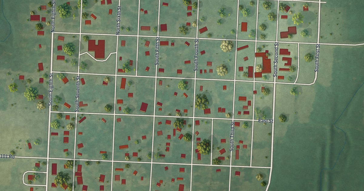
Detailed Map of Deepwater, Missouri

A new aerial map of Deepwater in Henry County, Missouri, made in 2026. Find the numbered streets from First to Eighth, Grove Street and Sherwood Avenue, and read how the first settlers came to Deepwater Creek in 1835.

Read More

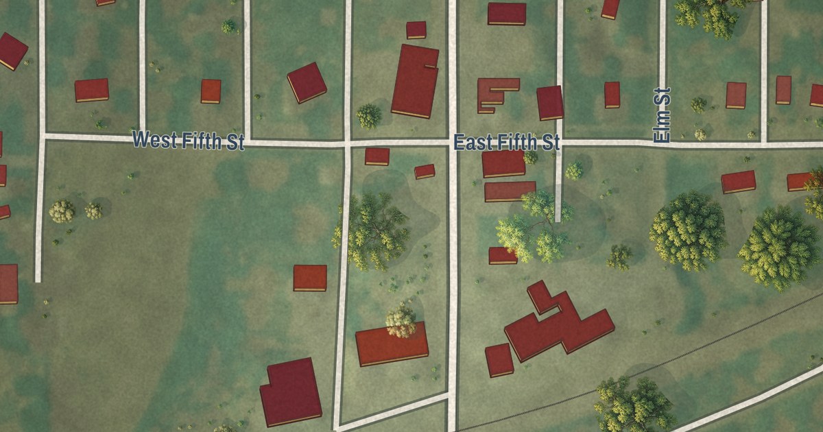
Detailed Map of Cowgill, Missouri

A new aerial view map of Cowgill in Caldwell County, Missouri. Find Main Street, Van Trump Avenue and the numbered streets, and read what a 1923 county history said about the town’s First National Bank.

Read More

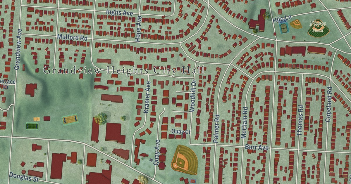
Detailed Map of Grandview Heights, Ohio

A 2026 aerial view map of Grandview Heights in Franklin County, Ohio. Find Grandview Avenue, Goodale Boulevard, City Hall and Wyman Woods Park, plus the story of the Bank Block, one of the earliest regional shopping centers in the United States.

Read More

Detailed Map of Gambier, Ohio

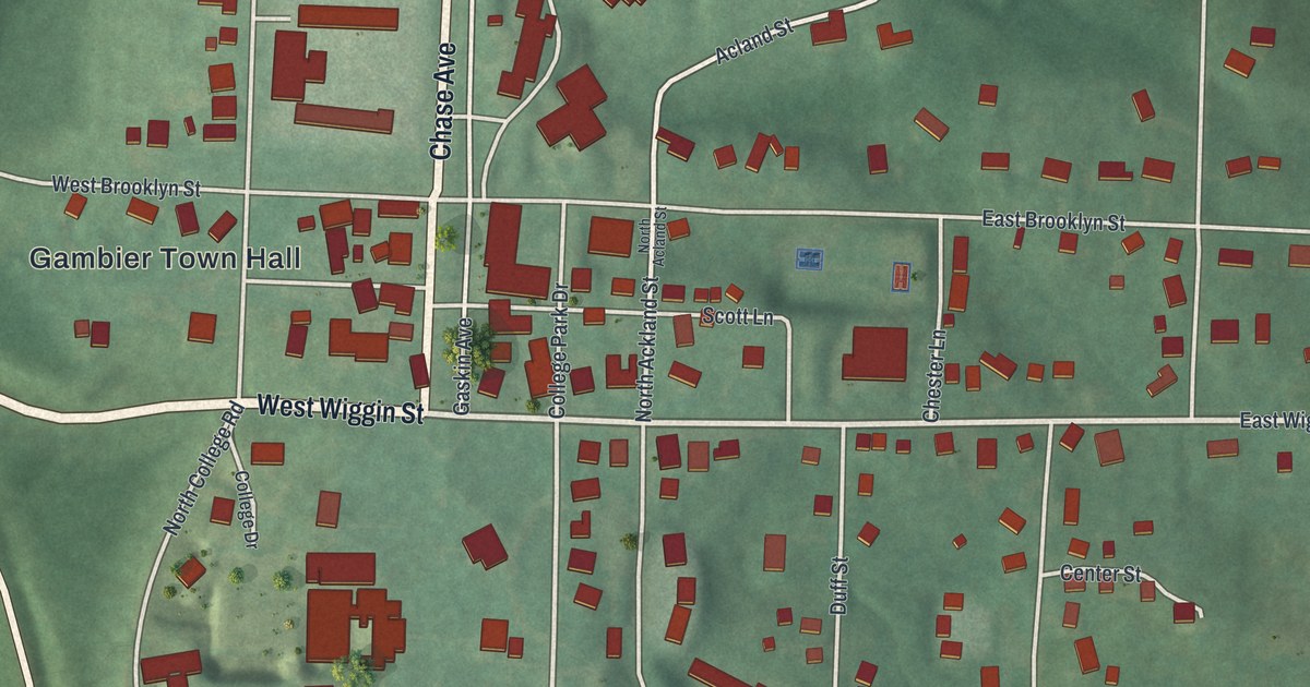
Gambier grew up on a hill around Kenyon College, and both are named for British friends of Bishop Philander Chase. This 2026 aerial map of Gambier in Knox County, Ohio shows Chase Avenue, Wiggin Street, McBride Field and the river bending below the village.

Read More

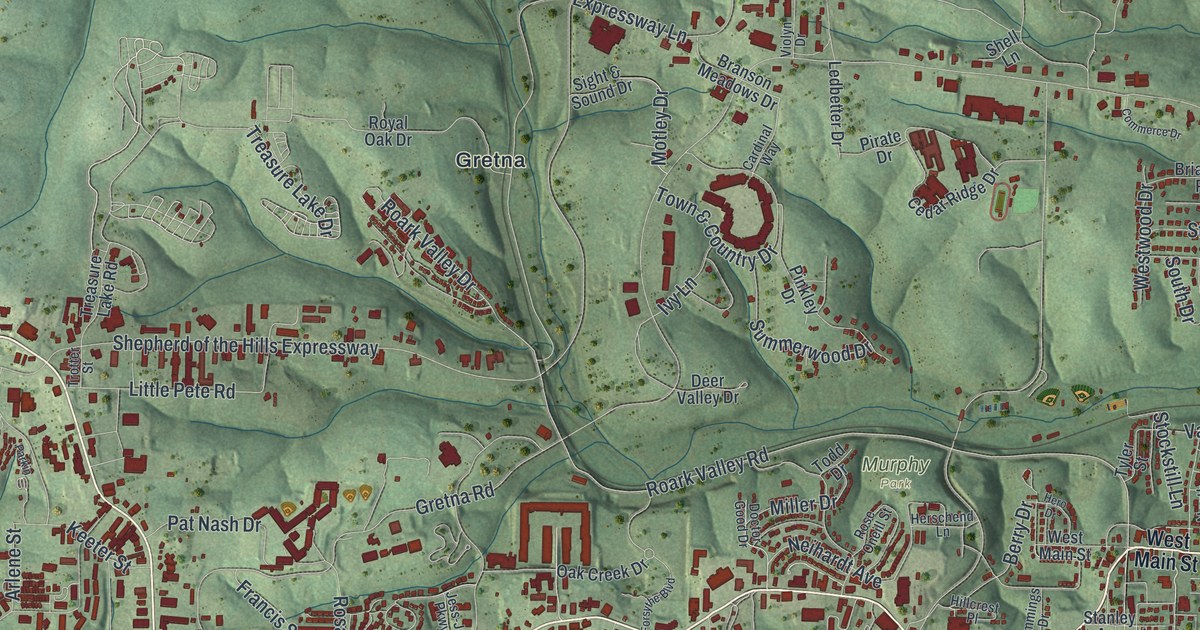
Detailed Map of Branson, Missouri

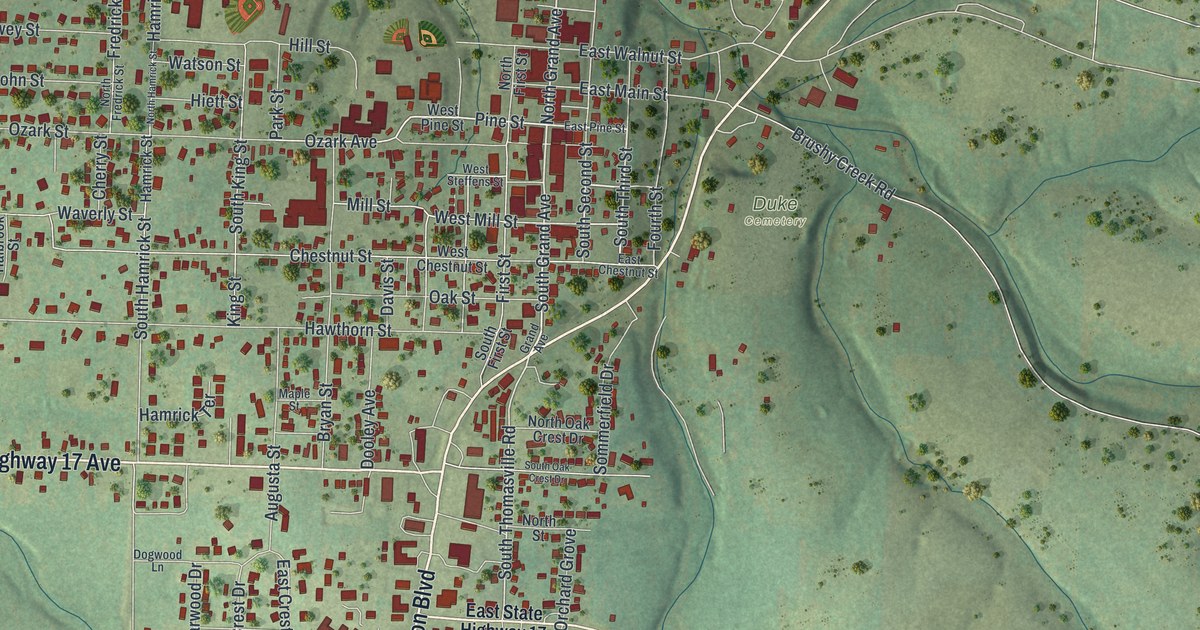
A new aerial view map of Branson in Taney County, Missouri. Green hills, a winding blue river and more than 10,000 red buildings, from Table Rock to West Main Street. The town’s name goes back to its first postmaster in 1881.

Read More

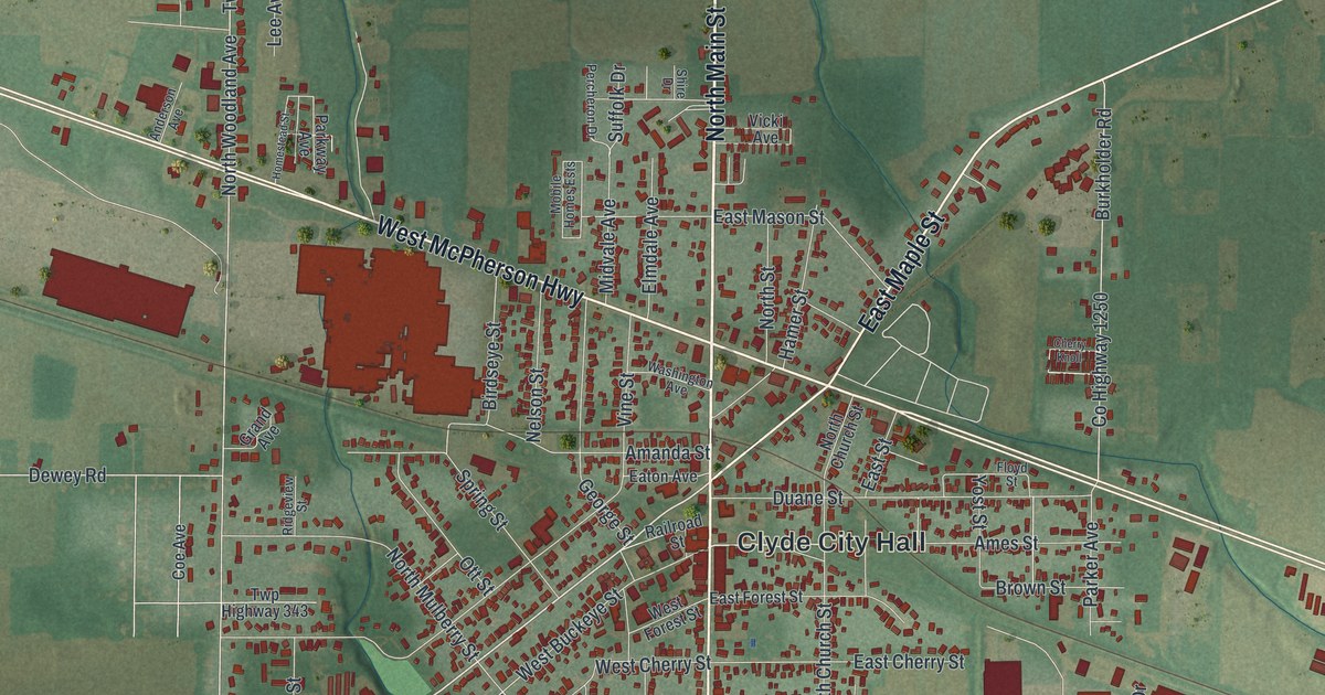
Detailed Map of Clyde, Ohio

Clyde, Ohio, is where Sherwood Anderson grew up and where General James B. McPherson was born. This 2026 aerial map of Clyde in Sandusky County shows Main Street, McPherson Highway, Railroad Street and more than 4,000 buildings.

Read More

Detailed Map of Chagrin Falls, Ohio

A new aerial map of Chagrin Falls, Ohio, made in 2026. Find North Main Street, the river through downtown and your own block, and learn how the High Falls drew settlers to build mills in the 1830s.

Read More

Detailed Map of Bradford, Ohio

Bradford, Ohio grew from an 1852 railroad camp into a busy junction town. This 2026 map of Bradford in Miami County shows its streets and buildings, from Railroad Avenue to West Walnut Street, with the story of the BF Tower and the fire of 1920.

Read More

Detailed Map of Van Wert, Ohio

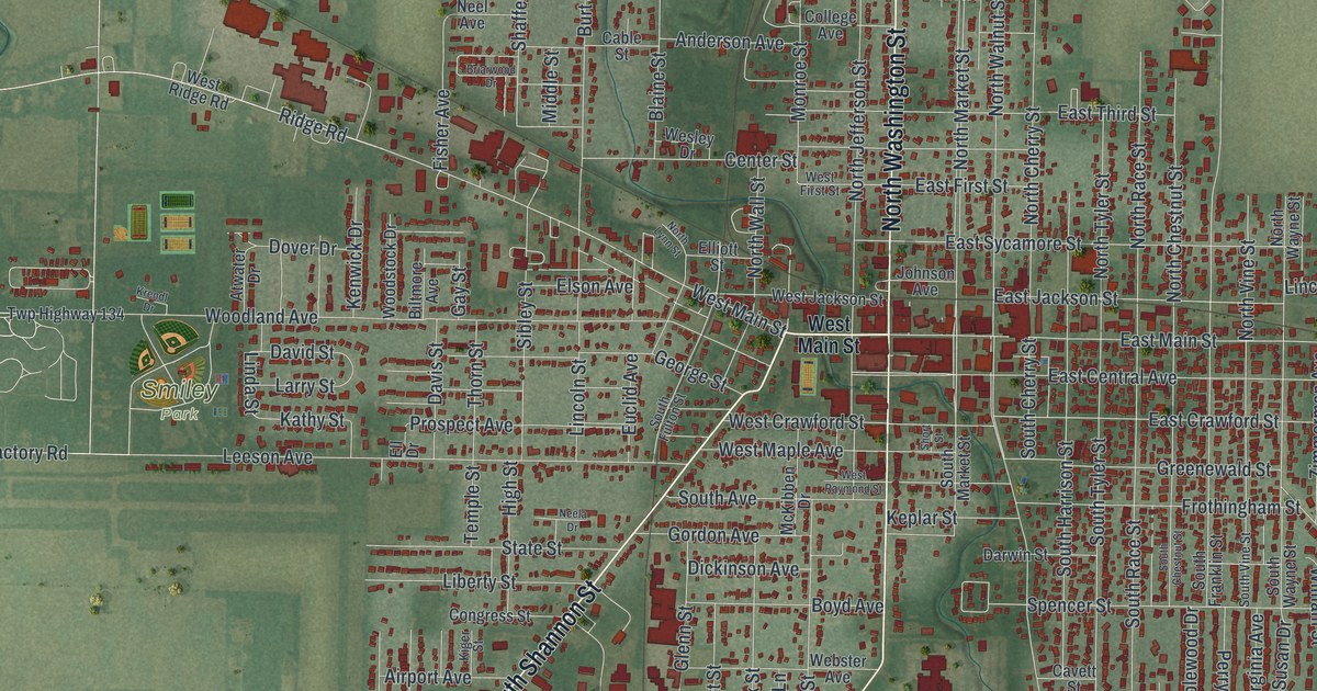
Van Wert is where the county library system in the United States began. This new 2026 aerial map of Van Wert, Ohio shows Main Street, Washington Street, Smiley Park and thousands of homes, with a vintage feel.

Read More

Detailed Map of Valley View, Ohio

A modern aerial map of Valley View in Cuyahoga County, Ohio, with Granger Road, Rockside Road, Canal Road and the river winding below the hills. Read about the locks and old houses on the National Register, and the Native American village found across the river.

Read More

Detailed Map of Unionville, Missouri

A modern aerial map of Unionville in Putnam County, Missouri, with a vintage look. Find Main Street, Grant Street, the old square and more than a dozen named streets, plus the story of the Unionville Square Historic District.

Read More

Detailed Map of Sylvania, Ohio

A modern aerial map of Sylvania in Lucas County, Ohio, with Monroe Street, Olander Park and about 15,000 buildings. Plus the story of Centennial Terrace, where big bands played under the stars, and the electric railway once based in town.

Read More

Detailed Map of Peninsula, Ohio

Peninsula sits where Main Street crosses a winding river in Summit County, Ohio. This new 2026 aerial map shows its streets, hills and buildings. It also tells the story of the old Ohio and Erie Canal locks nearby and the 1887 Boston Township Hall.

Read More

Detailed Map of Shelbina, Missouri

A new aerial-style map of Shelbina, Missouri, made in 2026. Find Center Street, Maple Street and Shelbina Cemetery, and read how the town came through Bill Anderson’s raid and started the county’s first paper after the Civil War.

Read More

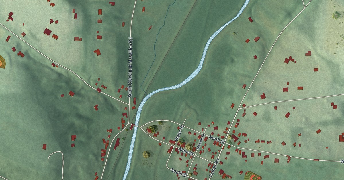
Detailed Map of McComb, Ohio

A modern aerial map of McComb in Hancock County, Ohio, with a vintage feel. Find your street, and read how two Andrews Raiders buried in McComb Union Cemetery earned the Medal of Honor.

Read More