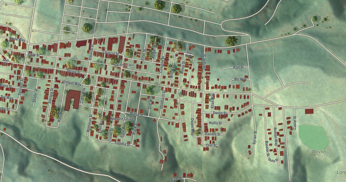
Author: TheKnowOwl

Detailed Map of Callao, Missouri

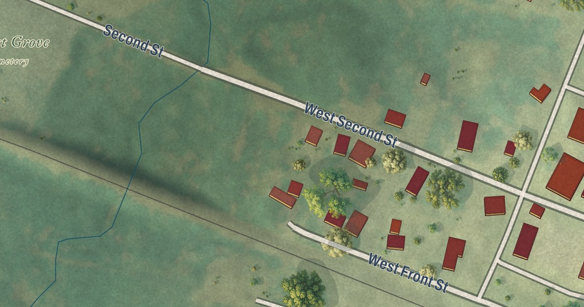
Callao, Missouri, from above: a new 2026 map of Chestnut Street, Second Street and Locust Grove Cemetery in Macon County, plus the story of Aunt Polly Baskett, whose birthday the town kept like a holiday.

Read More

Detailed Map of Bethany, Missouri

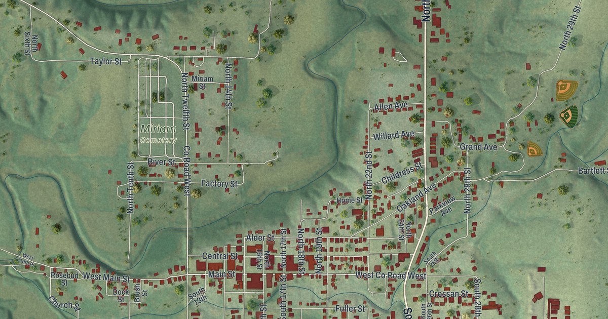
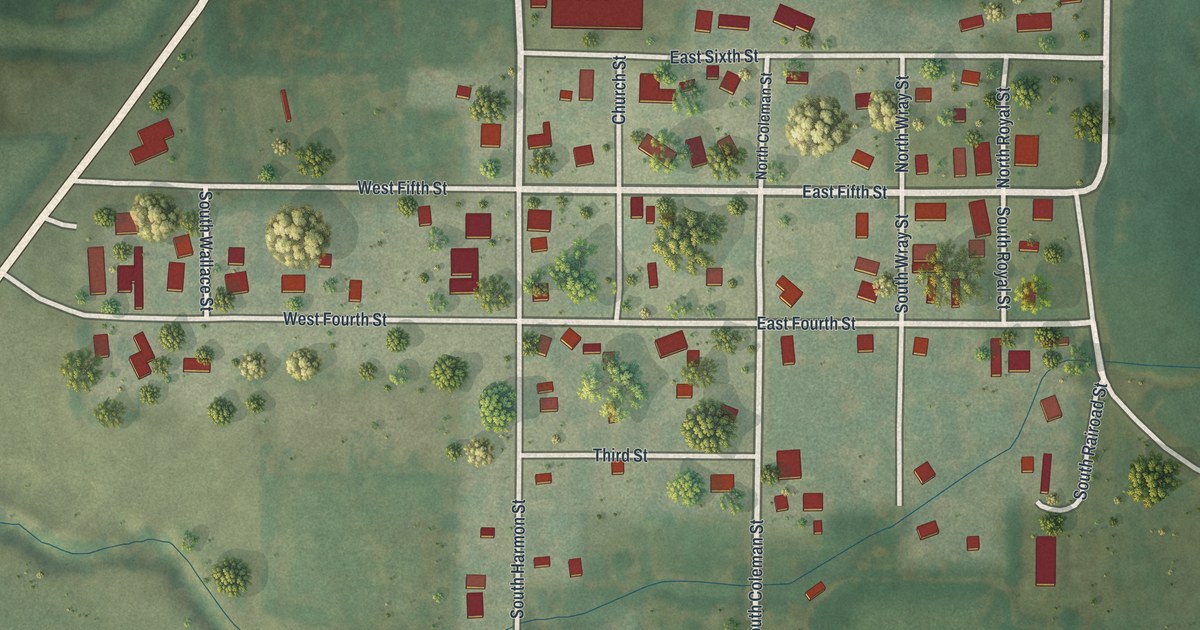
Bethany had the first post office in Harrison County, opened in 1845 and called Bethpage for several years. This new 2026 aerial map shows Main Street, South 25th Street, Bulldog Avenue and the hills around town.

Read More

Detailed Map of Palmerton, Pennsylvania

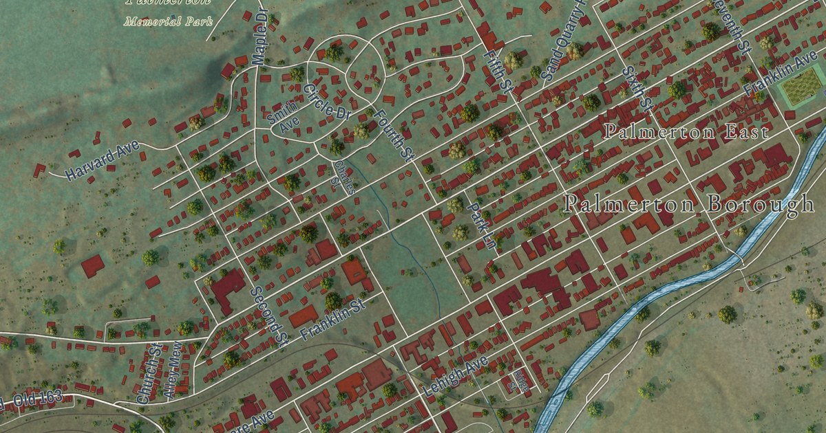
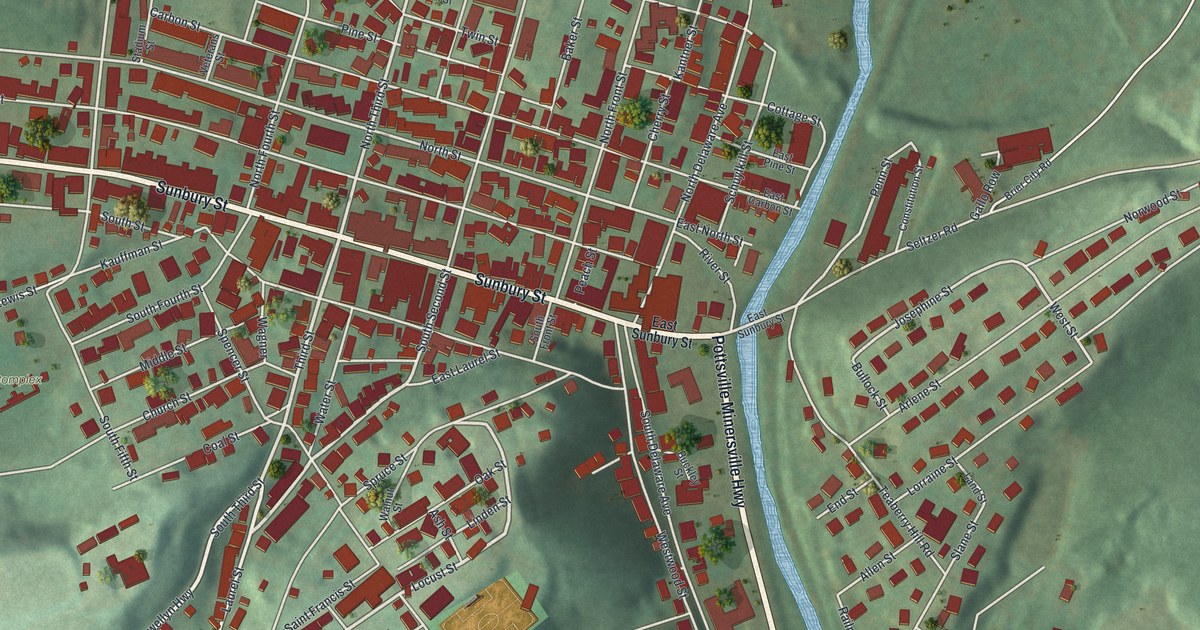
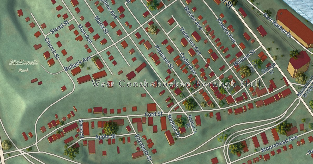
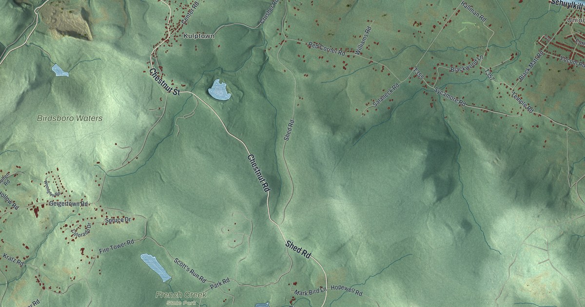
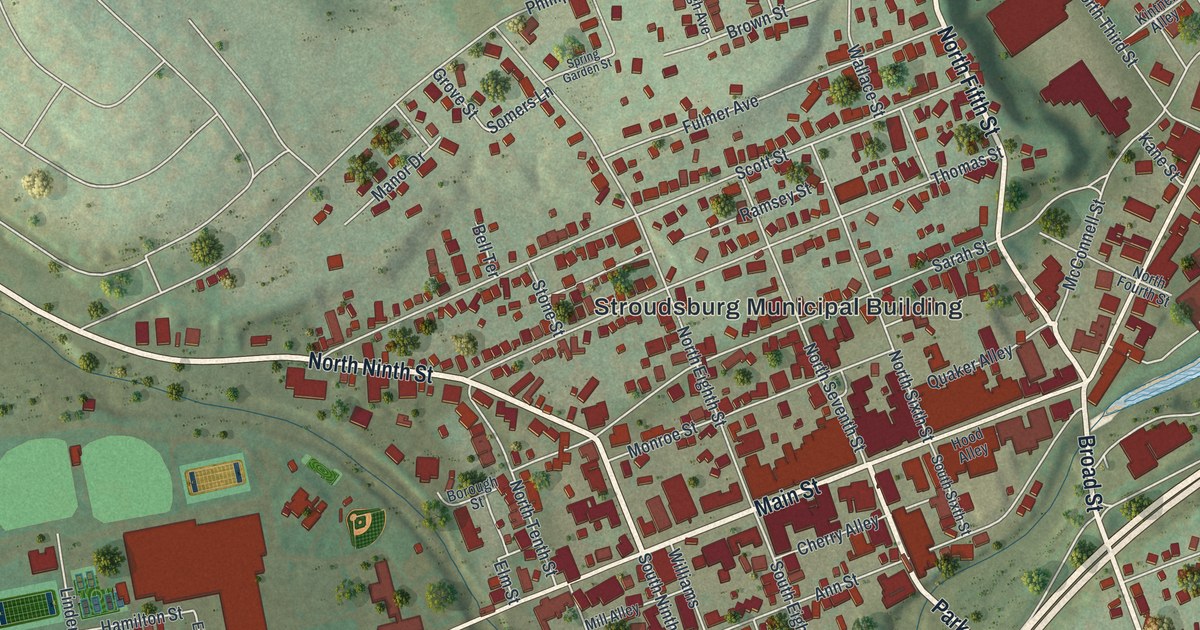
Palmerton was the youngest borough in Carbon County, started by the New Jersey Zinc Company and named for its president, Stephen S. Palmer. This 2026 aerial map shows Delaware Avenue, Palmerton Borough Hall, the Aquashicola creek and the blocks in between.

Read More

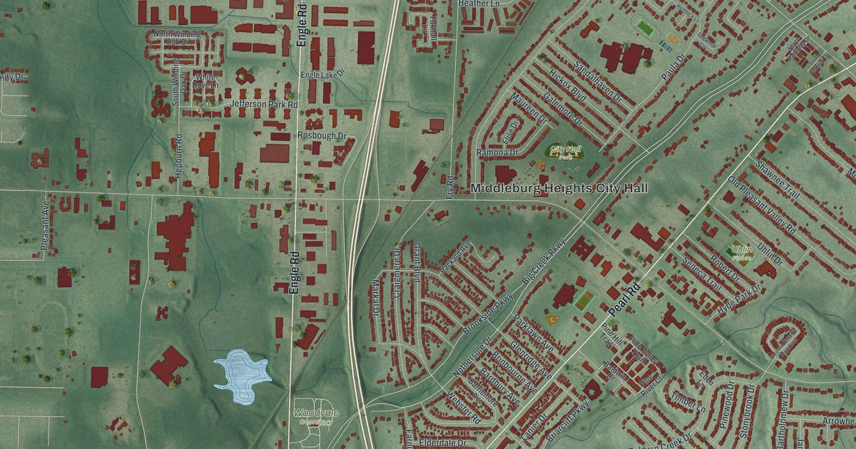
Detailed Map of Parma Heights, Ohio

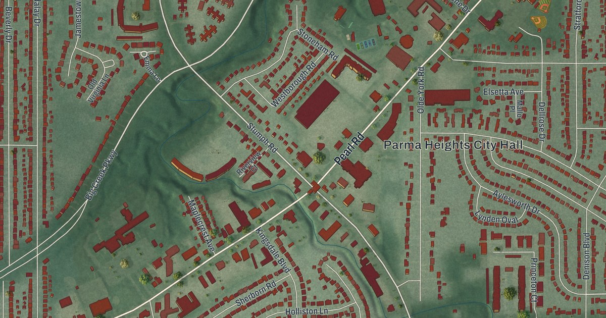
A new aerial map of Parma Heights in Cuyahoga County, Ohio, with Pearl Road, Kurtz Park and thousands of red buildings. Read about the marker for the first brick rural road in the U.S. and the old Greenbrier name.

Read More
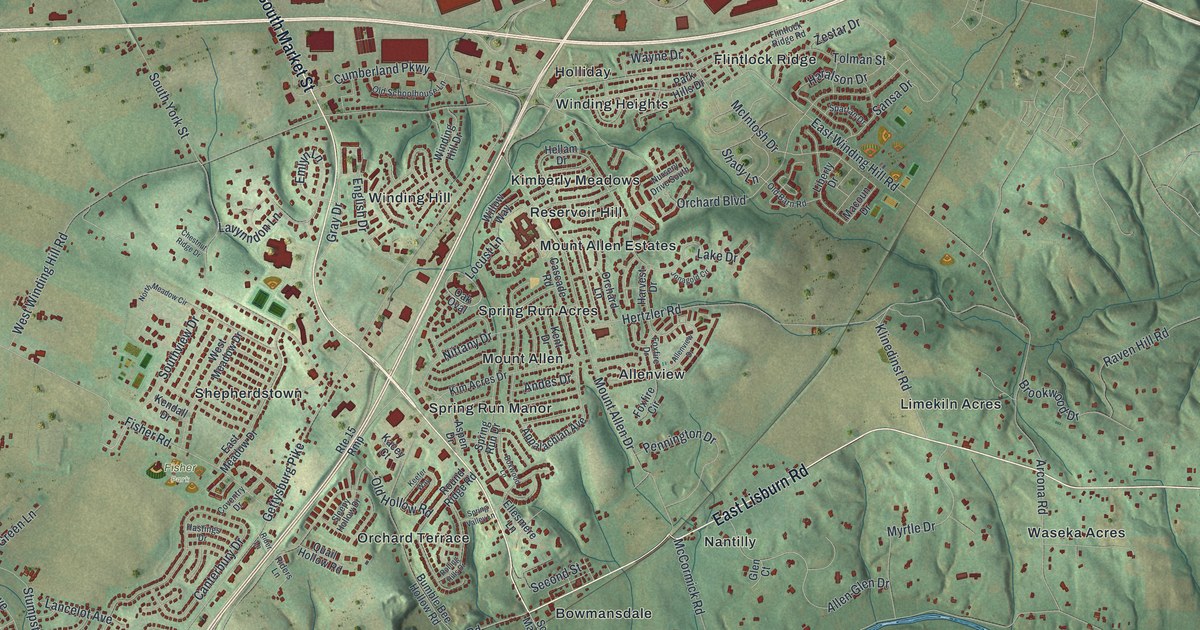
Detailed Map of Wyoming, Ohio

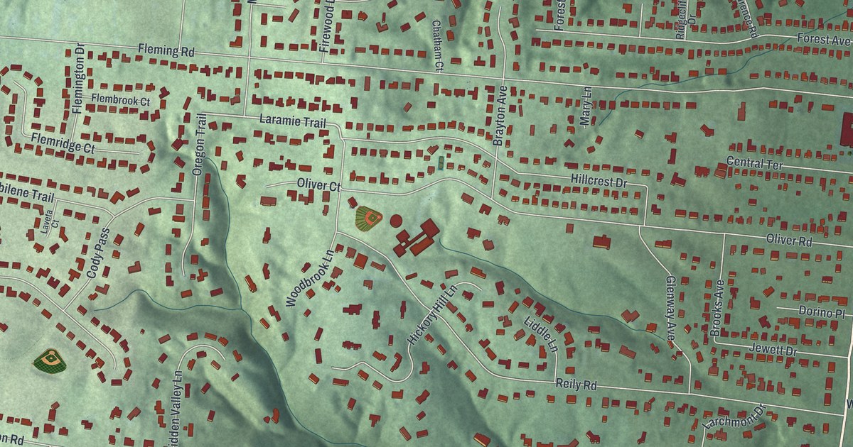
A new aerial map of Wyoming, Ohio, made in 2026. Find Springfield Pike, Reily Road and Compton Woods, and learn how Robert Reily founded the village in 1861 and how the Stearns family helped build its first church, library and high school.

Read More
Detailed Map of Put-in-Bay, Ohio

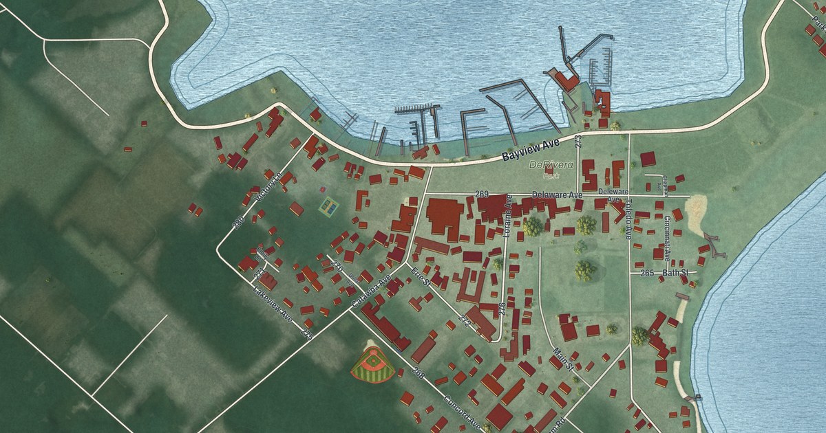
A modern aerial map of Put-in-Bay in Ottawa County, Ohio, made in 2026. Find DeRivera Park, Bayview Avenue and Delaware Avenue. Learn how Joseph de Rivera shaped the village, and how the first ship-to-shore radio message came in at its docks.

Read More
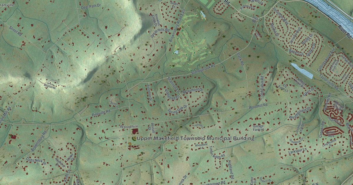
Detailed Map of Castanea, Pennsylvania

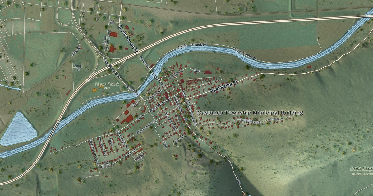
Castanea started in 1871 when Jacob Brown and P. W. Keller laid out lots on a farm by Bald Eagle Creek. This new 2026 aerial map of the Clinton County township shows East Keller Street, Upper Creek Park, Bald Eagle State Forest and the red rooftops of the village.

Read More
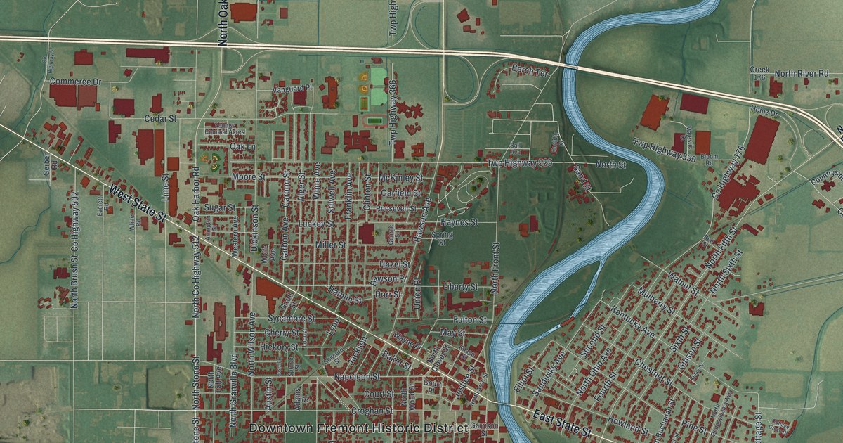
Detailed Map of Meadville, Missouri

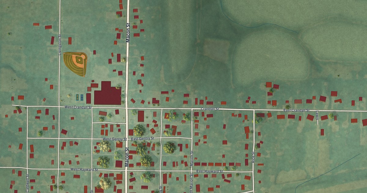
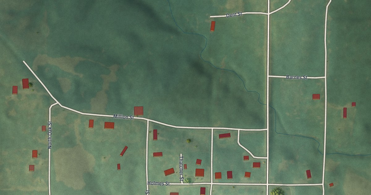
A new aerial map of Meadville in Linn County, Missouri, made in 2026. See Macon Street, Crandall Street and the blocks around them, and read how Meadville hosted the first meeting about draining the valley in July 1911.

Read More
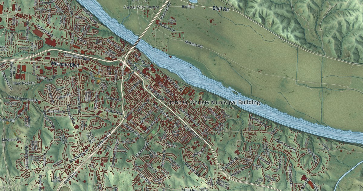
Detailed Map of Marshall, Missouri

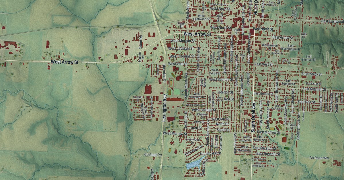
A modern aerial map of Marshall in Saline County, Missouri, with a vintage feel. Find your street, from Lexington Avenue to South Odell Avenue, and read how Marshall went without a newspaper during the Civil War until the Progress started in 1866.

Read More
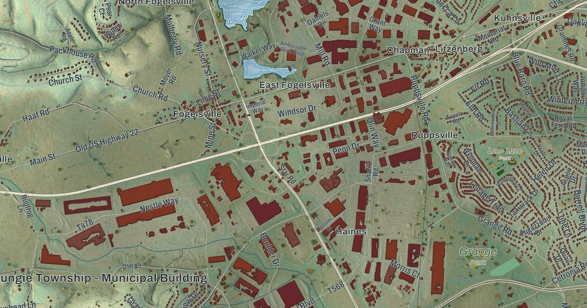
Detailed Map of Cleves, Ohio

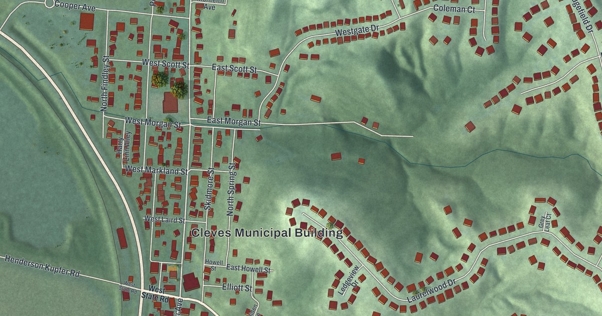
Cleves, Ohio is home to the first canal tunnel in Ohio, cut through the ridge near South Miami Avenue. This new 2026 aerial map shows the village grid, the hills to the east and each building as a small red shape.

Read More
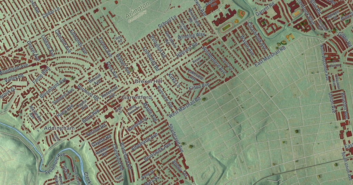
Detailed Map of Groveport, Ohio

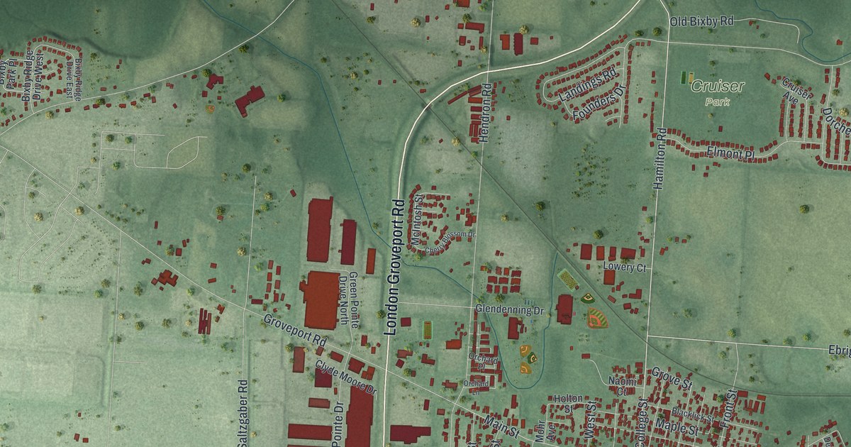
A modern aerial map of Groveport in Franklin County, Ohio, with Main Street, Cruiser Park and Groveport City Hall. Plus the story of John Rarey, the Groveport man who tamed a wild horse named Cruiser in three hours and brought him home.

Read More
Detailed Map of Grove City, Ohio

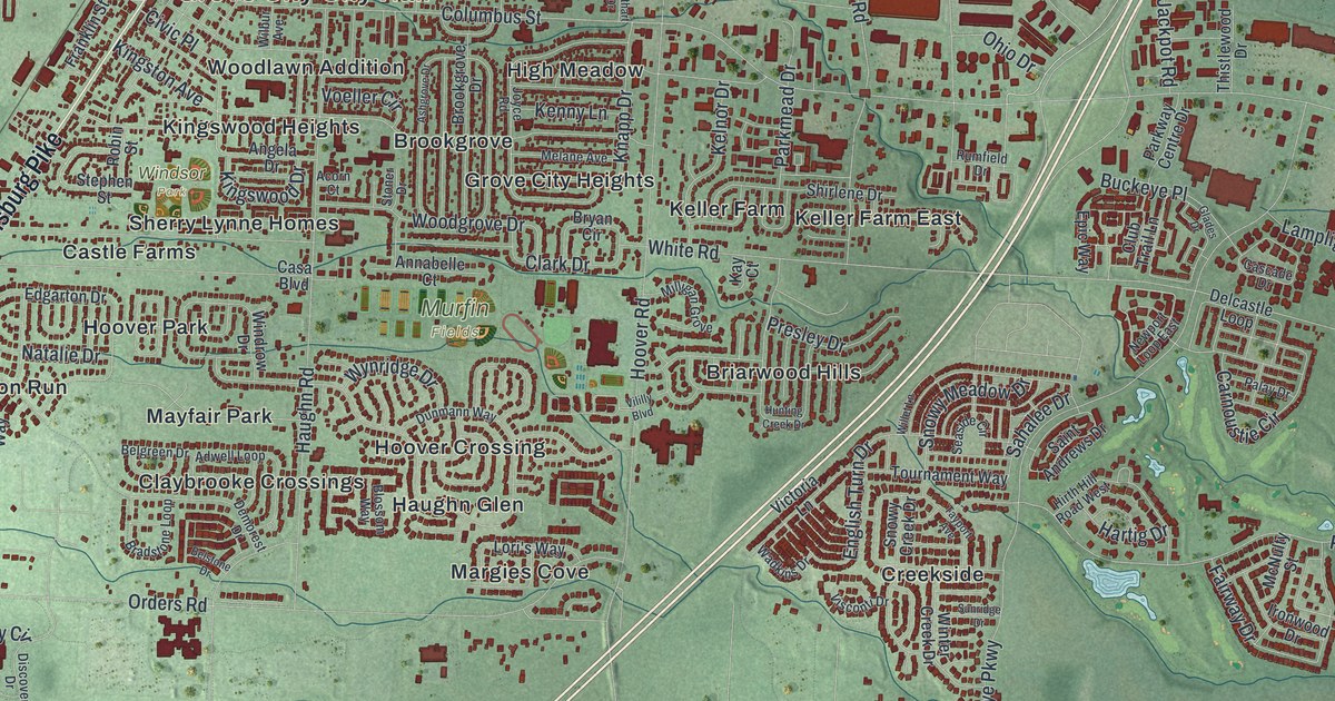
A modern aerial map of Grove City in Franklin County, Ohio, with Broadway, Fryer Park and Murfin Fields. Plus the story of how A. G. Grant’s Beulah Addition, named for his daughter, grew into Beulah Park.

Read More
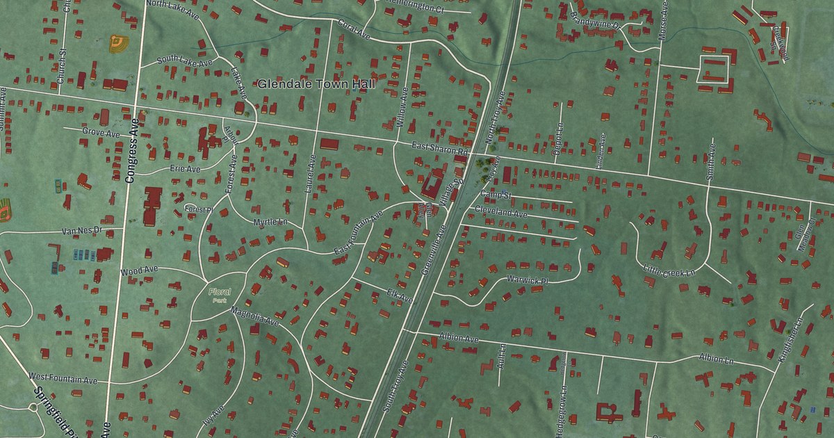
Detailed Map of Glendale, Ohio

Glendale was Ohio’s first planned community, and you can still see it from above. This new 2026 map shows Congress Avenue, Floral Park, Glendale Town Hall and the curving streets the planners bent around old trees.

Read More
Detailed Map of Fremont, Ohio

A new aerial map of Fremont in Sandusky County, Ohio, made in 2026. Find your street and the downtown blocks, and learn how Spiegel Grove, the Hayes home, became the nation’s first presidential library.

Read More
Detailed Map of Upper Macungie, Pennsylvania

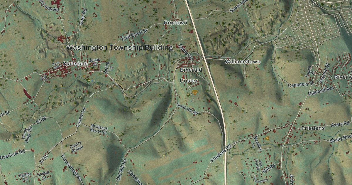
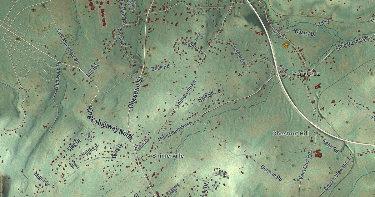
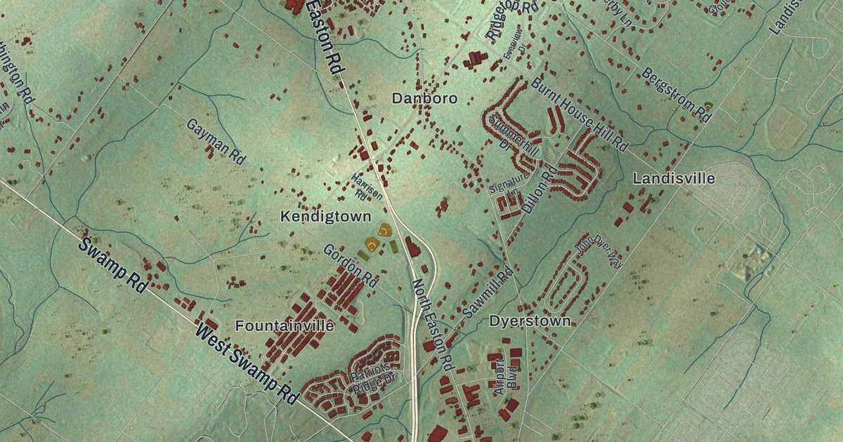
A 2026 aerial map of Upper Macungie Township in Lehigh County, with Fogelsville, Trexlertown, Breinigsville and Grange Park. Read how Judge John Fogel’s 1798 hotel started Fogelsville, and how East Fogelsville grew up beside a cement plant that helped build the Panama Canal.
Read More

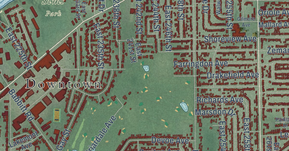
Detailed Map of Euclid, Ohio

A new aerial map of Euclid, Ohio, made in 2026. Find Lakeshore Boulevard, Sims Park and Euclid Avenue, and learn how the village won a 1926 Supreme Court case that upheld local zoning rules.

Read More

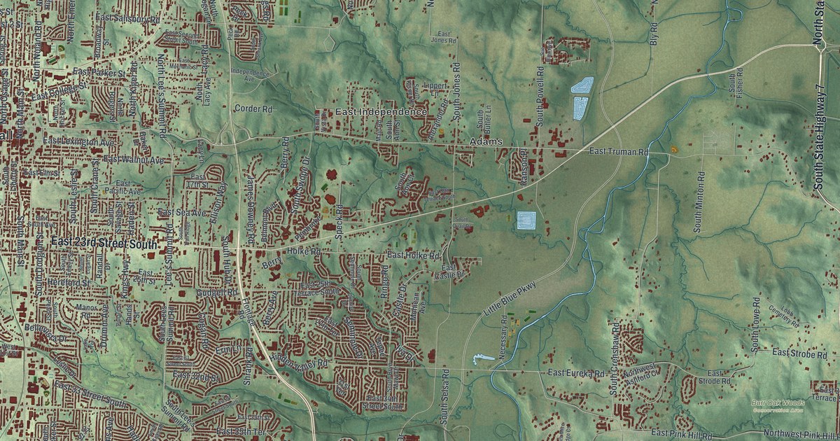
Detailed Map of Independence, Missouri

A modern aerial map of Independence in Jackson County, Missouri, with a vintage feel. Find North Delaware Street, home of the Harry S Truman National Historic Site, plus Englewood, Fairmount, Mount Washington and thousands of homes.

Read More

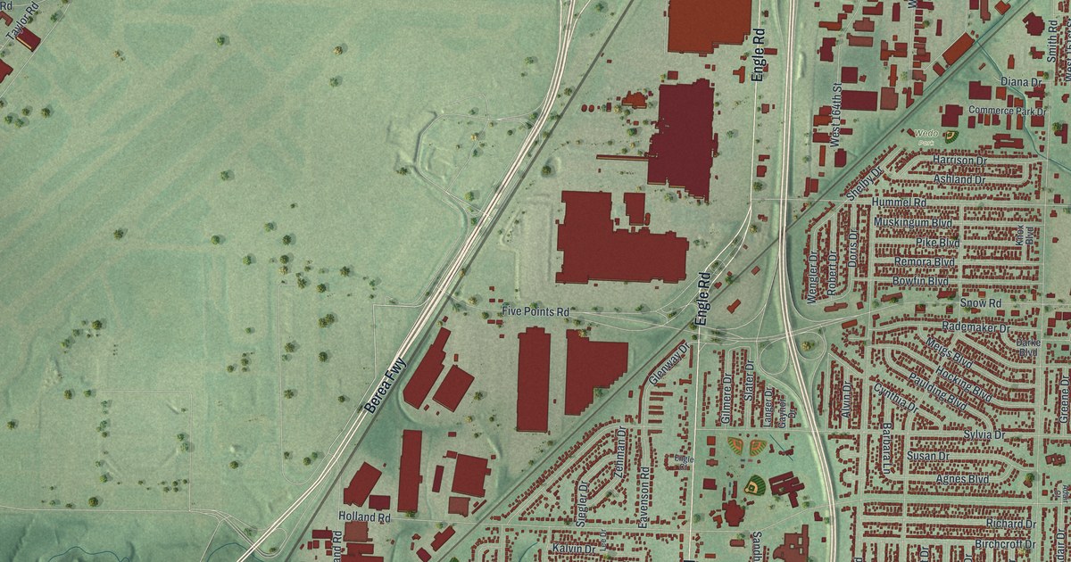
Detailed Map of Brook Park, Ohio

A new aerial map of Brook Park, Ohio, from Snow Road and Hummel Road to the NASA lab on Brookpark Road. Learn how the lab grew from an old air race parking field, and find your own street.

Read More

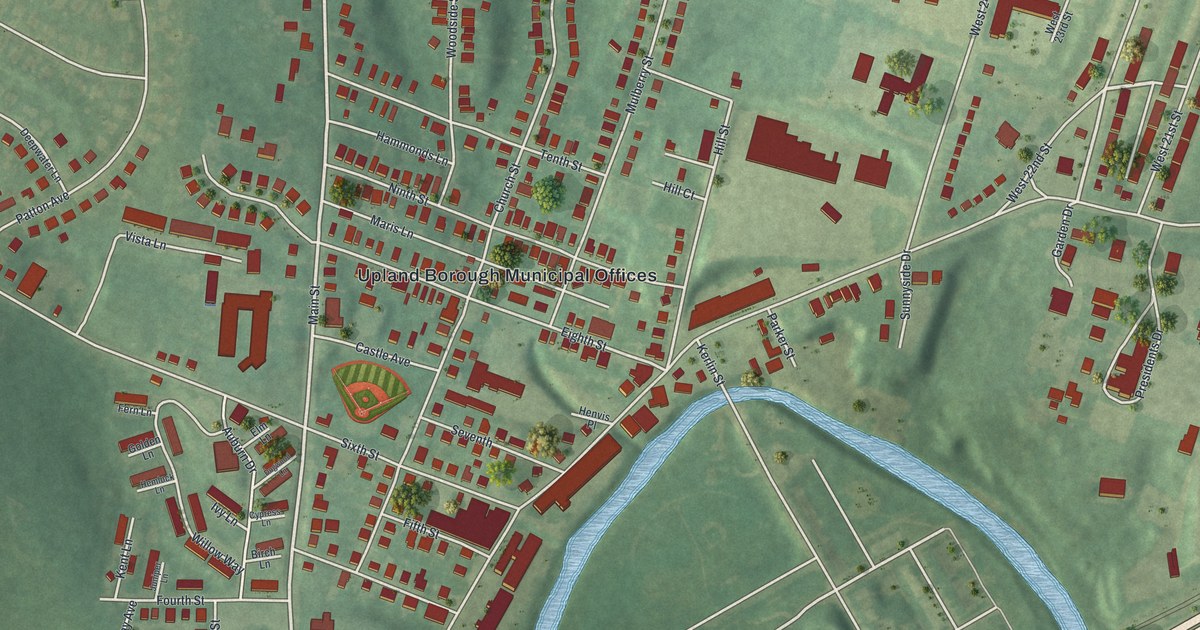
Detailed Map of Upland, Pennsylvania

A new aerial-style map of Upland in Delaware County, made in 2026. Find Main Street, Race Street and Camp Upland, and read how Martin Luther King Jr. studied at Crozer Theological Seminary here and how Caleb Pusey hosted William Penn by the creek.

Read More

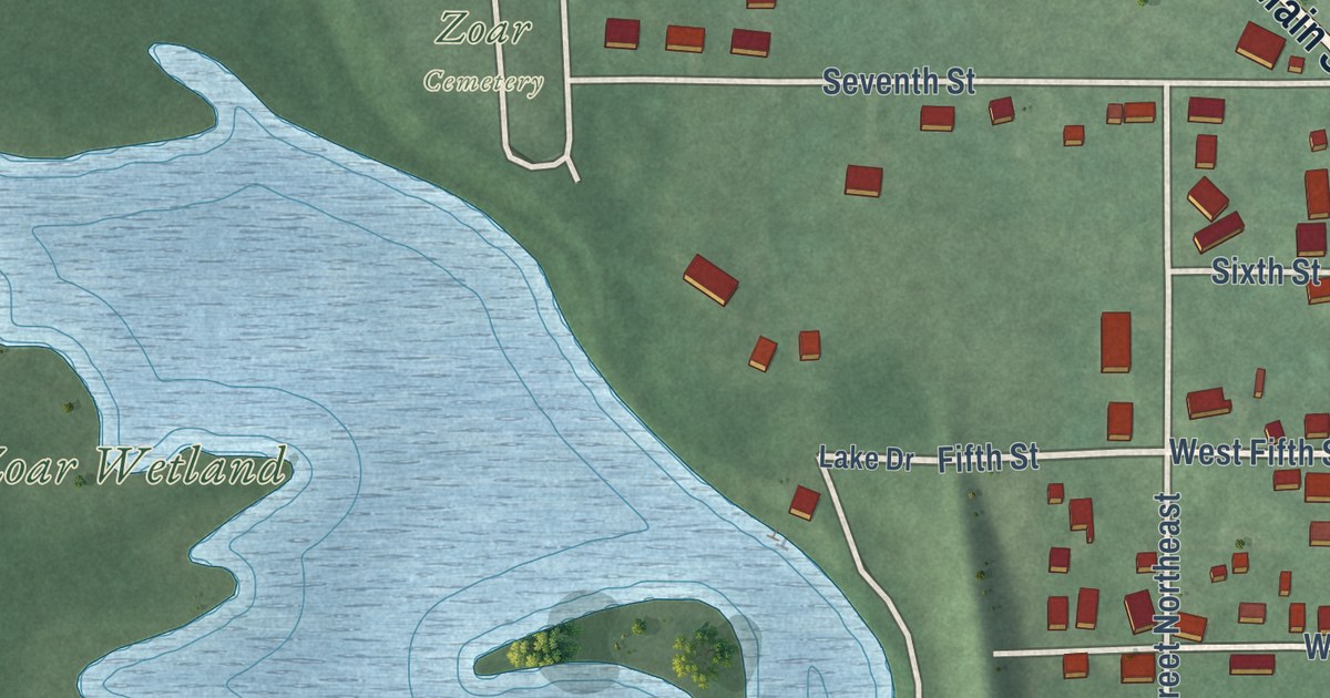
Detailed Map of Zoar, Ohio

A modern aerial map of Zoar in Tuscarawas County, Ohio, with a vintage feel. Find Main Street, Zoar Cemetery and the village the Society of Separatists of Zoar started in 1817.

Read More

Detailed Map of Grandin, Missouri

A new aerial map of Grandin in Carter County, Missouri. About 1885, one of the state’s largest lumber mills started here. Find Cherry Street, Sixth Street and the old homes of the Sixth Street Historic District.

Read More

Detailed Map of Willoughby, Ohio

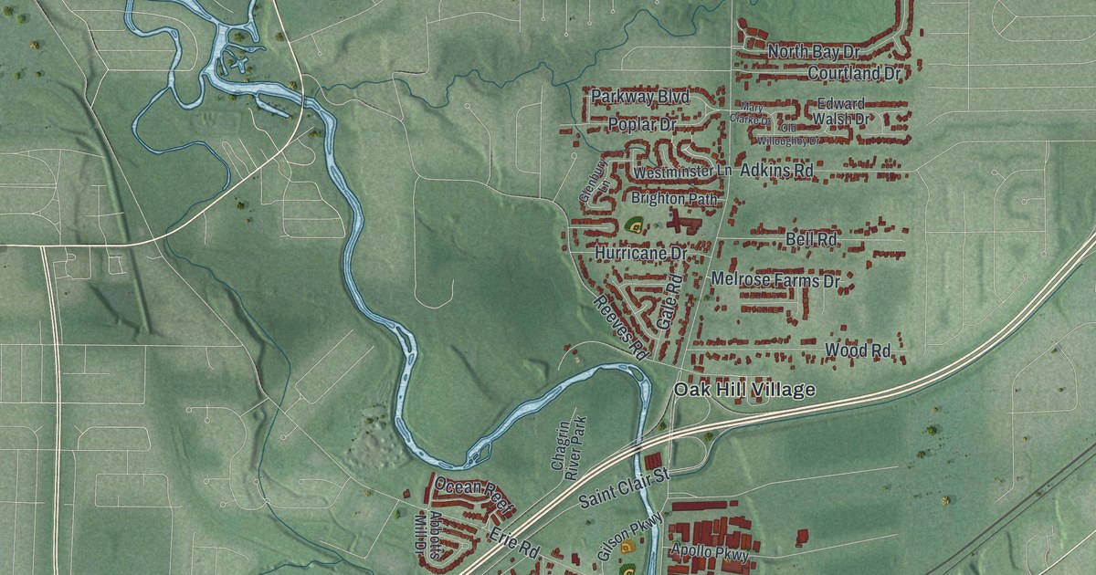
A 2026 aerial map of Willoughby, Ohio, in Lake County. Find Erie Street, Willoughby City Hall and Arrowhead Beach, and learn how the village of Chagrin took the Willoughby name in 1834.

Read More

Detailed Map of Ferguson, Missouri

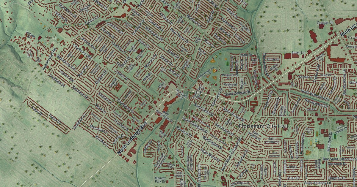
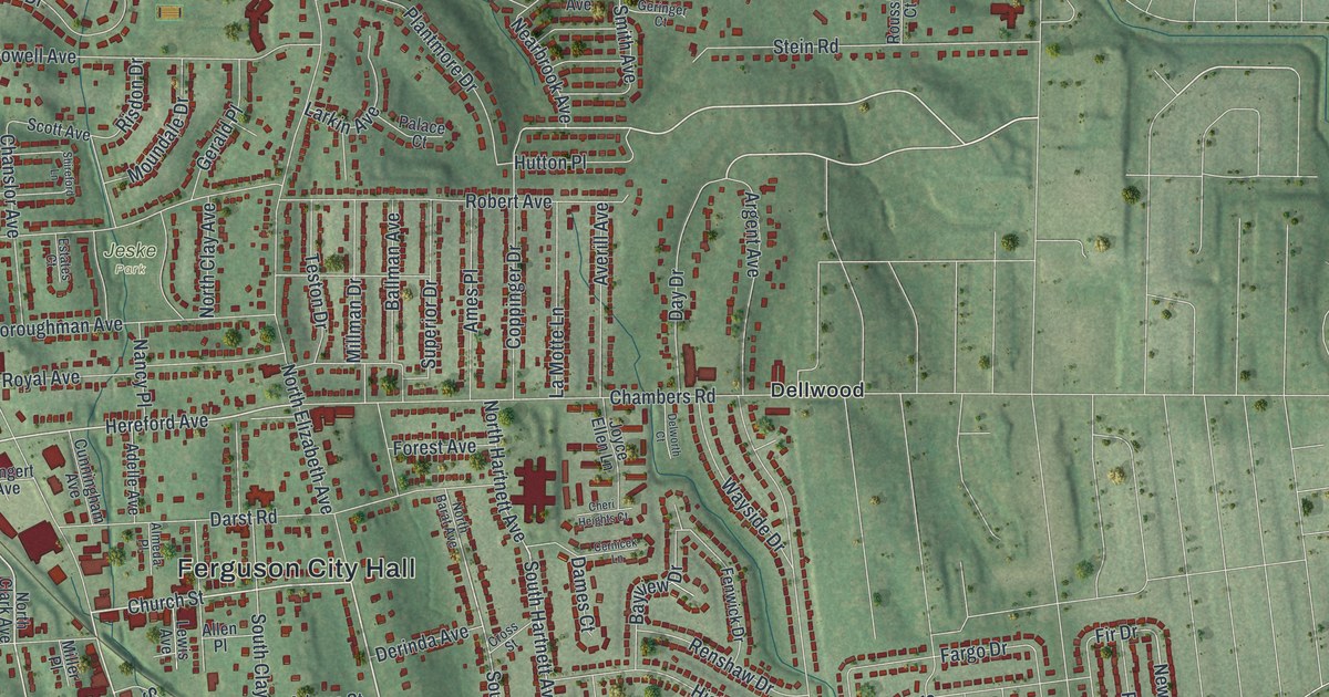
An aerial view map of Ferguson in St. Louis County, Missouri, made in 2026. Find Church Street, Ferguson City Hall, Jeske Park and thousands of red buildings, plus the story of a town with a post office since 1876.

Read More

Detailed Map of Waverly, Ohio

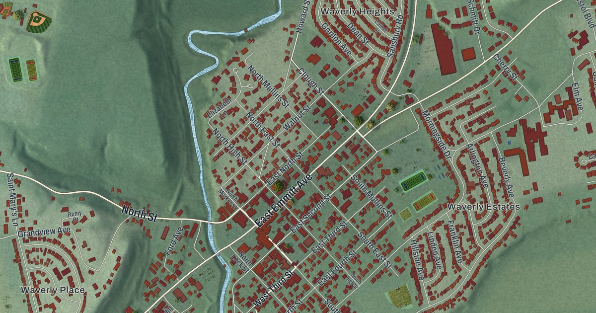
Emmitt Avenue in Waverly was once Water Street, where the Ohio and Erie Canal ran through town. This new 2026 map of Waverly in Pike County, Ohio shows the downtown grid, Bristol Park, Evergreen Cemetery and the hills around town.

Read More

Detailed Map of Upper Sandusky, Ohio

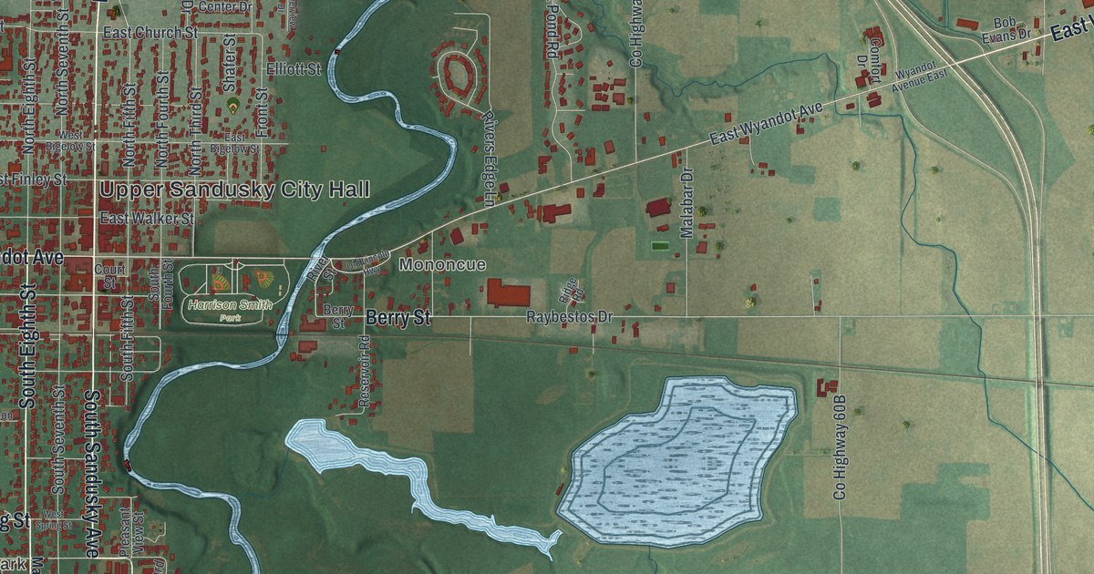
A modern aerial map of Upper Sandusky in Wyandot County, Ohio, with a vintage look. Find Wyandot Avenue, East Church Street and your own block, and learn about the Wyandot mission church built here in 1824.

Read More

Detailed Map of Upper Arlington, Ohio

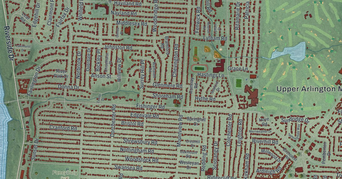
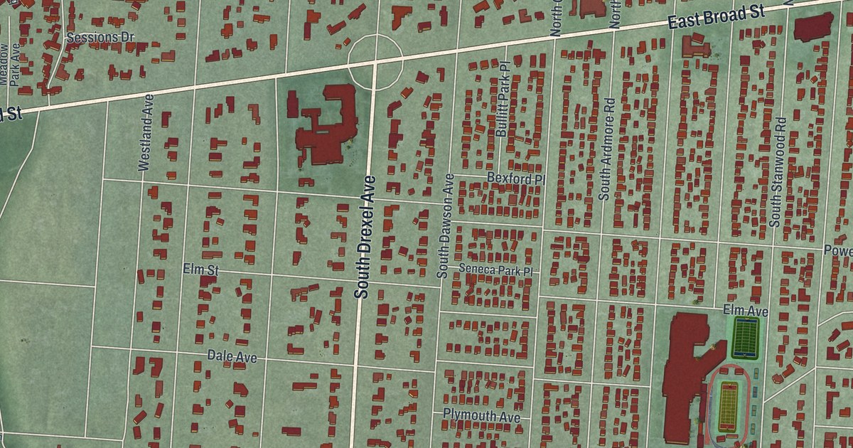
A new aerial map of Upper Arlington in Franklin County, Ohio. It shows Tremont Road, Riverside Drive, Scioto Country Club and thousands of red rooftops, plus the story of the Country Club District that King and Ben Thompson planned in 1913.

Read More

Detailed Map of Greenville, Ohio

See Greenville’s streets, red buildings, and winding blue water in a new aerial map. Find North Park and West Main Street, then explore the town’s link to the Treaty of Greene Ville.

Read More
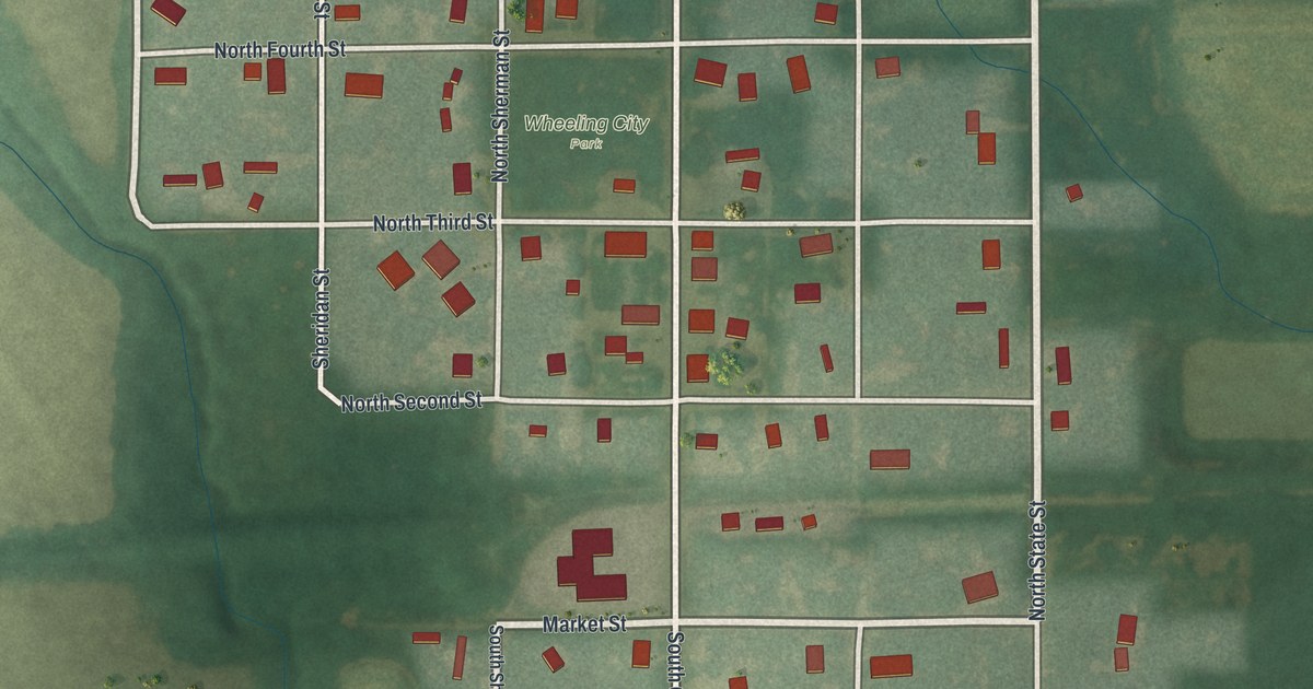
Detailed Map of Springdale, Ohio

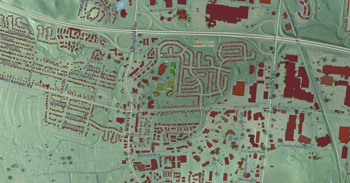
Find Springfield Pike, Kemper Road and Hilda-Ross Memorial Park on this Springdale, Ohio map. Then learn how Morgan’s Raiders reached that corner around midnight in July 1863, and who rests in the 1801 churchyard near Cameron Road.

Read More
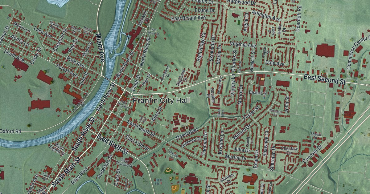
Detailed Map of Defiance, Ohio

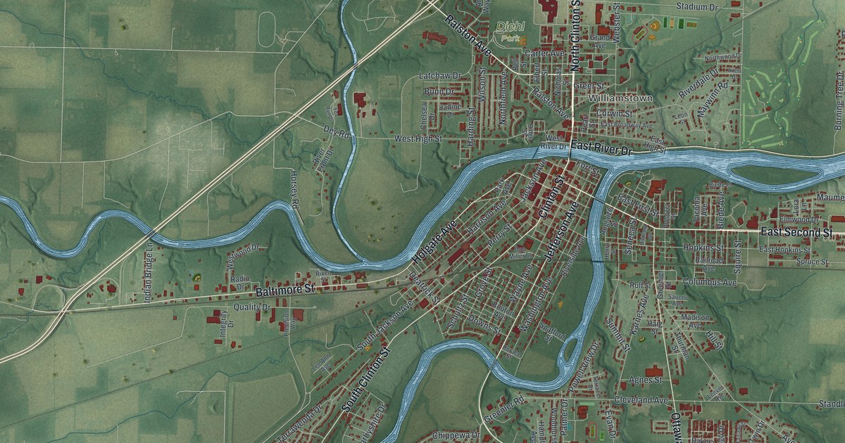
A modern aerial map of Defiance, Ohio, where two rivers meet downtown. Find Clinton Street, Fort Street and Diehl Park, and read how Fort Winchester stood on the front line of the War of 1812.

Read More
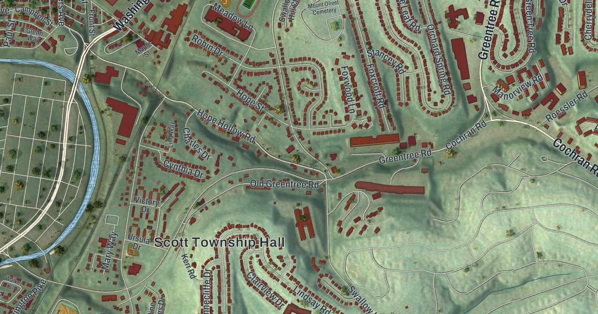
Detailed Map of Wheeling, Missouri

Wheeling, Missouri, in Livingston County, seen from above on a new 2026 map. Find Market Street, State Street and Wheeling City Park, and read how the town’s school began in a small log building in 1859 and 1860.

Read More
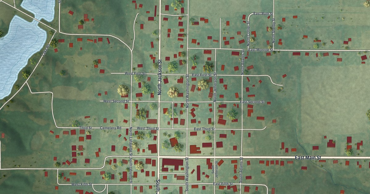
Detailed Map of Franklin, Ohio

Franklin, Ohio, seen from above: South Main Street, the river bend, Hazel Woods Park and thousands of homes. Plus the story of the Old Log Post Office, the town’s oldest known building, first opened as a store in 1802.

Read More
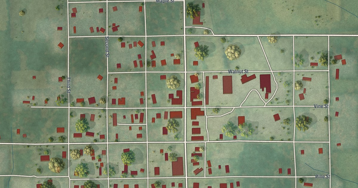
Detailed Map of Centerville, Ohio

Find Far Hills Avenue, South Main Street and Bill Yeck Park on a 2026 map of Centerville, then read how Erma Bombeck got her first newspaper job and how General Edmund Munger came to Yankee Street in 1799.

Read More
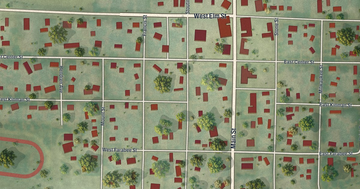
Detailed Map of Newark, Missouri

A modern aerial view of Newark in Knox County, Missouri, with a vintage feel. Find Fresh Street, Main Street, State Highway KK and your own block, plus the story of the county’s first Methodist classes, formed near Newark in 1835.

Read More
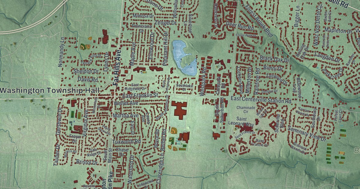
Detailed Map of Pattonsburg, Missouri

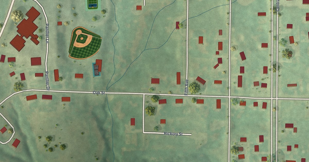
A 2026 aerial-style map of Pattonsburg in Daviess County, Missouri. Find Oak Street, Main Street, Central Avenue, Panther Drive and your own block, and read how Meredith Morris of Pattonsburg rose from first lieutenant to captain of a Union company in 1863.

Read More