Detailed Map of Bay Village, Ohio
Find Bay Village’s lakeside streets and Huntington Reservation, then meet the Cahoon family, whose 1818 Rose Hill house replaced their first log cabin.
Read More
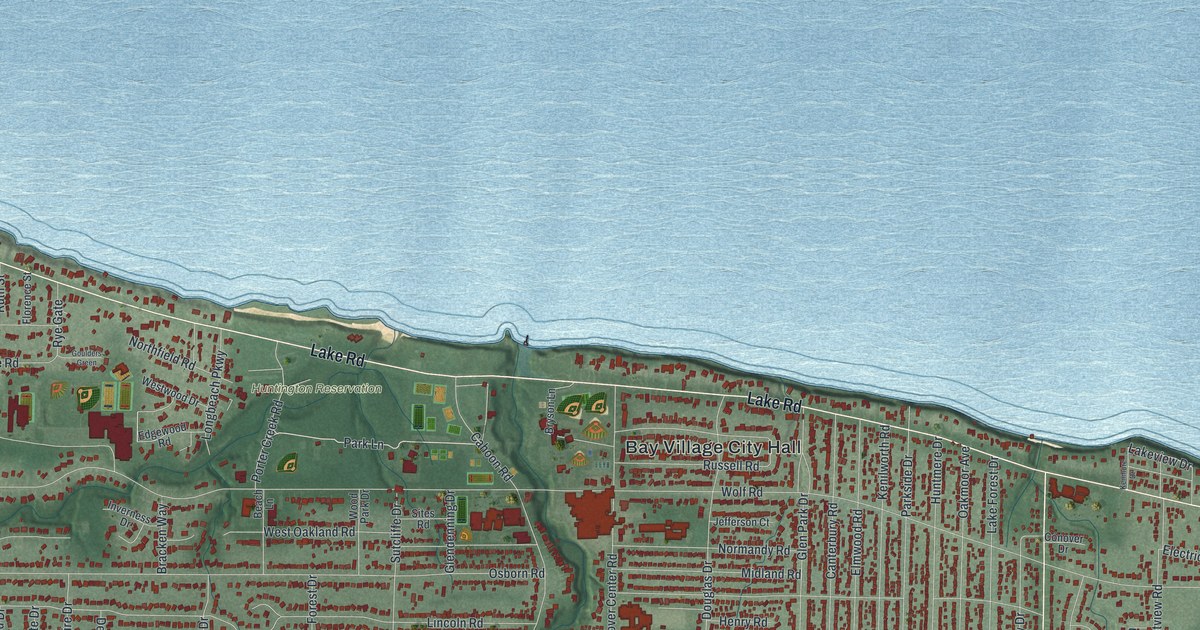
Find Bay Village’s lakeside streets and Huntington Reservation, then meet the Cahoon family, whose 1818 Rose Hill house replaced their first log cabin.
Read More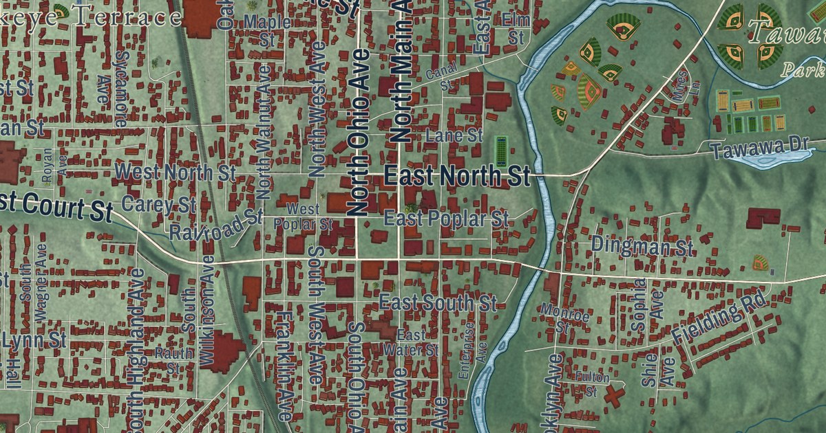
Find Sidney’s streets, Tawawa Park and Graceland Cemetery on a new aerial map, then learn how canal boats brought stone for the county courthouse.
Read More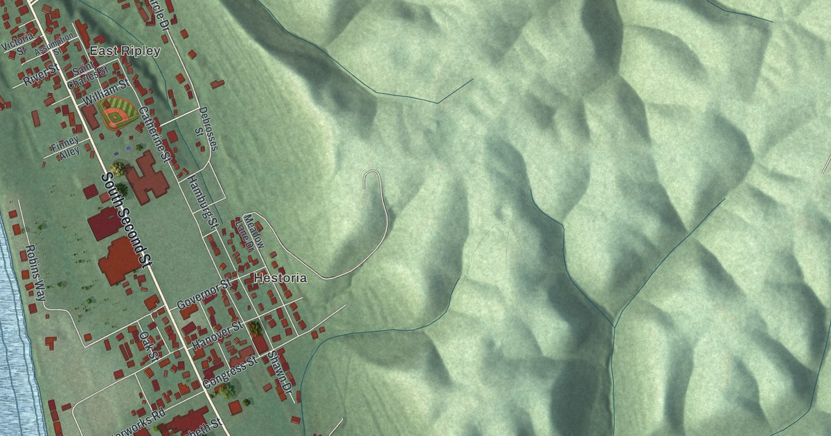
Find Ripley’s riverfront streets and green hills on a new map, then learn how John Rankin and John P. Parker helped make the town an Underground Railroad stronghold.
Read More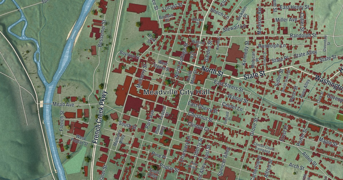
Find North Main Street, Water Street and Meadville City Hall on a new map of Meadville, Pennsylvania, then read how David Mead laid out the town in 1793 and where he stopped his survey.
Read More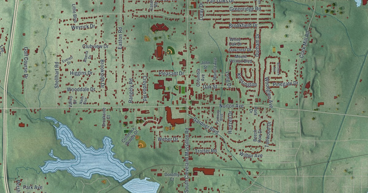
Find Norton Avenue, Bates Corners and Hametown on a new map of Norton, Ohio. Learn how the local glassmaking industry came to run a 2,200-foot limestone mine.
Read More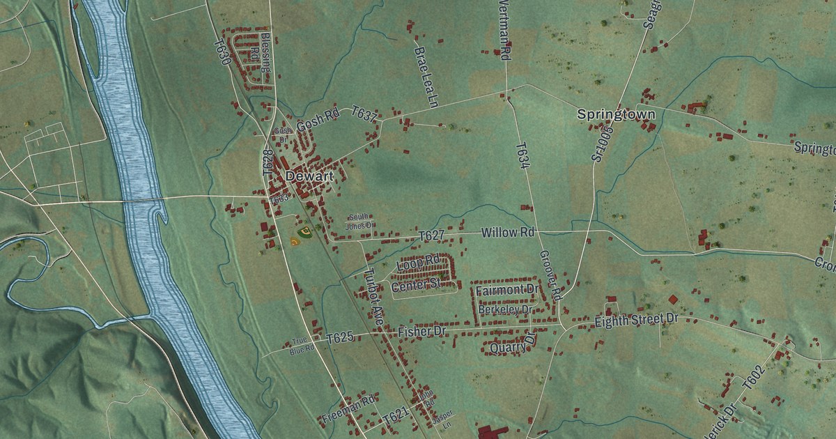
See Dewart, Springtown, Warrior Run and McEwensville on one map of Delaware Township, then learn how Warrior Run Church began with a preacher on a wagon in 1775.
Read More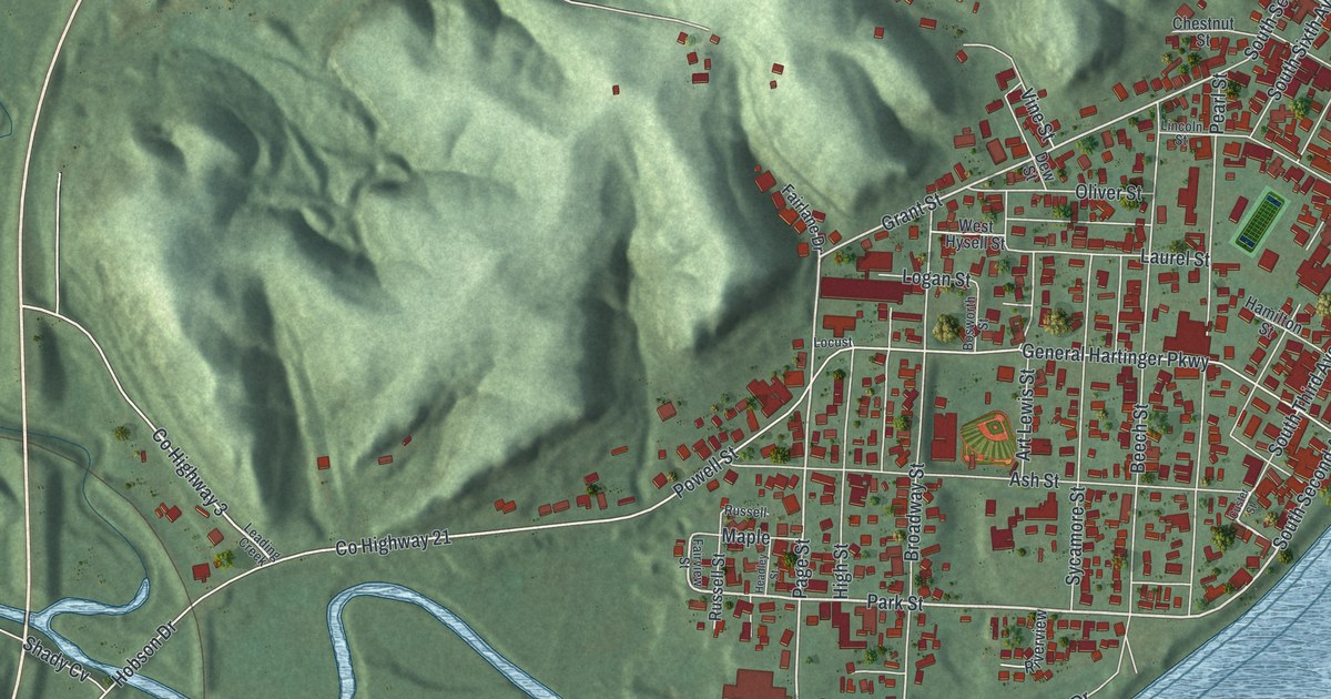
Find Middleport’s streets, Hobson and the hills around town. Learn about William Outerbridge, the local native who commanded the USS Ward at Pearl Harbor.
Read More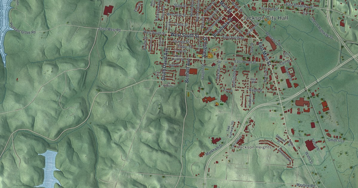
Find Jackson’s streets and green hills on a new aerial map, then read about the first Apple Festival in 1937, complete with a baby and pet parade.
Read More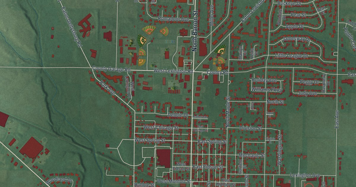
Find Eaton’s familiar streets and learn why Somers, Decatur and Israel share a link to the town’s name. Preview this 2026 map with red buildings and green terrain.
Read More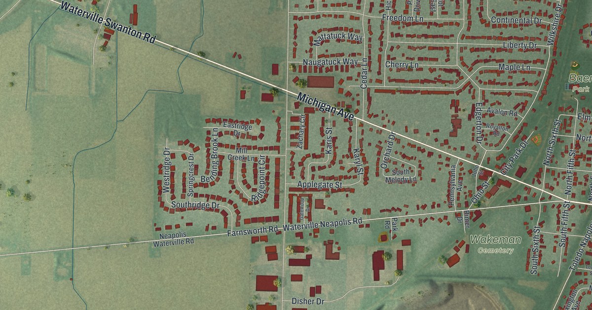
Find Waterville’s streets and riverside parks on a new map, then meet John Pray, who laid out the first 50 lots and ran a post office from his stagecoach inn.
Read More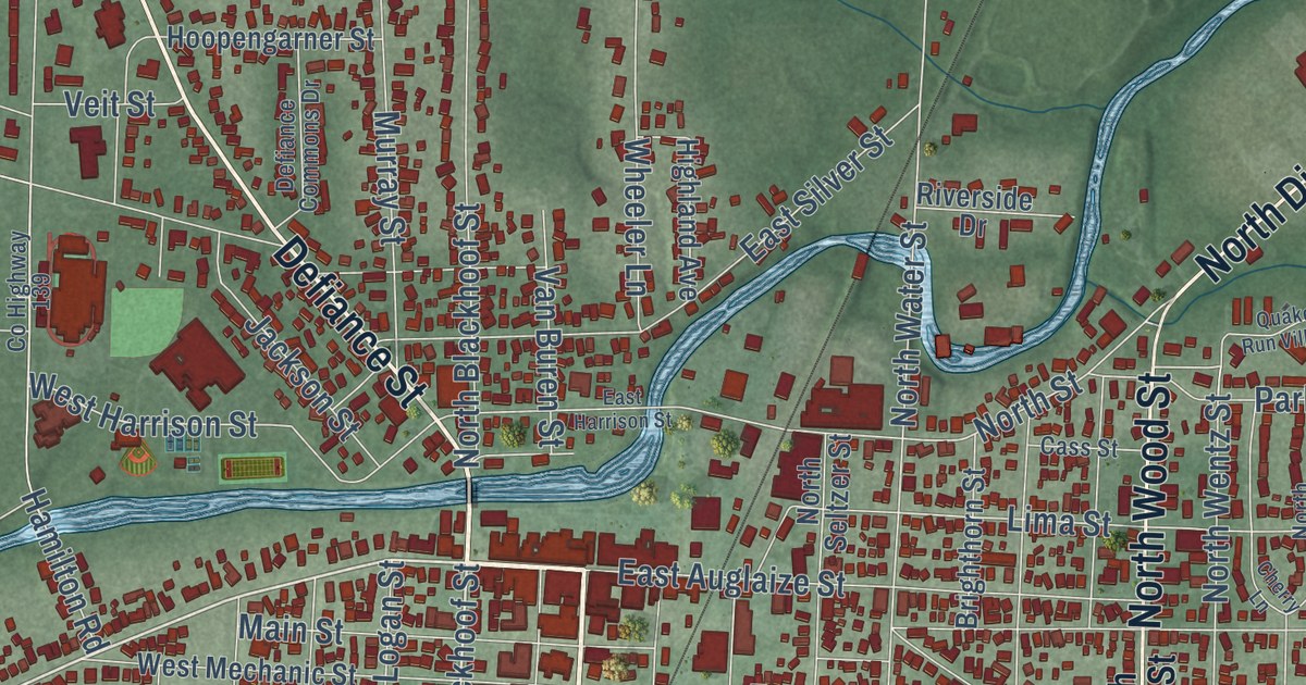
Find Wapakoneta’s streets and red building shapes, then learn how Neil Armstrong earned his pilot’s license before his driver’s license.
Read More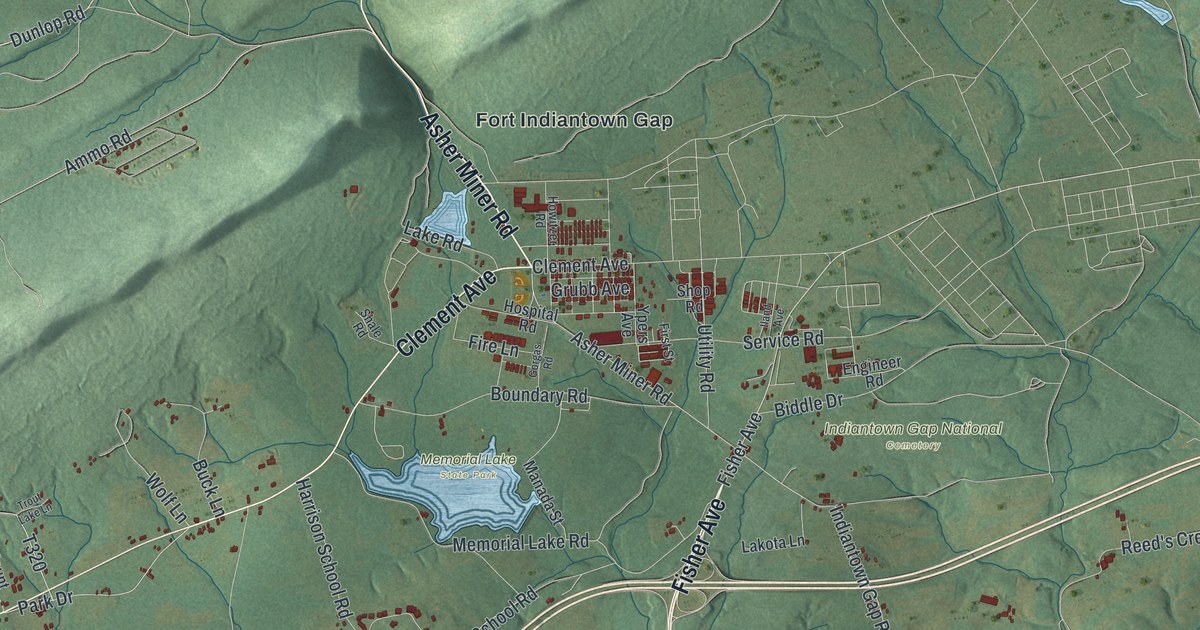
Fort Indiantown Gap, Harper Tavern, Ono and Memorial Lake State Park on one 2026 map of East Hanover Township in Lebanon County, plus how the Gap started in 1929 and where its name came from.
Read More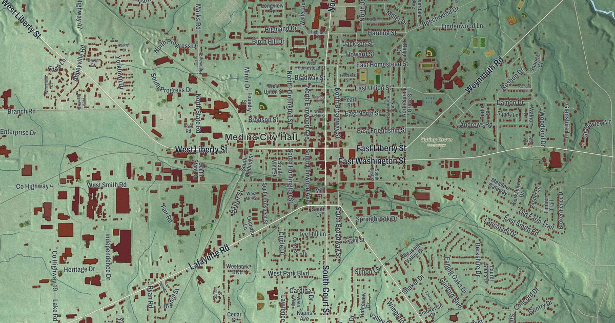
In 1879 A. I. Root built his home on West Liberty Street in Medina, and his work helped set the standard for beekeeping tools. Find Court Street, Liberty Street, Spring Grove Cemetery and Reagan Park on this map of Medina in Medina County, Ohio.
Read More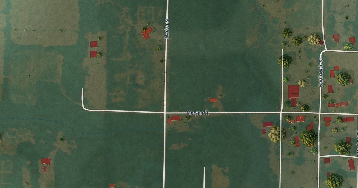
Follow Mill Street, Market Street and Spring Street through Newtonia, Missouri, then learn how Mathew Ritchey’s stone house, barn and fences made this crossroads town a prize in the Civil War.
Read More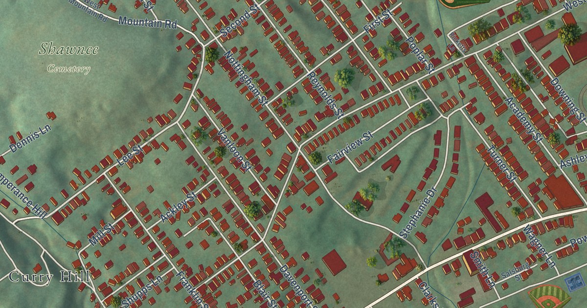
Find West Main Street, Shawnee Cemetery and Coal Street on a 2026 map of Plymouth, then learn how Abijah Smith began shipping coal down the Susquehanna by ark in 1807.
Read More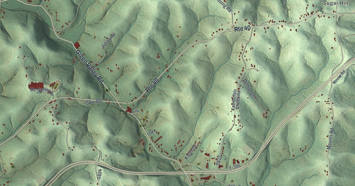
Rte 40 through Buffalo Township is the old National Road, and the stone S Bridge stands where it meets Green Valley Road. Find Taylorstown Station, Coffeys Crossing, Sugar Hill and your own road on this 2026 map.
Read More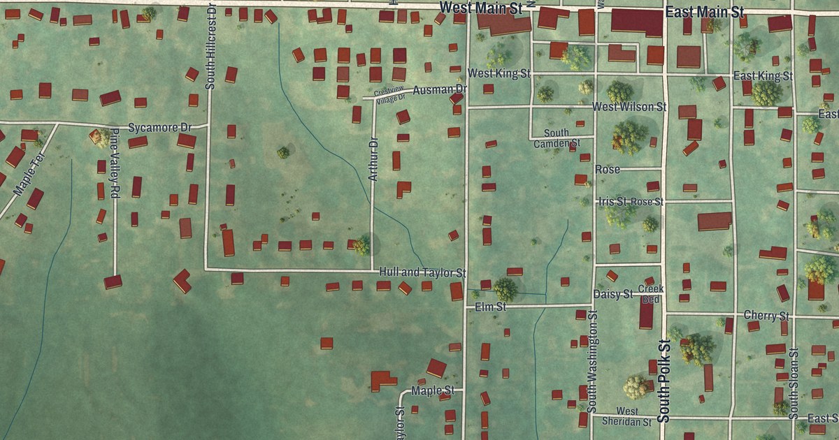
Maysville, Missouri’s map names West Main Street, South Polk Street and Oak Lawn Cemetery, and tells how DeKalb County’s first court met in a log house in 1845.
Read More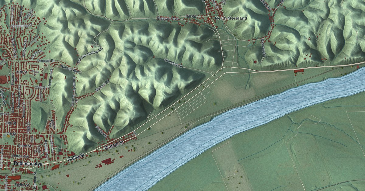
Find Portsmouth’s streets, Sciotoville and the green hills above town. Learn how river floods brought settlers to higher ground in Portsmouth.
Read More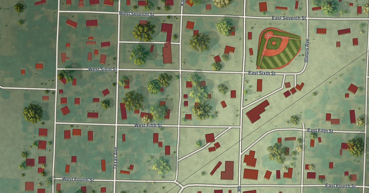
Montrose, Missouri was platted for the railroad in 1870, and Germantown’s business houses soon moved four miles to join it. This new map shows the numbered streets, the avenues named for states and each building drawn in red.
Read More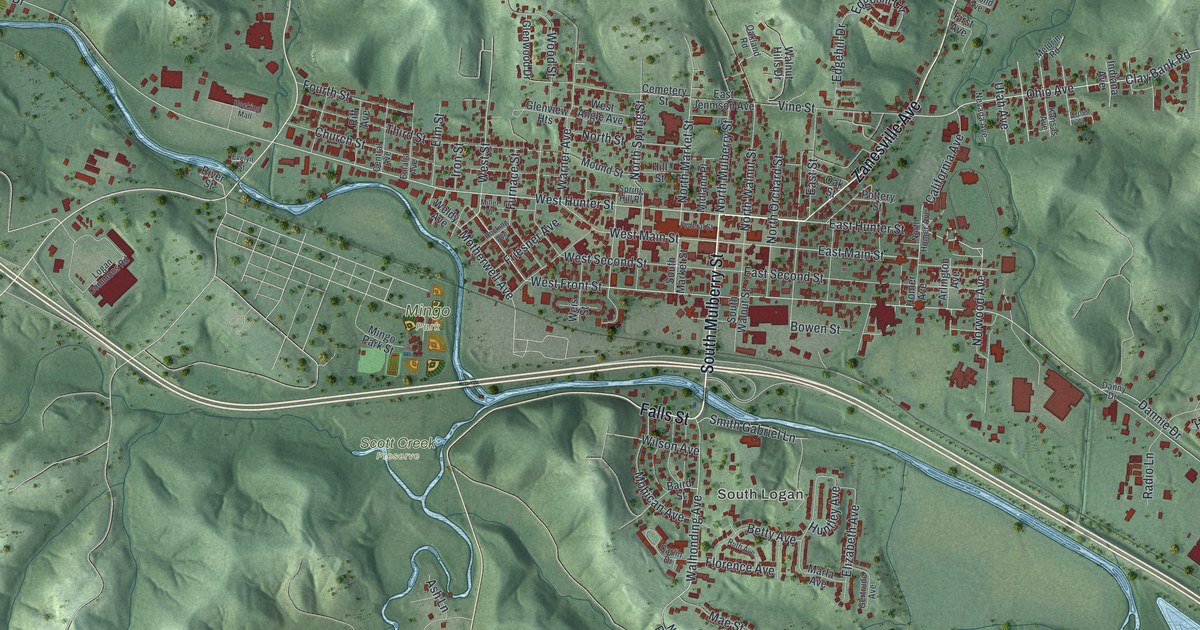
Follow Logan’s streets from Main and Market to South Logan and Mingo Park, then learn why Colonel Charles Young stopped here on his 1918 ride to Washington.
Read More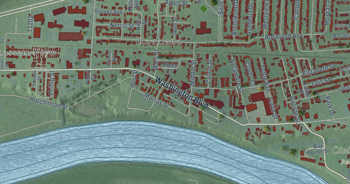
Follow Blennerhassett Avenue and Washington Boulevard across a new map of Belpre, Ohio. Then meet Bathsheba Rouse and the floating mill Jonathan Devol built on the river in 1791.
Read More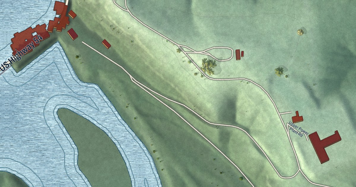
Follow Bagnell Dam Boulevard past the Scenic Overlook and across the water at Lakeside in Miller County, Missouri. Union Electric Road runs down the east side of this new aerial map.
Read More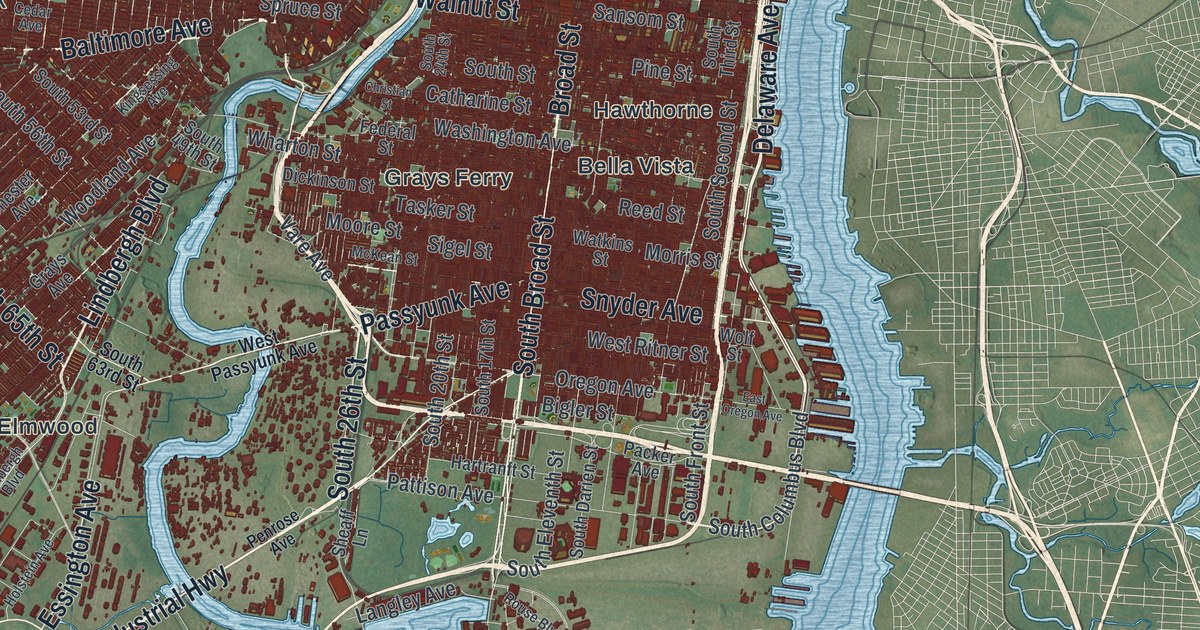
Follow Broad Street, Kelly Drive and Ridge Avenue on this Philadelphia map. Then learn how a machine tested at 3747 Ridge Ave. in 1949 helped start the commercial computer age.
Read More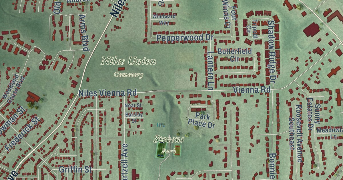
Find Robbins Avenue, North Main Street and Stevens Park on a new aerial map of Niles, Ohio, then learn about the South Main Street site where President William McKinley was born in 1843.
Read More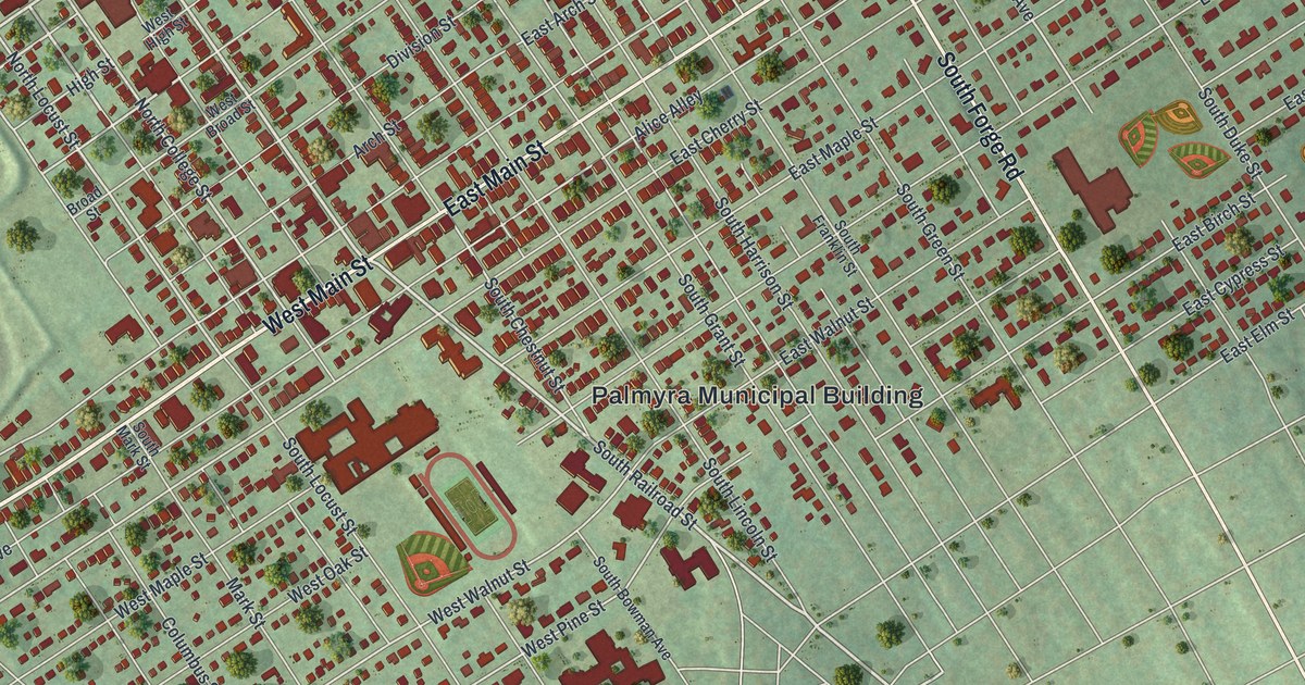
Follow West Main Street, East Main Street and Railroad Street on this Palmyra map, and learn how John Palm’s Palmstown got through a drought by digging its wells deeper.
Read More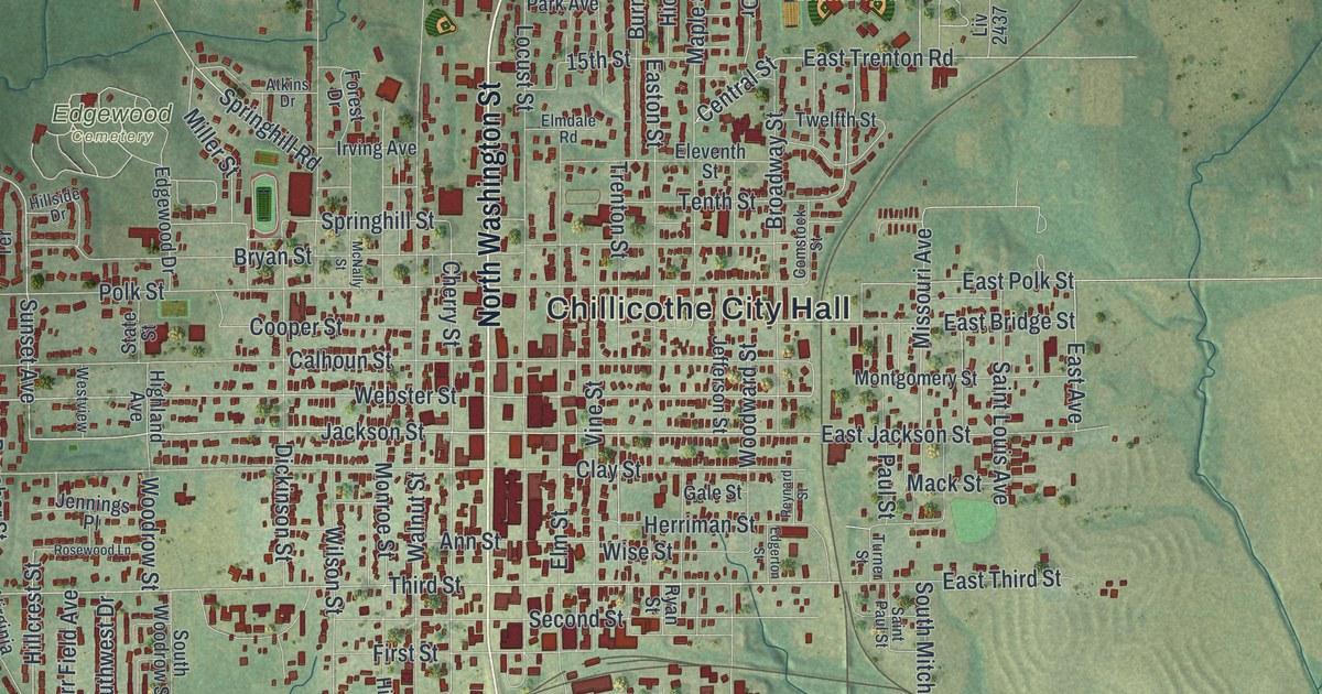
Find Chillicothe City Hall, North Washington Street and Simpson Park, read about Grace Episcopal Church on Elm Street, and learn how Livingston County’s first courthouse was begun here in October 1837.
Read More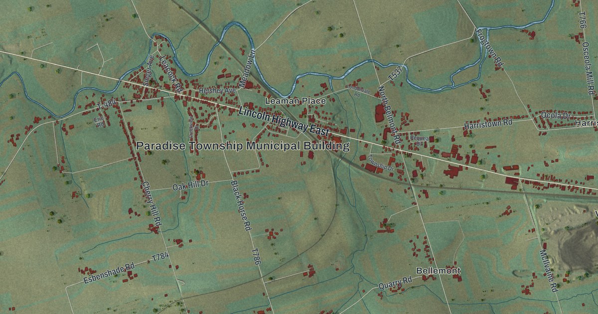
How did Paradise get its name? In 1804 a map publisher stood in the middle of the turnpike, looked around and said so. This new map of Paradise Township shows Lincoln Highway East, Strasburg Road, Leaman Place, Kinzers and the ridges to the south.
Read More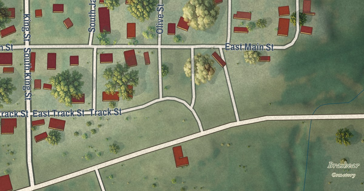
See King Street, the Track Streets and Chadwick Street on this new map of Brashear, Missouri, and learn how a Paulville church building was moved here after the town was laid out.
Read More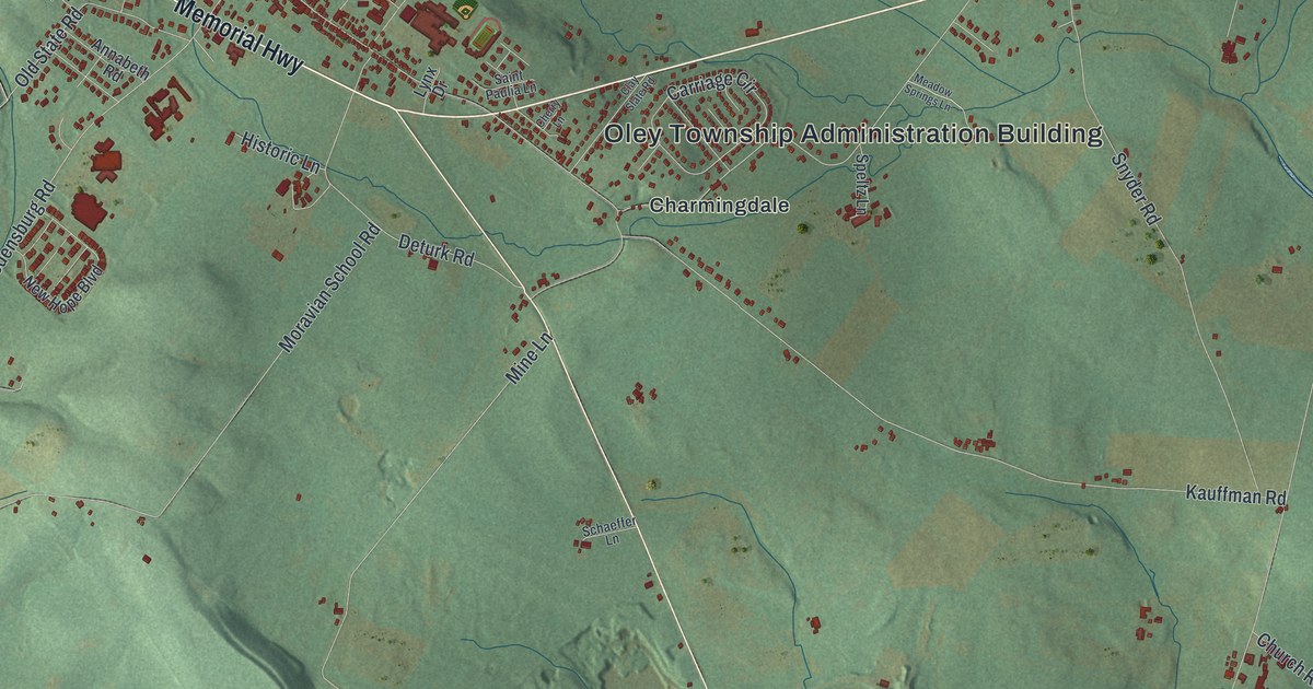
Oley’s name comes from the hills that ring its valley. Follow Main Street and Memorial Highway on this 2026 map, and find the Hoch, Yoder and Deturk names printed on its roads.
Read More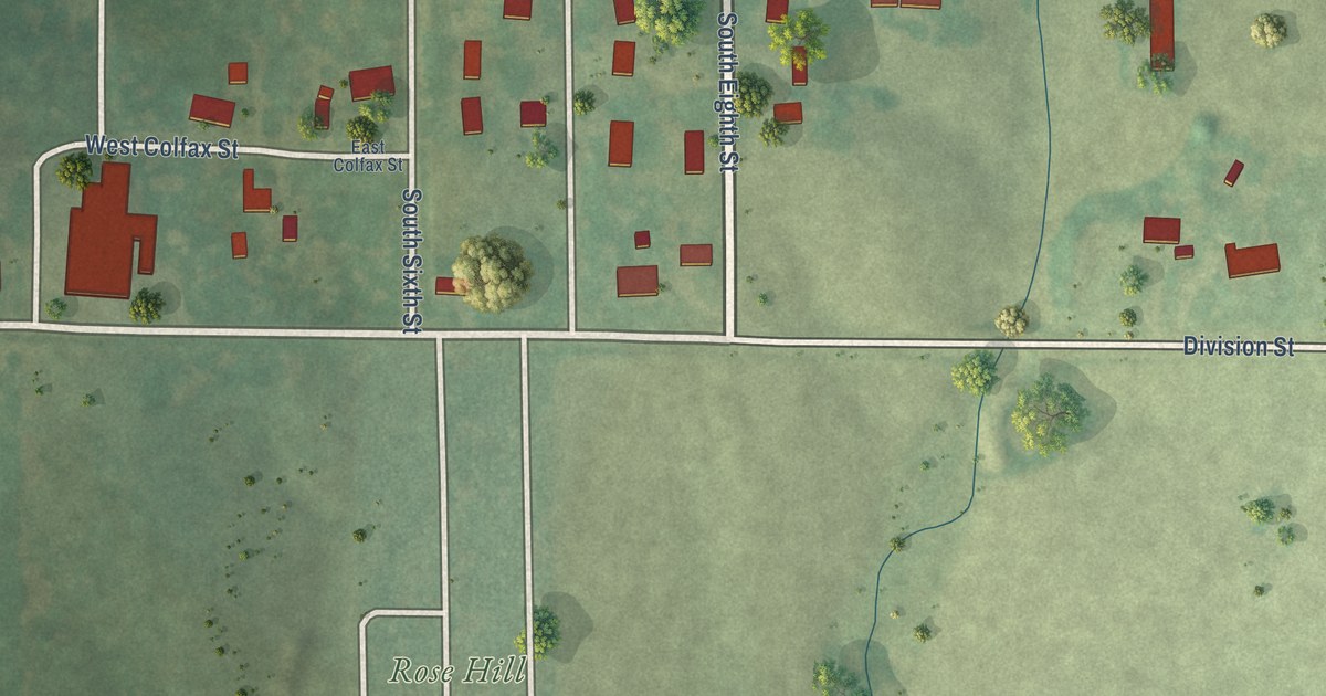
Follow Broadway Street through Breckenridge in Caldwell County to Rose Hill Cemetery, and read about the old millstone a county history says was brought to the city park.
Read More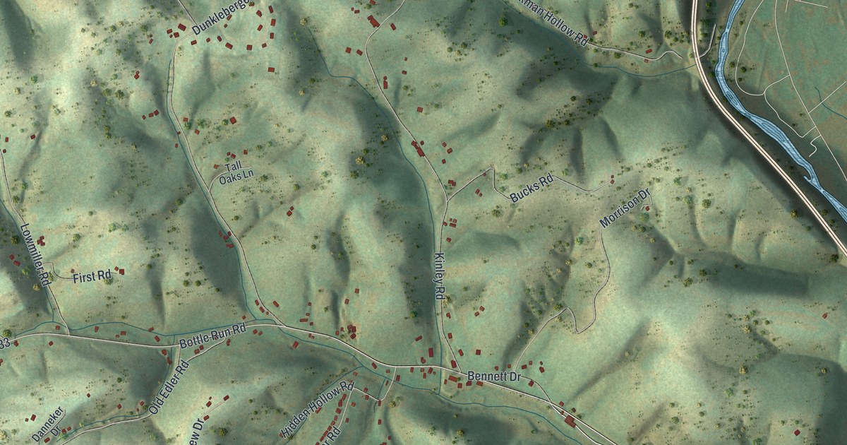
Find Garden View, Mill Lane, Bottle Run Road and the hills of Old Lycoming Township on this map. A local historical marker tells how Williamson Road opened a route through this country in the 1790s.
Read More
A rail line was the direct cause of Braymer’s founding, a 1923 county history says. This 2026 map shows Main Street, Railroad Street and nearly 700 buildings, plus the story of the town’s first office and first school.
Read More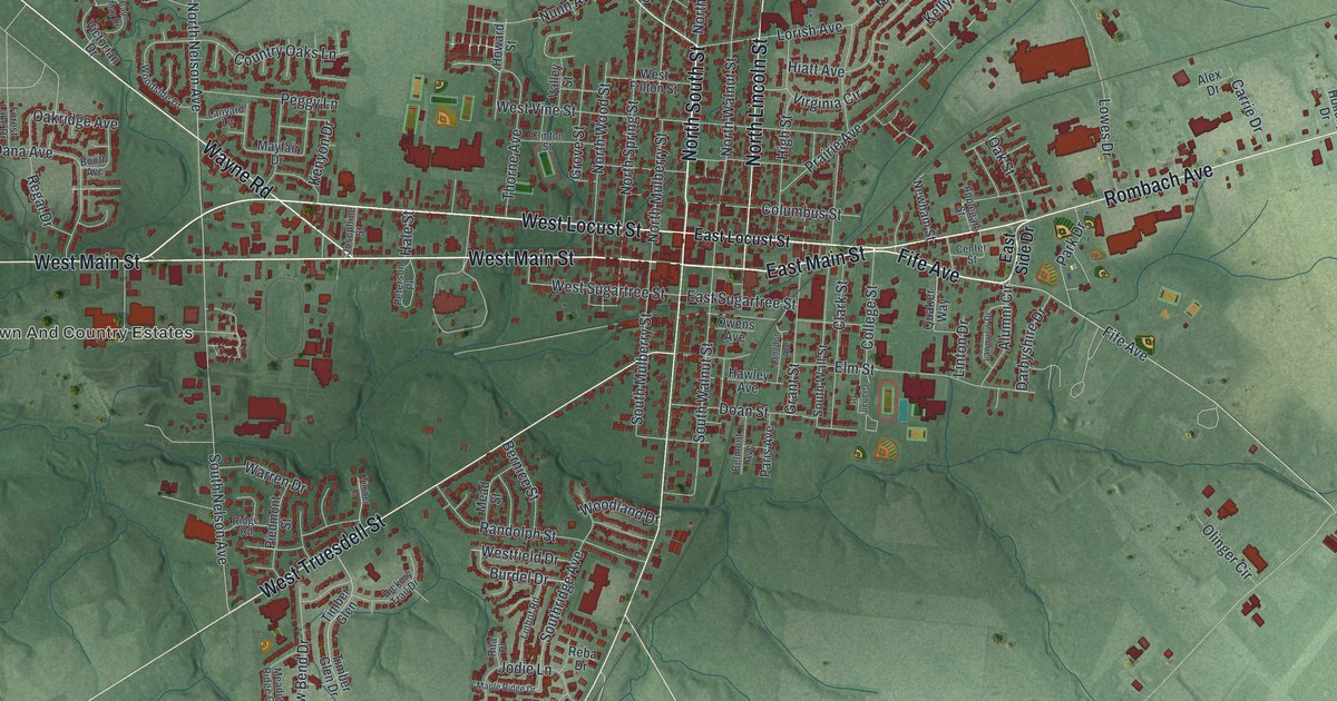
See Wilmington, Ohio from West Main Street to Airborne Road, and learn how Quakers bought an unfinished building at auction in 1870 and started Wilmington College.
Read More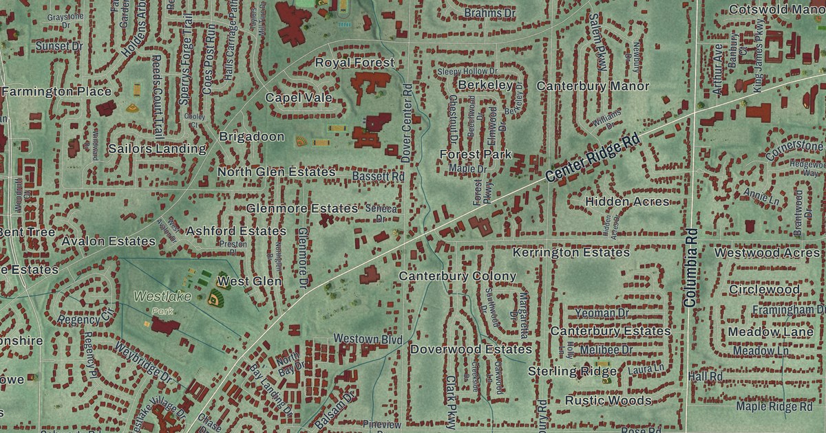
Find Dover Center Road and Hilliard Boulevard on this new Westlake map, then learn how the Clague family farm became Clague Park in 1926 and where Leverett Johnson built his log house in 1814.
Read More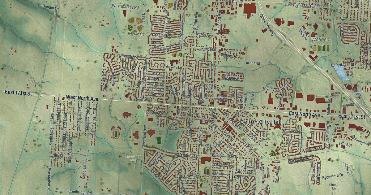
Belton City Hall and North Avenue are named on this 2026 map of Belton, Missouri. Then learn how the town was laid out in 1871 and what a 1917 county history says about its first bank.
Read More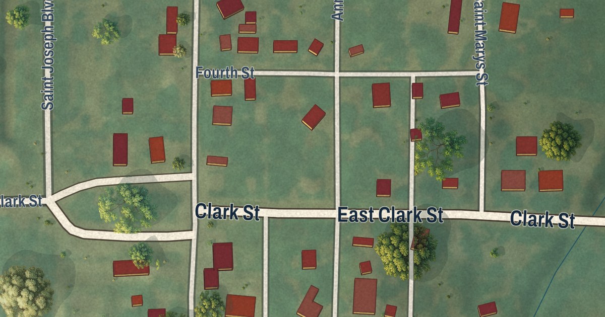
Follow Bolckow’s streets from Clark Street up to Seventh Street, find Railroad Boulevard, and learn why freight sat on the ground when trains first came to town in 1870.
Read More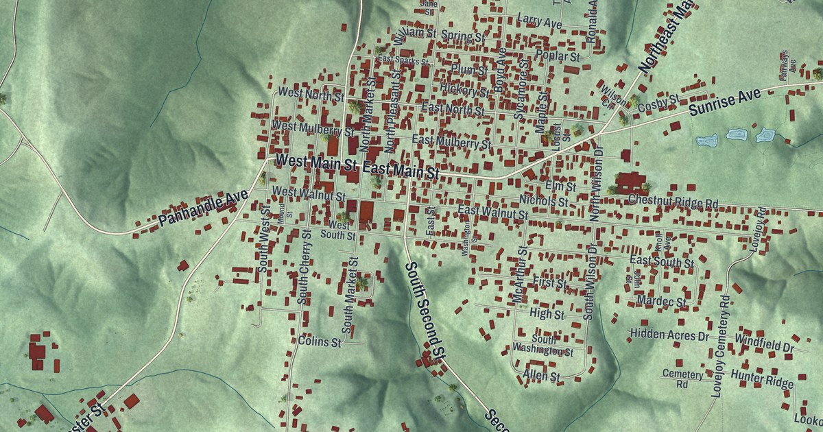
See West Union, Ohio from the courthouse square out to Manchester Street and Sunrise Avenue, and learn why the 1810 church on South Second Street is called the Church of the Governors.
Read More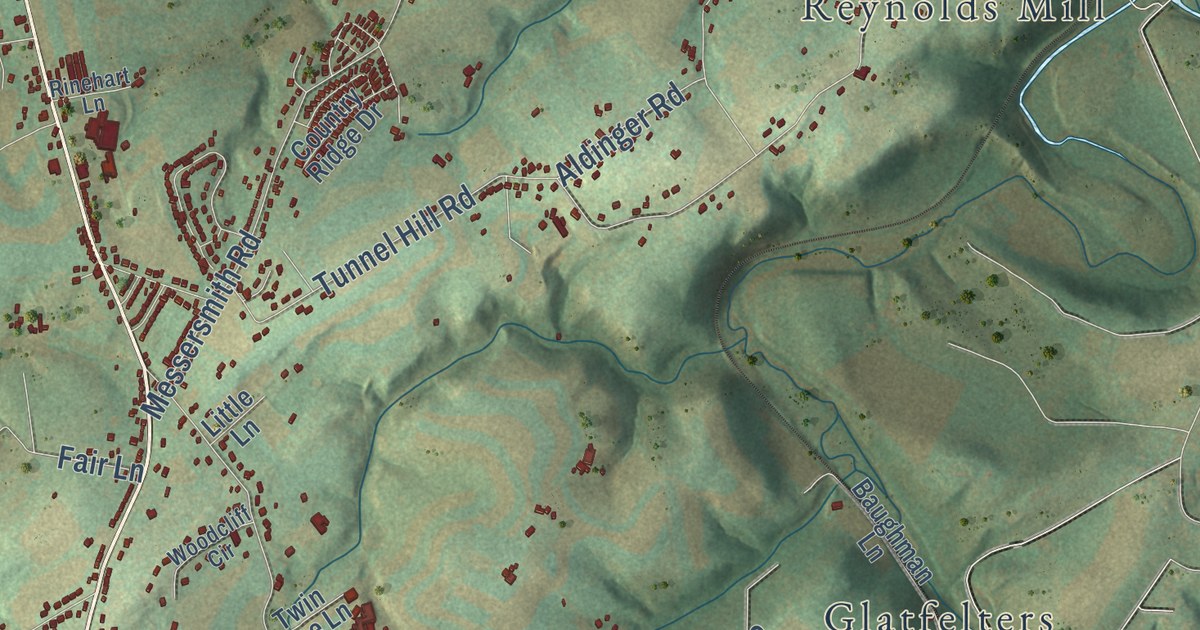
See North Codorus Township in York County from Hanover Junction to Kraft Mill, and learn how Lincoln’s train changed railroads at Hanover Junction on the way to Gettysburg in 1863.
Read More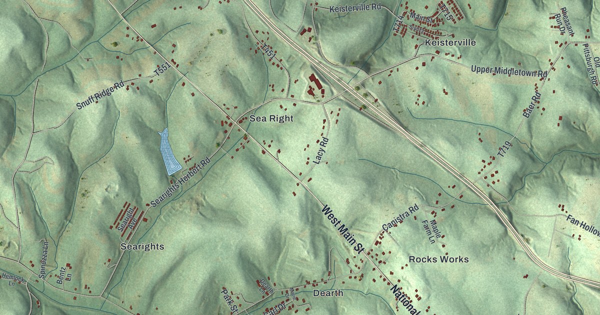
Trace Dearth Road past Dearth to the National Pike near Rocks Works, then follow the pike northwest to Sea Right. Read about Searight’s tavern, once called the Half Way House, and the tollhouse Pennsylvania built in 1835.
Read More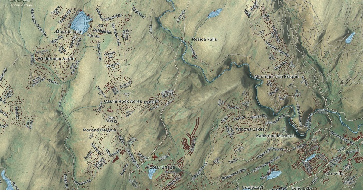
Follow Milford Road past Coolbaugh, Echo Lake and Shoemakers on this 2026 map of Middle Smithfield Township, then read about the mastodon found near Marshalls Creek in 1968.
Read More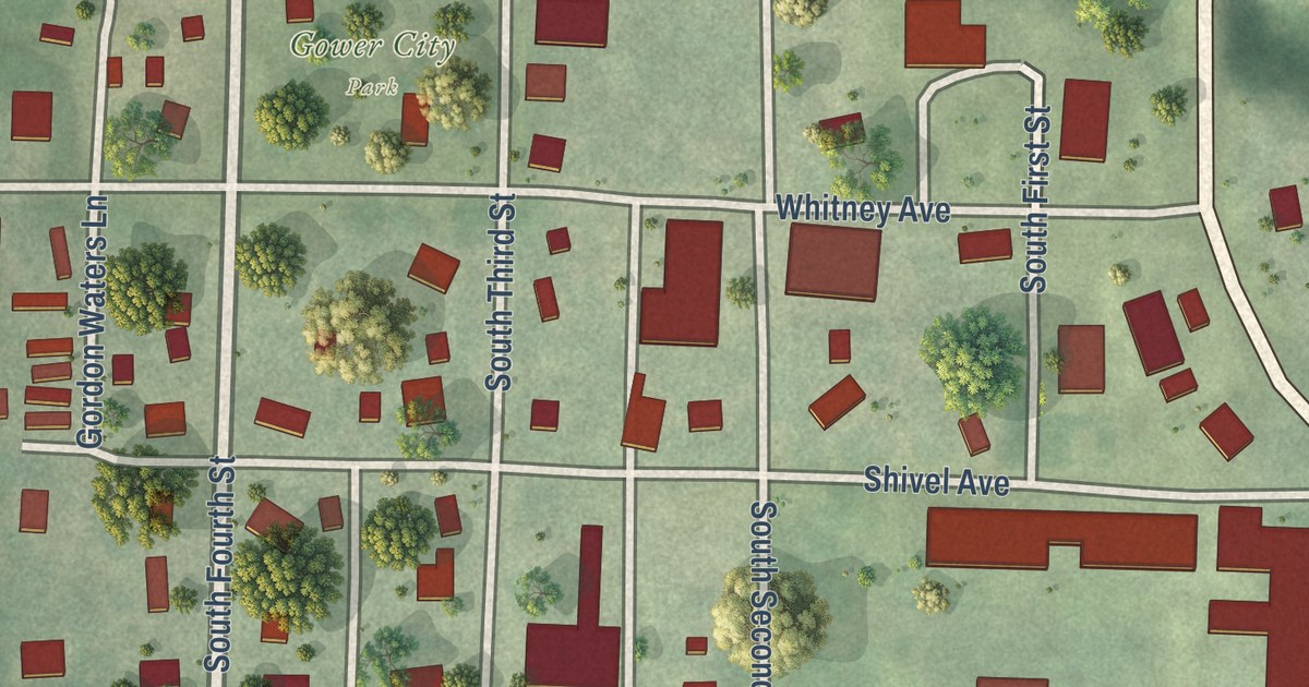
Gower’s first town board met on June 21, 1873, and a settler’s tent once stood where the town is now. Find Hallar Avenue, Gower City Park and the numbered streets on this new map of Gower, Missouri.
Read More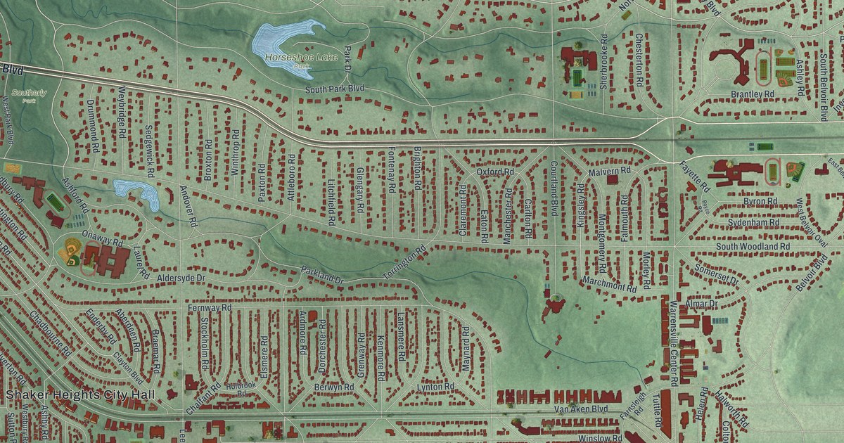
The Shakers dammed Doan Brook in 1852 and made Horseshoe Lake. In the 1960s, local residents fought a freeway to save it. Find Horseshoe Lake Park, Shaker Boulevard, Van Aken Boulevard and Shaker Heights City Hall on this map of Shaker Heights, Ohio.
Read More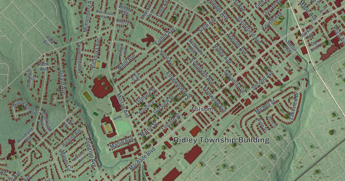
Follow Macdade Boulevard through Folsom on this map of Ridley Township in Delaware County, then find Leiperville near Chester Pike and Crum Creek Drive near the bottom left of the map.
Read More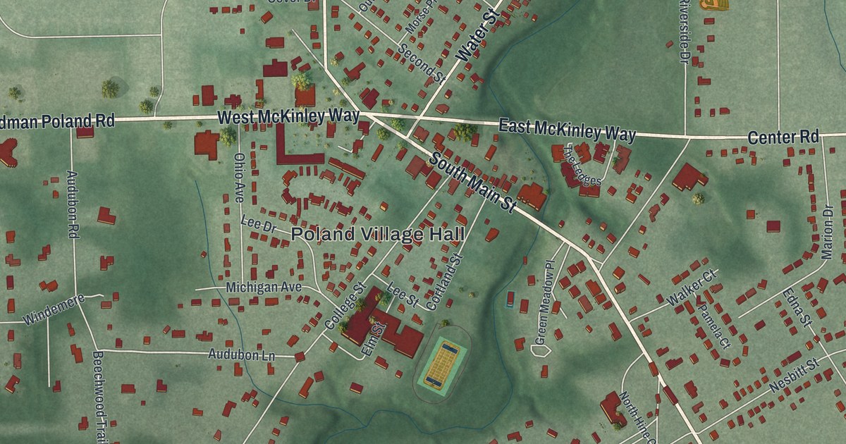
Follow North Main Street, McKinley Way and South Main Street through Poland, Ohio, then learn how young William McKinley joined the Union Army from the porch of the Old Stone Tavern.
Read More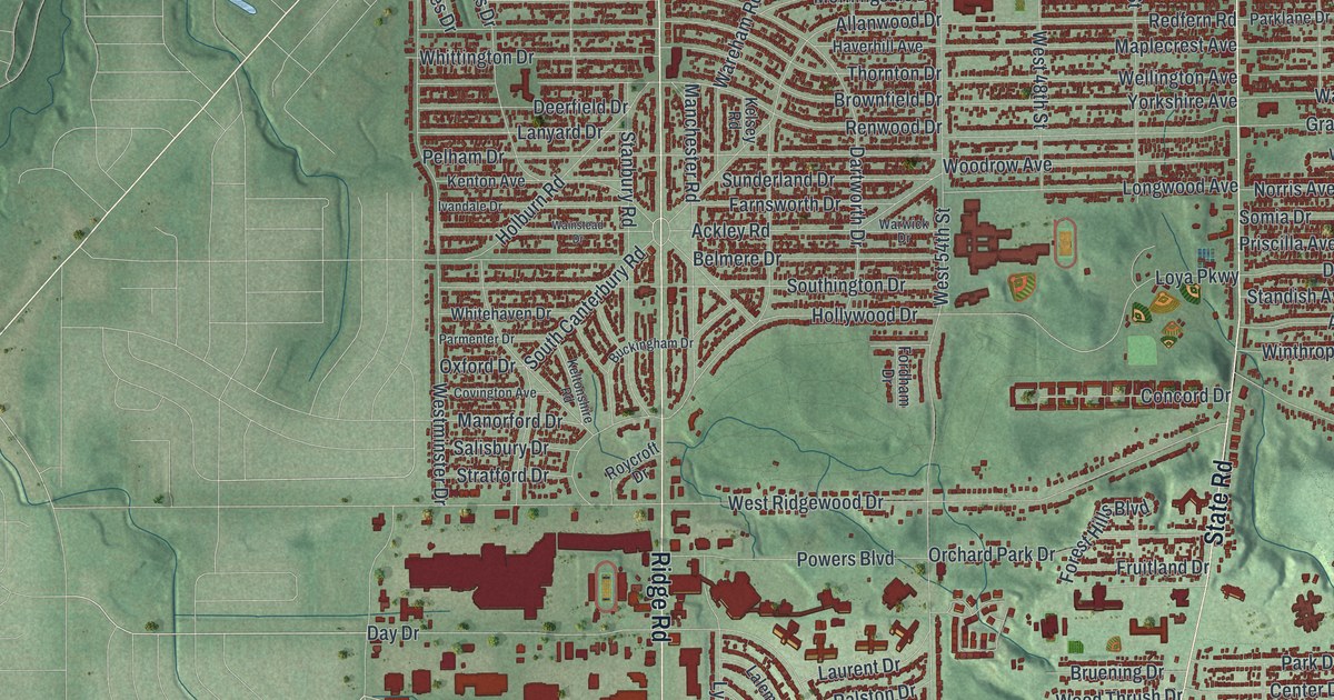
A marker at Pearl and Ridge Roads traces Parma’s early days to the Fay family’s log cabin. This new map of the Cuyahoga County city shows Theota Avenue, State Road, Pleasant Valley and thousands of red buildings.
Read More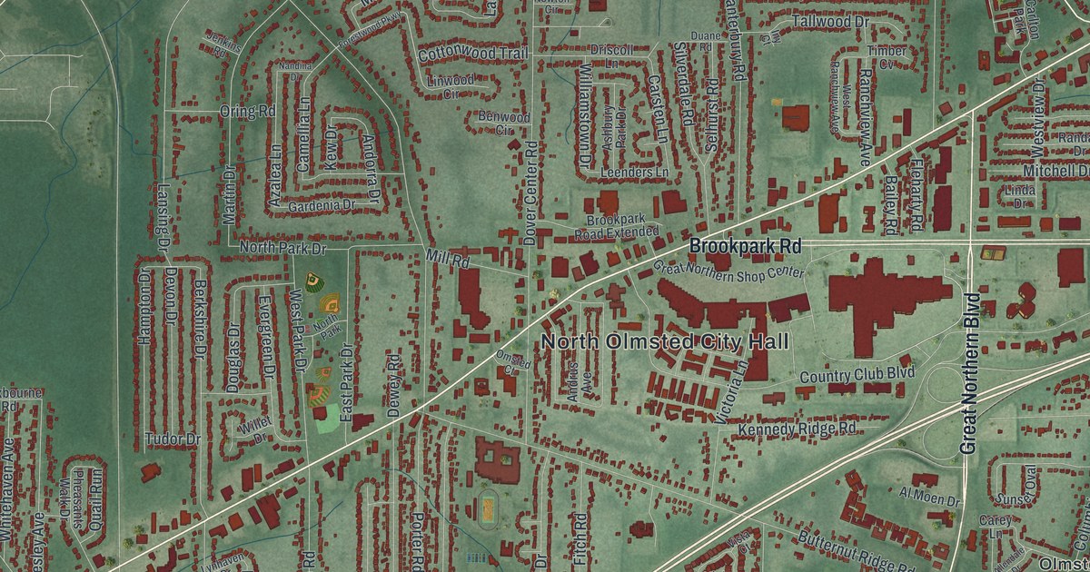
In 1829, the township took the name Olmsted in a trade for 500 books brought by oxcart from Connecticut. Find North Olmsted City Hall, Lorain Road and Rocky River Reservation on this new map of North Olmsted, Ohio.
Read More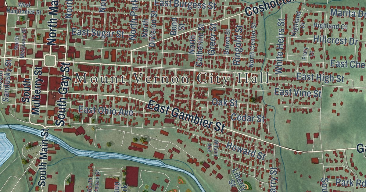
Follow South Main Street, Wooster Road and Coshocton Road on this Knox County map of Mount Vernon, Ohio. Then learn about Dr. Jane Payne, who graduated first in her medical class in 1861 and kept her office on South Main Street.
Read More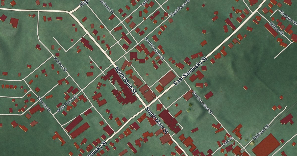
Follow Main Street and Sandusky Street through Mechanicsburg, find Goshen Township Memorial Park, and read how neighbors with pitchforks and shovels drove off federal marshals to protect Addison White in 1857.
Read More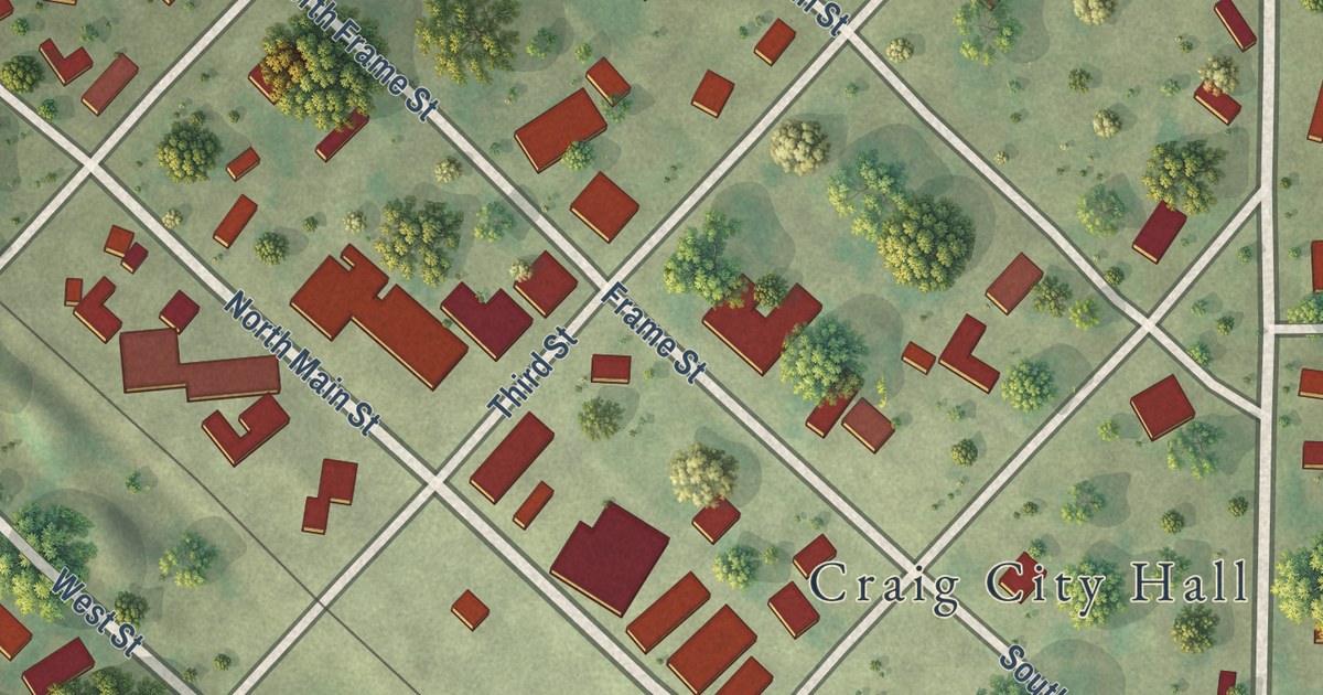
Follow Ward Street and Tarkio Street across Craig, Missouri, then learn about the Sharp brothers who settled Sharp’s Grove in 1841 and the flood the town came back from.
Read More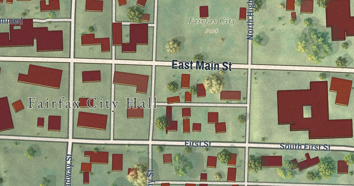
Follow Main Street across this Fairfax, Missouri map, then learn how the town grew out of a cornfield in 1881 and who bought its first business lot.
Read More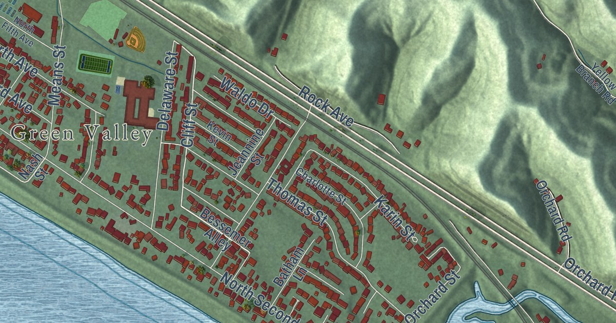
Ironton has held its Memorial Day parade since 1868, and its Tanks once beat the Chicago Bears. This map of Ironton, Ohio shows Center Street, Park Avenue, Green Valley and more than 9,000 buildings between the river and the hills.
Read More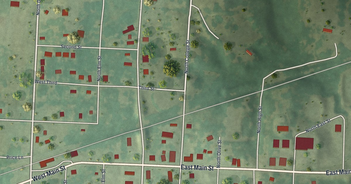
Calhoun was Henry County’s leading business town by the fall of 1837. This new map shows its grid of numbered streets, Main Street and more than 260 buildings, plus the story of its first stores and hand potteries.
Read More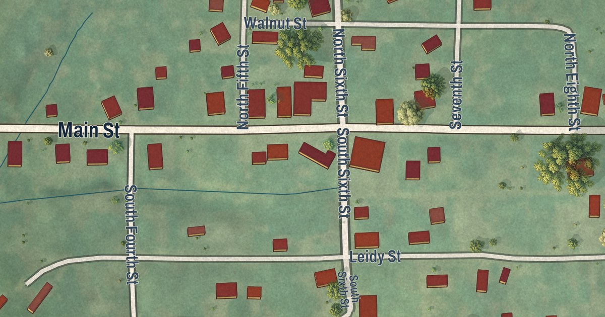
See the village of Cosby, Missouri, from Main Street to Leidy Street, set in the green hills of Andrew County. Read about church groups in and southeast of Cosby in the 1888 county history.
Read More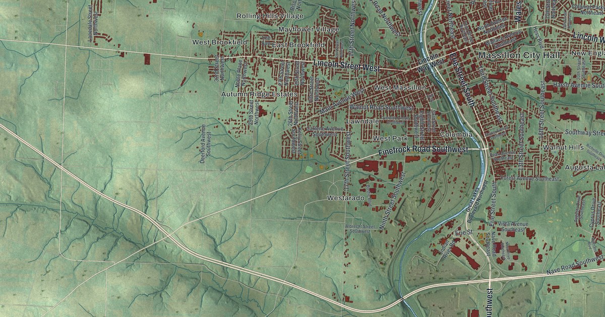
Robert Pinn, a Massillon farmer, took command of his company at New Market Heights in 1864 and earned the Medal of Honor. Find Erie Street South, where he’s buried, on this Massillon map, along with Massillon City Hall, Sippo Heights and West Brookfield.
Read More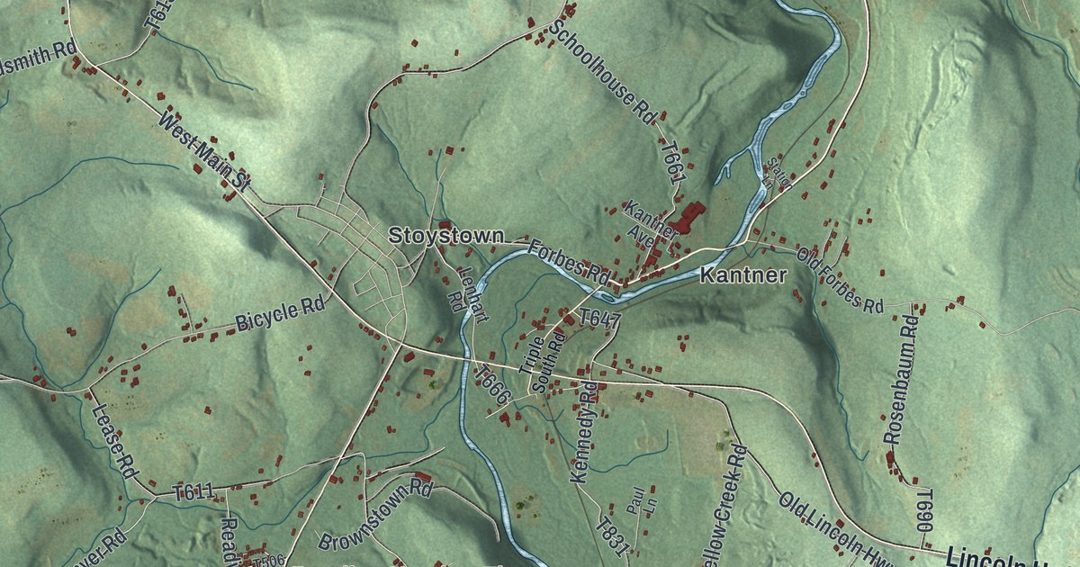
The Forbes Road of 1758 passed through Quemahoning Township in Somerset County. Follow Lincoln Highway and Whistler Road out from Stoystown, read about the supply depot called The Ovens, and learn what the name Quemahoning means.
Read More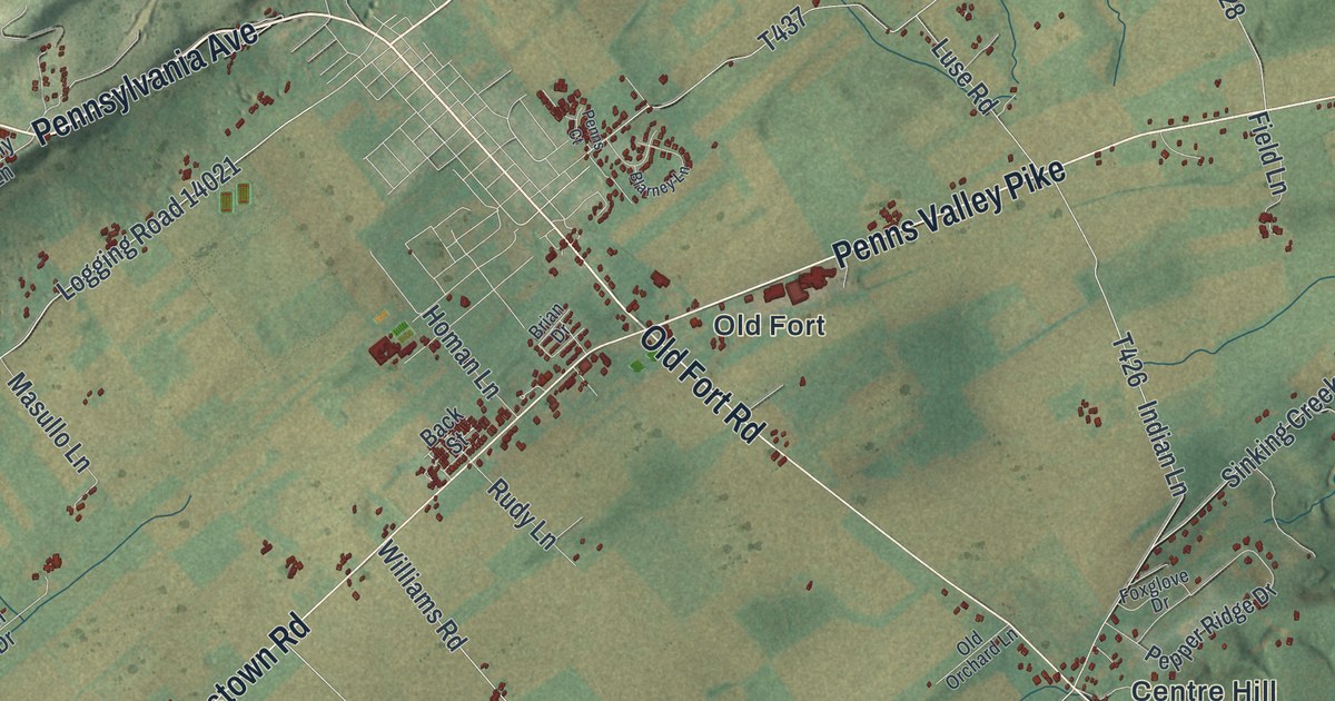
Follow Old Fort Road from Penns Valley Pike to Potters Mills on this 2026 map of Potter Township in Centre County, and learn about the fort James Potter built in 1777.
Read More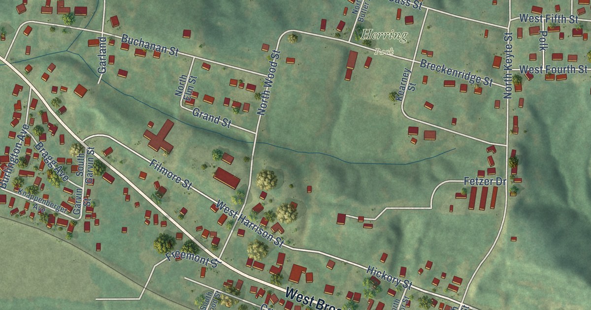
Explore Broadway through downtown Brunswick in Chariton County, then look north to Herring Park. An 1883 county history describes the town as a Missouri River market and shipping point in the tobacco years.
Read More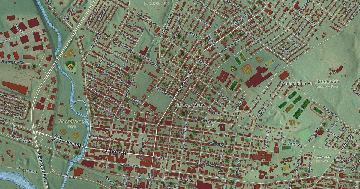
Follow King Street and Charlotte Street across Pottstown, then learn how John Potts built Pottsgrove Manor in 1752 and how a railroad blacksmith shop built the first iron truss bridge in the United States in 1845.
Read More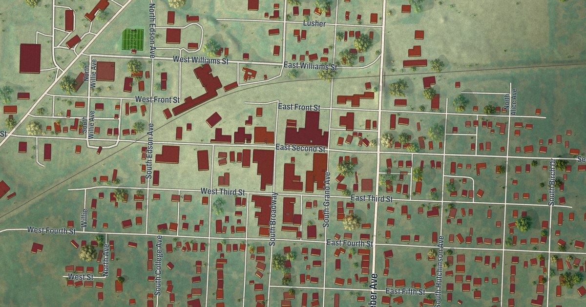
Follow South Broadway and Weber Avenue across a new map of Salisbury in Chariton County, Missouri. Then learn about Mount Nebo, the Baptists’ pioneer church west of town, and the 1830 tornado.
Read More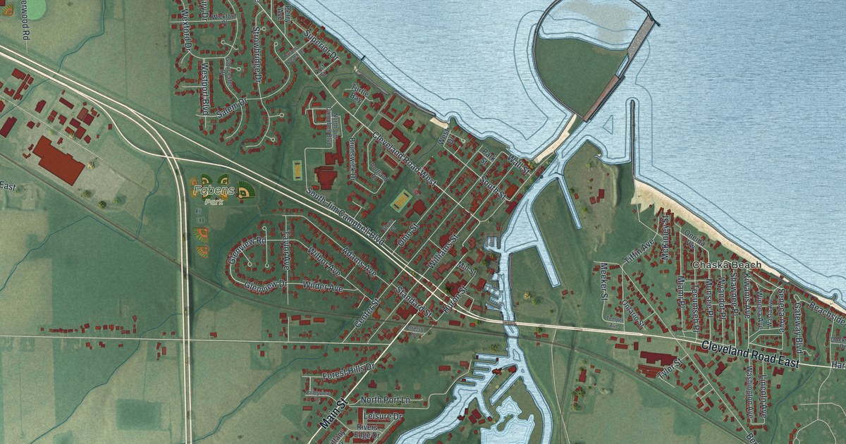
In 1886, Huron built the Golden Age, the largest ship on the Great Lakes at 286 feet. Find Main Street beside the river’s west bank, then look north to the harbor mouth and across the map from Rye Beach Road to Chaska Beach.
Read More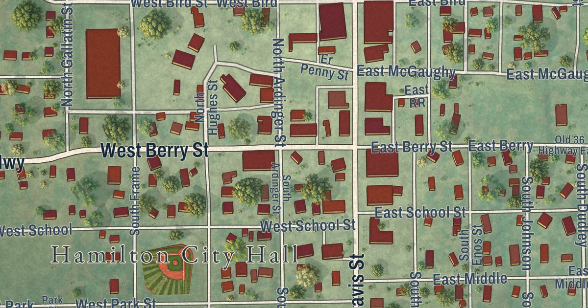
Follow Davis Street through Hamilton, Missouri on this 2026 map. Learn how a town company trustee built Hamilton’s first house in 1856, and read about the National Register residence at 211 East Samuel Street.
Read More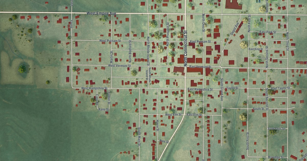
Trace King City’s printed streets from Connecticut and Vermont to Empire Avenue, and read about the Opera Hall Block and a 1922 county history’s account of the Commercial Club and Presbyterian church.
Read More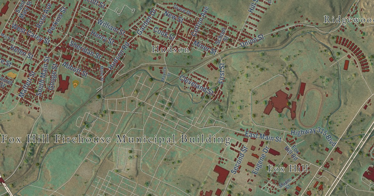
Follow the streets of Plains Township from Plainsville and Port Bowkley to Fox Hill, then meet Big Ed Walsh, the Hall of Fame pitcher born in Plains in 1881 who won 40 games in 1908.
Read More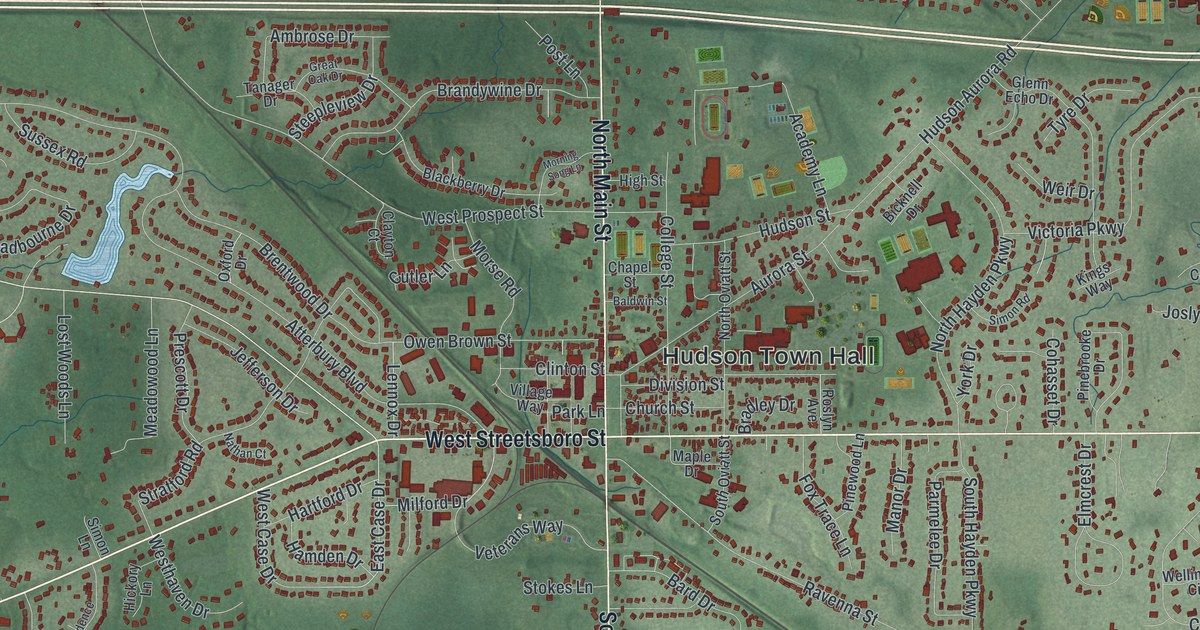
Frederick Douglass spoke to 3,000 people at Western Reserve College in 1854. This map of Hudson in Summit County, Ohio shows Main Street, Hudson Town Hall, Hudson Springs Park and more than 12,000 buildings.
Read More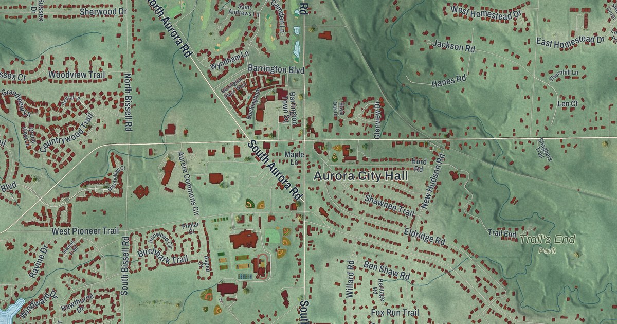
Aurora farmers once paid their store bills in homemade cheese. This map of Aurora in Portage County, Ohio shows Chillicothe Road, Geauga Lake, Tinkers Creek State Park and more than 8,000 buildings.
Read More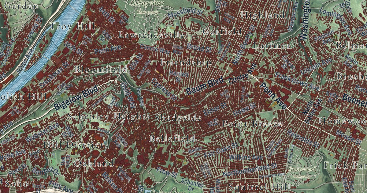
Follow Pittsburgh’s streets from Fort Pitt Boulevard through the Strip District to Lawrenceville, then up to Grandview Avenue. Learn how Mount Washington was once Coal Hill, where Pennsylvania’s bituminous coal industry began around 1760.
Read More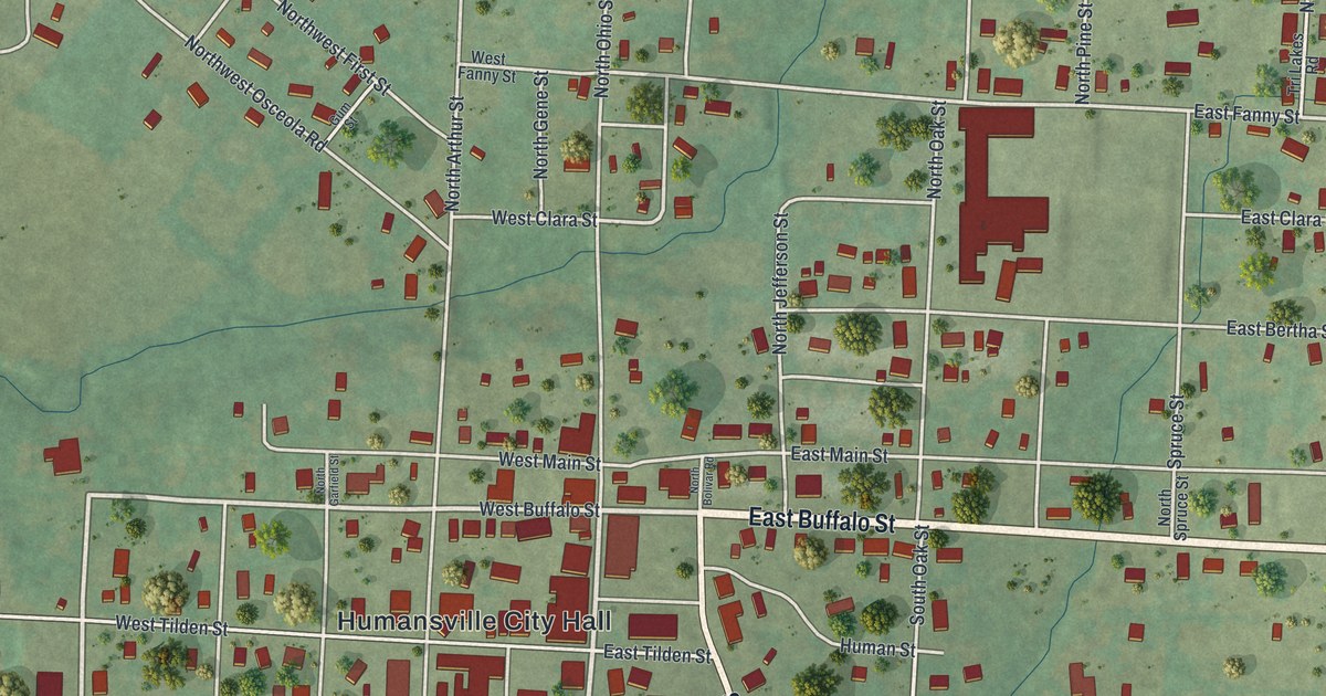
Follow East Buffalo Street and South Bolivar Road through Humansville in Polk County, then learn what an 1889 county history said about the town’s rail stop, its school and its churches.
Read More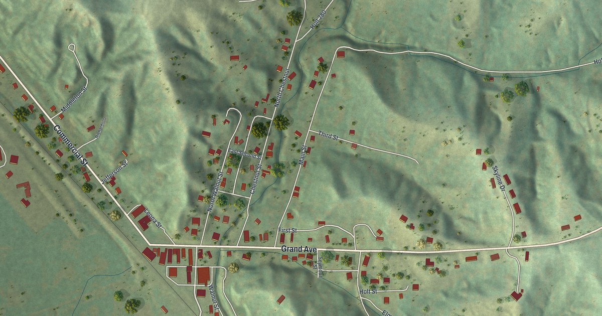
Follow Commercial Street and Grand Avenue through Forest City, Missouri, find Forest City Cemetery in the hills, and learn about the town’s first hotel and first school from an 1882 county history.
Read More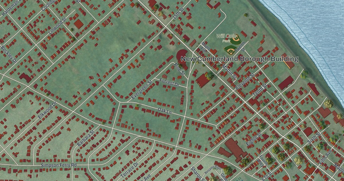
Follow Bridge Street from the Borough Building toward the river, then take Park Avenue into Drexel Hills. Find the streets named for Haldeman and learn where Governor John W. Geary lived.
Read More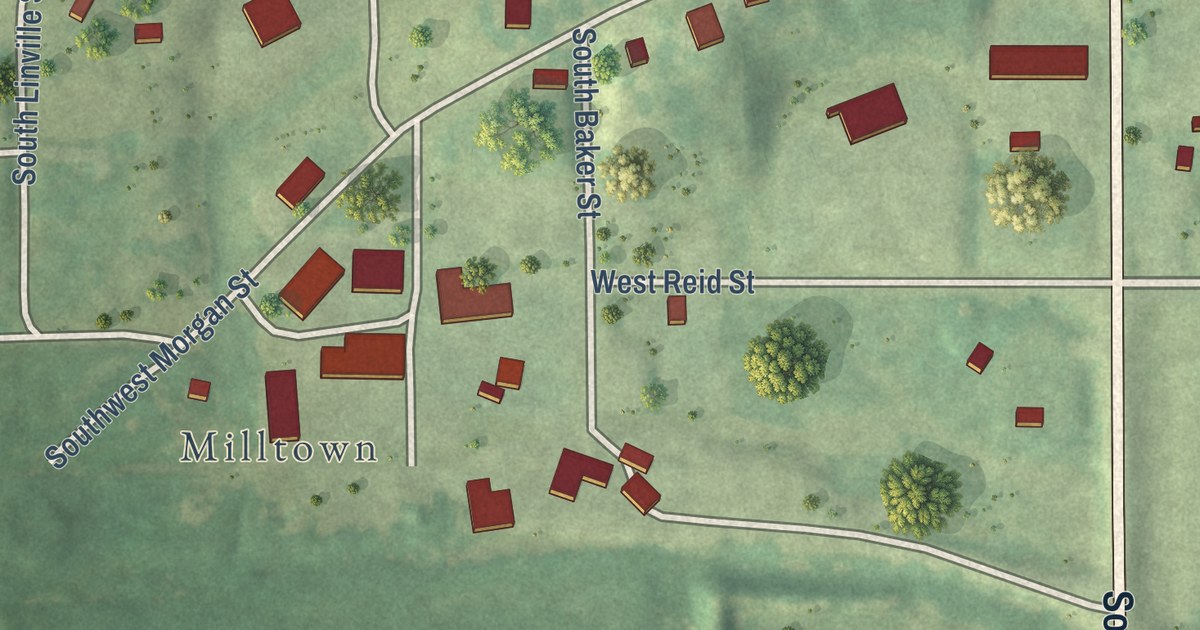
Follow North First Street through Edina, find Milltown and Linville Cemetery, and learn how Knox County’s first circuit court met here on October 1, 1845.
Read More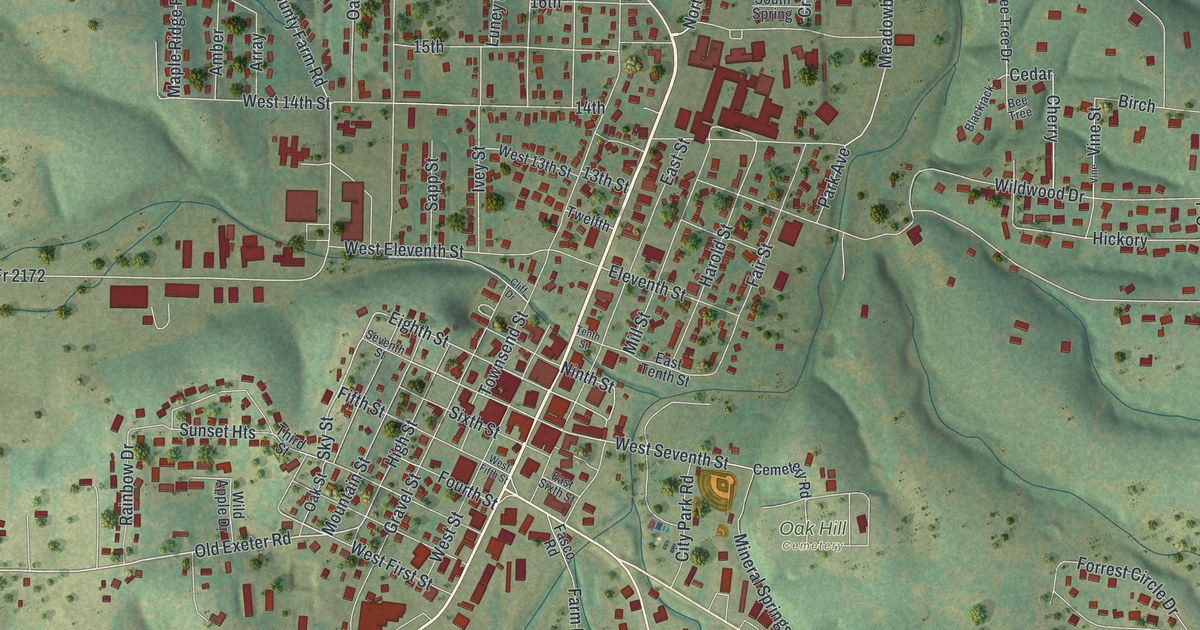
Follow Main Street across this 2026 map of Cassville in Barry County, Missouri, then read about the Cassville and Exeter Railway, which the local paper called the town’s “claim to glory.”
Read More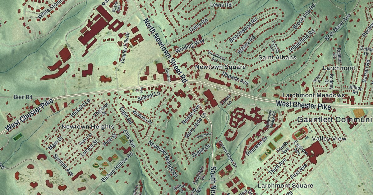
Follow West Chester Pike and North Newtown Street Road across a map of Newtown Township in Delaware County, and find the National Register mill site near Paper Mill Road and Saint Davids Road.
Read More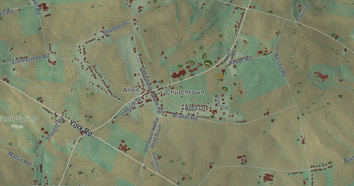
Follow York Road south of Churchtown toward Brandtsville, then Park Place east to Williams Grove, on this 2026 map of Monroe Township in Cumberland County. Learn about Plank’s early plow patent.
Read More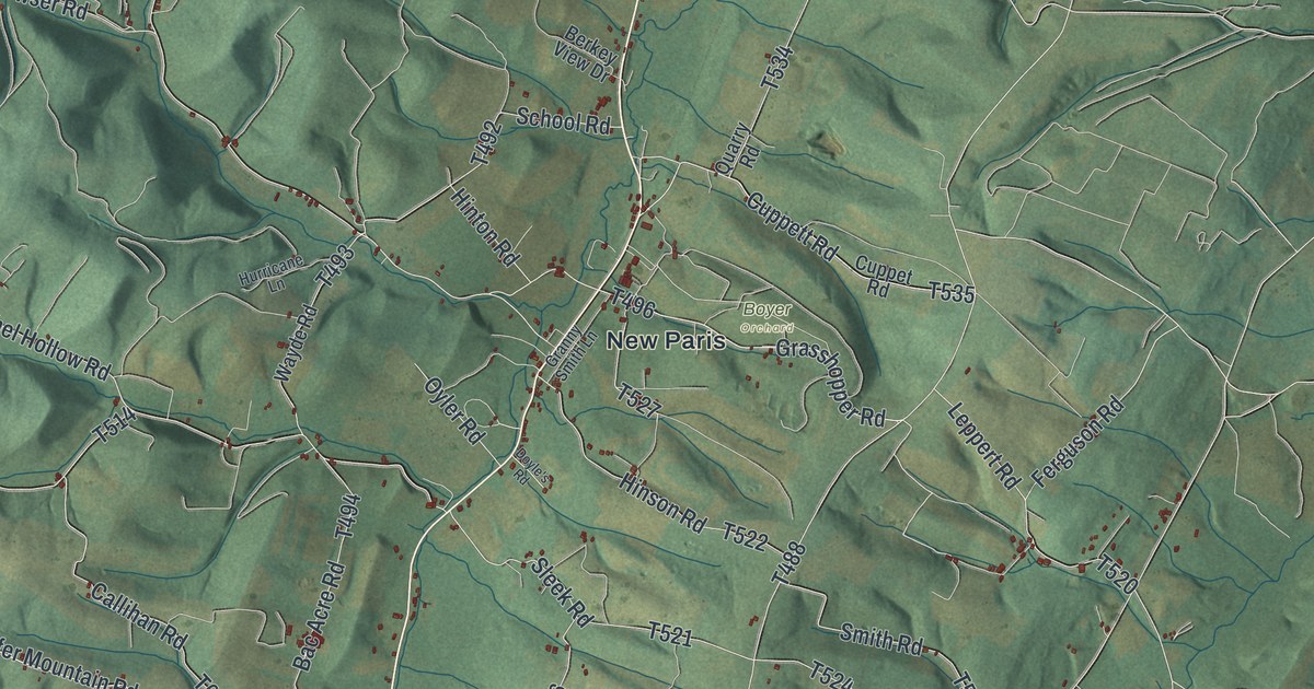
Napier Township’s map runs from Shawnee State Park toward New Paris and Point. Follow Lincoln Highway to the Forbes Road split, then find Cemetery Road near the site of a log church begun in 1806.
Read More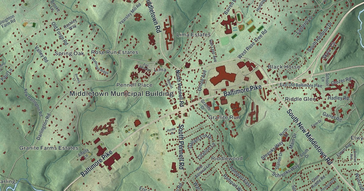
Follow Baltimore Pike from Wawa to Black Horse on this Middletown Township map, then head south to Glen Riddle. Along the way, learn how a man living in Lima patented the paper matchbook in 1892.
Read More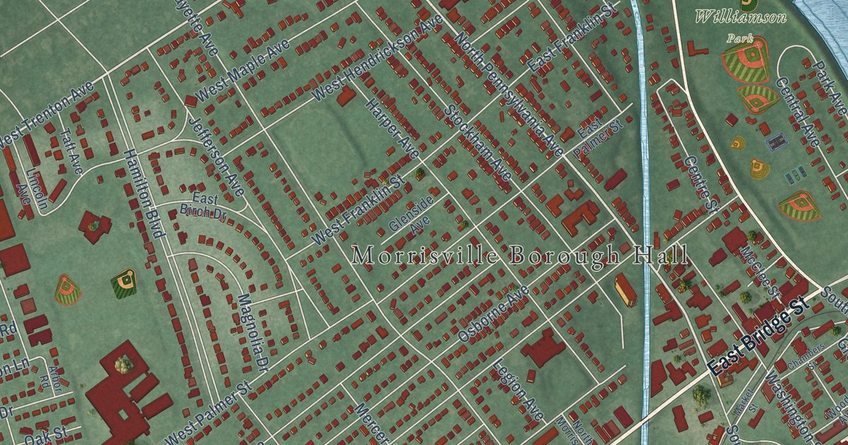
Robert Morris and General Moreau both lived in a grove house described by the 1876 Bucks County history. This map of the Bucks County borough shows East Bridge Street and the green areas labeled Williamson and Patriots, and tells how that house burned on Christmas Day in 1811.
Read More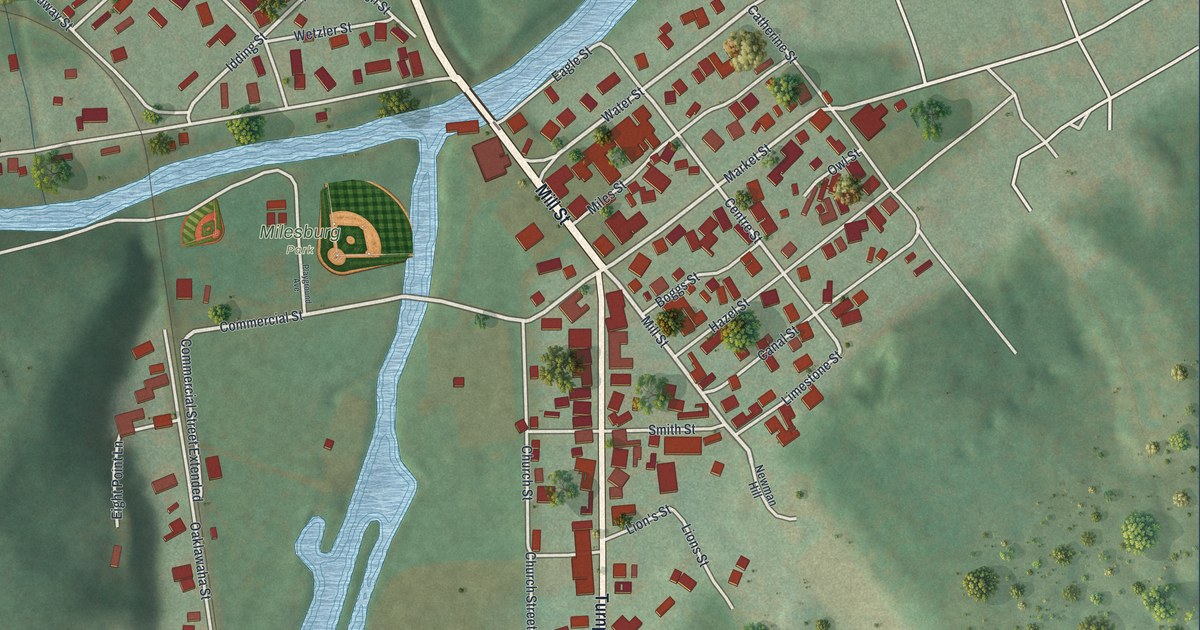
Cross the Mill Street bridge in Milesburg, find the old street names from the first town lots of 1793, and see where Spring Creek meets Bald Eagle Creek at the site of Bald Eagle’s Nest.
Read More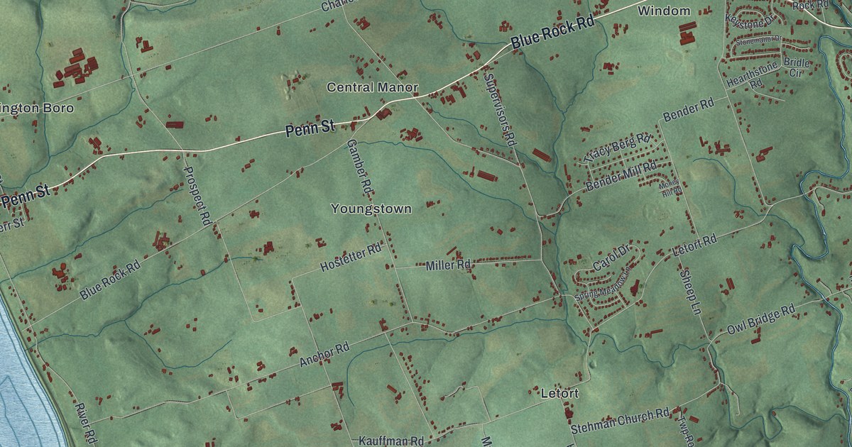
Follow River Road from Washington Boro past Creswell and Highville, then learn about the Conestoga town near today’s Letort and the 1763 killings, on this 2026 map of Manor Township in Lancaster County.
Read More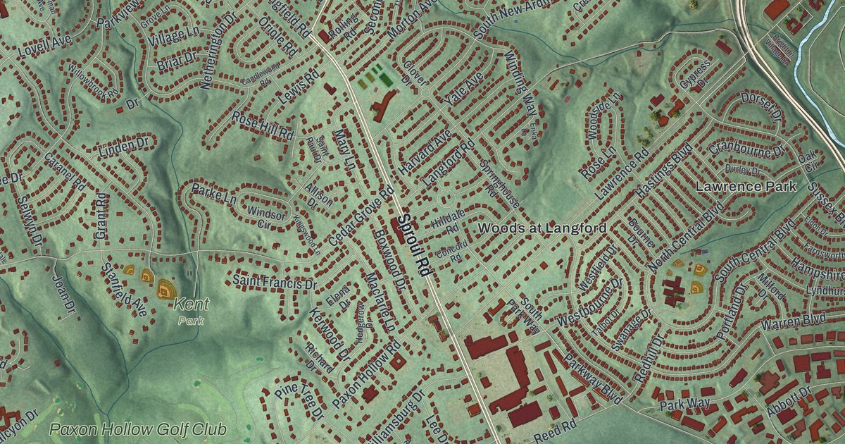
Follow Sproul Road past Broomall and Woods at Langford, then take Cedar Grove Road past Kent Park. Near Lawrence Road, Thomas Massey owned 300 acres by 1696 and built a brick house before 1708.
Read More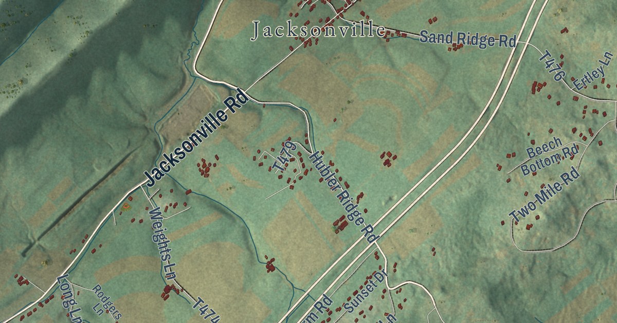
An 1883 county history places Jacksonville on the Andrew Eakin tract surveyed in 1769 and recalls a house built there by Uncle Jimmy. Follow Walnut Street and Jacksonville Road across Marion Township’s ridges on this 2026 map of Centre County, Pennsylvania.
Read More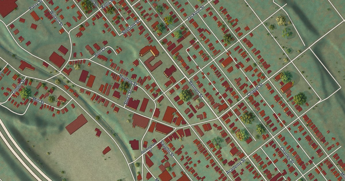
Before it was Luzerne, this Luzerne County town was Hartseph, then Mill Hollow, named for its four mills. Follow Bennett Street, Main Street and Mill Hollow Road on a new map made in 2026.
Read More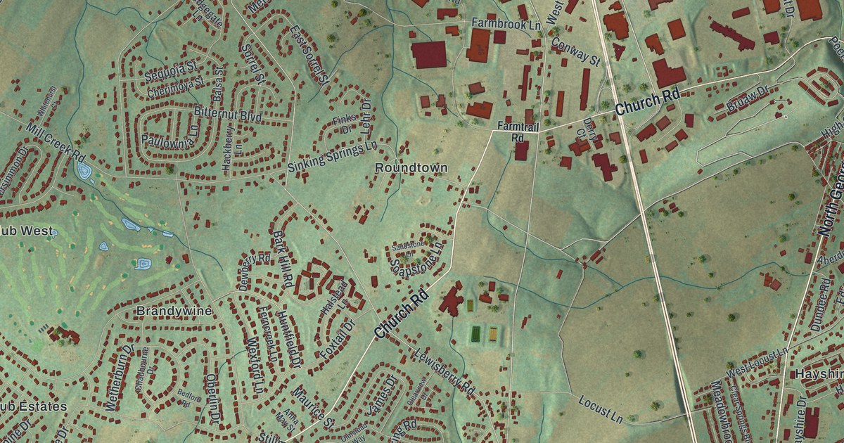
See Manchester Township in York County from Emigsville to Foustown, and learn how Roundtown got its name from a ring of houses on the old York and Lewisberry road.
Read More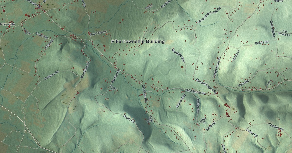
Follow Hill Church Road from the Pike Township Building out to Pikeville, Lobachsville and Pine Waters, and learn why early settlers hung their seed corn under the Hill Church roof.
Read More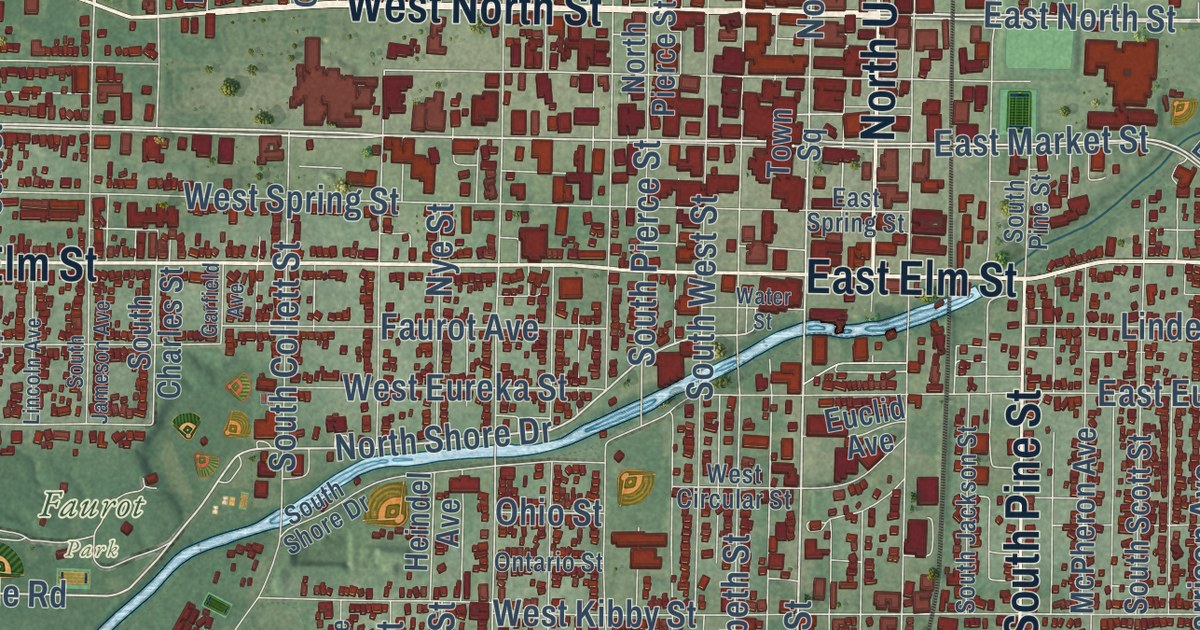
Follow Lima’s streets from Public Square to Schoonover Park and Foundry Park on this Allen County map. Then learn how Benjamin Faurot’s 1885 well started a boom, and how Standard Oil learned to refine Lima’s sour crude.
Read More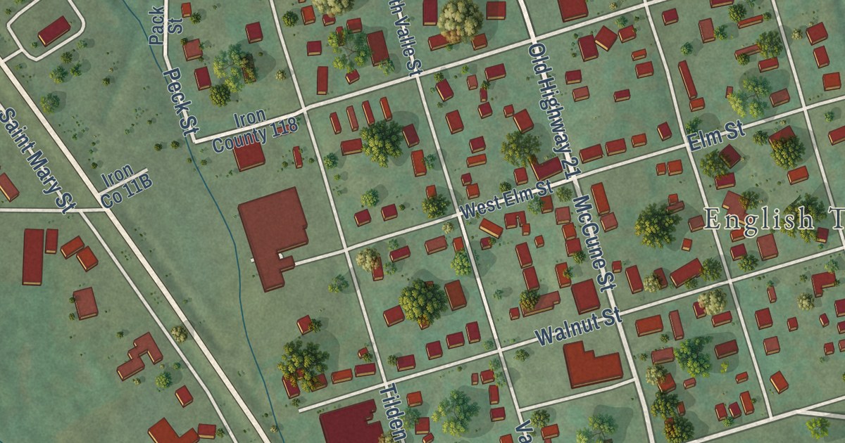
Follow Old Highway 21 into Pilot Knob, Missouri, past McCune Street and English Town. Then read how 1,447 Union defenders faced a much larger army at Fort Davidson on September 27, 1864.
Read More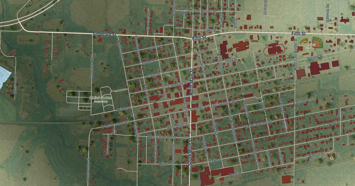
Follow Main Street and Fifth Street across this Monroe City, Missouri map, find Lion’s Field Park and the lake to the west, and read what an 1876 history said about the town’s early days.
Read More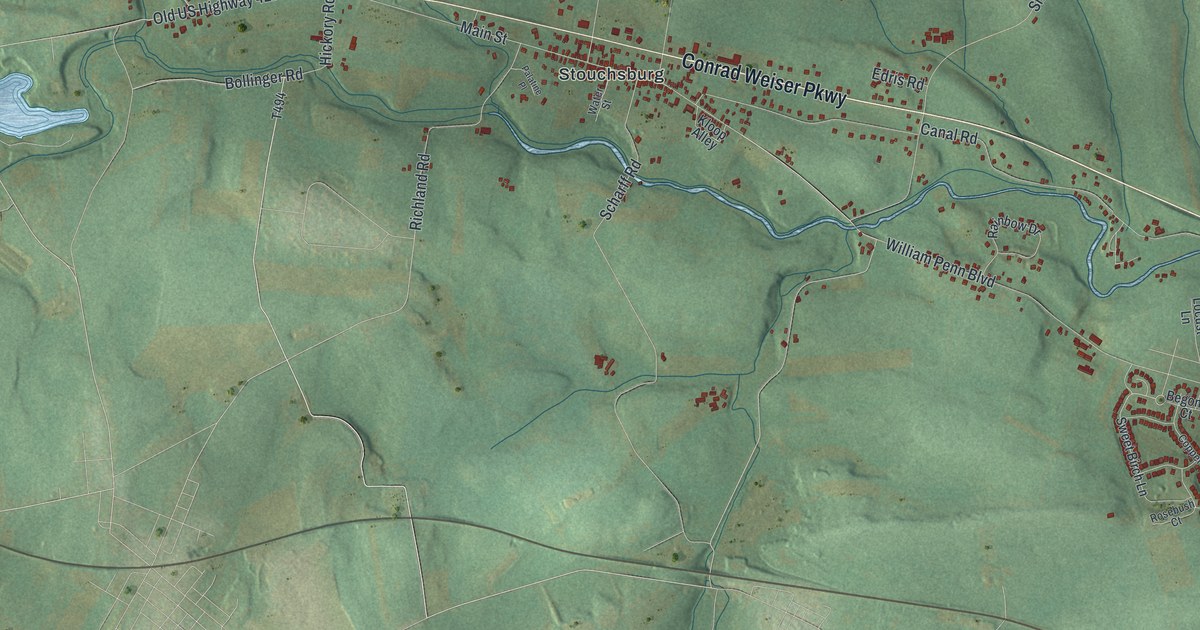
Follow Conrad Weiser Parkway through Stouchsburg on this 2026 map of Marion Township in Berks County, and read the county history’s account of Washington meeting three former bodyguards in 1793.
Read More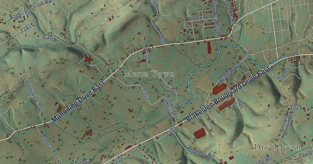
Trace Packerton Dam Drive and Hemlock Drive toward Mertz Town, then find New Mahoning and the story of John Erb’s 1842 powder mill.
Read More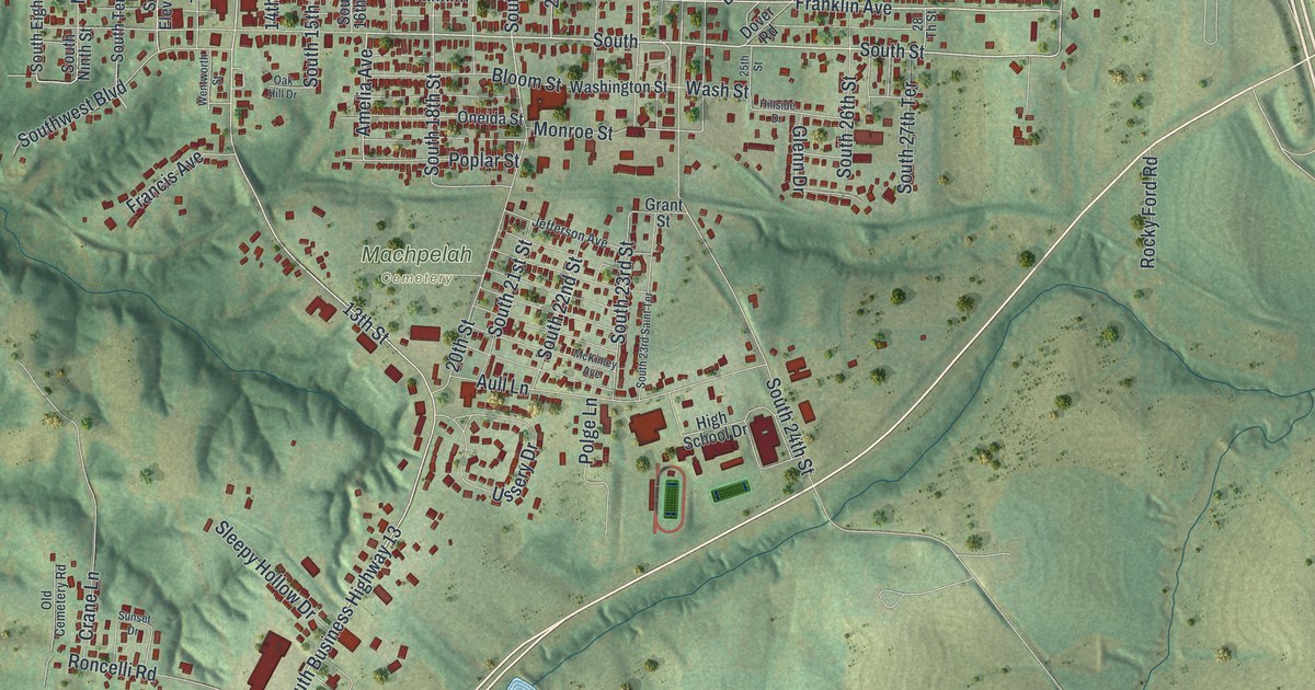
Trace Lexington, Missouri from Main Street and City Park south past Machpelah Cemetery. Then read about a blacksmith who worked in town from 1835 to 1868, and the old houses on Aull Lane.
Read More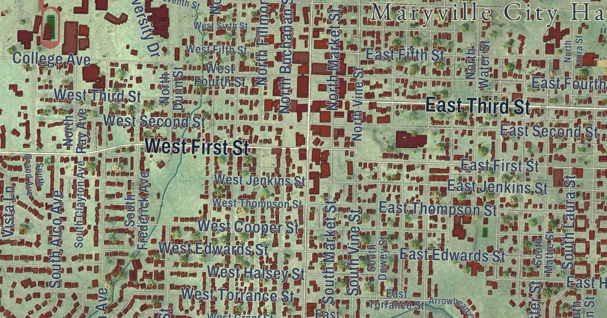
Follow Main Street across this Maryville, Missouri map from the post office to the Big Pump, and learn about the first mill in Nodaway County, built by a settler named Cox in 1840.
Read More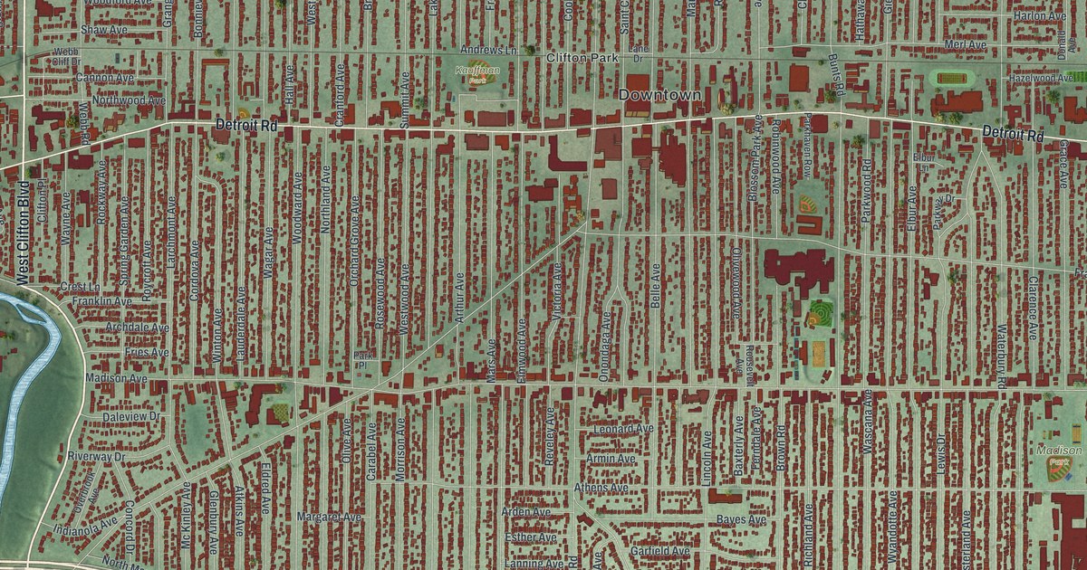
Lakewood Park was once John Honam’s farm, then The Hickories estate, then City Hall grounds. Find Detroit Road, Madison Park and the bird-named streets of the Birds Nest on this map of Lakewood, Ohio.
Read More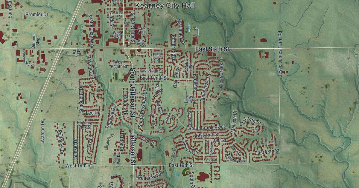
Follow Jefferson Street and East Sixth Street across this 2026 map of Kearney in Clay County, then find where the James Brothers’ House and Farm sits in the hills east of town.
Read More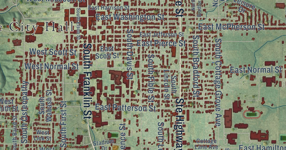
Follow Kirksville’s streets from City Hall to North Park and Maple Hill Cemetery. See where the Courthouse Square and the newly listed Princess Theatre stand, and learn what an 1888 history found in the hills southwest of town.
Read More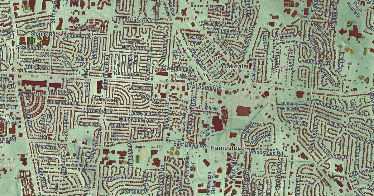
Trace Kettering from Delco Park to Far Hills Avenue and Shakertown, then learn how Mad River Road began in 1795 as the first road over land from Cincinnati to Dayton.
Read More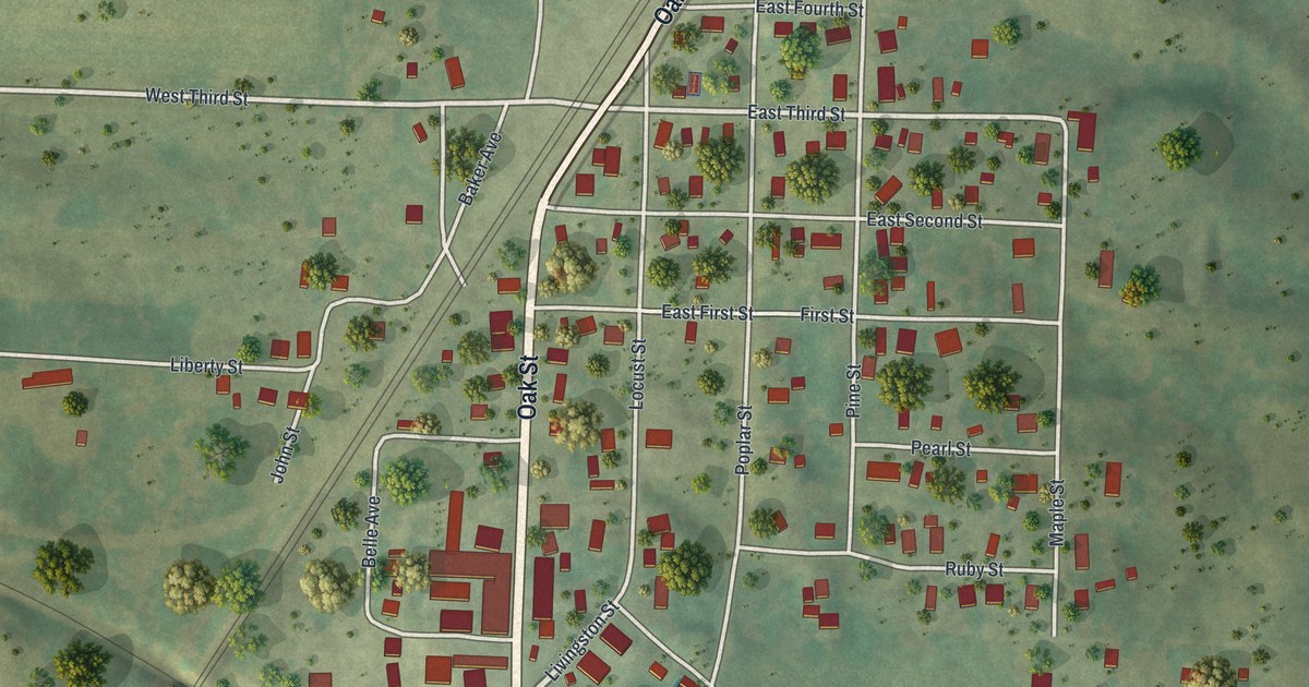
Follow Oak Street from Junior Long Field down to Bucklin City Hall and out Livingston Street, then read the town firsts from a 1912 Linn County history, back to the first boy born in Bucklin in 1855.
Read More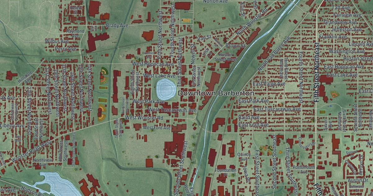
O.C. Barber’s Anna Dean Farm once spread across Barberton’s east side. Follow Robinson Avenue, Fifth Street Southeast and Austin Drive on this new map, then find Downtown Barberton, Johnsons Corners and Newton Park.
Read More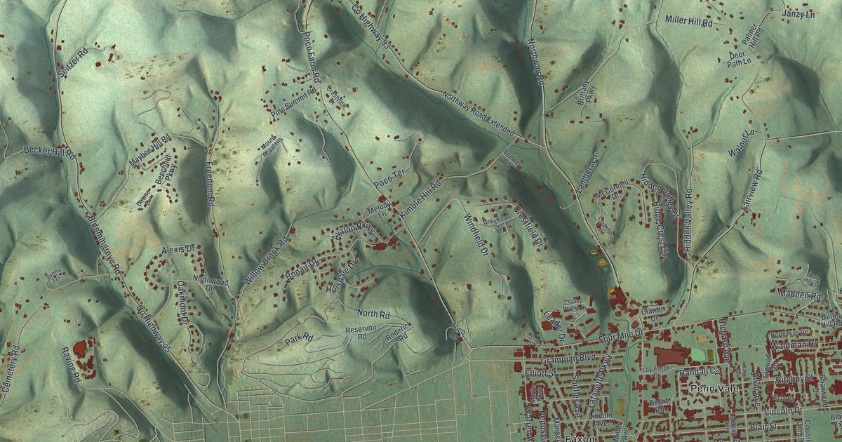
Follow Northway Road through Loyalsock Township in Lycoming County, from the Township Building up to Heshbon Park. Then read about Daniel Hughes, who sheltered people escaping slavery near Freedom Road, and learn why Loyalsock means the middle creek.
Read More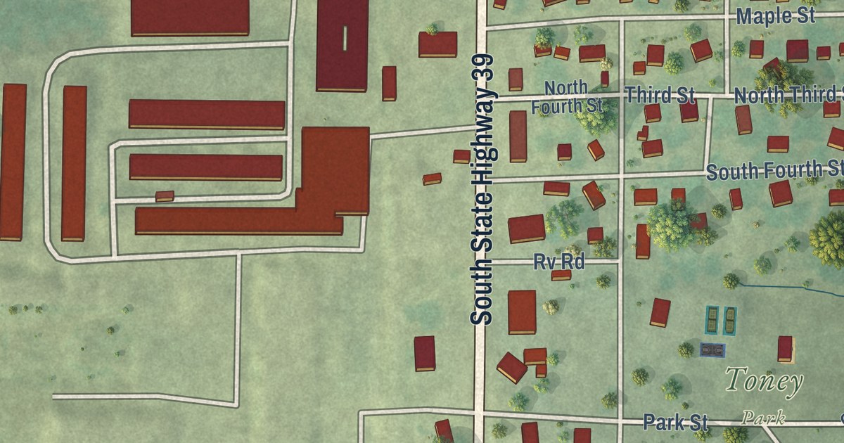
Follow Grand Avenue and Water Street across this 2026 map of Greenfield in Dade County, Missouri, then read how miners hit a 50,000-pound lead boulder northeast of town in 1875.
Read More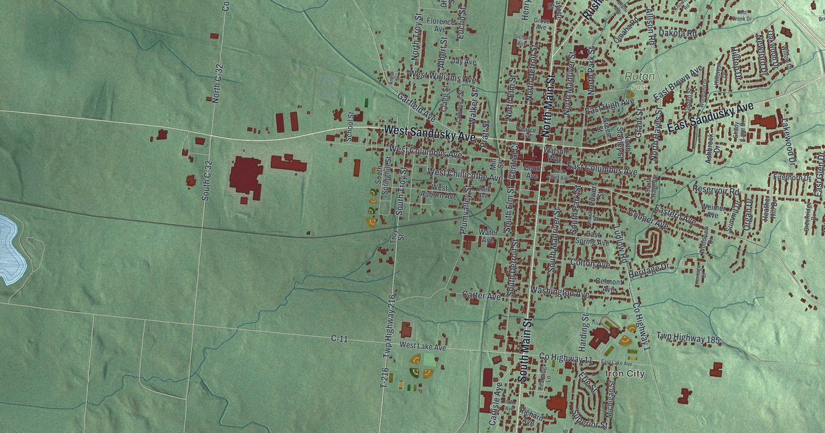
A state marker says Bellefontaine paved America’s first concrete streets, around its courthouse. This new map shows Main Street, Court Avenue, Iron City and more than 7,700 buildings on the green hills of Logan County.
Read More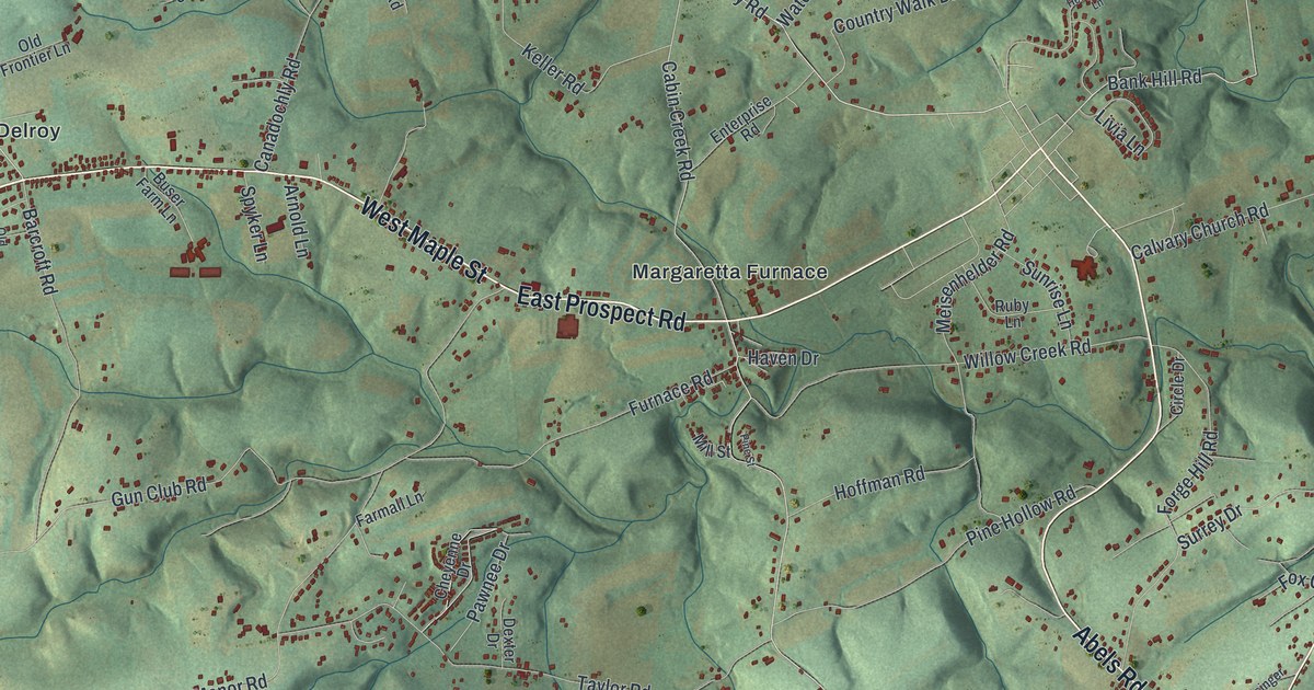
Follow Craley Road from Bittersville to Craley on a new map of Lower Windsor Township in York County. Then learn about the old Conojohela Valley name and Thomas Cresap’s log fort, burned in 1736.
Read More















