Author: TheKnowOwl

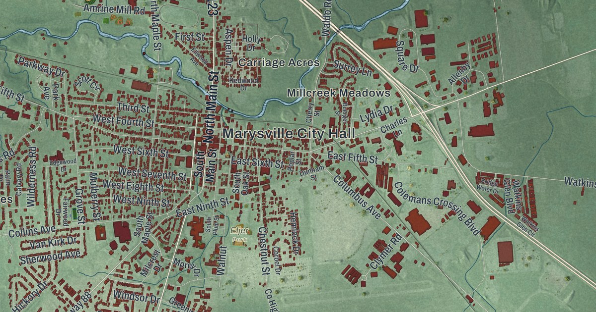
Detailed Map of Marysville, Ohio

Follow Collins Avenue, London Avenue and Industrial Parkway across Marysville, find the horse racing streets off Creekview Drive, and read how Samuel Culbertson named the town for his daughter Mary Ellen in 1819.

Read More

Detailed Map of Marblehead, Ohio

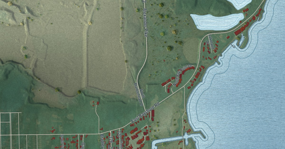
The Marblehead Lighthouse went up in eight weeks in 1821, built of local limestone. East Main Street runs out to the peninsula’s tip, and Alexander Pike heads south from the village to the causeway out to Johnson’s Island.

Read More

Detailed Map of Moberly, Missouri

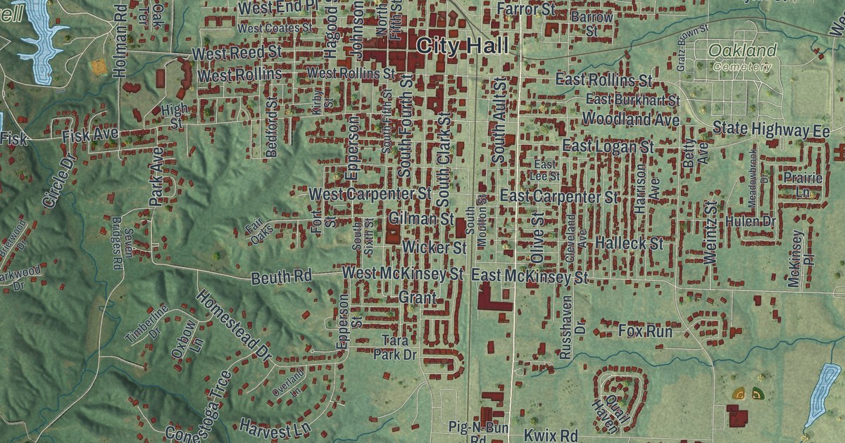
Follow Morley Street through Moberly, Missouri, from City Hall to Urbandale. Then learn how Moberly’s Black teachers brought the first federal case to directly challenge the firings of Black school staff after Brown.

Read More

Detailed Map of Glasgow, Missouri

Follow First Street and Randolph Street across this Glasgow, Missouri map, find the National Register church and library at Fourth Street, and read about the old resident who went out to General Clark during the Battle at Glasgow.

Read More

Detailed Map of Xenia, Ohio

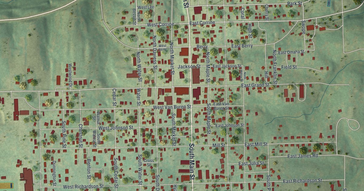
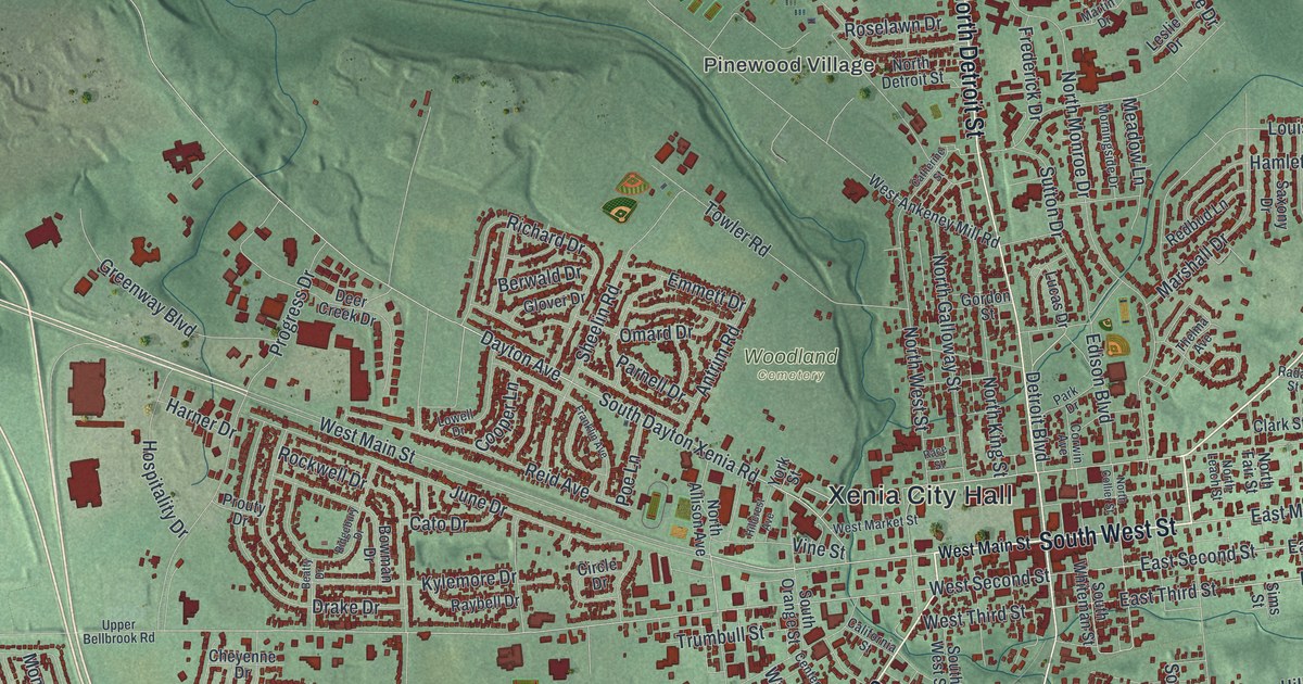
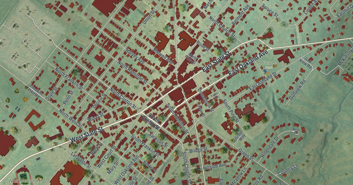
In 1820, James Gowdy sold a Xenia burial ground for 50 cents. Find East Third Street, Woodland Cemetery, Detroit Street and the southwest side’s state-named drives on this new map of Xenia, Ohio.

Read More

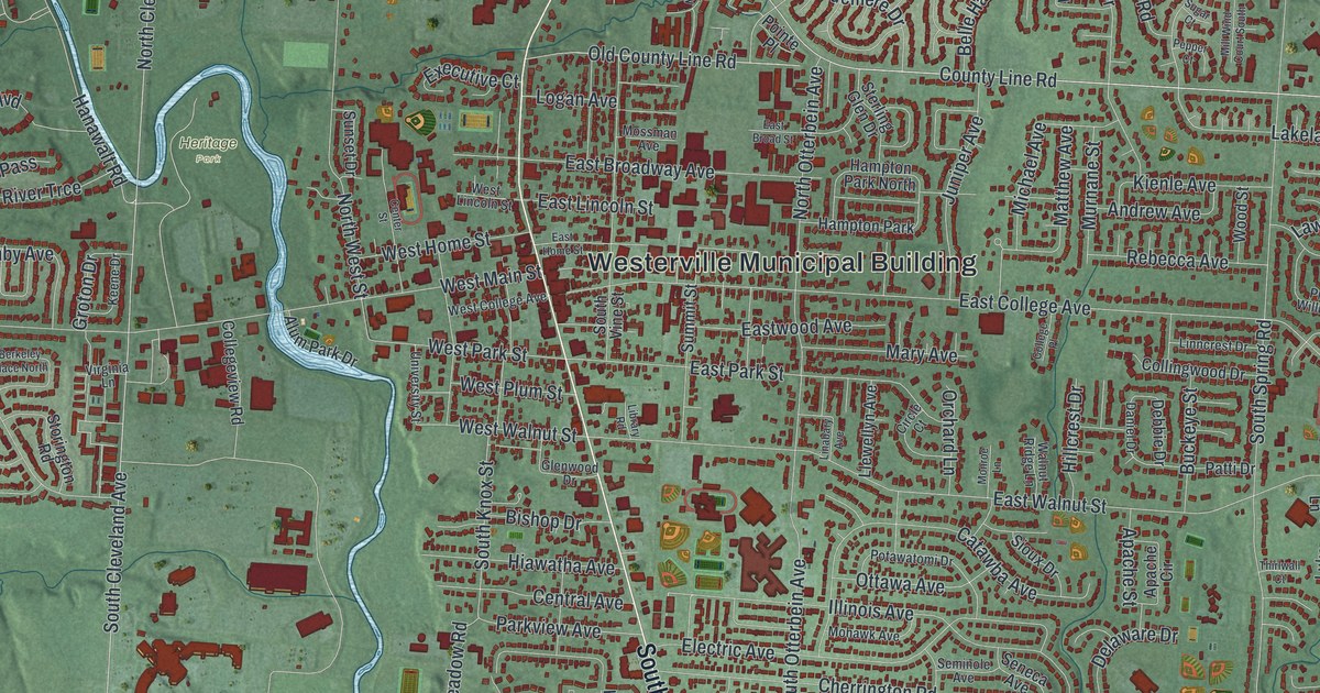
Detailed Map of Westerville, Ohio

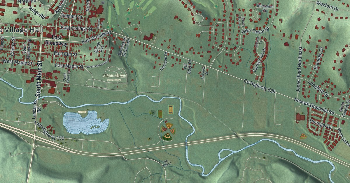
Follow State Street across a new map of Westerville, Ohio. Then learn about Benjamin Hanby, the Otterbein student who later wrote Up on the Housetop, and why the town was once called the Dry Capital of the World.

Read More

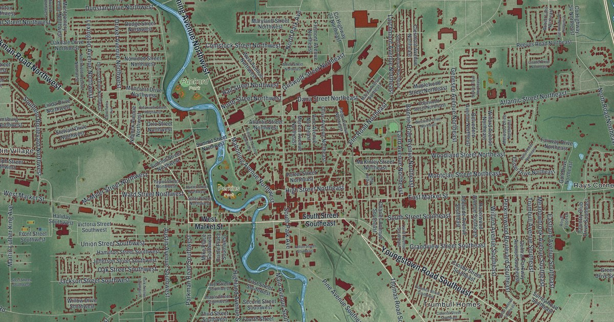
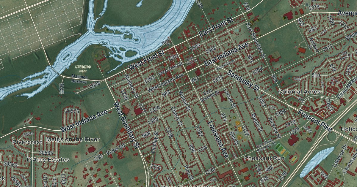
Detailed Map of Warren, Ohio

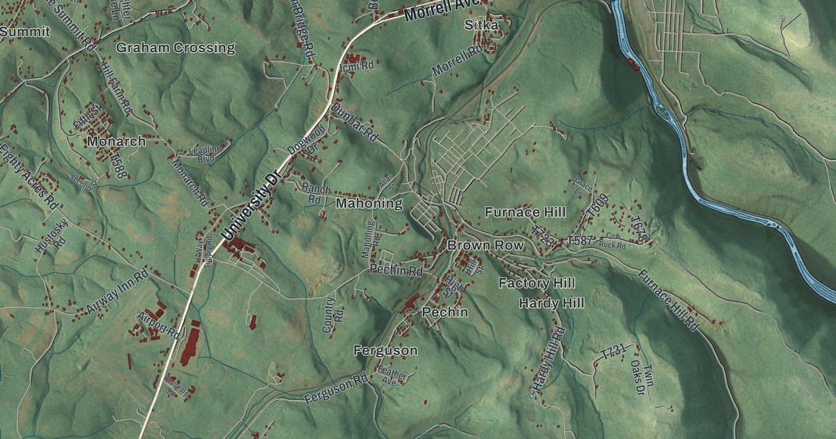
Follow Warren’s Market Street, Mahoning Avenue and the river past Packard Park on a new aerial map, and learn how Harriet Taylor Upton brought the national suffrage headquarters to Warren in 1903.

Read More

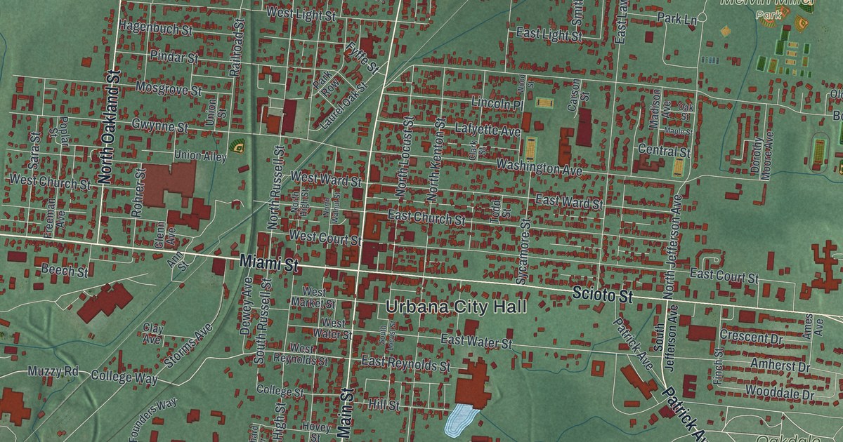
Detailed Map of Urbana, Ohio

Follow Miami Street and Scioto Street across Urbana, find Oakdale Cemetery and Melvin Miller Park, and read why Simon Kenton watched his young daughter’s burial from across the street in 1810.

Read More

Detailed Map of Troy, Ohio

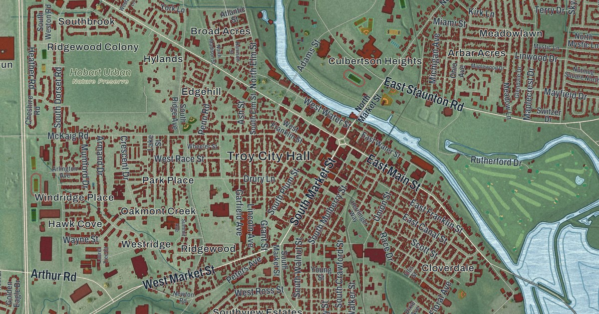
Follow West Main Street and East Staunton Road across Troy, Ohio. Then learn how forty teenage girls fed about 600,000 soldiers at the train station in World War II, and where the first UPC barcode was scanned.

Read More

Detailed Map of Anderson, Missouri

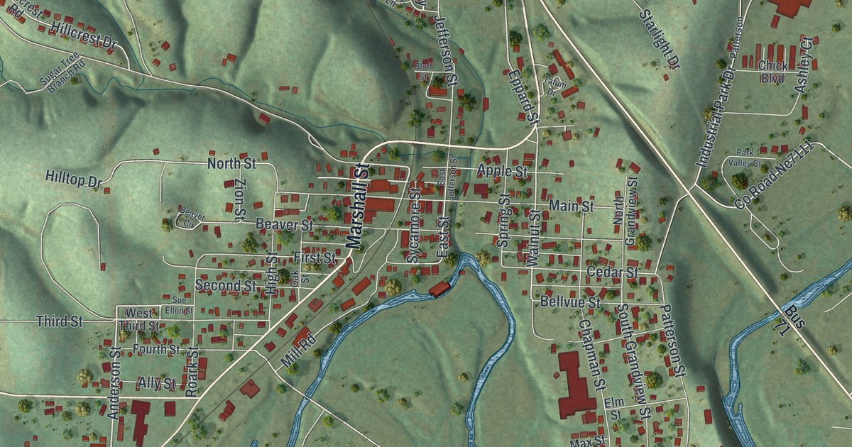
Follow Marshall Street and North 71 Business Highway across a new map of Anderson, Missouri. Then meet James W. Tatum of Beaver valley and John Patterson, who gave Patterson Creek its name, from an 1897 county history.

Read More

Detailed Map of Toledo, Ohio

Follow Cherry Street, North Summit Street and Front Street on this Toledo map, from downtown to Point Place and Ironville. Then find Willys Parkway and Jeep Parkway and learn how Willys-Overland made its cars in Toledo.

Read More

Detailed Map of Tiffin, Ohio

Follow Perry, Washington and Melmore streets on this Seneca County map of Tiffin. Then learn how an 1813 fort built around a cold spring and Josiah Hedges’s 1822 town grew up on two sides of the Sandusky River.

Read More

Detailed Map of Amity, Missouri

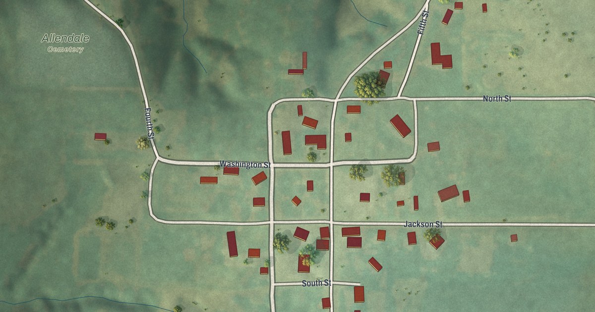
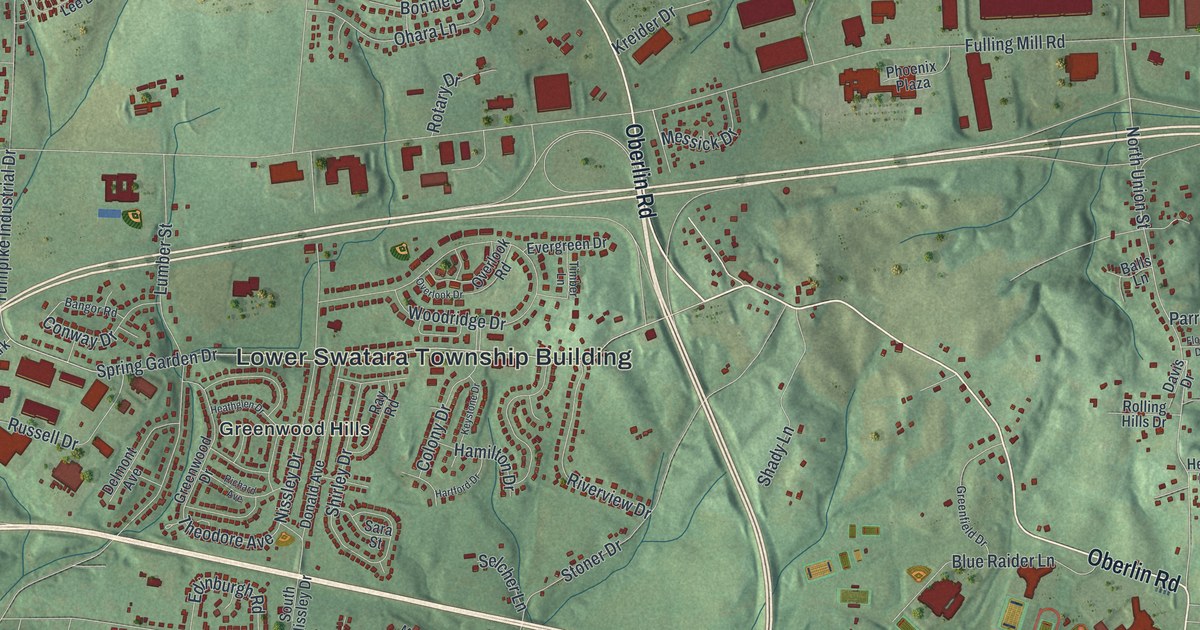
Follow Amity, Missouri from Lowell Street down past Main Street to Maple Street and out to Southwest Frank Ross Road, on a new map of a DeKalb County town of 26 people, its green fields and its winding creeks.

Read More
Detailed Map of Amoret, Missouri

Walk the small grid of Amoret, Missouri from Main Street and Broadway out to Washington and Monroe Streets, and read how the Amoret Beacon newspaper moved to town in the 1890s with the county’s youngest editor.

Read More
Detailed Map of Alton, Missouri

Follow West Broadway and Main Street through Alton, an Oregon County city of 707 people, then find Tucker Creek Road, Laurel Avenue and the green hills east of town on a new map of Alton, Missouri.

Read More
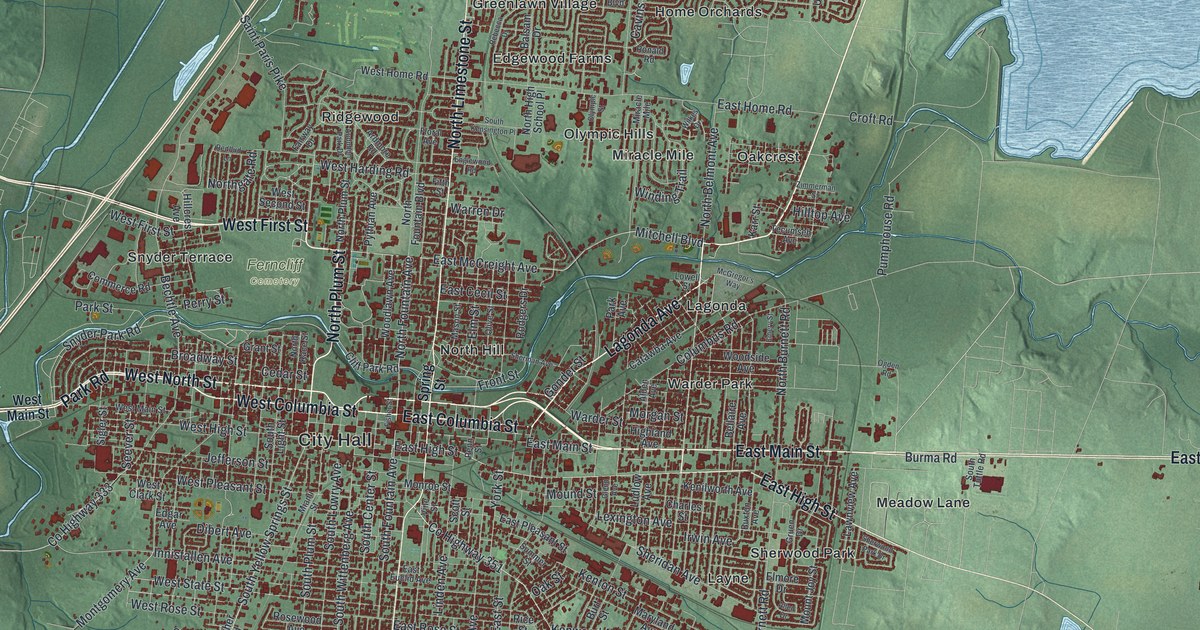
Detailed Map of Springfield, Ohio

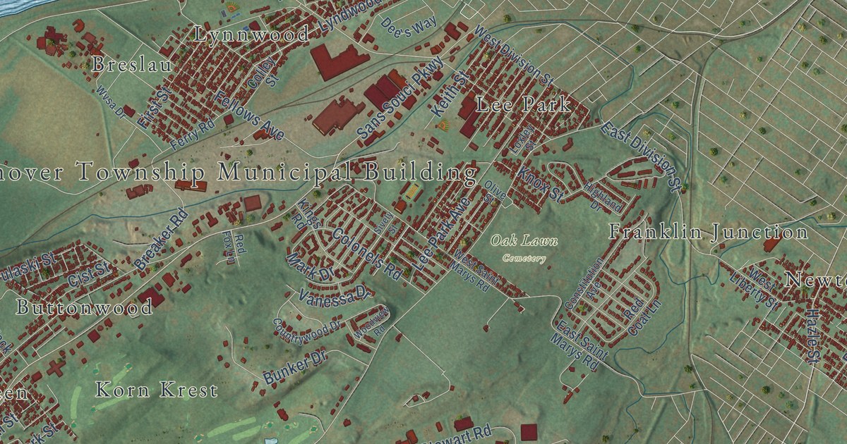
The first meeting of the farm club that grew into 4-H was held in Springfield on January 15, 1902. Find the corner where its marker stands, then trace Ridgewood, Lagonda, Southgate and more than 37,000 buildings.

Read More
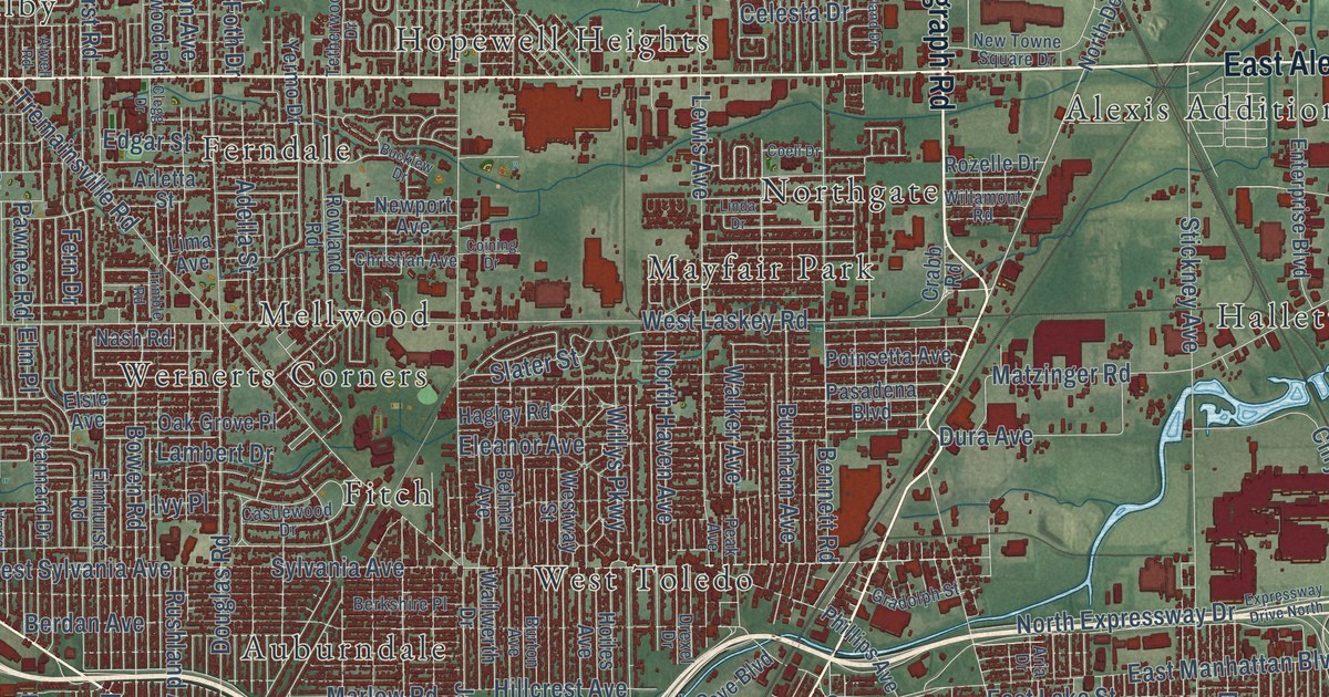
Detailed Map of Allenville, Missouri

Follow Whitewater Street into Allenville, look for Front, Second and Third Streets, then take Old Rock Road out on this Cape Girardeau County map. About 80 red buildings, a winding stream south of town and the blocks of a village of 95 people.

Read More
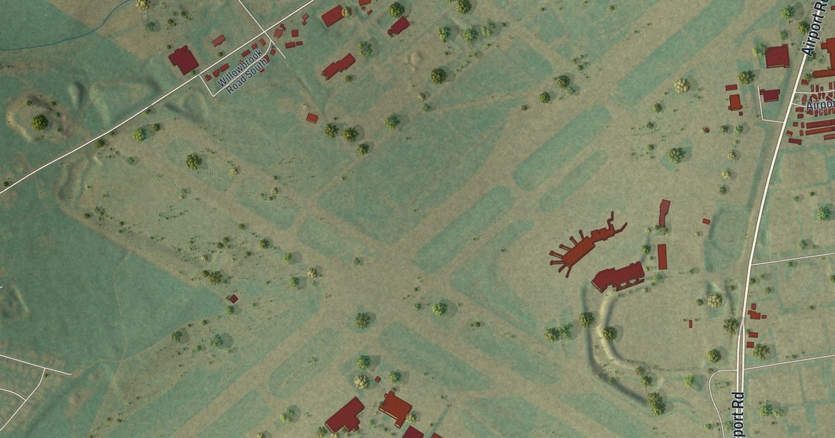
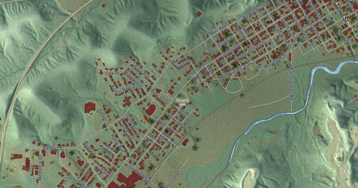
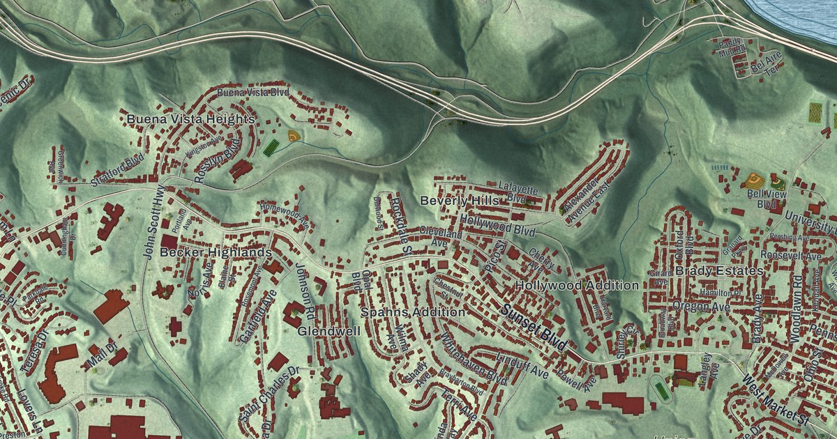
Detailed Map of Steubenville, Ohio

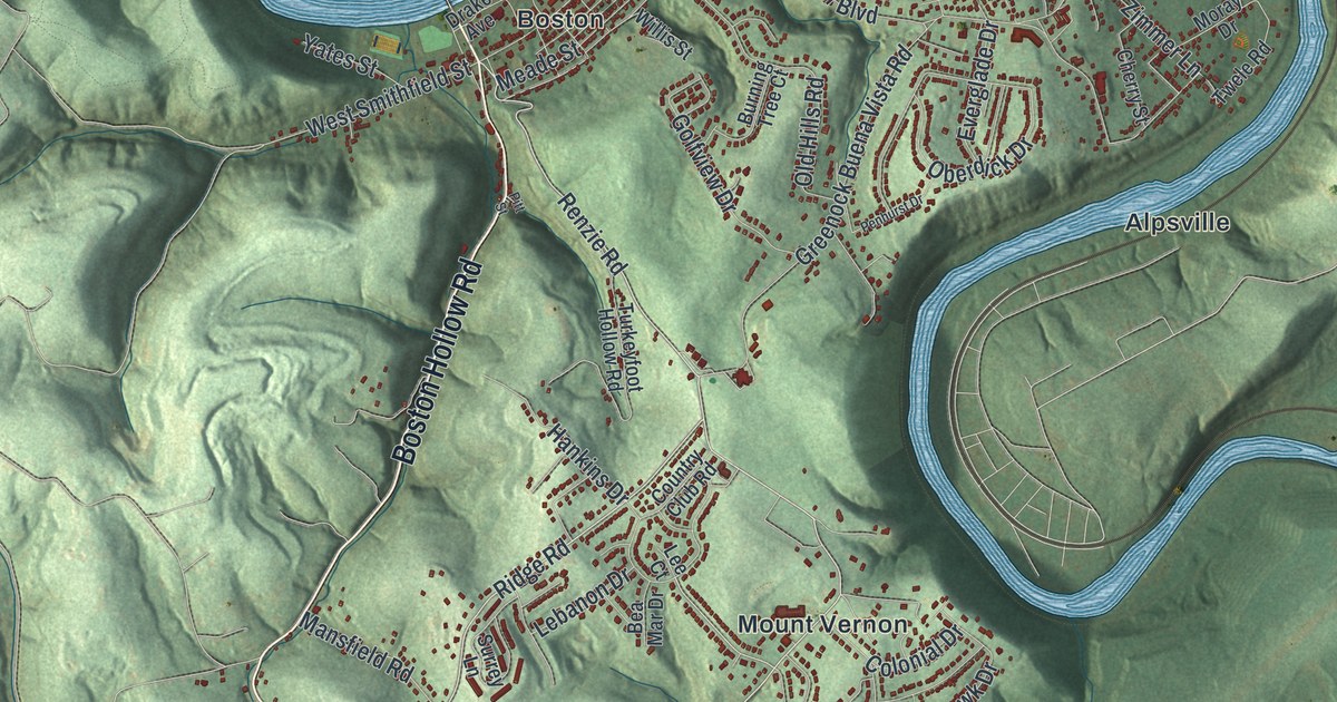
Dean Martin was born Dino Crocetti in Steubenville in 1917. This map shows Dean Martin Boulevard by the Ohio River, Market Street, Sunset Boulevard and neighborhoods from Pleasant Heights to Buena Vista Heights, plus the day Abraham Lincoln spoke here in 1861.

Read More
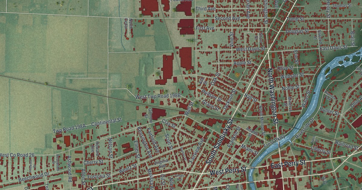
Detailed Map of Guilford, Pennsylvania

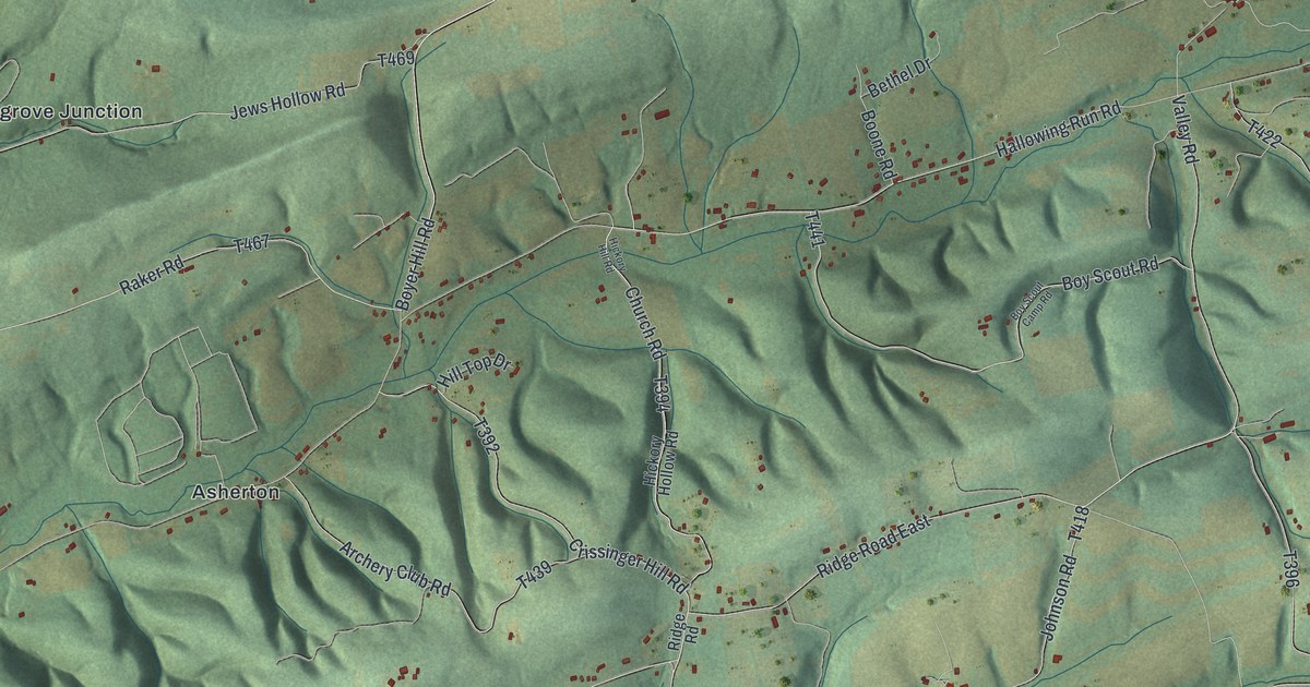
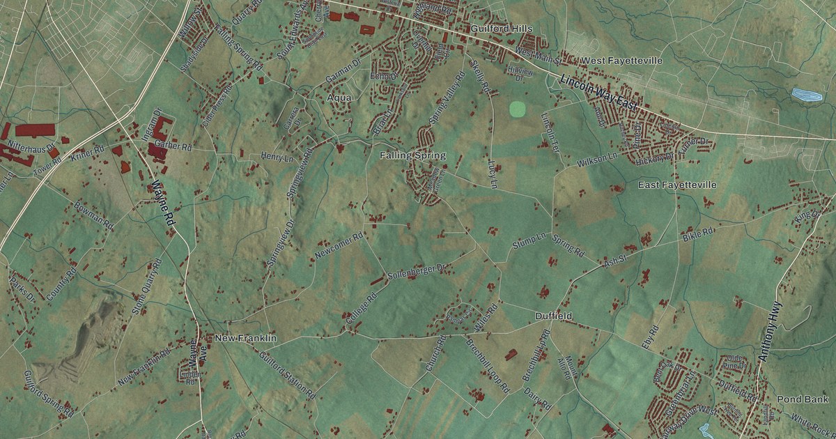
A map of Guilford Township in Franklin County with Stoufferstown, East and West Fayetteville, New Franklin and Marion, plus the story of Patrick Gass, the Lewis and Clark sergeant born near Stoufferstown, and how Stouffer’s Mill turned a crossroads into a village.

Read More
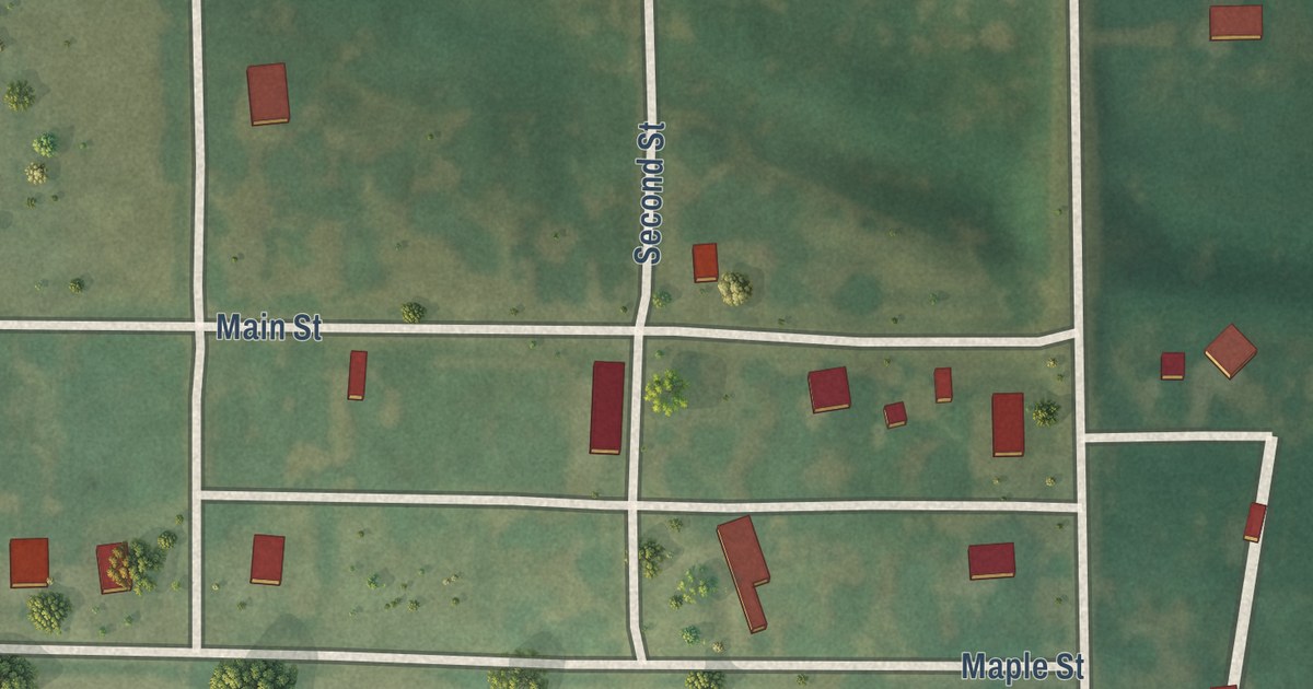
Detailed Map of Sandusky, Ohio

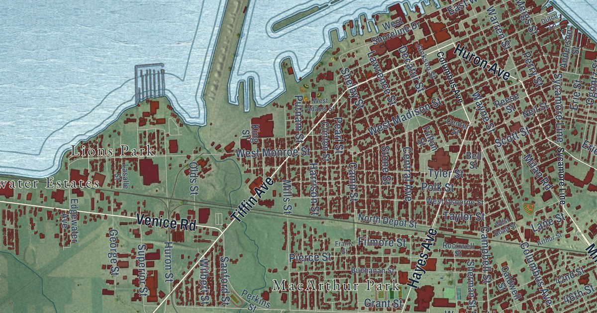
In 1816, surveyor Hector Kilbourne laid out Sandusky’s streets in the shape of the Masonic compass and square. Trace Huron and Central Avenues from Sandusky City Hall, then follow the causeway out toward Cedar Point.

Read More
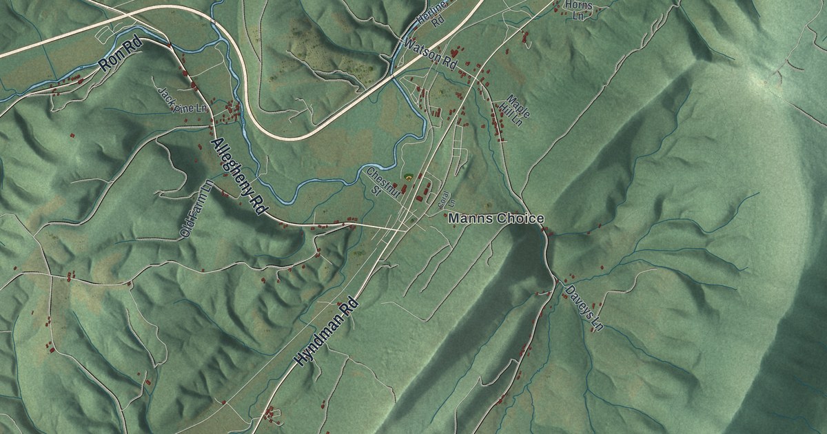
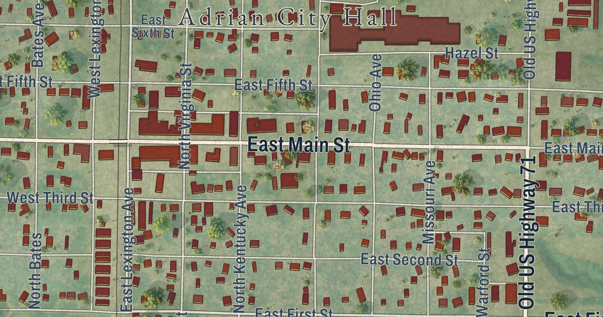
Detailed Map of Adrian, Missouri

Follow Main Street and the numbered streets across this Adrian, Missouri map, find the lake at Adrian City Park, and read how a company of Butler men founded Adrian in 1880, the year the railroad started running.

Read More
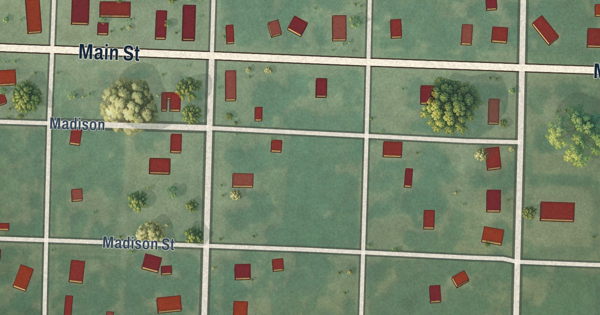
Detailed Map of Roulette, Pennsylvania

On May 31, 1889, a flood took out Roulette’s Fishing Creek bridge and made teams drive through an orchard. This map of Roulette Township in Potter County, Pennsylvania runs from Burtville to Knowlton along the Grand Army of the Republic Highway.

Read More
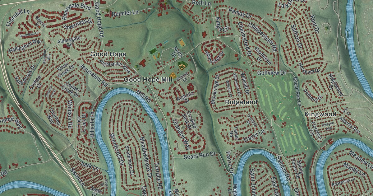
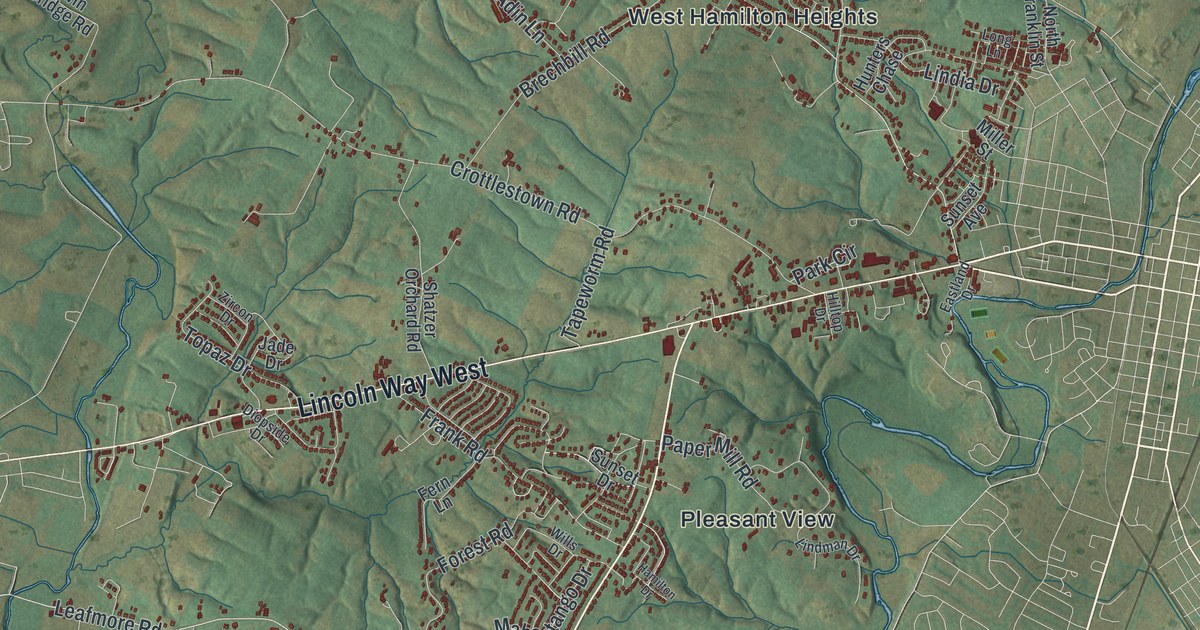
Detailed Map of Advance, Missouri

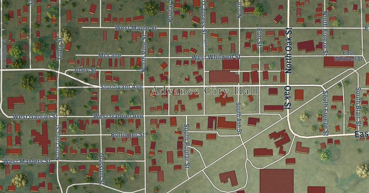
Start at Advance City Hall and follow Oak Street, Sturdivant Avenue and the side streets out to Westfield Park on this Advance, Missouri map. Flat fields, more than 800 red buildings and the streets of a Stoddard County town of 1,349 people.
Read More

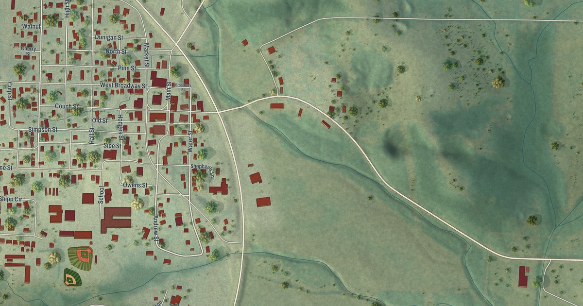
Detailed Map of Painesville, Ohio

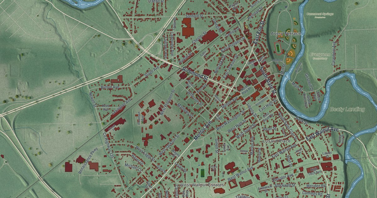
Follow Painesville’s streets from Richmond Street and Mentor Avenue to Evergreen Cemetery. Learn about the depot on Railroad Street, Lincoln’s 1861 stop in town, and the Mentor Avenue house where Harvey’s Grammar was written.

Read More

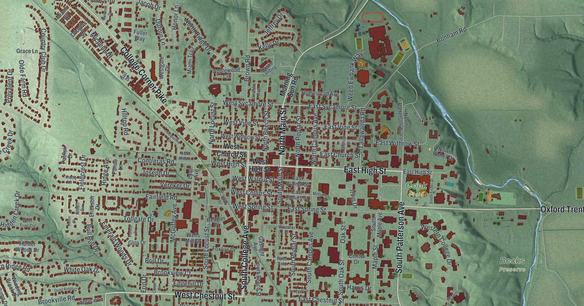
Detailed Map of Oxford, Ohio

Trace Oxford’s streets from North Main Street to Oxford Millville Road. Then learn how a Miami University teacher put together the first McGuffey Reader on East Spring Street in 1836. By 1920 the Readers had sold about 122 million copies.

Read More
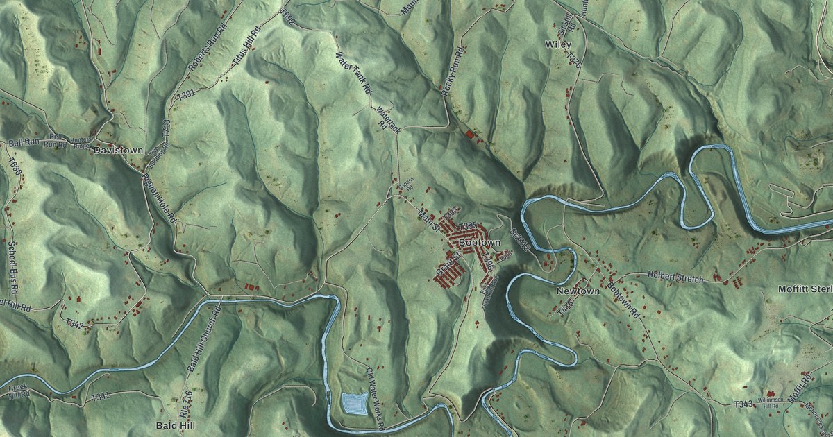
Detailed Map of Altenburg, Missouri

Follow Main Street across this Altenburg, Missouri map, from Ridge Road on the west to Chipmonk Lane in the northeast hills, and find the street of the Concordia Log Cabin College, added to the National Register in 1978.

Read More
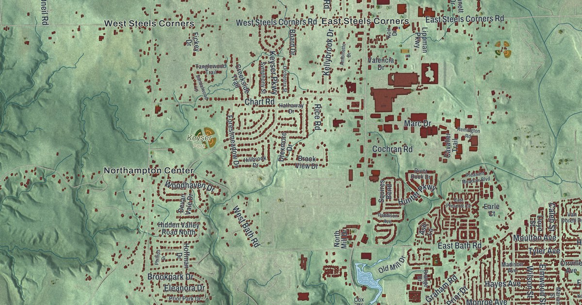
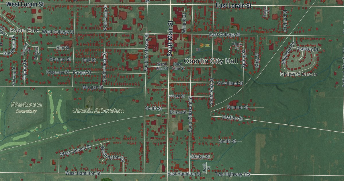
Detailed Map of Oberlin, Ohio

Trace Oberlin from City Hall down Main Street to Oberlin Road, then learn how Charles Martin Hall found a new way to make aluminum in a woodshed on East College Street in 1886.

Read More
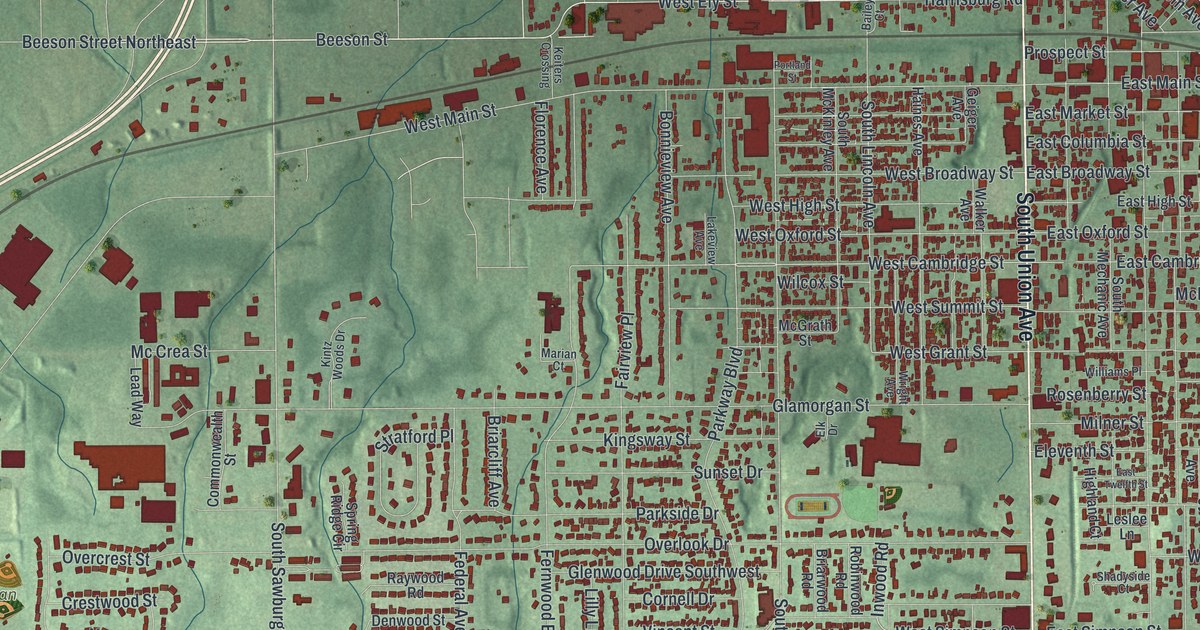
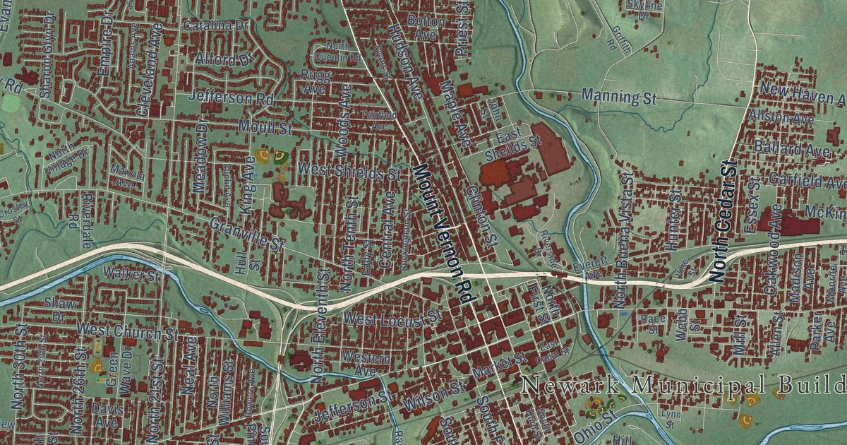
Detailed Map of Newark, Ohio

From 1896 to 1957, A.H. Heisey & Co. made glass in Newark that people still collect. This map shows the city around it, from West Main Street and Granville Street to Mount Vernon Road and Swans.

Read More
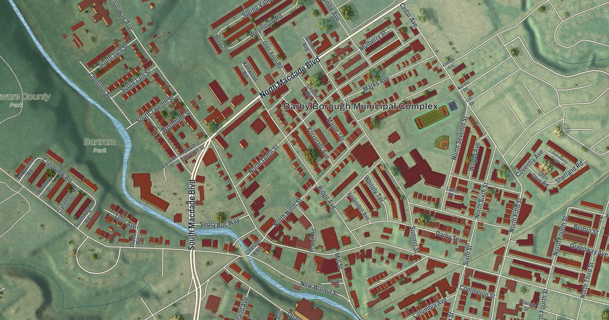
Detailed Map of New Philadelphia, Ohio

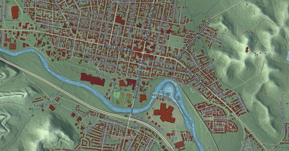
Follow Broadway and East High Avenue across New Philadelphia to Schoenbrunn, where Moravians started building a mission school in December 1772 and John Heckewelder became the first schoolteacher in Tuscarawas County.

Read More
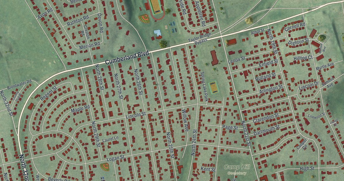
Detailed Map of Marion, Ohio

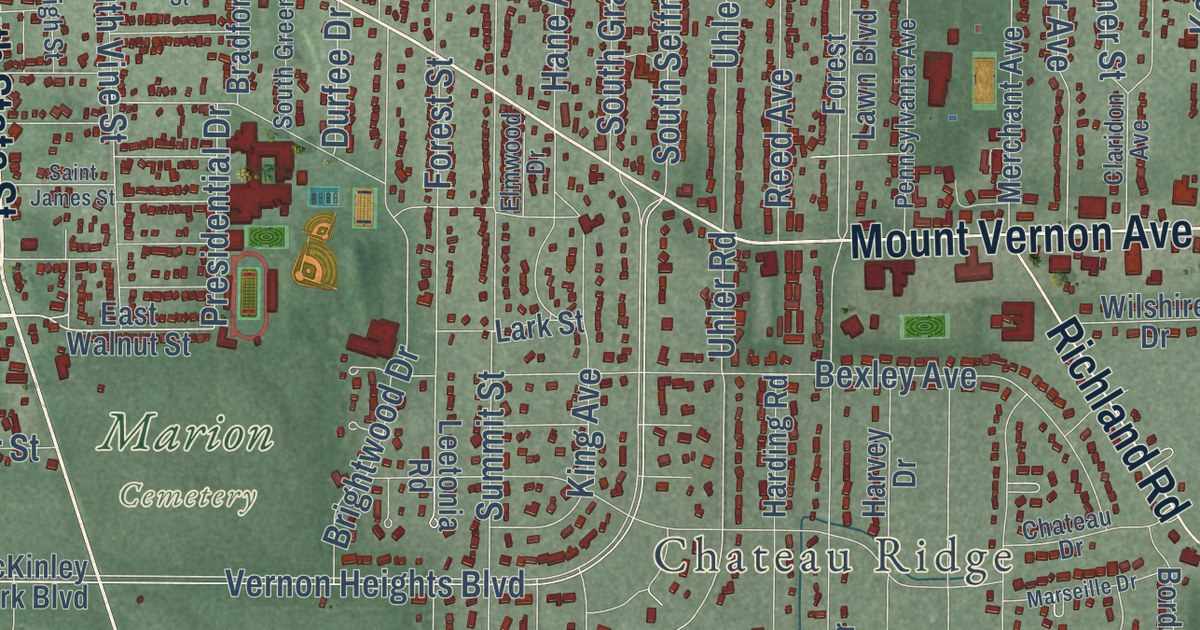
Marion’s steam shovels helped build the Panama Canal, and NASA picked the city to build its launch crawlers. Trace West Center Street, Delaware Avenue and more than 13,000 buildings on this map of Marion in Marion County, Ohio.

Read More
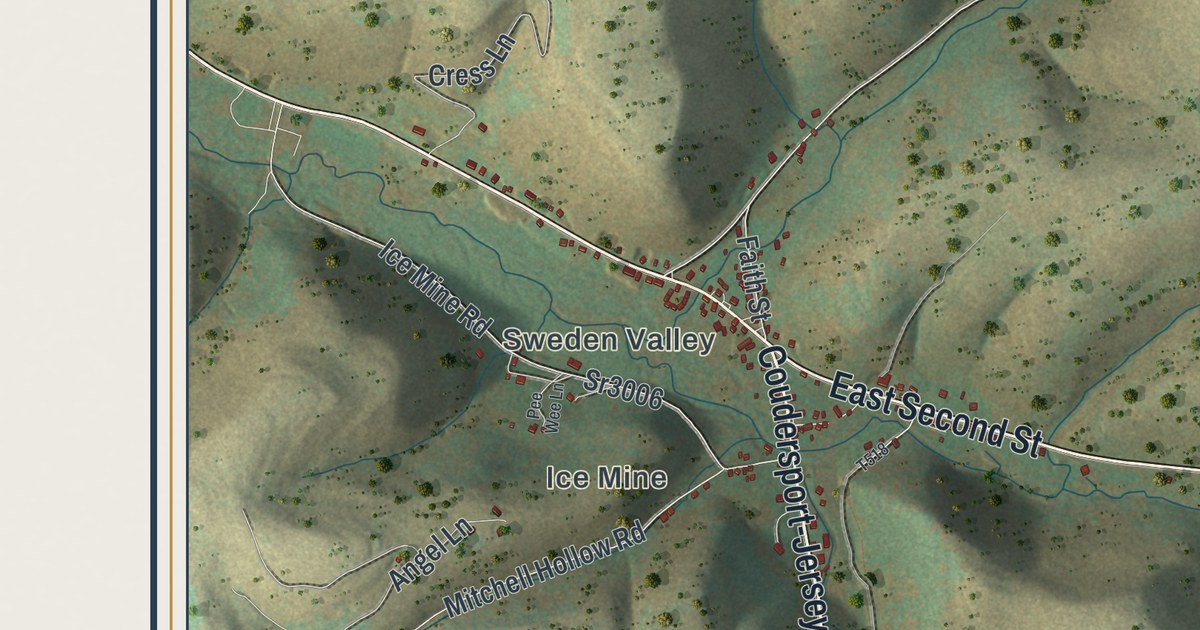
Detailed Map of Maumee, Ohio

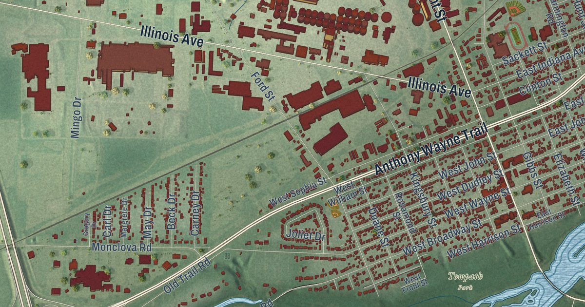
Trace Conant Street, Anthony Wayne Trail and River Road on this Maumee map. Then learn about the 1794 Battle of Fallen Timbers and the Wolcott House, where Little Turtle’s granddaughter made her home.

Read More
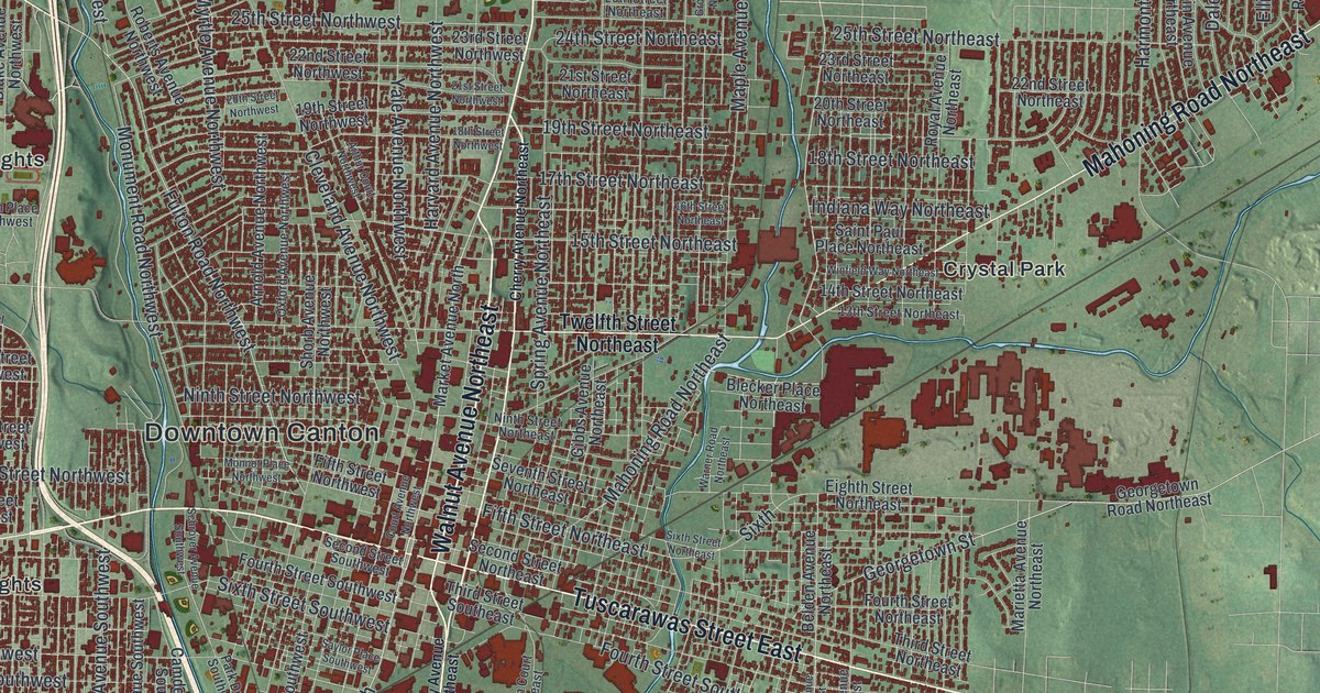
Detailed Map of Marietta, Ohio

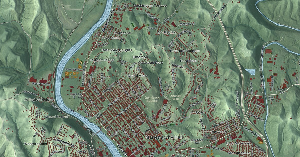
Follow Front Street from Marietta City Hall up the Muskingum, cross to Harmar, and learn about the September day in 1803 when Meriwether Lewis stopped in Marietta on his way west.

Read More
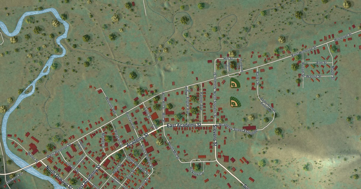
Detailed Map of Mansfield, Ohio

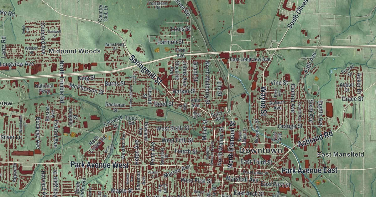
Find Downtown, Park Avenue, the South Boulevards and Hanley Village on this Richland County map of Mansfield, Ohio, and learn why Johnny Appleseed is believed to have set out from the square on an August night in 1813.

Read More
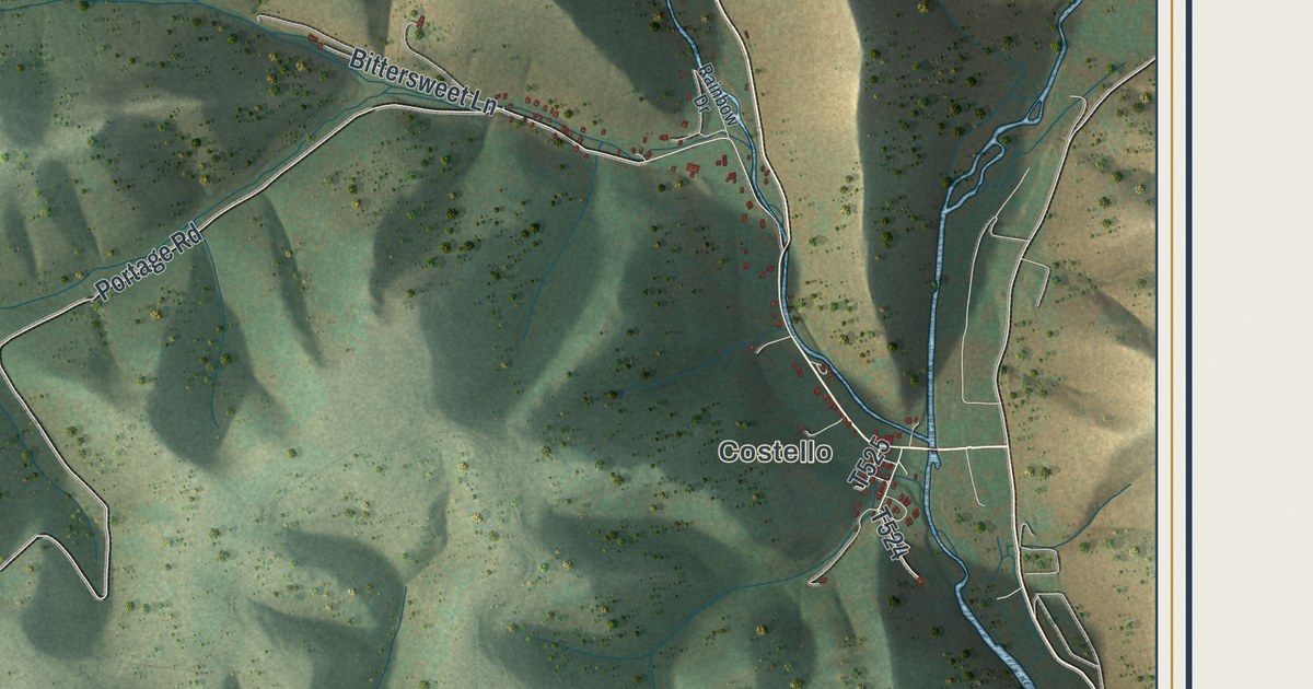
Detailed Map of Lorain, Ohio

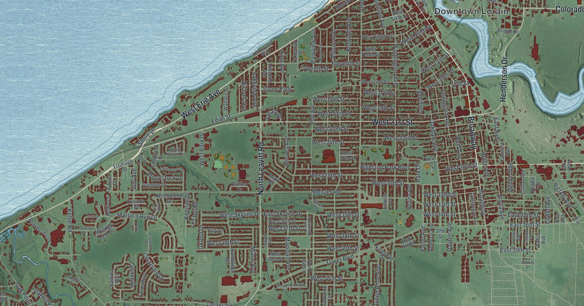
On June 28, 1924, a tornado came off Lake Erie into downtown Lorain and killed 78 people in five minutes. Find Broadway on this Lorain map, along with Downtown Lorain, South Lorain, Cromwell Park and Kennedy Park.

Read More
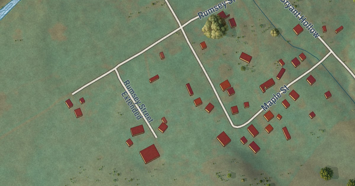
Detailed Map of Lancaster, Ohio

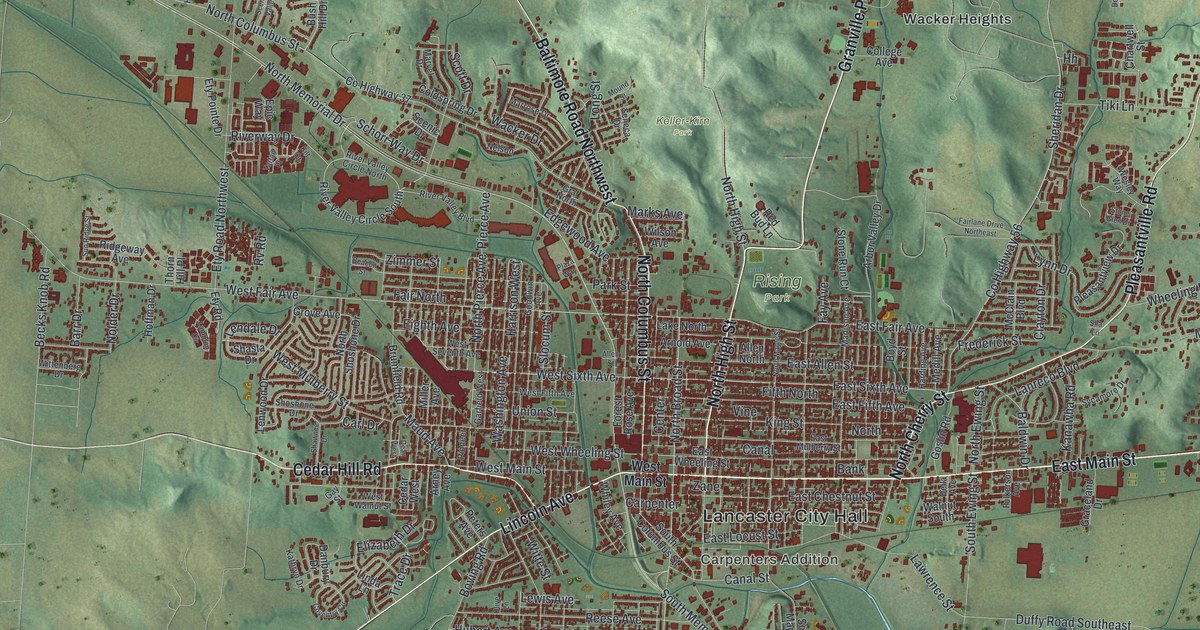
Follow Granville Pike, East Main Street and South Broad Street across this map of Lancaster, Ohio. Then learn how Zane’s Trace and a few lots given to tradesmen shaped the streets of New Lancaster by 1801.

Read More
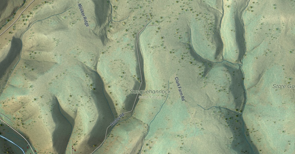
Detailed Map of Hamilton, Ohio

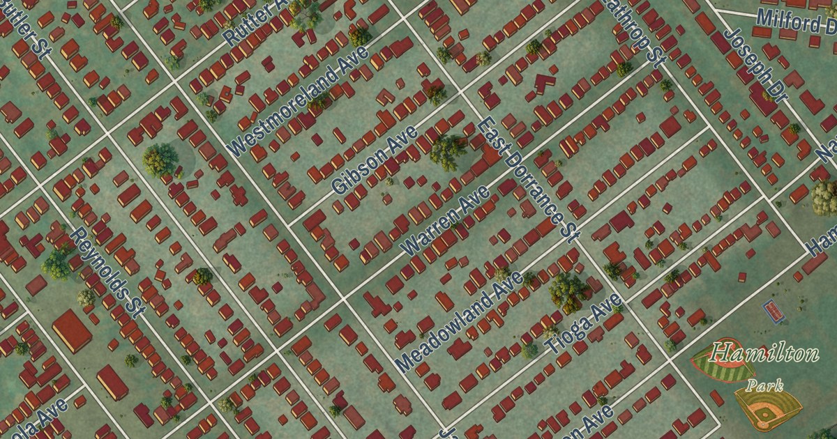
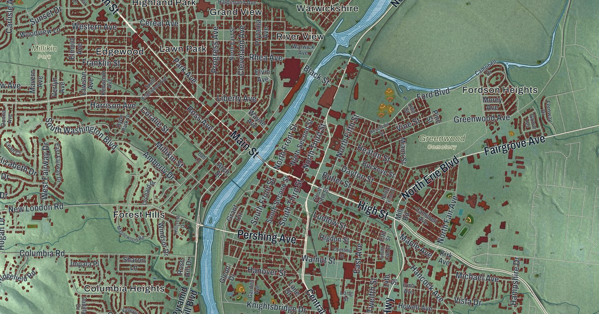
A map of Hamilton in Butler County, Ohio, with more than 37,000 buildings on both sides of the Great Miami River. Follow High Street and Main Street, then learn how Hamilton won the county seat in 1803 and where Lincoln spoke in 1859.

Read More

Detailed Map of Granville, Ohio

In 1805, about 150 settlers from Massachusetts and Connecticut reached Granville in ox-drawn wagons. This map shows the village they planned, from Broadway and North Pearl Street to Bryn du Drive and the hills.

Read More

Detailed Map of Elyria, Ohio

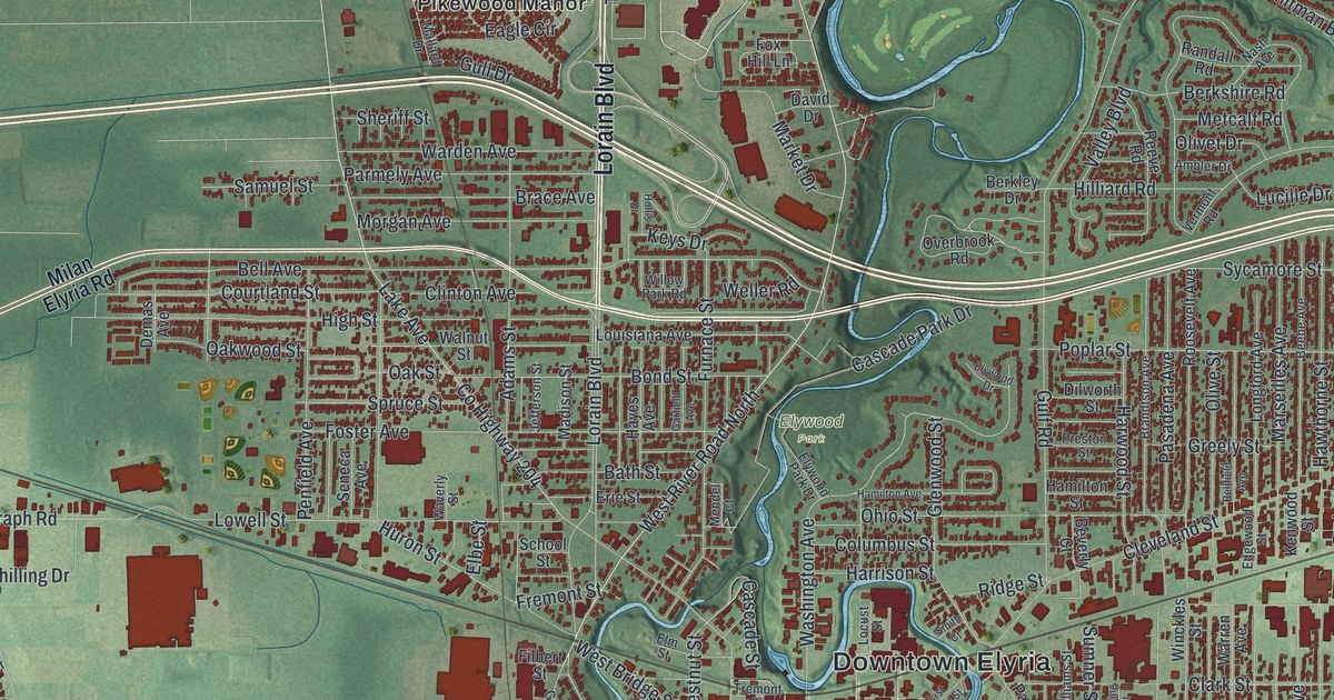
A 1907 interurban crash at Fifth Street and Middle Avenue led Edgar Allen to build hospitals and start what became Easter Seals. Find those streets on this Elyria map, along with Downtown Elyria, Elywood Park and Colonial Oaks.

Read More

Detailed Map of Cuyahoga Falls, Ohio

In 1879, High Bridge Glens opened by Front Street and drew more than 8,000 people a day. Find Front Street on this Cuyahoga Falls map, along with Portage Trail, State Road, Kennedy Park and the valley roads past Botzum and Ira.

Read More

Detailed Map of Alliance, Ohio

Follow Union Avenue across Alliance, Ohio, find Mount Union, Silver Park and Alliance City Cemetery, and learn how Dr. Levi Lamborn’s scarlet carnation became Ohio’s state flower.

Read More

Detailed Map of Camp Hill, Pennsylvania

Follow Market Street across Camp Hill and find the month streets off Trindle Road. Then learn about the June 1863 skirmish at Oyster Point, the farthest a body of Confederate troops got toward Harrisburg, and how White Hall became Camp Hill.

Read More

Detailed Map of Sweden, Pennsylvania

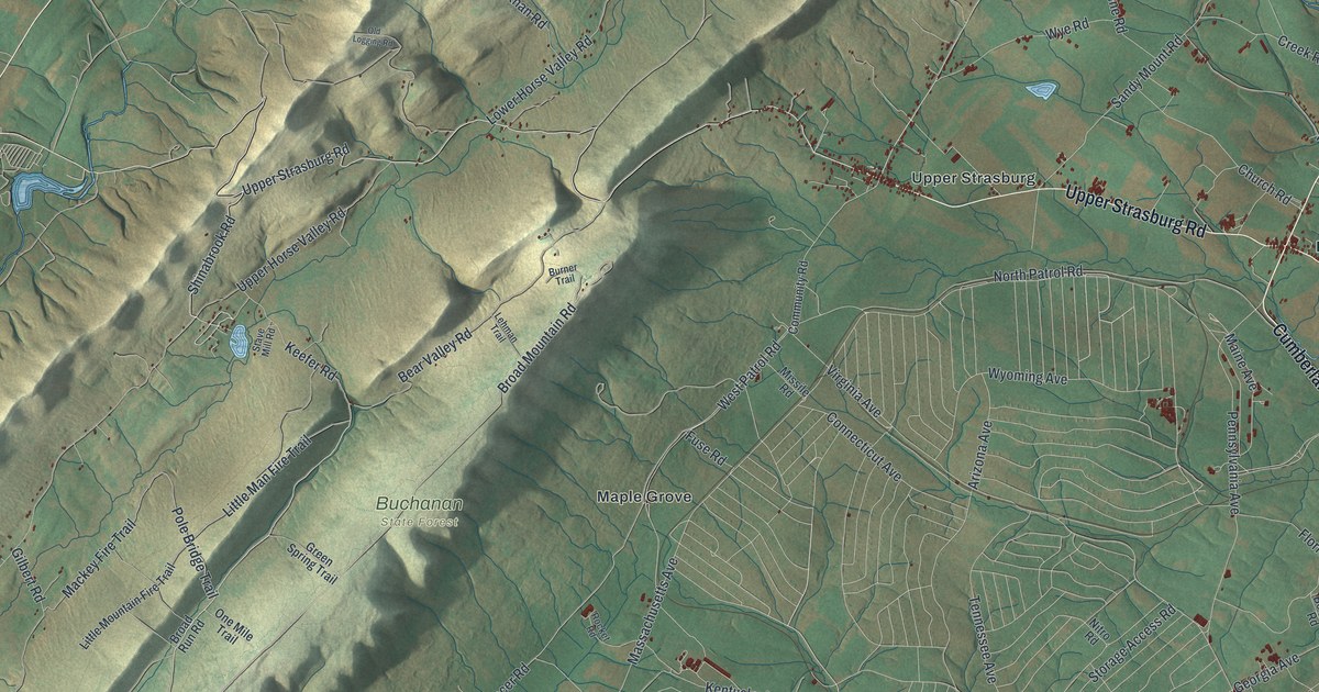
In Sweden Township’s first school, a teacher cut the letter M from a board and told his son to eat it. This Potter County map follows East Second Street from Sweden Valley, just above Ice Mine, to Denton Hill, with Brookland Road and Sweden Hill Road up north.

Read More

Detailed Map of Canton, Ohio

About 750,000 people came to William McKinley’s home on Market Avenue North during his 1896 front porch campaign. Find that street on this Canton map, along with Downtown Canton, Crystal Park, Harter Heights and Willow Brook Heights.

Read More