Author: TheKnowOwl

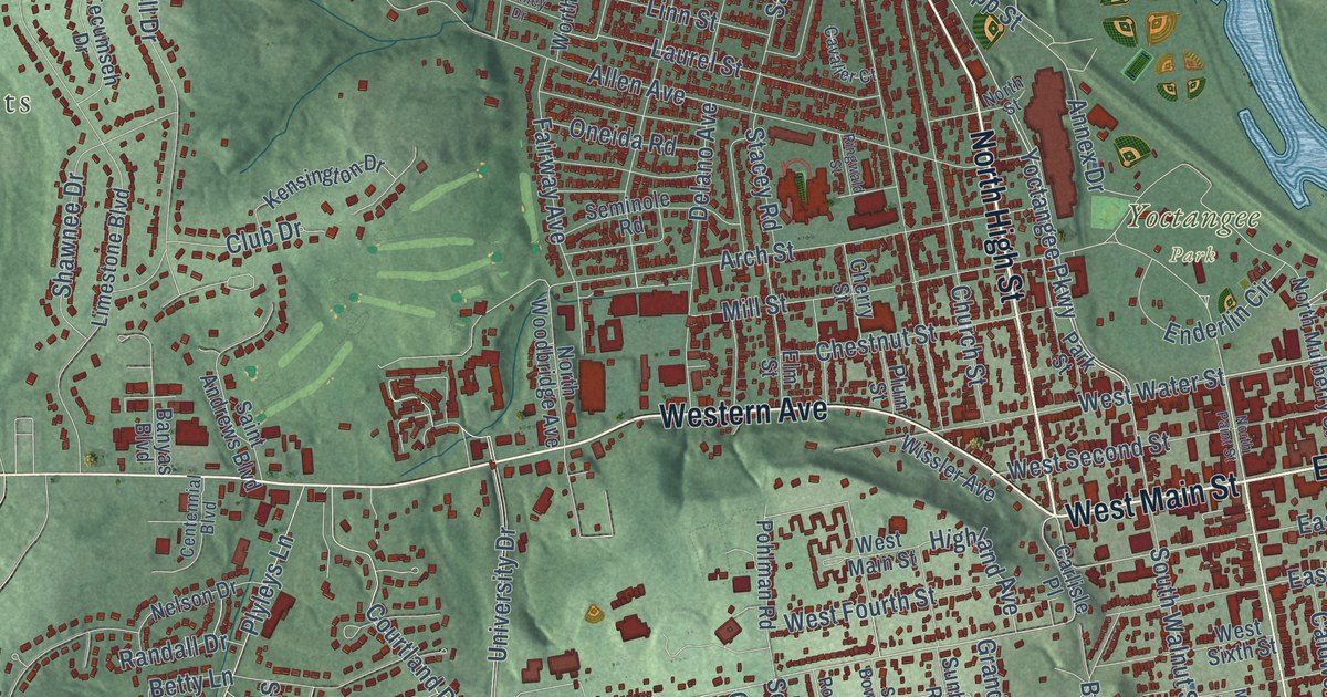
Detailed Map of Chillicothe, Ohio

Ohio’s first General Assembly met in Chillicothe on March 1, 1803. This map of Chillicothe, Ohio shows downtown around Paint and Main, Yoctangee Park, Belleview Heights and the green hills on both sides of the valley.

Read More
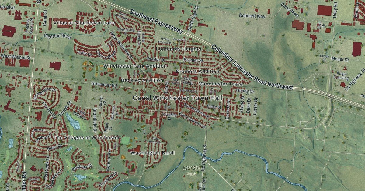
Detailed Map of Canal Winchester, Ohio

Canal Winchester started out as plain Winchester. This map of Canal Winchester in Franklin County shows the old downtown, Kramer Street, Gender Road, Diley Road and more than 10,000 buildings, plus the story of the canal and a covered bridge.

Read More

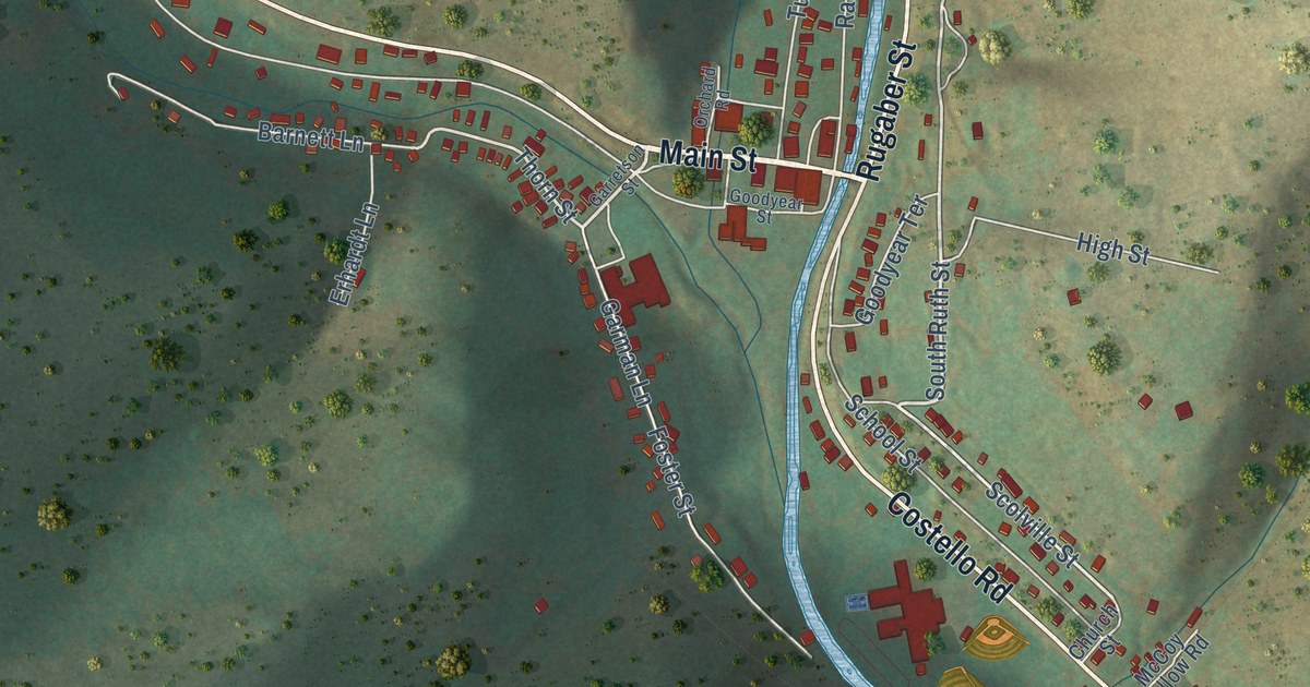
Detailed Map of Austin, Pennsylvania

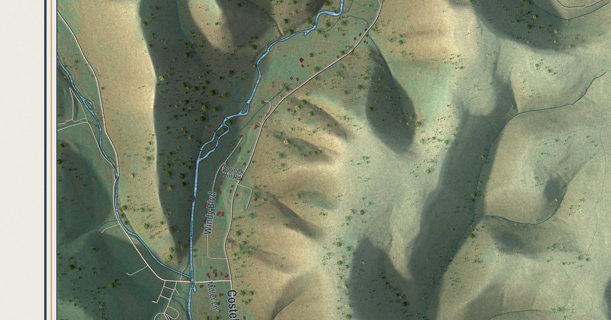
Austin grew up around two sawmills in 1886, and Mr. Austin’s garden became the mill pond. This map follows Main Street, Rugaber Street and Costello Road through the borough, beside the creek that carried the 1911 dam flood into town.

Read More

Detailed Map of Hebron, Pennsylvania

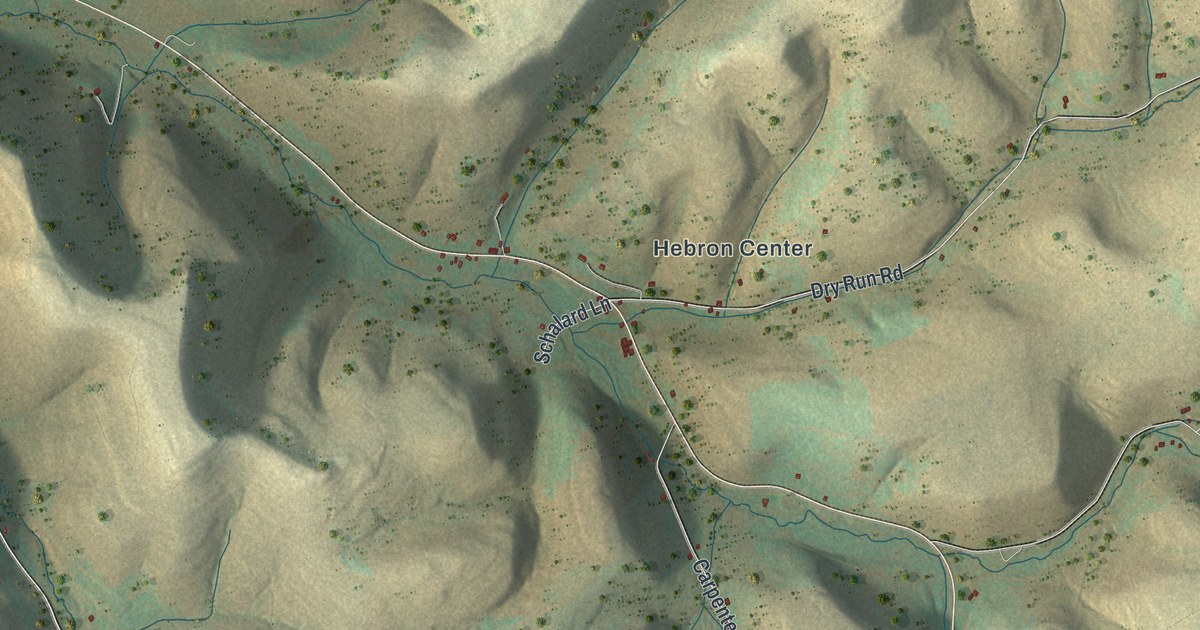
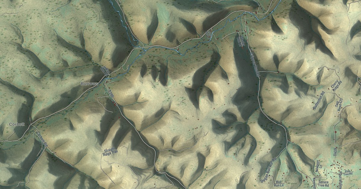
In Hebron Township a lot of the road names are creek names. This map follows the road from Coneville to Hebron Center and out along South Branch Road. Whitney Creek Road runs down the left side below State Game Lands Number 204, and Steer Brook Road heads toward the bottom edge.

Read More

Detailed Map of Fairfield, Ohio

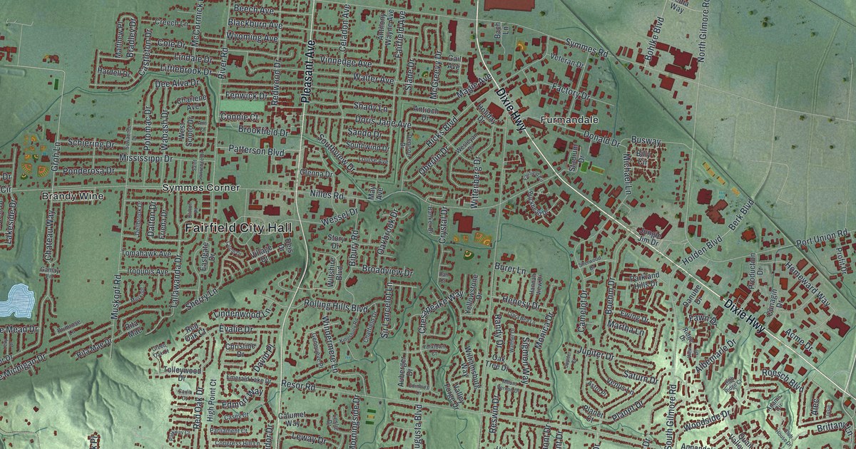
A map of Fairfield in Butler County, Ohio, with more than 24,000 buildings, Dixie Highway, Pleasant Avenue and Fairplay by the river. Learn about the farm Elisha Morgan bought in 1817 and the house that still stands near Ross Road.

Read More

Detailed Map of Bedford, Ohio

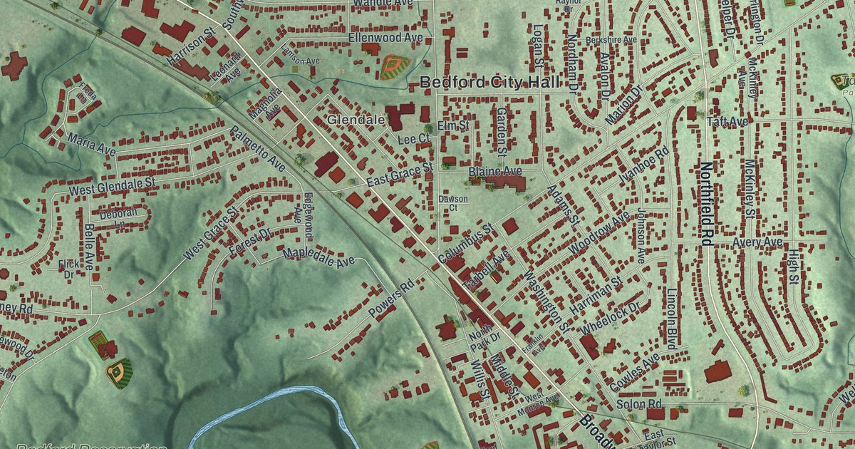
Bedford’s Broadway began as part of the Mahoning Indian Trail and later carried a fast electric interurban. This map shows Broadway, Northfield Road, Taft Park, Bedford Reservation and more than 14,000 buildings.

Read More

Detailed Map of Dennison, Ohio

Trace Dennison’s streets from Hanna Street to Johnson Avenue, then learn how the Dennison Car Shops built flip-back walnut pews for the Railway Chapel, the town’s first church, dedicated in 1871.

Read More

Detailed Map of Delaware, Ohio

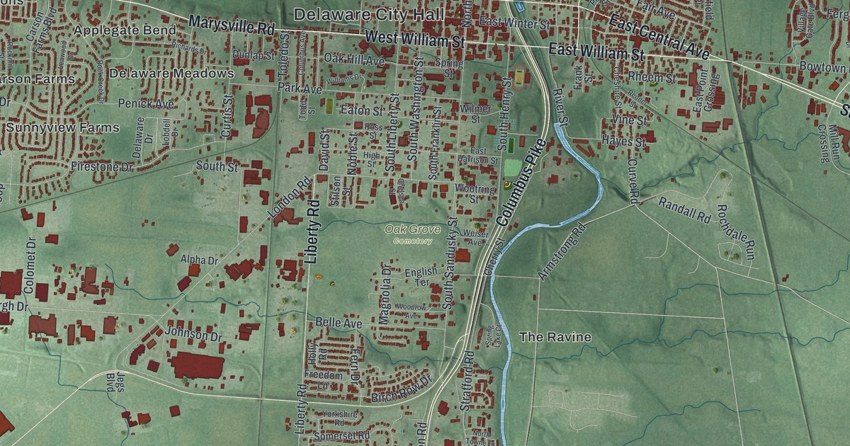
During the Civil War, most African American Ohioans joining the Union Army reported to Camp Delaware on the Olentangy River. This map of Delaware, Ohio shows downtown by the river, Columbus Pike heading south and more than 14,000 buildings.

Read More

Detailed Map of Burton, Ohio

The Great Geauga County Fair is the longest continuously operating county fair in Ohio, and Burton won its permanent home. Find Spring Street, North Cheshire Street, Welton Cemetery and the fairgrounds on this map of Burton in Geauga County, Ohio.

Read More

Detailed Map of Gallipolis, Ohio

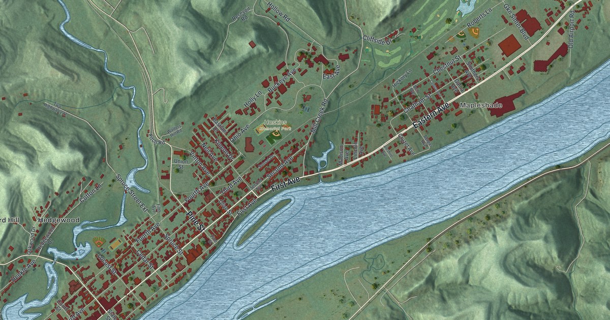
In 1818, Welsh families stopped in Gallipolis for supplies and found their boats cut loose. This map of Gallipolis, Ohio shows First Avenue along the Ohio River, State Street, Mapleshade and the steep green hills all around.

Read More

Detailed Map of Akron, Ohio

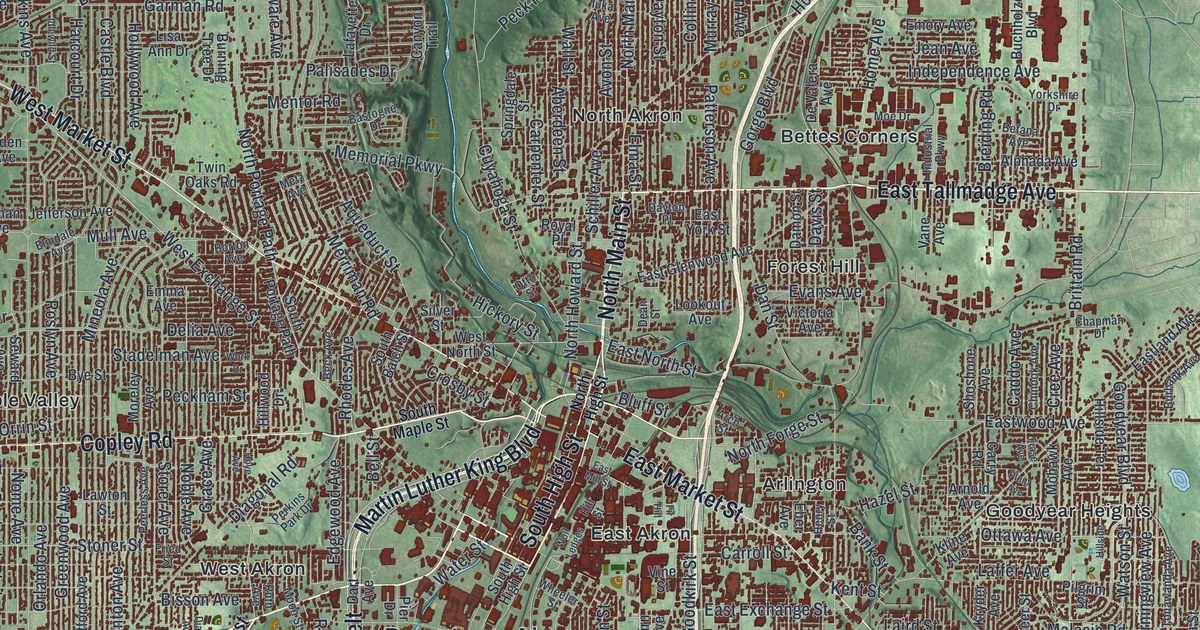
Portage Path and Manchester Road follow the old carrying trail between the Cuyahoga and Tuscarawas rivers. Find them on this Akron map, along with Downtown Akron, Goodyear Heights, Firestone Park and Derby Downs.

Read More

Detailed Map of Coshocton, Ohio

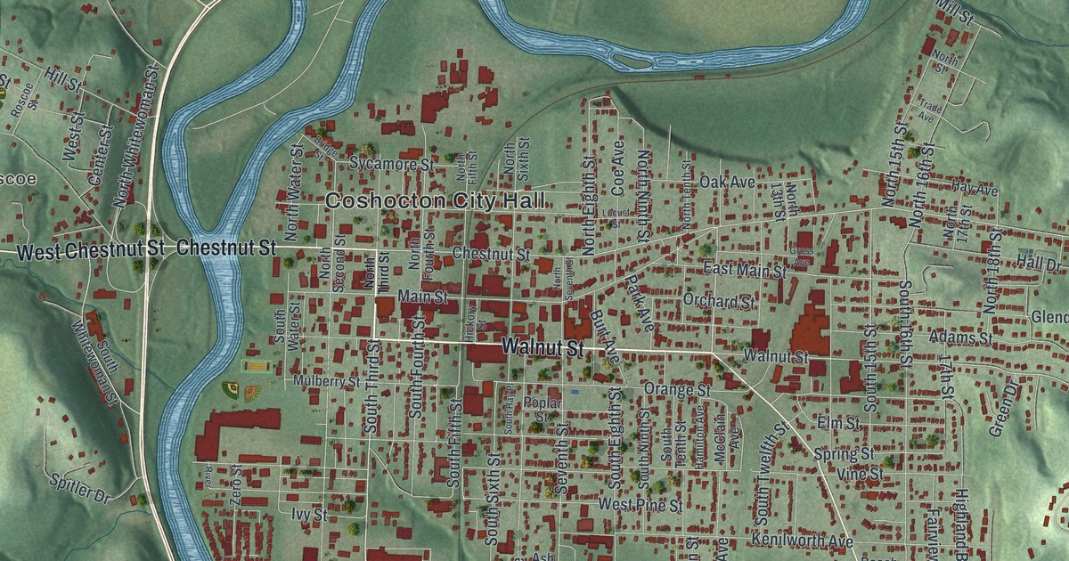
Follow Coshocton’s streets from Roscoe across the river to City Hall and out Cambridge Road. Then learn how four Underground Railroad lines came together where two rivers form the Muskingum.

Read More

Detailed Map of Findlay, Ohio

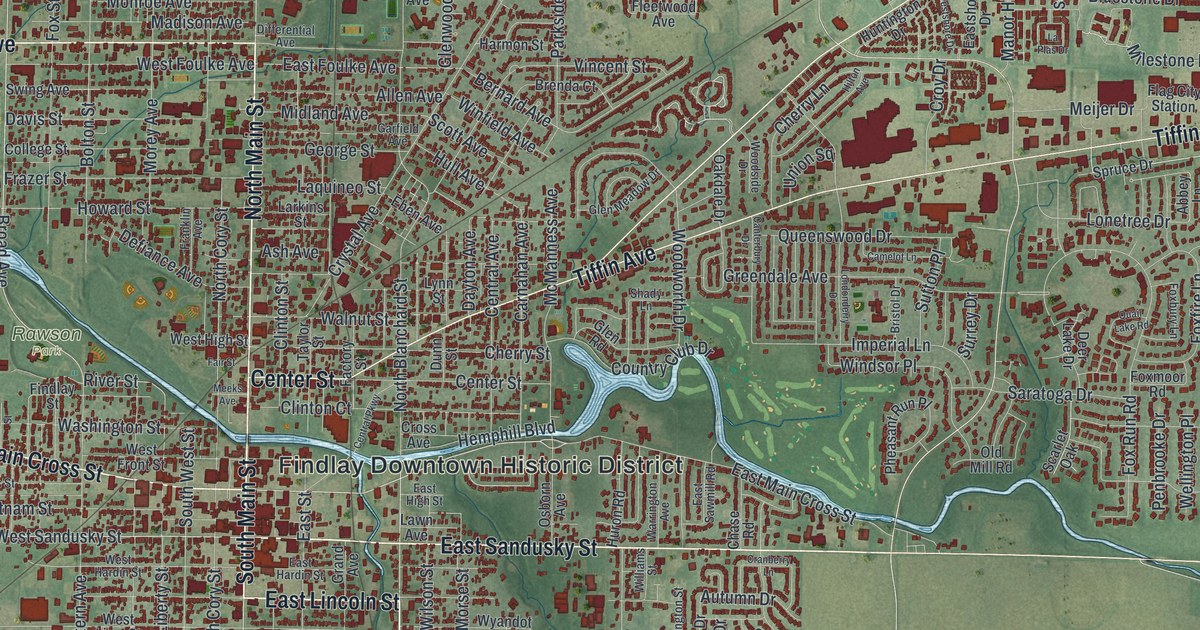
Trace Findlay’s Main Street, Tiffin Avenue and the bend in the Blanchard River on this Hancock County map. Then learn how Riverside Park drew crowds from Cleveland and how Tell Taylor’s farm became the county fairgrounds.

Read More

Detailed Map of Dover, Ohio

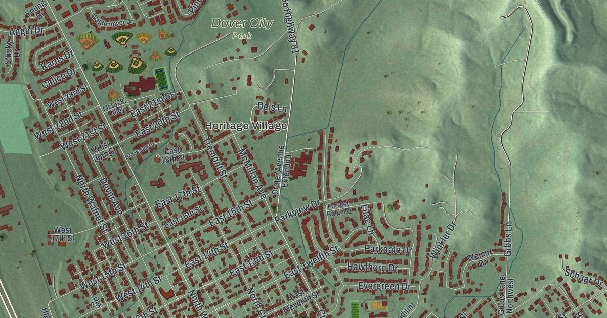
Jeremiah Reeves started in the mills of Wales at age ten. In 1883 he bought a rolling mill in Dover that grew into an iron works employing over 800 men. This map of Dover in Tuscarawas County shows East Iron Avenue, Race Street and more than 10,000 buildings.

Read More

Detailed Map of Circleville, Ohio

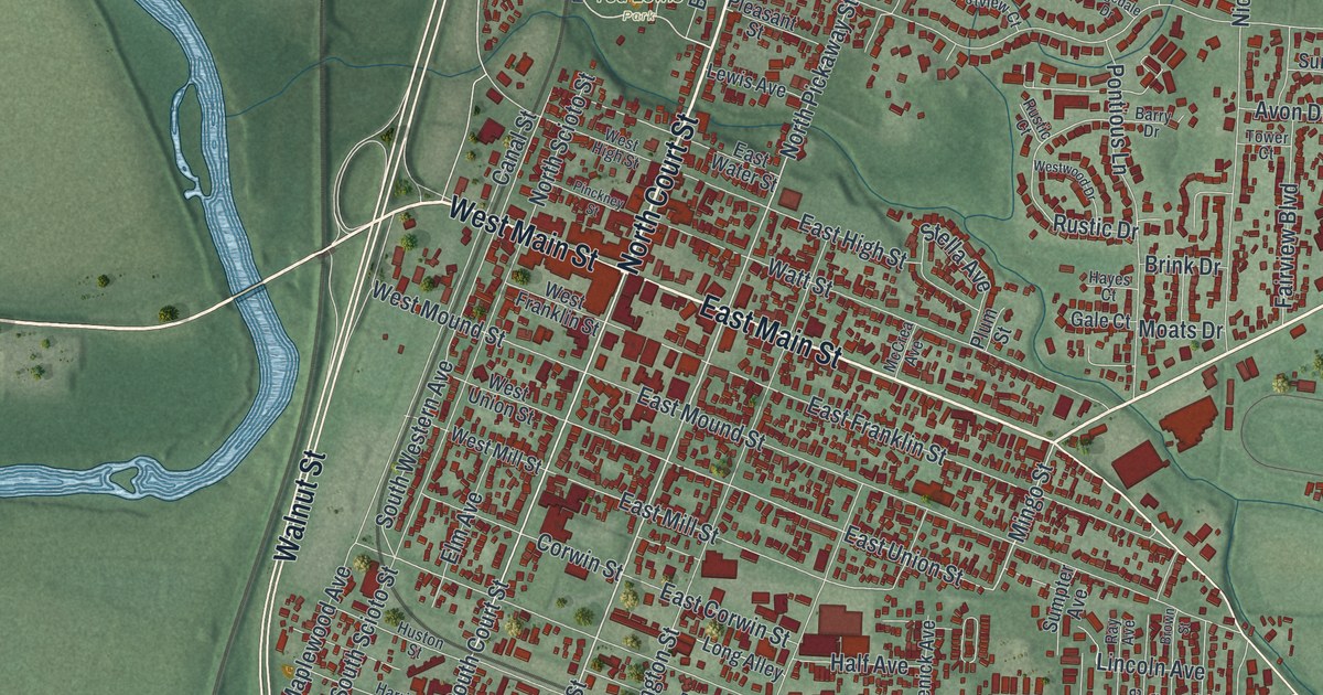
Circleville was laid out on top of a Hopewell-era earthwork circle. This map of Circleville in Pickaway County shows the downtown grid, Ted Lewis Park, Forest Cemetery and more than 7,500 buildings.

Read More

Detailed Map of Canfield, Ohio

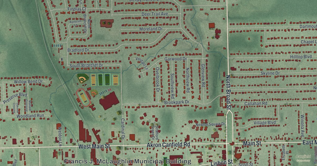
In 1837, a rowdy crowd threw eggs onto the pulpit of Canfield’s first church after a preacher spoke there against slavery. Find South Broad Street, Main Street, Fair Park and Canfield Cemetery on this map of Canfield in Mahoning County, Ohio.

Read More

Detailed Map of Berea, Ohio

Berea sandstone went into Ohio’s Capitol and Canada’s parliament buildings. Find Berea City Hall, Depot Street and Mill Stream Run Reservation, then follow Front Street north on this map of Berea, Ohio.

Read More

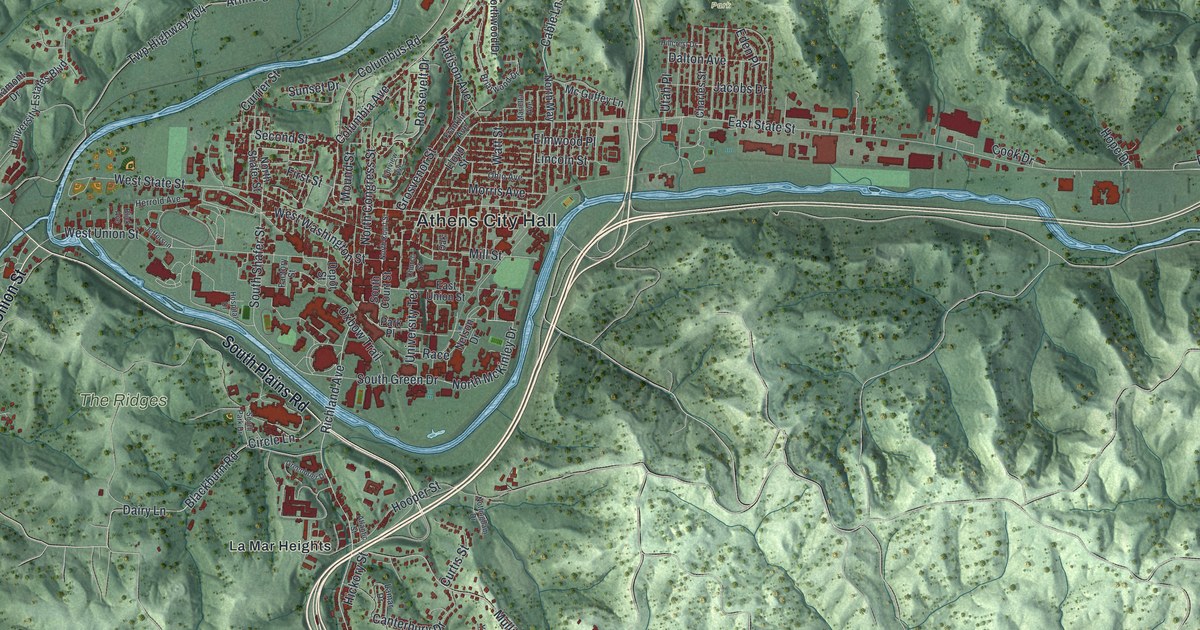
Detailed Map of Athens, Ohio

Ohio University opened in Athens in 1809 with just three students. This map of Athens, Ohio shows downtown in its river bend, Richland Avenue, Longview Heights and the green hills all around.

Read More

Detailed Map of Ashtabula, Ohio

Follow Bridge Street from Ashtabula’s harbor down Lake Avenue to Downtown Ashtabula. Learn how two fires reshaped the harbor block, and why the Hubbard House at Walnut Boulevard mattered to people escaping slavery.

Read More
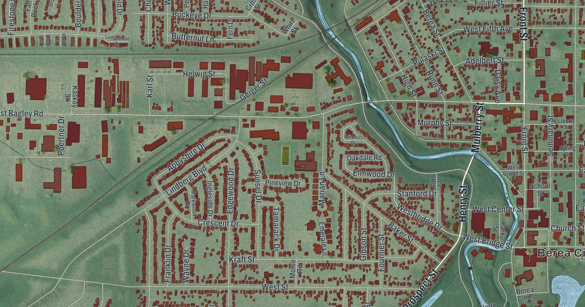
Detailed Map of Dayton, Ohio

Dayton’s Soldiers Home took in its first Civil War veterans in 1867, and in 1906 it drew 517,106 visitors. Find Salem Avenue, Wayne Avenue, Riverdale and Belmont, plus Cincinnati Street, where the company that invented the Cheez-It built its bakery in 1907.

Read More
Detailed Map of Cleveland, Ohio

In 1918, Cleveland figured 254,508 people had used the Woodland Public Bath House. Find Woodland, Central and Saint Clair Avenues, then follow Euclid Avenue to Doans Corners and Lorain Avenue to Kamms Corner.

Read More
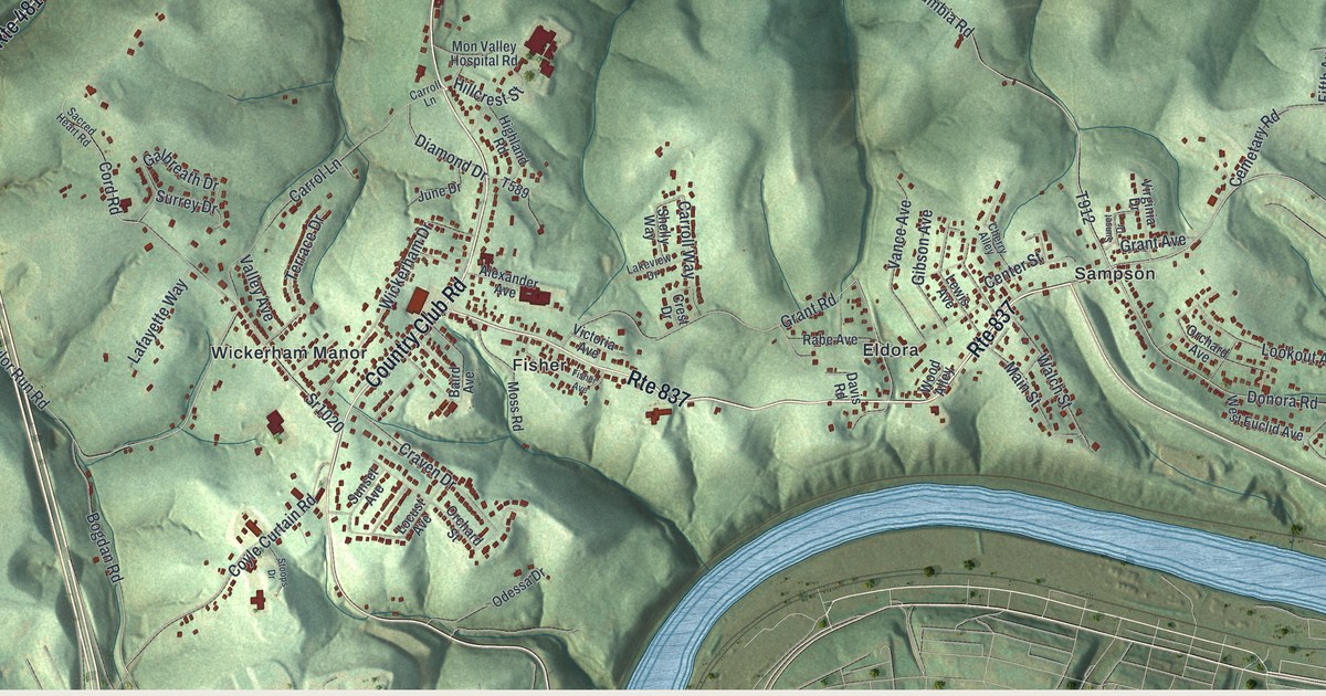
Detailed Map of East Liverpool, Ohio

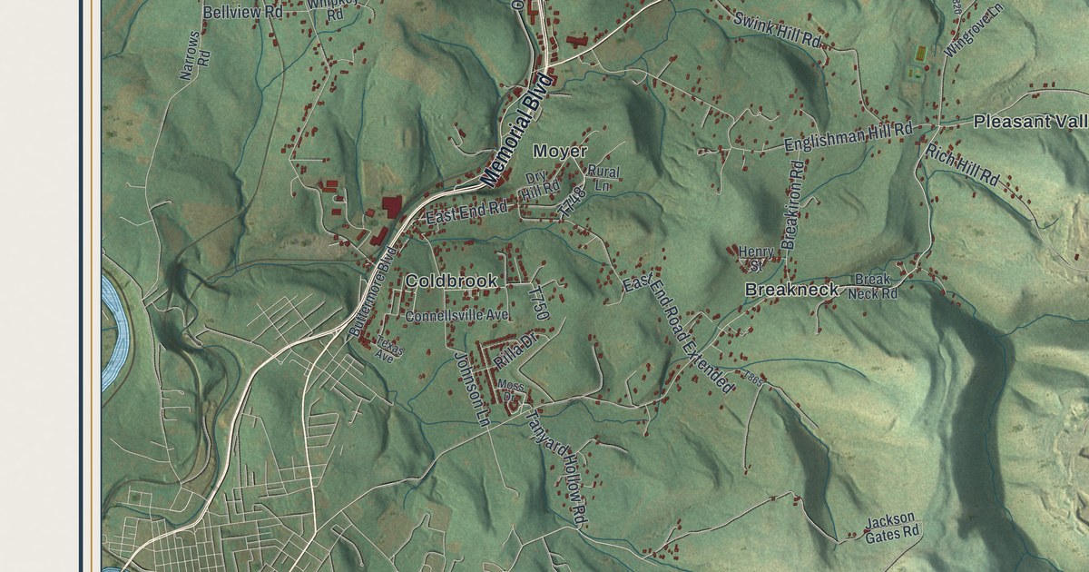
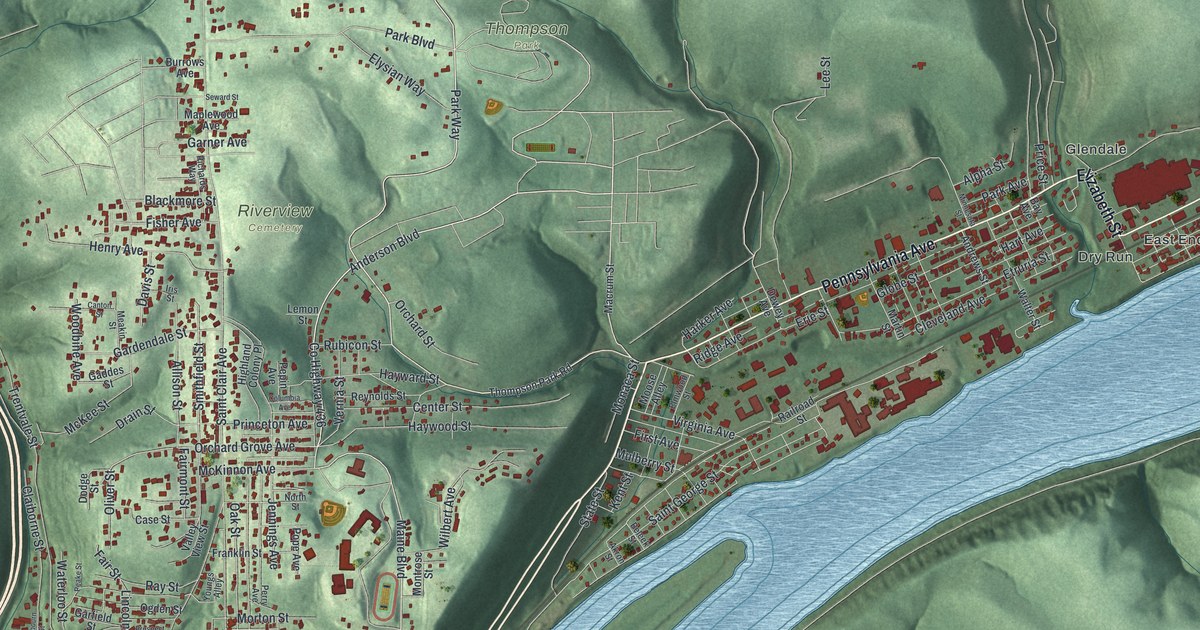
East Liverpool once made most of America’s crockery. This map follows Saint Clair Avenue past Riverview Cemetery, Pennsylvania Avenue through the East End, and the river bend where the early potters landed.

Read More
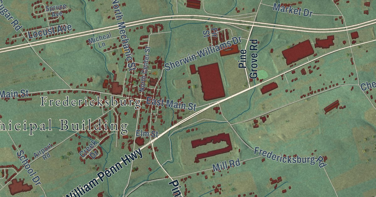
Detailed Map of Bellaire, Ohio

The Great Stone Viaduct in Bellaire has 43 sandstone arches, each with 37 ring stones meant to stand for 37 states. Find Belmont and Guernsey Streets, Greenwood Cemetery and the river town between the hills.

Read More
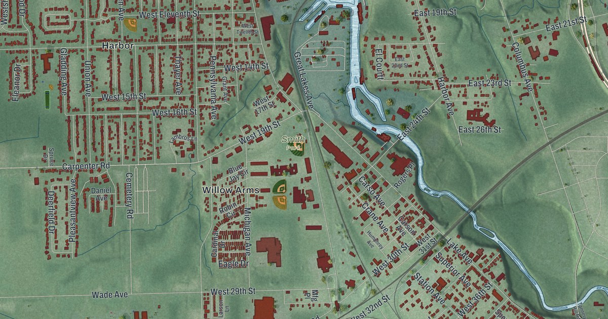
Detailed Map of Ashley, Pennsylvania

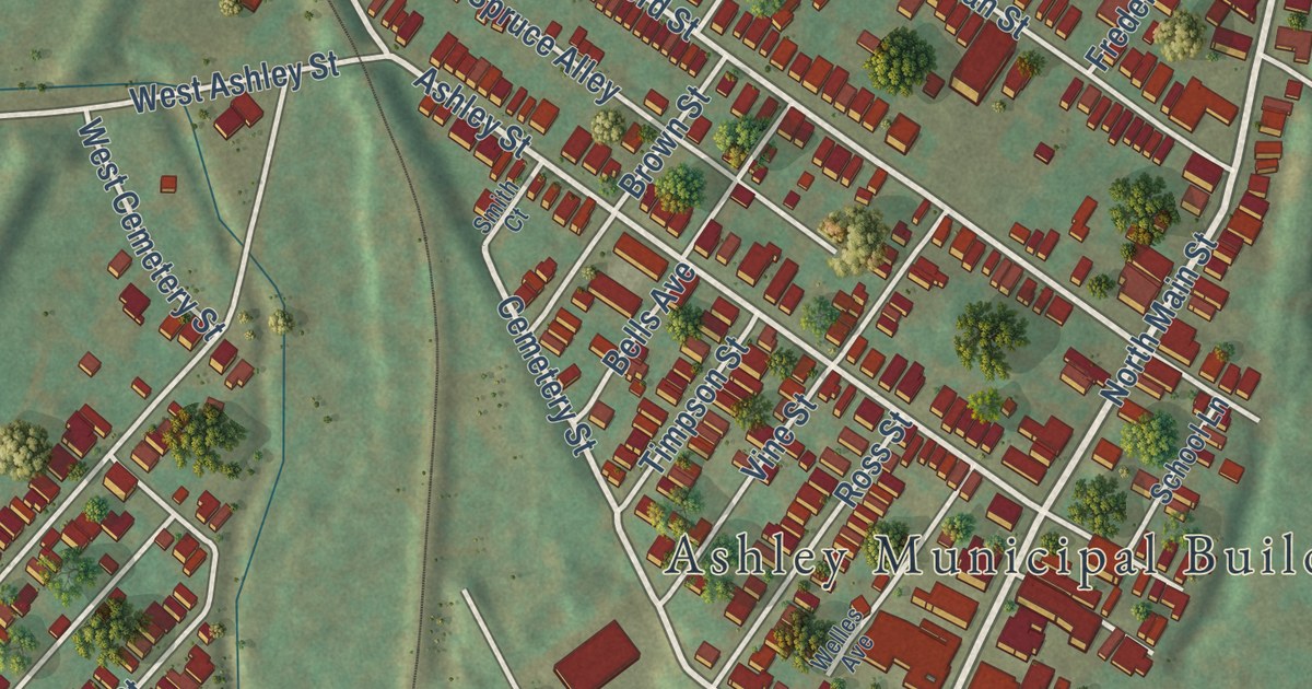
Before it was Ashley, this Luzerne County town was Skunktown, Scrabbletown, Coalville and Hendricksburg. This map shows it block by block, from Manhattan Street down to Preston, with Coalville Street and Planes Avenue still printed.

Read More
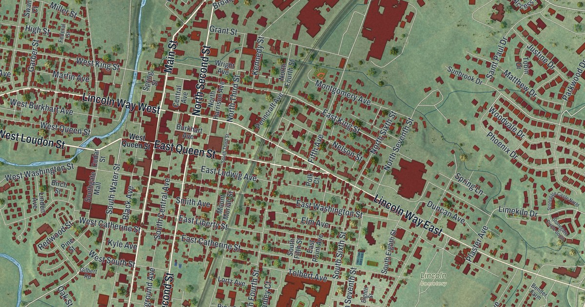
Detailed Map of Pleasant Valley, Pennsylvania

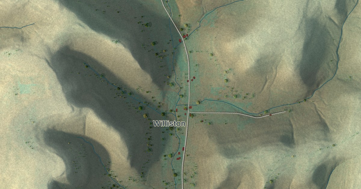
In 1851 Isaac and Peter North built Pleasant Valley’s first grist mill at the head of Bell’s run. It had one run of stone and mostly crushed corn. This map of the Potter County township runs from Shaytown near the top to Williston on Sartwell Creek Road near the bottom.

Read More
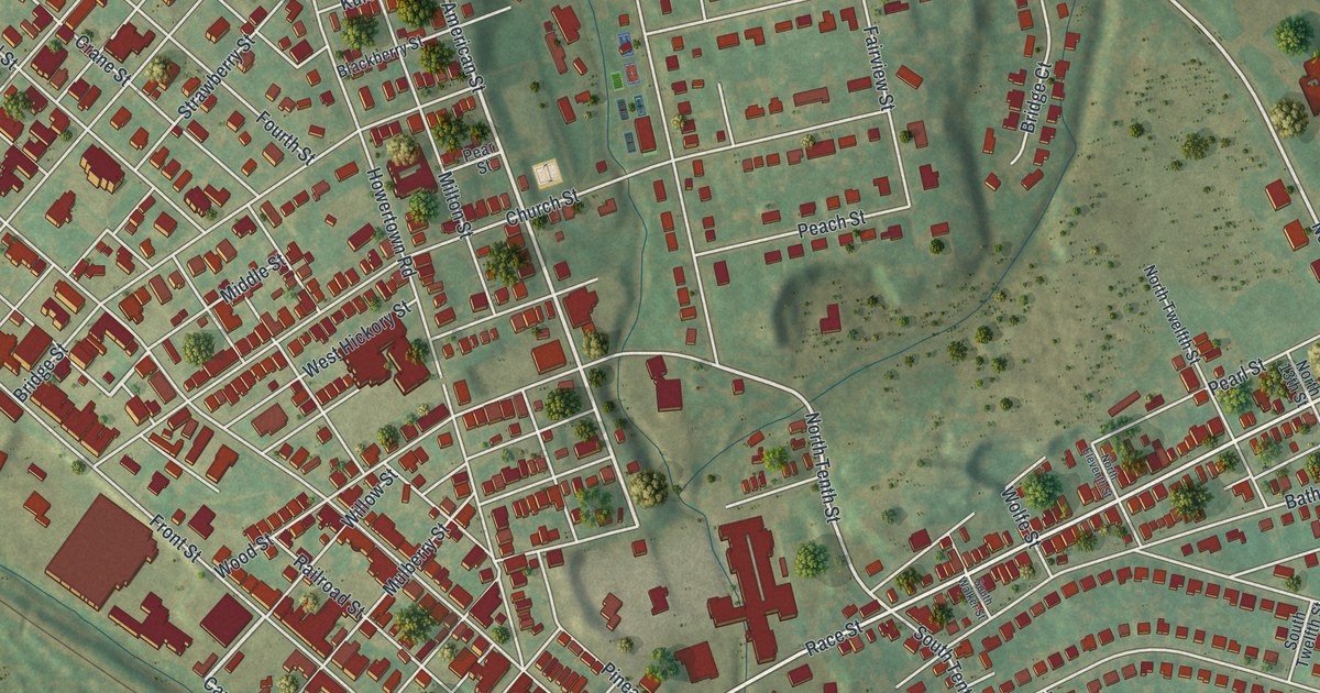
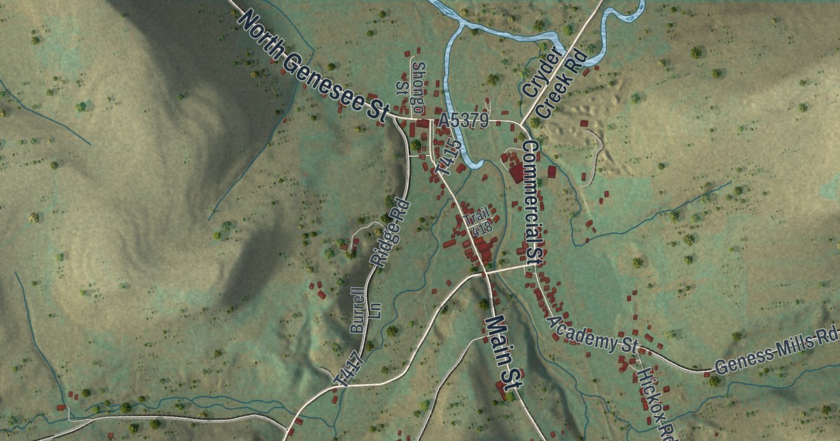
Detailed Map of Genesee, Pennsylvania

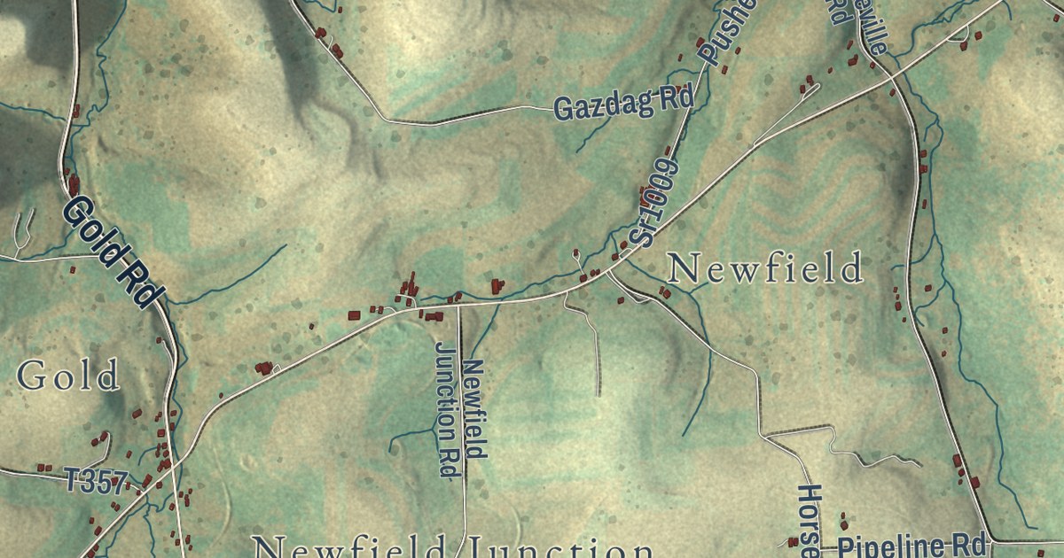
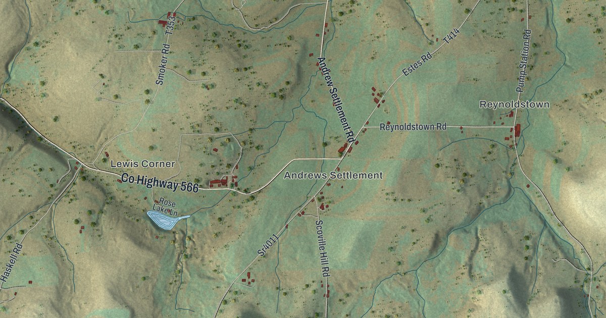
In 1836, Richard Ellis’s house and grist mill were the only buildings at Ellisburg, where the head streams of the Genesee’s west branch come together. This map of Genesee Township follows Gold Road, Ellisburg Road and Andrew Settlement Road from Kinney to Harmontown.

Read More
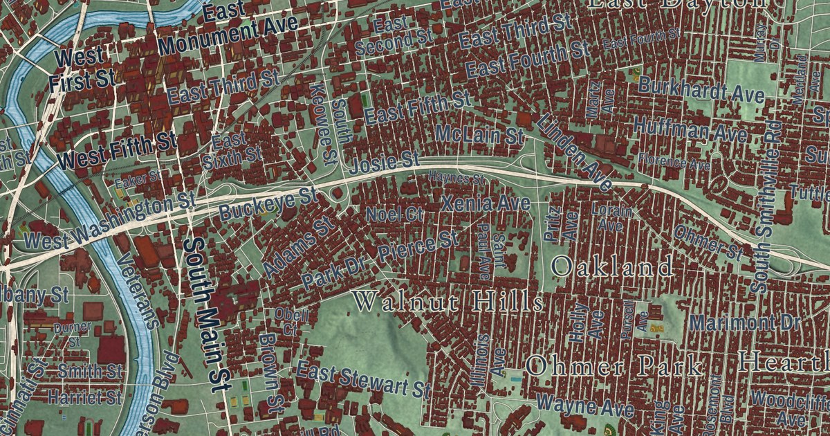
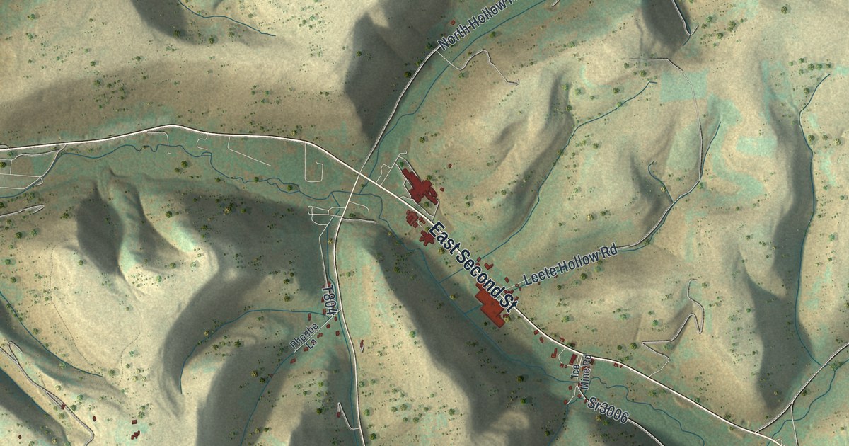
Detailed Map of Eulalia, Pennsylvania

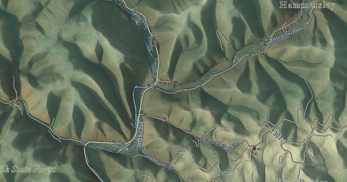
The coal on Eulalia’s hilltops ran only fourteen inches thick in 1839, and one Potter County oil well was so dry it blew dust in the driller’s face. This map follows East Second Street, Dingman Run Road and the valley down to Olmsted and Mina.

Read More
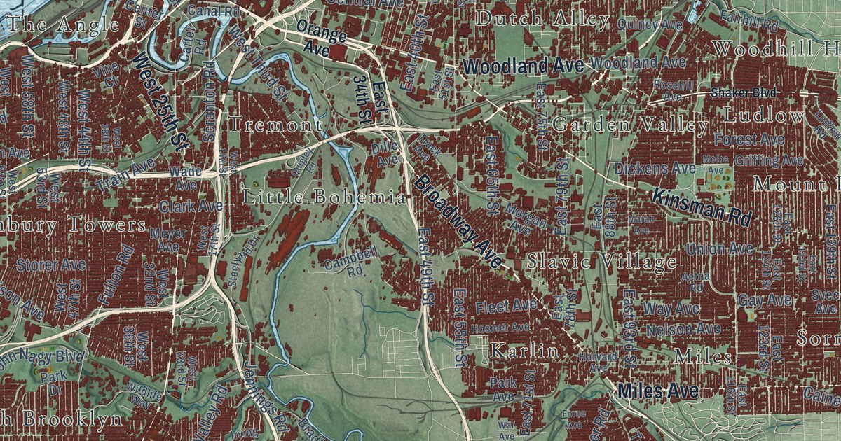
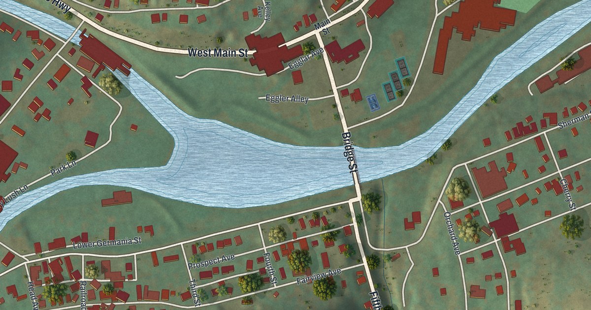
Detailed Map of Galeton, Pennsylvania

Galeton sits where two streams meet in a wide stretch of blue. This close-up map of the Potter County borough shows Bridge Street, West and East Main Streets, Germania Street and West Hill Cemetery, with each building marked in red.

Read More
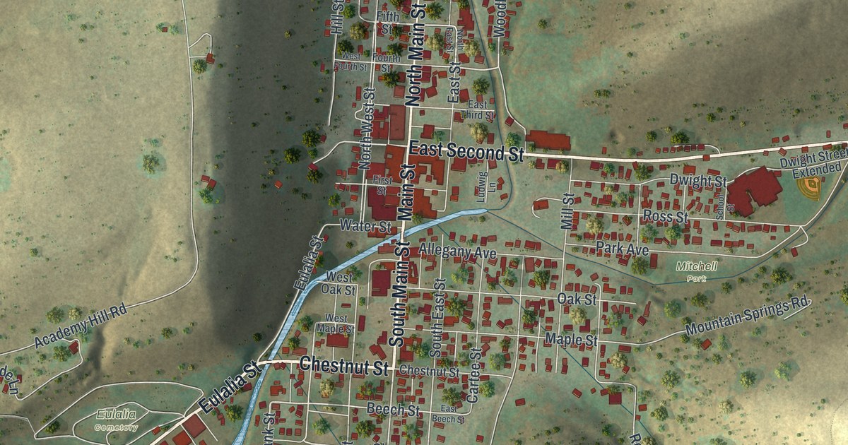
Detailed Map of Coudersport, Pennsylvania

In 1828 Coudersport had three families, and voters passed their ballots through a window with one pane of glass taken out. This map shows the county seat street by street, from North Main Street and Cartee Street out East Second Street to Lymansville.

Read More
Detailed Map of Allegany, Pennsylvania

The 1890 county history called Allegany “the summit township of Potter,” where the Allegheny, Oswayo and Genesee all begin. This map follows Rose Lake Road and Co Highway 566 through Andrews Settlement, down to Colesburg and over to Raymond.
Read More
Detailed Map of Bingham, Pennsylvania

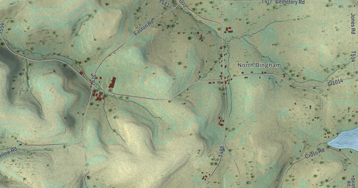
In 1826, it’s said, Delila Kibbe taught a small class in a barn and told her mother a fortification was “two twentyfications.” This map follows Cross Road, Bingham Center Road and Northern Potter Road through North Bingham, Bingham Center and West Bingham.

Read More