Detailed Map of Quincy, California
A detailed map of Quincy, California, showing every building in its true location, the roads by name, and shaded topographical relief.
Read More
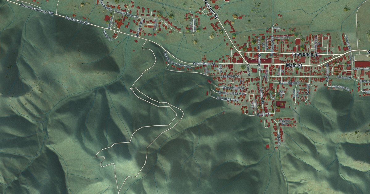
A detailed map of Quincy, California, showing every building in its true location, the roads by name, and shaded topographical relief.
Read More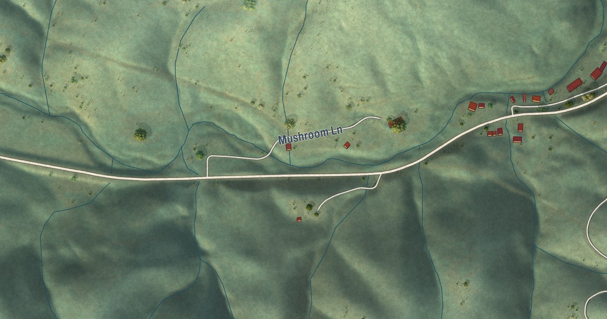
A detailed map of Platina, California, showing every building in its true location, the roads by name, and shaded topographical relief.
Read More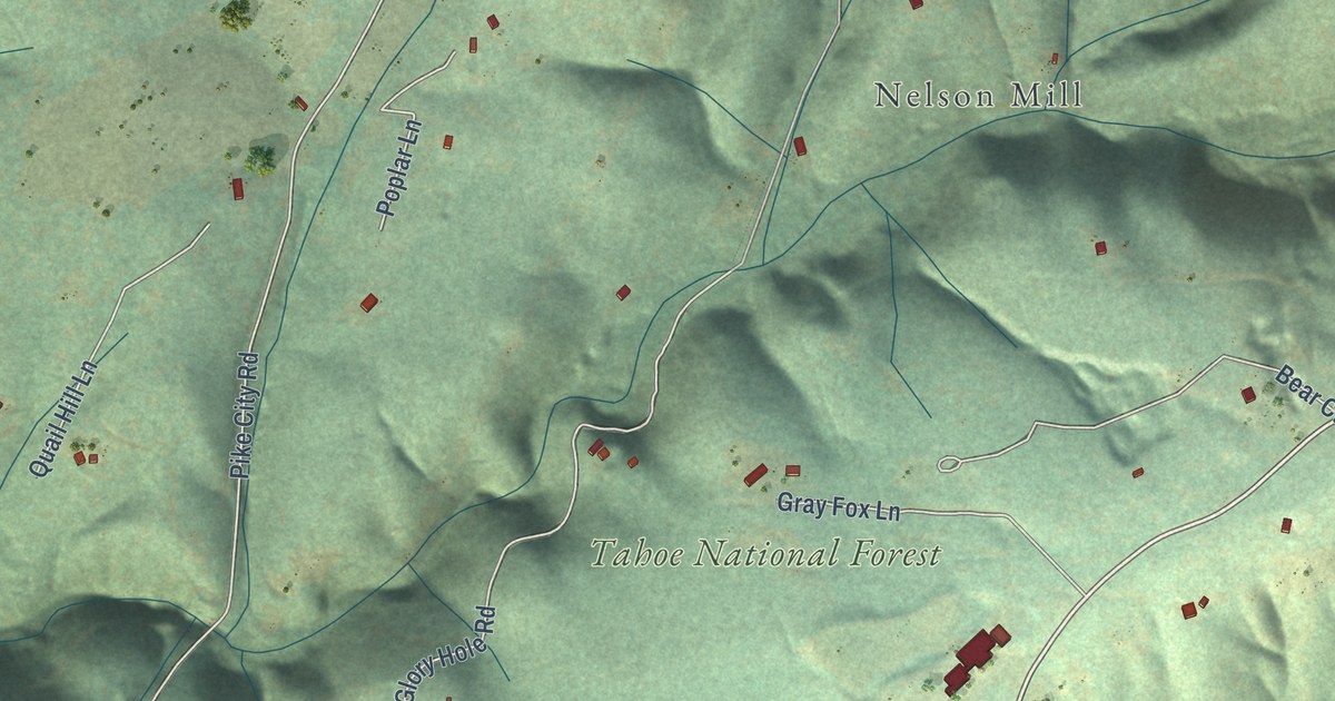
A detailed map of Pike, California, showing every building in its true location, the roads by name, and shaded topographical relief.
Read More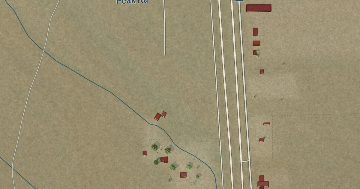
A detailed map of Pearsonville, California, showing every building in its true location, the roads by name, and shaded topographical relief.
Read More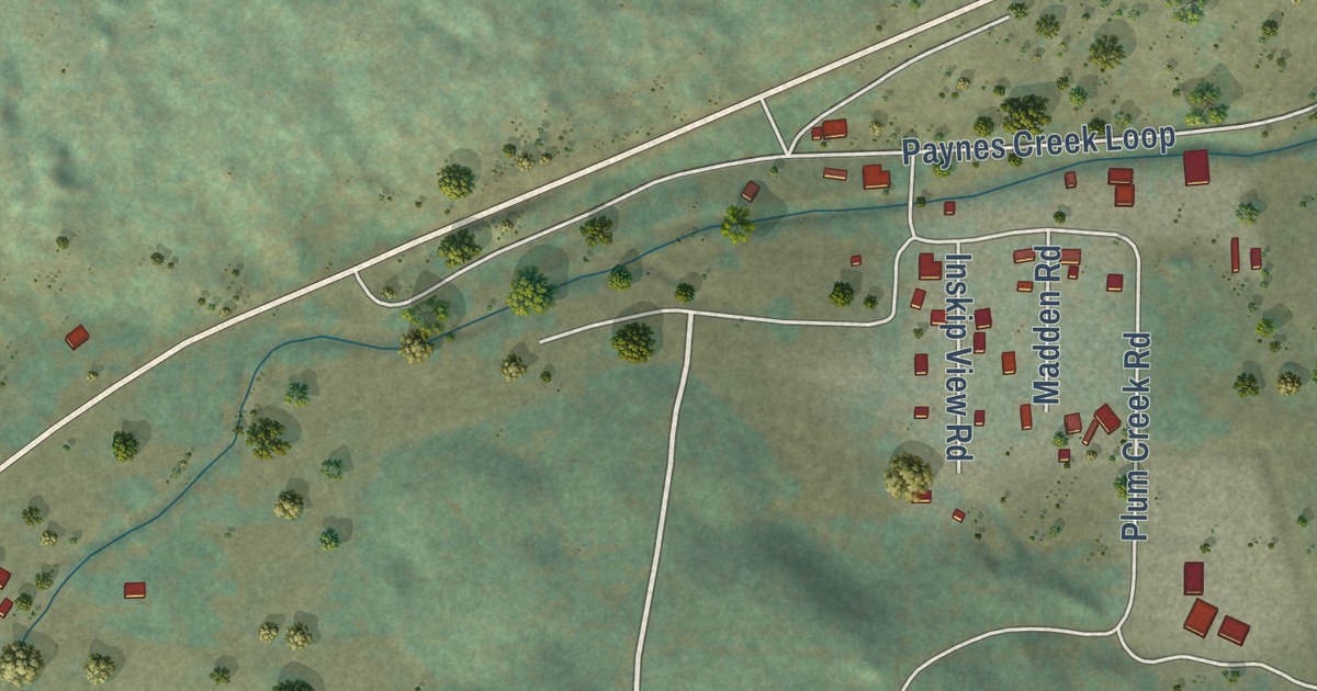
A detailed map of Paynes Creek, California, showing every building in its true location, the roads by name, and shaded topographical relief.
Read More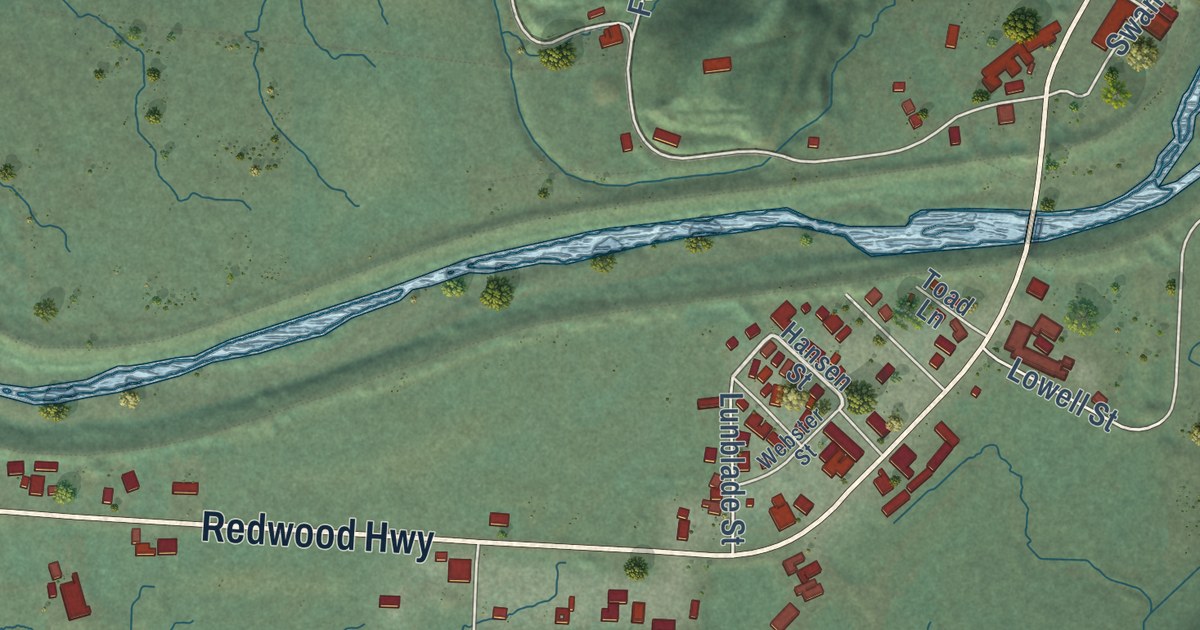
A detailed map of Orick, California, showing every building in its true location, the roads by name, and shaded topographical relief.
Read More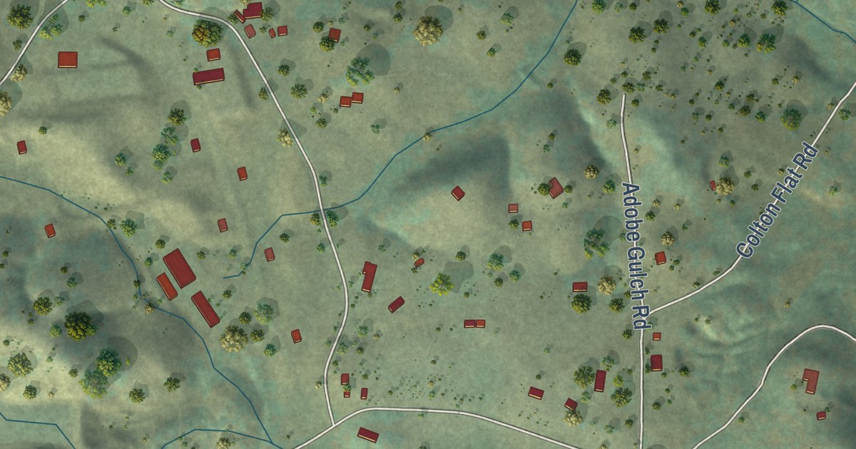
A detailed map of Mountain Ranch, California, showing every building in its true location, the roads by name, and shaded topographical relief.
Read More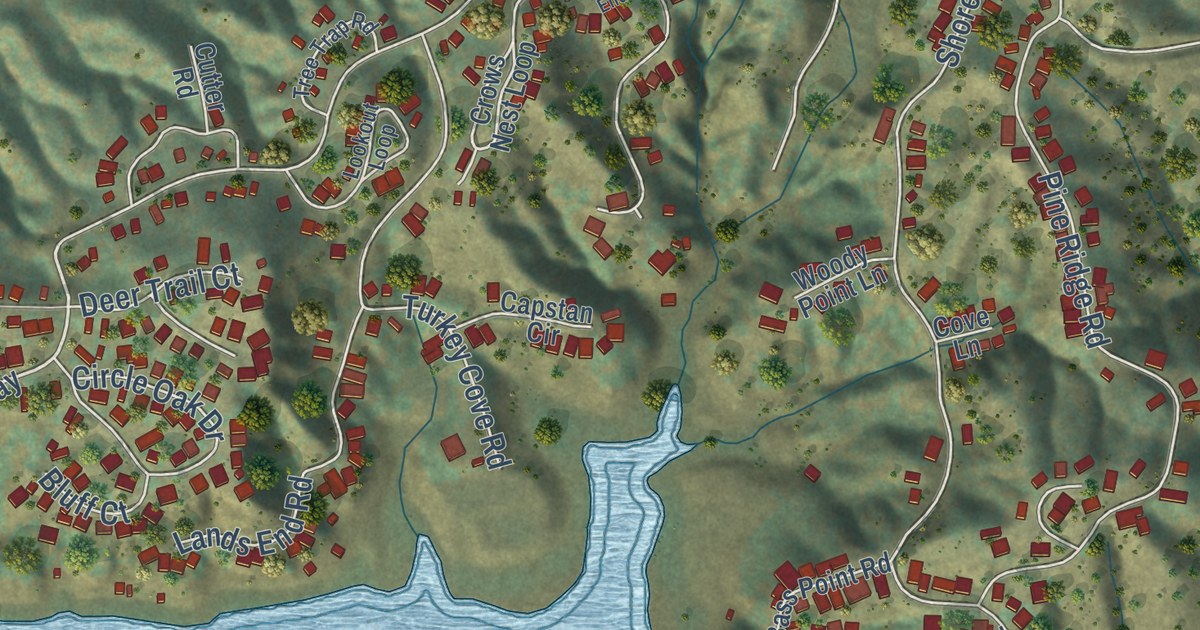
A detailed map of Oak Shores, California, showing every building in its true location, the roads by name, and shaded topographical relief.
Read More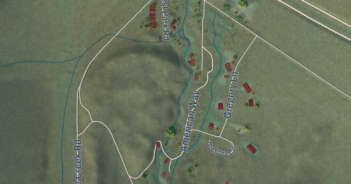
A detailed map of McGee Creek, California, showing every building in its true location, the roads by name, and shaded topographical relief.
Read More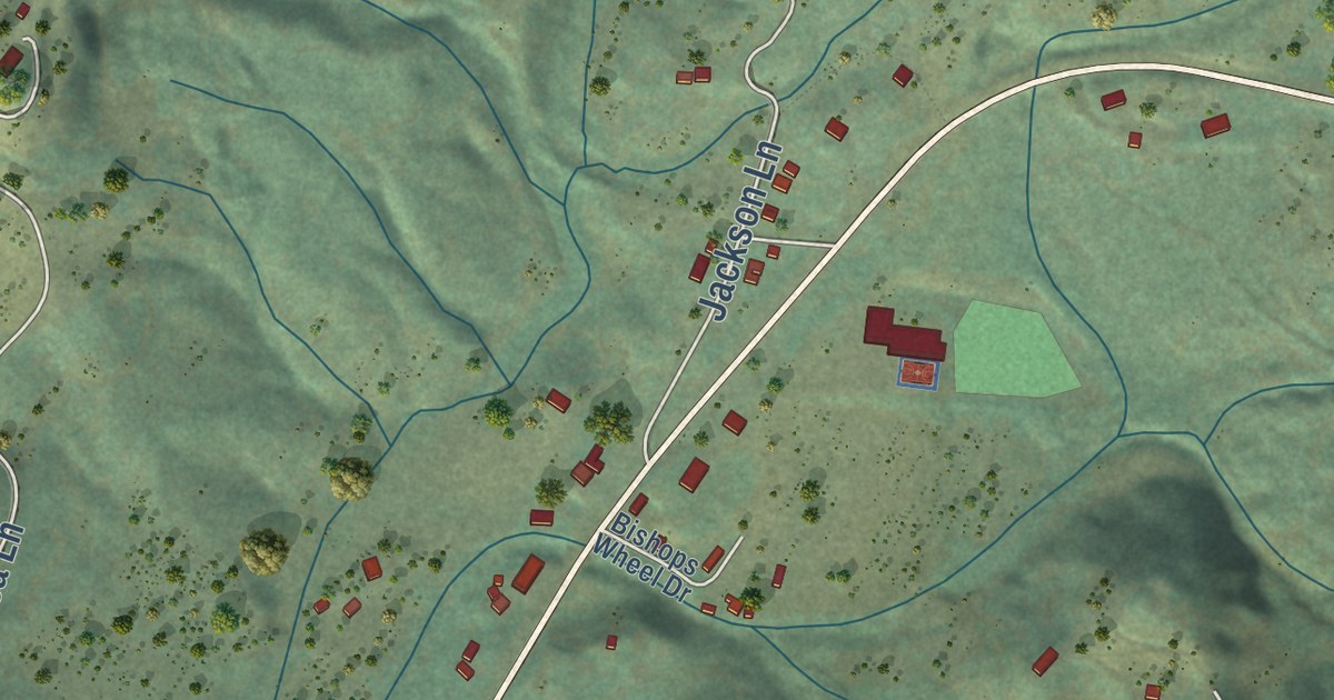
A detailed map of Montgomery Creek, California, showing every building in its true location, the roads by name, and shaded topographical relief.
Read More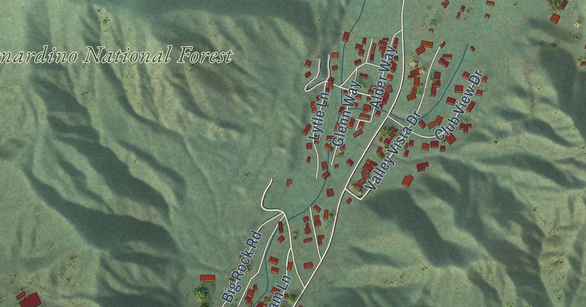
A detailed map of Lytle Creek, California, showing every building in its true location, the roads by name, and shaded topographical relief.
Read More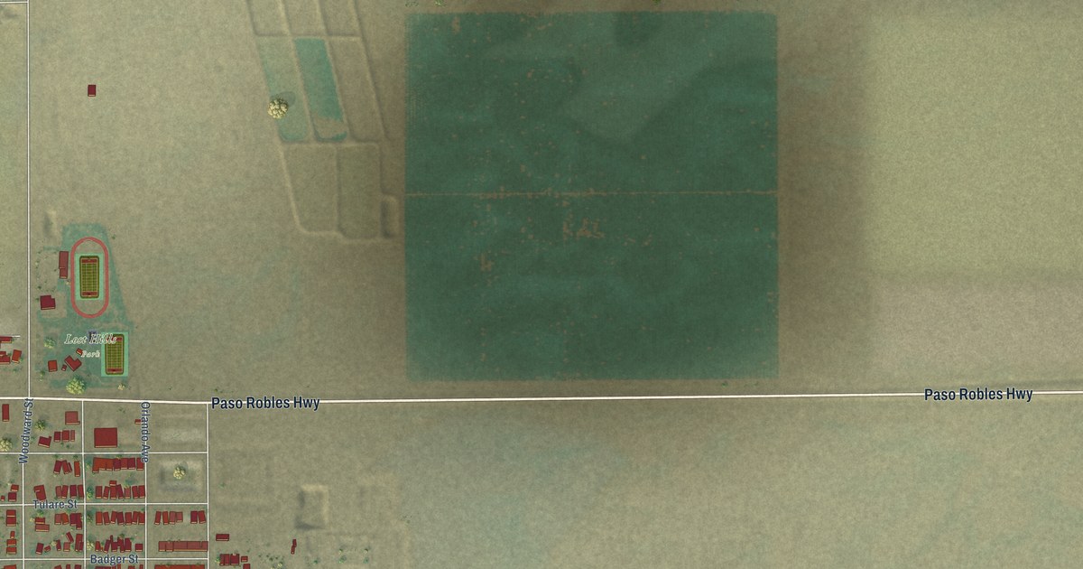
A detailed map of Lost Hills, California, showing every building in its true location, the roads by name, and shaded topographical relief.
Read More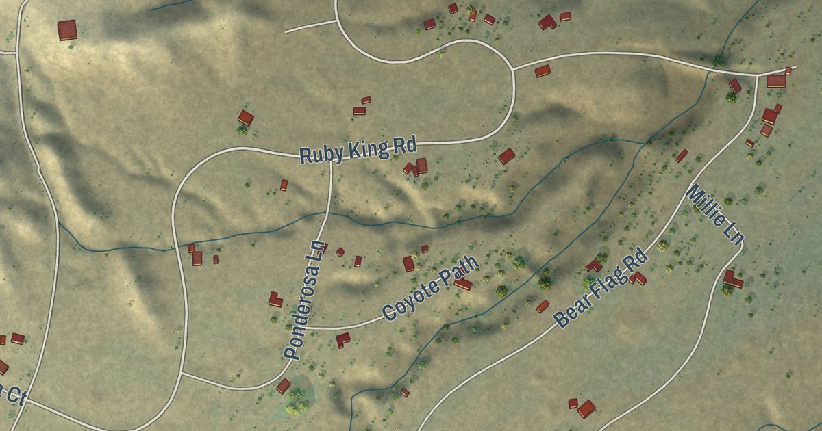
A detailed map of Lodoga, California, showing every building in its true location, the roads by name, and shaded topographical relief.
Read More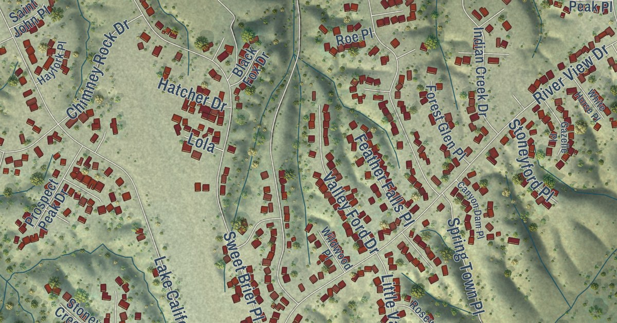
A detailed map of Lake California, California, showing every building in its true location, the roads by name, and shaded topographical relief.
Read More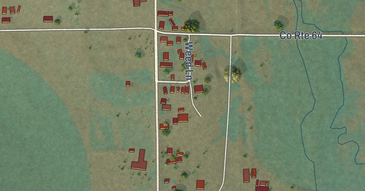
A detailed map of Likely, California, showing every building in its true location, the roads by name, and shaded topographical relief.
Read More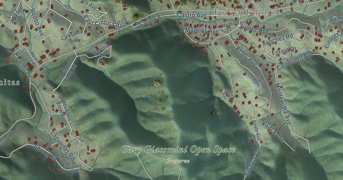
A detailed map of Lagunitas-Forest Knolls, California, showing every building in its true location, the roads by name, and shaded topographical relief.
Read More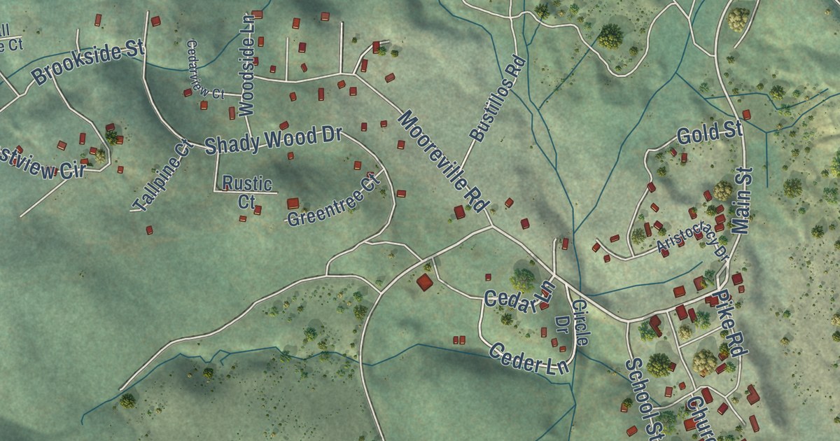
A detailed map of La Porte, California, showing every building in its true location, the roads by name, and shaded topographical relief.
Read More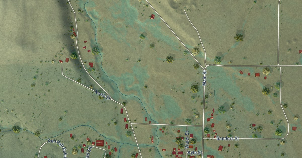
A detailed map of Fort Bidwell, California, showing every building in its true location, the roads by name, and shaded topographical relief.
Read More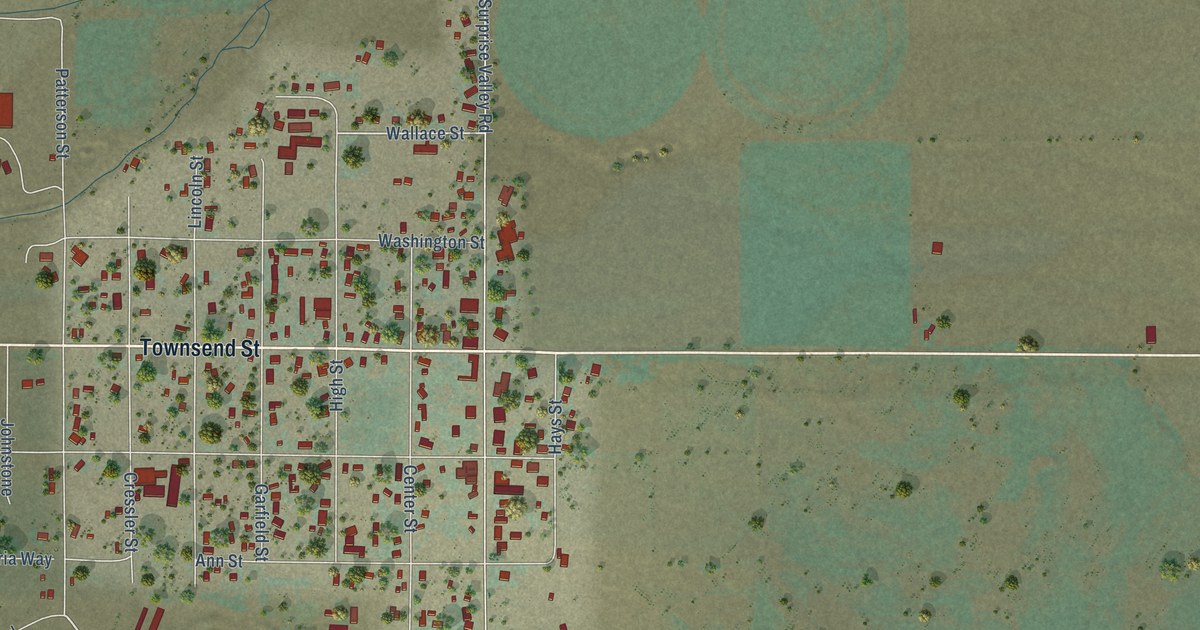
A detailed map of Cedarville, California, showing every building in its true location, the roads by name, and shaded topographical relief.
Read More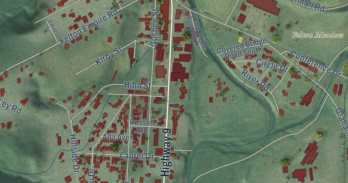
A detailed map of Felton, California, showing every building in its true location, the roads by name, and shaded topographical relief.
Read More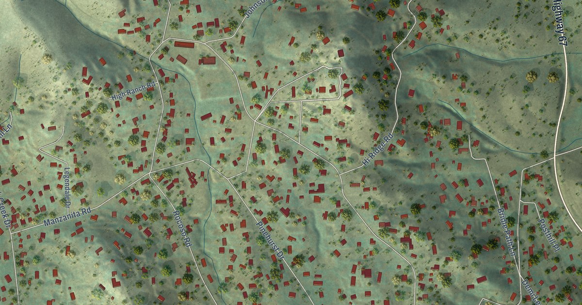
A detailed map of Eucalyptus Hills, California, showing every building in its true location, the roads by name, and shaded topographical relief.
Read More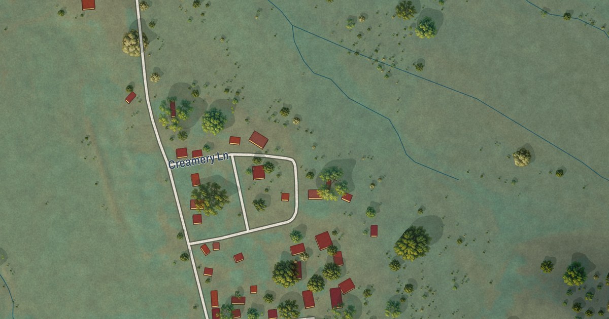
A detailed map of Edgewood, California, showing every building in its true location, the roads by name, and shaded topographical relief.
Read More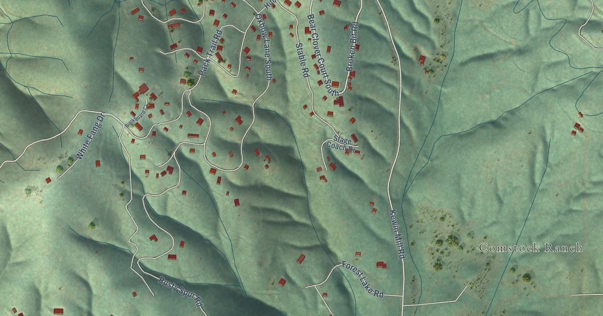
A detailed map of Cedar Ridge, California, showing every building in its true location, the roads by name, and shaded topographical relief.
Read More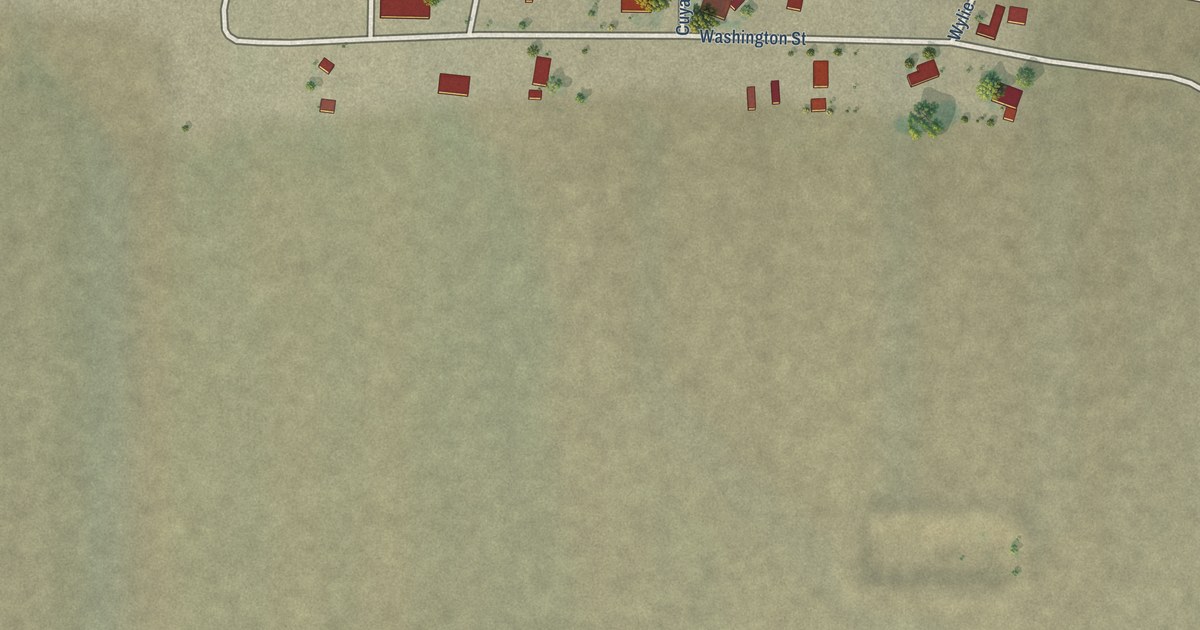
A detailed map of Cuyama, California, showing every building in its true location, the roads by name, and shaded topographical relief.
Read More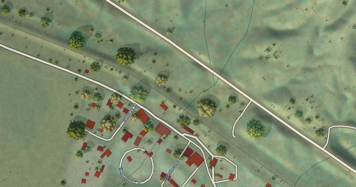
A detailed map of Blairsden, California, showing every building in its true location, the roads by name, and shaded topographical relief.
Read More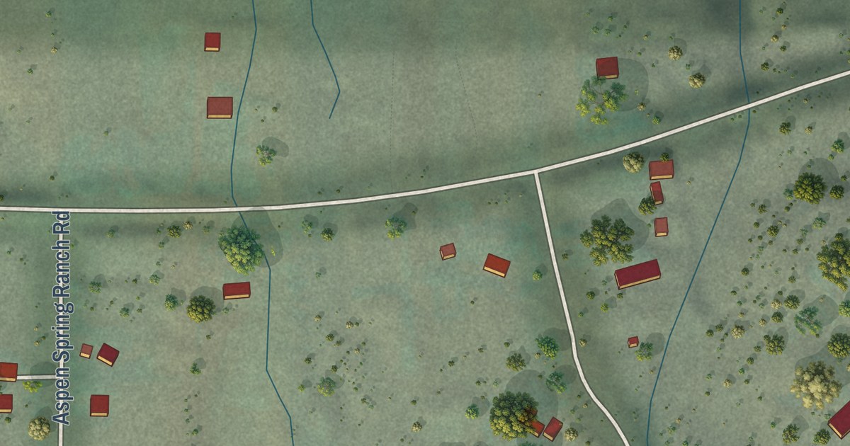
A detailed map of Aspen Springs, California, showing every building in its true location, the roads by name, and shaded topographical relief.
Read More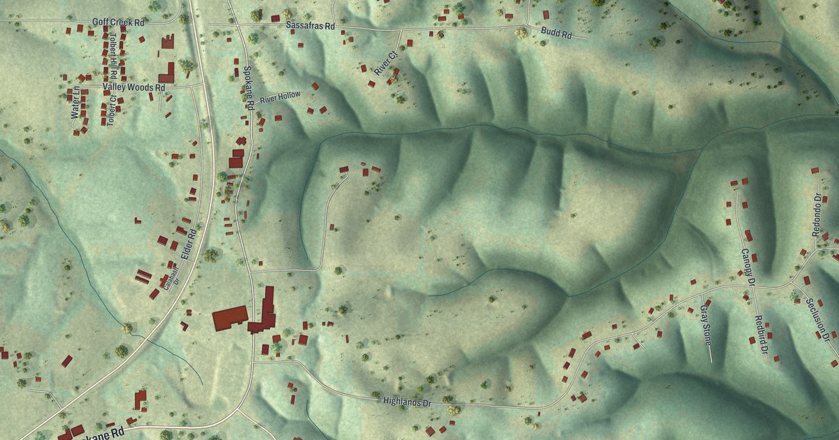
A detailed map of Spokane, Missouri, showing every building in its true location, the roads by name, and shaded topographical relief.
Read More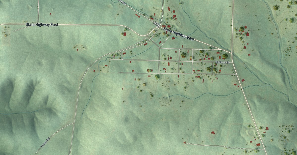
A detailed map of Hunter, Missouri, showing every building in its true location, the roads by name, and shaded topographical relief.
Read More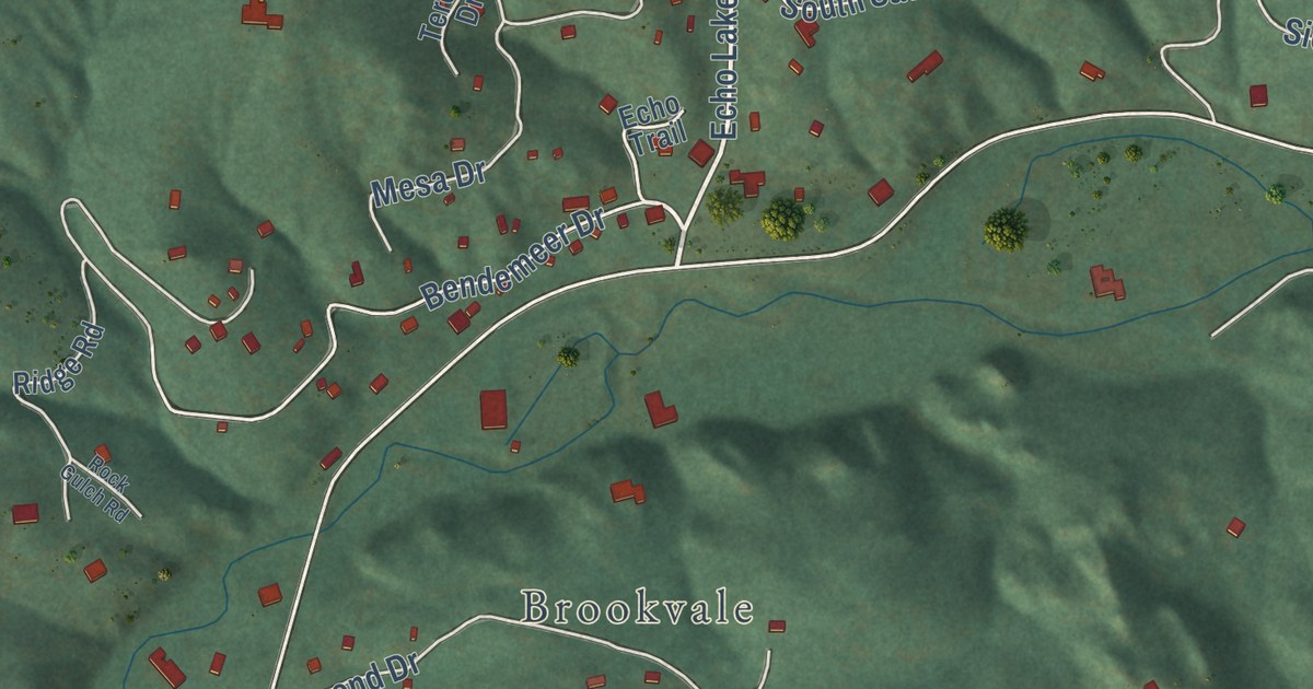
A detailed map of Upper Bear Creek, Colorado, showing every building in its true location, the roads by name, and shaded topographical relief.
Read More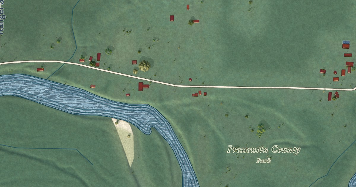
A detailed map of Marblemount, Washington, showing every building in its true location, the roads by name, and shaded topographical relief.
Read More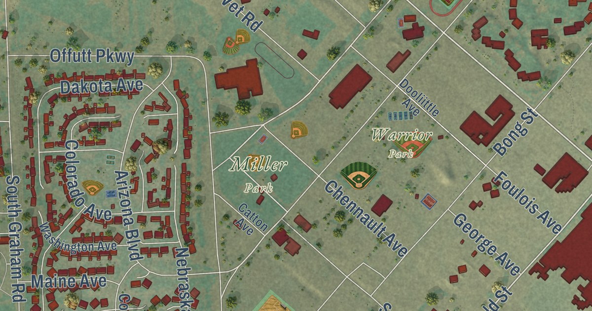
A detailed map of Fairchild AFB, Washington, showing every building in its true location, the roads by name, and shaded topographical relief.
Read More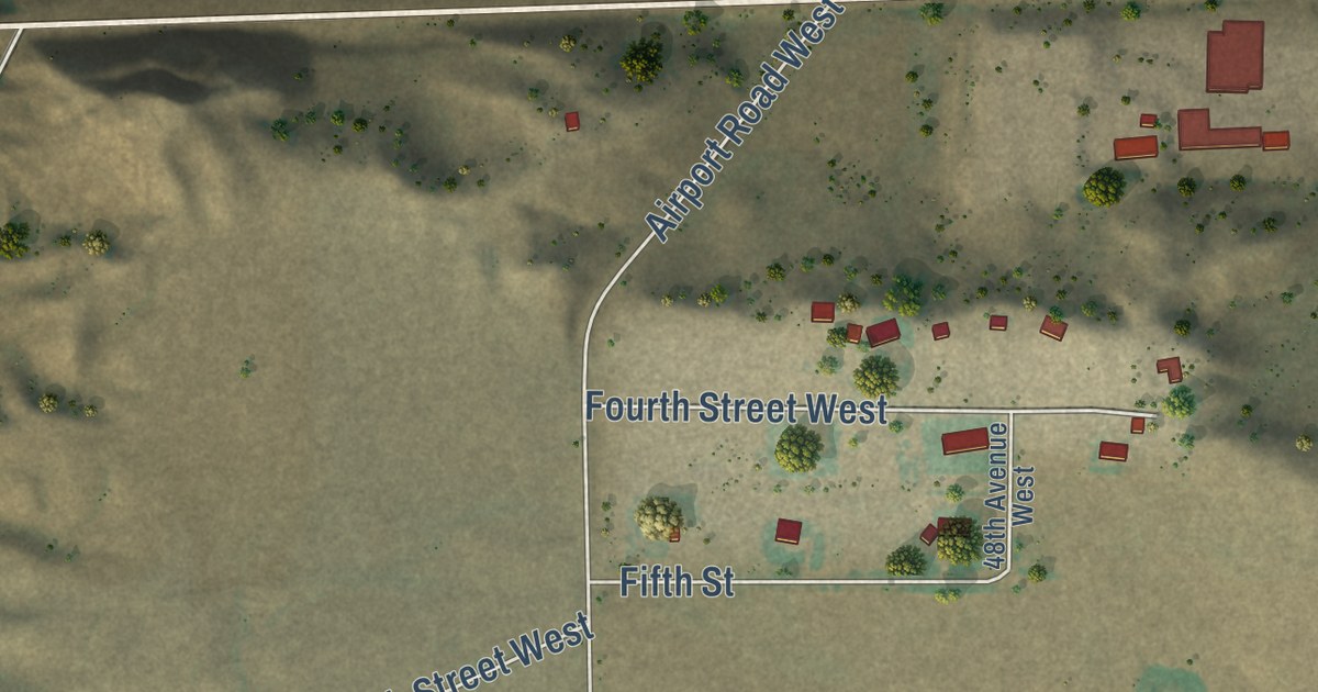
A detailed map of Herron, Montana, showing every building in its true location, the roads by name, and shaded topographical relief.
Read More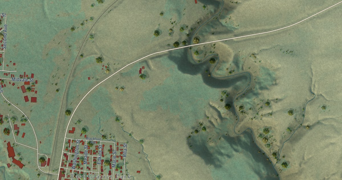
A detailed map of East Glacier Park Village, Montana, showing every building in its true location, the roads by name, and shaded topographical relief.
Read More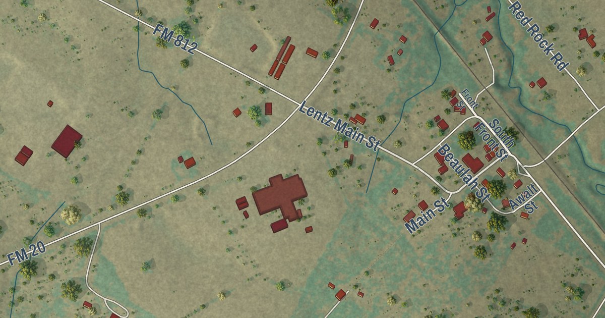
A detailed map of Red Rock, Texas, showing every building in its true location, the roads by name, and shaded topographical relief.
Read More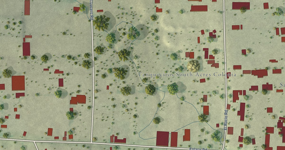
A detailed map of Tanquecitos South Acres, Texas, showing every building in its true location, the roads by name, and shaded topographical relief.
Read More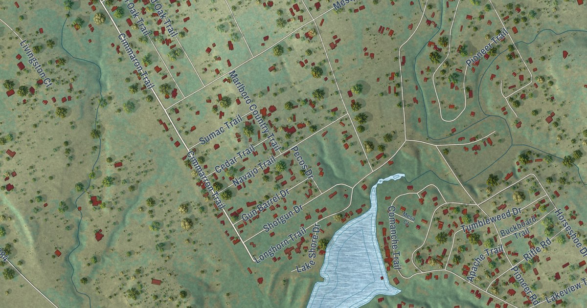
A detailed map of Western Lake, Texas, showing every building in its true location, the roads by name, and shaded topographical relief.
Read More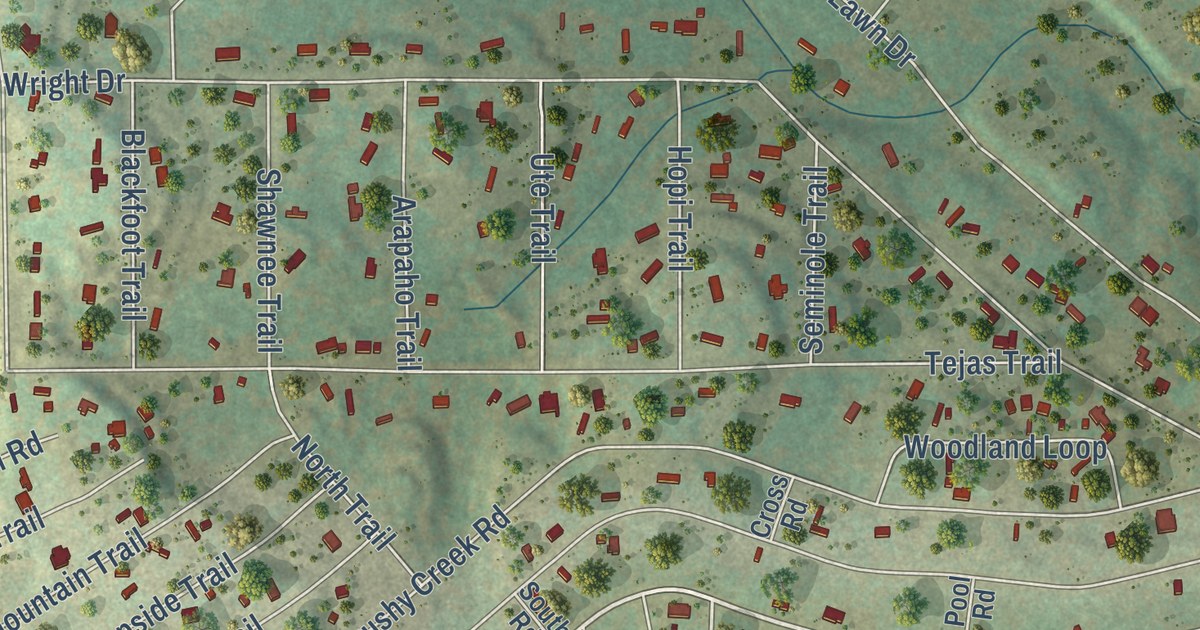
A detailed map of Lake Medina Shores, Texas, showing every building in its true location, the roads by name, and shaded topographical relief.
Read More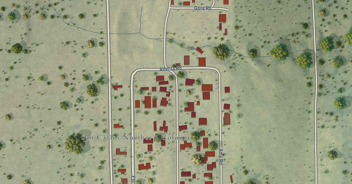
A detailed map of San Carlos I, Texas, showing every building in its true location, the roads by name, and shaded topographical relief.
Read More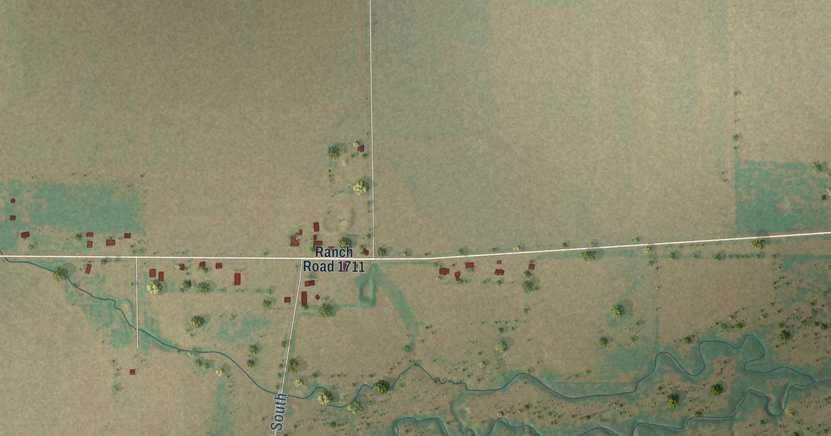
A detailed map of Elbert, Texas, showing every building in its true location, the roads by name, and shaded topographical relief.
Read More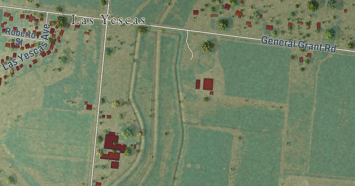
A detailed map of Arroyo Gardens, Texas, showing every building in its true location, the roads by name, and shaded topographical relief.
Read More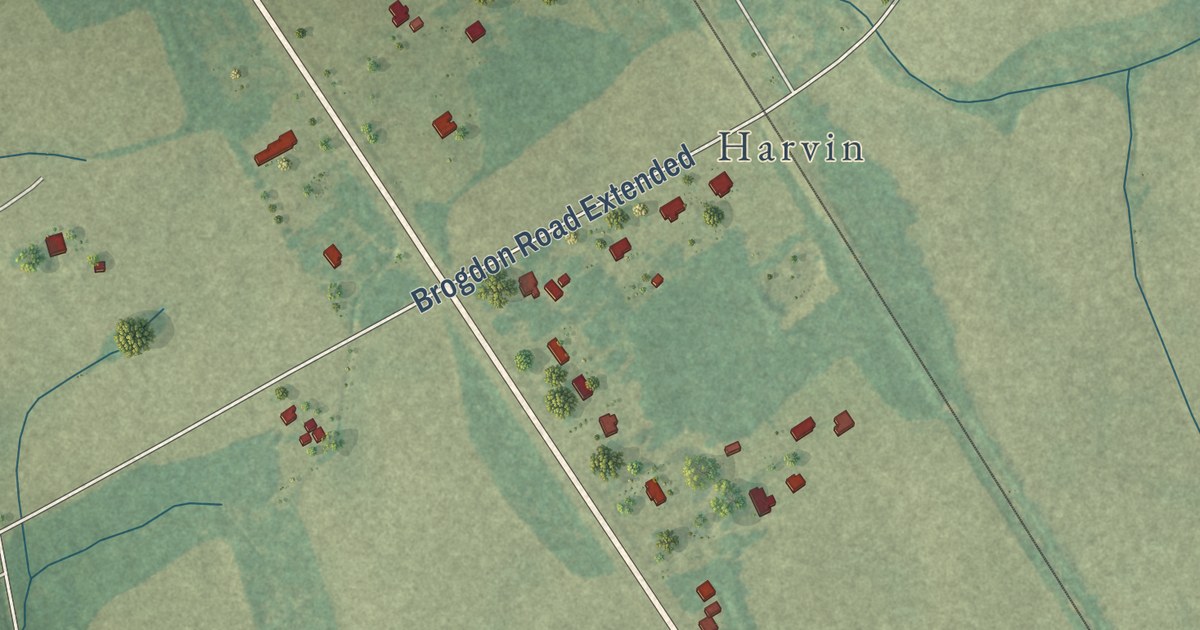
A detailed map of Alcolu, South Carolina, showing every building in its true location, the roads by name, and shaded topographical relief.
Read More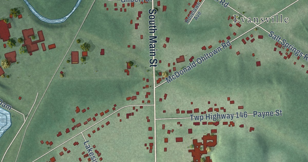
A detailed map of Mineral Ridge, Ohio, showing every building in its true location, the roads by name, and shaded topographical relief.
Read More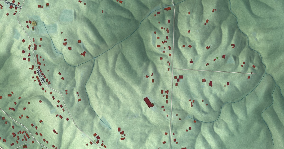
A detailed map of Blue Jay, Ohio, showing every building in its true location, the roads by name, and shaded topographical relief.
Read More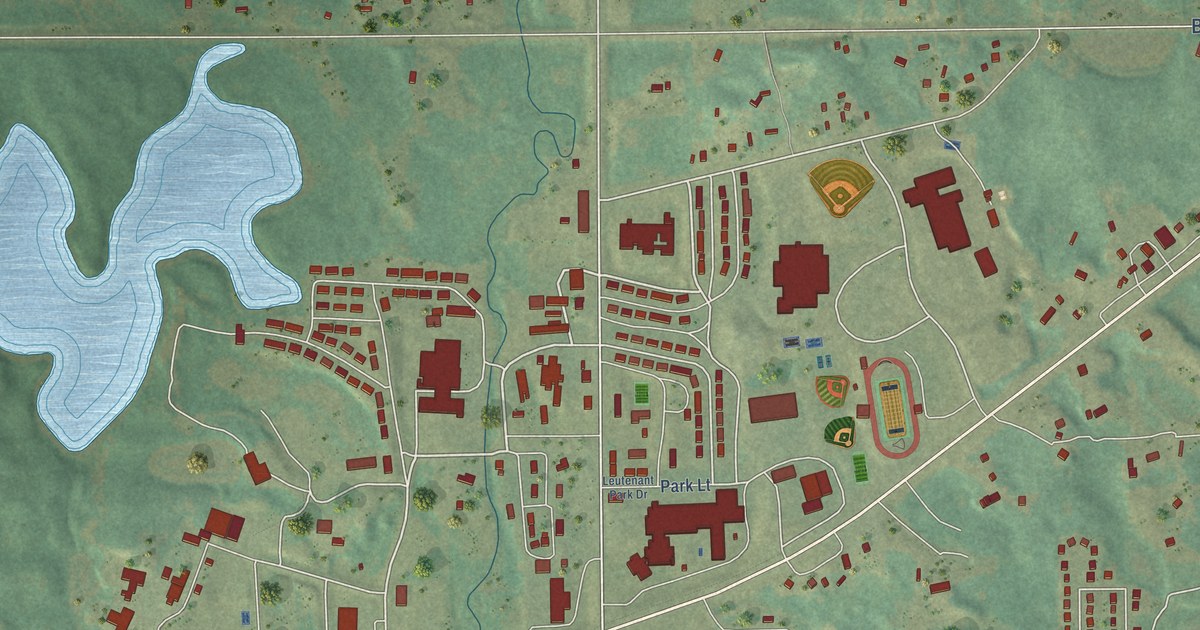
A detailed map of Belcourt, North Dakota, showing every building in its true location, the roads by name, and shaded topographical relief.
Read More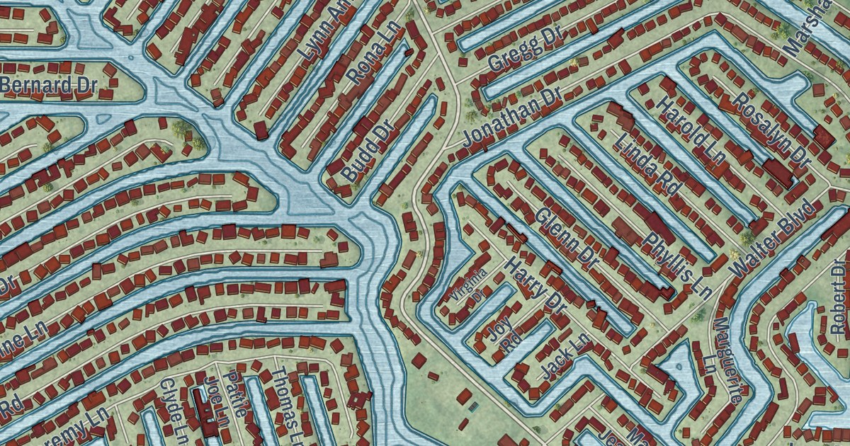
A detailed map of Beach Haven West, New Jersey, showing every building in its true location, the roads by name, and shaded topographical relief.
Read More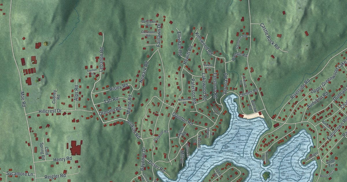
A detailed map of Upper Greenwood Lake, New Jersey, showing every building in its true location, the roads by name, and shaded topographical relief.
Read More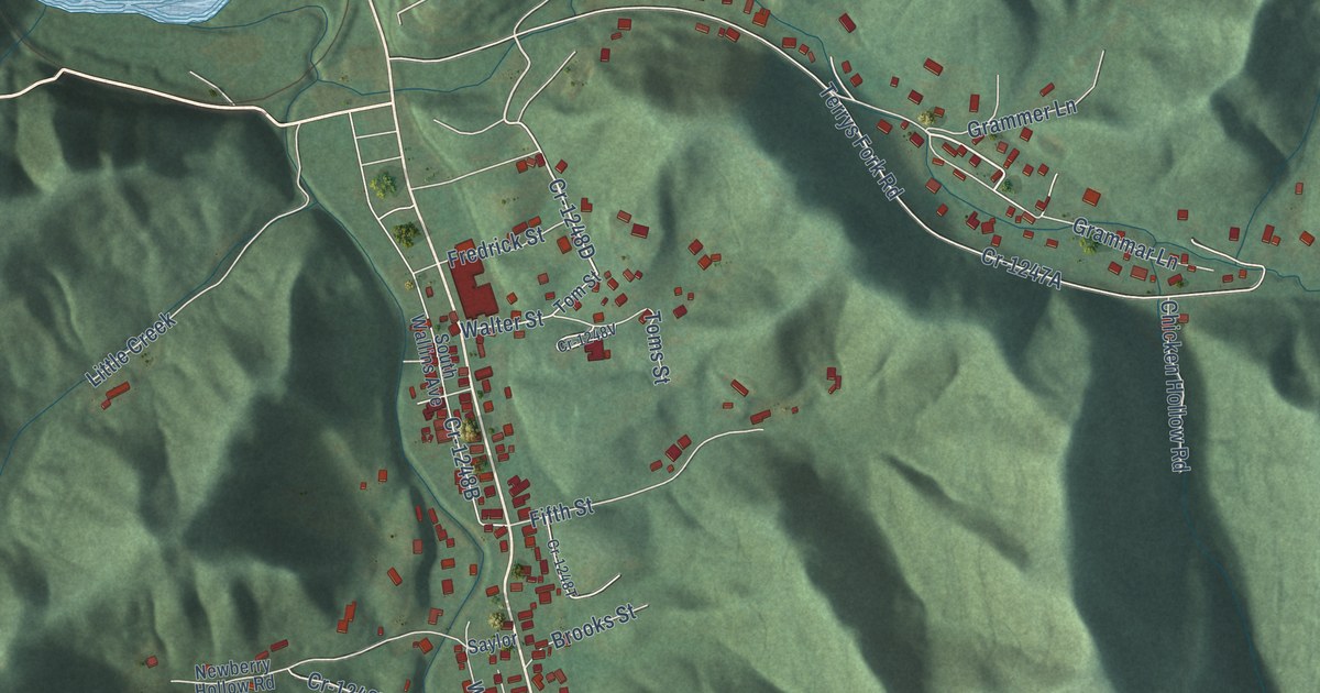
A detailed map of South Wallins, Kentucky, showing every building in its true location, the roads by name, and shaded topographical relief.
Read More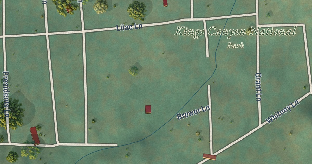
A detailed map of Wilsonia, California, showing every building in its true location, the roads by name, and shaded topographical relief.
Read More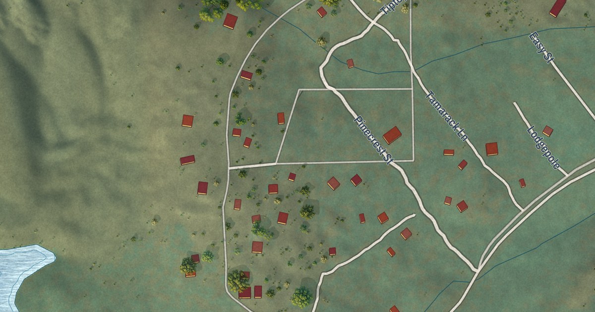
A detailed map of Virginia Lakes, California, showing every building in its true location, the roads by name, and shaded topographical relief.
Read More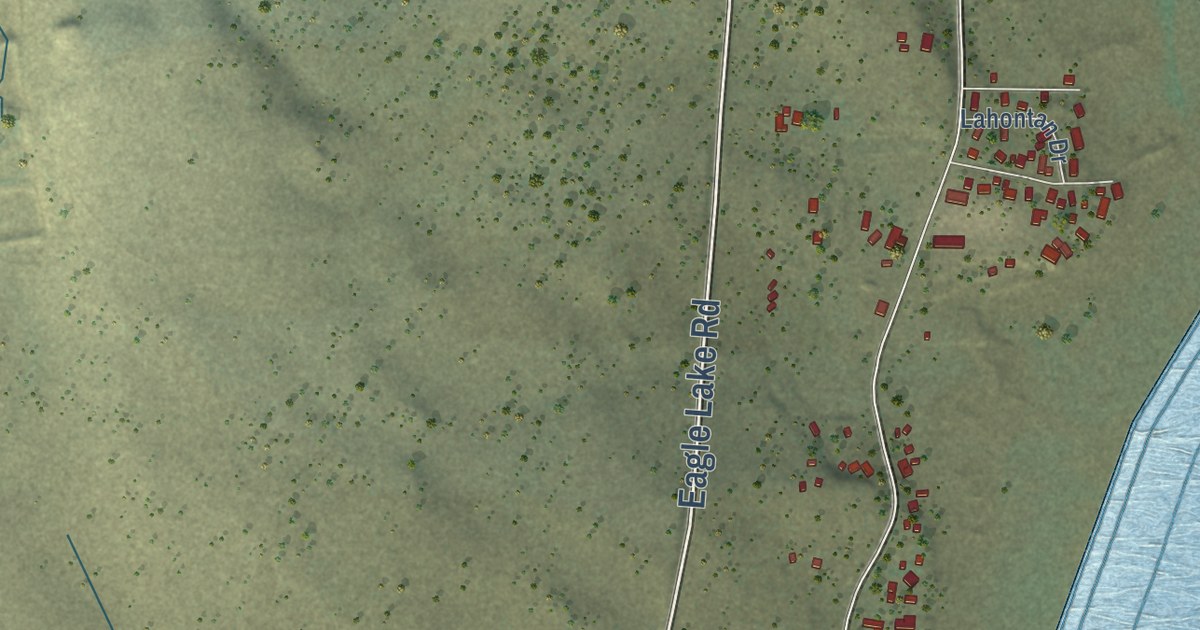
A detailed map of Stones Landing, California, showing every building in its true location, the roads by name, and shaded topographical relief.
Read More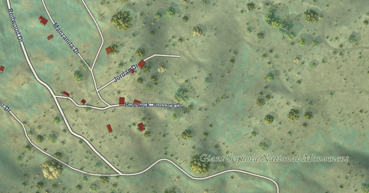
A detailed map of Sequoia Crest, California, showing every building in its true location, the roads by name, and shaded topographical relief.
Read More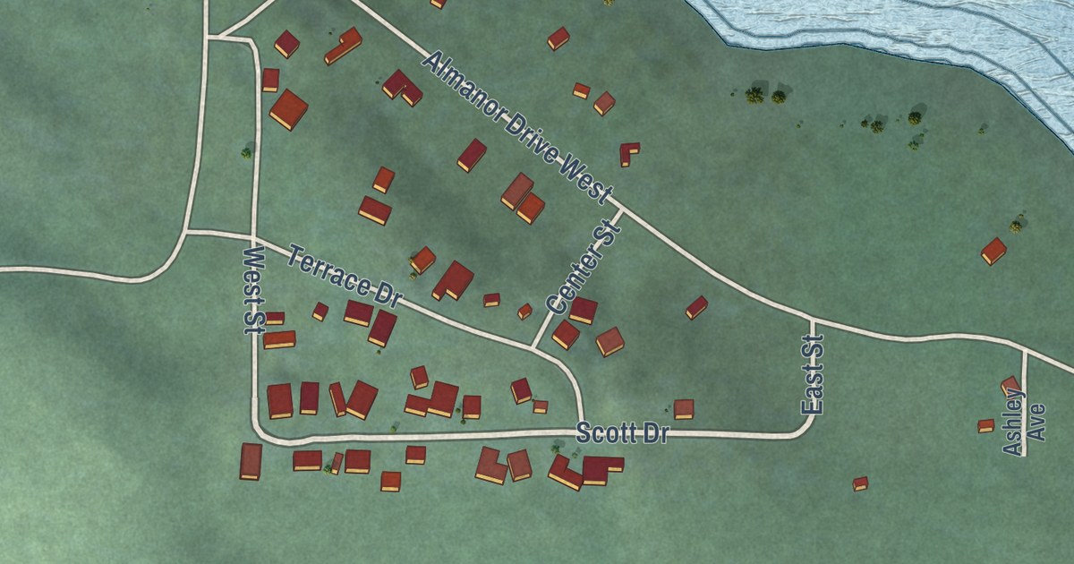
A detailed map of Prattville, California, showing every building in its true location, the roads by name, and shaded topographical relief.
Read More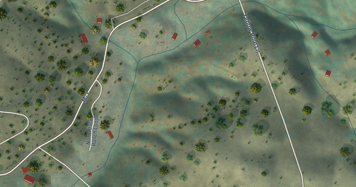
A detailed map of Posey, California, showing every building in its true location, the roads by name, and shaded topographical relief.
Read More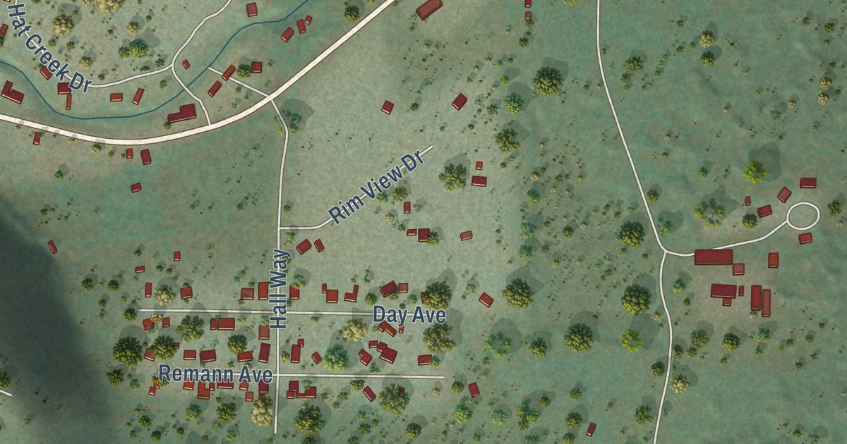
A detailed map of Old Station, California, showing every building in its true location, the roads by name, and shaded topographical relief.
Read More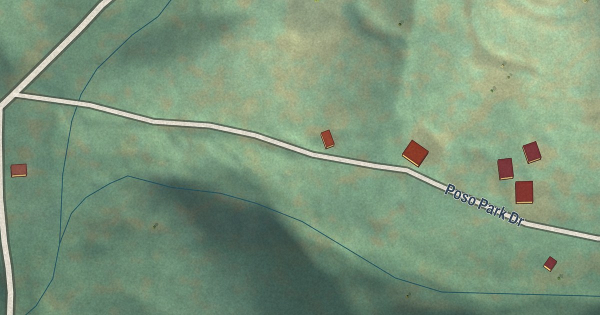
A detailed map of Poso Park, California, showing every building in its true location, the roads by name, and shaded topographical relief.
Read More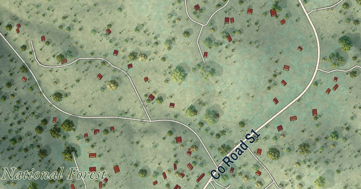
A detailed map of Mount Laguna, California, showing every building in its true location, the roads by name, and shaded topographical relief.
Read More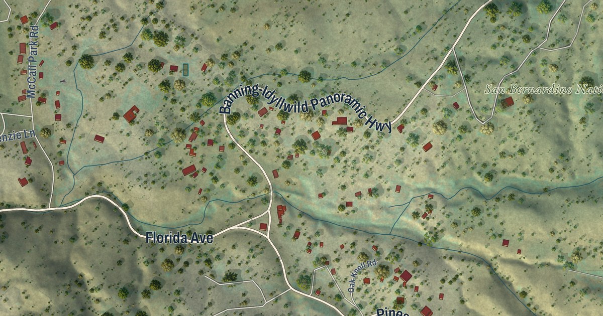
A detailed map of Mountain Center, California, showing every building in its true location, the roads by name, and shaded topographical relief.
Read More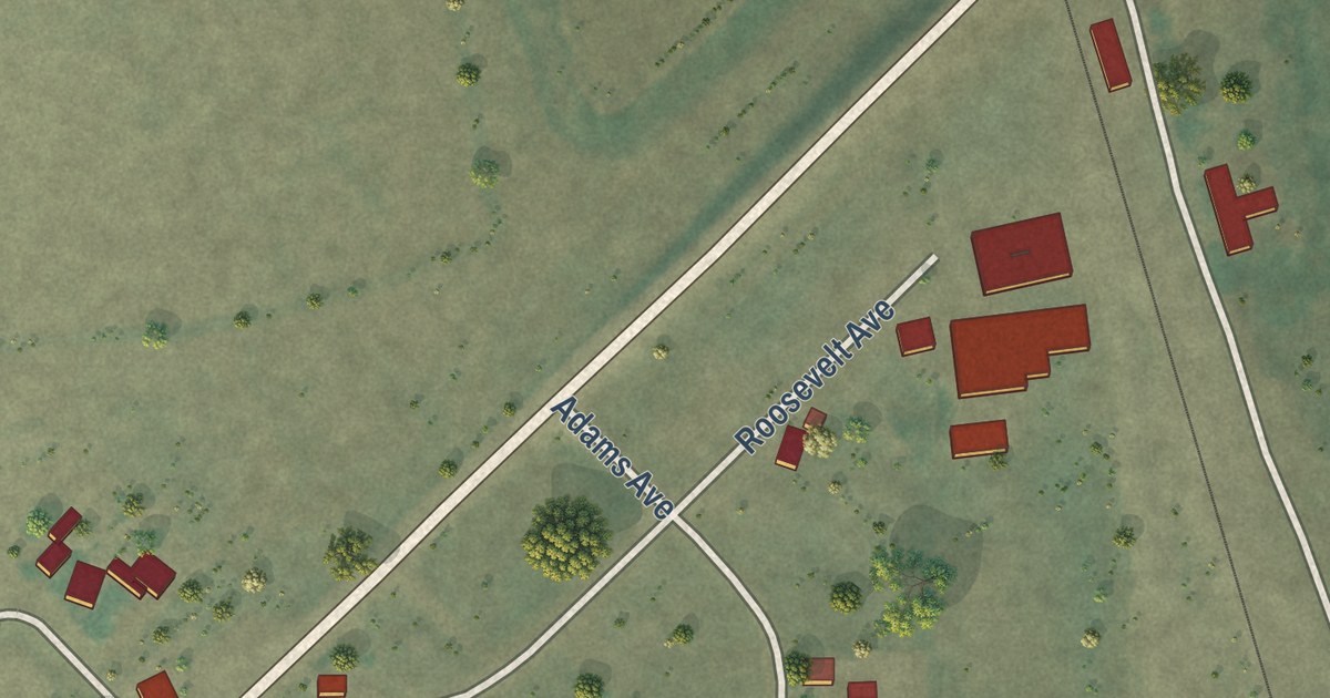
A detailed map of Nubieber, California, showing every building in its true location, the roads by name, and shaded topographical relief.
Read More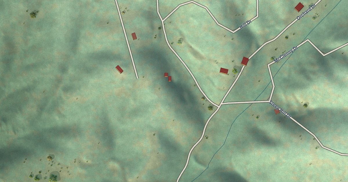
A detailed map of McClenney Tract, California, showing every building in its true location, the roads by name, and shaded topographical relief.
Read More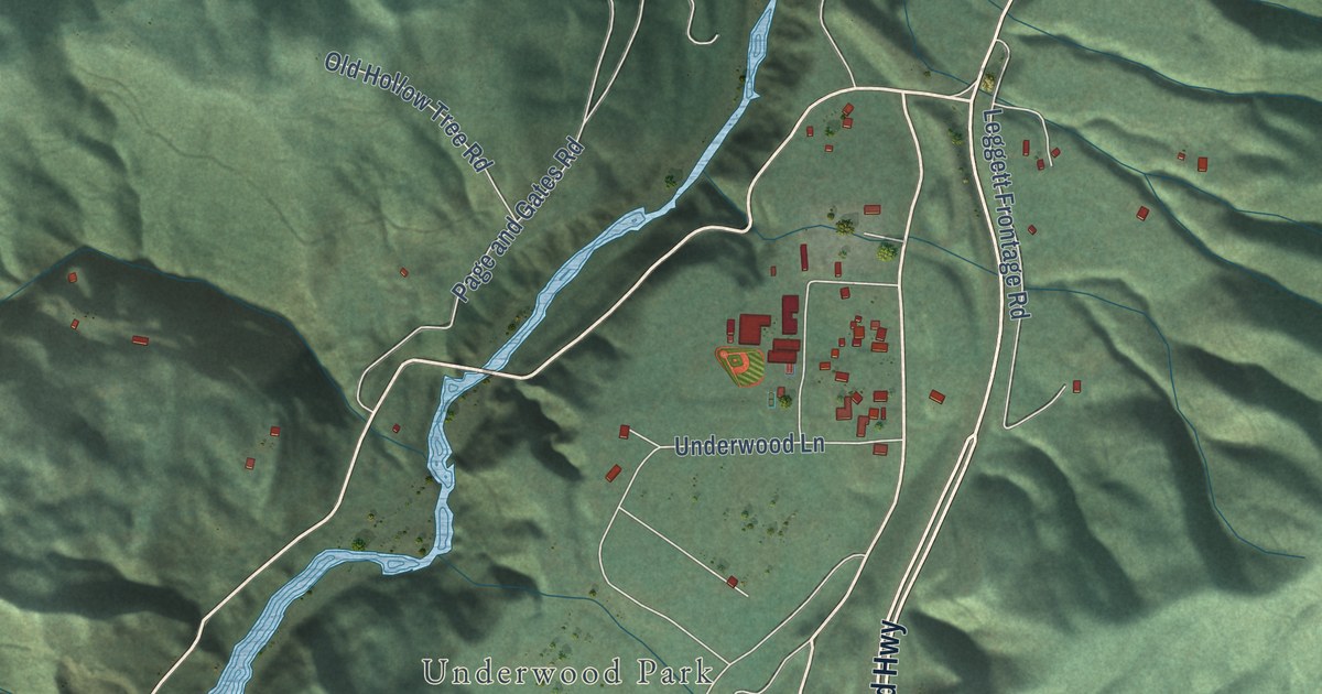
A detailed map of Leggett, California, showing every building in its true location, the roads by name, and shaded topographical relief.
Read More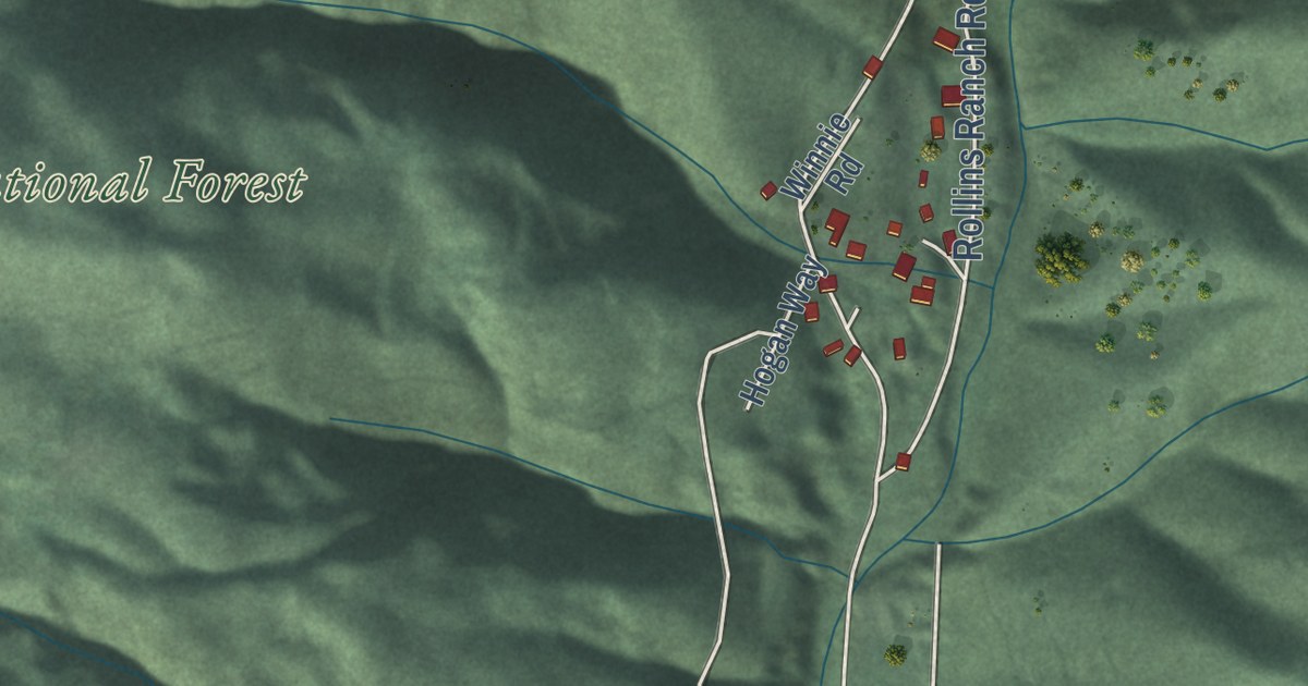
A detailed map of Goodyears Bar, California, showing every building in its true location, the roads by name, and shaded topographical relief.
Read More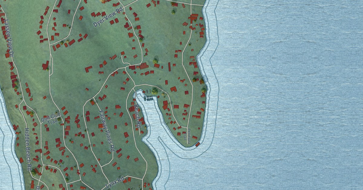
A detailed map of Lake Almanor Country Club, California, showing every building in its true location, the roads by name, and shaded topographical relief.
Read More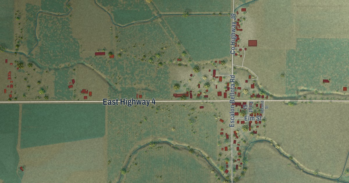
A detailed map of Farmington, California, showing every building in its true location, the roads by name, and shaded topographical relief.
Read More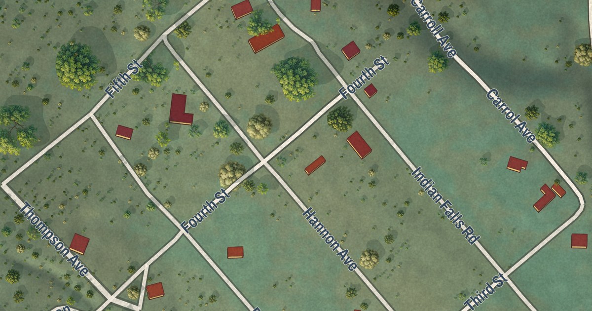
A detailed map of Indian Falls, California, showing every building in its true location, the roads by name, and shaded topographical relief.
Read More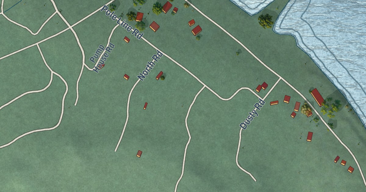
A detailed map of Almanor, California, showing every building in its true location, the roads by name, and shaded topographical relief.
Read More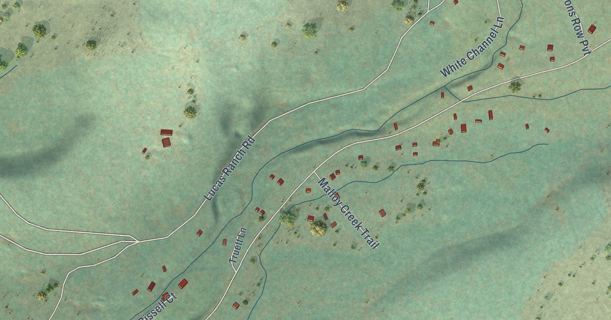
A detailed map of Butte Meadows, California, showing every building in its true location, the roads by name, and shaded topographical relief.
Read More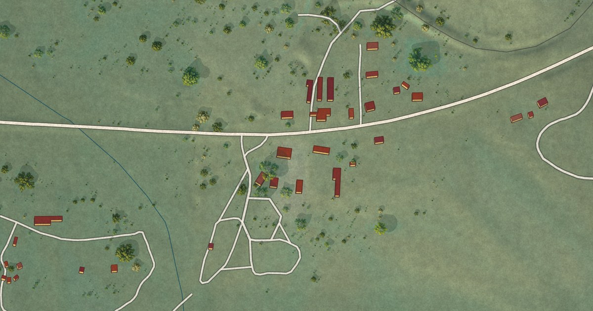
A detailed map of Canyondam, California, showing every building in its true location, the roads by name, and shaded topographical relief.
Read More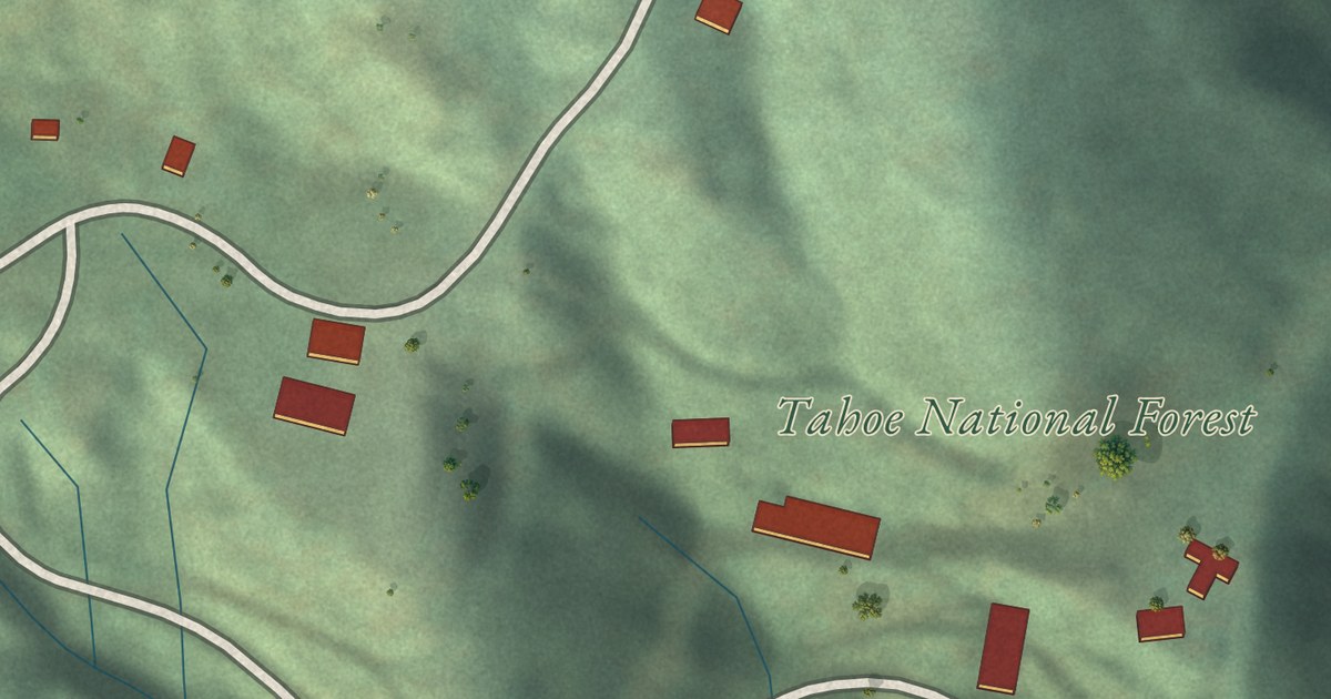
A detailed map of Alleghany, California, showing every building in its true location, the roads by name, and shaded topographical relief.
Read More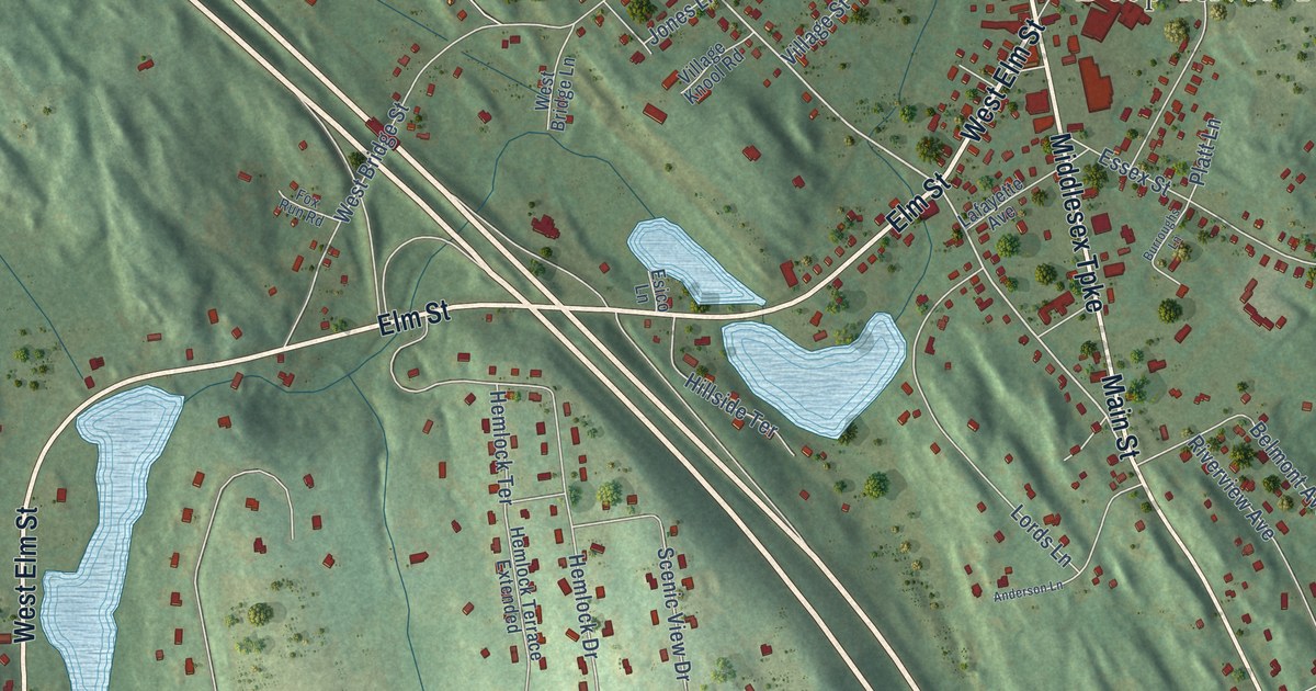
A detailed map of Deep River Center, Connecticut, showing every building in its true location, the roads by name, and shaded topographical relief.
Read More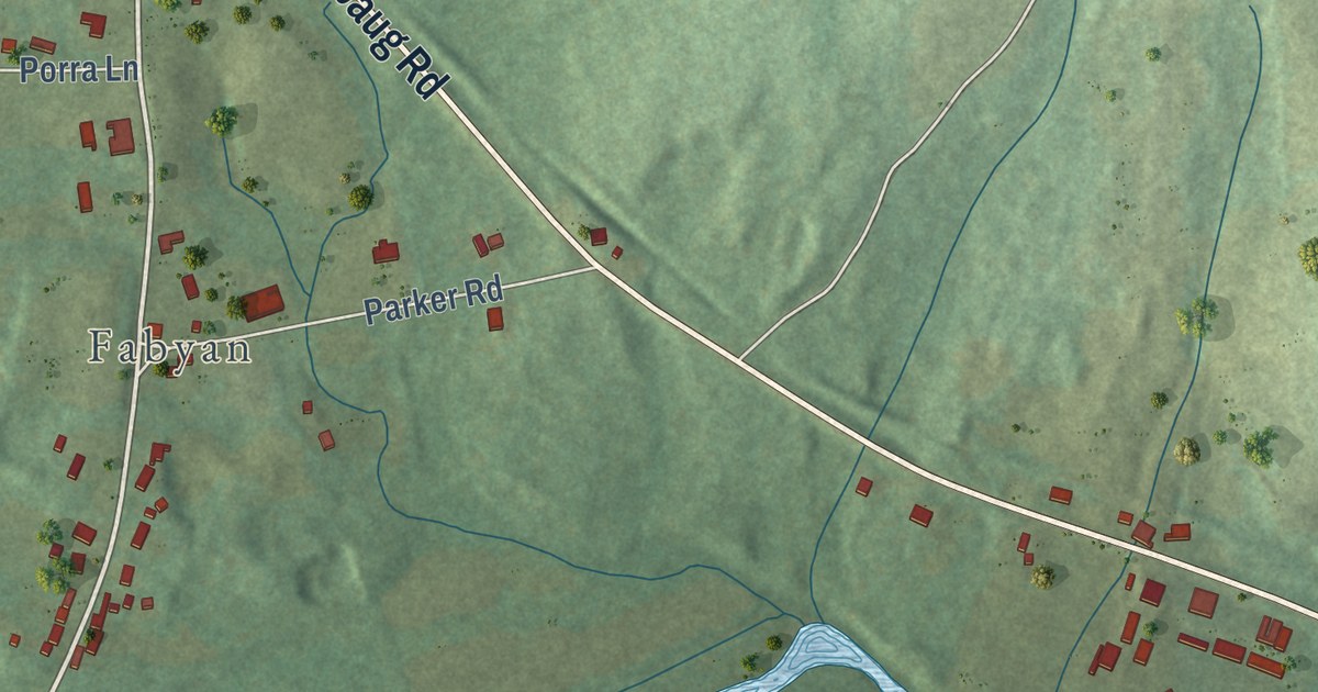
A detailed map of Quinebaug, Connecticut, showing every building in its true location, the roads by name, and shaded topographical relief.
Read More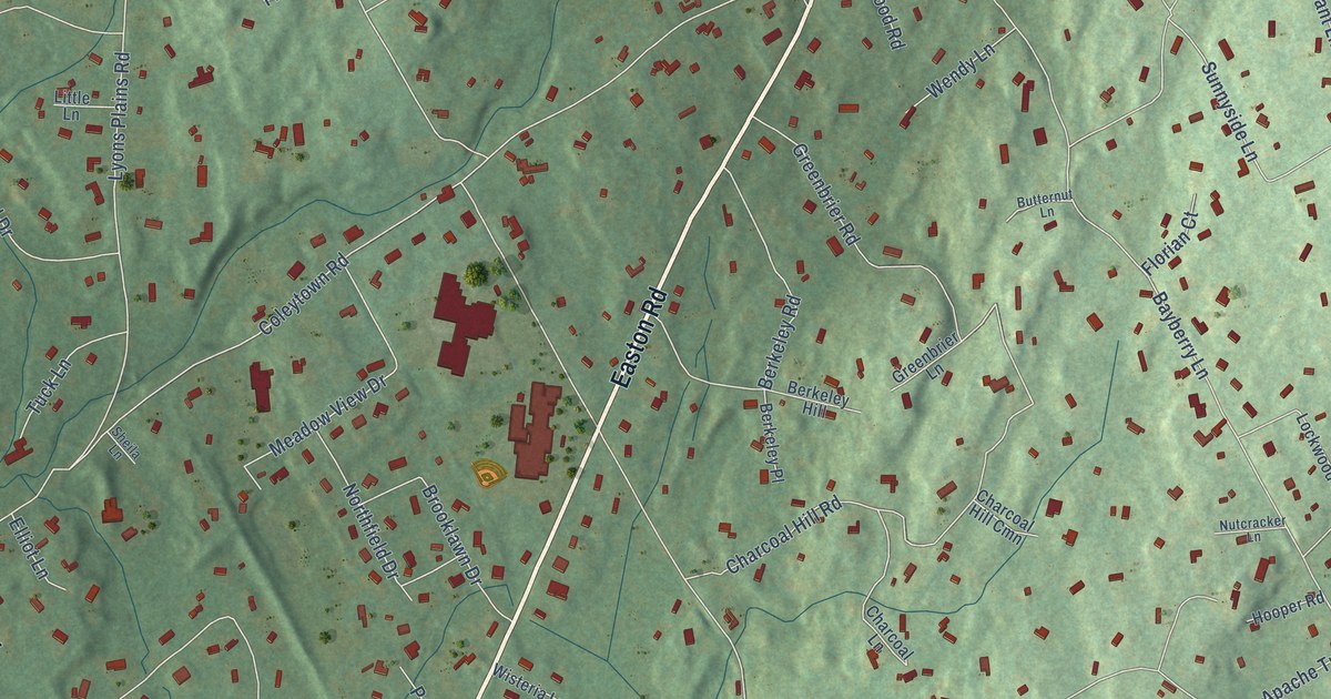
A detailed map of Coleytown, Connecticut, showing every building in its true location, the roads by name, and shaded topographical relief.
Read More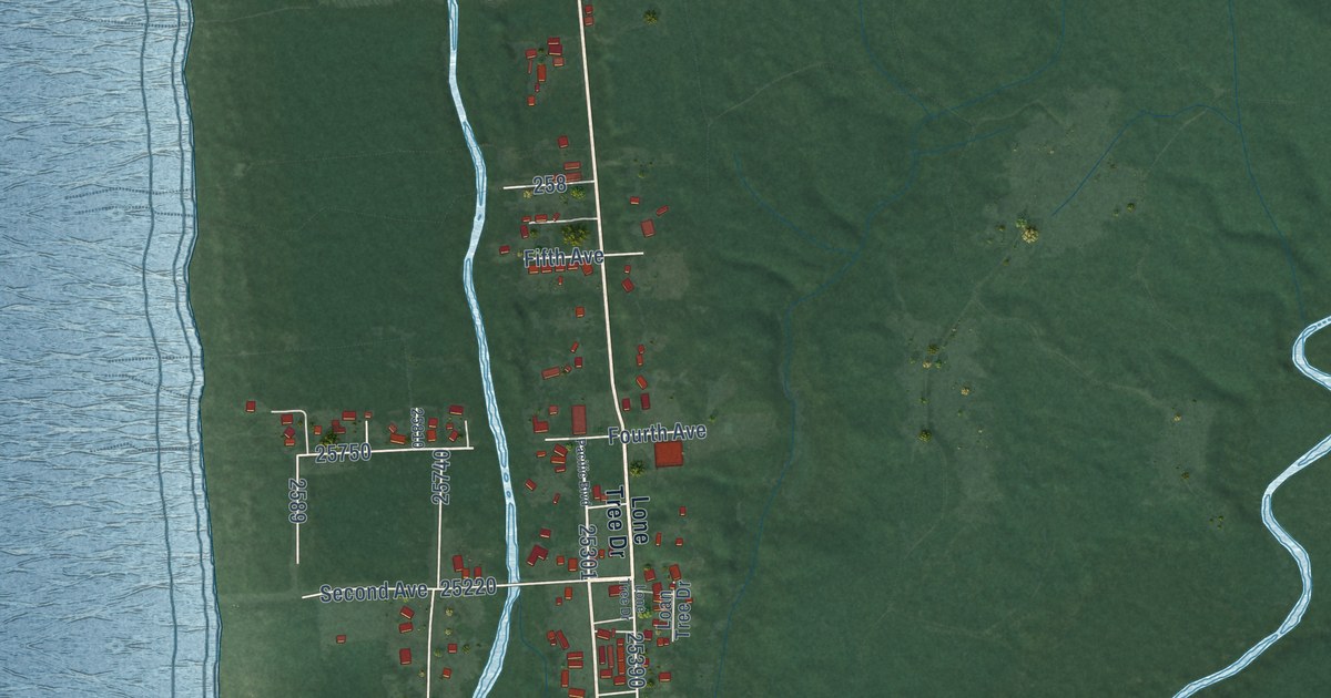
A detailed map of Ocean City, Washington, showing every building in its true location, the roads by name, and shaded topographical relief.
Read More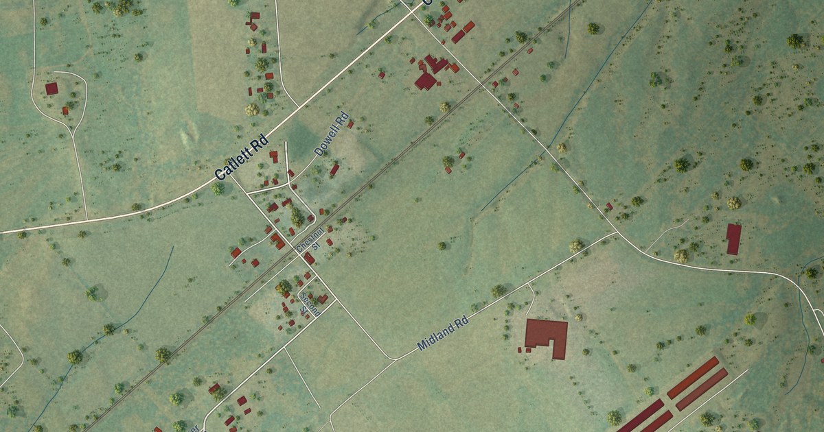
A detailed map of Midland, Virginia, showing every building in its true location, the roads by name, and shaded topographical relief.
Read More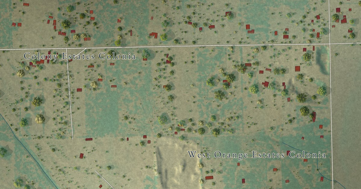
A detailed map of Westdale, Texas, showing every building in its true location, the roads by name, and shaded topographical relief.
Read More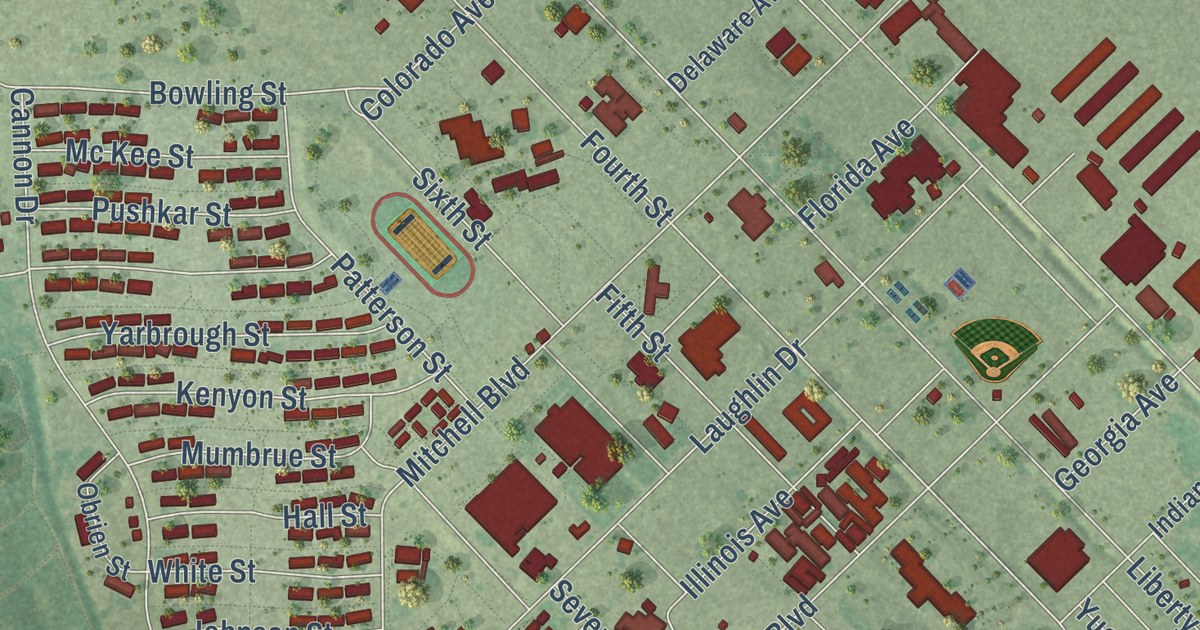
A detailed map of Laughlin AFB, Texas, showing every building in its true location, the roads by name, and shaded topographical relief.
Read More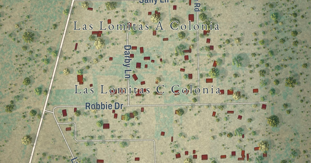
A detailed map of Las Lomitas, Texas, showing every building in its true location, the roads by name, and shaded topographical relief.
Read More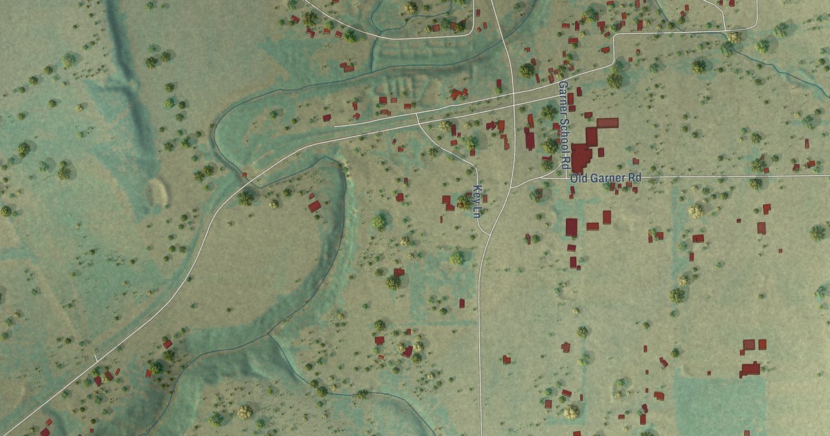
A detailed map of Garner, Texas, showing every building in its true location, the roads by name, and shaded topographical relief.
Read More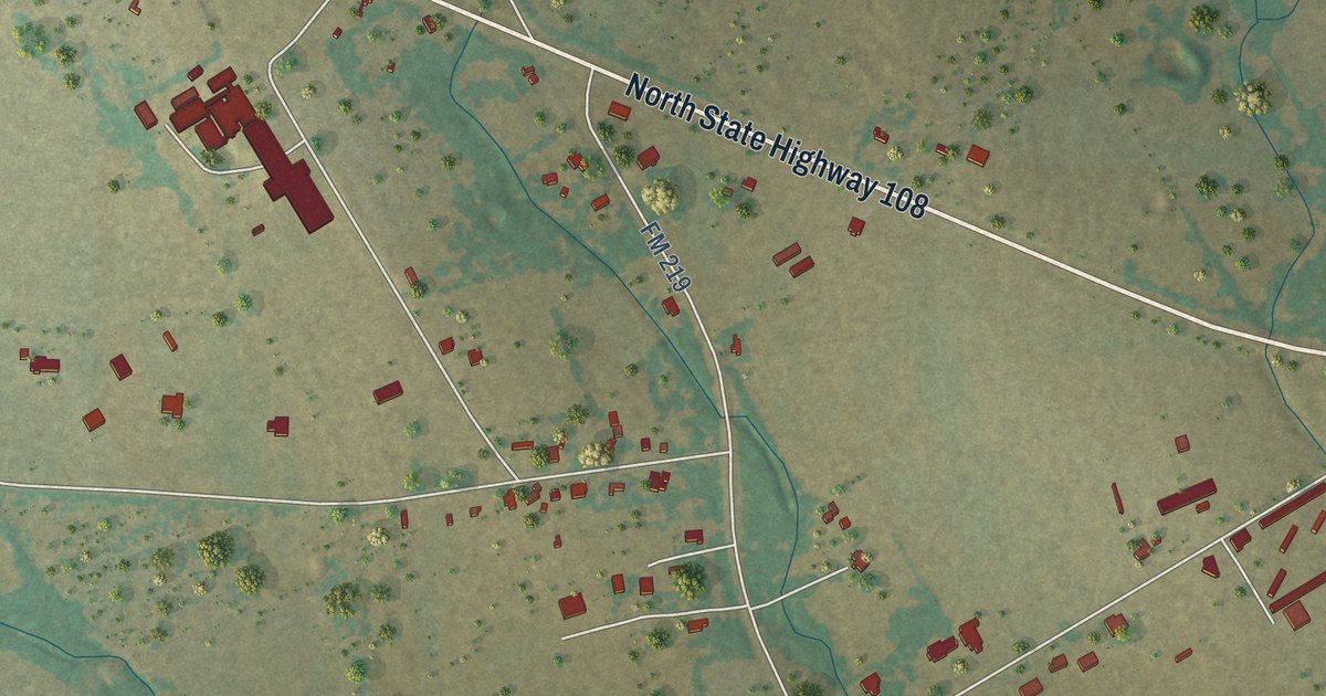
A detailed map of Huckabay, Texas, showing every building in its true location, the roads by name, and shaded topographical relief.
Read More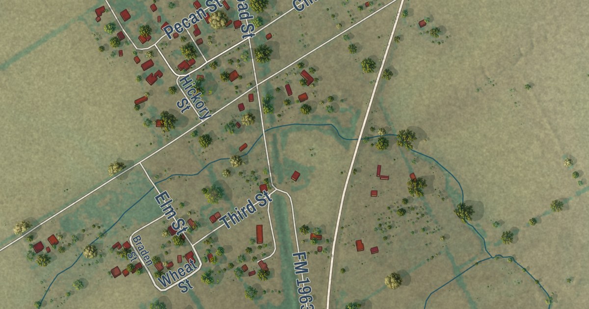
A detailed map of Burlington, Texas, showing every building in its true location, the roads by name, and shaded topographical relief.
Read More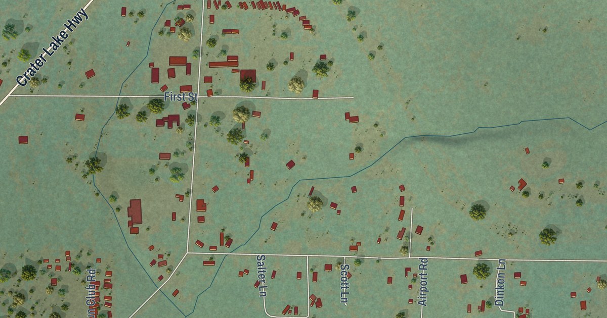
A detailed map of Prospect, Oregon, showing every building in its true location, the roads by name, and shaded topographical relief.
Read More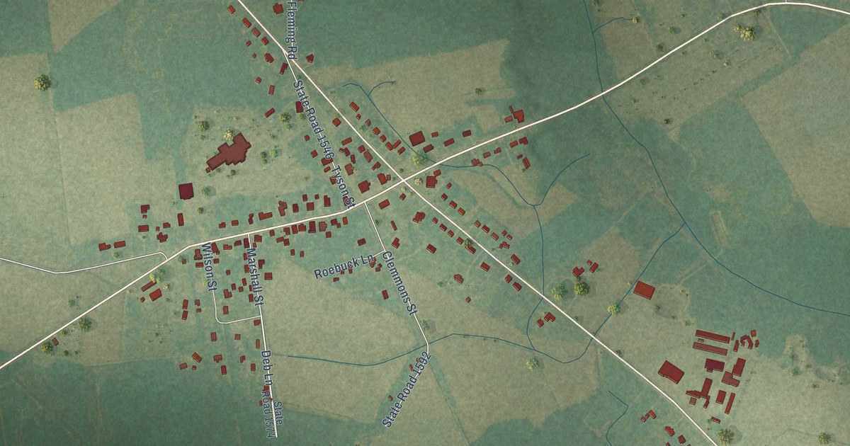
A detailed map of Stokes, North Carolina, showing every building in its true location, the roads by name, and shaded topographical relief.
Read More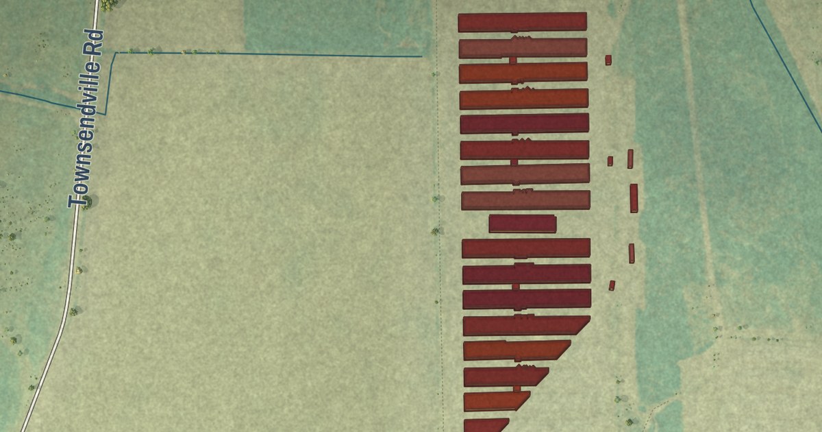
A detailed map of Raemon, North Carolina, showing every building in its true location, the roads by name, and shaded topographical relief.
Read More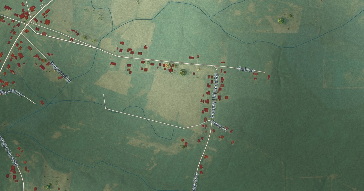
A detailed map of Potters Hill, North Carolina, showing every building in its true location, the roads by name, and shaded topographical relief.
Read More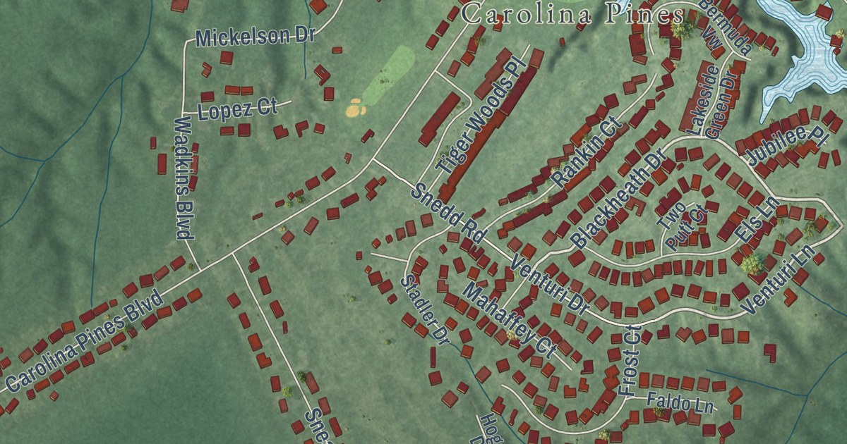
A detailed map of Neuse Forest, North Carolina, showing every building in its true location, the roads by name, and shaded topographical relief.
Read More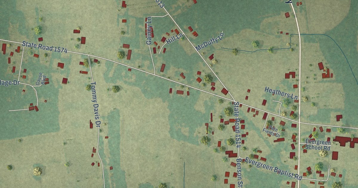
A detailed map of Evergreen, North Carolina, showing every building in its true location, the roads by name, and shaded topographical relief.
Read More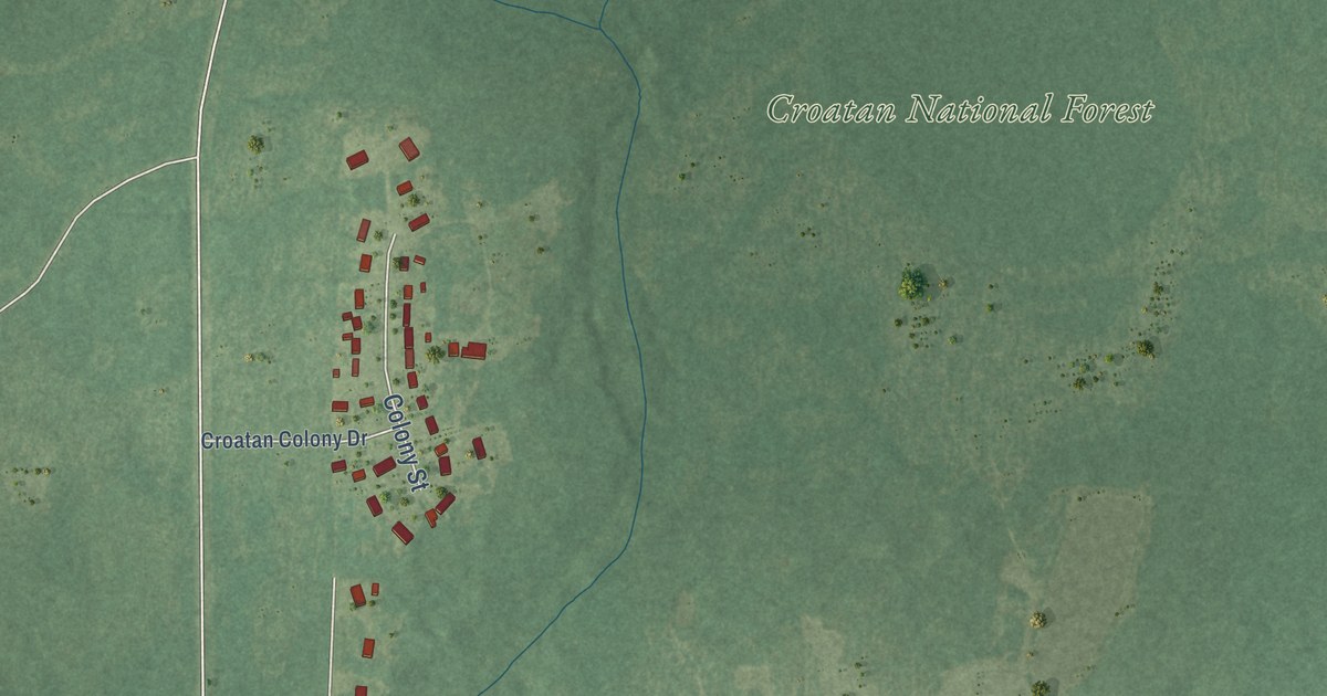
A detailed map of Broad Creek, North Carolina, showing every building in its true location, the roads by name, and shaded topographical relief.
Read More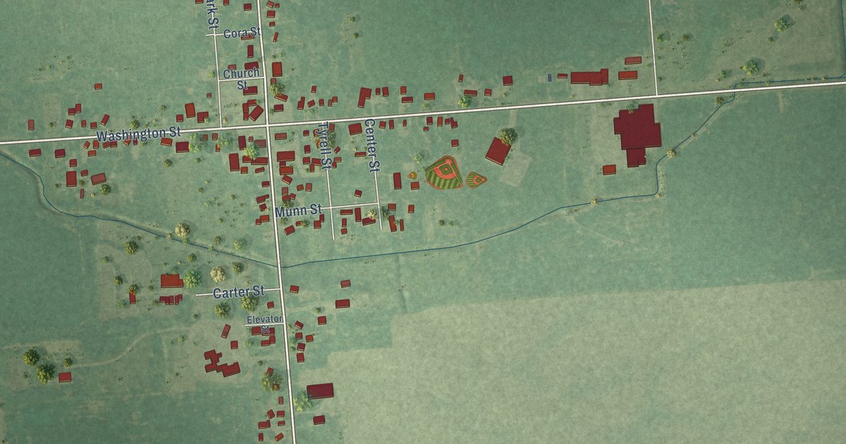
A detailed map of Snover, Michigan, showing every building in its true location, the roads by name, and shaded topographical relief.
Read More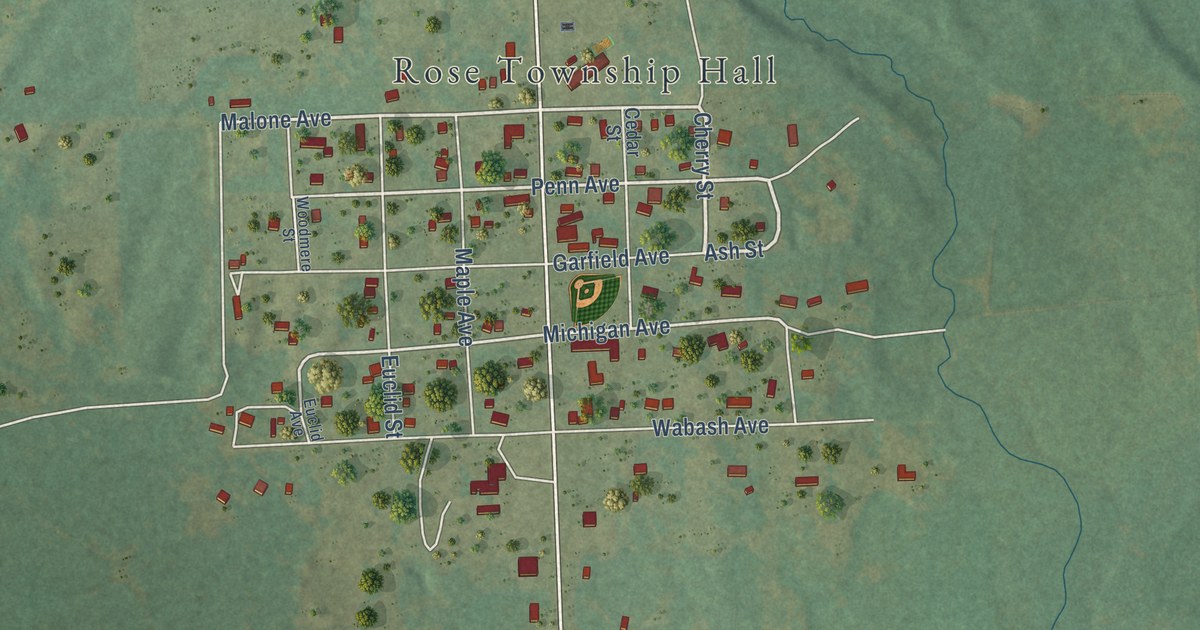
A detailed map of Lupton, Michigan, showing every building in its true location, the roads by name, and shaded topographical relief.
Read More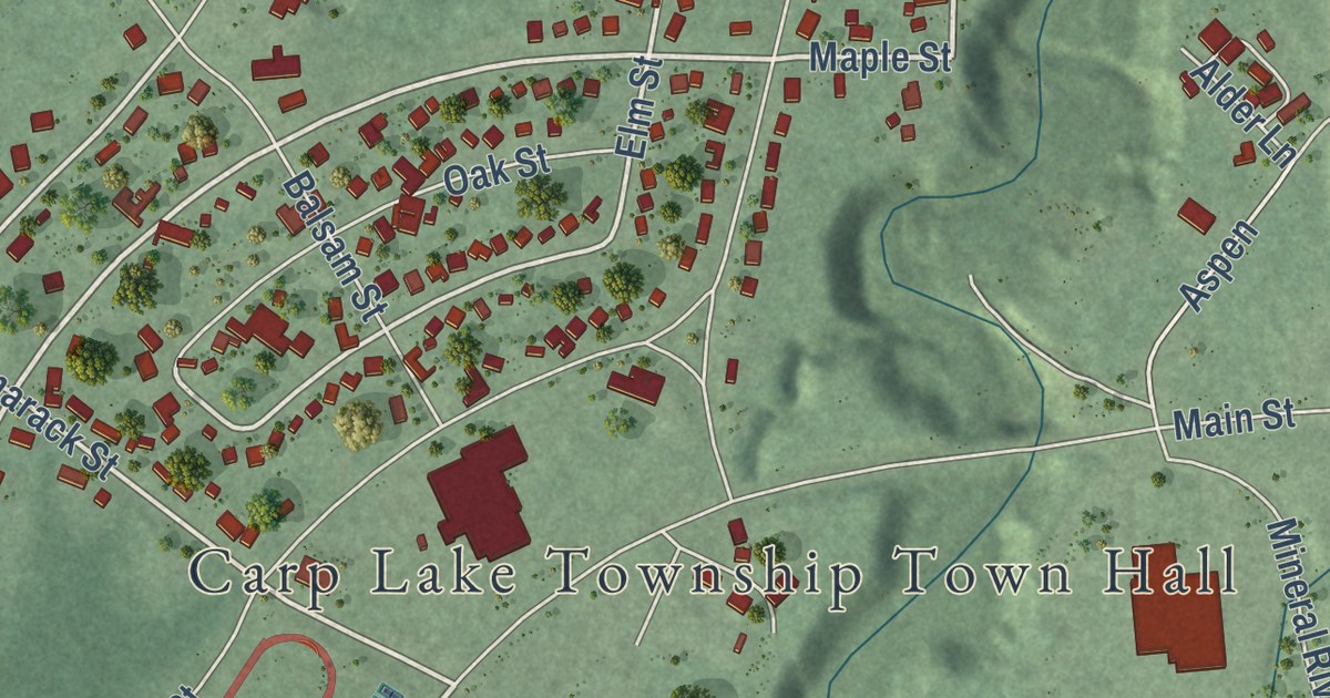
A detailed map of White Pine, Michigan, showing every building in its true location, the roads by name, and shaded topographical relief.
Read More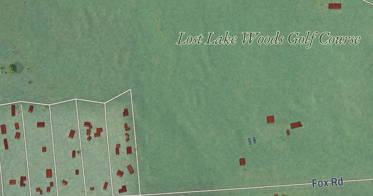
A detailed map of Lost Lake Woods, Michigan, showing every building in its true location, the roads by name, and shaded topographical relief.
Read More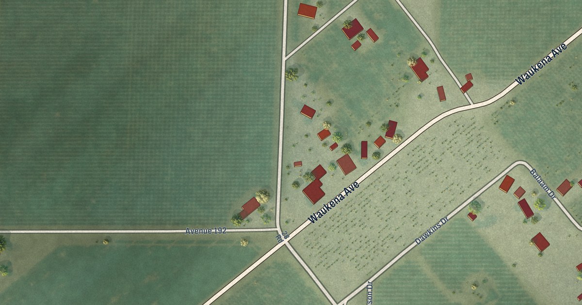
A detailed map of Waukena, California, showing every building in its true location, the roads by name, and shaded topographical relief.
Read More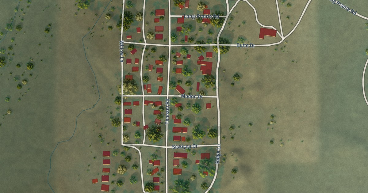
A detailed map of Tennant, California, showing every building in its true location, the roads by name, and shaded topographical relief.
Read More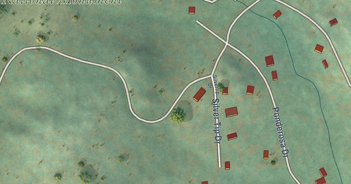
A detailed map of Ponderosa, California, showing every building in its true location, the roads by name, and shaded topographical relief.
Read More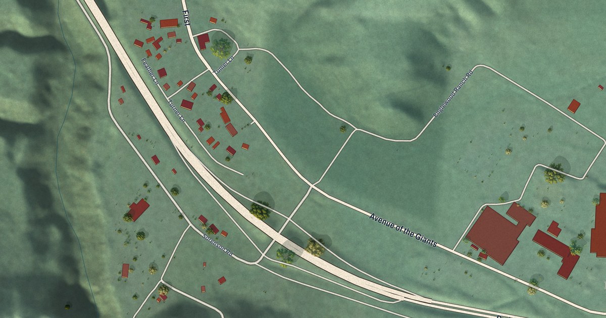
A detailed map of Redcrest, California, showing every building in its true location, the roads by name, and shaded topographical relief.
Read More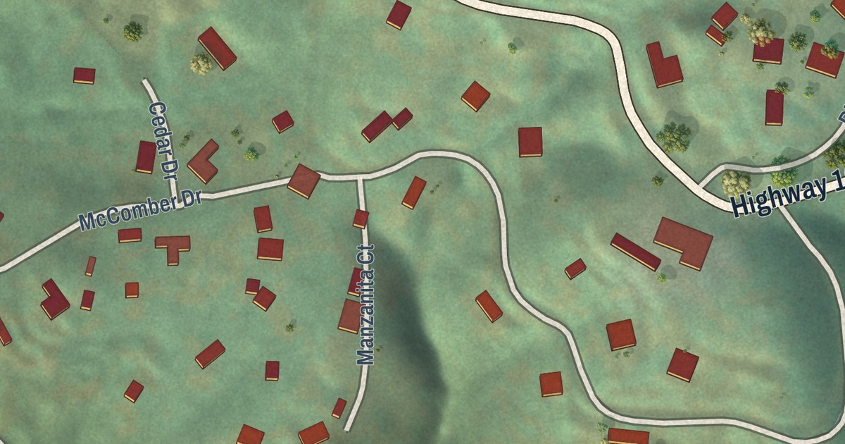
A detailed map of Pierpoint, California, showing every building in its true location, the roads by name, and shaded topographical relief.
Read More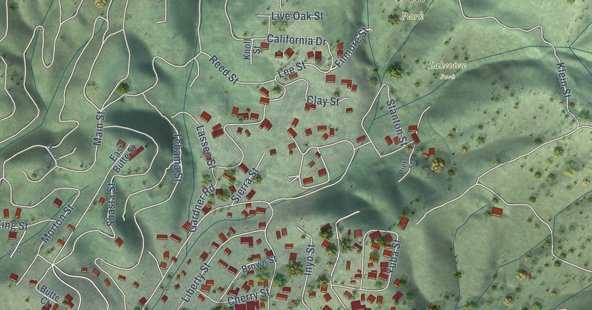
A detailed map of Nice, California, showing every building in its true location, the roads by name, and shaded topographical relief.
Read More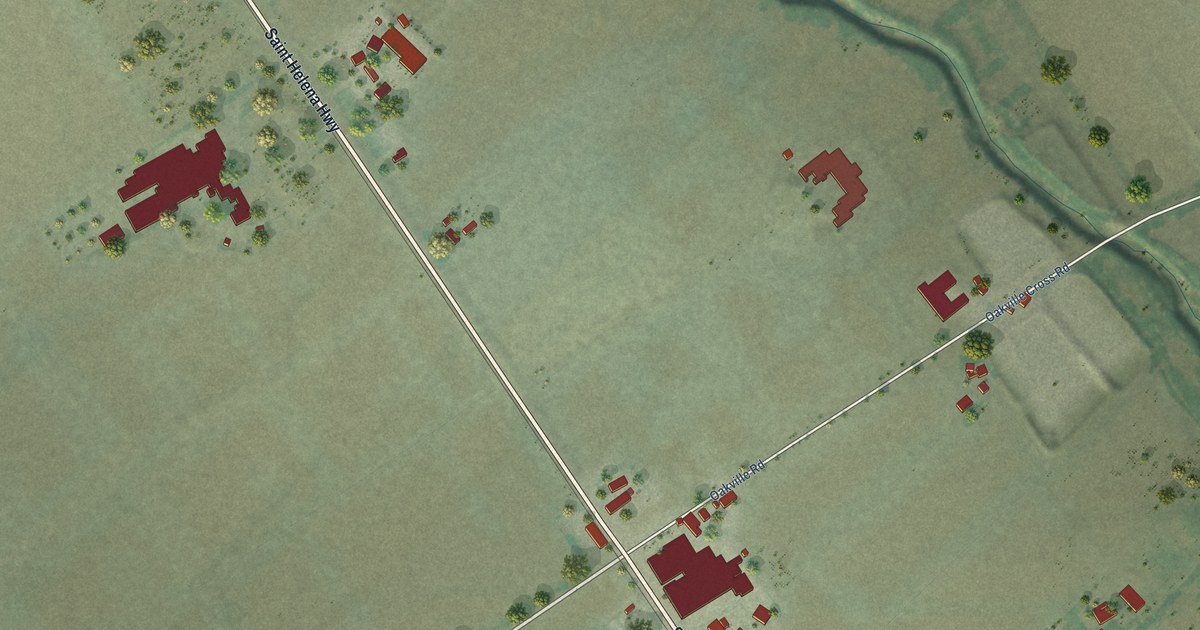
A detailed map of Oakville, California, showing every building in its true location, the roads by name, and shaded topographical relief.
Read More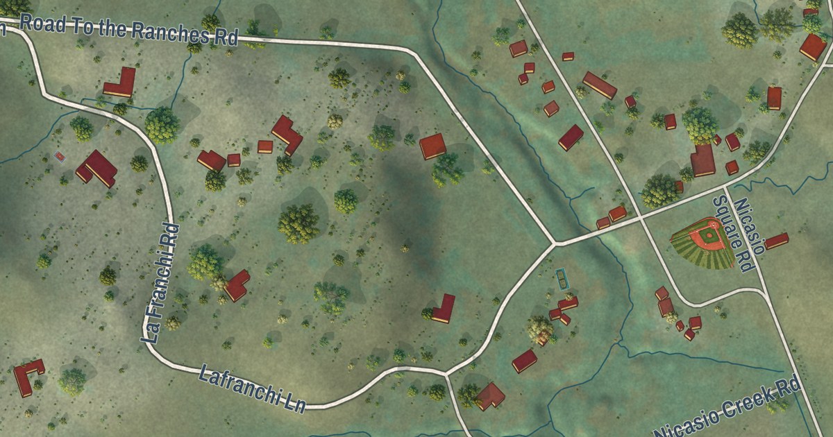
A detailed map of Nicasio, California, showing every building in its true location, the roads by name, and shaded topographical relief.
Read More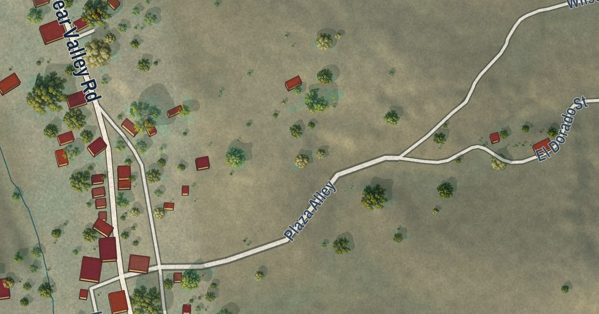
A detailed map of Hornitos, California, showing every building in its true location, the roads by name, and shaded topographical relief.
Read More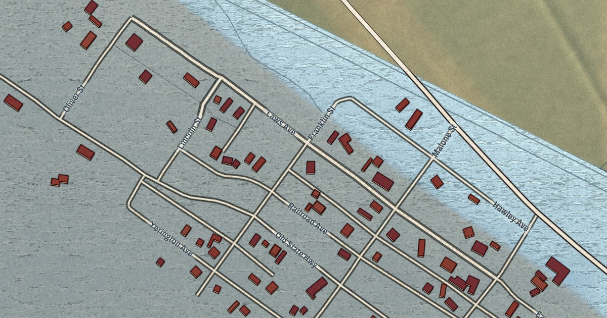
A detailed map of Keeler, California, showing every building in its true location, the roads by name, and shaded topographical relief.
Read More















