Detailed Map of Dauberville, Pennsylvania
A detailed map of Dauberville, Pennsylvania, showing every building in its true location, the roads by name, and shaded topographical relief.
Read More
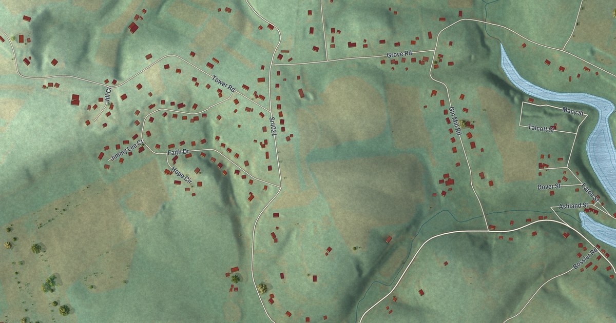
A detailed map of Dauberville, Pennsylvania, showing every building in its true location, the roads by name, and shaded topographical relief.
Read More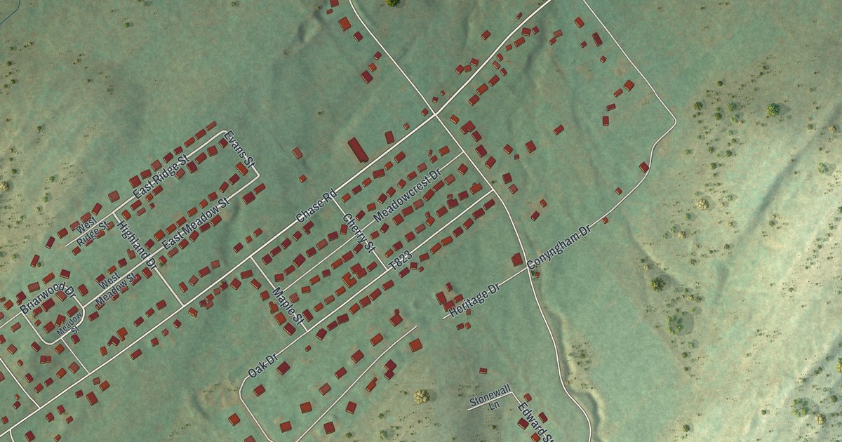
A detailed map of Chase, Pennsylvania, showing every building in its true location, the roads by name, and shaded topographical relief.
Read More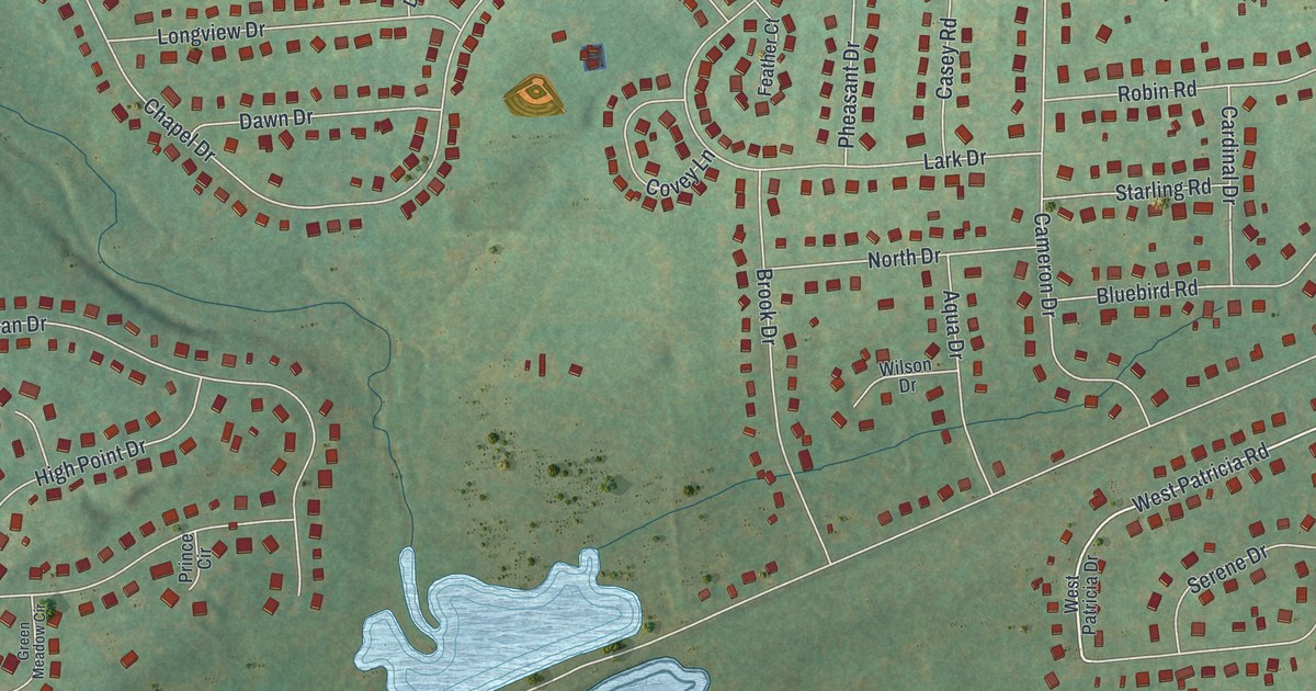
A detailed map of Churchville, Pennsylvania, showing every building in its true location, the roads by name, and shaded topographical relief.
Read More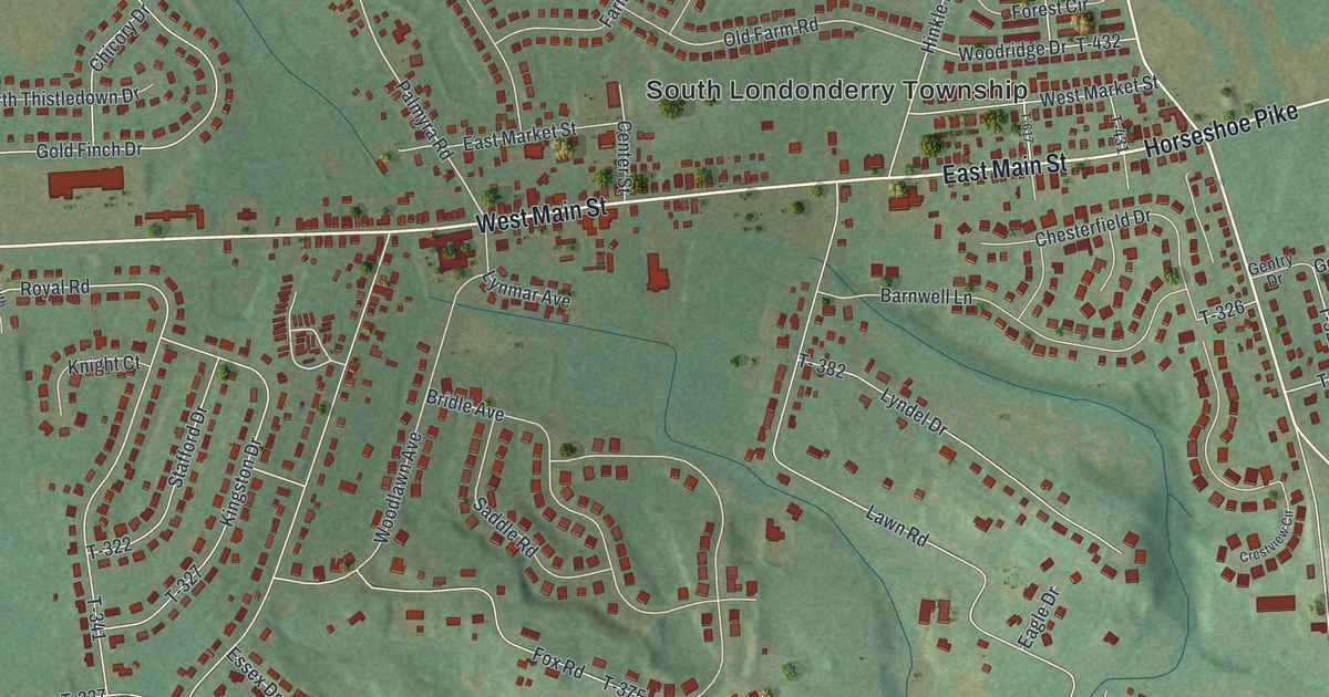
A detailed map of Campbelltown, Pennsylvania, showing every building in its true location, the roads by name, and shaded topographical relief.
Read More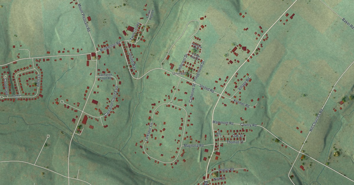
A detailed map of Calumet, Pennsylvania, showing every building in its true location, the roads by name, and shaded topographical relief.
Read More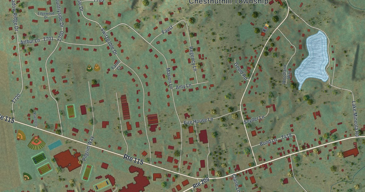
A detailed map of Brodheadsville, Pennsylvania, showing every building in its true location, the roads by name, and shaded topographical relief.
Read More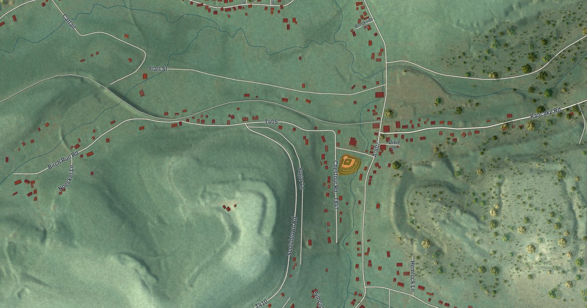
A detailed map of Clarence, Pennsylvania, showing every building in its true location, the roads by name, and shaded topographical relief.
Read More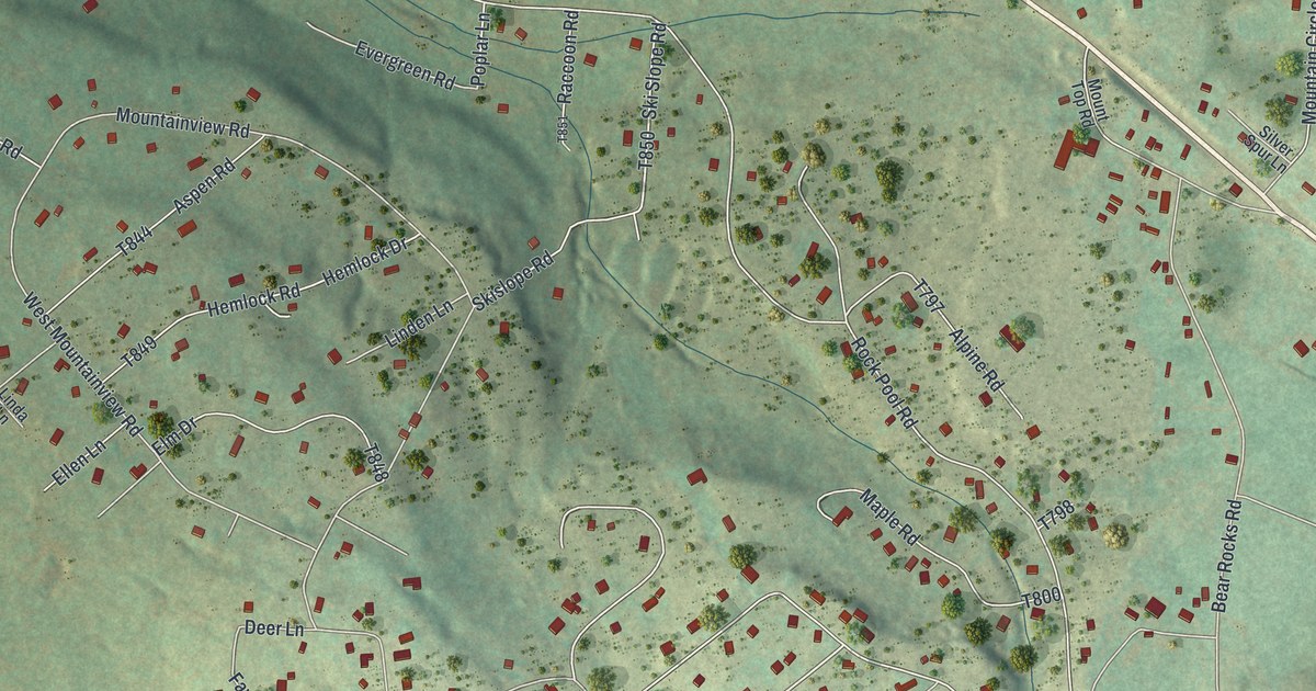
A detailed map of Bear Rocks, Pennsylvania, showing every building in its true location, the roads by name, and shaded topographical relief.
Read More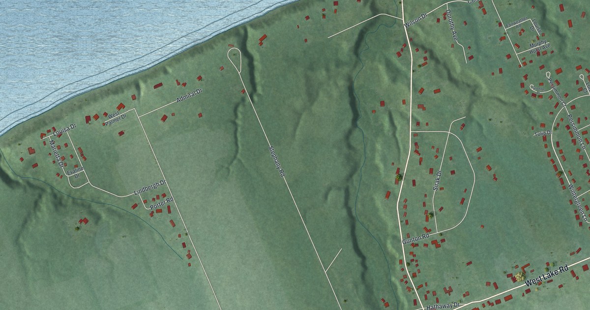
A detailed map of Avonia, Pennsylvania, showing every building in its true location, the roads by name, and shaded topographical relief.
Read More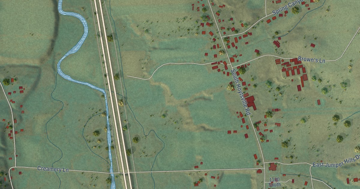
A detailed map of Hoytsville, Utah, showing every building in its true location, the roads by name, and shaded topographical relief.
Read More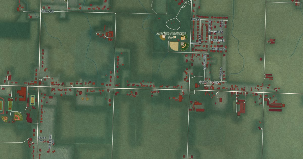
A detailed map of Maria Stein, Ohio, showing every building in its true location, the roads by name, and shaded topographical relief.
Read More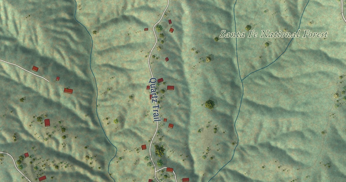
A detailed map of Cañada de los Alamos, New Mexico, showing every building in its true location, the roads by name, and shaded topographical relief.
Read More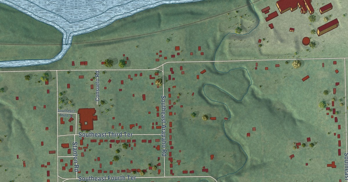
A detailed map of Tecumseh, Kansas, showing every building in its true location, the roads by name, and shaded topographical relief.
Read More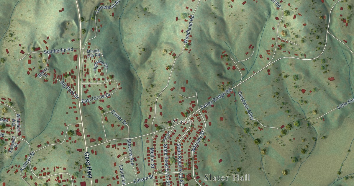
A detailed map of Slater-Marietta, South Carolina, showing every building in its true location, the roads by name, and shaded topographical relief.
Read More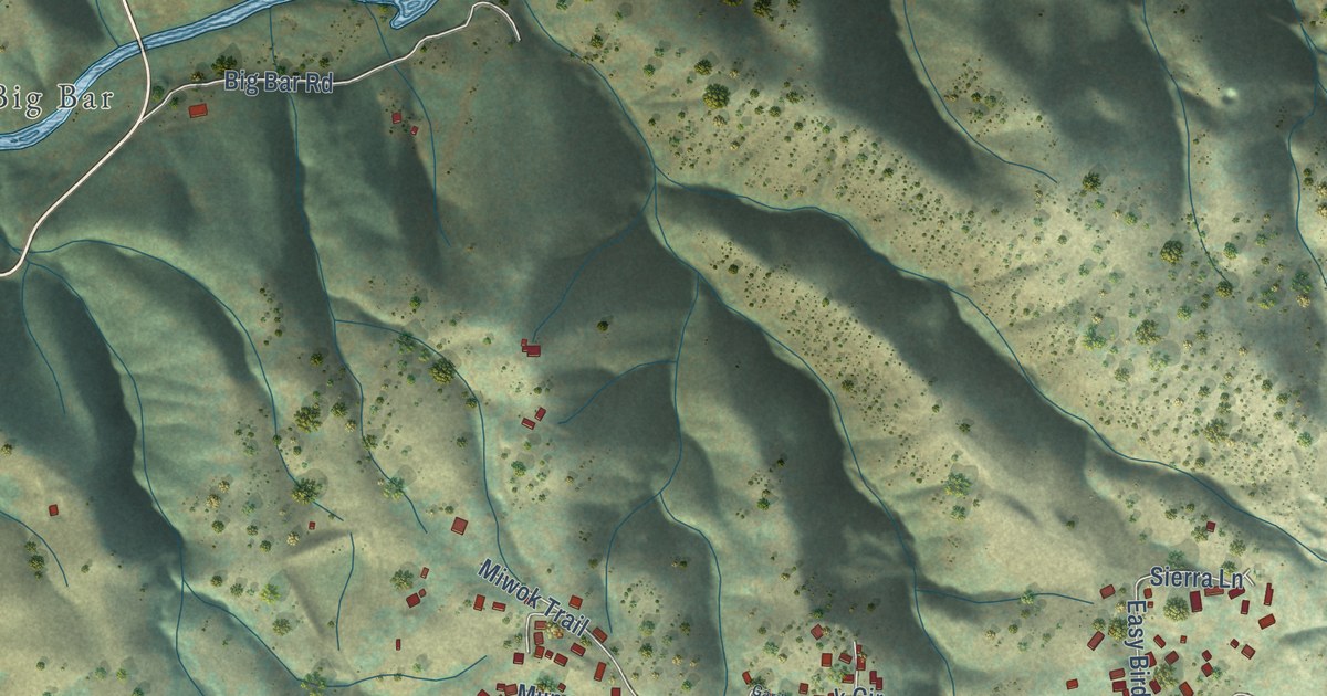
A detailed map of Mokelumne Hill, California, showing every building in its true location, the roads by name, and shaded topographical relief.
Read More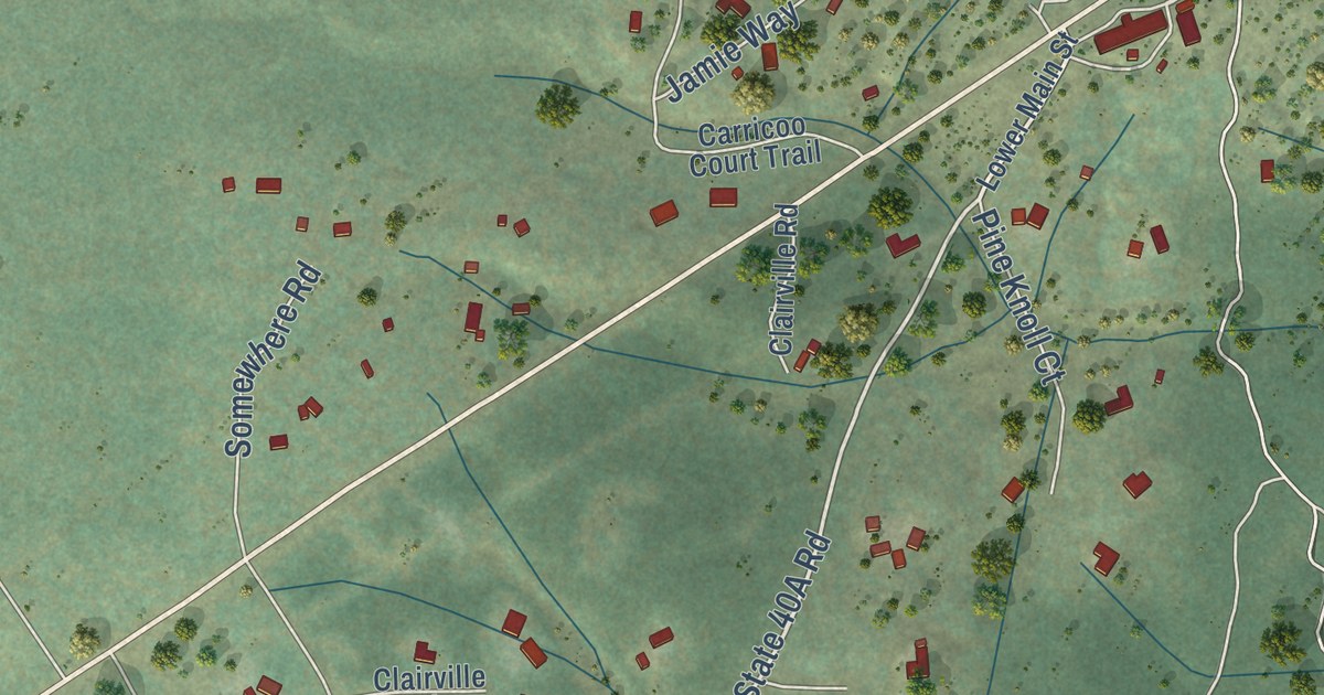
A detailed map of Mabie, California, showing every building in its true location, the roads by name, and shaded topographical relief.
Read More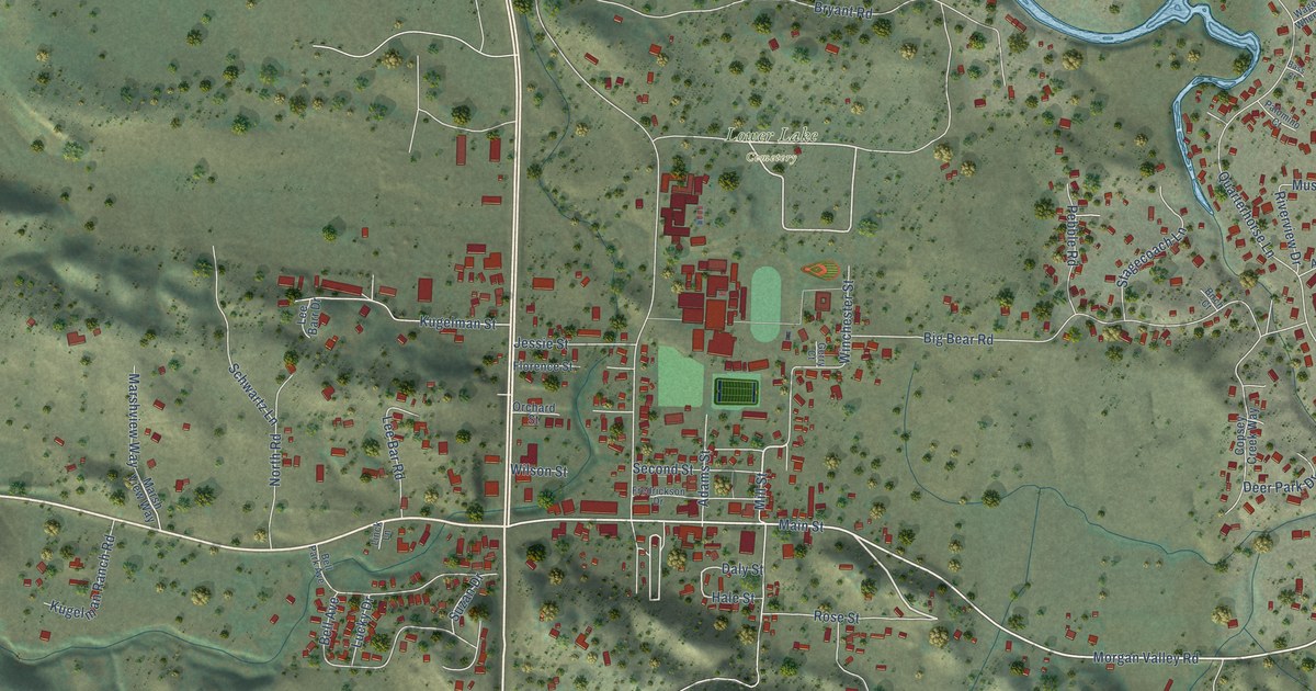
A detailed map of Lower Lake, California, showing every building in its true location, the roads by name, and shaded topographical relief.
Read More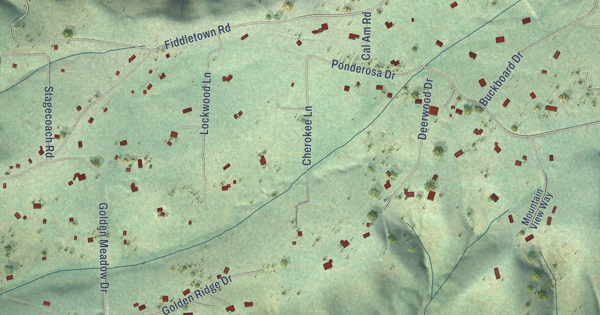
A detailed map of Lockwood, California, showing every building in its true location, the roads by name, and shaded topographical relief.
Read More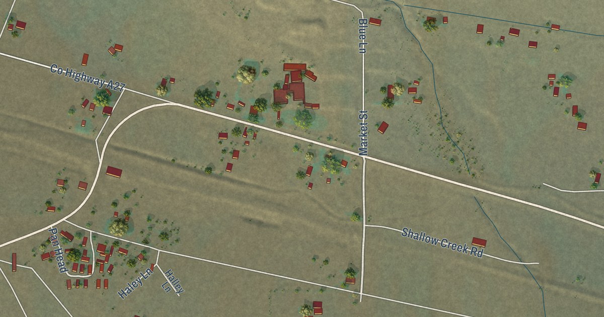
A detailed map of Litchfield, California, showing every building in its true location, the roads by name, and shaded topographical relief.
Read More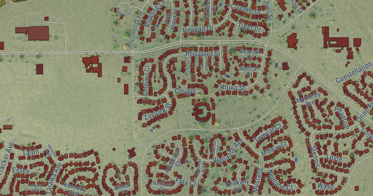
A detailed map of Lemoore Station, California, showing every building in its true location, the roads by name, and shaded topographical relief.
Read More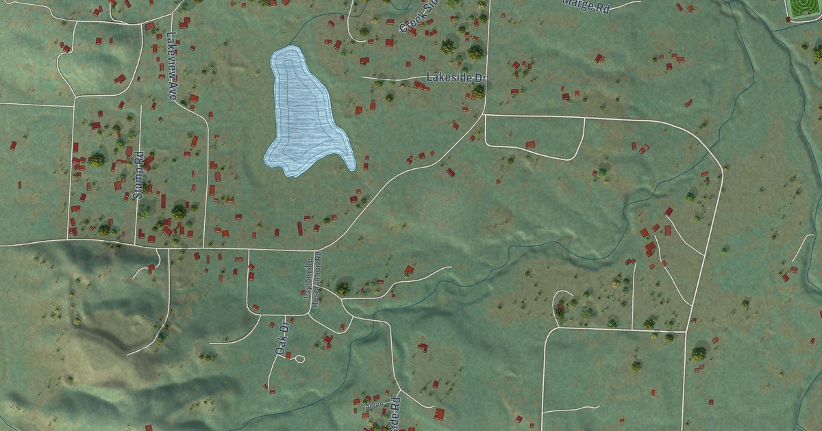
A detailed map of Laytonville, California, showing every building in its true location, the roads by name, and shaded topographical relief.
Read More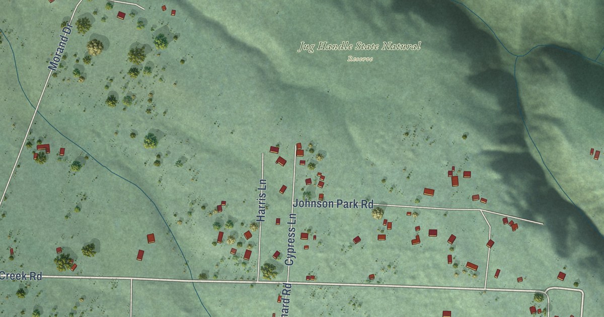
A detailed map of Caspar, California, showing every building in its true location, the roads by name, and shaded topographical relief.
Read More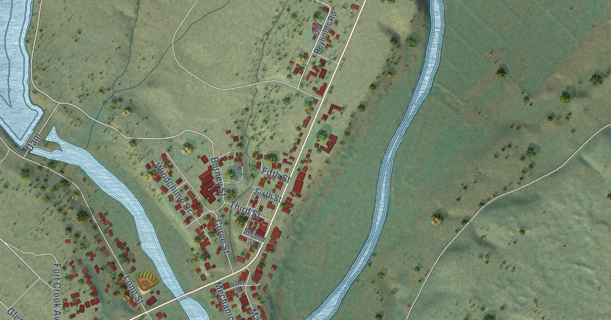
A detailed map of Fall River Mills, California, showing every building in its true location, the roads by name, and shaded topographical relief.
Read More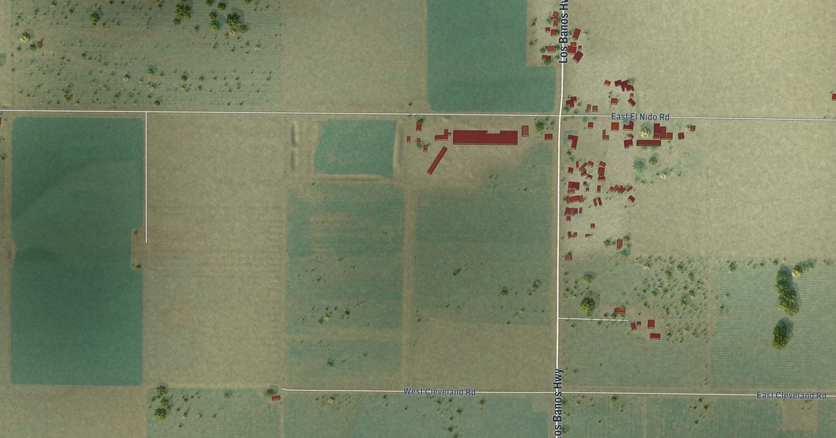
A detailed map of El Nido, California, showing every building in its true location, the roads by name, and shaded topographical relief.
Read More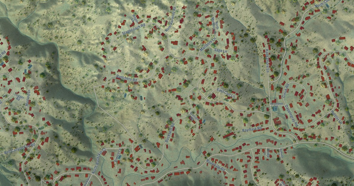
A detailed map of Bell Canyon, California, showing every building in its true location, the roads by name, and shaded topographical relief.
Read More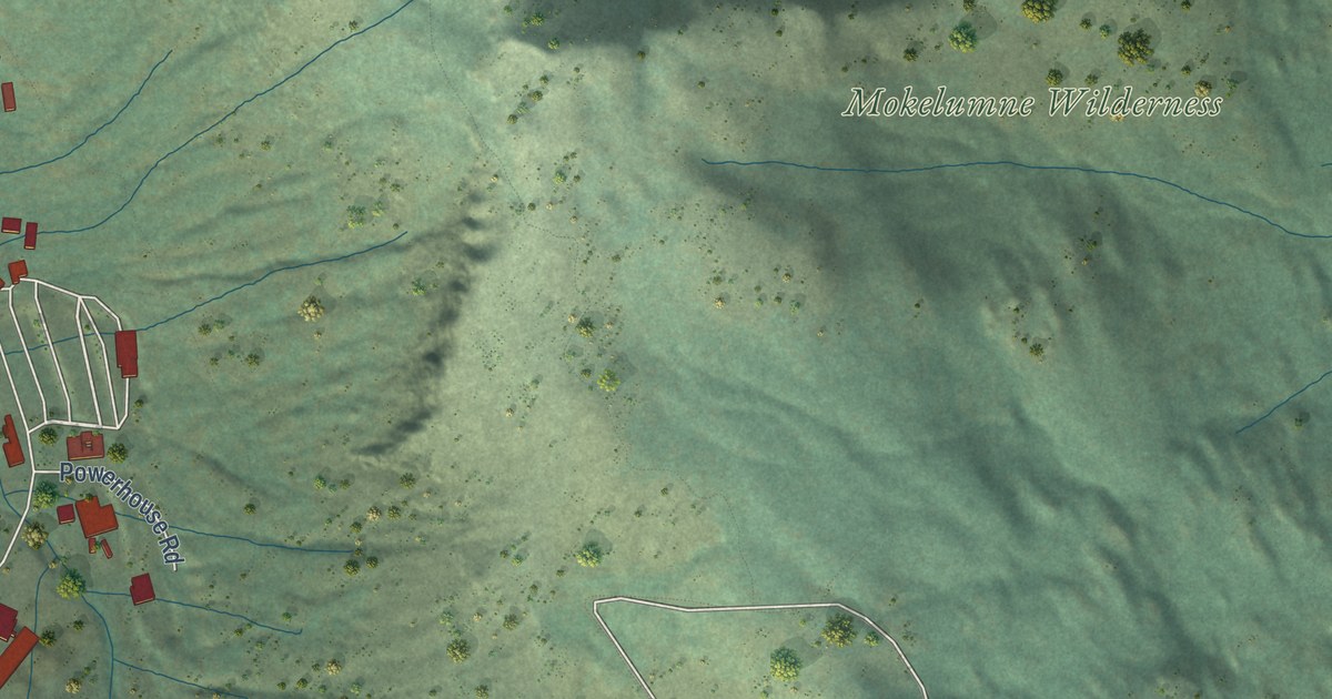
A detailed map of Kirkwood, California, showing every building in its true location, the roads by name, and shaded topographical relief.
Read More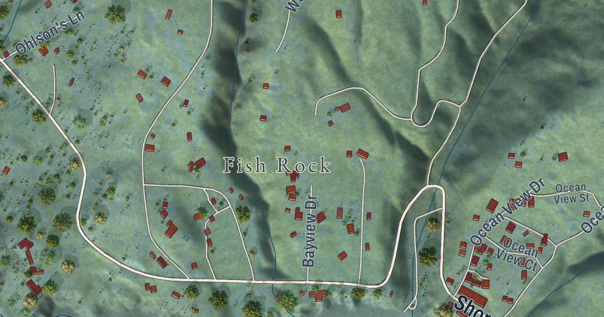
A detailed map of Anchor Bay, California, showing every building in its true location, the roads by name, and shaded topographical relief.
Read More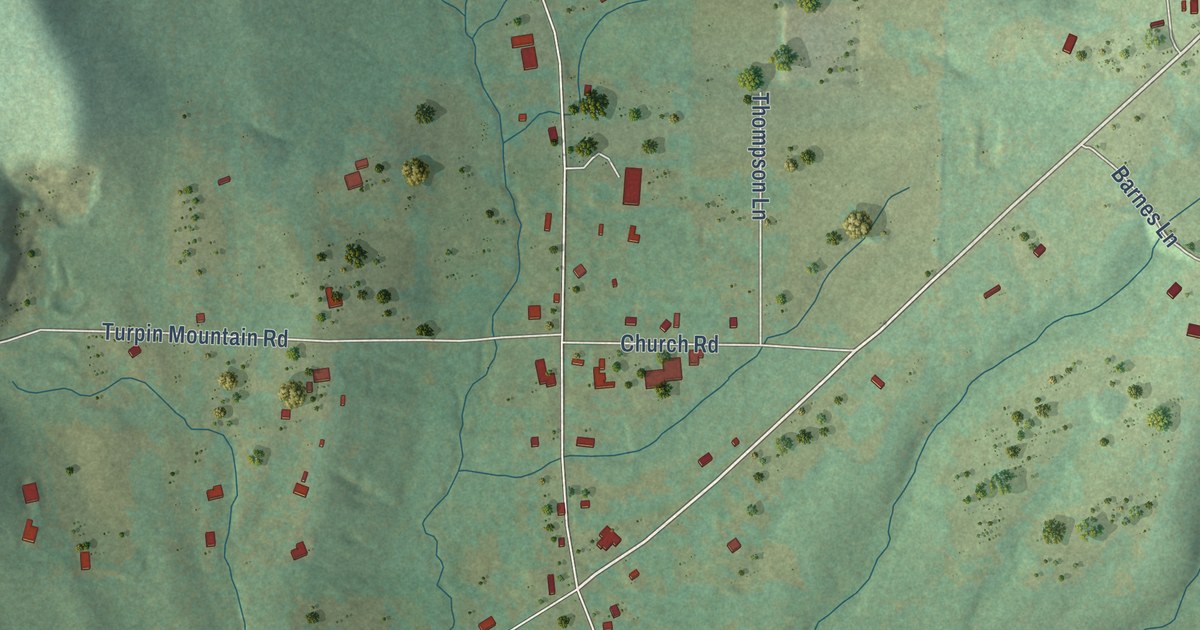
A detailed map of Floyd, Arkansas, showing every building in its true location, the roads by name, and shaded topographical relief.
Read More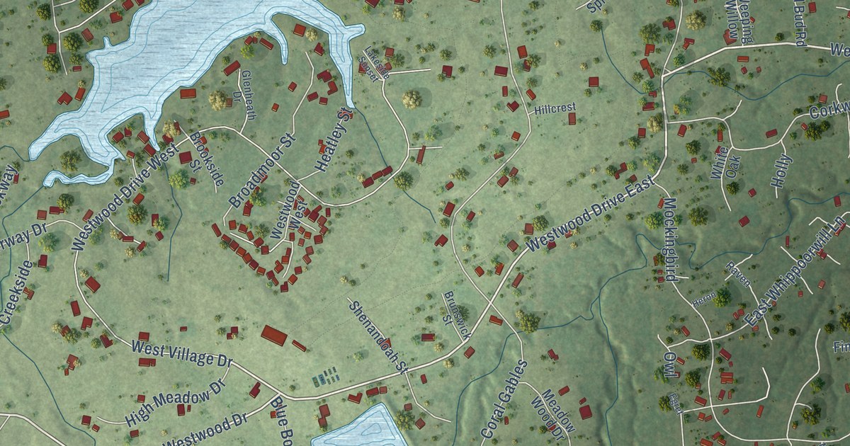
A detailed map of Westwood Shores, Texas, showing every building in its true location, the roads by name, and shaded topographical relief.
Read More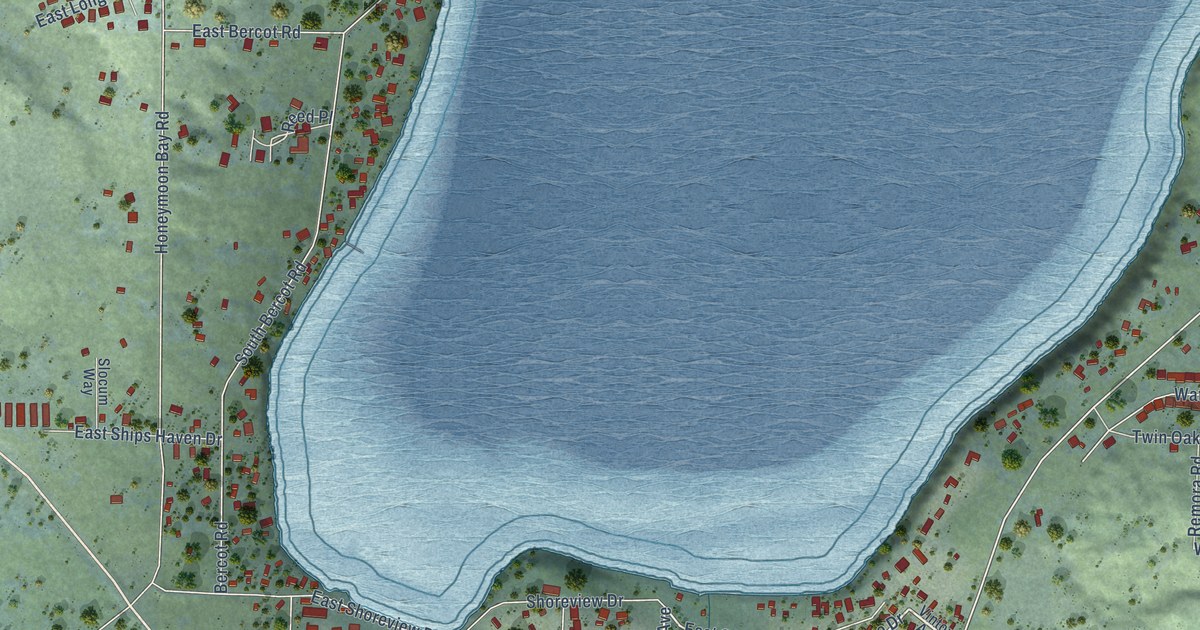
A detailed map of Freeland, Washington, showing every building in its true location, the roads by name, and shaded topographical relief.
Read More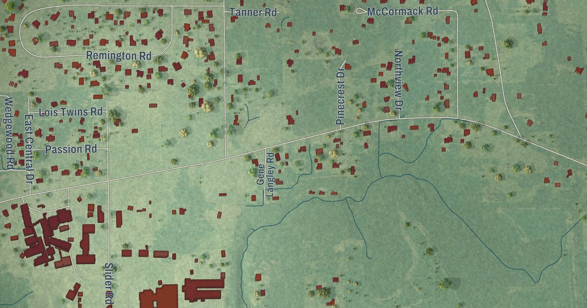
A detailed map of Hurley, Mississippi, showing every building in its true location, the roads by name, and shaded topographical relief.
Read More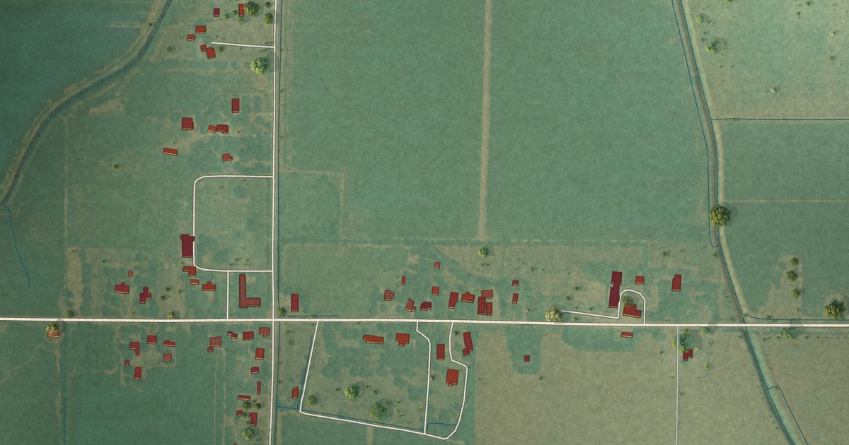
A detailed map of Skene, Mississippi, showing every building in its true location, the roads by name, and shaded topographical relief.
Read More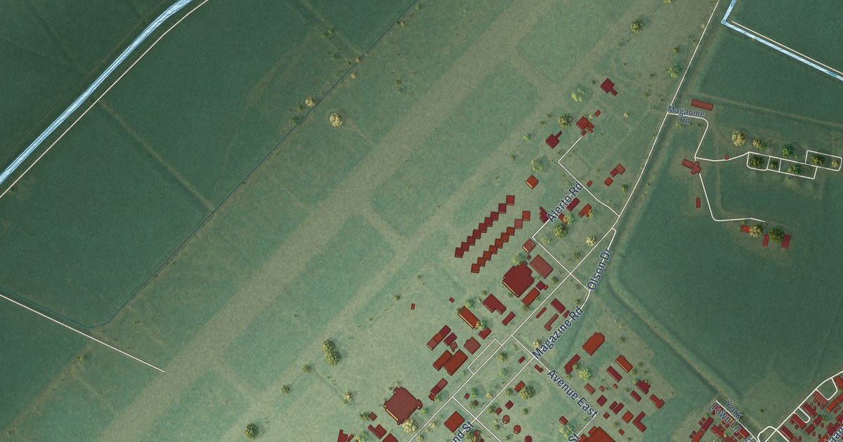
A detailed map of New Orleans Station, Louisiana, showing every building in its true location, the roads by name, and shaded topographical relief.
Read More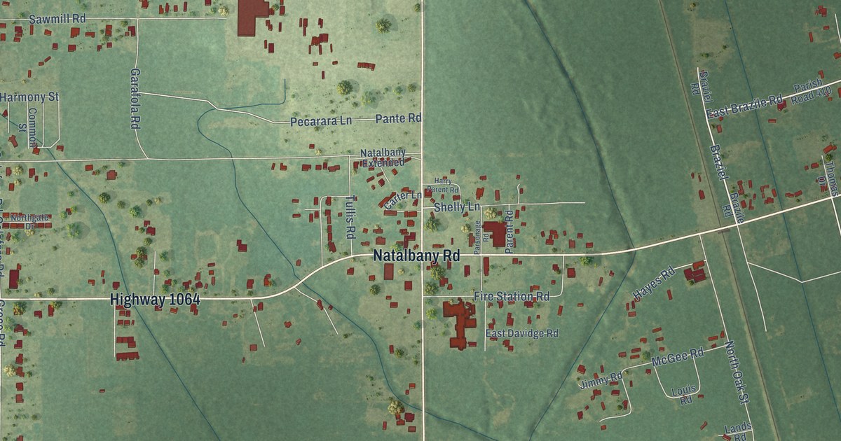
A detailed map of Natalbany, Louisiana, showing every building in its true location, the roads by name, and shaded topographical relief.
Read More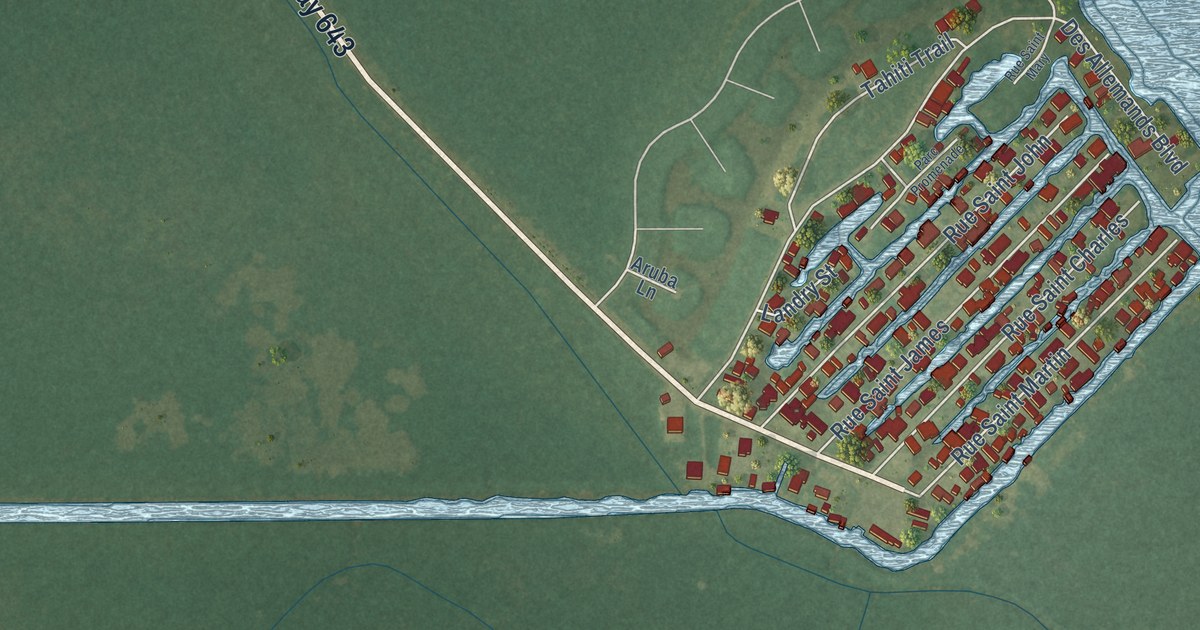
A detailed map of Pleasure Bend, Louisiana, showing every building in its true location, the roads by name, and shaded topographical relief.
Read More
A detailed map of Valley Wells, California, showing every building in its true location, the roads by name, and shaded topographical relief.
Read More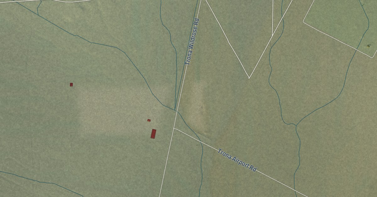
A detailed map of Trona, California, showing every building in its true location, the roads by name, and shaded topographical relief.
Read More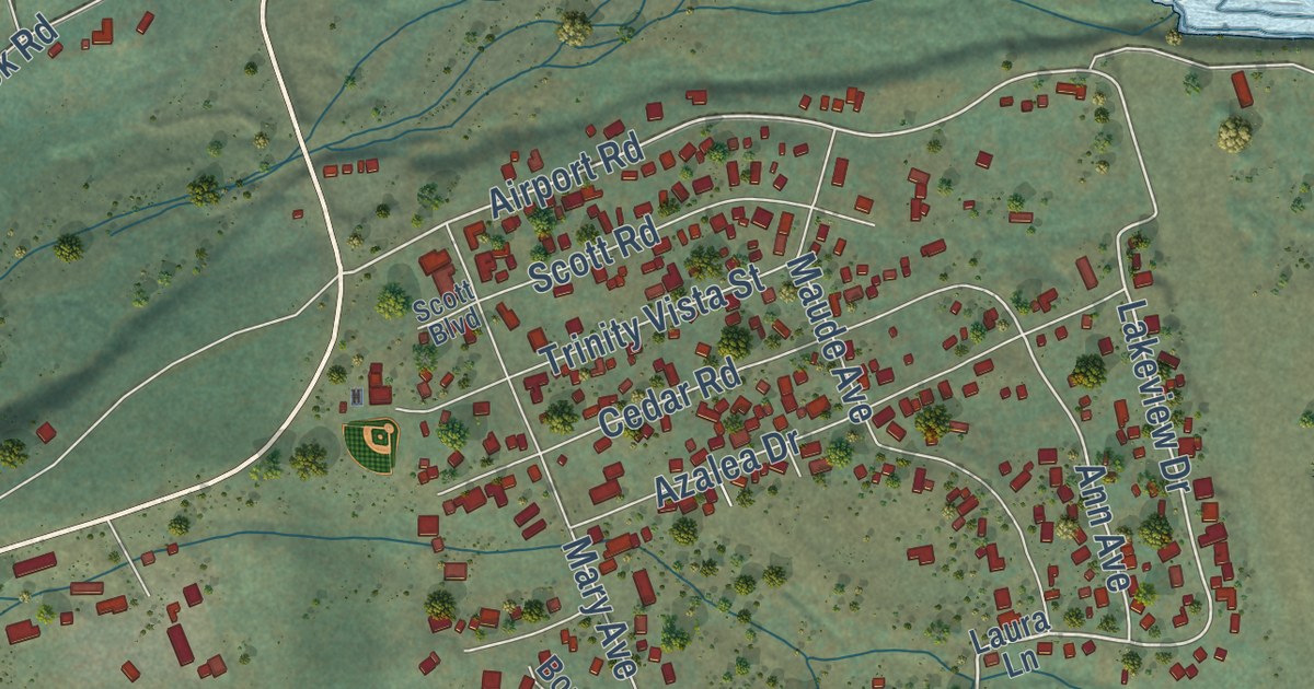
A detailed map of Trinity Center, California, showing every building in its true location, the roads by name, and shaded topographical relief.
Read More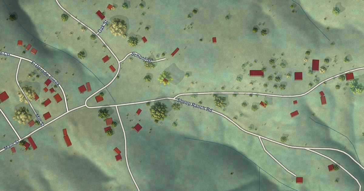
A detailed map of Sheep Ranch, California, showing every building in its true location, the roads by name, and shaded topographical relief.
Read More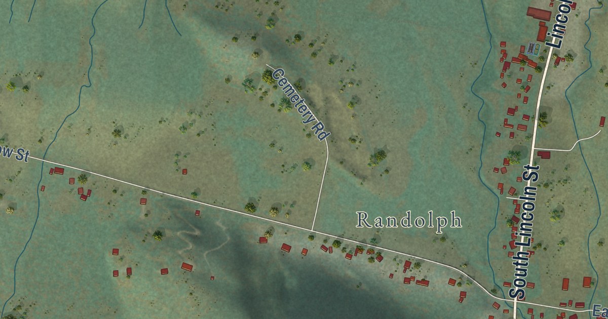
A detailed map of Sierraville, California, showing every building in its true location, the roads by name, and shaded topographical relief.
Read More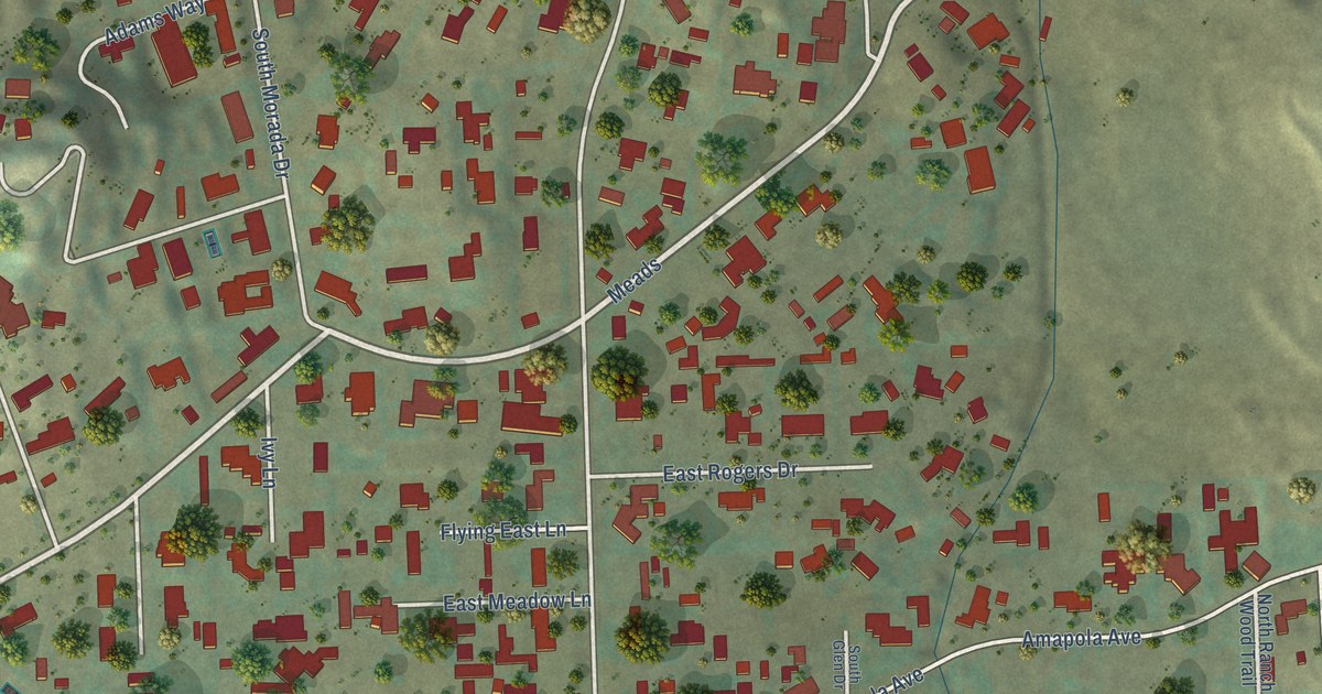
A detailed map of Orange Park Acres, California, showing every building in its true location, the roads by name, and shaded topographical relief.
Read More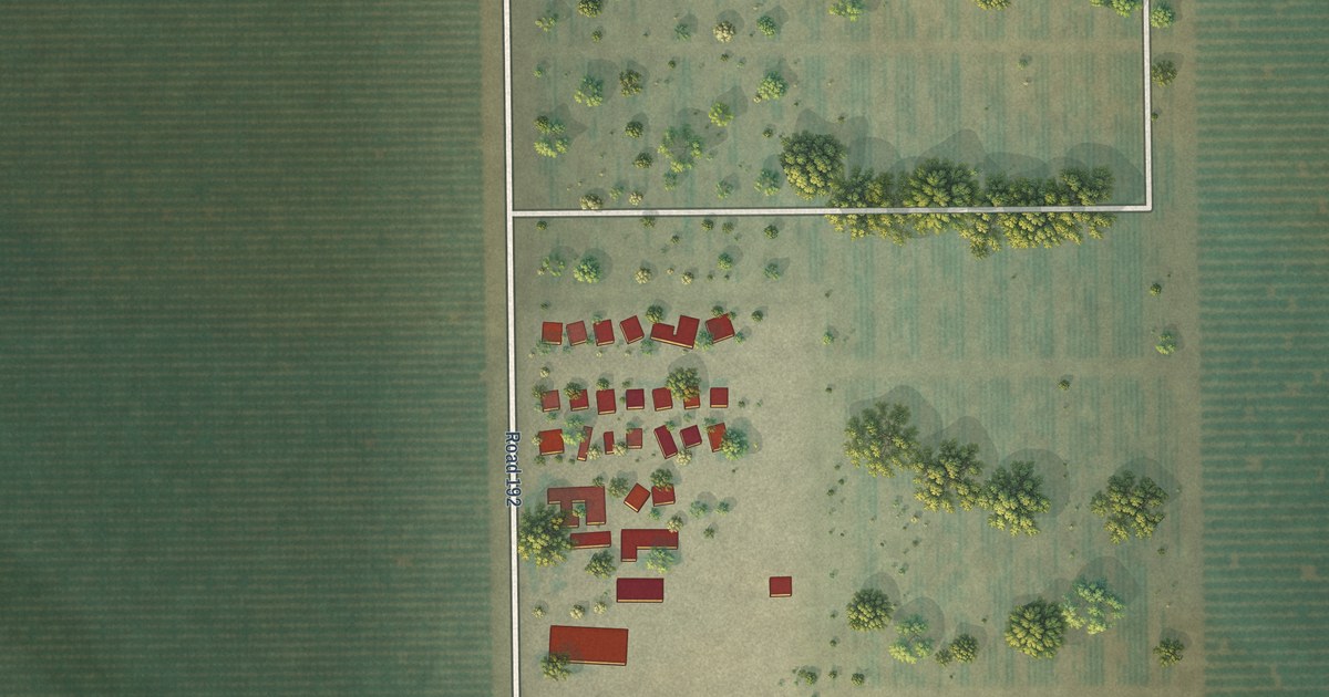
A detailed map of Rodriguez Camp, California, showing every building in its true location, the roads by name, and shaded topographical relief.
Read More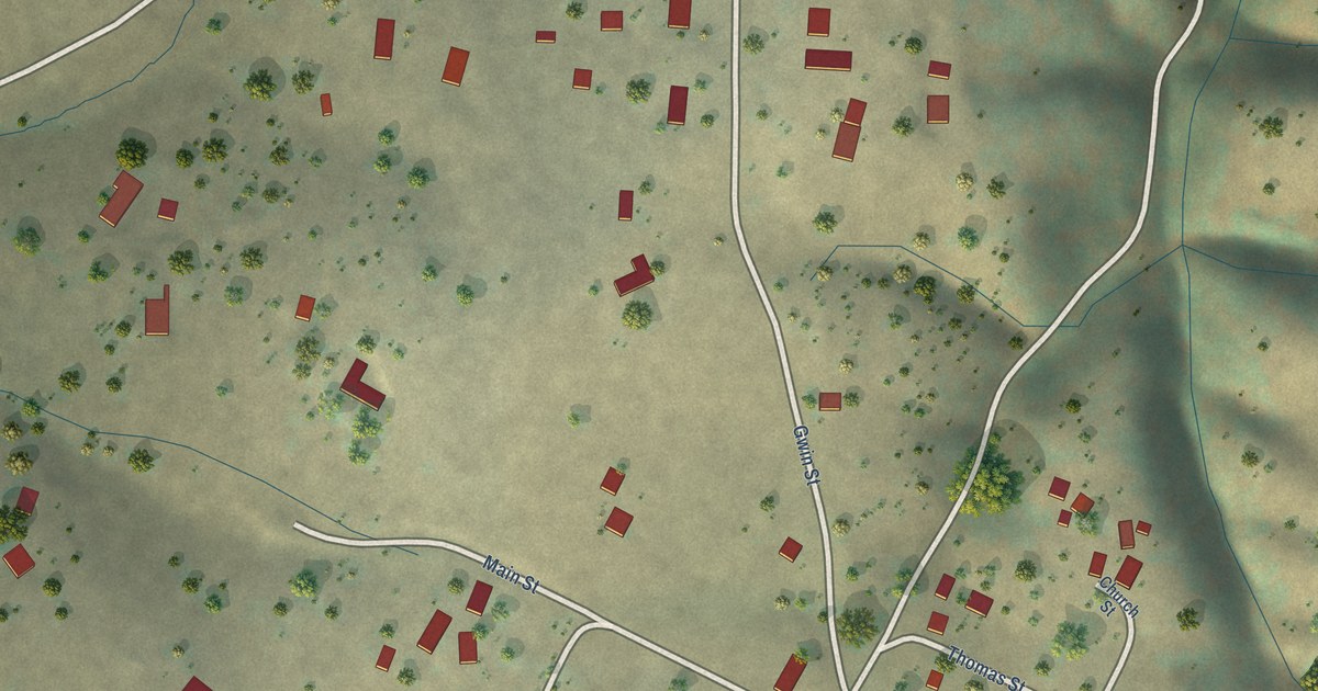
A detailed map of Paloma, California, showing every building in its true location, the roads by name, and shaded topographical relief.
Read More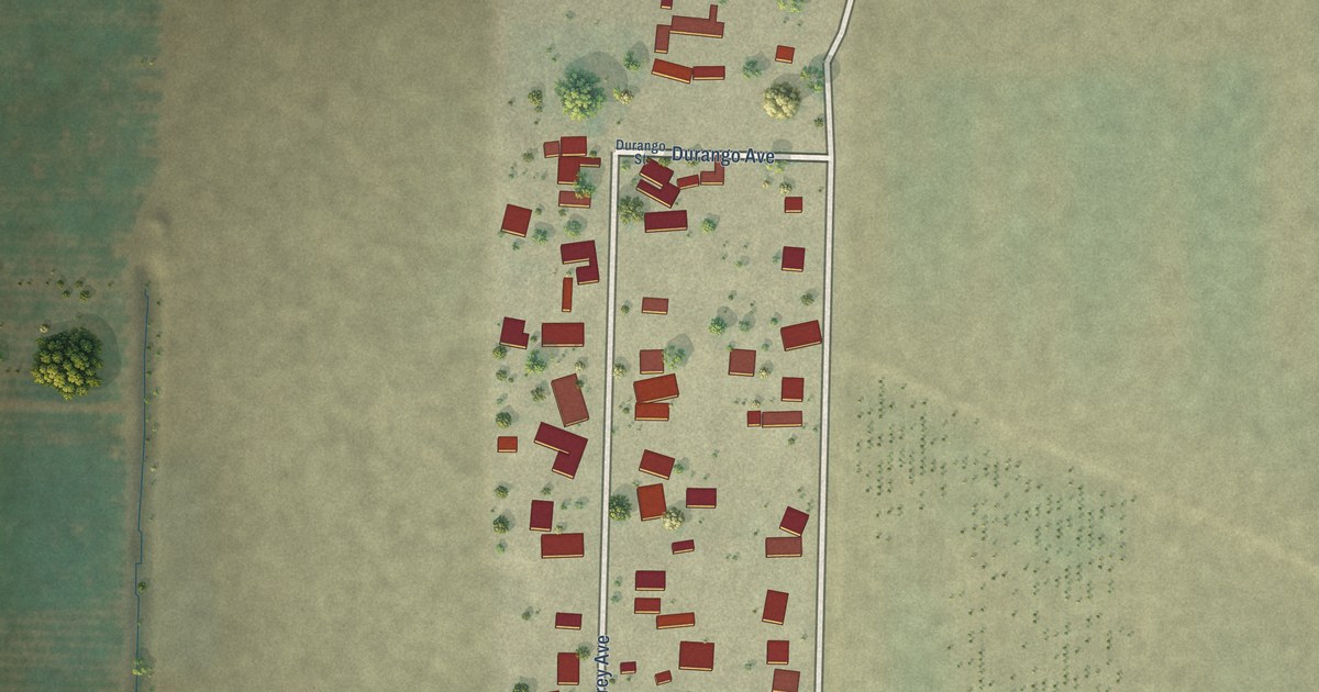
A detailed map of Monterey Park Tract, California, showing every building in its true location, the roads by name, and shaded topographical relief.
Read More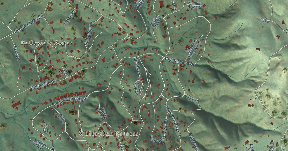
A detailed map of Mono Vista, California, showing every building in its true location, the roads by name, and shaded topographical relief.
Read More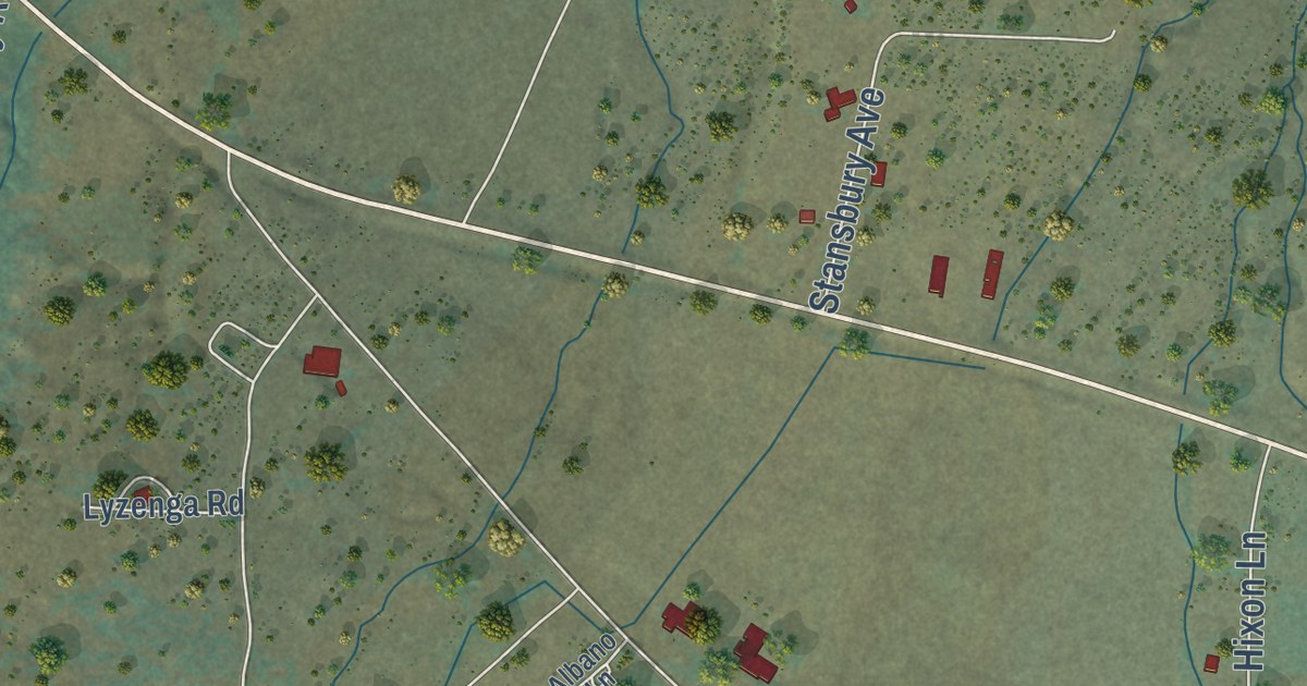
A detailed map of Milford, California, showing every building in its true location, the roads by name, and shaded topographical relief.
Read More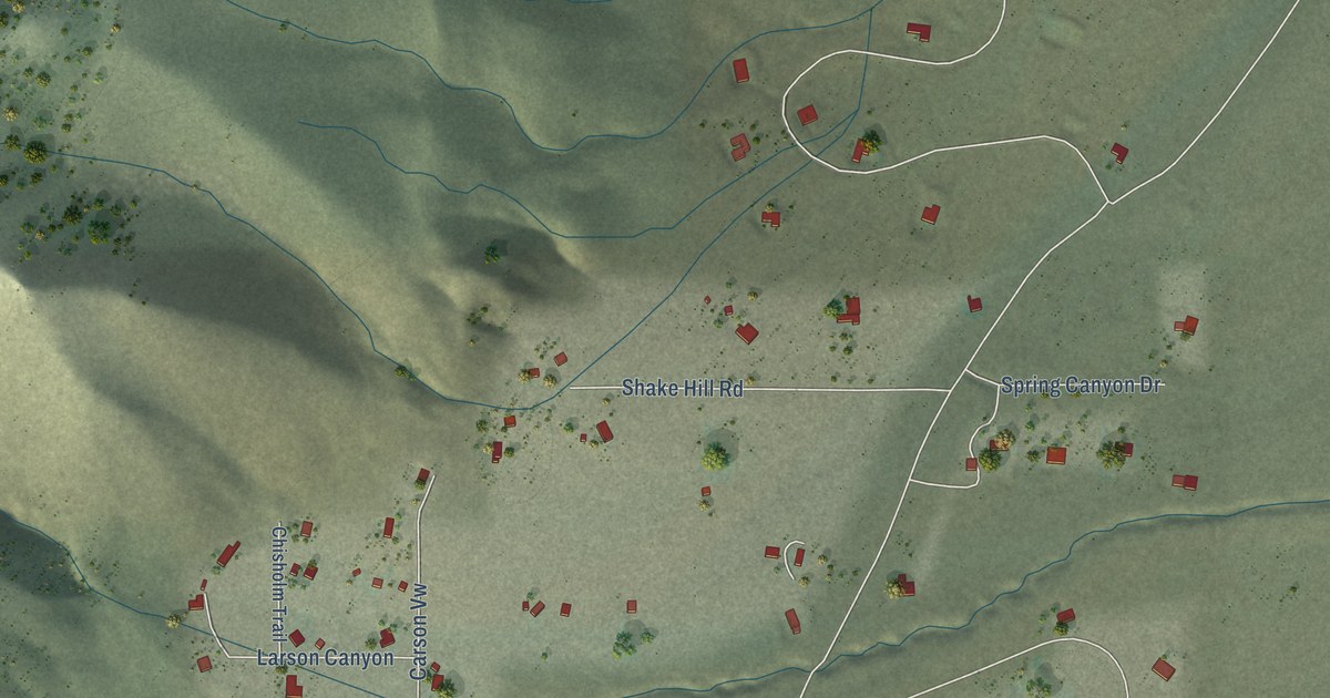
A detailed map of Mesa Vista, California, showing every building in its true location, the roads by name, and shaded topographical relief.
Read More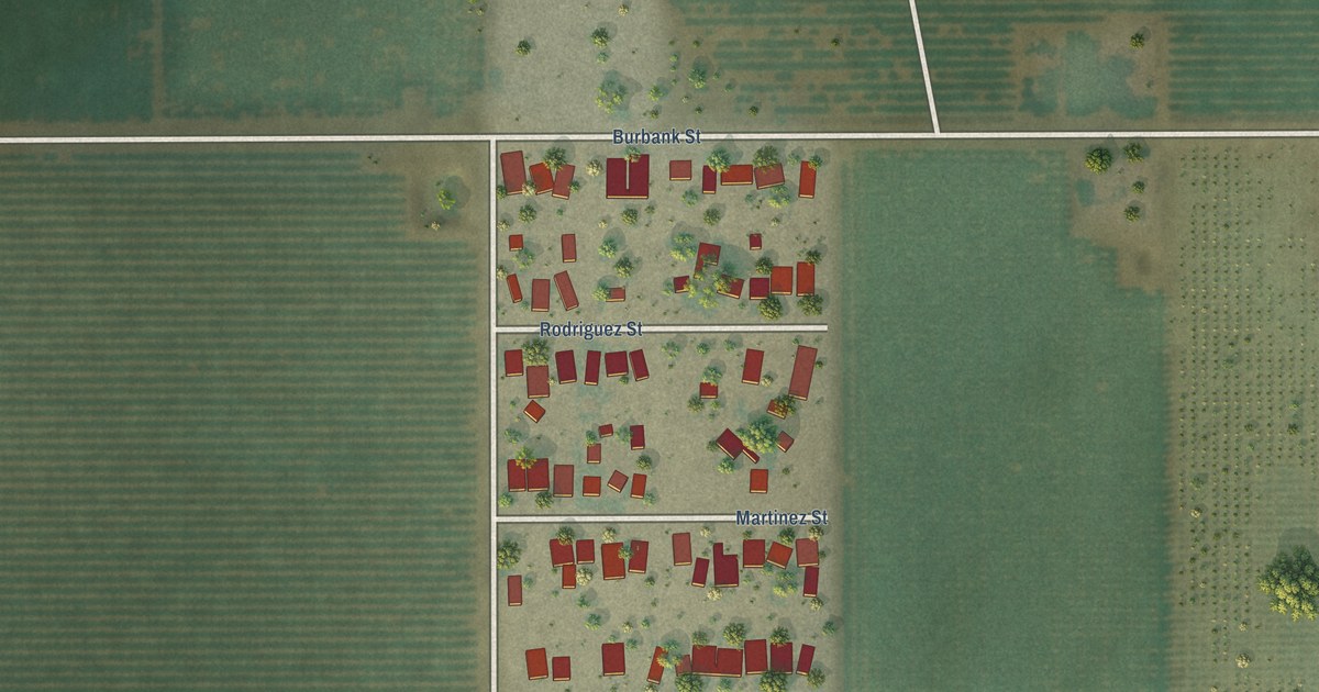
A detailed map of Mexican Colony, California, showing every building in its true location, the roads by name, and shaded topographical relief.
Read More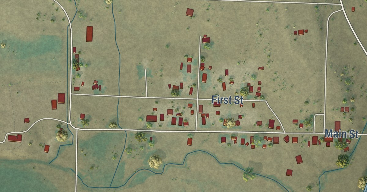
A detailed map of Lookout, California, showing every building in its true location, the roads by name, and shaded topographical relief.
Read More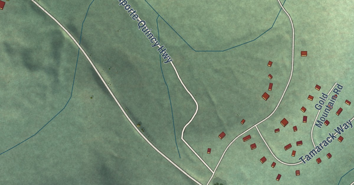
A detailed map of Little Grass Valley, California, showing every building in its true location, the roads by name, and shaded topographical relief.
Read More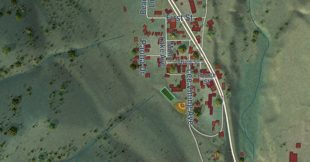
A detailed map of Lee Vining, California, showing every building in its true location, the roads by name, and shaded topographical relief.
Read More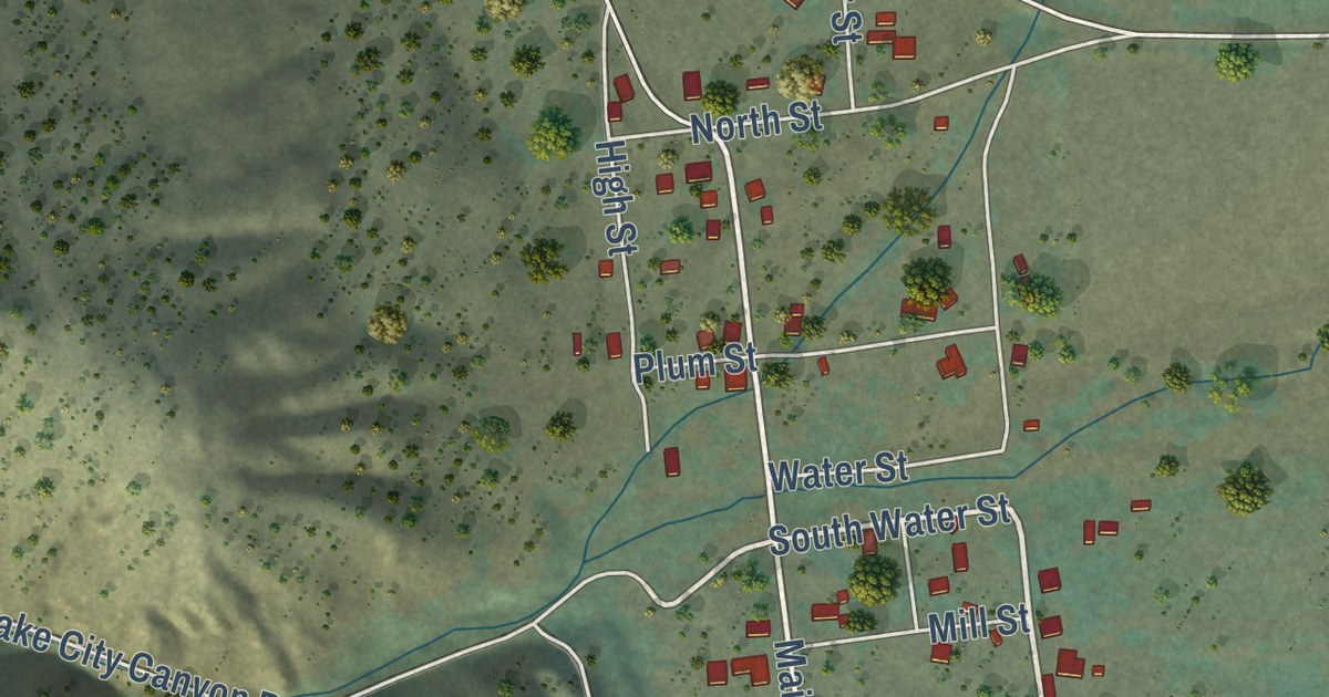
A detailed map of Lake City, California, showing every building in its true location, the roads by name, and shaded topographical relief.
Read More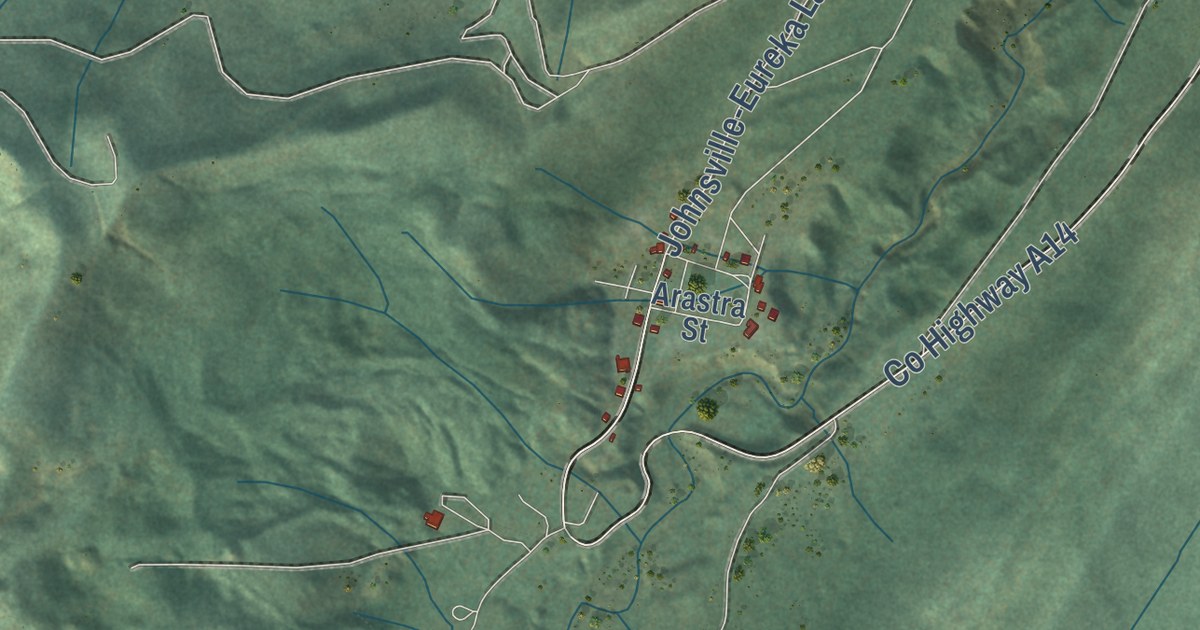
A detailed map of Johnsville, California, showing every building in its true location, the roads by name, and shaded topographical relief.
Read More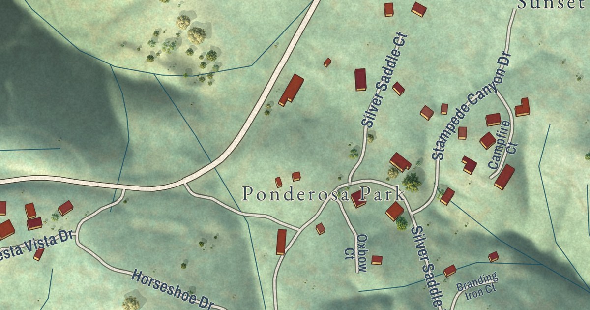
A detailed map of Hathaway Pines, California, showing every building in its true location, the roads by name, and shaded topographical relief.
Read More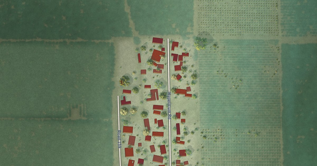
A detailed map of Hypericum, California, showing every building in its true location, the roads by name, and shaded topographical relief.
Read More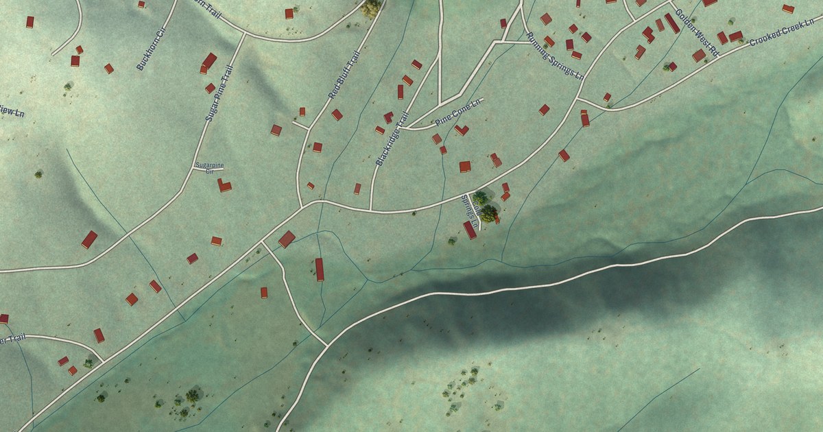
A detailed map of Greenhorn, California, showing every building in its true location, the roads by name, and shaded topographical relief.
Read More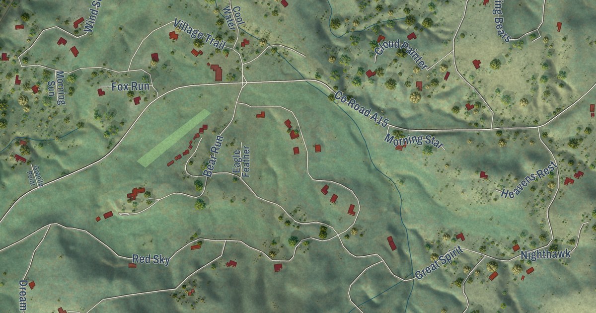
A detailed map of Gold Mountain, California, showing every building in its true location, the roads by name, and shaded topographical relief.
Read More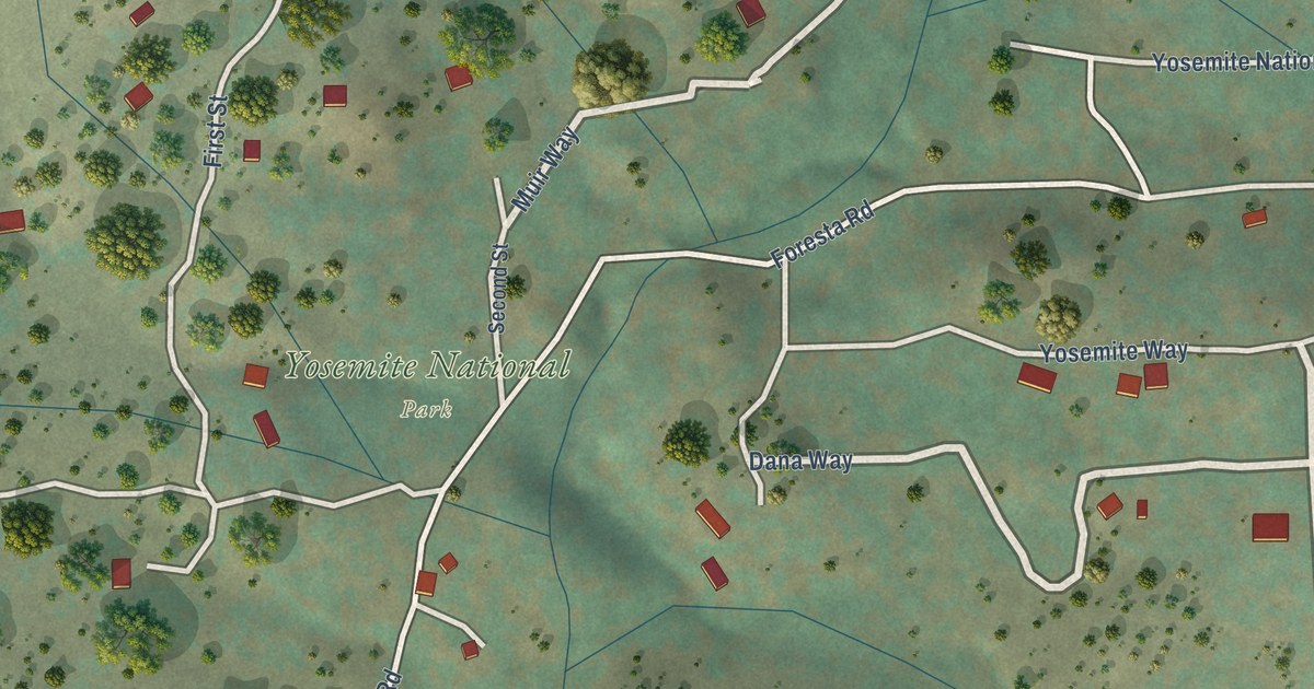
A detailed map of Foresta, California, showing every building in its true location, the roads by name, and shaded topographical relief.
Read More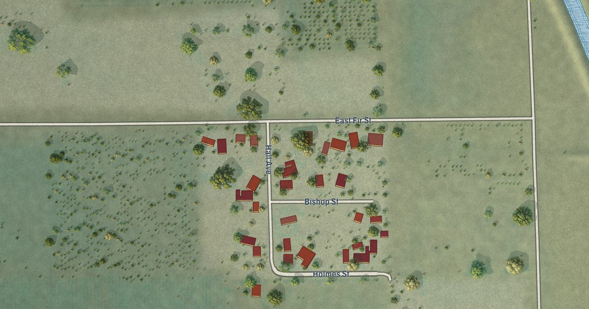
A detailed map of El Rancho, California, showing every building in its true location, the roads by name, and shaded topographical relief.
Read More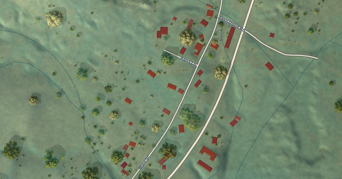
A detailed map of Douglas Flat, California, showing every building in its true location, the roads by name, and shaded topographical relief.
Read More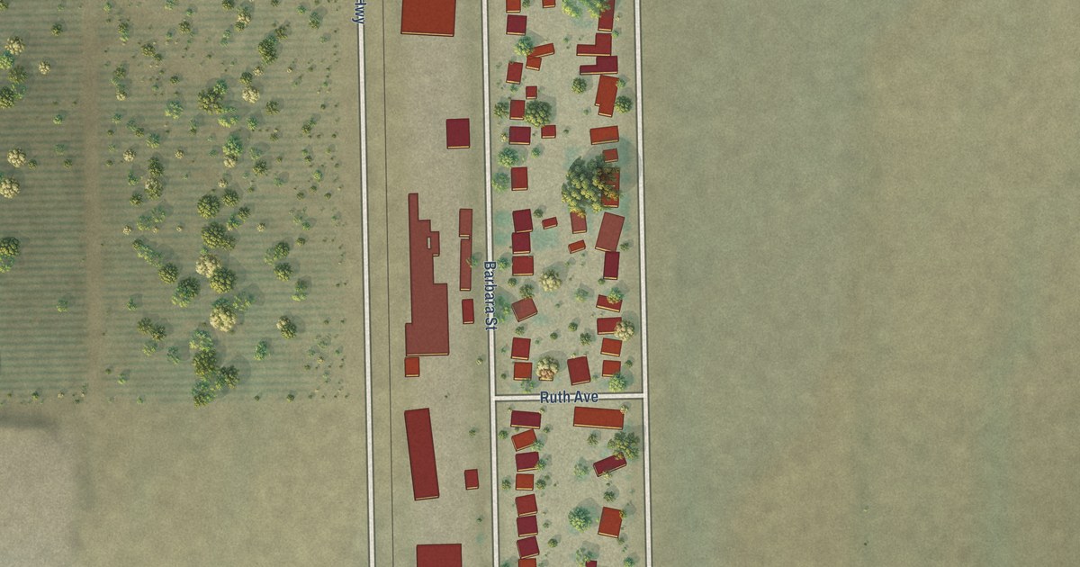
A detailed map of Edmundson Acres, California, showing every building in its true location, the roads by name, and shaded topographical relief.
Read More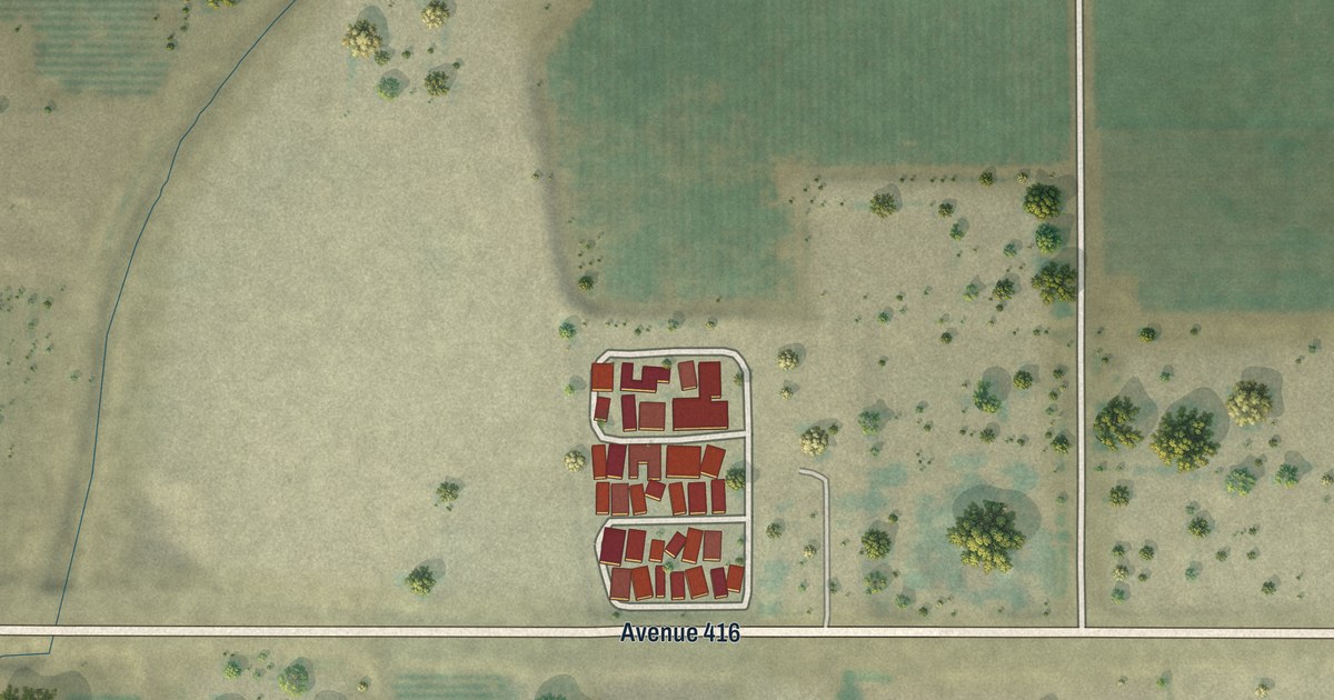
A detailed map of El Monte Mobile Village, California, showing every building in its true location, the roads by name, and shaded topographical relief.
Read More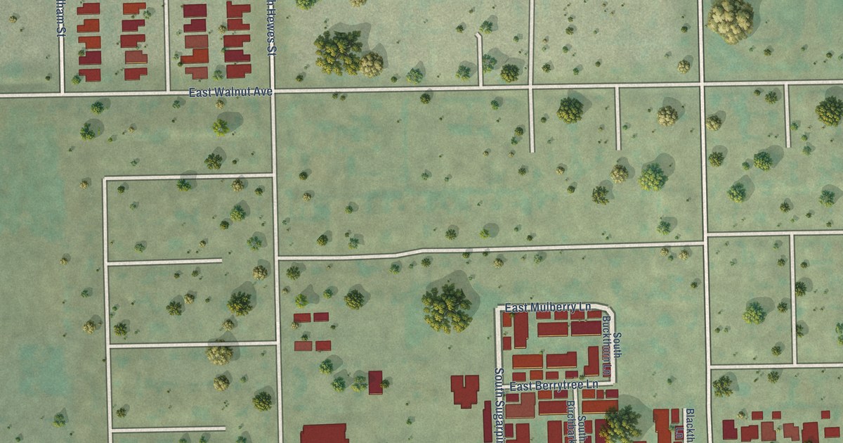
A detailed map of El Modena, California, showing every building in its true location, the roads by name, and shaded topographical relief.
Read More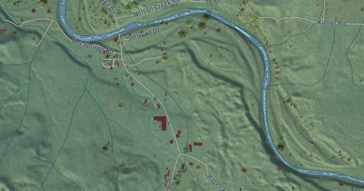
A detailed map of Big Bend, California, showing every building in its true location, the roads by name, and shaded topographical relief.
Read More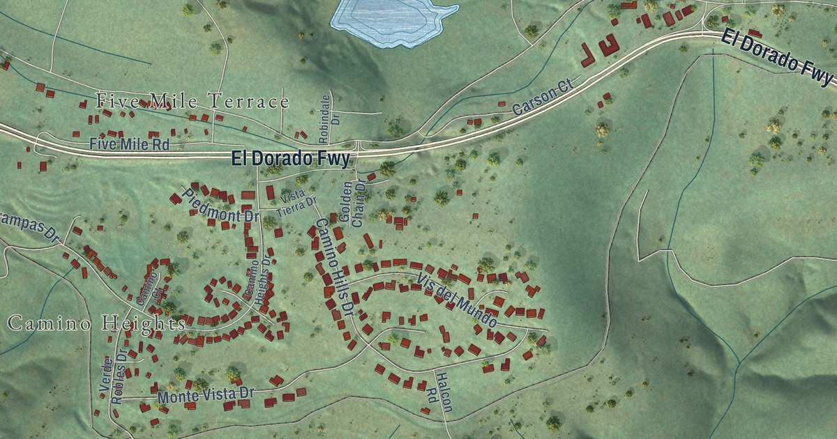
A detailed map of Camino, California, showing every building in its true location, the roads by name, and shaded topographical relief.
Read More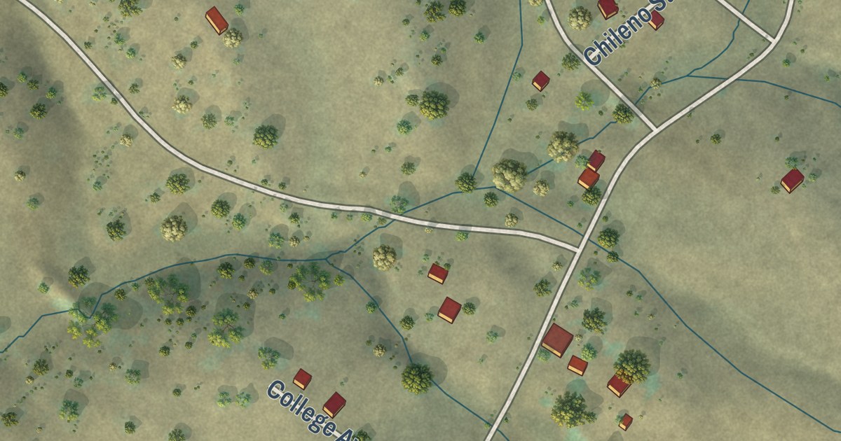
A detailed map of Campo Seco, California, showing every building in its true location, the roads by name, and shaded topographical relief.
Read More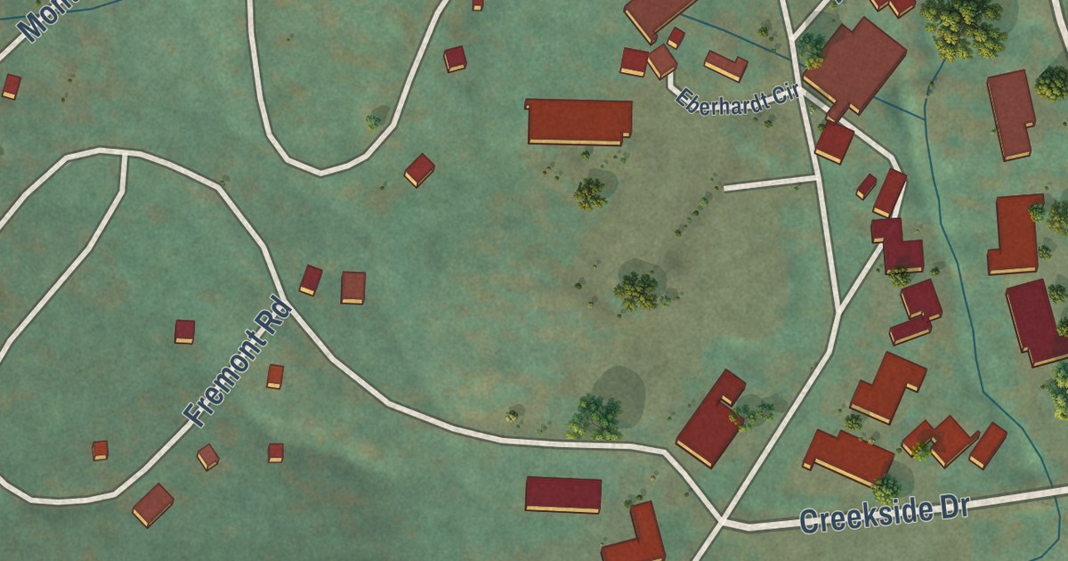
A detailed map of Bear Valley, California, showing every building in its true location, the roads by name, and shaded topographical relief.
Read More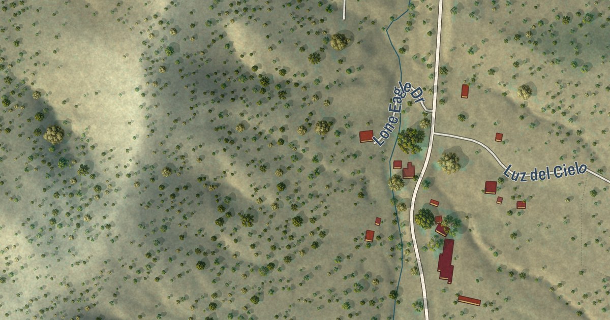
A detailed map of Golden, New Mexico, showing every building in its true location, the roads by name, and shaded topographical relief.
Read More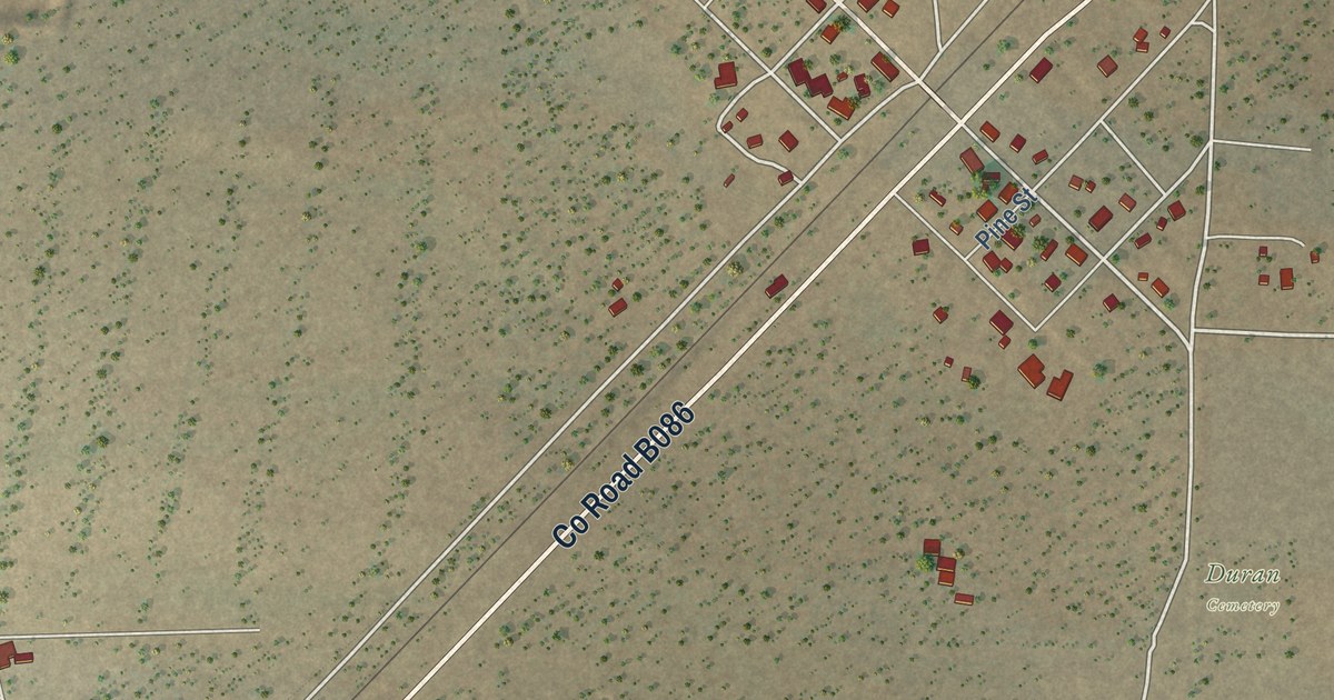
A detailed map of Duran, New Mexico, showing every building in its true location, the roads by name, and shaded topographical relief.
Read More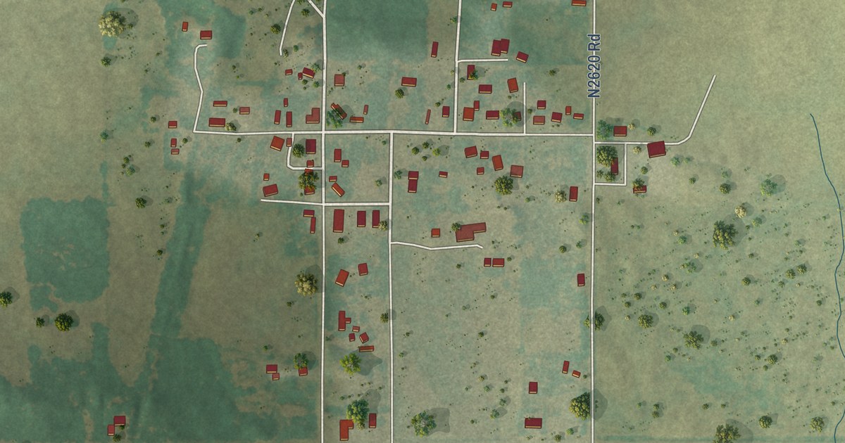
A detailed map of Isabella, Oklahoma, showing every building in its true location, the roads by name, and shaded topographical relief.
Read More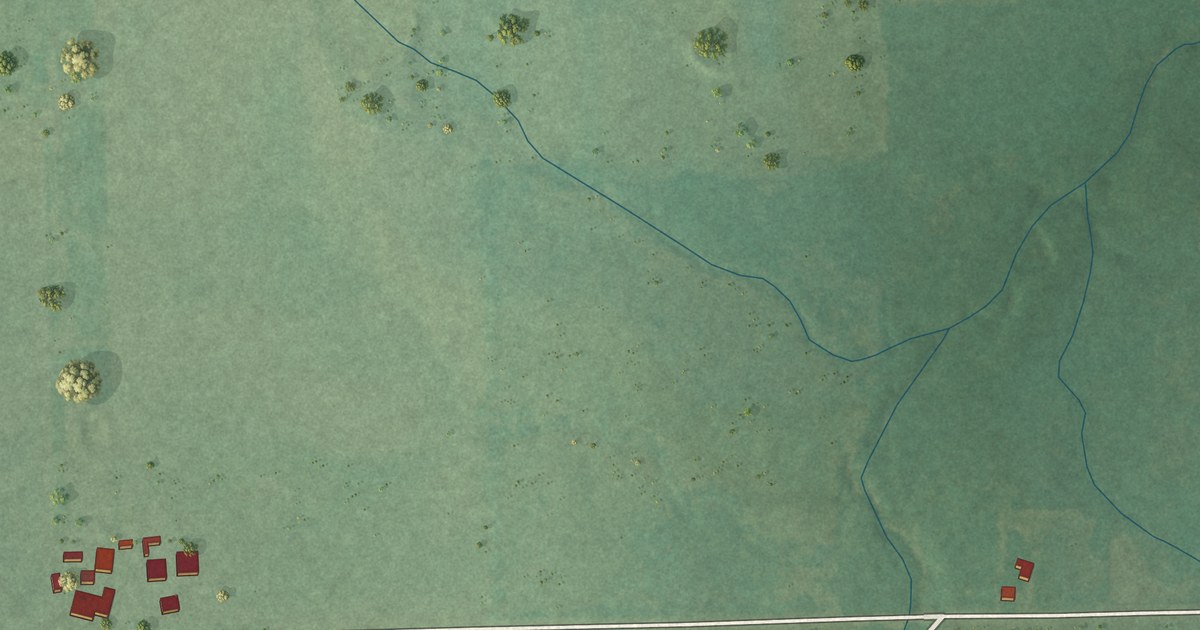
A detailed map of Mazie, Oklahoma, showing every building in its true location, the roads by name, and shaded topographical relief.
Read More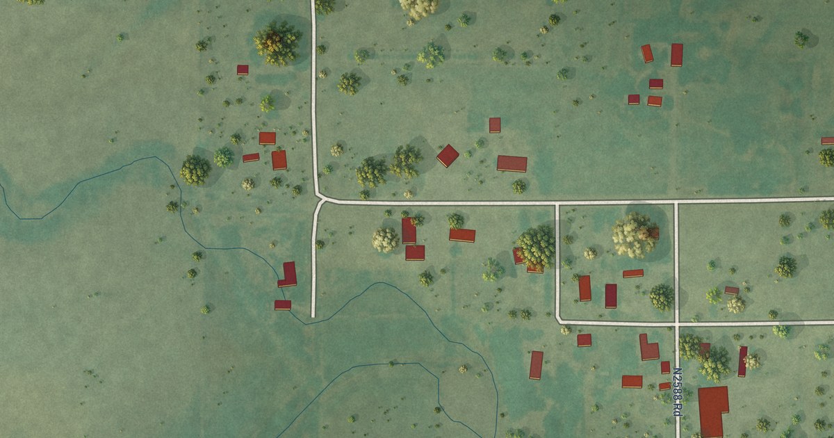
A detailed map of Homestead, Oklahoma, showing every building in its true location, the roads by name, and shaded topographical relief.
Read More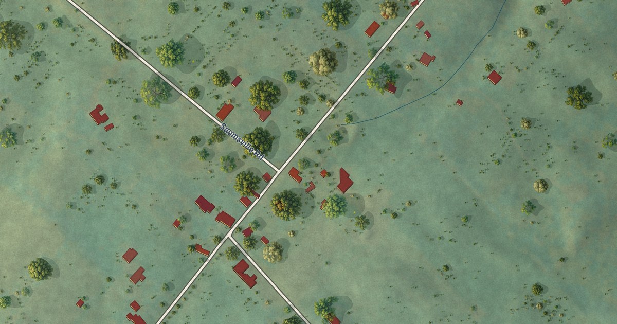
A detailed map of Saumsville, Virginia, showing every building in its true location, the roads by name, and shaded topographical relief.
Read More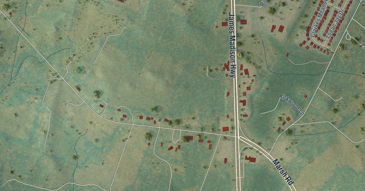
A detailed map of Opal, Virginia, showing every building in its true location, the roads by name, and shaded topographical relief.
Read More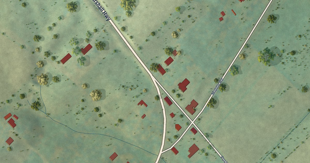
A detailed map of Lebanon Church, Virginia, showing every building in its true location, the roads by name, and shaded topographical relief.
Read More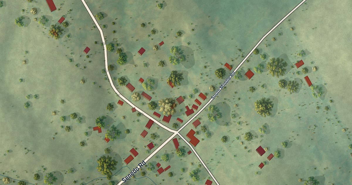
A detailed map of Forestville, Virginia, showing every building in its true location, the roads by name, and shaded topographical relief.
Read More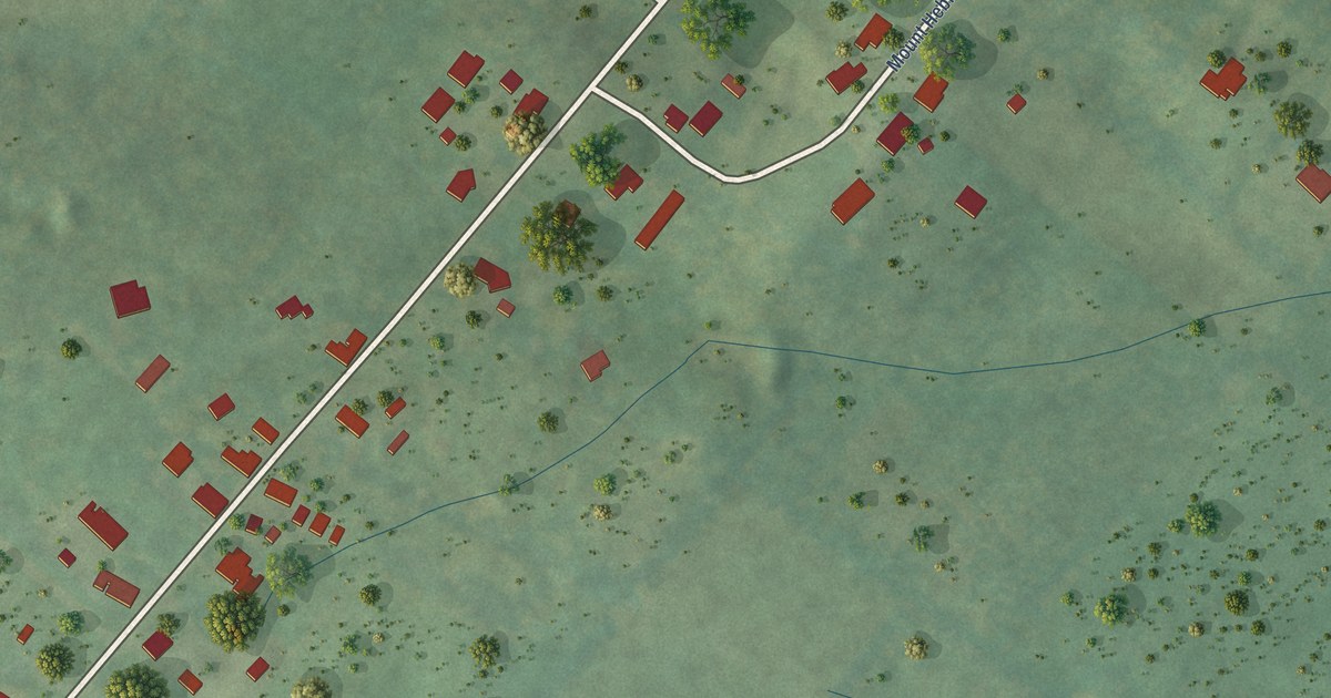
A detailed map of Mount Olive, Virginia, showing every building in its true location, the roads by name, and shaded topographical relief.
Read More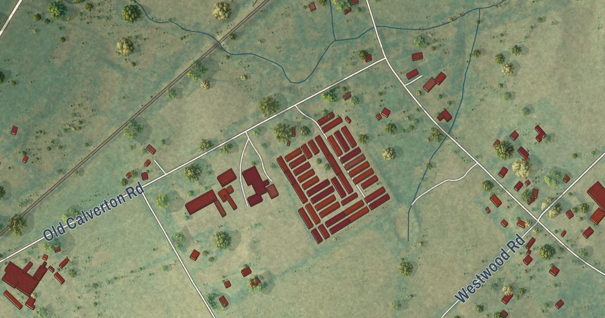
A detailed map of Calverton, Virginia, showing every building in its true location, the roads by name, and shaded topographical relief.
Read More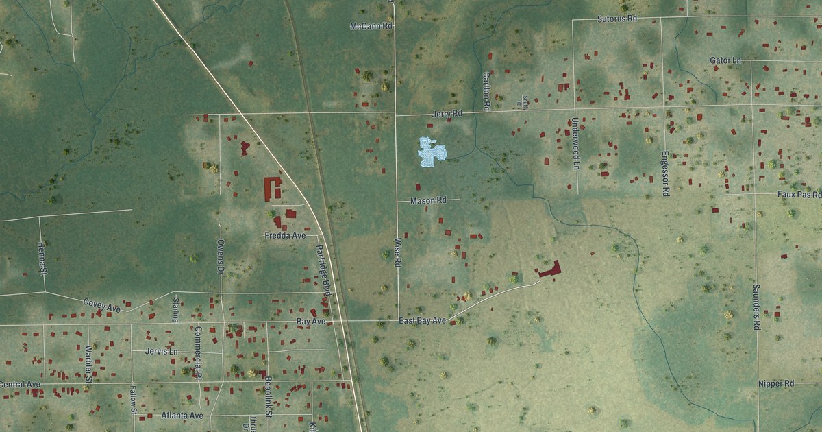
A detailed map of Crystal Springs, Florida, showing every building in its true location, the roads by name, and shaded topographical relief.
Read More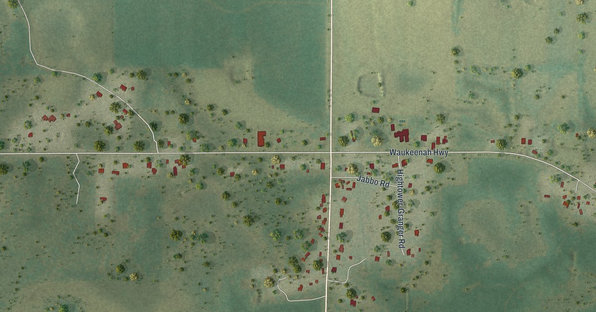
A detailed map of Wacissa, Florida, showing every building in its true location, the roads by name, and shaded topographical relief.
Read More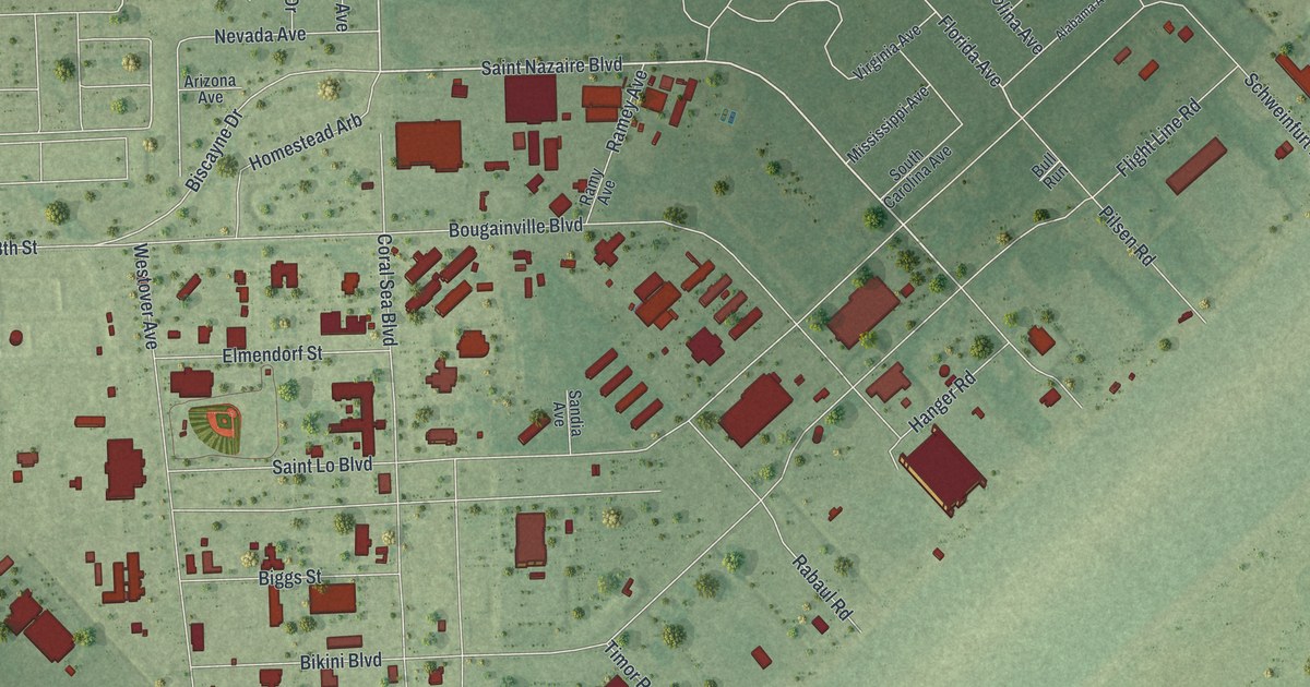
A detailed map of Homestead Base, Florida, showing every building in its true location, the roads by name, and shaded topographical relief.
Read More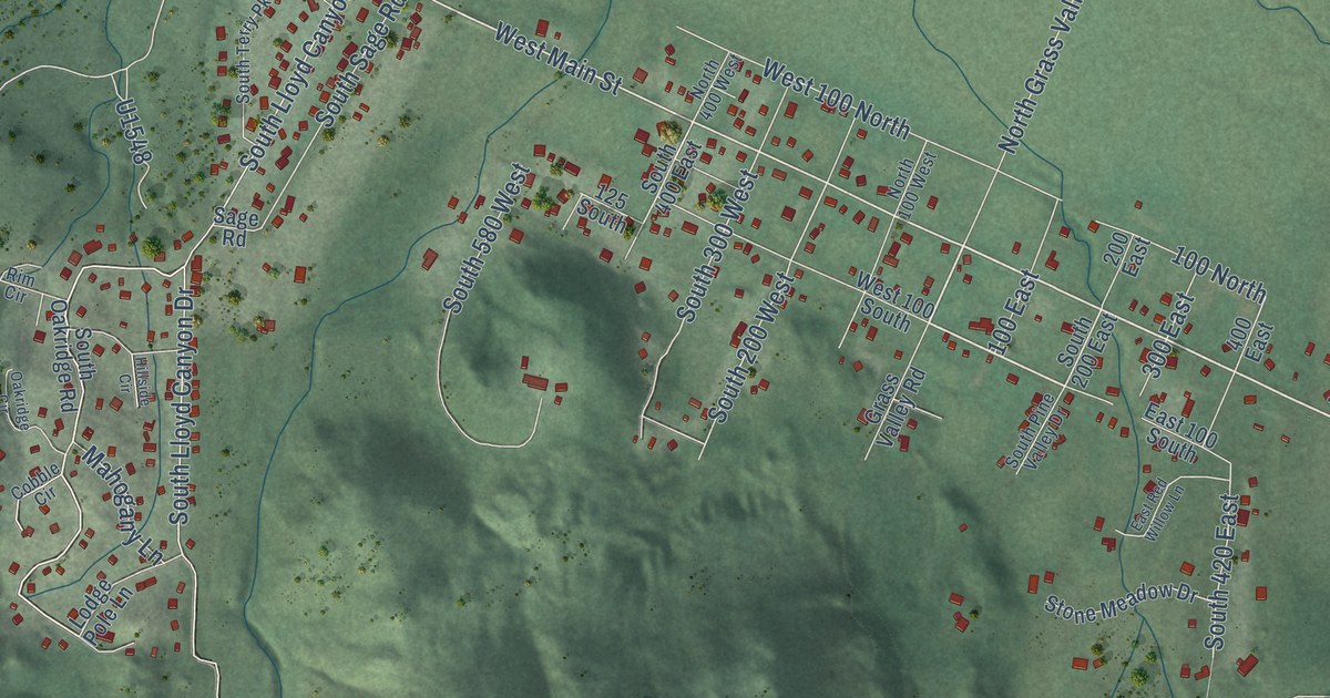
A detailed map of Pine Valley, Utah, showing every building in its true location, the roads by name, and shaded topographical relief.
Read More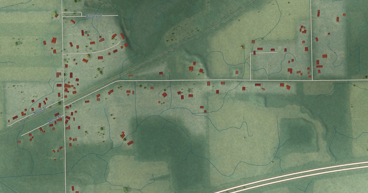
A detailed map of Vistula, Indiana, showing every building in its true location, the roads by name, and shaded topographical relief.
Read More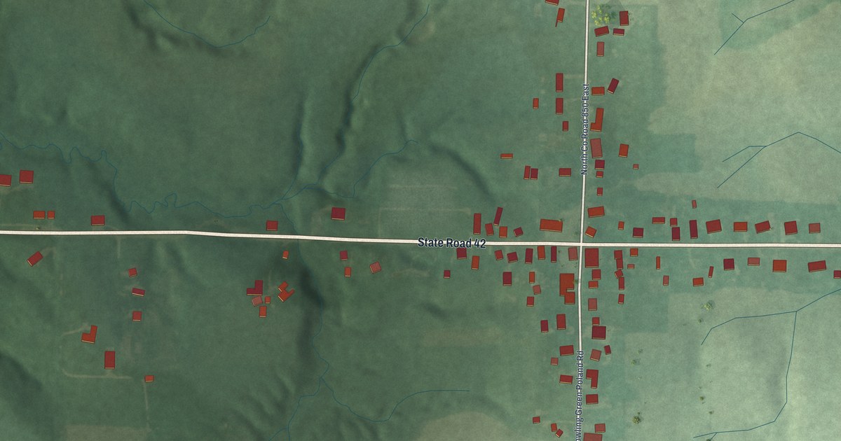
A detailed map of Poland, Indiana, showing every building in its true location, the roads by name, and shaded topographical relief.
Read More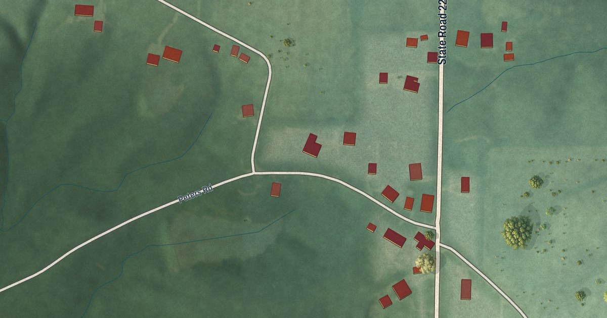
A detailed map of Peppertown, Indiana, showing every building in its true location, the roads by name, and shaded topographical relief.
Read More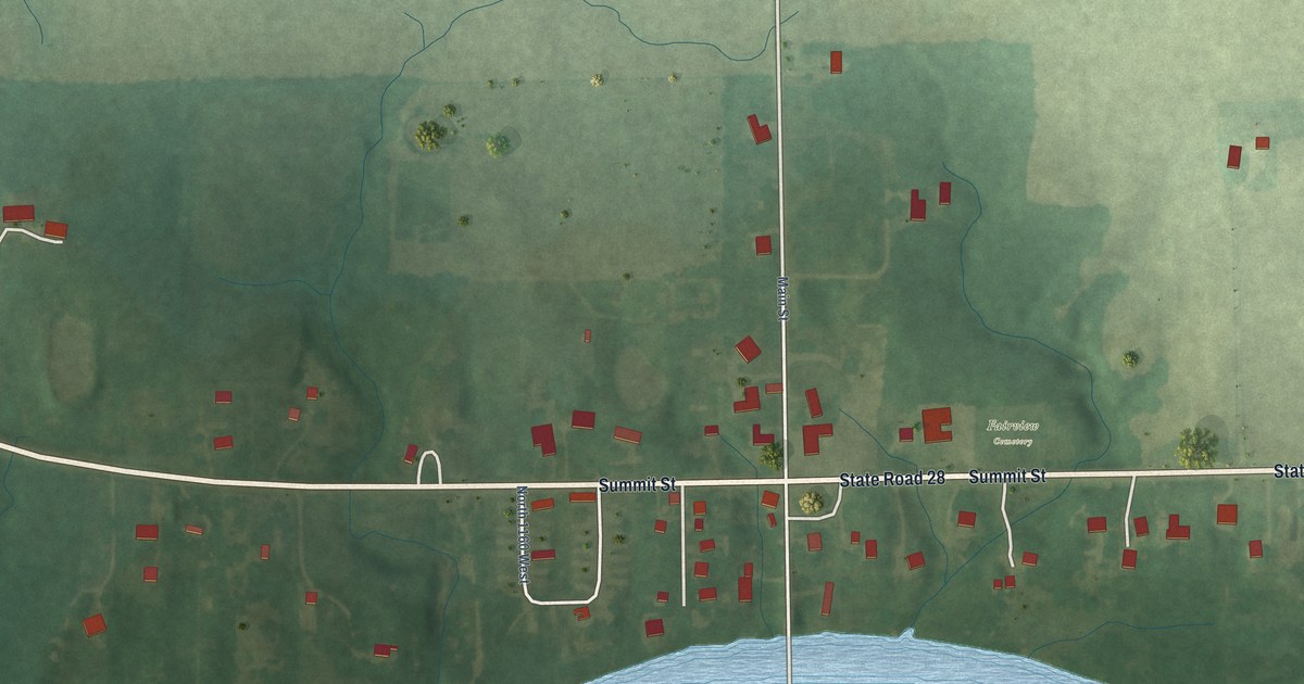
A detailed map of Fairview, Indiana, showing every building in its true location, the roads by name, and shaded topographical relief.
Read More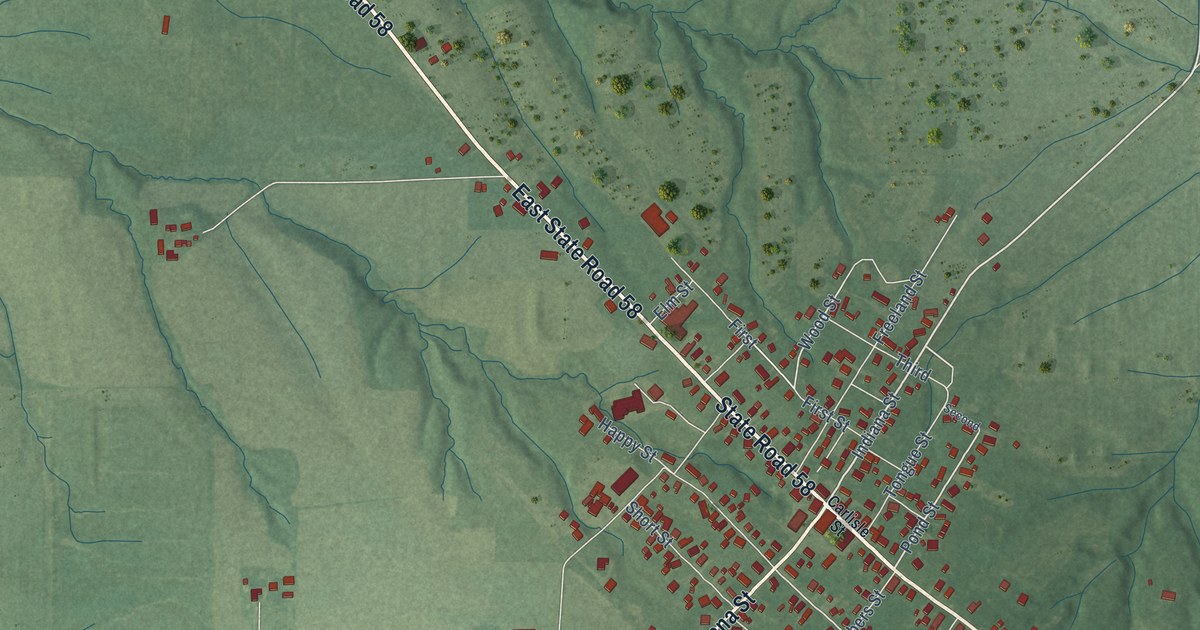
A detailed map of Freelandville, Indiana, showing every building in its true location, the roads by name, and shaded topographical relief.
Read More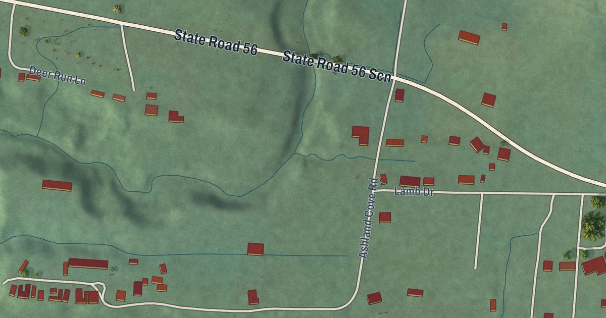
A detailed map of Lamb, Indiana, showing every building in its true location, the roads by name, and shaded topographical relief.
Read More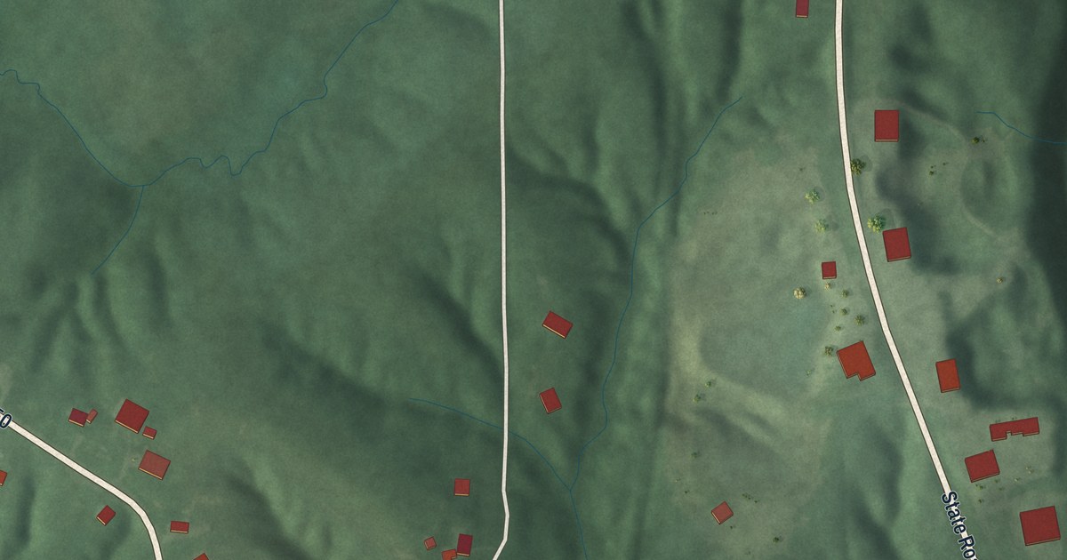
A detailed map of Paris Crossing, Indiana, showing every building in its true location, the roads by name, and shaded topographical relief.
Read More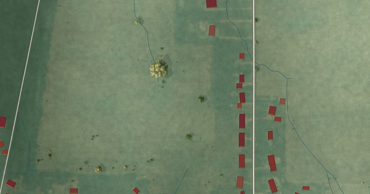
A detailed map of Bennetts Switch, Indiana, showing every building in its true location, the roads by name, and shaded topographical relief.
Read More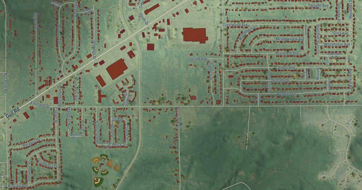
A detailed map of Comstock Northwest, Michigan, showing every building in its true location, the roads by name, and shaded topographical relief.
Read More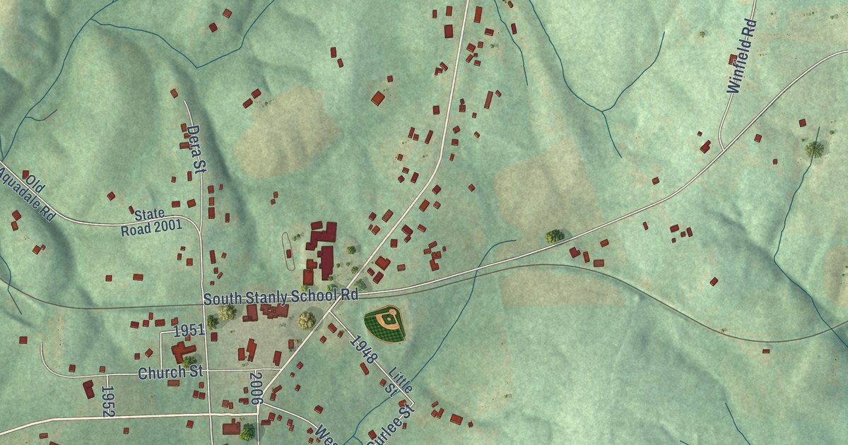
A detailed map of Aquadale, North Carolina, showing every building in its true location, the roads by name, and shaded topographical relief.
Read More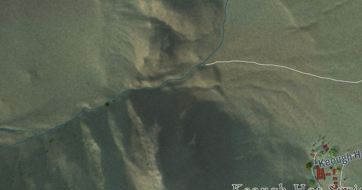
A detailed map of Wilkerson, California, showing every building in its true location, the roads by name, and shaded topographical relief.
Read More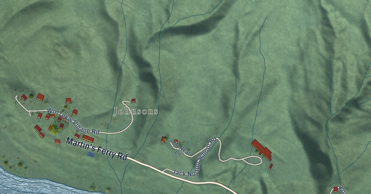
A detailed map of Wautec, California, showing every building in its true location, the roads by name, and shaded topographical relief.
Read More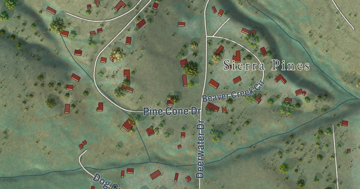
A detailed map of Verdi, California, showing every building in its true location, the roads by name, and shaded topographical relief.
Read More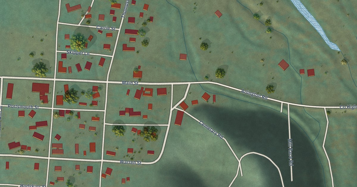
A detailed map of Taylorsville, California, showing every building in its true location, the roads by name, and shaded topographical relief.
Read More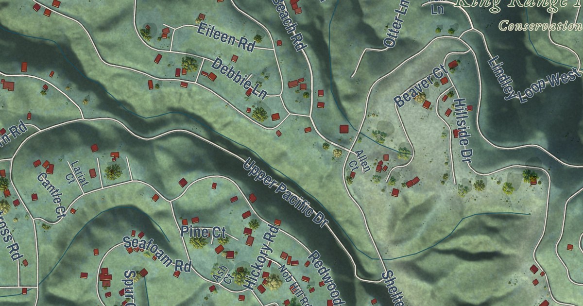
A detailed map of Shelter Cove, California, showing every building in its true location, the roads by name, and shaded topographical relief.
Read More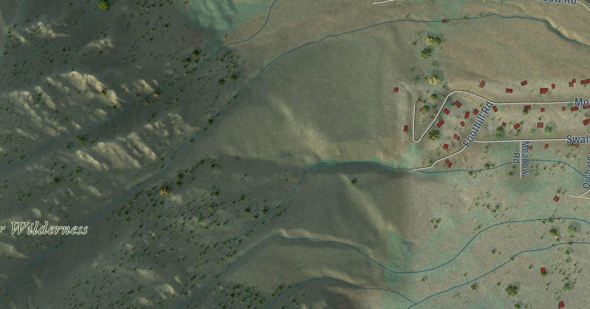
A detailed map of Swall Meadows, California, showing every building in its true location, the roads by name, and shaded topographical relief.
Read More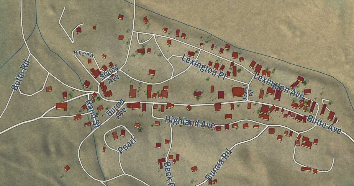
A detailed map of Randsburg, California, showing every building in its true location, the roads by name, and shaded topographical relief.
Read More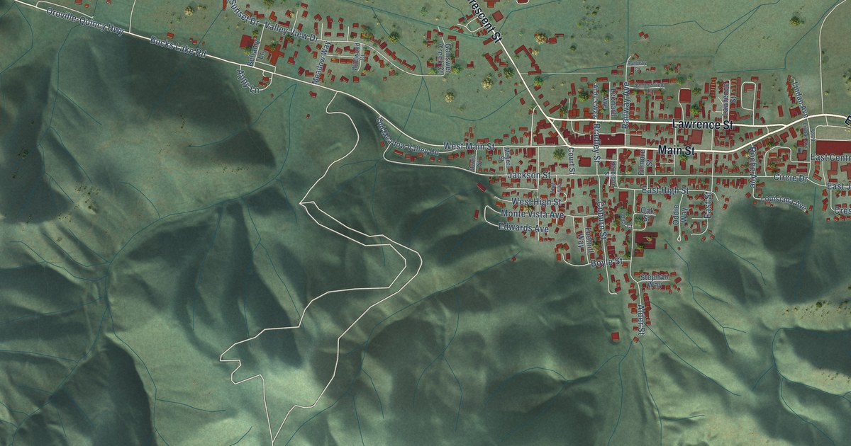
A detailed map of Quincy, California, showing every building in its true location, the roads by name, and shaded topographical relief.
Read More















