Detailed Map of Saluda, North Carolina
A detailed map of Saluda, North Carolina, showing every building in its true location, the roads by name, and shaded topographical relief.
Read More
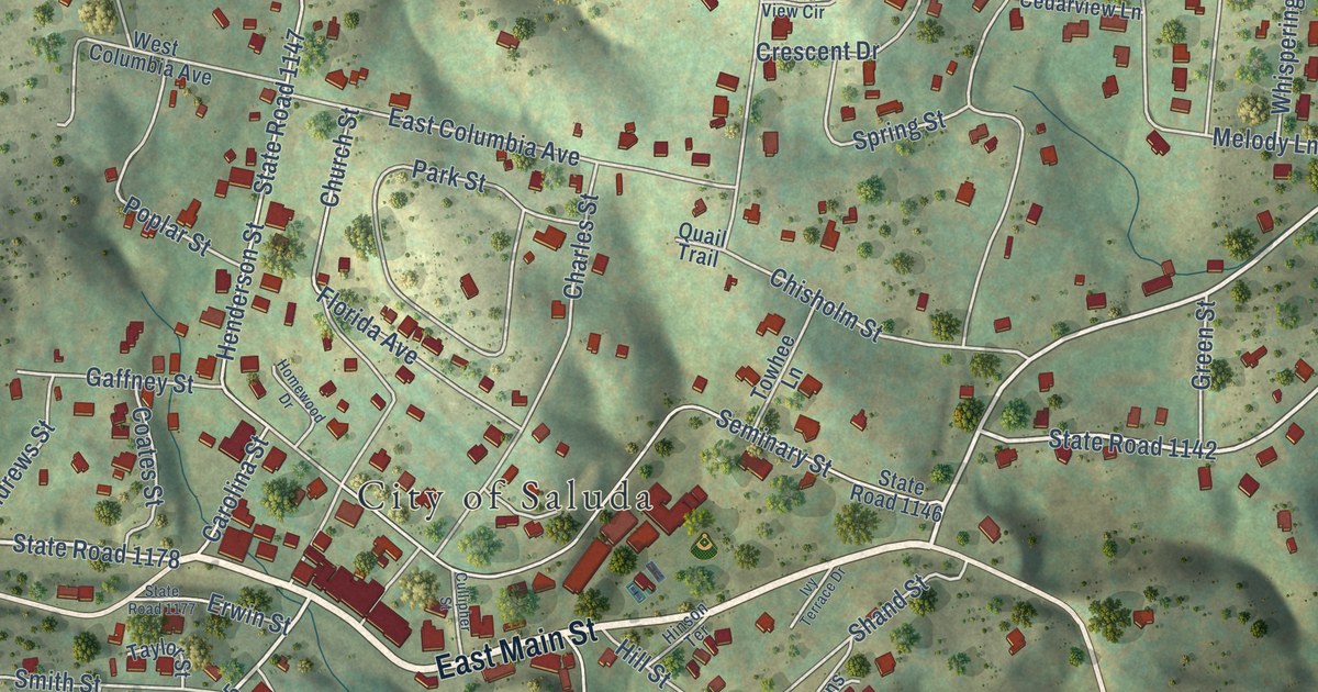
A detailed map of Saluda, North Carolina, showing every building in its true location, the roads by name, and shaded topographical relief.
Read More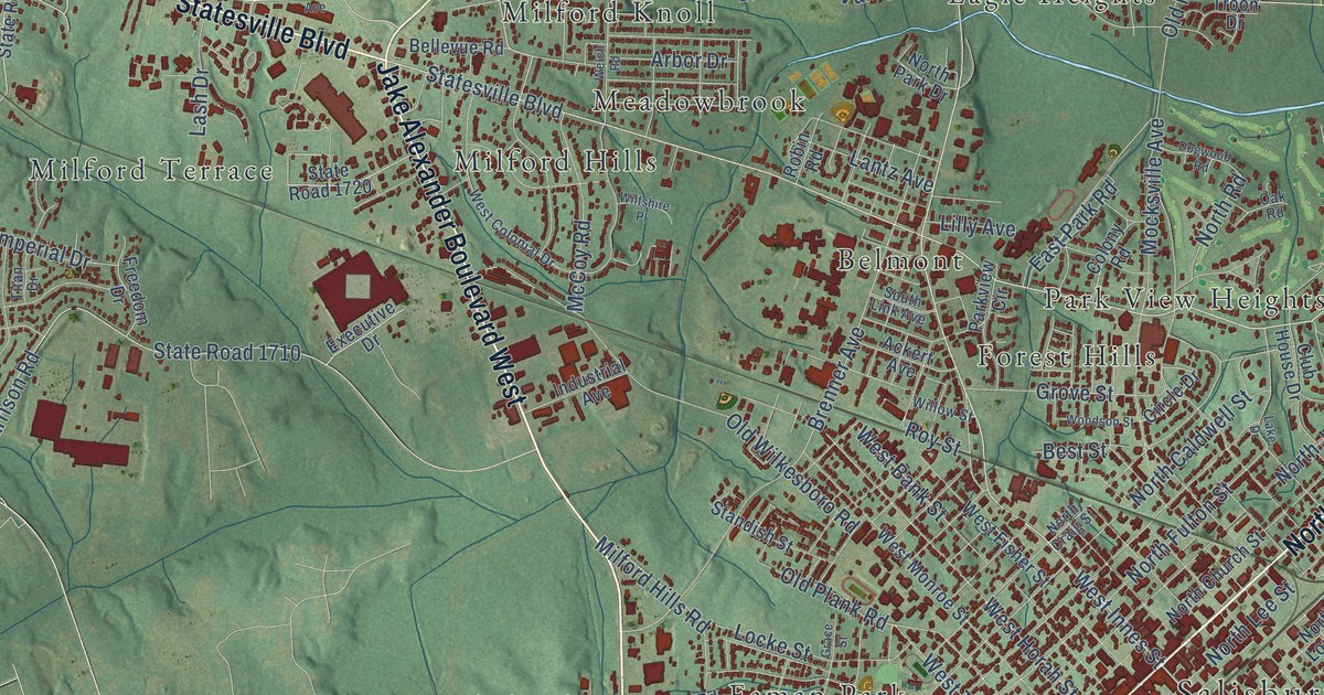
A detailed map of Salisbury, North Carolina, showing every building in its true location, the roads by name, and shaded topographical relief.
Read More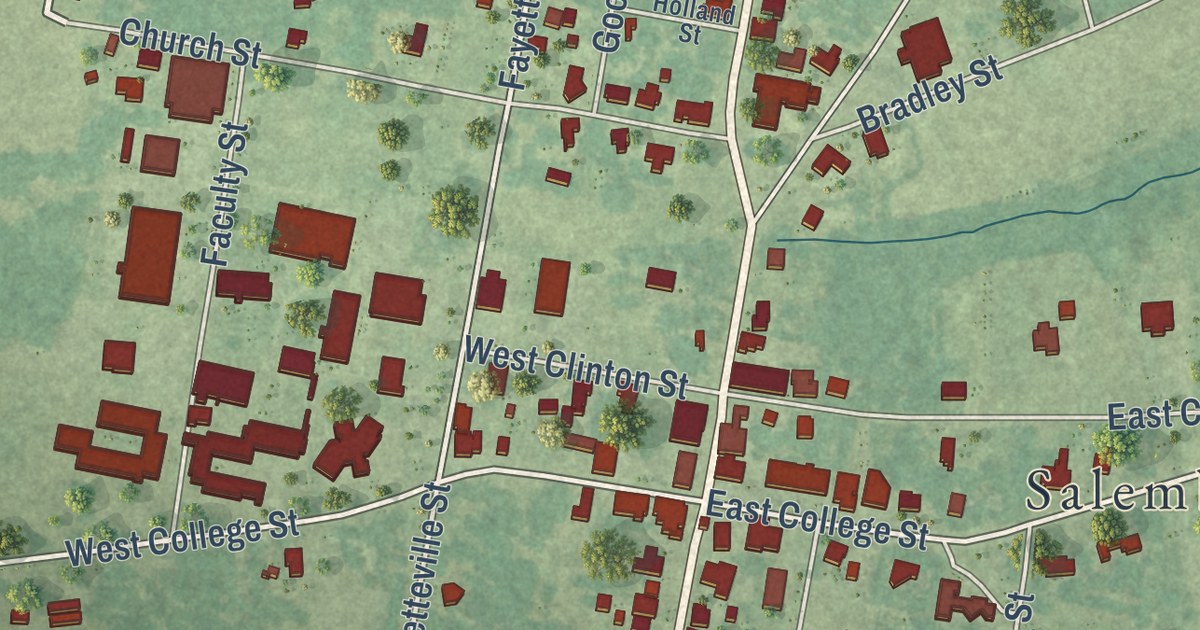
A detailed map of Salemburg, North Carolina, showing every building in its true location, the roads by name, and shaded topographical relief.
Read More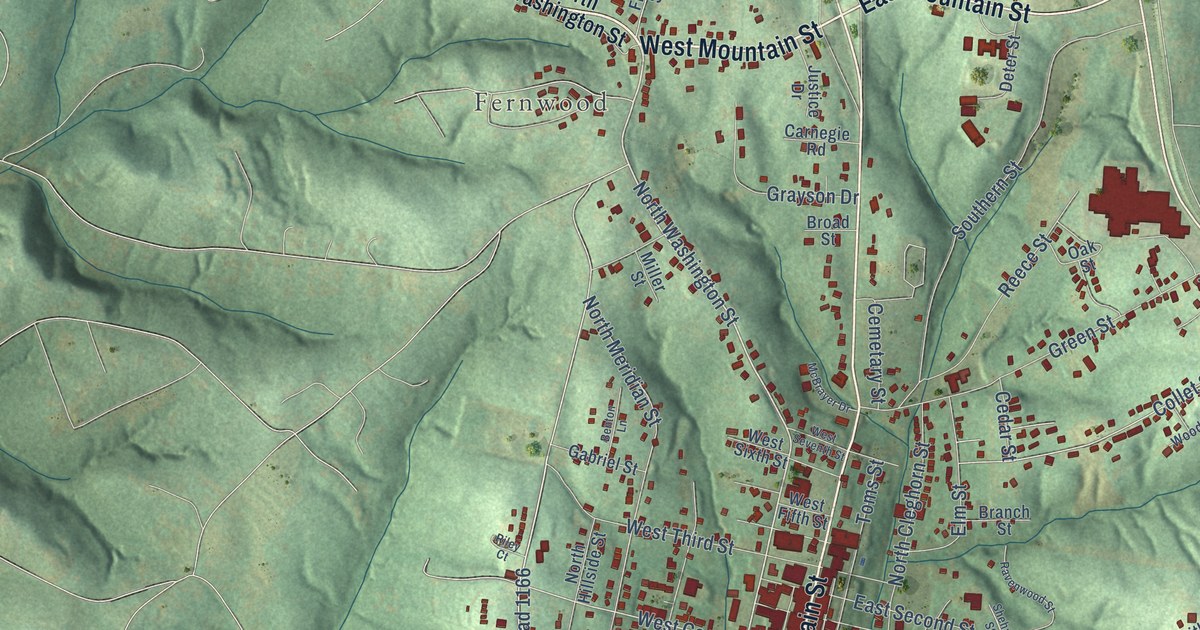
A detailed map of Rutherfordton, North Carolina, showing every building in its true location, the roads by name, and shaded topographical relief.
Read More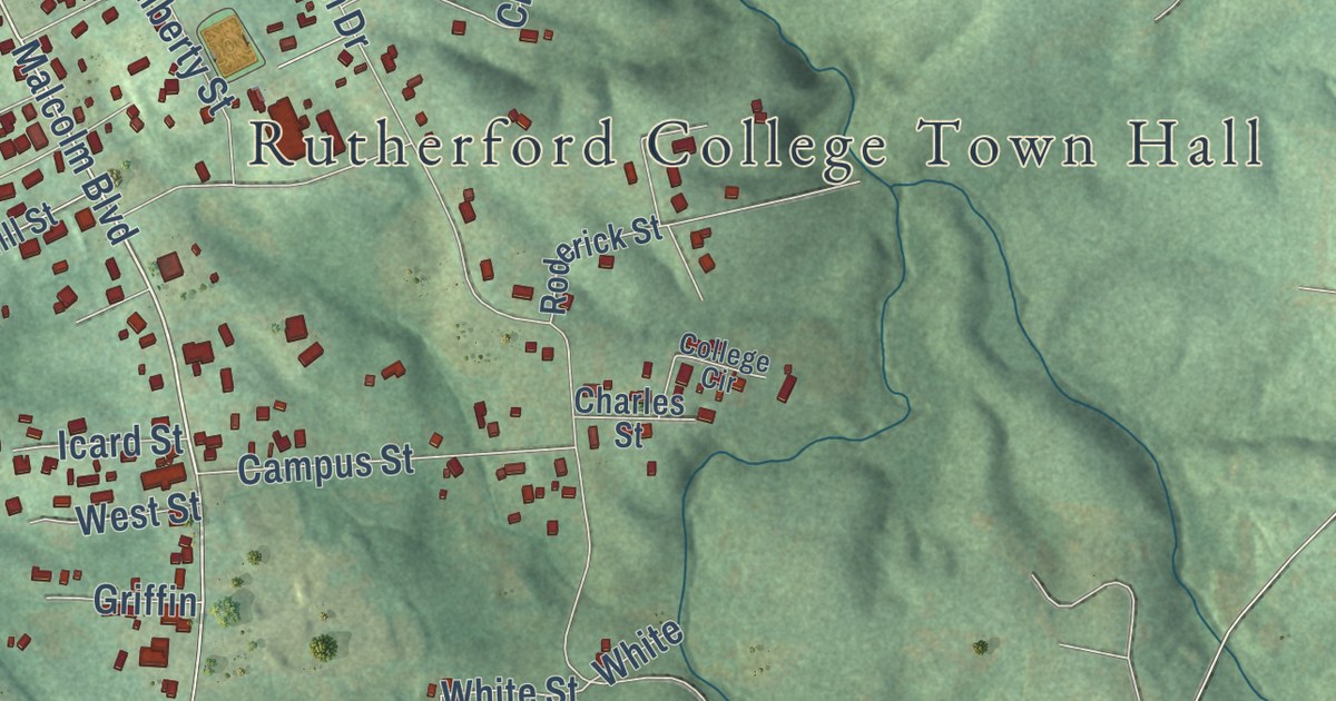
A detailed map of Rutherford College, North Carolina, showing every building in its true location, the roads by name, and shaded topographical relief.
Read More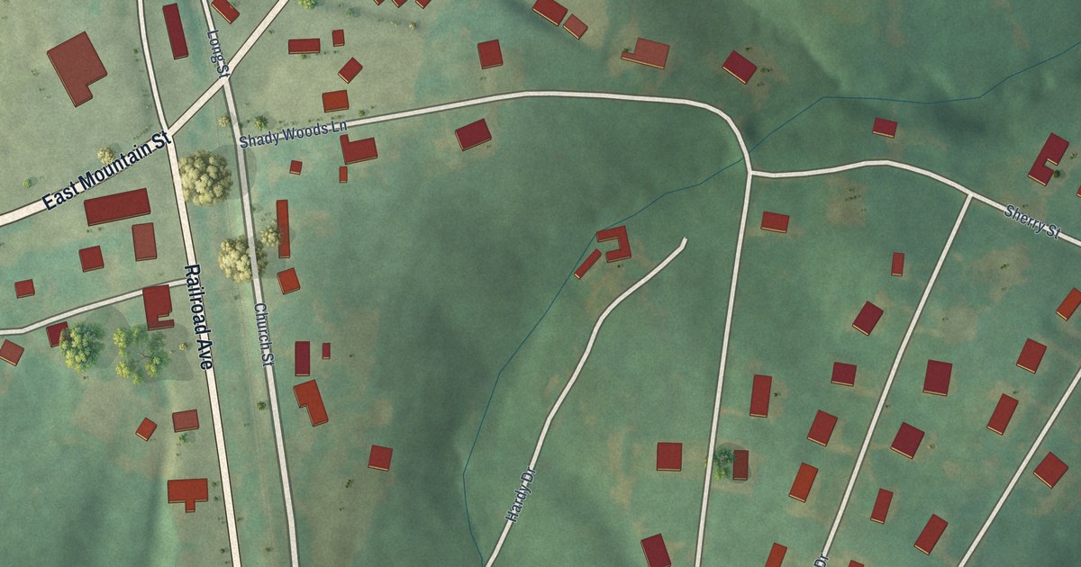
A detailed map of Ruth, North Carolina, showing every building in its true location, the roads by name, and shaded topographical relief.
Read More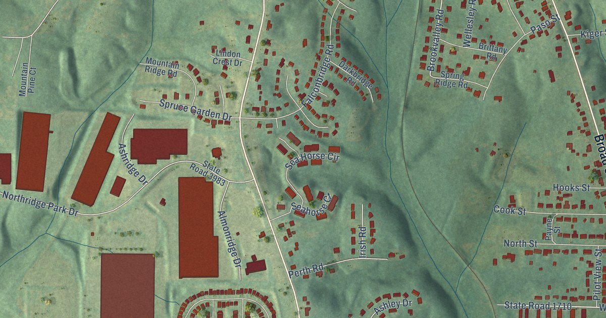
A detailed map of Rural Hall, North Carolina, showing every building in its true location, the roads by name, and shaded topographical relief.
Read More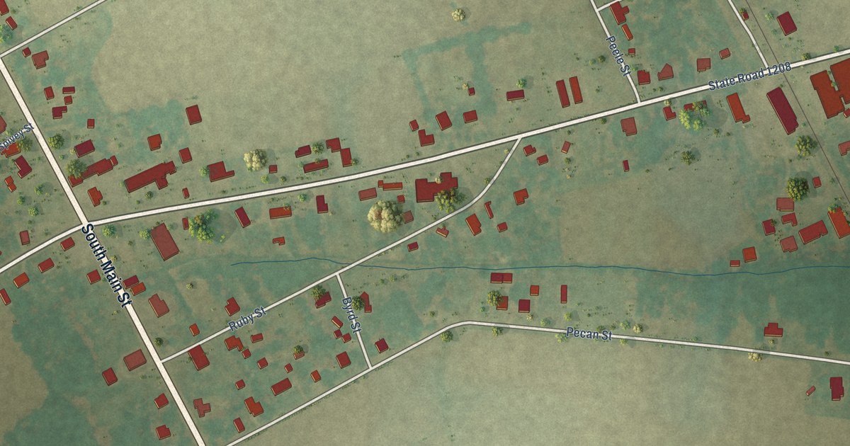
A detailed map of Roxobel, North Carolina, showing every building in its true location, the roads by name, and shaded topographical relief.
Read More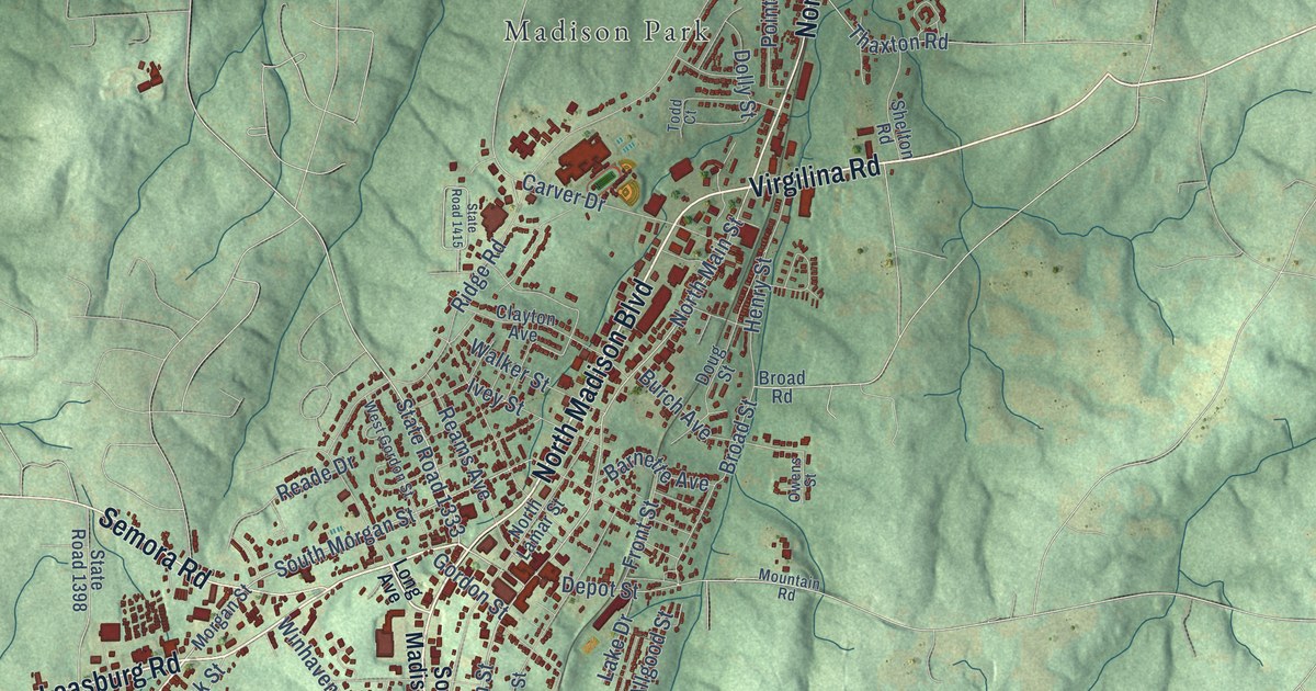
A detailed map of Roxboro, North Carolina, showing every building in its true location, the roads by name, and shaded topographical relief.
Read More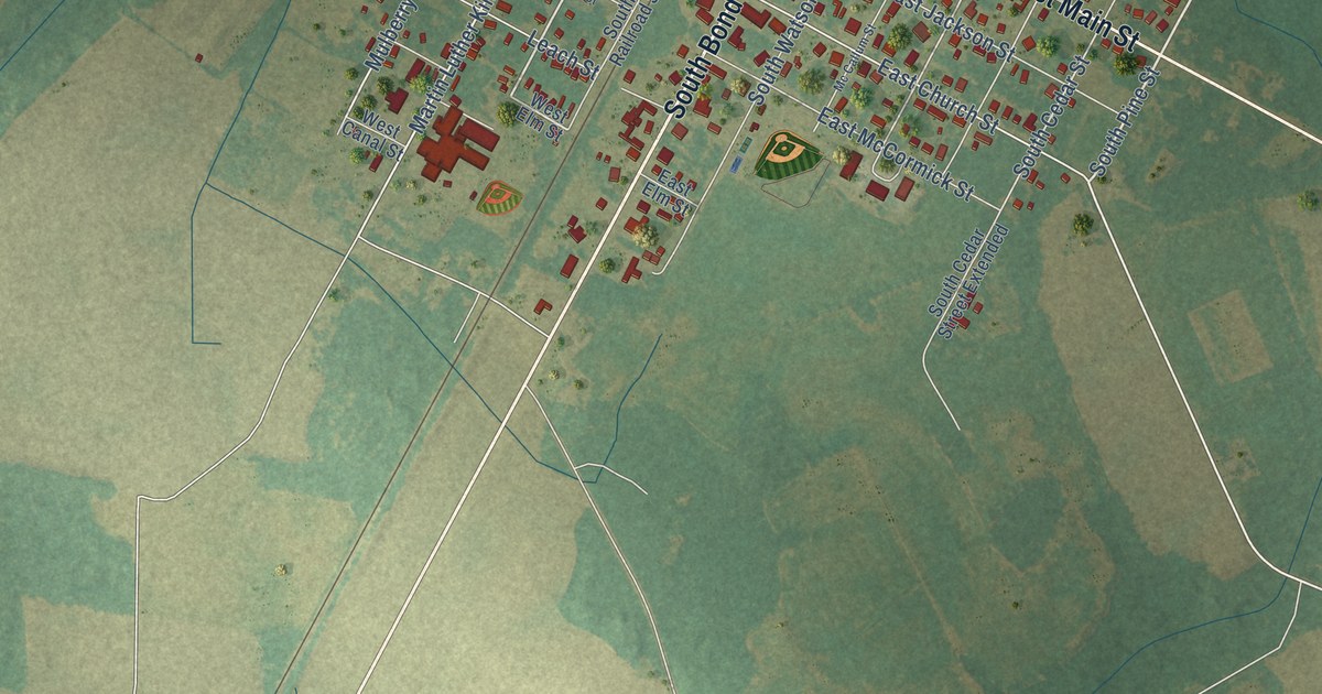
A detailed map of Rowland, North Carolina, showing every building in its true location, the roads by name, and shaded topographical relief.
Read More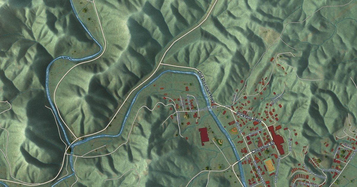
A detailed map of Rosman, North Carolina, showing every building in its true location, the roads by name, and shaded topographical relief.
Read More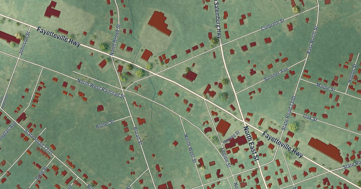
A detailed map of Roseboro, North Carolina, showing every building in its true location, the roads by name, and shaded topographical relief.
Read More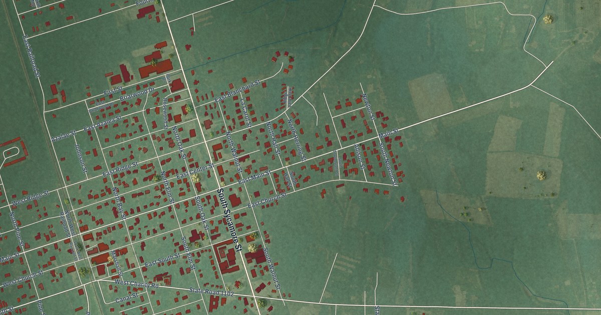
A detailed map of Rose Hill, North Carolina, showing every building in its true location, the roads by name, and shaded topographical relief.
Read More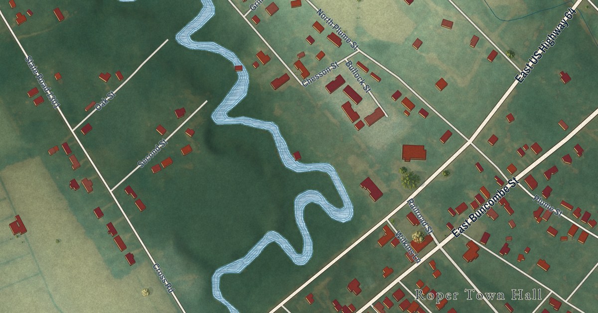
A detailed map of Roper, North Carolina, showing every building in its true location, the roads by name, and shaded topographical relief.
Read More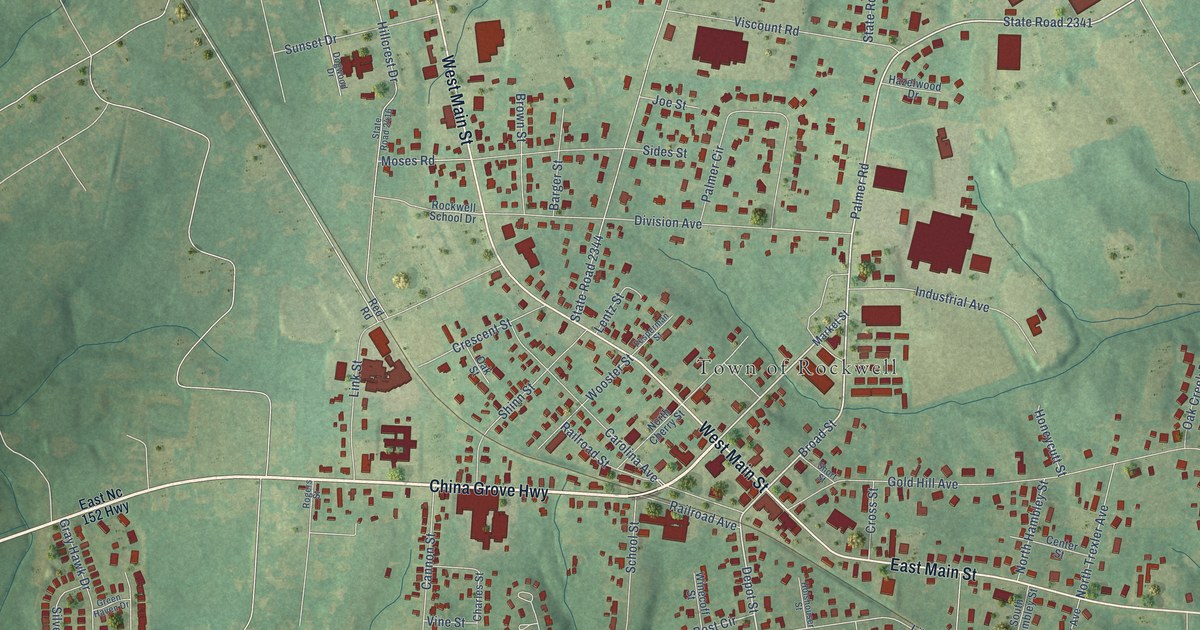
A detailed map of Rockwell, North Carolina, showing every building in its true location, the roads by name, and shaded topographical relief.
Read More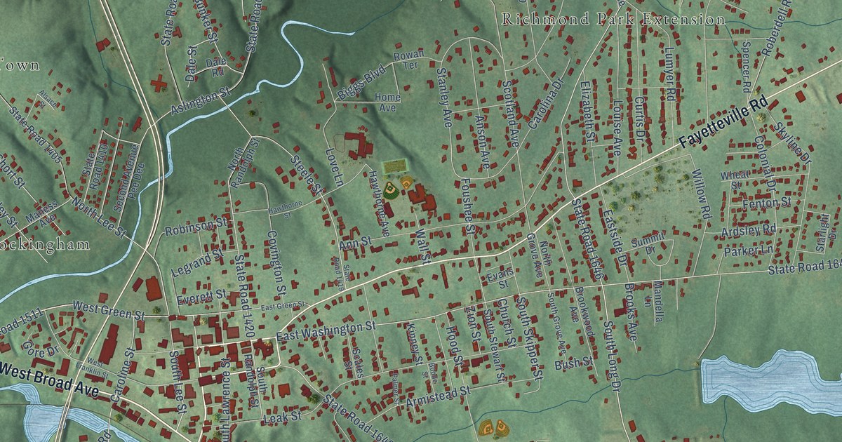
A detailed map of Rockingham, North Carolina, showing every building in its true location, the roads by name, and shaded topographical relief.
Read More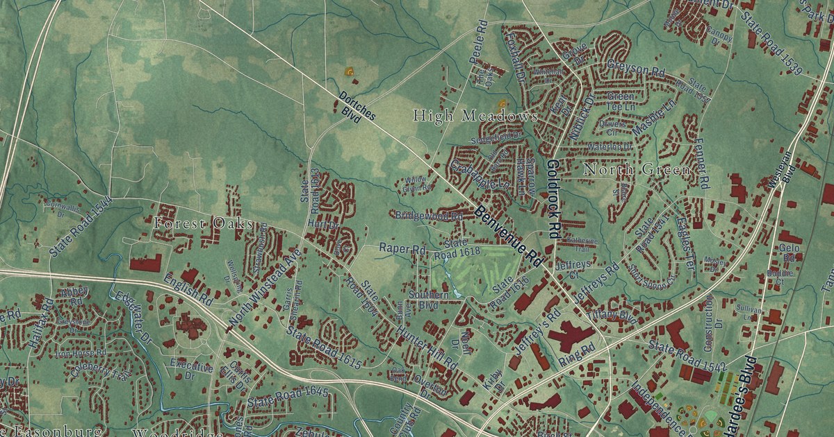
A detailed map of Rocky Mount, North Carolina, showing every building in its true location, the roads by name, and shaded topographical relief.
Read More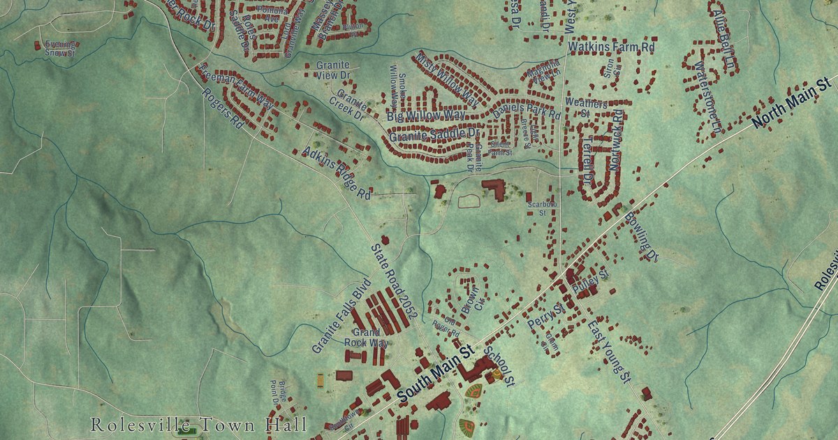
A detailed map of Rolesville, North Carolina, showing every building in its true location, the roads by name, and shaded topographical relief.
Read More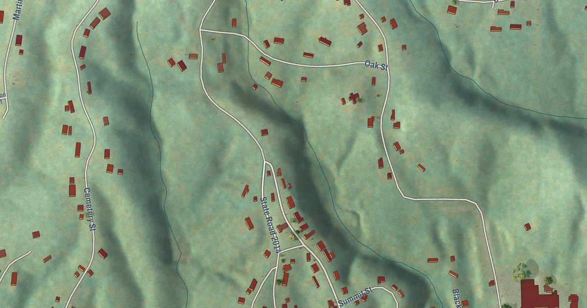
A detailed map of Ronda, North Carolina, showing every building in its true location, the roads by name, and shaded topographical relief.
Read More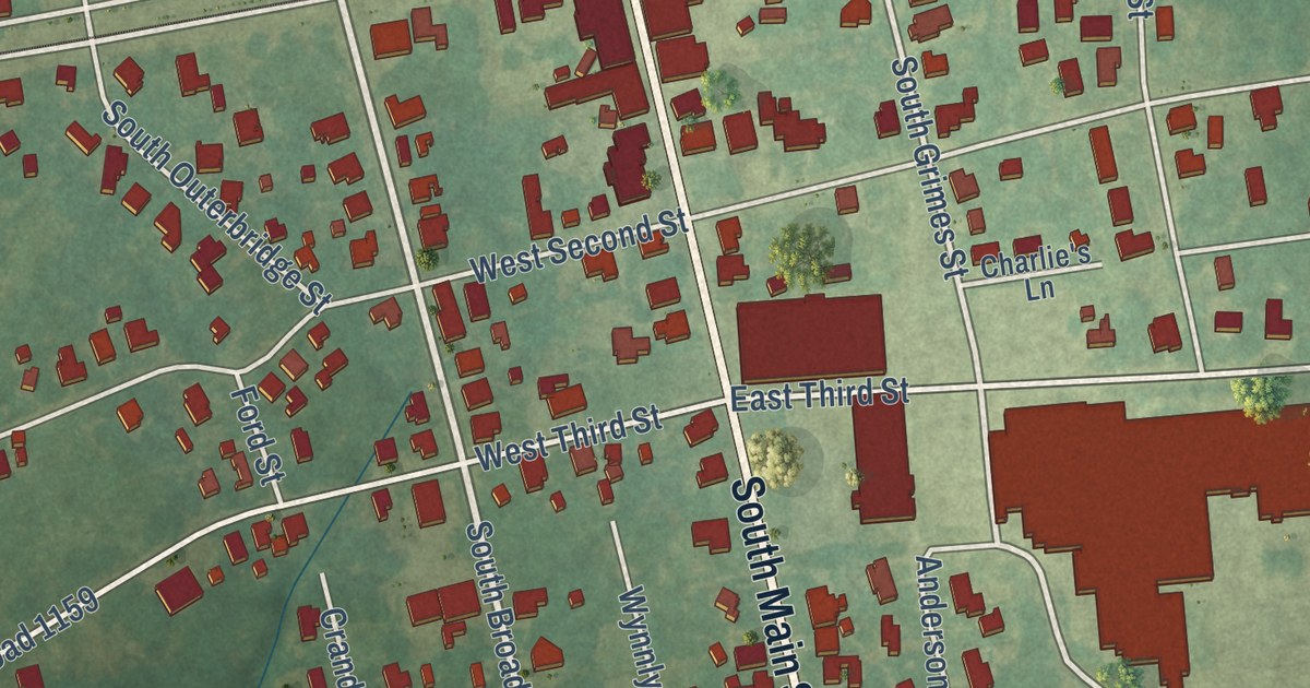
A detailed map of Robersonville, North Carolina, showing every building in its true location, the roads by name, and shaded topographical relief.
Read More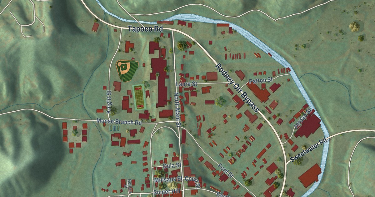
A detailed map of Robbinsville, North Carolina, showing every building in its true location, the roads by name, and shaded topographical relief.
Read More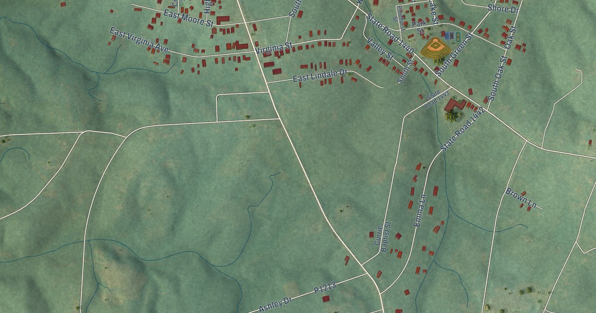
A detailed map of Robbins, North Carolina, showing every building in its true location, the roads by name, and shaded topographical relief.
Read More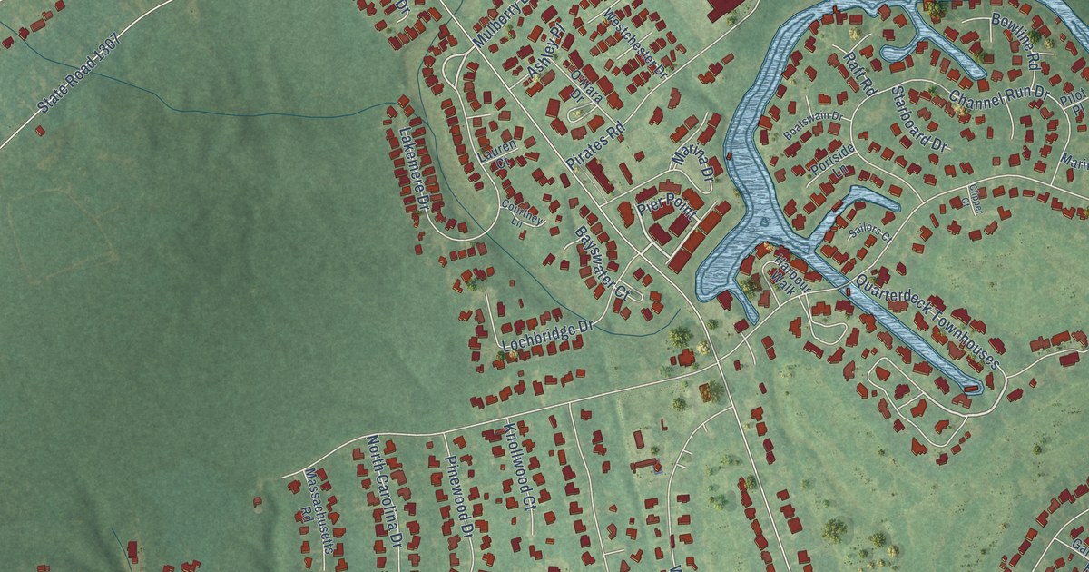
A detailed map of River Bend, North Carolina, showing every building in its true location, the roads by name, and shaded topographical relief.
Read More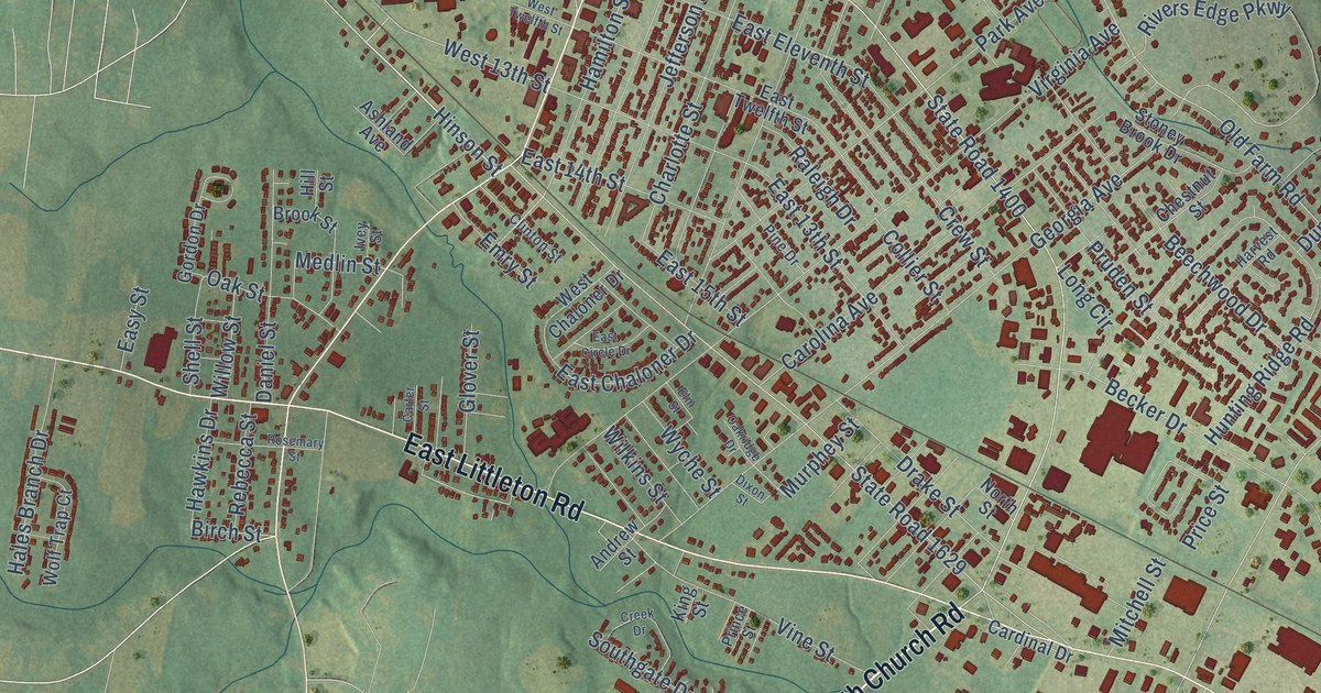
A detailed map of Roanoke Rapids, North Carolina, showing every building in its true location, the roads by name, and shaded topographical relief.
Read More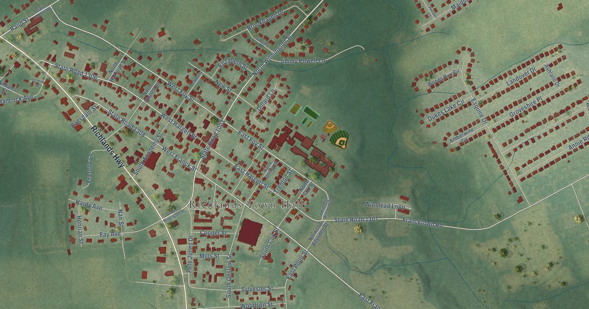
A detailed map of Richlands, North Carolina, showing every building in its true location, the roads by name, and shaded topographical relief.
Read More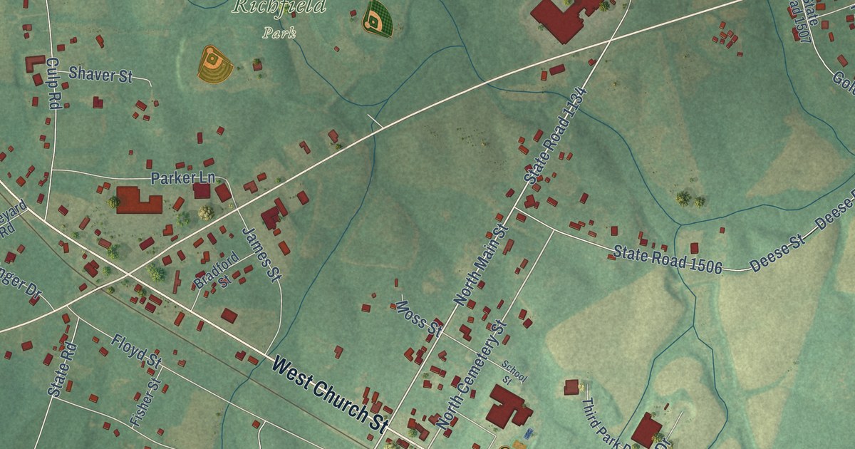
A detailed map of Richfield, North Carolina, showing every building in its true location, the roads by name, and shaded topographical relief.
Read More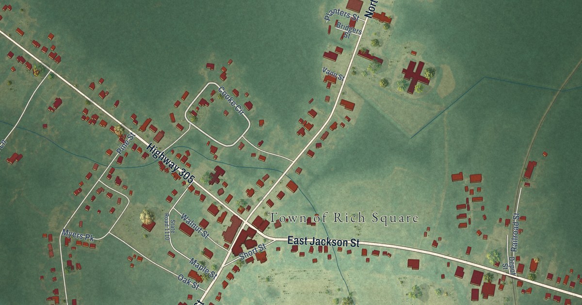
A detailed map of Rich Square, North Carolina, showing every building in its true location, the roads by name, and shaded topographical relief.
Read More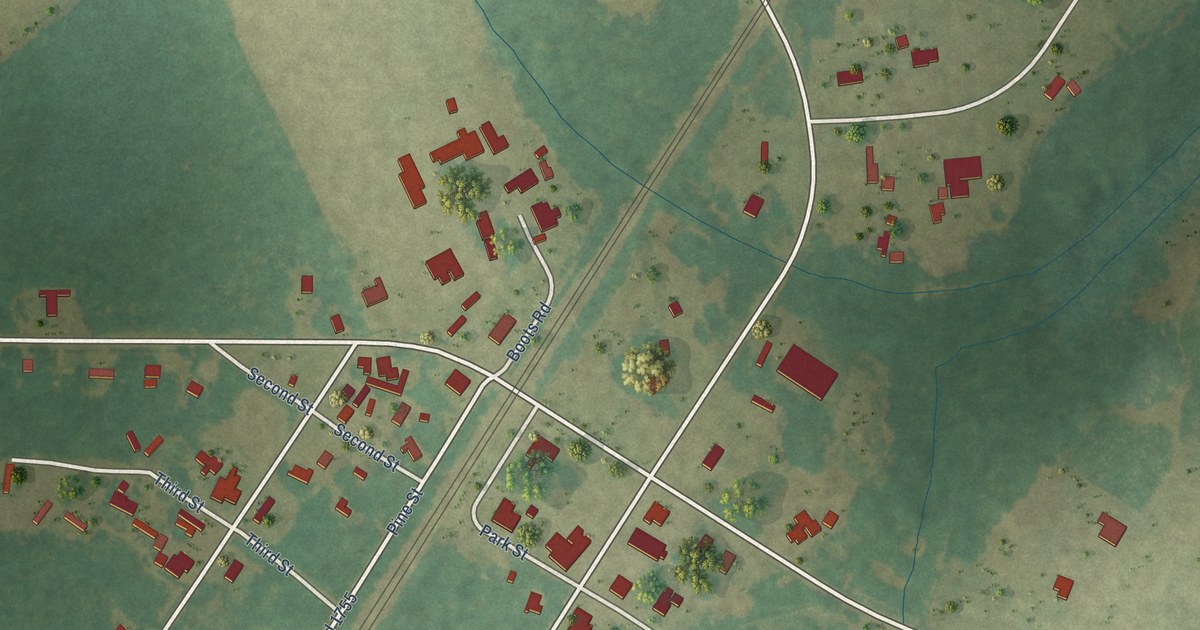
A detailed map of Rennert, North Carolina, showing every building in its true location, the roads by name, and shaded topographical relief.
Read More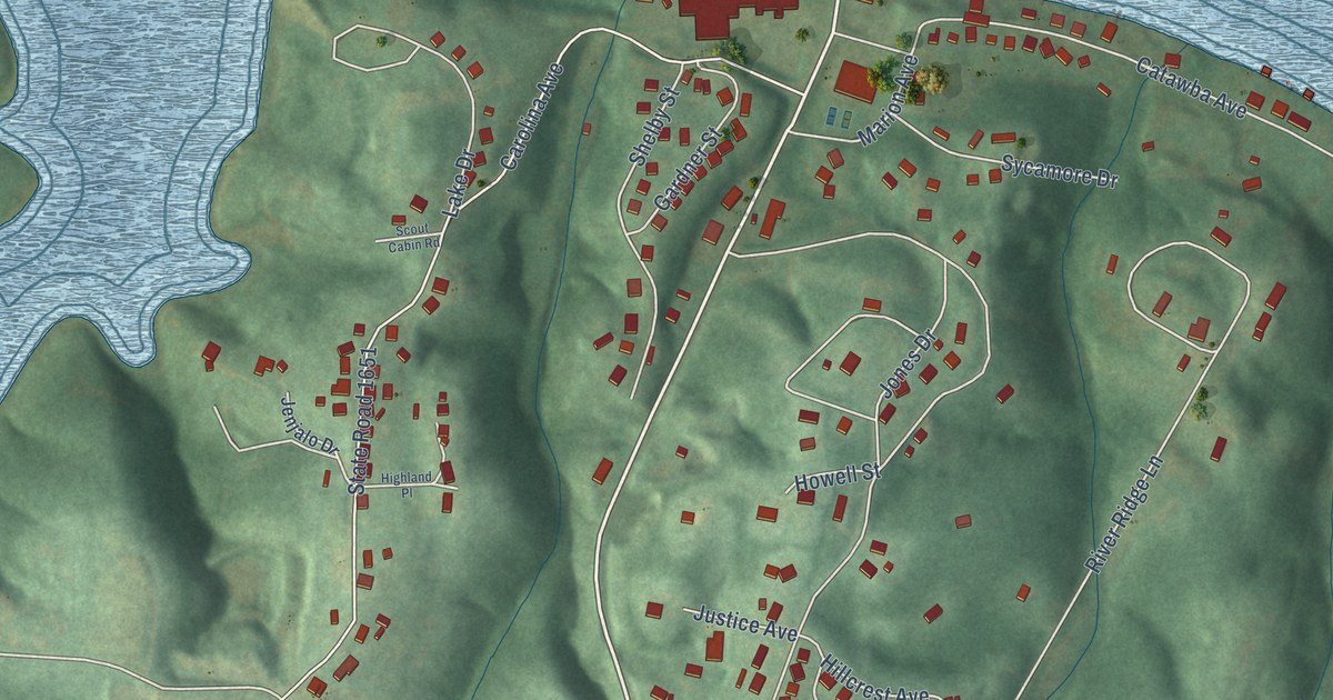
A detailed map of Rhodhiss, North Carolina, showing every building in its true location, the roads by name, and shaded topographical relief.
Read More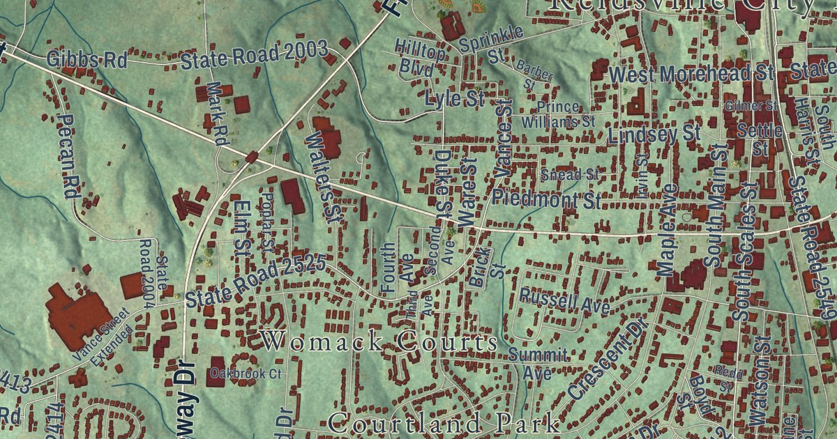
A detailed map of Reidsville, North Carolina, showing every building in its true location, the roads by name, and shaded topographical relief.
Read More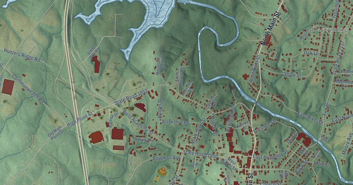
A detailed map of Randleman, North Carolina, showing every building in its true location, the roads by name, and shaded topographical relief.
Read More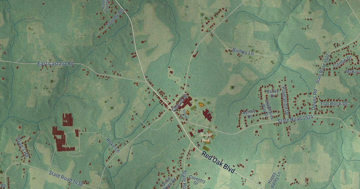
A detailed map of Red Oak, North Carolina, showing every building in its true location, the roads by name, and shaded topographical relief.
Read More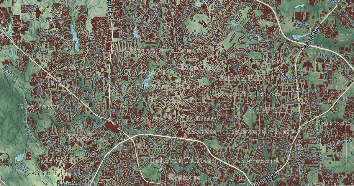
A detailed map of Raleigh, North Carolina, showing every building in its true location, the roads by name, and shaded topographical relief.
Read More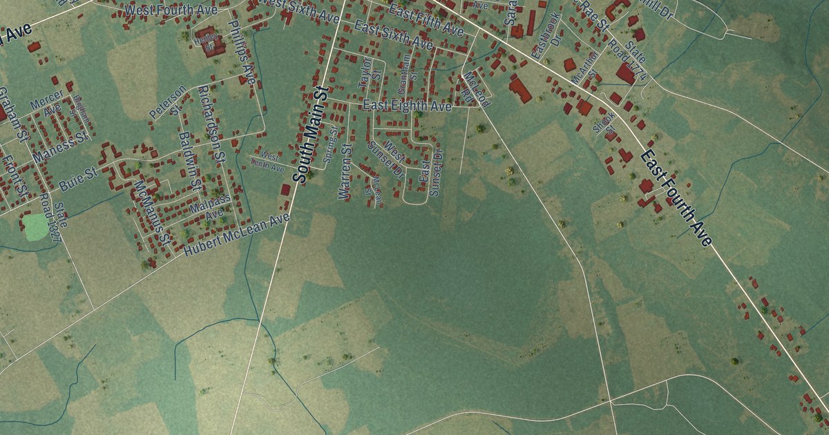
A detailed map of Red Springs, North Carolina, showing every building in its true location, the roads by name, and shaded topographical relief.
Read More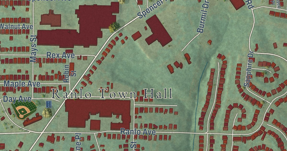
A detailed map of Ranlo, North Carolina, showing every building in its true location, the roads by name, and shaded topographical relief.
Read More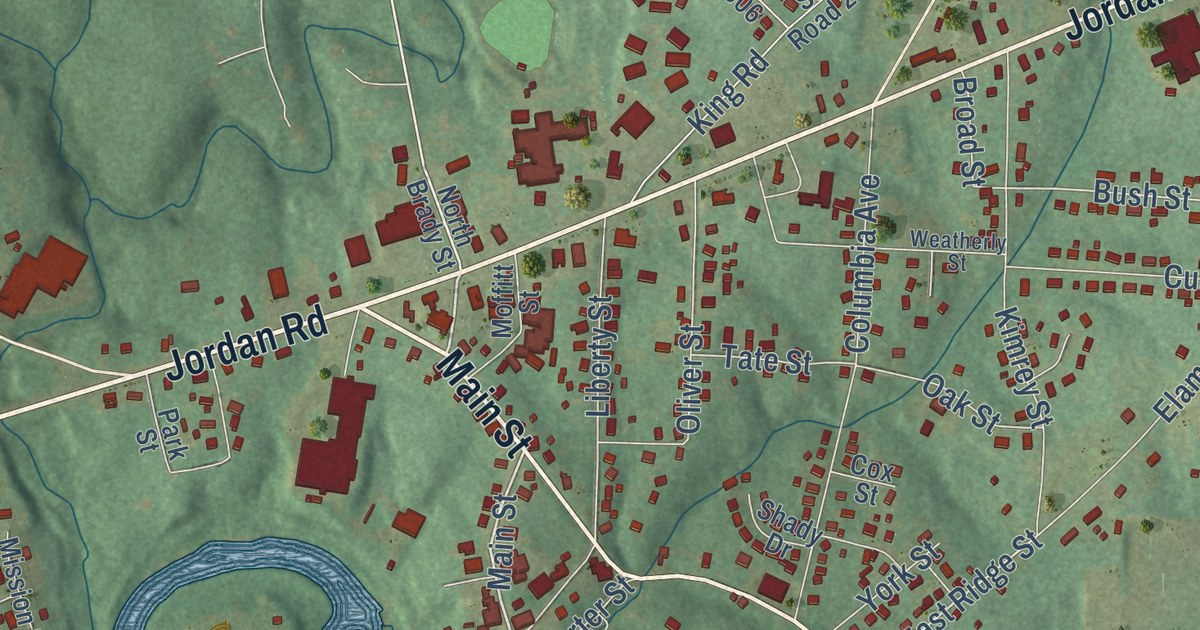
A detailed map of Ramseur, North Carolina, showing every building in its true location, the roads by name, and shaded topographical relief.
Read More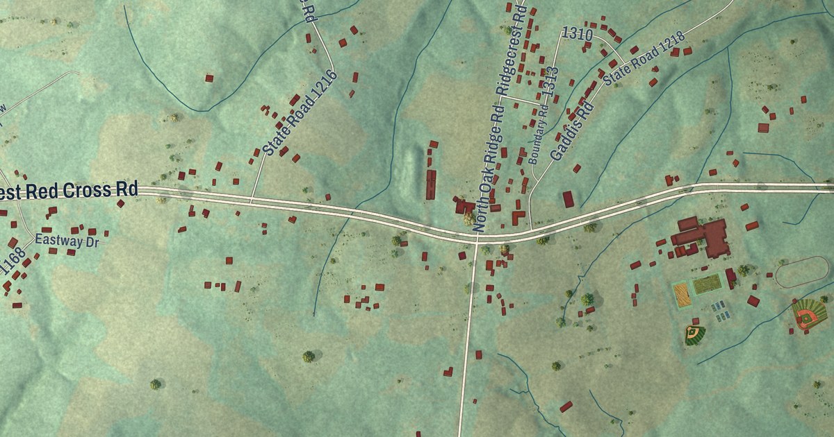
A detailed map of Red Cross, North Carolina, showing every building in its true location, the roads by name, and shaded topographical relief.
Read More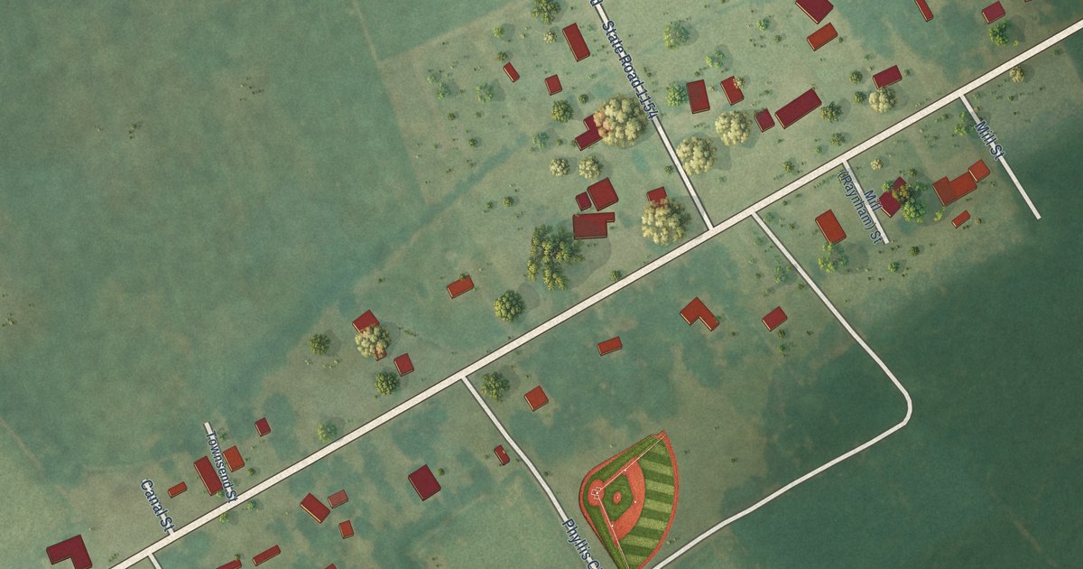
A detailed map of Raynham, North Carolina, showing every building in its true location, the roads by name, and shaded topographical relief.
Read More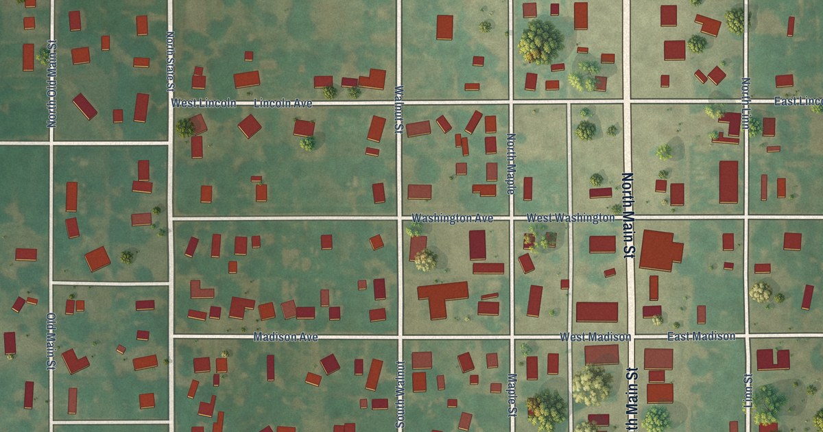
A detailed map of Lamont, Oklahoma, showing every building in its true location, the roads by name, and shaded topographical relief.
Read More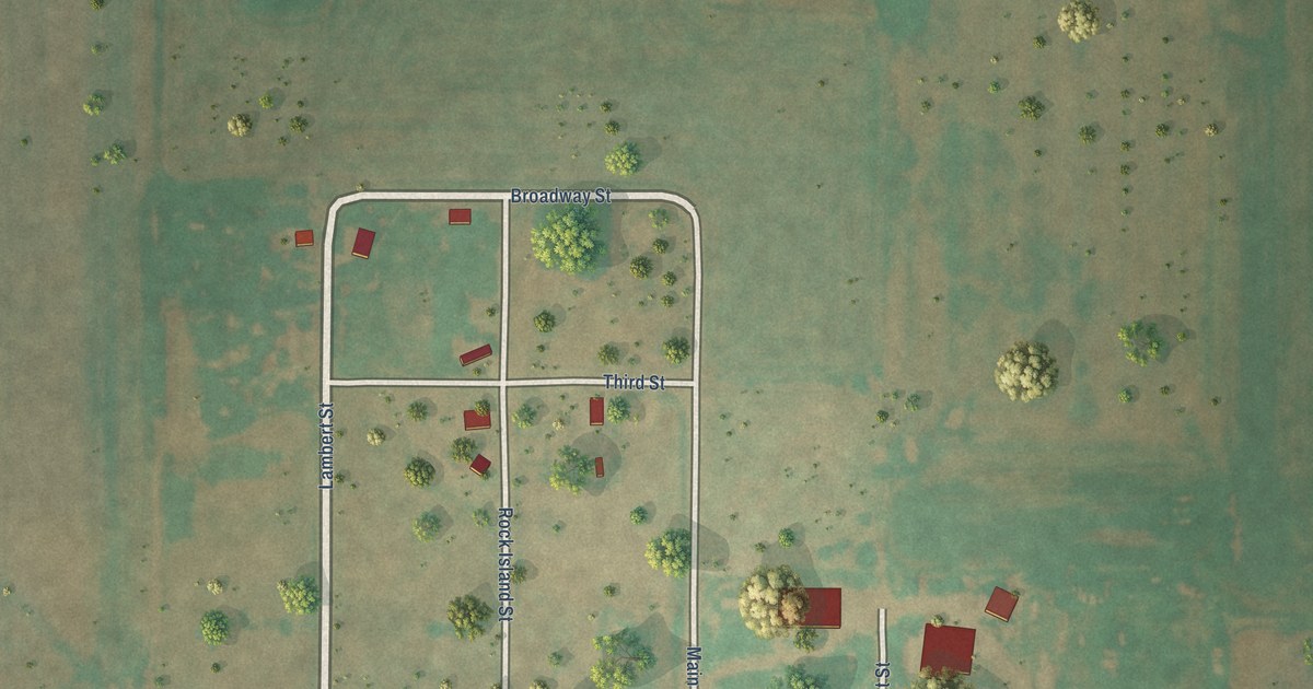
A detailed map of Lambert, Oklahoma, showing every building in its true location, the roads by name, and shaded topographical relief.
Read More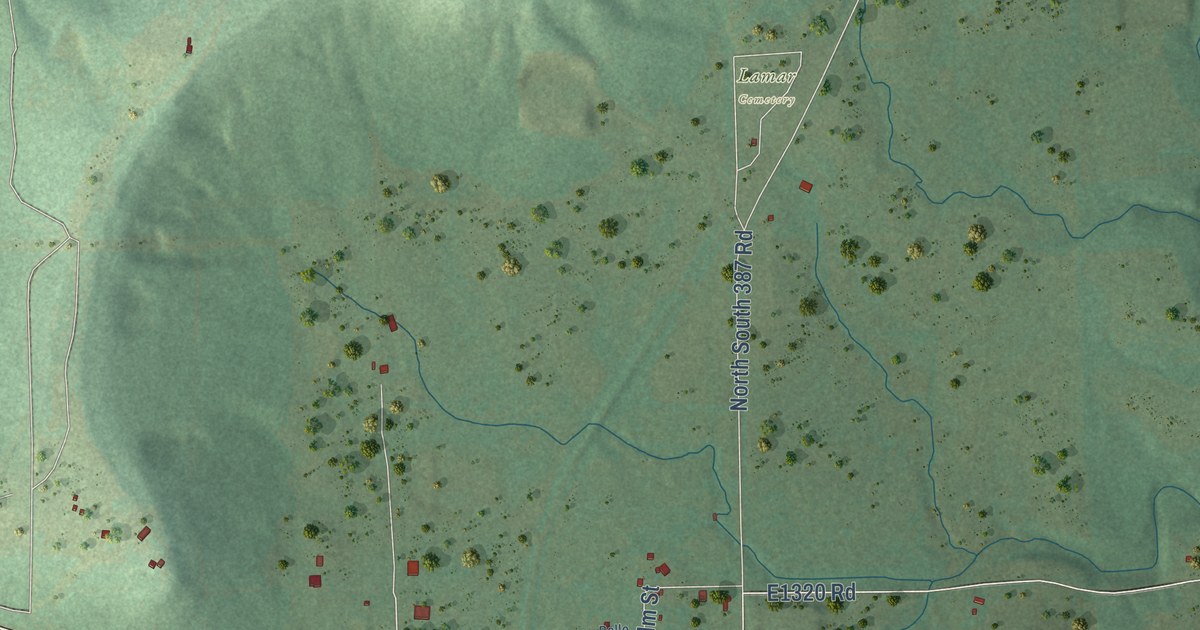
A detailed map of Lamar, Oklahoma, showing every building in its true location, the roads by name, and shaded topographical relief.
Read More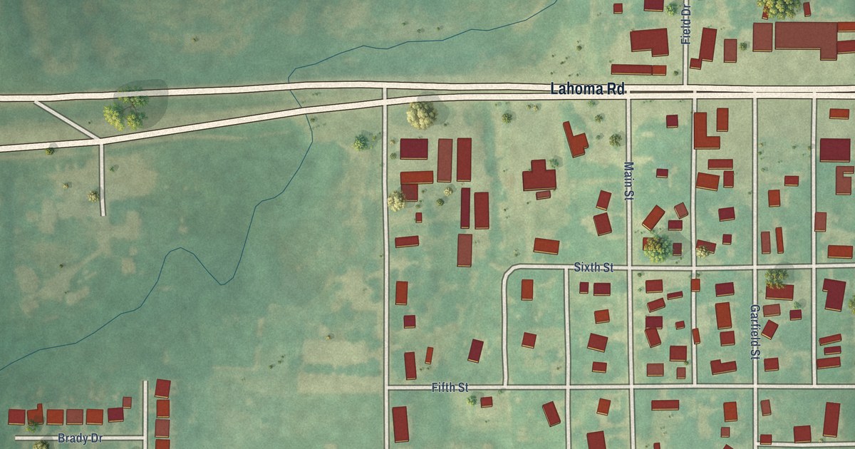
A detailed map of Lahoma, Oklahoma, showing every building in its true location, the roads by name, and shaded topographical relief.
Read More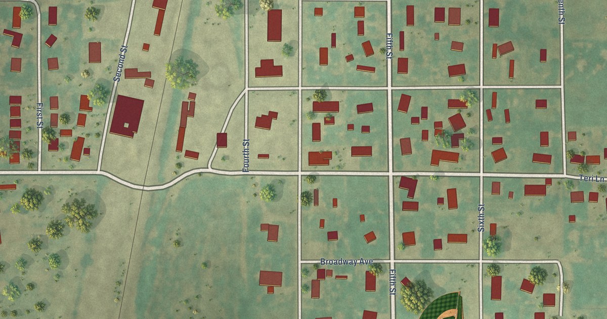
A detailed map of Kremlin, Oklahoma, showing every building in its true location, the roads by name, and shaded topographical relief.
Read More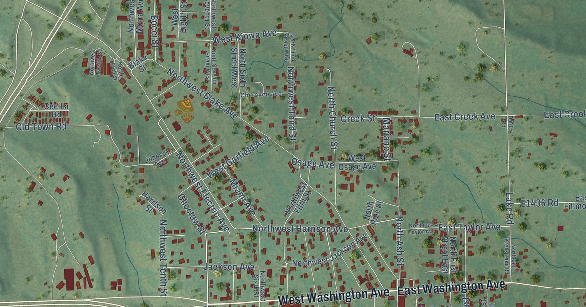
A detailed map of Krebs, Oklahoma, showing every building in its true location, the roads by name, and shaded topographical relief.
Read More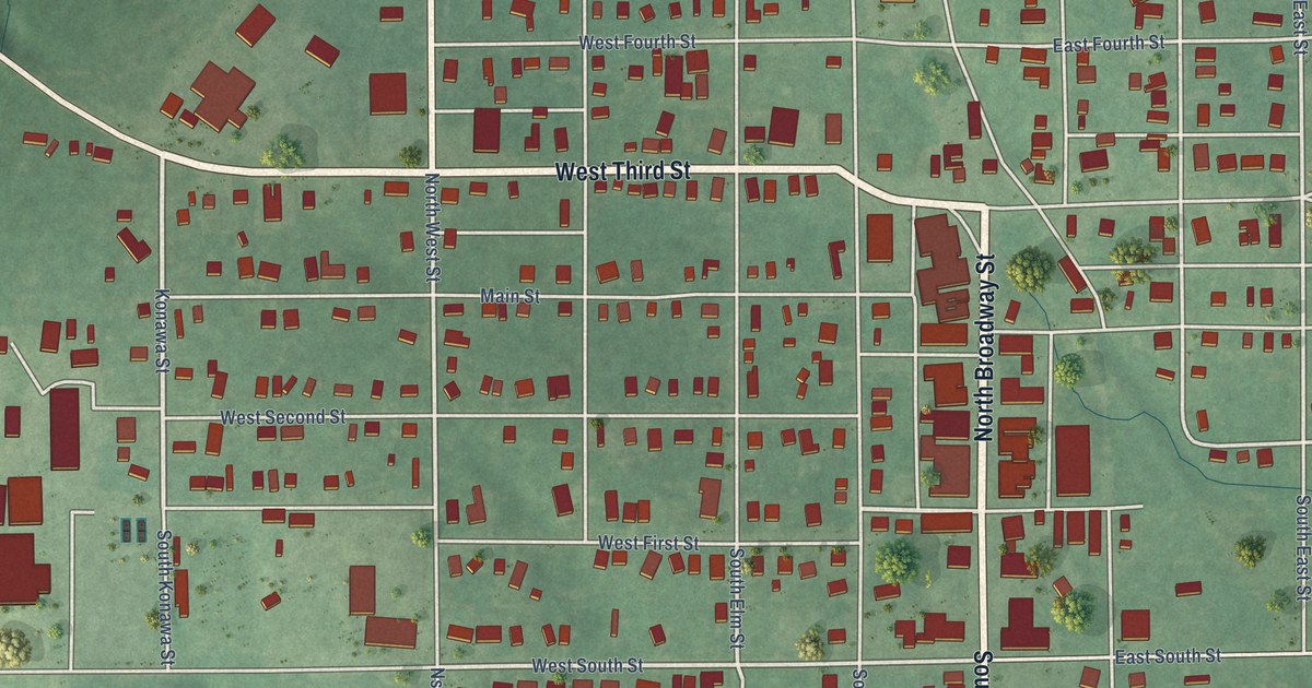
A detailed map of Konawa, Oklahoma, showing every building in its true location, the roads by name, and shaded topographical relief.
Read More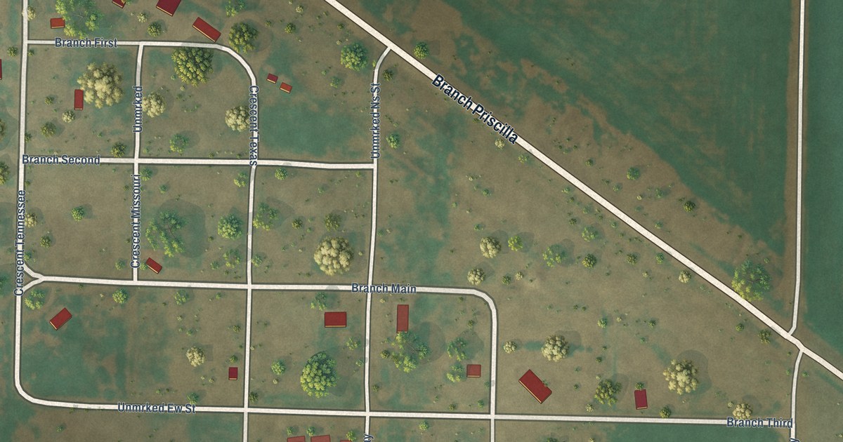
A detailed map of Knowles, Oklahoma, showing every building in its true location, the roads by name, and shaded topographical relief.
Read More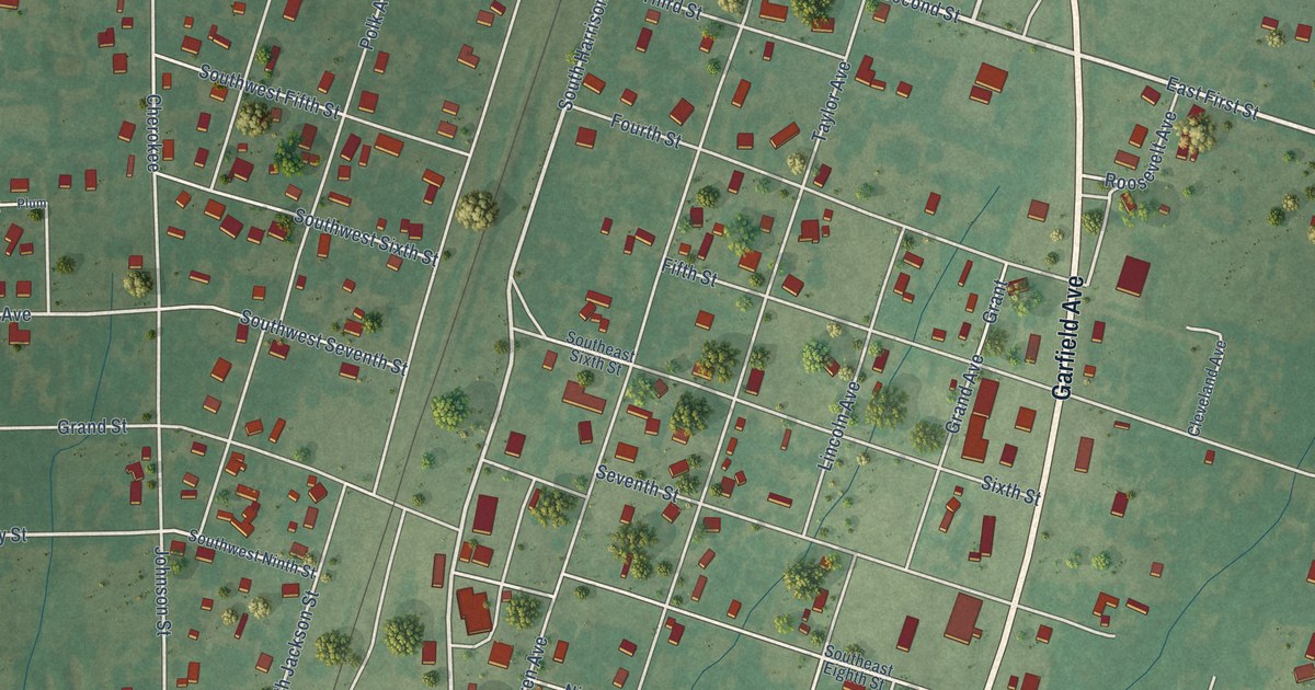
A detailed map of Kiowa, Oklahoma, showing every building in its true location, the roads by name, and shaded topographical relief.
Read More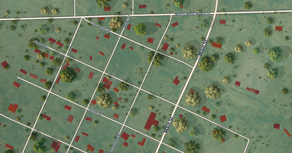
A detailed map of Kinta, Oklahoma, showing every building in its true location, the roads by name, and shaded topographical relief.
Read More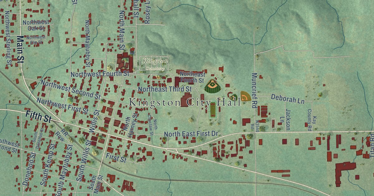
A detailed map of Kingston, Oklahoma, showing every building in its true location, the roads by name, and shaded topographical relief.
Read More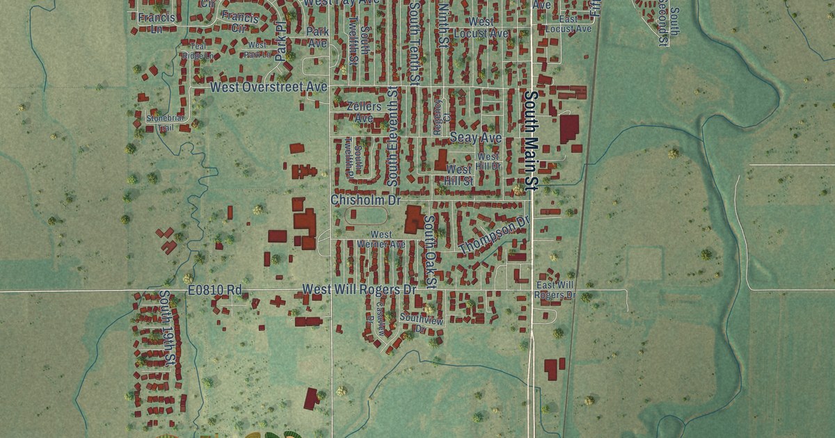
A detailed map of Kingfisher, Oklahoma, showing every building in its true location, the roads by name, and shaded topographical relief.
Read More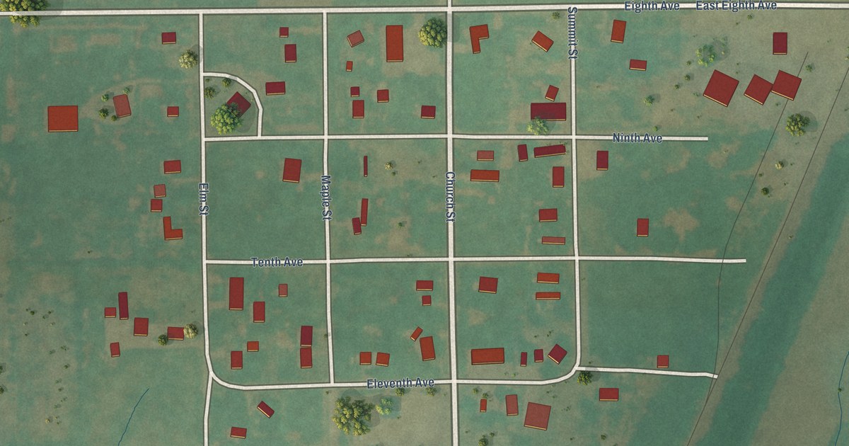
A detailed map of Kildare, Oklahoma, showing every building in its true location, the roads by name, and shaded topographical relief.
Read More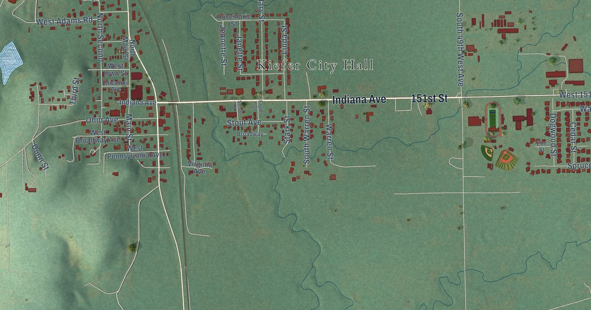
A detailed map of Kiefer, Oklahoma, showing every building in its true location, the roads by name, and shaded topographical relief.
Read More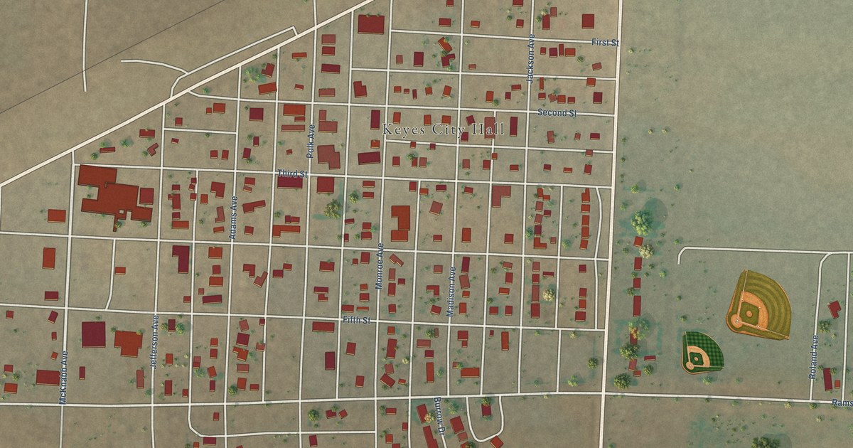
A detailed map of Keyes, Oklahoma, showing every building in its true location, the roads by name, and shaded topographical relief.
Read More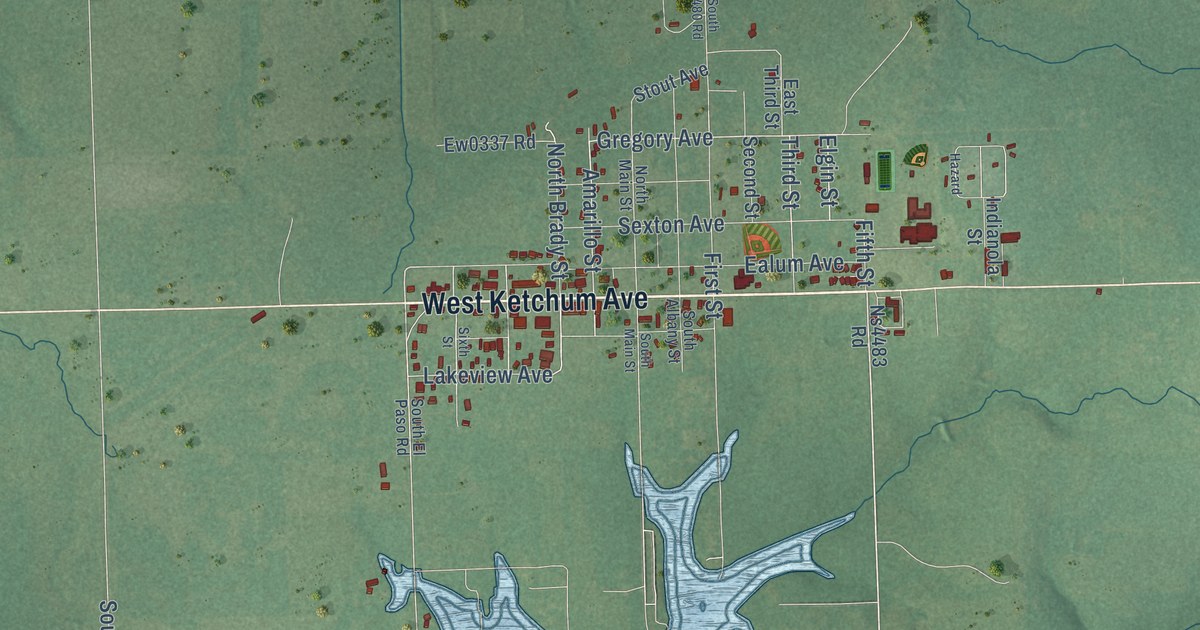
A detailed map of Ketchum, Oklahoma, showing every building in its true location, the roads by name, and shaded topographical relief.
Read More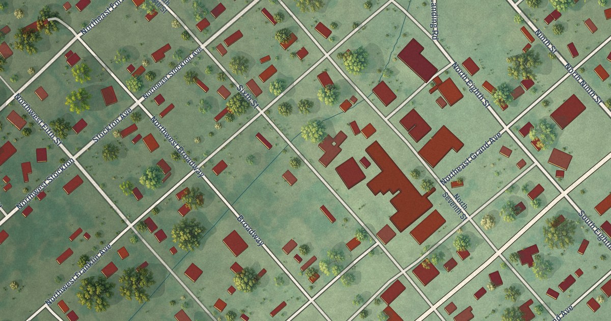
A detailed map of Keota, Oklahoma, showing every building in its true location, the roads by name, and shaded topographical relief.
Read More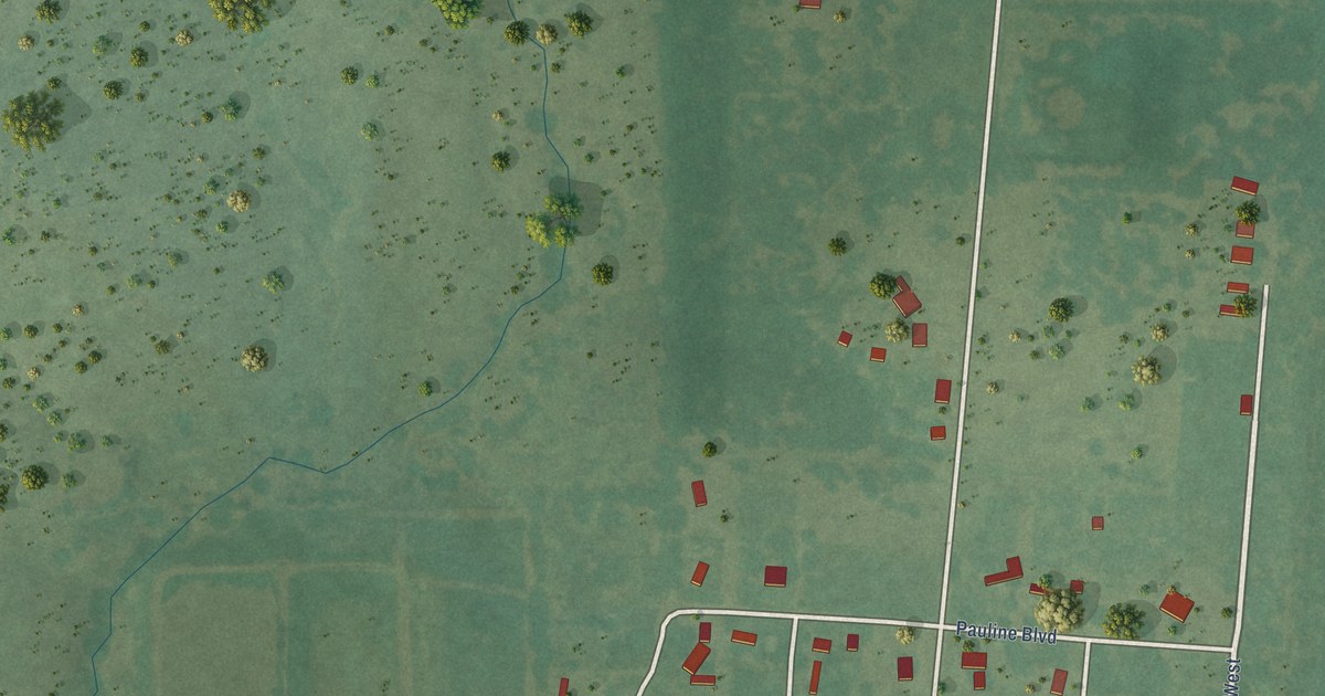
A detailed map of Kenefic, Oklahoma, showing every building in its true location, the roads by name, and shaded topographical relief.
Read More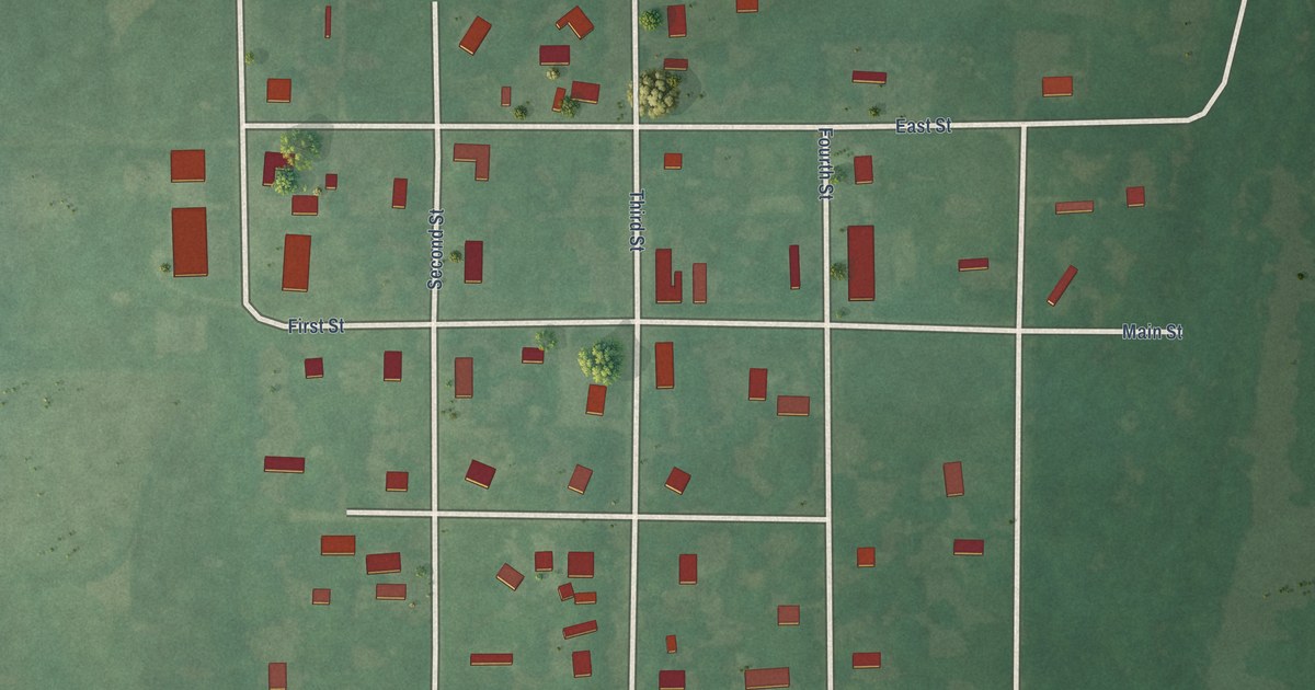
A detailed map of Kendrick, Oklahoma, showing every building in its true location, the roads by name, and shaded topographical relief.
Read More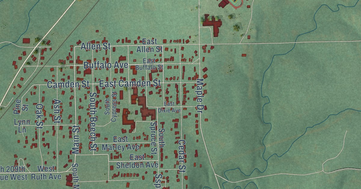
A detailed map of Kellyville, Oklahoma, showing every building in its true location, the roads by name, and shaded topographical relief.
Read More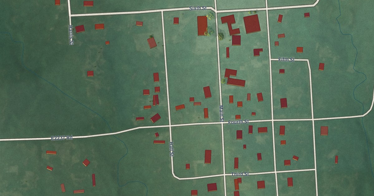
A detailed map of Kemp, Oklahoma, showing every building in its true location, the roads by name, and shaded topographical relief.
Read More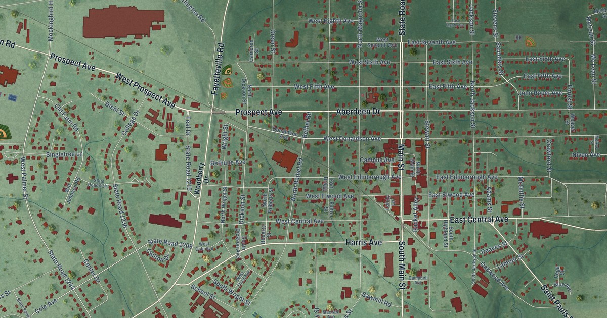
A detailed map of Raeford, North Carolina, showing every building in its true location, the roads by name, and shaded topographical relief.
Read More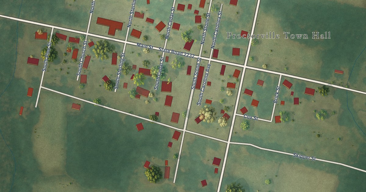
A detailed map of Proctorville, North Carolina, showing every building in its true location, the roads by name, and shaded topographical relief.
Read More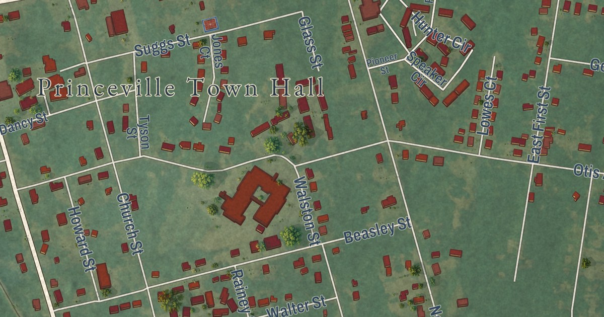
A detailed map of Princeville, North Carolina, showing every building in its true location, the roads by name, and shaded topographical relief.
Read More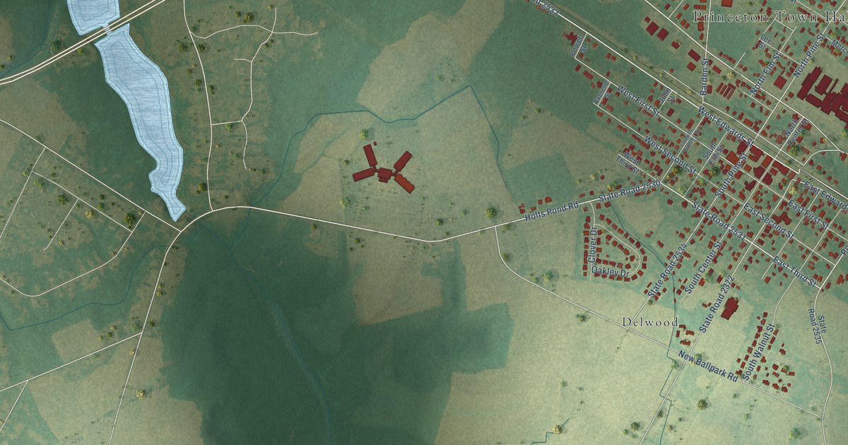
A detailed map of Princeton, North Carolina, showing every building in its true location, the roads by name, and shaded topographical relief.
Read More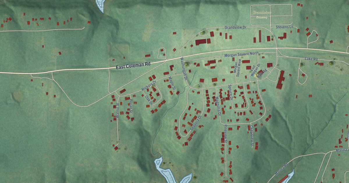
A detailed map of Kaw City, Oklahoma, showing every building in its true location, the roads by name, and shaded topographical relief.
Read More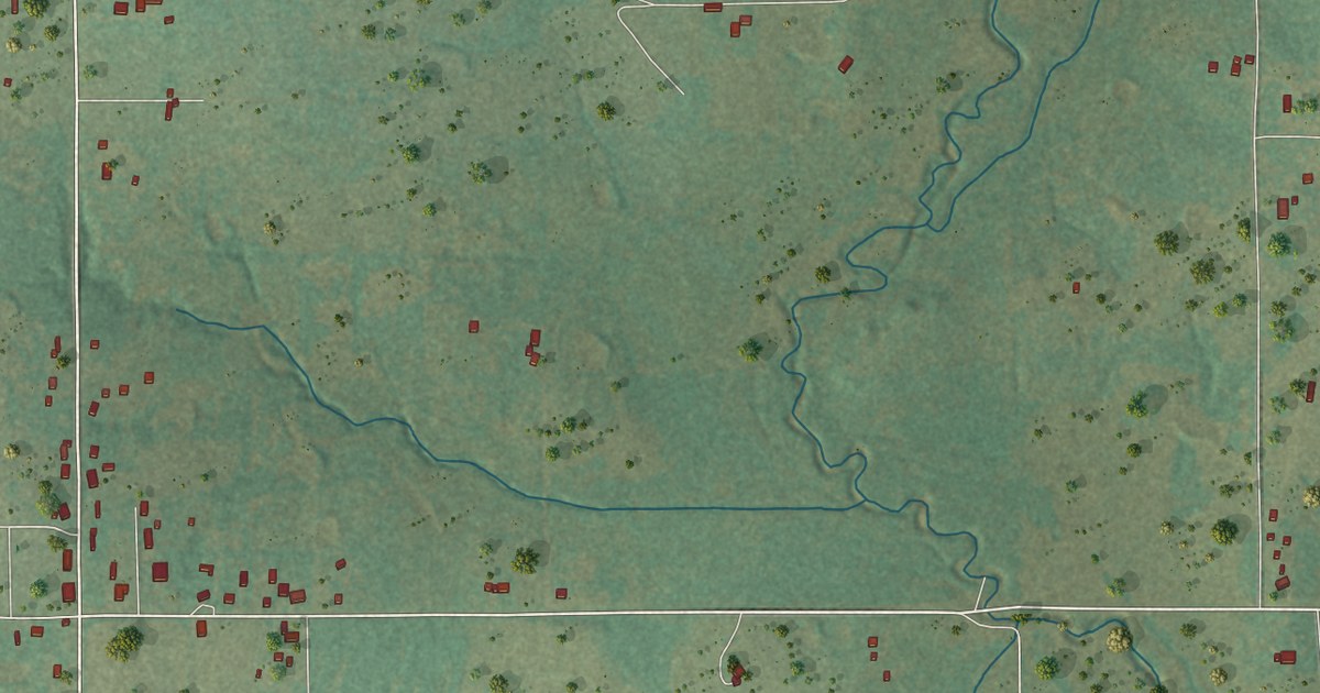
A detailed map of Katie, Oklahoma, showing every building in its true location, the roads by name, and shaded topographical relief.
Read More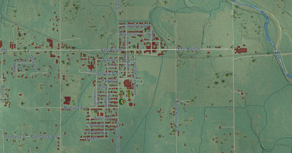
A detailed map of Jones, Oklahoma, showing every building in its true location, the roads by name, and shaded topographical relief.
Read More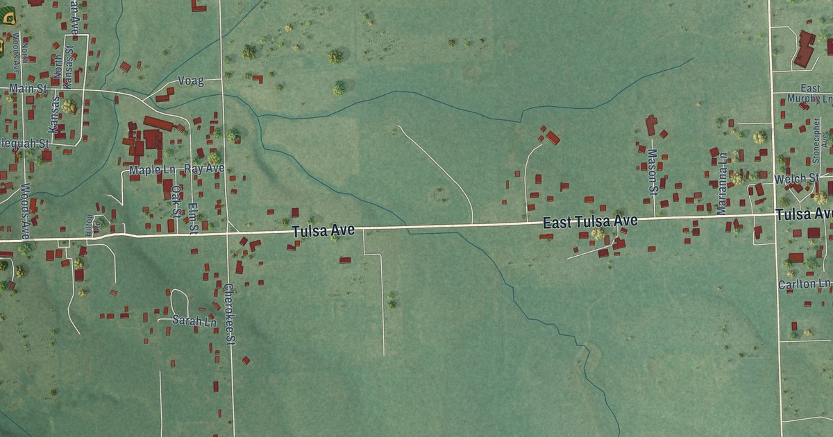
A detailed map of Kansas, Oklahoma, showing every building in its true location, the roads by name, and shaded topographical relief.
Read More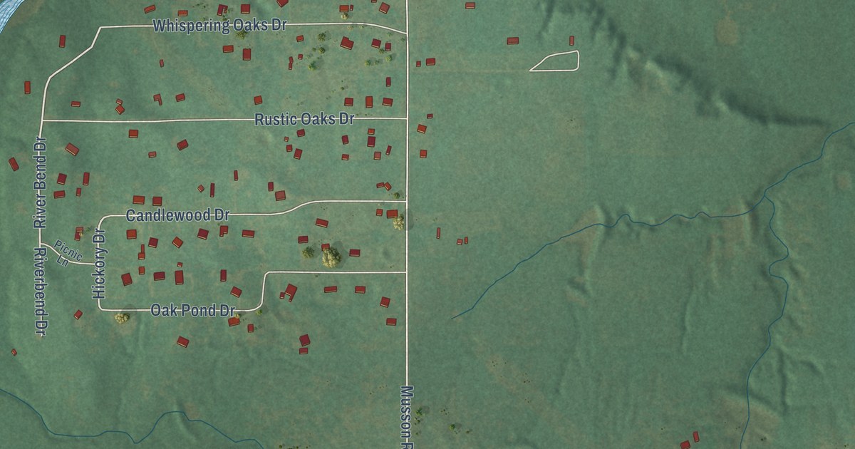
A detailed map of Johnson, Oklahoma, showing every building in its true location, the roads by name, and shaded topographical relief.
Read More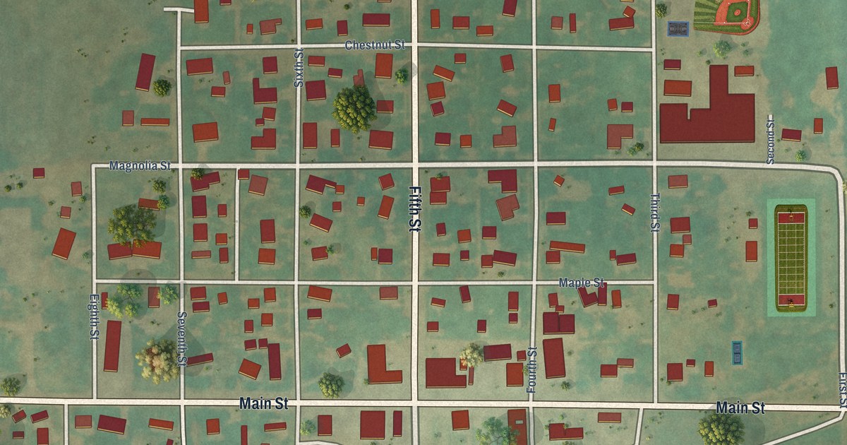
A detailed map of Jet, Oklahoma, showing every building in its true location, the roads by name, and shaded topographical relief.
Read More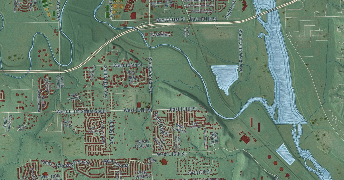
A detailed map of Jenks, Oklahoma, showing every building in its true location, the roads by name, and shaded topographical relief.
Read More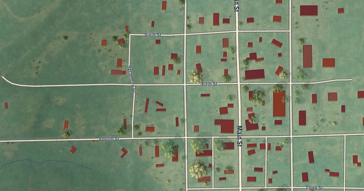
A detailed map of Jennings, Oklahoma, showing every building in its true location, the roads by name, and shaded topographical relief.
Read More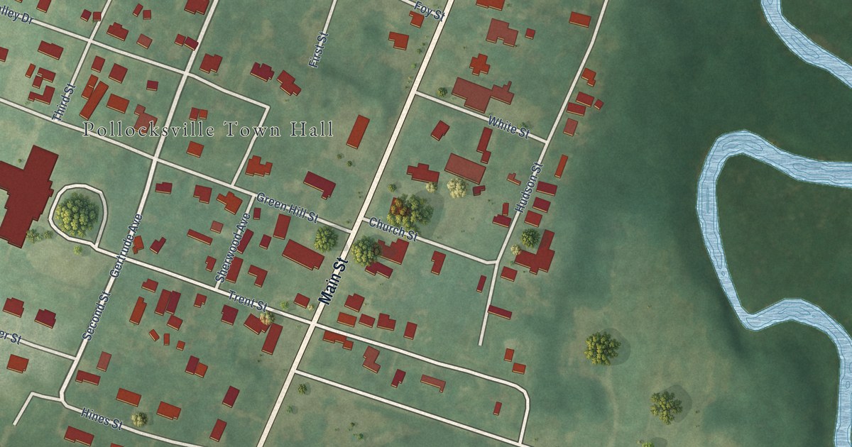
A detailed map of Pollocksville, North Carolina, showing every building in its true location, the roads by name, and shaded topographical relief.
Read More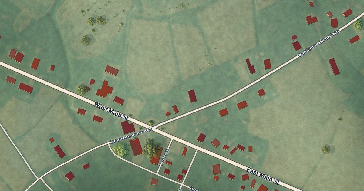
A detailed map of Powellsville, North Carolina, showing every building in its true location, the roads by name, and shaded topographical relief.
Read More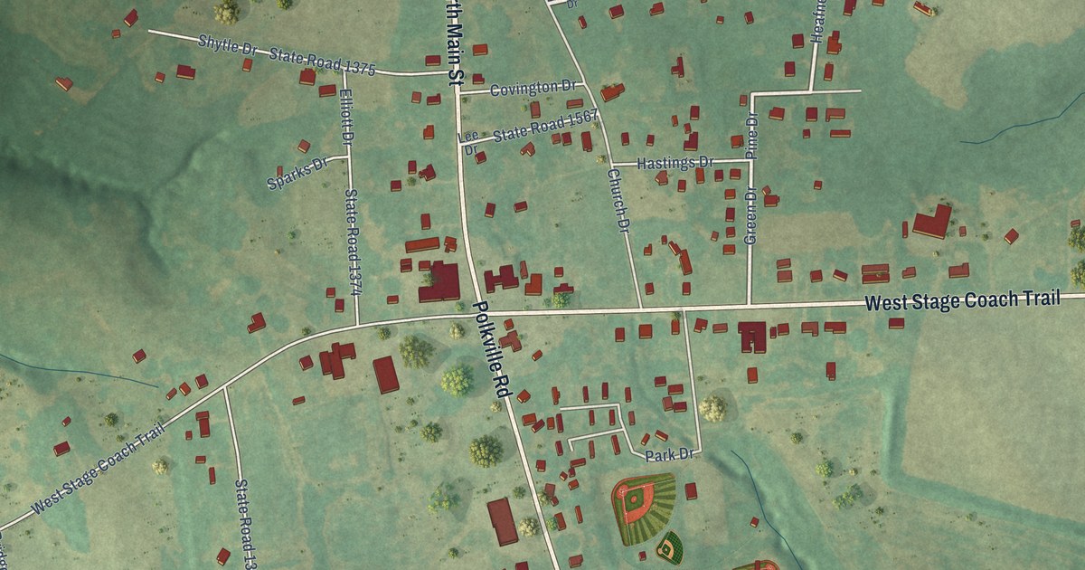
A detailed map of Polkville, North Carolina, showing every building in its true location, the roads by name, and shaded topographical relief.
Read More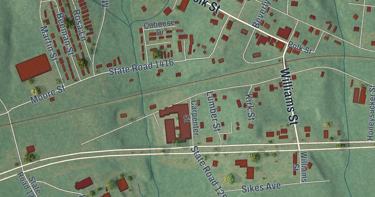
A detailed map of Polkton, North Carolina, showing every building in its true location, the roads by name, and shaded topographical relief.
Read More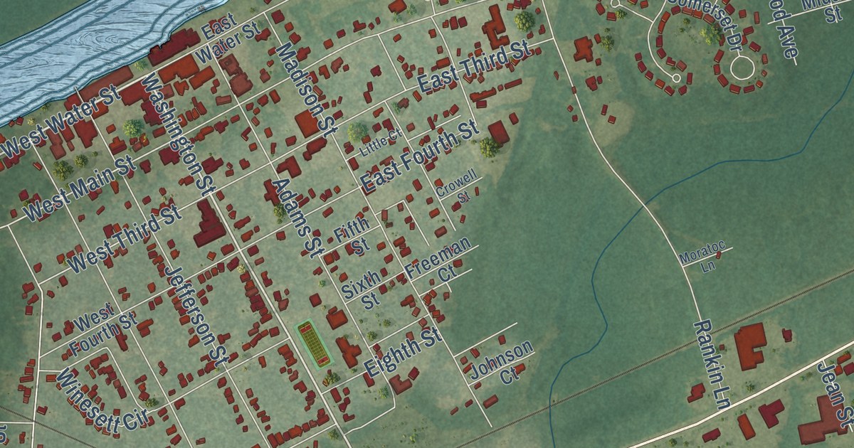
A detailed map of Plymouth, North Carolina, showing every building in its true location, the roads by name, and shaded topographical relief.
Read More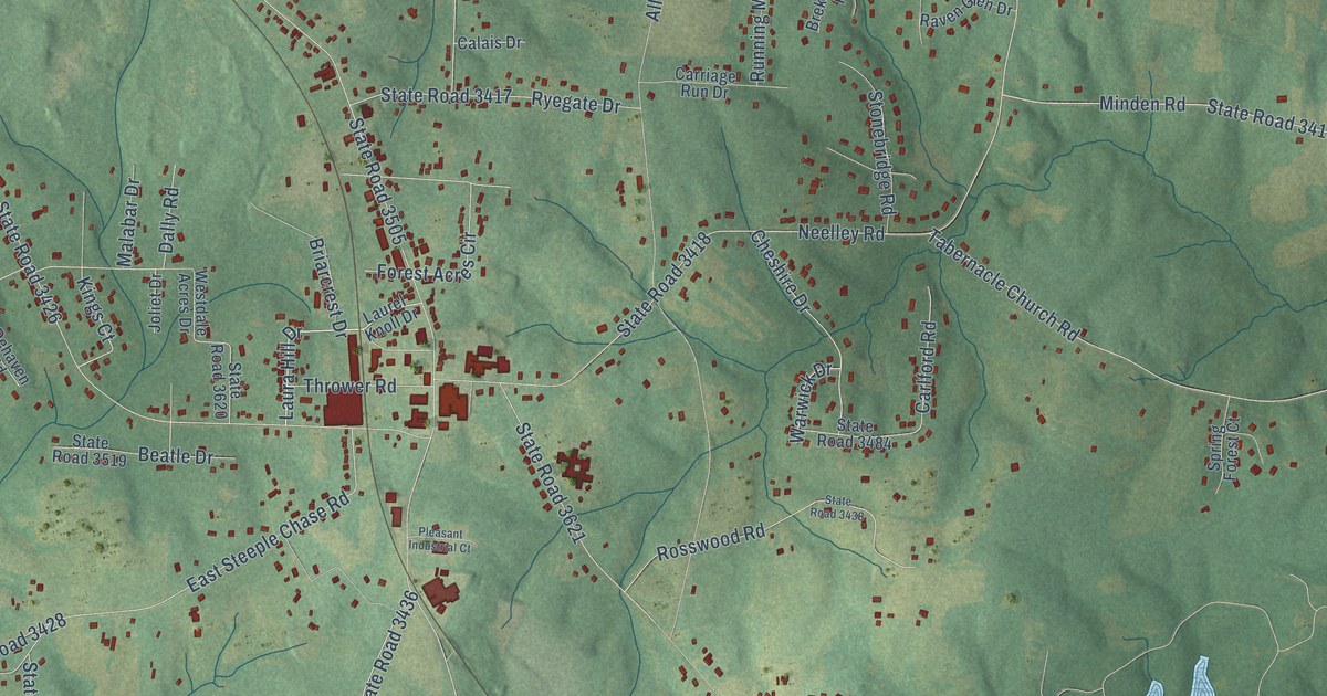
A detailed map of Pleasant Garden, North Carolina, showing every building in its true location, the roads by name, and shaded topographical relief.
Read More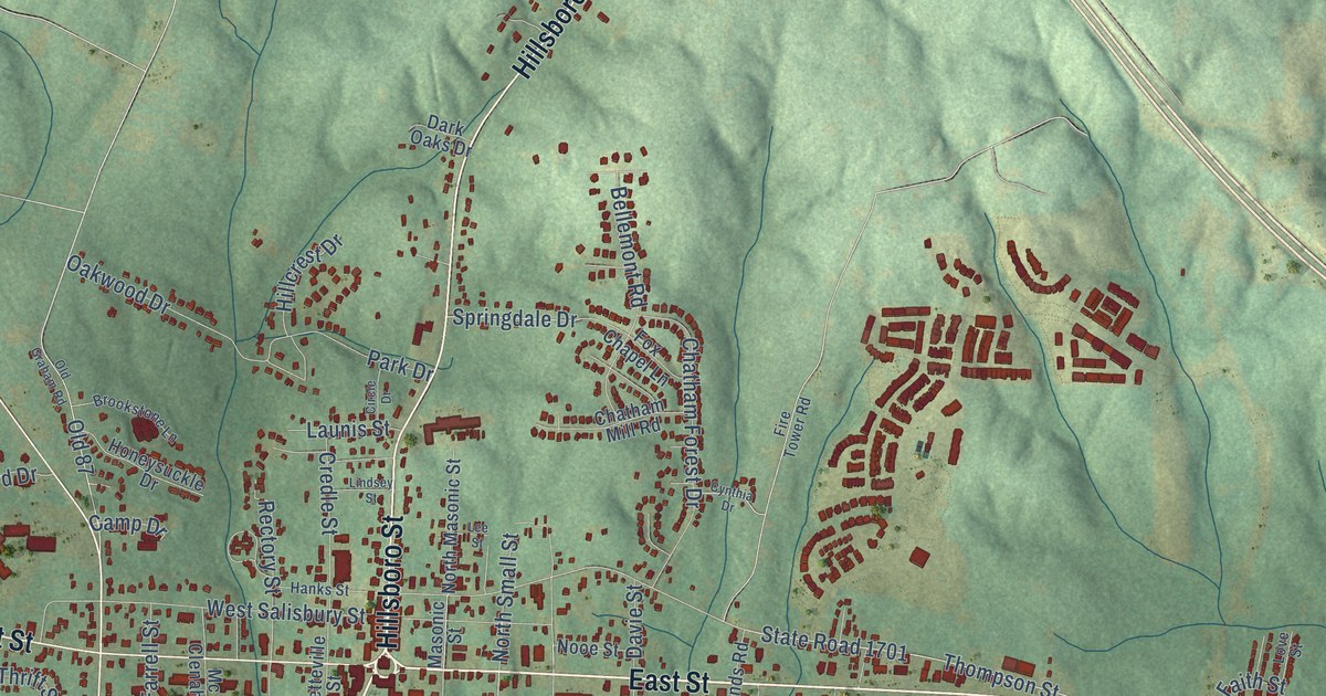
A detailed map of Pittsboro, North Carolina, showing every building in its true location, the roads by name, and shaded topographical relief.
Read More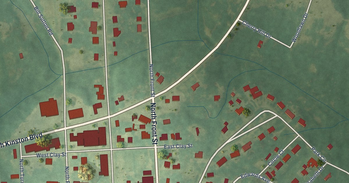
A detailed map of Pink Hill, North Carolina, showing every building in its true location, the roads by name, and shaded topographical relief.
Read More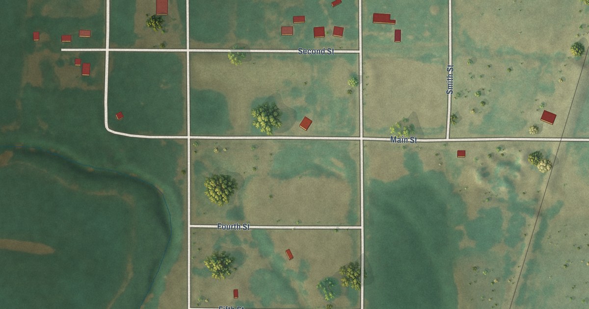
A detailed map of Jefferson, Oklahoma, showing every building in its true location, the roads by name, and shaded topographical relief.
Read More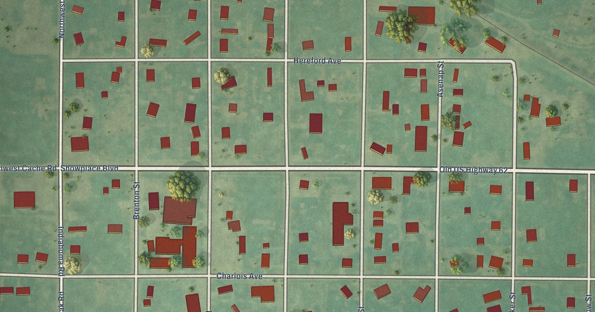
A detailed map of Indiahoma, Oklahoma, showing every building in its true location, the roads by name, and shaded topographical relief.
Read More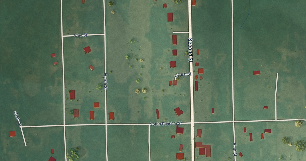
A detailed map of Indianola, Oklahoma, showing every building in its true location, the roads by name, and shaded topographical relief.
Read More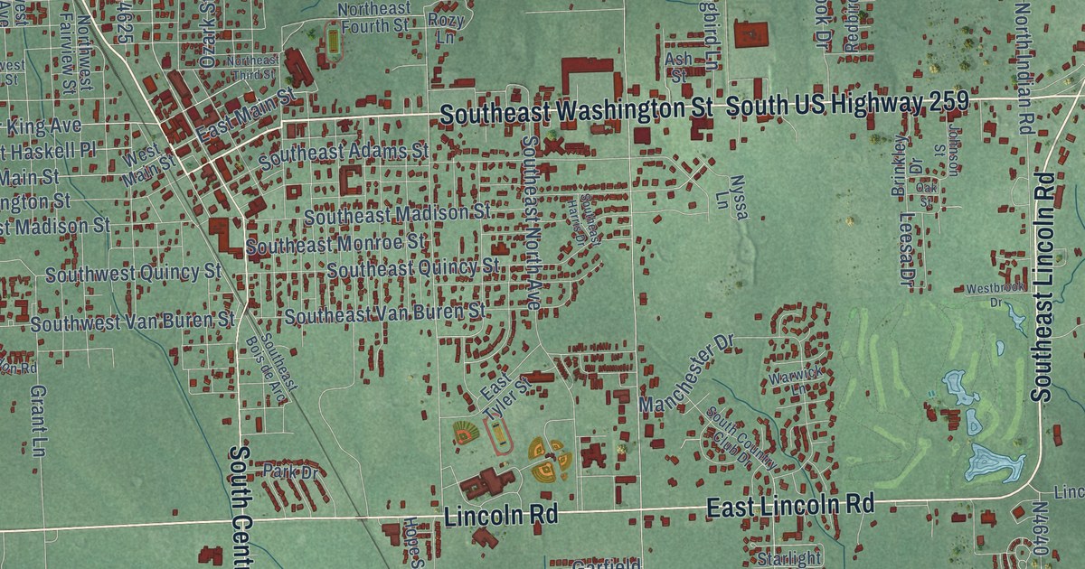
A detailed map of Idabel, Oklahoma, showing every building in its true location, the roads by name, and shaded topographical relief.
Read More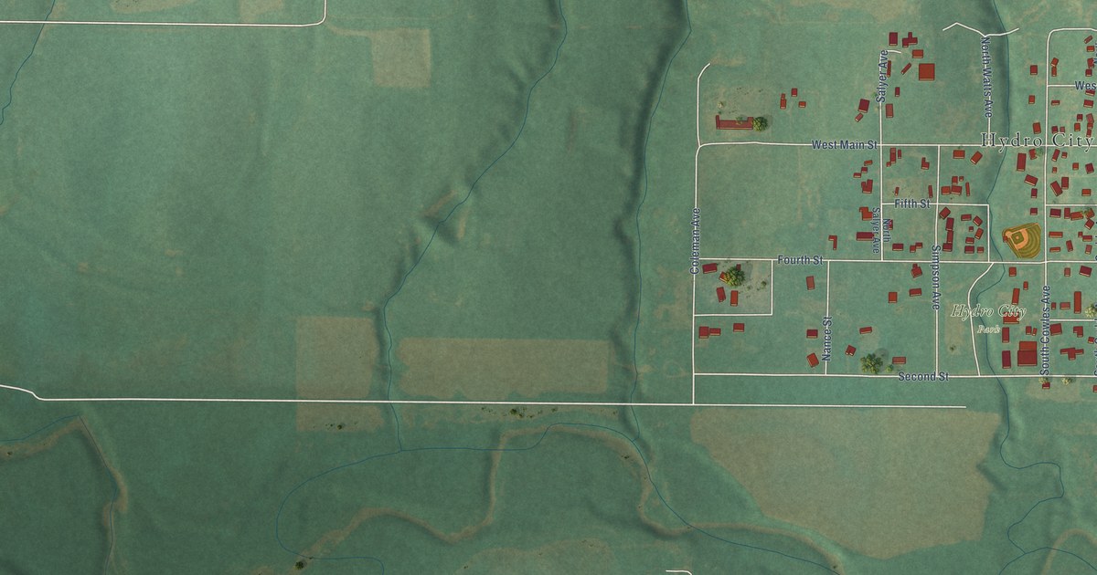
A detailed map of Hydro, Oklahoma, showing every building in its true location, the roads by name, and shaded topographical relief.
Read More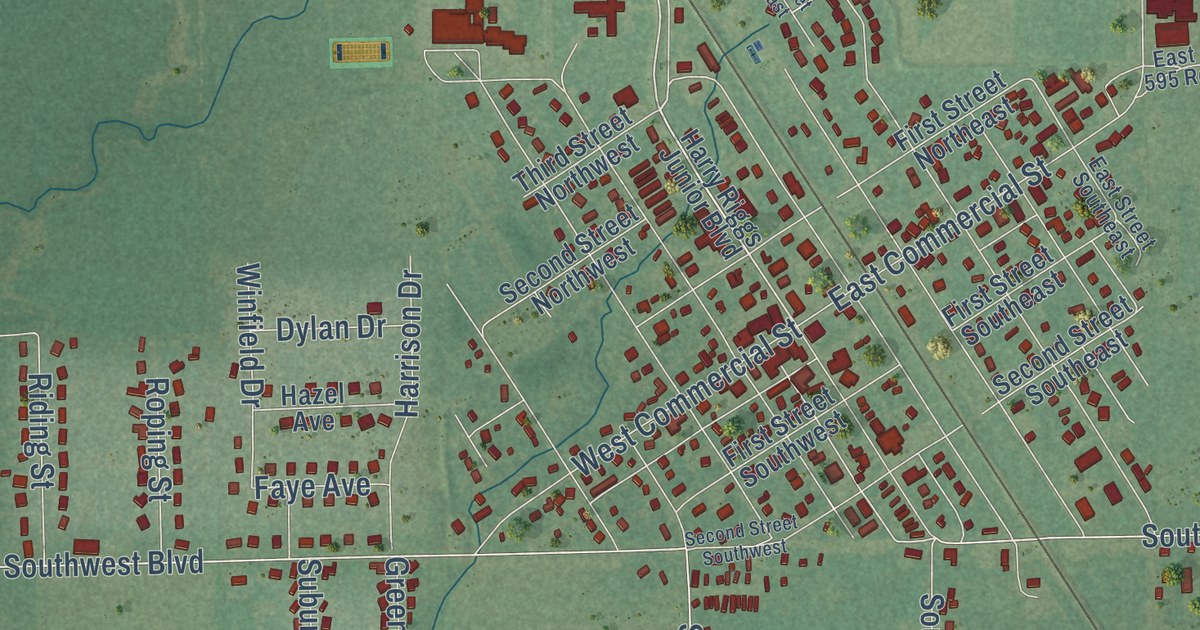
A detailed map of Inola, Oklahoma, showing every building in its true location, the roads by name, and shaded topographical relief.
Read More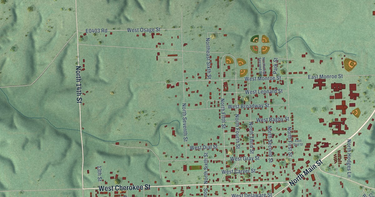
A detailed map of Jay, Oklahoma, showing every building in its true location, the roads by name, and shaded topographical relief.
Read More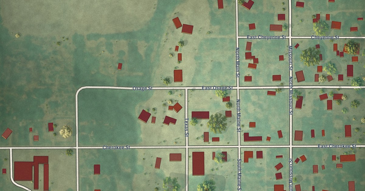
A detailed map of Hunter, Oklahoma, showing every building in its true location, the roads by name, and shaded topographical relief.
Read More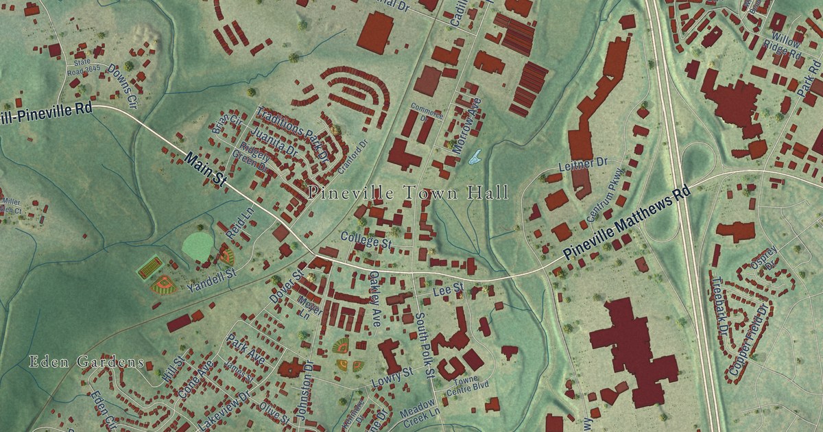
A detailed map of Pineville, North Carolina, showing every building in its true location, the roads by name, and shaded topographical relief.
Read More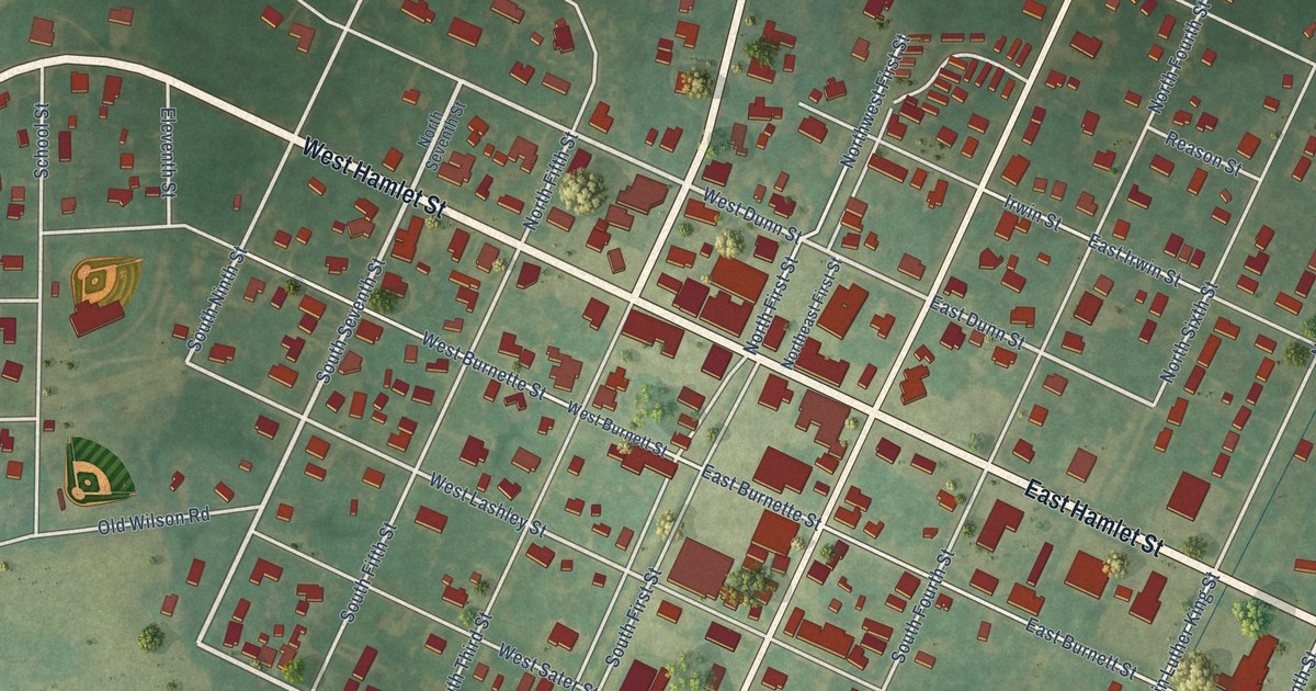
A detailed map of Pinetops, North Carolina, showing every building in its true location, the roads by name, and shaded topographical relief.
Read More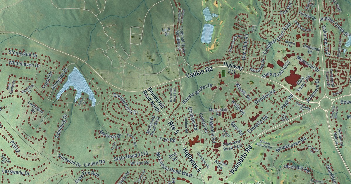
A detailed map of Pinehurst, North Carolina, showing every building in its true location, the roads by name, and shaded topographical relief.
Read More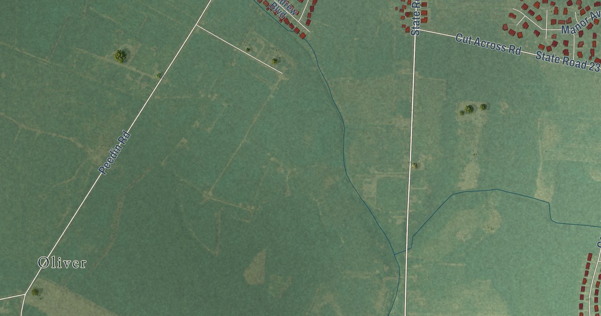
A detailed map of Pine Level, North Carolina, showing every building in its true location, the roads by name, and shaded topographical relief.
Read More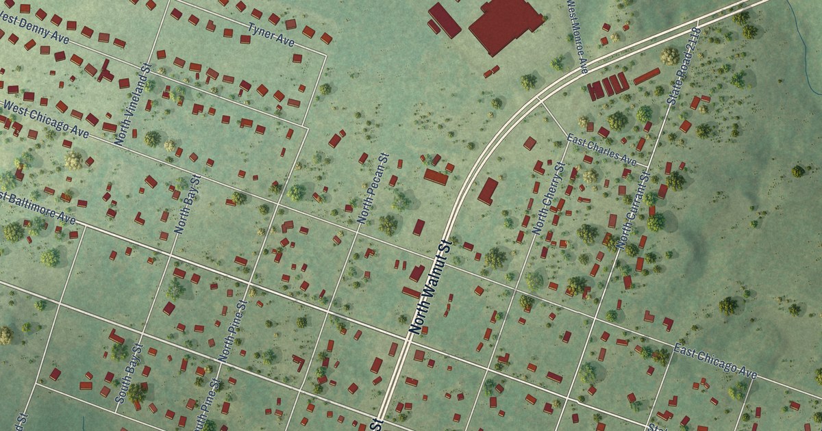
A detailed map of Pinebluff, North Carolina, showing every building in its true location, the roads by name, and shaded topographical relief.
Read More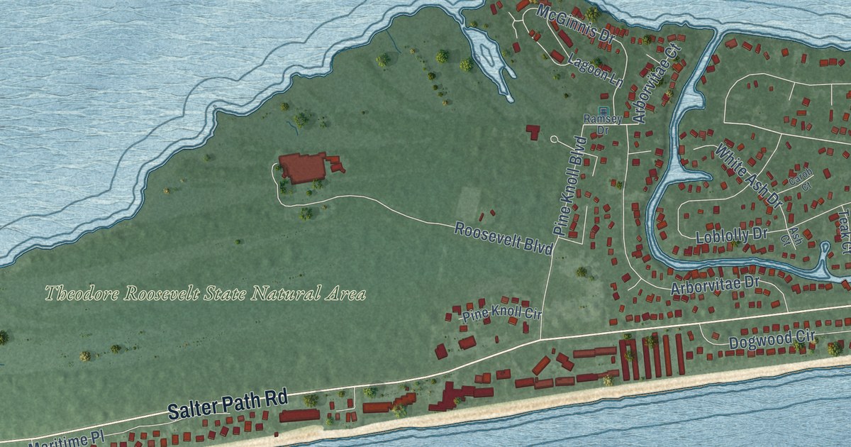
A detailed map of Pine Knoll Shores, North Carolina, showing every building in its true location, the roads by name, and shaded topographical relief.
Read More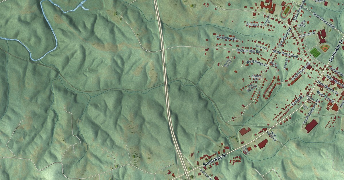
A detailed map of Pilot Mountain, North Carolina, showing every building in its true location, the roads by name, and shaded topographical relief.
Read More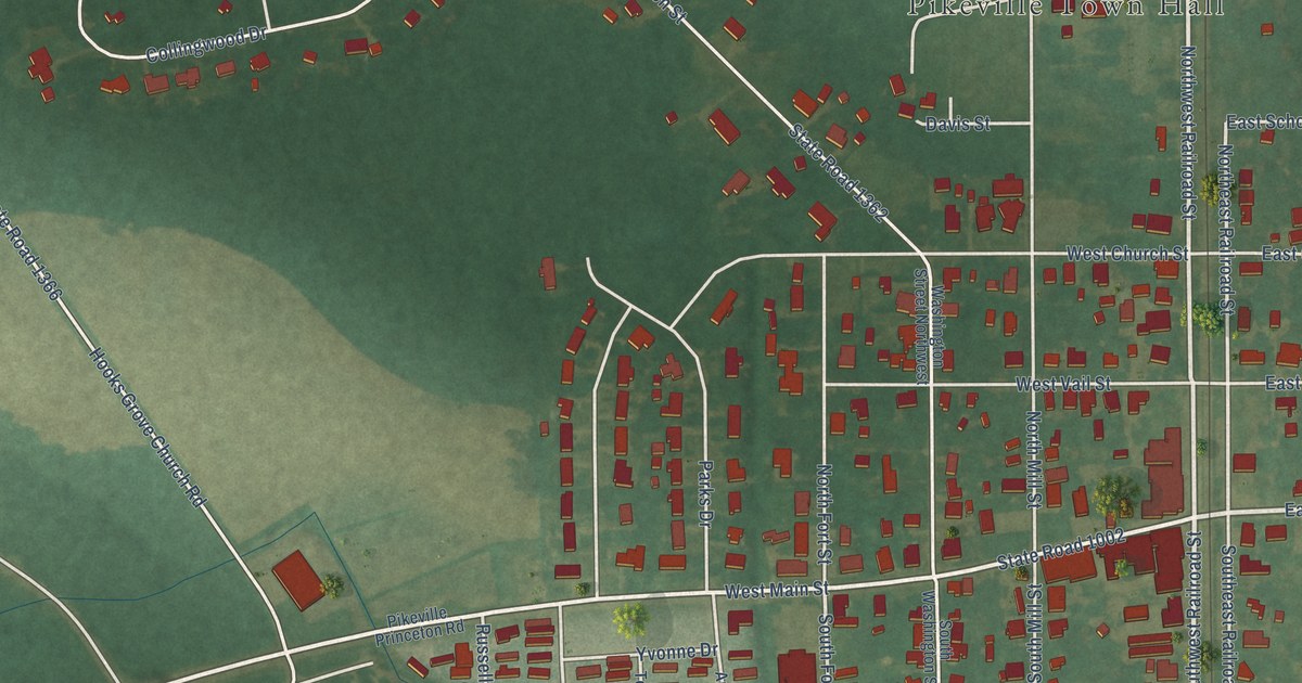
A detailed map of Pikeville, North Carolina, showing every building in its true location, the roads by name, and shaded topographical relief.
Read More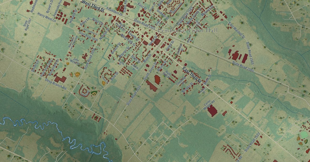
A detailed map of Pembroke, North Carolina, showing every building in its true location, the roads by name, and shaded topographical relief.
Read More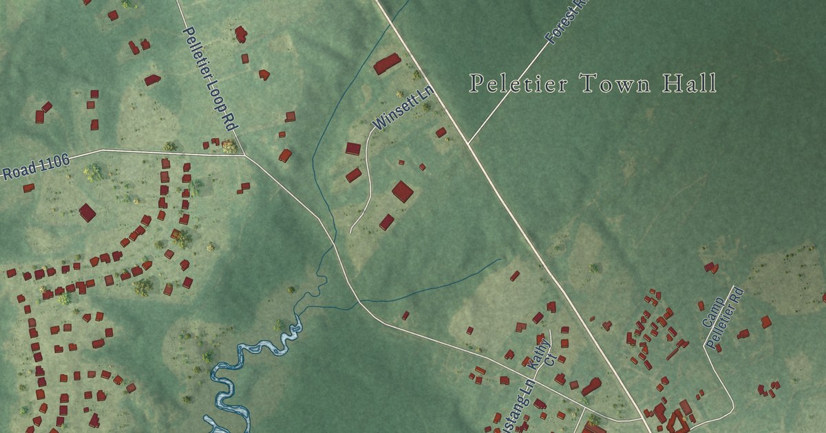
A detailed map of Peletier, North Carolina, showing every building in its true location, the roads by name, and shaded topographical relief.
Read More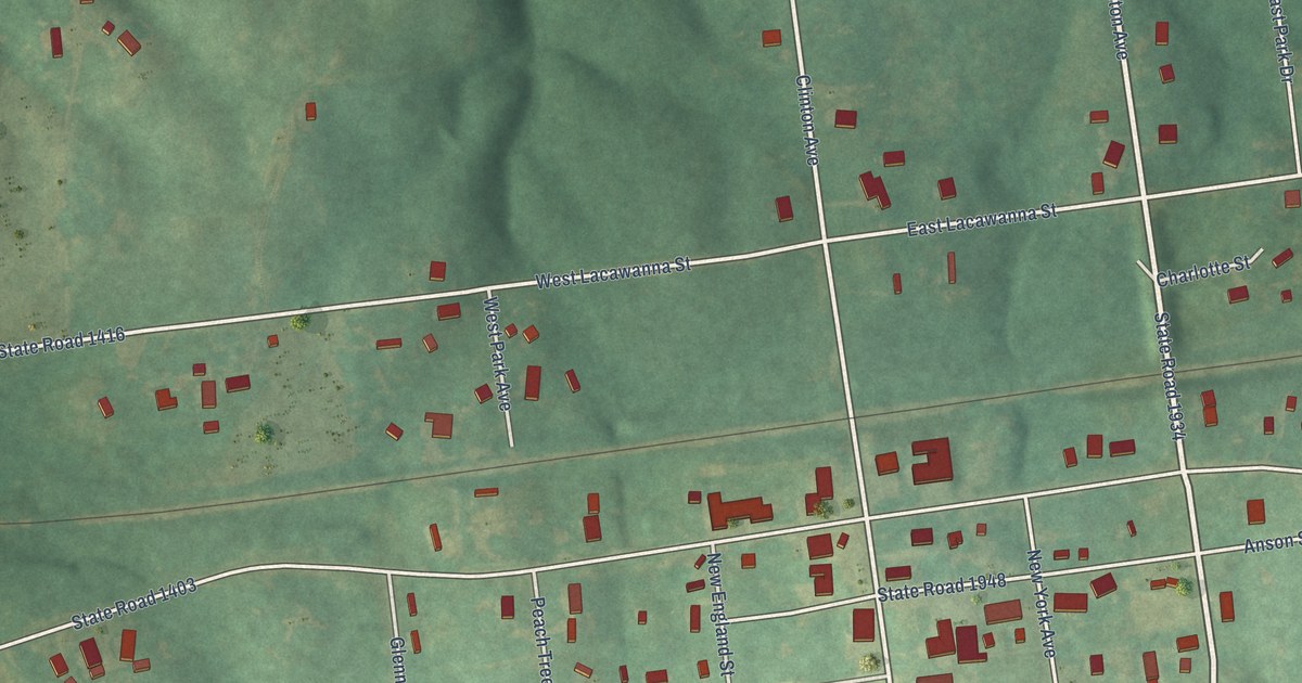
A detailed map of Peachland, North Carolina, showing every building in its true location, the roads by name, and shaded topographical relief.
Read More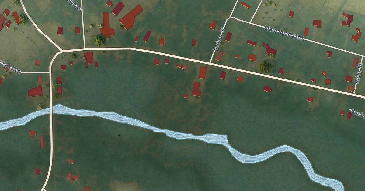
A detailed map of Pantego, North Carolina, showing every building in its true location, the roads by name, and shaded topographical relief.
Read More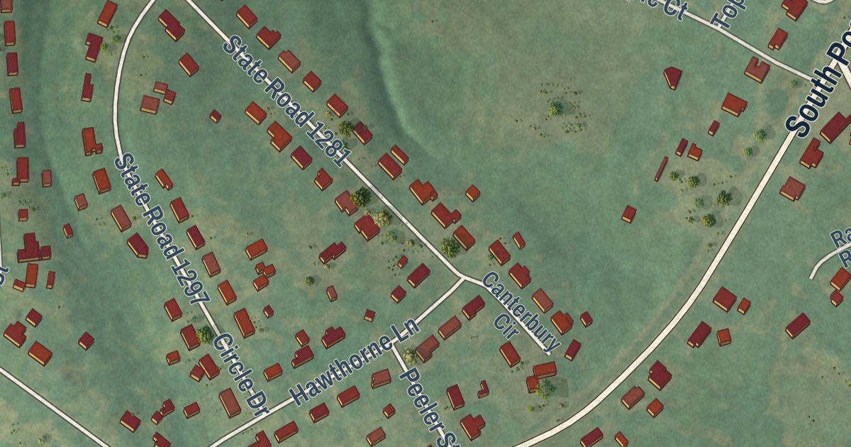
A detailed map of Patterson Springs, North Carolina, showing every building in its true location, the roads by name, and shaded topographical relief.
Read More















