Detailed Map of Parmele, North Carolina
A detailed map of Parmele, North Carolina, showing every building in its true location, the roads by name, and shaded topographical relief.
Read More
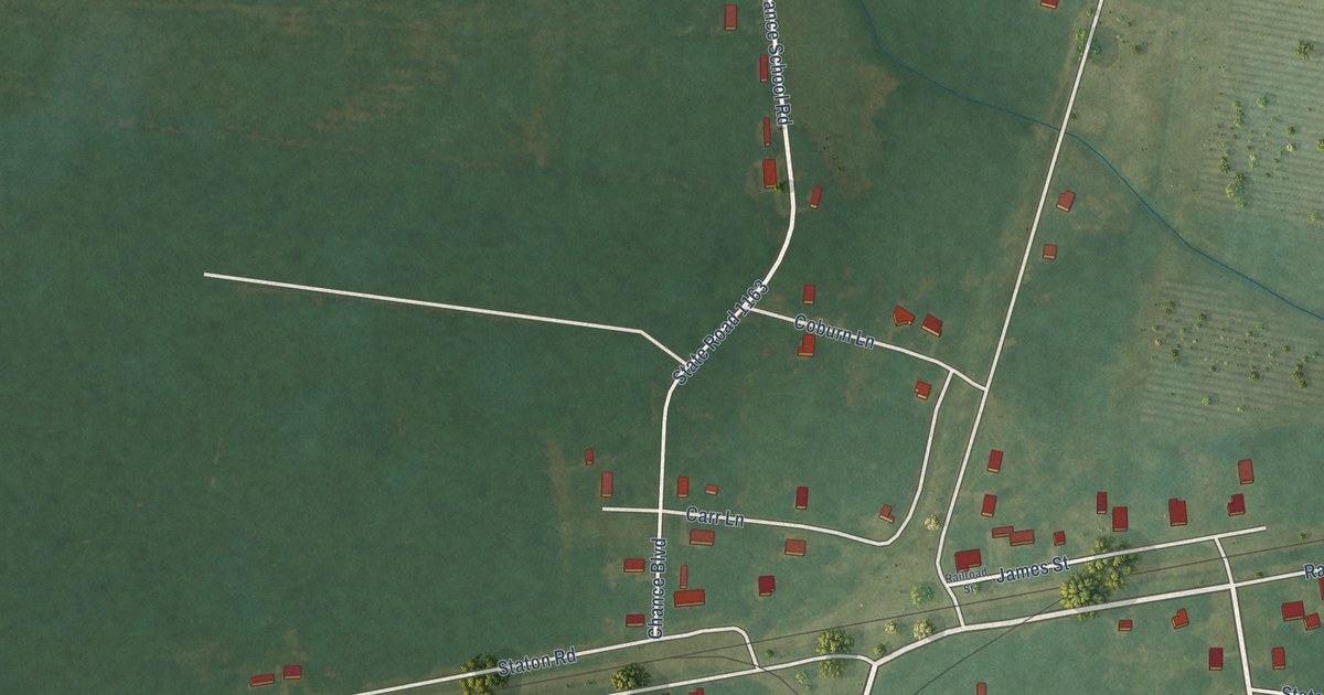
A detailed map of Parmele, North Carolina, showing every building in its true location, the roads by name, and shaded topographical relief.
Read More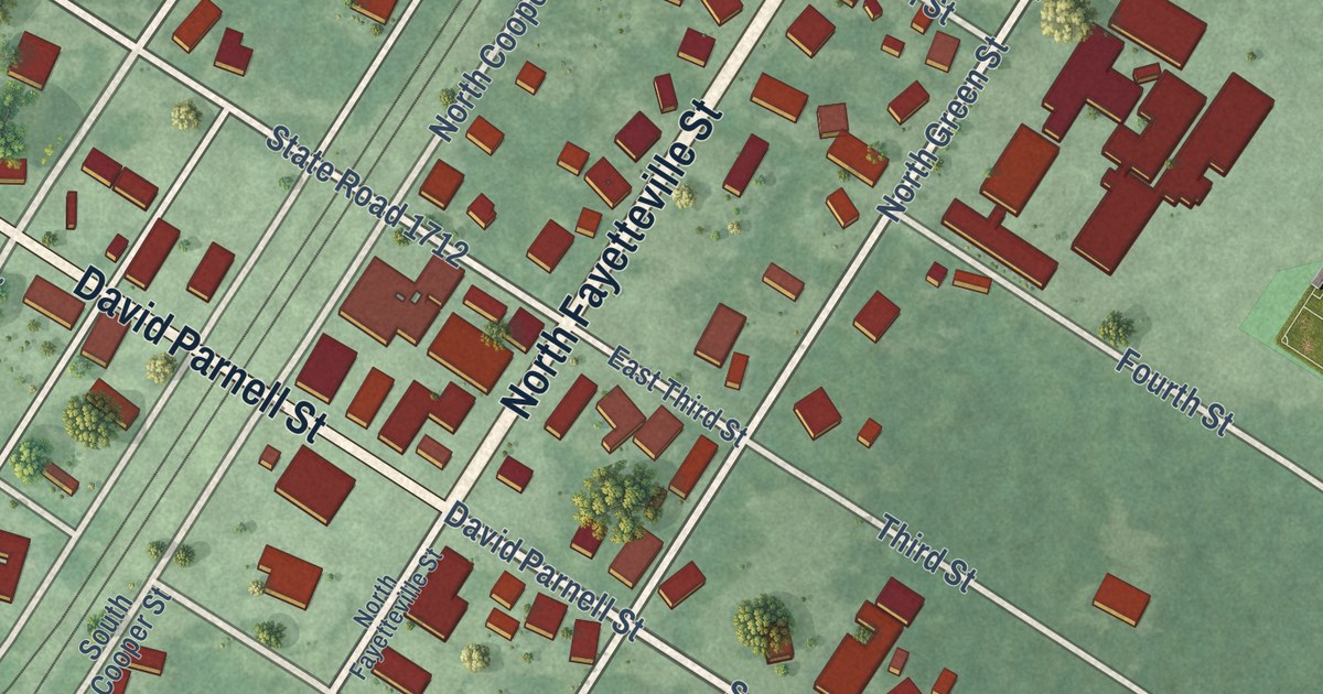
A detailed map of Parkton, North Carolina, showing every building in its true location, the roads by name, and shaded topographical relief.
Read More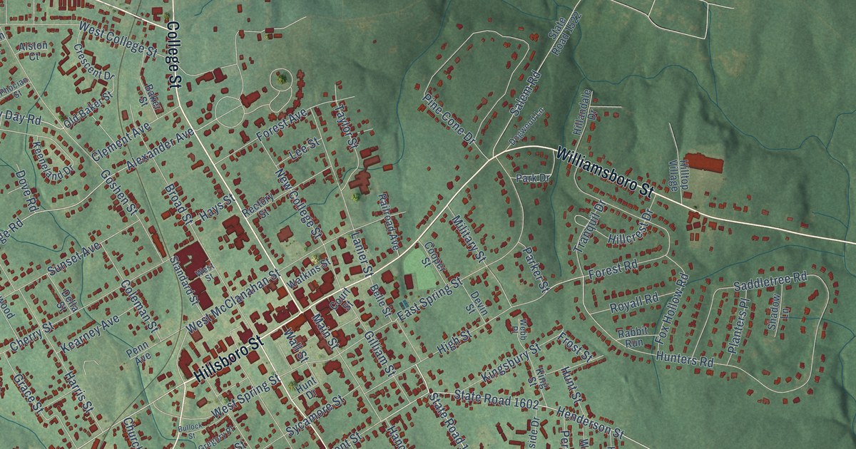
A detailed map of Oxford, North Carolina, showing every building in its true location, the roads by name, and shaded topographical relief.
Read More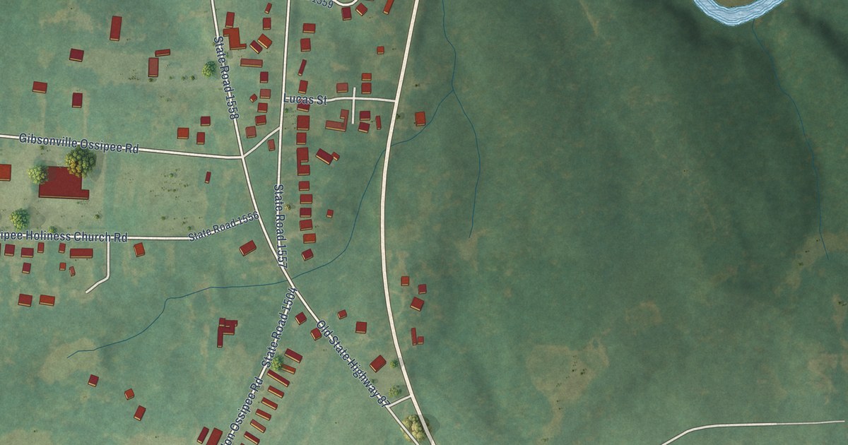
A detailed map of Ossipee, North Carolina, showing every building in its true location, the roads by name, and shaded topographical relief.
Read More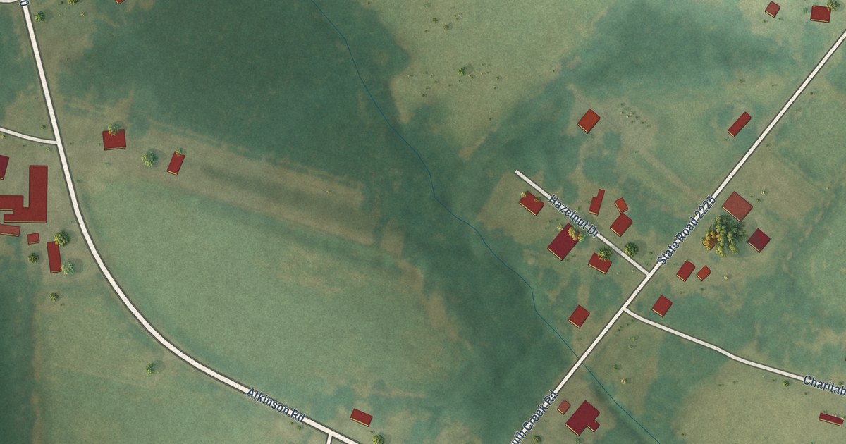
A detailed map of Orrum, North Carolina, showing every building in its true location, the roads by name, and shaded topographical relief.
Read More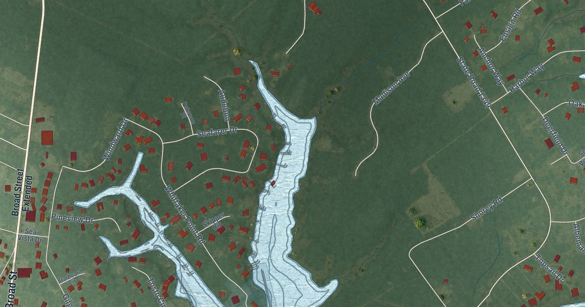
A detailed map of Oriental, North Carolina, showing every building in its true location, the roads by name, and shaded topographical relief.
Read More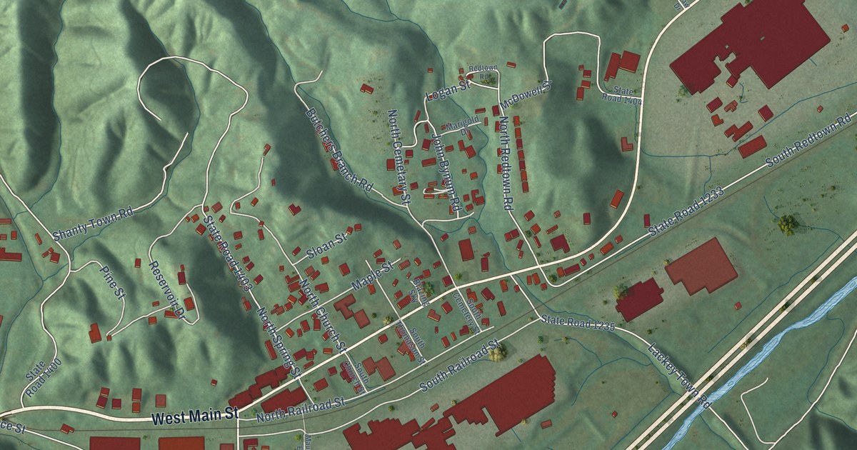
A detailed map of Old Fort, North Carolina, showing every building in its true location, the roads by name, and shaded topographical relief.
Read More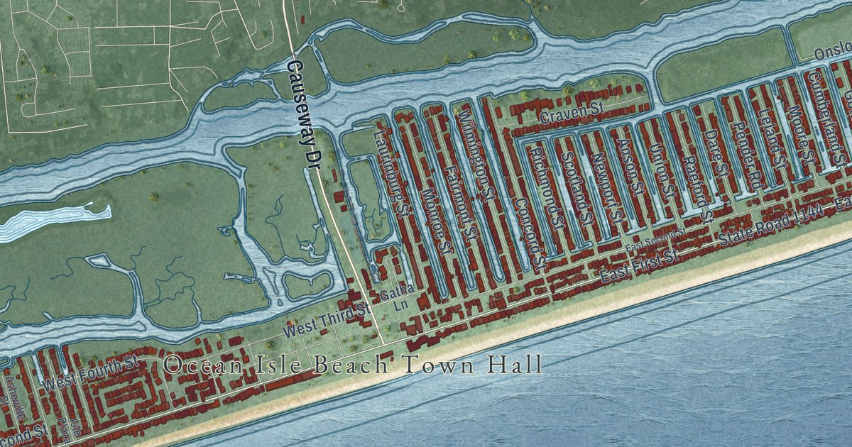
A detailed map of Ocean Isle Beach, North Carolina, showing every building in its true location, the roads by name, and shaded topographical relief.
Read More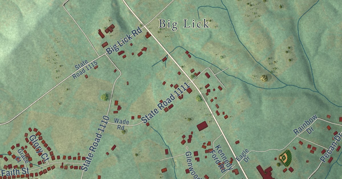
A detailed map of Oakboro, North Carolina, showing every building in its true location, the roads by name, and shaded topographical relief.
Read More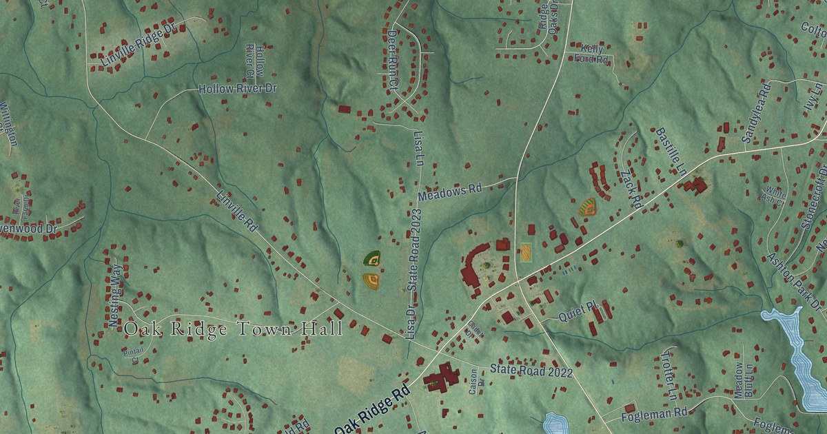
A detailed map of Oak Ridge, North Carolina, showing every building in its true location, the roads by name, and shaded topographical relief.
Read More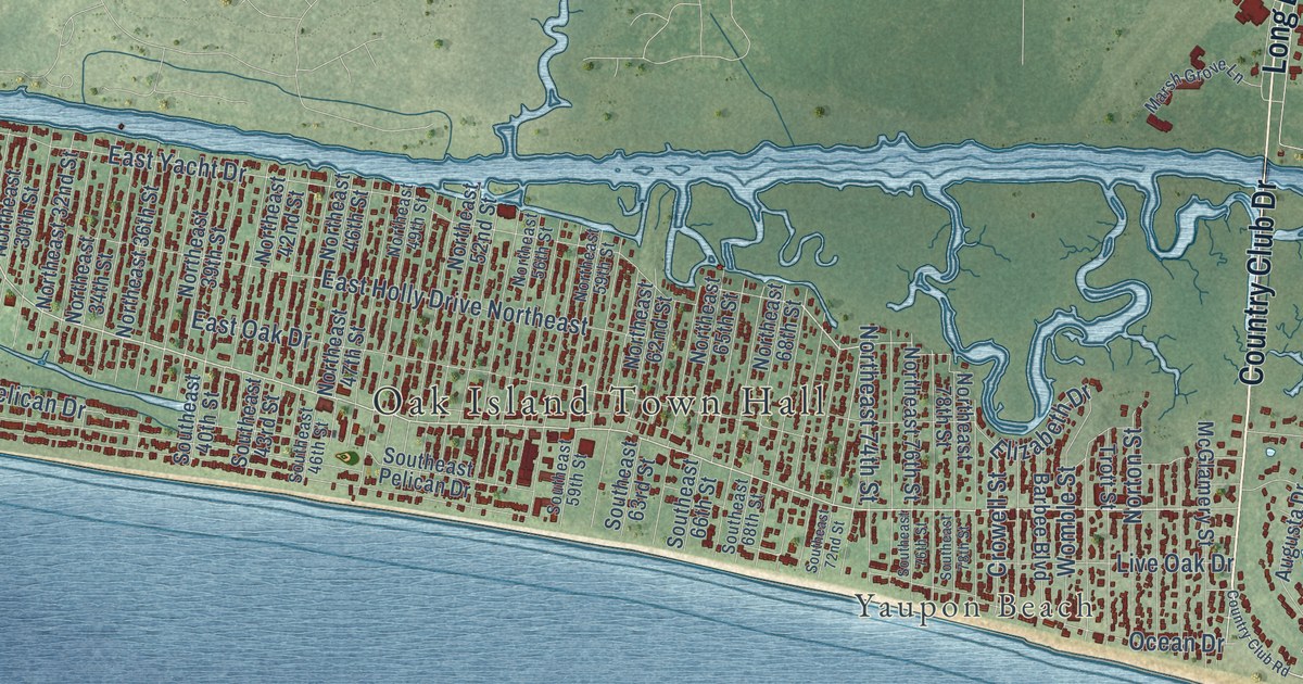
A detailed map of Oak Island, North Carolina, showing every building in its true location, the roads by name, and shaded topographical relief.
Read More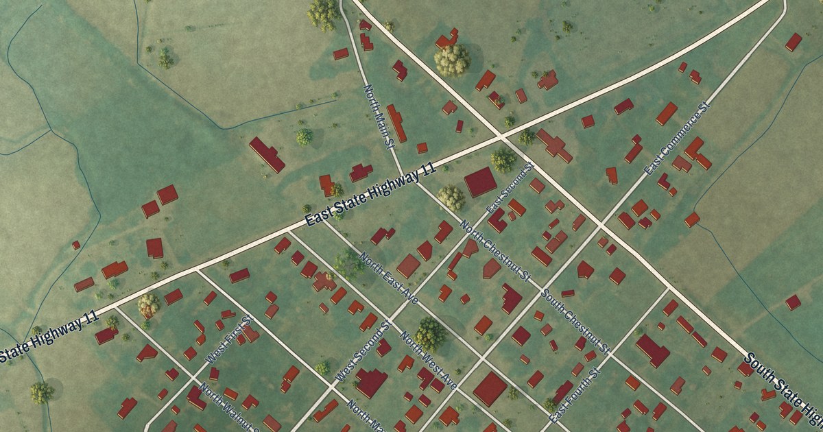
A detailed map of Oak City, North Carolina, showing every building in its true location, the roads by name, and shaded topographical relief.
Read More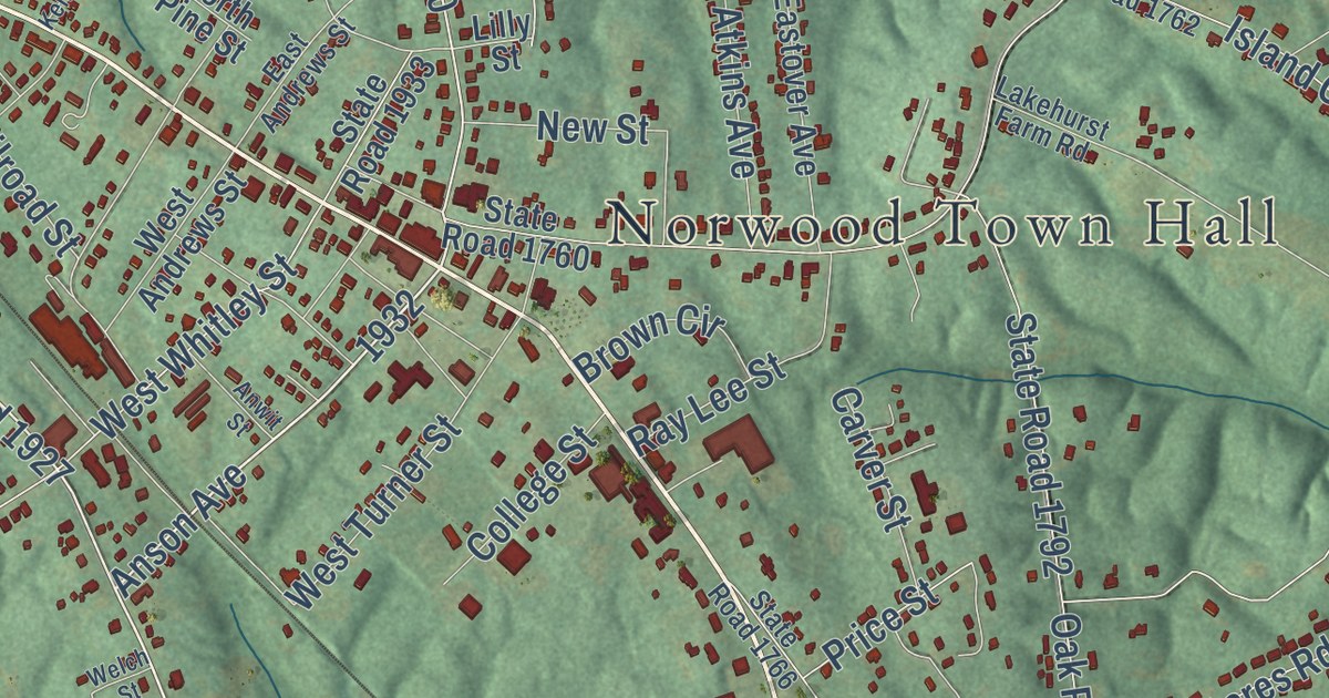
A detailed map of Norwood, North Carolina, showing every building in its true location, the roads by name, and shaded topographical relief.
Read More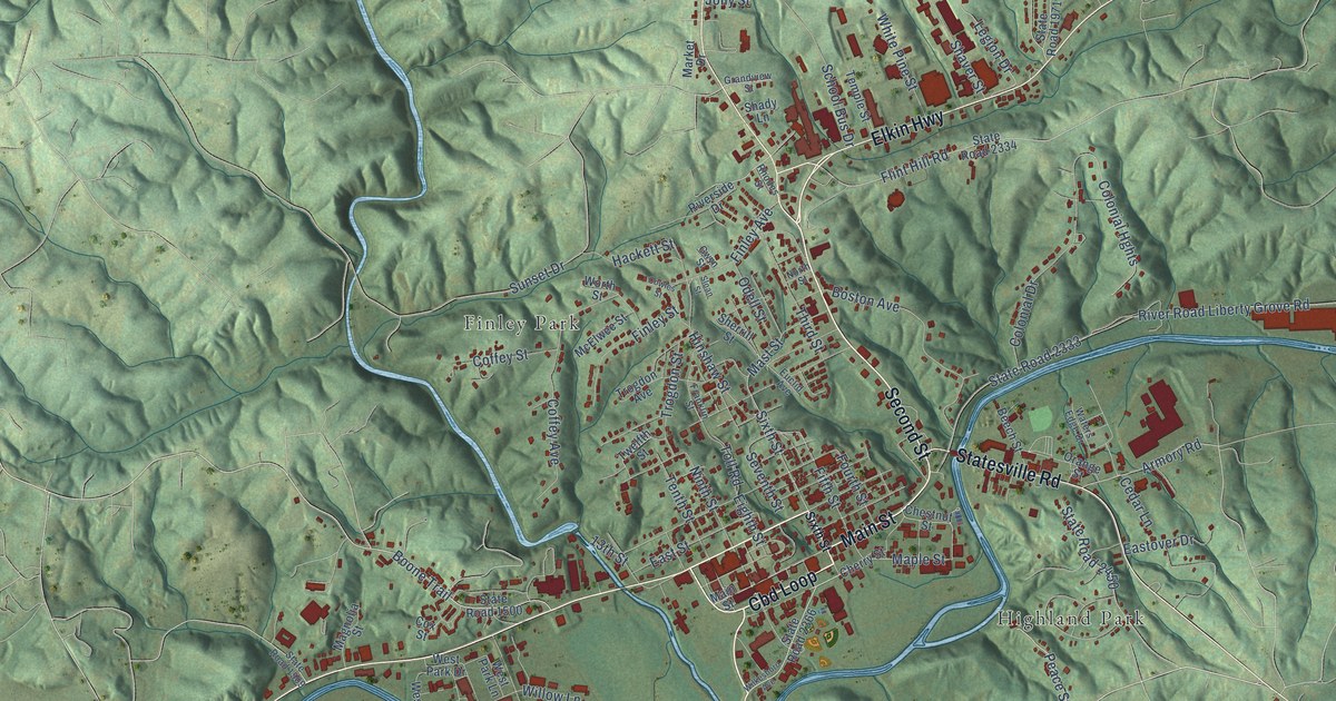
A detailed map of North Wilkesboro, North Carolina, showing every building in its true location, the roads by name, and shaded topographical relief.
Read More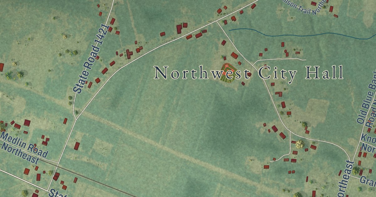
A detailed map of Northwest, North Carolina, showing every building in its true location, the roads by name, and shaded topographical relief.
Read More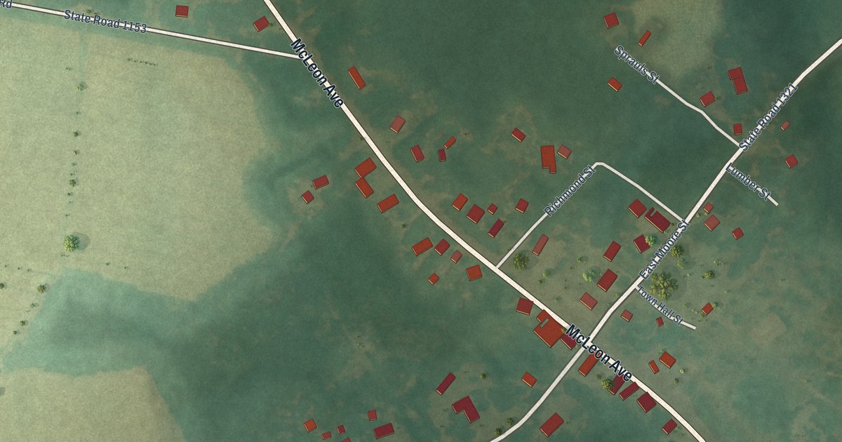
A detailed map of Norman, North Carolina, showing every building in its true location, the roads by name, and shaded topographical relief.
Read More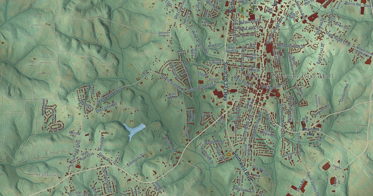
A detailed map of Newton, North Carolina, showing every building in its true location, the roads by name, and shaded topographical relief.
Read More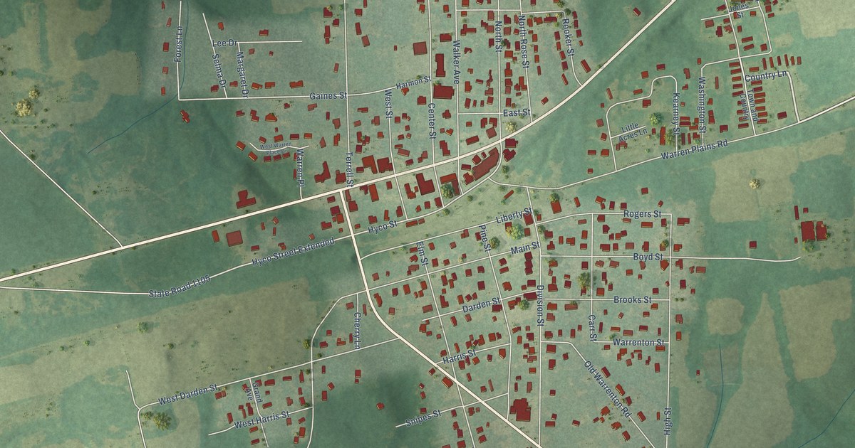
A detailed map of Norlina, North Carolina, showing every building in its true location, the roads by name, and shaded topographical relief.
Read More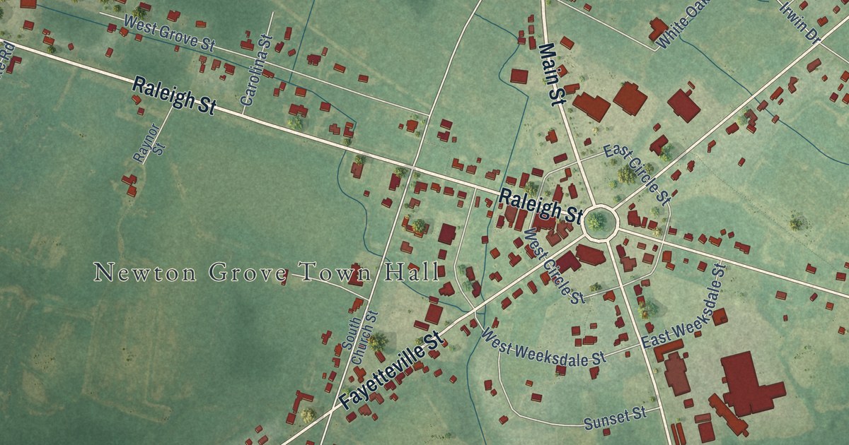
A detailed map of Newton Grove, North Carolina, showing every building in its true location, the roads by name, and shaded topographical relief.
Read More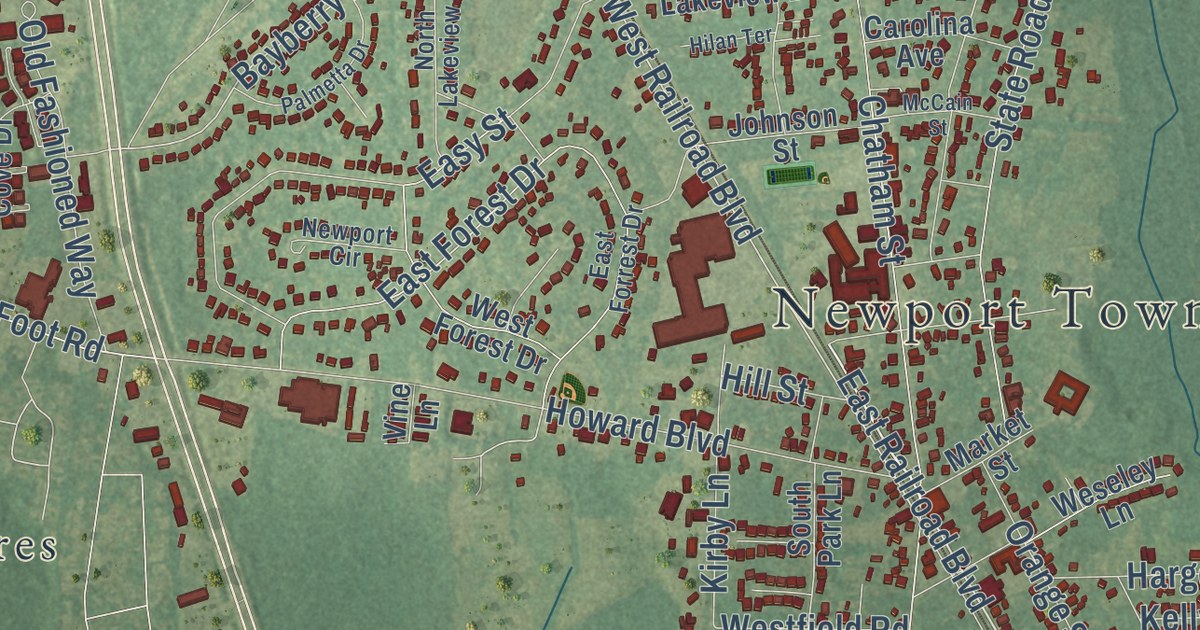
A detailed map of Newport, North Carolina, showing every building in its true location, the roads by name, and shaded topographical relief.
Read More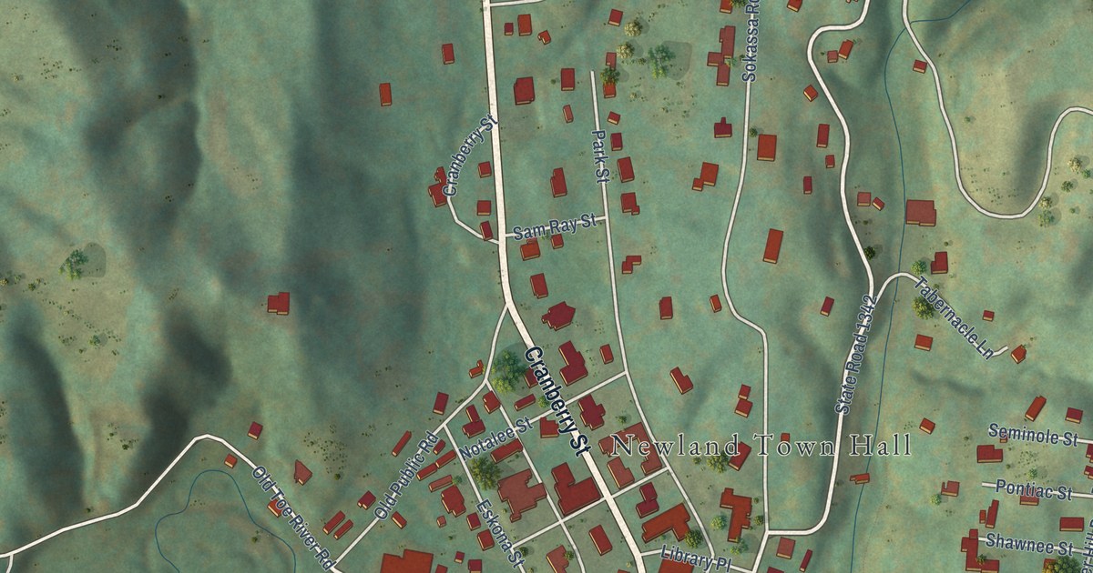
A detailed map of Newland, North Carolina, showing every building in its true location, the roads by name, and shaded topographical relief.
Read More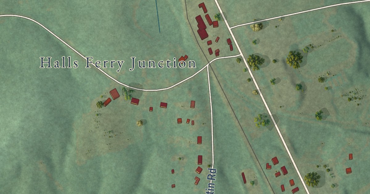
A detailed map of New London, North Carolina, showing every building in its true location, the roads by name, and shaded topographical relief.
Read More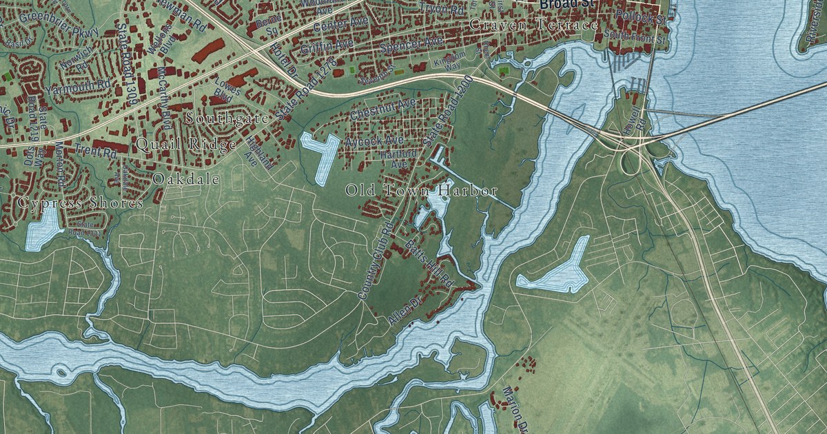
A detailed map of New Bern, North Carolina, showing every building in its true location, the roads by name, and shaded topographical relief.
Read More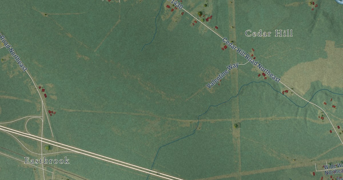
A detailed map of Navassa, North Carolina, showing every building in its true location, the roads by name, and shaded topographical relief.
Read More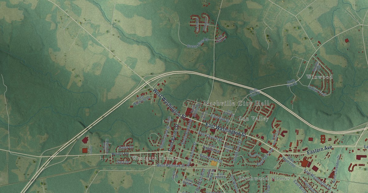
A detailed map of Nashville, North Carolina, showing every building in its true location, the roads by name, and shaded topographical relief.
Read More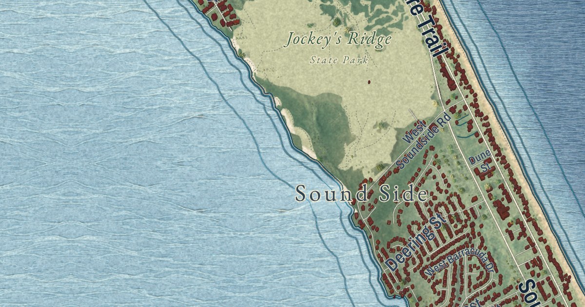
A detailed map of Nags Head, North Carolina, showing every building in its true location, the roads by name, and shaded topographical relief.
Read More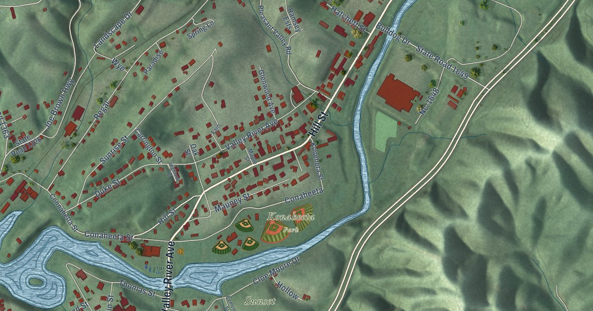
A detailed map of Murphy, North Carolina, showing every building in its true location, the roads by name, and shaded topographical relief.
Read More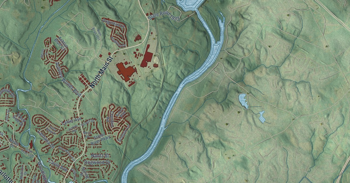
A detailed map of Mount Holly, North Carolina, showing every building in its true location, the roads by name, and shaded topographical relief.
Read More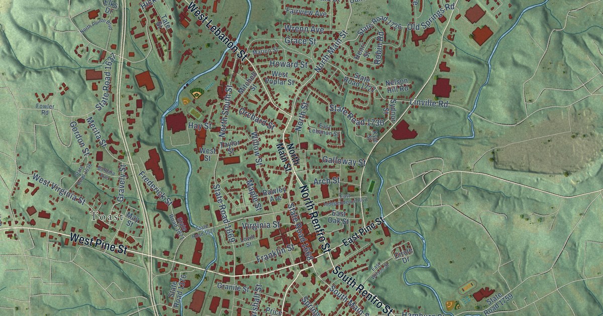
A detailed map of Mount Airy, North Carolina, showing every building in its true location, the roads by name, and shaded topographical relief.
Read More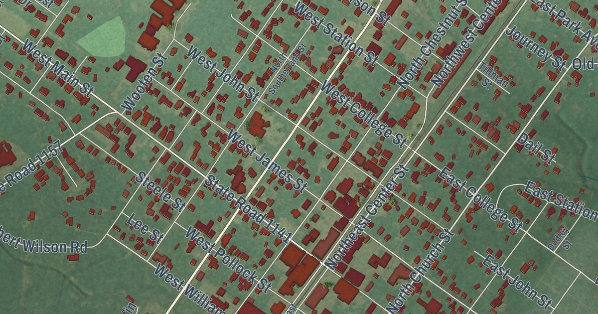
A detailed map of Mount Olive, North Carolina, showing every building in its true location, the roads by name, and shaded topographical relief.
Read More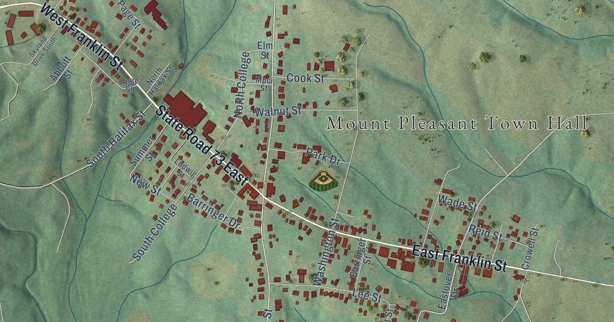
A detailed map of Mount Pleasant, North Carolina, showing every building in its true location, the roads by name, and shaded topographical relief.
Read More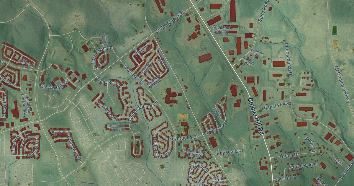
A detailed map of Morrisville, North Carolina, showing every building in its true location, the roads by name, and shaded topographical relief.
Read More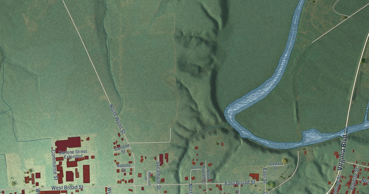
A detailed map of Murfreesboro, North Carolina, showing every building in its true location, the roads by name, and shaded topographical relief.
Read More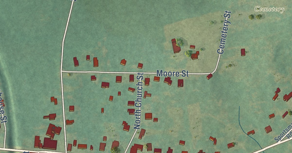
A detailed map of Morven, North Carolina, showing every building in its true location, the roads by name, and shaded topographical relief.
Read More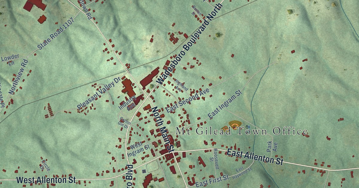
A detailed map of Mount Gilead, North Carolina, showing every building in its true location, the roads by name, and shaded topographical relief.
Read More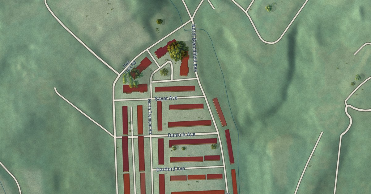
A detailed map of Tremont, Maryland, showing every building in its true location, the roads by name, and shaded topographical relief.
Read More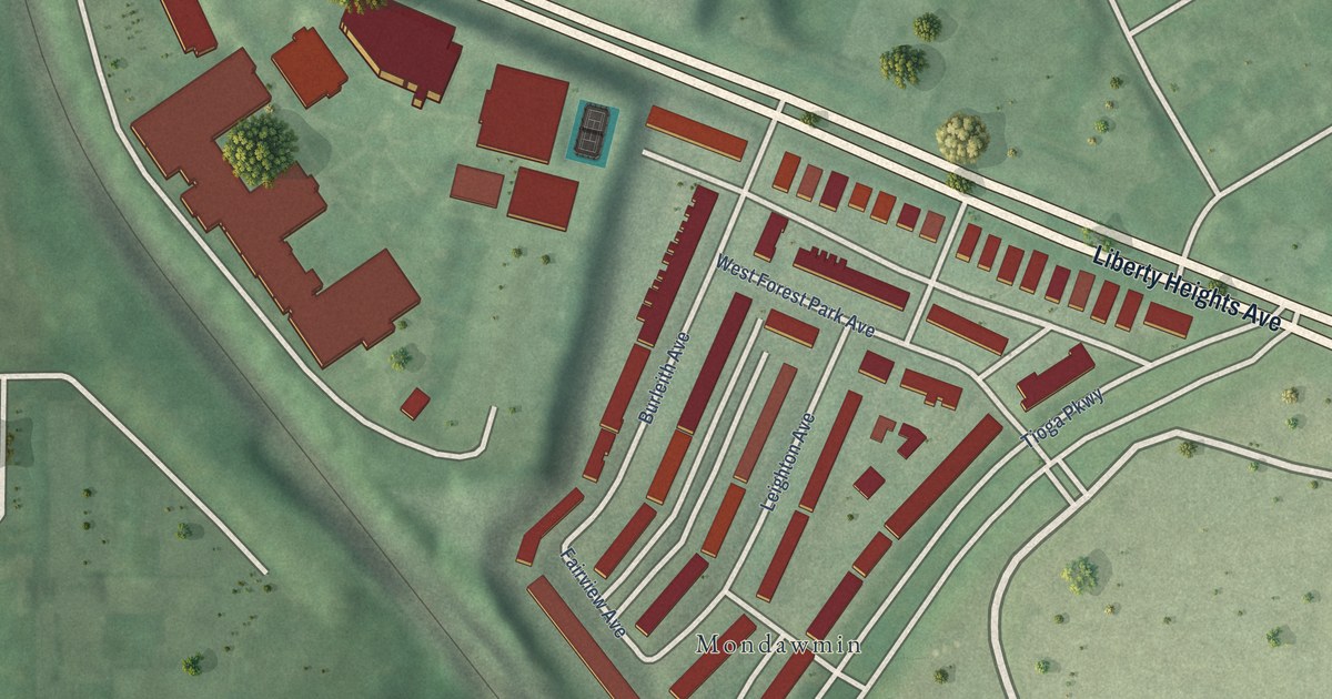
A detailed map of Parkway, Maryland, showing every building in its true location, the roads by name, and shaded topographical relief.
Read More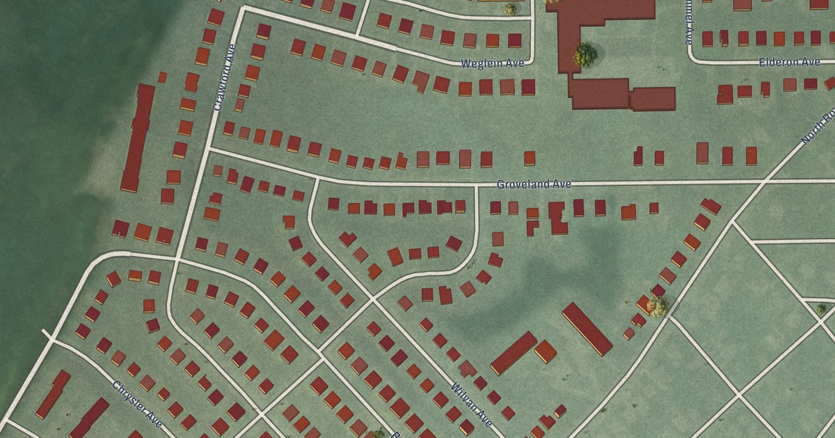
A detailed map of Grove Park, Maryland, showing every building in its true location, the roads by name, and shaded topographical relief.
Read More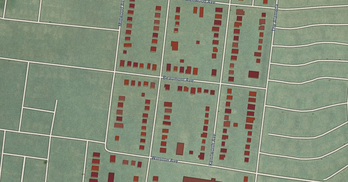
A detailed map of Kenilworth Park, Maryland, showing every building in its true location, the roads by name, and shaded topographical relief.
Read More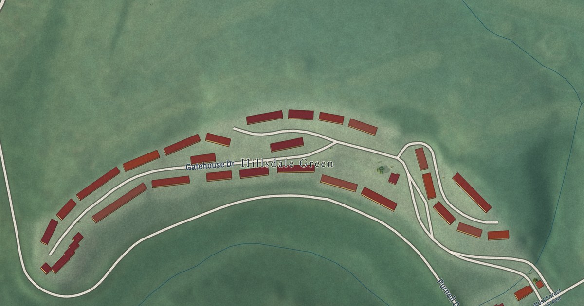
A detailed map of Purnell, Maryland, showing every building in its true location, the roads by name, and shaded topographical relief.
Read More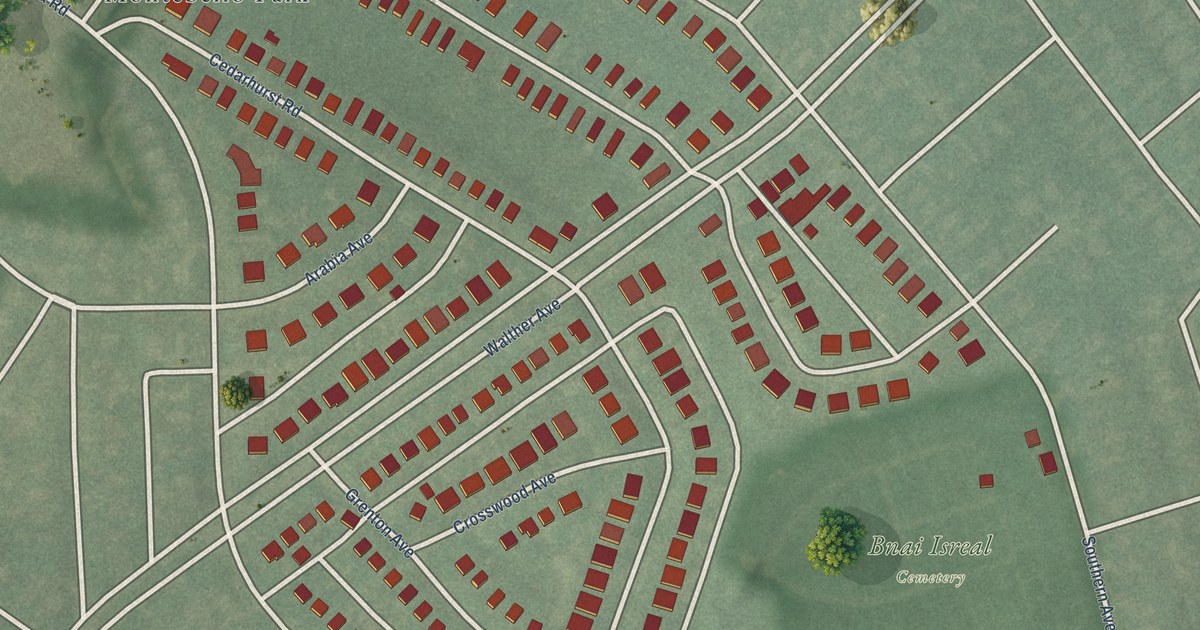
A detailed map of Moravia-Walther, Maryland, showing every building in its true location, the roads by name, and shaded topographical relief.
Read More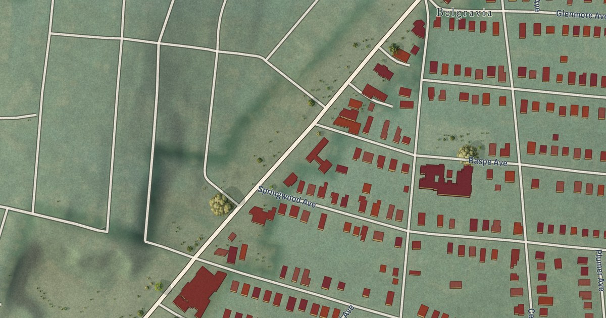
A detailed map of Cedmont, Maryland, showing every building in its true location, the roads by name, and shaded topographical relief.
Read More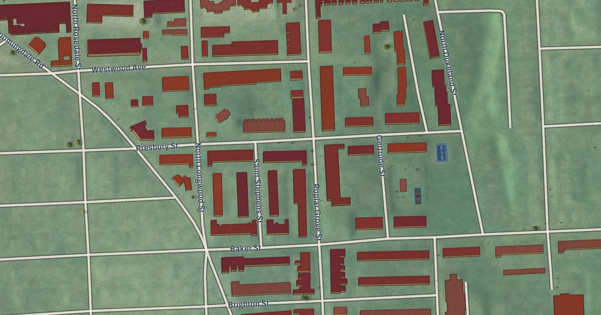
A detailed map of Northwest Community Action, Maryland, showing every building in its true location, the roads by name, and shaded topographical relief.
Read More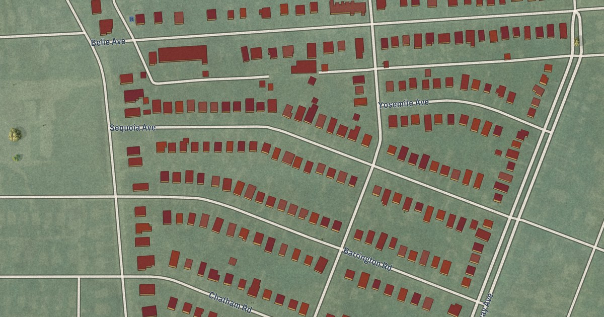
A detailed map of Callaway-Garrison, Maryland, showing every building in its true location, the roads by name, and shaded topographical relief.
Read More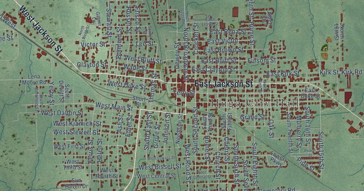
A detailed map of Hugo, Oklahoma, showing every building in its true location, the roads by name, and shaded topographical relief.
Read More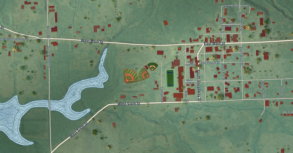
A detailed map of Hulbert, Oklahoma, showing every building in its true location, the roads by name, and shaded topographical relief.
Read More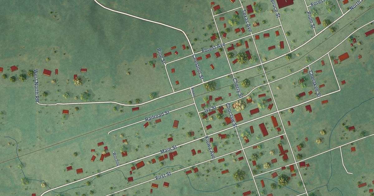
A detailed map of Howe, Oklahoma, showing every building in its true location, the roads by name, and shaded topographical relief.
Read More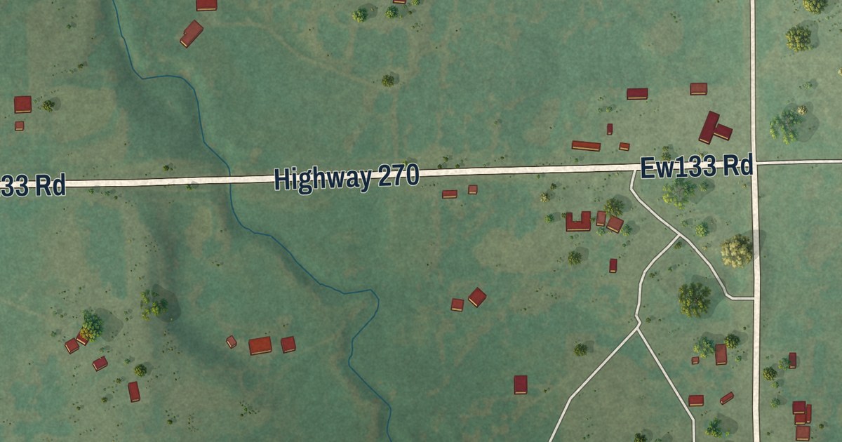
A detailed map of Horntown, Oklahoma, showing every building in its true location, the roads by name, and shaded topographical relief.
Read More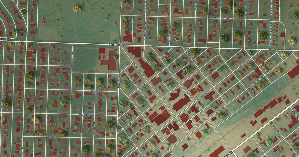
A detailed map of Hooker, Oklahoma, showing every building in its true location, the roads by name, and shaded topographical relief.
Read More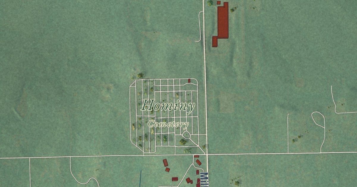
A detailed map of Hominy, Oklahoma, showing every building in its true location, the roads by name, and shaded topographical relief.
Read More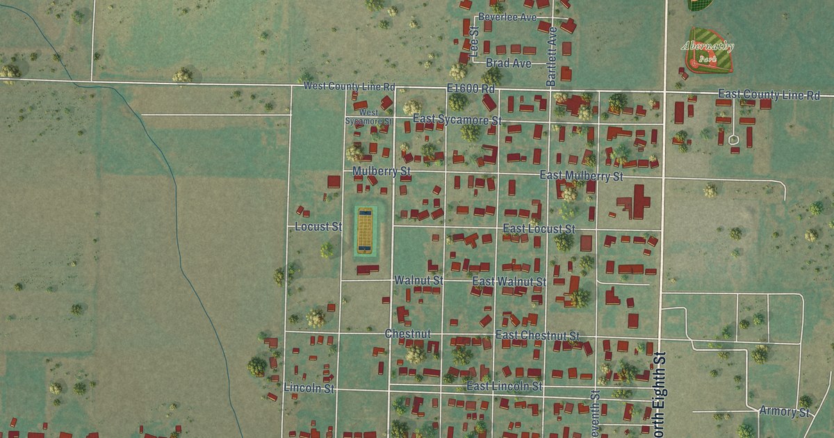
A detailed map of Hollis, Oklahoma, showing every building in its true location, the roads by name, and shaded topographical relief.
Read More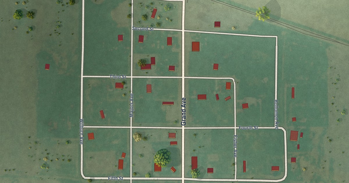
A detailed map of Hollister, Oklahoma, showing every building in its true location, the roads by name, and shaded topographical relief.
Read More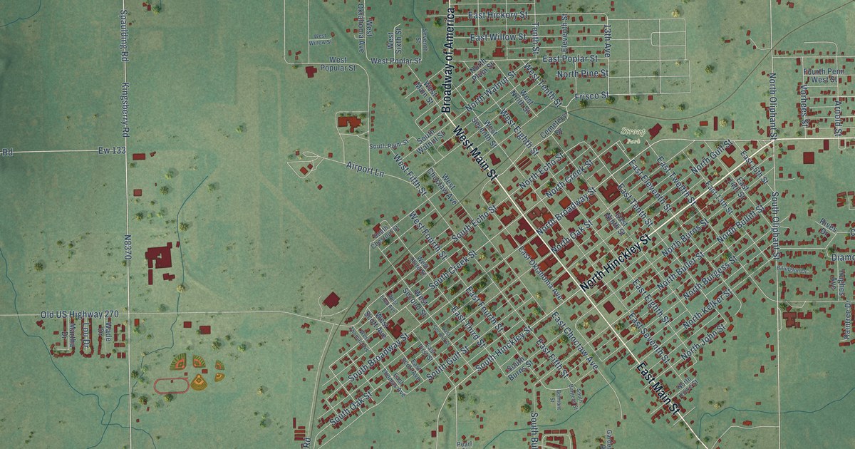
A detailed map of Holdenville, Oklahoma, showing every building in its true location, the roads by name, and shaded topographical relief.
Read More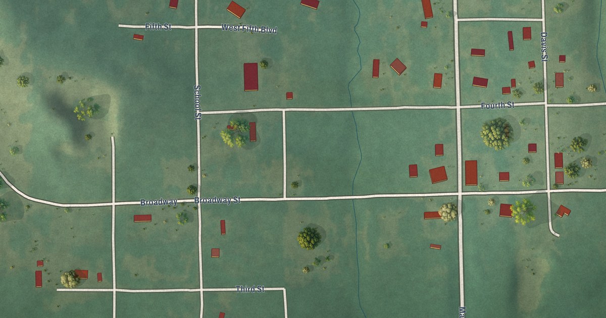
A detailed map of Hoffman, Oklahoma, showing every building in its true location, the roads by name, and shaded topographical relief.
Read More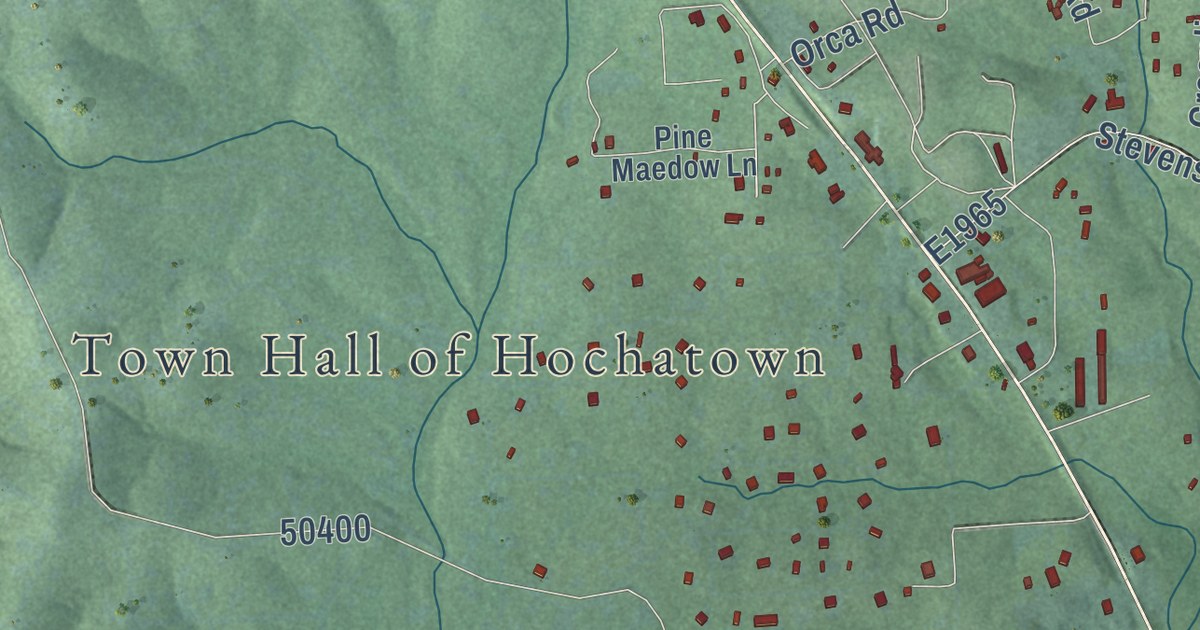
A detailed map of Hochatown, Oklahoma, showing every building in its true location, the roads by name, and shaded topographical relief.
Read More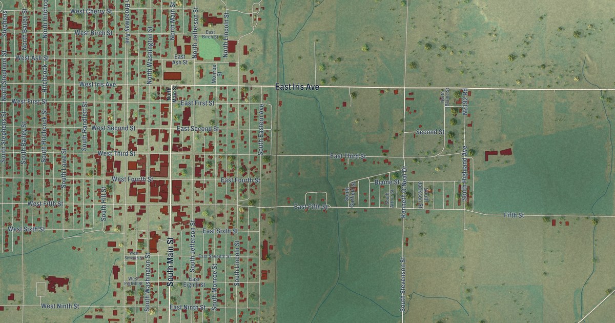
A detailed map of Hobart, Oklahoma, showing every building in its true location, the roads by name, and shaded topographical relief.
Read More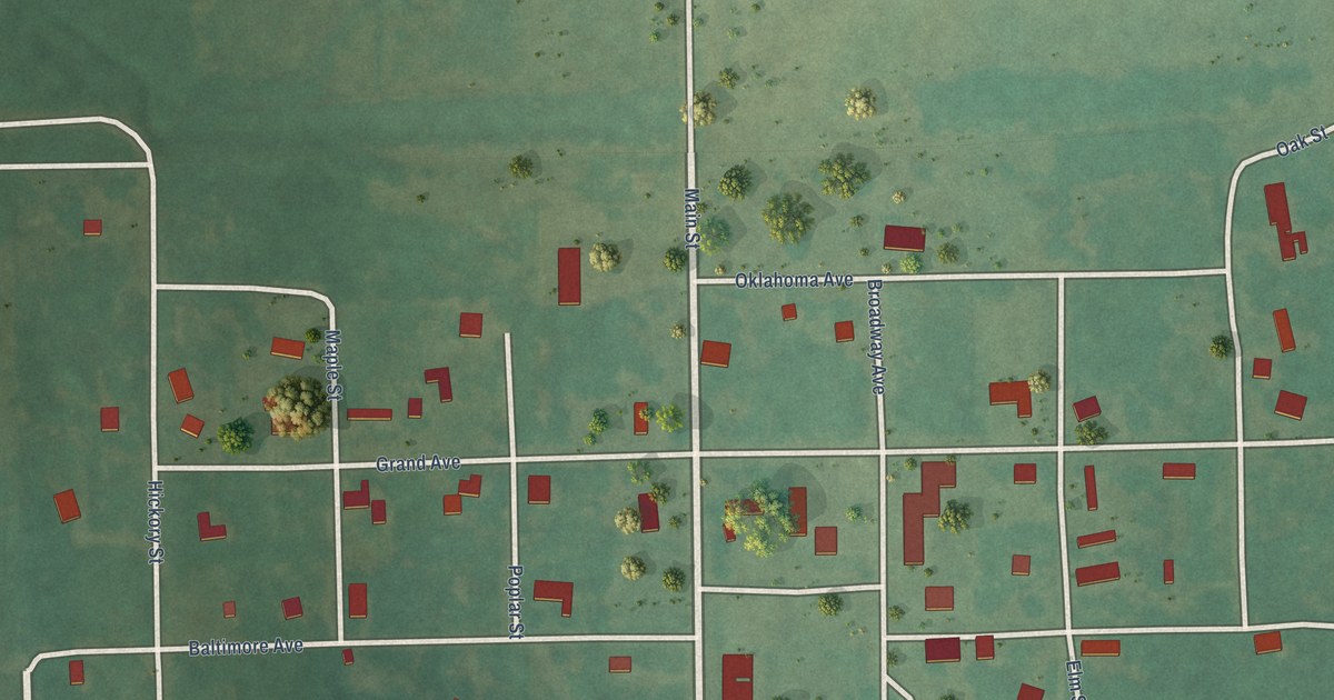
A detailed map of Hitchita, Oklahoma, showing every building in its true location, the roads by name, and shaded topographical relief.
Read More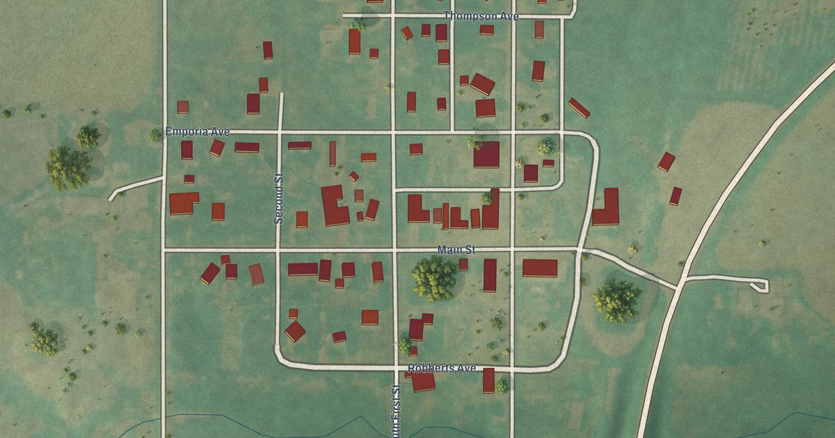
A detailed map of Hitchcock, Oklahoma, showing every building in its true location, the roads by name, and shaded topographical relief.
Read More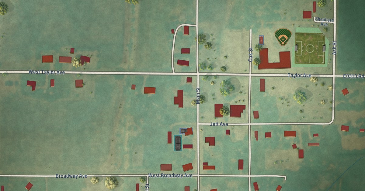
A detailed map of Hillsdale, Oklahoma, showing every building in its true location, the roads by name, and shaded topographical relief.
Read More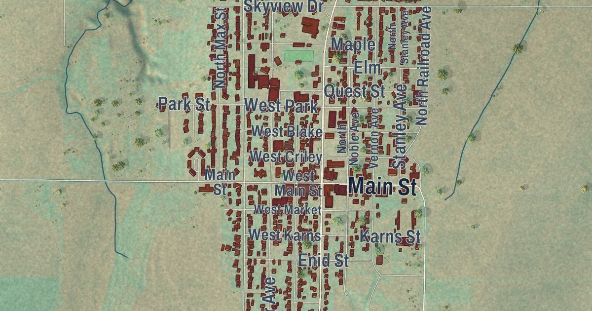
A detailed map of Hinton, Oklahoma, showing every building in its true location, the roads by name, and shaded topographical relief.
Read More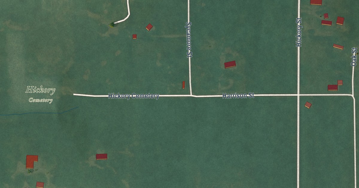
A detailed map of Hickory, Oklahoma, showing every building in its true location, the roads by name, and shaded topographical relief.
Read More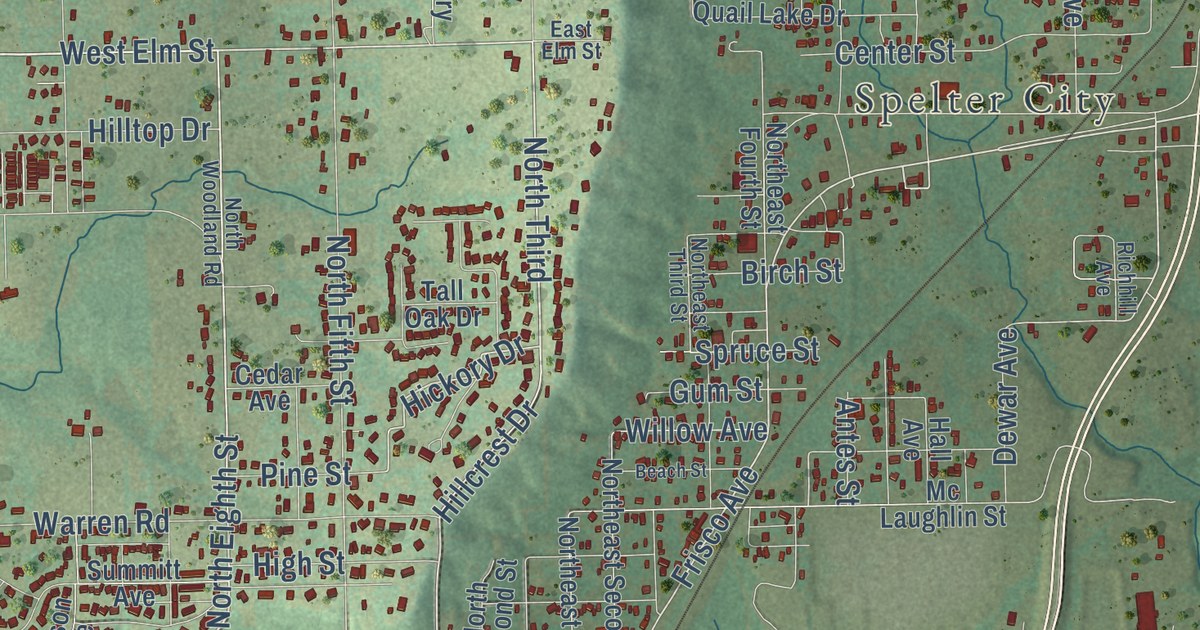
A detailed map of Henryetta, Oklahoma, showing every building in its true location, the roads by name, and shaded topographical relief.
Read More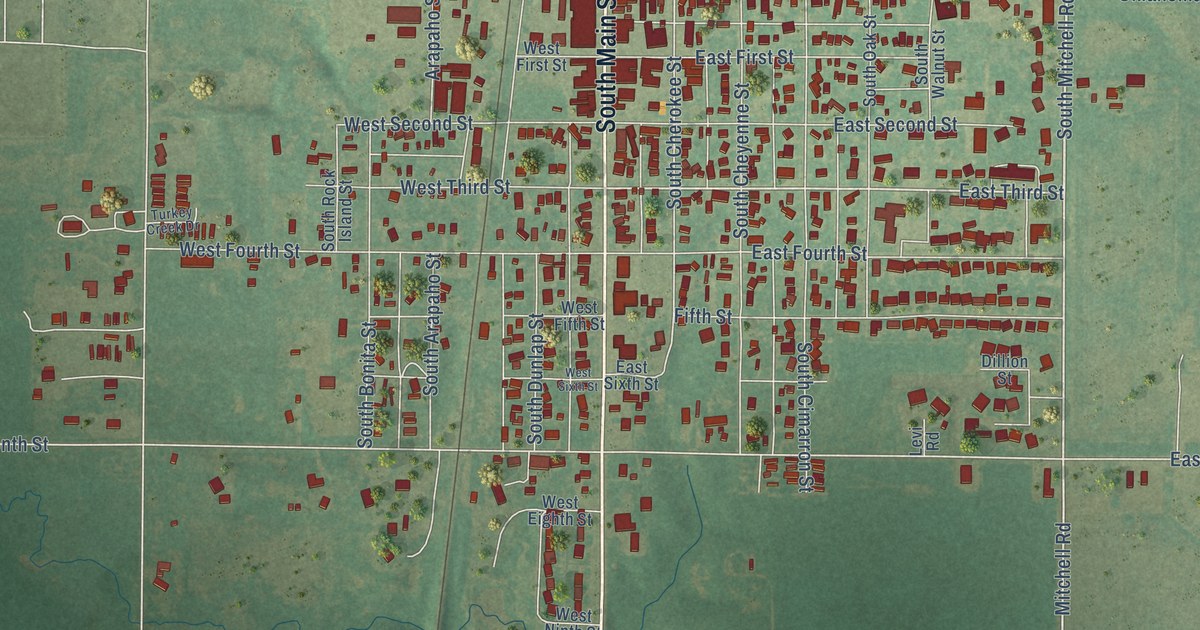
A detailed map of Hennessey, Oklahoma, showing every building in its true location, the roads by name, and shaded topographical relief.
Read More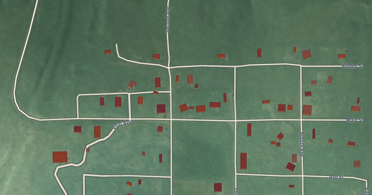
A detailed map of Hendrix, Oklahoma, showing every building in its true location, the roads by name, and shaded topographical relief.
Read More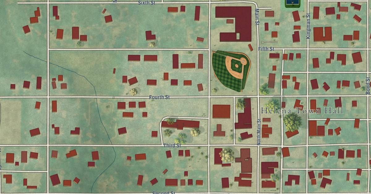
A detailed map of Helena, Oklahoma, showing every building in its true location, the roads by name, and shaded topographical relief.
Read More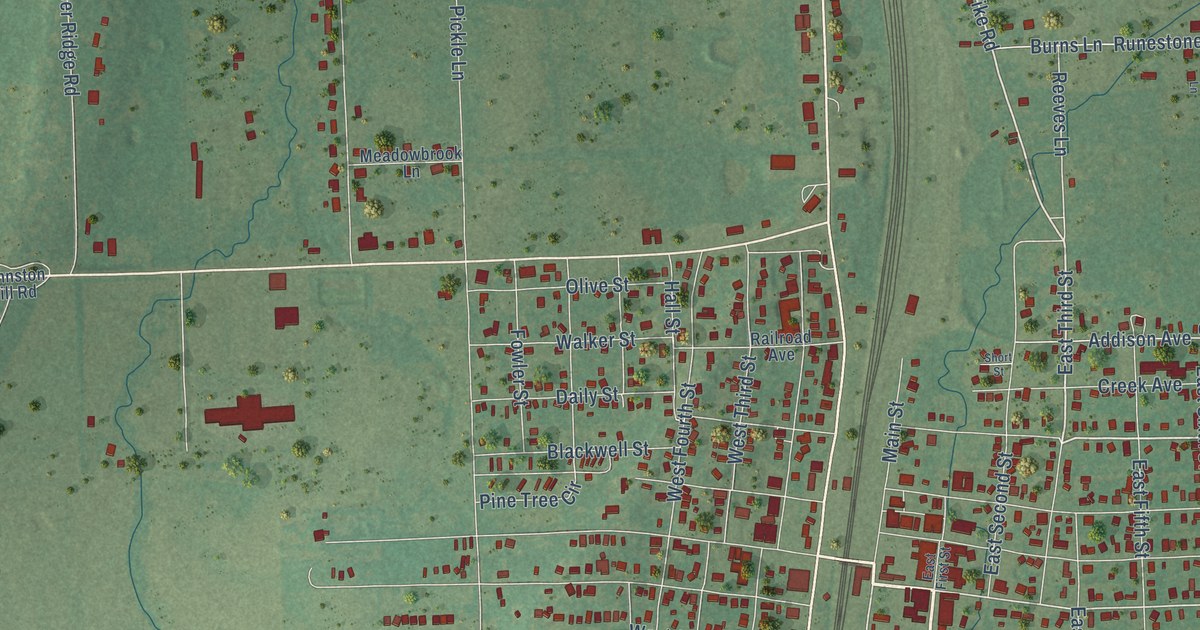
A detailed map of Heavener, Oklahoma, showing every building in its true location, the roads by name, and shaded topographical relief.
Read More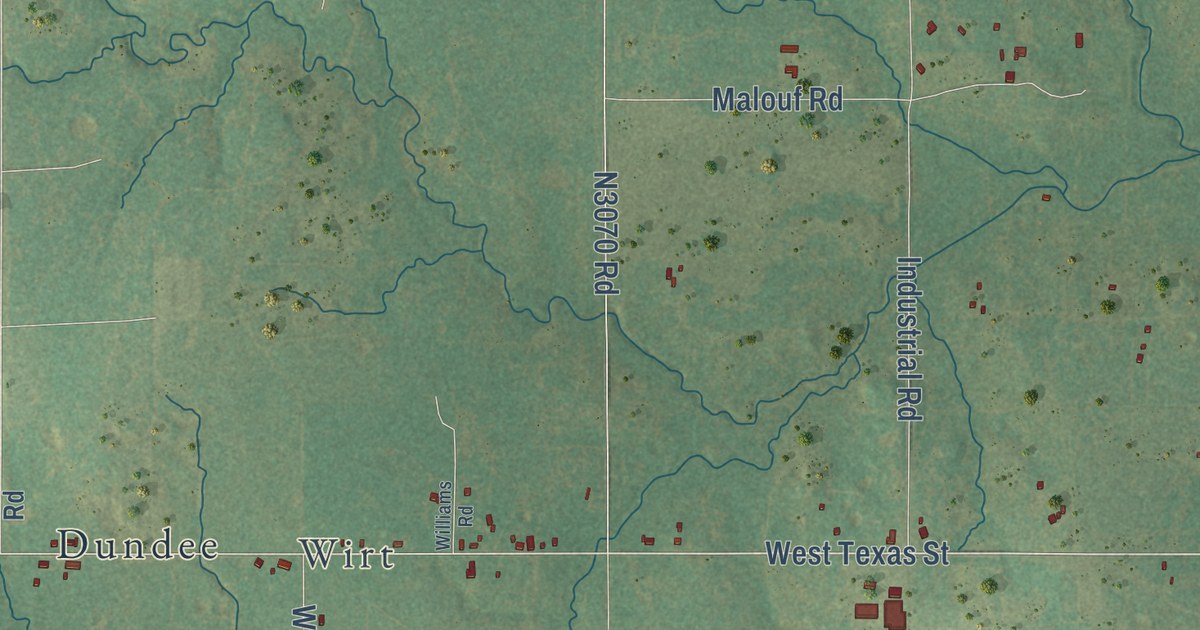
A detailed map of Healdton, Oklahoma, showing every building in its true location, the roads by name, and shaded topographical relief.
Read More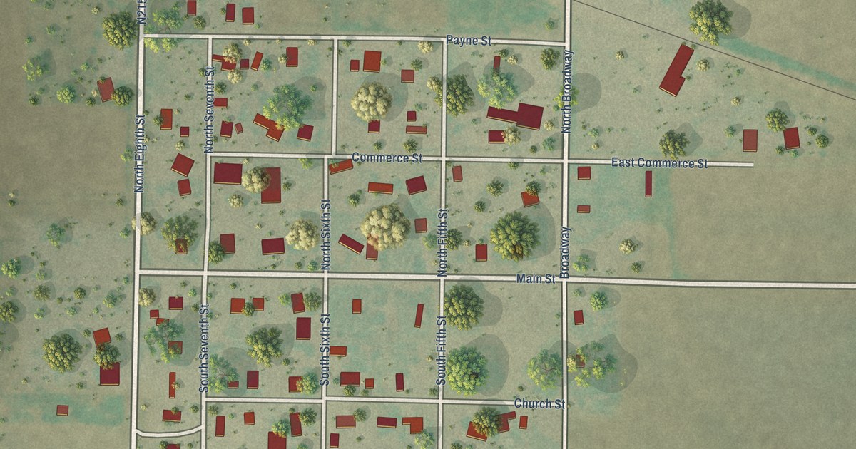
A detailed map of Headrick, Oklahoma, showing every building in its true location, the roads by name, and shaded topographical relief.
Read More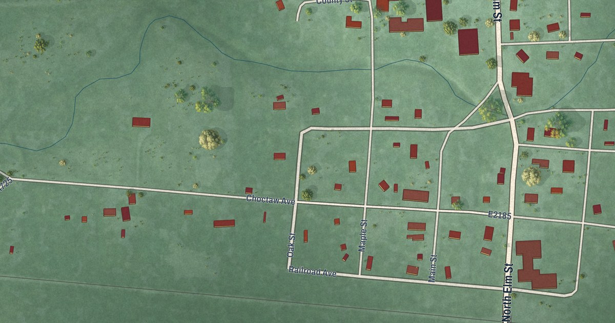
A detailed map of Haworth, Oklahoma, showing every building in its true location, the roads by name, and shaded topographical relief.
Read More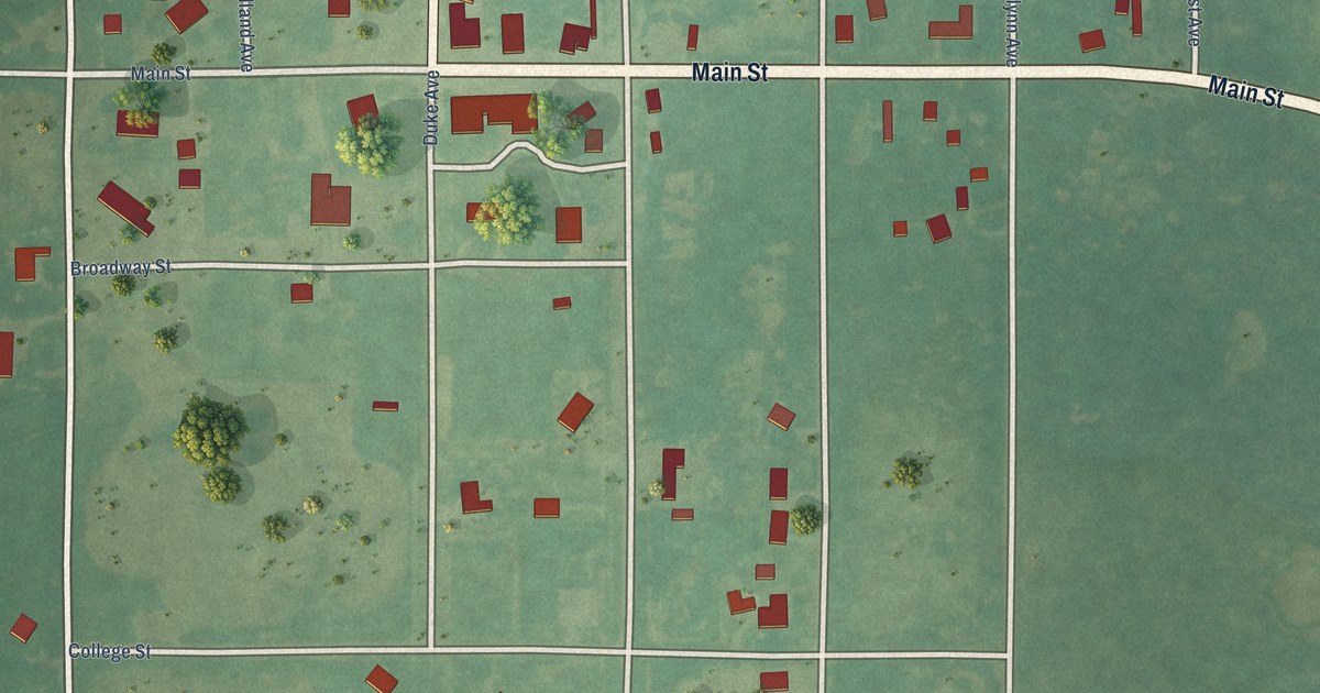
A detailed map of Hastings, Oklahoma, showing every building in its true location, the roads by name, and shaded topographical relief.
Read More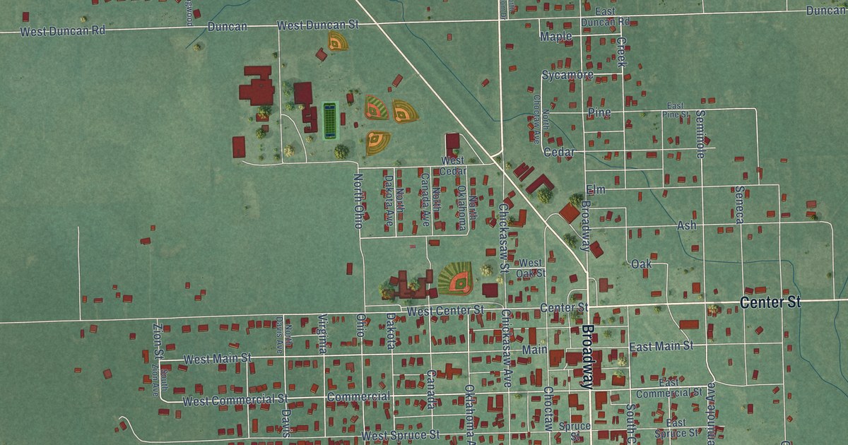
A detailed map of Haskell, Oklahoma, showing every building in its true location, the roads by name, and shaded topographical relief.
Read More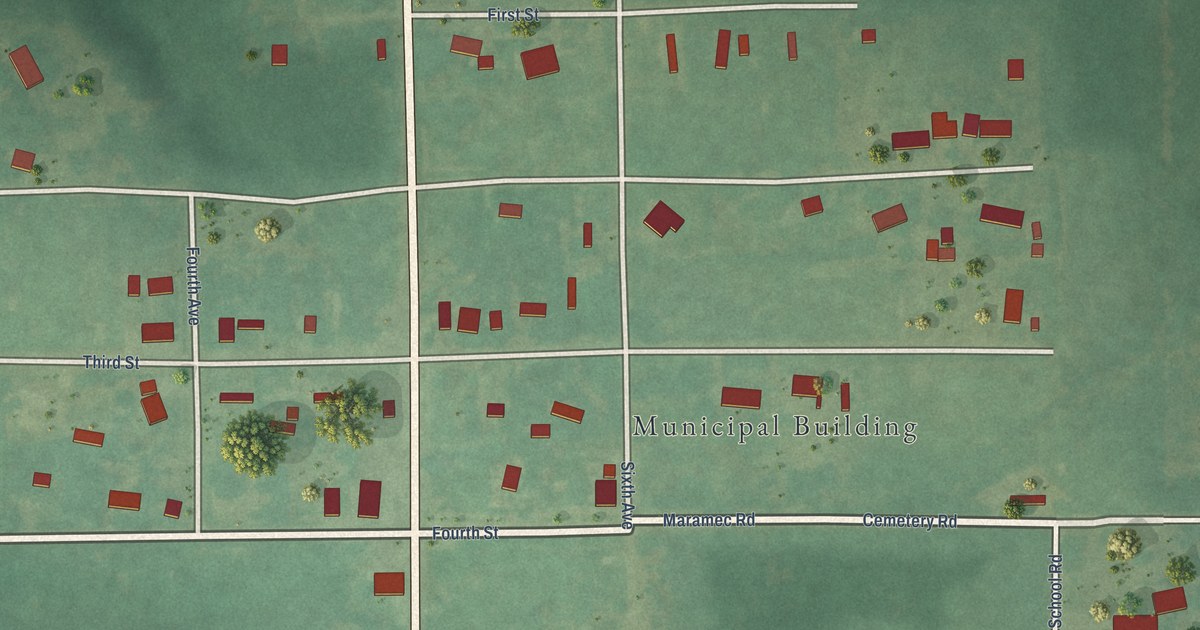
A detailed map of Hallett, Oklahoma, showing every building in its true location, the roads by name, and shaded topographical relief.
Read More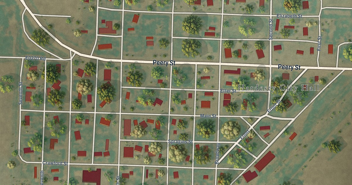
A detailed map of Hardesty, Oklahoma, showing every building in its true location, the roads by name, and shaded topographical relief.
Read More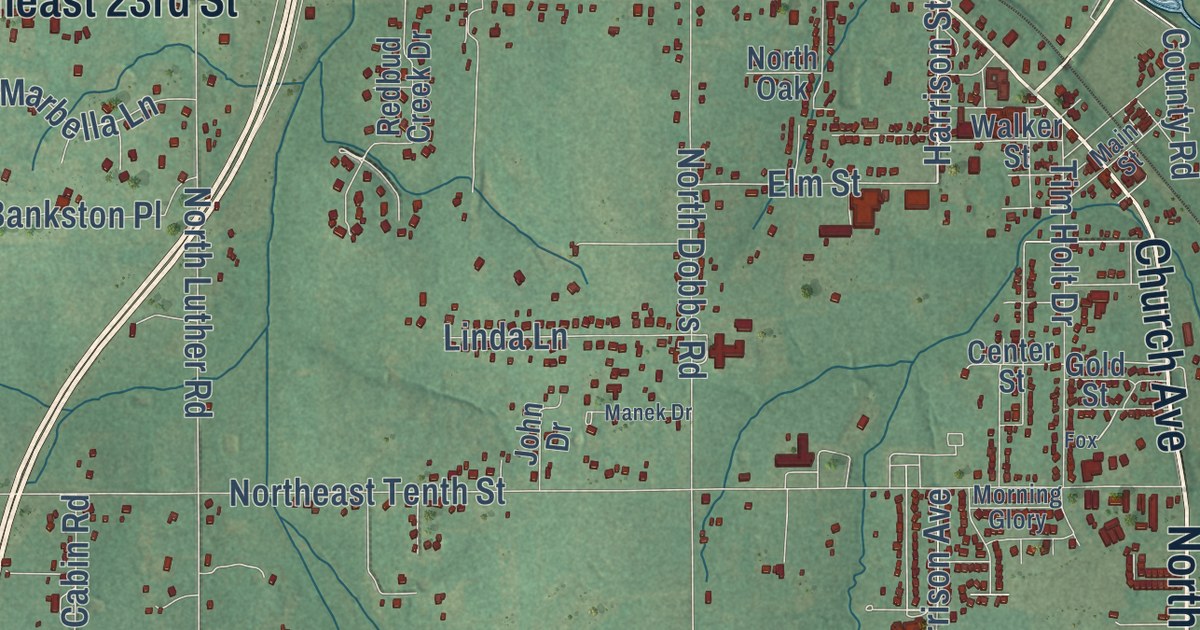
A detailed map of Harrah, Oklahoma, showing every building in its true location, the roads by name, and shaded topographical relief.
Read More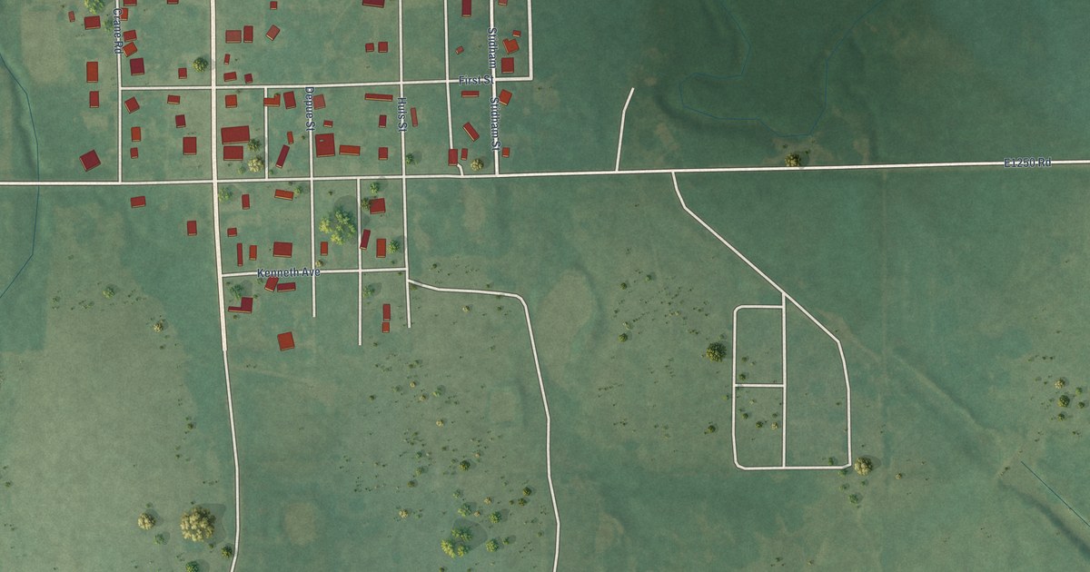
A detailed map of Hanna, Oklahoma, showing every building in its true location, the roads by name, and shaded topographical relief.
Read More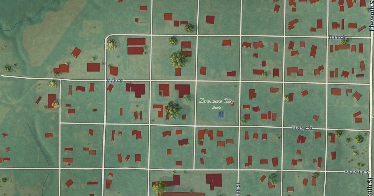
A detailed map of Hammon, Oklahoma, showing every building in its true location, the roads by name, and shaded topographical relief.
Read More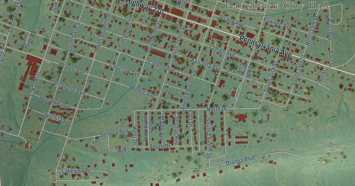
A detailed map of Hartshorne, Oklahoma, showing every building in its true location, the roads by name, and shaded topographical relief.
Read More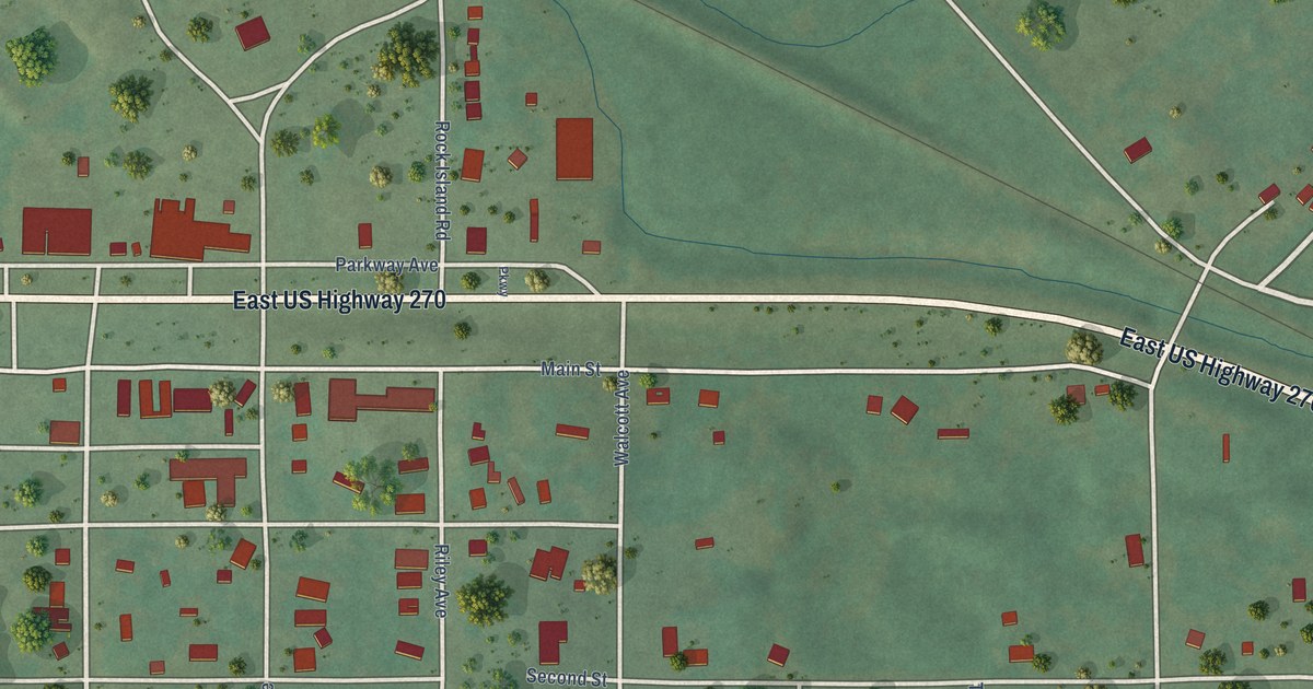
A detailed map of Haileyville, Oklahoma, showing every building in its true location, the roads by name, and shaded topographical relief.
Read More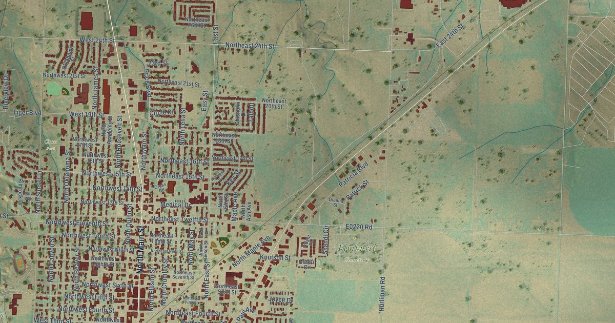
A detailed map of Guymon, Oklahoma, showing every building in its true location, the roads by name, and shaded topographical relief.
Read More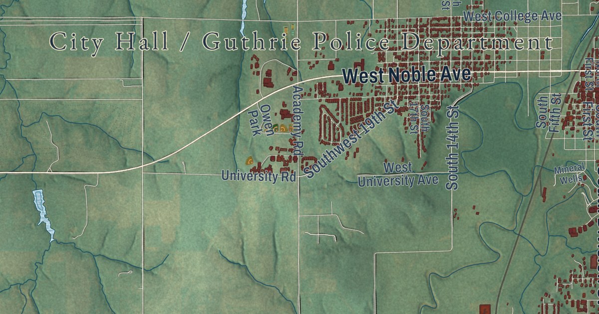
A detailed map of Guthrie, Oklahoma, showing every building in its true location, the roads by name, and shaded topographical relief.
Read More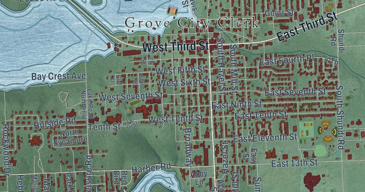
A detailed map of Grove, Oklahoma, showing every building in its true location, the roads by name, and shaded topographical relief.
Read More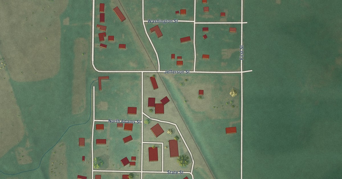
A detailed map of Greenfield, Oklahoma, showing every building in its true location, the roads by name, and shaded topographical relief.
Read More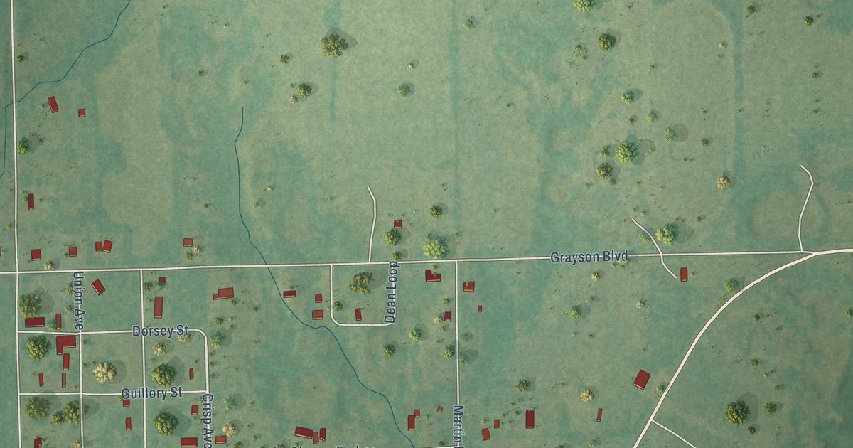
A detailed map of Grayson, Oklahoma, showing every building in its true location, the roads by name, and shaded topographical relief.
Read More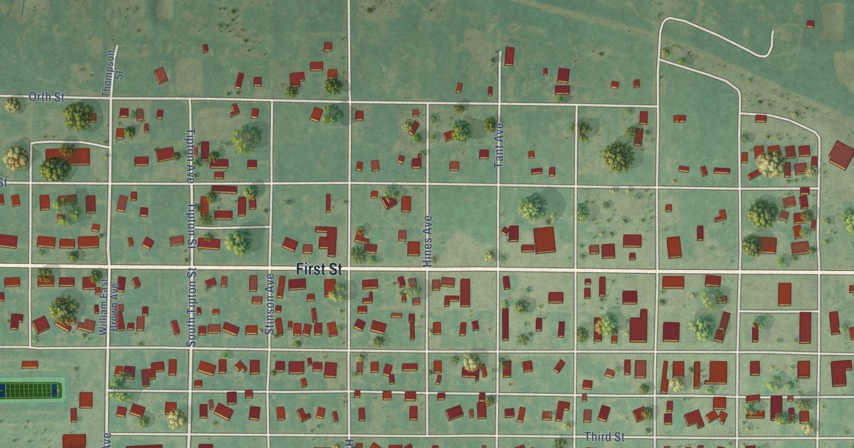
A detailed map of Grandfield, Oklahoma, showing every building in its true location, the roads by name, and shaded topographical relief.
Read More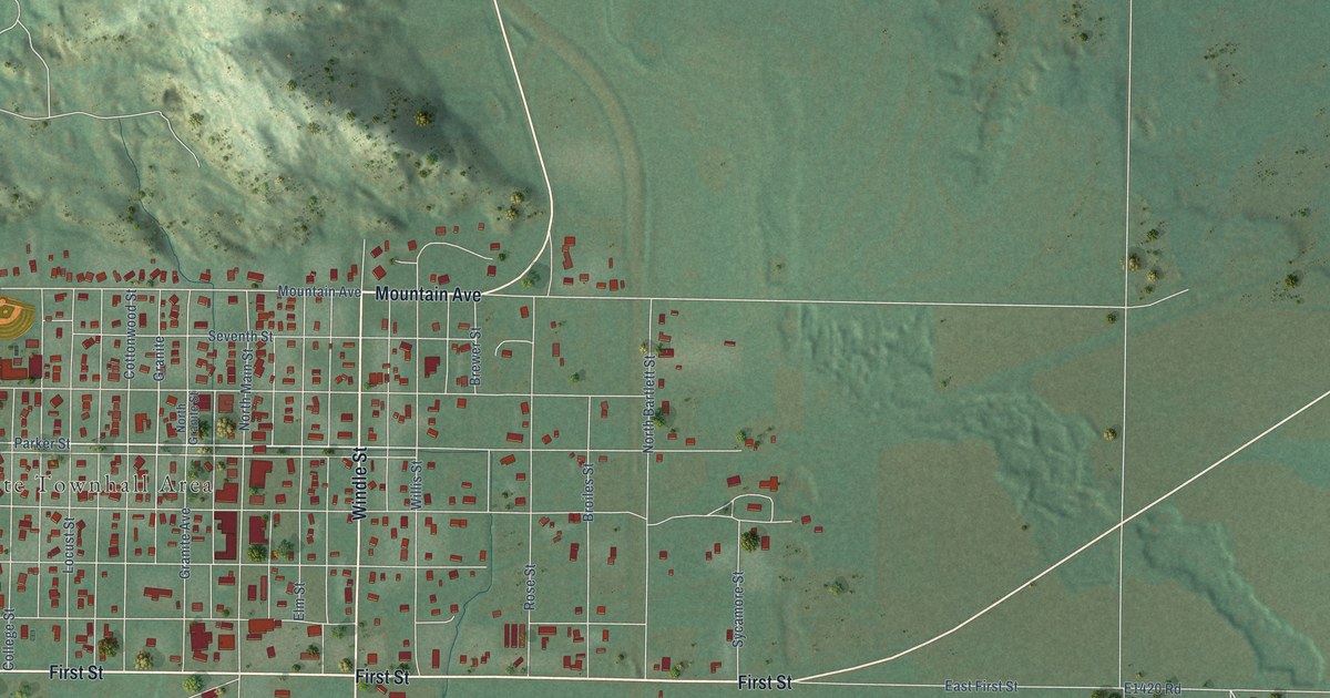
A detailed map of Granite, Oklahoma, showing every building in its true location, the roads by name, and shaded topographical relief.
Read More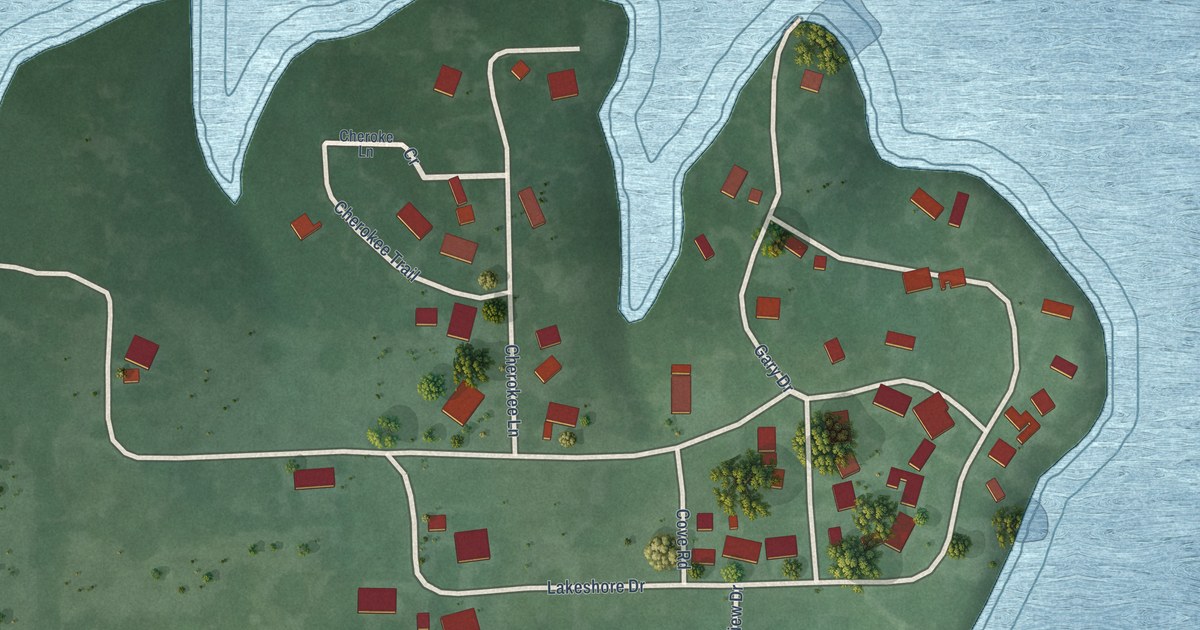
A detailed map of Grand Lake Towne, Oklahoma, showing every building in its true location, the roads by name, and shaded topographical relief.
Read More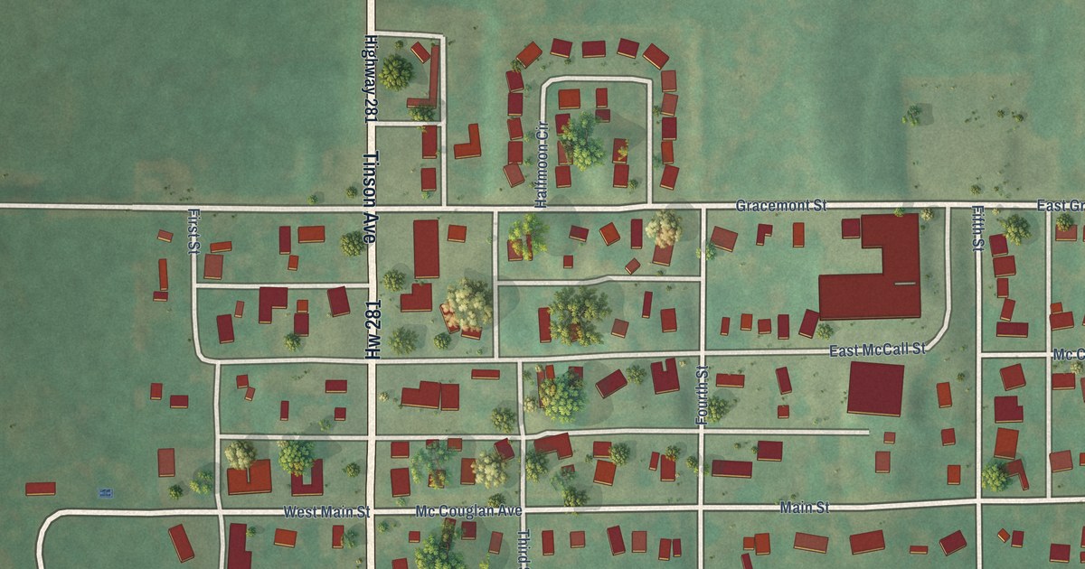
A detailed map of Gracemont, Oklahoma, showing every building in its true location, the roads by name, and shaded topographical relief.
Read More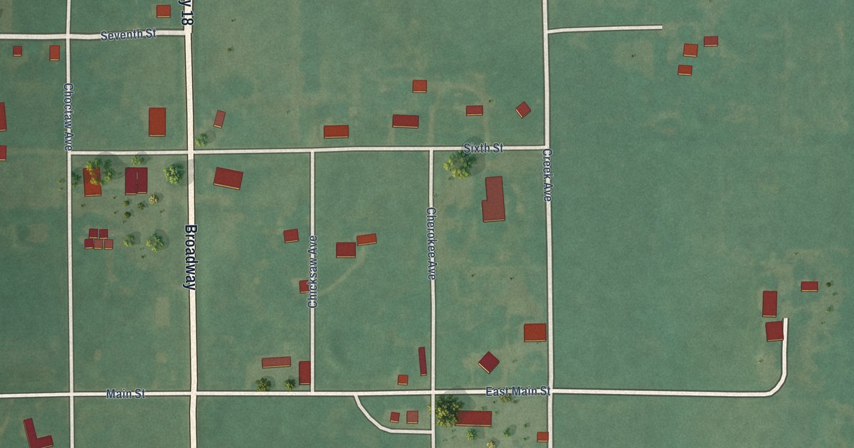
A detailed map of Grainola, Oklahoma, showing every building in its true location, the roads by name, and shaded topographical relief.
Read More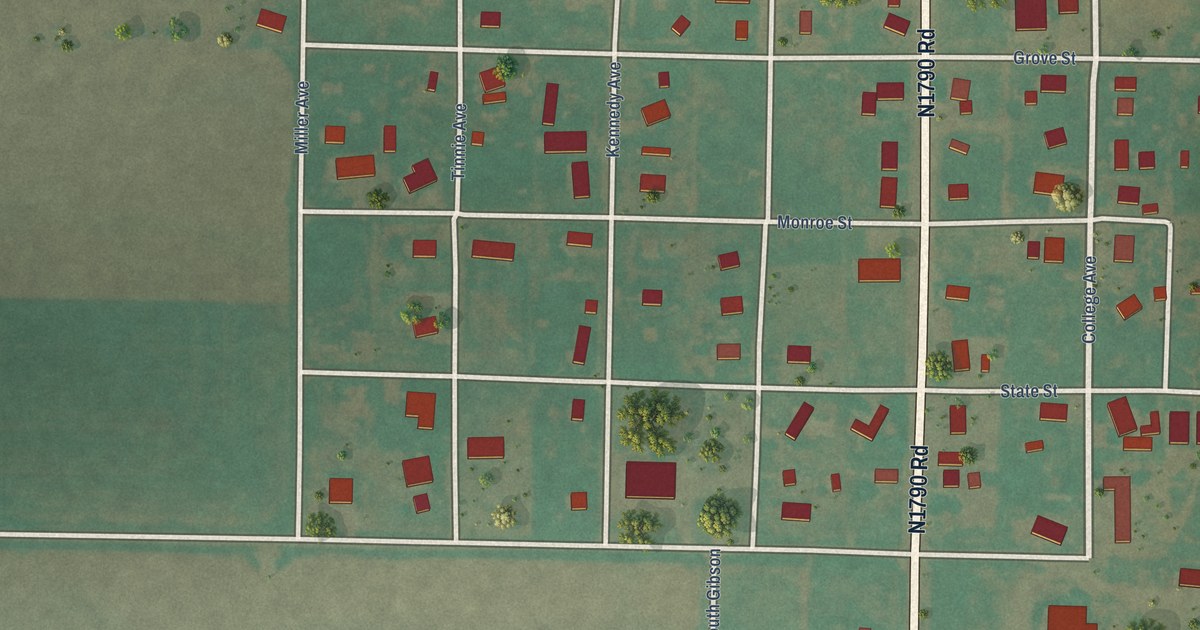
A detailed map of Gould, Oklahoma, showing every building in its true location, the roads by name, and shaded topographical relief.
Read More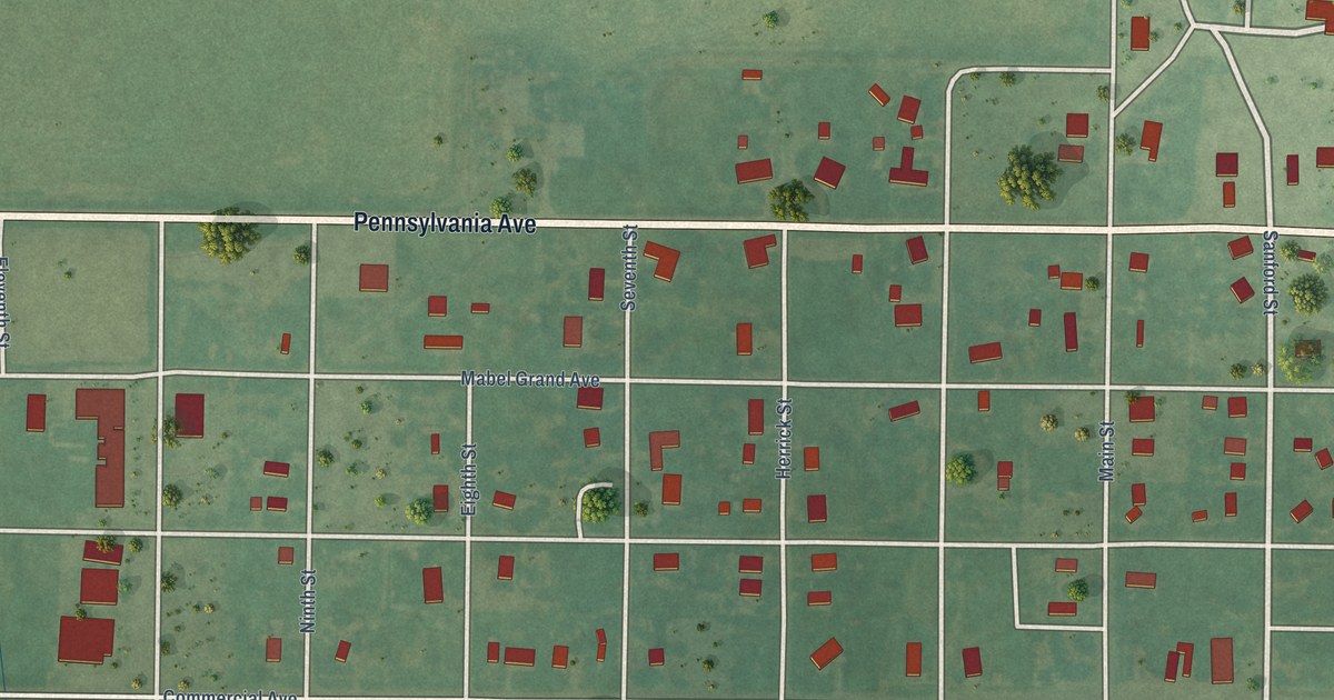
A detailed map of Gotebo, Oklahoma, showing every building in its true location, the roads by name, and shaded topographical relief.
Read More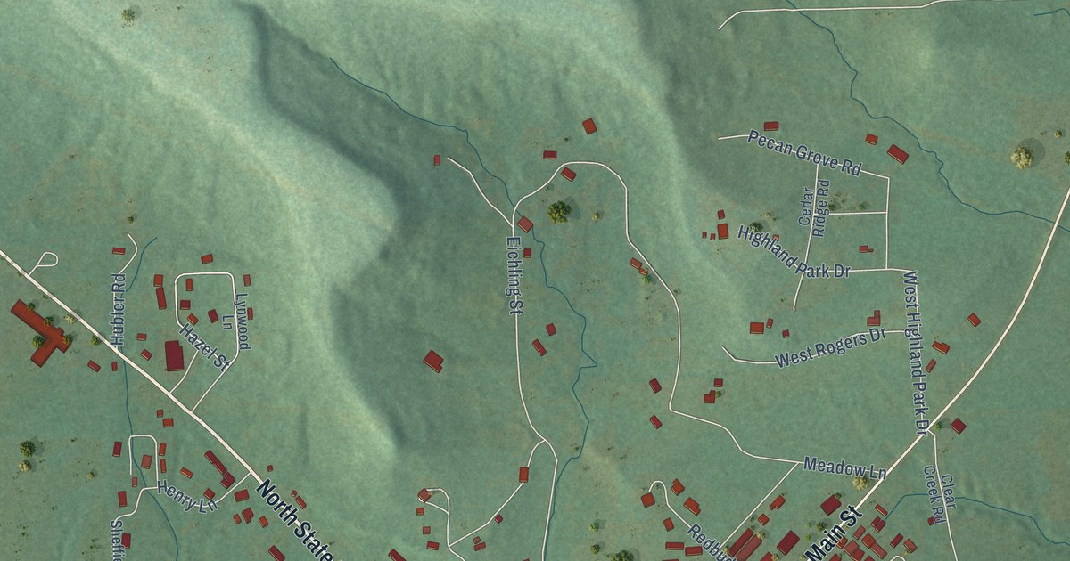
A detailed map of Gore, Oklahoma, showing every building in its true location, the roads by name, and shaded topographical relief.
Read More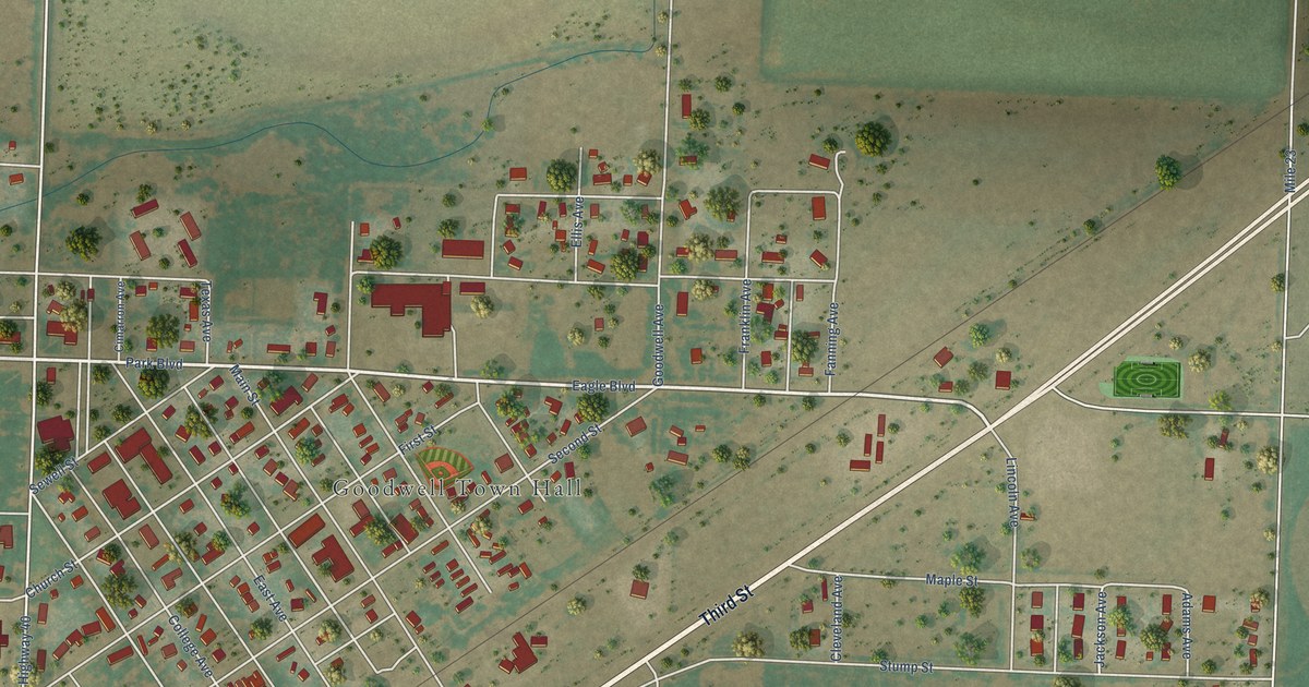
A detailed map of Goodwell, Oklahoma, showing every building in its true location, the roads by name, and shaded topographical relief.
Read More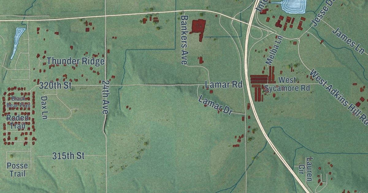
A detailed map of Goldsby, Oklahoma, showing every building in its true location, the roads by name, and shaded topographical relief.
Read More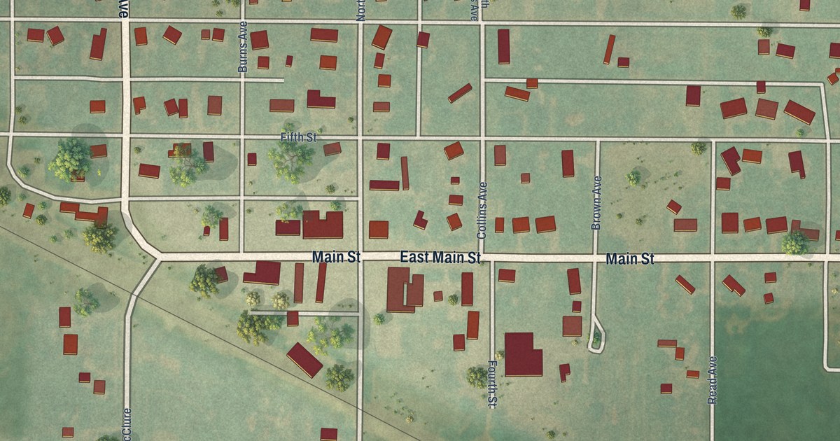
A detailed map of Goltry, Oklahoma, showing every building in its true location, the roads by name, and shaded topographical relief.
Read More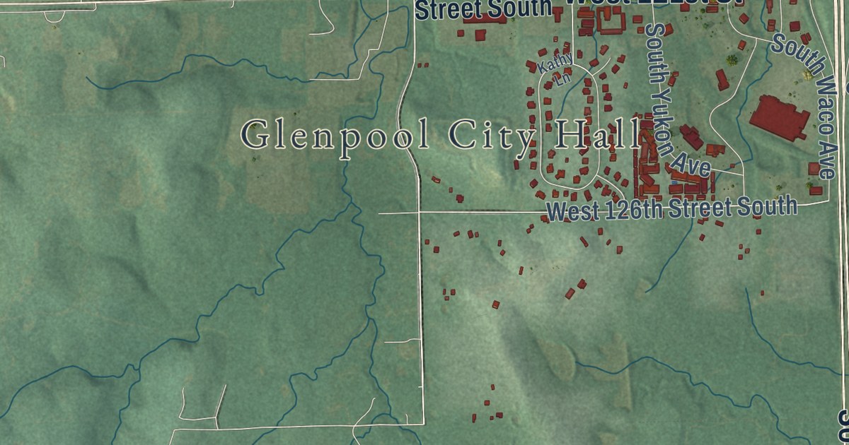
A detailed map of Glenpool, Oklahoma, showing every building in its true location, the roads by name, and shaded topographical relief.
Read More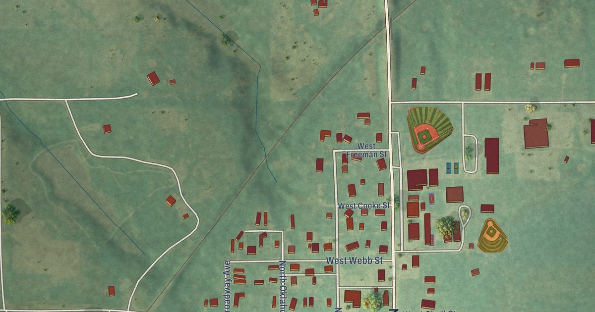
A detailed map of Glencoe, Oklahoma, showing every building in its true location, the roads by name, and shaded topographical relief.
Read More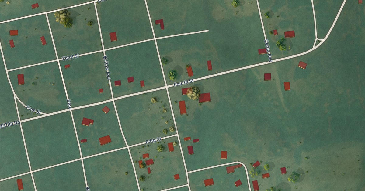
A detailed map of Gerty, Oklahoma, showing every building in its true location, the roads by name, and shaded topographical relief.
Read More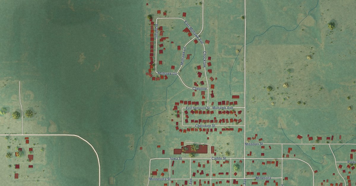
A detailed map of Geronimo, Oklahoma, showing every building in its true location, the roads by name, and shaded topographical relief.
Read More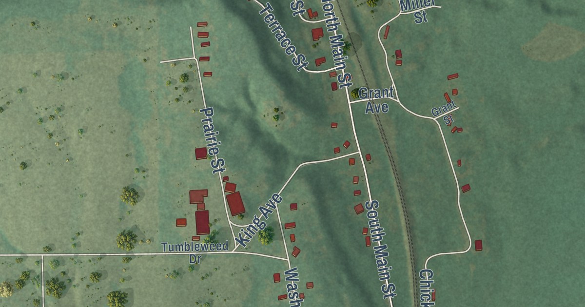
A detailed map of Gene Autry, Oklahoma, showing every building in its true location, the roads by name, and shaded topographical relief.
Read More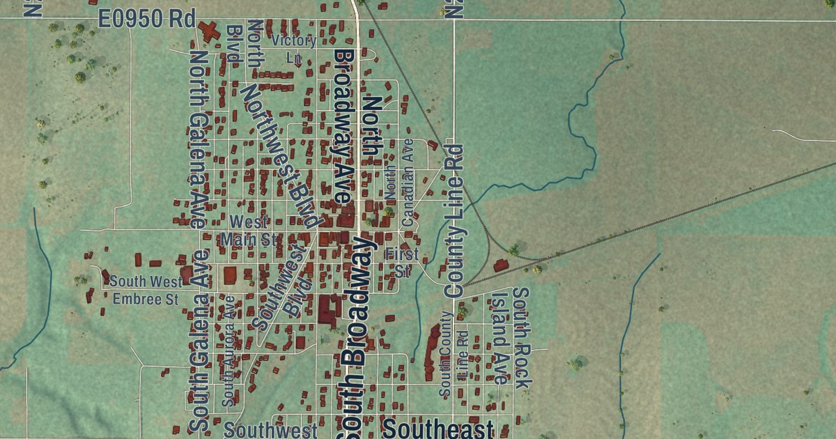
A detailed map of Geary, Oklahoma, showing every building in its true location, the roads by name, and shaded topographical relief.
Read More















