Detailed Map of Locust Grove, Oklahoma
A detailed map of Locust Grove, Oklahoma, showing every building in its true location, the roads by name, and shaded topographical relief.
Read More
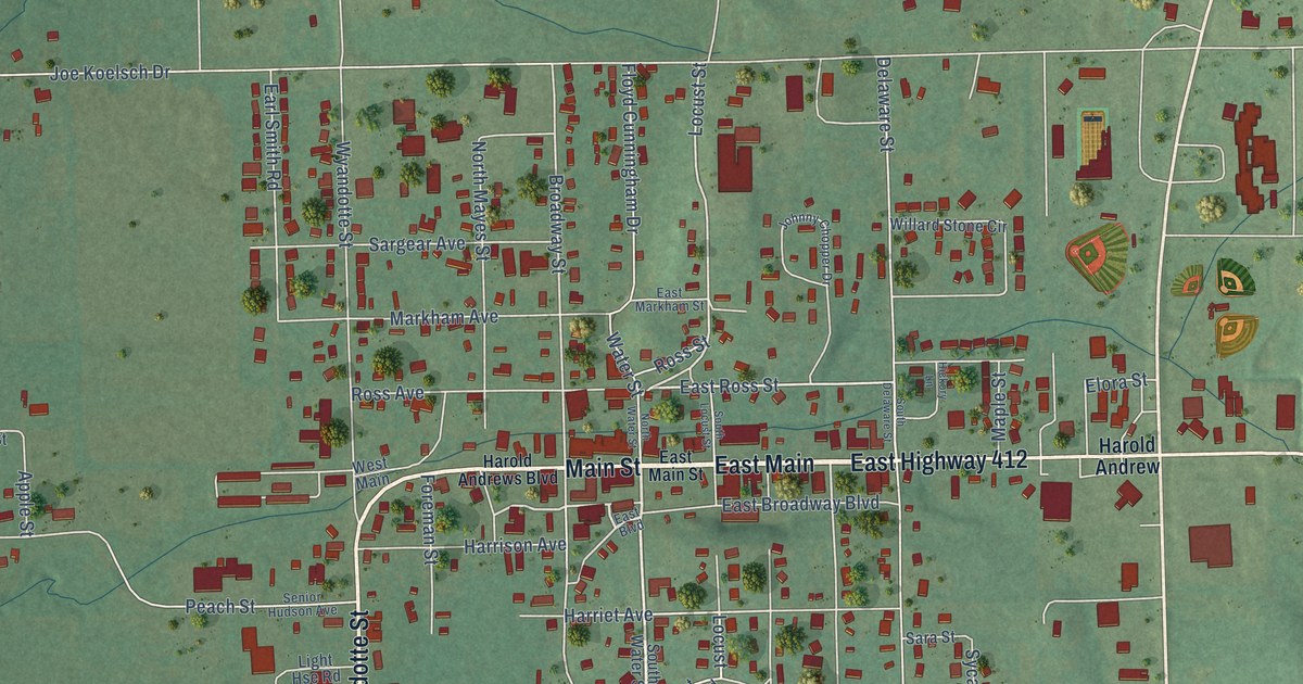
A detailed map of Locust Grove, Oklahoma, showing every building in its true location, the roads by name, and shaded topographical relief.
Read More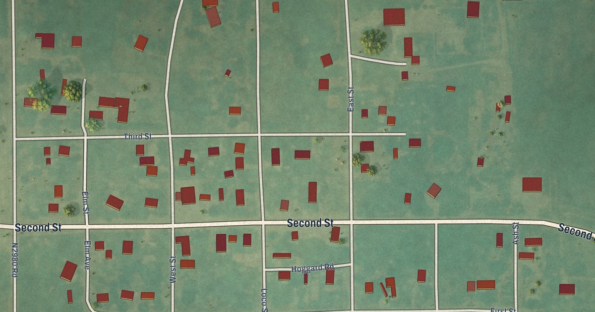
A detailed map of Loco, Oklahoma, showing every building in its true location, the roads by name, and shaded topographical relief.
Read More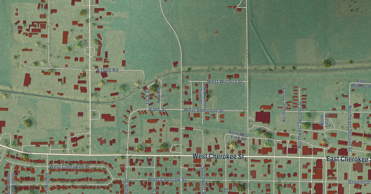
A detailed map of Lindsay, Oklahoma, showing every building in its true location, the roads by name, and shaded topographical relief.
Read More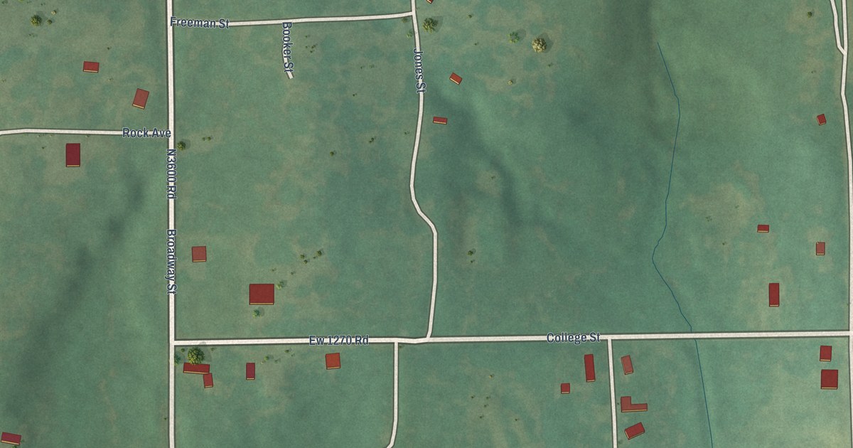
A detailed map of Lima, Oklahoma, showing every building in its true location, the roads by name, and shaded topographical relief.
Read More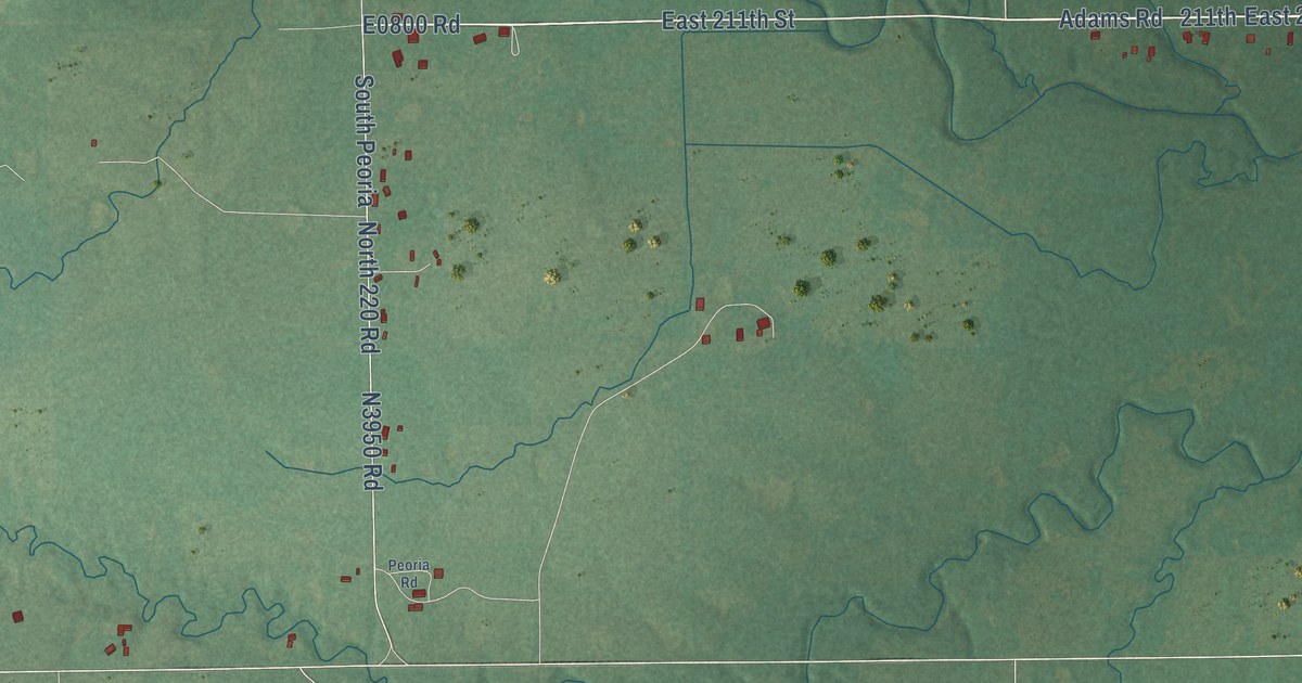
A detailed map of Liberty, Oklahoma, showing every building in its true location, the roads by name, and shaded topographical relief.
Read More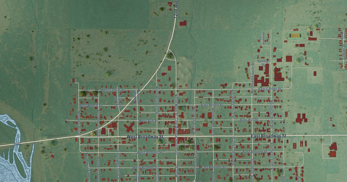
A detailed map of Lexington, Oklahoma, showing every building in its true location, the roads by name, and shaded topographical relief.
Read More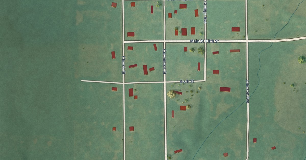
A detailed map of Leon, Oklahoma, showing every building in its true location, the roads by name, and shaded topographical relief.
Read More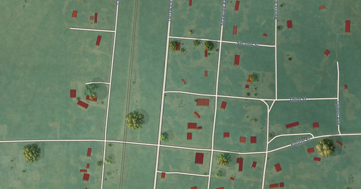
A detailed map of Lenapah, Oklahoma, showing every building in its true location, the roads by name, and shaded topographical relief.
Read More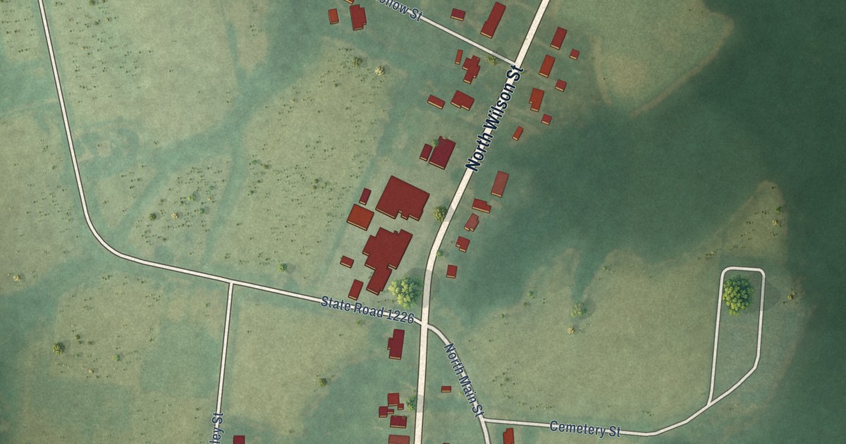
A detailed map of Walstonburg, North Carolina, showing every building in its true location, the roads by name, and shaded topographical relief.
Read More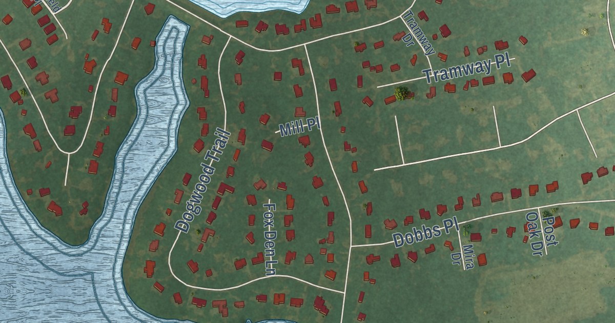
A detailed map of Walnut Creek, North Carolina, showing every building in its true location, the roads by name, and shaded topographical relief.
Read More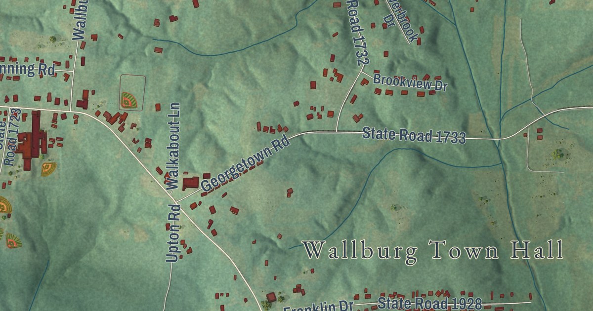
A detailed map of Wallburg, North Carolina, showing every building in its true location, the roads by name, and shaded topographical relief.
Read More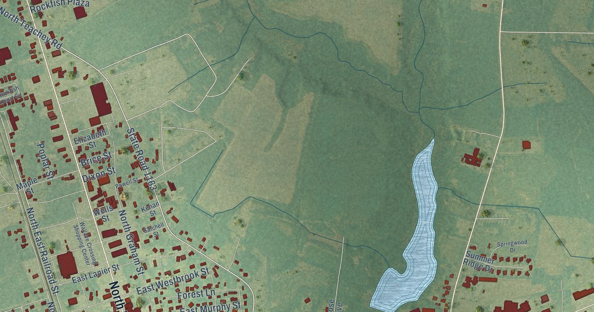
A detailed map of Wallace, North Carolina, showing every building in its true location, the roads by name, and shaded topographical relief.
Read More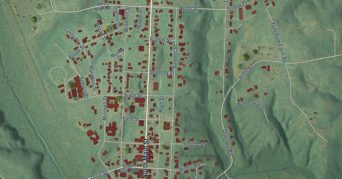
A detailed map of Walnut Cove, North Carolina, showing every building in its true location, the roads by name, and shaded topographical relief.
Read More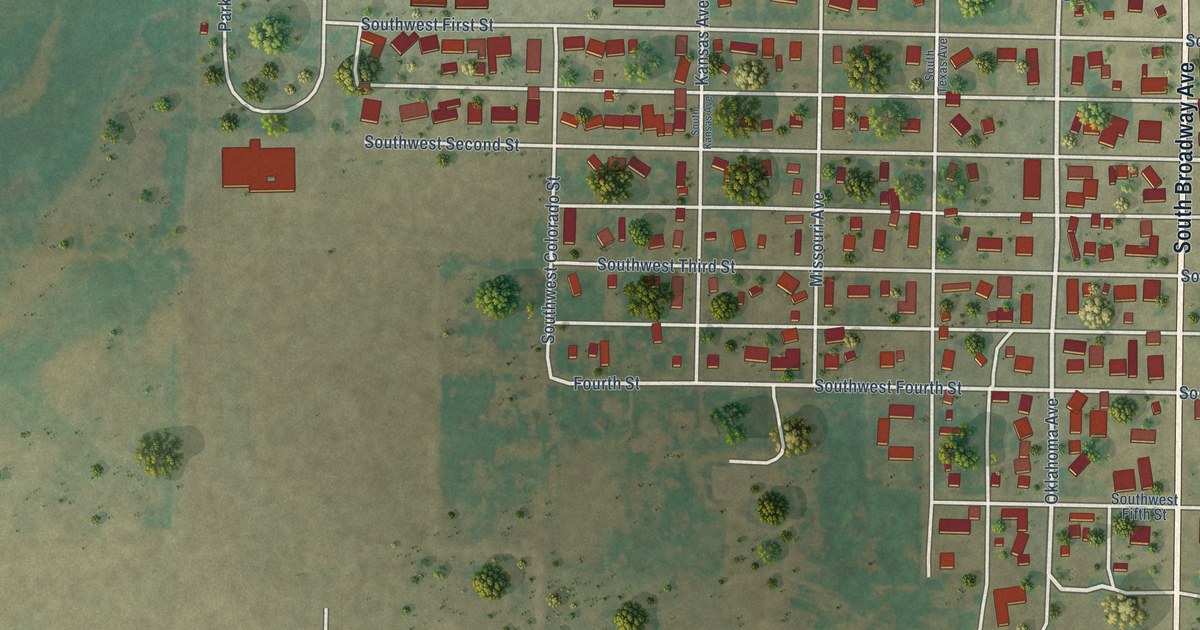
A detailed map of Laverne, Oklahoma, showing every building in its true location, the roads by name, and shaded topographical relief.
Read More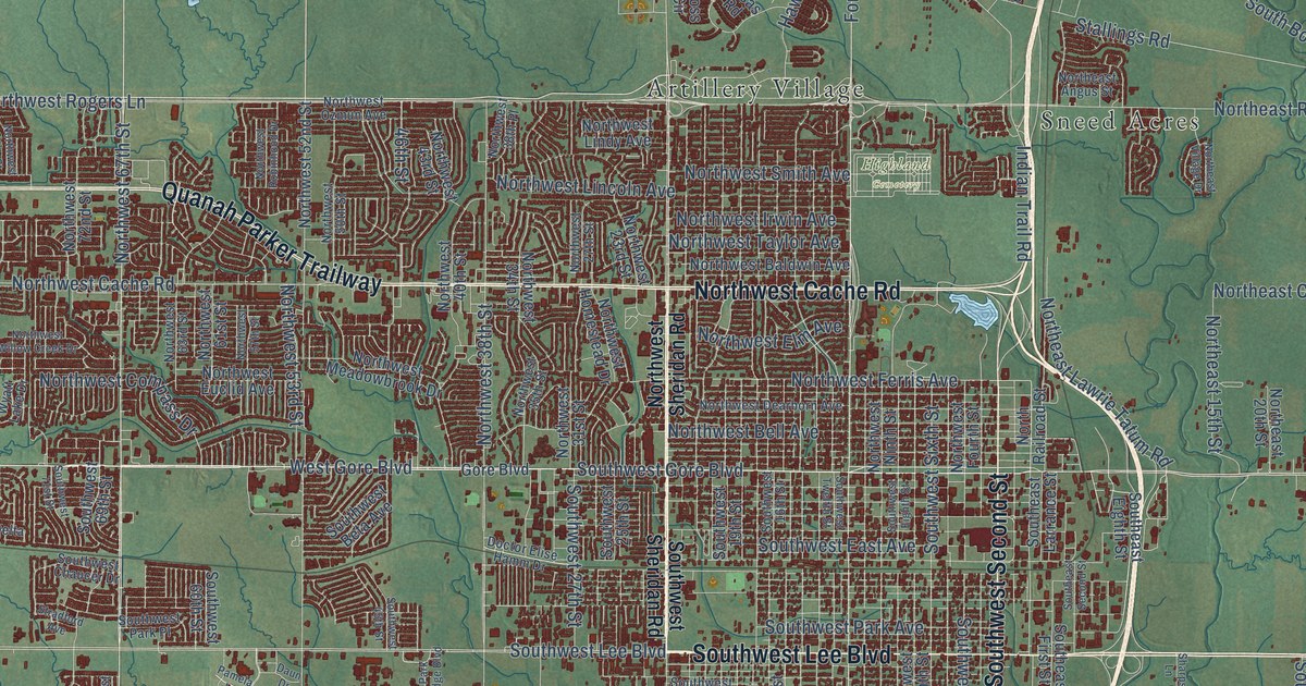
A detailed map of Lawton, Oklahoma, showing every building in its true location, the roads by name, and shaded topographical relief.
Read More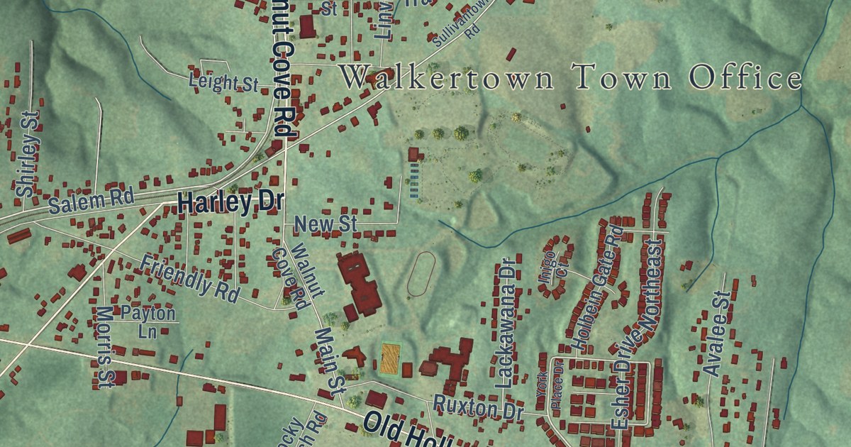
A detailed map of Walkertown, North Carolina, showing every building in its true location, the roads by name, and shaded topographical relief.
Read More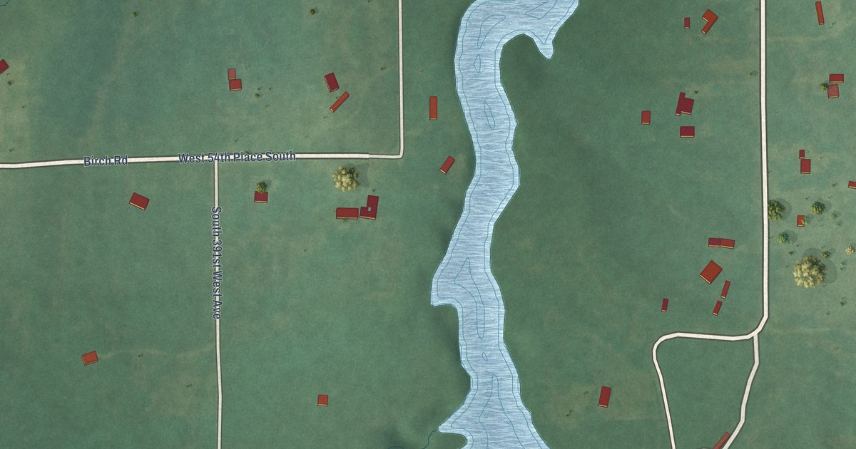
A detailed map of Lawrence Creek, Oklahoma, showing every building in its true location, the roads by name, and shaded topographical relief.
Read More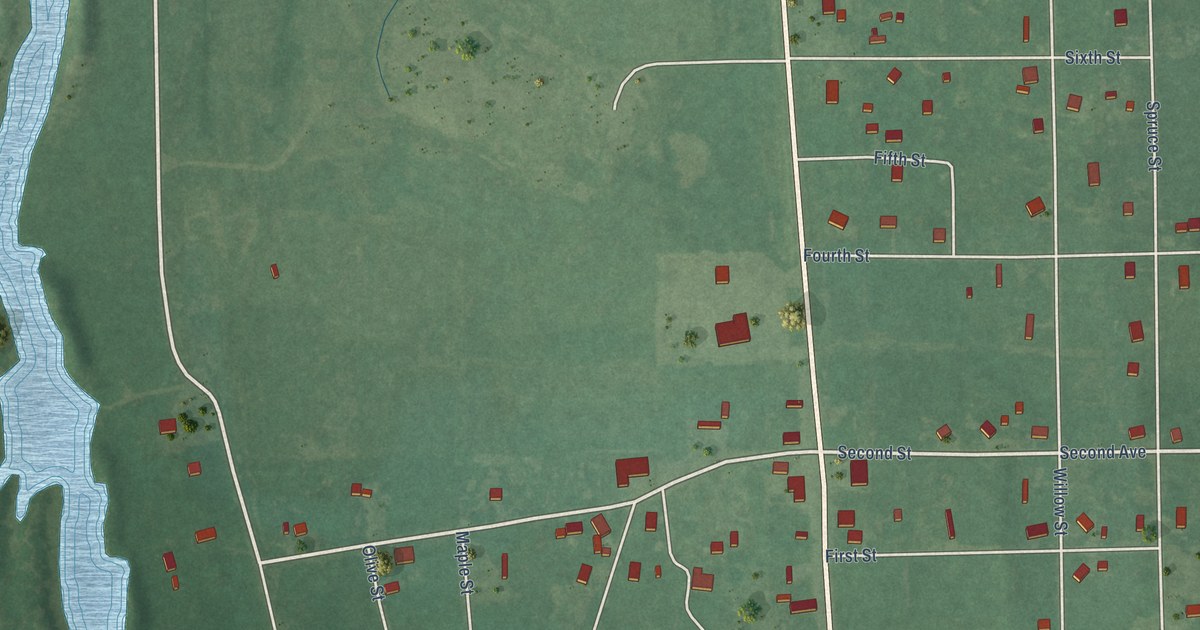
A detailed map of Lehigh, Oklahoma, showing every building in its true location, the roads by name, and shaded topographical relief.
Read More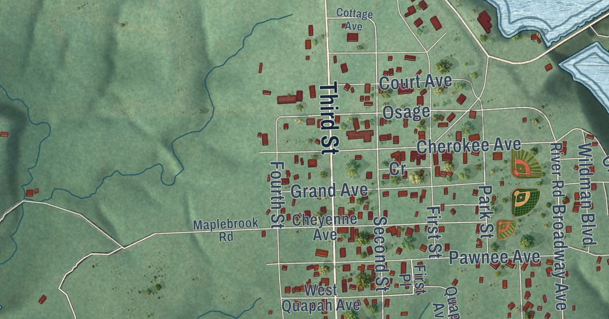
A detailed map of Langley, Oklahoma, showing every building in its true location, the roads by name, and shaded topographical relief.
Read More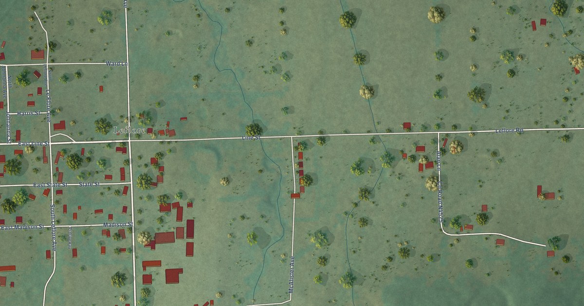
A detailed map of Le Flore, Oklahoma, showing every building in its true location, the roads by name, and shaded topographical relief.
Read More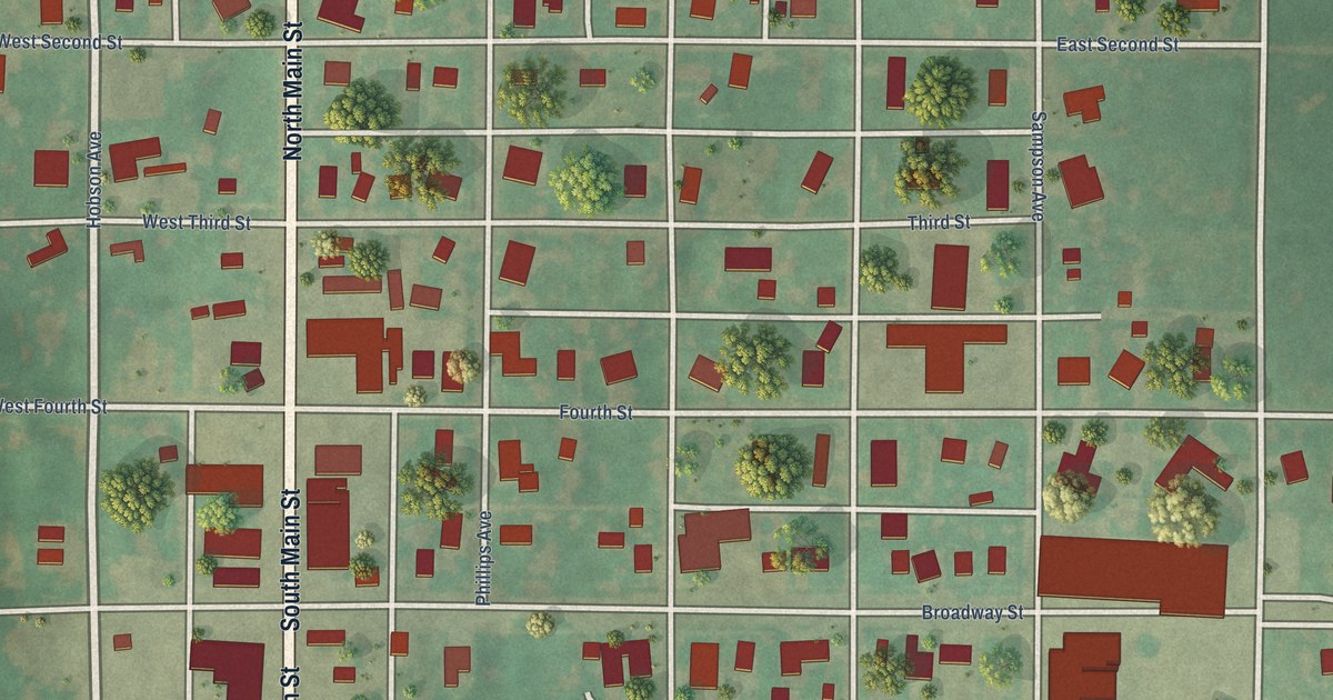
A detailed map of Leedey, Oklahoma, showing every building in its true location, the roads by name, and shaded topographical relief.
Read More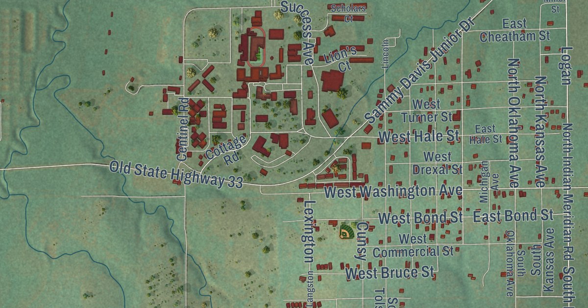
A detailed map of Langston, Oklahoma, showing every building in its true location, the roads by name, and shaded topographical relief.
Read More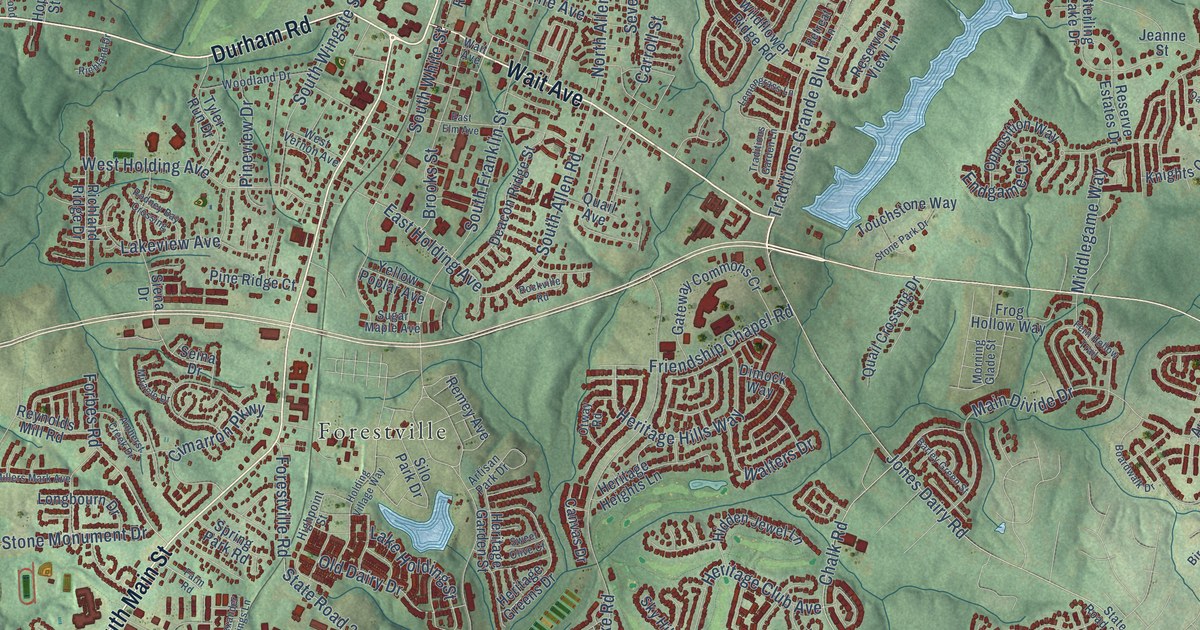
A detailed map of Wake Forest, North Carolina, showing every building in its true location, the roads by name, and shaded topographical relief.
Read More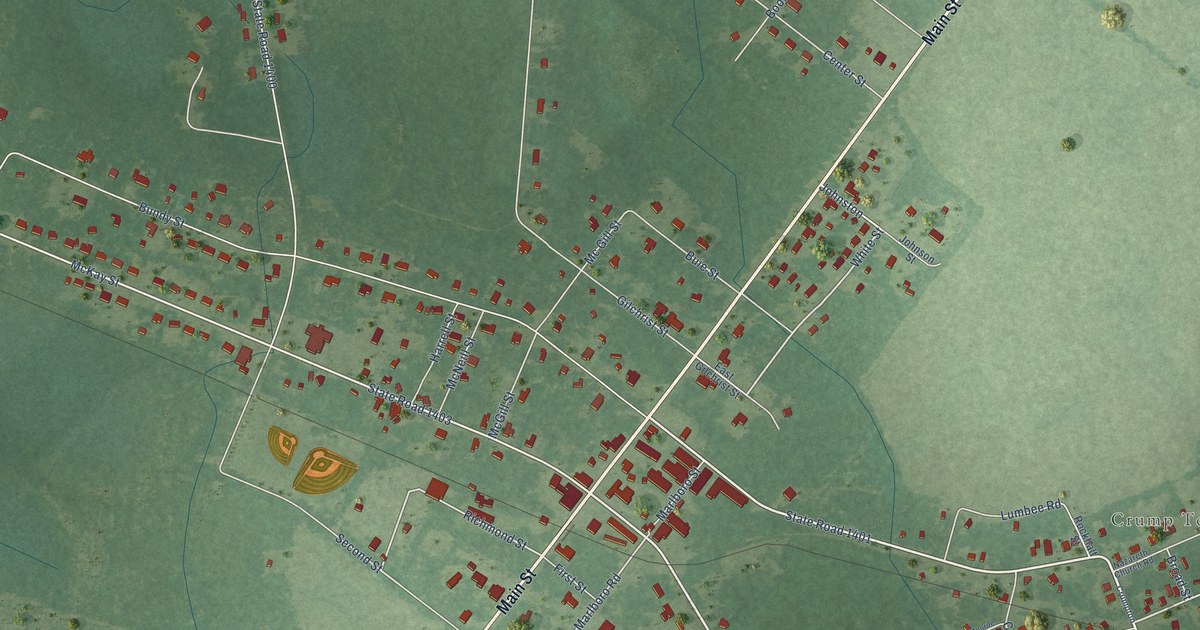
A detailed map of Wagram, North Carolina, showing every building in its true location, the roads by name, and shaded topographical relief.
Read More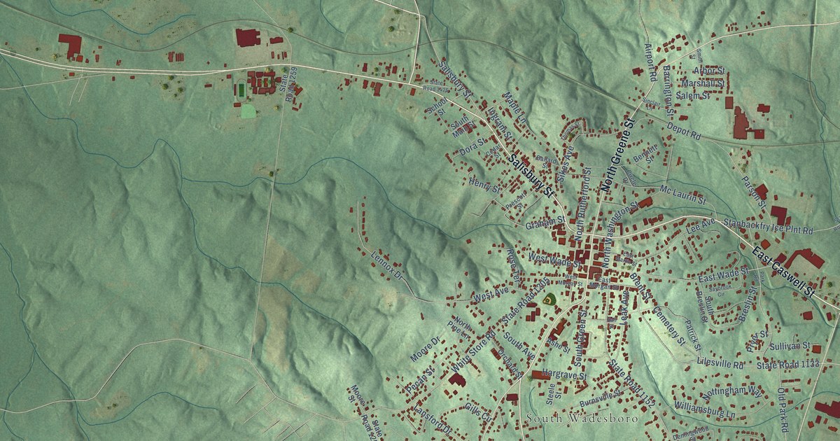
A detailed map of Wadesboro, North Carolina, showing every building in its true location, the roads by name, and shaded topographical relief.
Read More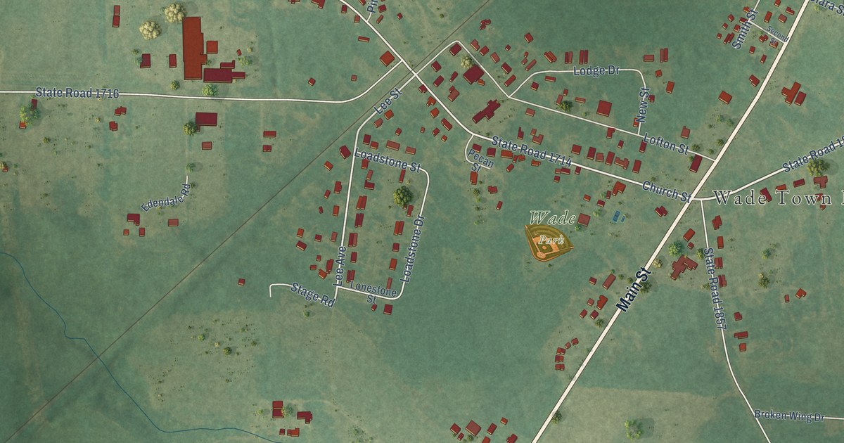
A detailed map of Wade, North Carolina, showing every building in its true location, the roads by name, and shaded topographical relief.
Read More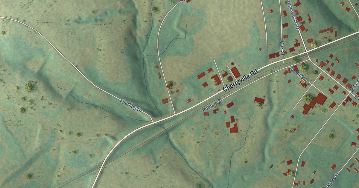
A detailed map of Waco, North Carolina, showing every building in its true location, the roads by name, and shaded topographical relief.
Read More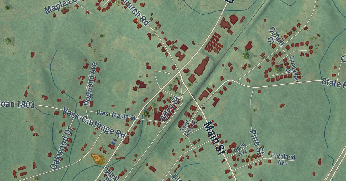
A detailed map of Vass, North Carolina, showing every building in its true location, the roads by name, and shaded topographical relief.
Read More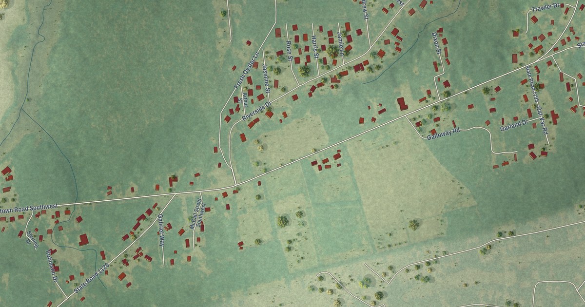
A detailed map of Varnamtown, North Carolina, showing every building in its true location, the roads by name, and shaded topographical relief.
Read More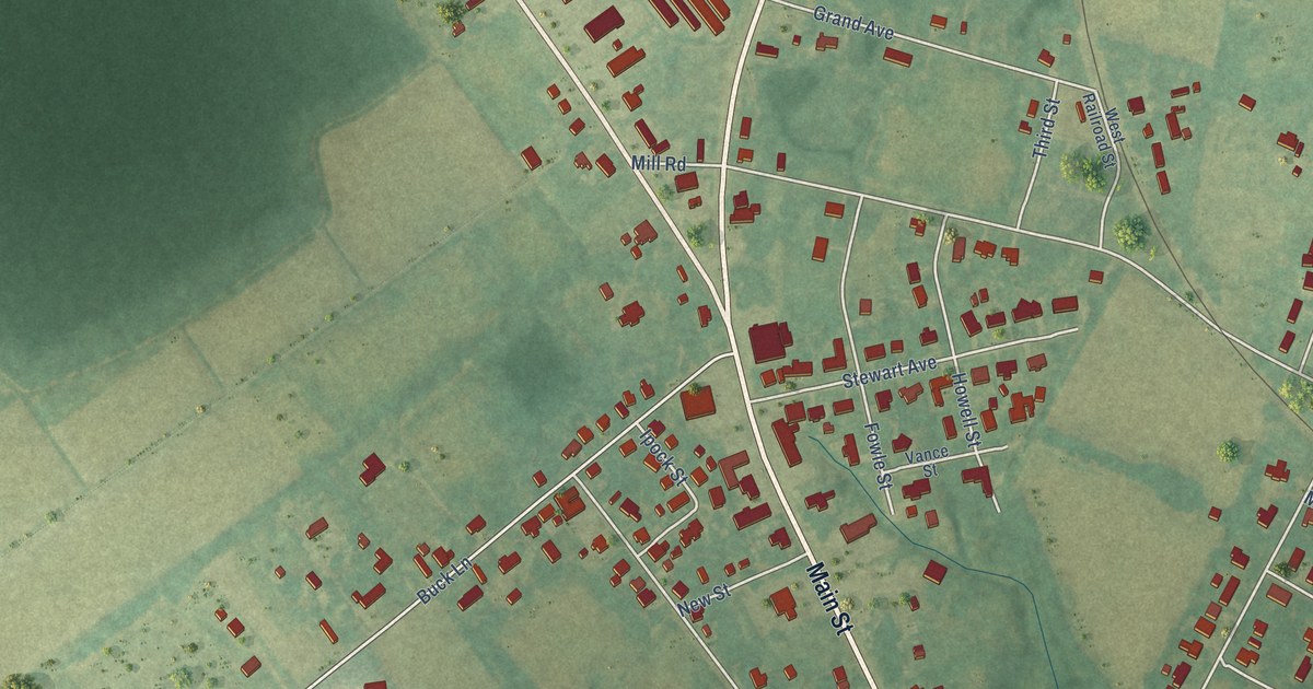
A detailed map of Vanceboro, North Carolina, showing every building in its true location, the roads by name, and shaded topographical relief.
Read More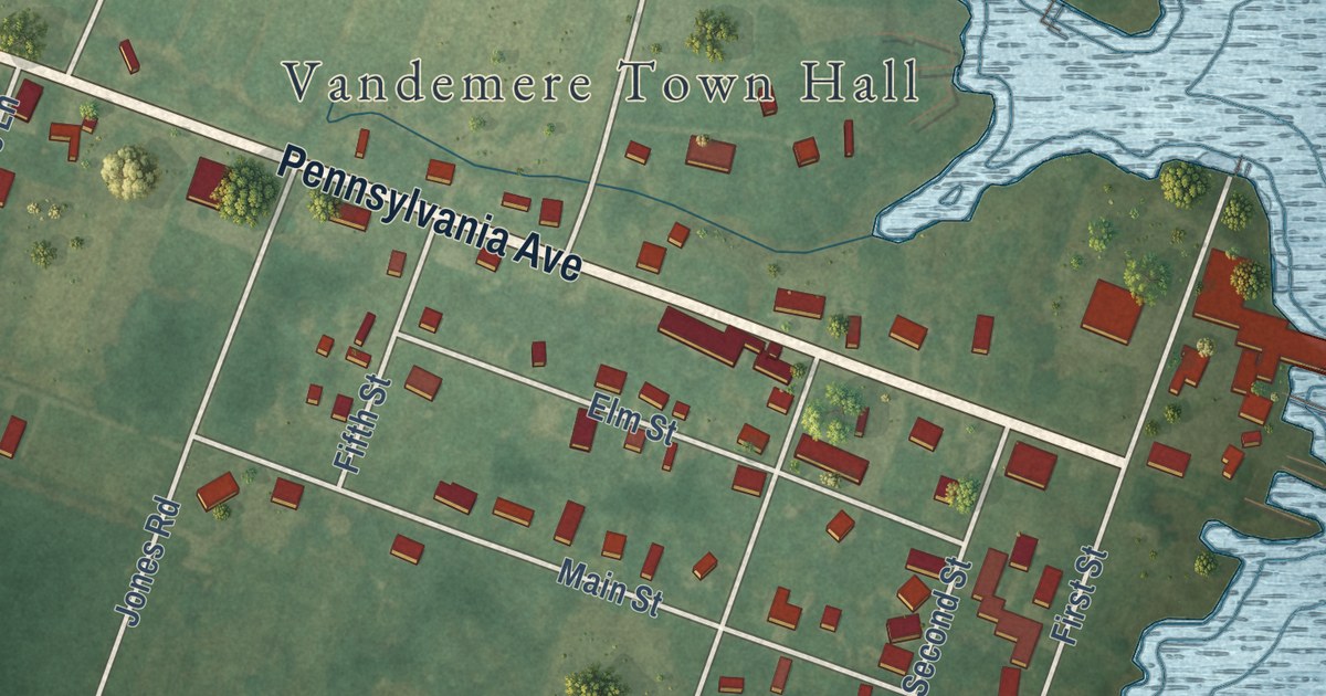
A detailed map of Vandemere, North Carolina, showing every building in its true location, the roads by name, and shaded topographical relief.
Read More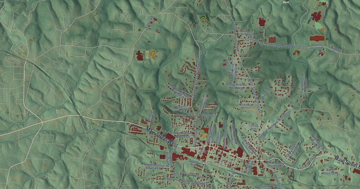
A detailed map of Valdese, North Carolina, showing every building in its true location, the roads by name, and shaded topographical relief.
Read More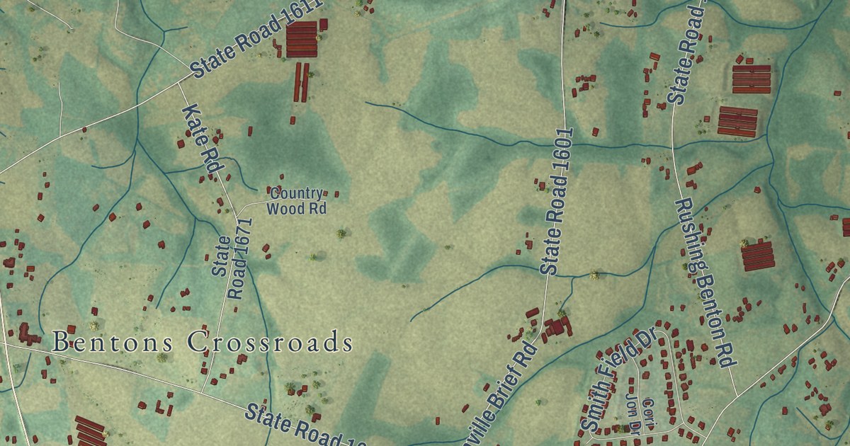
A detailed map of Unionville, North Carolina, showing every building in its true location, the roads by name, and shaded topographical relief.
Read More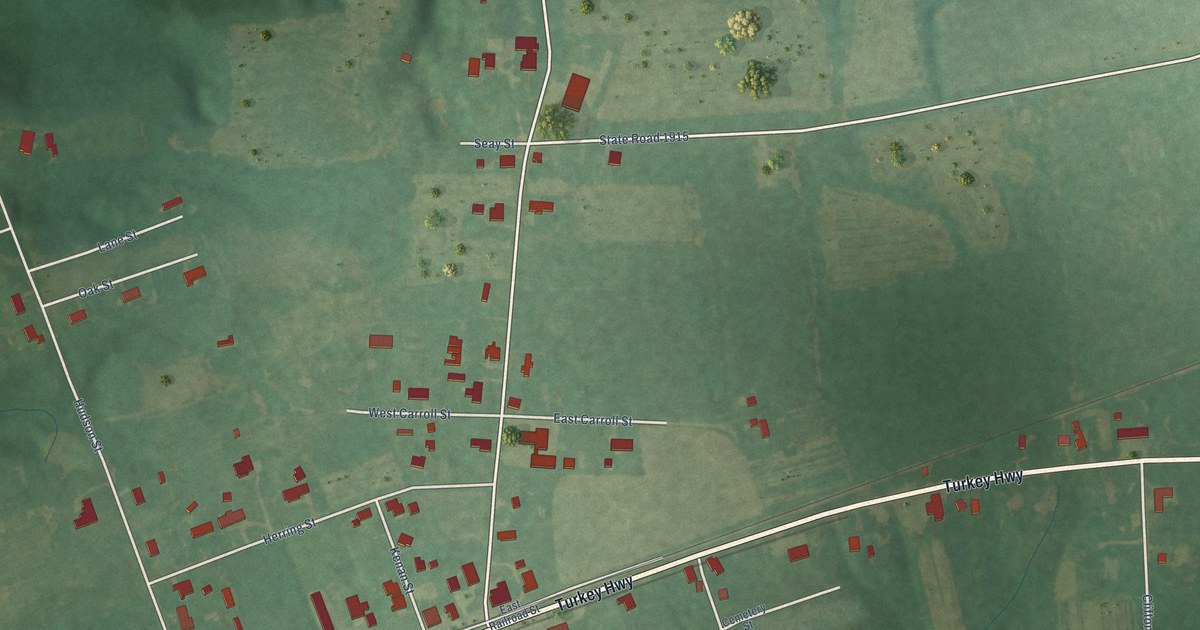
A detailed map of Turkey, North Carolina, showing every building in its true location, the roads by name, and shaded topographical relief.
Read More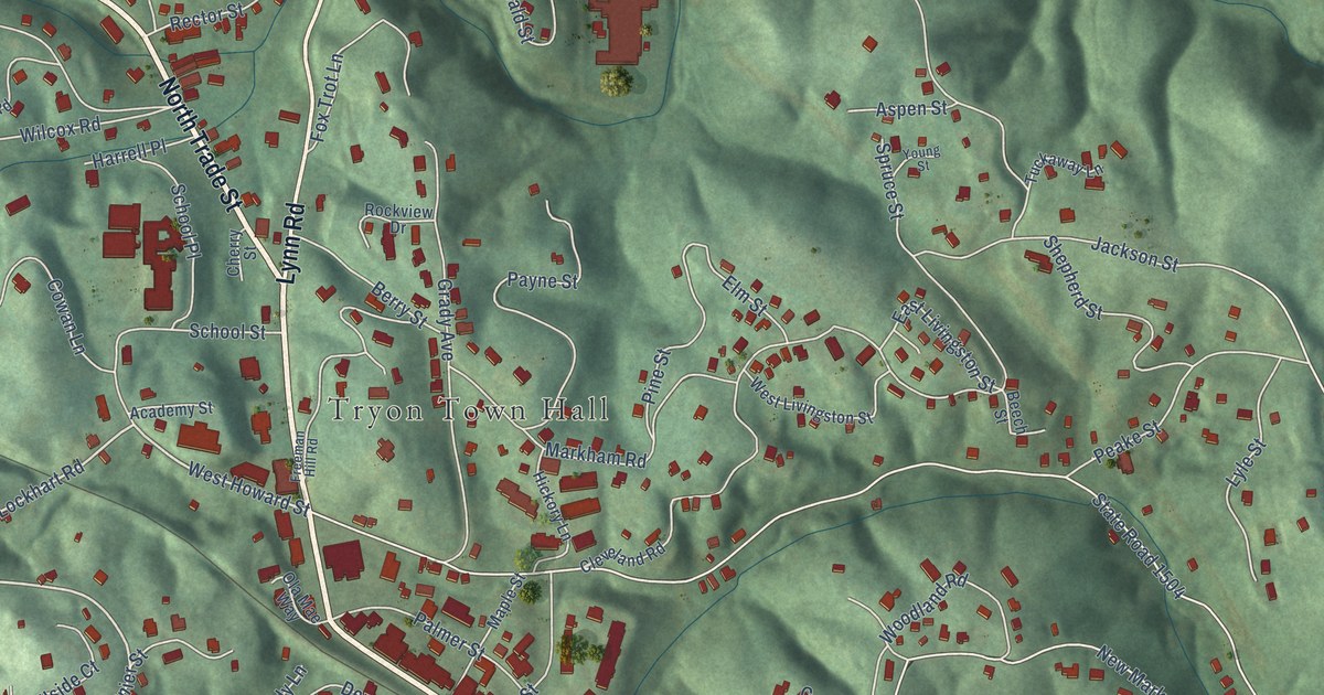
A detailed map of Tryon, North Carolina, showing every building in its true location, the roads by name, and shaded topographical relief.
Read More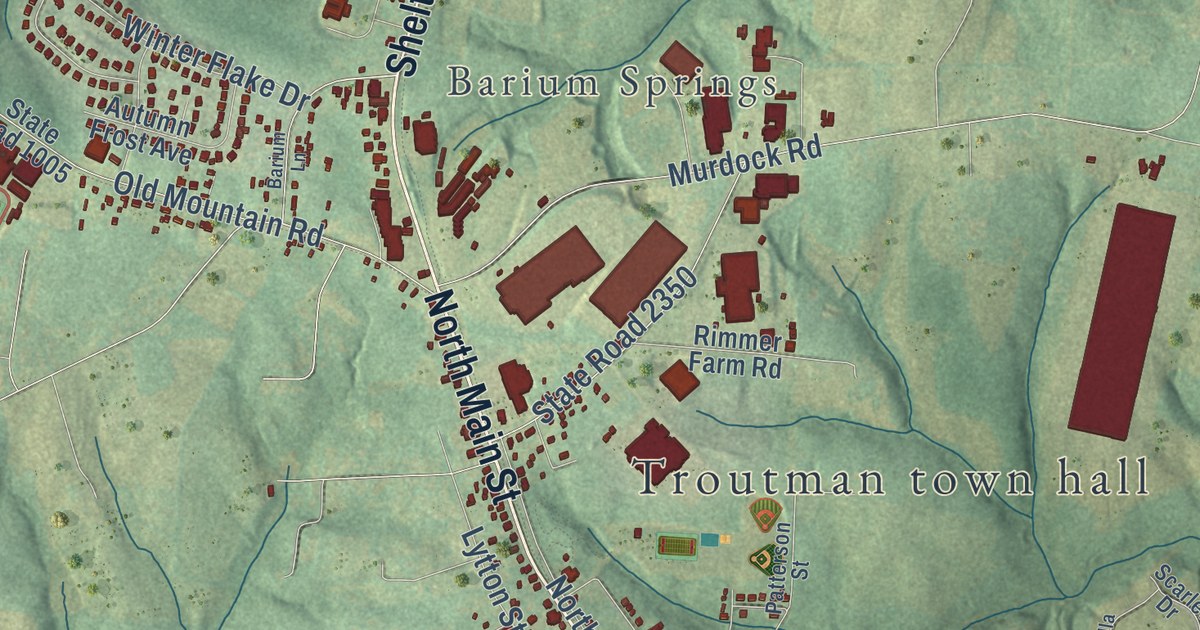
A detailed map of Troutman, North Carolina, showing every building in its true location, the roads by name, and shaded topographical relief.
Read More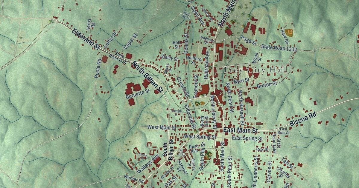
A detailed map of Troy, North Carolina, showing every building in its true location, the roads by name, and shaded topographical relief.
Read More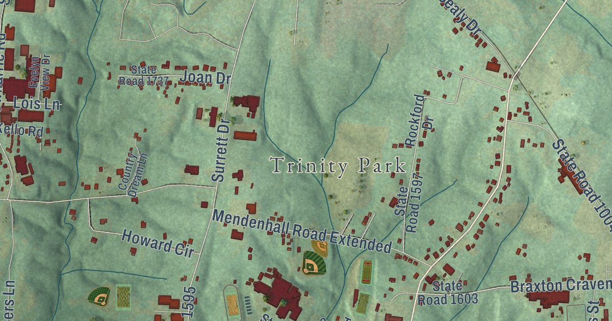
A detailed map of Trinity, North Carolina, showing every building in its true location, the roads by name, and shaded topographical relief.
Read More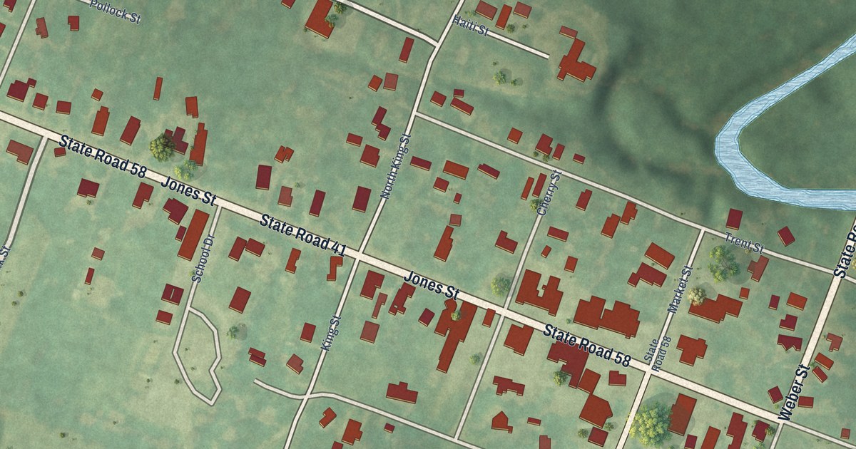
A detailed map of Trenton, North Carolina, showing every building in its true location, the roads by name, and shaded topographical relief.
Read More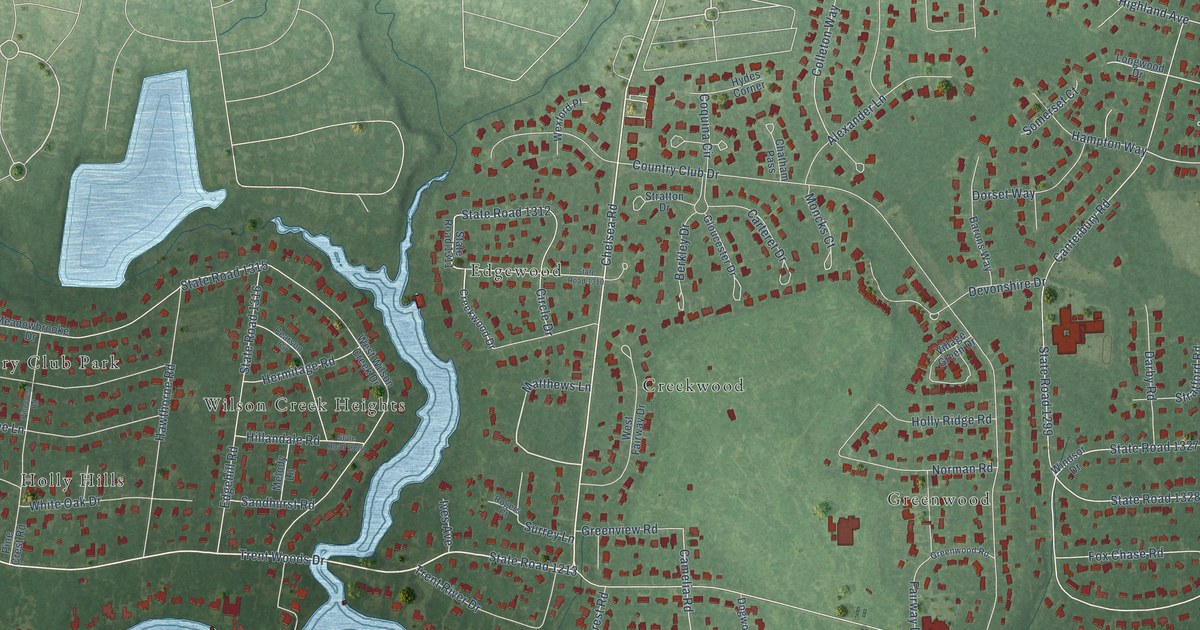
A detailed map of Trent Woods, North Carolina, showing every building in its true location, the roads by name, and shaded topographical relief.
Read More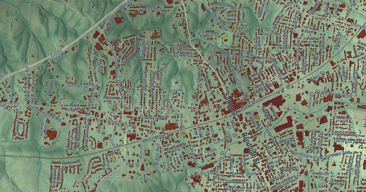
A detailed map of Thomasville, North Carolina, showing every building in its true location, the roads by name, and shaded topographical relief.
Read More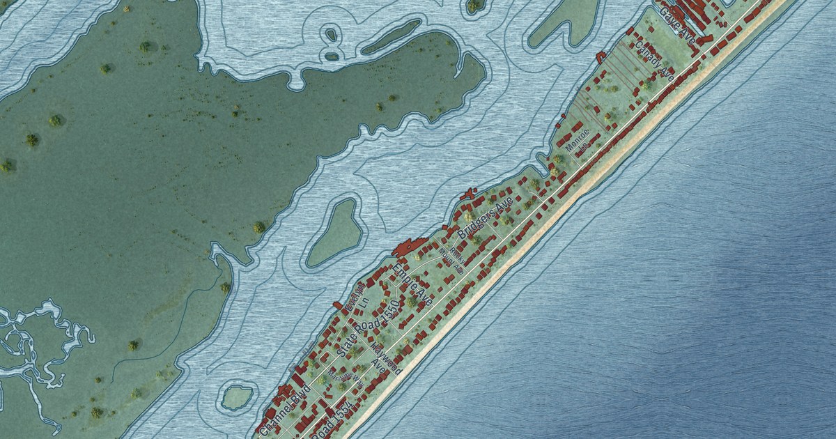
A detailed map of Topsail Beach, North Carolina, showing every building in its true location, the roads by name, and shaded topographical relief.
Read More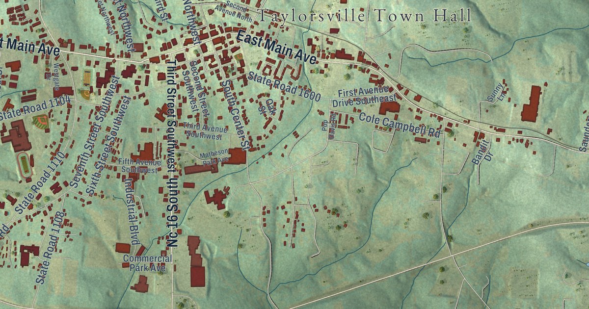
A detailed map of Taylorsville, North Carolina, showing every building in its true location, the roads by name, and shaded topographical relief.
Read More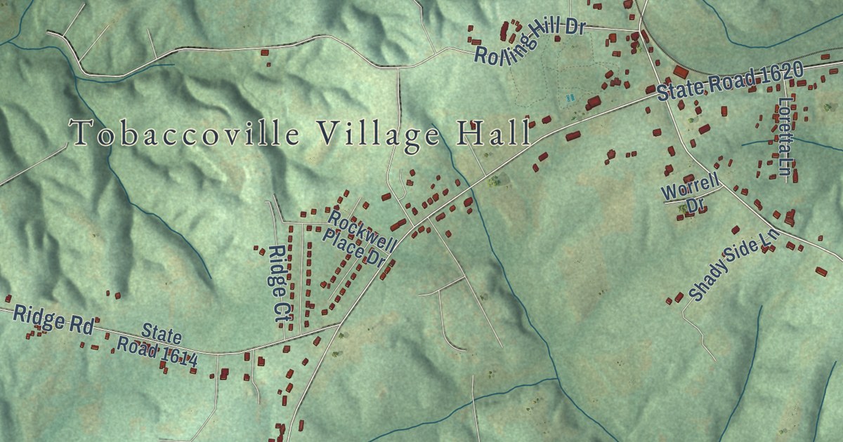
A detailed map of Tobaccoville, North Carolina, showing every building in its true location, the roads by name, and shaded topographical relief.
Read More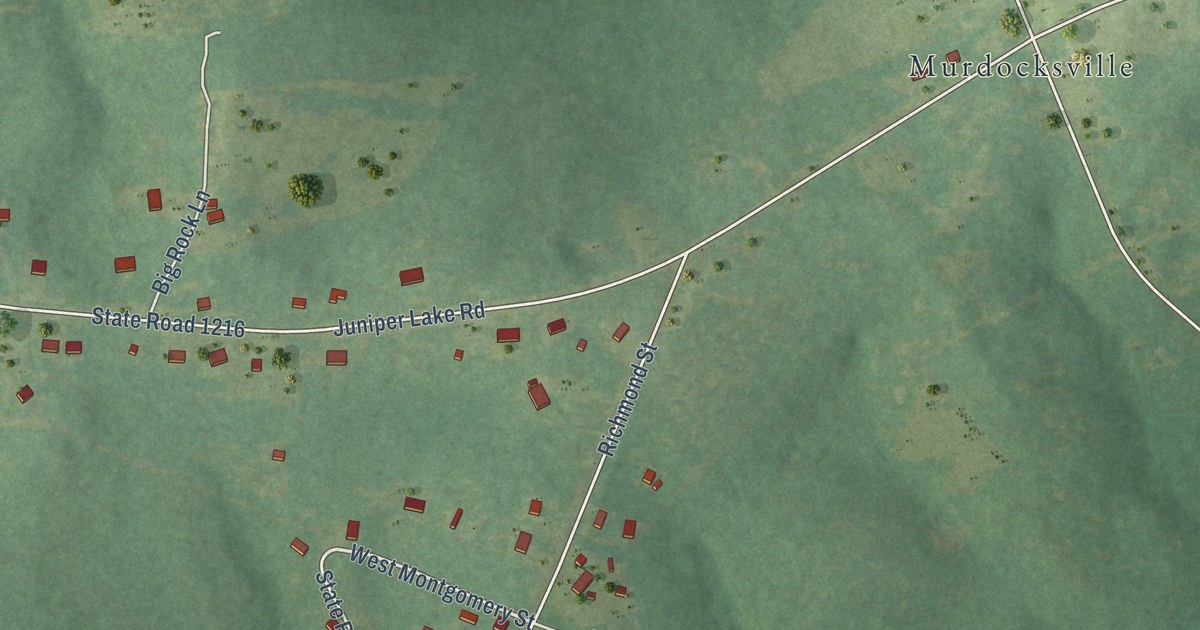
A detailed map of Taylortown, North Carolina, showing every building in its true location, the roads by name, and shaded topographical relief.
Read More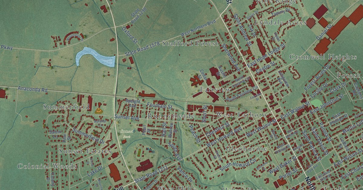
A detailed map of Tarboro, North Carolina, showing every building in its true location, the roads by name, and shaded topographical relief.
Read More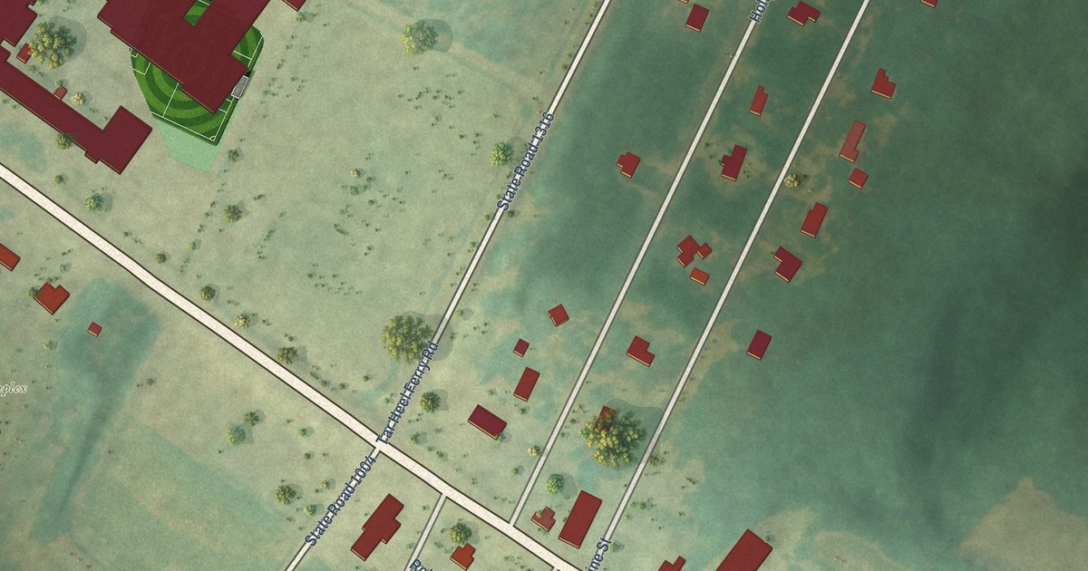
A detailed map of Tar Heel, North Carolina, showing every building in its true location, the roads by name, and shaded topographical relief.
Read More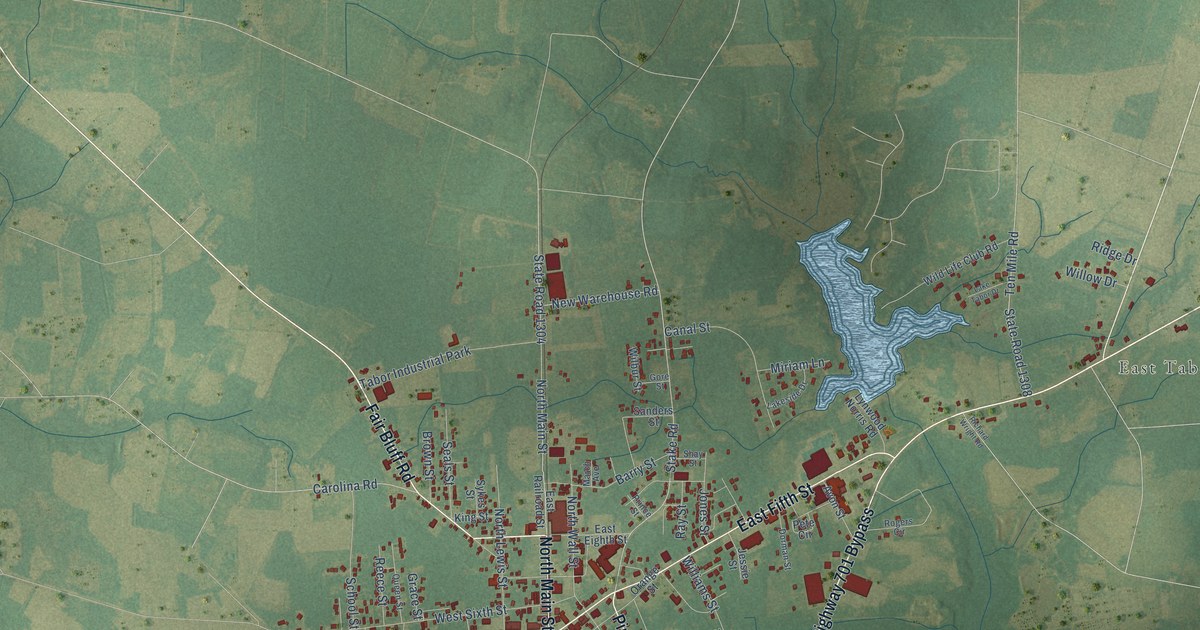
A detailed map of Tabor City, North Carolina, showing every building in its true location, the roads by name, and shaded topographical relief.
Read More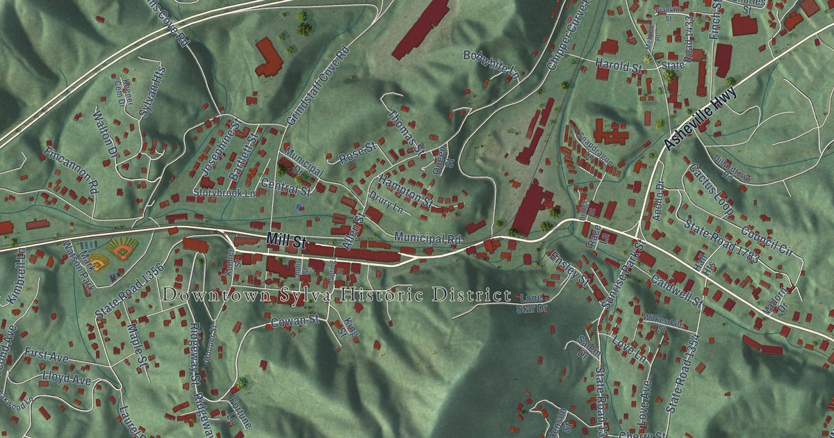
A detailed map of Sylva, North Carolina, showing every building in its true location, the roads by name, and shaded topographical relief.
Read More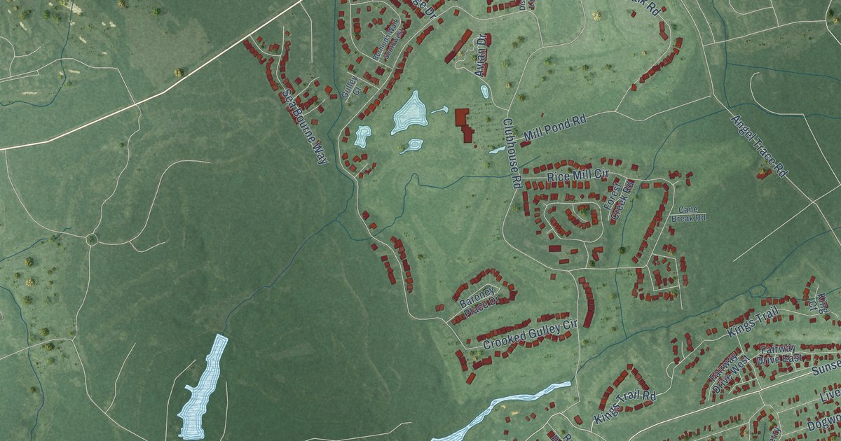
A detailed map of Sunset Beach, North Carolina, showing every building in its true location, the roads by name, and shaded topographical relief.
Read More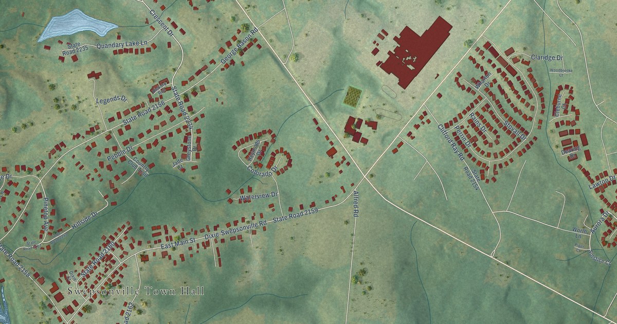
A detailed map of Swepsonville, North Carolina, showing every building in its true location, the roads by name, and shaded topographical relief.
Read More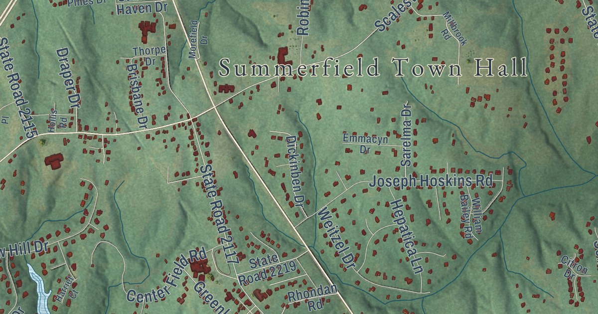
A detailed map of Summerfield, North Carolina, showing every building in its true location, the roads by name, and shaded topographical relief.
Read More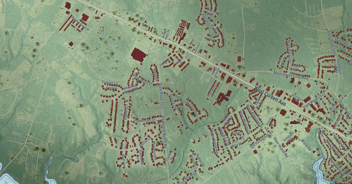
A detailed map of Swansboro, North Carolina, showing every building in its true location, the roads by name, and shaded topographical relief.
Read More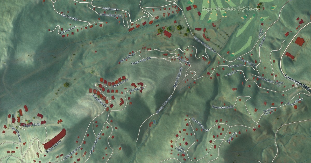
A detailed map of Sugar Mountain, North Carolina, showing every building in its true location, the roads by name, and shaded topographical relief.
Read More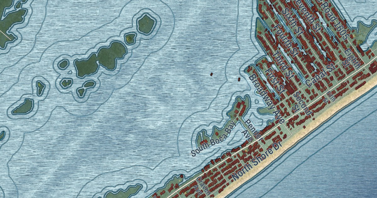
A detailed map of Surf City, North Carolina, showing every building in its true location, the roads by name, and shaded topographical relief.
Read More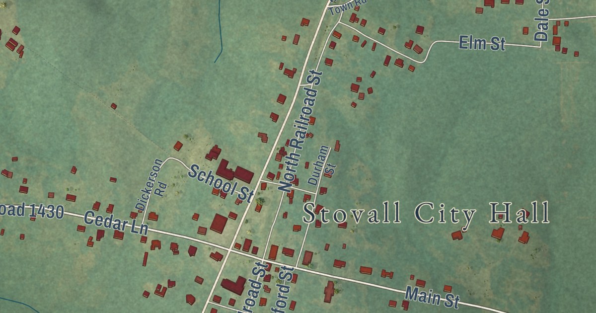
A detailed map of Stovall, North Carolina, showing every building in its true location, the roads by name, and shaded topographical relief.
Read More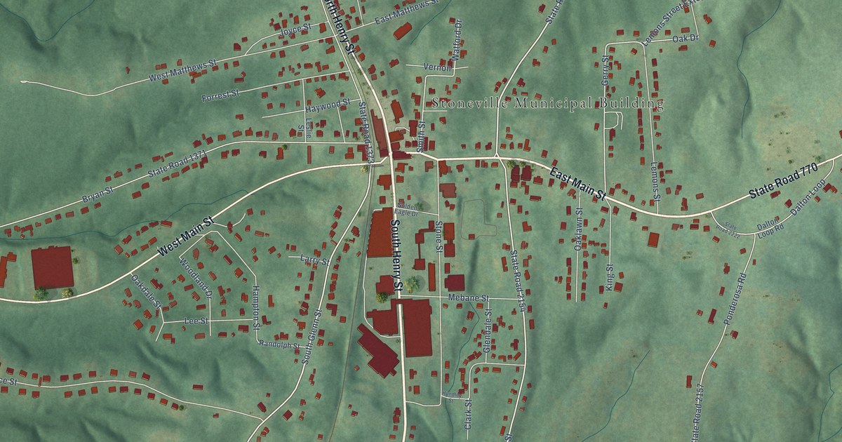
A detailed map of Stoneville, North Carolina, showing every building in its true location, the roads by name, and shaded topographical relief.
Read More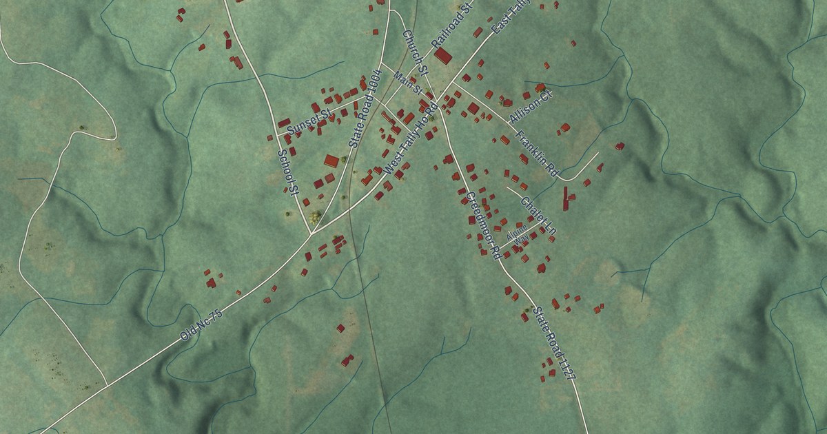
A detailed map of Stem, North Carolina, showing every building in its true location, the roads by name, and shaded topographical relief.
Read More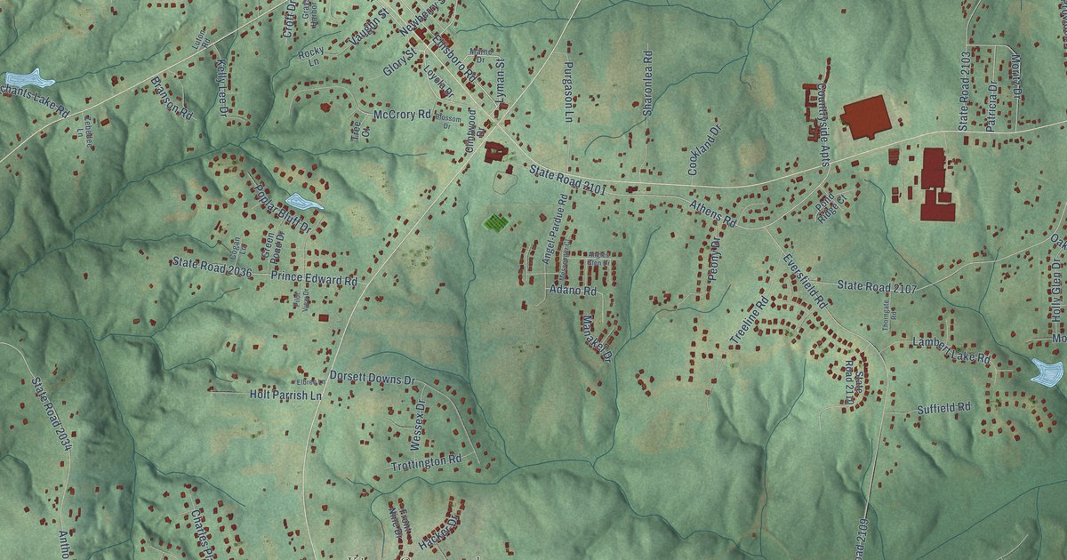
A detailed map of Stokesdale, North Carolina, showing every building in its true location, the roads by name, and shaded topographical relief.
Read More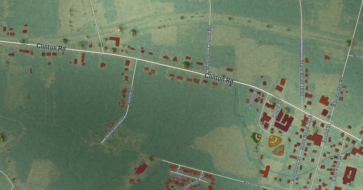
A detailed map of Stedman, North Carolina, showing every building in its true location, the roads by name, and shaded topographical relief.
Read More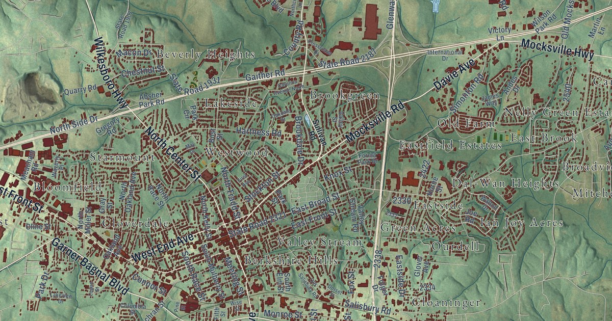
A detailed map of Statesville, North Carolina, showing every building in its true location, the roads by name, and shaded topographical relief.
Read More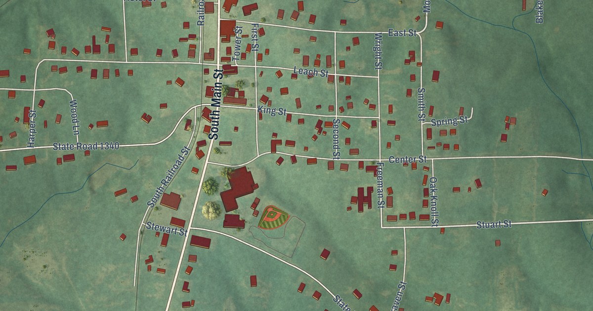
A detailed map of Star, North Carolina, showing every building in its true location, the roads by name, and shaded topographical relief.
Read More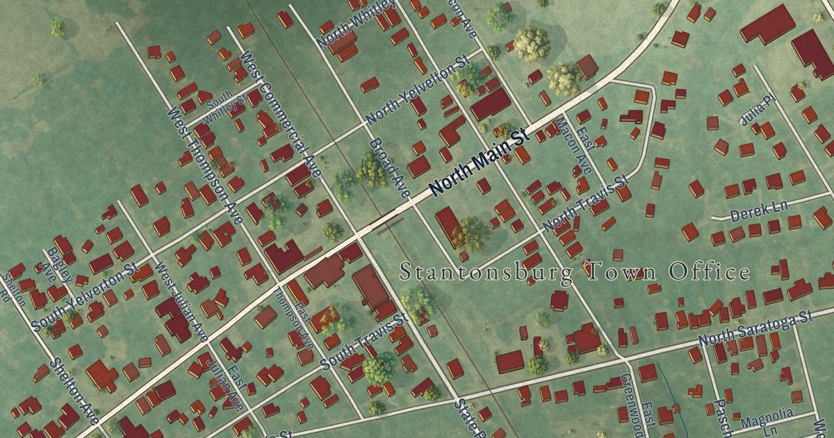
A detailed map of Stantonsburg, North Carolina, showing every building in its true location, the roads by name, and shaded topographical relief.
Read More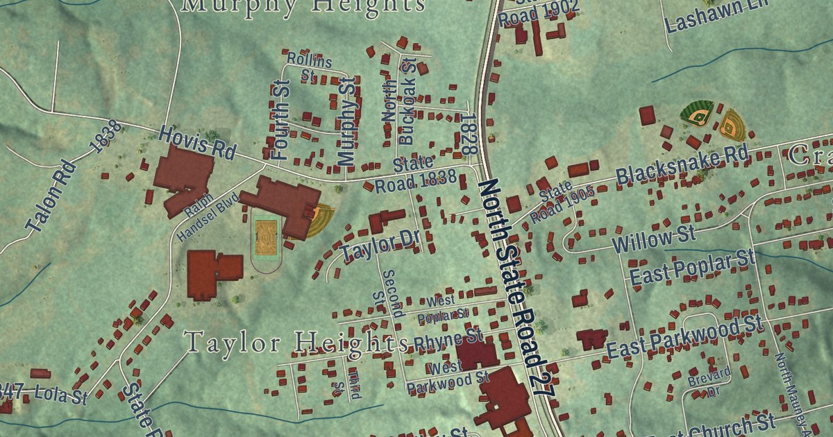
A detailed map of Stanley, North Carolina, showing every building in its true location, the roads by name, and shaded topographical relief.
Read More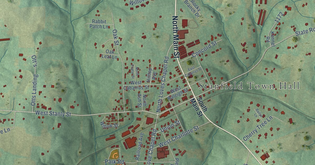
A detailed map of Stanfield, North Carolina, showing every building in its true location, the roads by name, and shaded topographical relief.
Read More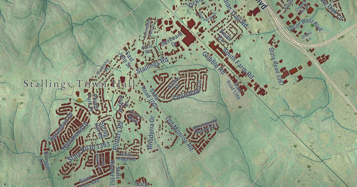
A detailed map of Stallings, North Carolina, showing every building in its true location, the roads by name, and shaded topographical relief.
Read More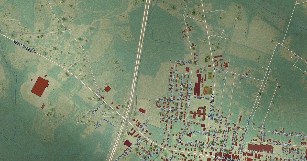
A detailed map of St. Pauls, North Carolina, showing every building in its true location, the roads by name, and shaded topographical relief.
Read More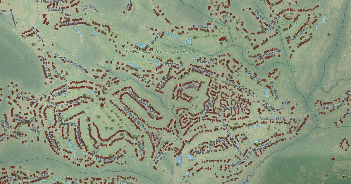
A detailed map of St. James, North Carolina, showing every building in its true location, the roads by name, and shaded topographical relief.
Read More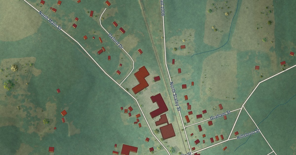
A detailed map of Staley, North Carolina, showing every building in its true location, the roads by name, and shaded topographical relief.
Read More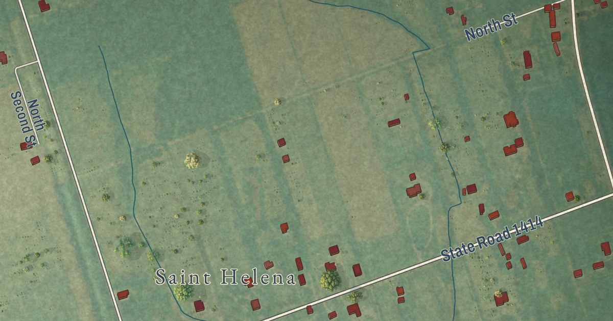
A detailed map of St. Helena, North Carolina, showing every building in its true location, the roads by name, and shaded topographical relief.
Read More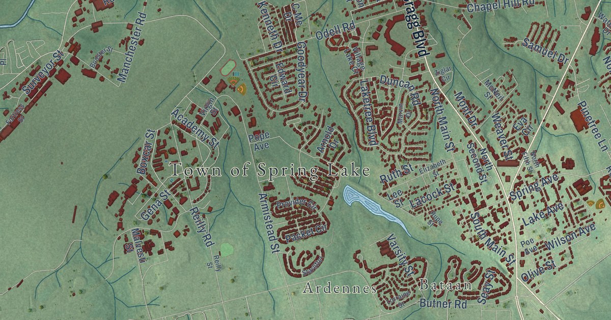
A detailed map of Spring Lake, North Carolina, showing every building in its true location, the roads by name, and shaded topographical relief.
Read More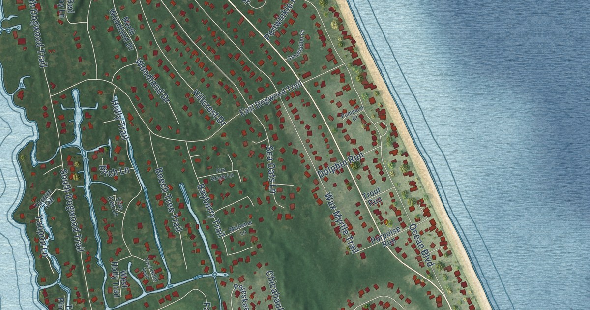
A detailed map of Southern Shores, North Carolina, showing every building in its true location, the roads by name, and shaded topographical relief.
Read More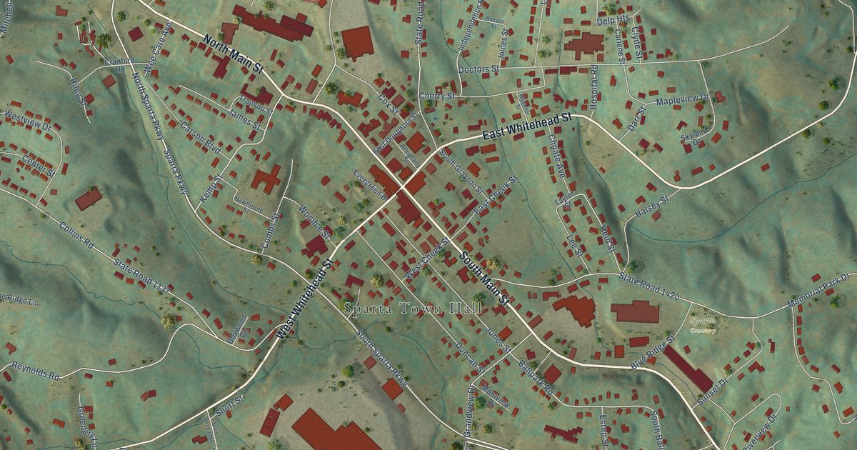
A detailed map of Sparta, North Carolina, showing every building in its true location, the roads by name, and shaded topographical relief.
Read More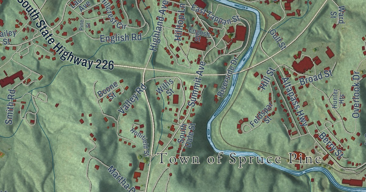
A detailed map of Spruce Pine, North Carolina, showing every building in its true location, the roads by name, and shaded topographical relief.
Read More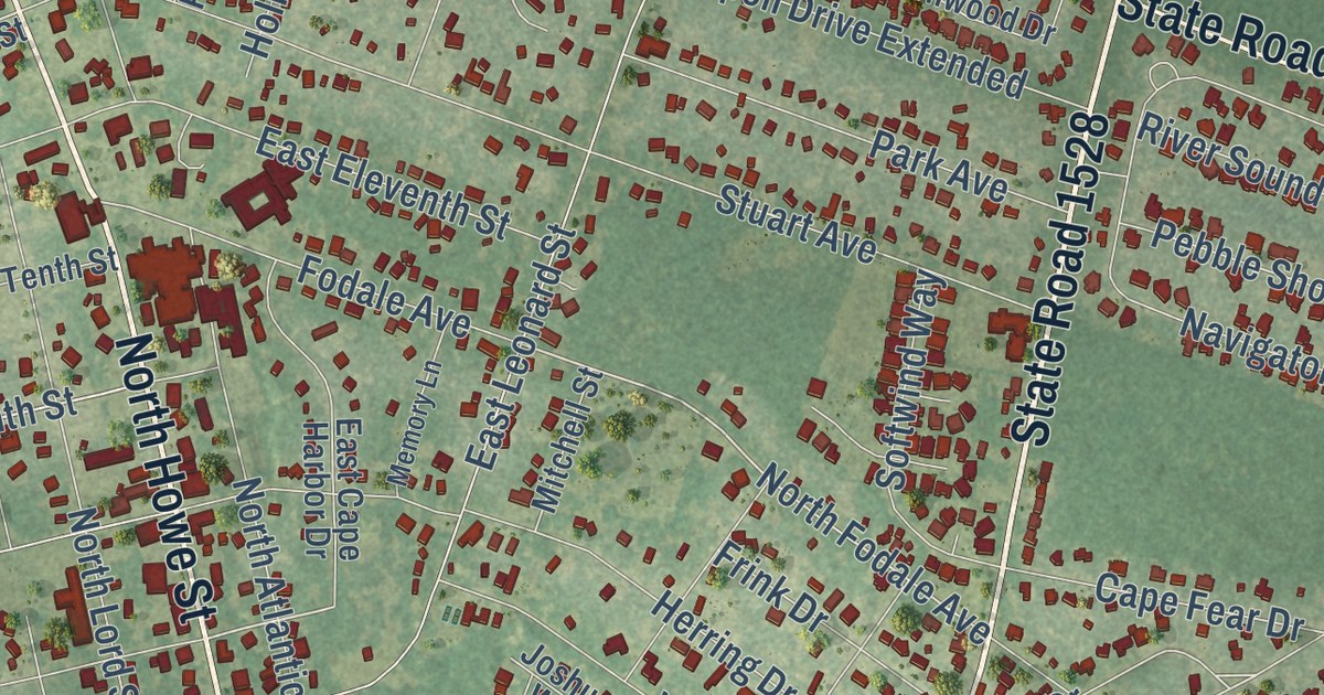
A detailed map of Southport, North Carolina, showing every building in its true location, the roads by name, and shaded topographical relief.
Read More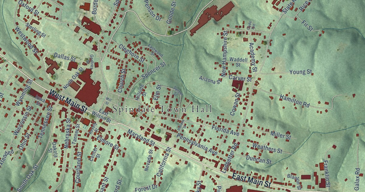
A detailed map of Spindale, North Carolina, showing every building in its true location, the roads by name, and shaded topographical relief.
Read More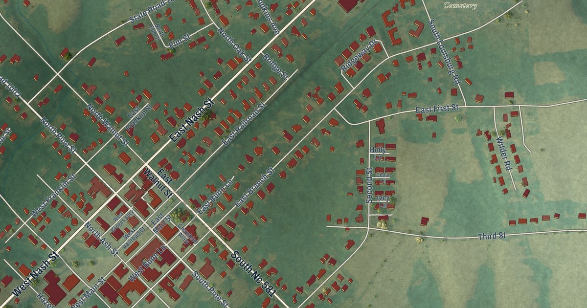
A detailed map of Spring Hope, North Carolina, showing every building in its true location, the roads by name, and shaded topographical relief.
Read More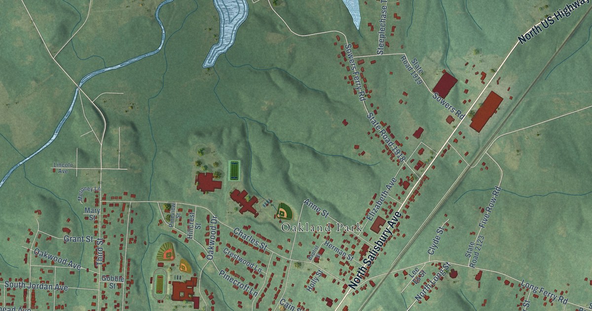
A detailed map of Spencer, North Carolina, showing every building in its true location, the roads by name, and shaded topographical relief.
Read More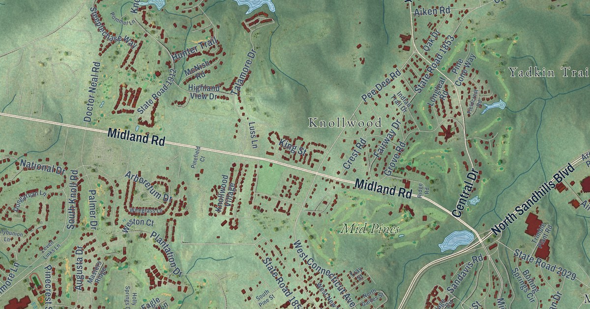
A detailed map of Southern Pines, North Carolina, showing every building in its true location, the roads by name, and shaded topographical relief.
Read More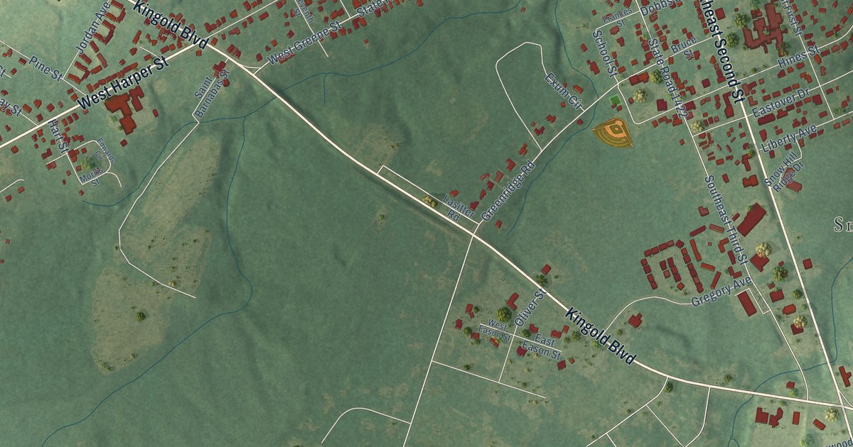
A detailed map of Snow Hill, North Carolina, showing every building in its true location, the roads by name, and shaded topographical relief.
Read More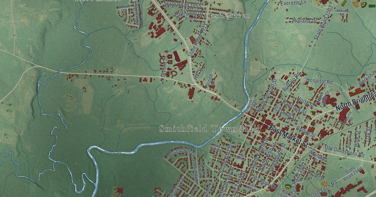
A detailed map of Smithfield, North Carolina, showing every building in its true location, the roads by name, and shaded topographical relief.
Read More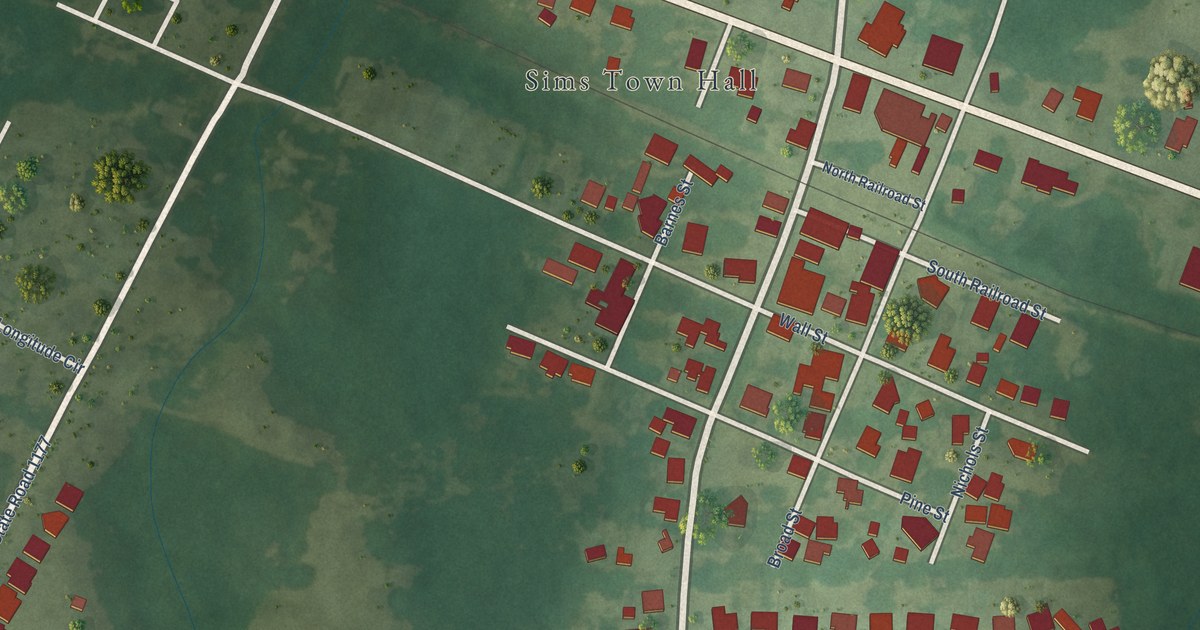
A detailed map of Sims, North Carolina, showing every building in its true location, the roads by name, and shaded topographical relief.
Read More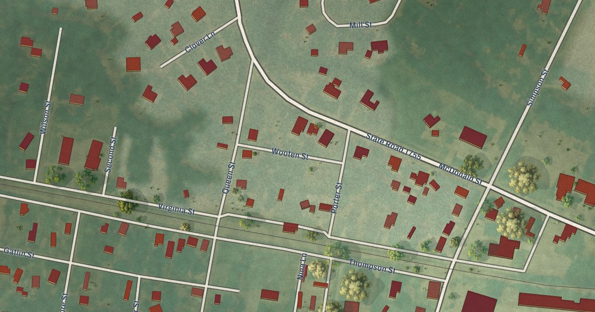
A detailed map of Simpson, North Carolina, showing every building in its true location, the roads by name, and shaded topographical relief.
Read More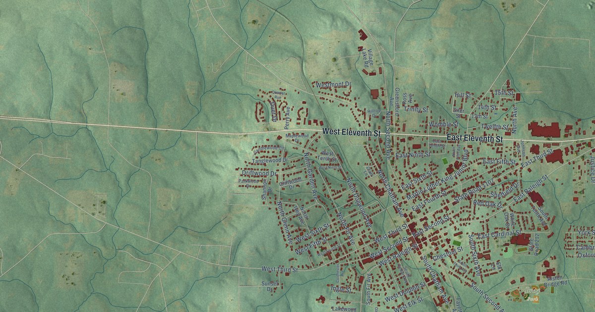
A detailed map of Siler City, North Carolina, showing every building in its true location, the roads by name, and shaded topographical relief.
Read More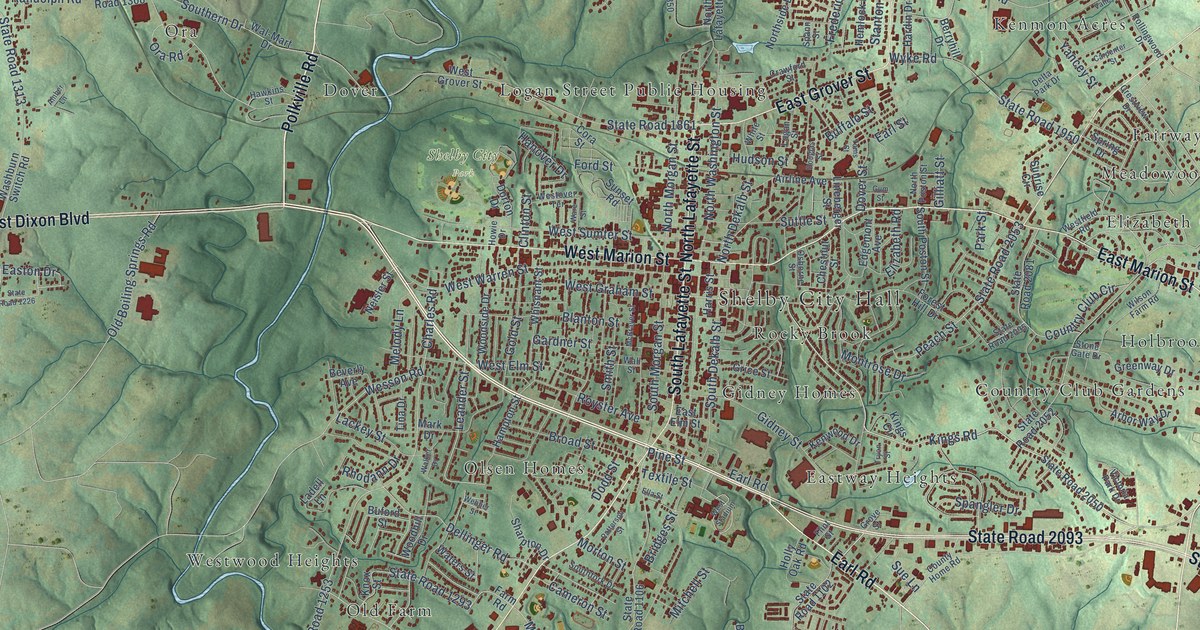
A detailed map of Shelby, North Carolina, showing every building in its true location, the roads by name, and shaded topographical relief.
Read More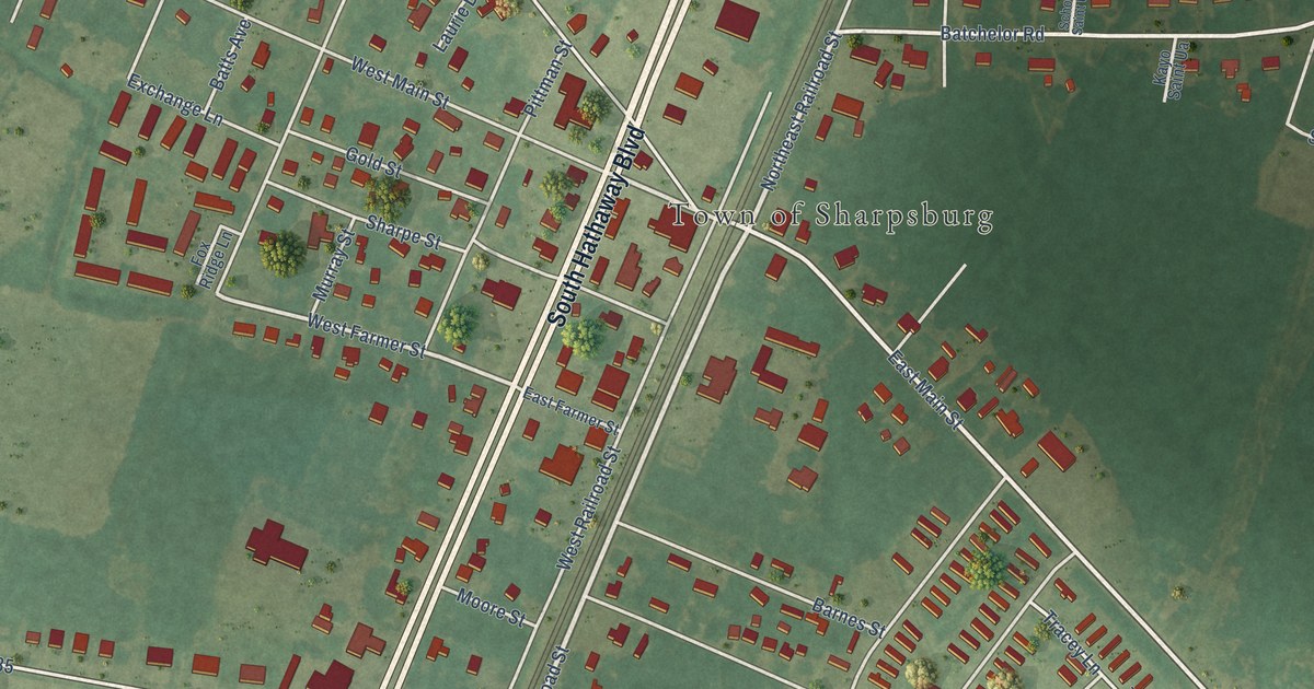
A detailed map of Sharpsburg, North Carolina, showing every building in its true location, the roads by name, and shaded topographical relief.
Read More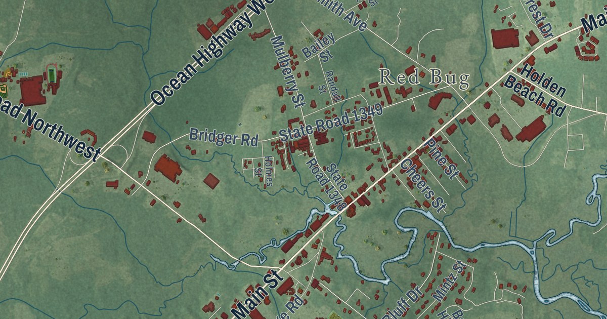
A detailed map of Shallotte, North Carolina, showing every building in its true location, the roads by name, and shaded topographical relief.
Read More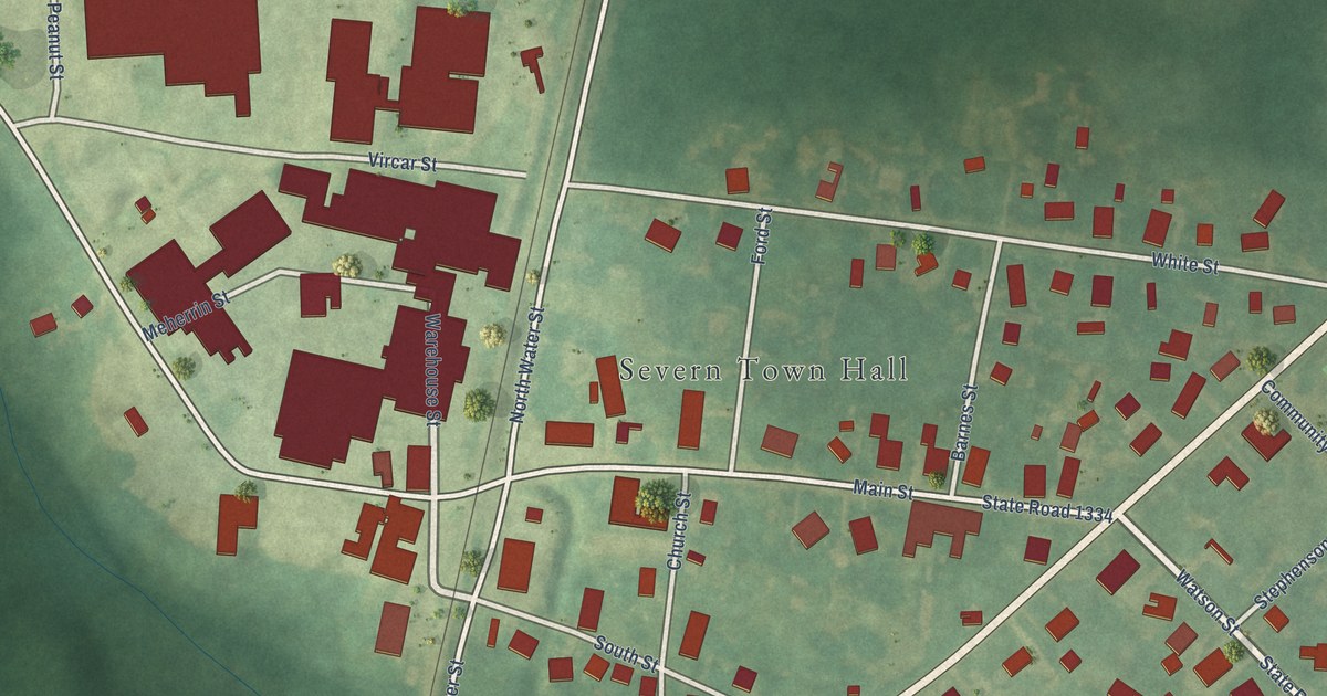
A detailed map of Severn, North Carolina, showing every building in its true location, the roads by name, and shaded topographical relief.
Read More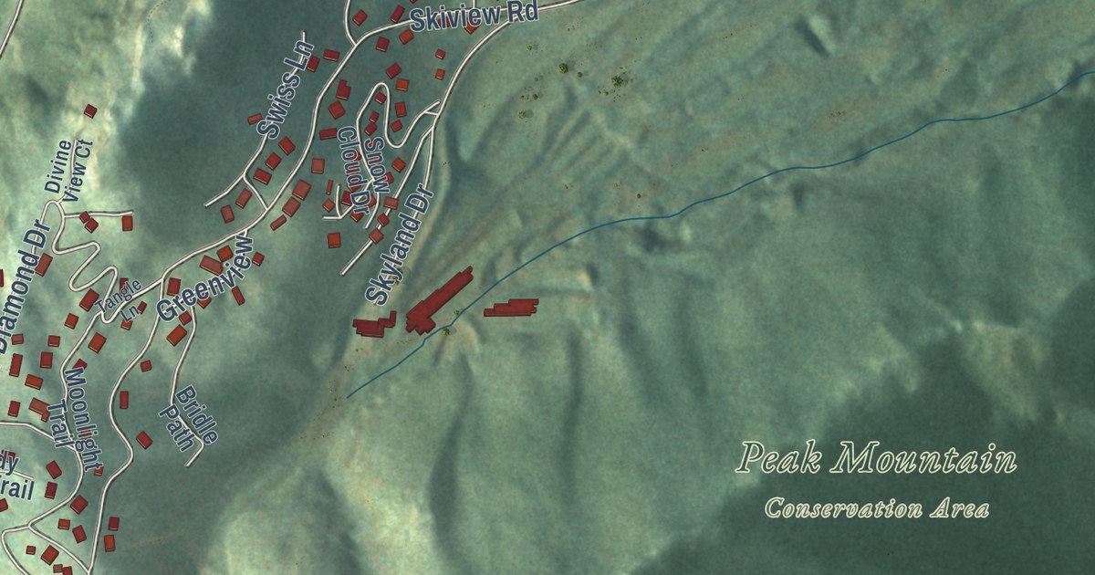
A detailed map of Seven Devils, North Carolina, showing every building in its true location, the roads by name, and shaded topographical relief.
Read More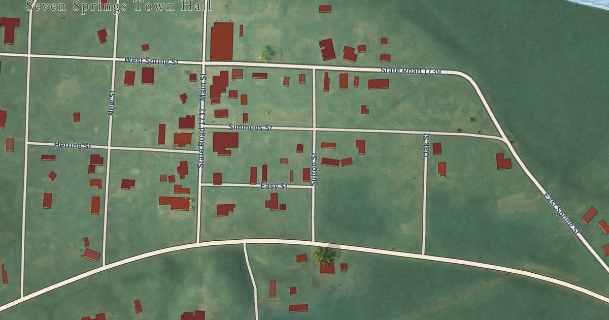
A detailed map of Seven Springs, North Carolina, showing every building in its true location, the roads by name, and shaded topographical relief.
Read More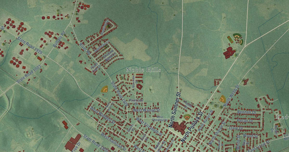
A detailed map of Selma, North Carolina, showing every building in its true location, the roads by name, and shaded topographical relief.
Read More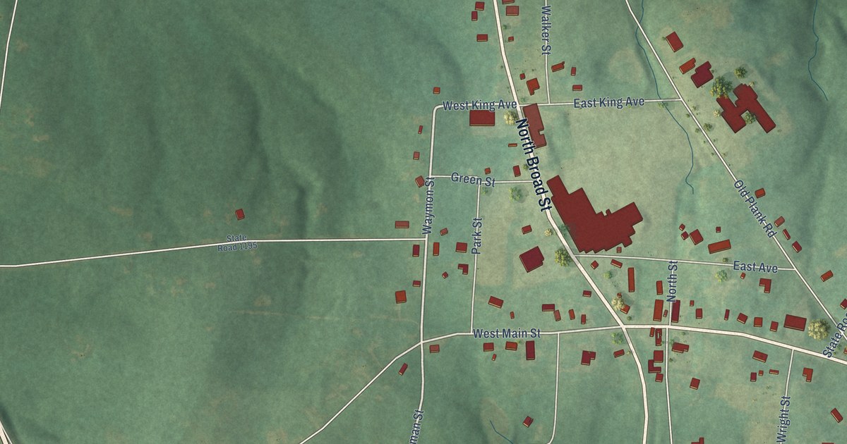
A detailed map of Seagrove, North Carolina, showing every building in its true location, the roads by name, and shaded topographical relief.
Read More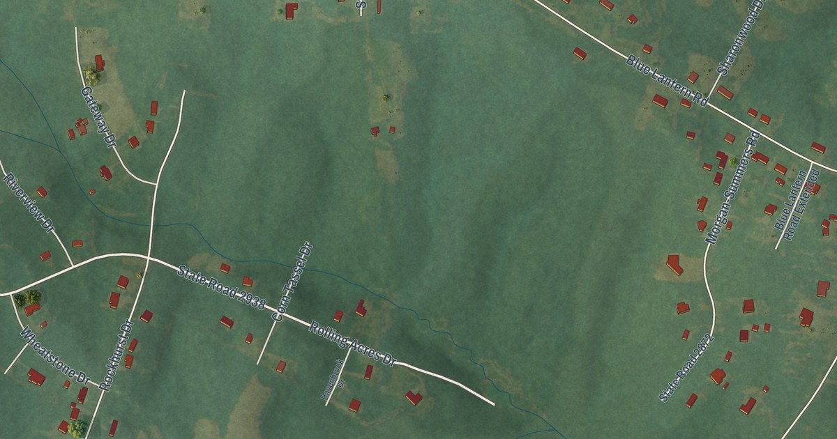
A detailed map of Sedalia, North Carolina, showing every building in its true location, the roads by name, and shaded topographical relief.
Read More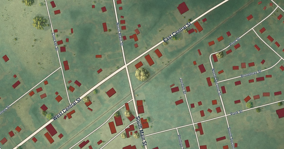
A detailed map of Seaboard, North Carolina, showing every building in its true location, the roads by name, and shaded topographical relief.
Read More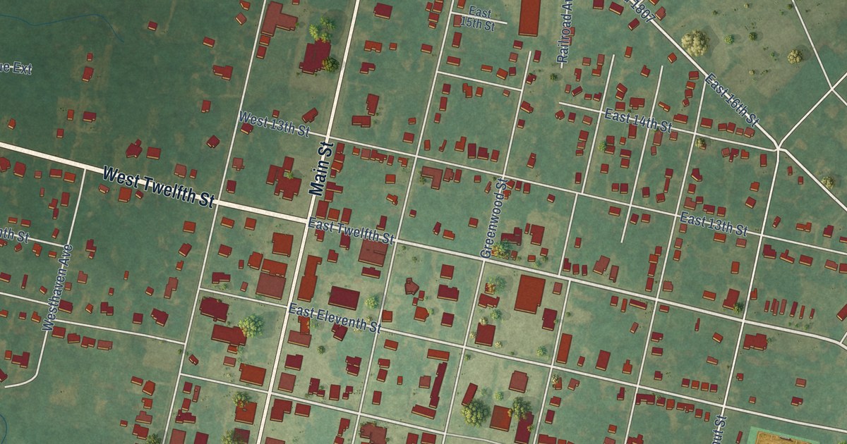
A detailed map of Scotland Neck, North Carolina, showing every building in its true location, the roads by name, and shaded topographical relief.
Read More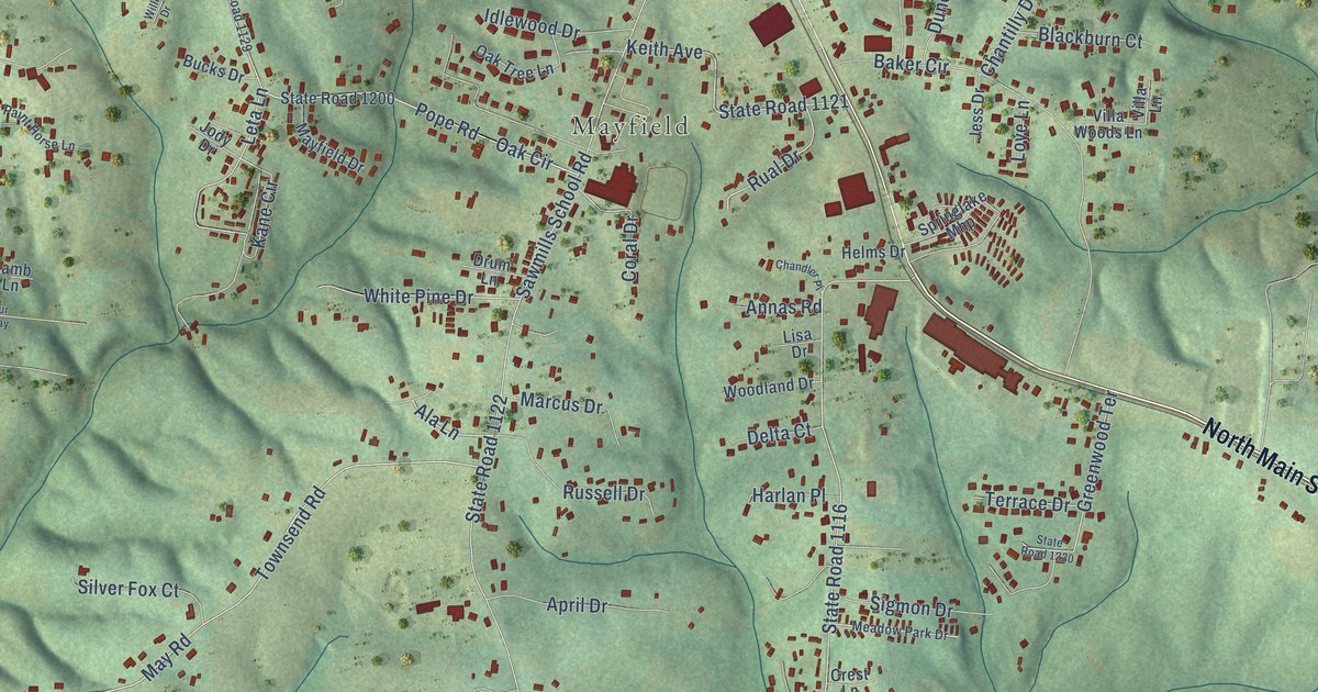
A detailed map of Sawmills, North Carolina, showing every building in its true location, the roads by name, and shaded topographical relief.
Read More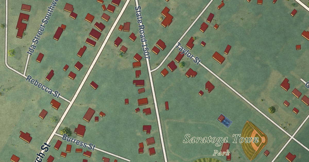
A detailed map of Saratoga, North Carolina, showing every building in its true location, the roads by name, and shaded topographical relief.
Read More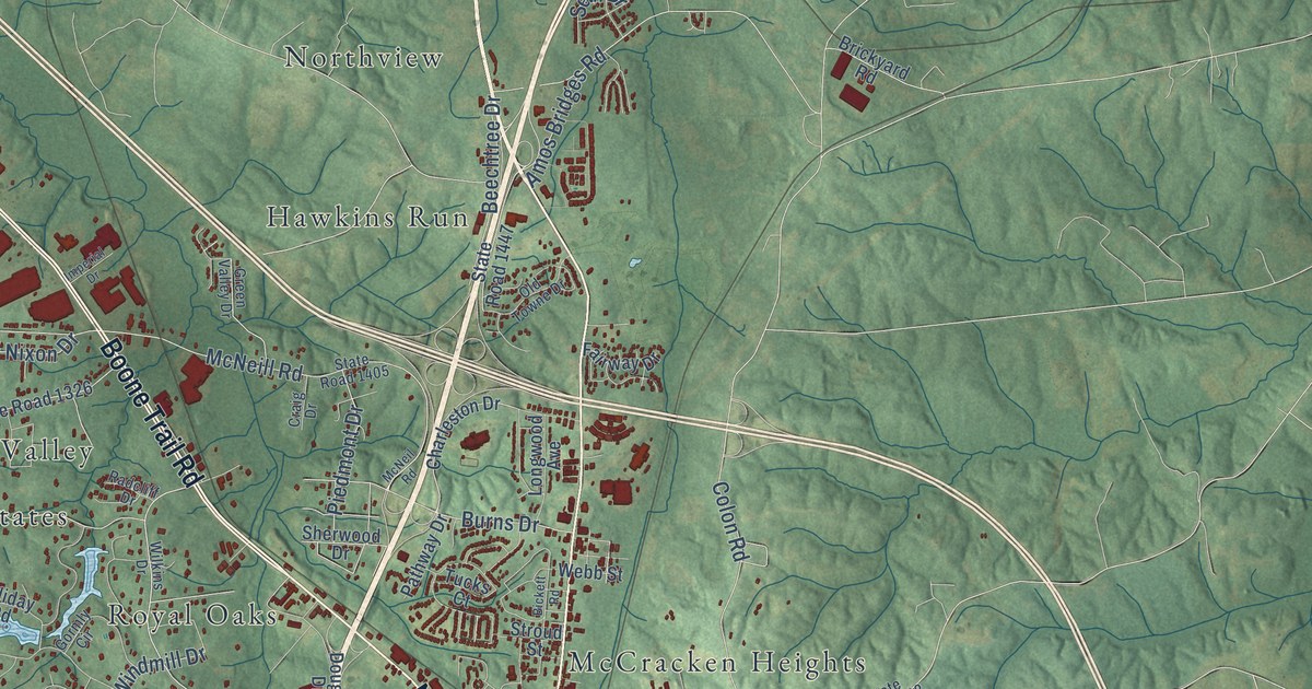
A detailed map of Sanford, North Carolina, showing every building in its true location, the roads by name, and shaded topographical relief.
Read More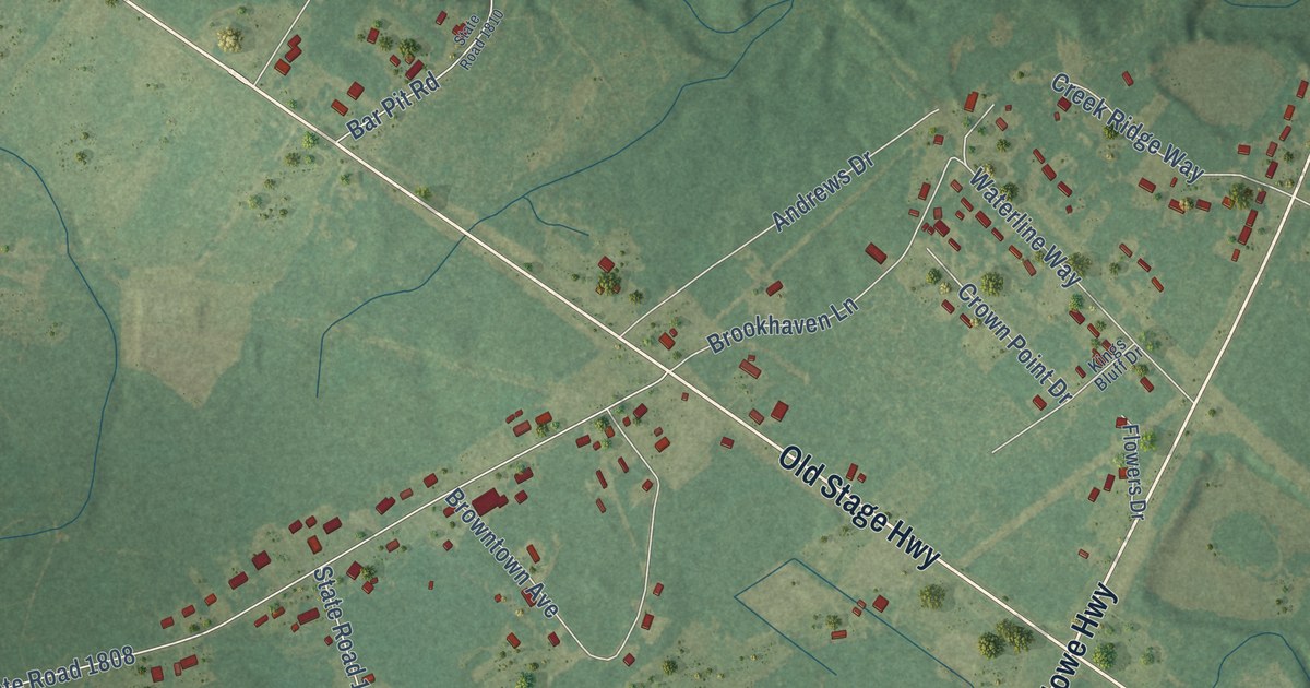
A detailed map of Sandyfield, North Carolina, showing every building in its true location, the roads by name, and shaded topographical relief.
Read More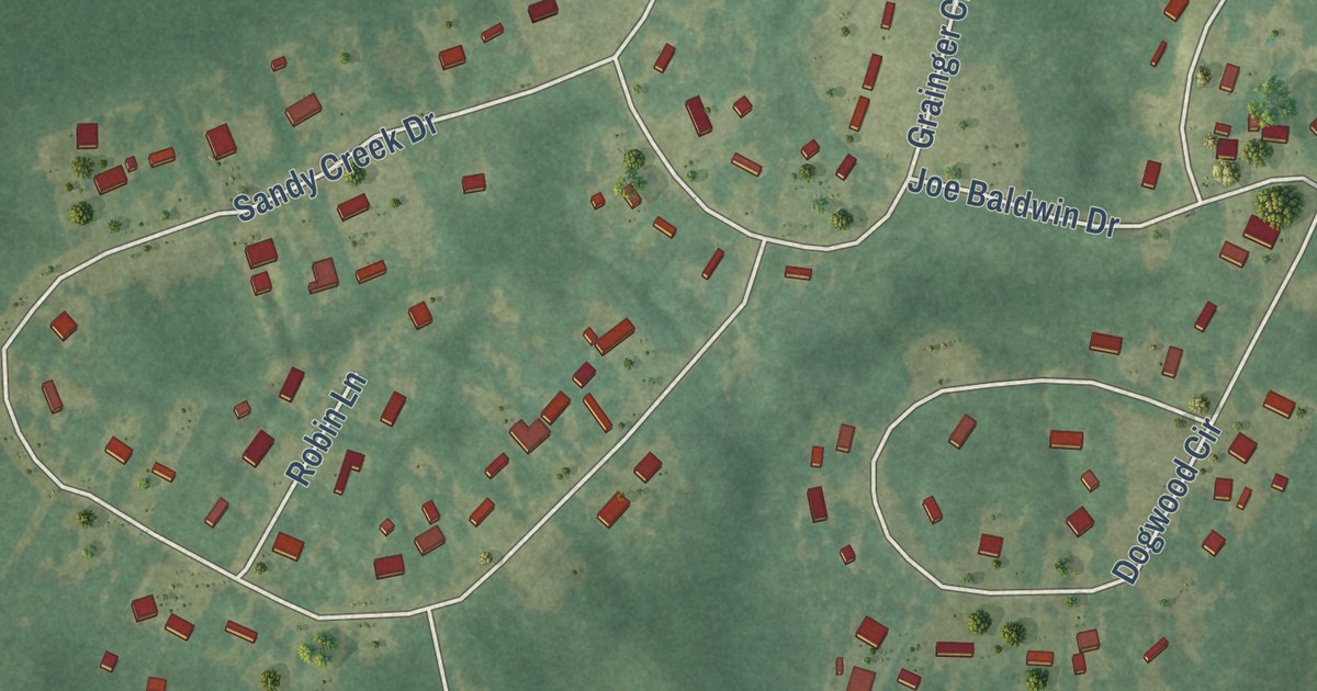
A detailed map of Sandy Creek, North Carolina, showing every building in its true location, the roads by name, and shaded topographical relief.
Read More















