Detailed Map of Windsor, North Carolina
A detailed map of Windsor, North Carolina, showing every building in its true location, the roads by name, and shaded topographical relief.
Read More
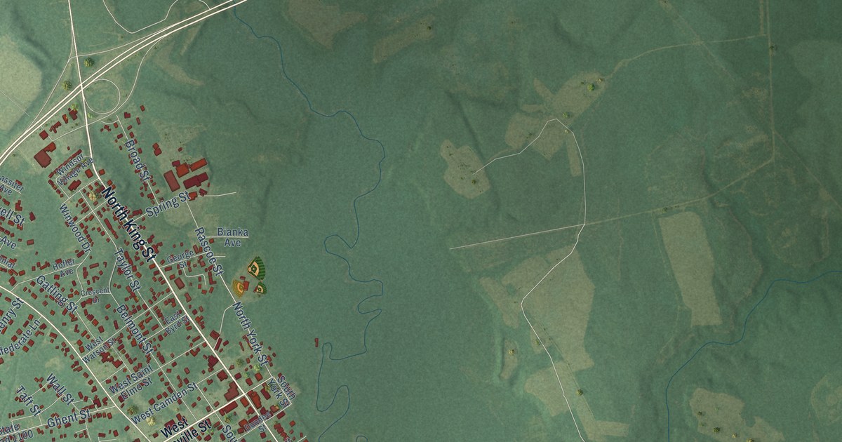
A detailed map of Windsor, North Carolina, showing every building in its true location, the roads by name, and shaded topographical relief.
Read More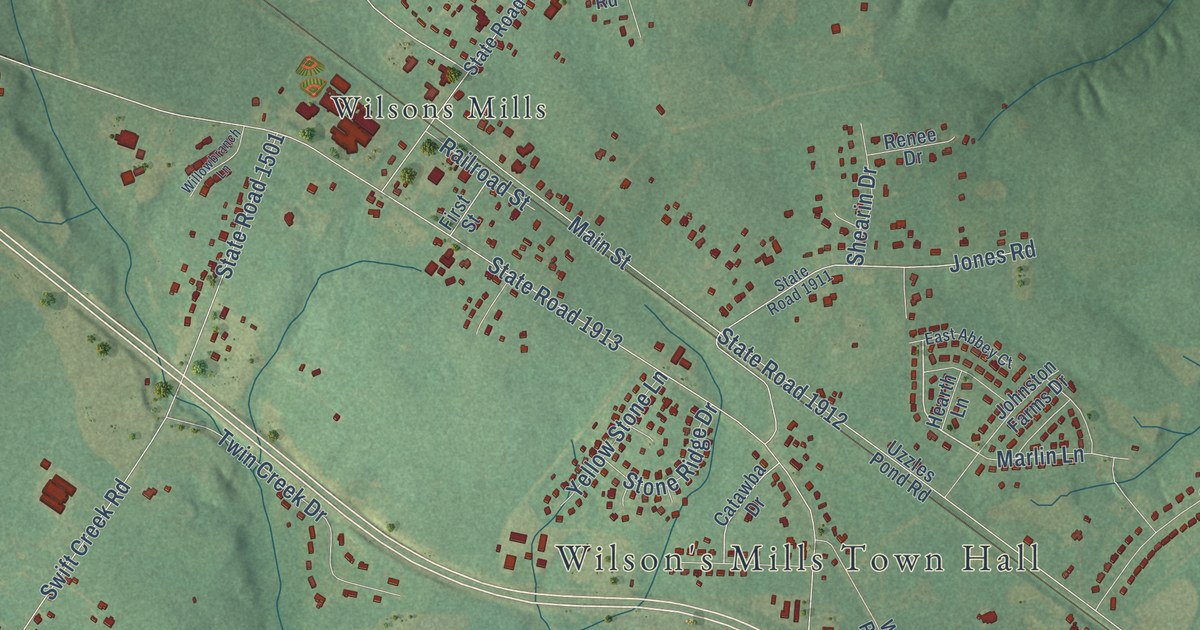
A detailed map of Wilson’s Mills, North Carolina, showing every building in its true location, the roads by name, and shaded topographical relief.
Read More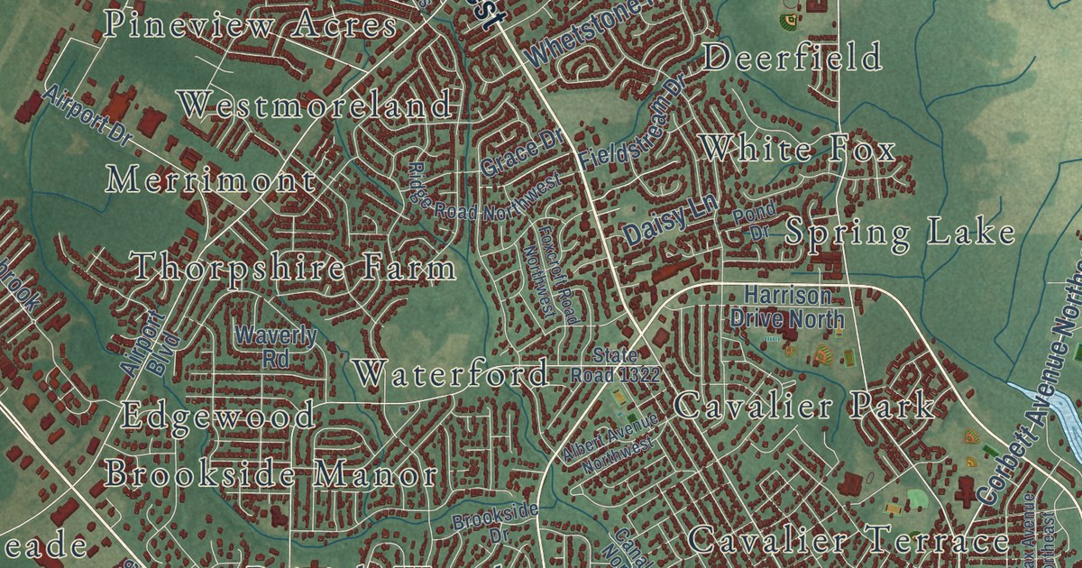
A detailed map of Wilson, North Carolina, showing every building in its true location, the roads by name, and shaded topographical relief.
Read More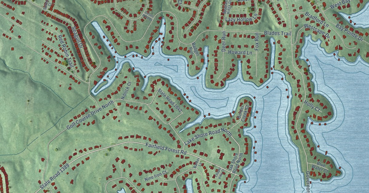
A detailed map of Westport, North Carolina, showing every building in its true location, the roads by name, and shaded topographical relief.
Read More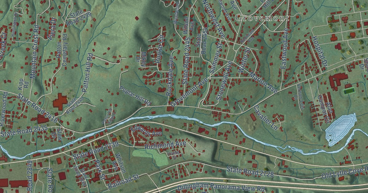
A detailed map of Swannanoa, North Carolina, showing every building in its true location, the roads by name, and shaded topographical relief.
Read More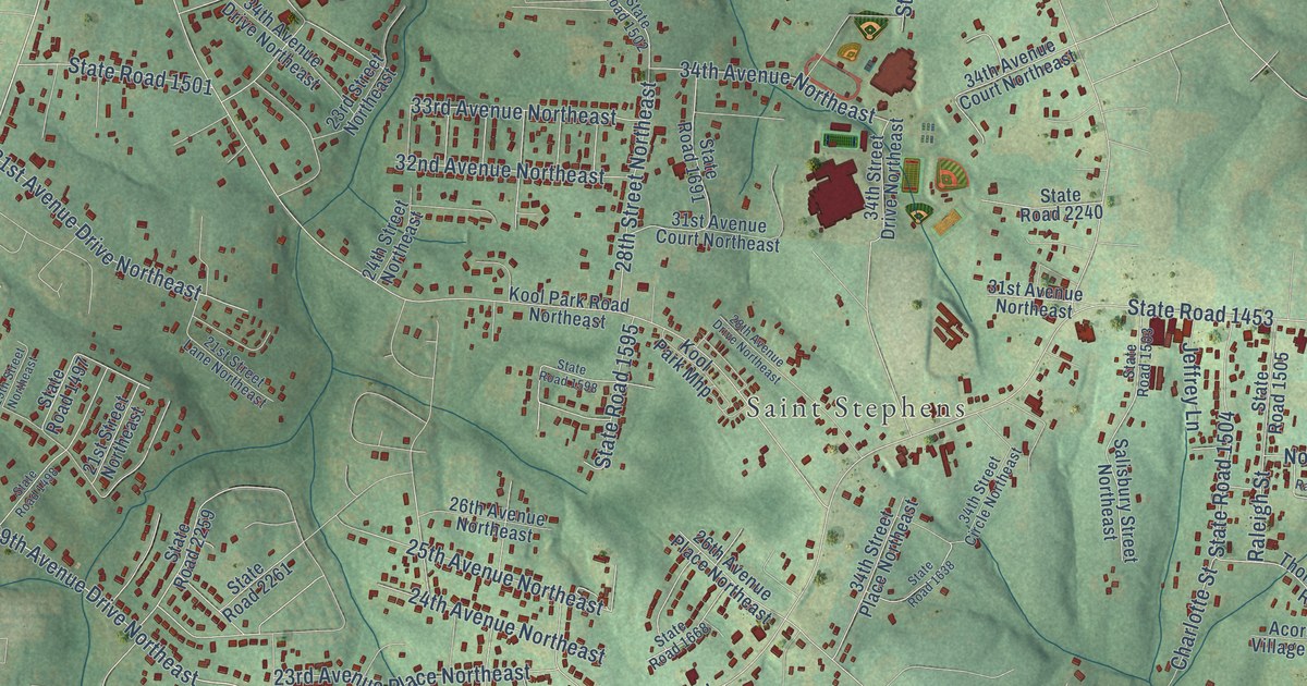
A detailed map of St. Stephens, North Carolina, showing every building in its true location, the roads by name, and shaded topographical relief.
Read More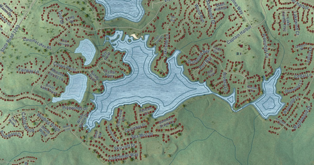
A detailed map of Spout Springs, North Carolina, showing every building in its true location, the roads by name, and shaded topographical relief.
Read More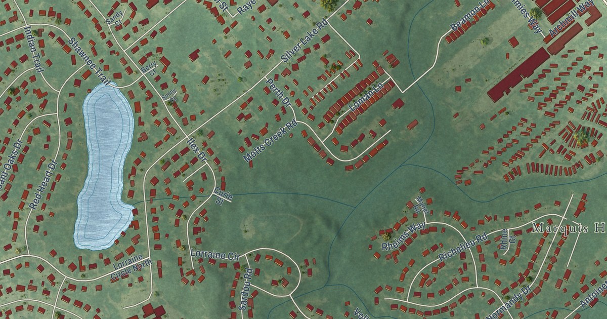
A detailed map of Silver Lake, North Carolina, showing every building in its true location, the roads by name, and shaded topographical relief.
Read More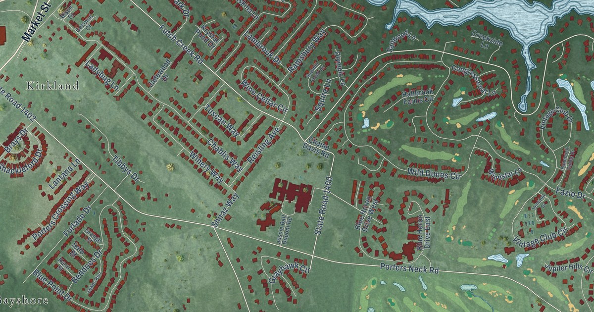
A detailed map of Porters Neck, North Carolina, showing every building in its true location, the roads by name, and shaded topographical relief.
Read More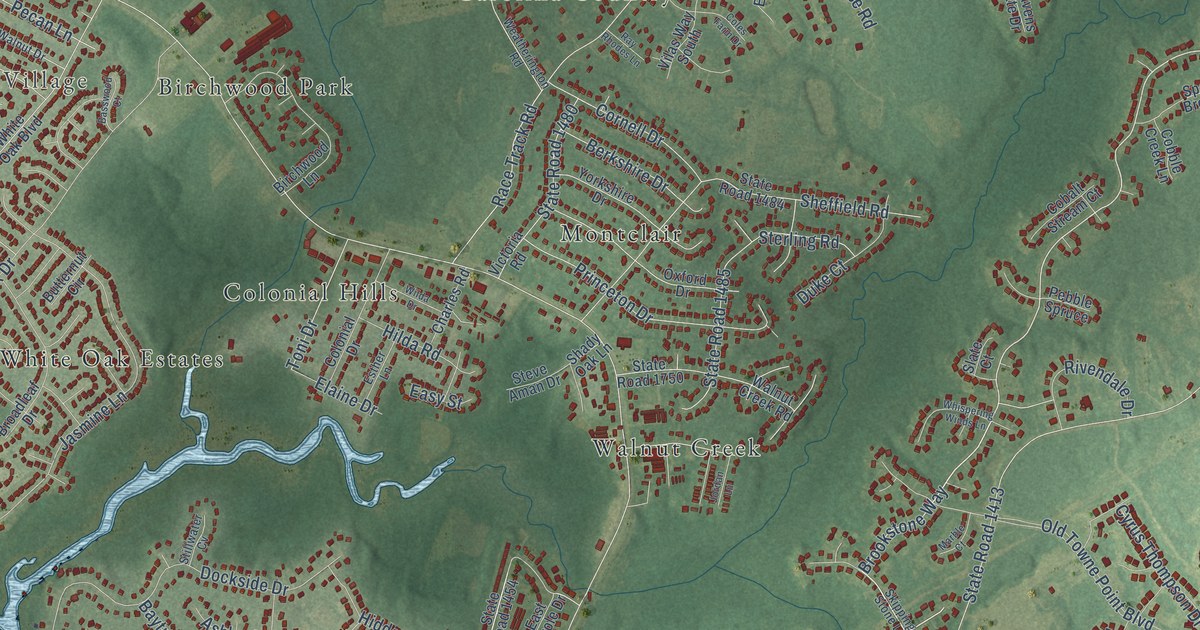
A detailed map of Piney Green, North Carolina, showing every building in its true location, the roads by name, and shaded topographical relief.
Read More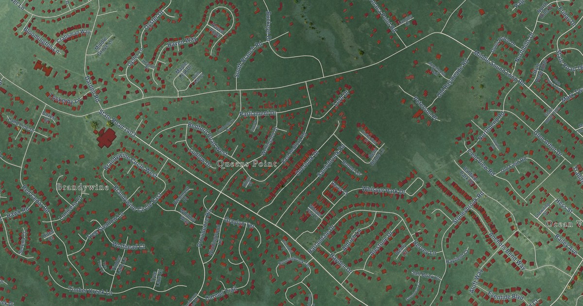
A detailed map of Ogden, North Carolina, showing every building in its true location, the roads by name, and shaded topographical relief.
Read More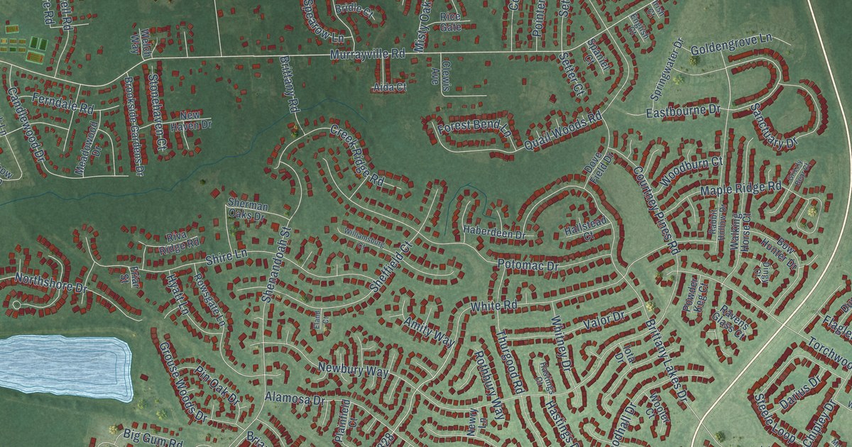
A detailed map of Murraysville, North Carolina, showing every building in its true location, the roads by name, and shaded topographical relief.
Read More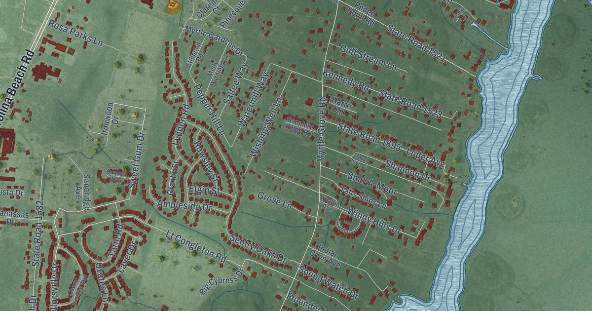
A detailed map of Myrtle Grove, North Carolina, showing every building in its true location, the roads by name, and shaded topographical relief.
Read More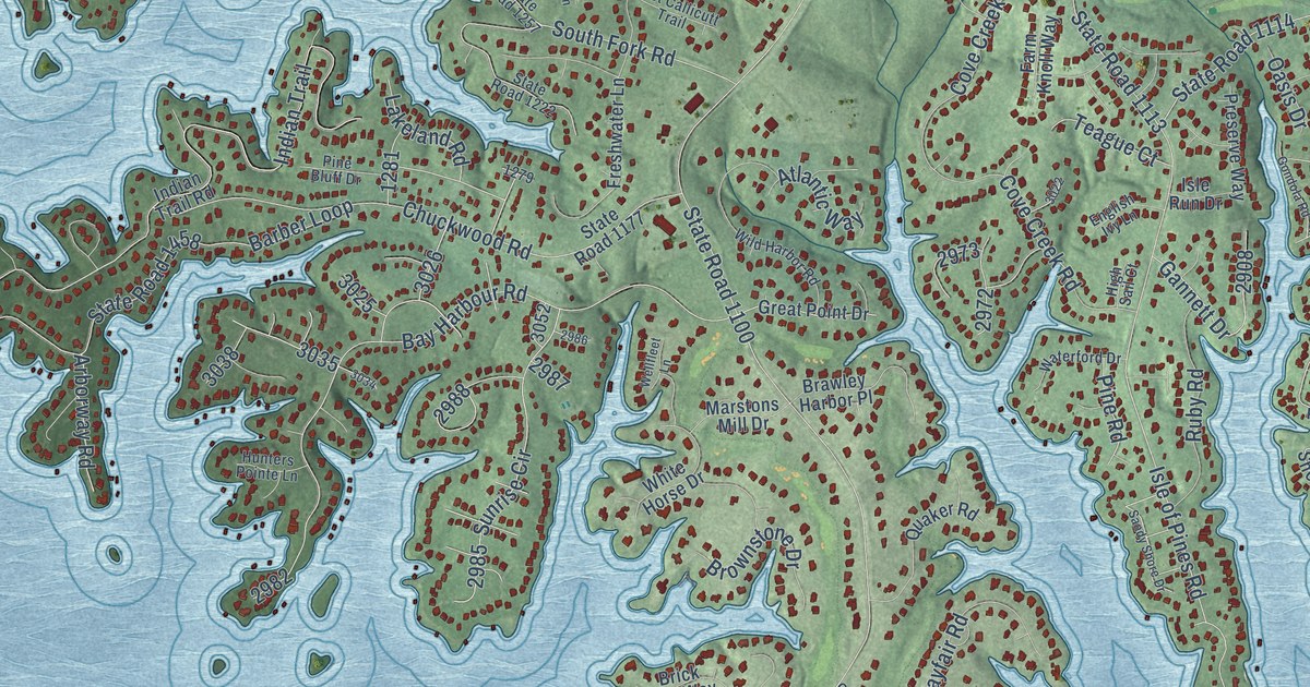
A detailed map of Lake Norman of Iredell, North Carolina, showing every building in its true location, the roads by name, and shaded topographical relief.
Read More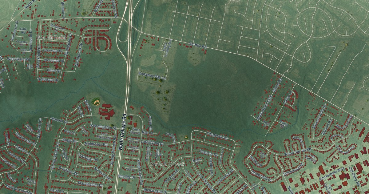
A detailed map of Kings Grant, North Carolina, showing every building in its true location, the roads by name, and shaded topographical relief.
Read More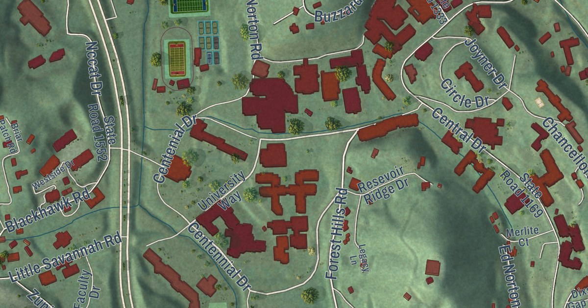
A detailed map of Cullowhee, North Carolina, showing every building in its true location, the roads by name, and shaded topographical relief.
Read More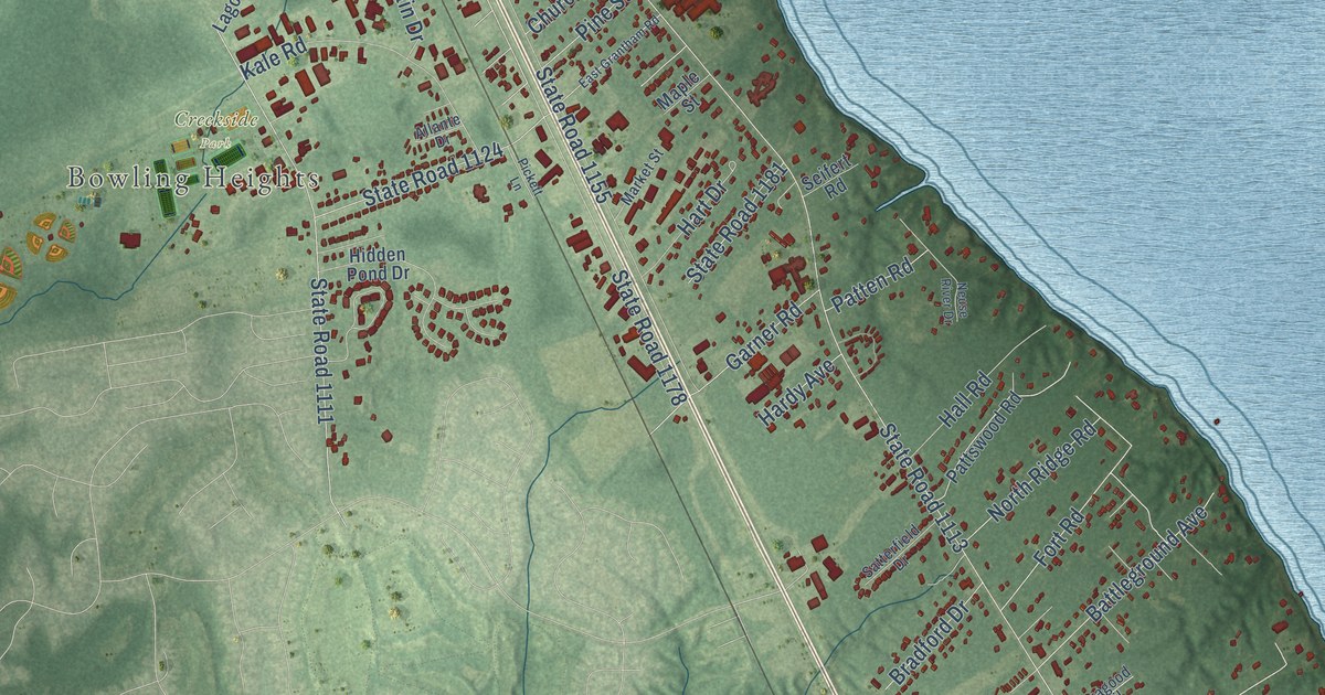
A detailed map of James City, North Carolina, showing every building in its true location, the roads by name, and shaded topographical relief.
Read More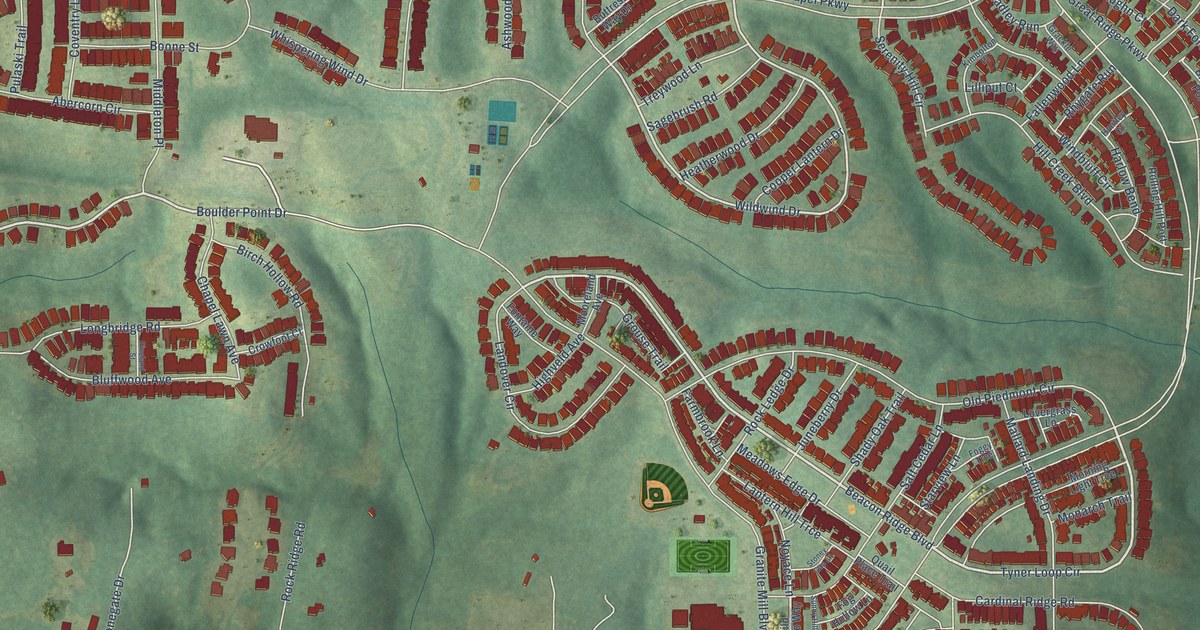
A detailed map of Briar Chapel, North Carolina, showing every building in its true location, the roads by name, and shaded topographical relief.
Read More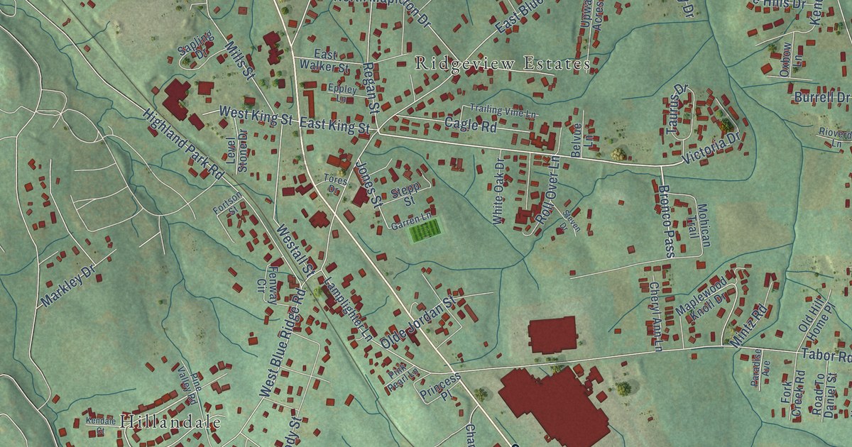
A detailed map of East Flat Rock, North Carolina, showing every building in its true location, the roads by name, and shaded topographical relief.
Read More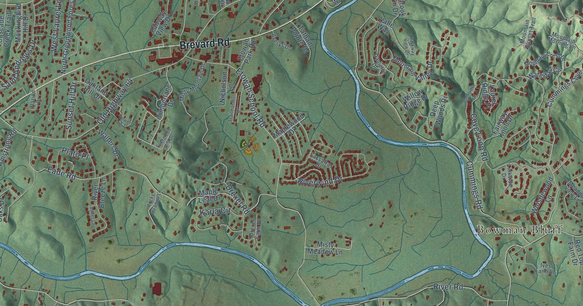
A detailed map of Etowah, North Carolina, showing every building in its true location, the roads by name, and shaded topographical relief.
Read More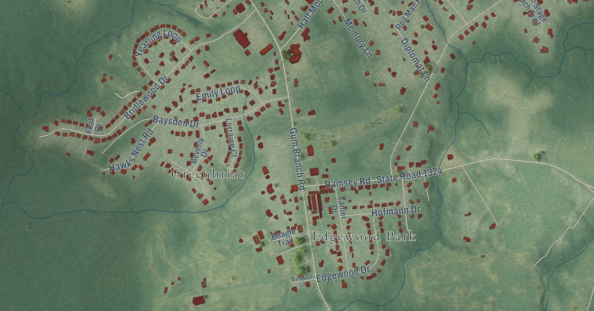
A detailed map of Half Moon, North Carolina, showing every building in its true location, the roads by name, and shaded topographical relief.
Read More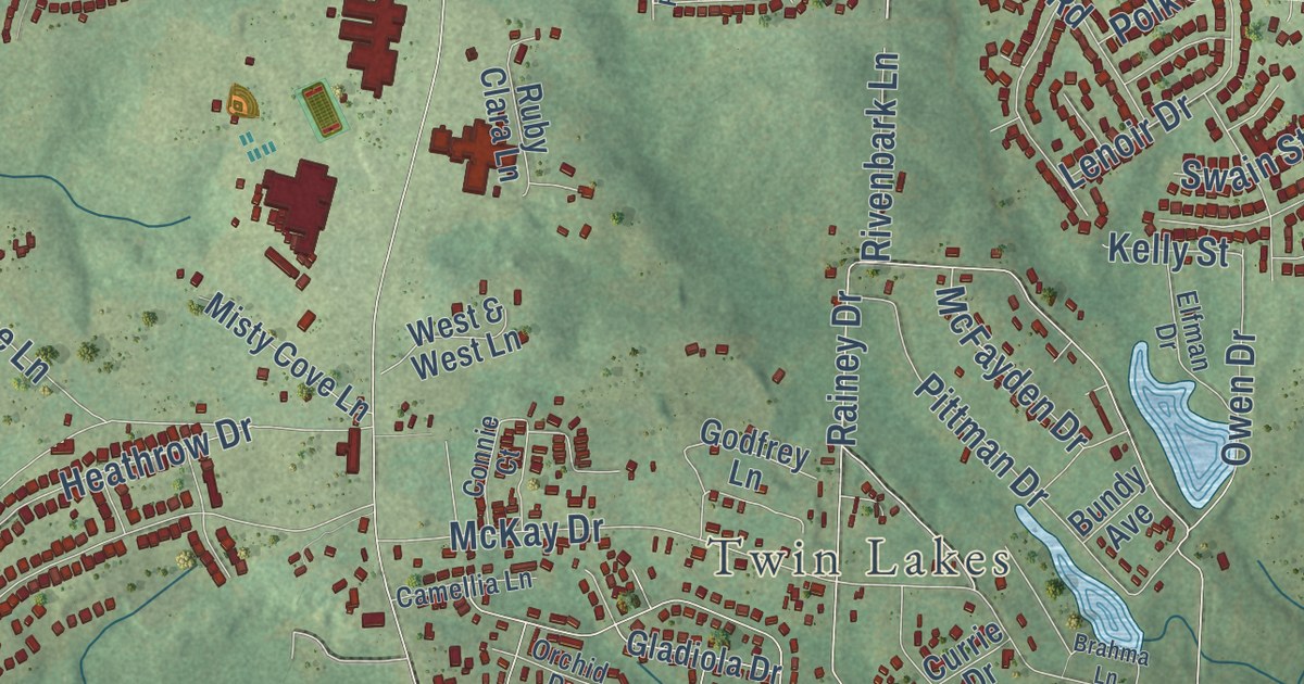
A detailed map of Anderson Creek, North Carolina, showing every building in its true location, the roads by name, and shaded topographical relief.
Read More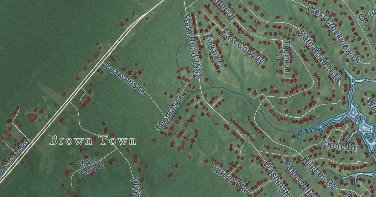
A detailed map of Hampstead, North Carolina, showing every building in its true location, the roads by name, and shaded topographical relief.
Read More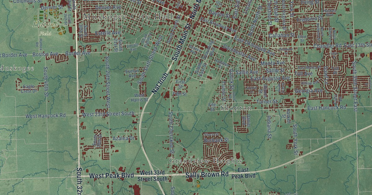
A detailed map of Muskogee, Oklahoma, showing every building in its true location, the roads by name, and shaded topographical relief.
Read More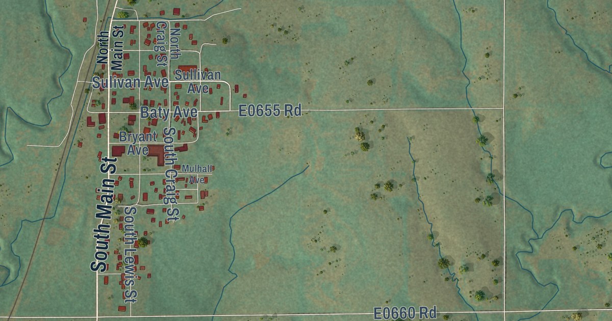
A detailed map of Mulhall, Oklahoma, showing every building in its true location, the roads by name, and shaded topographical relief.
Read More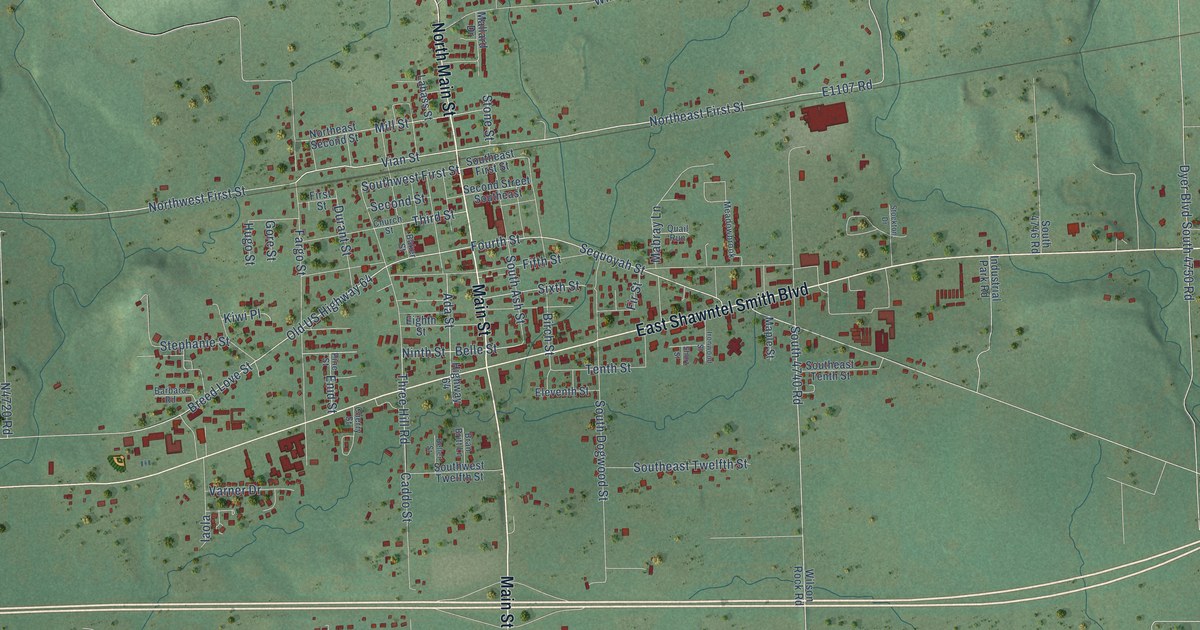
A detailed map of Muldrow, Oklahoma, showing every building in its true location, the roads by name, and shaded topographical relief.
Read More
A detailed map of Mule Barn, Oklahoma, showing every building in its true location, the roads by name, and shaded topographical relief.
Read More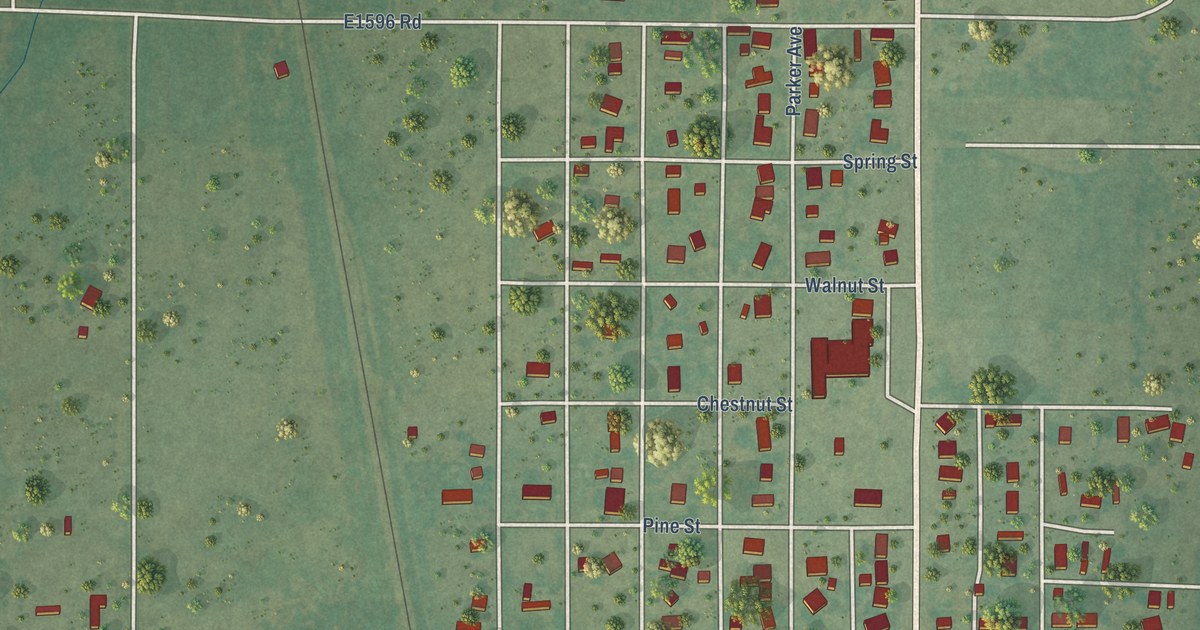
A detailed map of Mountain Park, Oklahoma, showing every building in its true location, the roads by name, and shaded topographical relief.
Read More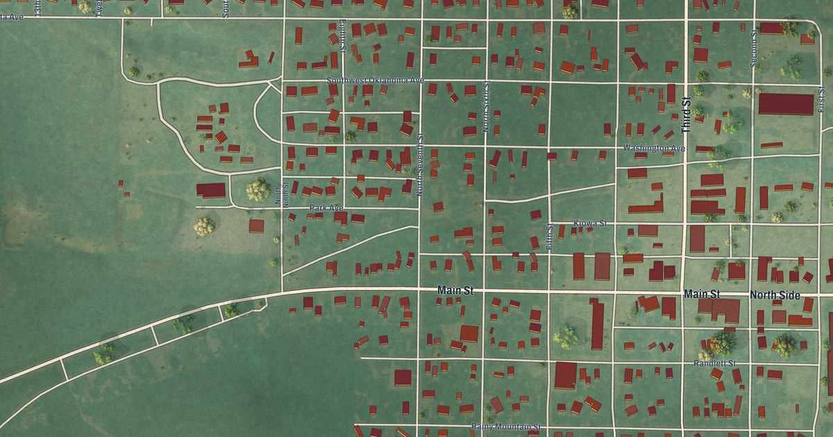
A detailed map of Mountain View, Oklahoma, showing every building in its true location, the roads by name, and shaded topographical relief.
Read More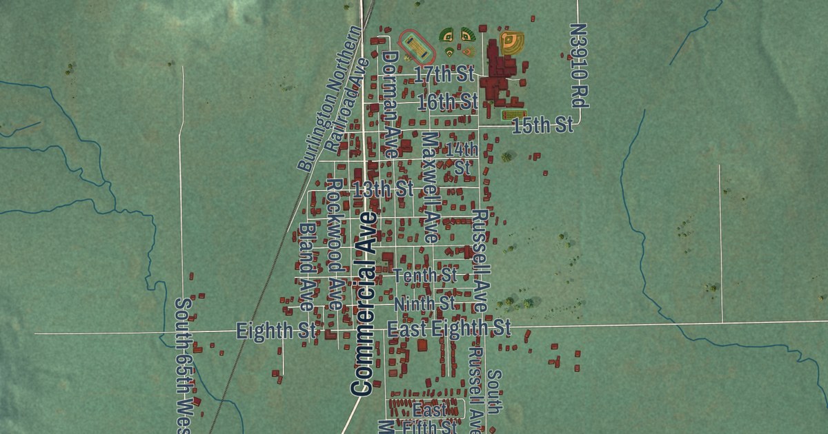
A detailed map of Mounds, Oklahoma, showing every building in its true location, the roads by name, and shaded topographical relief.
Read More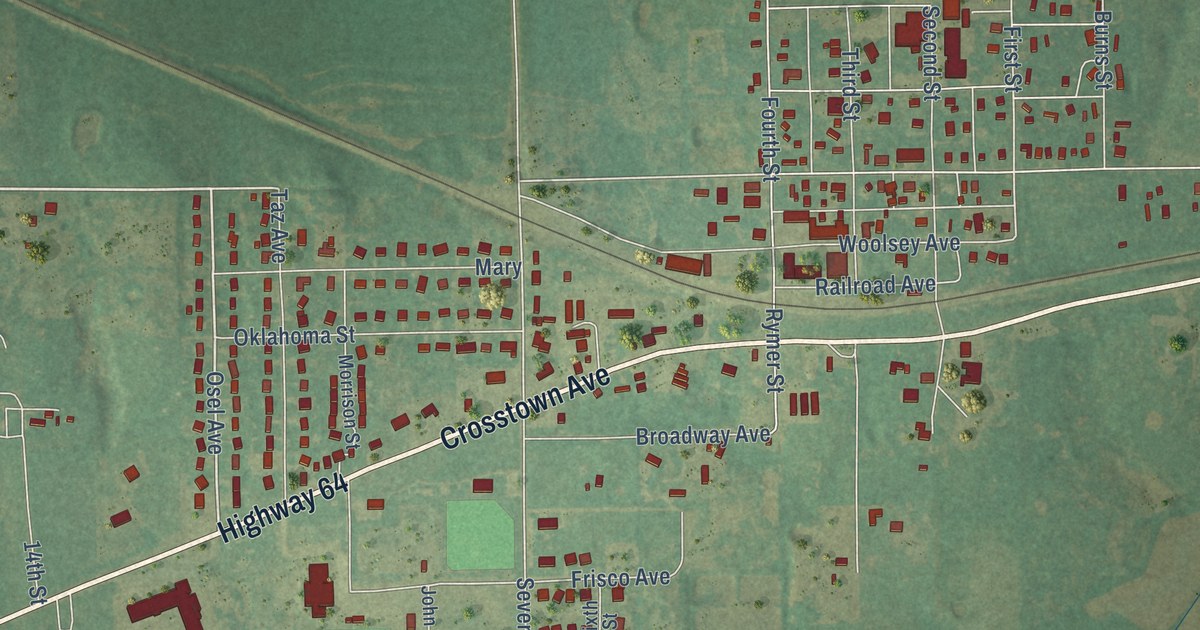
A detailed map of Morrison, Oklahoma, showing every building in its true location, the roads by name, and shaded topographical relief.
Read More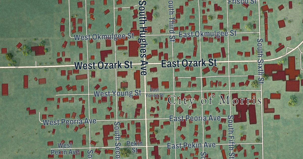
A detailed map of Morris, Oklahoma, showing every building in its true location, the roads by name, and shaded topographical relief.
Read More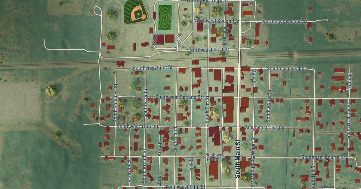
A detailed map of Mooreland, Oklahoma, showing every building in its true location, the roads by name, and shaded topographical relief.
Read More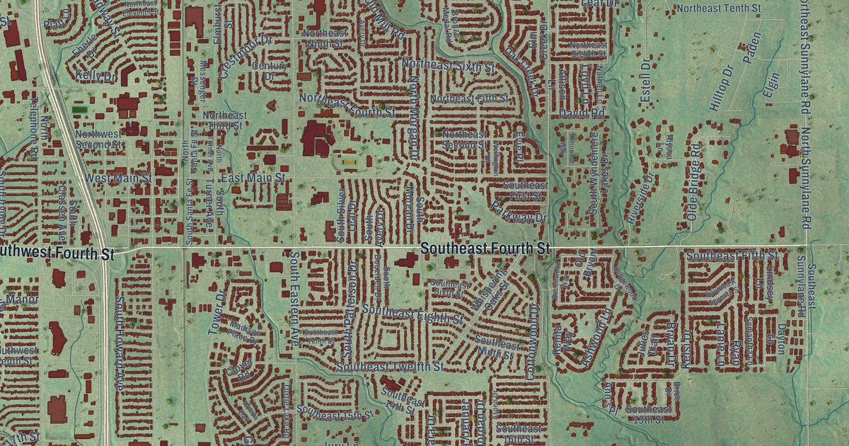
A detailed map of Moore, Oklahoma, showing every building in its true location, the roads by name, and shaded topographical relief.
Read More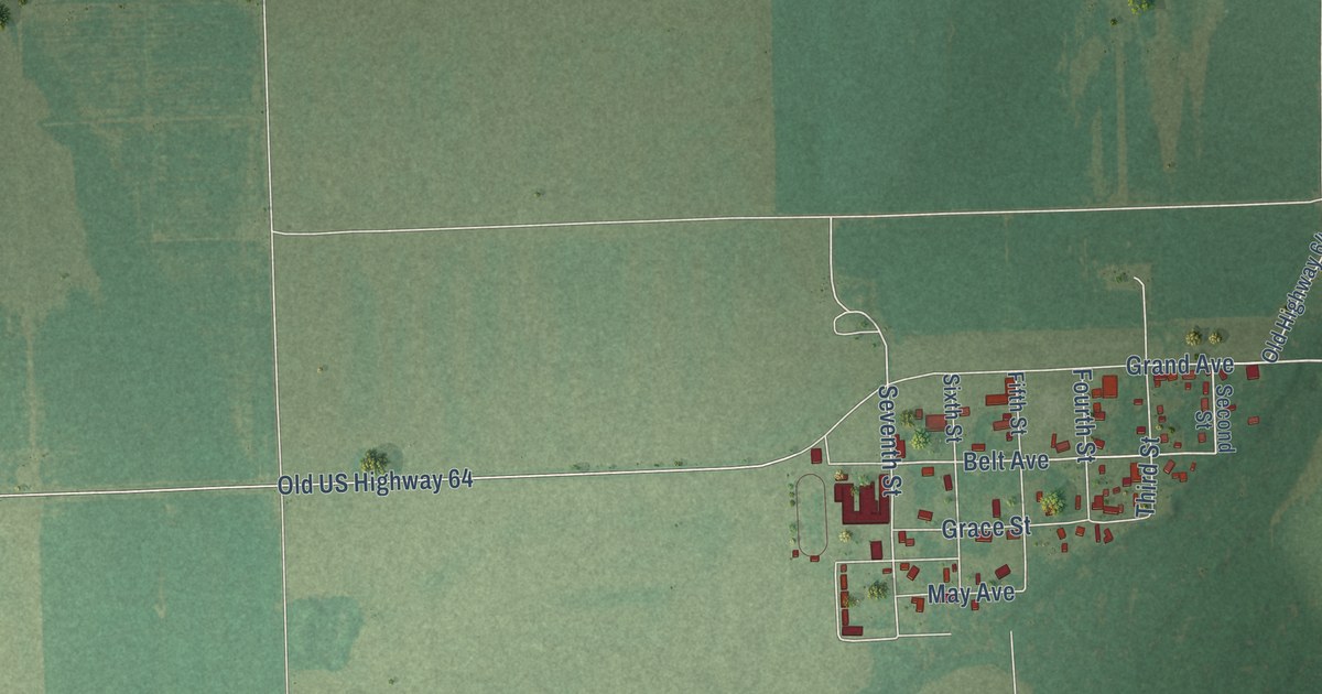
A detailed map of Moffett, Oklahoma, showing every building in its true location, the roads by name, and shaded topographical relief.
Read More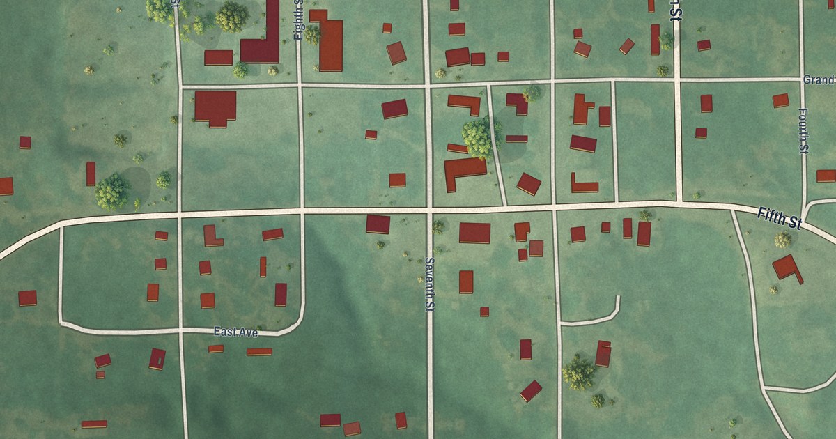
A detailed map of Milburn, Oklahoma, showing every building in its true location, the roads by name, and shaded topographical relief.
Read More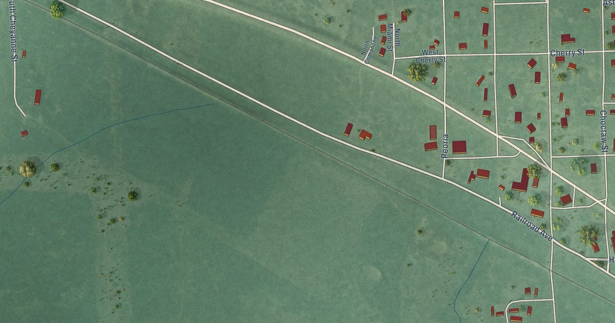
A detailed map of Millerton, Oklahoma, showing every building in its true location, the roads by name, and shaded topographical relief.
Read More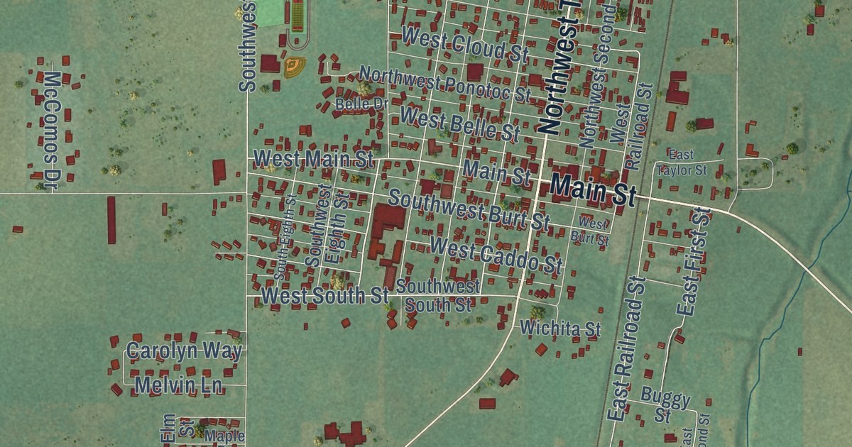
A detailed map of Minco, Oklahoma, showing every building in its true location, the roads by name, and shaded topographical relief.
Read More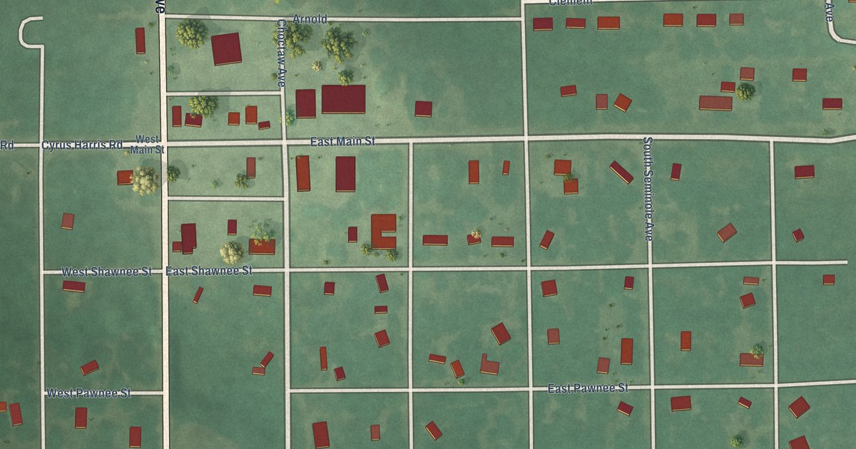
A detailed map of Mill Creek, Oklahoma, showing every building in its true location, the roads by name, and shaded topographical relief.
Read More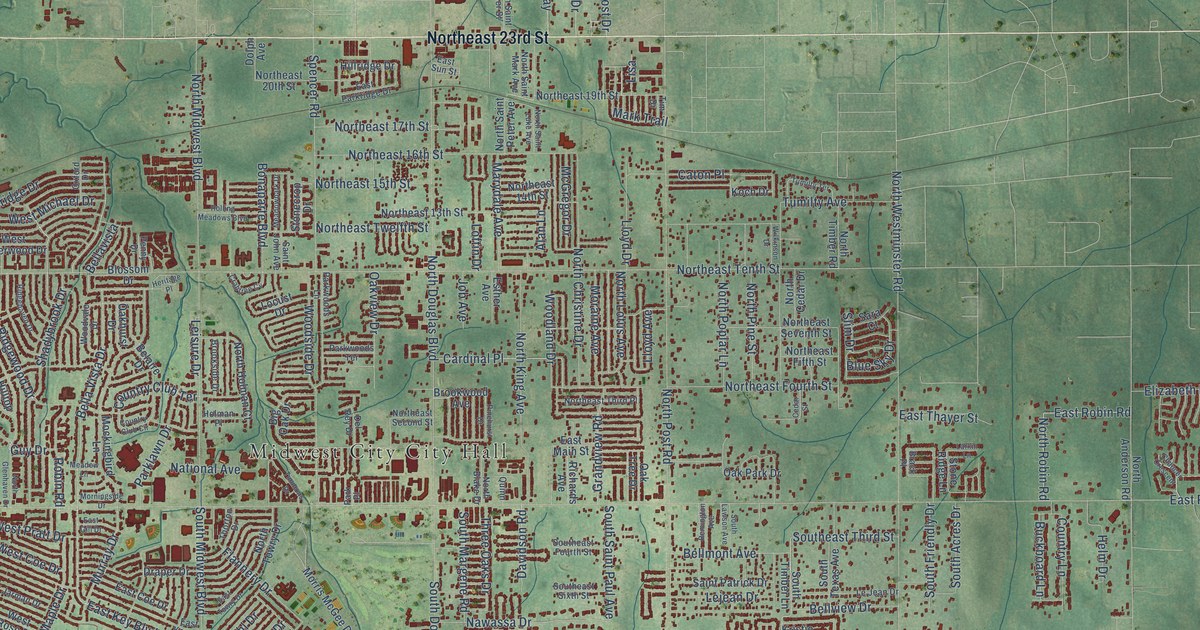
A detailed map of Midwest City, Oklahoma, showing every building in its true location, the roads by name, and shaded topographical relief.
Read More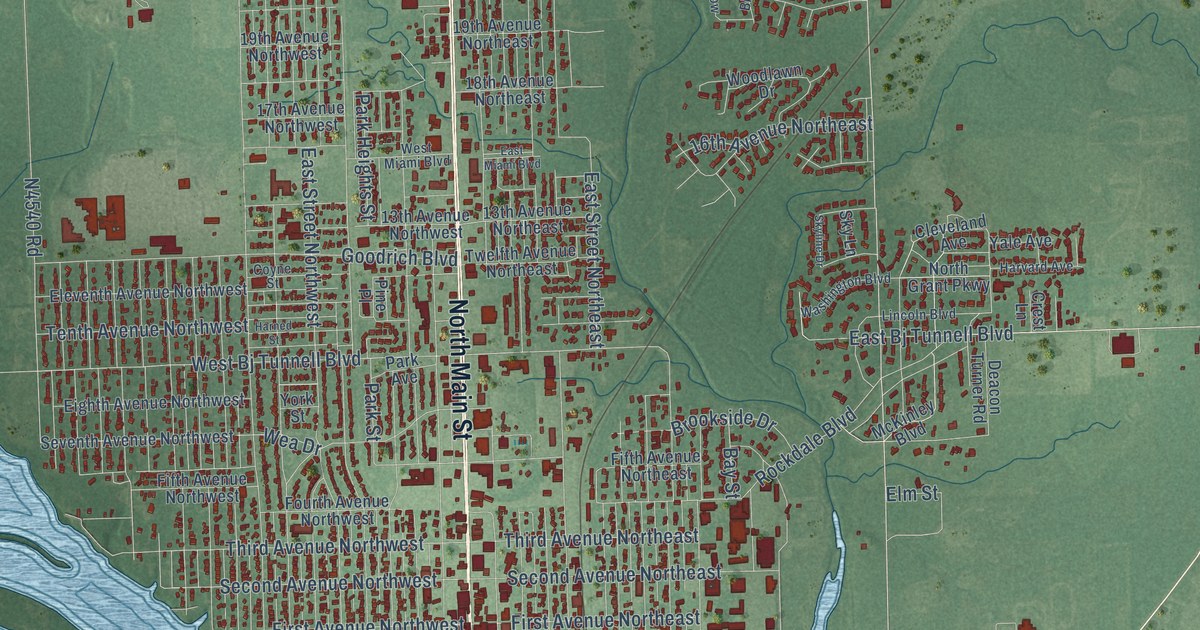
A detailed map of Miami, Oklahoma, showing every building in its true location, the roads by name, and shaded topographical relief.
Read More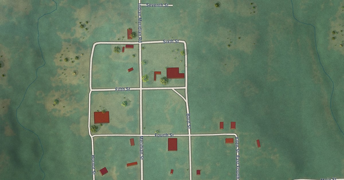
A detailed map of Meridian, Oklahoma, showing every building in its true location, the roads by name, and shaded topographical relief.
Read More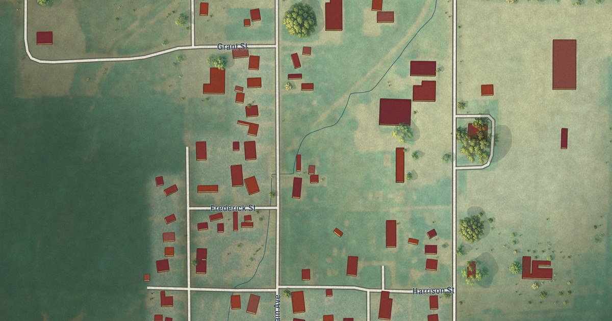
A detailed map of Meno, Oklahoma, showing every building in its true location, the roads by name, and shaded topographical relief.
Read More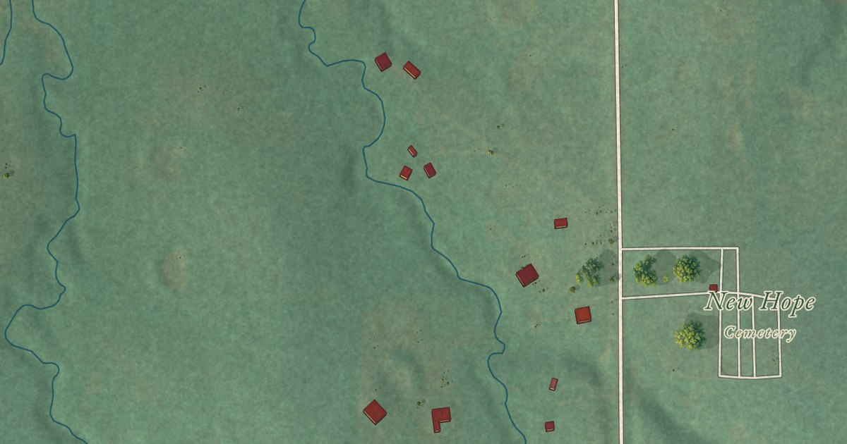
A detailed map of Meeker, Oklahoma, showing every building in its true location, the roads by name, and shaded topographical relief.
Read More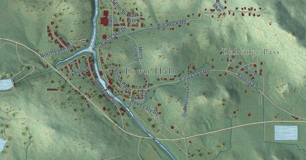
A detailed map of Medicine Park, Oklahoma, showing every building in its true location, the roads by name, and shaded topographical relief.
Read More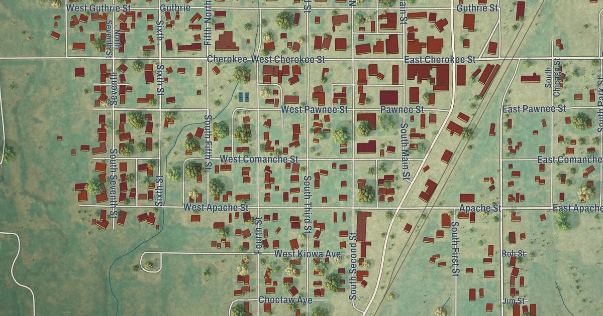
A detailed map of Medford, Oklahoma, showing every building in its true location, the roads by name, and shaded topographical relief.
Read More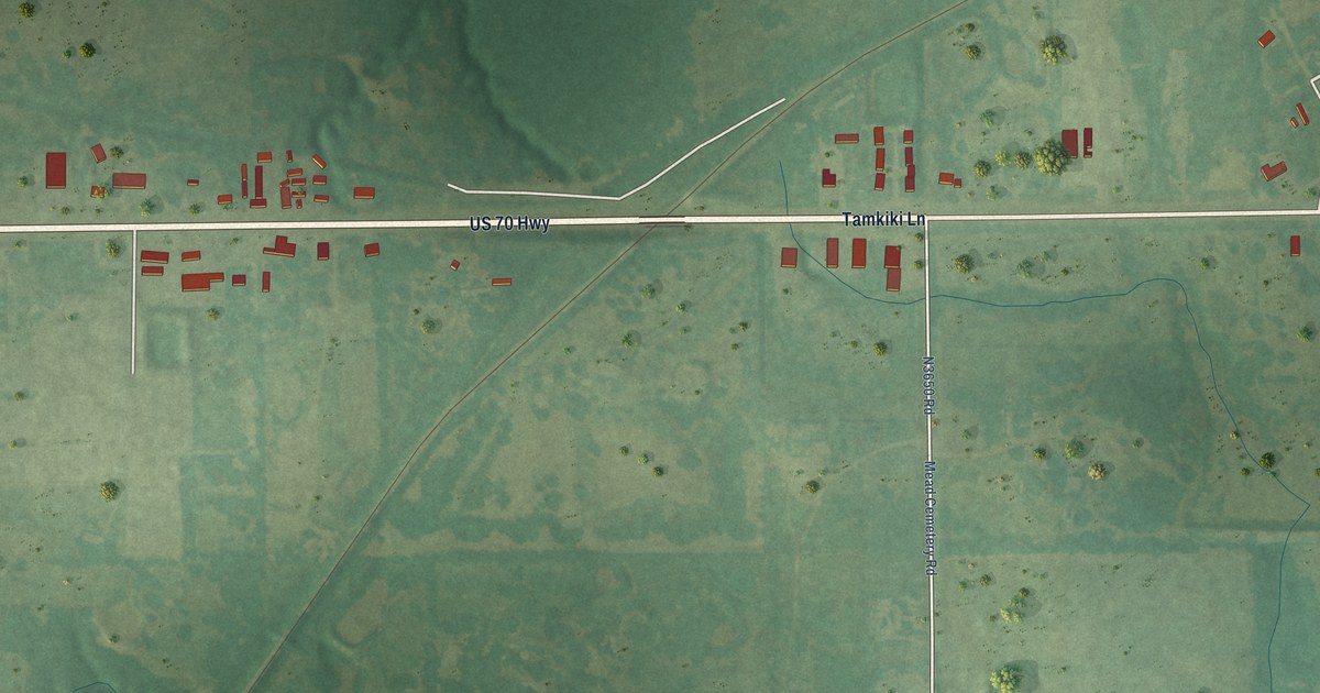
A detailed map of Mead, Oklahoma, showing every building in its true location, the roads by name, and shaded topographical relief.
Read More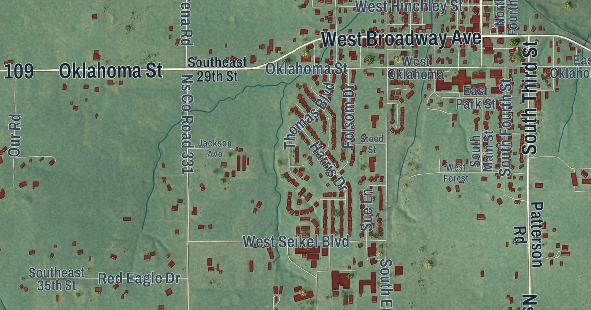
A detailed map of McLoud, Oklahoma, showing every building in its true location, the roads by name, and shaded topographical relief.
Read More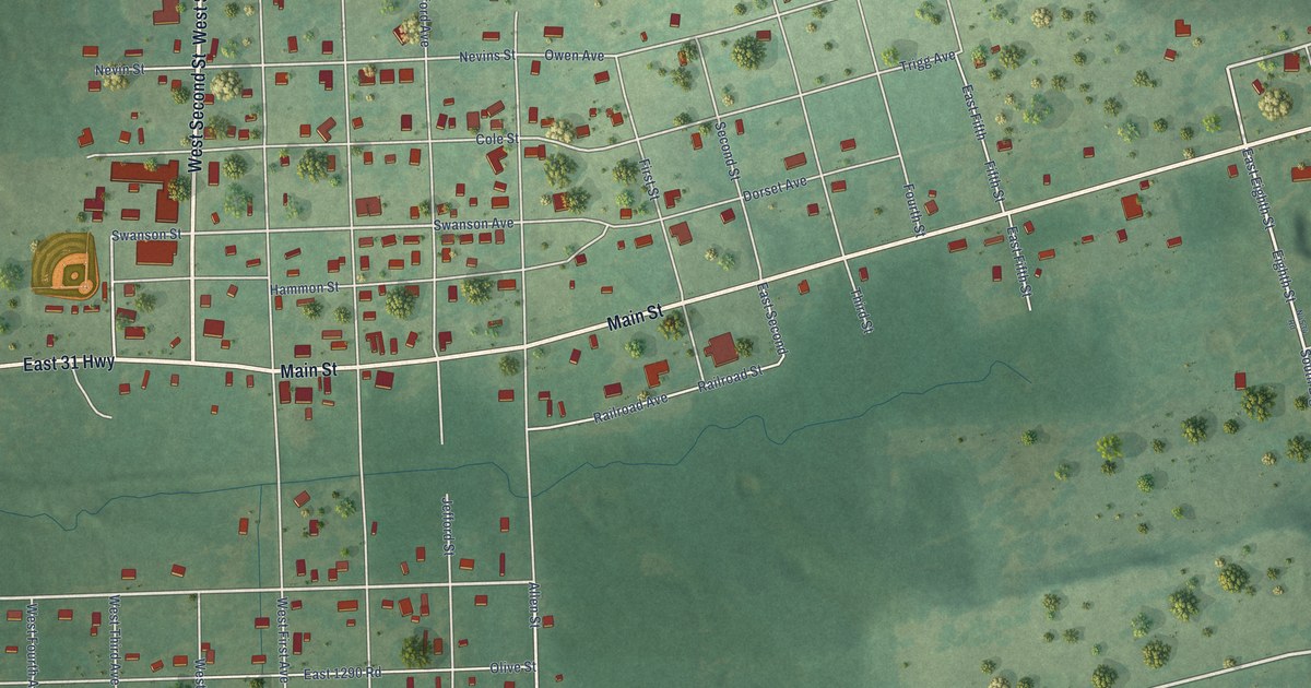
A detailed map of McCurtain, Oklahoma, showing every building in its true location, the roads by name, and shaded topographical relief.
Read More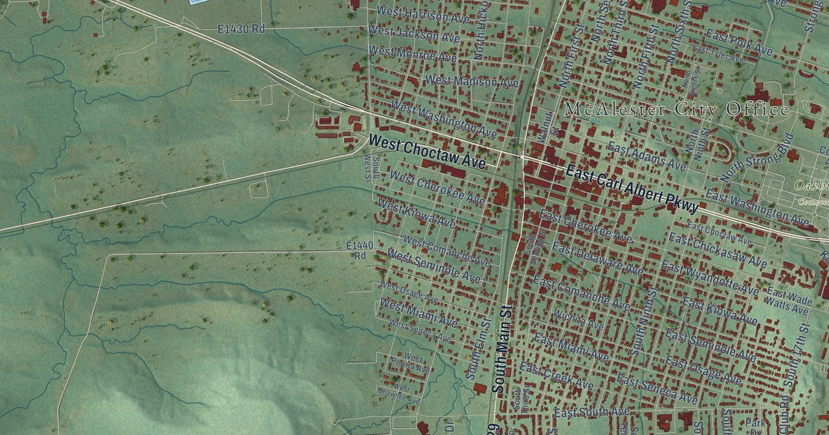
A detailed map of McAlester, Oklahoma, showing every building in its true location, the roads by name, and shaded topographical relief.
Read More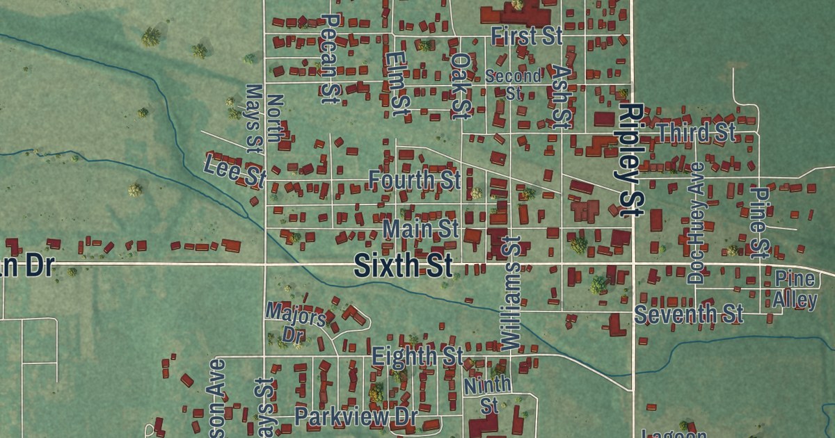
A detailed map of Maysville, Oklahoma, showing every building in its true location, the roads by name, and shaded topographical relief.
Read More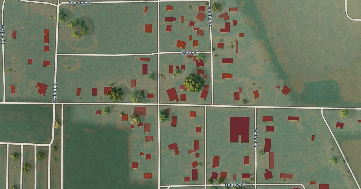
A detailed map of Martha, Oklahoma, showing every building in its true location, the roads by name, and shaded topographical relief.
Read More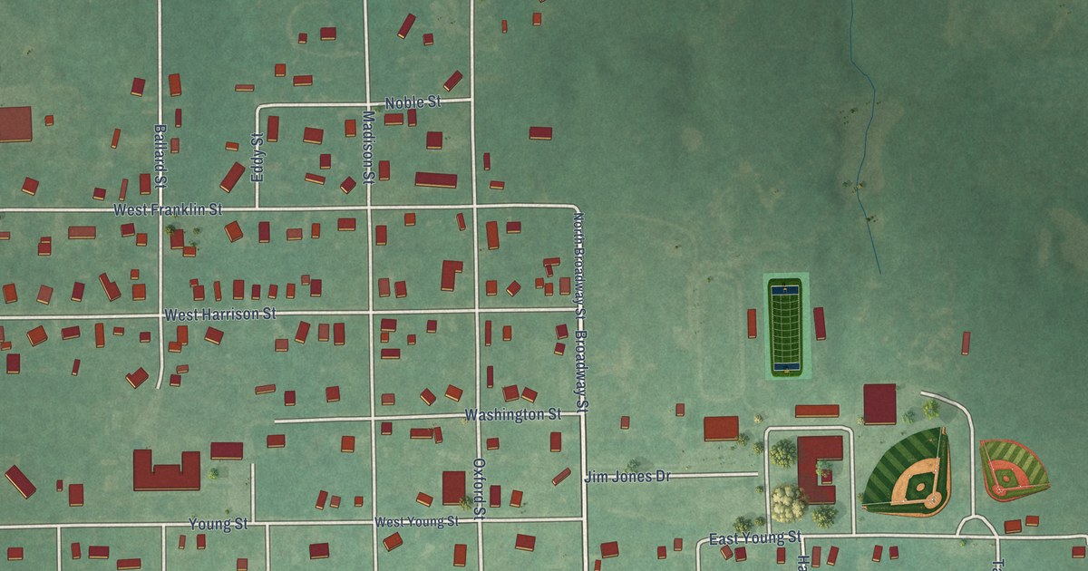
A detailed map of Maud, Oklahoma, showing every building in its true location, the roads by name, and shaded topographical relief.
Read More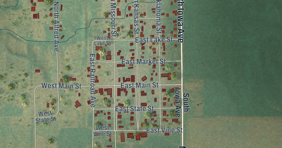
A detailed map of Marshall, Oklahoma, showing every building in its true location, the roads by name, and shaded topographical relief.
Read More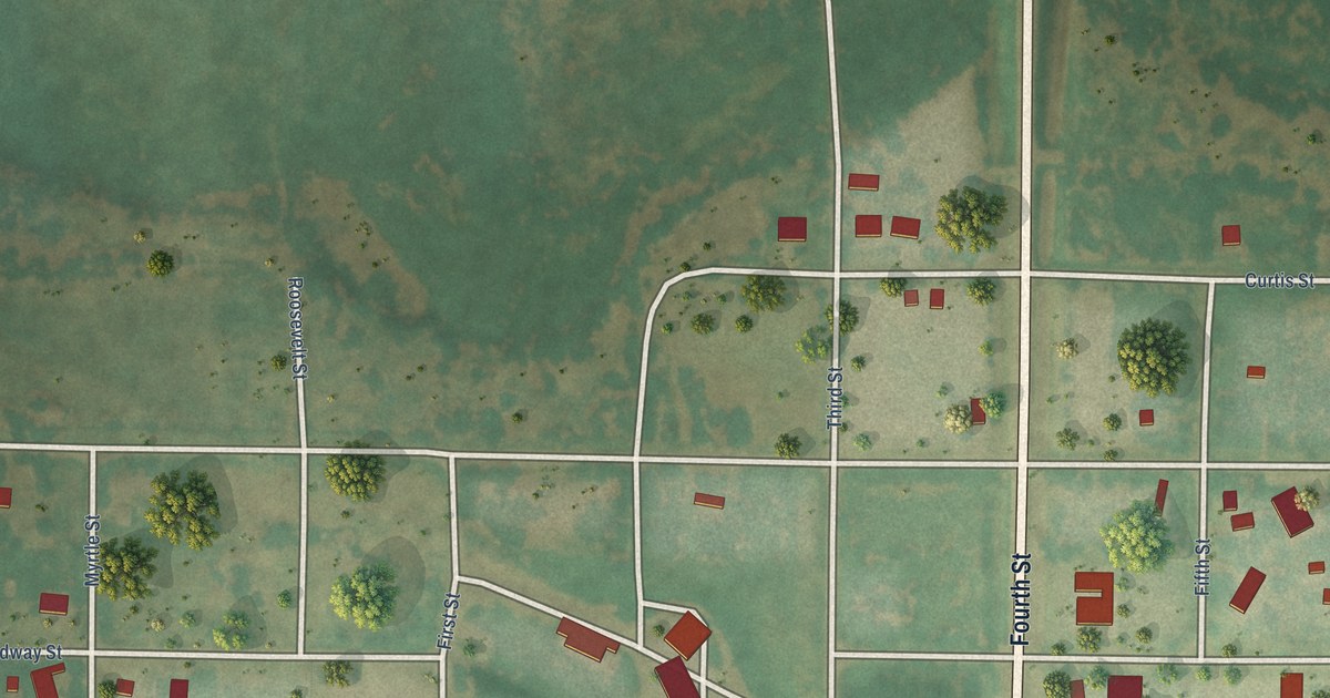
A detailed map of May, Oklahoma, showing every building in its true location, the roads by name, and shaded topographical relief.
Read More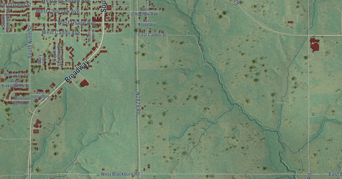
A detailed map of Marlow, Oklahoma, showing every building in its true location, the roads by name, and shaded topographical relief.
Read More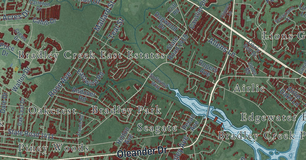
A detailed map of Wilmington, North Carolina, showing every building in its true location, the roads by name, and shaded topographical relief.
Read More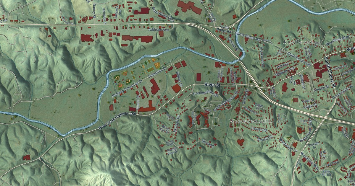
A detailed map of Wilkesboro, North Carolina, showing every building in its true location, the roads by name, and shaded topographical relief.
Read More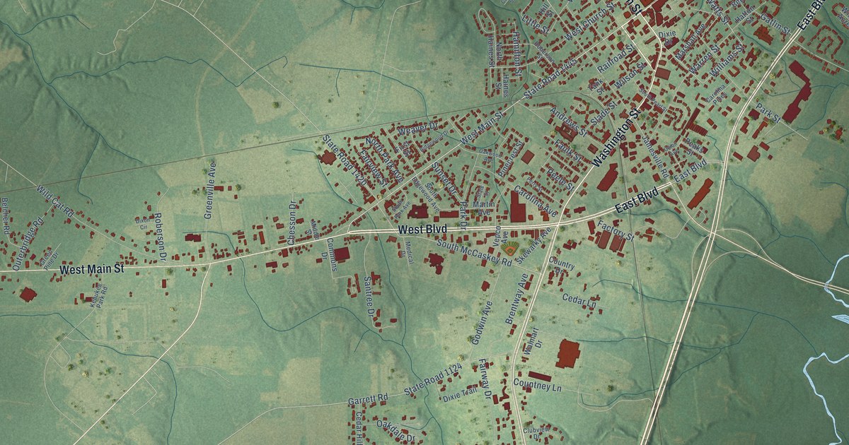
A detailed map of Williamston, North Carolina, showing every building in its true location, the roads by name, and shaded topographical relief.
Read More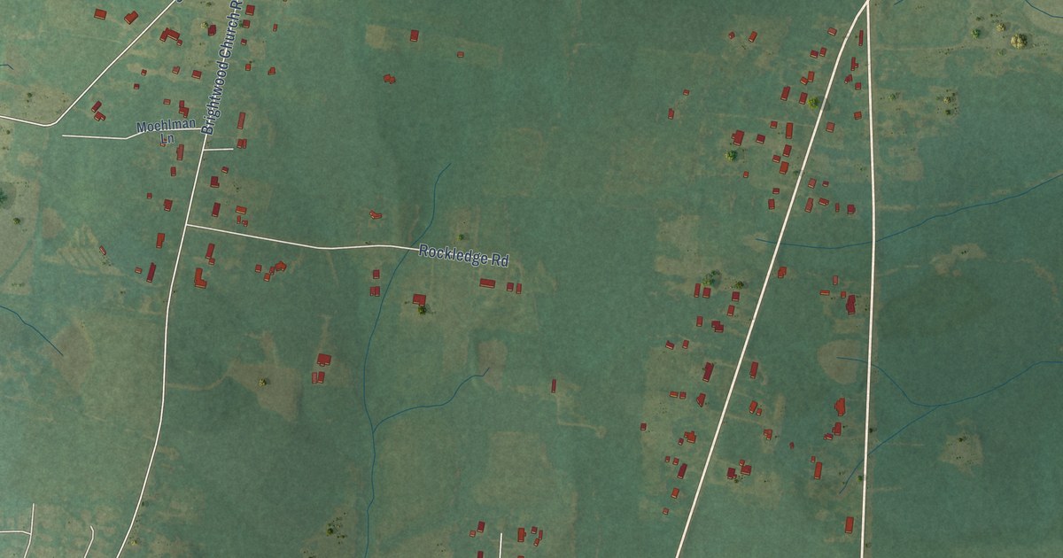
A detailed map of Whitsett, North Carolina, showing every building in its true location, the roads by name, and shaded topographical relief.
Read More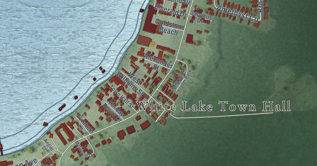
A detailed map of White Lake, North Carolina, showing every building in its true location, the roads by name, and shaded topographical relief.
Read More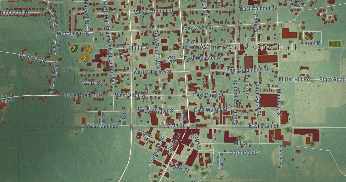
A detailed map of Whiteville, North Carolina, showing every building in its true location, the roads by name, and shaded topographical relief.
Read More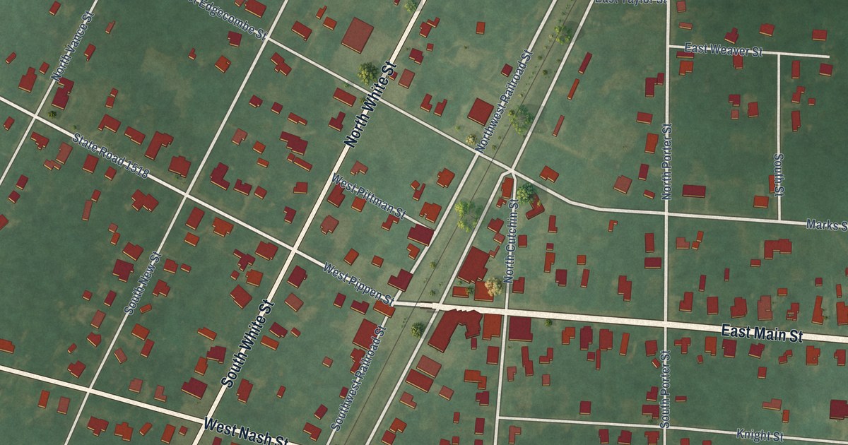
A detailed map of Whitakers, North Carolina, showing every building in its true location, the roads by name, and shaded topographical relief.
Read More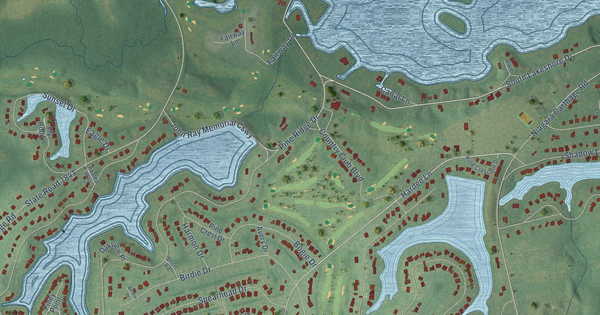
A detailed map of Whispering Pines, North Carolina, showing every building in its true location, the roads by name, and shaded topographical relief.
Read More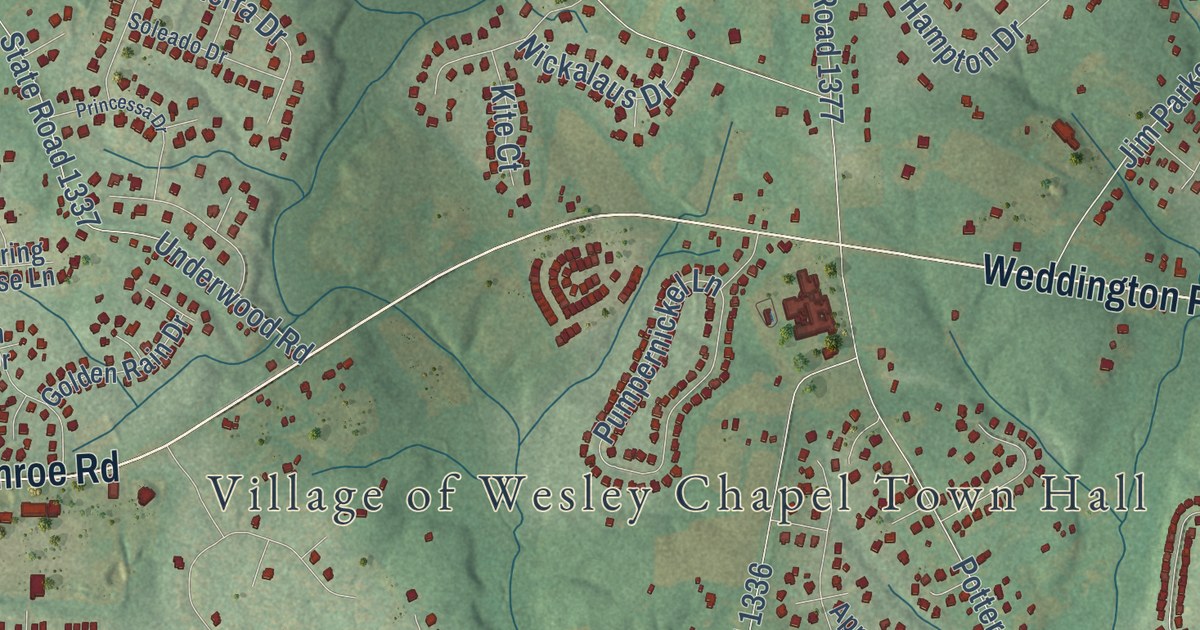
A detailed map of Wesley Chapel, North Carolina, showing every building in its true location, the roads by name, and shaded topographical relief.
Read More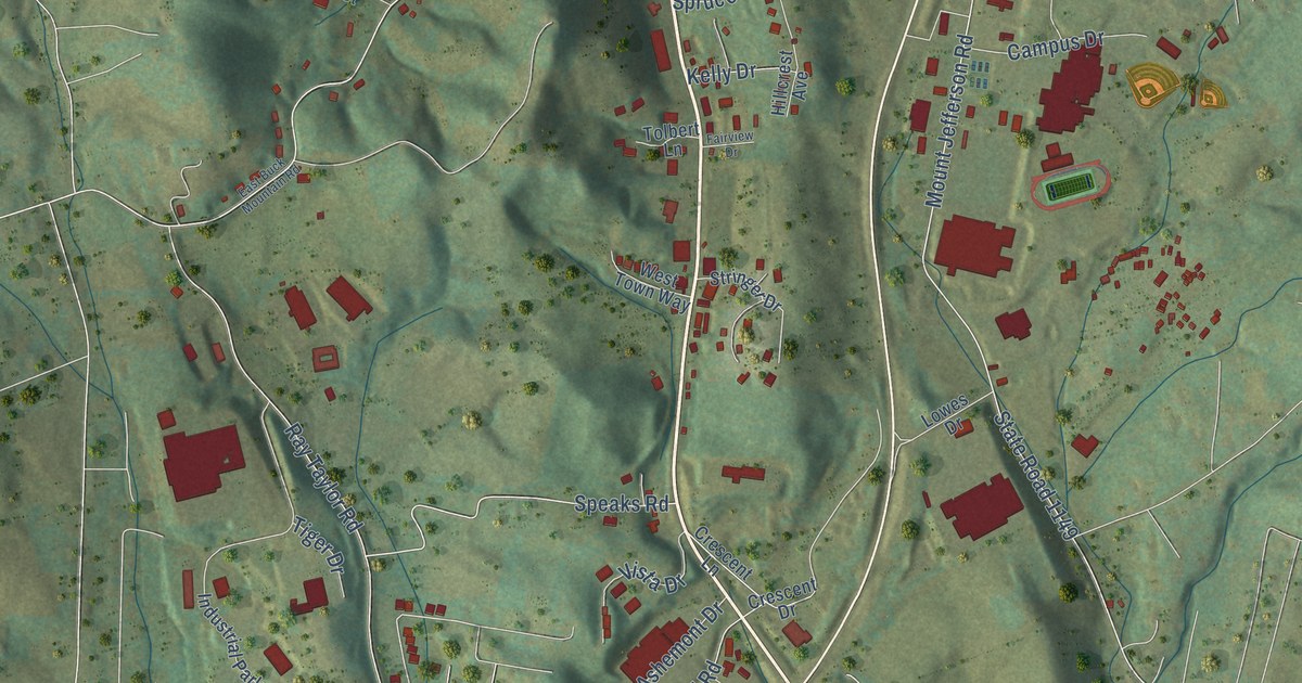
A detailed map of West Jefferson, North Carolina, showing every building in its true location, the roads by name, and shaded topographical relief.
Read More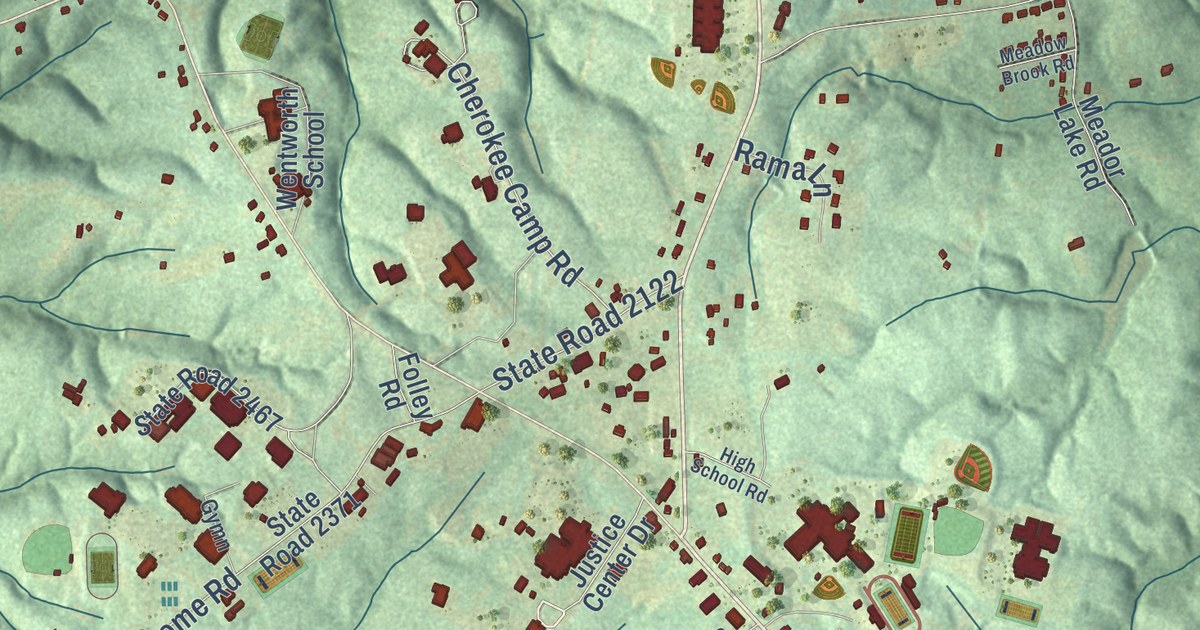
A detailed map of Wentworth, North Carolina, showing every building in its true location, the roads by name, and shaded topographical relief.
Read More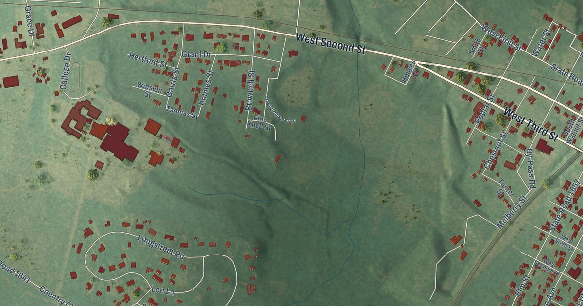
A detailed map of Weldon, North Carolina, showing every building in its true location, the roads by name, and shaded topographical relief.
Read More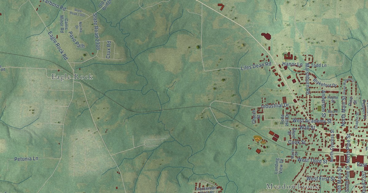
A detailed map of Wendell, North Carolina, showing every building in its true location, the roads by name, and shaded topographical relief.
Read More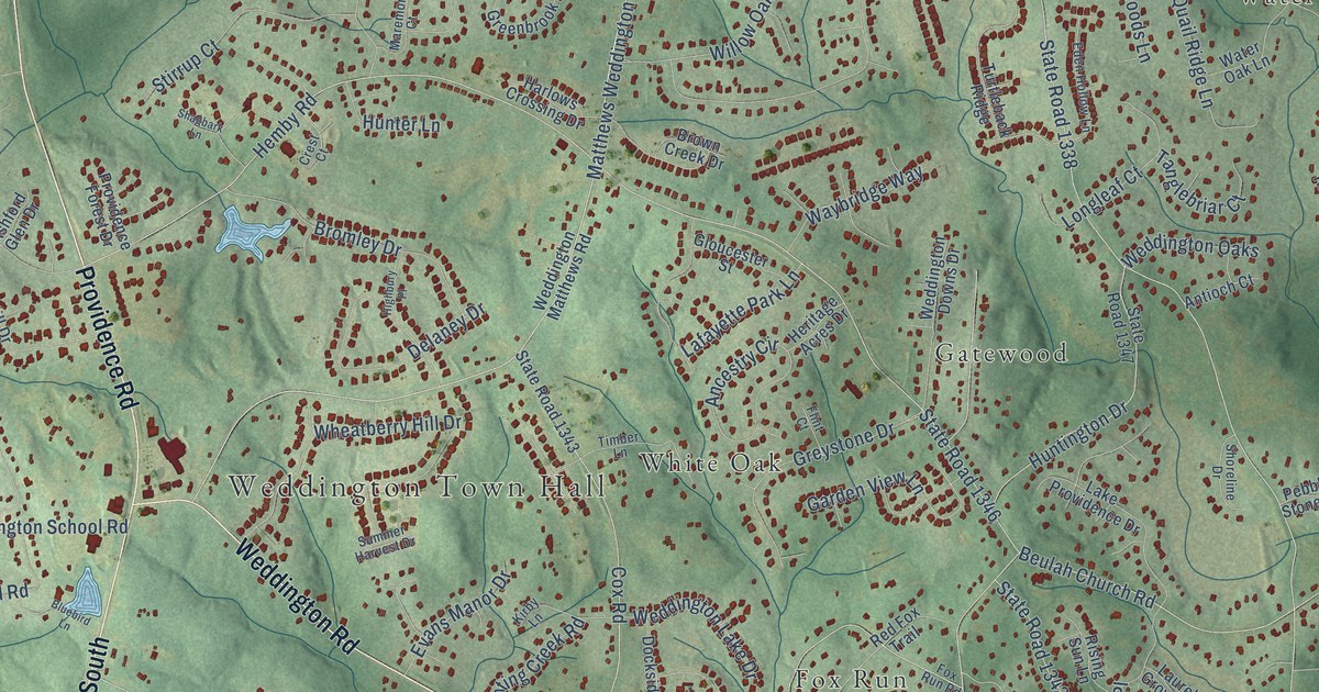
A detailed map of Weddington, North Carolina, showing every building in its true location, the roads by name, and shaded topographical relief.
Read More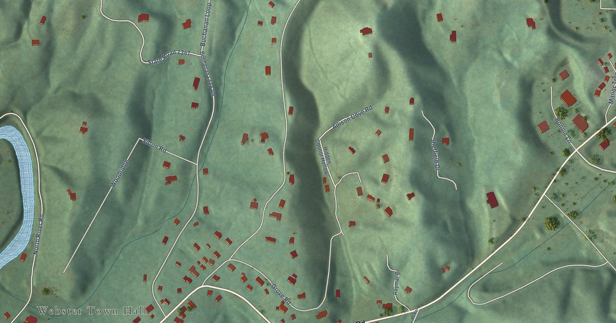
A detailed map of Webster, North Carolina, showing every building in its true location, the roads by name, and shaded topographical relief.
Read More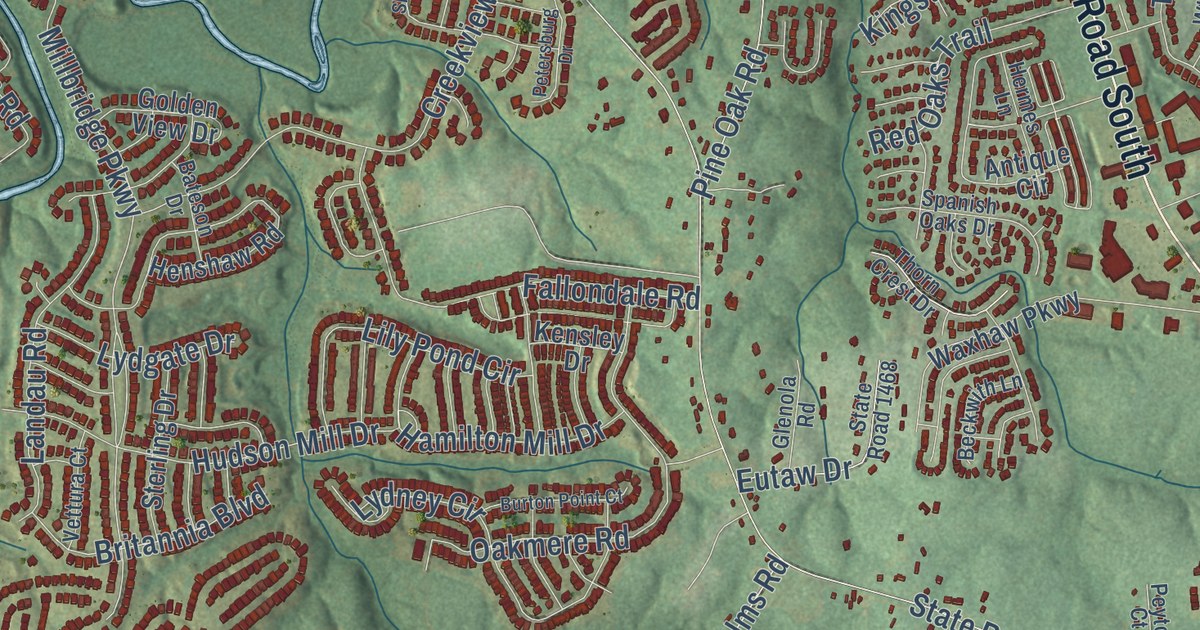
A detailed map of Waxhaw, North Carolina, showing every building in its true location, the roads by name, and shaded topographical relief.
Read More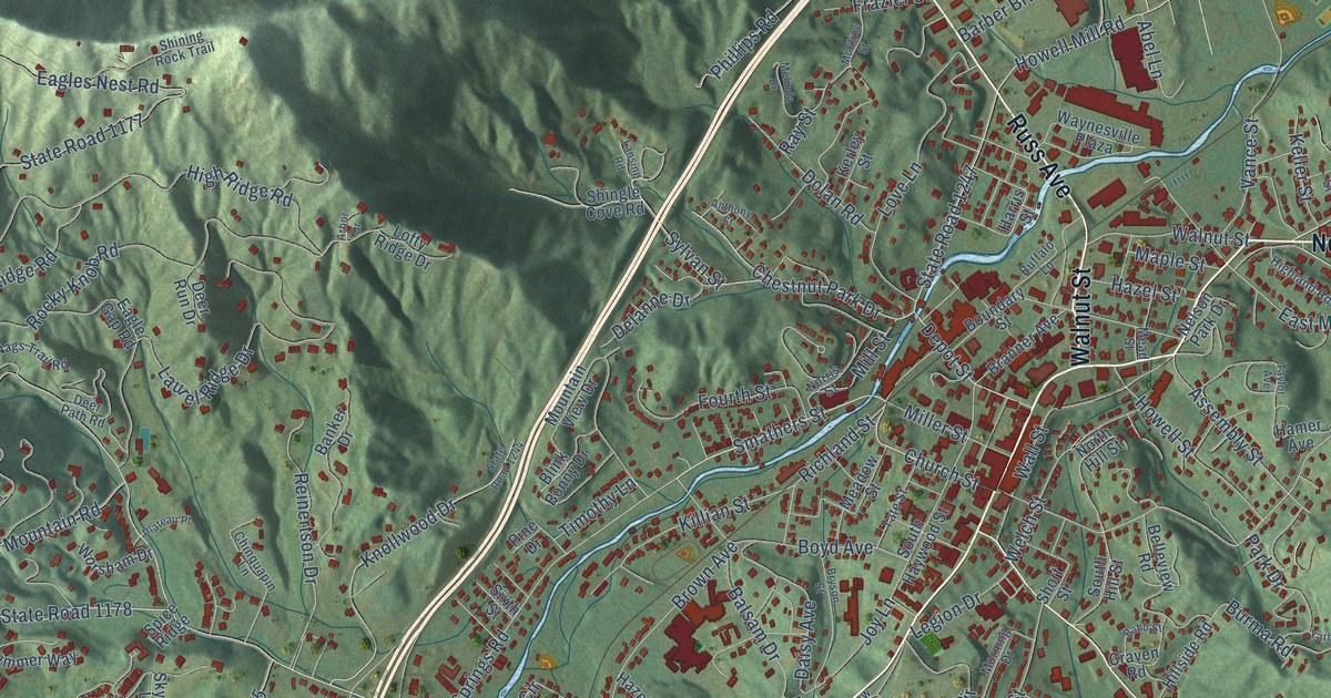
A detailed map of Waynesville, North Carolina, showing every building in its true location, the roads by name, and shaded topographical relief.
Read More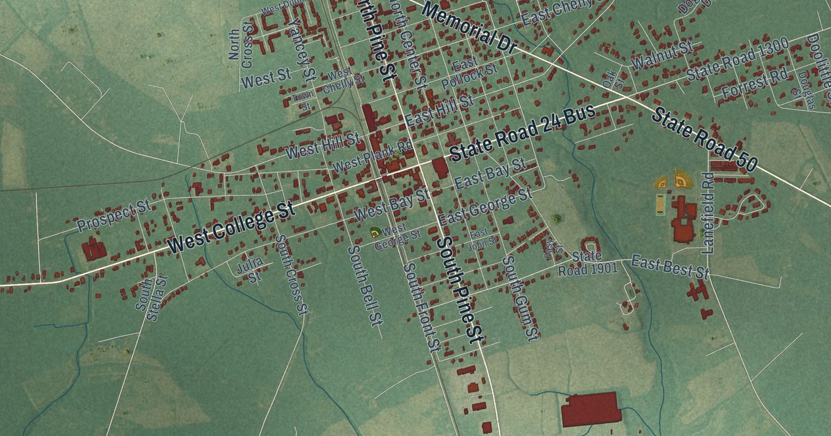
A detailed map of Warsaw, North Carolina, showing every building in its true location, the roads by name, and shaded topographical relief.
Read More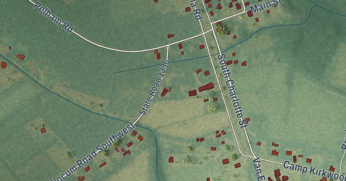
A detailed map of Watha, North Carolina, showing every building in its true location, the roads by name, and shaded topographical relief.
Read More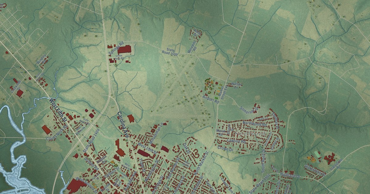
A detailed map of Washington, North Carolina, showing every building in its true location, the roads by name, and shaded topographical relief.
Read More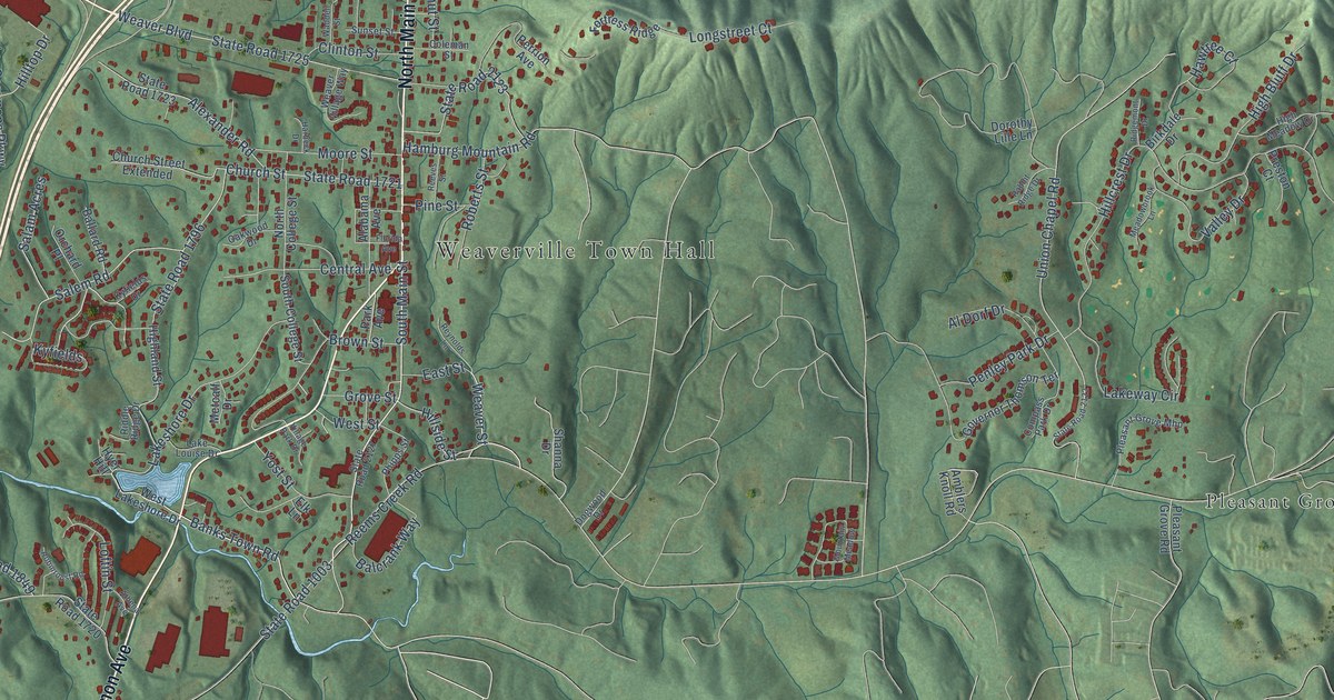
A detailed map of Weaverville, North Carolina, showing every building in its true location, the roads by name, and shaded topographical relief.
Read More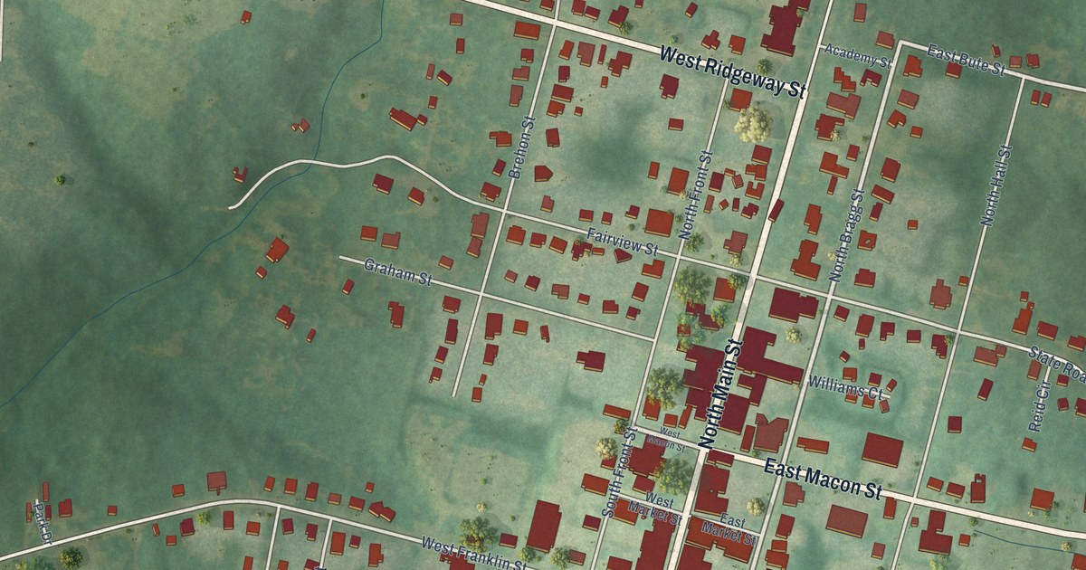
A detailed map of Warrenton, North Carolina, showing every building in its true location, the roads by name, and shaded topographical relief.
Read More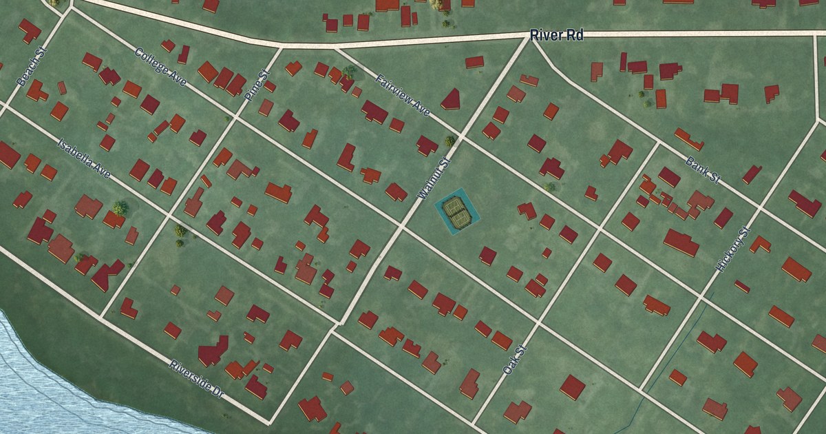
A detailed map of Washington Park, North Carolina, showing every building in its true location, the roads by name, and shaded topographical relief.
Read More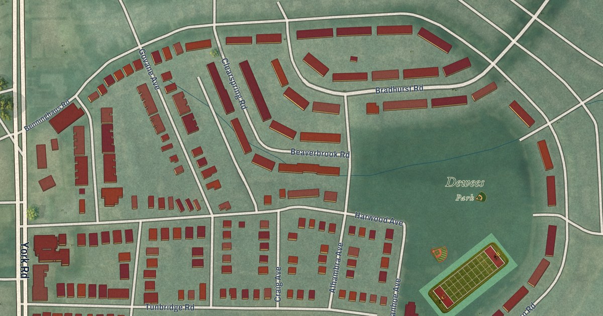
A detailed map of Mid-Govans, Maryland, showing every building in its true location, the roads by name, and shaded topographical relief.
Read More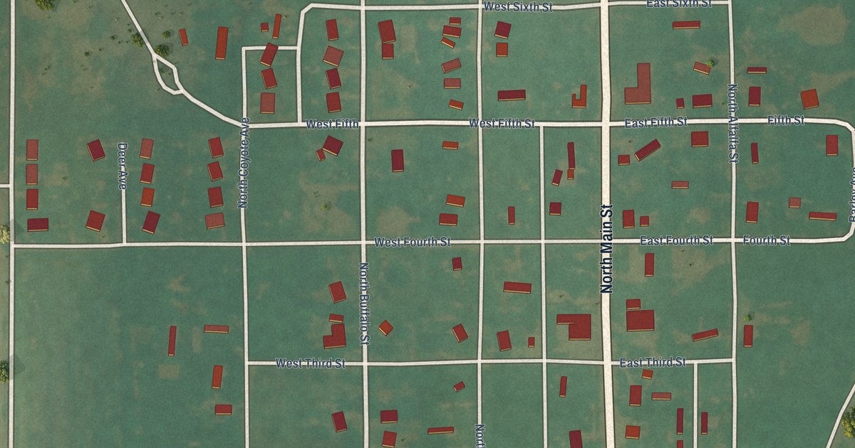
A detailed map of Marland, Oklahoma, showing every building in its true location, the roads by name, and shaded topographical relief.
Read More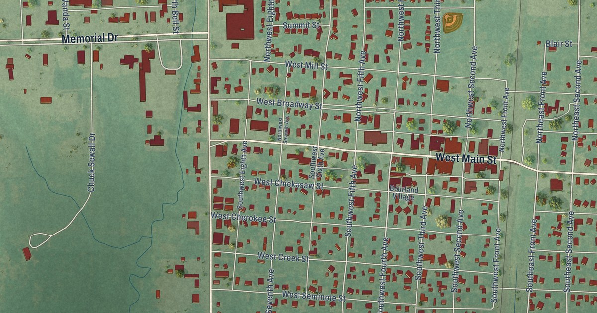
A detailed map of Marietta, Oklahoma, showing every building in its true location, the roads by name, and shaded topographical relief.
Read More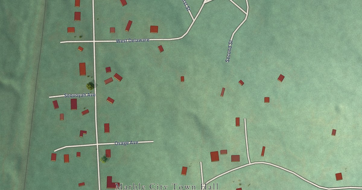
A detailed map of Marble City, Oklahoma, showing every building in its true location, the roads by name, and shaded topographical relief.
Read More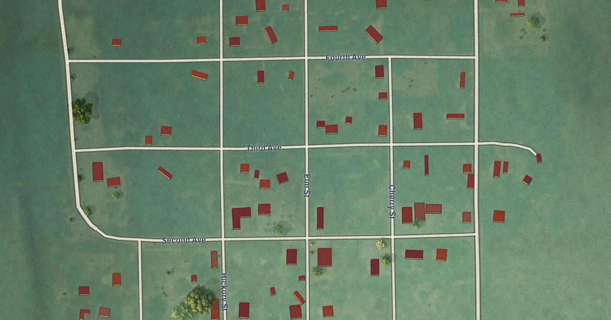
A detailed map of Maramec, Oklahoma, showing every building in its true location, the roads by name, and shaded topographical relief.
Read More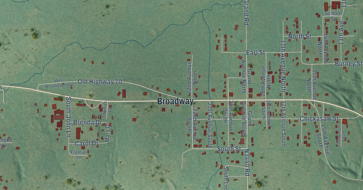
A detailed map of Mannsville, Oklahoma, showing every building in its true location, the roads by name, and shaded topographical relief.
Read More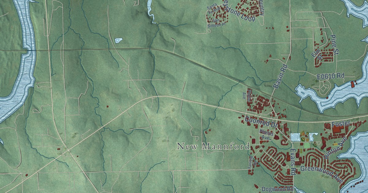
A detailed map of Mannford, Oklahoma, showing every building in its true location, the roads by name, and shaded topographical relief.
Read More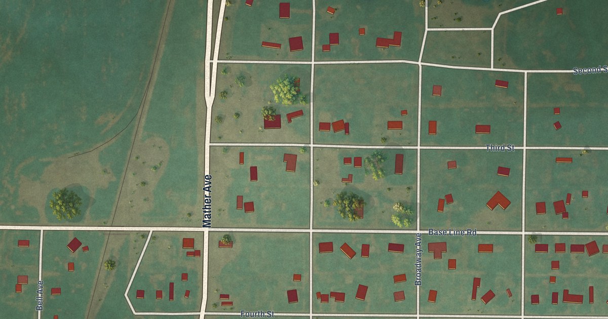
A detailed map of Manitou, Oklahoma, showing every building in its true location, the roads by name, and shaded topographical relief.
Read More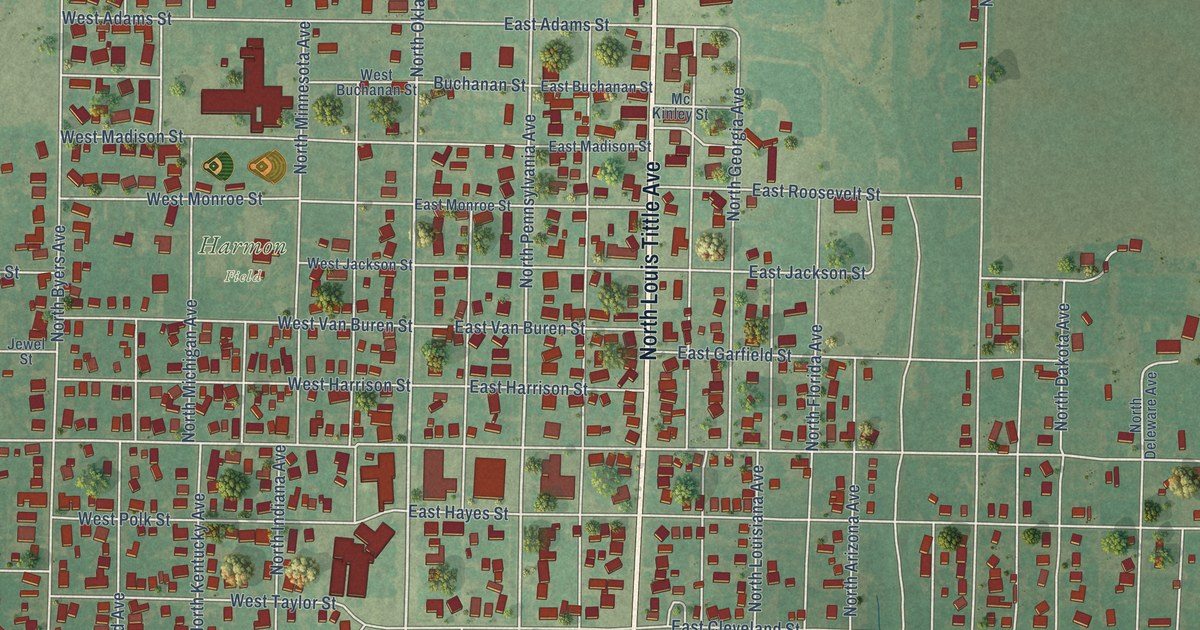
A detailed map of Mangum, Oklahoma, showing every building in its true location, the roads by name, and shaded topographical relief.
Read More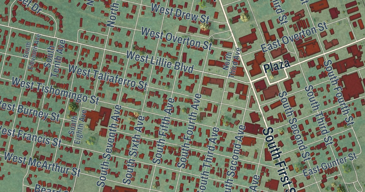
A detailed map of Madill, Oklahoma, showing every building in its true location, the roads by name, and shaded topographical relief.
Read More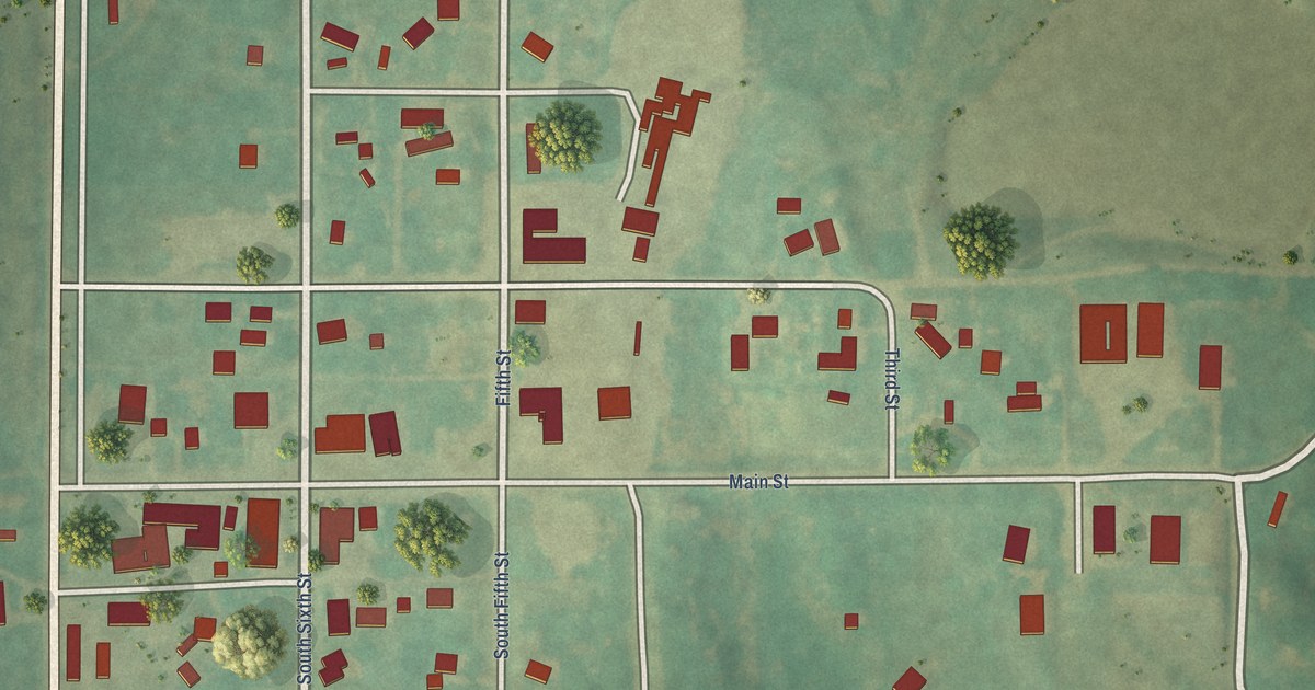
A detailed map of Manchester, Oklahoma, showing every building in its true location, the roads by name, and shaded topographical relief.
Read More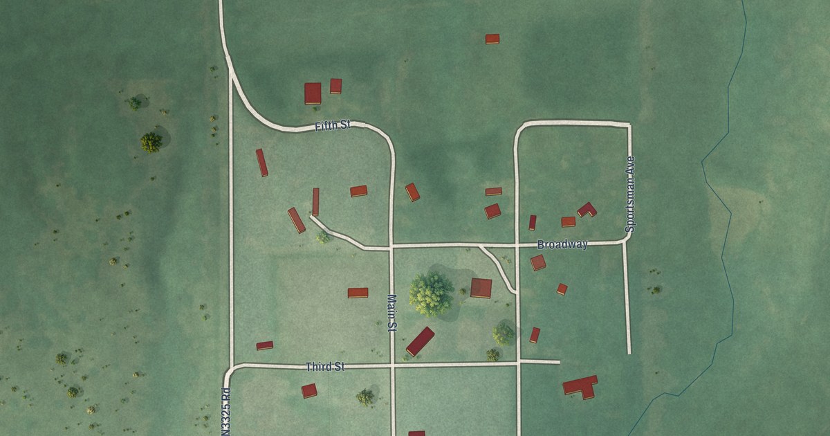
A detailed map of Macomb, Oklahoma, showing every building in its true location, the roads by name, and shaded topographical relief.
Read More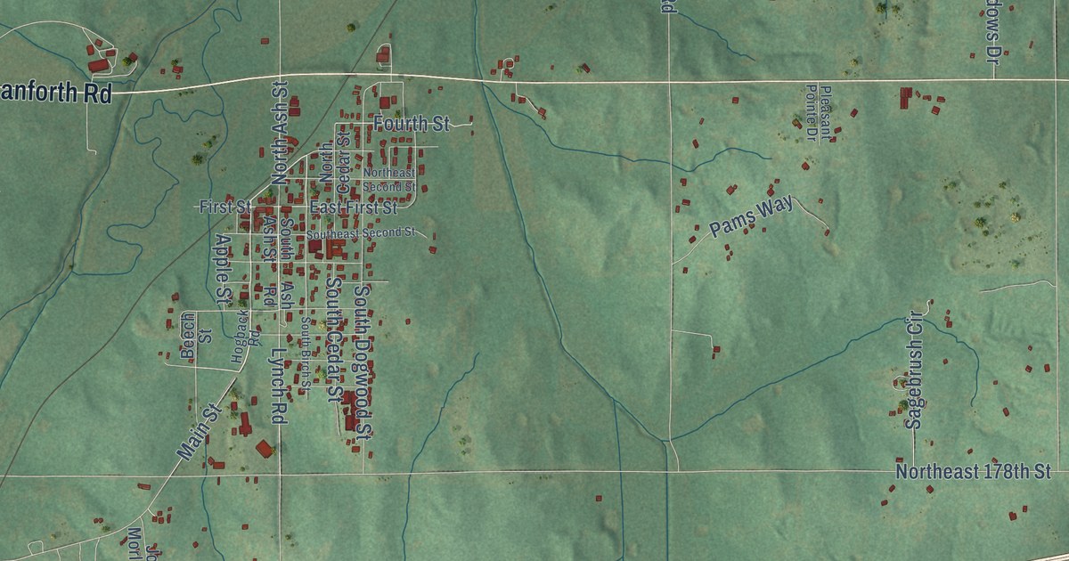
A detailed map of Luther, Oklahoma, showing every building in its true location, the roads by name, and shaded topographical relief.
Read More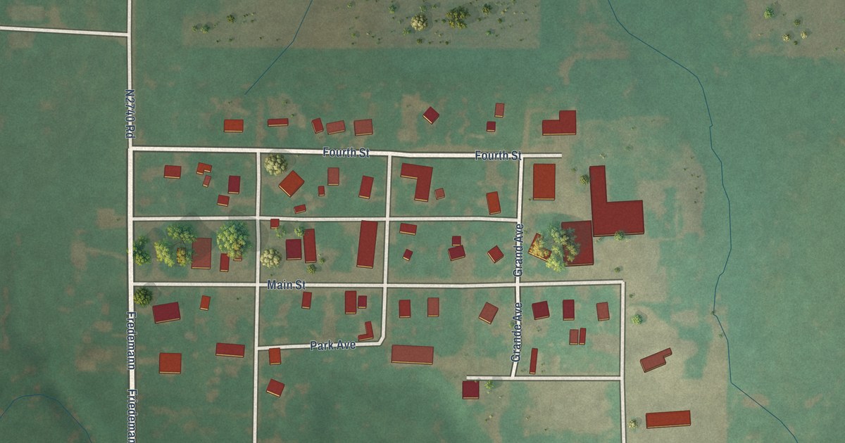
A detailed map of Loyal, Oklahoma, showing every building in its true location, the roads by name, and shaded topographical relief.
Read More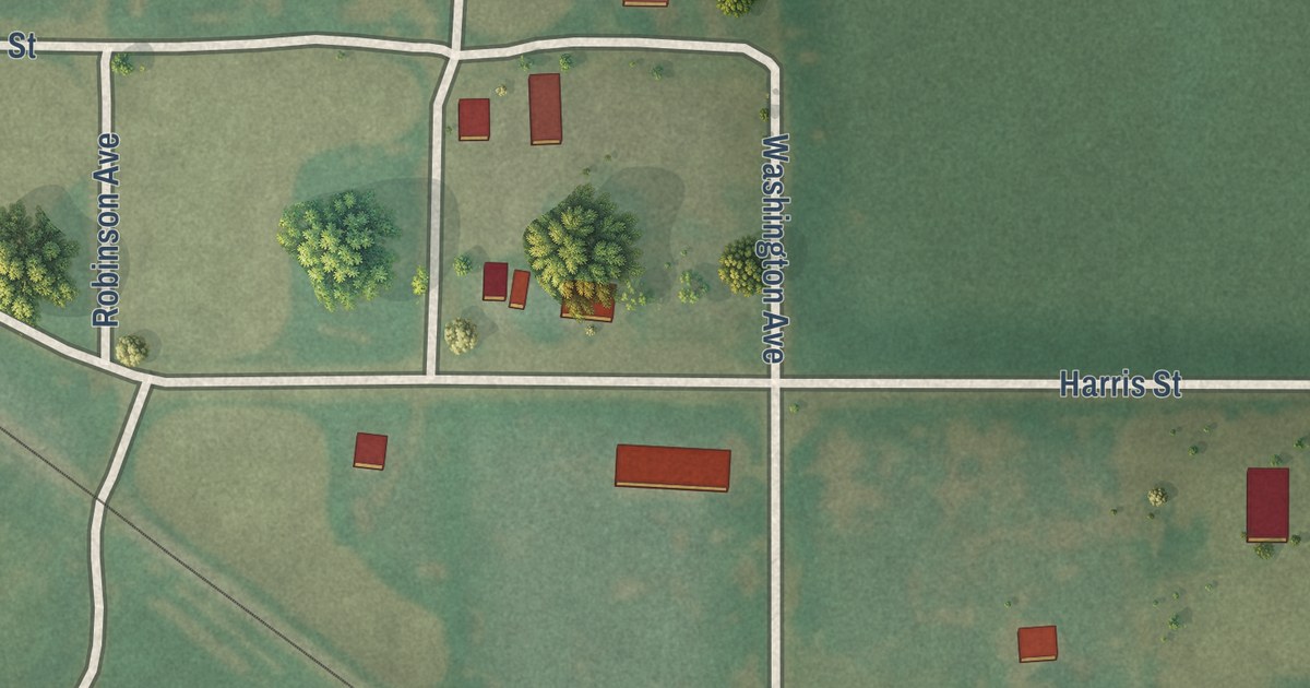
A detailed map of Loveland, Oklahoma, showing every building in its true location, the roads by name, and shaded topographical relief.
Read More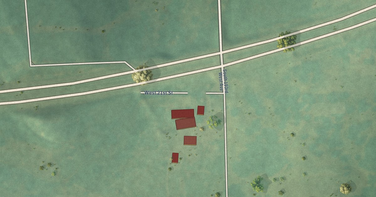
A detailed map of Lotsee, Oklahoma, showing every building in its true location, the roads by name, and shaded topographical relief.
Read More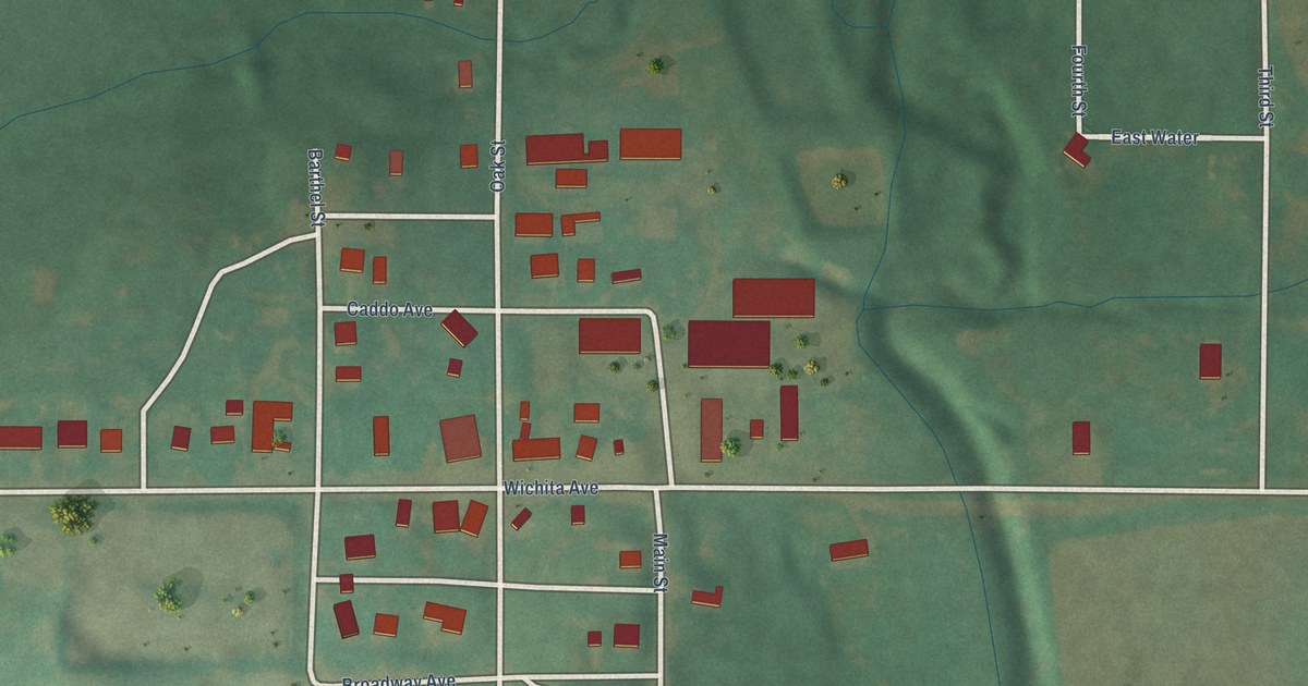
A detailed map of Lookeba, Oklahoma, showing every building in its true location, the roads by name, and shaded topographical relief.
Read More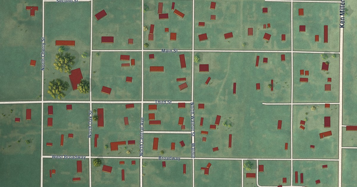
A detailed map of Longdale, Oklahoma, showing every building in its true location, the roads by name, and shaded topographical relief.
Read More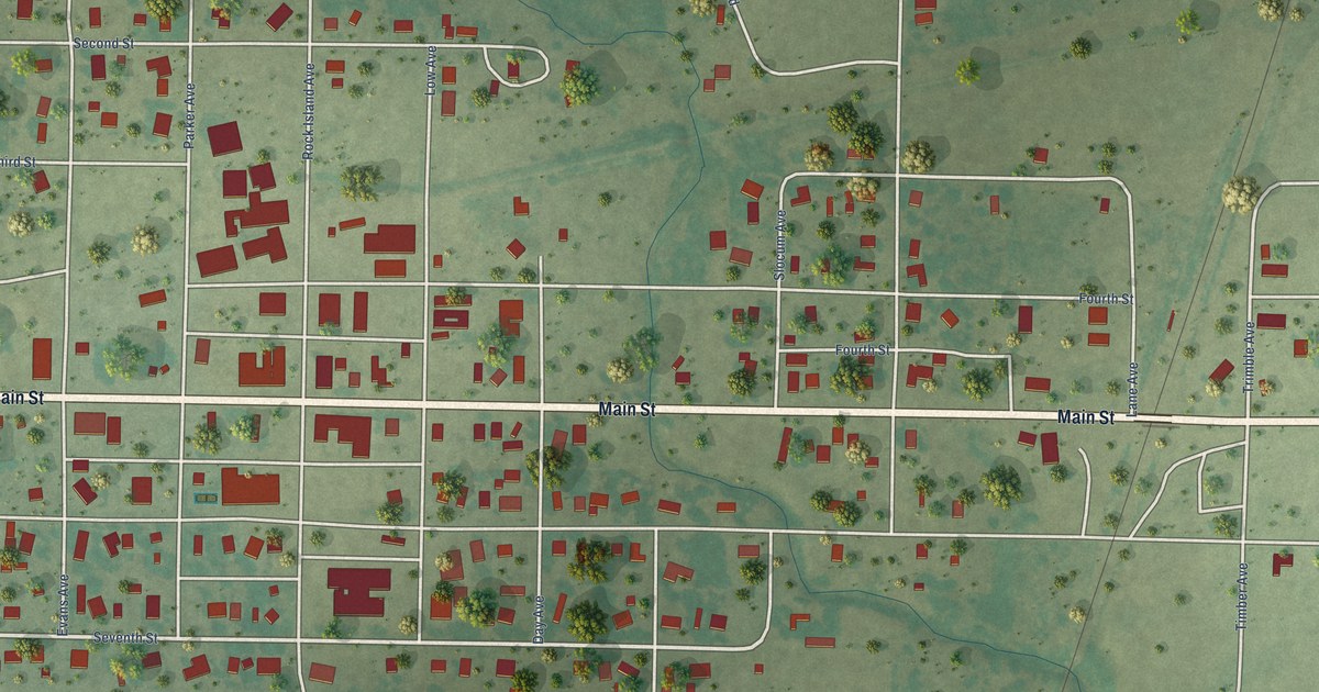
A detailed map of Lone Wolf, Oklahoma, showing every building in its true location, the roads by name, and shaded topographical relief.
Read More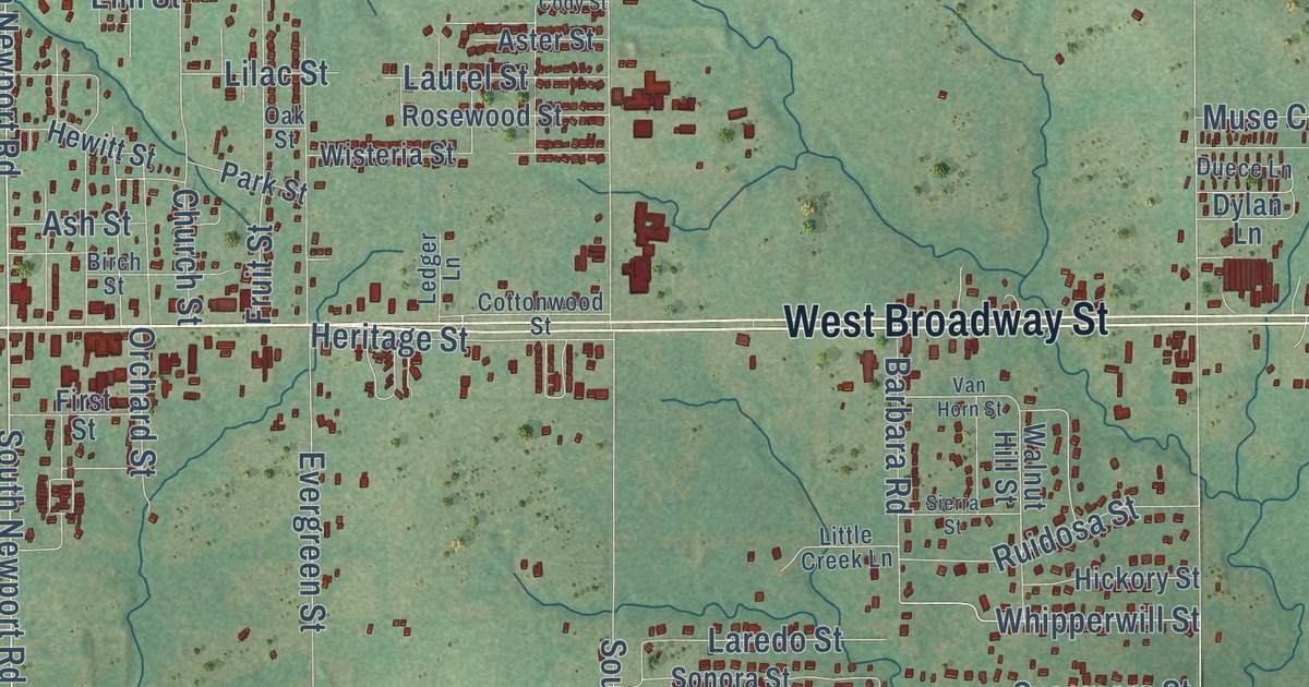
A detailed map of Lone Grove, Oklahoma, showing every building in its true location, the roads by name, and shaded topographical relief.
Read More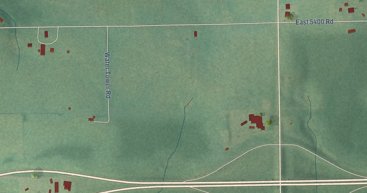
A detailed map of Lone Chimney, Oklahoma, showing every building in its true location, the roads by name, and shaded topographical relief.
Read More















