Detailed Map of Stafford, Oregon
A detailed map of Stafford, Oregon, showing every building in its true location, the roads by name, and shaded topographical relief.
Read More
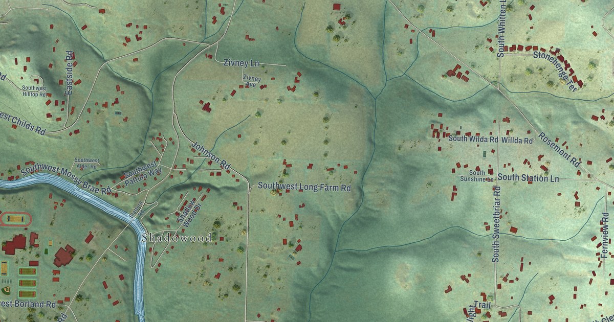
A detailed map of Stafford, Oregon, showing every building in its true location, the roads by name, and shaded topographical relief.
Read More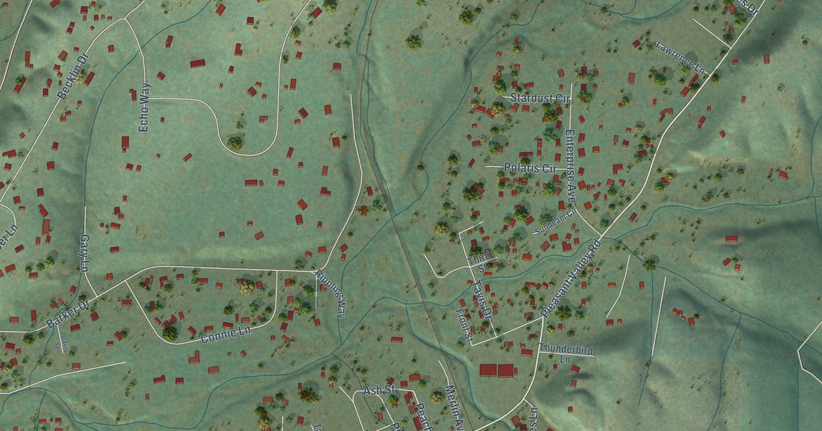
A detailed map of Merlin, Oregon, showing every building in its true location, the roads by name, and shaded topographical relief.
Read More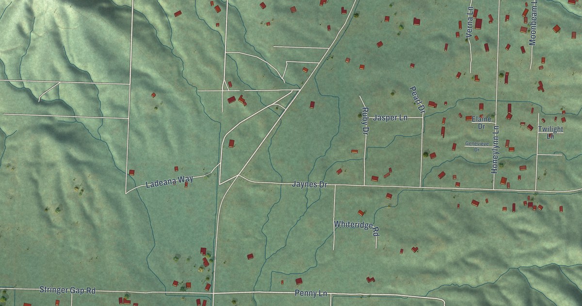
A detailed map of New Hope, Oregon, showing every building in its true location, the roads by name, and shaded topographical relief.
Read More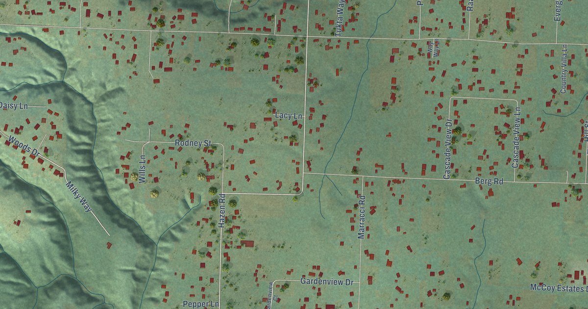
A detailed map of Warren, Oregon, showing every building in its true location, the roads by name, and shaded topographical relief.
Read More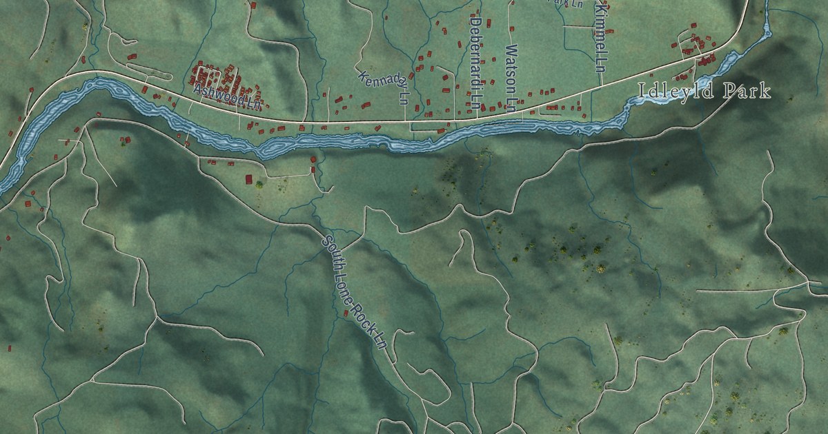
A detailed map of Glide, Oregon, showing every building in its true location, the roads by name, and shaded topographical relief.
Read More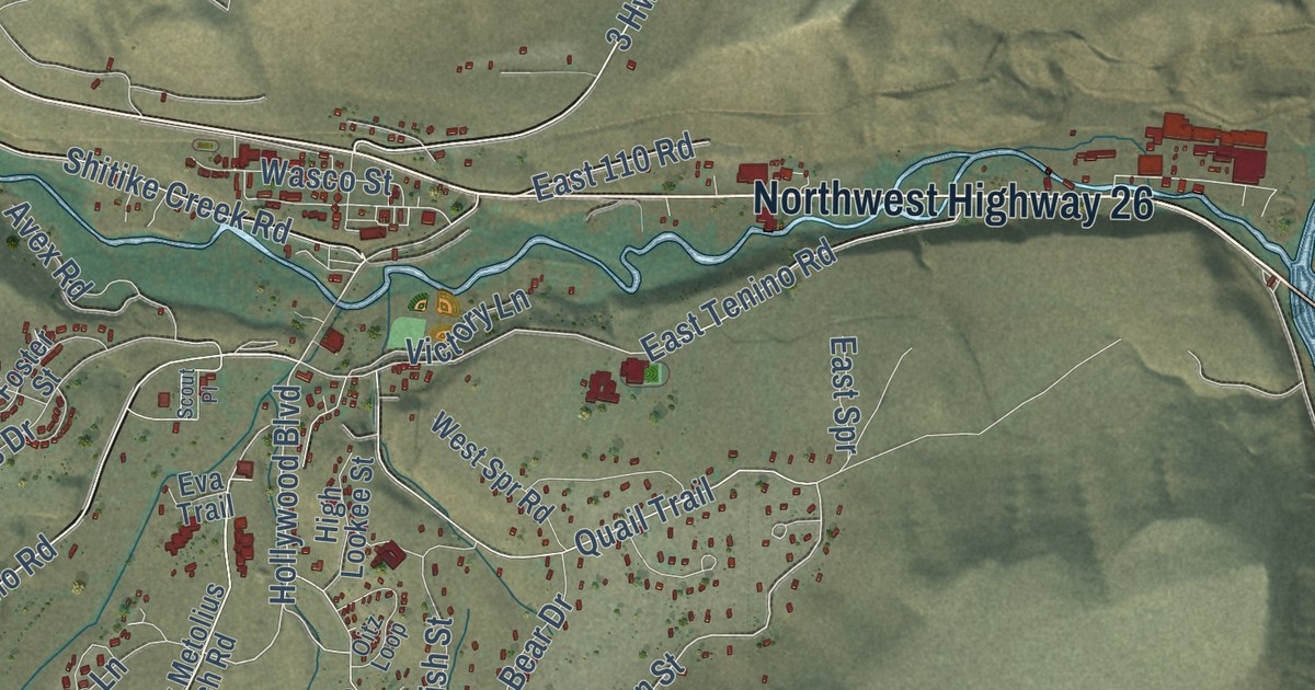
A detailed map of Warm Springs, Oregon, showing every building in its true location, the roads by name, and shaded topographical relief.
Read More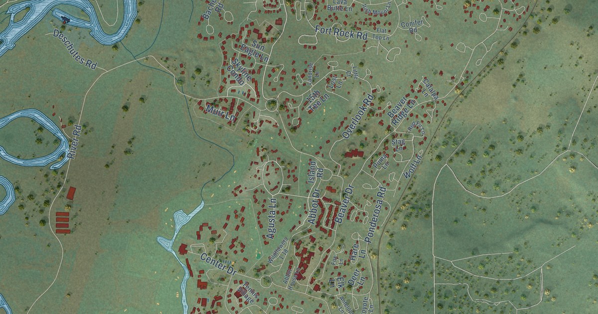
A detailed map of Sunriver, Oregon, showing every building in its true location, the roads by name, and shaded topographical relief.
Read More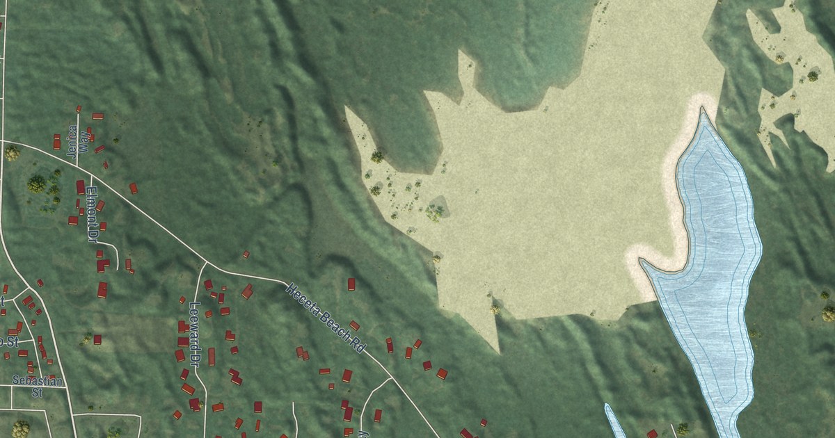
A detailed map of Heceta Beach, Oregon, showing every building in its true location, the roads by name, and shaded topographical relief.
Read More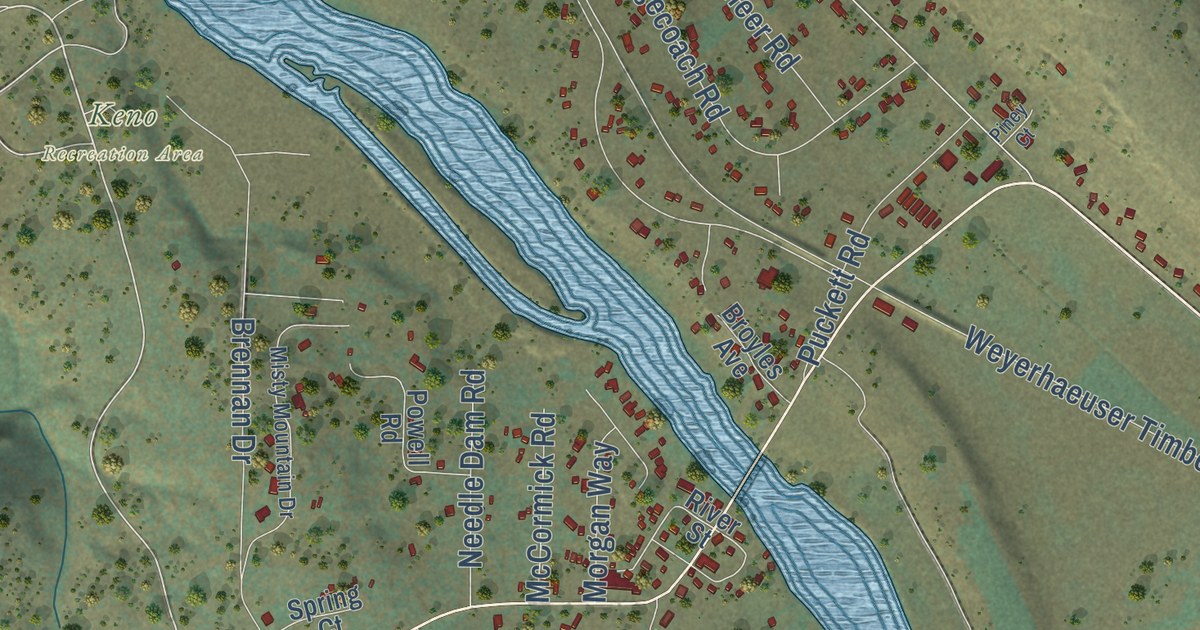
A detailed map of Keno, Oregon, showing every building in its true location, the roads by name, and shaded topographical relief.
Read More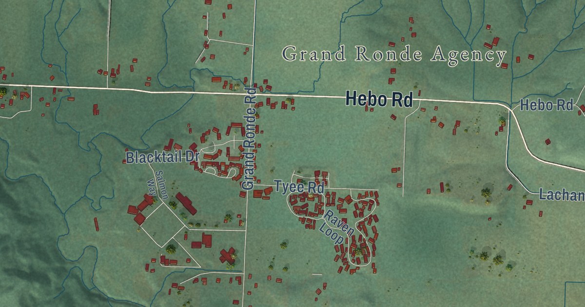
A detailed map of Grand Ronde, Oregon, showing every building in its true location, the roads by name, and shaded topographical relief.
Read More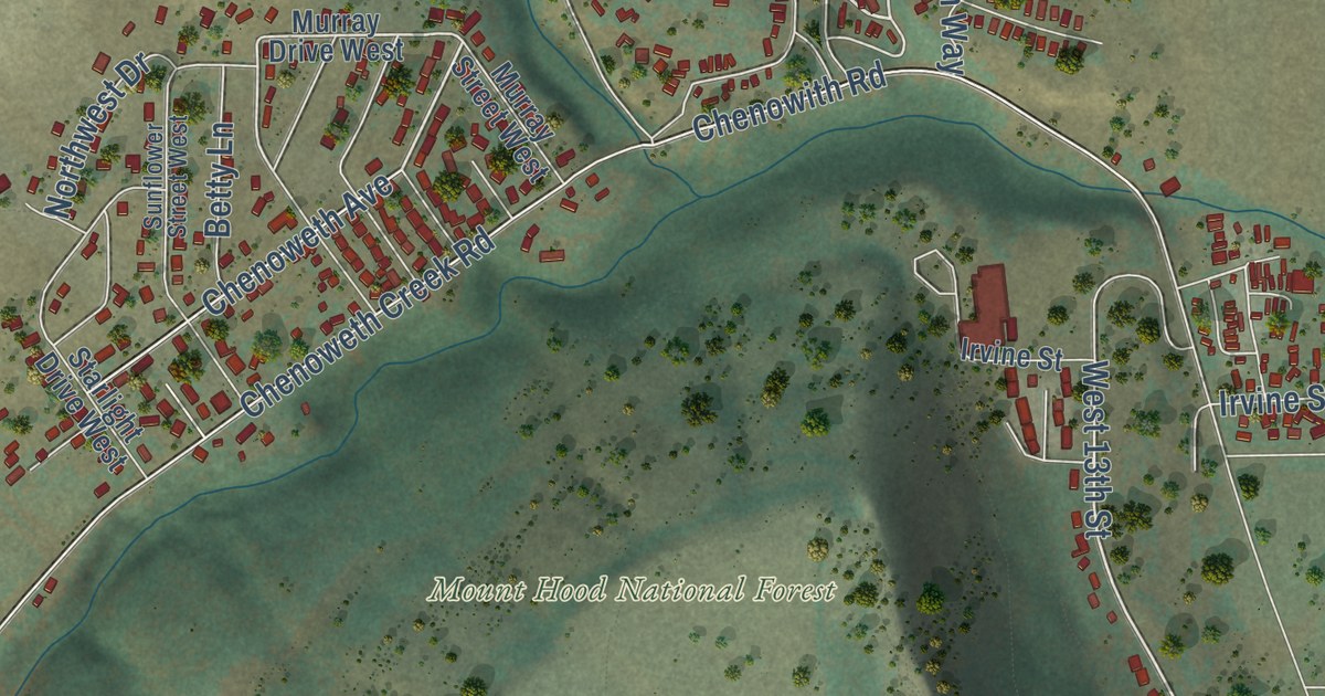
A detailed map of Chenoweth, Oregon, showing every building in its true location, the roads by name, and shaded topographical relief.
Read More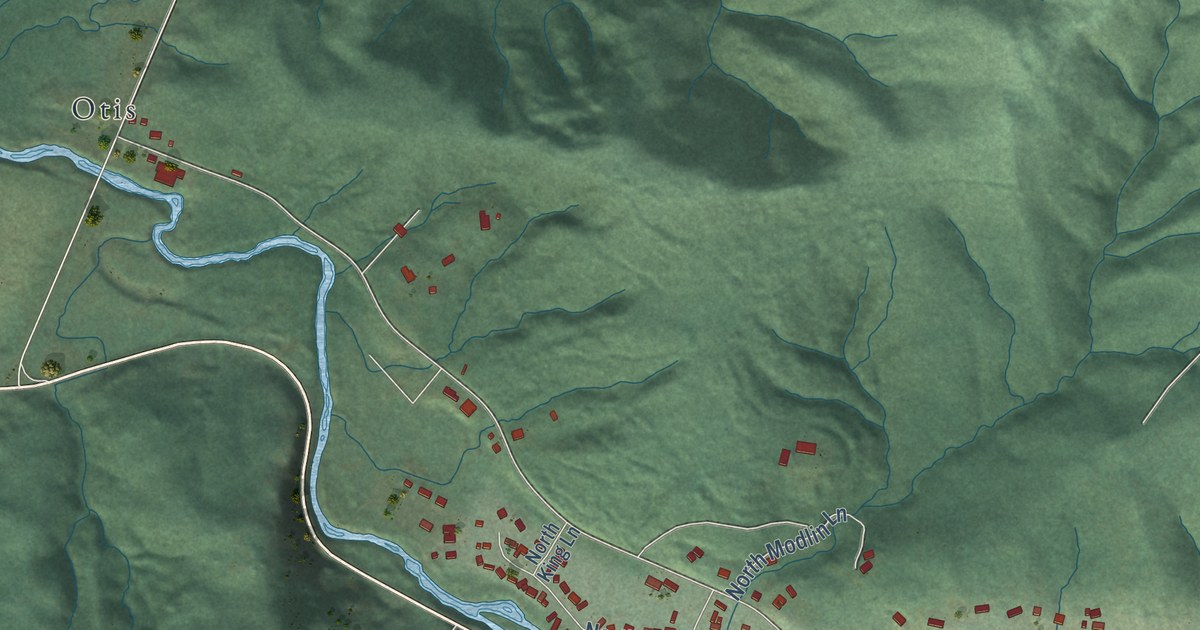
A detailed map of Rose Lodge, Oregon, showing every building in its true location, the roads by name, and shaded topographical relief.
Read More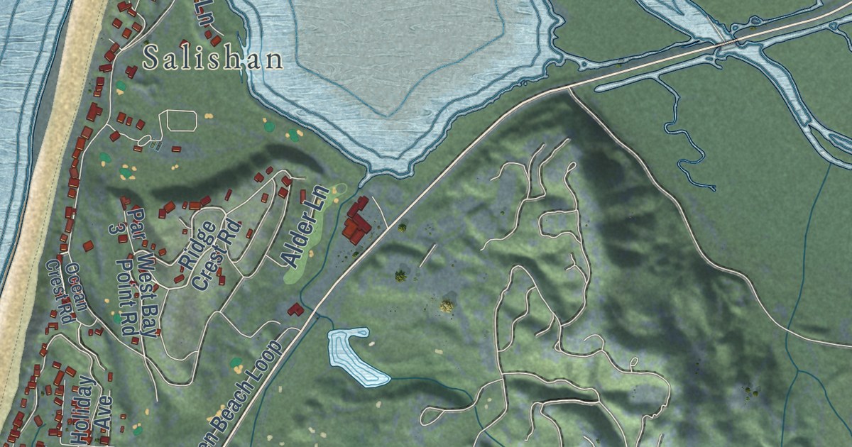
A detailed map of Lincoln Beach, Oregon, showing every building in its true location, the roads by name, and shaded topographical relief.
Read More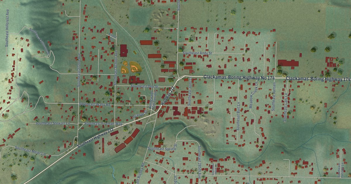
A detailed map of Boring, Oregon, showing every building in its true location, the roads by name, and shaded topographical relief.
Read More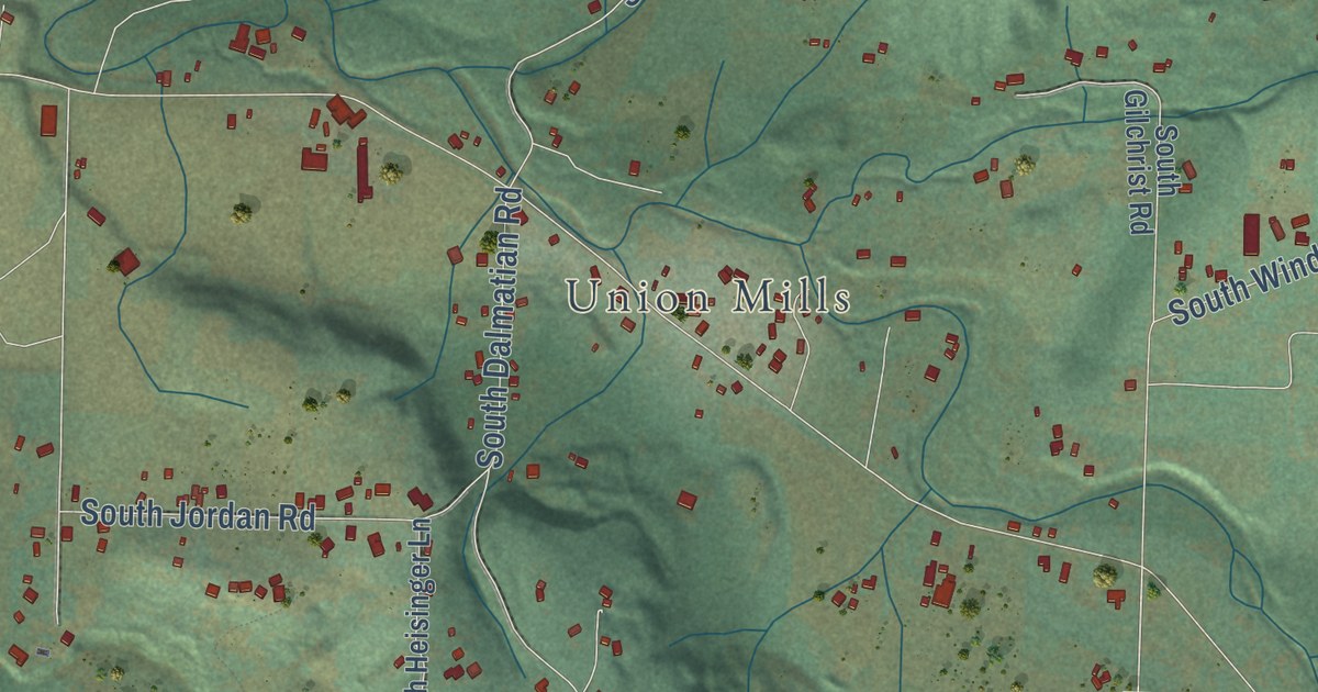
A detailed map of Mulino, Oregon, showing every building in its true location, the roads by name, and shaded topographical relief.
Read More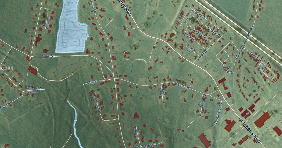
A detailed map of West Wareham, Massachusetts, showing every building in its true location, the roads by name, and shaded topographical relief.
Read More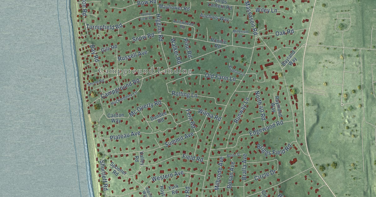
A detailed map of North Eastham, Massachusetts, showing every building in its true location, the roads by name, and shaded topographical relief.
Read More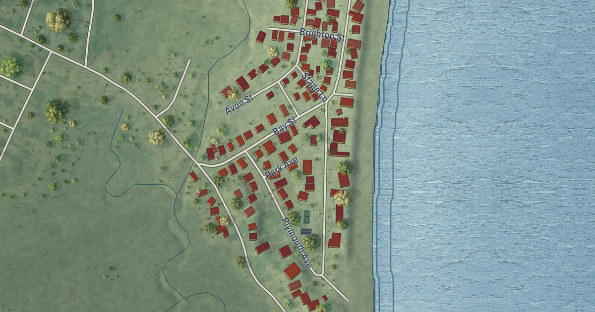
A detailed map of Green Harbor, Massachusetts, showing every building in its true location, the roads by name, and shaded topographical relief.
Read More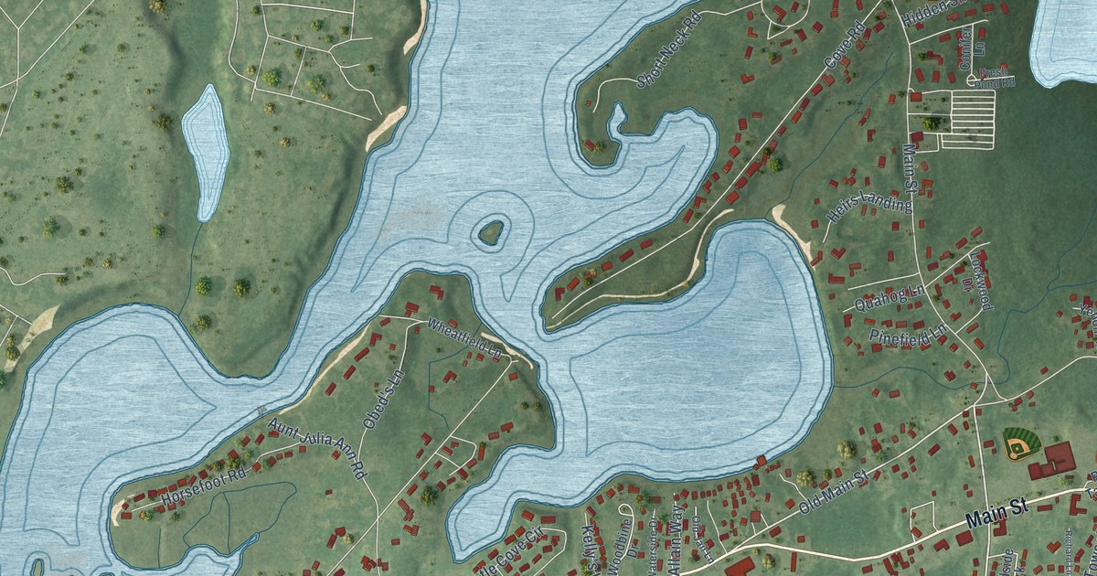
A detailed map of West Dennis, Massachusetts, showing every building in its true location, the roads by name, and shaded topographical relief.
Read More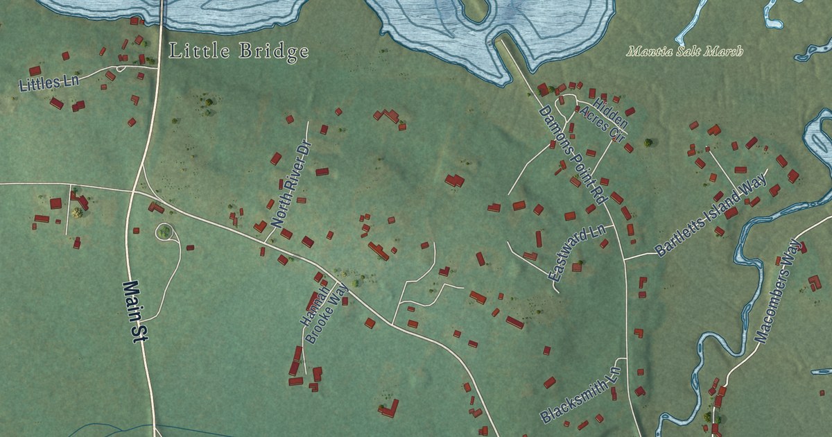
A detailed map of Marshfield Hills, Massachusetts, showing every building in its true location, the roads by name, and shaded topographical relief.
Read More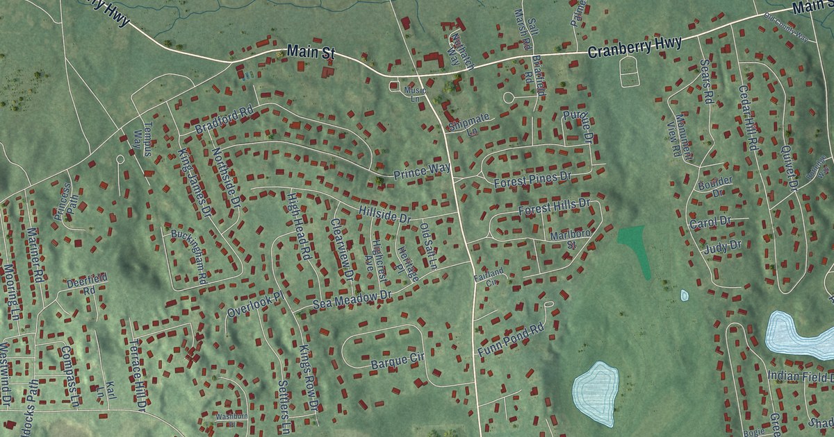
A detailed map of East Dennis, Massachusetts, showing every building in its true location, the roads by name, and shaded topographical relief.
Read More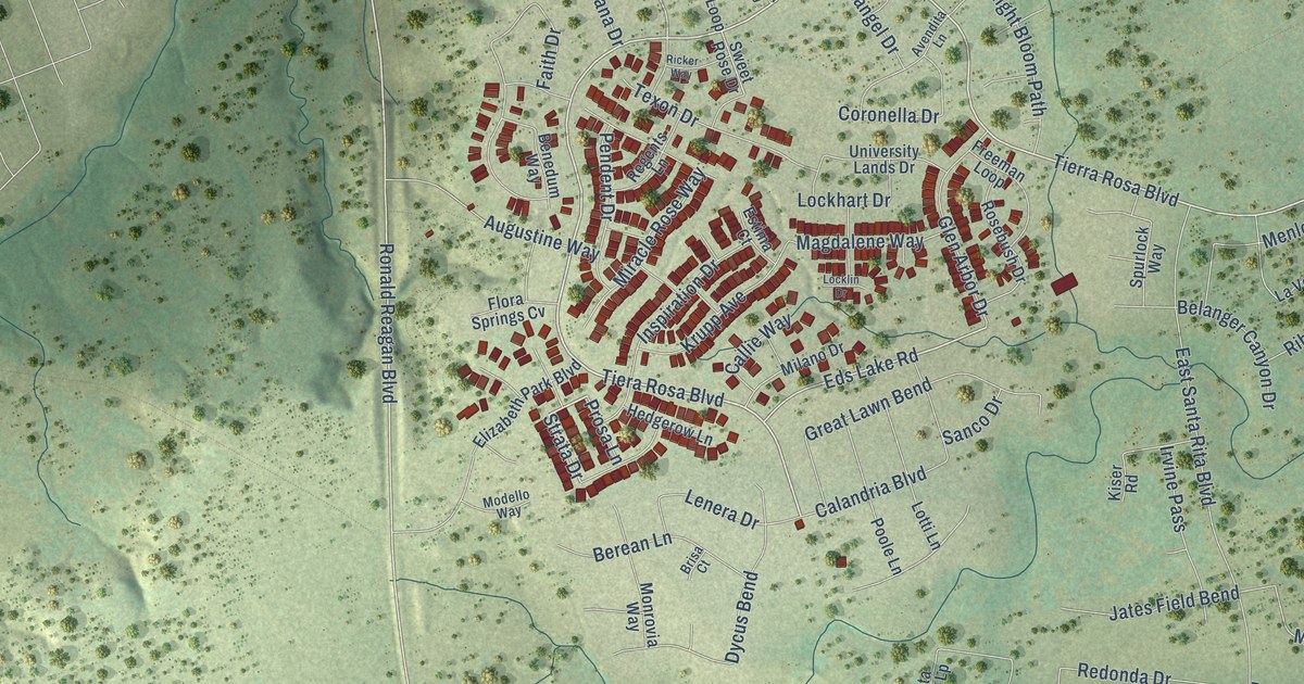
A detailed map of Santa Rita Ranch, Texas, showing every building in its true location, the roads by name, and shaded topographical relief.
Read More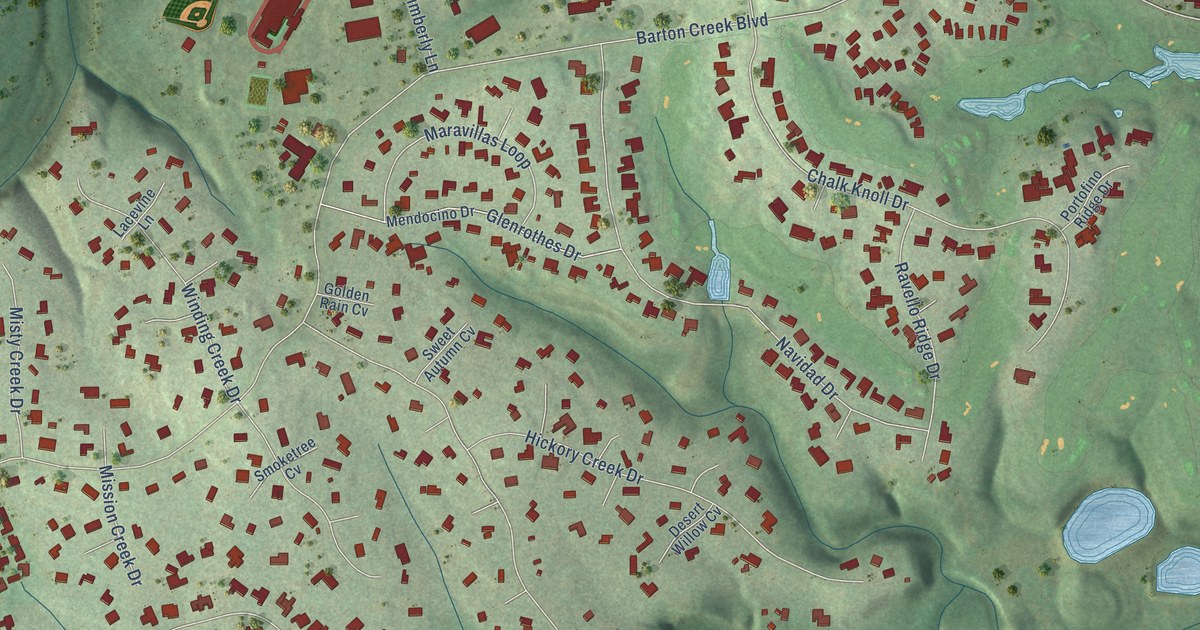
A detailed map of Barton Creek, Texas, showing every building in its true location, the roads by name, and shaded topographical relief.
Read More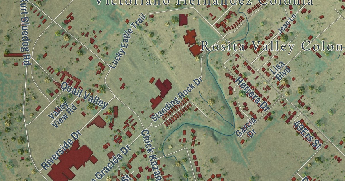
A detailed map of Rosita, Texas, showing every building in its true location, the roads by name, and shaded topographical relief.
Read More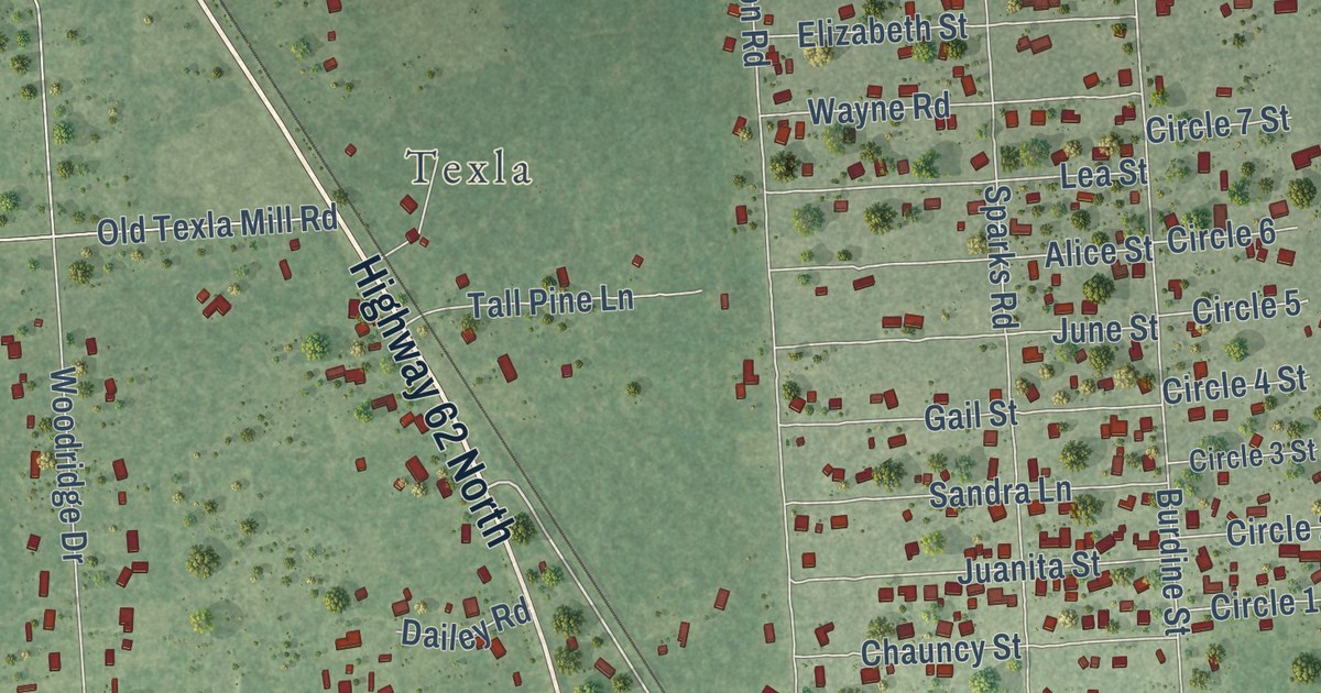
A detailed map of Mauriceville, Texas, showing every building in its true location, the roads by name, and shaded topographical relief.
Read More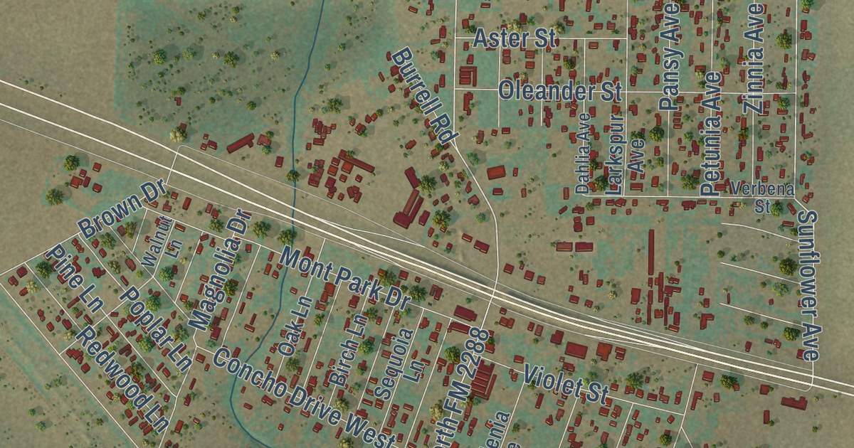
A detailed map of Grape Creek, Texas, showing every building in its true location, the roads by name, and shaded topographical relief.
Read More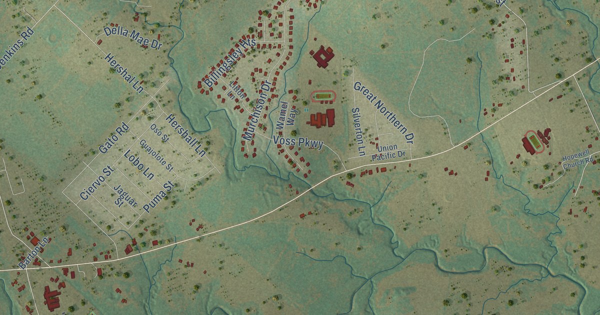
A detailed map of Cedar Creek, Texas, showing every building in its true location, the roads by name, and shaded topographical relief.
Read More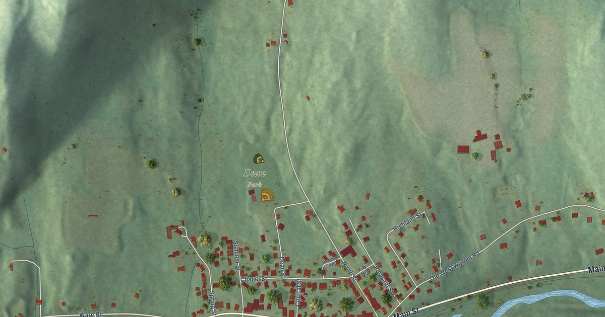
A detailed map of West Warren, Massachusetts, showing every building in its true location, the roads by name, and shaded topographical relief.
Read More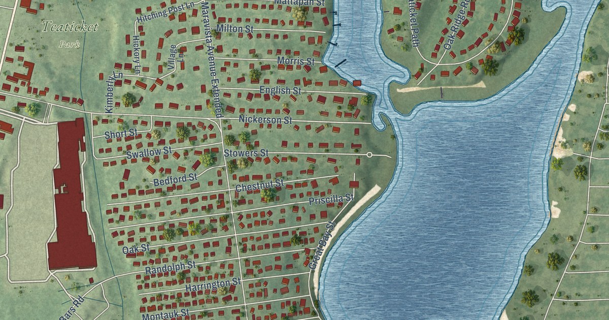
A detailed map of Teaticket, Massachusetts, showing every building in its true location, the roads by name, and shaded topographical relief.
Read More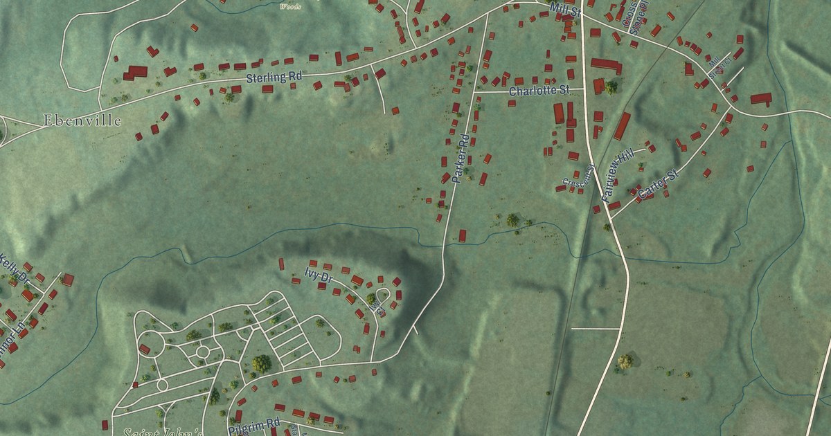
A detailed map of South Lancaster, Massachusetts, showing every building in its true location, the roads by name, and shaded topographical relief.
Read More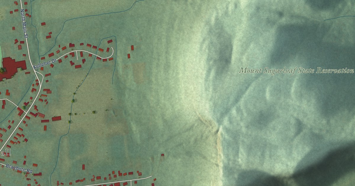
A detailed map of South Deerfield, Massachusetts, showing every building in its true location, the roads by name, and shaded topographical relief.
Read More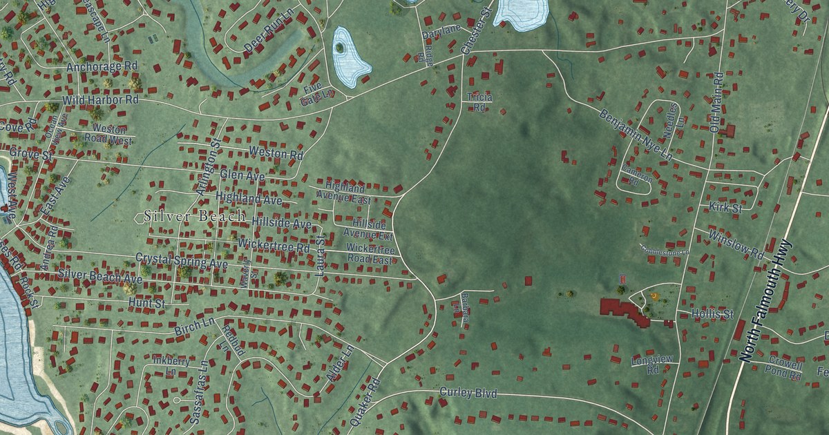
A detailed map of North Falmouth, Massachusetts, showing every building in its true location, the roads by name, and shaded topographical relief.
Read More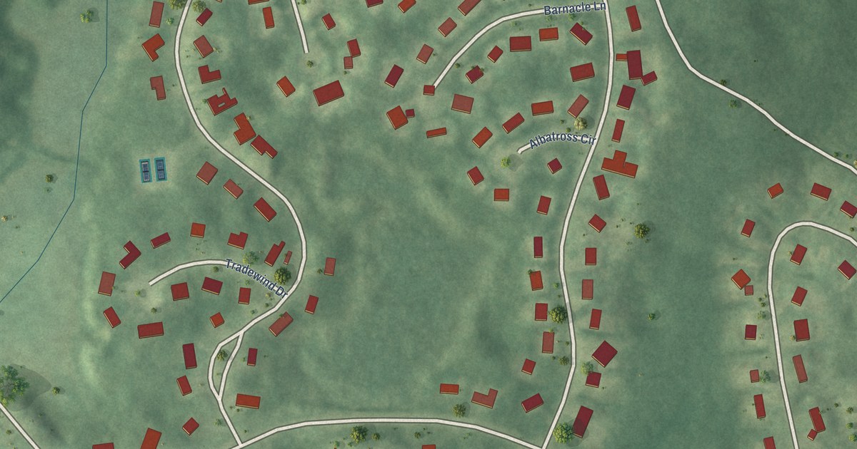
A detailed map of Seabrook, Massachusetts, showing every building in its true location, the roads by name, and shaded topographical relief.
Read More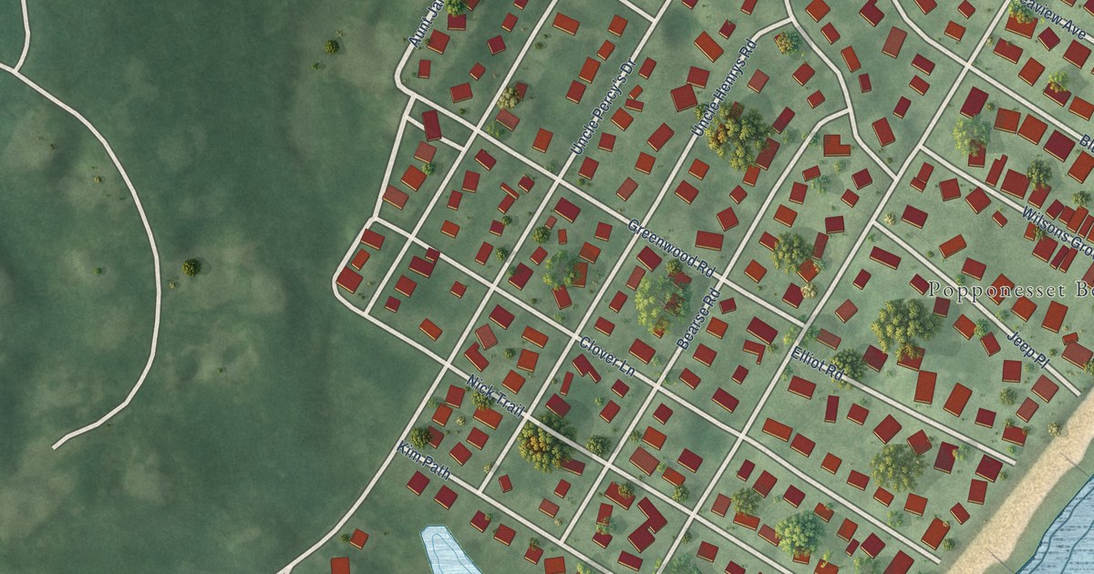
A detailed map of Popponesset, Massachusetts, showing every building in its true location, the roads by name, and shaded topographical relief.
Read More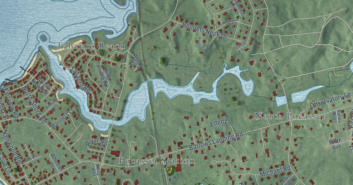
A detailed map of Pocasset, Massachusetts, showing every building in its true location, the roads by name, and shaded topographical relief.
Read More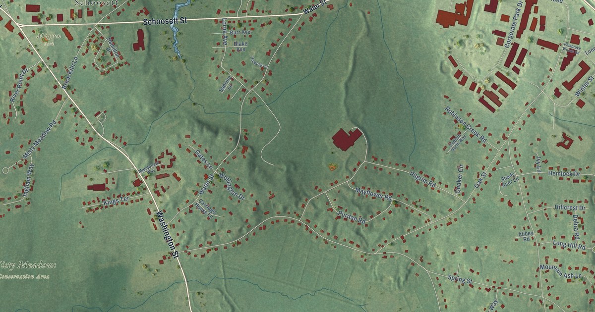
A detailed map of North Pembroke, Massachusetts, showing every building in its true location, the roads by name, and shaded topographical relief.
Read More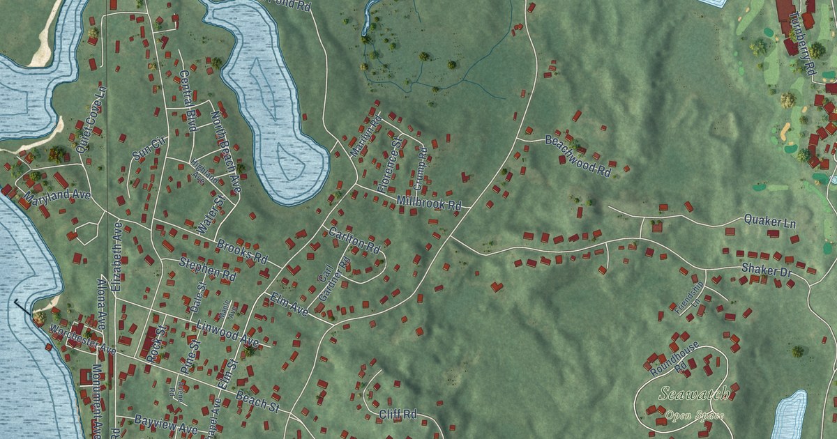
A detailed map of Monument Beach, Massachusetts, showing every building in its true location, the roads by name, and shaded topographical relief.
Read More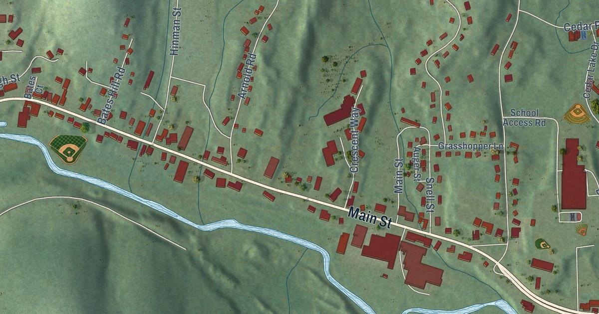
A detailed map of Fiskdale, Massachusetts, showing every building in its true location, the roads by name, and shaded topographical relief.
Read More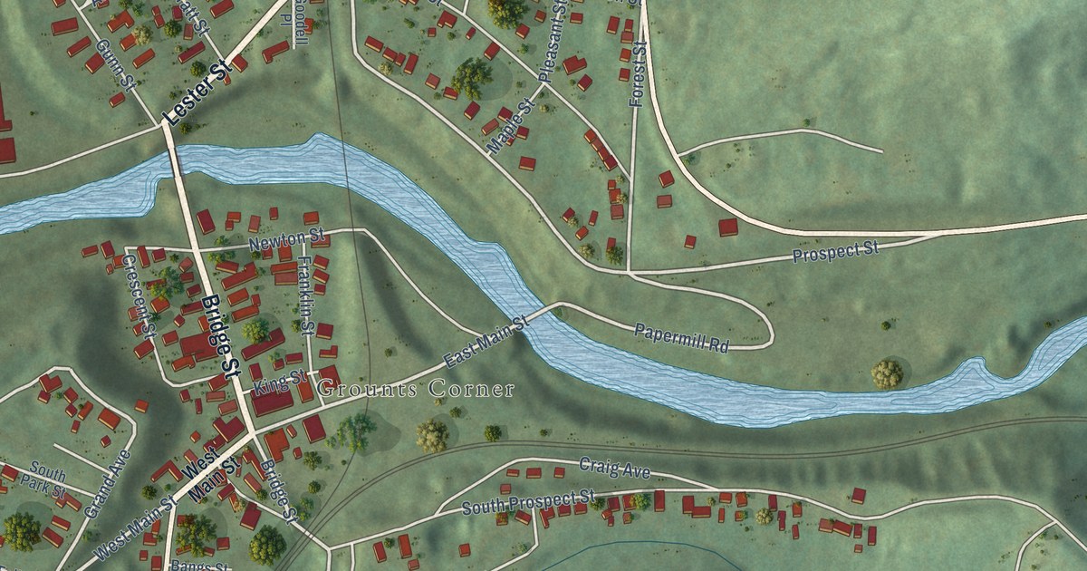
A detailed map of Millers Falls, Massachusetts, showing every building in its true location, the roads by name, and shaded topographical relief.
Read More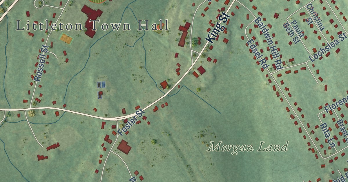
A detailed map of Littleton Common, Massachusetts, showing every building in its true location, the roads by name, and shaded topographical relief.
Read More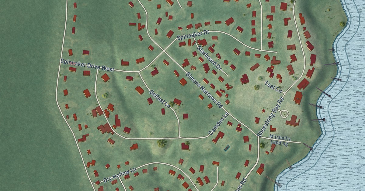
A detailed map of Mashpee Neck, Massachusetts, showing every building in its true location, the roads by name, and shaded topographical relief.
Read More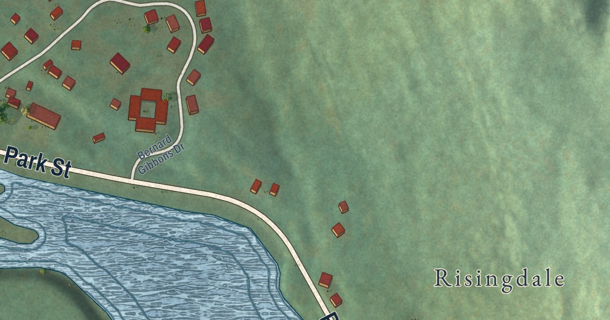
A detailed map of Housatonic, Massachusetts, showing every building in its true location, the roads by name, and shaded topographical relief.
Read More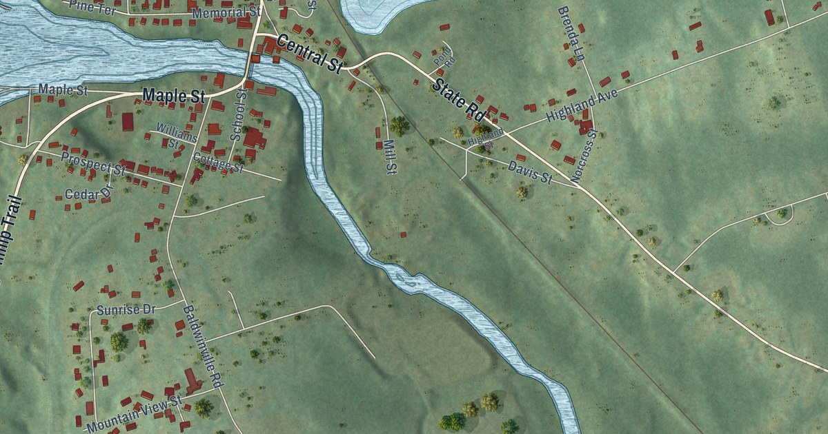
A detailed map of Baldwinville, Massachusetts, showing every building in its true location, the roads by name, and shaded topographical relief.
Read More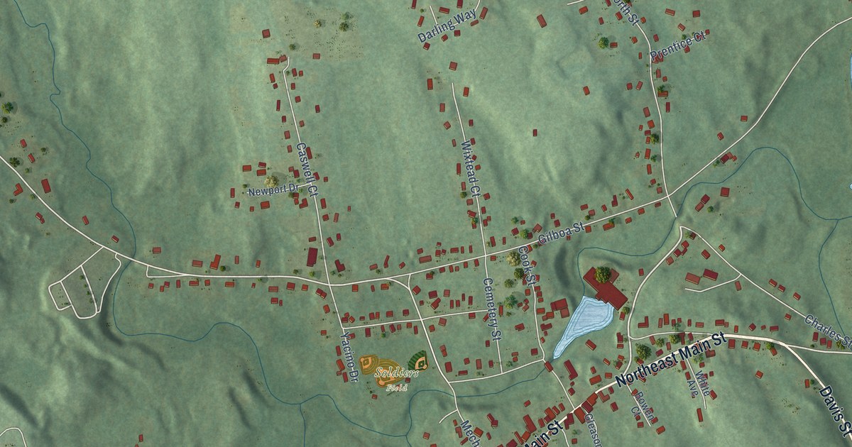
A detailed map of East Douglas, Massachusetts, showing every building in its true location, the roads by name, and shaded topographical relief.
Read More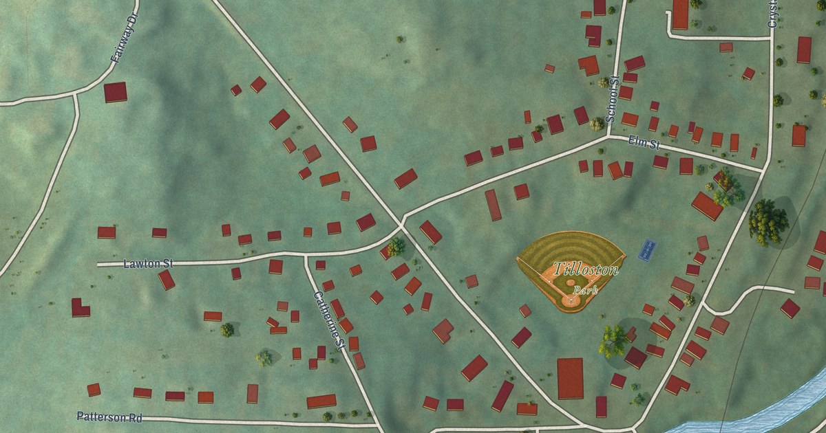
A detailed map of Lenox Dale, Massachusetts, showing every building in its true location, the roads by name, and shaded topographical relief.
Read More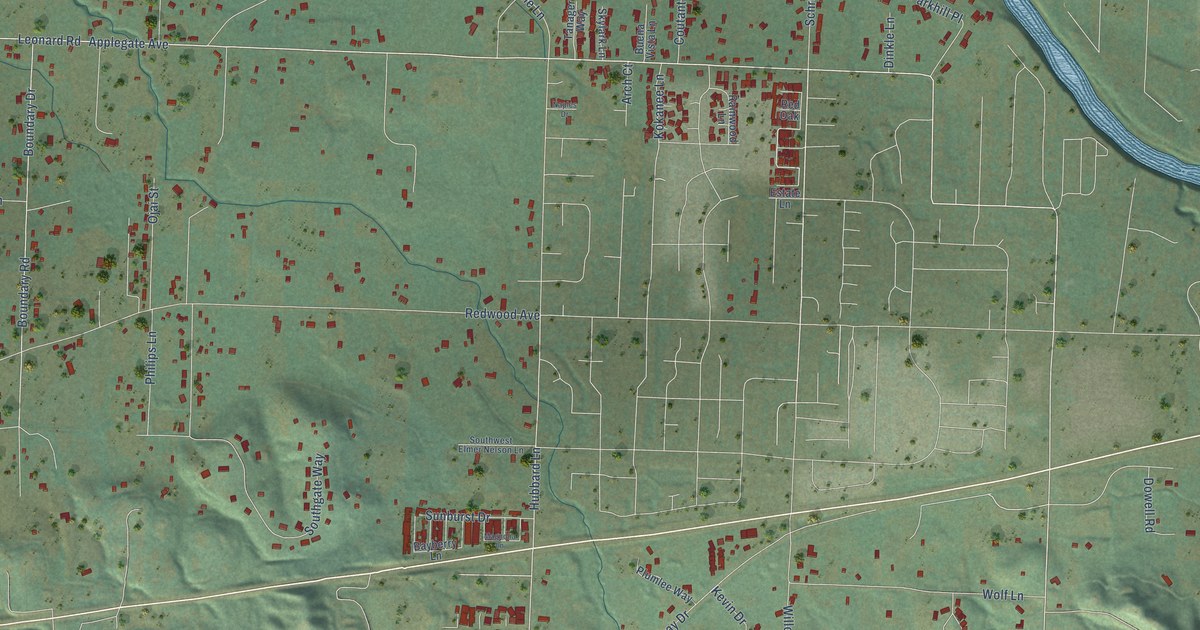
A detailed map of Redwood, Oregon, showing every building in its true location, the roads by name, and shaded topographical relief.
Read More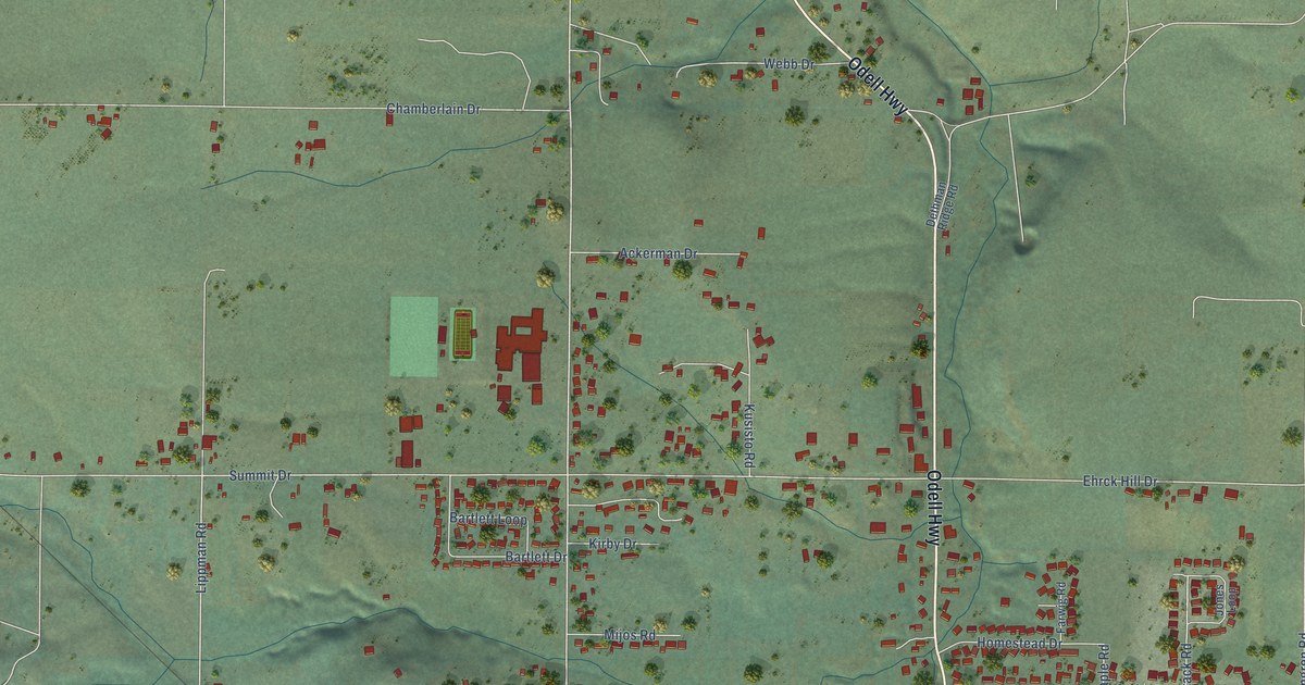
A detailed map of Odell, Oregon, showing every building in its true location, the roads by name, and shaded topographical relief.
Read More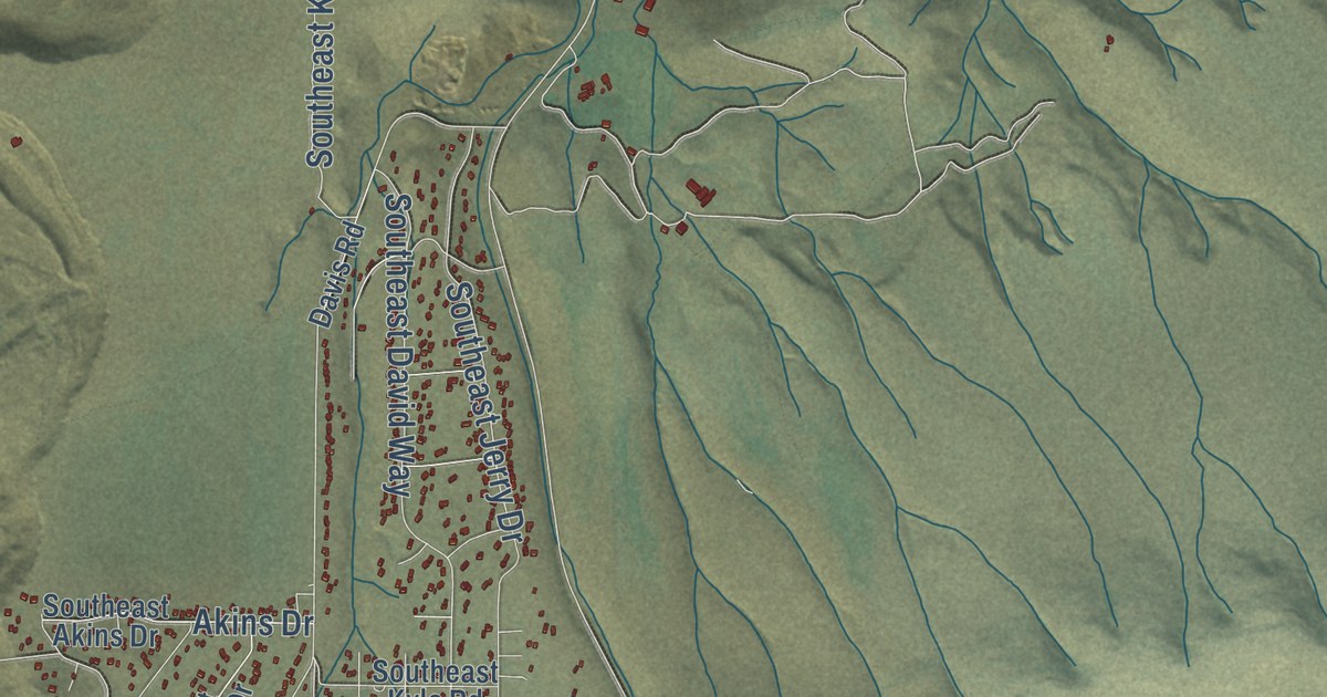
A detailed map of Juniper Canyon, Oregon, showing every building in its true location, the roads by name, and shaded topographical relief.
Read More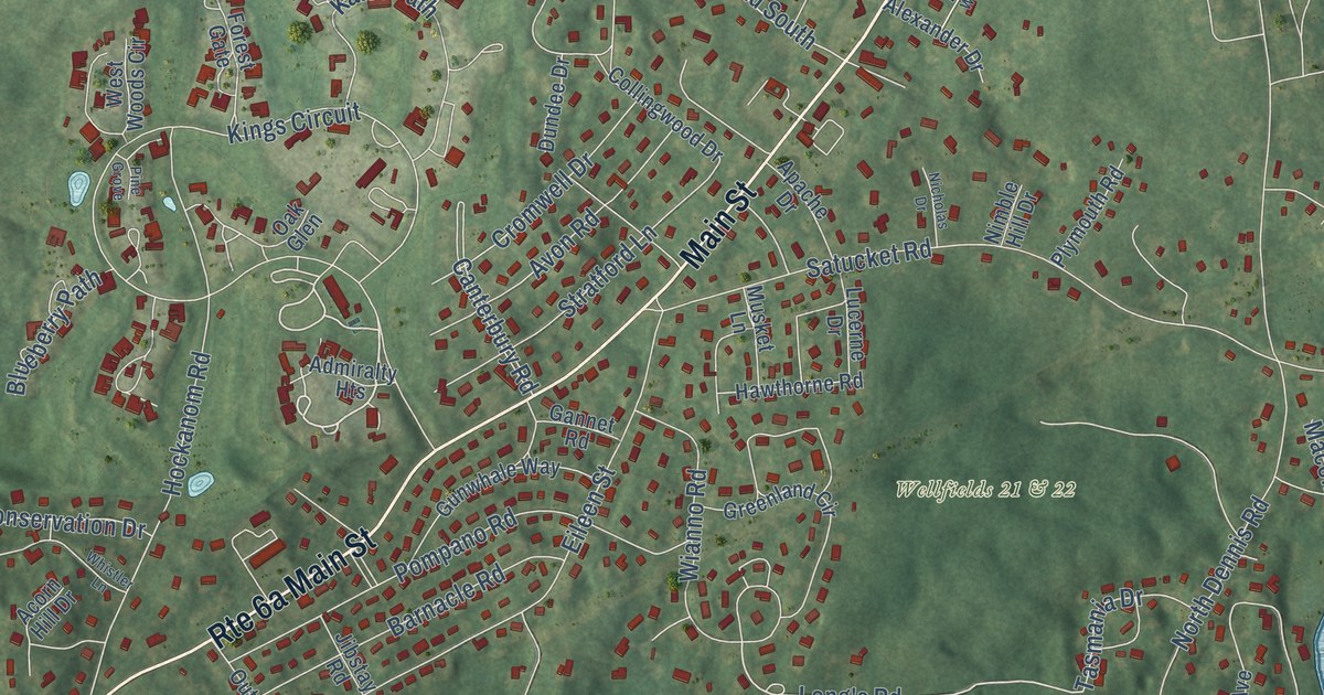
A detailed map of Yarmouth Port, Massachusetts, showing every building in its true location, the roads by name, and shaded topographical relief.
Read More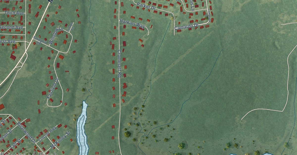
A detailed map of Weweantic, Massachusetts, showing every building in its true location, the roads by name, and shaded topographical relief.
Read More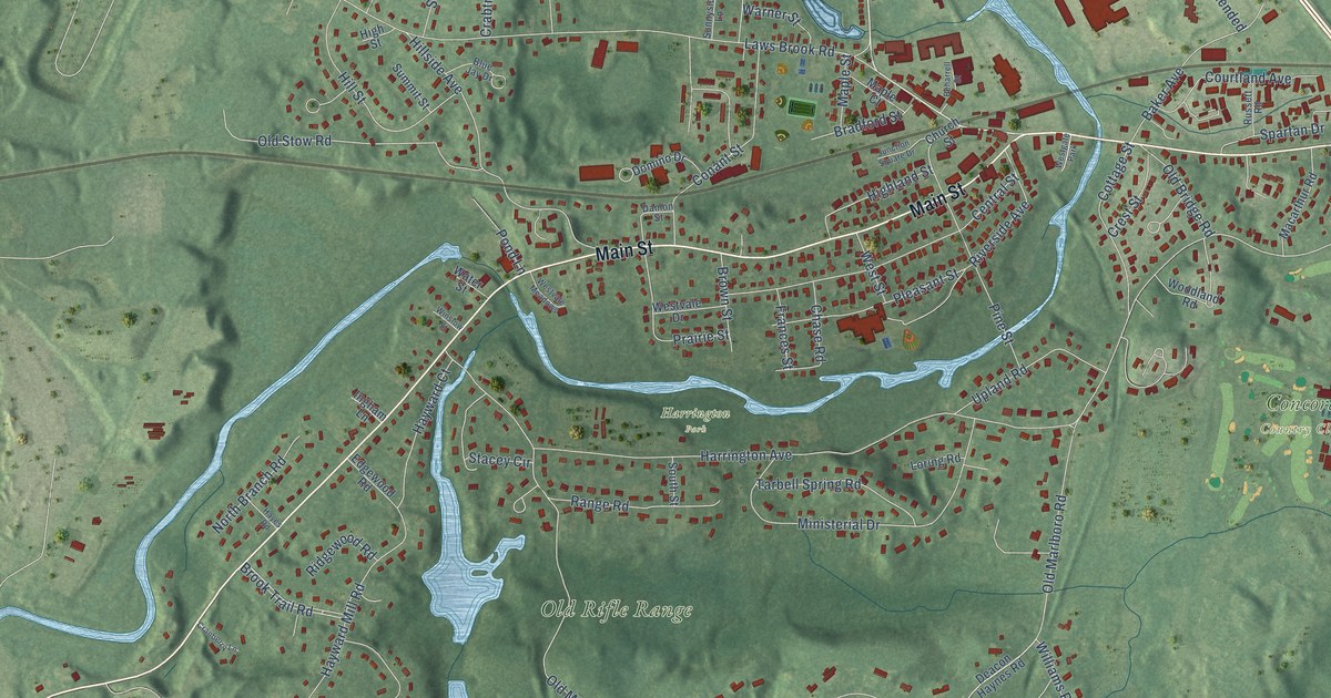
A detailed map of West Concord, Massachusetts, showing every building in its true location, the roads by name, and shaded topographical relief.
Read More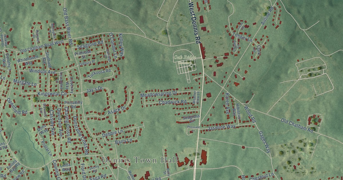
A detailed map of South Dennis, Massachusetts, showing every building in its true location, the roads by name, and shaded topographical relief.
Read More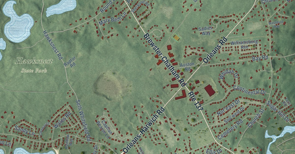
A detailed map of East Harwich, Massachusetts, showing every building in its true location, the roads by name, and shaded topographical relief.
Read More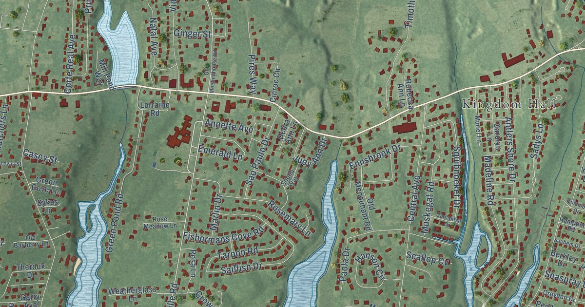
A detailed map of East Falmouth, Massachusetts, showing every building in its true location, the roads by name, and shaded topographical relief.
Read More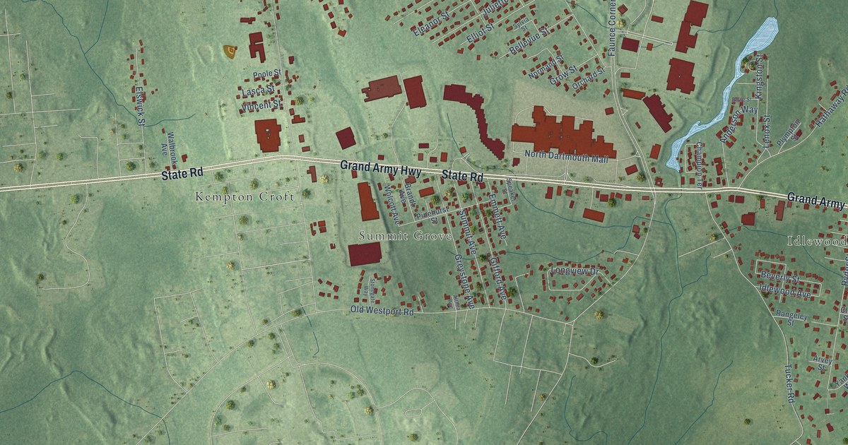
A detailed map of Smith Mills, Massachusetts, showing every building in its true location, the roads by name, and shaded topographical relief.
Read More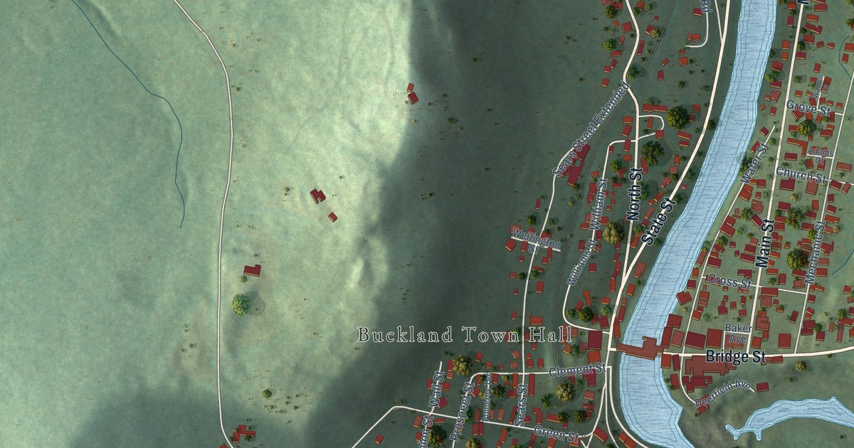
A detailed map of Shelburne Falls, Massachusetts, showing every building in its true location, the roads by name, and shaded topographical relief.
Read More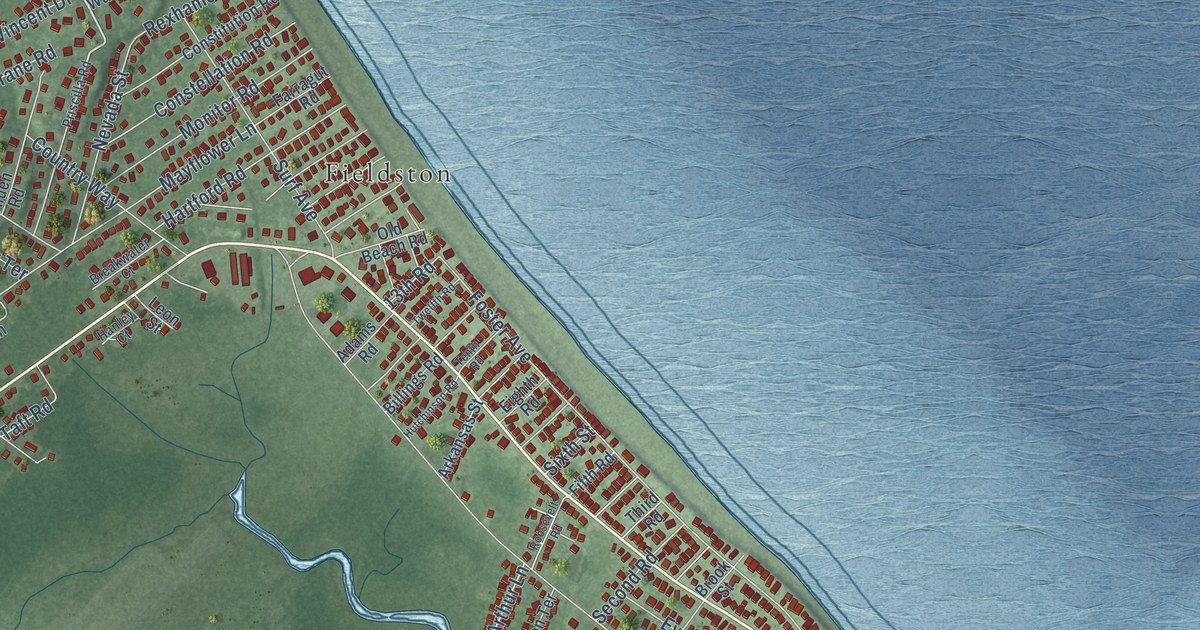
A detailed map of Ocean Bluff-Brant Rock, Massachusetts, showing every building in its true location, the roads by name, and shaded topographical relief.
Read More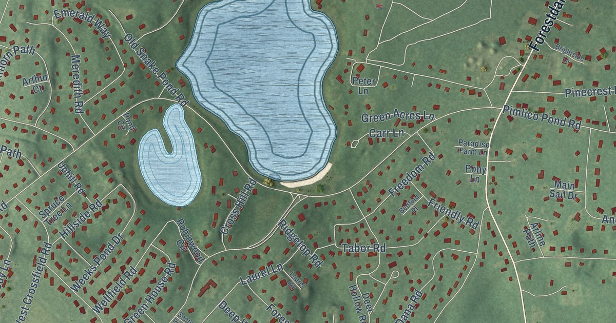
A detailed map of Forestdale, Massachusetts, showing every building in its true location, the roads by name, and shaded topographical relief.
Read More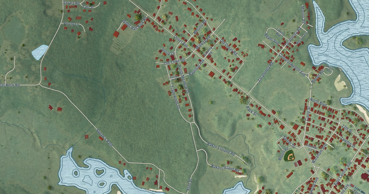
A detailed map of Onset, Massachusetts, showing every building in its true location, the roads by name, and shaded topographical relief.
Read More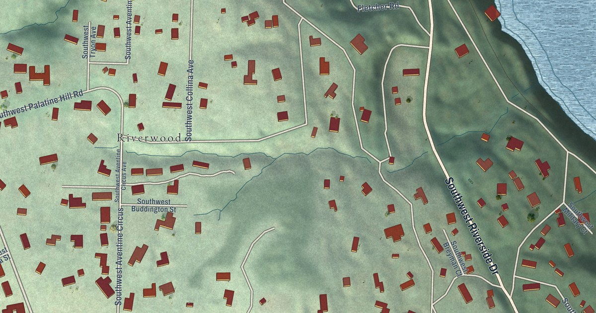
A detailed map of Dunthorpe, Oregon, showing every building in its true location, the roads by name, and shaded topographical relief.
Read More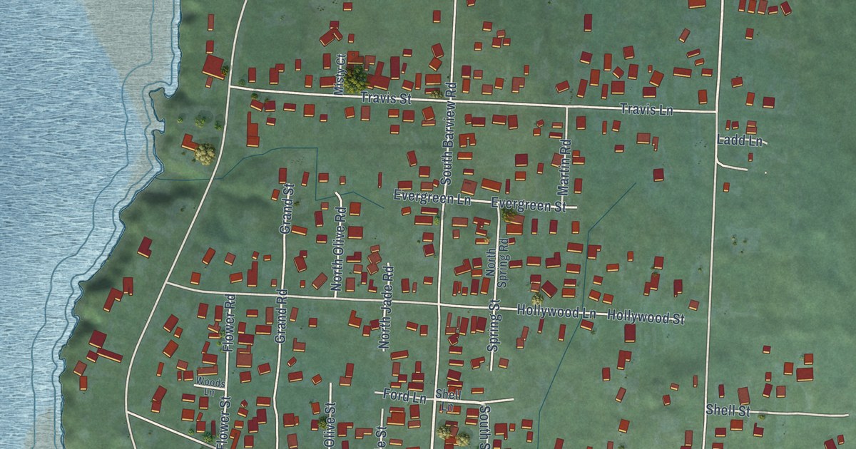
A detailed map of Barview, Oregon, showing every building in its true location, the roads by name, and shaded topographical relief.
Read More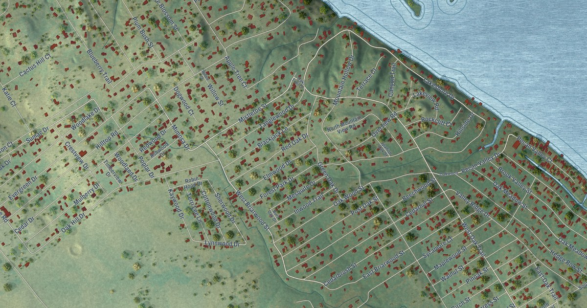
A detailed map of Oak Trail Shores, Texas, showing every building in its true location, the roads by name, and shaded topographical relief.
Read More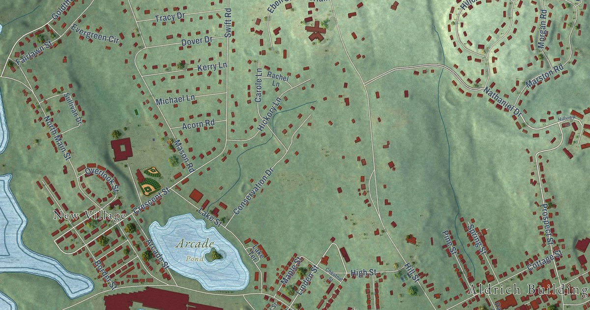
A detailed map of Whitinsville, Massachusetts, showing every building in its true location, the roads by name, and shaded topographical relief.
Read More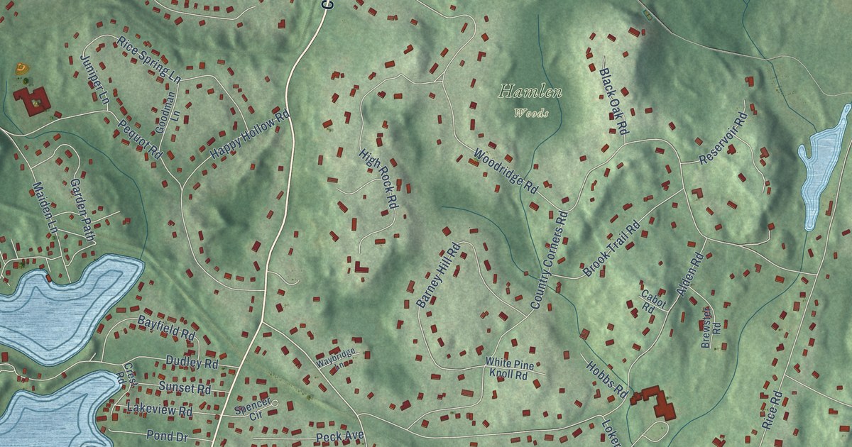
A detailed map of Cochituate, Massachusetts, showing every building in its true location, the roads by name, and shaded topographical relief.
Read More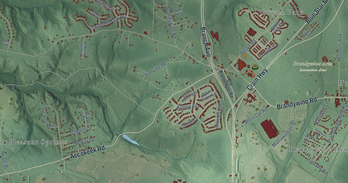
A detailed map of Brandywine, Maryland, showing every building in its true location, the roads by name, and shaded topographical relief.
Read More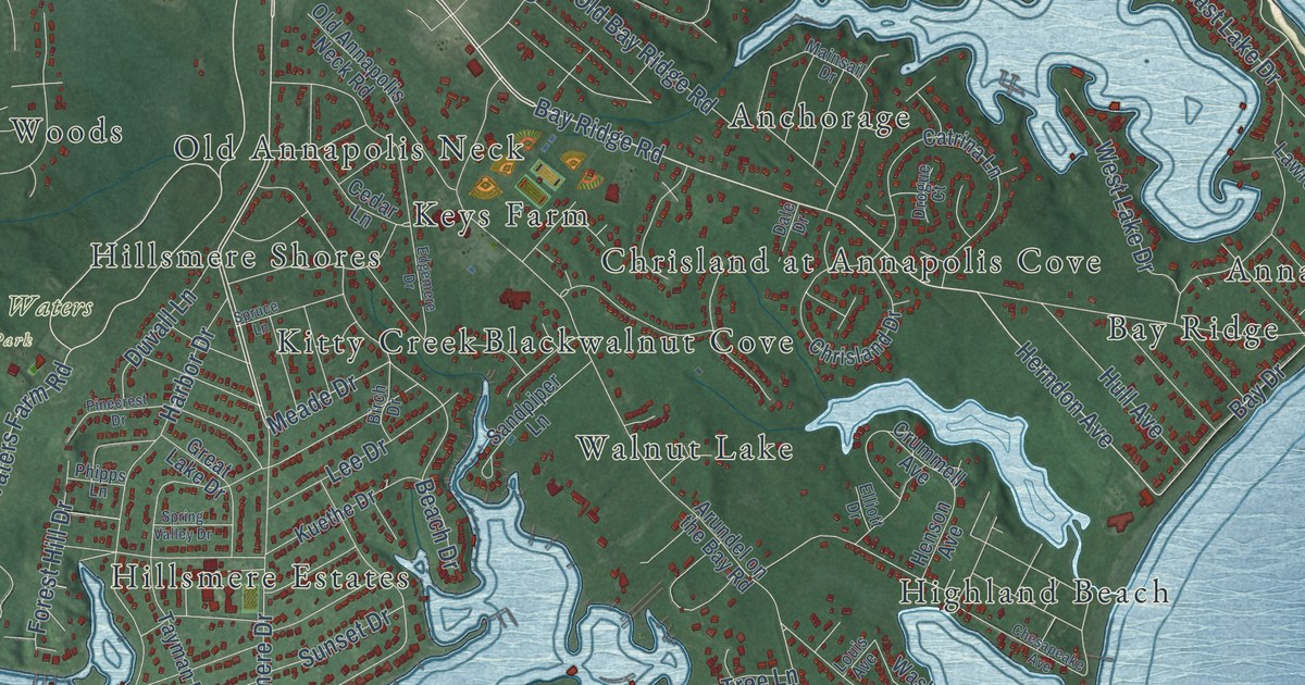
A detailed map of Annapolis Neck, Maryland, showing every building in its true location, the roads by name, and shaded topographical relief.
Read More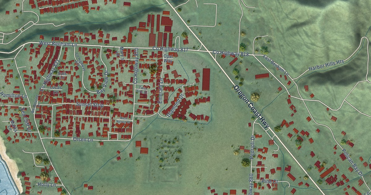
A detailed map of Harbor, Oregon, showing every building in its true location, the roads by name, and shaded topographical relief.
Read More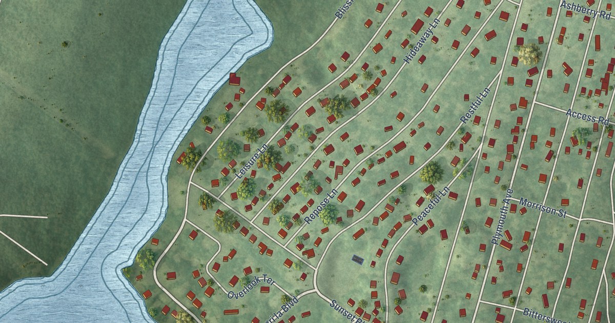
A detailed map of White Island Shores, Massachusetts, showing every building in its true location, the roads by name, and shaded topographical relief.
Read More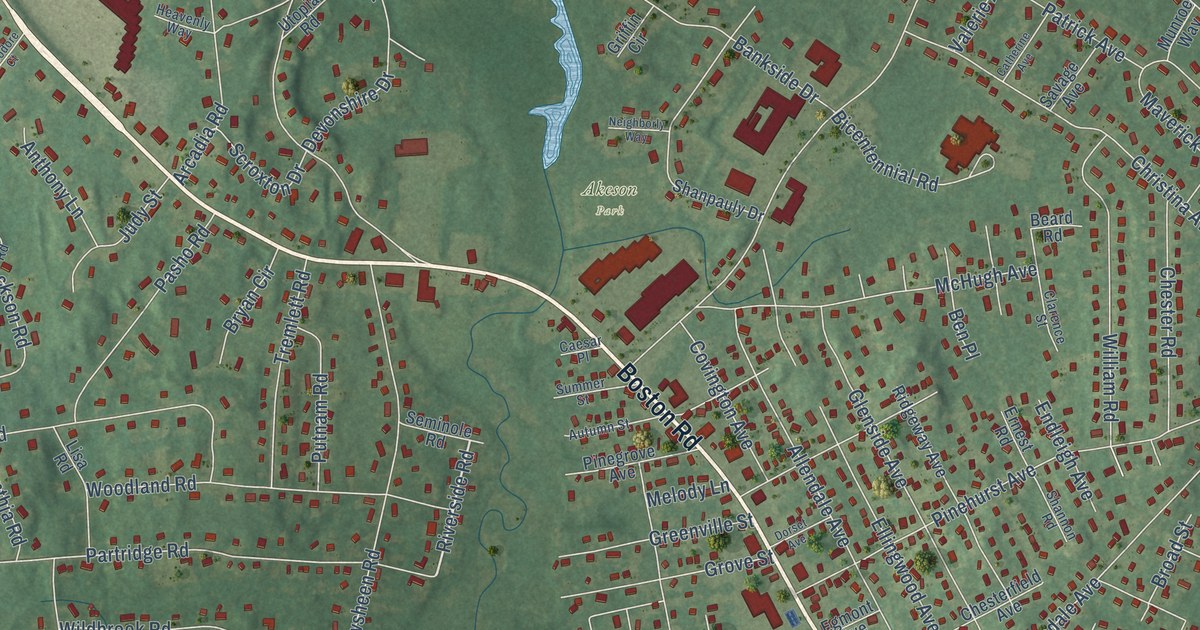
A detailed map of Pinehurst, Massachusetts, showing every building in its true location, the roads by name, and shaded topographical relief.
Read More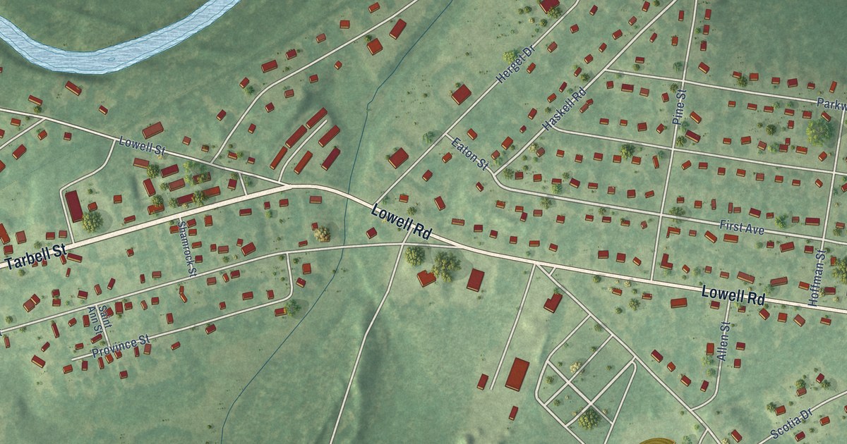
A detailed map of East Pepperell, Massachusetts, showing every building in its true location, the roads by name, and shaded topographical relief.
Read More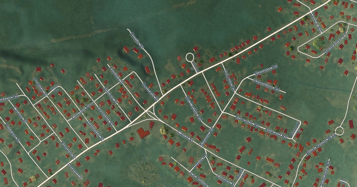
A detailed map of Cedar Crest, Massachusetts, showing every building in its true location, the roads by name, and shaded topographical relief.
Read More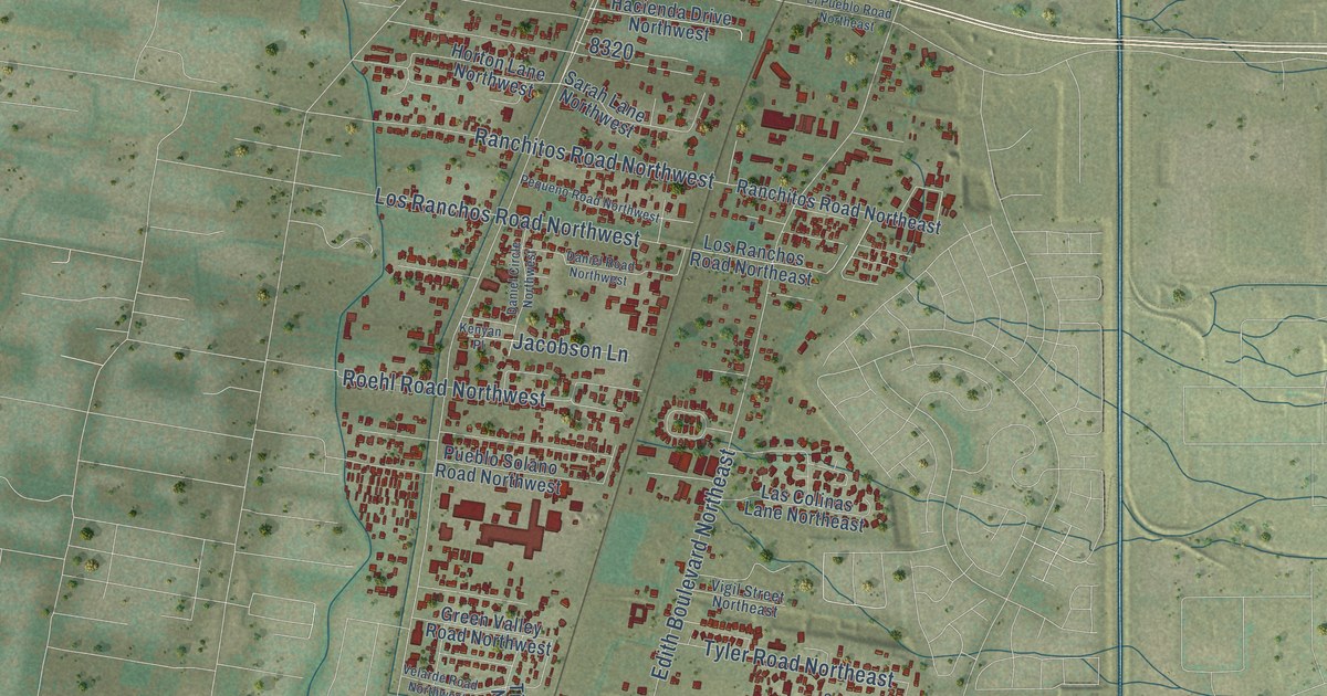
A detailed map of North Valley, New Mexico, showing every building in its true location, the roads by name, and shaded topographical relief.
Read More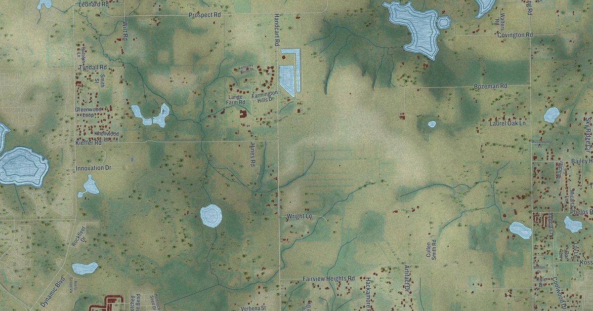
A detailed map of Pasadena Hills, Florida, showing every building in its true location, the roads by name, and shaded topographical relief.
Read More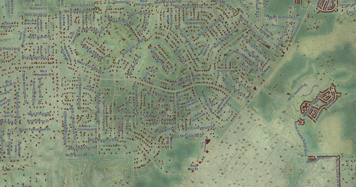
A detailed map of Pine Ridge, Florida, showing every building in its true location, the roads by name, and shaded topographical relief.
Read More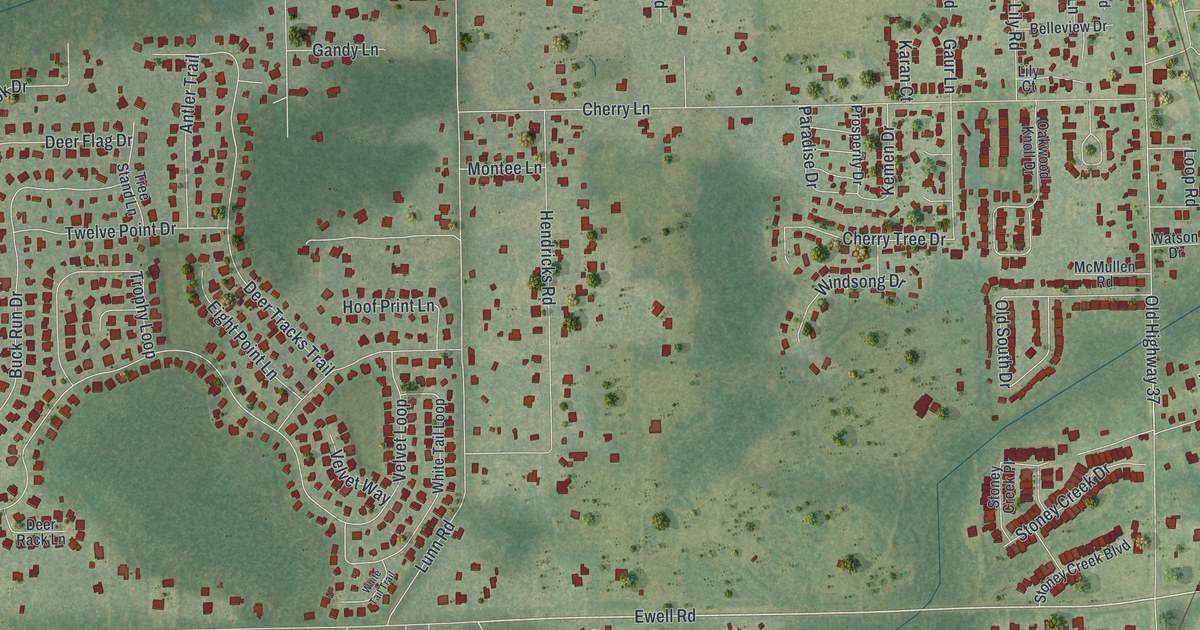
A detailed map of Medulla, Florida, showing every building in its true location, the roads by name, and shaded topographical relief.
Read More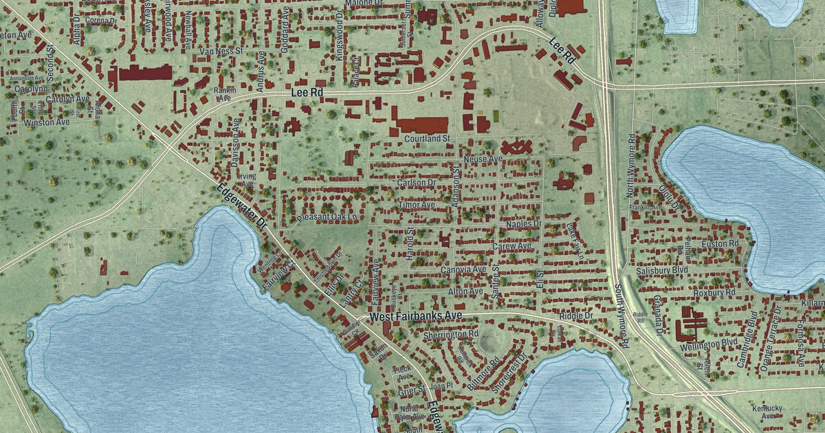
A detailed map of Fairview Shores, Florida, showing every building in its true location, the roads by name, and shaded topographical relief.
Read More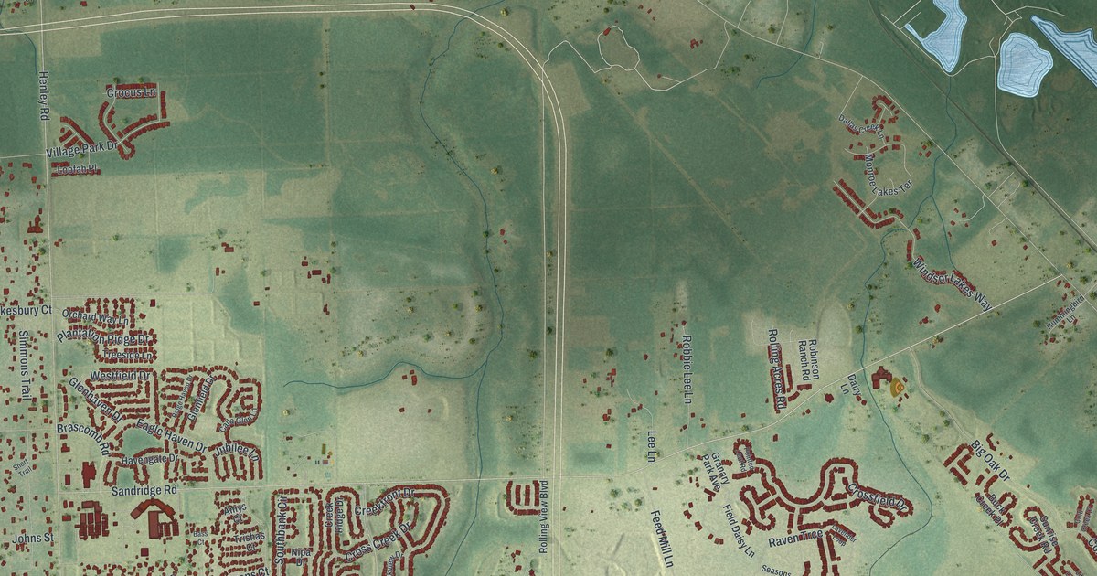
A detailed map of Asbury Lake, Florida, showing every building in its true location, the roads by name, and shaded topographical relief.
Read More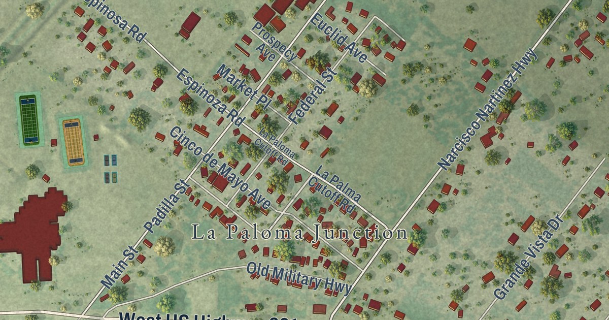
A detailed map of La Paloma, Texas, showing every building in its true location, the roads by name, and shaded topographical relief.
Read More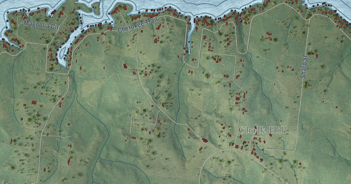
A detailed map of Lake Cherokee, Texas, showing every building in its true location, the roads by name, and shaded topographical relief.
Read More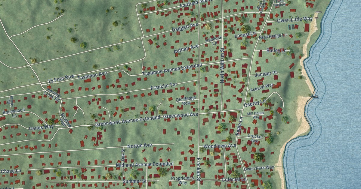
A detailed map of Vineyard Haven, Massachusetts, showing every building in its true location, the roads by name, and shaded topographical relief.
Read More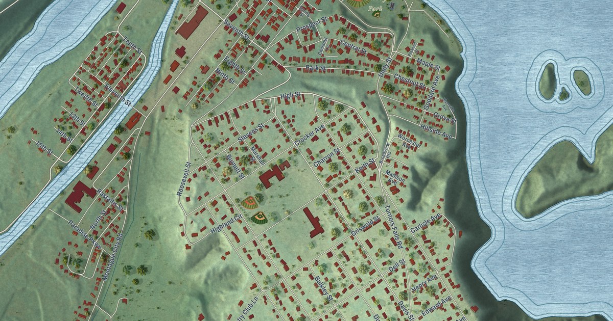
A detailed map of Turners Falls, Massachusetts, showing every building in its true location, the roads by name, and shaded topographical relief.
Read More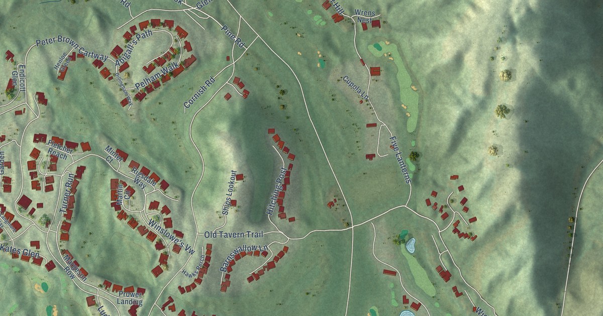
A detailed map of The Pinehills, Massachusetts, showing every building in its true location, the roads by name, and shaded topographical relief.
Read More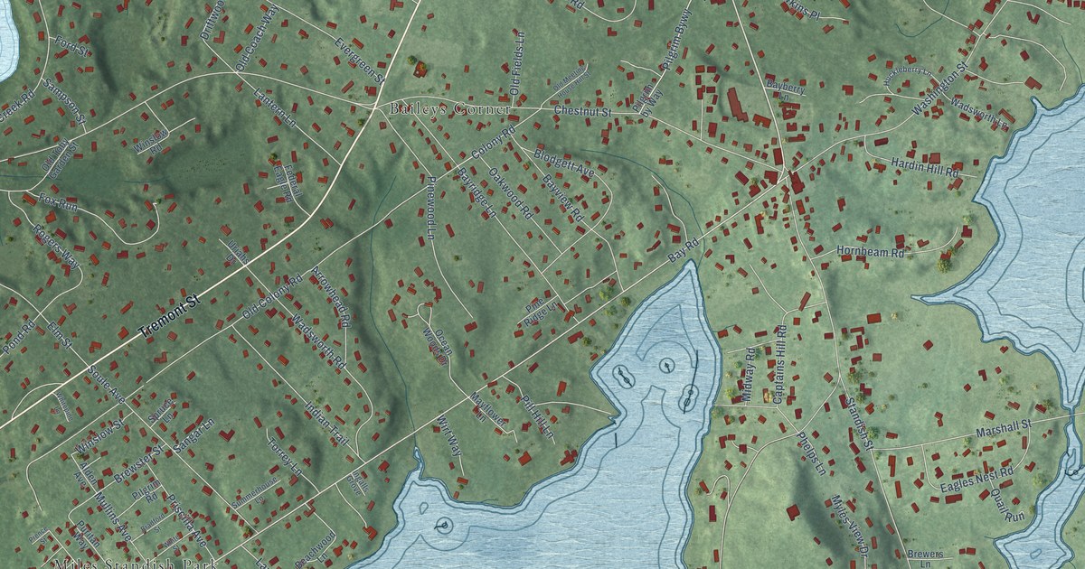
A detailed map of South Duxbury, Massachusetts, showing every building in its true location, the roads by name, and shaded topographical relief.
Read More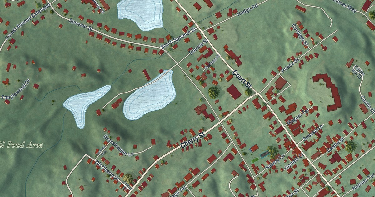
A detailed map of North Plymouth, Massachusetts, showing every building in its true location, the roads by name, and shaded topographical relief.
Read More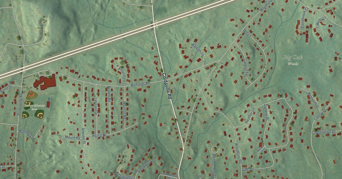
A detailed map of Cordaville, Massachusetts, showing every building in its true location, the roads by name, and shaded topographical relief.
Read More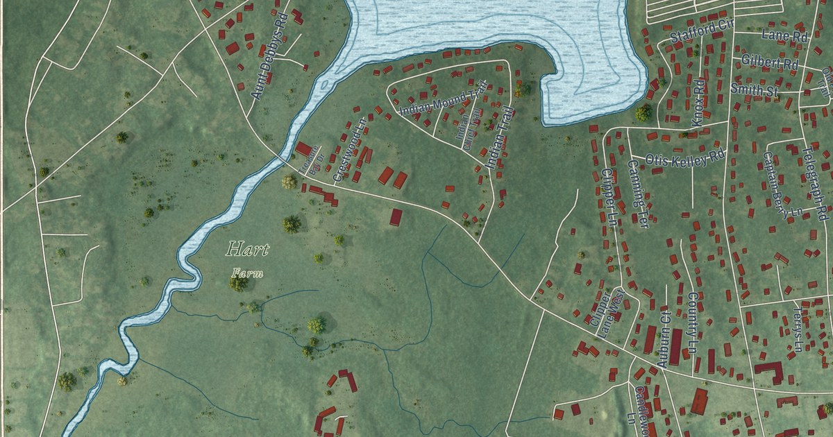
A detailed map of Dennis Port, Massachusetts, showing every building in its true location, the roads by name, and shaded topographical relief.
Read More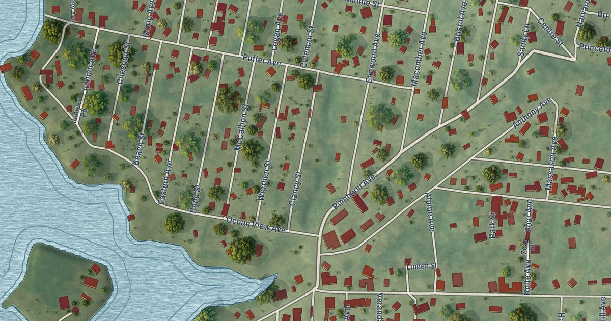
A detailed map of Ocean Grove, Massachusetts, showing every building in its true location, the roads by name, and shaded topographical relief.
Read More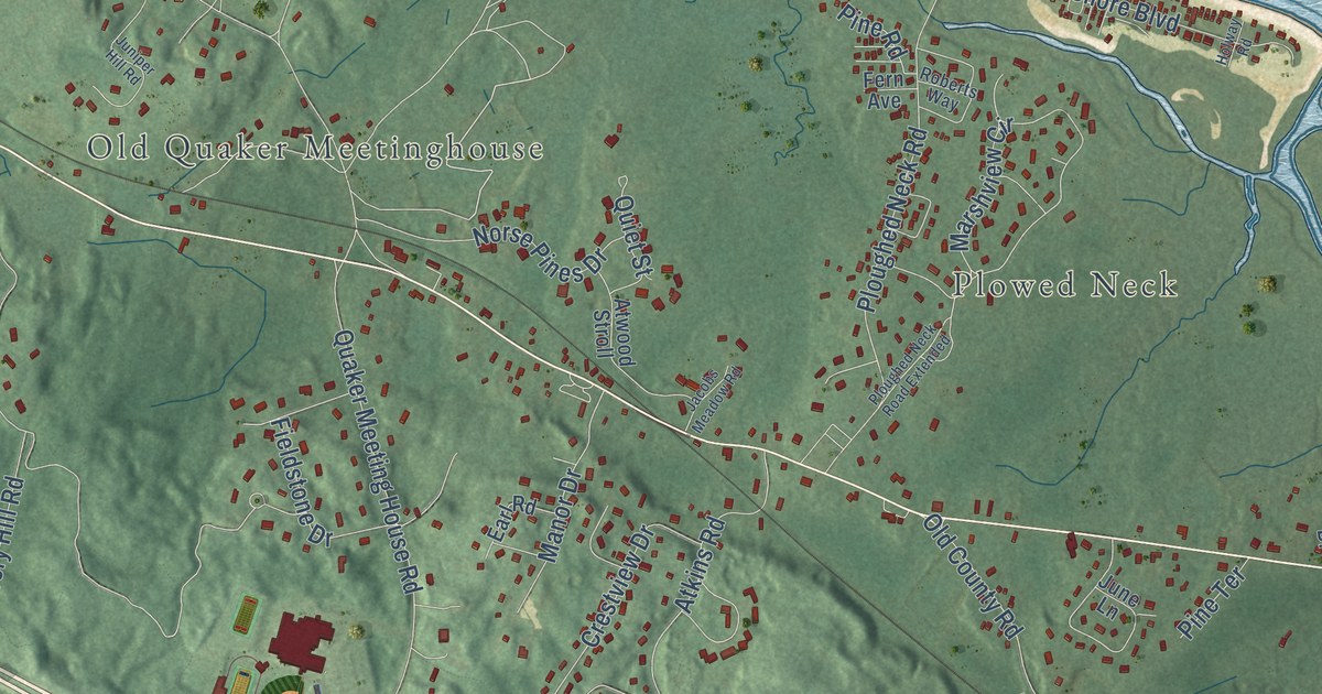
A detailed map of East Sandwich, Massachusetts, showing every building in its true location, the roads by name, and shaded topographical relief.
Read More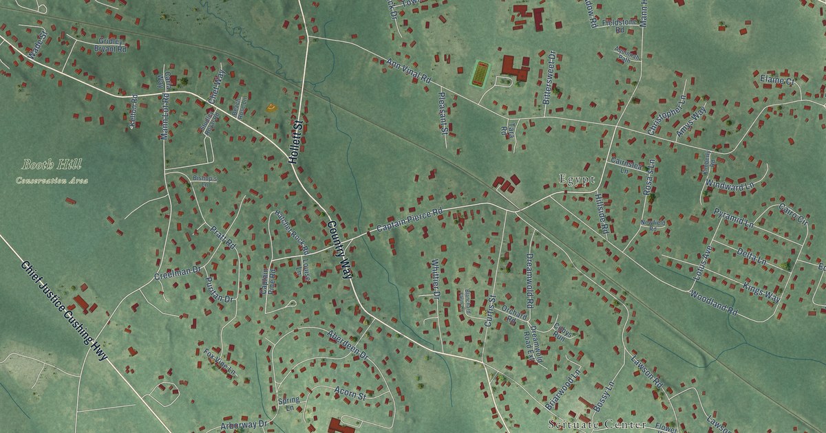
A detailed map of North Scituate, Massachusetts, showing every building in its true location, the roads by name, and shaded topographical relief.
Read More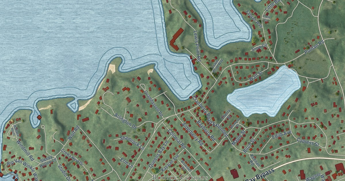
A detailed map of Buzzards Bay, Massachusetts, showing every building in its true location, the roads by name, and shaded topographical relief.
Read More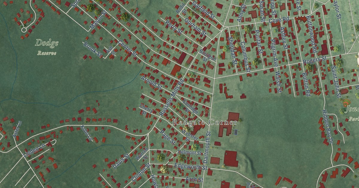
A detailed map of Bliss Corner, Massachusetts, showing every building in its true location, the roads by name, and shaded topographical relief.
Read More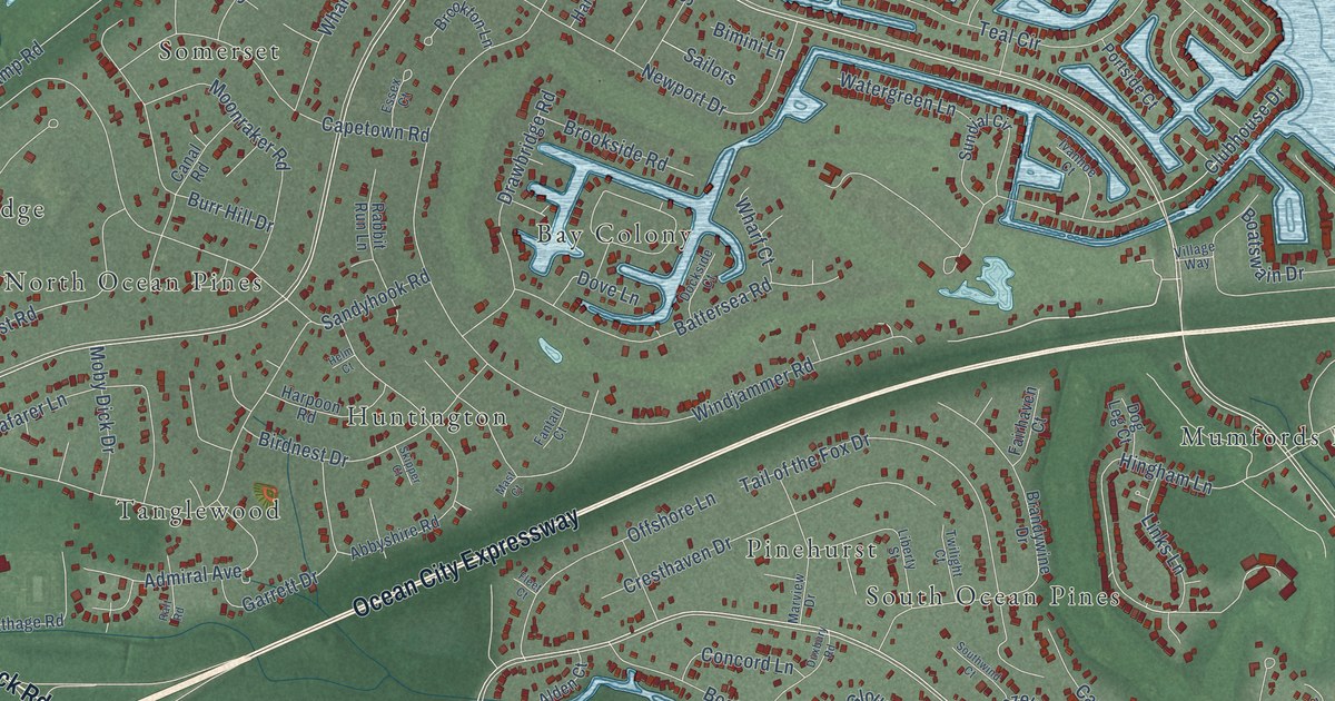
A detailed map of Ocean Pines, Maryland, showing every building in its true location, the roads by name, and shaded topographical relief.
Read More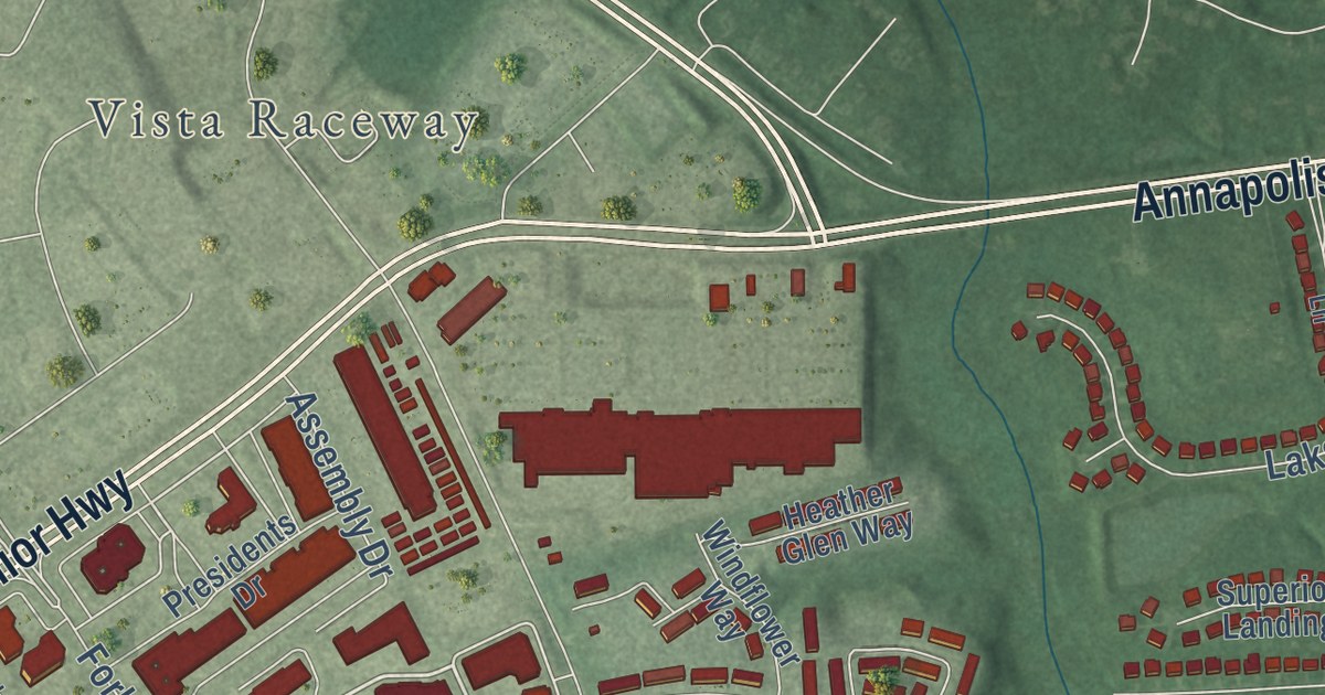
A detailed map of Mitchellville, Maryland, showing every building in its true location, the roads by name, and shaded topographical relief.
Read More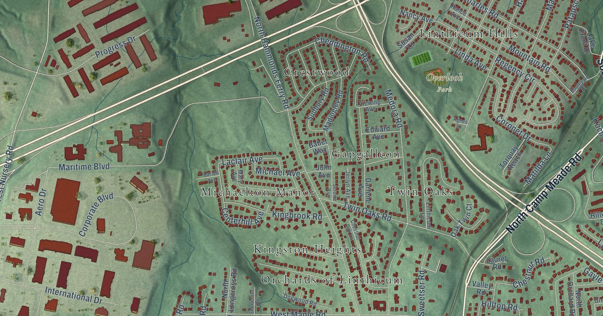
A detailed map of Linthicum, Maryland, showing every building in its true location, the roads by name, and shaded topographical relief.
Read More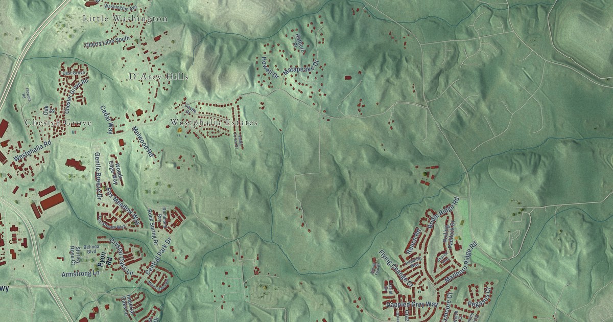
A detailed map of Westphalia, Maryland, showing every building in its true location, the roads by name, and shaded topographical relief.
Read More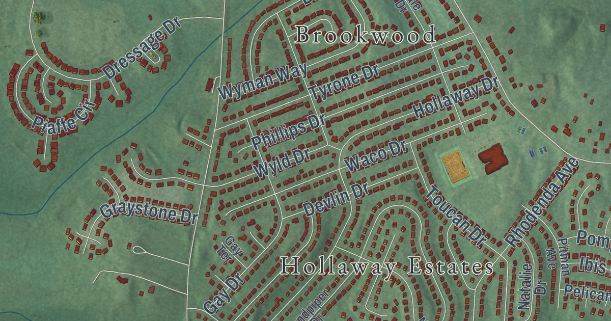
A detailed map of Rosaryville, Maryland, showing every building in its true location, the roads by name, and shaded topographical relief.
Read More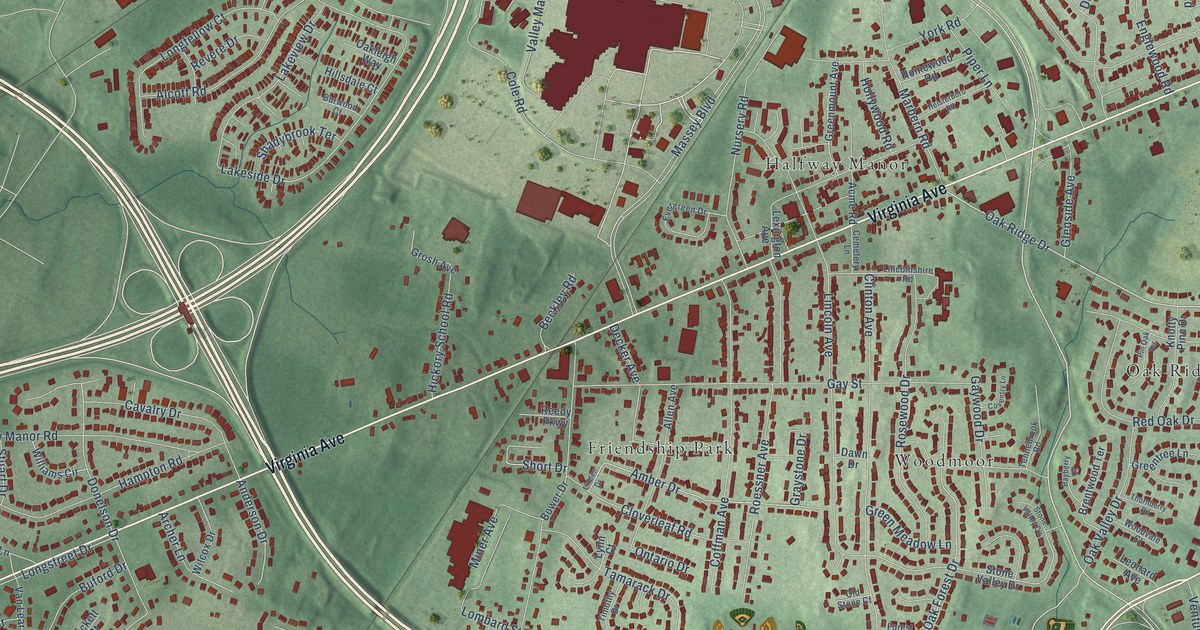
A detailed map of Halfway, Maryland, showing every building in its true location, the roads by name, and shaded topographical relief.
Read More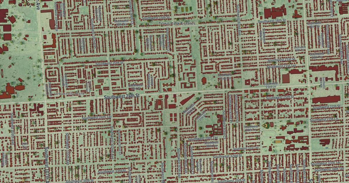
A detailed map of Westchester, Florida, showing every building in its true location, the roads by name, and shaded topographical relief.
Read More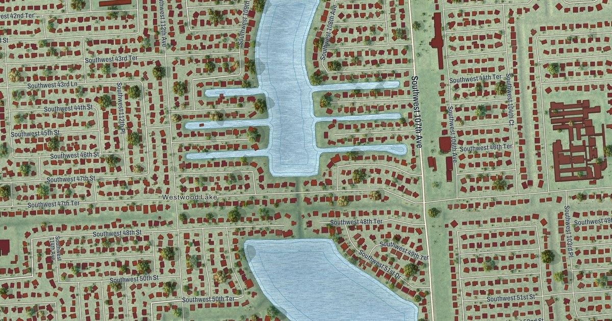
A detailed map of Westwood Lakes, Florida, showing every building in its true location, the roads by name, and shaded topographical relief.
Read More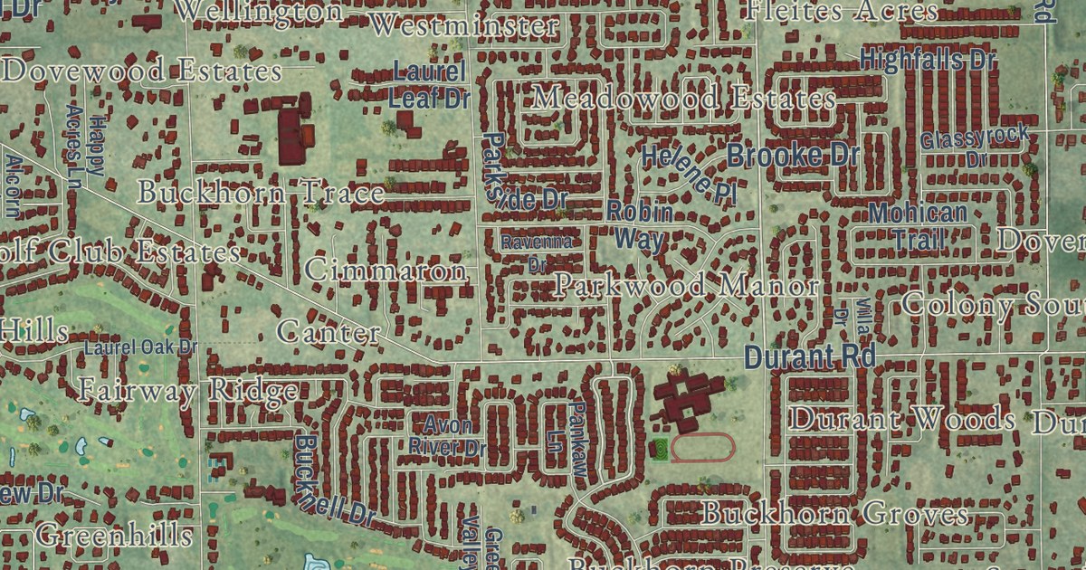
A detailed map of Valrico, Florida, showing every building in its true location, the roads by name, and shaded topographical relief.
Read More















