
Old Maps
Explore the archive through editorial features, geography, and historical collections.
 North Carolina
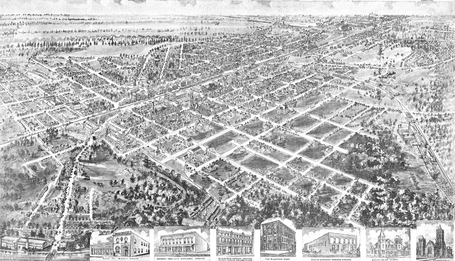
Bird’s eye view of Rocky Mount, North Carolina in 1907
Click here to see how Rocky Mount looked in the early 20th century.
 Massachusetts
Beautifully detailed map of Martha’s Vineyard from 1954
Historic map of Martha's Vineyard from 1954
 Vermont
Historic old map of Ludlow, Vermont from 1885
Click here to see what Ludlow looked like 100+ years ago!
 Pennsylvania
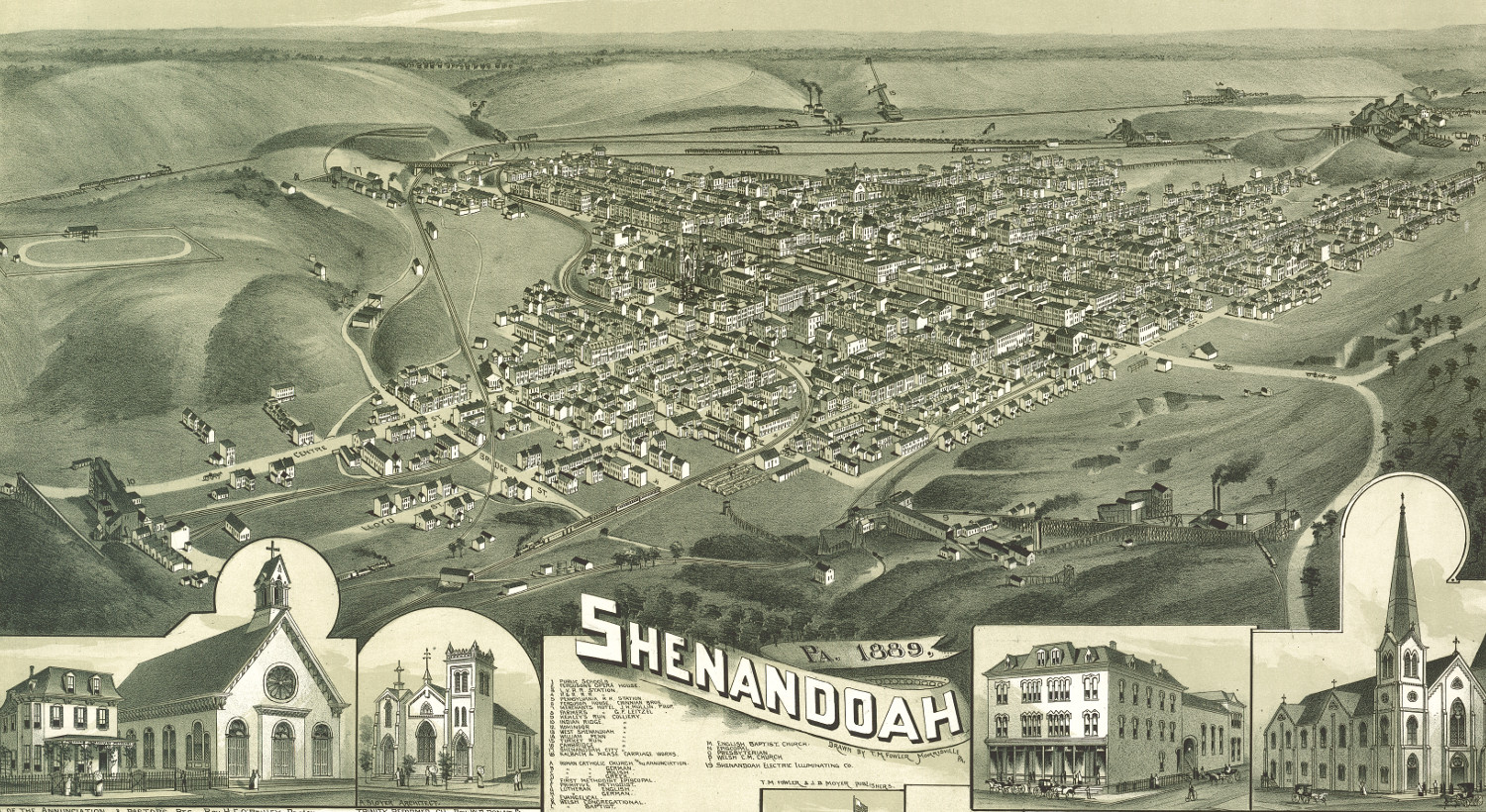
Beautiful bird’s eye view of Shenandoah, PA from 1889
Click here to see Shenandoah toward the end of the 19th century
 West Virginia
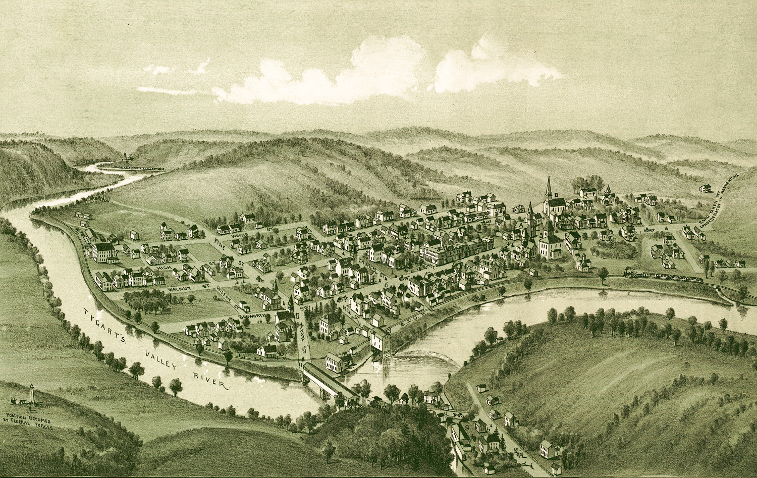
Historic old map of Philippi, West Virginia in 1897
Click here to find out what Philippi, WV looked like in the 19th century
 Virginia
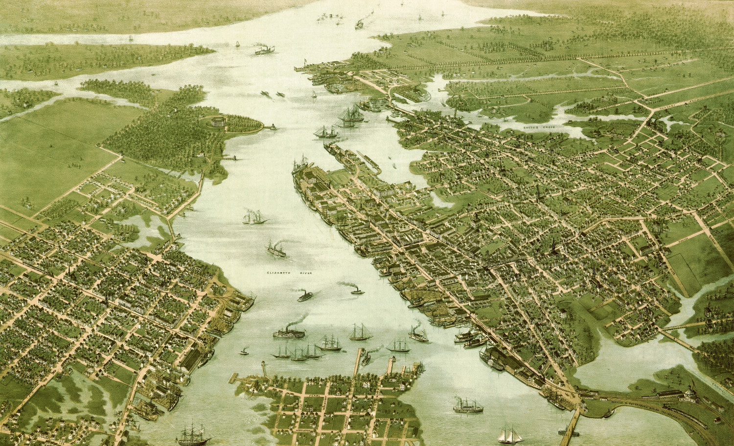
Beautifully restored map of Norfolk & Portsmouth, Virginia from 1873
Click here to see what Portsmouth and Norfolk looked like in the 19th century.
 Connecticut
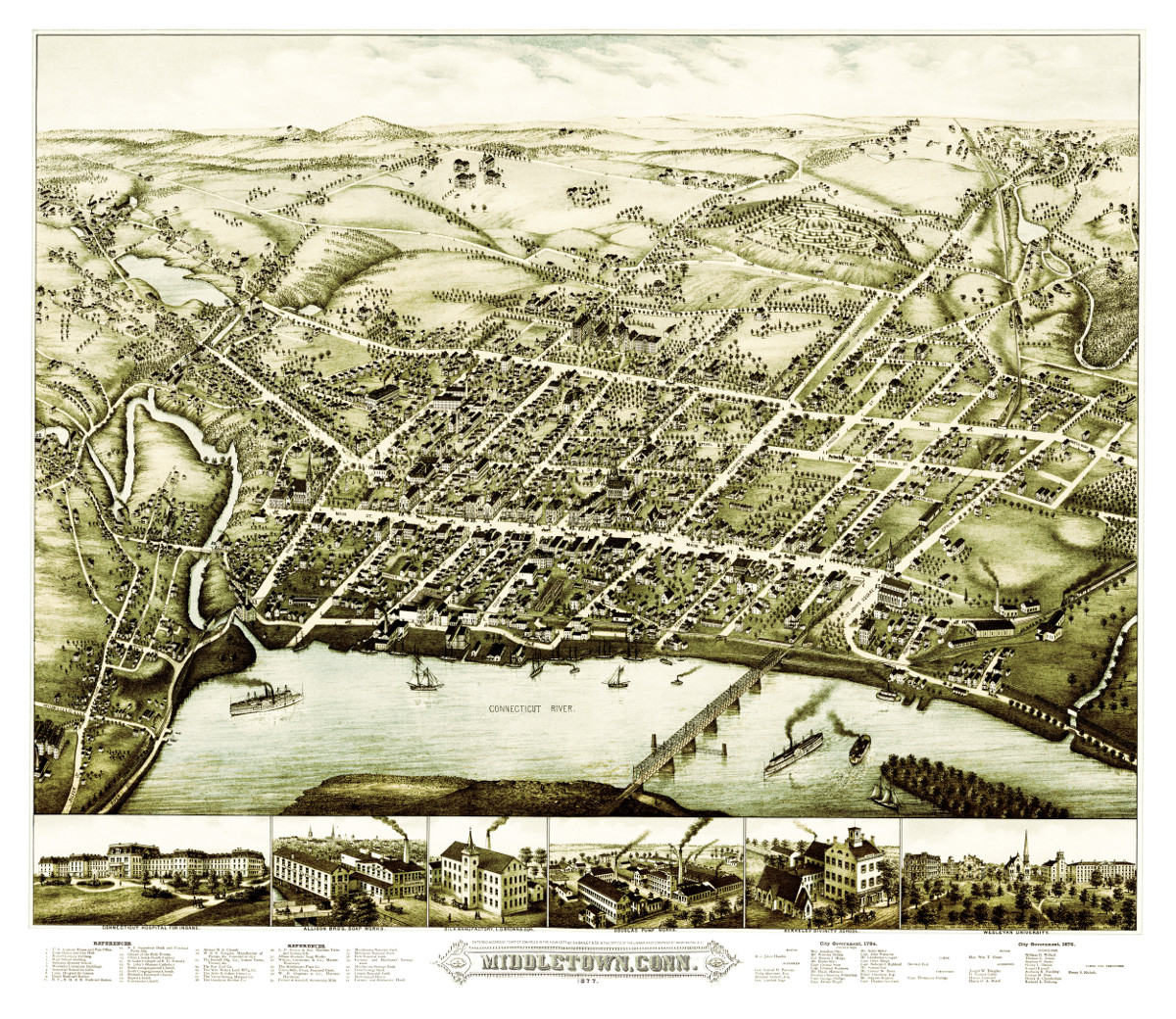
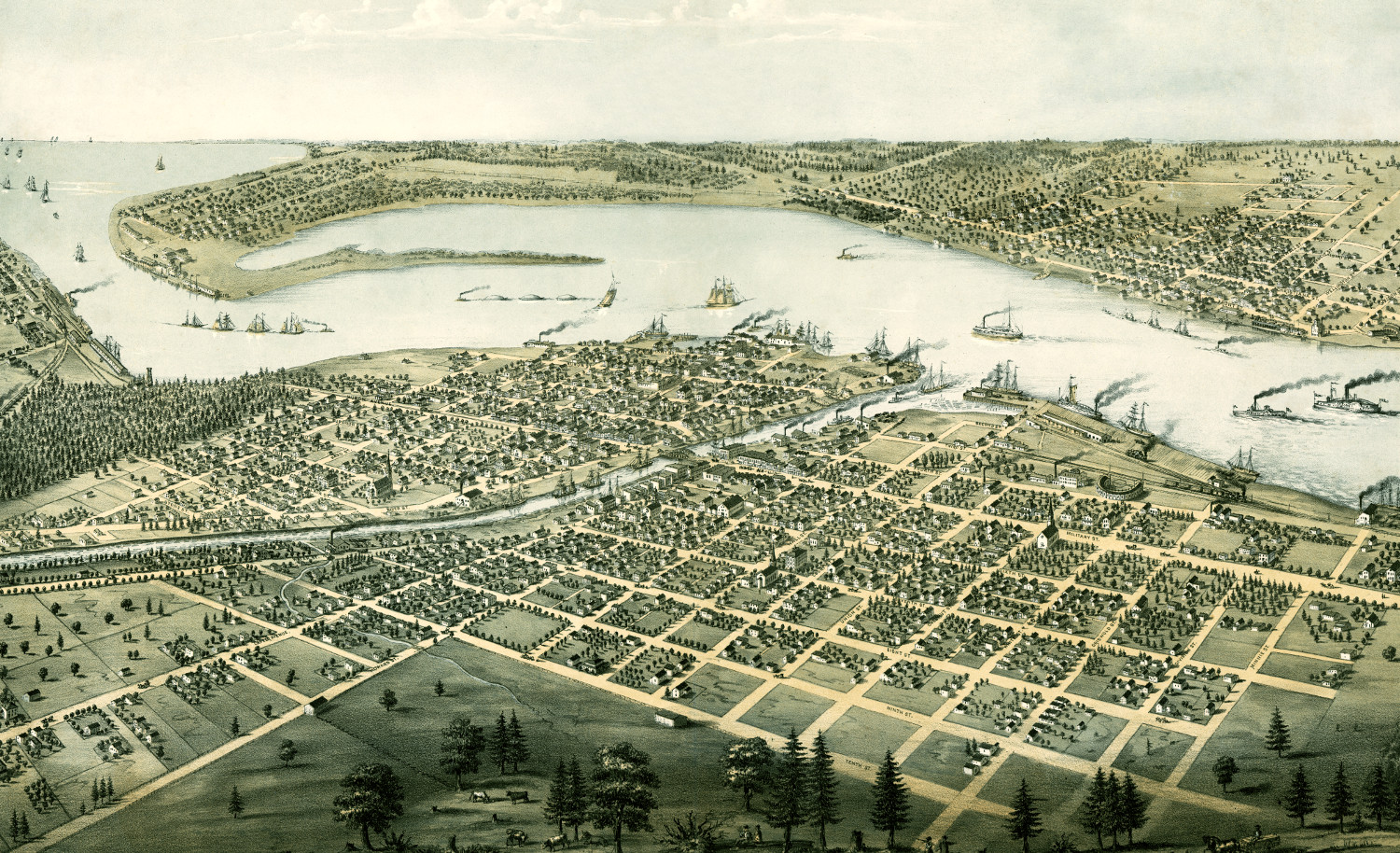
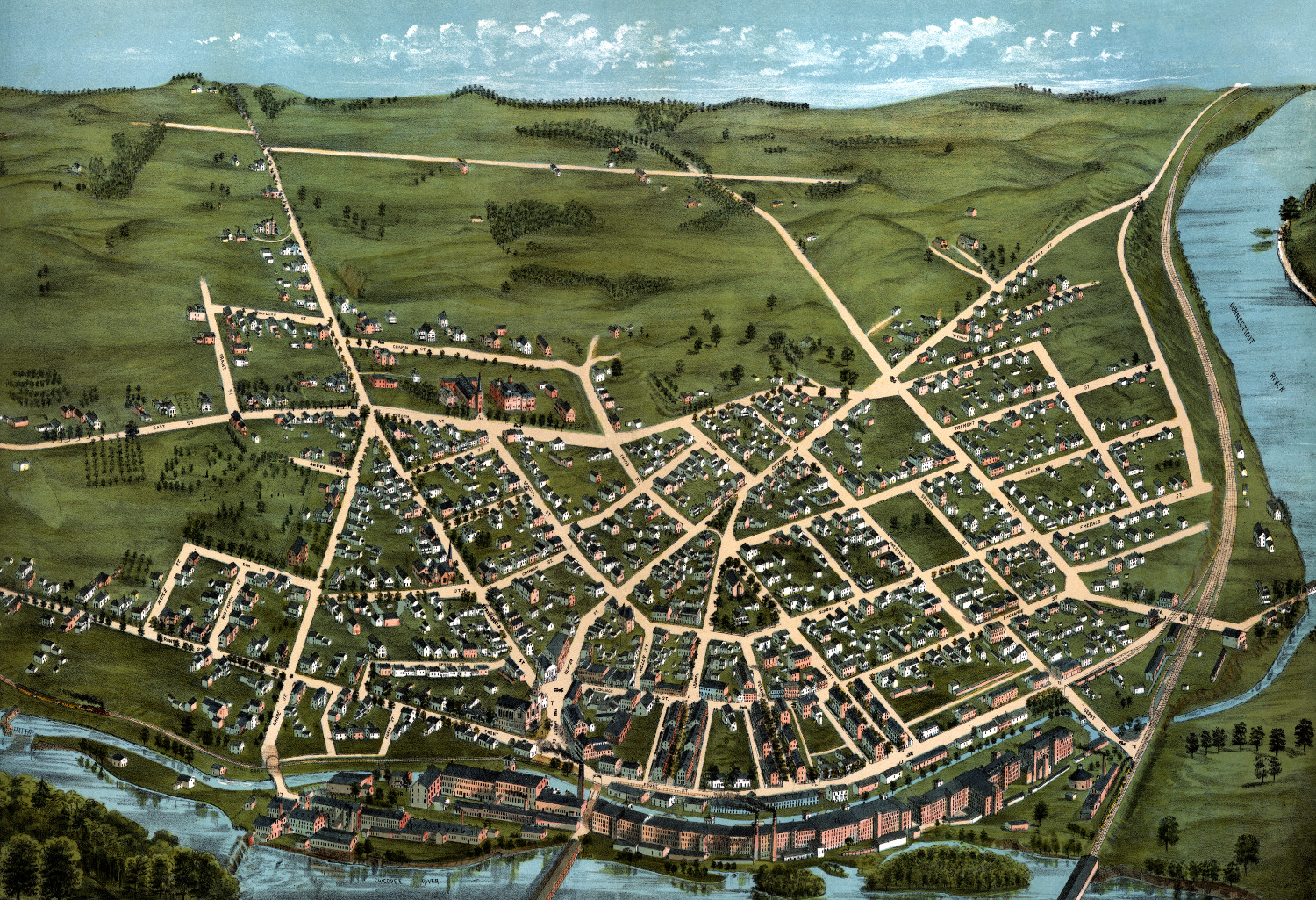
Bird’s eye view of Middletown, Connecticut in 1877
This beautiful vintage map shows Middletown, Connecticut as it looked in 1877. At the time approximately 7,000 people lived in Middletown and manufacturing was the…
 Michigan
Beautifully restored map of Port Huron, Michigan from 1867
Detailed bird's eye view of Port Huron, Michigan from 1867
 Vermont
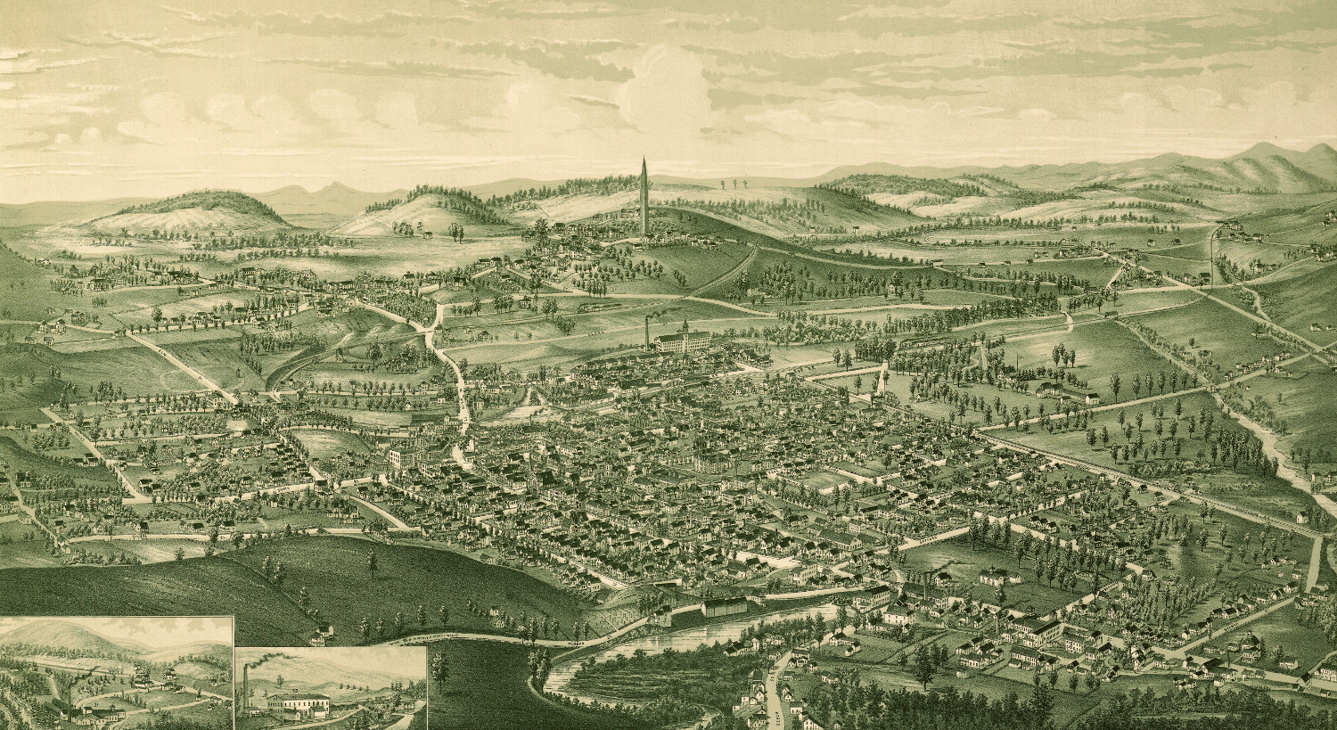
Bird’s eye view of Bennington, Vermont in 1887
Click here to see what Bennington, Vermont looked like 130+ years ago
 Massachusetts
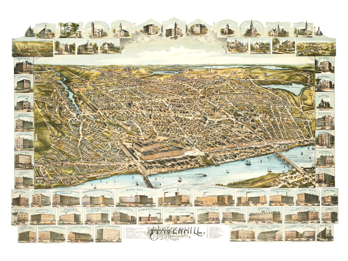
Bird’s eye view of Haverhill, Massachusetts in 1893
This is what Haverhill looked like when only 30,000 people lived here
 Massachusetts
Bird’s eye view of Gardner, Massachusetts in 1880
This map of Gardner, Massachusetts was created in 1880 by Beck & Paul Lithographers and the E.H. Bigelow Publishing Company of Framingham, Mass. The…
 Texas
Texas
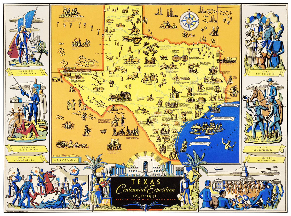
Amazing map of Texas from the Centennial Exposition in 1936
The Centennial Exposition celebrated the 100th anniversary of Texas's independence from Mexico in 1836.
 New York
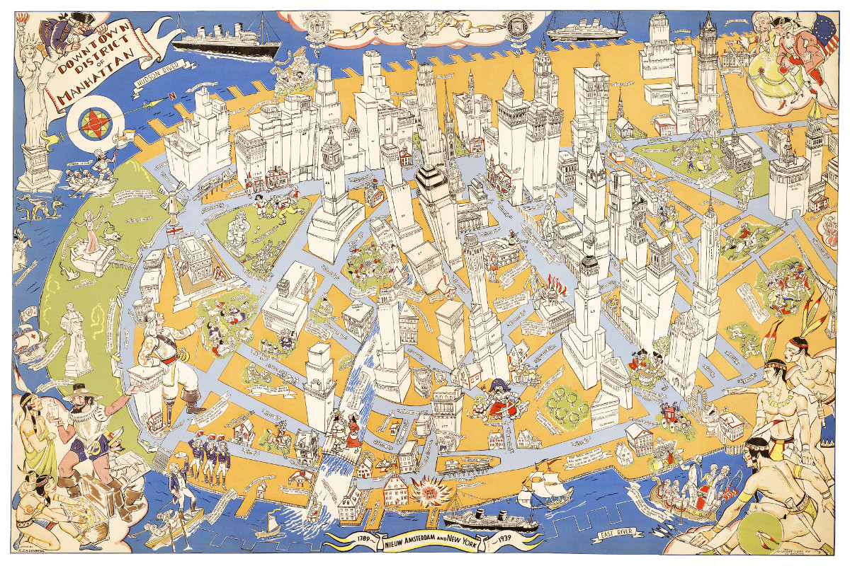
Long lost map of NYC shows locations of historical events
Amazing stories and images from the early years of Manhattan!
 Michigan
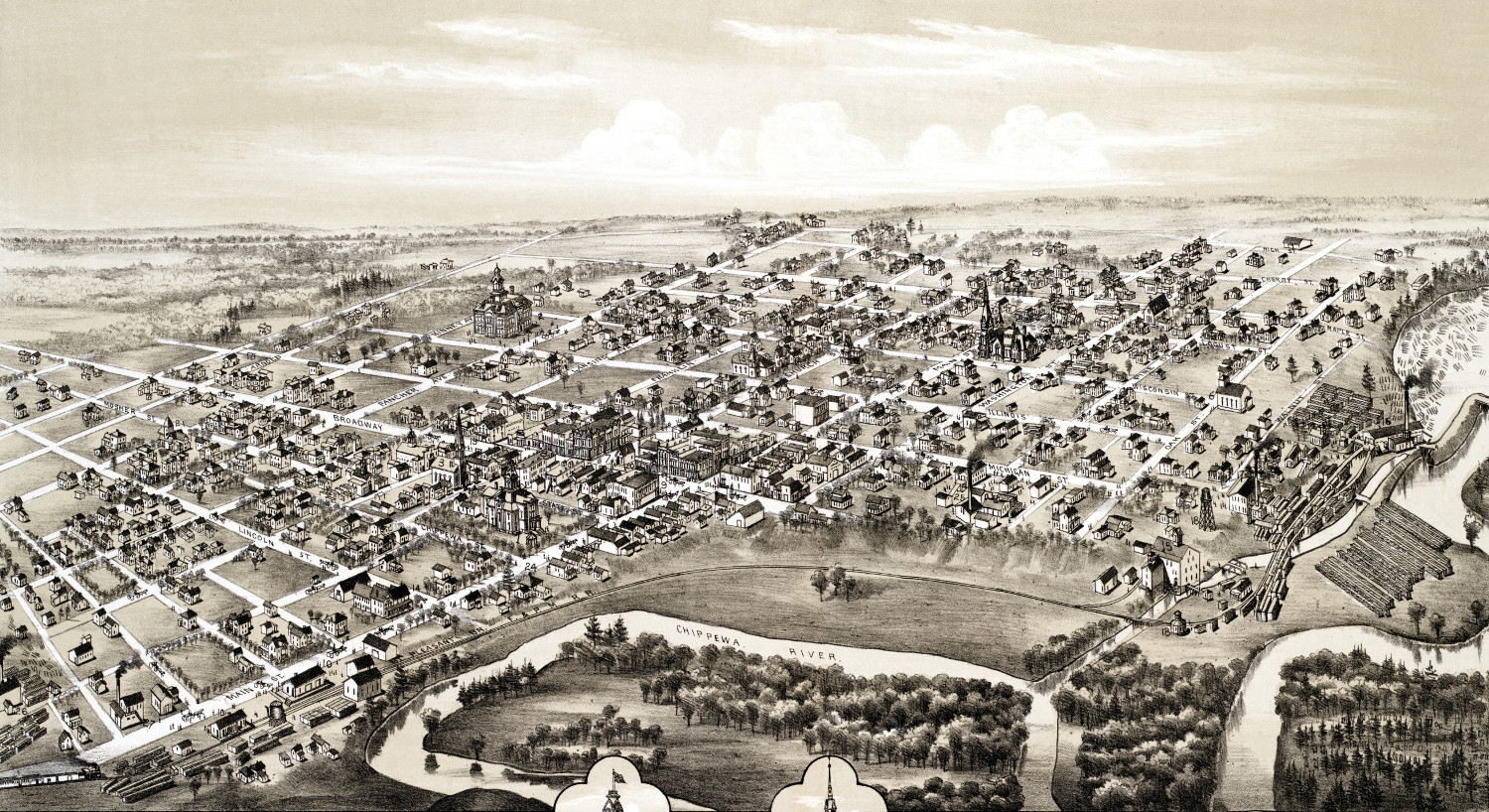
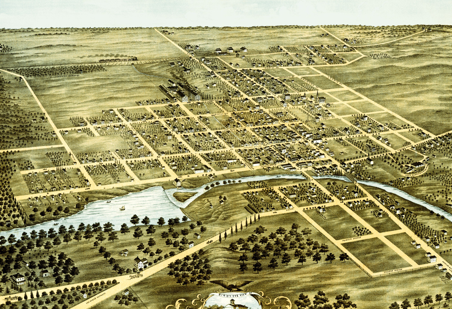
Beautifully restored map of Mt. Pleasant, Michigan from 1884
This historic old map of Mount Pleasant, Michigan was created in 1884 by O.H. Bailey, a prominent 19th century map maker. The map shows…
 Rhode Island
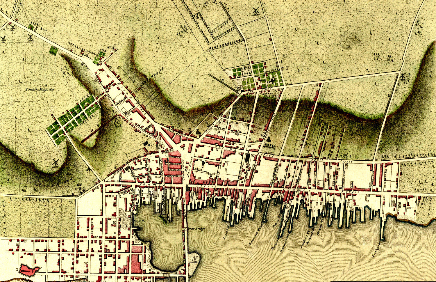
Plan of Newport, Rhode Island created in 1777 by the invading British Army
Click here to see Newport, Rhode Island in 1777
 Illinois
Beautifully restored map of Naperville, IL from 1869
Detailed bird's eye view of Naperville, Illinois in 1869
 Connecticut
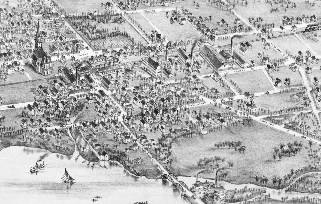
Beautifully restored map of Wallingford, Connecticut in 1881
Historic bird's eye view of Wallingford, Connecticut
 Massachusetts
Beautifully detailed map of Chicopee, Massachusetts in 1878
Historic bird's eye view of Chicopee, Massachusetts in 1878
 New Hampshire
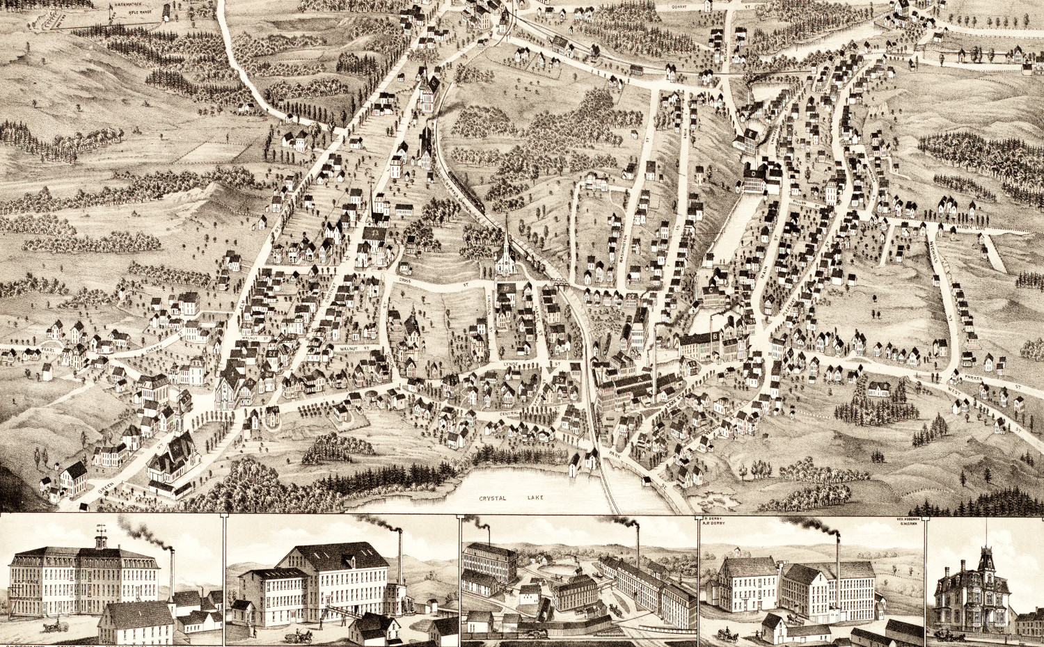
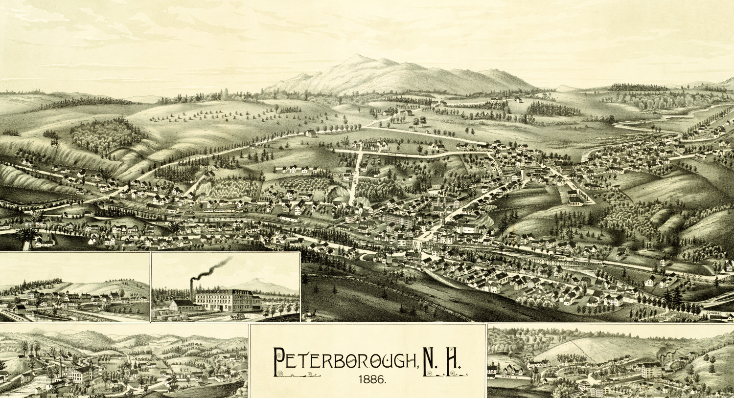
Historic map of Peterborough, New Hampshire from 1886
Click here to see what Peterborough looked like 100+ years ago!
 Massachusetts
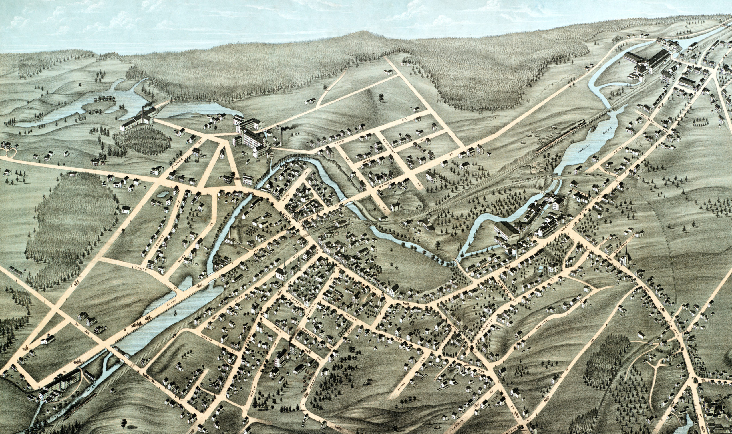
Beautifully detailed map of Webster, Mass in 1878
Historic bird's eye view of Webster, Massachusetts
 Texas
Texas
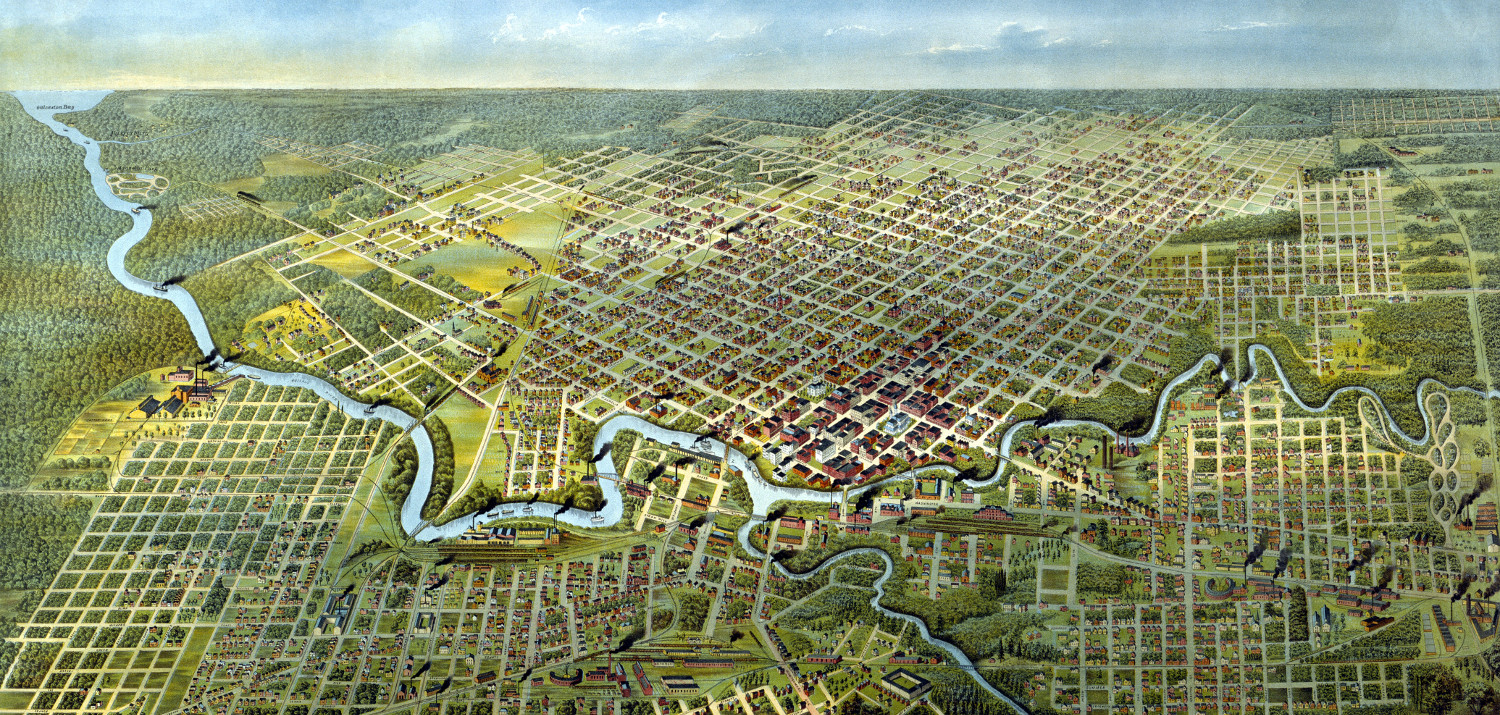
Beautifully detailed map of Houston, Texas from 1891
Historic bird's eye view of Houston, Texas from 1891