Detailed Map of Laurinburg, North Carolina
A detailed map of Laurinburg, North Carolina, showing every building in its true location, the roads by name, and shaded topographical relief.
Read More
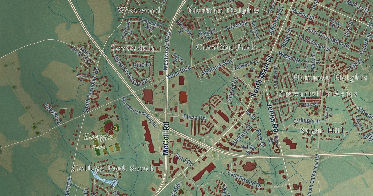
A detailed map of Laurinburg, North Carolina, showing every building in its true location, the roads by name, and shaded topographical relief.
Read More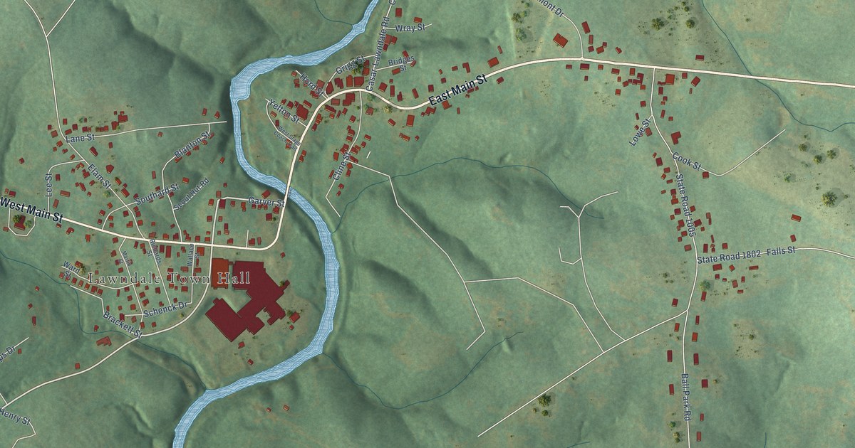
A detailed map of Lawndale, North Carolina, showing every building in its true location, the roads by name, and shaded topographical relief.
Read More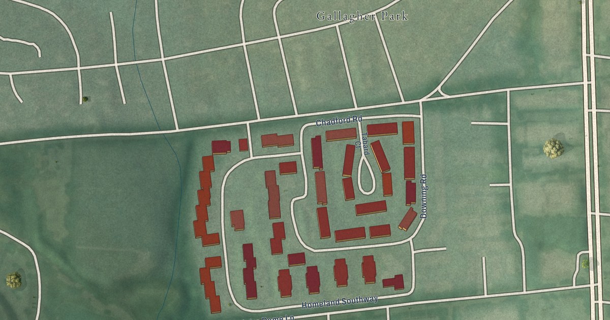
A detailed map of Villages of Homeland, Maryland, showing every building in its true location, the roads by name, and shaded topographical relief.
Read More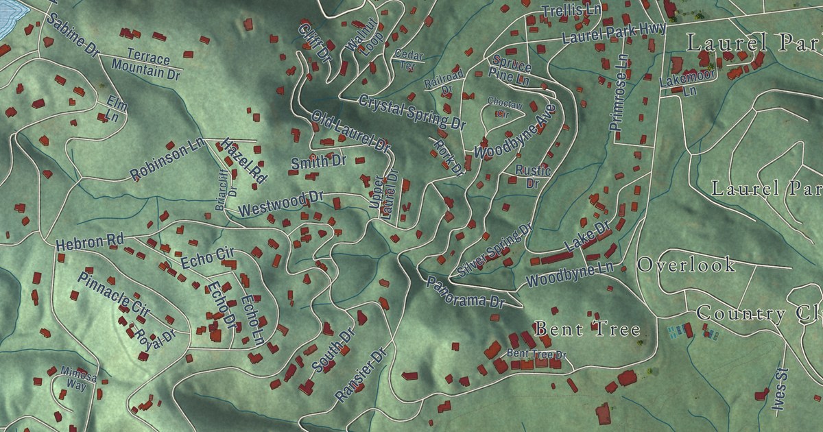
A detailed map of Laurel Park, North Carolina, showing every building in its true location, the roads by name, and shaded topographical relief.
Read More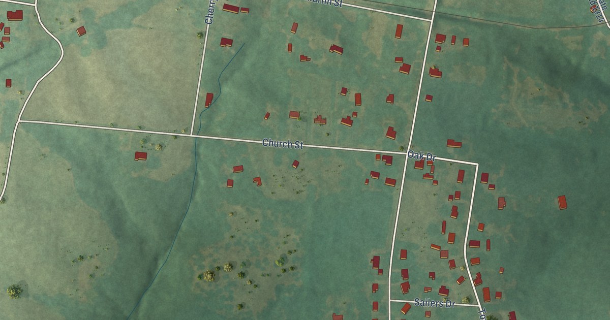
A detailed map of Lattimore, North Carolina, showing every building in its true location, the roads by name, and shaded topographical relief.
Read More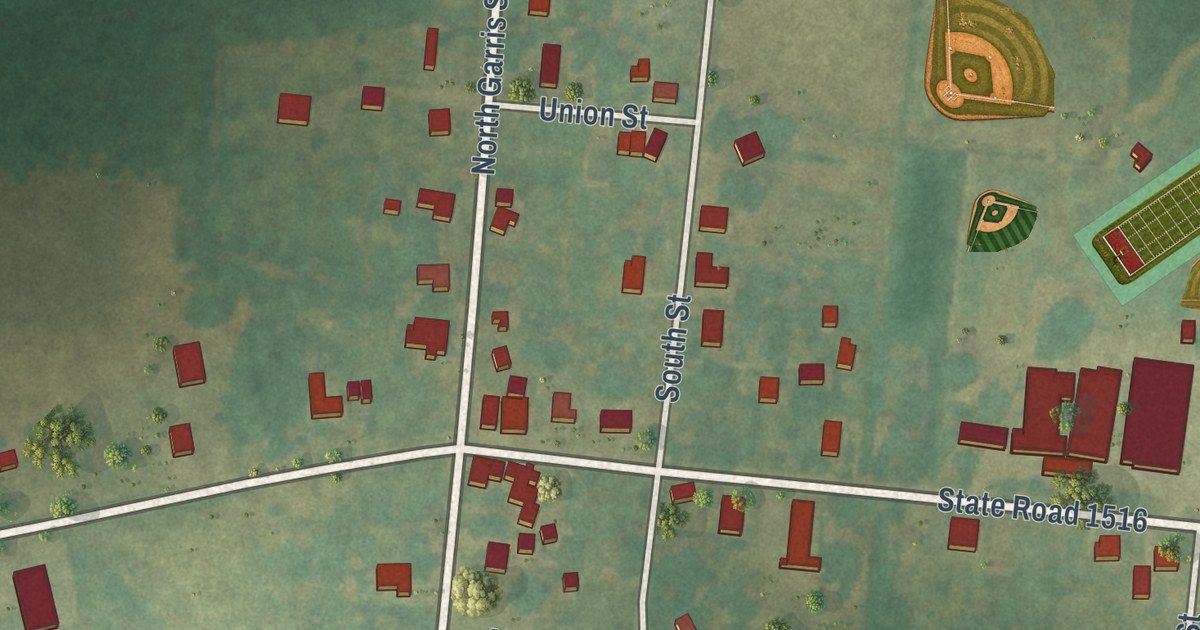
A detailed map of Lasker, North Carolina, showing every building in its true location, the roads by name, and shaded topographical relief.
Read More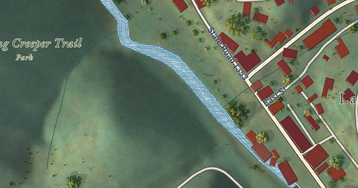
A detailed map of Lansing, North Carolina, showing every building in its true location, the roads by name, and shaded topographical relief.
Read More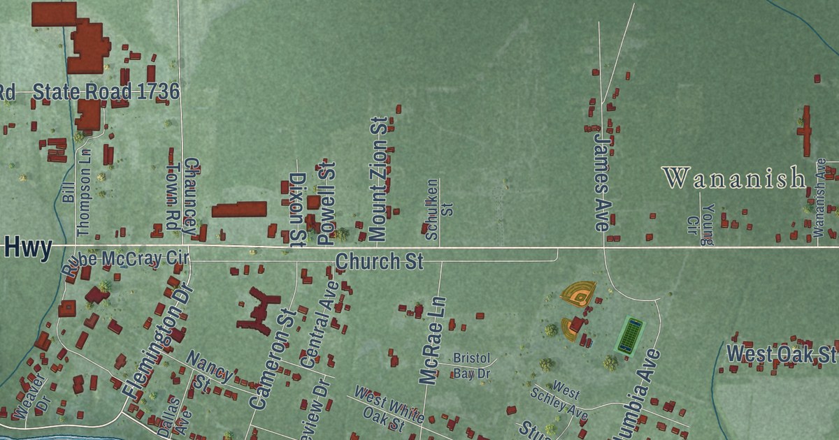
A detailed map of Lake Waccamaw, North Carolina, showing every building in its true location, the roads by name, and shaded topographical relief.
Read More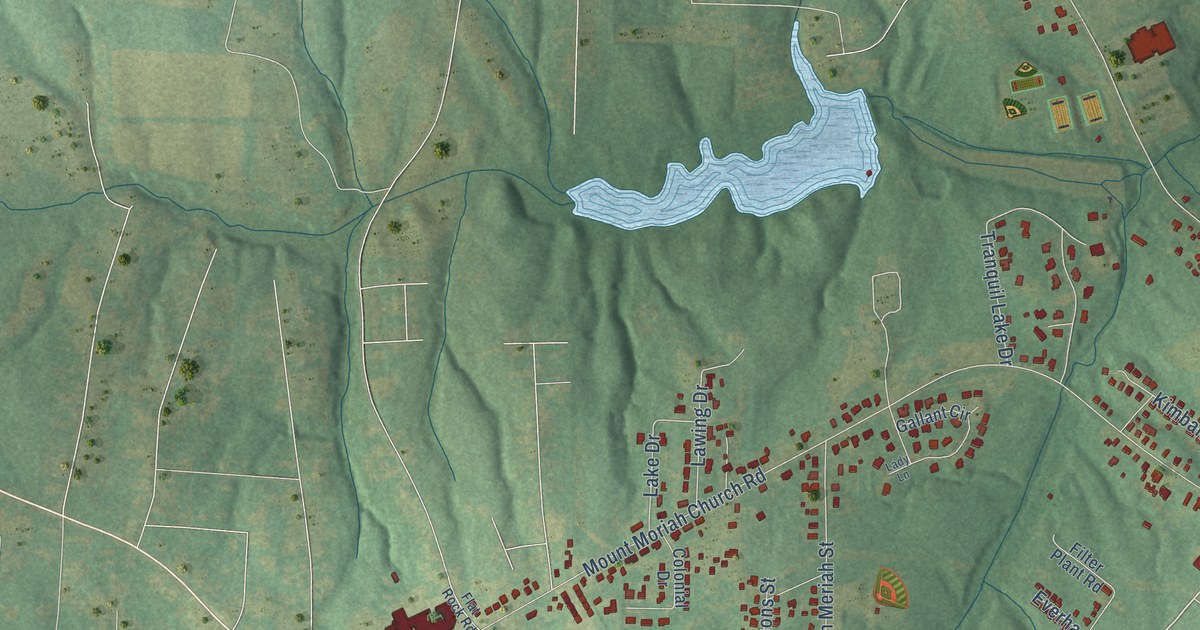
A detailed map of Landis, North Carolina, showing every building in its true location, the roads by name, and shaded topographical relief.
Read More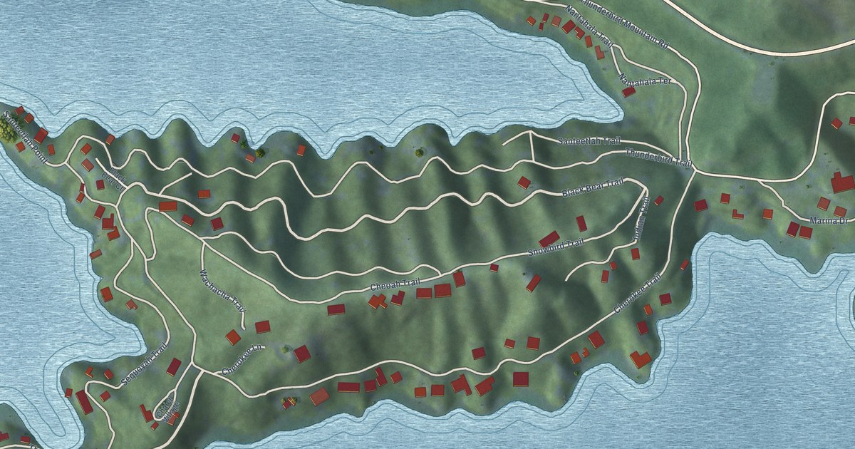
A detailed map of Lake Santeetlah, North Carolina, showing every building in its true location, the roads by name, and shaded topographical relief.
Read More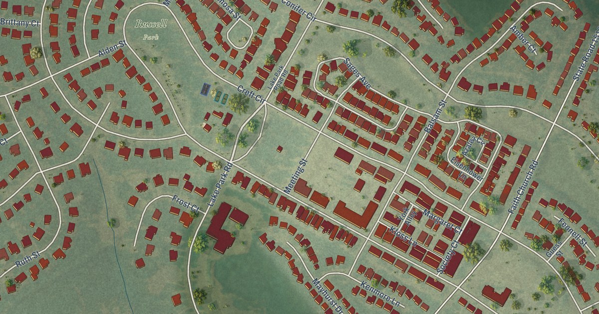
A detailed map of Lake Park, North Carolina, showing every building in its true location, the roads by name, and shaded topographical relief.
Read More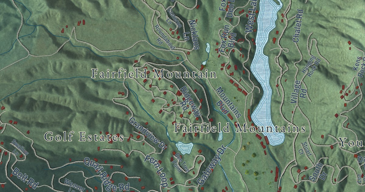
A detailed map of Lake Lure, North Carolina, showing every building in its true location, the roads by name, and shaded topographical relief.
Read More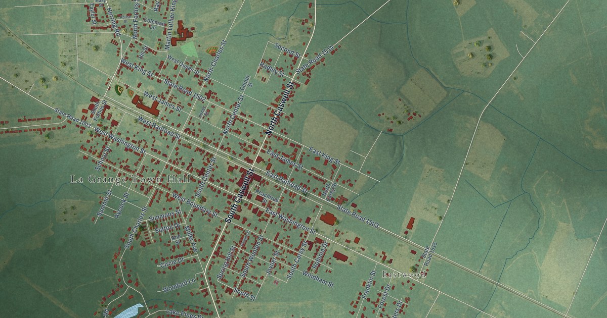
A detailed map of La Grange, North Carolina, showing every building in its true location, the roads by name, and shaded topographical relief.
Read More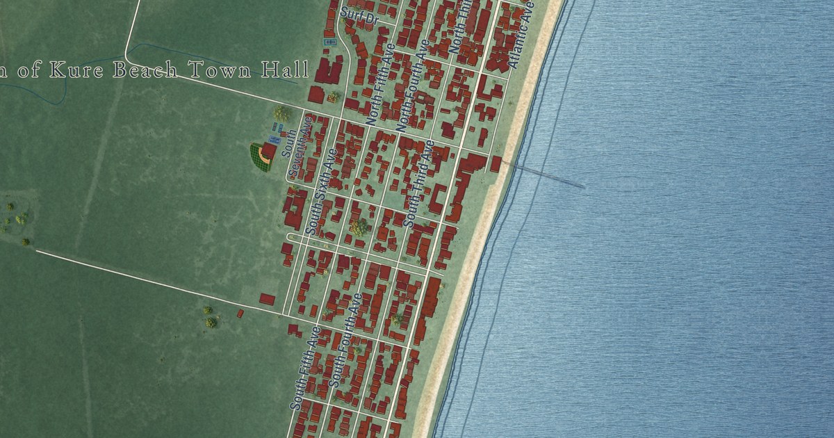
A detailed map of Kure Beach, North Carolina, showing every building in its true location, the roads by name, and shaded topographical relief.
Read More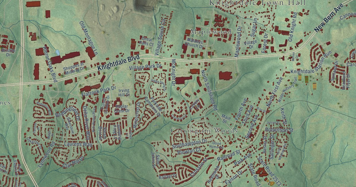
A detailed map of Knightdale, North Carolina, showing every building in its true location, the roads by name, and shaded topographical relief.
Read More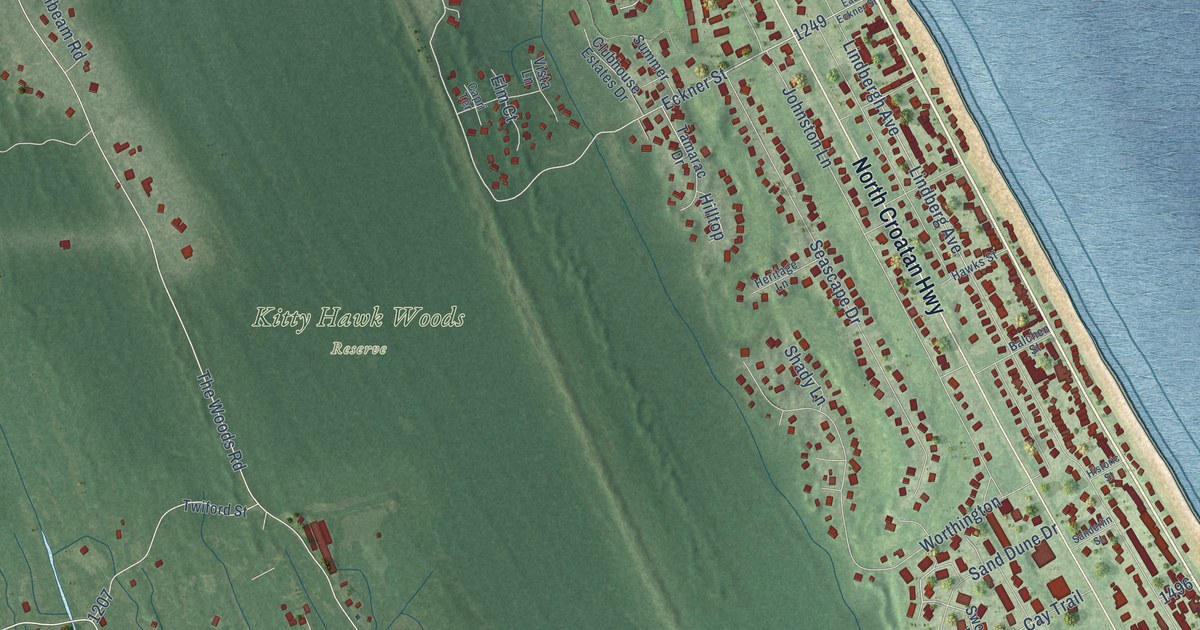
A detailed map of Kitty Hawk, North Carolina, showing every building in its true location, the roads by name, and shaded topographical relief.
Read More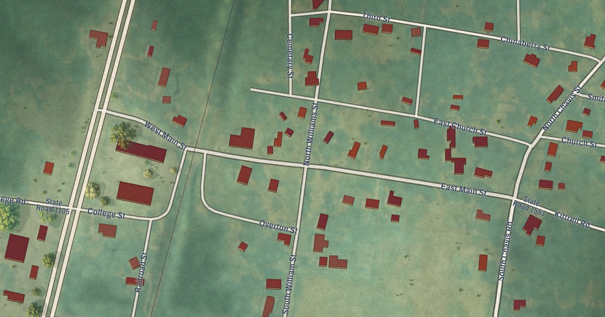
A detailed map of Kittrell, North Carolina, showing every building in its true location, the roads by name, and shaded topographical relief.
Read More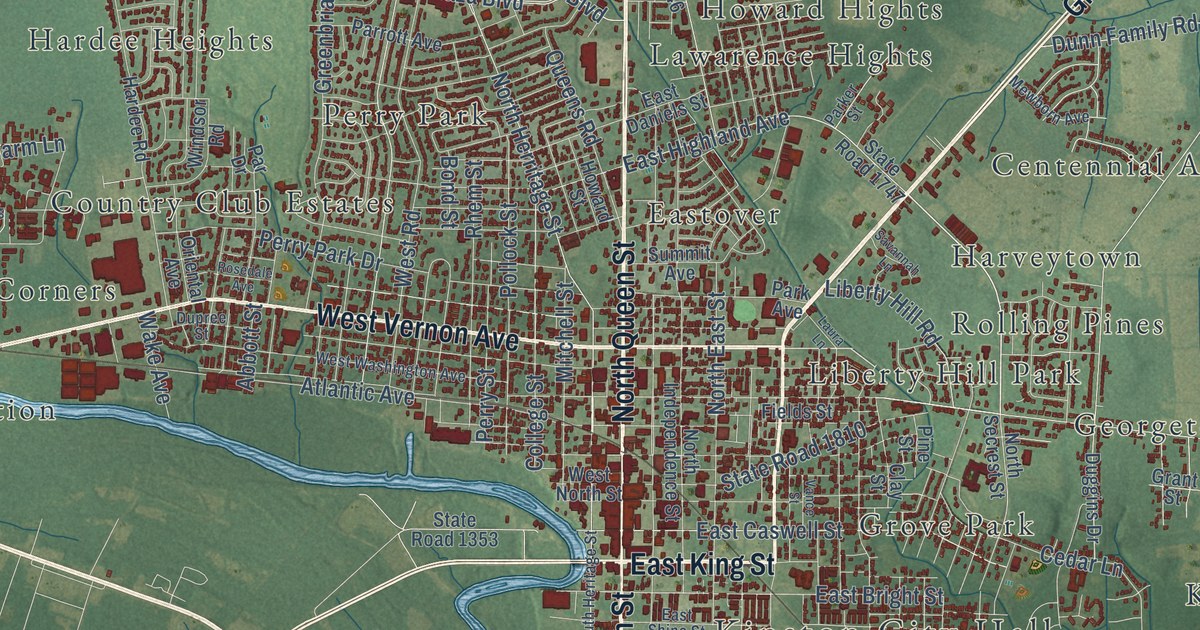
A detailed map of Kinston, North Carolina, showing every building in its true location, the roads by name, and shaded topographical relief.
Read More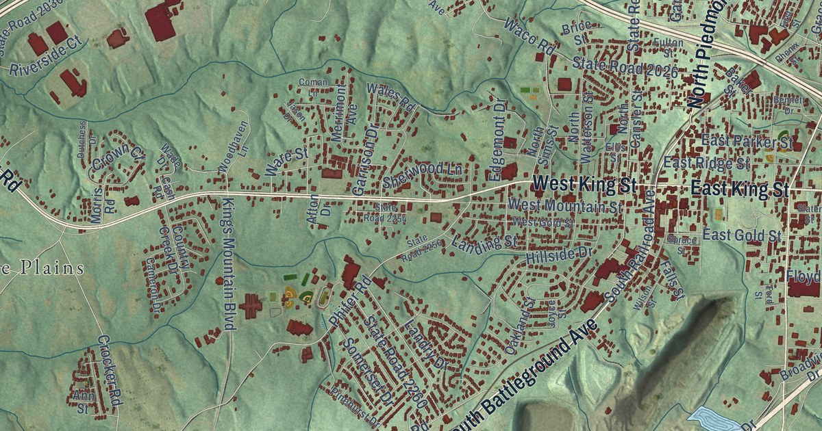
A detailed map of Kings Mountain, North Carolina, showing every building in its true location, the roads by name, and shaded topographical relief.
Read More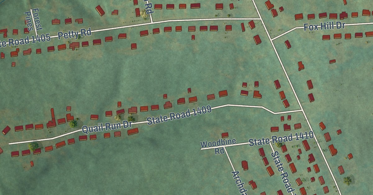
A detailed map of Kingstown, North Carolina, showing every building in its true location, the roads by name, and shaded topographical relief.
Read More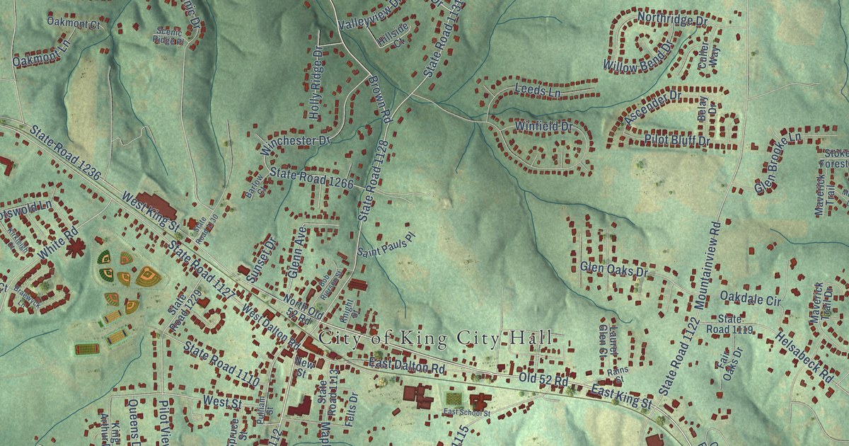
A detailed map of King, North Carolina, showing every building in its true location, the roads by name, and shaded topographical relief.
Read More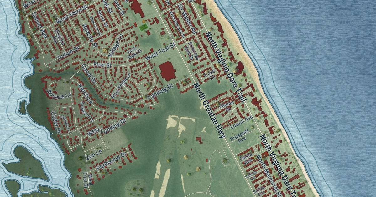
A detailed map of Kill Devil Hills, North Carolina, showing every building in its true location, the roads by name, and shaded topographical relief.
Read More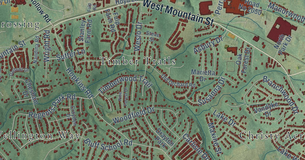
A detailed map of Kernersville, North Carolina, showing every building in its true location, the roads by name, and shaded topographical relief.
Read More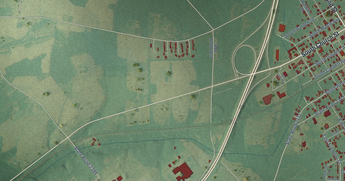
A detailed map of Kenly, North Carolina, showing every building in its true location, the roads by name, and shaded topographical relief.
Read More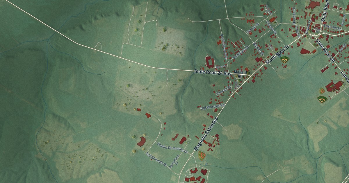
A detailed map of Kenansville, North Carolina, showing every building in its true location, the roads by name, and shaded topographical relief.
Read More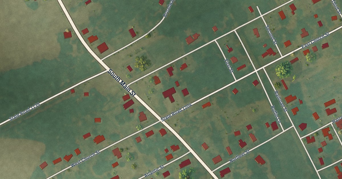
A detailed map of Kelford, North Carolina, showing every building in its true location, the roads by name, and shaded topographical relief.
Read More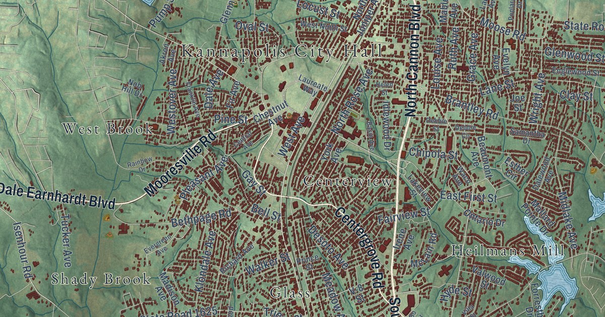
A detailed map of Kannapolis, North Carolina, showing every building in its true location, the roads by name, and shaded topographical relief.
Read More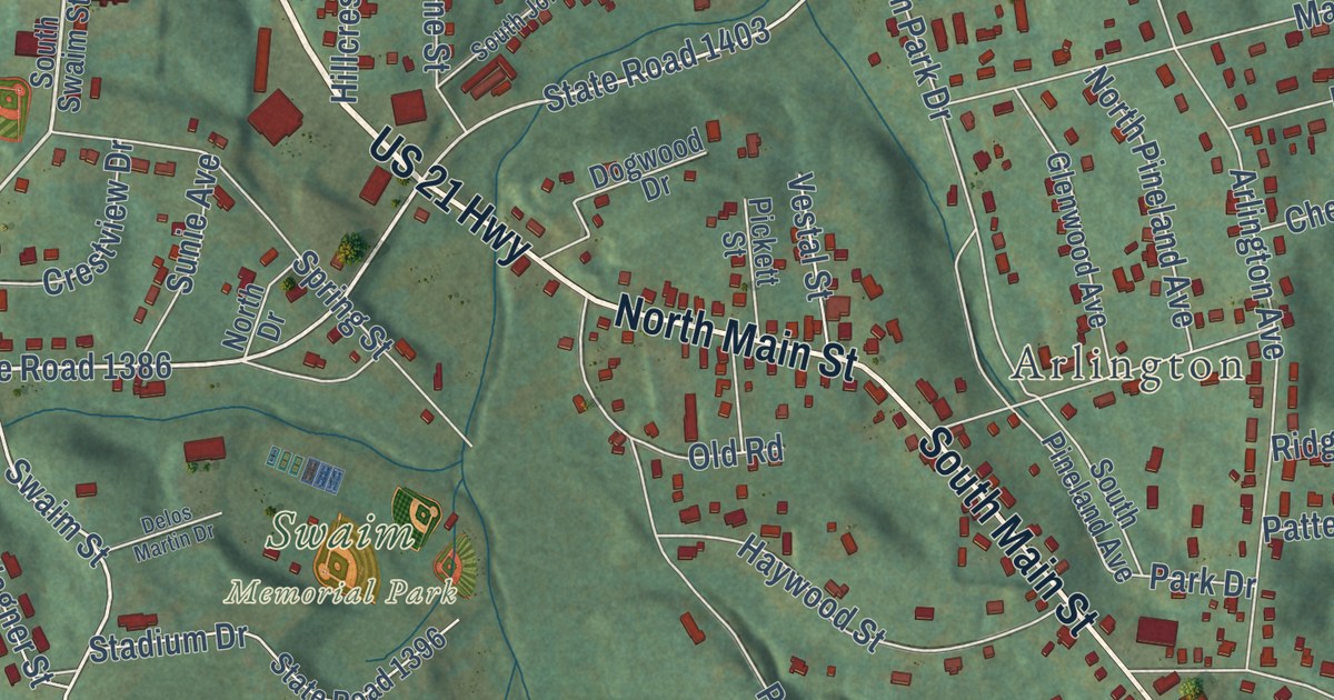
A detailed map of Jonesville, North Carolina, showing every building in its true location, the roads by name, and shaded topographical relief.
Read More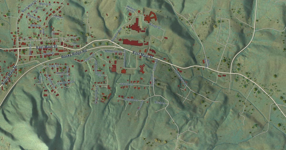
A detailed map of Jefferson, North Carolina, showing every building in its true location, the roads by name, and shaded topographical relief.
Read More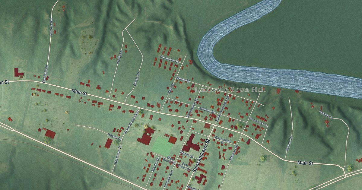
A detailed map of Jamesville, North Carolina, showing every building in its true location, the roads by name, and shaded topographical relief.
Read More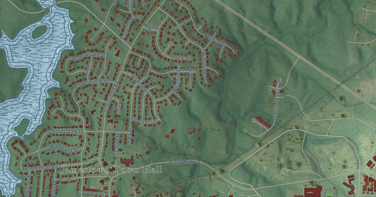
A detailed map of Jamestown, North Carolina, showing every building in its true location, the roads by name, and shaded topographical relief.
Read More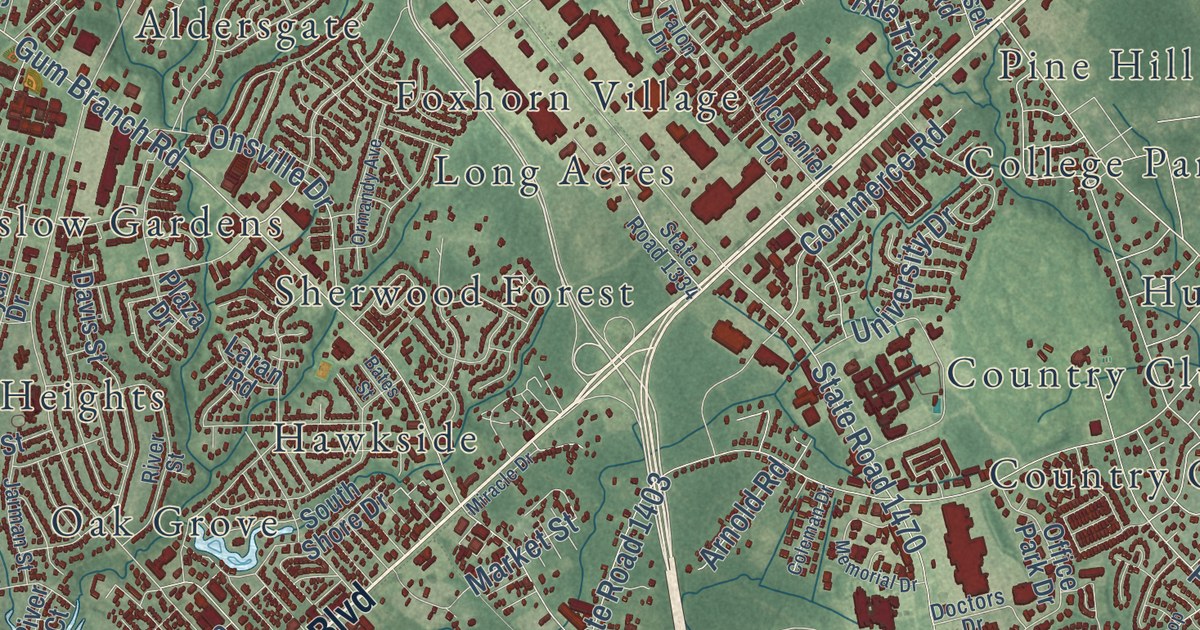
A detailed map of Jacksonville, North Carolina, showing every building in its true location, the roads by name, and shaded topographical relief.
Read More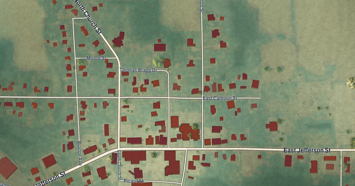
A detailed map of Jackson, North Carolina, showing every building in its true location, the roads by name, and shaded topographical relief.
Read More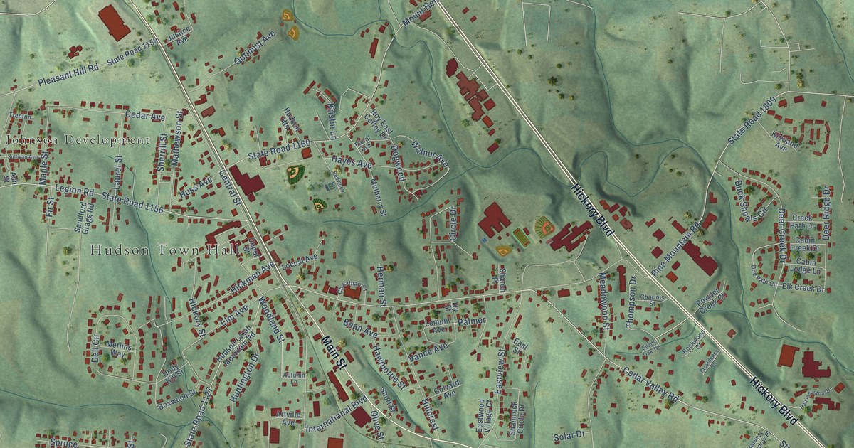
A detailed map of Hudson, North Carolina, showing every building in its true location, the roads by name, and shaded topographical relief.
Read More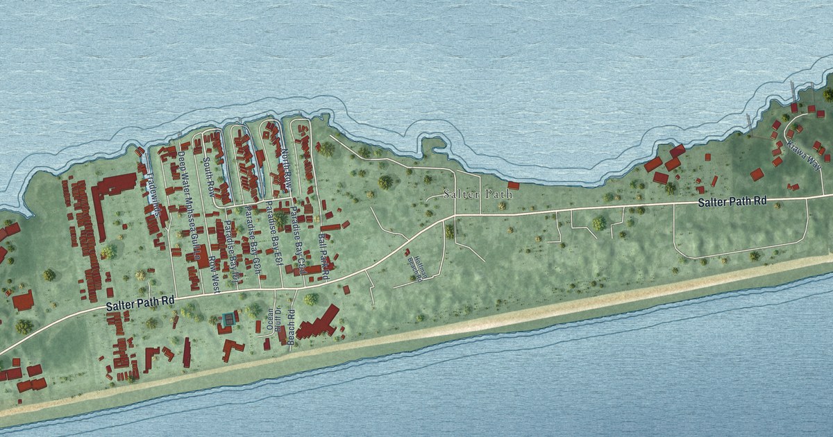
A detailed map of Indian Beach, North Carolina, showing every building in its true location, the roads by name, and shaded topographical relief.
Read More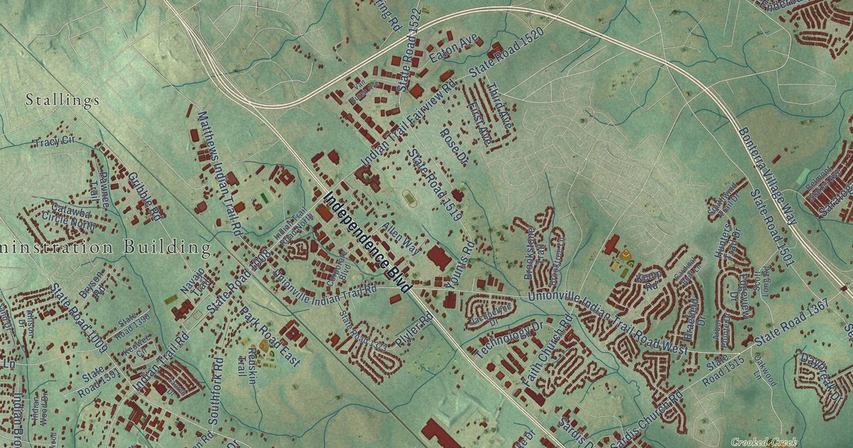
A detailed map of Indian Trail, North Carolina, showing every building in its true location, the roads by name, and shaded topographical relief.
Read More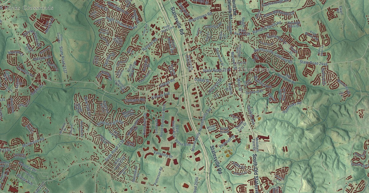
A detailed map of Huntersville, North Carolina, showing every building in its true location, the roads by name, and shaded topographical relief.
Read More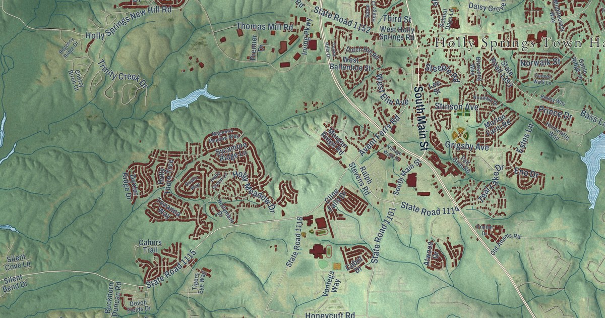
A detailed map of Holly Springs, North Carolina, showing every building in its true location, the roads by name, and shaded topographical relief.
Read More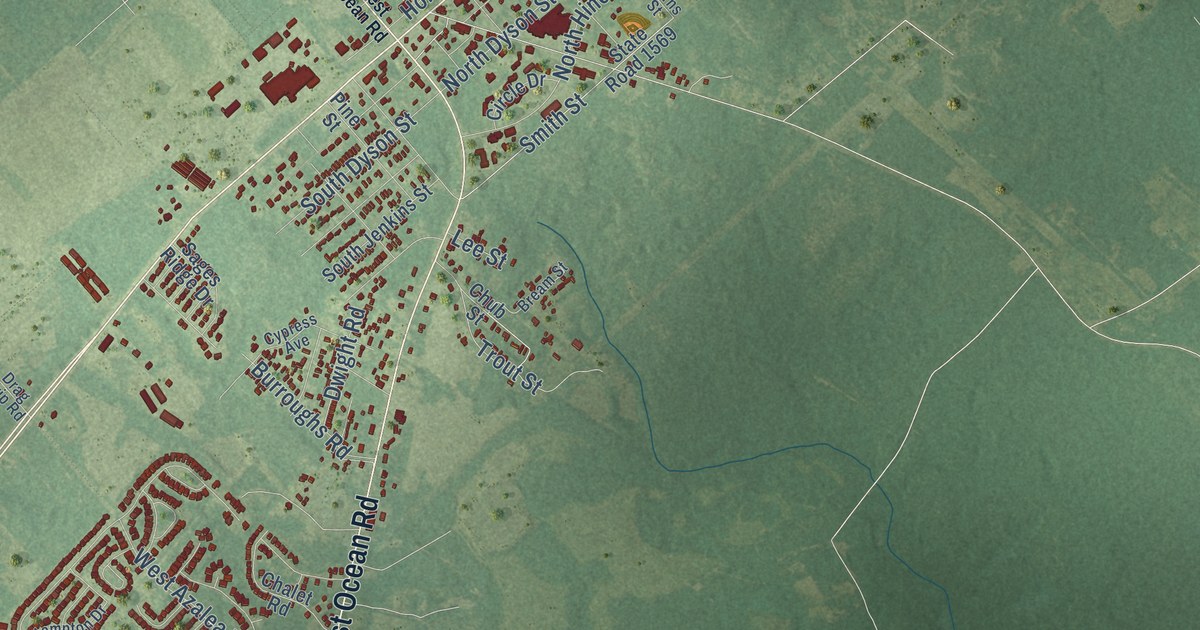
A detailed map of Holly Ridge, North Carolina, showing every building in its true location, the roads by name, and shaded topographical relief.
Read More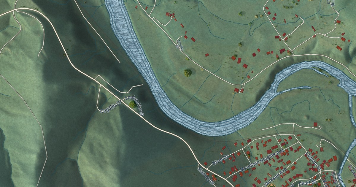
A detailed map of Hot Springs, North Carolina, showing every building in its true location, the roads by name, and shaded topographical relief.
Read More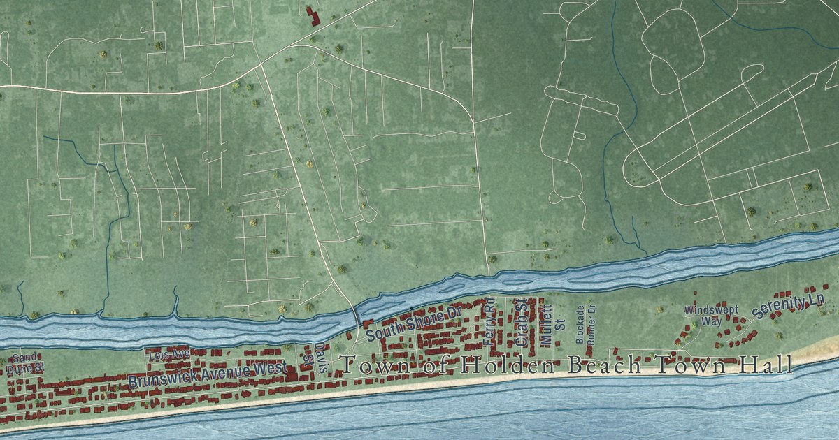
A detailed map of Holden Beach, North Carolina, showing every building in its true location, the roads by name, and shaded topographical relief.
Read More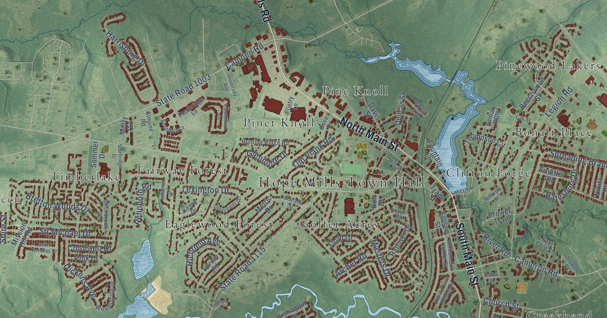
A detailed map of Hope Mills, North Carolina, showing every building in its true location, the roads by name, and shaded topographical relief.
Read More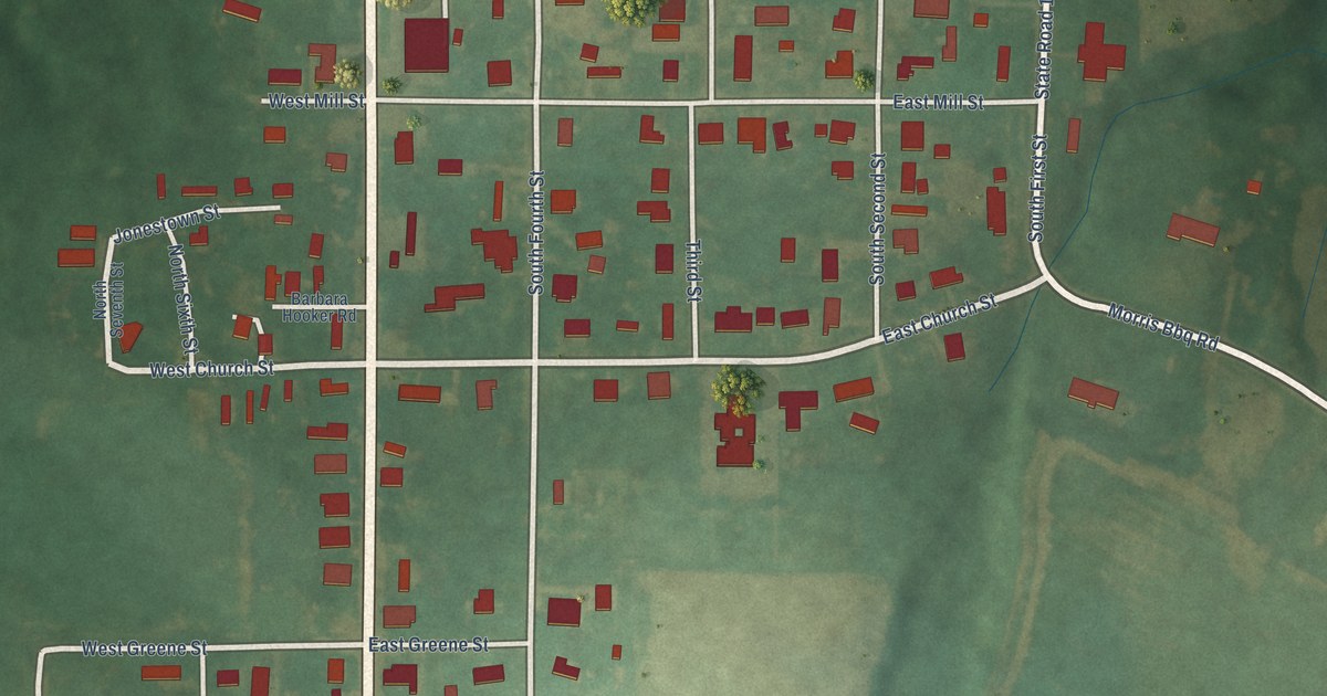
A detailed map of Hookerton, North Carolina, showing every building in its true location, the roads by name, and shaded topographical relief.
Read More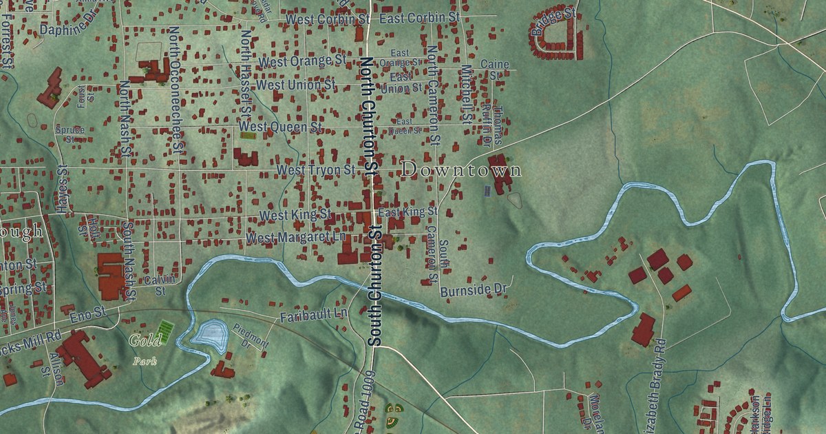
A detailed map of Hillsborough, North Carolina, showing every building in its true location, the roads by name, and shaded topographical relief.
Read More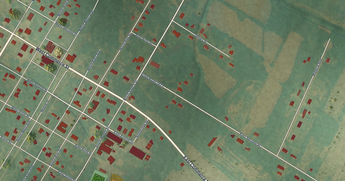
A detailed map of Hobgood, North Carolina, showing every building in its true location, the roads by name, and shaded topographical relief.
Read More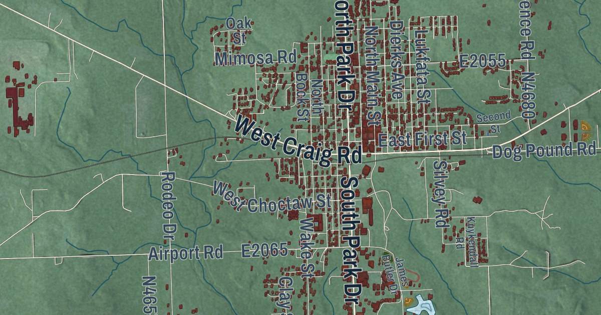
A detailed map of Broken Bow, Oklahoma, showing every building in its true location, the roads by name, and shaded topographical relief.
Read More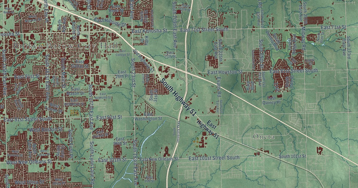
A detailed map of Broken Arrow, Oklahoma, showing every building in its true location, the roads by name, and shaded topographical relief.
Read More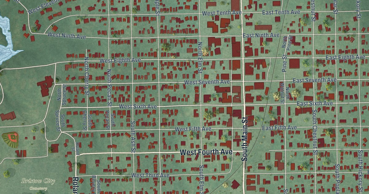
A detailed map of Bristow, Oklahoma, showing every building in its true location, the roads by name, and shaded topographical relief.
Read More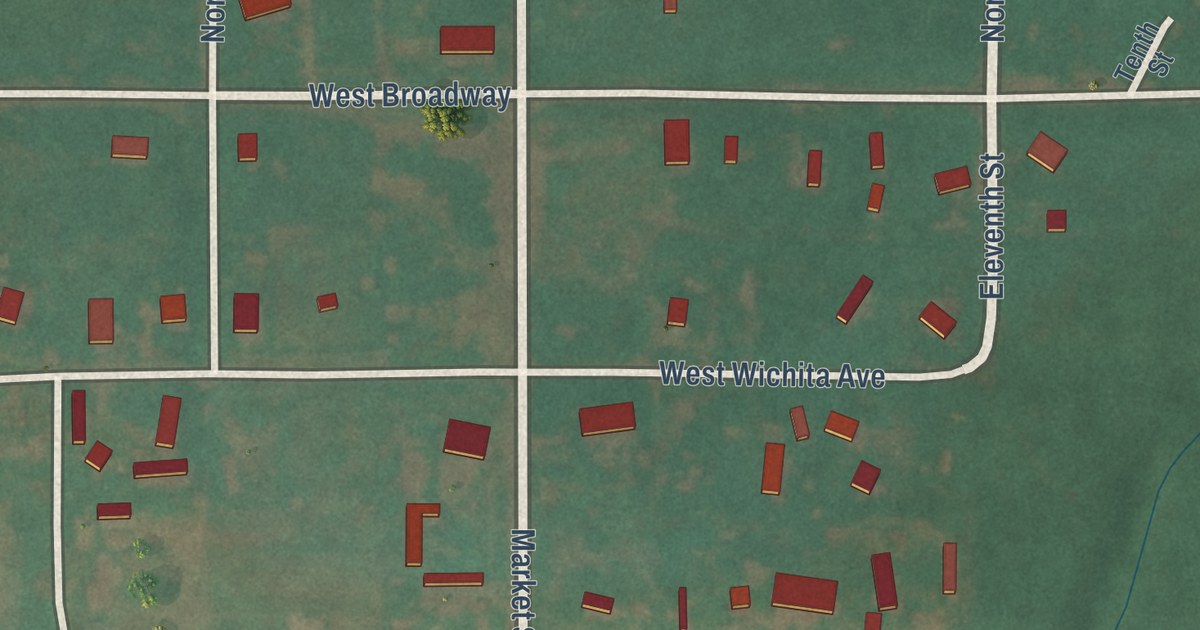
A detailed map of Bridgeport, Oklahoma, showing every building in its true location, the roads by name, and shaded topographical relief.
Read More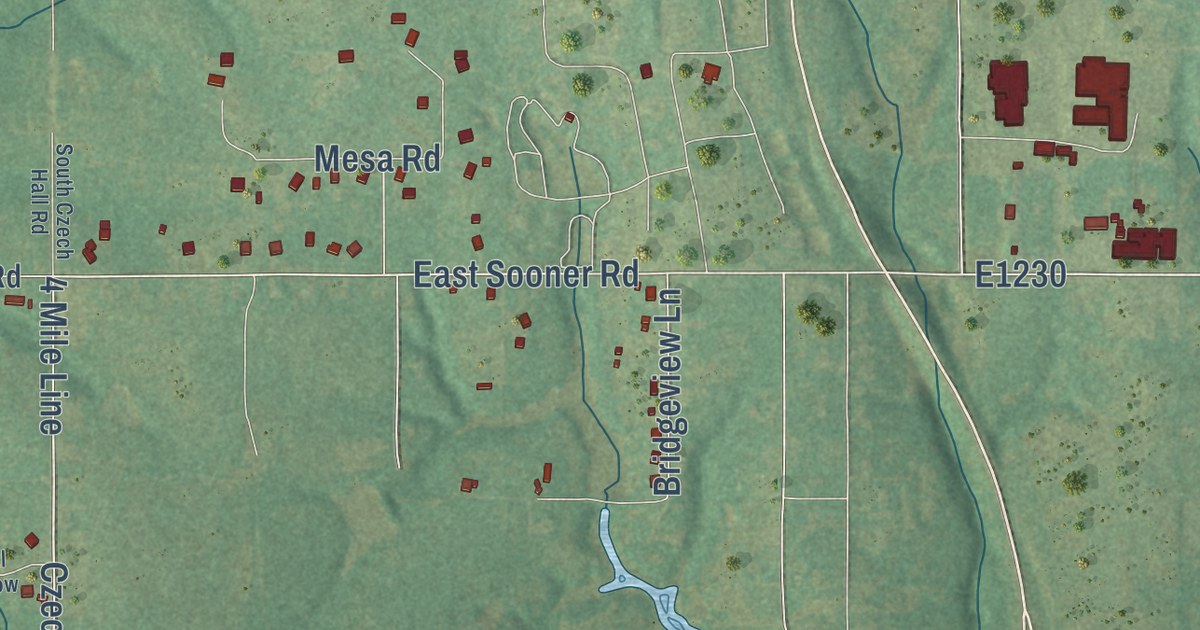
A detailed map of Bridge Creek, Oklahoma, showing every building in its true location, the roads by name, and shaded topographical relief.
Read More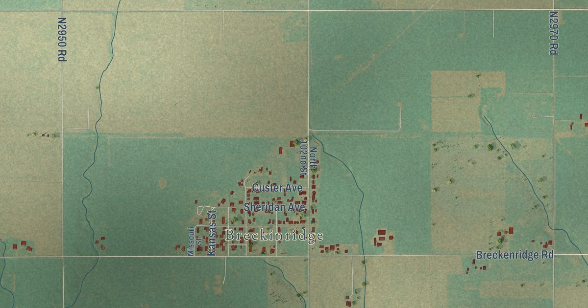
A detailed map of Breckenridge, Oklahoma, showing every building in its true location, the roads by name, and shaded topographical relief.
Read More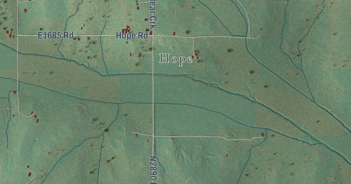
A detailed map of Bray, Oklahoma, showing every building in its true location, the roads by name, and shaded topographical relief.
Read More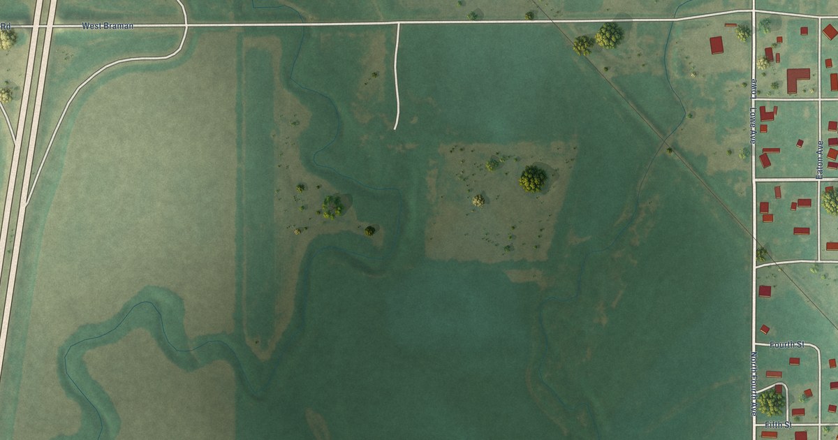
A detailed map of Braman, Oklahoma, showing every building in its true location, the roads by name, and shaded topographical relief.
Read More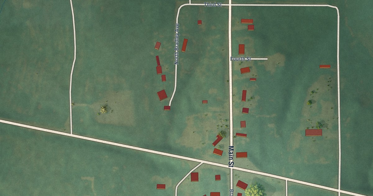
A detailed map of Bradley, Oklahoma, showing every building in its true location, the roads by name, and shaded topographical relief.
Read More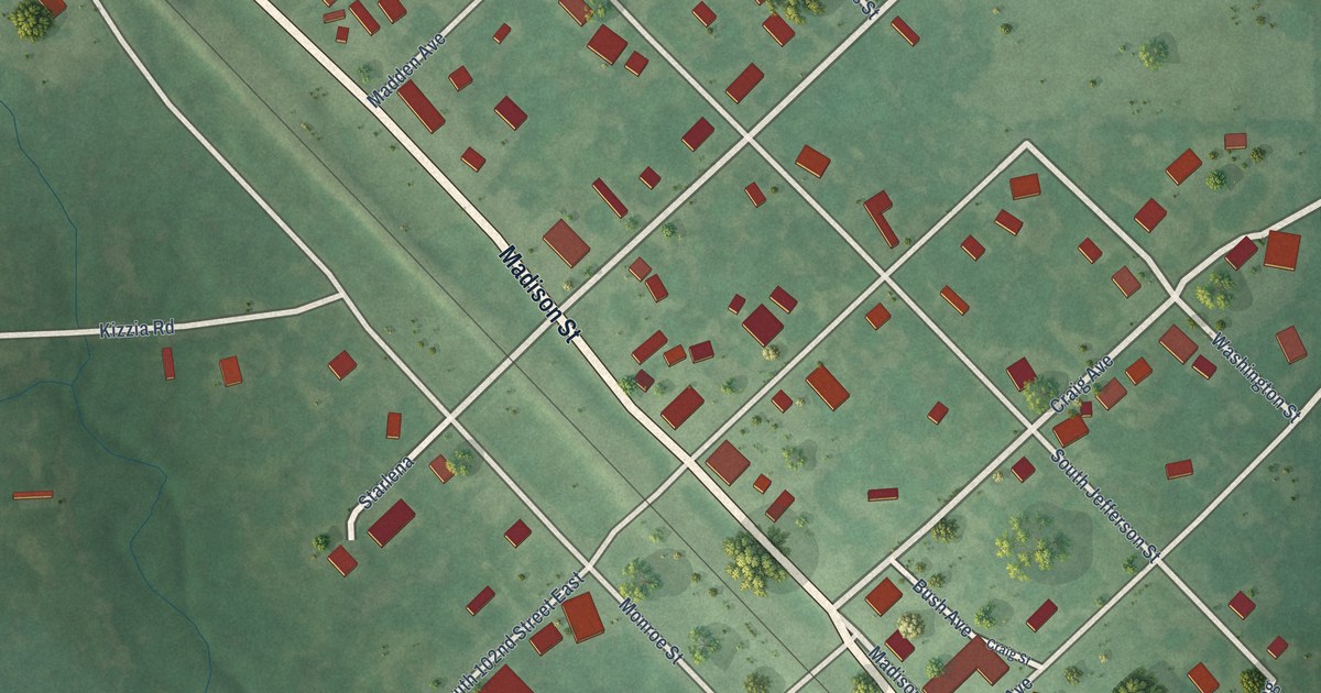
A detailed map of Braggs, Oklahoma, showing every building in its true location, the roads by name, and shaded topographical relief.
Read More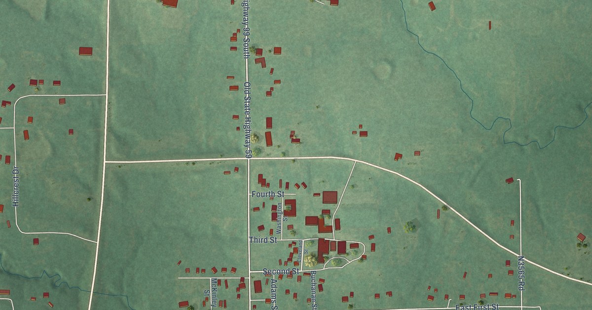
A detailed map of Bowlegs, Oklahoma, showing every building in its true location, the roads by name, and shaded topographical relief.
Read More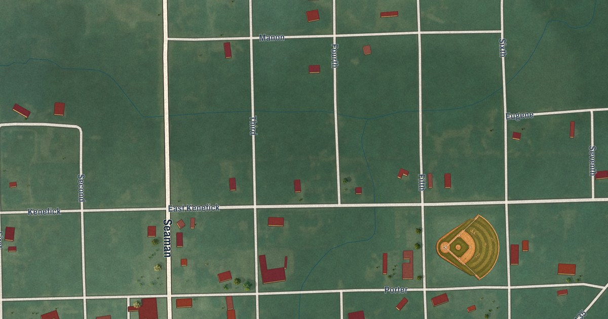
A detailed map of Boynton, Oklahoma, showing every building in its true location, the roads by name, and shaded topographical relief.
Read More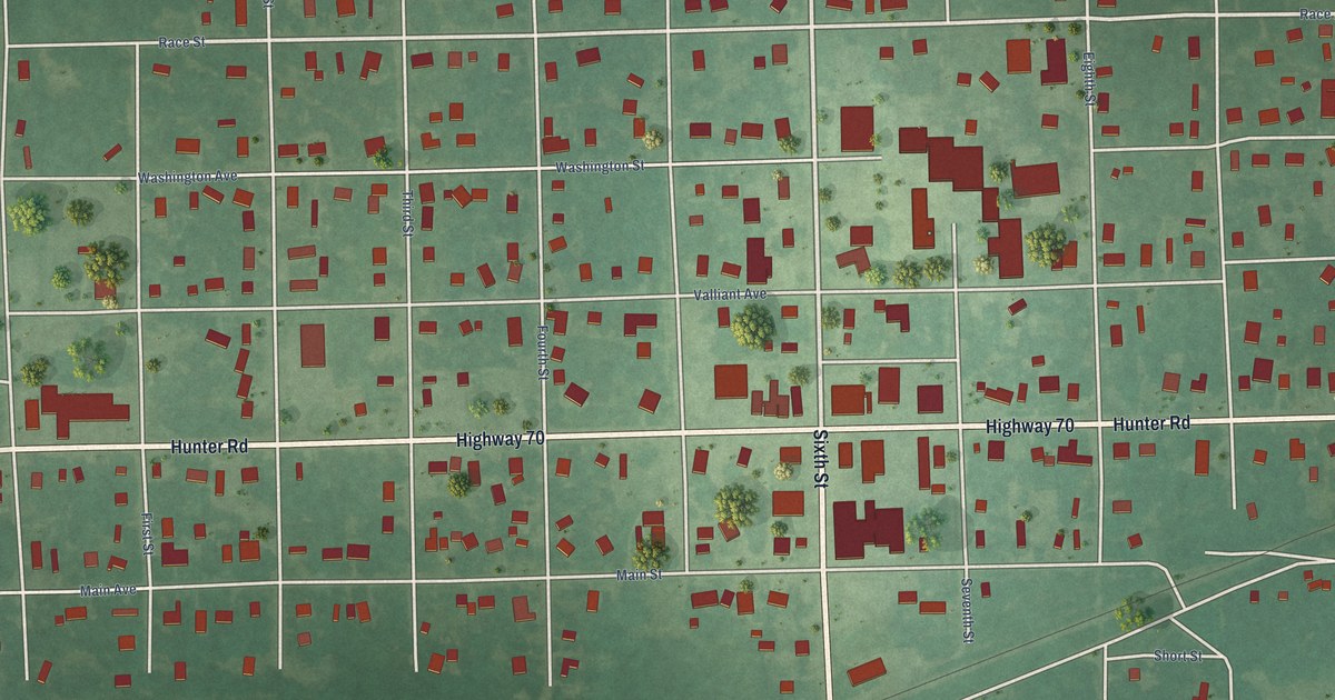
A detailed map of Boswell, Oklahoma, showing every building in its true location, the roads by name, and shaded topographical relief.
Read More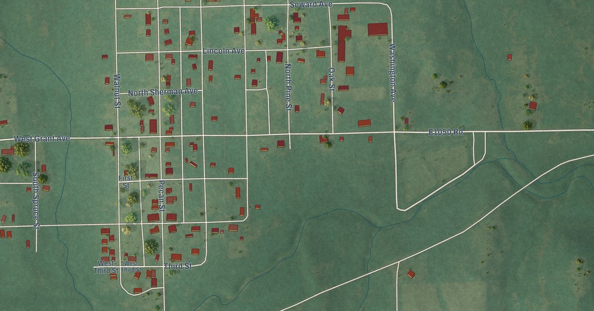
A detailed map of Boley, Oklahoma, showing every building in its true location, the roads by name, and shaded topographical relief.
Read More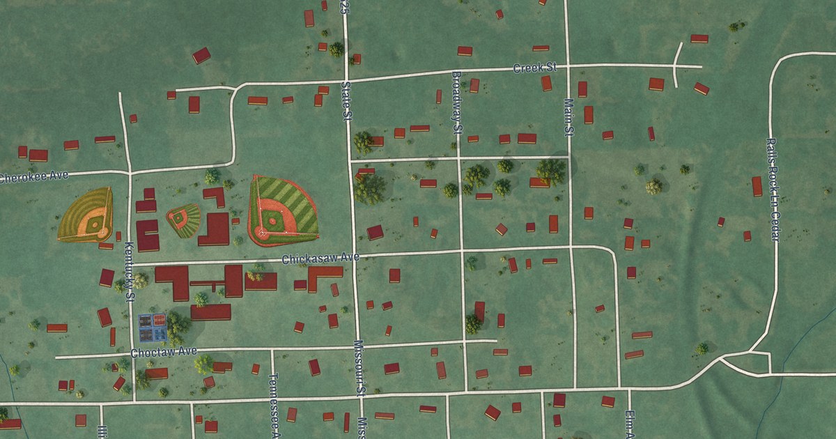
A detailed map of Bokoshe, Oklahoma, showing every building in its true location, the roads by name, and shaded topographical relief.
Read More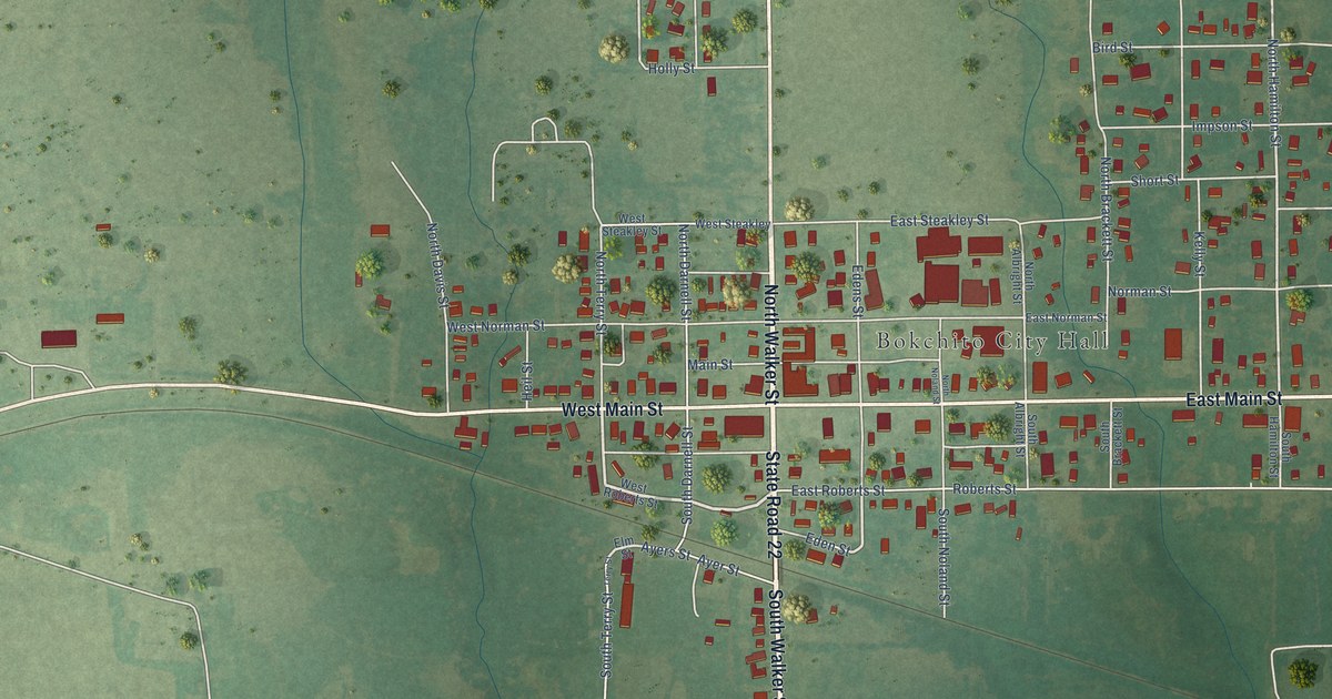
A detailed map of Bokchito, Oklahoma, showing every building in its true location, the roads by name, and shaded topographical relief.
Read More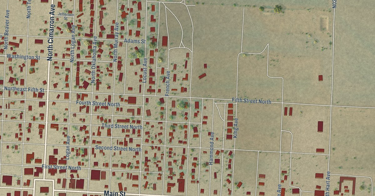
A detailed map of Boise City, Oklahoma, showing every building in its true location, the roads by name, and shaded topographical relief.
Read More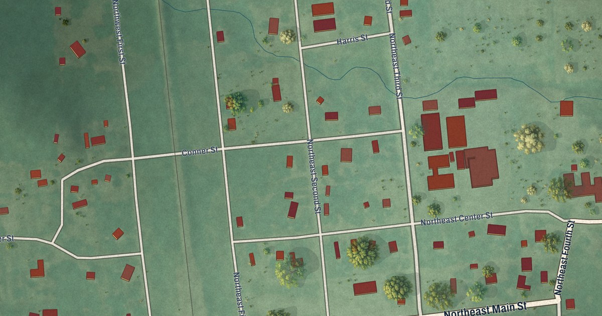
A detailed map of Bluejacket, Oklahoma, showing every building in its true location, the roads by name, and shaded topographical relief.
Read More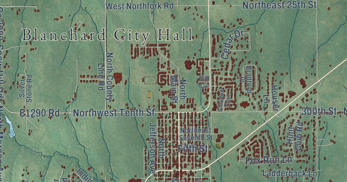
A detailed map of Blanchard, Oklahoma, showing every building in its true location, the roads by name, and shaded topographical relief.
Read More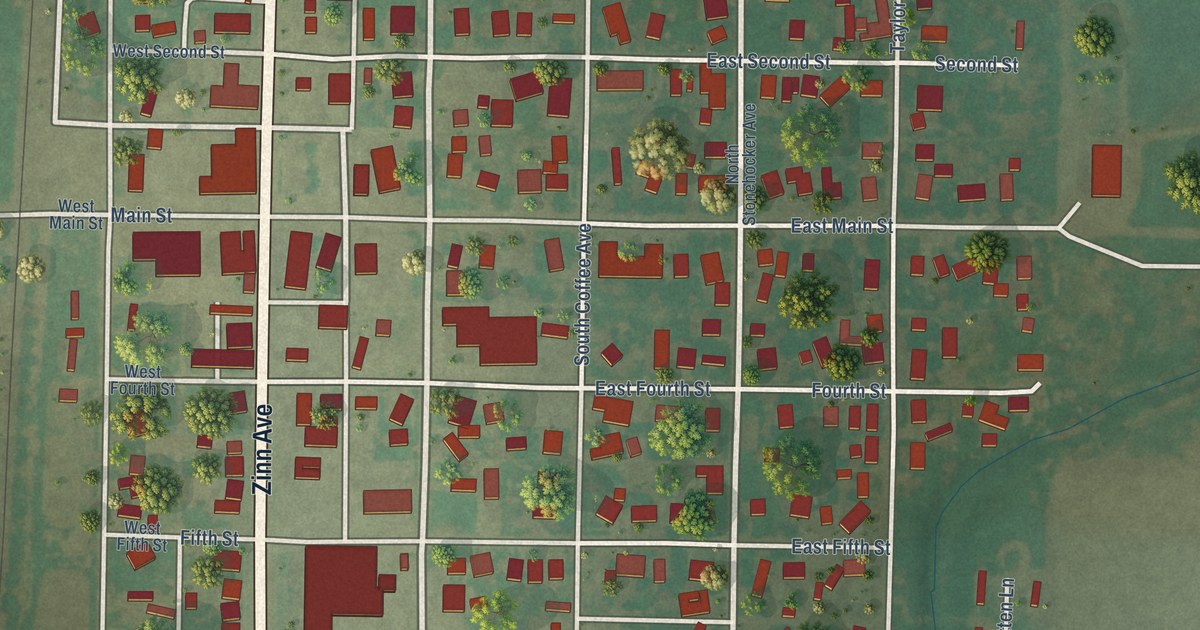
A detailed map of Blair, Oklahoma, showing every building in its true location, the roads by name, and shaded topographical relief.
Read More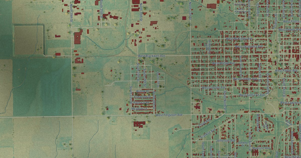
A detailed map of Blackwell, Oklahoma, showing every building in its true location, the roads by name, and shaded topographical relief.
Read More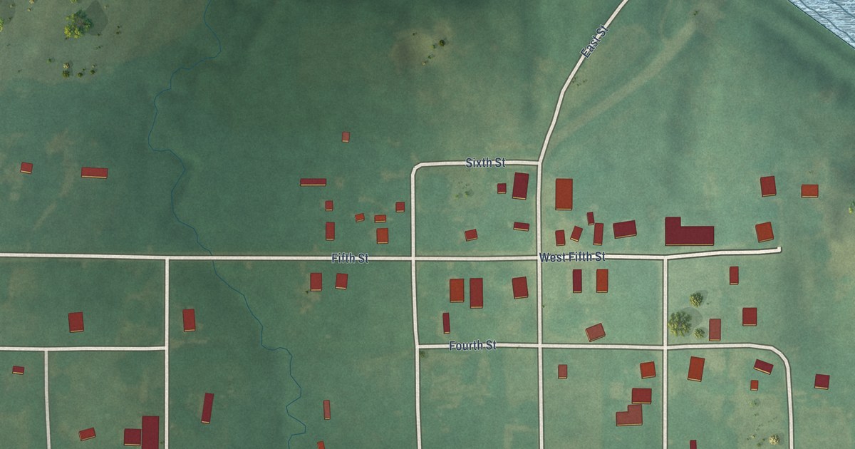
A detailed map of Blackburn, Oklahoma, showing every building in its true location, the roads by name, and shaded topographical relief.
Read More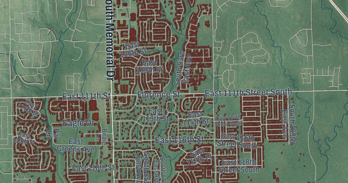
A detailed map of Bixby, Oklahoma, showing every building in its true location, the roads by name, and shaded topographical relief.
Read More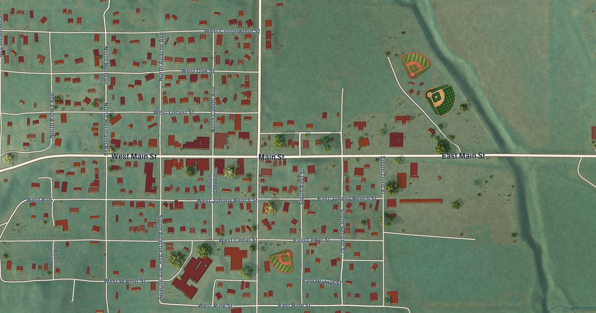
A detailed map of Binger, Oklahoma, showing every building in its true location, the roads by name, and shaded topographical relief.
Read More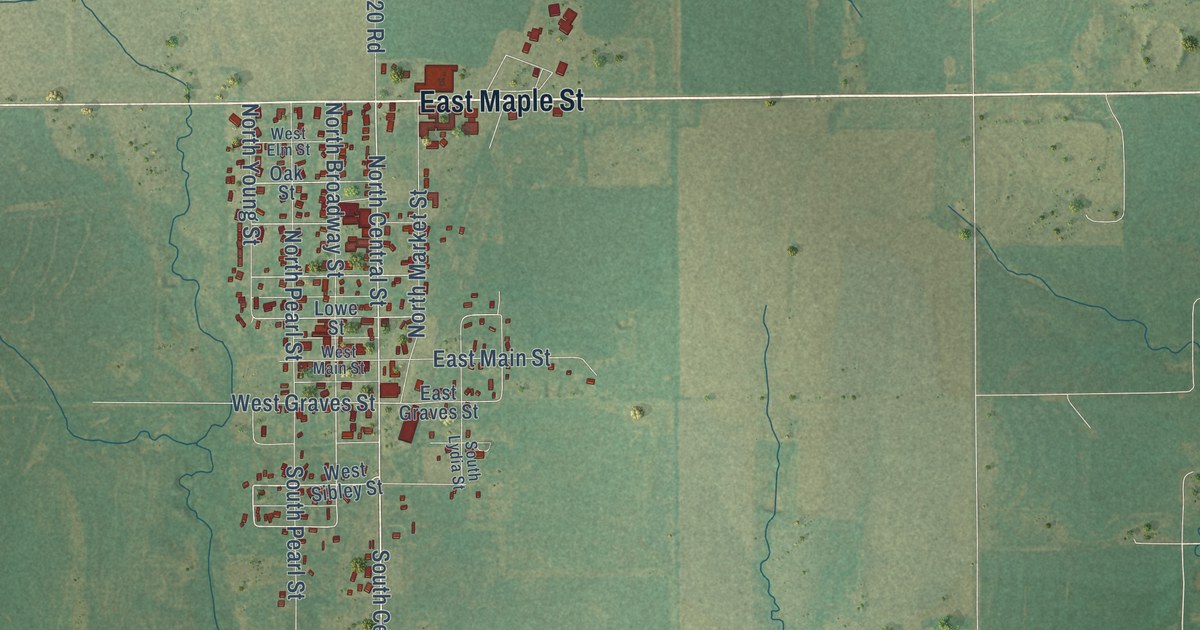
A detailed map of Billings, Oklahoma, showing every building in its true location, the roads by name, and shaded topographical relief.
Read More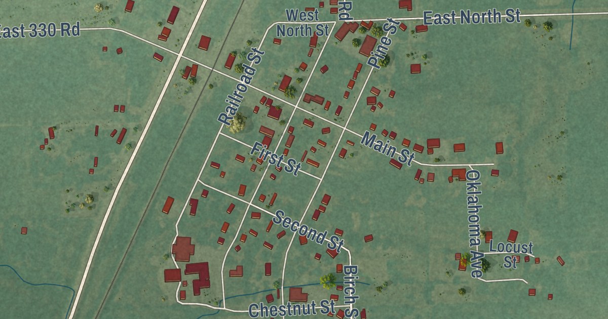
A detailed map of Big Cabin, Oklahoma, showing every building in its true location, the roads by name, and shaded topographical relief.
Read More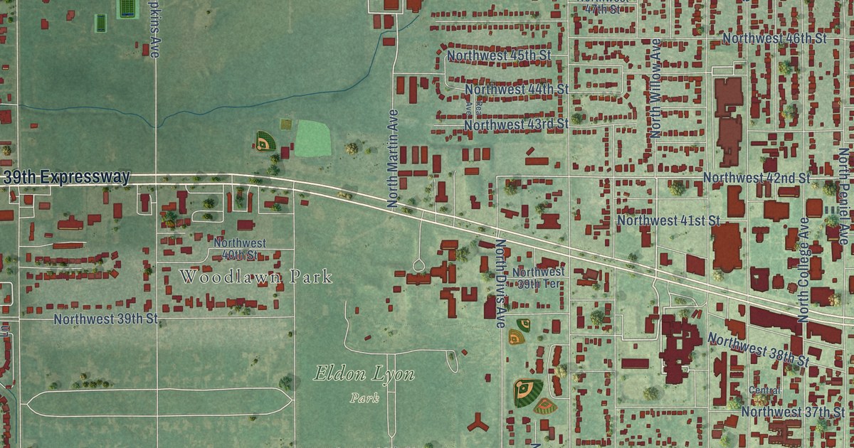
A detailed map of Bethany, Oklahoma, showing every building in its true location, the roads by name, and shaded topographical relief.
Read More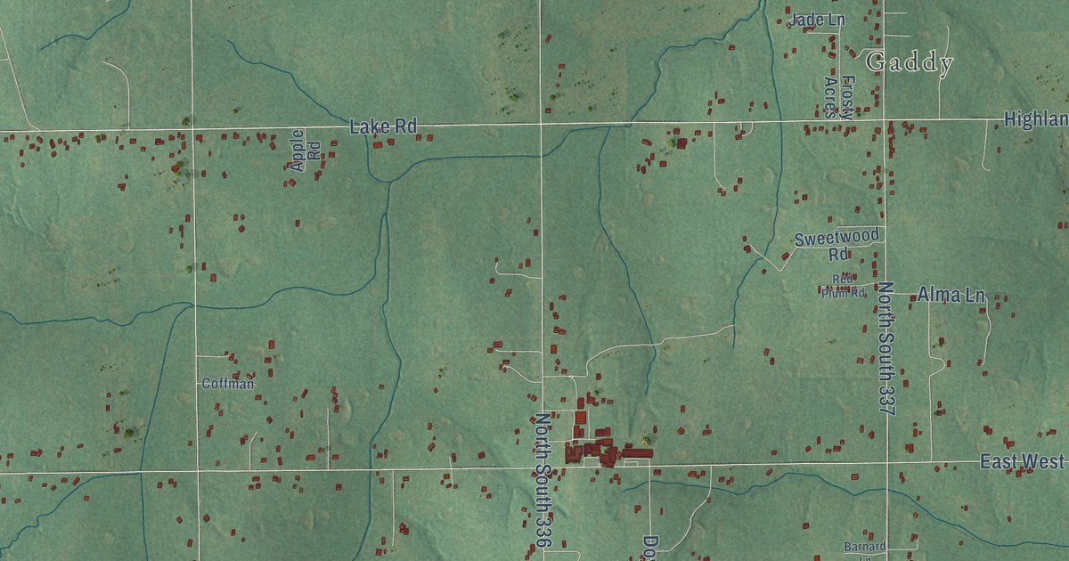
A detailed map of Bethel Acres, Oklahoma, showing every building in its true location, the roads by name, and shaded topographical relief.
Read More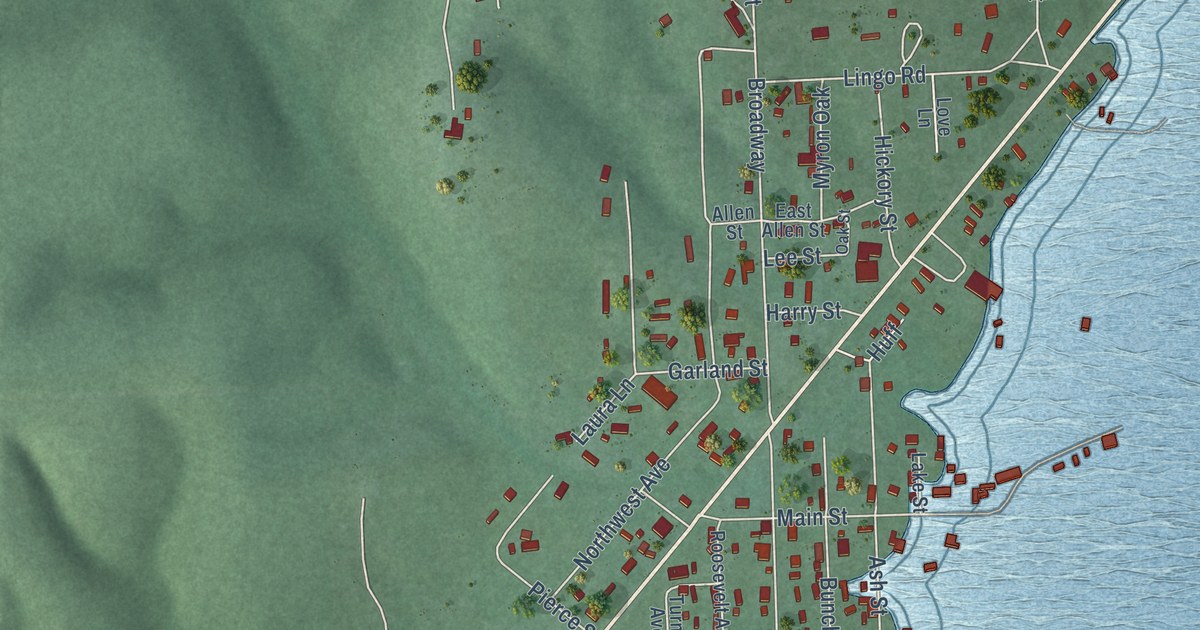
A detailed map of Bernice, Oklahoma, showing every building in its true location, the roads by name, and shaded topographical relief.
Read More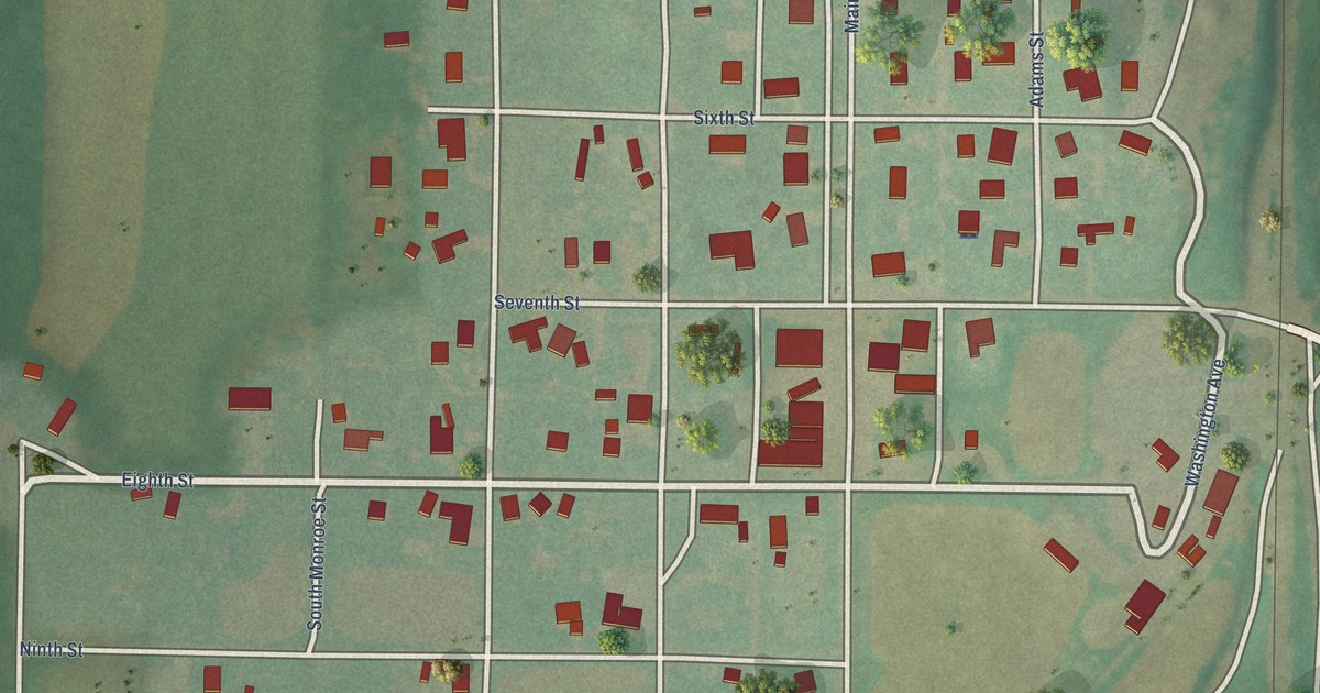
A detailed map of Bessie, Oklahoma, showing every building in its true location, the roads by name, and shaded topographical relief.
Read More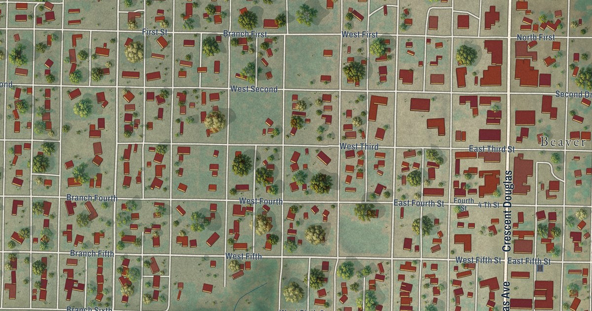
A detailed map of Beaver, Oklahoma, showing every building in its true location, the roads by name, and shaded topographical relief.
Read More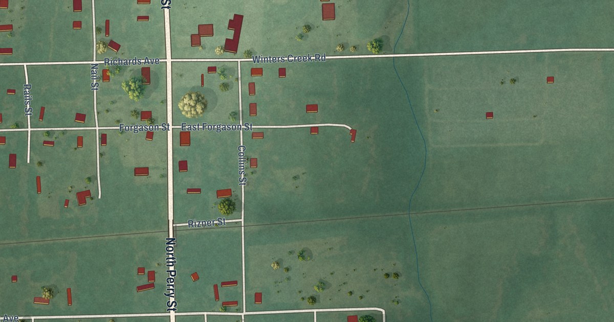
A detailed map of Bennington, Oklahoma, showing every building in its true location, the roads by name, and shaded topographical relief.
Read More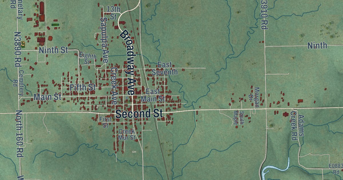
A detailed map of Beggs, Oklahoma, showing every building in its true location, the roads by name, and shaded topographical relief.
Read More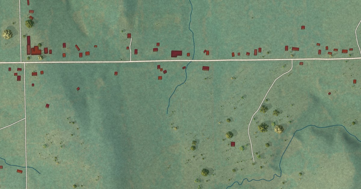
A detailed map of Bearden, Oklahoma, showing every building in its true location, the roads by name, and shaded topographical relief.
Read More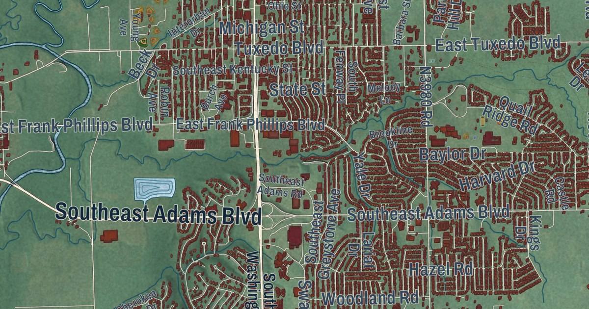
A detailed map of Bartlesville, Oklahoma, showing every building in its true location, the roads by name, and shaded topographical relief.
Read More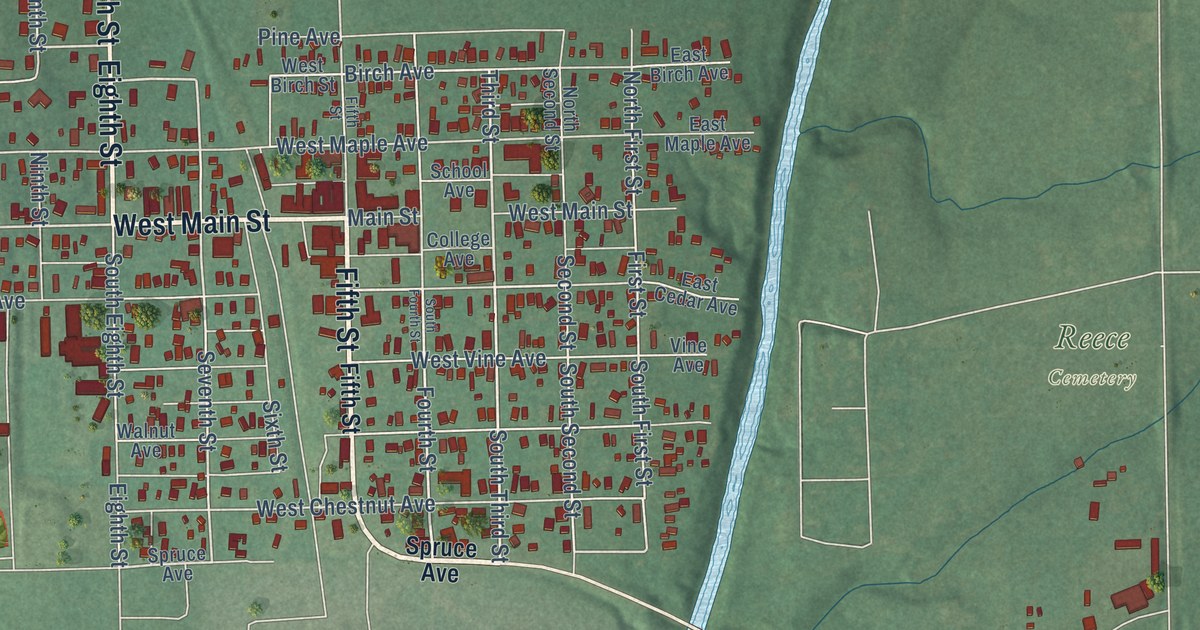
A detailed map of Barnsdall, Oklahoma, showing every building in its true location, the roads by name, and shaded topographical relief.
Read More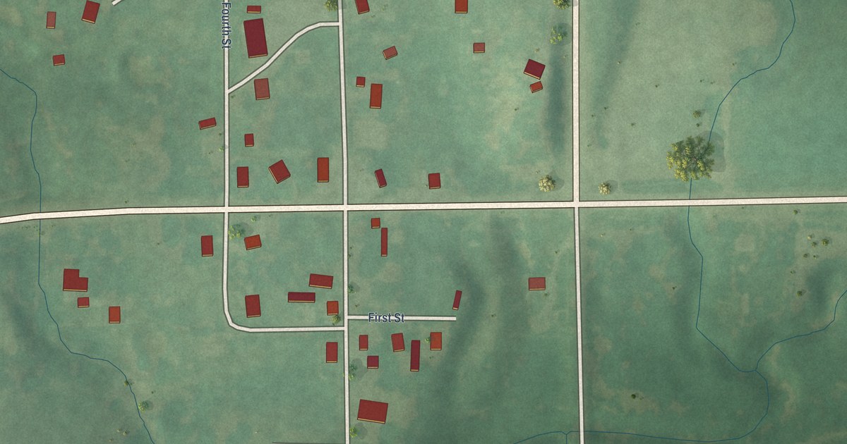
A detailed map of Atwood, Oklahoma, showing every building in its true location, the roads by name, and shaded topographical relief.
Read More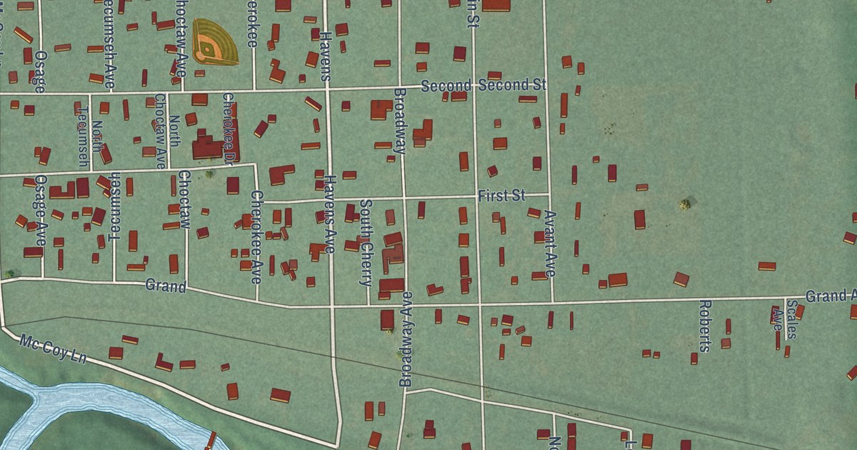
A detailed map of Avant, Oklahoma, showing every building in its true location, the roads by name, and shaded topographical relief.
Read More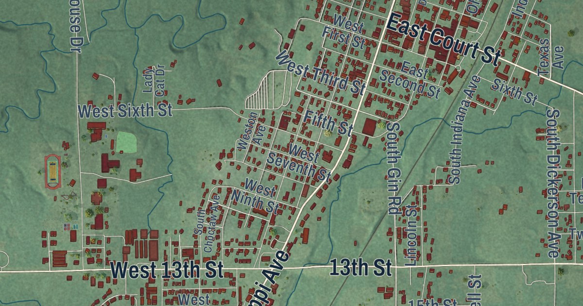
A detailed map of Atoka, Oklahoma, showing every building in its true location, the roads by name, and shaded topographical relief.
Read More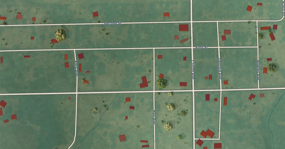
A detailed map of Ashland, Oklahoma, showing every building in its true location, the roads by name, and shaded topographical relief.
Read More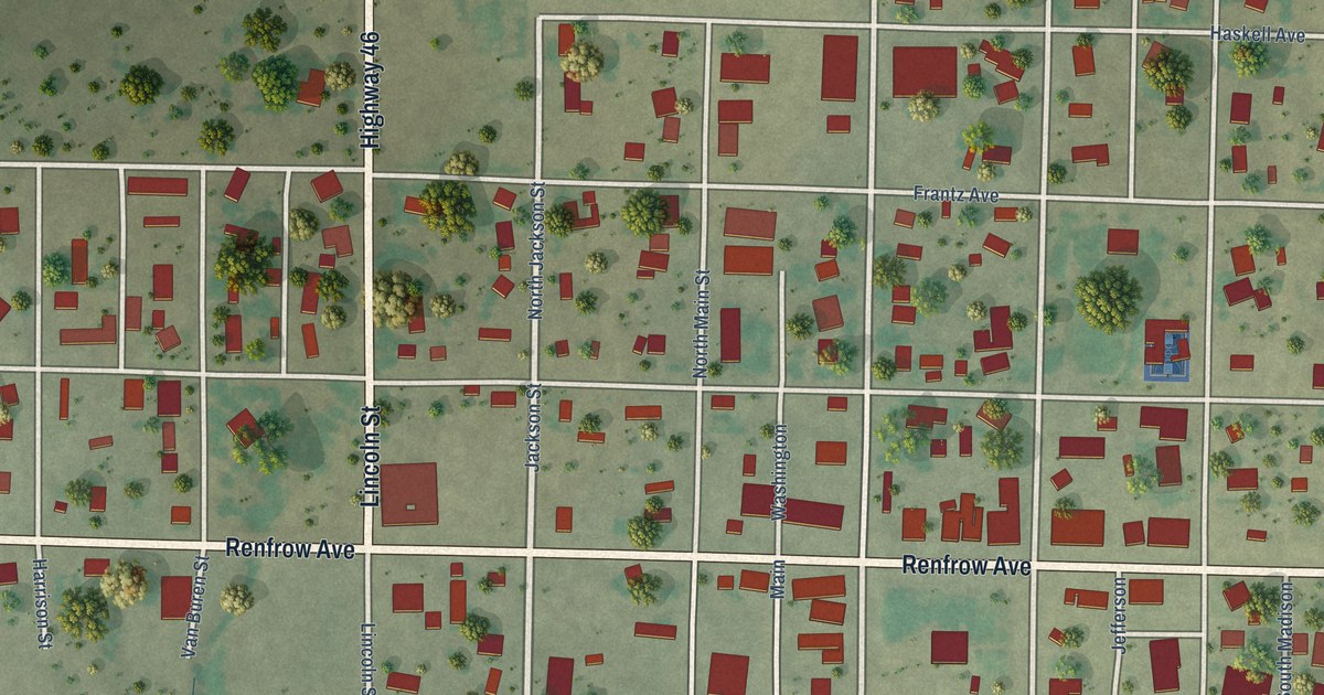
A detailed map of Arnett, Oklahoma, showing every building in its true location, the roads by name, and shaded topographical relief.
Read More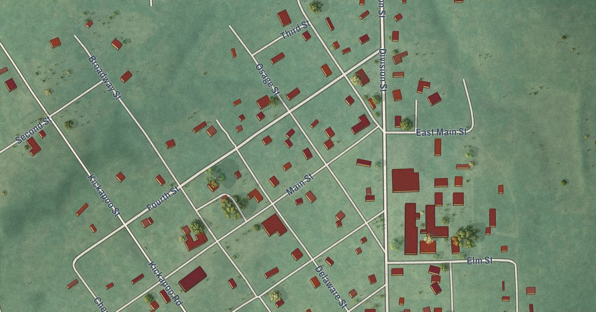
A detailed map of Asher, Oklahoma, showing every building in its true location, the roads by name, and shaded topographical relief.
Read More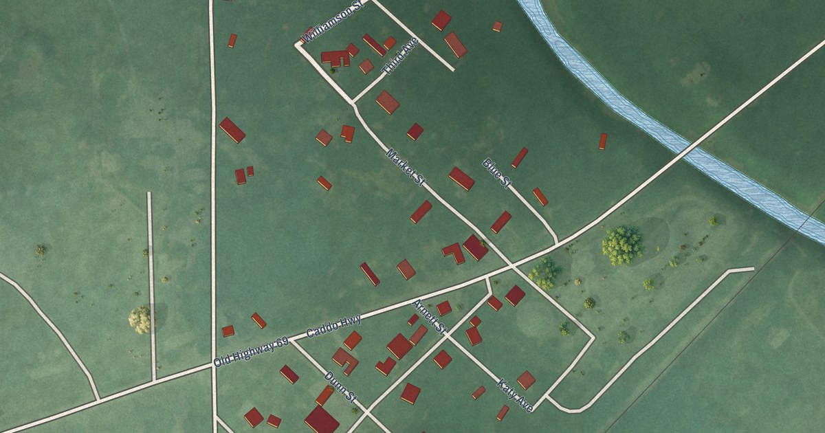
A detailed map of Armstrong, Oklahoma, showing every building in its true location, the roads by name, and shaded topographical relief.
Read More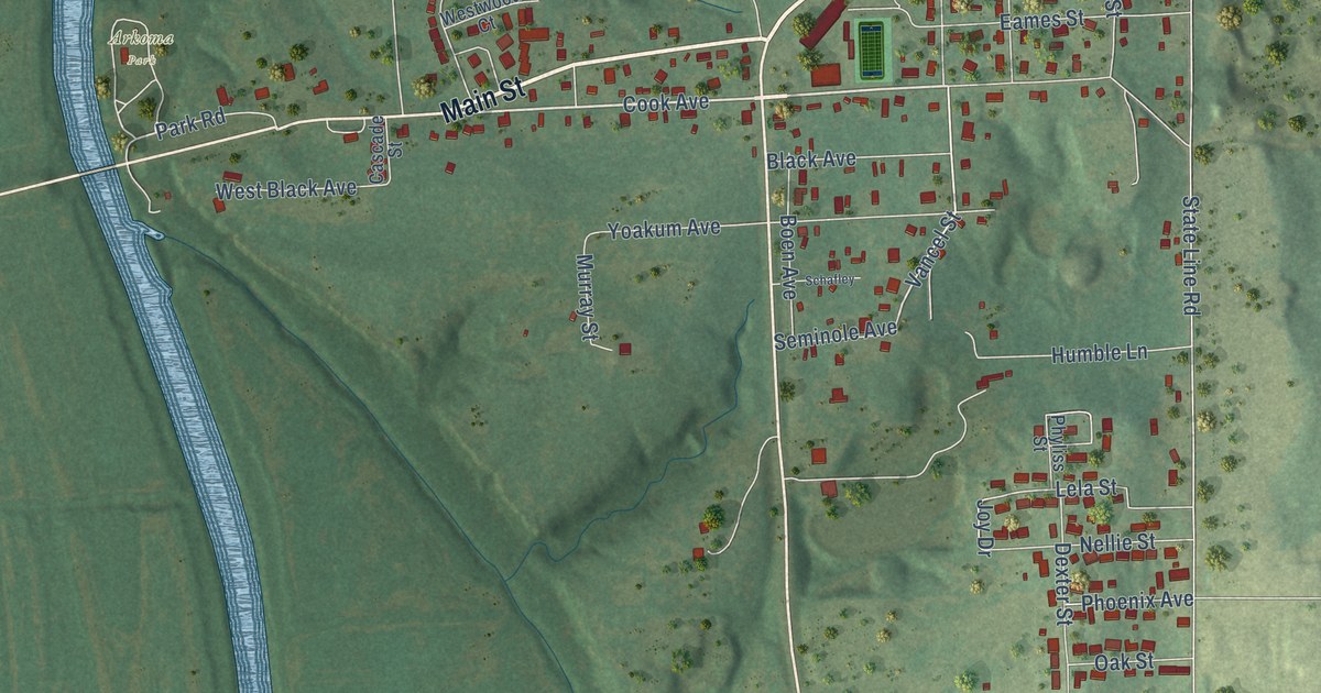
A detailed map of Arkoma, Oklahoma, showing every building in its true location, the roads by name, and shaded topographical relief.
Read More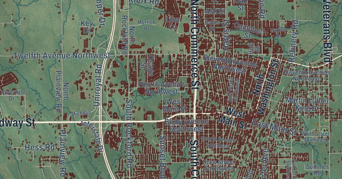
A detailed map of Ardmore, Oklahoma, showing every building in its true location, the roads by name, and shaded topographical relief.
Read More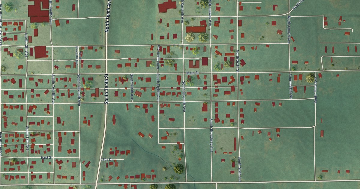
A detailed map of Arapaho, Oklahoma, showing every building in its true location, the roads by name, and shaded topographical relief.
Read More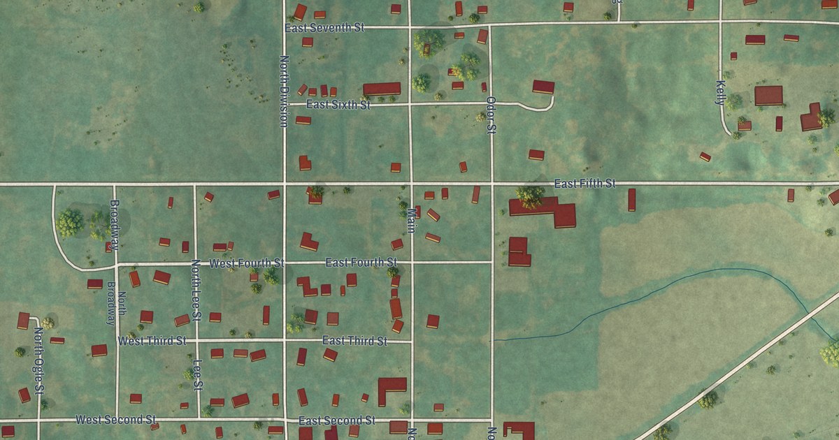
A detailed map of Arcadia, Oklahoma, showing every building in its true location, the roads by name, and shaded topographical relief.
Read More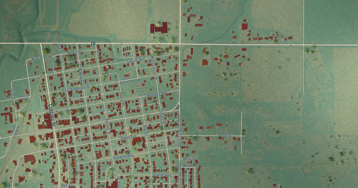
A detailed map of Apache, Oklahoma, showing every building in its true location, the roads by name, and shaded topographical relief.
Read More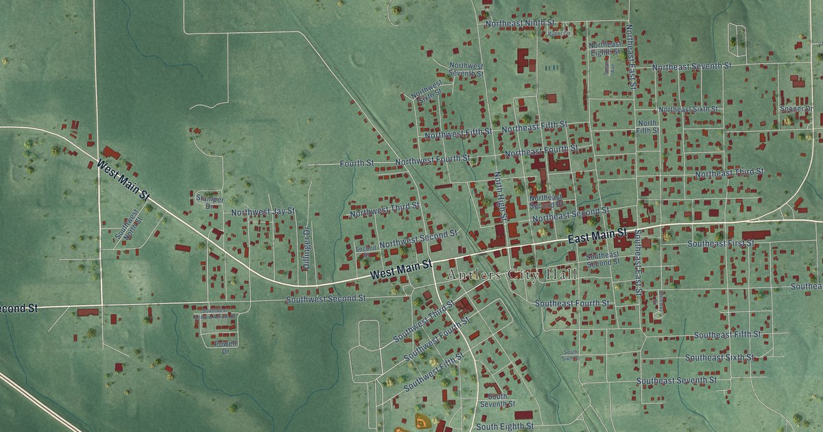
A detailed map of Antlers, Oklahoma, showing every building in its true location, the roads by name, and shaded topographical relief.
Read More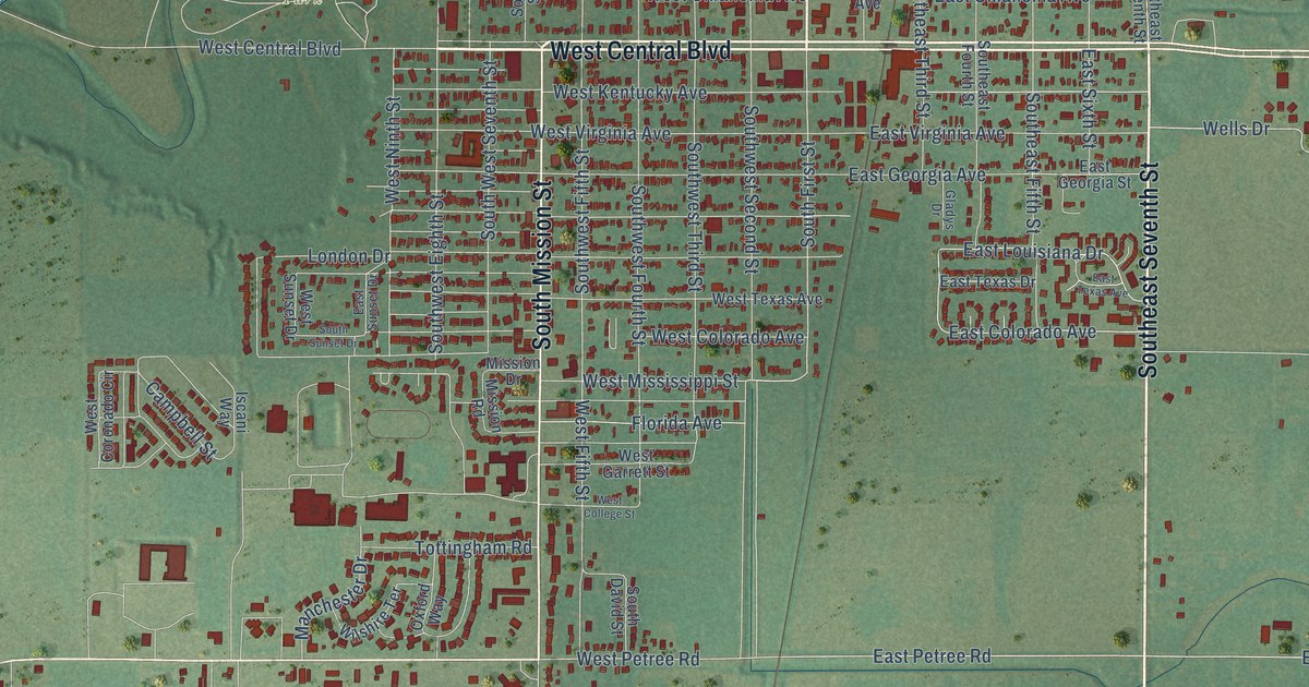
A detailed map of Anadarko, Oklahoma, showing every building in its true location, the roads by name, and shaded topographical relief.
Read More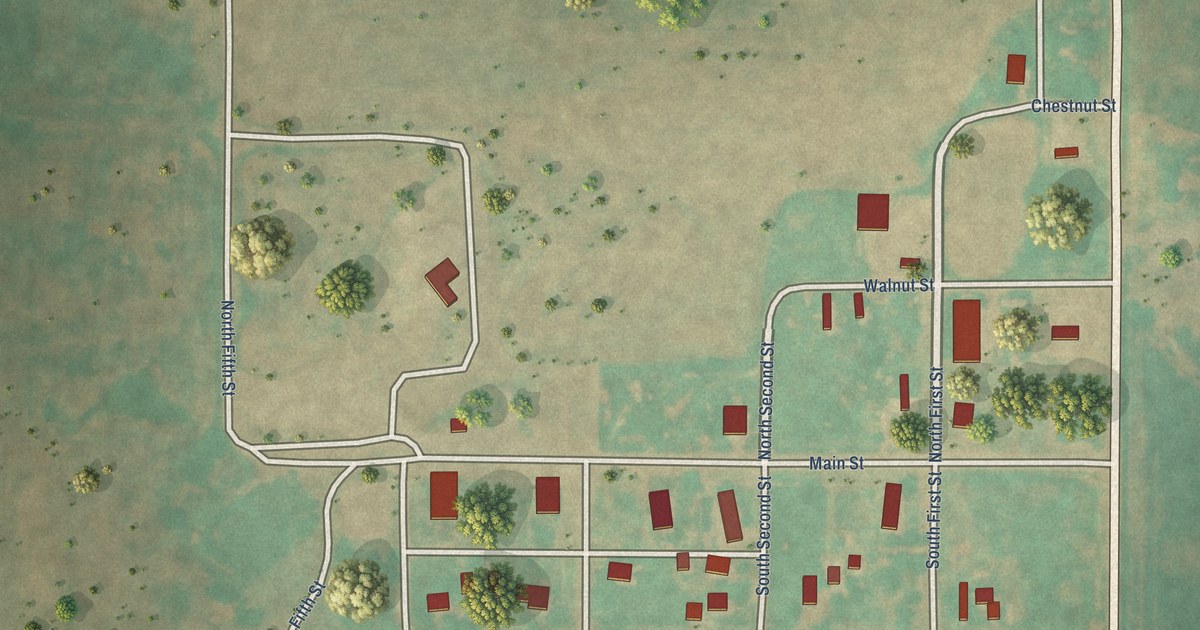
A detailed map of Amorita, Oklahoma, showing every building in its true location, the roads by name, and shaded topographical relief.
Read More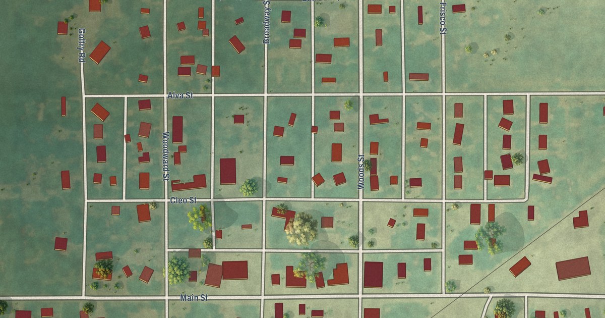
A detailed map of Ames, Oklahoma, showing every building in its true location, the roads by name, and shaded topographical relief.
Read More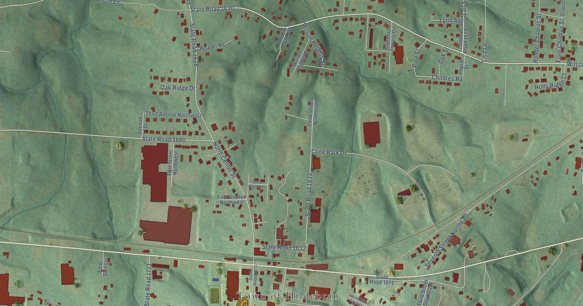
A detailed map of Hildebran, North Carolina, showing every building in its true location, the roads by name, and shaded topographical relief.
Read More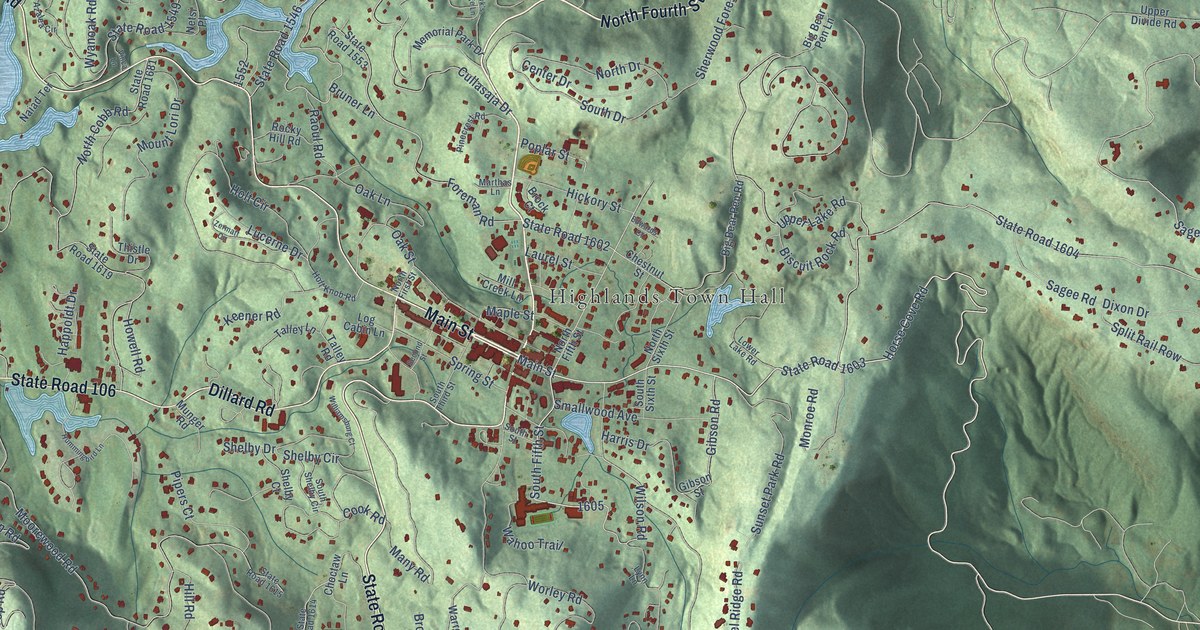
A detailed map of Highlands, North Carolina, showing every building in its true location, the roads by name, and shaded topographical relief.
Read More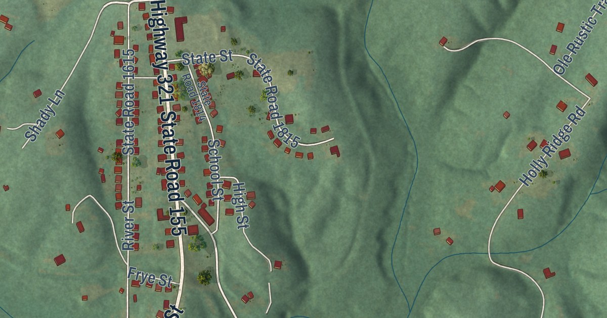
A detailed map of High Shoals, North Carolina, showing every building in its true location, the roads by name, and shaded topographical relief.
Read More















