Detailed Map of Mooresville, North Carolina
A detailed map of Mooresville, North Carolina, showing every building in its true location, the roads by name, and shaded topographical relief.
Read More
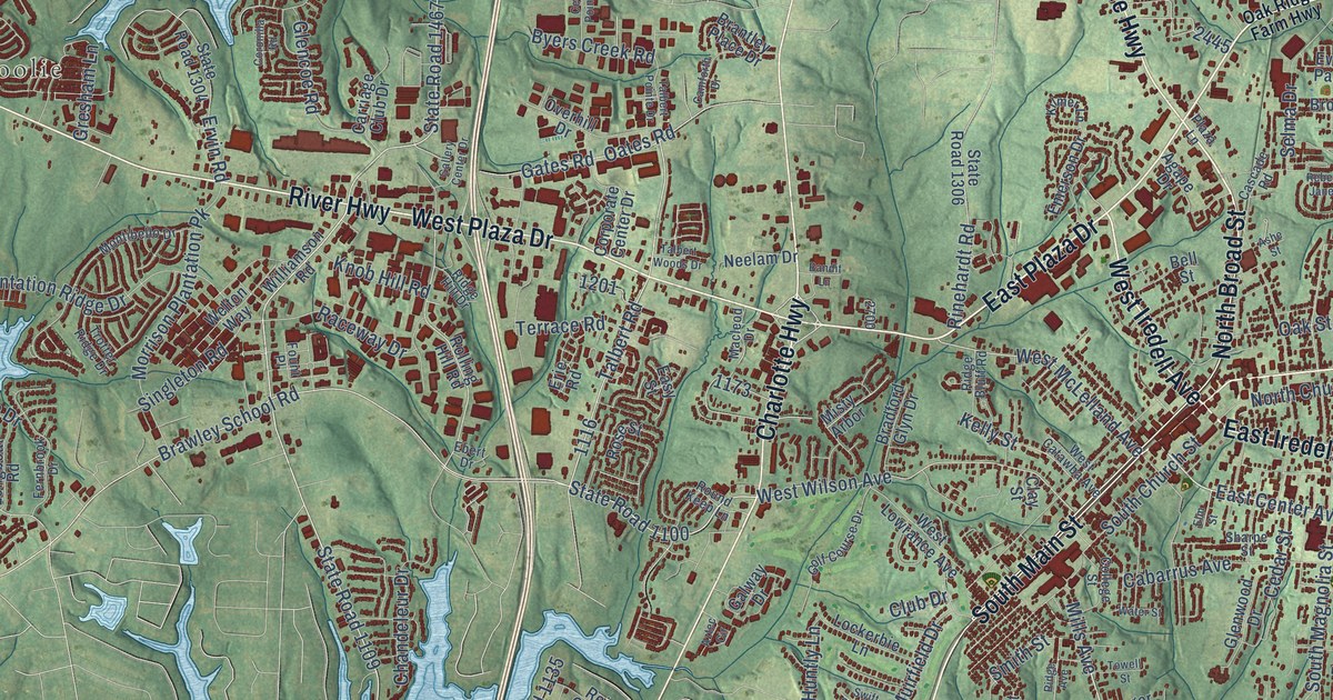
A detailed map of Mooresville, North Carolina, showing every building in its true location, the roads by name, and shaded topographical relief.
Read More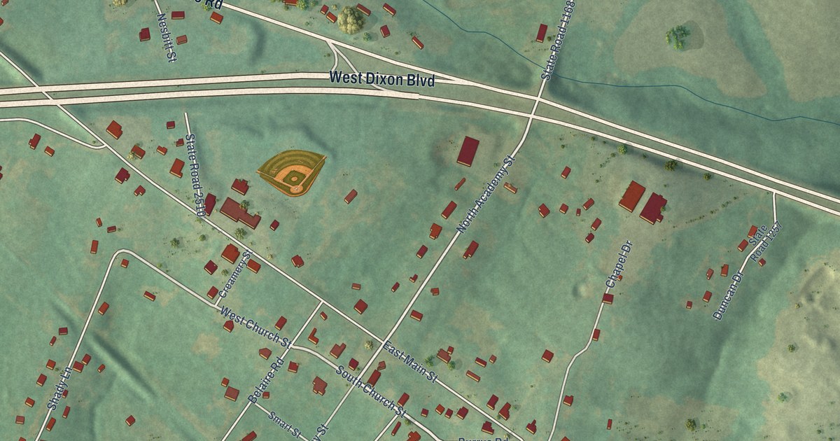
A detailed map of Mooresboro, North Carolina, showing every building in its true location, the roads by name, and shaded topographical relief.
Read More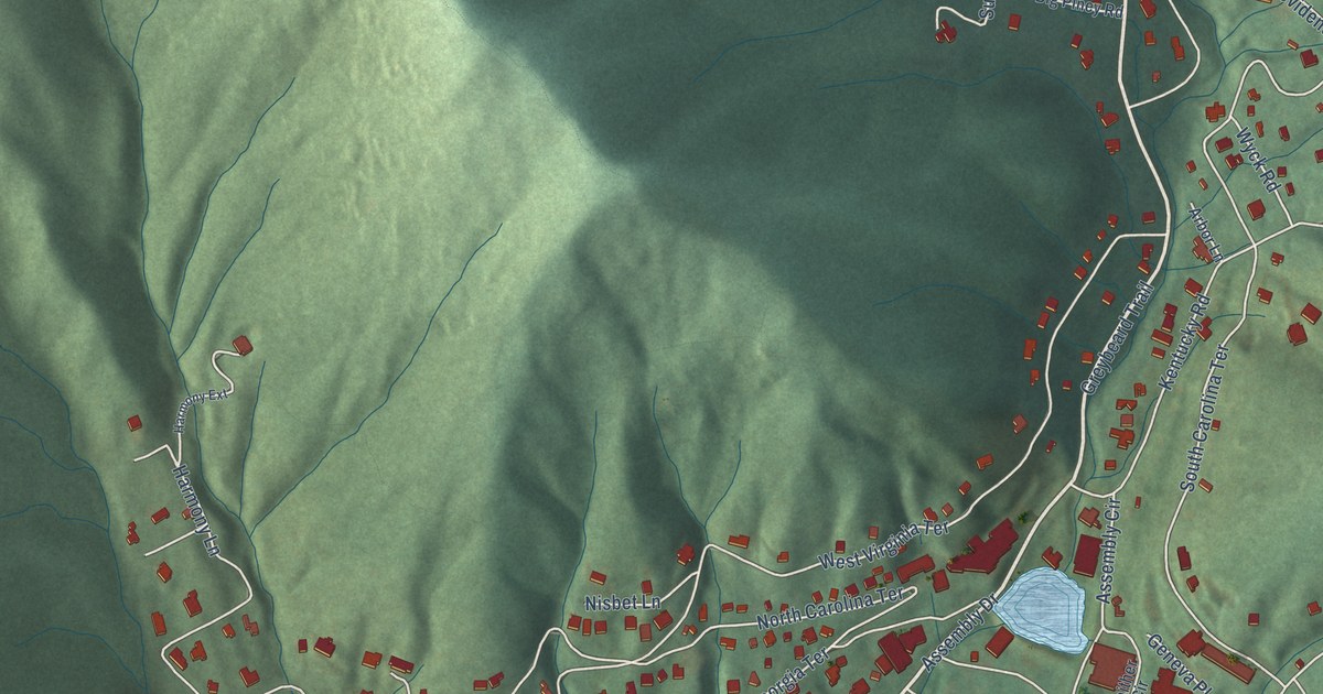
A detailed map of Montreat, North Carolina, showing every building in its true location, the roads by name, and shaded topographical relief.
Read More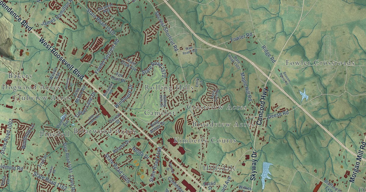
A detailed map of Monroe, North Carolina, showing every building in its true location, the roads by name, and shaded topographical relief.
Read More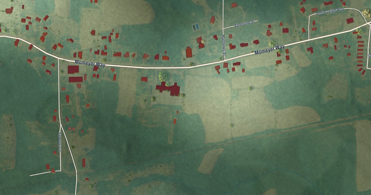
A detailed map of Momeyer, North Carolina, showing every building in its true location, the roads by name, and shaded topographical relief.
Read More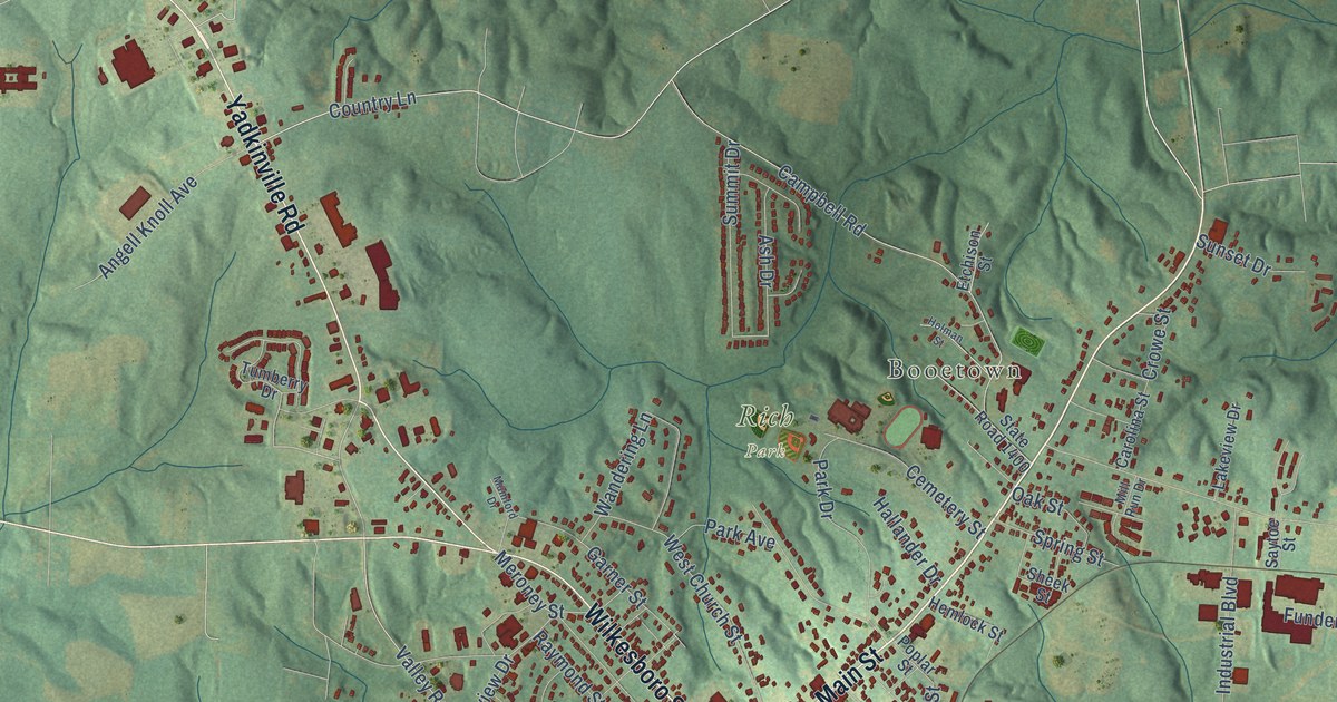
A detailed map of Mocksville, North Carolina, showing every building in its true location, the roads by name, and shaded topographical relief.
Read More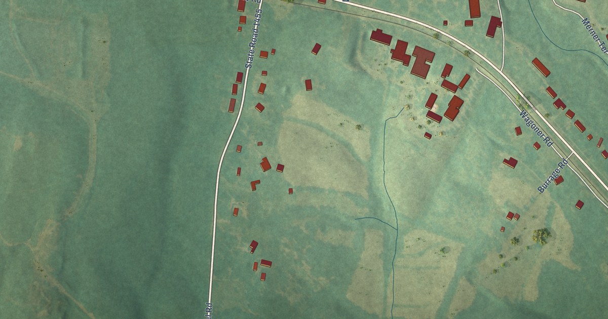
A detailed map of Misenheimer, North Carolina, showing every building in its true location, the roads by name, and shaded topographical relief.
Read More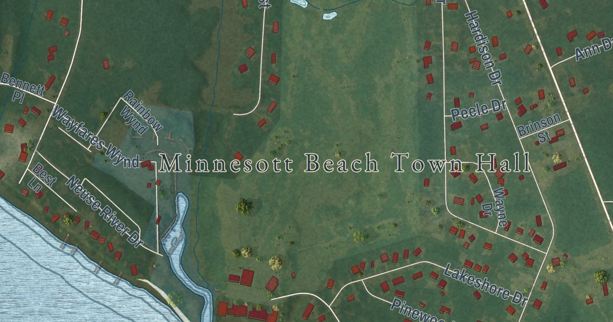
A detailed map of Minnesott Beach, North Carolina, showing every building in its true location, the roads by name, and shaded topographical relief.
Read More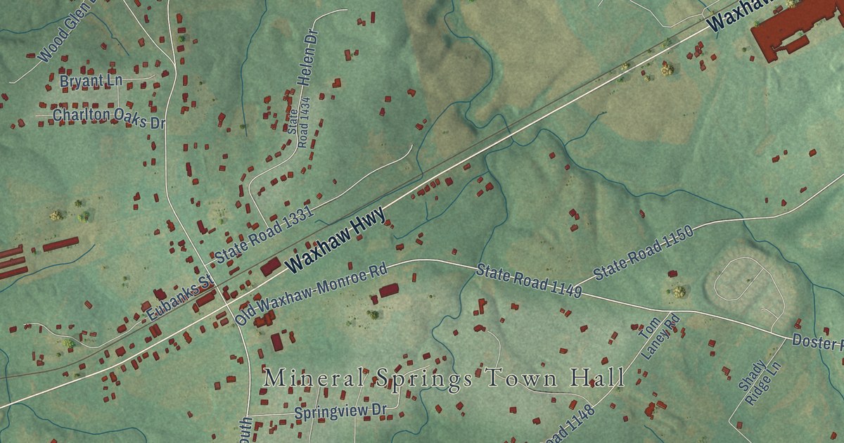
A detailed map of Mineral Springs, North Carolina, showing every building in its true location, the roads by name, and shaded topographical relief.
Read More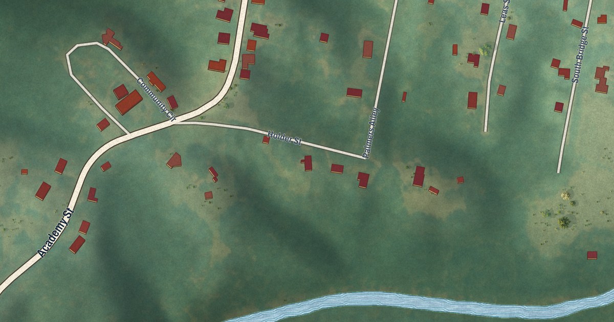
A detailed map of Milton, North Carolina, showing every building in its true location, the roads by name, and shaded topographical relief.
Read More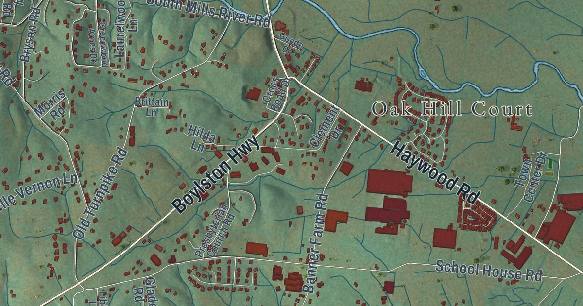
A detailed map of Mills River, North Carolina, showing every building in its true location, the roads by name, and shaded topographical relief.
Read More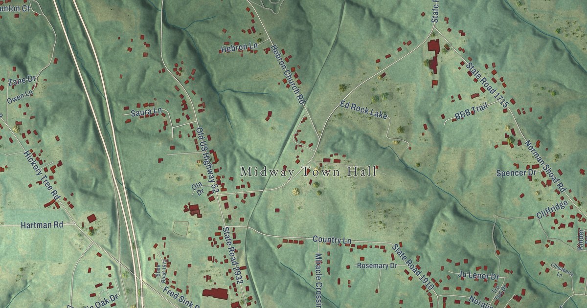
A detailed map of Midway, North Carolina, showing every building in its true location, the roads by name, and shaded topographical relief.
Read More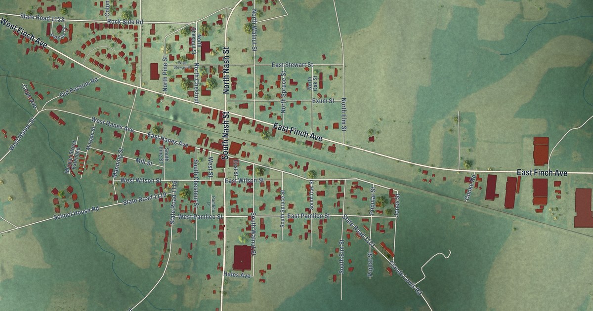
A detailed map of Middlesex, North Carolina, showing every building in its true location, the roads by name, and shaded topographical relief.
Read More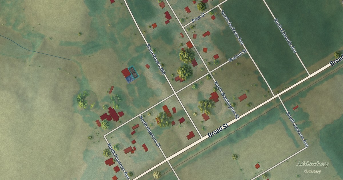
A detailed map of Middleburg, North Carolina, showing every building in its true location, the roads by name, and shaded topographical relief.
Read More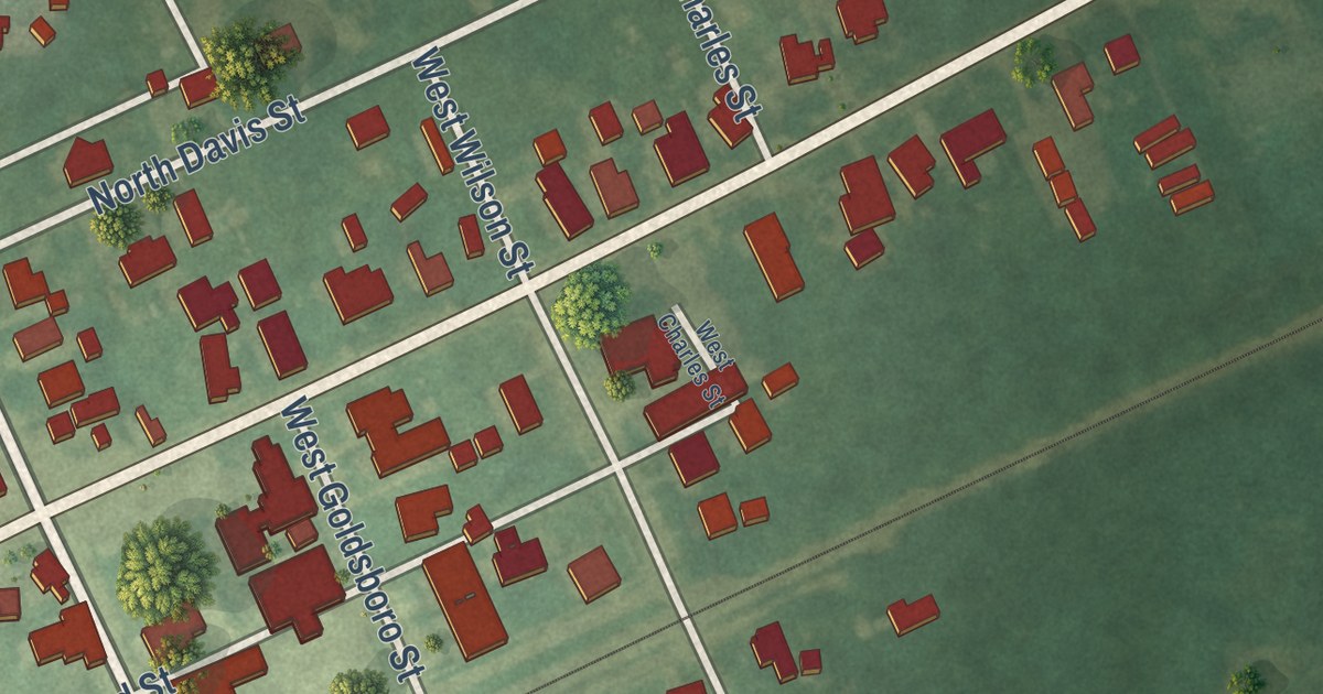
A detailed map of Micro, North Carolina, showing every building in its true location, the roads by name, and shaded topographical relief.
Read More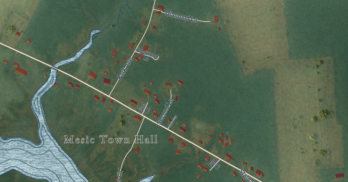
A detailed map of Mesic, North Carolina, showing every building in its true location, the roads by name, and shaded topographical relief.
Read More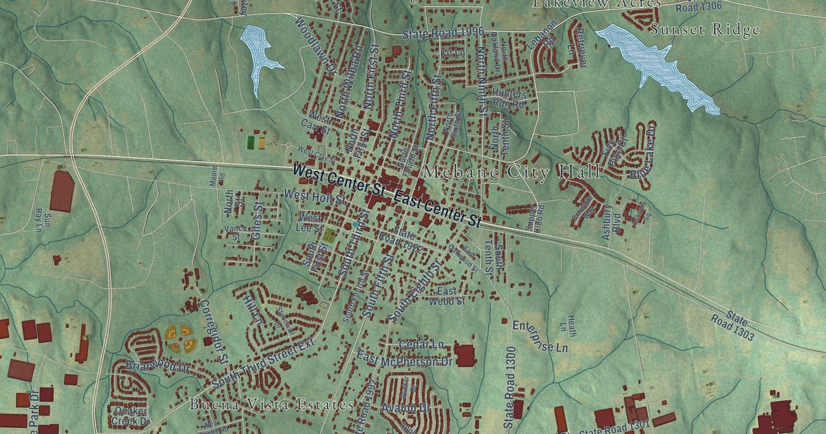
A detailed map of Mebane, North Carolina, showing every building in its true location, the roads by name, and shaded topographical relief.
Read More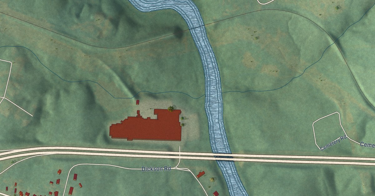
A detailed map of McAdenville, North Carolina, showing every building in its true location, the roads by name, and shaded topographical relief.
Read More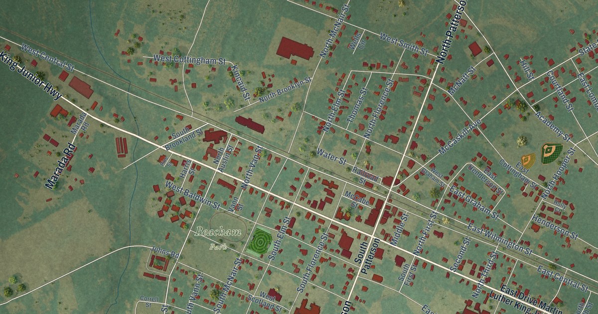
A detailed map of Maxton, North Carolina, showing every building in its true location, the roads by name, and shaded topographical relief.
Read More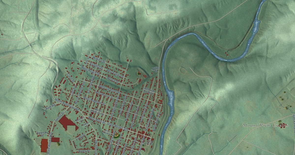
A detailed map of Mayodan, North Carolina, showing every building in its true location, the roads by name, and shaded topographical relief.
Read More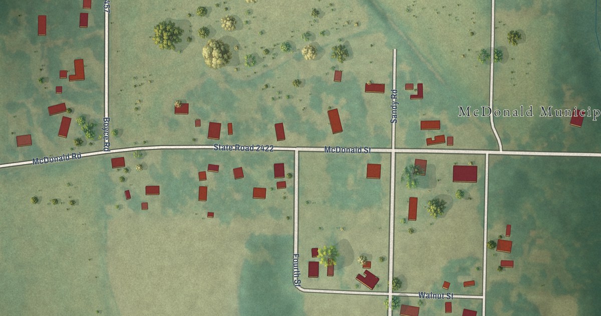
A detailed map of McDonald, North Carolina, showing every building in its true location, the roads by name, and shaded topographical relief.
Read More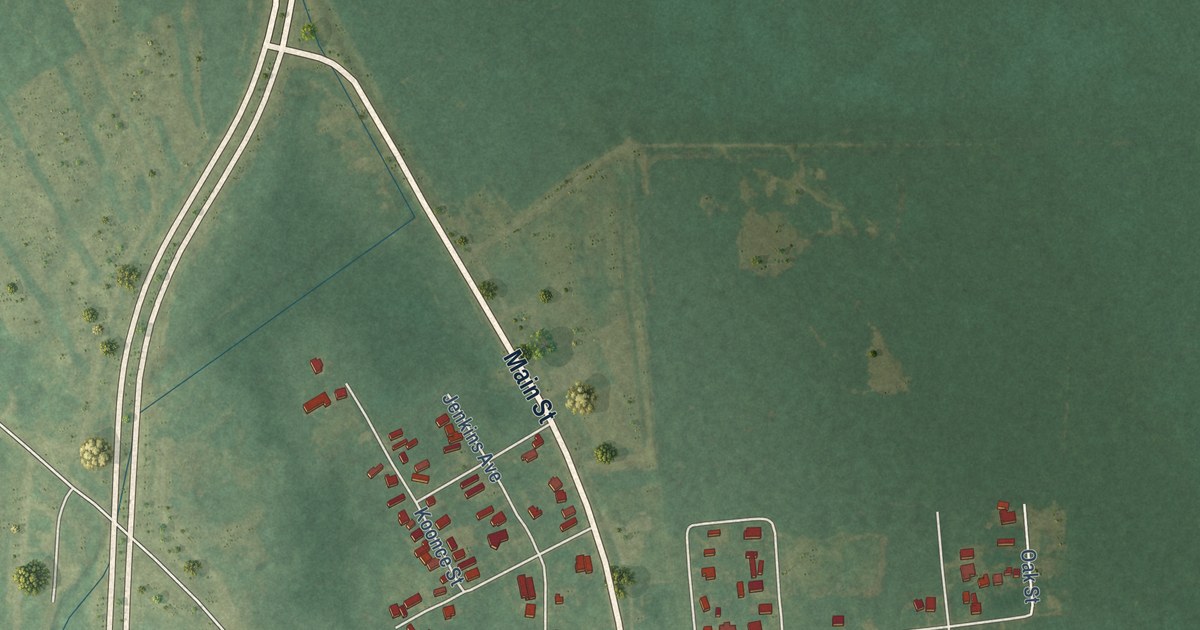
A detailed map of Maysville, North Carolina, showing every building in its true location, the roads by name, and shaded topographical relief.
Read More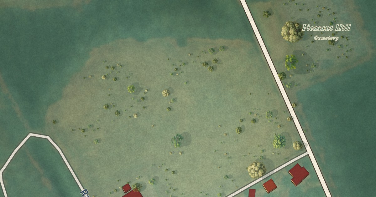
A detailed map of McFarlan, North Carolina, showing every building in its true location, the roads by name, and shaded topographical relief.
Read More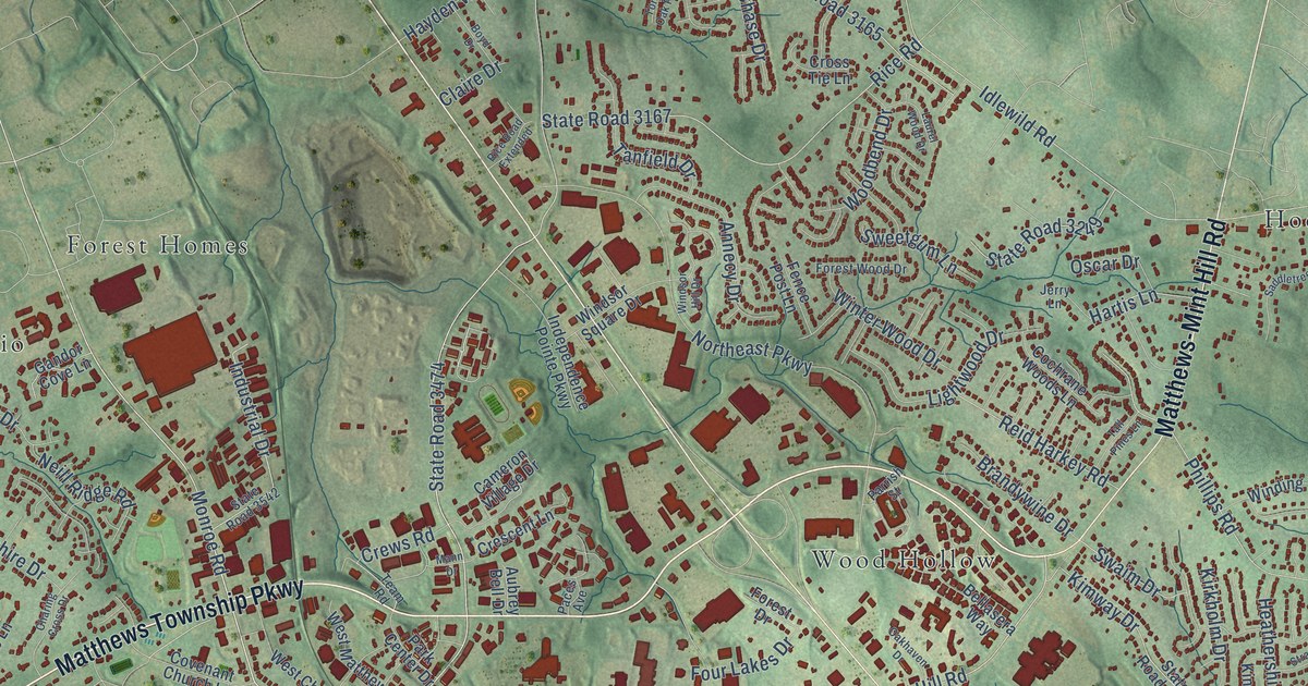
A detailed map of Matthews, North Carolina, showing every building in its true location, the roads by name, and shaded topographical relief.
Read More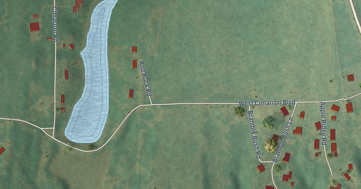
A detailed map of Cimarron City, Oklahoma, showing every building in its true location, the roads by name, and shaded topographical relief.
Read More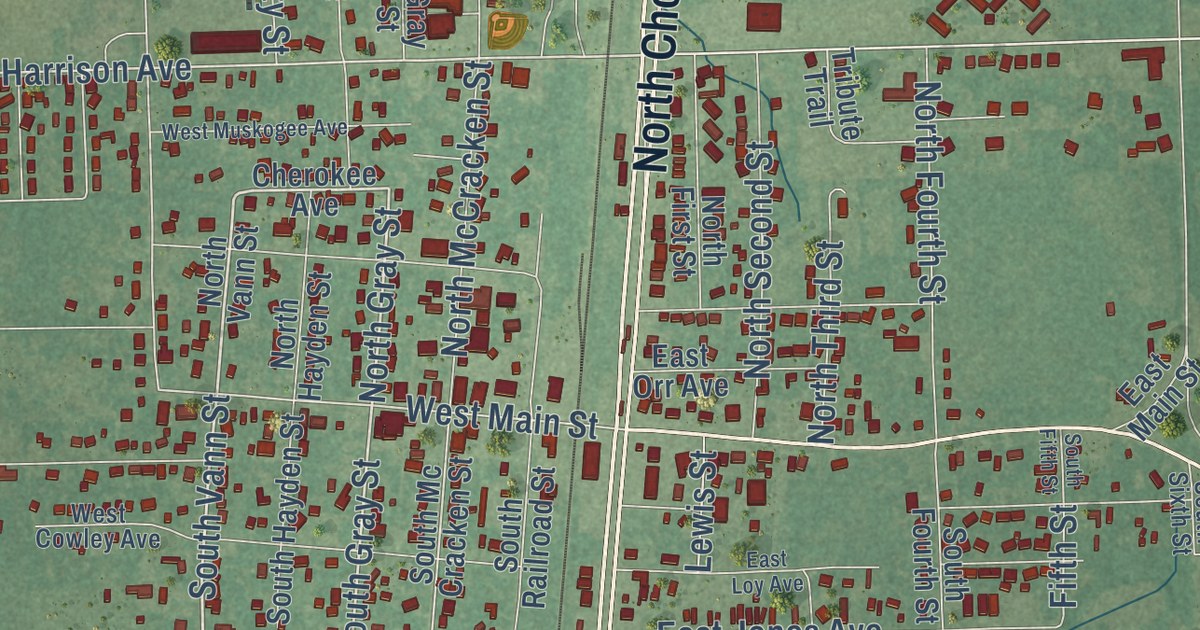
A detailed map of Chouteau, Oklahoma, showing every building in its true location, the roads by name, and shaded topographical relief.
Read More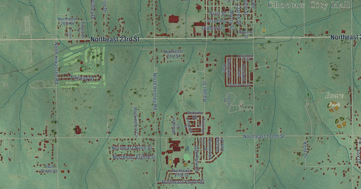
A detailed map of Choctaw, Oklahoma, showing every building in its true location, the roads by name, and shaded topographical relief.
Read More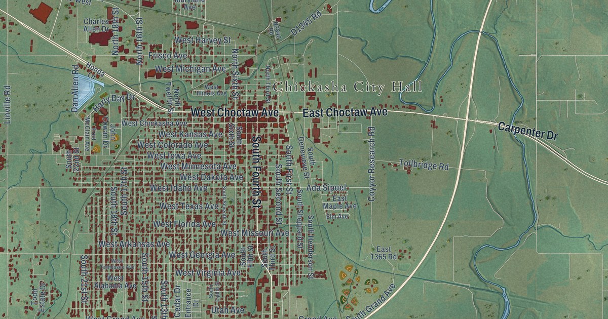
A detailed map of Chickasha, Oklahoma, showing every building in its true location, the roads by name, and shaded topographical relief.
Read More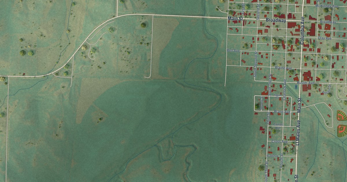
A detailed map of Cheyenne, Oklahoma, showing every building in its true location, the roads by name, and shaded topographical relief.
Read More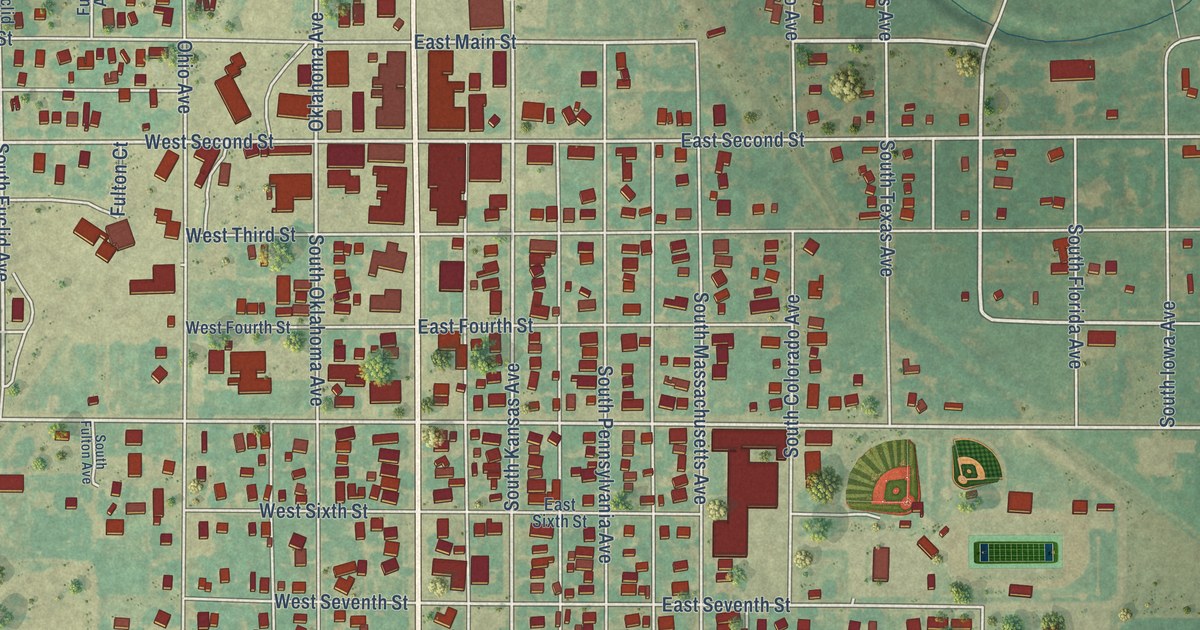
A detailed map of Cherokee, Oklahoma, showing every building in its true location, the roads by name, and shaded topographical relief.
Read More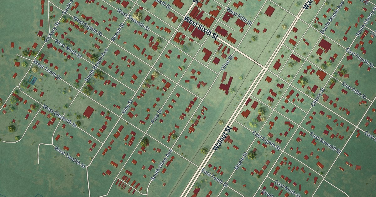
A detailed map of Chelsea, Oklahoma, showing every building in its true location, the roads by name, and shaded topographical relief.
Read More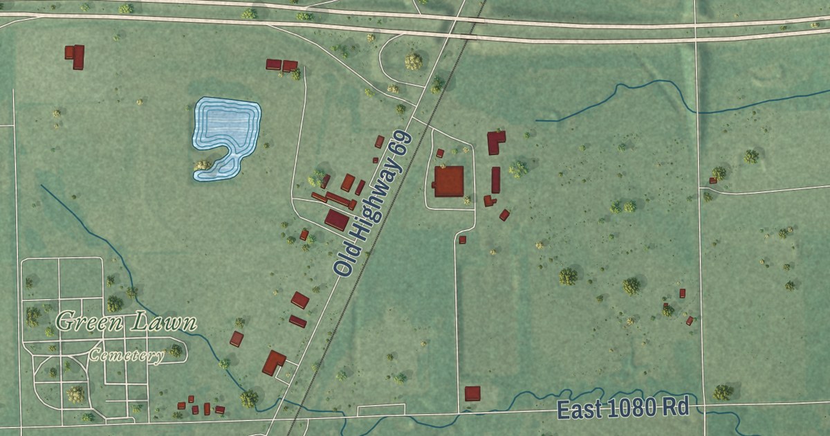
A detailed map of Checotah, Oklahoma, showing every building in its true location, the roads by name, and shaded topographical relief.
Read More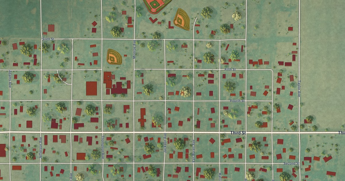
A detailed map of Chattanooga, Oklahoma, showing every building in its true location, the roads by name, and shaded topographical relief.
Read More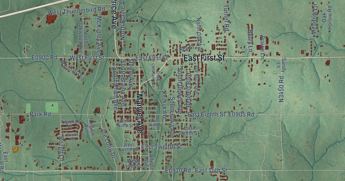
A detailed map of Chandler, Oklahoma, showing every building in its true location, the roads by name, and shaded topographical relief.
Read More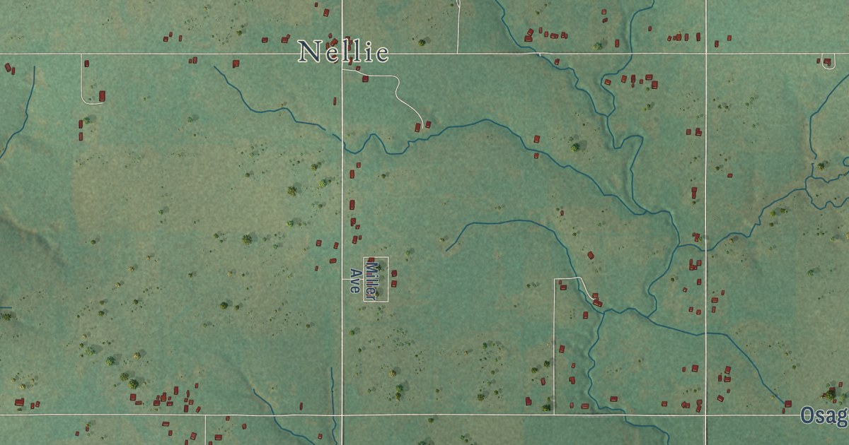
A detailed map of Central High, Oklahoma, showing every building in its true location, the roads by name, and shaded topographical relief.
Read More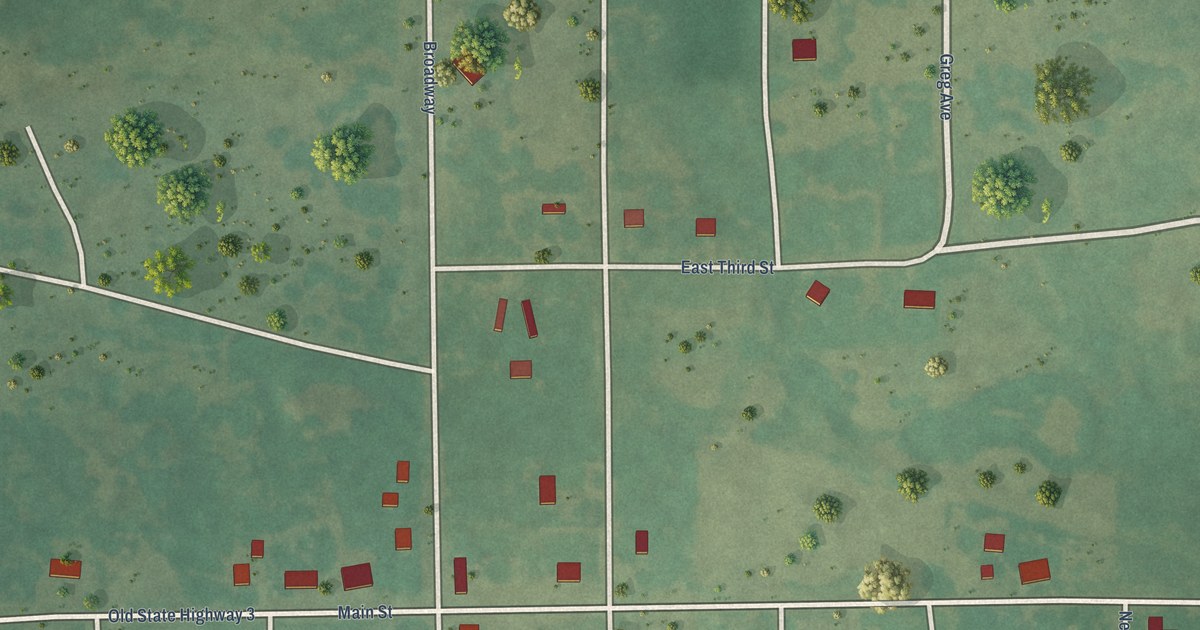
A detailed map of Centrahoma, Oklahoma, showing every building in its true location, the roads by name, and shaded topographical relief.
Read More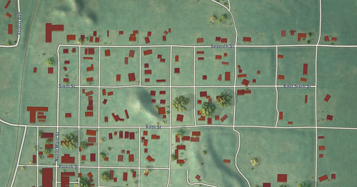
A detailed map of Cement, Oklahoma, showing every building in its true location, the roads by name, and shaded topographical relief.
Read More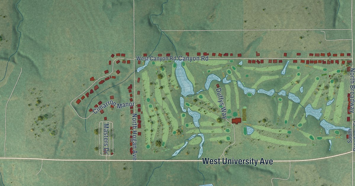
A detailed map of Cedar Valley, Oklahoma, showing every building in its true location, the roads by name, and shaded topographical relief.
Read More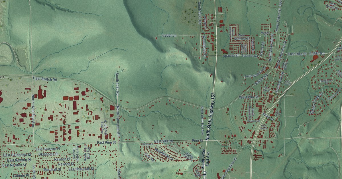
A detailed map of Catoosa, Oklahoma, showing every building in its true location, the roads by name, and shaded topographical relief.
Read More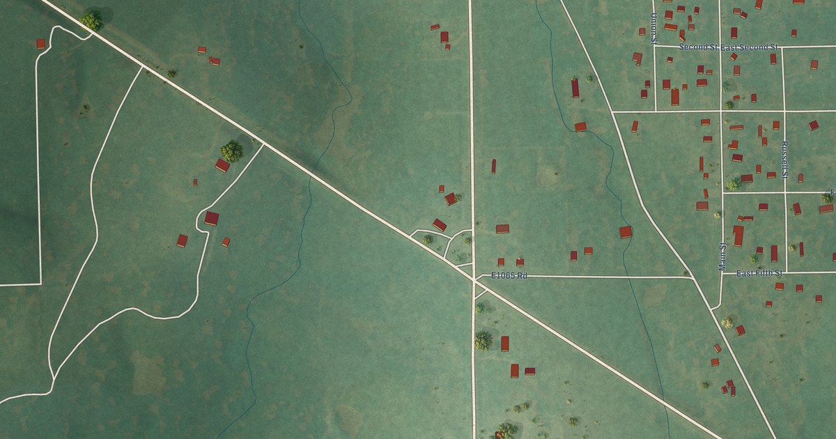
A detailed map of Castle, Oklahoma, showing every building in its true location, the roads by name, and shaded topographical relief.
Read More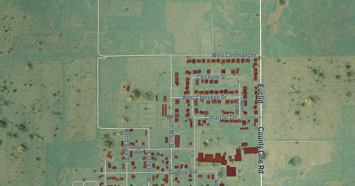
A detailed map of Cashion, Oklahoma, showing every building in its true location, the roads by name, and shaded topographical relief.
Read More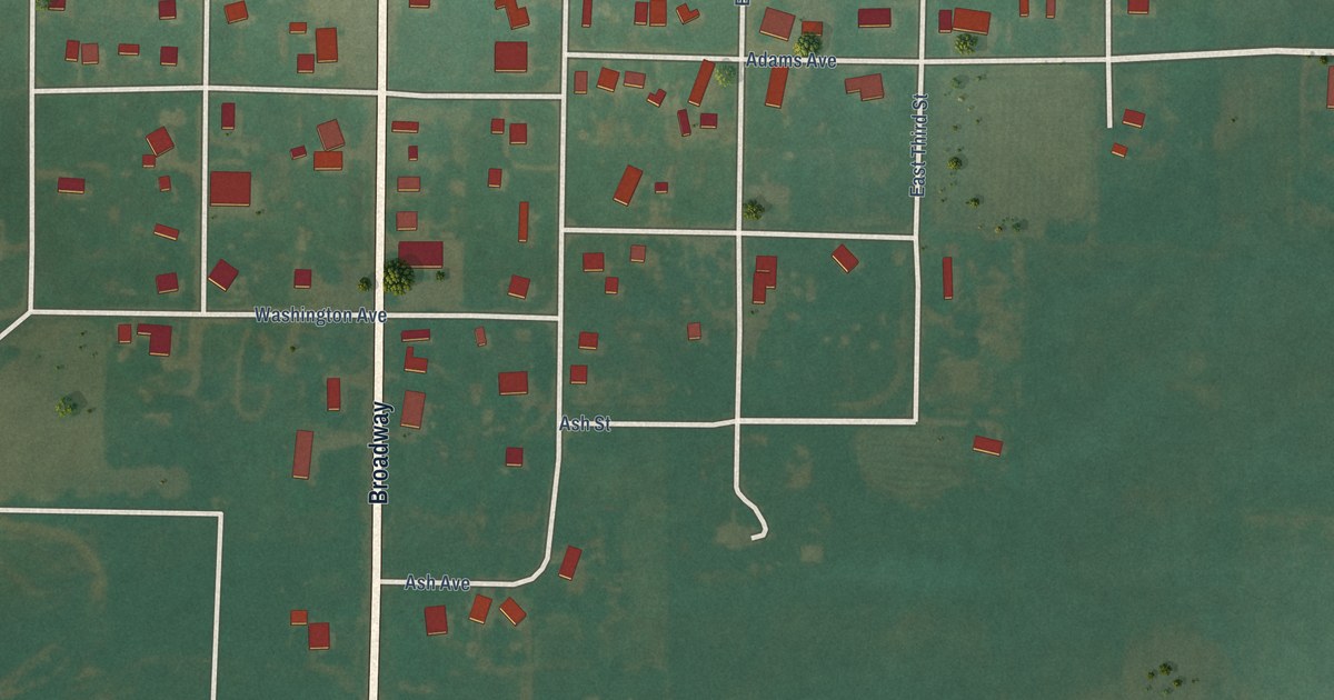
A detailed map of Carter, Oklahoma, showing every building in its true location, the roads by name, and shaded topographical relief.
Read More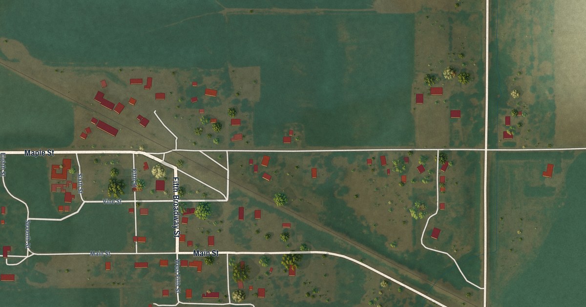
A detailed map of Carrier, Oklahoma, showing every building in its true location, the roads by name, and shaded topographical relief.
Read More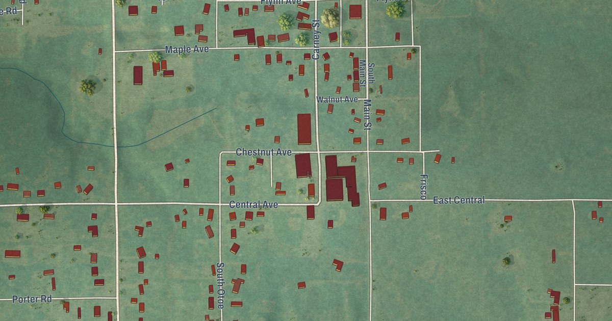
A detailed map of Carney, Oklahoma, showing every building in its true location, the roads by name, and shaded topographical relief.
Read More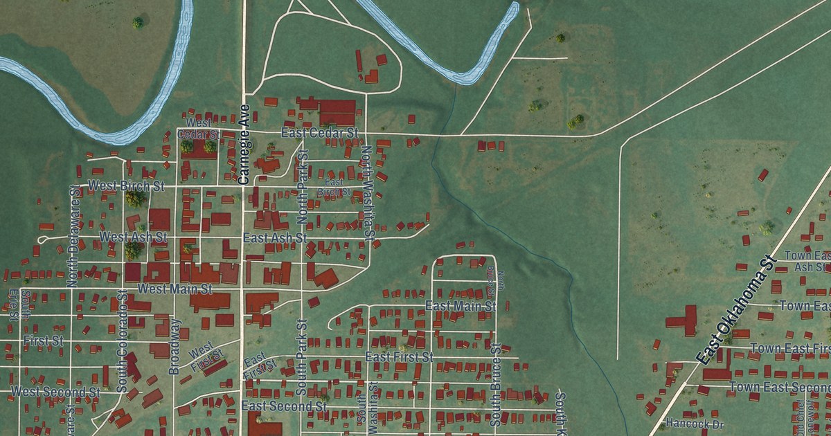
A detailed map of Carnegie, Oklahoma, showing every building in its true location, the roads by name, and shaded topographical relief.
Read More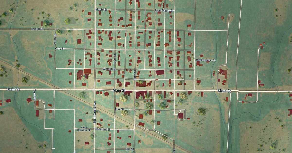
A detailed map of Carmen, Oklahoma, showing every building in its true location, the roads by name, and shaded topographical relief.
Read More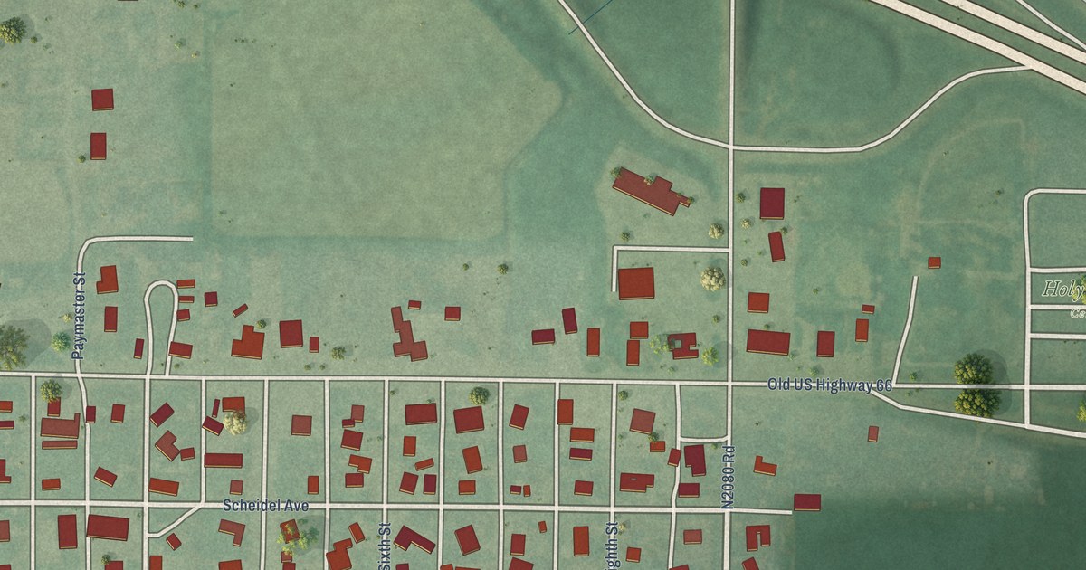
A detailed map of Canute, Oklahoma, showing every building in its true location, the roads by name, and shaded topographical relief.
Read More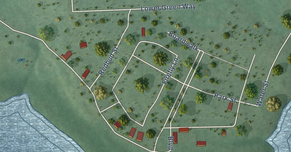
A detailed map of Carlton Landing, Oklahoma, showing every building in its true location, the roads by name, and shaded topographical relief.
Read More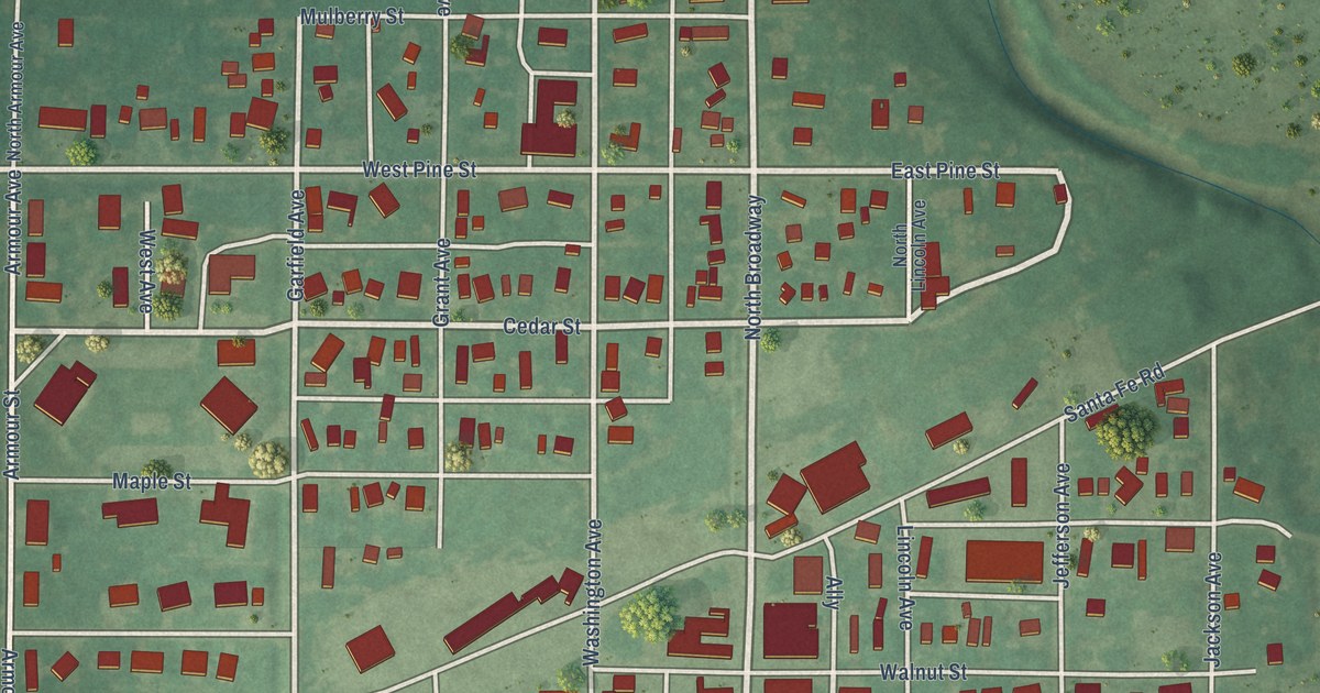
A detailed map of Canton, Oklahoma, showing every building in its true location, the roads by name, and shaded topographical relief.
Read More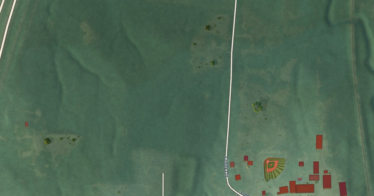
A detailed map of Caney, Oklahoma, showing every building in its true location, the roads by name, and shaded topographical relief.
Read More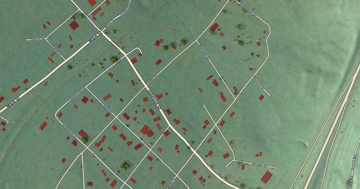
A detailed map of Canadian, Oklahoma, showing every building in its true location, the roads by name, and shaded topographical relief.
Read More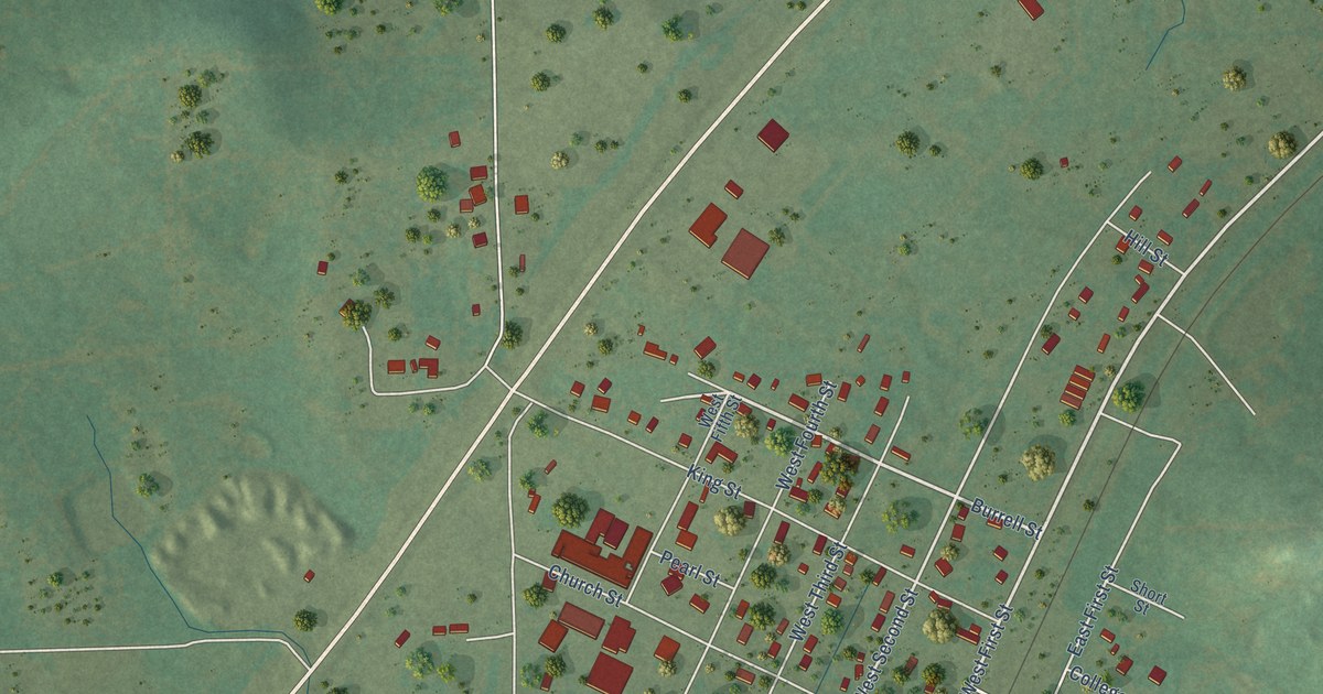
A detailed map of Cameron, Oklahoma, showing every building in its true location, the roads by name, and shaded topographical relief.
Read More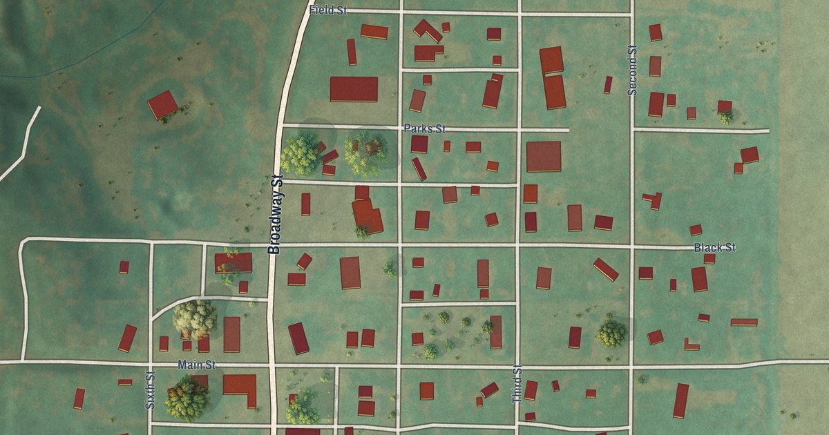
A detailed map of Camargo, Oklahoma, showing every building in its true location, the roads by name, and shaded topographical relief.
Read More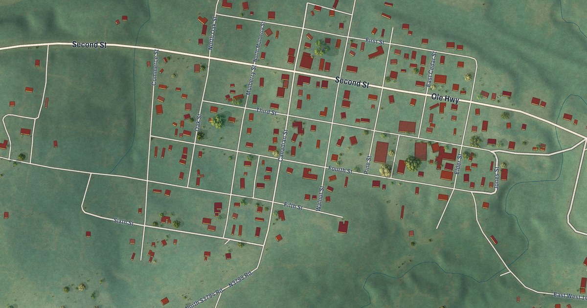
A detailed map of Calvin, Oklahoma, showing every building in its true location, the roads by name, and shaded topographical relief.
Read More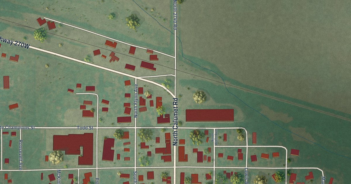
A detailed map of Calumet, Oklahoma, showing every building in its true location, the roads by name, and shaded topographical relief.
Read More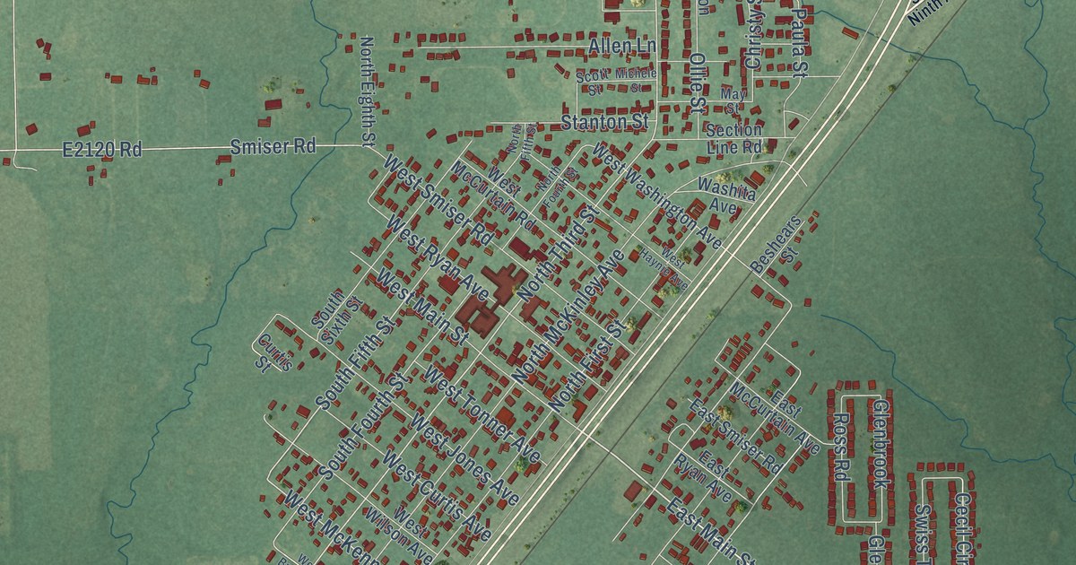
A detailed map of Calera, Oklahoma, showing every building in its true location, the roads by name, and shaded topographical relief.
Read More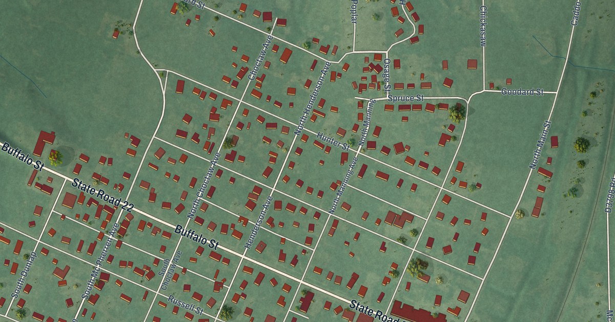
A detailed map of Caddo, Oklahoma, showing every building in its true location, the roads by name, and shaded topographical relief.
Read More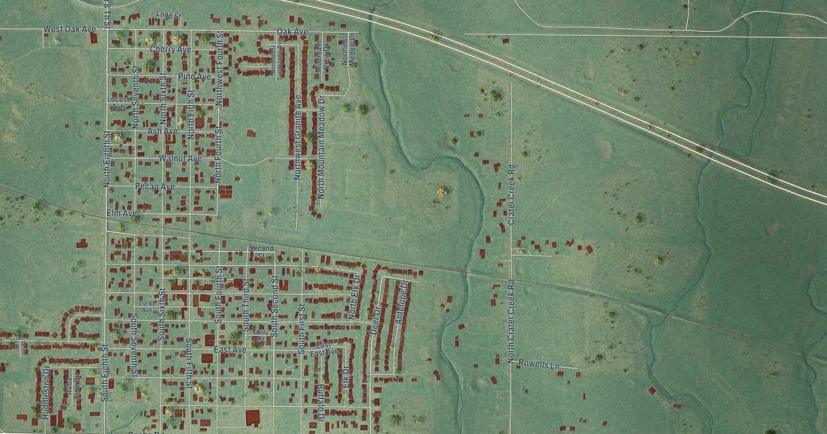
A detailed map of Cache, Oklahoma, showing every building in its true location, the roads by name, and shaded topographical relief.
Read More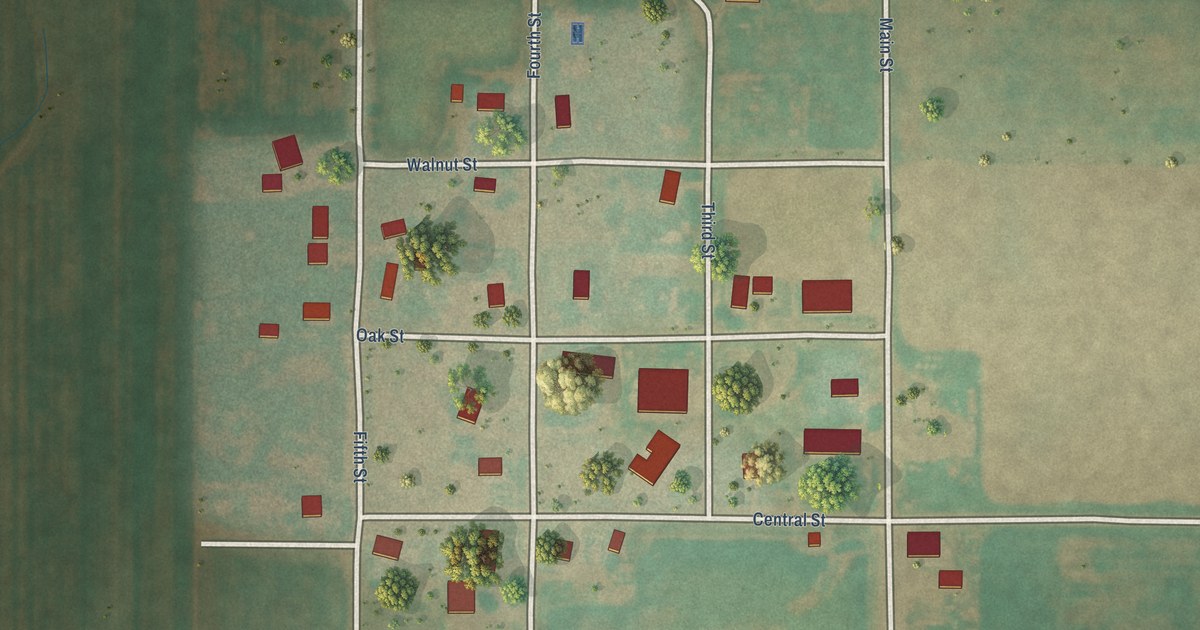
A detailed map of Byron, Oklahoma, showing every building in its true location, the roads by name, and shaded topographical relief.
Read More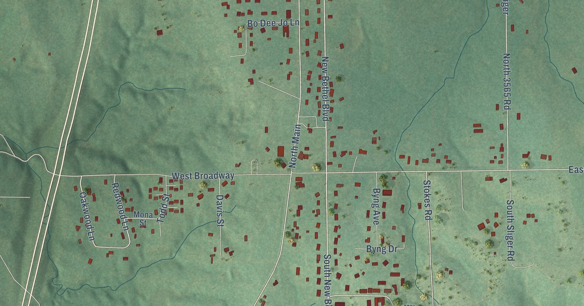
A detailed map of Byng, Oklahoma, showing every building in its true location, the roads by name, and shaded topographical relief.
Read More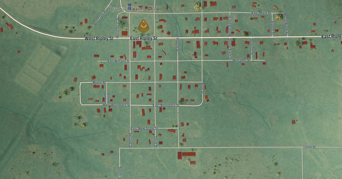
A detailed map of Byars, Oklahoma, showing every building in its true location, the roads by name, and shaded topographical relief.
Read More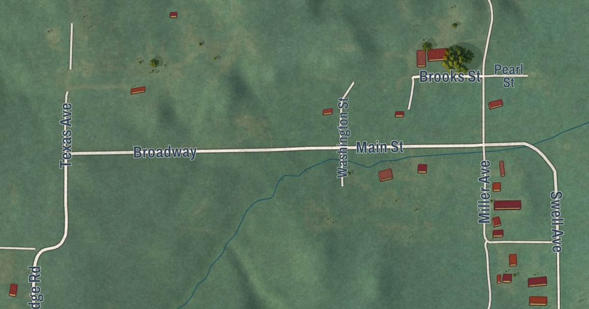
A detailed map of Brooksville, Oklahoma, showing every building in its true location, the roads by name, and shaded topographical relief.
Read More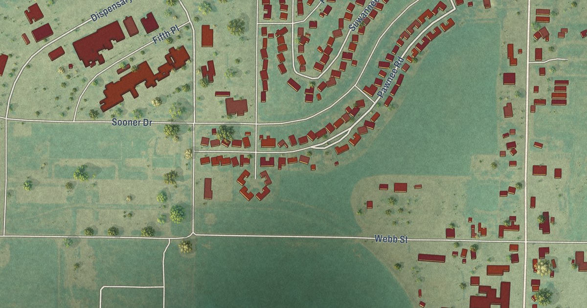
A detailed map of Burns Flat, Oklahoma, showing every building in its true location, the roads by name, and shaded topographical relief.
Read More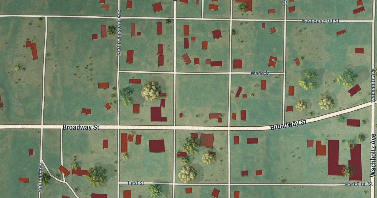
A detailed map of Butler, Oklahoma, showing every building in its true location, the roads by name, and shaded topographical relief.
Read More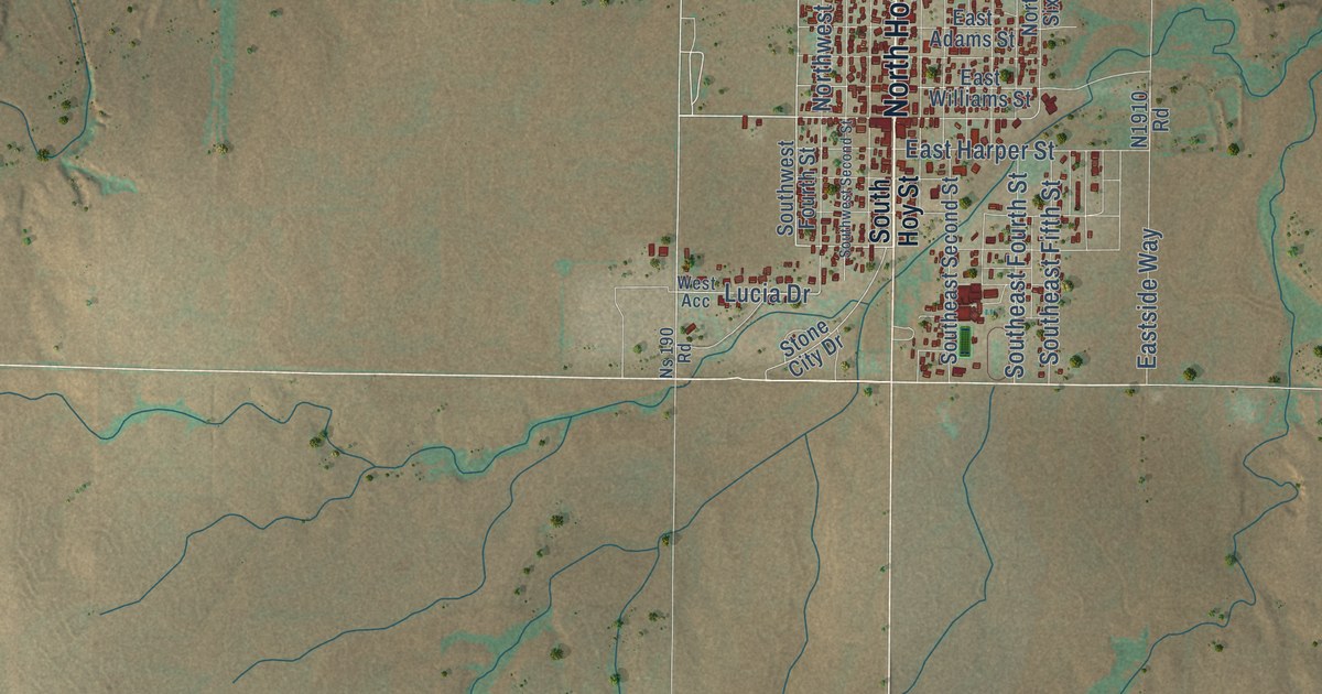
A detailed map of Buffalo, Oklahoma, showing every building in its true location, the roads by name, and shaded topographical relief.
Read More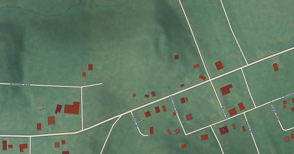
A detailed map of Burbank, Oklahoma, showing every building in its true location, the roads by name, and shaded topographical relief.
Read More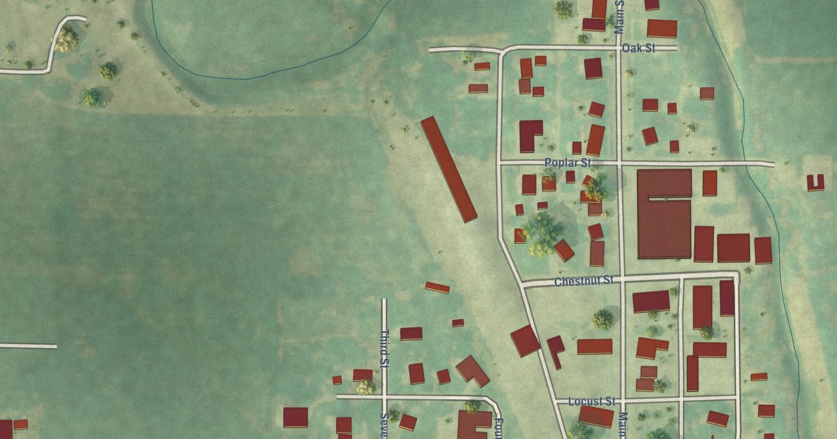
A detailed map of Burlington, Oklahoma, showing every building in its true location, the roads by name, and shaded topographical relief.
Read More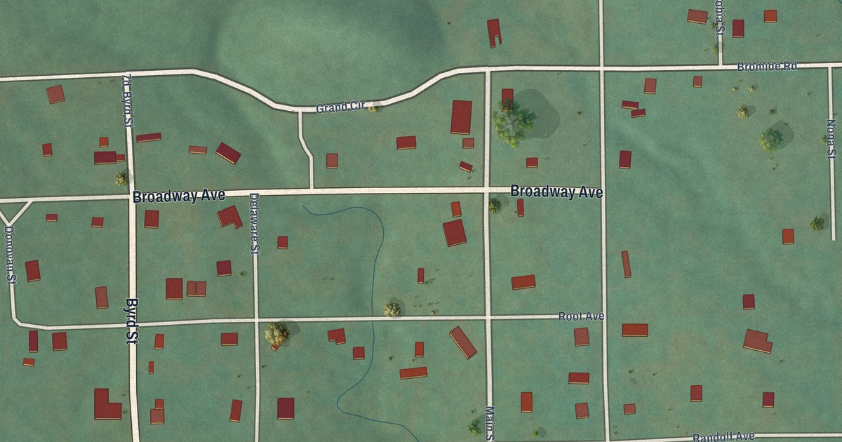
A detailed map of Bromide, Oklahoma, showing every building in its true location, the roads by name, and shaded topographical relief.
Read More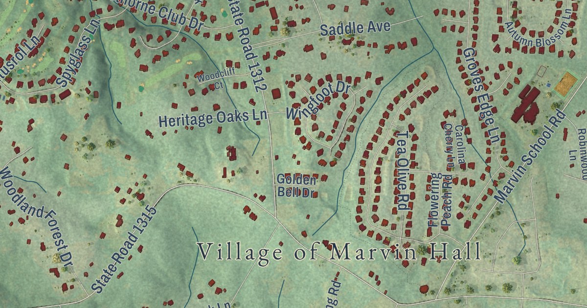
A detailed map of Marvin, North Carolina, showing every building in its true location, the roads by name, and shaded topographical relief.
Read More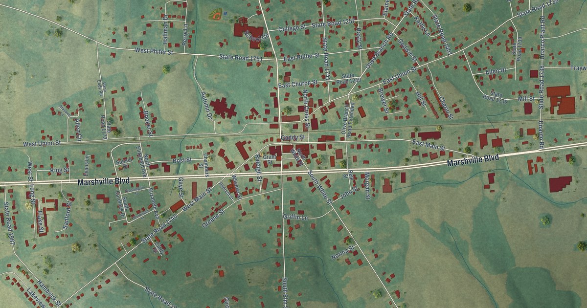
A detailed map of Marshville, North Carolina, showing every building in its true location, the roads by name, and shaded topographical relief.
Read More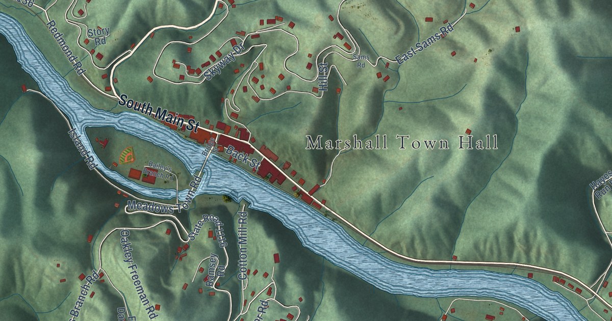
A detailed map of Marshall, North Carolina, showing every building in its true location, the roads by name, and shaded topographical relief.
Read More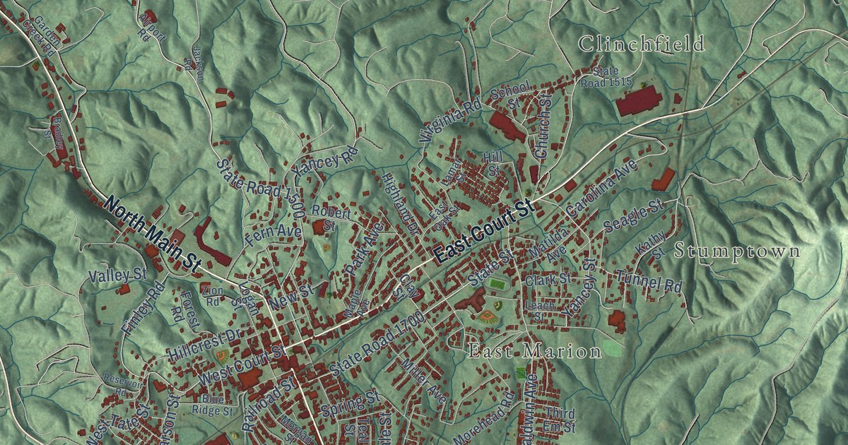
A detailed map of Marion, North Carolina, showing every building in its true location, the roads by name, and shaded topographical relief.
Read More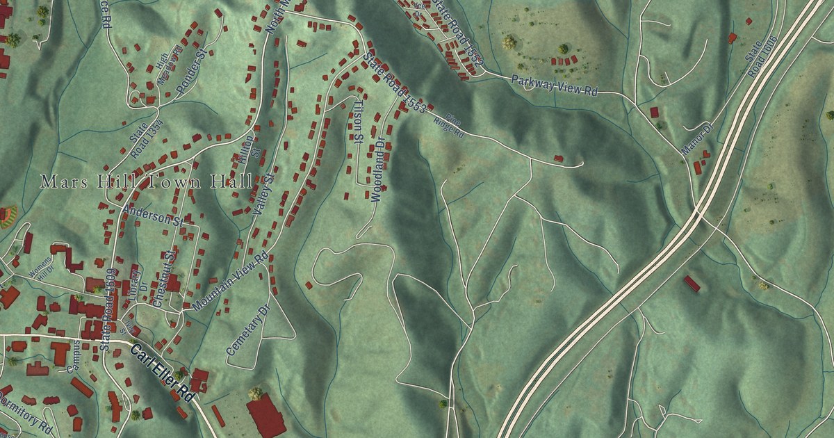
A detailed map of Mars Hill, North Carolina, showing every building in its true location, the roads by name, and shaded topographical relief.
Read More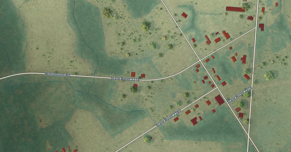
A detailed map of Marietta, North Carolina, showing every building in its true location, the roads by name, and shaded topographical relief.
Read More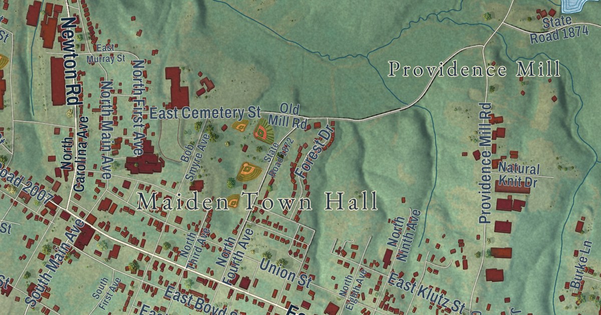
A detailed map of Maiden, North Carolina, showing every building in its true location, the roads by name, and shaded topographical relief.
Read More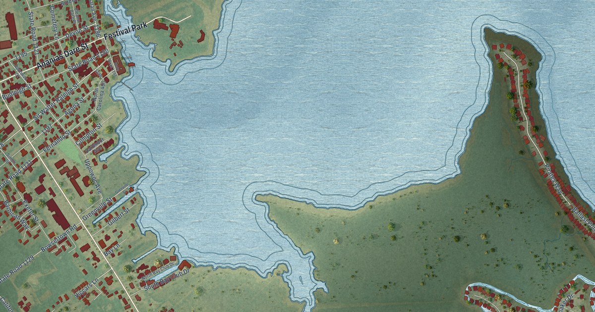
A detailed map of Manteo, North Carolina, showing every building in its true location, the roads by name, and shaded topographical relief.
Read More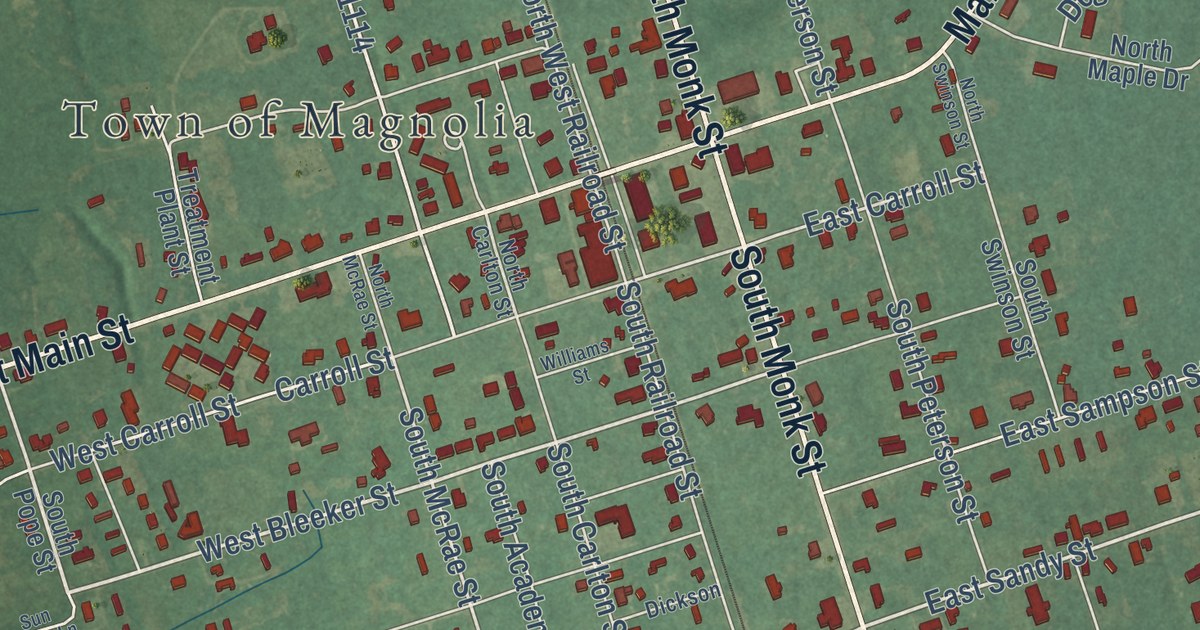
A detailed map of Magnolia, North Carolina, showing every building in its true location, the roads by name, and shaded topographical relief.
Read More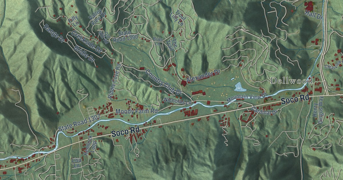
A detailed map of Maggie Valley, North Carolina, showing every building in its true location, the roads by name, and shaded topographical relief.
Read More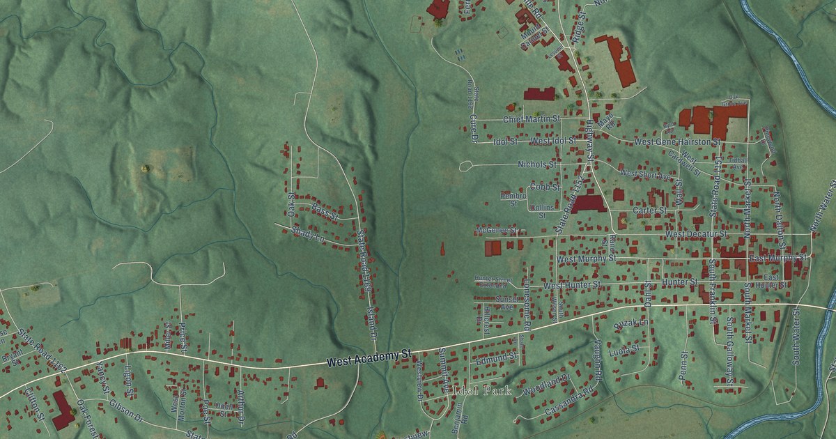
A detailed map of Madison, North Carolina, showing every building in its true location, the roads by name, and shaded topographical relief.
Read More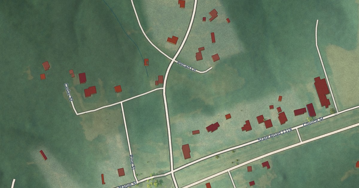
A detailed map of Macon, North Carolina, showing every building in its true location, the roads by name, and shaded topographical relief.
Read More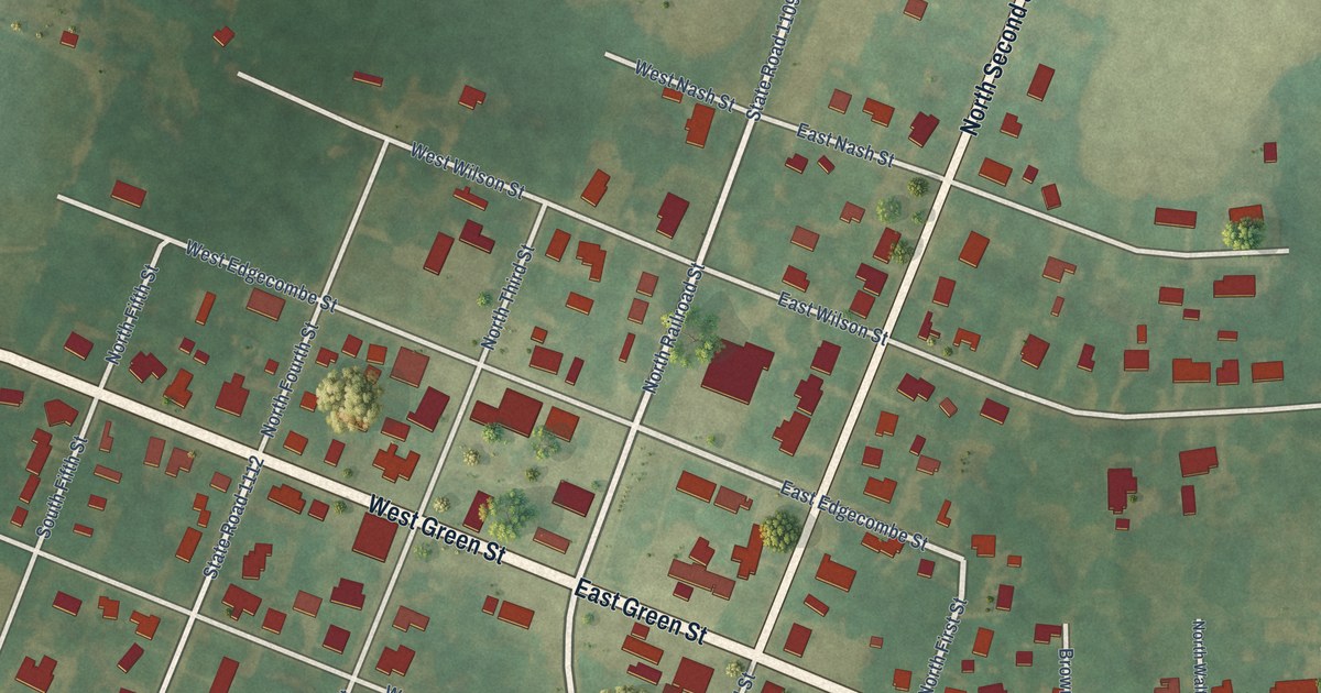
A detailed map of Macclesfield, North Carolina, showing every building in its true location, the roads by name, and shaded topographical relief.
Read More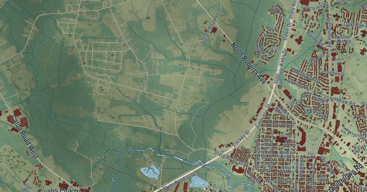
A detailed map of Lumberton, North Carolina, showing every building in its true location, the roads by name, and shaded topographical relief.
Read More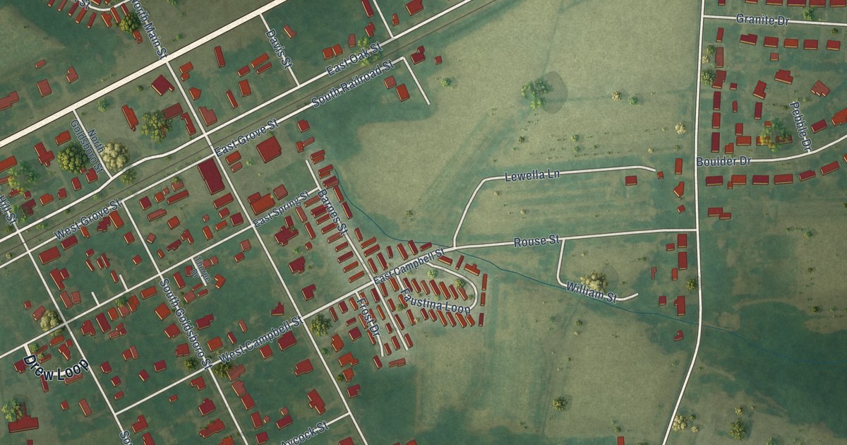
A detailed map of Lucama, North Carolina, showing every building in its true location, the roads by name, and shaded topographical relief.
Read More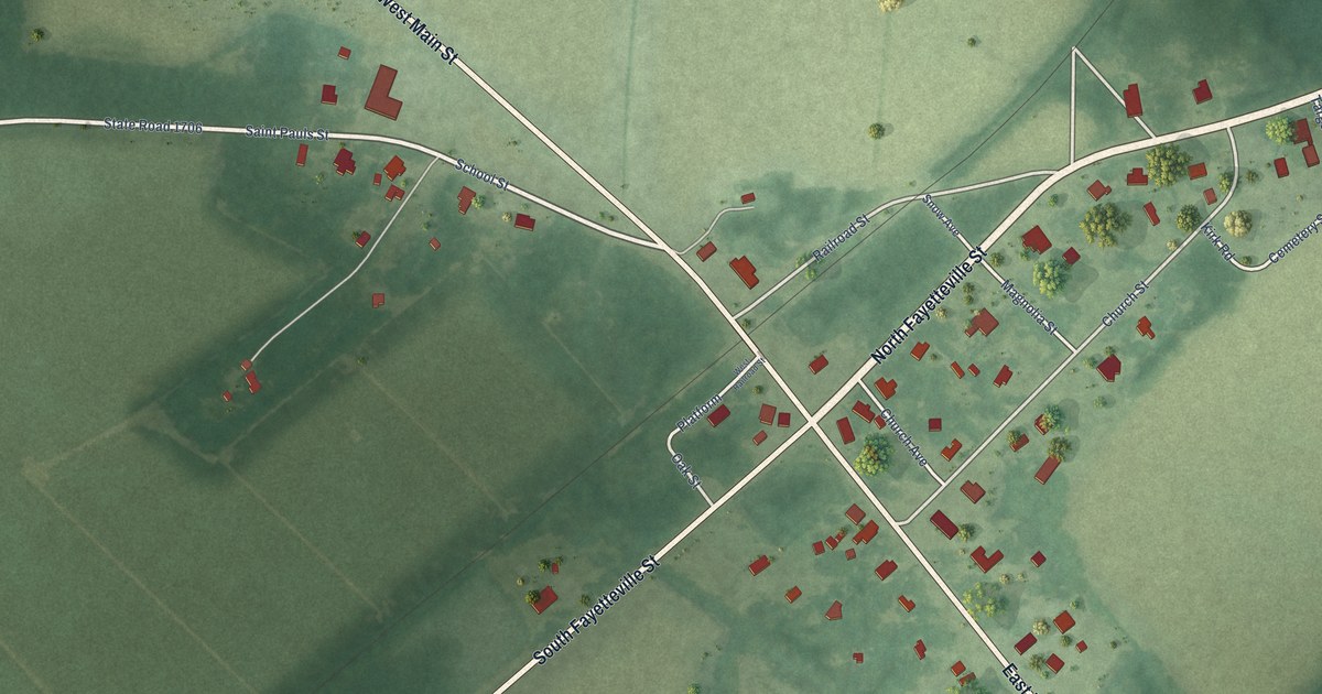
A detailed map of Lumber Bridge, North Carolina, showing every building in its true location, the roads by name, and shaded topographical relief.
Read More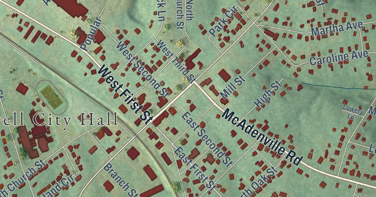
A detailed map of Lowell, North Carolina, showing every building in its true location, the roads by name, and shaded topographical relief.
Read More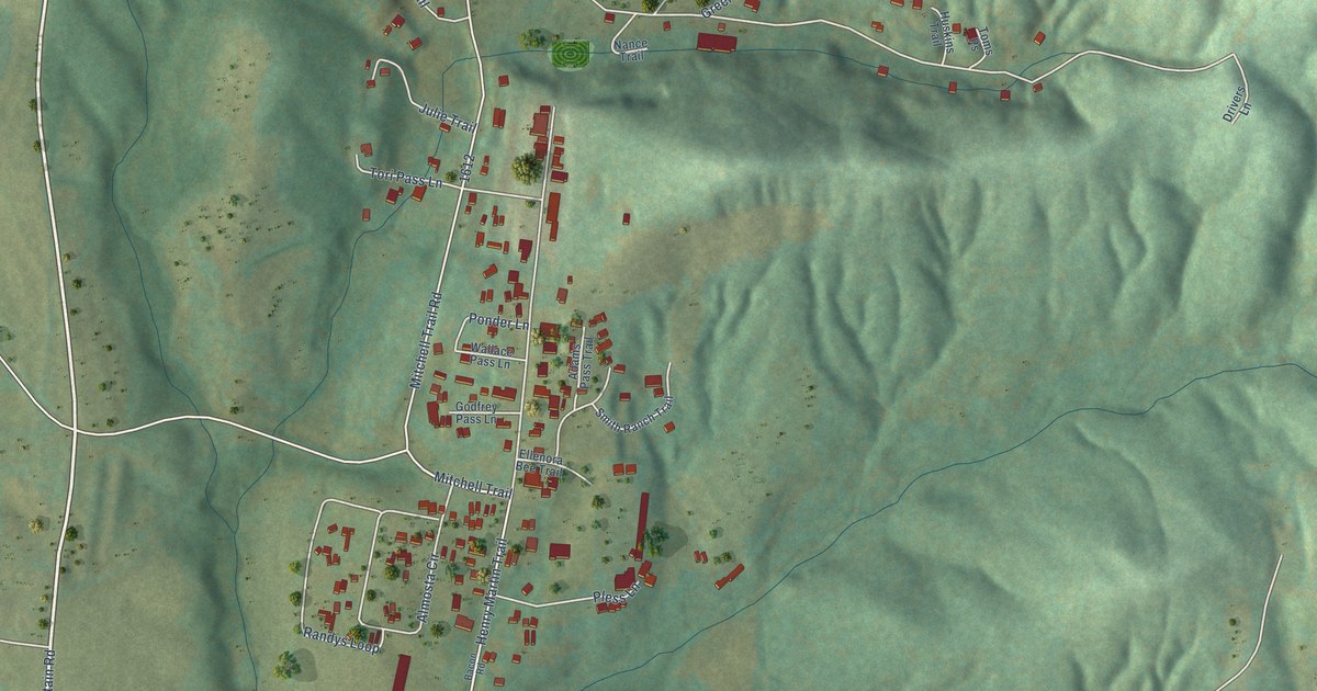
A detailed map of Love Valley, North Carolina, showing every building in its true location, the roads by name, and shaded topographical relief.
Read More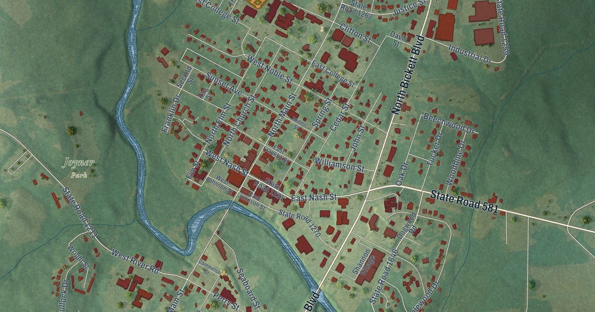
A detailed map of Louisburg, North Carolina, showing every building in its true location, the roads by name, and shaded topographical relief.
Read More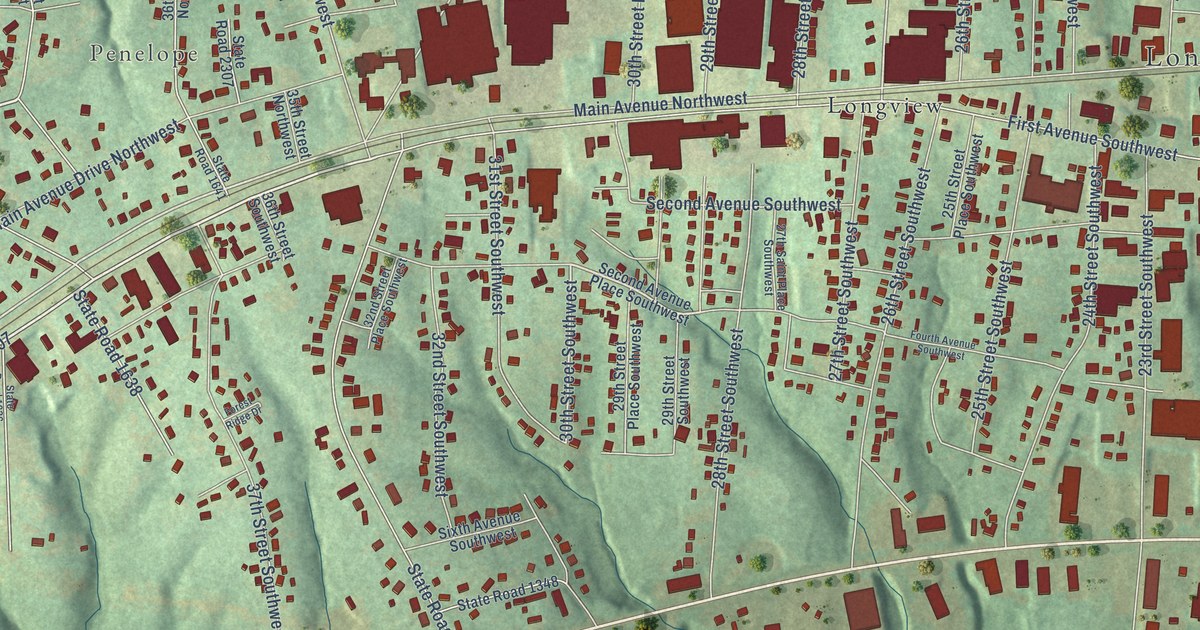
A detailed map of Long View, North Carolina, showing every building in its true location, the roads by name, and shaded topographical relief.
Read More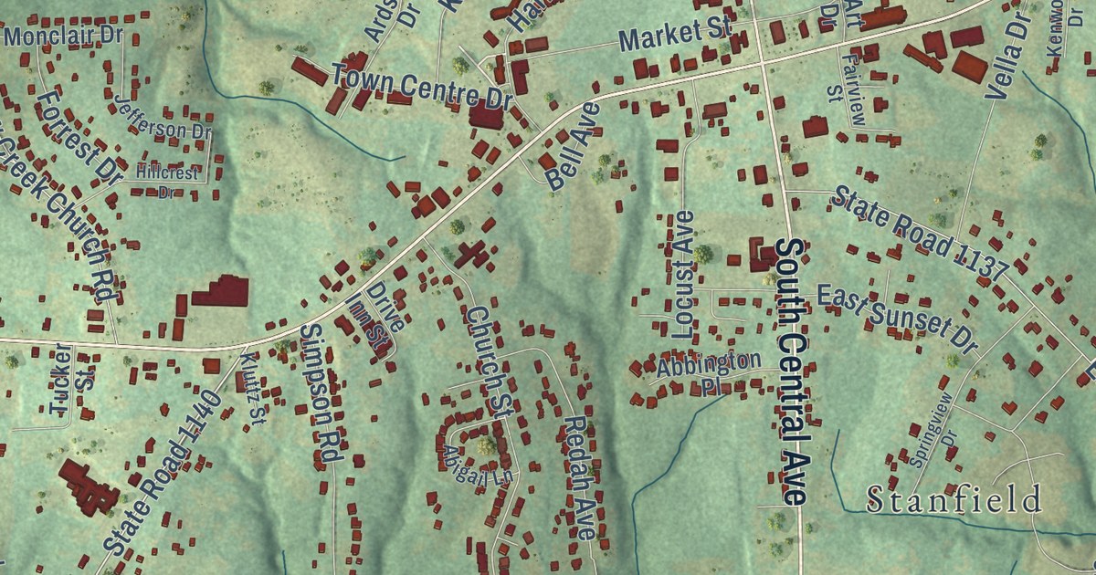
A detailed map of Locust, North Carolina, showing every building in its true location, the roads by name, and shaded topographical relief.
Read More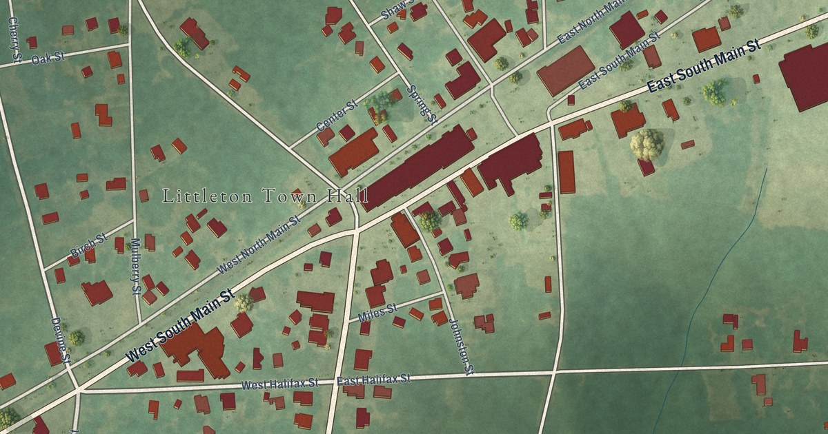
A detailed map of Littleton, North Carolina, showing every building in its true location, the roads by name, and shaded topographical relief.
Read More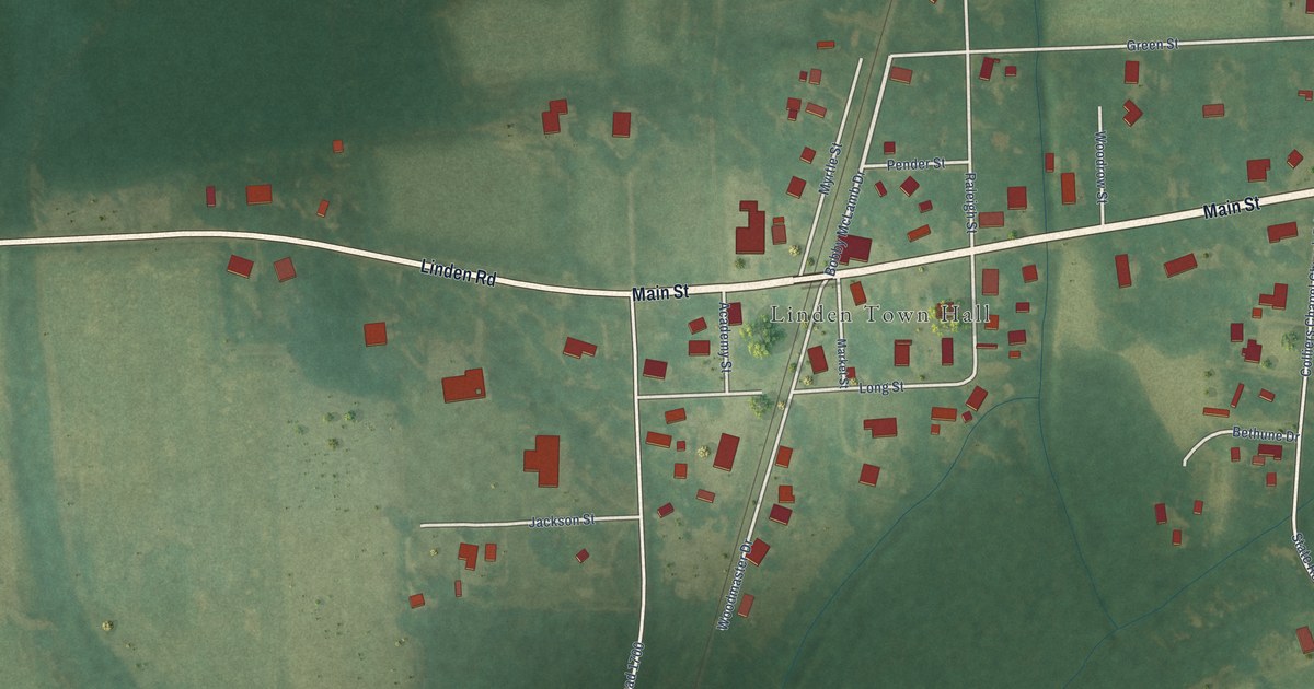
A detailed map of Linden, North Carolina, showing every building in its true location, the roads by name, and shaded topographical relief.
Read More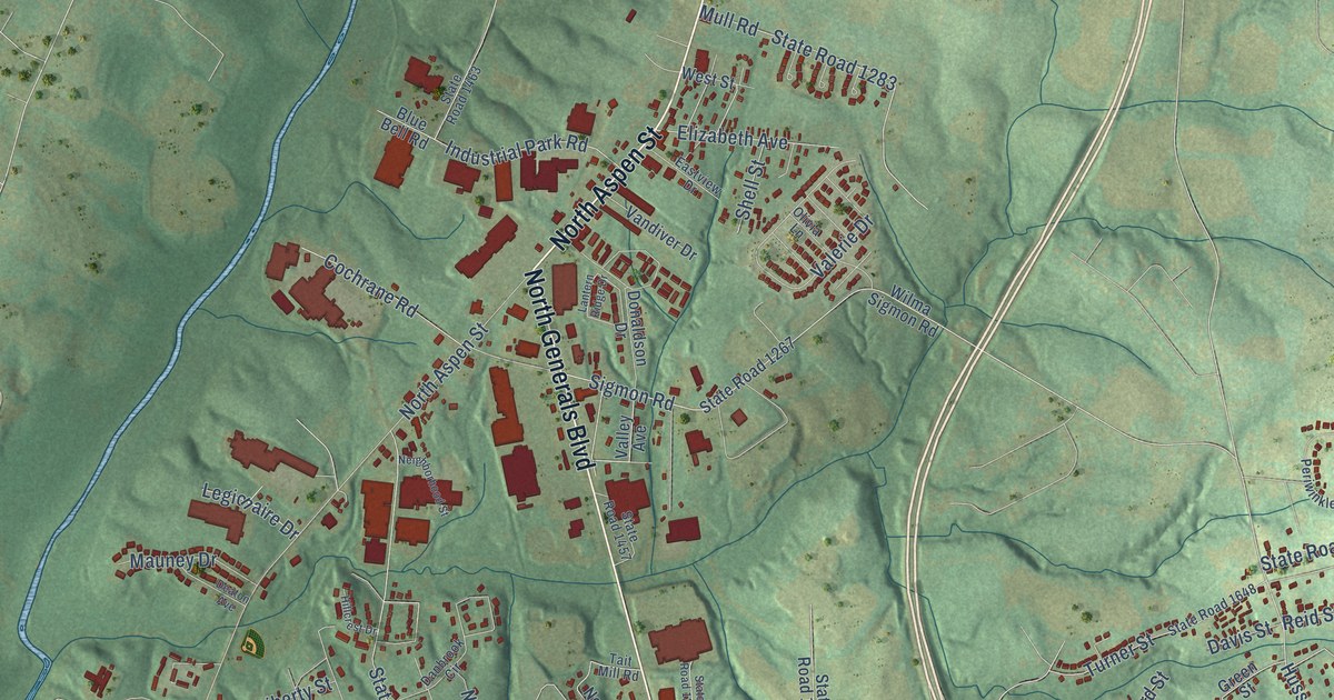
A detailed map of Lincolnton, North Carolina, showing every building in its true location, the roads by name, and shaded topographical relief.
Read More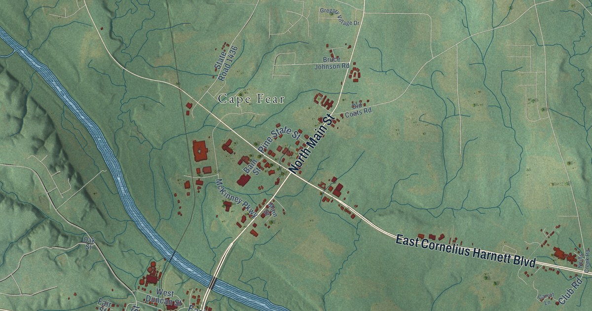
A detailed map of Lillington, North Carolina, showing every building in its true location, the roads by name, and shaded topographical relief.
Read More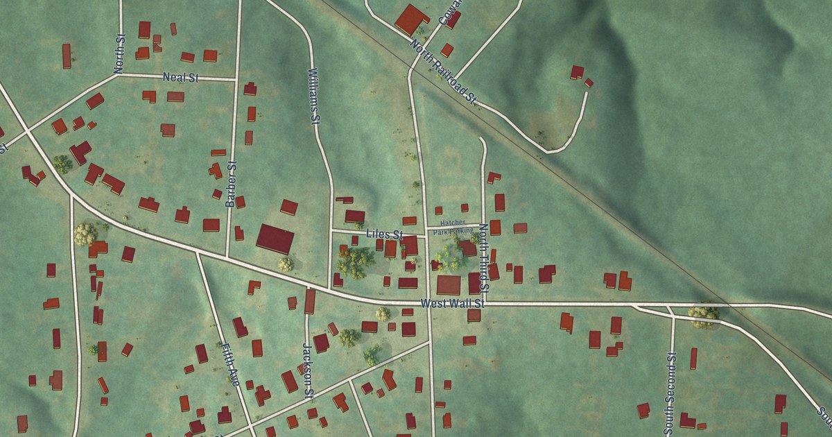
A detailed map of Lilesville, North Carolina, showing every building in its true location, the roads by name, and shaded topographical relief.
Read More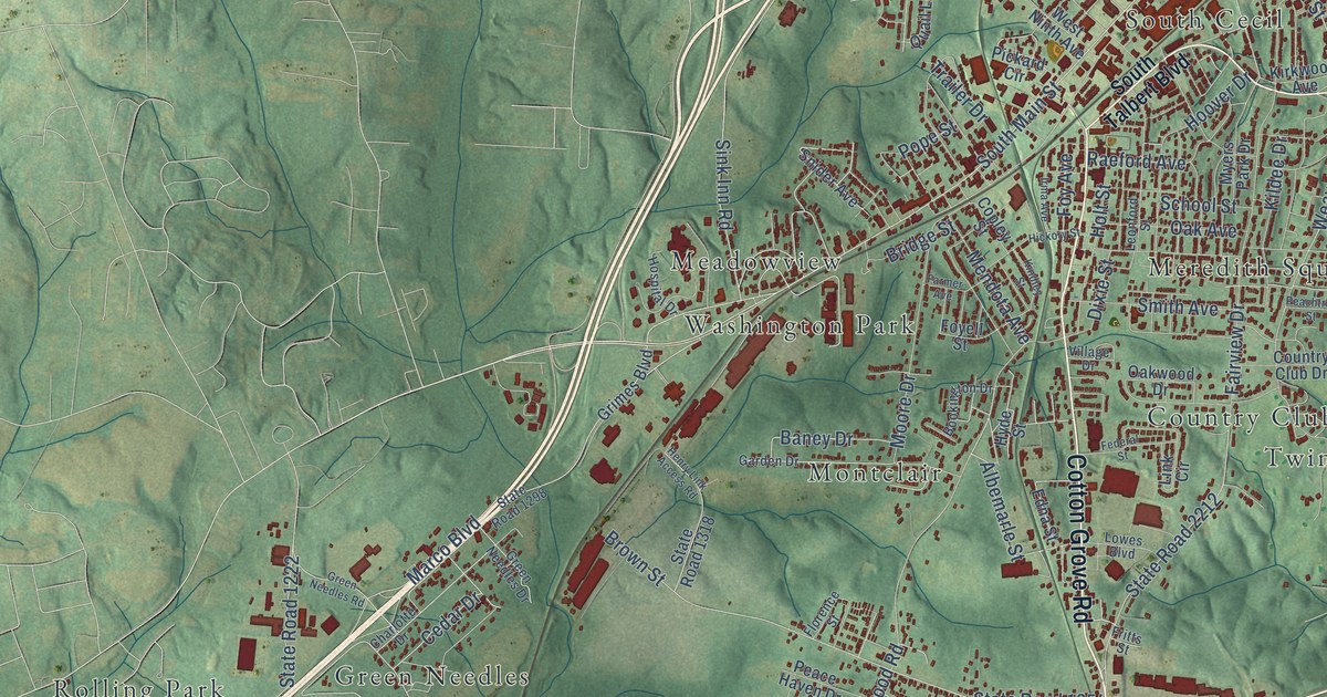
A detailed map of Lexington, North Carolina, showing every building in its true location, the roads by name, and shaded topographical relief.
Read More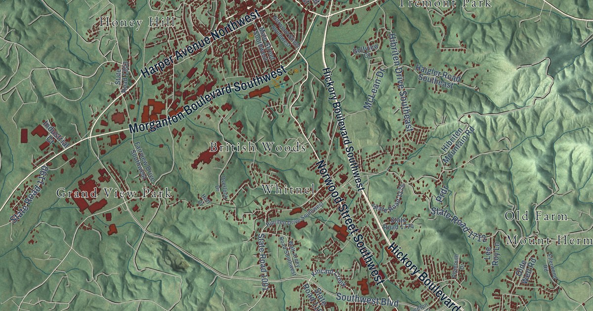
A detailed map of Lenoir, North Carolina, showing every building in its true location, the roads by name, and shaded topographical relief.
Read More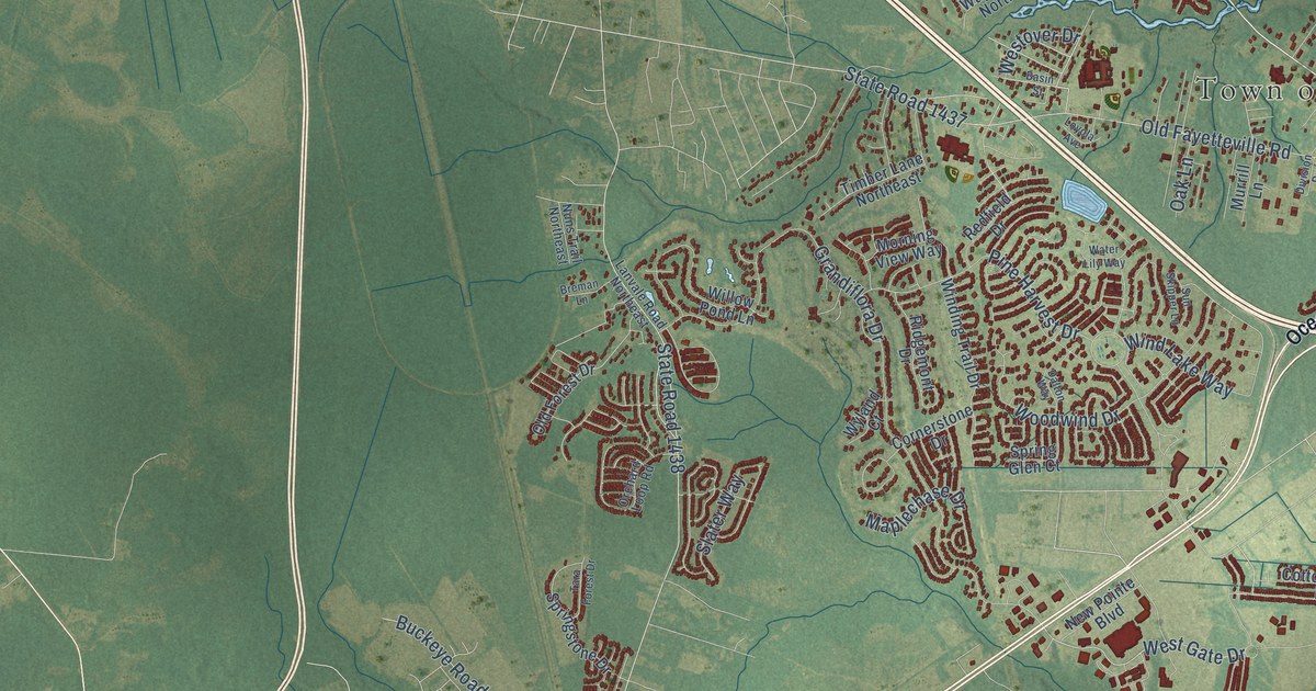
A detailed map of Leland, North Carolina, showing every building in its true location, the roads by name, and shaded topographical relief.
Read More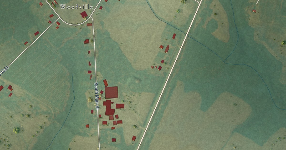
A detailed map of Lewiston Woodville, North Carolina, showing every building in its true location, the roads by name, and shaded topographical relief.
Read More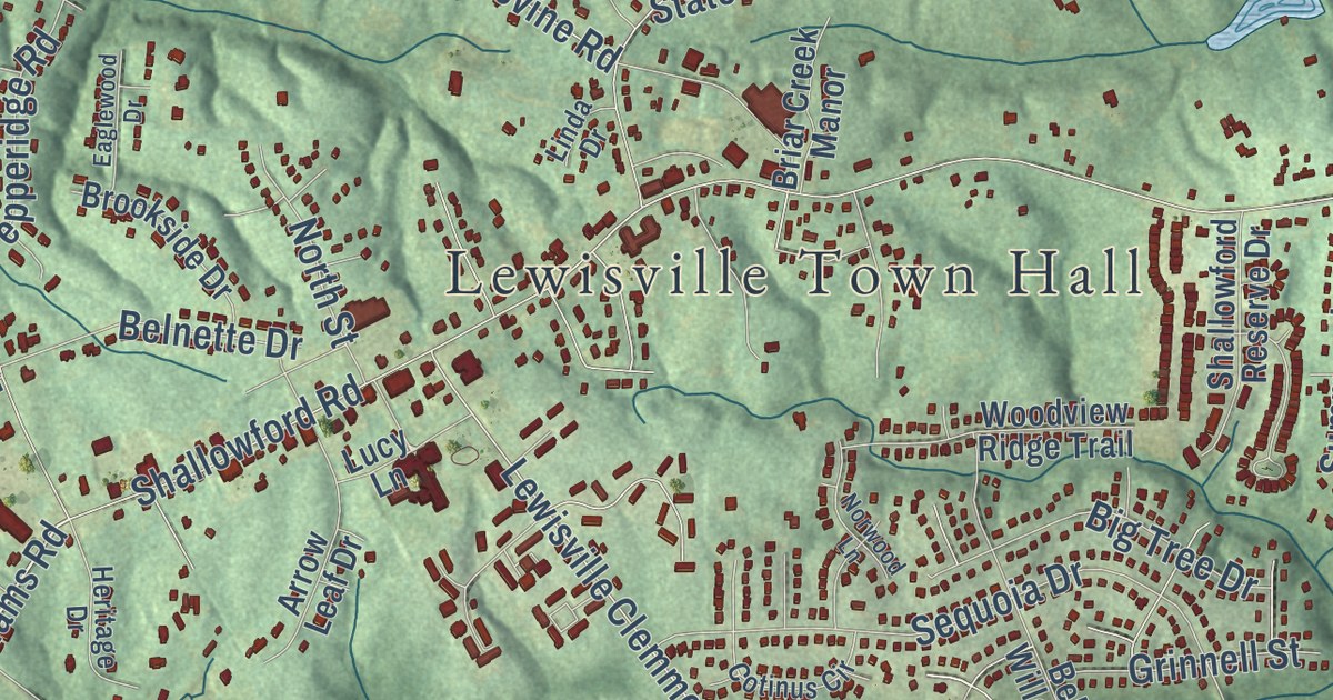
A detailed map of Lewisville, North Carolina, showing every building in its true location, the roads by name, and shaded topographical relief.
Read More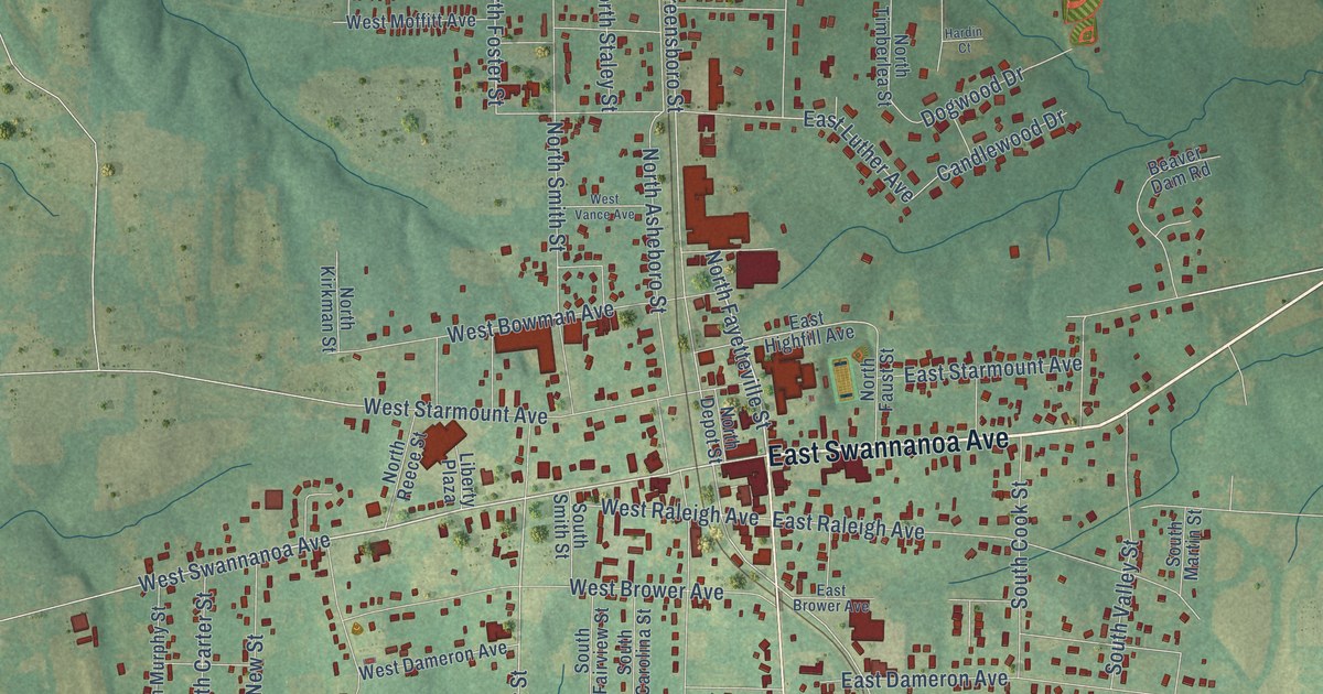
A detailed map of Liberty, North Carolina, showing every building in its true location, the roads by name, and shaded topographical relief.
Read More















