Detailed Map of Lexington Hills, California
A detailed map of Lexington Hills, California, showing every building in its true location, the roads by name, and shaded topographical relief.
Read More
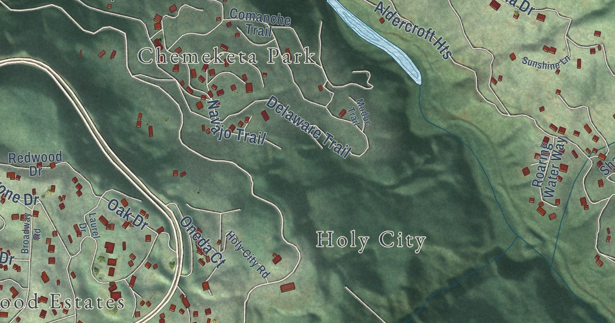
A detailed map of Lexington Hills, California, showing every building in its true location, the roads by name, and shaded topographical relief.
Read More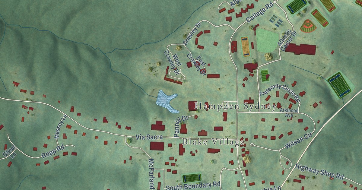
A detailed map of Hampden-Sydney, Virginia, showing every building in its true location, the roads by name, and shaded topographical relief.
Read More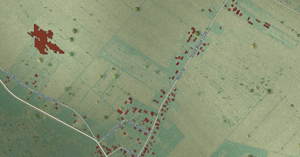
A detailed map of Swan Quarter, North Carolina, showing every building in its true location, the roads by name, and shaded topographical relief.
Read More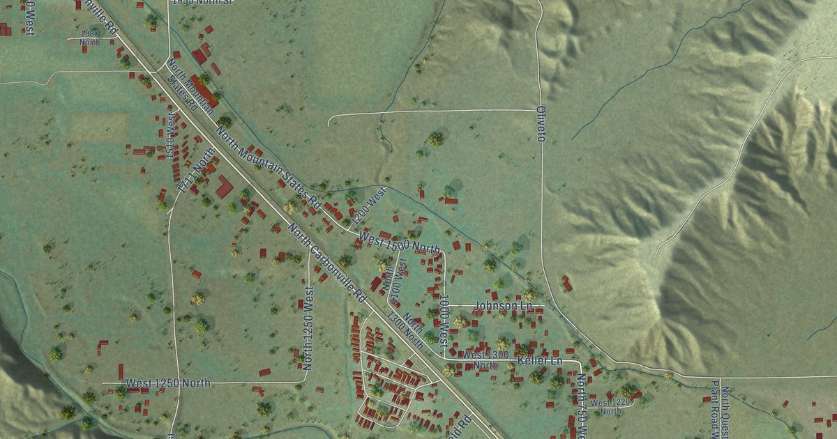
A detailed map of Carbonville, Utah, showing every building in its true location, the roads by name, and shaded topographical relief.
Read More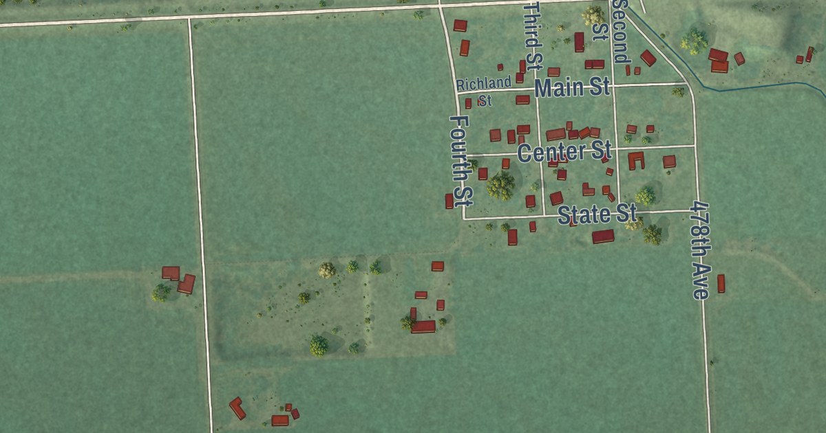
A detailed map of Richland, South Dakota, showing every building in its true location, the roads by name, and shaded topographical relief.
Read More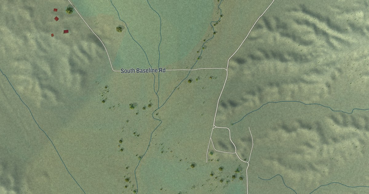
A detailed map of Dry Valley, Nevada, showing every building in its true location, the roads by name, and shaded topographical relief.
Read More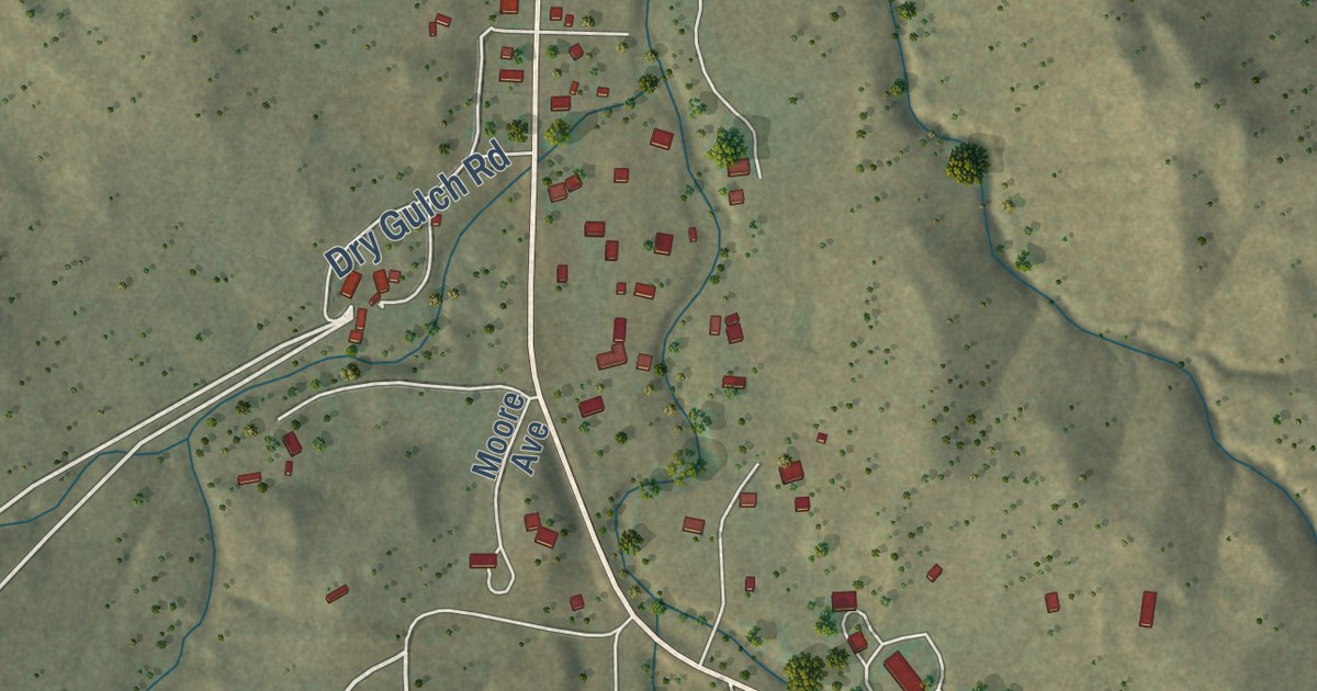
A detailed map of Nogal, New Mexico, showing every building in its true location, the roads by name, and shaded topographical relief.
Read More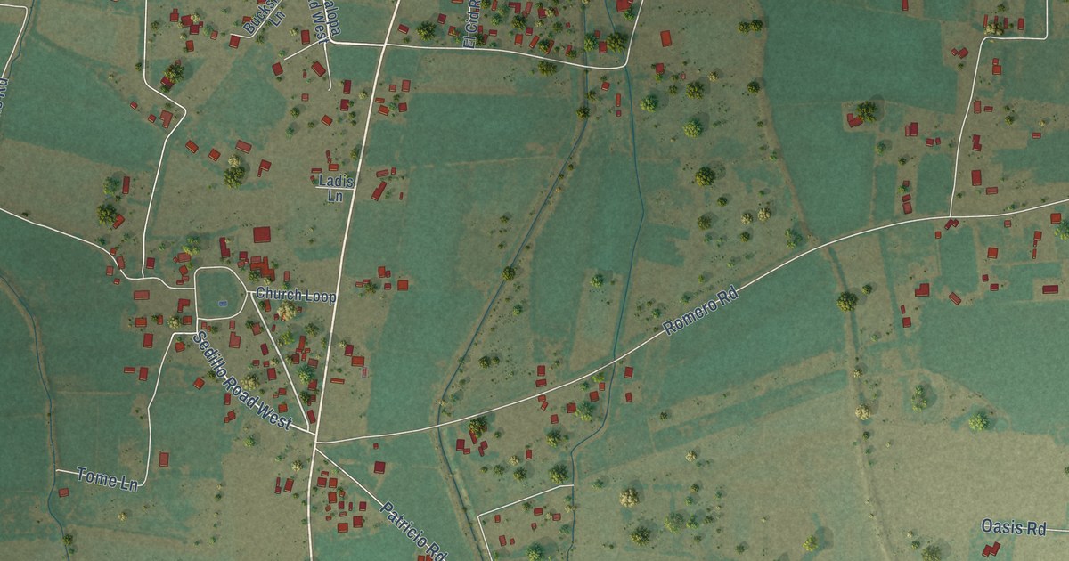
A detailed map of Tome, New Mexico, showing every building in its true location, the roads by name, and shaded topographical relief.
Read More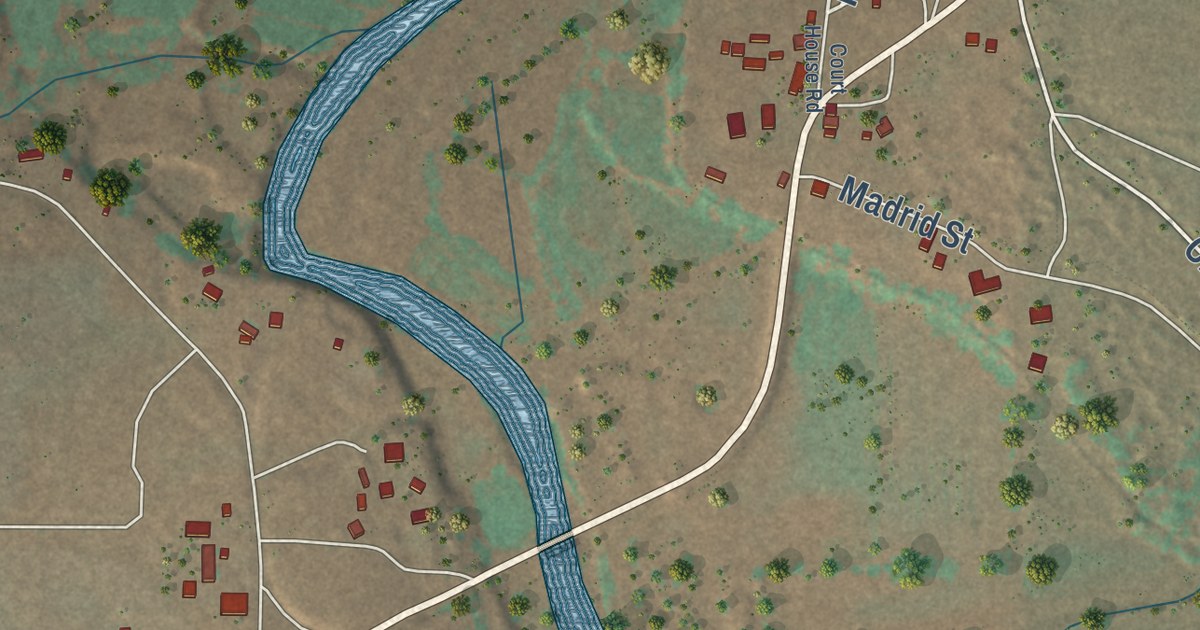
A detailed map of Puerto de Luna, New Mexico, showing every building in its true location, the roads by name, and shaded topographical relief.
Read More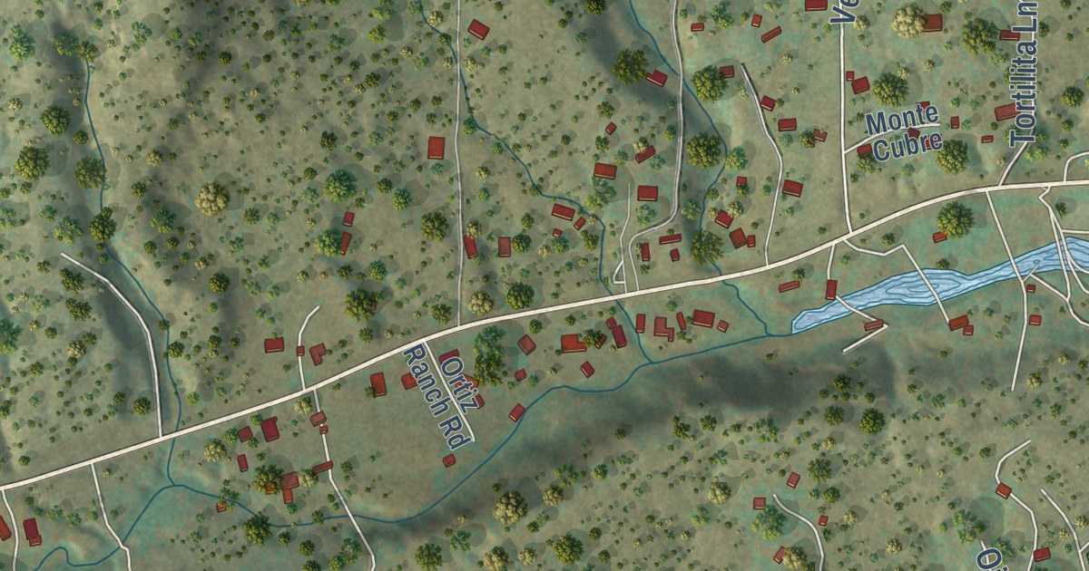
A detailed map of La Cueva, New Mexico, showing every building in its true location, the roads by name, and shaded topographical relief.
Read More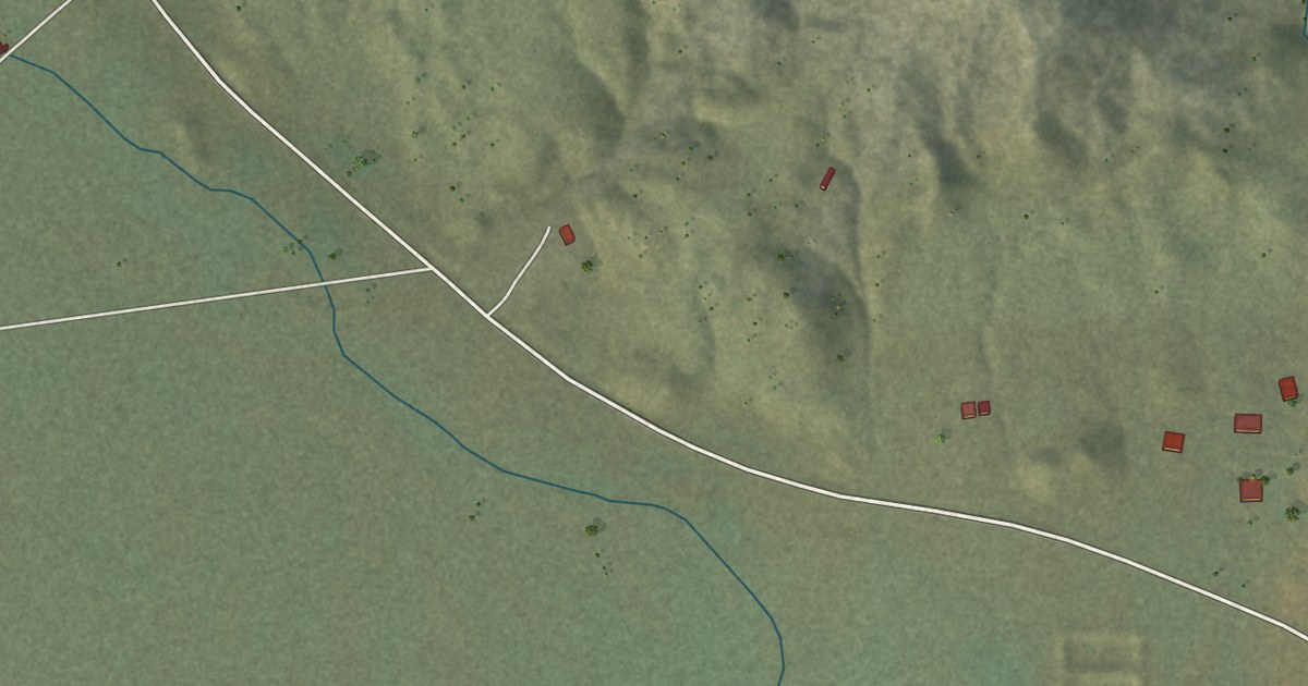
A detailed map of Manuelito, New Mexico, showing every building in its true location, the roads by name, and shaded topographical relief.
Read More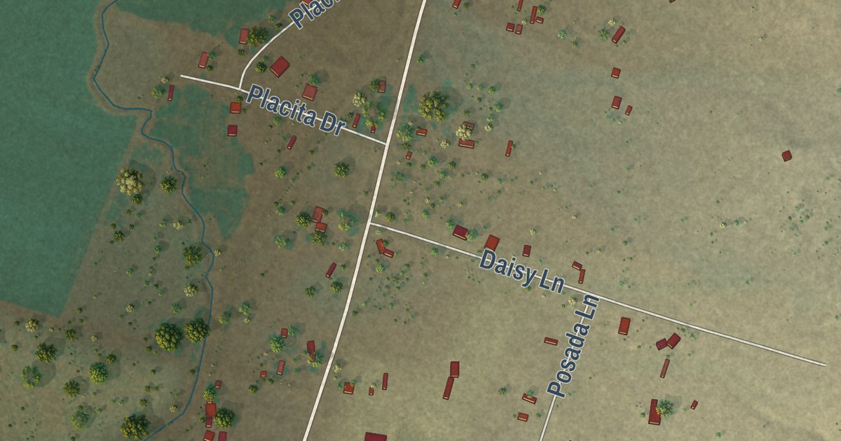
A detailed map of Casa Colorada, New Mexico, showing every building in its true location, the roads by name, and shaded topographical relief.
Read More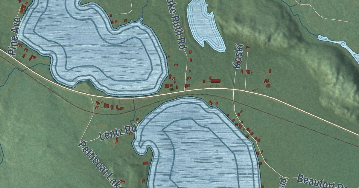
A detailed map of Three Lakes, Michigan, showing every building in its true location, the roads by name, and shaded topographical relief.
Read More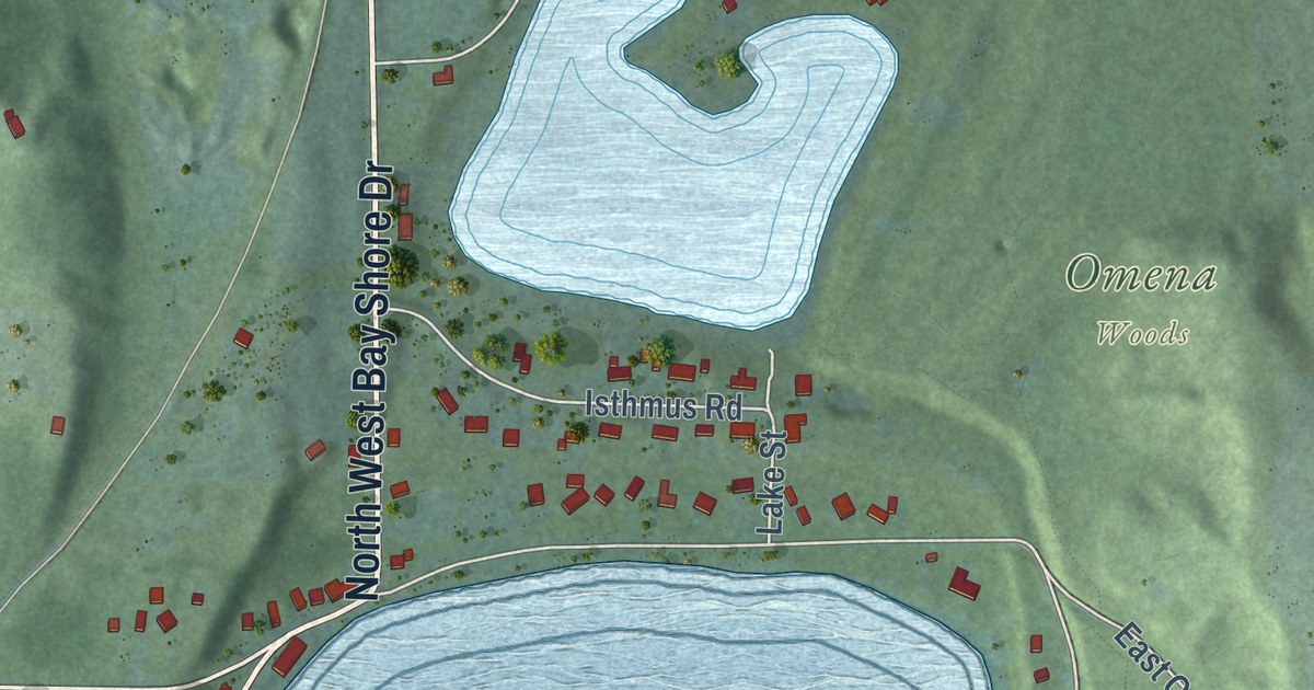
A detailed map of Omena, Michigan, showing every building in its true location, the roads by name, and shaded topographical relief.
Read More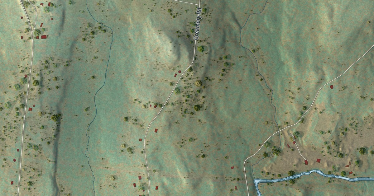
A detailed map of Mongaup Valley, New York, showing every building in its true location, the roads by name, and shaded topographical relief.
Read More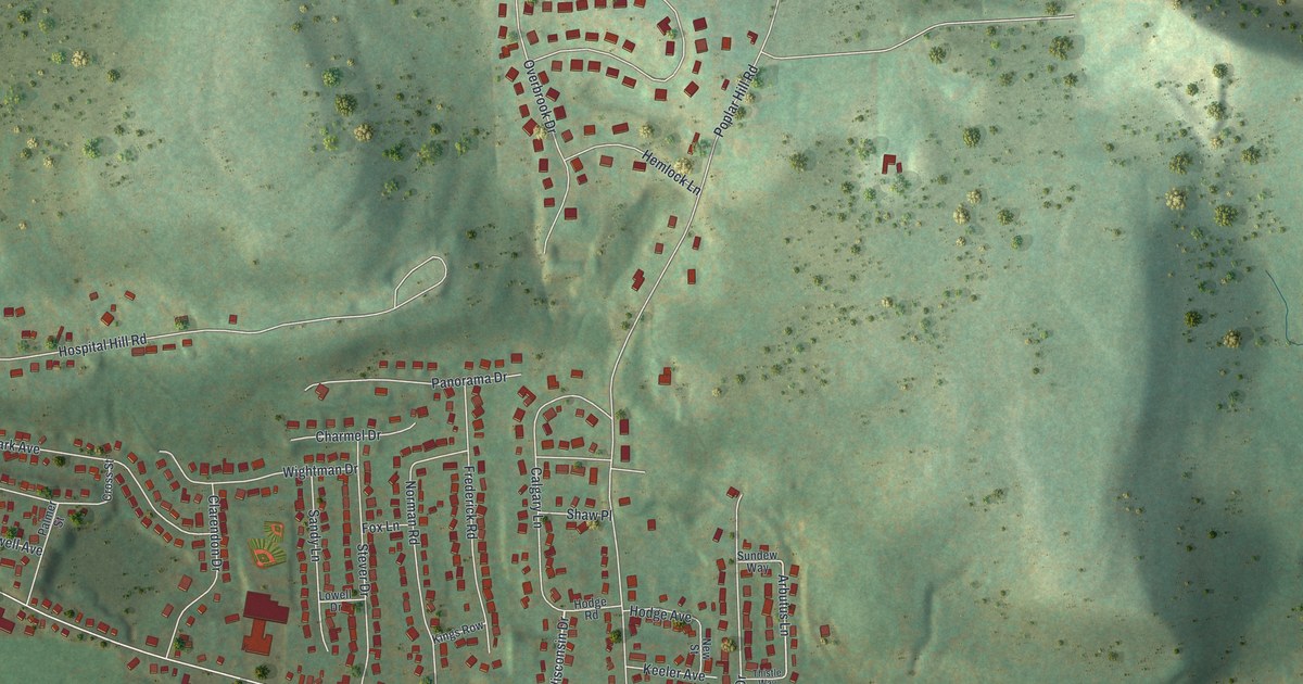
A detailed map of Chenango Bridge, New York, showing every building in its true location, the roads by name, and shaded topographical relief.
Read More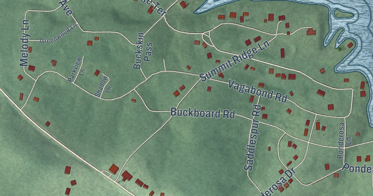
A detailed map of Ozark Acres, Arkansas, showing every building in its true location, the roads by name, and shaded topographical relief.
Read More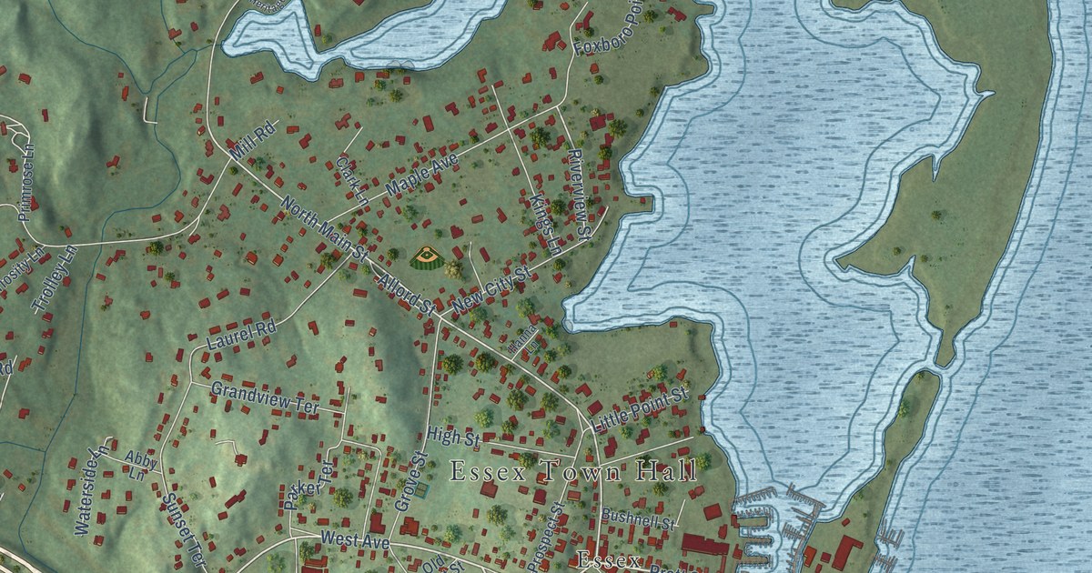
A detailed map of Essex Village, Connecticut, showing every building in its true location, the roads by name, and shaded topographical relief.
Read More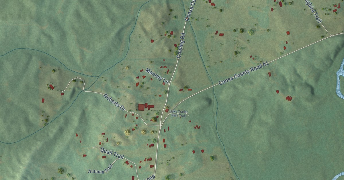
A detailed map of Weogufka, Alabama, showing every building in its true location, the roads by name, and shaded topographical relief.
Read More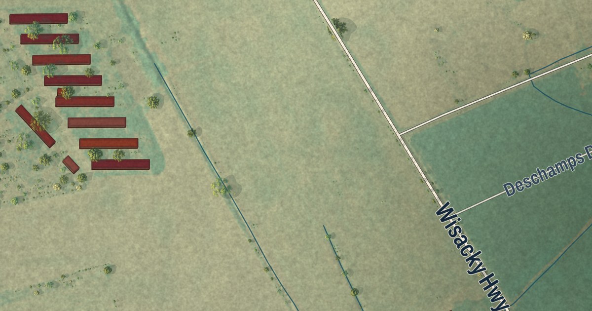
A detailed map of Wisacky, South Carolina, showing every building in its true location, the roads by name, and shaded topographical relief.
Read More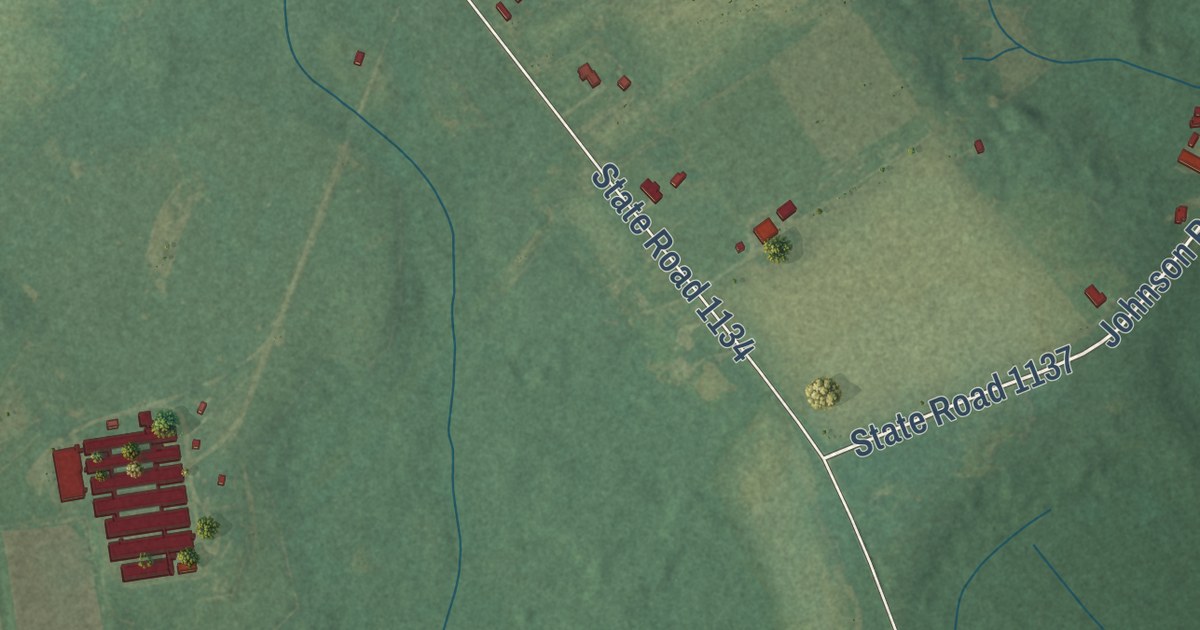
A detailed map of Ingold, North Carolina, showing every building in its true location, the roads by name, and shaded topographical relief.
Read More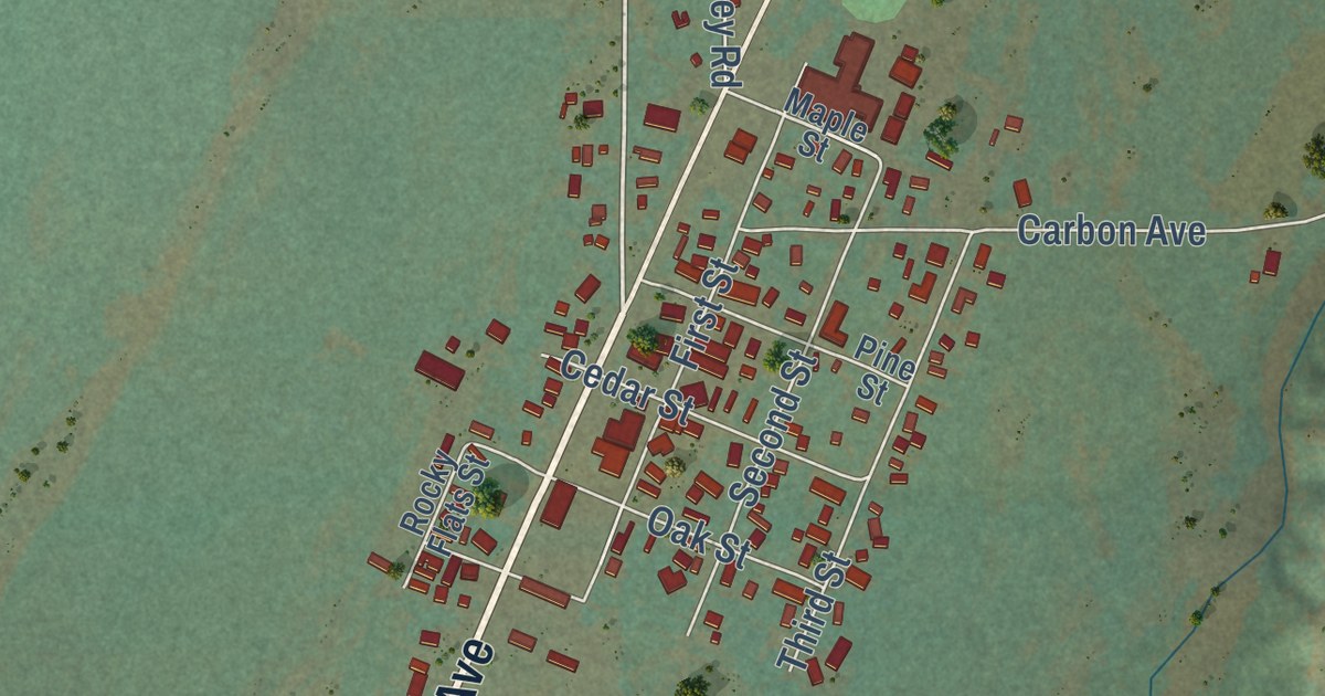
A detailed map of Roberts, Montana, showing every building in its true location, the roads by name, and shaded topographical relief.
Read More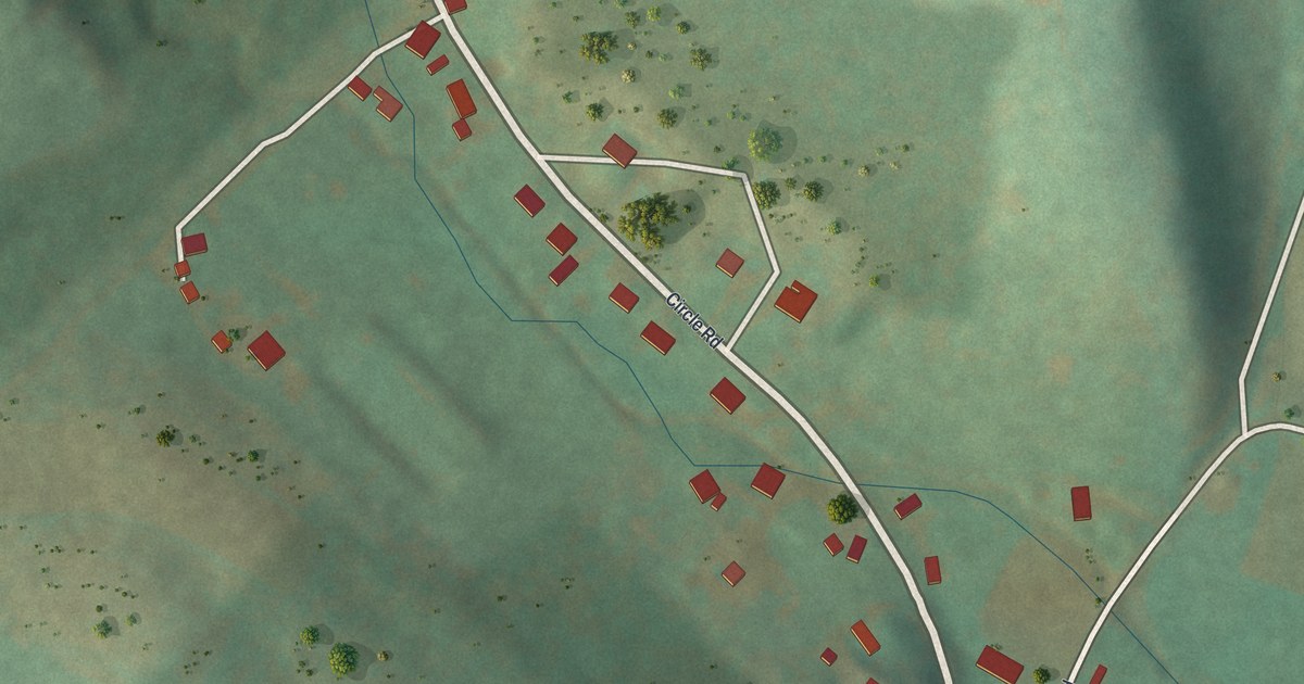
A detailed map of Yarnell, Pennsylvania, showing every building in its true location, the roads by name, and shaded topographical relief.
Read More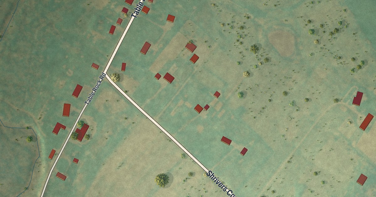
A detailed map of Table Rock, Pennsylvania, showing every building in its true location, the roads by name, and shaded topographical relief.
Read More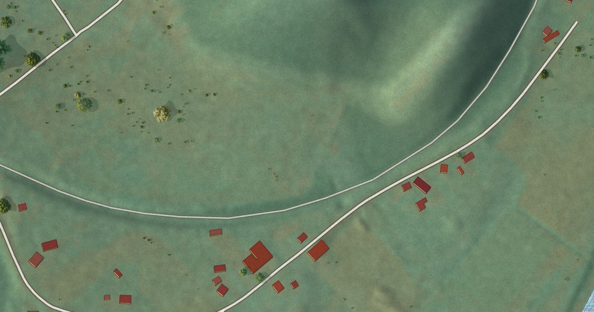
A detailed map of Reese, Pennsylvania, showing every building in its true location, the roads by name, and shaded topographical relief.
Read More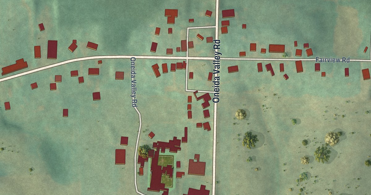
A detailed map of North Washington, Pennsylvania, showing every building in its true location, the roads by name, and shaded topographical relief.
Read More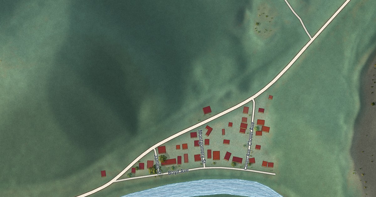
A detailed map of Nealmont, Pennsylvania, showing every building in its true location, the roads by name, and shaded topographical relief.
Read More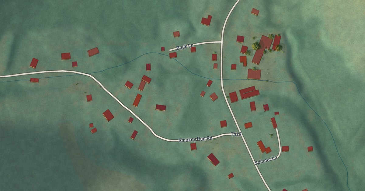
A detailed map of Klahr, Pennsylvania, showing every building in its true location, the roads by name, and shaded topographical relief.
Read More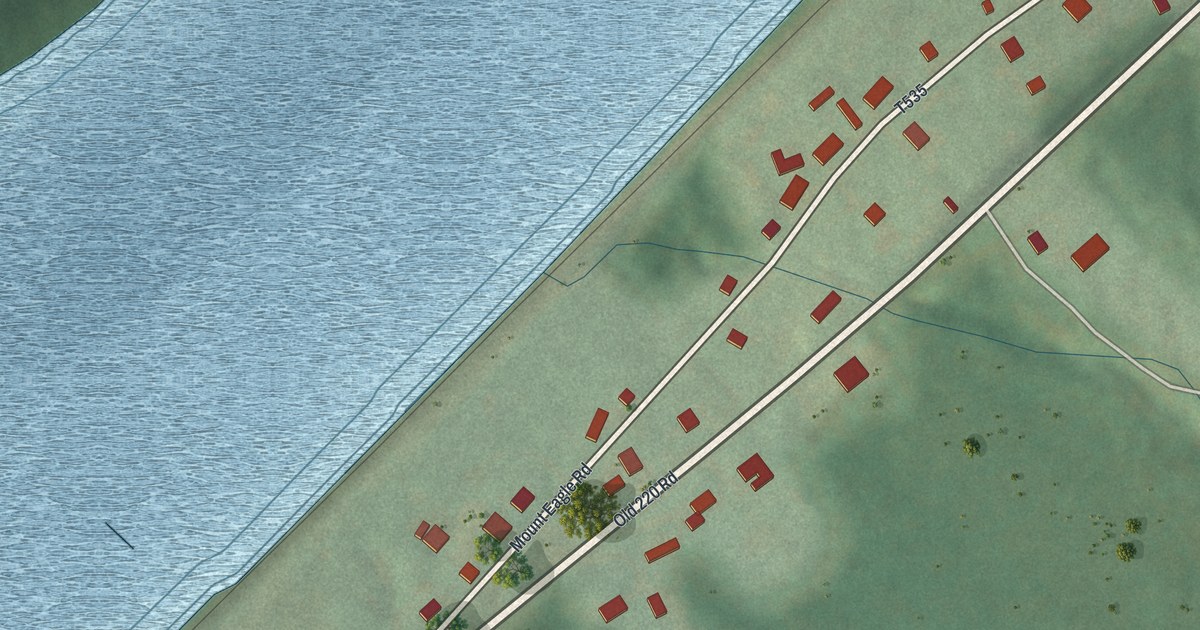
A detailed map of Mount Eagle, Pennsylvania, showing every building in its true location, the roads by name, and shaded topographical relief.
Read More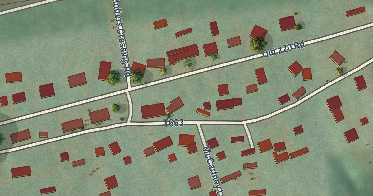
A detailed map of Holters Crossing, Pennsylvania, showing every building in its true location, the roads by name, and shaded topographical relief.
Read More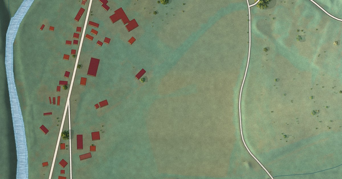
A detailed map of Iola, Pennsylvania, showing every building in its true location, the roads by name, and shaded topographical relief.
Read More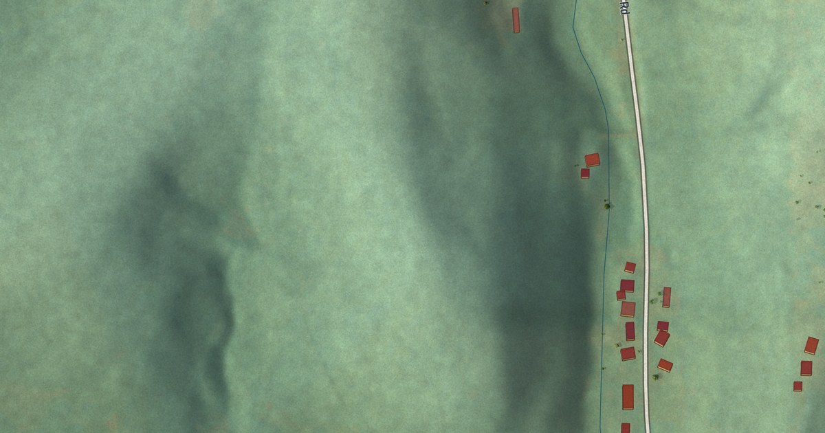
A detailed map of Fenelton, Pennsylvania, showing every building in its true location, the roads by name, and shaded topographical relief.
Read More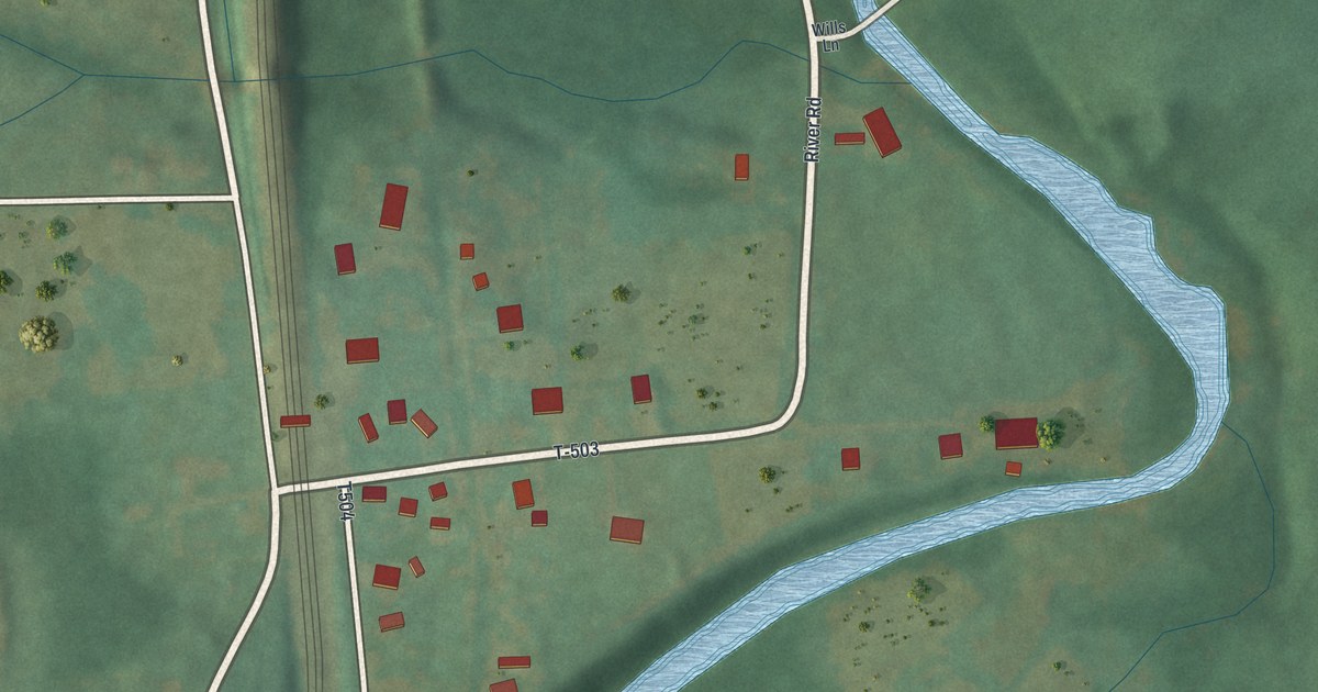
A detailed map of Fostoria, Pennsylvania, showing every building in its true location, the roads by name, and shaded topographical relief.
Read More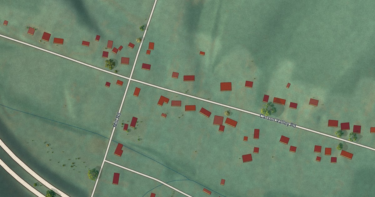
A detailed map of Carson Valley, Pennsylvania, showing every building in its true location, the roads by name, and shaded topographical relief.
Read More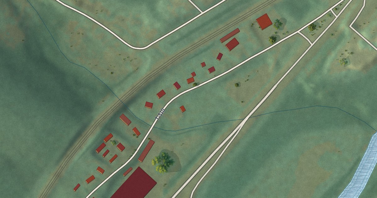
A detailed map of Charlottsville, Pennsylvania, showing every building in its true location, the roads by name, and shaded topographical relief.
Read More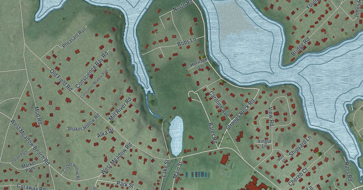
A detailed map of Setauket, New York, showing every building in its true location, the roads by name, and shaded topographical relief.
Read More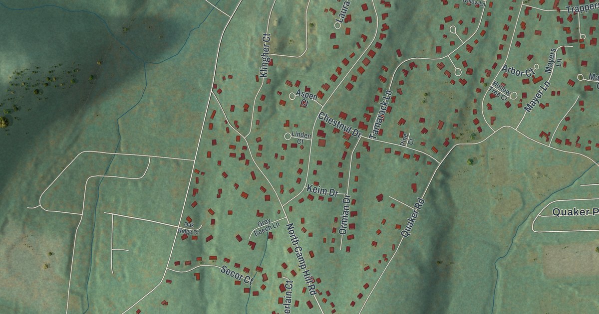
A detailed map of Pomona, New York, showing every building in its true location, the roads by name, and shaded topographical relief.
Read More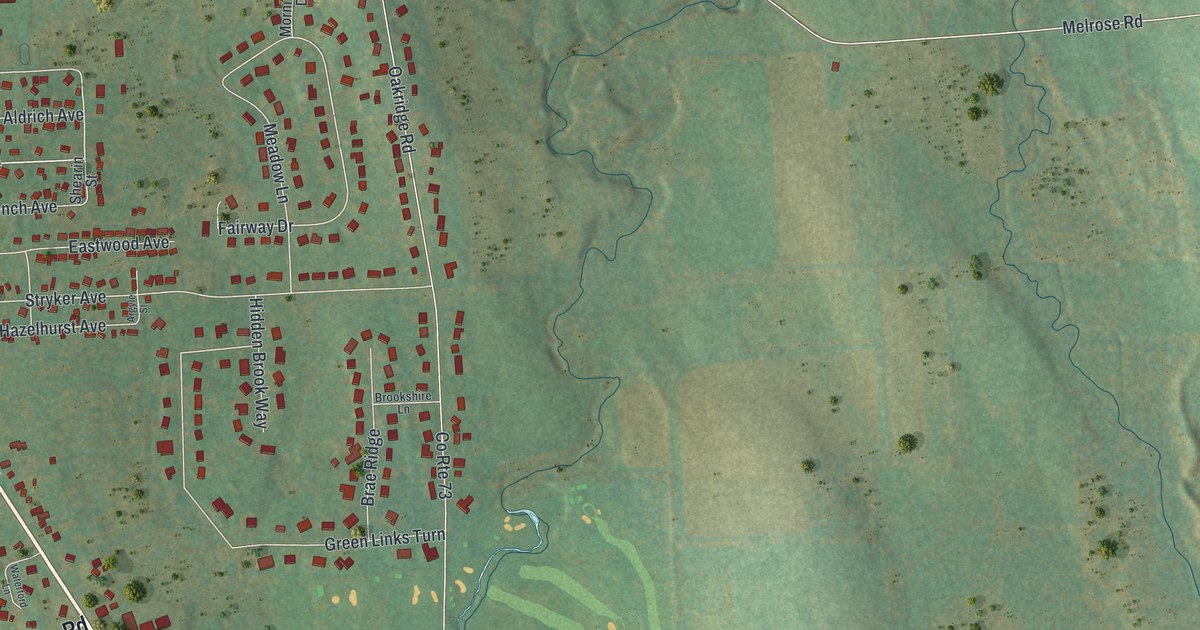
A detailed map of Melrose Park, New York, showing every building in its true location, the roads by name, and shaded topographical relief.
Read More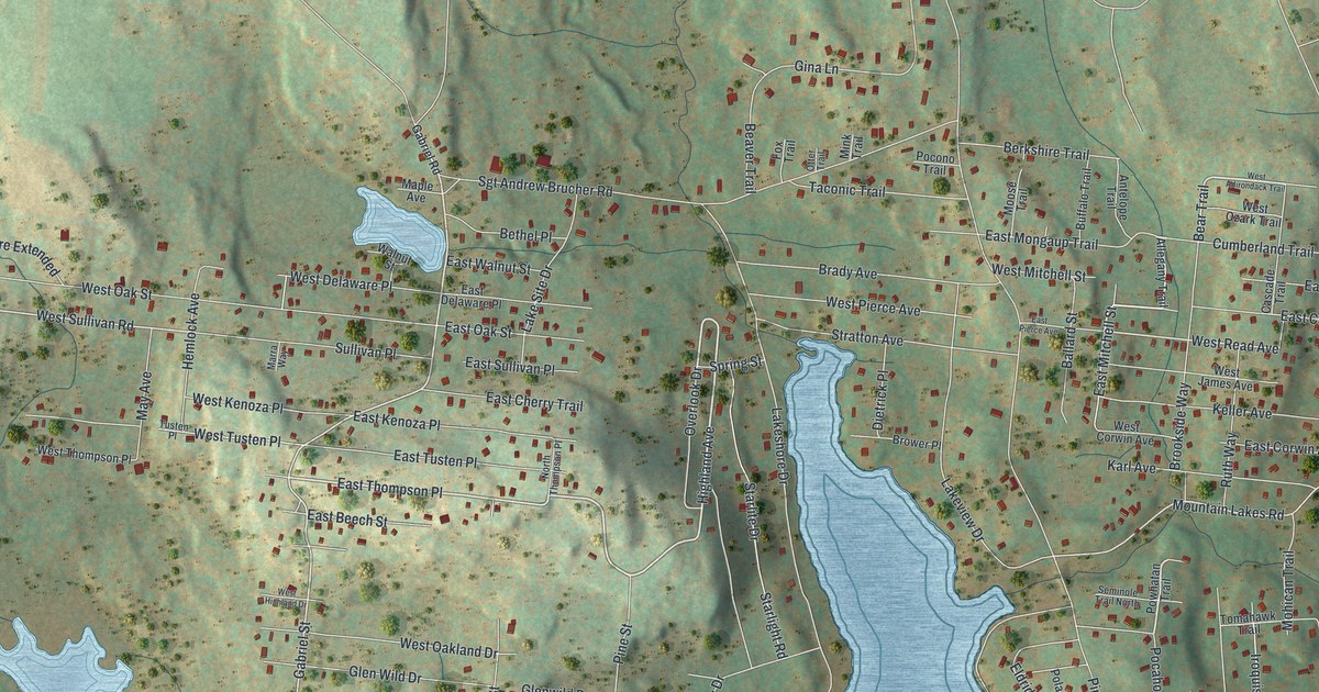
A detailed map of Smallwood, New York, showing every building in its true location, the roads by name, and shaded topographical relief.
Read More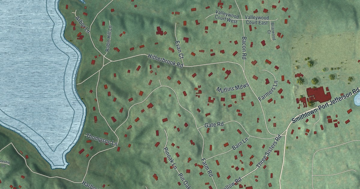
A detailed map of Head of the Harbor, New York, showing every building in its true location, the roads by name, and shaded topographical relief.
Read More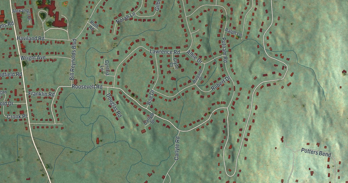
A detailed map of Haviland, New York, showing every building in its true location, the roads by name, and shaded topographical relief.
Read More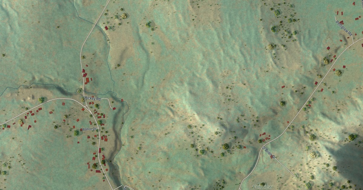
A detailed map of Au Sable Forks, New York, showing every building in its true location, the roads by name, and shaded topographical relief.
Read More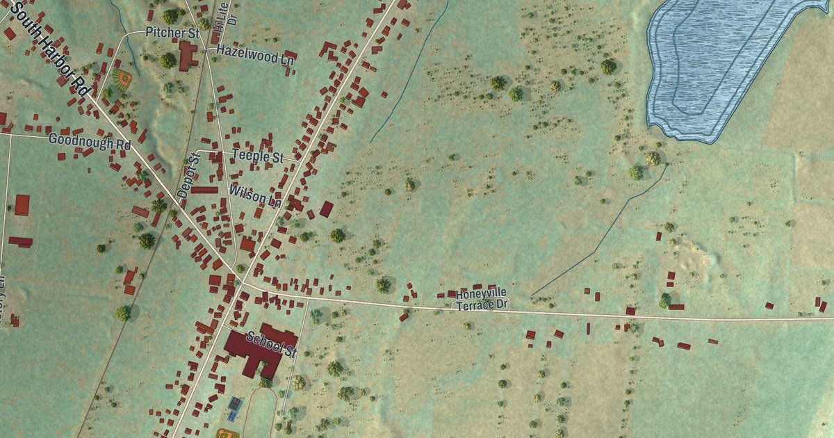
A detailed map of Adams Center, New York, showing every building in its true location, the roads by name, and shaded topographical relief.
Read More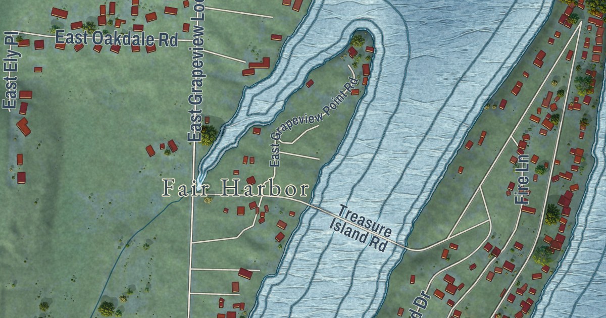
A detailed map of Grapeview, Washington, showing every building in its true location, the roads by name, and shaded topographical relief.
Read More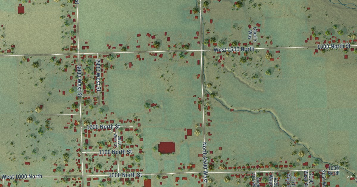
A detailed map of Maeser, Utah, showing every building in its true location, the roads by name, and shaded topographical relief.
Read More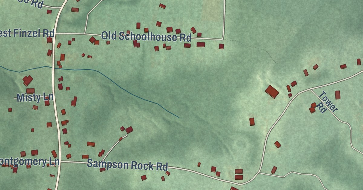
A detailed map of Finzel, Maryland, showing every building in its true location, the roads by name, and shaded topographical relief.
Read More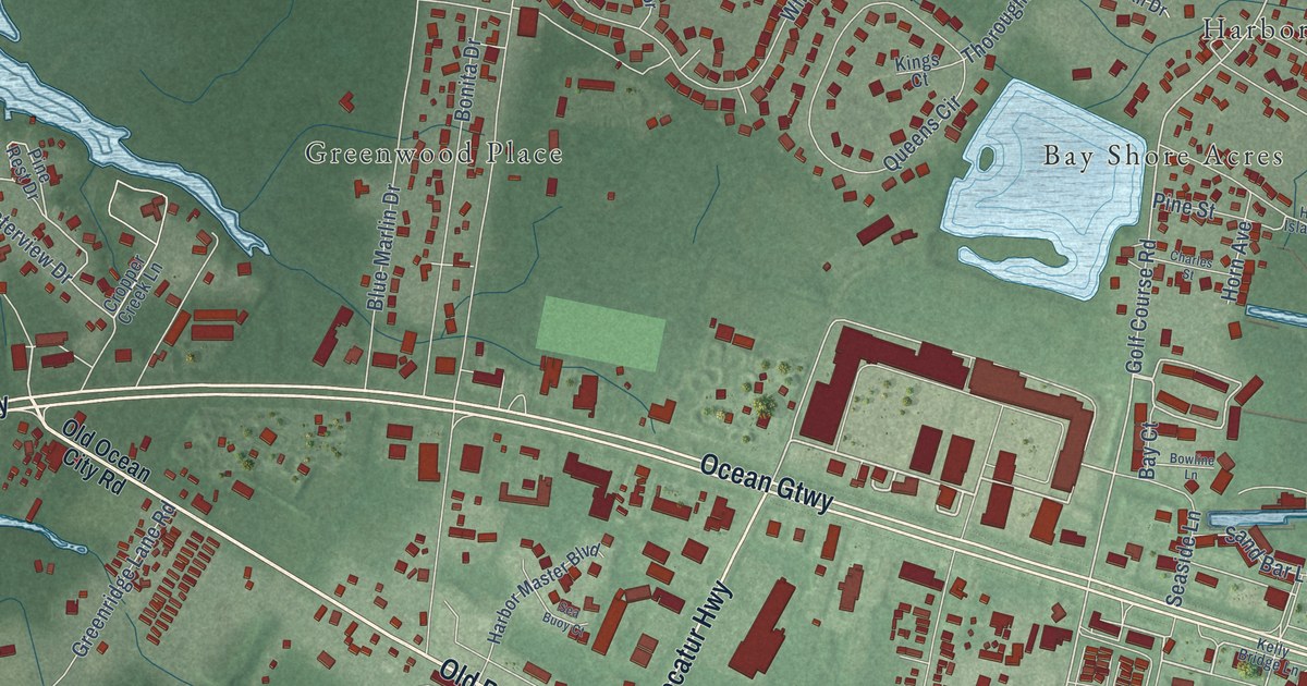
A detailed map of West Ocean City, Maryland, showing every building in its true location, the roads by name, and shaded topographical relief.
Read More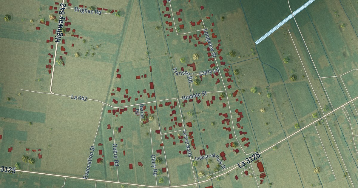
A detailed map of Grand Point, Louisiana, showing every building in its true location, the roads by name, and shaded topographical relief.
Read More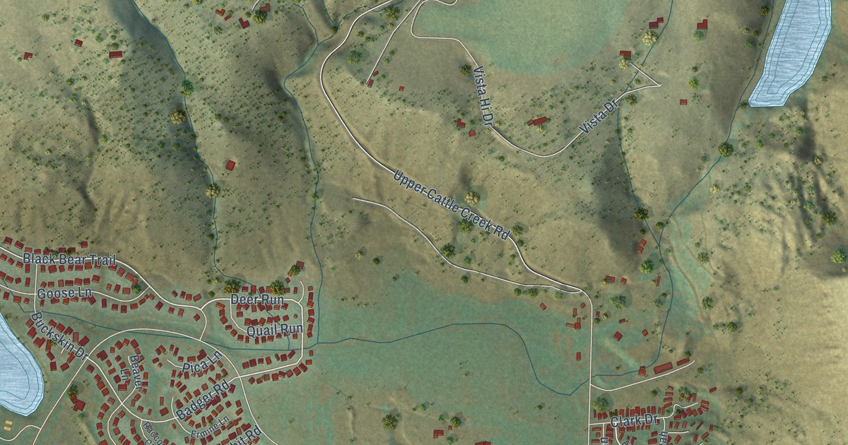
A detailed map of El Jebel, Colorado, showing every building in its true location, the roads by name, and shaded topographical relief.
Read More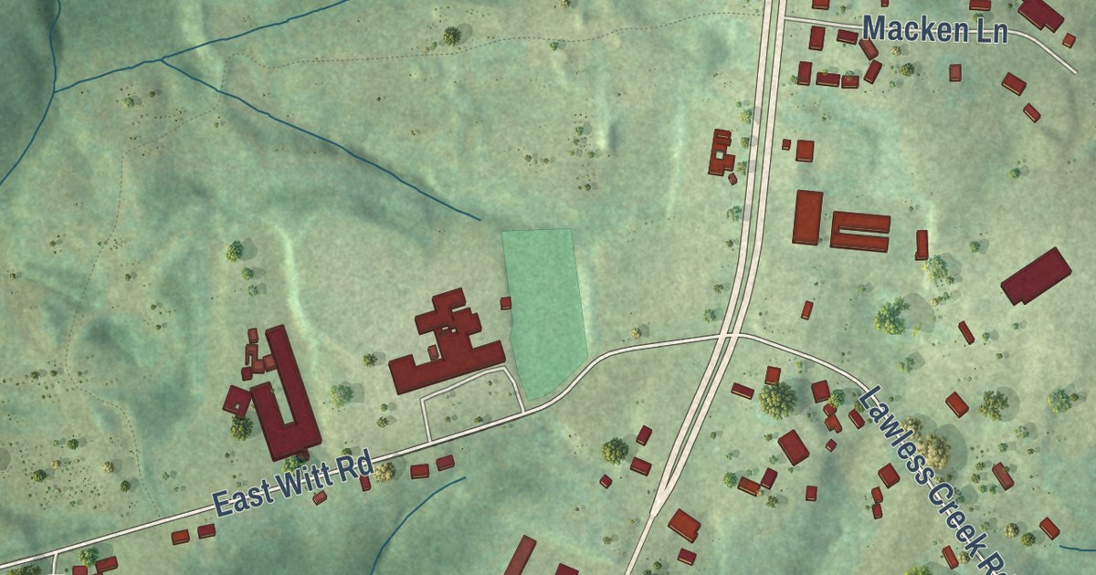
A detailed map of Blairs, Virginia, showing every building in its true location, the roads by name, and shaded topographical relief.
Read More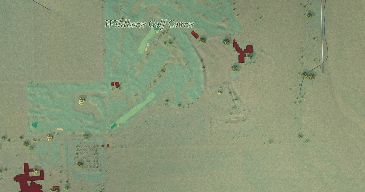
A detailed map of Mission, Oregon, showing every building in its true location, the roads by name, and shaded topographical relief.
Read More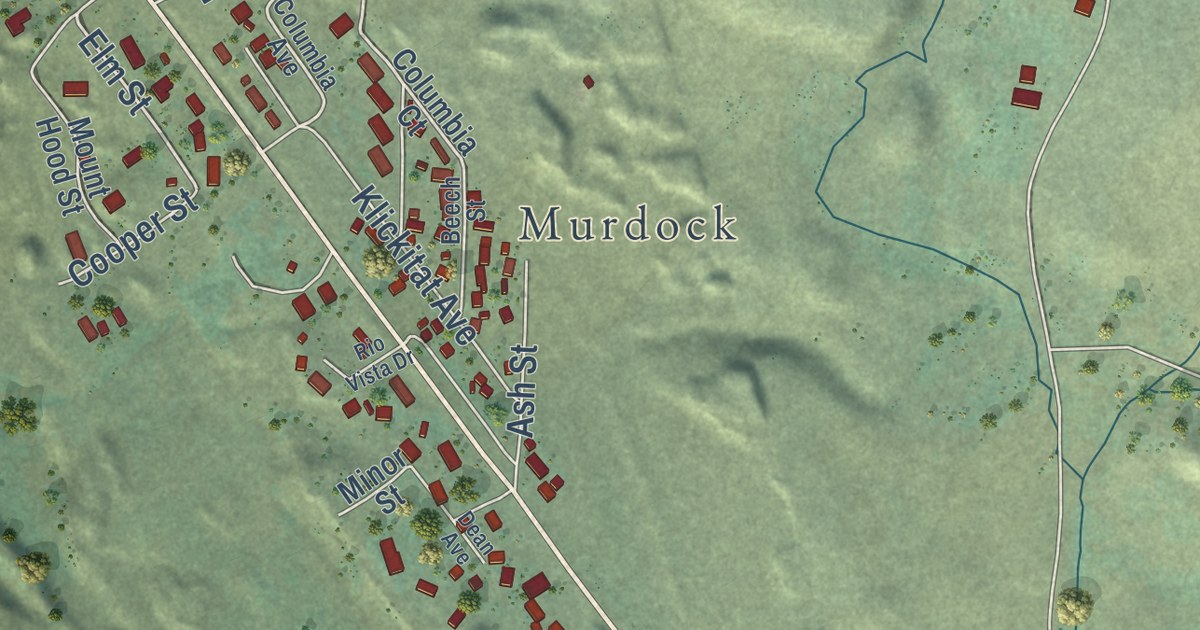
A detailed map of Dallesport, Washington, showing every building in its true location, the roads by name, and shaded topographical relief.
Read More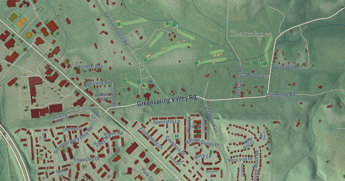
A detailed map of Garrison, Maryland, showing every building in its true location, the roads by name, and shaded topographical relief.
Read More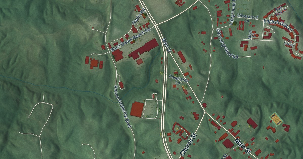
A detailed map of Prince Frederick, Maryland, showing every building in its true location, the roads by name, and shaded topographical relief.
Read More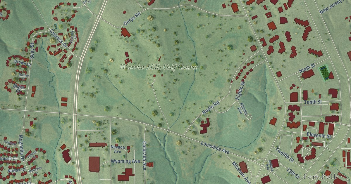
A detailed map of Fort Polk South, Louisiana, showing every building in its true location, the roads by name, and shaded topographical relief.
Read More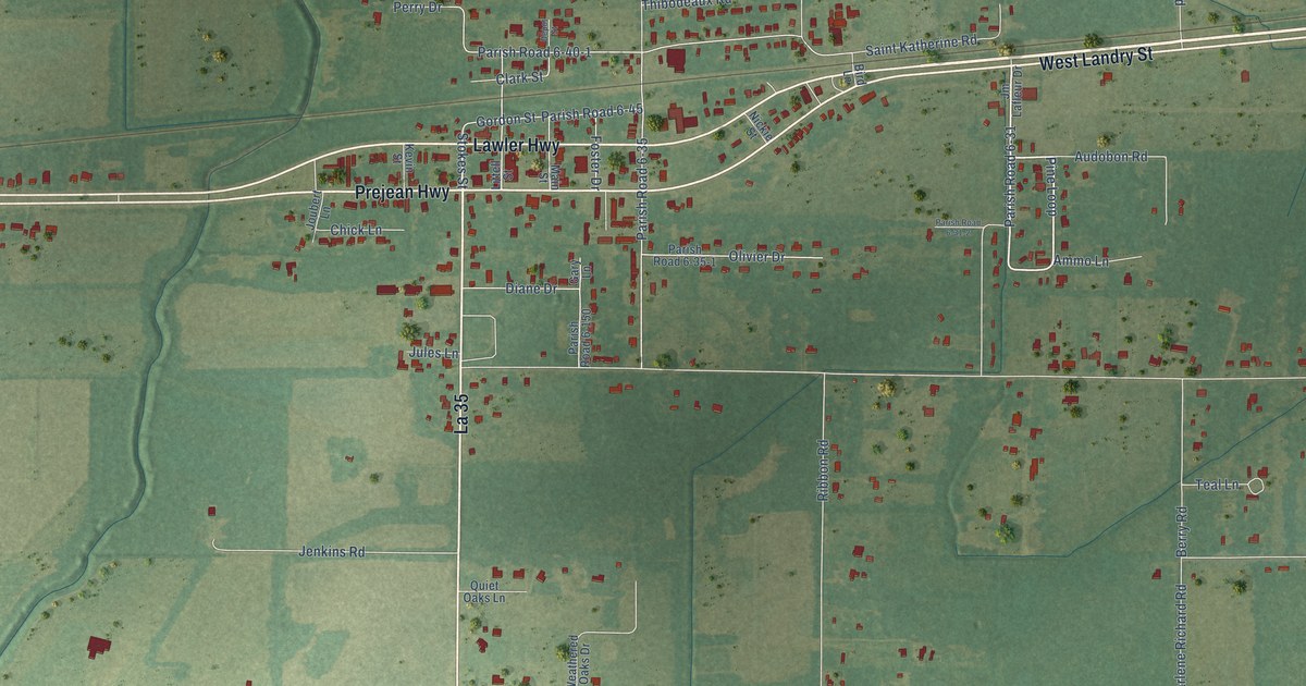
A detailed map of Lawtell, Louisiana, showing every building in its true location, the roads by name, and shaded topographical relief.
Read More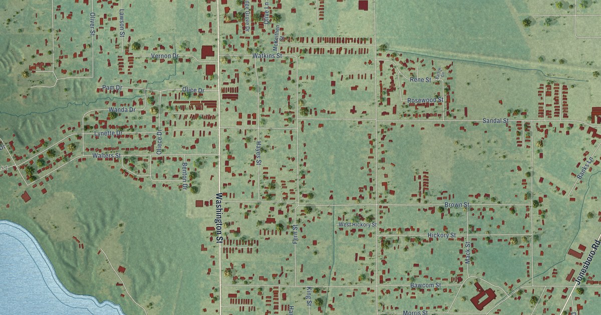
A detailed map of Bawcomville, Louisiana, showing every building in its true location, the roads by name, and shaded topographical relief.
Read More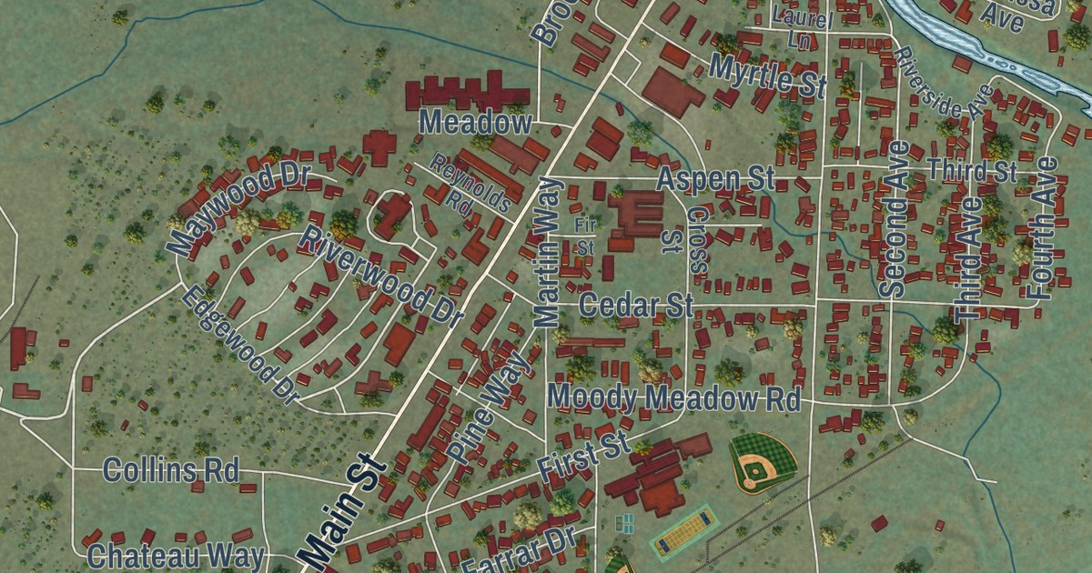
A detailed map of Chester, California, showing every building in its true location, the roads by name, and shaded topographical relief.
Read More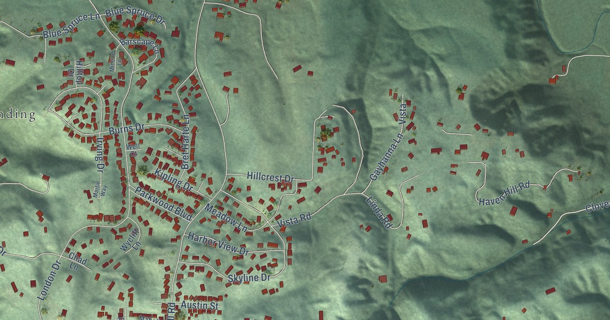
A detailed map of Humboldt Hill, California, showing every building in its true location, the roads by name, and shaded topographical relief.
Read More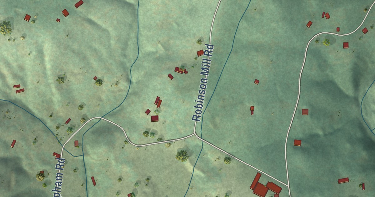
A detailed map of Rackerby, California, showing every building in its true location, the roads by name, and shaded topographical relief.
Read More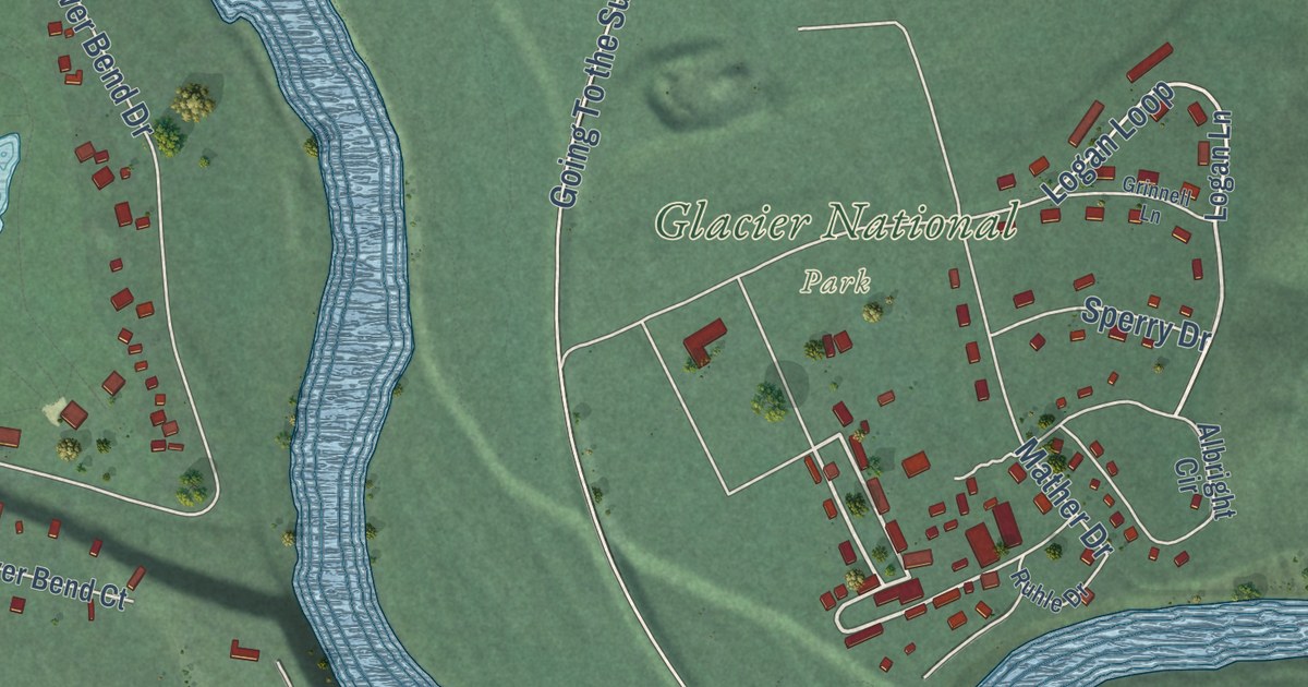
A detailed map of West Glacier, Montana, showing every building in its true location, the roads by name, and shaded topographical relief.
Read More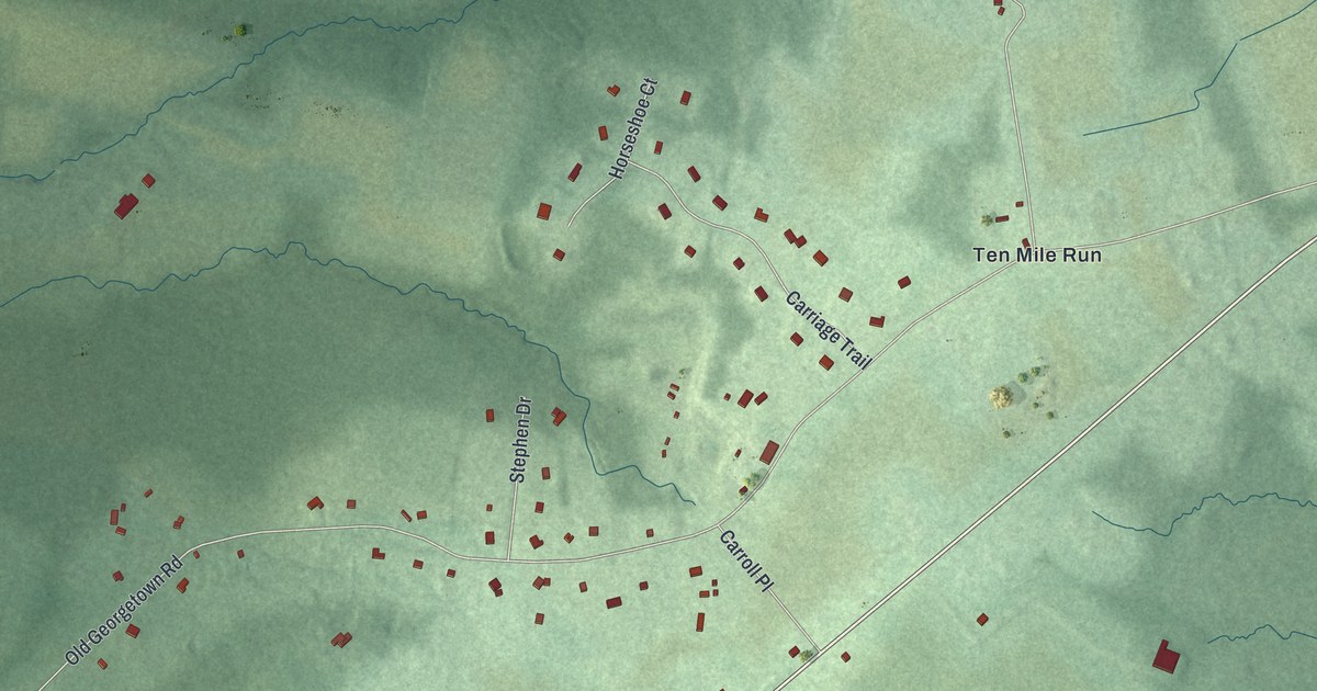
A detailed map of East Rocky Hill, New Jersey, showing every building in its true location, the roads by name, and shaded topographical relief.
Read More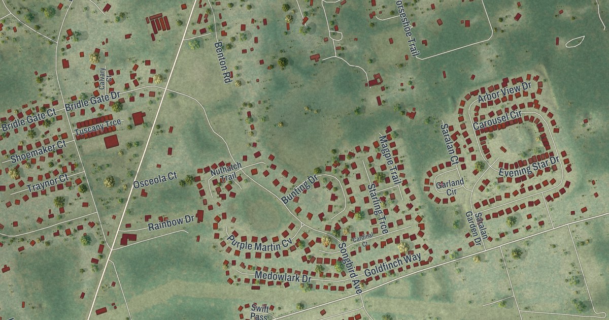
A detailed map of Crawfordville, Florida, showing every building in its true location, the roads by name, and shaded topographical relief.
Read More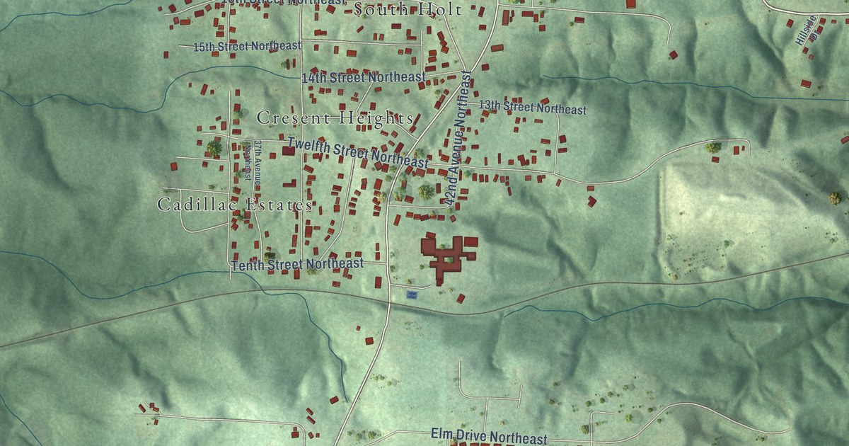
A detailed map of Holt, Alabama, showing every building in its true location, the roads by name, and shaded topographical relief.
Read More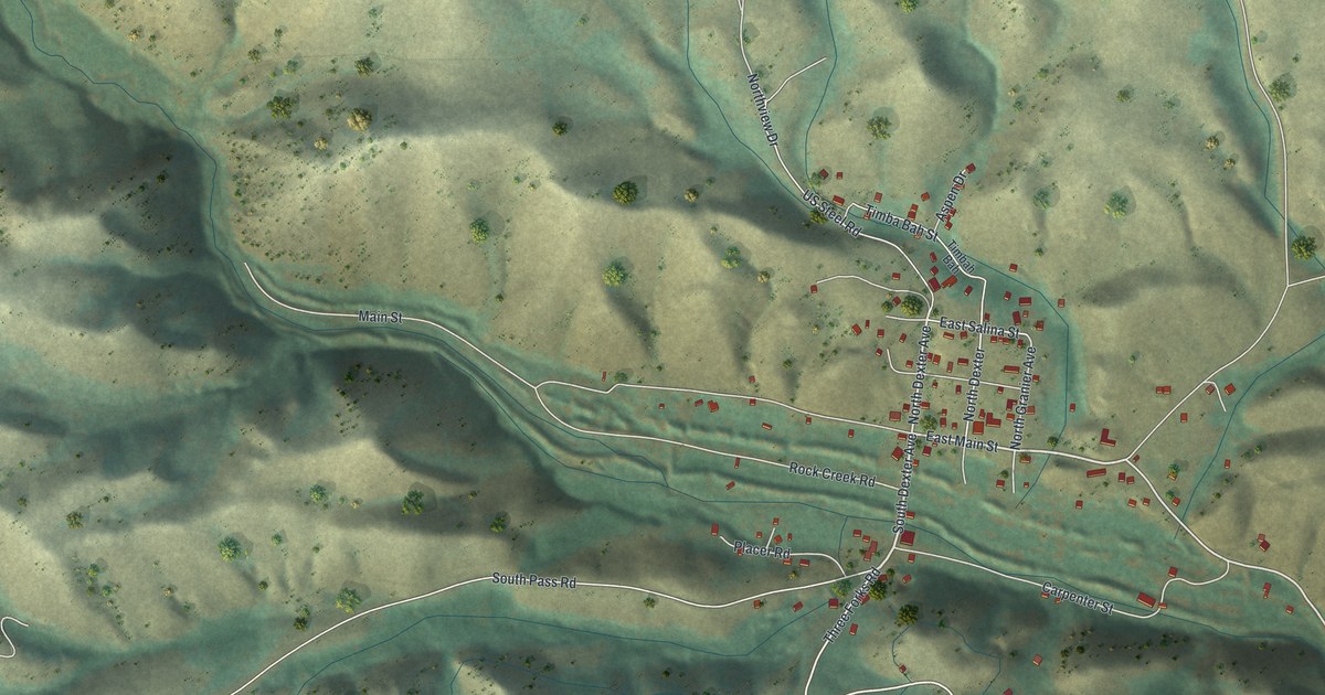
A detailed map of Atlantic City, Wyoming, showing every building in its true location, the roads by name, and shaded topographical relief.
Read More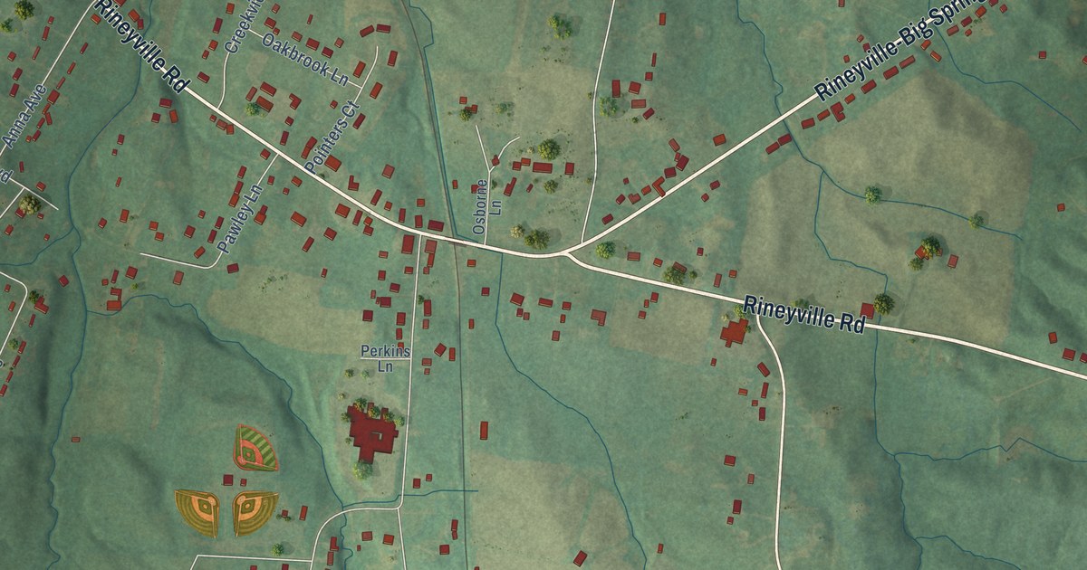
A detailed map of Rineyville, Kentucky, showing every building in its true location, the roads by name, and shaded topographical relief.
Read More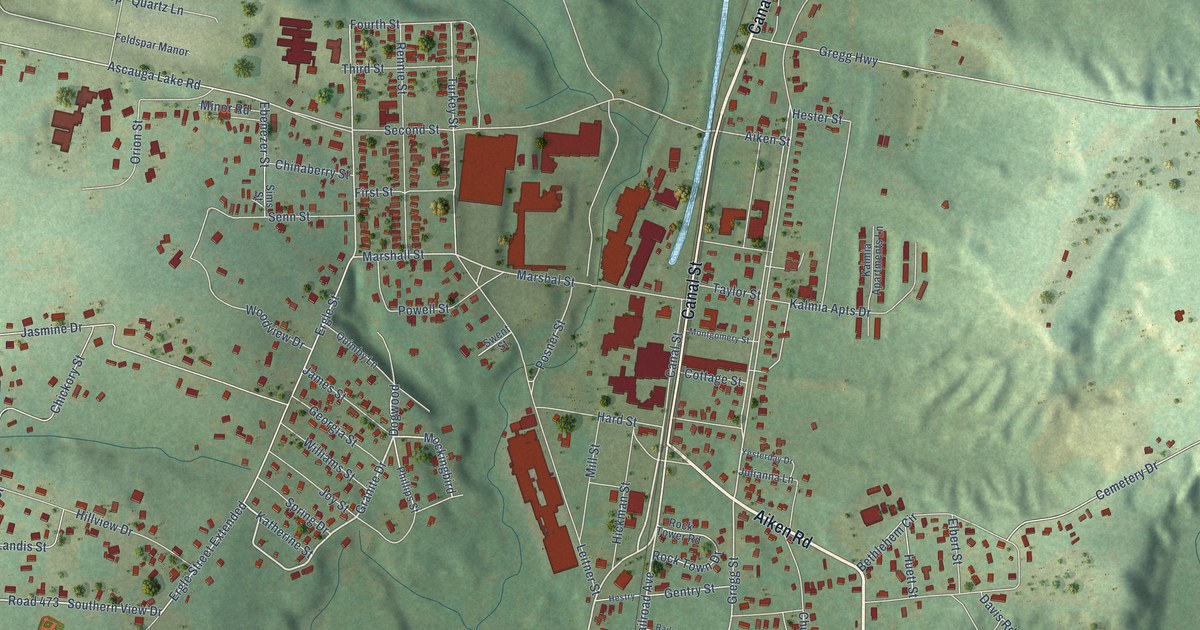
A detailed map of Graniteville, South Carolina, showing every building in its true location, the roads by name, and shaded topographical relief.
Read More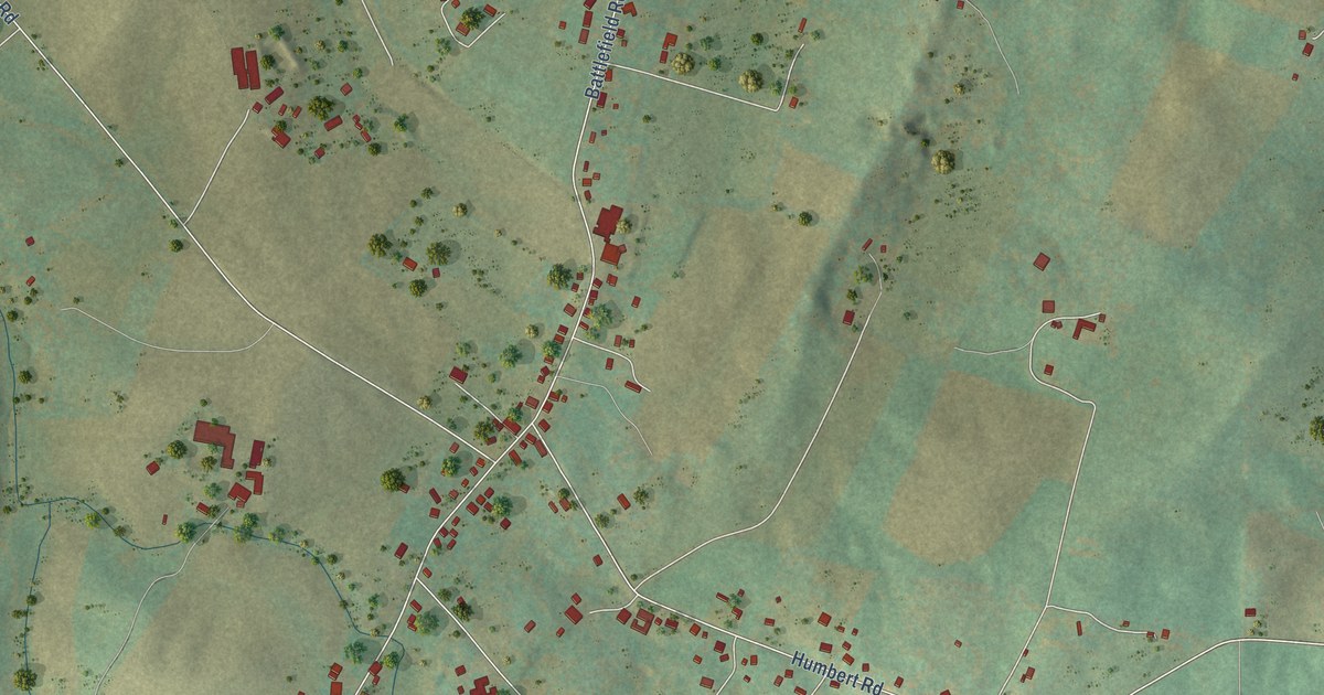
A detailed map of New Hope, Virginia, showing every building in its true location, the roads by name, and shaded topographical relief.
Read More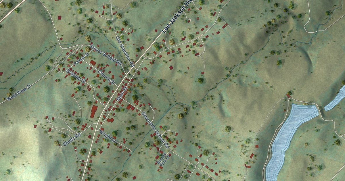
A detailed map of Greenville, Virginia, showing every building in its true location, the roads by name, and shaded topographical relief.
Read More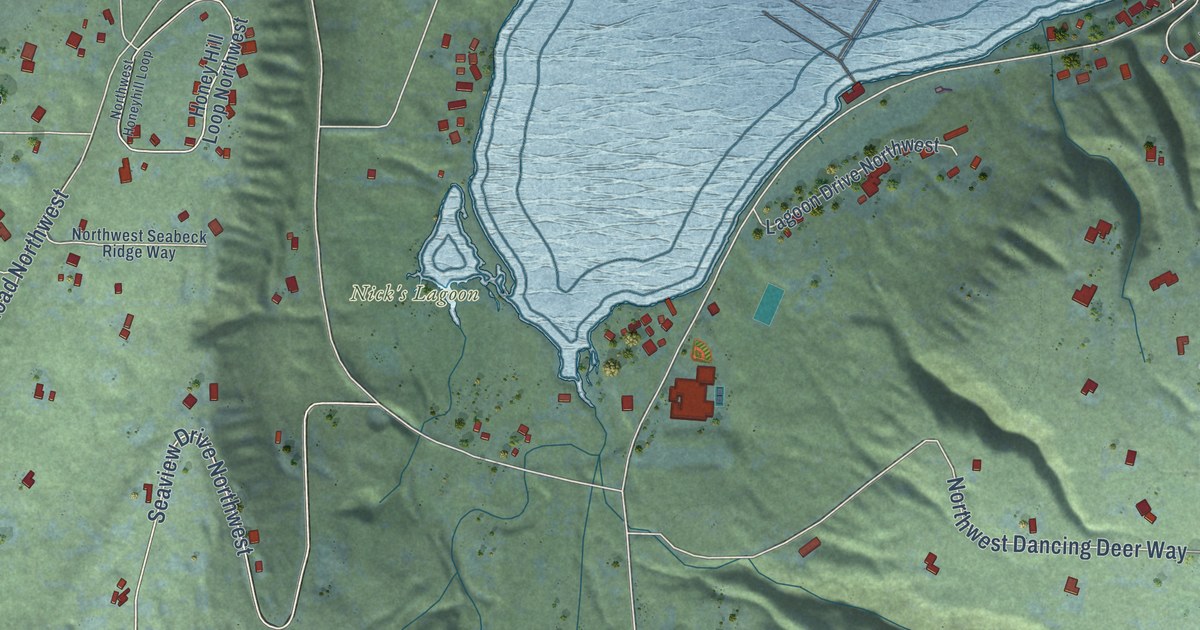
A detailed map of Seabeck, Washington, showing every building in its true location, the roads by name, and shaded topographical relief.
Read More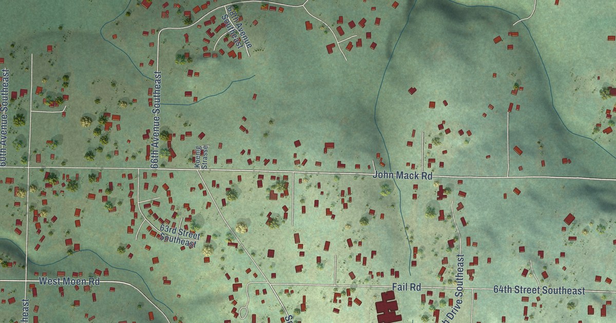
A detailed map of Fobes Hill, Washington, showing every building in its true location, the roads by name, and shaded topographical relief.
Read More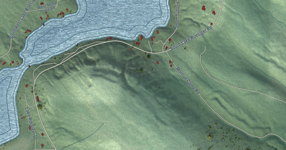
A detailed map of Lake Roesiger, Washington, showing every building in its true location, the roads by name, and shaded topographical relief.
Read More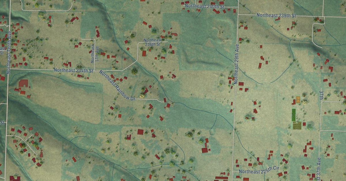
A detailed map of Duluth, Washington, showing every building in its true location, the roads by name, and shaded topographical relief.
Read More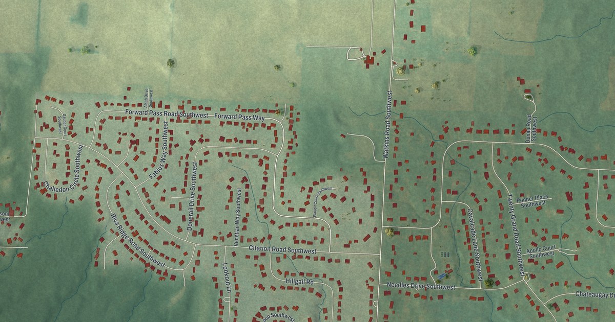
A detailed map of Beechwood Trails, Ohio, showing every building in its true location, the roads by name, and shaded topographical relief.
Read More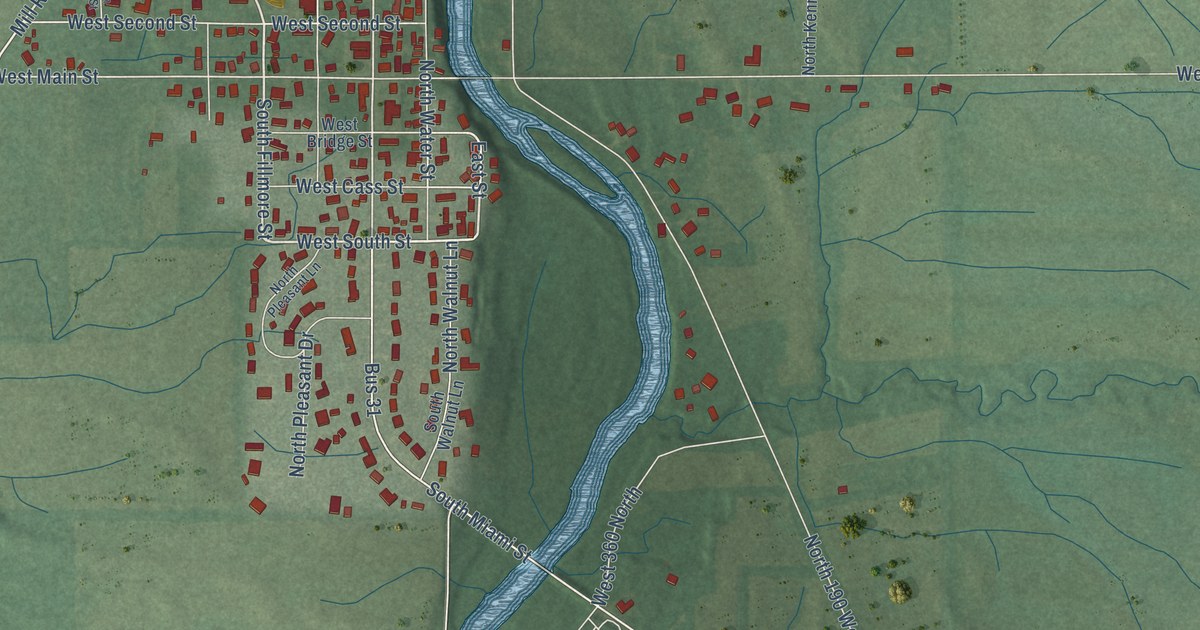
A detailed map of Mexico, Indiana, showing every building in its true location, the roads by name, and shaded topographical relief.
Read More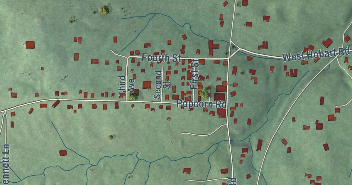
A detailed map of Harrodsburg, Indiana, showing every building in its true location, the roads by name, and shaded topographical relief.
Read More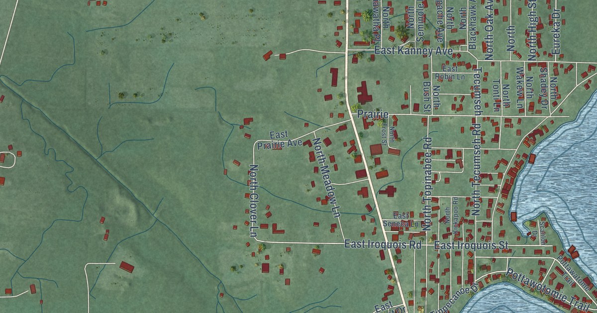
A detailed map of Koontz Lake, Indiana, showing every building in its true location, the roads by name, and shaded topographical relief.
Read More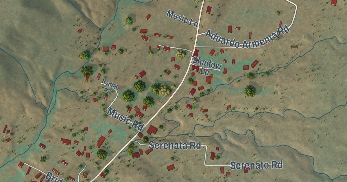
A detailed map of Ponderosa, New Mexico, showing every building in its true location, the roads by name, and shaded topographical relief.
Read More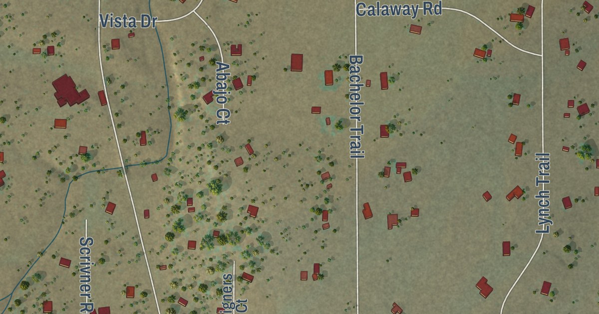
A detailed map of Thunder Mountain, New Mexico, showing every building in its true location, the roads by name, and shaded topographical relief.
Read More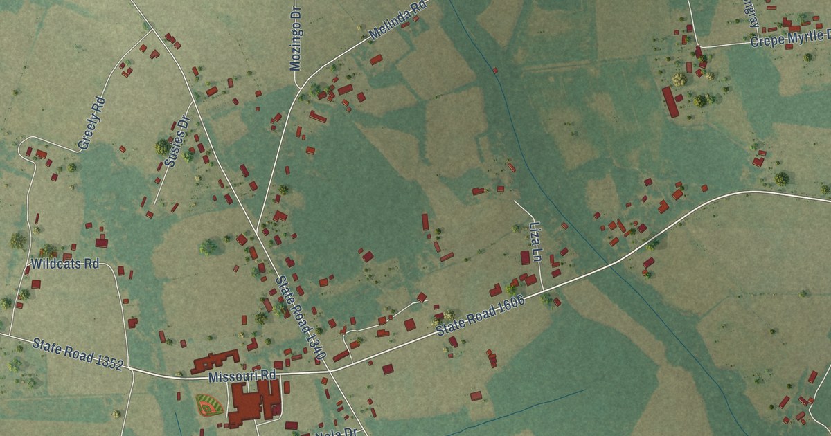
A detailed map of Prospect, North Carolina, showing every building in its true location, the roads by name, and shaded topographical relief.
Read More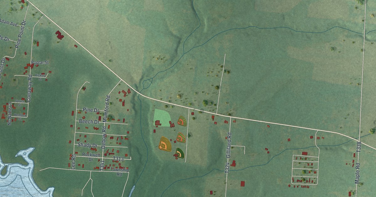
A detailed map of Pymatuning North, Pennsylvania, showing every building in its true location, the roads by name, and shaded topographical relief.
Read More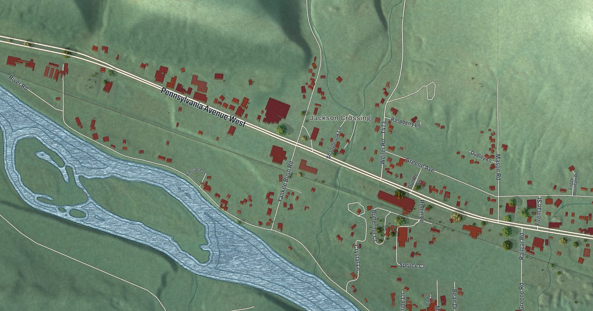
A detailed map of Starbrick, Pennsylvania, showing every building in its true location, the roads by name, and shaded topographical relief.
Read More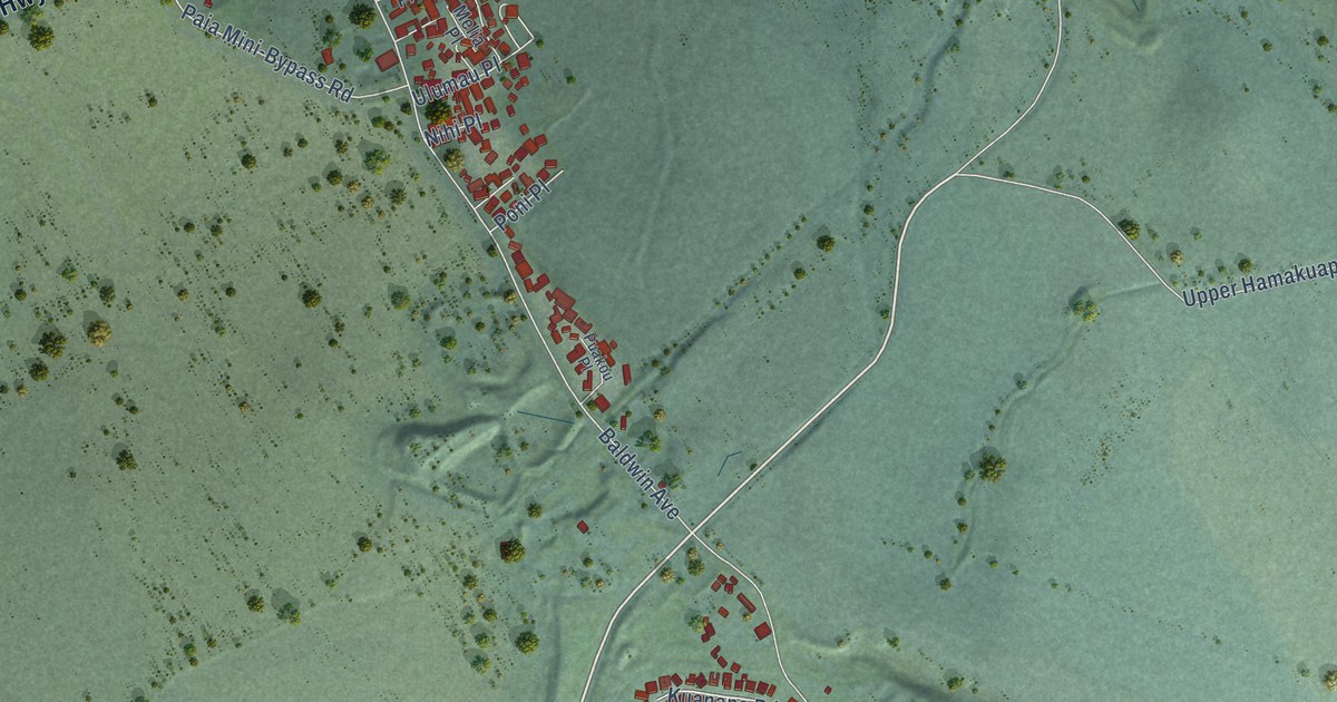
A detailed map of Paia, Hawaii, showing every building in its true location, the roads by name, and shaded topographical relief.
Read More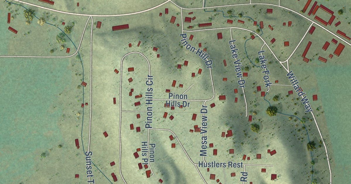
A detailed map of Arboles, Colorado, showing every building in its true location, the roads by name, and shaded topographical relief.
Read More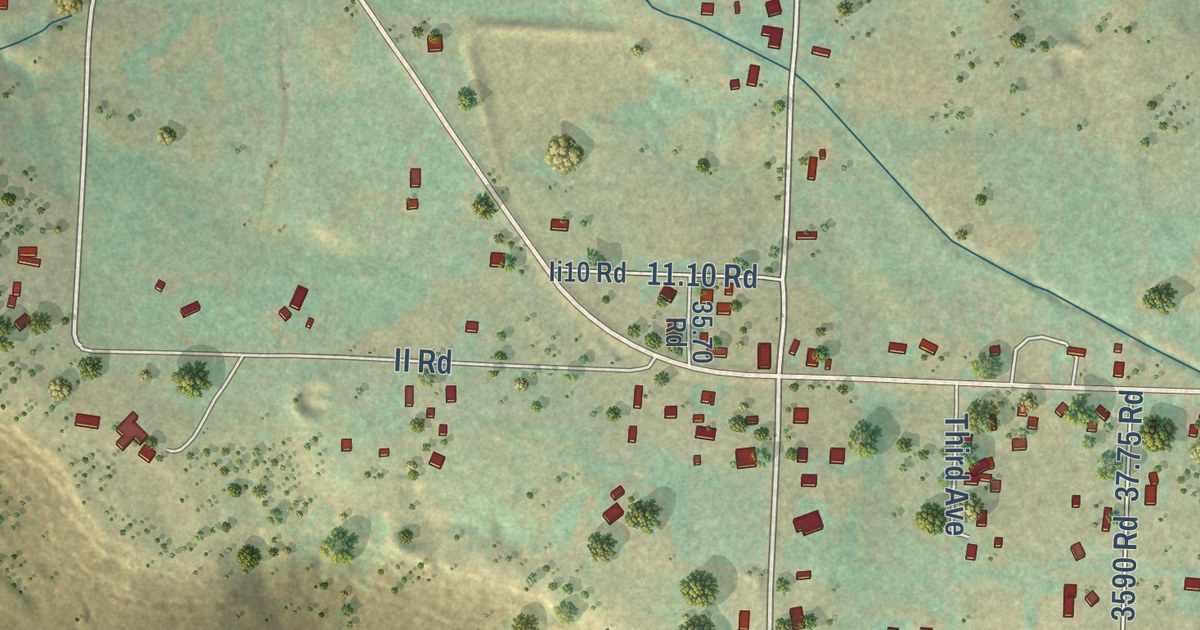
A detailed map of Redvale, Colorado, showing every building in its true location, the roads by name, and shaded topographical relief.
Read More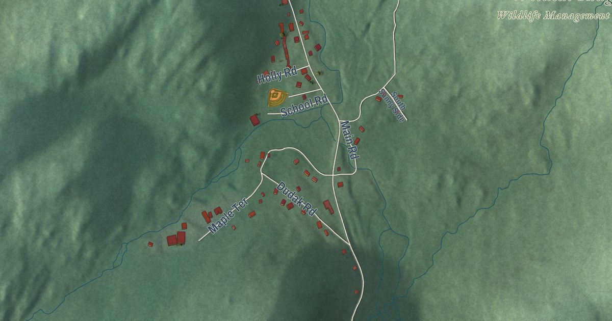
A detailed map of Hibernia, New Jersey, showing every building in its true location, the roads by name, and shaded topographical relief.
Read More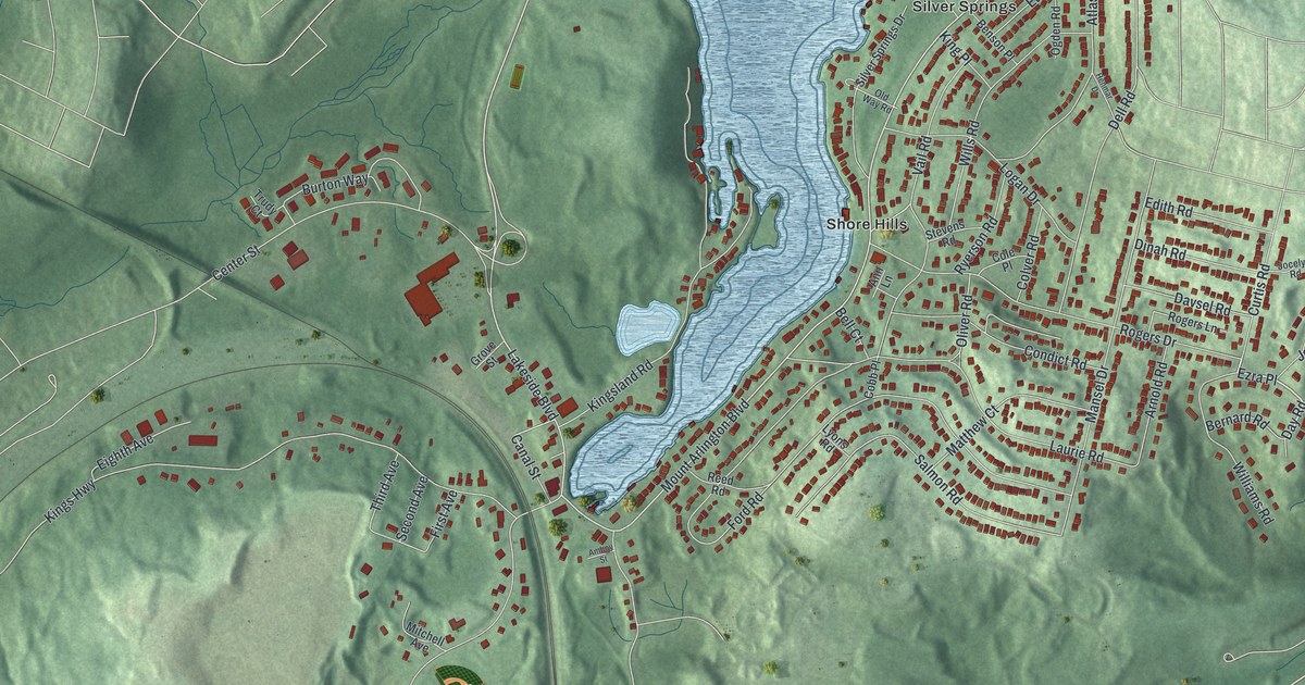
A detailed map of Landing, New Jersey, showing every building in its true location, the roads by name, and shaded topographical relief.
Read More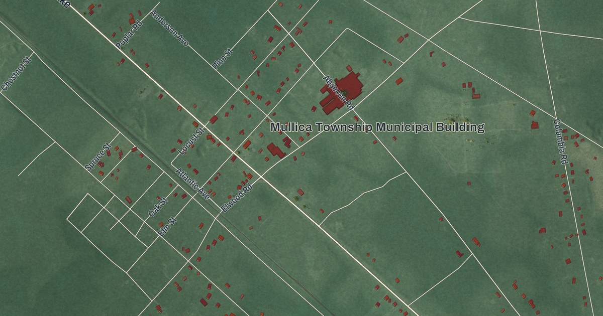
A detailed map of Elwood, New Jersey, showing every building in its true location, the roads by name, and shaded topographical relief.
Read More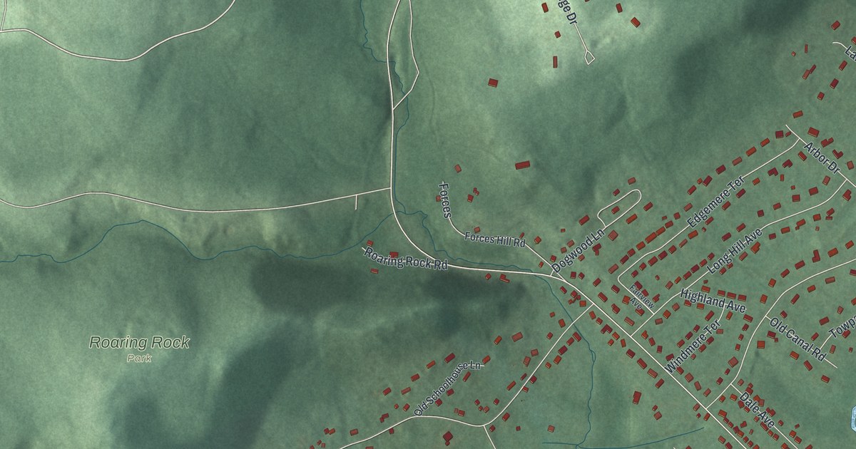
A detailed map of Brass Castle, New Jersey, showing every building in its true location, the roads by name, and shaded topographical relief.
Read More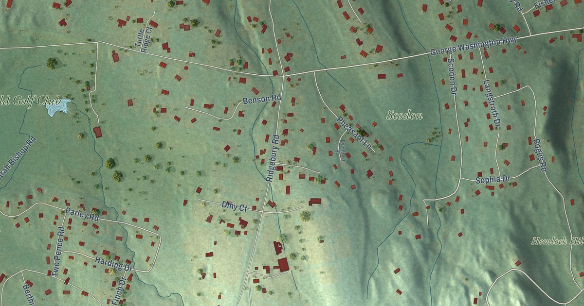
A detailed map of Ridgebury, Connecticut, showing every building in its true location, the roads by name, and shaded topographical relief.
Read More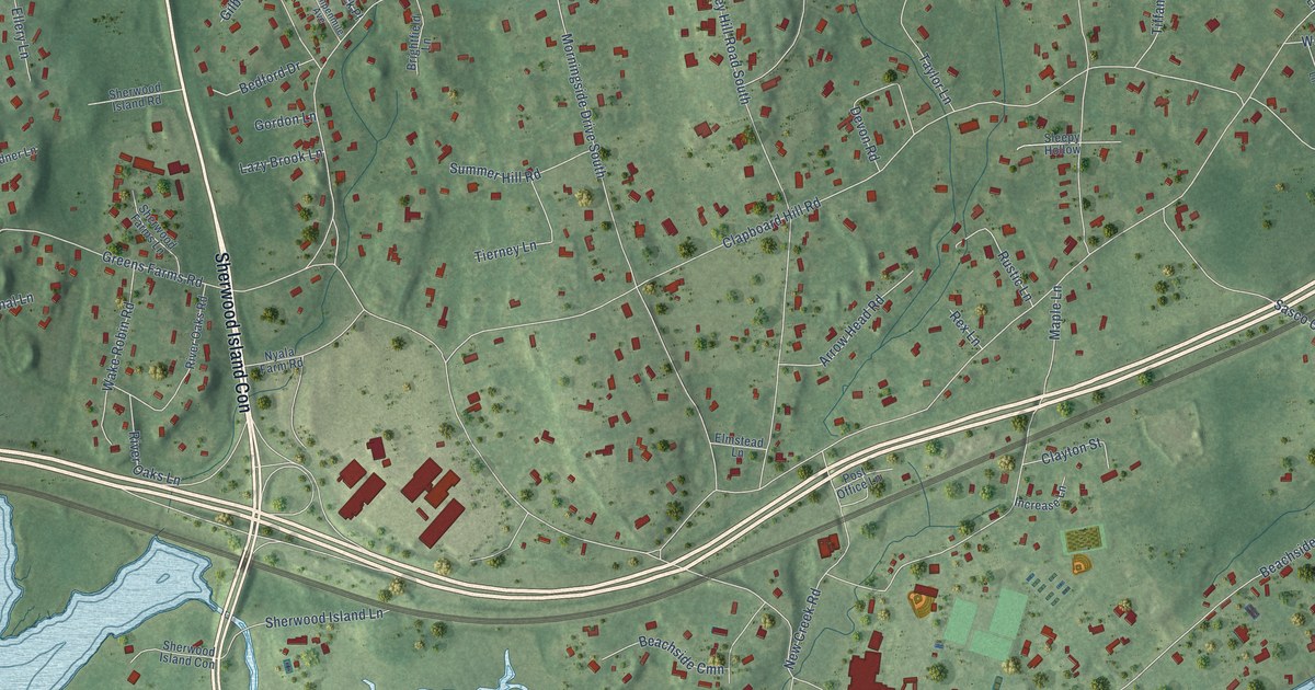
A detailed map of Greens Farms, Connecticut, showing every building in its true location, the roads by name, and shaded topographical relief.
Read More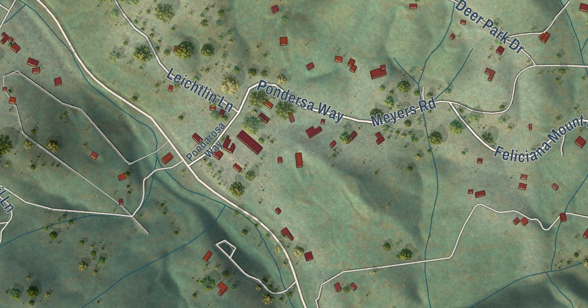
A detailed map of Midpines, California, showing every building in its true location, the roads by name, and shaded topographical relief.
Read More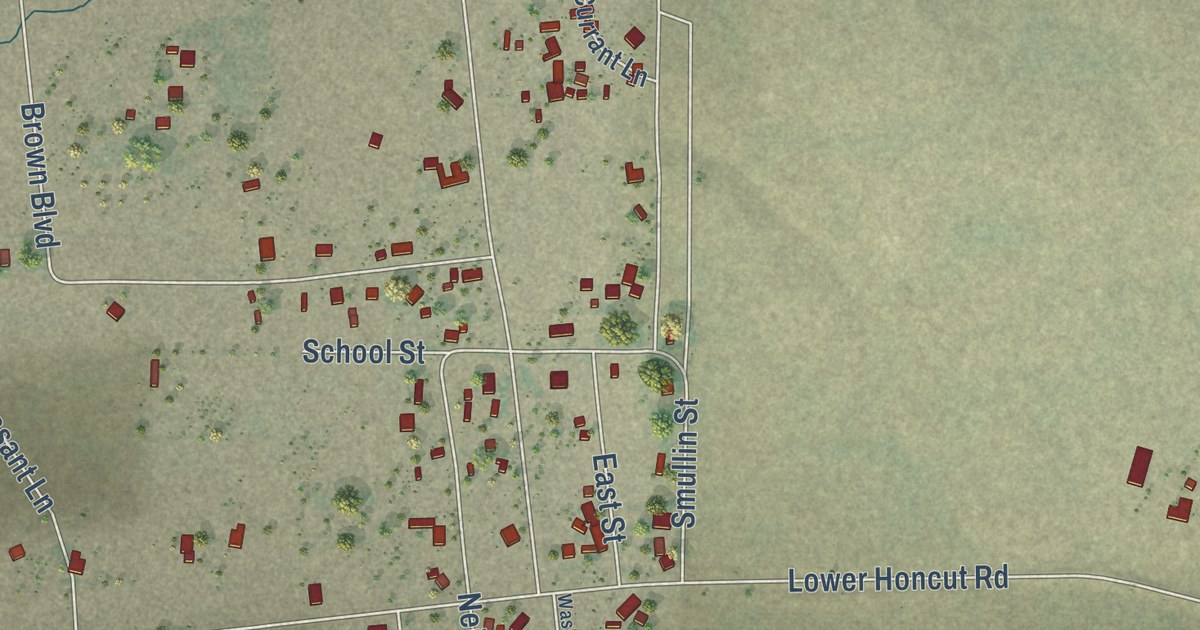
A detailed map of Honcut, California, showing every building in its true location, the roads by name, and shaded topographical relief.
Read More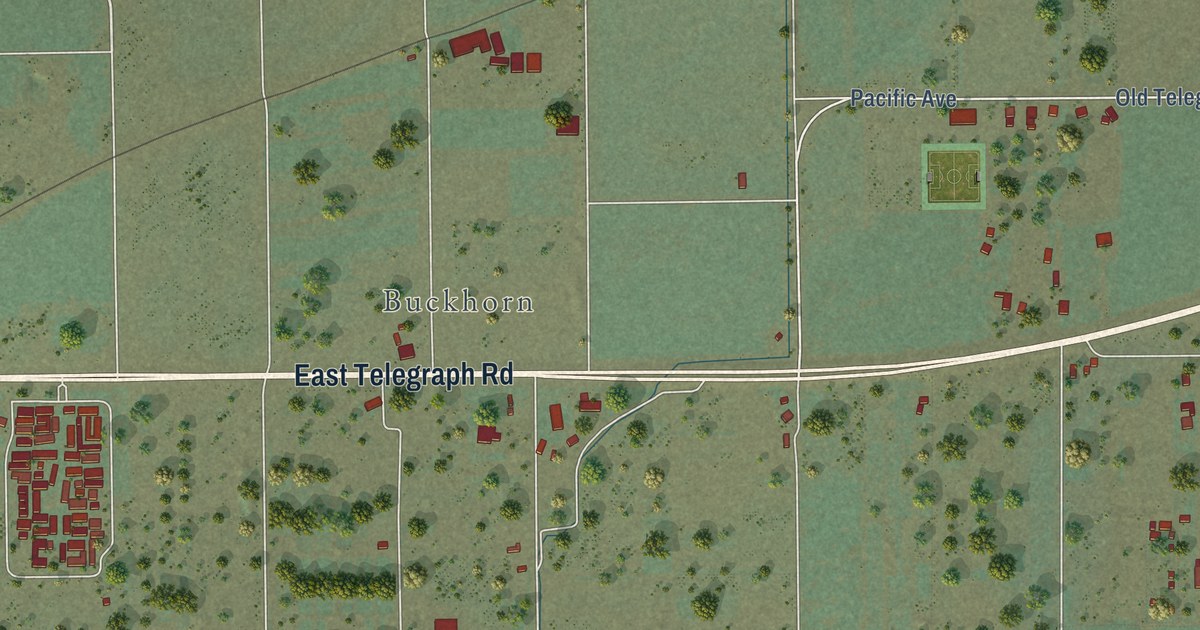
A detailed map of Piru, California, showing every building in its true location, the roads by name, and shaded topographical relief.
Read More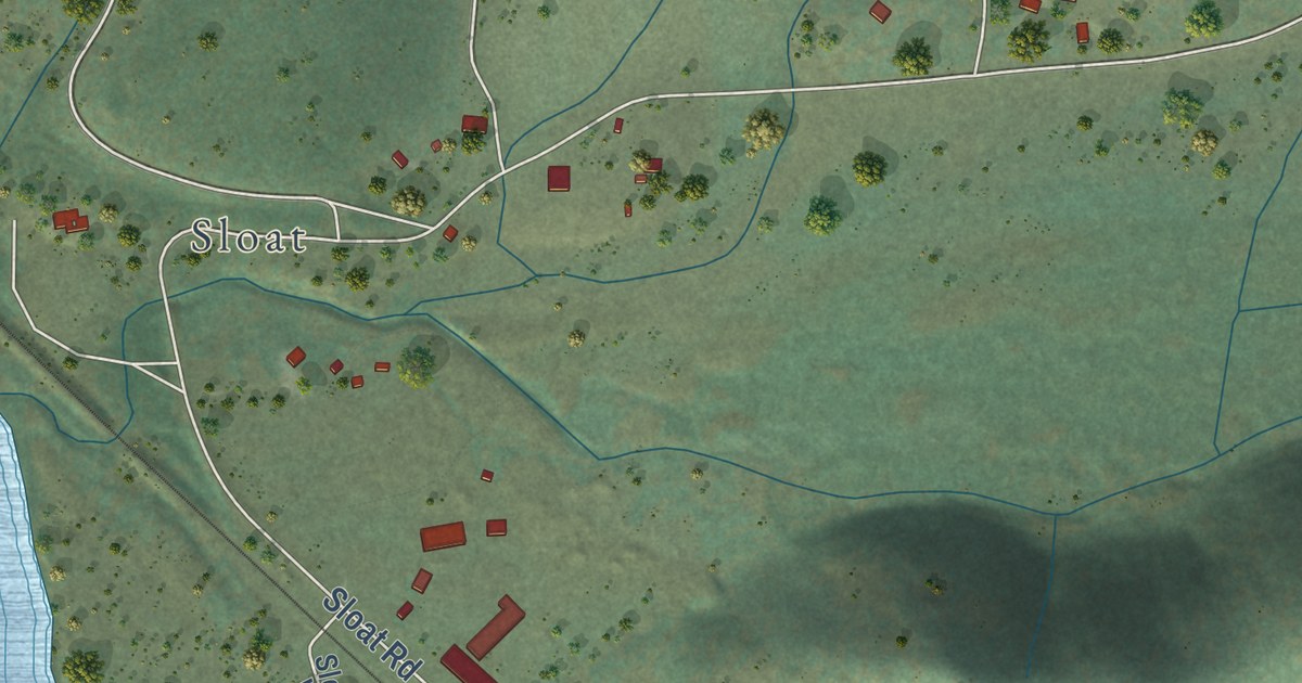
A detailed map of Cromberg, California, showing every building in its true location, the roads by name, and shaded topographical relief.
Read More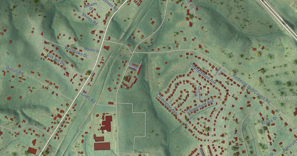
A detailed map of Golden Grove, South Carolina, showing every building in its true location, the roads by name, and shaded topographical relief.
Read More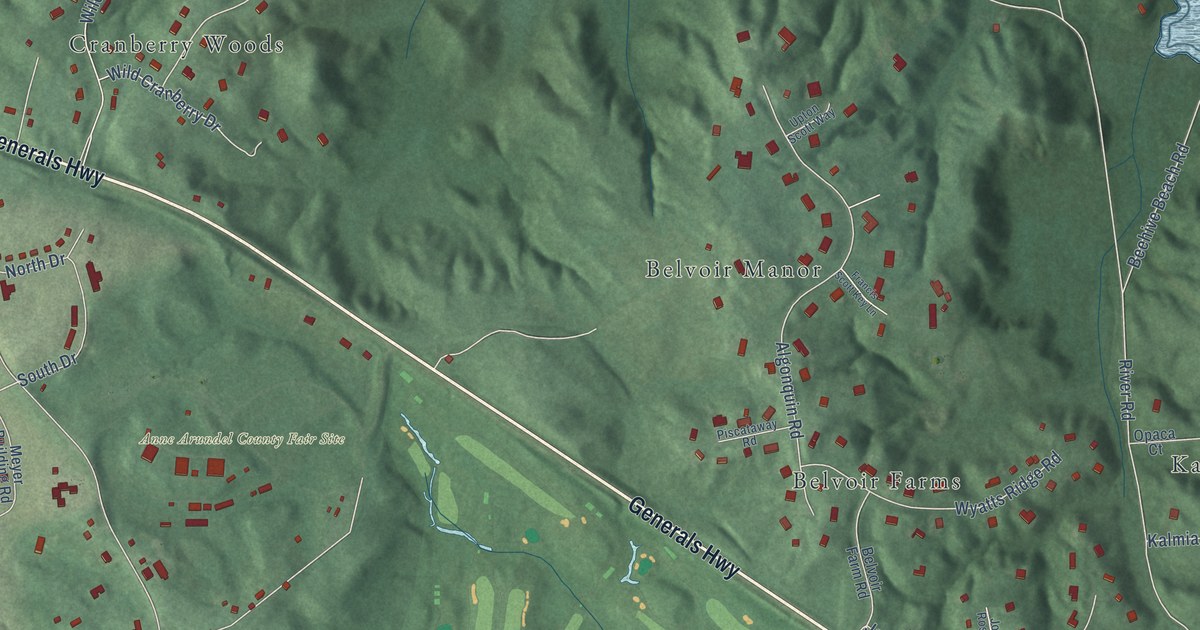
A detailed map of Crownsville, Maryland, showing every building in its true location, the roads by name, and shaded topographical relief.
Read More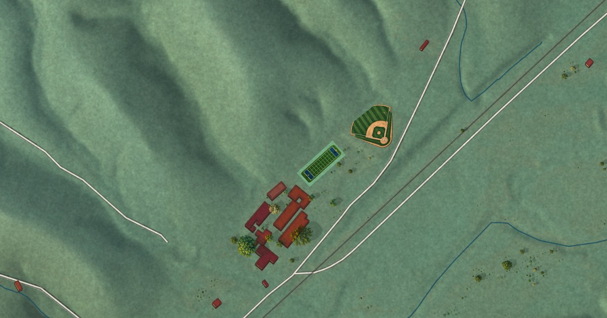
A detailed map of Cave Spring, Oklahoma, showing every building in its true location, the roads by name, and shaded topographical relief.
Read More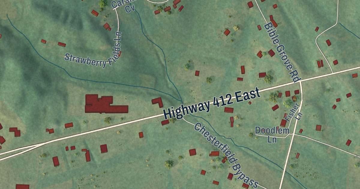
A detailed map of Chesterfield, Tennessee, showing every building in its true location, the roads by name, and shaded topographical relief.
Read More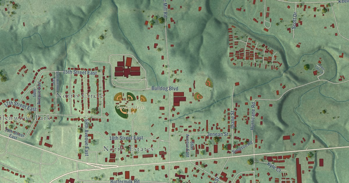
A detailed map of Cottondale, Alabama, showing every building in its true location, the roads by name, and shaded topographical relief.
Read More















