


Wyoming Town Maps A to Z
All 213 town maps, from Afton to Yoder. Each one opens its own page with the whole map.
A
B
C
D
E
F
G
H
J
K
L
M
N
O
P
R
S
T
U
V
W
Y
Don’t see your town? Ask us to draw it.
About Wyoming
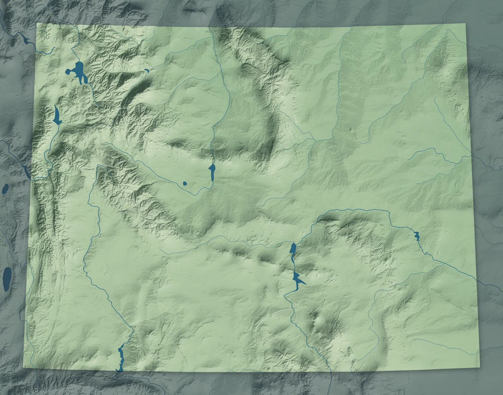
Wyoming is high, open country, with mountain ranges standing between wide sagebrush basins and the Great Plains rolling in from the east. Yellowstone, the first national park, sits in the northwest corner, and Devils Tower, the first national monument, rises in the northeast. Wyoming Territory passed the country's first law giving women the vote in 1869, and it kept that right when it became a state in 1890. That's why it's called the Equality State.
Wyoming has fewer people than any other state, and Cheyenne and Casper are its biggest cities. Many towns began as stops on the Union Pacific Railroad in 1867 and 1868, from Cheyenne west to Evanston. Others grew up around Army forts, cattle ranches, coal camps and oil fields.
- Statehood
- July 10, 1890
- Capital
- Cheyenne
- Population
- 588,7532025 Census estimate
- Highest point
- Gannett Peak, 13,809 feet
- Lowest point
- Belle Fourche River at the South Dakota border, 3,101 feet
- Size
- 97,813 square miles, the 10th largest state
Cheyenne, Laramie and Southeast Wyoming
Cheyenne, Laramie and Rawlins sit along Interstate 80, and farm and ranch towns like Torrington, Wheatland and Lusk spread across the plains to the north. Cheyenne began in 1867 as a Union Pacific town, and its Frontier Days rodeo dates to 1897. Fort Laramie started as a fur trading post in 1834 and became an Army fort on the Oregon Trail. Near Guernsey, wagon wheels wore ruts up to five feet deep into the sandstone.


The Powder River Basin and Black Hills
Gillette, Sheridan, Buffalo and Newcastle sit on the grasslands of the Powder River Basin, between the Bighorn Mountains and the Black Hills. The basin mines more coal than any other part of the country. Devils Tower, near Hulett, is sacred to more than two dozen tribes, and many of them know it as Bear Lodge. Buffalo Bill Cody once held auditions for his Wild West show on the porch of the Sheridan Inn, which opened in 1893.


Casper and Central Wyoming
Casper, Mills, Douglas and Glenrock sit along the North Platte River in the middle of the state. Emigrants on the Oregon Trail followed this river west and carved their names into Independence Rock, southwest of Casper. In the 1910s, oil from the Salt Creek field to the north made Casper four times bigger. Two brothers in Douglas mounted the first jackalope, a jackrabbit with antlers, as a joke in the 1930s.


Lander, Riverton and Wind River Country
Lander, Riverton and Dubois sit in the valleys below the high peaks of the Wind River Range. The Eastern Shoshone and Northern Arapaho share the Wind River Reservation, and Chief Washakie of the Shoshone is buried at Fort Washakie. Wagon trains crossed the Continental Divide at South Pass. In 1870, nearby South Pass City made Esther Hobart Morris the first woman justice of the peace in the country.


Cody and the Bighorn Basin
Cody, Powell, Lovell, Worland and Thermopolis sit in the Bighorn Basin, a wide, dry valley ringed by mountains. Irrigated fields there grow sugar beets, beans and barley. Buffalo Bill Cody helped found Cody in the 1890s, and the Irma Hotel he named for his daughter still stands downtown. The government bought the hot springs at Thermopolis from the Eastern Shoshone in 1896, and the state bathhouse still lets anyone soak for free.


Jackson Hole and Western Wyoming
Jackson, Pinedale, Afton and Kemmerer sit in the mountain valleys of western Wyoming, below the Tetons and the Wind River and Wyoming ranges. Fur trappers called a valley ringed by mountains a hole, and Jackson Hole is named for trapper David Jackson. Trappers and tribes met to trade at summer rendezvous on the Green River near Pinedale, which still holds Rendezvous Days each July. In 1902, James Cash Penney opened his first store in Kemmerer.


Rock Springs and Southwest Wyoming
Rock Springs, Green River and Evanston sit in high desert country along Interstate 80, with Flaming Gorge to the south. Jim Bridger opened a trading post at Fort Bridger in 1843 to supply travelers on the Oregon Trail. In 1869, John Wesley Powell set off from Green River to explore the Green and Colorado rivers by boat. Rock Springs grew up around Union Pacific coal mines, and it calls itself the home of 56 nationalities.


- 12 × 18 inPrint $39.99Framed $89.99
- 18 × 24 inPrint $49.99Framed $129.99
- 24 × 36 inPrint $89.99Framed $199.99

Sizes and Prices
Every map comes in three sizes on archival matte paper. Framed prints come in black or white wood.
How each map is made
It starts with the real place
Streets, buildings, terrain and water form the map, drawn the way Wyoming looks today.
Then the details
Local research and an old atlas style give each town its character.
Then it's yours
Look around the map, then pick a print to keep or give.
















