Beautifully Detailed Map of Westport, Connecticut
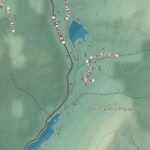
This map of Westport, Connecticut was created by KNOWOL in the tradition of nineteenth century...
Read More
This map of Westport, Connecticut was created by KNOWOL in the tradition of nineteenth century...
Read More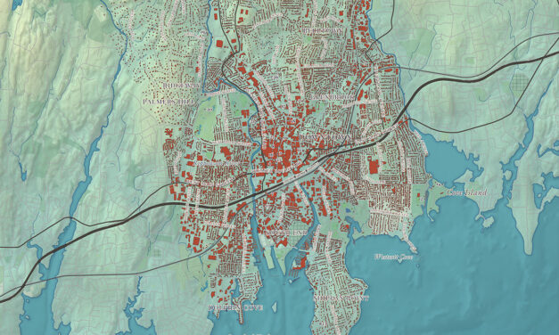
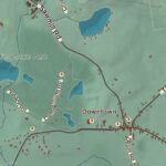
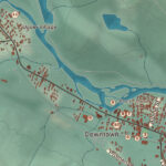
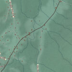
This map of Stamford, Connecticut was created by KNOWOL in the tradition of nineteenth century...
Read More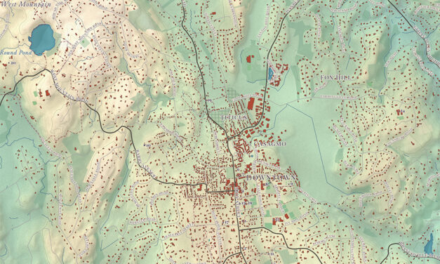
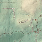
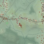
This map of Ridgefield, Connecticut was created by KNOWOL in the tradition of nineteenth century...
Read More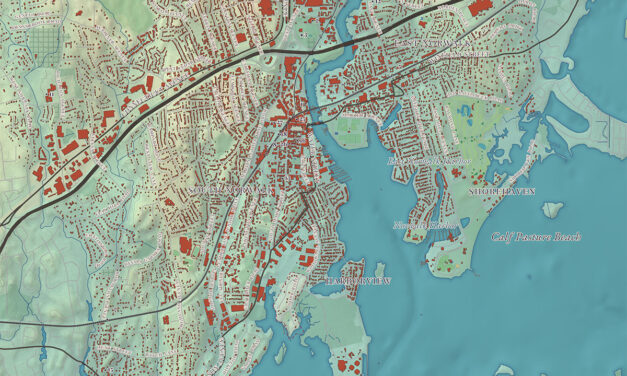
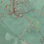
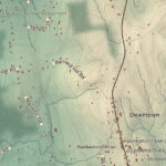
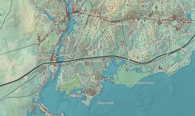
This map of Norwalk, Connecticut was created by KNOWOL in the tradition of nineteenth century...
Read More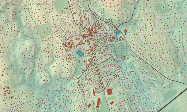
This map of New Canaan, Connecticut was created by KNOWOL in the tradition of nineteenth century...
Read More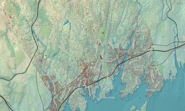
This map of Greenwich, Connecticut was created by KNOWOL in the tradition of nineteenth century...
Read More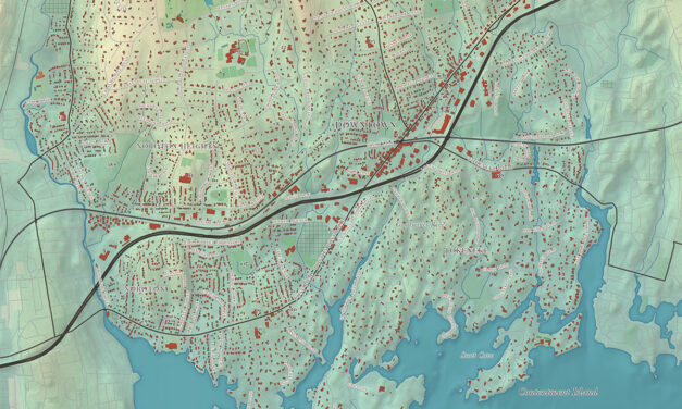
This map of Darien, Connecticut was created by KNOWOL in the tradition of nineteenth century...
Read More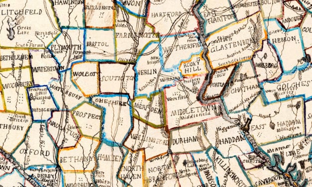
This beautiful hand drawn map of Connecticut was created in 1857 by Laura Roys, a student who attended Hartford Female Seminary, an all-female academy in Hartford, Connecticut. The map is beautifully colored, with shades of blue, orange, red, pink, yellow, and violet adorning the border of each city and town.
Read More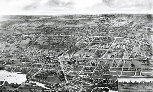
Wallingford, Connecticut in the 19th century.
Read More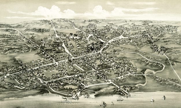
Historic bird’s eye view of Stratford, Connecticut from 1882
Read More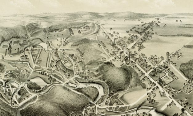
This old map shows Hazardville, Connecticut in the late 19th century.
Read More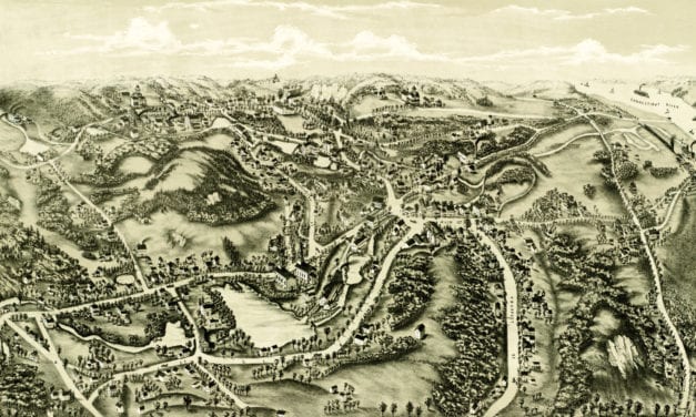
This old map shows Chester, Connecticut in the late 19th century.
Read More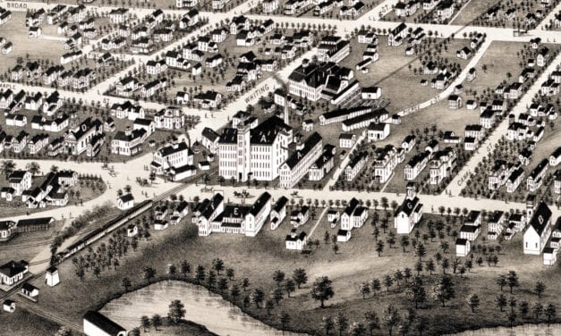
Historic bird’s eye view of Plainville, Connecticut in 1878
Read More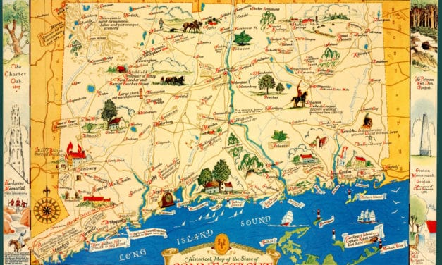
This old map features historical Connecticut trivia from the 17th – 20th century.
Read More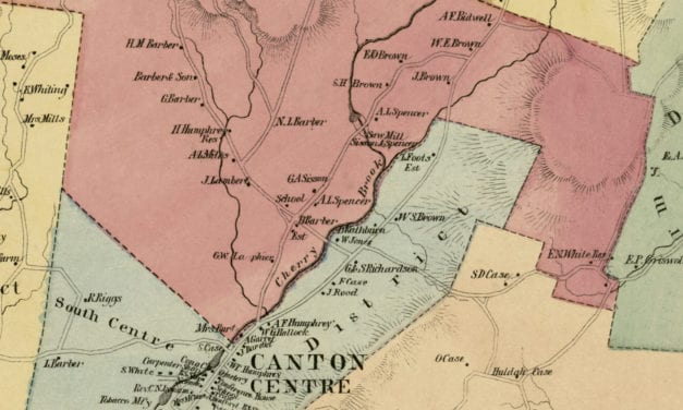
Vintage landowners map of Canton, Connecticut as it used to be
Read More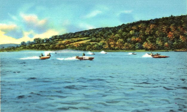
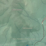
Candlewood Lake is a manmade lake located in Connecticut that is is bordered by five towns:...
Read More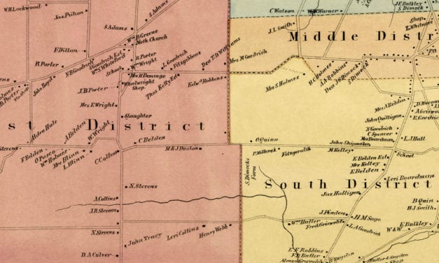
Vintage landowners map of Rocky Hill, Connecticut as it used to be
Read More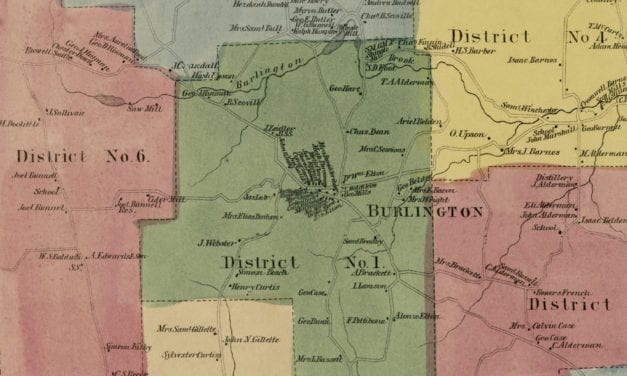
Vintage landowners map of Burlington, Connecticut as it used to be
Read More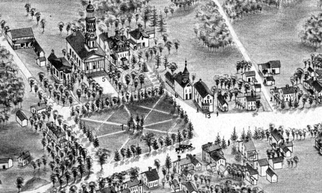
Bird’s eye view of Madison, Connecticut as it used to be
Read More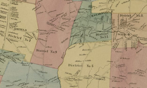
Vintage landowners map shows Enfield, Connecticut as it used to be
Read More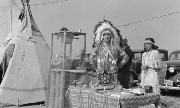
The Windsor Locks Indian Harvest Festival took place from September – October, 1941
Read More
Vintage landowners map shows South Windsor, Connecticut as it used to be
Read More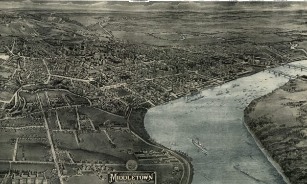
This old map shows Middletown, Connectiicut in the early 20th century.
Read More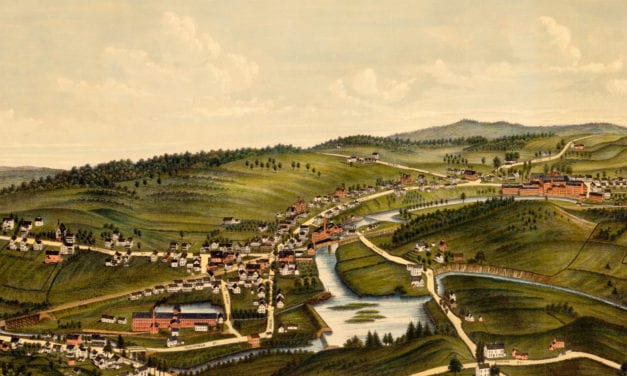
This old map shows Moosup, Connecticut in the late 19th century.
Read More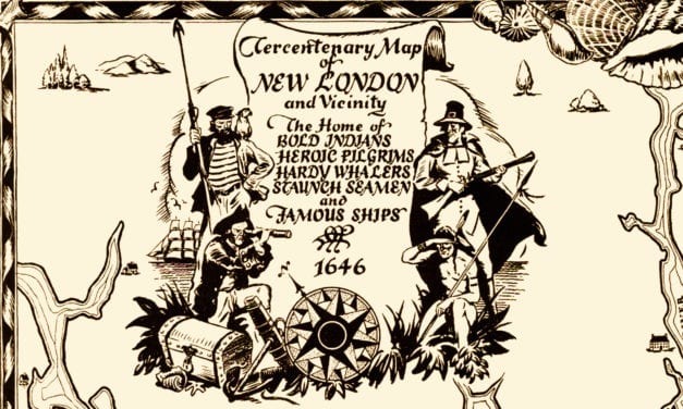
This historical map was created to celebrate New London’s 300th anniversary in 1946.
Read More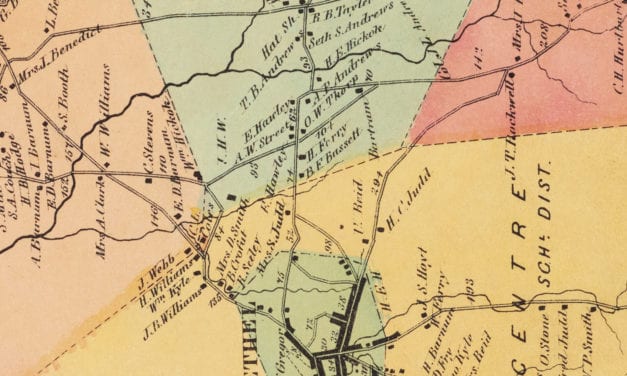
Vintage landowners map of Bethel, Connecticut as it used to be
Read More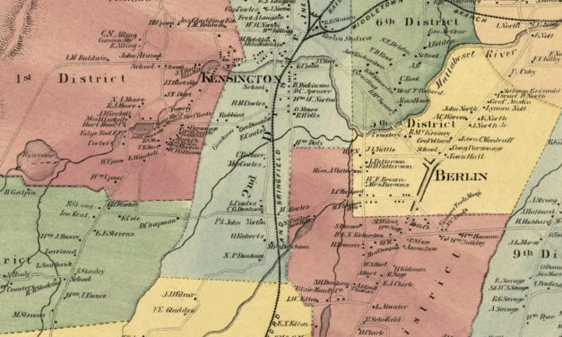
Vintage landowners map shows Berlin, Connecticut as it used to be
Read More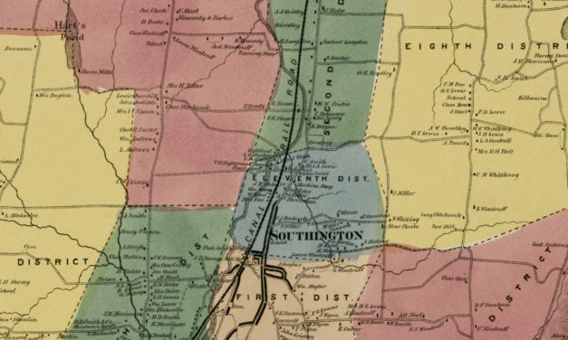
Vintage landowners map of Southington, Connecticut as it used to be
Read More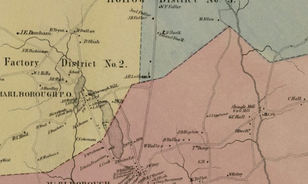
Vintage landowners map of Marlborough, Connecticut from 1869
Read More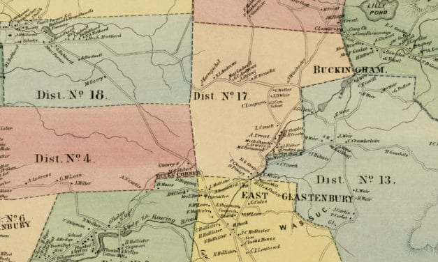
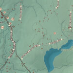
Vintage landowners map of Glastonbury, Connecticut as it used to be
Read More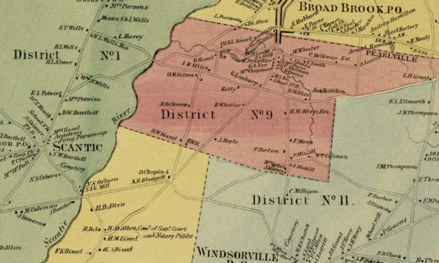
Historic landowners map of East Windsor, Connecticut from 1869
Read More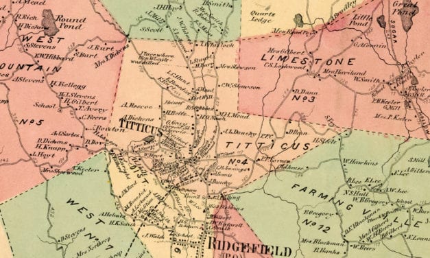
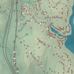
Vintage landowners map of Ridgefield, Connecticut as it used to be
Read More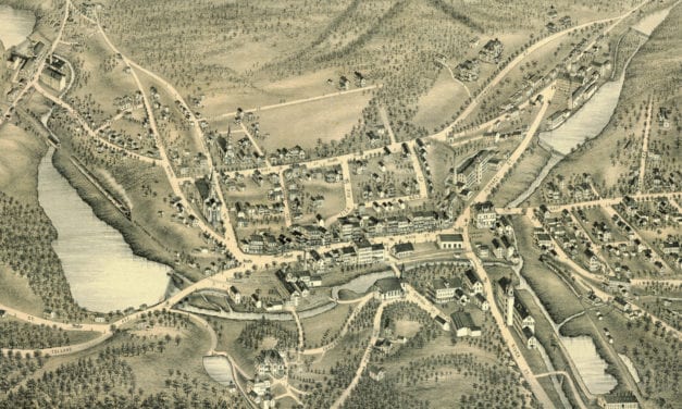
Bird’s eye view of Stafford Springs, Connecticut as it used to be
Read More