Detailed Map of Summit, Mason County, Michigan
A detailed map of Summit, Michigan, showing every building in its true location, the roads by name, and shaded topographical relief.
Read More
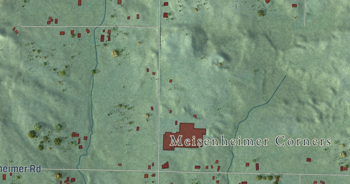
A detailed map of Summit, Michigan, showing every building in its true location, the roads by name, and shaded topographical relief.
Read More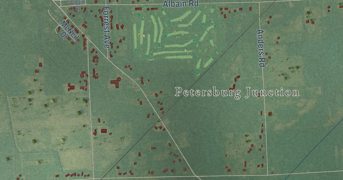
A detailed map of Summerfield, Michigan, showing every building in its true location, the roads by name, and shaded topographical relief.
Read More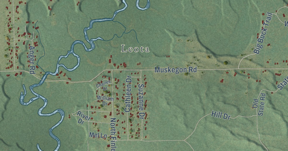
A detailed map of Summerfield, Michigan, showing every building in its true location, the roads by name, and shaded topographical relief.
Read More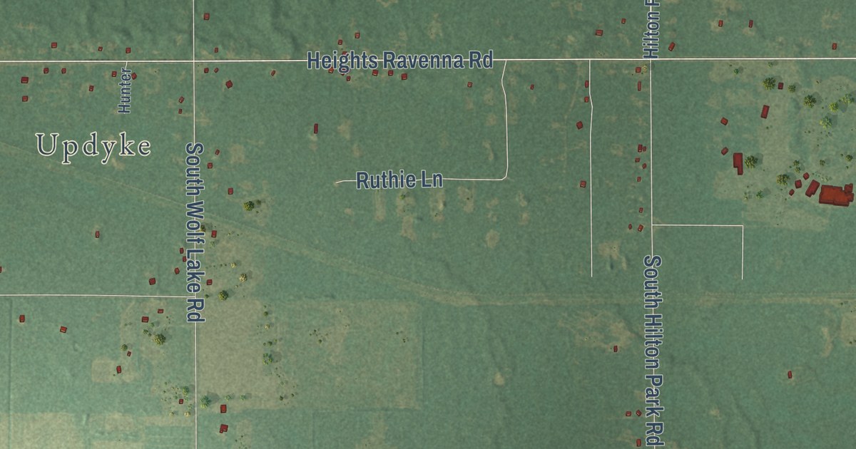
A detailed map of Sullivan, Michigan, showing every building in its true location, the roads by name, and shaded topographical relief.
Read More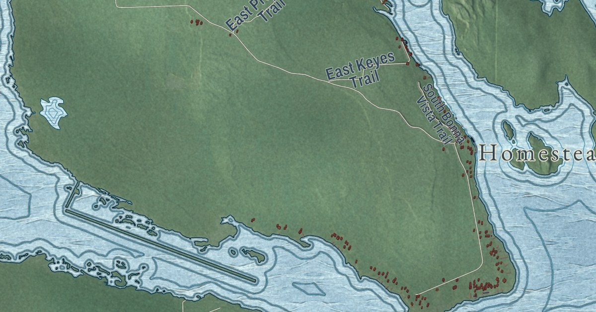
A detailed map of Sugar Island, Michigan, showing every building in its true location, the roads by name, and shaded topographical relief.
Read More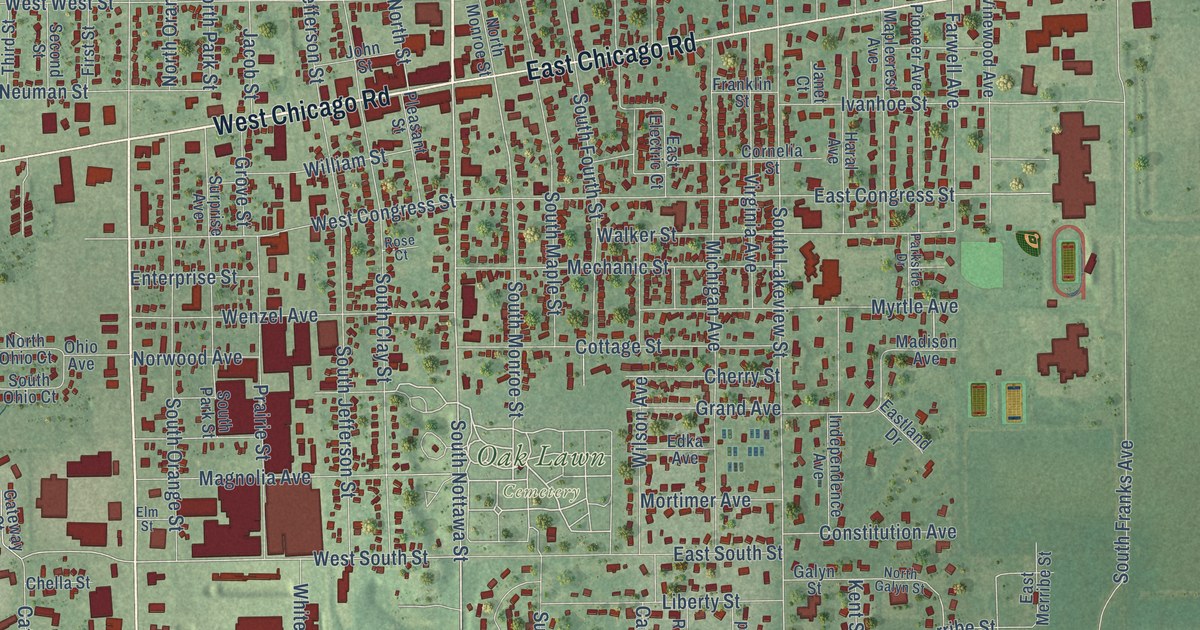
A detailed map of the City of Sturgis, Michigan, showing every building in its true location, the roads by name, and shaded topographical relief.
Read More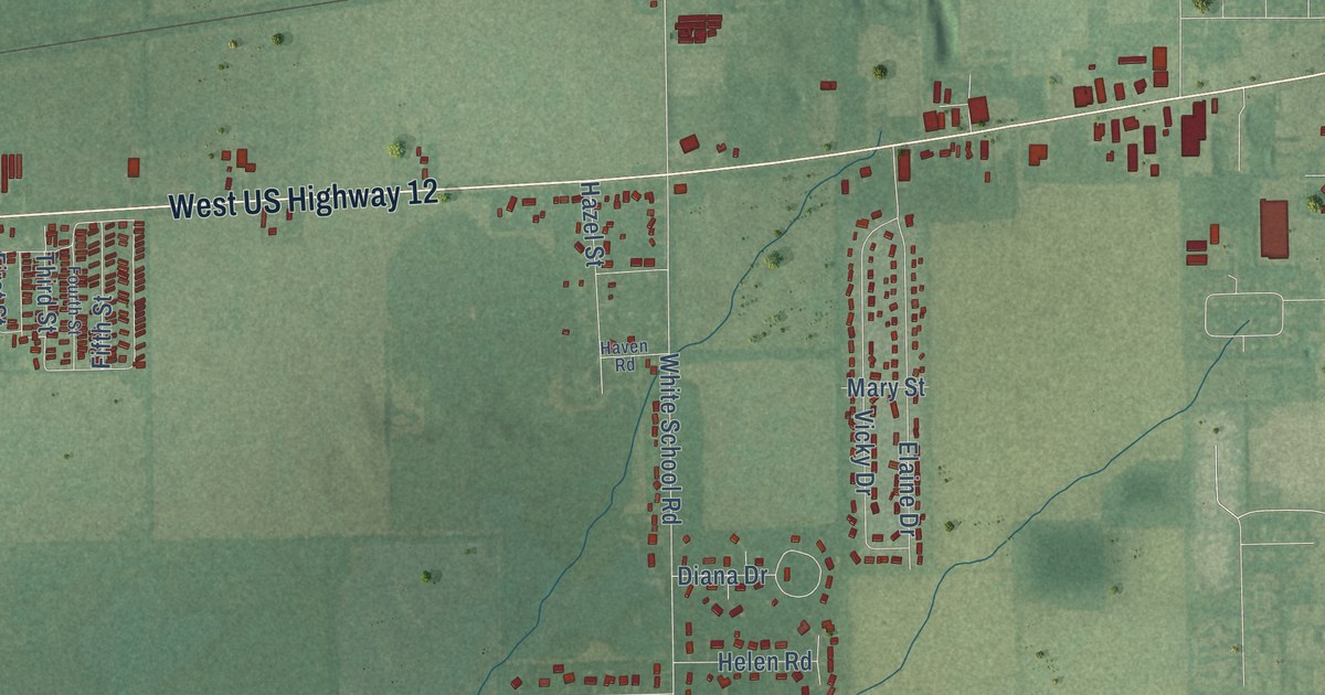
A detailed map of Sturgis Township, Michigan, showing every building in its true location, the roads by name, and shaded topographical relief.
Read More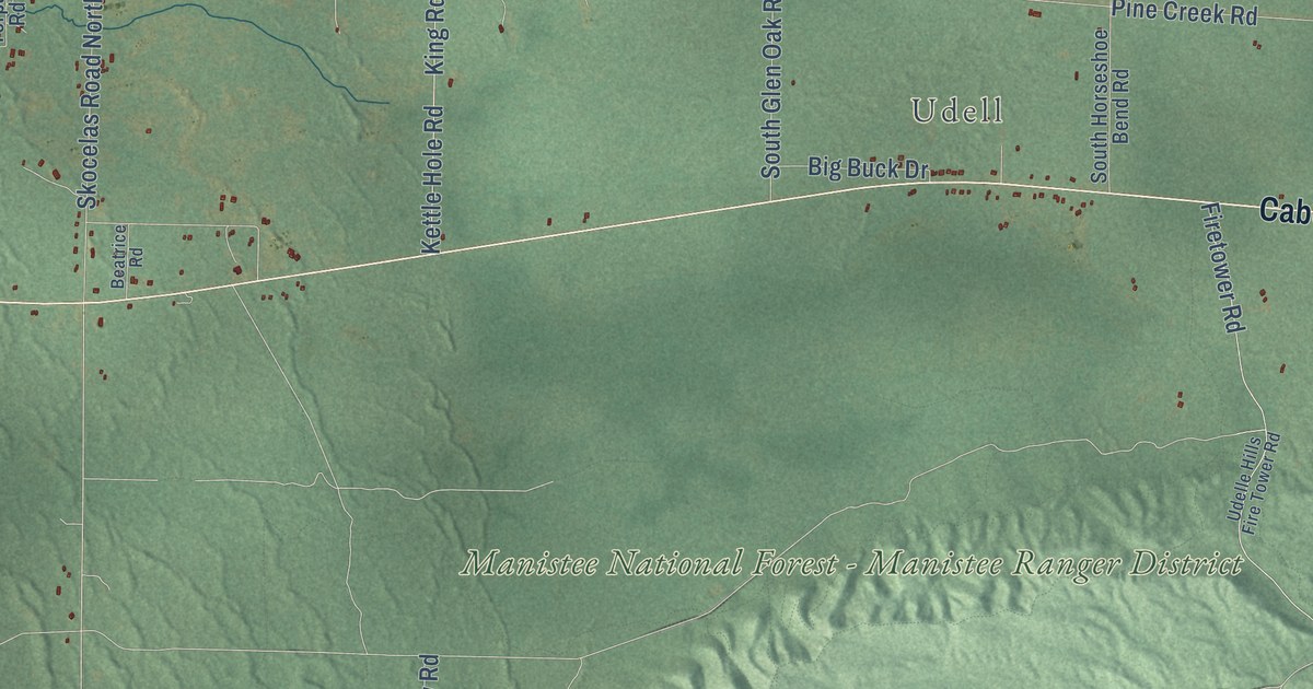
A detailed map of Stronach, Michigan, showing every building in its true location, the roads by name, and shaded topographical relief.
Read More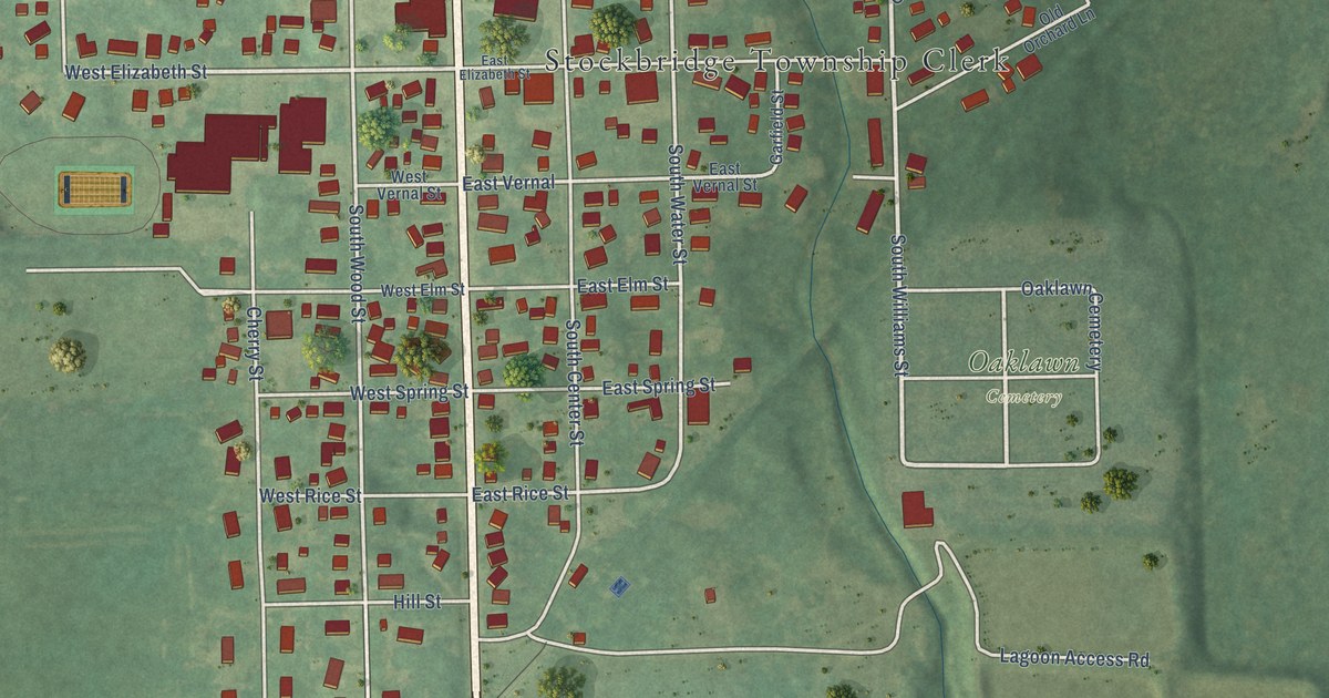
A detailed map of the Village of Stockbridge, Michigan, showing every building in its true location, the roads by name, and shaded topographical relief.
Read More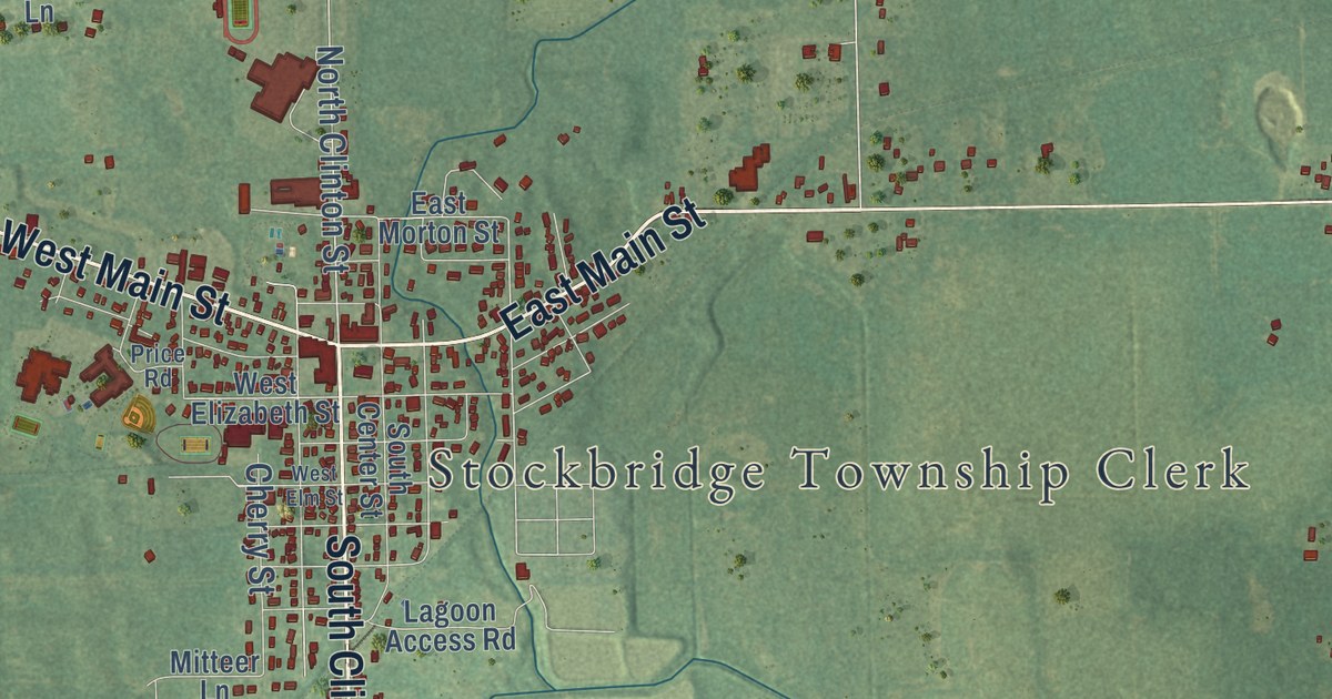
A detailed map of Stockbridge Township, Michigan, showing every building in its true location, the roads by name, and shaded topographical relief.
Read More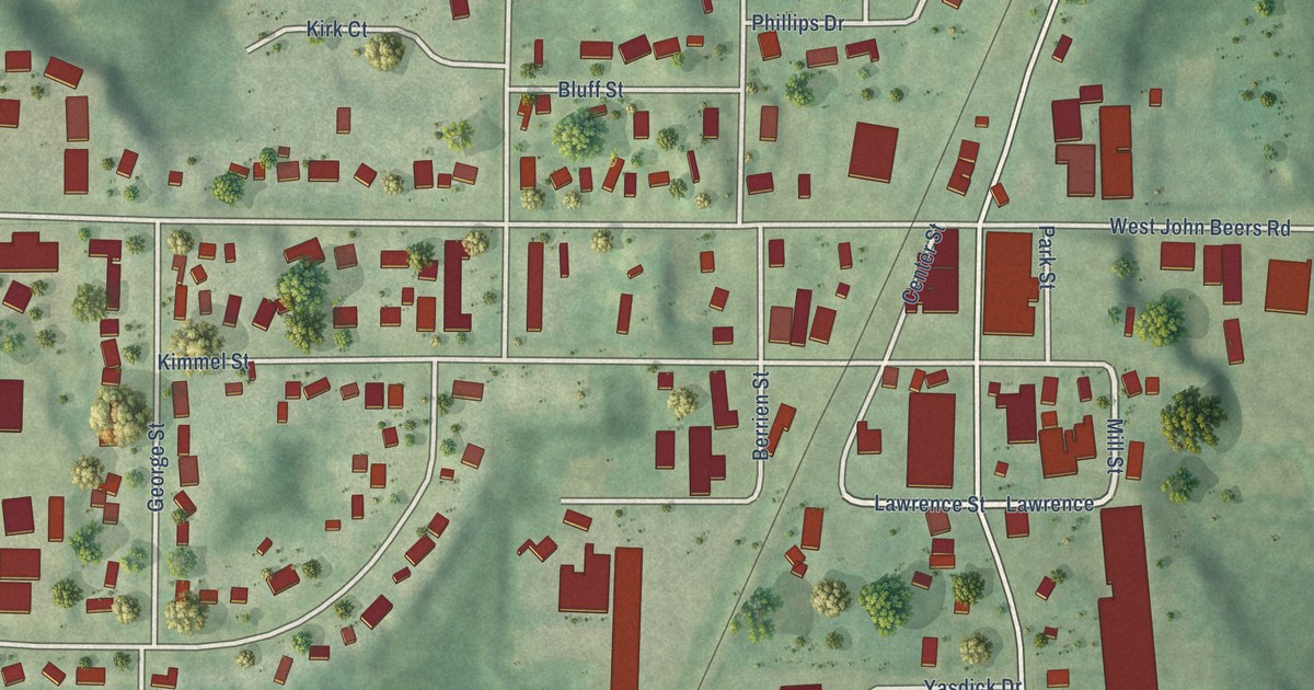
A detailed map of Stevensville, Michigan, showing every building in its true location, the roads by name, and shaded topographical relief.
Read More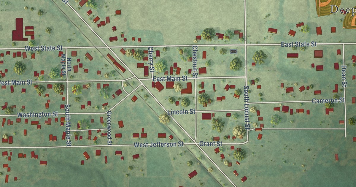
A detailed map of Sterling, Michigan, showing every building in its true location, the roads by name, and shaded topographical relief.
Read More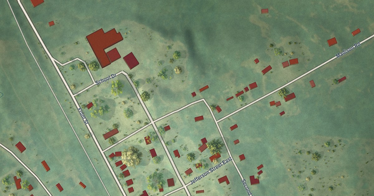
A detailed map of Stanwood, Michigan, showing every building in its true location, the roads by name, and shaded topographical relief.
Read More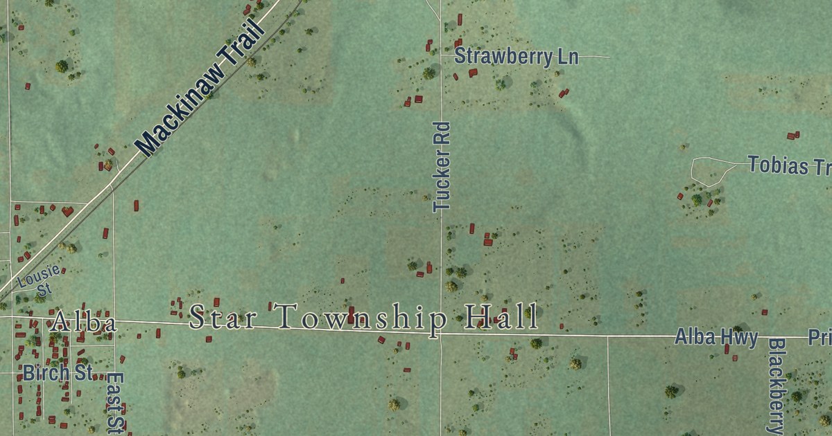
A detailed map of Star, Michigan, showing every building in its true location, the roads by name, and shaded topographical relief.
Read More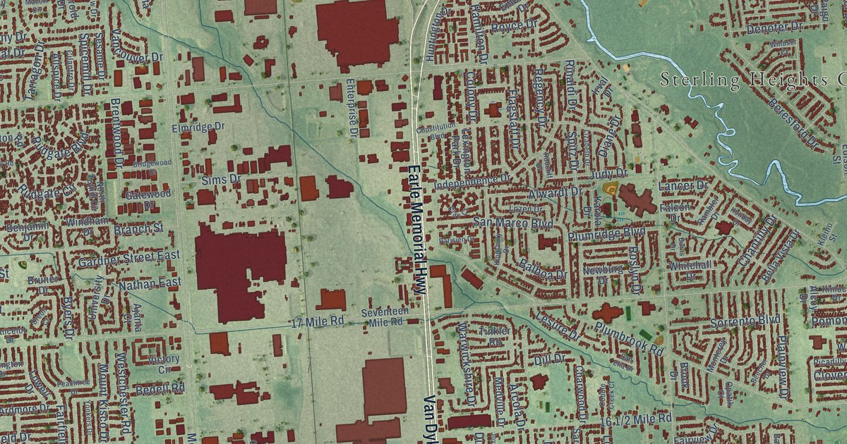
A detailed map of Sterling Heights, Michigan, showing every building in its true location, the roads by name, and shaded topographical relief.
Read More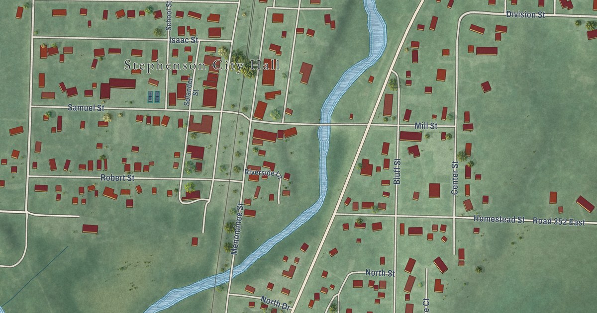
A detailed map of the City of Stephenson, Michigan, showing every building in its true location, the roads by name, and shaded topographical relief.
Read More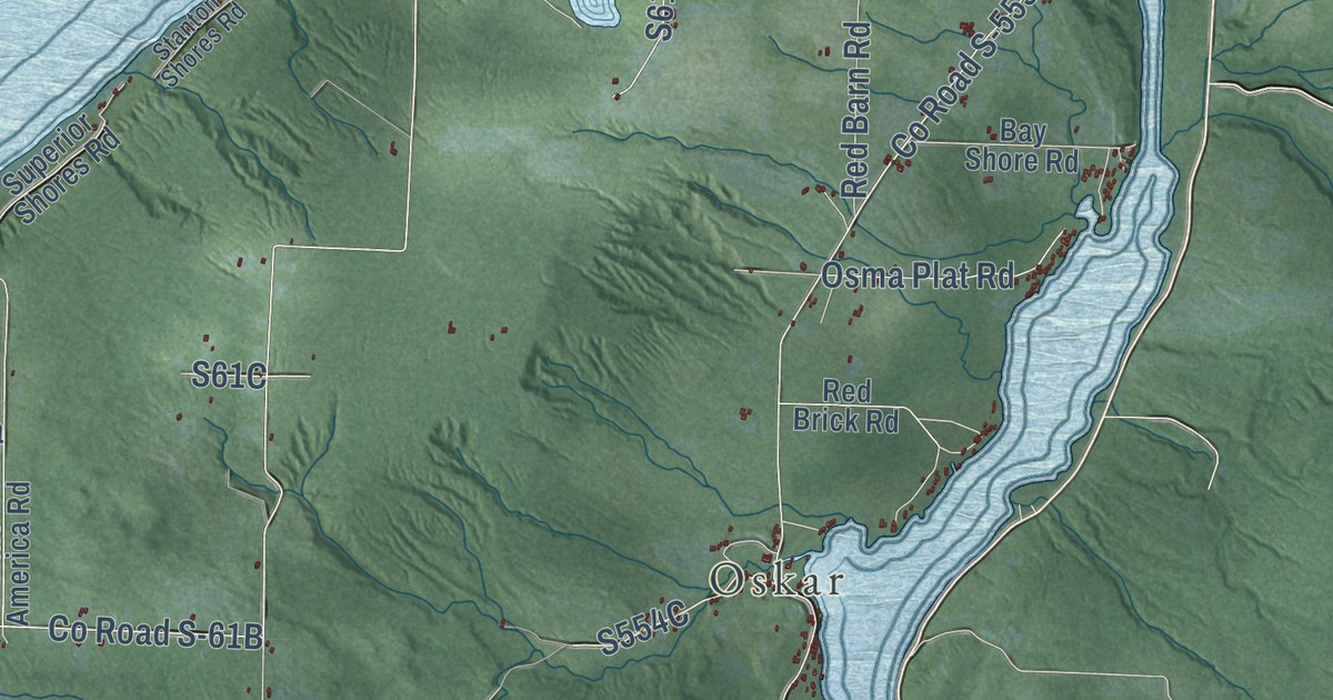
A detailed map of Stanton Township, Michigan, showing every building in its true location, the roads by name, and shaded topographical relief.
Read More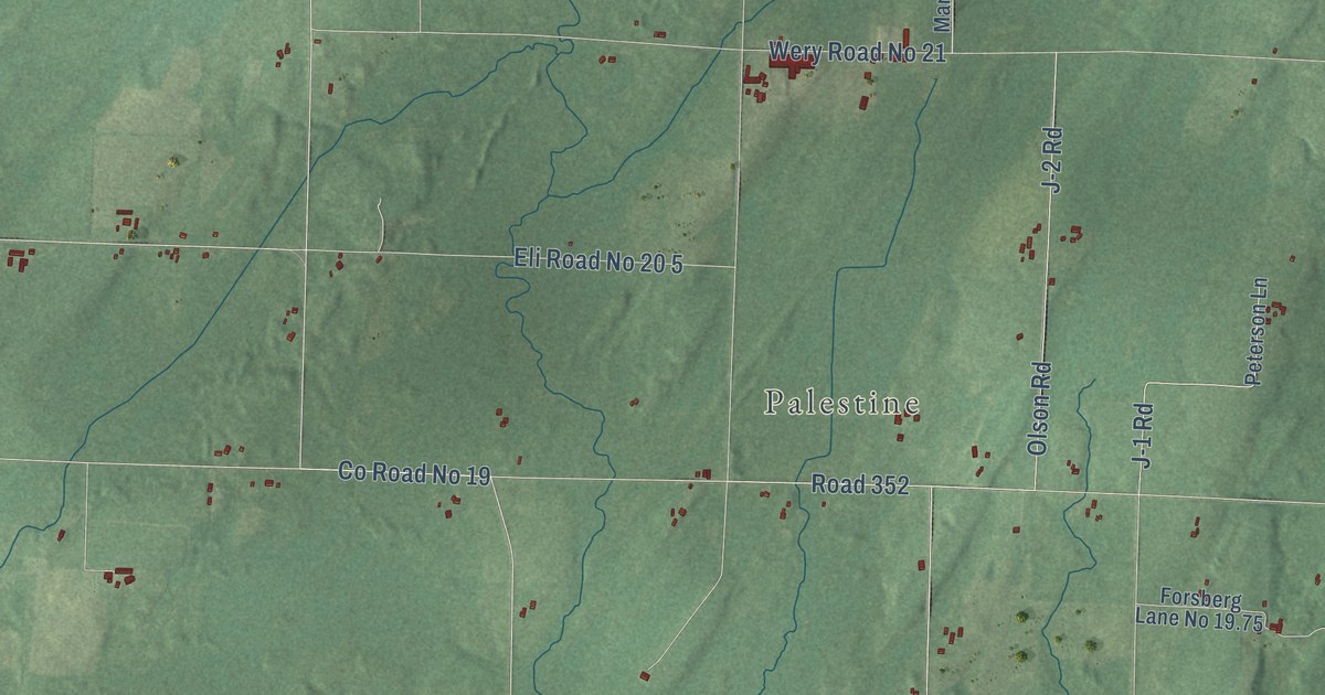
A detailed map of Stephenson Township, Michigan, showing every building in its true location, the roads by name, and shaded topographical relief.
Read More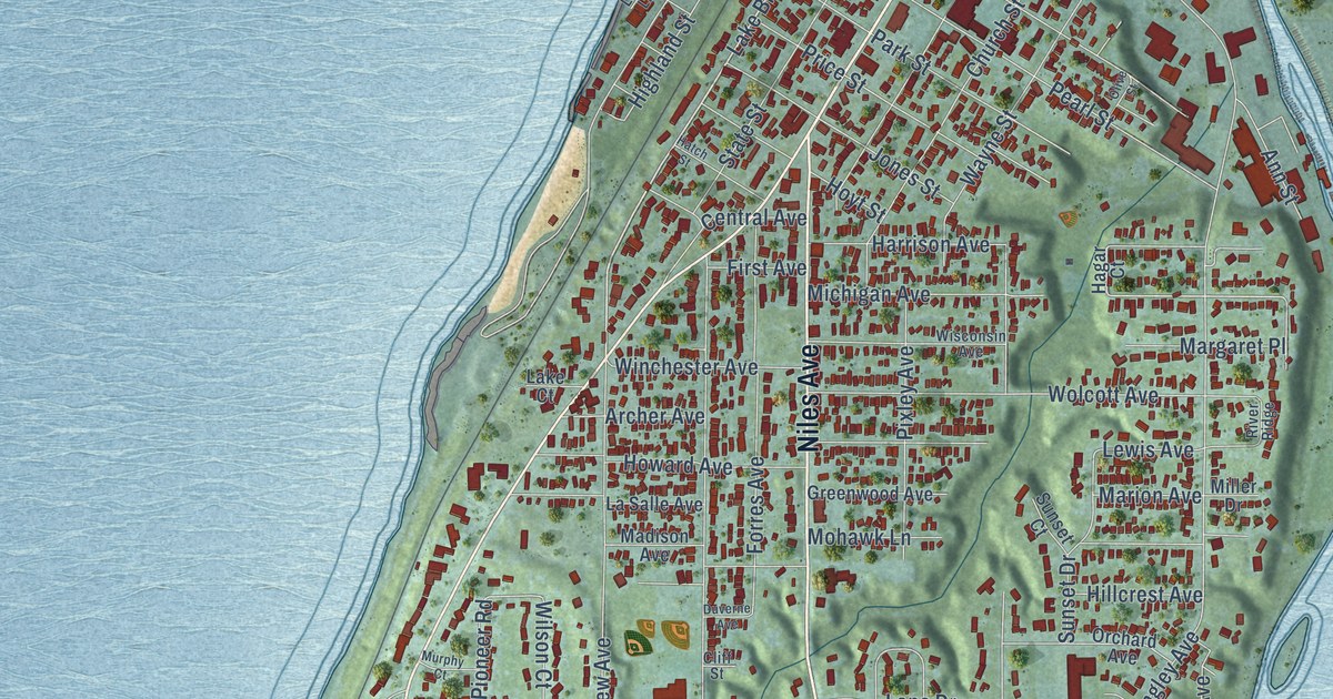
A detailed map of the City of St. Joseph, Michigan, showing every building in its true location, the roads by name, and shaded topographical relief.
Read More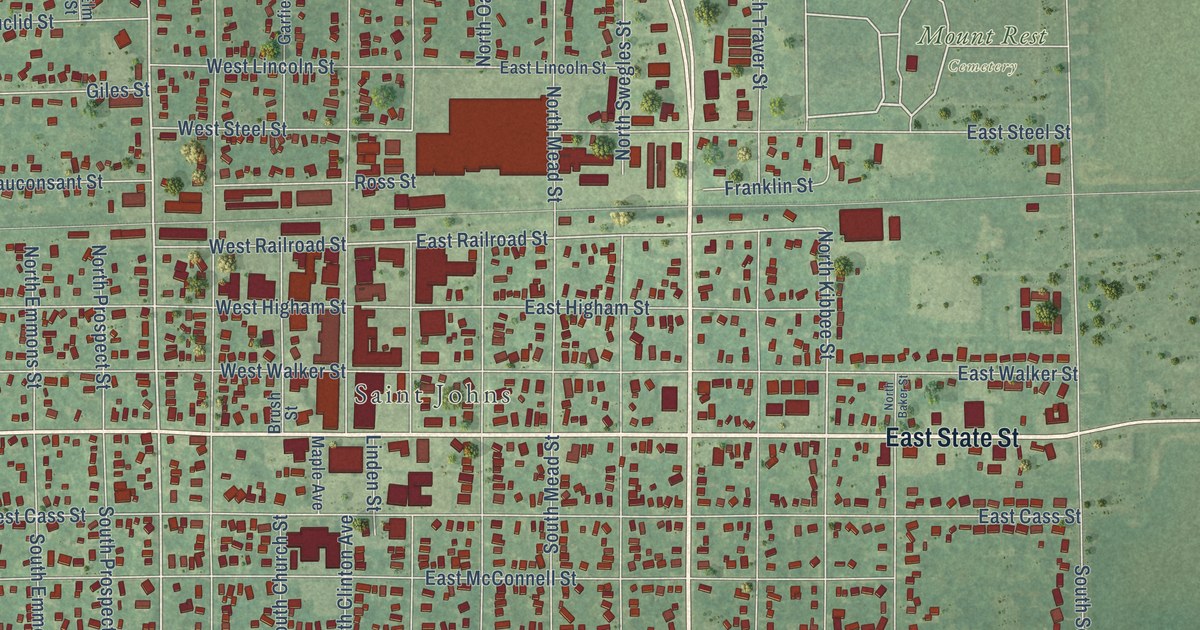
A detailed map of St. Johns, Michigan, showing every building in its true location, the roads by name, and shaded topographical relief.
Read More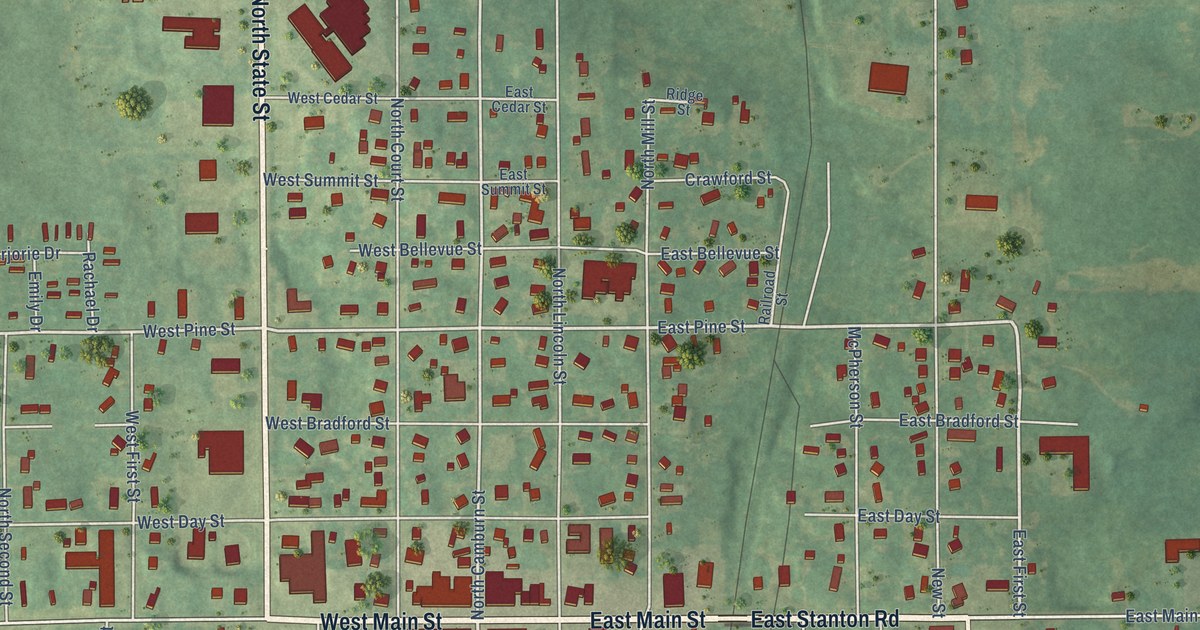
A detailed map of Stanton, Michigan, showing every building in its true location, the roads by name, and shaded topographical relief.
Read More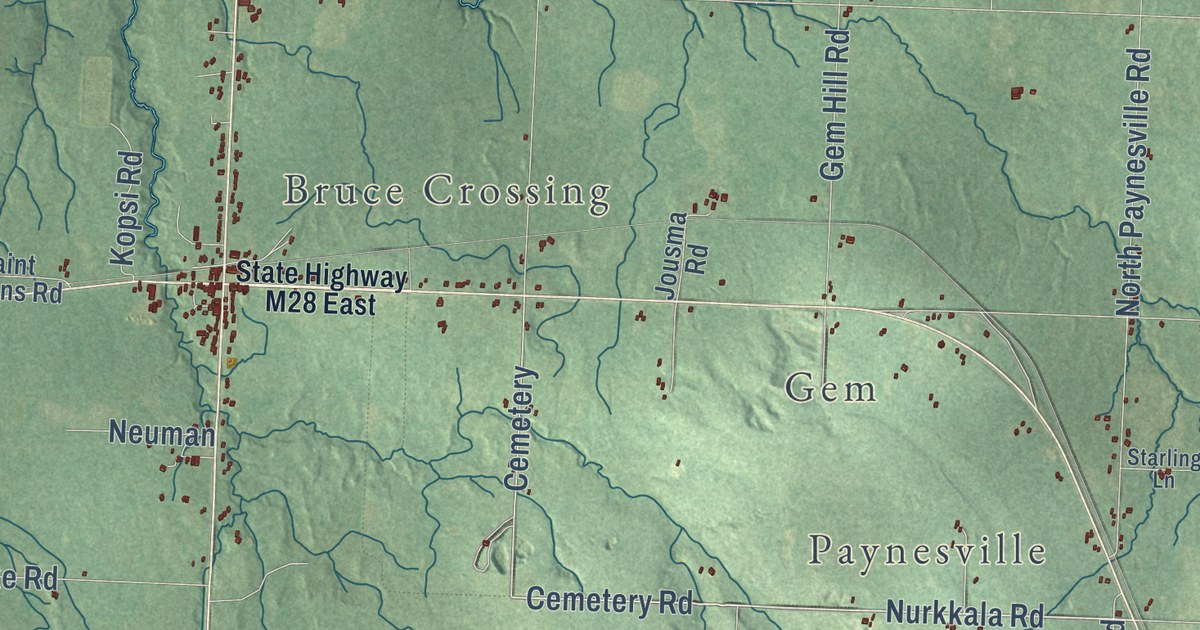
A detailed map of Stannard, Michigan, showing every building in its true location, the roads by name, and shaded topographical relief.
Read More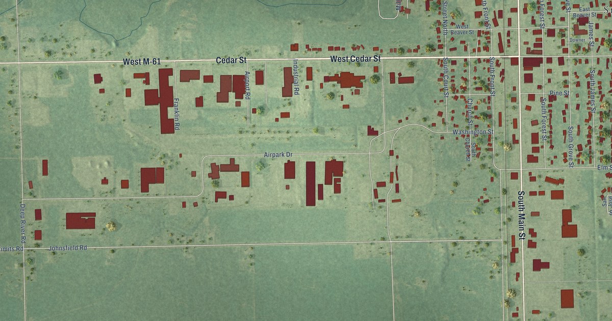
A detailed map of the City of Standish, Michigan, showing every building in its true location, the roads by name, and shaded topographical relief.
Read More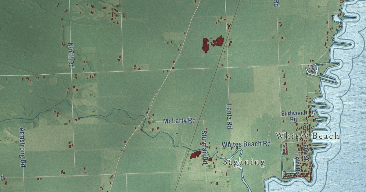
A detailed map of Standish Township, Michigan, showing every building in its true location, the roads by name, and shaded topographical relief.
Read More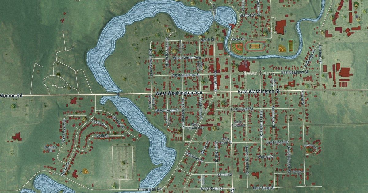
A detailed map of St. Louis, Michigan, showing every building in its true location, the roads by name, and shaded topographical relief.
Read More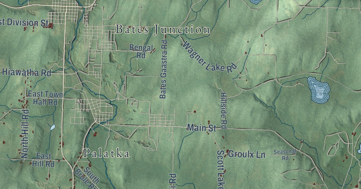
A detailed map of Stambaugh, Michigan, showing every building in its true location, the roads by name, and shaded topographical relief.
Read More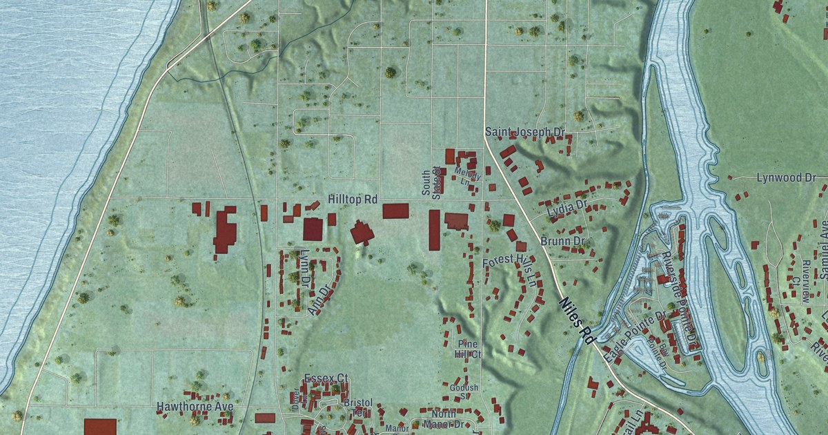
A detailed map of St. Joseph Township, Michigan, showing every building in its true location, the roads by name, and shaded topographical relief.
Read More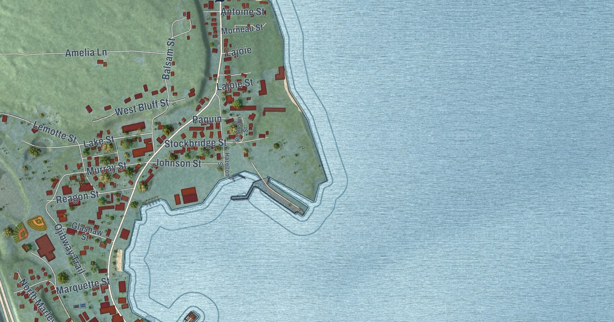
A detailed map of the City of St. Ignace, Michigan, showing every building in its true location, the roads by name, and shaded topographical relief.
Read More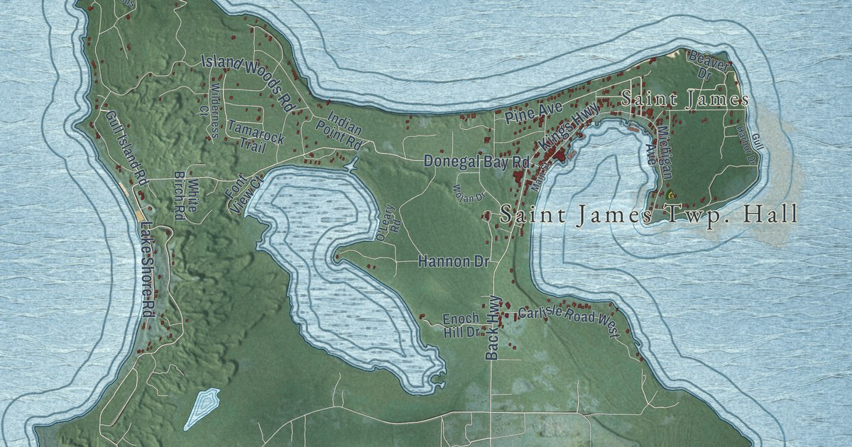
A detailed map of St. James, Michigan, showing every building in its true location, the roads by name, and shaded topographical relief.
Read More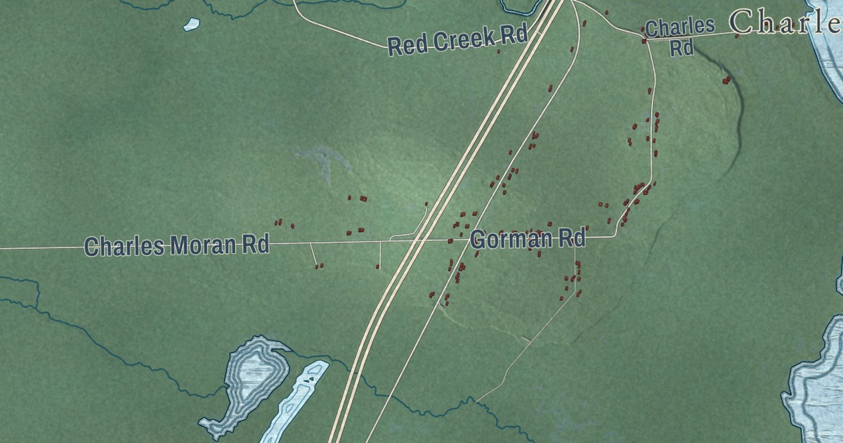
A detailed map of St. Ignace Township, Michigan, showing every building in its true location, the roads by name, and shaded topographical relief.
Read More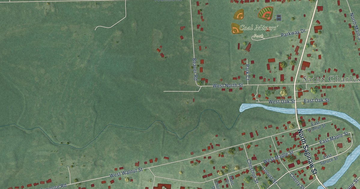
A detailed map of the Village of St. Charles, Michigan, showing every building in its true location, the roads by name, and shaded topographical relief.
Read More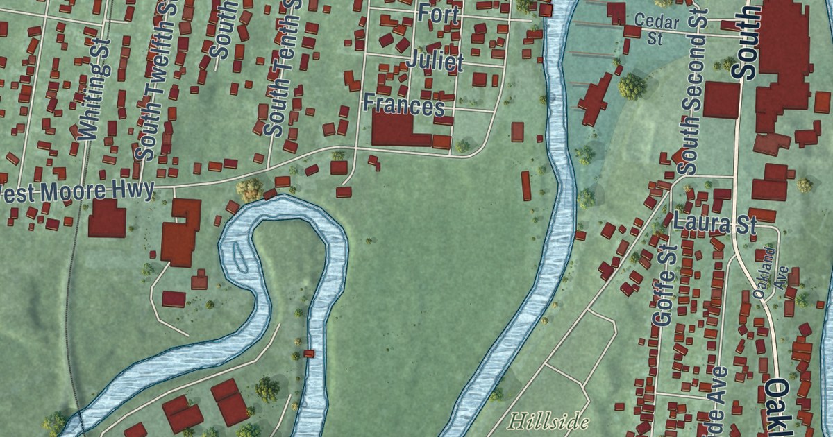
A detailed map of the City of St. Clair, Michigan, showing every building in its true location, the roads by name, and shaded topographical relief.
Read More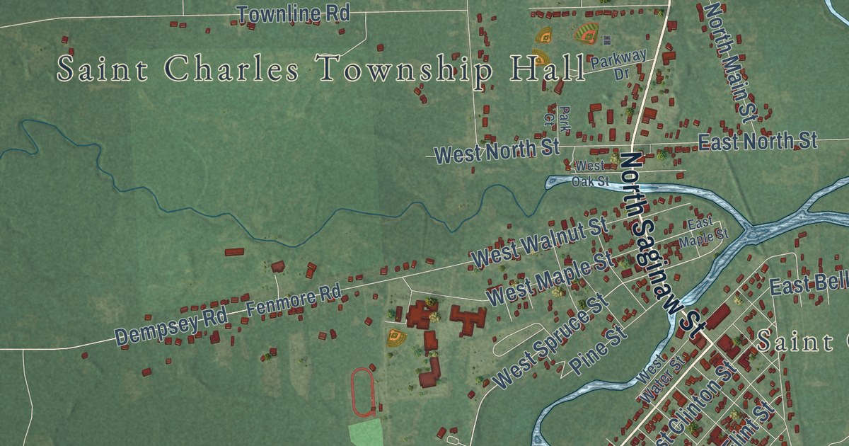
A detailed map of St. Charles Township, Michigan, showing every building in its true location, the roads by name, and shaded topographical relief.
Read More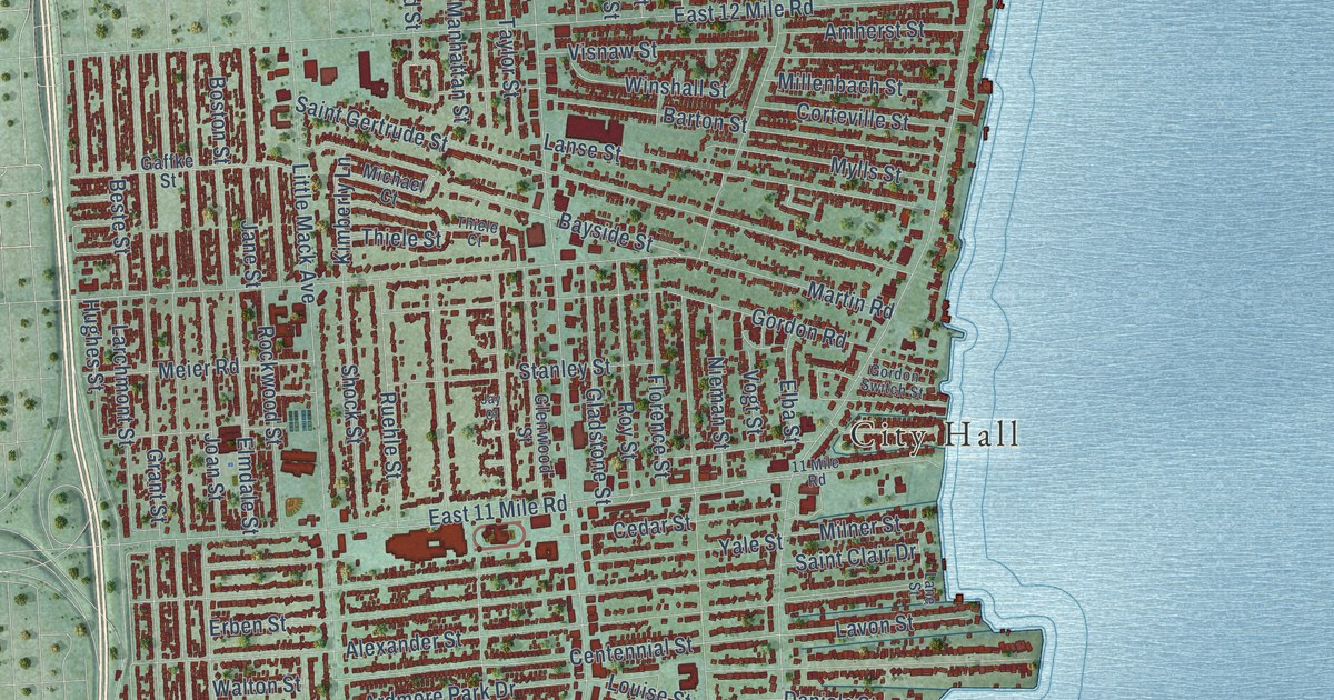
A detailed map of St. Clair Shores, Michigan, showing every building in its true location, the roads by name, and shaded topographical relief.
Read More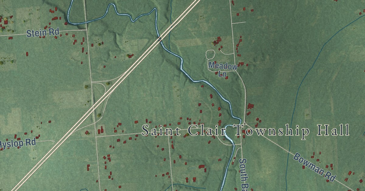
A detailed map of St. Clair Township, Michigan, showing every building in its true location, the roads by name, and shaded topographical relief.
Read More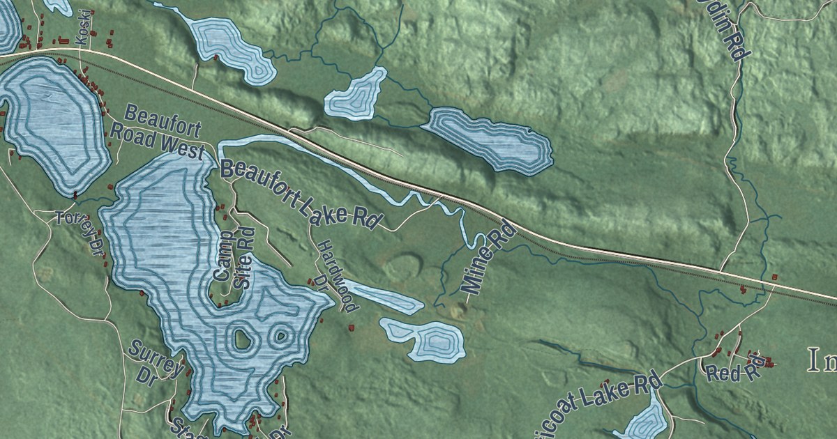
A detailed map of Spurr, Michigan, showing every building in its true location, the roads by name, and shaded topographical relief.
Read More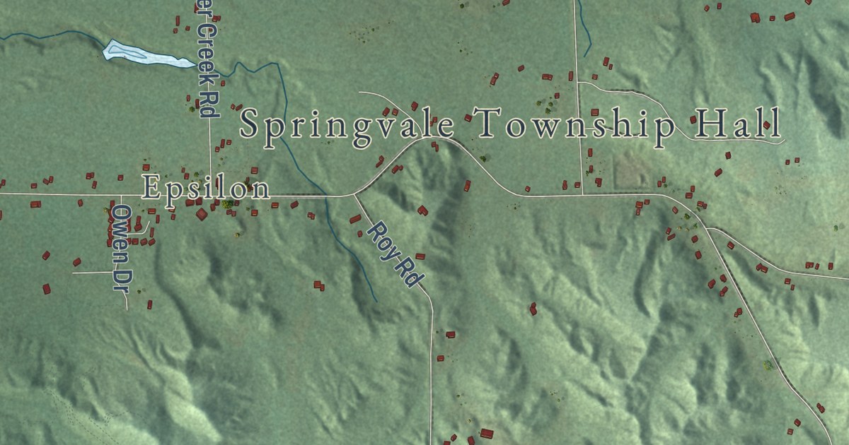
A detailed map of Springvale, Michigan, showing every building in its true location, the roads by name, and shaded topographical relief.
Read More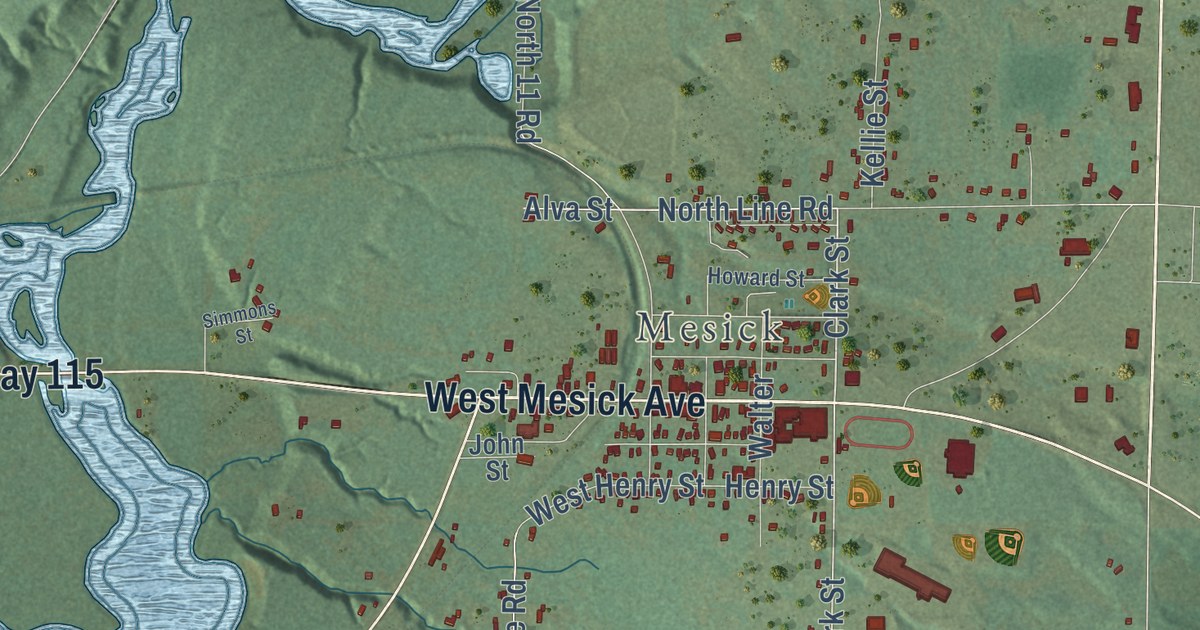
A detailed map of Springville, Michigan, showing every building in its true location, the roads by name, and shaded topographical relief.
Read More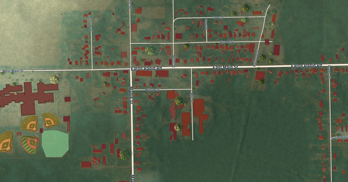
A detailed map of the Village of Springport, Michigan, showing every building in its true location, the roads by name, and shaded topographical relief.
Read More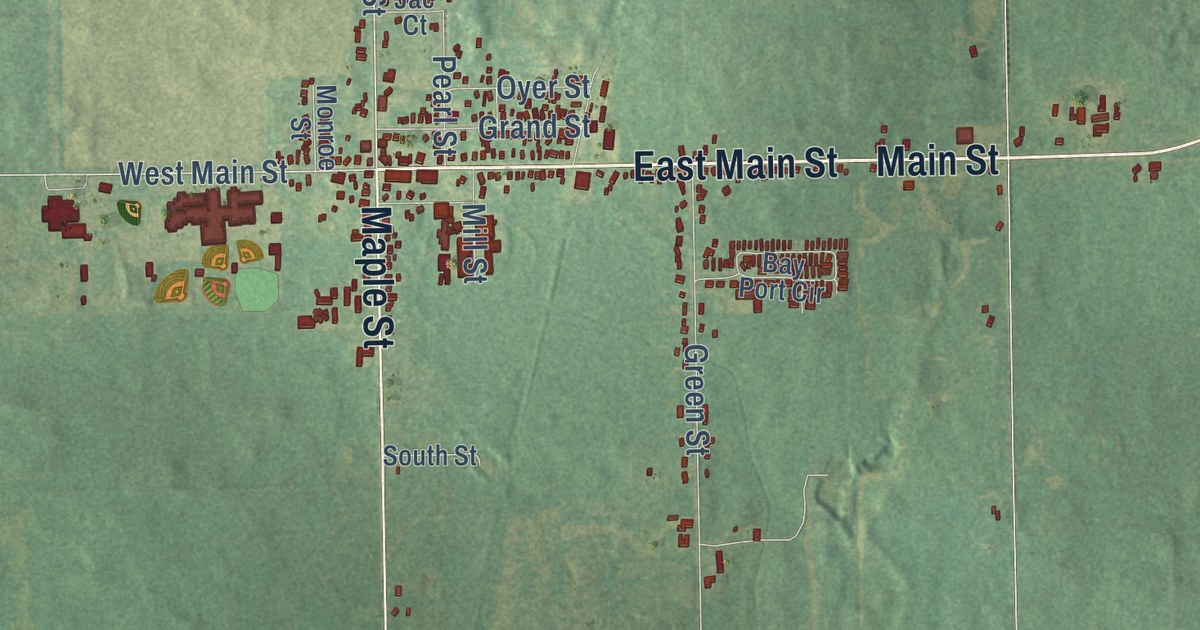
A detailed map of Springport Township, Michigan, showing every building in its true location, the roads by name, and shaded topographical relief.
Read More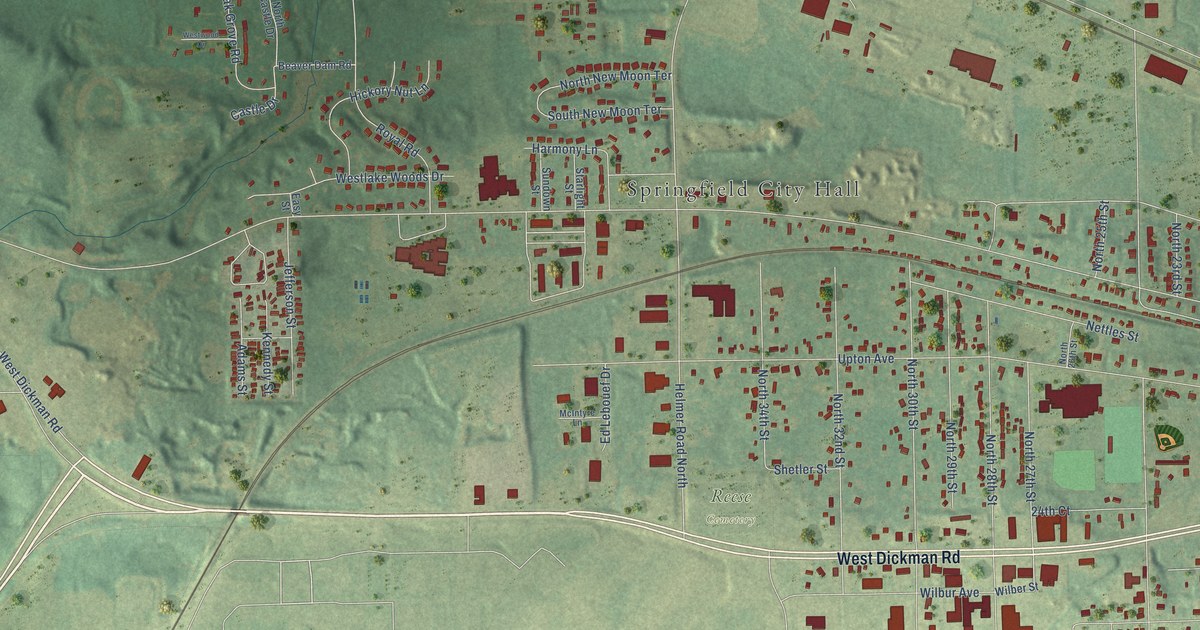
A detailed map of Springfield, Michigan, showing every building in its true location, the roads by name, and shaded topographical relief.
Read More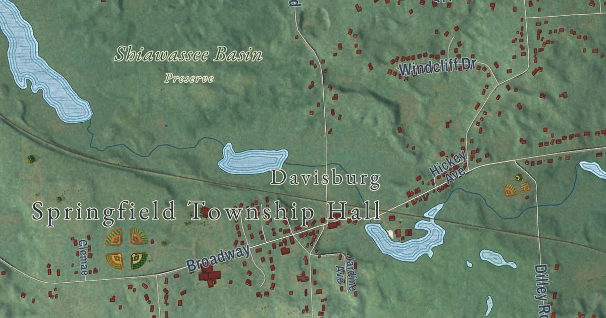
A detailed map of Springfield Township, Michigan, showing every building in its true location, the roads by name, and shaded topographical relief.
Read More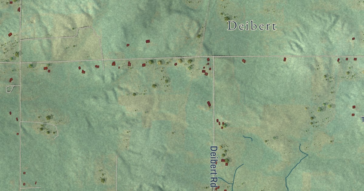
A detailed map of Springfield Township, Michigan, showing every building in its true location, the roads by name, and shaded topographical relief.
Read More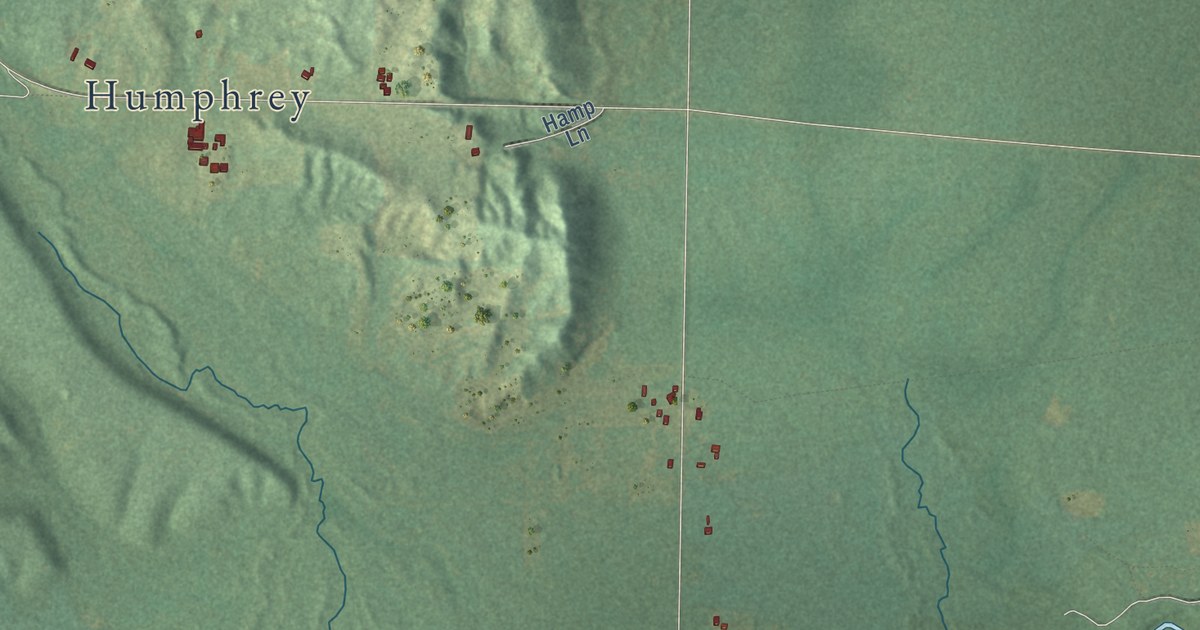
A detailed map of Springdale, Michigan, showing every building in its true location, the roads by name, and shaded topographical relief.
Read More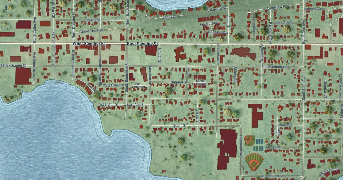
A detailed map of the Village of Spring Lake, Michigan, showing every building in its true location, the roads by name, and shaded topographical relief.
Read More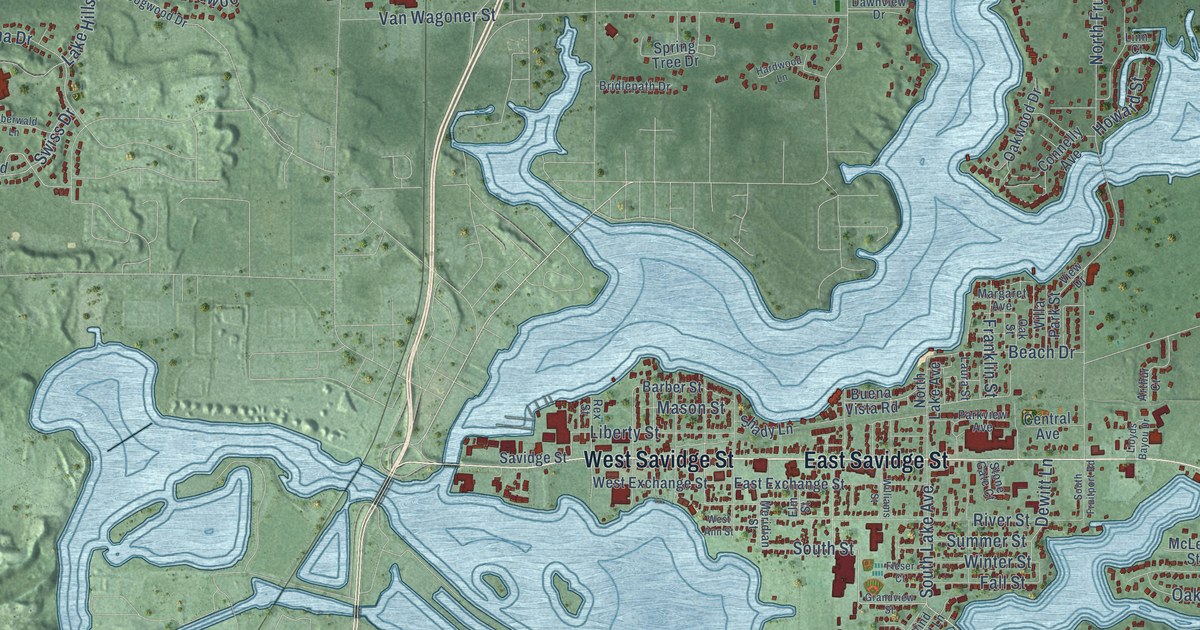
A detailed map of Spring Lake Township, Michigan, showing every building in its true location, the roads by name, and shaded topographical relief.
Read More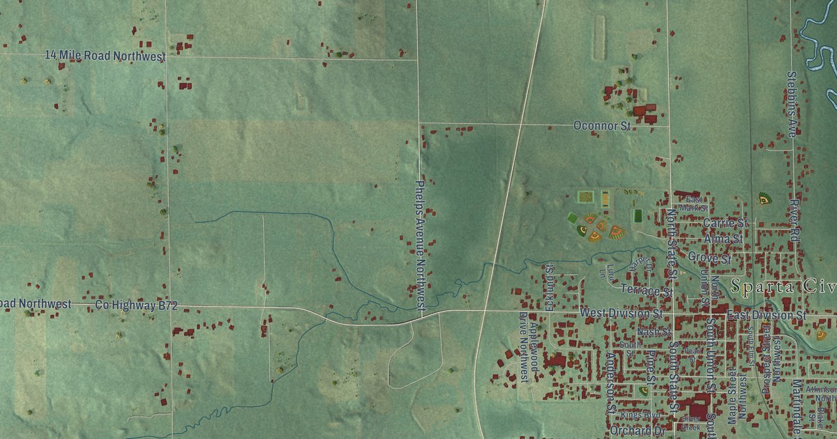
A detailed map of Sparta Township, Michigan, showing every building in its true location, the roads by name, and shaded topographical relief.
Read More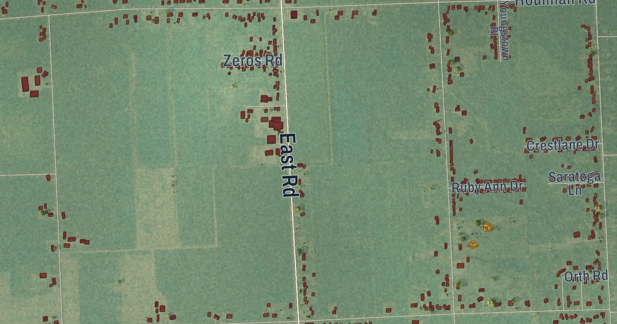
A detailed map of Spaulding, Michigan, showing every building in its true location, the roads by name, and shaded topographical relief.
Read More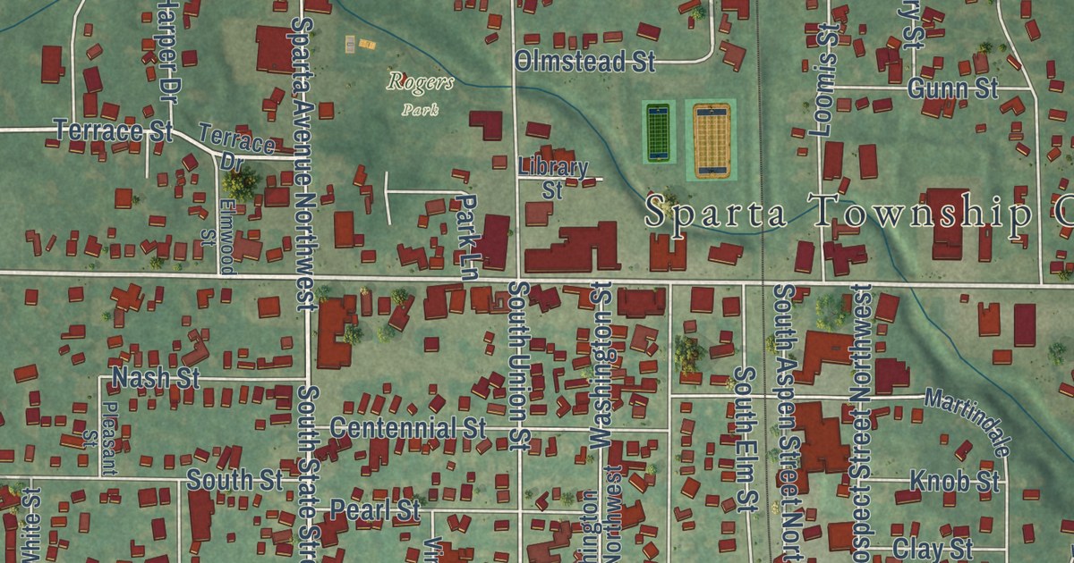
A detailed map of the Village of Sparta, Michigan, showing every building in its true location, the roads by name, and shaded topographical relief.
Read More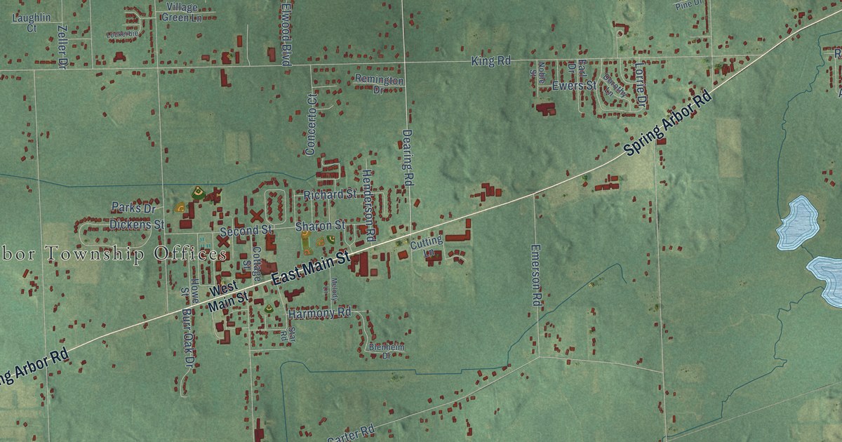
A detailed map of Spring Arbor, Michigan, showing every building in its true location, the roads by name, and shaded topographical relief.
Read More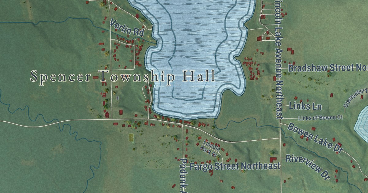
A detailed map of Spencer, Michigan, showing every building in its true location, the roads by name, and shaded topographical relief.
Read More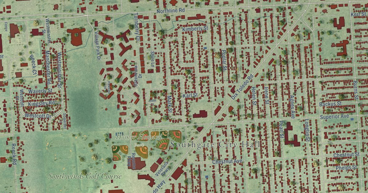
A detailed map of Southgate, Michigan, showing every building in its true location, the roads by name, and shaded topographical relief.
Read More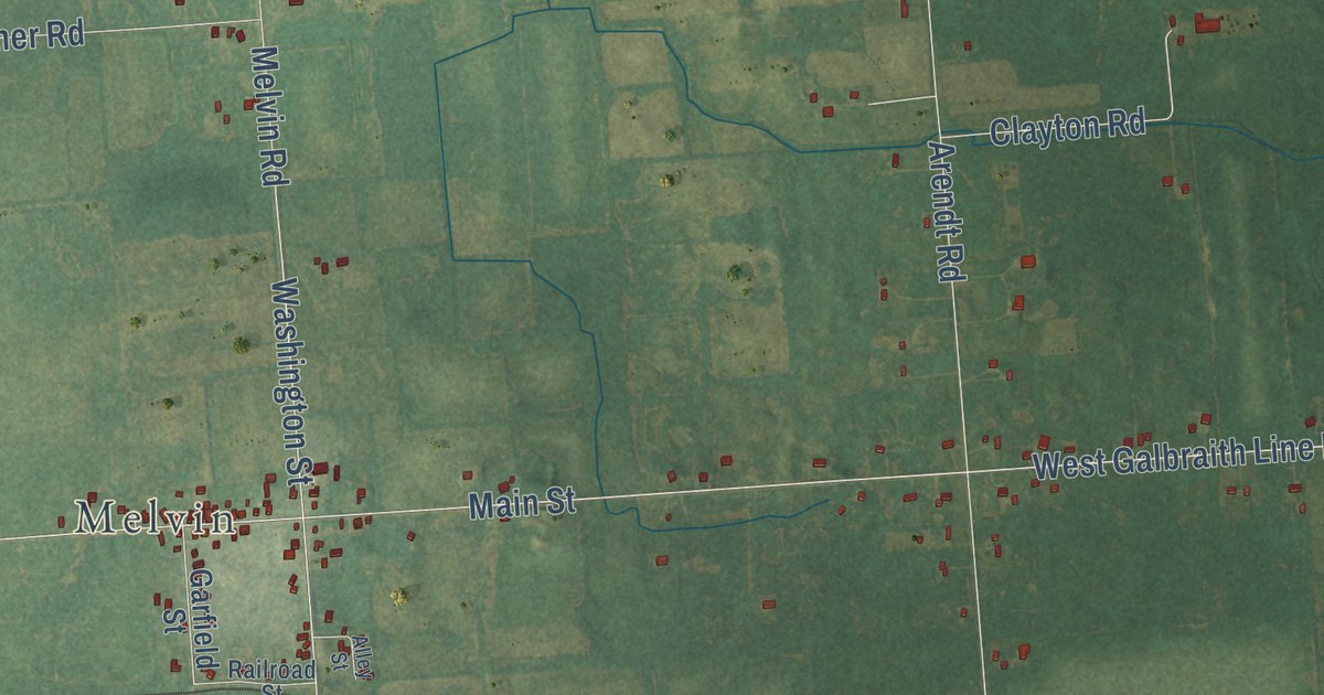
A detailed map of Speaker, Michigan, showing every building in its true location, the roads by name, and shaded topographical relief.
Read More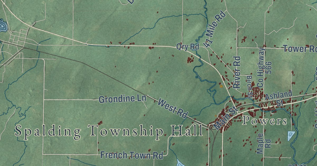
A detailed map of Spalding, Michigan, showing every building in its true location, the roads by name, and shaded topographical relief.
Read More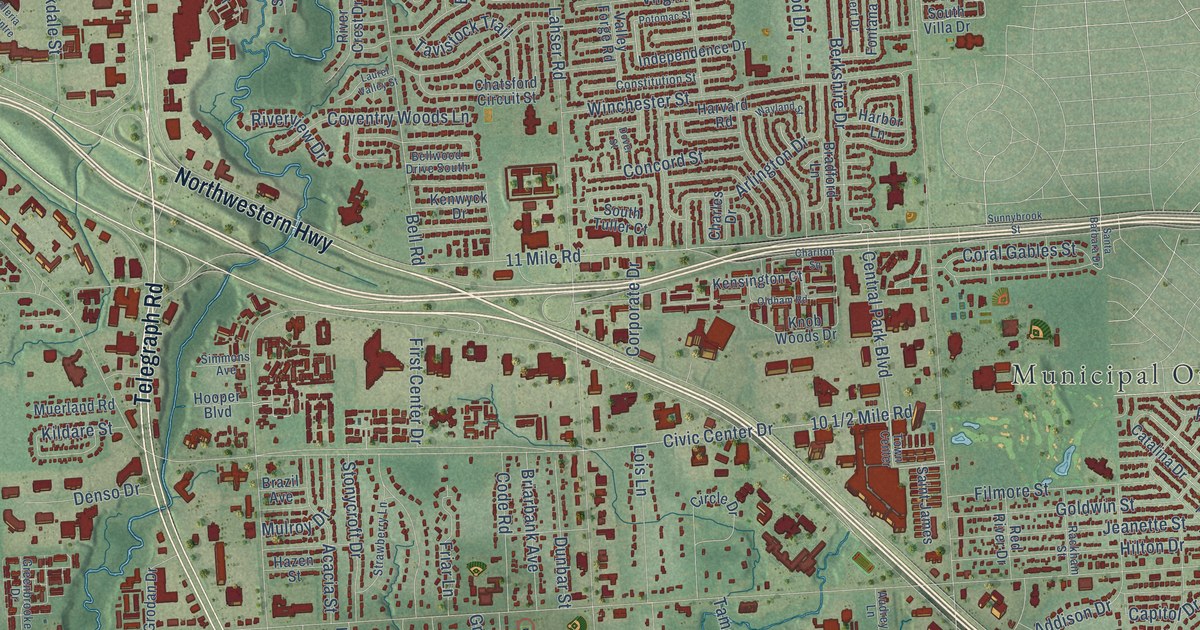
A detailed map of the City of Southfield, Michigan, showing every building in its true location, the roads by name, and shaded topographical relief.
Read More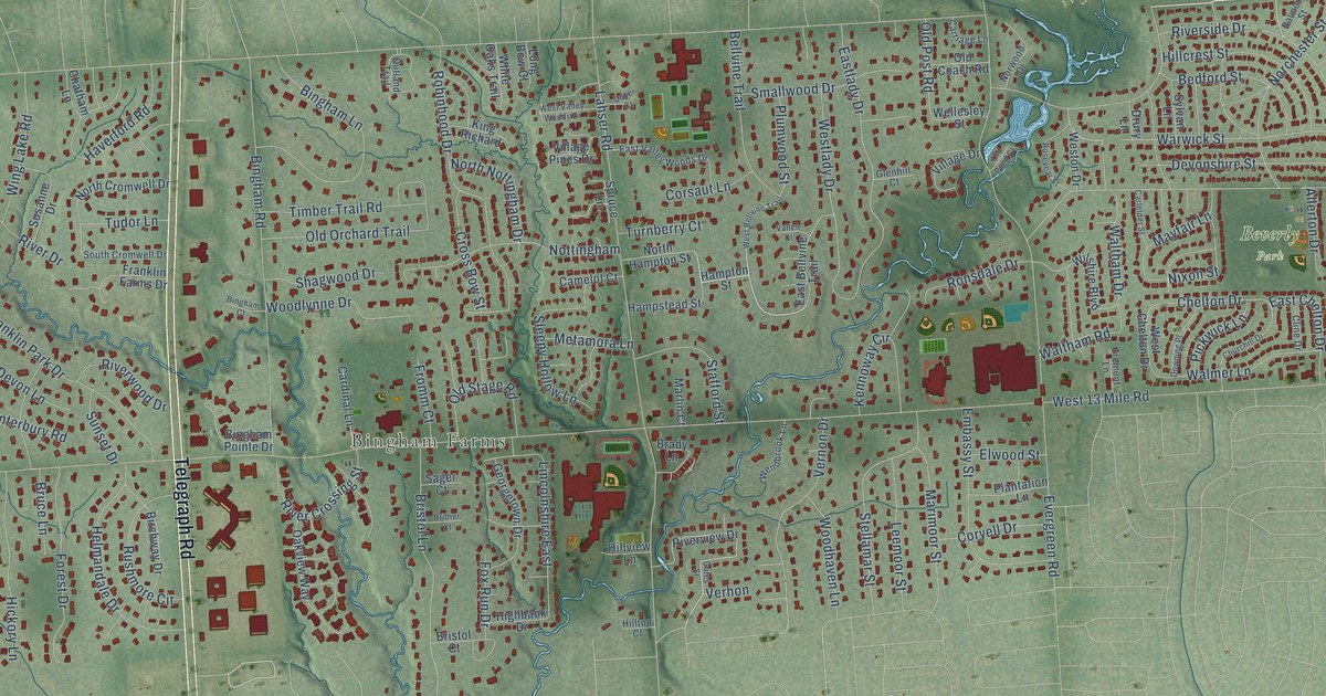
A detailed map of Southfield Township, Michigan, showing every building in its true location, the roads by name, and shaded topographical relief.
Read More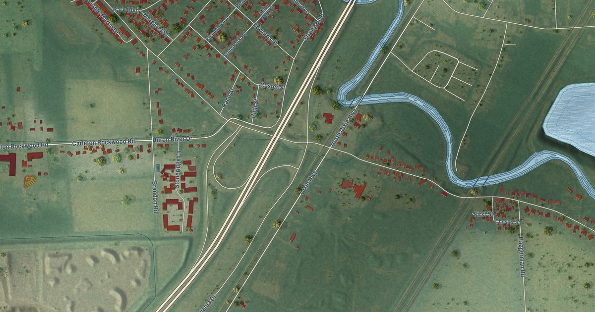
A detailed map of South Rockwood, Michigan, showing every building in its true location, the roads by name, and shaded topographical relief.
Read More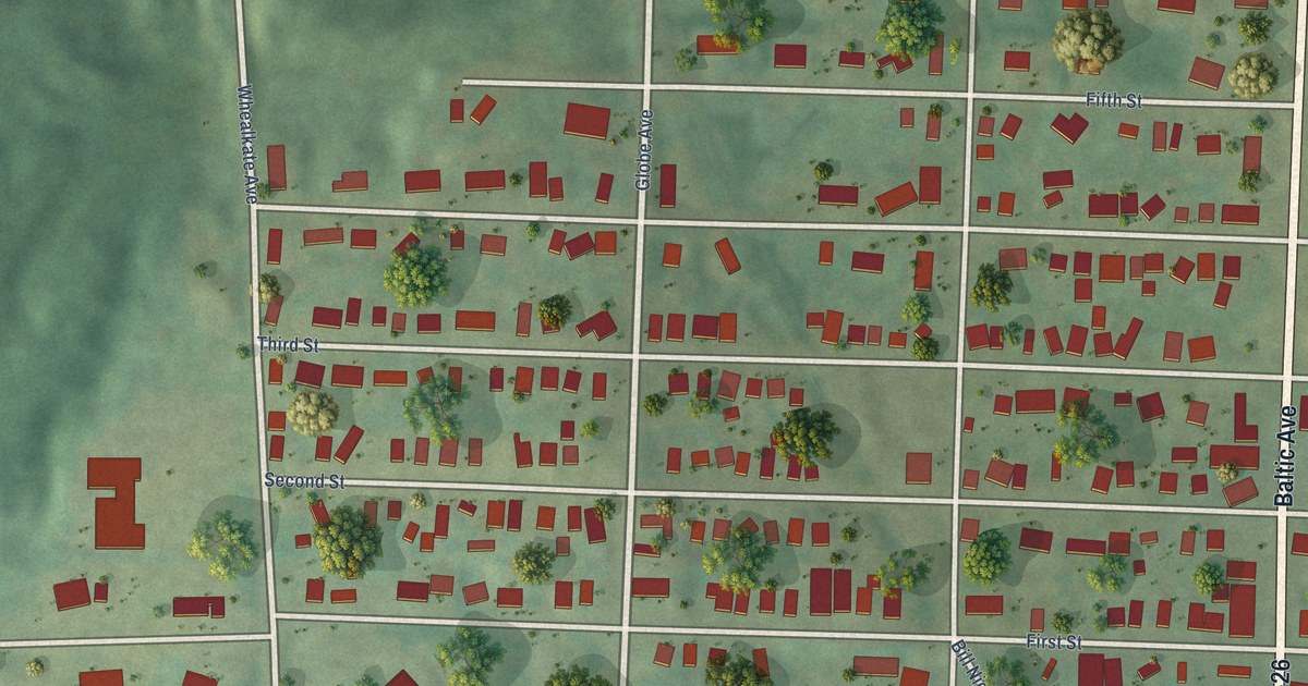
A detailed map of South Range, Michigan, showing every building in its true location, the roads by name, and shaded topographical relief.
Read More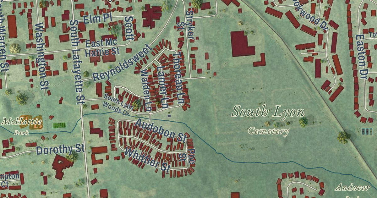
A detailed map of South Lyon, Michigan, showing every building in its true location, the roads by name, and shaded topographical relief.
Read More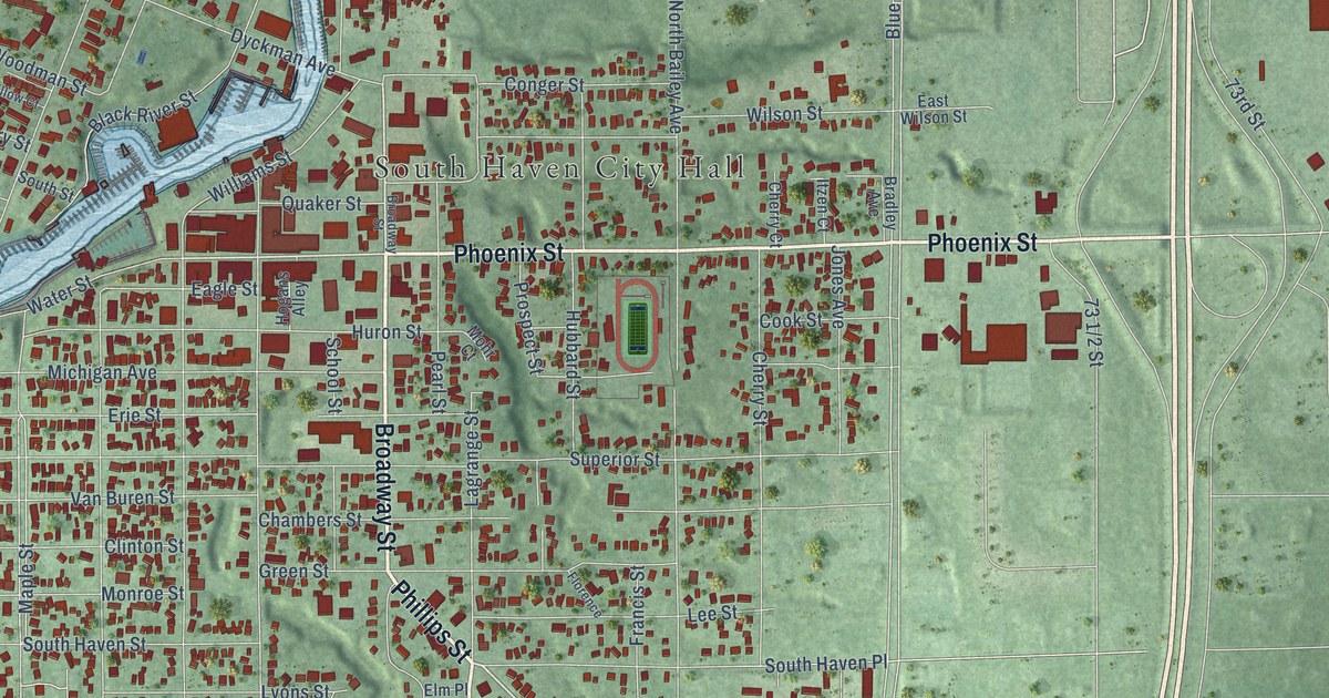
A detailed map of the City of South Haven, Michigan, showing every building in its true location, the roads by name, and shaded topographical relief.
Read More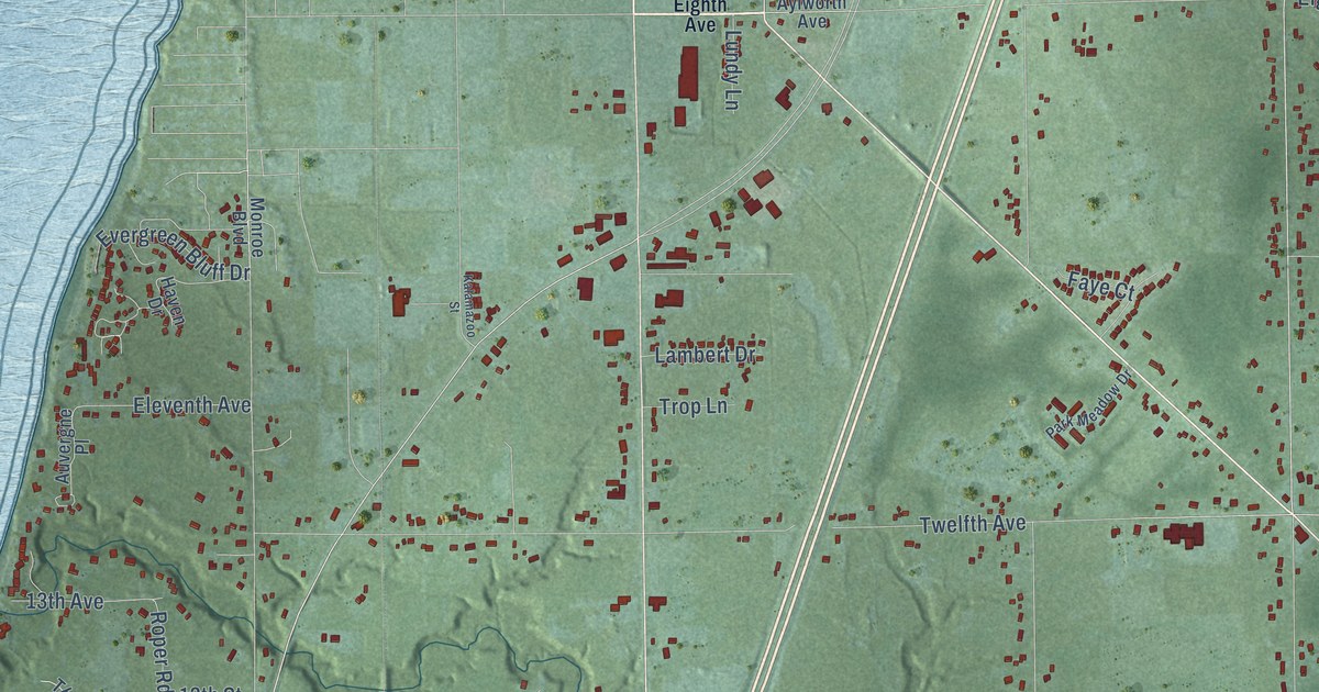
A detailed map of South Haven Township, Michigan, showing every building in its true location, the roads by name, and shaded topographical relief.
Read More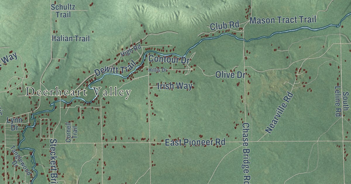
A detailed map of South Branch, Michigan, showing every building in its true location, the roads by name, and shaded topographical relief.
Read More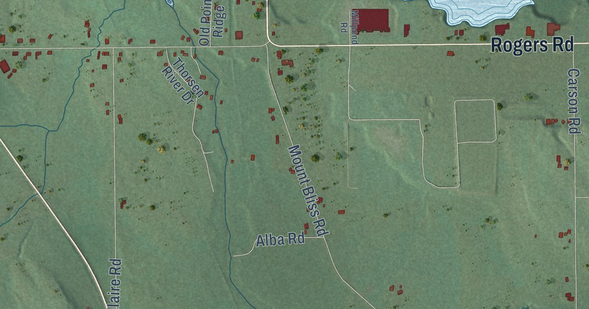
A detailed map of South Arm, Michigan, showing every building in its true location, the roads by name, and shaded topographical relief.
Read More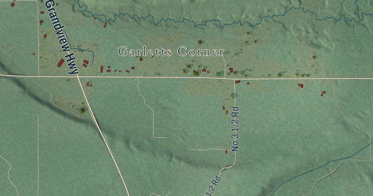
A detailed map of South Branch, Michigan, showing every building in its true location, the roads by name, and shaded topographical relief.
Read More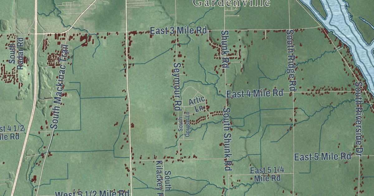
A detailed map of Soo, Michigan, showing every building in its true location, the roads by name, and shaded topographical relief.
Read More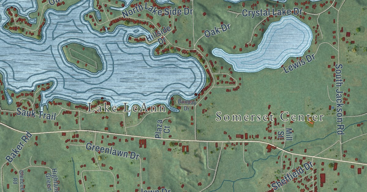
A detailed map of Somerset, Michigan, showing every building in its true location, the roads by name, and shaded topographical relief.
Read More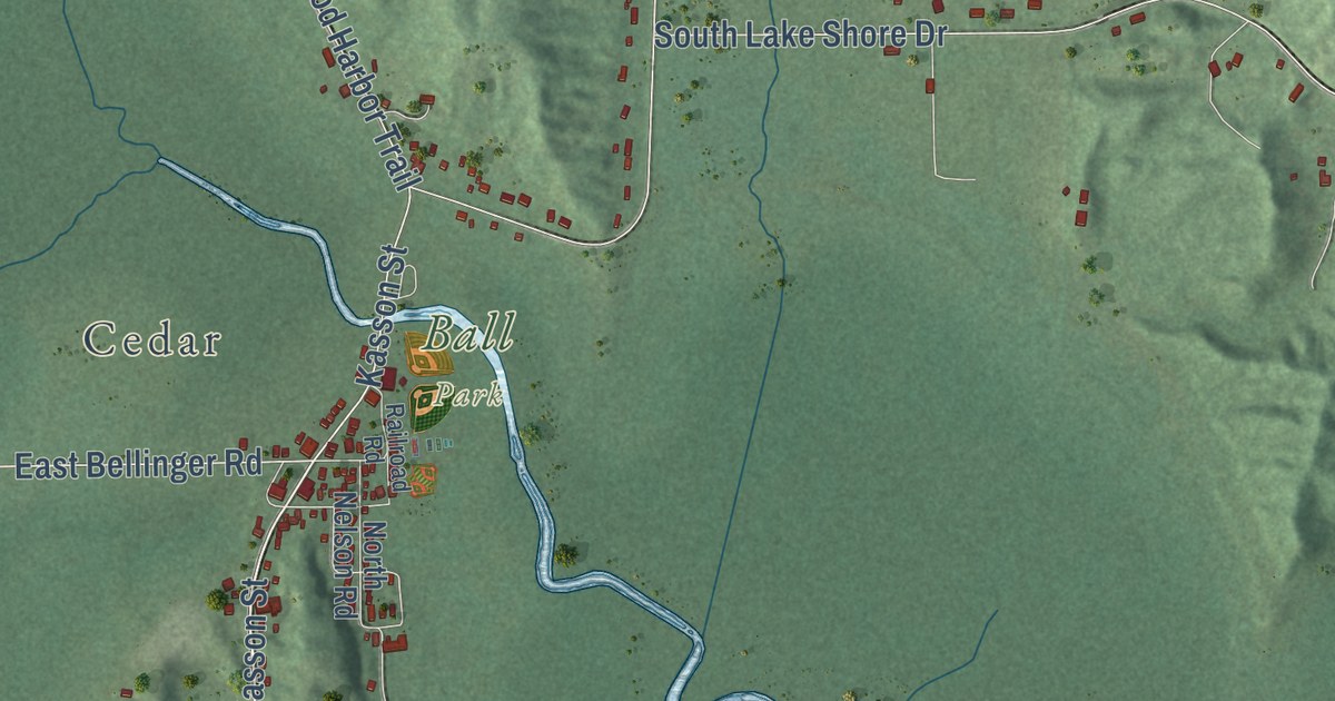
A detailed map of Solon, Michigan, showing every building in its true location, the roads by name, and shaded topographical relief.
Read More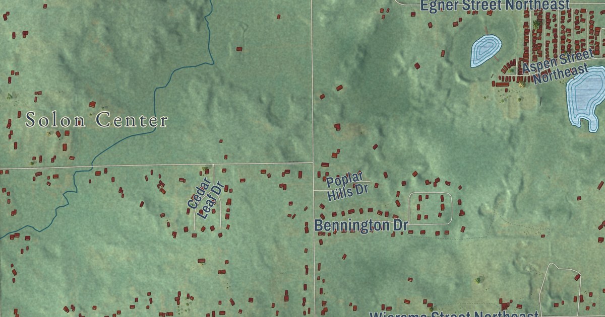
A detailed map of Solon, Michigan, showing every building in its true location, the roads by name, and shaded topographical relief.
Read More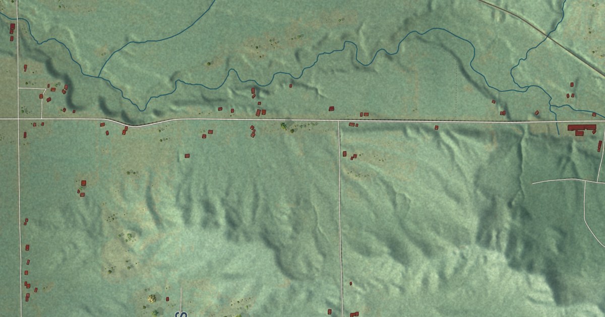
A detailed map of Slagle, Michigan, showing every building in its true location, the roads by name, and shaded topographical relief.
Read More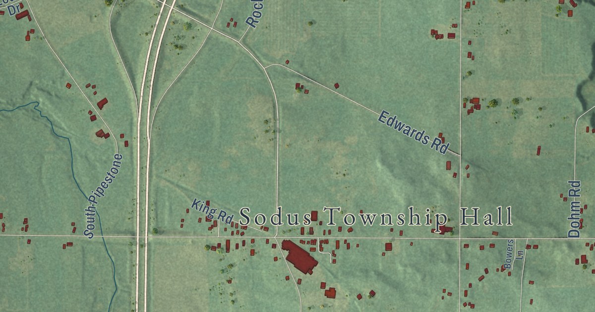
A detailed map of Sodus, Michigan, showing every building in its true location, the roads by name, and shaded topographical relief.
Read More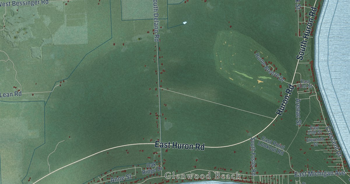
A detailed map of Sims, Michigan, showing every building in its true location, the roads by name, and shaded topographical relief.
Read More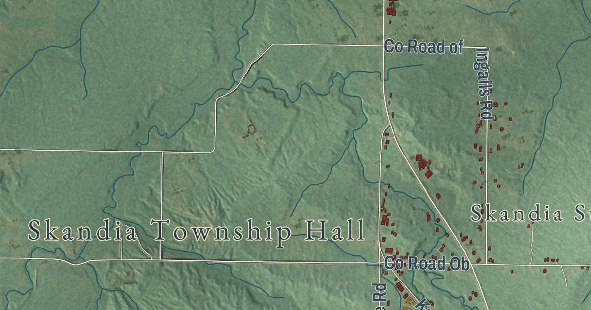
A detailed map of Skandia, Michigan, showing every building in its true location, the roads by name, and shaded topographical relief.
Read More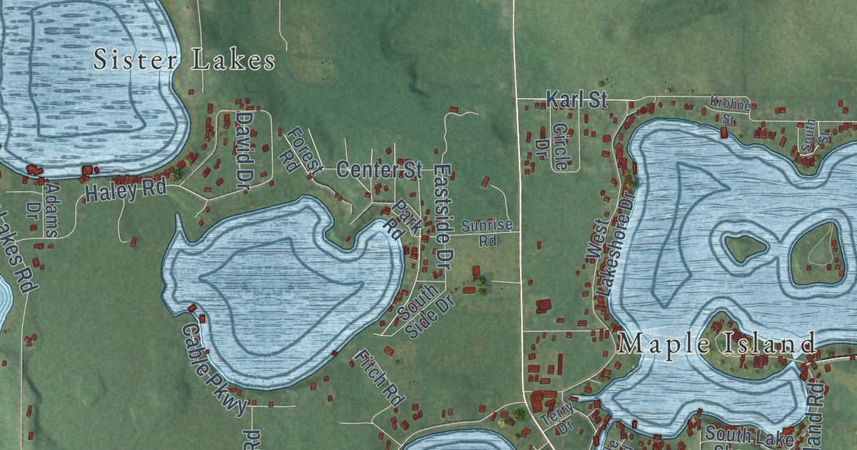
A detailed map of Silver Creek, Michigan, showing every building in its true location, the roads by name, and shaded topographical relief.
Read More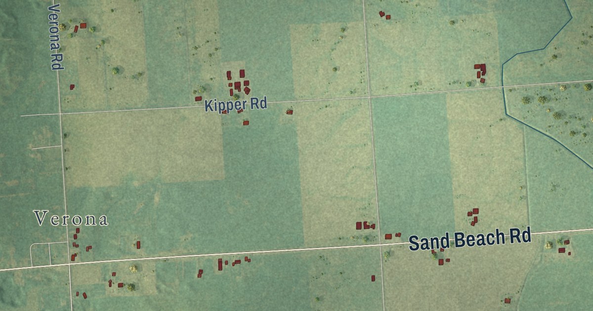
A detailed map of Sigel, Michigan, showing every building in its true location, the roads by name, and shaded topographical relief.
Read More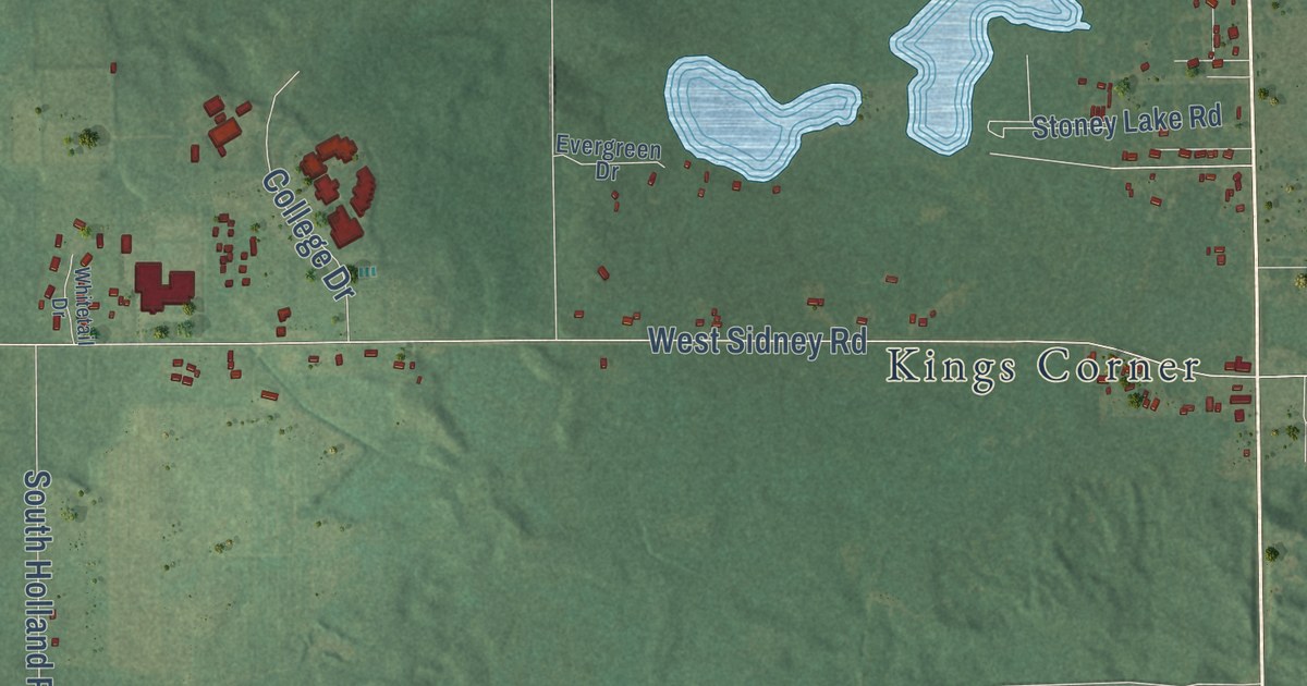
A detailed map of Sidney, Michigan, showing every building in its true location, the roads by name, and shaded topographical relief.
Read More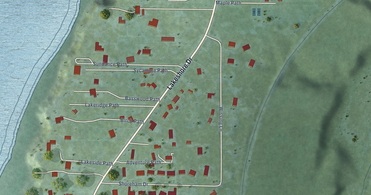
A detailed map of Shoreham, Michigan, showing every building in its true location, the roads by name, and shaded topographical relief.
Read More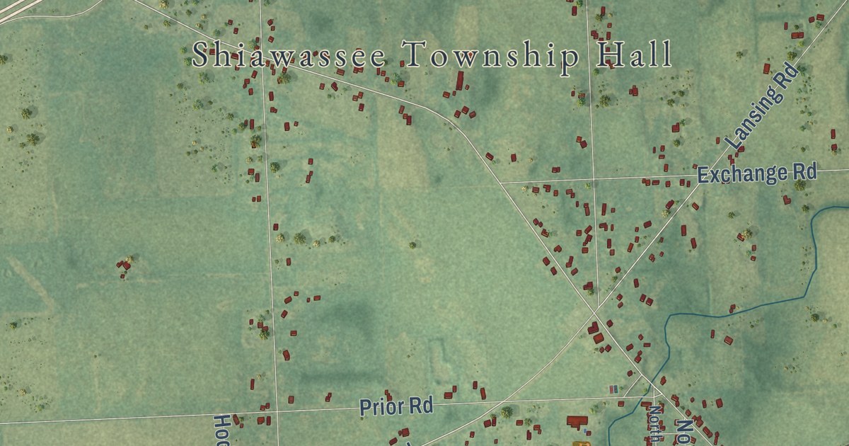
A detailed map of Shiawassee, Michigan, showing every building in its true location, the roads by name, and shaded topographical relief.
Read More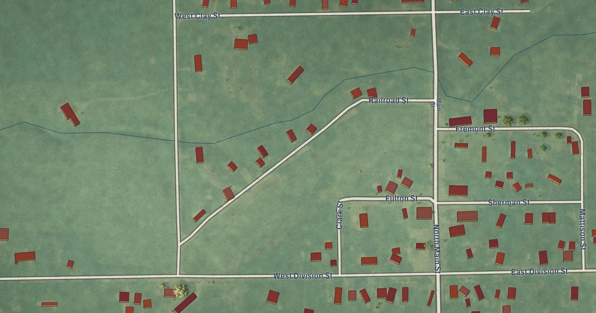
A detailed map of the Village of Sherwood, Michigan, showing every building in its true location, the roads by name, and shaded topographical relief.
Read More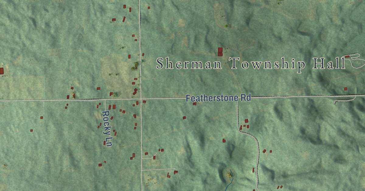
A detailed map of Sherman, Michigan, showing every building in its true location, the roads by name, and shaded topographical relief.
Read More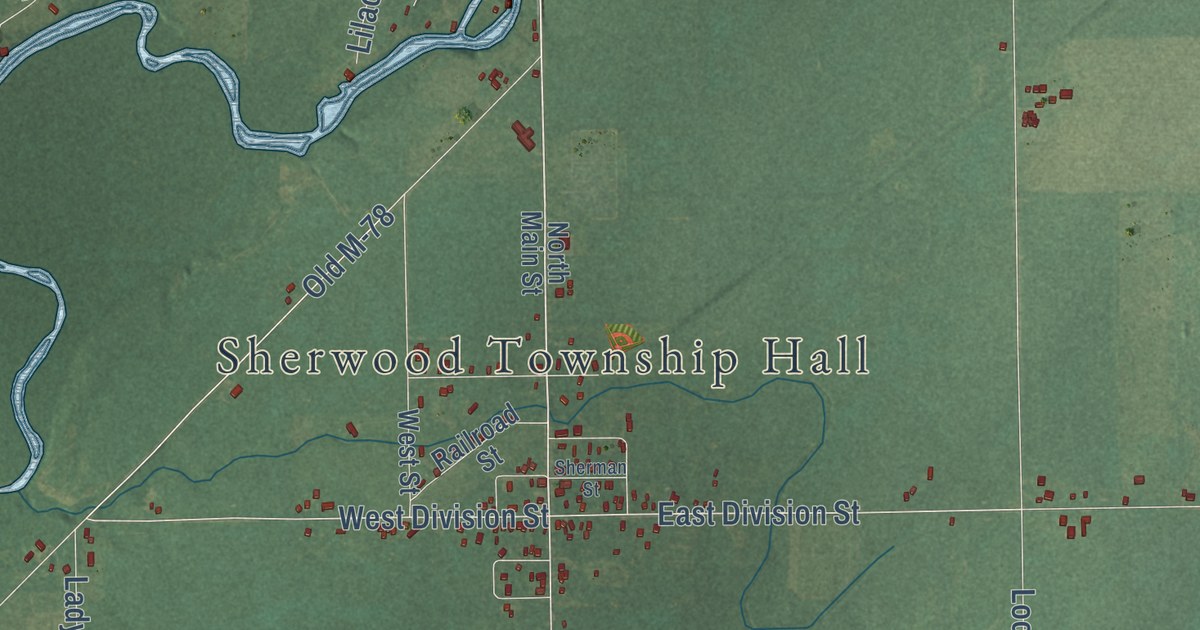
A detailed map of Sherwood Township, Michigan, showing every building in its true location, the roads by name, and shaded topographical relief.
Read More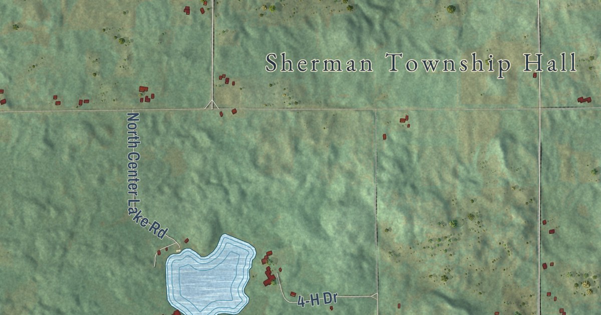
A detailed map of Sherman, Michigan, showing every building in its true location, the roads by name, and shaded topographical relief.
Read More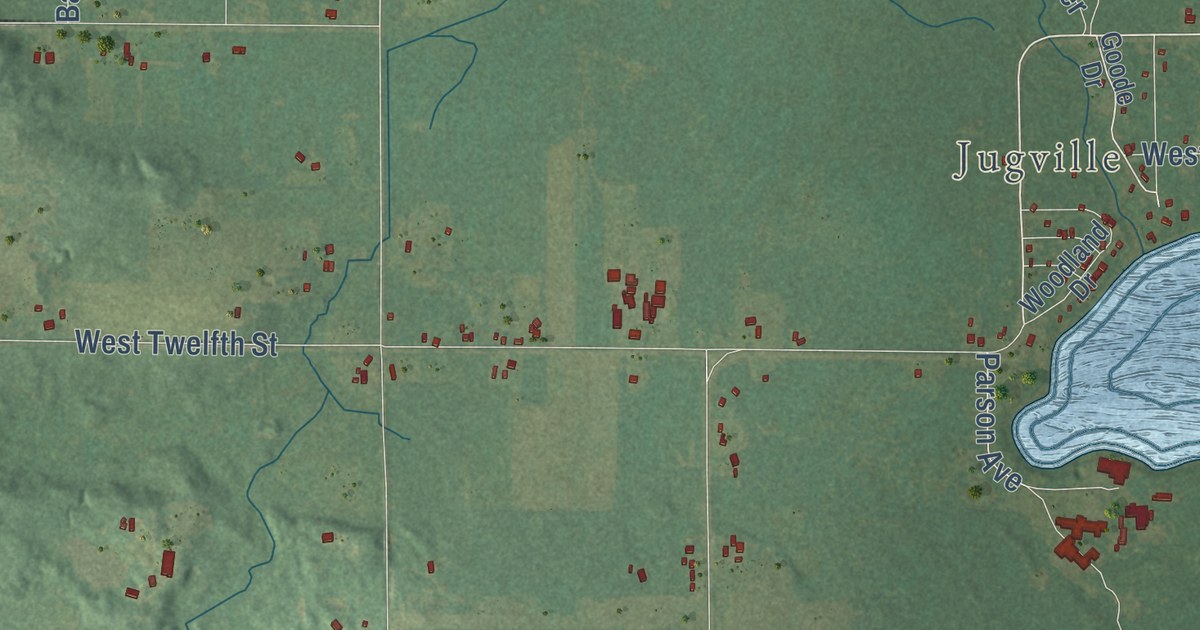
A detailed map of Sherman, Michigan, showing every building in its true location, the roads by name, and shaded topographical relief.
Read More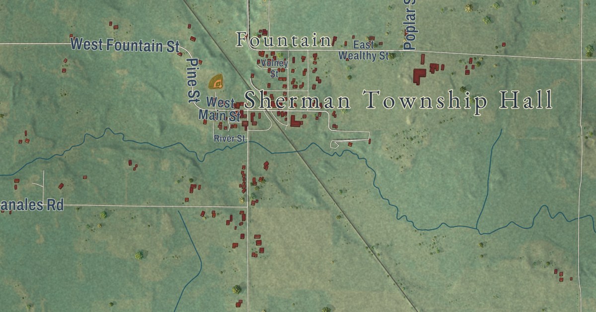
A detailed map of Sherman, Michigan, showing every building in its true location, the roads by name, and shaded topographical relief.
Read More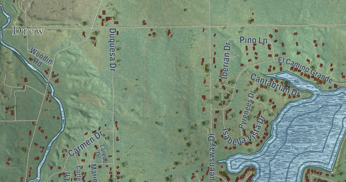
A detailed map of Sherman, Michigan, showing every building in its true location, the roads by name, and shaded topographical relief.
Read More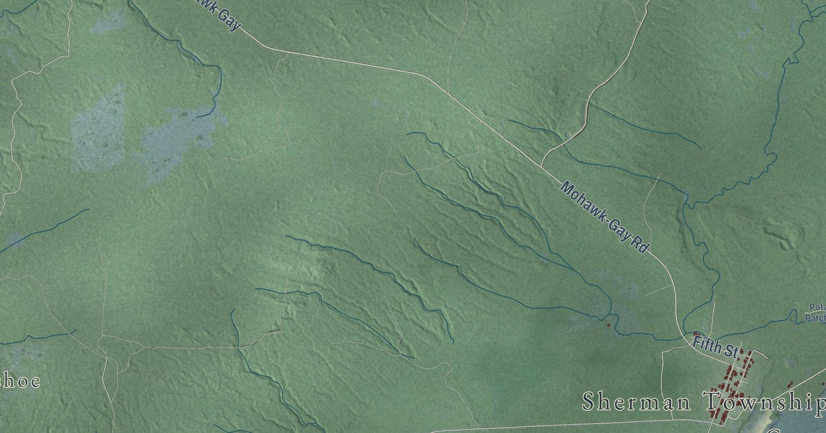
A detailed map of Sherman, Michigan, showing every building in its true location, the roads by name, and shaded topographical relief.
Read More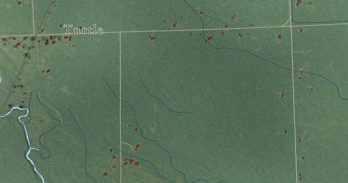
A detailed map of Sherman, Michigan, showing every building in its true location, the roads by name, and shaded topographical relief.
Read More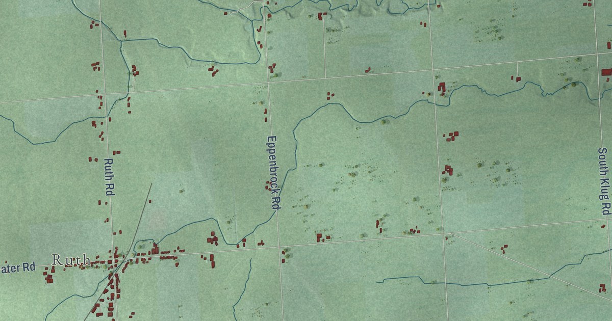
A detailed map of Sherman, Michigan, showing every building in its true location, the roads by name, and shaded topographical relief.
Read More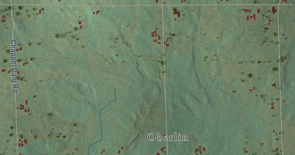
A detailed map of Sherman, Michigan, showing every building in its true location, the roads by name, and shaded topographical relief.
Read More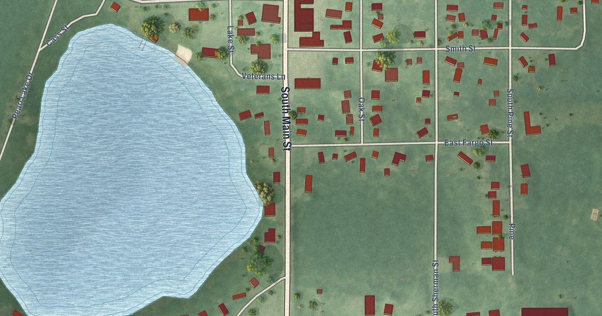
A detailed map of Sheridan, Michigan, showing every building in its true location, the roads by name, and shaded topographical relief.
Read More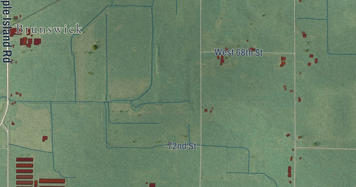
A detailed map of Sheridan Township, Michigan, showing every building in its true location, the roads by name, and shaded topographical relief.
Read More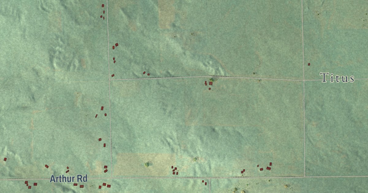
A detailed map of Sheridan Township, Michigan, showing every building in its true location, the roads by name, and shaded topographical relief.
Read More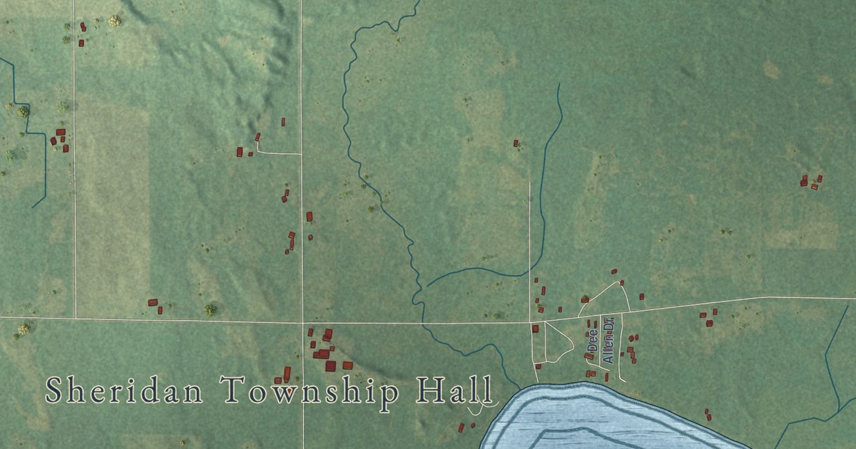
A detailed map of Sheridan Township, Michigan, showing every building in its true location, the roads by name, and shaded topographical relief.
Read More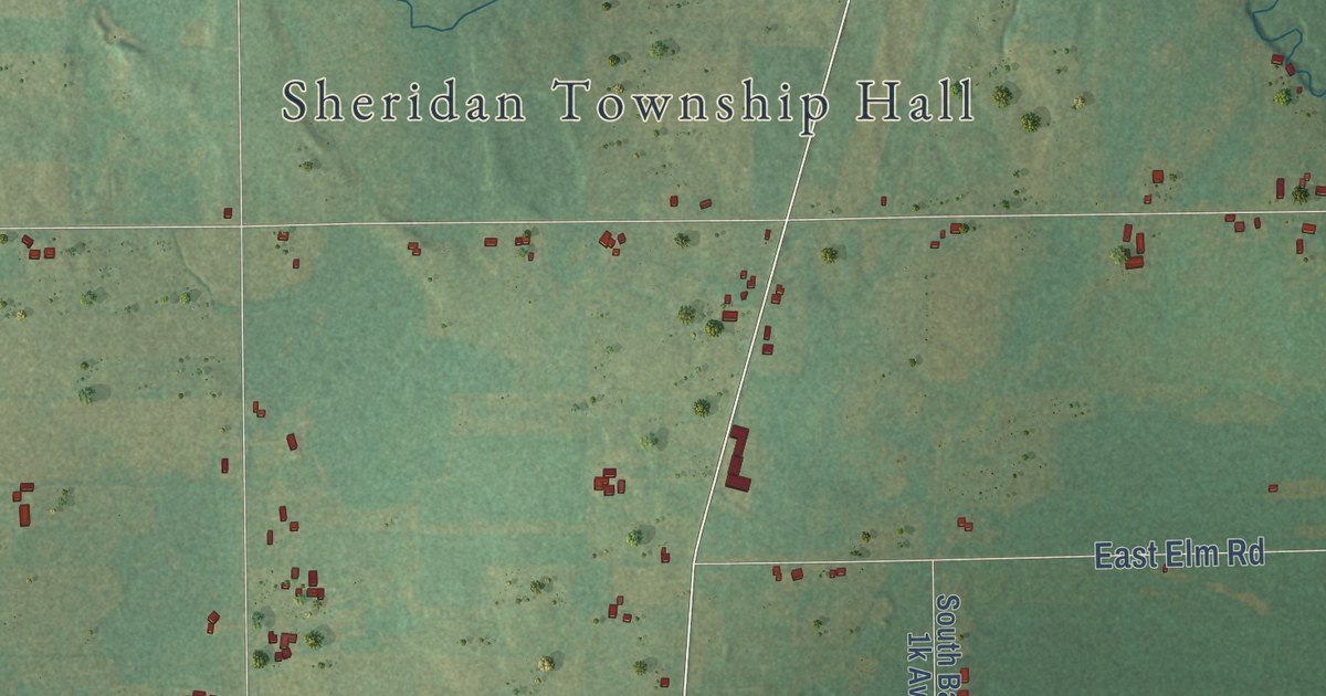
A detailed map of Sheridan Township, Michigan, showing every building in its true location, the roads by name, and shaded topographical relief.
Read More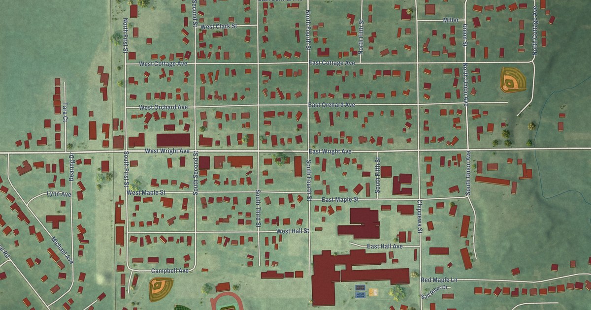
A detailed map of Shepherd, Michigan, showing every building in its true location, the roads by name, and shaded topographical relief.
Read More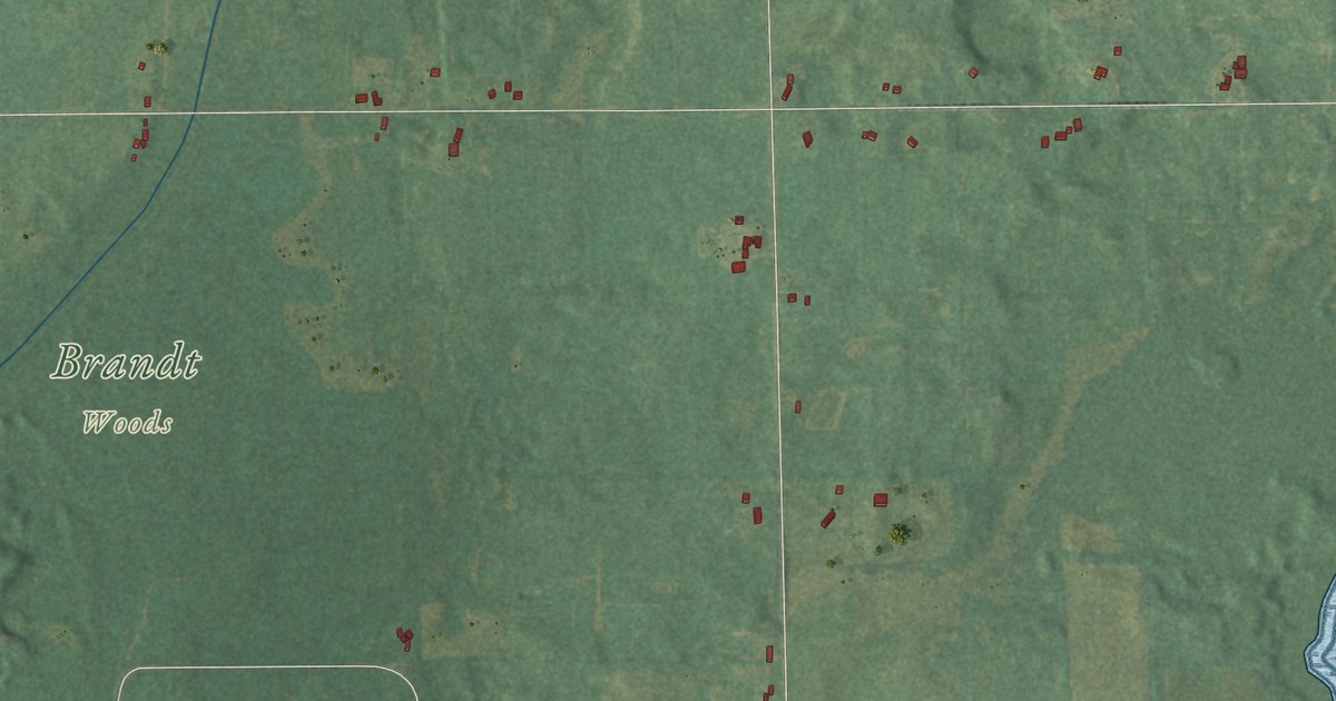
A detailed map of Sheridan Township, Michigan, showing every building in its true location, the roads by name, and shaded topographical relief.
Read More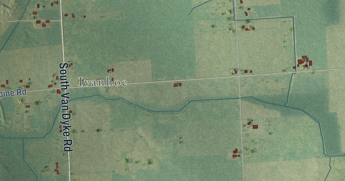
A detailed map of Sheridan Township, Michigan, showing every building in its true location, the roads by name, and shaded topographical relief.
Read More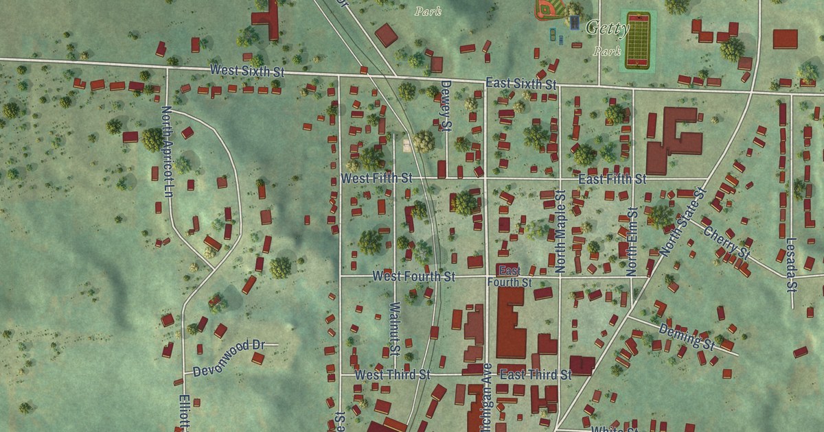
A detailed map of the Village of Shelby, Oceana County, Michigan, showing every building in its true location, the roads by name, and shaded topographical relief.
Read More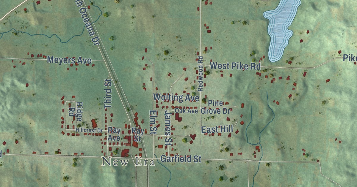
A detailed map of Shelby Township, Michigan, showing every building in its true location, the roads by name, and shaded topographical relief.
Read More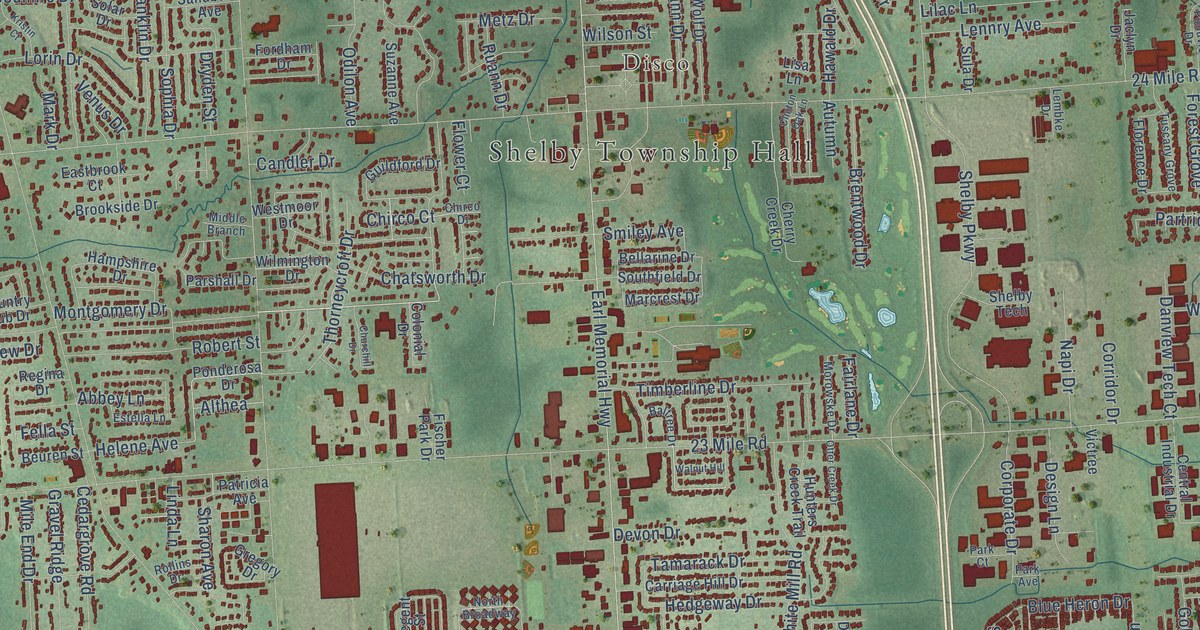
A detailed map of Shelby Township, Michigan, showing every building in its true location, the roads by name, and shaded topographical relief.
Read More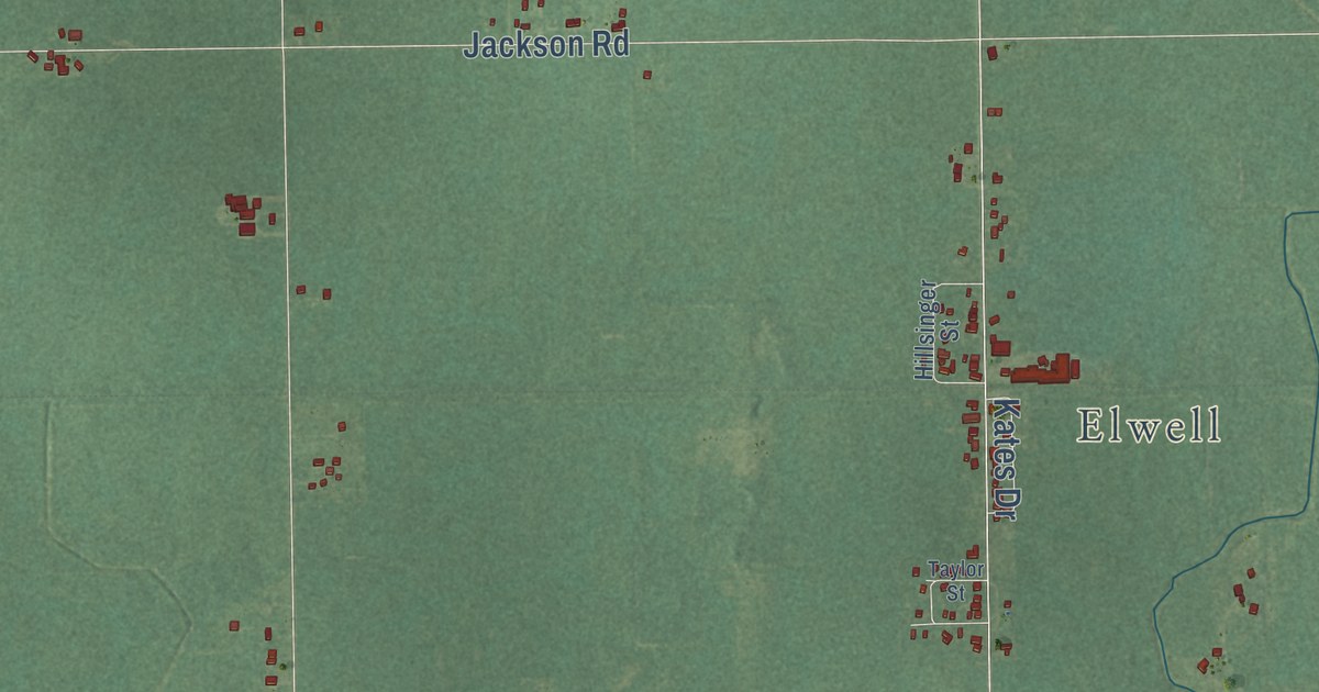
A detailed map of Seville, Michigan, showing every building in its true location, the roads by name, and shaded topographical relief.
Read More















