Detailed Map of Robinhood, Mississippi
A detailed map of Robinhood, Mississippi, showing every building in its true location, the roads by name, and shaded topographical relief.
Read More
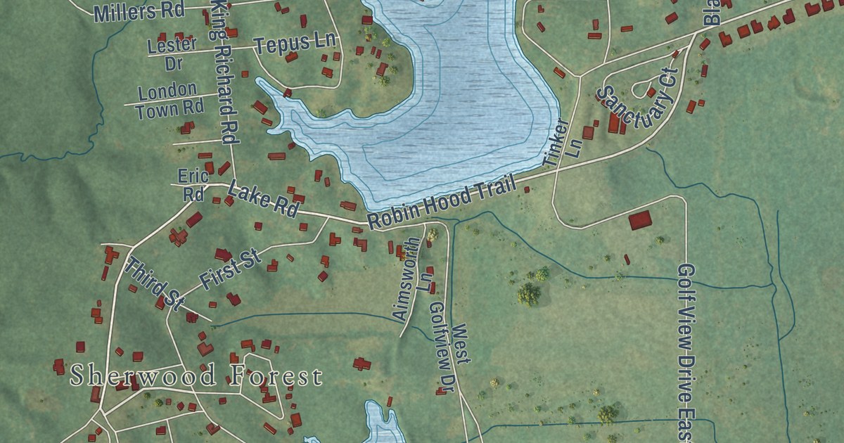
A detailed map of Robinhood, Mississippi, showing every building in its true location, the roads by name, and shaded topographical relief.
Read More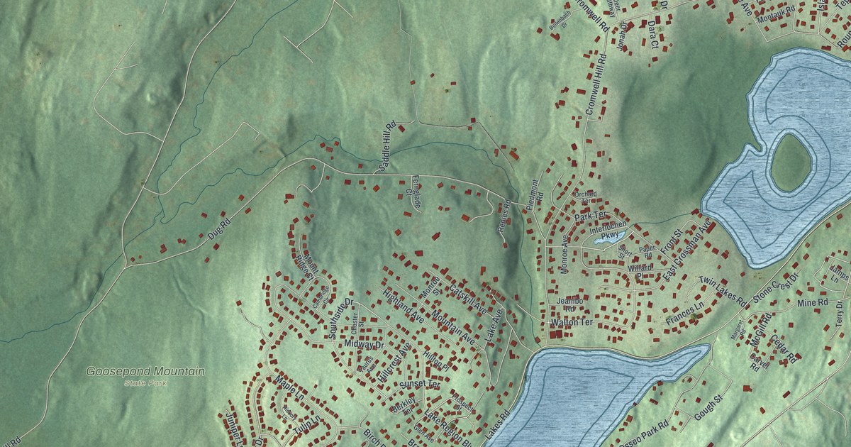
A detailed map of Walton Park, New York, showing every building in its true location, the roads by name, and shaded topographical relief.
Read More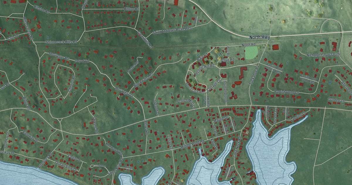
A detailed map of Shinnecock Hills, New York, showing every building in its true location, the roads by name, and shaded topographical relief.
Read More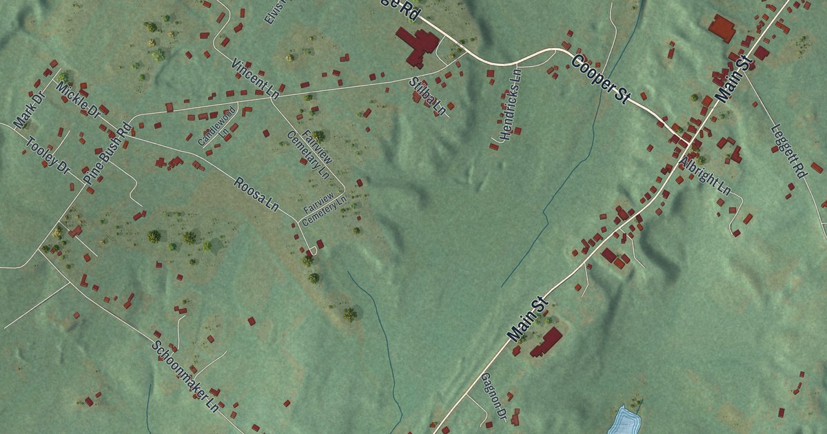
A detailed map of Stone Ridge, New York, showing every building in its true location, the roads by name, and shaded topographical relief.
Read More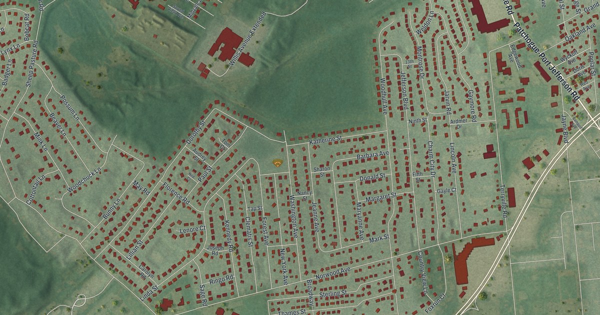
A detailed map of Port Jefferson Station, New York, showing every building in its true location, the roads by name, and shaded topographical relief.
Read More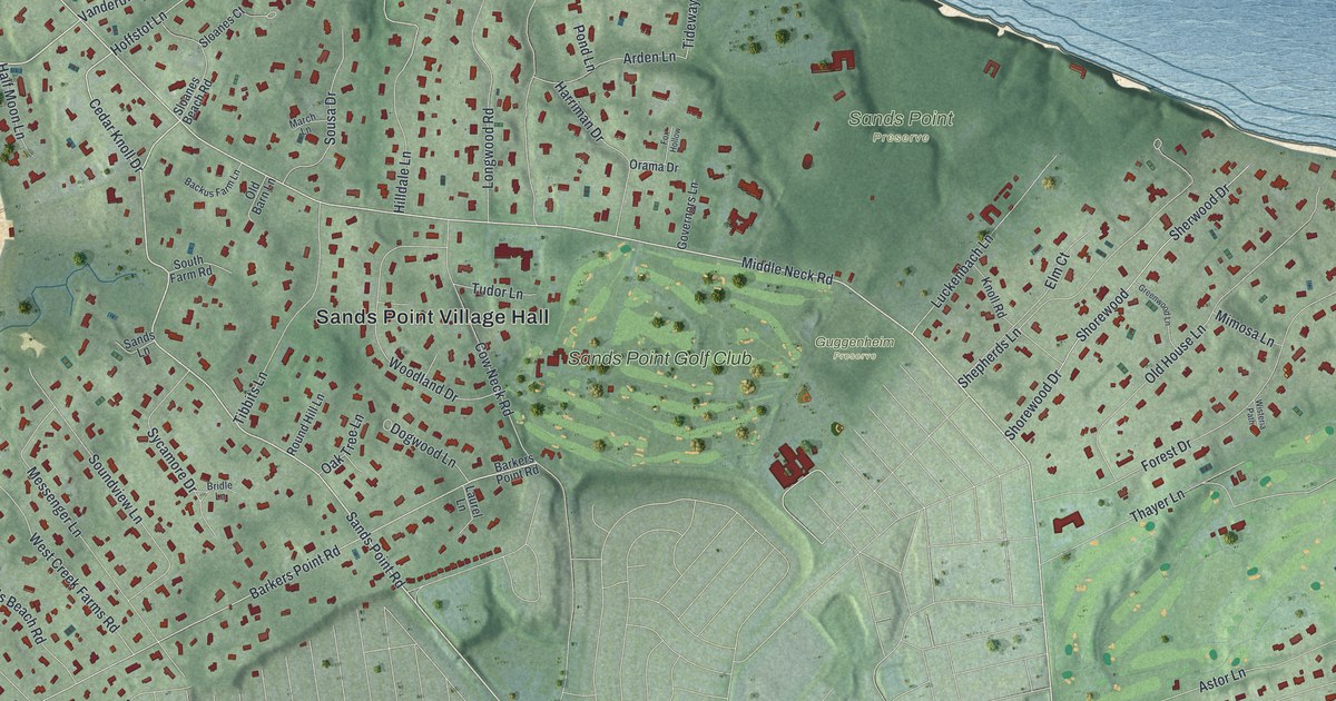
A detailed map of Sands Point, New York, showing every building in its true location, the roads by name, and shaded topographical relief.
Read More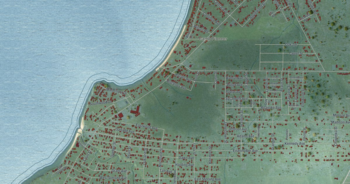
A detailed map of Lake Erie Beach, New York, showing every building in its true location, the roads by name, and shaded topographical relief.
Read More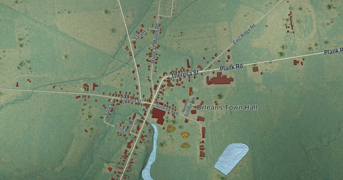
A detailed map of La Fargeville, New York, showing every building in its true location, the roads by name, and shaded topographical relief.
Read More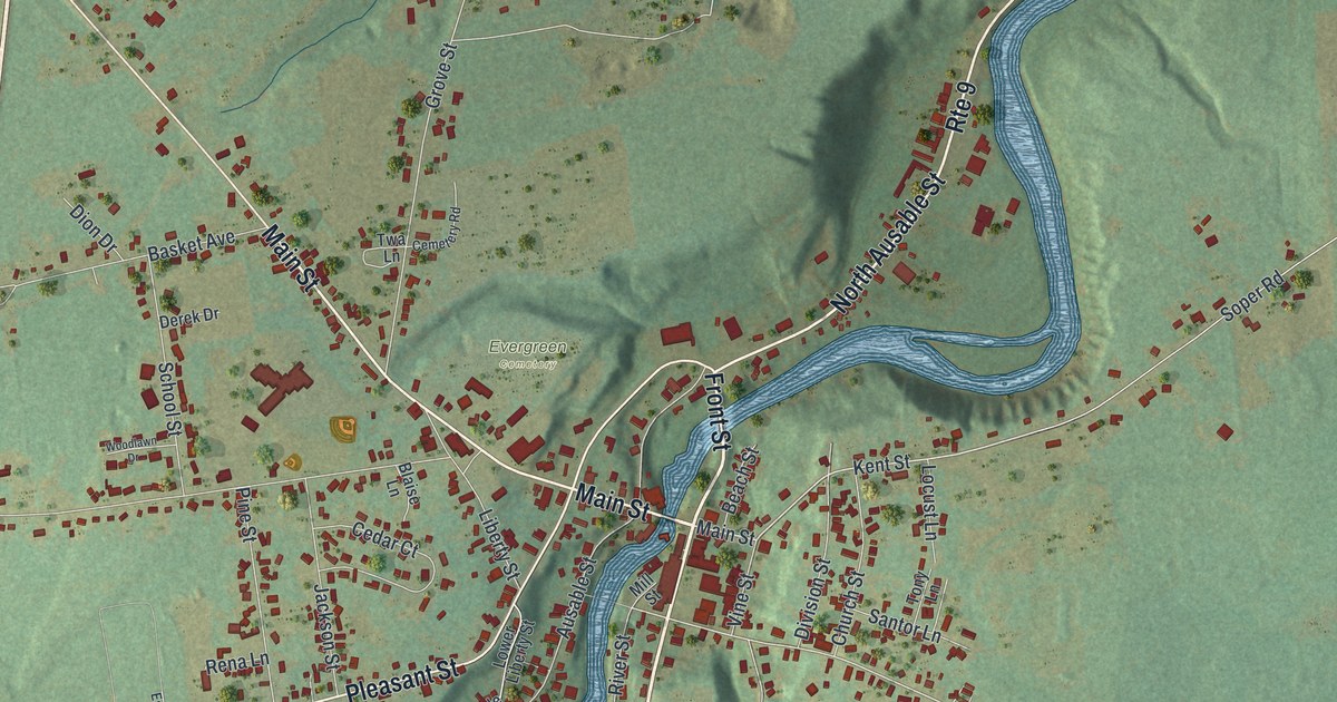
A detailed map of Keeseville, New York, showing every building in its true location, the roads by name, and shaded topographical relief.
Read More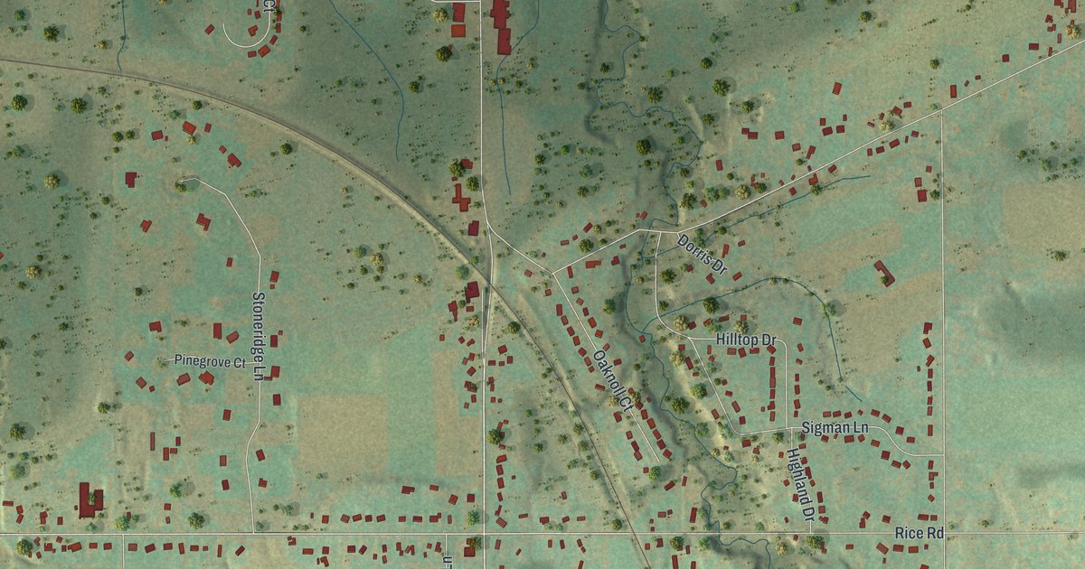
A detailed map of Elma Center, New York, showing every building in its true location, the roads by name, and shaded topographical relief.
Read More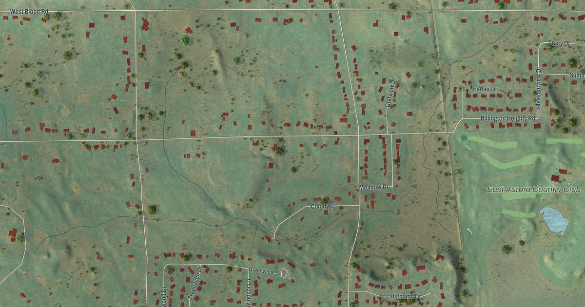
A detailed map of Billington Heights, New York, showing every building in its true location, the roads by name, and shaded topographical relief.
Read More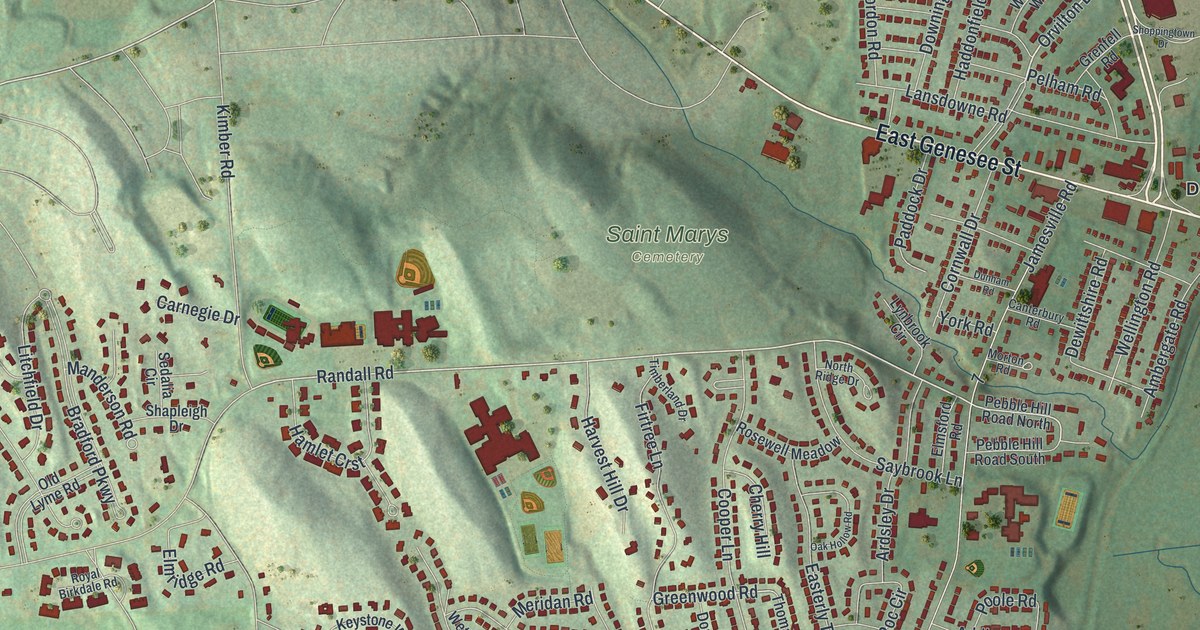
A detailed map of De Witt, New York, showing every building in its true location, the roads by name, and shaded topographical relief.
Read More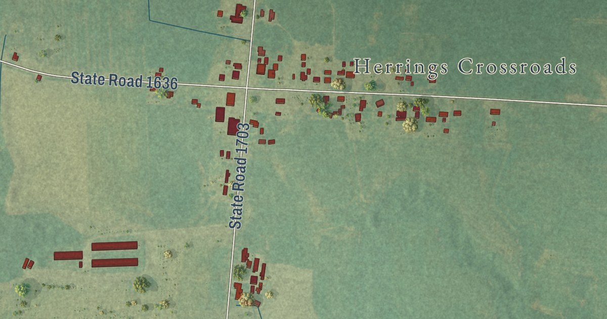
A detailed map of Vann Crossroads, North Carolina, showing every building in its true location, the roads by name, and shaded topographical relief.
Read More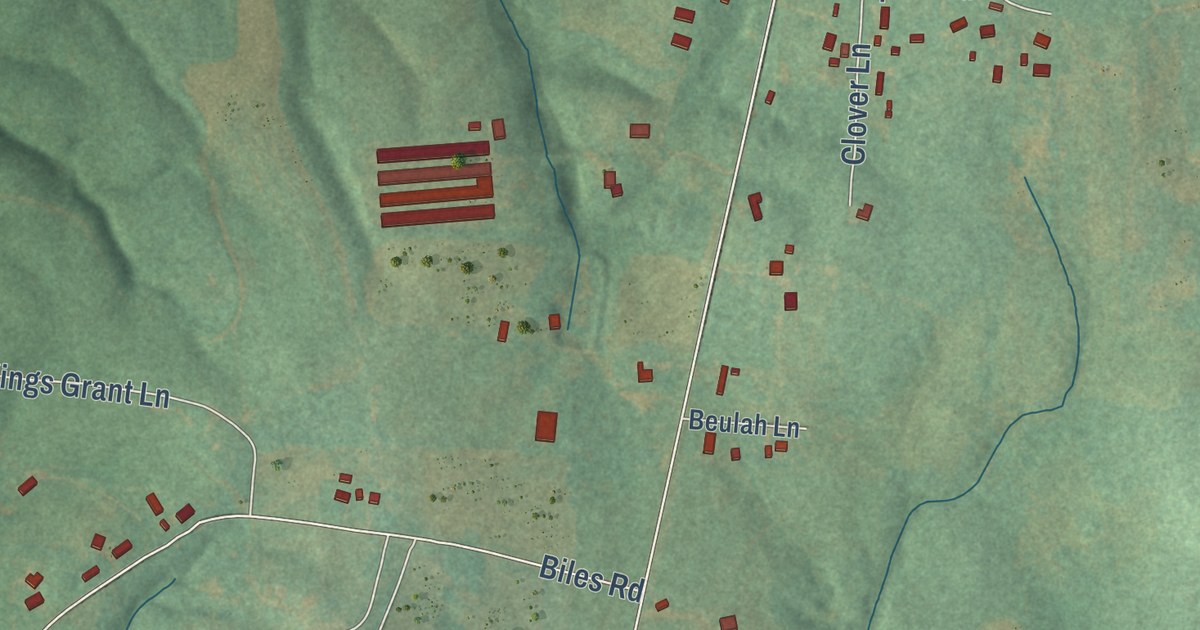
A detailed map of Millingport, North Carolina, showing every building in its true location, the roads by name, and shaded topographical relief.
Read More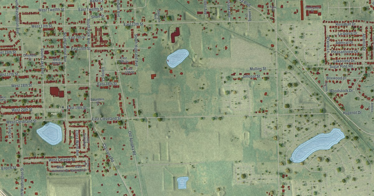
A detailed map of South Apopka, Florida, showing every building in its true location, the roads by name, and shaded topographical relief.
Read More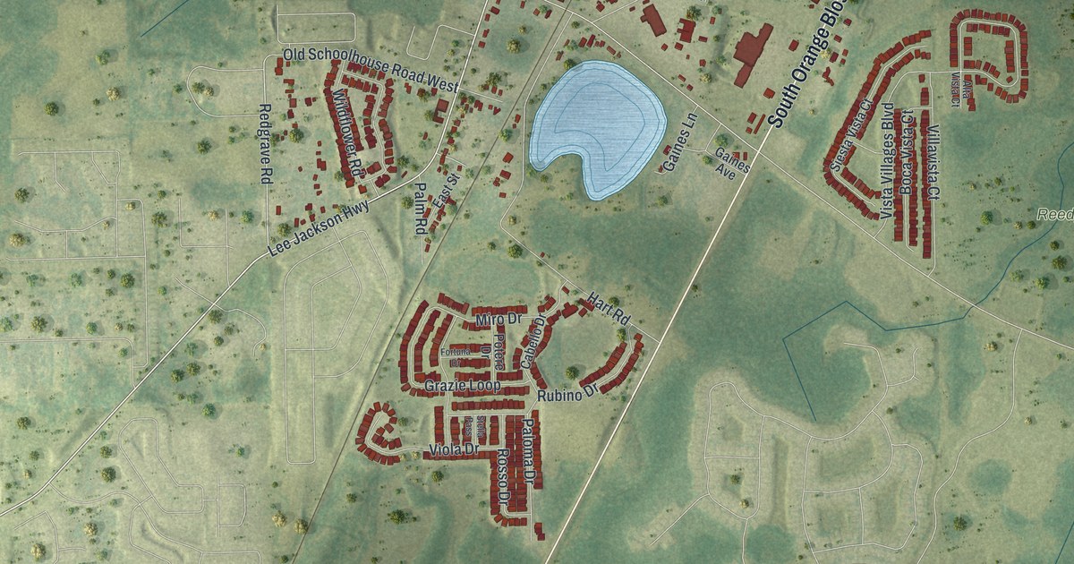
A detailed map of Loughman, Florida, showing every building in its true location, the roads by name, and shaded topographical relief.
Read More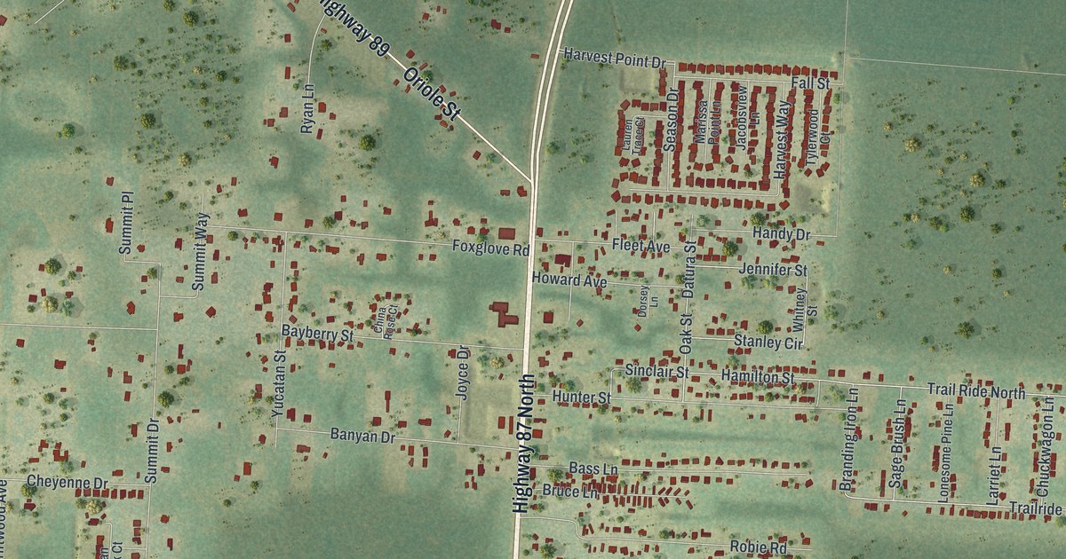
A detailed map of Point Baker, Florida, showing every building in its true location, the roads by name, and shaded topographical relief.
Read More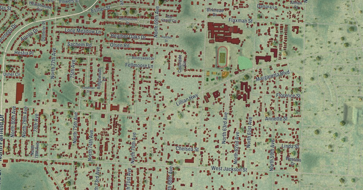
A detailed map of Myrtle Grove, Florida, showing every building in its true location, the roads by name, and shaded topographical relief.
Read More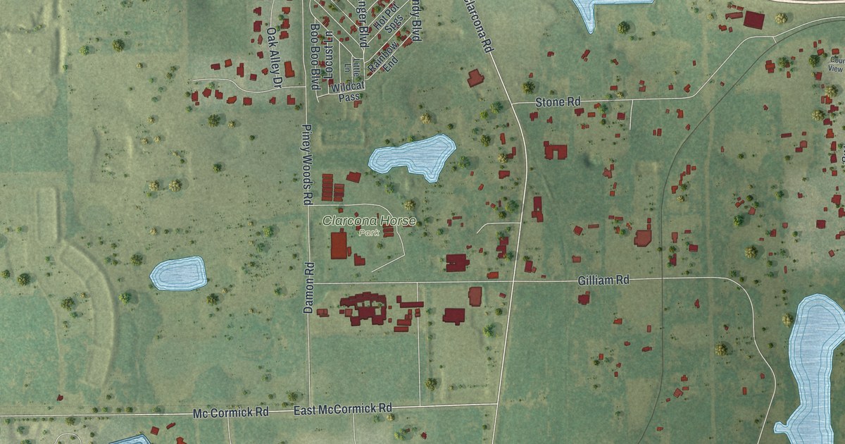
A detailed map of Clarcona, Florida, showing every building in its true location, the roads by name, and shaded topographical relief.
Read More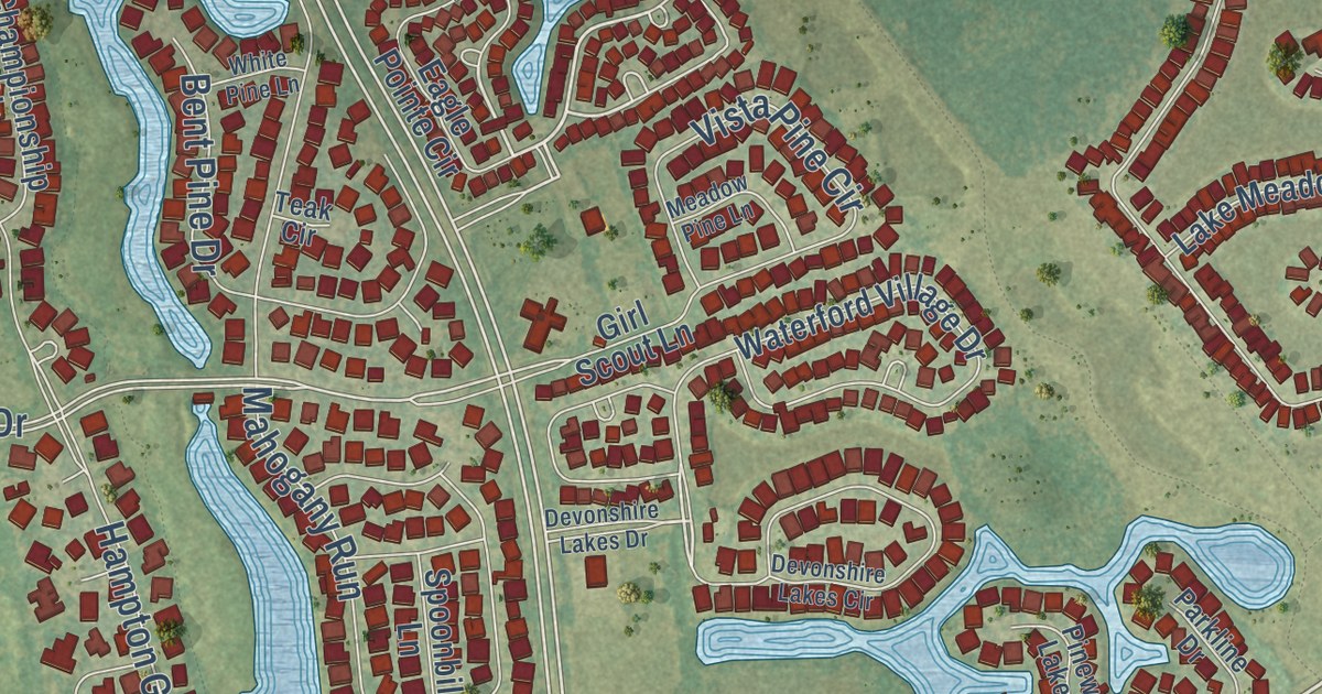
A detailed map of Gateway, Florida, showing every building in its true location, the roads by name, and shaded topographical relief.
Read More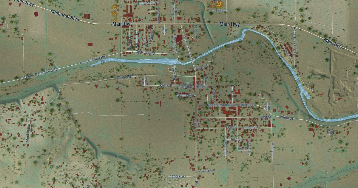
A detailed map of Center Point, Texas, showing every building in its true location, the roads by name, and shaded topographical relief.
Read More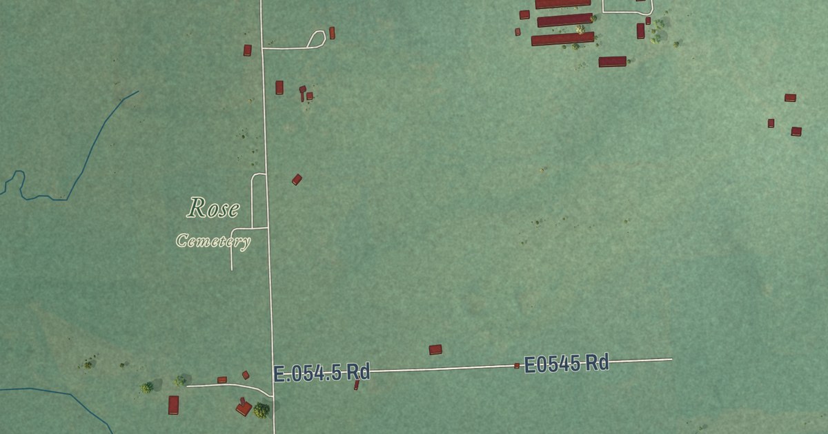
A detailed map of Rose, Oklahoma, showing every building in its true location, the roads by name, and shaded topographical relief.
Read More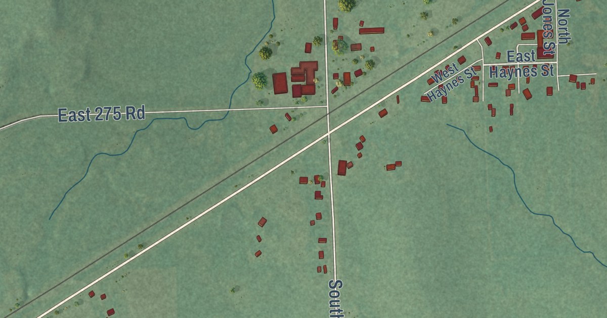
A detailed map of White Oak, Oklahoma, showing every building in its true location, the roads by name, and shaded topographical relief.
Read More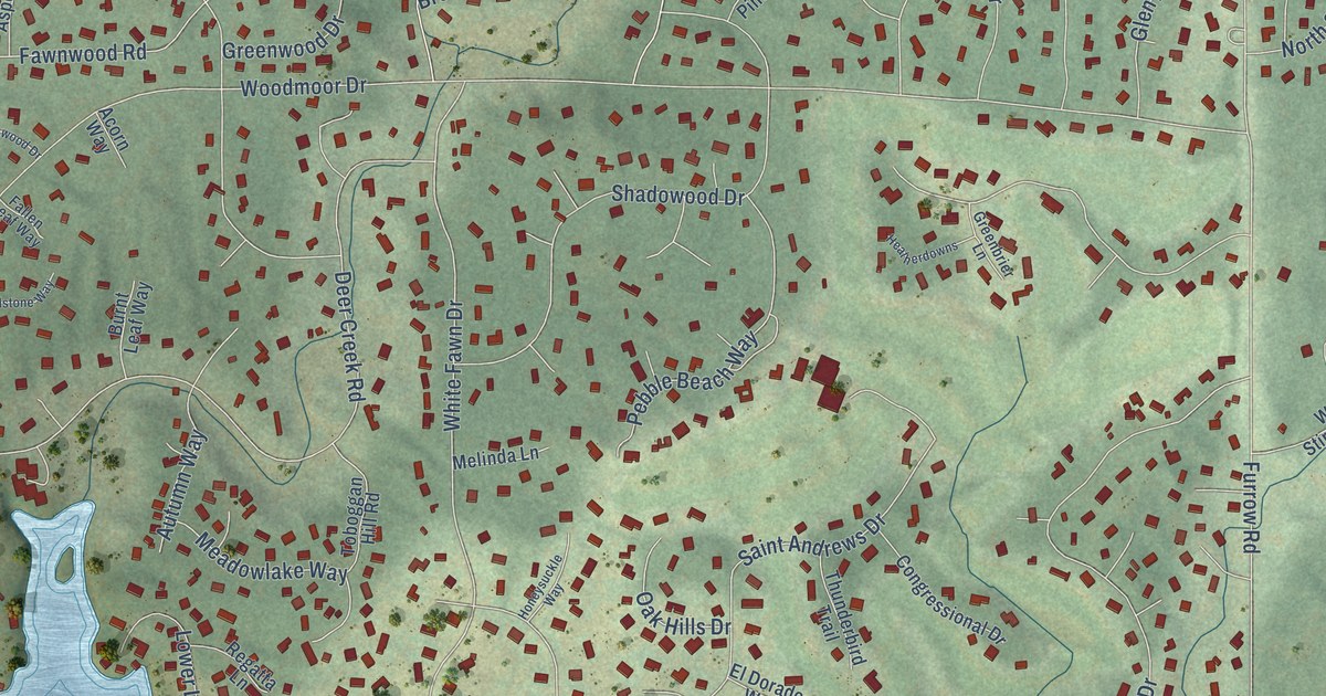
A detailed map of Woodmoor, Colorado, showing every building in its true location, the roads by name, and shaded topographical relief.
Read More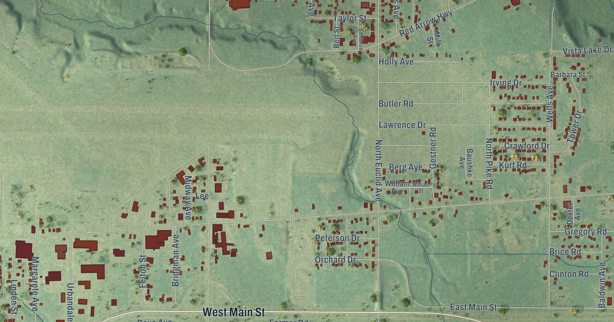
A detailed map of Benton Heights, Michigan, showing every building in its true location, the roads by name, and shaded topographical relief.
Read More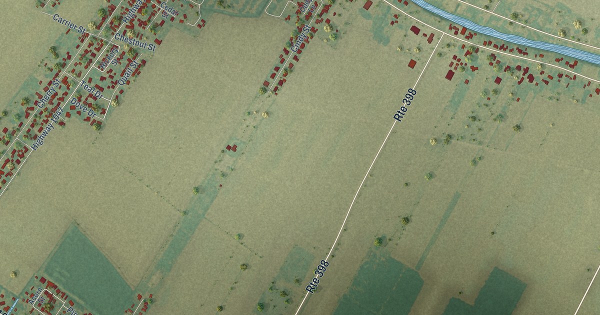
A detailed map of Labadieville, Louisiana, showing every building in its true location, the roads by name, and shaded topographical relief.
Read More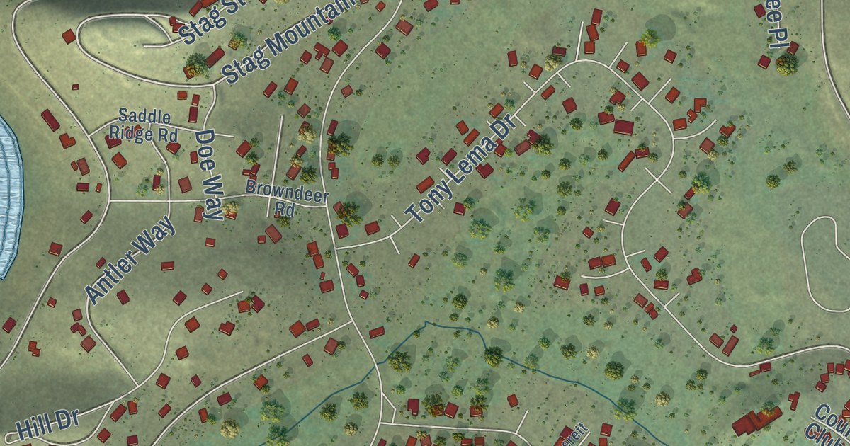
A detailed map of Lake Shastina, California, showing every building in its true location, the roads by name, and shaded topographical relief.
Read More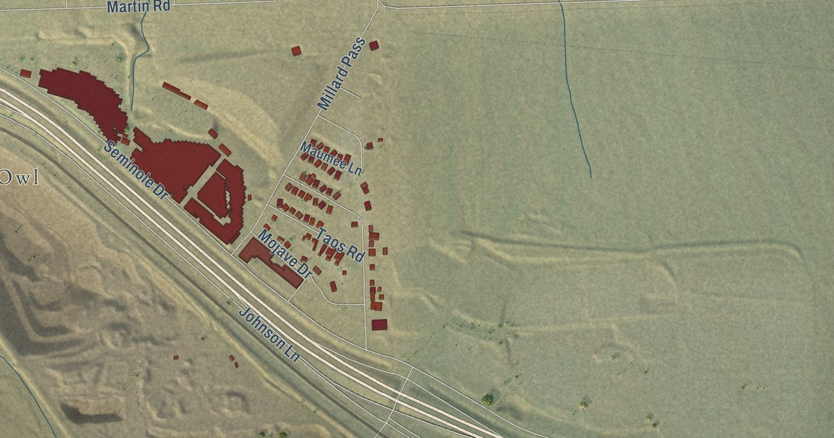
A detailed map of Cabazon, California, showing every building in its true location, the roads by name, and shaded topographical relief.
Read More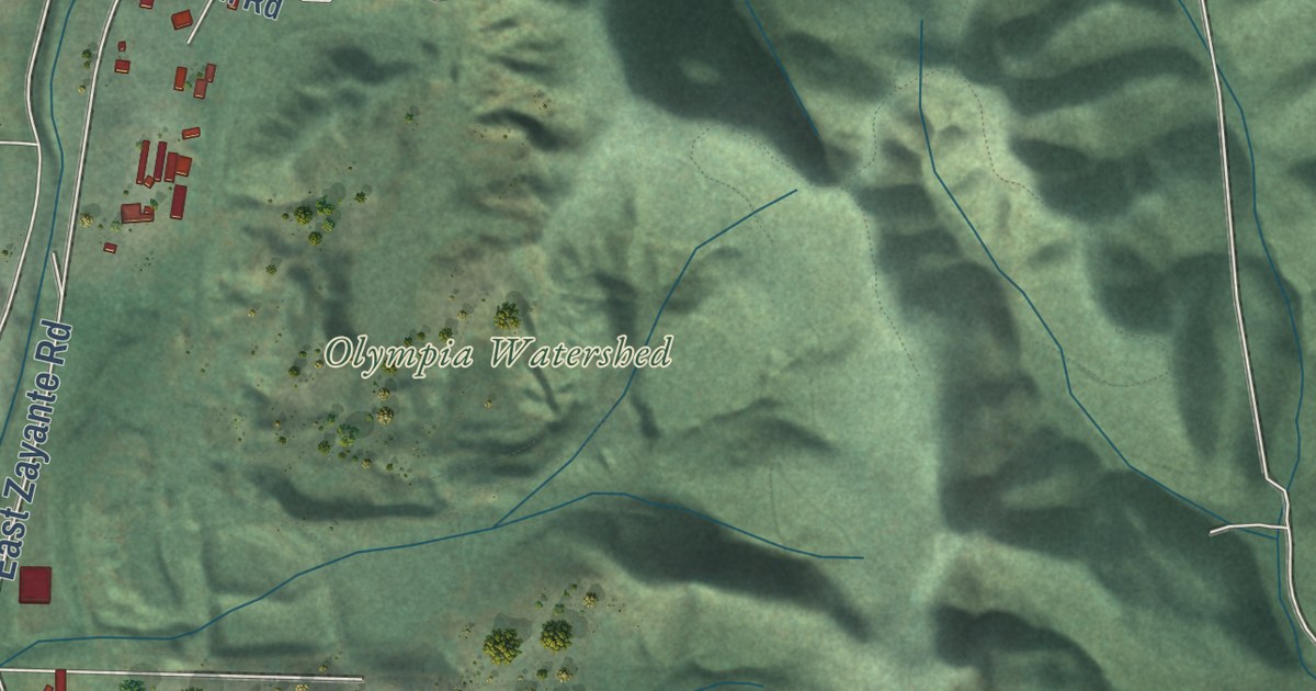
A detailed map of Zayante, California, showing every building in its true location, the roads by name, and shaded topographical relief.
Read More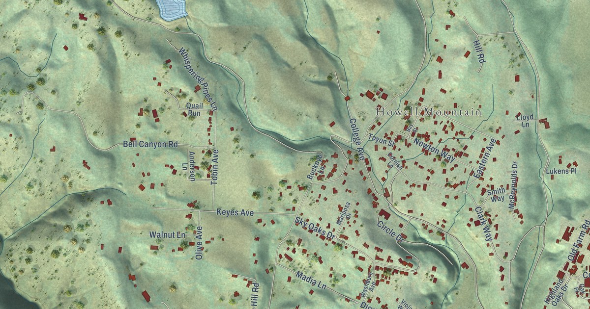
A detailed map of Angwin, California, showing every building in its true location, the roads by name, and shaded topographical relief.
Read More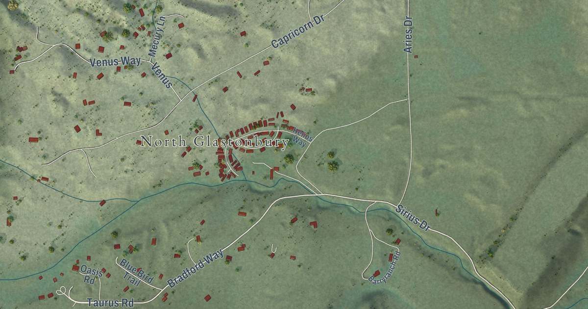
A detailed map of Emigrant, Montana, showing every building in its true location, the roads by name, and shaded topographical relief.
Read More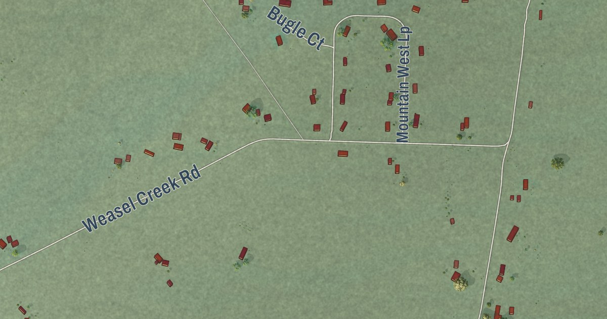
A detailed map of Winston, Montana, showing every building in its true location, the roads by name, and shaded topographical relief.
Read More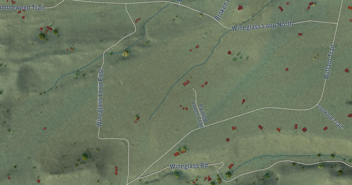
A detailed map of Wineglass, Montana, showing every building in its true location, the roads by name, and shaded topographical relief.
Read More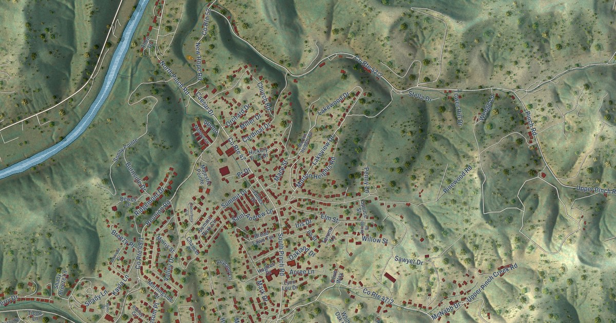
A detailed map of Pinch, West Virginia, showing every building in its true location, the roads by name, and shaded topographical relief.
Read More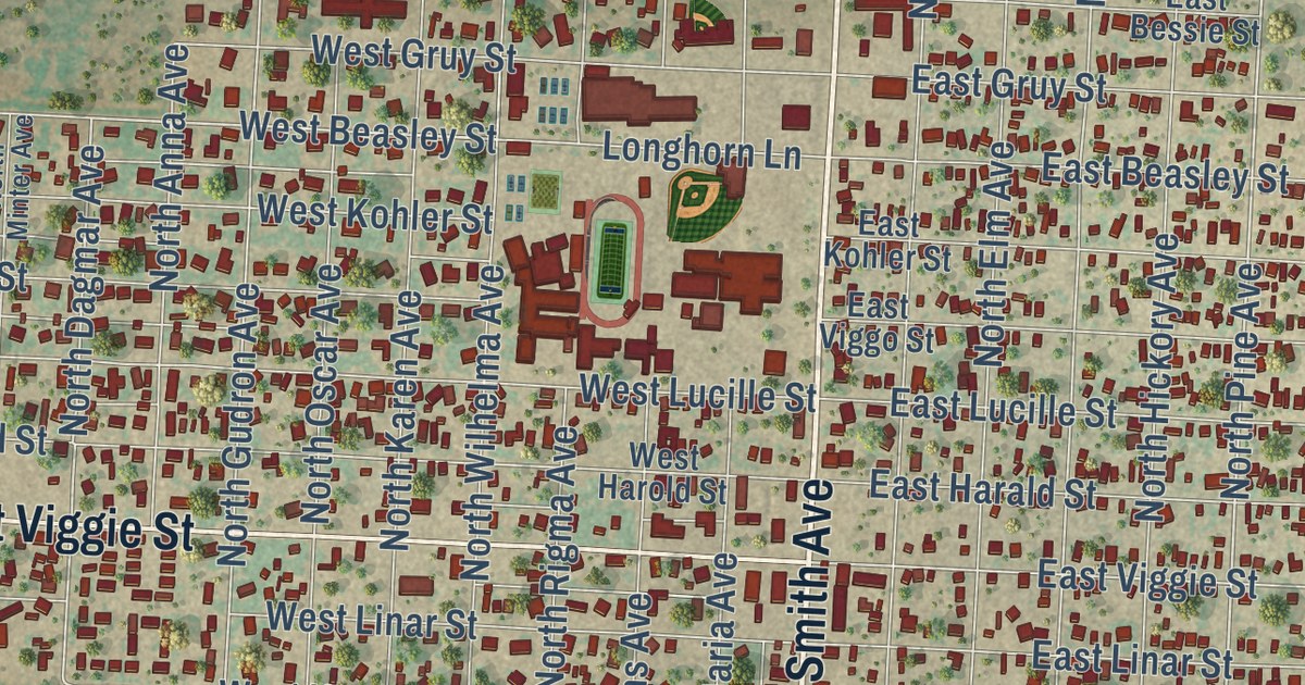
A detailed map of Hebbronville, Texas, showing every building in its true location, the roads by name, and shaded topographical relief.
Read More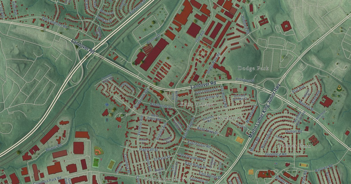
A detailed map of Landover, Maryland, showing every building in its true location, the roads by name, and shaded topographical relief.
Read More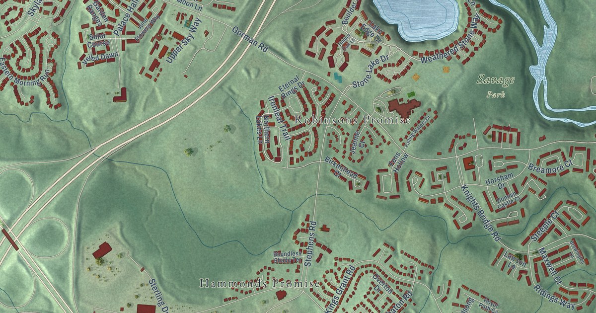
A detailed map of North Laurel, Maryland, showing every building in its true location, the roads by name, and shaded topographical relief.
Read More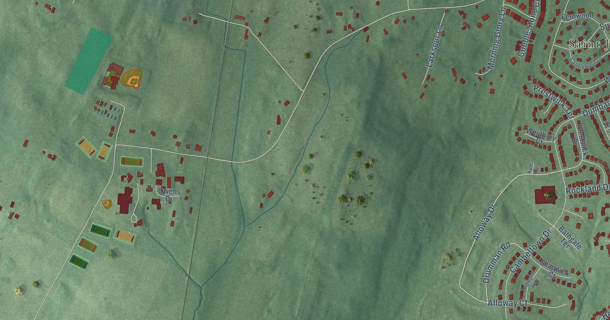
A detailed map of St. James, Maryland, showing every building in its true location, the roads by name, and shaded topographical relief.
Read More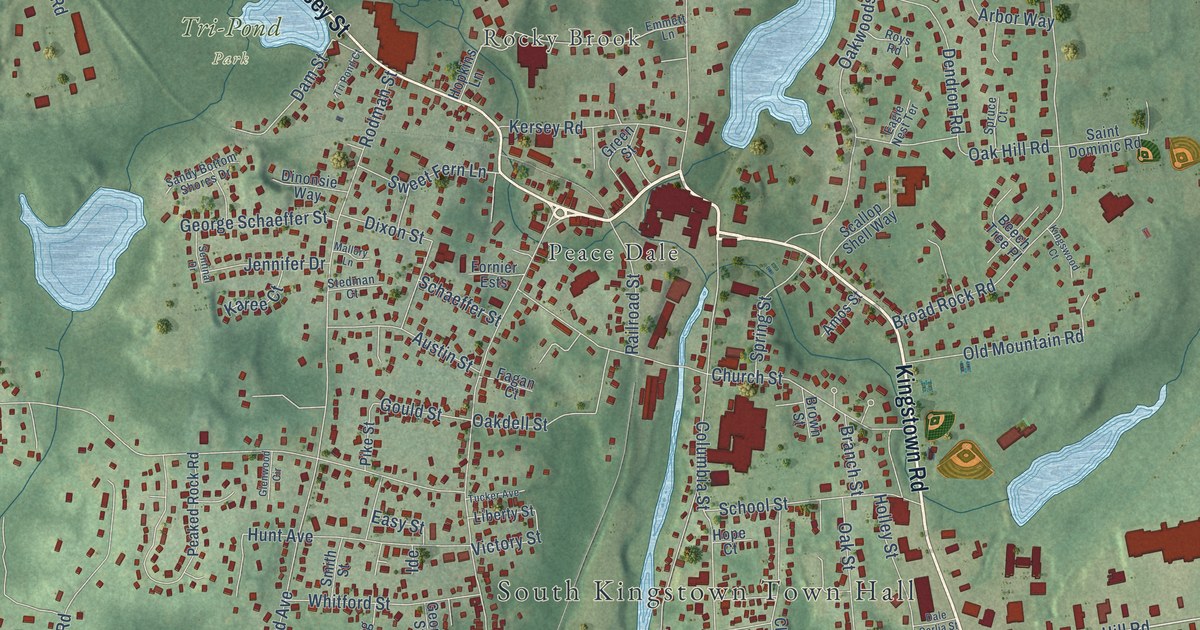
A detailed map of Wakefield-Peace Dale, Rhode Island, showing every building in its true location, the roads by name, and shaded topographical relief.
Read More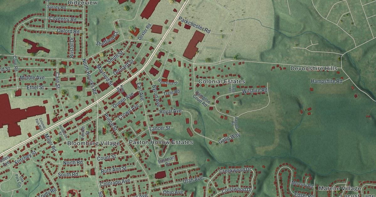
A detailed map of Colonial Park, Pennsylvania, showing every building in its true location, the roads by name, and shaded topographical relief.
Read More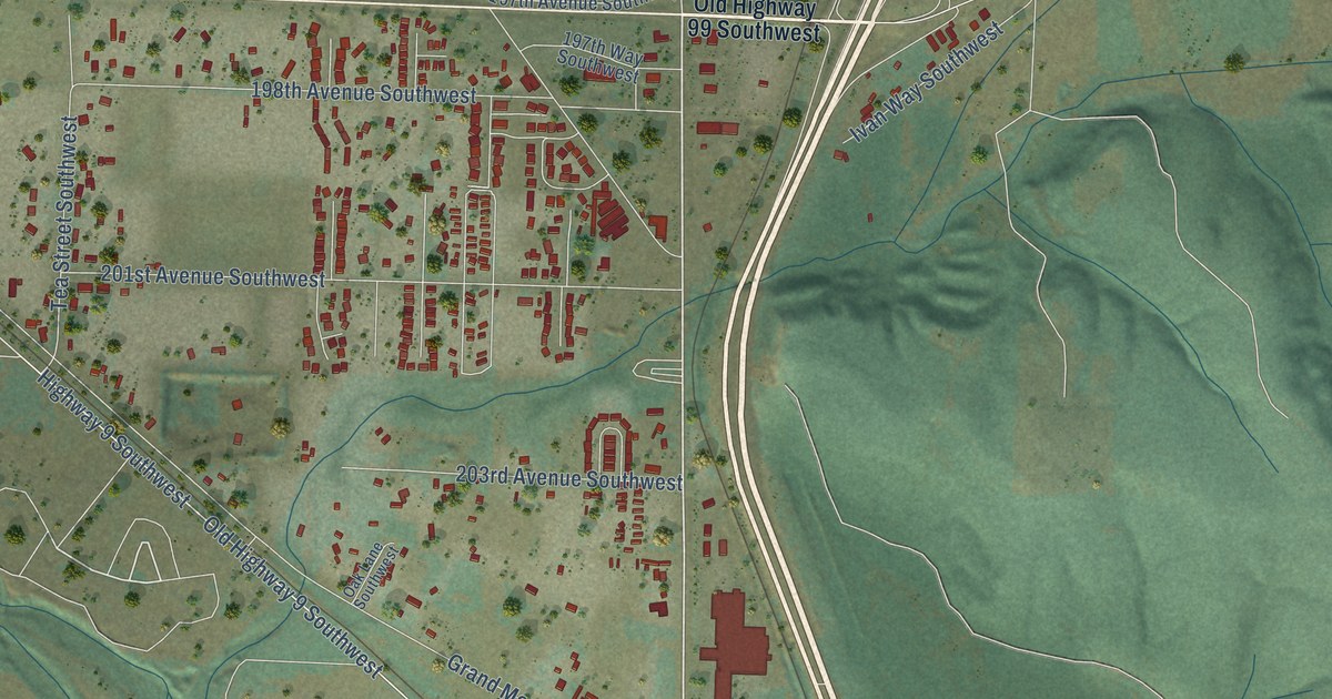
A detailed map of Grand Mound, Washington, showing every building in its true location, the roads by name, and shaded topographical relief.
Read More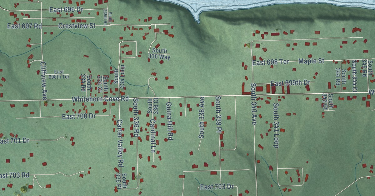
A detailed map of Whitehorn Cove, Oklahoma, showing every building in its true location, the roads by name, and shaded topographical relief.
Read More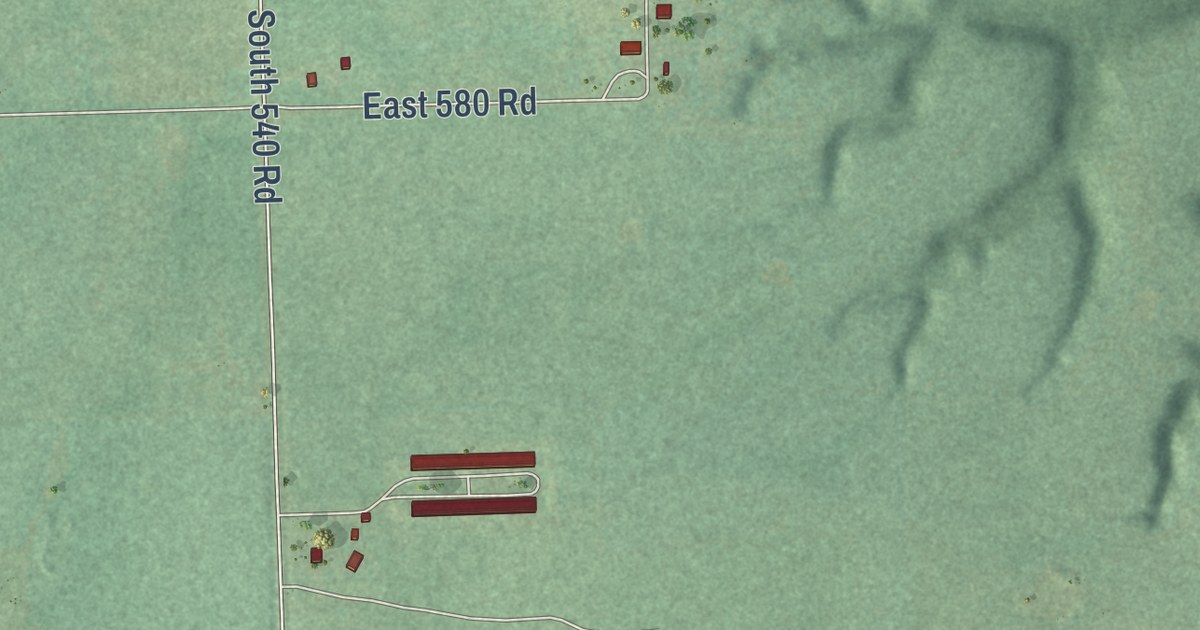
A detailed map of Rocky Ford, Oklahoma, showing every building in its true location, the roads by name, and shaded topographical relief.
Read More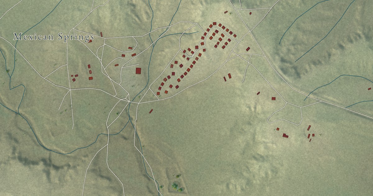
A detailed map of Nakaibito, New Mexico, showing every building in its true location, the roads by name, and shaded topographical relief.
Read More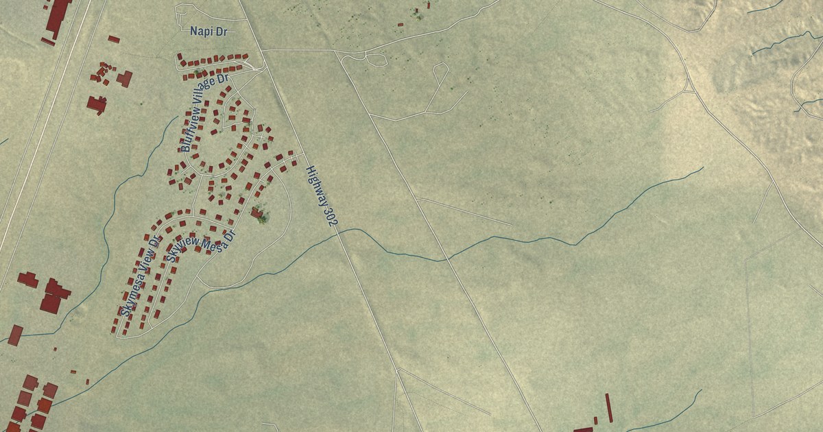
A detailed map of Napi Headquarters, New Mexico, showing every building in its true location, the roads by name, and shaded topographical relief.
Read More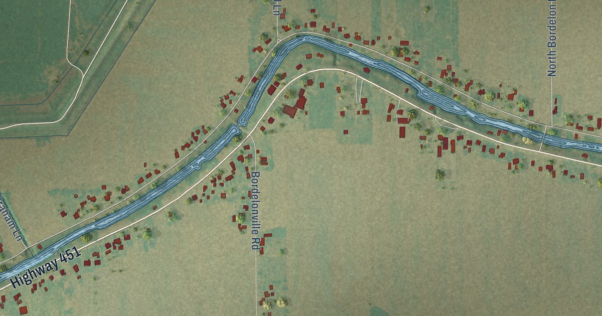
A detailed map of Bordelonville, Louisiana, showing every building in its true location, the roads by name, and shaded topographical relief.
Read More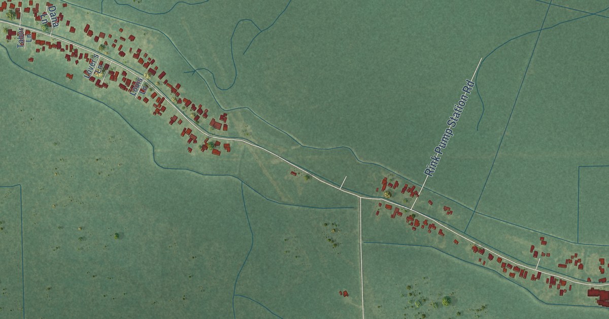
A detailed map of Choctaw, Louisiana, showing every building in its true location, the roads by name, and shaded topographical relief.
Read More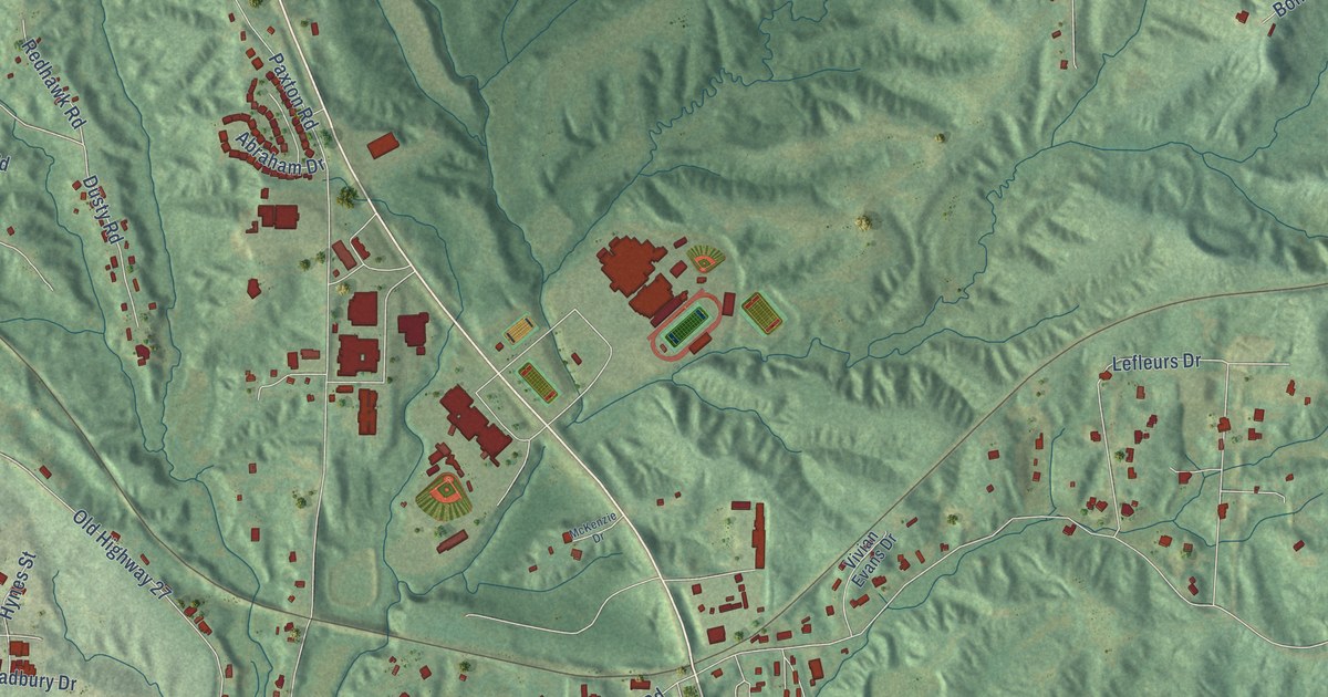
A detailed map of Beechwood, Mississippi, showing every building in its true location, the roads by name, and shaded topographical relief.
Read More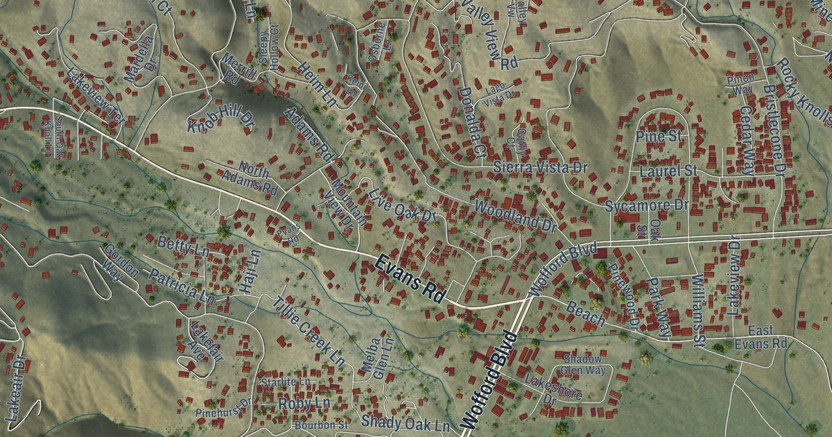
A detailed map of Wofford Heights, California, showing every building in its true location, the roads by name, and shaded topographical relief.
Read More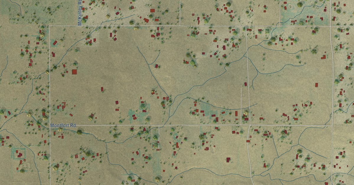
A detailed map of Clay, California, showing every building in its true location, the roads by name, and shaded topographical relief.
Read More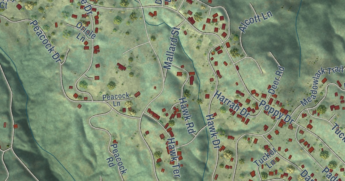
A detailed map of Brooktrails, California, showing every building in its true location, the roads by name, and shaded topographical relief.
Read More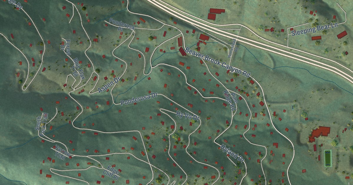
A detailed map of Floyd Hill, Colorado, showing every building in its true location, the roads by name, and shaded topographical relief.
Read More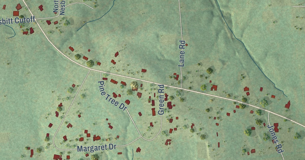
A detailed map of Nesbitt, Texas, showing every building in its true location, the roads by name, and shaded topographical relief.
Read More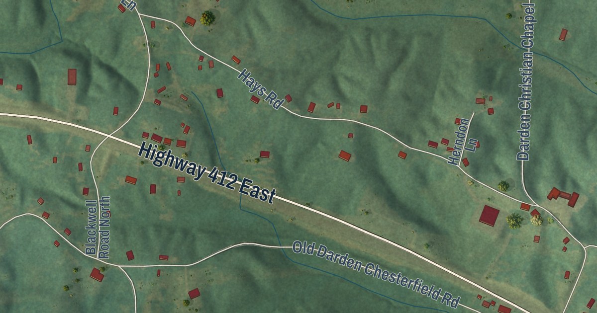
A detailed map of Darden, Tennessee, showing every building in its true location, the roads by name, and shaded topographical relief.
Read More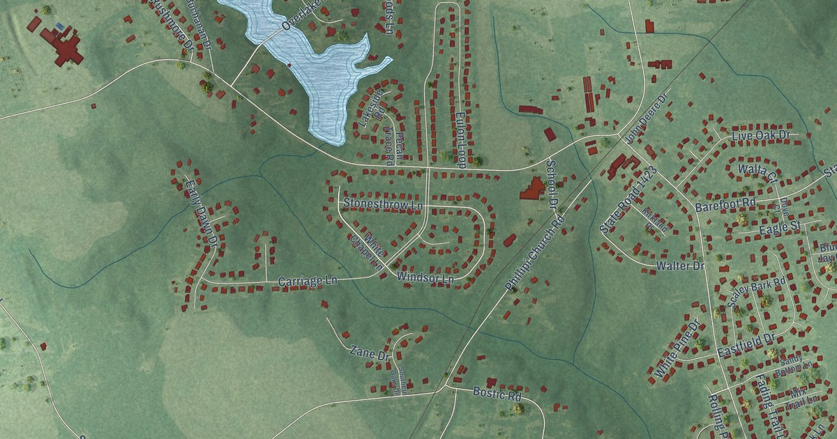
A detailed map of Rockfish, North Carolina, showing every building in its true location, the roads by name, and shaded topographical relief.
Read More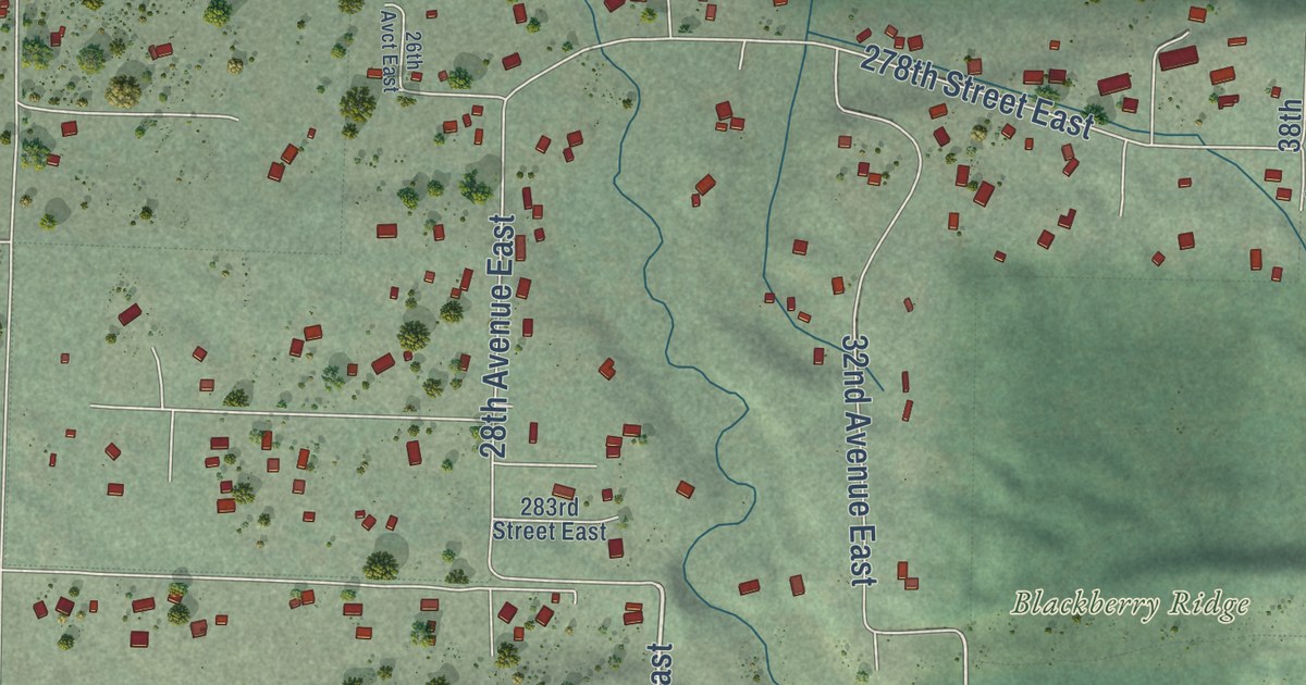
A detailed map of South Creek, Washington, showing every building in its true location, the roads by name, and shaded topographical relief.
Read More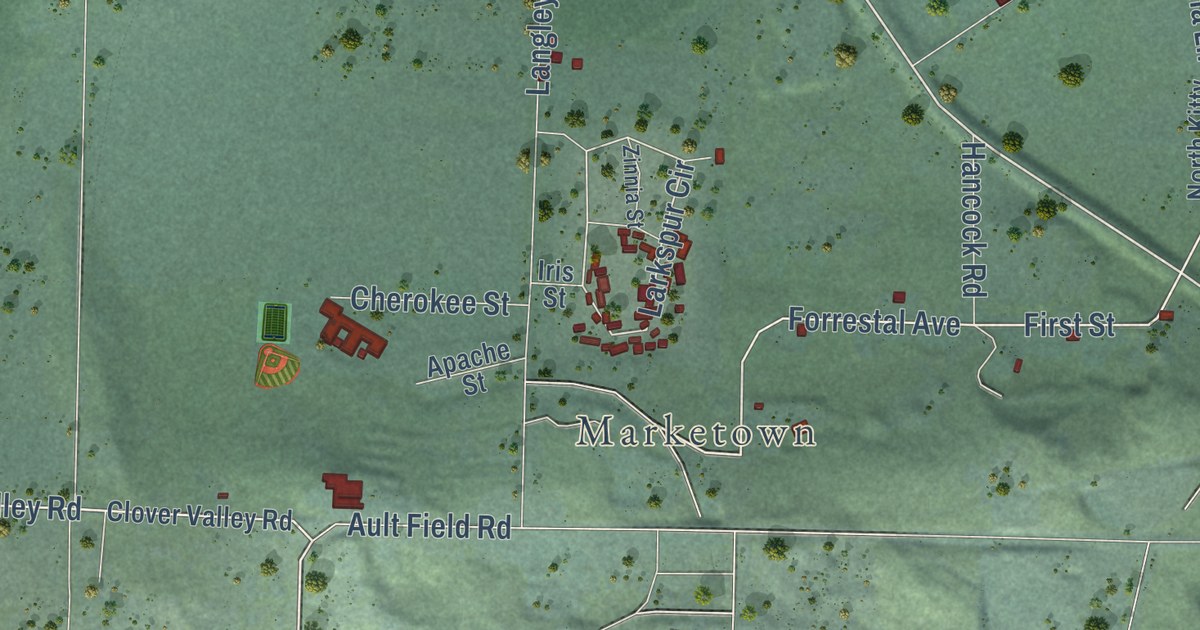
A detailed map of Whidbey Island Station, Washington, showing every building in its true location, the roads by name, and shaded topographical relief.
Read More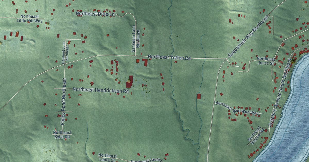
A detailed map of Suquamish, Washington, showing every building in its true location, the roads by name, and shaded topographical relief.
Read More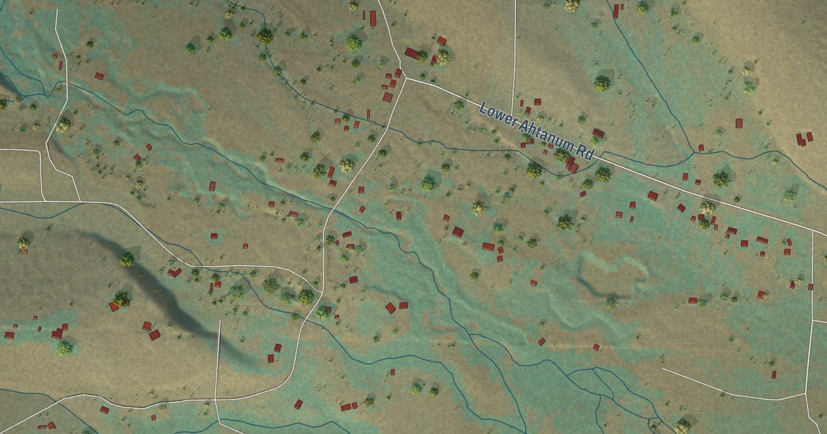
A detailed map of Tampico, Washington, showing every building in its true location, the roads by name, and shaded topographical relief.
Read More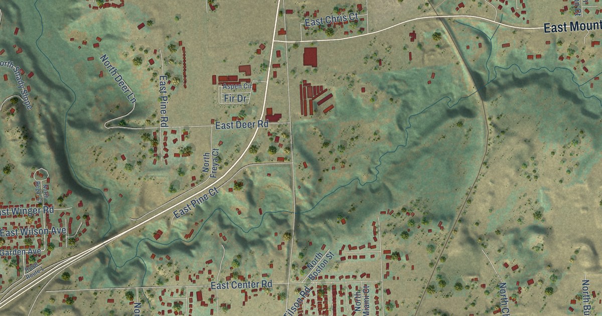
A detailed map of Mead, Washington, showing every building in its true location, the roads by name, and shaded topographical relief.
Read More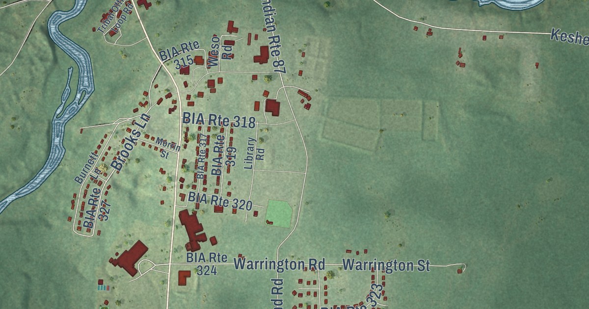
A detailed map of Keshena, Wisconsin, showing every building in its true location, the roads by name, and shaded topographical relief.
Read More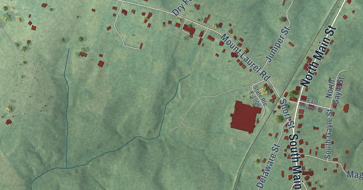
A detailed map of Clover, Virginia, showing every building in its true location, the roads by name, and shaded topographical relief.
Read More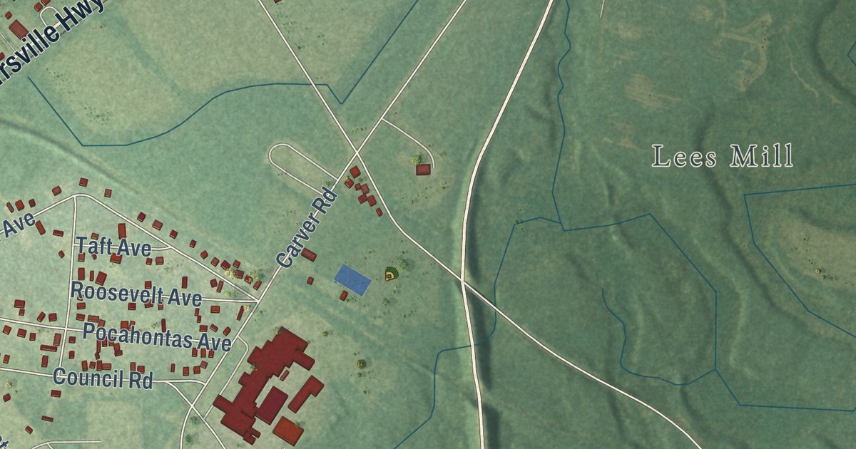
A detailed map of Camptown, Virginia, showing every building in its true location, the roads by name, and shaded topographical relief.
Read More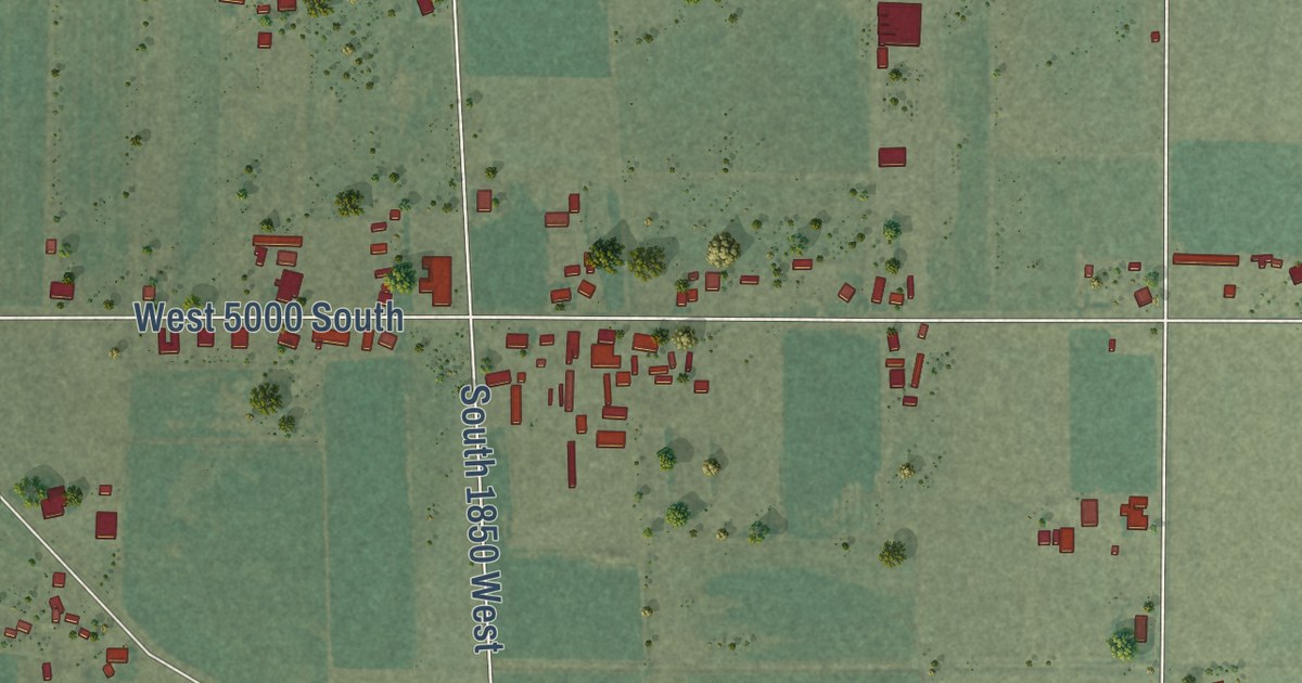
A detailed map of Palmyra, Utah, showing every building in its true location, the roads by name, and shaded topographical relief.
Read More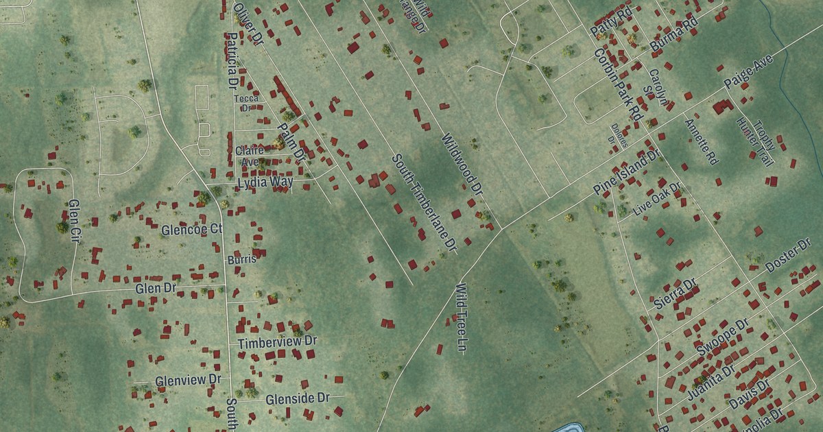
A detailed map of Glencoe, Florida, showing every building in its true location, the roads by name, and shaded topographical relief.
Read More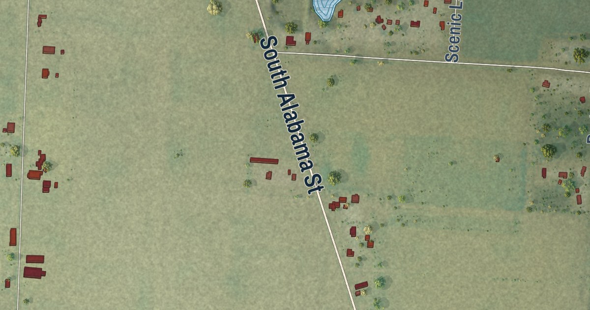
A detailed map of Pine Level, Florida, showing every building in its true location, the roads by name, and shaded topographical relief.
Read More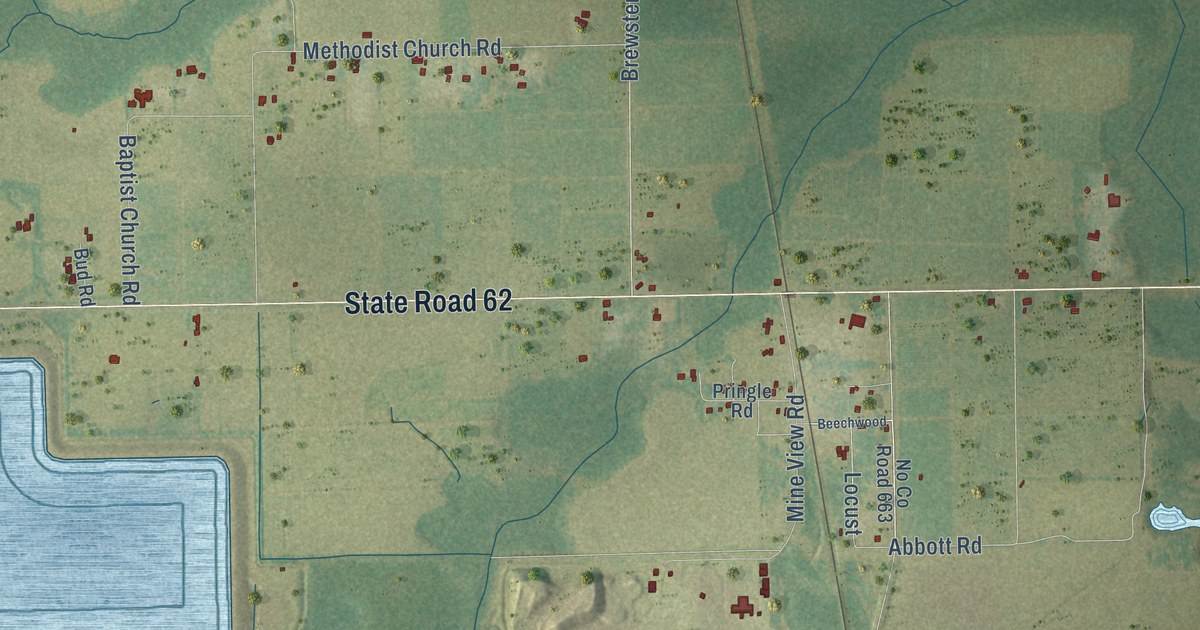
A detailed map of Fort Green Springs, Florida, showing every building in its true location, the roads by name, and shaded topographical relief.
Read More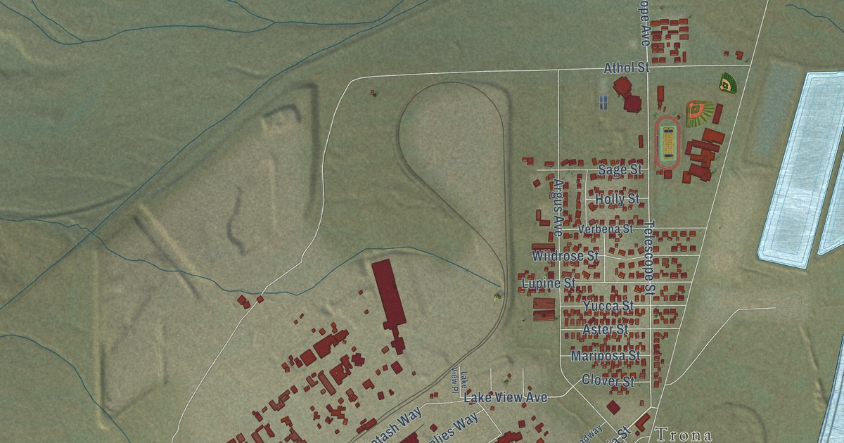
A detailed map of Searles Valley, California, showing every building in its true location, the roads by name, and shaded topographical relief.
Read More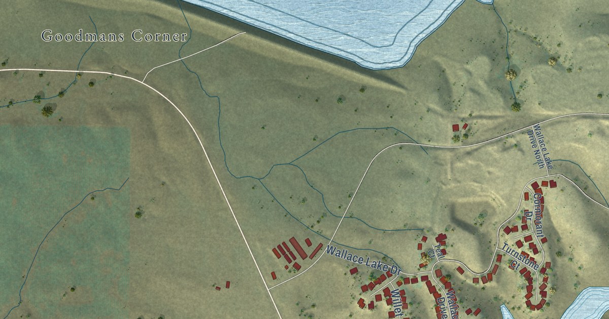
A detailed map of Wallace, California, showing every building in its true location, the roads by name, and shaded topographical relief.
Read More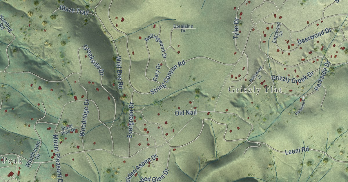
A detailed map of Grizzly Flats, California, showing every building in its true location, the roads by name, and shaded topographical relief.
Read More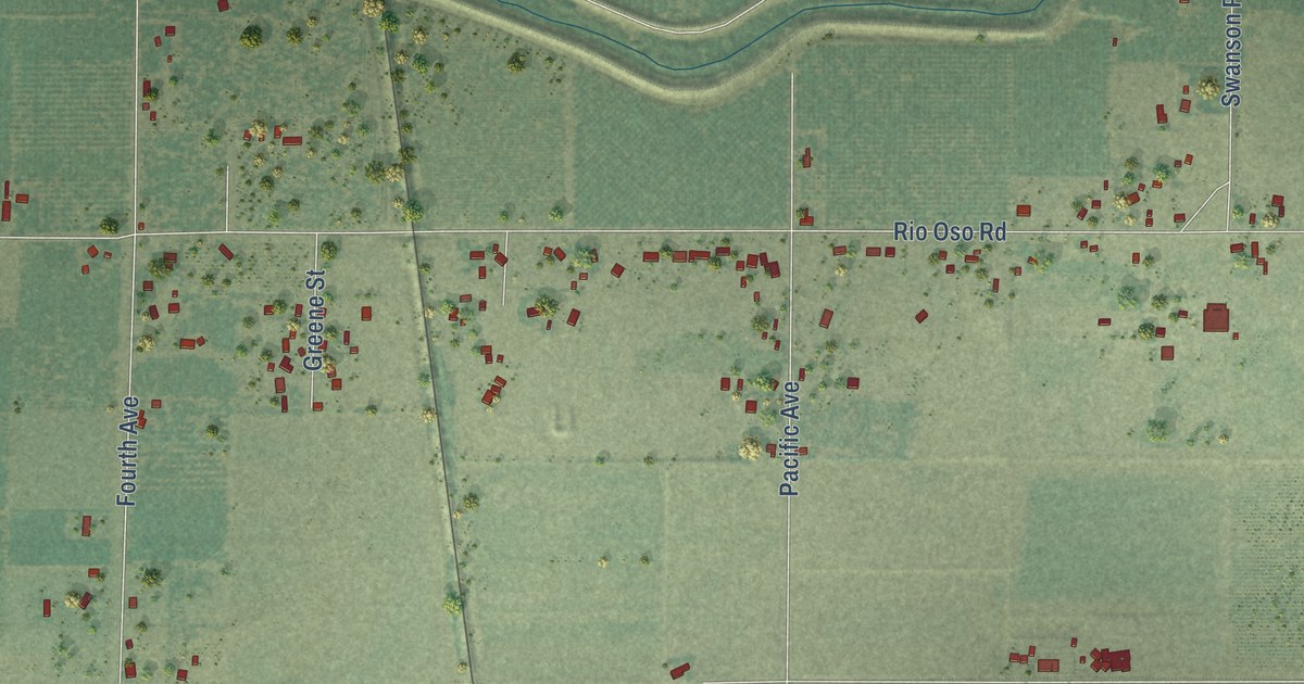
A detailed map of Rio Oso, California, showing every building in its true location, the roads by name, and shaded topographical relief.
Read More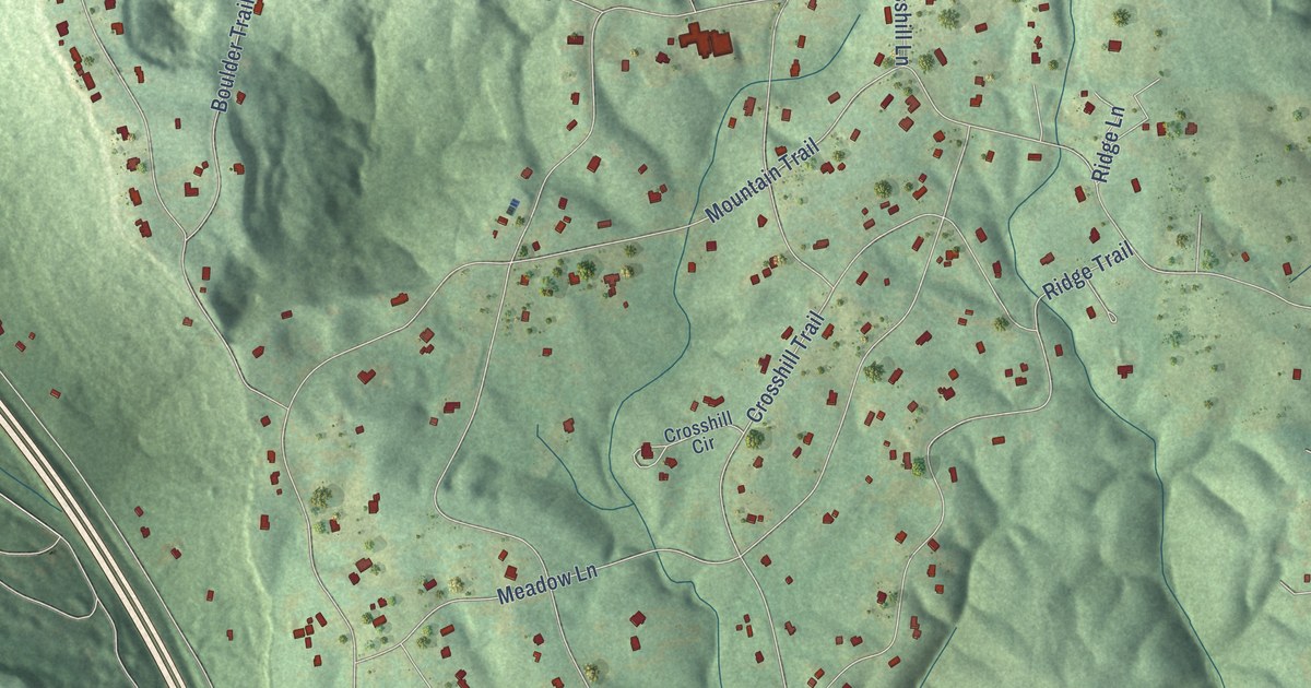
A detailed map of Smoke Rise, Alabama, showing every building in its true location, the roads by name, and shaded topographical relief.
Read More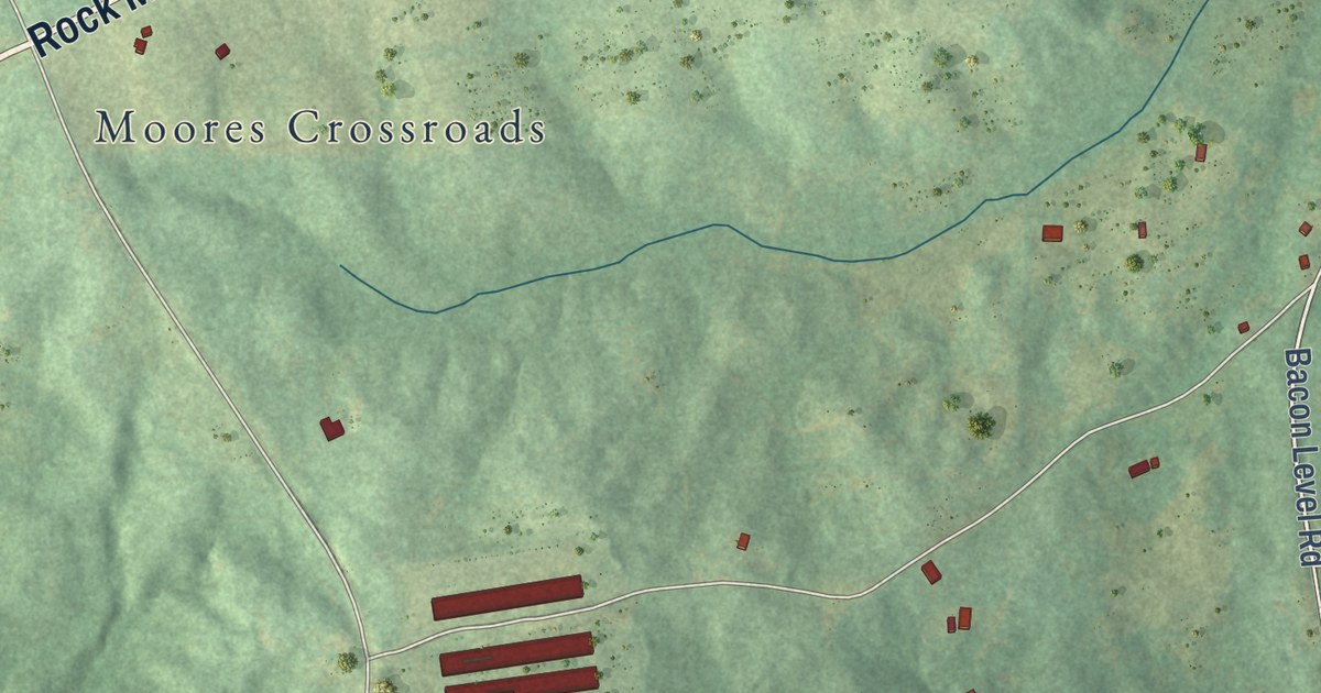
A detailed map of Rock Mills, Alabama, showing every building in its true location, the roads by name, and shaded topographical relief.
Read More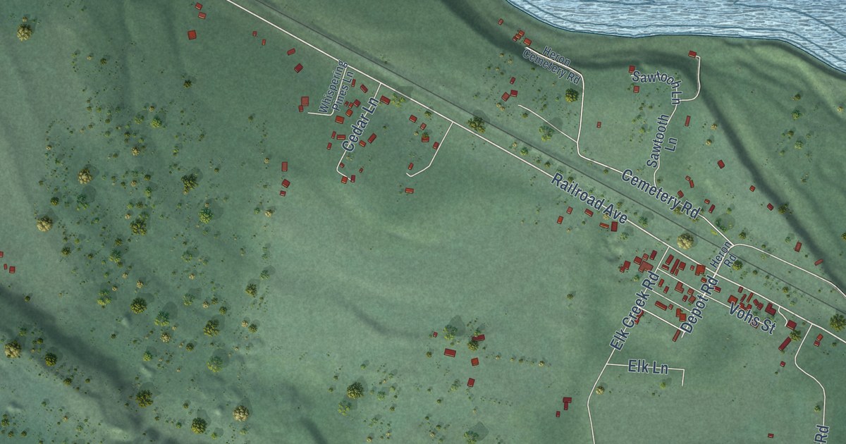
A detailed map of Heron, Montana, showing every building in its true location, the roads by name, and shaded topographical relief.
Read More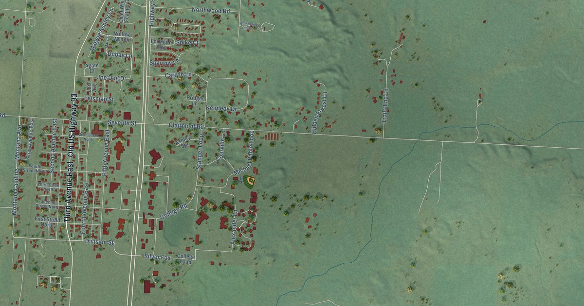
A detailed map of Pablo, Montana, showing every building in its true location, the roads by name, and shaded topographical relief.
Read More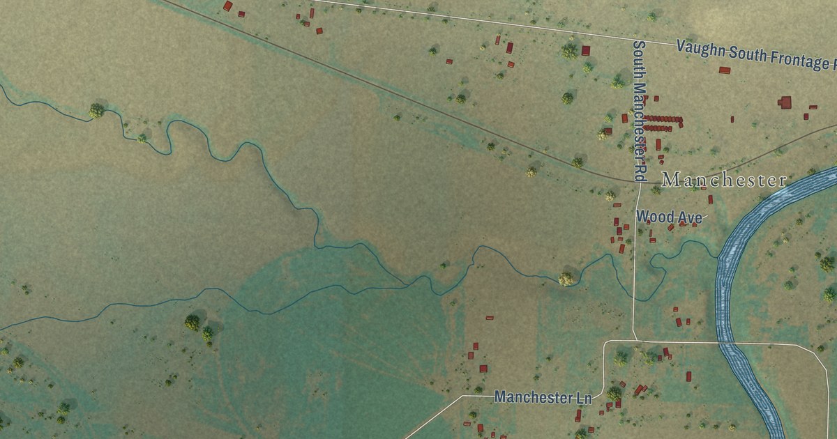
A detailed map of Sun Prairie, Montana, showing every building in its true location, the roads by name, and shaded topographical relief.
Read More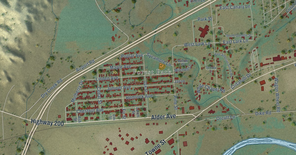
A detailed map of West Glendive, Montana, showing every building in its true location, the roads by name, and shaded topographical relief.
Read More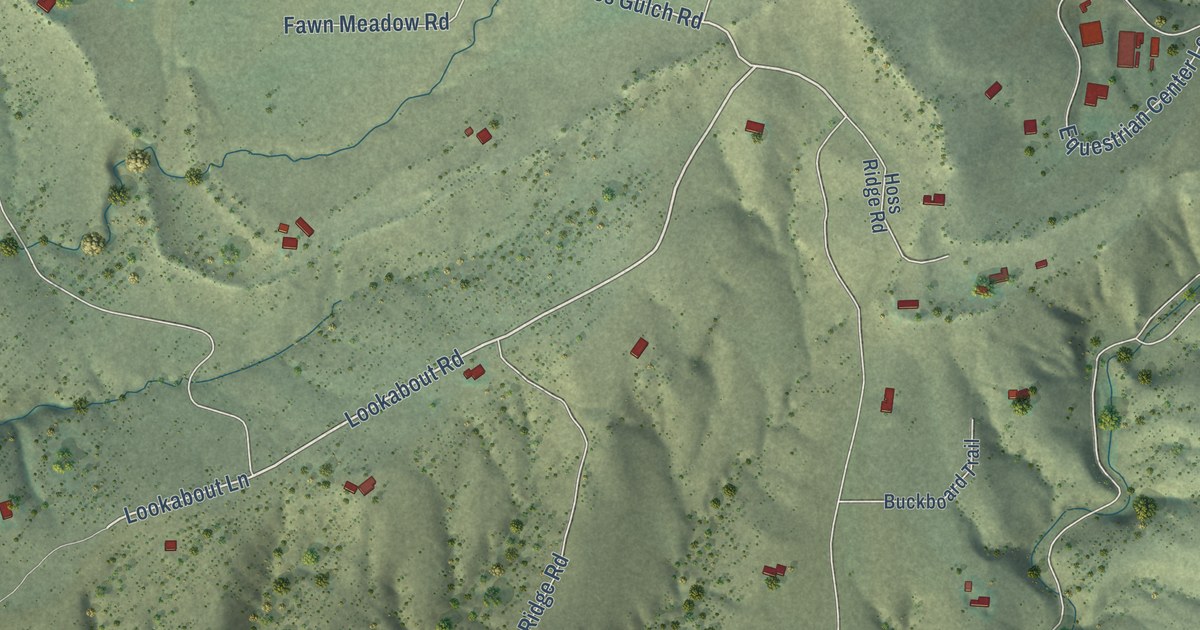
A detailed map of Gallatin River Ranch, Montana, showing every building in its true location, the roads by name, and shaded topographical relief.
Read More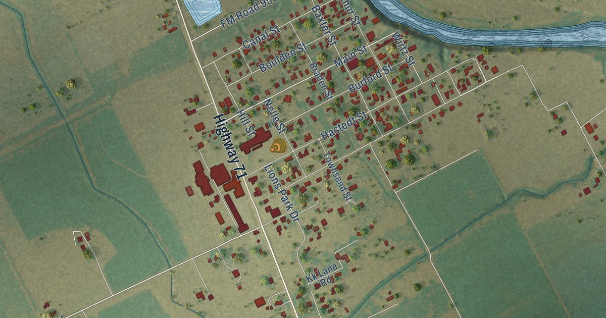
A detailed map of Garwood, Texas, showing every building in its true location, the roads by name, and shaded topographical relief.
Read More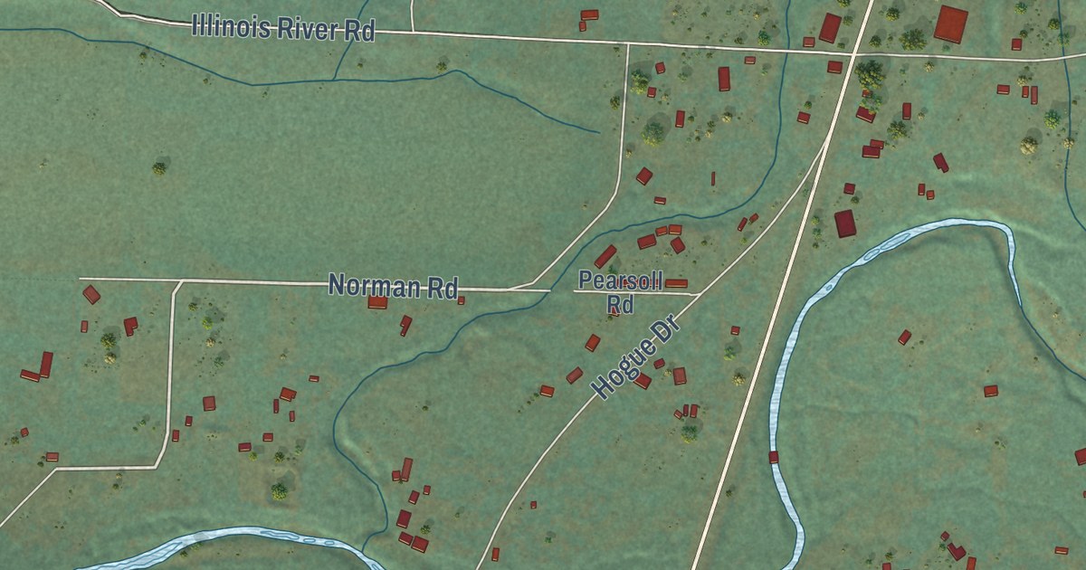
A detailed map of Selma, Oregon, showing every building in its true location, the roads by name, and shaded topographical relief.
Read More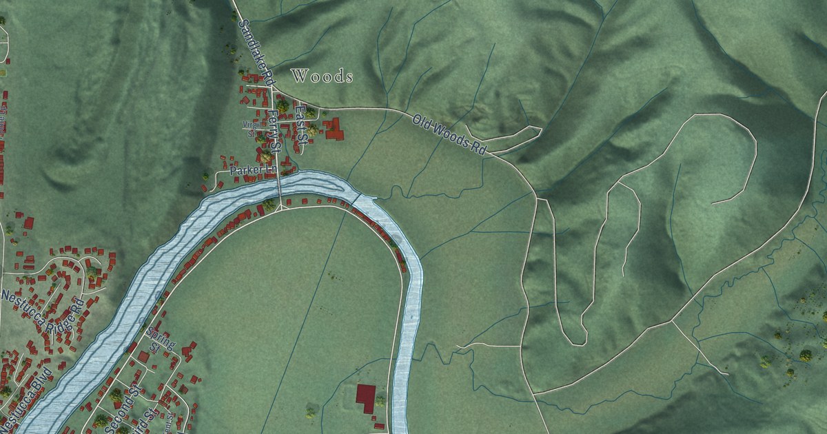
A detailed map of Pacific City, Oregon, showing every building in its true location, the roads by name, and shaded topographical relief.
Read More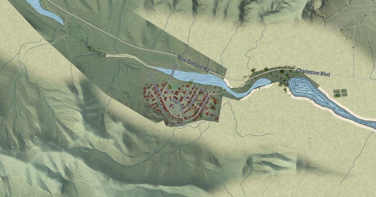
A detailed map of Blue Diamond, Nevada, showing every building in its true location, the roads by name, and shaded topographical relief.
Read More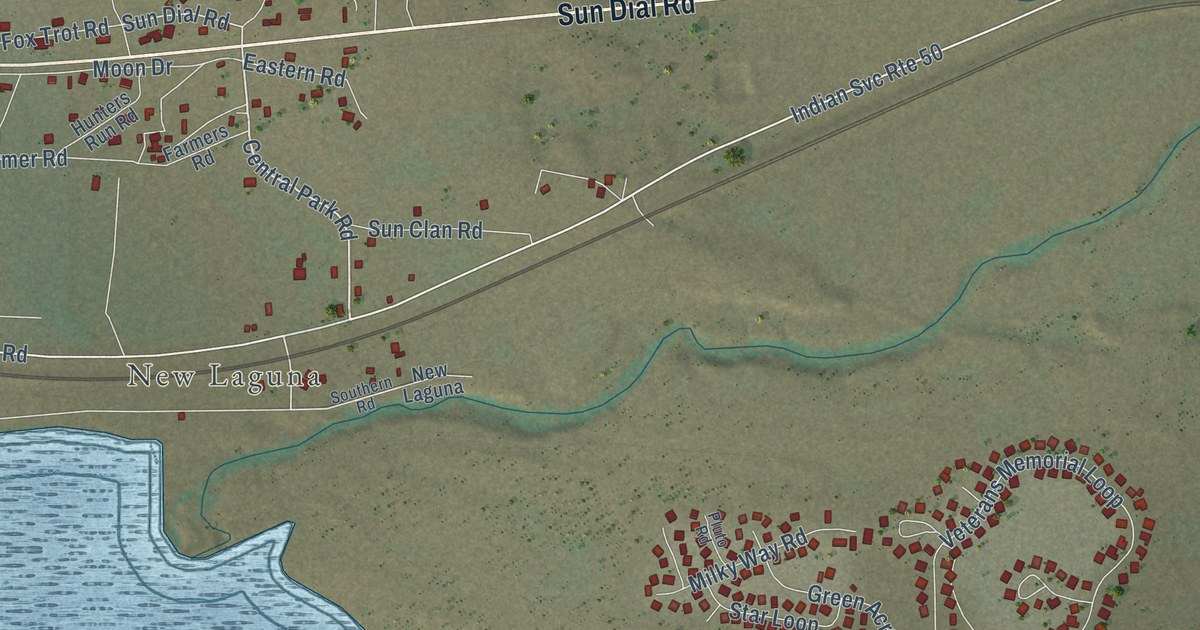
A detailed map of Laguna, New Mexico, showing every building in its true location, the roads by name, and shaded topographical relief.
Read More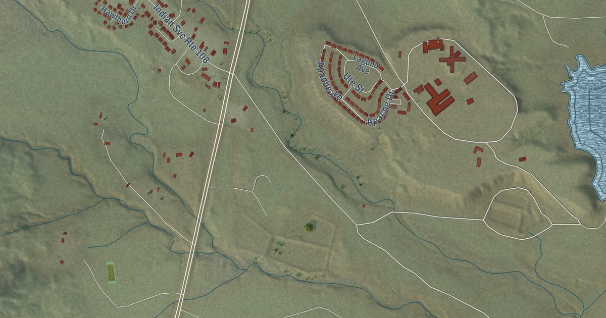
A detailed map of Tohatchi, New Mexico, showing every building in its true location, the roads by name, and shaded topographical relief.
Read More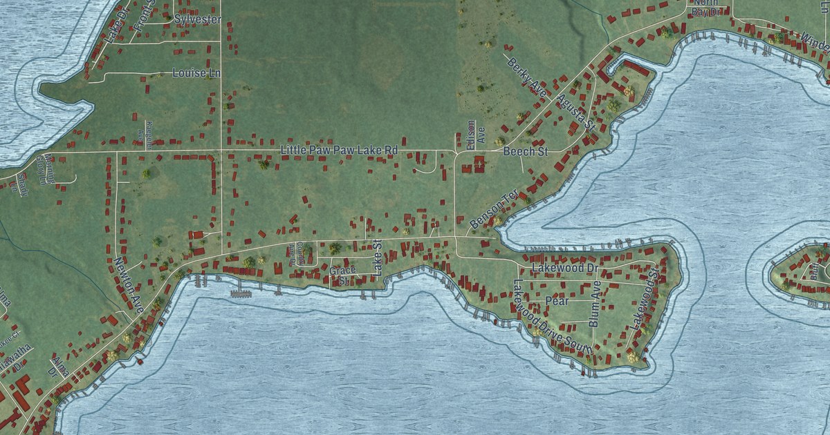
A detailed map of Paw Paw Lake, Michigan, showing every building in its true location, the roads by name, and shaded topographical relief.
Read More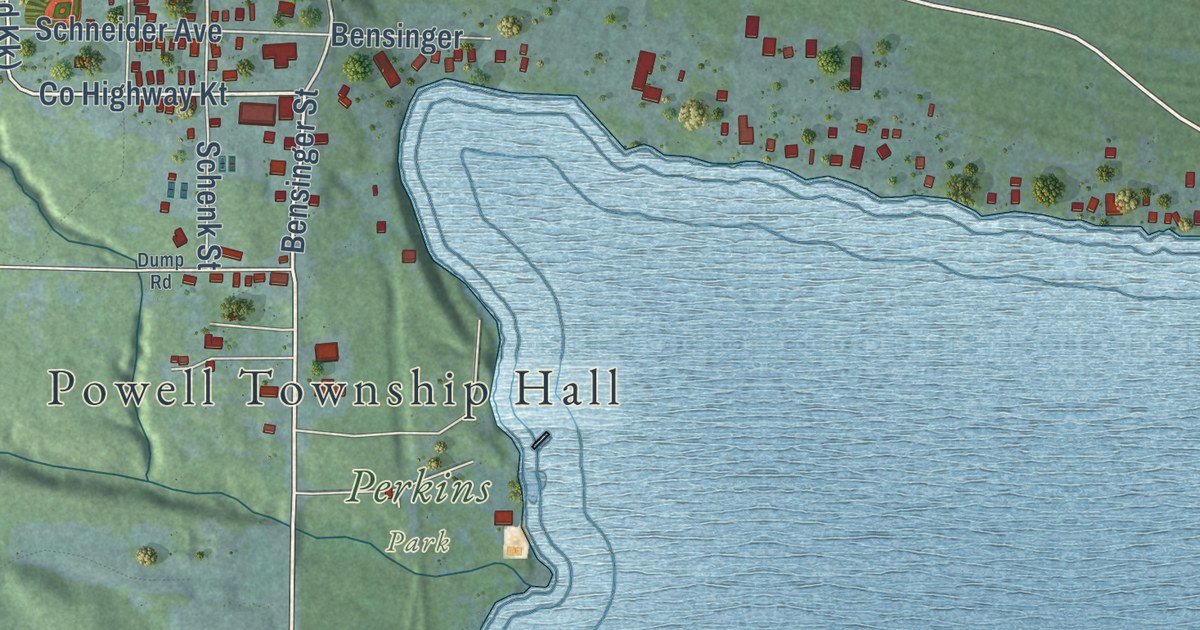
A detailed map of Big Bay, Michigan, showing every building in its true location, the roads by name, and shaded topographical relief.
Read More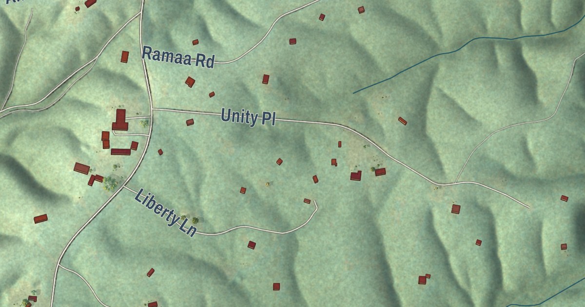
A detailed map of Yogaville, Virginia, showing every building in its true location, the roads by name, and shaded topographical relief.
Read More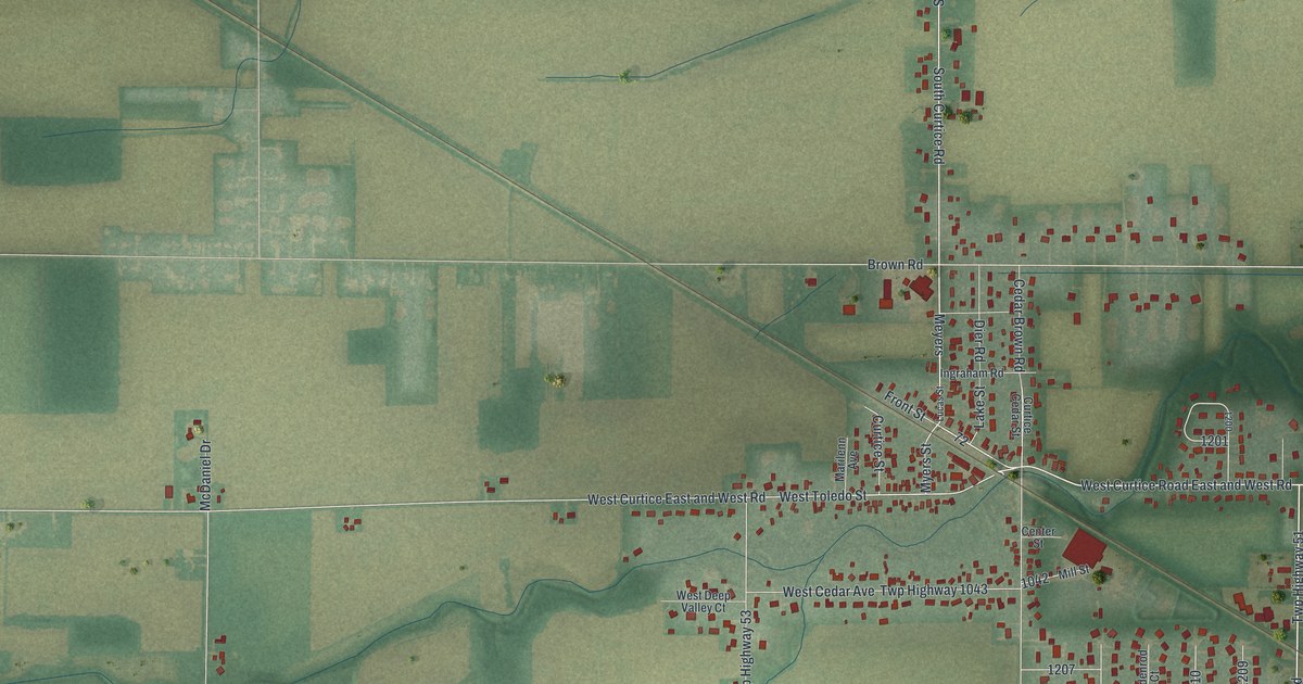
A detailed map of Curtice, Ohio, showing every building in its true location, the roads by name, and shaded topographical relief.
Read More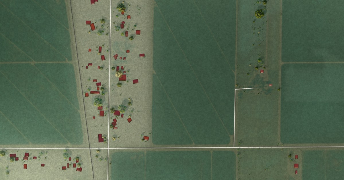
A detailed map of Trowbridge, California, showing every building in its true location, the roads by name, and shaded topographical relief.
Read More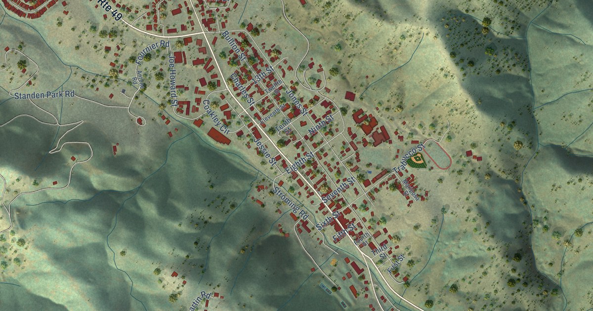
A detailed map of Mariposa, California, showing every building in its true location, the roads by name, and shaded topographical relief.
Read More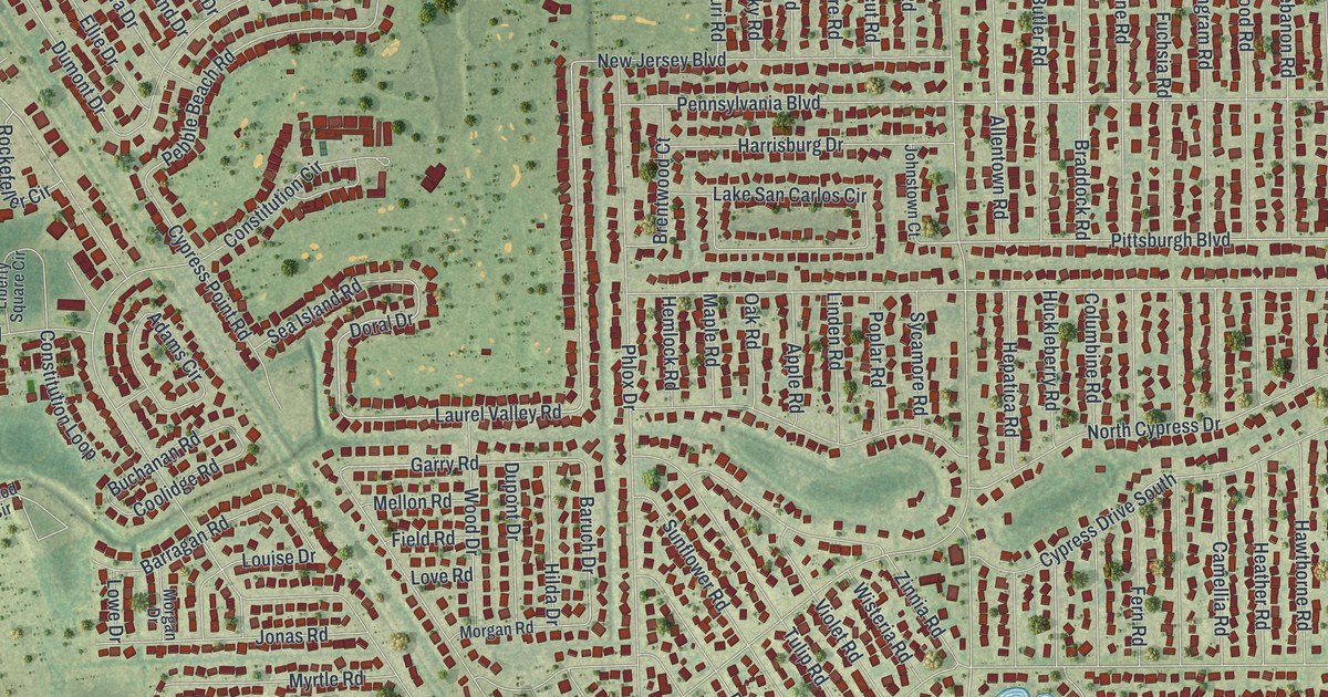
A detailed map of San Carlos Park, Florida, showing every building in its true location, the roads by name, and shaded topographical relief.
Read More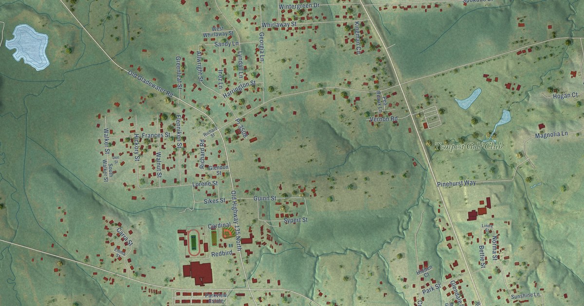
A detailed map of Liberty City, Texas, showing every building in its true location, the roads by name, and shaded topographical relief.
Read More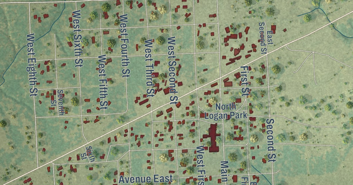
A detailed map of Sheridan, Texas, showing every building in its true location, the roads by name, and shaded topographical relief.
Read More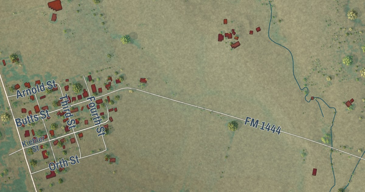
A detailed map of Ben Arnold, Texas, showing every building in its true location, the roads by name, and shaded topographical relief.
Read More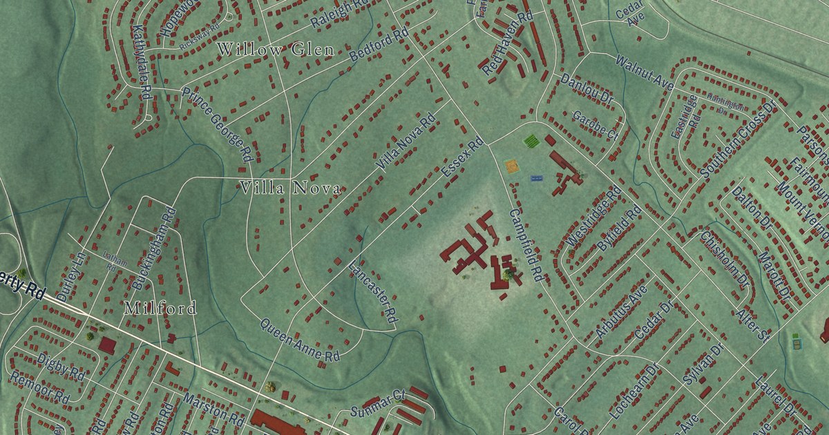
A detailed map of Lochearn, Maryland, showing every building in its true location, the roads by name, and shaded topographical relief.
Read More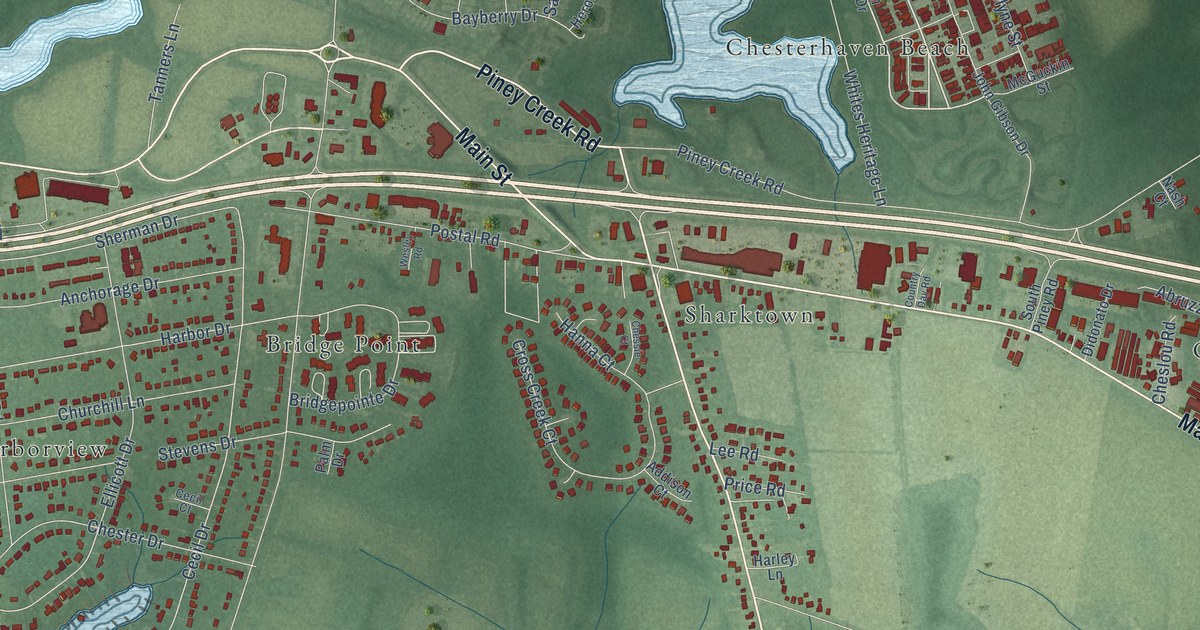
A detailed map of Chester, Maryland, showing every building in its true location, the roads by name, and shaded topographical relief.
Read More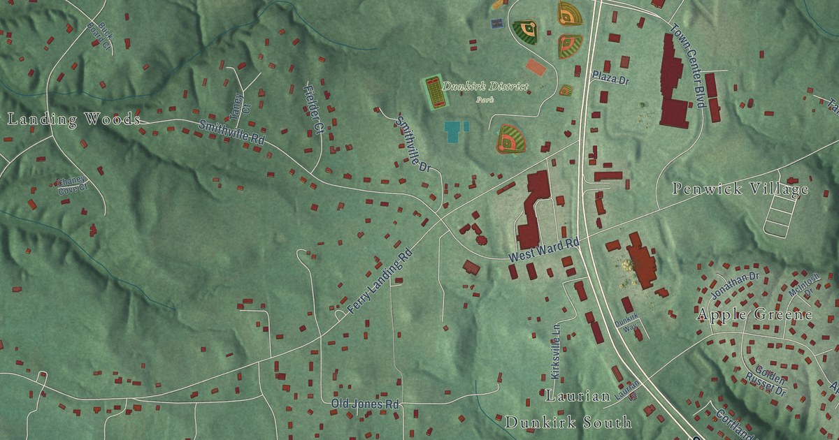
A detailed map of Dunkirk, Maryland, showing every building in its true location, the roads by name, and shaded topographical relief.
Read More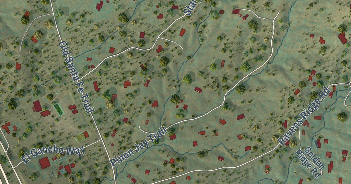
A detailed map of Santa Fe Foothills, New Mexico, showing every building in its true location, the roads by name, and shaded topographical relief.
Read More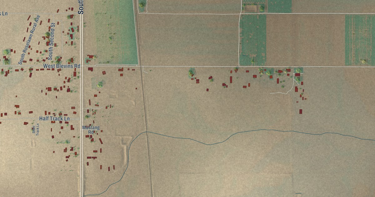
A detailed map of Atoka, New Mexico, showing every building in its true location, the roads by name, and shaded topographical relief.
Read More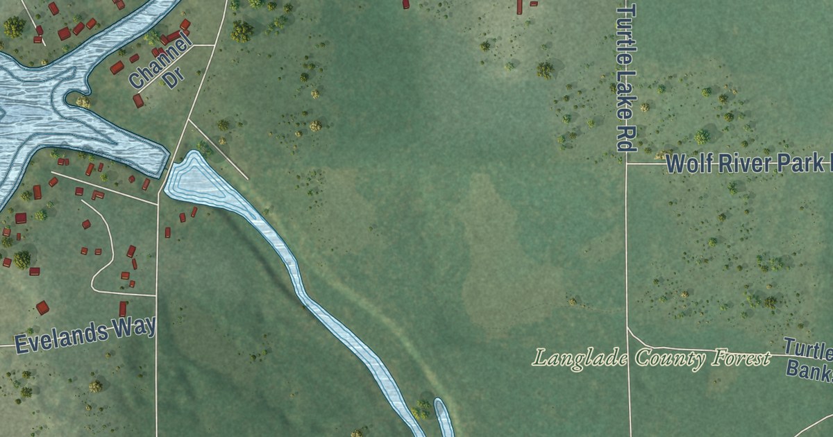
A detailed map of Post Lake, Wisconsin, showing every building in its true location, the roads by name, and shaded topographical relief.
Read More















