Detailed Map of Gold Bar, Washington
A detailed map of Gold Bar, Washington, showing every building in its true location, the roads by name, and shaded topographical relief.
Read More
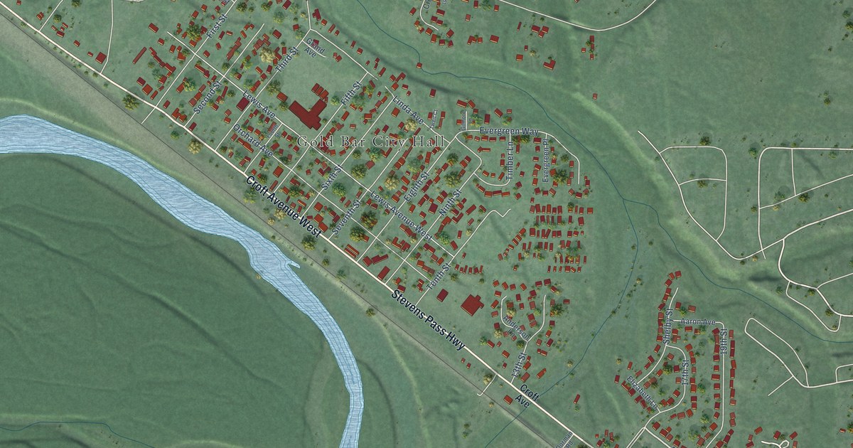
A detailed map of Gold Bar, Washington, showing every building in its true location, the roads by name, and shaded topographical relief.
Read More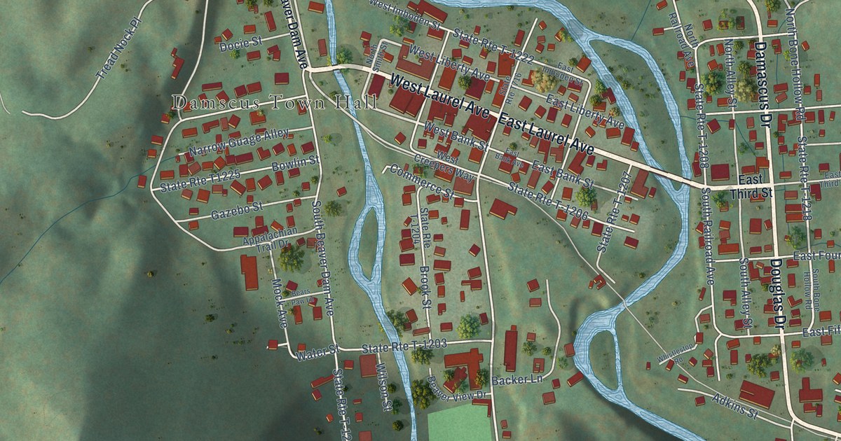
A detailed map of Damascus, Virginia, showing every building in its true location, the roads by name, and shaded topographical relief.
Read More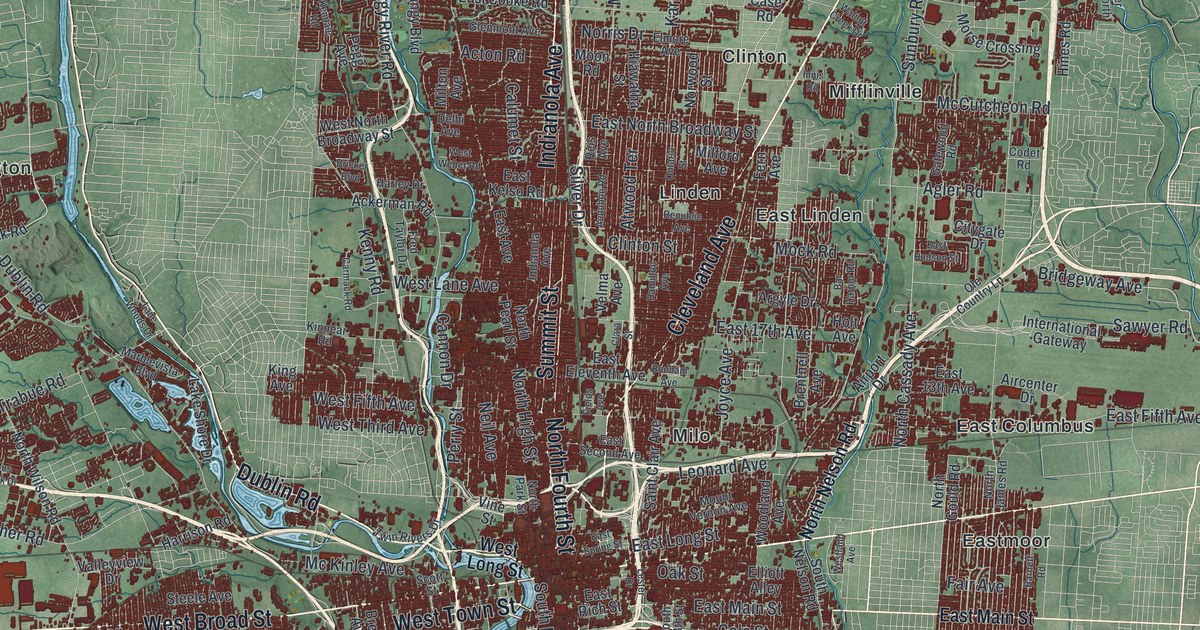
A detailed map of Columbus, Ohio, showing every building in its true location, the roads by name, and shaded topographical relief.
Read More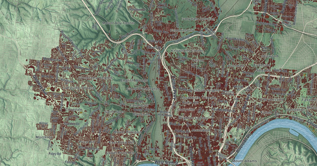
A detailed map of Cincinnati, Ohio, showing every building in its true location, the roads by name, and shaded topographical relief.
Read More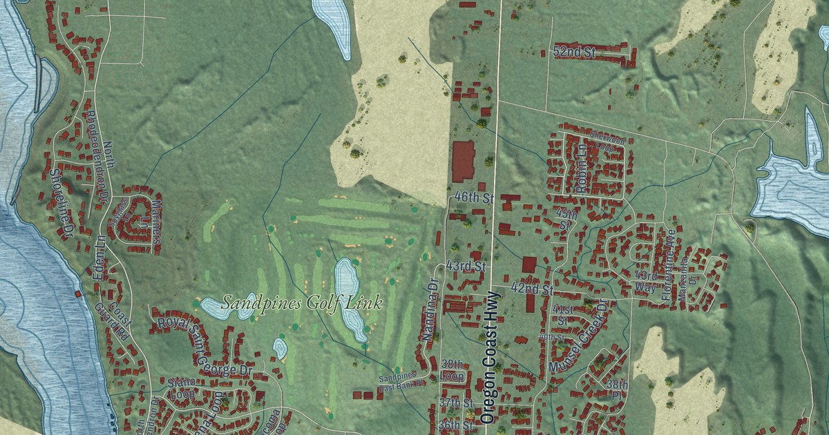
A detailed map of Florence, Oregon, showing every building in its true location, the roads by name, and shaded topographical relief.
Read More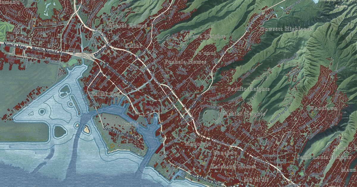
A detailed map of Urban Honolulu, Hawaii, showing every building in its true location, the roads by name, and shaded topographical relief.
Read More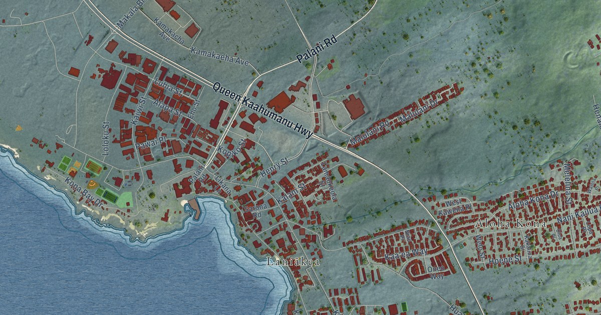
A detailed map of Kailua, Maui County, Hawaii, showing every building in its true location, the roads by name, and shaded topographical relief.
Read More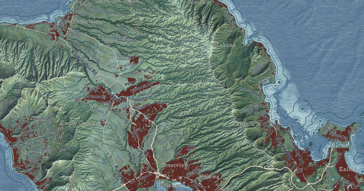
A detailed map of Honolulu, Hawaii, showing every building in its true location, the roads by name, and shaded topographical relief.
Read More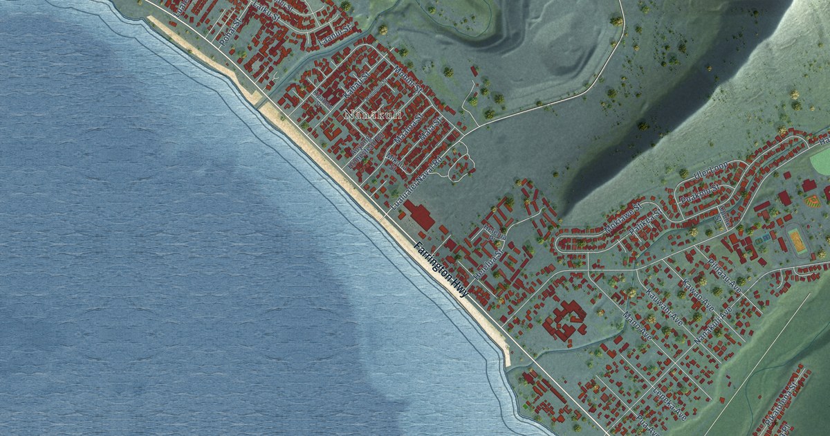
A detailed map of Nanakuli, Hawaii, showing every building in its true location, the roads by name, and shaded topographical relief.
Read More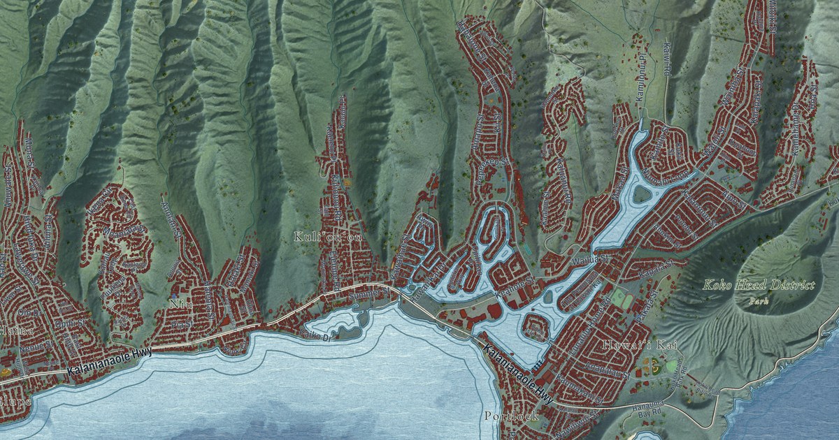
A detailed map of East Honolulu, Hawaii, showing every building in its true location, the roads by name, and shaded topographical relief.
Read More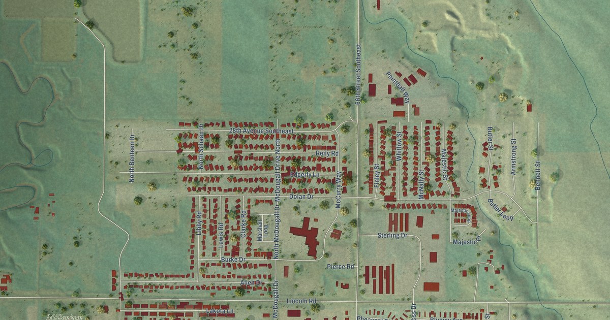
A detailed map of Lincoln, North Dakota, showing every building in its true location, the roads by name, and shaded topographical relief.
Read More
A detailed map of Rolling Fork, Mississippi, showing every building in its true location, the roads by name, and shaded topographical relief.
Read More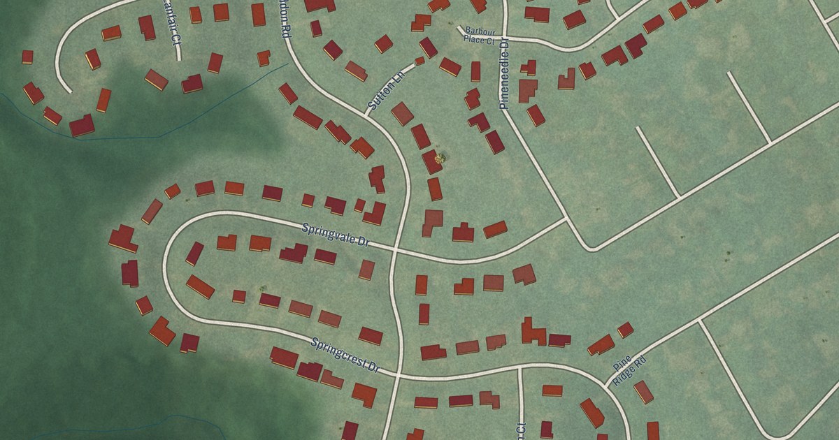
A detailed map of Spring Valley, Kentucky, showing every building in its true location, the roads by name, and shaded topographical relief.
Read More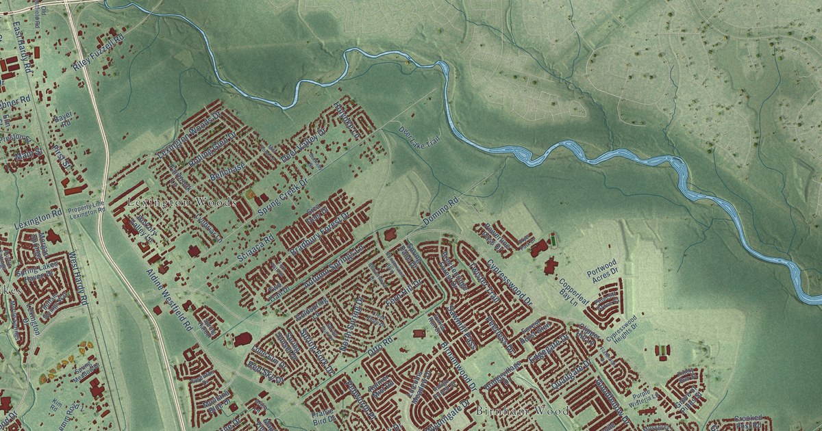
A detailed map of Spring, Texas, showing every building in its true location, the roads by name, and shaded topographical relief.
Read More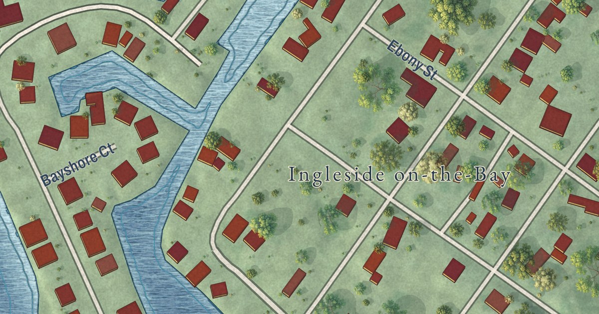
A detailed map of Ingleside on the Bay, Texas, showing every building in its true location, the roads by name, and shaded topographical relief.
Read More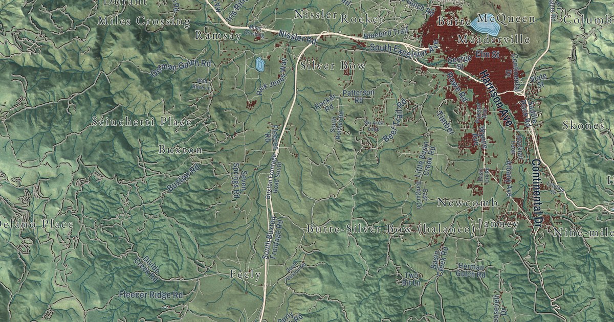
A detailed map of Butte-Silver Bow, Montana, showing every building in its true location, the roads by name, and shaded topographical relief.
Read More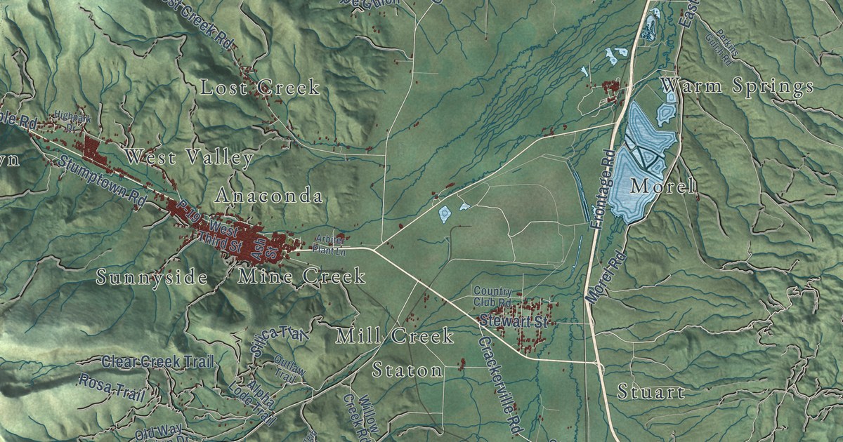
A detailed map of Anaconda-Deer Lodge County, Montana, showing every building in its true location, the roads by name, and shaded topographical relief.
Read More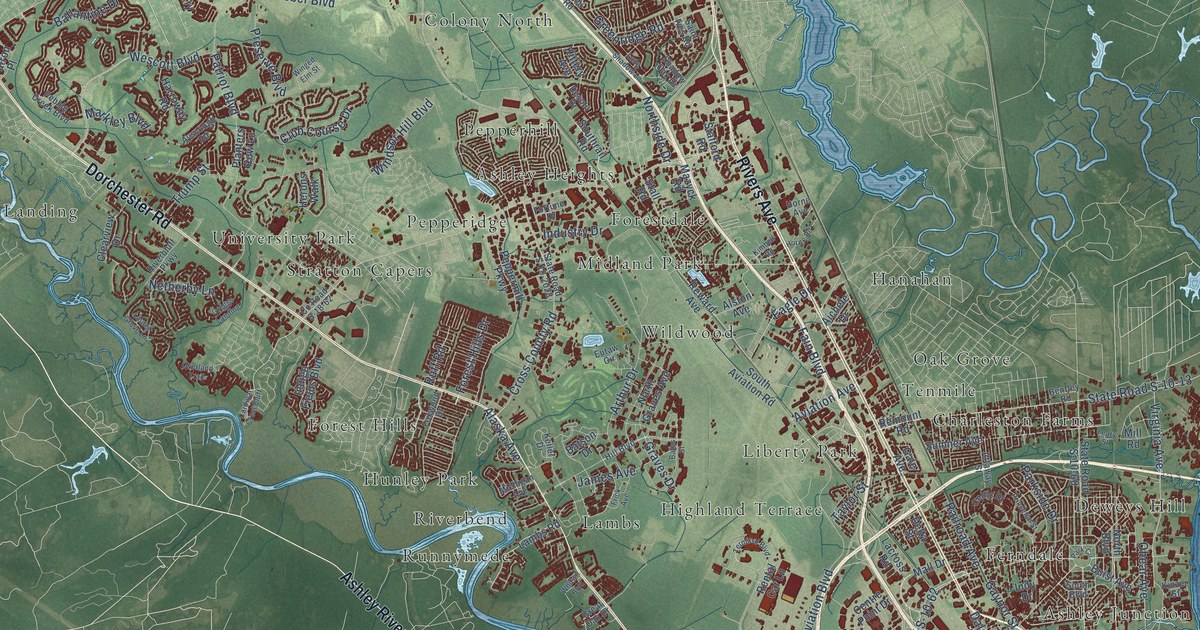
A detailed map of North Charleston, South Carolina, showing every building in its true location, the roads by name, and shaded topographical relief.
Read More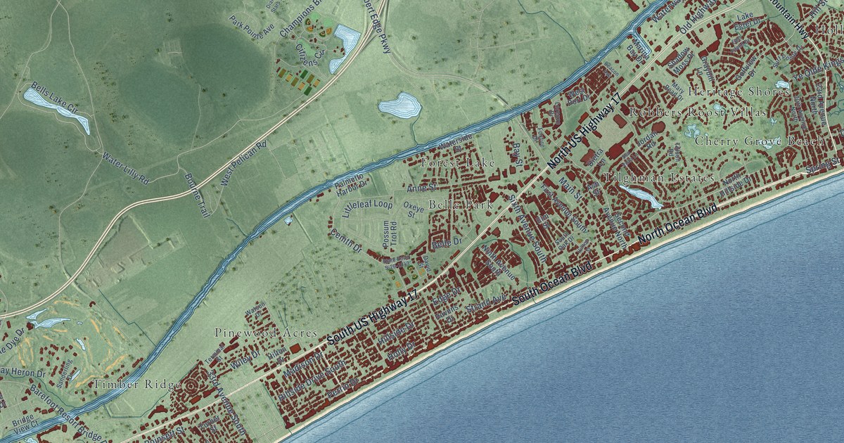
A detailed map of North Myrtle Beach, South Carolina, showing every building in its true location, the roads by name, and shaded topographical relief.
Read More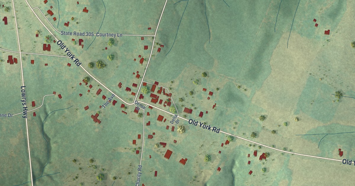
A detailed map of Lowrys, South Carolina, showing every building in its true location, the roads by name, and shaded topographical relief.
Read More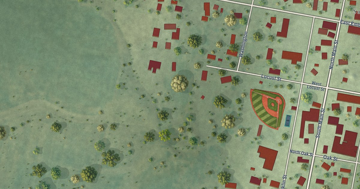
A detailed map of Ste. Marie, Illinois, showing every building in its true location, the roads by name, and shaded topographical relief.
Read More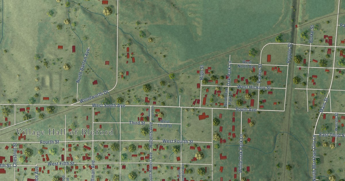
A detailed map of Bluford, Illinois, showing every building in its true location, the roads by name, and shaded topographical relief.
Read More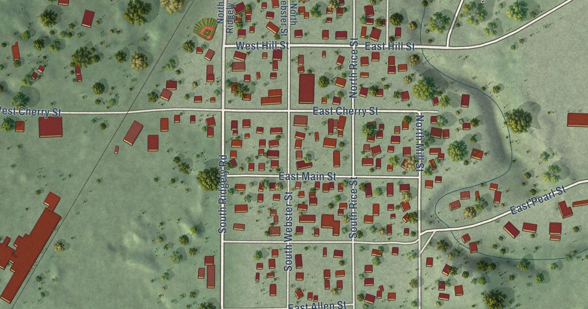
A detailed map of Kasota, Minnesota, showing every building in its true location, the roads by name, and shaded topographical relief.
Read More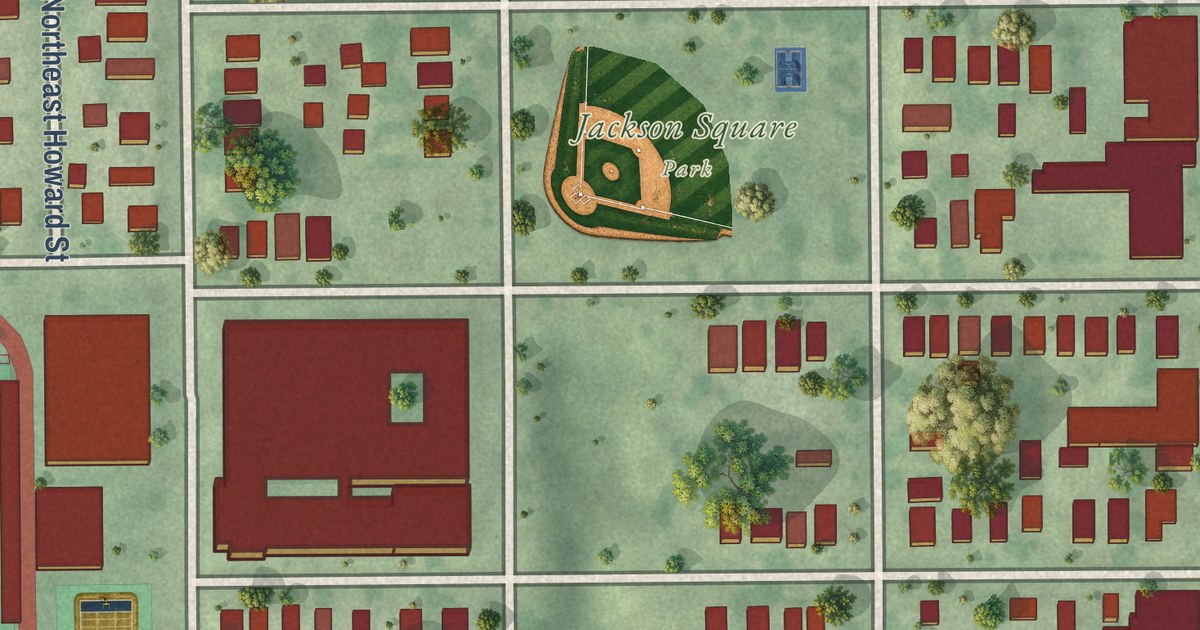
A detailed map of Holland, Minneapolis, Minnesota, showing every building in its true location, the roads by name, and shaded topographical relief.
Read More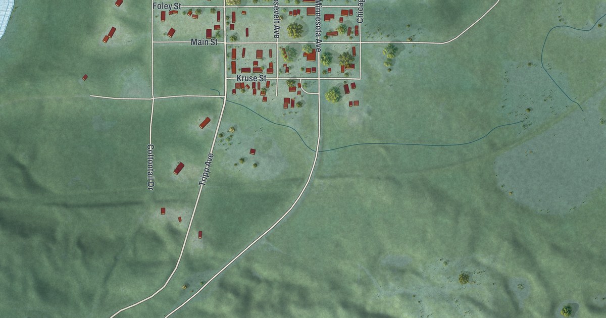
A detailed map of Cuyuna, Minnesota, showing every building in its true location, the roads by name, and shaded topographical relief.
Read More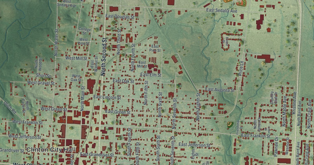
A detailed map of Clinton, Missouri, showing every building in its true location, the roads by name, and shaded topographical relief.
Read More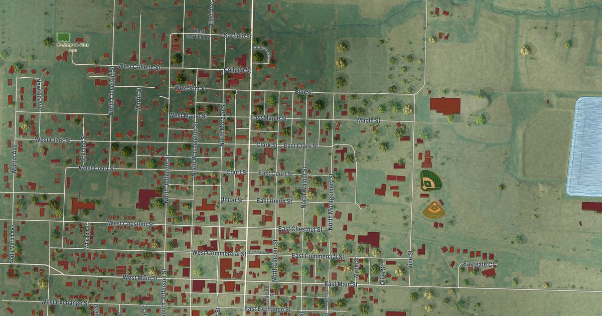
A detailed map of Kahoka, Missouri, showing every building in its true location, the roads by name, and shaded topographical relief.
Read More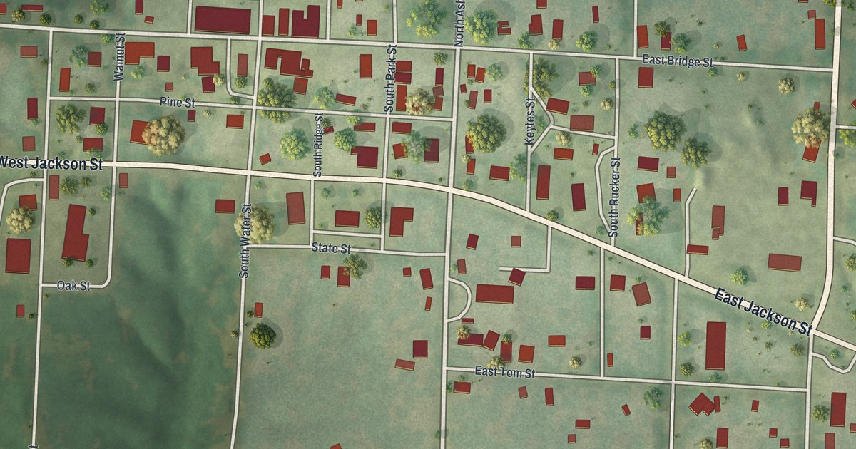
A detailed map of Keytesville, Missouri, showing every building in its true location, the roads by name, and shaded topographical relief.
Read More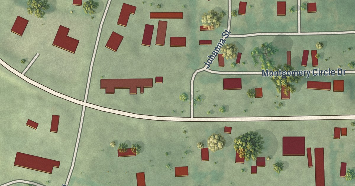
A detailed map of Oak Grove Village, Missouri, showing every building in its true location, the roads by name, and shaded topographical relief.
Read More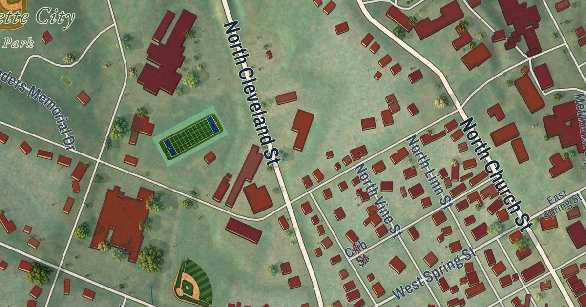
A detailed map of Fayette, Missouri, showing every building in its true location, the roads by name, and shaded topographical relief.
Read More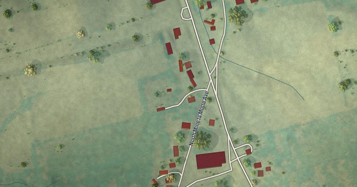
A detailed map of Junction City, Missouri, showing every building in its true location, the roads by name, and shaded topographical relief.
Read More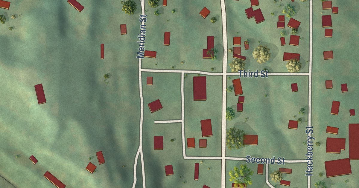
A detailed map of Amazonia, Missouri, showing every building in its true location, the roads by name, and shaded topographical relief.
Read More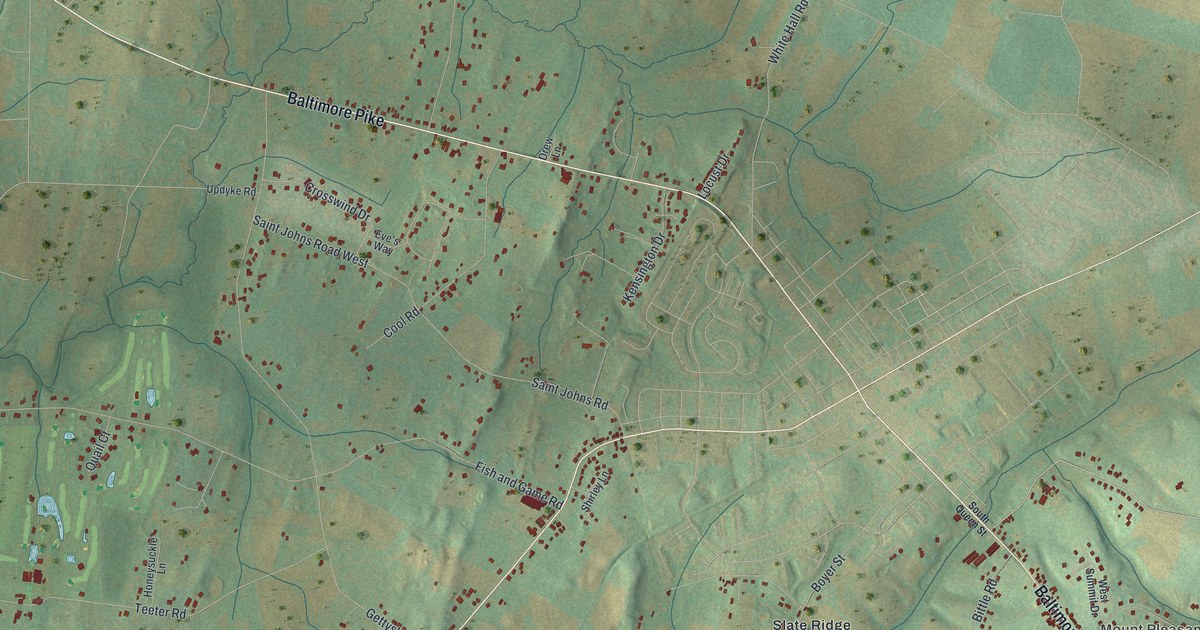
A detailed map of Germany, Pennsylvania, showing every building in its true location, the roads by name, and shaded topographical relief.
Read More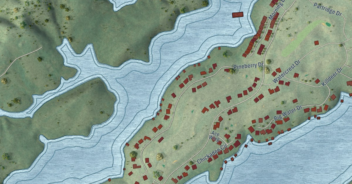
A detailed map of Rarity Bay, Tennessee, showing every building in its true location, the roads by name, and shaded topographical relief.
Read More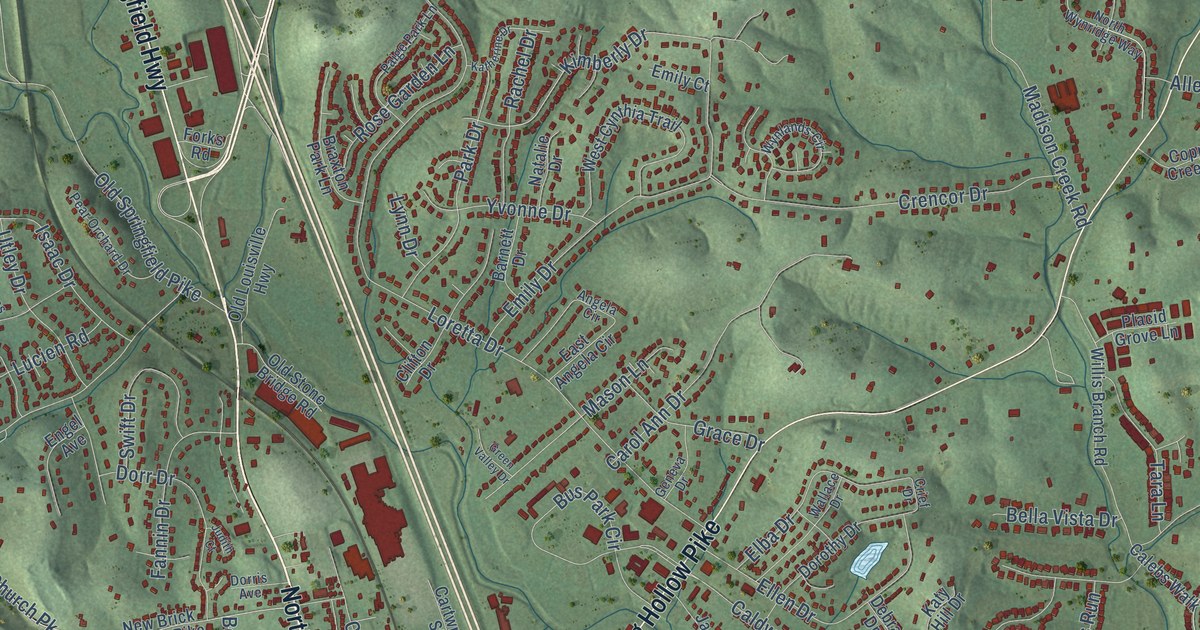
A detailed map of Goodlettsville, Tennessee, showing every building in its true location, the roads by name, and shaded topographical relief.
Read More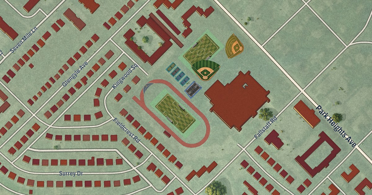
A detailed map of Fallstaff, Maryland, showing every building in its true location, the roads by name, and shaded topographical relief.
Read More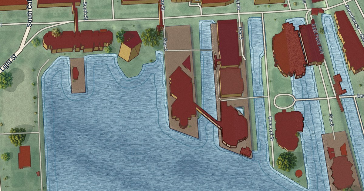
A detailed map of Inner Harbor, Maryland, showing every building in its true location, the roads by name, and shaded topographical relief.
Read More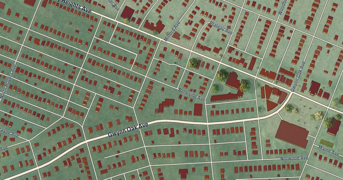
A detailed map of Howard Park, Maryland, showing every building in its true location, the roads by name, and shaded topographical relief.
Read More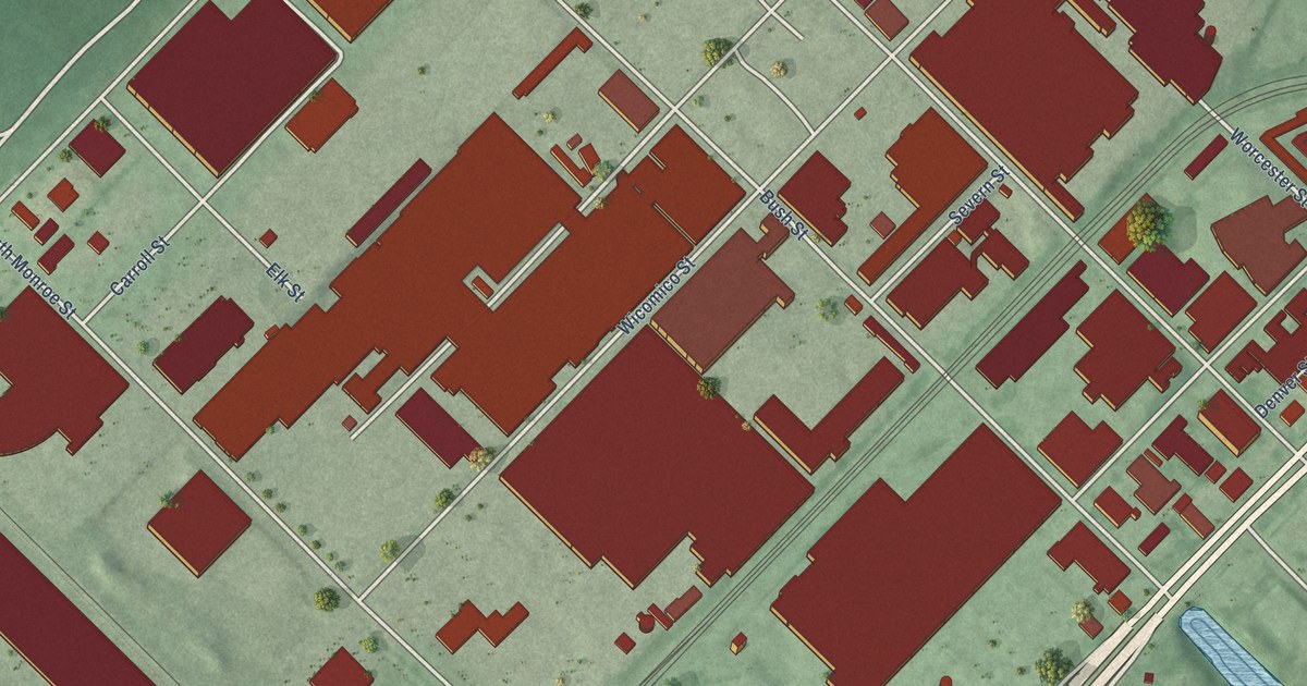
A detailed map of Carroll-Camden Industrial Area, Maryland, showing every building in its true location, the roads by name, and shaded topographical relief.
Read More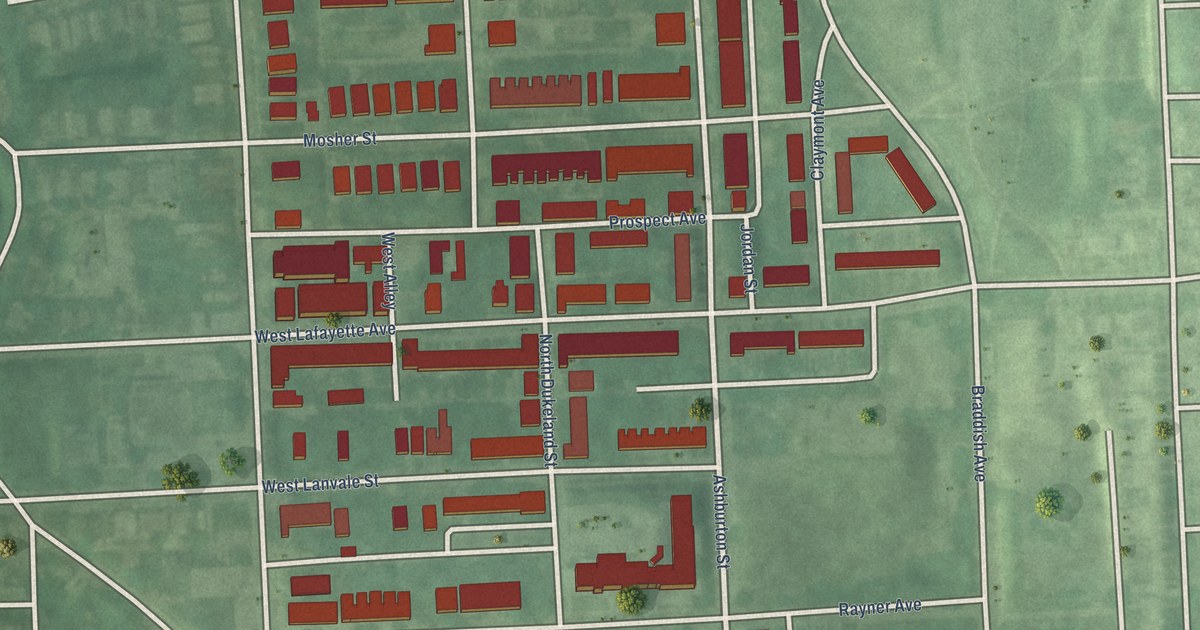
A detailed map of Mosher, Maryland, showing every building in its true location, the roads by name, and shaded topographical relief.
Read More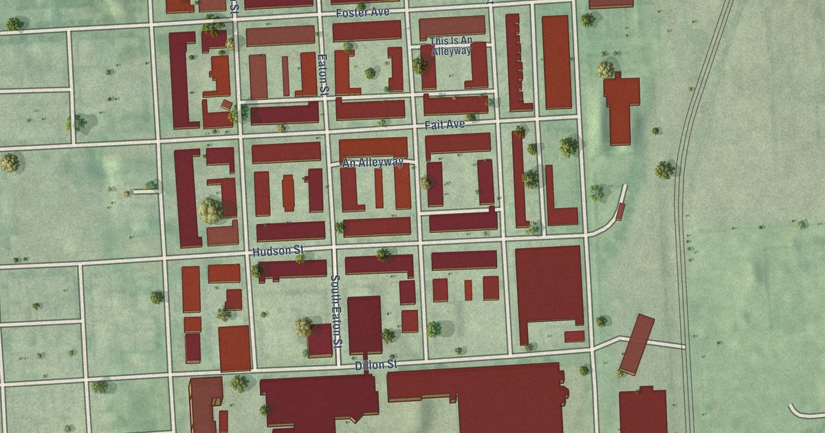
A detailed map of Brewers Hill, Maryland, showing every building in its true location, the roads by name, and shaded topographical relief.
Read More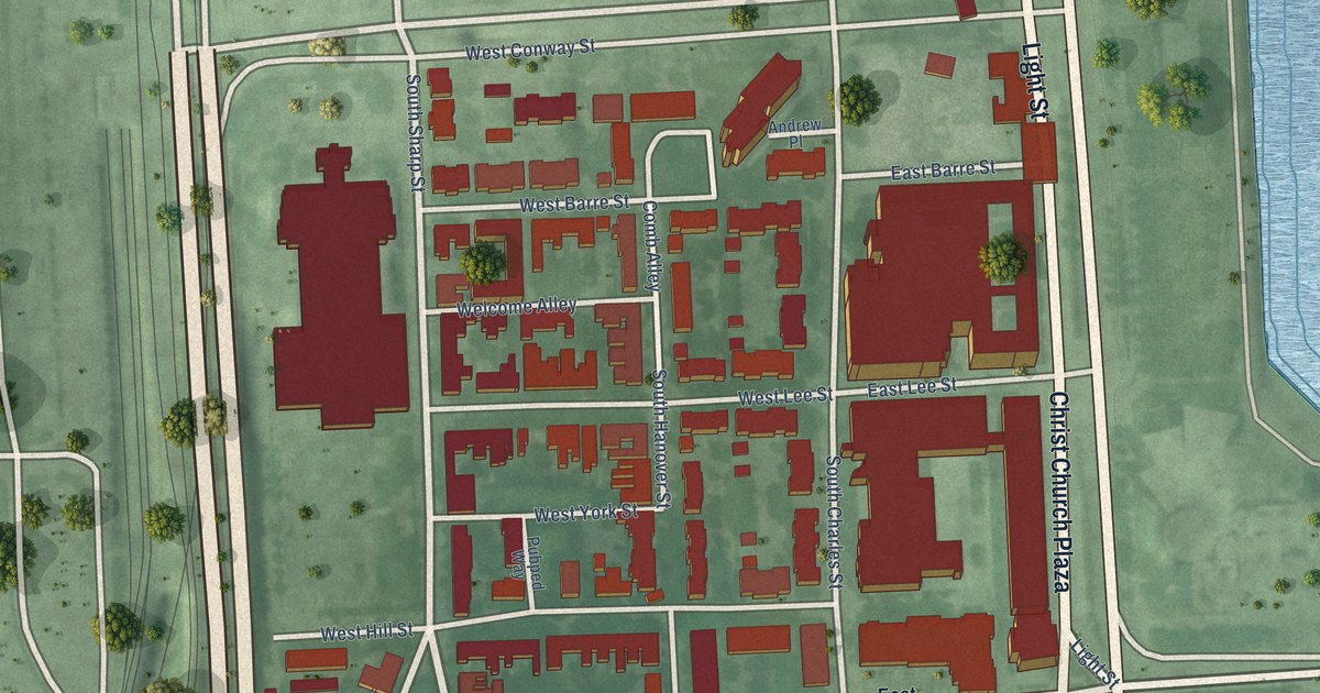
A detailed map of Otterbein, Maryland, showing every building in its true location, the roads by name, and shaded topographical relief.
Read More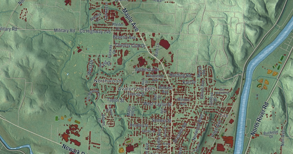
A detailed map of Zanesville, Ohio, showing every building in its true location, the roads by name, and shaded topographical relief.
Read More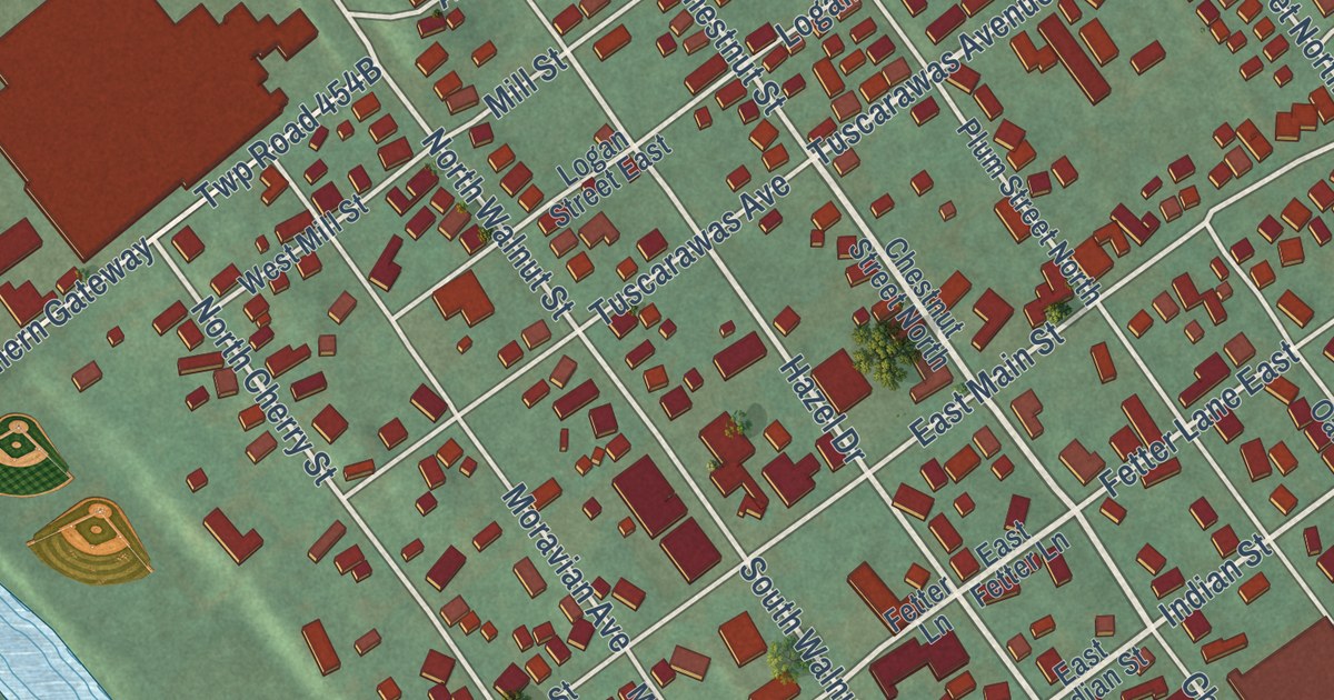
A detailed map of Gnadenhutten, Ohio, showing every building in its true location, the roads by name, and shaded topographical relief.
Read More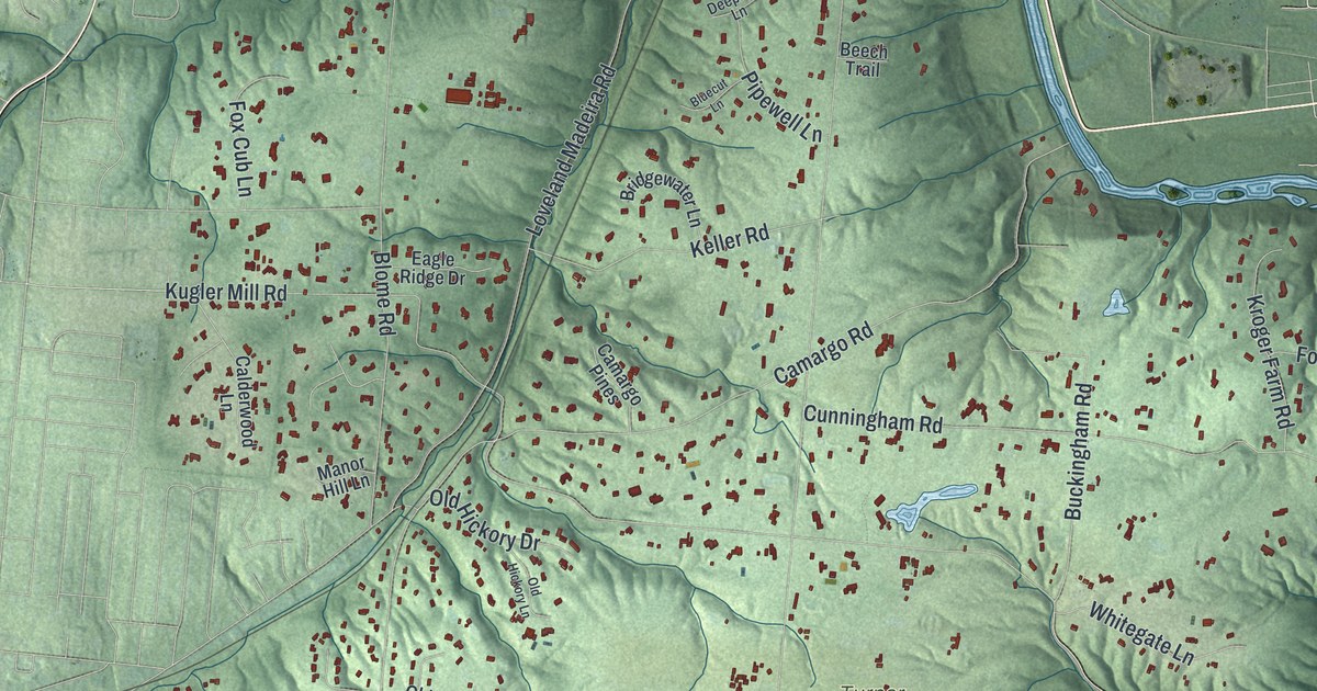
A detailed map of Indian Hill, Ohio, showing every building in its true location, the roads by name, and shaded topographical relief.
Read More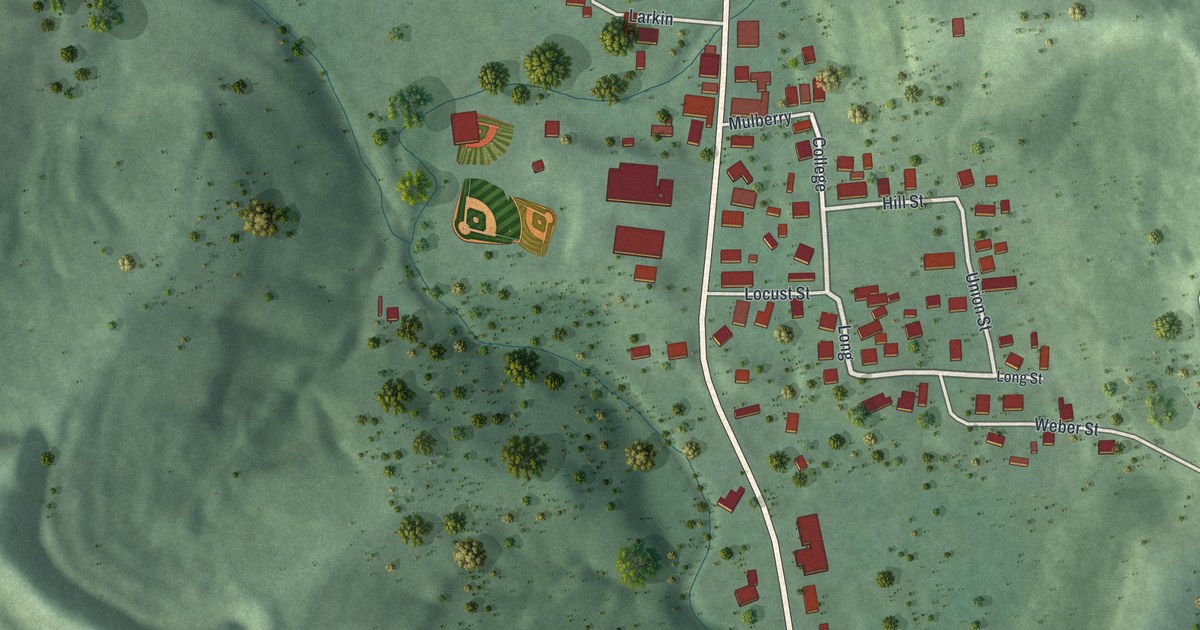
A detailed map of Rutland, Ohio, showing every building in its true location, the roads by name, and shaded topographical relief.
Read More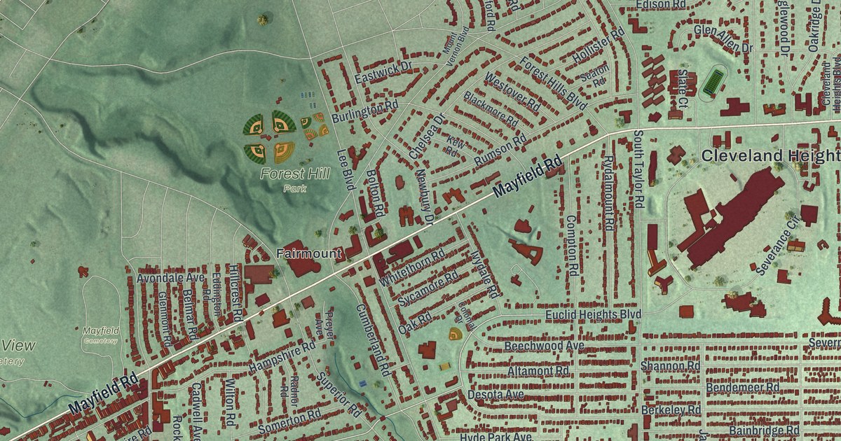
A detailed map of Cleveland Heights, Ohio, showing every building in its true location, the roads by name, and shaded topographical relief.
Read More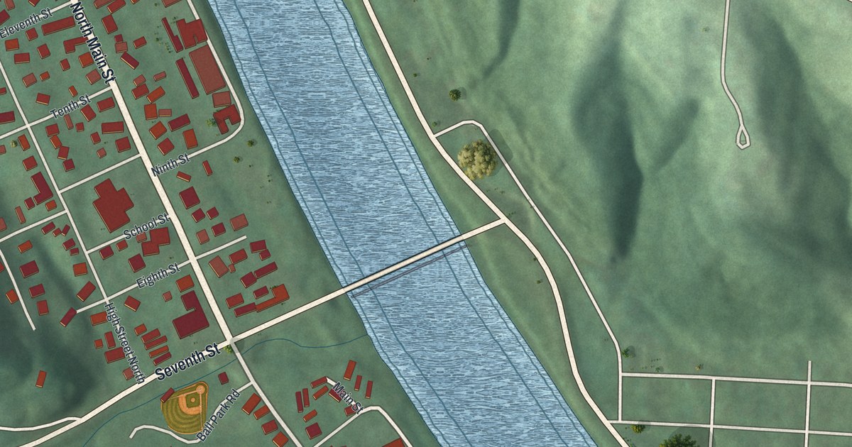
A detailed map of Malta, Ohio, showing every building in its true location, the roads by name, and shaded topographical relief.
Read More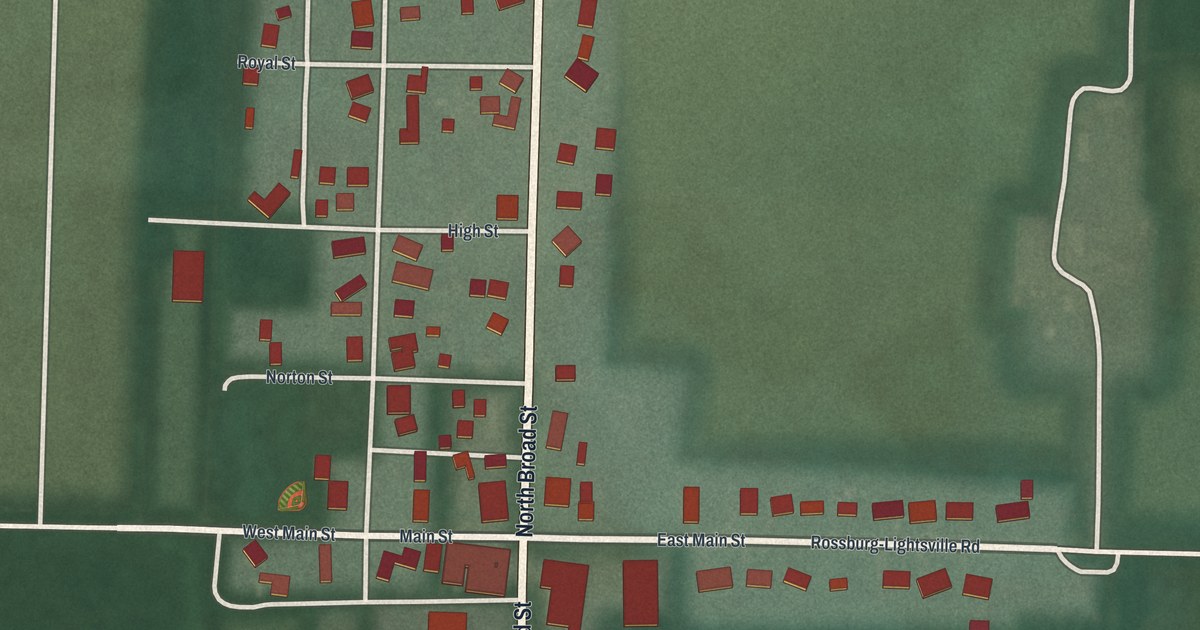
A detailed map of Rossburg, Ohio, showing every building in its true location, the roads by name, and shaded topographical relief.
Read More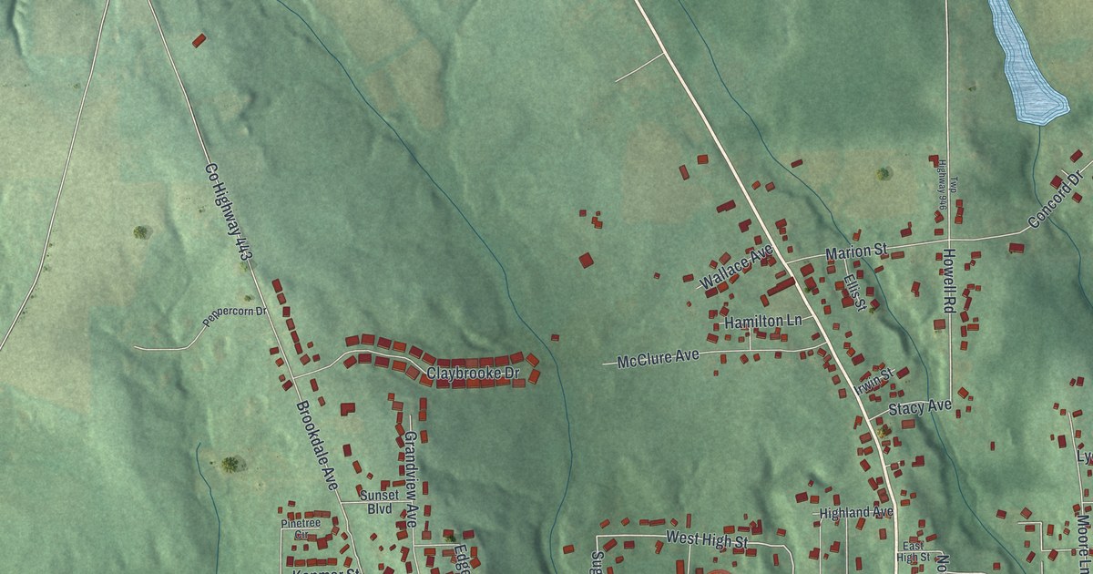
A detailed map of East Palestine, Ohio, showing every building in its true location, the roads by name, and shaded topographical relief.
Read More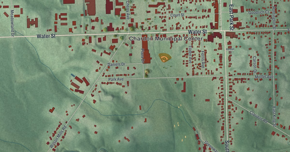
A detailed map of Chardon, Ohio, showing every building in its true location, the roads by name, and shaded topographical relief.
Read More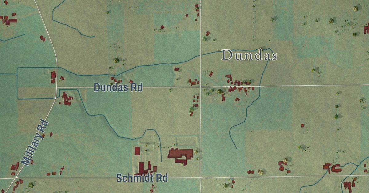
A detailed map of Woodville, Wisconsin, showing every building in its true location, the roads by name, and shaded topographical relief.
Read More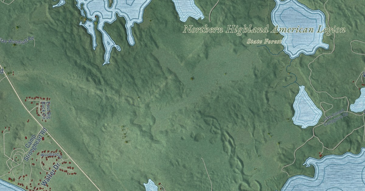
A detailed map of Woodruff, Wisconsin, showing every building in its true location, the roads by name, and shaded topographical relief.
Read More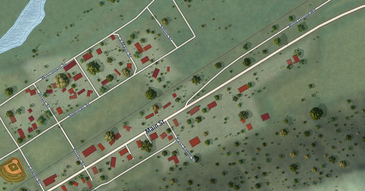
A detailed map of the Village of Woodman, Wisconsin, showing every building in its true location, the roads by name, and shaded topographical relief.
Read More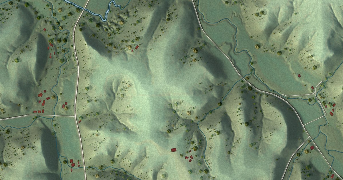
A detailed map of Woodman, Wisconsin, showing every building in its true location, the roads by name, and shaded topographical relief.
Read More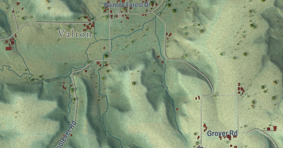
A detailed map of Woodland, Wisconsin, showing every building in its true location, the roads by name, and shaded topographical relief.
Read More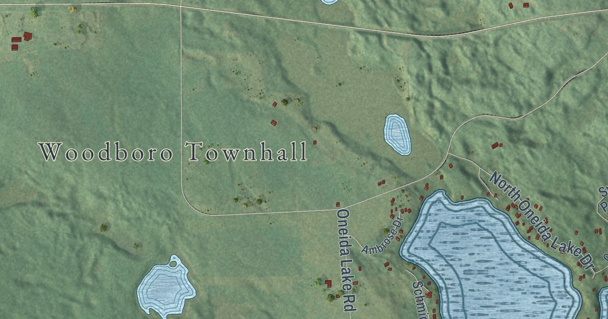
A detailed map of Woodboro, Wisconsin, showing every building in its true location, the roads by name, and shaded topographical relief.
Read More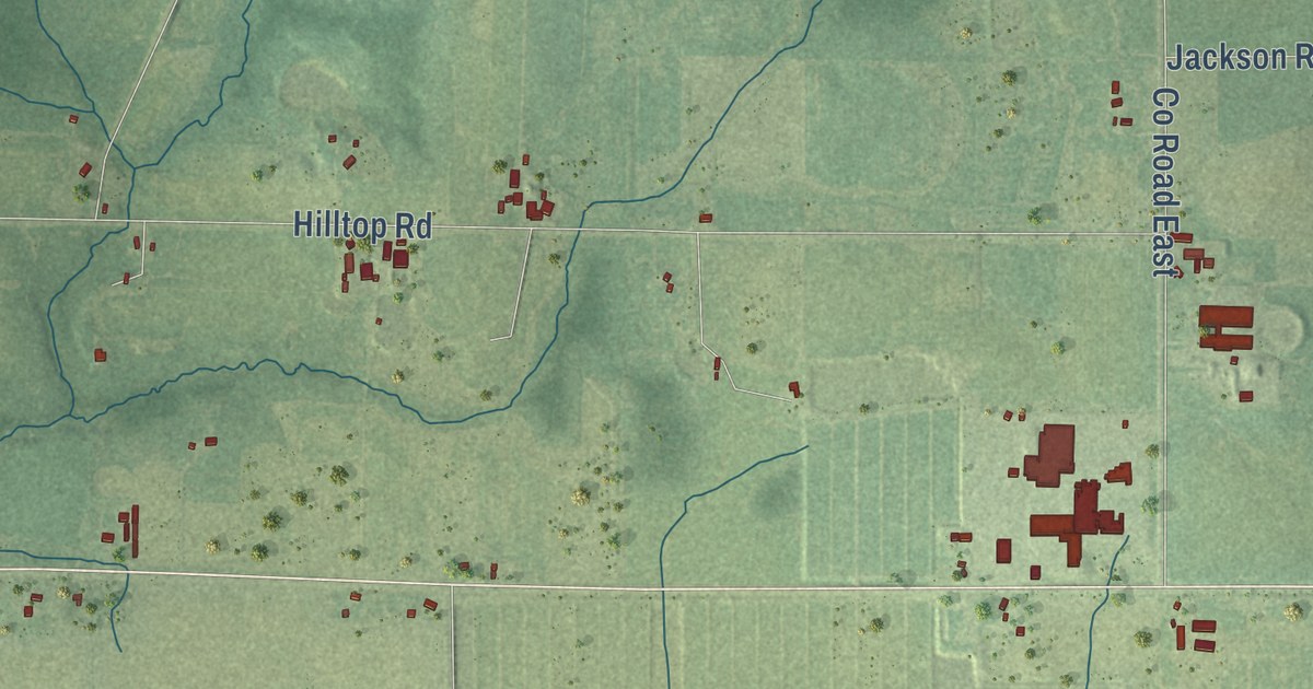
A detailed map of Wood, Wisconsin, showing every building in its true location, the roads by name, and shaded topographical relief.
Read More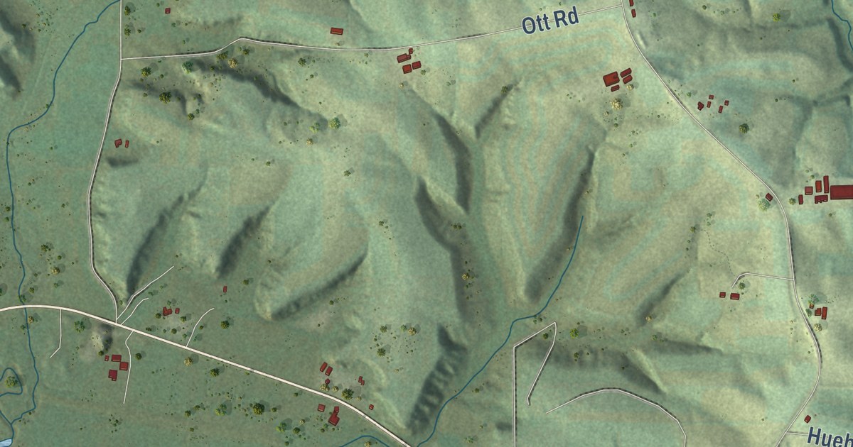
A detailed map of Wonewoc, Wisconsin, showing every building in its true location, the roads by name, and shaded topographical relief.
Read More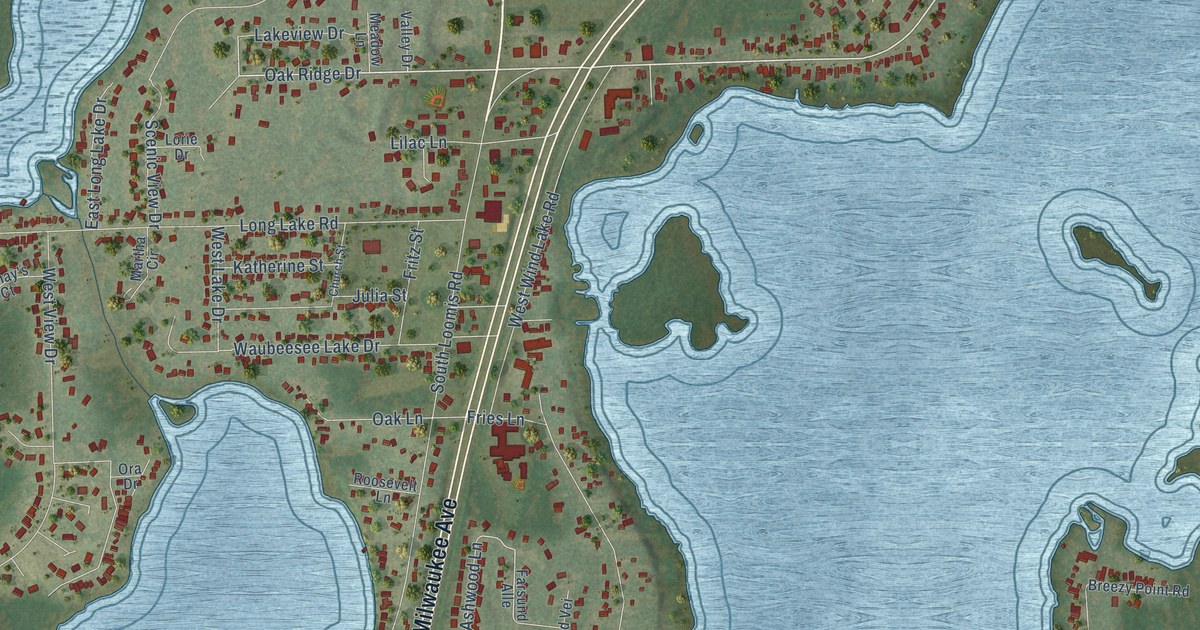
A detailed map of Wind Lake, Wisconsin, showing every building in its true location, the roads by name, and shaded topographical relief.
Read More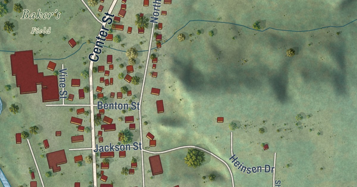
A detailed map of the Village of Wonewoc, Wisconsin, showing every building in its true location, the roads by name, and shaded topographical relief.
Read More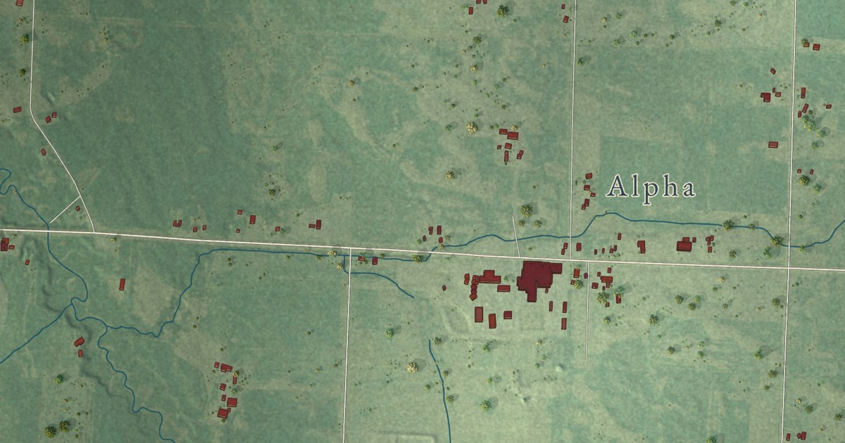
A detailed map of Wood River, Wisconsin, showing every building in its true location, the roads by name, and shaded topographical relief.
Read More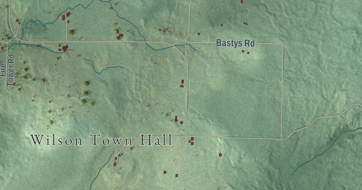
A detailed map of Wilson, Wisconsin, showing every building in its true location, the roads by name, and shaded topographical relief.
Read More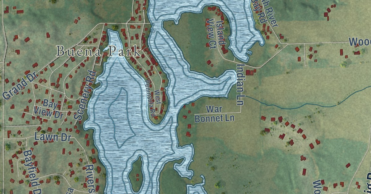
A detailed map of Tichigan, Wisconsin, showing every building in its true location, the roads by name, and shaded topographical relief.
Read More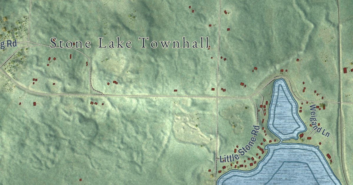
A detailed map of Stone Lake, Wisconsin, showing every building in its true location, the roads by name, and shaded topographical relief.
Read More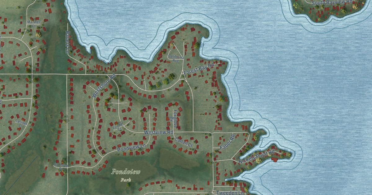
A detailed map of Okauchee Lake, Wisconsin, showing every building in its true location, the roads by name, and shaded topographical relief.
Read More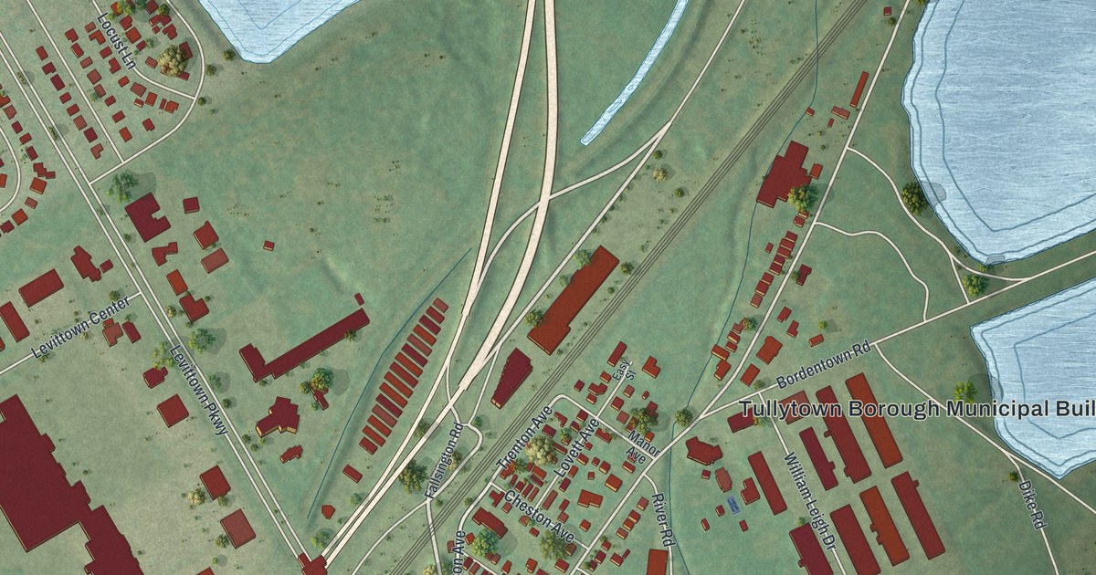
A detailed map of Tullytown, Pennsylvania, showing every building in its true location, the roads by name, and shaded topographical relief.
Read More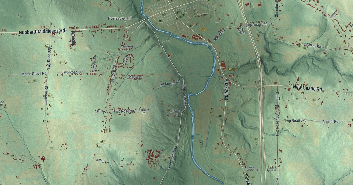
A detailed map of Shenango, Mercer County, Pennsylvania, showing every building in its true location, the roads by name, and shaded topographical relief.
Read More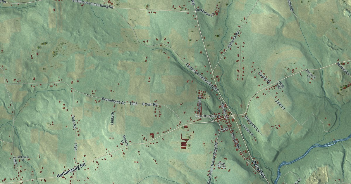
A detailed map of Scott, Lawrence County, Pennsylvania, showing every building in its true location, the roads by name, and shaded topographical relief.
Read More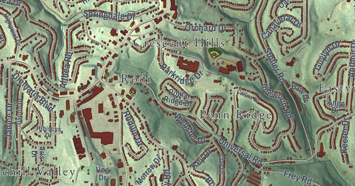
A detailed map of Penn Hills, Pennsylvania, showing every building in its true location, the roads by name, and shaded topographical relief.
Read More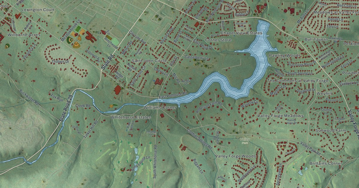
A detailed map of Schuylkill, Chester County, Pennsylvania, showing every building in its true location, the roads by name, and shaded topographical relief.
Read More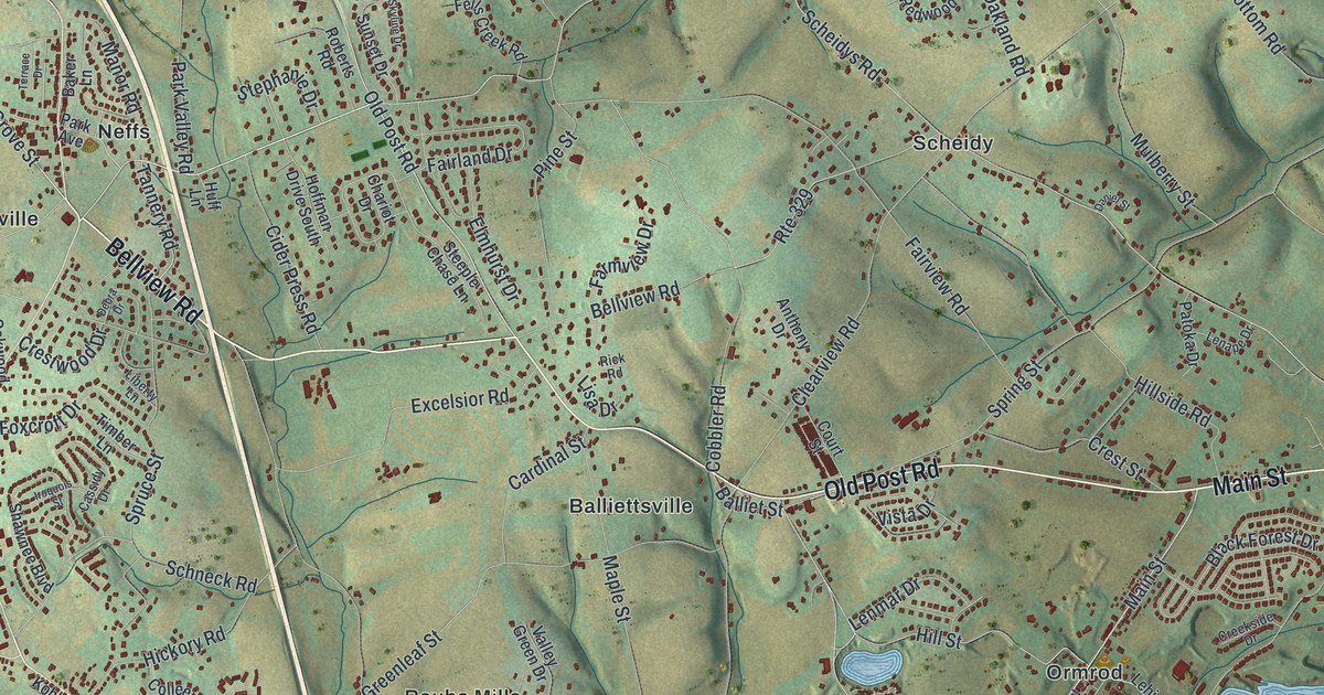
A detailed map of North Whitehall, Pennsylvania, showing every building in its true location, the roads by name, and shaded topographical relief.
Read More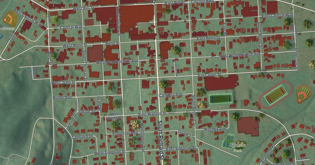
A detailed map of Bedford Borough, Pennsylvania, showing every building in its true location, the roads by name, and shaded topographical relief.
Read More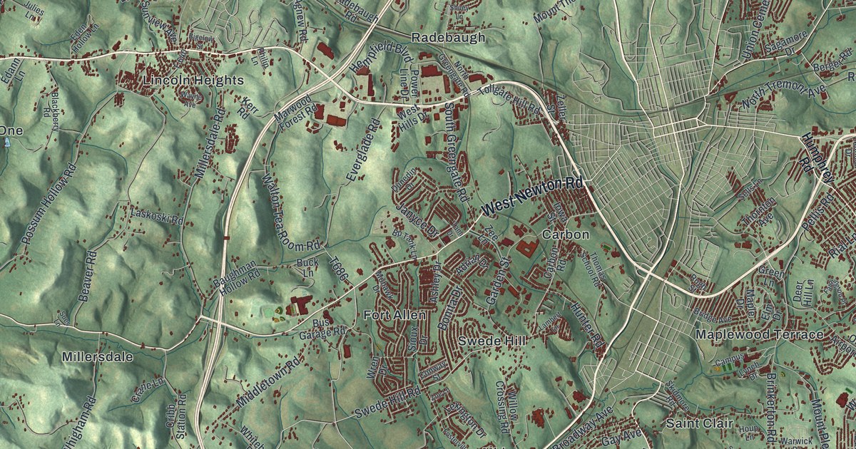
A detailed map of Hempfield, Westmoreland County, Pennsylvania, showing every building in its true location, the roads by name, and shaded topographical relief.
Read More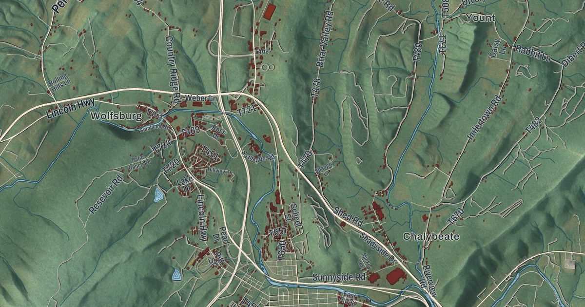
A detailed map of Bedford Township, Pennsylvania, showing every building in its true location, the roads by name, and shaded topographical relief.
Read More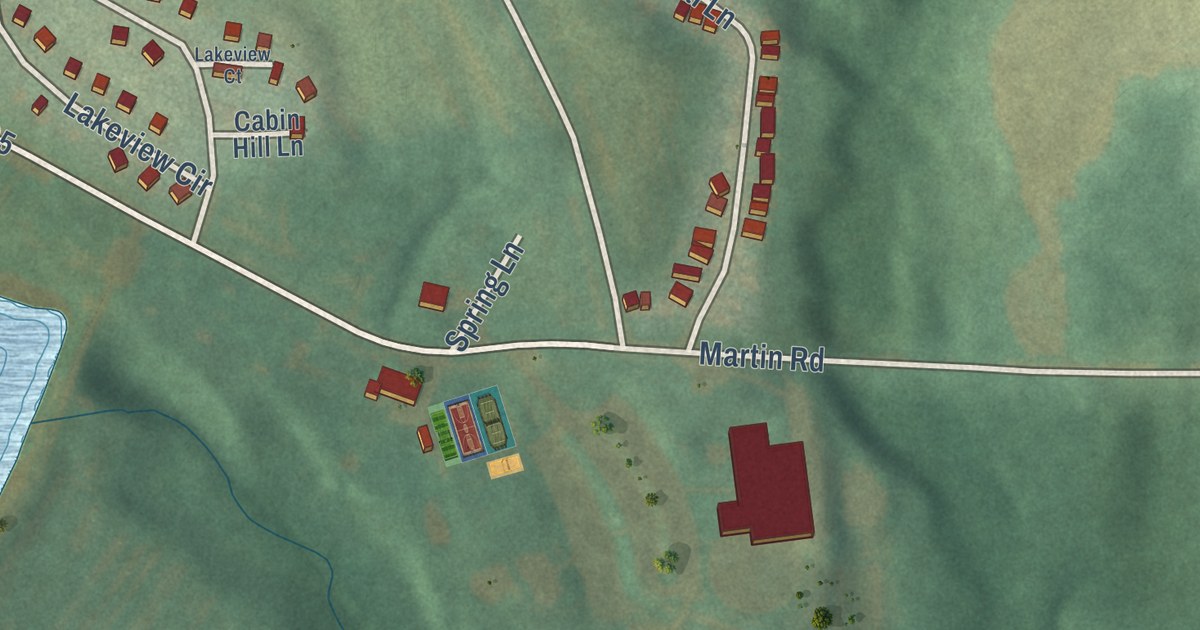
A detailed map of S.N.P.J., Pennsylvania, showing every building in its true location, the roads by name, and shaded topographical relief.
Read More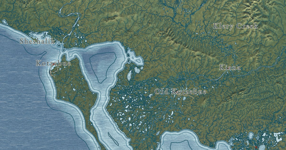
A detailed map of Northwest Arctic, Alaska, showing every building in its true location, the roads by name, and shaded topographical relief.
Read More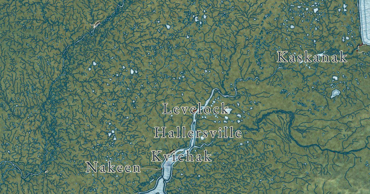
A detailed map of Lake and Peninsula, Alaska, showing every building in its true location, the roads by name, and shaded topographical relief.
Read More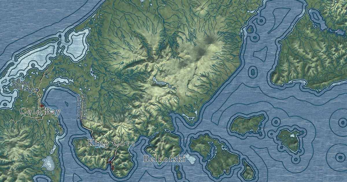
A detailed map of Aleutians East, Alaska, showing every building in its true location, the roads by name, and shaded topographical relief.
Read More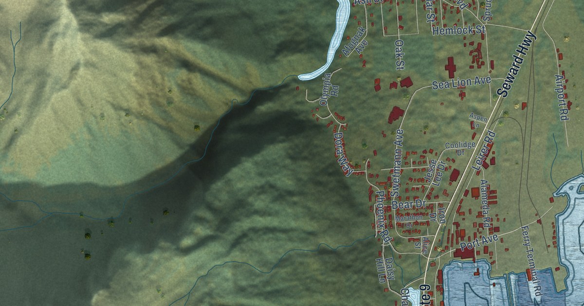
A detailed map of Seward, Alaska, showing every building in its true location, the roads by name, and shaded topographical relief.
Read More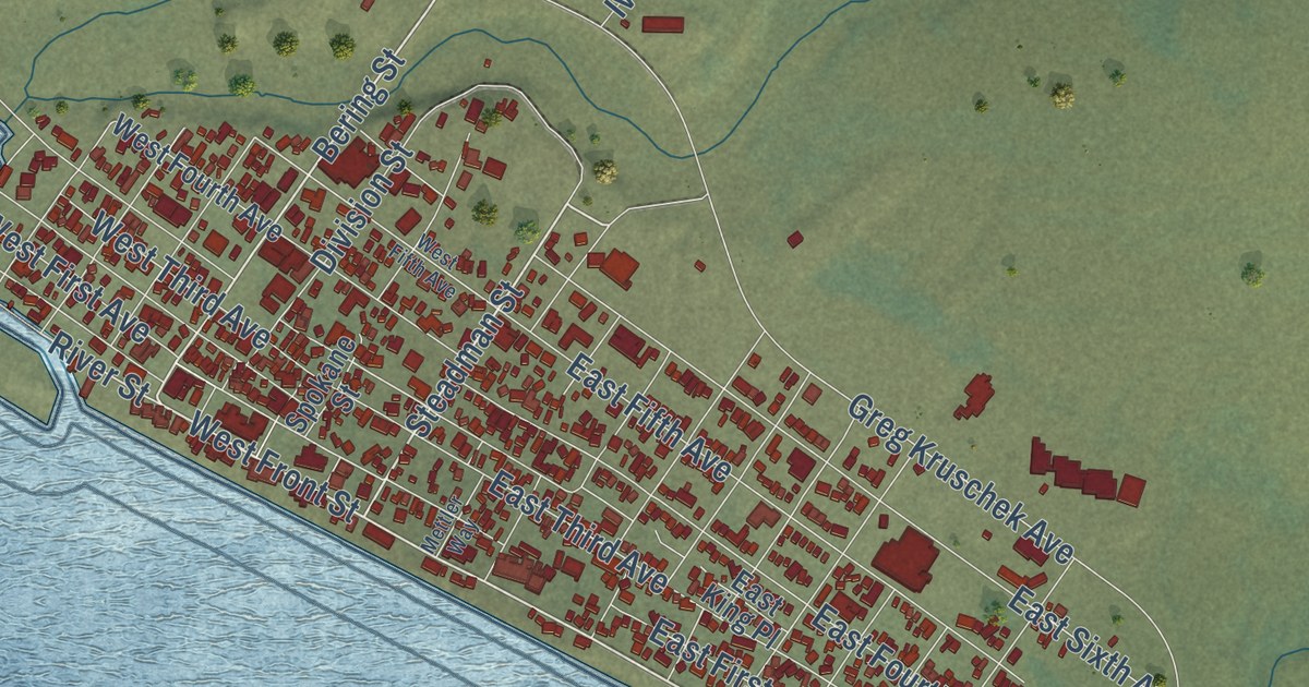
A detailed map of Nome, Alaska, showing every building in its true location, the roads by name, and shaded topographical relief.
Read More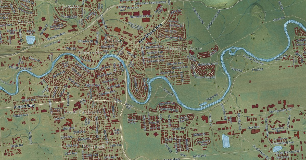
A detailed map of Fairbanks, Alaska, showing every building in its true location, the roads by name, and shaded topographical relief.
Read More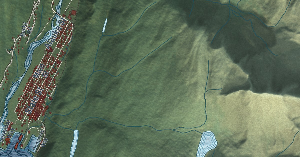
A detailed map of Skagway, Alaska, showing every building in its true location, the roads by name, and shaded topographical relief.
Read More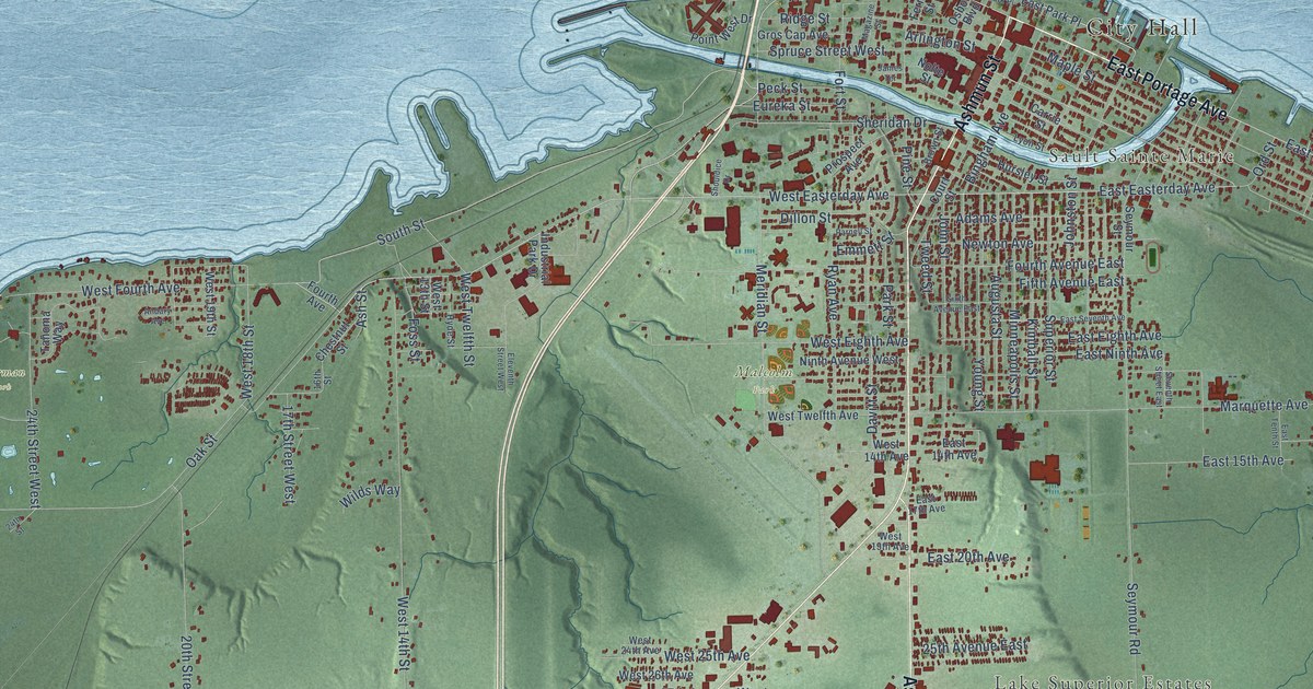
A detailed map of Sault Ste. Marie, Michigan, showing every building in its true location, the roads by name, and shaded topographical relief.
Read More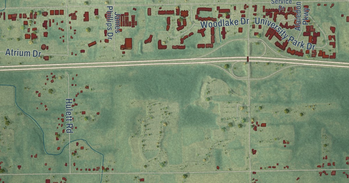
A detailed map of Alaiedon, Michigan, showing every building in its true location, the roads by name, and shaded topographical relief.
Read More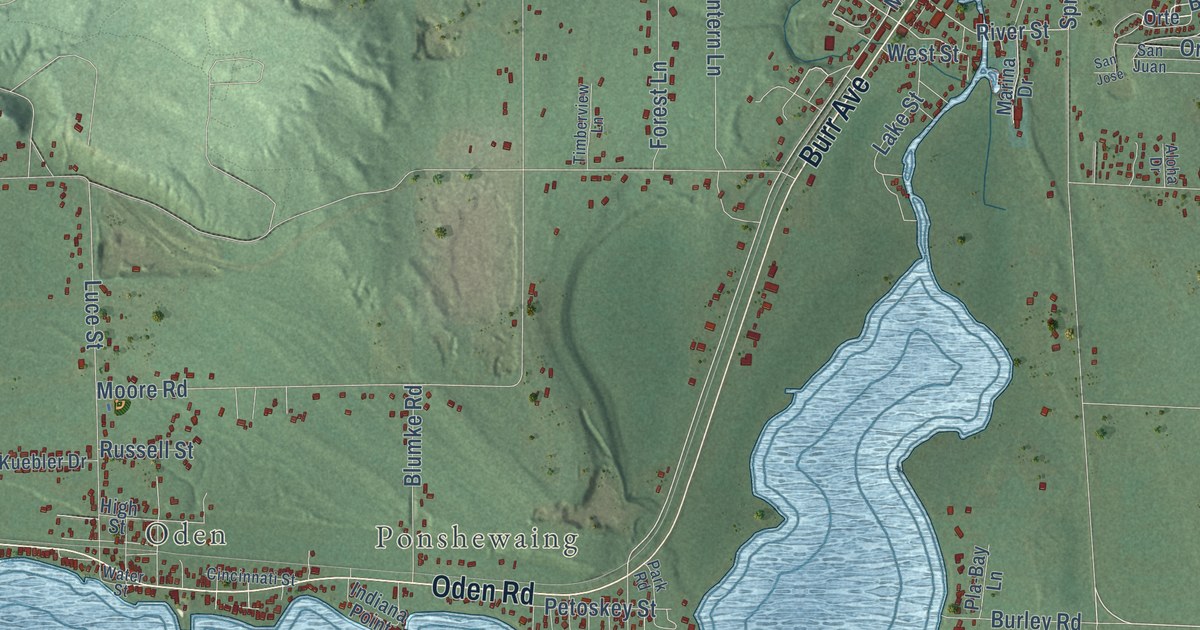
A detailed map of Littlefield, Michigan, showing every building in its true location, the roads by name, and shaded topographical relief.
Read More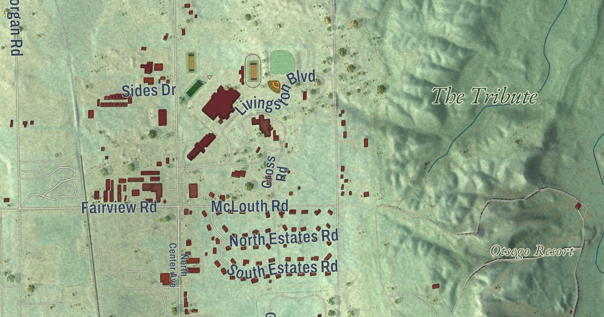
A detailed map of Livingston, Michigan, showing every building in its true location, the roads by name, and shaded topographical relief.
Read More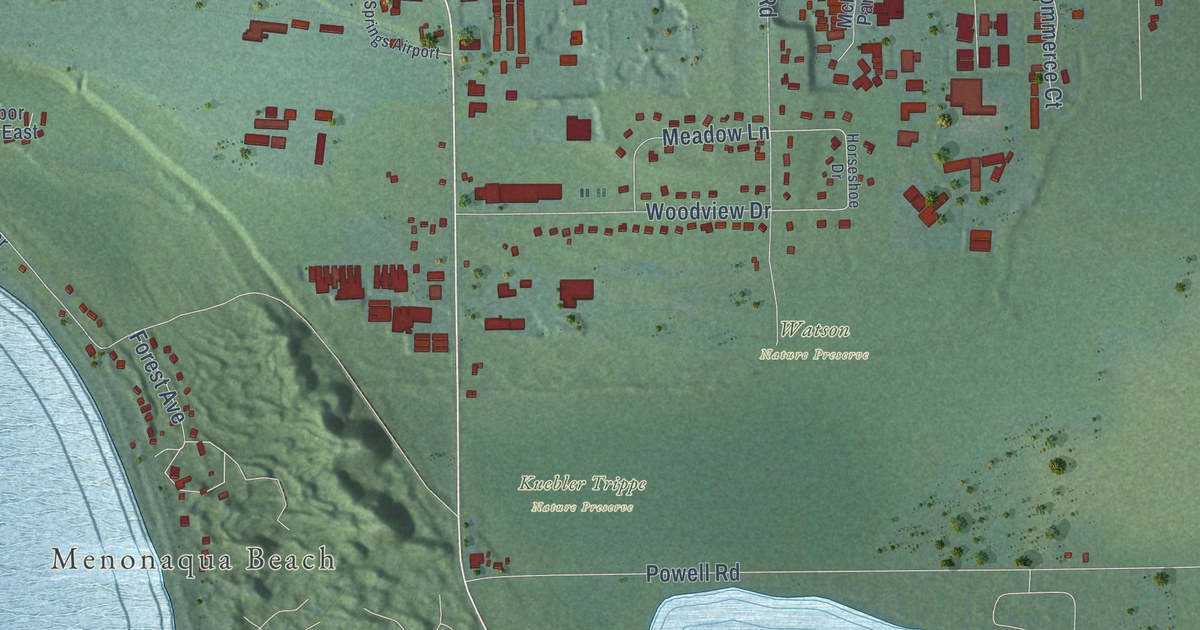
A detailed map of Little Traverse, Michigan, showing every building in its true location, the roads by name, and shaded topographical relief.
Read More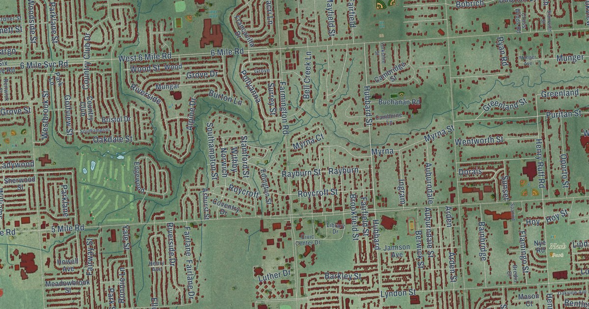
A detailed map of Livonia, Michigan, showing every building in its true location, the roads by name, and shaded topographical relief.
Read More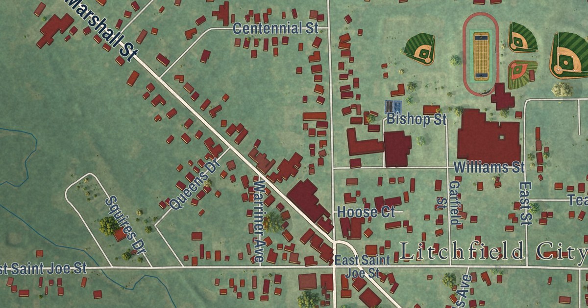
A detailed map of the City of Litchfield, Michigan, showing every building in its true location, the roads by name, and shaded topographical relief.
Read More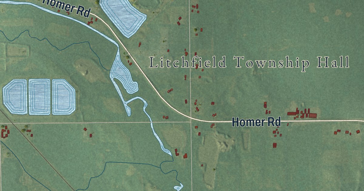
A detailed map of Litchfield Township, Michigan, showing every building in its true location, the roads by name, and shaded topographical relief.
Read More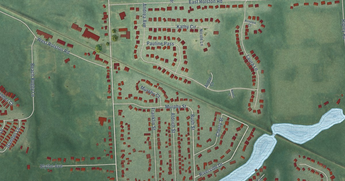
A detailed map of Linden, Michigan, showing every building in its true location, the roads by name, and shaded topographical relief.
Read More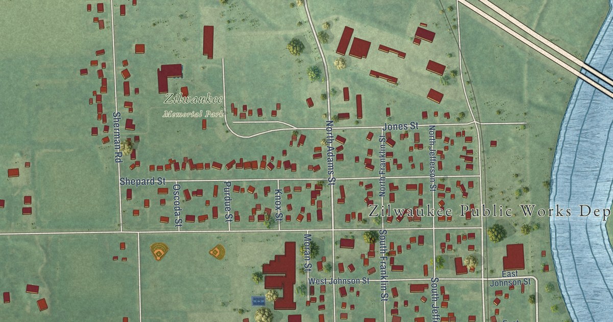
A detailed map of the City of Zilwaukee, Michigan, showing every building in its true location, the roads by name, and shaded topographical relief.
Read More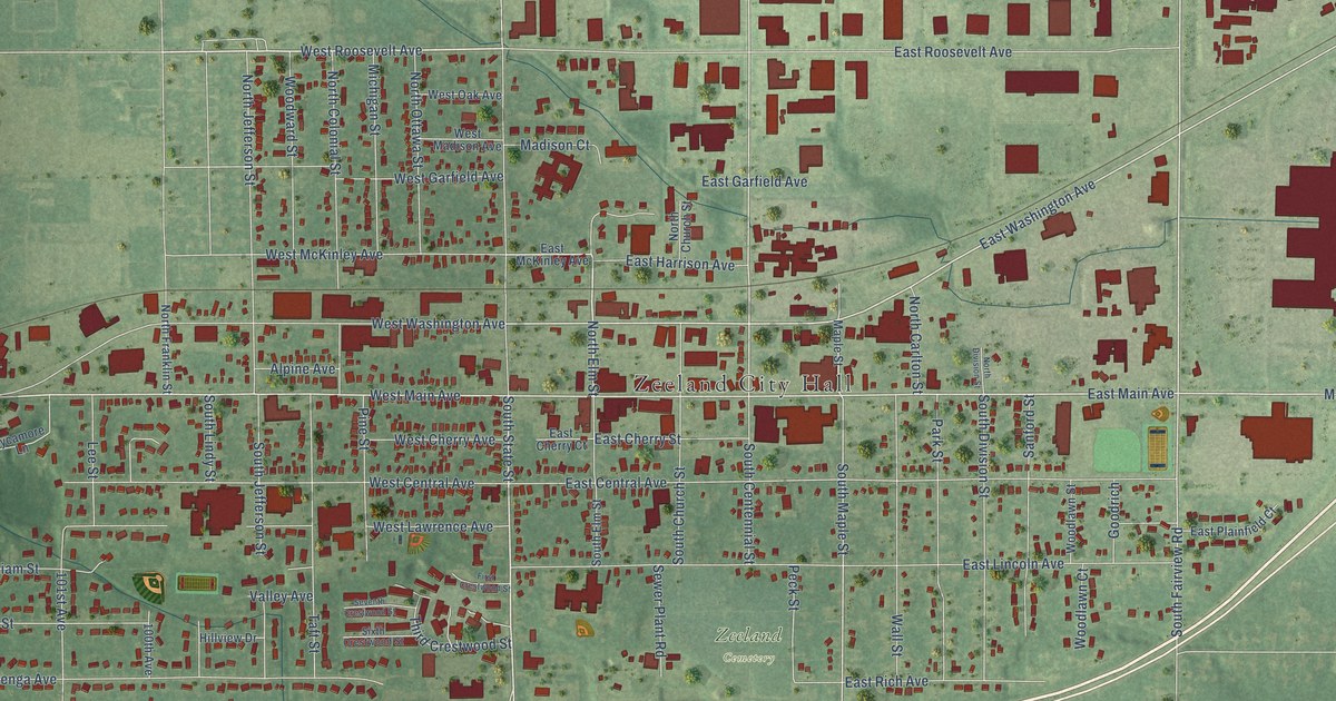
A detailed map of the City of Zeeland, Michigan, showing every building in its true location, the roads by name, and shaded topographical relief.
Read More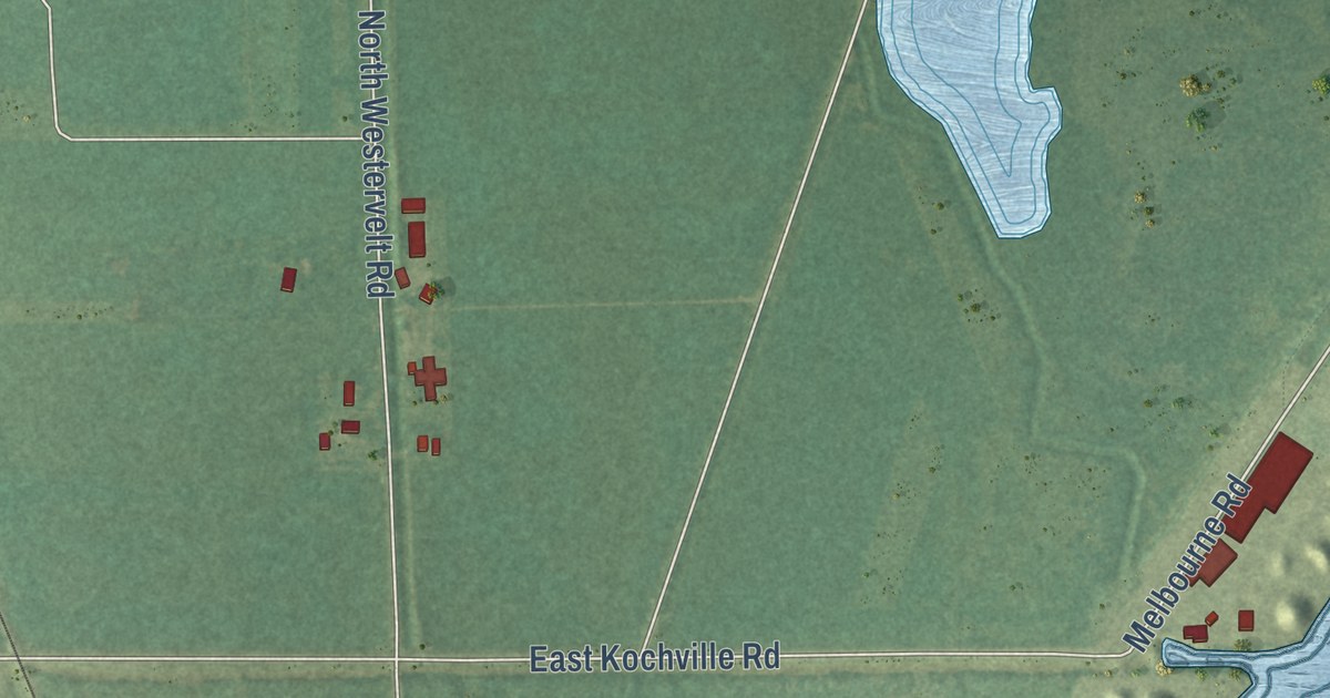
A detailed map of Zilwaukee Township, Michigan, showing every building in its true location, the roads by name, and shaded topographical relief.
Read More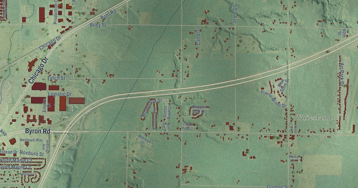
A detailed map of Zeeland Township, Michigan, showing every building in its true location, the roads by name, and shaded topographical relief.
Read More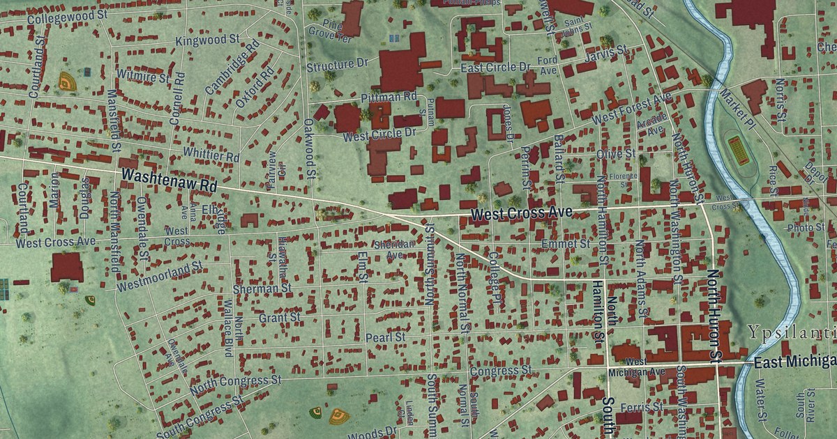
A detailed map of the City of Ypsilanti, Michigan, showing every building in its true location, the roads by name, and shaded topographical relief.
Read More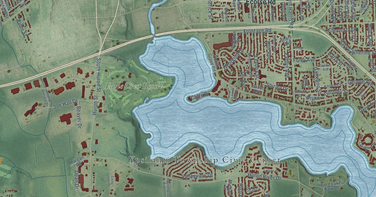
A detailed map of Ypsilanti Township, Michigan, showing every building in its true location, the roads by name, and shaded topographical relief.
Read More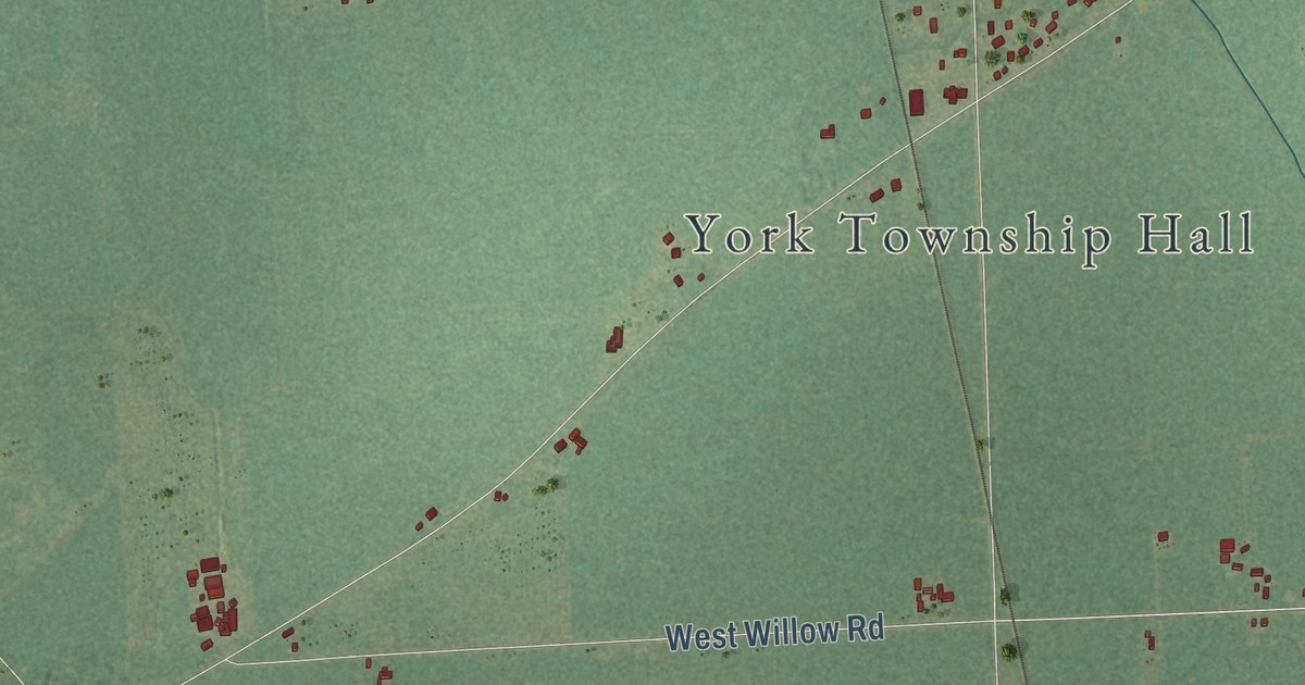
A detailed map of York, Michigan, showing every building in its true location, the roads by name, and shaded topographical relief.
Read More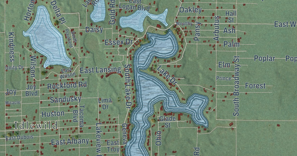
A detailed map of Yates, Michigan, showing every building in its true location, the roads by name, and shaded topographical relief.
Read More















