Detailed Map of Hailesboro, New York
A detailed map of Hailesboro, New York, showing every building in its true location, the roads by name, and shaded topographical relief.
Read More
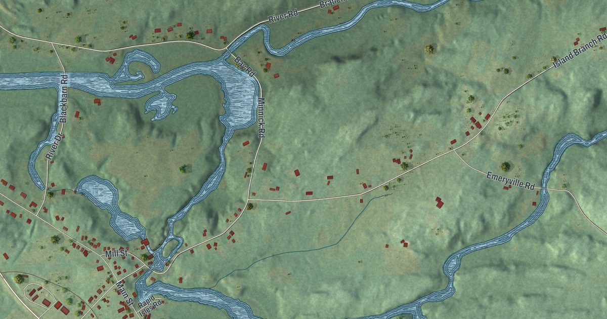
A detailed map of Hailesboro, New York, showing every building in its true location, the roads by name, and shaded topographical relief.
Read More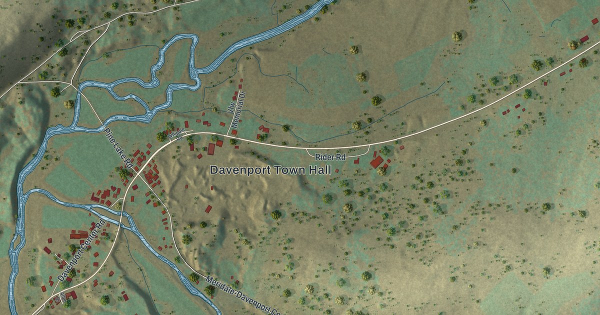
A detailed map of Davenport Center, New York, showing every building in its true location, the roads by name, and shaded topographical relief.
Read More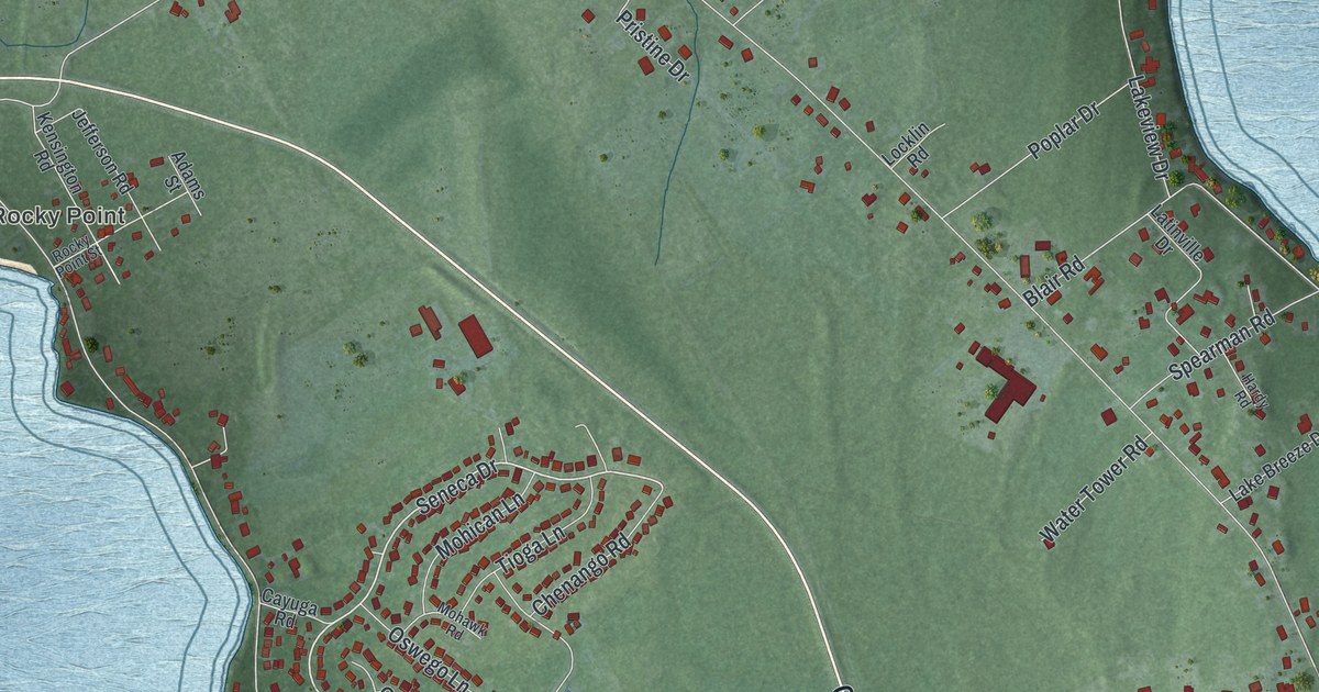
A detailed map of Cumberland Head, New York, showing every building in its true location, the roads by name, and shaded topographical relief.
Read More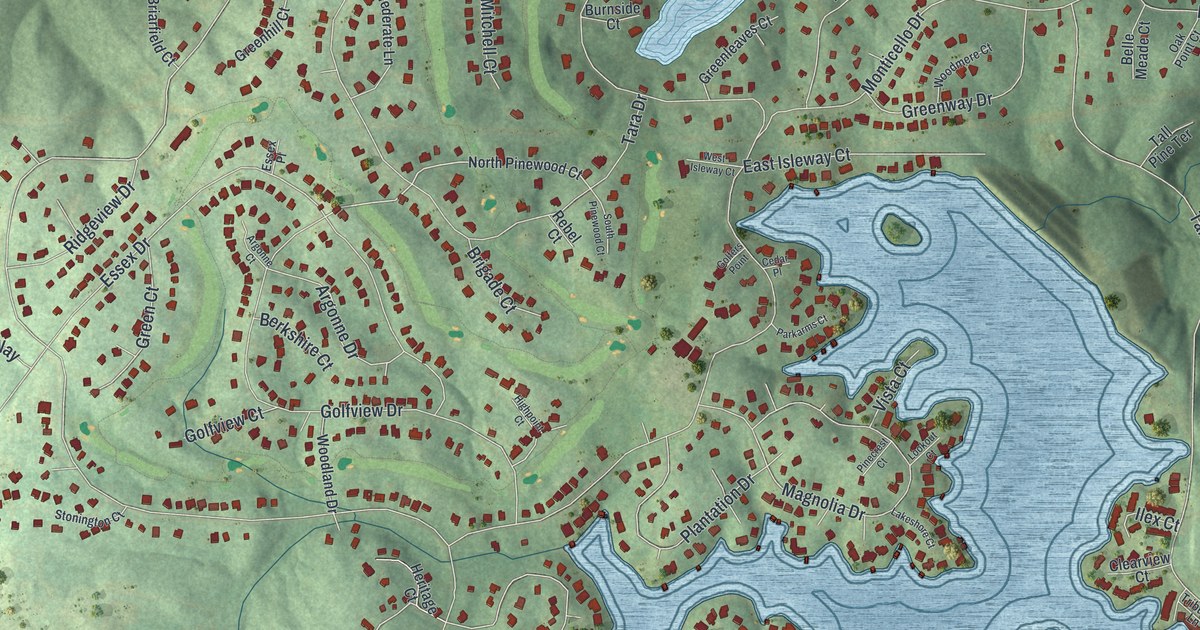
A detailed map of Fairfield Plantation, Georgia, showing every building in its true location, the roads by name, and shaded topographical relief.
Read More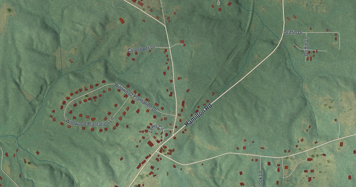
A detailed map of Cataula, Georgia, showing every building in its true location, the roads by name, and shaded topographical relief.
Read More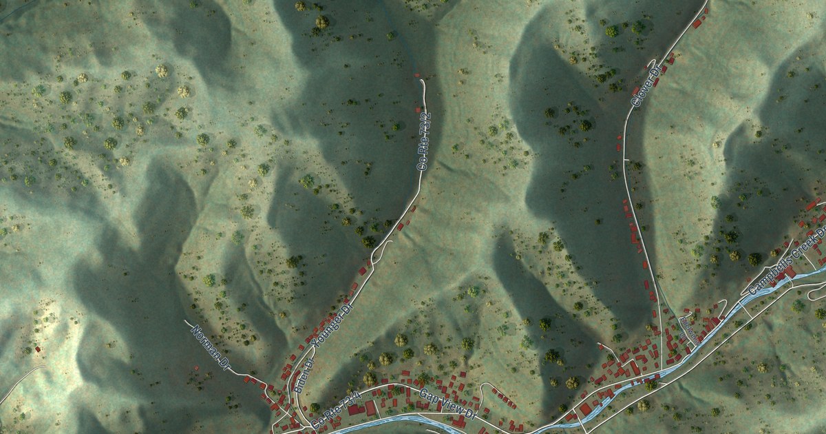
A detailed map of Coal Fork, West Virginia, showing every building in its true location, the roads by name, and shaded topographical relief.
Read More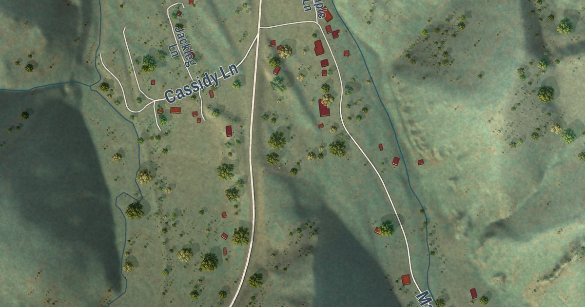
A detailed map of Maxville, Montana, showing every building in its true location, the roads by name, and shaded topographical relief.
Read More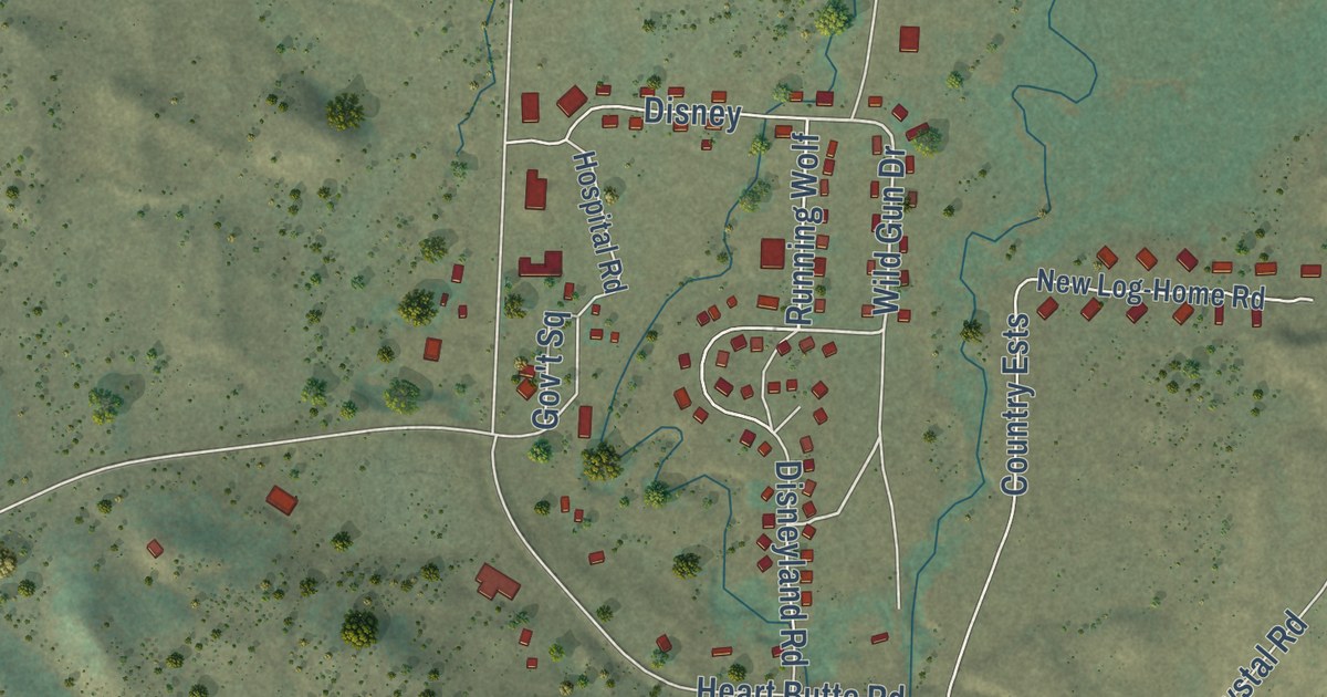
A detailed map of Heart Butte, Montana, showing every building in its true location, the roads by name, and shaded topographical relief.
Read More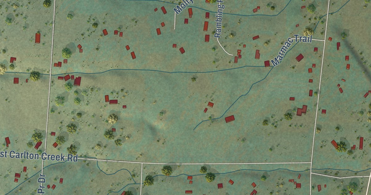
A detailed map of Carlton, Montana, showing every building in its true location, the roads by name, and shaded topographical relief.
Read More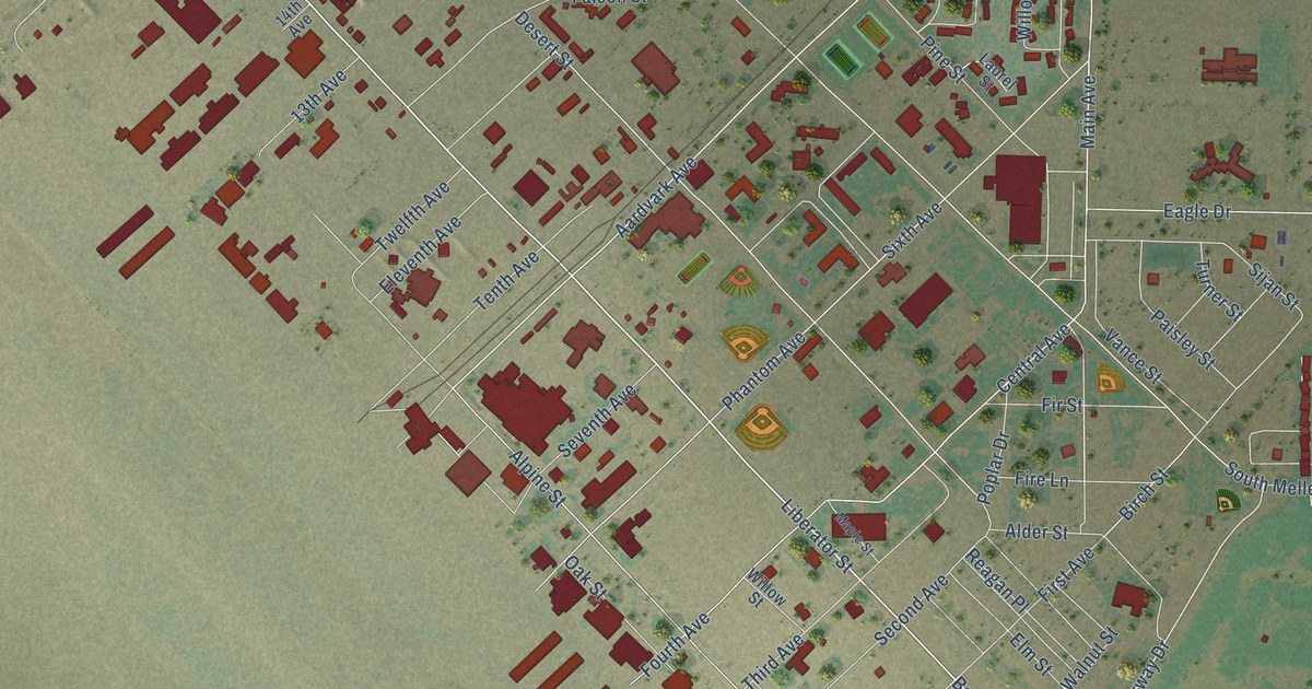
A detailed map of Mountain Home AFB, Idaho, showing every building in its true location, the roads by name, and shaded topographical relief.
Read More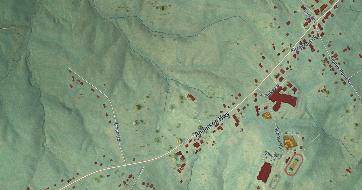
A detailed map of Cumberland, Virginia, showing every building in its true location, the roads by name, and shaded topographical relief.
Read More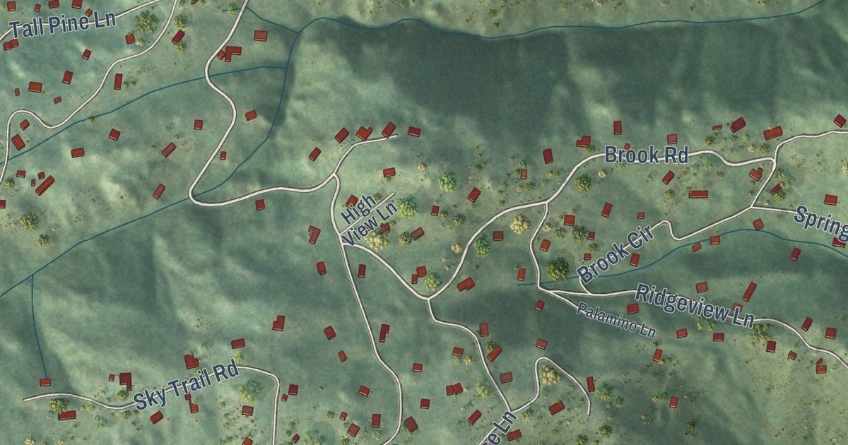
A detailed map of Lazy Acres, Colorado, showing every building in its true location, the roads by name, and shaded topographical relief.
Read More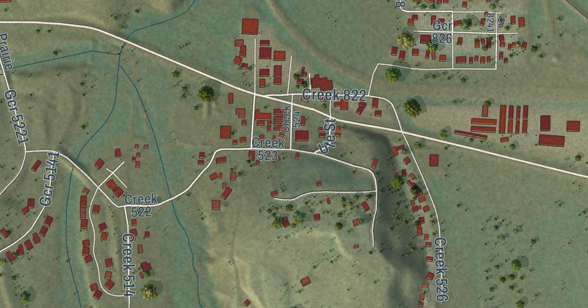
A detailed map of Tabernash, Colorado, showing every building in its true location, the roads by name, and shaded topographical relief.
Read More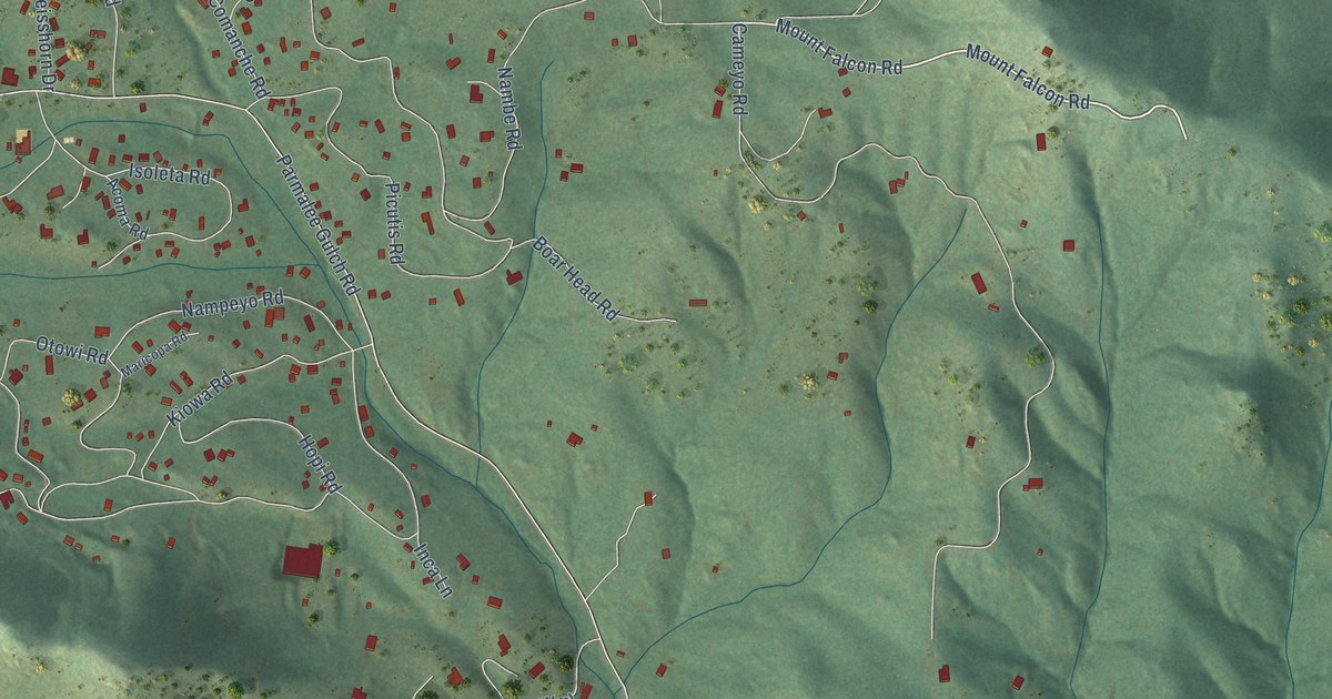
A detailed map of Indian Hills, Colorado, showing every building in its true location, the roads by name, and shaded topographical relief.
Read More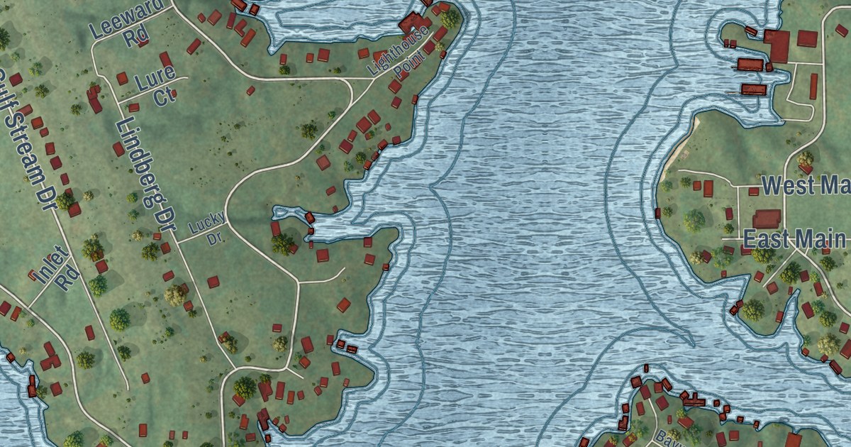
A detailed map of Lake Viking, Missouri, showing every building in its true location, the roads by name, and shaded topographical relief.
Read More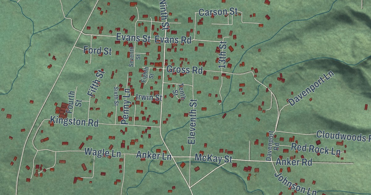
A detailed map of Fieldbrook, California, showing every building in its true location, the roads by name, and shaded topographical relief.
Read More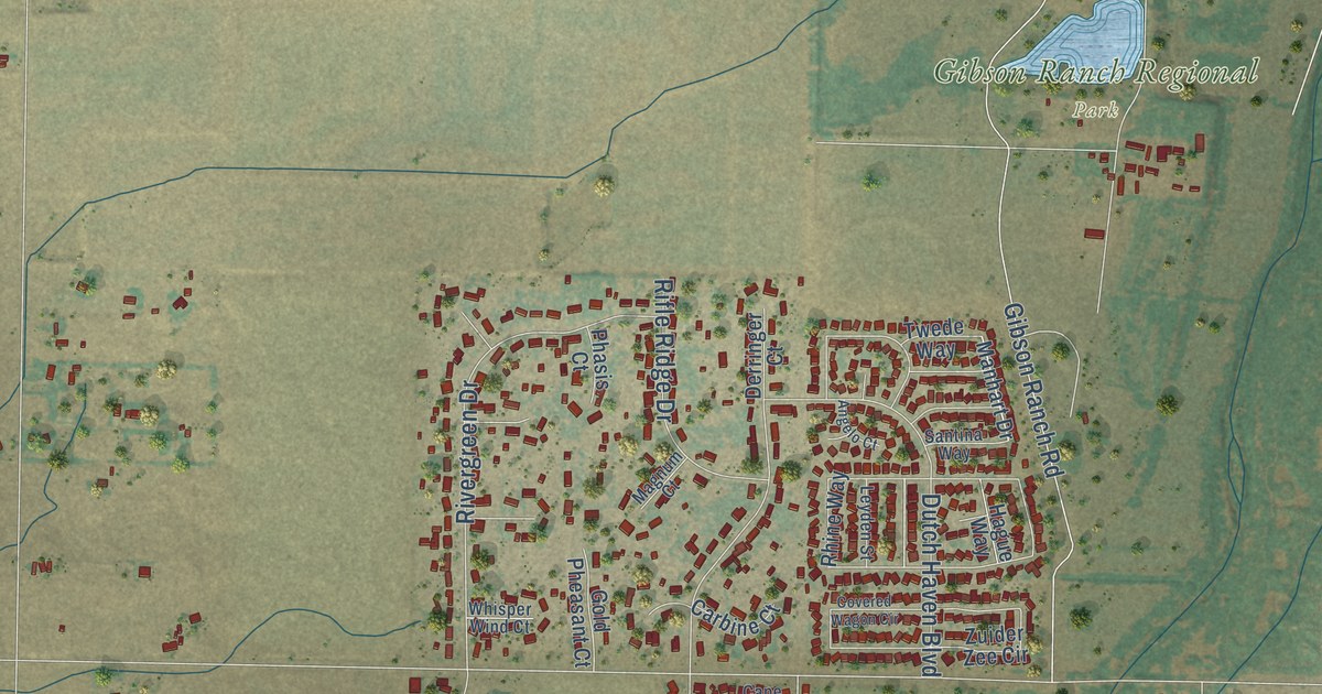
A detailed map of Elverta, California, showing every building in its true location, the roads by name, and shaded topographical relief.
Read More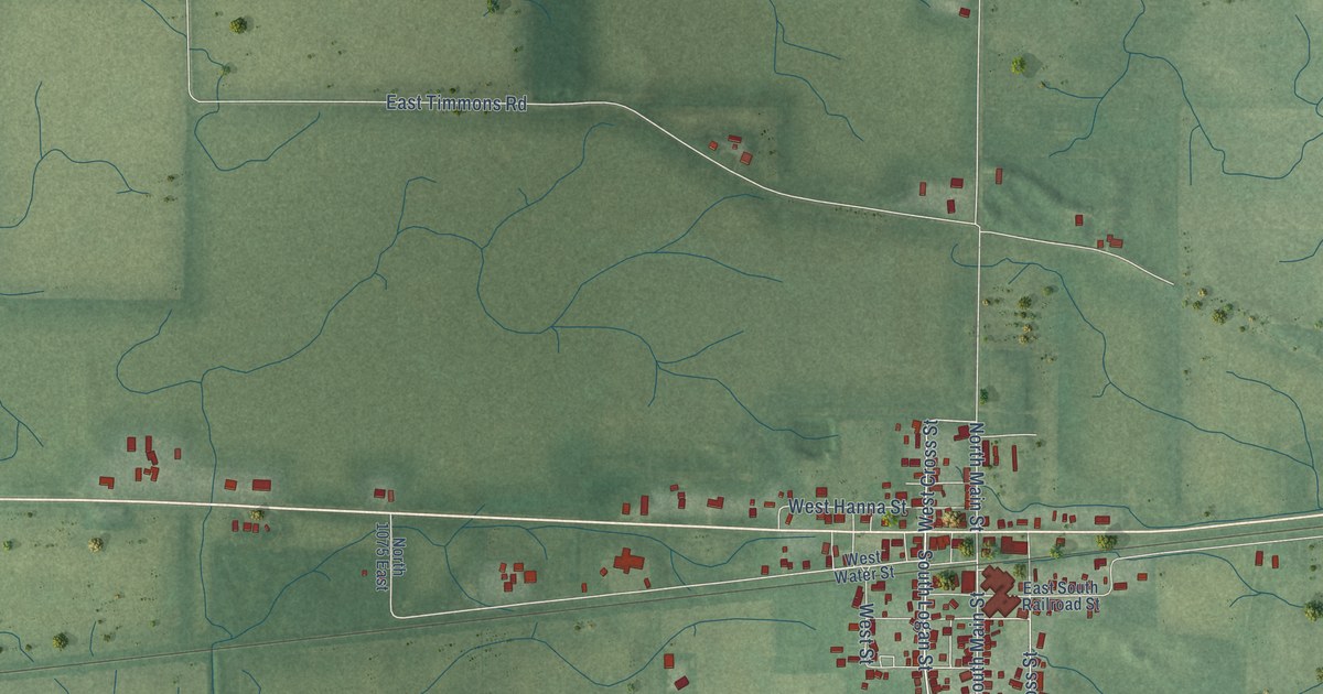
A detailed map of Idaville, Indiana, showing every building in its true location, the roads by name, and shaded topographical relief.
Read More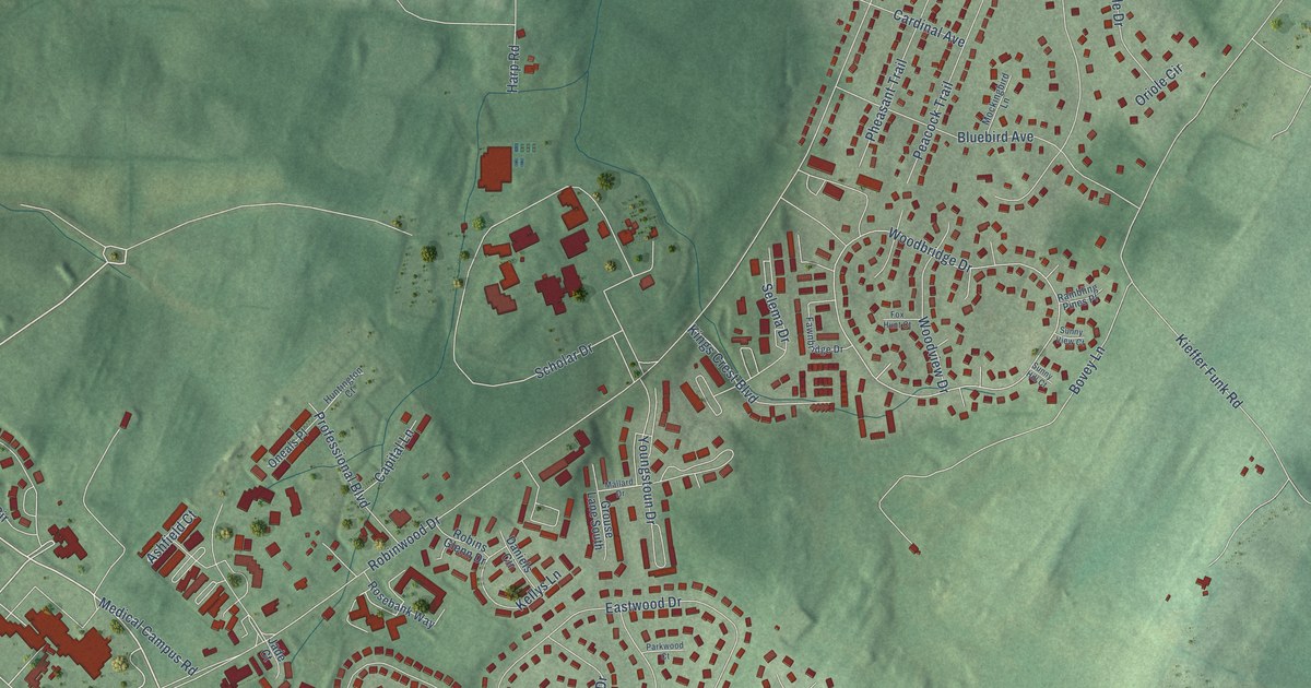
A detailed map of Robinwood, Maryland, showing every building in its true location, the roads by name, and shaded topographical relief.
Read More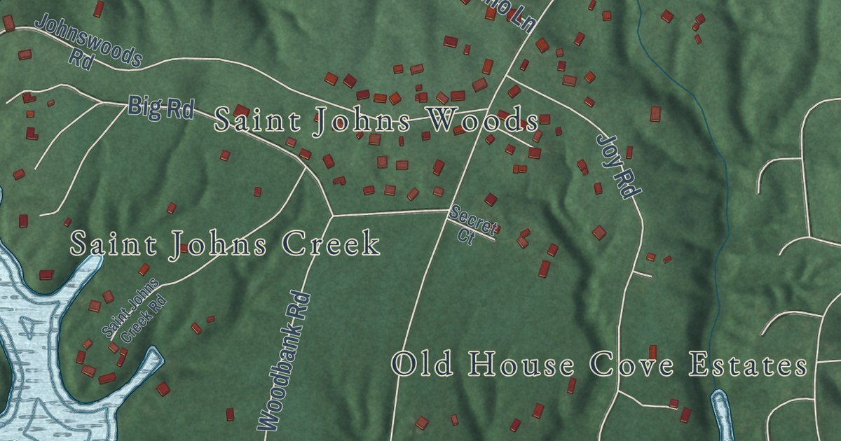
A detailed map of Lusby, Maryland, showing every building in its true location, the roads by name, and shaded topographical relief.
Read More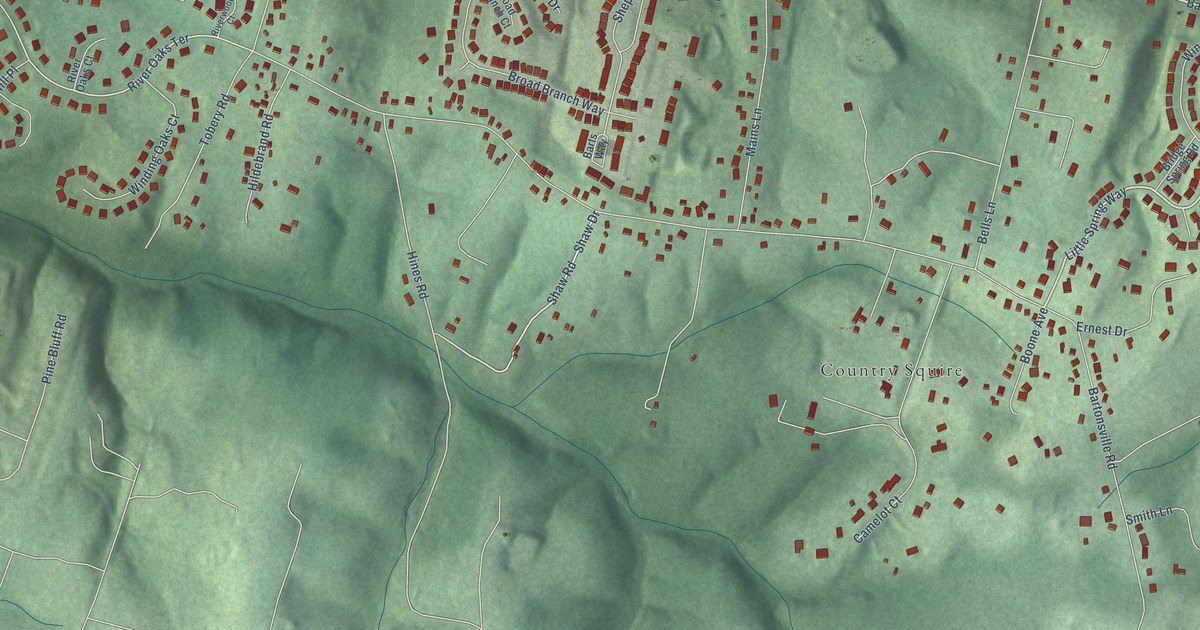
A detailed map of Bartonsville, Maryland, showing every building in its true location, the roads by name, and shaded topographical relief.
Read More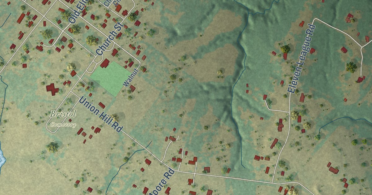
A detailed map of Bristol, Texas, showing every building in its true location, the roads by name, and shaded topographical relief.
Read More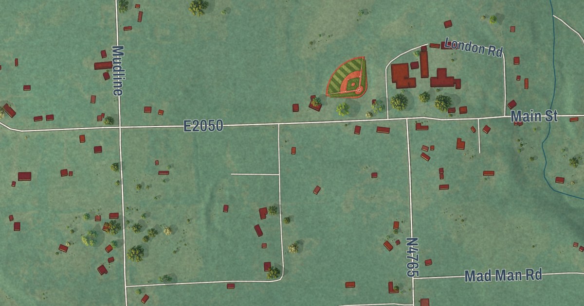
A detailed map of Eagletown, Oklahoma, showing every building in its true location, the roads by name, and shaded topographical relief.
Read More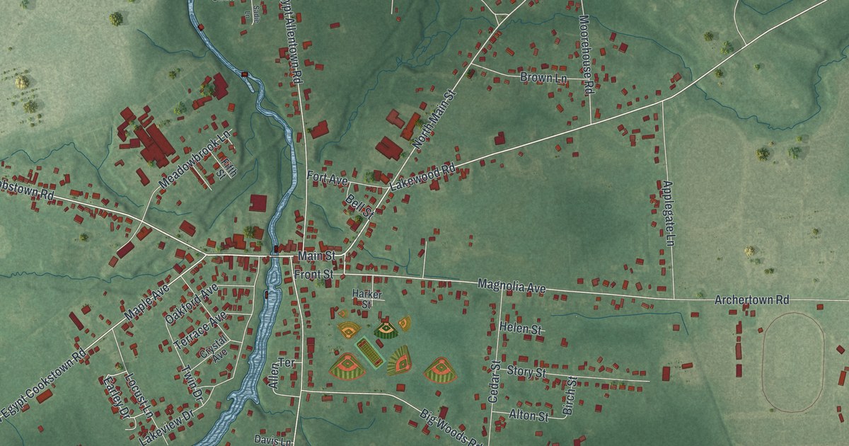
A detailed map of New Egypt, New Jersey, showing every building in its true location, the roads by name, and shaded topographical relief.
Read More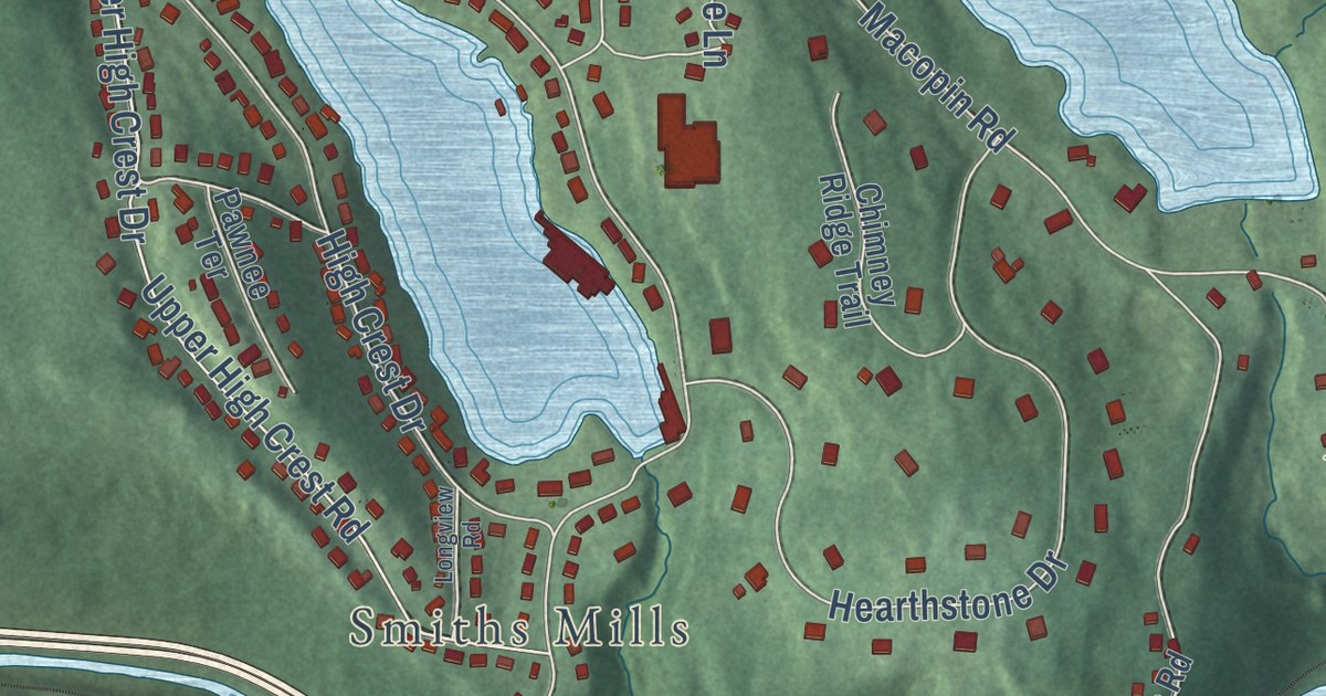
A detailed map of Macopin, New Jersey, showing every building in its true location, the roads by name, and shaded topographical relief.
Read More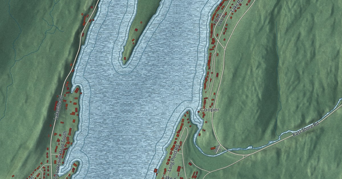
A detailed map of Hewitt, New Jersey, showing every building in its true location, the roads by name, and shaded topographical relief.
Read More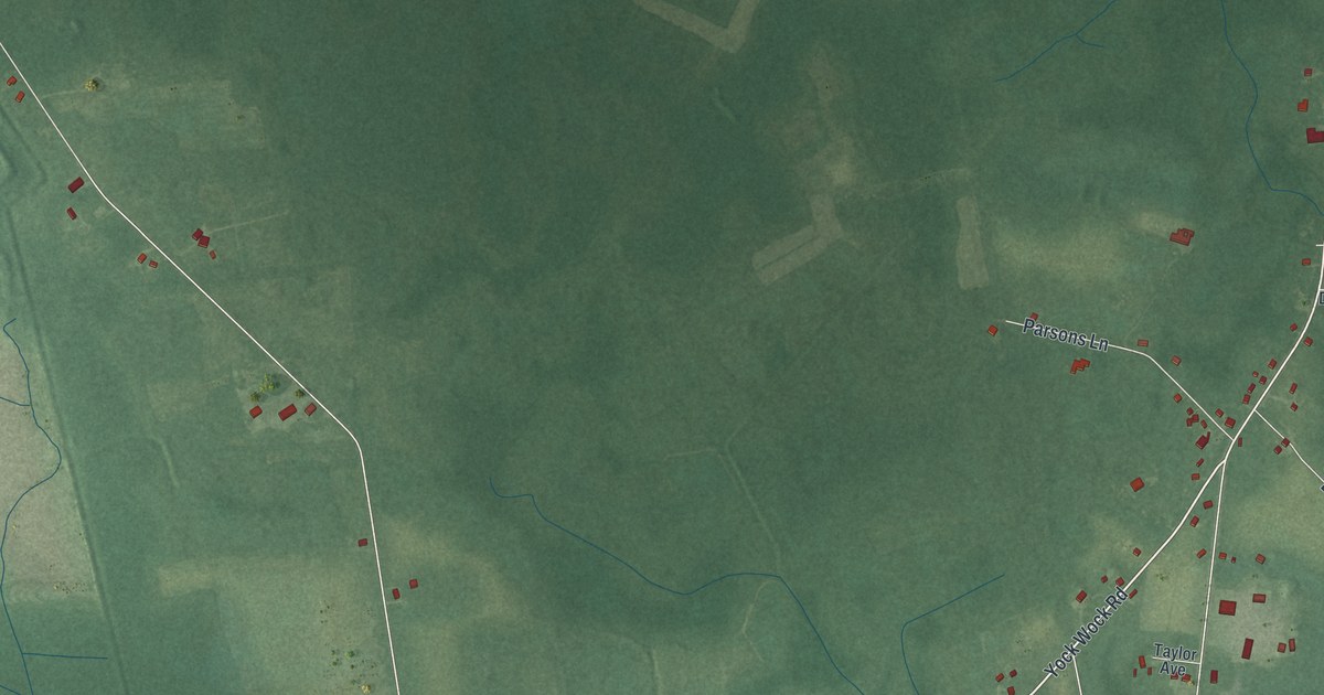
A detailed map of Port Norris, New Jersey, showing every building in its true location, the roads by name, and shaded topographical relief.
Read More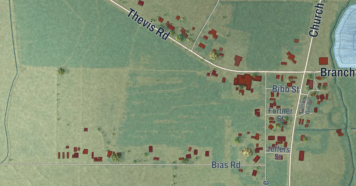
A detailed map of Branch, Louisiana, showing every building in its true location, the roads by name, and shaded topographical relief.
Read More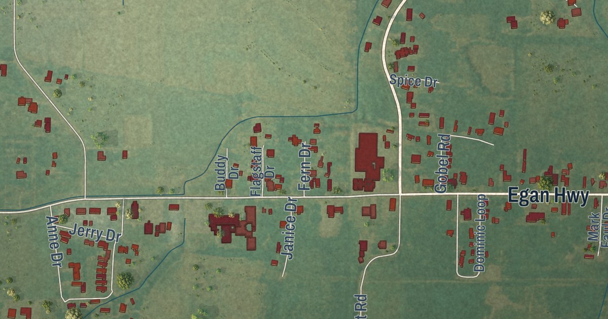
A detailed map of Egan, Louisiana, showing every building in its true location, the roads by name, and shaded topographical relief.
Read More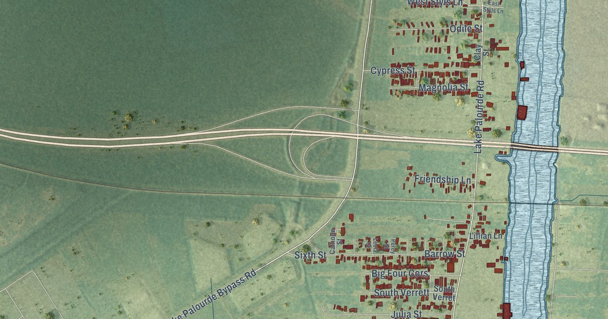
A detailed map of Amelia, Louisiana, showing every building in its true location, the roads by name, and shaded topographical relief.
Read More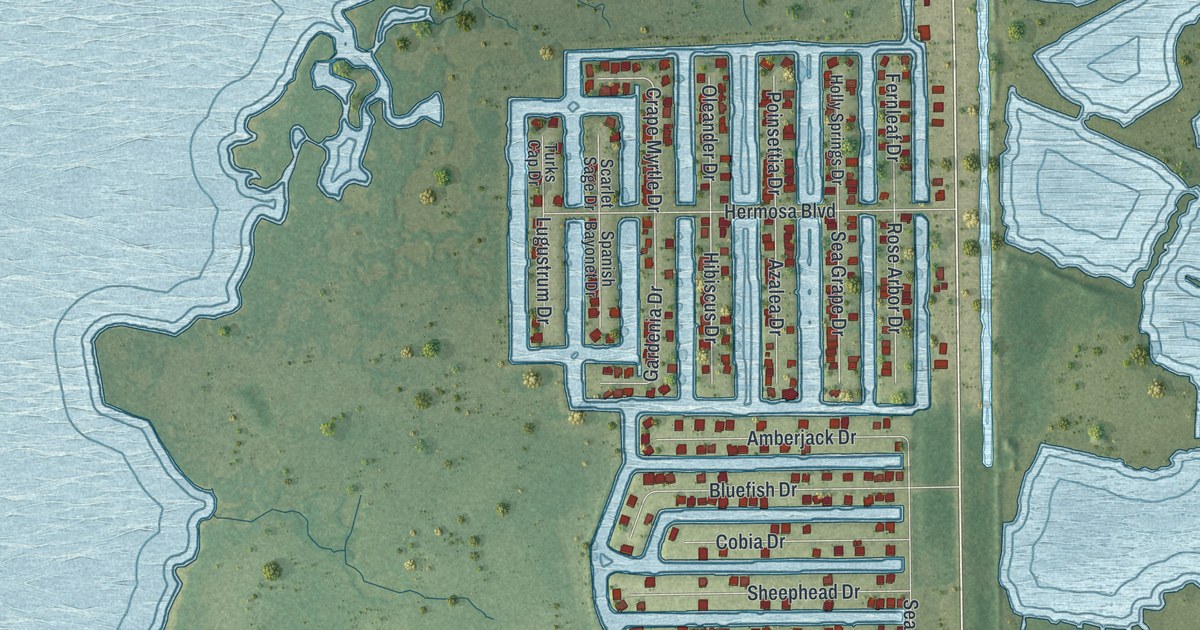
A detailed map of Hernando Beach, Florida, showing every building in its true location, the roads by name, and shaded topographical relief.
Read More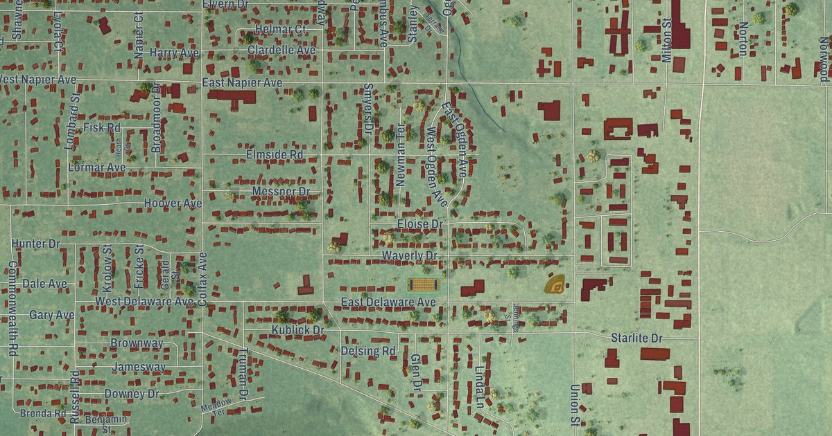
A detailed map of Fair Plain, Michigan, showing every building in its true location, the roads by name, and shaded topographical relief.
Read More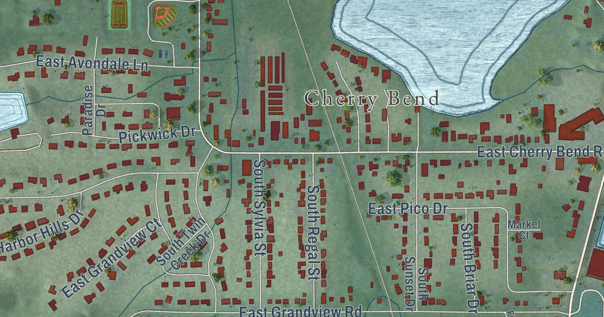
A detailed map of Greilickville, Michigan, showing every building in its true location, the roads by name, and shaded topographical relief.
Read More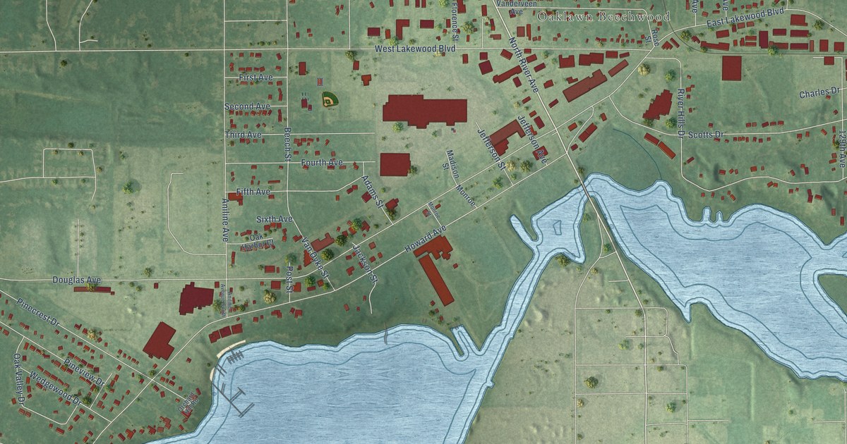
A detailed map of Beechwood, Michigan, showing every building in its true location, the roads by name, and shaded topographical relief.
Read More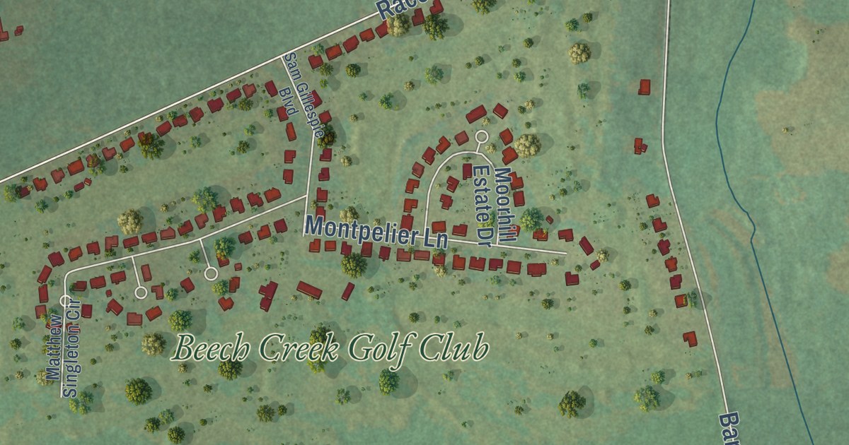
A detailed map of Stateburg, South Carolina, showing every building in its true location, the roads by name, and shaded topographical relief.
Read More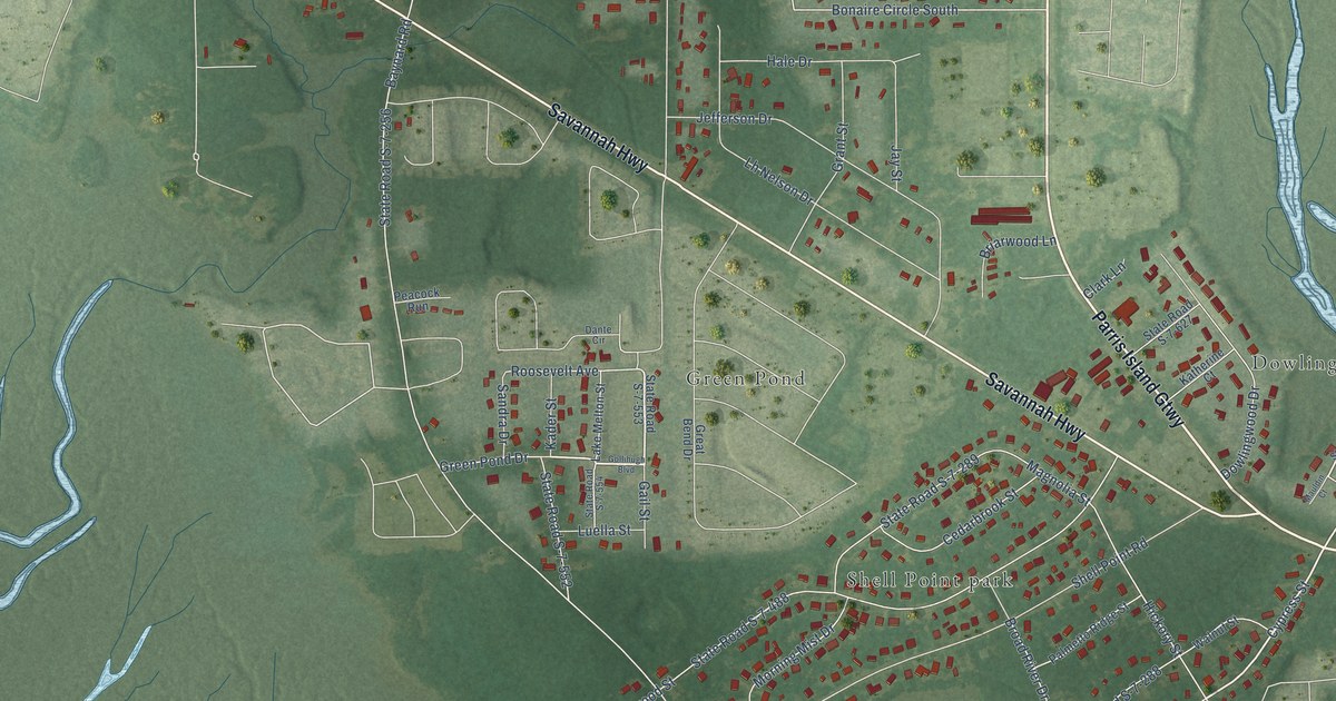
A detailed map of Shell Point, South Carolina, showing every building in its true location, the roads by name, and shaded topographical relief.
Read More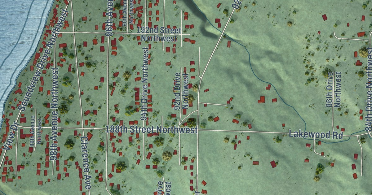
A detailed map of Warm Beach, Washington, showing every building in its true location, the roads by name, and shaded topographical relief.
Read More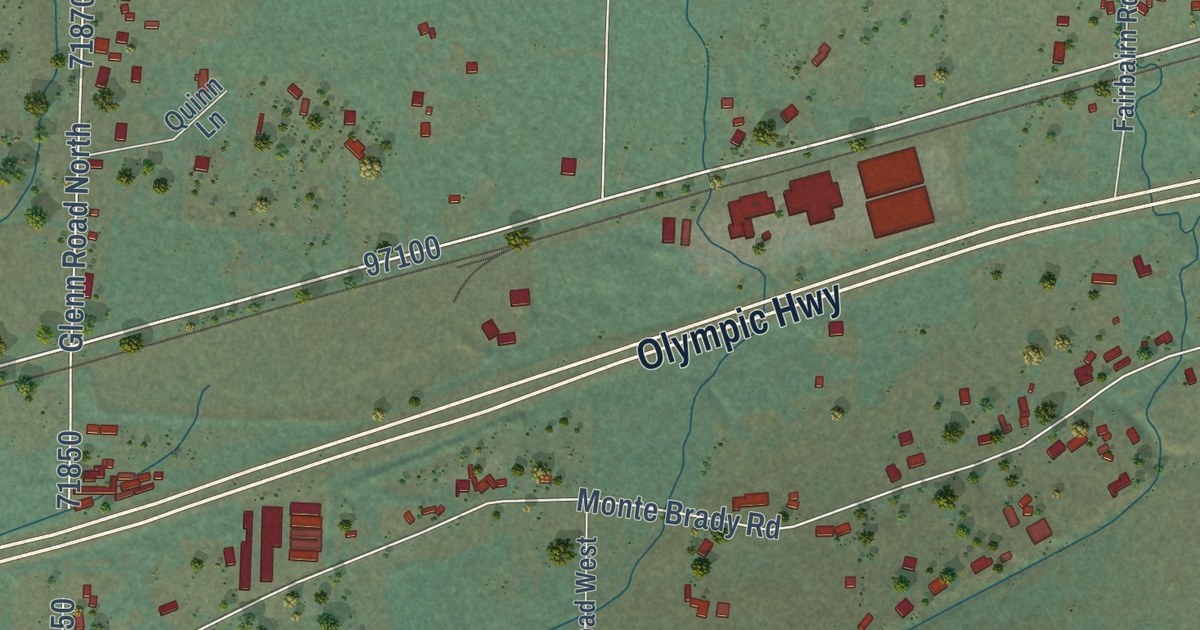
A detailed map of Brady, Washington, showing every building in its true location, the roads by name, and shaded topographical relief.
Read More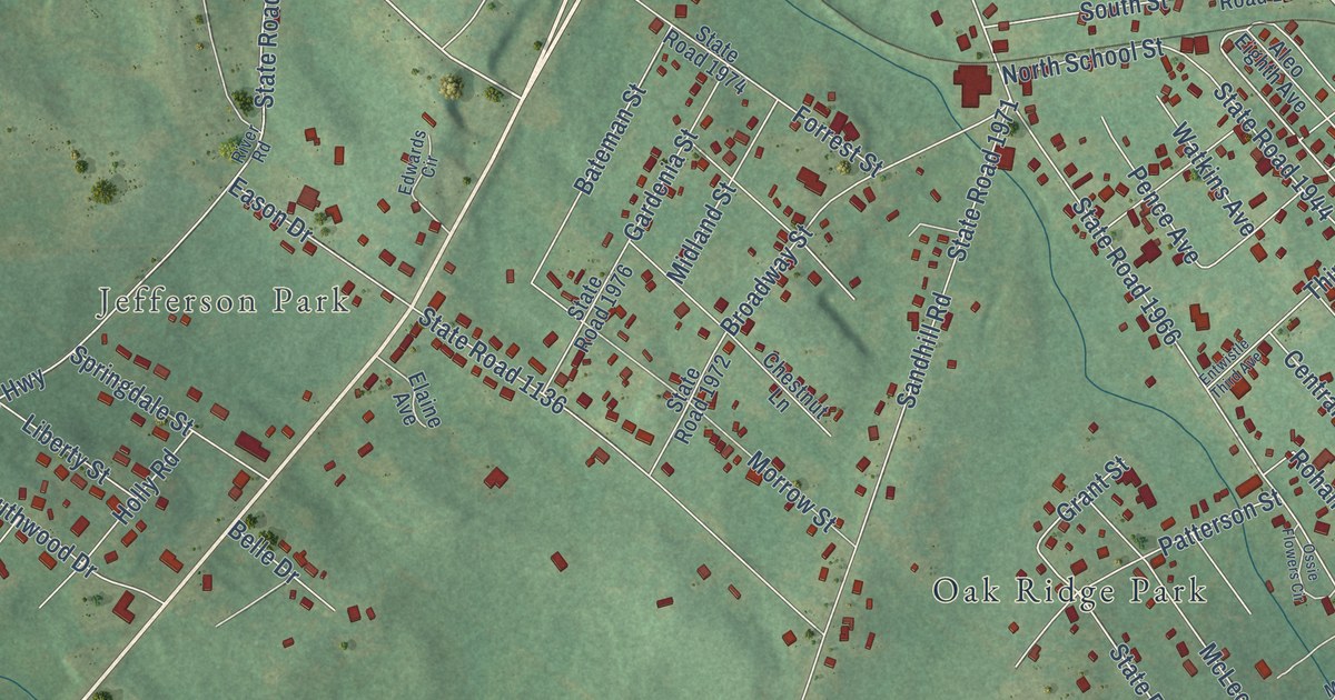
A detailed map of East Rockingham, North Carolina, showing every building in its true location, the roads by name, and shaded topographical relief.
Read More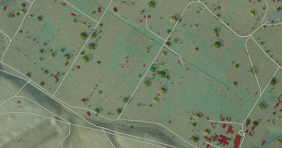
A detailed map of Nenahnezad, New Mexico, showing every building in its true location, the roads by name, and shaded topographical relief.
Read More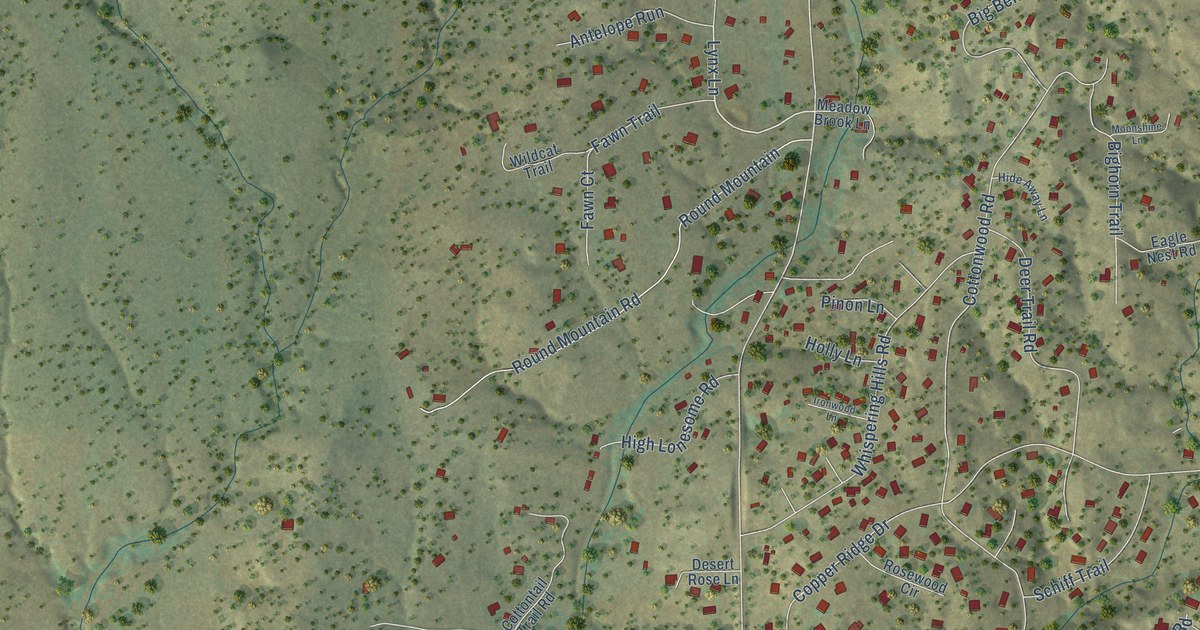
A detailed map of Little Walnut Village, New Mexico, showing every building in its true location, the roads by name, and shaded topographical relief.
Read More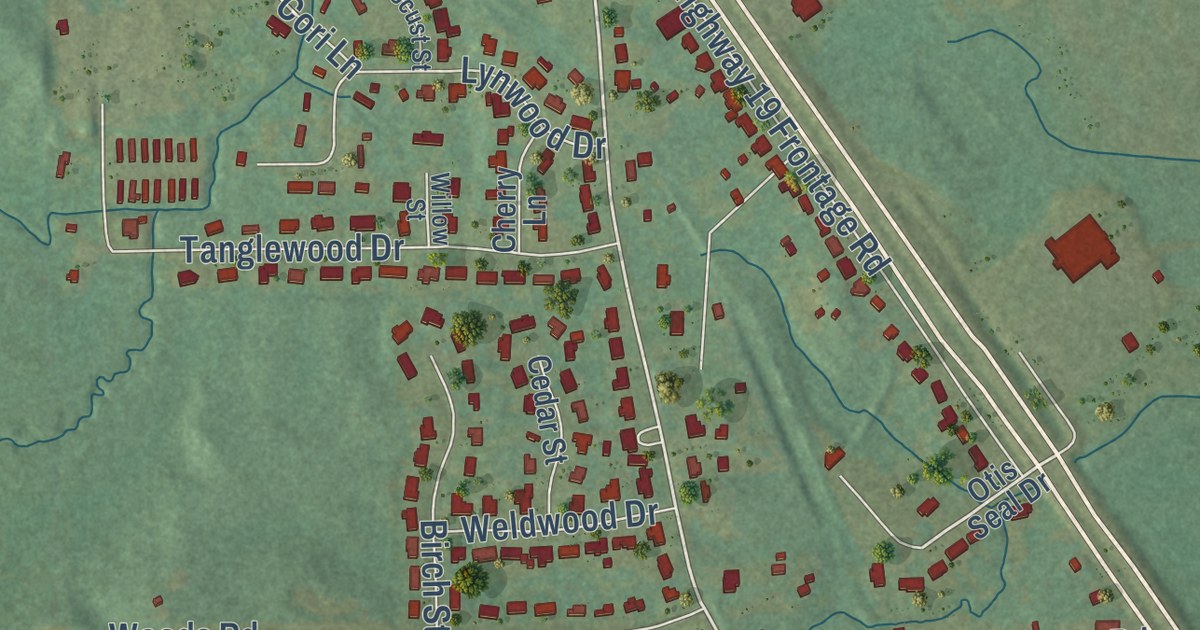
A detailed map of Nellieburg, Mississippi, showing every building in its true location, the roads by name, and shaded topographical relief.
Read More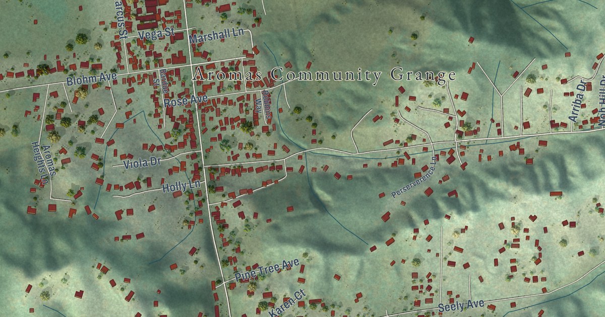
A detailed map of Aromas, California, showing every building in its true location, the roads by name, and shaded topographical relief.
Read More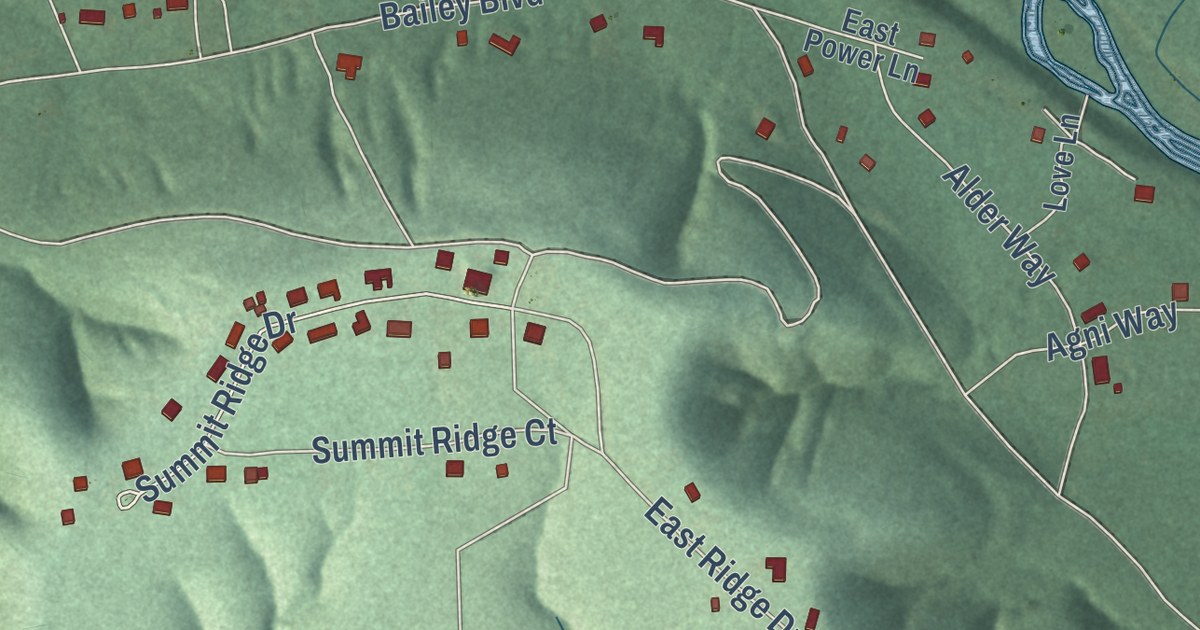
A detailed map of Sparrowhawk, Oklahoma, showing every building in its true location, the roads by name, and shaded topographical relief.
Read More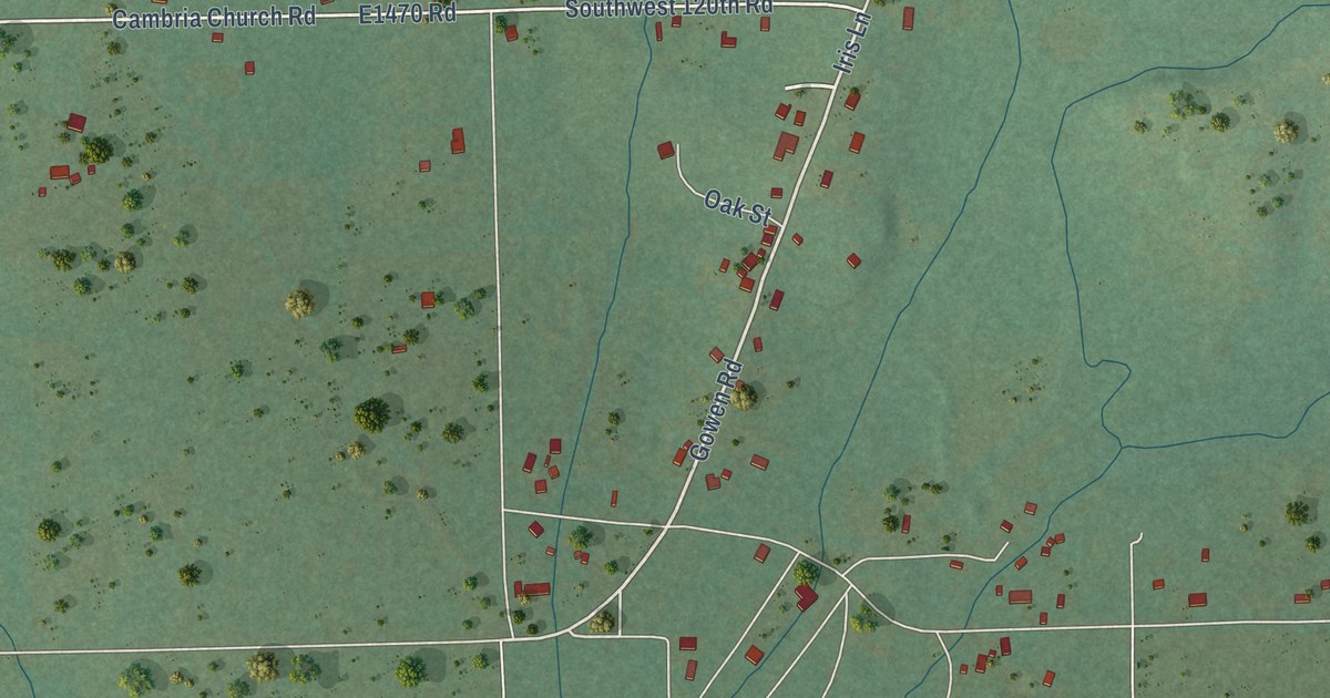
A detailed map of Gowen, Oklahoma, showing every building in its true location, the roads by name, and shaded topographical relief.
Read More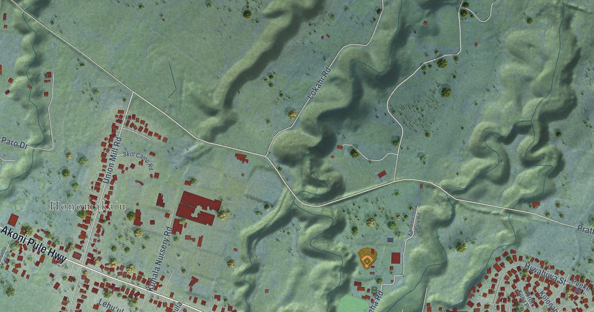
A detailed map of Kapaau, Hawaii, showing every building in its true location, the roads by name, and shaded topographical relief.
Read More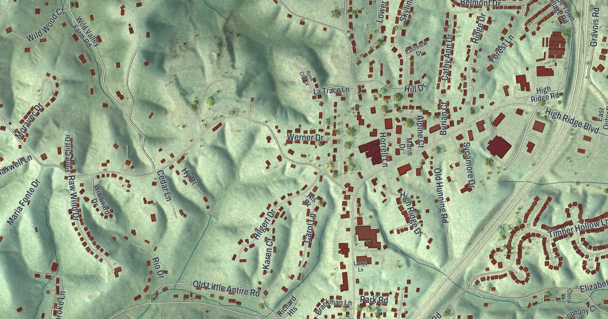
A detailed map of High Ridge, Missouri, showing every building in its true location, the roads by name, and shaded topographical relief.
Read More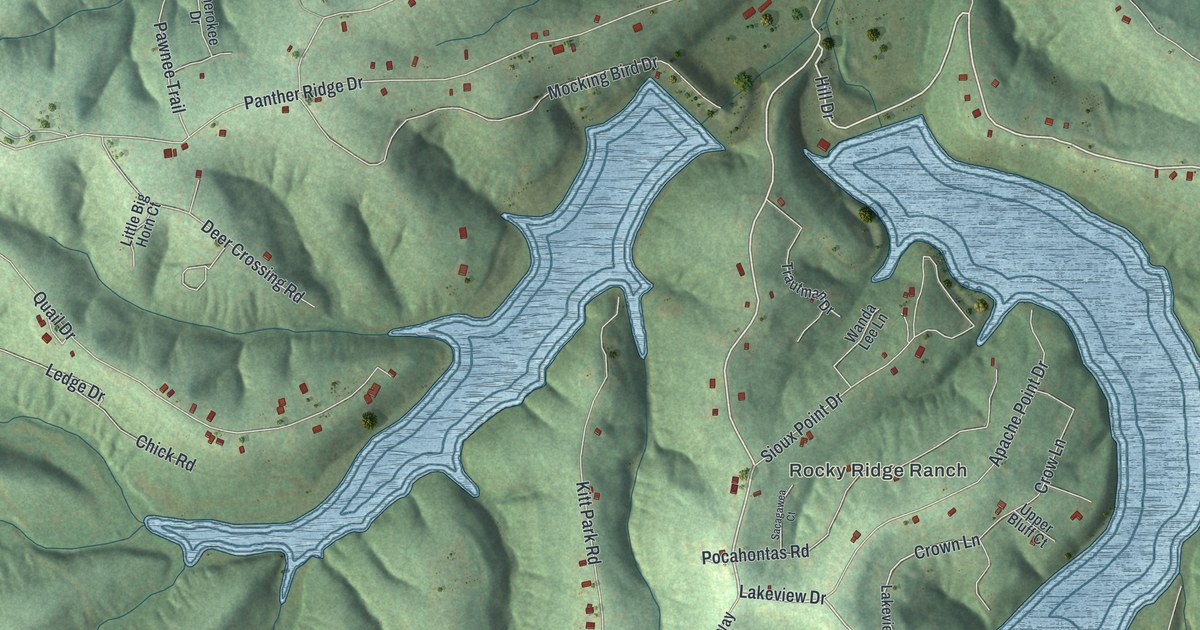
A detailed map of Grayhawk, Missouri, showing every building in its true location, the roads by name, and shaded topographical relief.
Read More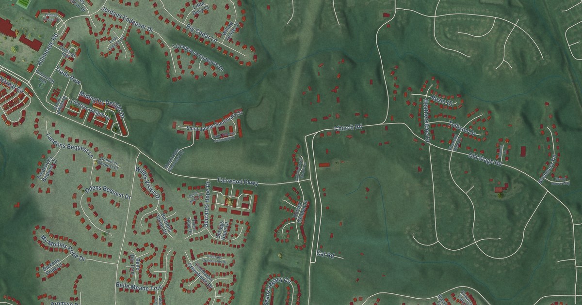
A detailed map of Fairwood, Maryland, showing every building in its true location, the roads by name, and shaded topographical relief.
Read More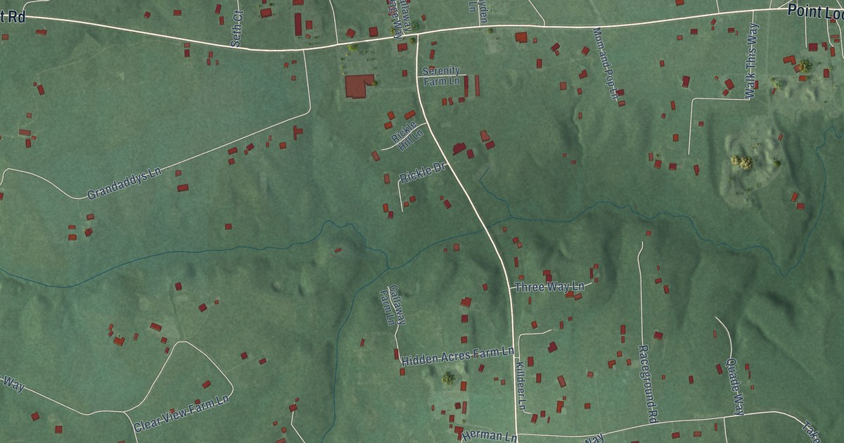
A detailed map of Callaway, Maryland, showing every building in its true location, the roads by name, and shaded topographical relief.
Read More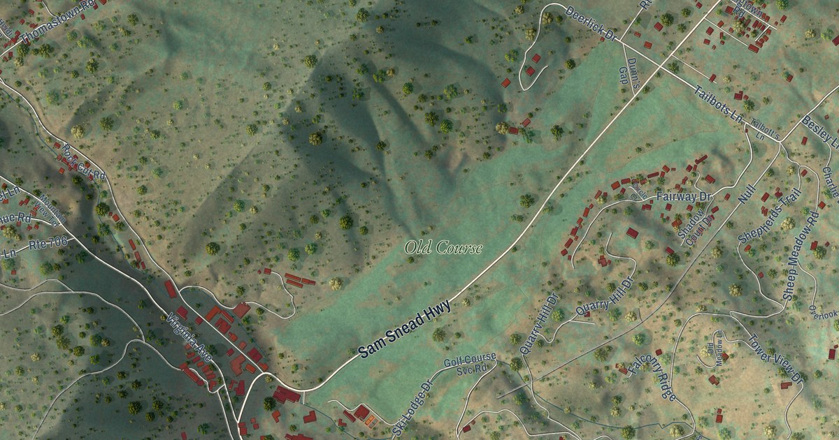
A detailed map of Hot Springs, Virginia, showing every building in its true location, the roads by name, and shaded topographical relief.
Read More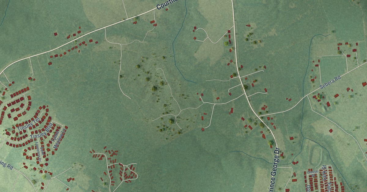
A detailed map of Prince George, Virginia, showing every building in its true location, the roads by name, and shaded topographical relief.
Read More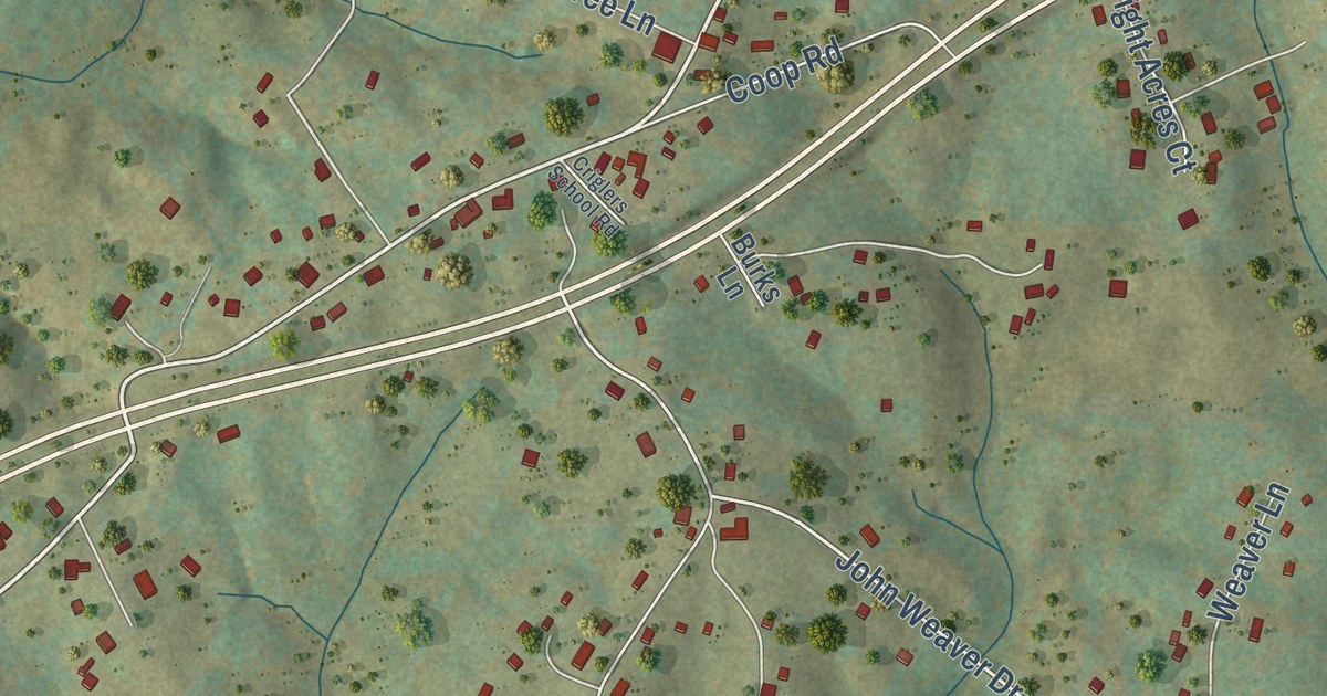
A detailed map of Brightwood, Virginia, showing every building in its true location, the roads by name, and shaded topographical relief.
Read More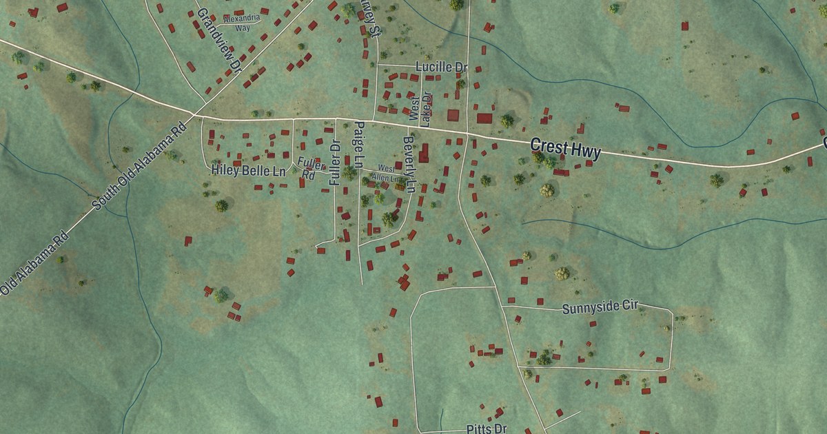
A detailed map of Sunset Village, Georgia, showing every building in its true location, the roads by name, and shaded topographical relief.
Read More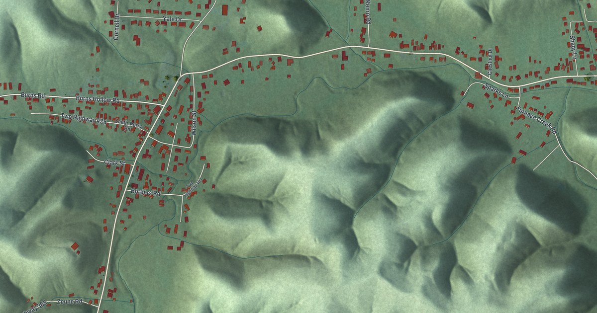
A detailed map of Clarktown, Ohio, showing every building in its true location, the roads by name, and shaded topographical relief.
Read More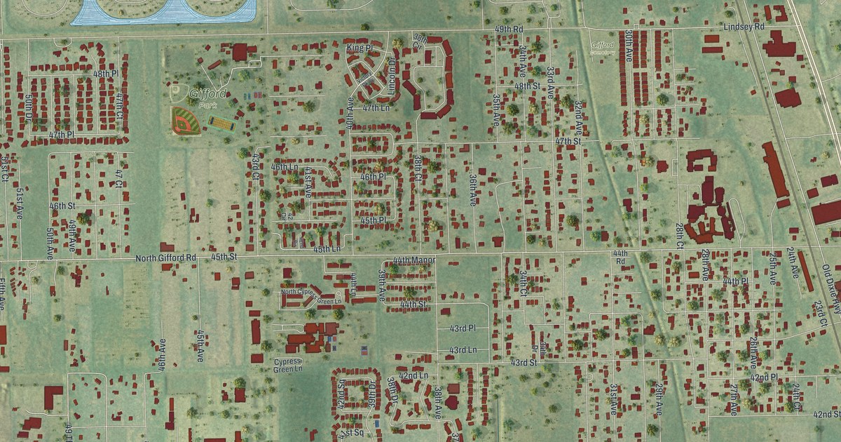
A detailed map of Gifford, Florida, showing every building in its true location, the roads by name, and shaded topographical relief.
Read More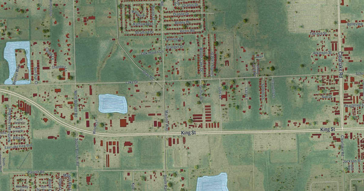
A detailed map of Cocoa West, Florida, showing every building in its true location, the roads by name, and shaded topographical relief.
Read More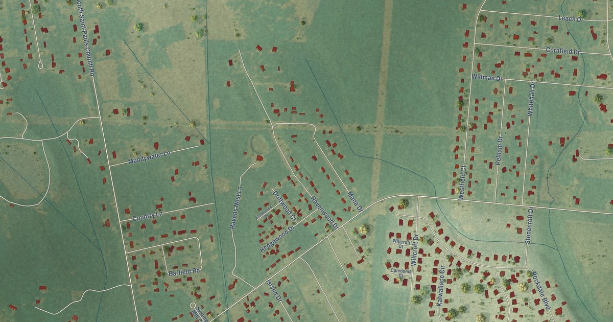
A detailed map of Cane Savannah, South Carolina, showing every building in its true location, the roads by name, and shaded topographical relief.
Read More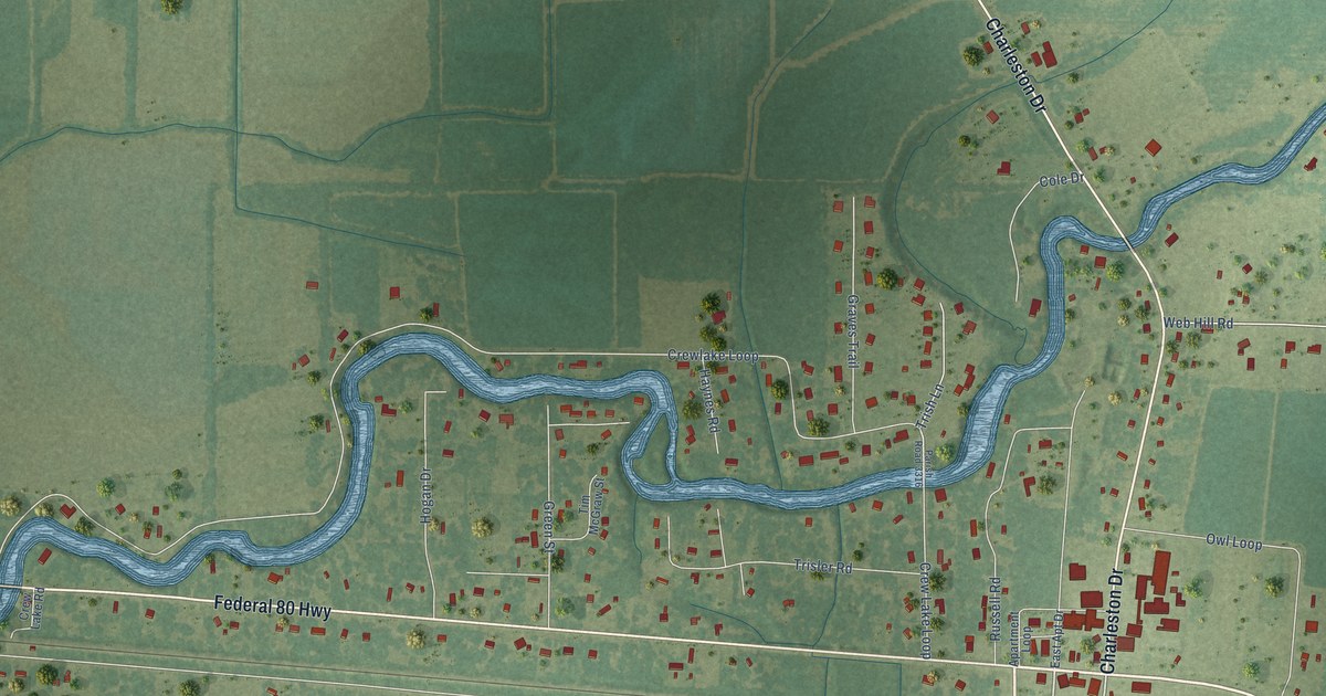
A detailed map of Start, Louisiana, showing every building in its true location, the roads by name, and shaded topographical relief.
Read More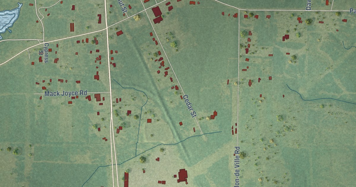
A detailed map of Longville, Louisiana, showing every building in its true location, the roads by name, and shaded topographical relief.
Read More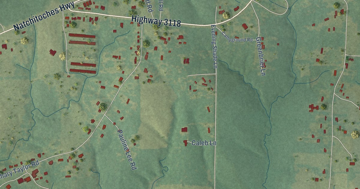
A detailed map of Fort Jesup, Louisiana, showing every building in its true location, the roads by name, and shaded topographical relief.
Read More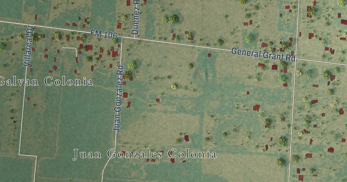
A detailed map of La Tina Ranch, Texas, showing every building in its true location, the roads by name, and shaded topographical relief.
Read More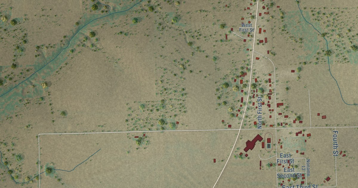
A detailed map of Pawnee, Texas, showing every building in its true location, the roads by name, and shaded topographical relief.
Read More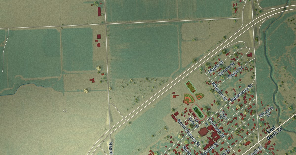
A detailed map of Louise, Texas, showing every building in its true location, the roads by name, and shaded topographical relief.
Read More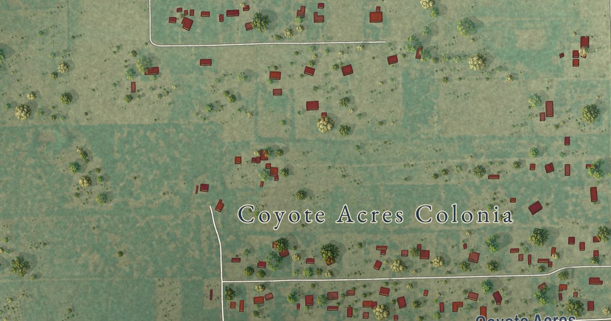
A detailed map of Coyote Acres, Texas, showing every building in its true location, the roads by name, and shaded topographical relief.
Read More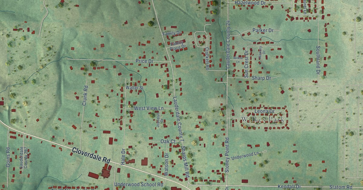
A detailed map of Underwood-Petersville, Alabama, showing every building in its true location, the roads by name, and shaded topographical relief.
Read More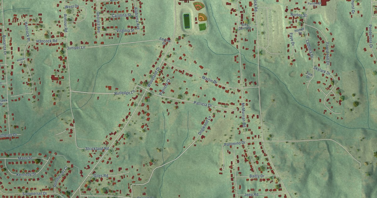
A detailed map of Ladonia, Alabama, showing every building in its true location, the roads by name, and shaded topographical relief.
Read More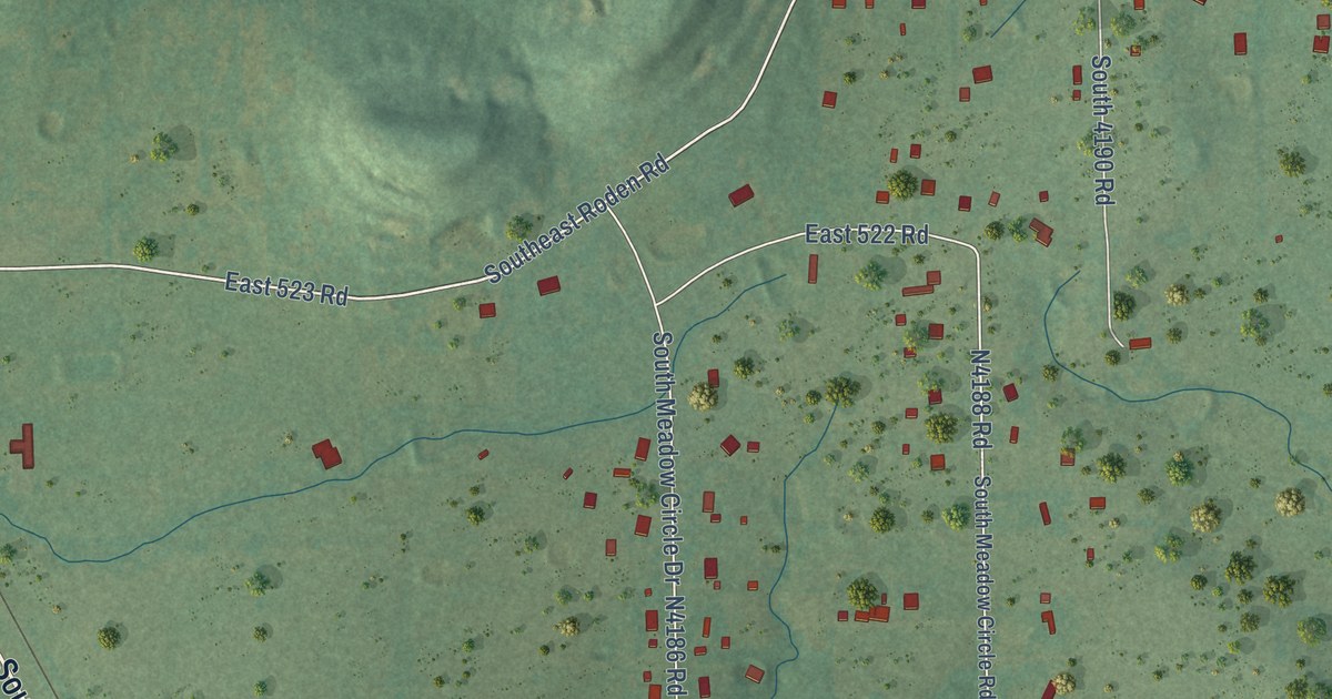
A detailed map of Tiawah, Oklahoma, showing every building in its true location, the roads by name, and shaded topographical relief.
Read More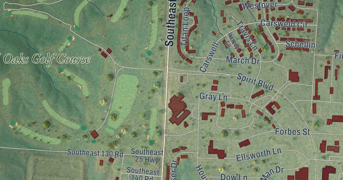
A detailed map of Whiteman AFB, Missouri, showing every building in its true location, the roads by name, and shaded topographical relief.
Read More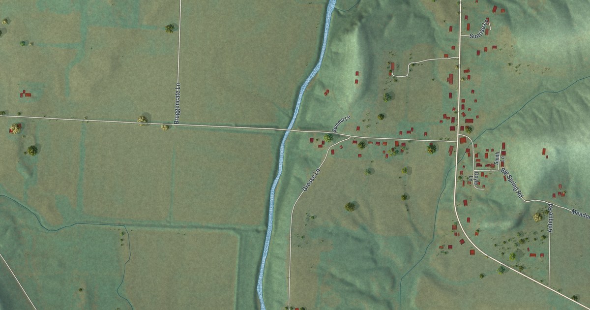
A detailed map of Big Spring, Missouri, showing every building in its true location, the roads by name, and shaded topographical relief.
Read More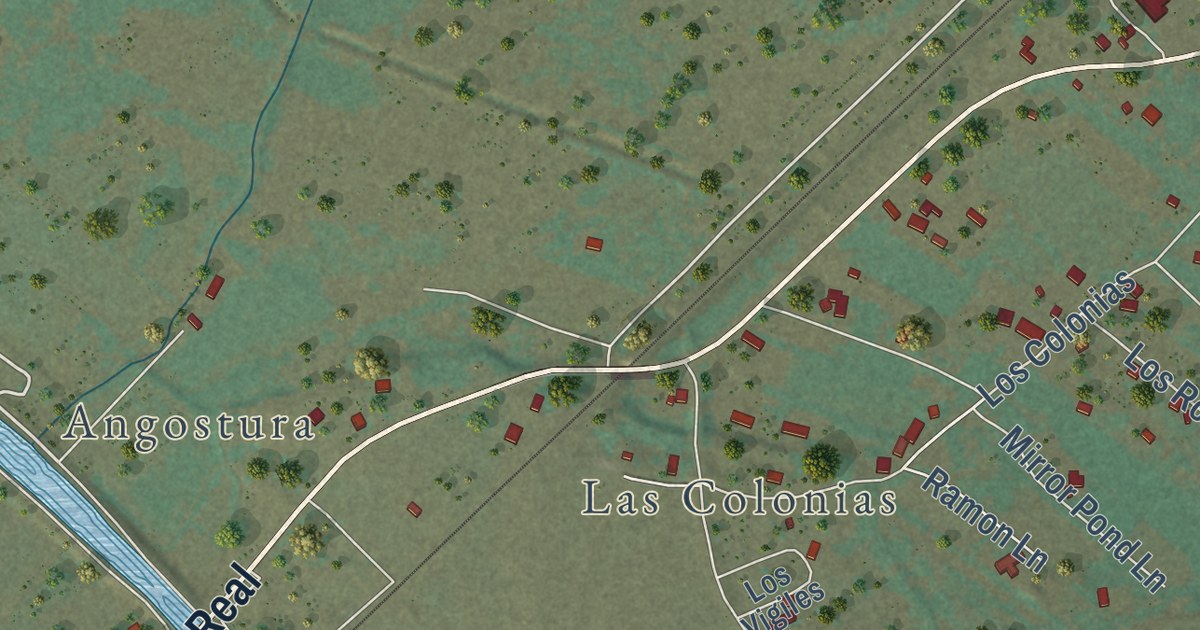
A detailed map of Algodones, New Mexico, showing every building in its true location, the roads by name, and shaded topographical relief.
Read More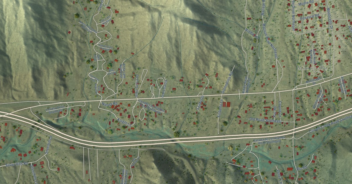
A detailed map of Carnuel, New Mexico, showing every building in its true location, the roads by name, and shaded topographical relief.
Read More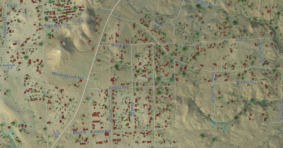
A detailed map of Meadowbrook, California, showing every building in its true location, the roads by name, and shaded topographical relief.
Read More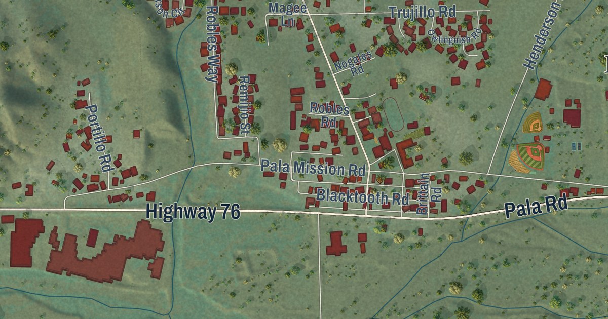
A detailed map of Pala, California, showing every building in its true location, the roads by name, and shaded topographical relief.
Read More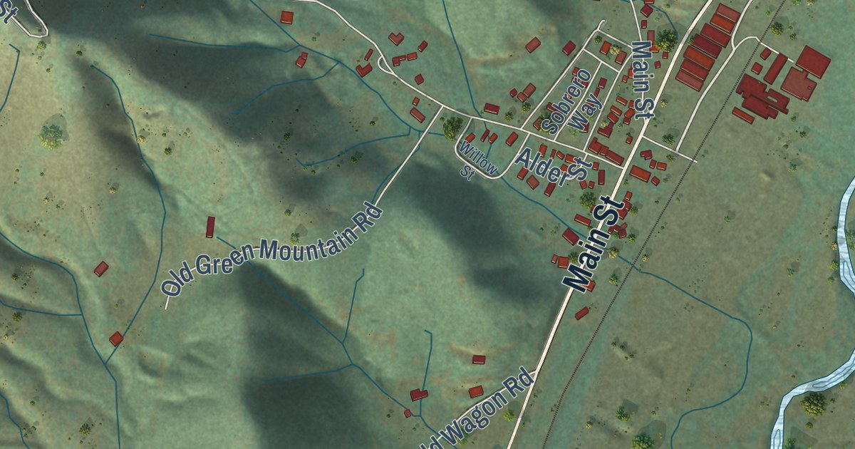
A detailed map of Crescent Mills, California, showing every building in its true location, the roads by name, and shaded topographical relief.
Read More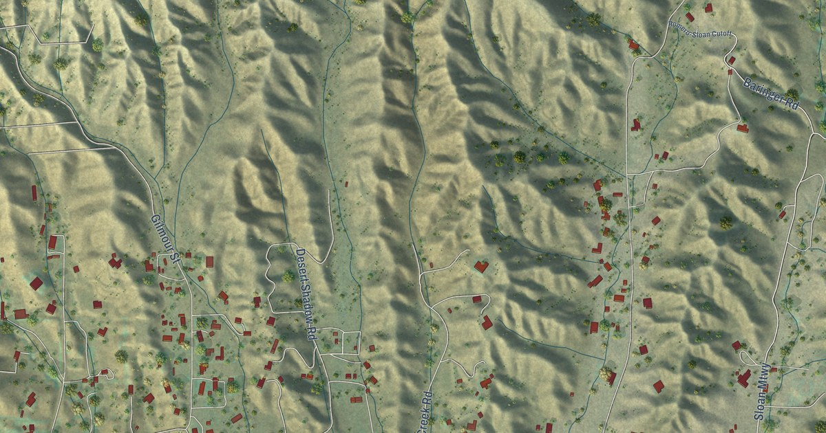
A detailed map of Hasley Canyon, California, showing every building in its true location, the roads by name, and shaded topographical relief.
Read More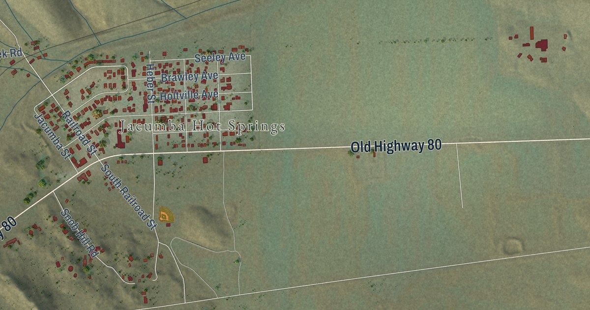
A detailed map of Jacumba, California, showing every building in its true location, the roads by name, and shaded topographical relief.
Read More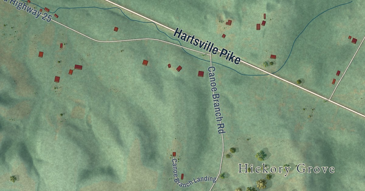
A detailed map of Castalian Springs, Tennessee, showing every building in its true location, the roads by name, and shaded topographical relief.
Read More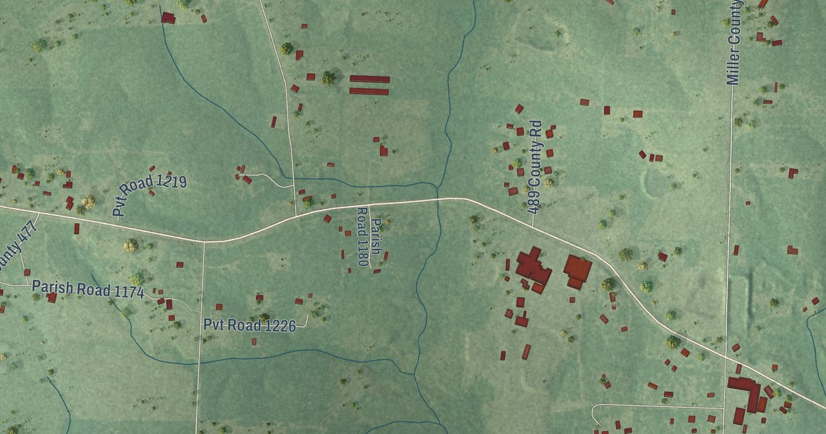
A detailed map of Genoa, Arkansas, showing every building in its true location, the roads by name, and shaded topographical relief.
Read More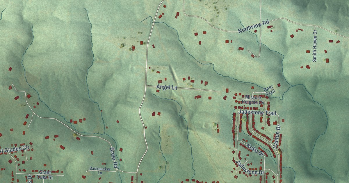
A detailed map of Gibson, Arkansas, showing every building in its true location, the roads by name, and shaded topographical relief.
Read More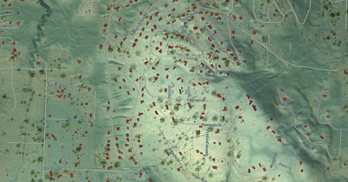
A detailed map of Bell Hill, Washington, showing every building in its true location, the roads by name, and shaded topographical relief.
Read More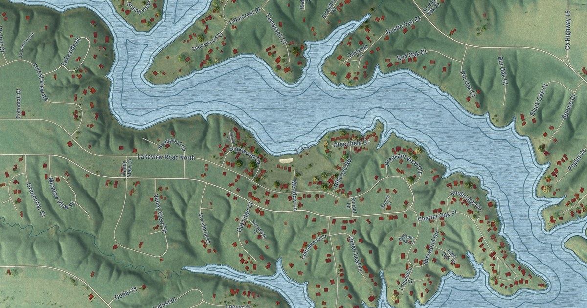
A detailed map of Oak Run, Illinois, showing every building in its true location, the roads by name, and shaded topographical relief.
Read More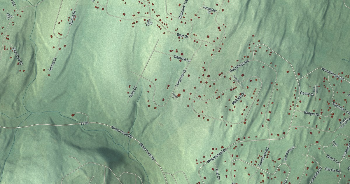
A detailed map of Pocono Ranch Lands, Pennsylvania, showing every building in its true location, the roads by name, and shaded topographical relief.
Read More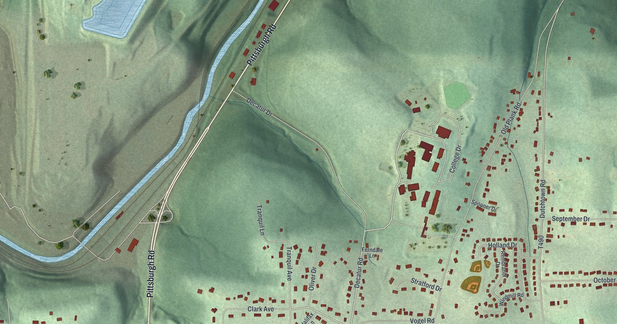
A detailed map of Oak Hills, Pennsylvania, showing every building in its true location, the roads by name, and shaded topographical relief.
Read More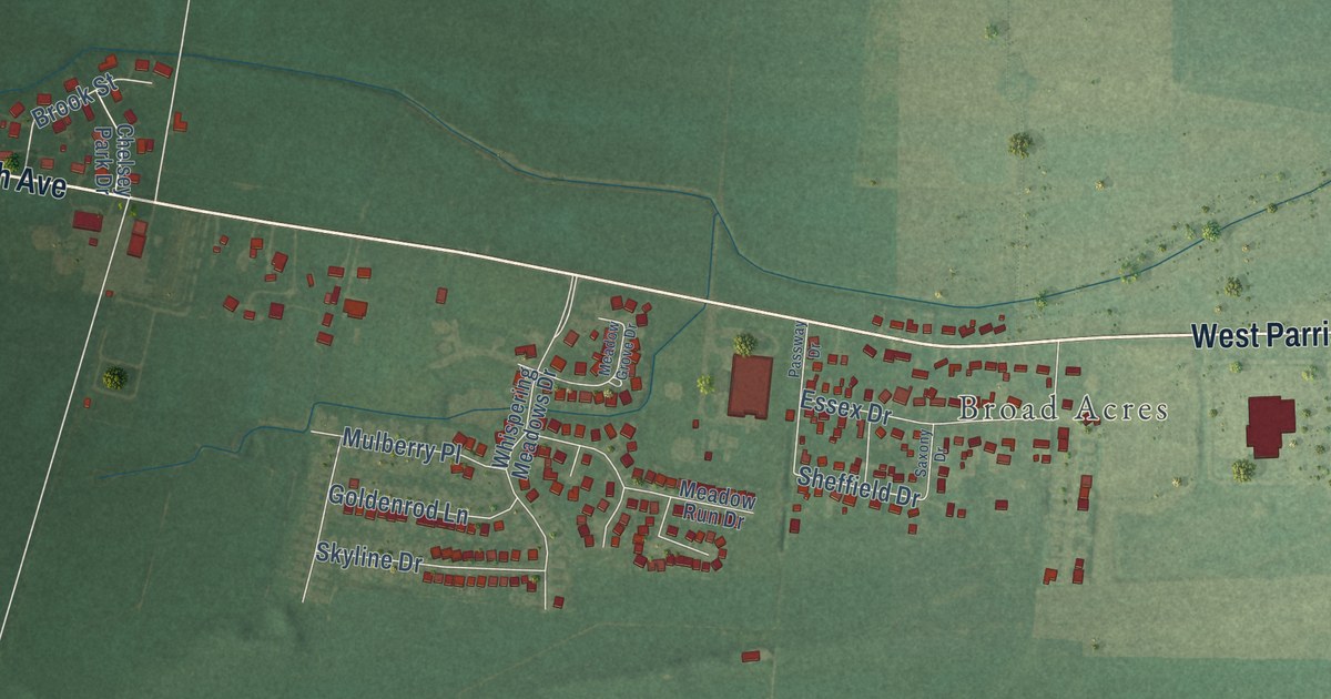
A detailed map of Sorgho, Kentucky, showing every building in its true location, the roads by name, and shaded topographical relief.
Read More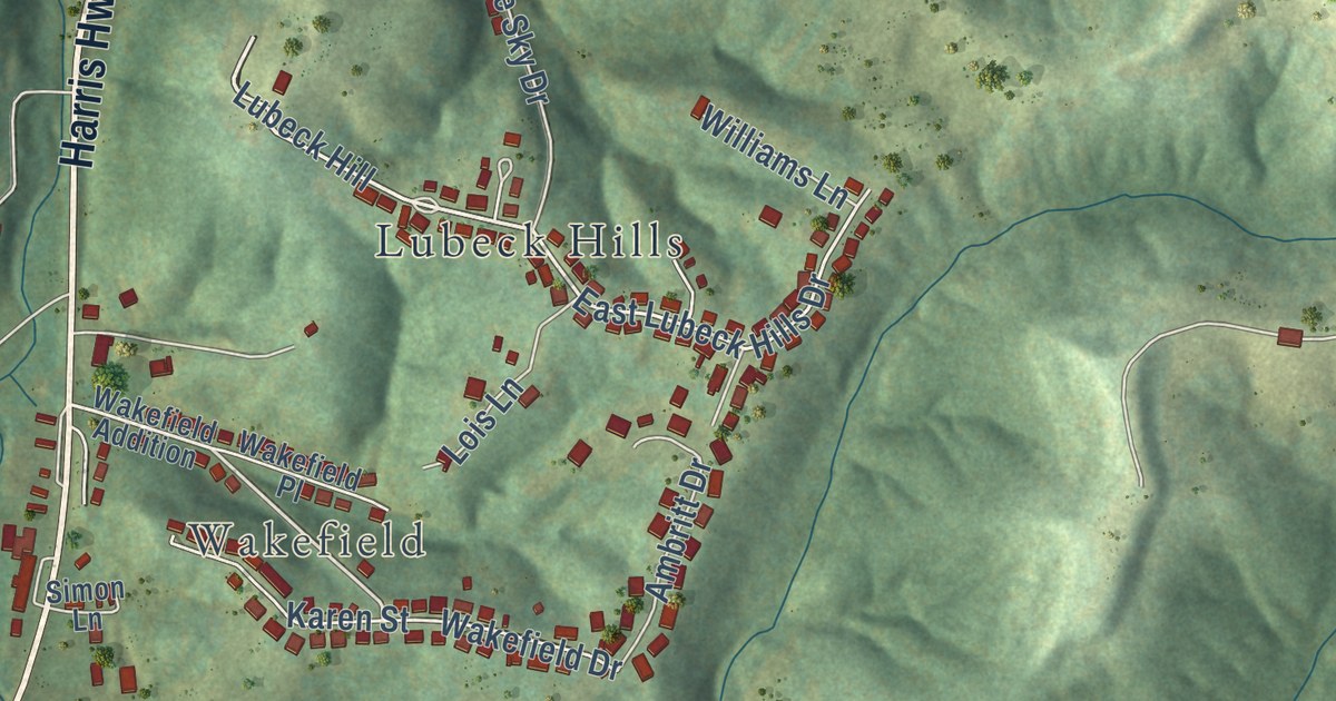
A detailed map of Lubeck, West Virginia, showing every building in its true location, the roads by name, and shaded topographical relief.
Read More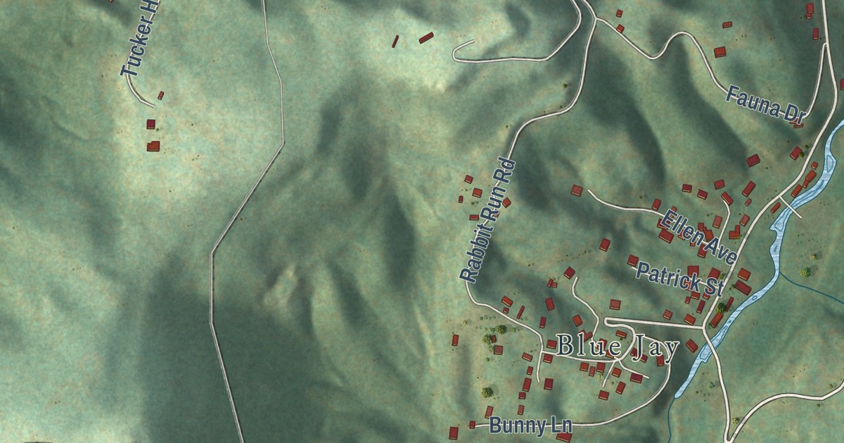
A detailed map of Beaver, West Virginia, showing every building in its true location, the roads by name, and shaded topographical relief.
Read More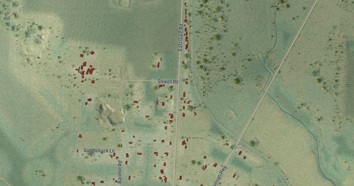
A detailed map of Roeville, Florida, showing every building in its true location, the roads by name, and shaded topographical relief.
Read More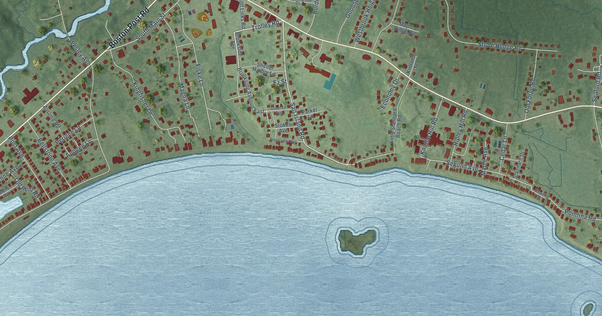
A detailed map of Westbrook Center, Connecticut, showing every building in its true location, the roads by name, and shaded topographical relief.
Read More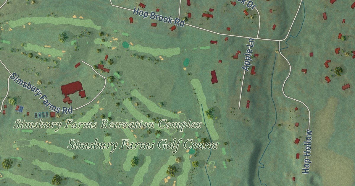
A detailed map of West Simsbury, Connecticut, showing every building in its true location, the roads by name, and shaded topographical relief.
Read More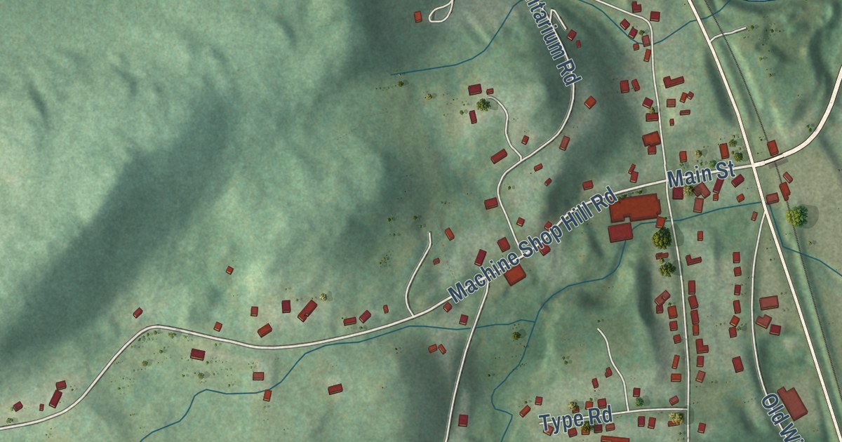
A detailed map of South Windham, Connecticut, showing every building in its true location, the roads by name, and shaded topographical relief.
Read More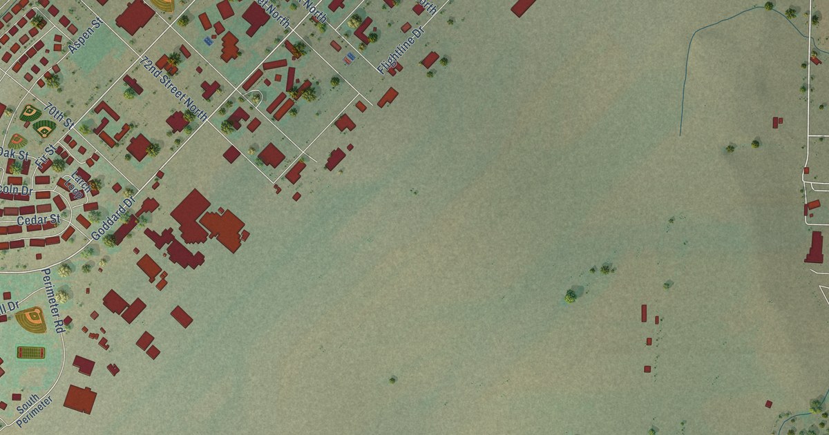
A detailed map of Malmstrom AFB, Montana, showing every building in its true location, the roads by name, and shaded topographical relief.
Read More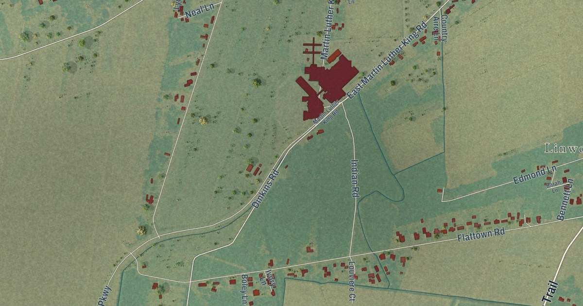
A detailed map of Charenton, Louisiana, showing every building in its true location, the roads by name, and shaded topographical relief.
Read More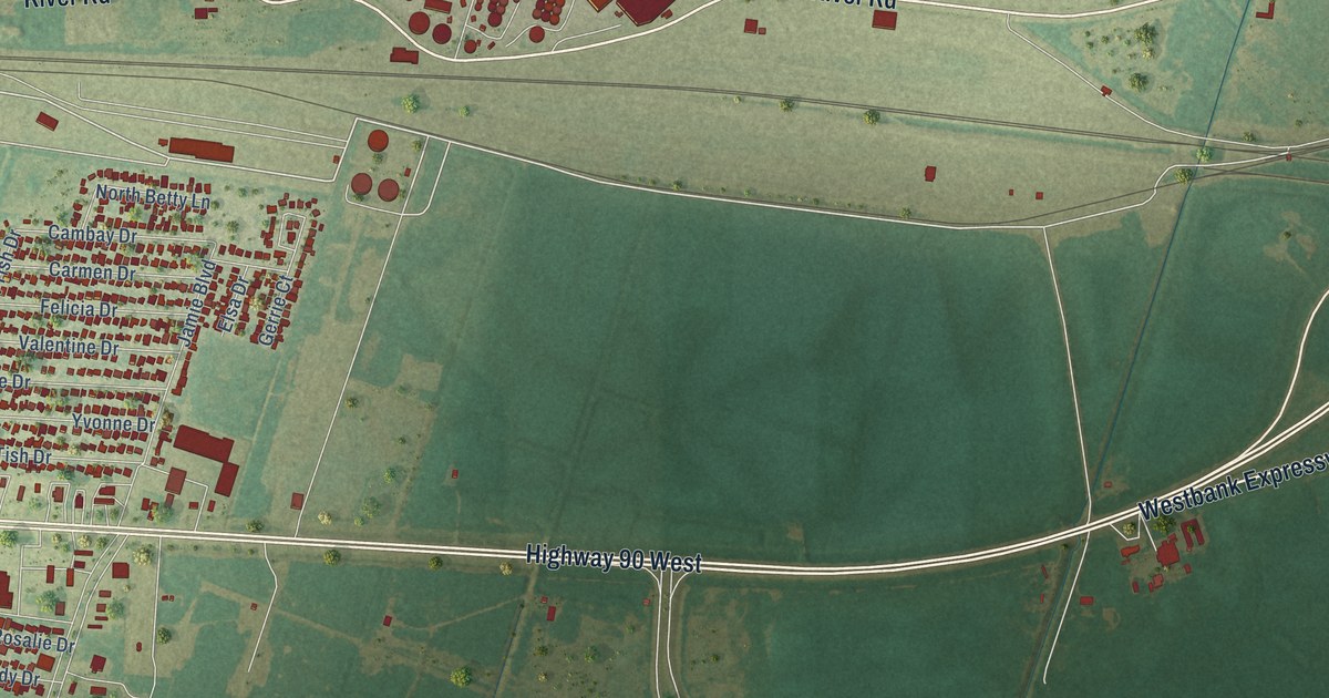
A detailed map of Avondale, Louisiana, showing every building in its true location, the roads by name, and shaded topographical relief.
Read More
A detailed map of Ama, Louisiana, showing every building in its true location, the roads by name, and shaded topographical relief.
Read More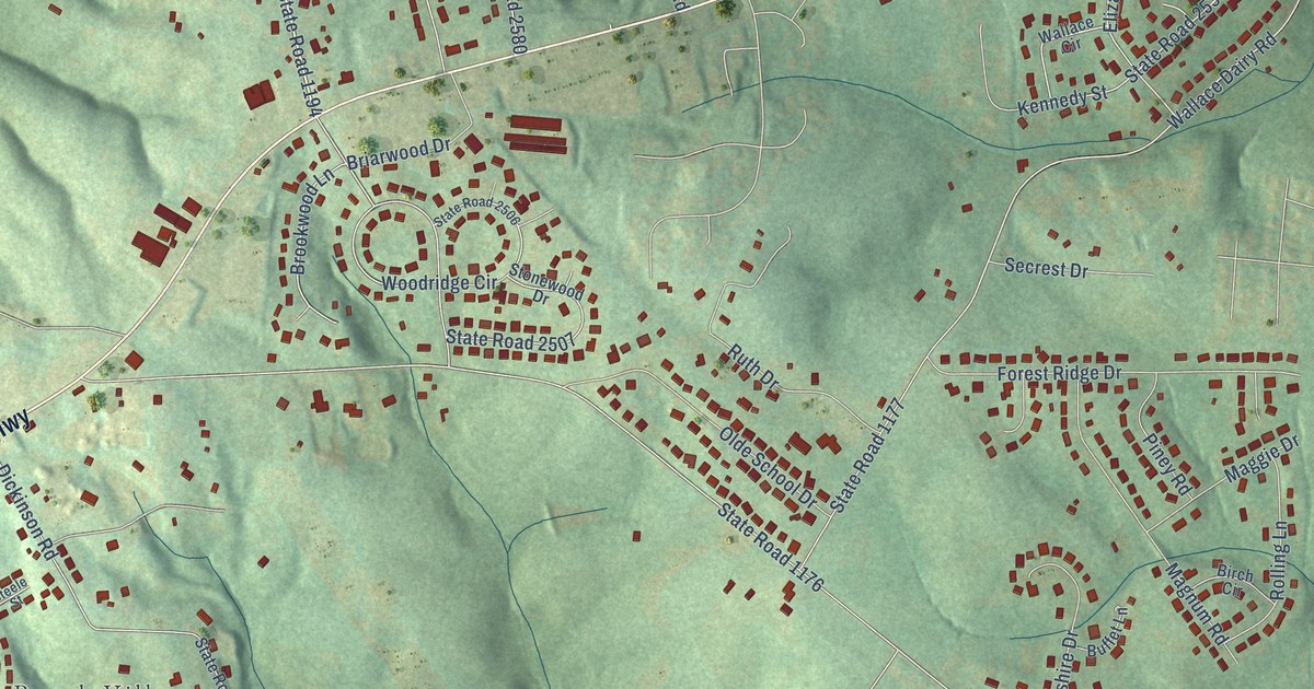
A detailed map of Mountain View, North Carolina, showing every building in its true location, the roads by name, and shaded topographical relief.
Read More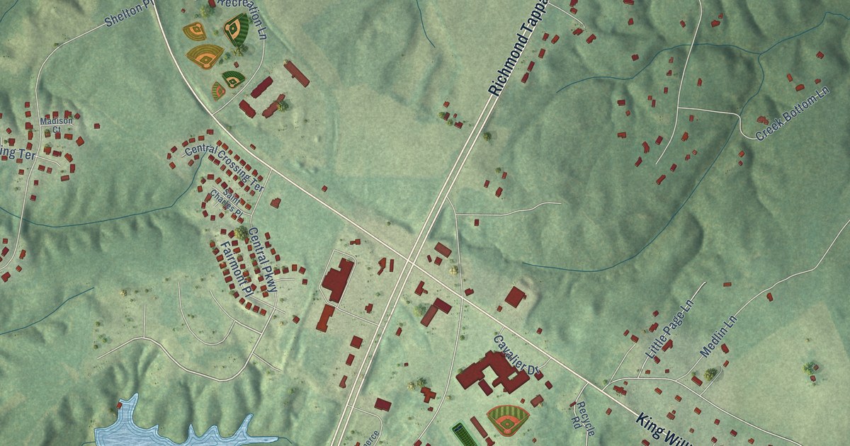
A detailed map of Central Garage, Virginia, showing every building in its true location, the roads by name, and shaded topographical relief.
Read More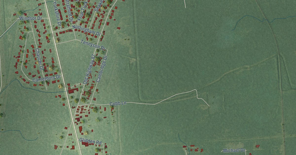
A detailed map of Little Cypress, Texas, showing every building in its true location, the roads by name, and shaded topographical relief.
Read More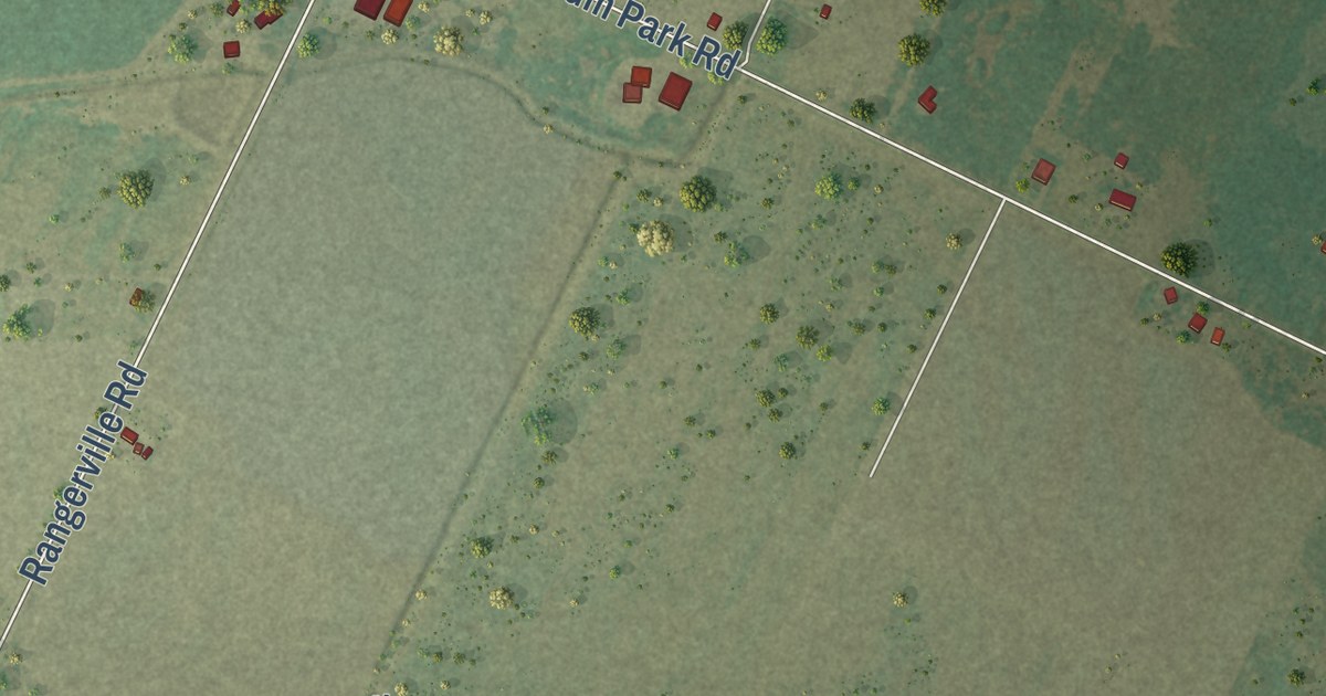
A detailed map of Rangerville, Texas, showing every building in its true location, the roads by name, and shaded topographical relief.
Read More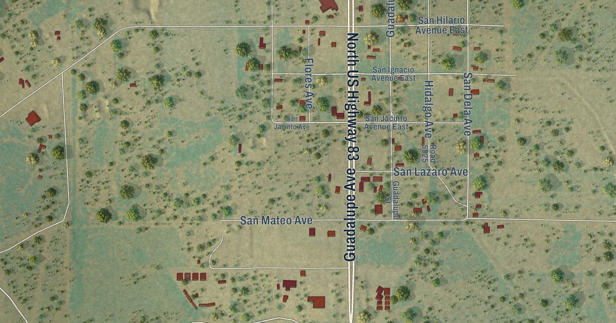
A detailed map of Catarina, Texas, showing every building in its true location, the roads by name, and shaded topographical relief.
Read More















