Map of Texas and Loyal Colonies, AKA the United States, 1960s
The historic map of Texas is a nostalgic and humorous representation of the state created in the...
Read More
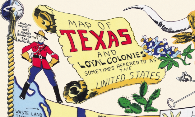
The historic map of Texas is a nostalgic and humorous representation of the state created in the...
Read More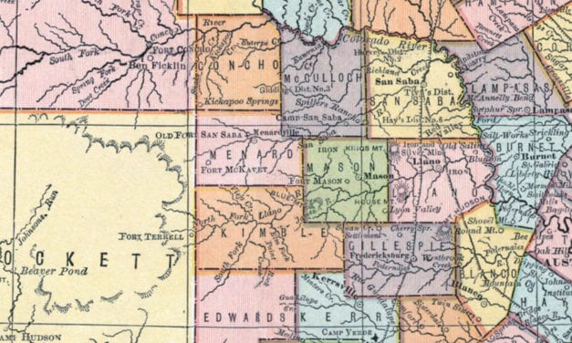
Compiled from Actual Surveys, and containing all changes in Lines of Counties up to Sept. 1st, 1876.
Read More
Historic bird’s eye view of Abilene, Texas from 1883
Read More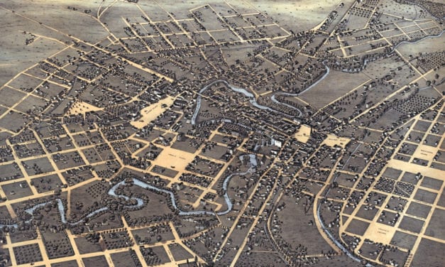
Historic bird’s eye view of San Antonio, Texas from 1873
Read More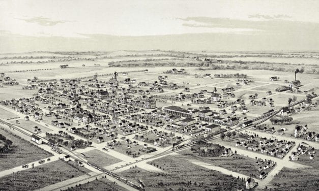
Detailed bird’s eye view of Whitewright, Texas in 1891
Read More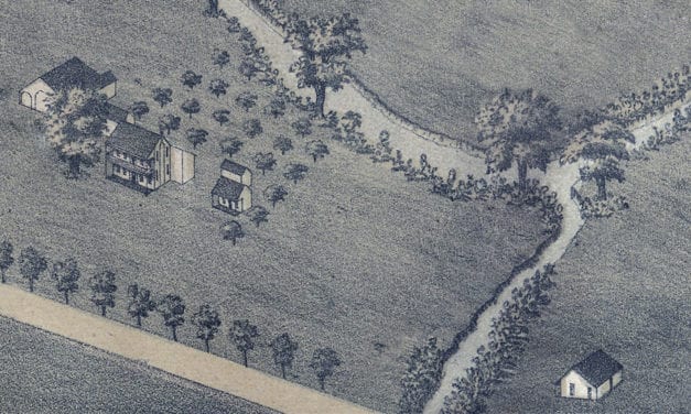
Historic bird’s eye view of Brenham, Texas from 1881
Read More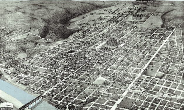
Historic bird’s eye view of Austin, Texas in 1887
Read More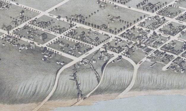
Historic bird’s eye view of Bastrop, Texas in 1887
Read More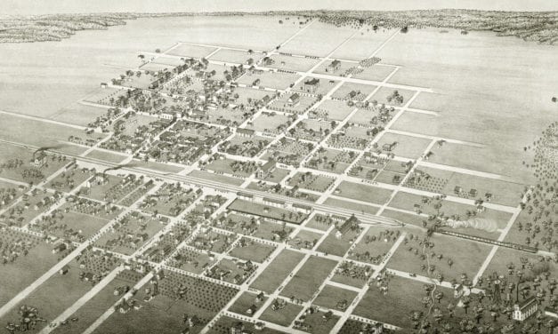
Bird’s eye view of Cuero, TX in 1881
Read More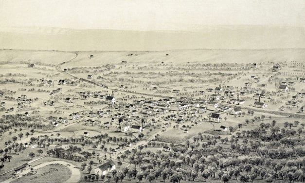
Restoration of an old map of Alvord, TX from 1890
Read More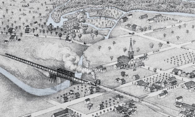
Historic bird’s eye view of New Braunfels, Texas in 1881
Read More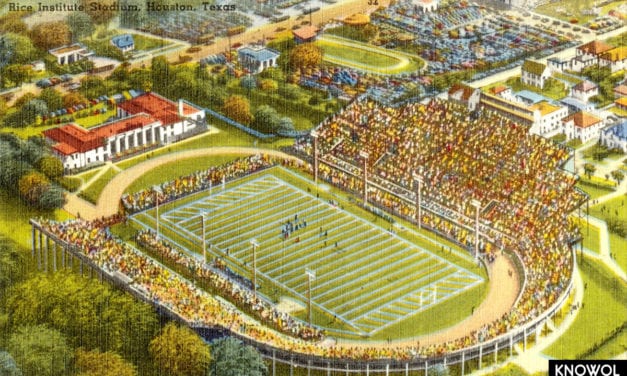
Houston is the largest city in Texas and the fourth largest in the United States. It is named...
Read More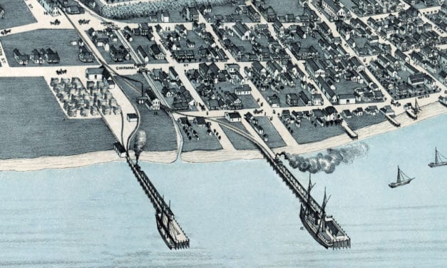
Historic bird’s eye view of Corpus Christi, Texas in 1887
Read More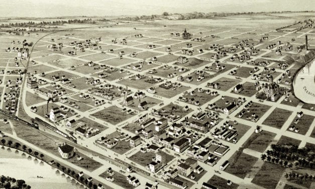
This old map shows Wichita Falls, Texas in the late 19th century.
Read More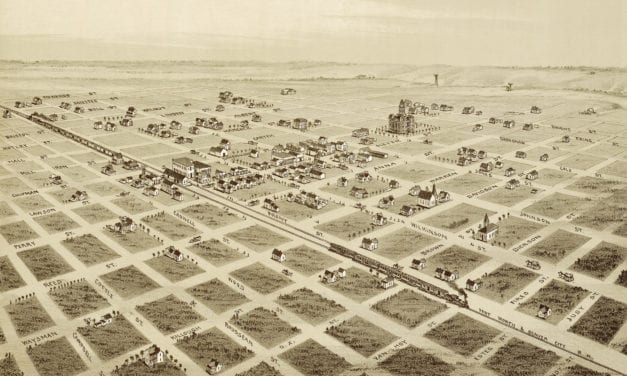
This vintage map shows a bird’s eye view Childress, Texas in the late 19th century.
Read More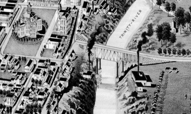
Historic bird’s eye view of Fort Worth, Texas from 1891
Read More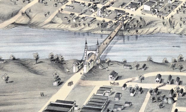
This old map shows Waco, Texas in the late 19th century.
Read More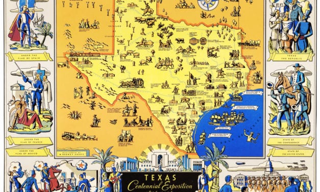
The Centennial Exposition celebrated the 100th anniversary of Texas’s independence from Mexico in 1836.
Read More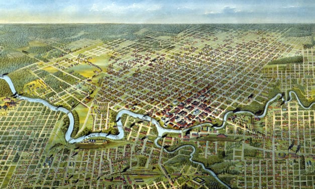
Historic bird’s eye view of Houston, Texas from 1891
Read More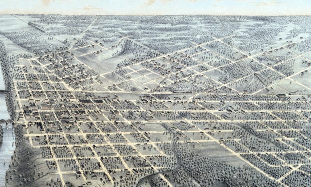
Historic bird’s eye view of Dallas, Texas as it used to be
Read More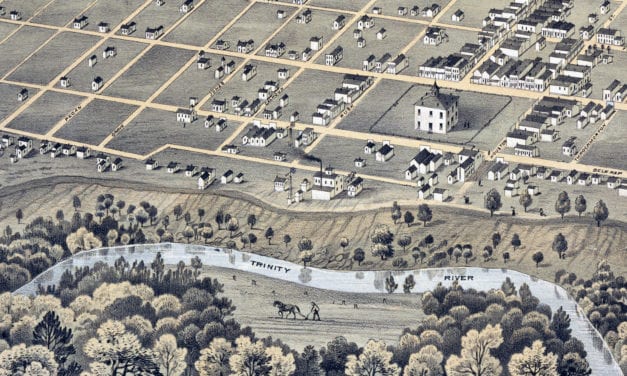
Historic bird’s eye view of Fort Worth, Texas from 1876
Read More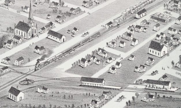
Historic bird’s eye view of Plano, Texas from 1891
Read More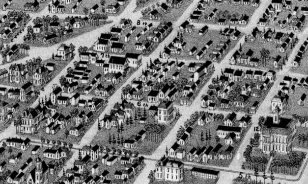
Historic bird’s eye view of Texarkana, Texas & Arkansas in 1888
Read More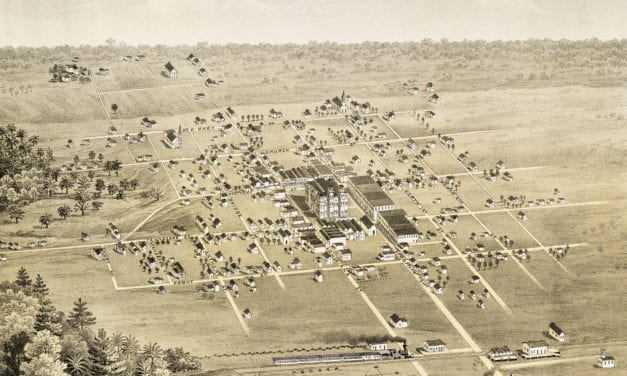
Historic bird’s eye view of McKinney, Texas in 1876
Read More
Historic bird’s eye view of Denison, Texas in 1891
Read More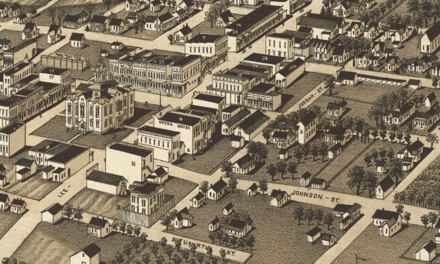
Bird’s eye view of Greenville, Texas in 1886
Read More


