Detailed Map of Boscawen, New Hampshire
This beautifully detailed map of Boscawen, New Hampshire was created in 2026 using aerial imagery...
Read More
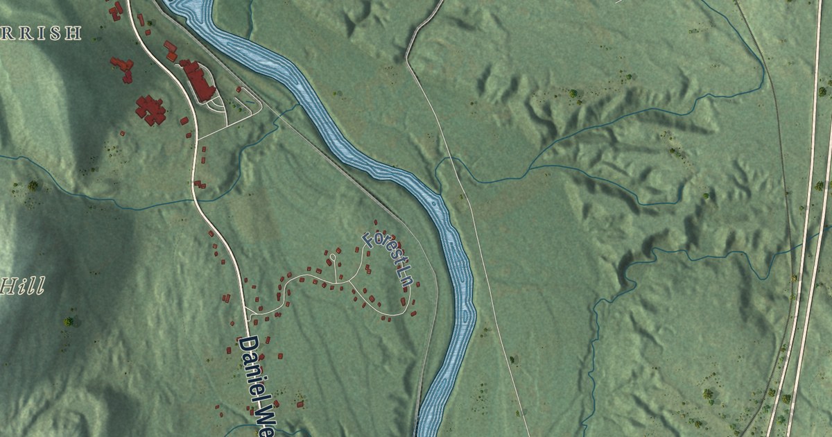
This beautifully detailed map of Boscawen, New Hampshire was created in 2026 using aerial imagery...
Read More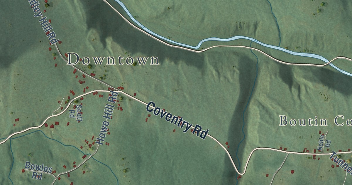
This beautifully detailed map of Benton, New Hampshire was created in 2026 using aerial imagery...
Read More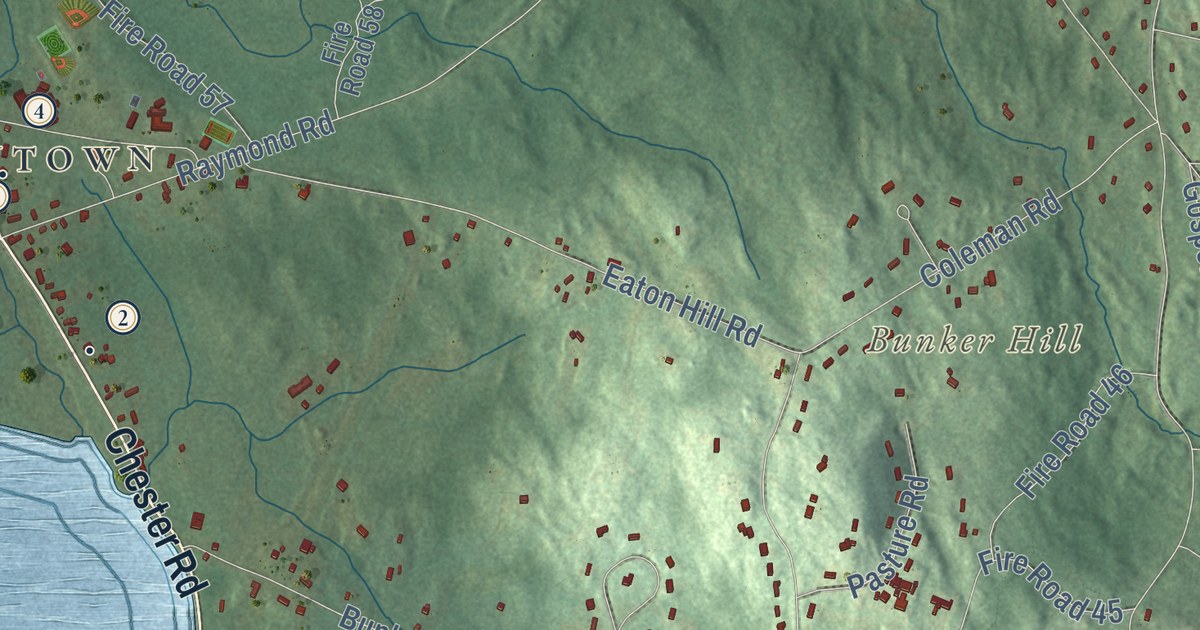
This beautifully detailed map of Auburn, New Hampshire was created in 2026 using aerial imagery...
Read More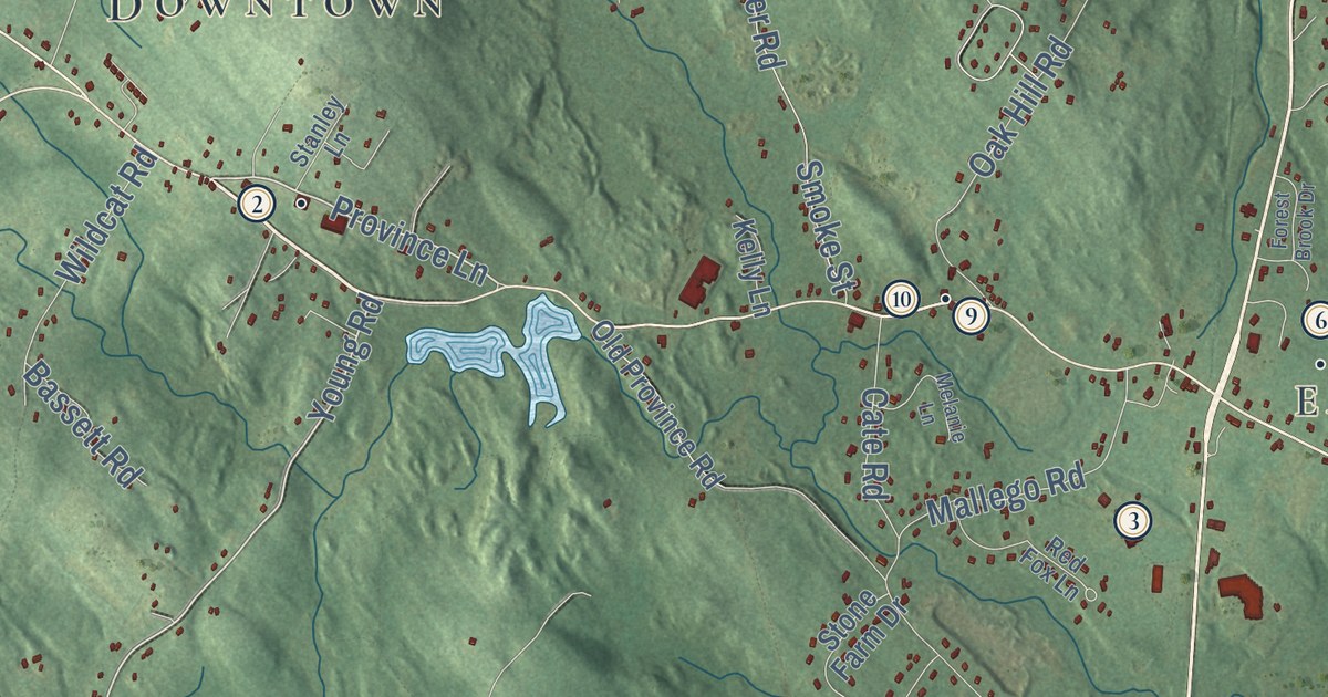
This beautifully detailed map of Barrington, New Hampshire was created in 2026 using aerial...
Read More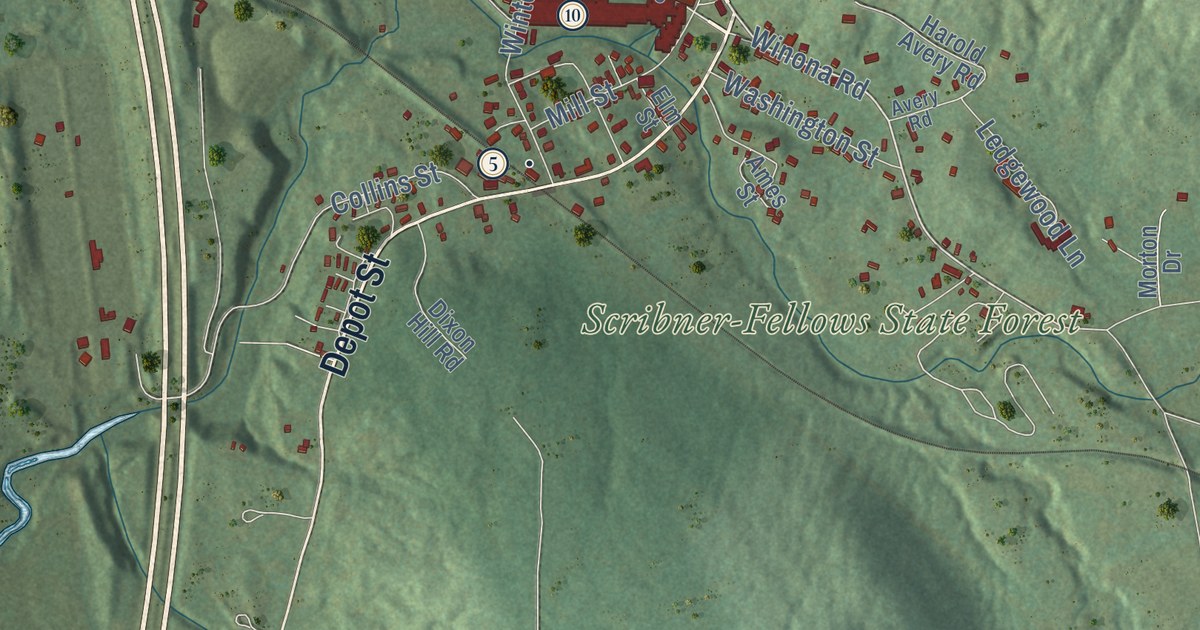
This beautifully detailed map of Ashland, New Hampshire was created in 2026 using aerial imagery...
Read More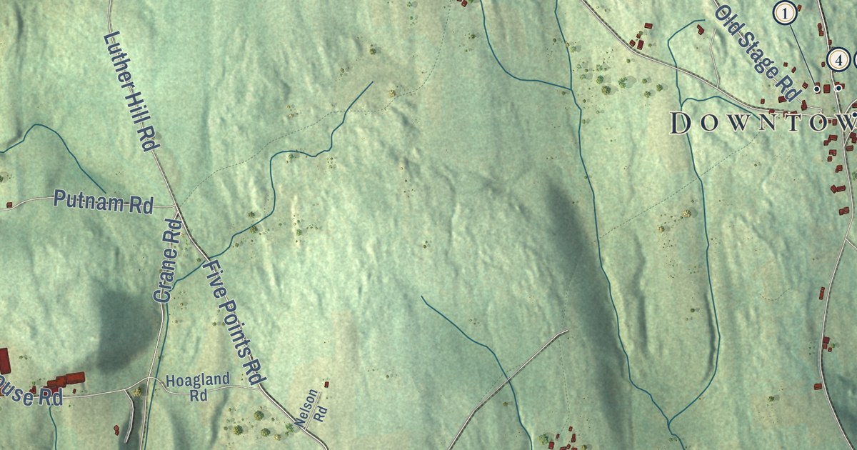
This beautifully detailed map of Acworth, New Hampshire was created in 2026 using aerial imagery...
Read More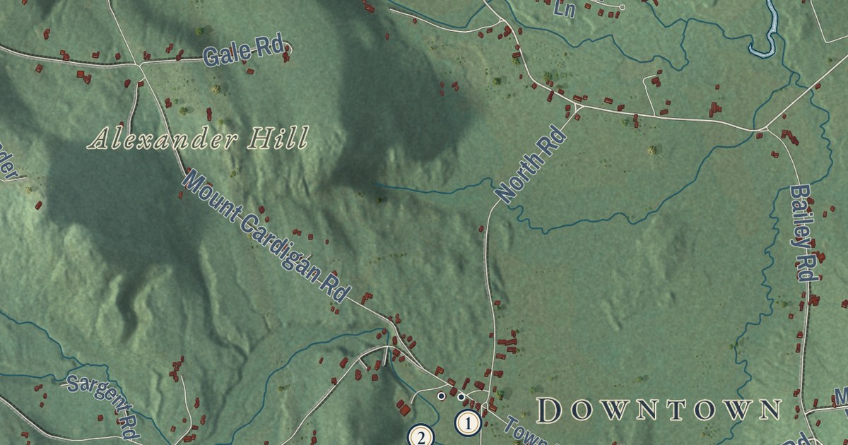
This beautifully detailed map of Alexandria, New Hampshire was created in 2026 using aerial...
Read More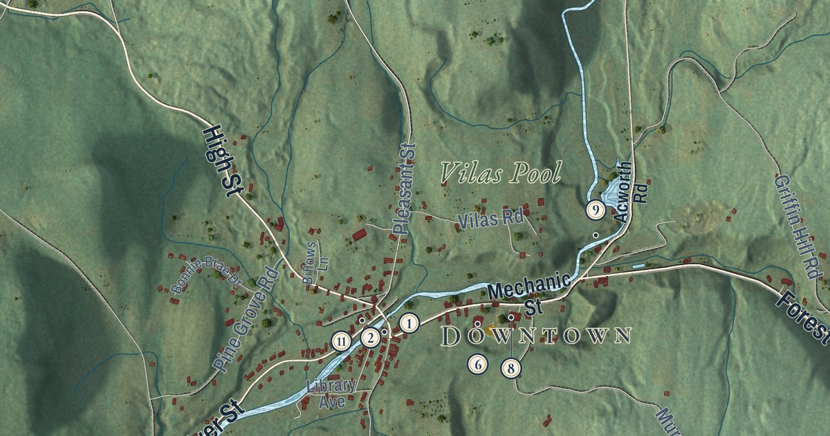
This beautifully detailed map of Alstead, New Hampshire was created in 2026 using aerial imagery...
Read More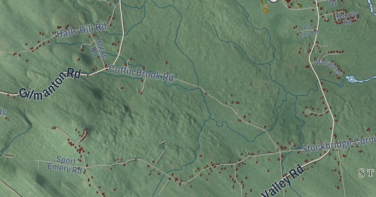
This beautifully detailed map of Alton, New Hampshire was created in 2026 using aerial imagery...
Read More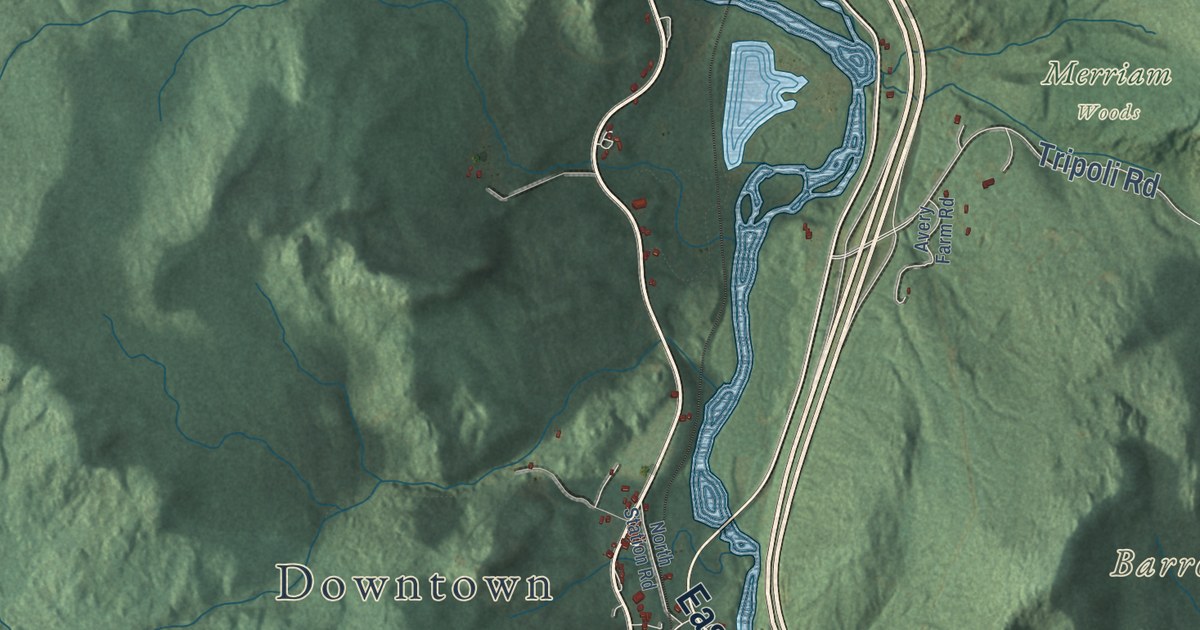
This beautifully detailed map of Woodstock, New Hampshire was created in 2026 using aerial imagery...
Read More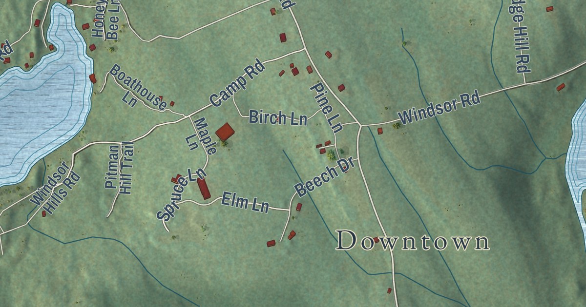
This beautifully detailed map of Windsor, New Hampshire was created in 2026 using aerial imagery...
Read More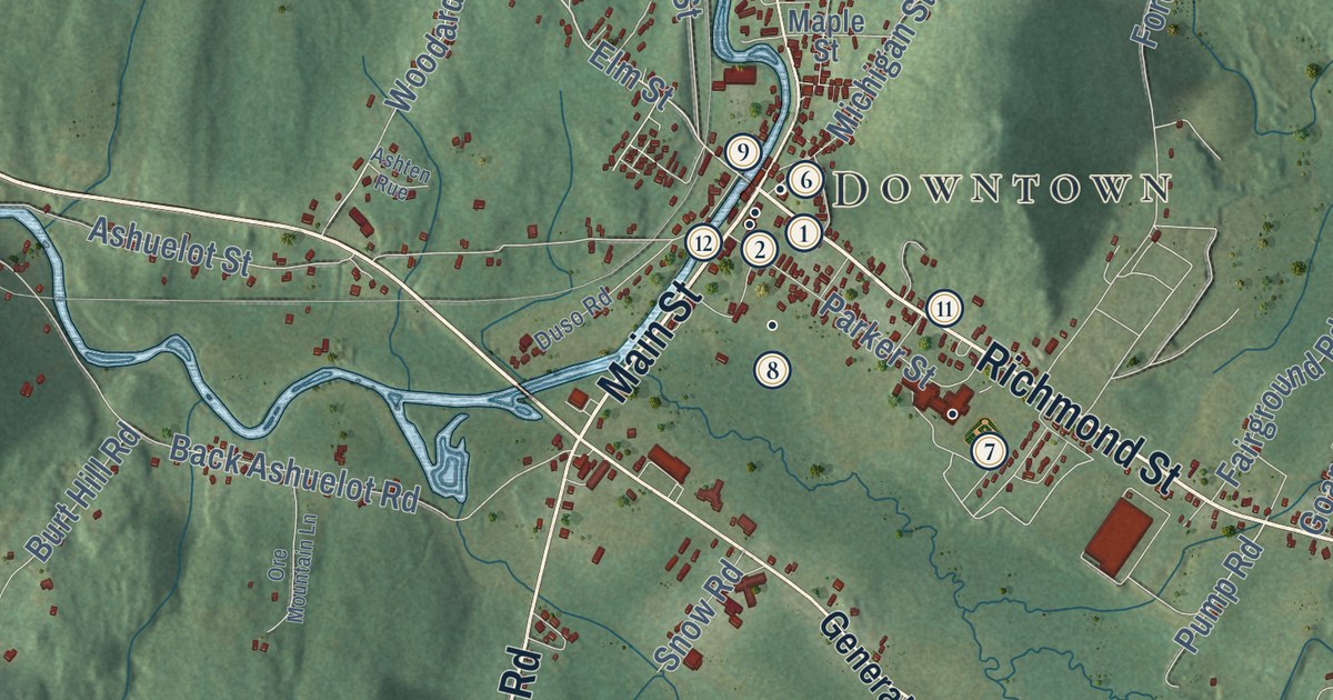
This beautifully detailed map of Winchester, New Hampshire was created in 2026 using aerial...
Read More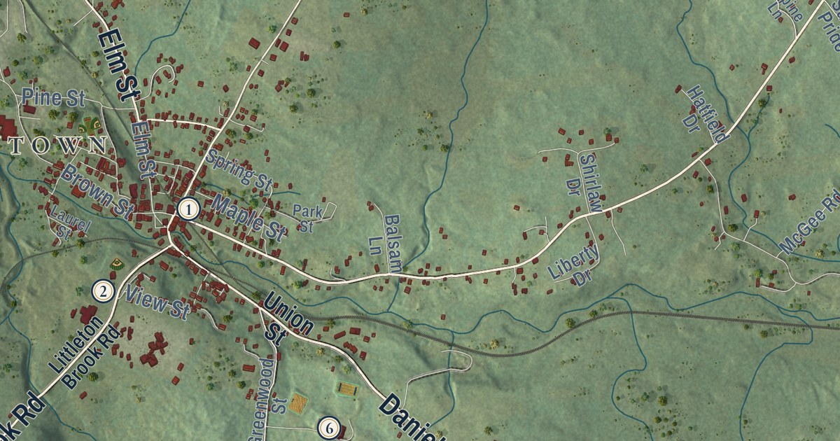
This beautifully detailed map of Whitefield, New Hampshire was created in 2026 using aerial...
Read More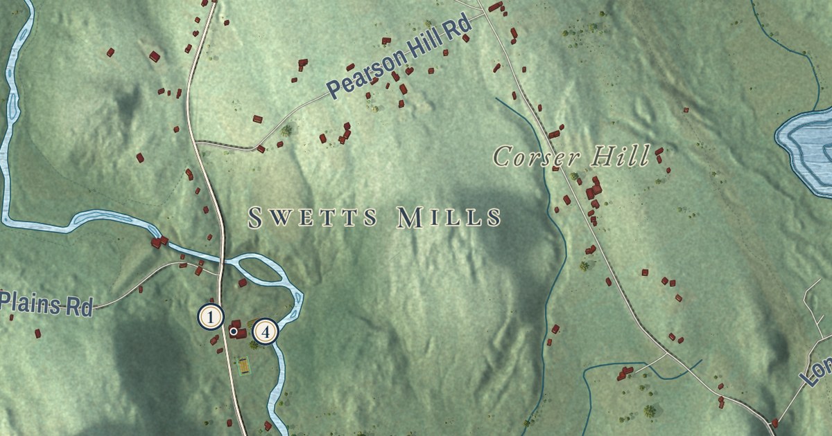
This beautifully detailed map of Webster, New Hampshire was created in 2026 using aerial imagery...
Read More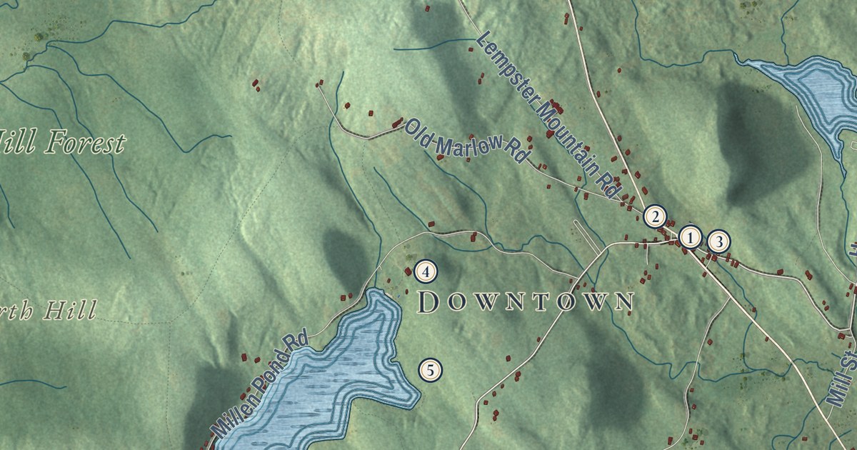
This beautifully detailed map of Washington, New Hampshire was created in 2026 using aerial...
Read More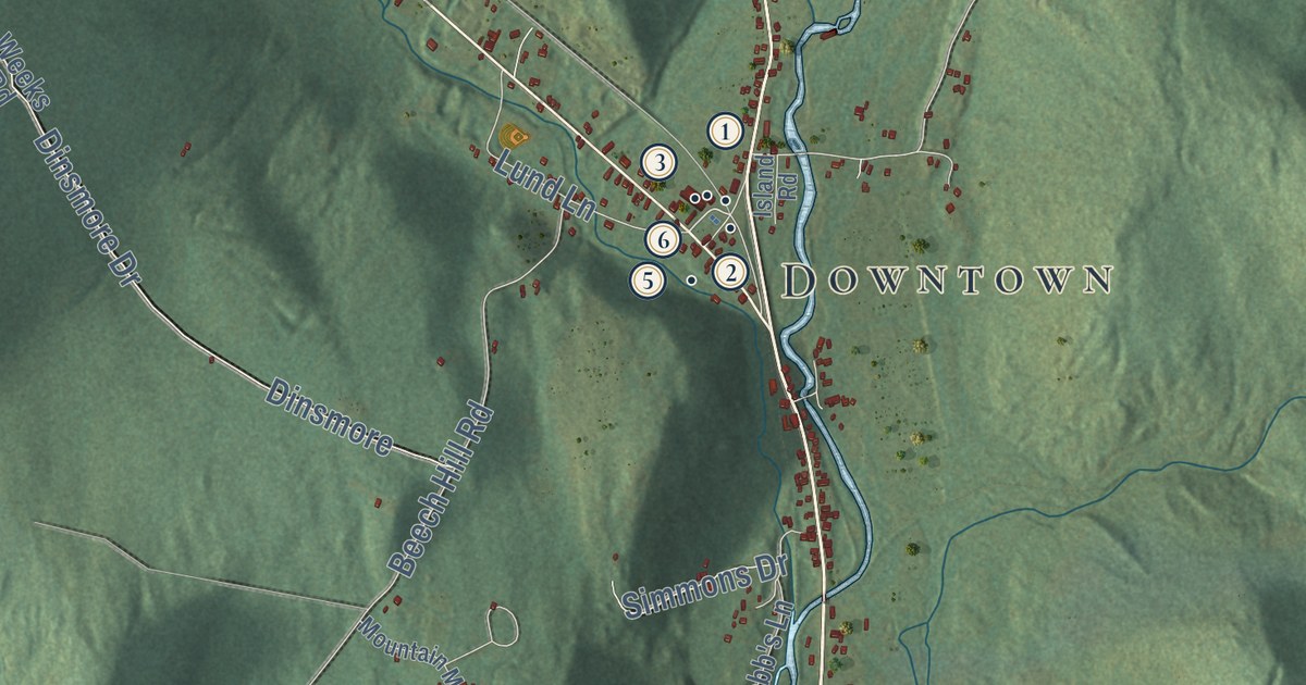
This beautifully detailed map of Warren, New Hampshire was created in 2026 using aerial imagery...
Read More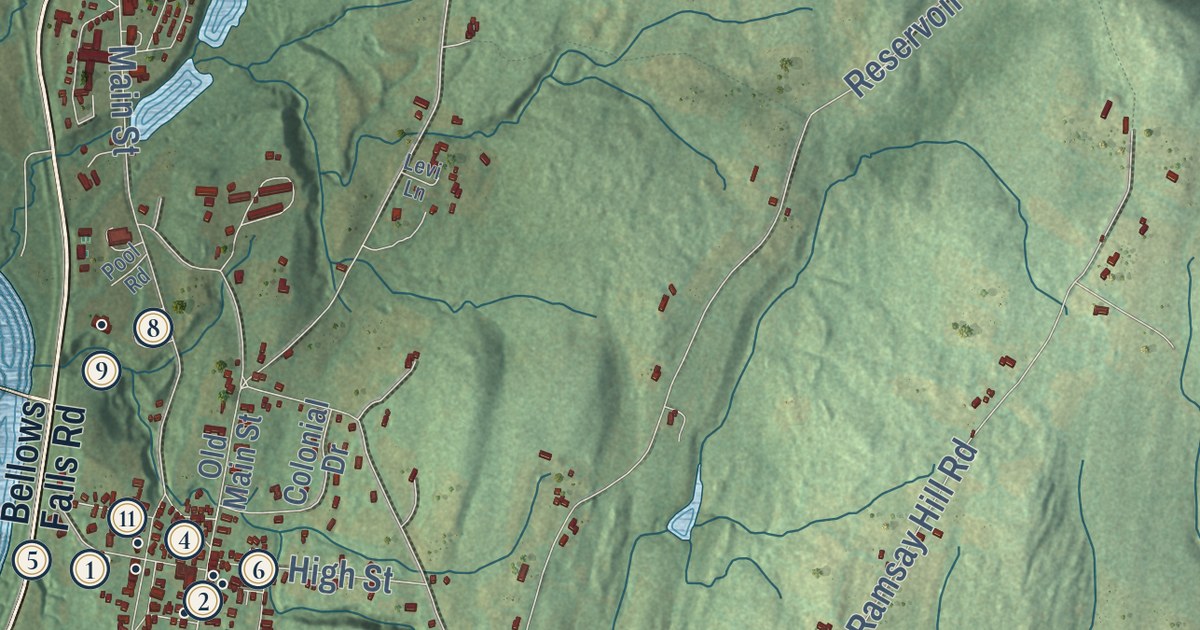
This beautifully detailed map of Walpole, New Hampshire was created in 2026 using aerial imagery...
Read More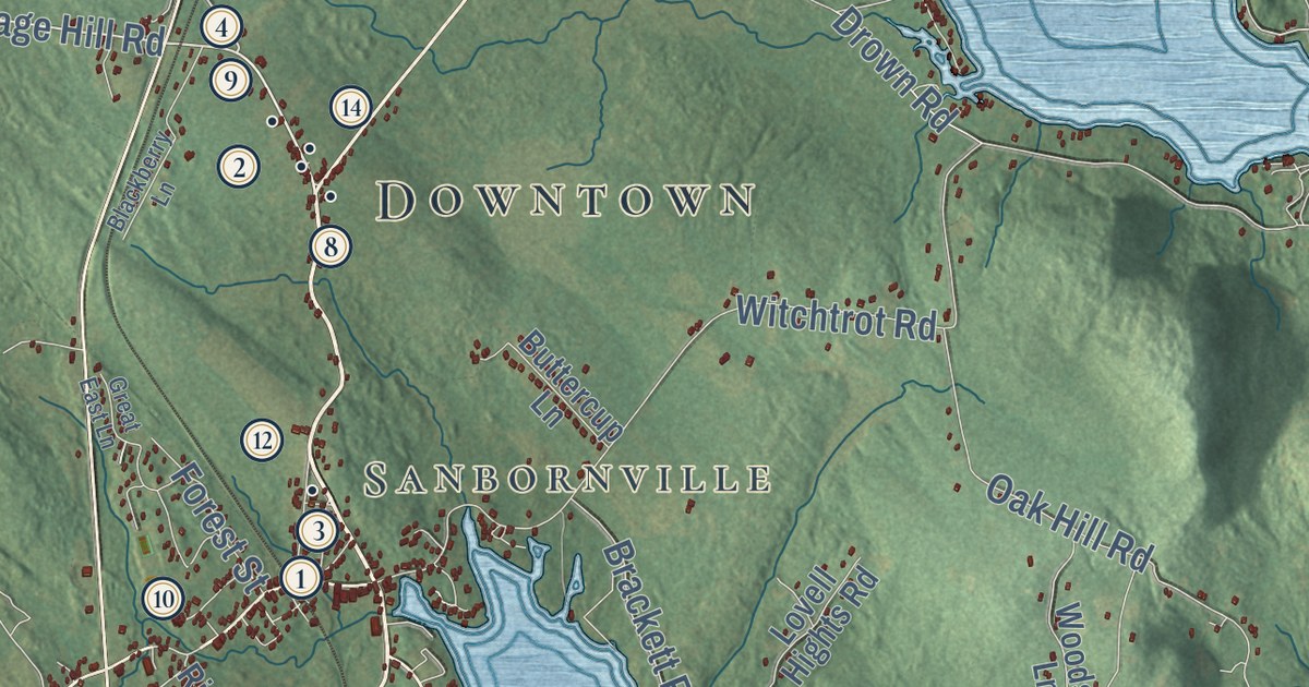
This beautifully detailed map of Wakefield, New Hampshire was created in 2026 using aerial imagery...
Read More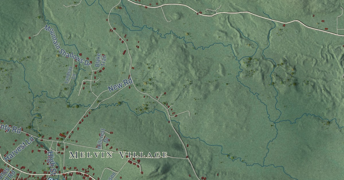
This beautifully detailed map of Tuftonboro, New Hampshire was created in 2026 using aerial...
Read More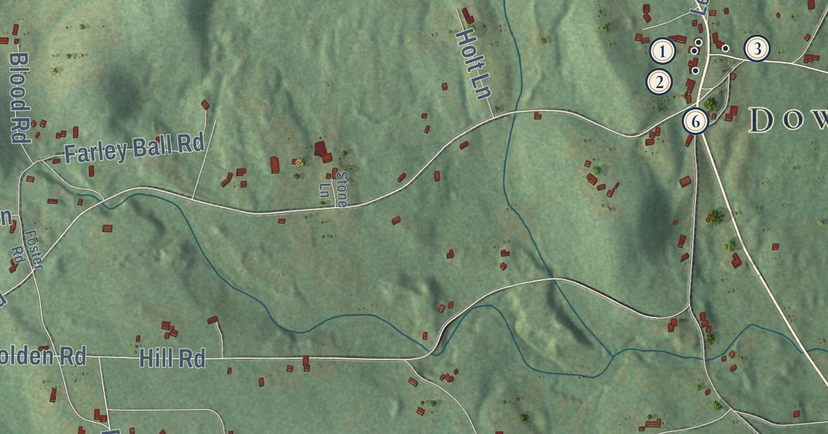
This beautifully detailed map of Temple, New Hampshire was created in 2026 using aerial imagery...
Read More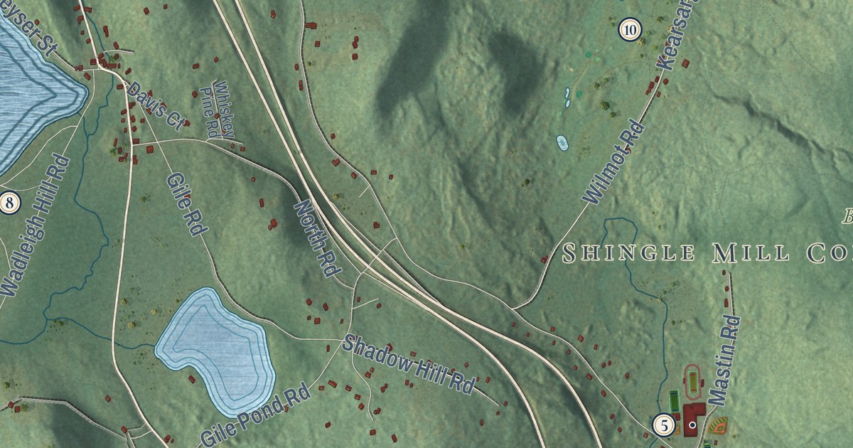
This beautifully detailed map of Sutton, New Hampshire was created in 2026 using aerial imagery...
Read More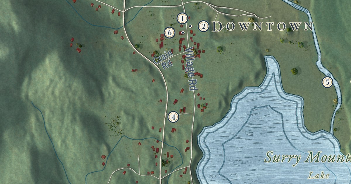
This beautifully detailed map of Surry, New Hampshire was created in 2026 using aerial imagery...
Read More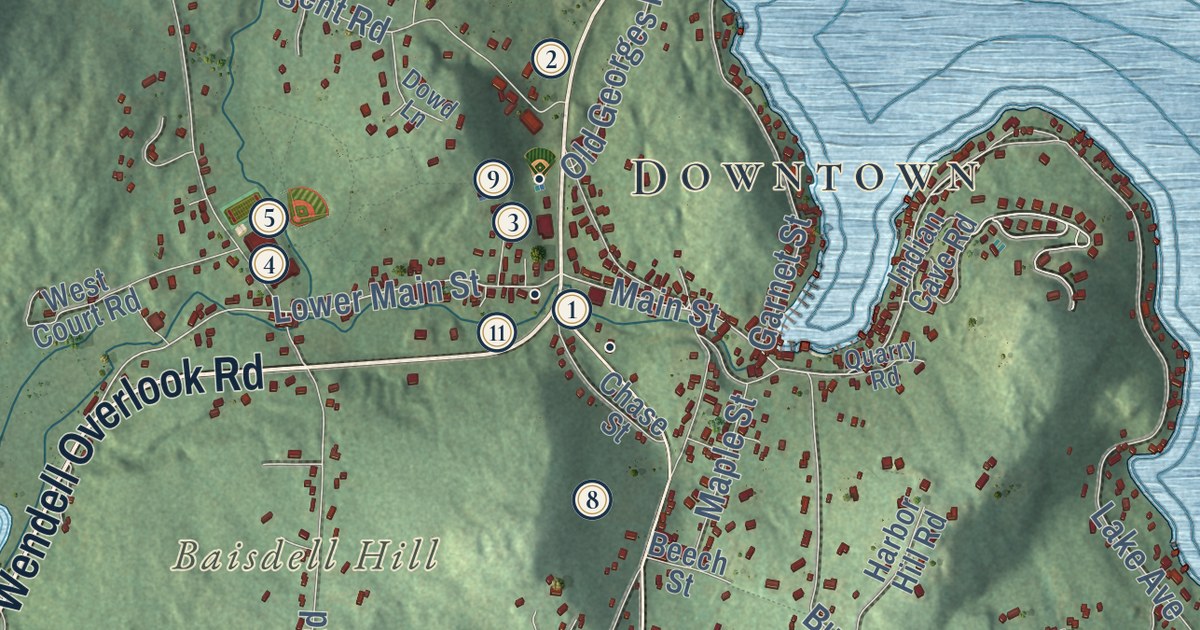
This beautifully detailed map of Sunapee, New Hampshire was created in 2026 using aerial imagery...
Read More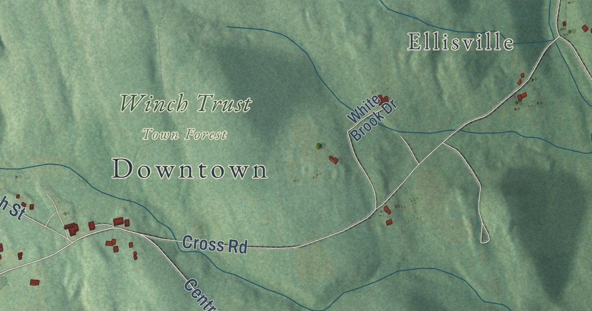
This beautifully detailed map of Sullivan, New Hampshire was created in 2026 using aerial imagery...
Read More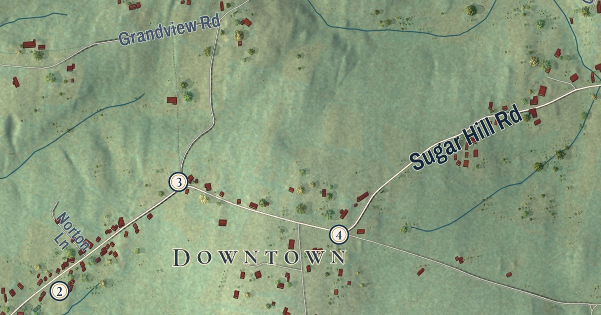
This beautifully detailed map of Sugar Hill, New Hampshire was created in 2026 using aerial...
Read More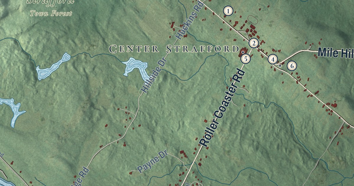
This beautifully detailed map of Strafford, New Hampshire was created in 2026 using aerial imagery...
Read More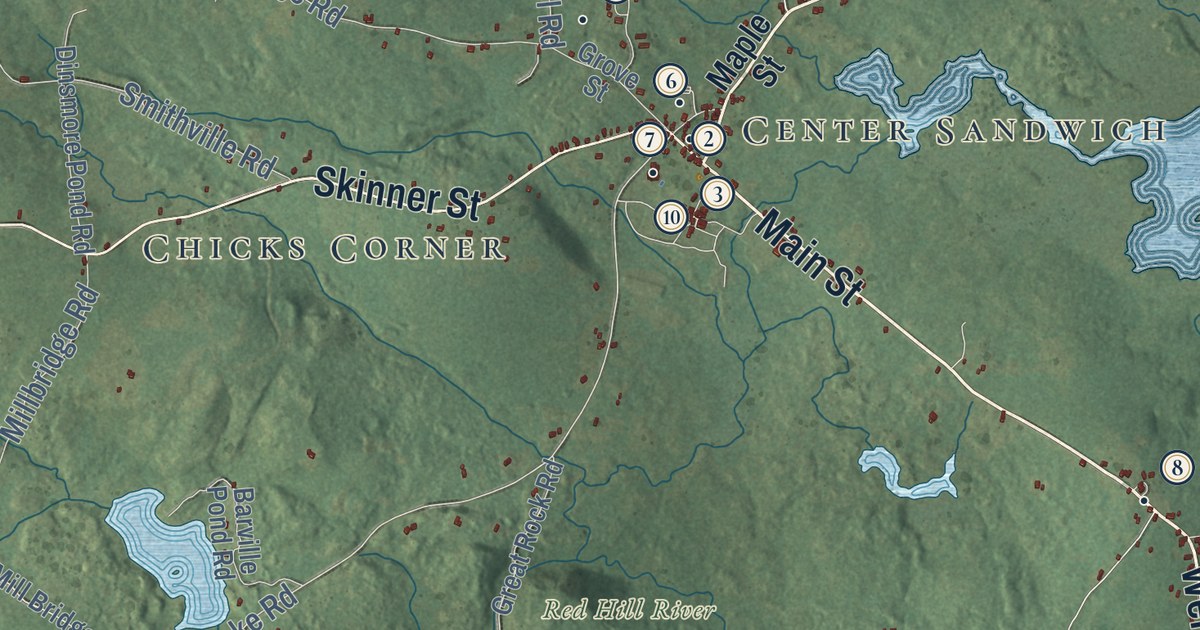
This beautifully detailed map of Sandwich, New Hampshire was created in 2026 using aerial imagery...
Read More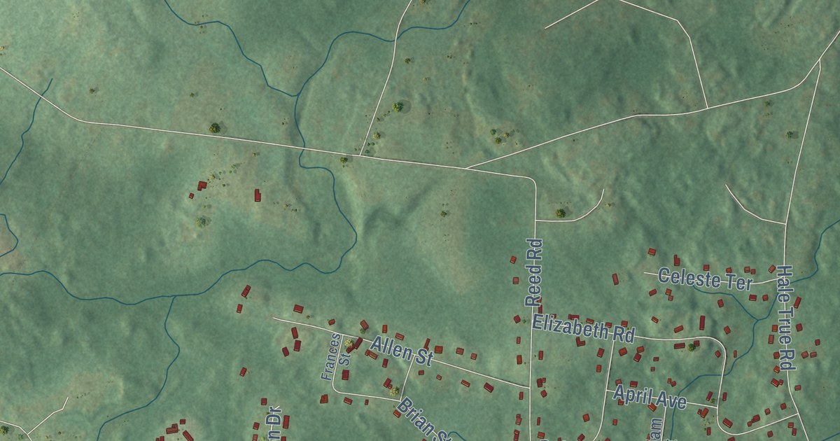
This beautifully detailed map of Sandown, New Hampshire was created in 2026 using aerial imagery...
Read More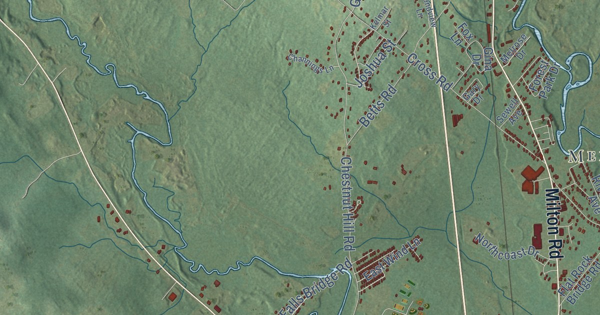
This beautifully detailed map of Rochester, New Hampshire was created in 2026 using aerial imagery...
Read More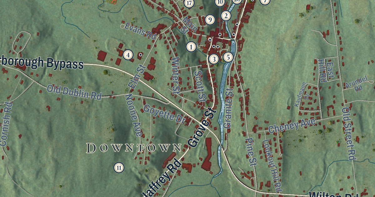
This beautifully detailed map of Peterborough, New Hampshire was created in 2026 using aerial...
Read More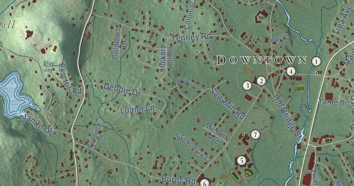
This beautifully detailed map of Pelham, New Hampshire was created in 2026 using aerial imagery...
Read More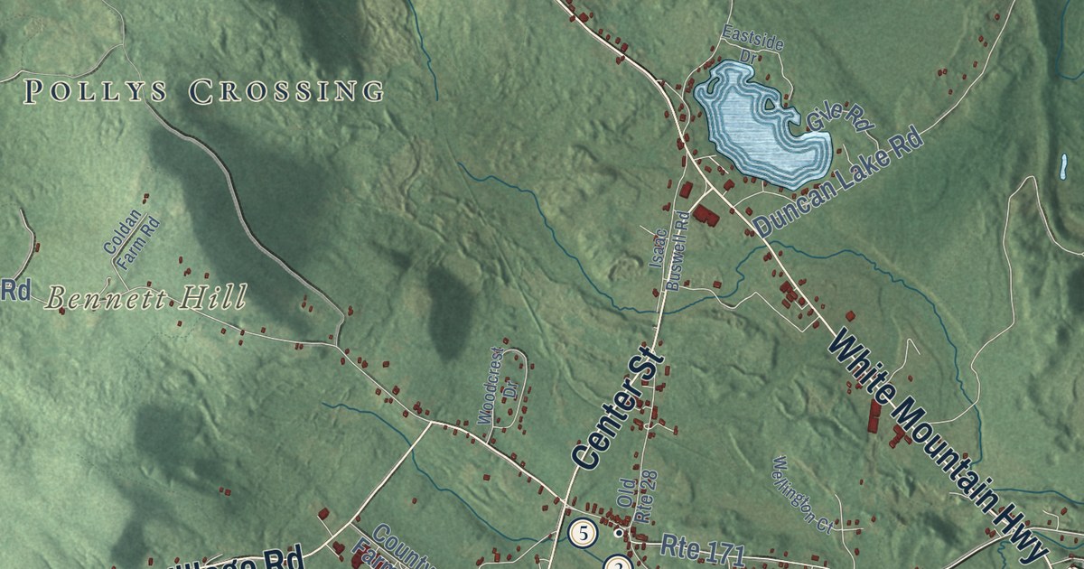
This beautifully detailed map of Ossipee, New Hampshire was created in 2026 using aerial imagery...
Read More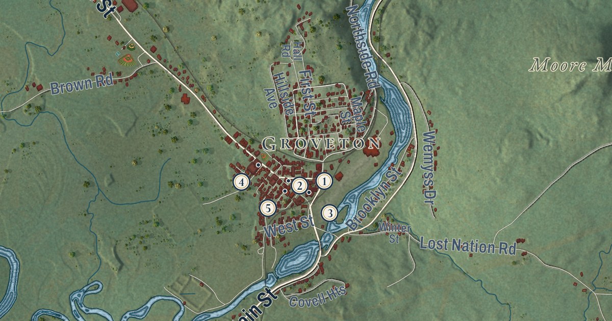
This beautifully detailed map of Northumberland, New Hampshire was created in 2026 using aerial...
Read More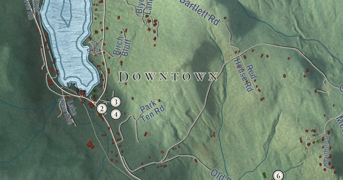
This beautifully detailed map of Newbury, New Hampshire was created in 2026 using aerial imagery...
Read More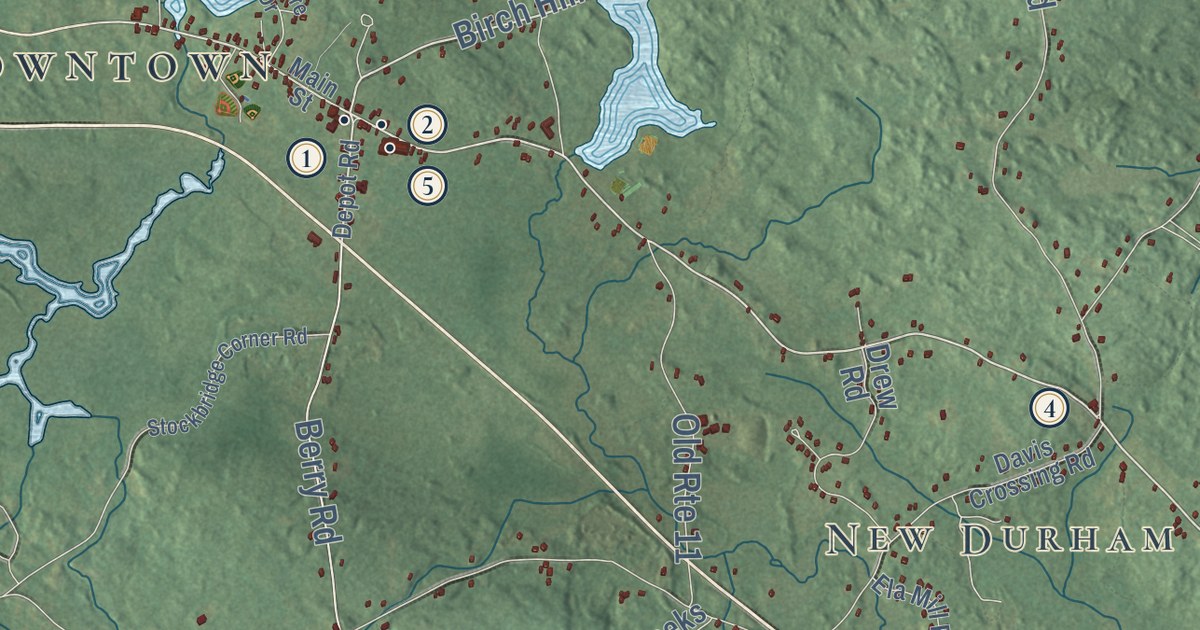
This beautifully detailed map of New Durham, New Hampshire was created in 2026 using aerial...
Read More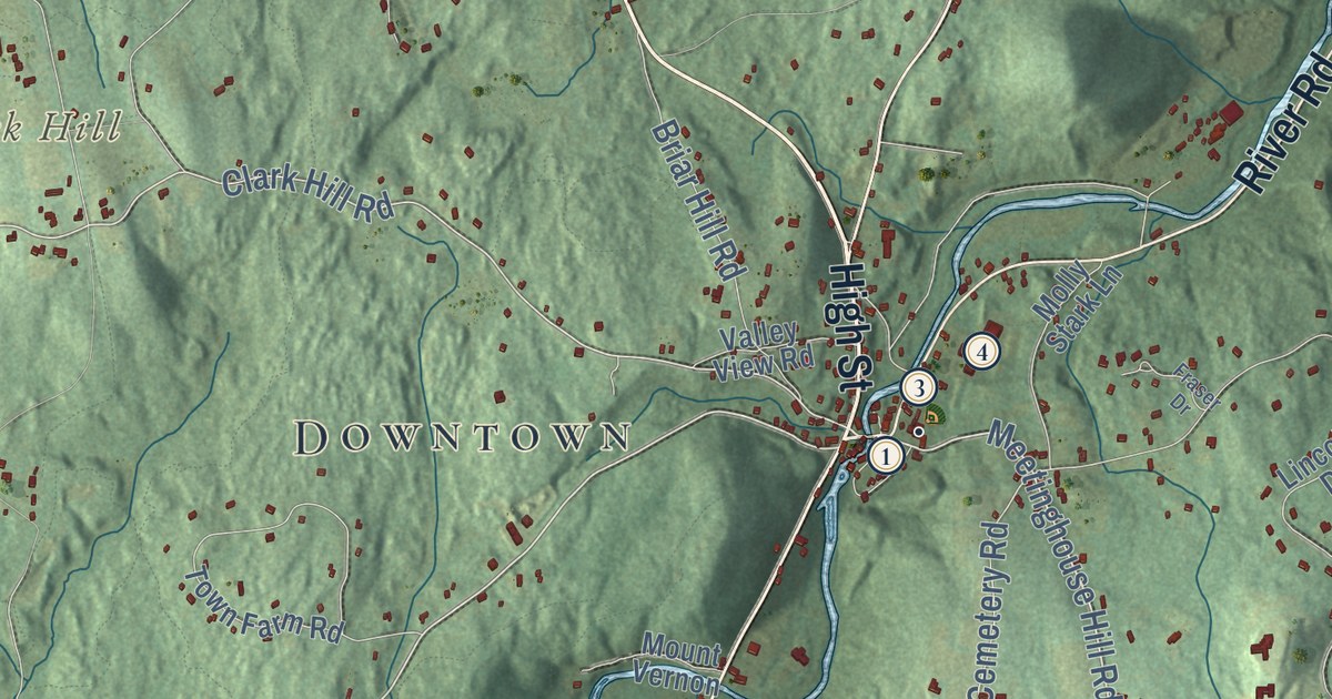
This beautifully detailed map of New Boston, New Hampshire was created in 2026 using aerial...
Read More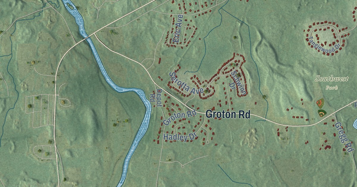
This beautifully detailed map of Nashua, New Hampshire was created in 2026 using aerial imagery...
Read More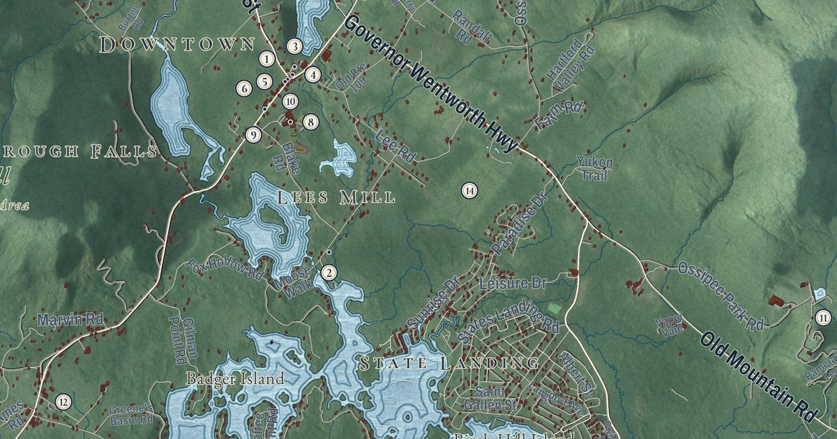
This beautifully detailed map of Moultonborough, New Hampshire was created in 2026 using aerial...
Read More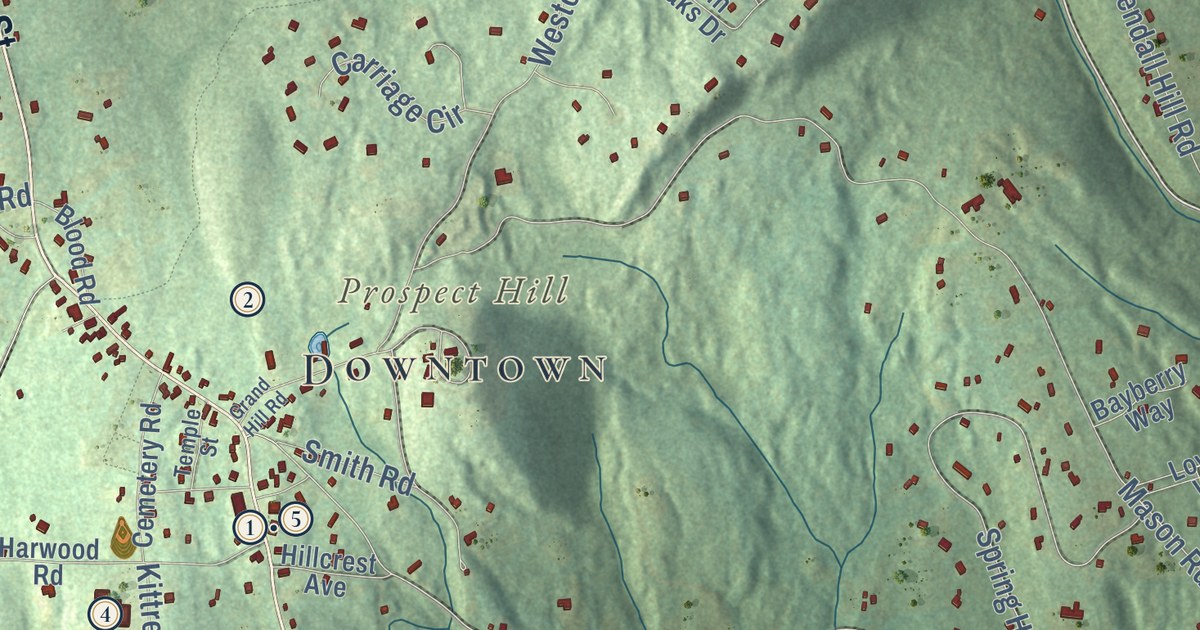
This beautifully detailed map of Mont Vernon, New Hampshire was created in 2026 using aerial...
Read More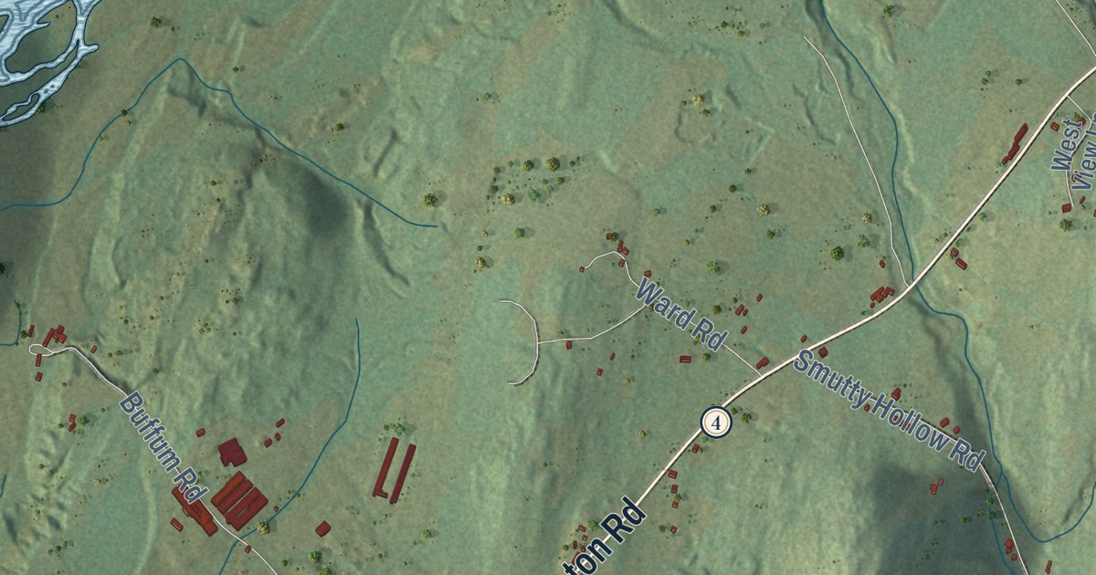
This beautifully detailed map of Monroe, New Hampshire was created in 2026 using aerial imagery...
Read More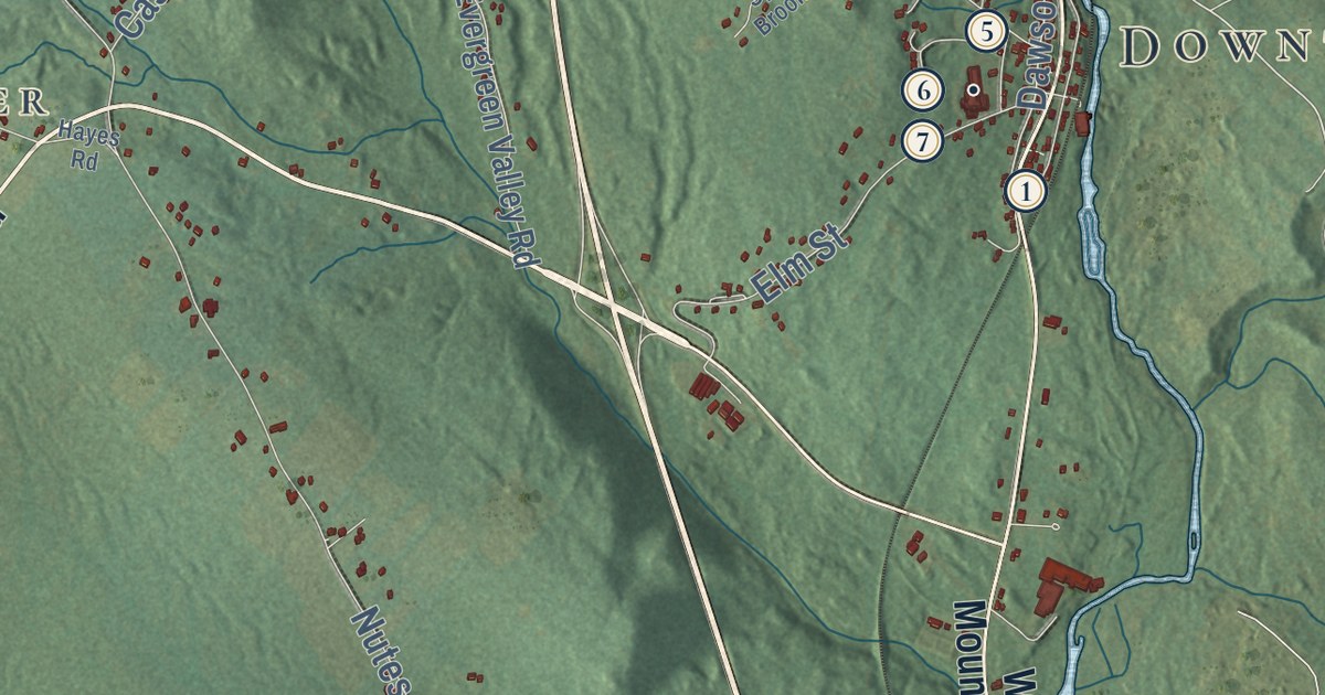
This beautifully detailed map of Milton, New Hampshire was created in 2026 using aerial imagery...
Read More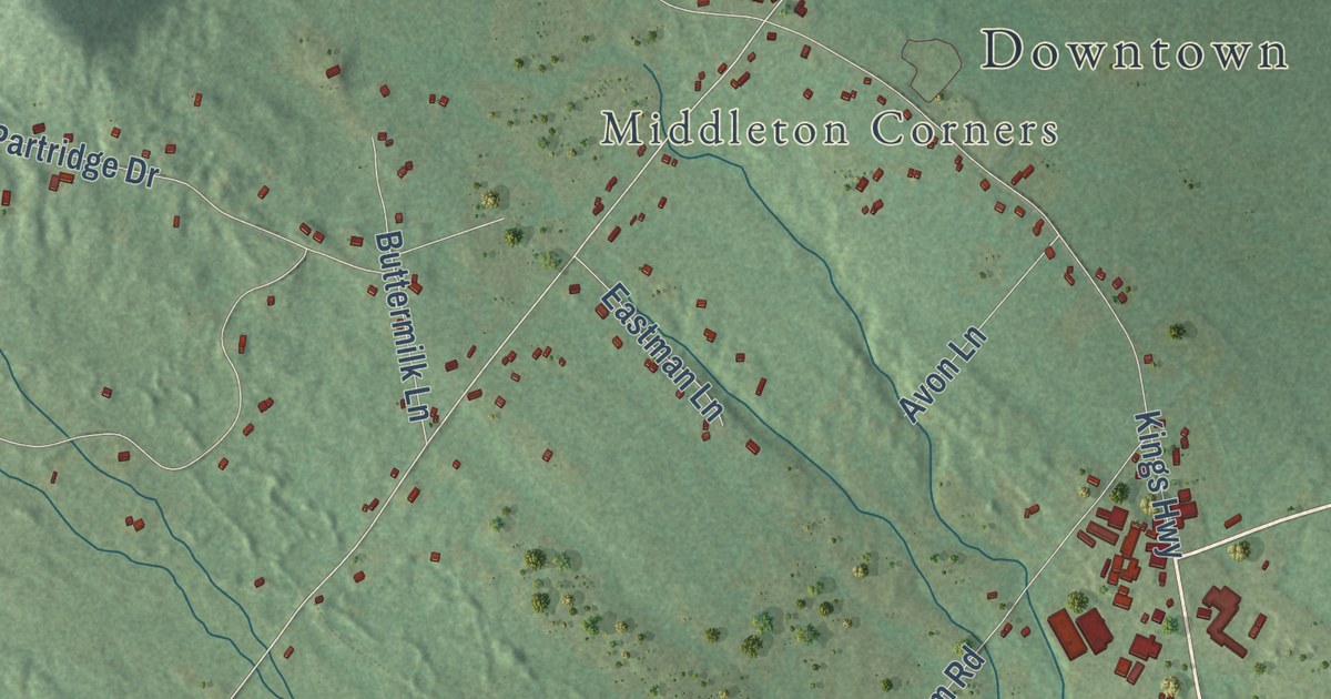
This beautifully detailed map of Middleton, New Hampshire was created in 2026 using aerial imagery...
Read More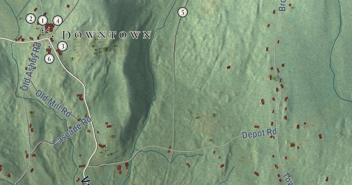
This beautifully detailed map of Mason, New Hampshire was created in 2026 using aerial imagery...
Read More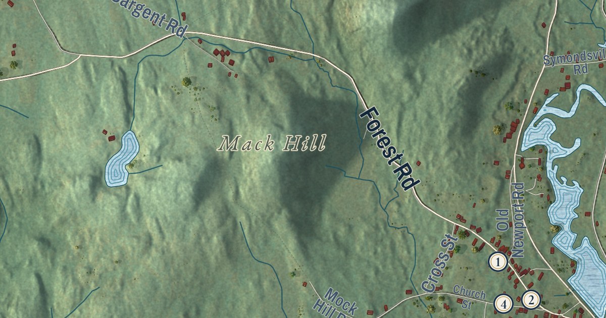
This beautifully detailed map of Marlow, New Hampshire was created in 2026 using aerial imagery...
Read More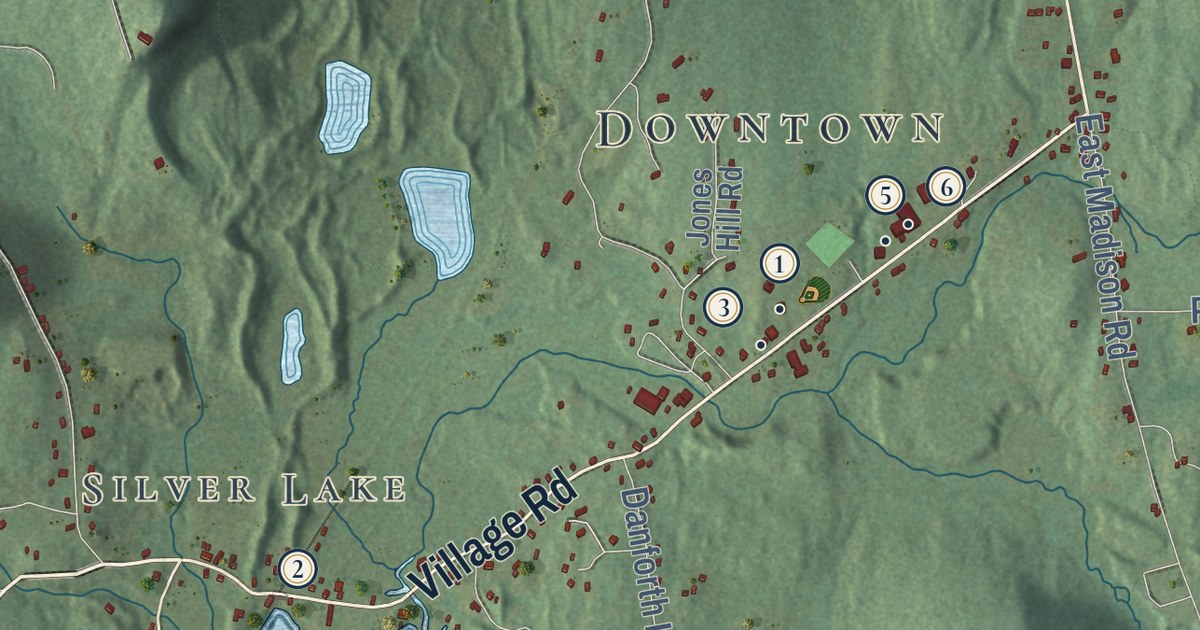
This beautifully detailed map of Madison, New Hampshire was created in 2026 using aerial imagery...
Read More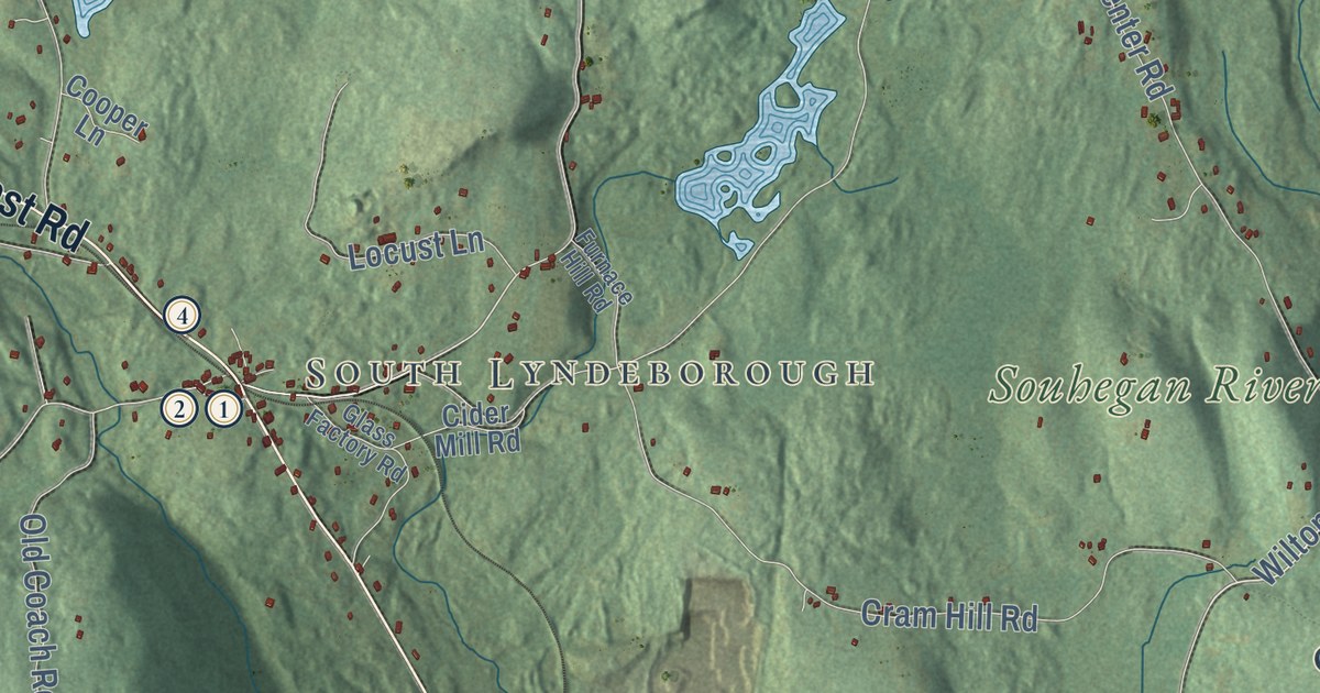
This beautifully detailed map of Lyndeborough, New Hampshire was created in 2026 using aerial...
Read More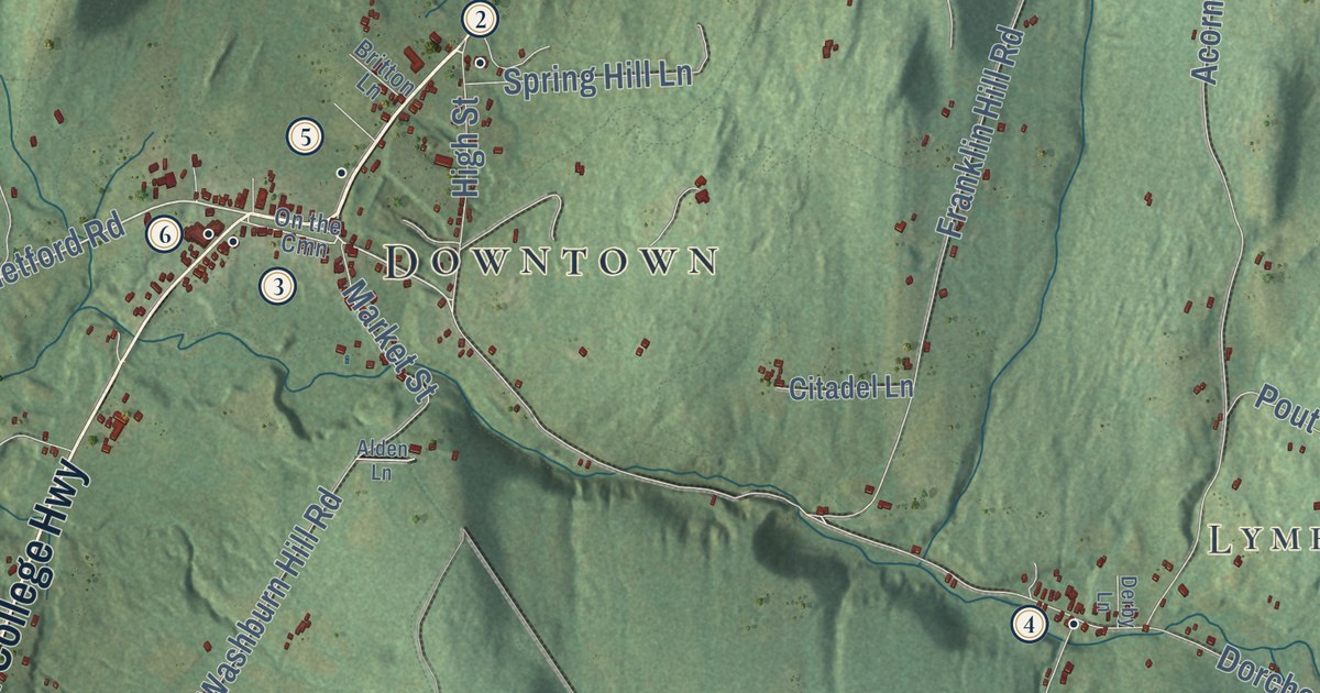
This beautifully detailed map of Lyme, New Hampshire was created in 2026 using aerial imagery...
Read More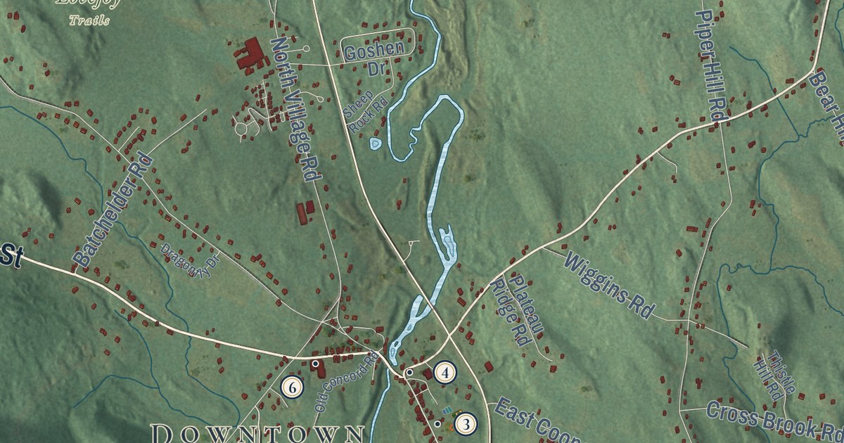
This beautifully detailed map of Loudon, New Hampshire was created in 2026 using aerial imagery...
Read More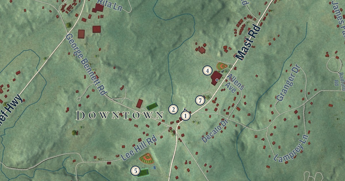
This beautifully detailed map of Lee, New Hampshire was created in 2026 using aerial imagery...
Read More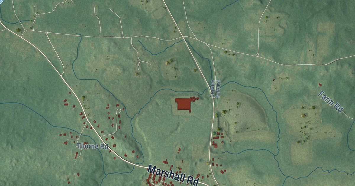
This beautifully detailed map of Kingston, New Hampshire was created in 2026 using aerial imagery...
Read More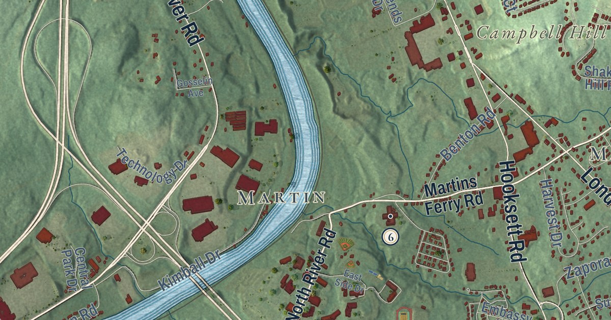
This beautifully detailed map of Hooksett, New Hampshire was created in 2026 using aerial imagery...
Read More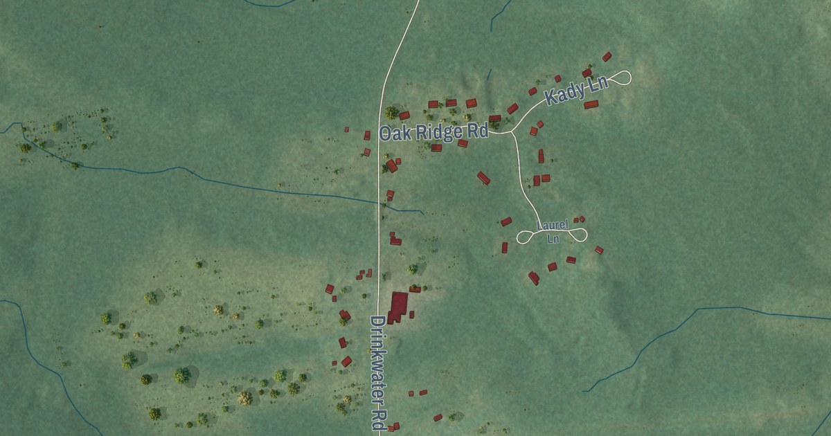
This beautifully detailed map of Kensington, New Hampshire was created in 2026 using aerial...
Read More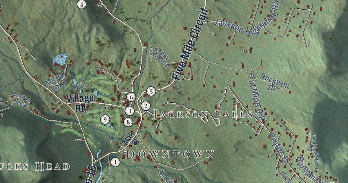
This beautifully detailed map of Jackson, New Hampshire was created in 2026 using aerial imagery...
Read More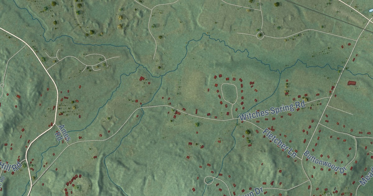
This beautifully detailed map of Hollis, New Hampshire was created in 2026 using aerial imagery...
Read More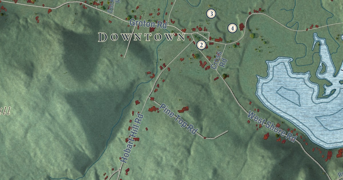
This beautifully detailed map of Hebron, New Hampshire was created in 2026 using aerial imagery...
Read More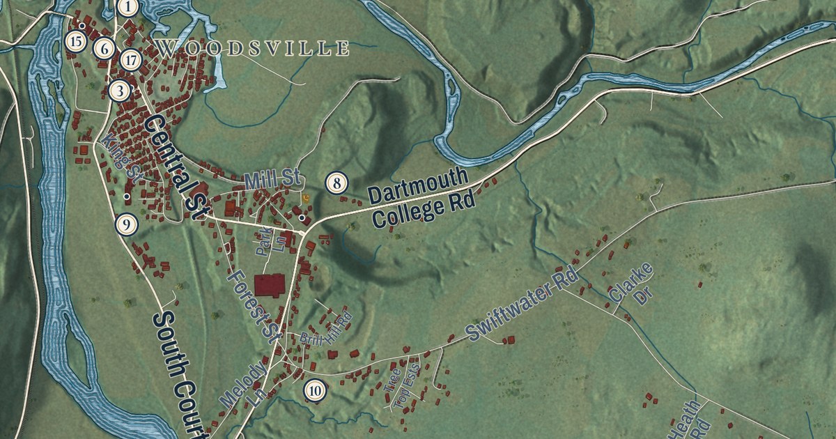
This beautifully detailed map of Haverhill, New Hampshire was created in 2026 using aerial imagery...
Read More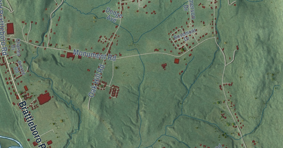
This beautifully detailed map of Hinsdale, New Hampshire was created in 2026 using aerial imagery...
Read More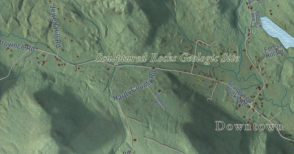
This beautifully detailed map of Groton, New Hampshire was created in 2026 using aerial imagery...
Read More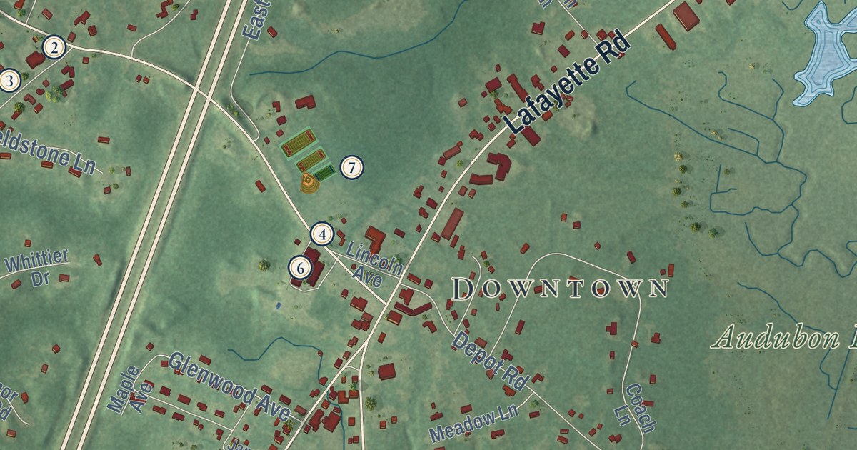
This beautifully detailed map of Hampton Falls, New Hampshire was created in 2026 using aerial...
Read More
This beautifully detailed map of Hart’s Location, New Hampshire was created in 2026 using...
Read More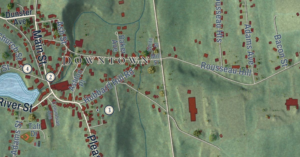
This beautifully detailed map of Greenville, New Hampshire was created in 2026 using aerial...
Read More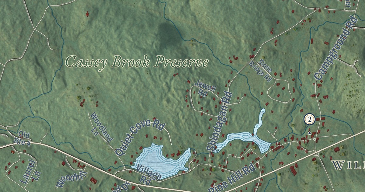
This beautifully detailed map of Wilmot, New Hampshire was created in 2026 using aerial imagery...
Read More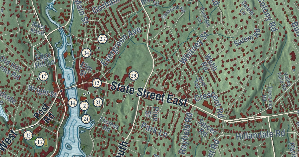
Westport, Connecticut on KNOWOL’s 2026 map, with 34 numbered landmarks from Compo Beach to Coleytown and the story of the Minute Man statue.
Read More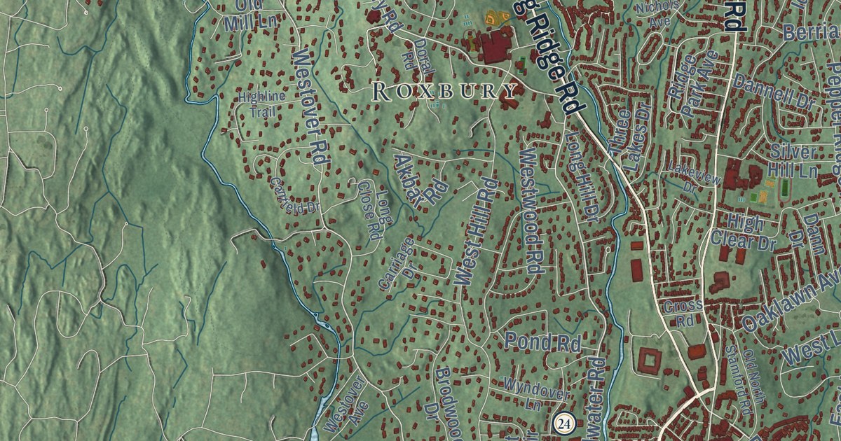
This beautifully detailed map of Stamford, Connecticut was created in 2026 using aerial imagery...
Read More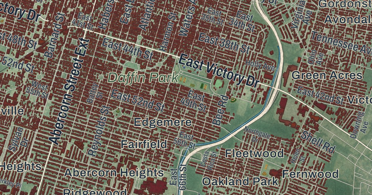
This beautifully detailed map of Savannah, Georgia was created in 2026 using aerial imagery...
Read More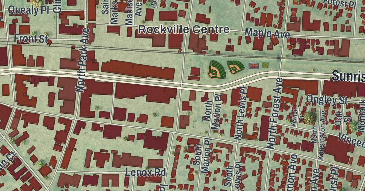
This beautifully detailed map of Rockville Centre, New York was created in 2026 using aerial...
Read More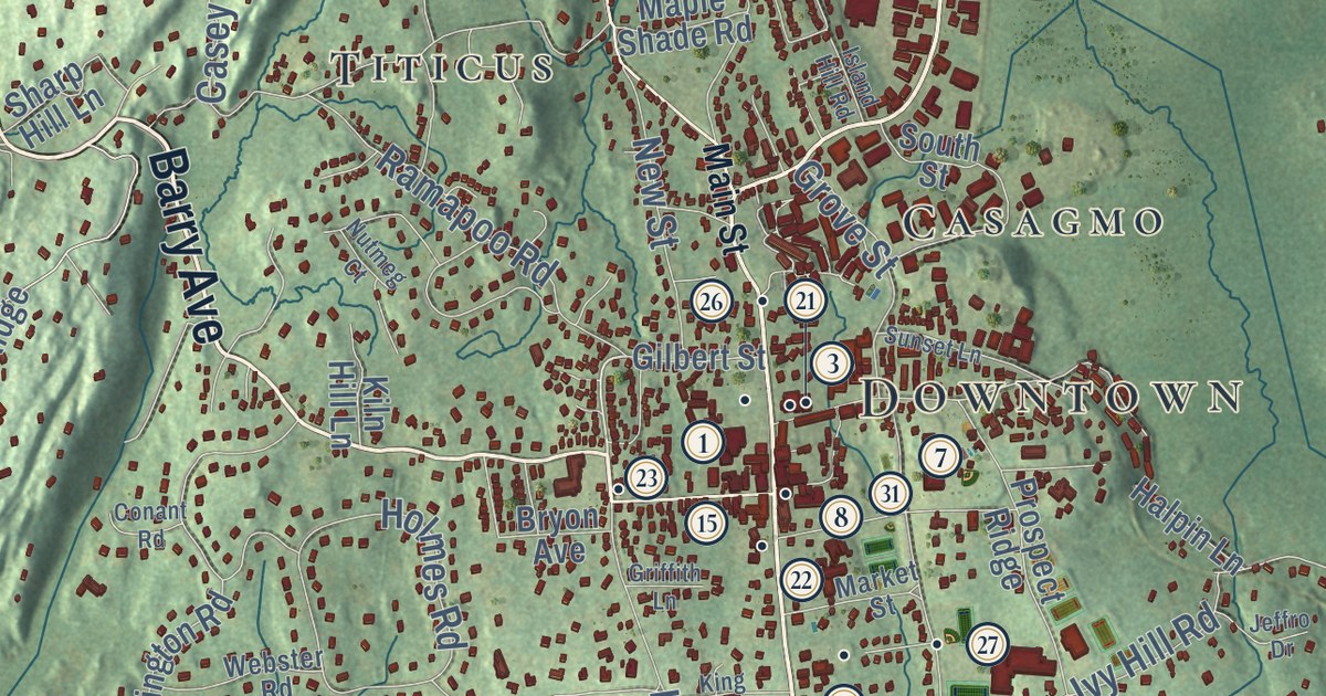
This beautifully detailed map of Ridgefield, Connecticut was created in 2026 using aerial imagery...
Read More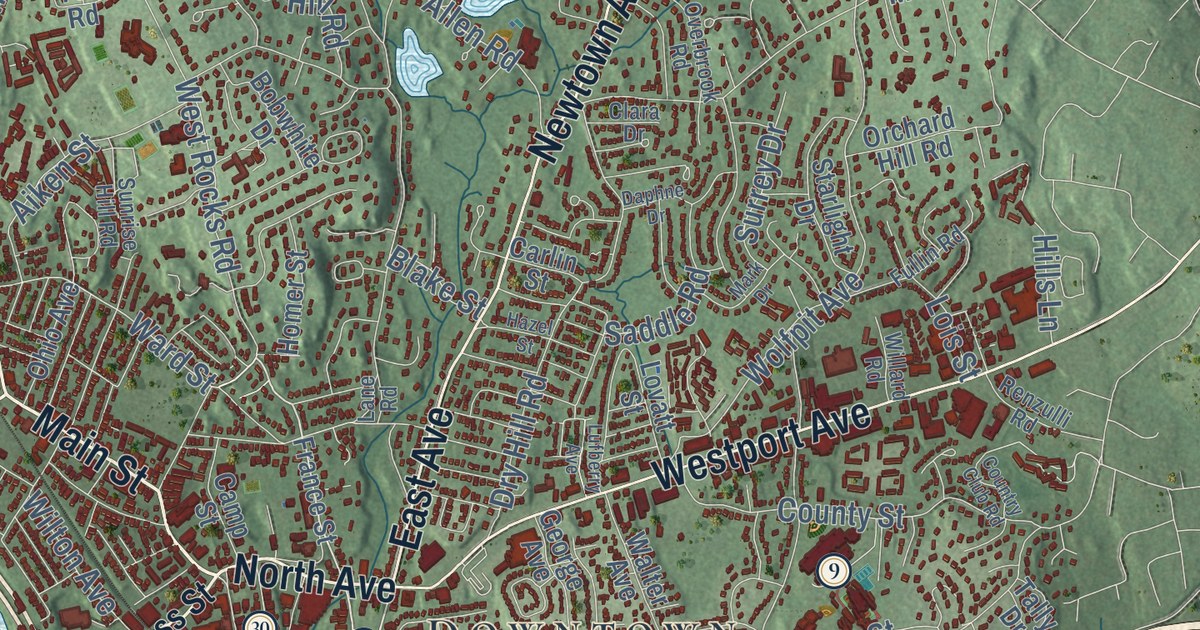
This beautifully detailed map of Norwalk, Connecticut was created in 2026 using aerial imagery...
Read More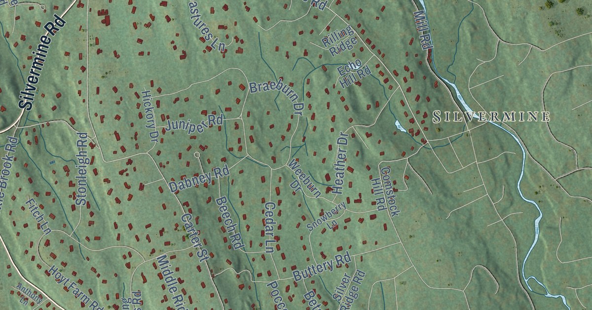
This beautifully detailed map of New Canaan, Connecticut was created in 2026 using aerial imagery...
Read More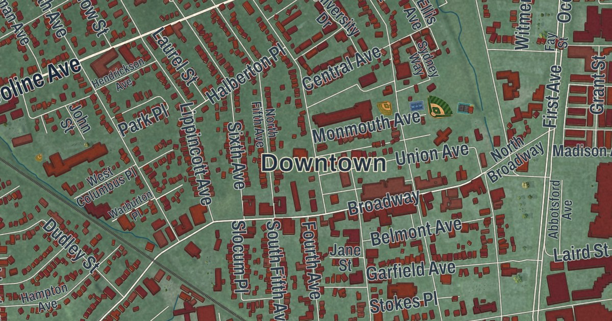
This beautifully detailed map of Long Branch, New Jersey was created in 2026 using aerial imagery...
Read More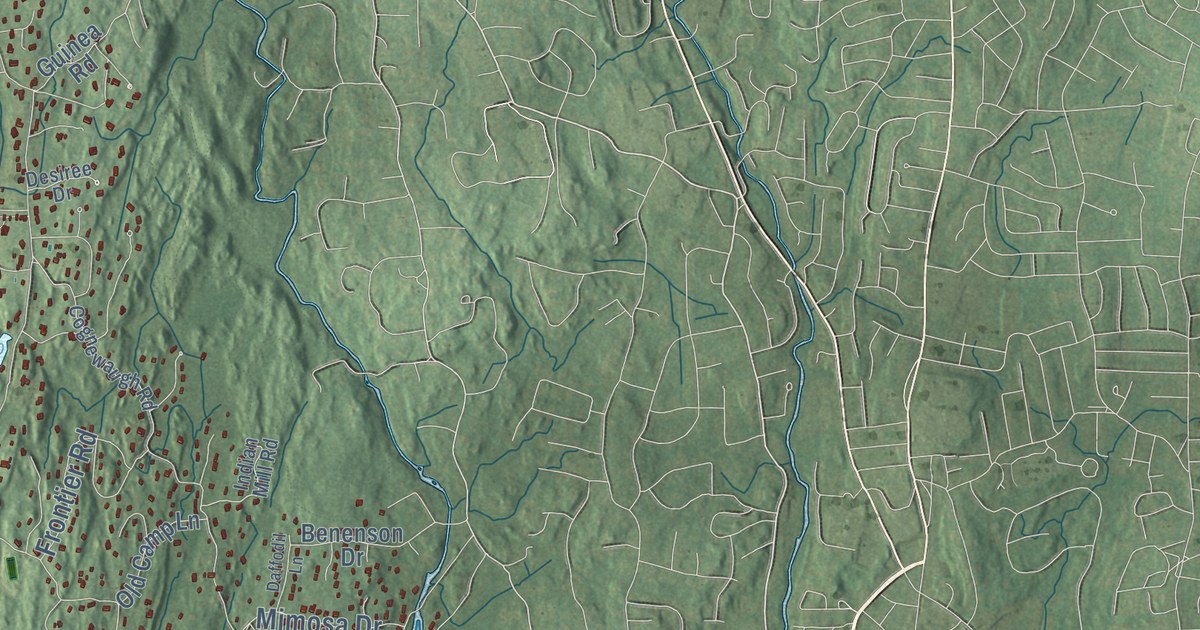
This beautifully detailed map of Greenwich, Connecticut was created in 2026 using aerial imagery...
Read More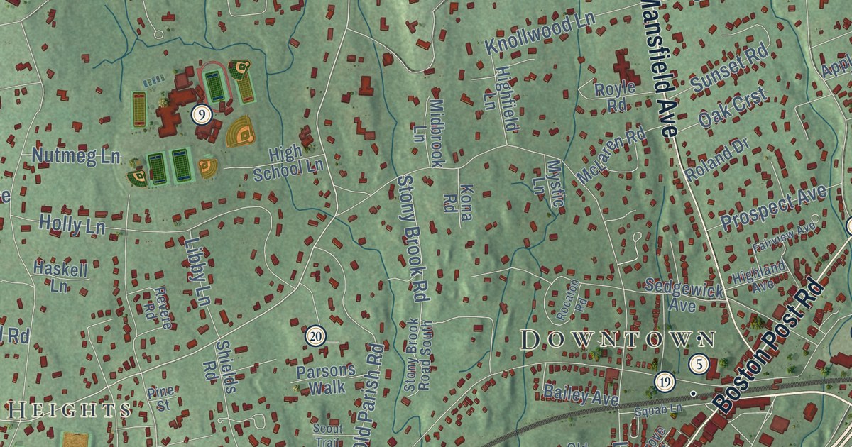
This beautifully detailed map of Darien, Connecticut was created in 2026 using aerial imagery...
Read More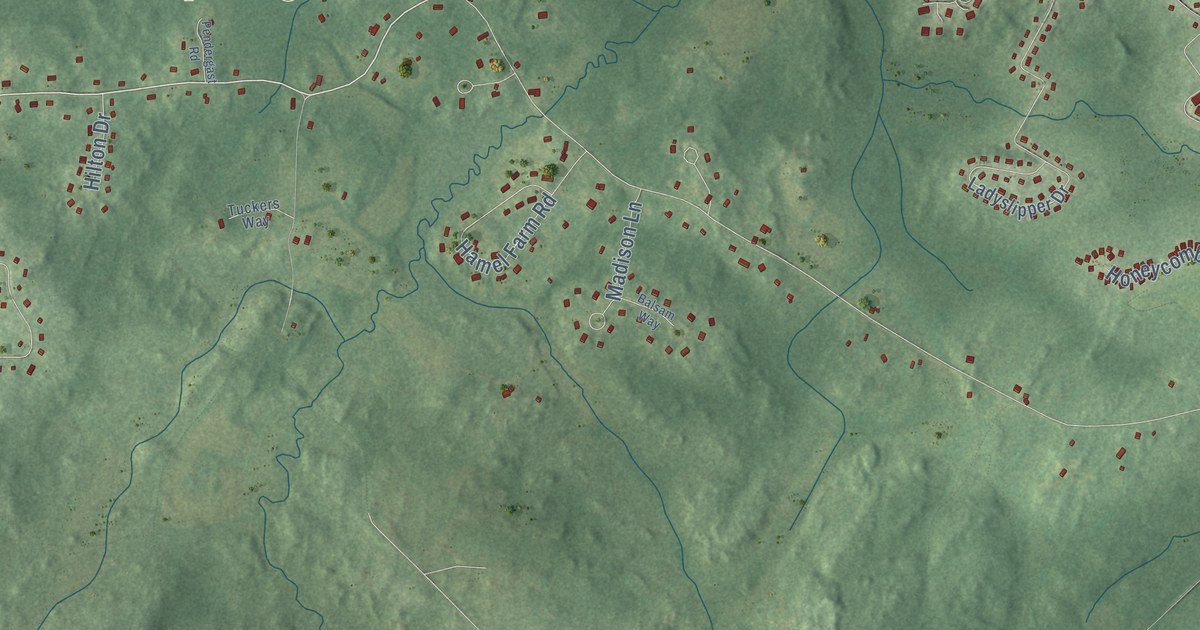
This beautifully detailed map of Newmarket, New Hampshire was created in 2026 using aerial imagery...
Read More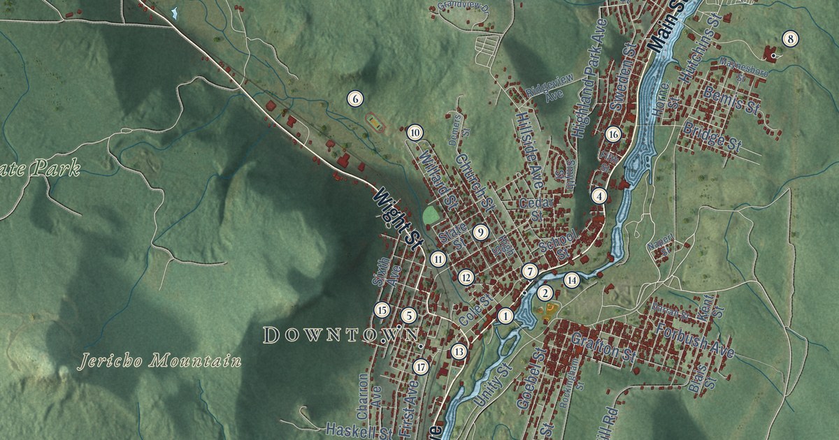
This beautifully detailed map of Berlin, New Hampshire was created in 2026 using aerial imagery...
Read More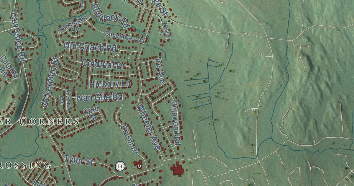
This beautifully detailed map of Salem, New Hampshire was created in 2026 using aerial imagery...
Read More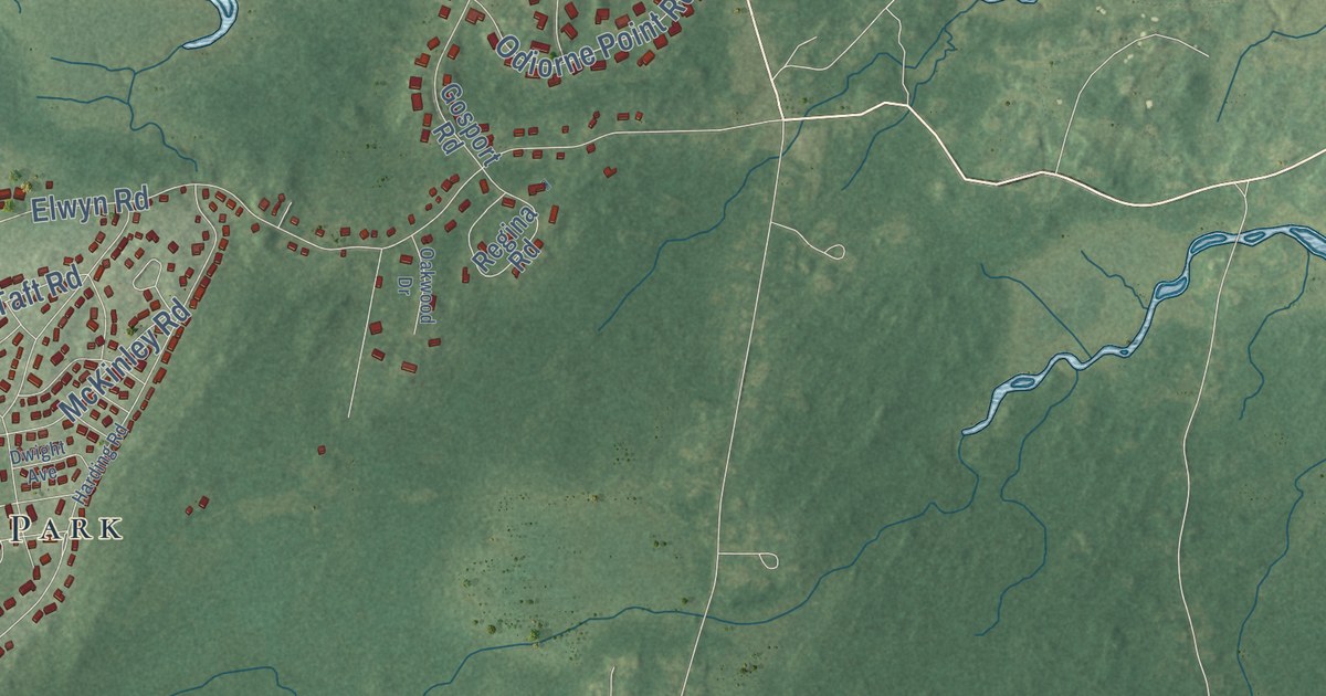
This beautifully detailed map of Portsmouth, New Hampshire was created in 2026 using aerial...
Read More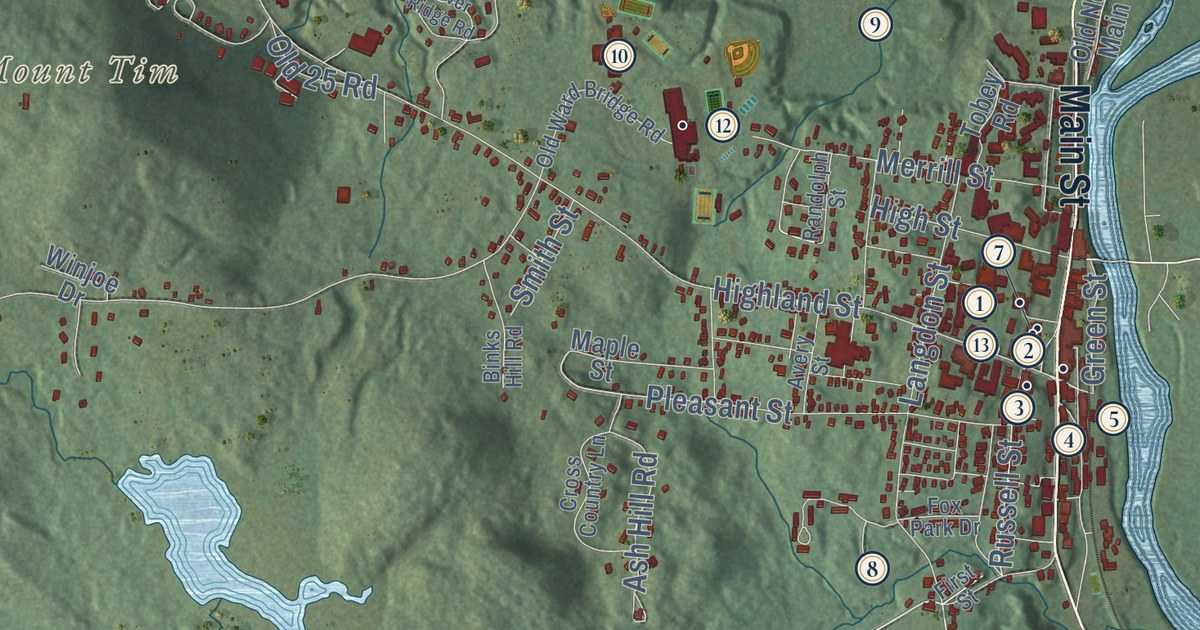
This beautifully detailed map of Plymouth, New Hampshire was created in 2026 using aerial imagery...
Read More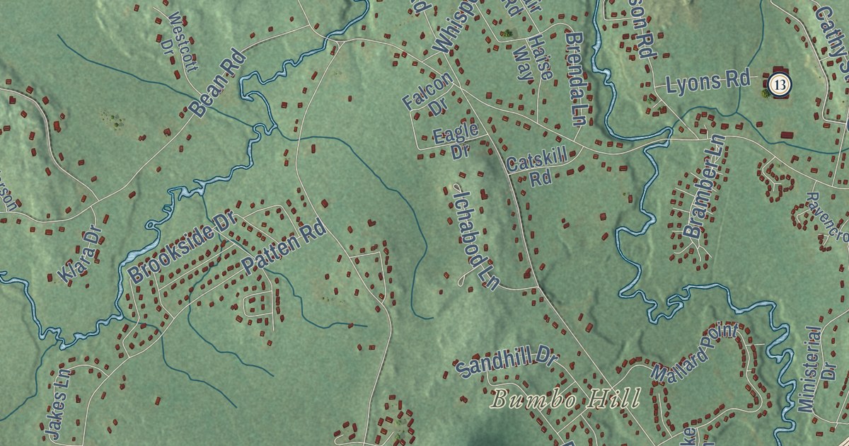
This beautifully detailed map of Merrimack, New Hampshire was created in 2026 using aerial imagery...
Read More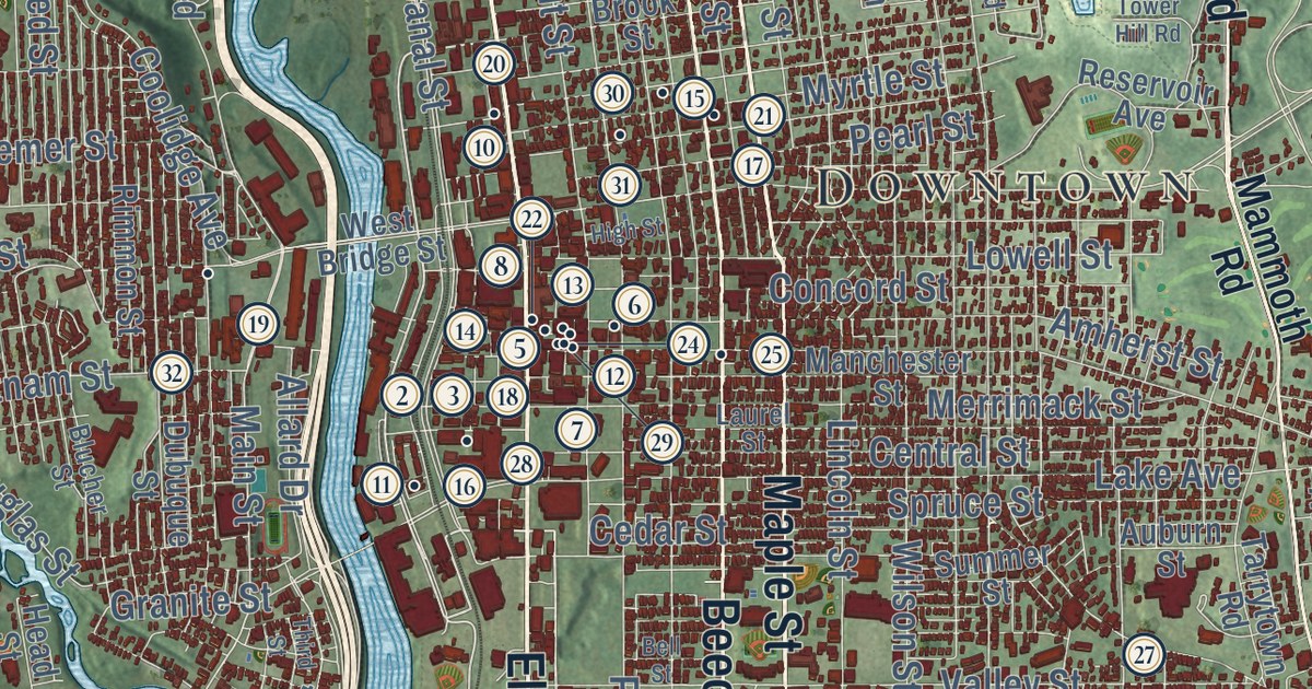
This beautifully detailed map of Manchester, New Hampshire was created in 2026 using aerial...
Read More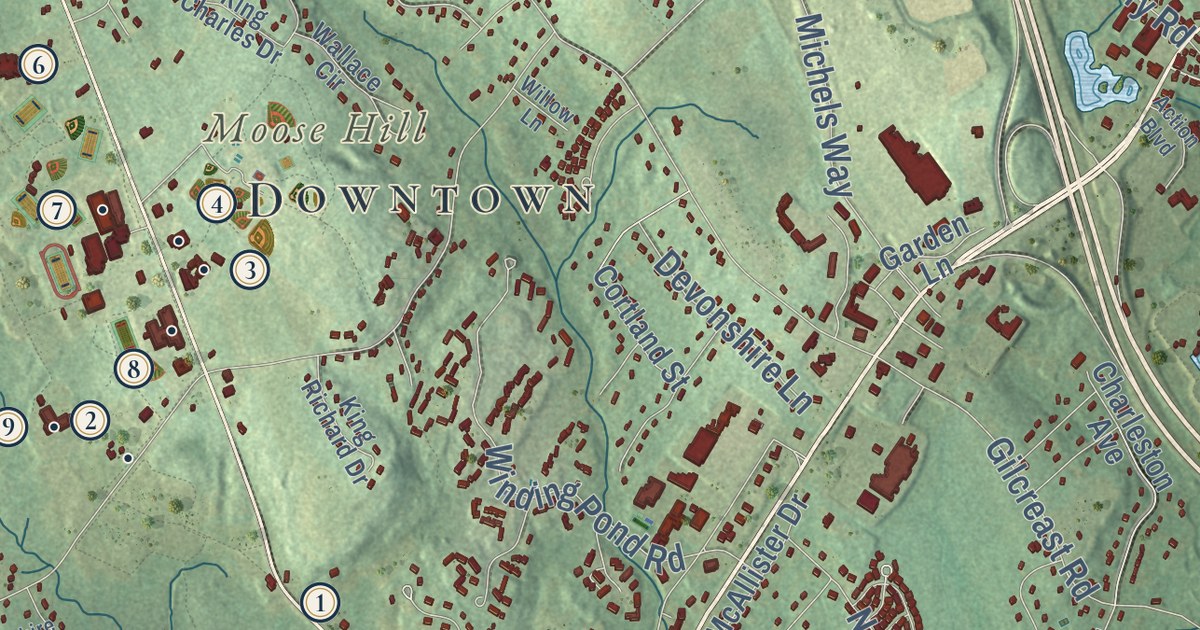
This beautifully detailed map of Londonderry, New Hampshire was created in 2026 using aerial...
Read More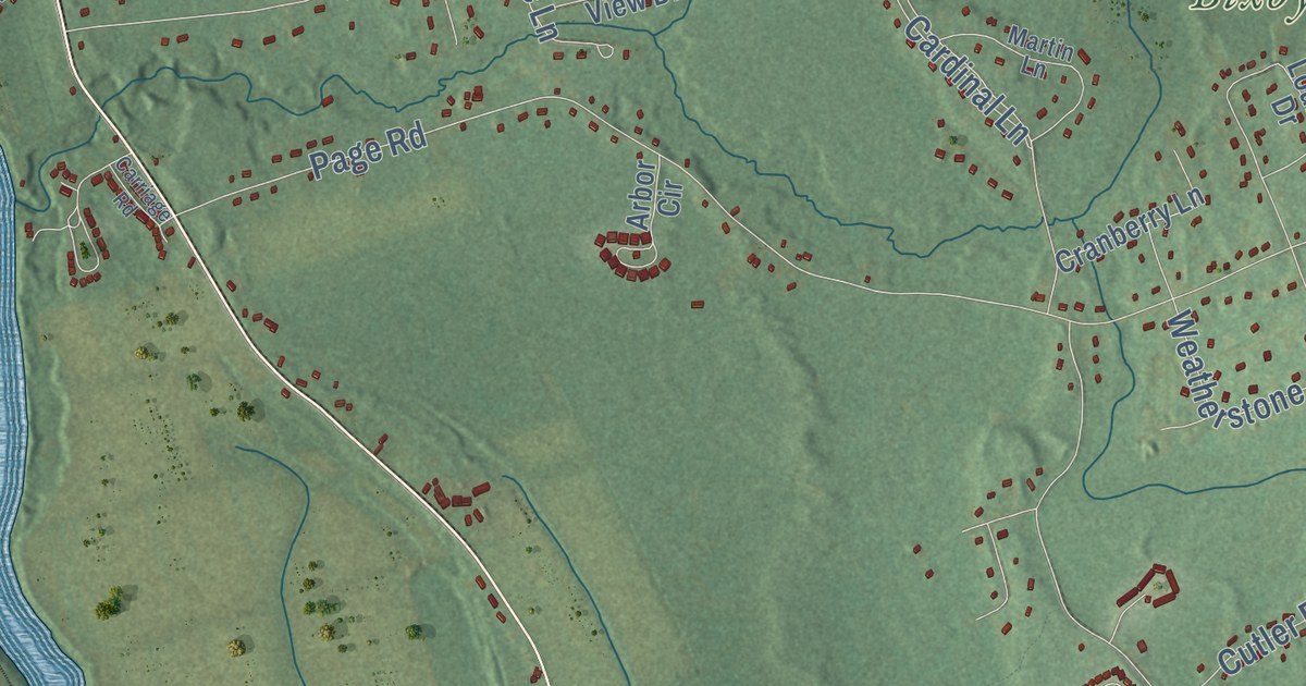
This beautifully detailed map of Litchfield, New Hampshire was created in 2026 using aerial...
Read More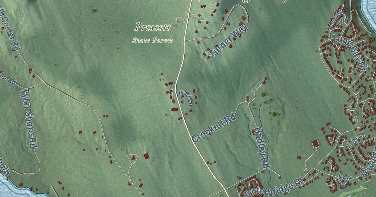
This beautifully detailed map of Laconia, New Hampshire was created in 2026 using aerial imagery...
Read More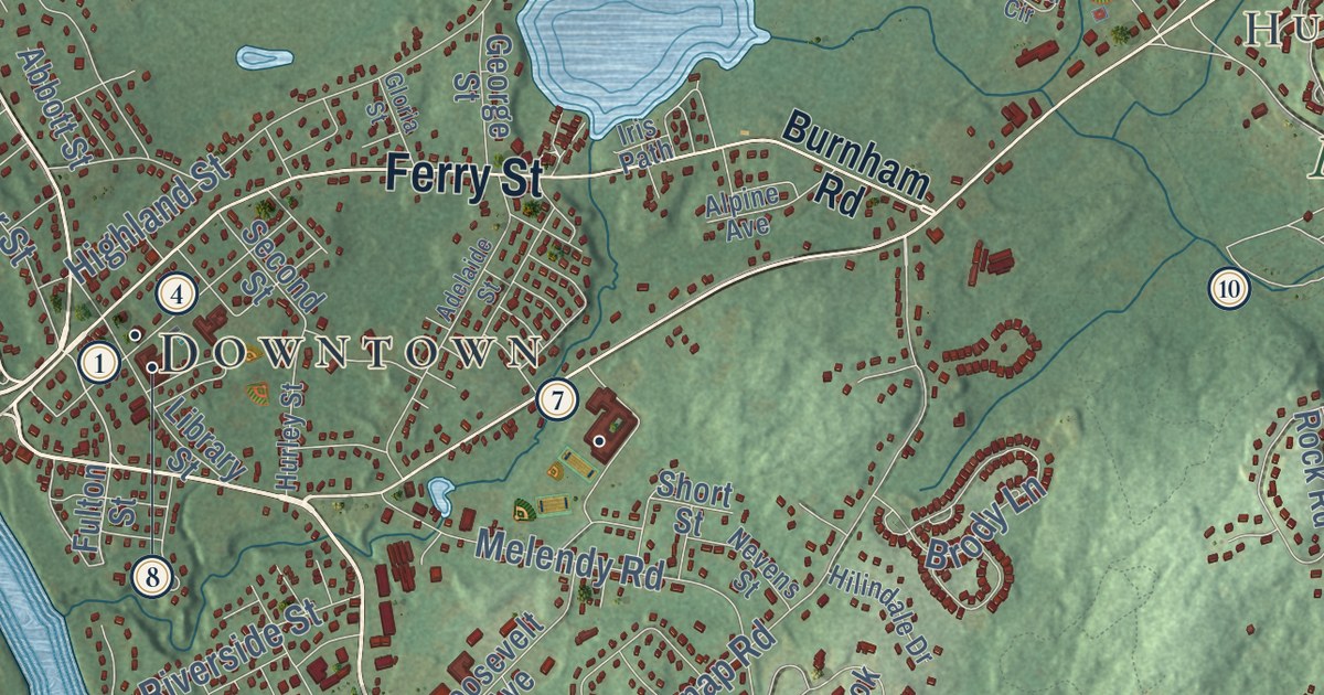
This beautifully detailed map of Hudson, New Hampshire was created in 2026 using aerial imagery...
Read More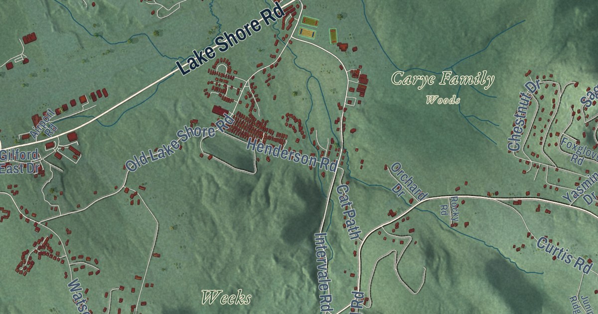
This beautifully detailed map of Gilford, New Hampshire was created in 2026 using aerial imagery...
Read More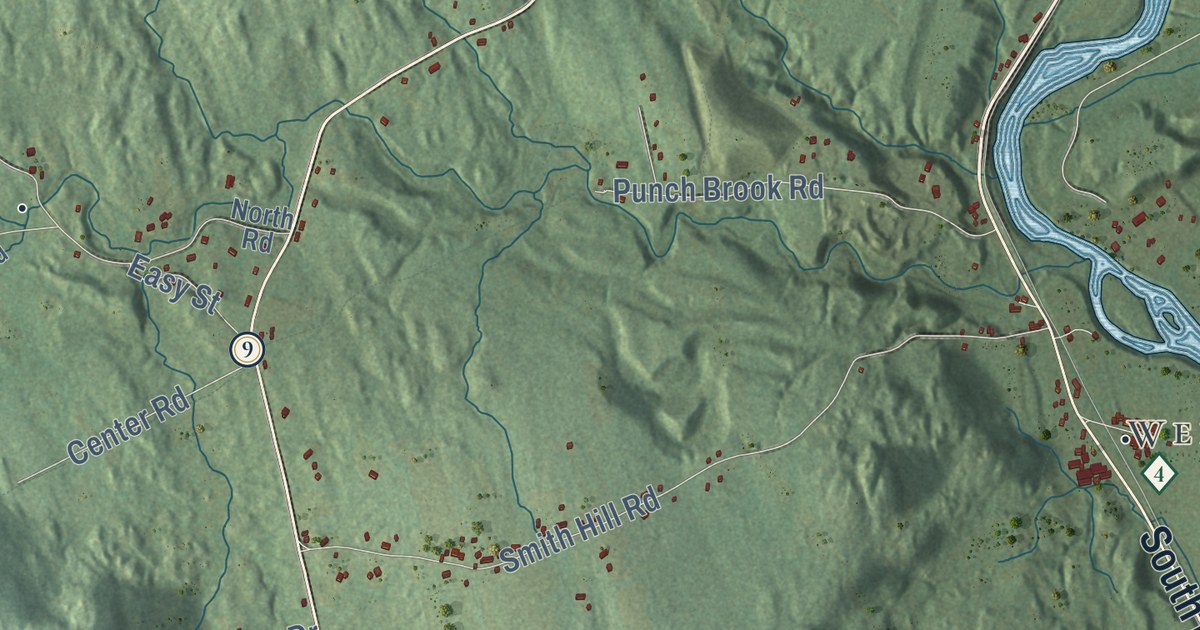
This beautifully detailed map of Franklin, New Hampshire was created in 2026 using aerial imagery...
Read More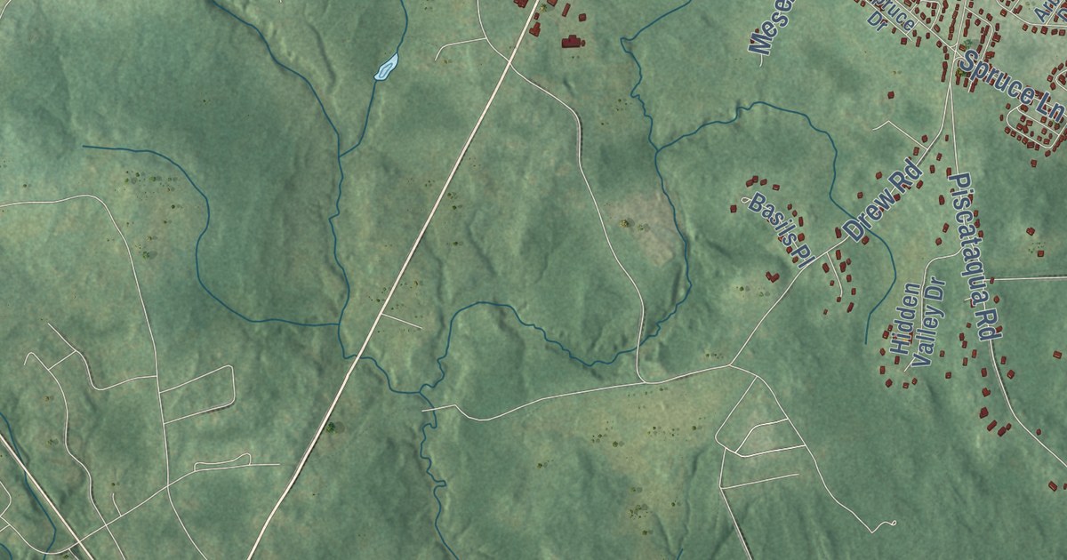
This beautifully detailed map of Dover, New Hampshire was created in 2026 using aerial imagery...
Read More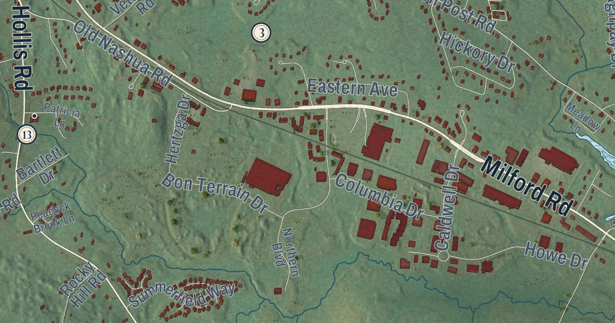
This beautifully detailed map of Amherst, New Hampshire was created in 2026 using aerial imagery...
Read More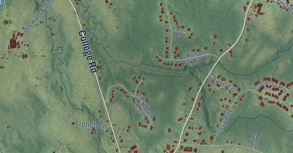
This beautifully detailed map of Stratham, New Hampshire was created in 2026 using aerial imagery...
Read More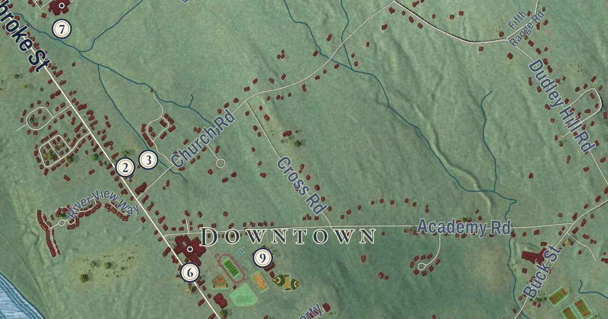
This beautifully detailed map of Pembroke, New Hampshire was created in 2026 using aerial imagery...
Read More
This vintage pictorial map of Florida was created in 1953 and illustrated by Karl Smith of...
Read More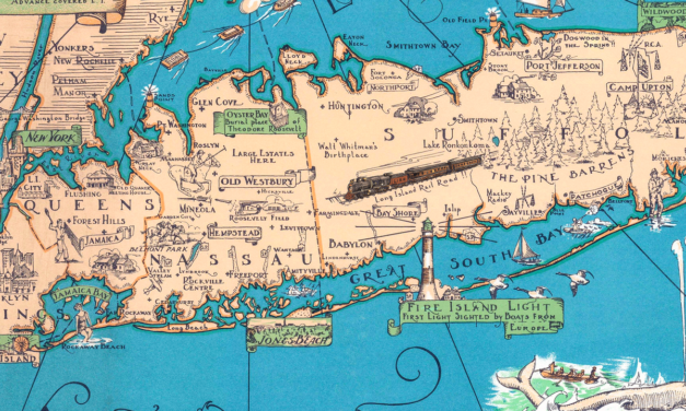
A restored vintage Long Island map showing the island from Brooklyn and Queens to the Hamptons and Montauk, with old towns, beaches, lighthouses, ships, and historic coastal details.
Read More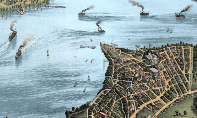
Vintage map of Lake Chautauqua, New York created in 1885 by the Matthews-Northrup Company of Buffalo, New York. The map shows a beautiful bird’s-eye view of Chautauqua Lake as it once was, with steamboats crossing the water, small lakefront communities along the shore, winding country roads, railroads, wooded hills, open farmland, hotels, docks, and summer places that shaped life around the lake in the late 1800s. This restored and colorized edition brings the historic view back to life while preserving the original linework, labels, and details of the 1885 map.
Read More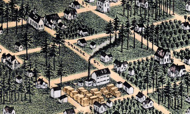
This vintage map of Orlando, Florida was created in 1884 and published by J.J. Stoner of Madison,...
Read More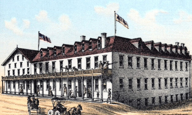
Restored and colorized 1885 bird’s-eye view map of Tallahassee, Florida, showing the state capital as it once was. The map features the Capitol, University of Florida, State Seminary, Lincoln Academy, Leon Hotel, The Morgan, The Murat Place, churches, hotels, railroads, historic homes, businesses, and landmarks across Leon County.
Read More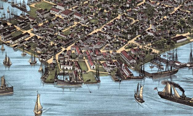
This vintage map of Key West, Florida was created in 1884 by J.J. Stoner of Madison, Wisconsin....
Read More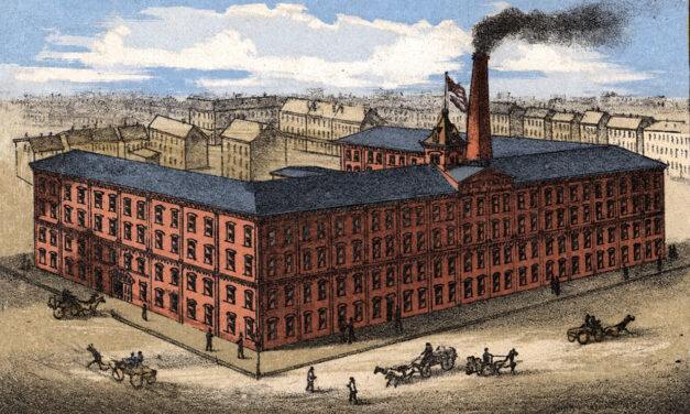
This restored vintage map of Hoboken, New Jersey was originally created in 1881 and shows the city from a detailed bird’s-eye perspective. The map features Hoboken’s historic street grid, Hudson River waterfront, steamship piers, railroad yards, churches, factories, hotels, homes, civic buildings, and local landmarks. It has been carefully restored and colorized by KNOWOL to preserve the original linework while bringing the historic view of Hoboken to life.
Read More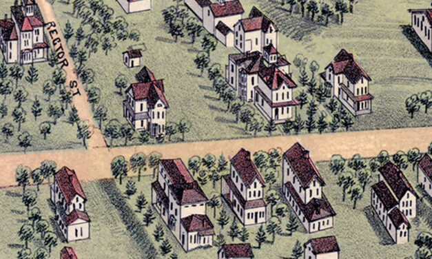
This vintage map of Bethel, Connecticut was created in 1879 by O.H. Bailey, a prominent 19th century map maker. The map shows a bird’s eye view of Bethel as it once was, including street names, railroads, factories, churches, homes, and old landmarks. The map captures Bethel during the height of its 19th century growth, when the town was closely tied to the hat-making industry and the Danbury & Norwalk Railroad.
Read More
This vintage map of Pensacola, Florida was created in 1885 by Norris, Wellge & Co., with...
Read More
Explore a restored 1904 bird’s-eye view map of Greenwich, Connecticut by O.H. Bailey, featuring historic streets, churches, schools, estates, railroads, and landmarks.
Read More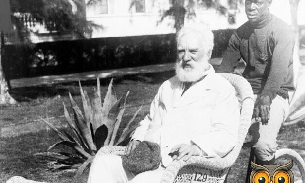
Alexander Graham Bell in Wicker Wheel Chair, 1922 KNOWOL Original Colorized Alexander Graham Bell,...
Read More















