The KNOWOL atlas MontanaFind your place
Montana Map Prints
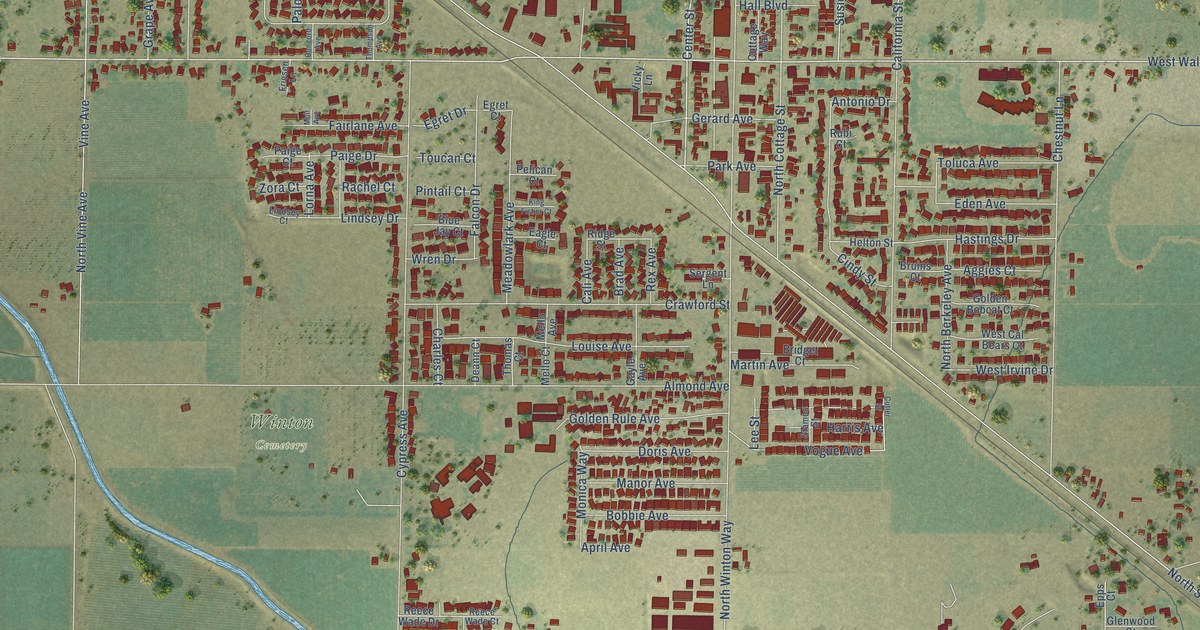
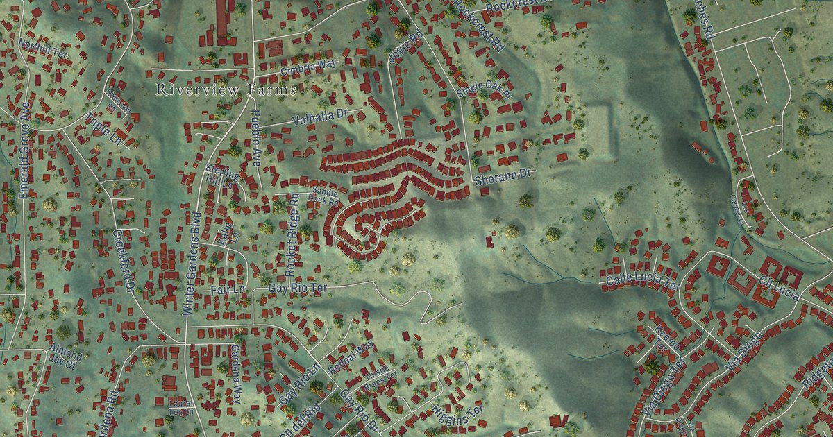
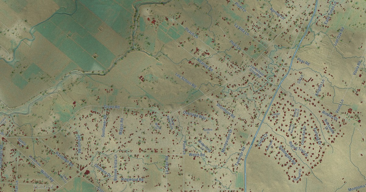
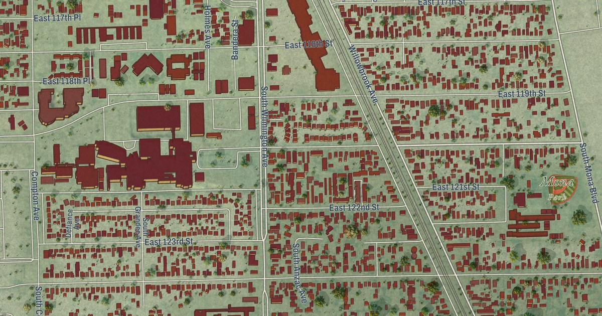
Find your town on this map of Montana, drawn with the detail and character of an old atlas, then look for your street.
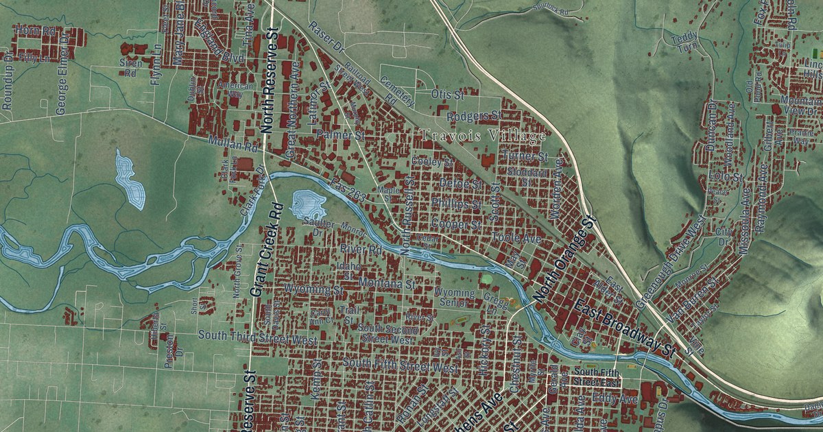
Missoula CountyMissoula
↗Every place has a story
Let’s find yours.
Find your town on the map,
or search it by name.
Beaverhead County
Big Horn County
Blaine County
Broadwater County
Carbon County
Carter County
Cascade County
Chouteau County
Custer County
Daniels County
Dawson County
Deer Lodge County
Fallon County
Fergus County
Flathead County
Gallatin County
Garfield County
Glacier County
Golden Valley County
Granite County
Hill County
Jefferson County
Judith Basin County
Lake County
Lewis and Clark County
Liberty County
Lincoln County
Madison County
McCone County
Meagher County
Mineral County
Missoula County
Musselshell County
Park County
Petroleum County
Phillips County
Pondera County
Powder River County
Powell County
Prairie County
Ravalli County
Richland County
Roosevelt County
Rosebud County
Sanders County
Sheridan County
Silver Bow County
Stillwater County
Sweet Grass County
Teton County
Toole County
Treasure County
Valley County
Wheatland County
Wibaux County
Yellowstone County
Your place might still be on its way.
Try another spelling, choose a different county, or reset your search.
Request a map of your town ↗Each place opens its map.Take a little detour ↓
Worth a closer look
A few places to begin.
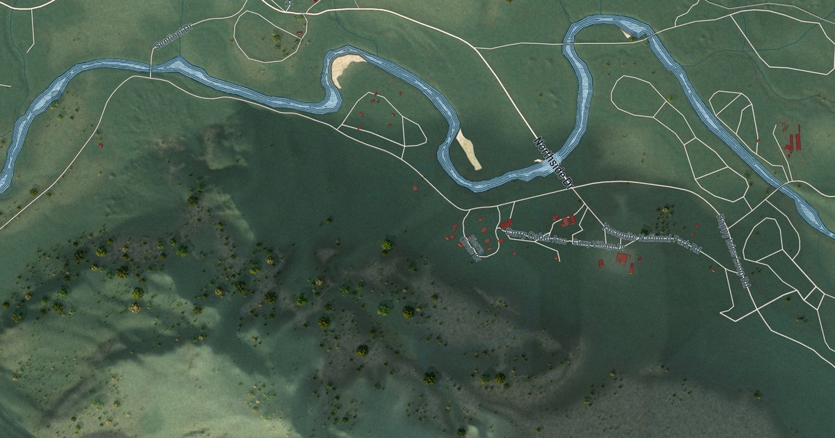
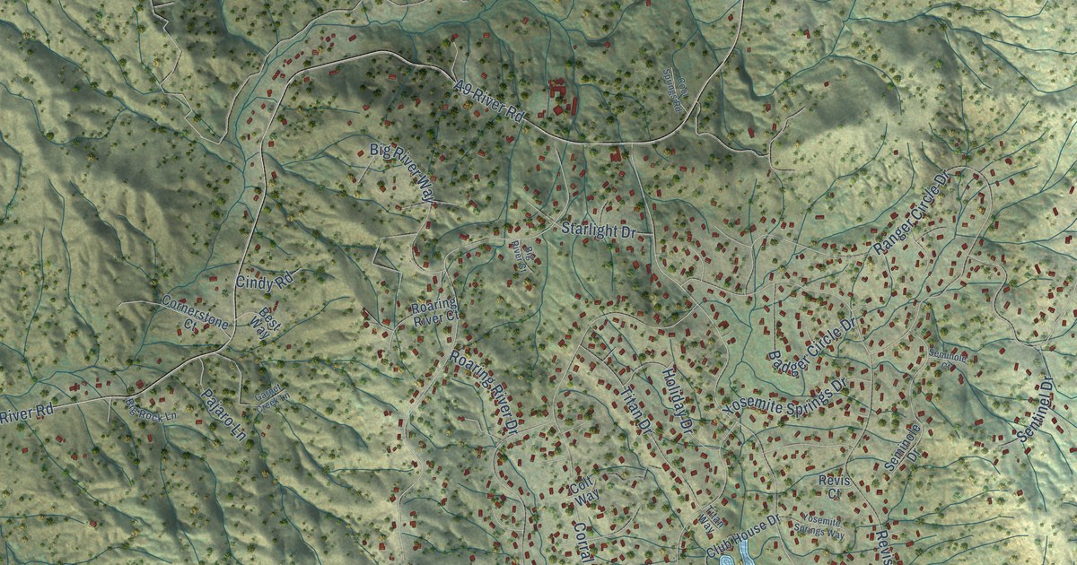
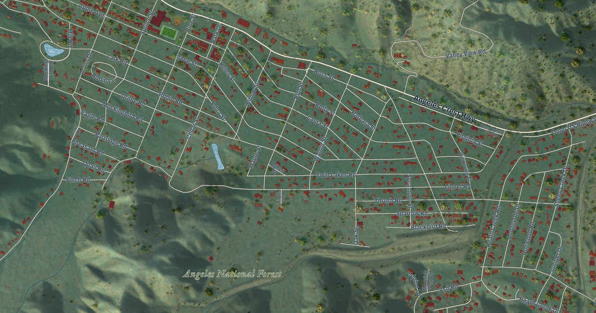
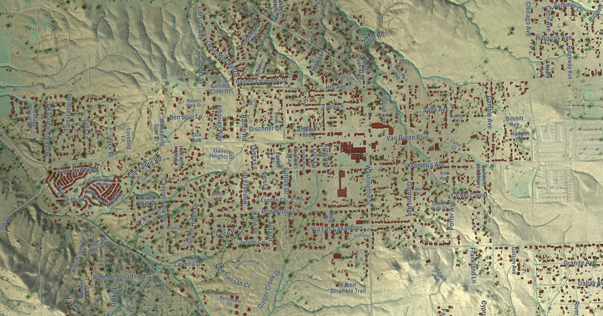
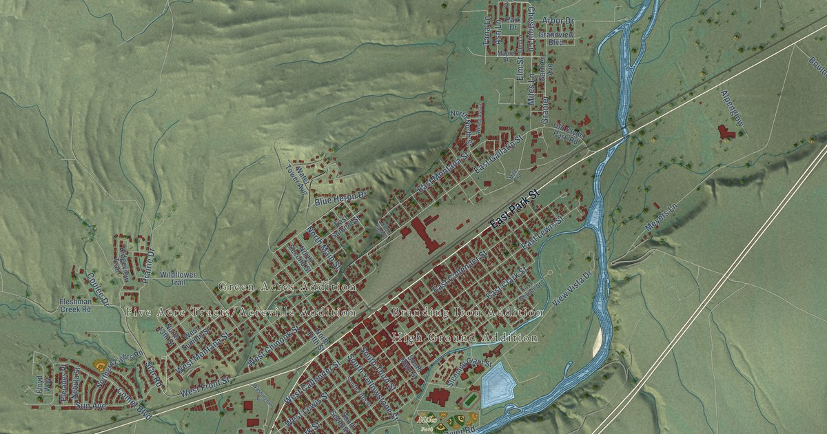
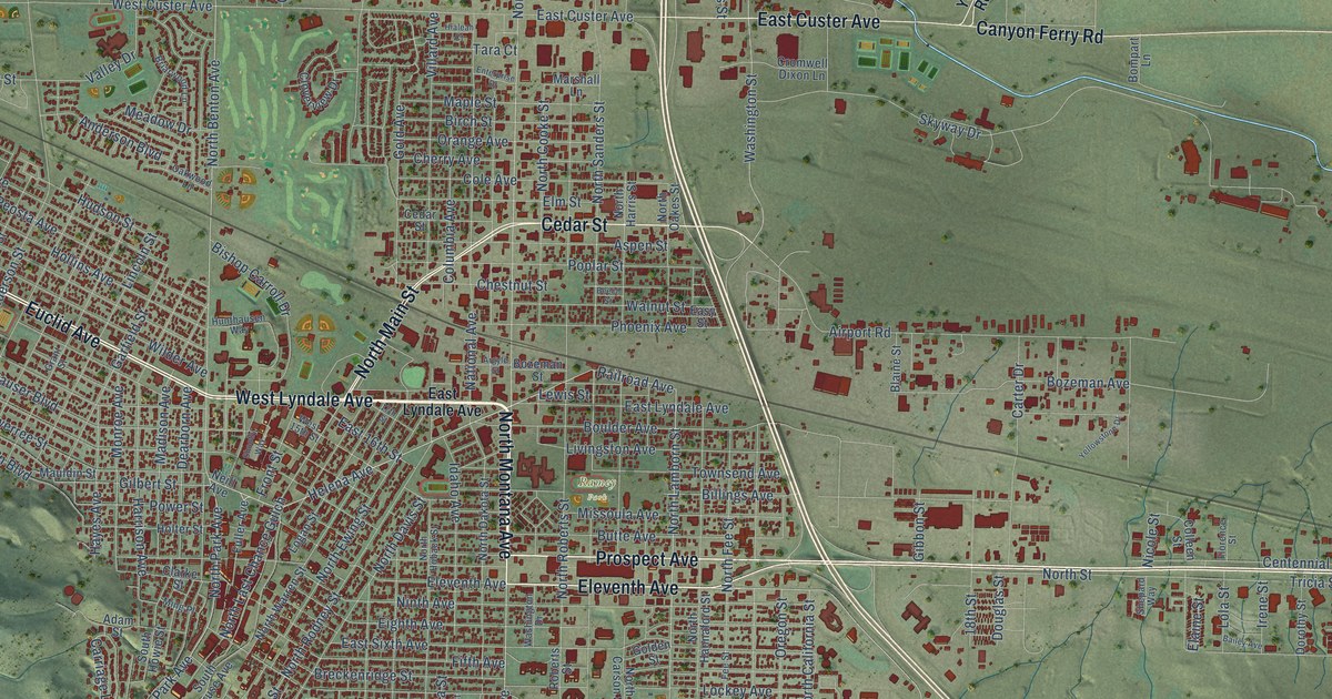
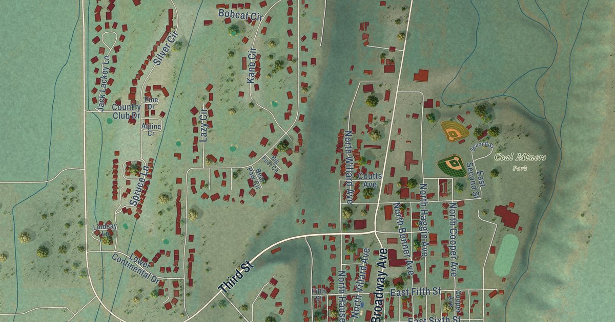
Follow a familiar street. Find a new favorite. There is a story in the detail.
Made for the place you love
A little closer.
A little more familiar.
A bend in the river. The street you grew up on. The shape of the town you still call home. A map brings those small, familiar things together in one place.
- 01Start with the real place.
Streets, buildings, terrain, and water form the map.
- 02Bring the details together.
Local research and an old atlas style give each place its character.
- 03Make room for home.
Explore the map, then choose a print to keep or give.
Montana, one place at a time.Find your town ↑