Detailed Map of El Mirage, Arizona
This beautifully detailed map of El Mirage, Arizona was created in 2026 using aerial imagery...
Read More
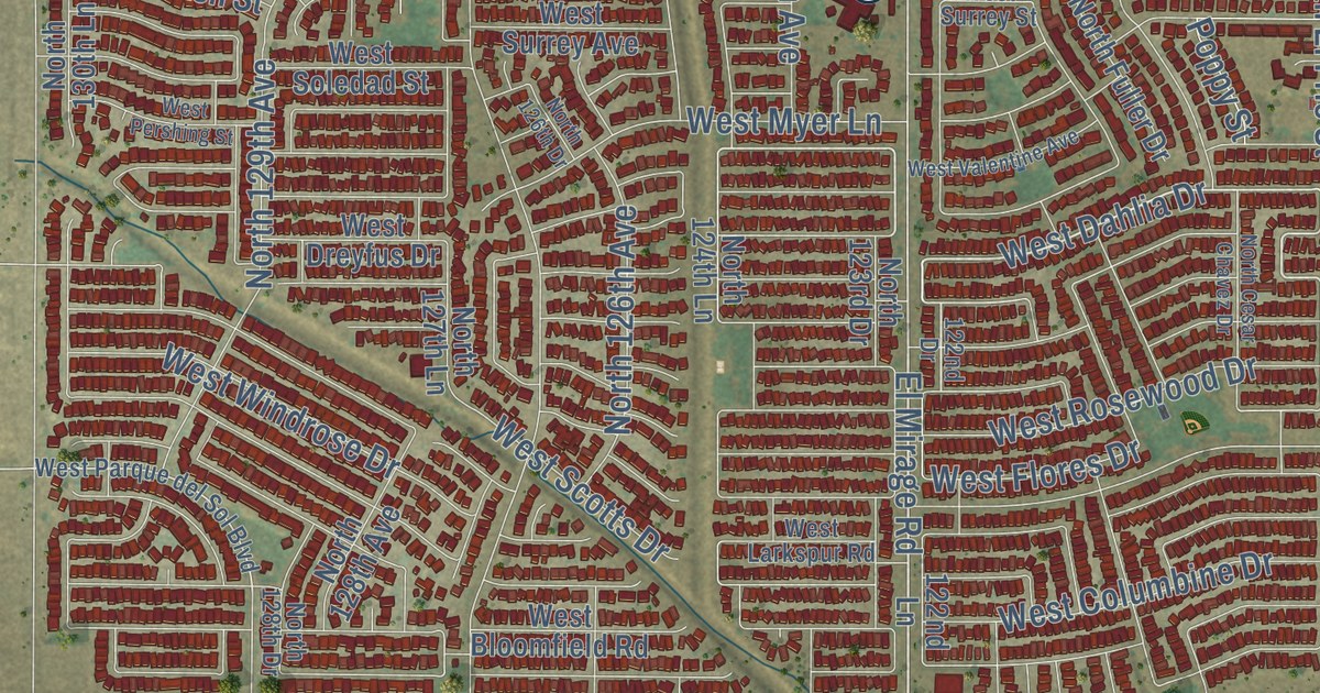
This beautifully detailed map of El Mirage, Arizona was created in 2026 using aerial imagery...
Read More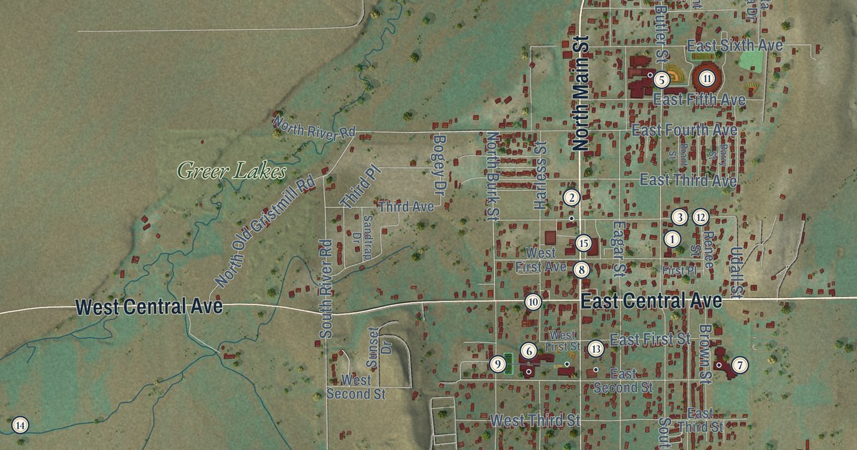
This beautifully detailed map of Eagar, Arizona was created in 2026 using aerial imagery combined...
Read More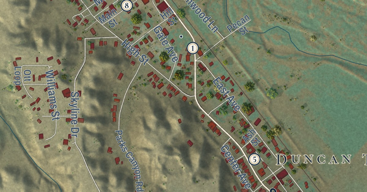
This beautifully detailed map of Duncan, Arizona was created in 2026 using aerial imagery combined...
Read More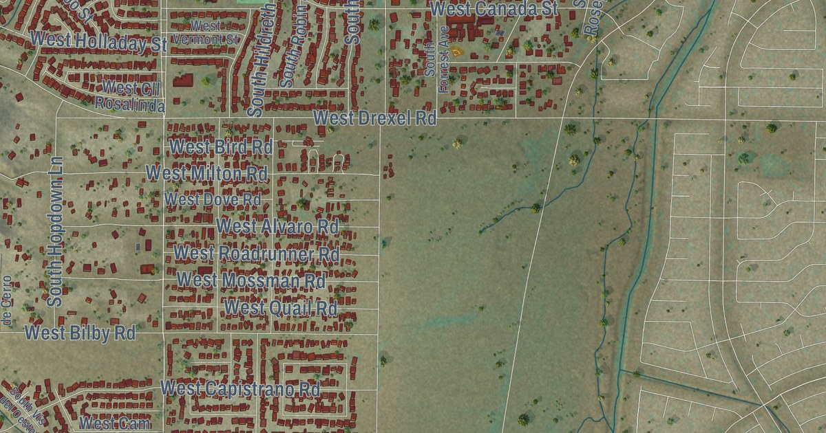
This beautifully detailed map of Drexel Heights, Arizona was created in 2026 using aerial imagery...
Read More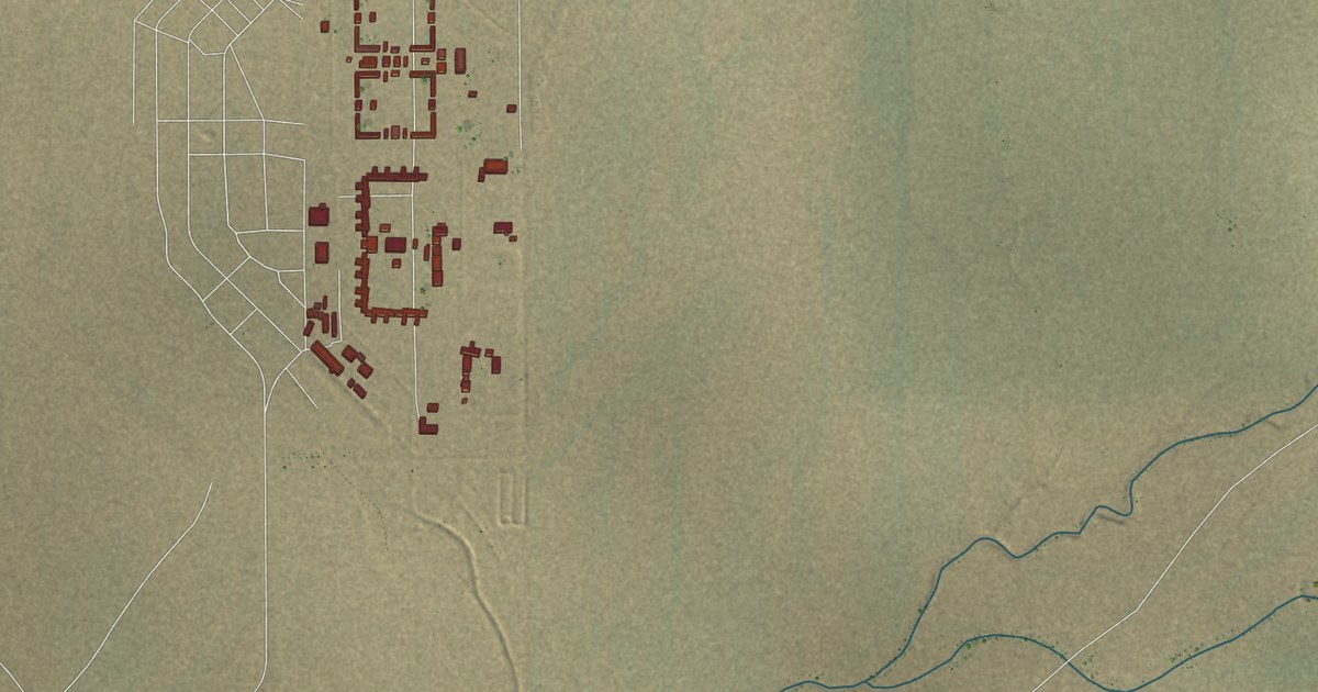
This beautifully detailed map of Douglas, Arizona was created in 2026 using aerial imagery...
Read More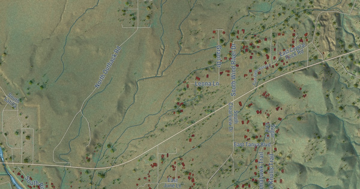
This beautifully detailed map of Dewey-Humboldt, Arizona was created in 2026 using aerial imagery...
Read More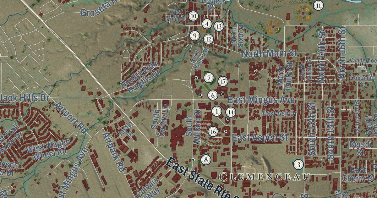
This beautifully detailed map of Cottonwood, Arizona was created in 2026 using aerial imagery...
Read More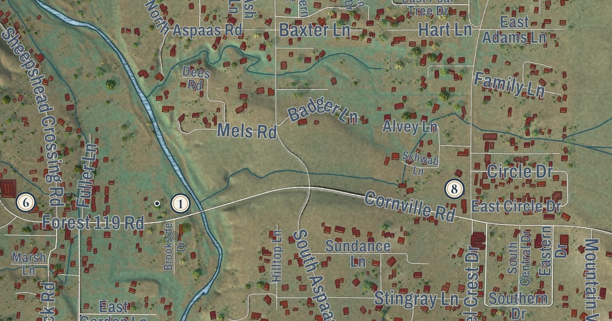
This beautifully detailed map of Cornville, Arizona was created in 2026 using aerial imagery...
Read More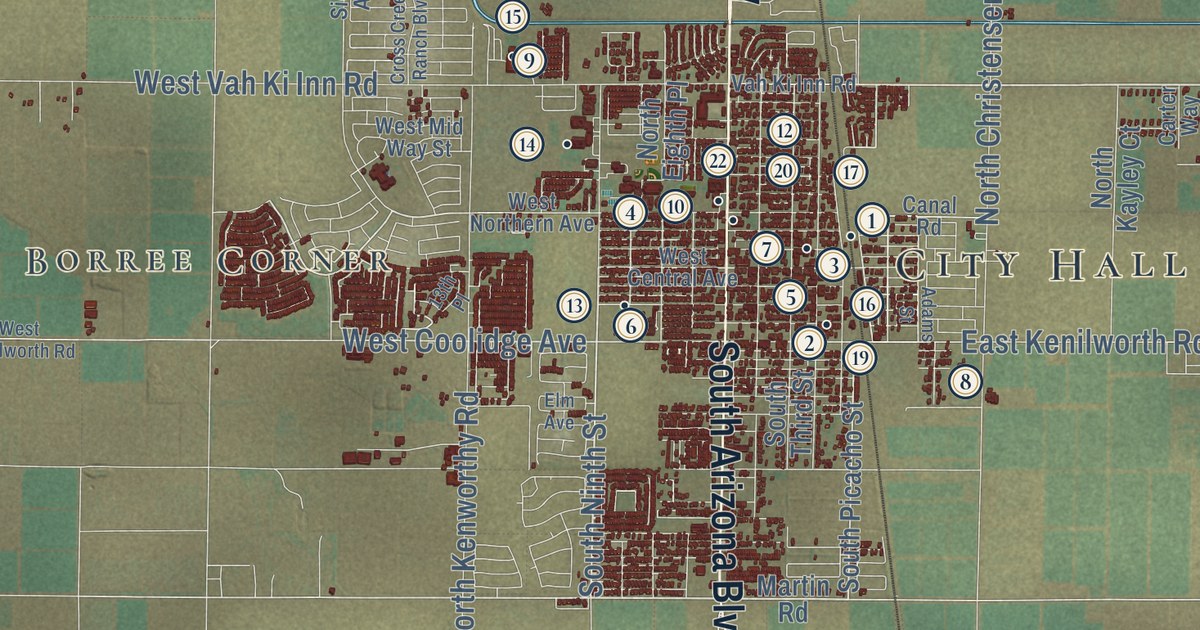
This beautifully detailed map of Coolidge, Arizona was created in 2026 using aerial imagery...
Read More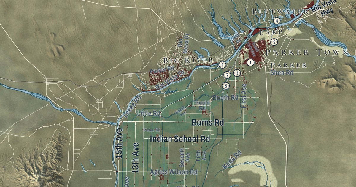
This beautifully detailed map of Colorado River Indian Tribes, Arizona was created in 2026 using...
Read More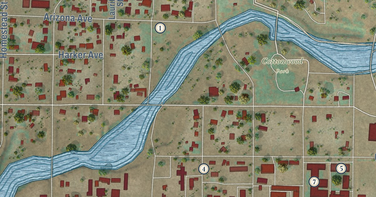
This beautifully detailed map of Colorado City, Arizona was created in 2026 using aerial imagery...
Read More
This beautifully detailed map of Cocopah Indian Tribe, Arizona was created in 2026 using aerial...
Read More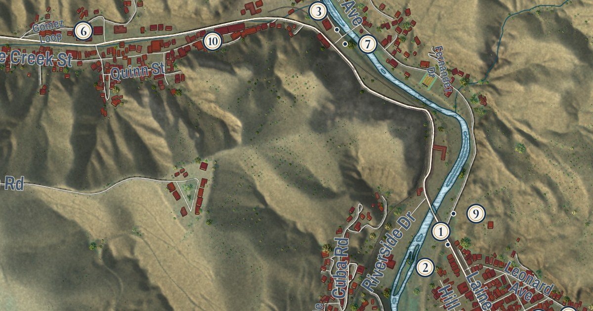
This beautifully detailed map of Clifton, Arizona was created in 2026 using aerial imagery...
Read More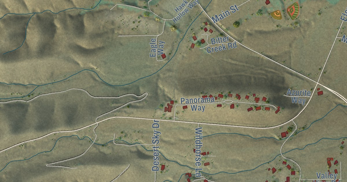
This beautifully detailed map of Clarkdale, Arizona was created in 2026 using aerial imagery...
Read More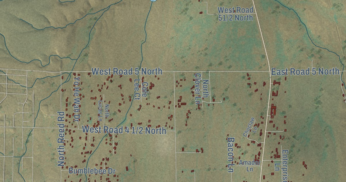
This beautifully detailed map of Chino Valley, Arizona was created in 2026 using aerial imagery...
Read More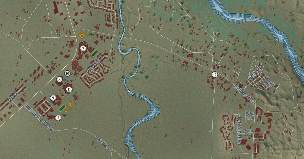
This beautifully detailed map of Chinle, Arizona was created in 2026 using aerial imagery combined...
Read More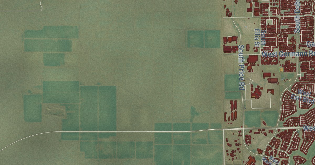
This beautifully detailed map of Chandler, Arizona was created in 2026 using aerial imagery...
Read More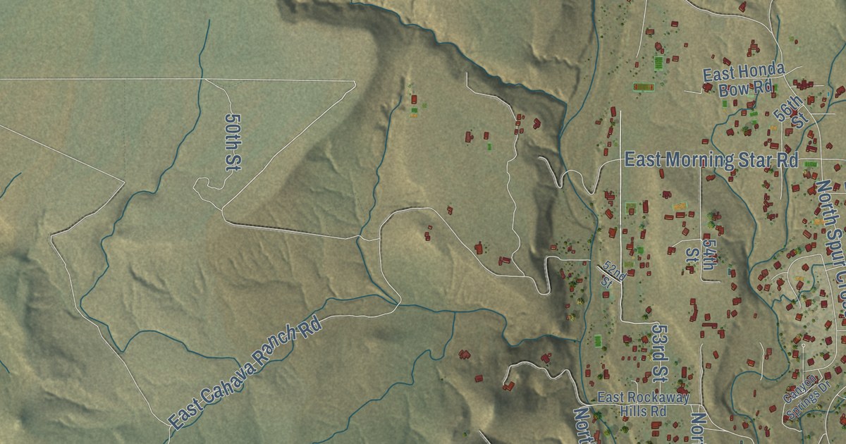
This beautifully detailed map of Cave Creek, Arizona was created in 2026 using aerial imagery...
Read More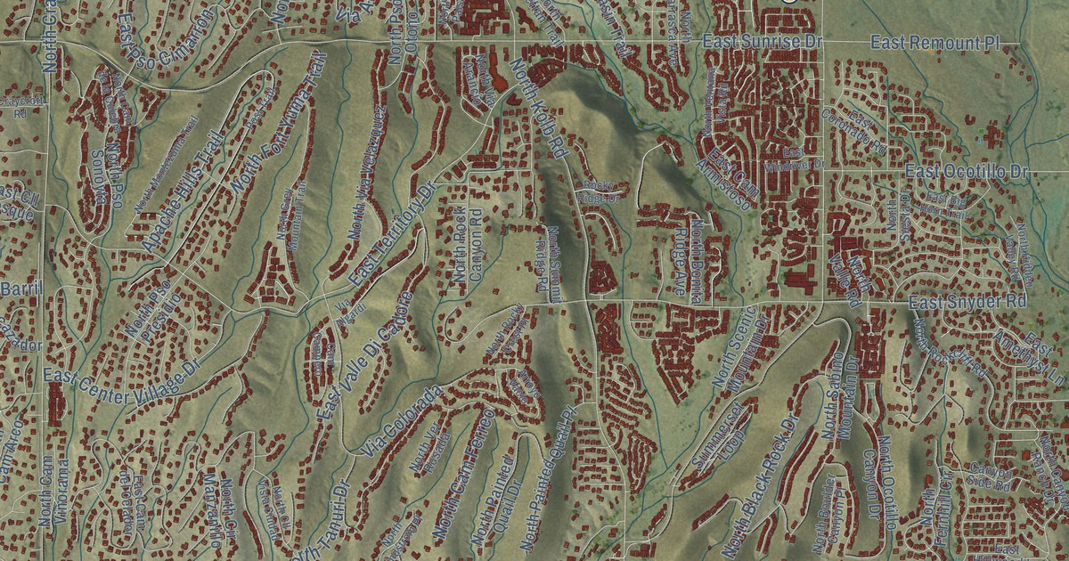
This beautifully detailed map of Catalina Foothills, Arizona was created in 2026 using aerial...
Read More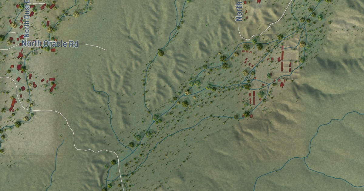
This beautifully detailed map of Catalina, Arizona was created in 2026 using aerial imagery...
Read More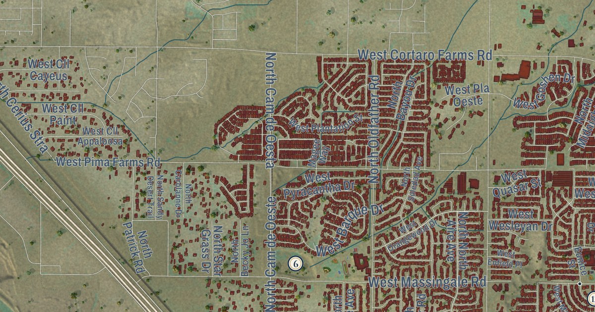
This beautifully detailed map of Casas Adobes, Arizona was created in 2026 using aerial imagery...
Read More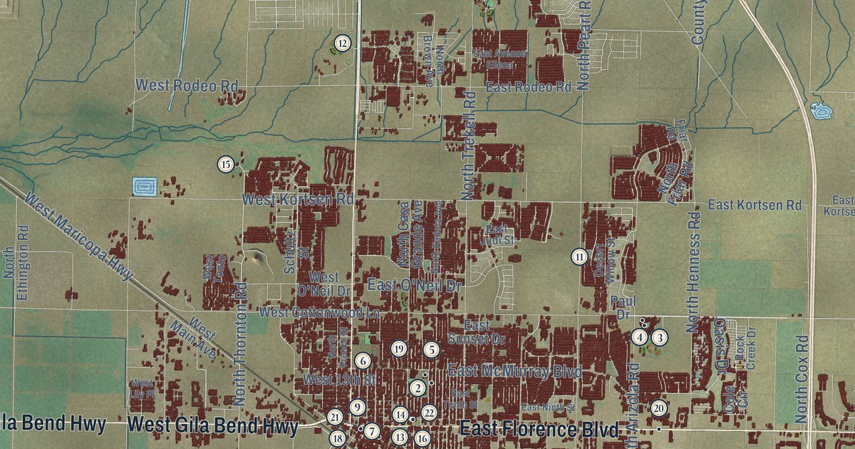
This beautifully detailed map of Casa Grande, Arizona was created in 2026 using aerial imagery...
Read More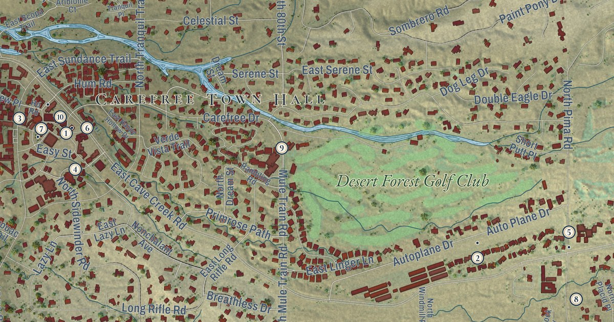
This beautifully detailed map of Carefree, Arizona was created in 2026 using aerial imagery...
Read More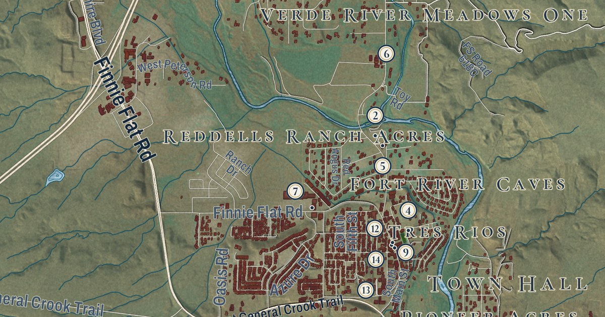
This beautifully detailed map of Camp Verde, Arizona was created in 2026 using aerial imagery...
Read More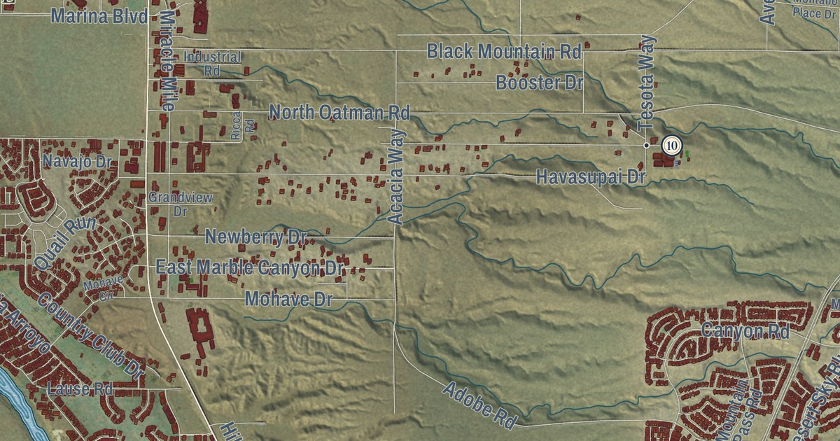
This beautifully detailed map of Bullhead City, Arizona was created in 2026 using aerial imagery...
Read More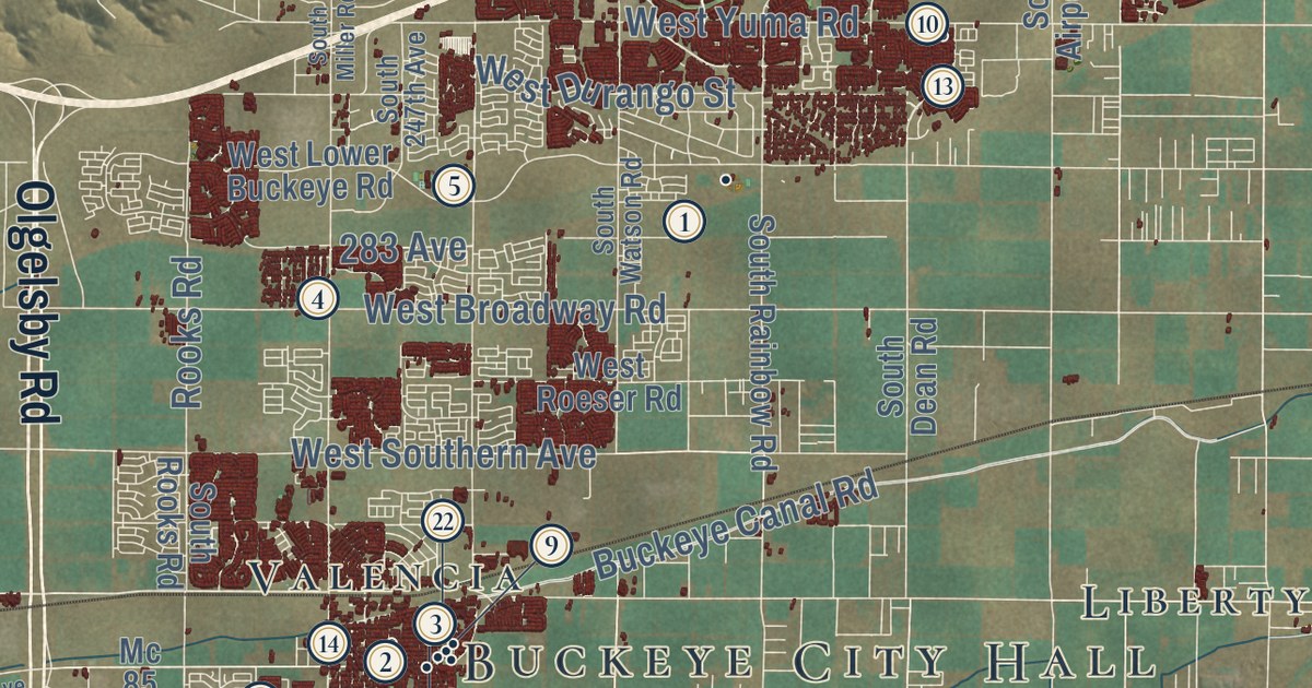
This beautifully detailed map of Buckeye, Arizona was created in 2026 using aerial imagery...
Read More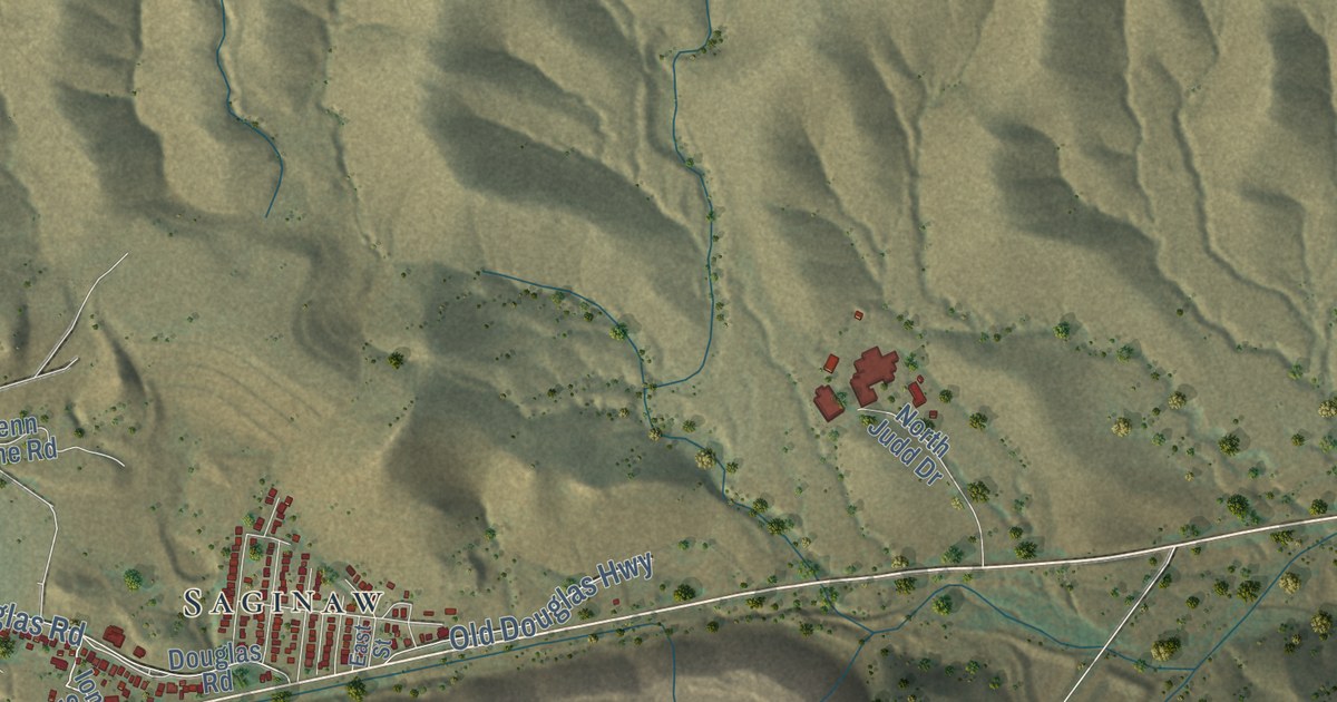
This beautifully detailed map of Bisbee, Arizona was created in 2026 using aerial imagery combined...
Read More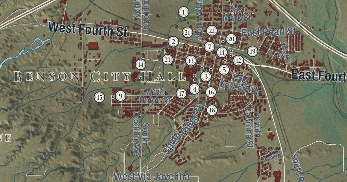
This beautifully detailed map of Benson, Arizona was created in 2026 using aerial imagery combined...
Read More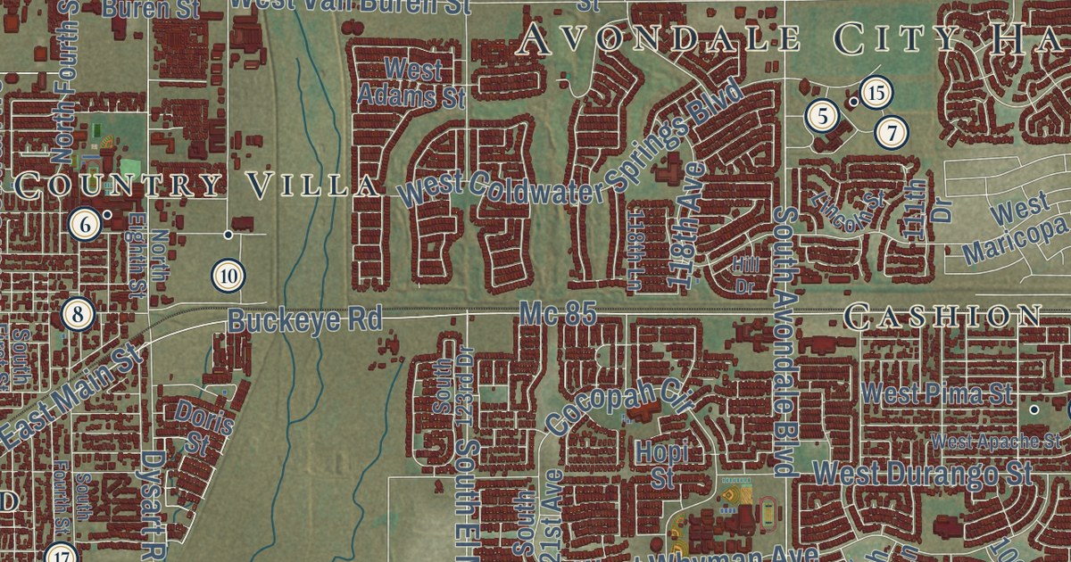
This beautifully detailed map of Avondale, Arizona was created in 2026 using aerial imagery...
Read More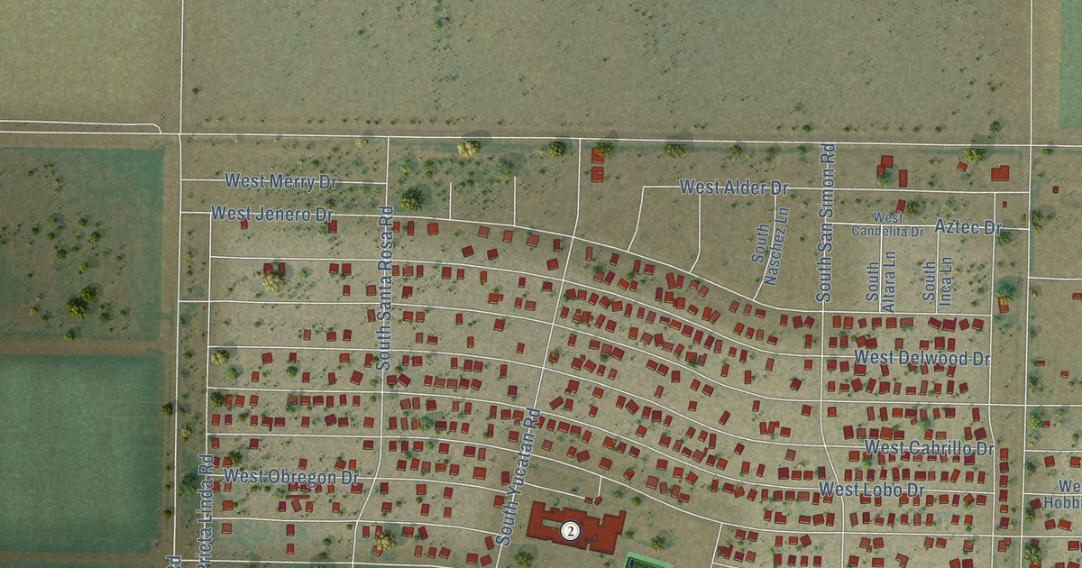
This beautifully detailed map of Arizona City, Arizona was created in 2026 using aerial imagery...
Read More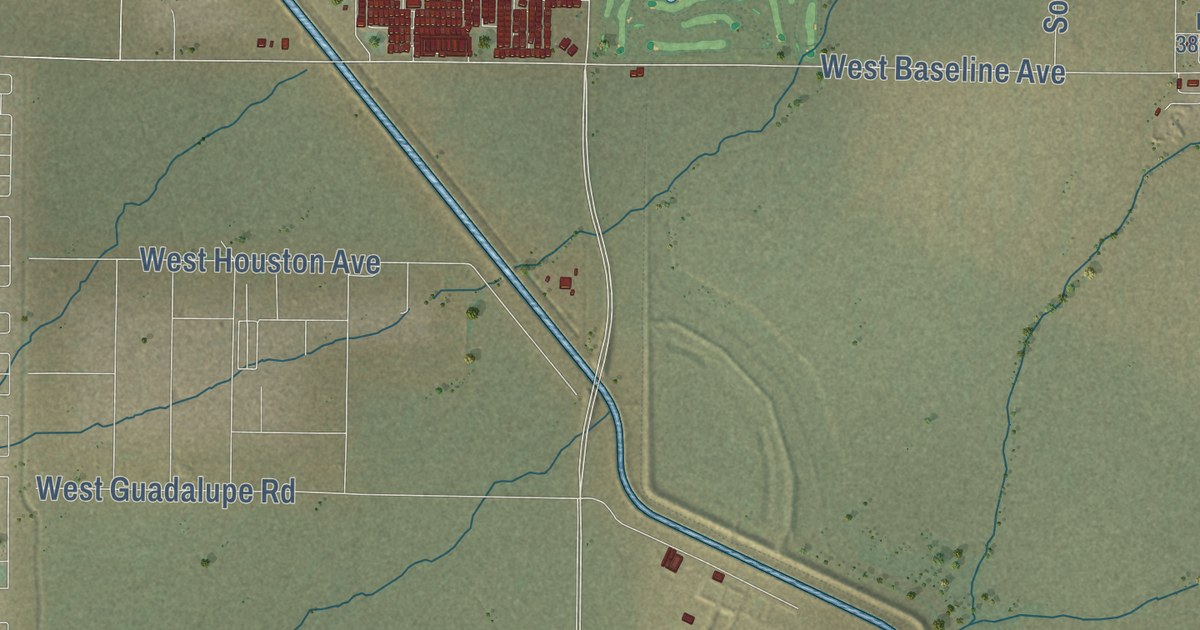
This beautifully detailed map of Apache Junction, Arizona was created in 2026 using aerial imagery...
Read More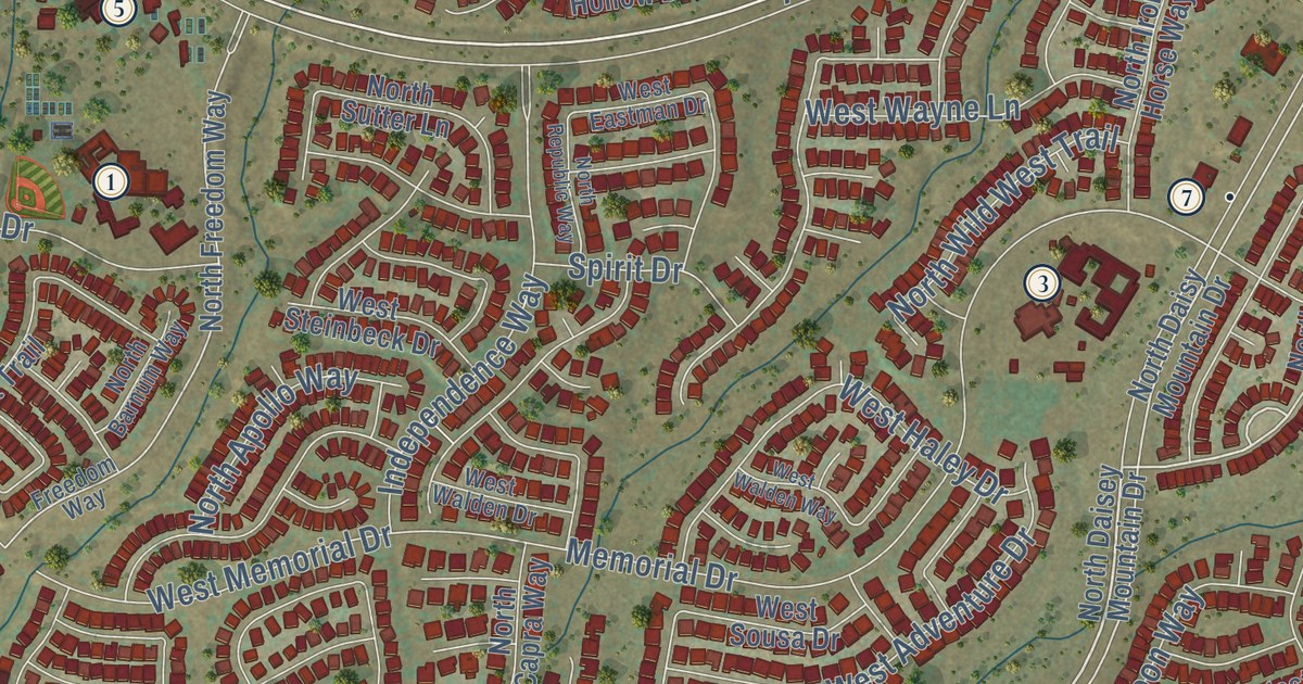
This beautifully detailed map of Anthem, Arizona was created in 2026 using aerial imagery combined...
Read More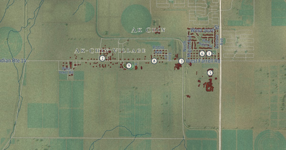
This beautifully detailed map of Ak-Chin Indian Community, Arizona was created in 2026 using...
Read More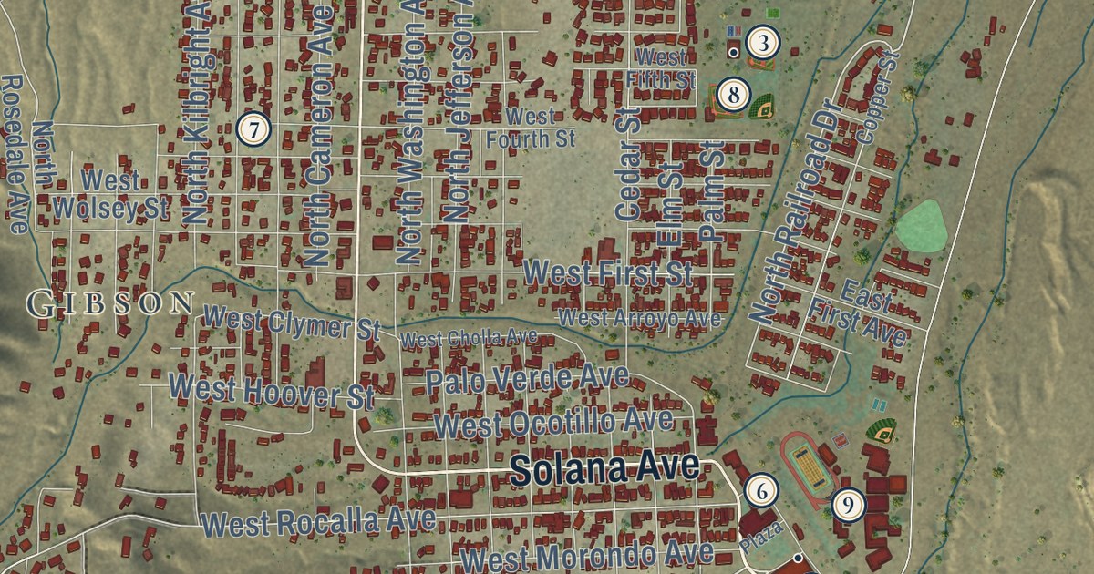
This beautifully detailed map of Ajo, Arizona was created in 2026 using aerial imagery combined...
Read More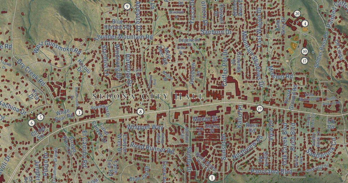
This beautifully detailed map of Sedona, Arizona was created in 2026 using aerial imagery combined...
Read More
This beautifully detailed map of Woonsocket, Rhode Island was created in 2026 using aerial imagery...
Read More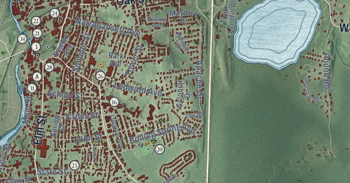
This beautifully detailed map of Westerly, Rhode Island was created in 2026 using aerial imagery...
Read More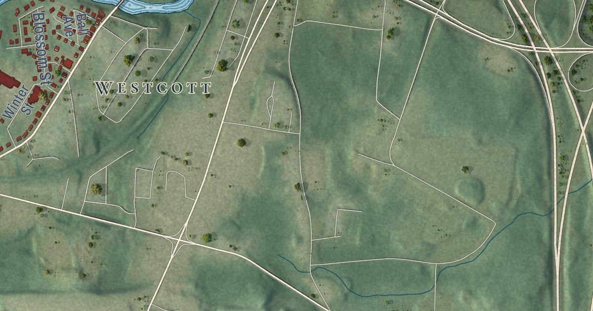
This beautifully detailed map of West Warwick, Rhode Island was created in 2026 using aerial...
Read More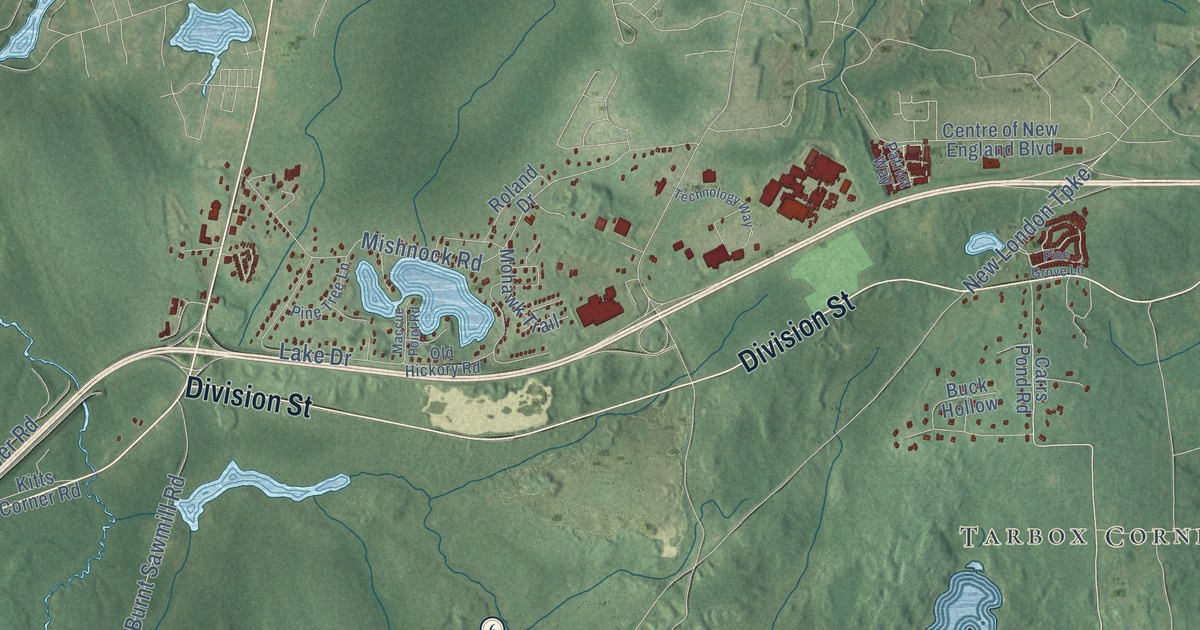
This beautifully detailed map of West Greenwich, Rhode Island was created in 2026 using aerial...
Read More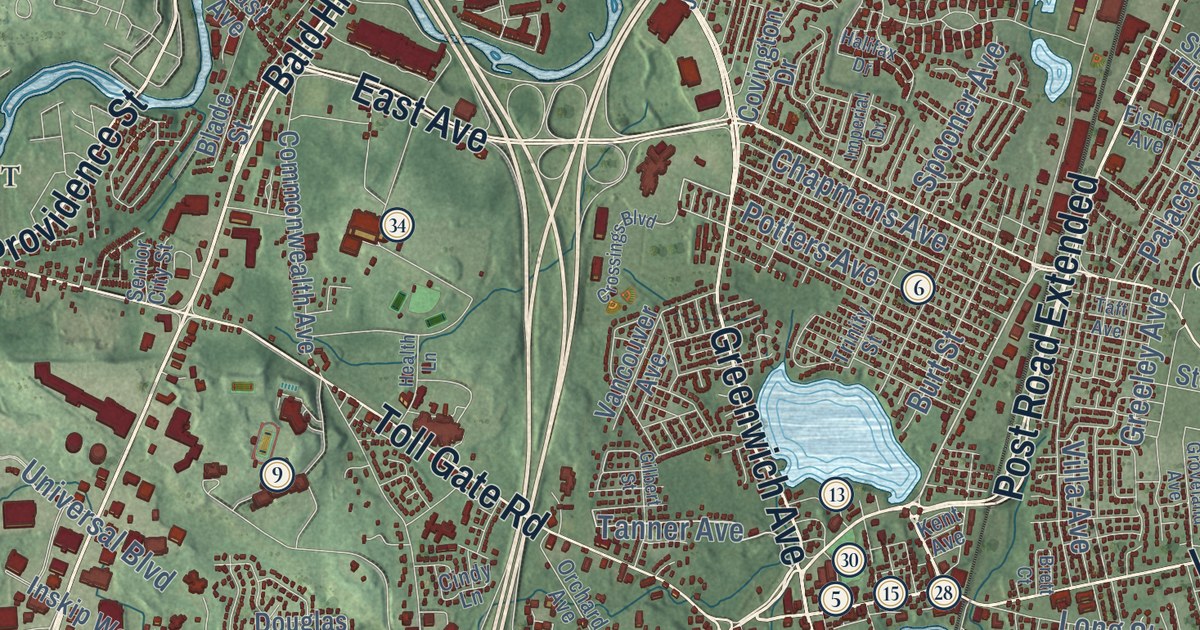
This beautifully detailed map of Warwick, Rhode Island was created in 2026 using aerial imagery...
Read More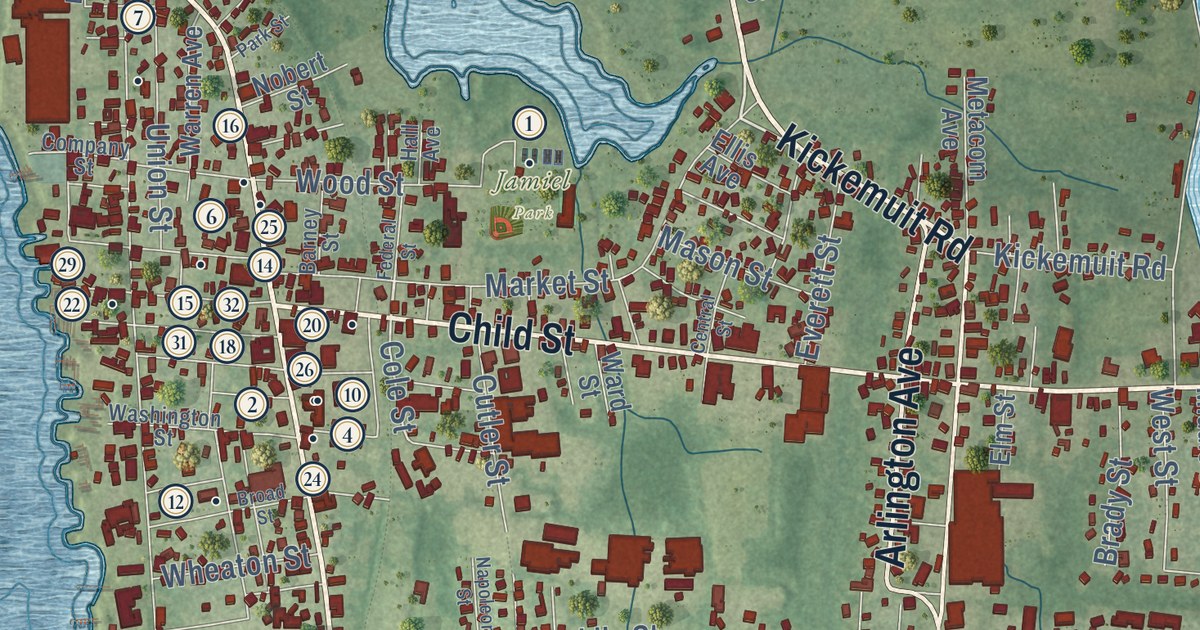
This beautifully detailed map of Warren, Rhode Island was created in 2026 using aerial imagery...
Read More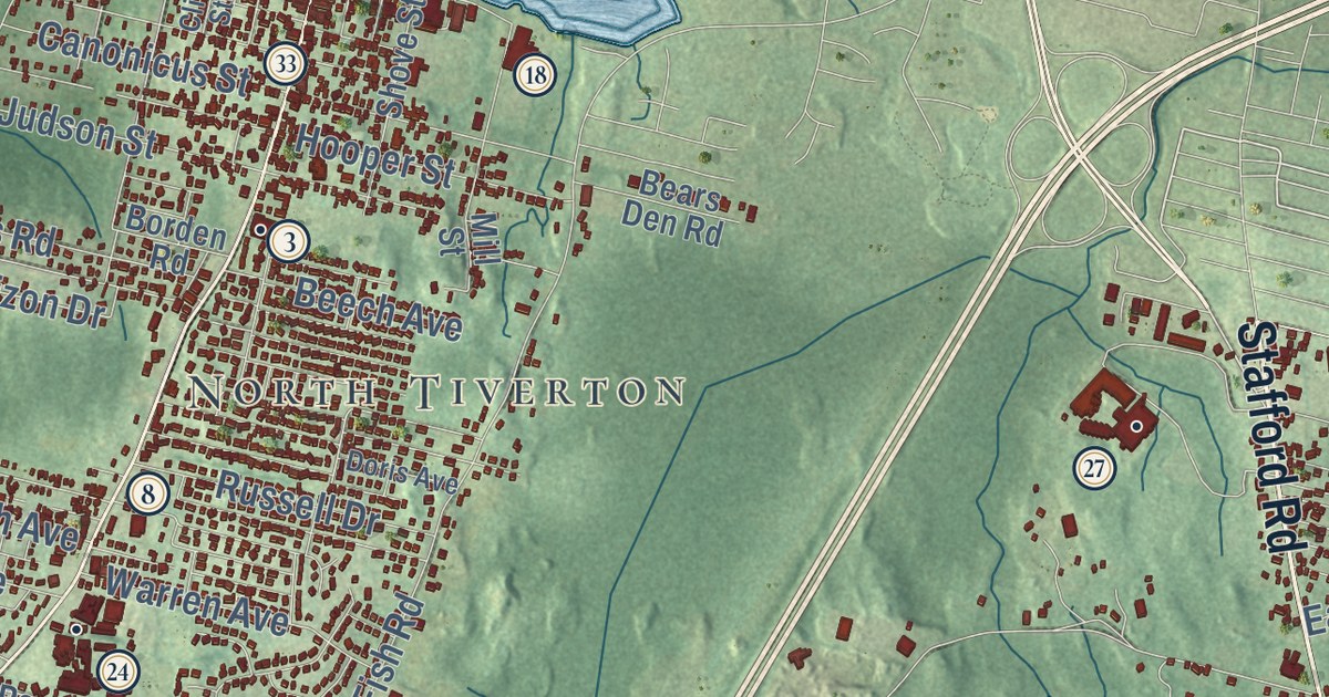
This beautifully detailed map of Tiverton, Rhode Island was created in 2026 using aerial imagery...
Read More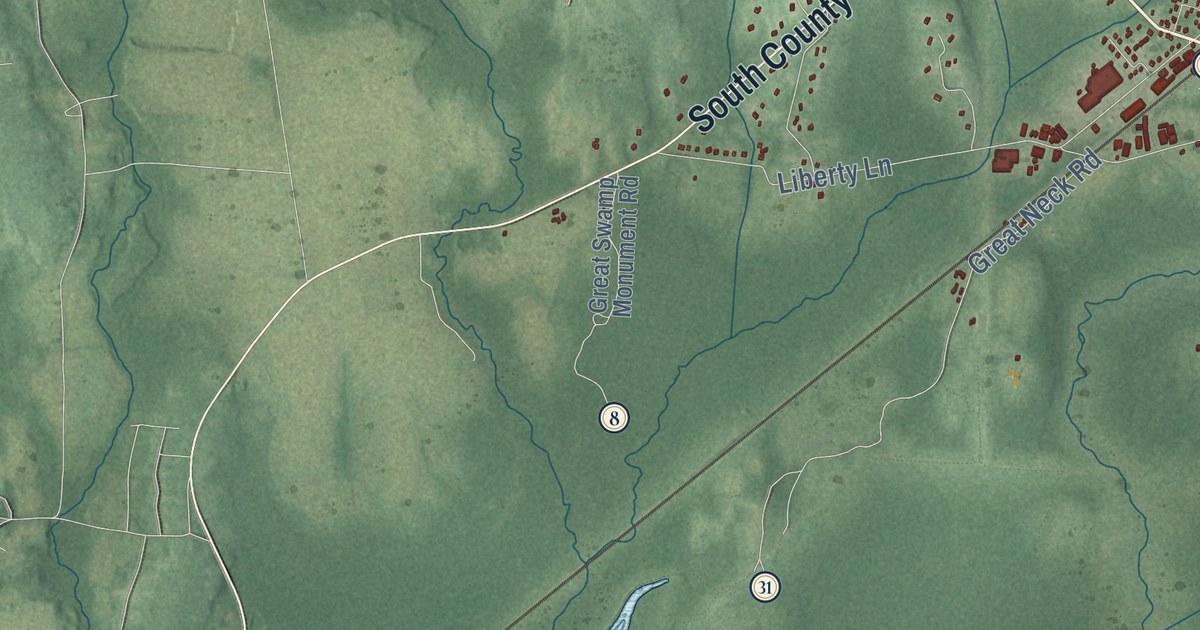
This beautifully detailed map of South Kingstown, Rhode Island was created in 2026 using aerial...
Read More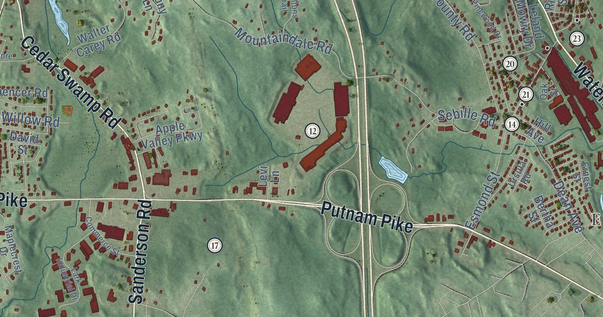
This beautifully detailed map of Smithfield, Rhode Island was created in 2026 using aerial imagery...
Read More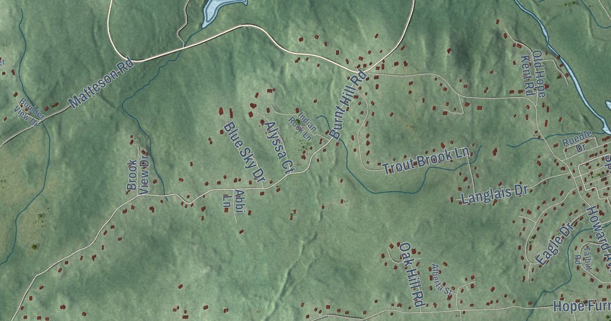
This beautifully detailed map of Scituate, Rhode Island was created in 2026 using aerial imagery...
Read More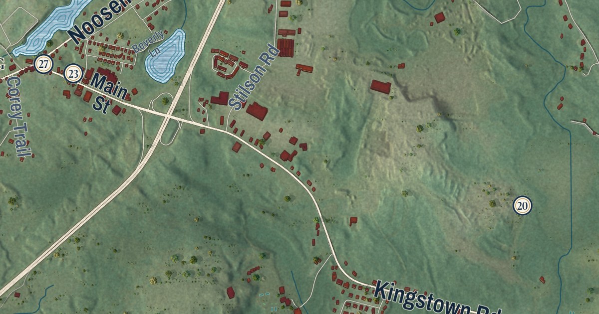
This beautifully detailed map of Richmond, Rhode Island was created in 2026 using aerial imagery...
Read More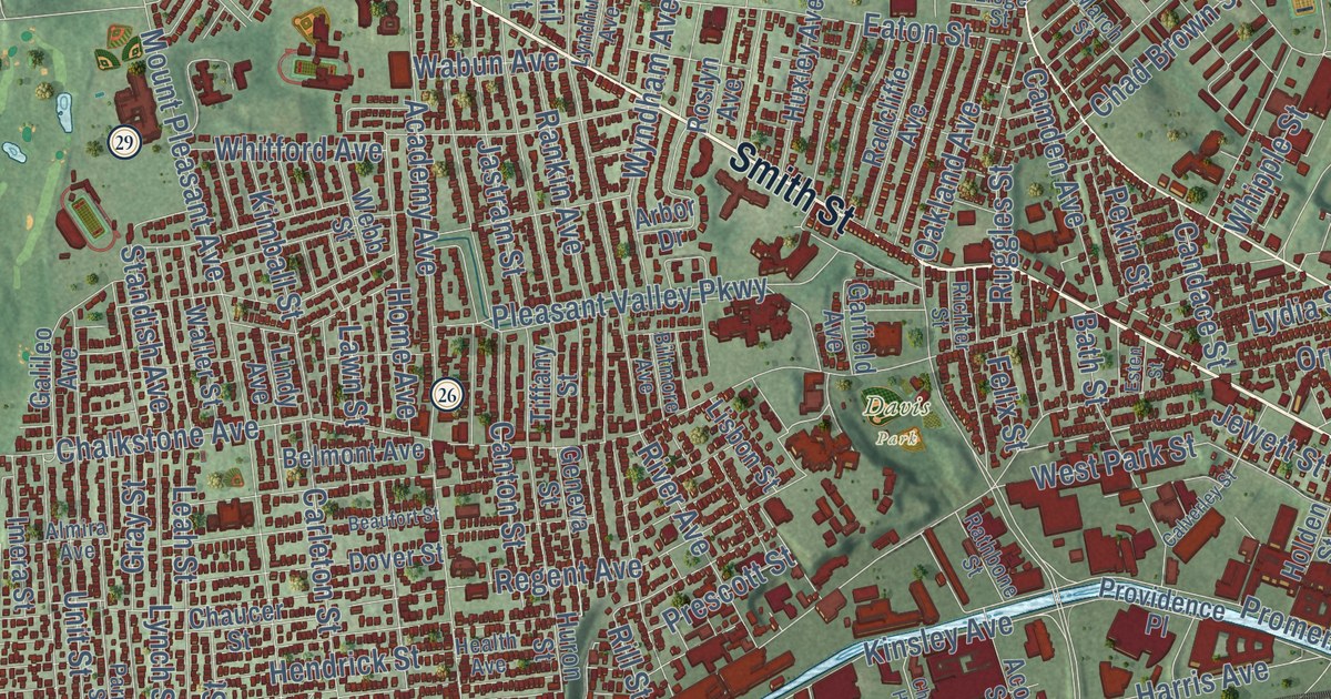
This beautifully detailed map of Providence, Rhode Island was created in 2026 using aerial imagery...
Read More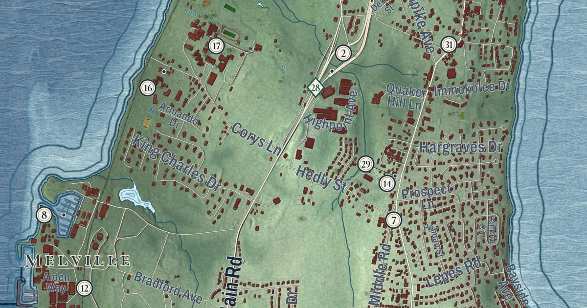
This beautifully detailed map of Portsmouth, Rhode Island was created in 2026 using aerial imagery...
Read More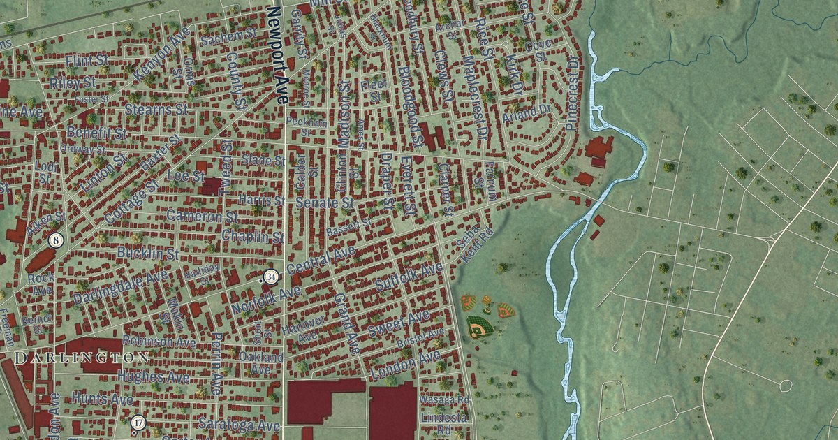
This beautifully detailed map of Pawtucket, Rhode Island was created in 2026 using aerial imagery...
Read More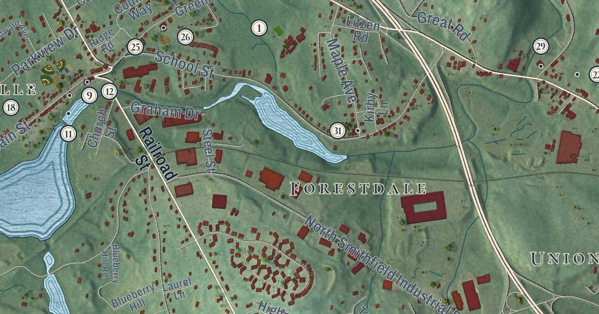
This beautifully detailed map of North Smithfield, Rhode Island was created in 2026 using aerial...
Read More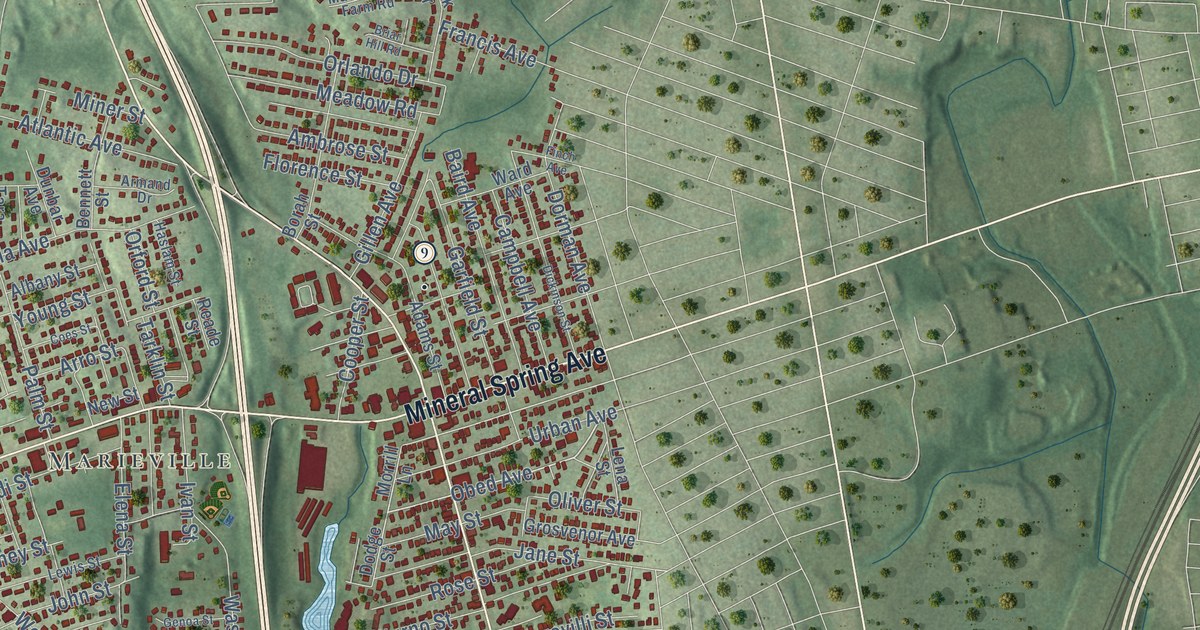
This beautifully detailed map of North Providence, Rhode Island was created in 2026 using aerial...
Read More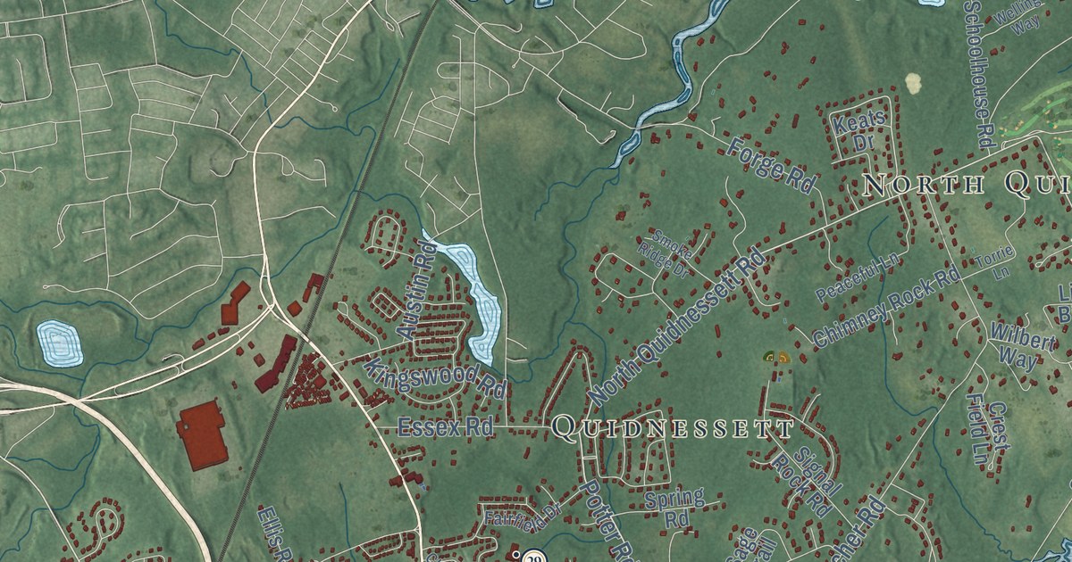
This beautifully detailed map of North Kingstown, Rhode Island was created in 2026 using aerial...
Read More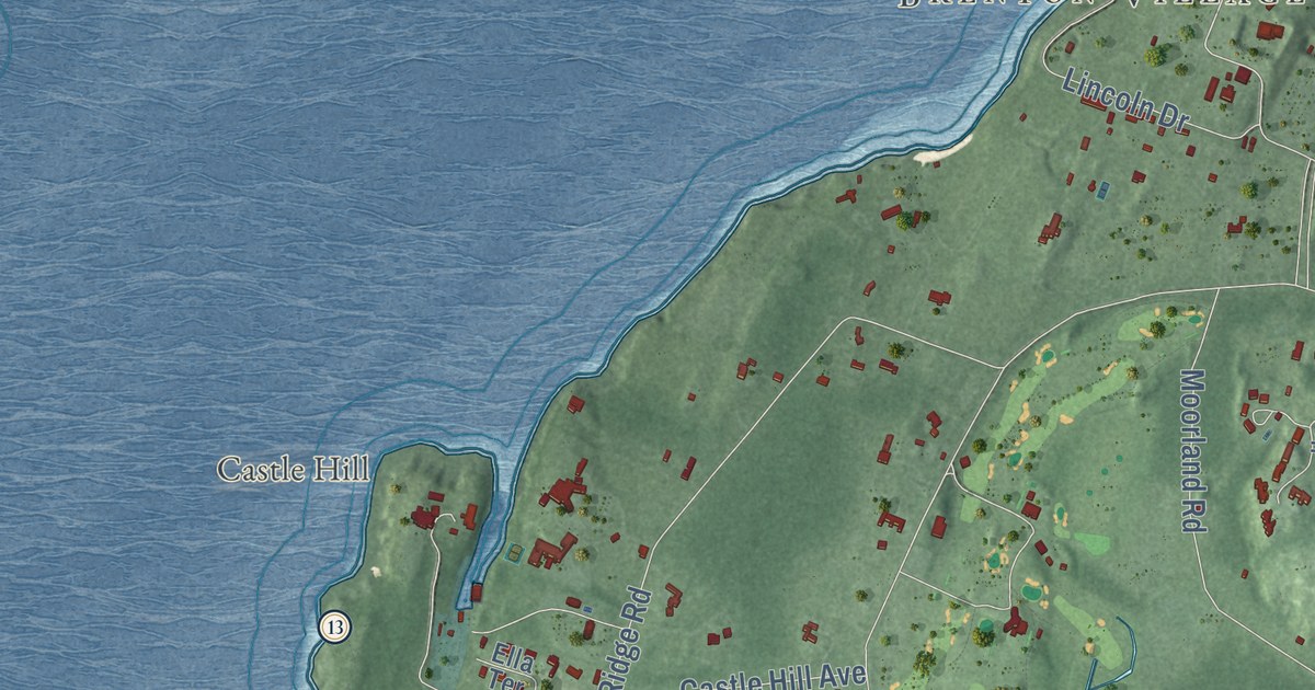
This beautifully detailed map of Newport, Rhode Island was created in 2026 using aerial imagery...
Read More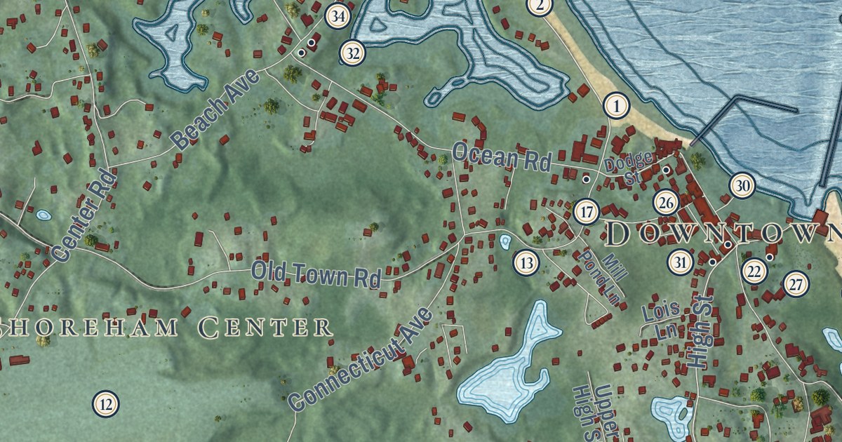
This beautifully detailed map of New Shoreham, Rhode Island was created in 2026 using aerial...
Read More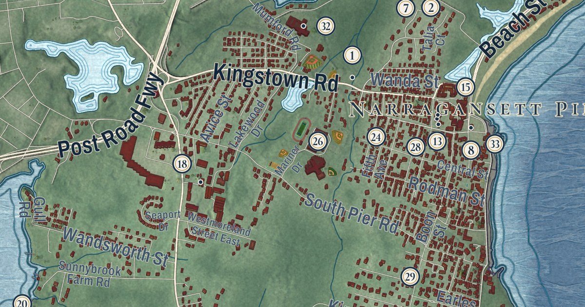
This beautifully detailed map of Narragansett, Rhode Island was created in 2026 using aerial...
Read More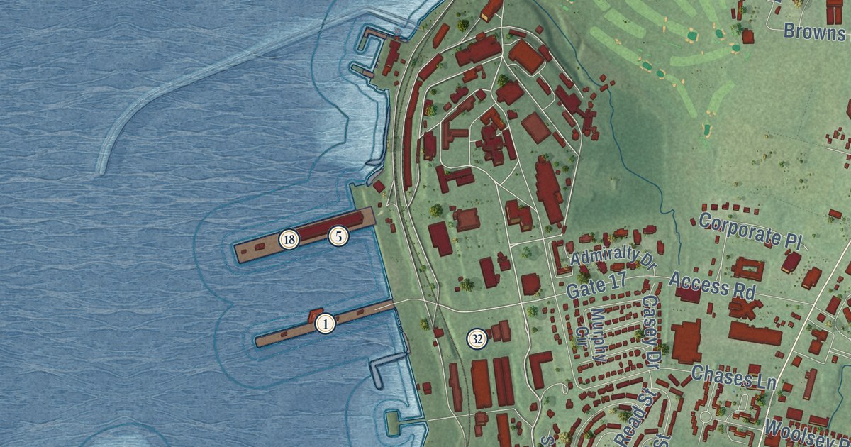
This beautifully detailed map of Middletown, Rhode Island was created in 2026 using aerial imagery...
Read More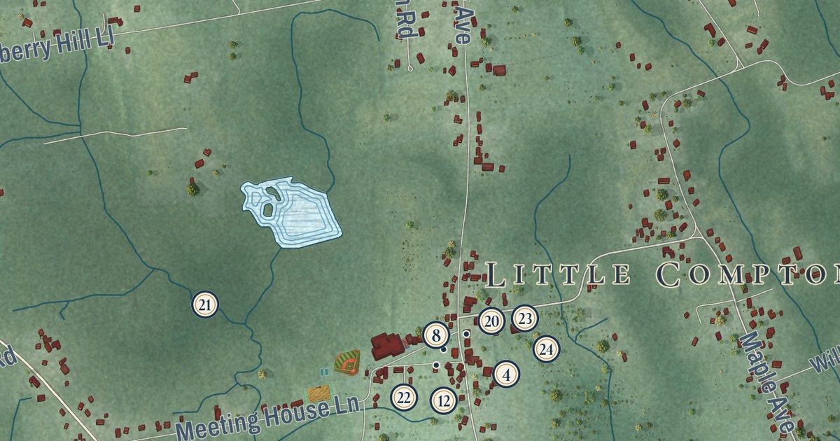
This beautifully detailed map of Little Compton, Rhode Island was created in 2026 using aerial...
Read More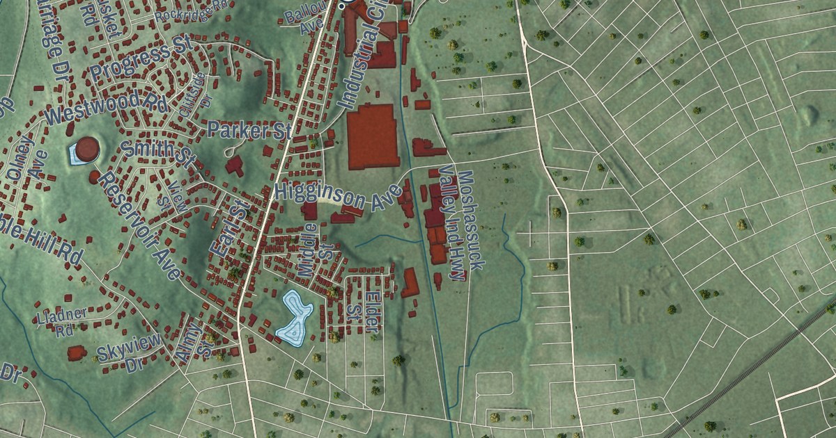
This beautifully detailed map of Lincoln, Rhode Island was created in 2026 using aerial imagery...
Read More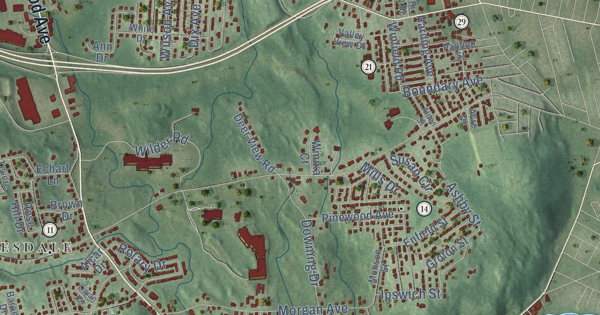
This beautifully detailed map of Johnston, Rhode Island was created in 2026 using aerial imagery...
Read More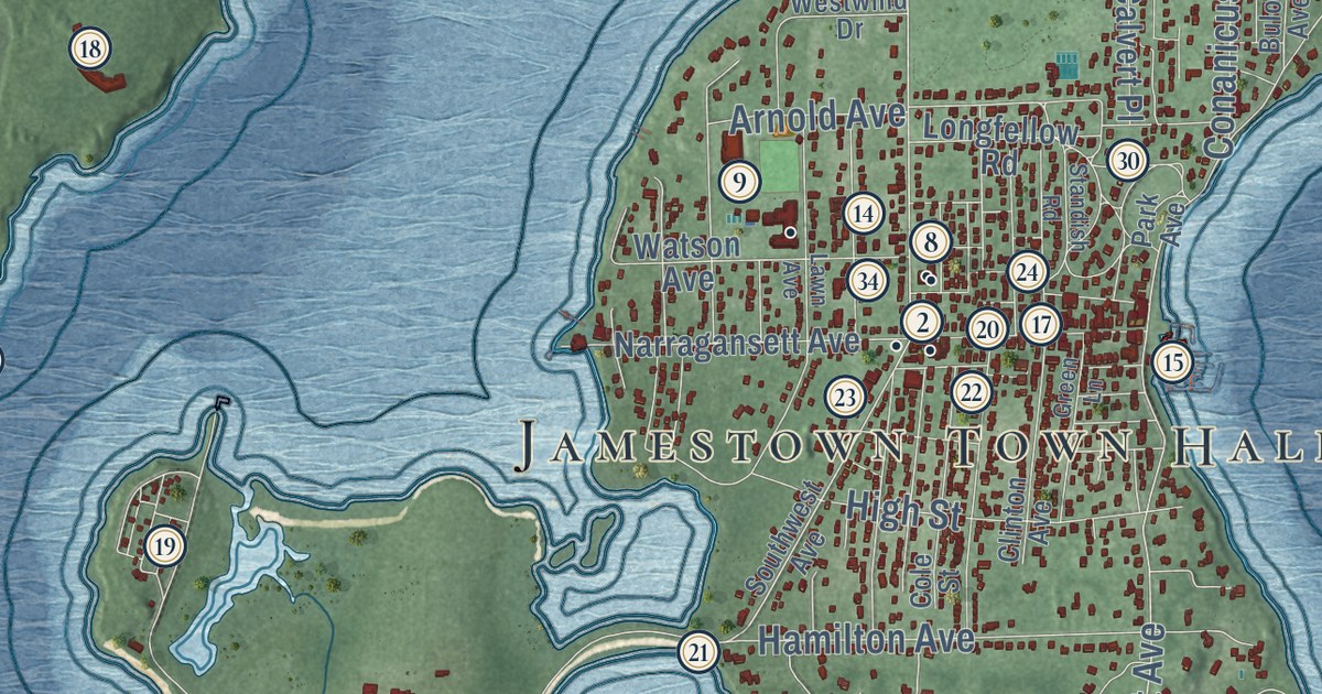
This beautifully detailed map of Jamestown, Rhode Island was created in 2026 using aerial imagery...
Read More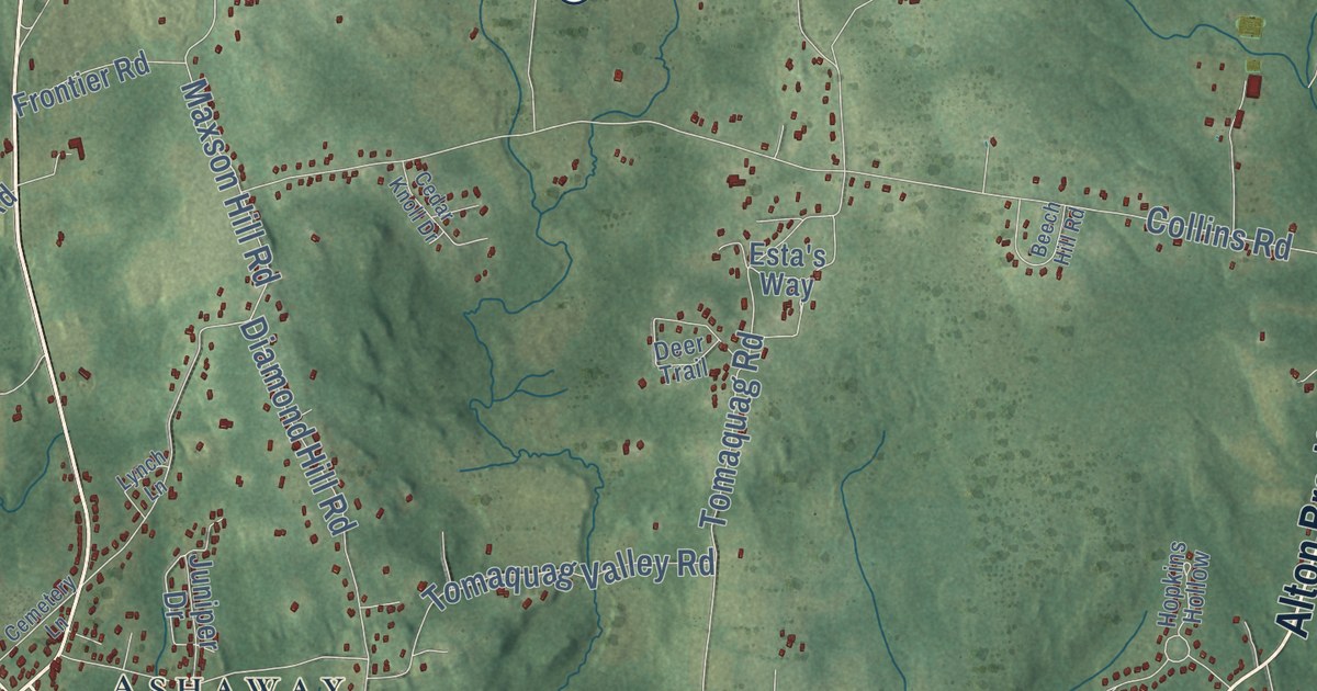
This beautifully detailed map of Hopkinton, Rhode Island was created in 2026 using aerial imagery...
Read More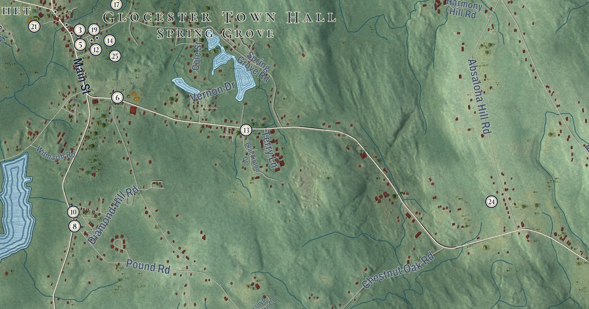
This beautifully detailed map of Glocester, Rhode Island was created in 2026 using aerial imagery...
Read More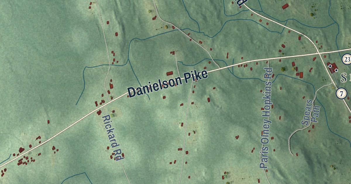
This beautifully detailed map of Foster, Rhode Island was created in 2026 using aerial imagery...
Read More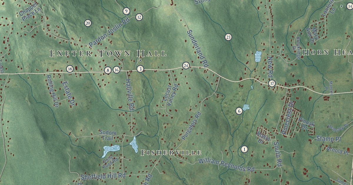
This beautifully detailed map of Exeter, Rhode Island was created in 2026 using aerial imagery...
Read More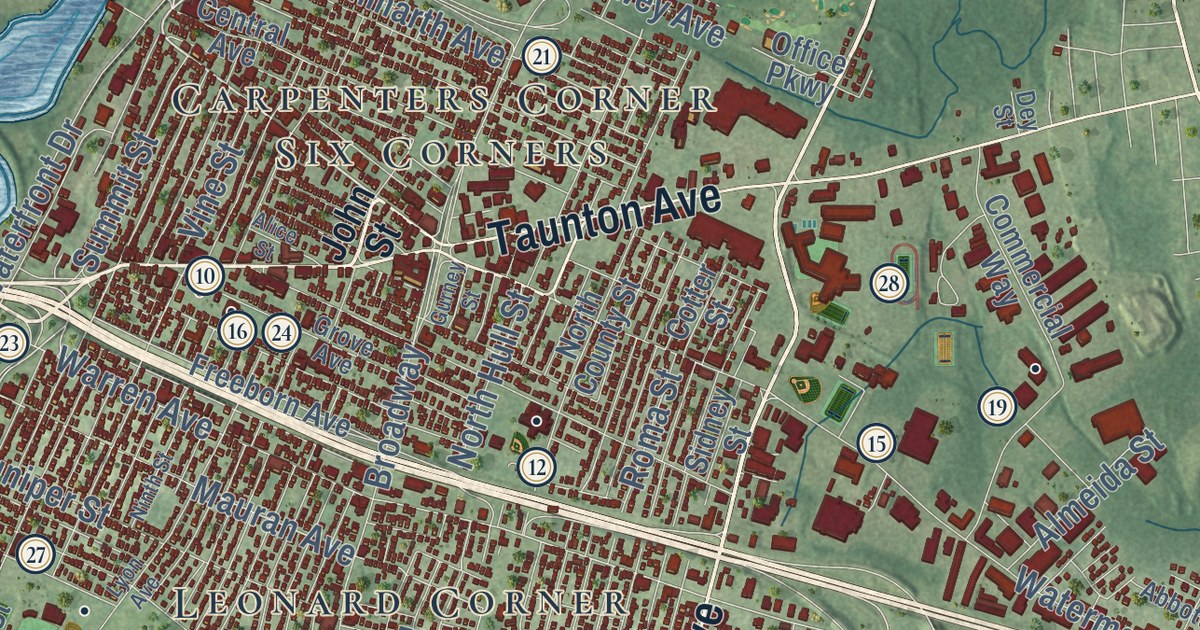
This beautifully detailed map of East Providence, Rhode Island was created in 2026 using aerial...
Read More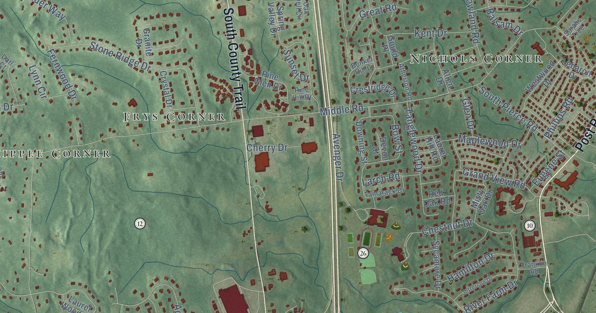
This beautifully detailed map of East Greenwich, Rhode Island was created in 2026 using aerial...
Read More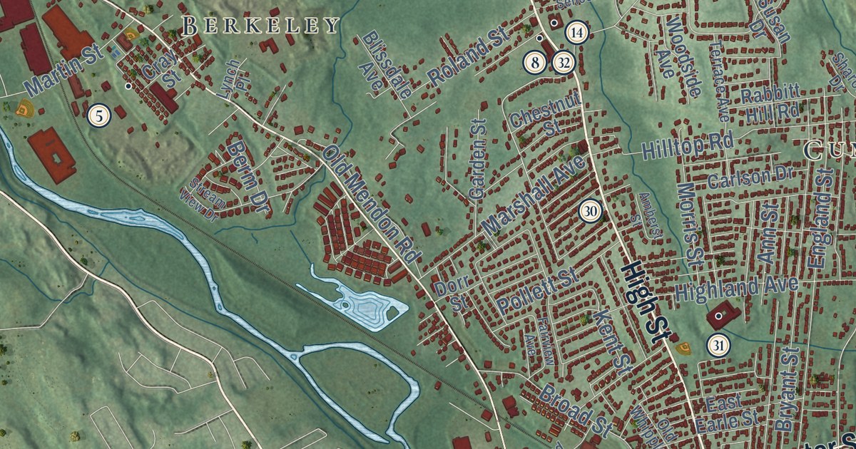
This beautifully detailed map of Cumberland, Rhode Island was created in 2026 using aerial imagery...
Read More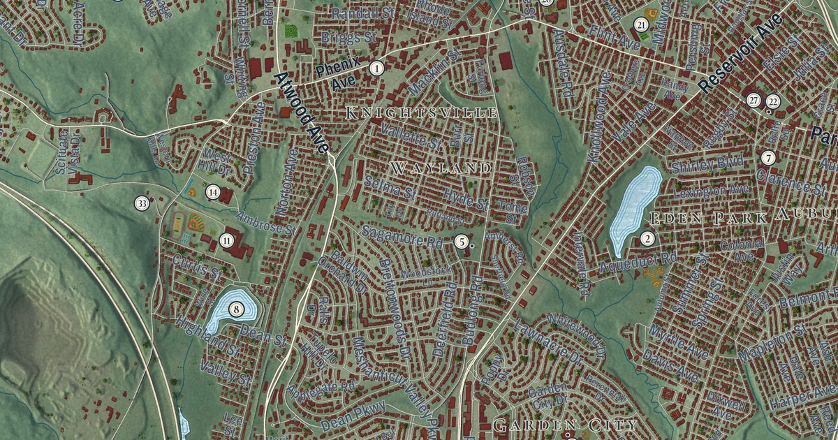
This beautifully detailed map of Cranston, Rhode Island was created in 2026 using aerial imagery...
Read More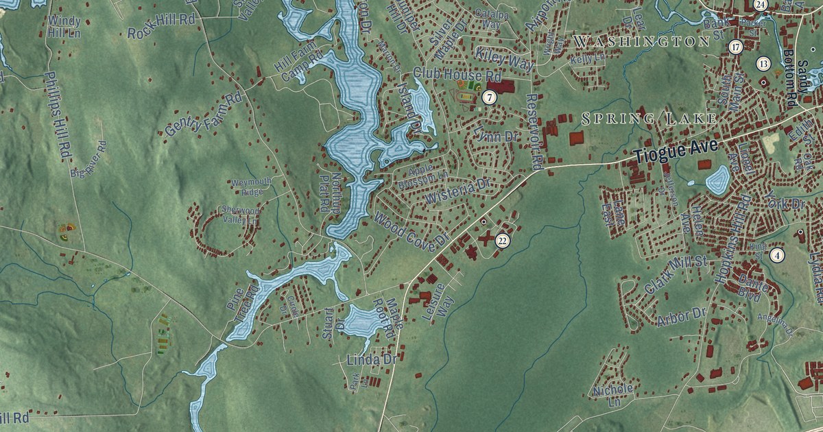
This beautifully detailed map of Coventry, Rhode Island was created in 2026 using aerial imagery...
Read More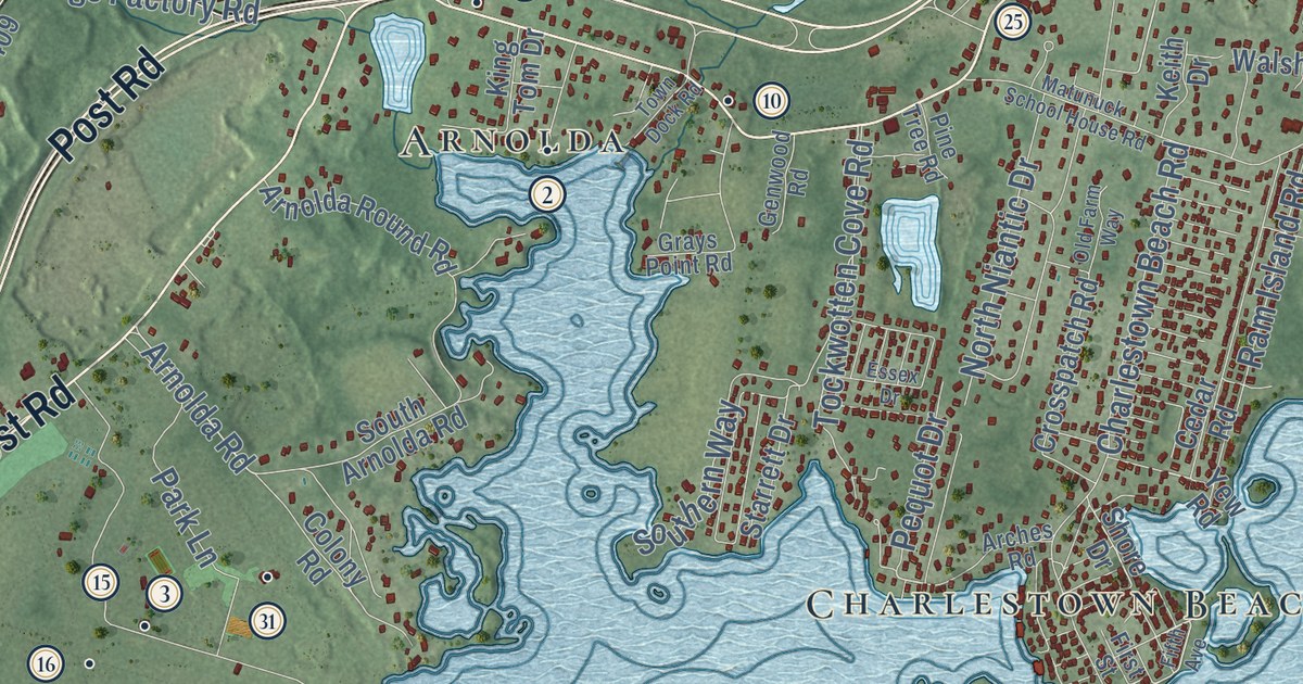
This beautifully detailed map of Charlestown, Rhode Island was created in 2026 using aerial...
Read More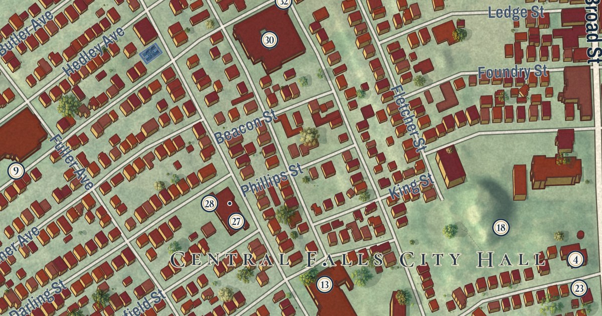
This beautifully detailed map of Central Falls, Rhode Island was created in 2026 using aerial...
Read More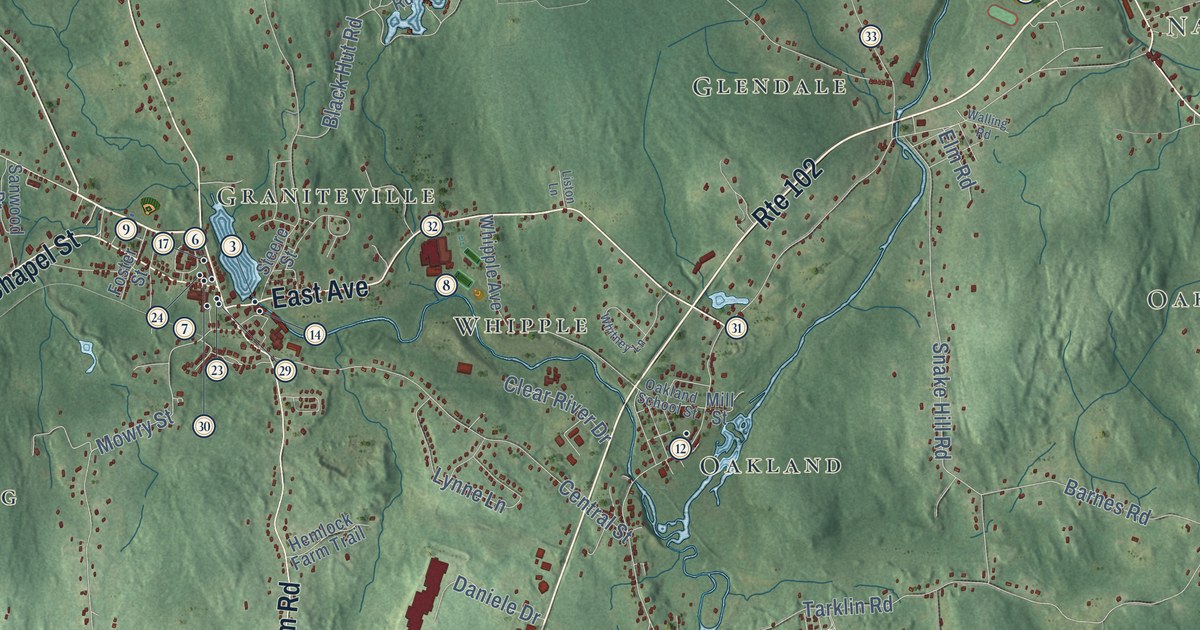
This beautifully detailed map of Burrillville, Rhode Island was created in 2026 using aerial...
Read More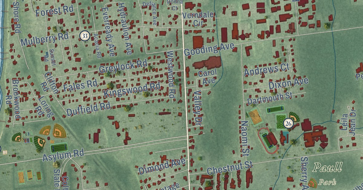
This beautifully detailed map of Bristol, Rhode Island was created in 2026 using aerial imagery...
Read More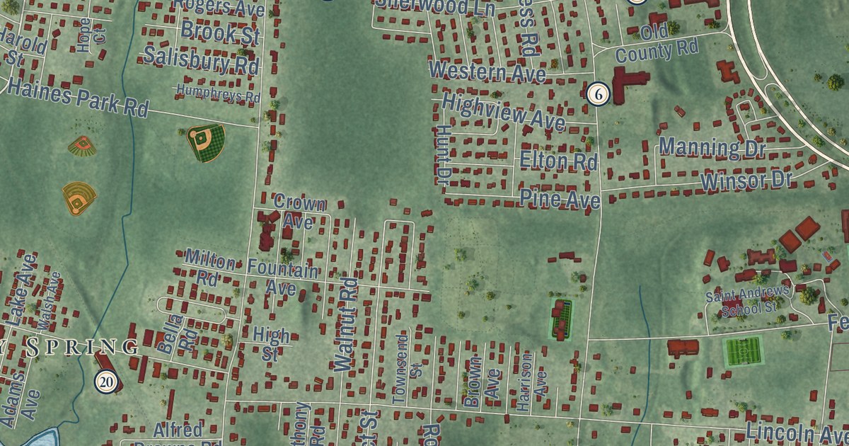
This beautifully detailed map of Barrington, Rhode Island was created in 2026 using aerial imagery...
Read More
Series of 45 patriotic quotes, one from each U.S. President.
Read More
On the crest of a hill in Glen Cove, New York sits Killenworth, one of the country’s finest mansions
Read More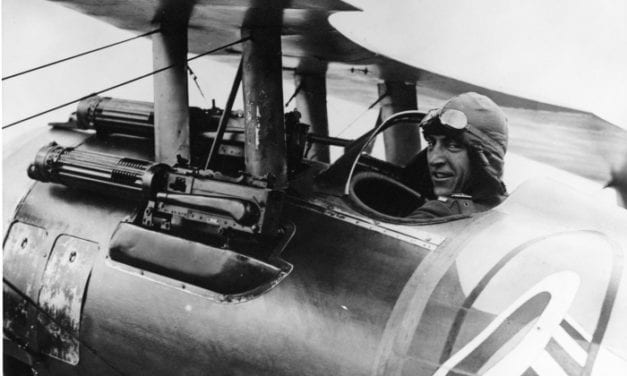
“No one should fear death. I know, because I have come face to face with death several times”
Read More
Every new life is a new thing under the sun; there has never been anything just like it before, and never will be again.
Read More
“I craved attention all through my childhood, because I was made to feel so conscious of…
Read More
The successful man is not the man who works by fits and starts, but he who keeps constantly and quietly on his way, with his purpose like a guiding star ever in view. To be sure you are right, and then go ahead, and keep going ahead, is the true spirit.
Read More
Longwood, also known as Nutt’s folly, is a grand antebellum mansion in Natchez…
Read More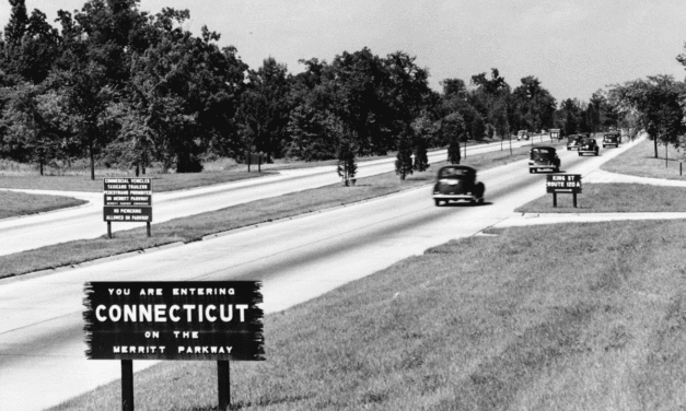
The Merritt Parkway was the first divided-lane, limited-access highway in Connecticut.
Read More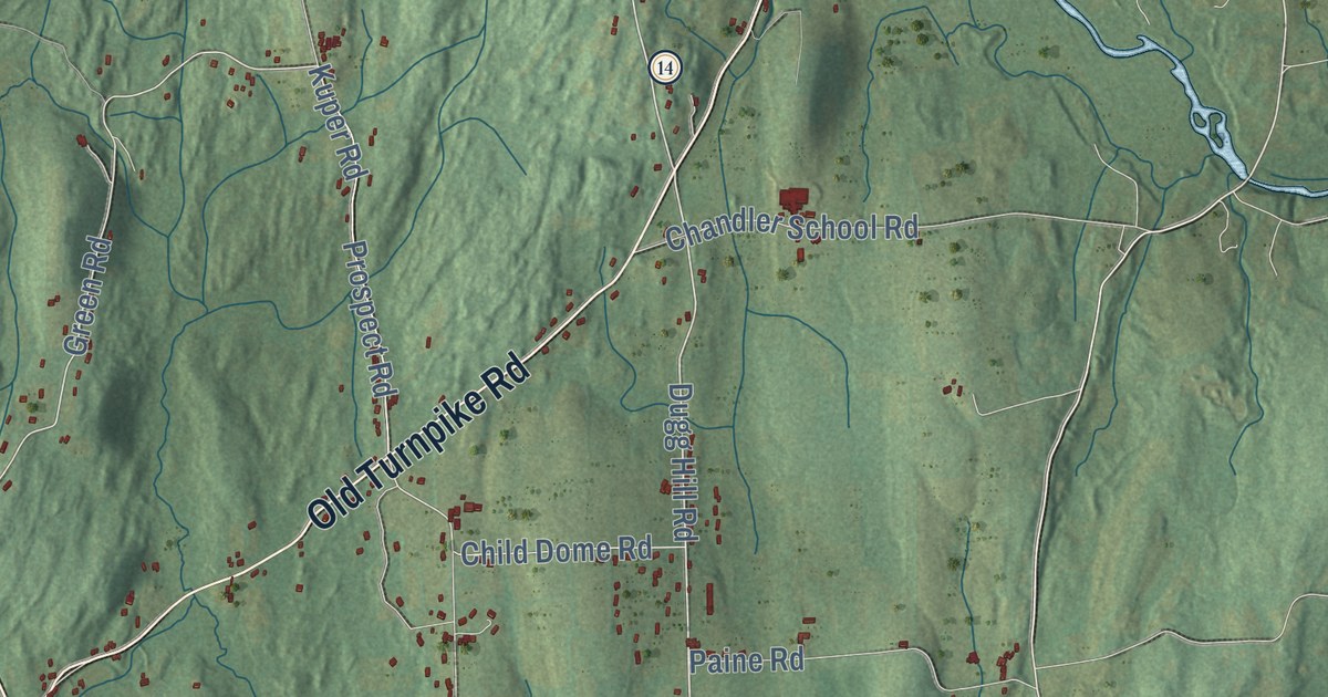
This beautifully detailed map of Woodstock, Connecticut was created in 2026 using aerial imagery...
Read More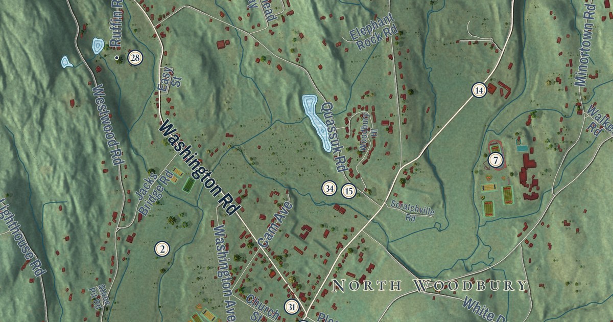
This beautifully detailed map of Woodbury, Connecticut was created in 2026 using aerial imagery...
Read More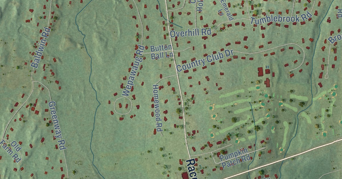
This beautifully detailed map of Woodbridge, Connecticut was created in 2026 using aerial imagery...
Read More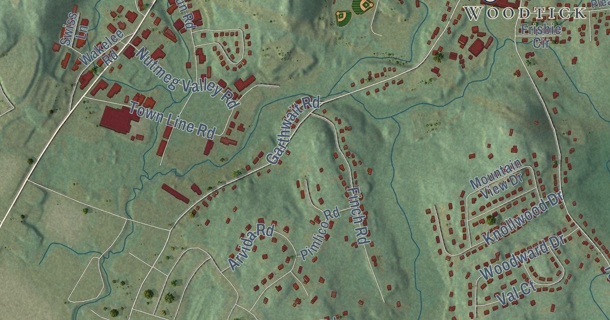
This beautifully detailed map of Wolcott, Connecticut was created in 2026 using aerial imagery...
Read More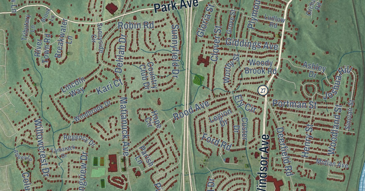
This beautifully detailed map of Windsor, Connecticut was created in 2026 using aerial imagery...
Read More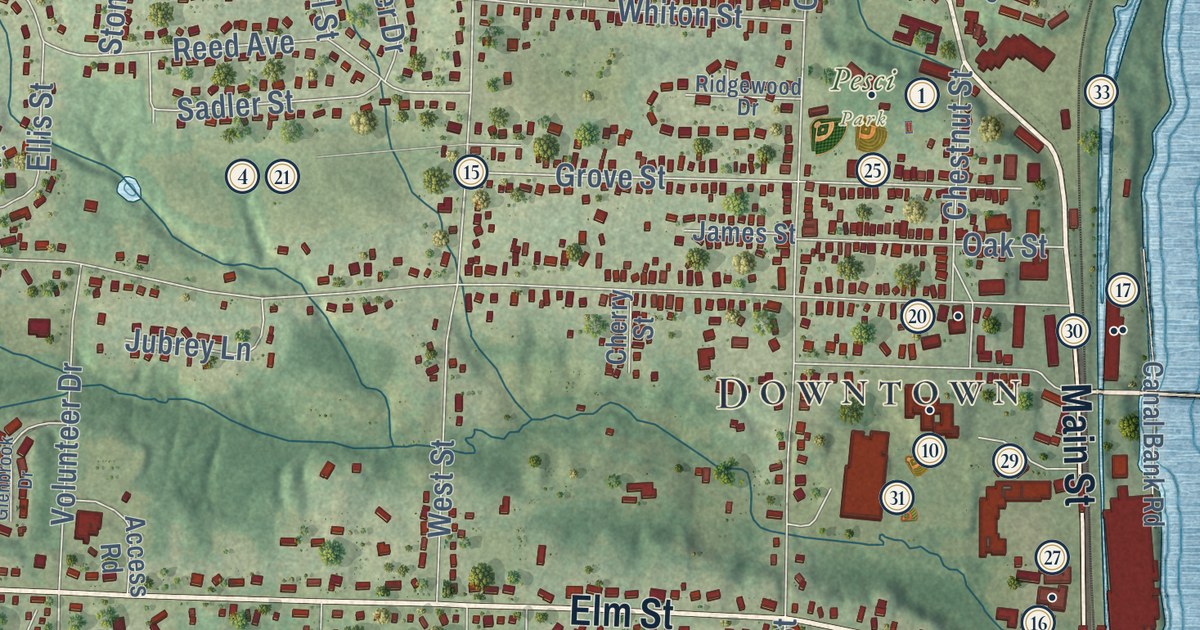
This beautifully detailed map of Windsor Locks, Connecticut was created in 2026 using aerial...
Read More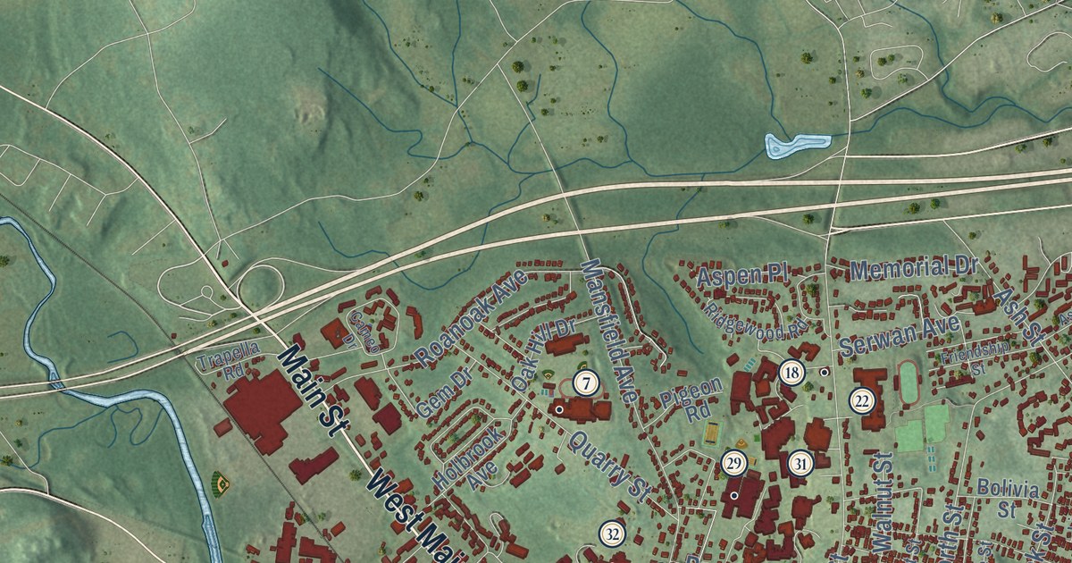
This beautifully detailed map of Windham, Connecticut was created in 2026 using aerial imagery...
Read More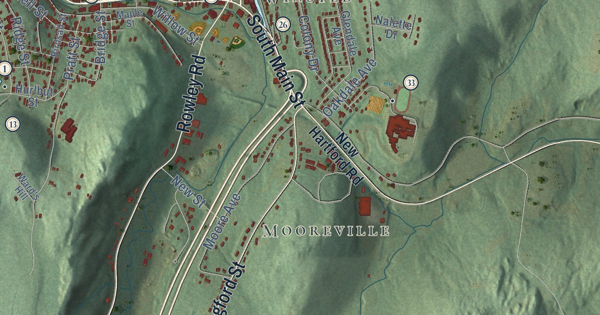
This beautifully detailed map of Winchester, Connecticut was created in 2026 using aerial imagery...
Read More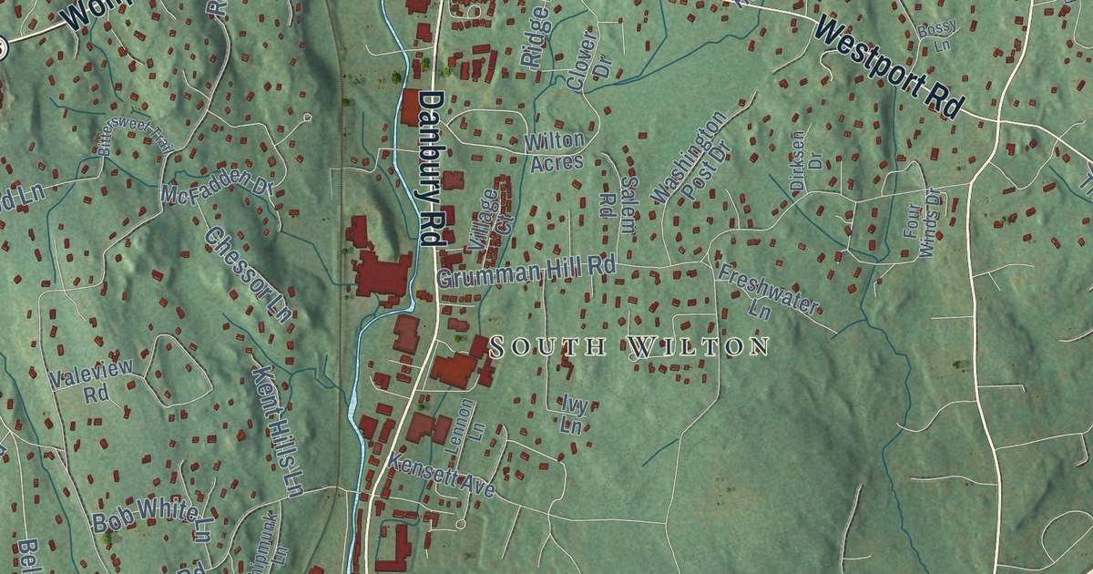
This beautifully detailed map of Wilton, Connecticut was created in 2026 using aerial imagery...
Read More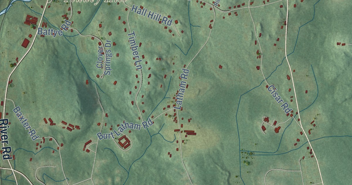
This beautifully detailed map of Willington, Connecticut was created in 2026 using aerial imagery...
Read More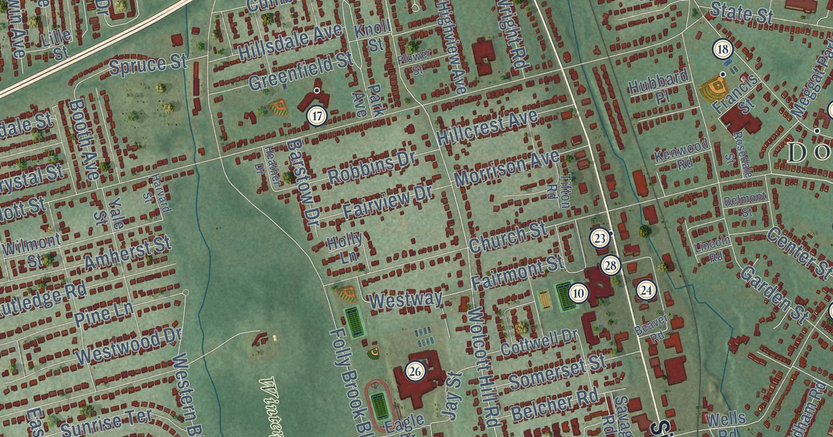
This beautifully detailed map of Wethersfield, Connecticut was created in 2026 using aerial...
Read More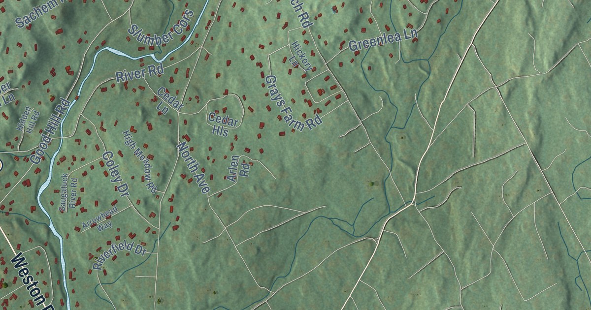
This beautifully detailed map of Weston, Connecticut was created in 2026 using aerial imagery...
Read More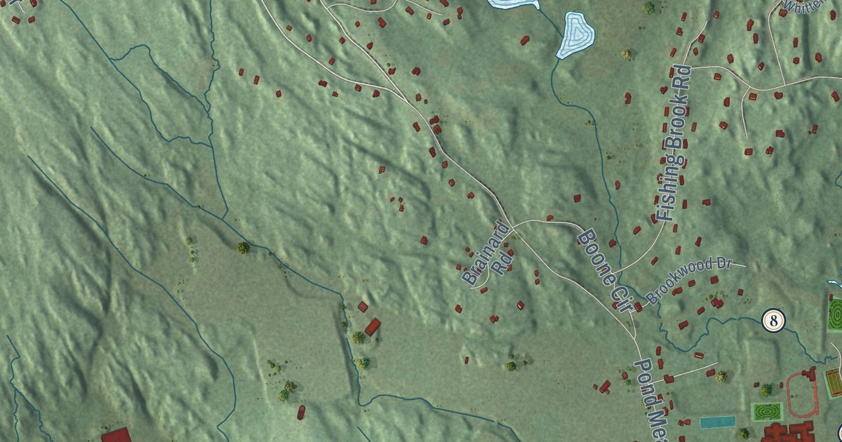
This beautifully detailed map of Westbrook, Connecticut was created in 2026 using aerial imagery...
Read More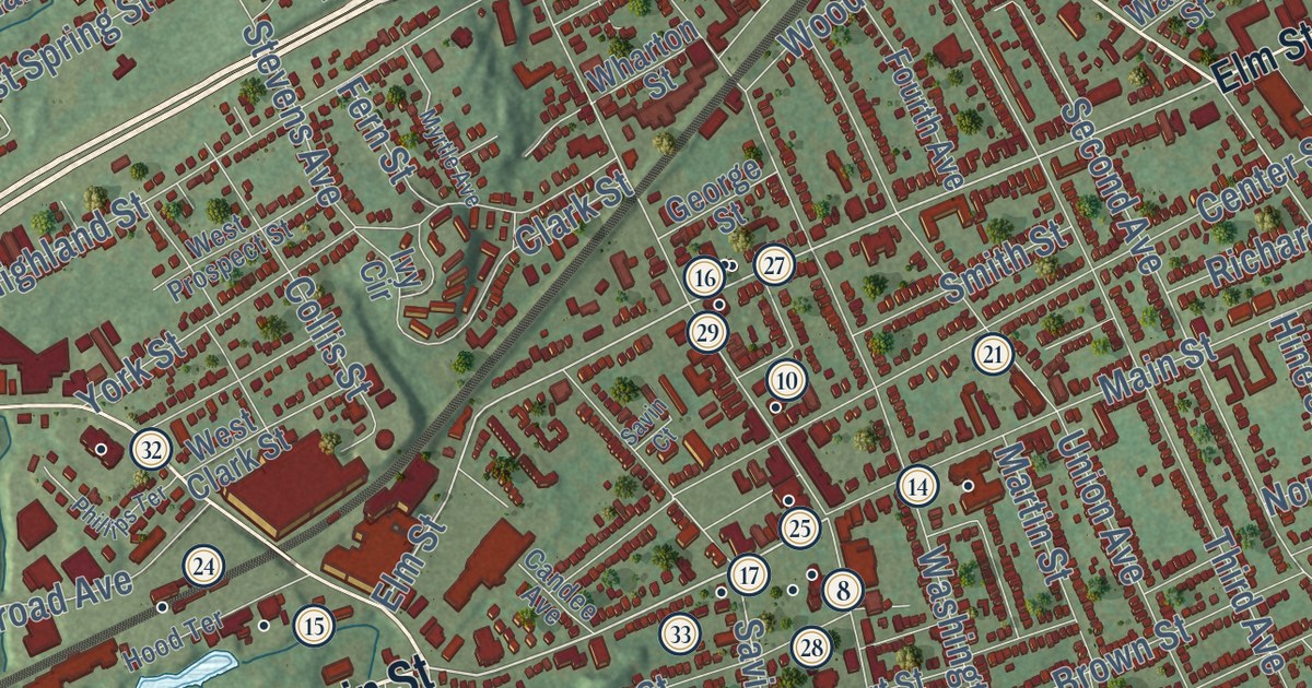
This beautifully detailed map of West Haven, Connecticut was created in 2026 using aerial imagery...
Read More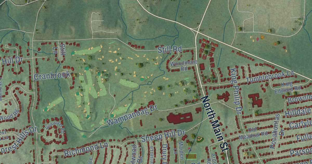
This beautifully detailed map of West Hartford, Connecticut was created in 2026 using aerial...
Read More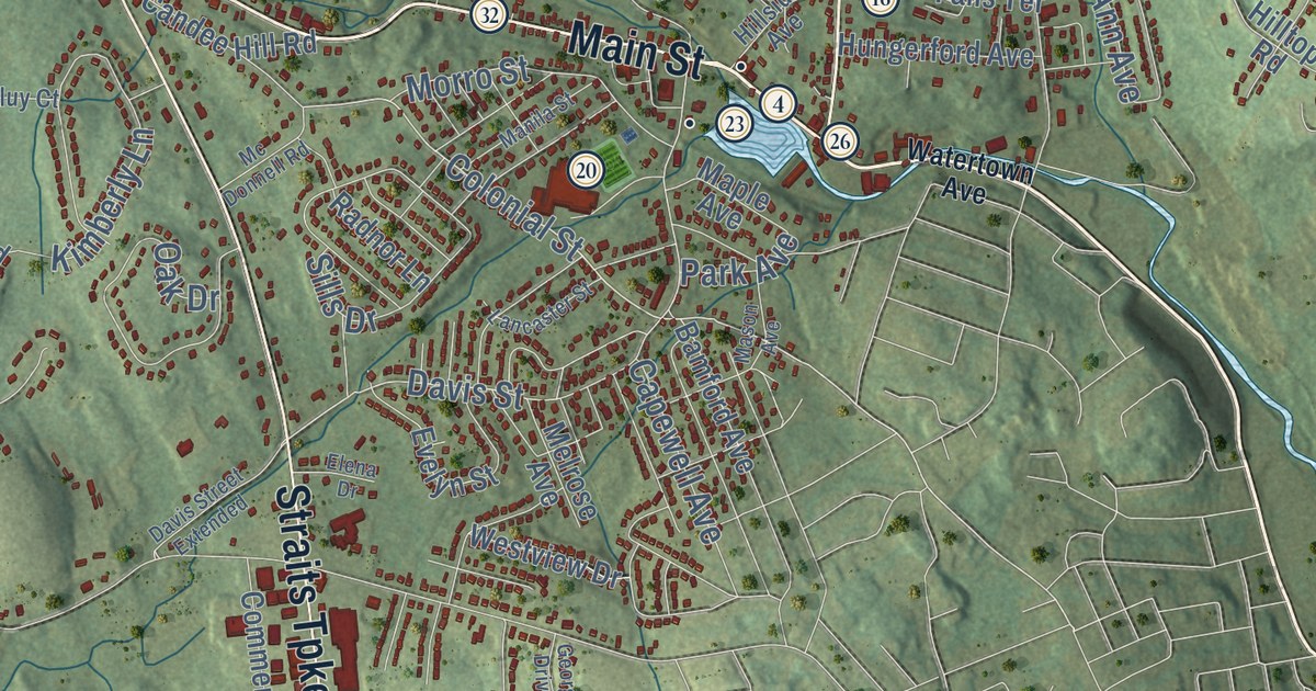
This beautifully detailed map of Watertown, Connecticut was created in 2026 using aerial imagery...
Read More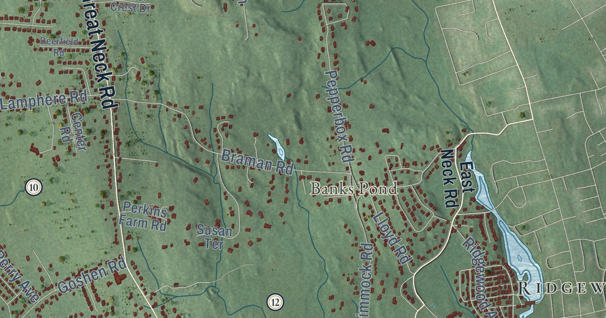
This beautifully detailed map of Waterford, Connecticut was created in 2026 using aerial imagery...
Read More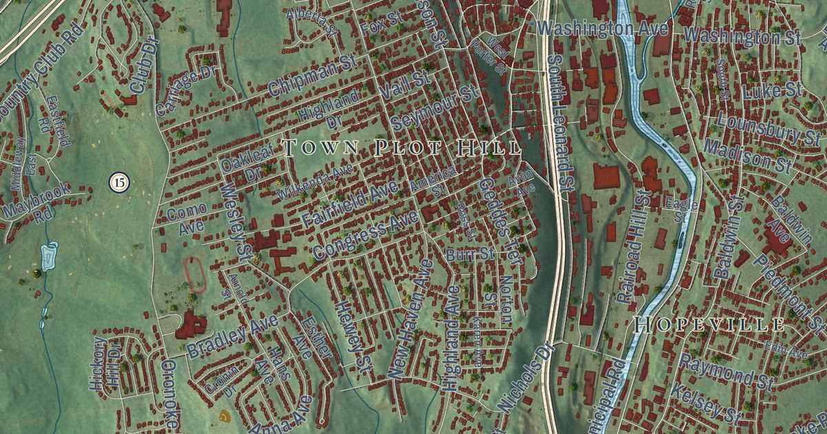
This beautifully detailed map of Waterbury, Connecticut was created in 2026 using aerial imagery...
Read More















